I began my final solo vacation of the year with a visit to the Columbia River Gorge National Recreation Area and the Mark O. Hatfield Wilderness. My plan was based on an entry in Matt Reeder’s “PDX Hiking 365” (1st edition) guidebook.
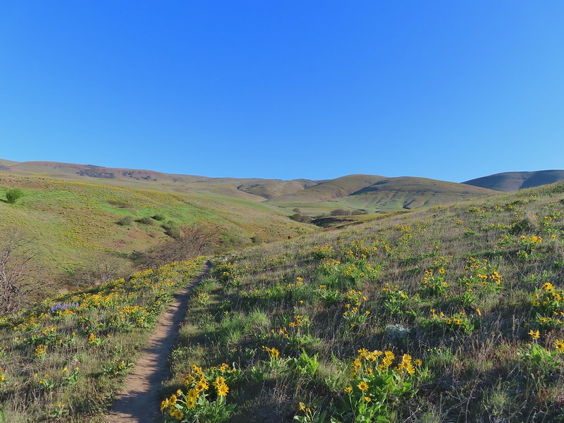
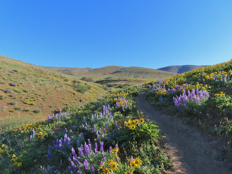
He describes a 14-mile out and back hike to the Plateau starting at the Herman Creek Trailhead with a cumulative elevation gain of 3800′. Most of the hike passes through the 2017 Eagle Creek Fire scar using the Herman Creek, Herman Creek Bridge, and Pacific Crest Trails.
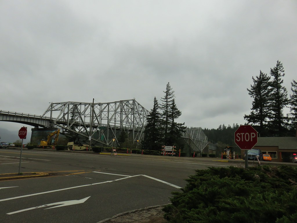
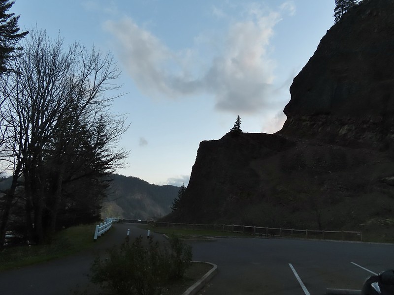
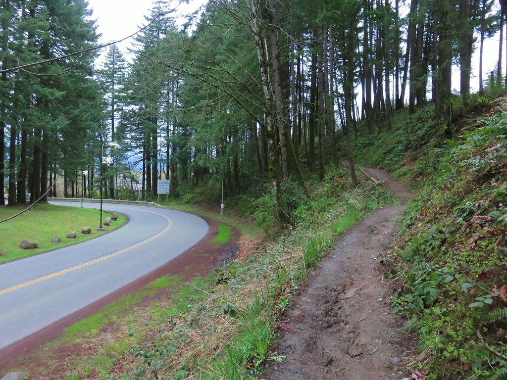
I arrived at the trailhead before sunrise due to wanting to get through Portland traffic before 6am.

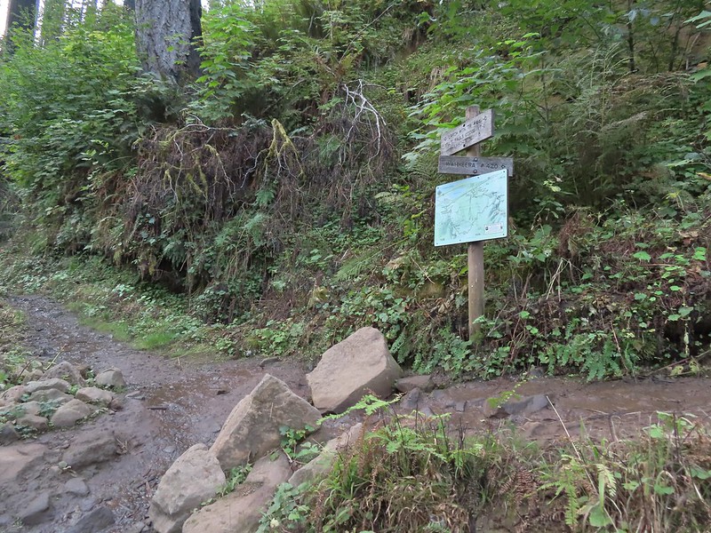
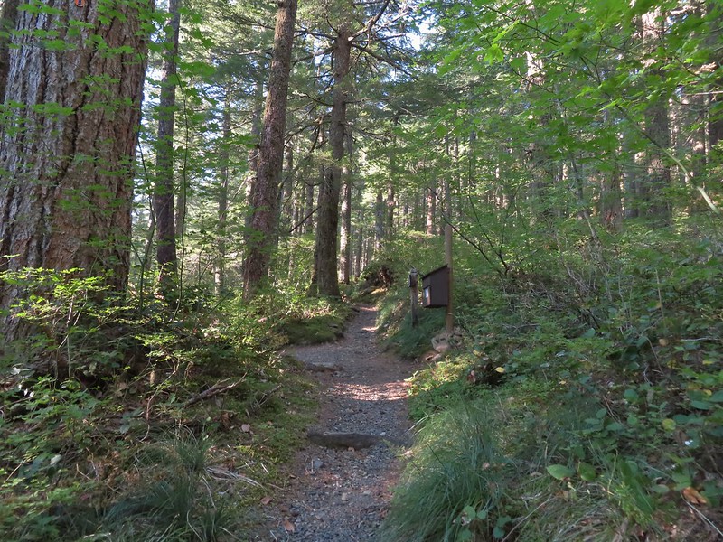
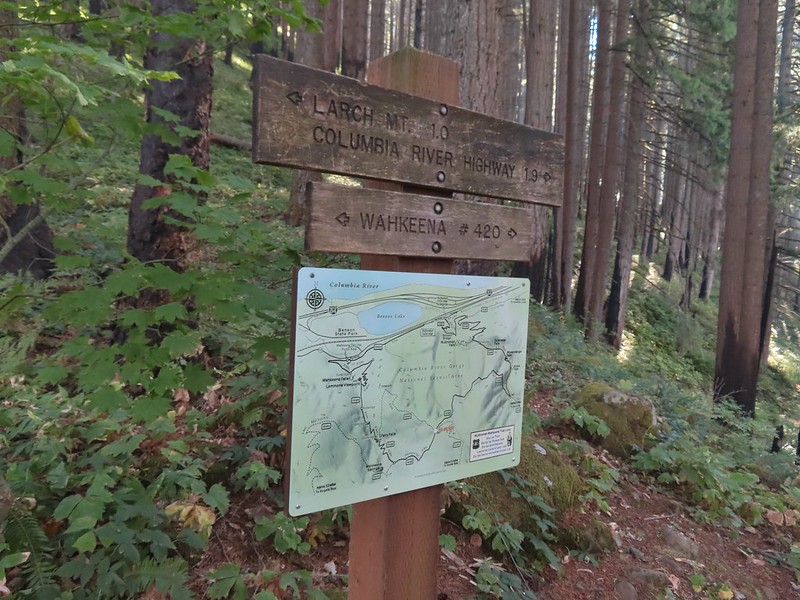
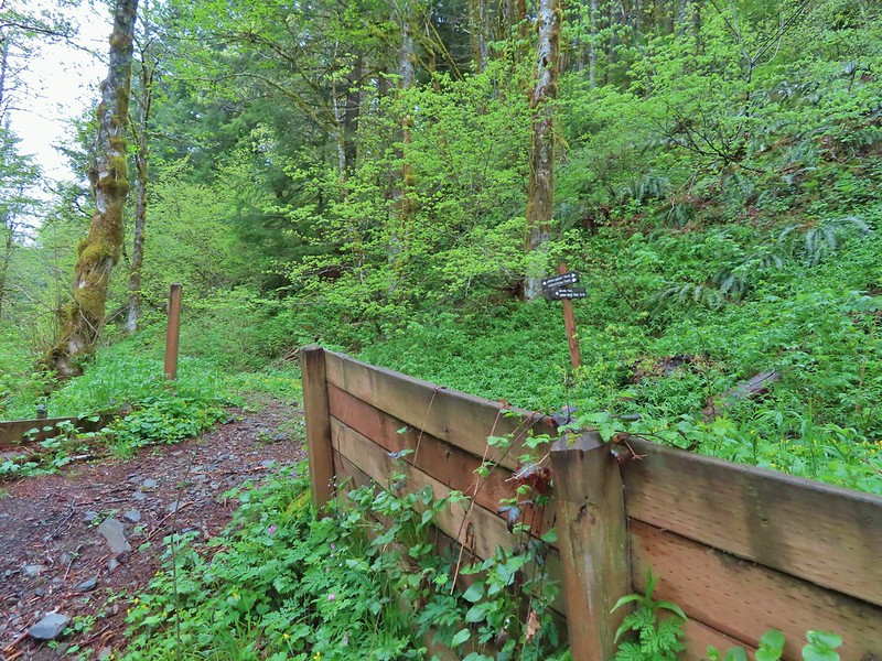
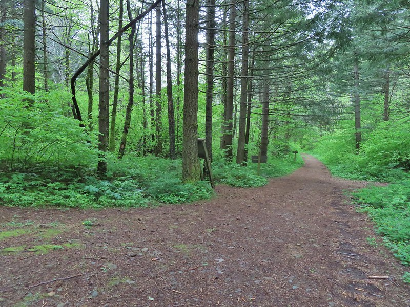
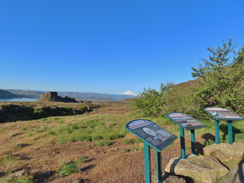
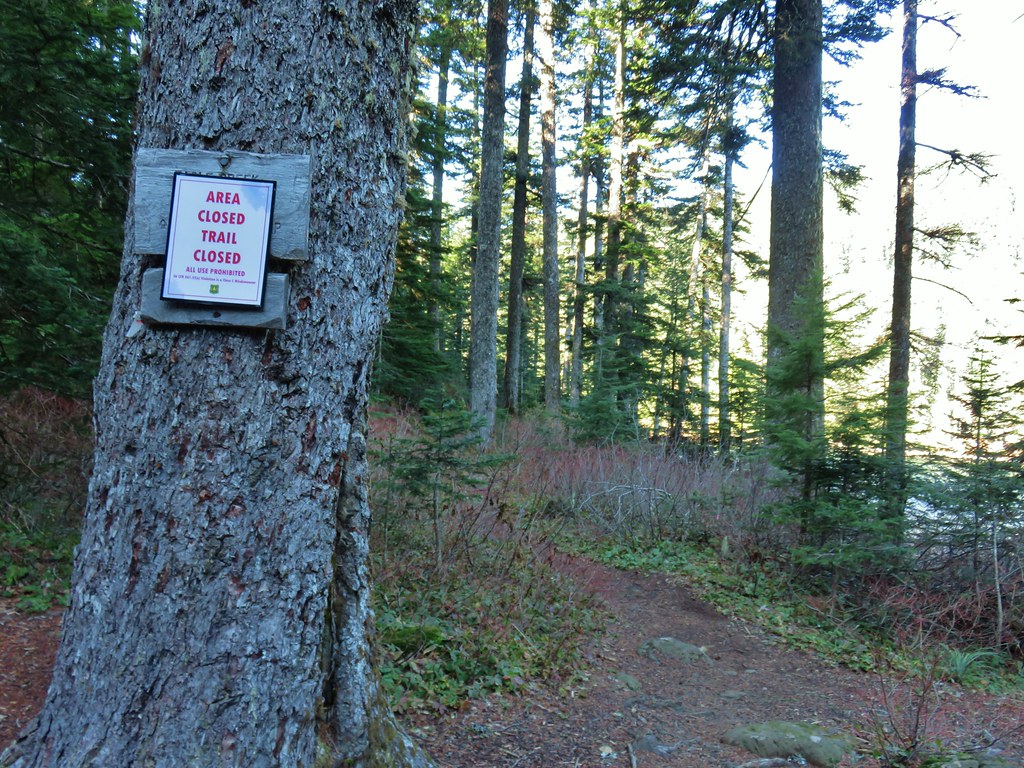
There were a few important pieces of information at the trailhead signboard.

Important information included the need of a NW Forest Pass to park at the trailhead, that there is currently a campfire ban, and no fireworks are allowed (illegal use of fireworks started the Eagle Creek Fire).
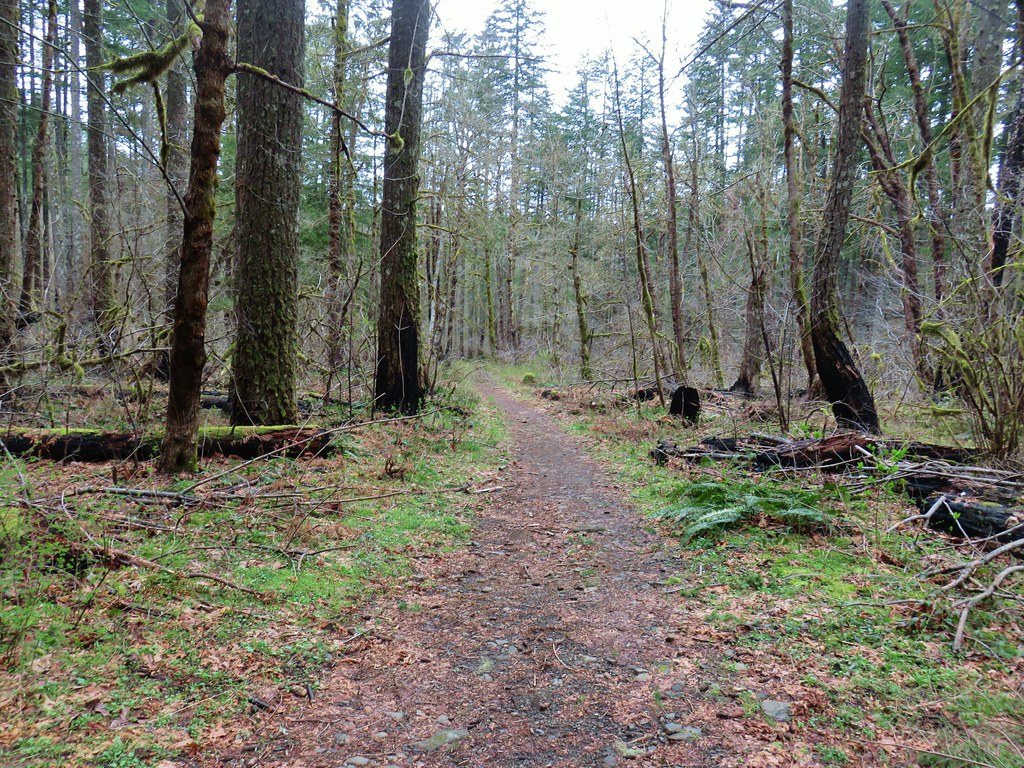
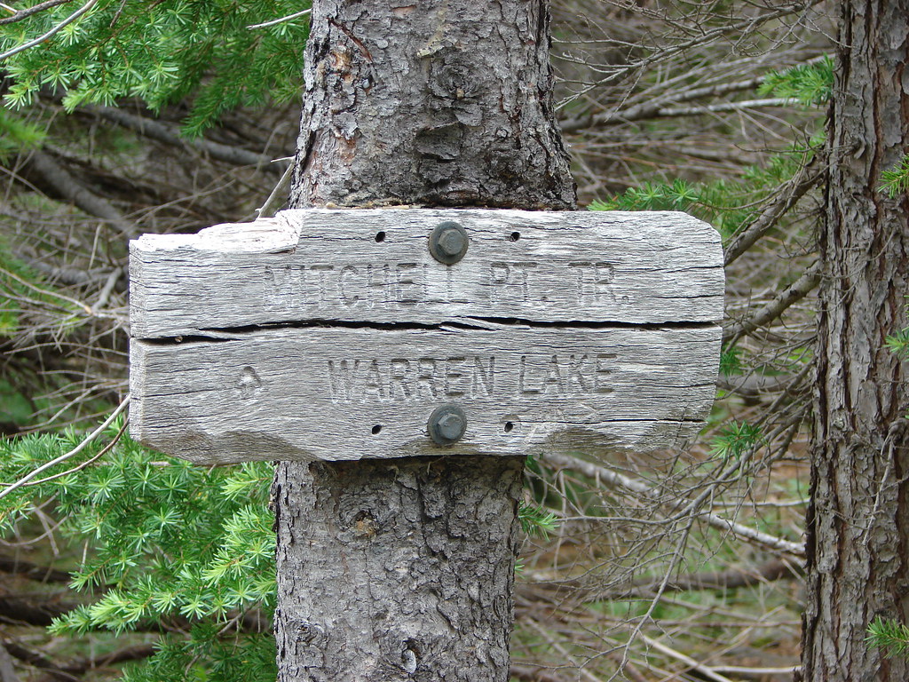
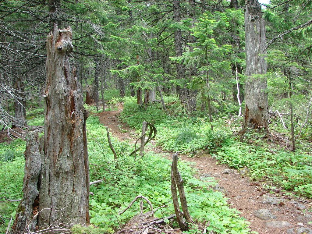
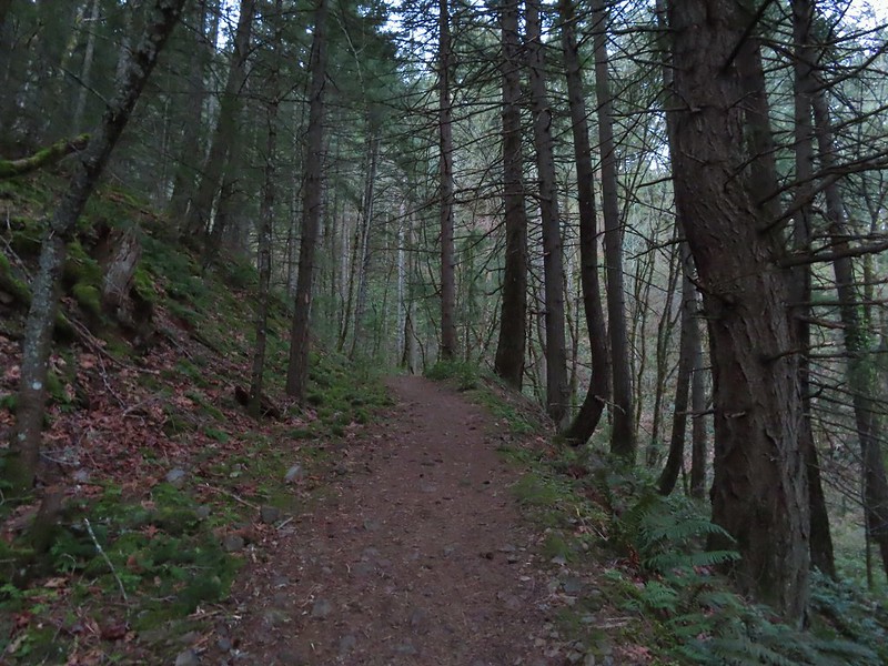
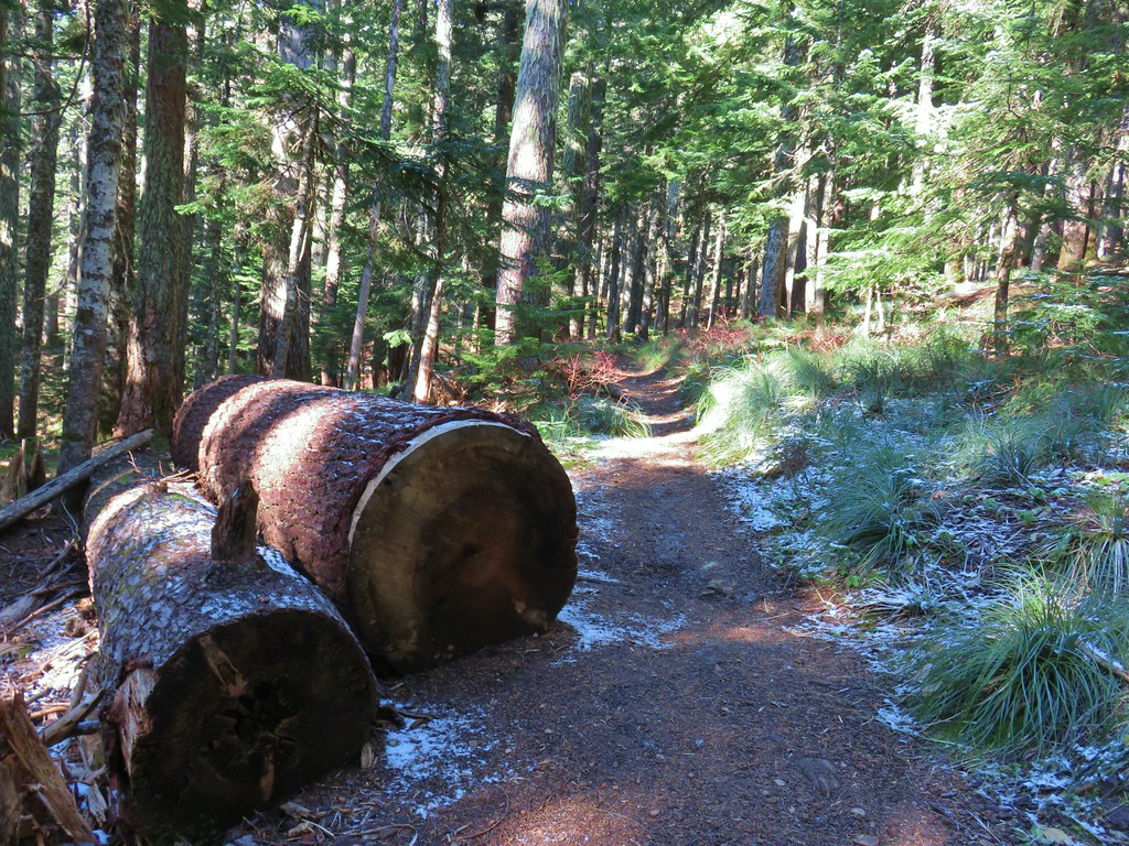
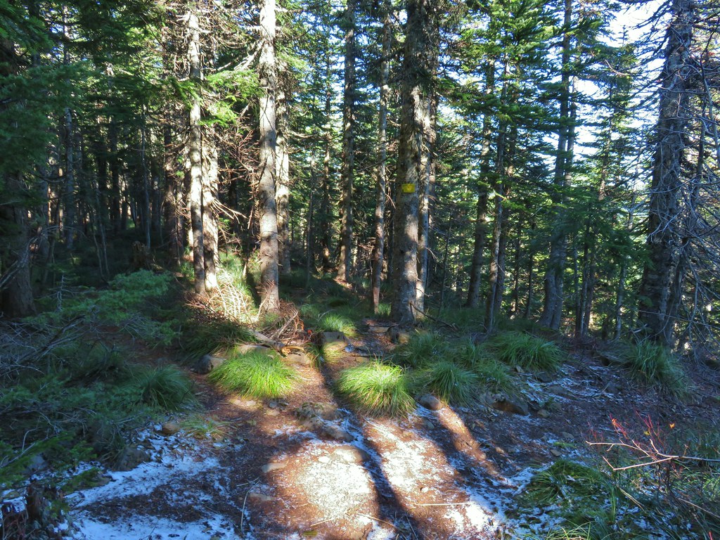
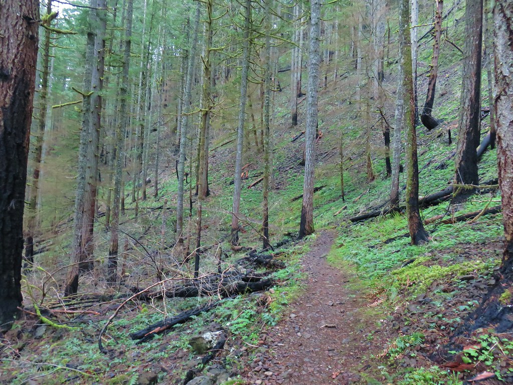
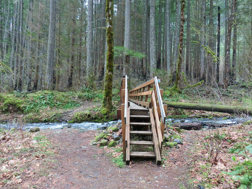
I set off on the Herman Creek Trail and followed it uphill passing under a powerline corridor to a junction with the Herman Creek Bridge Trail at the 0.6-mile mark.


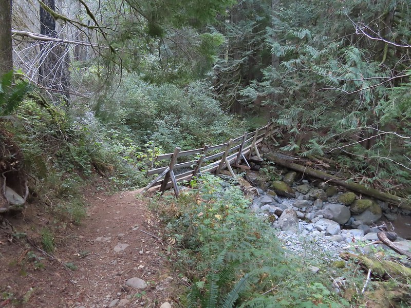
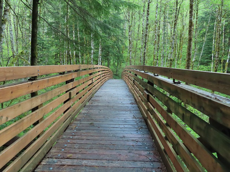
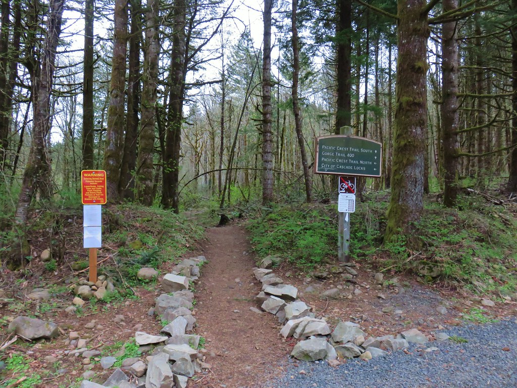
I forked right onto the 1.1-mile-long Herman Creek Bridge Trail which descended to the Herman Creek Bridge then climbed to a junction with the Pacific Crest Trail (PCT).


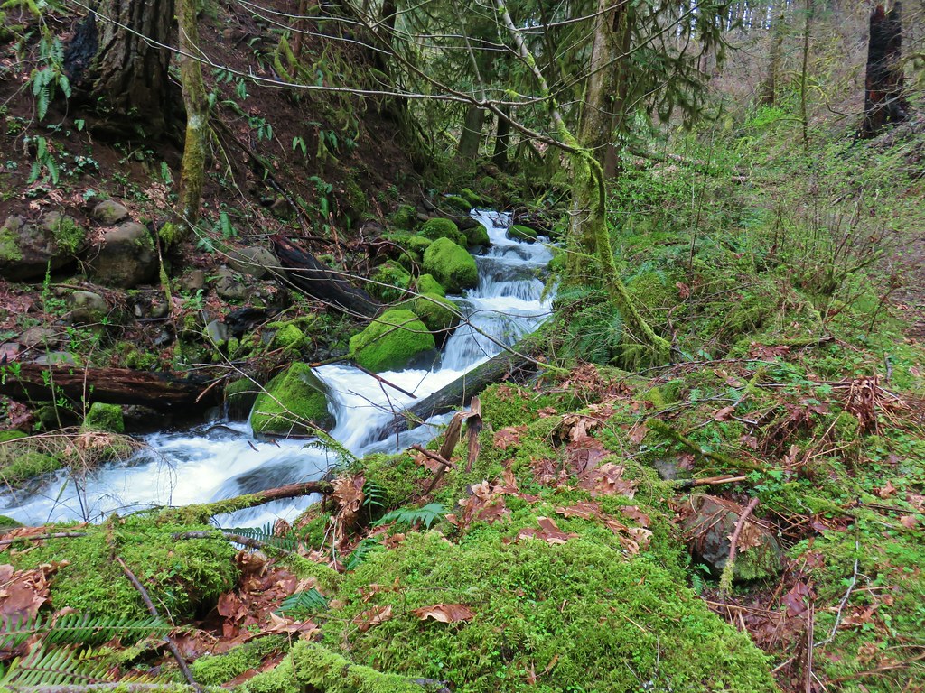
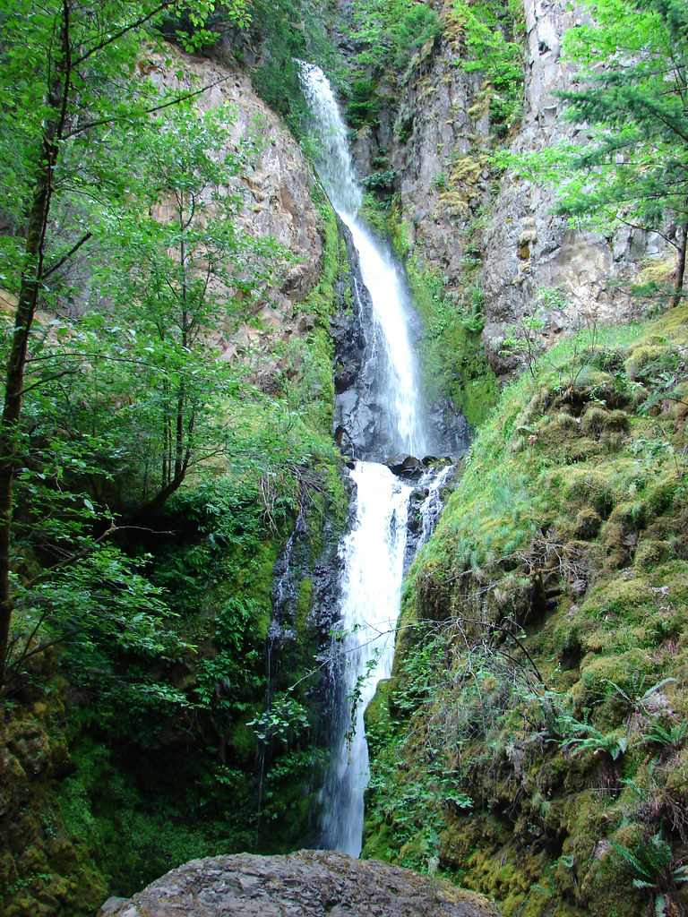
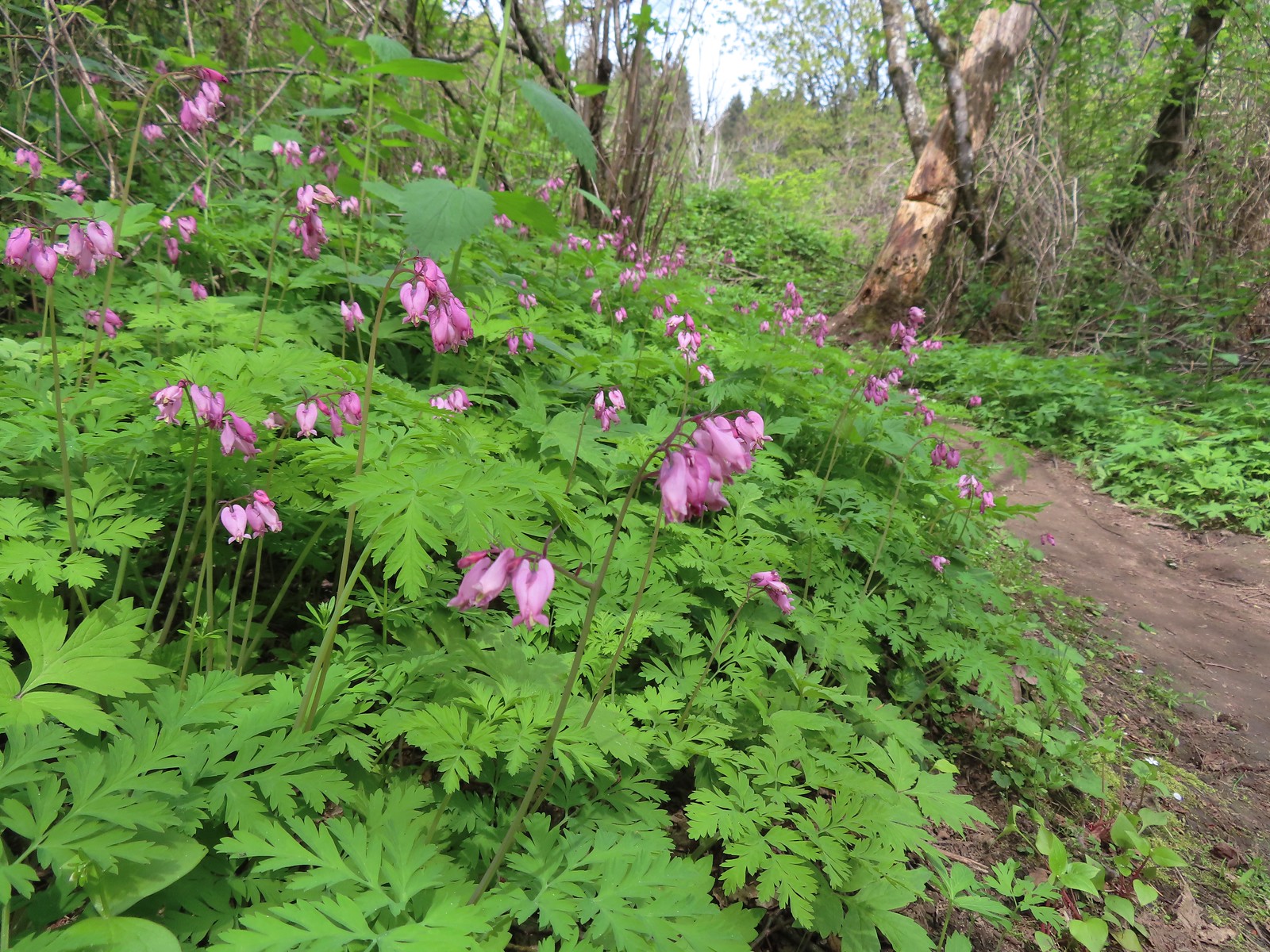
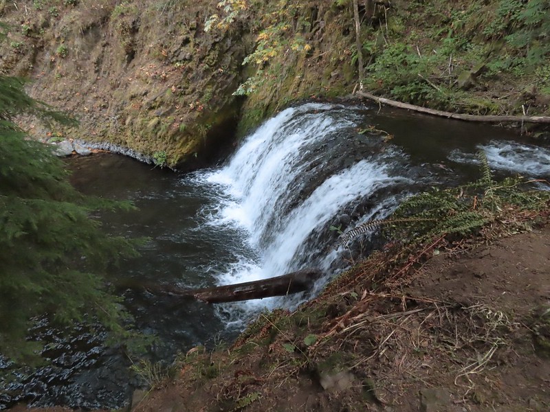
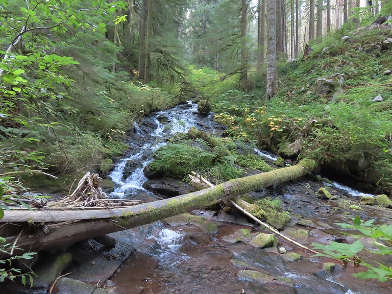
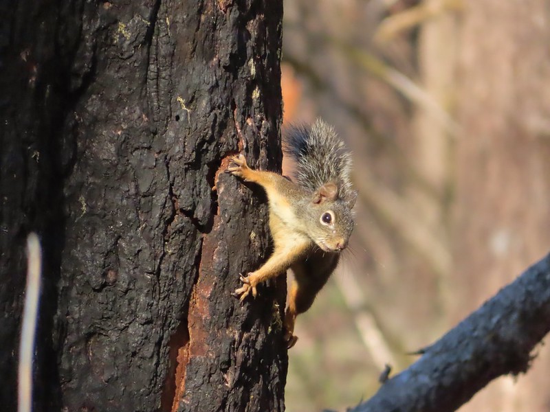
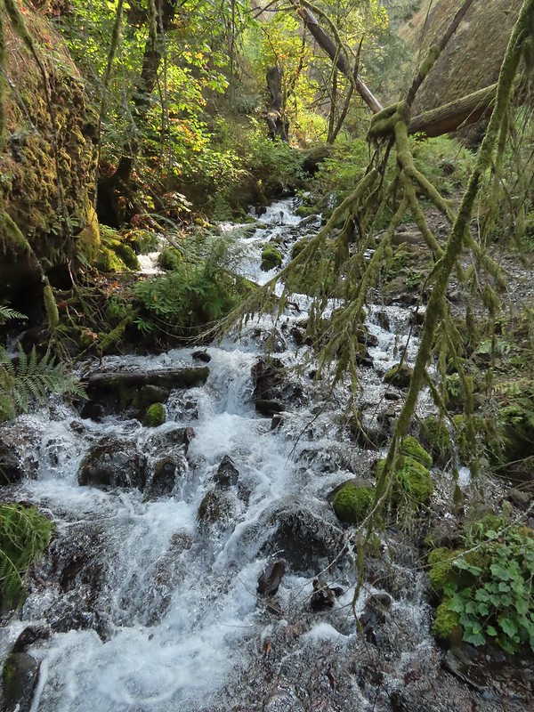
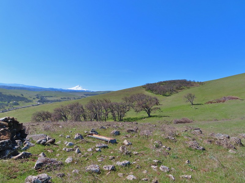
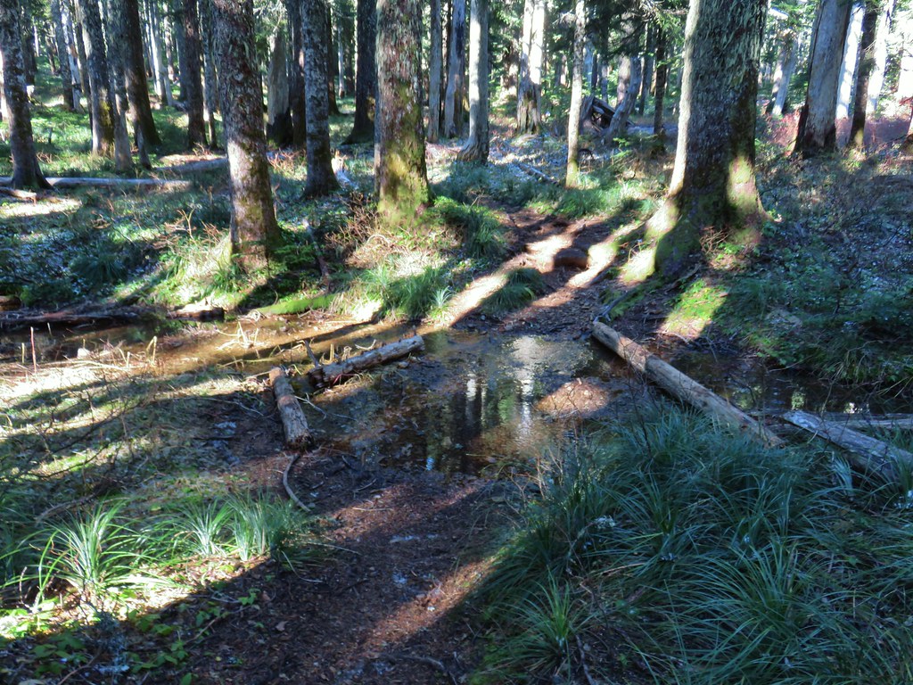
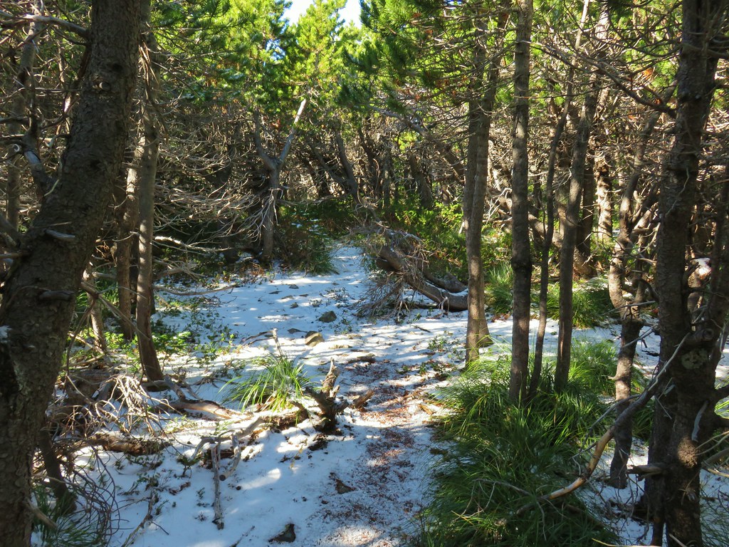
Herman Creek

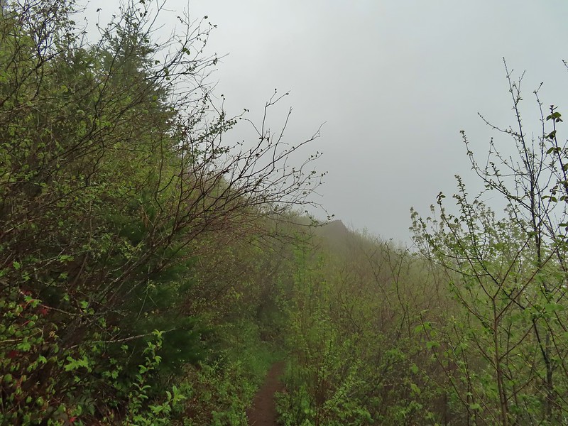
Climbing toward the PCT. Note the red leaves on the left which is poison oak. There was a fair amount of poison oak along the lower portion of this hike. There were a couple of spots where I had to get small to squeeze between some of it, but I was able to avoid it by staying alert.

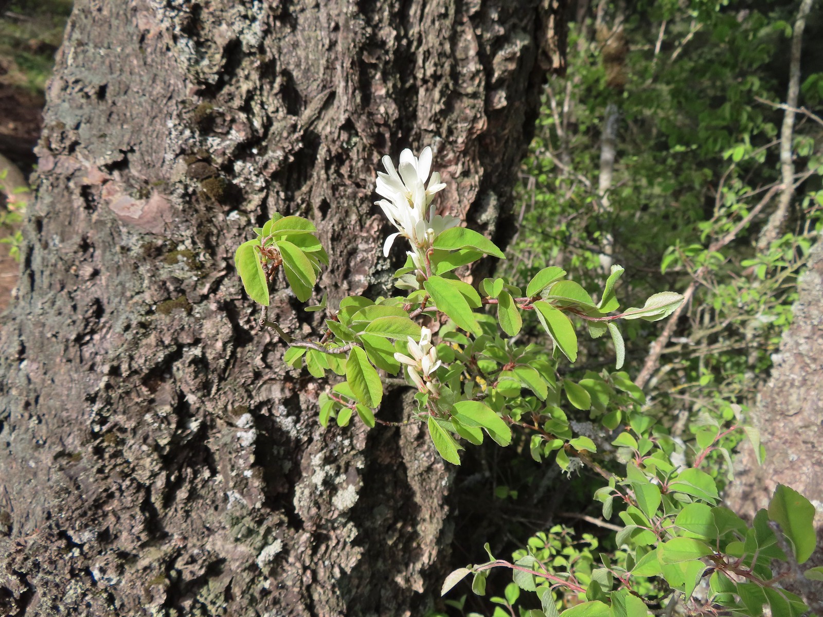
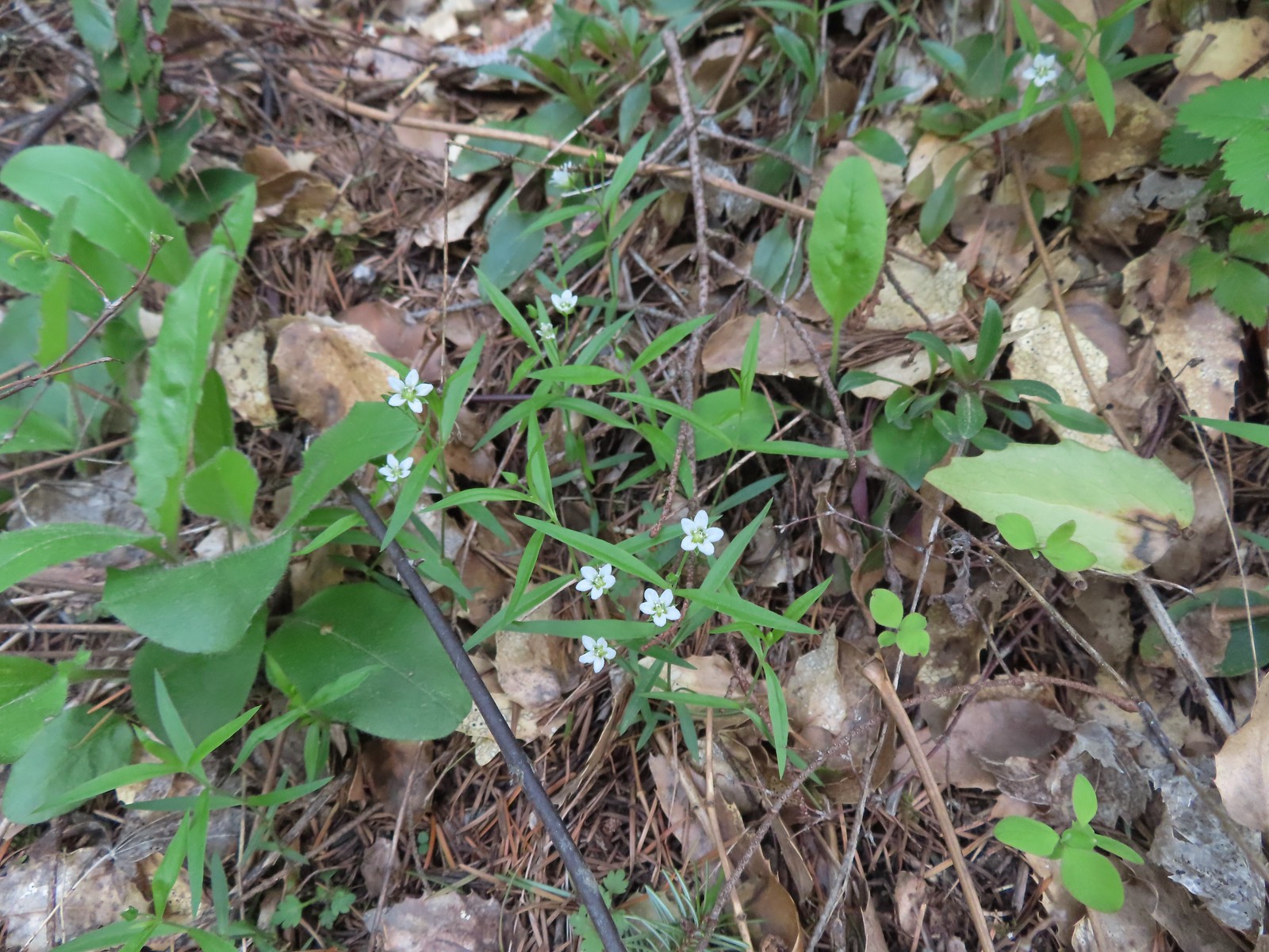
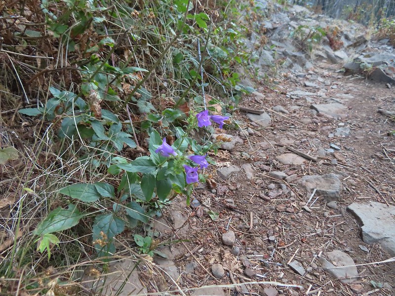
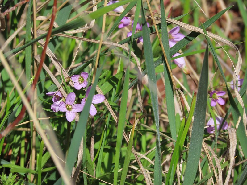
Beardtongue

More poison oak. With it turning red for the Fall most of it was easy to spot.

First pika sighting of the day. (Can you spot it?)

The Columbia River Gorge is the lowest elevation at which pikas live. These members of the rabbit family require temperatures below 78 degrees and primarily live at higher elevations with longer snowy seasons during which they live underground surviving on greens collected during summer months.

The Moon above cliffs.

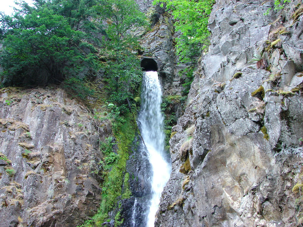
The junction with the PCT. The hike up to this point had retraced part of our 2015 to Pacific Crest Falls (post).
In 2015 we had gone right to visit the waterfall, but this time I turned left on the PCT which quickly entered the Mark O. Hatfield Wilderness.

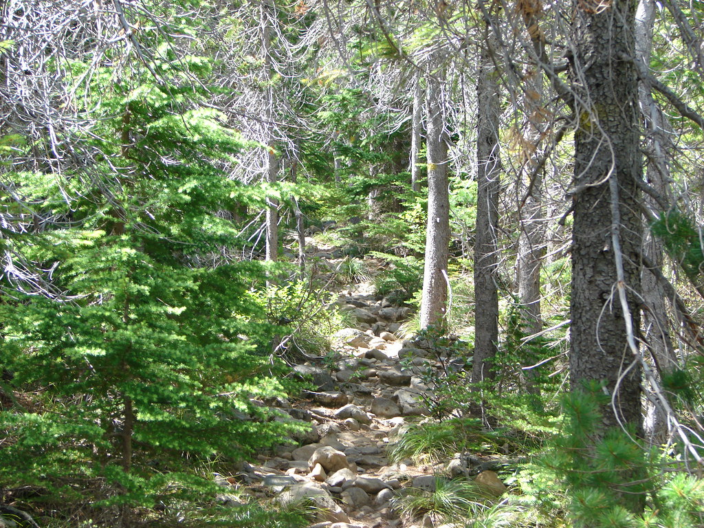
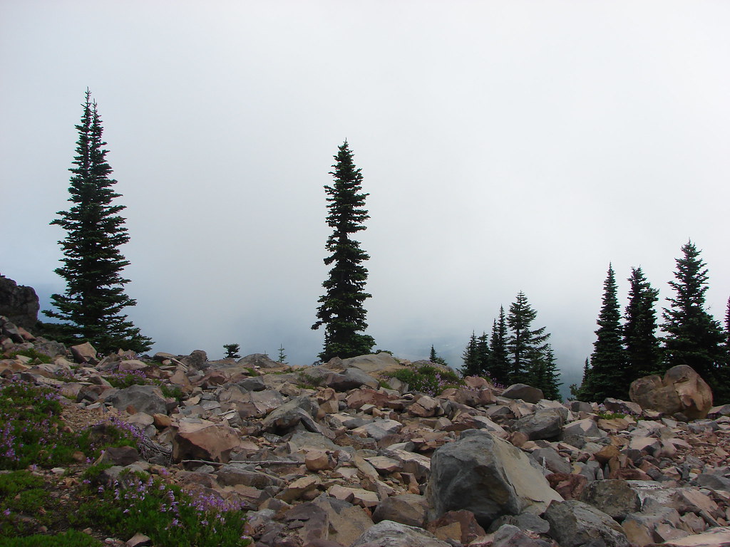
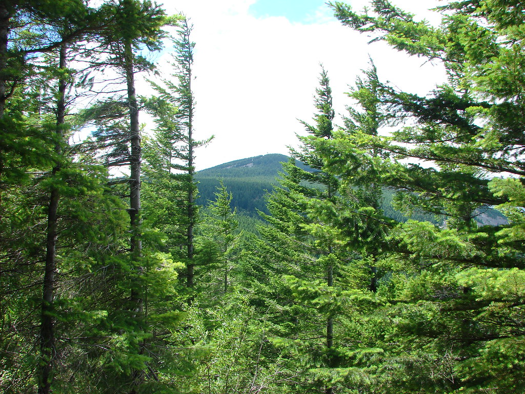
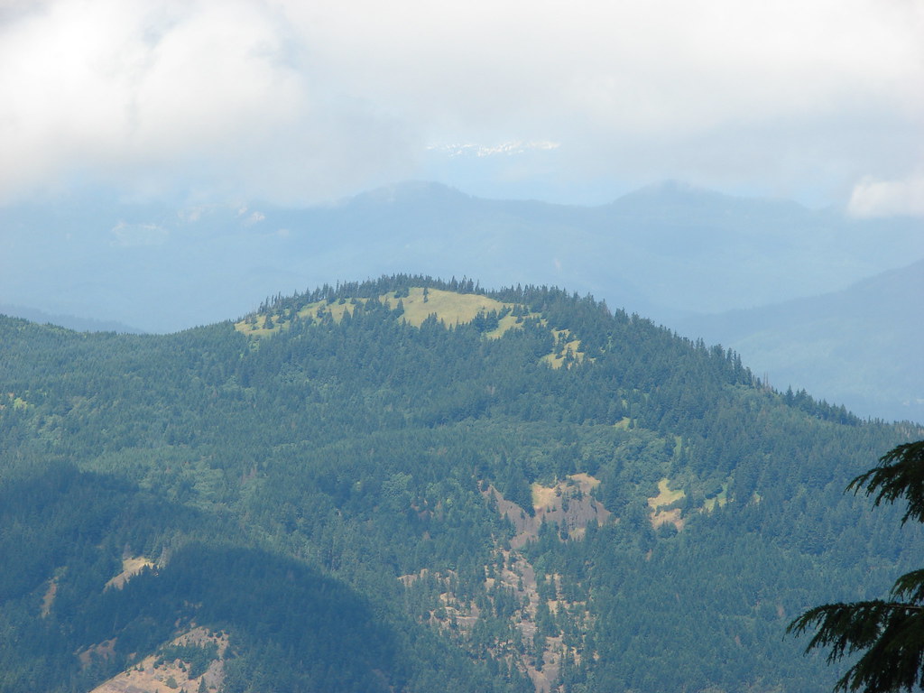
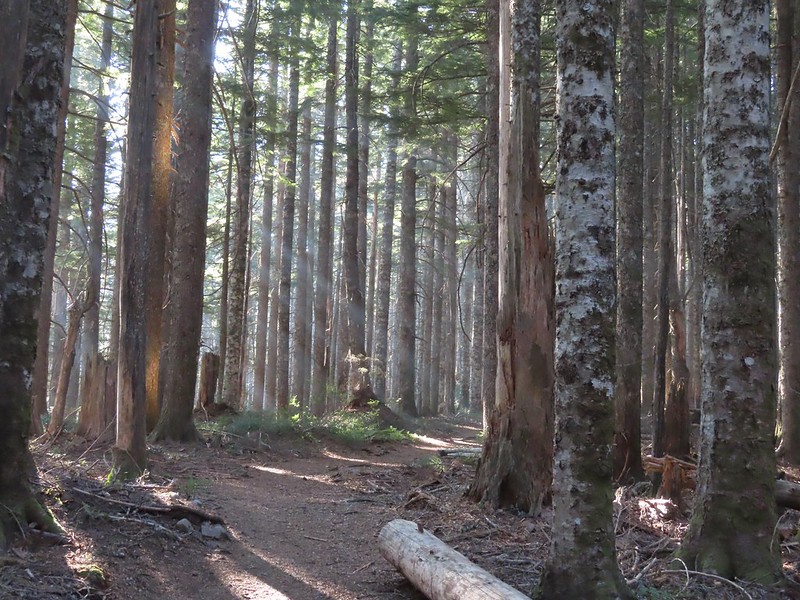
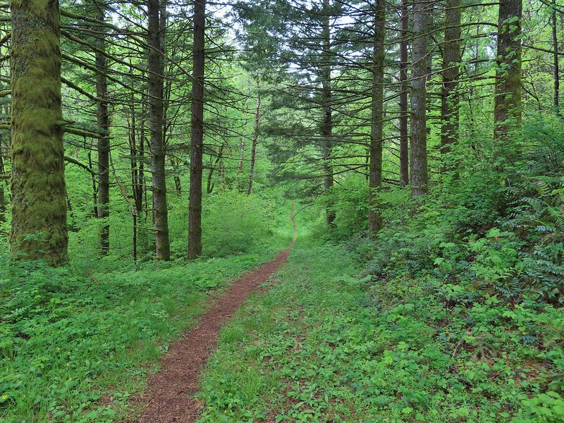
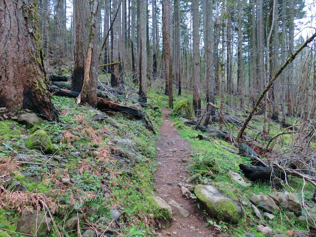
From the junction it was a nearly constant 5-mile climb to Benson Plateau. There were a couple of small saddles that provided a little up and down near the plateau but otherwise it was a steady but never steep climb.

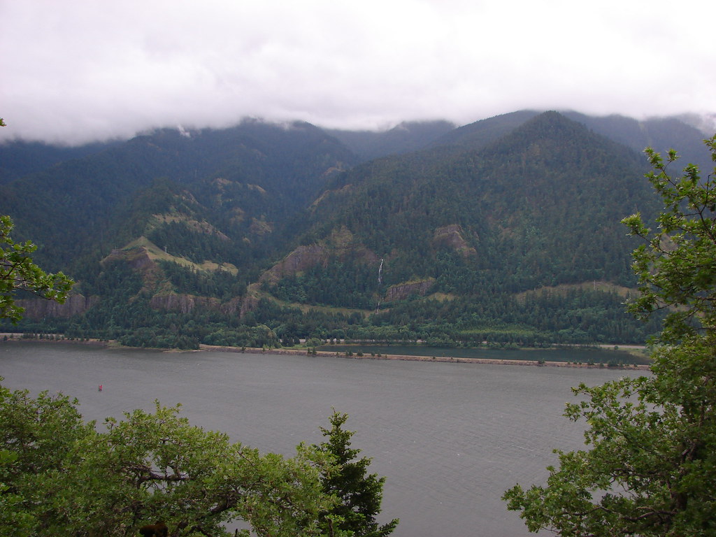
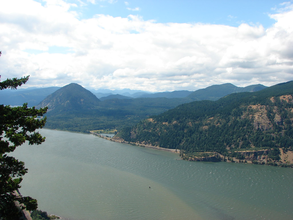
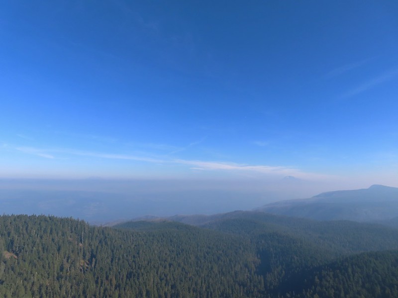
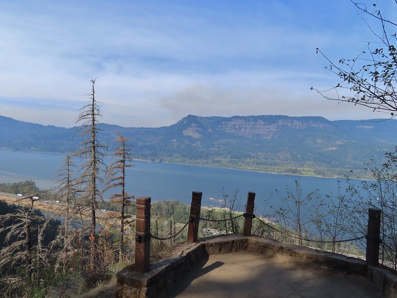
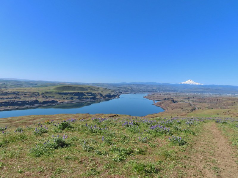
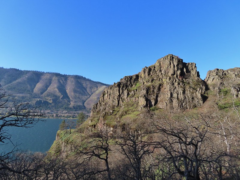
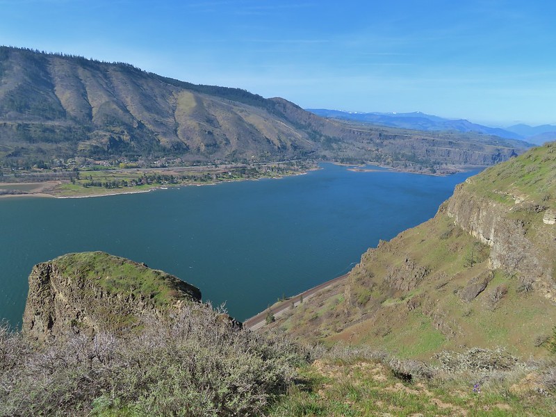
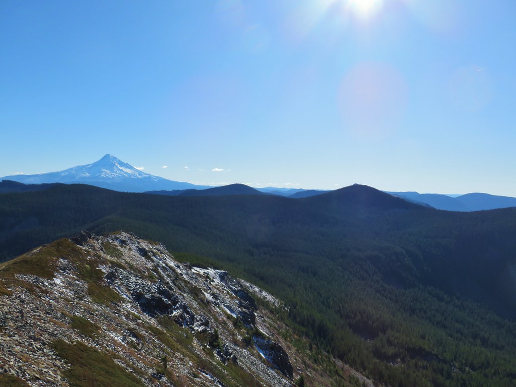
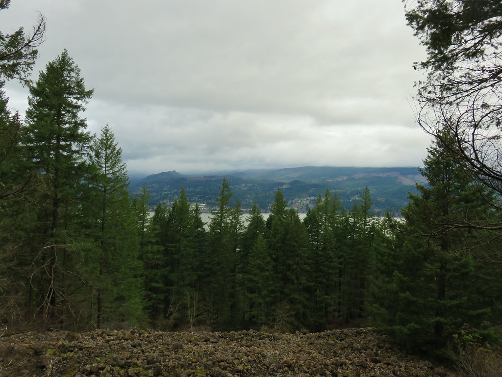
First good viewpoint across the Columbia River.

Another pika. I heard several but only spotted three or four.

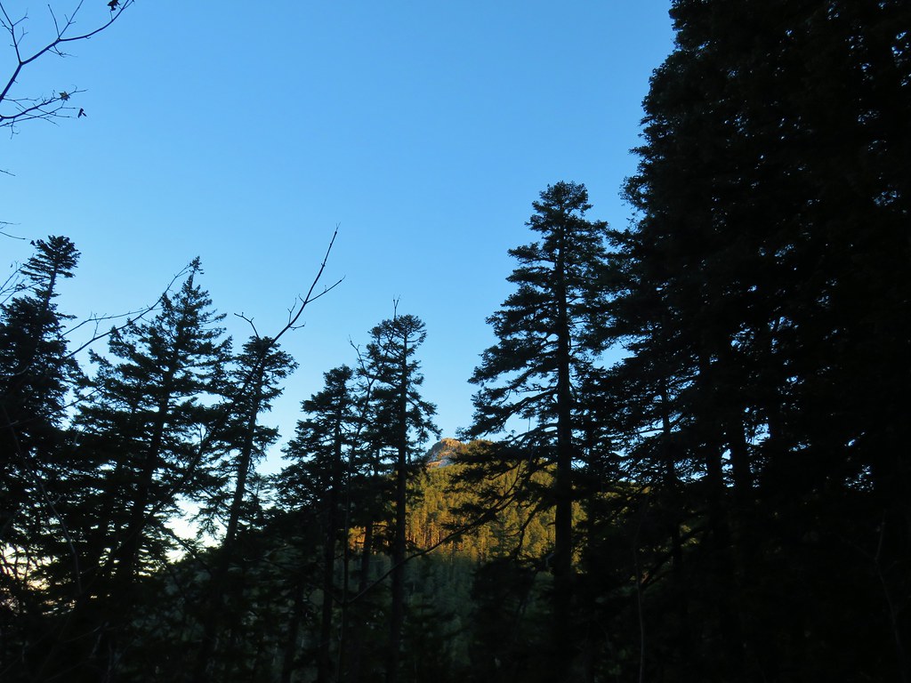
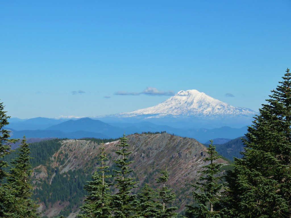
The summit of Mt. Adams peaking over the ridge across the river.

Table Mountain (post) on the left and Greenleaf Peak (post) on the right.

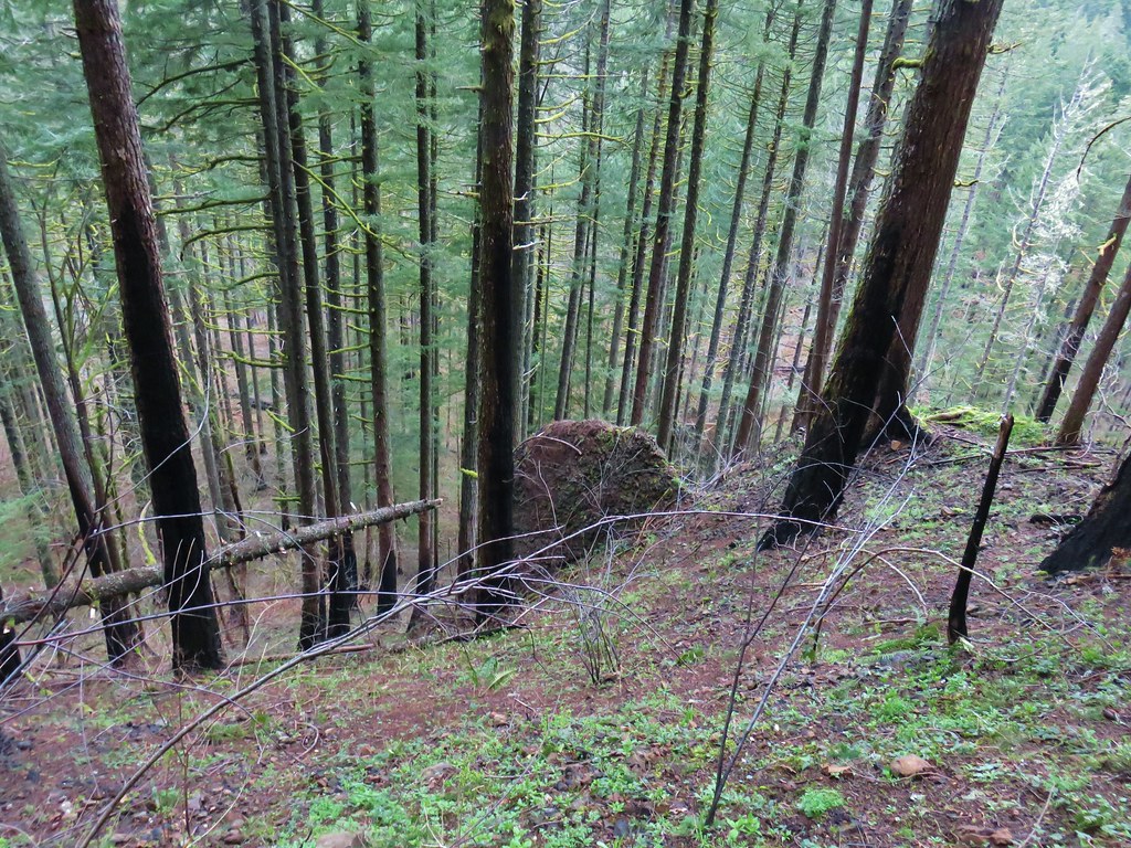
The amount of poison oak lessened as the trail climbed giving way to friendlier greenery.

One of two large trees over the trail. This one required the removal of my pack so that I could crawl under. The other one was just enough smaller that it could be climbed over.

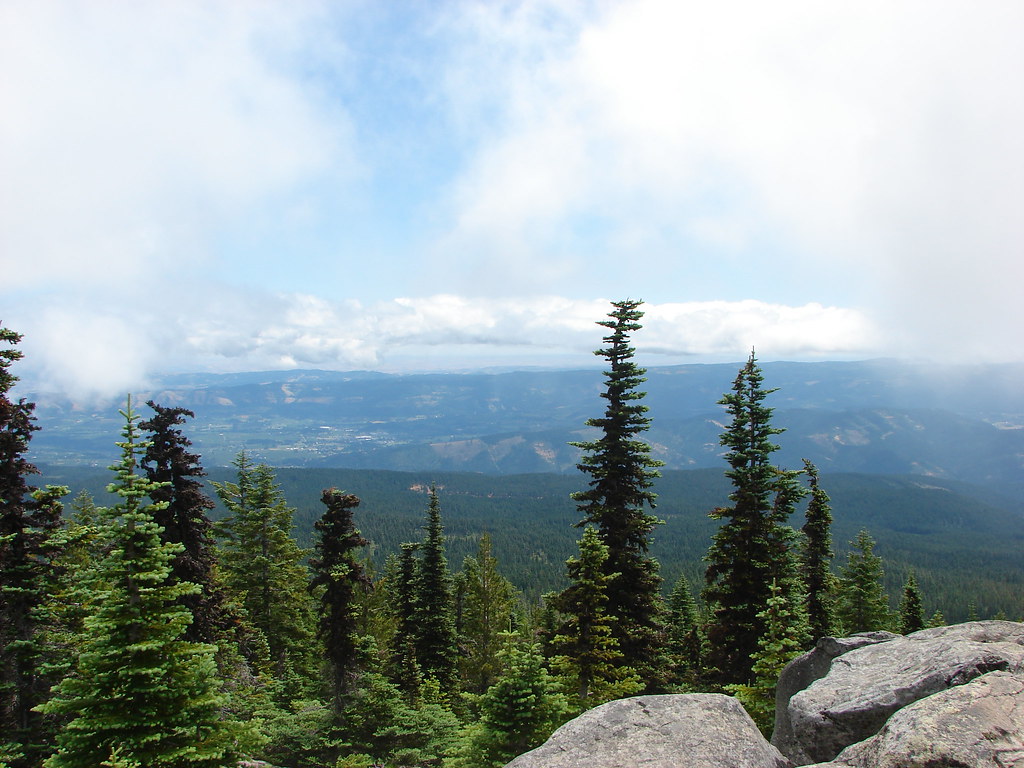
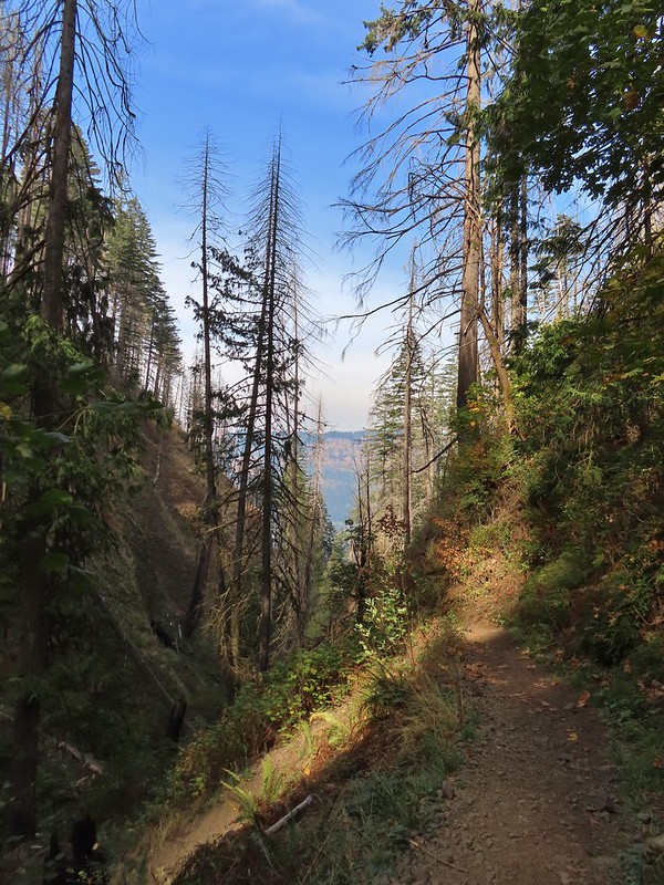
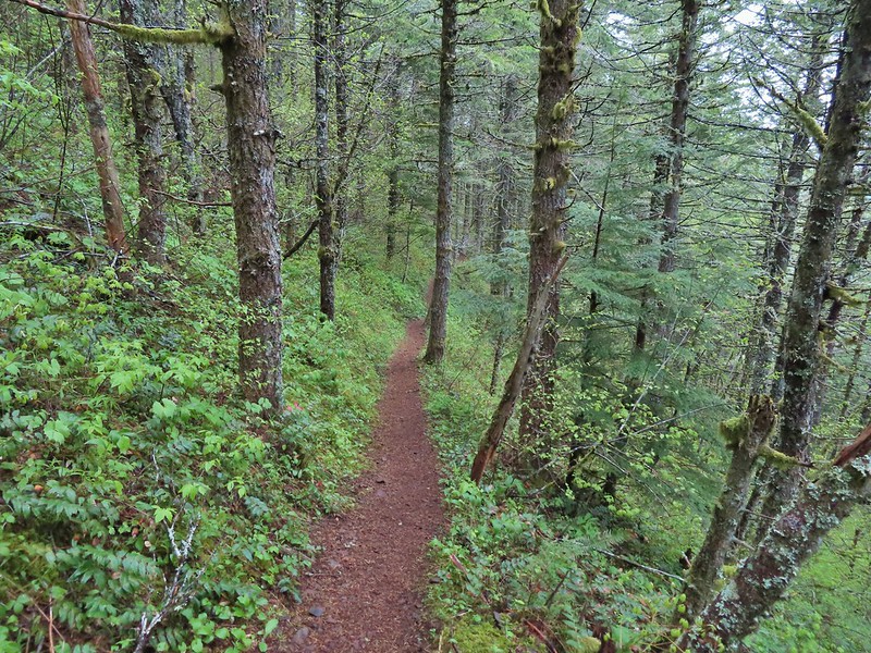
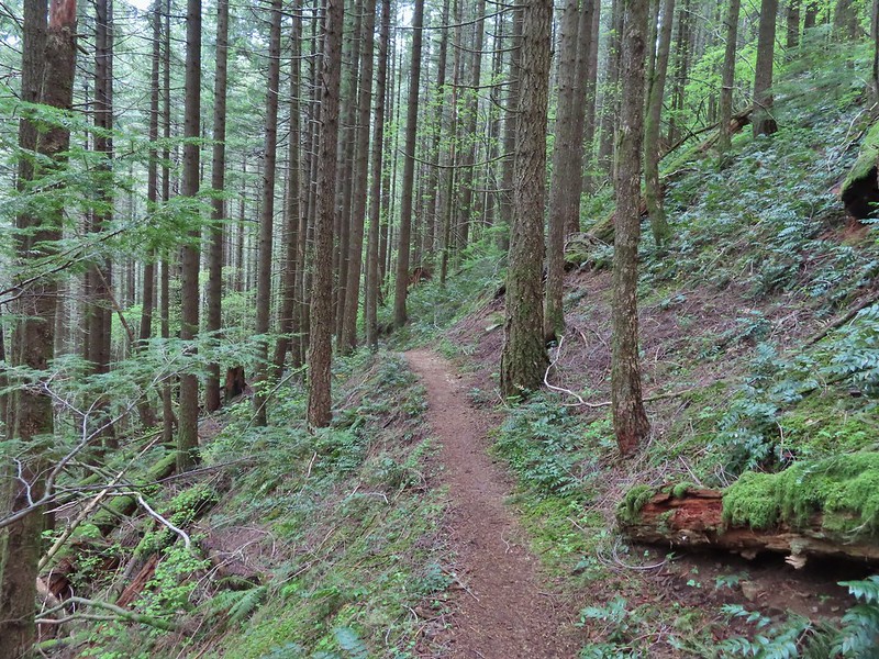
View along the trail.


A little more of Mt. Adams showing.

Heading into the sunlight.

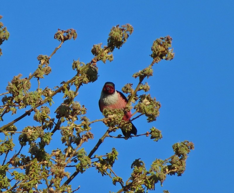
Grouse on the PCT. There wound up being at least 5 or 6 grouse nearby.

Grouse in a tree.

The tree I climbed over.

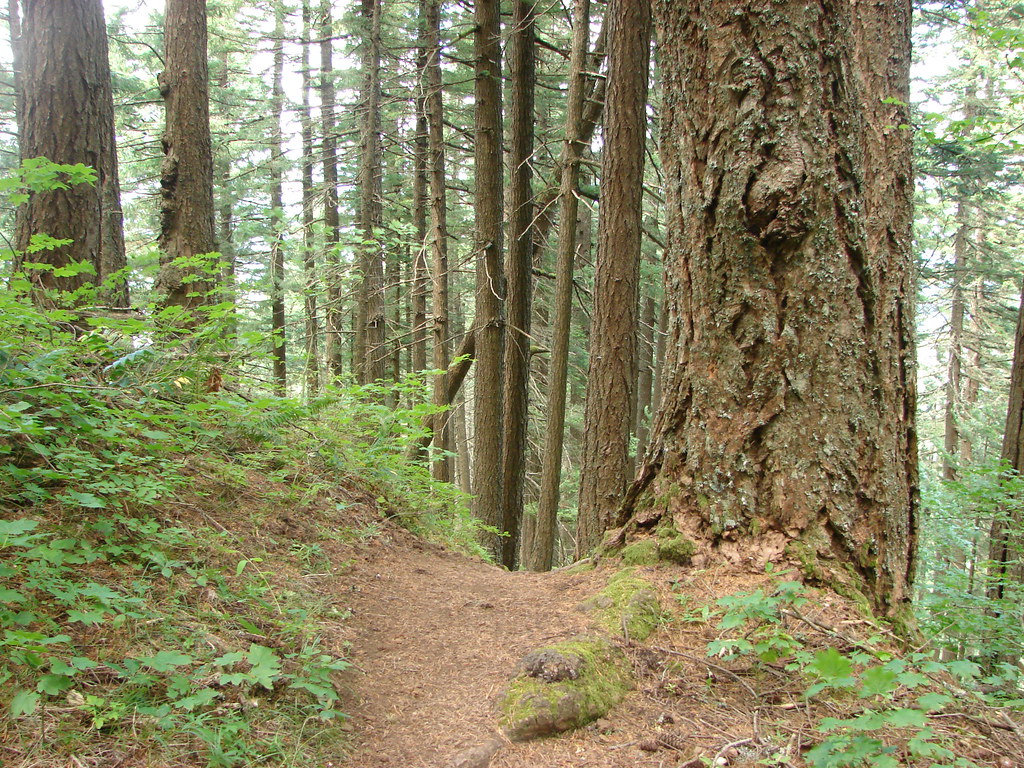
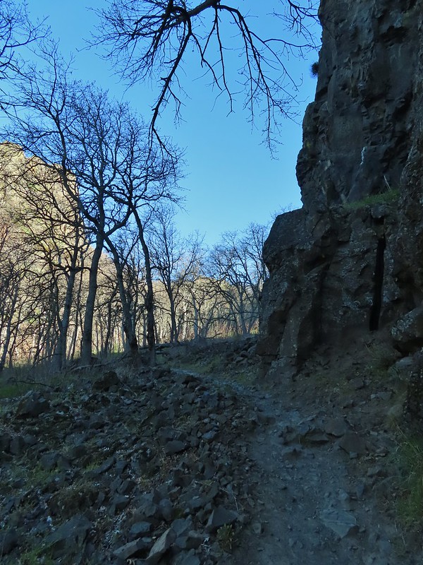
There were a few overgrown sections, but fortunately they were high enough up that the poison oak was no longer an issue.

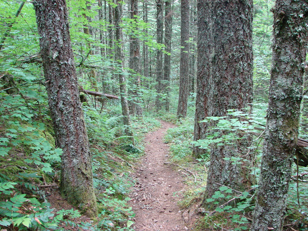
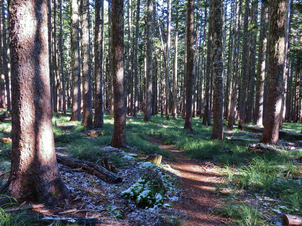
Up, up, up through the forest.

Strategic use of switchbacks helped keep the trail from being too steep.
Near the switchback above I caught a strong whiff of fire. Not smoke in the air, but the unmistakable smell of fire. It made me a little uneasy because there weren’t any nearby fires showing on the online maps I’d checked before leaving. After climbing another switchback the trail gained a ridgetop, and I discovered the source of the smell. A pair of bow hunters had set up a fire ring and built a fire right next to the trail and a tree. They had their tent, sleeping bags and gear strewn about and when they spotted me they explained they were trying to “dry out” their gear. It was obvious from their need to quickly explain why they had a fire that they knew it wasn’t okay. I didn’t feel comfortable calling them out on it so I made my way around their gear and continued on.

The ridgetop. The bow hunters were about 100 yards behind me at this point.
I continued on getting a view of Mt. St. Helens through the snags.


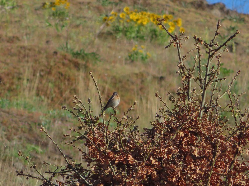
Another grouse. This was one of 8 to 10 that were in this area.

The cliffy Hamilton Mountain (post) on the Washington side of the gorge.

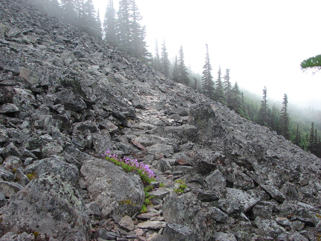
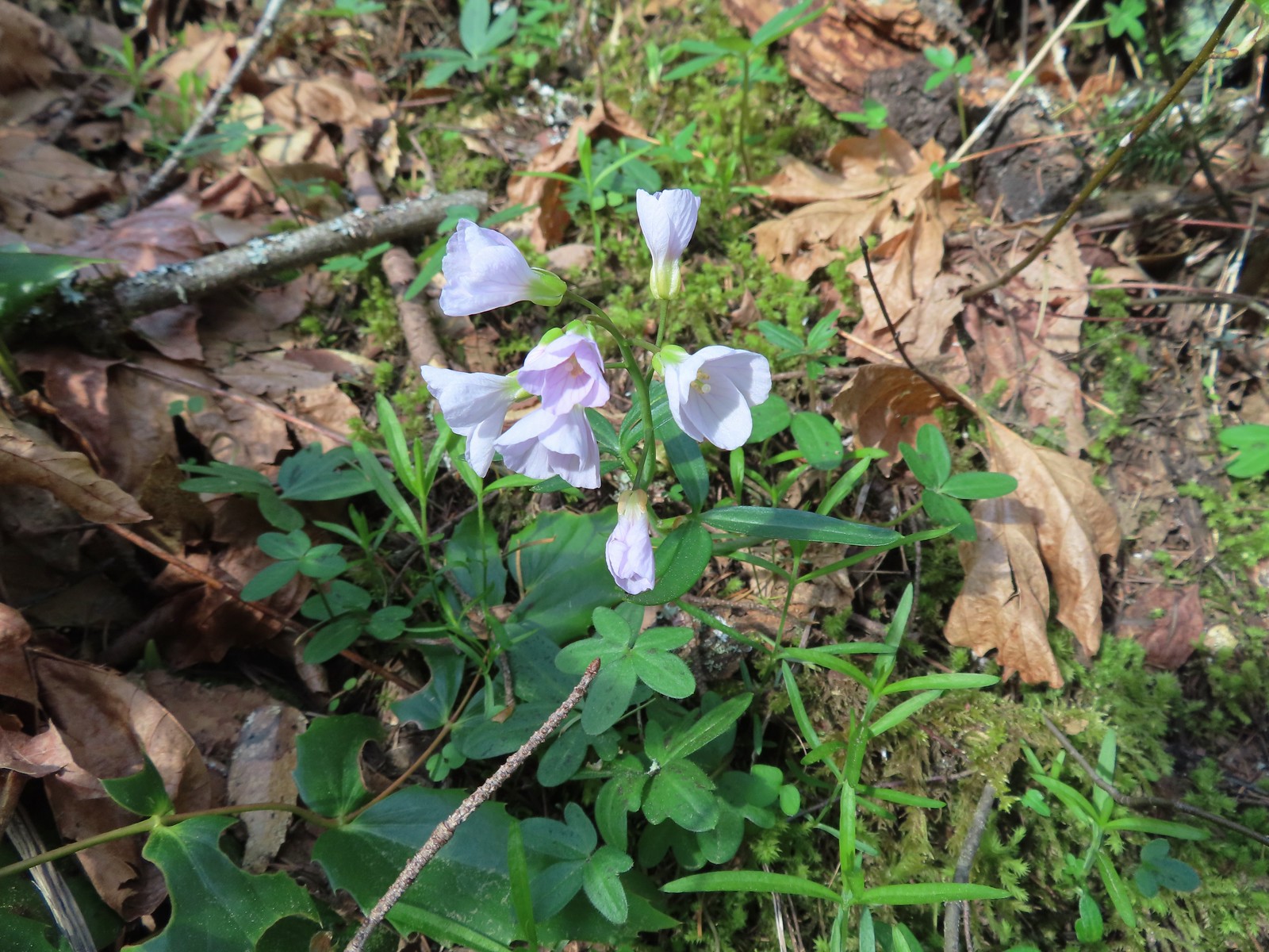
Explorer’s gentian
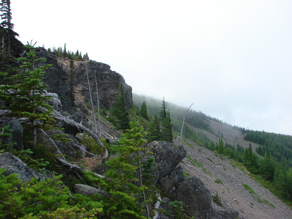
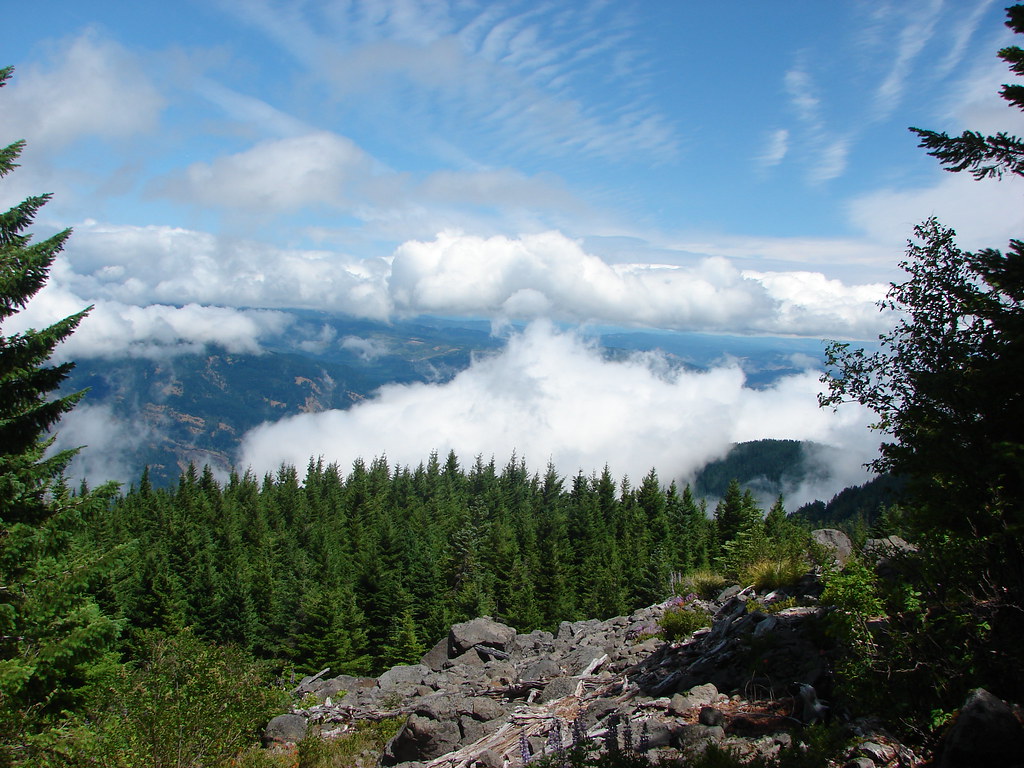
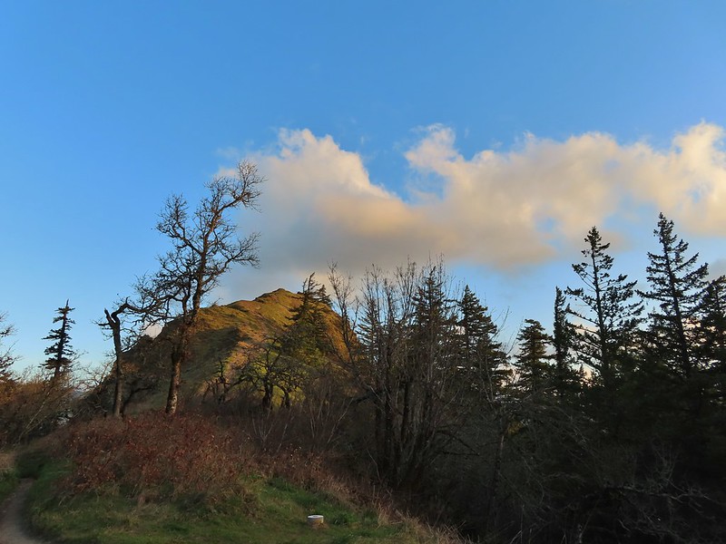
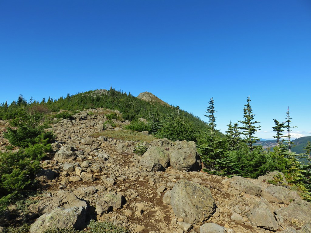
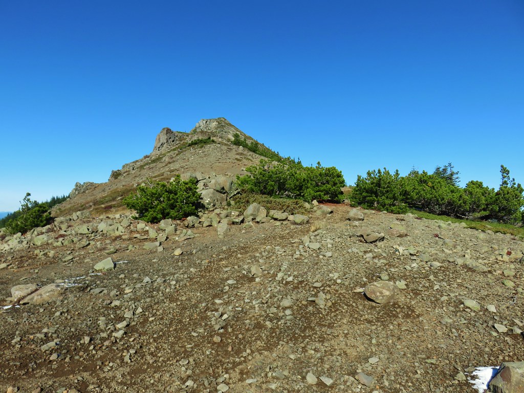
After another switchback the trail arrived at an open viewpoint.

The PCT continuing uphill.

Mt. Adams

Closer look at Mt. Adams

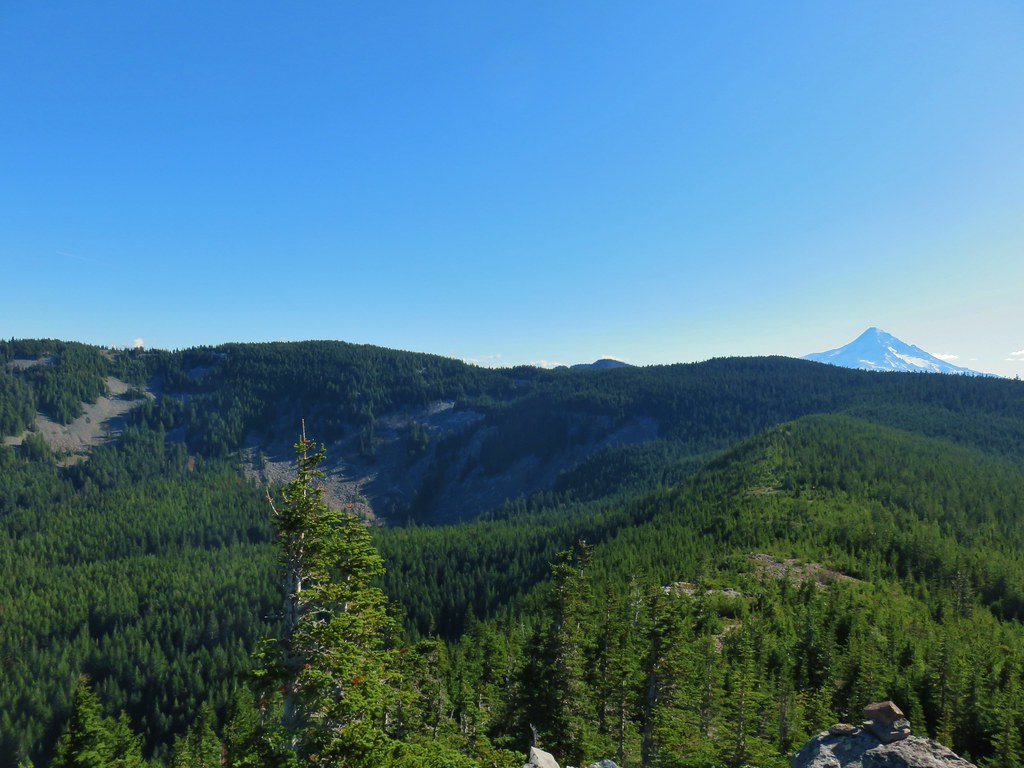
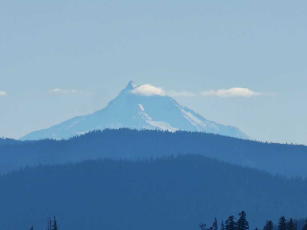
Mt. Hood partially hidden by trees.

Mt. Hood


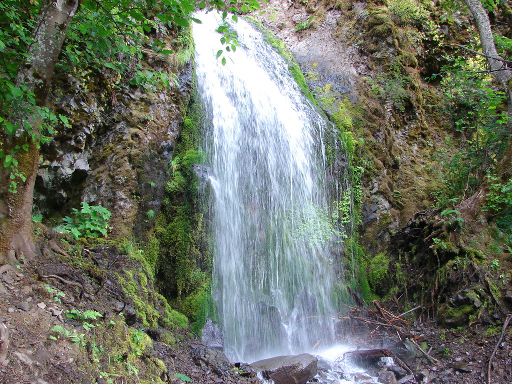
Approximately a half mile from the illegal campfire I arrived at Teakettle Spring.


It was good to know that there was water available here as the only other source I’d passed was Herman Creek. I was carrying an extra Hydroflask full of water just in case, and after seeing the campfire I came up with another use for it. I decided that I would add that water to my pack bladder when I reached the plateau and then refill the Hydroflask from the spring on the way down to use on the fire pit if necessary.
The trail continued to climb beyond the spring before crossing two saddles along a ridge. In the second saddle the Benson Way Trail arrived on the right.

Beargrass along the trail is much better than poison oak.

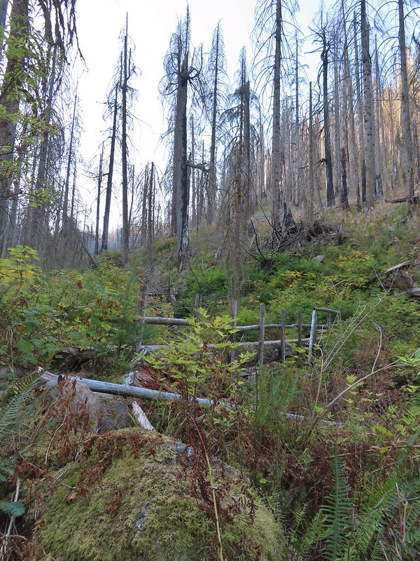
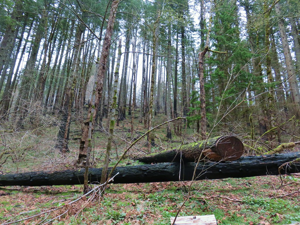
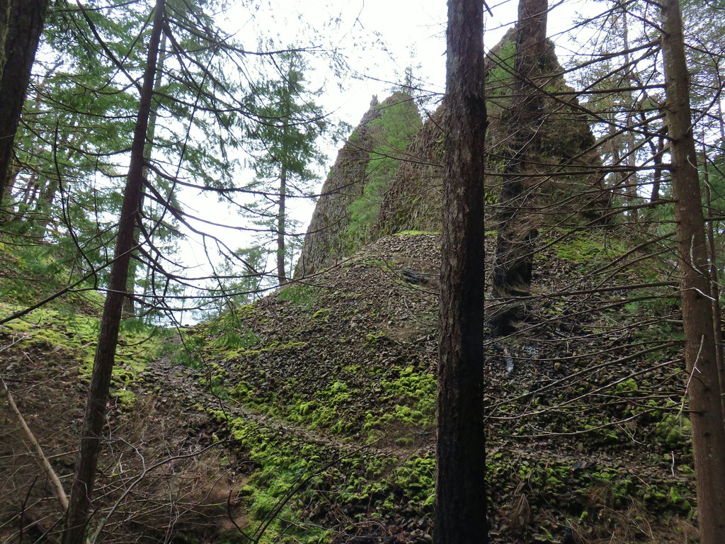
Sections of the ridge burned intensely in 2017.

Near the second saddle the trail left the 2017 fire scar, although a very small section did burn in the 2024 Whiskey Creek Fire.

The Benson Way Trail on the right.

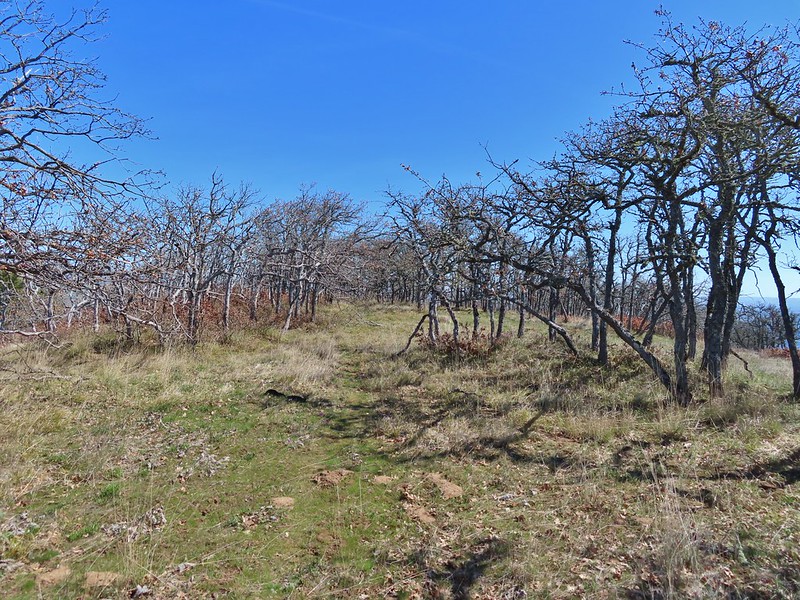
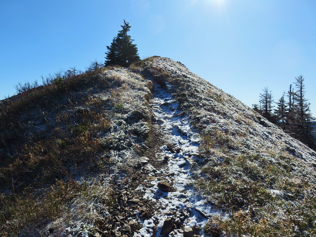
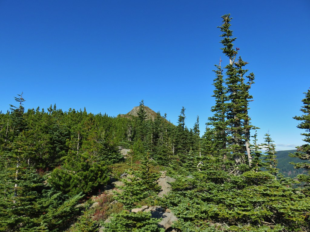
The final climb to the Benson Plateau.
The trail eventually leveled out on the plateau.


Approximately three quarters of a mile from the Benson Way junction I passed the Benson-Ruckle Trail, again on the right.
 Trail signs for the Benson-Ruckle Trail.
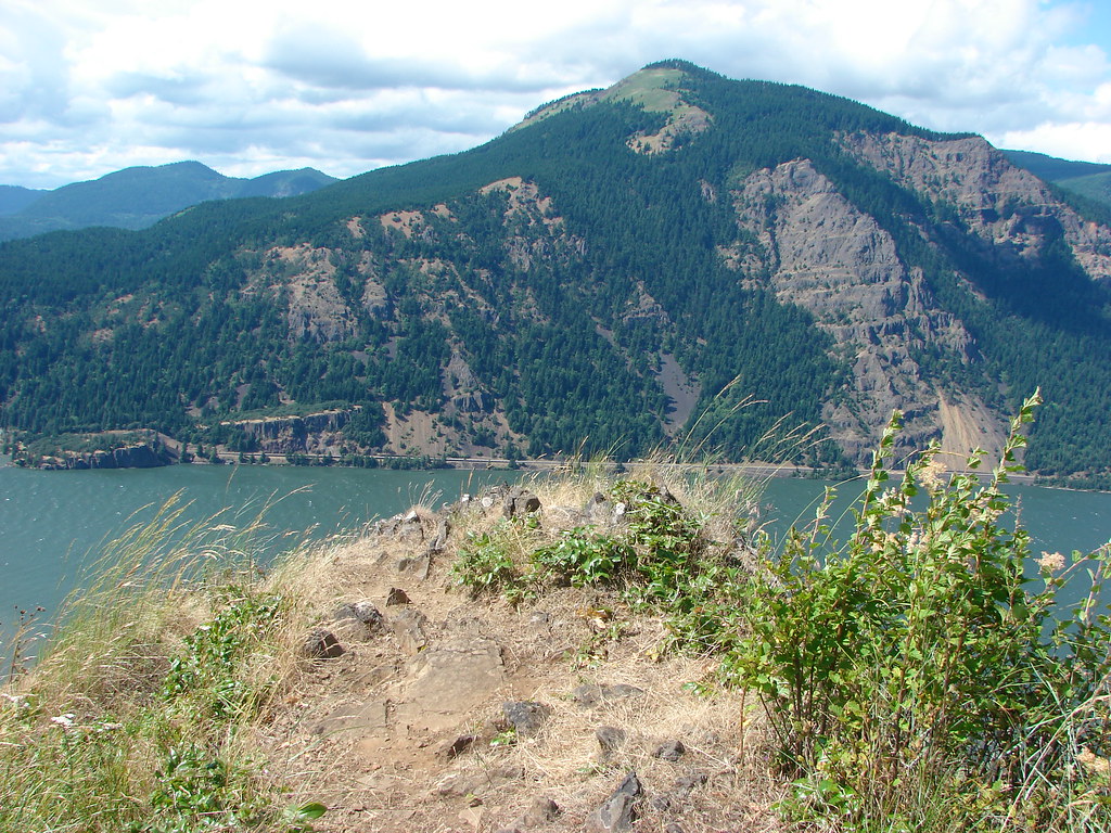
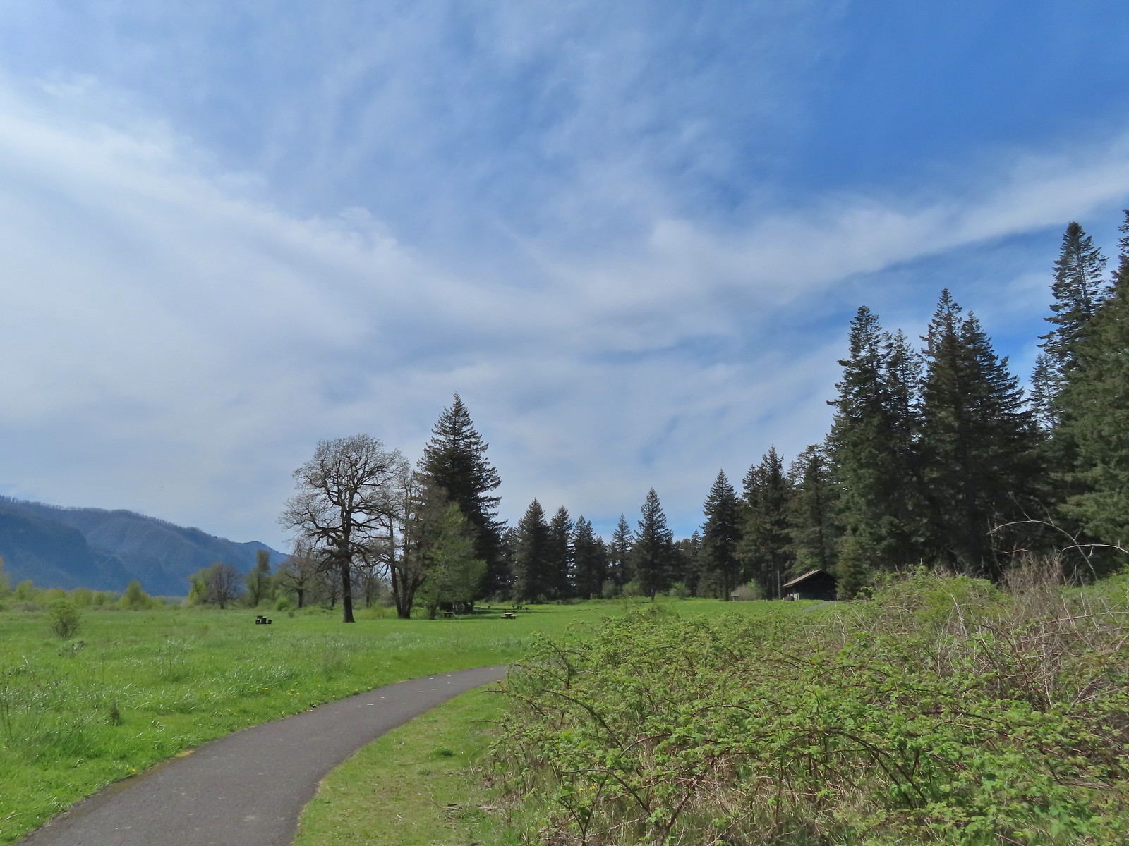
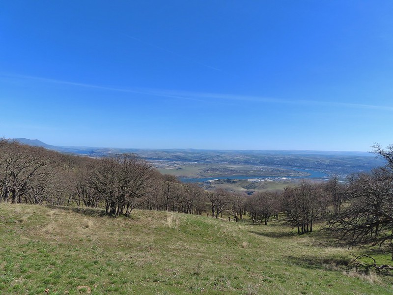
Reeder mentioned a campsite near the junction, but I didn’t see an obvious one. I continued on looking for the campsite but after a tenth of a mile I instead spotted a short use trail to a rocky viewpoint. I decided that would make for a good spot for a break.

It wasn’t a huge view, but it was nice and the rocks made for a great spot to sit down, have a snack, add the remaining Hydroflask water to my pack, and then change into dry socks.
After the break I headed back the way I’d come. It would have been possible to use the network of trail on the plateau to make a loop around it, but 14-miles was enough for me today.
I made my way back down to Teakettle Spring and refilled the Hydroflask as planned.


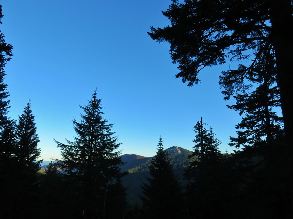
The hump with radio towers behind the ridge is Mt. Defiance (post).
Not long after leaving the springs I encountered the bow hunters who were standing in the trail looking at their phone. They asked me if I knew where the spring was because they were “plumb out of water”. I informed them it was about 100 yards further up the trail and continued on now wondering if they were out of water due to dousing the campfire or if they had had enough water to do that in the first place.

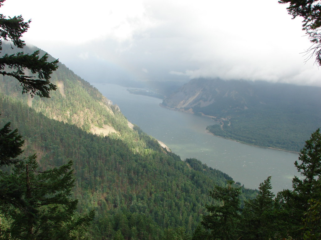
Approaching the best viewpoint.

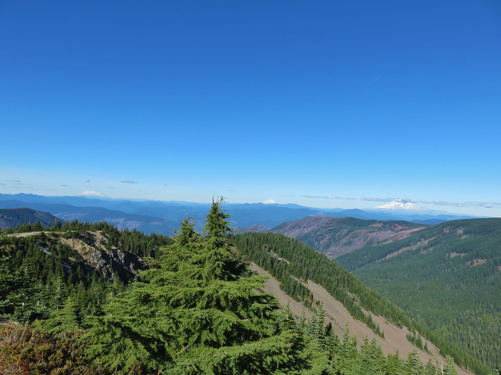
Not only was Mt. Adams a little clearer but I realized the top of Mt. Rainier was visible from the viewpoint as well.

Mt. Rainier behind Red Mountain (post).

Huckleberry leaves.

Vine maple
When I arrived at the site of the fire pit I could tell that they had at least attempt to extinguish the fire.

The fire pit. In no way is this acceptable, even if fires weren’t currently banned. If it is legal to have a fire and you feel you must please follow Leave No Trace Principles.
Even though there was no visible smoke I knew that fires can easily burn underground, sometimes for days until they reach a tree or stump at which point they can reemerge above ground causing a full-on wildfire. I felt the dirt over the fire and sure enough it was still putting off heat so I exposed some of the coals and poured the Hydroflask out over them. This produced a lot of hissing so I did a little stirring and added more water from my bladder attempting to make “campfire soup”. After doing what I could with what I was carrying I marked the location with the GPS so I could report it to the Forest Service when I had the chance which I did later.
I continued down the trail and when I neared the tree that required crawling under met a pair of backpackers heading up to the plateau. I described the fire pit to them, and they indicated that they were carrying extra water and would add some if necessary.
Other than that it was an uneventful downhill until I reached the rocky hillsides where I once again had some luck spotting pikas.

This one was more than happy to pose for me for a bit.

At the end of the day my GPS read 14.2-miles with the 3800′ of elevation gain as advertised.

Despite the issue with the illegal fire this was a nice, challenging hike. There really isn’t anything that will blow you away scenery wise, but there is enough of a mix to keep it interesting. While the upper portion of the trails can get pretty snowy from November through late April/early May this would be a great training hike while waiting for the higher elevations to become snow free. Happy Trails!
Flickr: Benson Plateau

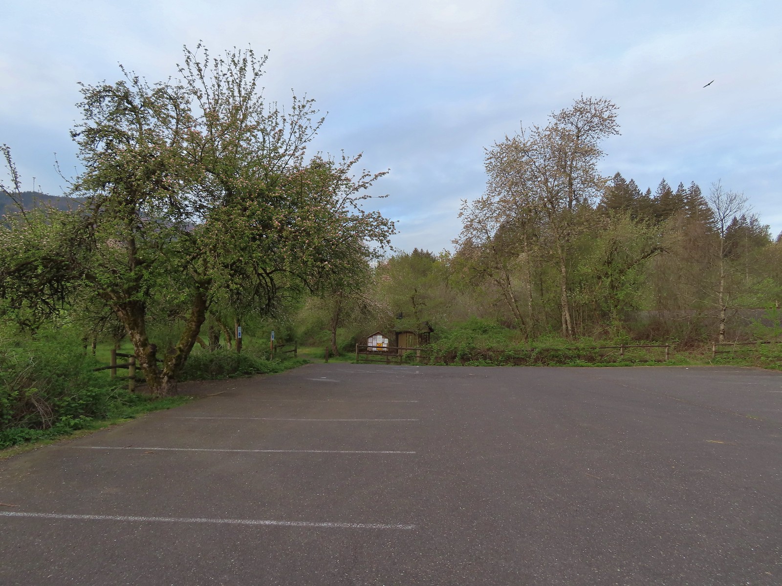
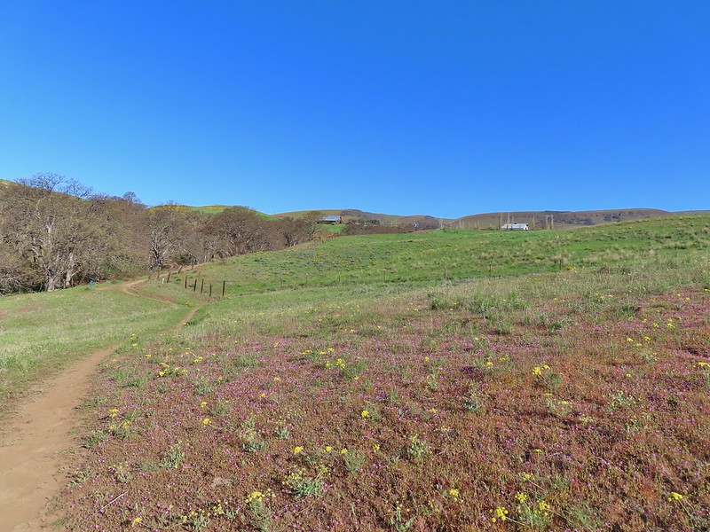
 The trailhead is just a large gravel pullout along Cook-Underhill Road.
 There is no parking for the trail anywhere along Jackson Rd.


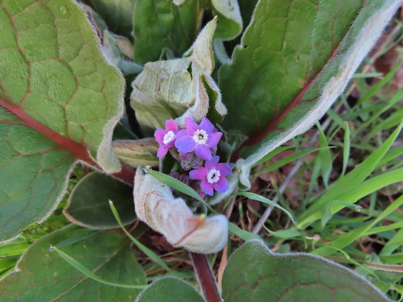
 Ookow surrounded by poison oak.
 Mt. Defiance (
 Large-flower triteleia
 Monkeyflower along the road.
 Ookow
Ookow
 Small waterfall through the vegetation.
 The first of two crossings of this unnamed creek.
 There was a lot of spotted coralroot along the road.
 Most of the trees had been cleared from the road, those that remained were easily stepped over.
 Anemones
 The second creek crossing.
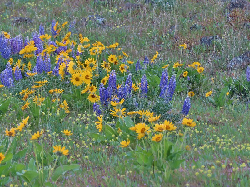
 Lupine
 White groundsel
 Small spring near the junction with the start of the loop.
 Reeder mentioned a rock cairn at the start of the loop which was still present, but now there were signs too.
 Going counterclockwise seemed to be preferred direction based on trip reports. This was also the shorter distance to the summit at 1.6-miles.
 The clockwise sign listed the summit as 2.8-miles away in that direction.
 Arriving at the lower meadow.
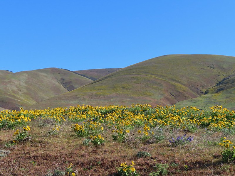
 Balsamroot
 Groundsel and balsamroot
 Lupine
 Death camas
 The rocks up ahead made for some nice seats to take in the view from.
 Mt. Hood peaking over the ridge to the left with Mt. Defiance to the right.
 Mt. Hood
 Vanilla leaf
 Starflower
 Fairybells
 The start of the long upper meadow.
 Larkspur
 Violets
 Slender phlox and blue-eyed Mary
 Phlox
Phlox Balsamroot surrounded by larkspur and coastal manroot.
 Coastal manroot
 Groundsel
 Dog Mountain from the meadow.
 Chocolate lily
 This was the closest lupine to blooming in the upper meadow.
 Chickweed
 Oregon sunshine yet to boom.
 Mt. Hood from the meadow.
 Woodland stars, larkspur, and lomatium.
 Yellow buttercups lining the trail.
 Mt. Hood and Mt. Defiance
 Mt. Hood
 Mt. Defiance
 Alpine pennycress
 Larkspur and lomatium

 Chocolate lily eating a buttercup.
 Largeleaf sandwort
 The final stretch of the upper meadow.
 Violets
 Phlox
Phlox Dog Mountain
 Mt. Hood and Mt. Defiance from the upper meadow.
 Table Mountain (
 Phlox, paintbrush, and lomatium


 Mt. Adams from between trees.
 Arnica
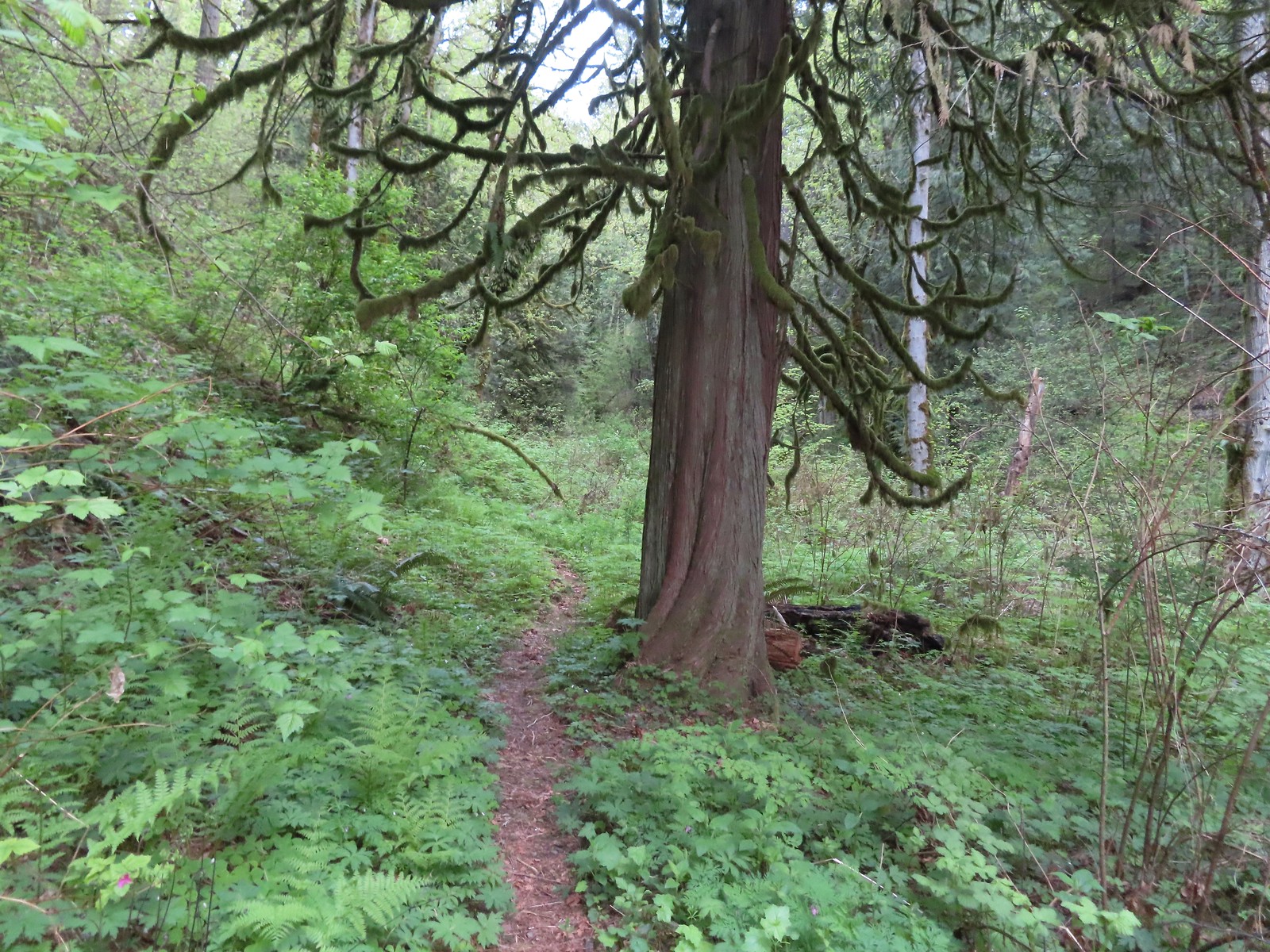
 The final stretch of the steep descent was through this forest with no understory.
 Vine maple overhanging the trail.
 It’s hard to tell from the photo but these were huge paintbrushes.
 Another view of Mt. Hood and Mt. Defiance.
 Dogwood
 Trillium
 The first tower.

 Looking toward Mt. Adams from beneath the powerlines.
 Mt. Adams
 Wind Mountain (
 The faint roadbed heading left back toward the forest.

 Wild ginger
 Candyflower
 The trail passed under a talus slope where a fair number of flowers were present.
 Lupine and yarrow
 Stonecrop
 Bee visiting penstemon.
 The talus slope.
 Descending to the junction.
 Ookow and bachelor buttons along the trail.
 Bachelor button
 Heather spotted this arctic skipper on some vetch.
 Clarkia. It wasn’t open yet when we’d passed by in the morning.
 There were a lot of phantom orchids starting along the lower portion of the hike, but this was the only one with any flowers opened.
 Cook-Underhill Road from Jackson Road.

 The brown strip in the grass near the center of the photo is the trail.
 The trail entering the woods.
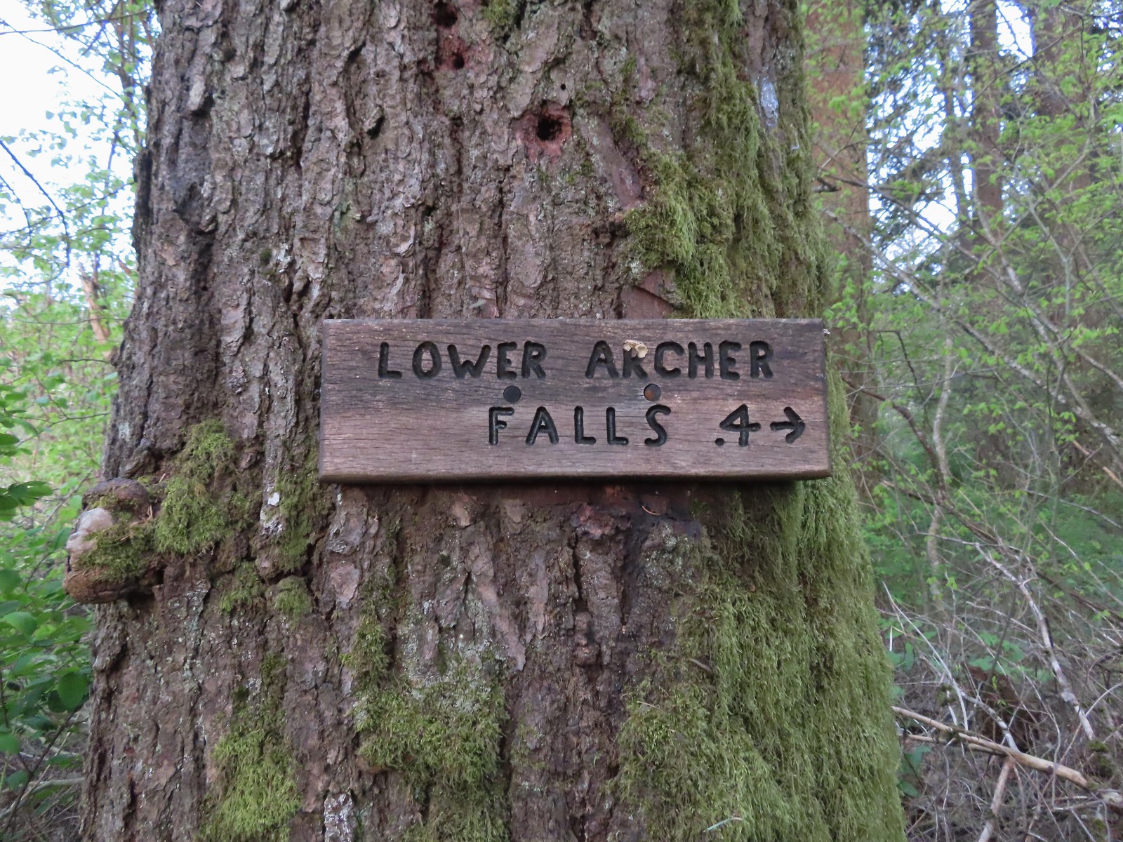 Pointer for Lower Archer Falls.
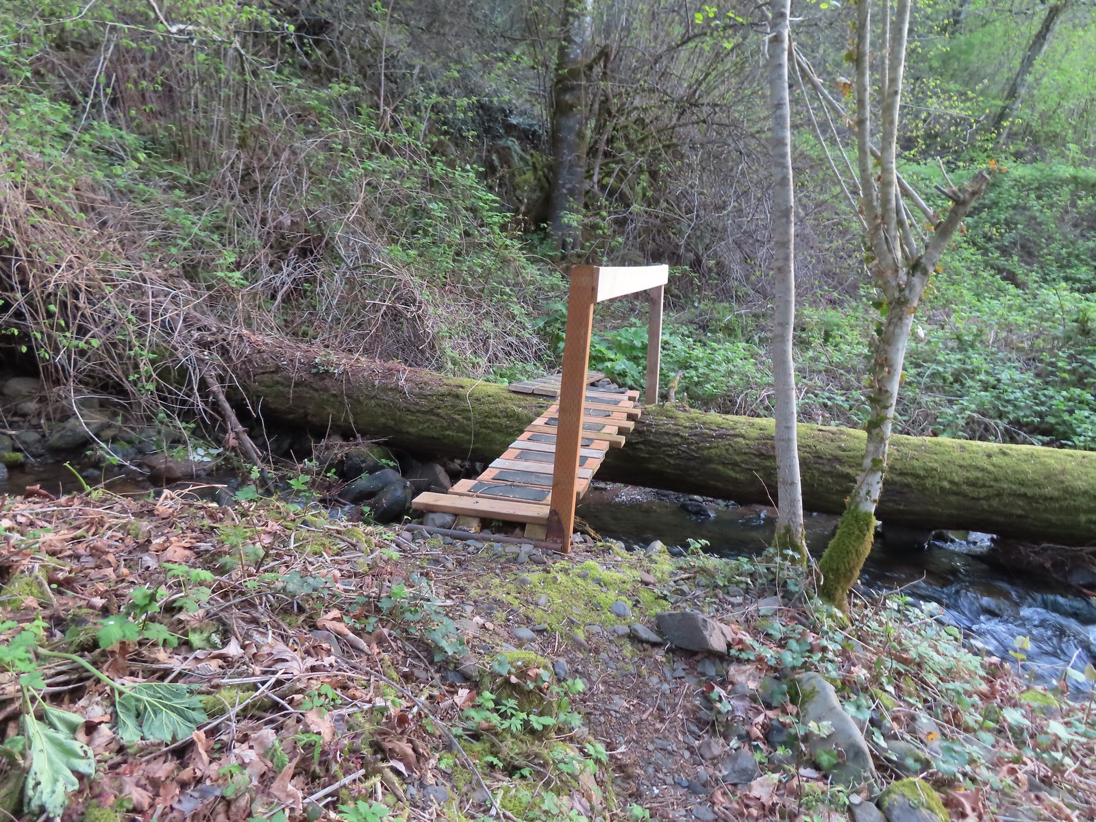 Bridges over Gable Creek.
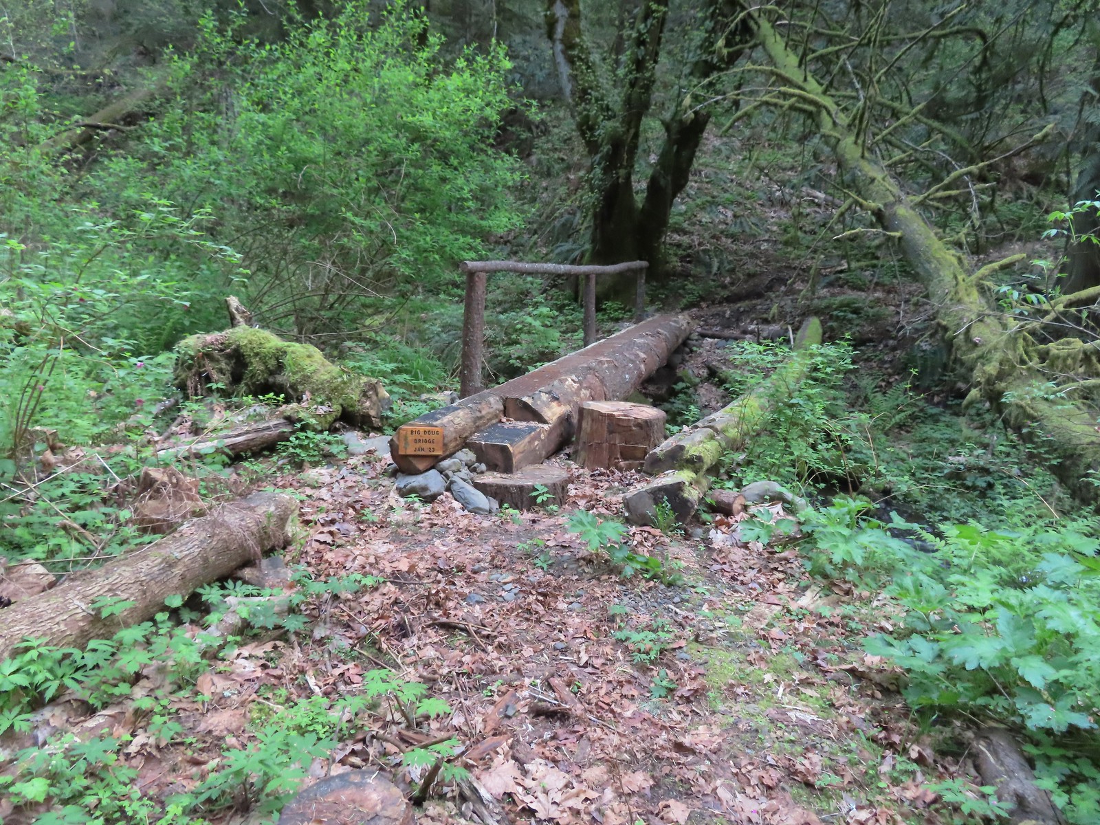 Big Doug Bridge (Jan 23) over Archer Creek.
 Archer Creek
 After crossing the creek the trail did a short climb gaining approximately 150′ of elevation.
 Trillium along the trail.
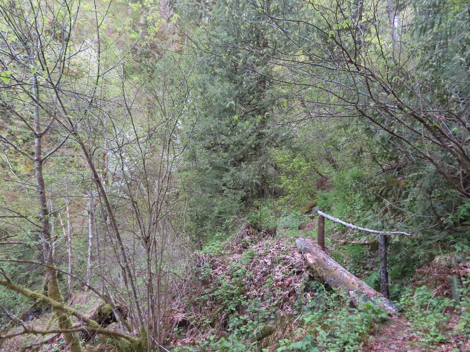 One of several of these style bridges on the way to the falls.
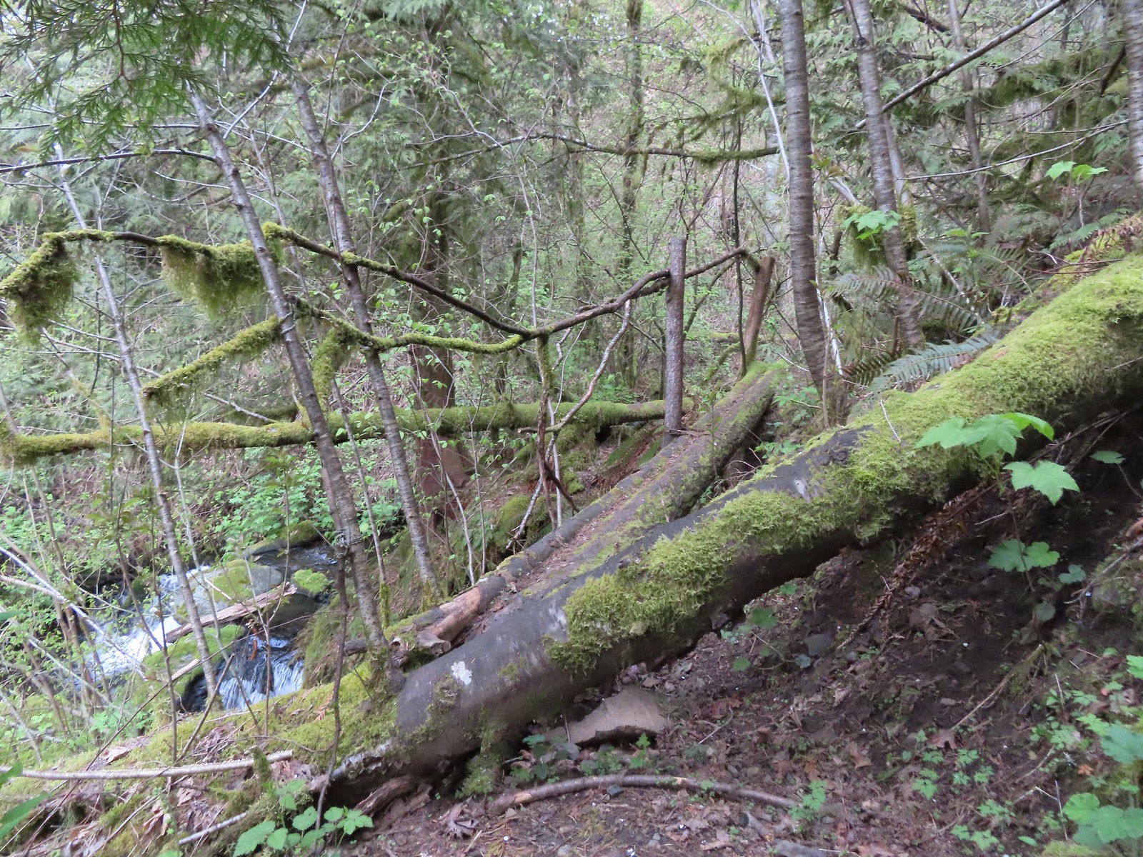 The “sketchy” bridge. It felt pretty solid underfoot, but the rail seemed ornamental only.
 The final footbridge before the falls.
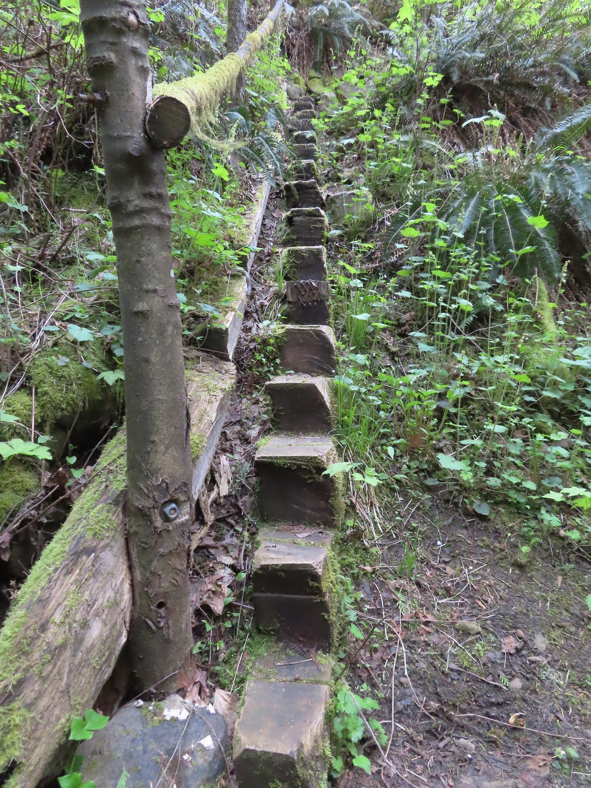 Steps leading up from Lower Archer Falls.
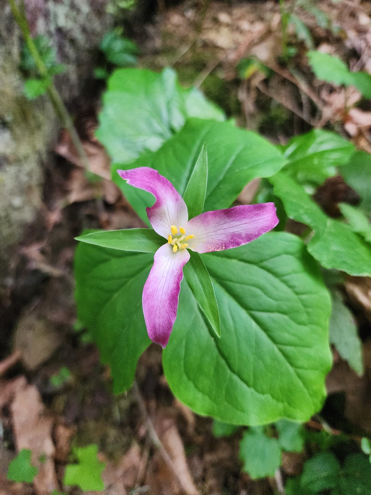 Trillium
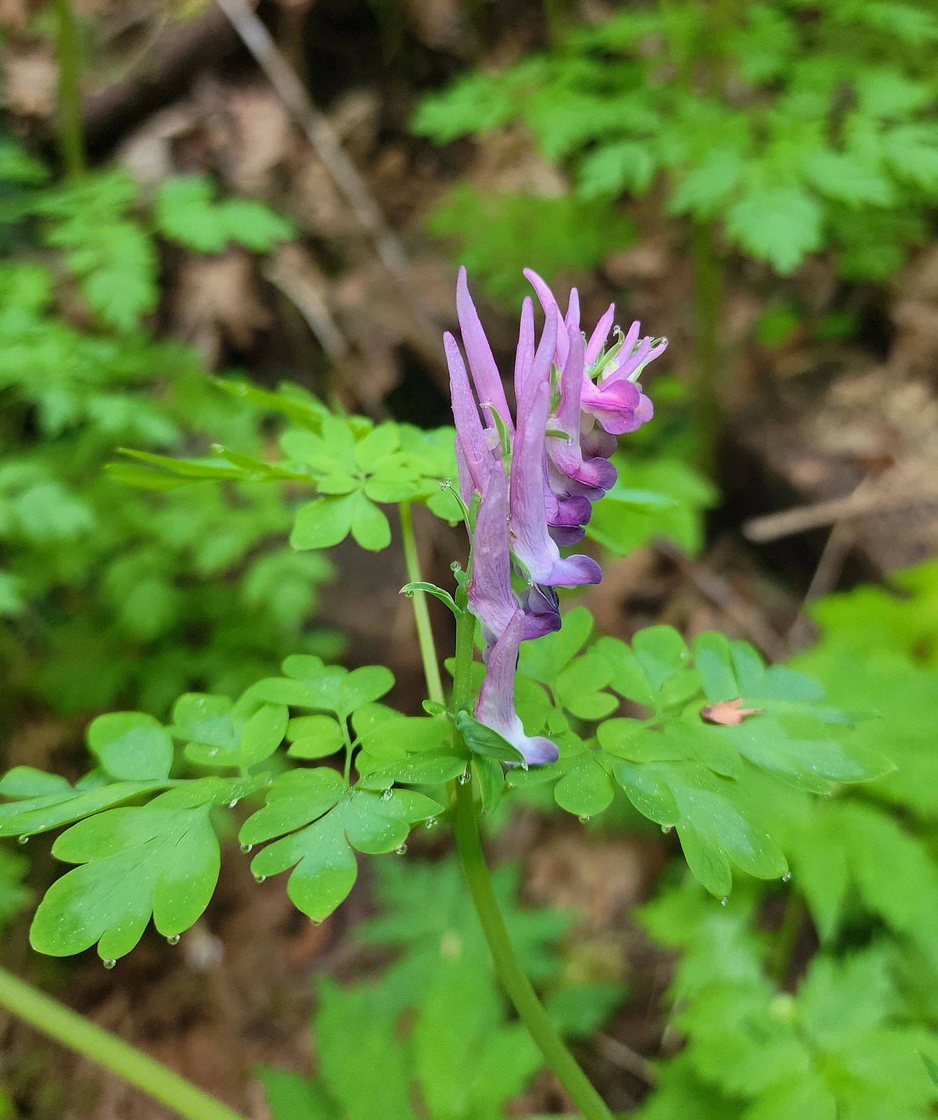 Scouler’s corydalis
 Bleeding heart
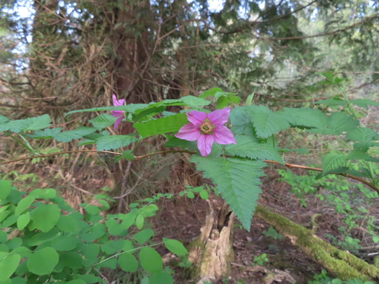 Salmonberry
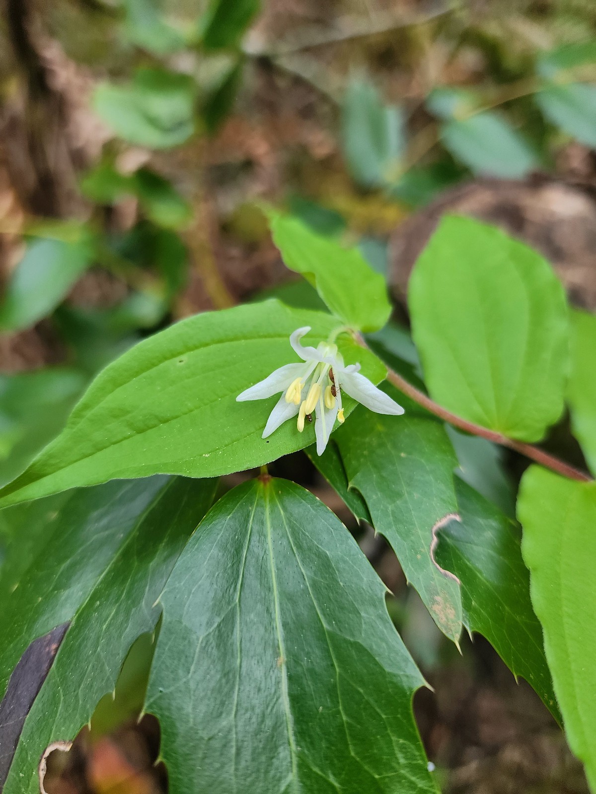 Fairy bell
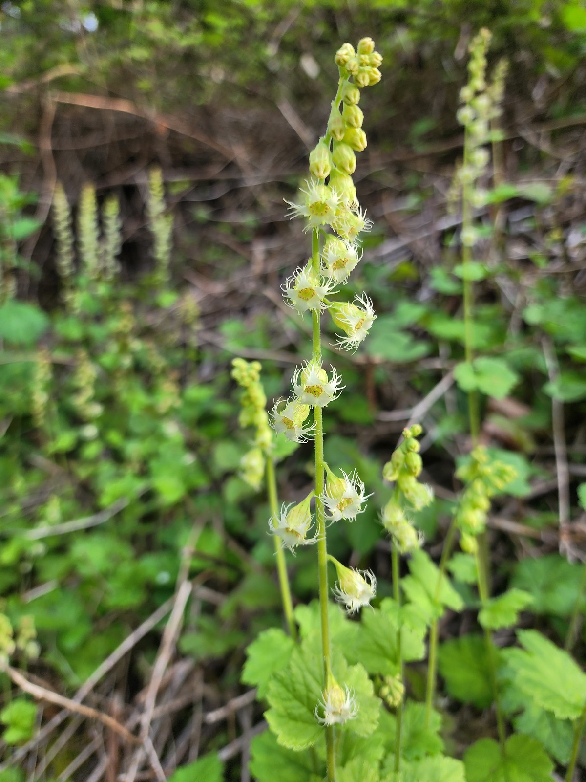 Fringecup
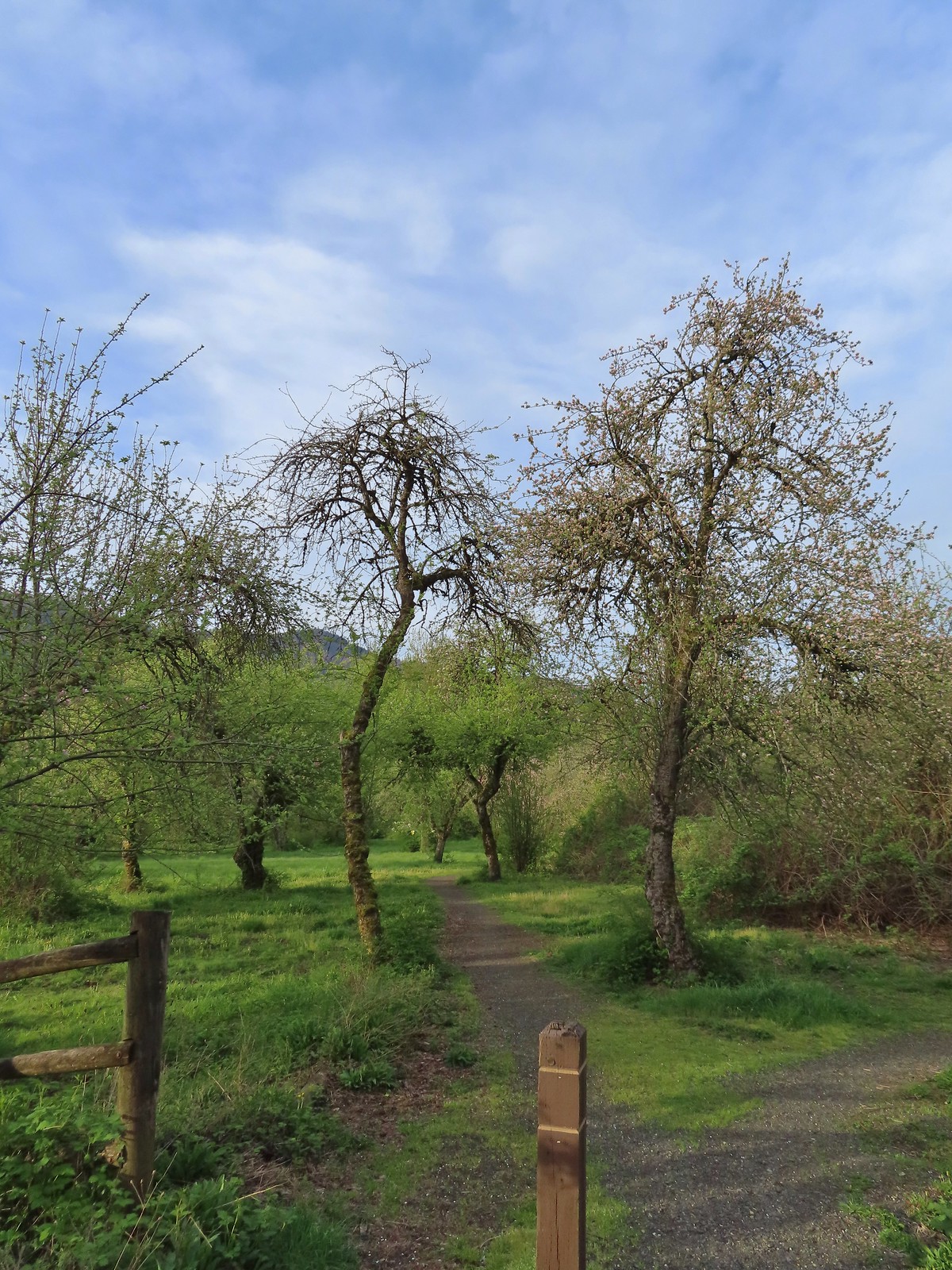 The start of the loop.
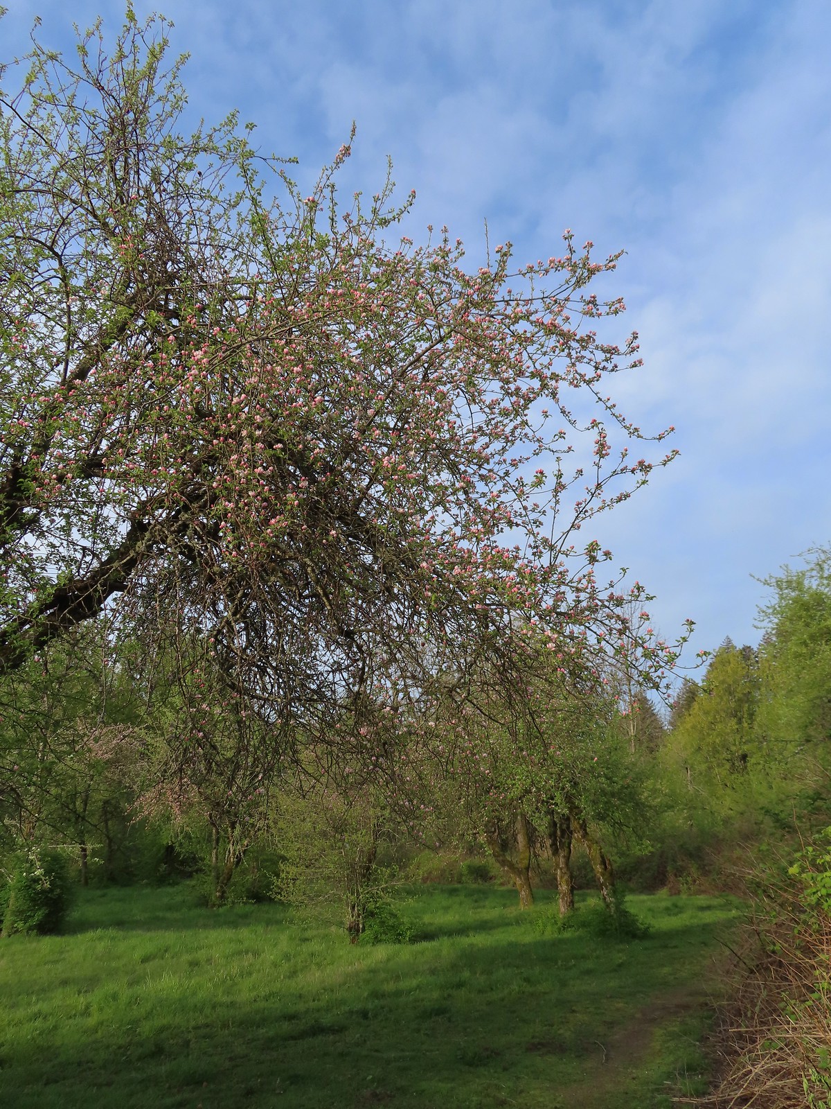 The trail loops around a former apple orchard.
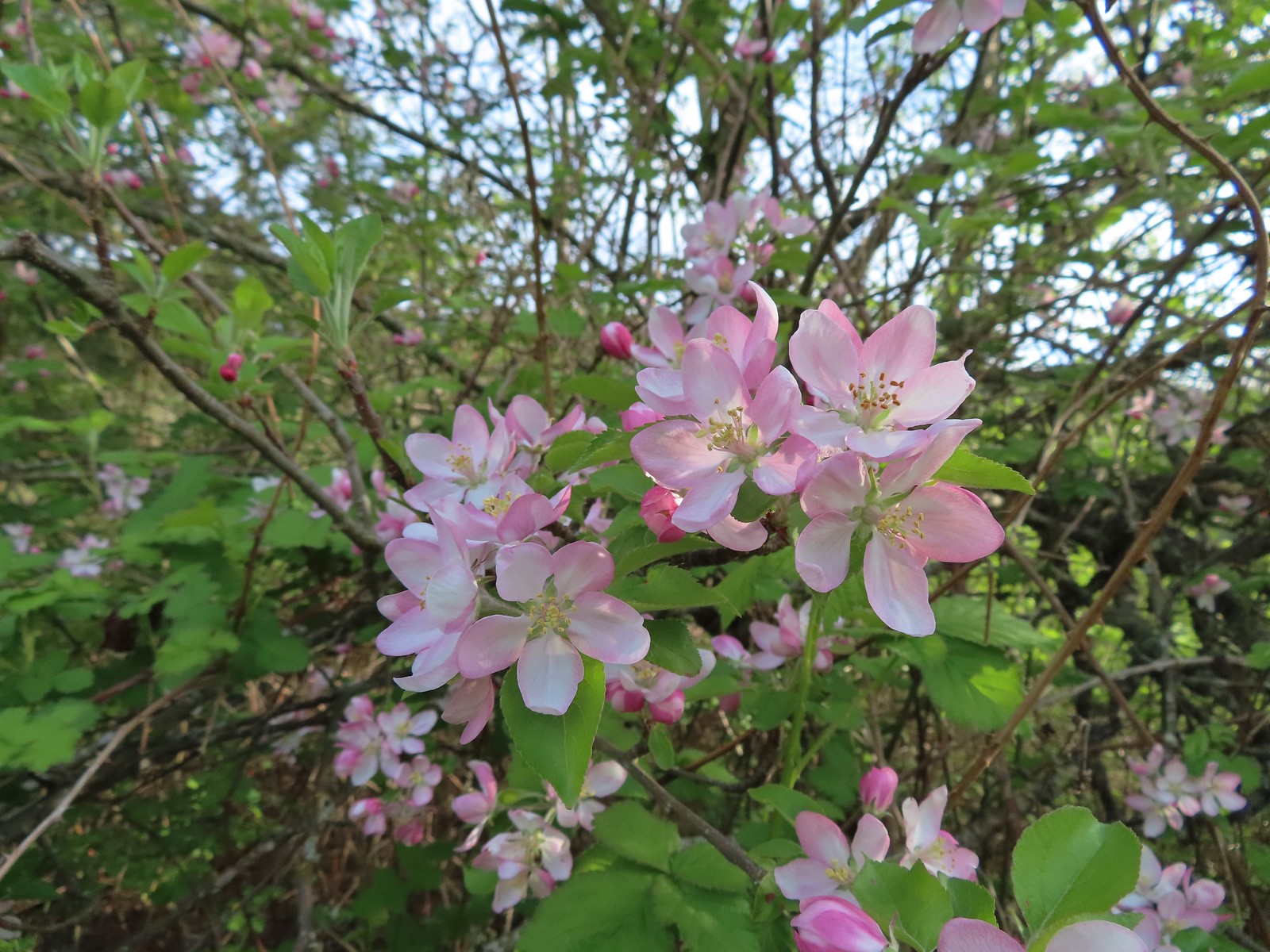 Apple blossoms
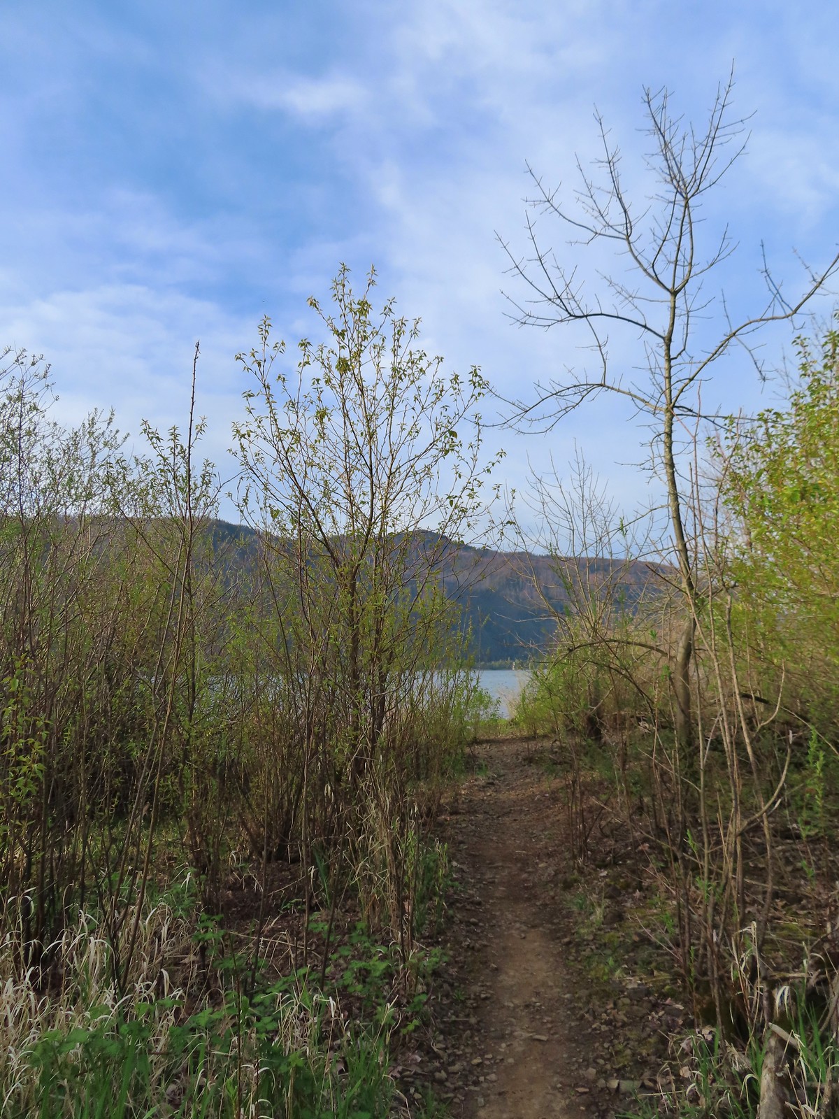 A spur trail leading down to the Columbia River.
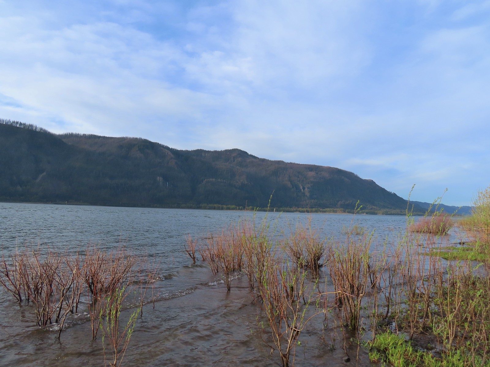 Devil’s Rest and Multnomah Falls (
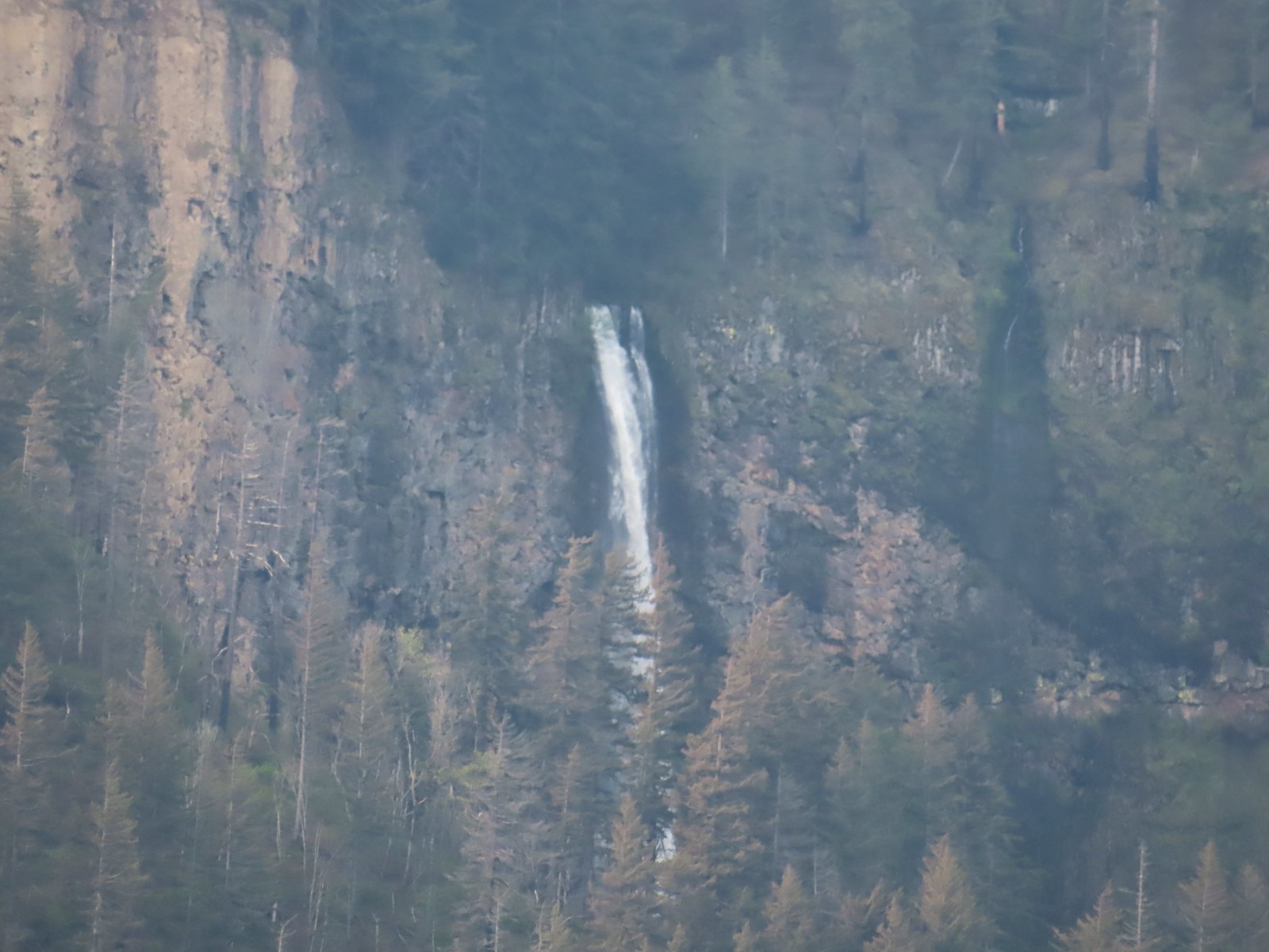 Multnomah Falls
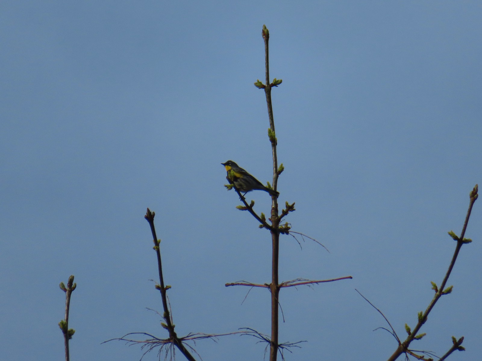 Yellow-rumped warbler.
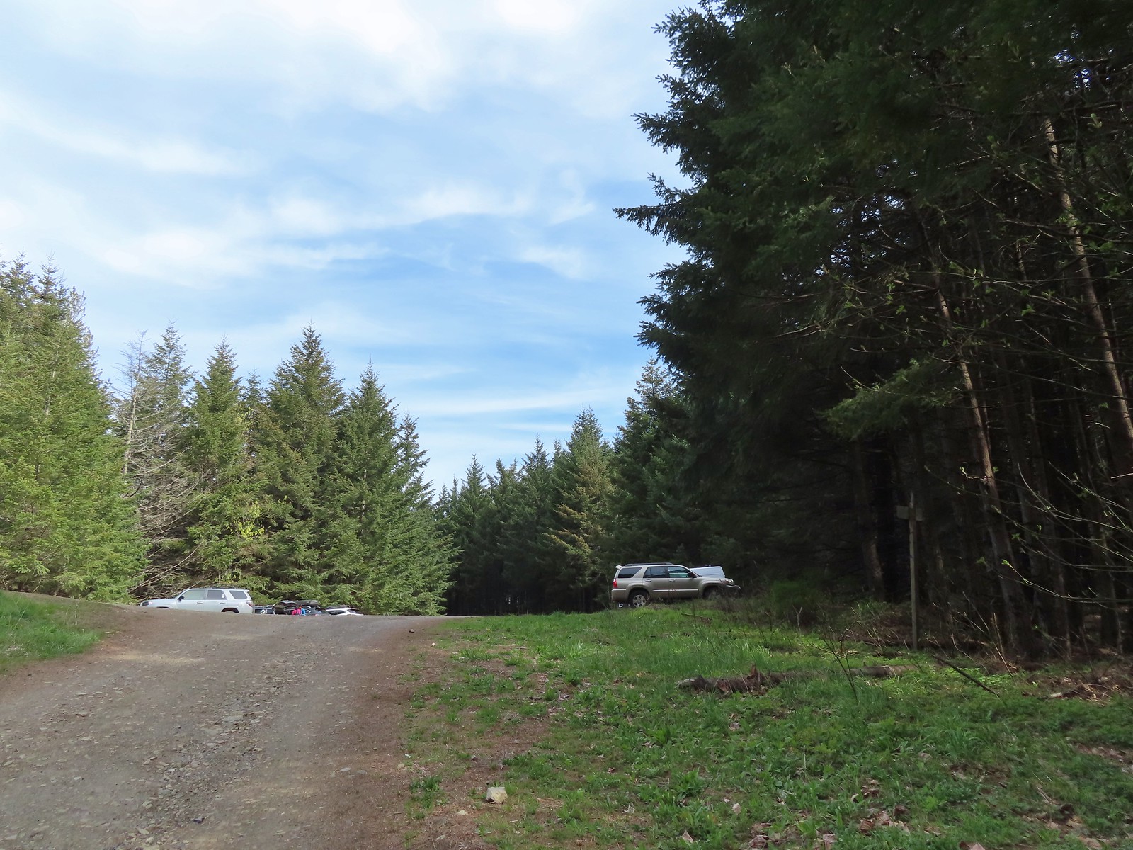 The quarry later in the morning.
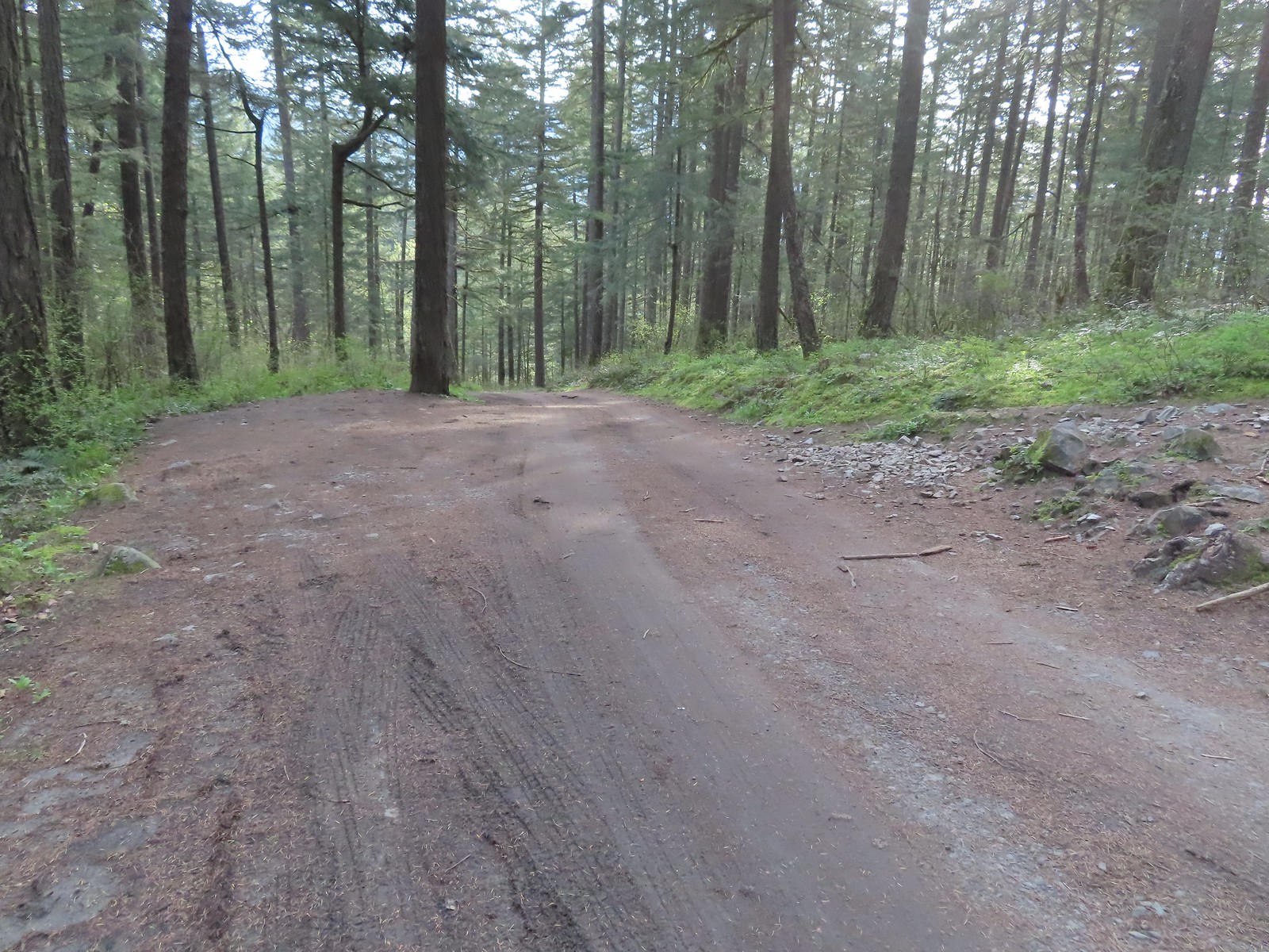 Pullout at the actual trailhead.
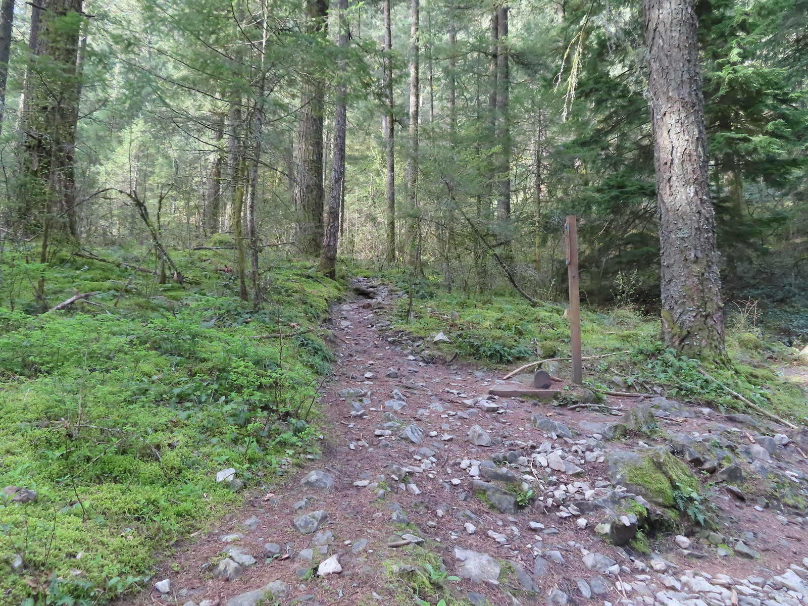 The Wind Mountain Trail at the trailhead.
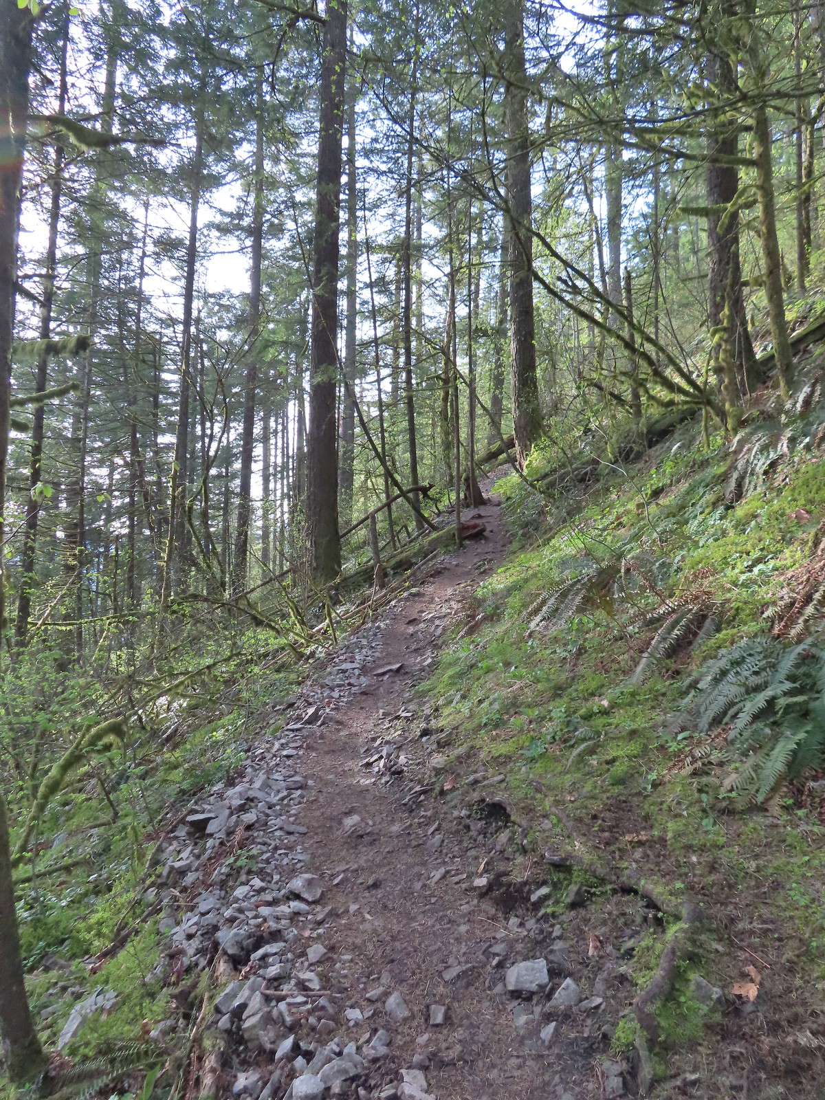
 Slender toothwort
 Trillium
 Red flowering currant
 Close up of red flowering currant
 Pioneer violet
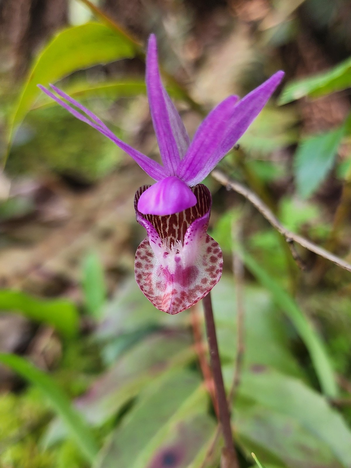 Fairy slipper
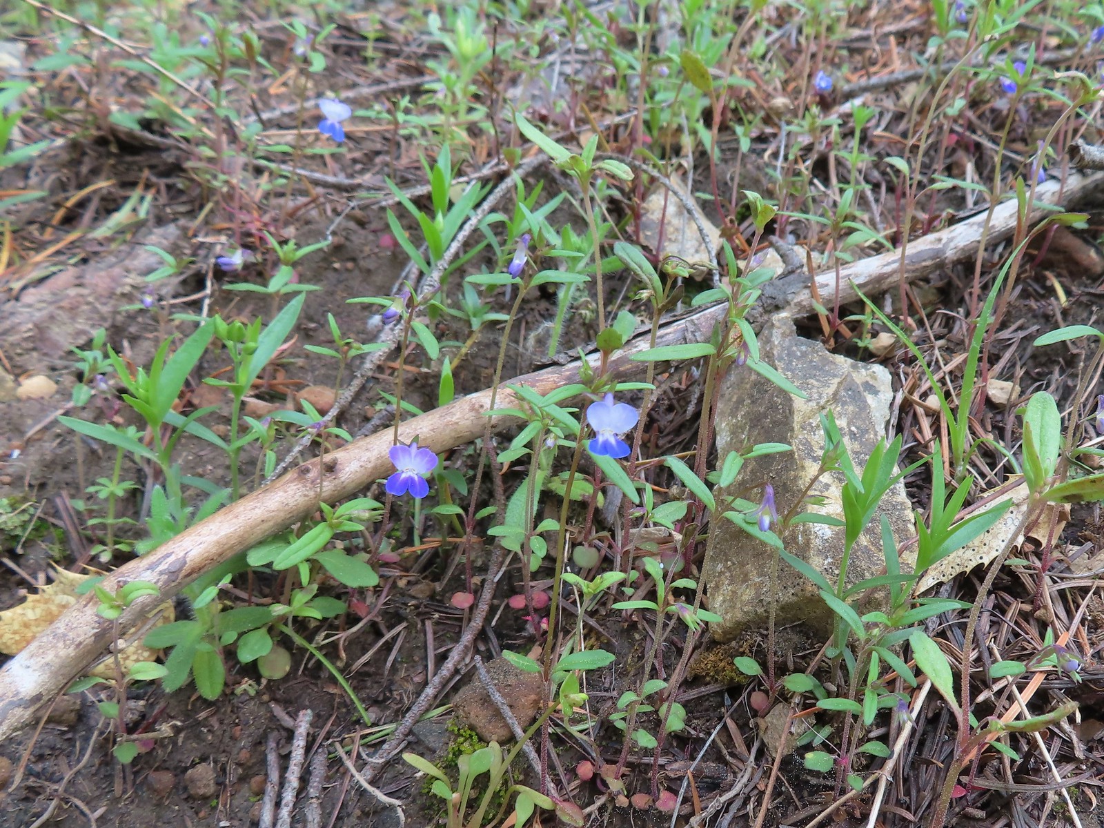 Blue-eyed Mary
 The spur trail down to the outcrop.
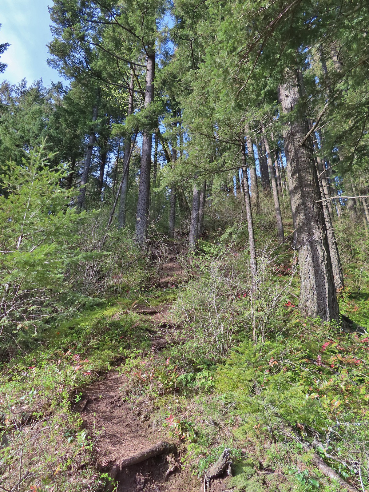
 Serviceberry
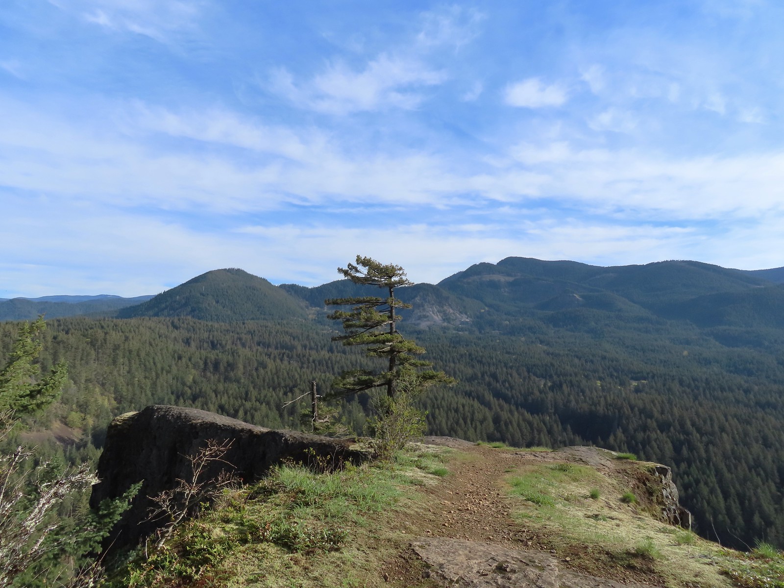 Augspurger Mountain (
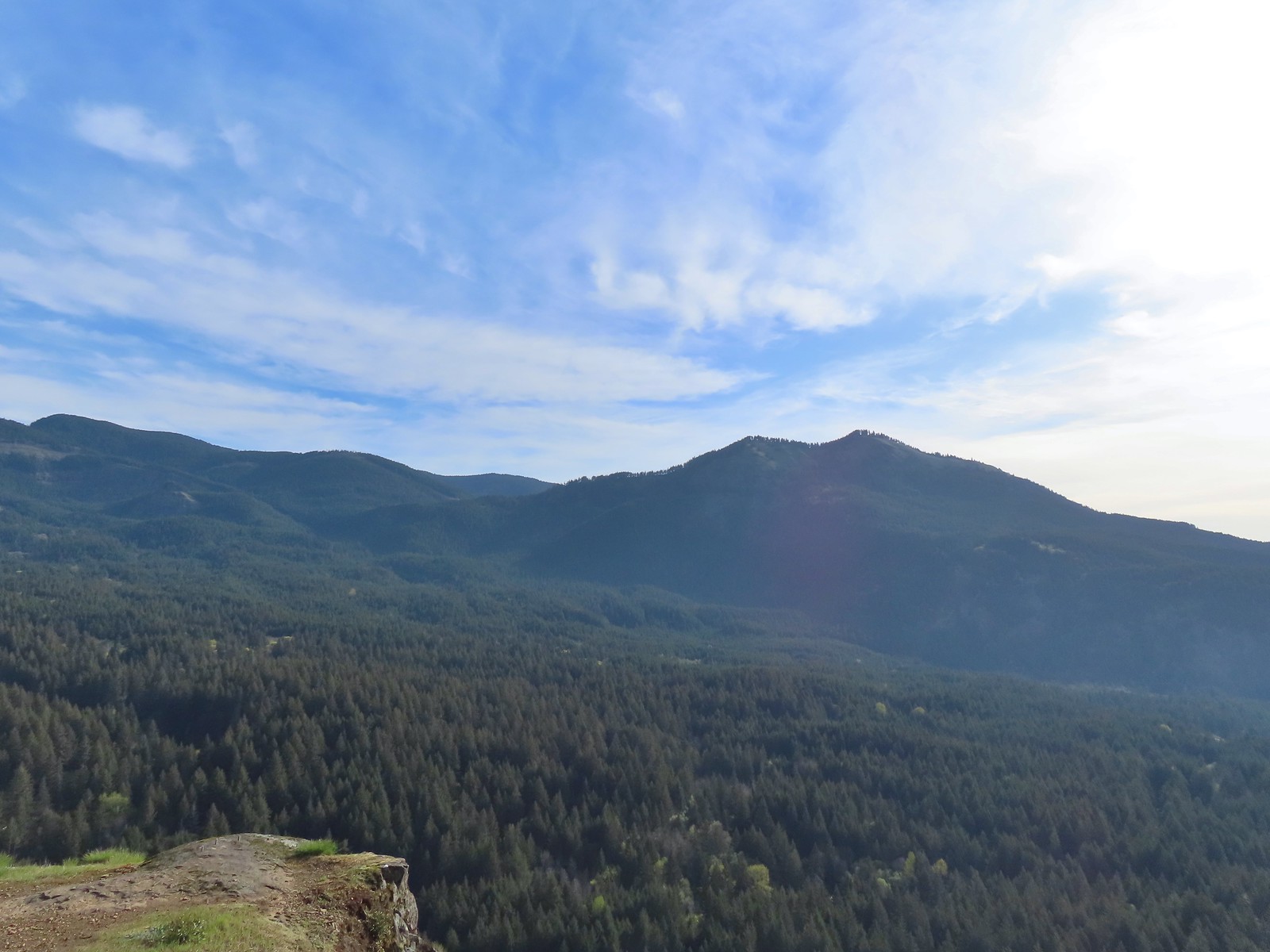 Dog Mountain (
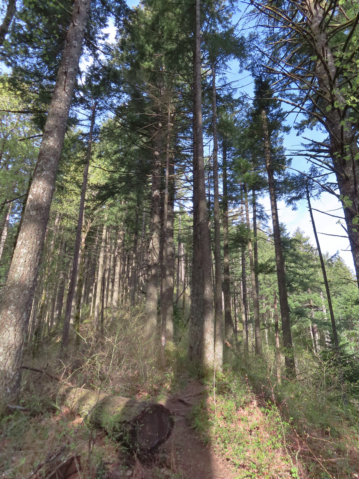
 Largeleaf sandwort
 Talus slope on Wind Mountain.
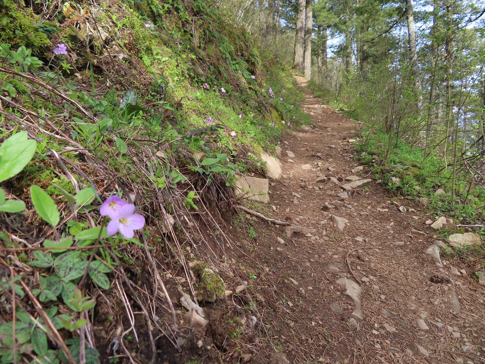 Slender toothwort along the trail.
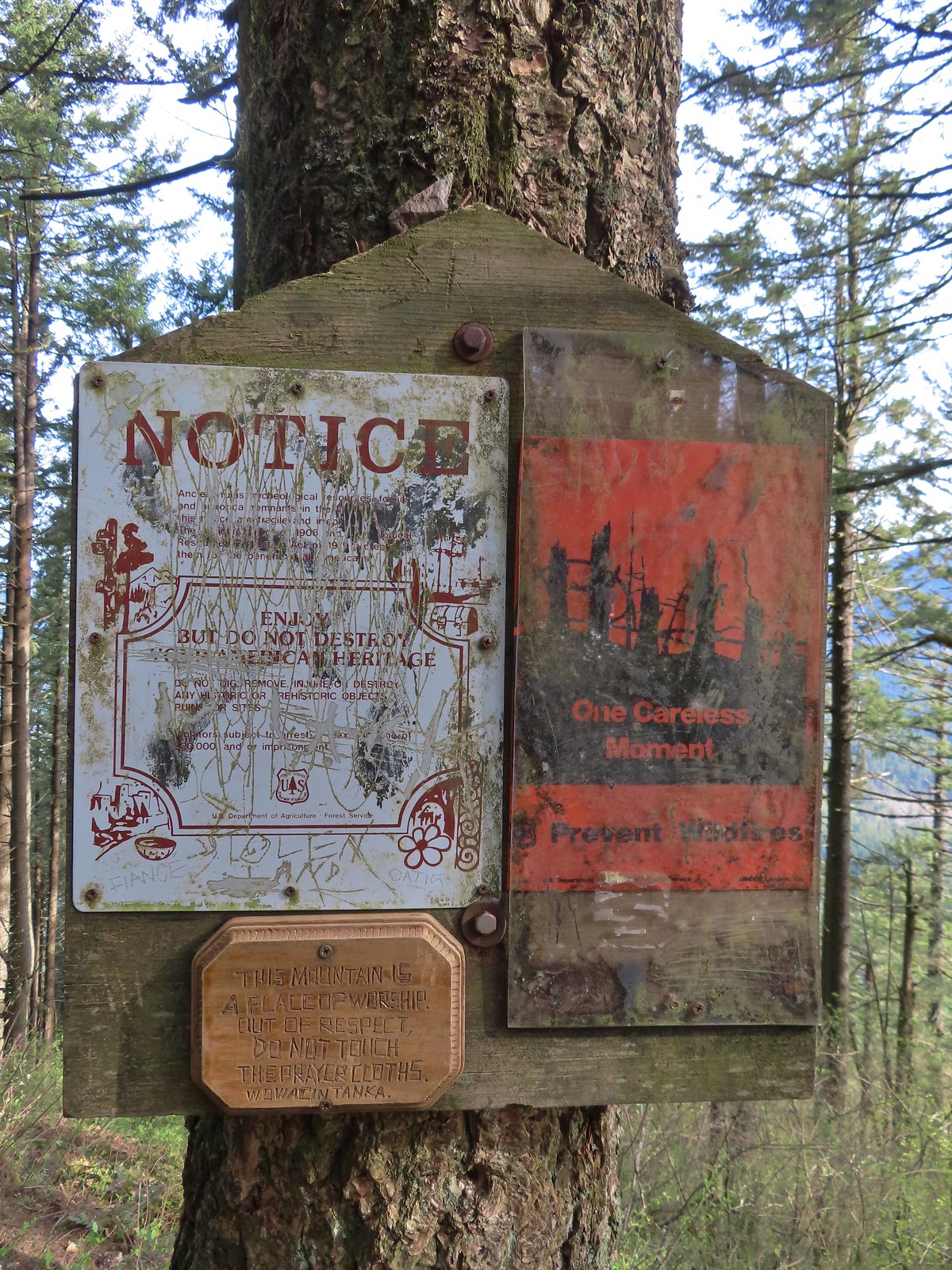 One of the signs near the summit.
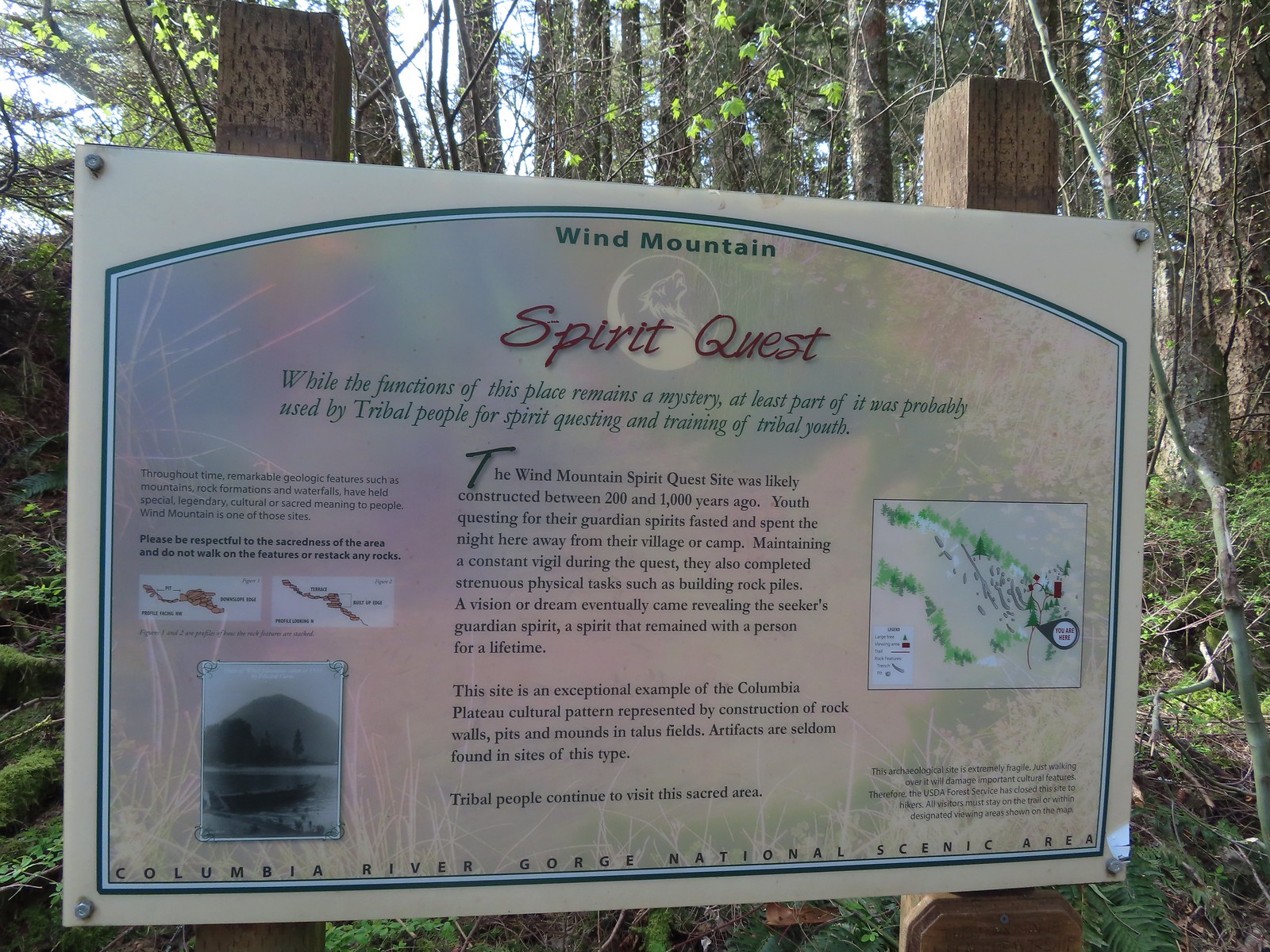 Interpretive sign with a map of the areas open to hikers.
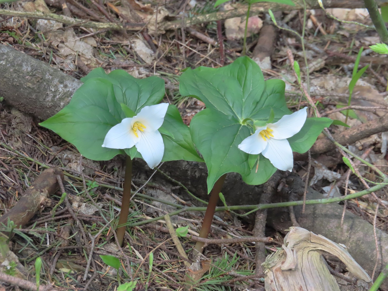 Trillium
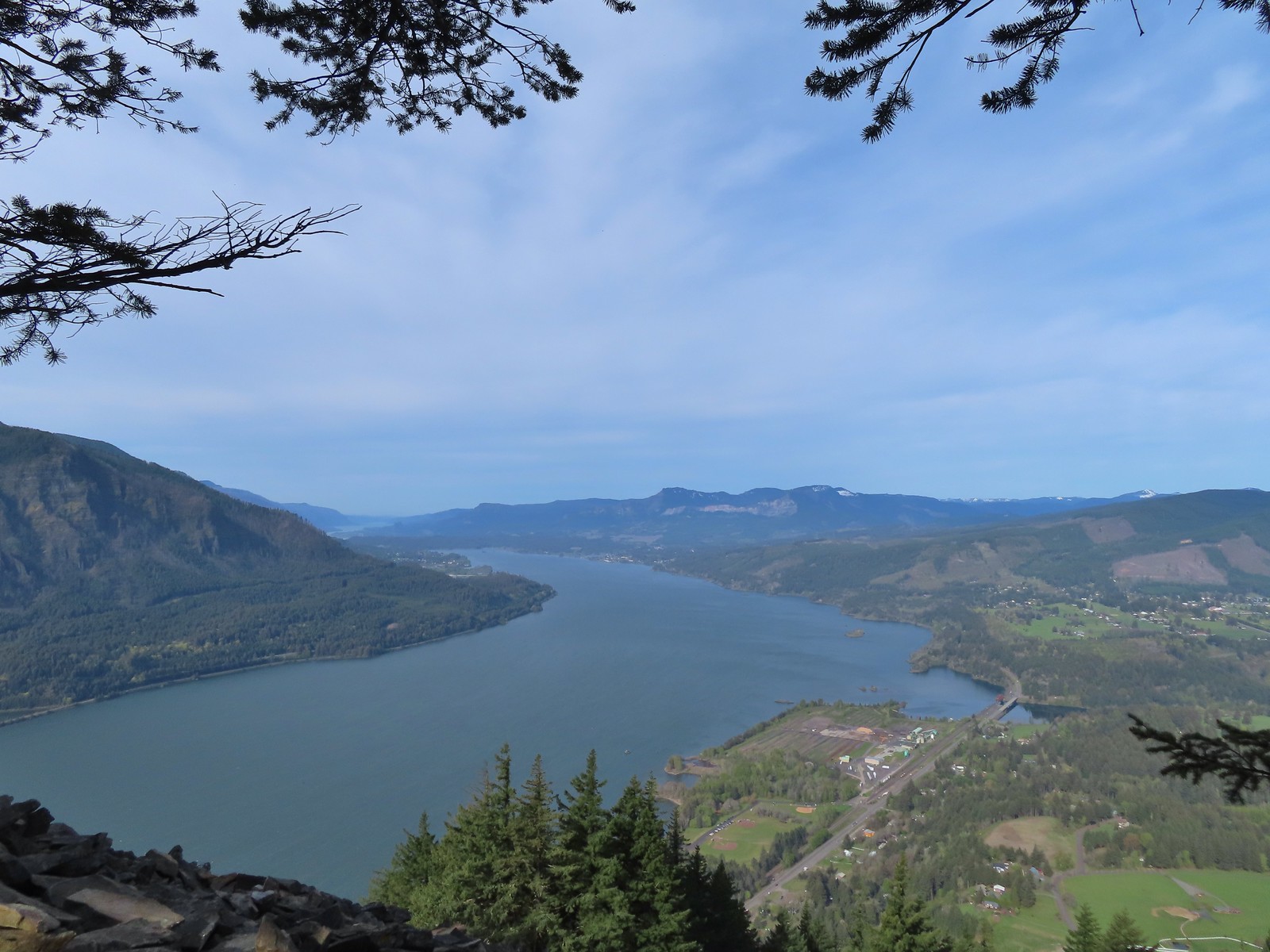 View west down the Columbia River. Hamilton Mountain (
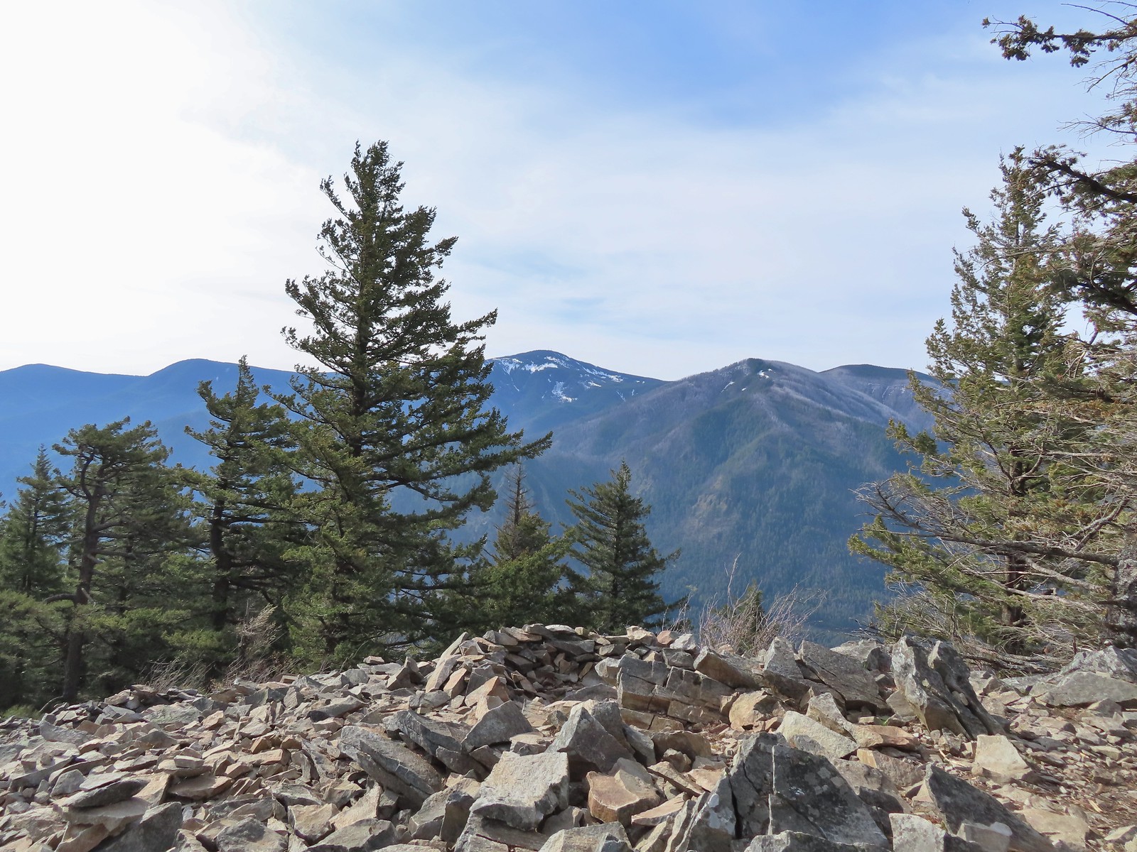 Mt. Defiance (
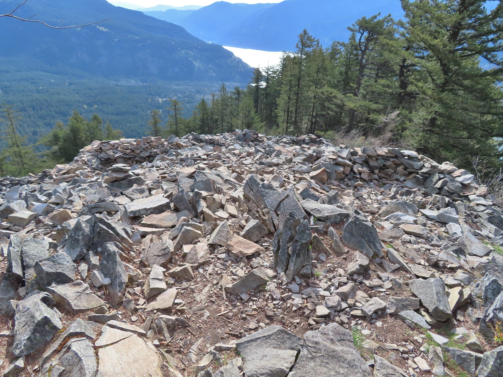 Vision quest pits on Wind Mountain.
 Mt. Adams beyond Augspurger Mountain.
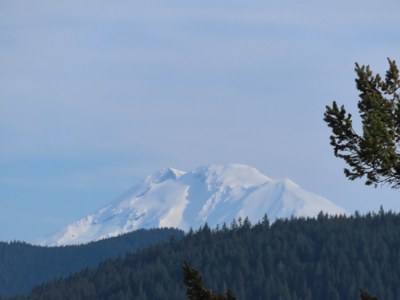 Mt. Adams
 Looking across the Columbia River.
 The first split where we went right.
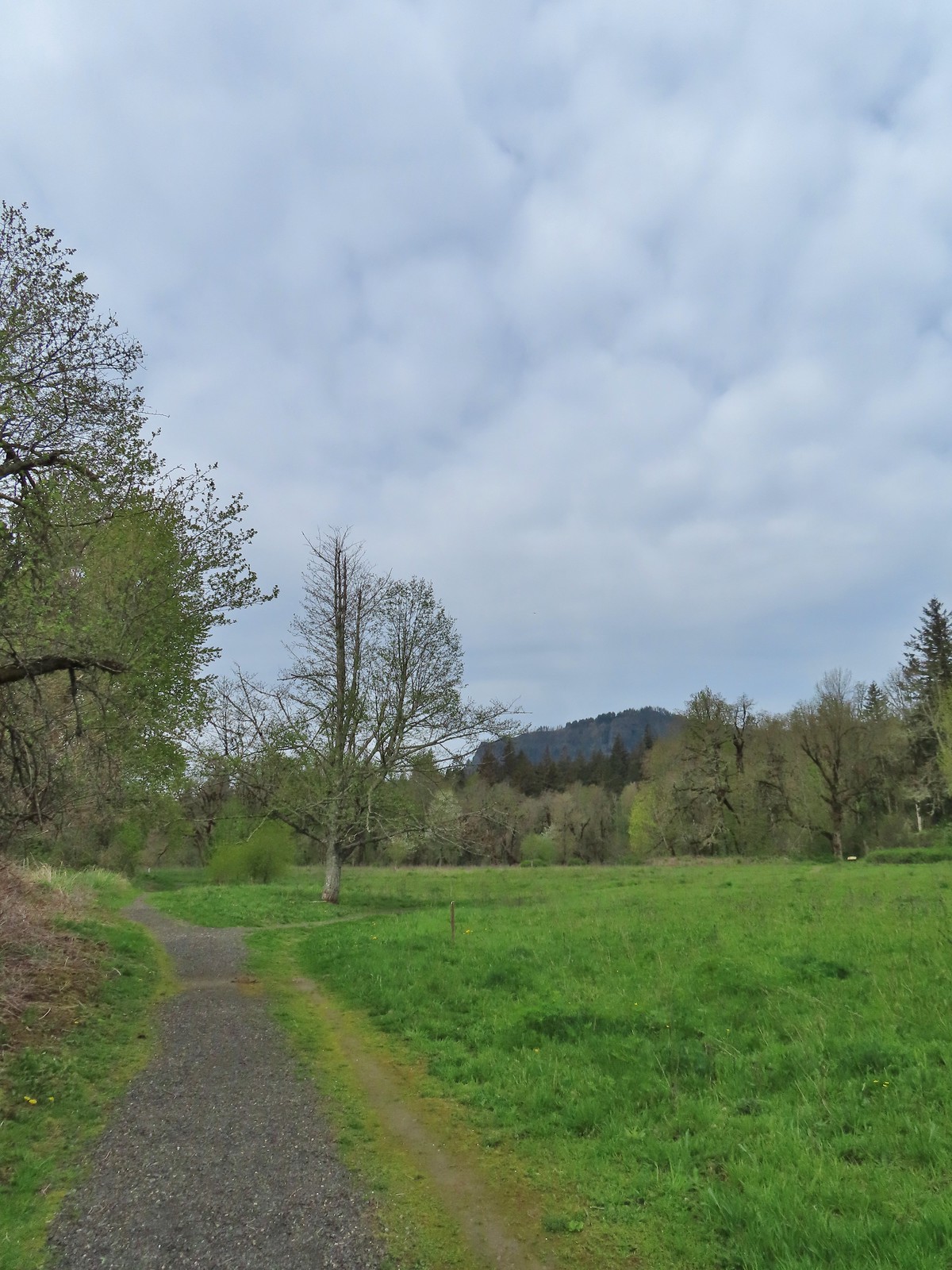 To continue on the counterclockwise loop we should have turned right at the junction ahead.
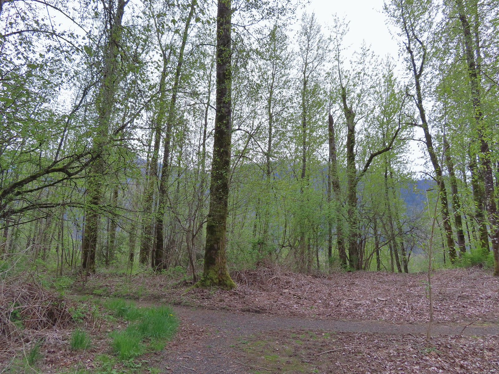 We turned right at the junction now doing the loop clockwise.
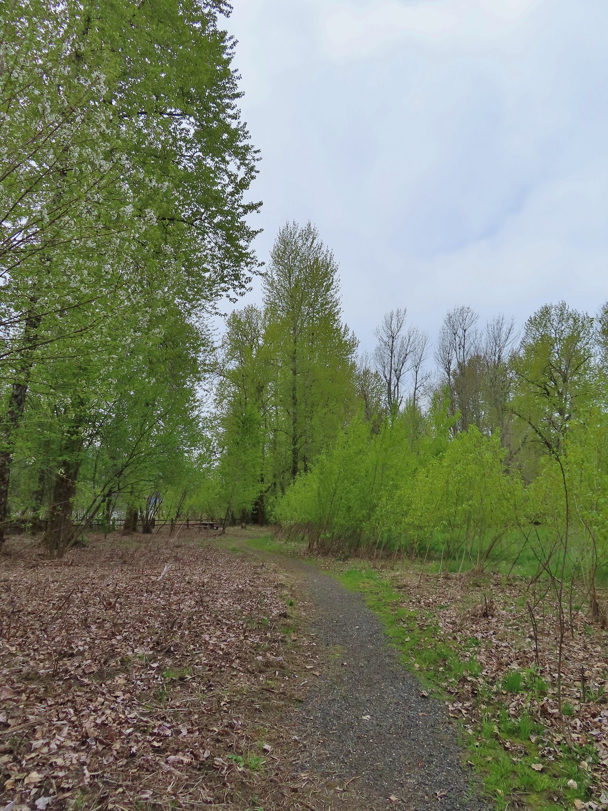 Coming up on one of the picnic tables along the loop.
 The Columbia River from the picnic table.
 Horsetail Falls (
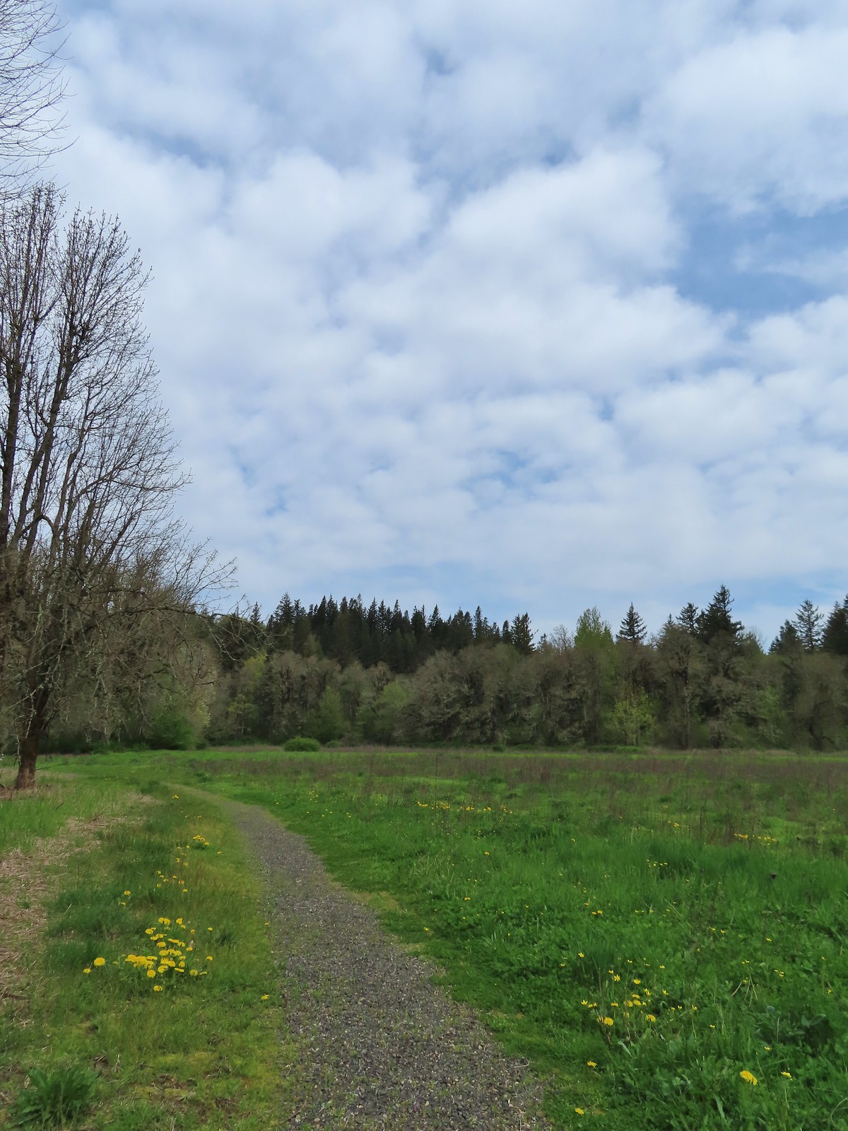
 Chipping sparrow
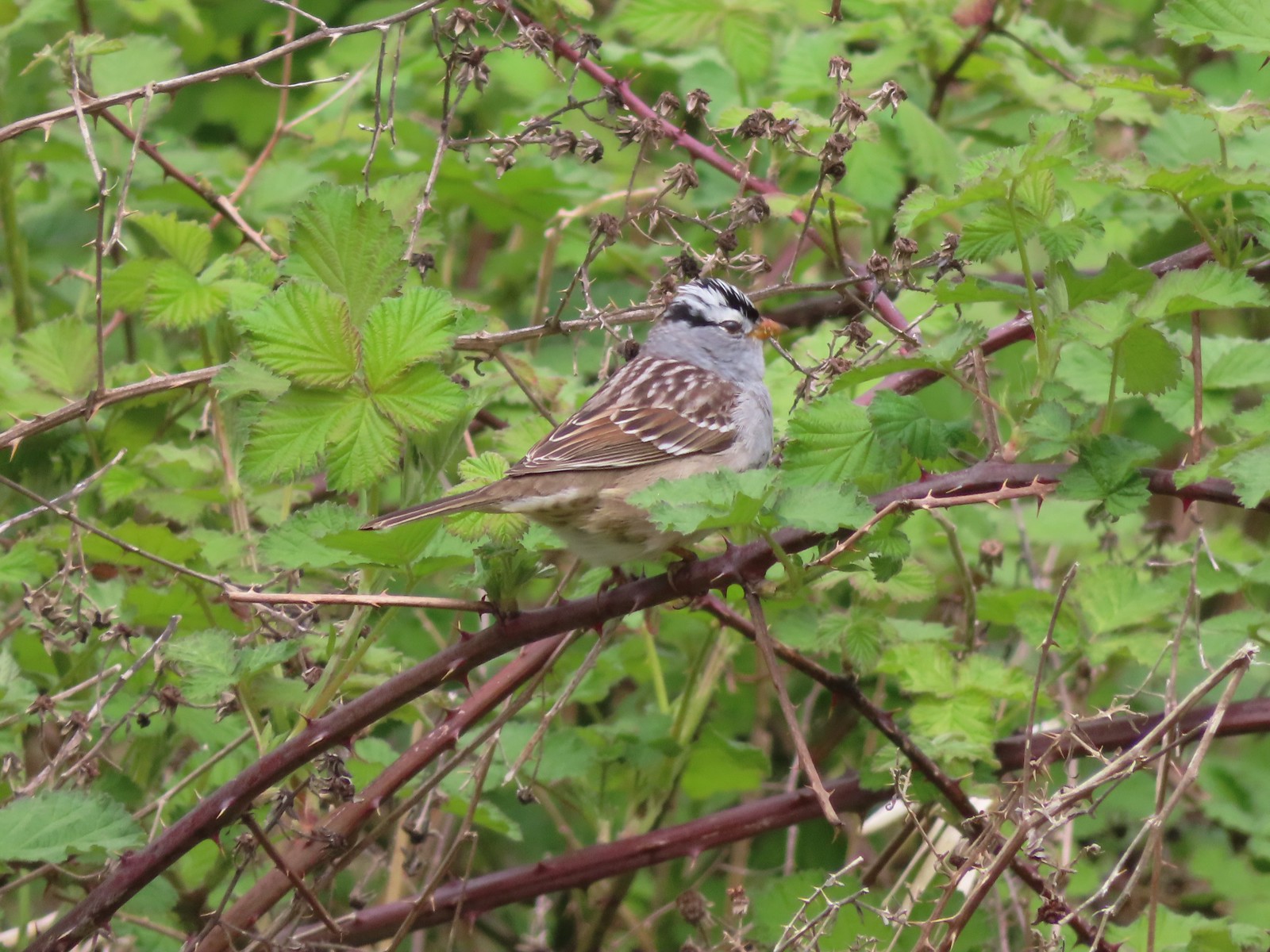 White-crowned sparrow
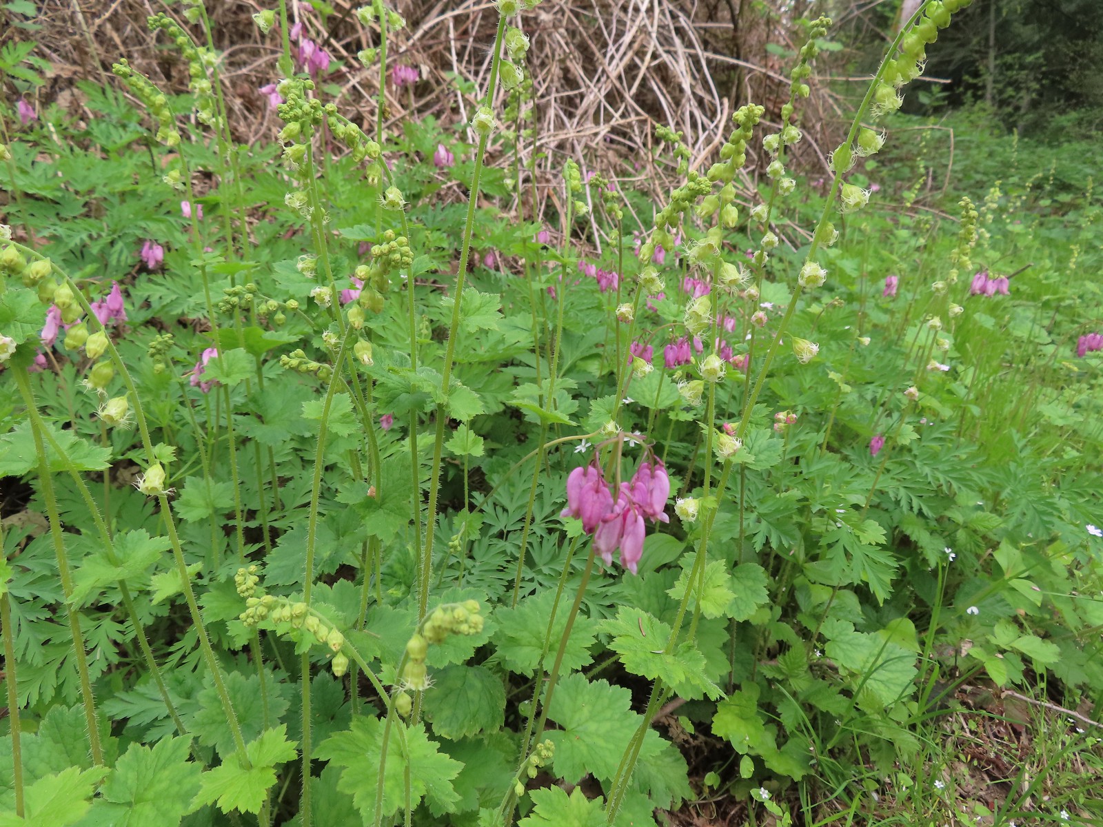 Bleeding heart and fringecup
 The cedar grove
 Completing the first loop.
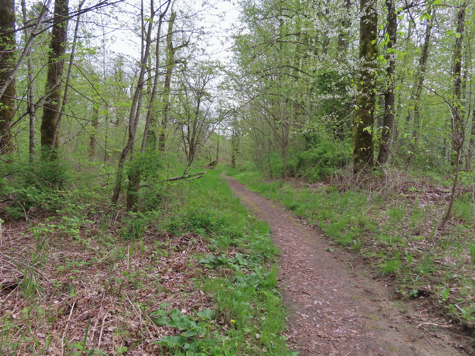
 Spider on perriwinkle
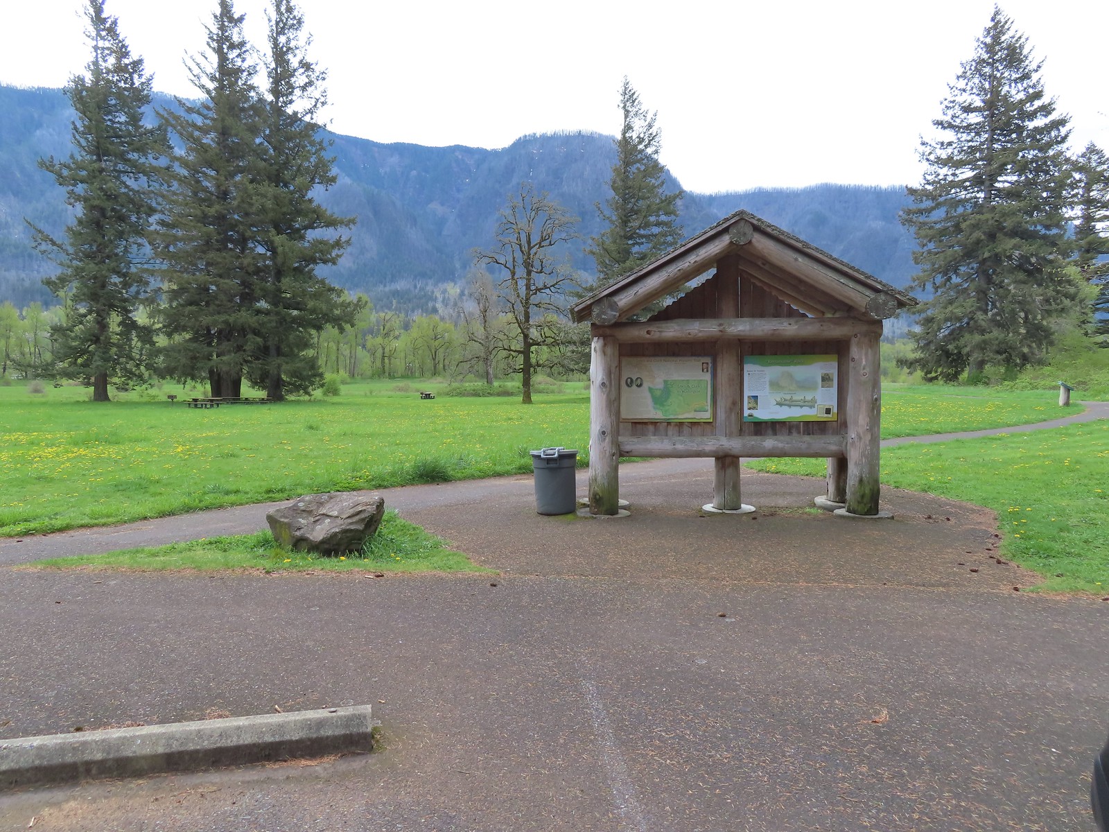 Kiosk at Doetsch Ranch.
 Beacon Rock (
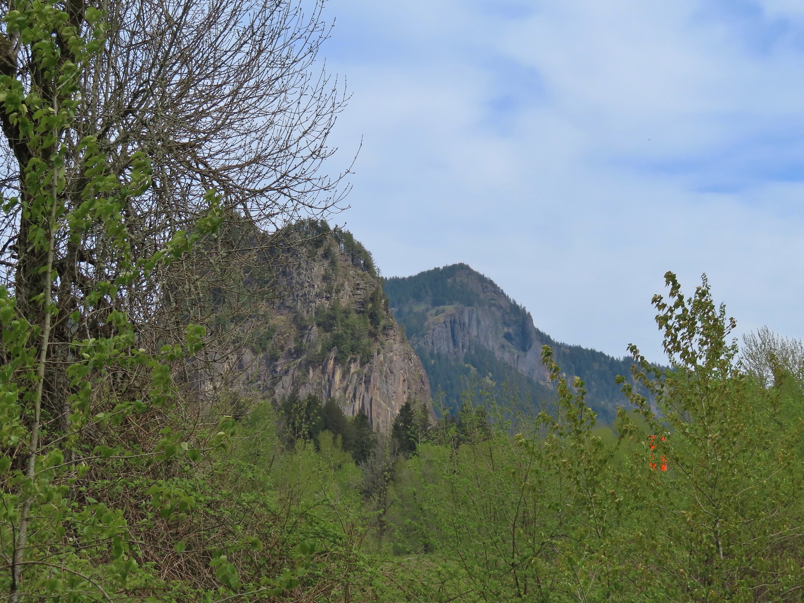 Beacon Rock and Hamilton Mountain.
 Coming up on the other parking area.
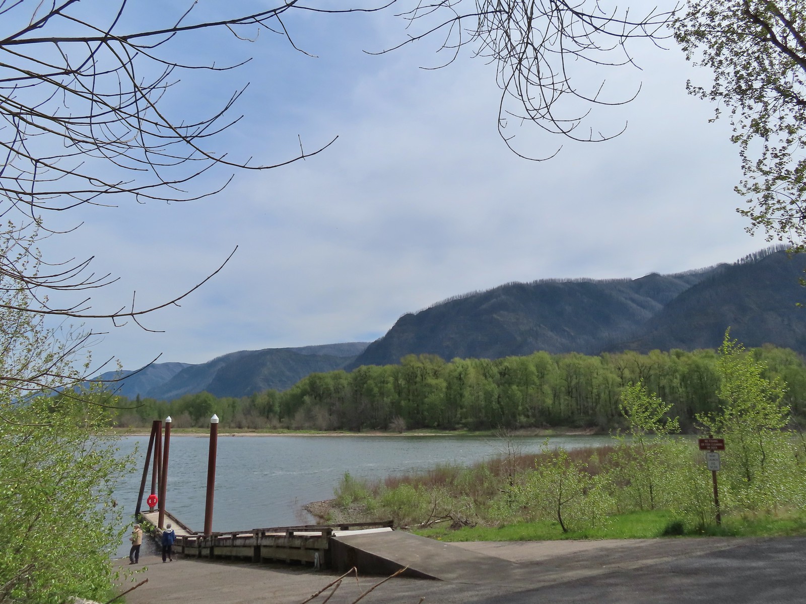

 Woodward Creek
 Fairy bells, vine maple, and fringecup
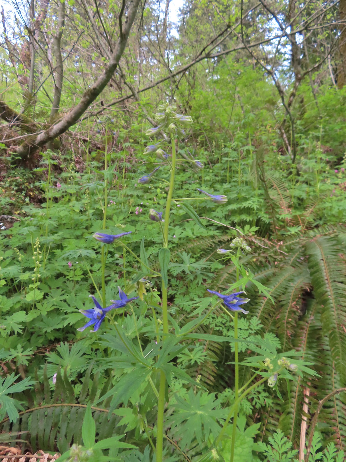 Columbian larkspur
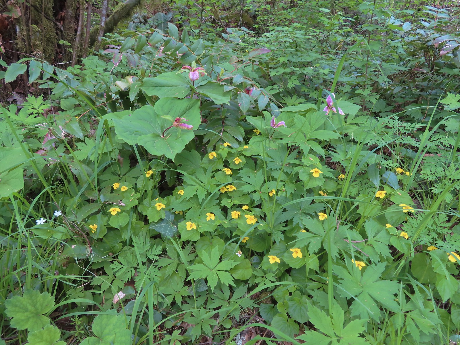 Trillium and voilets
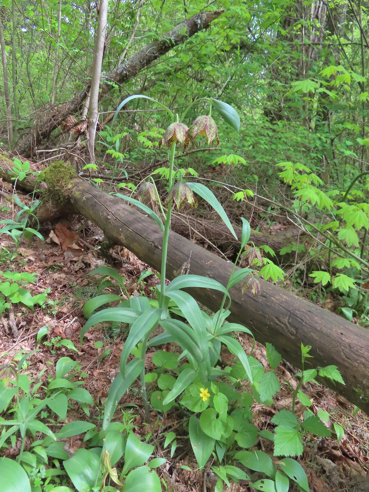 Checker (chocolate) lilies
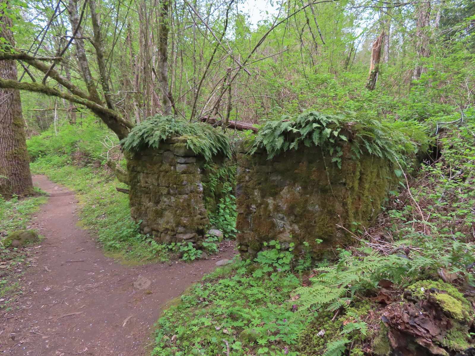

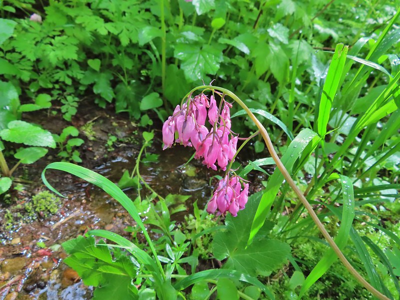
 Bleeding heart
 This was just one part of the best display of chocolate lilies we’d ever seen.
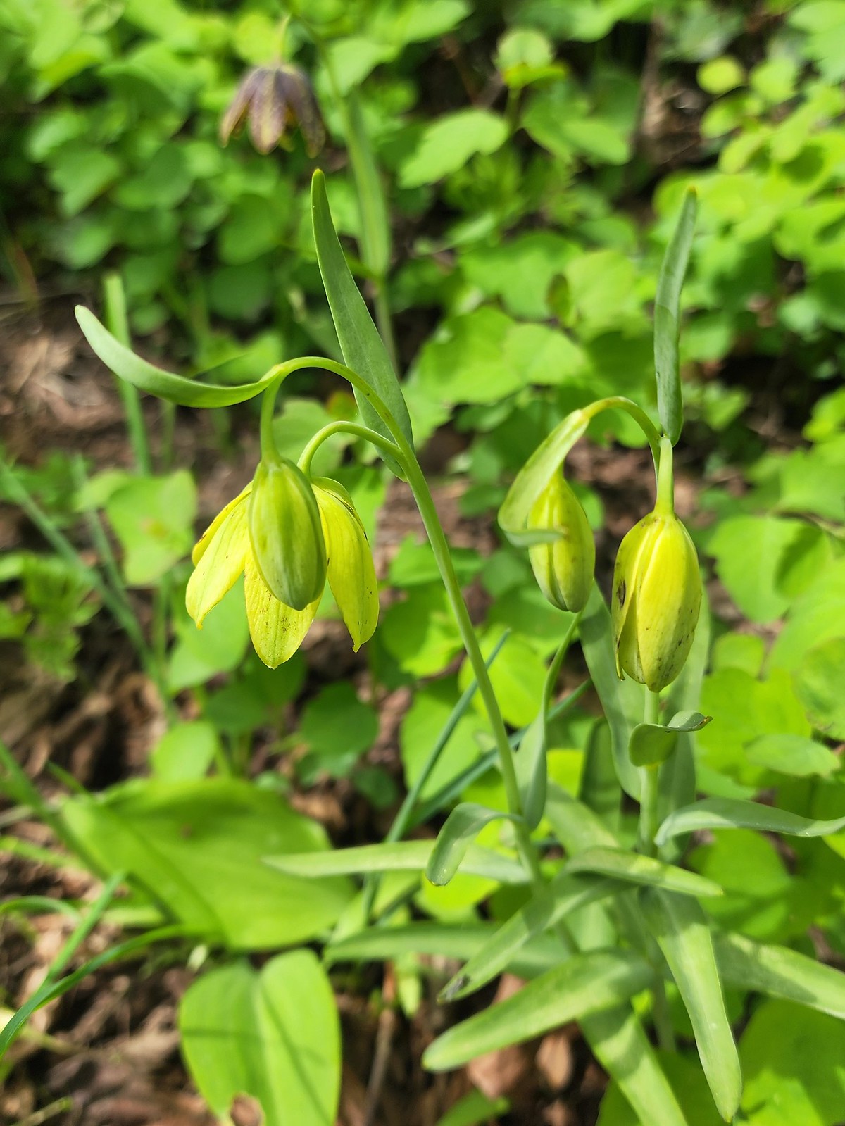 There were a couple of lilies with this coloration which was new to us.
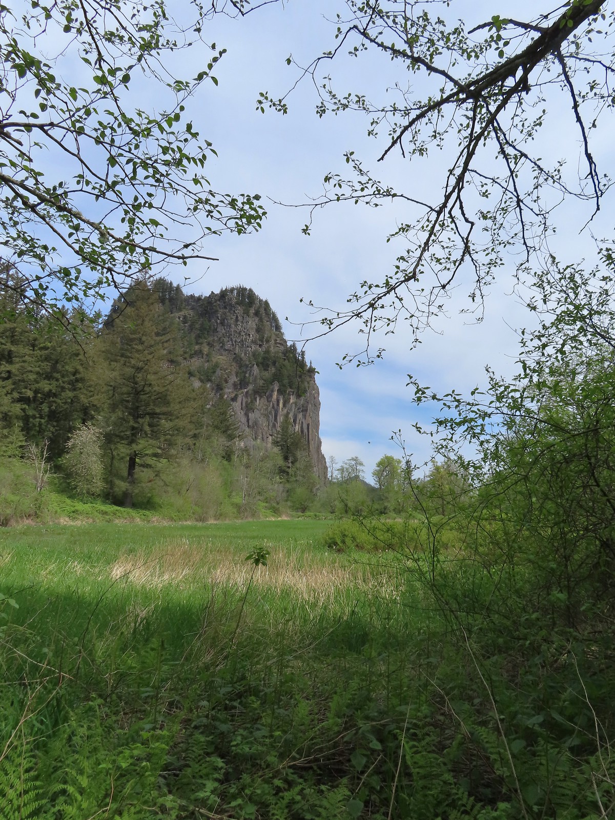 Riddle Lake
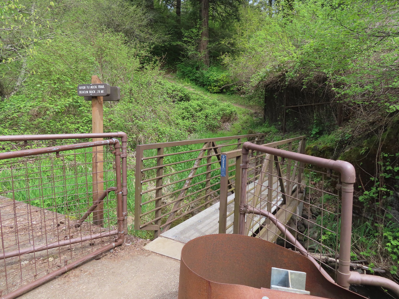
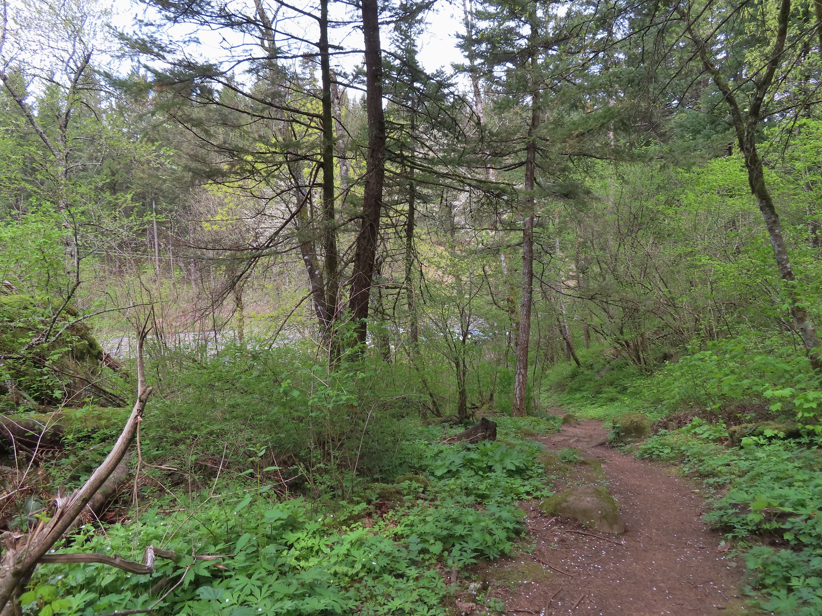 Dropping down to the River to Rock Trailhead.
 Looking back up the River to Rock Trail.
 Passing back by the large patch of chocolate lilies.
 Our first butterfly of 2024, an echo azure.
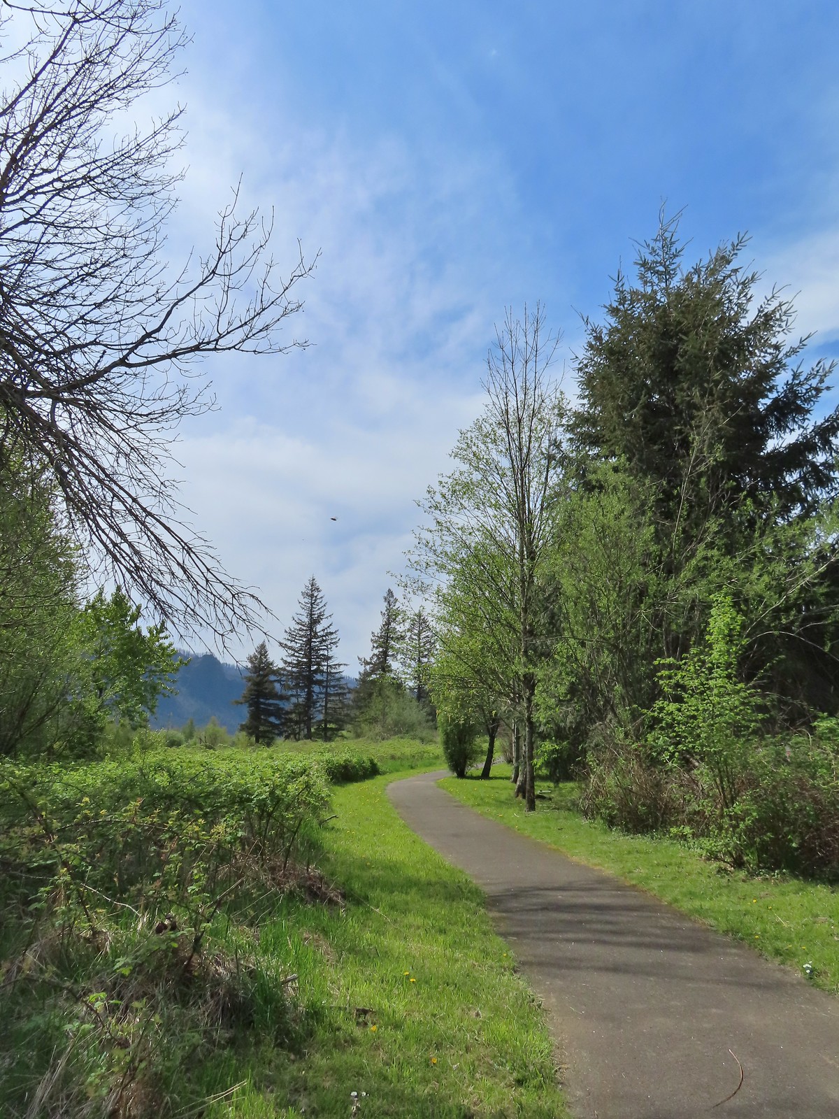
 Completing the loop.
 St. Cloud and Lower Archer Falls
 Wind Mountain
 Sams-Walker
 Doetsch Ranch

 Multnomah Falls
 The Benson Bridge.
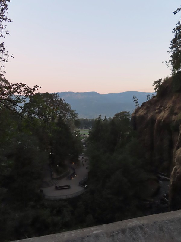 View from the bridge.
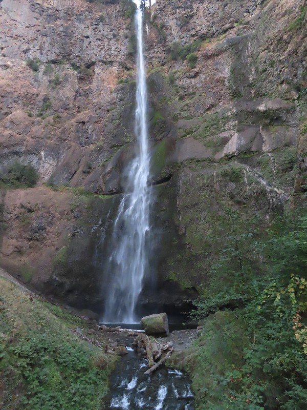 Multnomah Falls from the bridge.
 The Moon beyond the Columbia River and Multnomah Falls Lodge.
 Beacon Rock (
 The second switchback.
 Another view of the falls. I passed a pair of hikers along this stretch then didn’t see another person for another couple of hours.
 Viewpoint trail.

 Small fall just upstream from Multnomah Falls.
 Cape Horn (
 Bridge over Multnomah Creek.
 Approaching Middle Dutchman Falls.
 Middle Dutchman Falls
 Upper Dutchman Falls
 Dutchman Tunnel
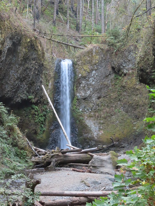 Wiesendanger Falls is located just beyond Dutchman Tunnel.
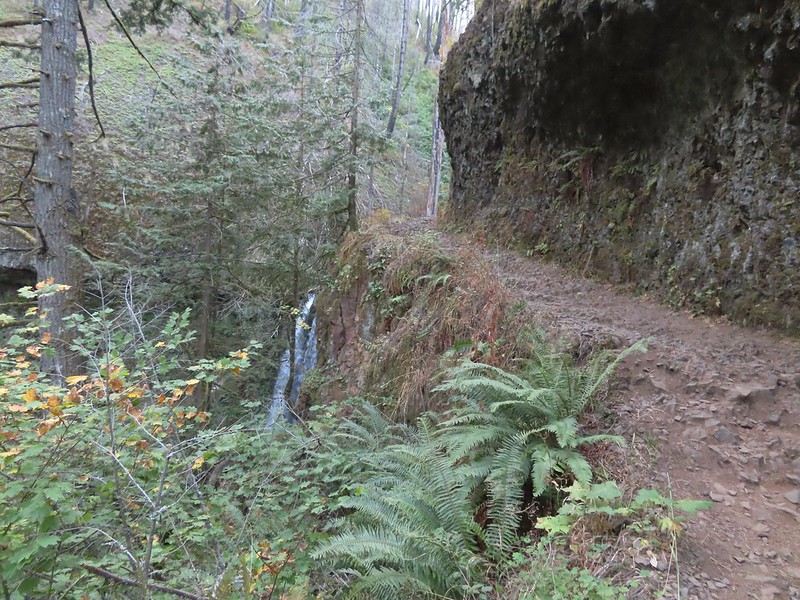 A short distance beyond Wiesendanger Falls is Ecola Falls.
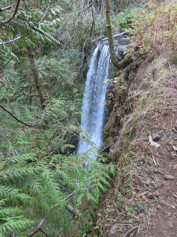 Ecola Falls
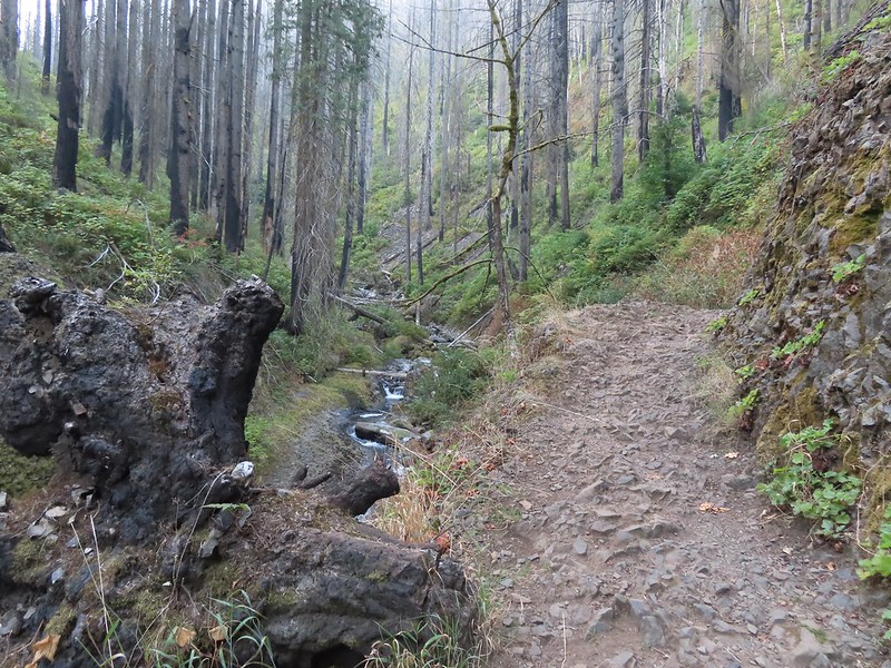
 Good signage at nearly all trail junctions, especially those closest to the trailheads.
 Looking down the creek at sunlight starting to hit the hillside.
 A few bleeding heart were still in bloom.
 Penstemon
 This section is flooded in late Winter/Spring. The signed High Water Trail leads up and around it for those high water times.
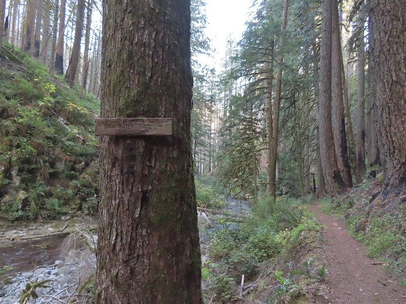 Sign for the High Water Trail at its southern end.
 The southern end of the High Water Trail heading uphill to the right.
 I couldn’t find a name for this creek but it had a good flow, in fact it was more water than what was in Multnomah Creek upstream from their confluence.
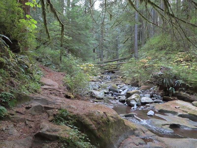 Multnomah Creek upstream from the unnamed creek.


 Reentering the fire scar.
 The Franklin Ridge Trail on the left.


 Maple changing colors
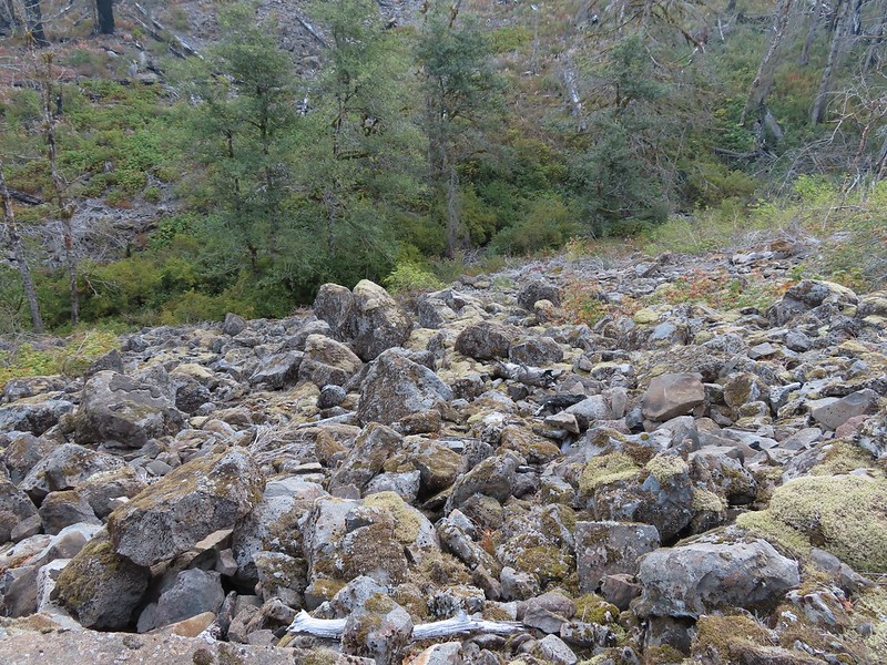 I’m sure there is at least one pika in this photo somewhere.
 Looking back toward Franklin Ridge.
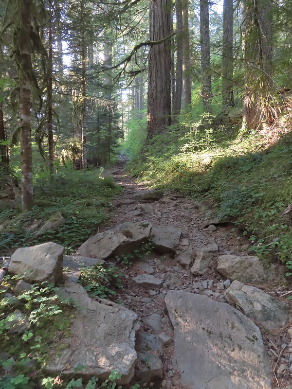
 Arriving at the junction.


 I was hoping for less smoke in the air but these sunbeams told me that there was still a fair amount lingering around much as it had been for the last several days.
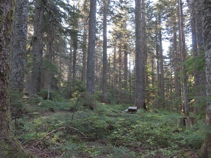 After 1.25 miles I passed a pair of old campsites with picnic tables on the right. I stayed right at an unsigned junction with a trail that led uphill to the left. We had come down that way on our previous trip skipping a short section of the actual Larch Mountain Trail.
 There were four cars at this trailhead.
 Vine maple near the Sherrard Point Trail.


 Mt. St. Helens in the smoke to the left and Mt. Adams a bit above it to the right.
 Mt. Hood
 Mt. Adams
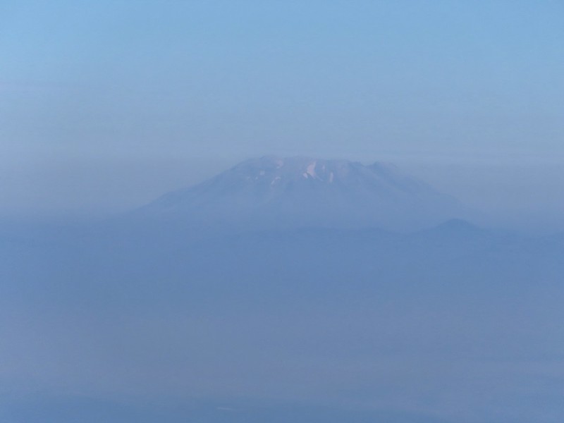 Mt. St. Helens
 Silver Star Mountain (
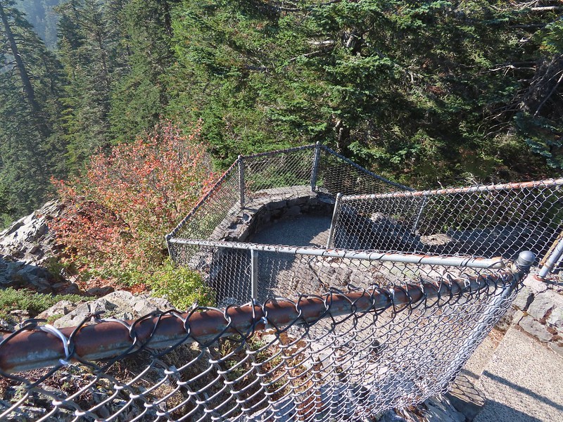 Heading down.


 Lots of fungi on this tree.
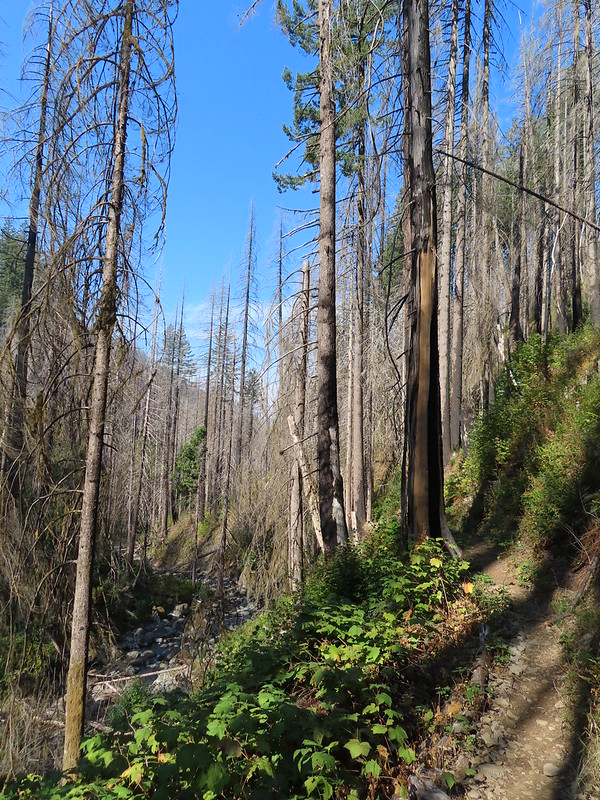
 Hedgenettle
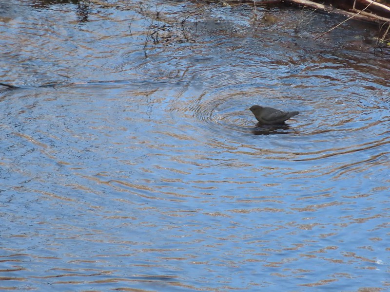 Ouzel
Ouzel
 Looking back down at Multnomah Creek.
 Cape Horn again across the Columbia.
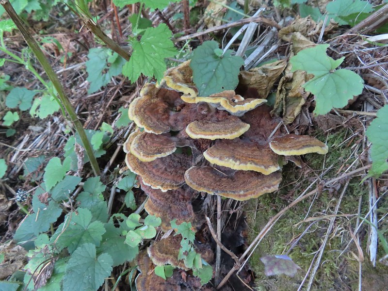
 I couldn’t recall seeing these before on a hike, not this color anyway.
 The Devil’s Rest Trail on the left at the ridge top.
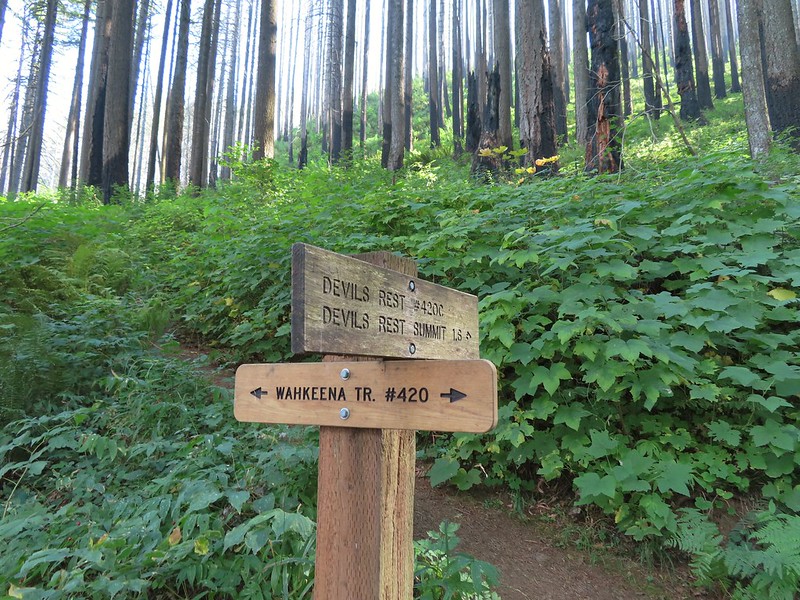
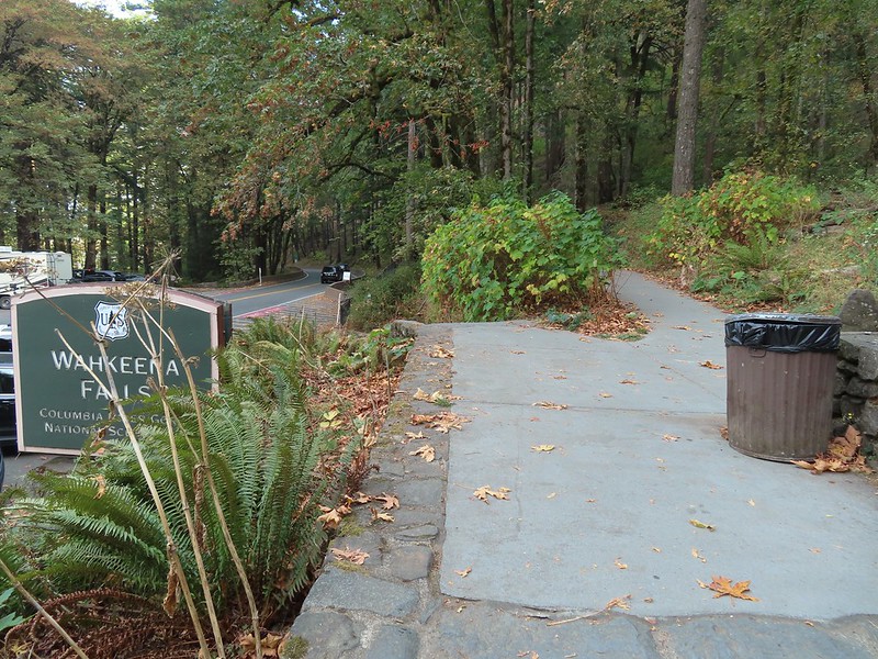
 I should have followed the Wahkeena Trail Pointer here.
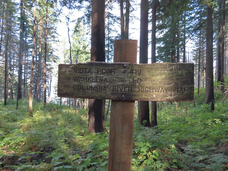 Instead I followed the pointer for Wahkeena 1.0.
 Vista Point Trail
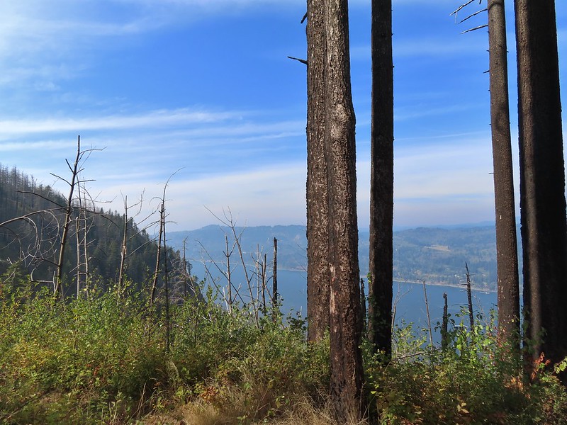


 There is the trail I had intended to be coming down arriving at the junction with the other end of the Vista Point Trail.
 Looking back at the Vista Point Trail from the junction.
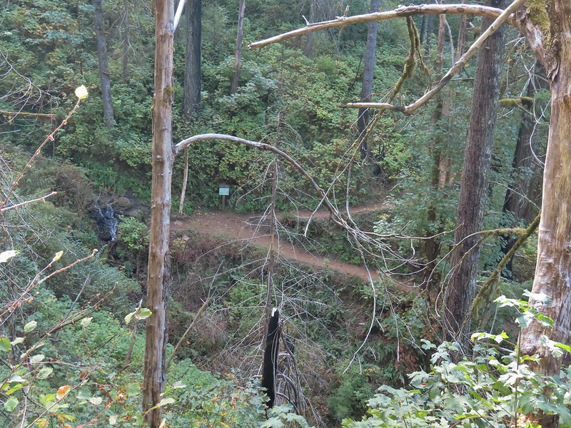
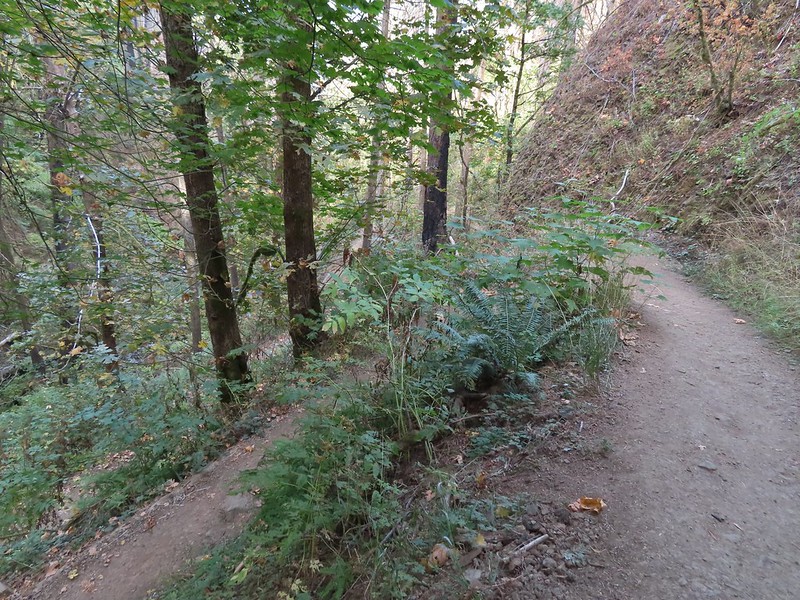 Lots of tight switchbacks to get down the gorge.
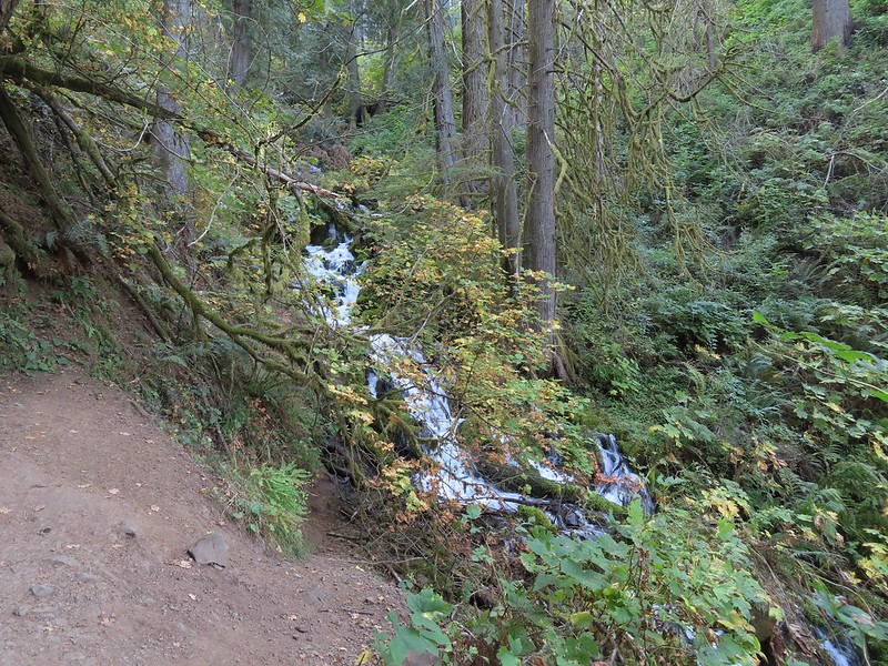
 Fairy Falls
 Fairy Falls

 Looking out across the Columbia River.
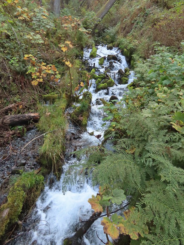


 Cape Horn (again)
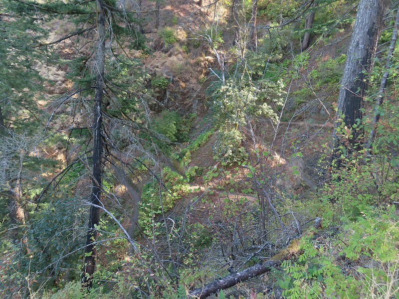 The Wahkeena Trail from Lemmons Viewpoint.
 The poison oak was really colorful.
 Approaching Wahkeena Falls.
 Wahkeena Falls
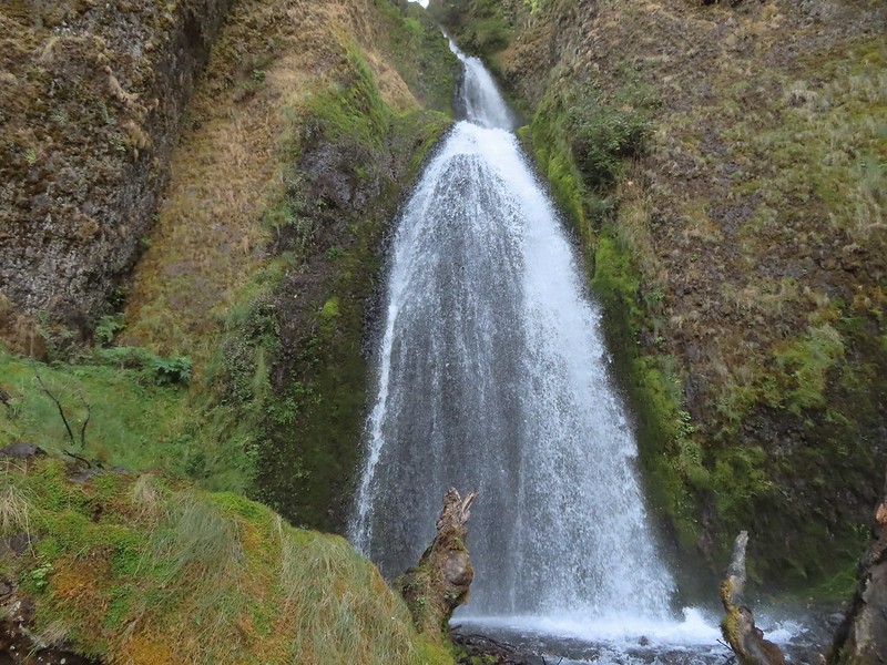 Wahkeena Falls.
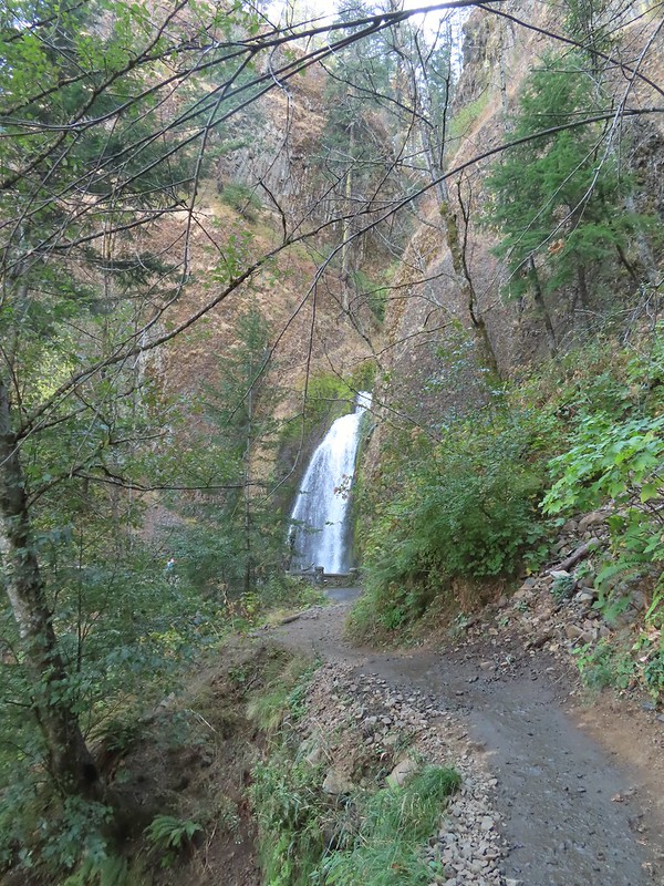 Looking back at Wahkeena Falls.
 One last look at Wahkeena Falls through the trees.

 A line of cars on Historic Highway 30 in front of the lodge.


 Merry (black) is 3 mos. and Pippin is 2 mos. Both boys from separate litters.
 Equestrian Trail at the trailhead.
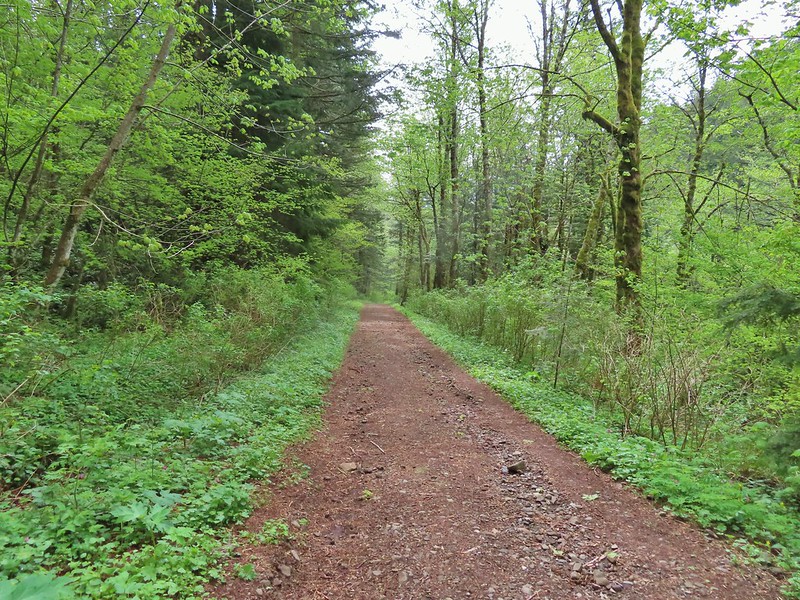
 On the old roadbed/Equestrian Trail.
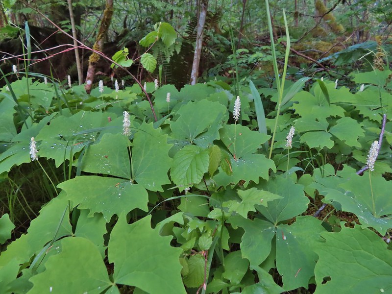 Vanilla leaf
 Fairy bells
 Violets
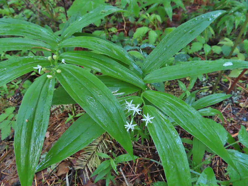 Star-flowered false solomon seal
 Youth-on-age
 Possibly a cinquefoil
 Thimbleberry
 Fringecup
 At the 4-way jct the Equestrian Trial continued straight with the West Hardy Trail to the left and Lower Loop Trail to the right.

 Salmonberry
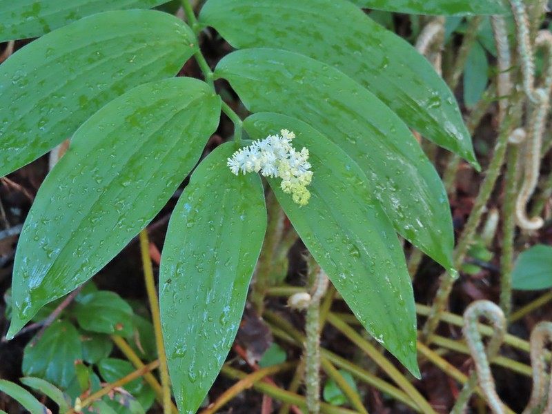 False solomon seal
 Bleeding heart
 Here come the clouds.
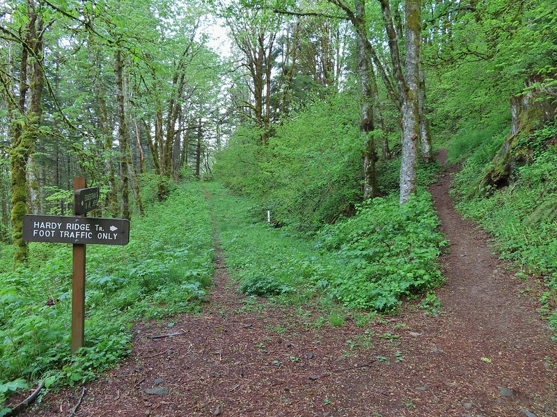

 Baneberry
 Trillium
 Paintbrush
 Red flowering currant
 Chocolate lily
 Anemones
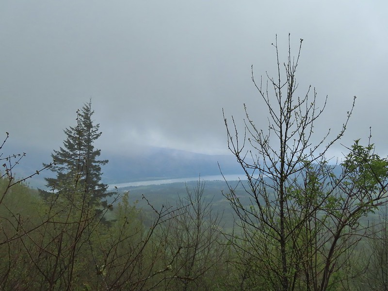 Looking across the Columbia River into Oregon.
 Horsetail Falls (
 Field chickweed and Oregon grape
 Junction at the saddle.
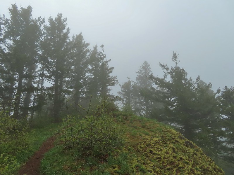
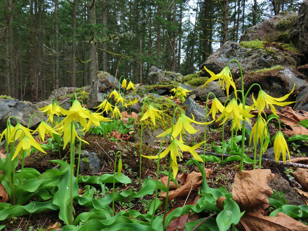
 Glacier lily
 Trilliums
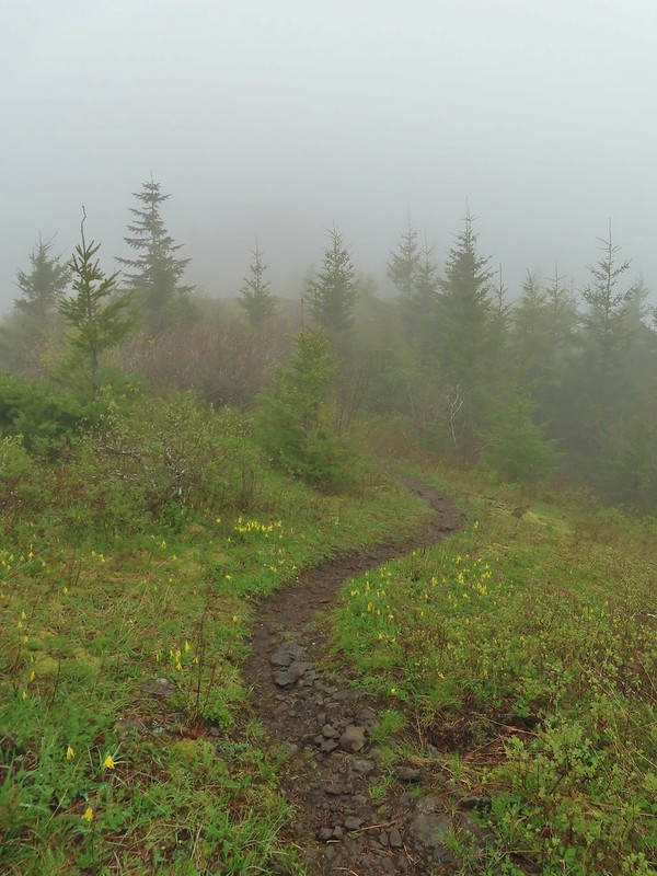 Glacier lilies along the trail.
 Another hiker caught up to us at this rock field not far from the high point. It looked like the trail was going across the rocks for a bit and she decided to turn around but after just a few feet the trail resumed behind a bush.
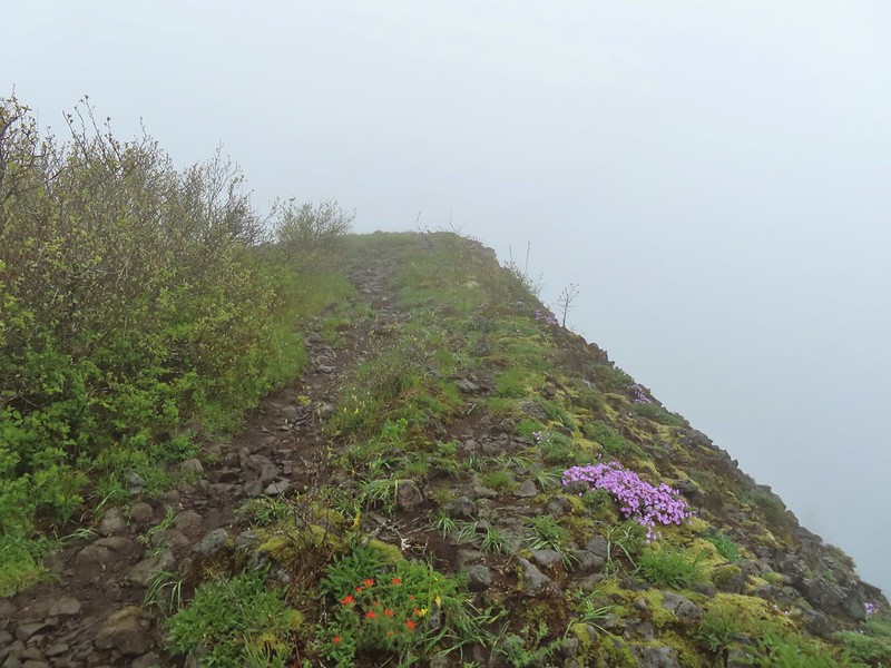
 Phlox
Phlox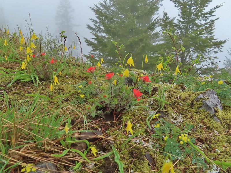 Paintbrush and glacier lilies.
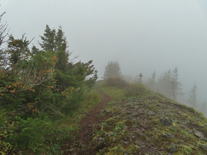 The high point.
 Glacier lilies at the high point.

 Hamilton Mountain (high point to the right) and the Columbia River.
 Bonneville Dam and the Hamilton Mountain Trail crossing The Saddle.
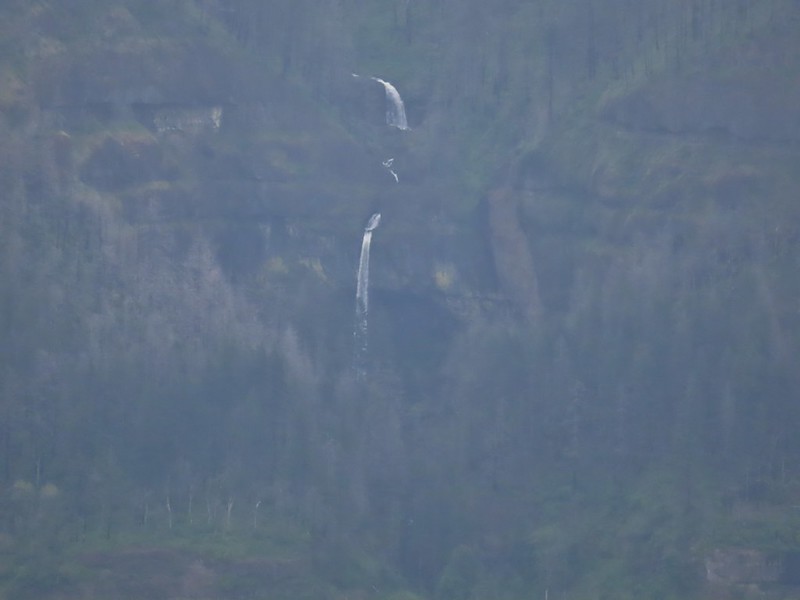 Upper McCord Creek Falls (
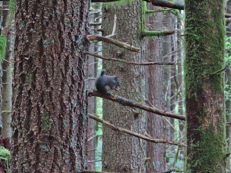 Squirrel
 Snail
Snail

 Bleeding heart along a little stream.
 False lily-of-the-valley getting ready to bloom.
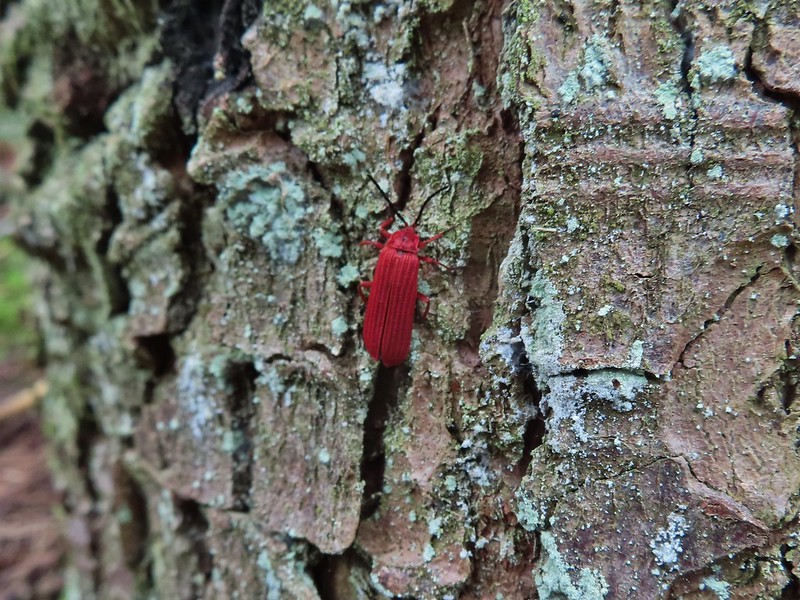 Possibly a Dictyoptera aurora (Golden net-winged beetle)
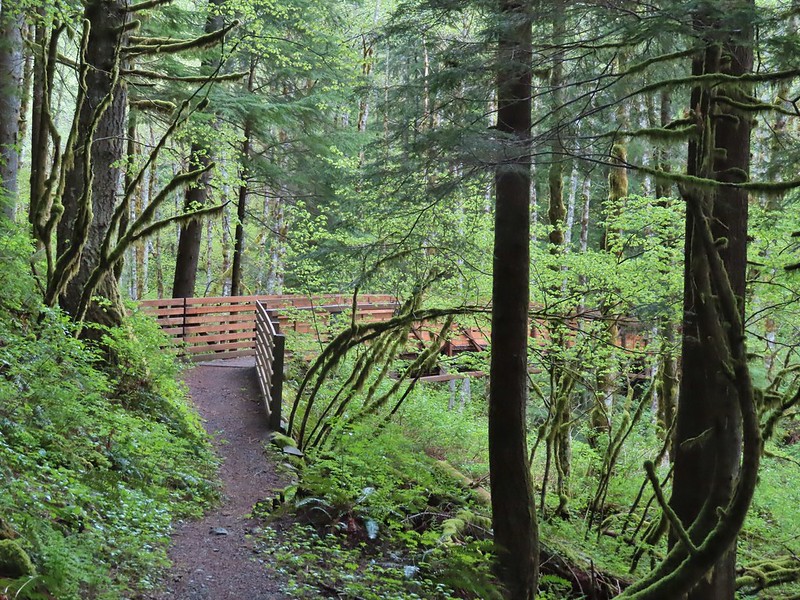


 Hardy Ridge from the Upper Hardy Trail.
 The left fork would have been slightly longer by leading us around the back side of a knoll and making a 180 degree turn following the east side of the ridge toward The Saddle.
 We turned right opting for the slightly shorter route to The Saddle.
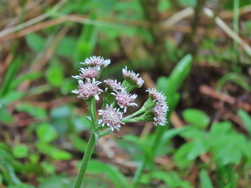 Coltsfoot
 Southern junction of the two forks of the Upper Hardy Trail.
 Hikers coming down from Hamilton Mountain.
 Dons Cutoff Trail nearing the Upper Hardy Trail.
 Upper Hardy Trail
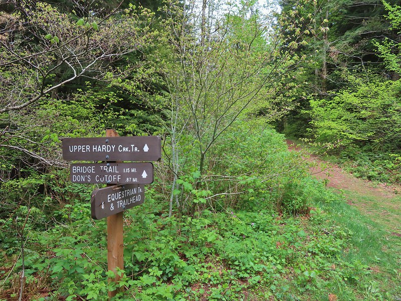
 Equestrian Trail
 Hardy Creek


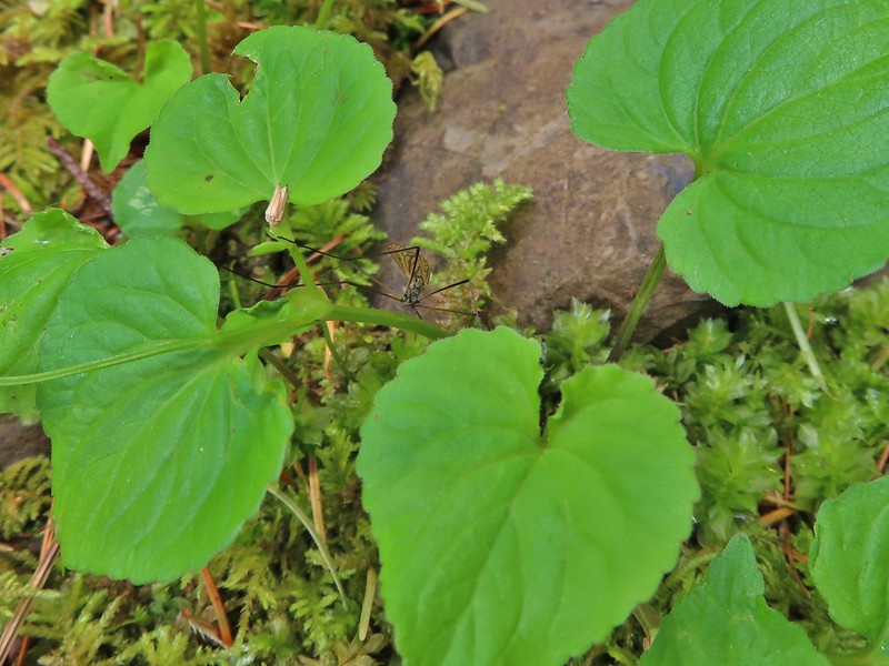 Spotted this guy while I was photographing the slug above. Not sure if it’s a crane fly or ?
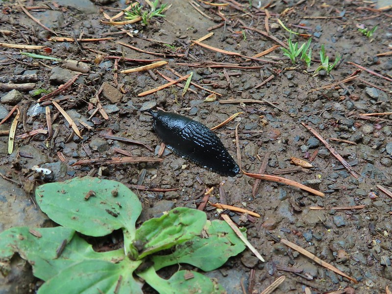
 Mt. Hood from the trailhead.
 Death camas
 Western stoneseed
 Fiddleneck
 Large-flower tritelia
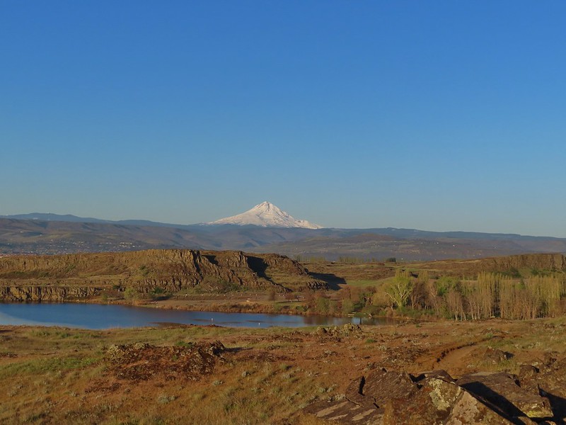 Mt. Hood beyond Horsethief Lake
 Standing at the fence looking east.
 Wren
Wren Horsethief Butte
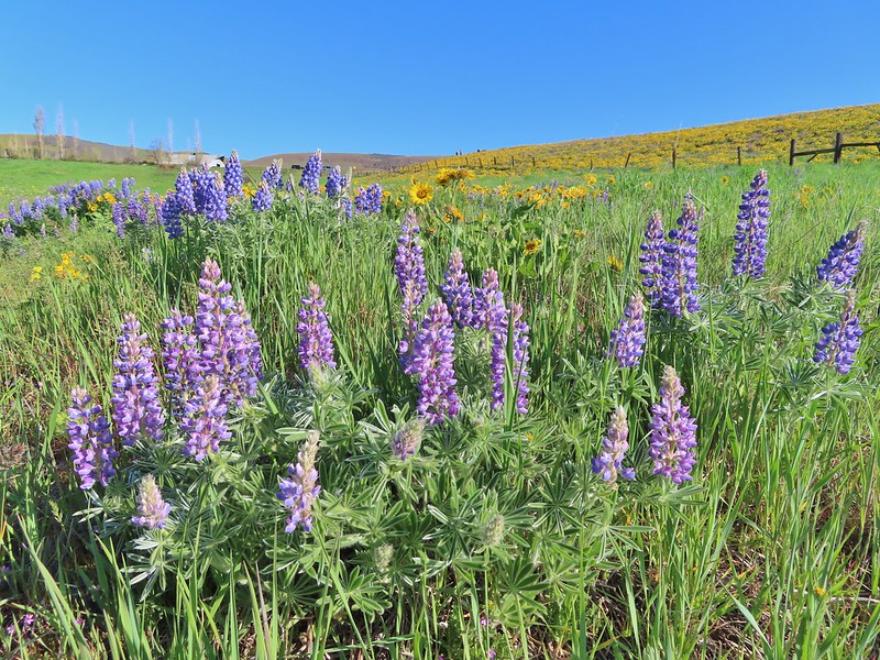
 Lupine


 Horsethief Butte and Mt. Hood from the viewpoint.
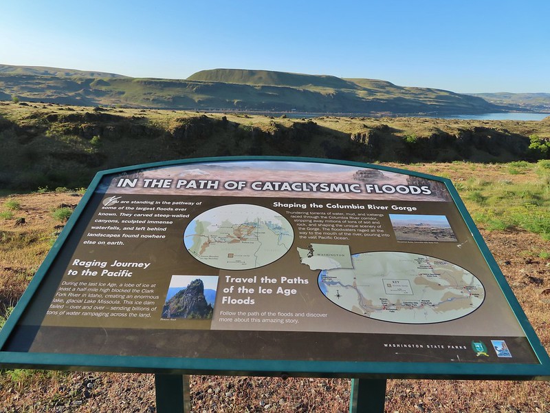

 Purple cushion fleabane
 Balsamroot

 Western bluebird
 Ground squirrel


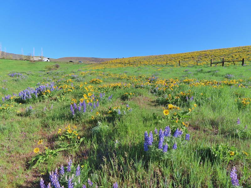
 Lupine, balsamroot and parsley
 The Crawford Ranch Complex ahead to the left.
 Phlox
Phlox


 Approaching the fence line.
 Yellow-rumped warbler
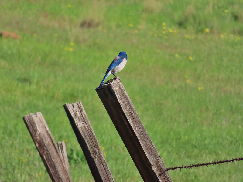 Back of a scrub jay


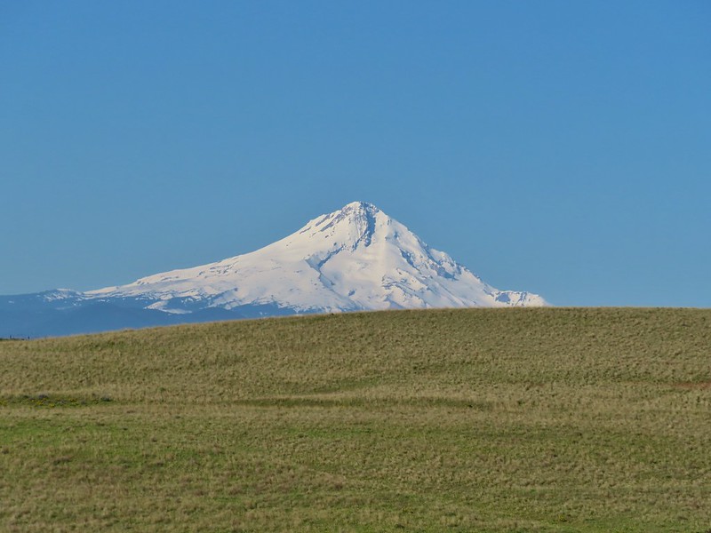 Mt. Hood
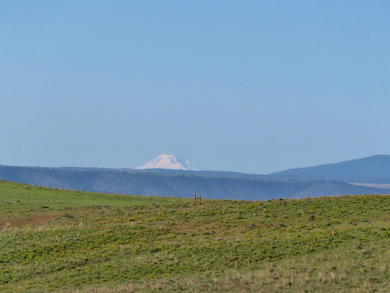 Mt. Jefferson
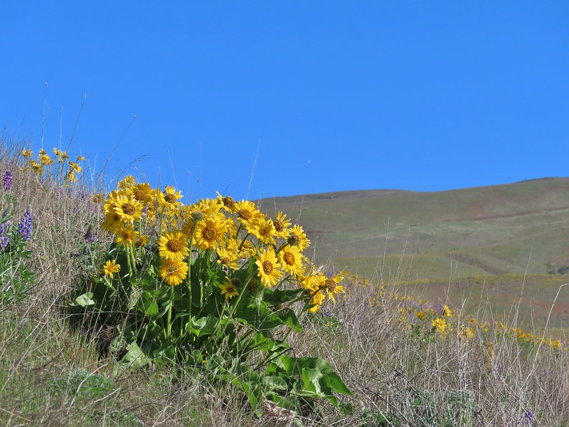


 Yakima milk-vetch
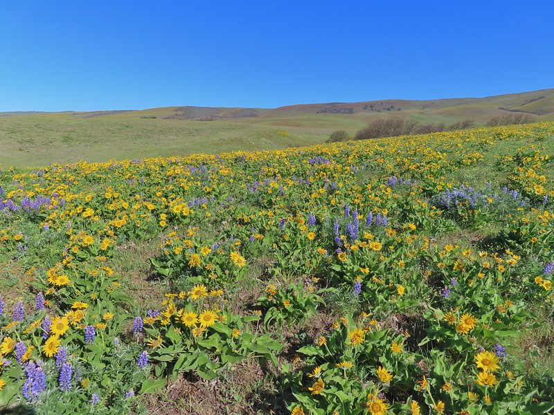


 The Columbia River, Horsethief Butte, and Mt. Hood
 Death camas
 Large head clover
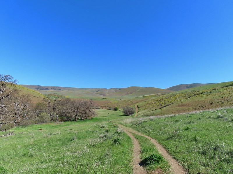 Approaching the junction.
 Hawk watching all the hikers.
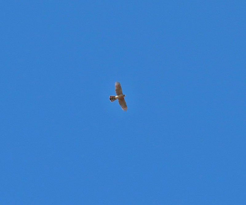 A different hawk? watching the goings on.
 Western fence lizard watching everything.
 Poppy, manroot, and red-stemmed storksbill
 The crowded trailhead

 While both were part of the Crawford Ranch, Stacker Butte is not part of the Columbia Hills State Park but is part of the Columbia Hills Natural Area Preserve.
 Yakima milk-vetch
 Paintbrush amid the balsamroot.
 Phlox
Phlox
 Big-seed biscuitroot
 Sicklepod rockcress
 Sagebrush false dandelions
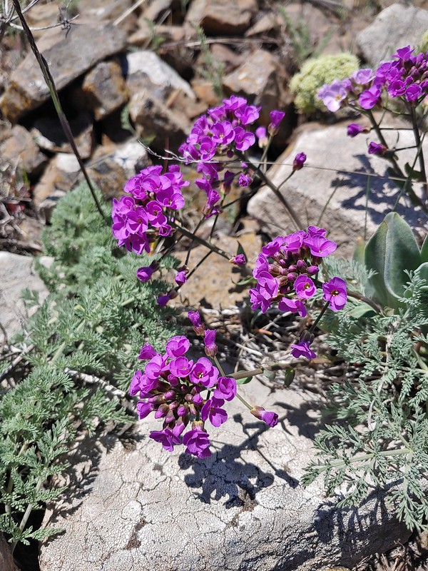 Daggerpod
 Daggerpod
 Slender toothwort?
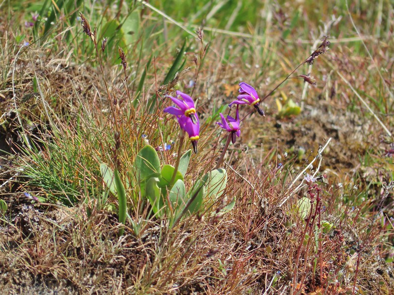 Shooting stars in front of a little blue-eyed Mary
 Large head clover
 Popcorn flower
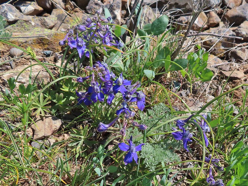 Larkspur
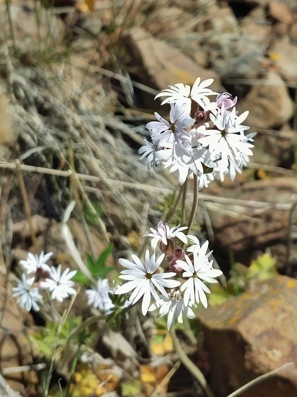 Woodland stars
 Mt. Adams
 Mt. Rainier
 Goat Rocks
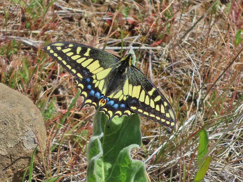 Swallowtail
 Western fence lizards
 White crowned sparrow
 Another sparrow
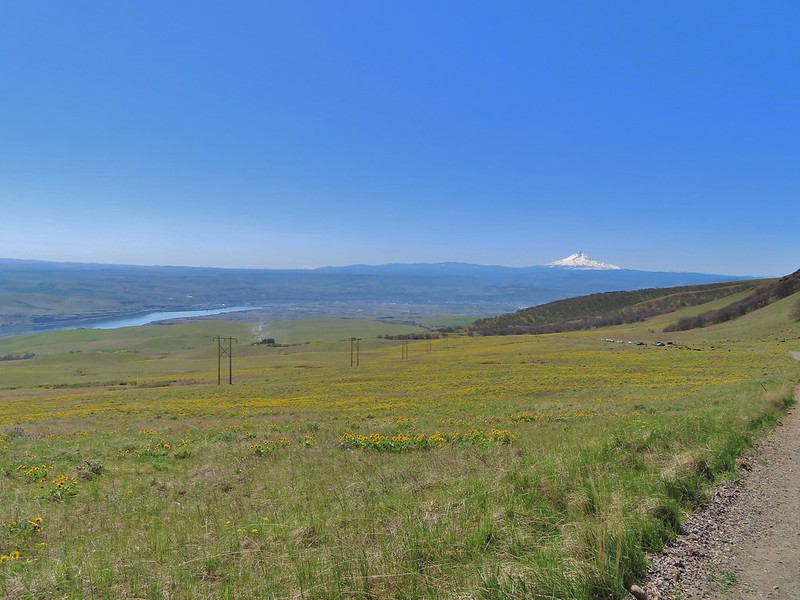 Mt. Jefferson and Mt. Hood as we neared the trailhead.

 Bench at a switchback.

 Reroute below Mitchell Point
 Mushrooms’ and some sedums.

 Houndstongue
 Grass Widows
 Woodland stars
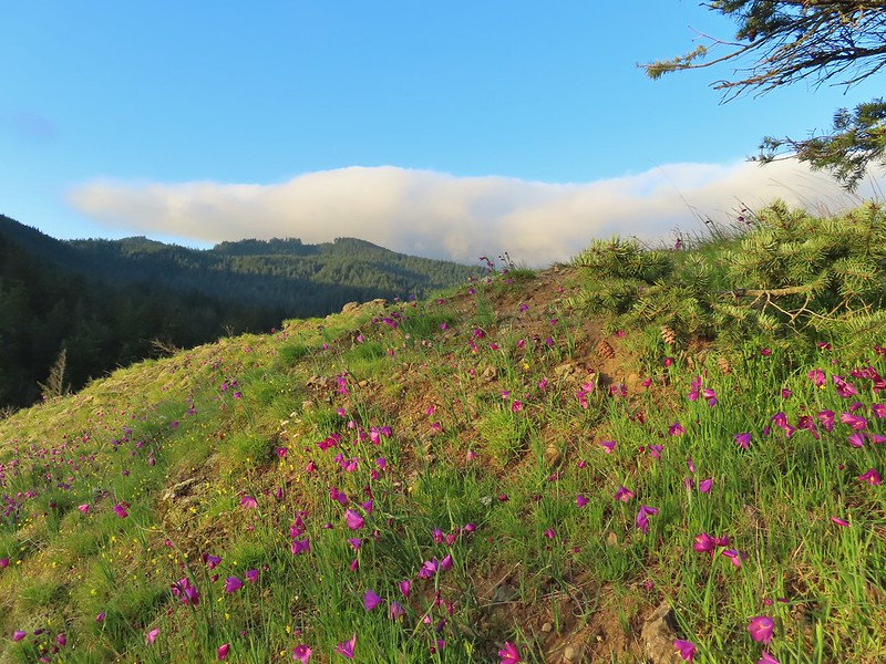
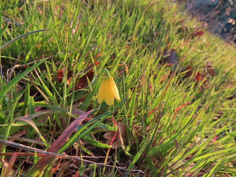 Yellow bell lily
 Desert parsley and woodland stars
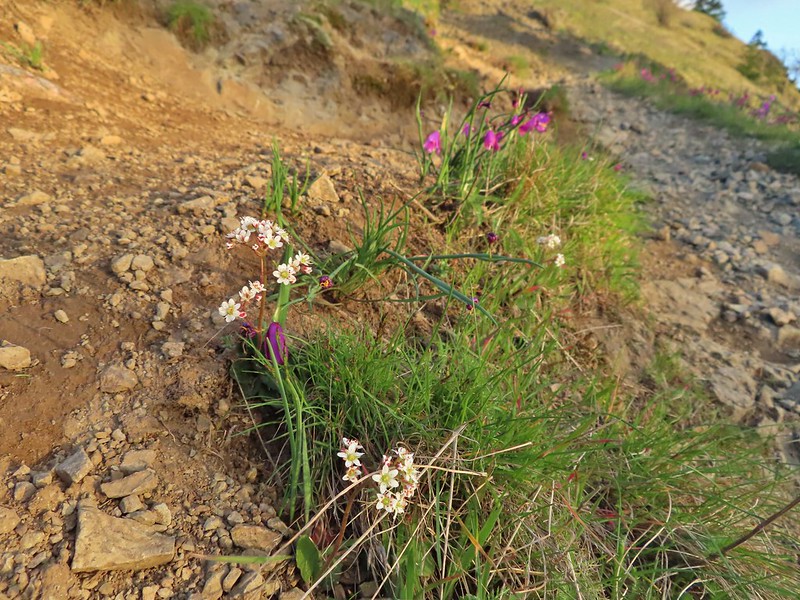 A saxifrage
 Gold stars and woodland stars
 Looking west
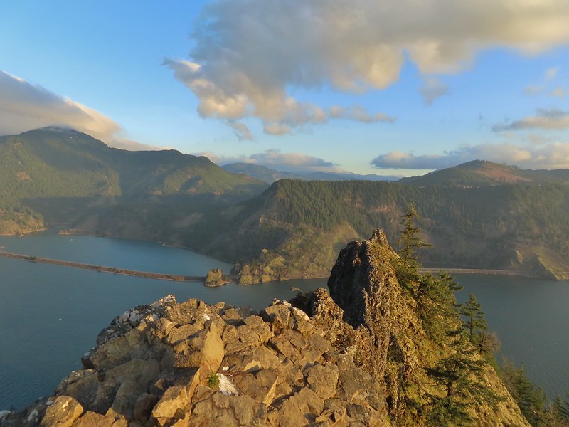 North across the Columbia River into Washington
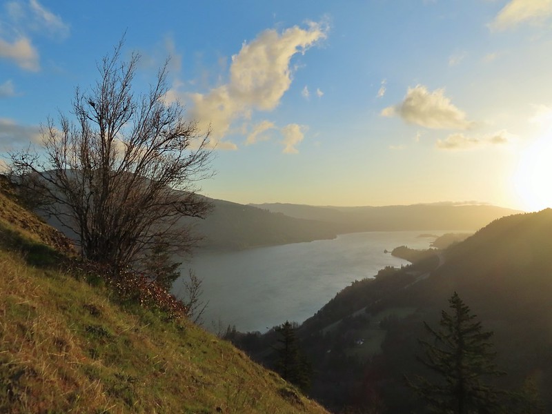 East
East Looks like moss for a nest maybe?
 Turkeys on the Wygant Trail
 Red leaves of poison oak behind a death camas
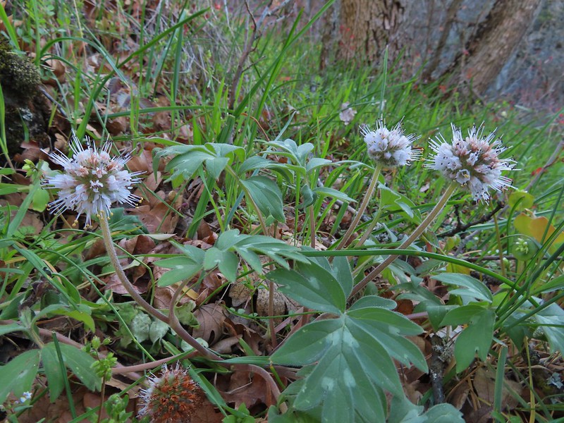 More poison oak behind a waterleaf
 Poison oak around some balsamroot


 Fiddleneck
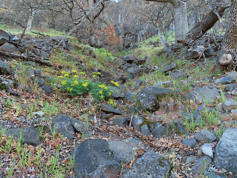 Desert parsley
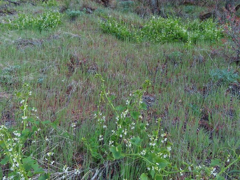 Manroot
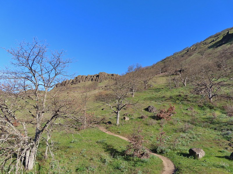
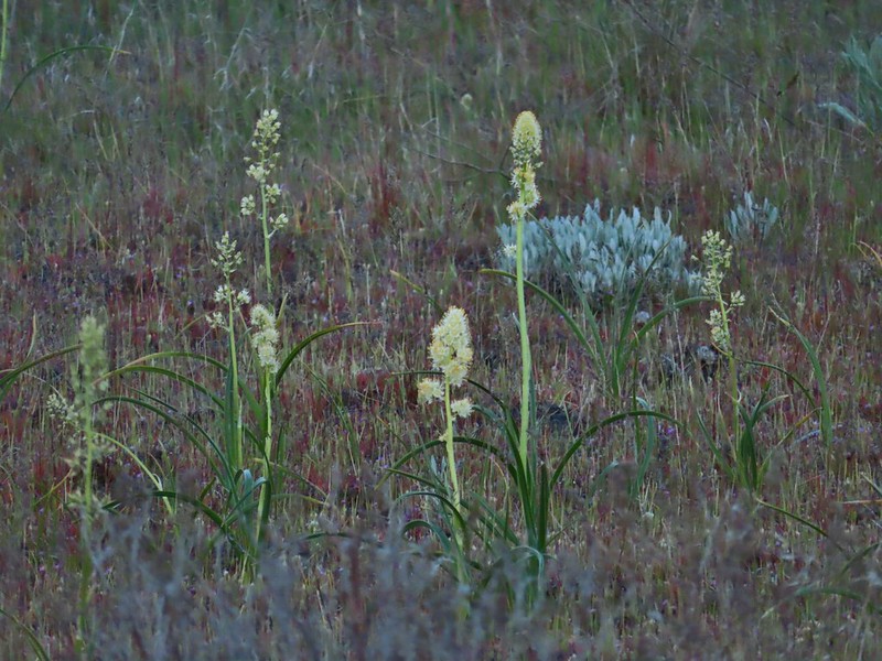
 Lots of death camas blooming on the plateau.
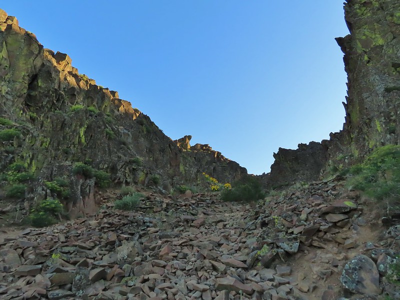
 Looking up at the cliffs above.
 Balsamroot blooming below the rim.

 Balsamroot
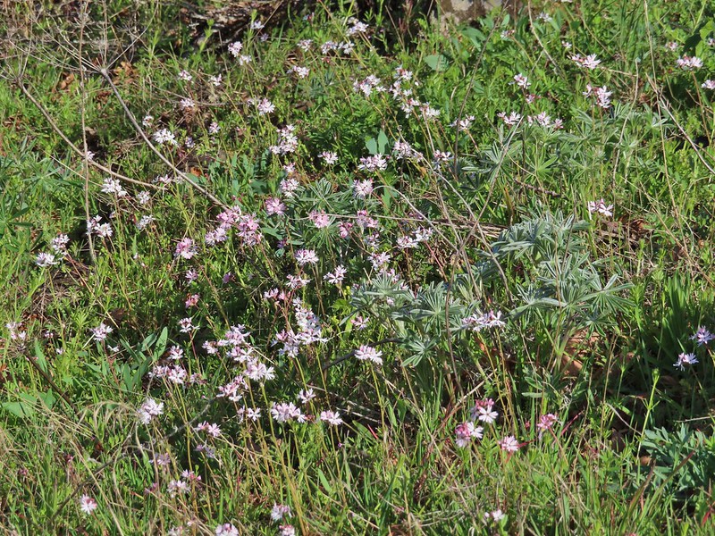 Woodland stars with some lupine leaves
 Columbia desert parsley
 A biscuitroot
 Balsamroot
 Balsamroot
 View west (With a snow capped Mt. Defiance (
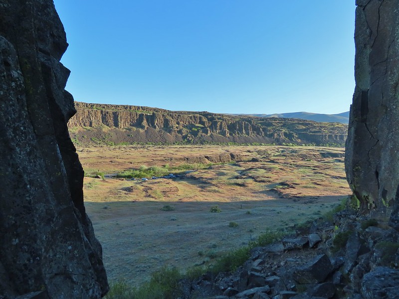
 Larkspur
 Buttercups
 Glacier lilies
 Yellow bell lily, woodland stars, grass widows and shooting stars.
 Yellow bell lilies
 Toothwort
 Sagebrush false dandelions
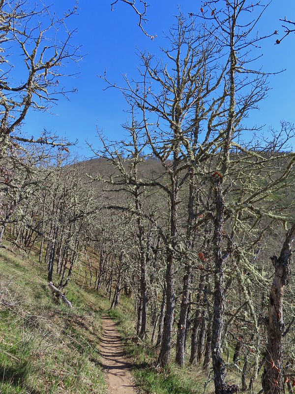
 Tortoiseshell butterfly
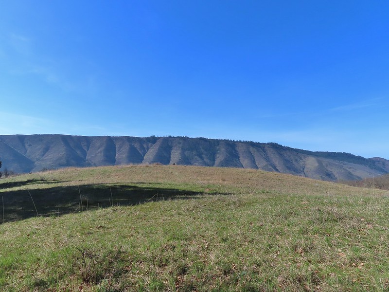


 Tom McCall Point and the Rowena Plateau with Mt. Defiance in the distance.
 Hikers on the trailhead and below.
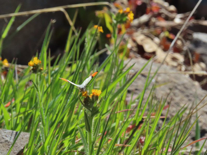 Just my third photo of an orange-tip.
 Mt. Hood and Columbia desert parsley from the first knoll we tried.
 Top of knoll #1.
 A lone balsamroot blossom.
 The path leading past the spring to the oaks.
 The spring
 Back on the right side
 Balsamroot surrounded by some little white flowers.
 Lupine thinking about blooming.
 Larkspur
 Yellow bell lilies
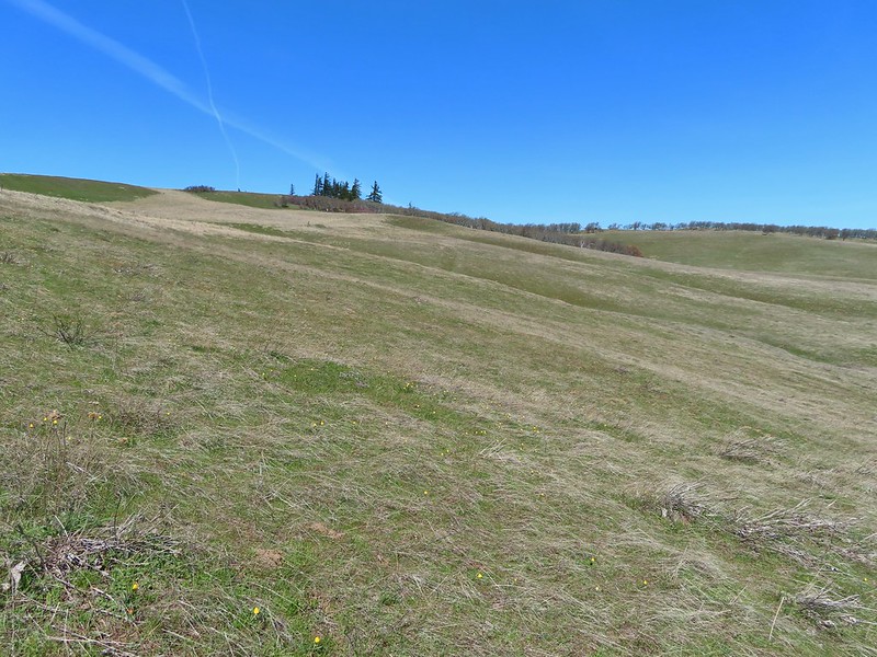
 We didn’t notice any poison oak here.
 A grass widow at the viewpoint.
 Mt. Adams
 Mt. Hood over the oak stand.


 The Dalles beyond the fence line.
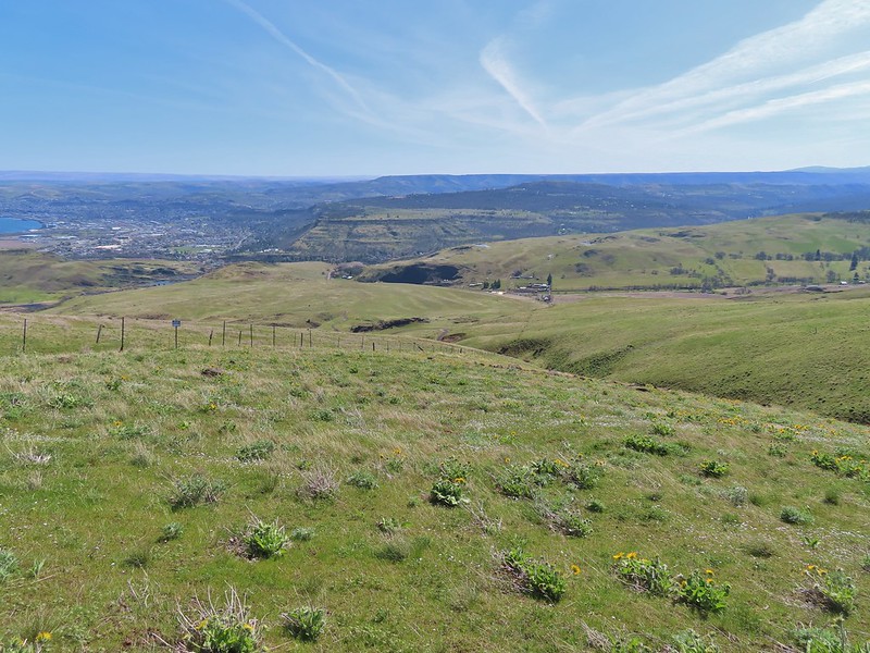 Heading down the fence line.
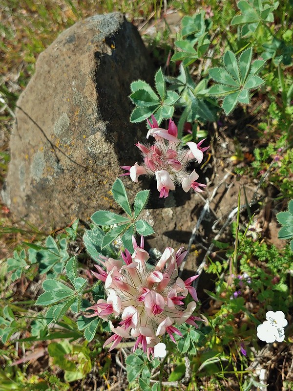 Large head clover
 A lupine with blossoms.
 Hillside covered in Columbia desert parsley
 Our car had been joined by one other. (middle left of photo)
 Gooseberry Creek


 Chindrie Mountain from across Wahtum Lake.


 Chindrie Mountain
 Tanner Butte
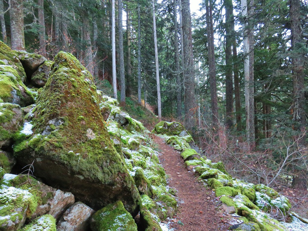
 Table Mountain
 Chindrie Mountain again.
 Indian Mountain
 Mt. Hood
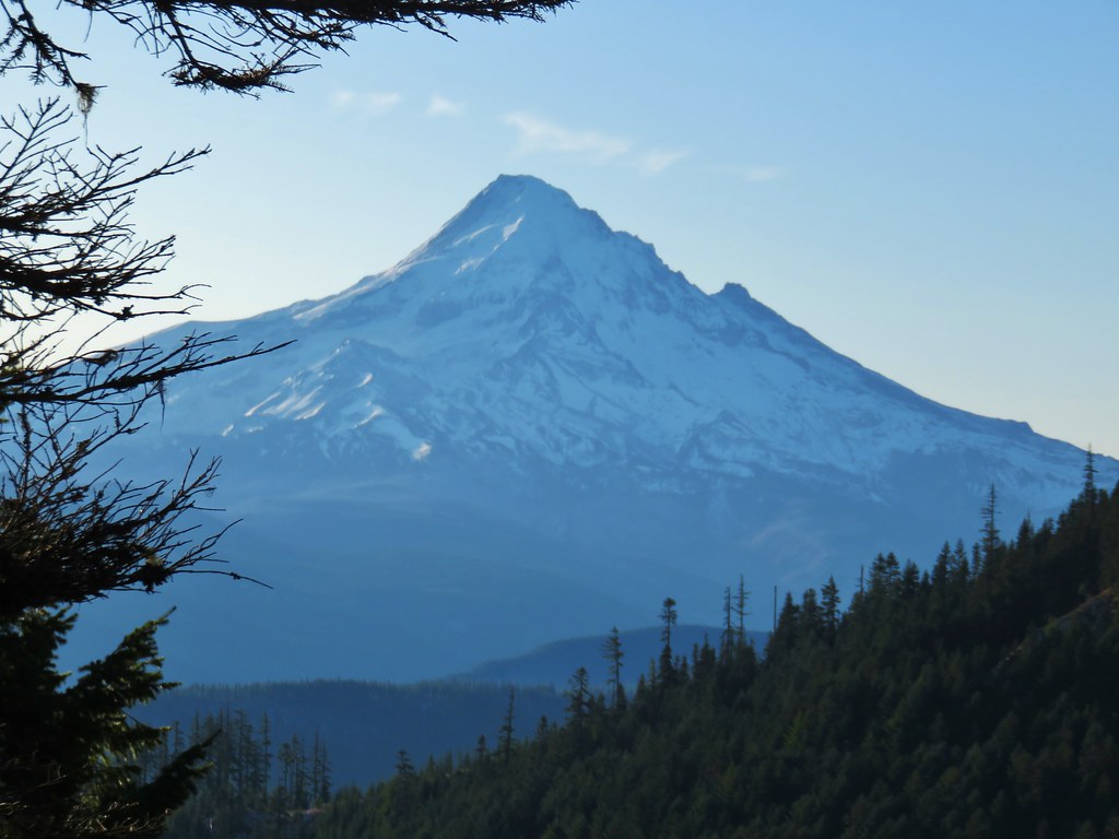


 Crossing FR 660 near Indian Springs
 Trail sign at the junction with the currently closed Indian Springs Trail.


 Table Mountain and Greenleaf Peak with Mt. St. Helens in the background.
 Mt. St. Helens
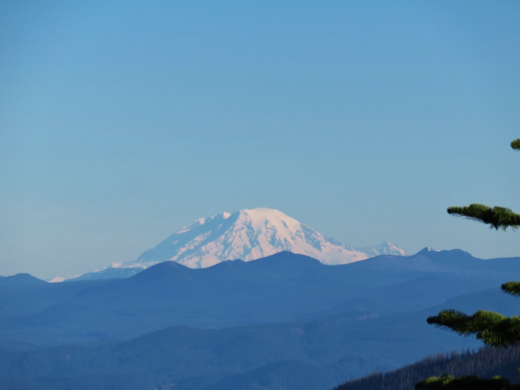 Mt. Rainier
 Goat Rocks
 Mt. Adams and Chindrie Mountain


 Mt. Hood and Mt. Jefferson
 Mt. Jefferson
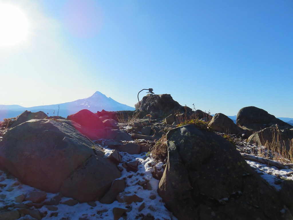 Mt. Hood from the former lookout site.
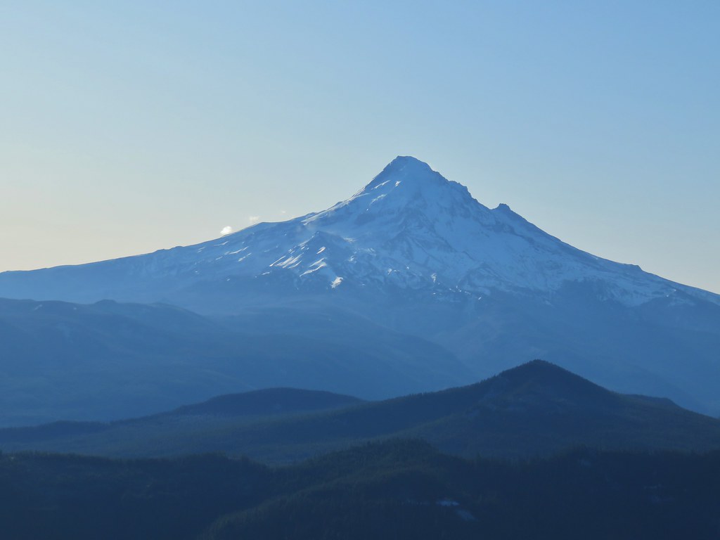 Mt. Hood with Lost Lake Butte (
 Snow on the north side, green on the south.
 Mt. St. Helens with some snow on the trees in the foreground.
 Crystals on a bush.

 Stream crossing
 Herman Creek Trail junction.


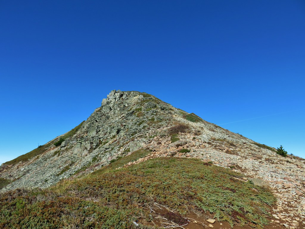
 Looking at the summit from the trail.
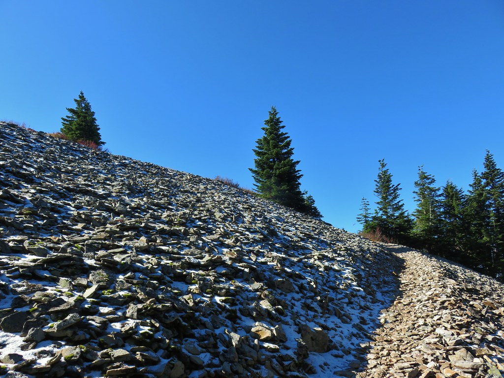
 Mt. Hood
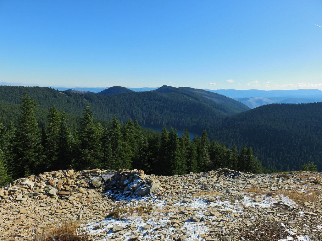


 Lots of beargrass clumps.
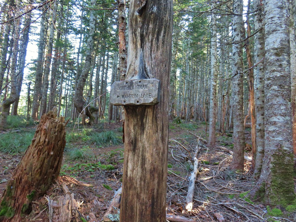
 Trail to Tomlike on the left.


 There’s at least one cairn here.

 Mt. Adams to the right.
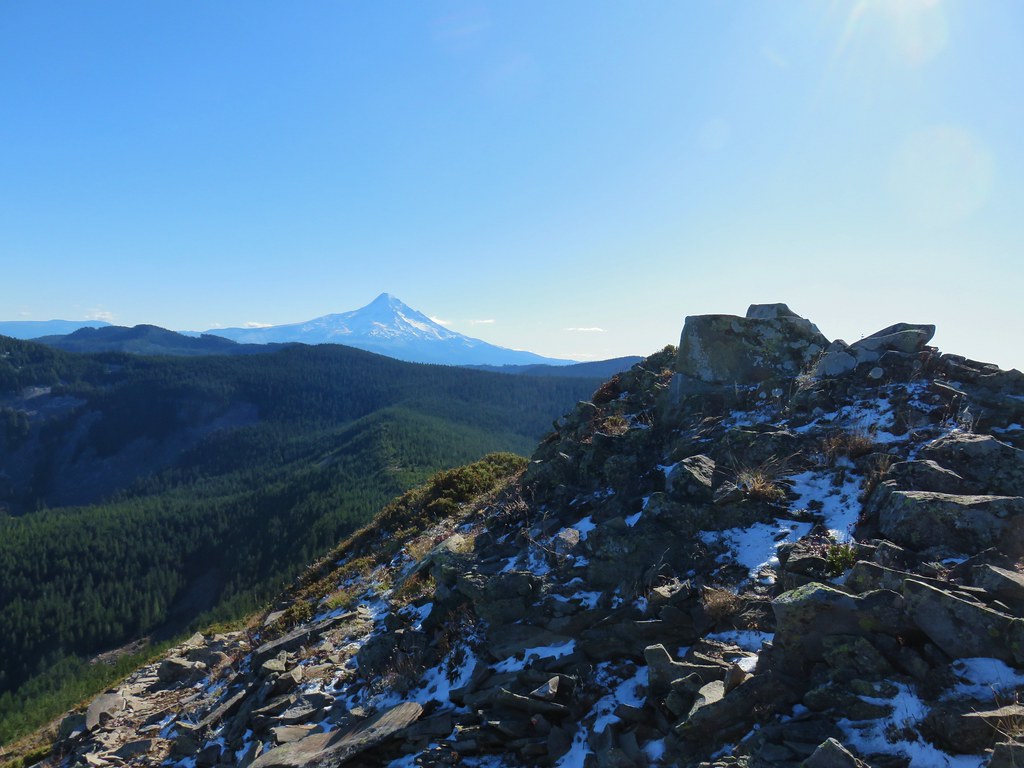
 Mt. Hood with Indian Mountain rising up behind Chindrie Mountain to the right.
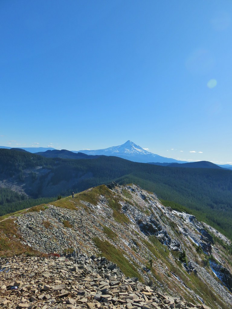 Heather crossing the ridge below the summit.

 Mt. St. Helens, Mt. Rainier, Goat Rocks and Mt. Adams from left to right.
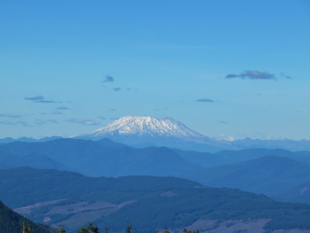 Mt. St. Helens
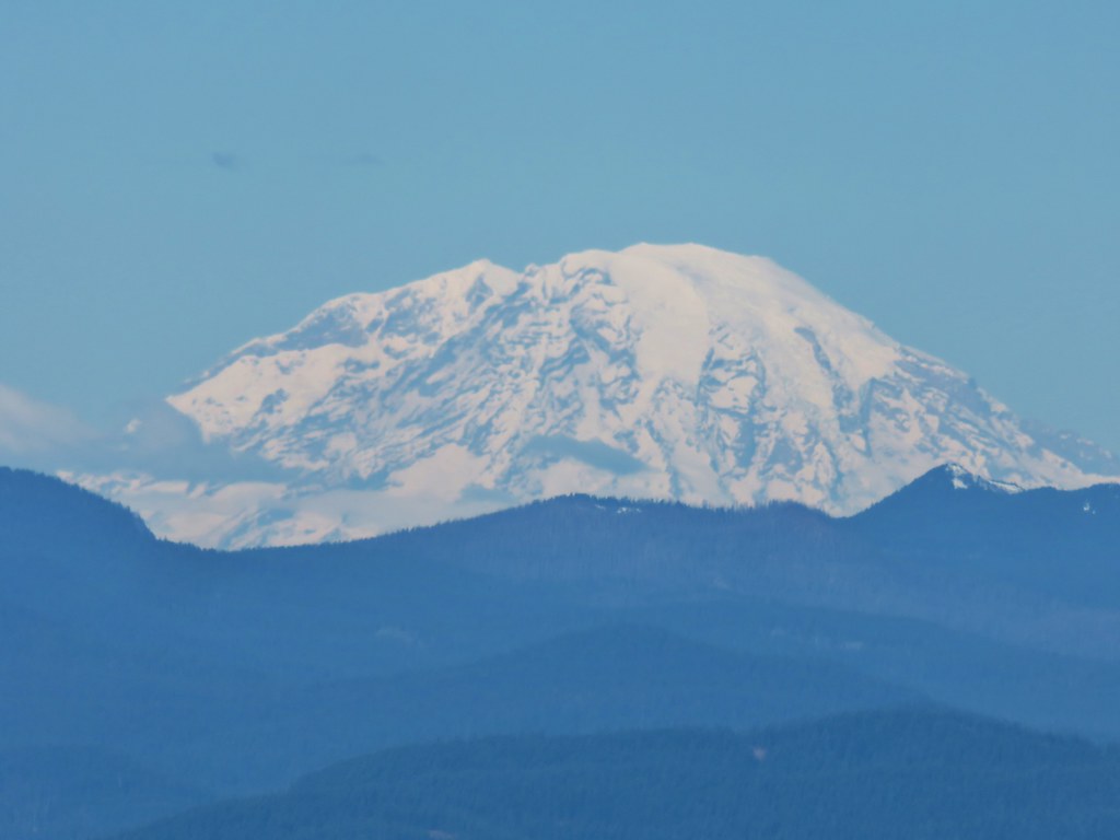 Mt. Rainier
 Goat Rocks
 Mt. Adams
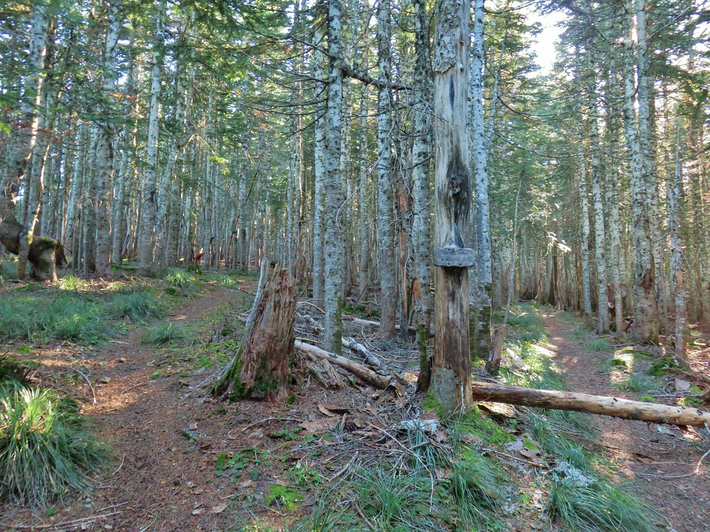 Anthill Trail on the left.


 Mt. Jefferson
 Wahtum Lake and Chindrie Mountain


 Snow queen and violets
 Trillium


 October 2015
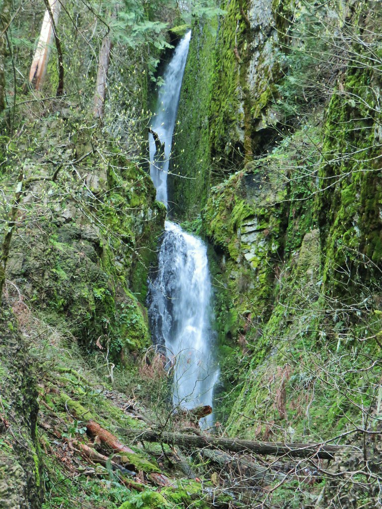 April 2019