If at first you don’t succeed, try, try again. After our recent string of cloud obscured views I was determined to break the streak. I had been watching the weather forecast all week and decided everything was lining up perfectly for a return to the Columbia Gorge and another attempt at a view of the Cascades. The nasty weather and the poncho attack on Hamilton Mountain needed to be avenged so for this hike I picked Table Mountain.
Table Mountain is located less than 5 miles east of Hamilton Mountain. It should have been what I was looking at from the saddle when I was sucker punched by the poncho during that hike. Much of Table Mountain collapsed into the Columbia River centuries ago leaving dramatic cliffs on the south face. With an elevation of 3417′ it is nearly 1000′ taller than Hamilton Mountain so the potential for views is great.
We woke up to a beautiful sunny morning but as we approached Portland an ominous cloud hung to the east of the city. The skies all around were blue and we hoped that Table Mountain was far enough to the east to be clear of the cloud. We formulated a plan b just in case when we reached Hamilton Mountain which was once again covered in clouds, but when we arrived at the trail head behind Bonneville Hot Springs the summit of Table Mountain was cloud free. With blue skies to the north and east we decided to give it a try.
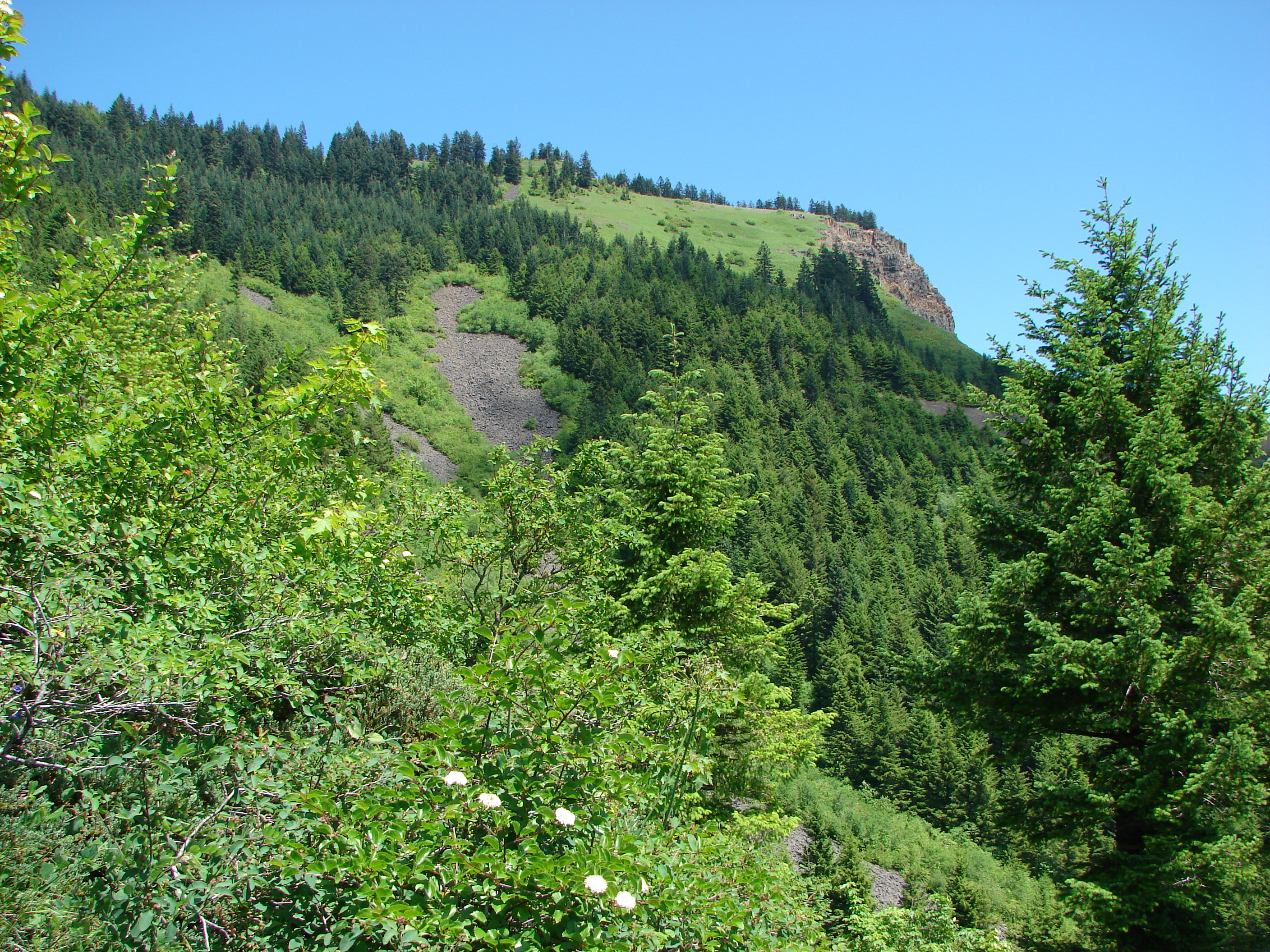
The first 2.2 miles of the trail pass through a pretty forest, first on a volunteer created trail, then following an old road up to the Pacific Crest Trail (PCT). This first section was nice but unremarkable although we did come across some ripe salmonberries to sample. After a short walk on the PCT we reached the sign for the loop trail to the summit of Table Mountain. The aptly named Heartbreak Ridge Trail gains 1770′ in 1.5 miles. In order to do this the trail heads up with a vengeance. After 0.6 miles (and 800′ of elevation) the trail arrived at a saddle viewpoint. To my dismay the clouds that had been to the west were now heading east obscuring much of the view and had now covered Table Mountains summit. The trail then dipped down to the base of a 500 yard long rock slide where we spotted our first beargrass bloom of the year (on a hike not from the car).
The trail appears to end at the rock slide but the rocks are the trail. Following poles we scrambled up the rocks to the continuation of the trail. This part proved to be quite fun. Just a few tenths of a mile after reaching the trails continuation we reached the meadows on the summit. An all to familiar view greeted us here. We had come all this way and couldn’t see more than a few hundred feet due to clouds. The meadows were filled with various wildflowers creating a colorful display and many plumes of beargrass stood at attention along the meadows edges.
As we headed south along the summit trail toward the viewpoint at that end a faint window opened in the clouds and there stood Mt. Hood. The clouds had begun to slowly break up and by the time we reached the viewpoint better and better views were opening up.

We could now see Mt. Hood and the tip of Mt. Jefferson at times. Below we could see the Bonneville Dam on the Columbia River and the Heartbreak Ridge trail as it crossed the viewpoint saddle. We spent awhile here waiting for the openings and then headed back down the trail to find a spot for lunch.
We chose a spot that offered a view to the north and east in addition to Mt. Hood to the south. As we ate glimpses of Mt. Adams and Mt. Rainier began to appear. We eventually traveled further north on the summit loop to a second viewpoint at that end. There we discovered a beargrass meadow and ever improving views of Mt. Adams, Mt. Rainier, and also the rim of Mt. St. Helens.

We never quite got a clear view of any of the Washington peaks due to a pesky line of little clouds but after getting our fill of the view we headed down the west ridge. This trail was almost as steep as it made its way down and contained a lot of loose rocks. In addition it traveled close enough to the edge of the ridge that anyone with a fear of heights might really have a hard time. That being said the views from this trail were great. Mt. Hood lay ahead while behind was Table Mountain and the rock slide we had scrambled up.
The going was slow but we eventually made it down to the PCT. I had no takers when I asked if anyone wanted to go around again when we reached the Heartbreak ridge junction so we returned to our car satisfied with the days views and ready to plan our next adventure. Happy Trail.
facebook photos: https://www.facebook.com/deryl.yunck/media_set?set=a.10201335132527489.1073741836.1448521051&type=3
way too many flickr photos: https://www.facebook.com/deryl.yunck/media_set?set=a.10201335132527489.1073741836.1448521051&type=3

4 replies on “Table Mountain”
[…] hopefully onto Table Mountain via the Pacific Crest Trail. We’d visited Table Mountain in 2013 starting from the currently closed trailhead near the privately owned Bonneville Hot Springs. Our […]
[…] Dominique chose Fuji Mountain for his favorite. There was snow and a great view with a reasonable amount of distance. https://wanderingyuncks.wordpress.com/2013/10/09/fuji-mountain/ For the most difficult he picked Table Mountain and the climb up Heartbreak Ridge. https://wanderingyuncks.wordpress.com/2013/06/14/table-mountain/ […]
[…] been to Table Mountain twice, in 2013 via a now closed trailhead at the former Bonneville Hot Springs resort and in 2017 from the north […]
[…] Mountain (post) on the left and Greenleaf Peak (post) on the […]