
The Fanno Creek Trail is part of the Tualatin Hills Parks and Recreation District offering several miles of paved trail along Fanno Creek in Beaverton and Tigard. The current trail is 8.3-miles in length with plans to eventually extend the trail between Willamette Park in Portland to the Tualatin River in Durham. The urban trail passes through a number of parks, and we planned on hiking a section that included five such parks. Before starting our hike though we made a short detour to check out Koll Wetlands.
There is no hike at Koll Wetlands, you just park behind some businesses and look for birds and other wildlife.

We arrived too early for decent pictures due to cloud cover limiting light, but we spotted a rabbit and a number of ducks and other birds.


 Duck and ducklings along with a killdeer.
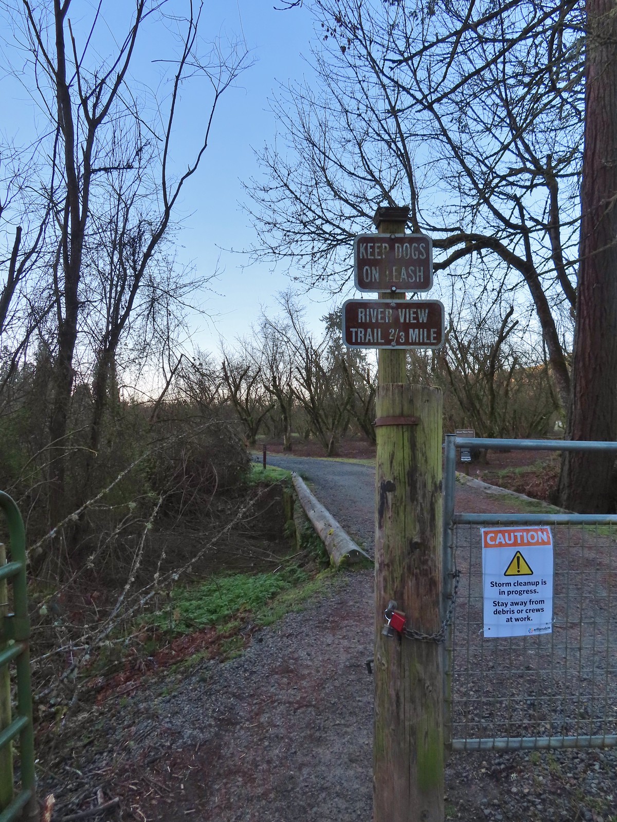
After checking out the wetlands we drove to the Denney Road Trailhead.

We headed south on the trail into Fanno Creek Park and followed the paved path 0.7-miles to a crossing of SW Hall Boulevard.


 Chickadee

 Mallards
 Fanno Creek

 Thimbleberry and service berry
We crossed SW Hall Boulevard and entered Greenway Park.


 Northern flicker
There are several loop options available in this park if the water isn’t too high. The water was low enough today that we were able to stay left at all junctions and only had to navigate a few feet of muddy, flooded trail.

 Hummingbird

 Red-winged blackbird


 Squirrel

 The Greenway Loop Trail had the only flooded section on this day.
 Wetlands along the Greenway Loop Trail.
 Goose
Goose

 Hooded mergansers
After rejoining the Fanno Creek Trail at the southern end of Greenway Park we passed under SW Scholls Ferry Road.
 This is another section that may flood at high water times.
Shortly after passing under the road the trail passes a sign for Englewood Park.


 We spent some time here watching a female mallard attempt to join the drakes along with her ducklings only to be repeatedly chased off.
 Mallards ducklings
 The ducklings finally making it across the trail.

 Goose and gosling
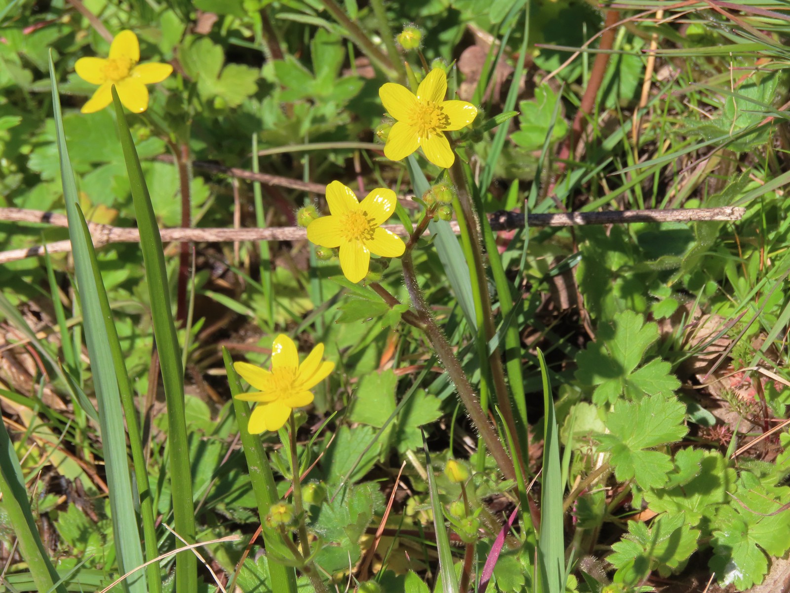
 Avens
Avens
The trail jogged right at a crossing of SW North Dakota Street then crossed SW Tigard St to enter Dirksen Nature Park.

 Camas
Camas
 Dirksen Nature Park
 Viewing platform
 Wetlands from the viewing platform.

 Dove
Dove
 Finch
Finch
 Robin
Robin
We continued through the nature park and crossed SW Tiedeman Ave. Two tenths of a mile later we arrived at the Woodard Park Trailhead near the park’s playground.

 Lupine

 Woodard Park Trailhead.
We made this our turnaround point and headed back. We stayed left again in Greenway Park to complete the three loops there. The trail was fairly busy on the way back but not too crowded and there was still quite a bit of wildlife to see.
 This may be a lesser goldfinch, I wasn’t able to see anything but its rear end though.


 Spotted towhee
 Wood duck
Our out-and-back on the Fanno Creek Trail came to 7.1 miles with minimal elevation gain.

This was a nice urban hike, and we can see why it’s popular with all types of trail users. Dirksen Nature Park was a highlight and looked like it would be a great place to bring the kiddos. Happy Trails!

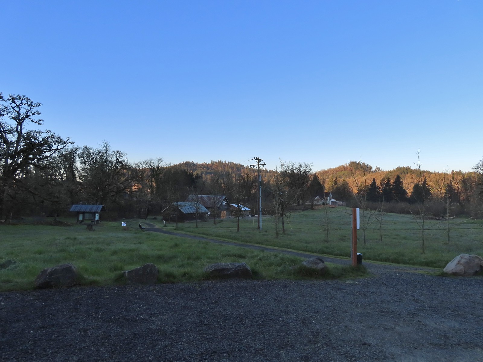
 Signboard at the trailhead.
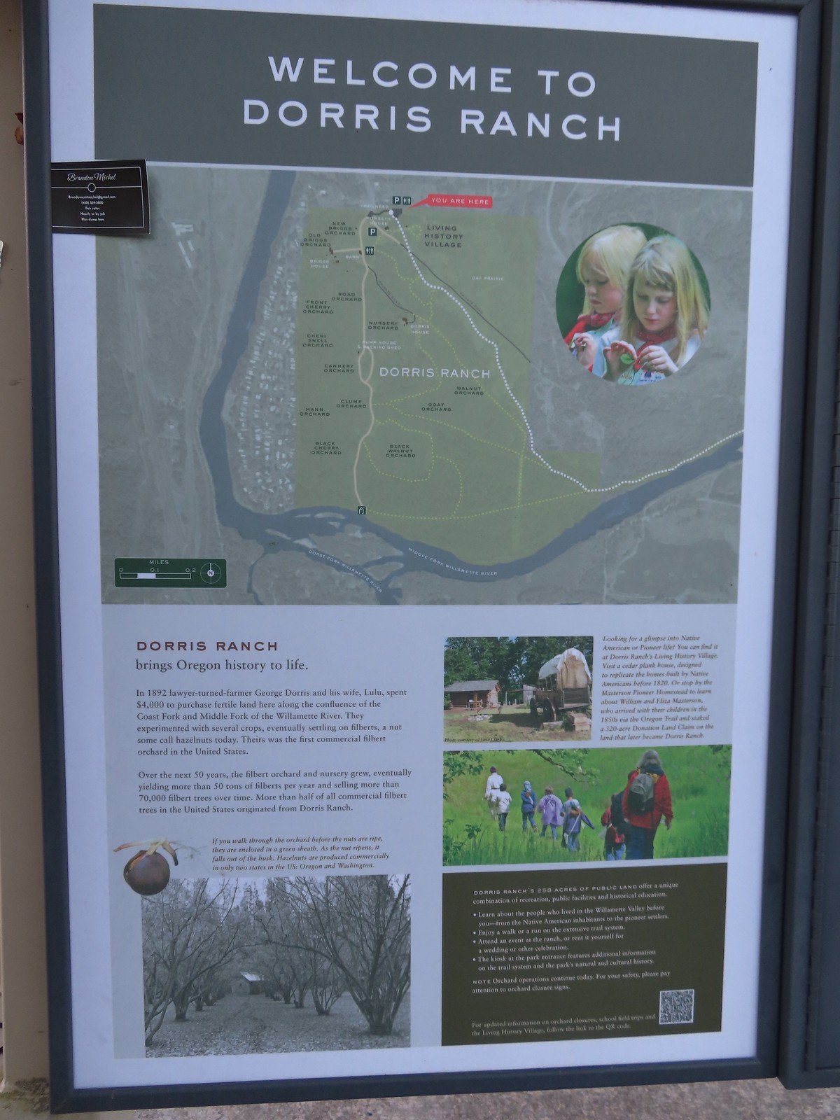 Map of the trails at Dorris Ranch.
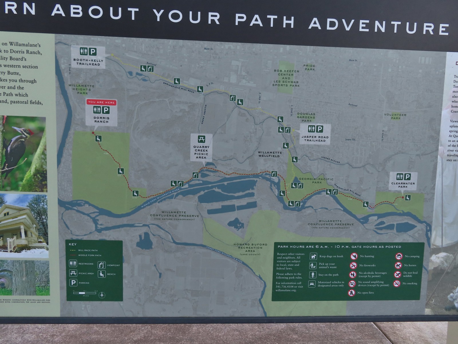 Map of the Middle Fork Path (red) and
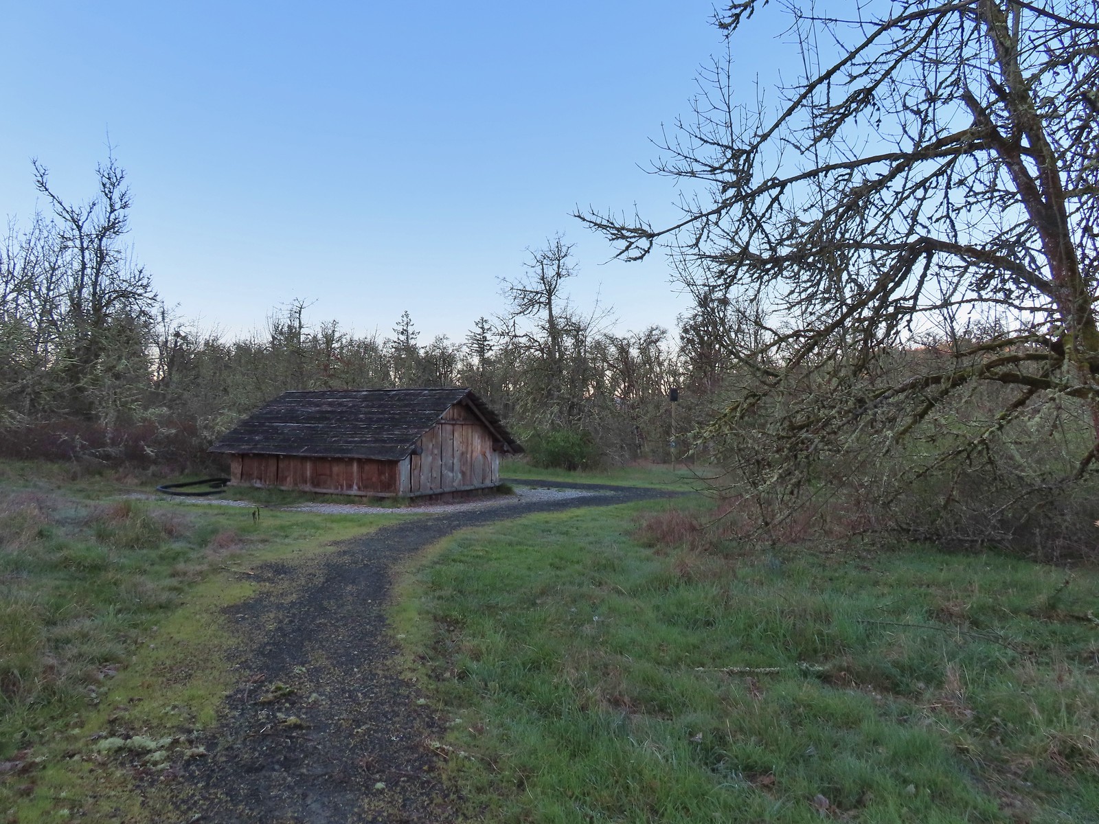
 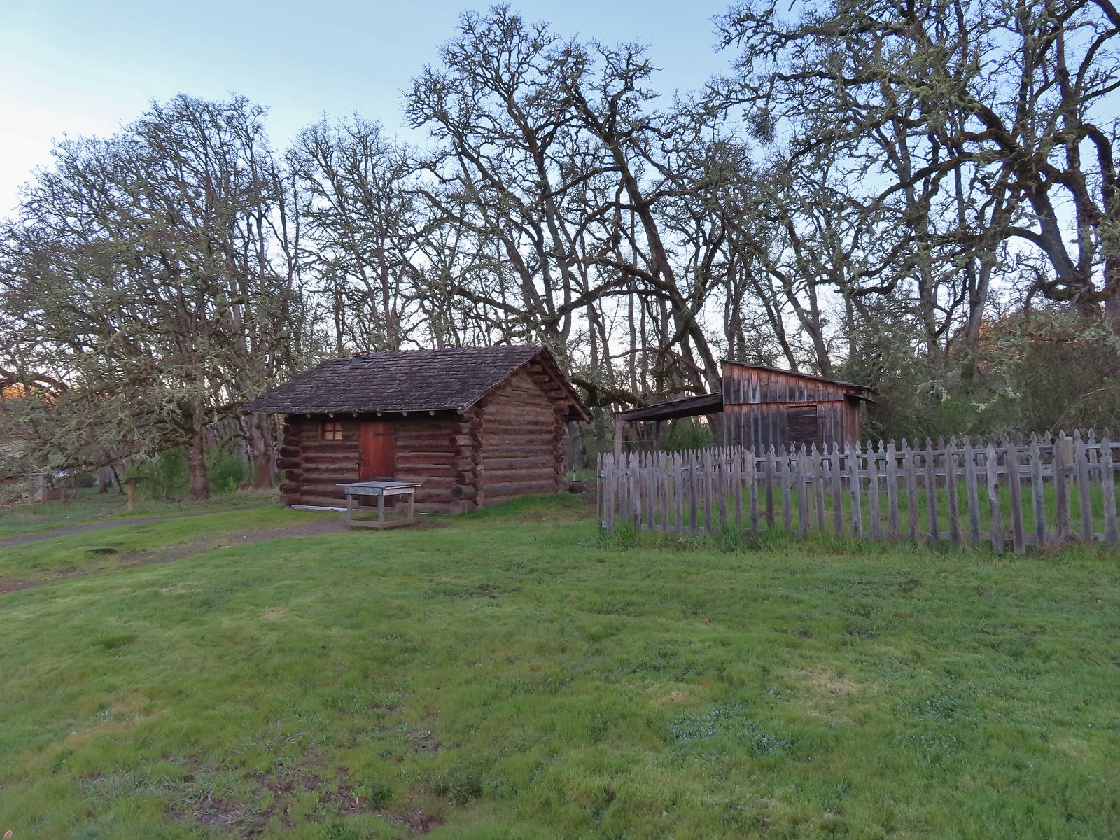 The Masterson cabin replica. They were a family of ten when they moved out.
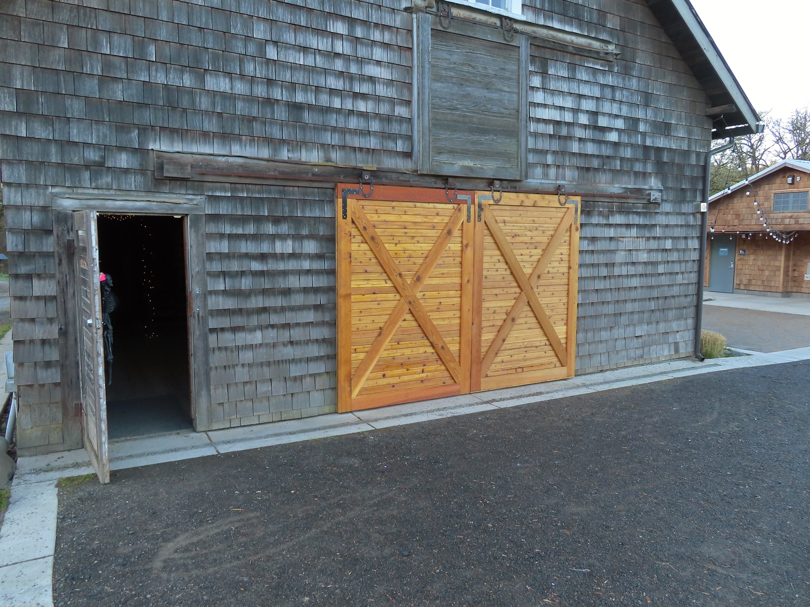 These cedar doors were installed earlier this month replacing a broken door.
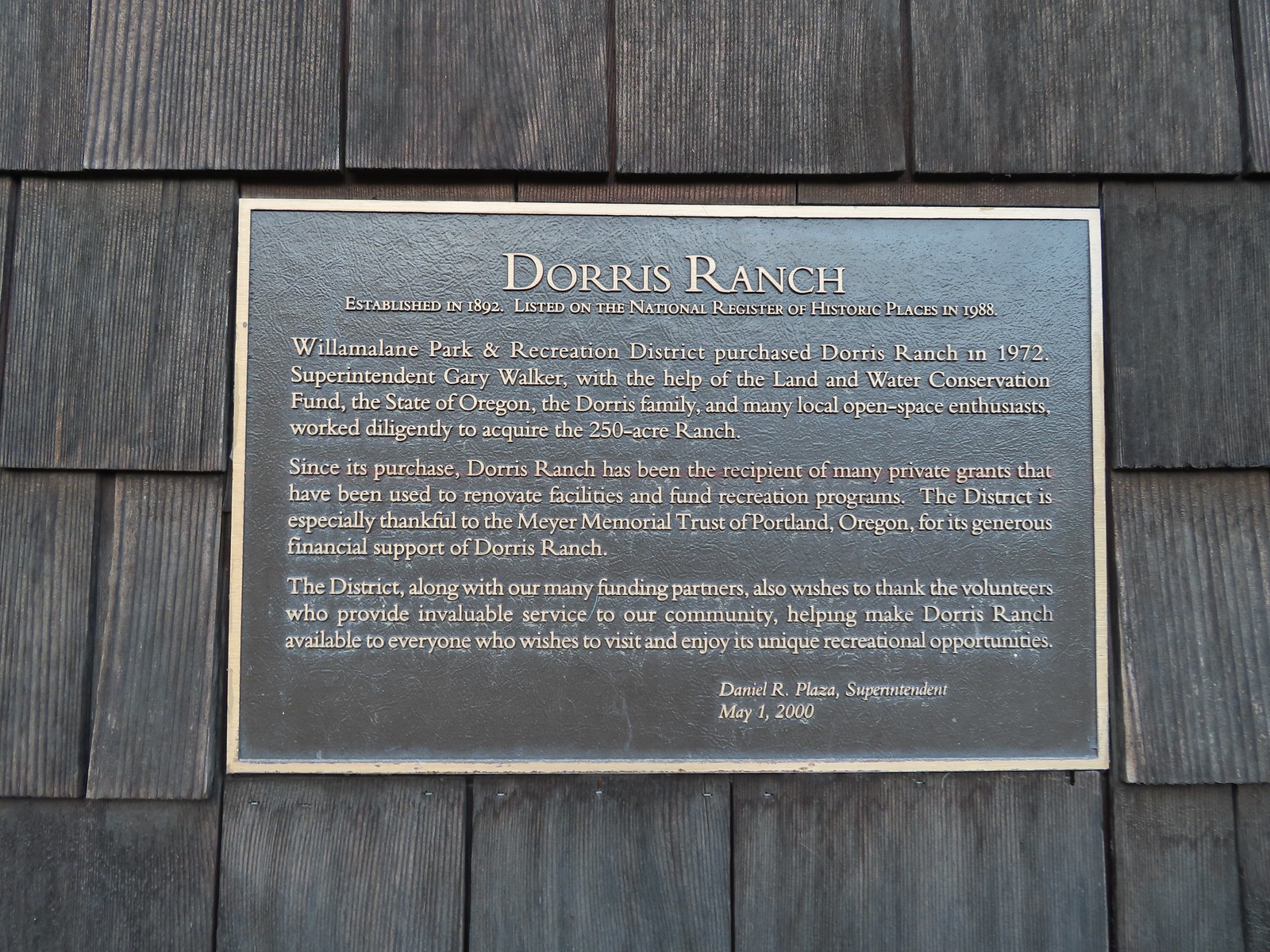 Plaque on the barn.
 A January 16th ice storm hit the area hard and damaged a number of trees at the ranch and along the Middle Fork Path.
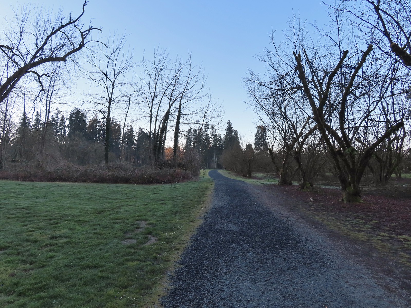
 Some signs of the ice storm damage.
 Large trees around the pump house and packing shed.
 An American kestrel with an unlucky frog atop a tall tree.
 Oregon grape near the packing shed.
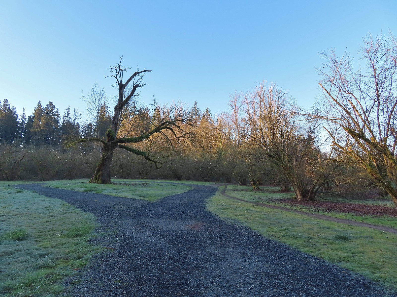 Old oak tree along the path.
 Purple deadnettle beneath the old oak.
 Black walnut orchard just past the oak tree.
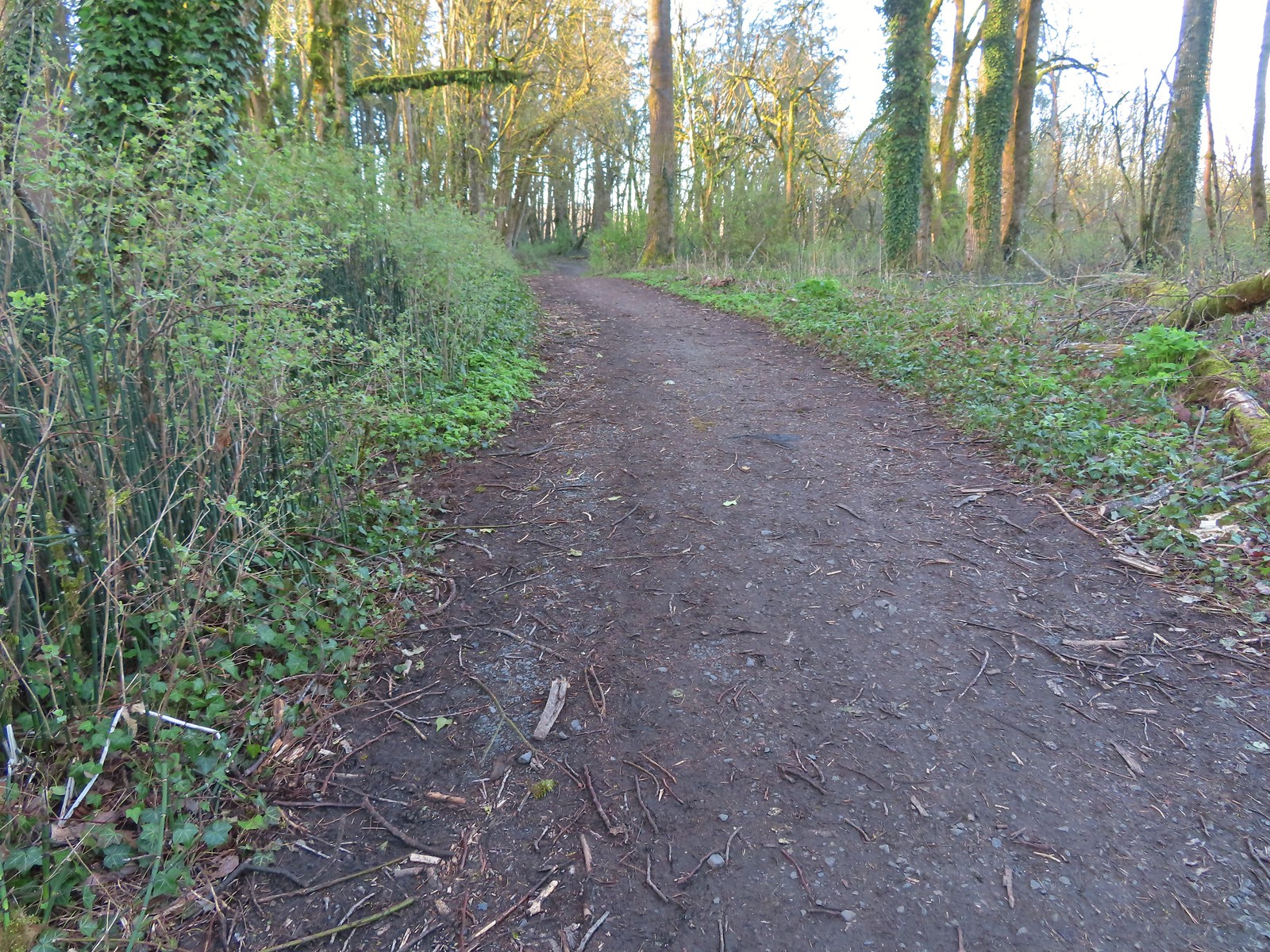
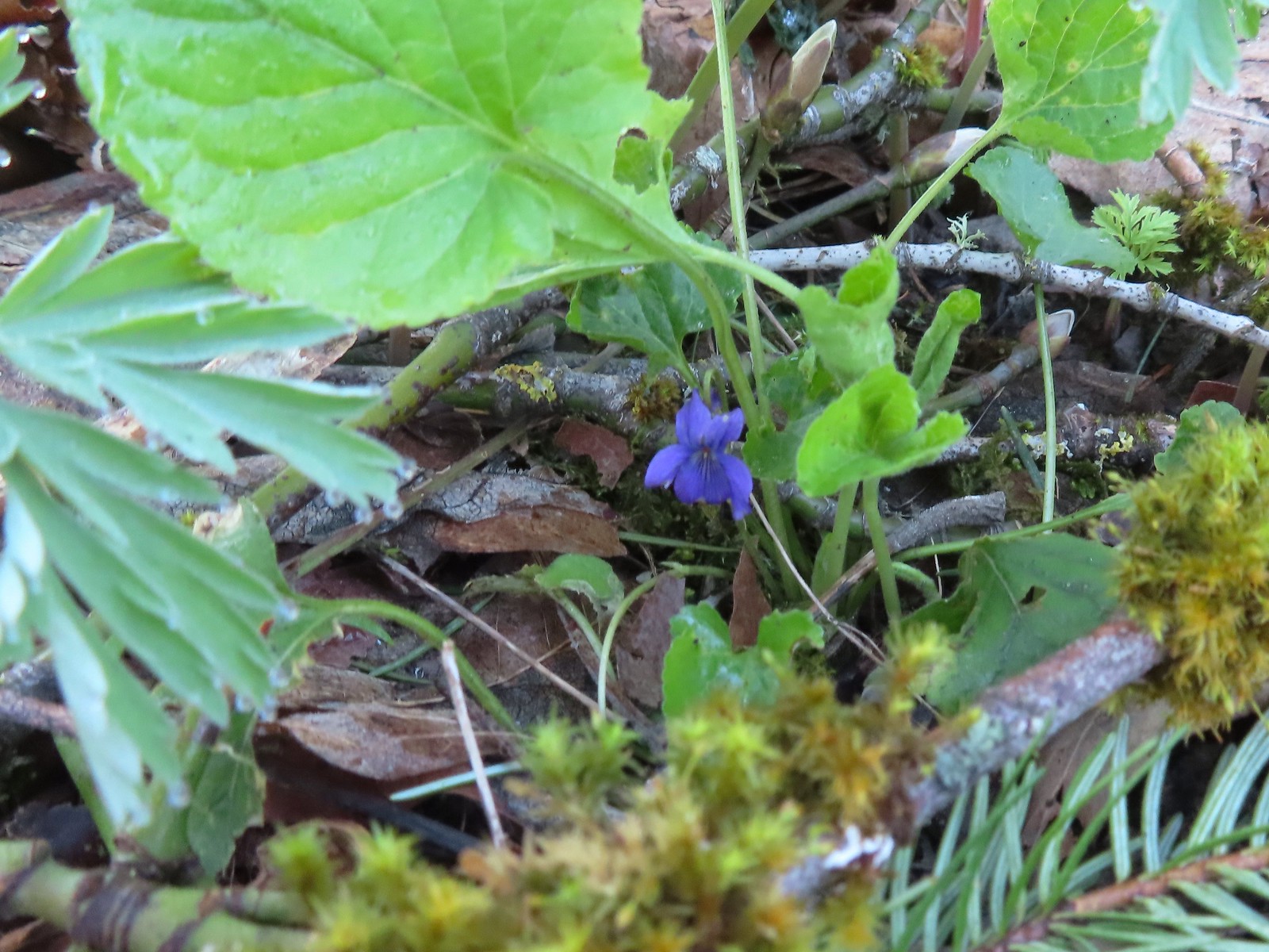 Violet
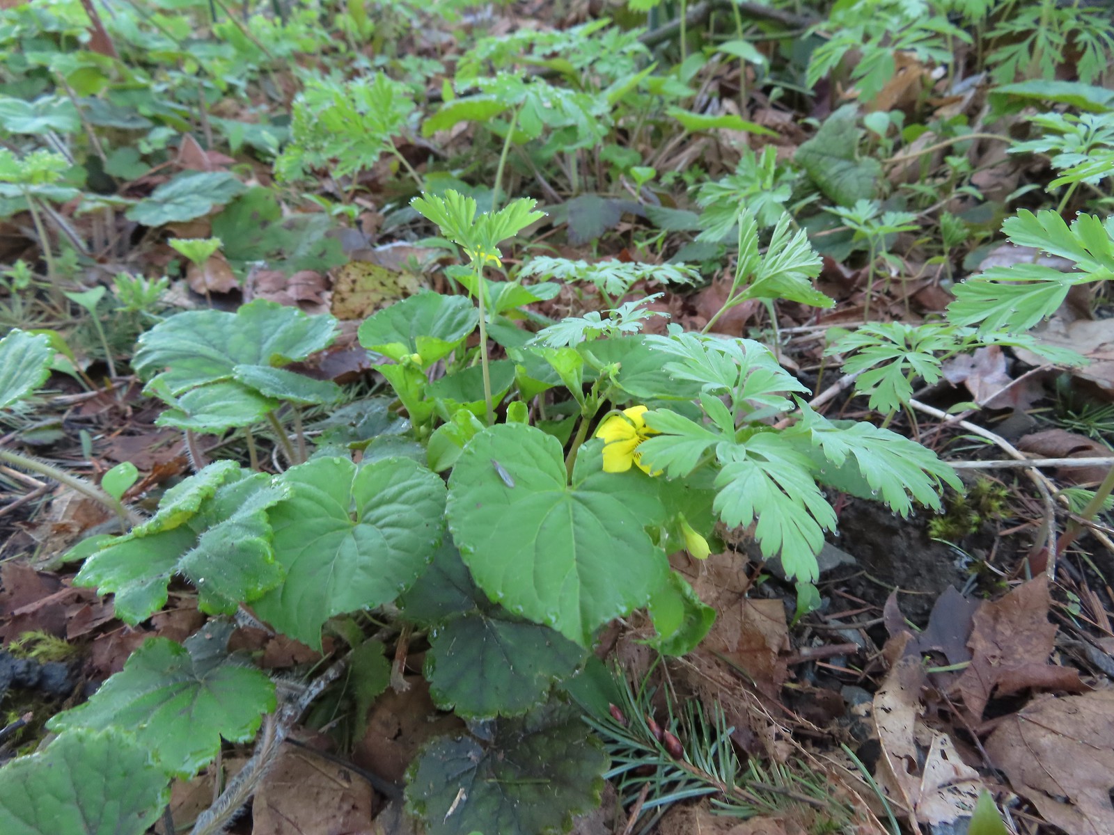 Violet
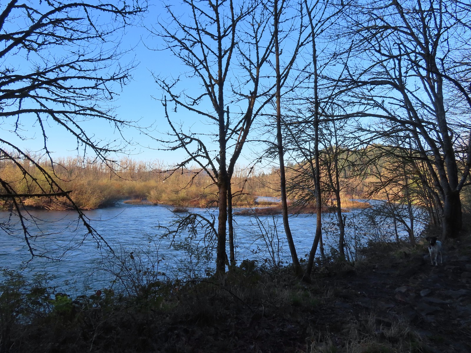 The confluence.
 Middle Fork Willamette River
 Mallards
 Hooded mergansers
 Slender toothwort
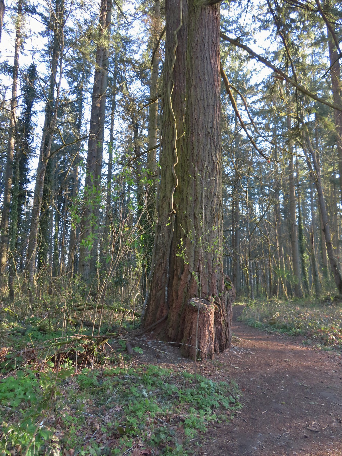 Someone had left some seeds and nuts on this tree. While it’s not LNT compliant it was attracting a variety of wildlife.
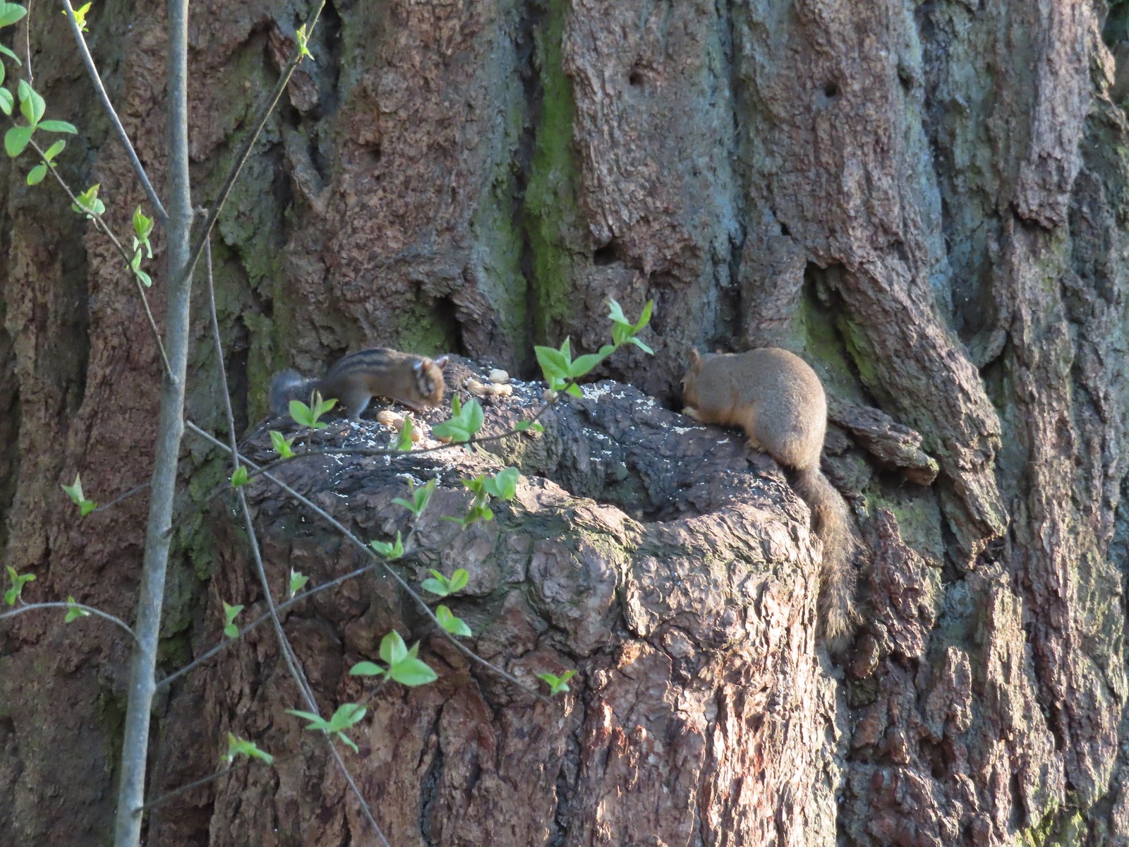 Chipmunk and squirrel
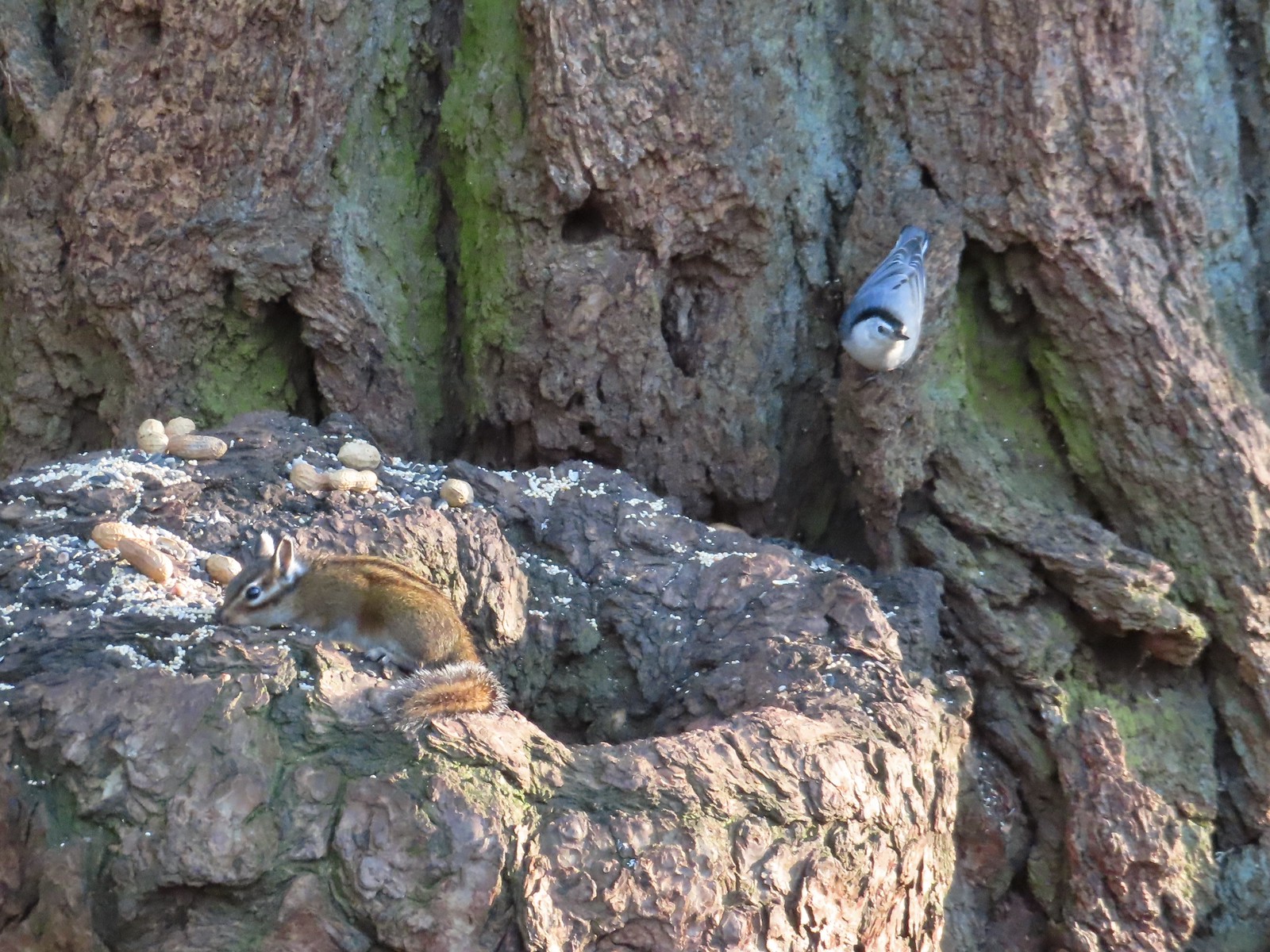 Chipmunk and white-breasted nuthatch
 Giant White Wakerobin, Trillium albidum
 The paved Middle Fork Path dead ahead.
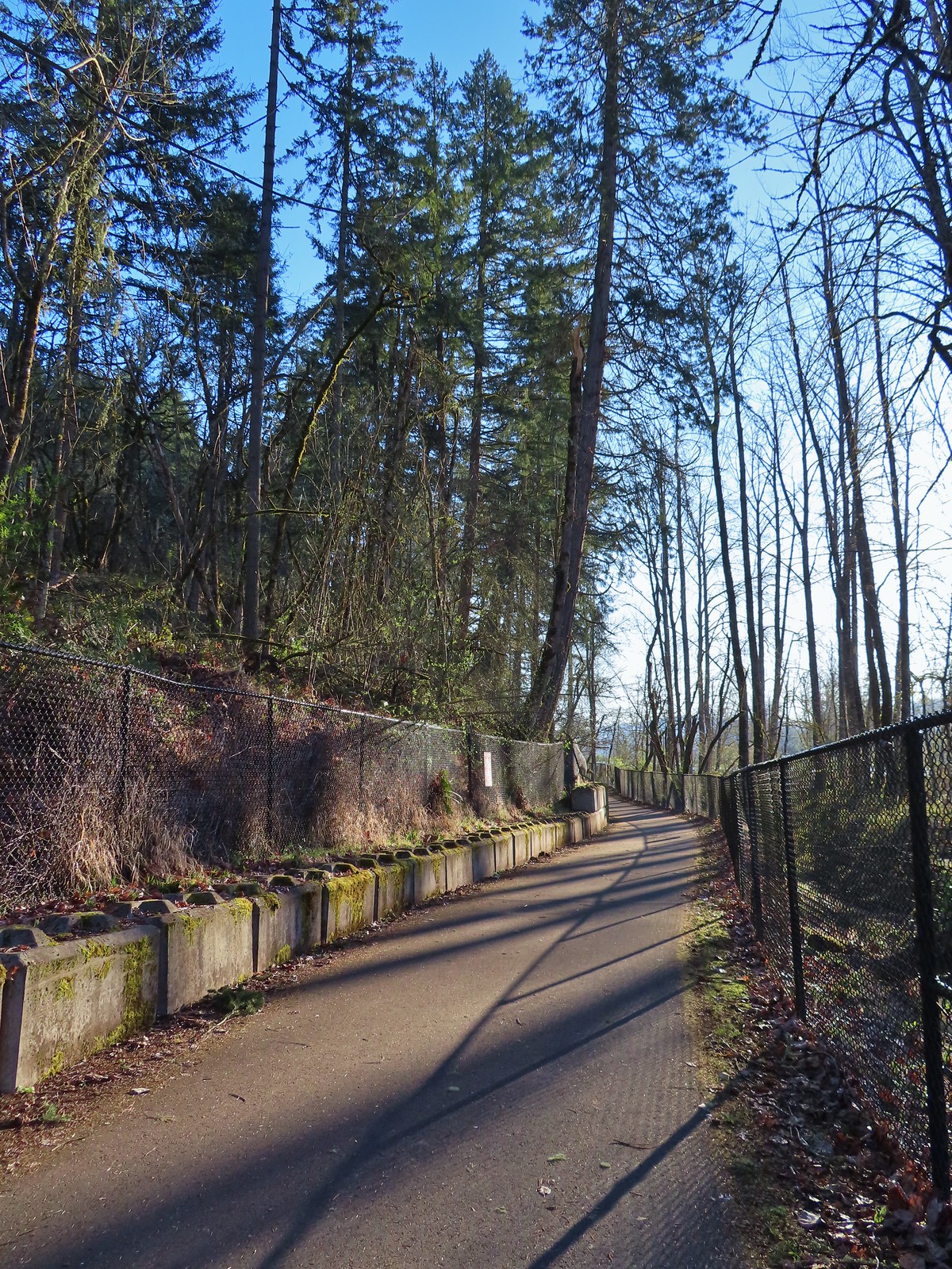
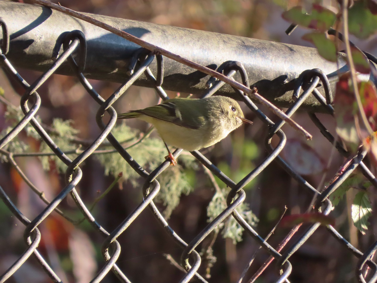 Ruby-crowned kinglet
 Wren
Wren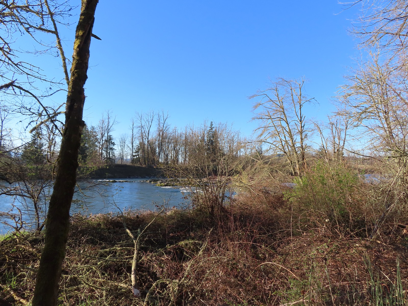 Middle Fork Willamette River
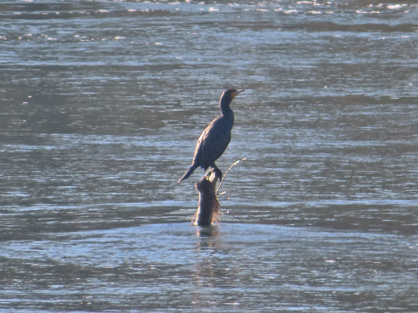 Double-breasted cormorant
 Pacific hound’s tongue
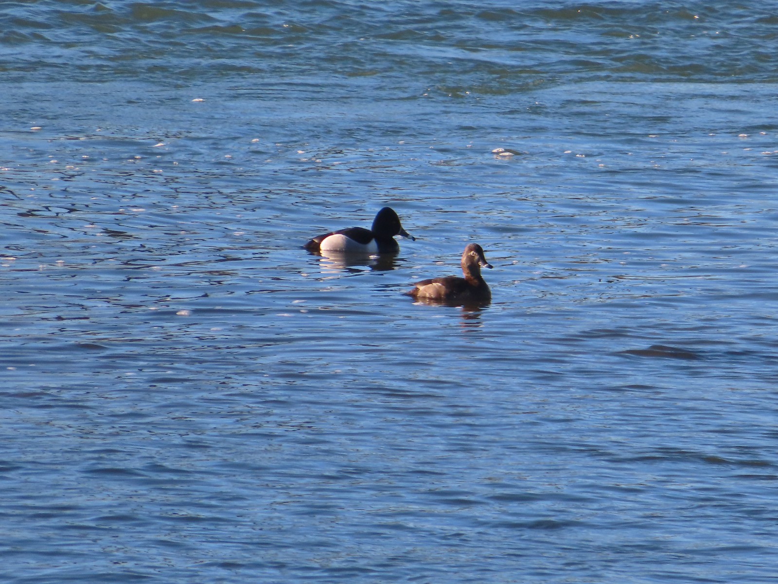 Ring-necked ducks
 Goose
Goose Arriving at the Quarry Creek picnic area.
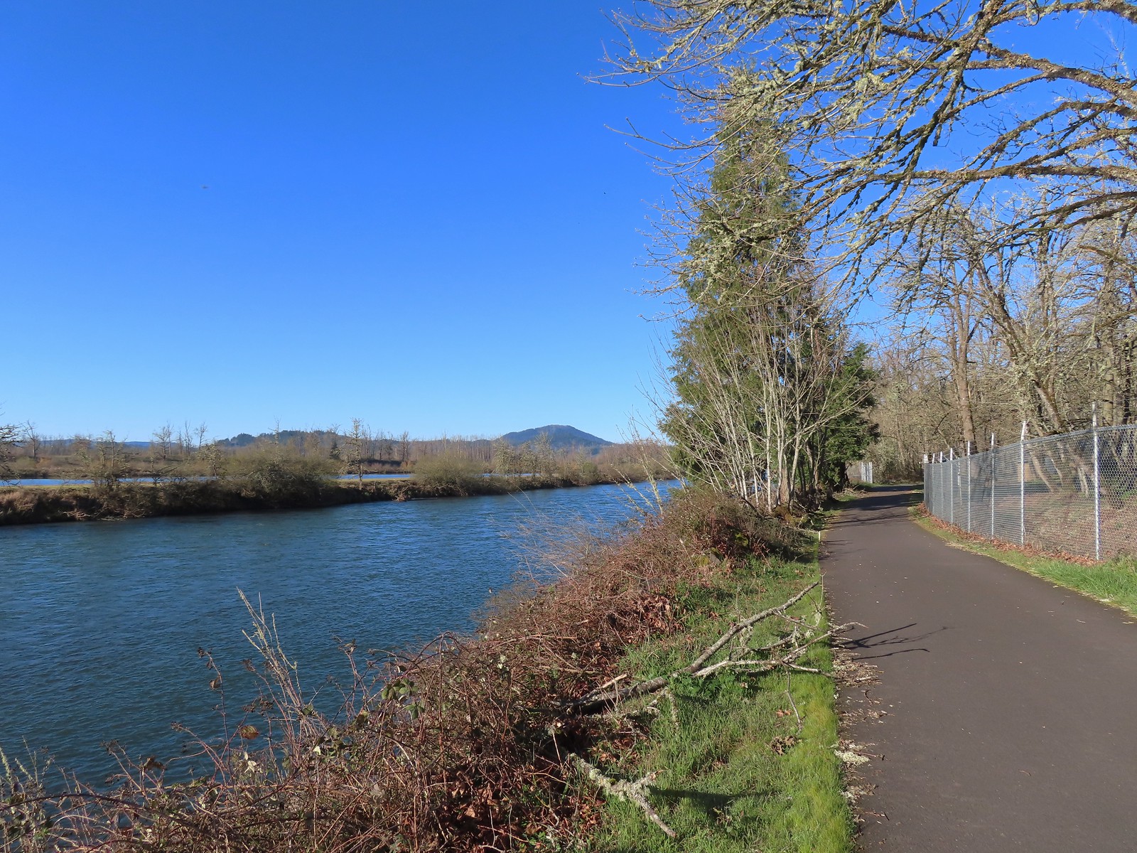 Looking back at Spencer Butte (
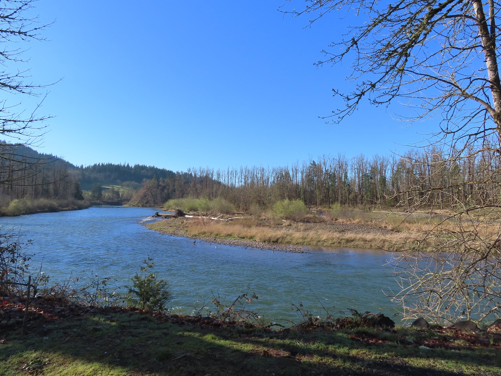 A goose and a couple of common mergansers in the river.
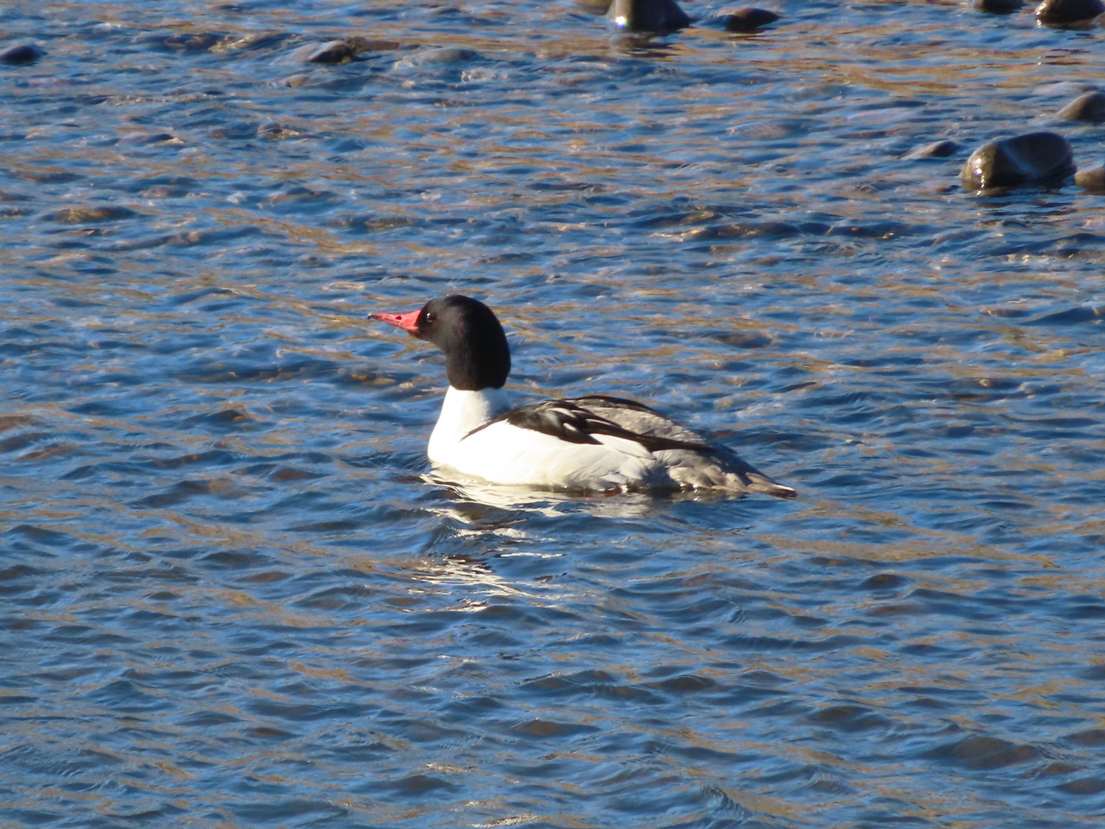 Common merganser drake
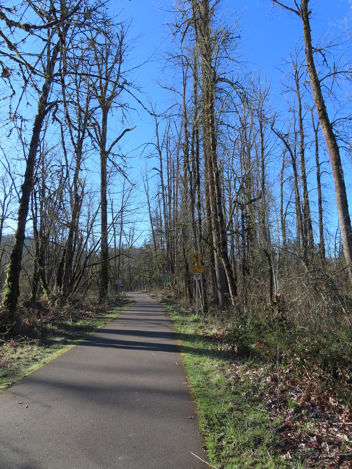 Approximately 2.75-miles from Dorris Ranch we came to the junction with the 3-mile-long Mill Race Path. An adventure for another day.
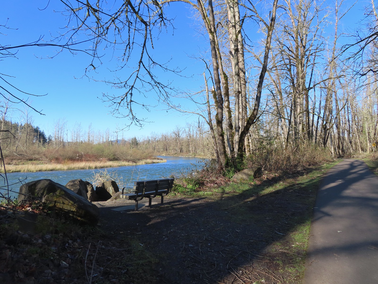 There were plenty of benches along the path.
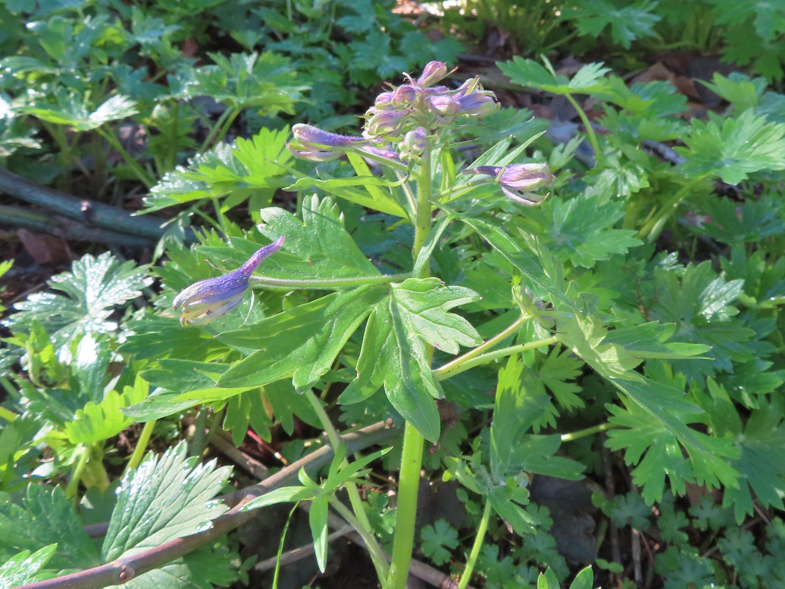 Larkspur starting to bloom.
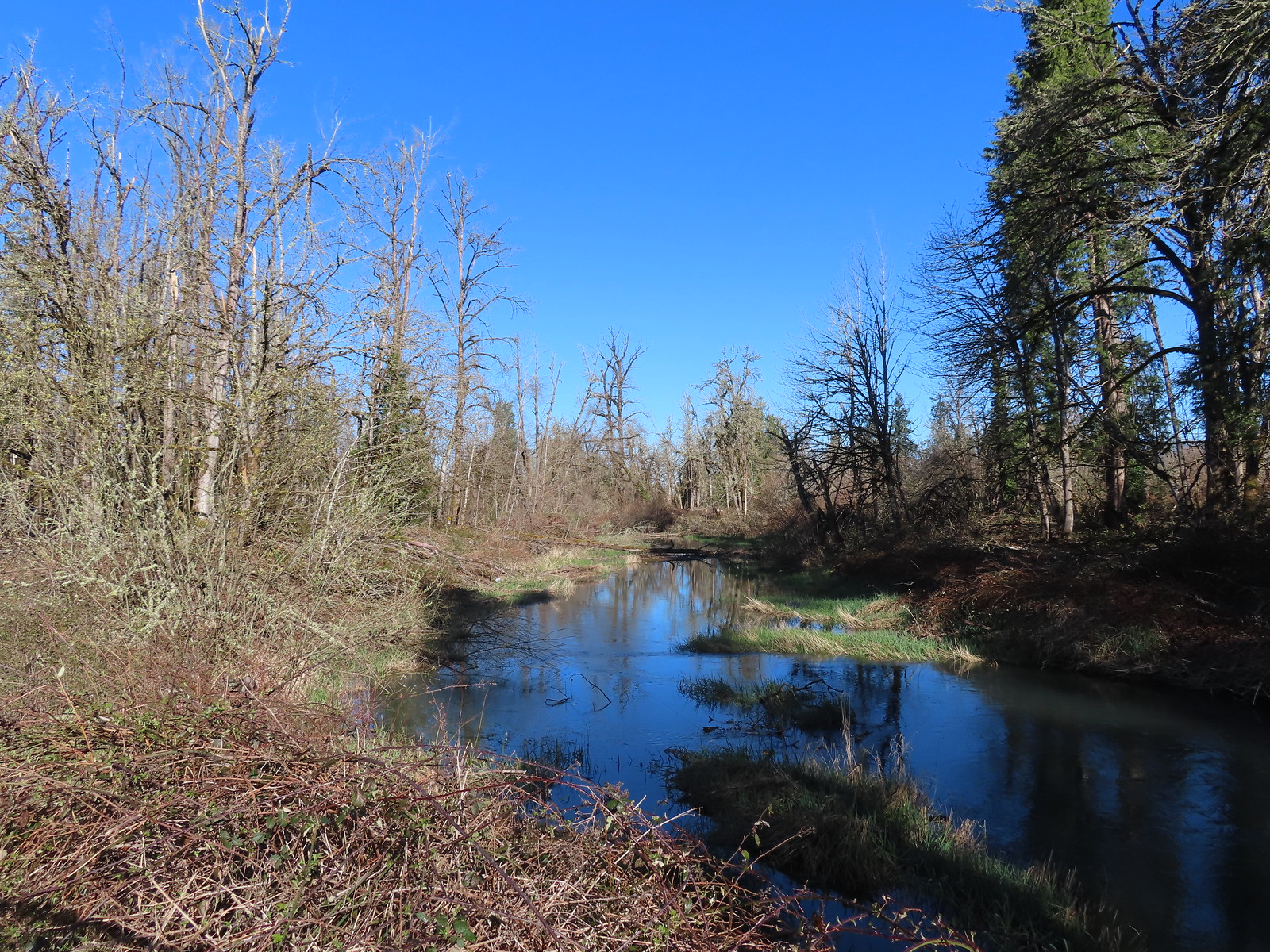 Springfield Mill Race
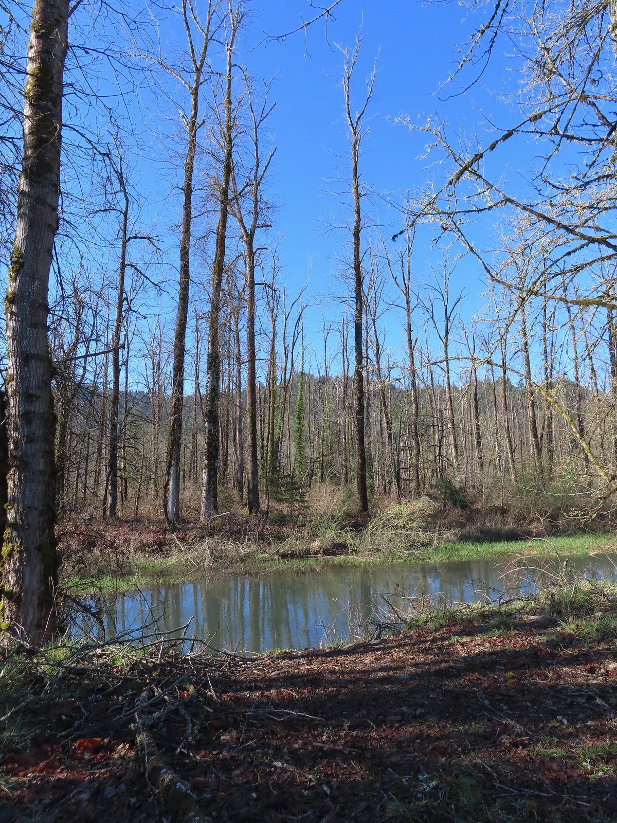 Mt. Pisgah (
 Disc golf course at Clearwater Park.
 Nearing the parking lot at Clearwater Park.
 Map of the trails at Clearwater Park.
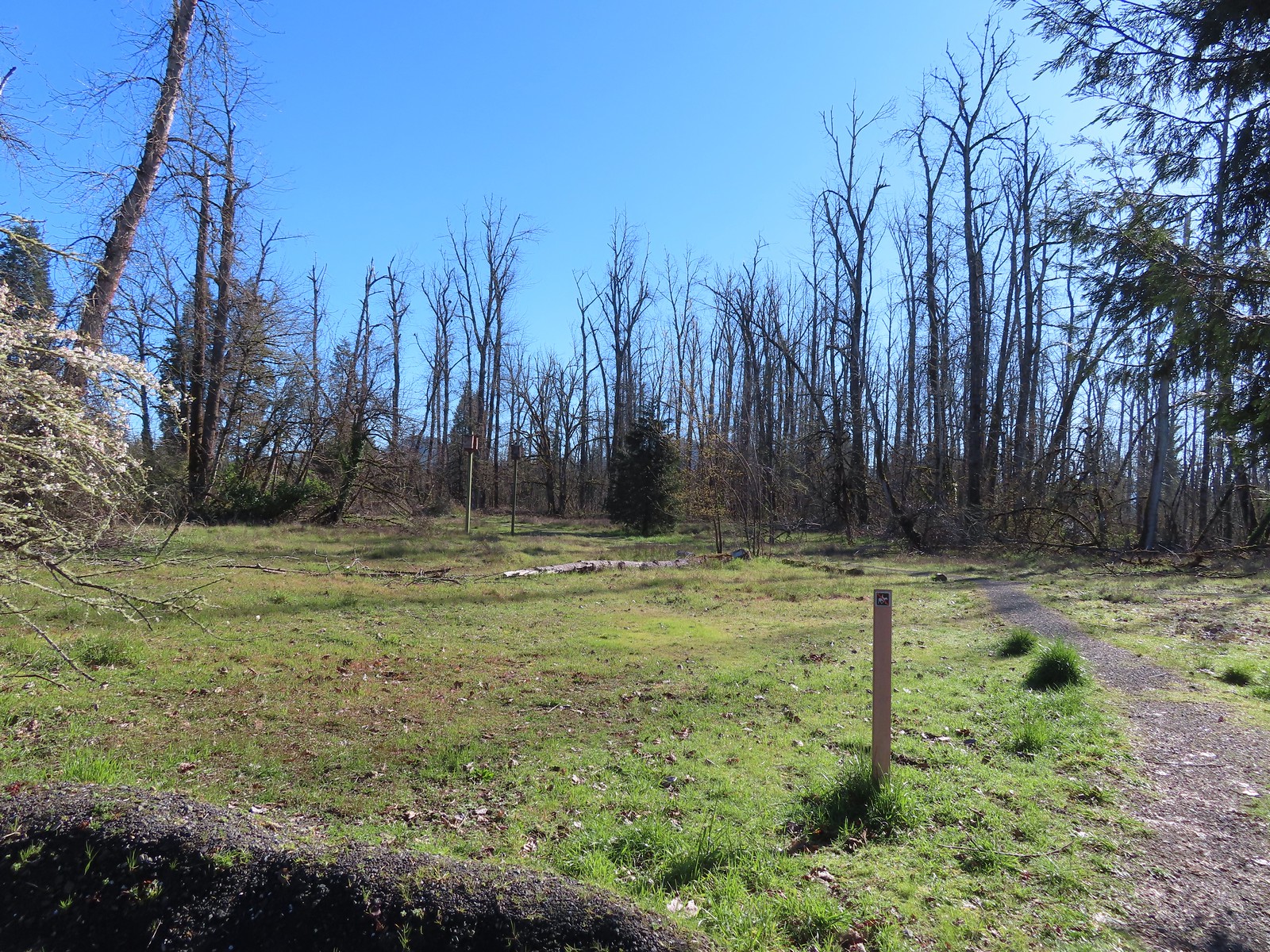
 Turkey vultures. We’d seen our first turkey vulture of the year a little earlier on the Middle Fork Path. I’d been on the lookout for one of these scavengers for the last couple of weeks knowing that their arrival in the Willamette Valley coincides with the onset of Spring.
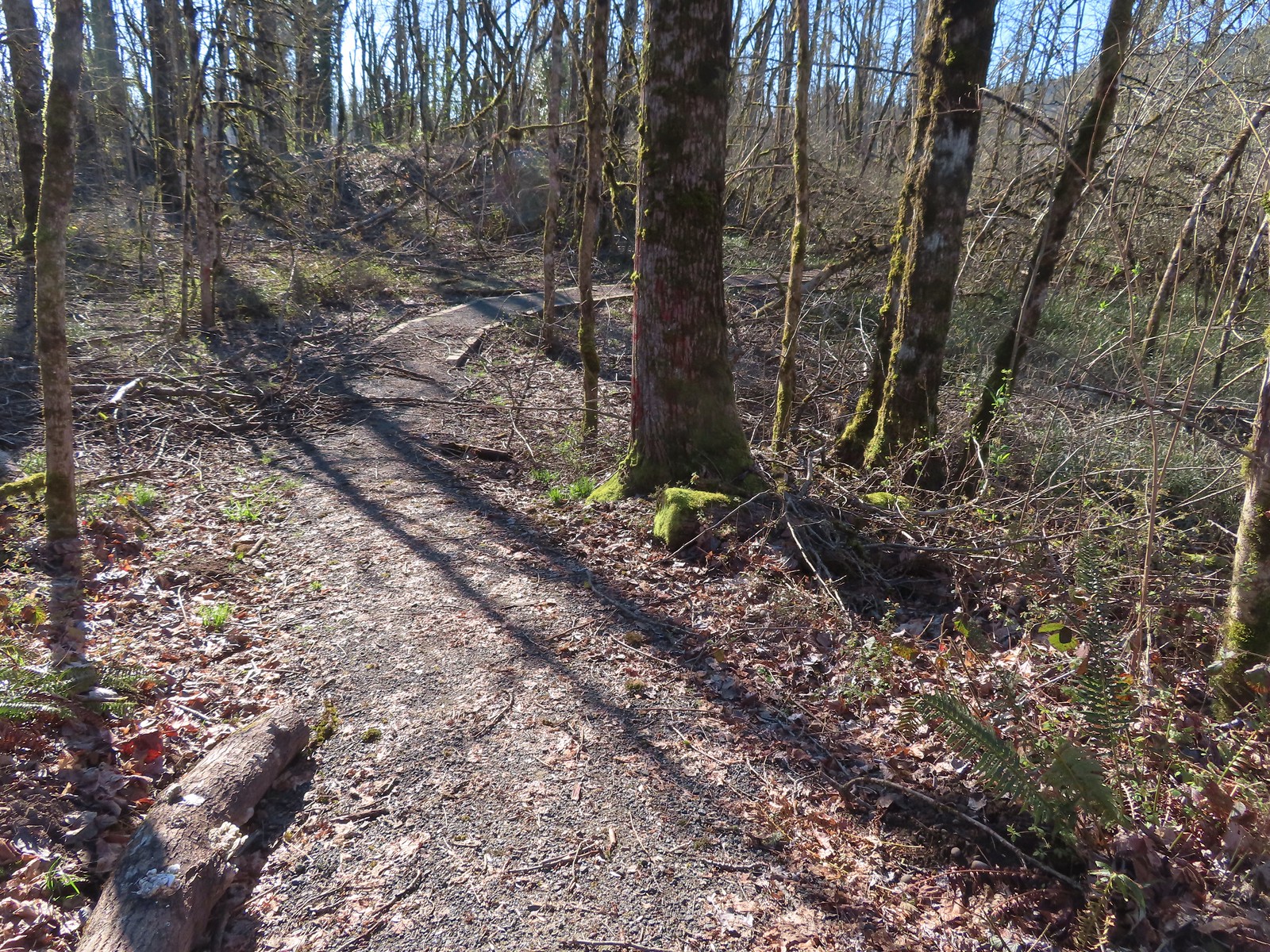

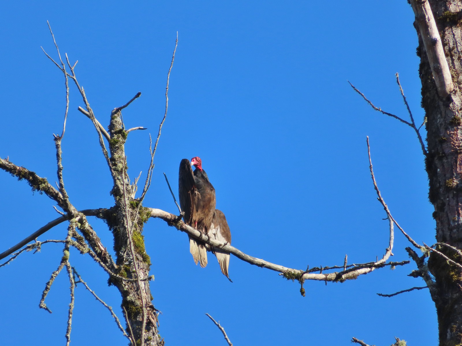 Turkey vulture enjoying the sunshine.
 Arriving at the boat launch area.
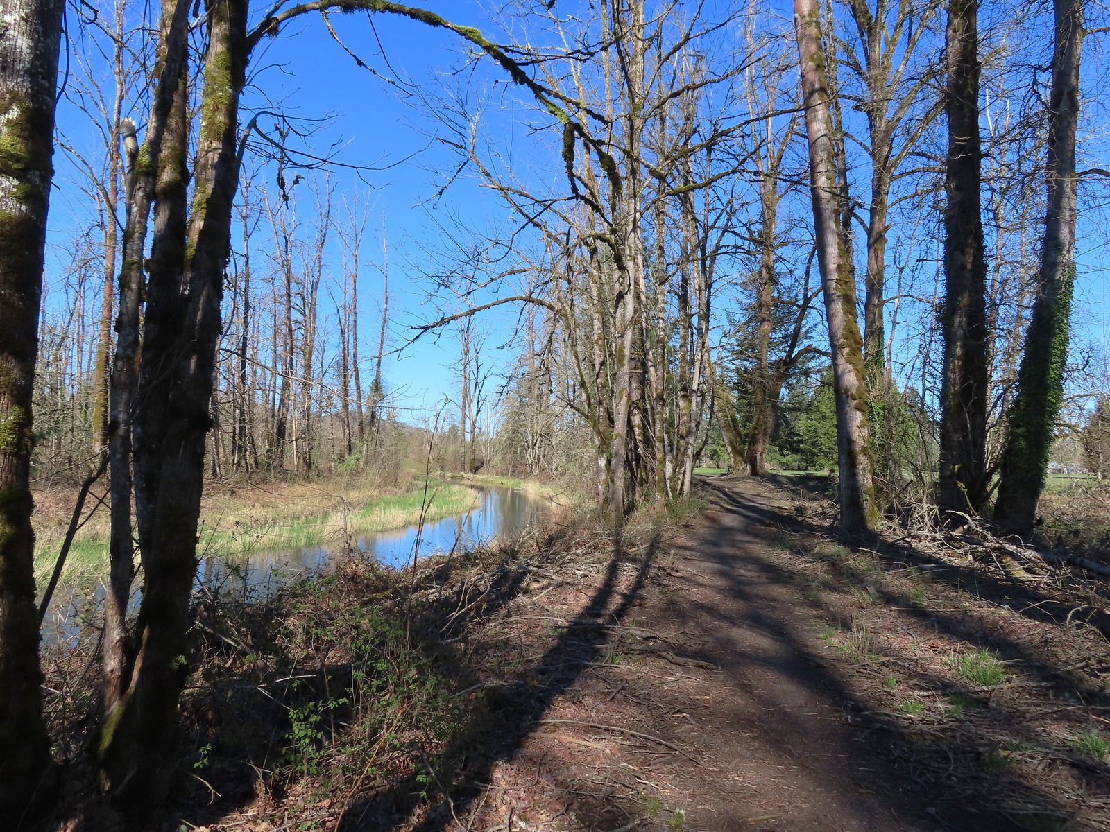 Heading back to the Middle Fork Path.
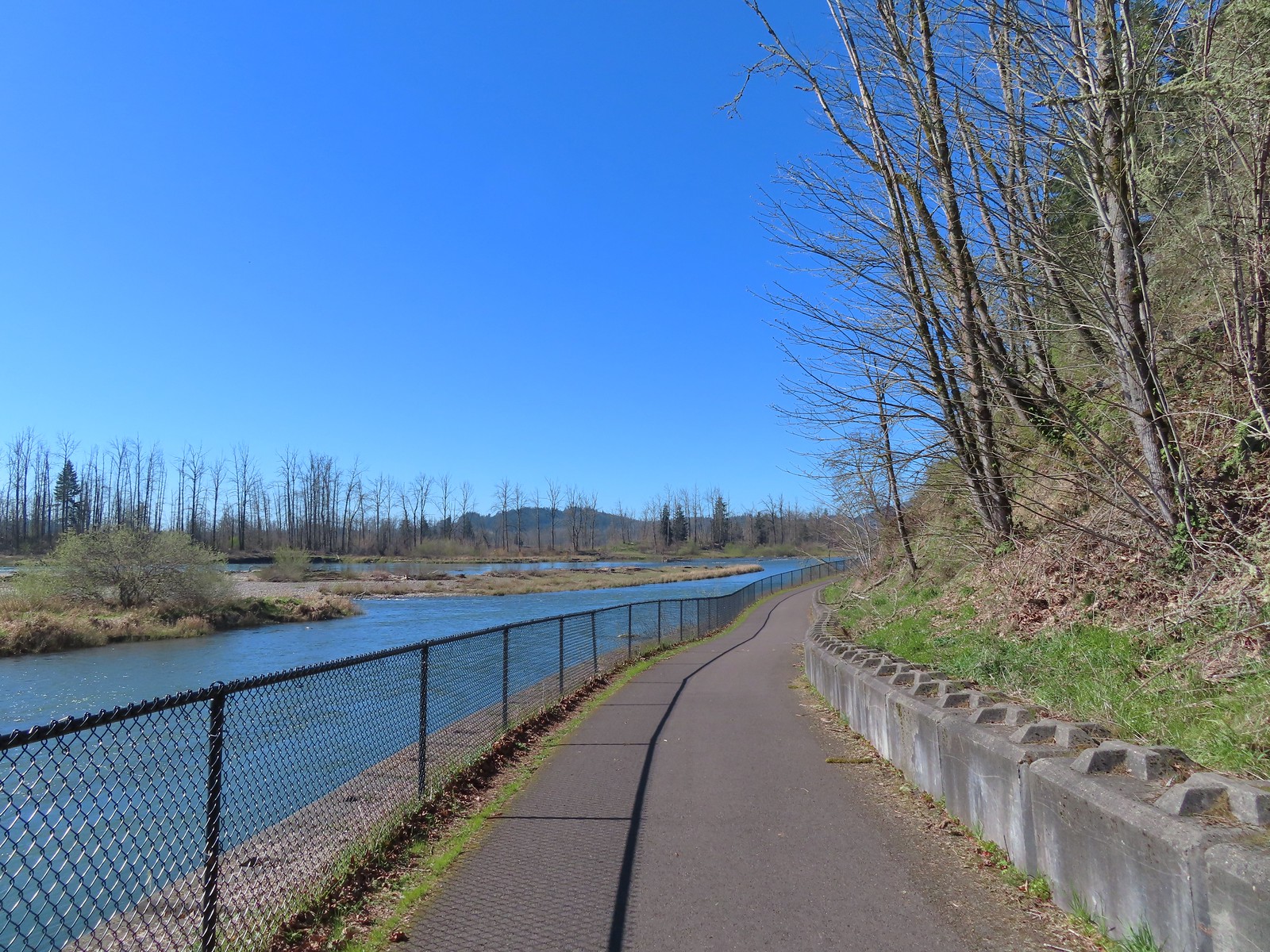
 Back at Dorris Ranch. The trail we’d taken earlier that morning is to the left just before the bench.
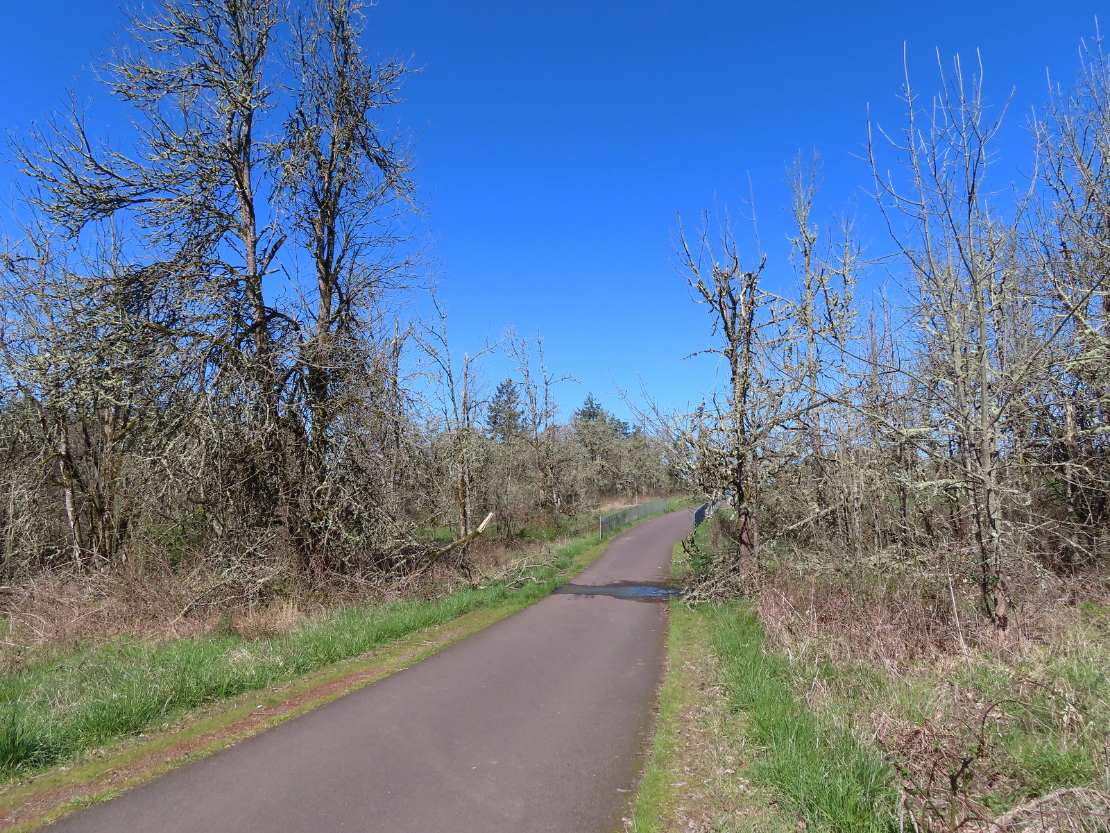
 Western bluebirds
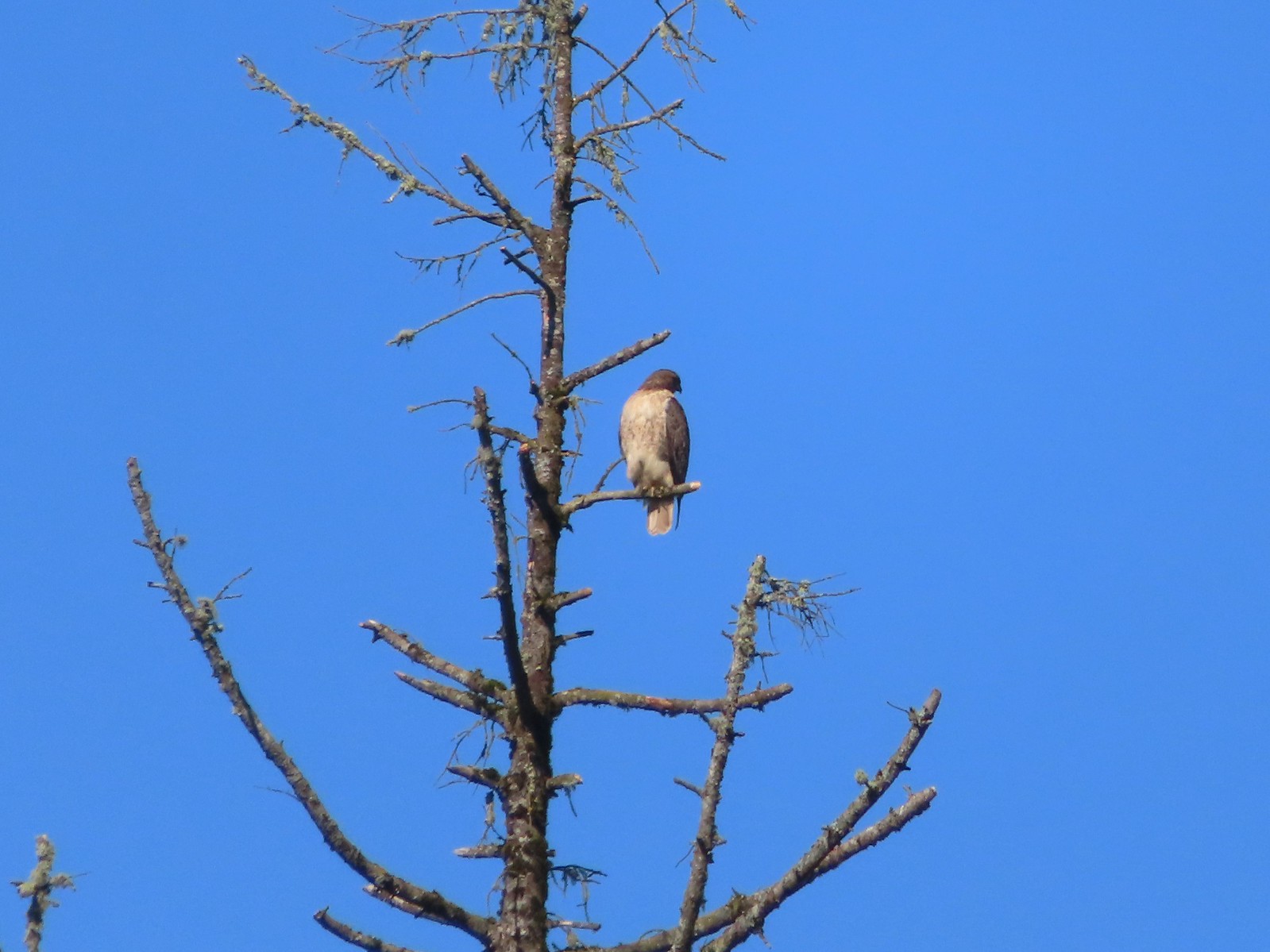 I believe this is a Cooper’s hawk.
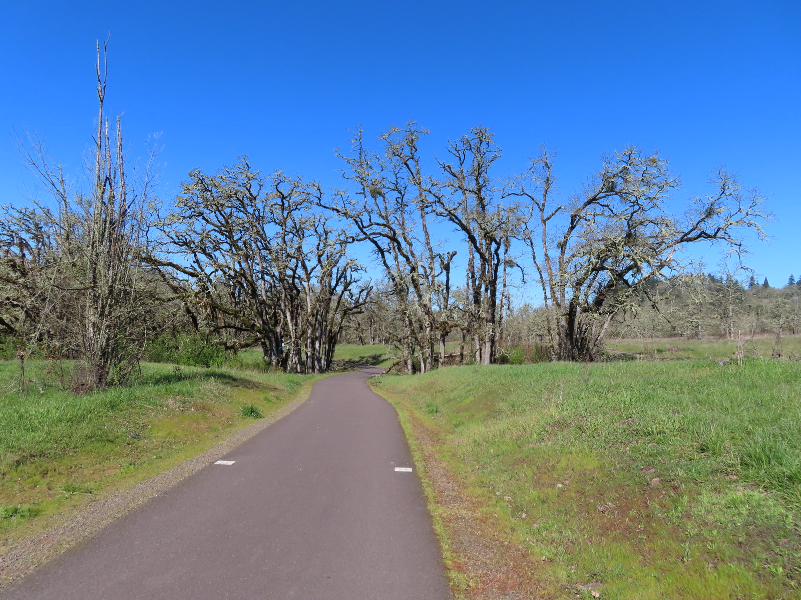
 Western buttercups
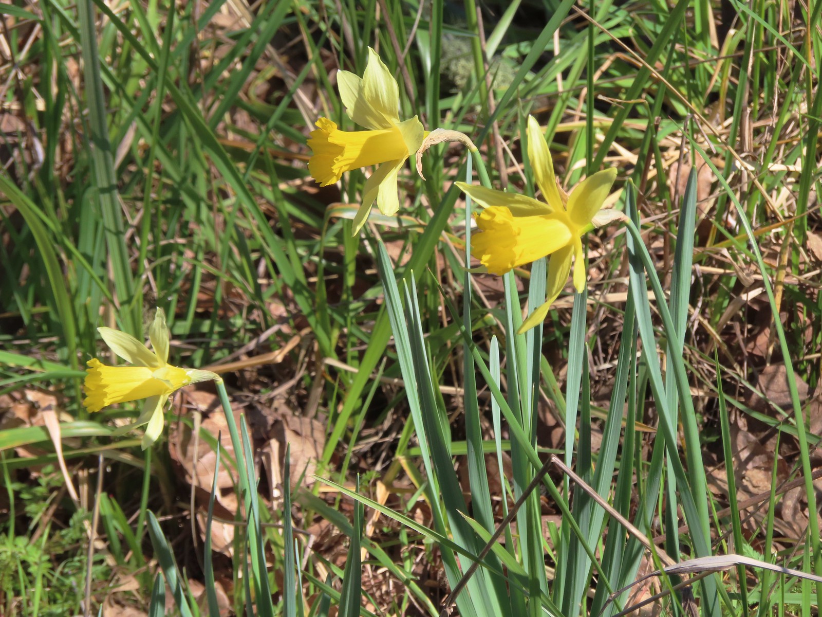 Daffodils
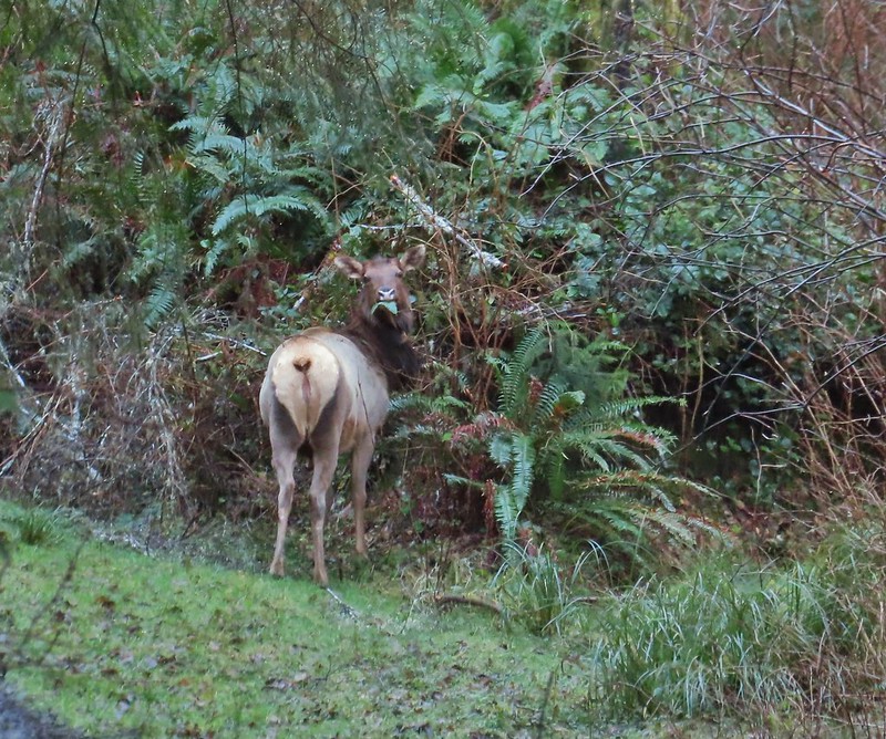
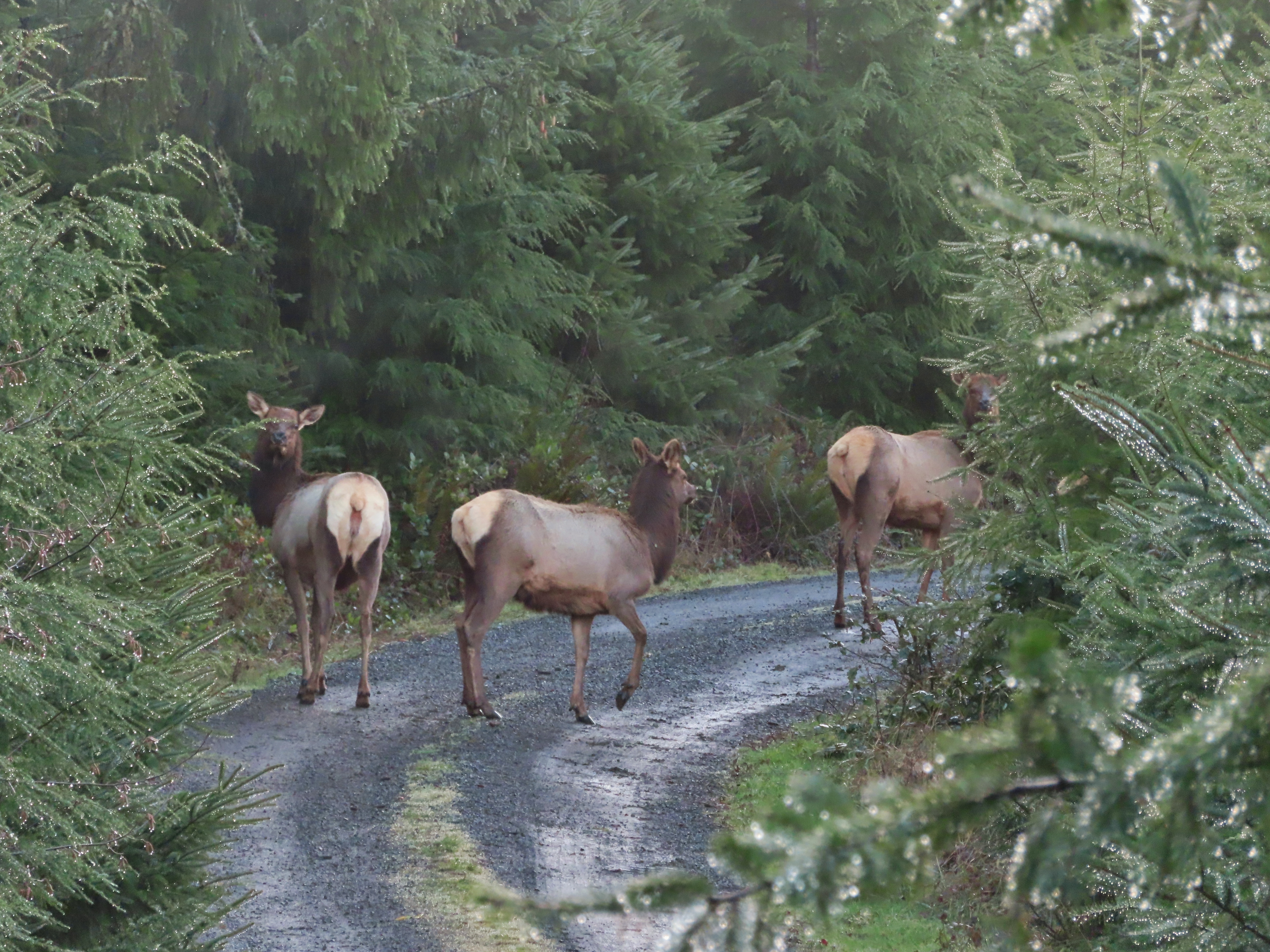
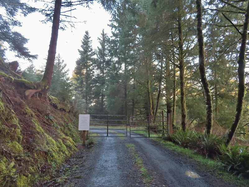
 Permit info at the gate.
 Looking back to the gate from Road 200.
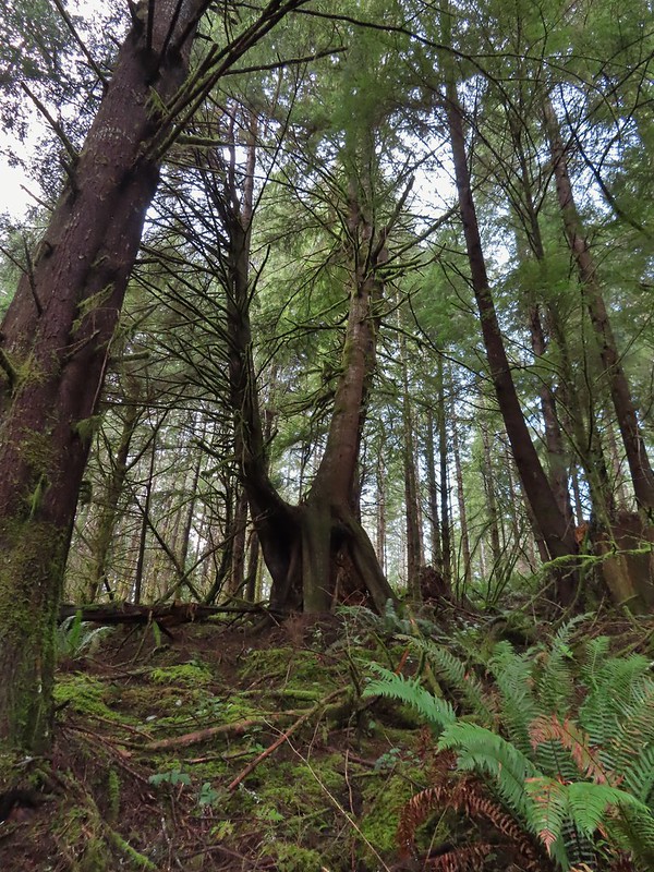 It’s hard to get an idea of size here but the two trees growing over the large nursery stump were good sized.

 Hooded Mergansers
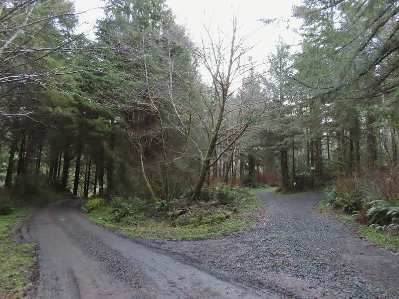 Road 200 to the left.
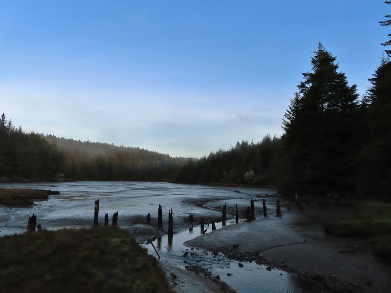

 Upper end of the 3rd World Trail.
 Approaching the ridge top.

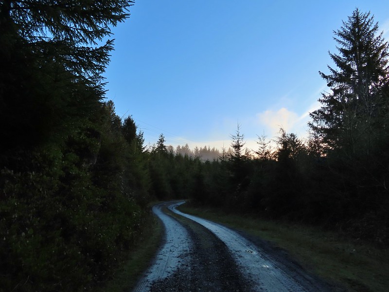
 Heading off the main road.

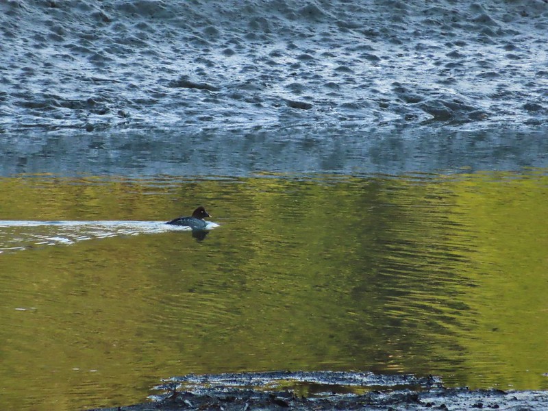 Common goldeneye
 Great blue heron and buffleheads
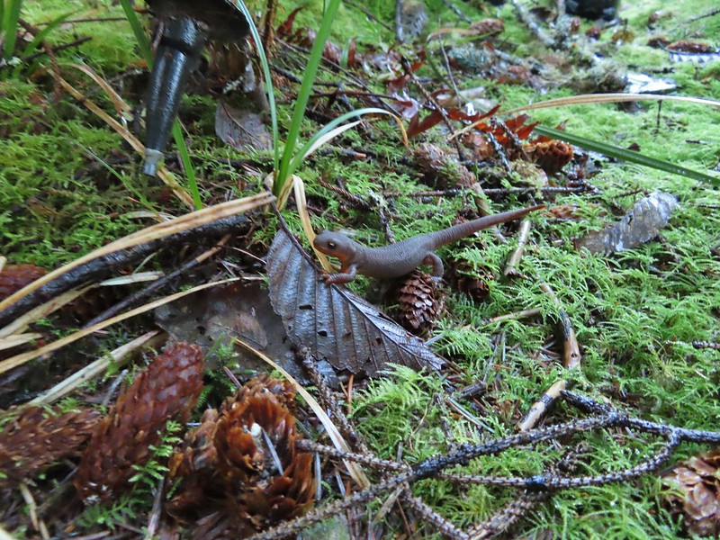 Rough skinned newt
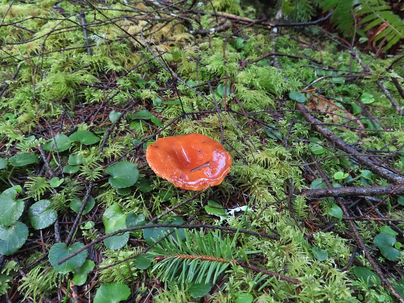
 Coral fungus
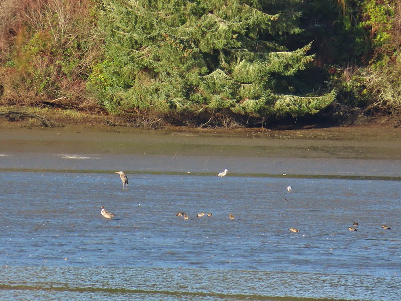 Northern pintail, heron, seagulls and some green winged teals.
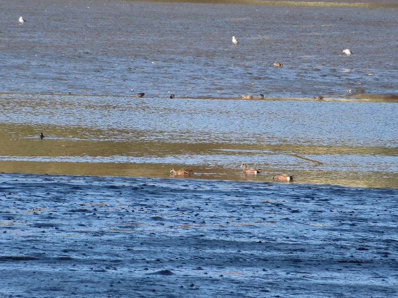 American wigeons
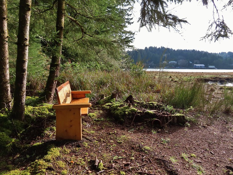
 One of a number of unique benches located along the trails.
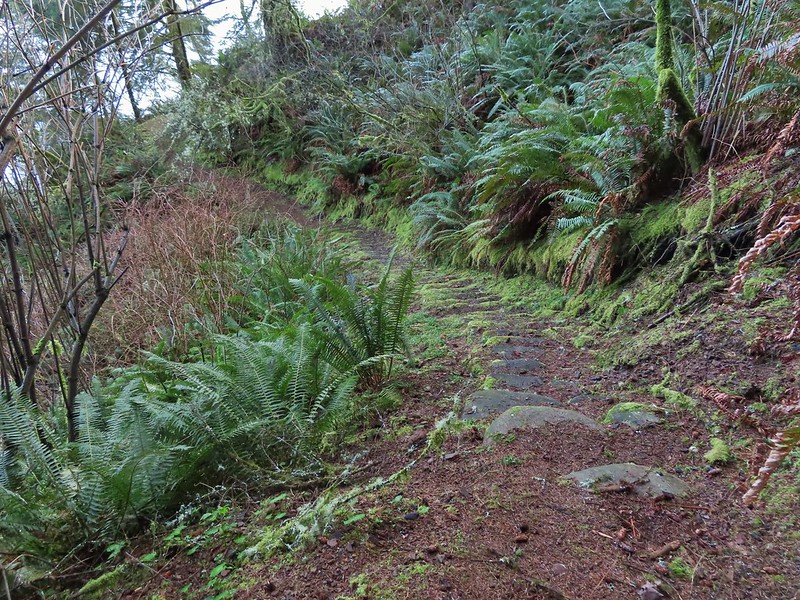 Stone steps
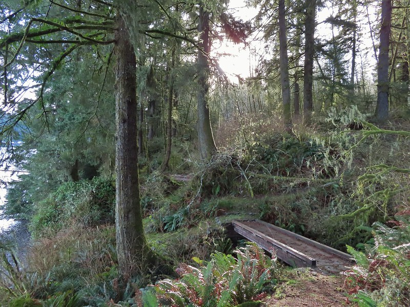 A pair of footbridges.
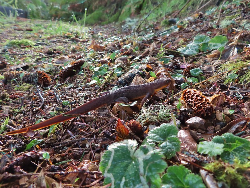 Another rough skinned newt, there were many.
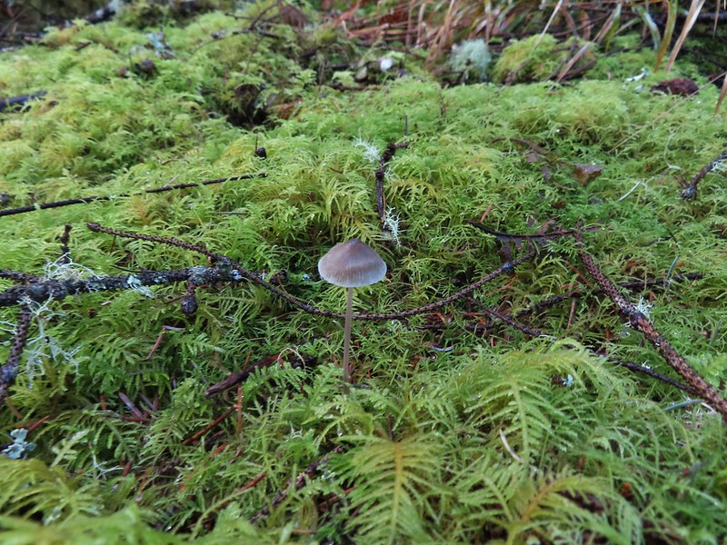 Mushroom
 Another bench at a viewpoint.
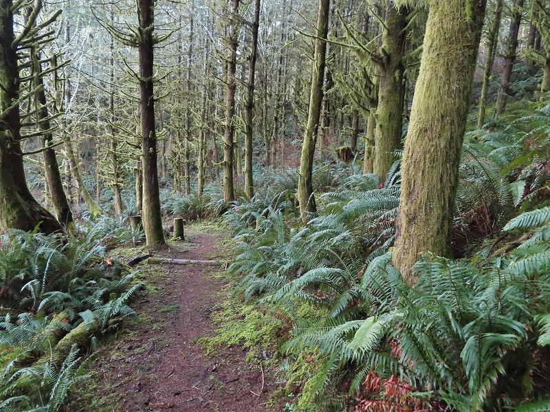

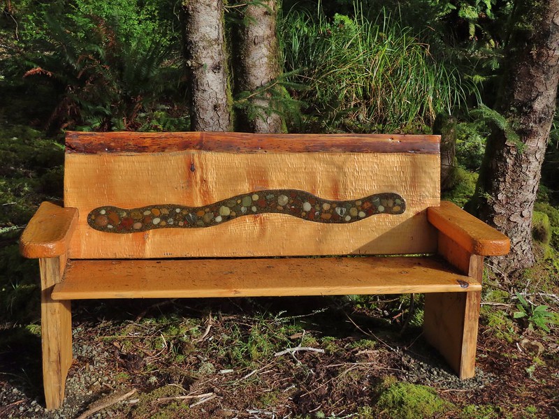
 Several benches were inlaid with rocks such as this which was a really neat feature.
 Small footbridge ahead.
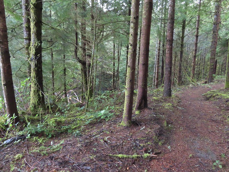
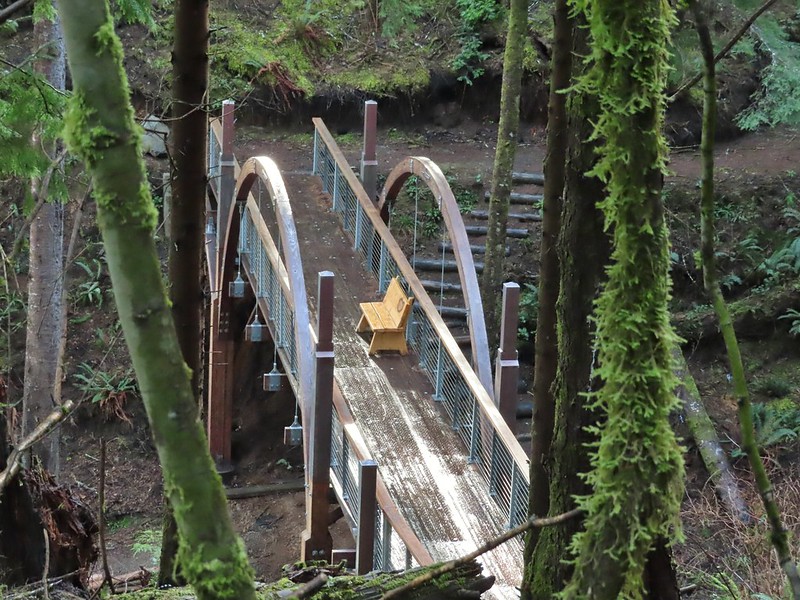
 Yakona Bridge.
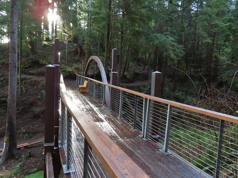
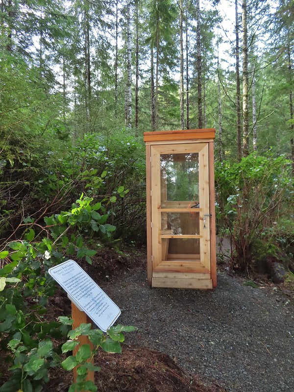
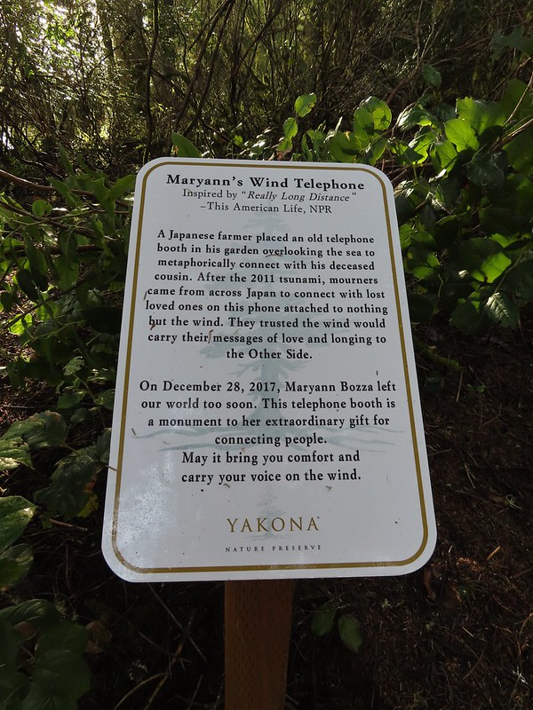 Informational sign for the wind phone.
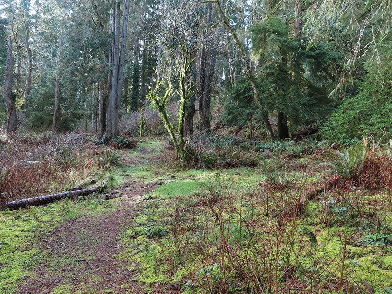
 This trunk had split into four.

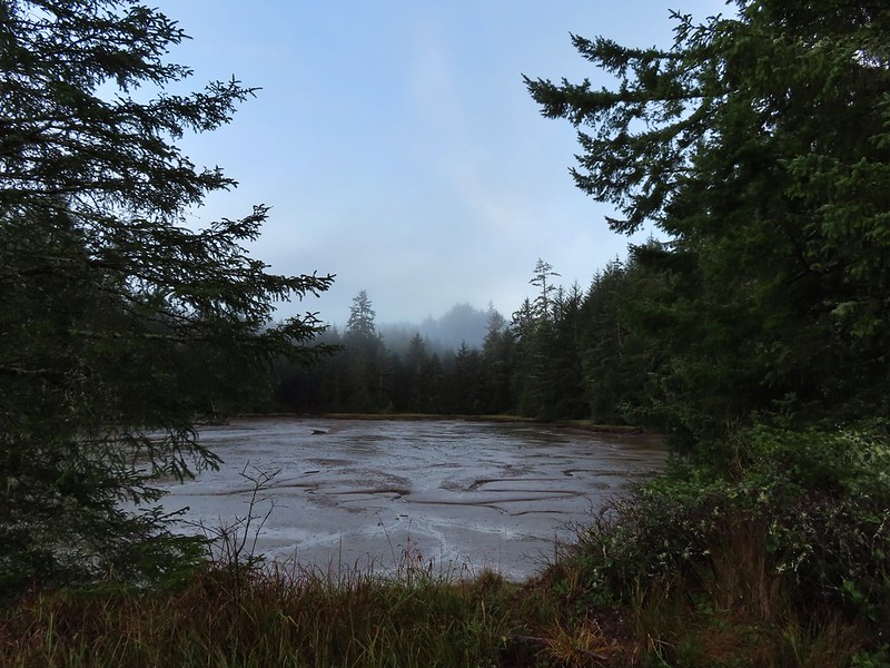
 Dropping down to another estuary.
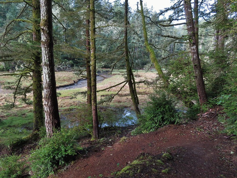
 Back up we go!
 Found the road.
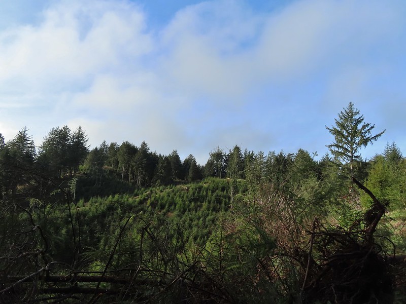 Bench on the far hillside above the clear cut.
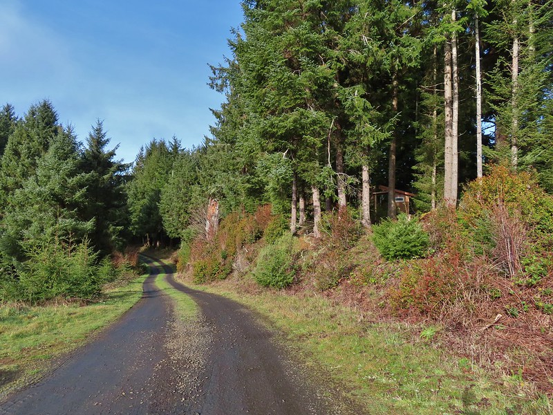
 Short path to the bench.
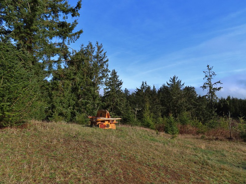

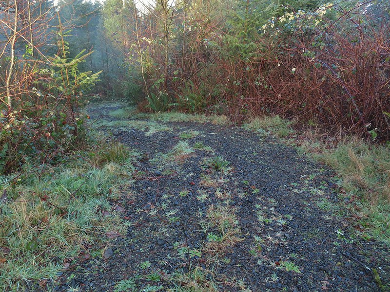
 One of the trails.

 A rather damp woolly bear caterpillar.
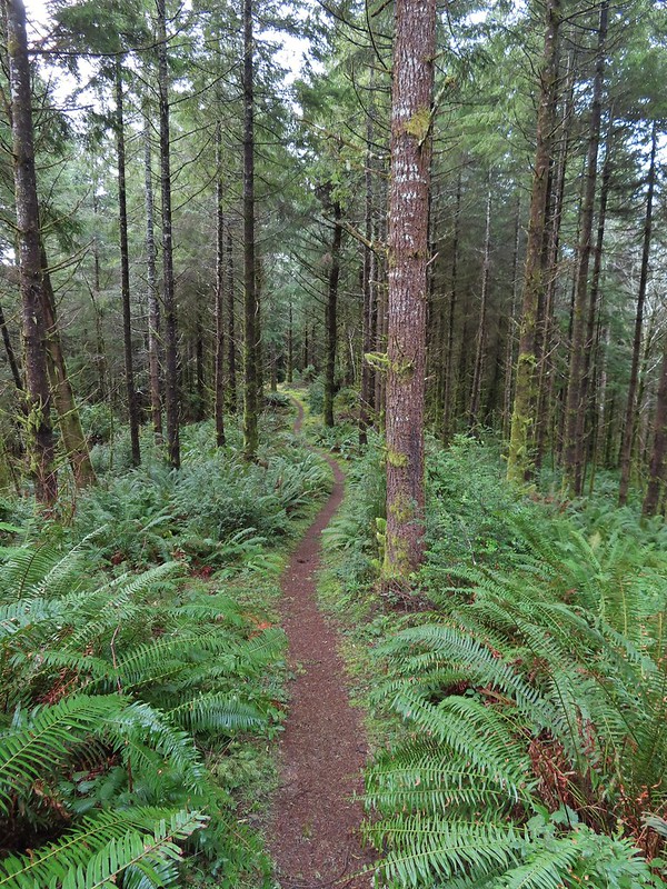
 Back to Road 200 near Kings Slough.
