With us taking a staycation due to my current physical limitations, instead of house sitting for us, our son Dominique stayed with us for the first half of the week. He’d joined us on a Star Wars Day hike at Fernhill Wetlands (post) and in lieu of a hike the following day we headed to Newport and the Oregon Coast Aquarium. While we aren’t counting this as a hike, we did spend the better part of four hours on our feet wandering around the aquarium and watching the animals. This was another good test for how my PT was progressing, and while my lower back was protesting mightily by the end of our visit, I woke up today feeling better than I have in months.
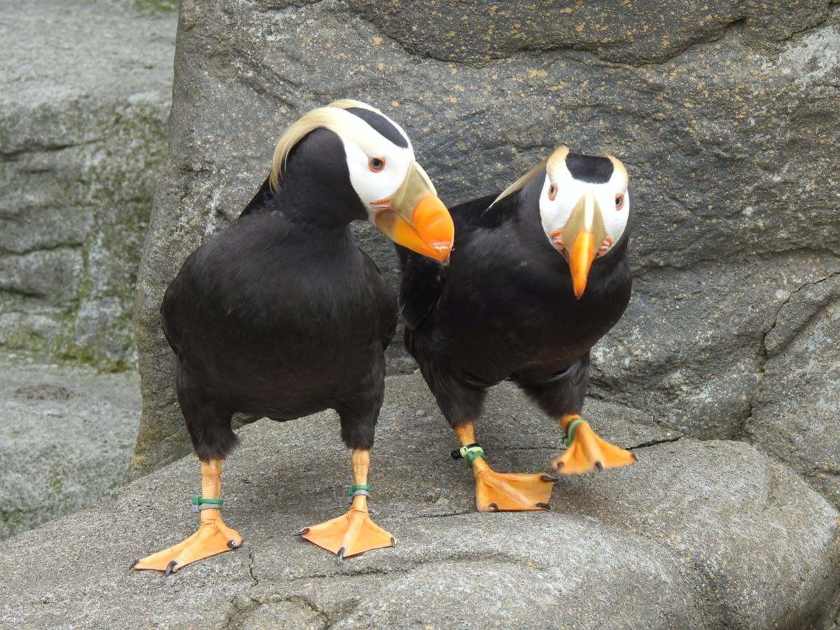
It had been many years since we’d visited the aquarium, and I was very excited to see the puffins. In the wild tufted puffins visit Haystack Rock (post) off the Oregon Coast from about mid-April through July, but we haven’t visited during their nesting season. Occasional sightings have occurred at Coquille Point and Face Rock in Bandon (post), Netarts Bay (post), Cape Perpetua (post), and Yaquina Head (post). Even when the puffins are present spotting them can be difficult and is at a distance requiring binoculars or a strong zoom lens. The aquarium however has a number of tufted puffins as well as a few horned puffins in its aviary where the birds can be viewed up close.
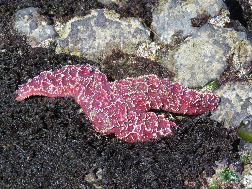
We were at the aquarium when it opened at 10am and left a little after 2pm. During our visit we got to see feedings of the California sea lions, sea otters, and the birds in the aviary. The feedings are accompanied by an informative talk about the animals and some pretty impressive demonstrations by the sea lions and otters. We also listened to a pelican talk while a brown pelican did a little performing of her own. There is also an interactive tidepool where guests can touch all of the sea creatures. Following are a few of the photos from our visit.


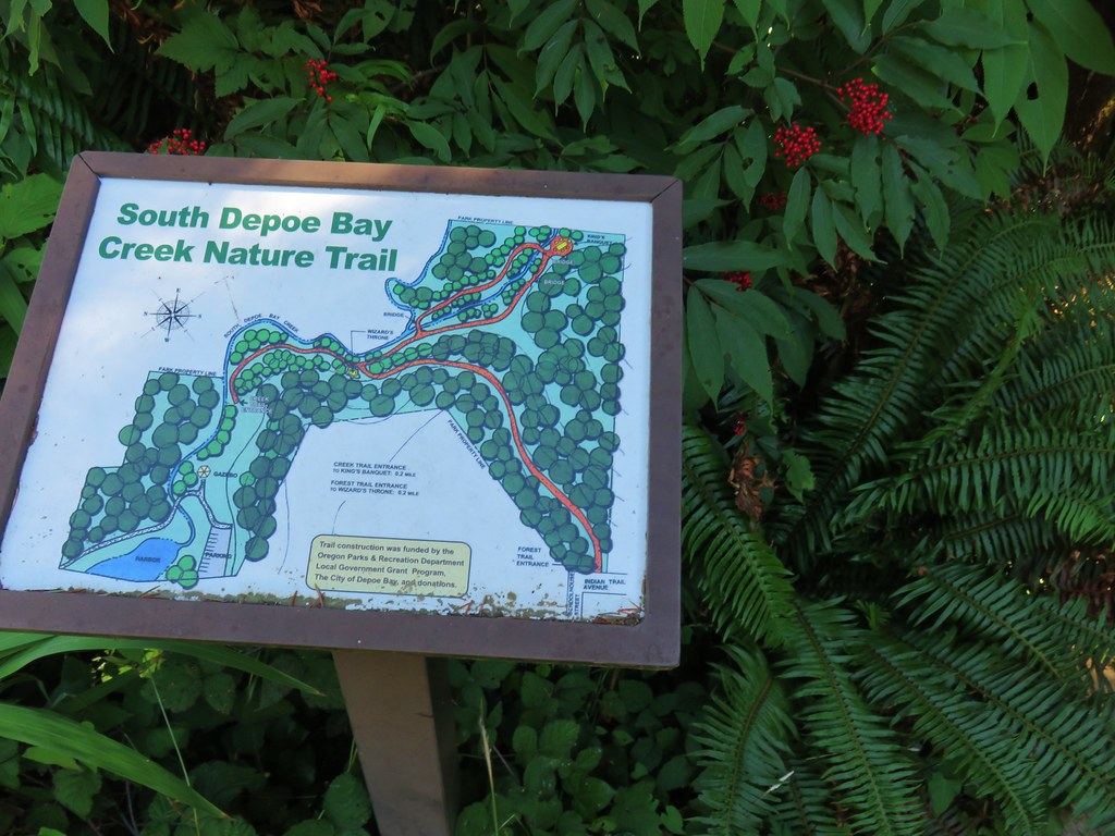
Aquarium map

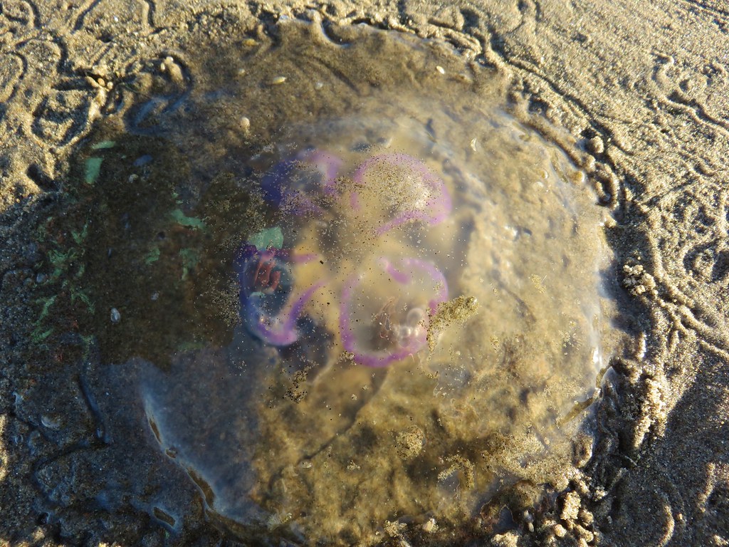
Moon jellyfish in the main building.

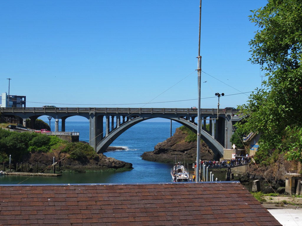
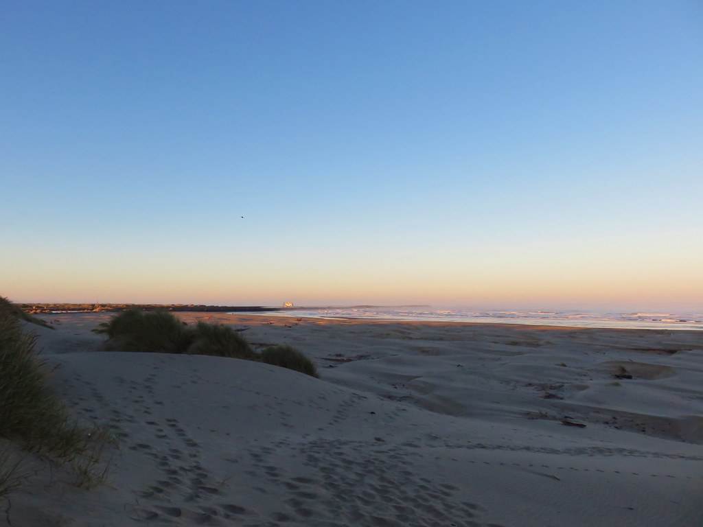
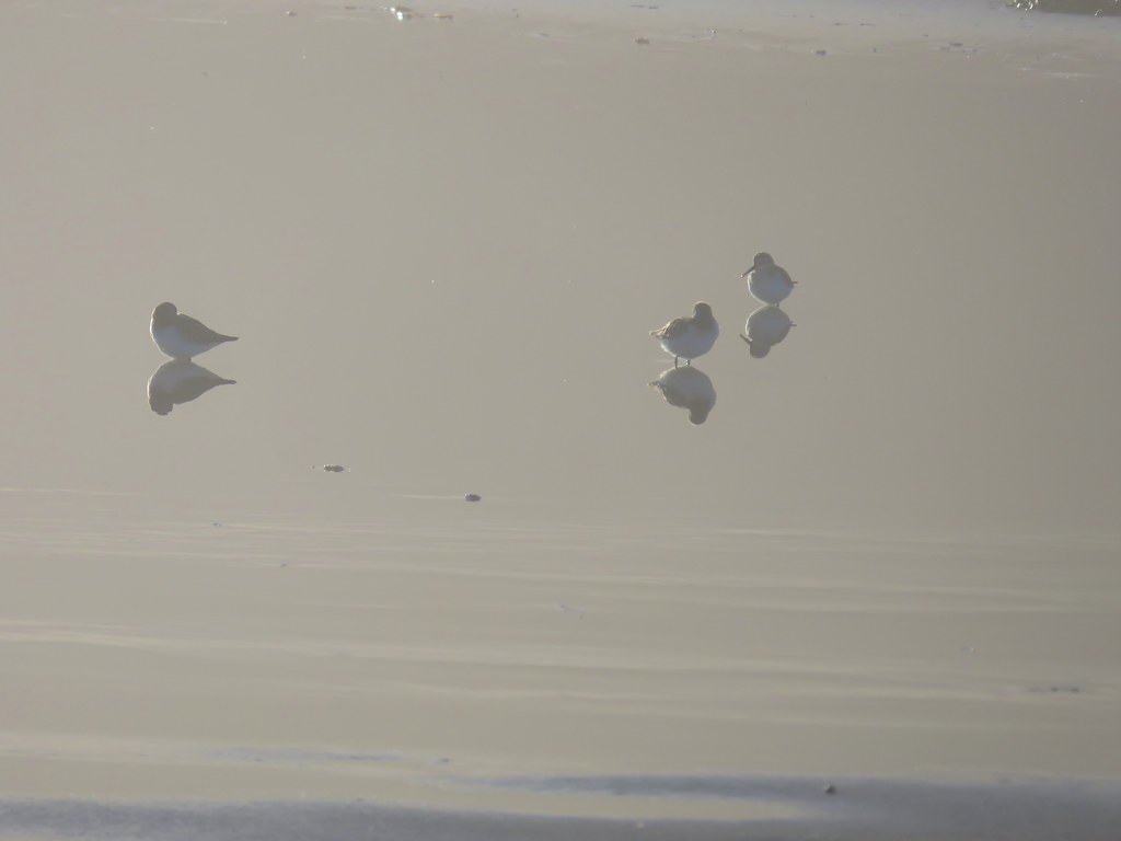
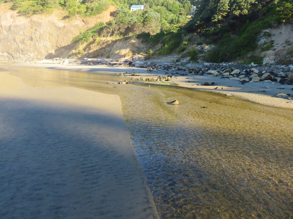
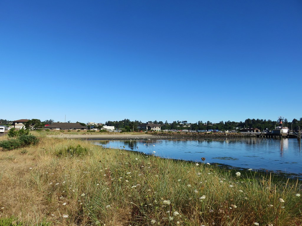
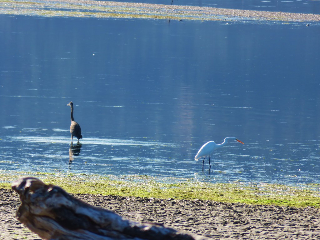
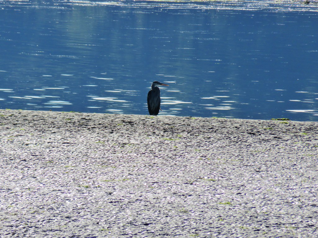
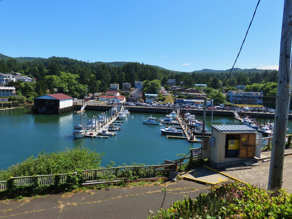
Yaquina Bay from a viewing platform.

Mallard in Yaquina Bay.

Open Sea exhibit where you can walk through glass tubes surrounded by sharks and various species of fish.


Fringecup flowering along the path to the aviary.

The six types of birds in the aviary.
One of the volunteers mentioned that we had missed the pair of rhinoceros auklets by about half an hour. He said that these birds were very shy so when he sees someone with a “real camera” he tries to point them out if they make an appearance. While they didn’t come out during our first stop in the aviary one did briefly show itself during the afternoon feeding. The other five bird species were easily spotted though.

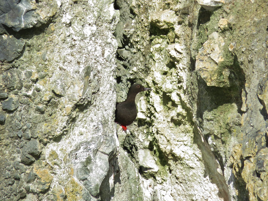
Black oyster catcher

Common murre

Pigeon guillemots

Horned puffin

Tufted puffin
After spending some time in the aviary, we made our way over to the seal and sea lion exhibit for the sea lion feeding.

The glass made getting pictures tricky.

One of the California sea lions.
We followed that up with a visit to the sea otters and brief stop to admire the turkey vulture before heading to the pelican talk at 11:30am.

Two of three resident sea otters.


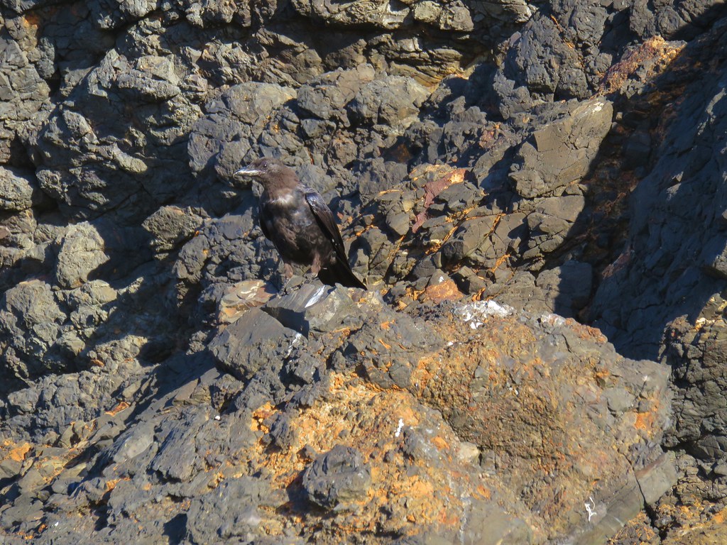
Turkey vulture

It turned out to be a good time of the year to visit because the birds were in their breeding plumage and the brown pelican really showed it.


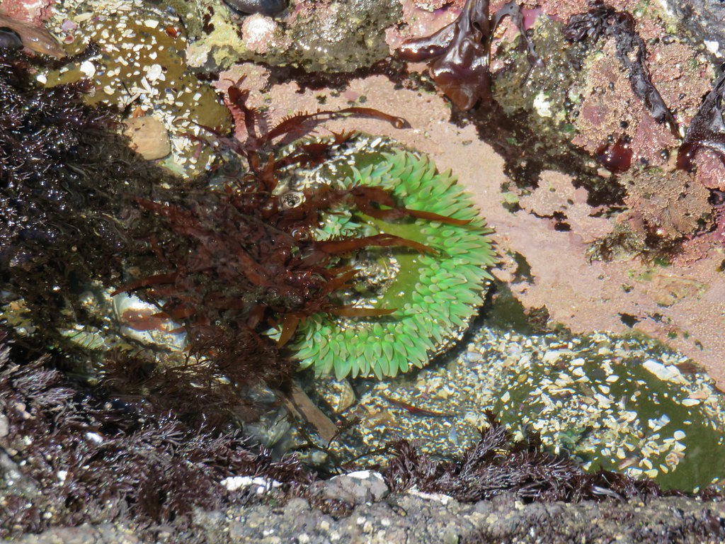
After a quick bite to eat we spent some time in the indoor exhibits, including the tidepool. We interrupted this to return to the sea otters for their feeding then finished up the indoor exhibits before the bird feeding in the aviary. Inside there are a number of different enclosures hosting a large number of species.


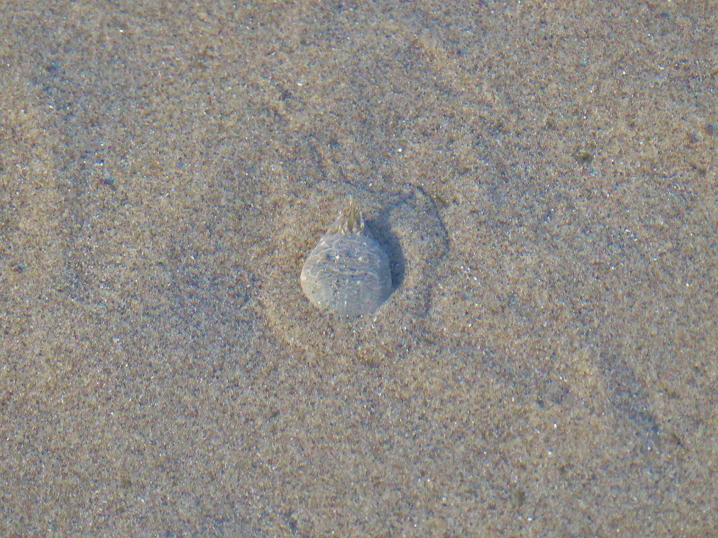
This large snail could really move.


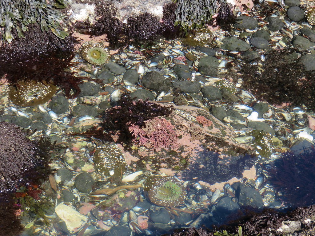
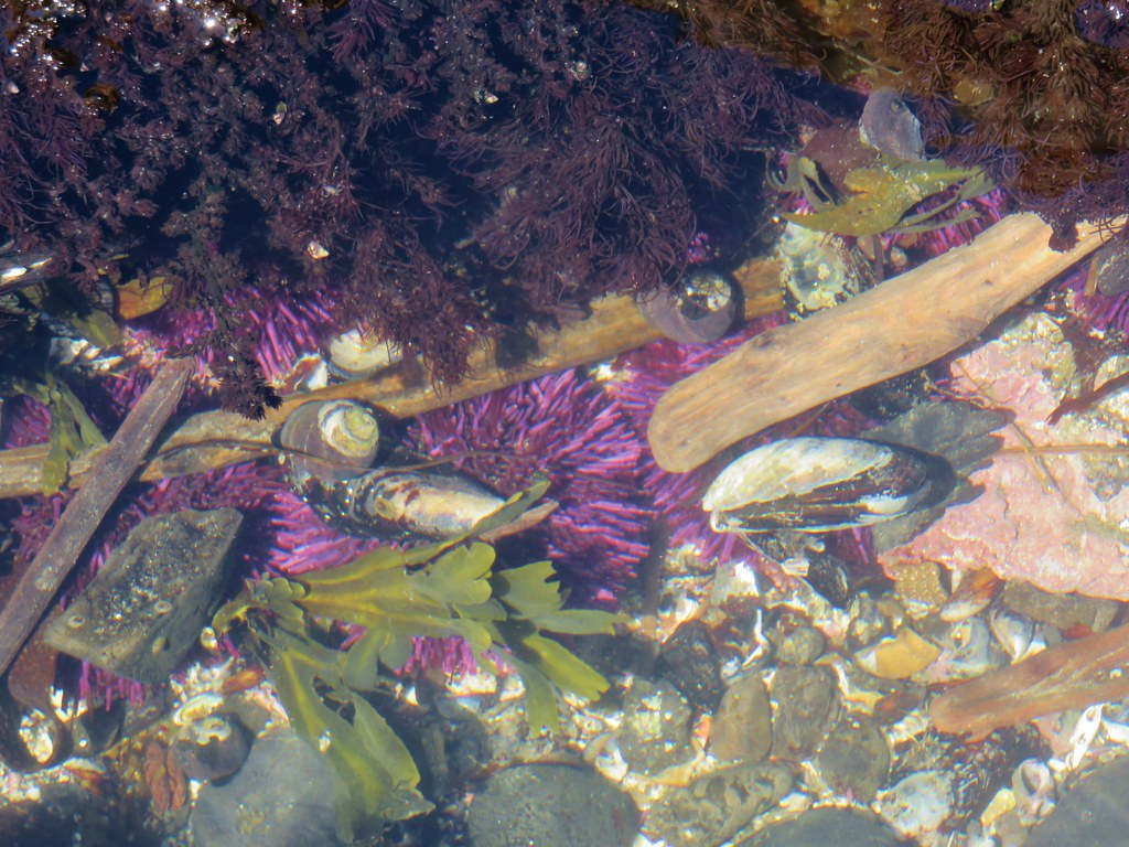
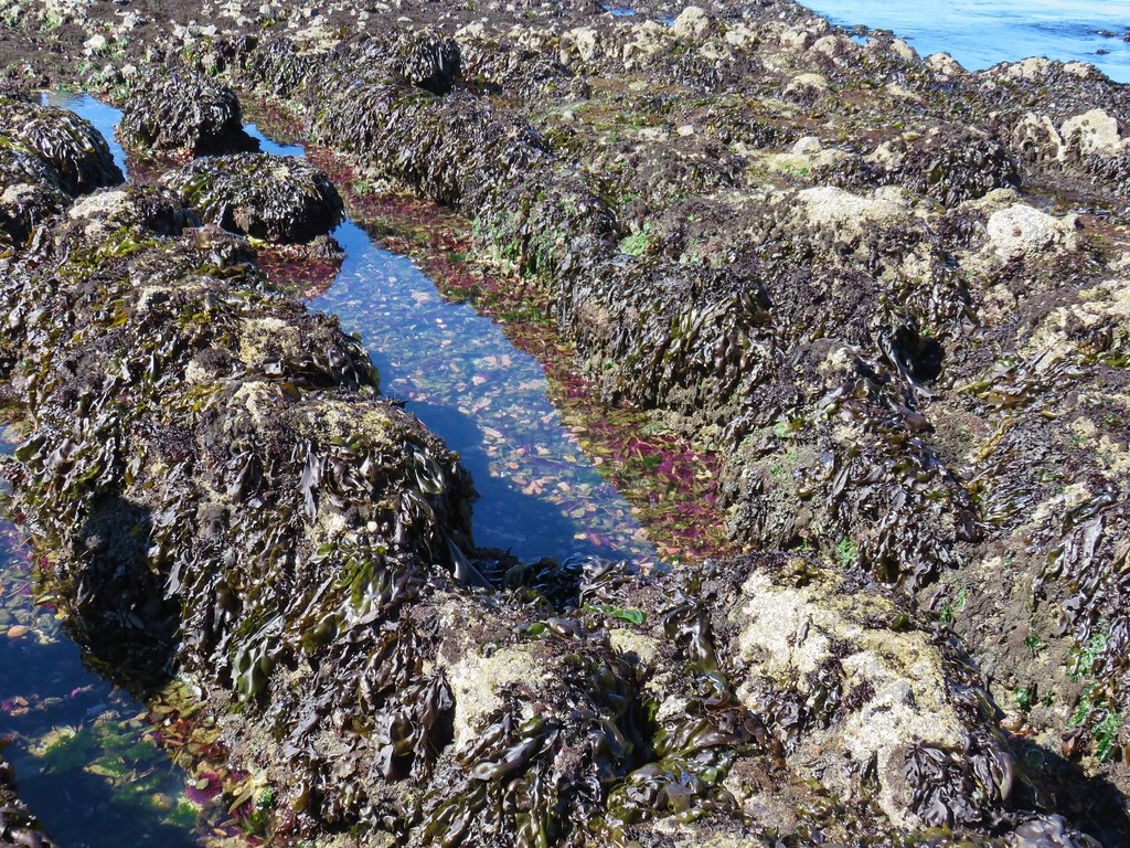
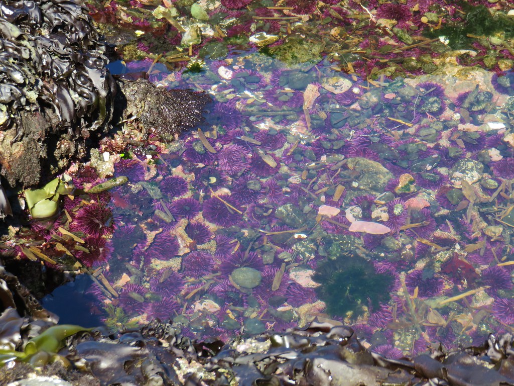
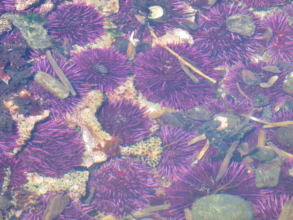
Interactive tidepool

Interactive tidepool

Interactive tidepool

Red abalone in the interactive tidepool.


The birds were much more active in the aviary, we assumed in anticipation of the feeding.

Horned and tufted puffins

Common murres

Tufted puffins in the water. We got splashed a couple of times by incoming birds landing in the water just in front of us.

Pigeon guillemots having a lively discussion.

Juvenile puffin

A posing pigeon guillemot

The rhinoceros auklet during its brief appearance.
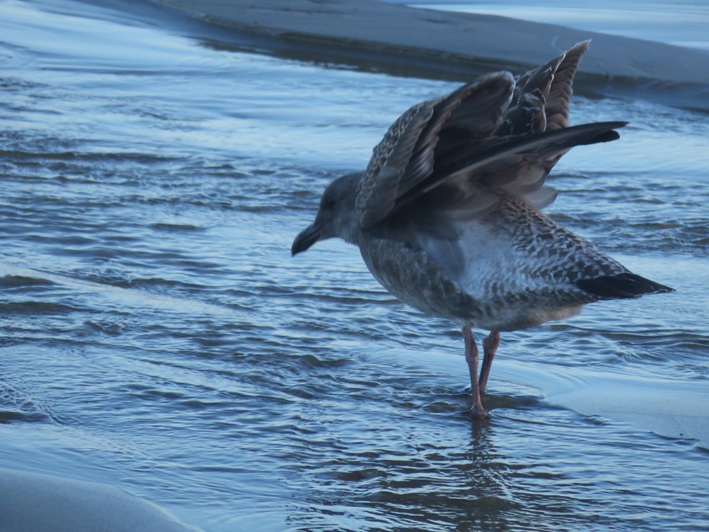
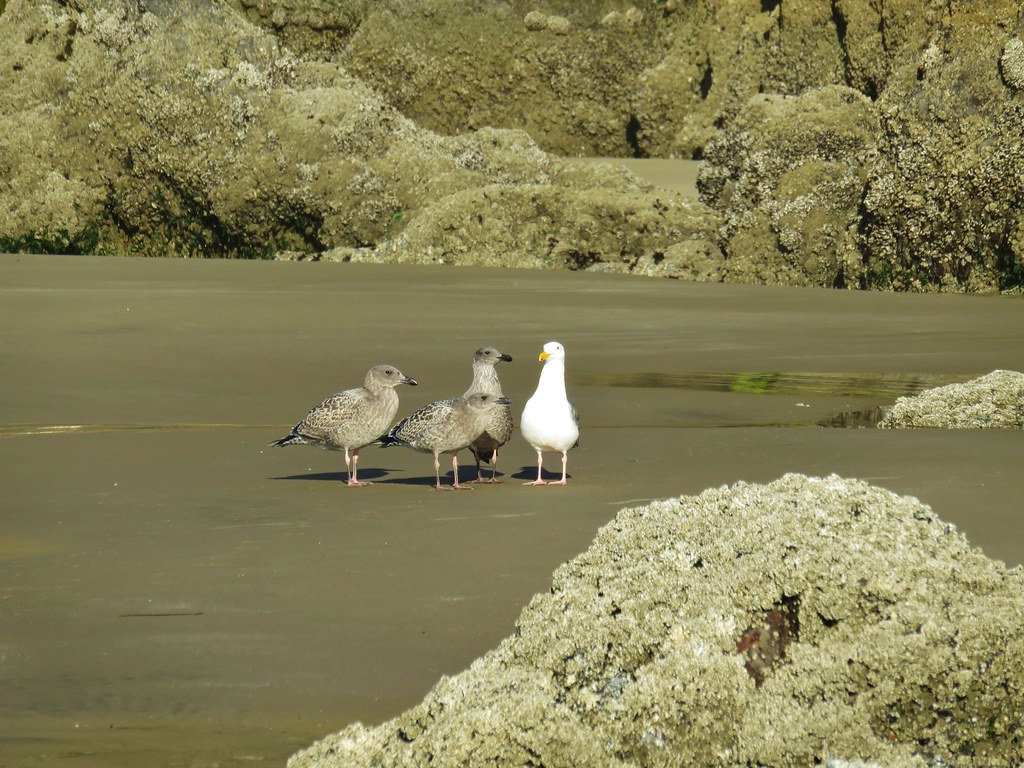
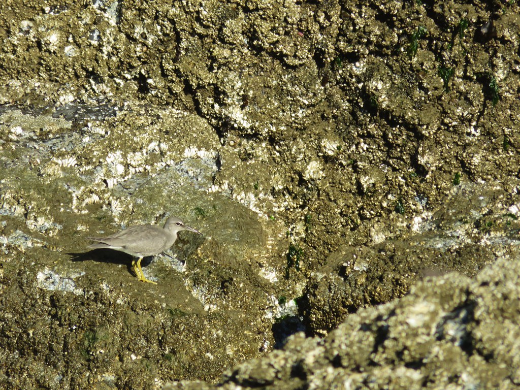
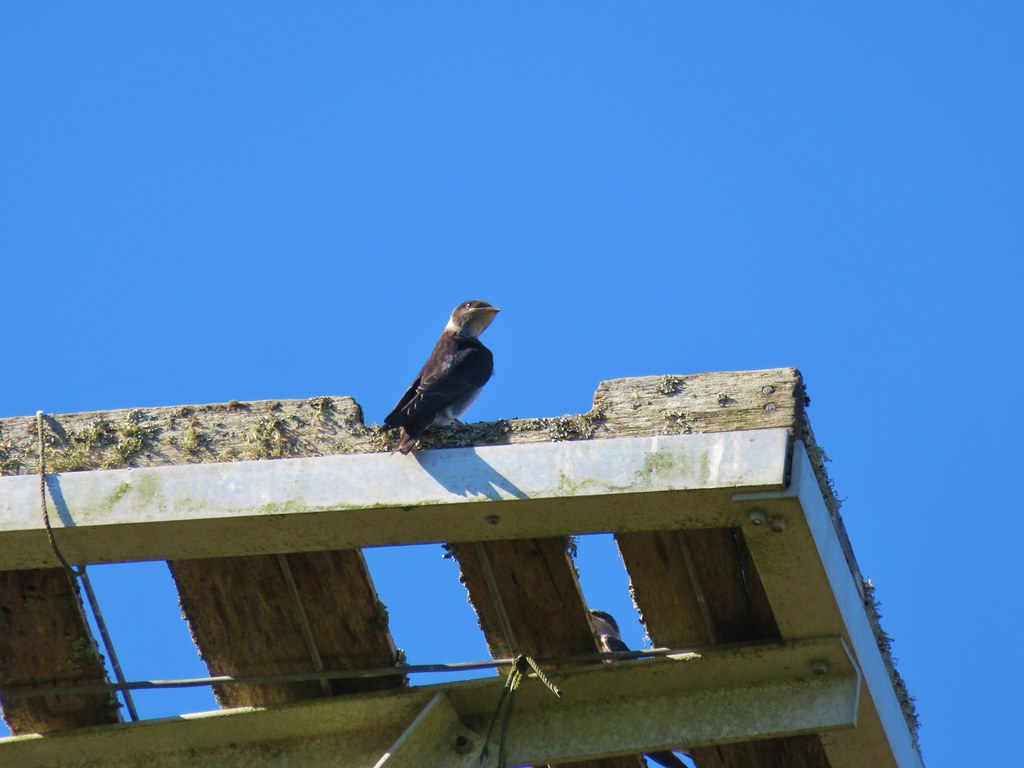
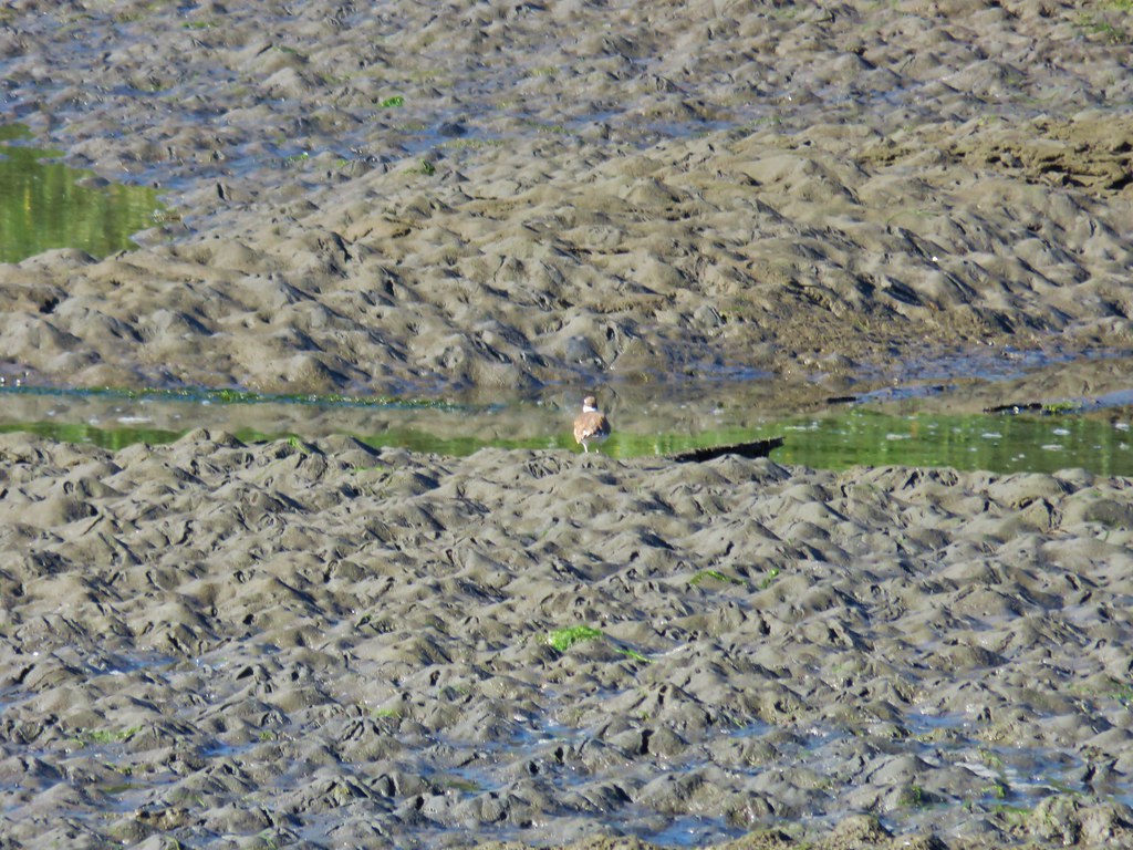
After the feeding and a visit to the souvenir shop we said our goodbyes. On the way to the car we spotted a whimbrel in Yaquina Bay which was the end of our wildlife encounters for the day.

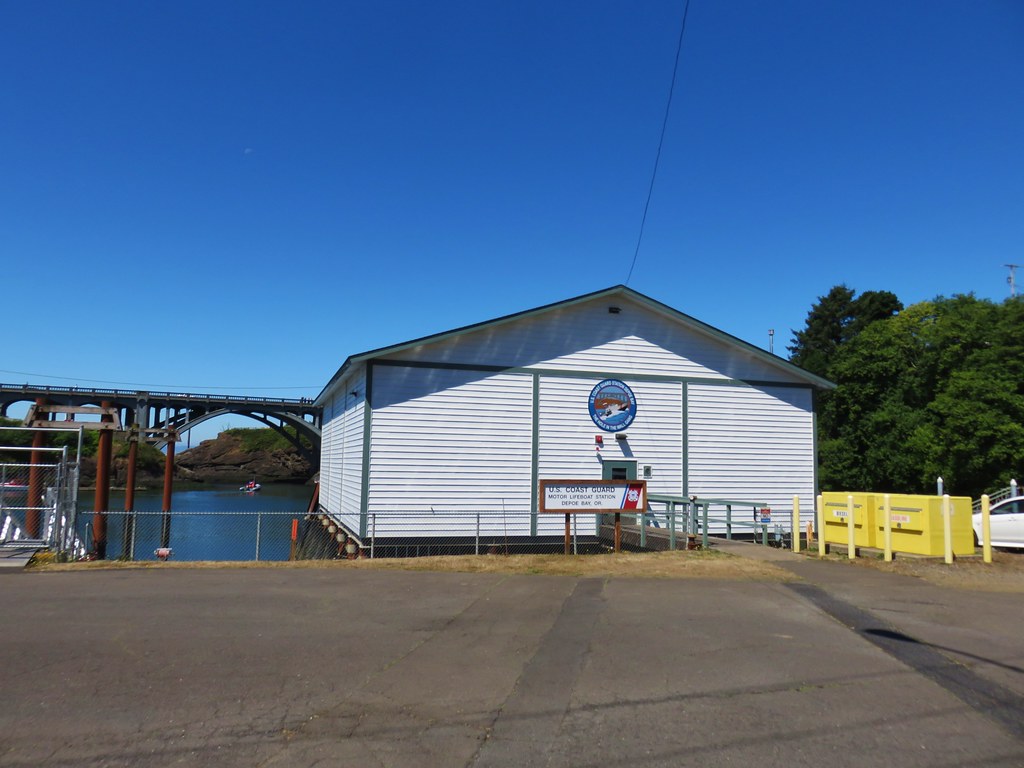
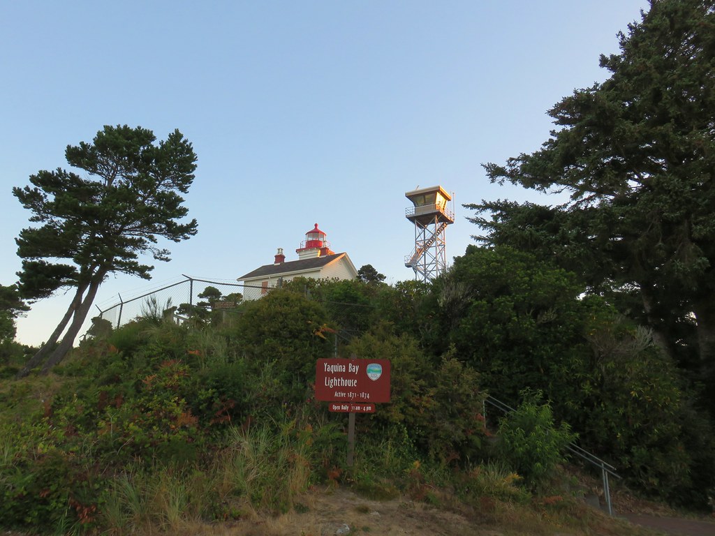
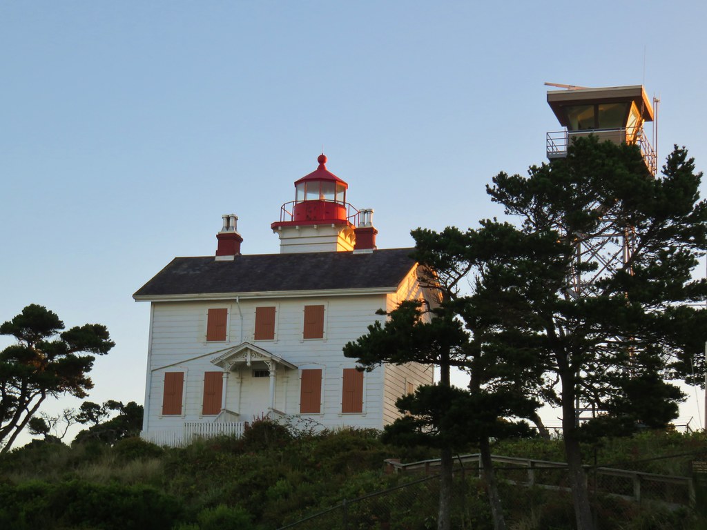
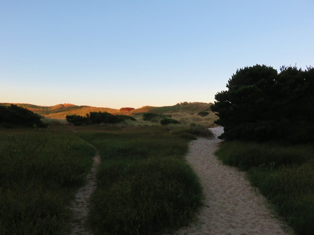
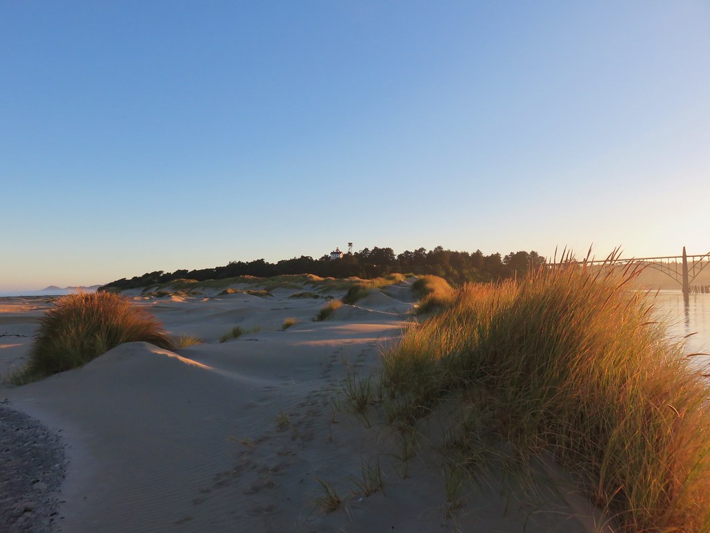
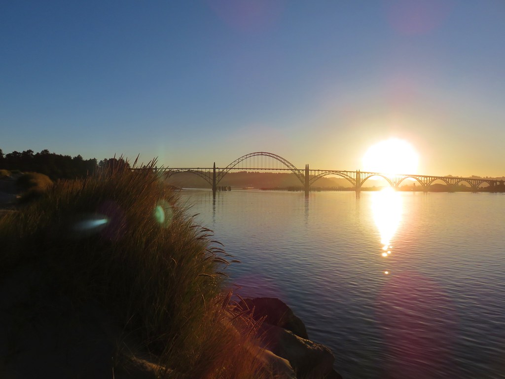
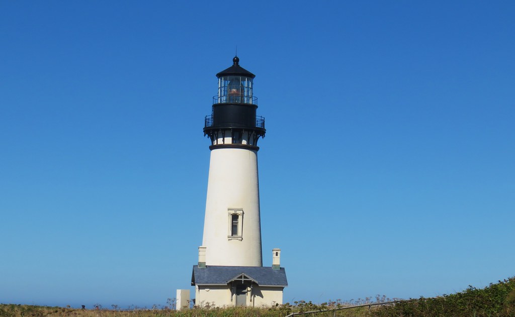
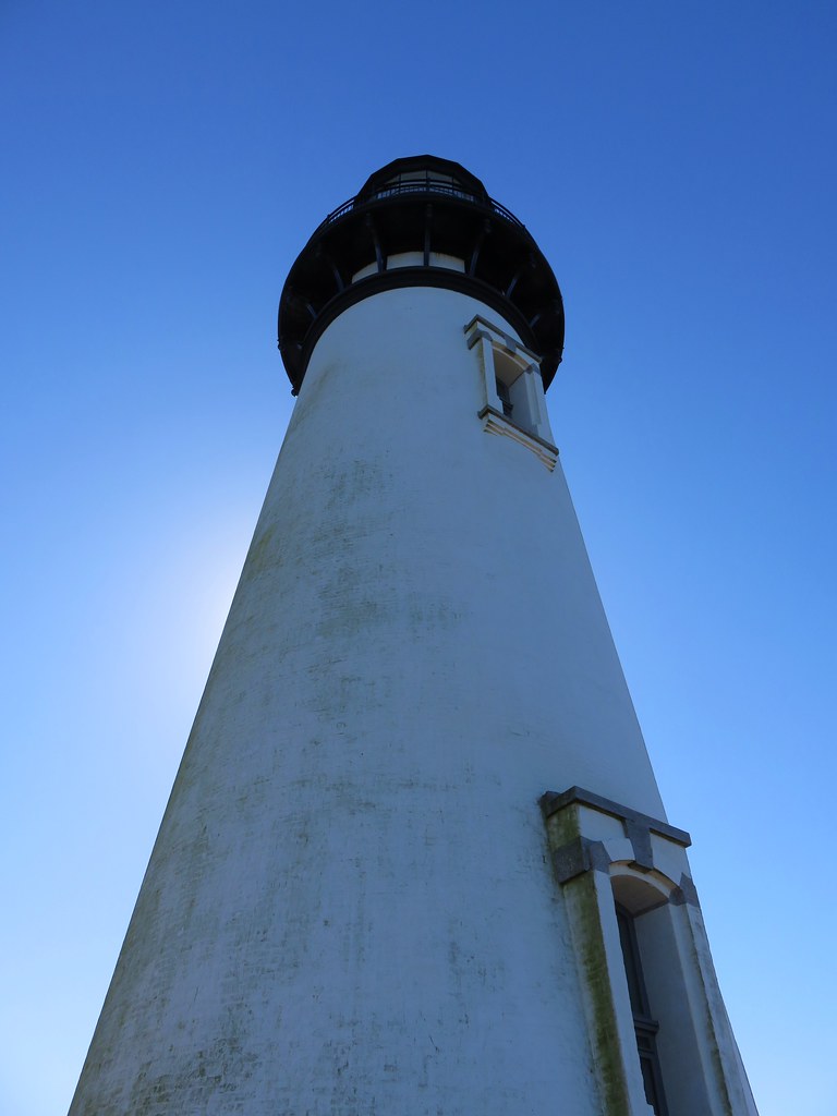
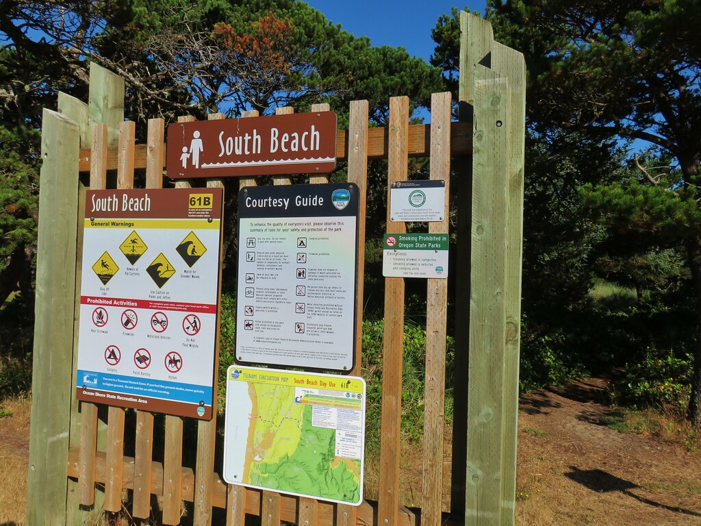
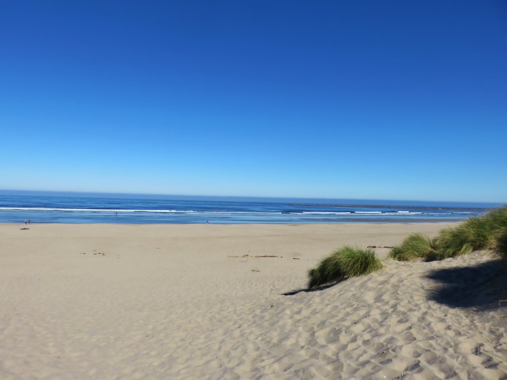
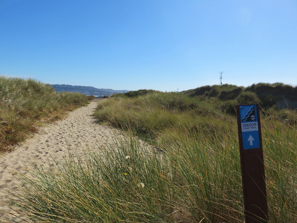
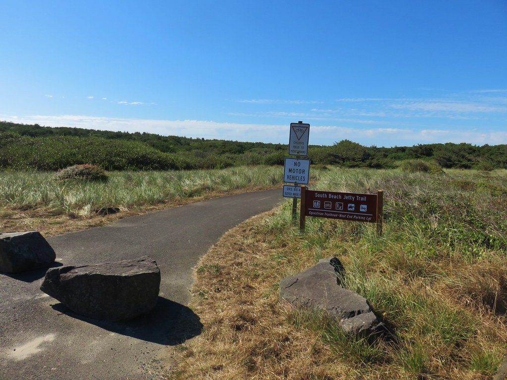
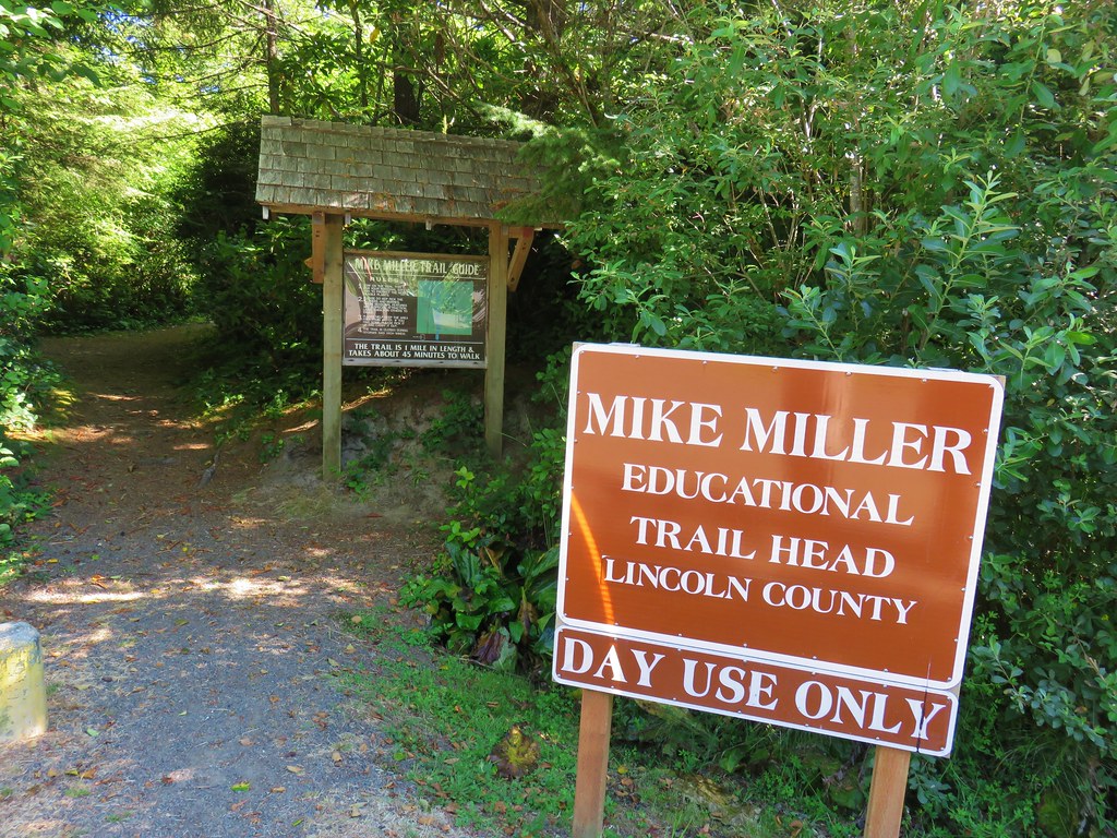
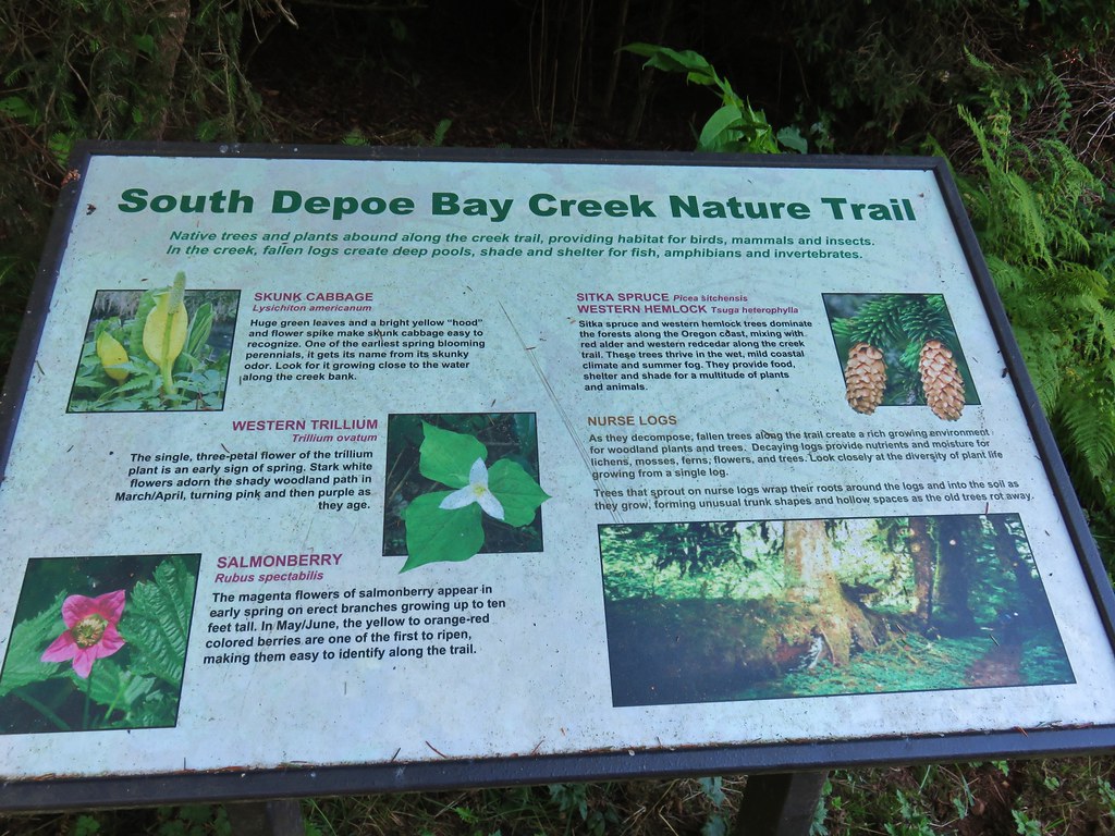
The aquarium is enjoyable for any age and while its size would allow someone to see everything in about an hour, to really appreciate it and take things in you’d want to spend few hours at least. There are also several hikes nearby that could easily be done on the same day including the Yaquina Head or Yaquina Bay Lighthouses (post), Forest Park Trail (post), the Estuary Trail, Mike Miller Park, South Beach (post for the three previous hikes), or for a longer hike the Yakona Nature Preserv (post).

Happy Trails!
Flickr: Oregon Coast Aquarium
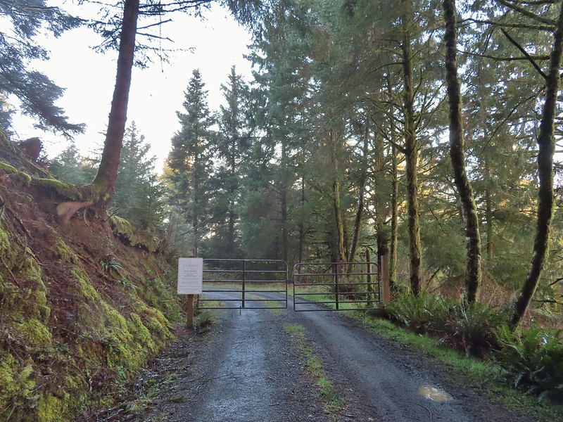
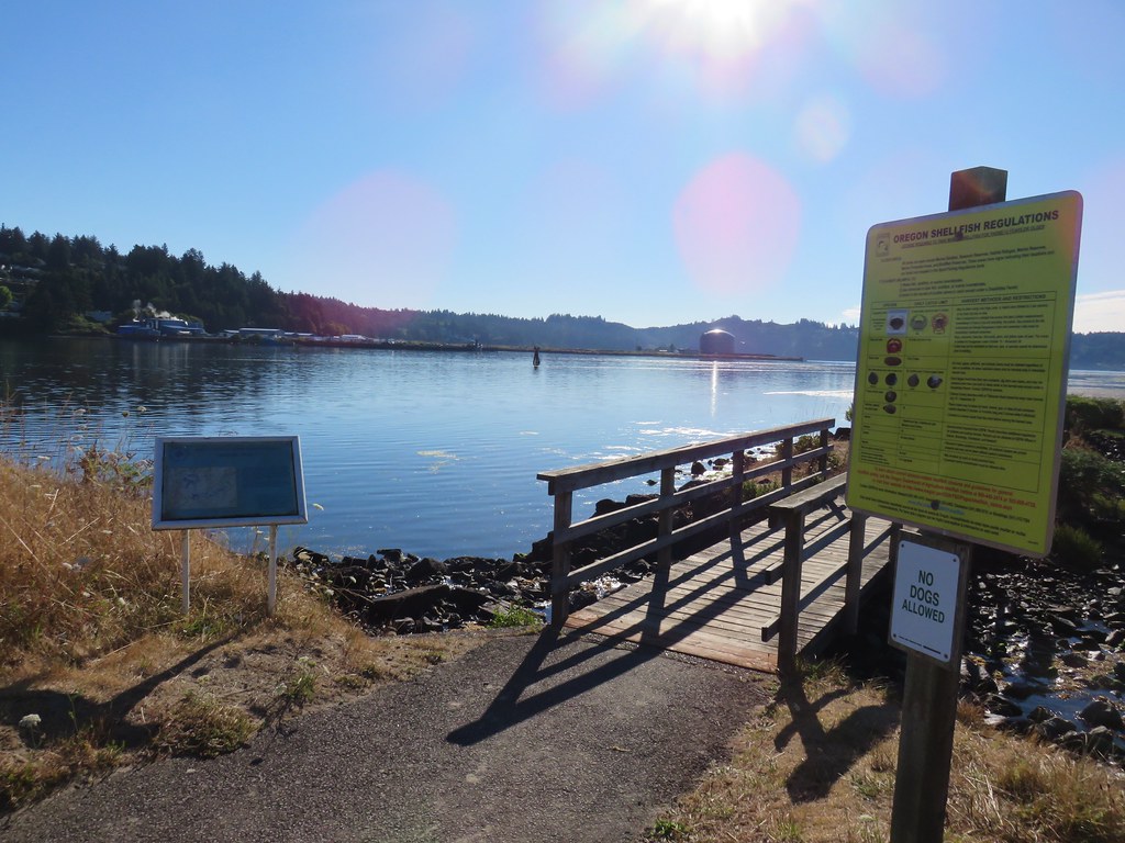
 Permit info at the gate.
 Looking back to the gate from Road 200.
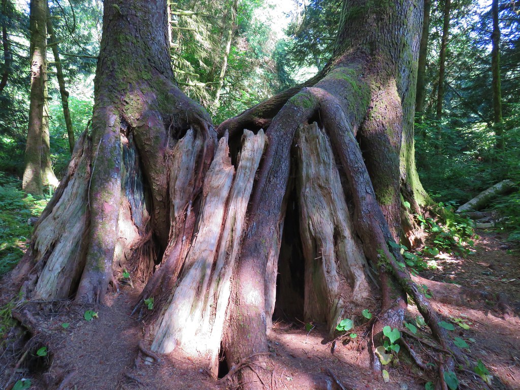
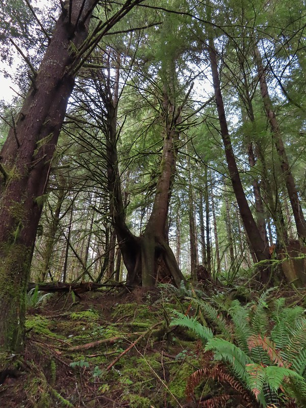 It’s hard to get an idea of size here but the two trees growing over the large nursery stump were good sized.

 Hooded Mergansers
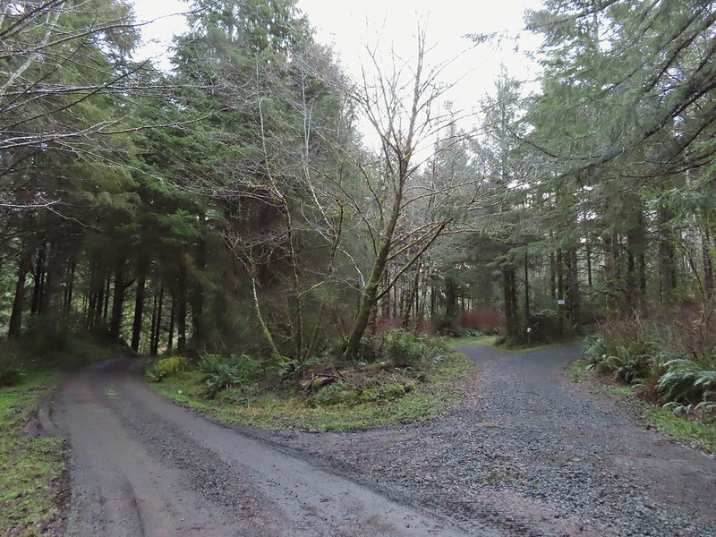 Road 200 to the left.

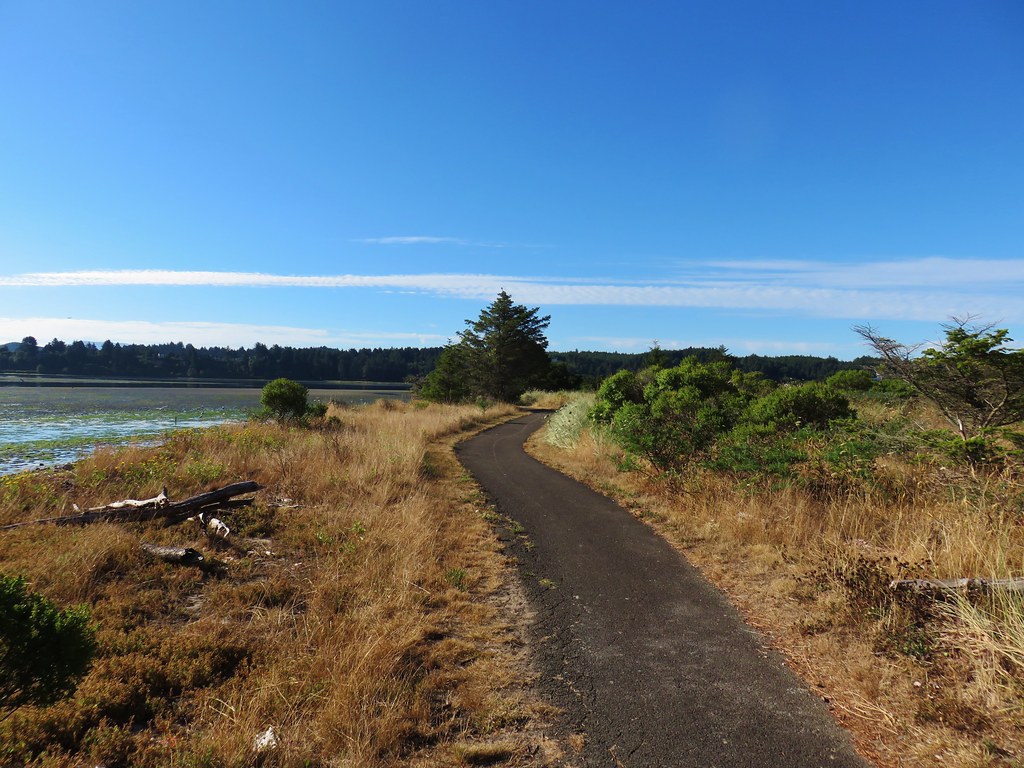
 Upper end of the 3rd World Trail.
 Approaching the ridge top.

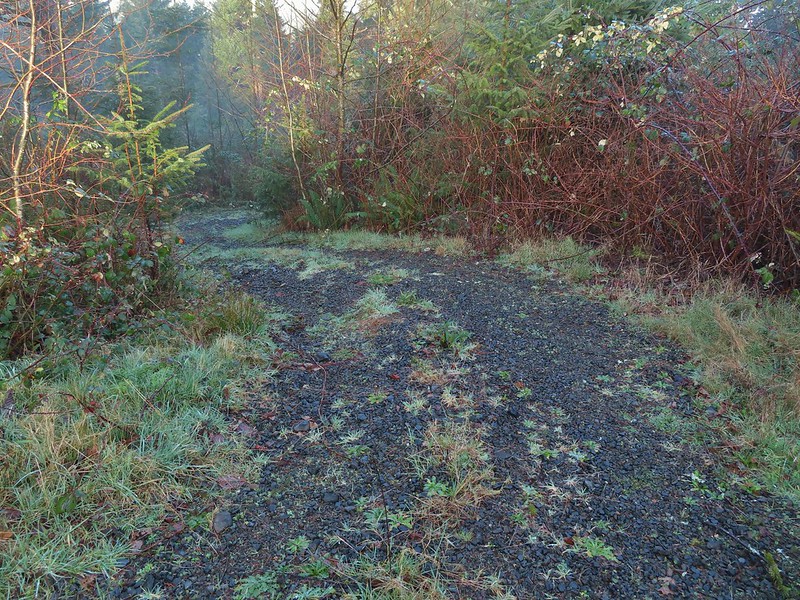 Heading off the main road.

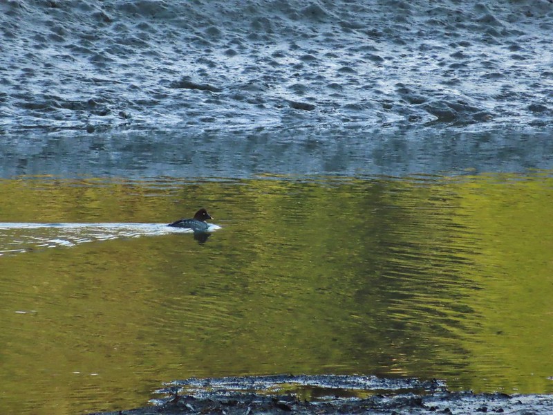 Common goldeneye
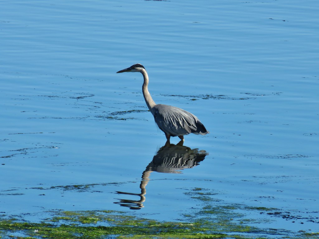
 Great blue heron and buffleheads
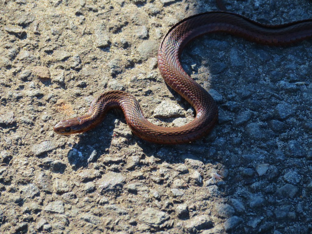
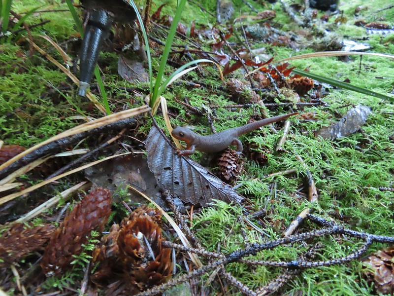 Rough skinned newt
 Coral fungus
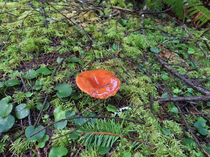
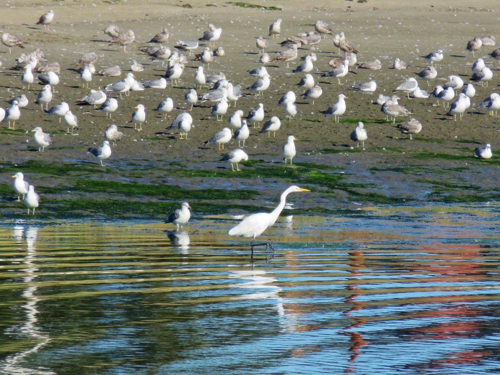
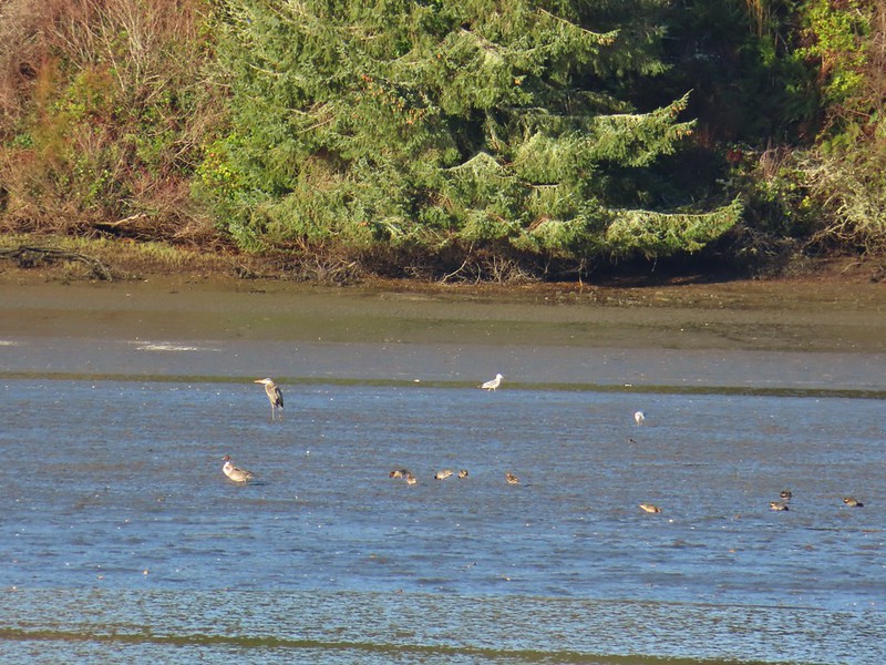 Northern pintail, heron, seagulls and some green winged teals.
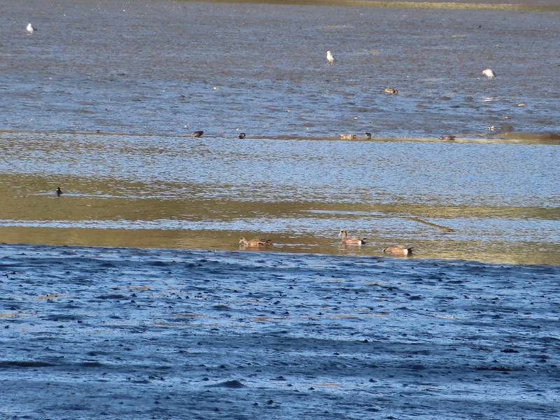 American wigeons
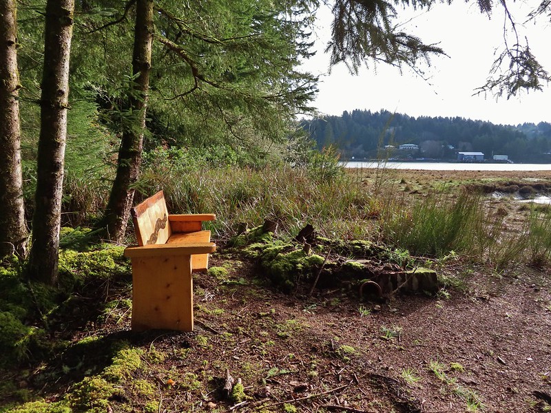
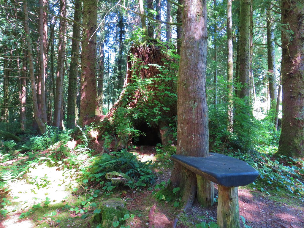
 One of a number of unique benches located along the trails.
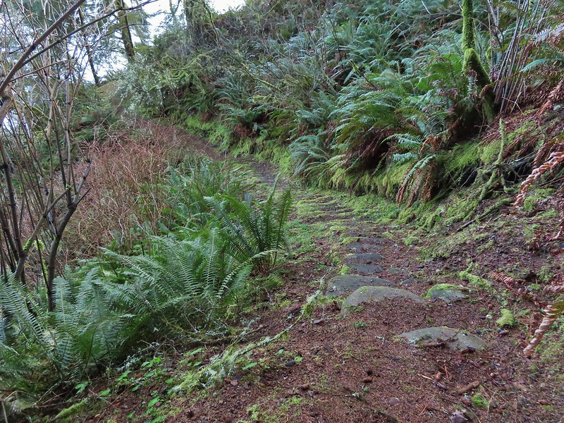 Stone steps
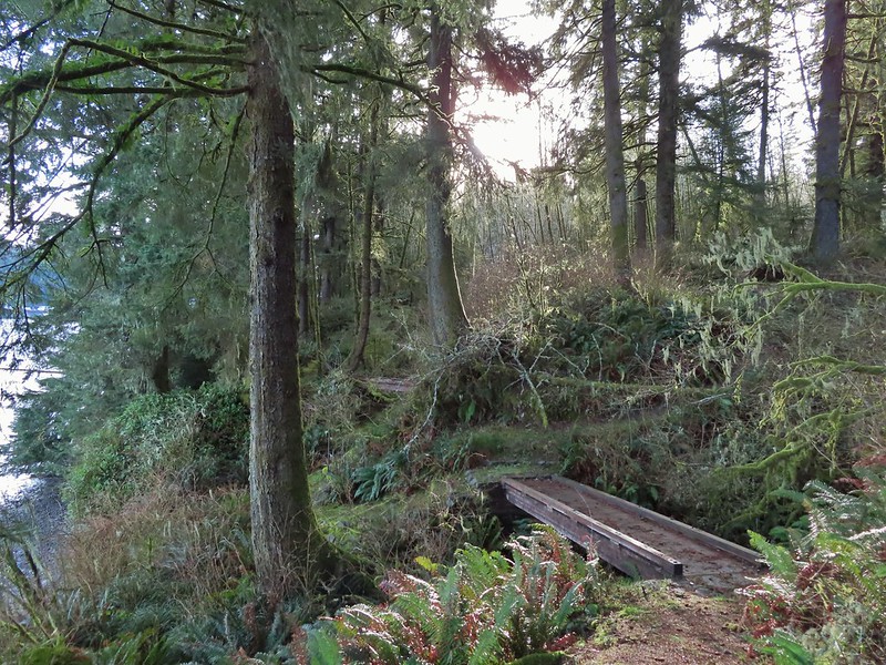 A pair of footbridges.
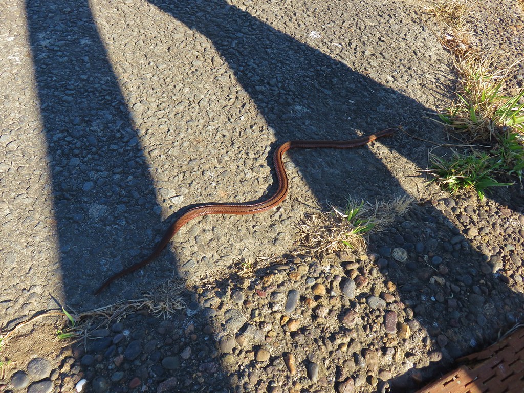
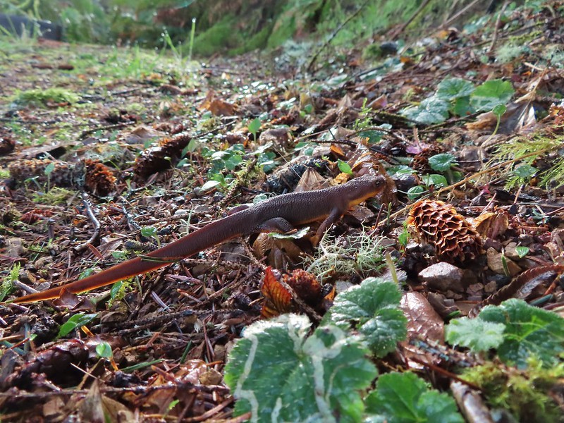 Another rough skinned newt, there were many.
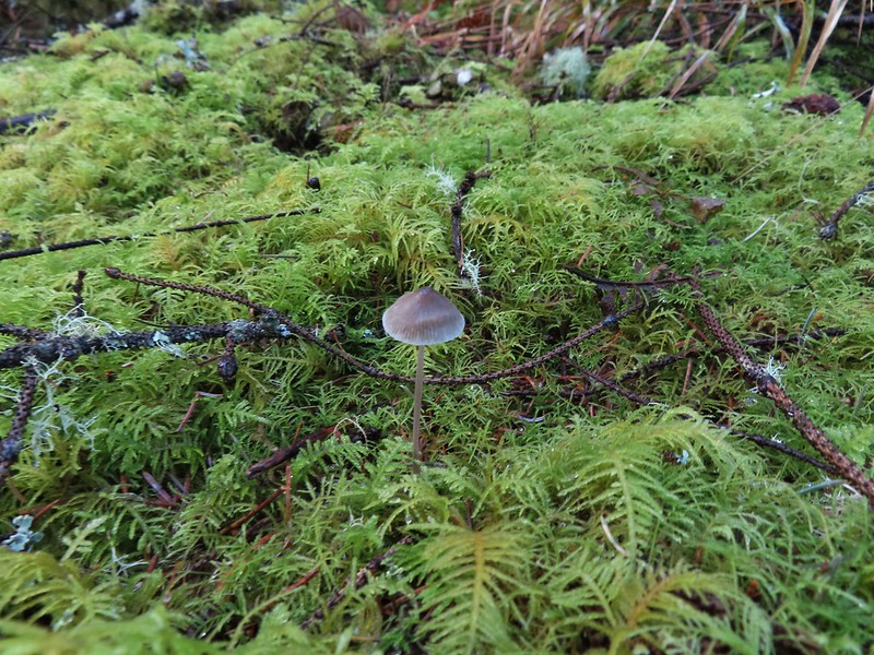 Mushroom
 Another bench at a viewpoint.
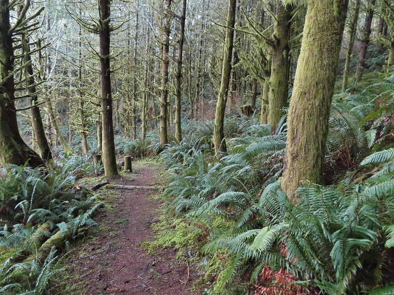

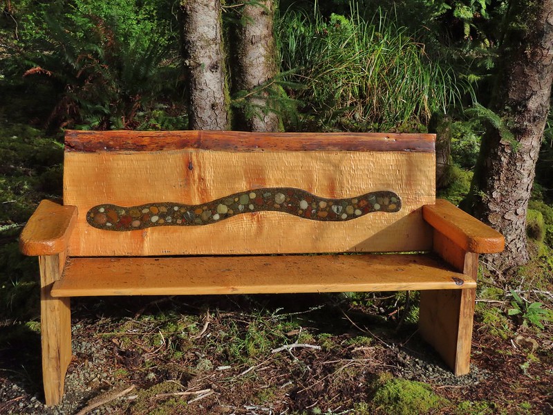
 Several benches were inlaid with rocks such as this which was a really neat feature.
 Small footbridge ahead.
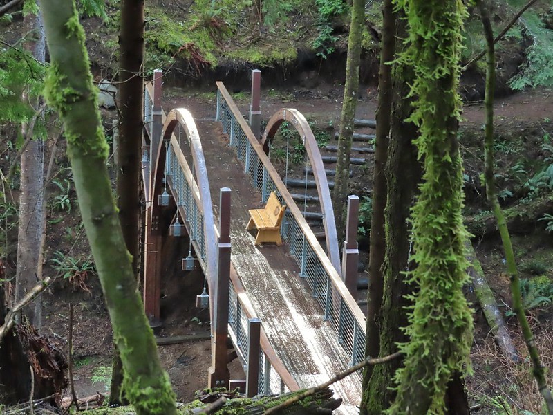
 Yakona Bridge.
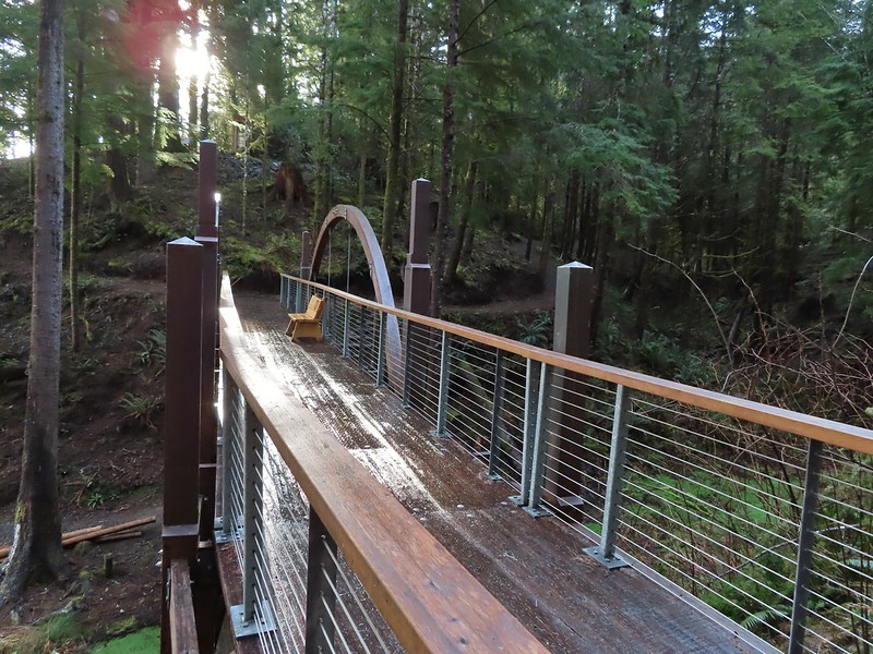
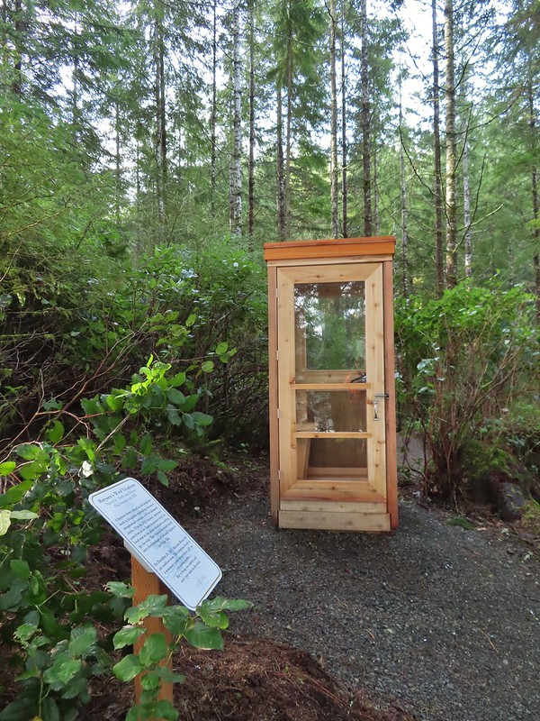
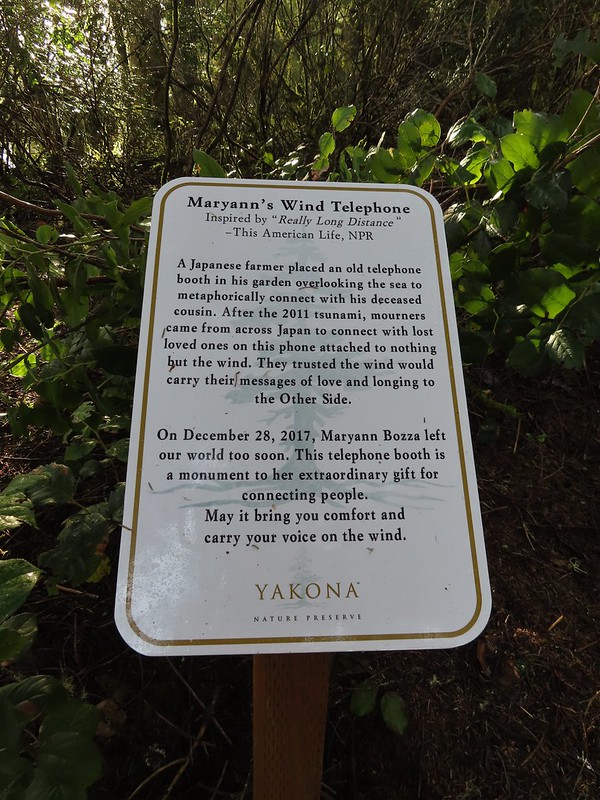 Informational sign for the wind phone.
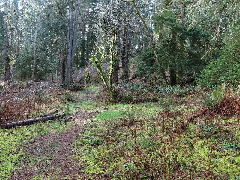
 This trunk had split into four.

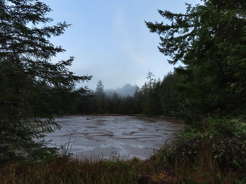
 Dropping down to another estuary.
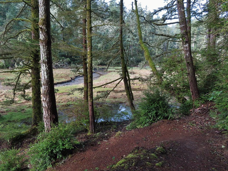
 Back up we go!
 Found the road.
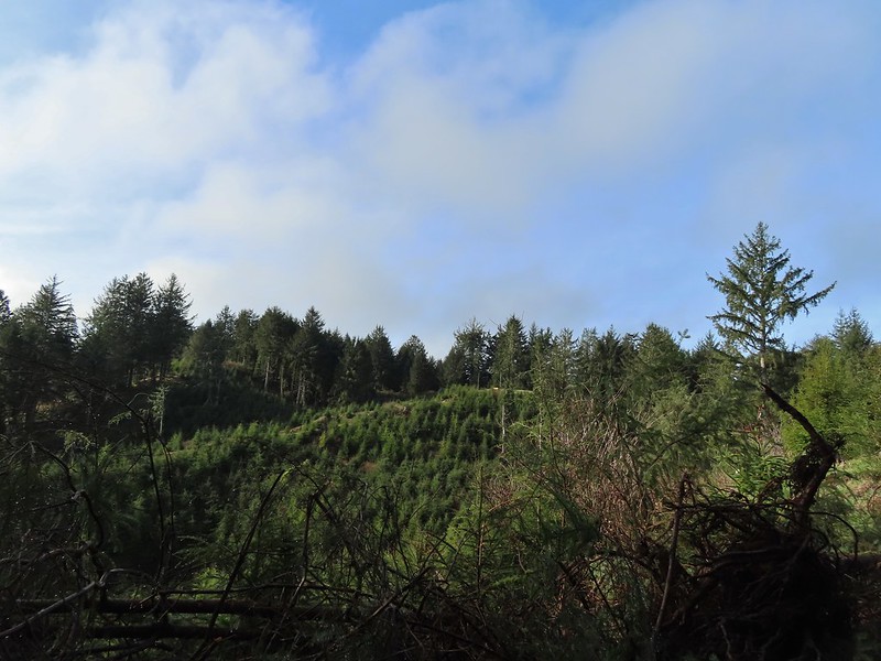 Bench on the far hillside above the clear cut.
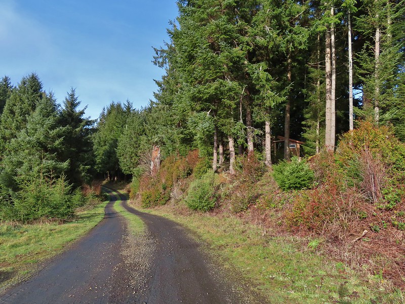
 Short path to the bench.
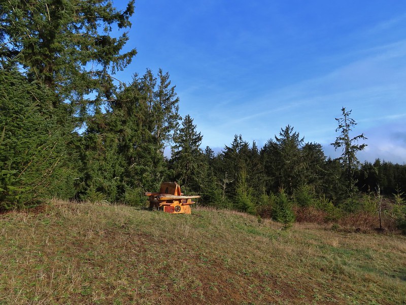

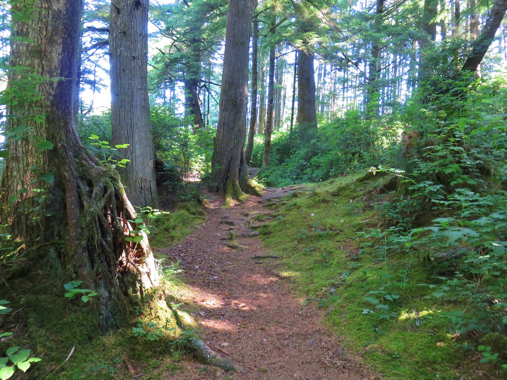
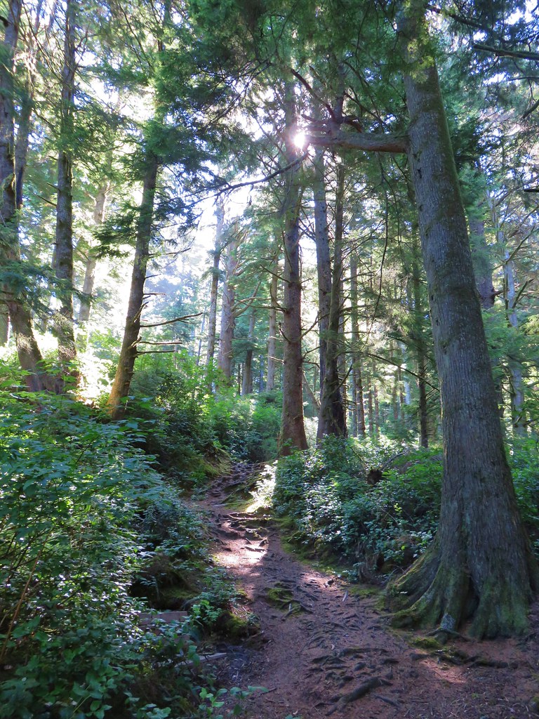
 One of the trails.

 A rather damp woolly bear caterpillar.
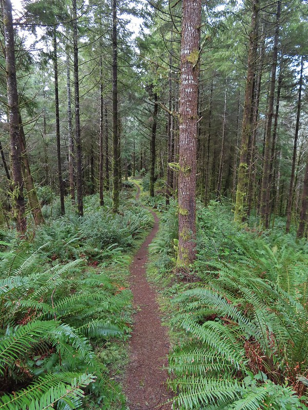
 Back to Road 200 near Kings Slough.
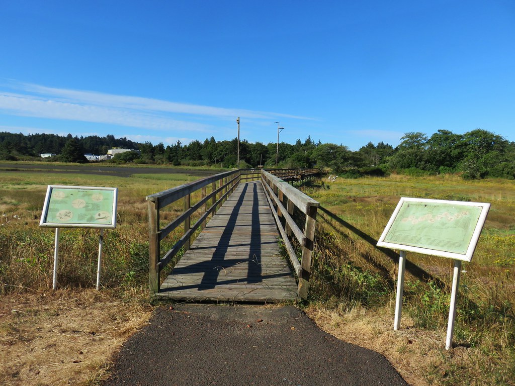
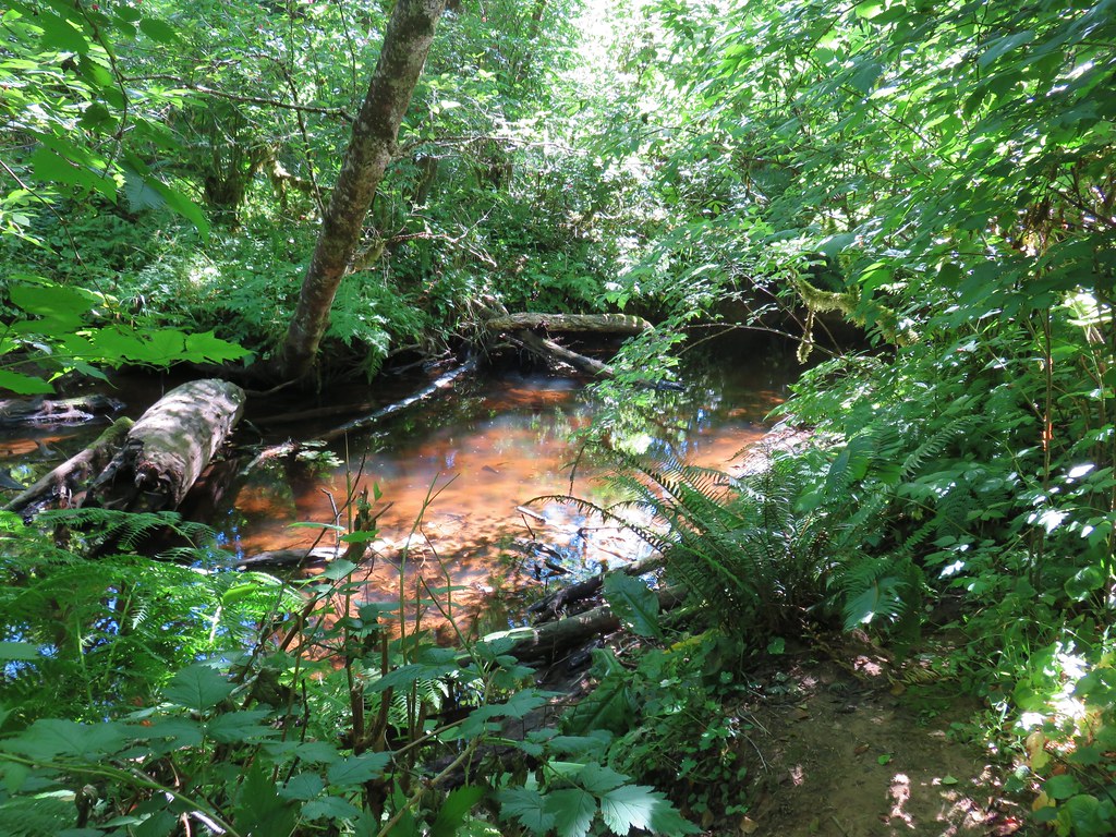
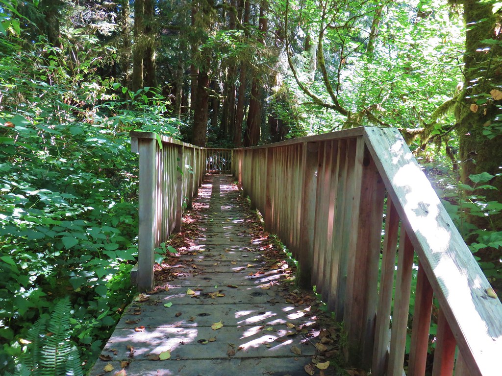
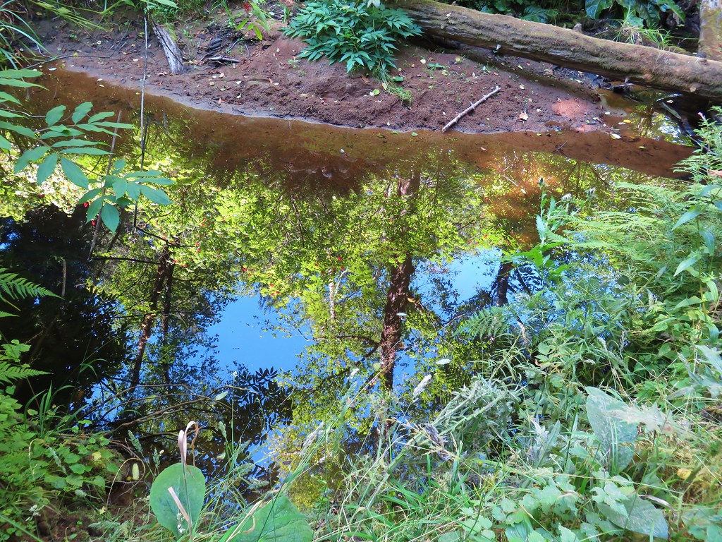
 View from the boardwalk


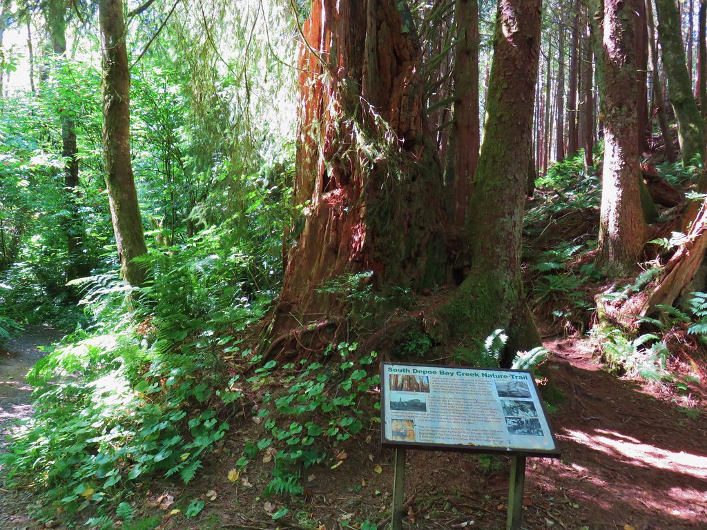
 Part of the
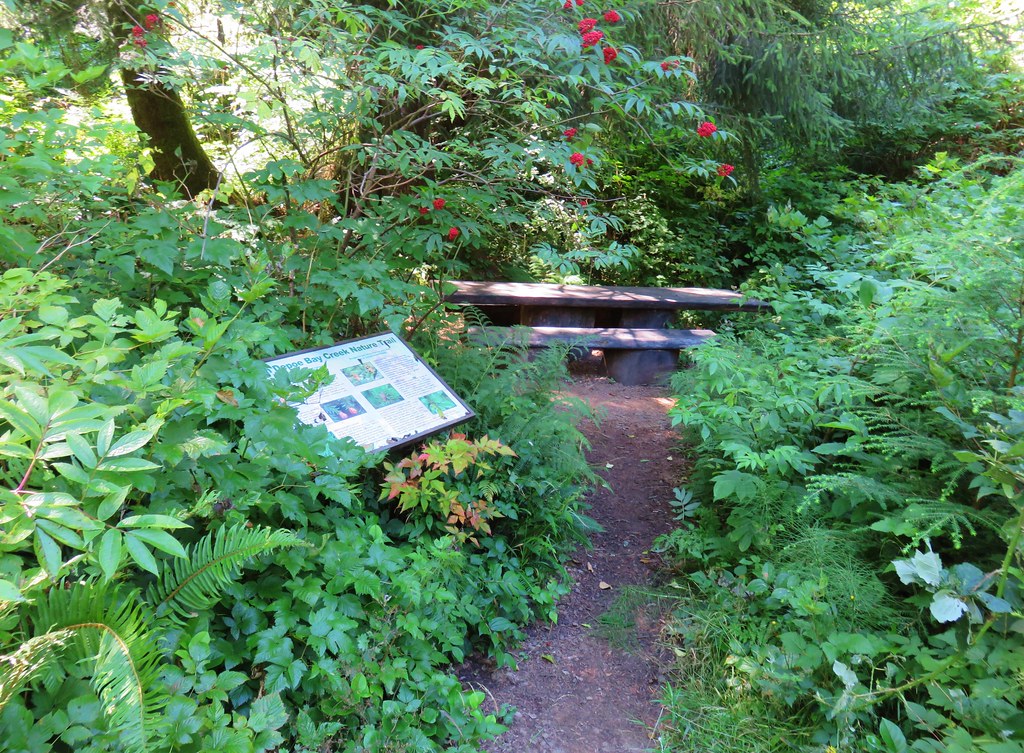
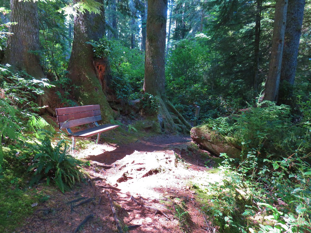 One of several benches along the trail.
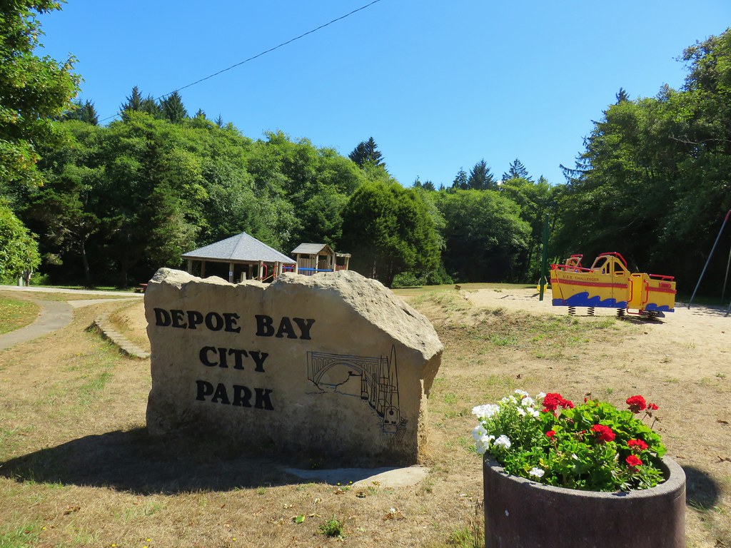


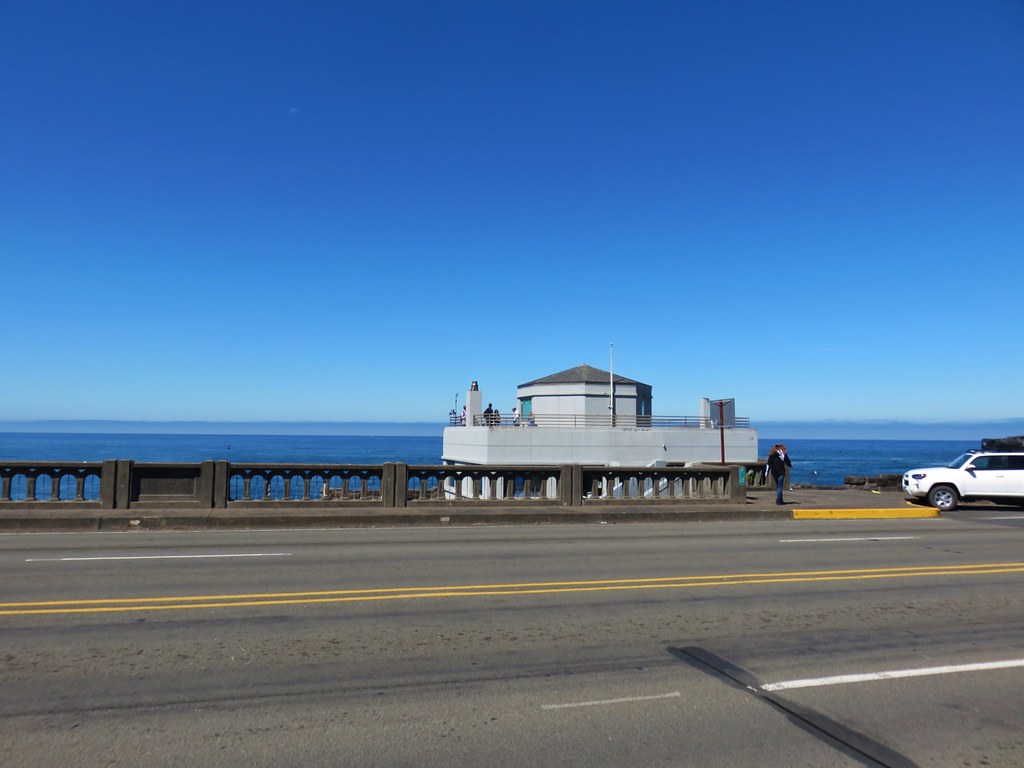 Whale Watching Center