** Note the 2025 Burdoin Fire burned over much of the route described here. **
A combination of inclement weather and illnesses had kept us off the trails for a few weeks, so we were excited to get a chance to head out and check out some wildflowers. We decided to revisit a pair of hikes that we’d done back in 2016 as part of our 500 featured hikes quest. On our 2016 outing we made separate stops at Catherine Creek and Coyote Wall but this time our plan was to hike a loop between the two areas.
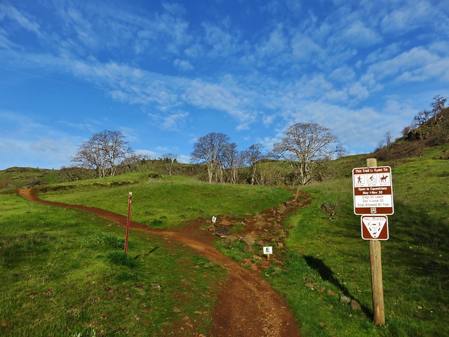
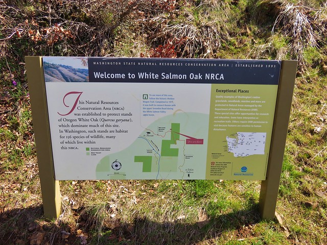
We based our route on a loop described in the Oregonhikers.org field guide which begins at the Catherine Creek Trailhead.


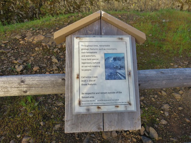
The Forest Service along with the Washington Trails Association have been working on restoring these areas including by improving, rerouting and decommissioning various user created trails. It is a work in process so knowing the current conditions and respecting any closed trails/areas is important before visiting.

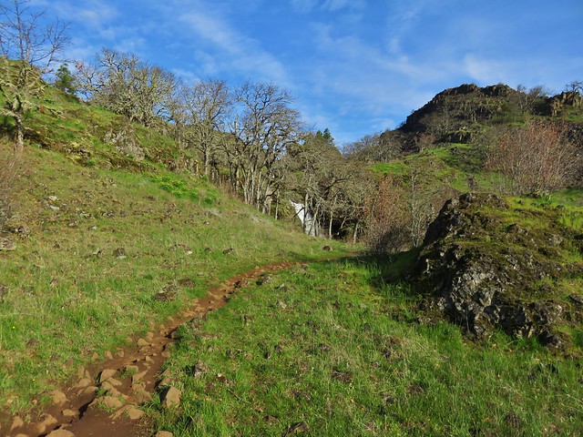
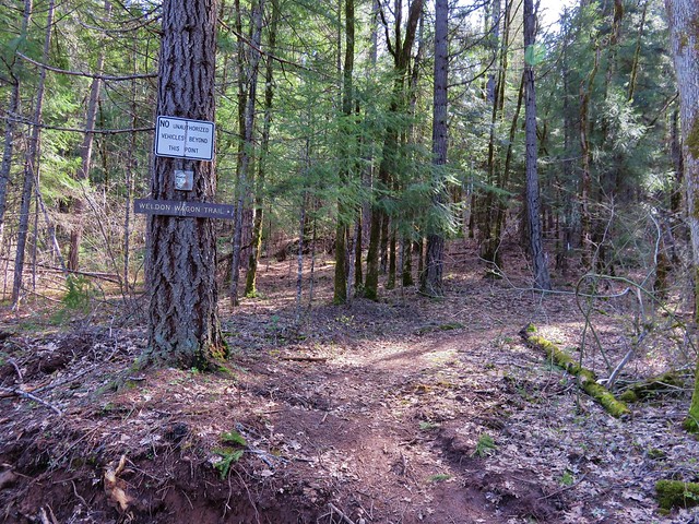
For our loop today we began by following Atwood Road (right of the signboard).
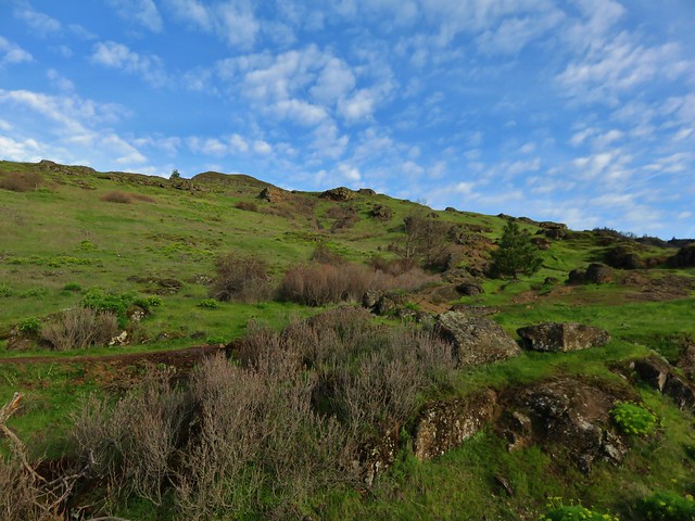
 Atwood Road
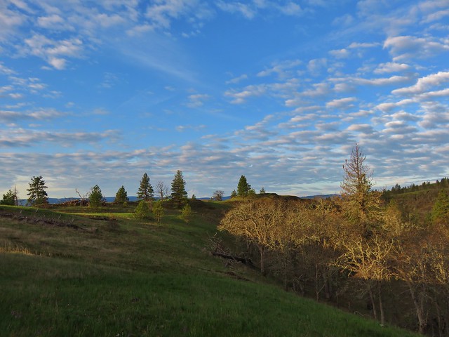
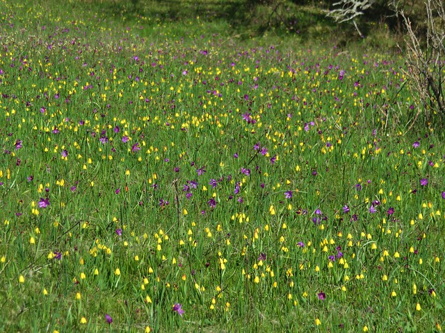
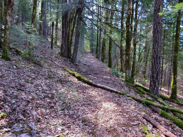
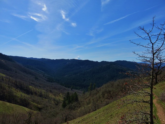
The first 3.5 miles of our loop followed this old roadbed. The initial 1.5 miles climbed steadily before the road turned west to traverse the hillside toward Coyote Wall. There were a variety of wildflowers blooming along the lower portion of the road.
 Death camas
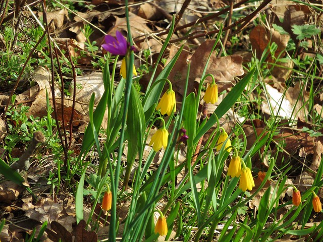
 Saxifrage and a yellow bells.
 Grass widows

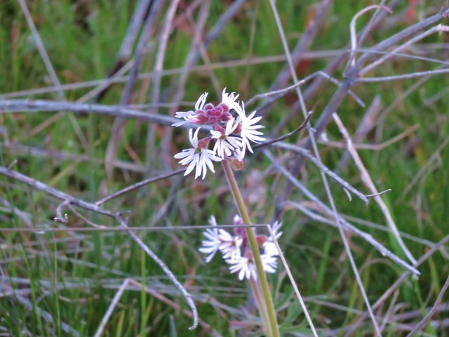
 Gold stars, wood-land stars, and blue-eyed Mary.
 Catherine Creek from Atwood Road.
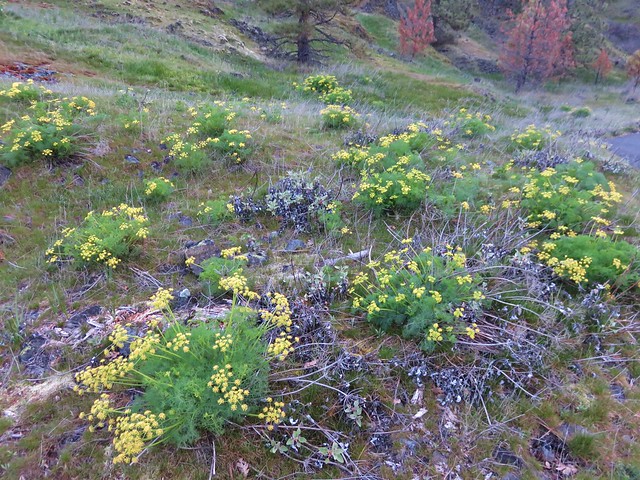
 Pungent desert parsley


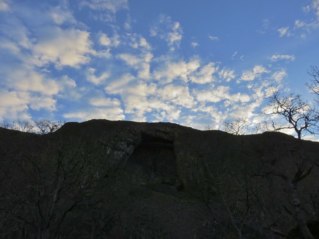
Catherine Creek Arch from Atwood Road.
 Closer look at the arch.
 Buttercup
One of the highlights of the day was spotting a number of Dutchman’s breeches on a hillside below some cliffs.
 I believe this was just our second time coming across these flowers.
 Closer look at the Dutchman’s breeches.

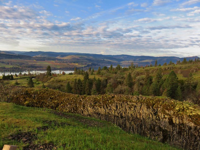
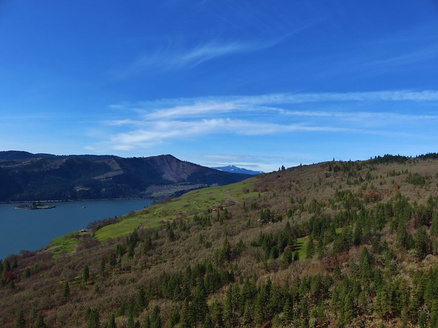
The Columbia River from Atwood Road.
 Hairy bittercress (non-native)
 Entering the sunlight.
 Glacier lilies
 wood-land stars
 Toothwort

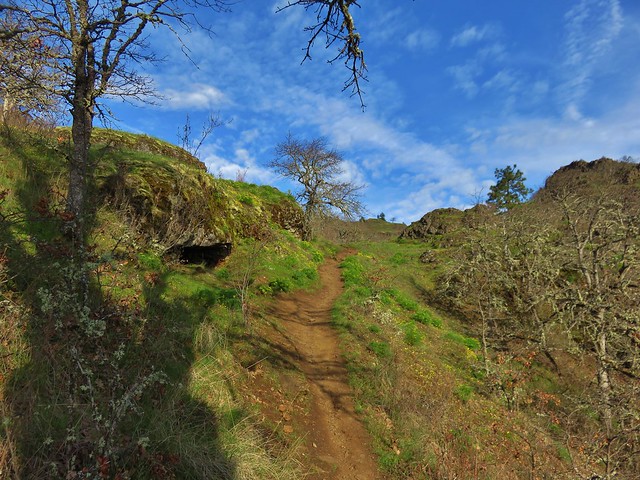
Nearing the forest.
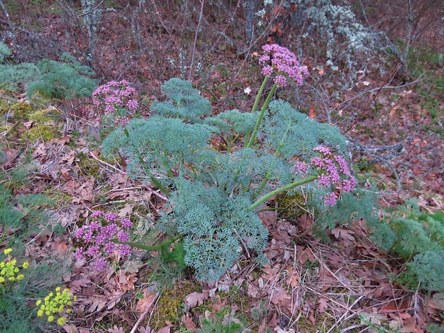
 Columbia desert parsley
Shortly before Atwood Road turned we passed a roadbed on the right that led to an old stove.


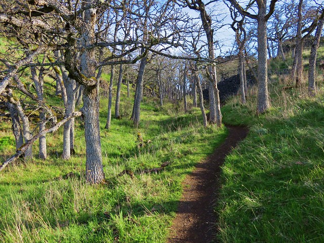
 Heading through the forest.
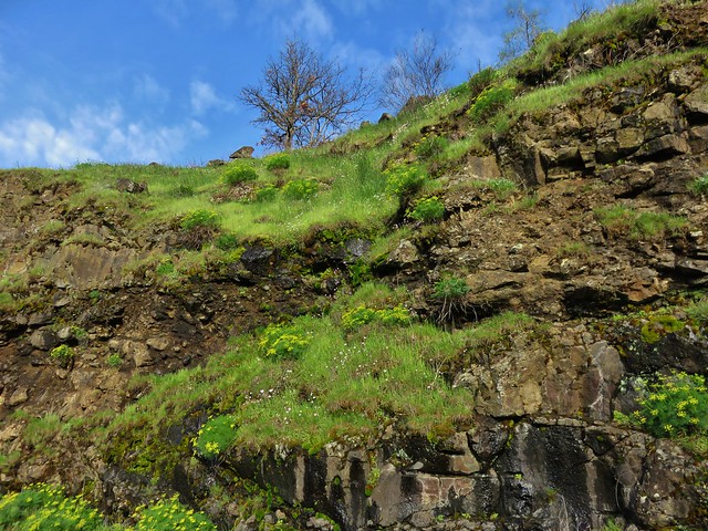
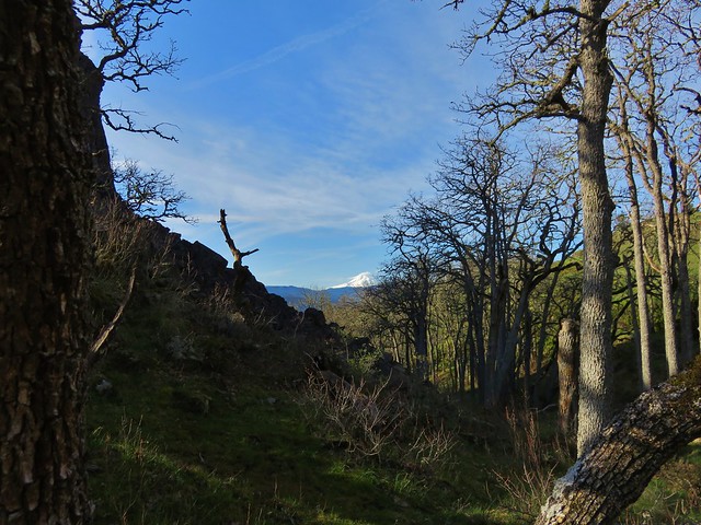
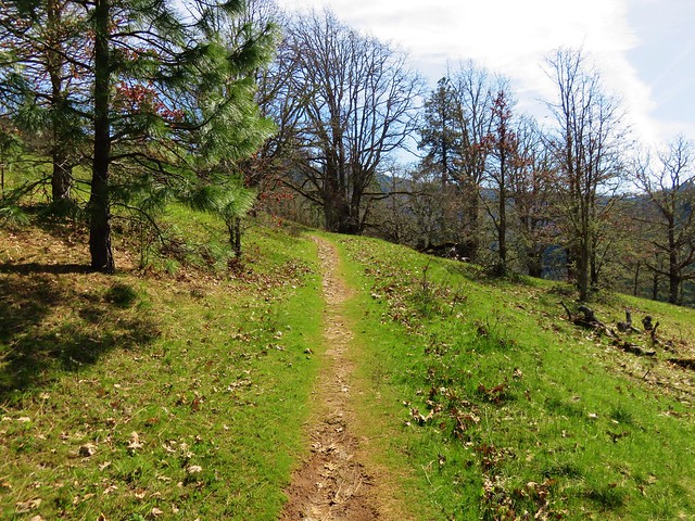
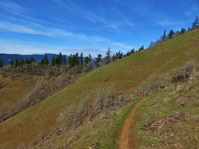
The road exited the forest not long after turning west and passed through an open hillside with views of Mt. Hood.
 Looking east as the road emerged from the forest.
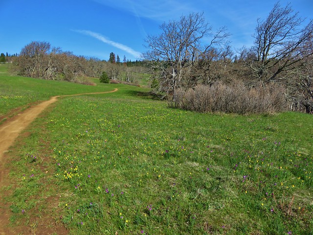
 Grassy hillside

This signed trail heading down Sunflower hill is the Bitterwood Trail aka Ca2. This is not yet an official trail, and the Forest Service plans to reroute and build out an official trail in 2025. (Assuming they have employees and funding.)
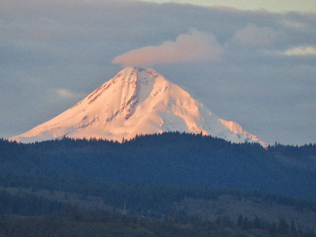
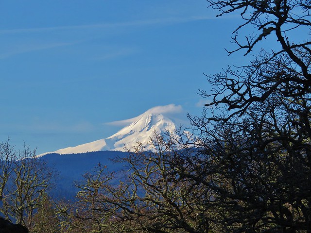
 Mt. Hood behind a few clouds.
 Mt. Hood
 Popcorn flower
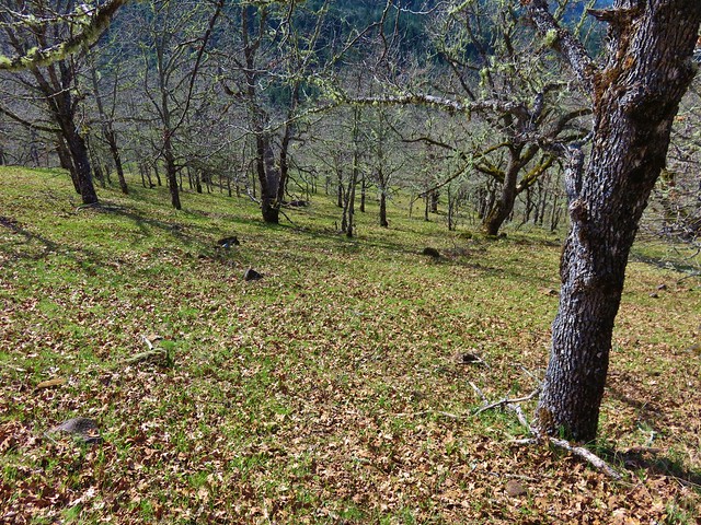
The trail descending into another stand of trees to cross Rowland Creek and continued to alternate between open hillsides and stands of trees before arriving at a signed junction.

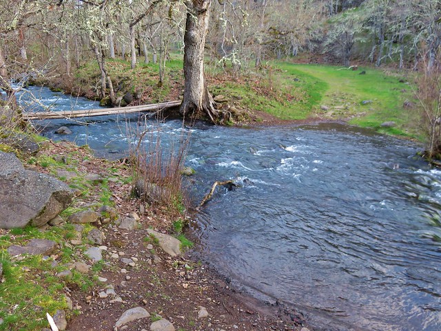
 Rowland Creek
 Another user trail on the left, referred to as the Shoestring Trail by the Oregonhikers Field Guide. This trail is not shown on the Forest Service map nor is it mentioned on their website.

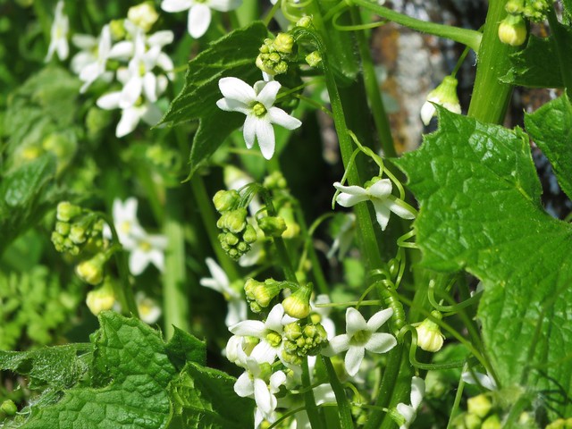
 Coastal manroot

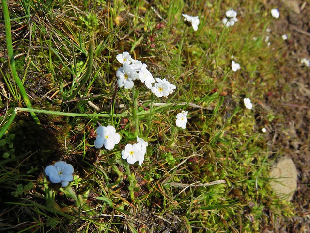
 Grass widows

 View of Mt. Hood’s summit.
 Robin hunting worms.
 Daffodils
 The Upper Labyrinth Trail (aka Co8) joining from below. This was the first junction with signs naming official trails.
We had come up the Upper Labyrinth Trail in 2016 making the next three quarters of a mile a repeat.

 Labyrinth Creek below Atwood Road.
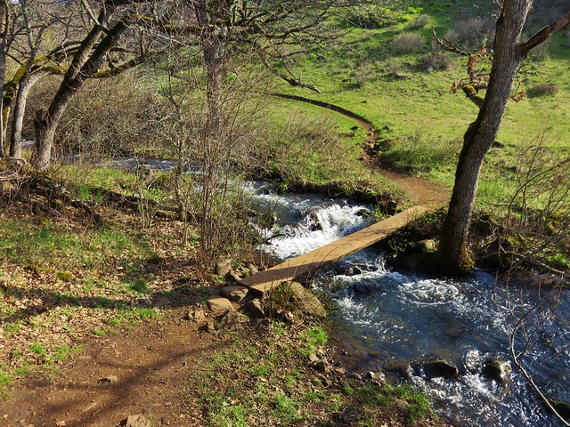
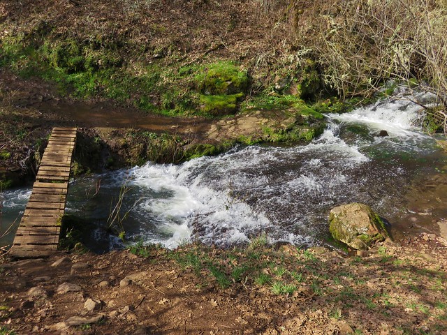
 The Labyrinth Creek crossing.
 Wet trail climbing away from Labyrinth Creek.
 Red-tailed hawk
A half mile from the Upper Labyrinth Trail junction, and 3.5-miles along Atwood Road, we arrived at another signed junction at a boundary with some private land.


Here Atwood Road enters the private property, so we followed the pointer for the Old Ranch Trail #4426. We followed this trail downhill 0.3-miles to a signed junction with trail #4427 – Traverse to Coyote Wall where we turned right.

 Yellow bells

This was once again new trail for us and we followed it uphill just over three quarters of a mile to a confusing signed junction near the rim of Coyote Wall.

 We stayed left here.
 We ignored the singletrack leading right on the far side of this unnamed stream.
 Here we veered right on the single track. I believe the single track is the “official trail” although both paths led to the signed junction.
 A multitude of tracks near the junction.
It appears that the ultimate plan is to have one official route for the Coyote Wall Trail #4428 (aka Co1) and to decommission all others. At this point there was only one small sign identifying a closed trail and it was a path along the rim of Coyote Wall that was covered in a type of netting. We turned uphill at the junction to visit the meadow at the junction but were unsure which path to take. The field guide map has not been updated to identify the new official route and showed a narrow-elongated loop. There was no consistency watching other trail users, so we picked a hiker and followed his route up.

We eventually came to the conclusion that the new official trail was the one that used a series of switchbacks to reach the upper viewpoint.
 On one of the switchbacks.
 Turkey vulture
 The upper viewpoint.
After a short break at the viewpoint we headed back down to the signed junction where we continued down the Coyote Wall Trail.

 Balsamroot
 Looking east over the Columbia River.
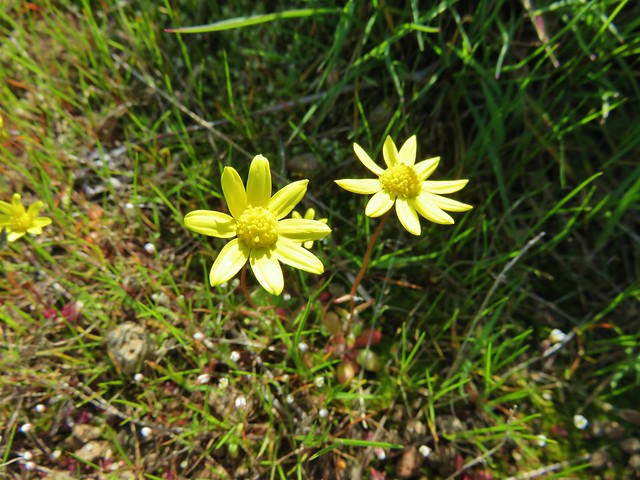
 Gold stars
A mile beyond the junction the Old Ranch Road Trail joined from the left at a three way junction.

Here we stayed right on the Little Moab Trail (Co3) and continued downhill along Coyote Wall.

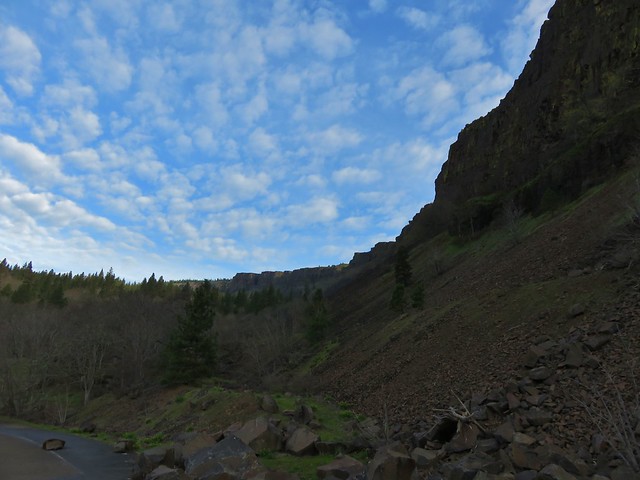
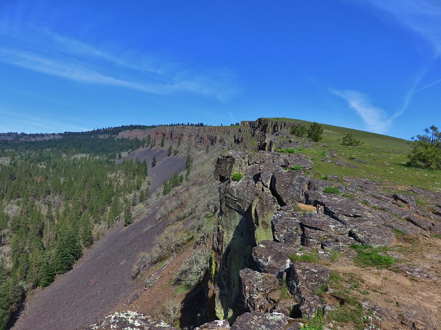
Coyote Wall
 The
The  Woolly-pod milk-vetch

 Miniture lupine, redstem storksbill and a popcorn flower.
 Fiddleneck

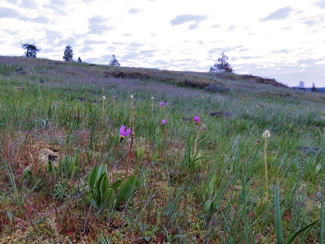
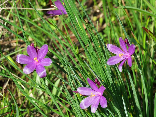
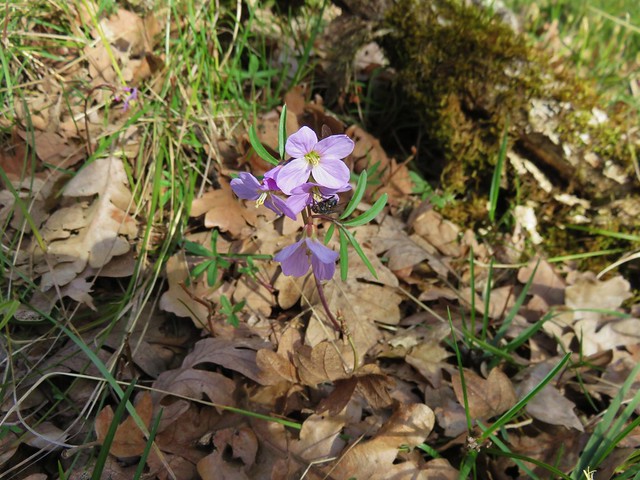
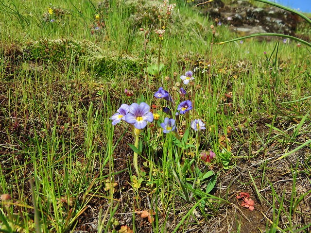
Poet’s shooting star
 We turned right at this junction with the Old Ranch Trail to continue downhill.

 Naked broomrape and redstem storksbill


We took another right at this junction with the Little Maui Trail to drop down even further to an old highway.
 Tomcat clover and redstem storksbill

The old highway below.
We turned left (east) on the highway and followed it for 0.3-miles to the Labyrinth Trail #4423 (Co7) where we turned left.


The Labyrinth Trail wound through rocky outcrops for 1.2-miles to an unsigned junction with the Upper Labyrinth Trail on an open hillside.
 We ignored the Little Maui Connector Trail on the left near the old highway.

 Larkspur

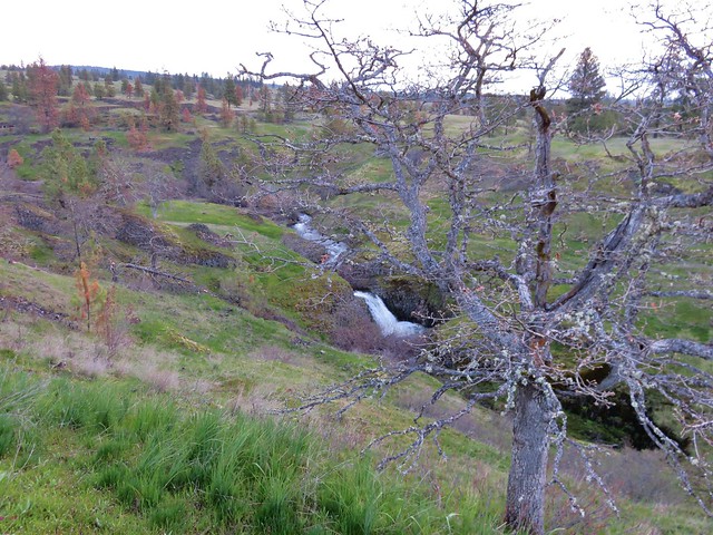
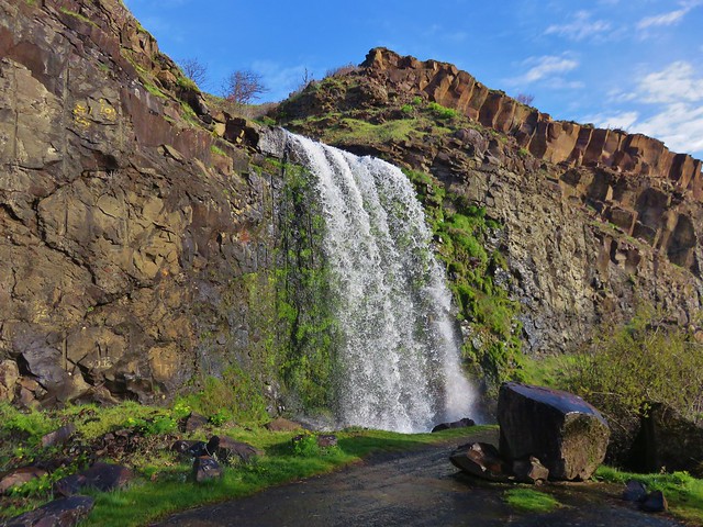
The trail to the right here is a spur to Labyrinth Falls.

Labyrinth Falls

 Crossing for Labyrinth Creek.

Labyrinth Trail


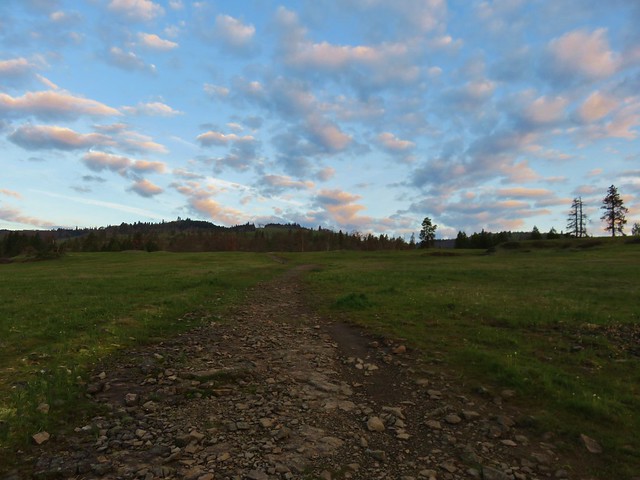
 First view of the Catherine Creek Trailhead on the plateau ahead.

At the junction we stayed right on the Labyrinth Trail. We were happy to not be climbing for a bit as the Labyrinth Trail traversed the hillside before dropping to an ancient rockslide where Native Americans built vision quest pits.

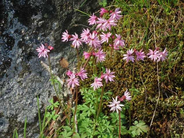
 Hound’s tongue
 Rowland Creek
 Rowland Basin


 Lupine and balsamroot
We’d done a pretty good job staying on course given the numerous trail junctions, a good number of which were unsigned, but that ended when we reached another unsigned junction with a rough trail on the left marked by a small rock cairn.


We should have turned left here but got confused reading the field guide entry and wound up staying straight. Apparently straight is the Raptor Trail (Ca1). We didn’t realize our mistake until we spotted the highway below.
At that point I turned around to go back to the junction. Heather was just behind me on her way down and when I informed her of the mistake she decided not to climb back up to the junction but to simply walk the highway a little over a third of a mile to the trailhead. (Apparently the Raptor Trail is closed seasonally from Feb 1 – July 15th, but we didn’t see any signs to that effect.)
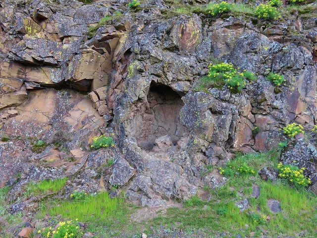
I returned to the cairn and turned right up the rough path which led to basalt cliffs and up a scree slope to another unsigned junction after just 0.2-miles.

 The Rowland Pinnacle

I turned right at the junction and followed this trail just over half a mile back to the trailhead where Heather was waiting. (Eventually the Bitterroot Trail (Ca2) will replace this user created trail.)


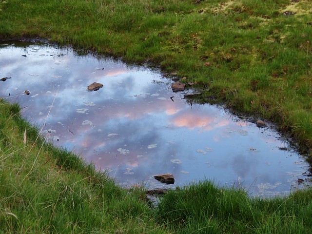
One of several small vernal pools.

The GPS put this hike at 11.9 miles consisting of a little over 2900′ of elevation gain.

There was more climbing than we’d anticipated between Coyote Wall and the Upper Labyrinth Trail junction, but we should have expected it since we’d hike that section before. There was an extra 0.6-miles in that total from the Raptor Trail mistake (which also added 280′ of the elevation gain). It was a great hike though with a lot of variety both in flowers and scenery. Hopefully the Forest Service will be able to finish their projects at these areas and add signage to the official trail junctions to help keep people on the correct trails. These are busy areas (as can be seen from the trailhead photos) in later Winter/early Spring when the wildflowers are blooming. Starting early and doing the longer loop as we did helped to keep our hike from feeling overly busy, but if you can swing a weekday, it would be ideal. Happy Trails!
Flickr: Catherine Creek-Coyote Wall Loop