** Note the 2025 Burdoin Fire burned over much of the route described here. **
Similar to last months hike our March trip consisted of shorter hikes at three separate locations. We had been waiting for a day off with decent weather to head out toward the eastern end of the Columbia Gorge to see some early wildflowers and finally got one on the day before Spring.
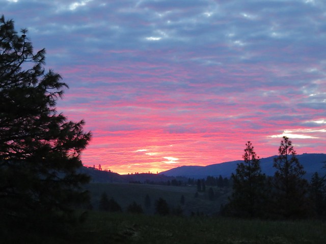
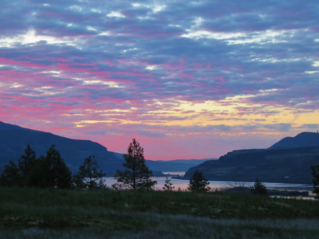
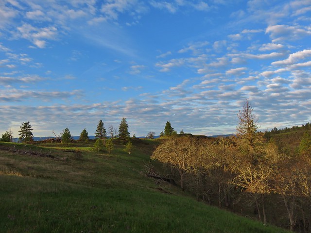
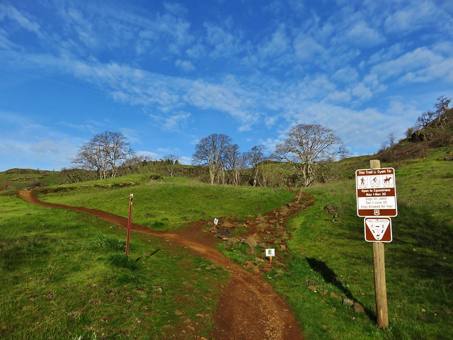
We started our day at the Catherine Creek Trailhead located approximately 6 miles east of Bingen, WA along Old Highway 8. We managed to arrive at the trailhead just as the sunrise began to light up with color.

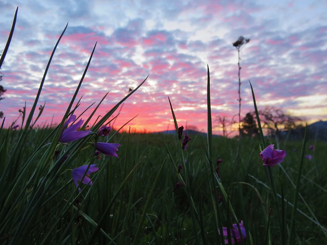
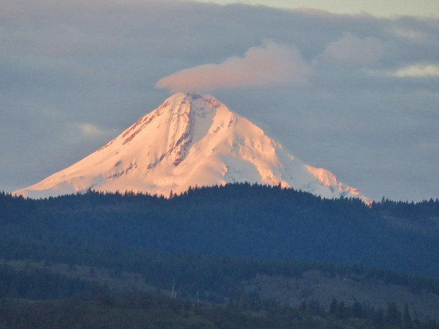
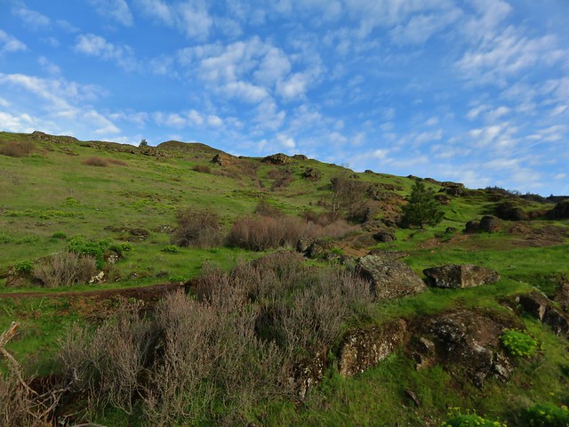
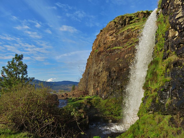
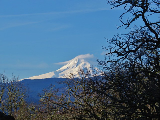
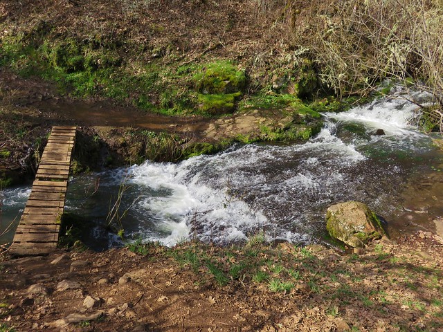
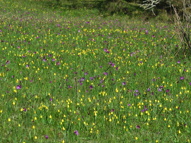
We took the paved Catherine Creek Trail on the south side of the old highway toward the Columbia River. We followed the 1 mile loop past wildflowers, vernal ponds, oak woodlands, Catherine Creek Falls, and views of Mt. Hood.
Grass widows
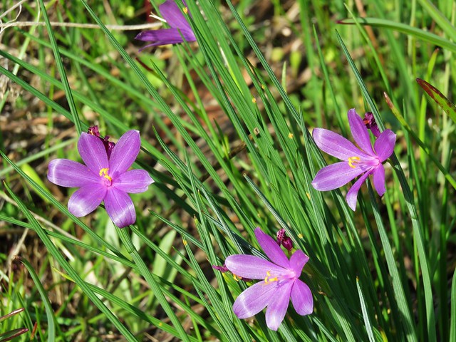
Prairie Stars
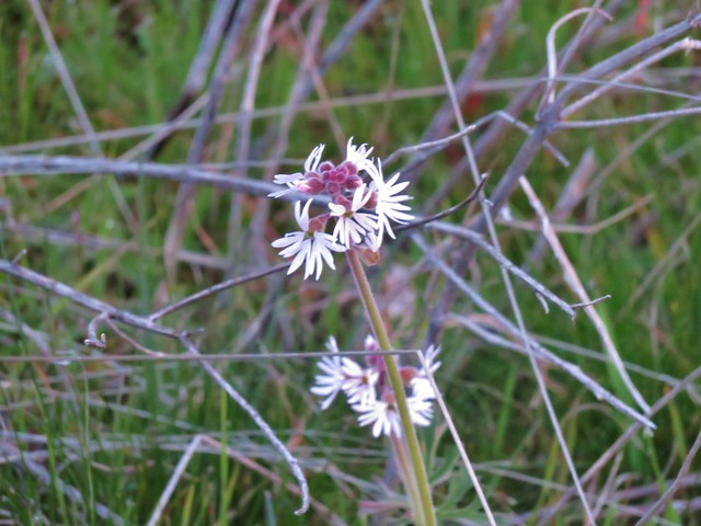
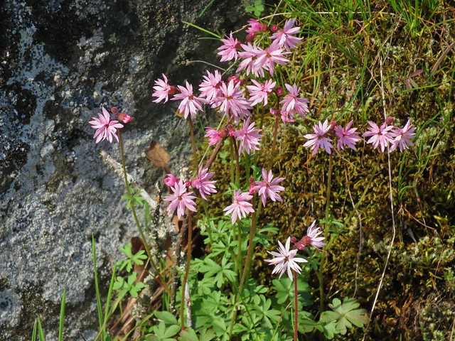
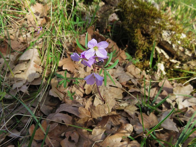
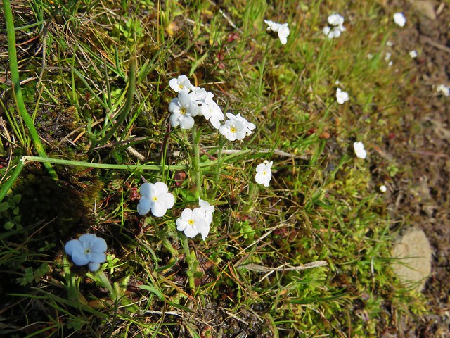
Shooting stars and saxifrage
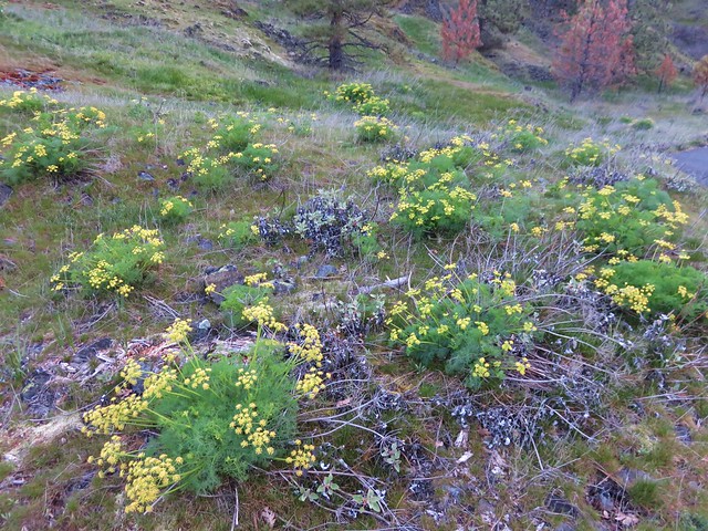
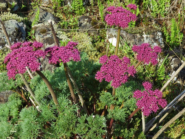
Lomatium

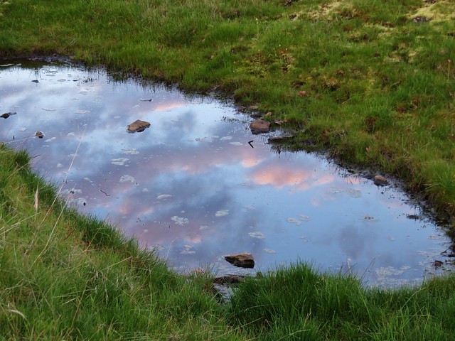
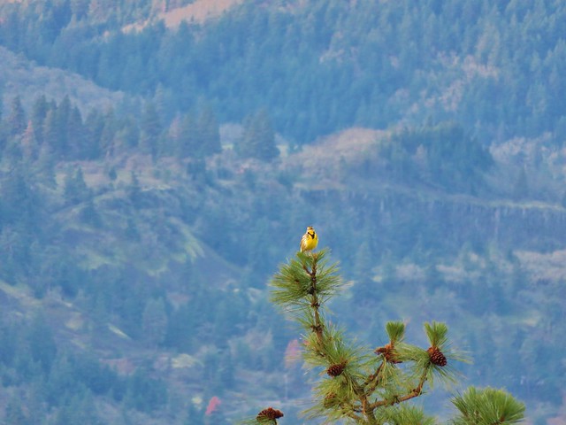
After completing the loop we crossed the road and head north on an old roadbed marked as “20”. At a fork we should have veered right on another road marked with a “21” sign but we initially missed that turn which turned out okay because we came upon a scenic vernal pond reflecting the clouds in the sky above and were serenaded by a western meadowlark.

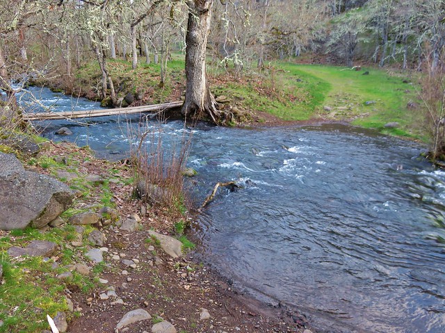
Once we had backtracked onto the correct road bed we followed it to a crossing of Catherine Creek then on to an old corral below the Catherine Creek Arch.

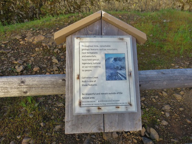
The Forest Service has closed off the area near the arch with fencing but the view from below near the corral is nice.
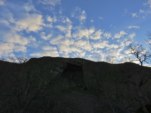
We continued on the old road climbing gradually and after passing under a set of power lines we came to a trail junction. We took the signed trail to the right which led up a small hill to a ridge with a view of Mt. Hood.
This trail followed the ridge down toward the old highway passing the top of the Catherine Creek Arch along the way.
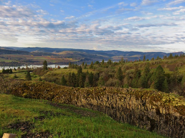
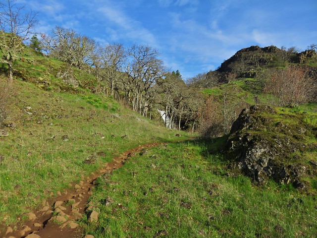
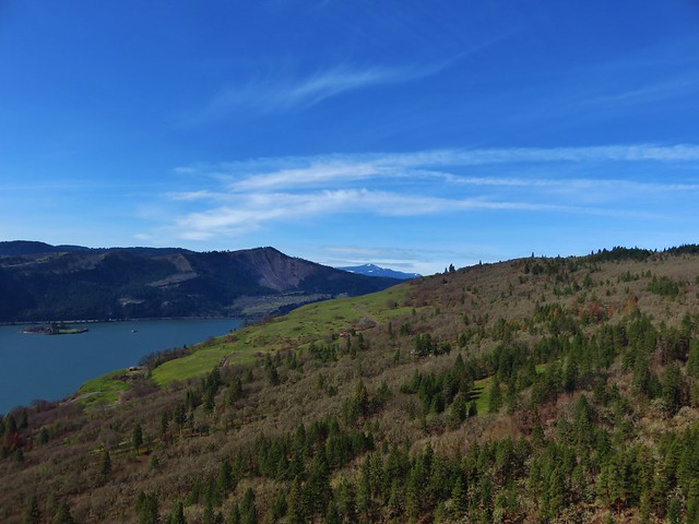
We arrived at the old highway about a quarter mile east of the trailhead and simply walked along the shoulder back to the car. From there we headed back toward Bingen and our next stop at the Coyote Wall Trailhead just off Courtney Road (approx. 3 miles east of Bingen). Our early start allowed us to get to this second trailhead before 9am which was nice because this is a very popular destination.
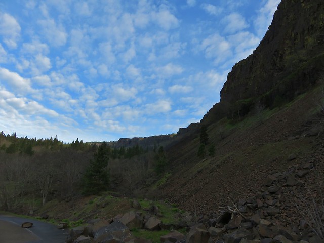
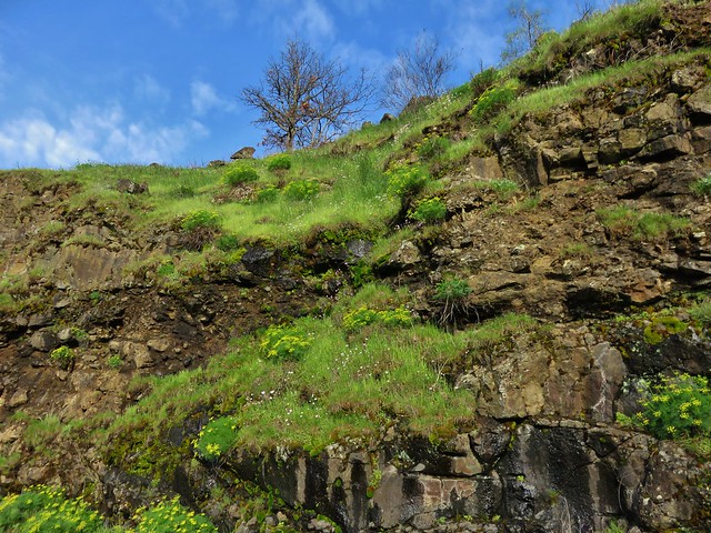
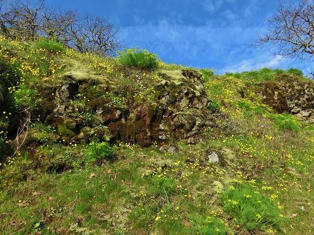
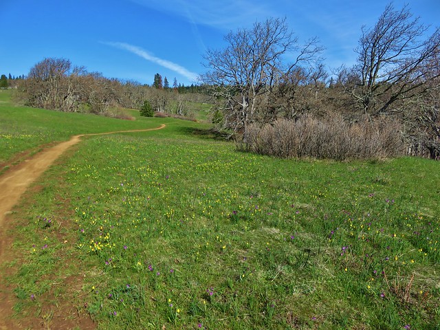
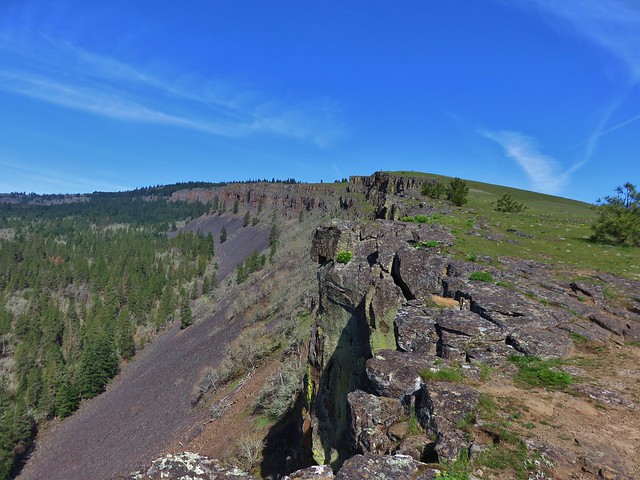
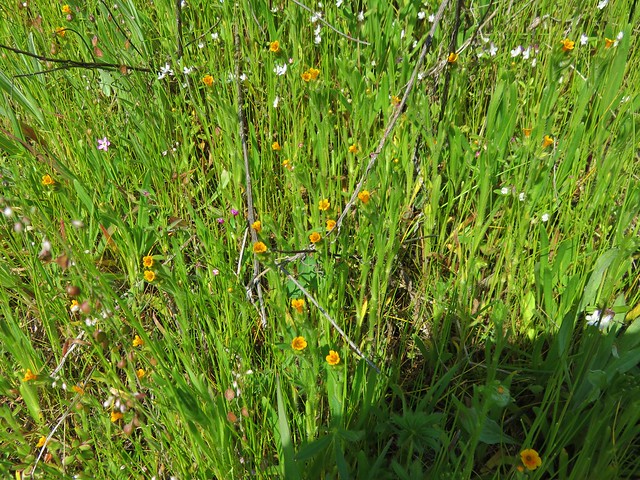
From the parking area we followed a closed section of old highway 8 east passing a nice view up Coyote Wall. After passing some cliffs the scenery shifted to rocky green hillsides dotted with wildflowers.
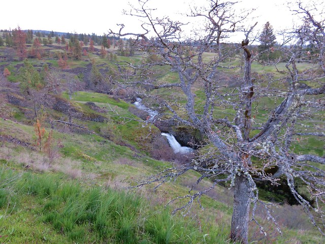
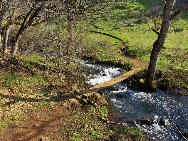
Our plan was to take the Labyrinth Trail up to the Rowland Creek Trail then head left from that junction to old road 20 following that left to a creek crossing and following it all the way to a junction with the Coyote Wall Trail. The Labyrinth Trail sets off from old highway 8 approx .75 miles from the trailhead, but before turning up that trail when we came to it we continued on a couple hundred yards to check out Lower Labyrinth Falls.

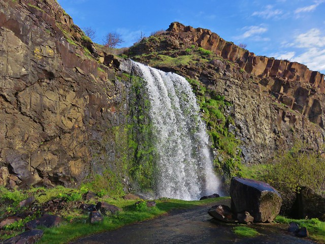
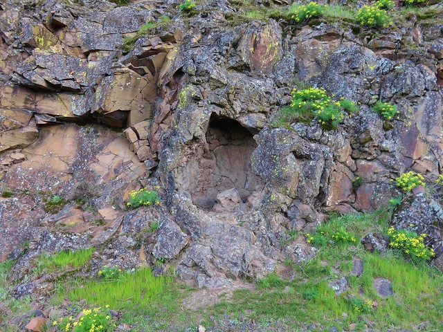
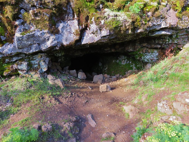
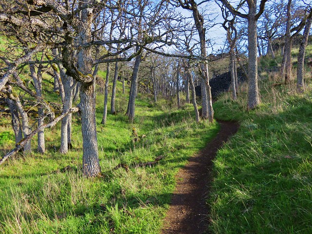
After returning to the Labyrinth Trail we headed uphill climbing past wildflowers and rock outcrops to a view of Labyrinth Falls near a small cave.
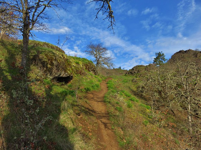


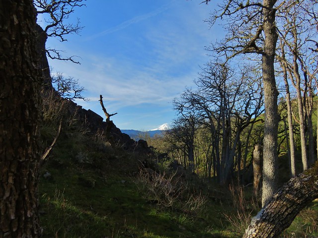
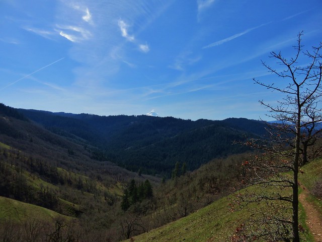
From the falls the trail continued to climb through a mix of grasslands and oak woods gaining better views of Mt. Hood.
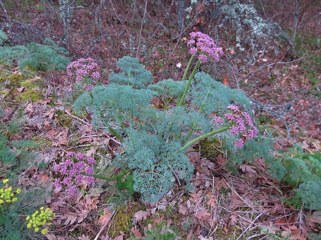
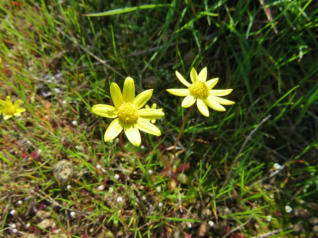
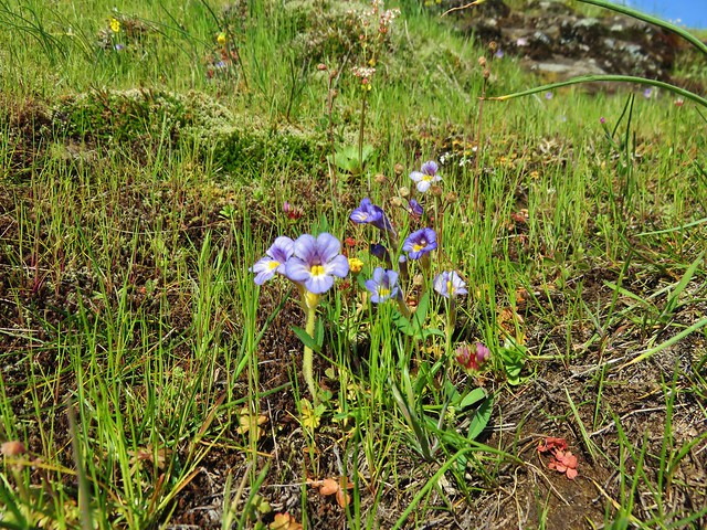
We saw lots of wildflowers along the way and passed a trail crew from the Washington Trails Alliance.
Grass widows
Prairie stars
Lomatium
Larkspur

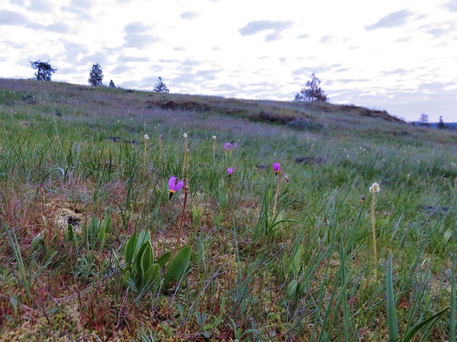
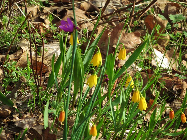
Yellow bell lilies
Toothwort
We arrived at the road 20 creek crossing as planned but things began to unravel a bit shortly afterward. Signage had been virtually non-existent and after climbing up from the creek crossing we arrived at large junction where the WTA trail crew had parked their vehicles. Several trails and old roads headed off in various directions here and were not shown on the map we were using. We first set off straight ahead on an old road bed but quickly saw a sign indicating it was private property, we turned back to the junction and began to head uphill on a clear trail. It didn’t seem like we should be going that direction though so we pulled out our guidebook and GPS before going any further. After some deliberation we returned once again to the junction and headed downhill on another old road which was the correct route. Here we passed an impressive meadow filled with yellow bell lilies and grass widows.

We passed several more junctions that were not on our map and made one more wrong turn (it appears it would have led us to the top of Coyote Wall in the end) before finally making it down to the junction we had been looking for with the Coyote Wall Trail. At this point we were about halfway up the wall and made our way over to check out the view.
Mt. Defiance (with the snow)
Mt. Hood

From there we headed downhill staying as close to the wall as possible before the trail finally veered away as it neared the old highway.
We spotted a few additional flowers on this lower portion before popping back out on the old highway and making our way back to the busy trailhead.
Woolly-pod milk vetch

Gold stars
Popcorn flower
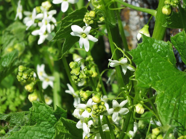
Manroot
The unfortunately named Broomrape
Fiddleneck
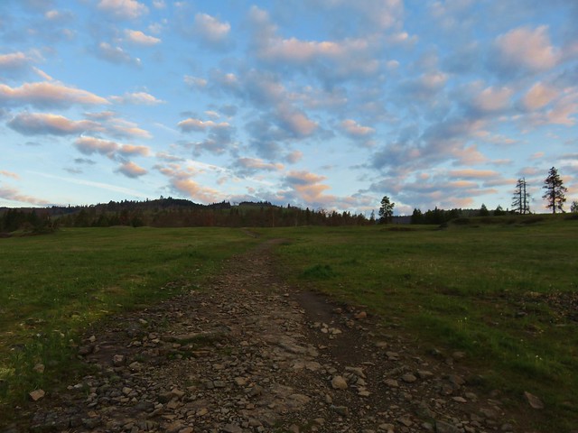
Our final stop for the day was the Weldon Wagon Trail. For this hike we headed back through Bingen and continued west on Highway 14 to Alternate Highway 141 just before the White Salmon River. We followed this road north to Husum, WA where we turned right on Indian Creek Road. We followed signs for the Wagon Trail and parked at an unmarked pullout at the crest of Indian Cemetery Road. To reach the trail we needed to walk .2 miles up a logging road.
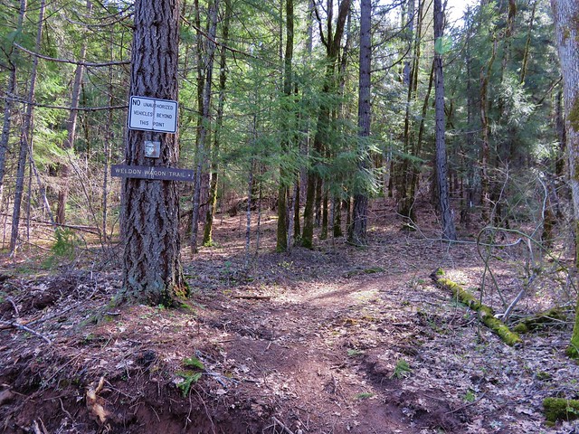
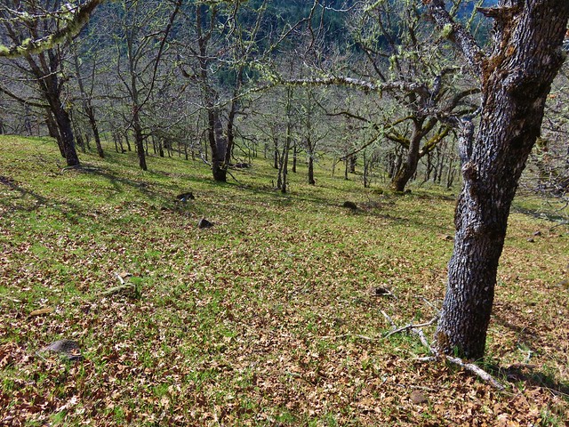
The Wagon Trail follows an old wagon road built in the early 1900’s to cart apples down to Husum. The trail began in a forest before entering more open grasslands.
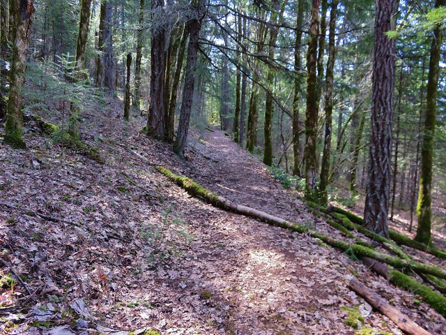
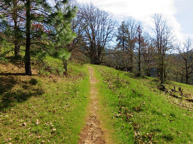
The trial offers a pretty good climb gaining over 1000′ in the first 1.8 miles where a conservation sign sits in the middle of a hillside with a view of Mt. Hood.
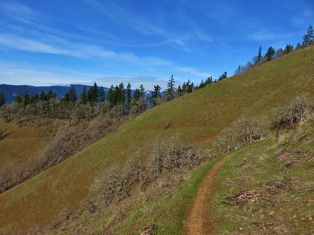
Although the trail continues another .7 miles to another road we turned around at the sign knowing we would be over 13 miles for the day by the time we arrived back at the car and that this was the best of the views from the trail.
On our way home we made one final stop, this time for food, at Mekong Bistro in Portland. We’re blaming this one on the good folks over at Trail Keepers of Oregon for having their Winter Meet-n-Deet there last year. 🙂 We enjoyed the food enough that night to have it now be our go to spot on the way back to Salem after hiking in the Gorge. It didn’t disappoint and was a great end to a good day of hiking.
Although we did not have any issues ticks can be a problem on these hikes so be sure to keep your eyes out and check for any after your visit. Poison oak is also possible, as are rattlesnakes. Happy (and safe) Trails!
Flickr: https://www.flickr.com/photos/9319235@N02/albums/72157666169966955

5 replies on “Catherine Creek, Coyote Wall, and the Weldon Wagon Trail”
[…] road. Here a small viewpoint looked across the Columbia River to the Coyote Wall/Catherine Creek (2016 trip report) areas of […]
[…] grass widows and/or parsleys) can show up as early as January in areas such as Catherine Creek (post) with things really picking up by late March and running through early June in the upper meadow of […]
[…] #57 Weldon Wagon Road – Hiked 3/19/2016 […]
[…] Wall (post) across the Columbia […]
[…] a pair of hikes that we’d done back in 2016 as part of our 500 featured hikes quest. On our 2016 outing we made separate stops at Catherine Creek and Coyote Wall but this time our plan was to hike a loop […]