With a September backpacking trip to the Sky Lakes Wilderness having been canceled due to the wide spread wildfires on the West Coast it seemed like our Labor Day trip (post) may have been the last nights in our tent. Fortunately the weather and smoke both cooperated over the first weekend in October and we spent one final night in our tent in the Indian Heaven Wilderness. It appeared that nearly everyone else had that same idea making this trip by far the busiest over night trip we’ve experienced.
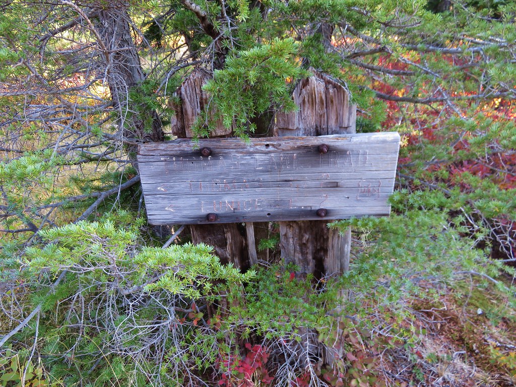
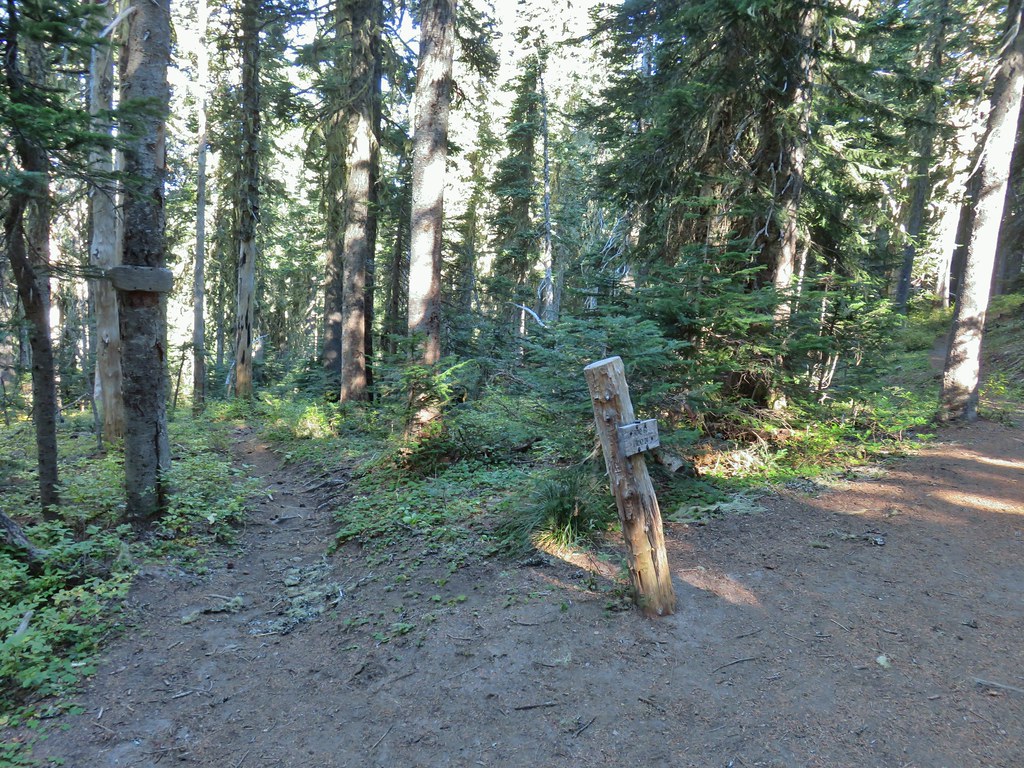
We had visited this wilderness on two previous occasions – a 2015 day hike starting at the Thomas Lake Trailhead, and a 2018 day hike to Indian Racetrack via the Pacific Crest Trail. We began this trip on the eastern side of the wilderness at the East Crater Trailhead.

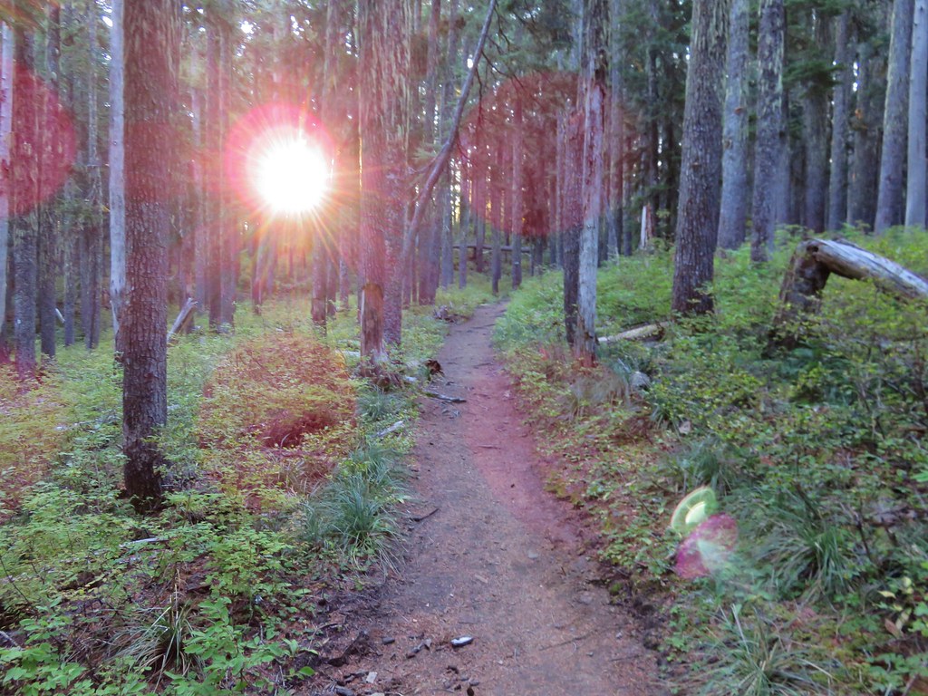
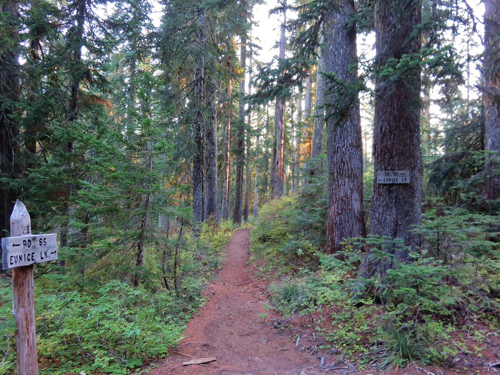
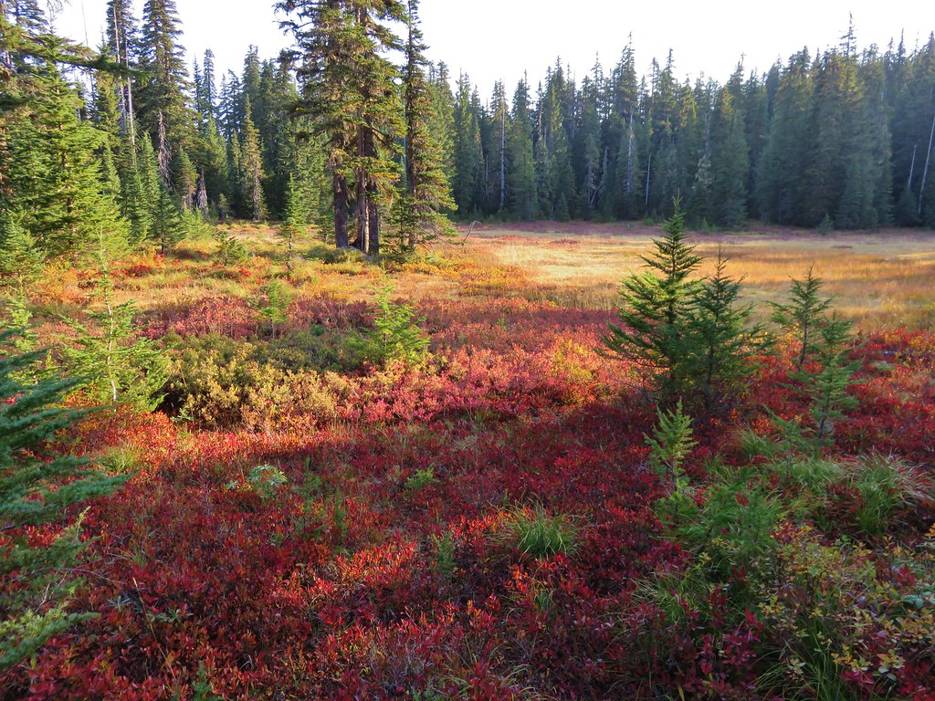
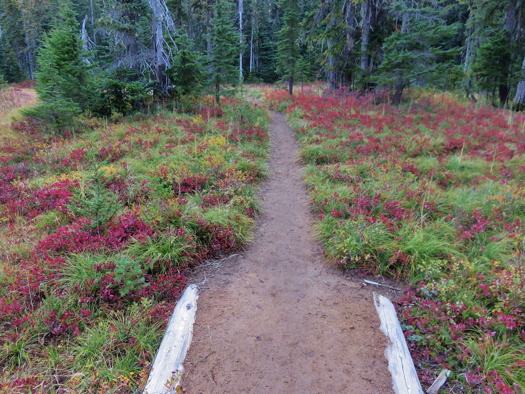
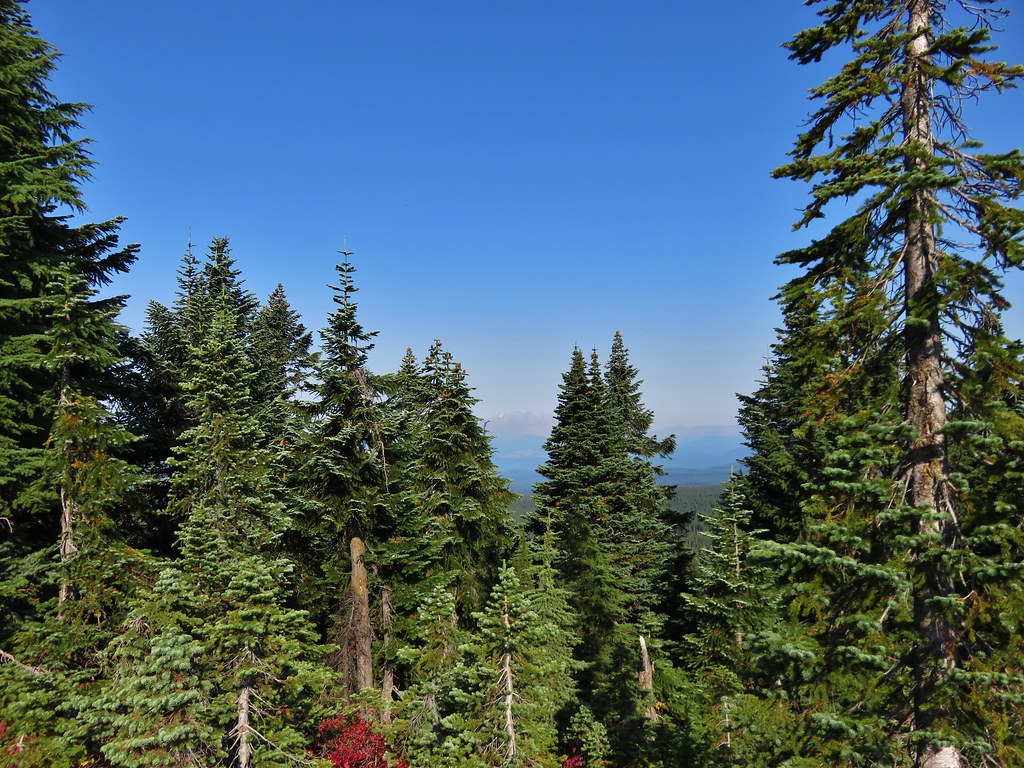
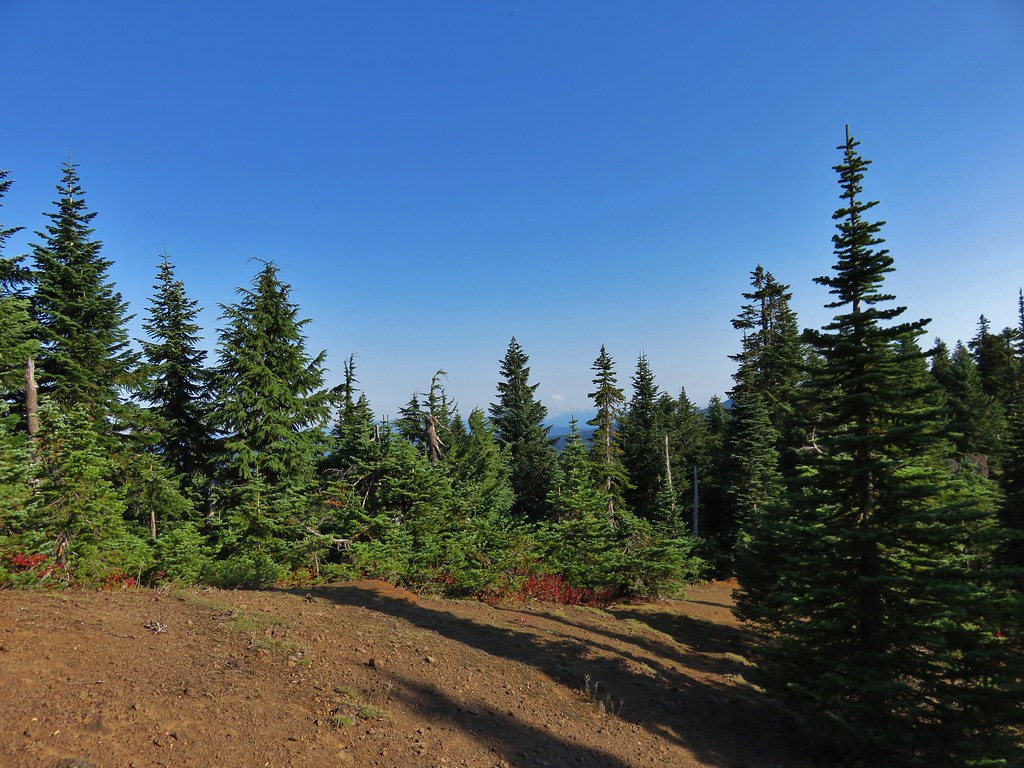
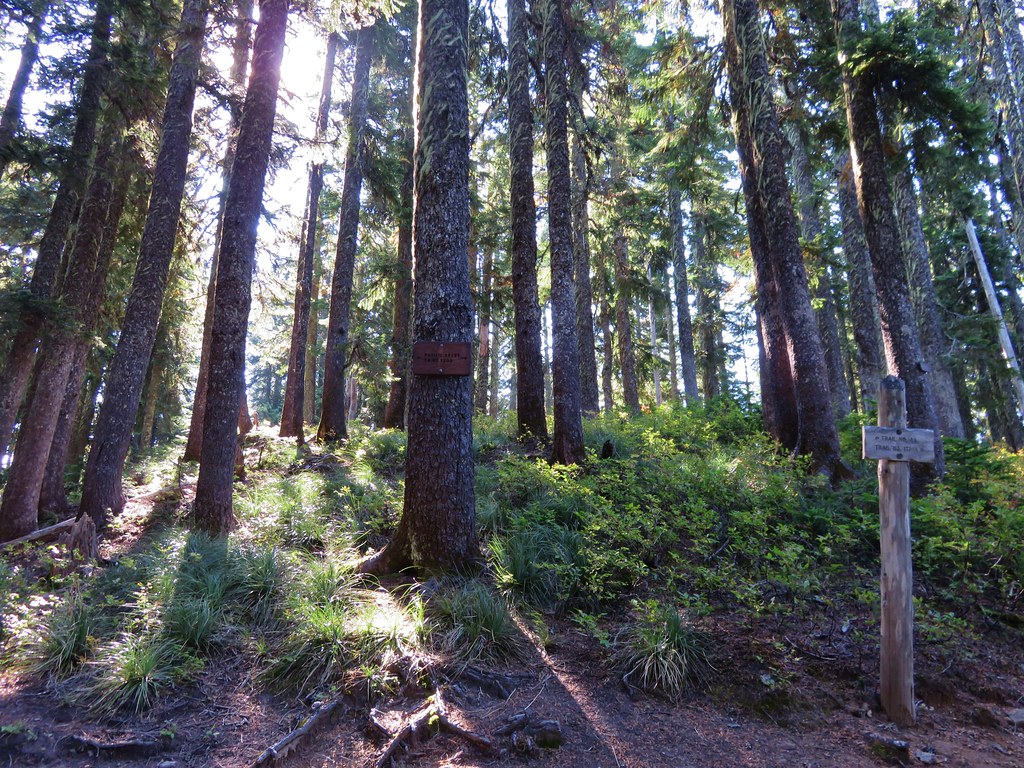
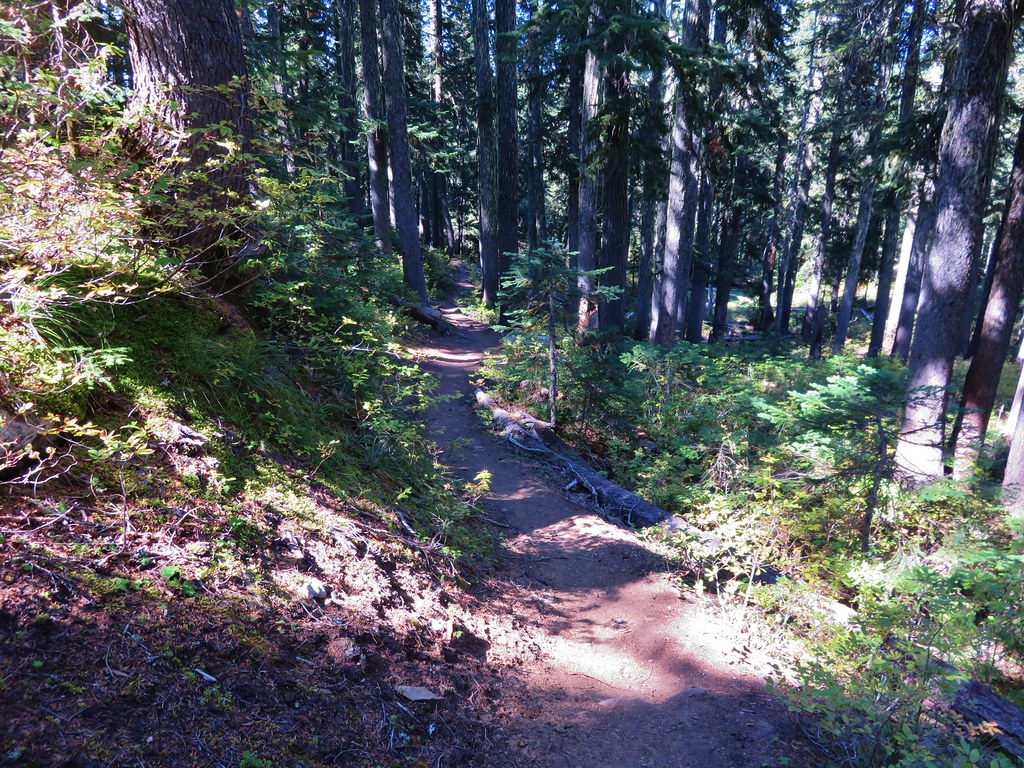
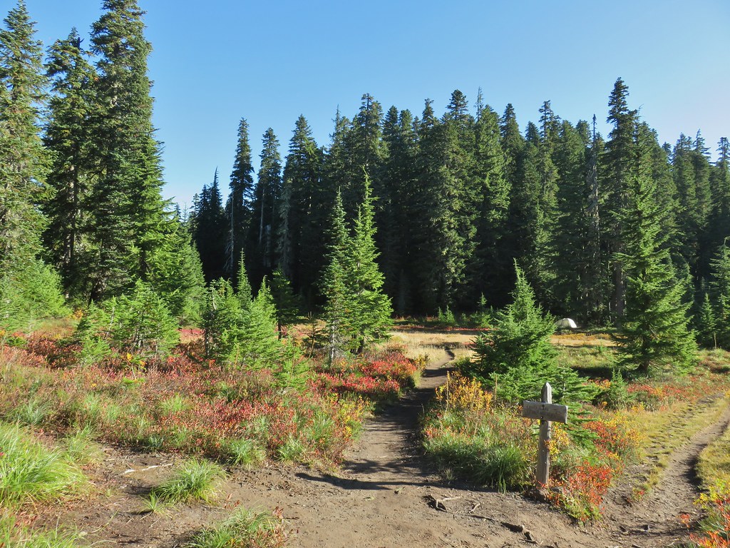
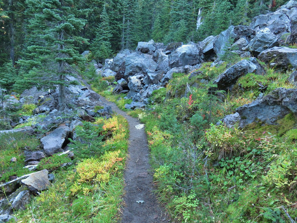
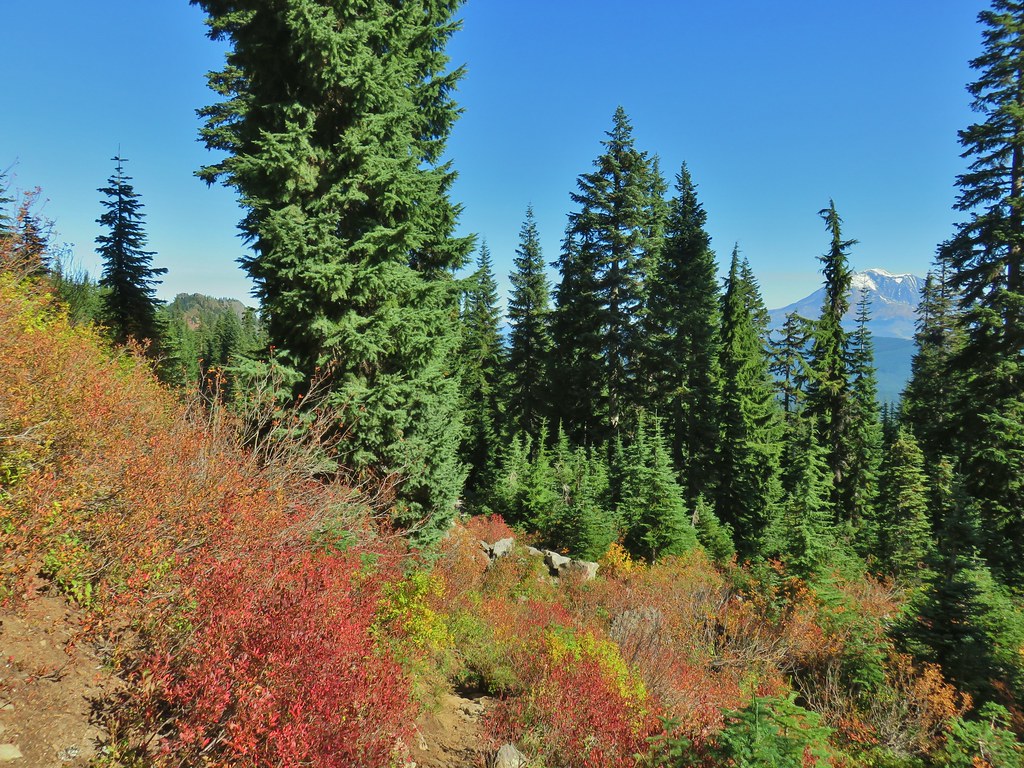
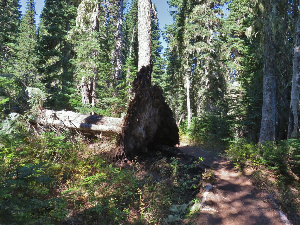
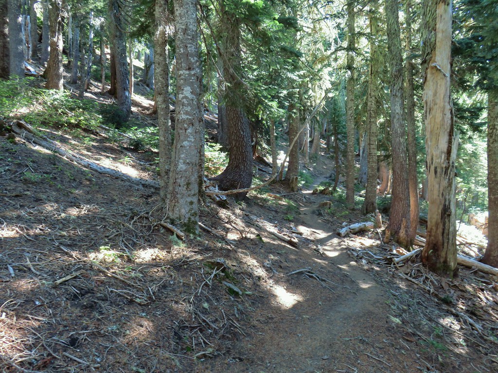
Our plan was to take the East Crater Trail 2.5 miles to Junction Lake and set up camp then make a big loop (with a few side trips) around Bird Mountain using the Pacific Crest Trail, Cultus Creek Trail, Indian Heaven Trail, and finally the Lemi Lake Trail. We started up the East Crater Trail through a mountain hemlock forest with splashes of Fall colors.
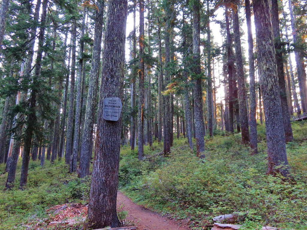
The trail climbed gradually entering the Indian Heaven Wilderness.

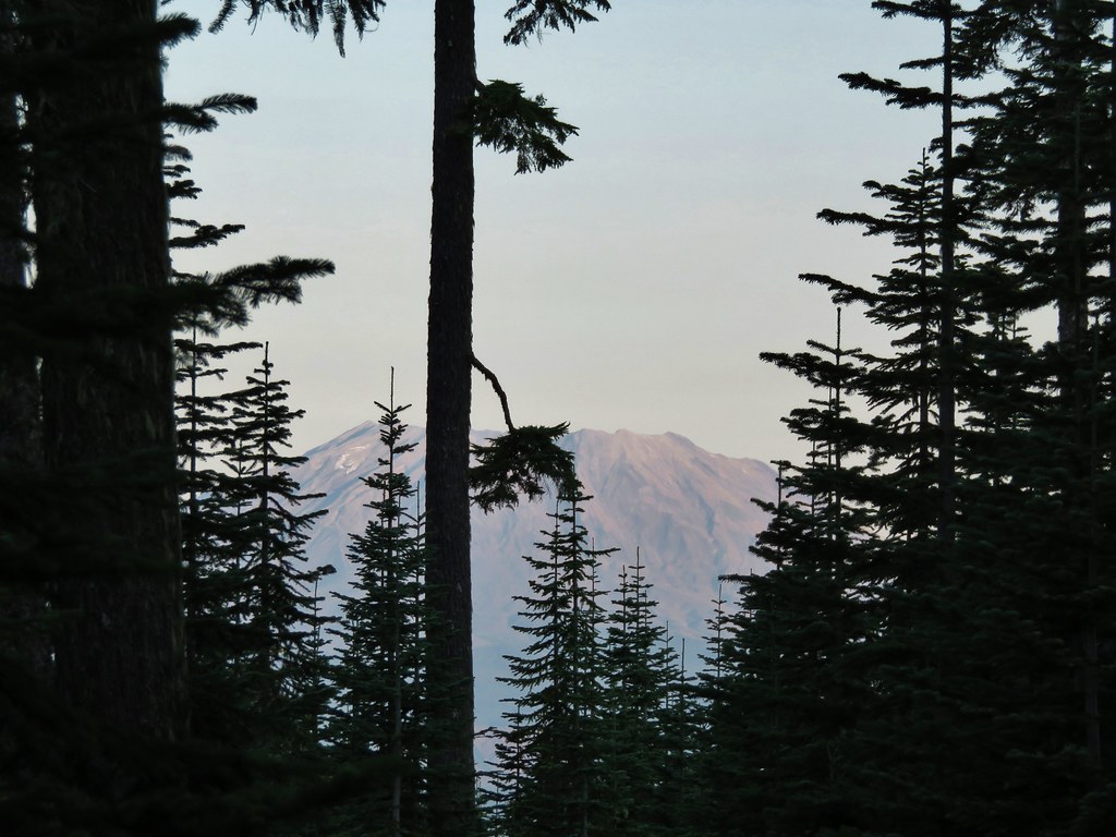
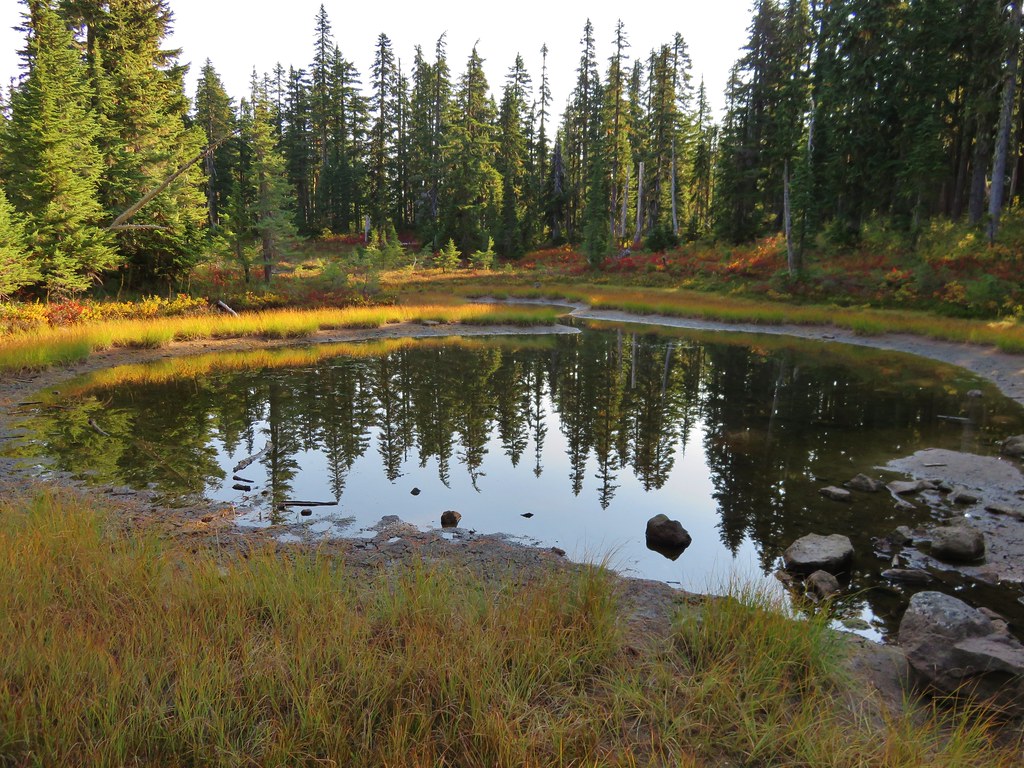
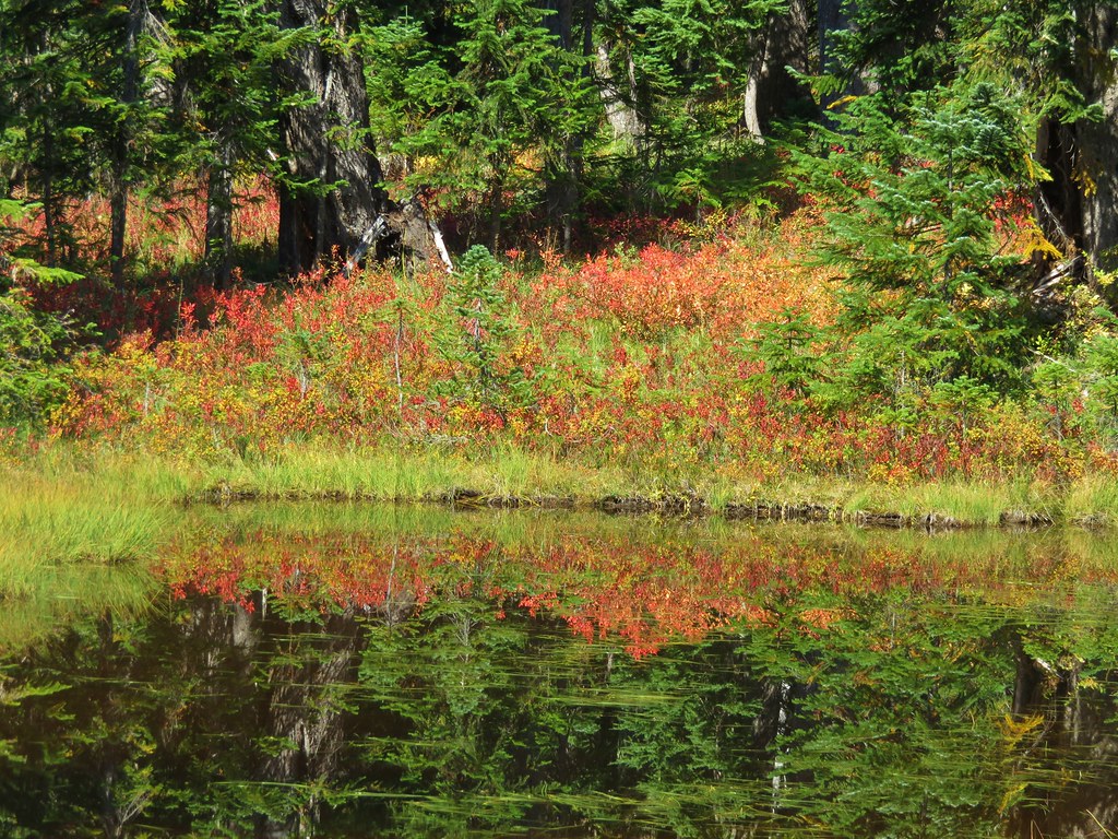
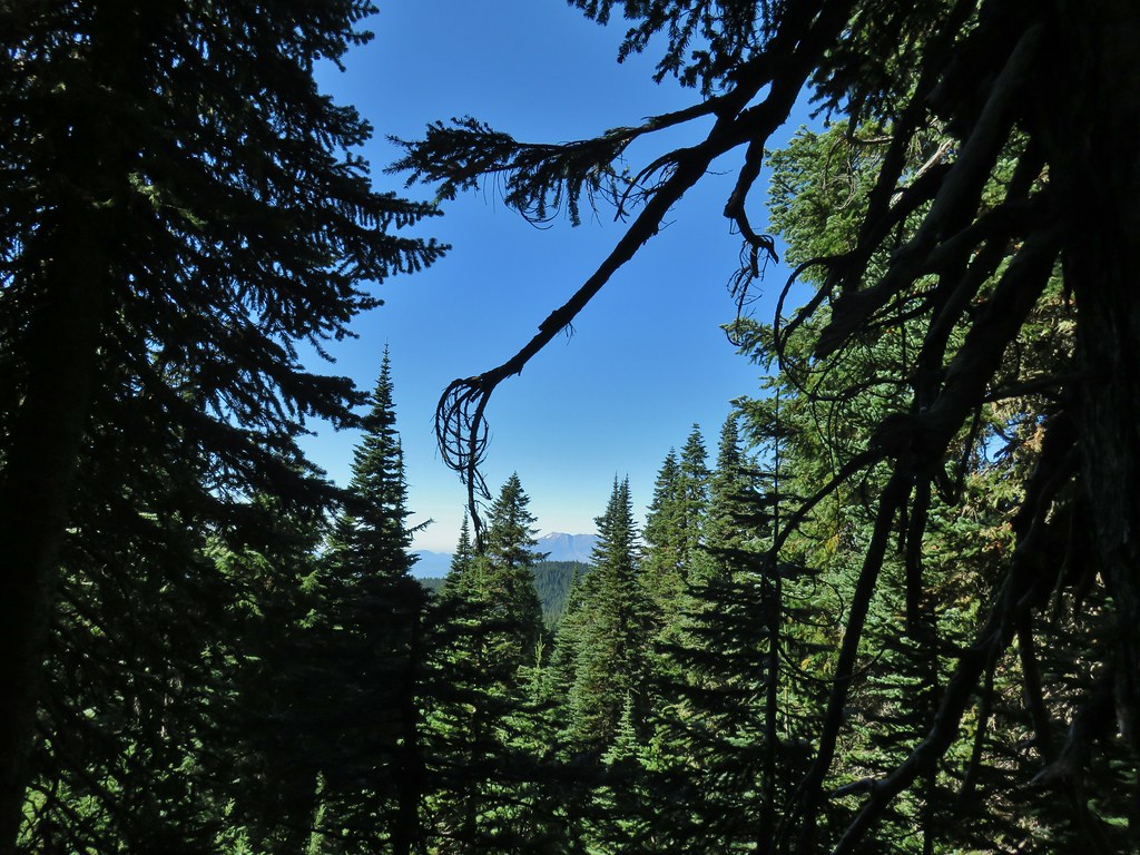
A little less than a mile and a half from the trailhead we passed the first of several small ponds and the scar of the 2017 East Crater Fire.

 Still some fireweed blooming in the fire scar.
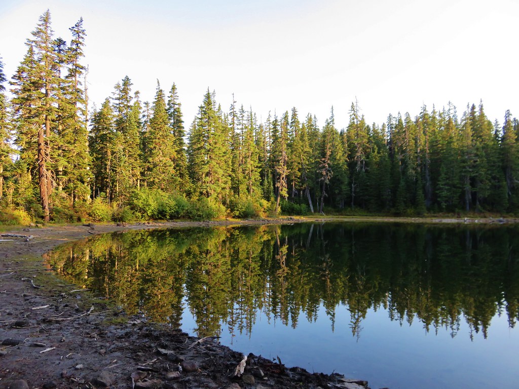
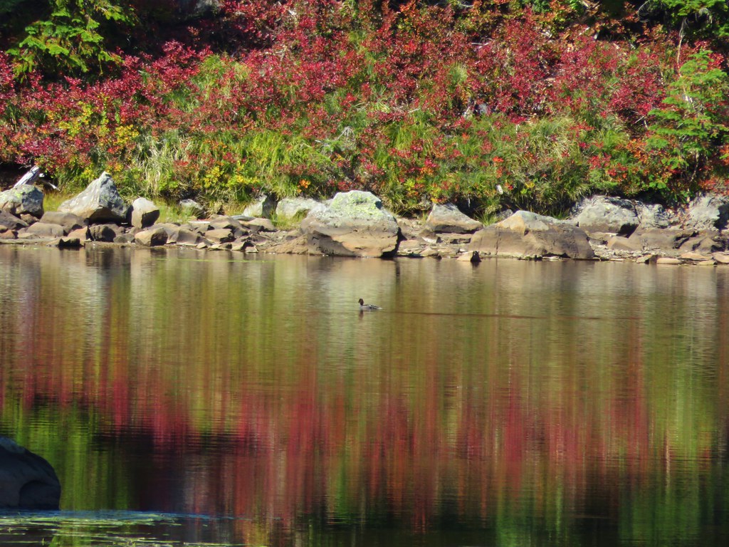
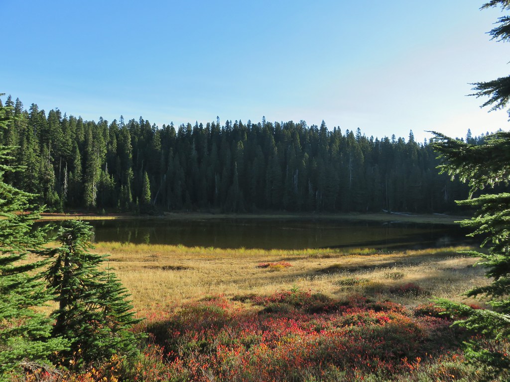
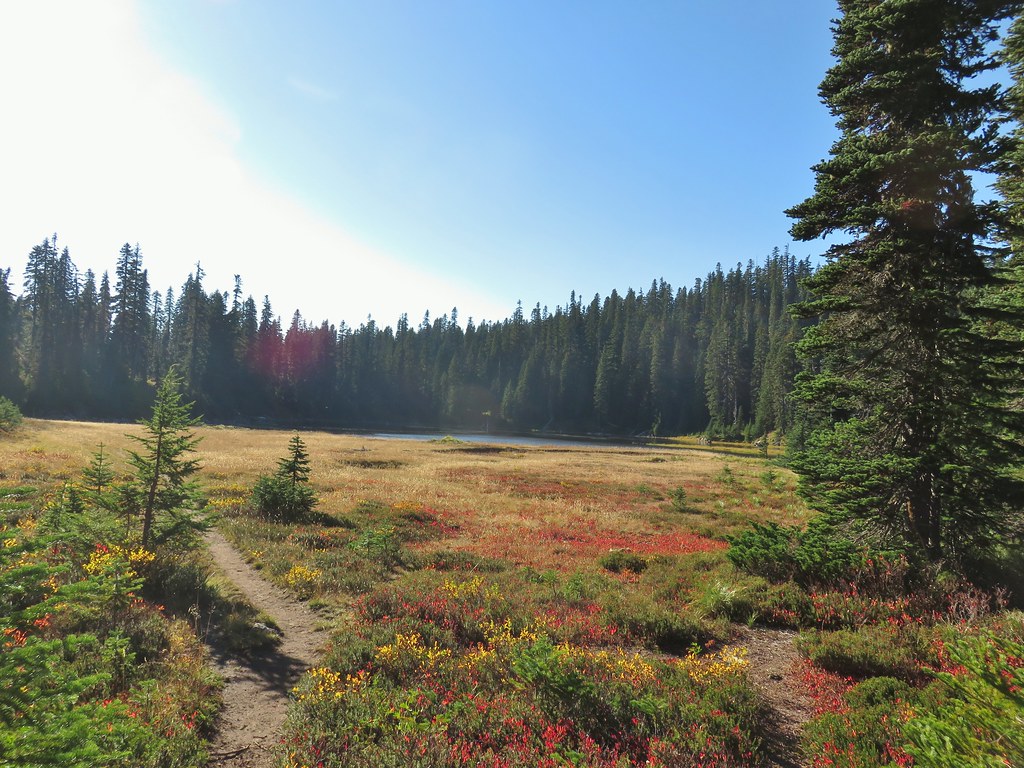
 East Crater beyond a pond.
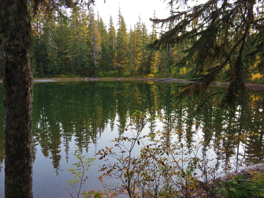
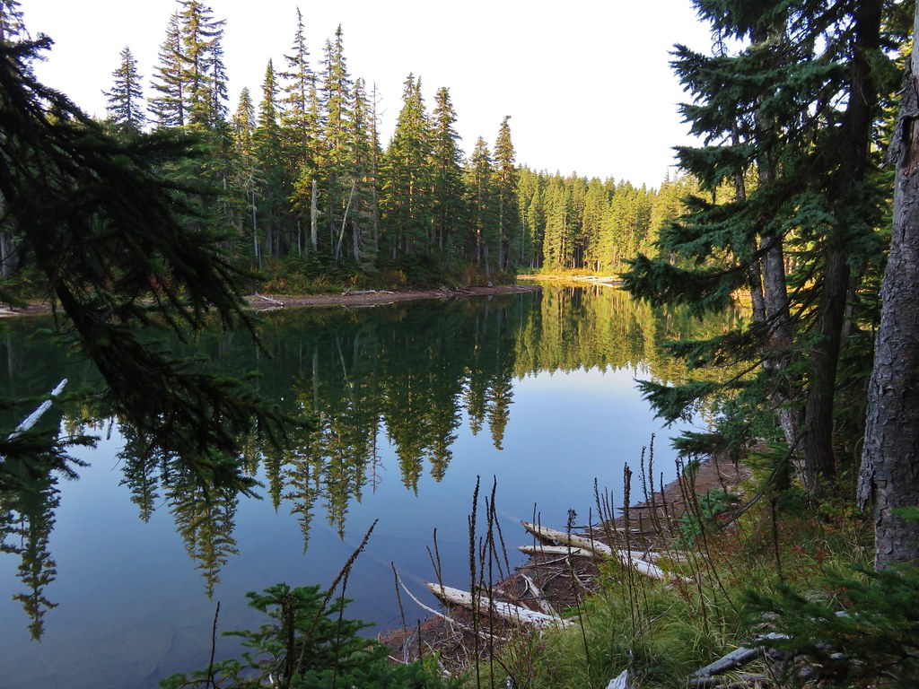
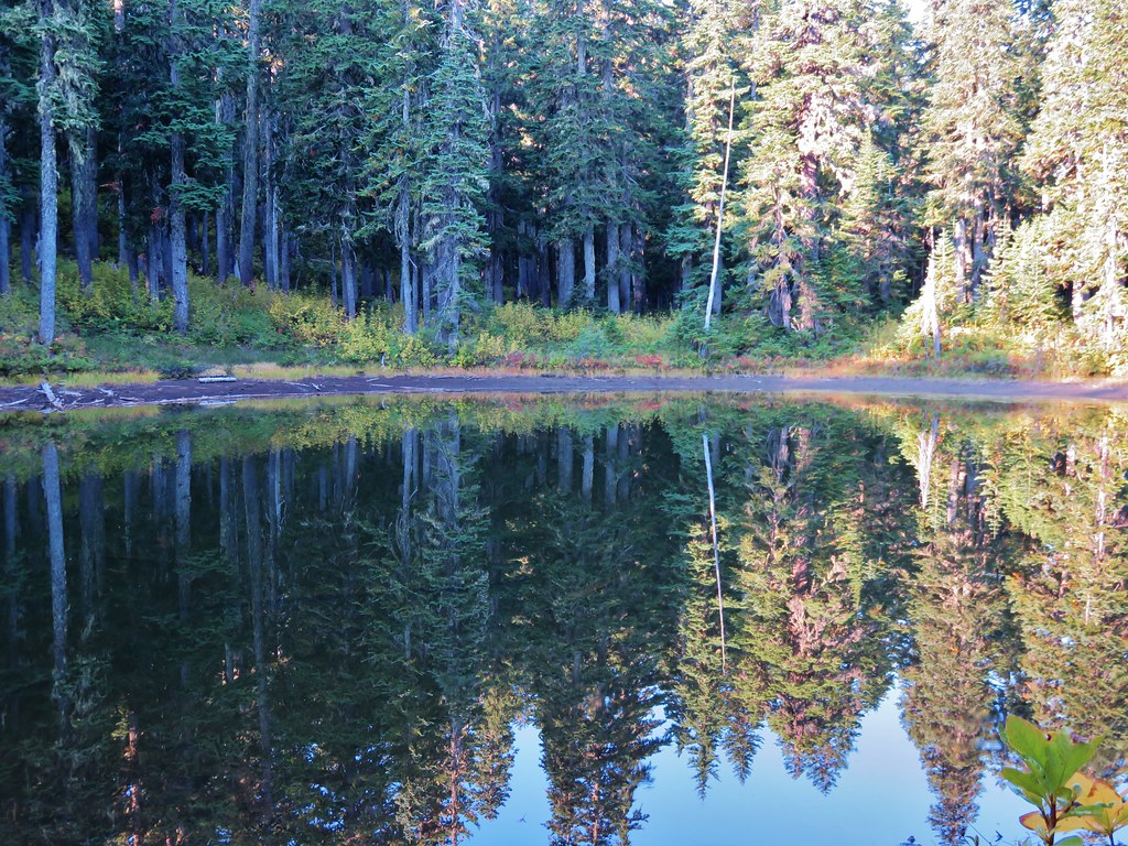
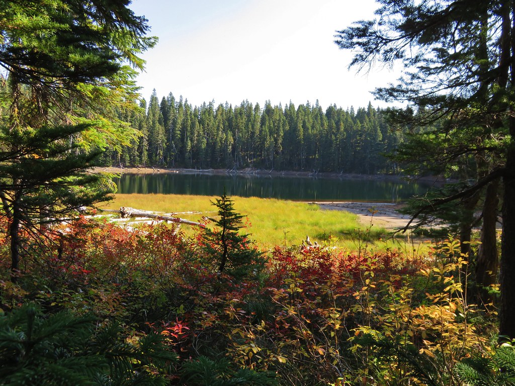
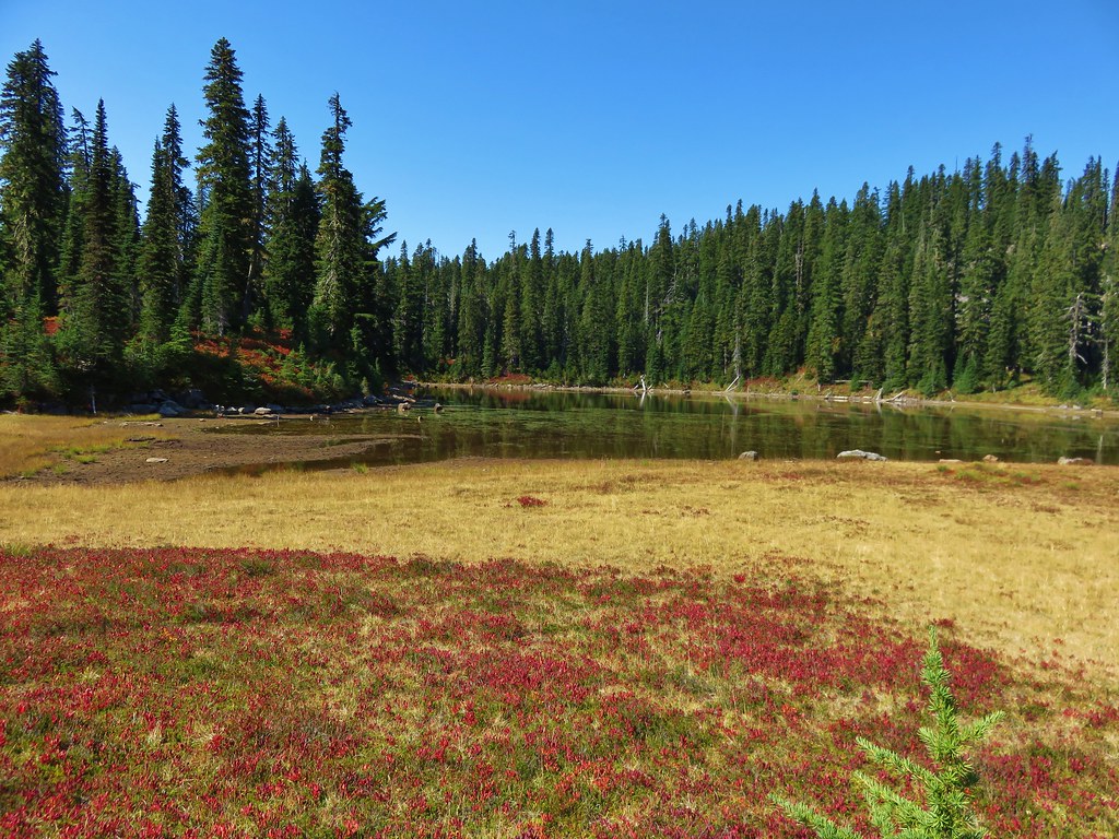
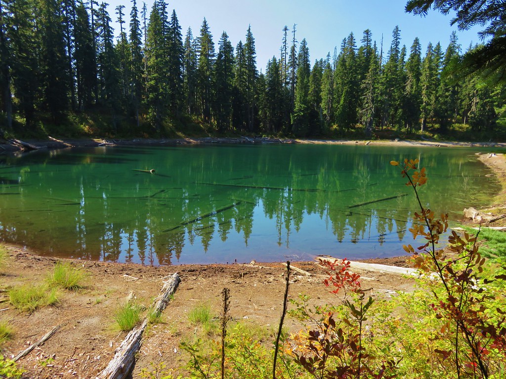
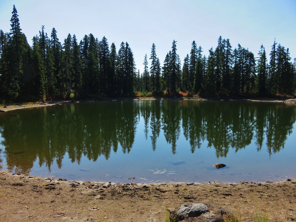
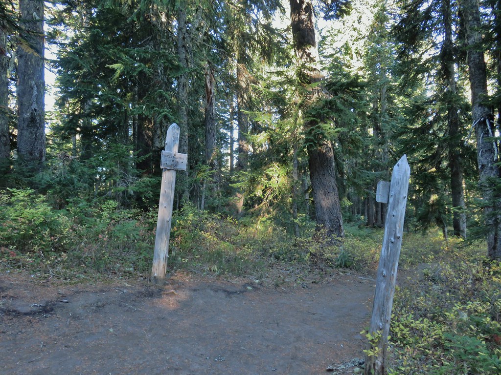
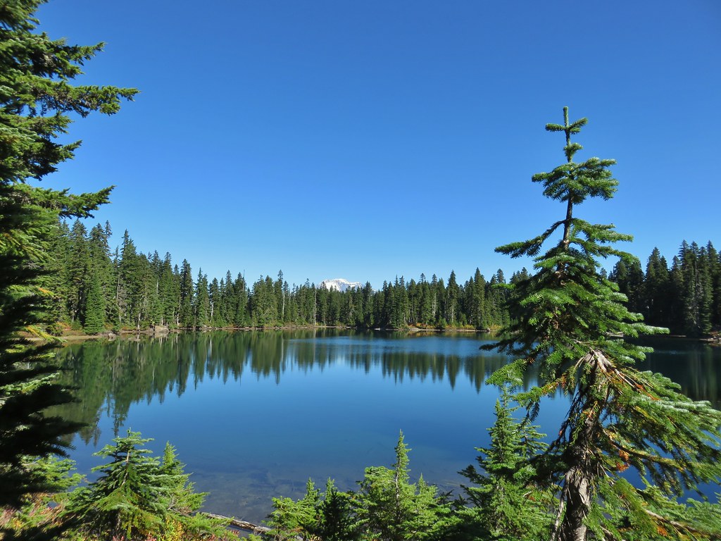
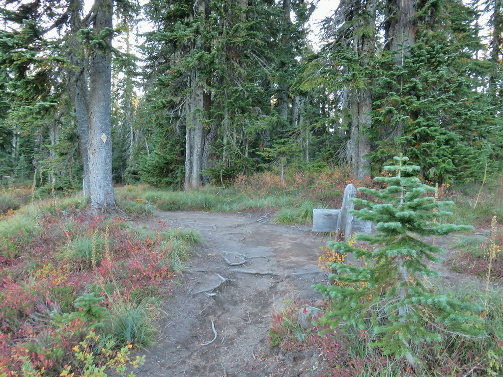
Just before the 2.5 miles we arrived at the Pacific Crest Trail and the end of the East Crater Trail near Junction Lake.
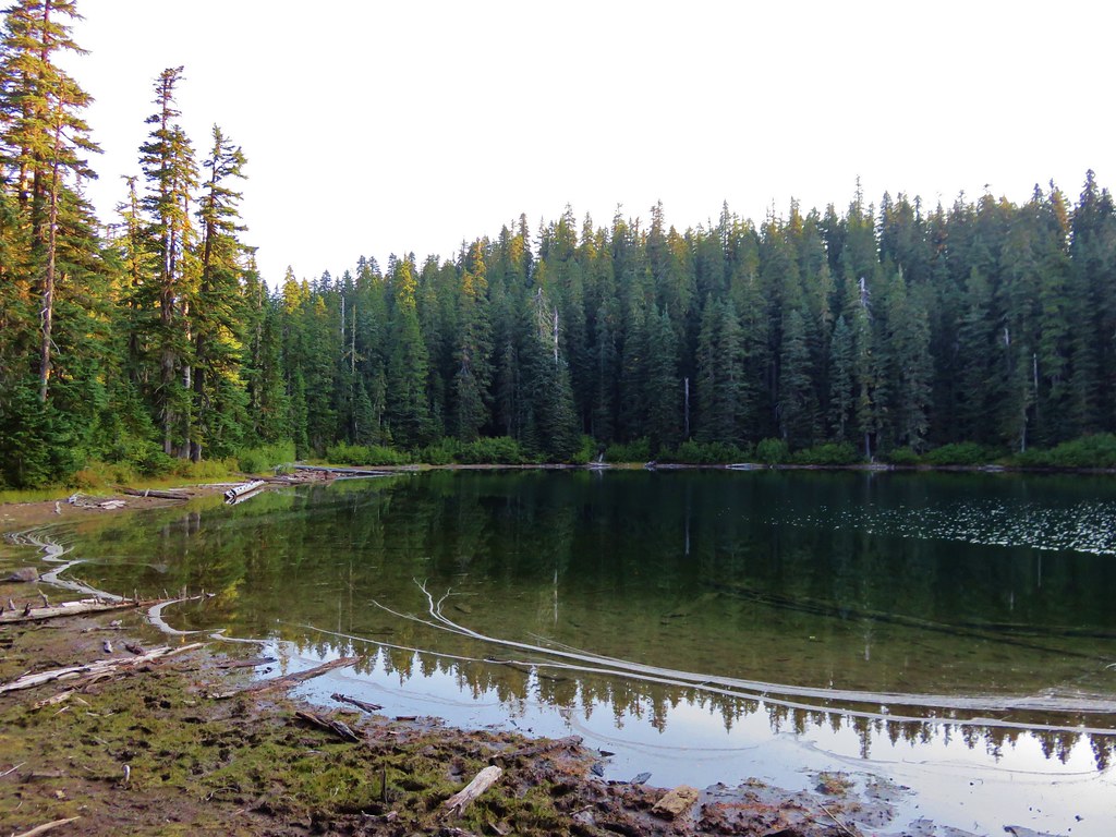
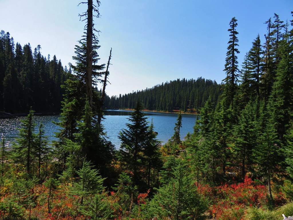
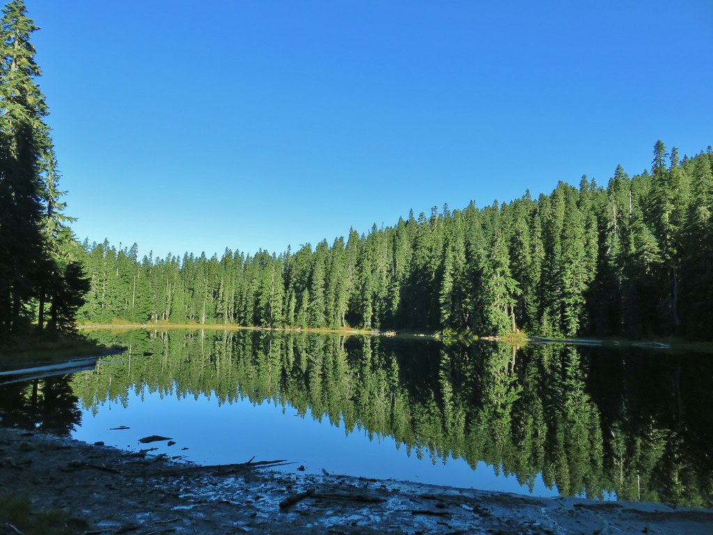
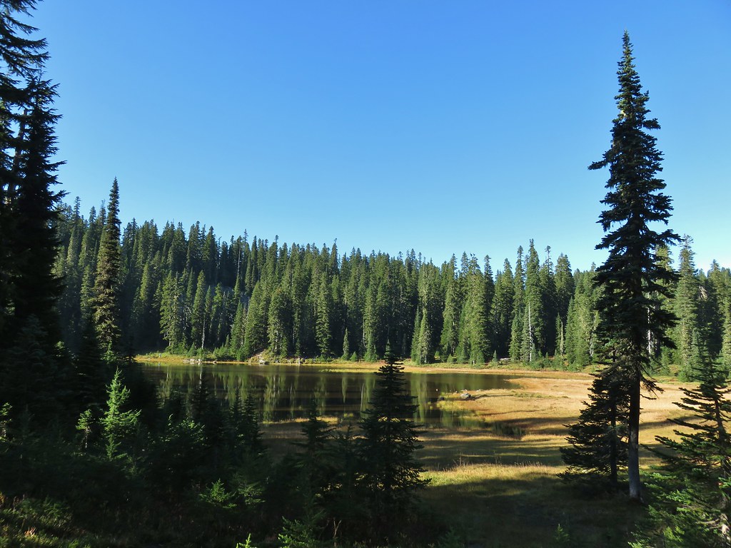
 Junction Lake
We didn’t want to set up our tent on the vegetation in the meadows around the lake so we looked to the opposite side of the PCT where we found a nice little spot tucked back in the trees.

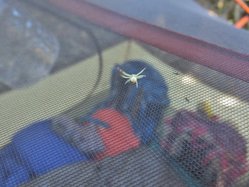 This crab spider offered to watch our tent for us while we were away.
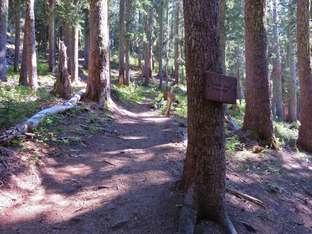
After getting everything set up we headed north along the PCT past Junction Lake to a junction with the Lemi Lake Trail.
We stayed left on the PCT and reentered the trees on a forested hillside.

A mile from the Lemi Lake Trail junction we came to another junction with the Elk Lake Trail near Bear Lake.

This was our first detour as we turned left and descended to the shore of Bear Lake where numerous tents were set up.

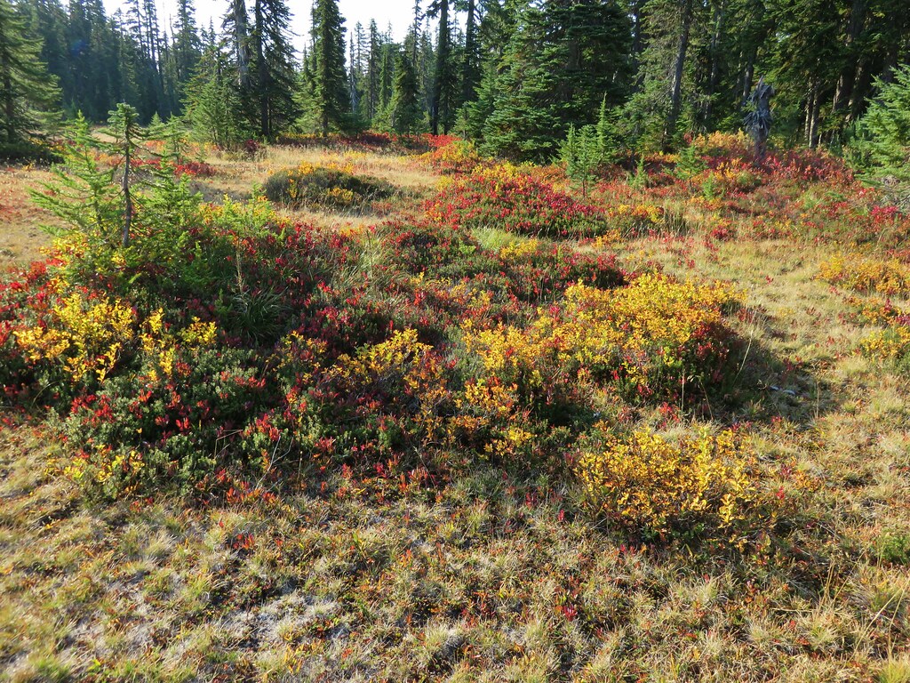
The Indian Heaven Wilderness is famous for its huckleberries but this late in the year most of them were well past edible but along the lake shore there were a few left which had caught the attention of the locals.

We opted not to go the third of a mile further to Elk Lake and after a short break we returned to the PCT and continued north another .4 miles before making another short side trip downhill to Deer Lake.
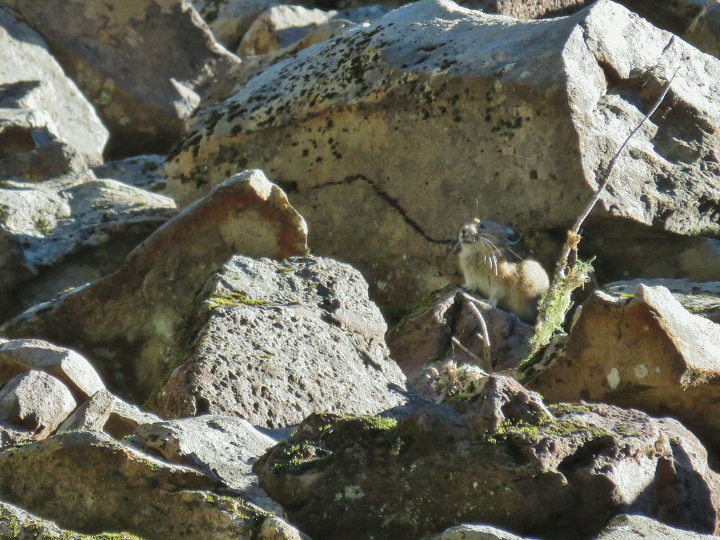
We continued past Deer Lake meeting the Indian Heaven Trail on the far side where a right turn onto it would have allowed for a shorter loop. We had done that loop on our first visit to the wilderness though so we stuck to the PCT this time. We could hear pikas “meeping” from a talus slope near the junction so when we got closer to the rocks we started scanning for the little guys. We were quickly rewarded as one darted in and out of the rocks pausing long enough for a couple of photos.

The PCT continued to climb gradually along the western side of Bird Mountain passing the Placid Lake Trail approximately a mile from the Indian Heaven Trail before arriving at a 4-way junction after another mile.
 Placid Lake Trail on the left.
 No pikas in these rocks, that we saw.
At the junction the PCT continued straight while the Wood Lake Trail headed downhill to the left.

 PCT at the 4-way junction.
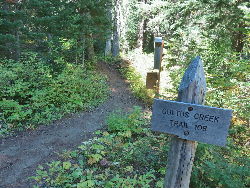
We took the right had path, the Cultus Creek Trail which crossed over a pass.
 Cultus Creek Trail heading uphill to the right.
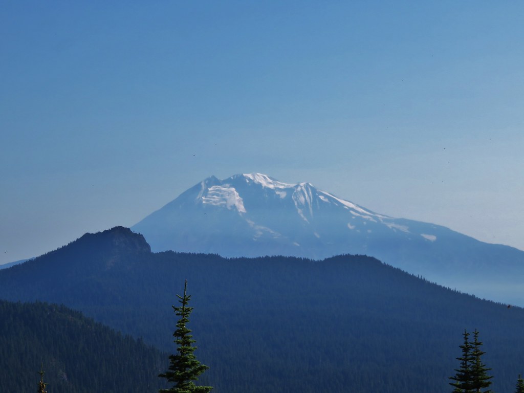
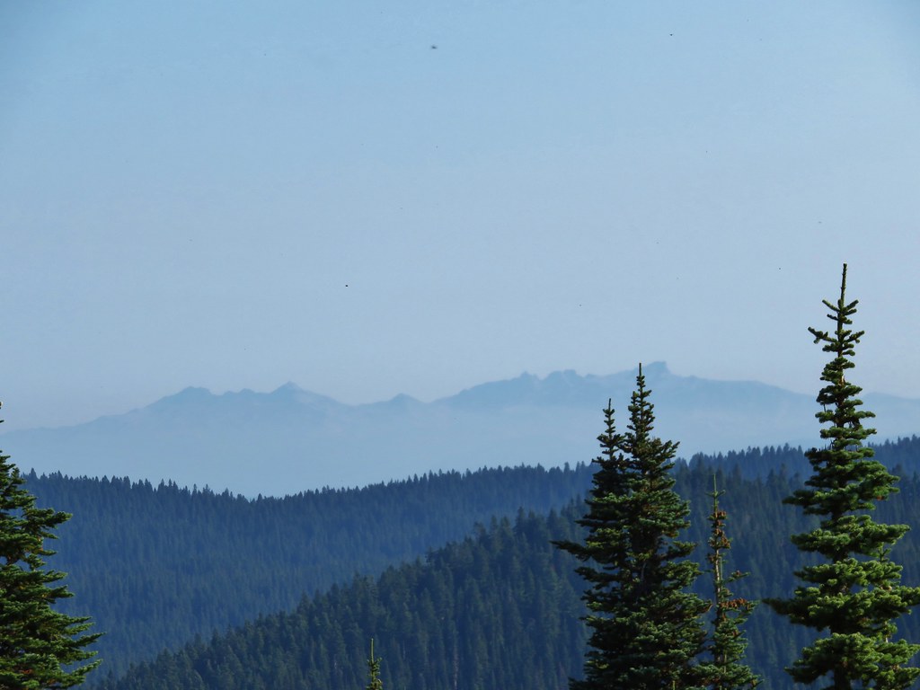
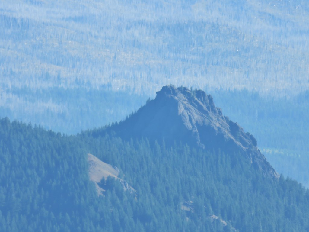
On the far side of the pass we took a use trail out to a rocky viewpoint with a great view of Mt. Adams.


In front of Mt. Adams we recognized Sleeping Beauty which we had hiked up earlier in the year (post).
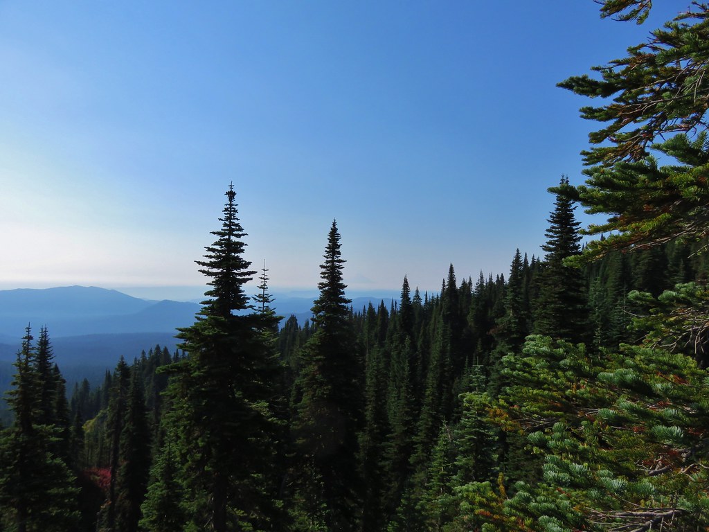
We took another break on some rocks here and soaked in the view. The forecast for the weekend had been for widespread haze so the blue sky and clear view was a nice surprise. After the break we returned to the Cultus Creek Trail which headed steeply downhill. We were starting to see more and more hikers as it seemed a lot of people had the same idea that we’d had as far as it being a good weekend for a visit. As the trail dropped to the east we briefly got a glimpse of the Goat Rocks and Mt. Rainier beyond Sawtooth Mountain.
 Goat Rocks with Mt. Adams hiding behind trees.
 Mt. Rainier behind Sawtooth Mountain (and Steamboat Mountain to the right)
 Mt. Rainier
After a mile and a half on the Cultus Creek Trail we arrived at the Cultus Creek Forest Camp.

We walked to the right through the camp following signs to the Indian Heaven Trailhead.

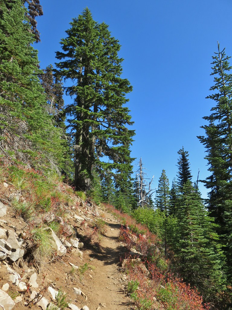
We followed this relatively steep trail back into the wilderness and up to an even better viewpoint just over a mile from the trailhead.

Mt. Rainier had swapped sides with Sawtooth Mountain and was fully visible as were the Goat Rocks and Mt. Adams.


Beyond the viewpoint the trail continued to climb but much more gradually arriving at a junction with the Deep Lake Trail after 1.2 miles.
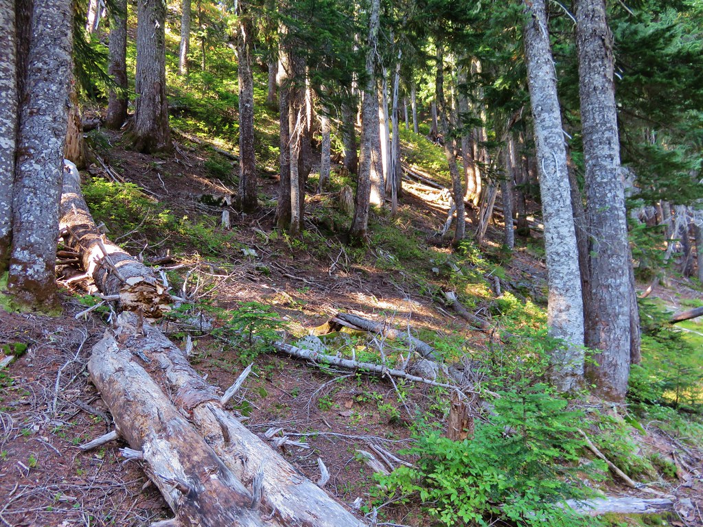
 The Labor Day wind storm had knocked a number of trees down but the trails we took had mostly been cleared already.


There was a bit of a traffic jam at the Deep Lake Trail junction and we wound up on that trail even though we had not planned on this side trip.
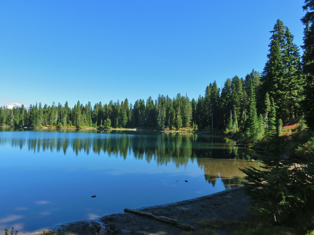
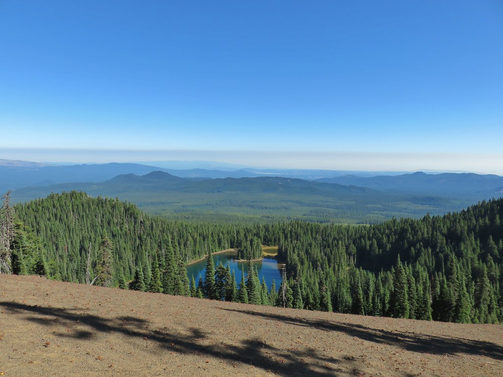
 Cultus Lake from the Deep Lake Trail.

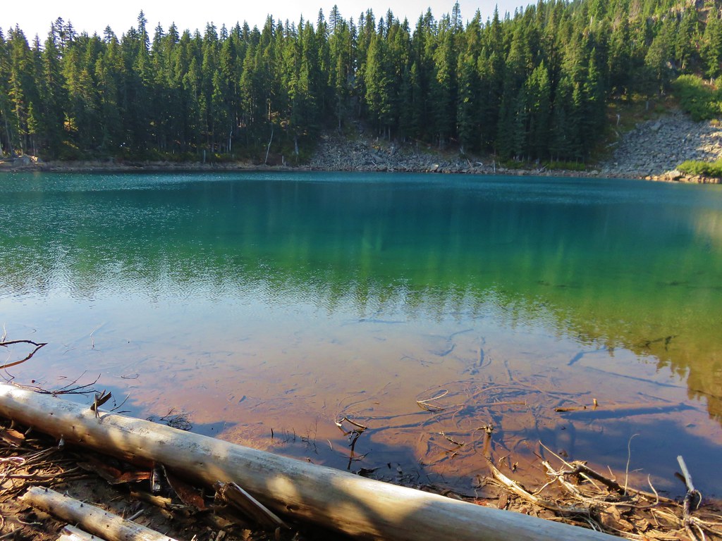
It was only about a quarter mile to Deep Lake and well worth the trip as it turned out. The top of Mt. Adams was visible across the lake.
We took another break along the shore of this lake (which was also very busy with hikers and backpackers).
We returned to the Indian Heaven Trail and followed it to the far side of Cultus Lake where we turned left on the Lemi Trail.
 Lemi Rock beyond Cultus Lake
 Cultus Lake from the Lemi Trail.
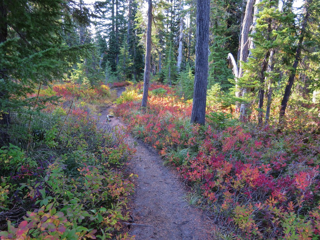
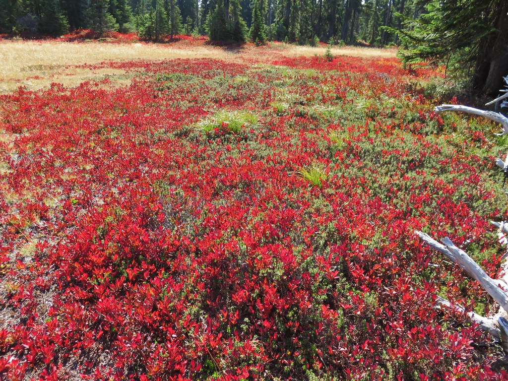
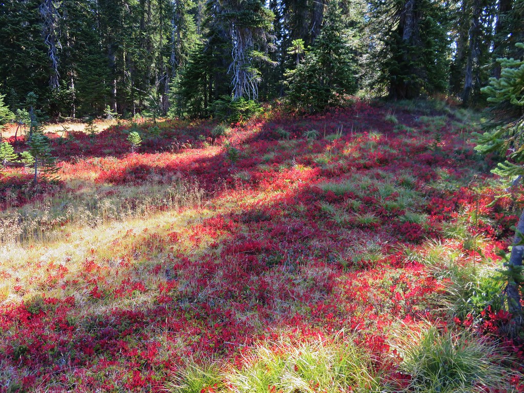
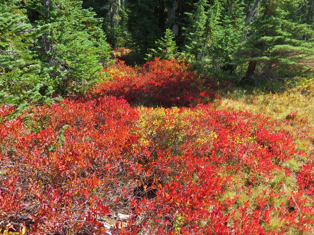
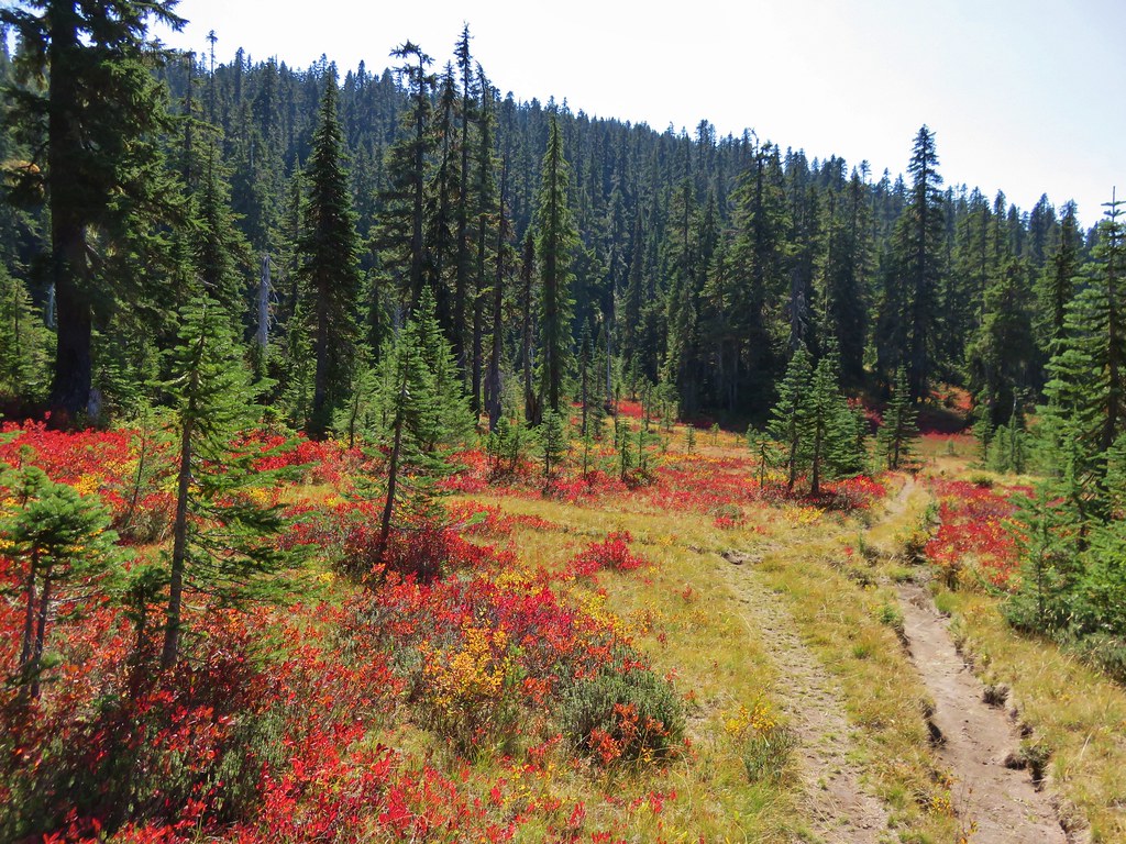
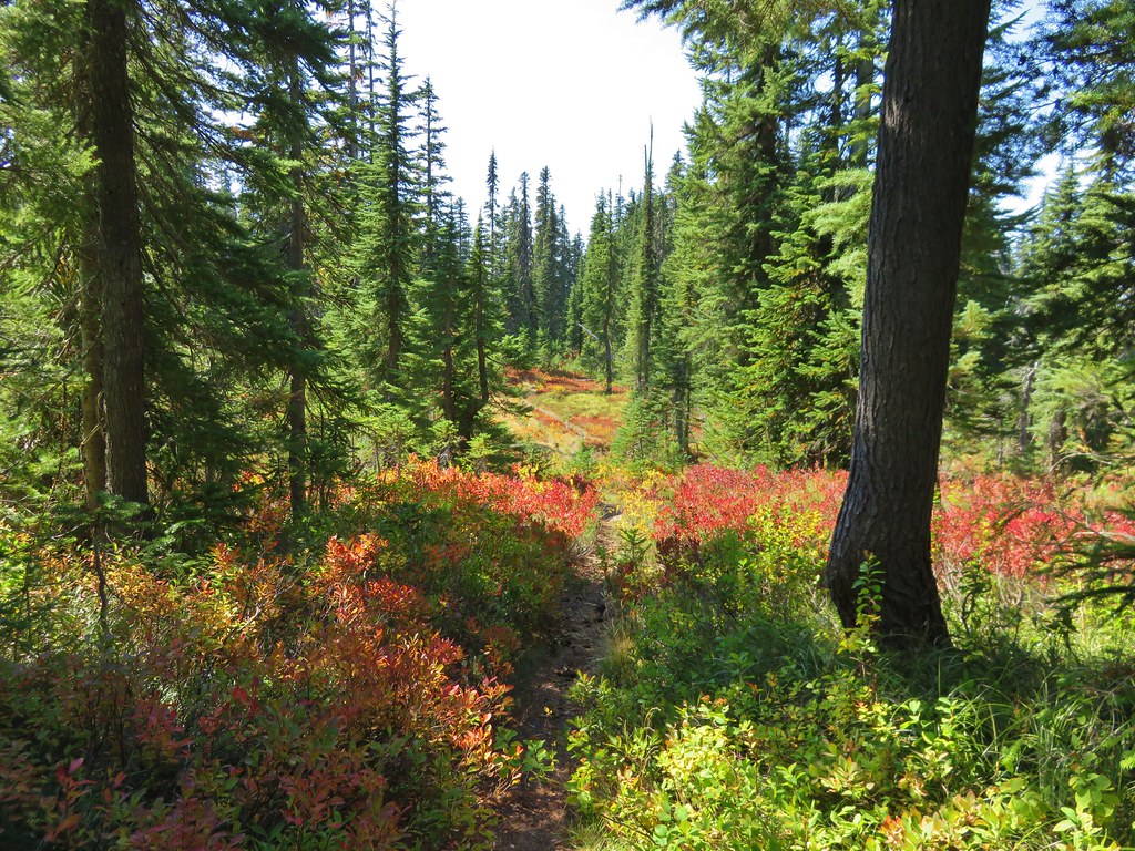
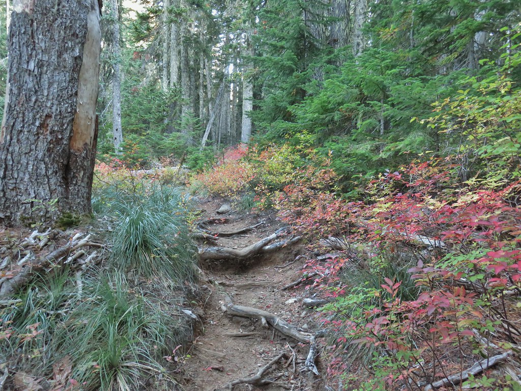
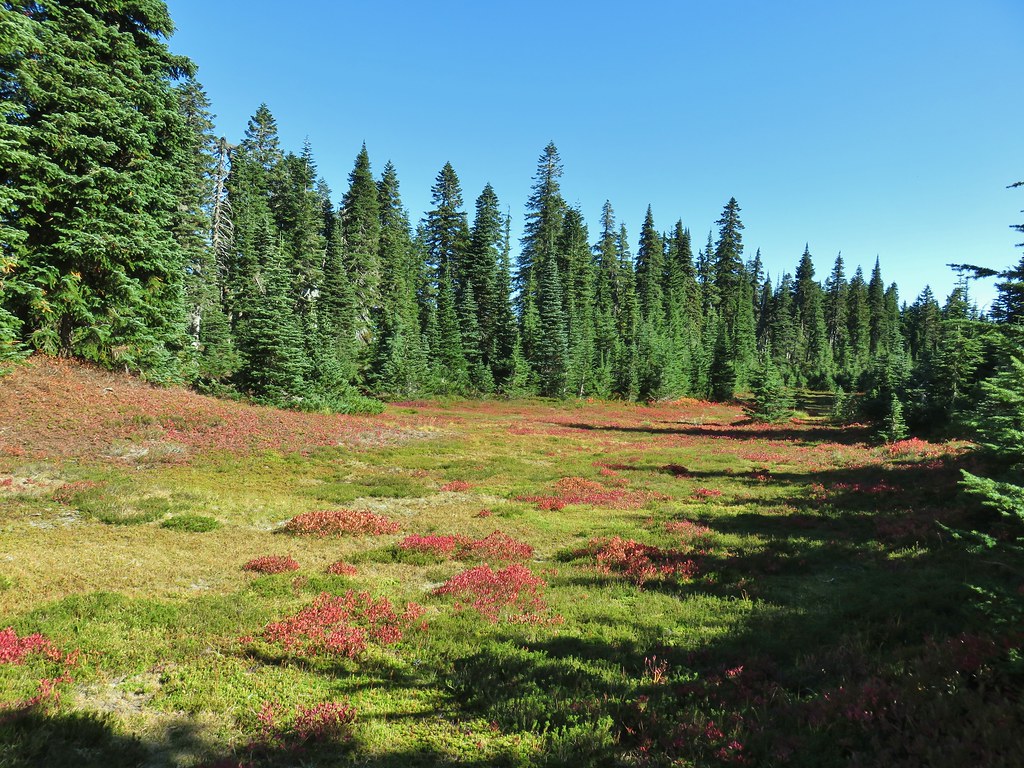
Beyond Cultus Lake the Lemi Trail passed through a series of meadows with bright red and yellow huckleberry leaves.


After a mile of fairly level hiking the Lemi Trail steepened gaining a little over 200′ in .3 miles.
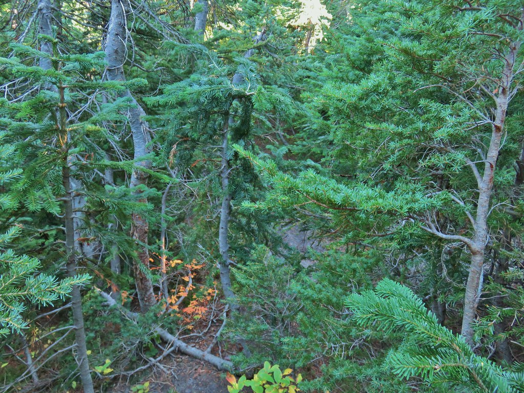
 The climb was up a forested hillside.
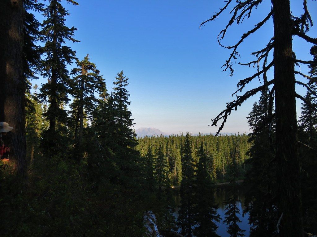
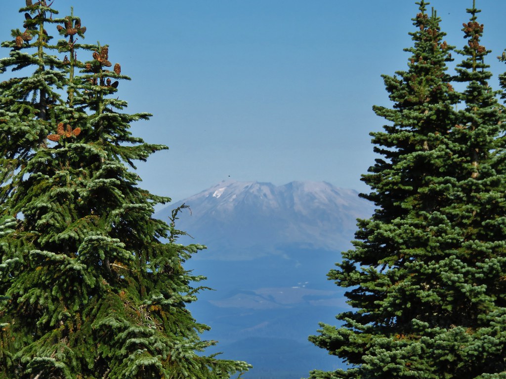
The climb offered us the only view of the day of Mt. St. Helens.
 Mt. St. Helens

The trail leveled out again on the east side of Lemi Rock at a junction with what appeared to be possibly be a climbers trail on the right.

We continued on the Lemi Trail another quarter mile to a viewpoint above Lake Wapiki where we now had a view of Mt. Hood (and a little more haze).
 Mt. Adams as we approached the viewpoint.
 Lake Wapiki
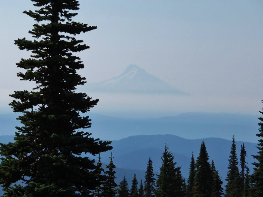
 Mt. Hood

The Lemi Trail continued another 1.1 miles down to the lake but the climb up to the viewpoint from Cultus Lake was enough to convince us that we weren’t up for the 400′ climb back up from Lake Wapiki so after resting at the viewpoint we started back. Curiosity got the best of us at the trail near Lemi Rock though as it appeared fairly level so we turned left onto it and began following it to see where it might lead.

We followed this trail past more spectacular Fall colors for .2 miles where it suddenly disappeared in some small trees.


We maneuvered our way through the trees picking up another mylar balloon (we have come to hate these).
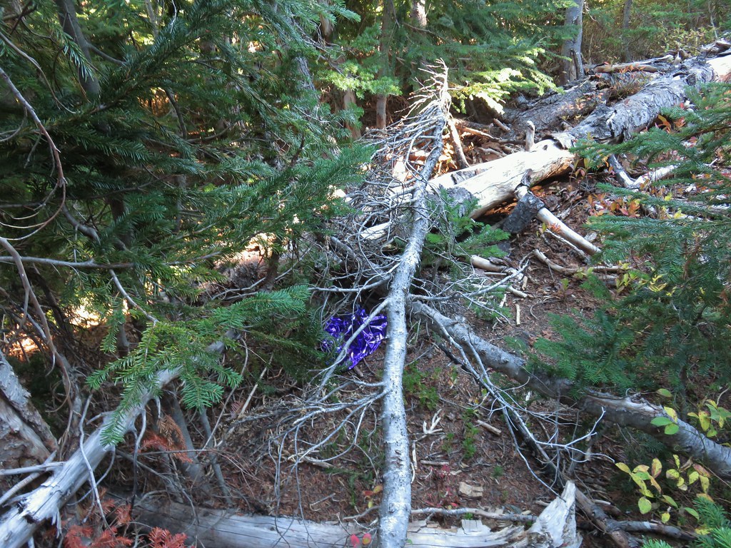
We popped out at a small meadow where we declared victory at headed back toward Lemi Rock.
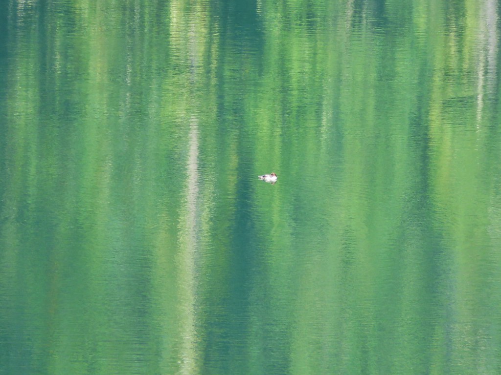
As we passed a small pool with a clear reflection Heather spotted the second pika of the day.


After watching the pika for a moment returned to the Lemi Trail and took it back to Cultus Lake and the Indian Heaven Trail.

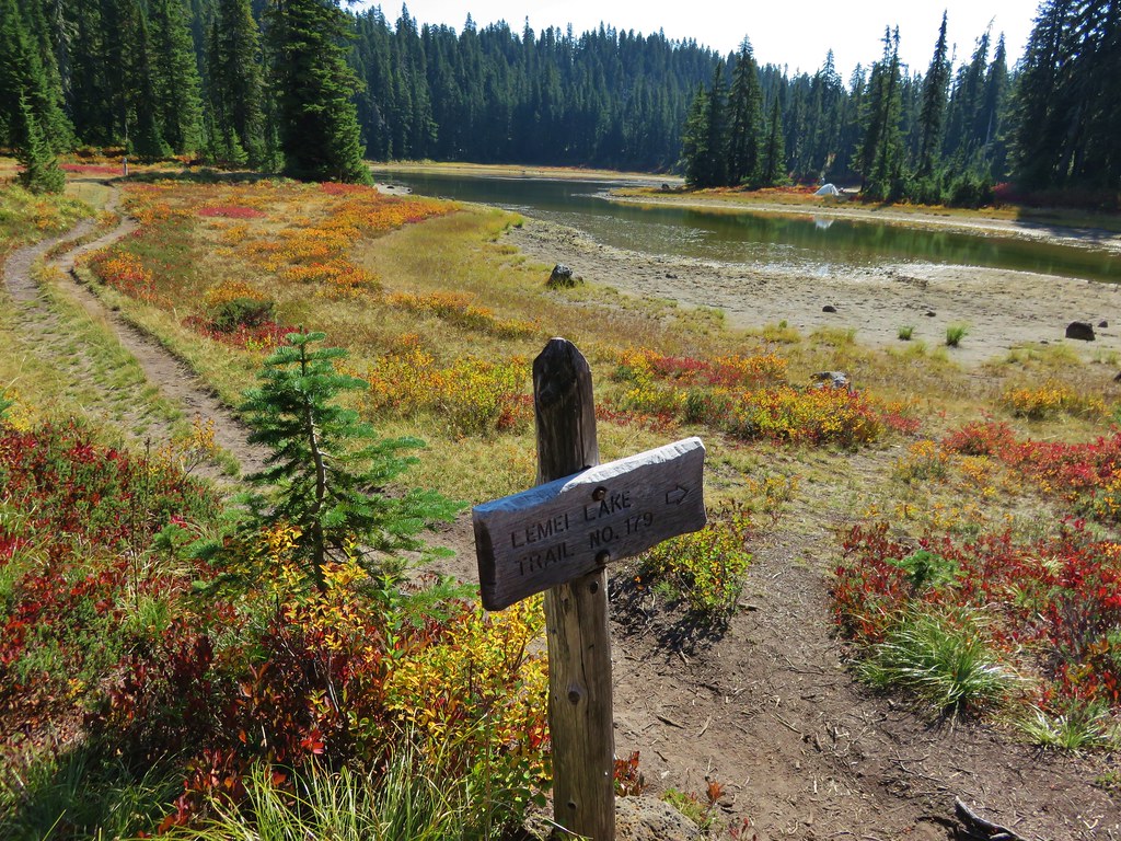
We turned left onto the Indian Heaven Trail and followed it for another .3 miles to a junction with the Lemi Lake Trail.

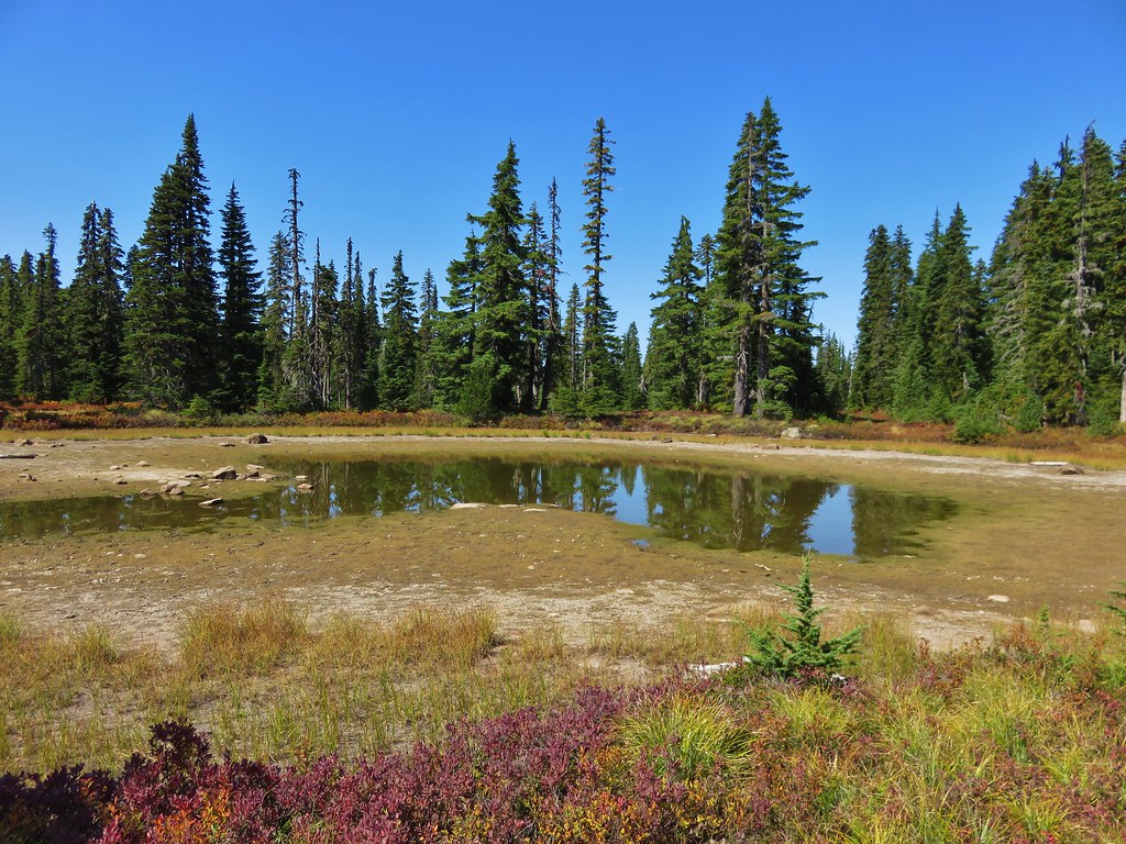
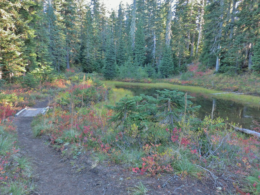
We turned left onto this trail passing through a series of meadows before arriving at Lemi Lake after a little over half a mile.

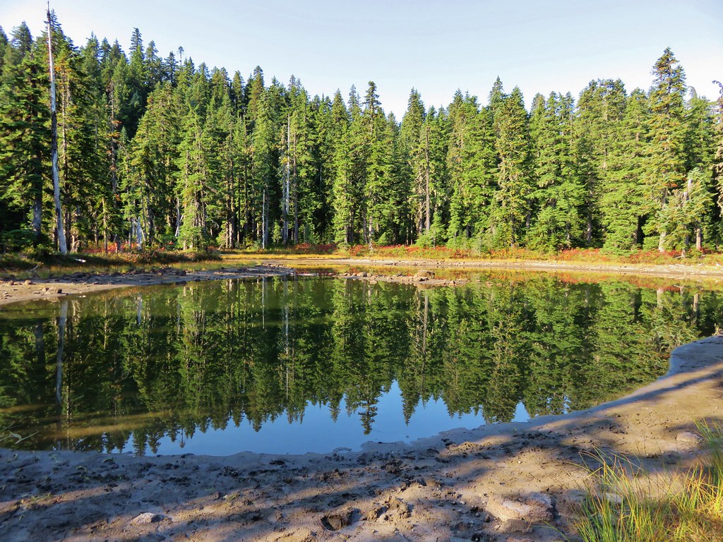
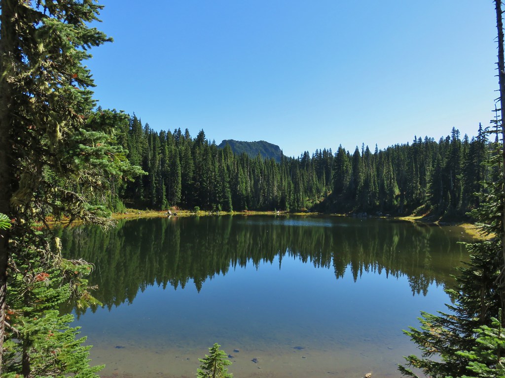
 Lemi Lake
We had brought our camp stove and dinner and stopped at the lake to get water and eat.

After dinner we followed the Lemi Lake Trail for another 1.5 miles back to Junction Lake and the Pacific Crest Trail.

 Pearly everlasting
 Lemi Rock from the Lemi Lake Trail.


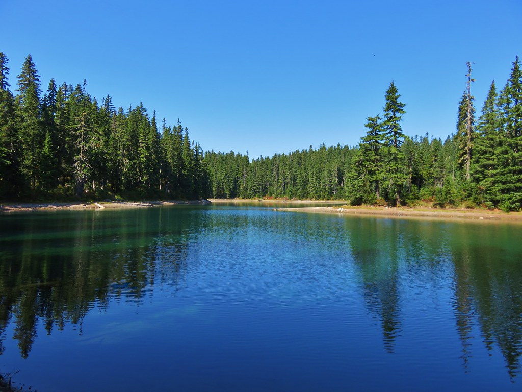
 Junction Lake
 Back to the PCT.
 Junction Lake from the PCT/Lemi Lake Trail junction.
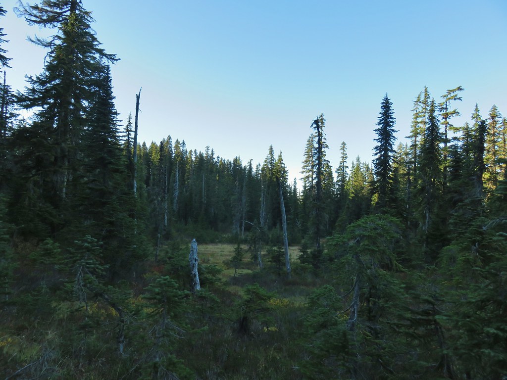
Things had gotten very crowded at Junction Lake and there were tents all over the grass around the lake shore. We retreated to our little spot in the trees away from the madness and took our camp chairs in the opposite direction and sat for awhile at the edge of a meadow.
We decided that we’d get up no later than 5am and beat the crowds by hiking out in the dark the next morning. We’ve been spoiled with nearly none of our backpacking trips involving many other people at all so this was a bit of an adjustment for us. We wound up waking up at 4:30am and set off under a full moon toward our car.

We had only hiked in the dark one other time, when we thought there might be a fire in the Three Sisters Wilderness, but it was actually 40 miles away (post). That had been quite the adventure as it seemed like we were constantly seeing eyes in the forest or toads in the trail. We were hoping we might have a similar experience here but the 2.5 mile hike back to the car was quick and uneventful. We were back home in Salem a little after 9am though which gave us plenty of time to unpack, do laundry and watch the Seahawks game. Aside from not being used to that many people on an overnighter it had been a good trip. The weather was great as were the views and the Fall colors. Somehow we managed to turn what we expected to be a 14.6 mile hike into 18.2 miles (those side trips will get you every time) but it was worth every step. Happy Trails (and Go Hawks)!
Flickr: Junction and Cultus Lakes