Well 2020 is officially over and I think nearly everyone is glad to see it go. It was a rough year for so many between COVID-19 costing lives and jobs and wildfires claiming homes and businesses. We were fortunate in that we were able to keep working throughout the year, stayed healthy, and were just slightly inconvenienced by the fires that impacted so many after Labor Day. The most traumatic event that we personally experienced was the loss of our eldest cat, Buddy (post) in January.
With all that going on during the year, hiking became a way to try and escape and yet it seemed nearly impossible not to feel the cloud that was 2020 hanging over everything. It certainly made for a “different” year of hiking. I made more changes to our planned hikes in 2020 than in any previous year. It wasn’t just COVID and fires that triggered changes either, flooding in the Blue Mountains east of Pendleton in February damaged Forest Service Roads and trails forcing us to cancel a planned June trip. We originally had 58 days of hiking planned (as of January 1, 2020) but we cancelled a September backpacking trip in the Sky Lakes Wilderness due to heavy wildfire smoke which left us ending the year with 52 days of hiking. Of those only 19 days consisted of hikes that were on the list on January 1, and just 9 wound up happening on the day originally scheduled (an additional two happened within a day of the original plan).
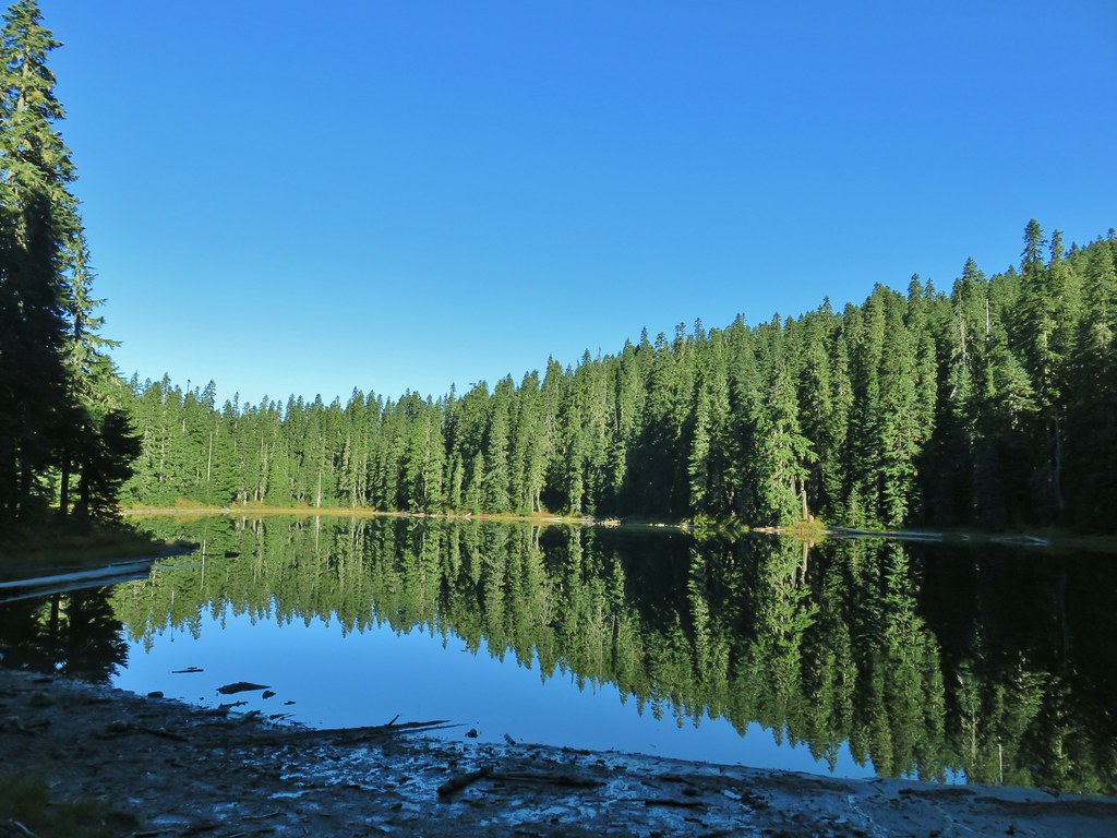
During those 52 days we spent 10 nights backpacking, stopped at 70 trails/trailheads, and 3 roadside waterfalls.
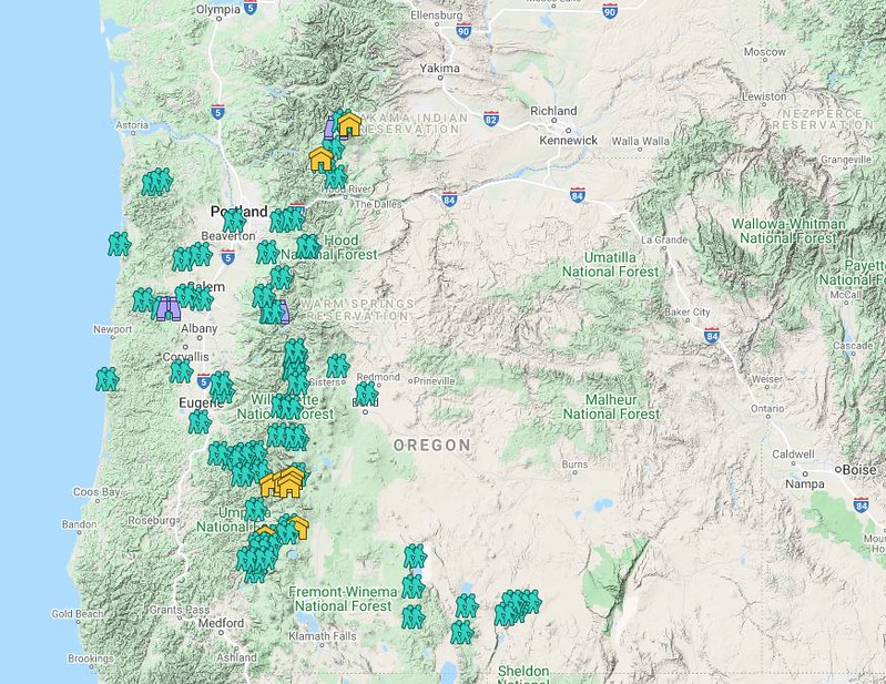 Hiker symbol = Trails/trailheads, yellow houses = campsites, purple binoculars = roadside waterfalls
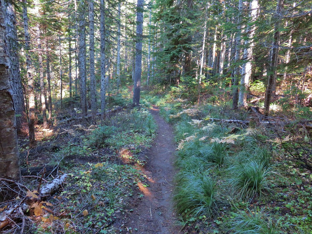
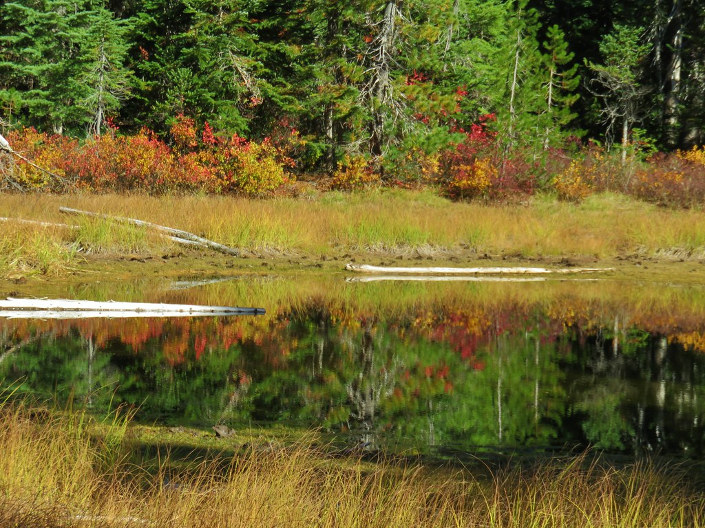
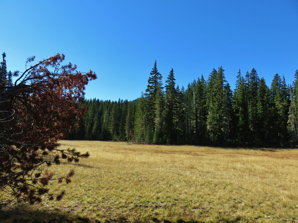
This year saw no repeated hikes and just 18 days where we were on the same part of a trail that we had hiked in a previous year, roughly 34.5 out of the 586.7 miles that hiked. That meant a lot of new trails and sights for us. Two of the hikes, Gearhart Mountain (post), and Boulder Creek (post) were in wilderness areas that we had yet to make it to.
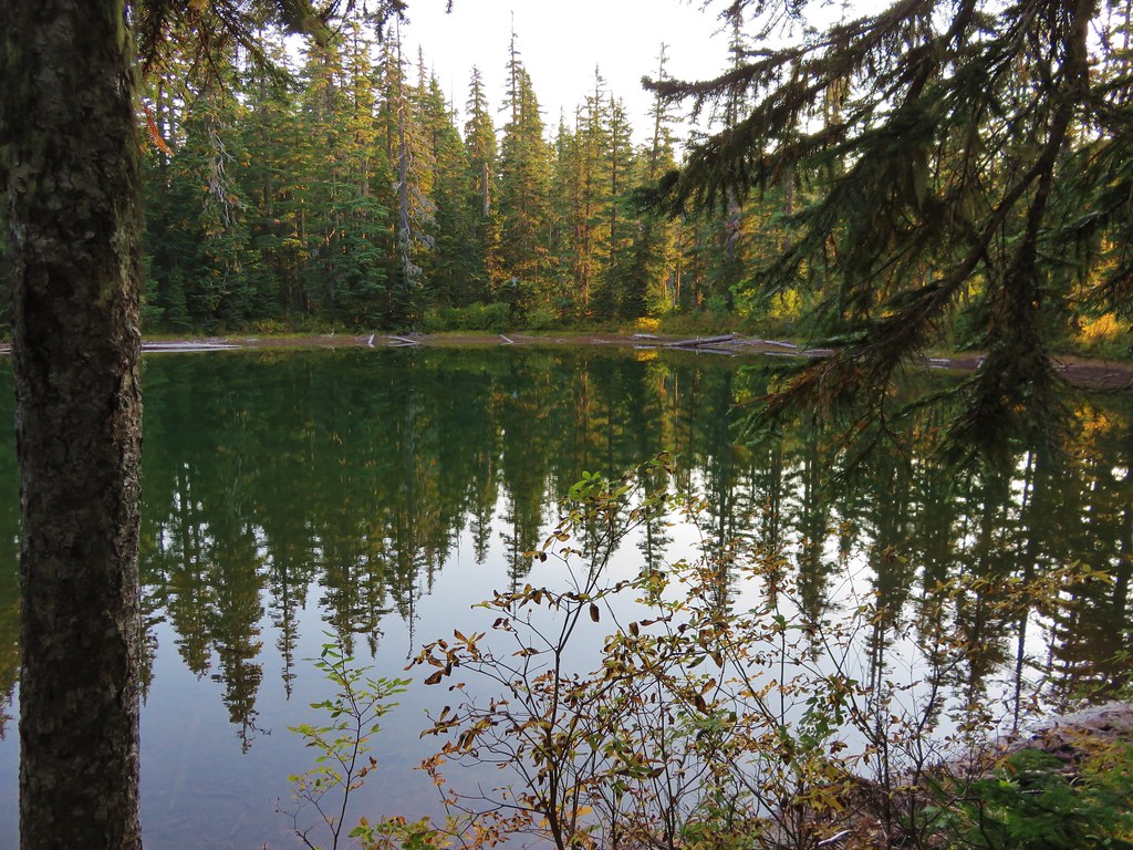
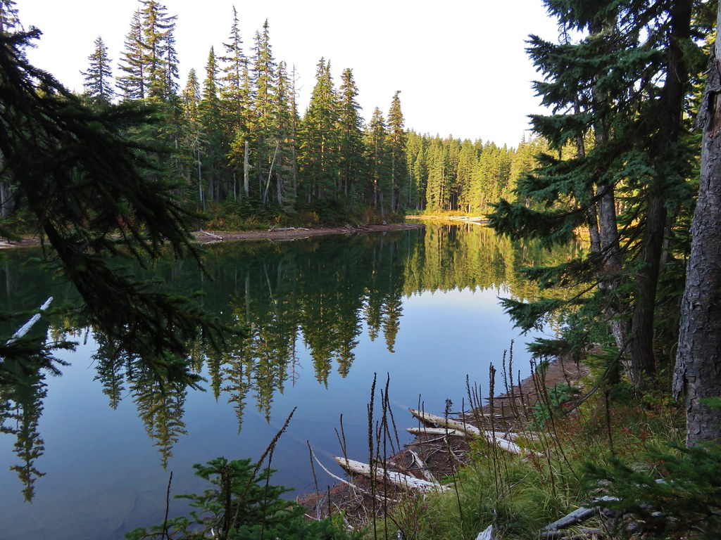
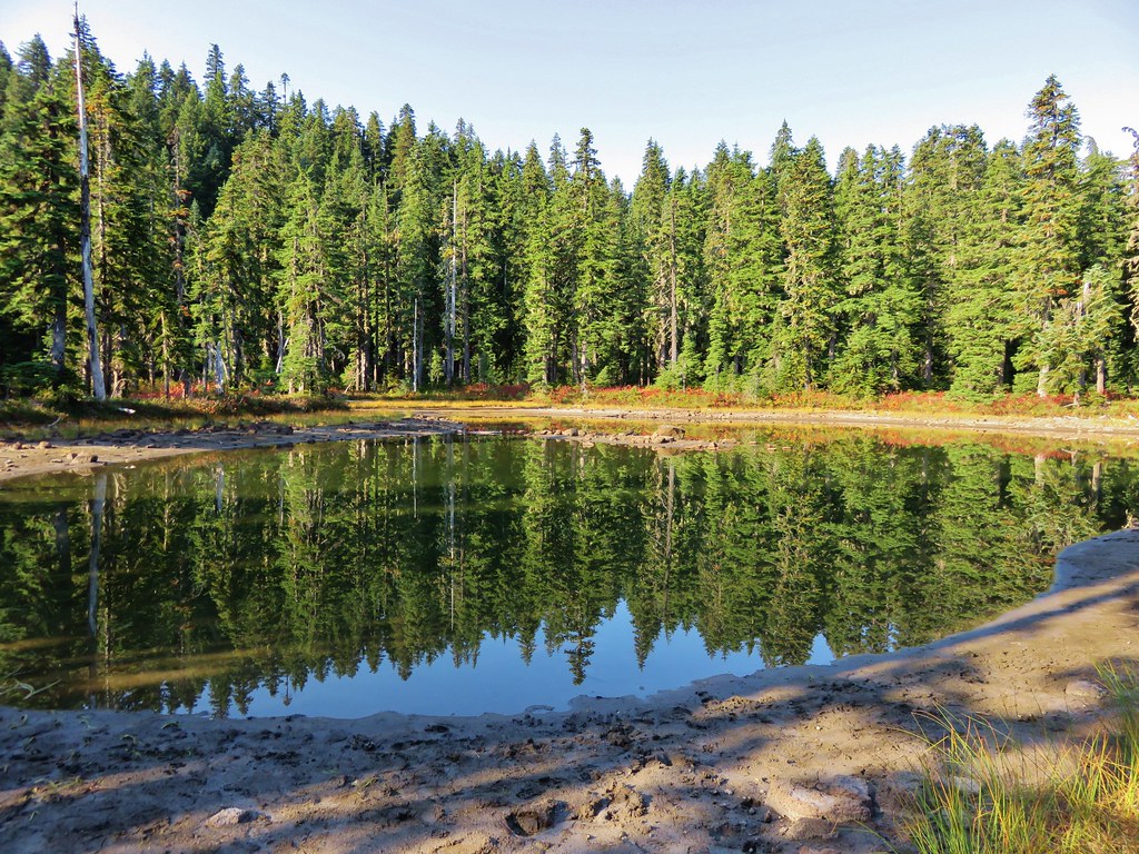
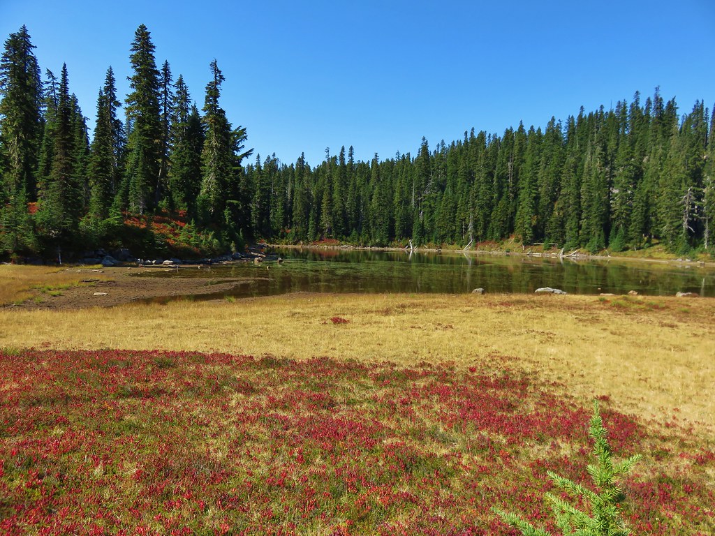
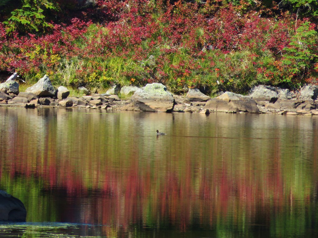
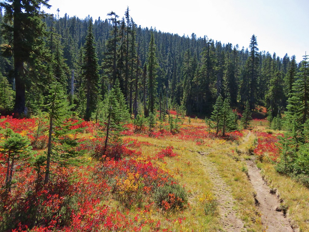
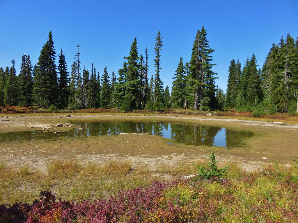
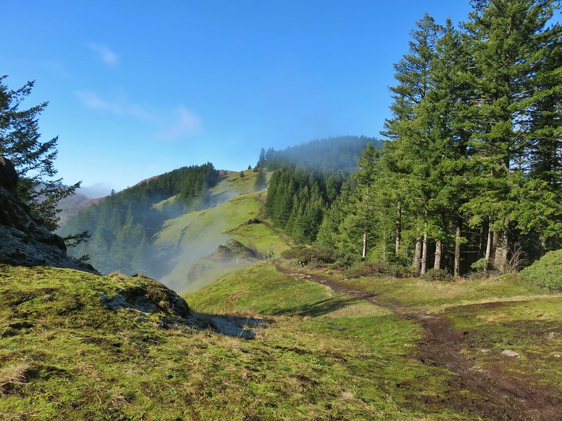
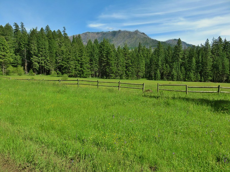
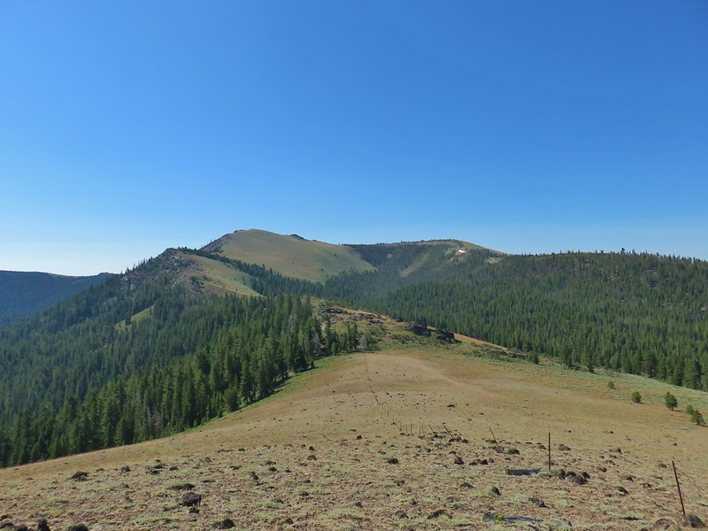
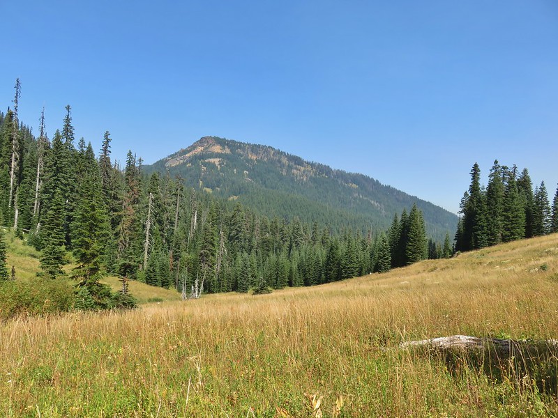
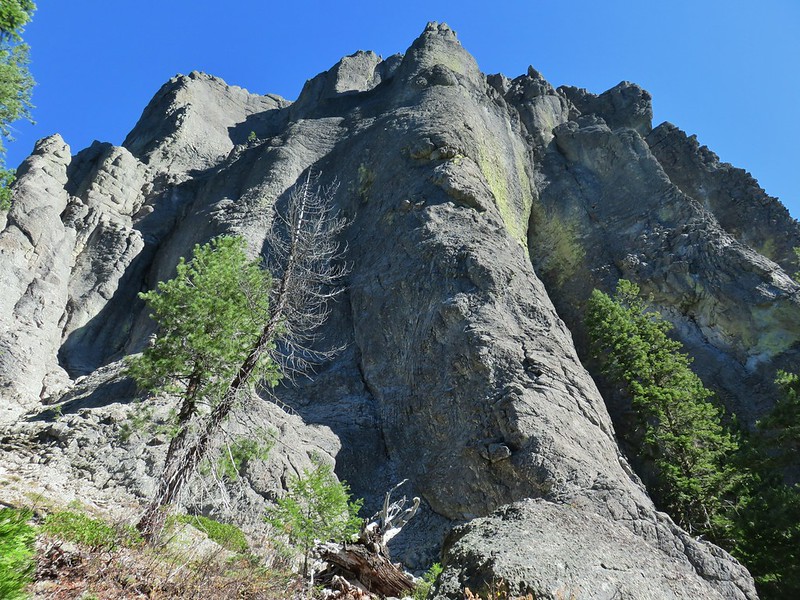
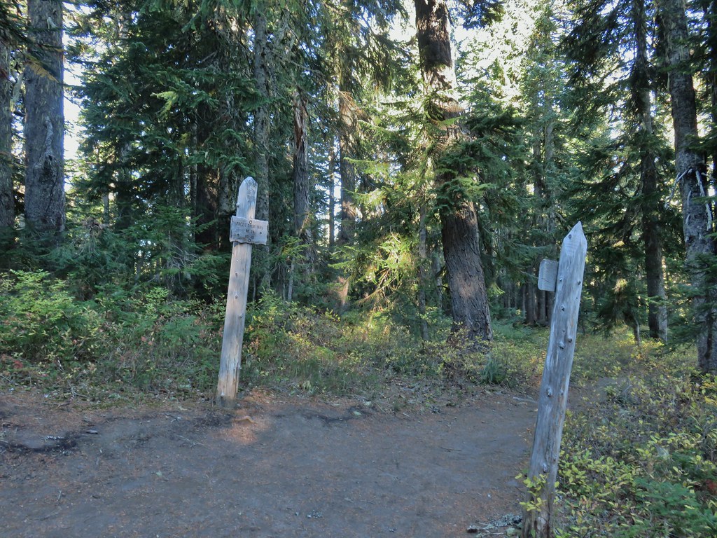
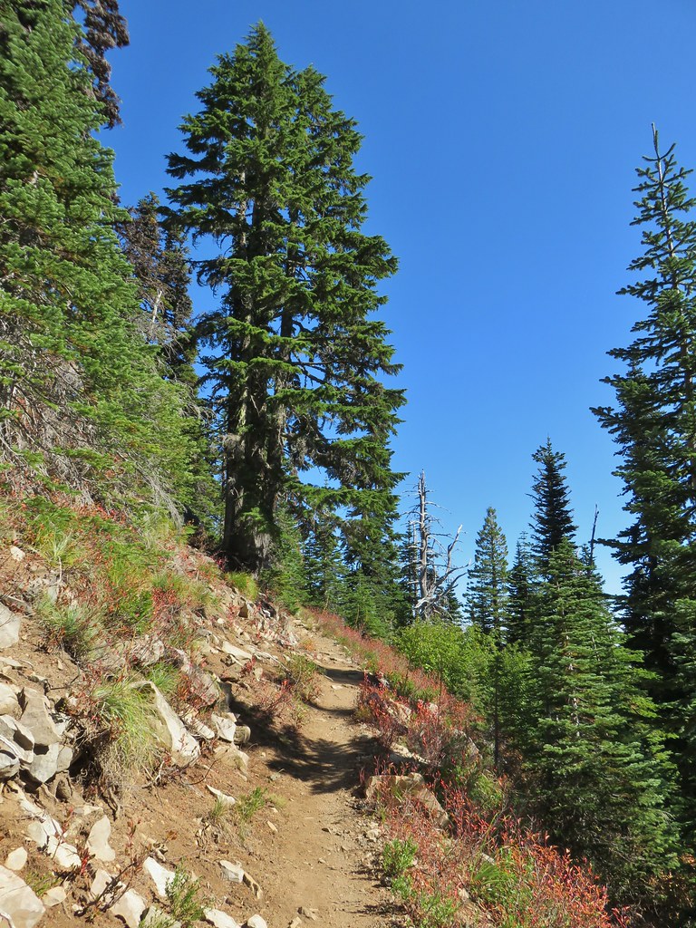
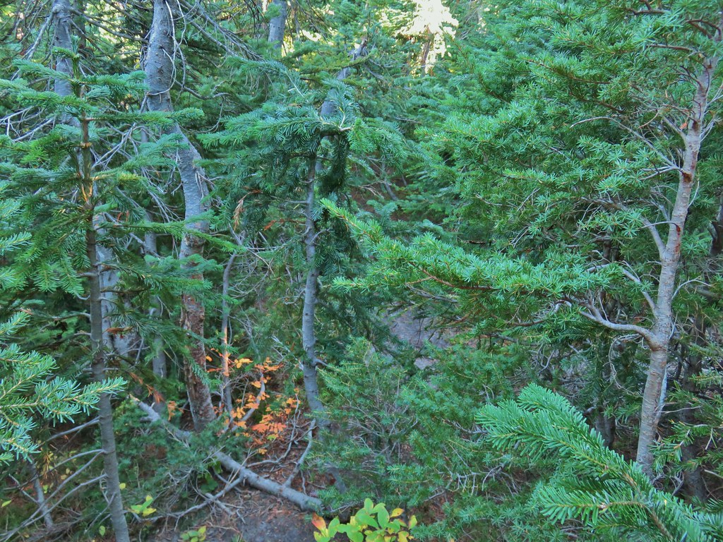
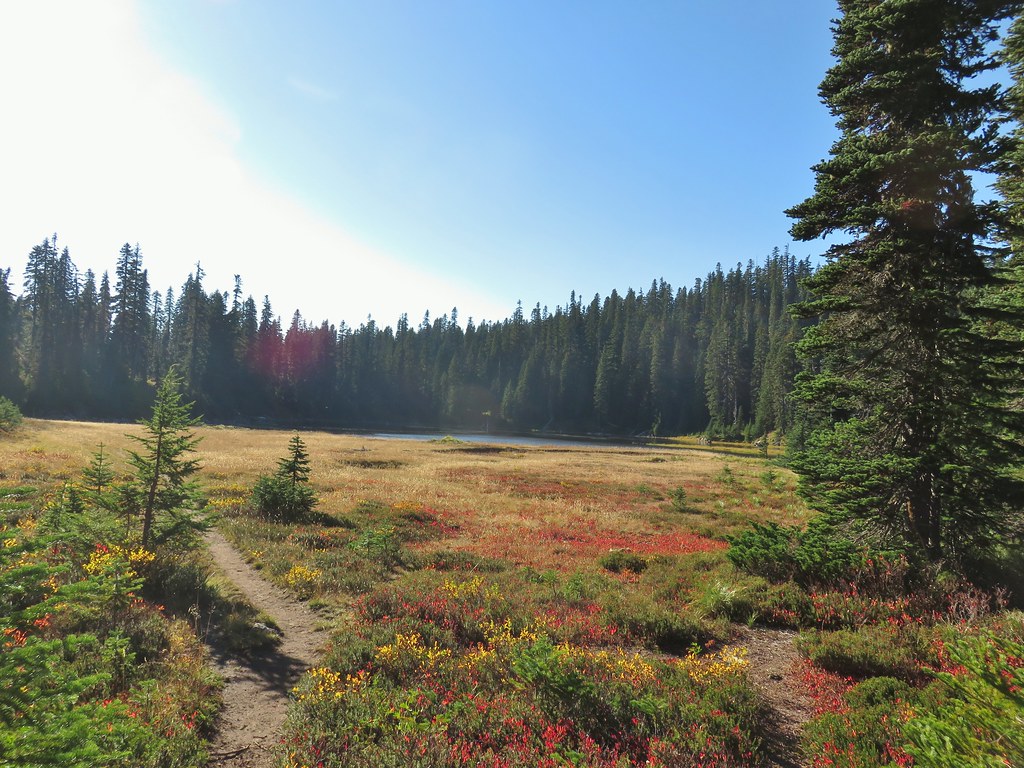
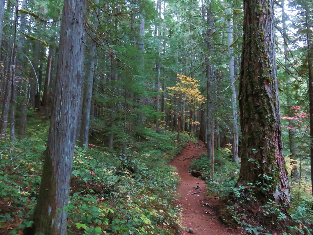
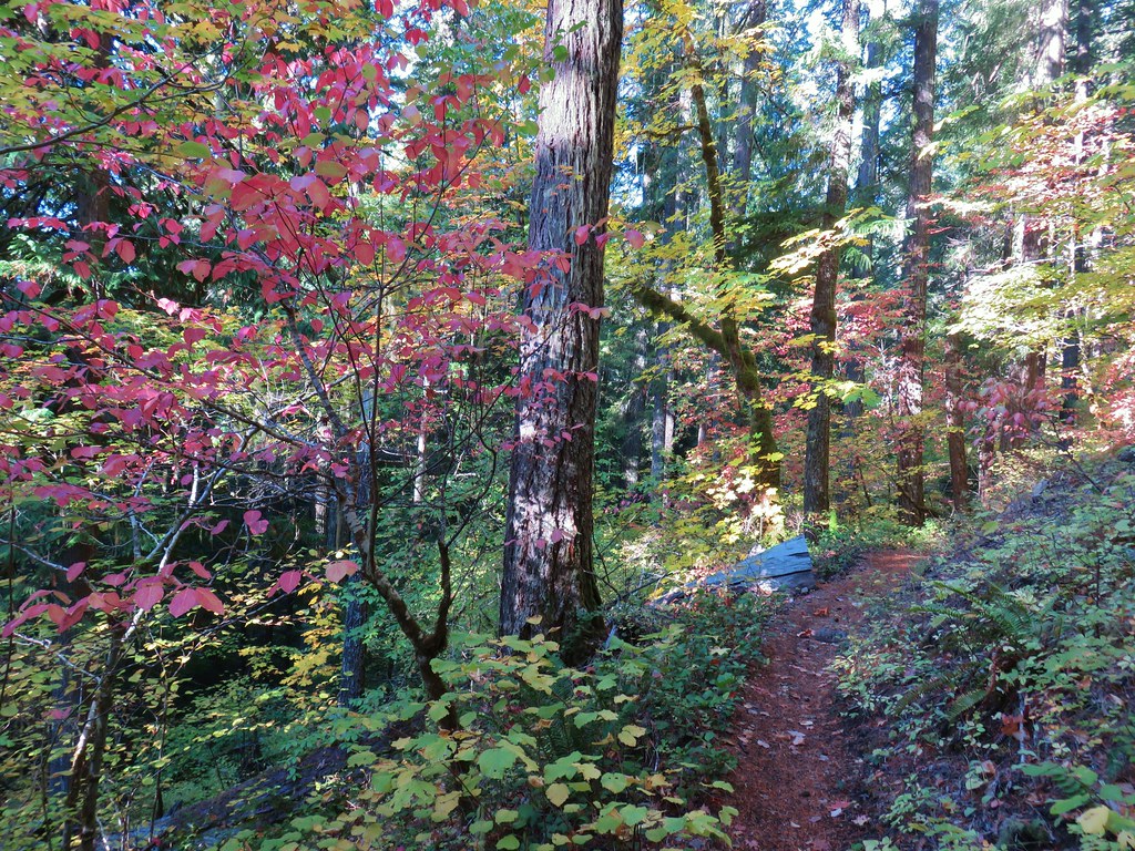
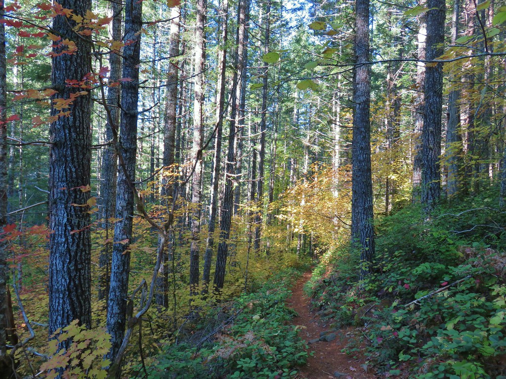
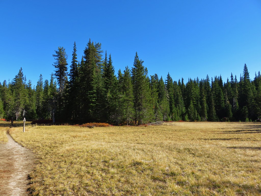
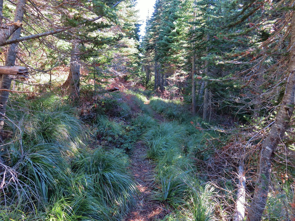
 Gearhart Mountain
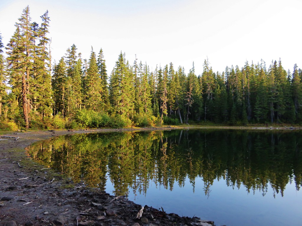
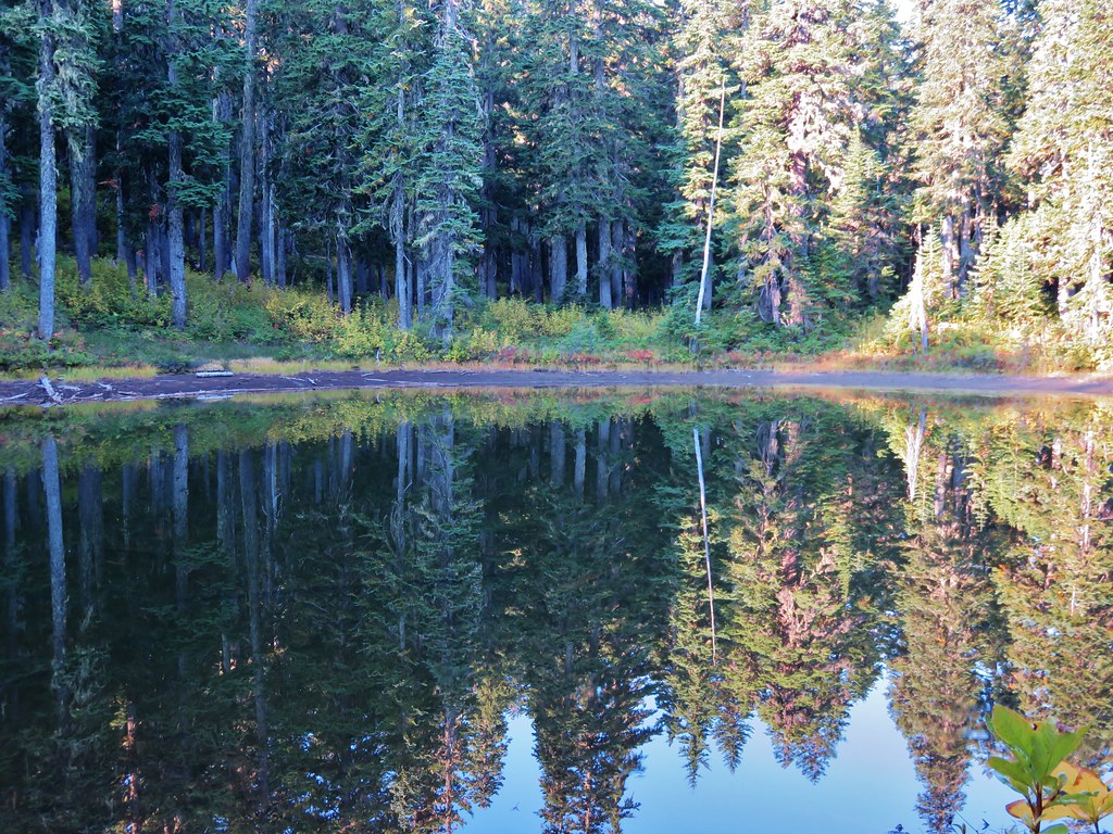
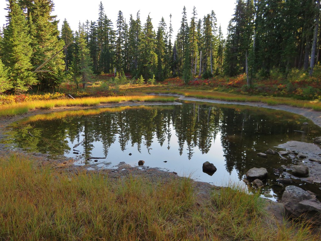
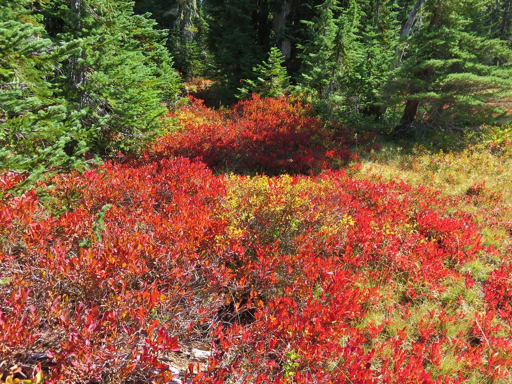
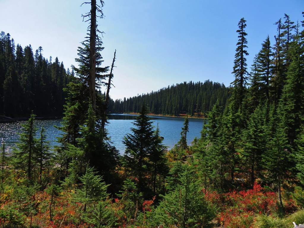
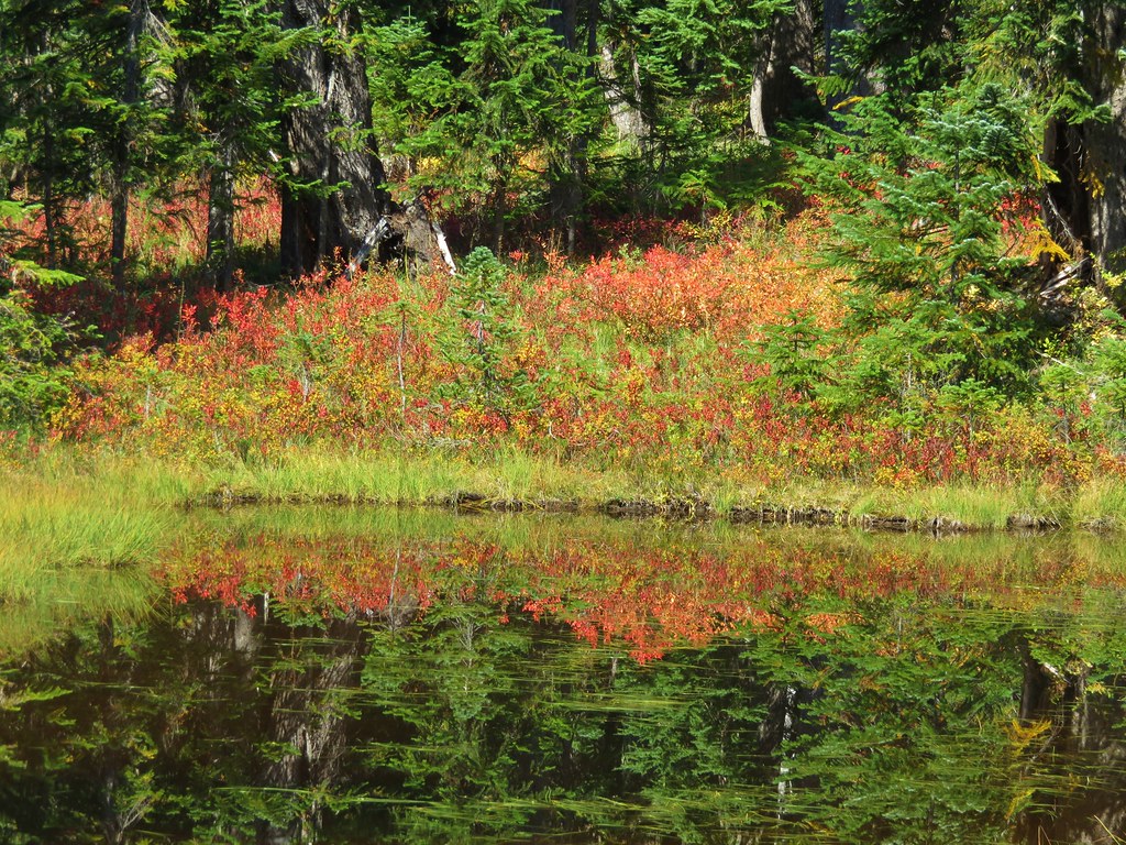
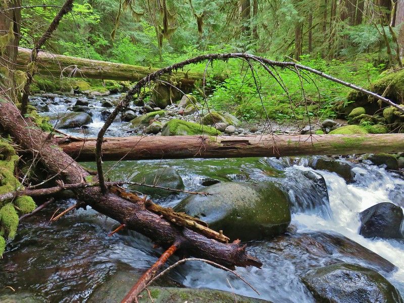
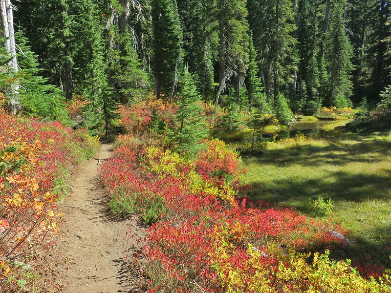
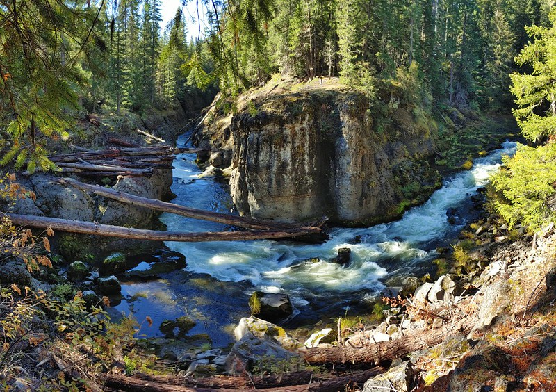
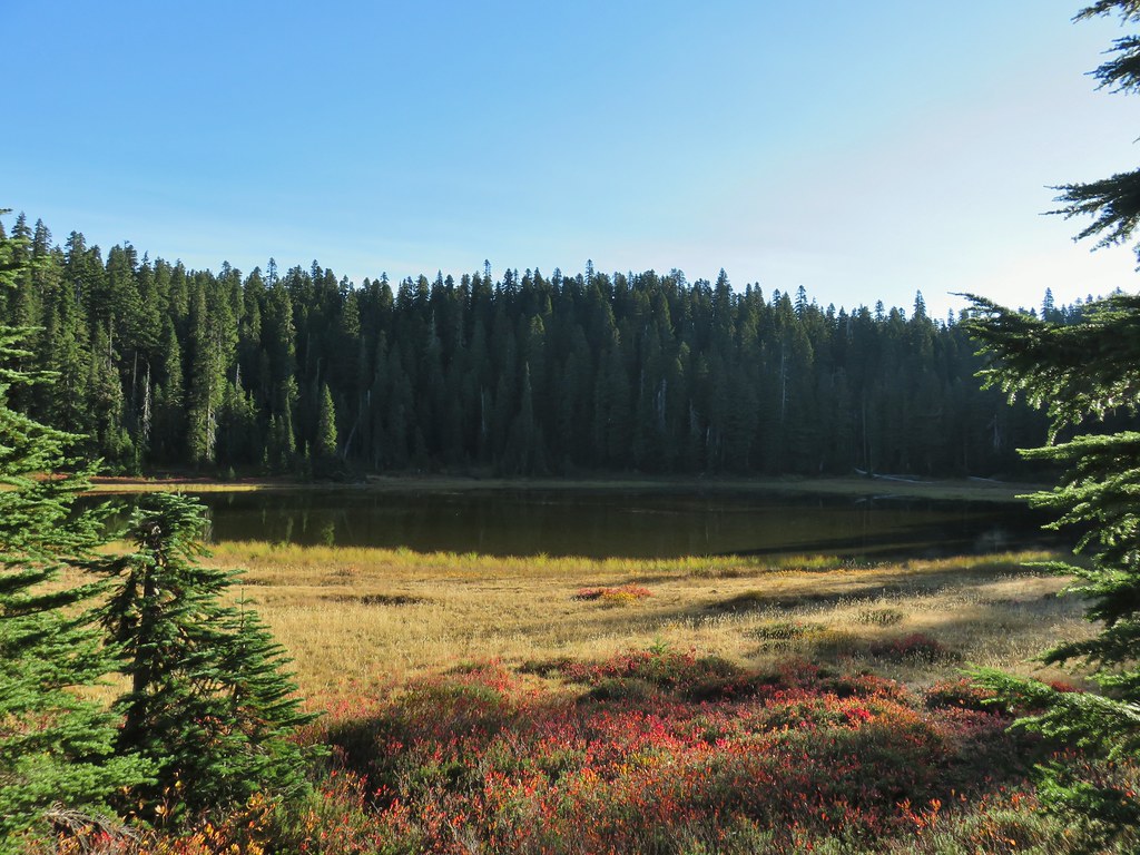
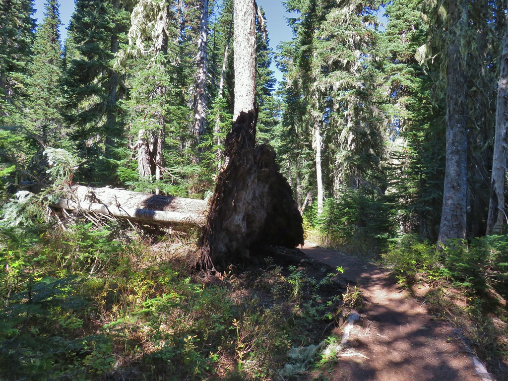
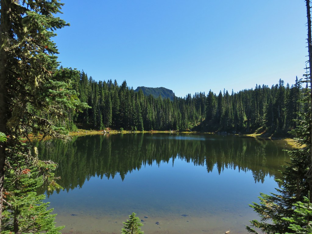
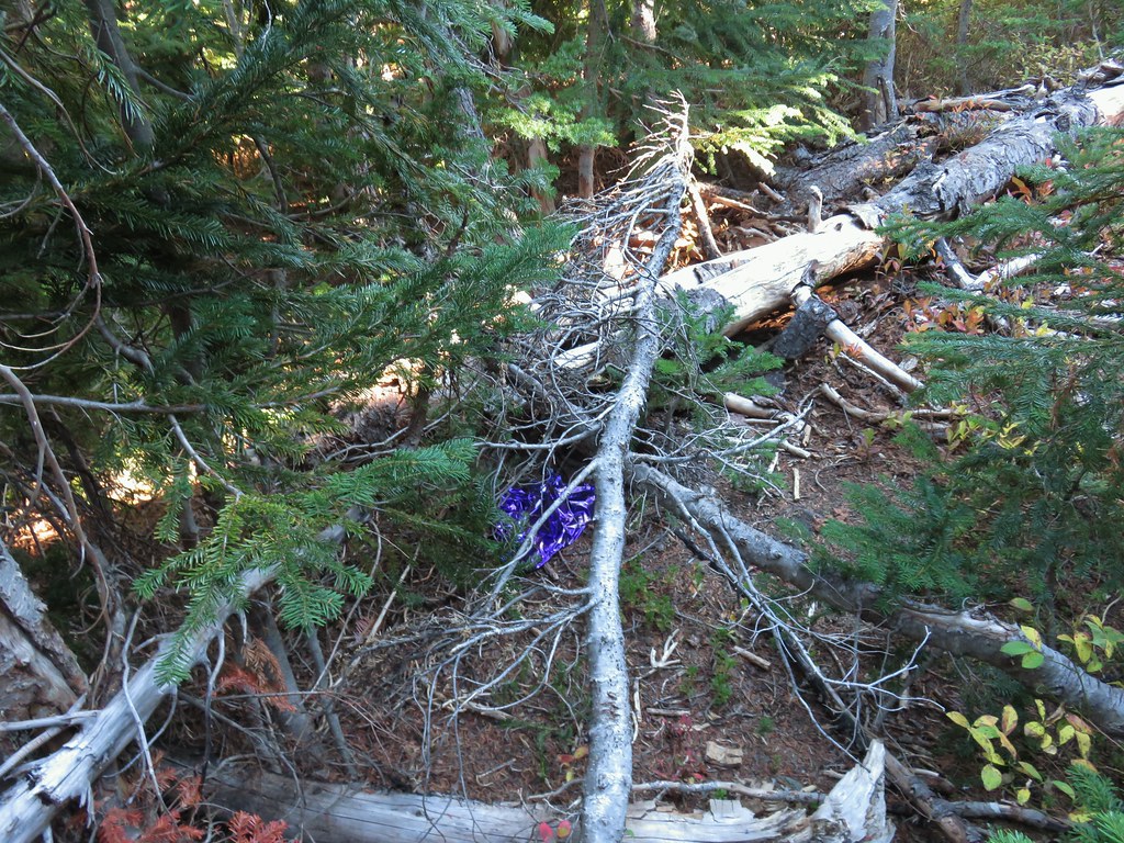
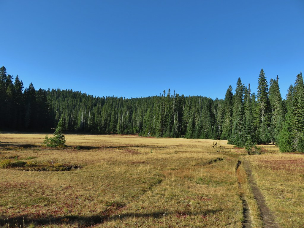
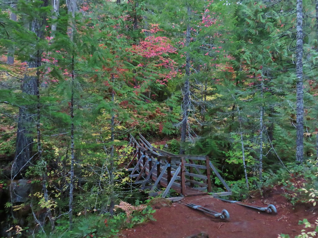
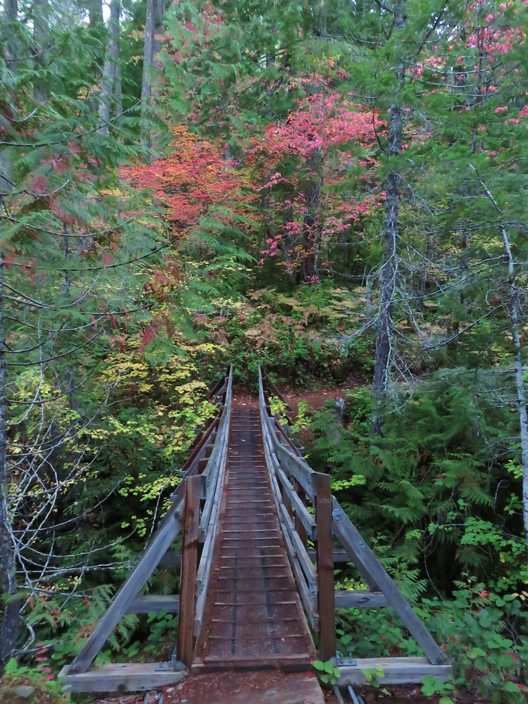
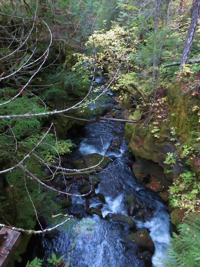
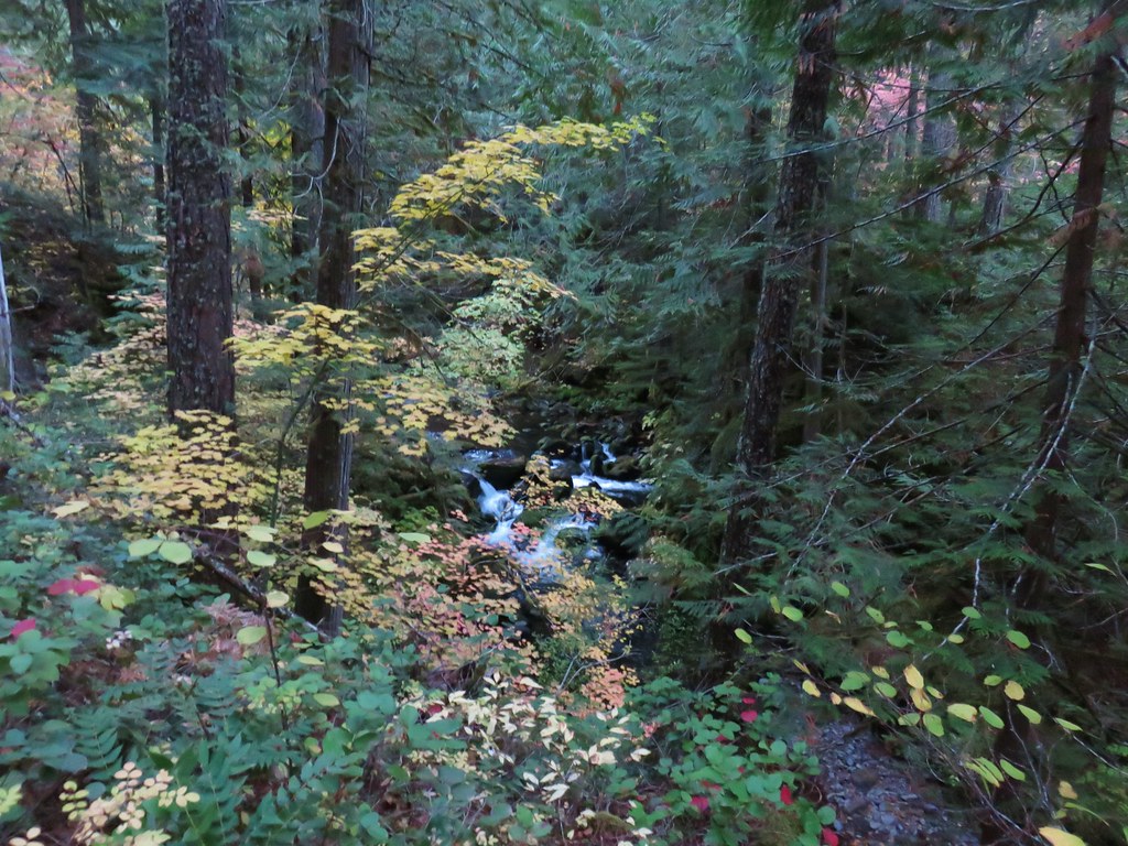
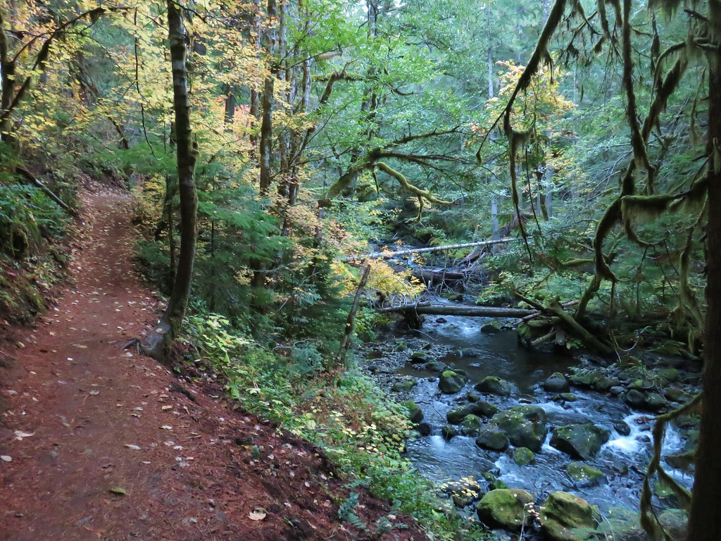
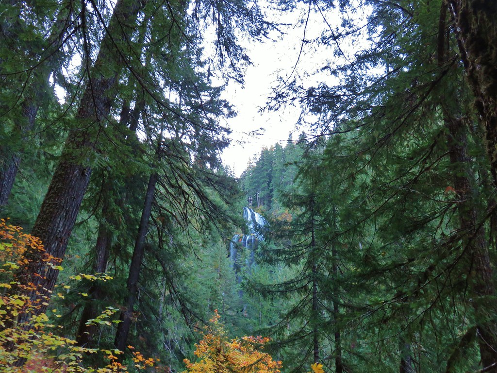
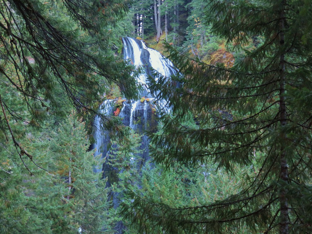
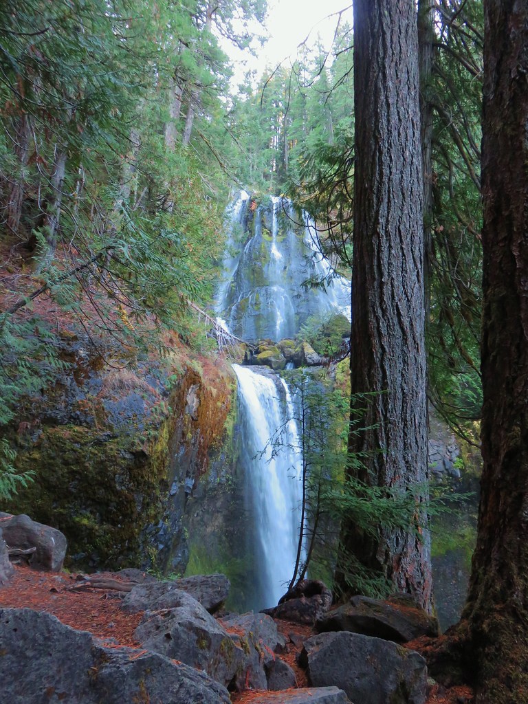
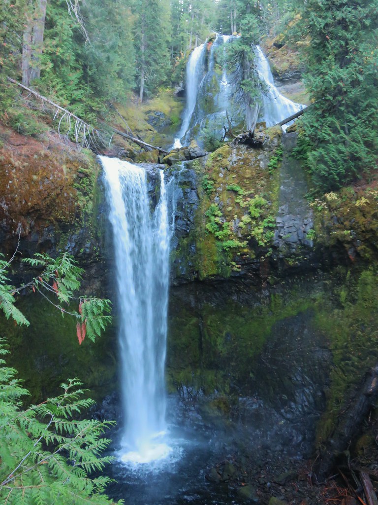
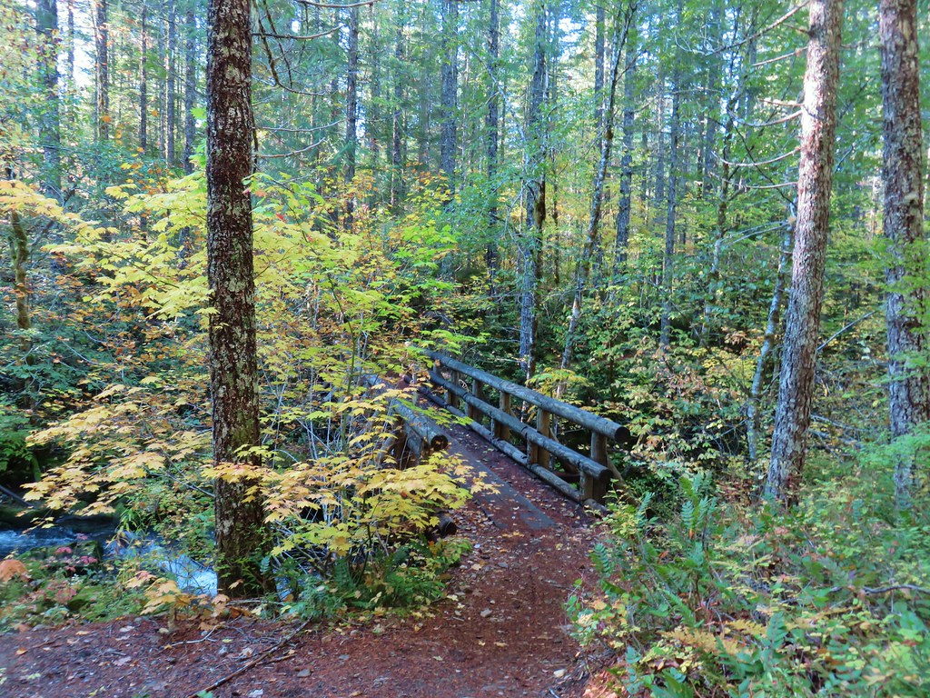
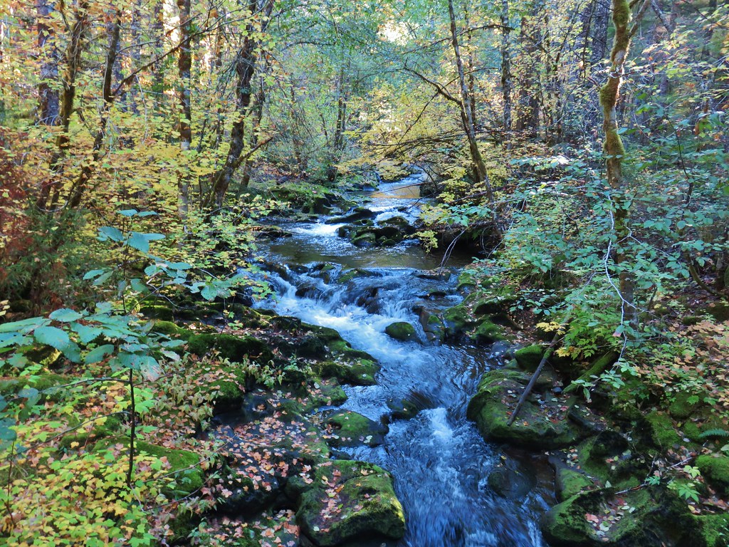
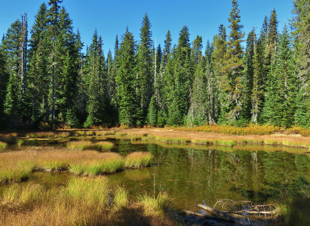
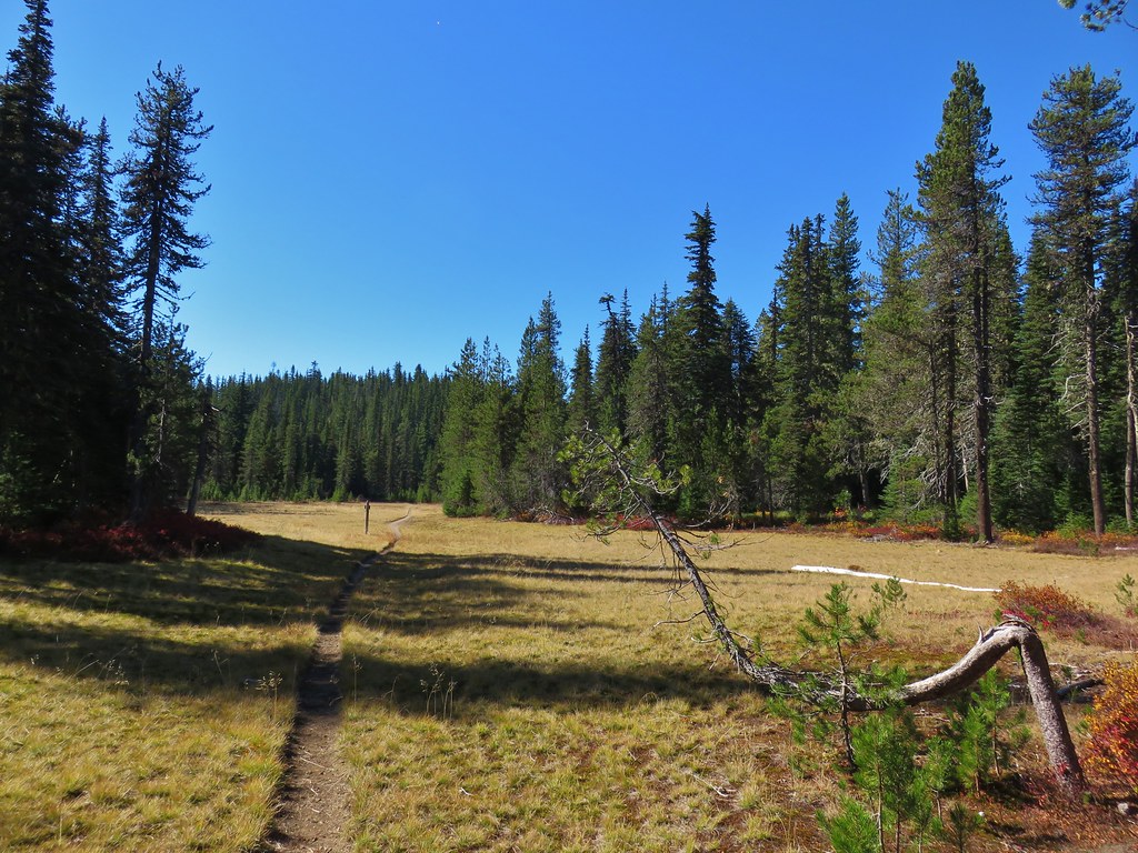
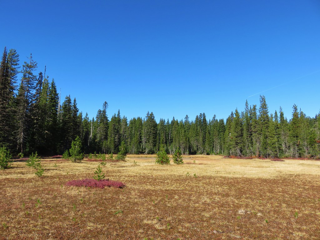
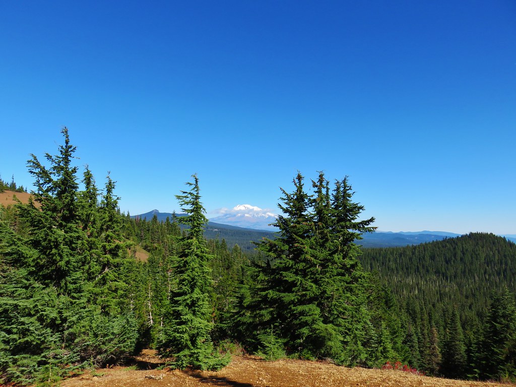
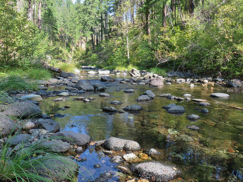 Boulder Creek
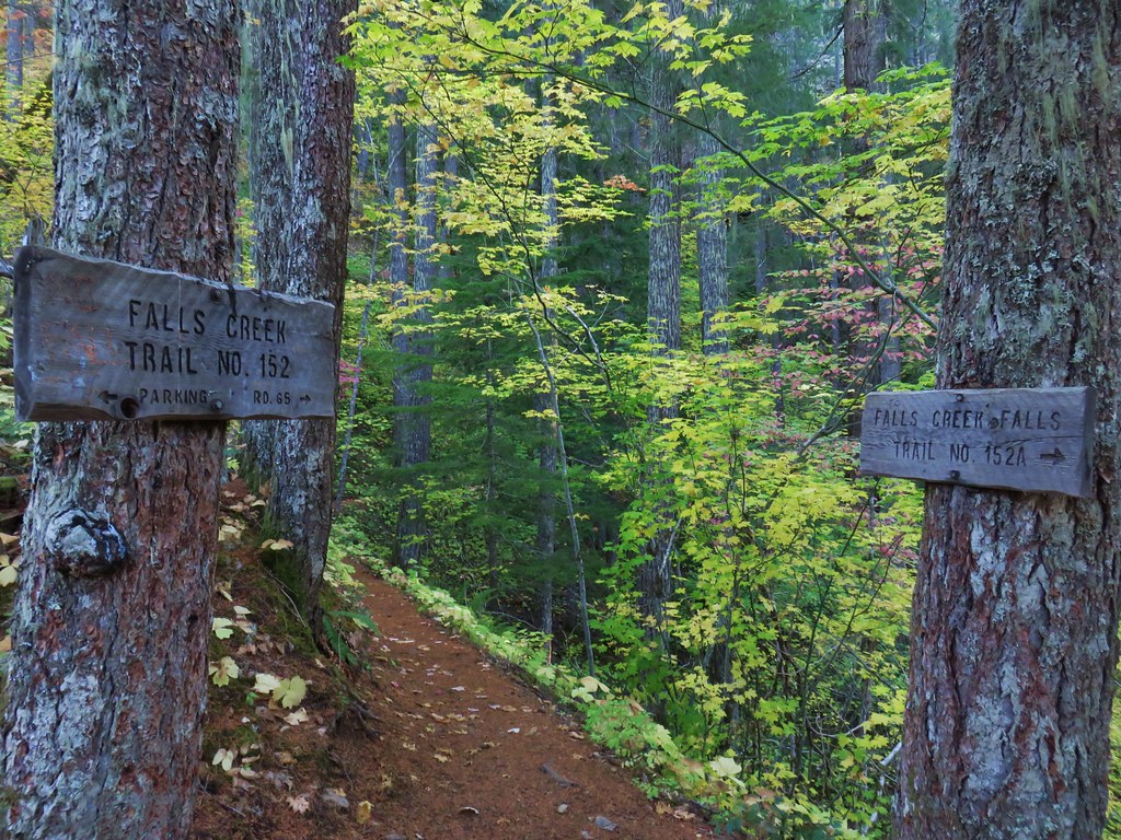
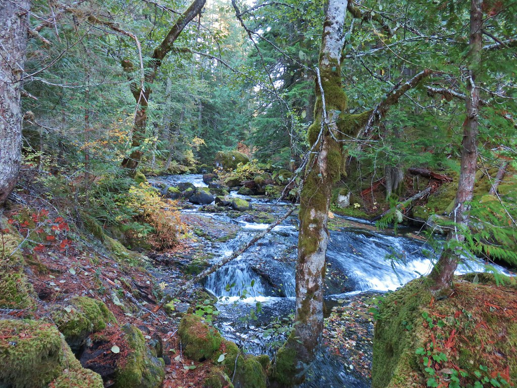
Here are just a few highlights from the places we visited over the year. (* denotes at least some of the area burned in a 2020 fire.)
January
 Netarts Spit
February
 Spencer Butte
 Shotgun Creek
 Horse Rock Ridge
March
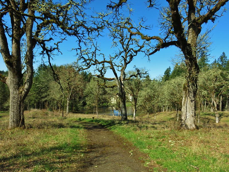
 Miller Woods
 Trappist Abbey
April
 Bush Pasture Park
May
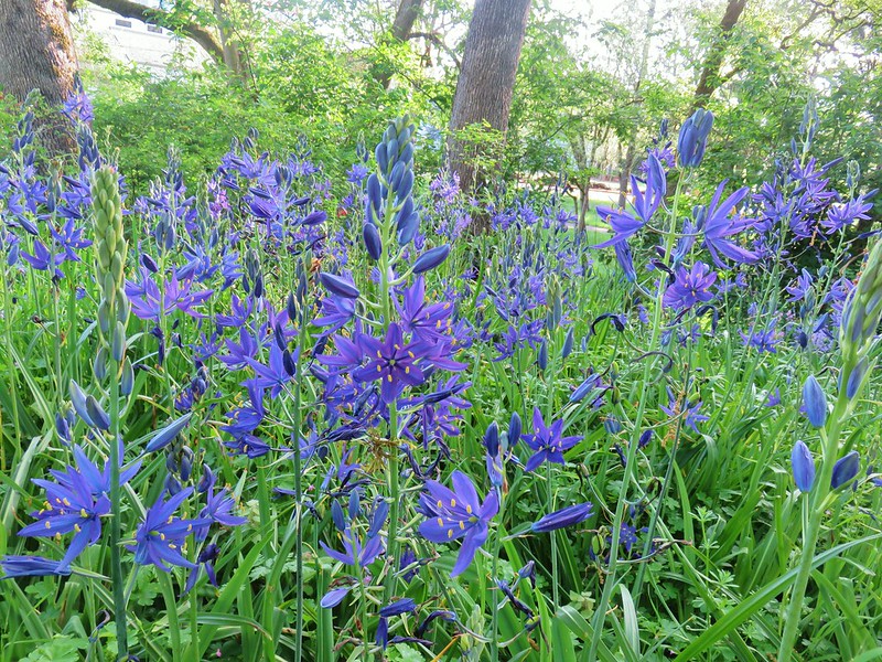
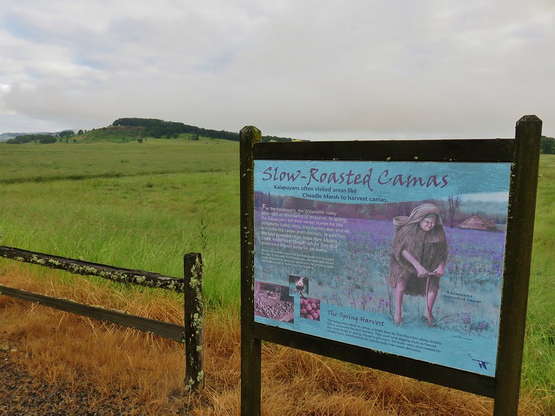
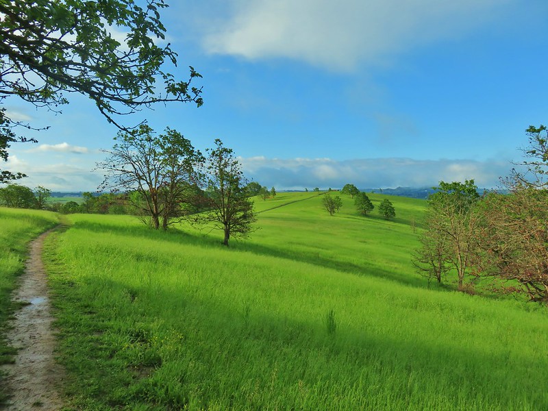 Basket Slough Wildlife Refuge
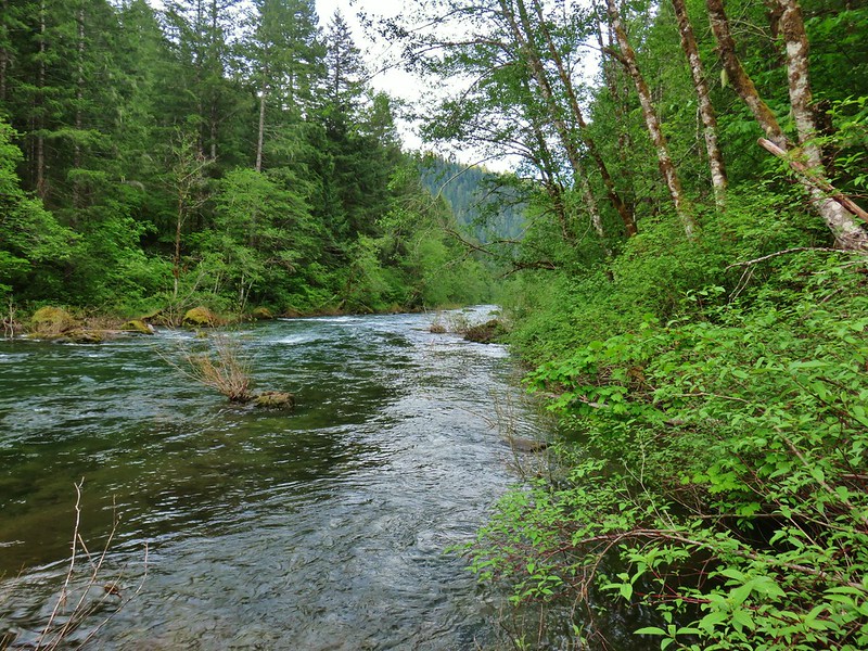 North Fork Willamette River
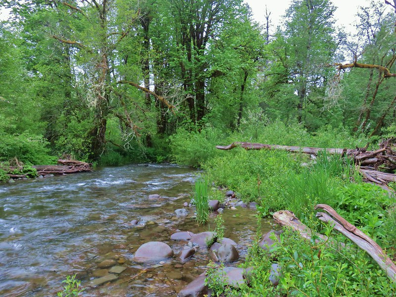 Little Luckiamute River
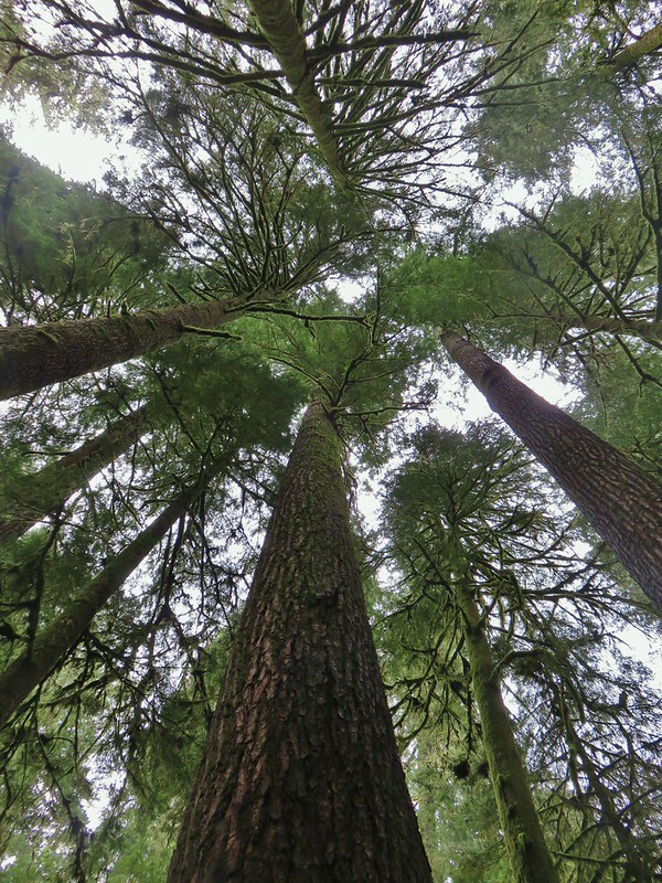 Valley of the Giants
 Indigo Springs
 Rigdon Meadows
 Pigeon Butte
June
 East Fork South Fork McKenzie River
 Sullivan Creek Falls*
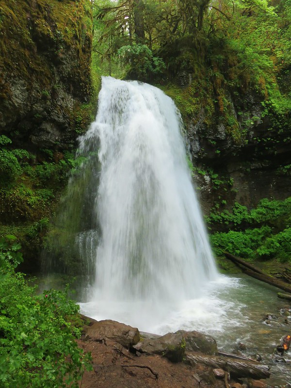
 Henline Falls*
 Henline Mountain*
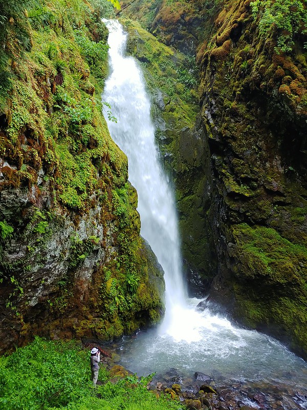
 Spirit Falls
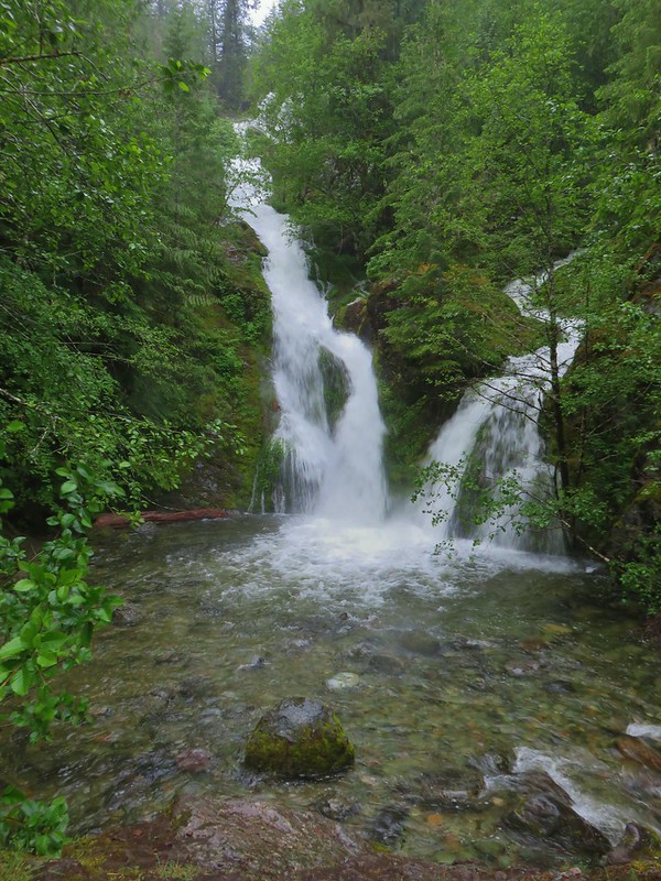
 Pinard Falls
 Moon Falls
 Memaloose Lake*
 Echo Basin
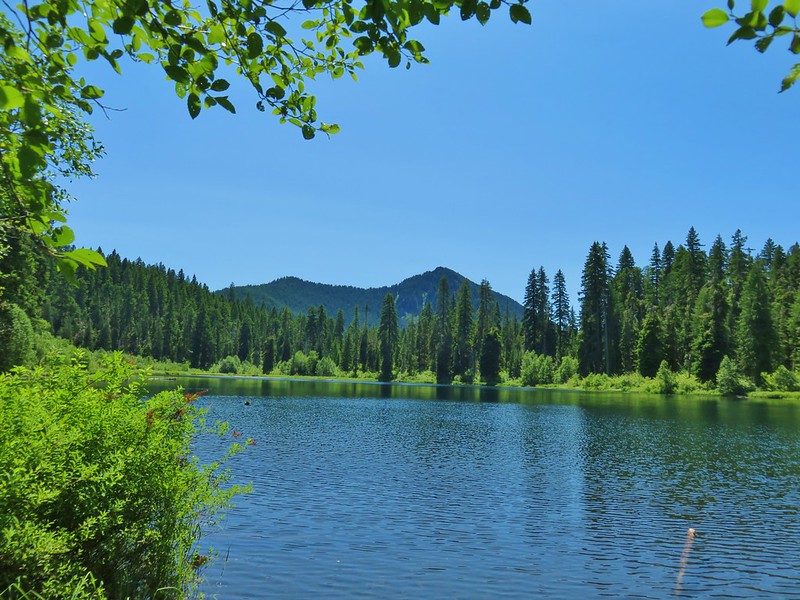
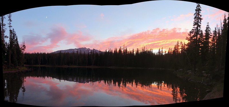
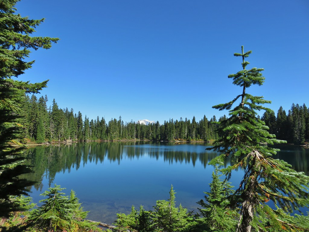
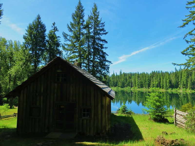 Fish Lake
 Green Ridge*
 Table Rock Wilderness* (The Riverside fire burned at least the access road and may have encroached into the SW portion of the wilderness.)
 Monte Carlo Trail
July
 Hunchback Mountain
 Meadow below the Three Pyramids
 Daly Lake
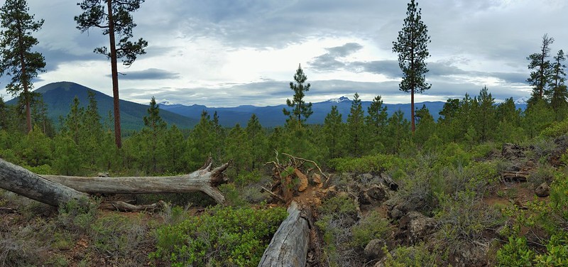
 Winter Ridge
 Fence Pass
 Flook Lake
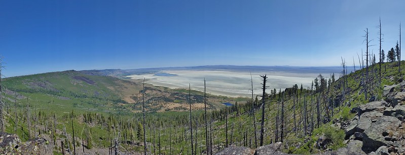
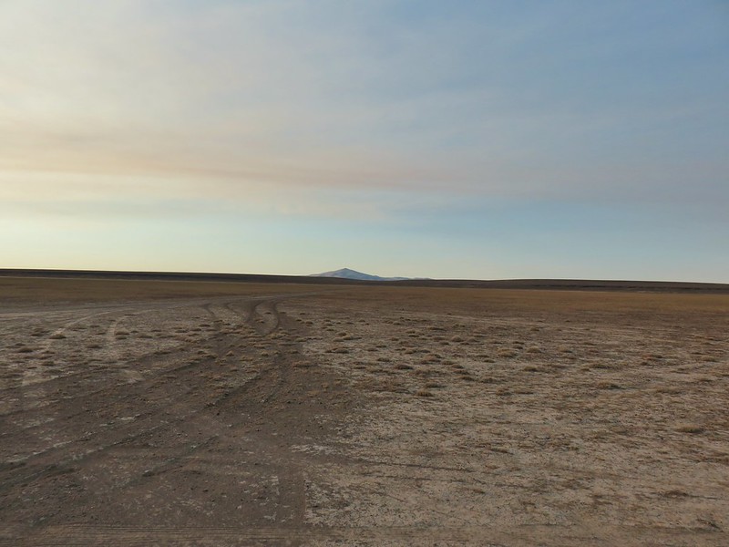
 Hart Mountain Antelope Refuge
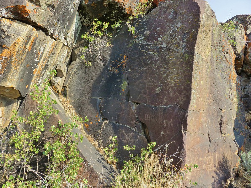 Petroglyphs along Petroglyph Lake
 DeGarmo Canyon
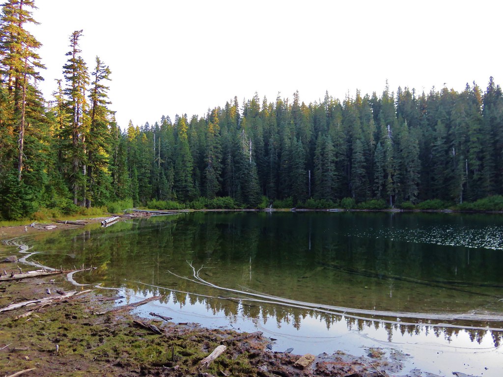
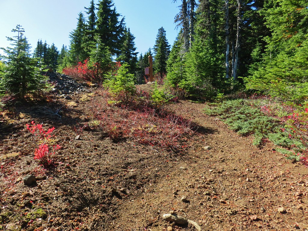
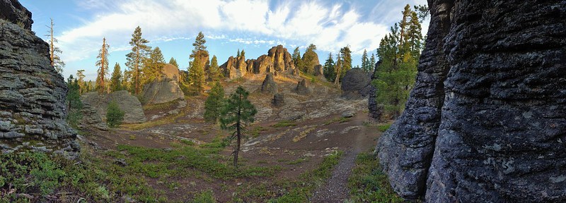 The Palisades in the Gearhart Mountain Wilderness (This was probably our favorite area of the year amid these rock formations.)
August
 Sleeping Beauty
 Highline Trail
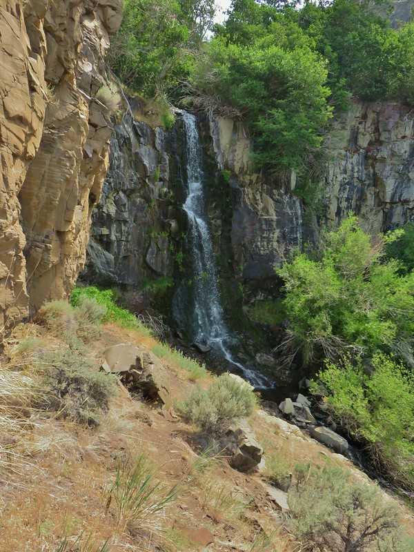
 Cottonwood Creek Falls (This was probably the sketchiest hike we’ve done.)
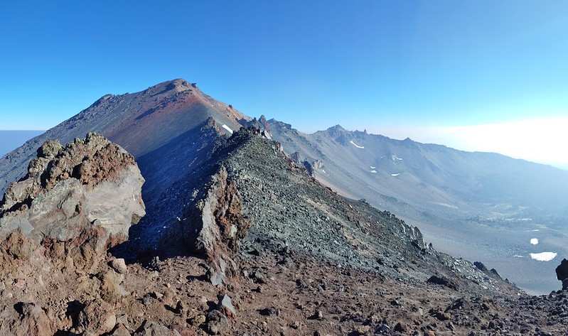
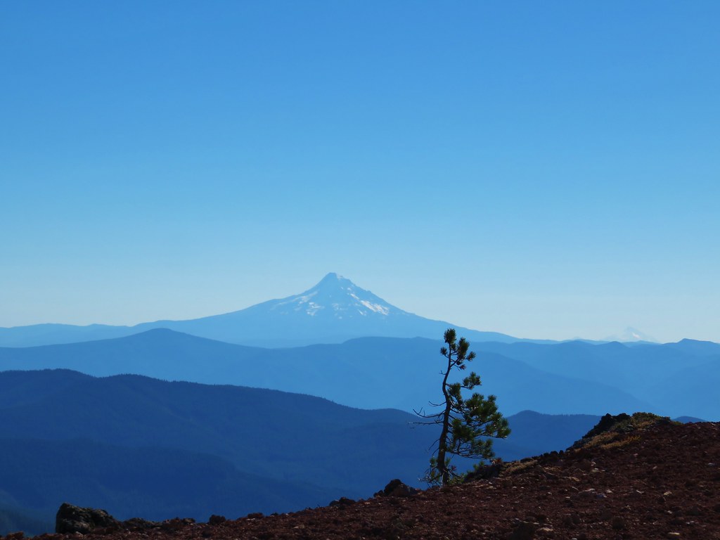
 Mt. Thielsen* (The Thielsen Creek fire burned a small part of the trails in the area.)
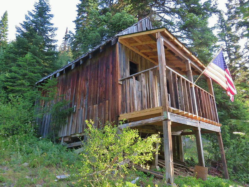 Bohemia Post Office
 Diamond View Lake
 Diamond Peak (The sketchiest hike we didn’t do.)
 Karen Lake
 Middle Erma Bell Lake
September
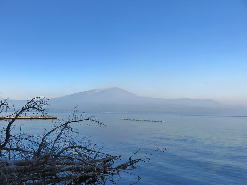 Diamond Lake
 Rattlesnake Mountain
 Spruce Run Creek Trail
October
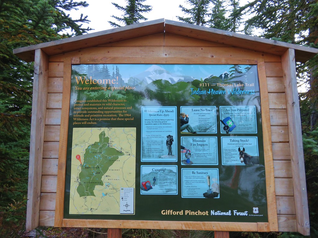
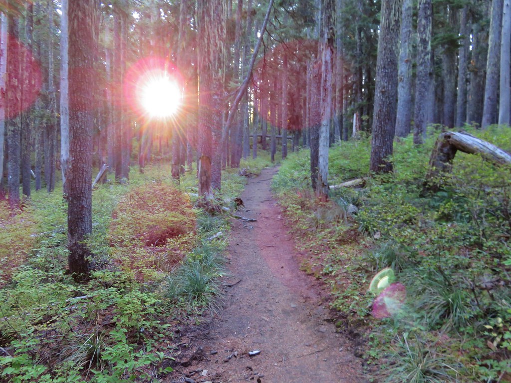
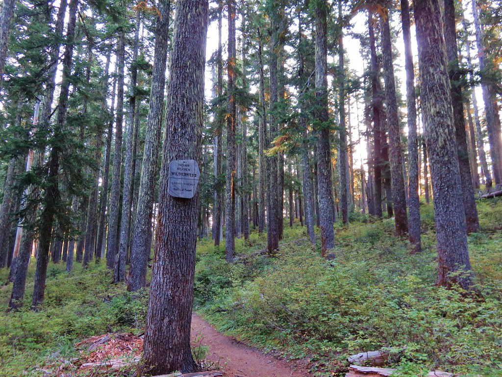
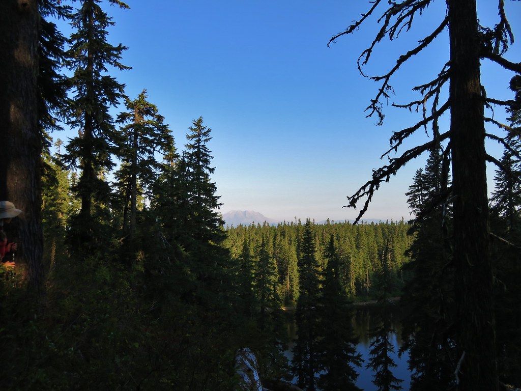
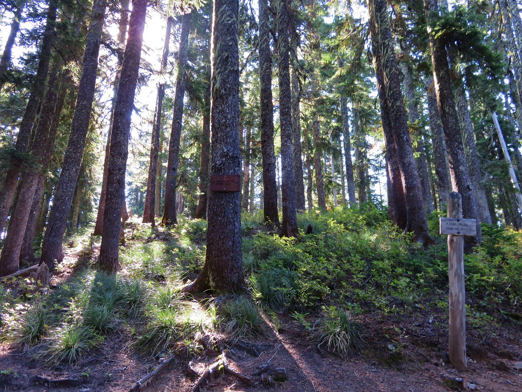
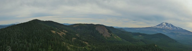
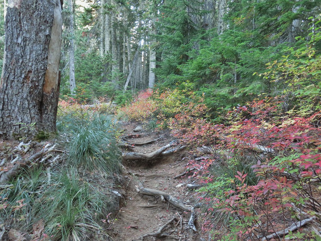
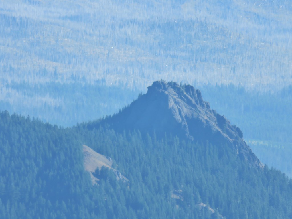
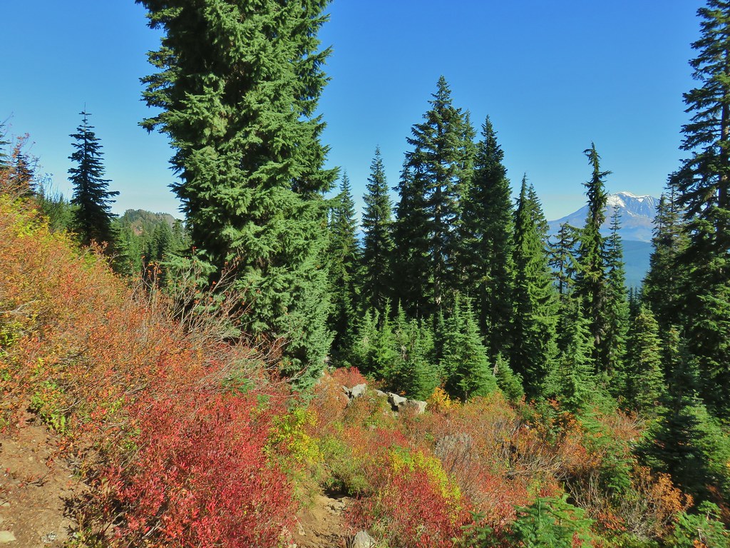
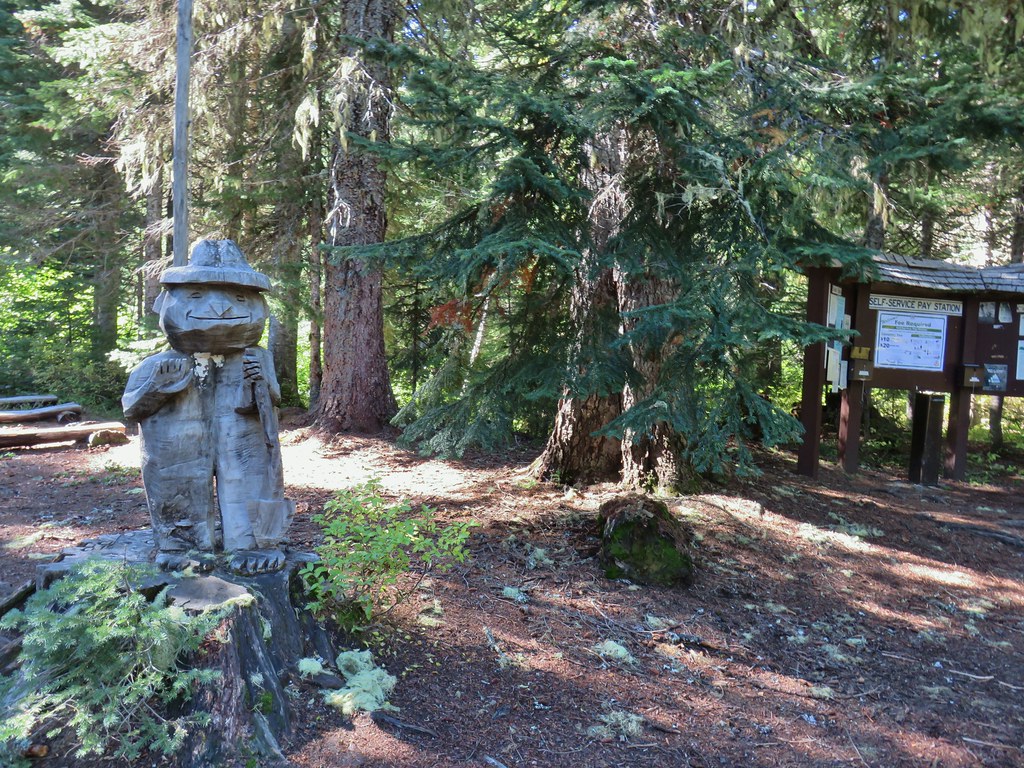
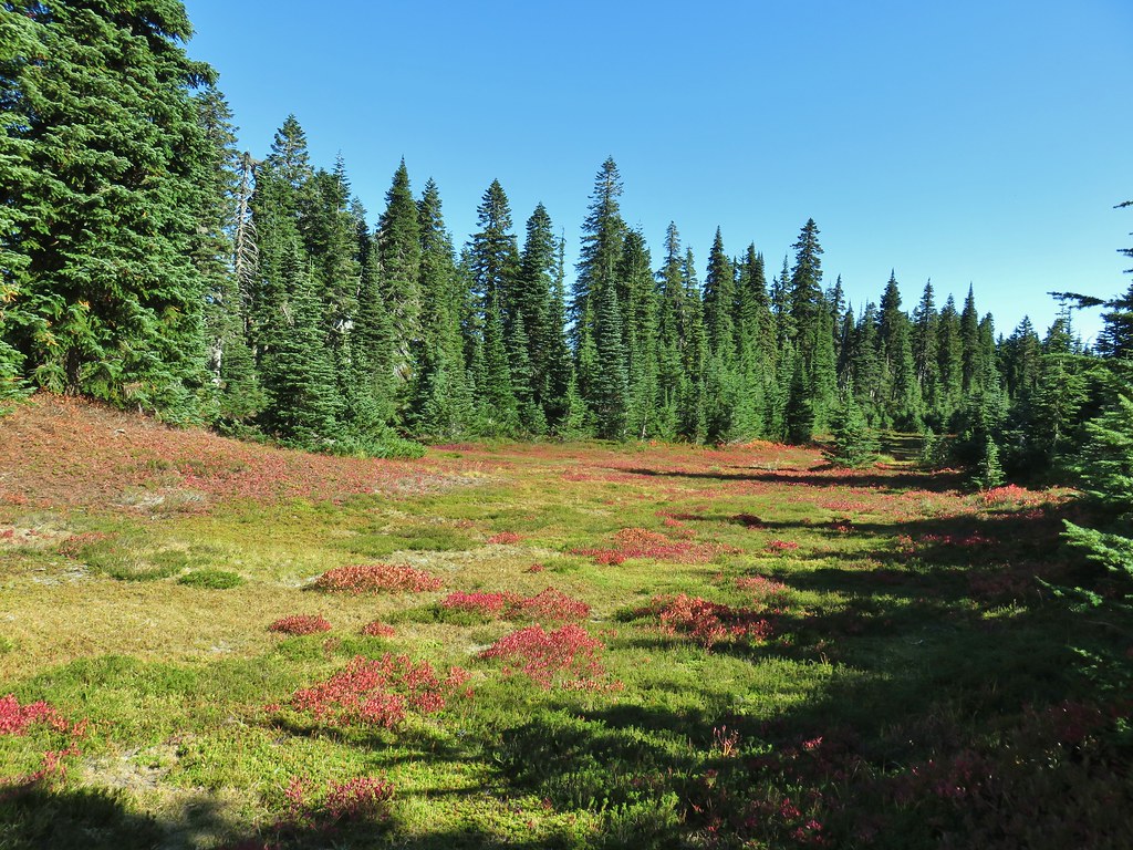
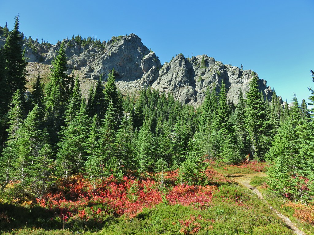
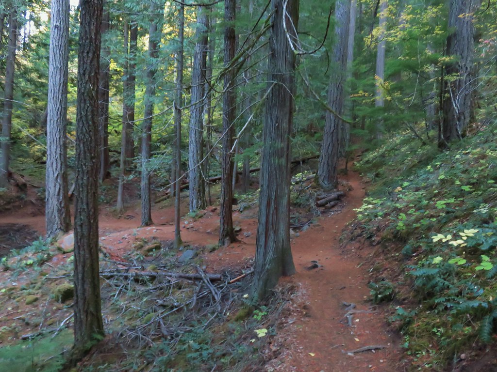
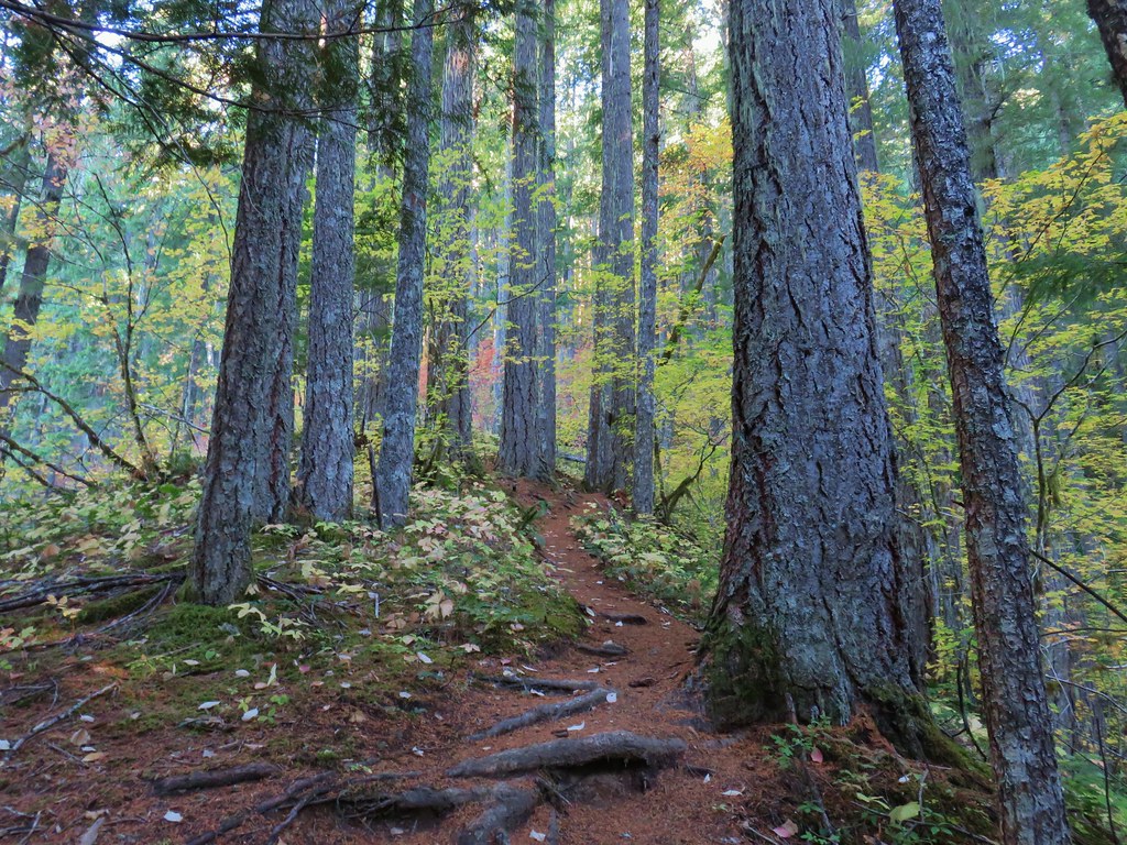
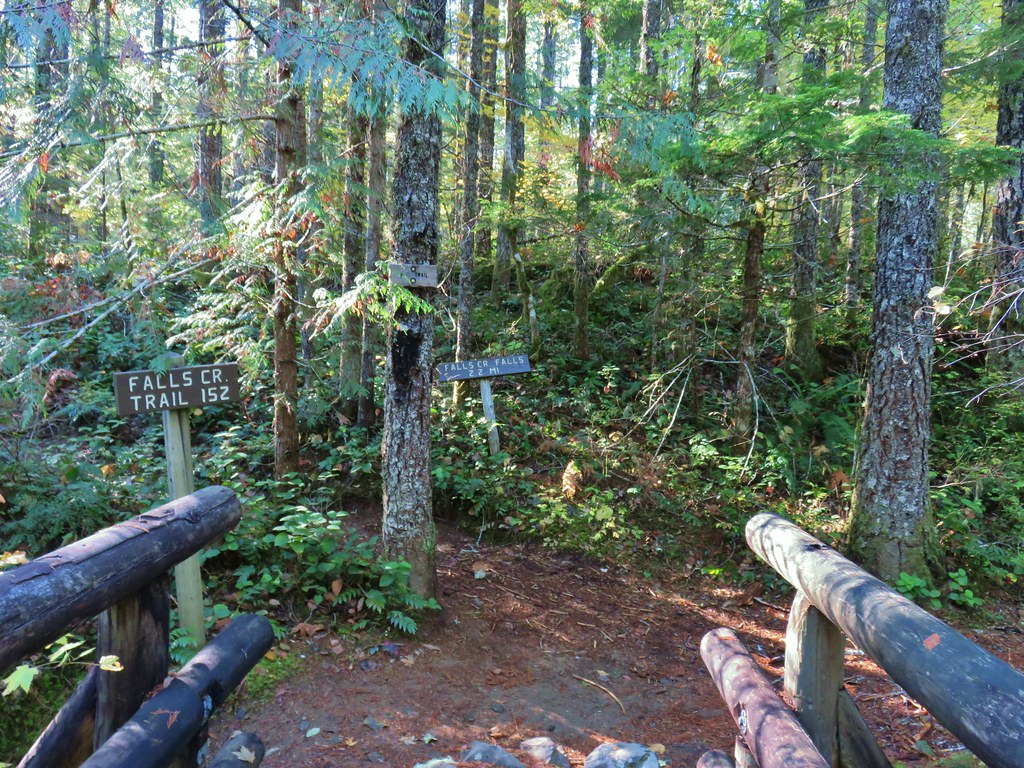
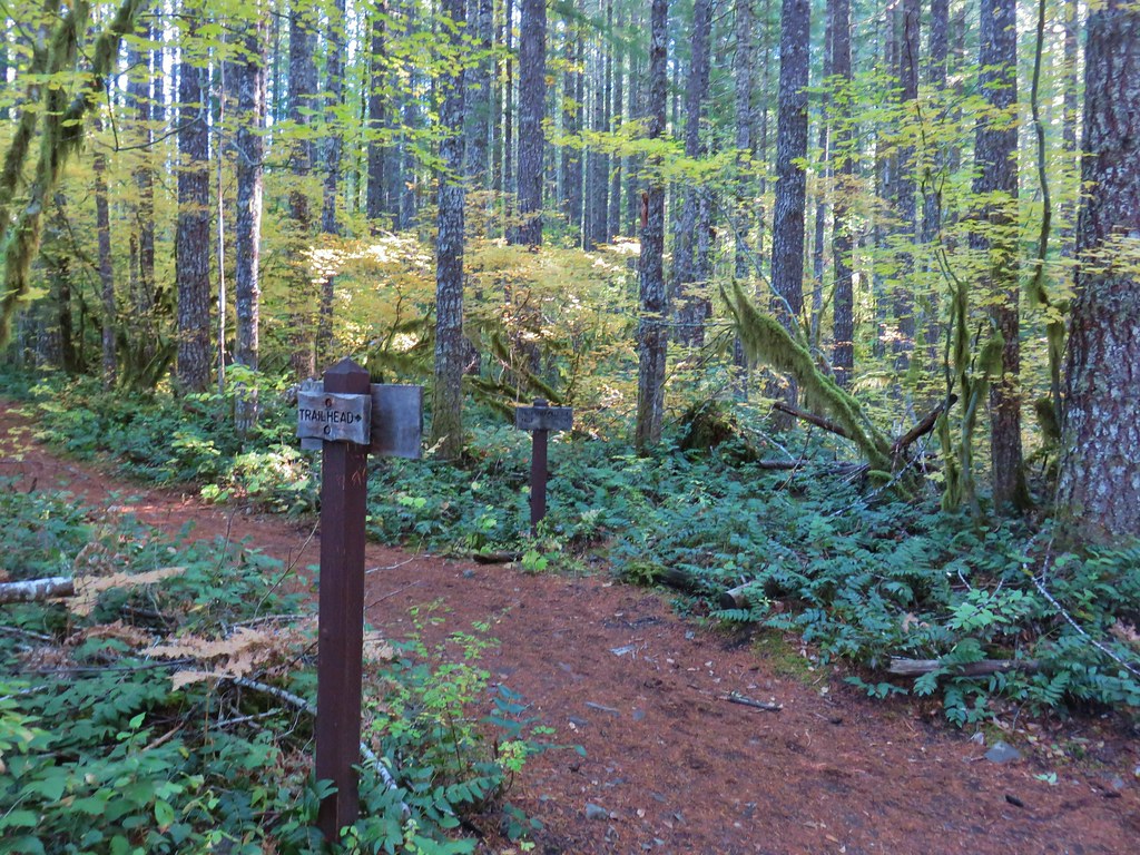
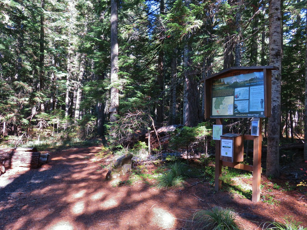
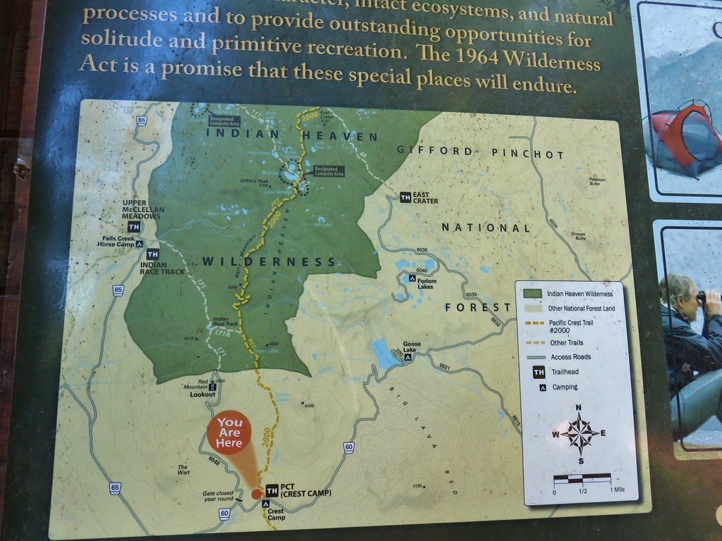
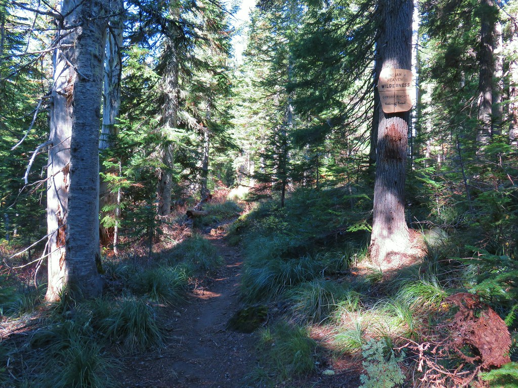
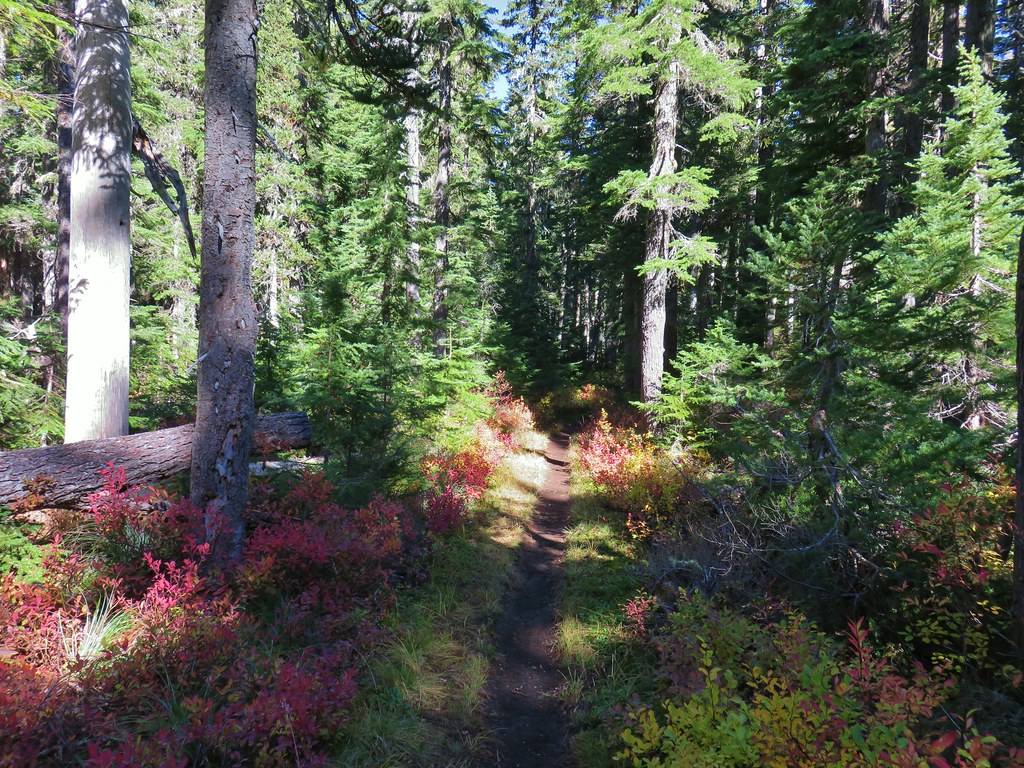
 Indian Heaven Wilderness
 Wildcat Canyon
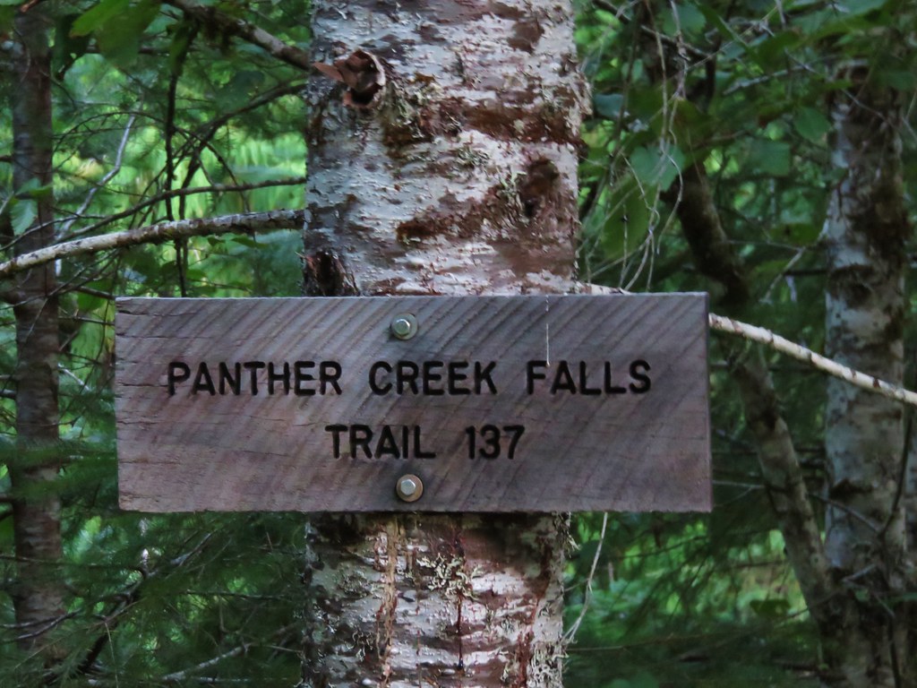
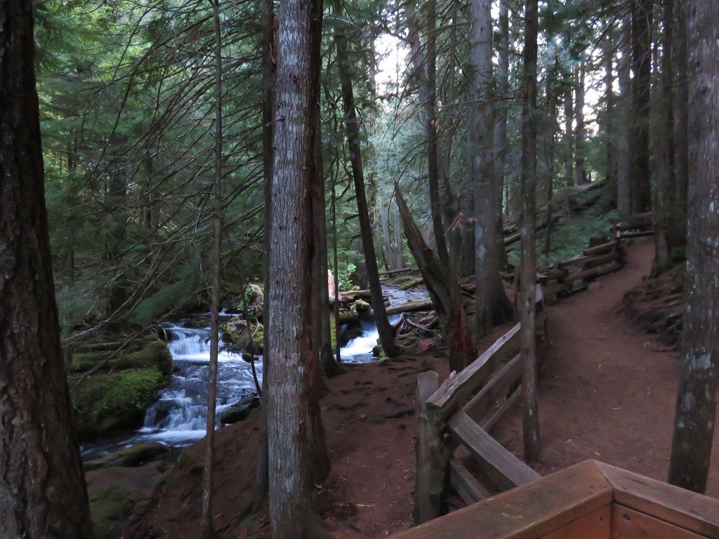
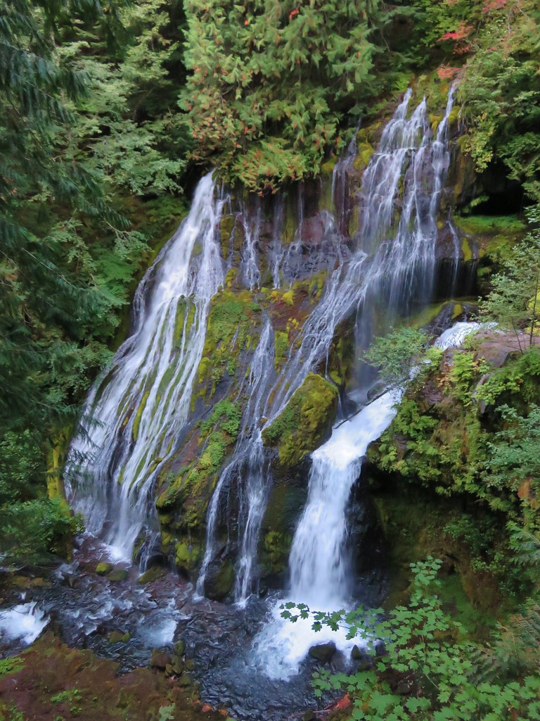
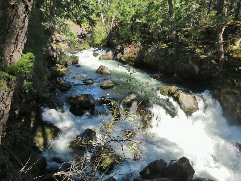
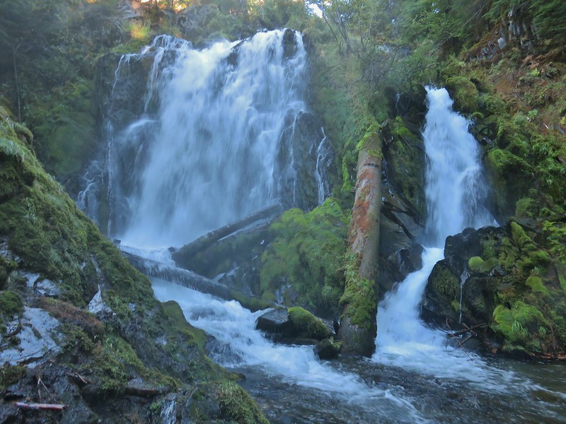 National Creek Falls
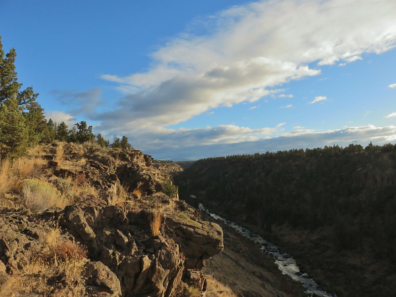
 Takelma Gorge
 Hershberger Mountain
 Rabbit Ears
 Natural Bridge
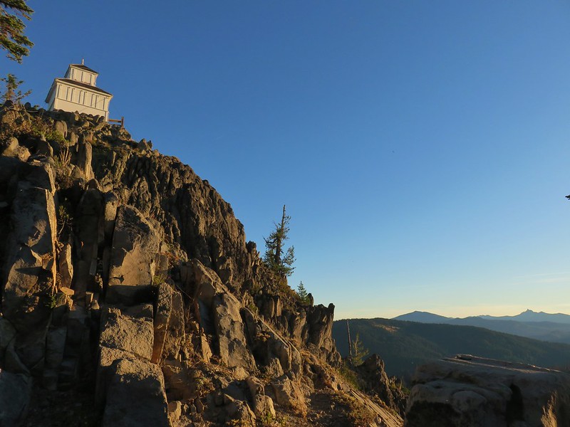
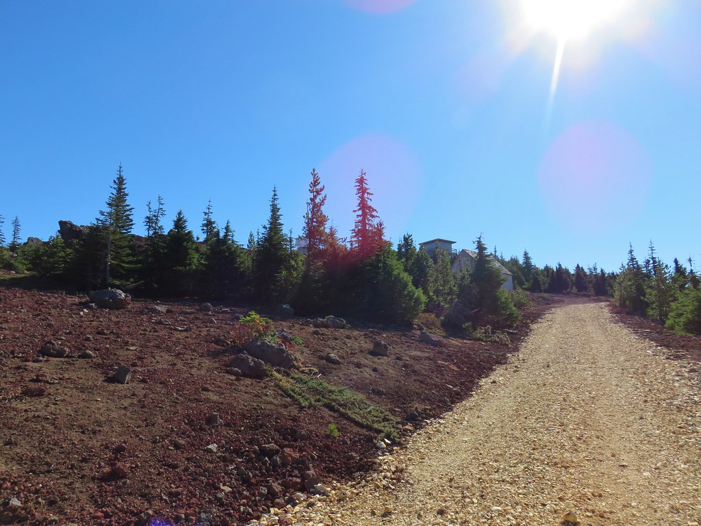
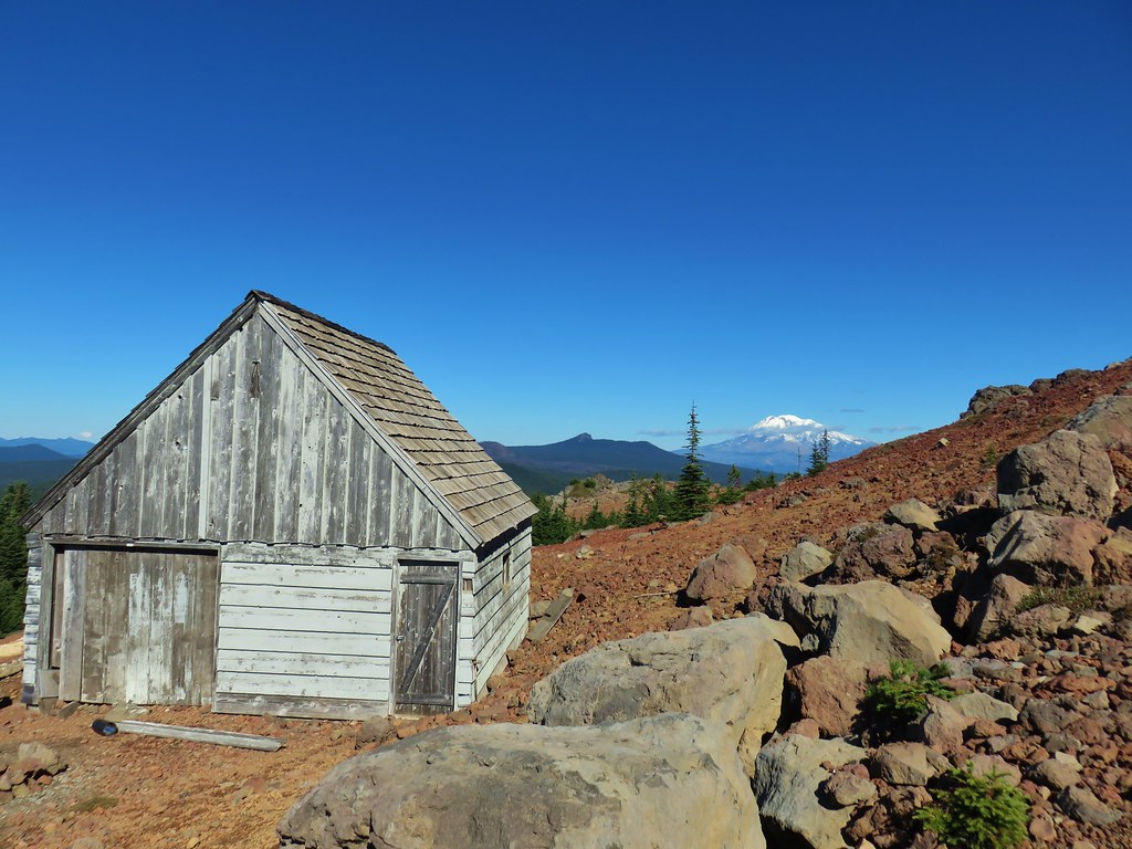
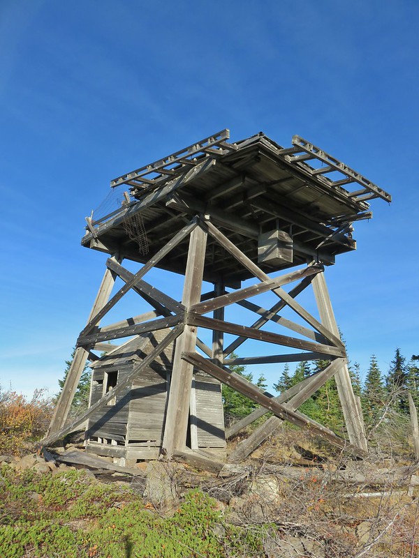 Abbott Butte Lookout
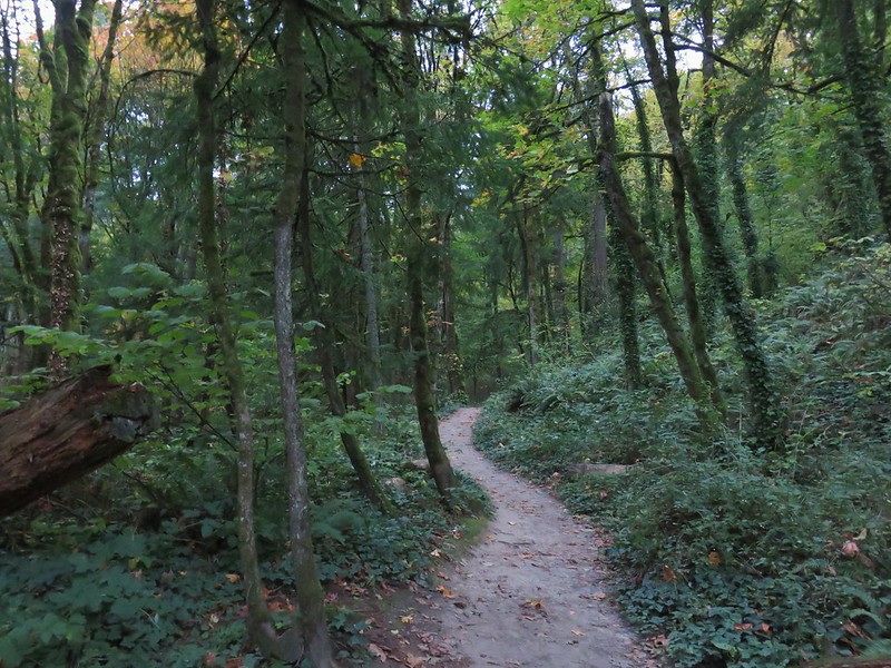 Forest Park
 Upper Latourell Falls
 Larch Mountain
November
 McKenzie River
December
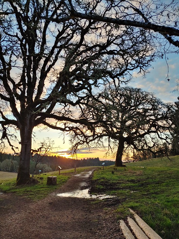
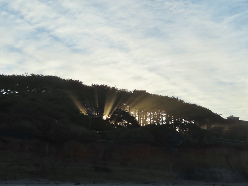 Yachats
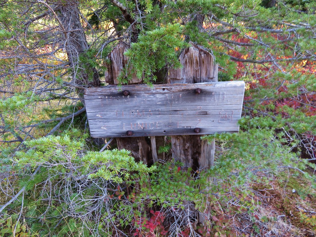
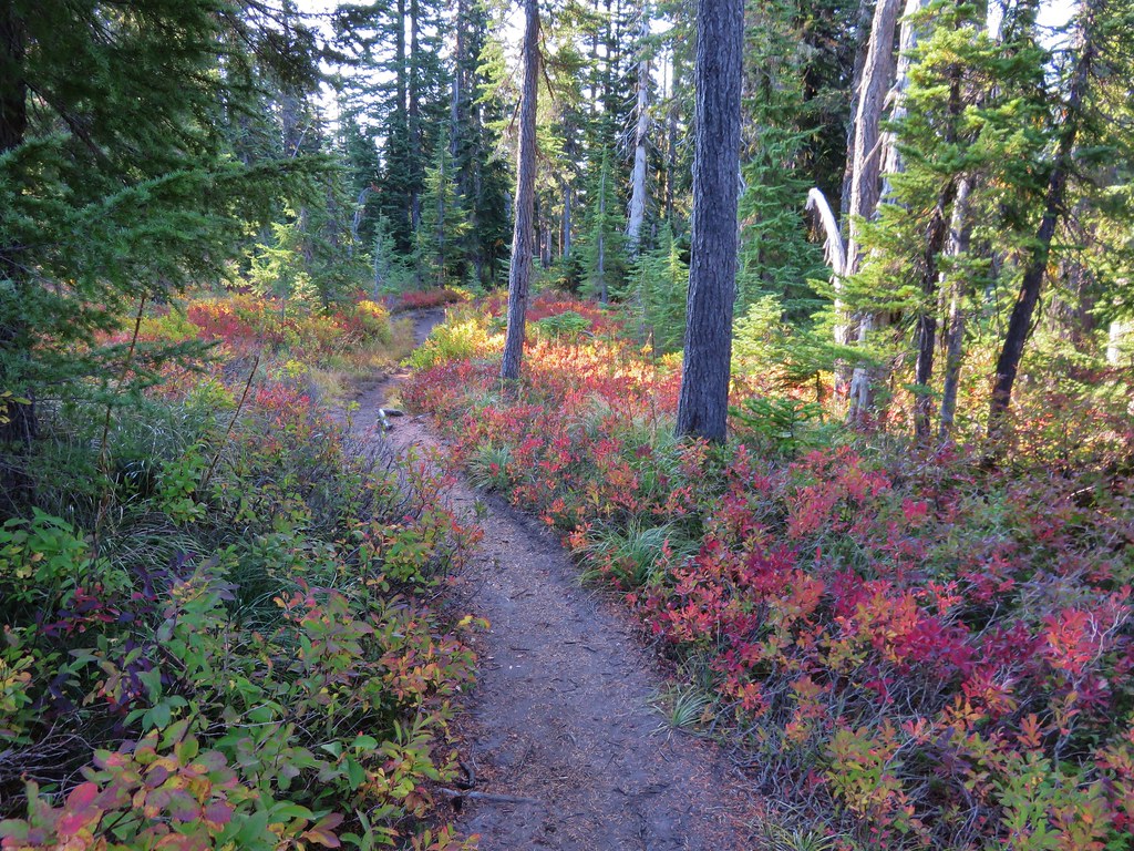
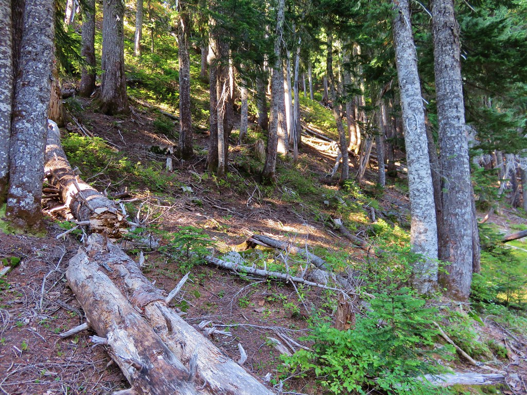
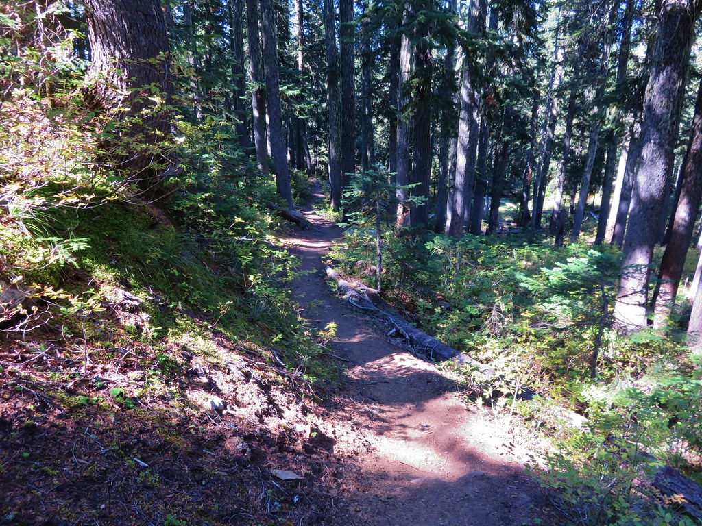
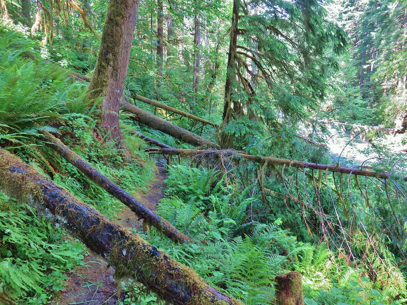
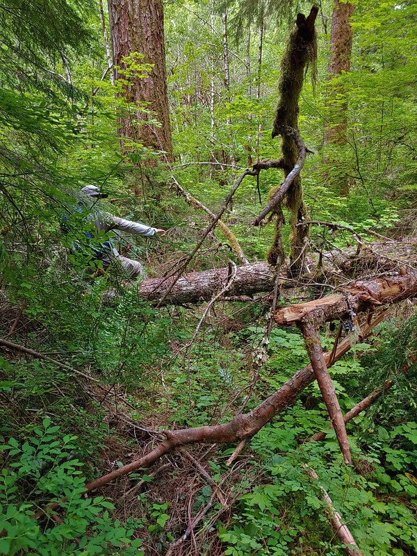
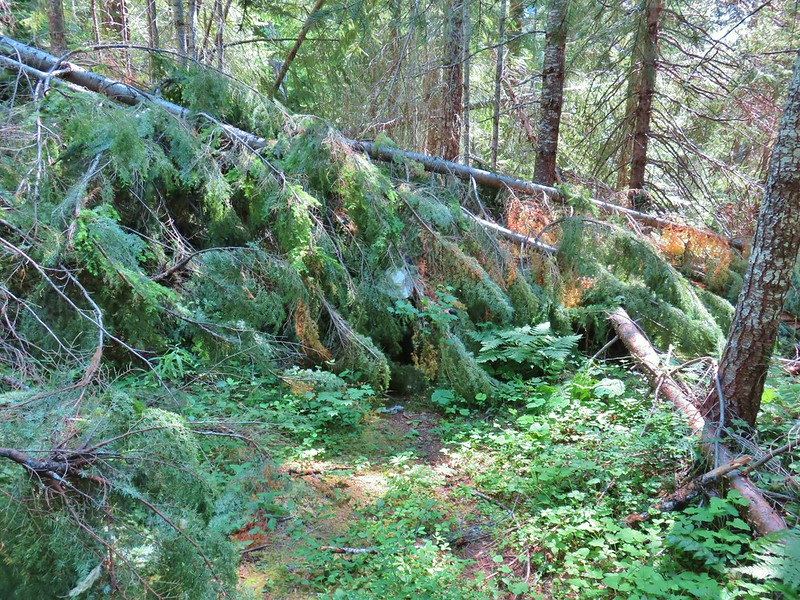
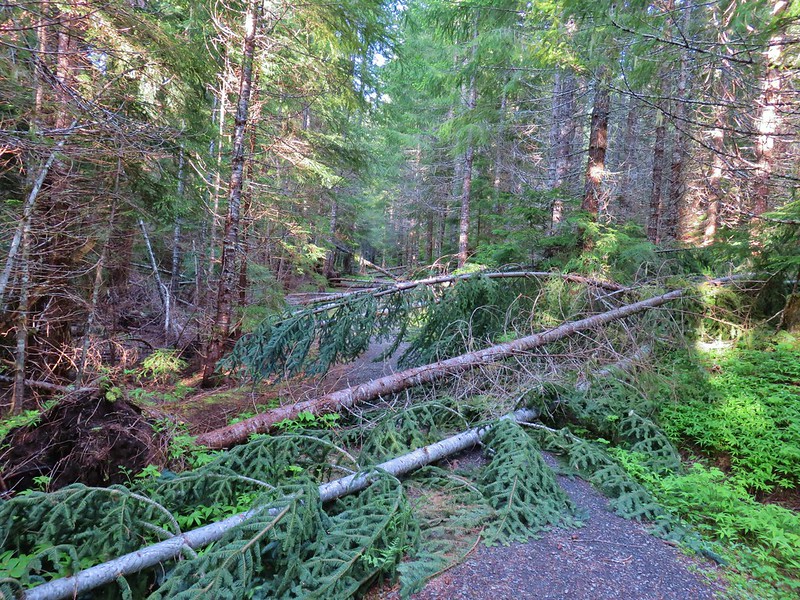
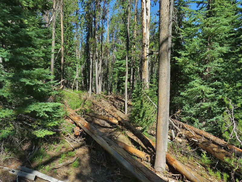
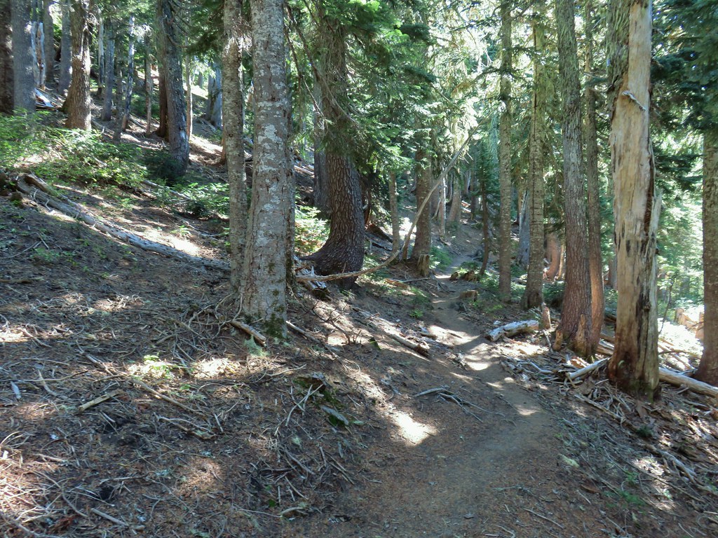
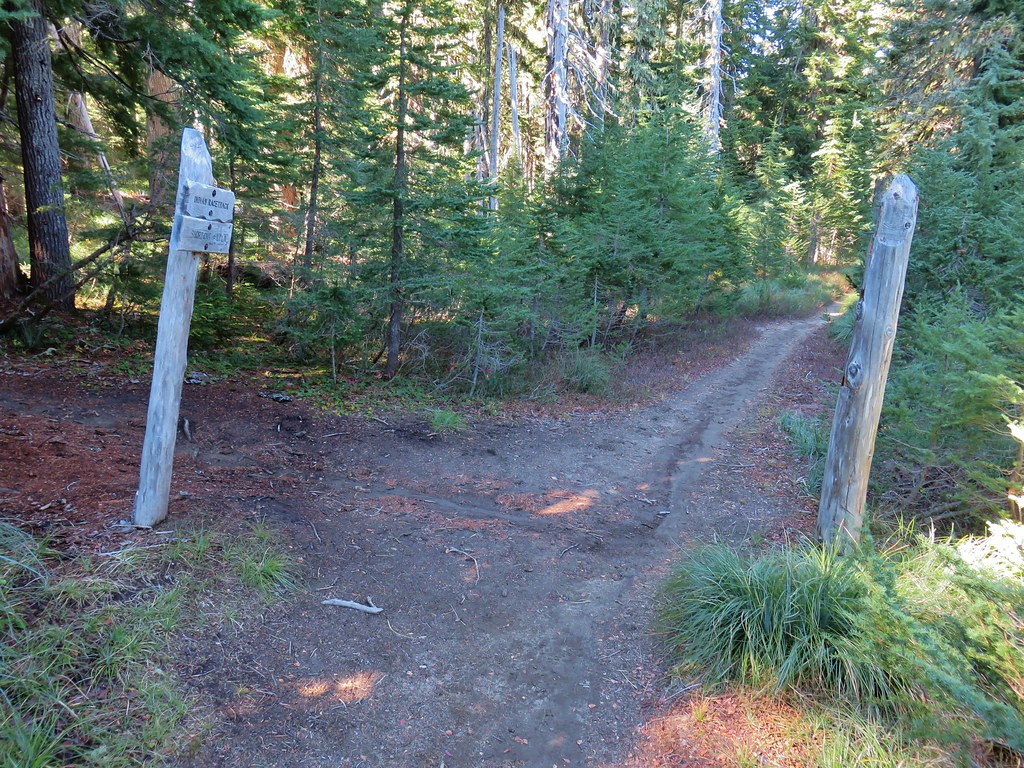
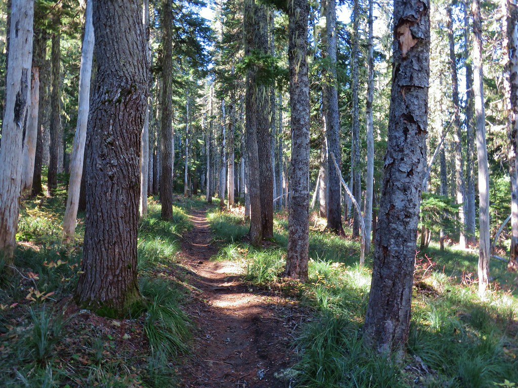
Not all of the trails were in the greatest of shape, an issue that is unfortunately becoming more common as the agencies that manage them often lack the funding to maintain them.
 Swordfern Trail
 East Fork Trail
 Riggs Lake Trail
 Hackleman Old Growth Loop
 Howlock Mountain Trail
 Shale Ridge Trail
 Acker Divide Trail
 Union Creek Trail
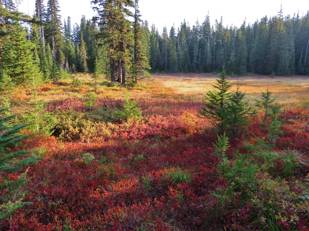
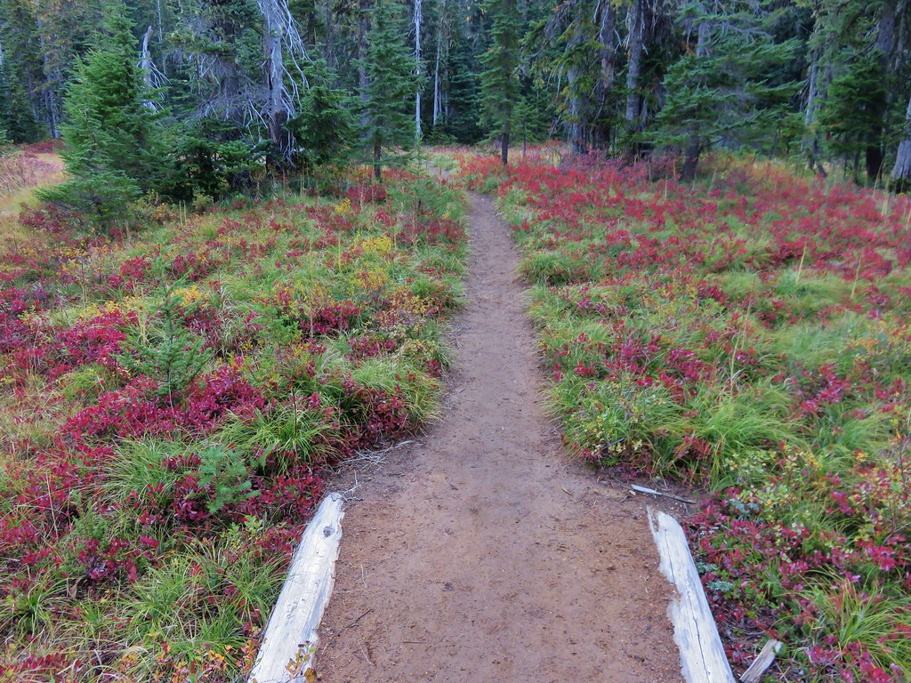
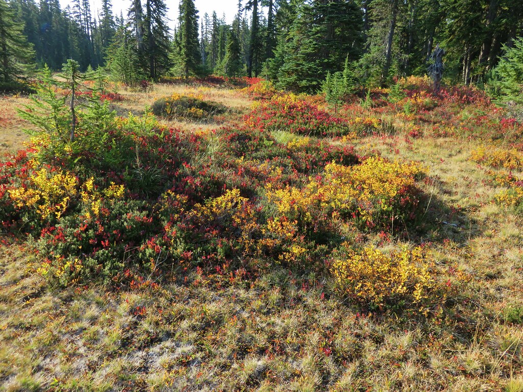
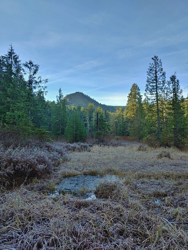
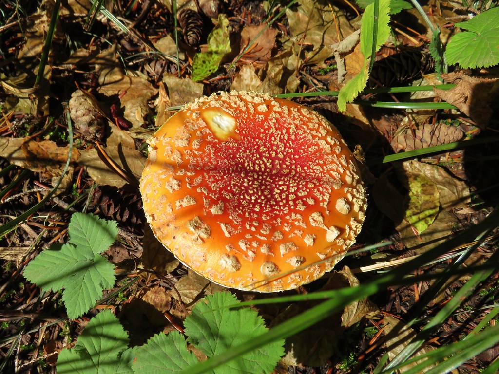
While we haven’t run out of new trails and areas to explore we are finding it harder to see wildflowers and wildlife that we haven’t already seen at some point but there always seems to be some. We spotted a bobcat for the first time (from the car) on our way to Winter Ridge (post). Lake Abert and Summer Lake hosted a few species of birds that we hadn’t run across before. (post) We plan on posting wildflower and wildlife galleries soon but for now here are those that were new to us this year.
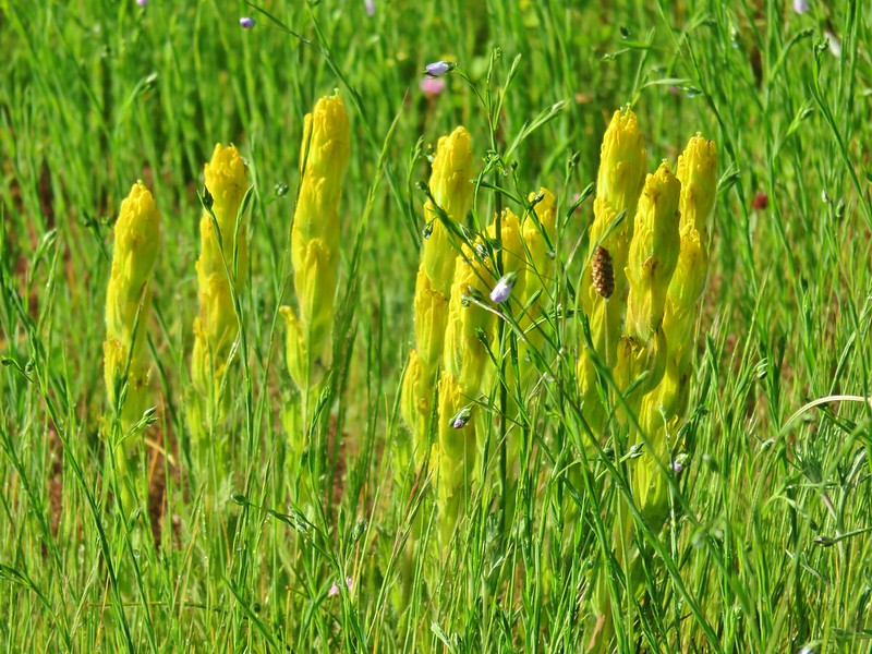 Castilleja levisecta – Golden Paintbrush at Basket Slough Wildlife Refuge (post)
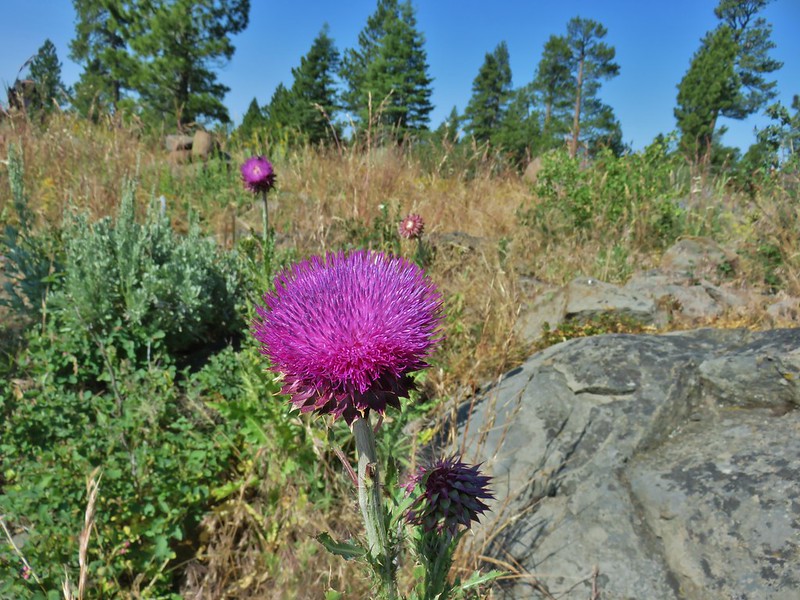 Musk Thistle at Winter Ridge (Unfortunately it’s an invasive but they were impressive.)
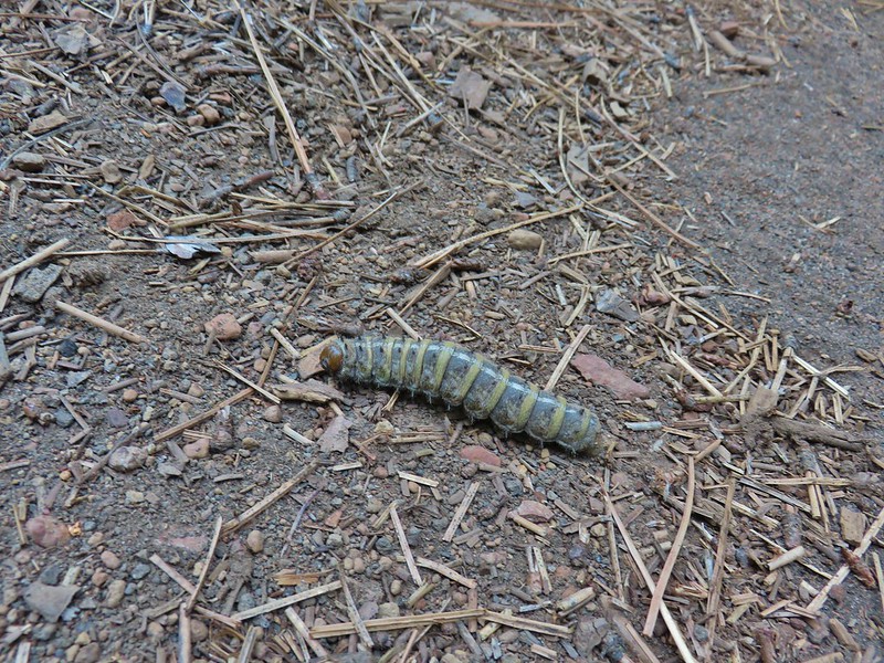 Pandora moth caterpillar at Green Ridge (post)
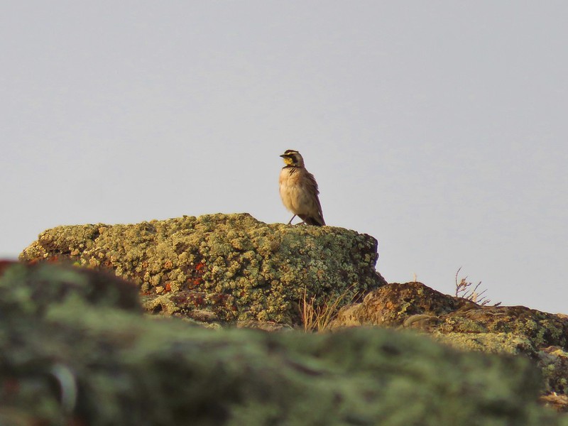 Horned Lark at Flook Lake (post)
 Gulls and American avocets at Lake Abert
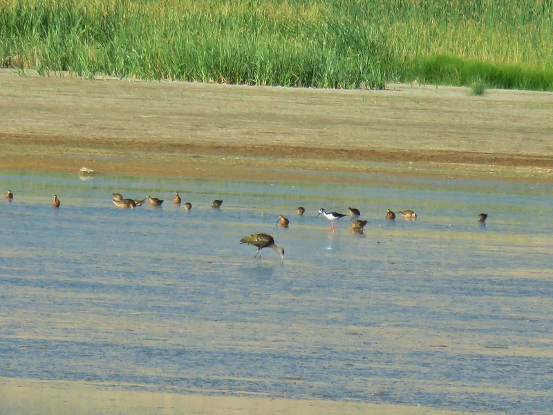 Black necked stilt at Summer Lake
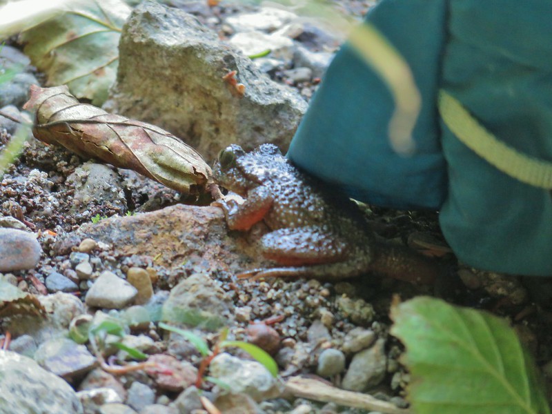 Possibly a coastal tailed frog at Wiley Camp in the Rogue-Umpqua Divide Wilderness (post)
The most interesting thing that happened this year though was stumbling on a human mandible. It was a little unsettling but it was clearly fairly old. We left it alone and marked the coordinates the GPS and reported it to the agency in charge of the land. The agency was nice enough to keep us in the loop when archeologists were called in to confirm that it was Native American at which point they contacted the appropriate Tribe(s) so that they could decide what to do with it. We were asked no to share the location for obvious reasons. It was very interesting getting to see how that process worked.
We also hit a couple of milestones this year, our last hike at Yachats (post) was our 500th day of hiking and we reached our long term goal of hiking all 100 featured hikes in William L. Sullivan’s “100 Hikes/Travel Guide Central Oregon Cascades” (4th edition). We will talk a little more about that in a progress report on our goal to finish the 100 featured hikes in all five of his guide books covered areas.
Despite all its troubles 2020 will at least be memorable. Here is to a better 2021 with more new trail, new discoveries, and hopefully some happier stories. Happy Trails!


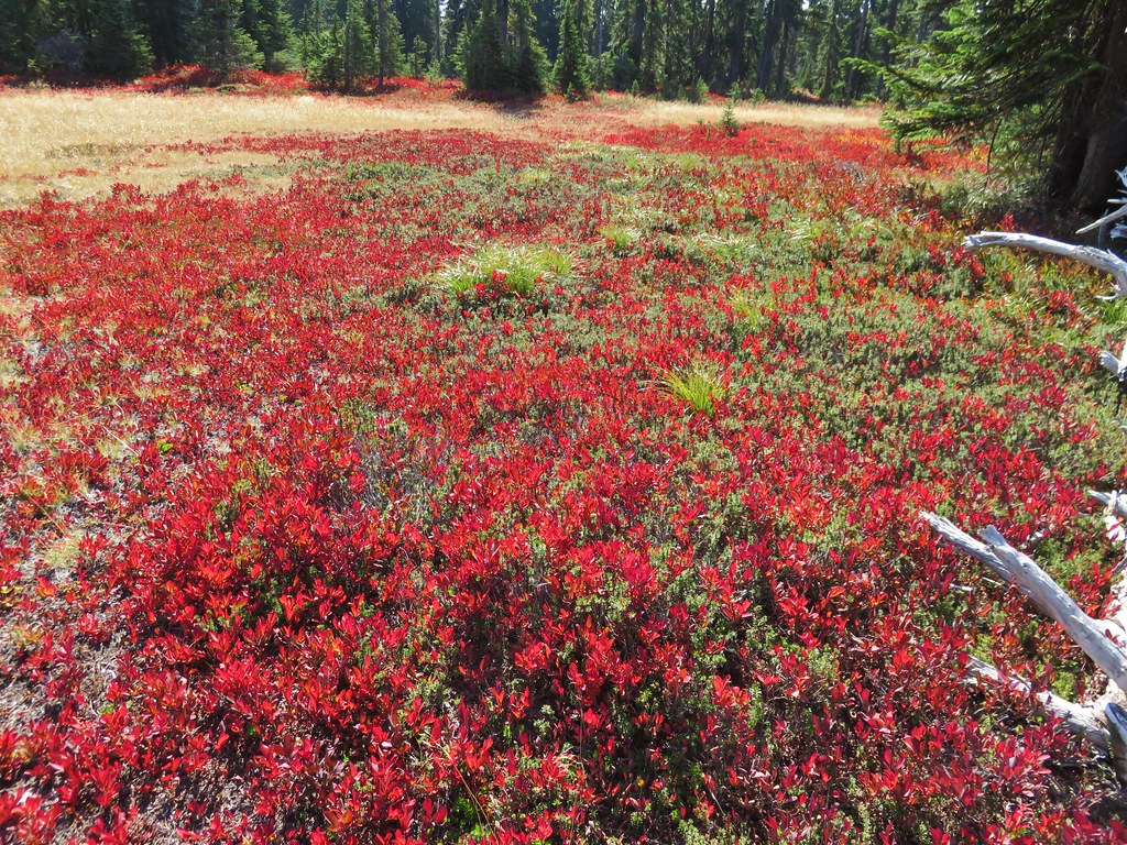
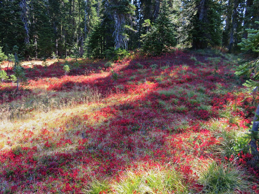
 Still some fireweed blooming in the fire scar.
 East Crater beyond a pond.
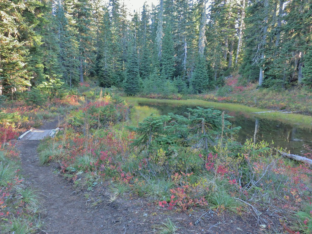
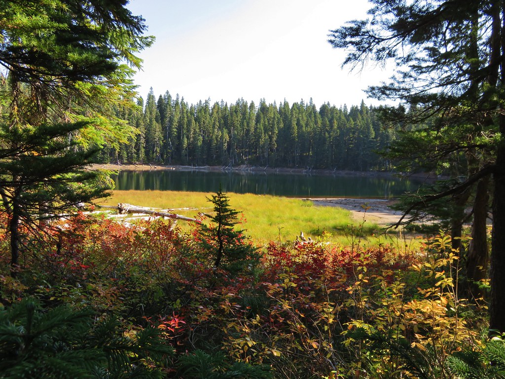
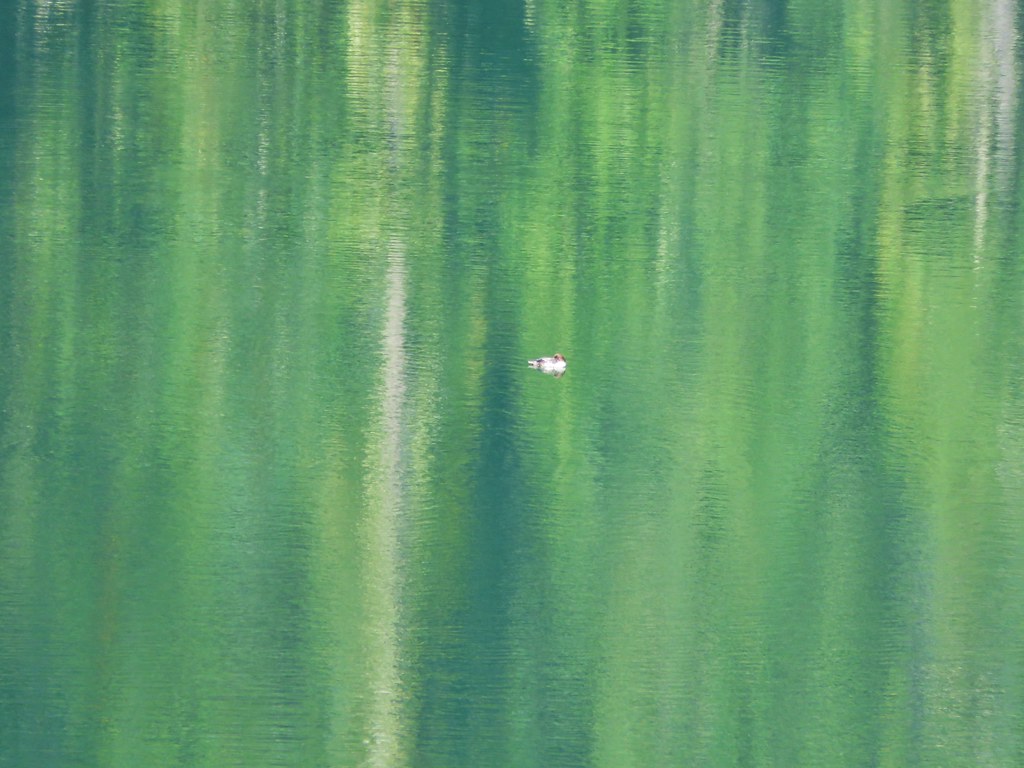
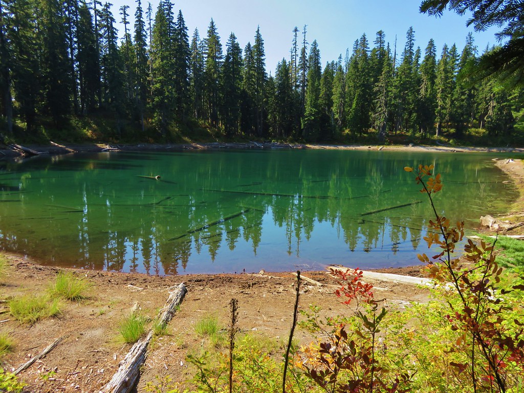
 Junction Lake
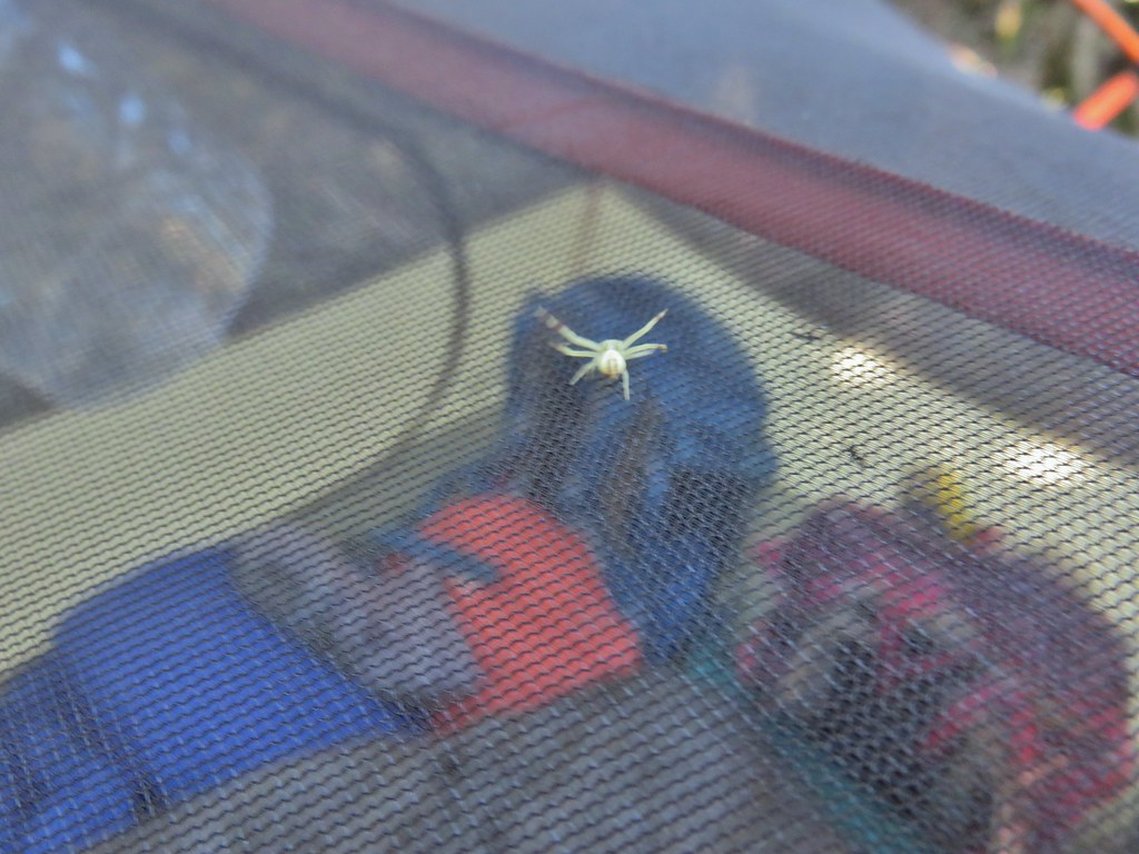 This crab spider offered to watch our tent for us while we were away.
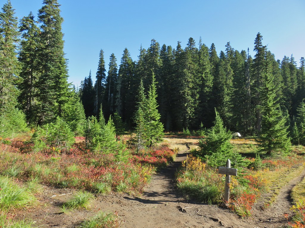


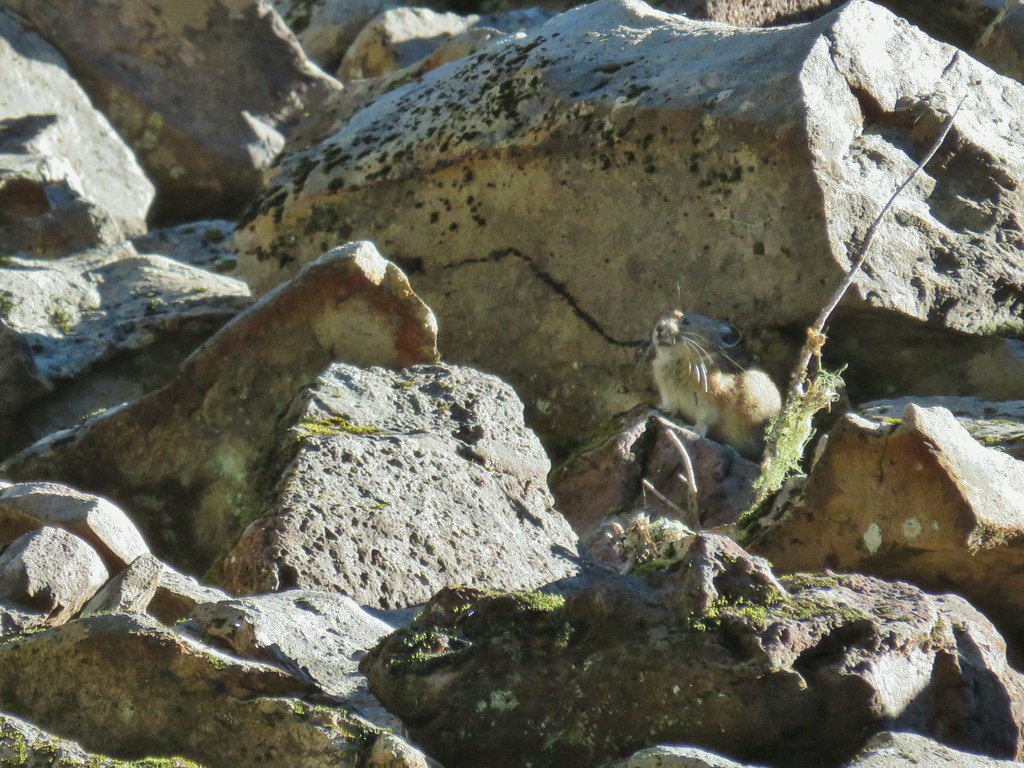
 Placid Lake Trail on the left.
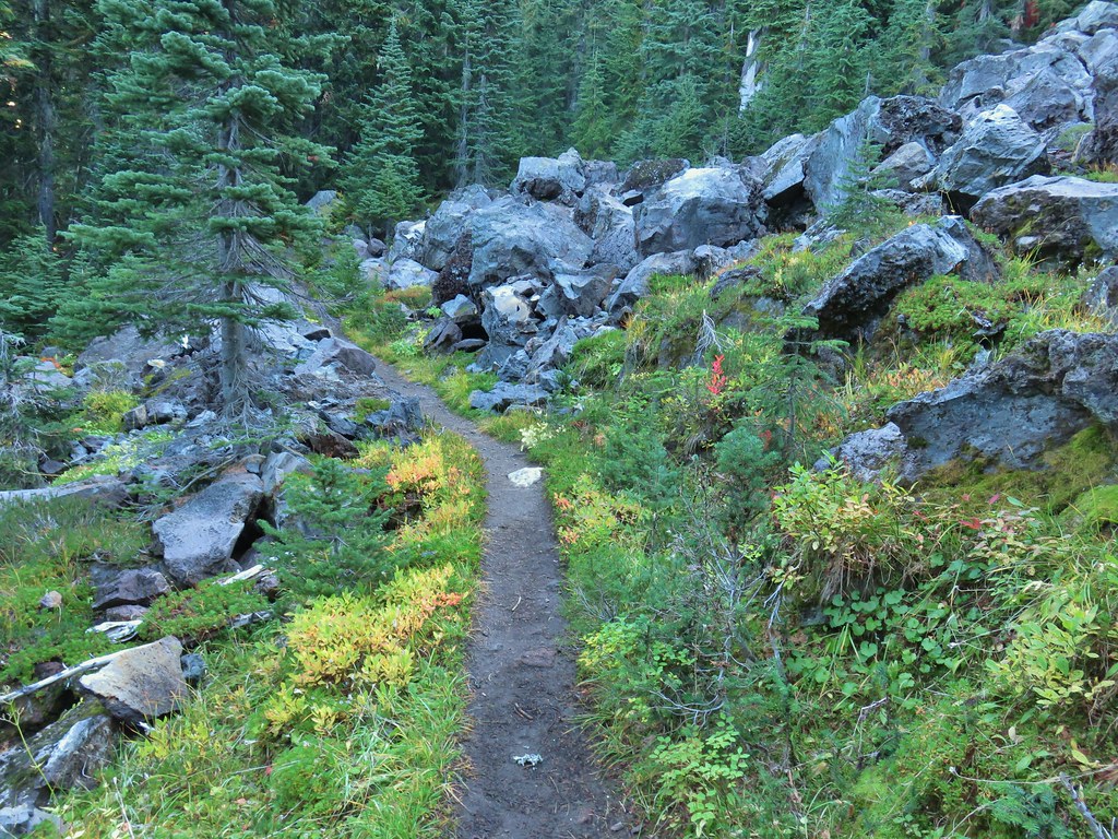 No pikas in these rocks, that we saw.
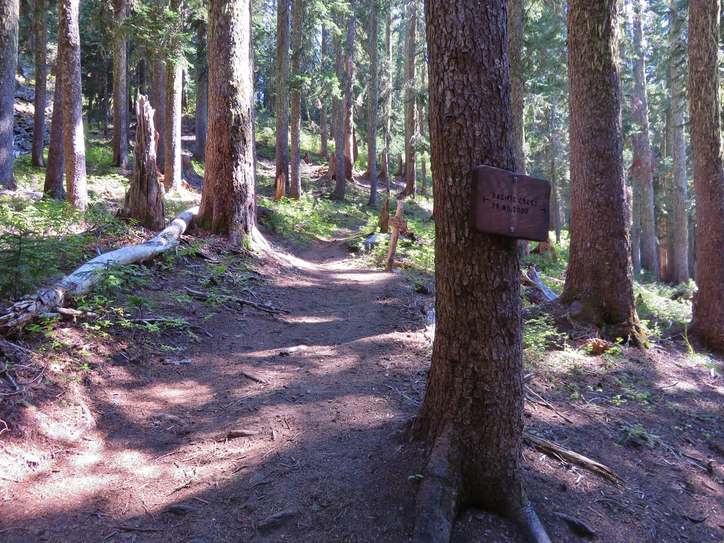
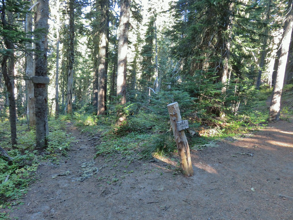
 PCT at the 4-way junction.
 Cultus Creek Trail heading uphill to the right.

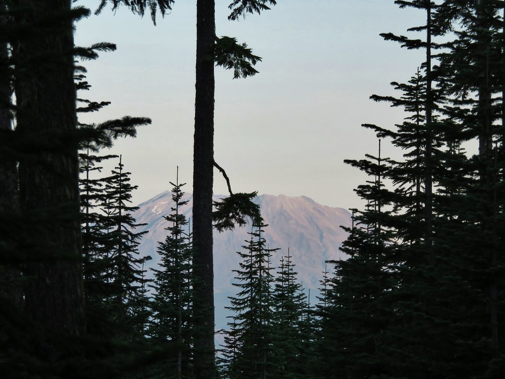
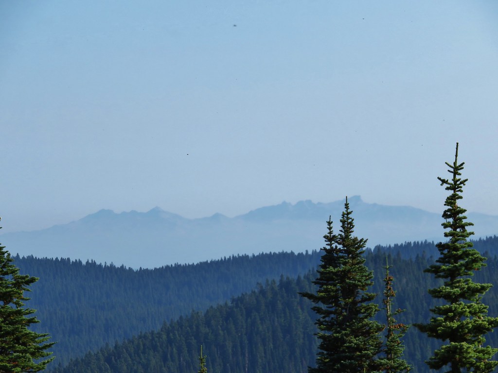
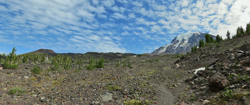
 Goat Rocks with Mt. Adams hiding behind trees.
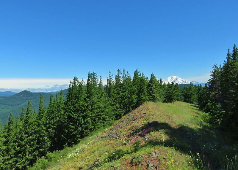
 Mt. Rainier behind Sawtooth Mountain (and Steamboat Mountain to the right)
 Mt. Rainier
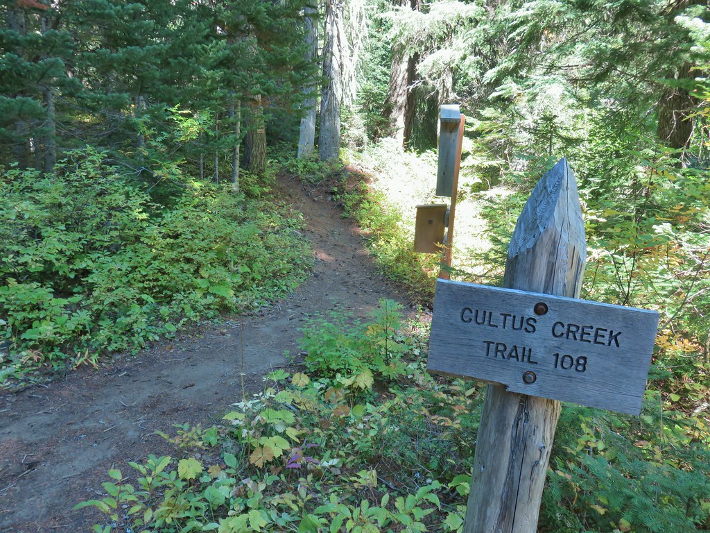


 The Labor Day wind storm had knocked a number of trees down but the trails we took had mostly been cleared already.

 Cultus Lake from the Deep Lake Trail.
 Lemi Rock beyond Cultus Lake
 Cultus Lake from the Lemi Trail.

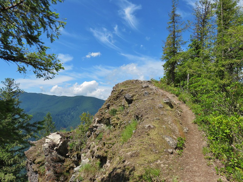
 The climb was up a forested hillside.
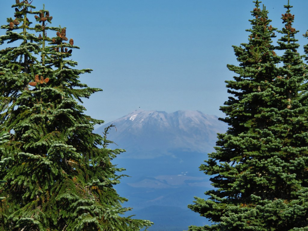
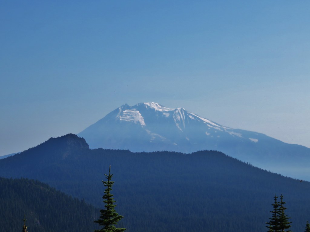
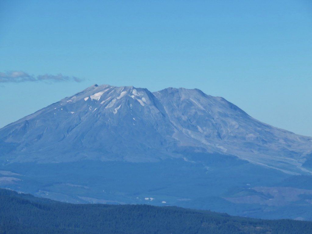
 Mt. St. Helens
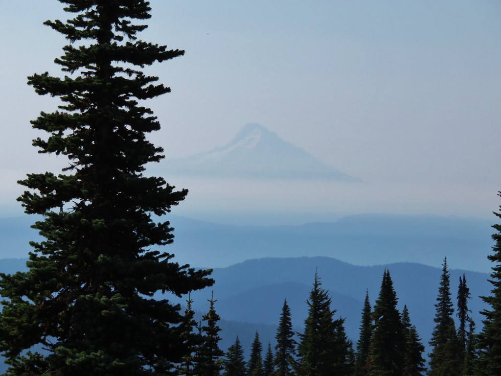

 Mt. Adams as we approached the viewpoint.
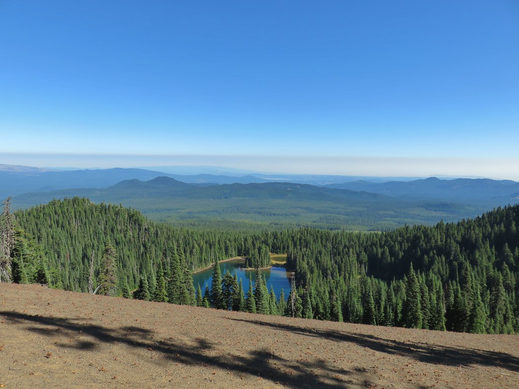 Lake Wapiki
 Mt. Hood


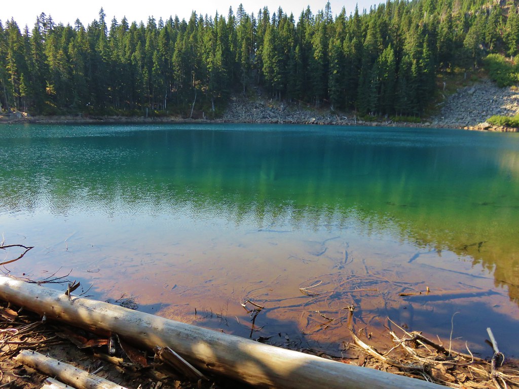
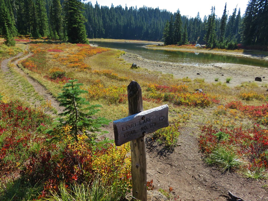
 Lemi Lake
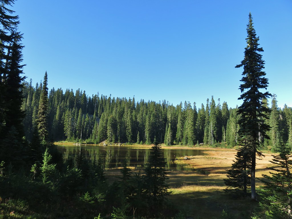


 Pearly everlasting
 Lemi Rock from the Lemi Lake Trail.

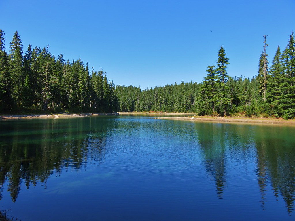
 Junction Lake
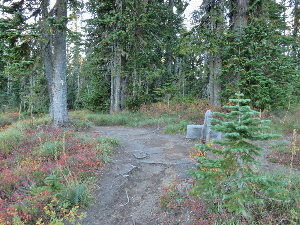 Back to the PCT.
 Junction Lake from the PCT/Lemi Lake Trail junction.
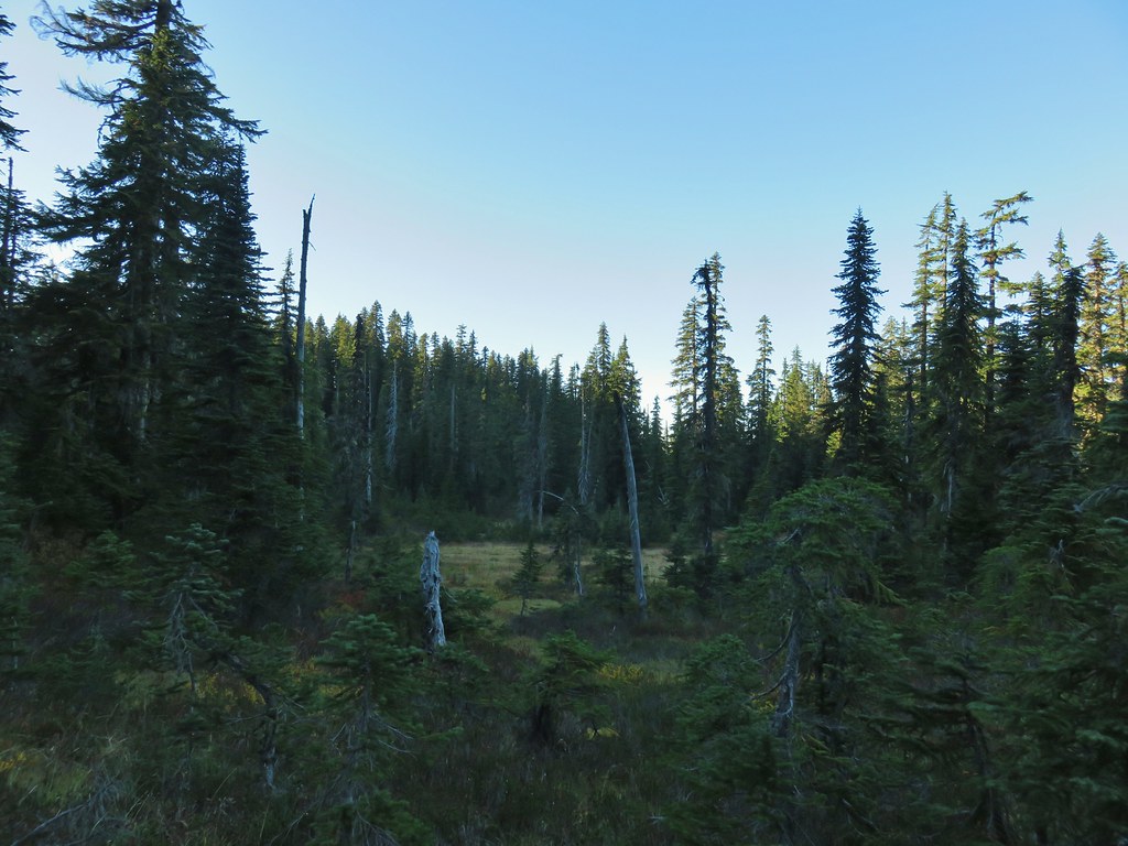


 This may named be Green Lake


 Lemei Rock and Mt. Adams
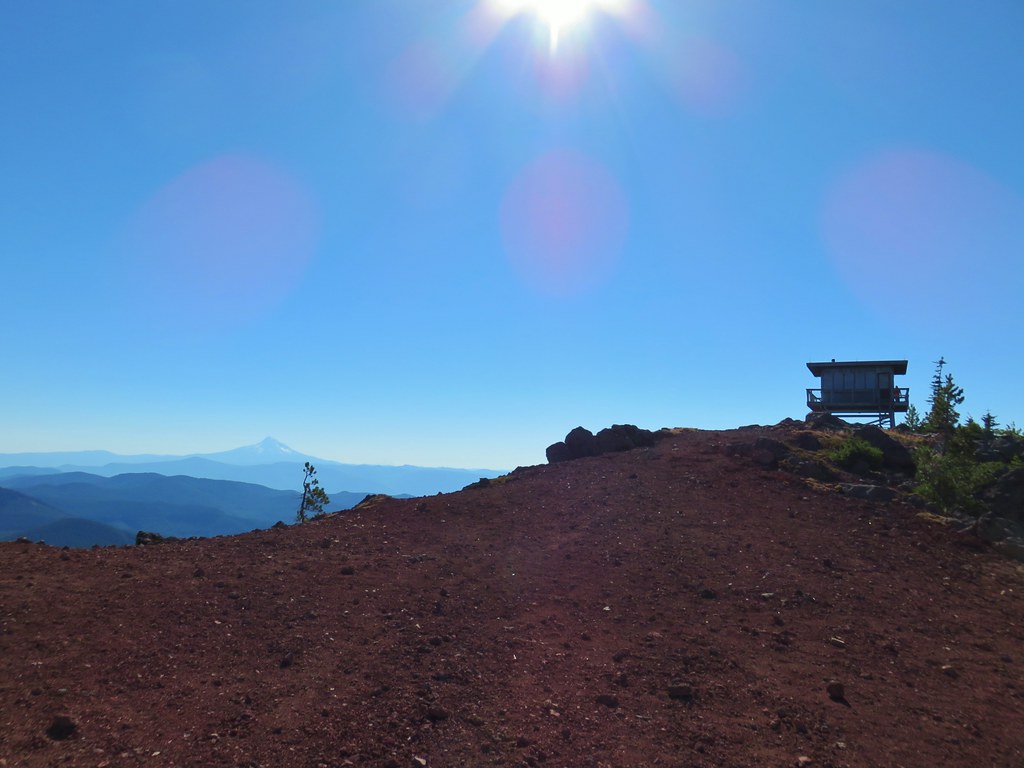

 Mt. St. Helens
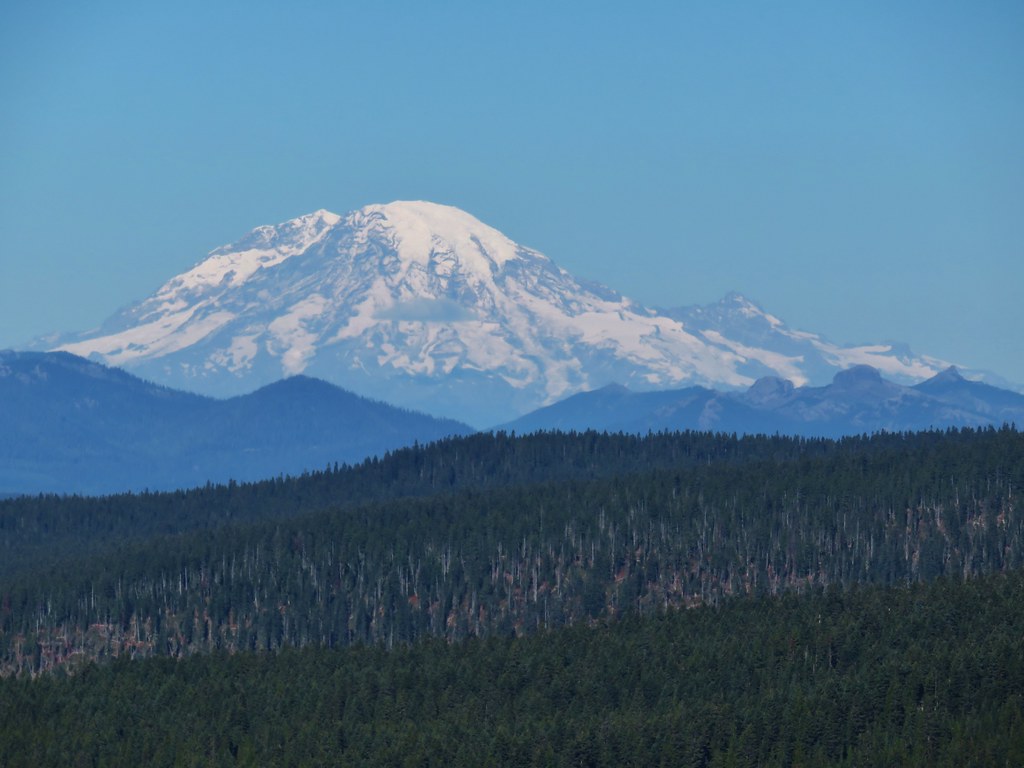 Mt. Rainier
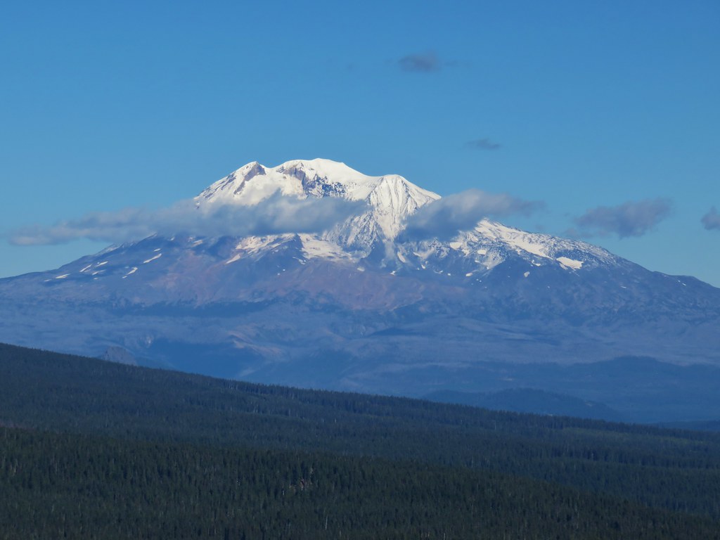 Mt. Adams