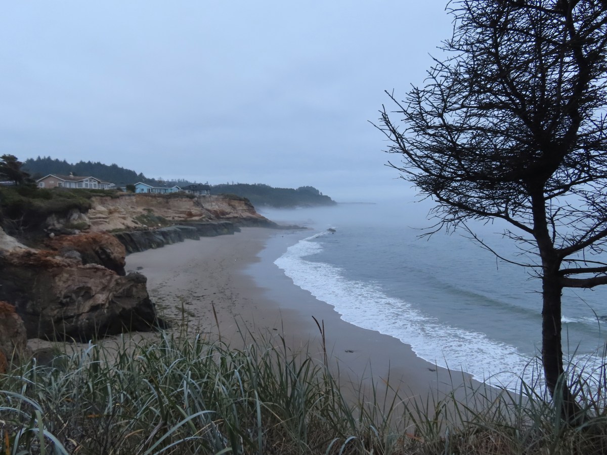
I had a solo outing planned but not a destination. Going into the weekend rain showers and possible thunderstorms were in the forecast for the mountains so I once again turned to the Oregon Coast. No thunderstorms or even precipitation was called for south of Lincoln City and I’d had my eye on a hike from the Fogarty Creek State Recreation Area to the Gleneden Beach State Recreation Area.
My planned route was a combination of two entries in the Oregon Hikers Field Guide involving the Fishing Rock overlook. I began my morning by parking at the Fogarty Creek North Trailhead.

I had decided to do this hike in reverse of the field guide description in order to make the crossing of Highway 101 before 6:30am when there would be few cars out. I hiked out the park entrance road to Highway 101 and made my way across.

On the far side of the highway I turned right on the sidewalk had headed north for 120-yards to Fishing Rock Street where I turned left and followed it for a tenth of a mile to the Fishing Rock State Recreation Site.

Small parking area at the recreation site.
I picked up the Oregon Coast Trail next to a signboard and followed it into a dark corridor of trees.


I had to use the flash to get a picture.
Soon after exiting the trees an Oregon Coast Trail pointer showed that trail veering off to the right.


The OCT pointer.
I stayed left and continued out the headland until I could see Fishing Rock, a small rock island just off the headland.


Pigeon guillemots

Fishing Rock just beyond the end of the headland.
I turned around and made my way back to the Oregon Coast Trail and followed it north off the headland and down to Lincoln Beach.


Seaside daisies near the beach.
Once I was on the beach it was 2.25-miles to the Gleneden Beach State Recreation Area. It was another foggy morning so visibility was limited, but there were a number of shore birds in the surf.


They weren’t all shore birds.

Seagulls

Sanderlings

Black-bellied plovers


The large group of trees marked the Gleneden Beach State Recreation Area.
I headed across the beach up the trail to make use of the facilities here. Back in 2015 we started our Salishan Spit hike here (post).


Aster

One of several rabbits I spotted.
I returned to the beach and headed back toward Fishing Rock. The visibility was still poor, but the tide was nearing the morning low tide which revealed some nice tide pools near the Fishing Rock.


Sand flea


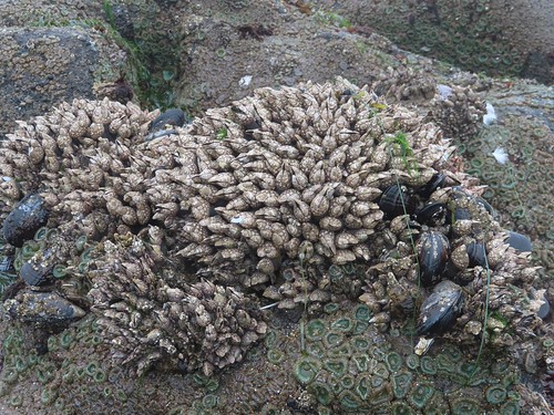

Coming up on the headlands and Fishing Rock.


I followed the Oregon Crest Trail back up to the Fishing Rock Recreation Site and then turned onto gravel Fogarty Avenue.

OCT pointer at the recreation site.

The OCT follows Fogarty Avenue 0.2-miles to Highway 101.
At Highway 101 I followed another OCT pointer along the shoulder for 500′ where it dropped down to Fogarty Creek Beach.


Fireweed


Thistle
I headed north along this beach back toward Fishing Rock.


There were a number of seals on these rocks.

The field guide indicated that you normally can only go a short distance in this direction, however at the time of my visit it would have been possible to continue all the way to Fishing Rock.

I wasn’t sure how quickly the tide might come back in and cut off access, so I turned around after taking the photo above. Heading south I got as close to the ocean as possible attempting to get a better look at the seals, surf scooters and cormorants offshore.

Surf scooter

Cormorant

More surf scooters.


Fogarty Creek

Rabbit Rock sticking out into the Pacific.


At the southern end of the beach I turned inland along the cliffs where a number of shorebirds were nesting.


Cormorants

I made way back inland toward Fogarty Creek eventually passing under Highway 101 on a paved path on the south side of Fogarty Creek.


I followed the paved path through a picnic area and to the South Fogarty Creek parking lot. On the far side of the lot is a gated gravel road which I hiked up 0.5-miles past a water tower to a saddle at the boarder of the State Park.


The gate maintenance road from the south parking area.
The road was pretty steep, but the forest was nice.


I assumed this gate was the park boundary. There were not any signs posted though so I continued up to the saddle to see if there was a view.

Unless you like looking at clearcuts there is no reason to climb past the water tower.
On my way down I circled the water tower and snacked on a few ripe berries.

Salal

Blackberries

Pearly everlasting


Coastal brook foam


Slug on a shroom.

From the south parking area I turned right to cross Fogarty Creek on a footbridge then turned left to return my car in the north parking area.


Fogarty Creek

This hike came in at 8.4-miles with 350′ of elevation gain.

Combining it with a hike out Salishan Spit would have nearly doubled that distance and of course the hike could have been shortened in various ways. One could also avoid having to cross Highway 101 by going out to the beach along the creek and following the OCT along the highway in both directions.
This was a nice hike that benefited greatly from my visiting at low tide. Fogarty Creek especially would be a fun place to stop with kids. Happy Trails!
Flickr: Fogarty Creek

