Categories
Central Coast Hiking Oregon Oregon Coast Trip report

Fogarty Creek State Recreation Site – 08/15/2026

I had a solo outing planned but not a destination. Going into the weekend rain showers and possible thunderstorms were in the forecast for the mountains so I once again turned to the Oregon Coast. No thunderstorms or even precipitation was called for south of Lincoln City and I’d had my eye on a hike from the Fogarty Creek State Recreation Area to the Gleneden Beach State Recreation Area.

My planned route was a combination of two entries in the Oregon Hikers Field Guide involving the Fishing Rock overlook. I began my morning by parking at the Fogarty Creek North Trailhead.
IMG_0752

I had decided to do this hike in reverse of the field guide description in order to make the crossing of Highway 101 before 6:30am when there would be few cars out. I hiked out the park entrance road to Highway 101 and made my way across.
IMG_0756

On the far side of the highway I turned right on the sidewalk had headed north for 120-yards to Fishing Rock Street where I turned left and followed it for a tenth of a mile to the Fishing Rock State Recreation Site.
IMG_0758
Small parking area at the recreation site.

I picked up the Oregon Coast Trail next to a signboard and followed it into a dark corridor of trees.
IMG_0759

IMG_0761
I had to use the flash to get a picture.

Soon after exiting the trees an Oregon Coast Trail pointer showed that trail veering off to the right.
IMG_0764

IMG_0765

IMG_0766

IMG_0768
The OCT pointer.

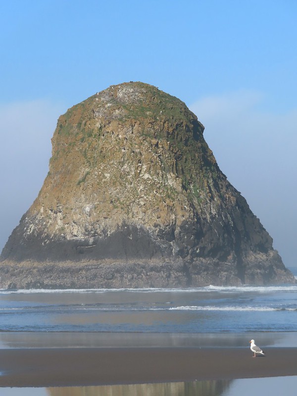
I stayed left and continued out the headland until I could see Fishing Rock, a small rock island just off the headland.
IMG_0777

IMG_0779
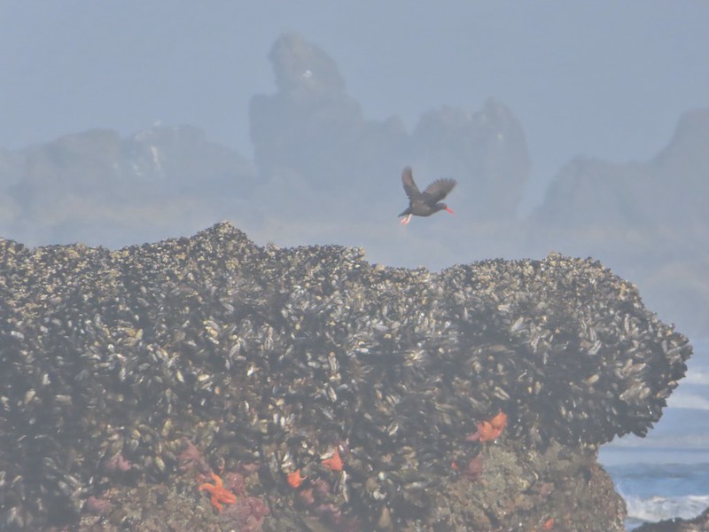
Pigeon guillemots

IMG_0784
Fishing Rock just beyond the end of the headland.

I turned around and made my way back to the Oregon Coast Trail and followed it north off the headland and down to Lincoln Beach.
IMG_0797

IMG_0800

IMG_0802
Seaside daisies near the beach.

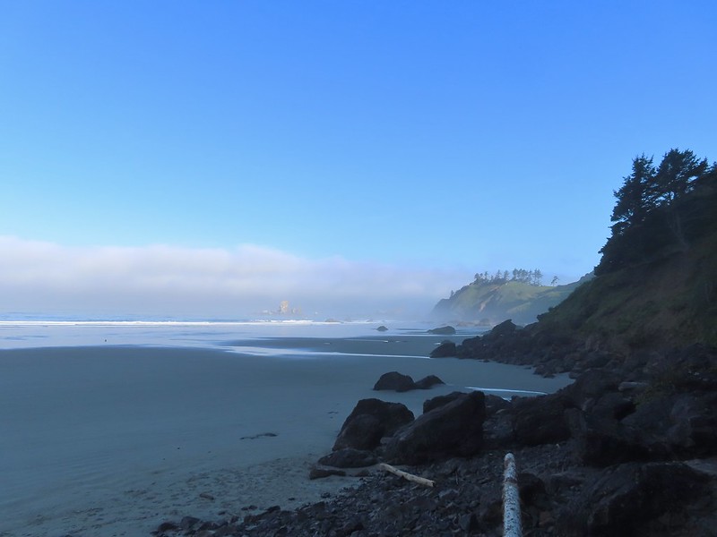
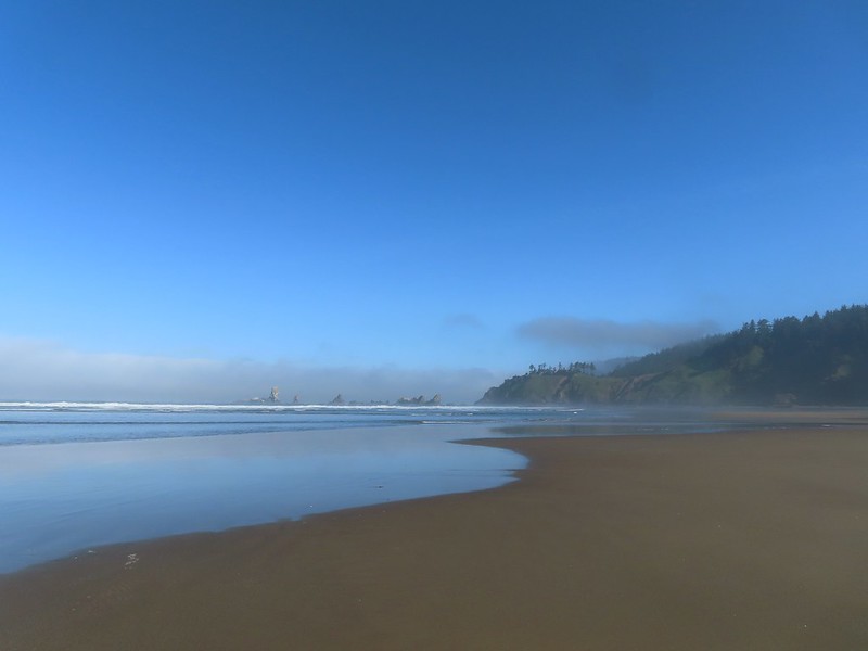
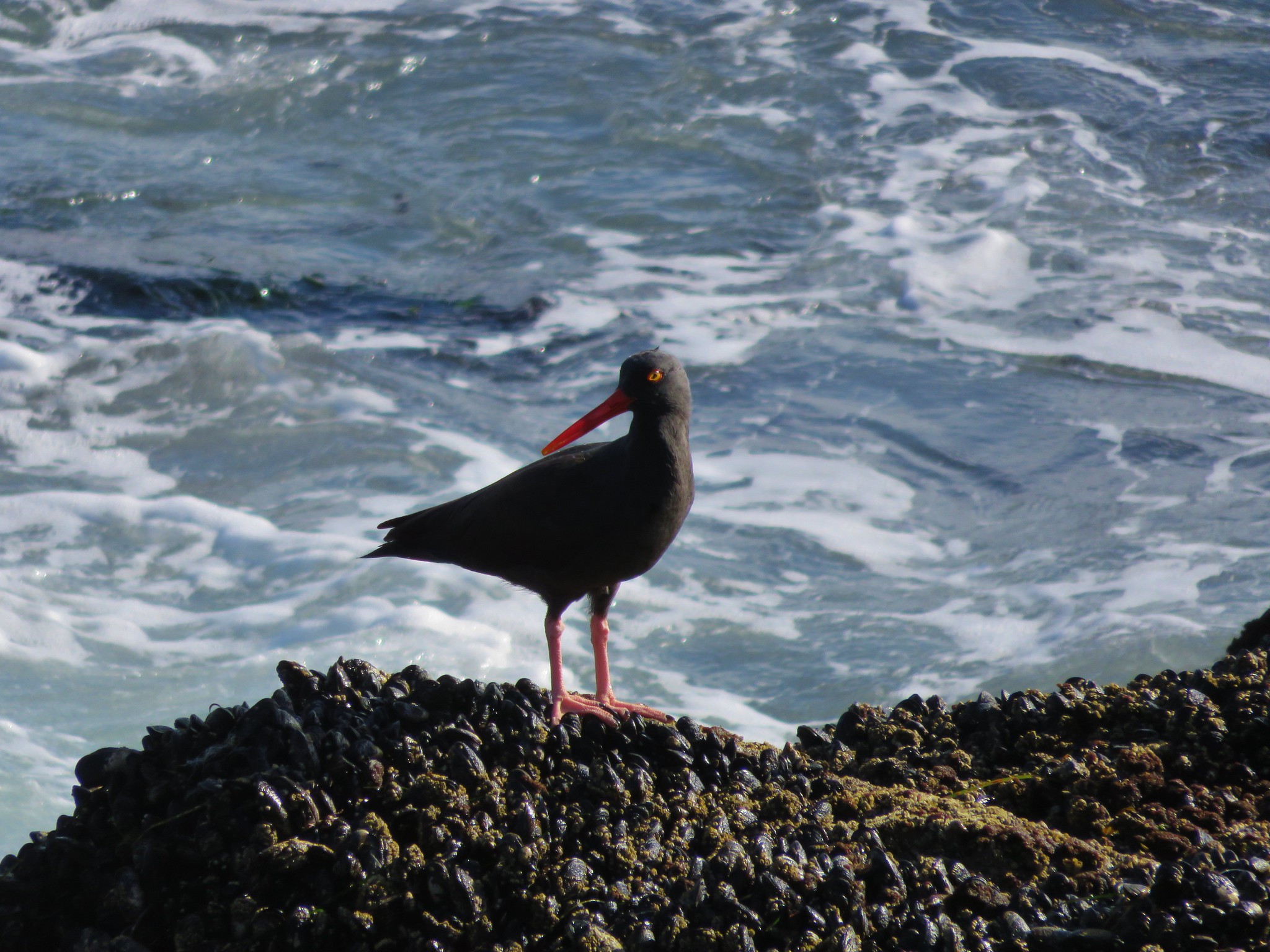
Once I was on the beach it was 2.25-miles to the Gleneden Beach State Recreation Area. It was another foggy morning so visibility was limited, but there were a number of shore birds in the surf.
IMG_0803

IMG_0804
They weren’t all shore birds.

IMG_0809
Seagulls

IMG_0821
Sanderlings

IMG_0825
Black-bellied plovers

IMG_0828

IMG_0836

IMG_0845
The large group of trees marked the Gleneden Beach State Recreation Area.

I headed across the beach up the trail to make use of the facilities here. Back in 2015 we started our Salishan Spit hike here (post).
IMG_0847

IMG_0848

IMG_0850

IMG_0853
Aster

IMG_0854
One of several rabbits I spotted.

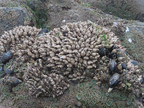
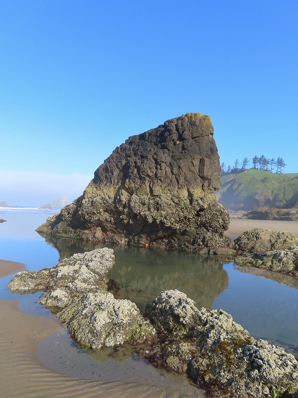
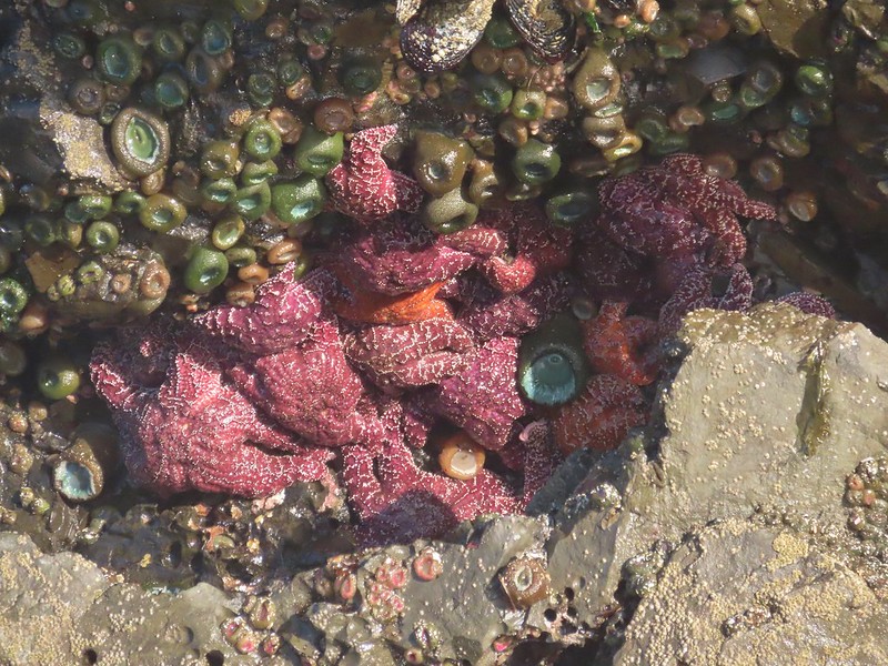
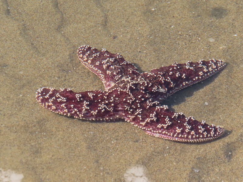
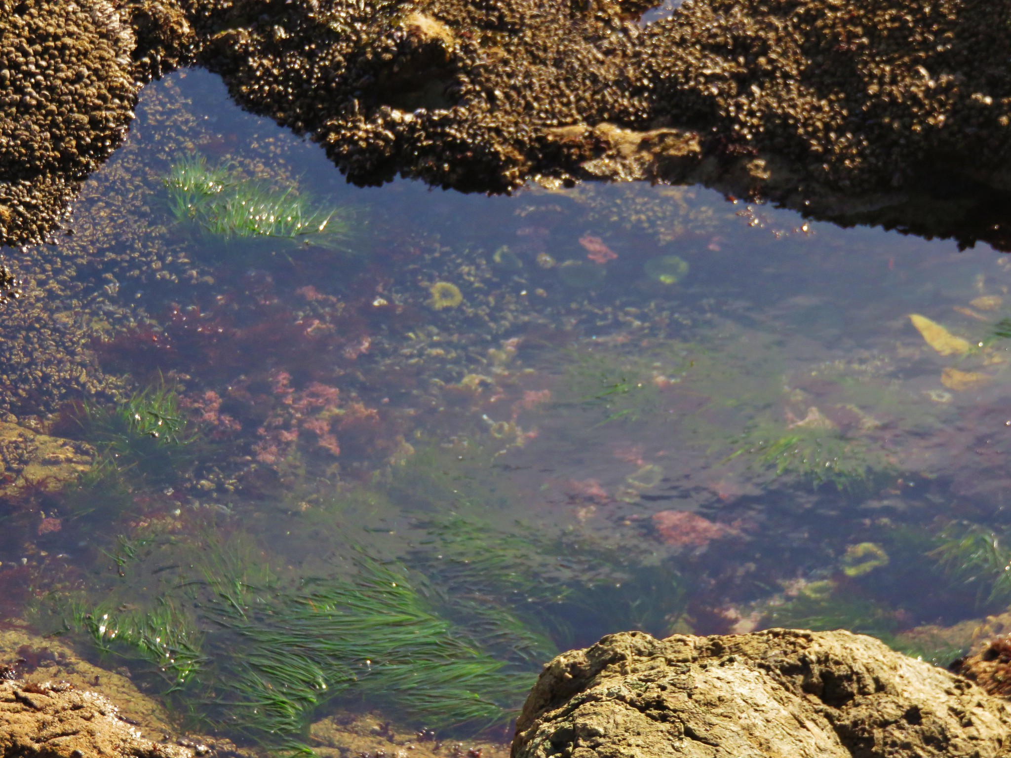
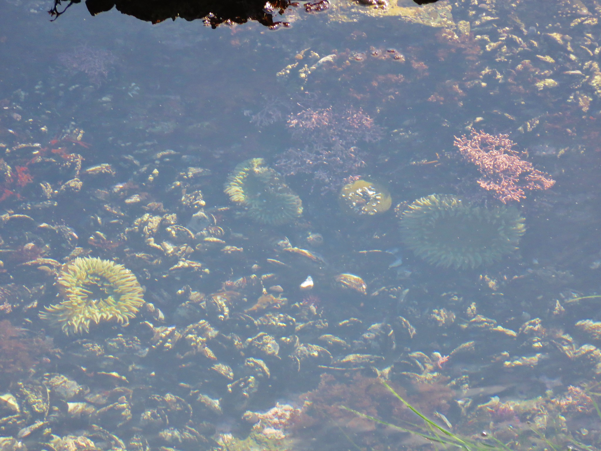
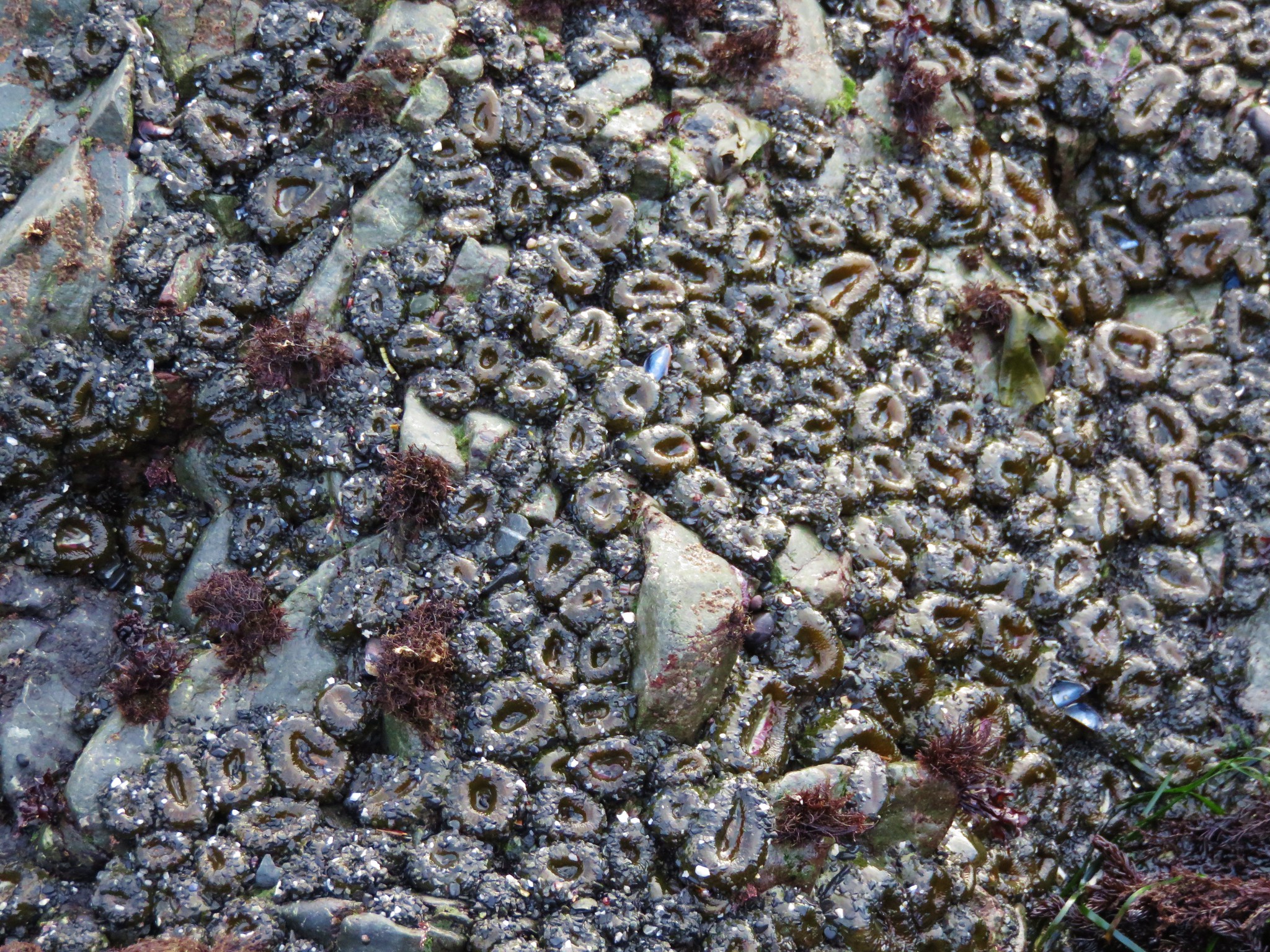
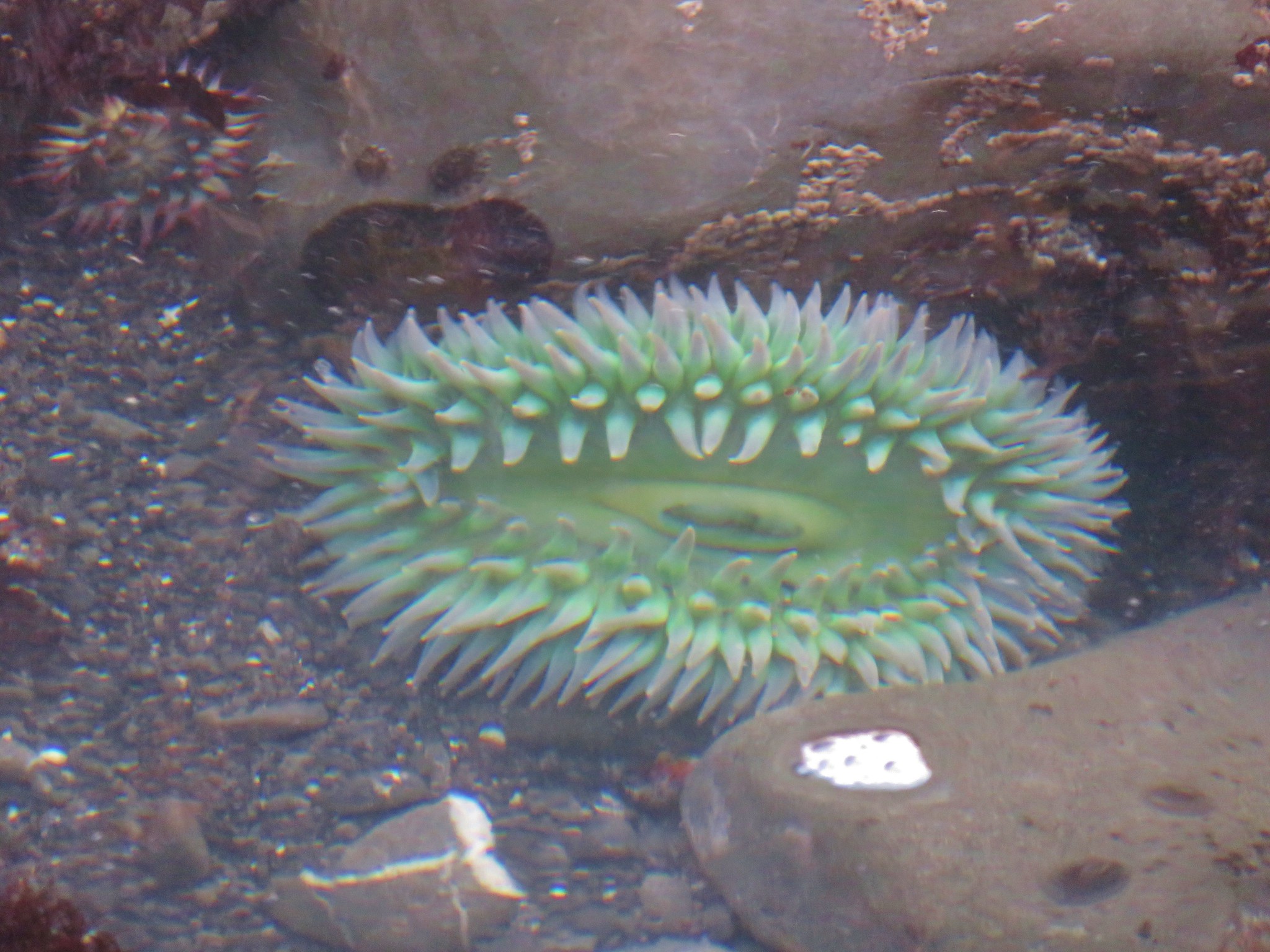
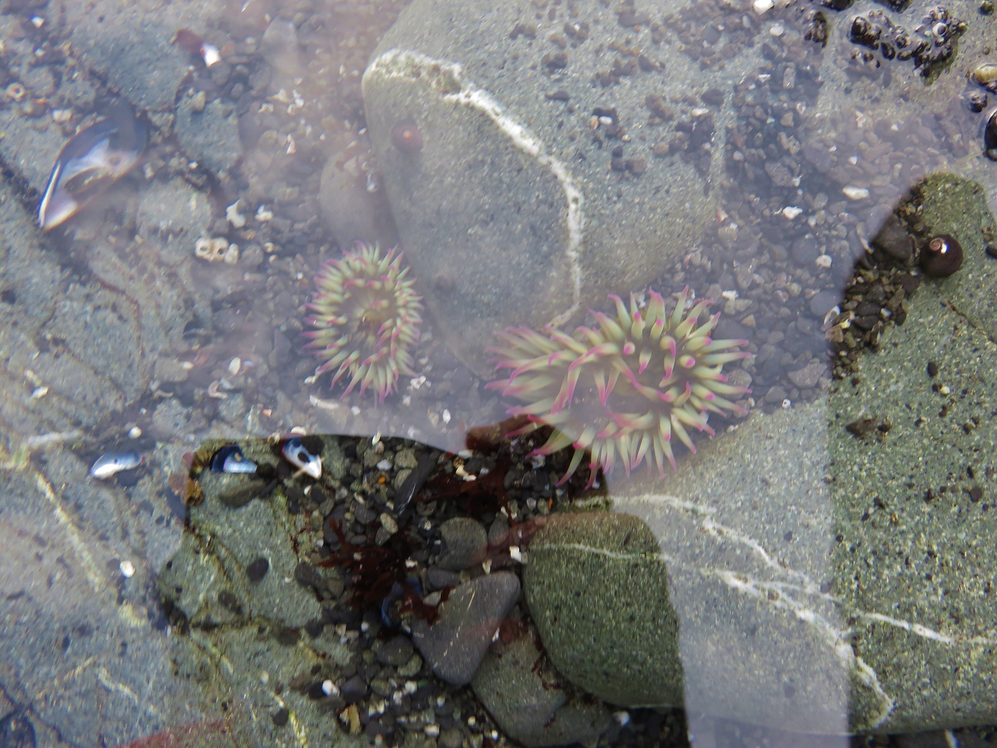
I returned to the beach and headed back toward Fishing Rock. The visibility was still poor, but the tide was nearing the morning low tide which revealed some nice tide pools near the Fishing Rock.
IMG_0859

IMG_0861

IMG_0864
Sand flea

IMG_0871

IMG_0872

IMG_0876

IMG_0879

IMG_0880

IMG_0885

IMG_0889

IMG_0893

IMG_0896
Coming up on the headlands and Fishing Rock.

IMG_0898

IMG_0899

I followed the Oregon Crest Trail back up to the Fishing Rock Recreation Site and then turned onto gravel Fogarty Avenue.
IMG_0914
OCT pointer at the recreation site.

IMG_0915
The OCT follows Fogarty Avenue 0.2-miles to Highway 101.

At Highway 101 I followed another OCT pointer along the shoulder for 500′ where it dropped down to Fogarty Creek Beach.
IMG_0916

IMG_0917

IMG_0918

IMG_0919

IMG_0922
Fireweed

IMG_0925

IMG_0928
Thistle

I headed north along this beach back toward Fishing Rock.
IMG_0932

IMG_0933
There were a number of seals on these rocks.

IMG_0936

The field guide indicated that you normally can only go a short distance in this direction, however at the time of my visit it would have been possible to continue all the way to Fishing Rock.
IMG_0940

I wasn’t sure how quickly the tide might come back in and cut off access, so I turned around after taking the photo above. Heading south I got as close to the ocean as possible attempting to get a better look at the seals, surf scooters and cormorants offshore.
IMG_0945
Surf scooter

IMG_0946
Cormorant

IMG_0951
More surf scooters.

IMG_0954

IMG_0960

IMG_0961

IMG_0965

IMG_0976

IMG_0979

IMG_0981

IMG_0982

IMG_0985
Fogarty Creek

IMG_0989
Rabbit Rock sticking out into the Pacific.

IMG_0993

IMG_1003

IMG_1006

IMG_1010

IMG_1011

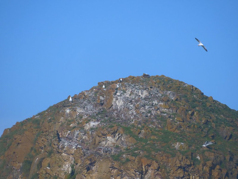
At the southern end of the beach I turned inland along the cliffs where a number of shorebirds were nesting.
IMG_1013

IMG_1016

IMG_1018

IMG_1023
Cormorants

IMG_1029

I made way back inland toward Fogarty Creek eventually passing under Highway 101 on a paved path on the south side of Fogarty Creek.
IMG_1031

IMG_1033

IMG_1035

I followed the paved path through a picnic area and to the South Fogarty Creek parking lot. On the far side of the lot is a gated gravel road which I hiked up 0.5-miles past a water tower to a saddle at the boarder of the State Park.
IMG_1040

IMG_1042
The gate maintenance road from the south parking area.

The road was pretty steep, but the forest was nice.
IMG_1043

IMG_1049

IMG_1052

IMG_1054
I assumed this gate was the park boundary. There were not any signs posted though so I continued up to the saddle to see if there was a view.

IMG_1055
Unless you like looking at clearcuts there is no reason to climb past the water tower.

On my way down I circled the water tower and snacked on a few ripe berries.
IMG_1058
Salal

IMG_1061
Blackberries

IMG_1062
Pearly everlasting

IMG_1063

IMG_1064
Coastal brook foam

IMG_1073

IMG_1077
Slug on a shroom.

IMG_1079

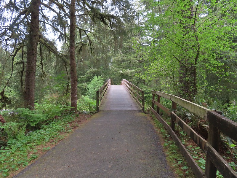
From the south parking area I turned right to cross Fogarty Creek on a footbridge then turned left to return my car in the north parking area.
IMG_1081

IMG_1082
Fogarty Creek

IMG_1083

This hike came in at 8.4-miles with 350′ of elevation gain.
Screenshot 2026-08-15 132603

Combining it with a hike out Salishan Spit would have nearly doubled that distance and of course the hike could have been shortened in various ways. One could also avoid having to cross Highway 101 by going out to the beach along the creek and following the OCT along the highway in both directions.

This was a nice hike that benefited greatly from my visiting at low tide. Fogarty Creek especially would be a fun place to stop with kids. Happy Trails!

Flickr: Fogarty Creek

Categories
Hiking Olympic Peninsula Trip report Washington

Olympic National Park Day 3 – Rialto Beach 5/14/2025

For our third day in Olympic National Park we headed for the ocean. Staying near Forks, WA meant we were only 20 minutes from Rialto Beach where we planned to hike north along the coast through Hole-in-the-Wall and possibly as far as Cape Johnson. For the hikes along the coast we needed to consider the tides. Many portions of the coastline are only passible within a couple hours of low tide. There are bypass routes through the forest, but those routes are often muddy, steep and rough. Fortunately for us low tide was at 8:26am meaning it coincided with our typical early morning start.

We arrived at the Rialto Beach Trailhead around 5:45am.
IMG_1021

We headed out to the beach and turned north.
IMG_1023

IMG_1029

IMG_1026James and Little James Islands

IMG_1035The beach was mostly small pebbles to start. Our steps often sunk more than expecting requiring more effort than we’d have guessed. We spent quite a bit of time trying to find the most solid ground.

IMG_1037Our footsteps on the beach.

IMG_1036Stump in the sand.

IMG_1039Ellen Creek. The creek flowed under the beach and emerged shortly before the ocean.

DSCN6741Seagull

DSCN6746Bald eagle

IMG_1043

IMG_1044

The Olympic Coast is known for its rock formations, some of which were on display here.
IMG_1046

IMG_1047

IMG_1050

A little over 1.5-miles from the trailhead we arrived at Hole-in-the-Wall.
IMG_1053

The tide was low enough we were able to pass through the arch.
IMG_1054

IMG_1056Looking back through the arch.

There are some nice tide pools around Hole-in-the-Wall.
DSCN6752

DSCN6753

IMG_1059

IMG_1060

DSCN6760This racoon was searching the tide pools for breakfast.

IMG_1067Looking back toward Hole-in-the-Wall.

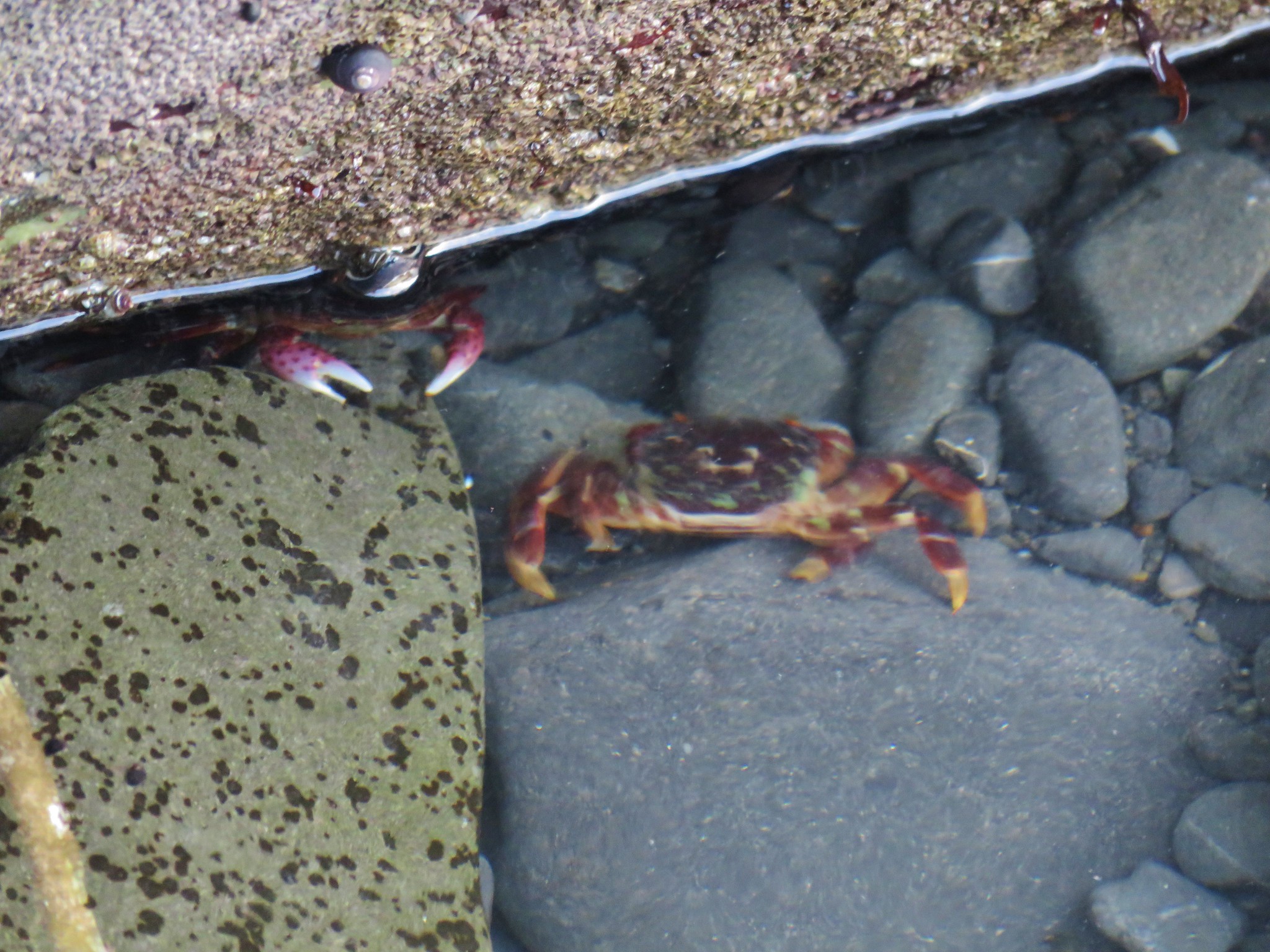
The hiking became more difficult on the far side of Hole-in-the-Wall due to the rockiness. Some of the rocks were very slick and other sections were large and awkward to scramble over. There were also hundreds of small crabs to avoid.
IMG_1063

IMG_1068

IMG_1069Many of the dark spots on these rocks are the small crabs.

IMG_1070

DSCN6774Does anyone know what this is?

IMG_1076

IMG_1079

DSCN6780Oyster catcher

DSCN6785Cormorants

IMG_1080Cape Johnson in the distance.

IMG_1084

DSCN6790Paintbrush

IMG_1092Unnamed creek not quite making it to the ocean above ground.

Due to the difficult footing we weren’t making great time. We decided that I would go ahead since I am a little more comfortable hiking on rocks and try to make it Cape Johnson. We also agreed to turn around before low tide at 8:26am to ensure that we gave ourselves enough time to get back before the tide was too high to stick to the beach.
IMG_1094Cape Johnson

I rounded a small point at 7:50am and saw that to reach Cape Johnson I’d have to bow in a lot further than I’d anticipated.
IMG_1096

My legs were already tired and I didn’t think I could continue to maintain the faster pace needed to reach Cape Johnson and get back to the trailhead, so I continued until 8am then turned around.
IMG_1098

IMG_1102I turned around at the slide ahead.
IMG_1116Hermit crab shells

IMG_1119A good example of the challenging terrain.

DSCN6795Seagull, oyster catchers, and a cormorant.

IMG_1128Paintbrush on the cliffs above the beach.

IMG_1131Hole-in-the-Wall and James Island back in view.

I had been scanning the ocean all morning looking for anything that might be an animal and took a number of pictures of things that turned out to be nothing. At one point I thought I spotted something floating near the rocks but wasn’t sure if it was just another rock. I took some zoomed in photos and think I may have stumbled on a sea otter.
DSCN6797Not a great picture due to the extreme zoom and low lighting. After looking closer at this photo I began thinking it was just a rock in the surf. Then I looked at the next photo and what would be the foot and the head were in different positions.

DSCN6799Possible sea otter.

IMG_1136The area around Hole-in-the-Wall was a lot busier on the way back.

IMG_1138Driftwood on the beach.

20250514_085512Heather spotted this little starfish while exploring the tide pools near the arch.

Velella velellaHeather also spotted this which we believe is a velella velella.

IMG_1157Starfish and anemones

DSCN6837Bald eagels

I eventually caught up to Heather on the far side of Hole-in-the-Wall and we continued south on the beach to the jetty along the Quillayute River.
IMG_1170On the jetty looking at James Island.

IMG_1171La Push across the river.

DSCN6841Sea lion in the river.

IMG_1173Heading back to the trailhead along the jetty.

IMG_1179

IMG_1180The jetty is actually part of the Quileute Indian Reservation.

I managed to get 7.9-miles in here.
Screenshot 2025-05-17 084541

This was the most challenging hike of the week due to the rocks, but it was scenic with lots of wildlife too. Our next hike also included some beach hiking, but only about 3 miles so hopefully it wouldn’t be quite as tiring. Happy Trails!

Flickr: Rialto Beach

Categories
Hiking Northern Coast Oregon Oregon Coast Trip report

Crescent Beach, Ft. Stevens Historic District, and the Skipanon River Loop – 05/11/2024

We spent Mother’s Day weekend hiking several trails in Clatsop County. We began on Saturday by driving to Ecola State Park and parking in the Ecola Point parking lot. We last visited the park in December 2013 when we hiked north along the Oregon Coast Trail (OCT) to Tillamook Head’s high point. (post)
IMG_4145

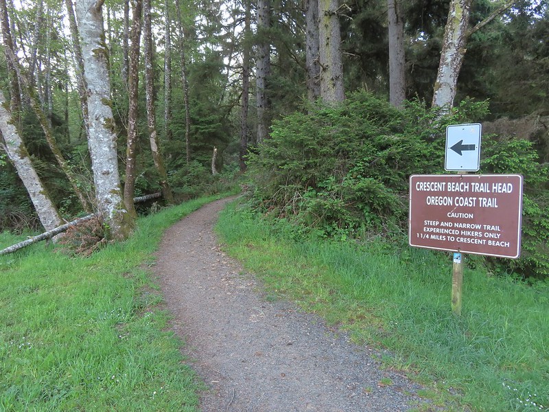
For this visit our plan was to hike south on the OCT then take the Crescent Beach Trail down to that beach.
IMG_4148The trail begins near the restrooms.

The trail began by climbing via a couple sets of wooden stairs to Ecola Park Rd which it briefly followed along the shoulder.
IMG_4150

IMG_4156Ecola Park Road.

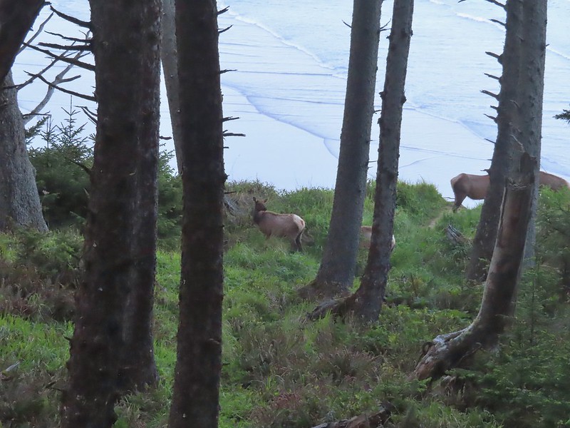
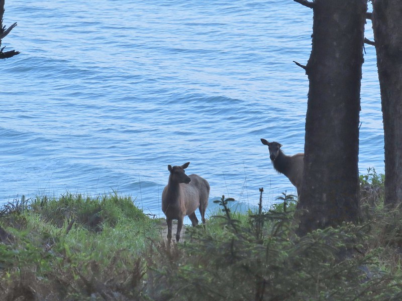
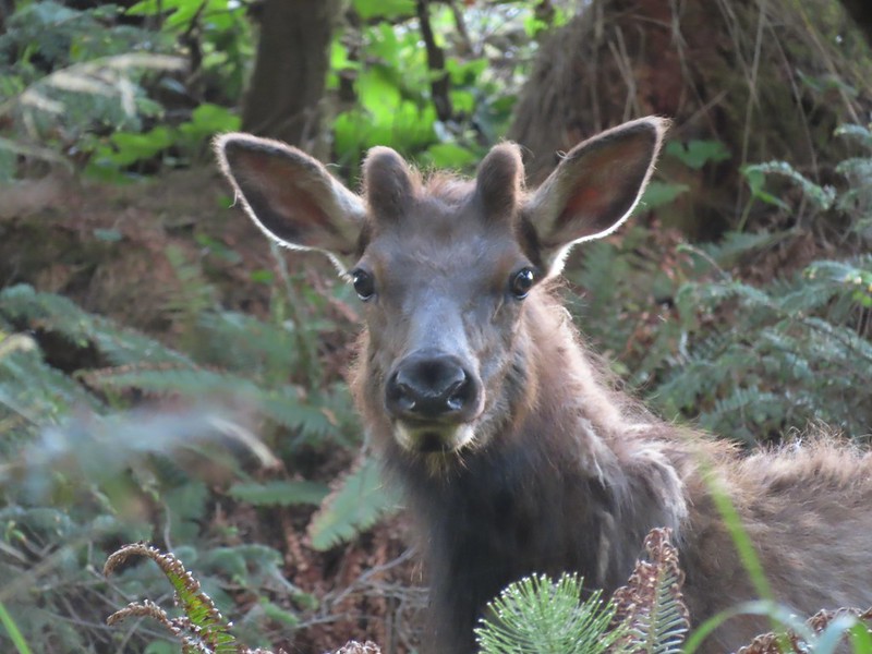
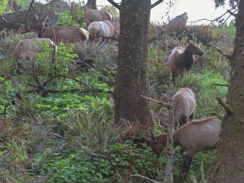
Where the trail left the shoulder, we came to a pair of cyclists who we thought were looking out at the Ocean. It took a second for us to realize that they were actually watching a small herd of elk in the forest below.
IMG_4162

IMG_4158

IMG_4165

After watching the elk for a moment we started down the trail which wound up switching back down toward the elk. Luckily they were following proper Leave No Trace Principals and remained an acceptable distance from the wild hikers.
IMG_4172

IMG_4174

IMG_4178

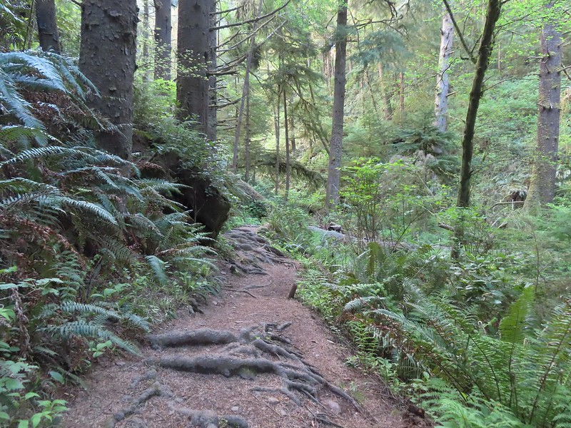
We continued on past the elk following the OCT approximately a mile from parking lot to the junction with the Crescent Beach Trail.
IMG_4187

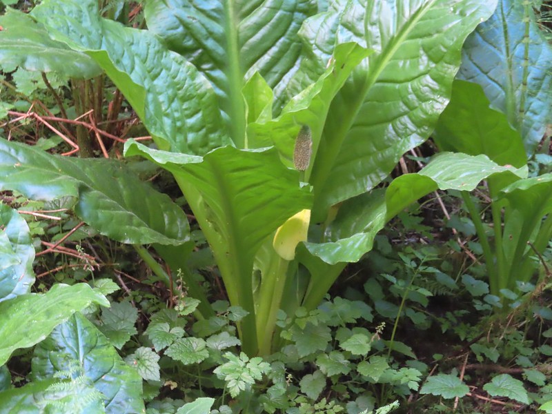
IMG_4188Skunk cabbage

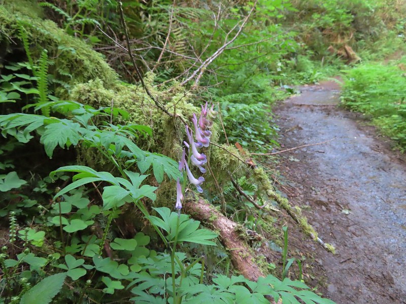
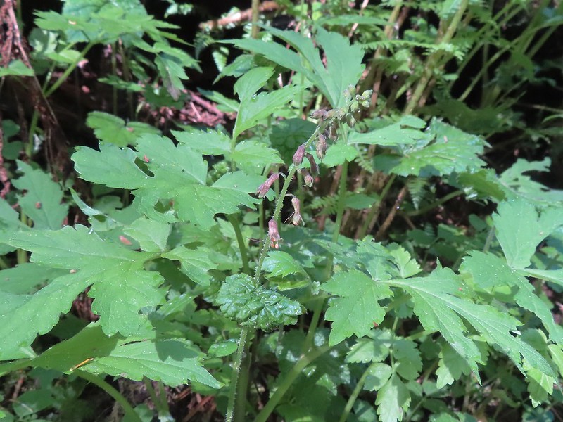
IMG_4190Scouler’s corydalis

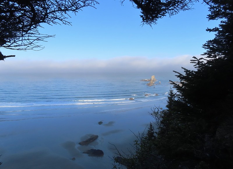
IMG_4194Window to the Pacific.

IMG_4198

We turned right at the junction and descended a quarter mile to Crescent Beach.
IMG_4202

IMG_4207

IMG_4208Ecola Point

IMG_4210Chapman Point and Bird Rocks

We decided to head north toward Ecola Point to check out the tide pools. We had inadvertently timed our visit nearly perfectly as it was about an hour and a half from low tide.
Prior to reaching the tide pools we passed Waterfall Creek.
IMG_4213The upper falls.

IMG_4214Waterfall Creek

IMG_4218The lower falls.

IMG_4219The tide pools from Waterfall Creek.
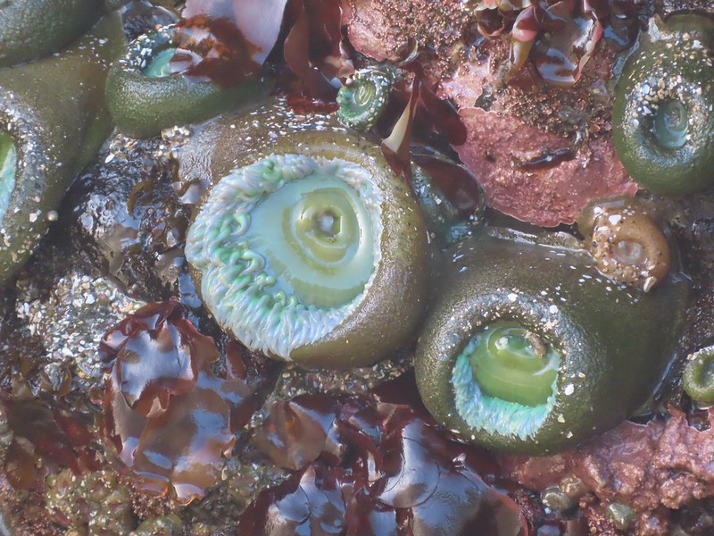
The tide pools wound up being some of the most impressive we’d seen. We spent a good amount of time walking around to the different pools. We were careful not to climb on any of the rocks or to disturb any of the wildlife. In fact some of the rocks that were exposed are likely part of the Oregon Islands Wilderness.
IMG_4222

IMG_4226

IMG_4228

IMG_4229

IMG_4234

IMG_4236

IMG_4239

IMG_4240

IMG_4243

IMG_4245

IMG_4246

IMG_4253

IMG_4257

IMG_4259

IMG_4260

20240511_082411We found Patrick from Spongebob!

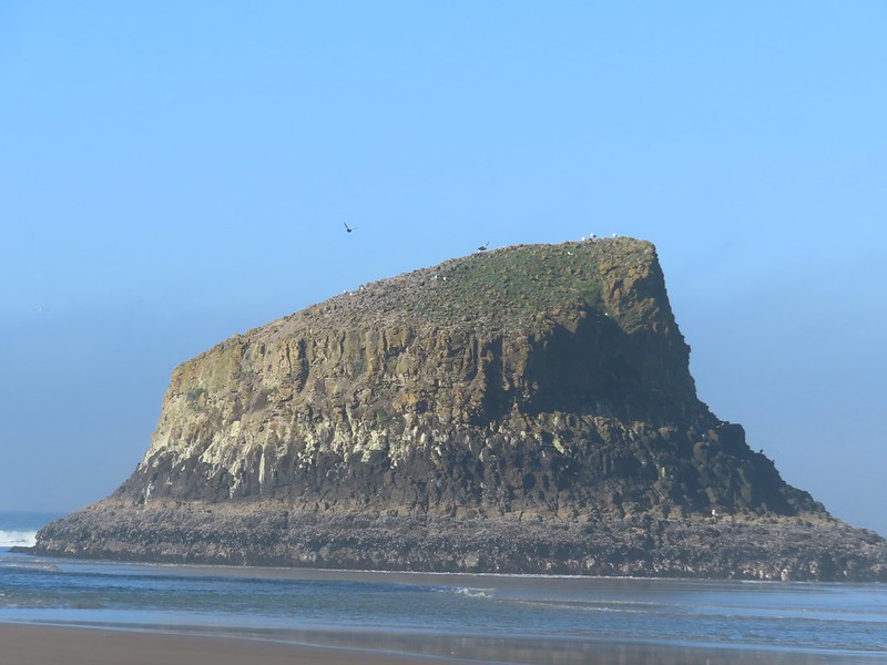
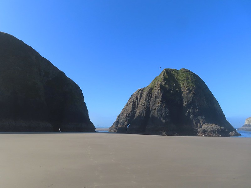
After admiring the tide pools we headed south along the beach toward Chapman Point and the Bird Rocks.
IMG_4274

IMG_4282

IMG_4277

IMG_4280We were curious as to what forces carved out the backside of this rock.
IMG_4281

IMG_4285Chapman Point is only passable at certain low tides. On the far side is Cannon Beach (post).
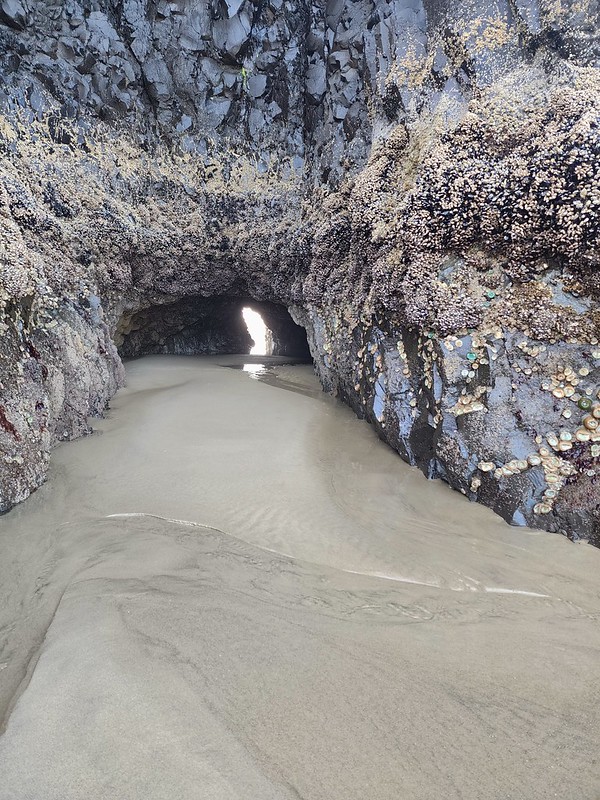
20240511_084246This cave through Chapman Point was flooded at the far end.
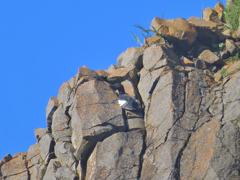
IMG_4287Pigeon guillemot

IMG_4302Goose

IMG_4294

We turned around at Chapman Point and headed back to the Crescent Beach Trail.
IMG_4298

20240511_084942

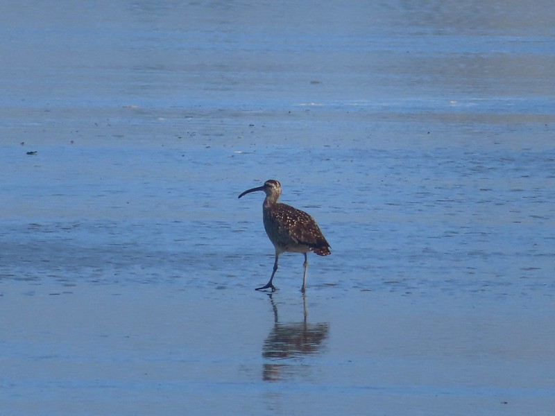
IMG_4304Whibrel

We retraced our steps back to Ecola Point where the lot was beginning to fill up.
IMG_4307

Seaside bittercressSeaside bittercress

IMG_4311Youth-on-age

Our hike here came to 4.4-miles with approximately 600′ of elevation gain.
Screenshot 2024-05-13 185332

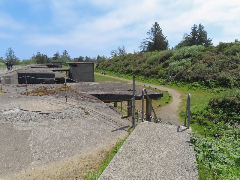
We hopped in our car and headed north to Fort Stevens State Park for our next hike. There are several parking lots at Fort Stevens and we opted to park at Battery Russell lot.
IMG_4317Battery Russell from the lot.

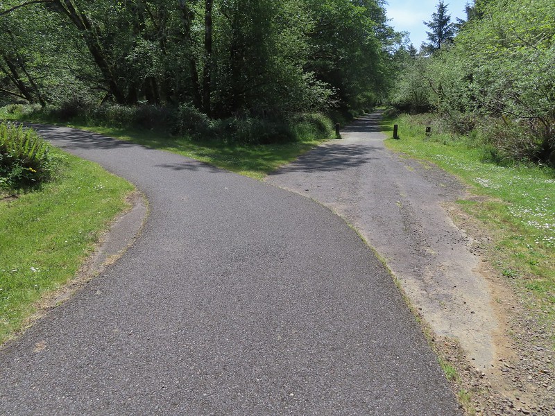
As with Ecola Point we had started a hike here before. In September 2017 we visited Battery Russell, Coffenbury Lake, and a shipwreck at the park (post). Again today we were going in the opposite direction, this time north to visit the park’s Historic Area. We followed a paved path east from the parking lot then over Jetty Road on an overpass.
IMG_4318

IMG_4321

IMG_4327The overpass

We followed the paved path to a junction near a pill box where we went right.
IMG_4333

The path led past Swash Lake which helped explain the host of mosquitos that were flying around us.
IMG_4337

We stayed right at the next junction and Jetty Lagoon on the Swash Lake Bridge.
IMG_4338

IMG_4339

IMG_4342Looking out toward Swash Lake from the bridge.

A little under 2 miles form the parking lot we arrived at the visitor’s center.
IMG_4344The gate to the Historic Area is locked in the evening.

IMG_4347Visitor’s center

A number of trails and paths wind around the Historic Area as well as open spaces that one can simply walk across. We made up our own route based on a suggested hike from the Oregonhikers Field Guide.

IMG_4346

IMG_4349

We began by walking past a jeep on display and looping behind the visitor’s center.
IMG_4351

IMG_4356

IMG_4357

From the visitor’s center we headed into a large open space where the barracks had once been.
IMG_4358

We made our way to the far end of the open space and turned south to see the old guardhouse and Battery Clark.
IMG_4366The guardhouse on the left.

IMG_4368Battery Clark

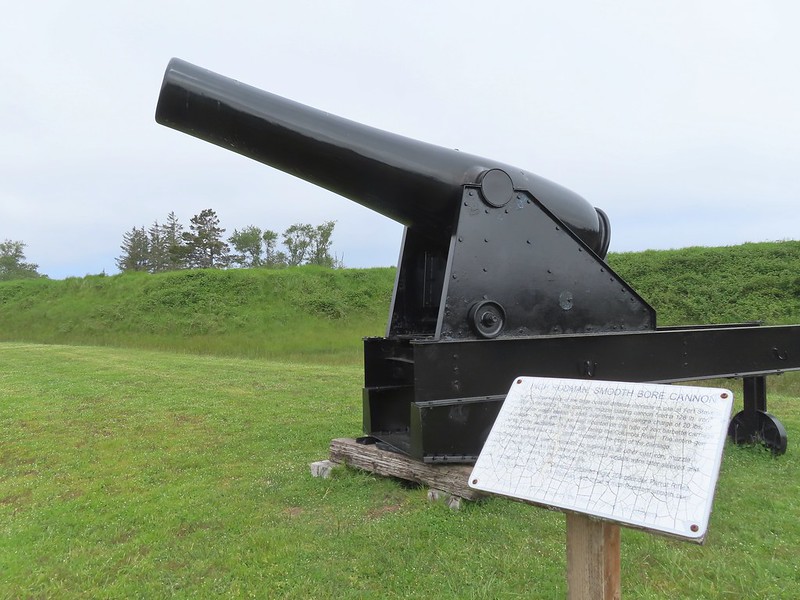
We then turned back north cutting across the barracks area toward a pair of smooth bore cannons and Battery Freeman.
IMG_4375

IMG_4377

IMG_4379

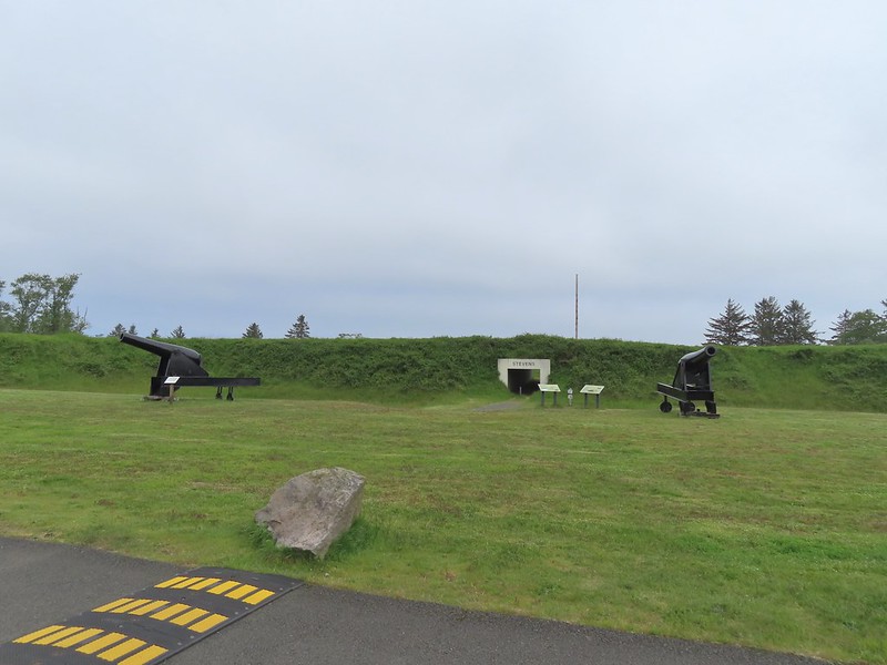
We passed the cannons and hiked through a guarded underpass.
IMG_4376

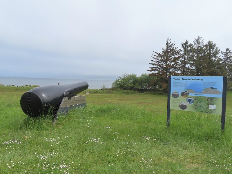
IMG_4381Fort Stevens Earth Works.

We crossed a grassy field to the cannons atop the Earth Works then descended a staircase.
IMG_4382

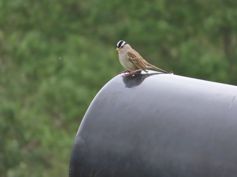
IMG_4386White-crowned sparrow

IMG_4385We cut across the grass below to the footbridge in the distance.

IMG_4388Columbia River

IMG_4389Looking west toward the Pacific.

At the Columbia we turned right on the Jetty Trail and followed it past some disc golf holes and Battery Smur to a former roadbed.
IMG_4390

IMG_4391Battery Smur

IMG_4392The roadbed coming in from the former barracks site.
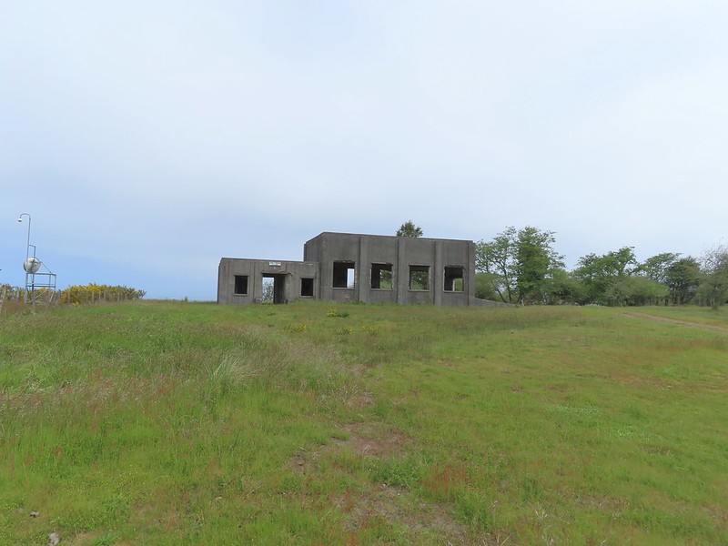
We turned left on this road and followed it to a gate and the former Torpedo Loading Room.
IMG_4393Mine Loading Building

IMG_4398Searchlight Generator

IMG_4396

IMG_4397Torpedo Loading Room

We turned around here and walked back to the Jetty Trail and followed it west through the Disc Golf Course to the Clatsop Longhouse site.
IMG_4401

IMG_4402

IMG_4407

IMG_4409

From the longhouse site we continued on the Jetty Trail toward Battery 245.
IMG_4410

IMG_4411

IMG_4415

IMG_4416

IMG_4423Battery 245

IMG_4425

We hiked around Battery 245 and onto Battery Mishler.
IMG_4430

IMG_4432

IMG_4433

We passed this battery and Battery Pratt then veered right on a paved path which led back to the path we’d followed from Battery Russell.
IMG_4437

IMG_4438Sign for the Lil’ Oozlefinch Putting Course.
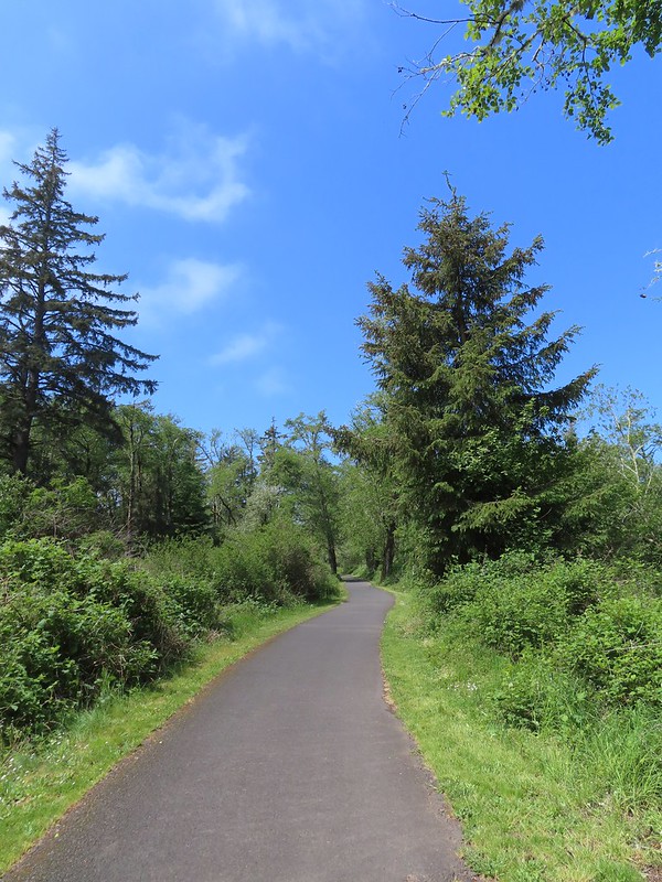
We headed back toward the parking lot and at the Pill Box we veered right which was a more direct route to the parking lot. The drawback was that there was no overpass here so we had to watch for traffic before crossing Jetty Road.
IMG_4439

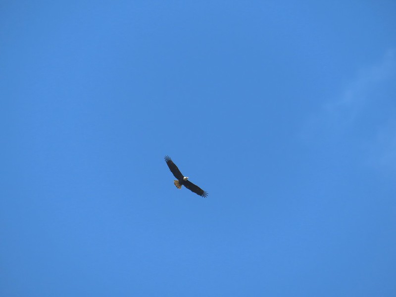
IMG_4441Bald eagle

IMG_4444

IMG_4446Gate near Jetty Road.

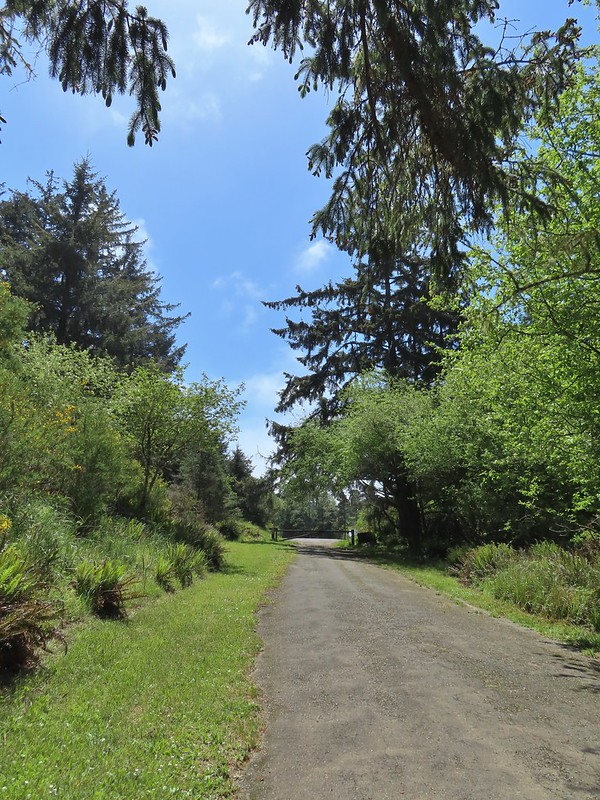
After crossing Jetty Road, we followed the paved path left a tenth of a mile to the Battery Russell parking lot. This hike came to 6.3-miles with just 75′ or so of elevation gain.
Screenshot 2024-05-13 185015

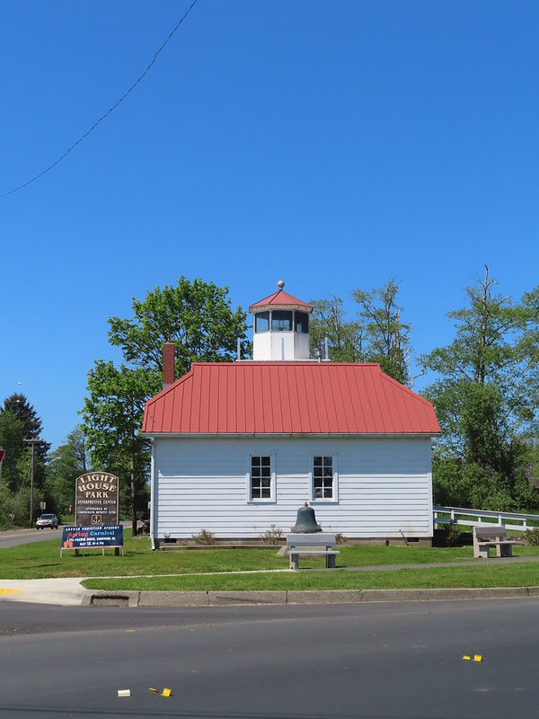
Our final stop of the day was just 5 miles from the Battery Russell parking lot at Lighthouse Park in Warrenton.
IMG_4486

IMG_4449The parking lot at the park.

Our plan here was to hike the 2-mile Skipanon River Loop. Three things drew us to this trail. First it was a trail we hadn’t yet hiked. Secondly, we hadn’t hiked along the Skipanon River yet, and while it isn’t an official goal we are trying to visit as many of Oregon’s rivers as possible. Finally, one of our favorite post hike restaurants, Nisa’s Thai Kitchen is located along the route.

From the parking lot we crossed NE Skipanon Drive and followed the sidewalk past a storage facility to a path next to E Harbor Drive that promptly passed beneath the road.
IMG_4451

IMG_4452Emerging from the underpass.

We turned right onto a paved path along the Skipanon River for a third of a mile to Skipanon River Park.
IMG_4453

IMG_4454Mallard family

IMG_4460Sign at the park.

At the park the trail ended and we turned right onto SE 3rd St and followed it a block to S Main Avenue where we turned left. After two blocks on Main we turned left onto SE 5th St and then took a right on a grassy track behind some buildings.
IMG_4461Eighth Street Dam from the grassy track.
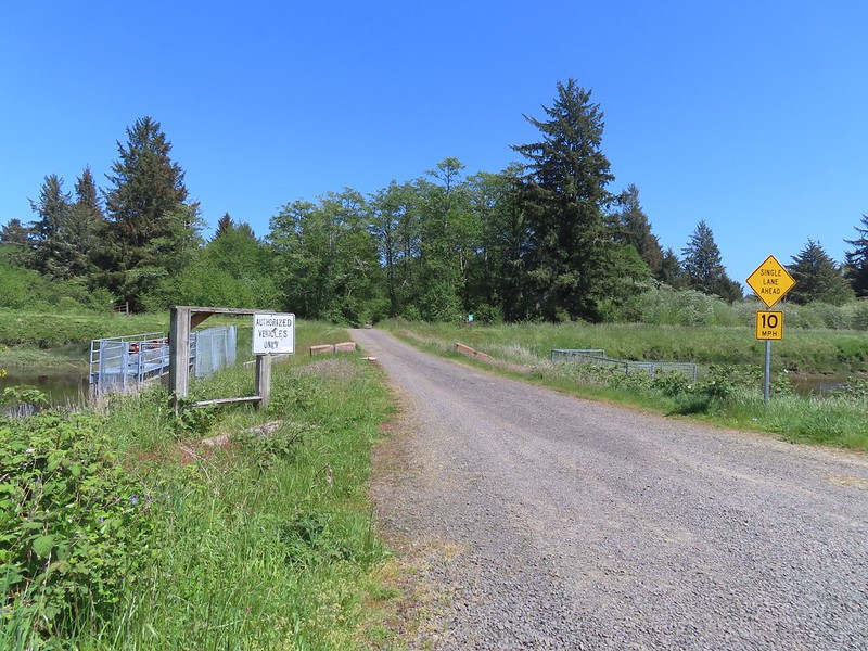
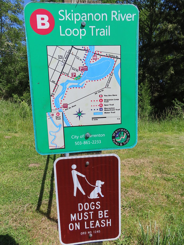
We crossed the river on the 8th Street Dam where we finally saw an official trail map.
IMG_4463

IMG_4465Until we saw this sign we’d been thinking that maybe the trail didn’t exist any longer. We were also questioning how the loop was supposed to get back across the river at the other end since the only bridge across the river there was Harbor Drive. Until seeing this we were thinking of turning around at the dam, but instead we decided that we’d do the loop with Heather getting a table at Nisa’s while I recrossed the river to retrieve the car.

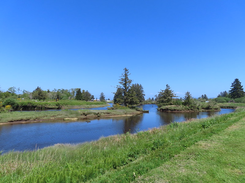
With lunch calling, and our feet feeling a bit worn, we opted not to do the optional out-and-back B1 spur trail and continued on the loop past a gate.
IMG_4466

On this side the trail was a nice grassy track following a dike which was far more pleasant than Main Avenue.
IMG_4469

IMG_4470

Greater scaupNot the clearest picture but I think this is a greater scaup based on the head shape. We’ve seen a number of lesser scaups, but this would be our first greater.

IMG_4475Great blue heron

IMG_4480Cormorant

IMG_4482A brief paved section.

IMG_4483Nisa’s Thai Kitchen across Harbor Drive.
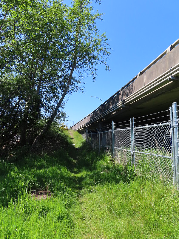
There was a nice wide bike/pedestrian lane on the bridge making the crossing not too bad even with traffic. As I was made my way across I noticed a path leading down to the underpass on the south side of Harbor Drive which meant I wouldn’t need to cross the main street on foot.
IMG_4485Looking back up the path from Harbor Drive.
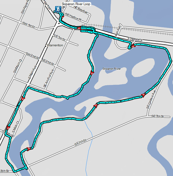
The loop came in just over 2-miles with minimal elevation gain.
Screenshot 2024-05-13 185144

This would probably be a nicer hike early in the morning when less traffic was about. It was a little awkward walking along the city streets as well, but the grassy dike was a comfortable walk. What really made this worth the stop though was the Drunken Noodles and Pad Thai. After a satisfying meal we drove to Astoria arriving at our motel right after check in time (3pm). We originally thought we might head out to the Astoria Riverwalk after cleaning up, but after showering a resting for a bit it was clear that 12.9 miles were enough for one day. Happy Trails!

Flickr: Crecent Beach, Fort Stevens Historic Area, and the Skipanon River Loop

Categories
California Hiking Northern California Coast Trip report

Crescent City Harbor and Damnation Creek

It has been awhile since our last post but we’ve been away on vacation piling up a backlog of hikes. This vacation was our last hurrah of our hiking season and also an early celebration of our 20th anniversary. We kicked things off on Saturday by driving down to Crescent City, CA where we planned on staying two nights. After checking into our hotel we decided to walk along the harbor out to Whaler Island, which is a Del Norte island that was permanently attached to the mainland by a quarry operation.

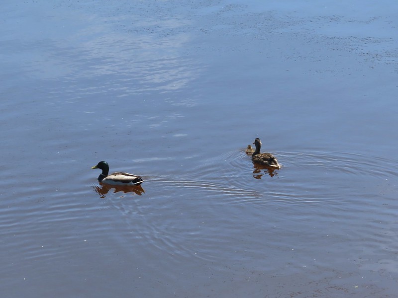
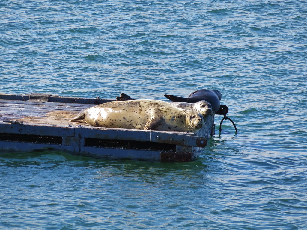
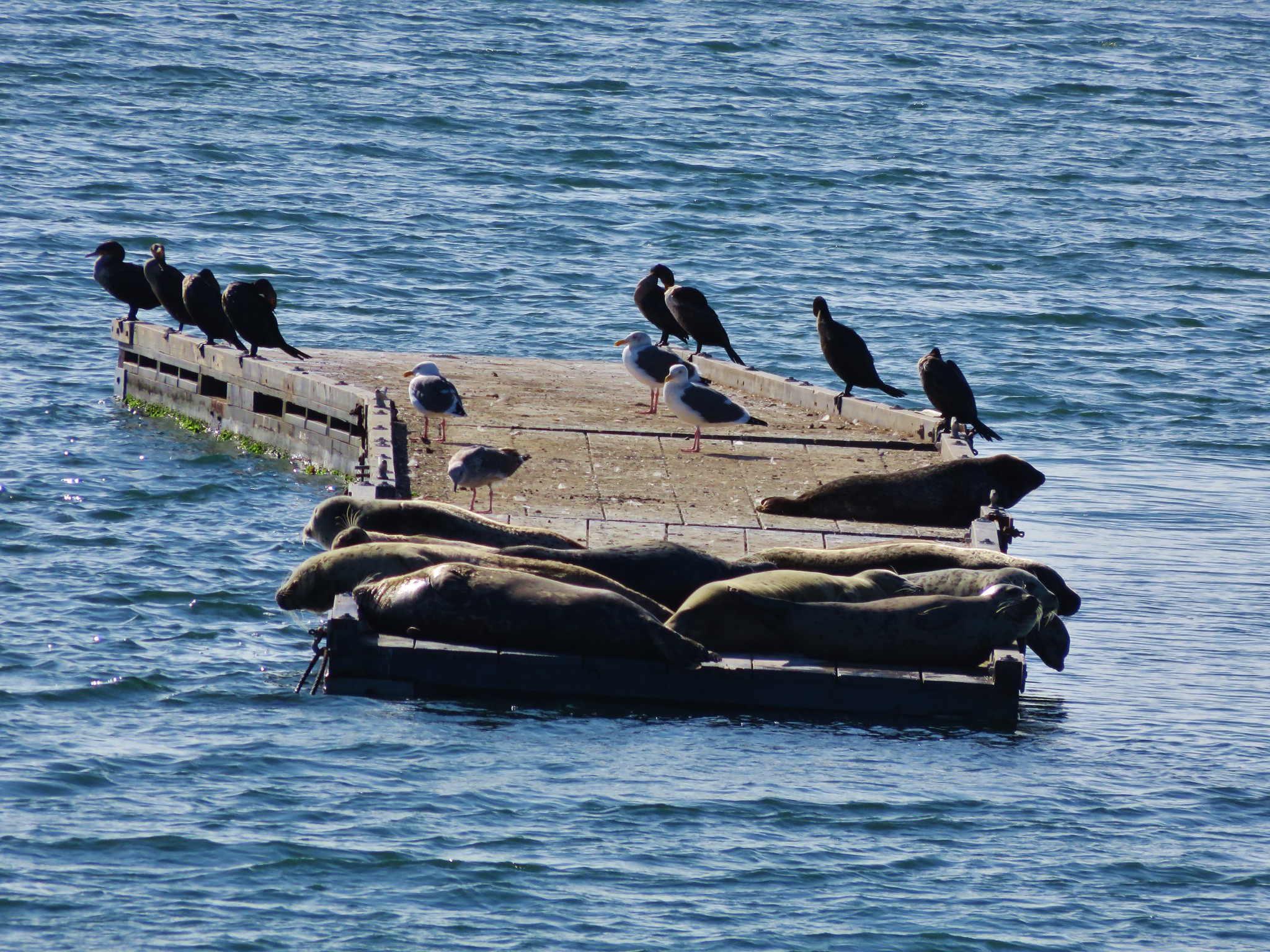
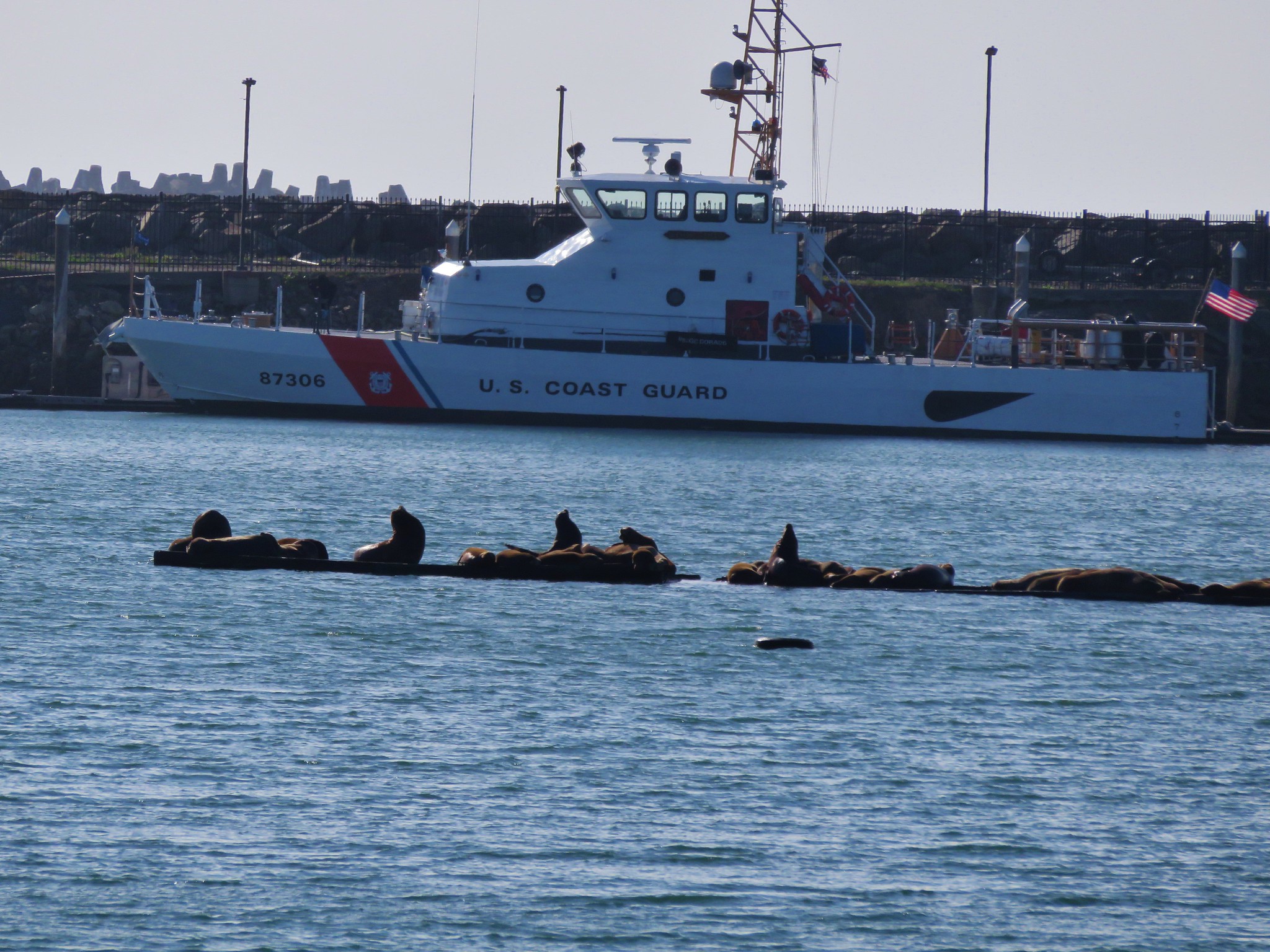
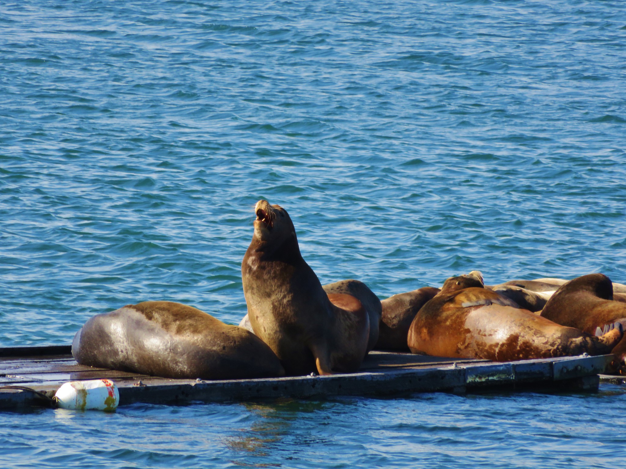
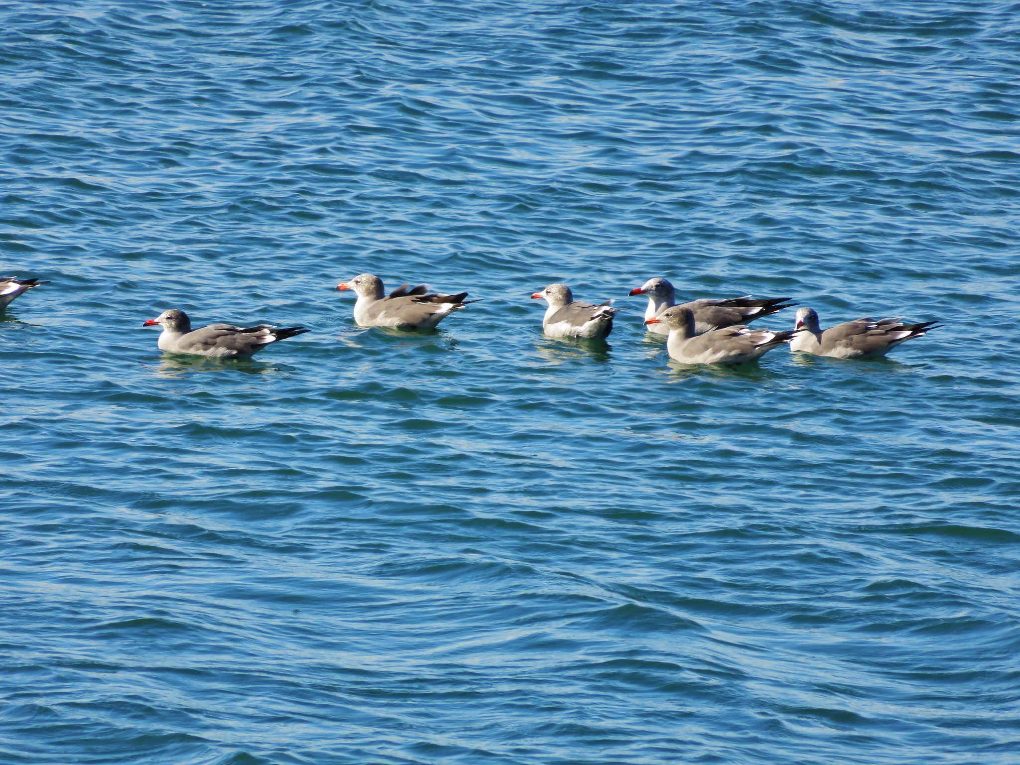
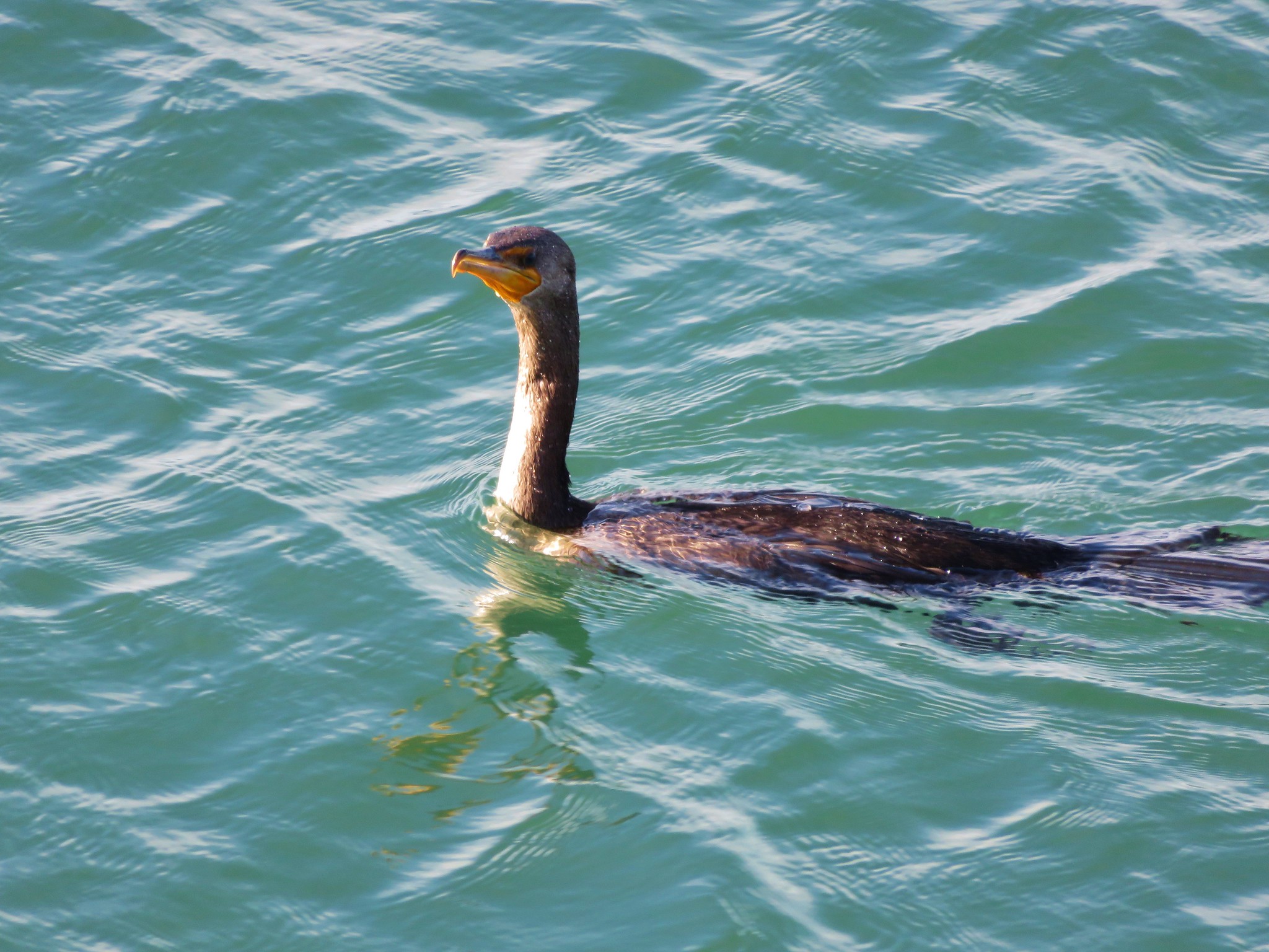
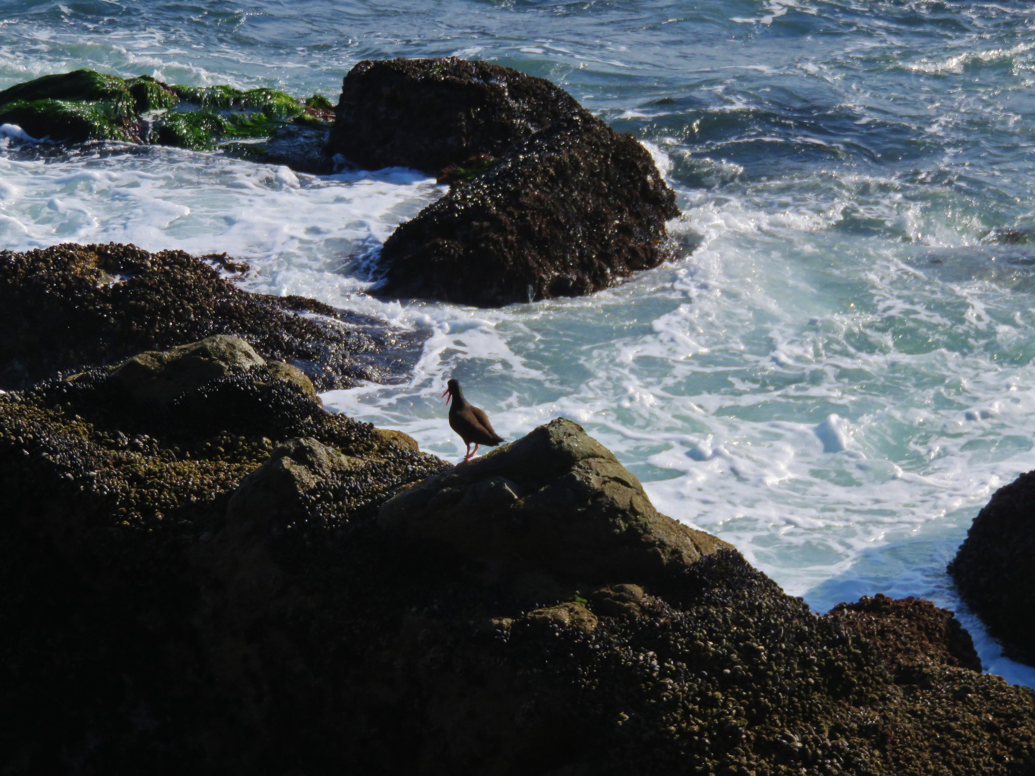
As we walked along the harbor we were entertained by a number of different animals.
IMG_1533//embedr.flickr.com/assets/client-code.js

IMG_1522//embedr.flickr.com/assets/client-code.js

IMG_1526//embedr.flickr.com/assets/client-code.js

IMG_1523//embedr.flickr.com/assets/client-code.js

IMG_1536//embedr.flickr.com/assets/client-code.js

IMG_1527//embedr.flickr.com/assets/client-code.js

IMG_1555//embedr.flickr.com/assets/client-code.js

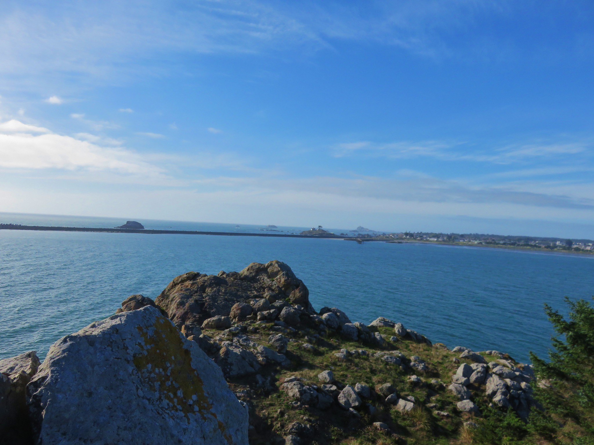
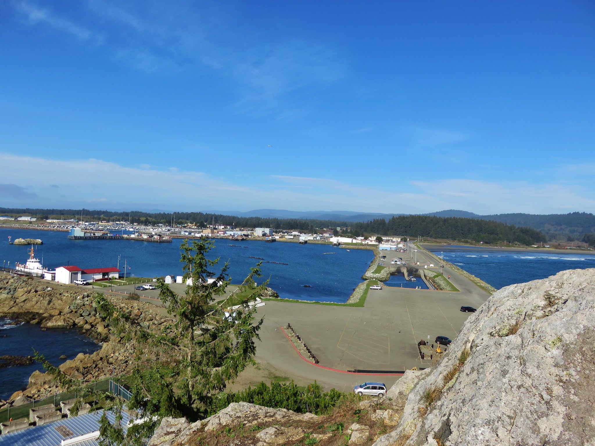
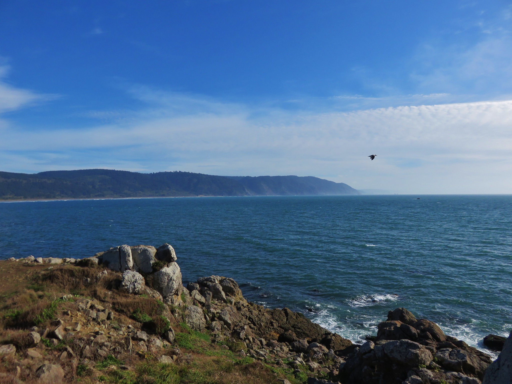
At the far end of the Harbor we followed a path up to the top of rocky Whaler Island for some nice views of the surrounding area as well as a few small tide pools.
IMG_1549//embedr.flickr.com/assets/client-code.js

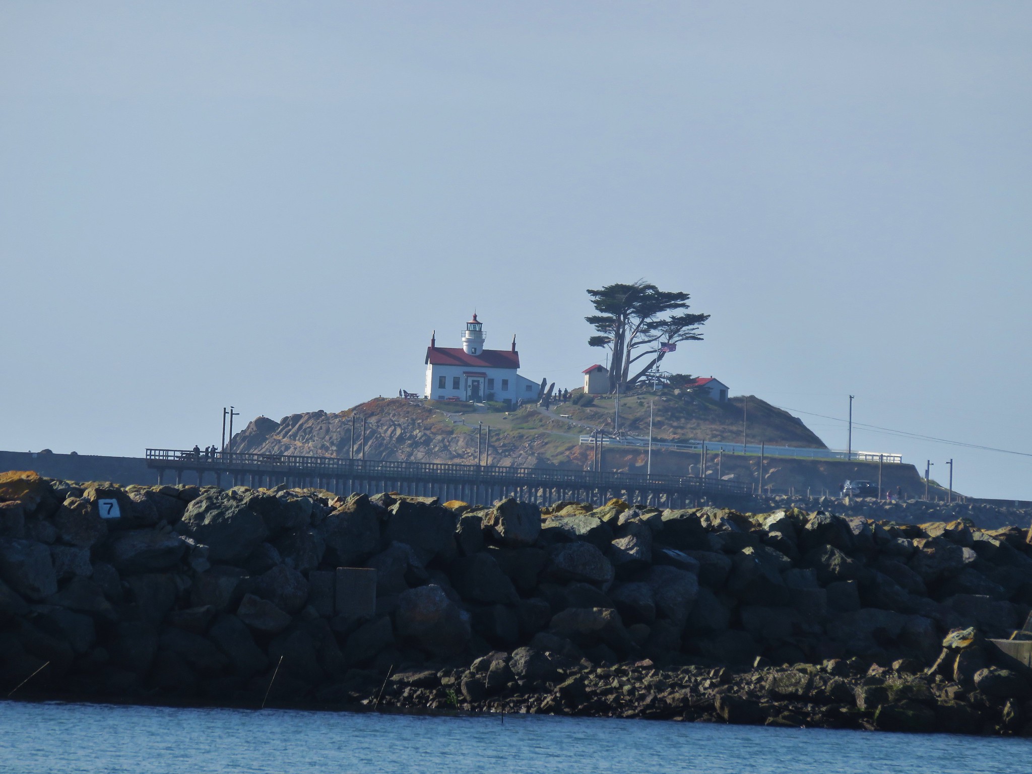
Battery Point Lighthouse
IMG_1535//embedr.flickr.com/assets/client-code.js

IMG_1550//embedr.flickr.com/assets/client-code.js

IMG_1548//embedr.flickr.com/assets/client-code.js

IMG_1541//embedr.flickr.com/assets/client-code.js

IMG_1544//embedr.flickr.com/assets/client-code.js

IMG_1540//embedr.flickr.com/assets/client-code.js

IMG_1543//embedr.flickr.com/assets/client-code.js

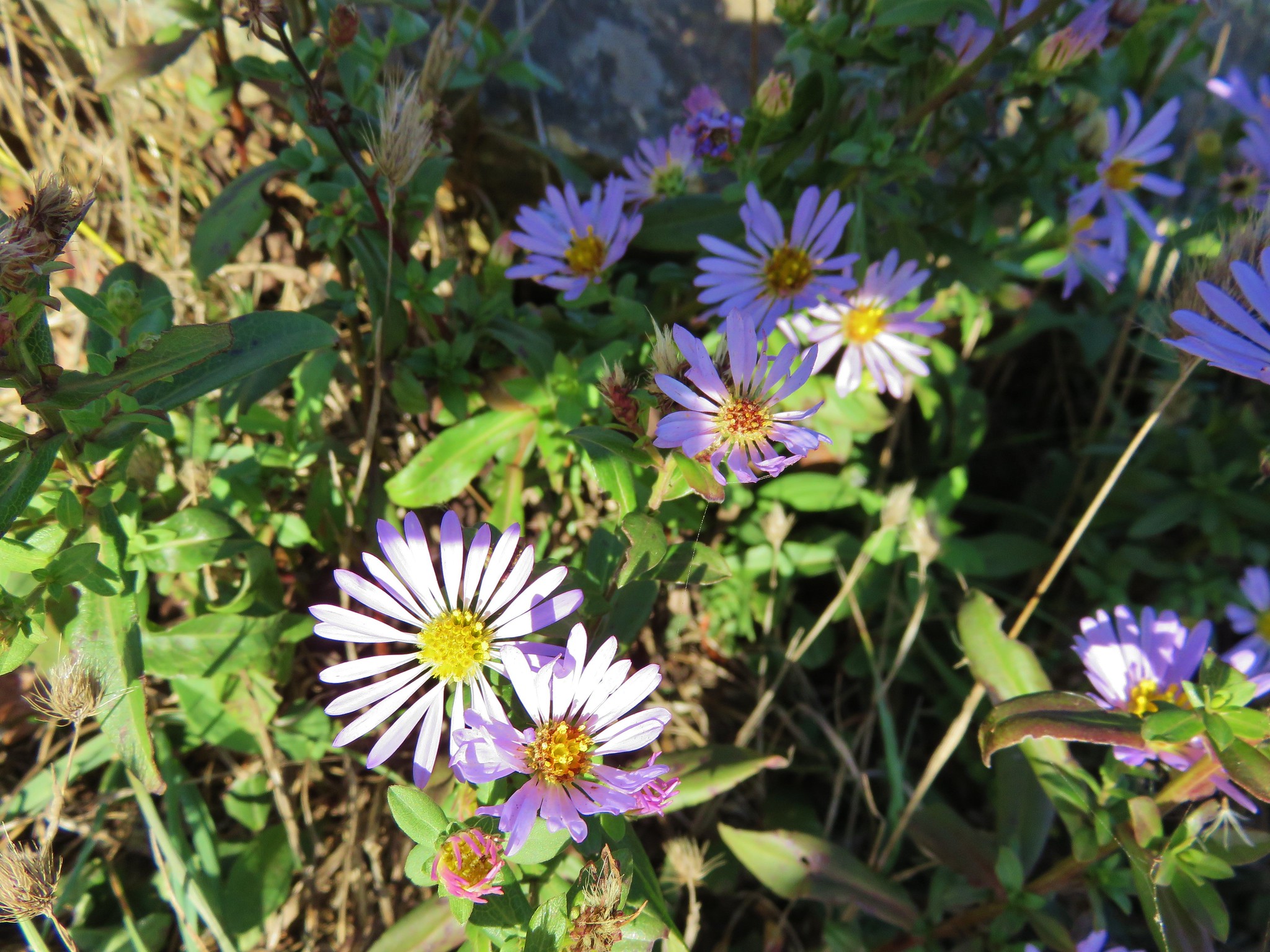
There were also a few wildflowers still blooming on amid the rocks.
IMG_1538//embedr.flickr.com/assets/client-code.js

IMG_1546//embedr.flickr.com/assets/client-code.js

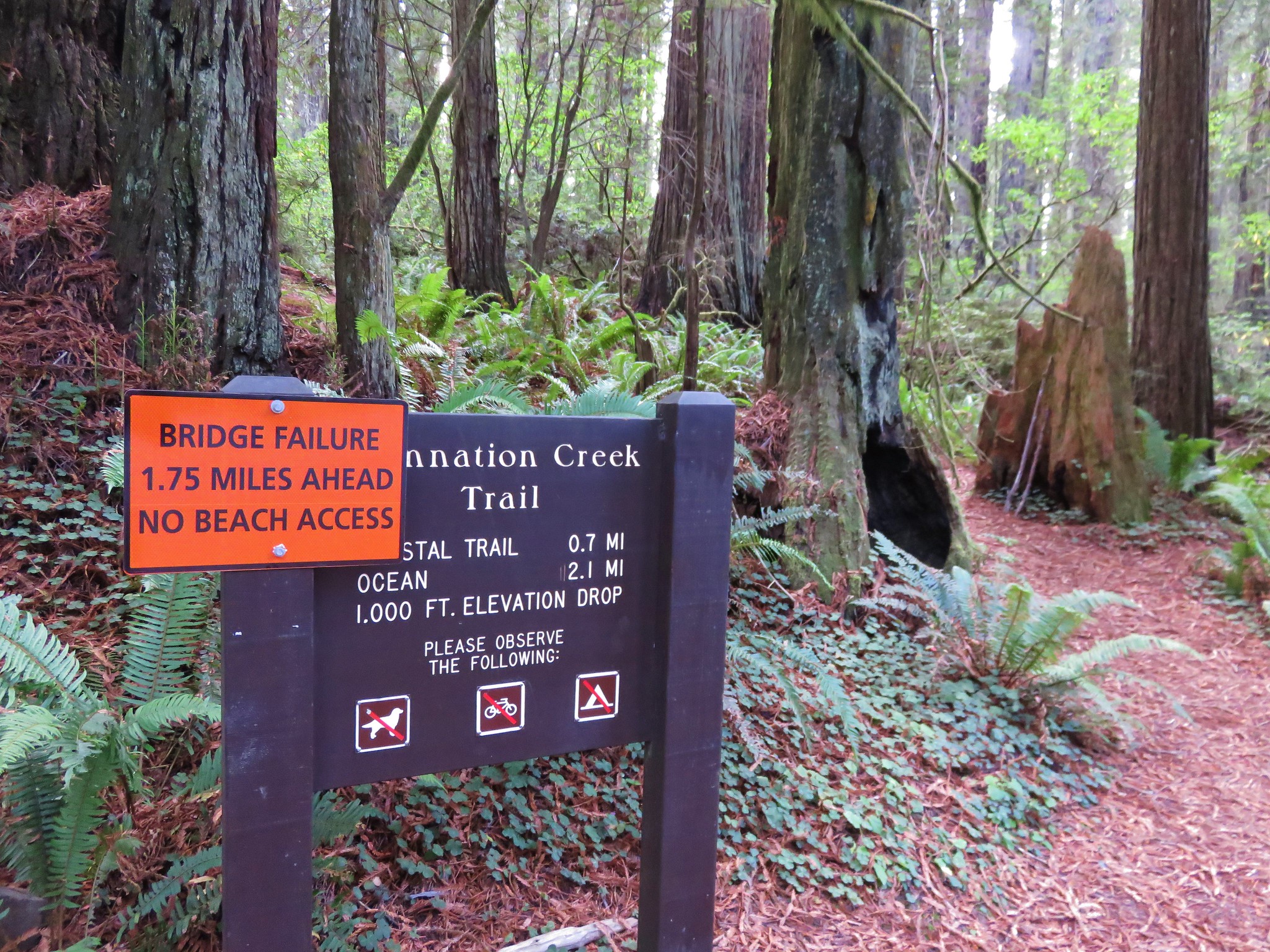
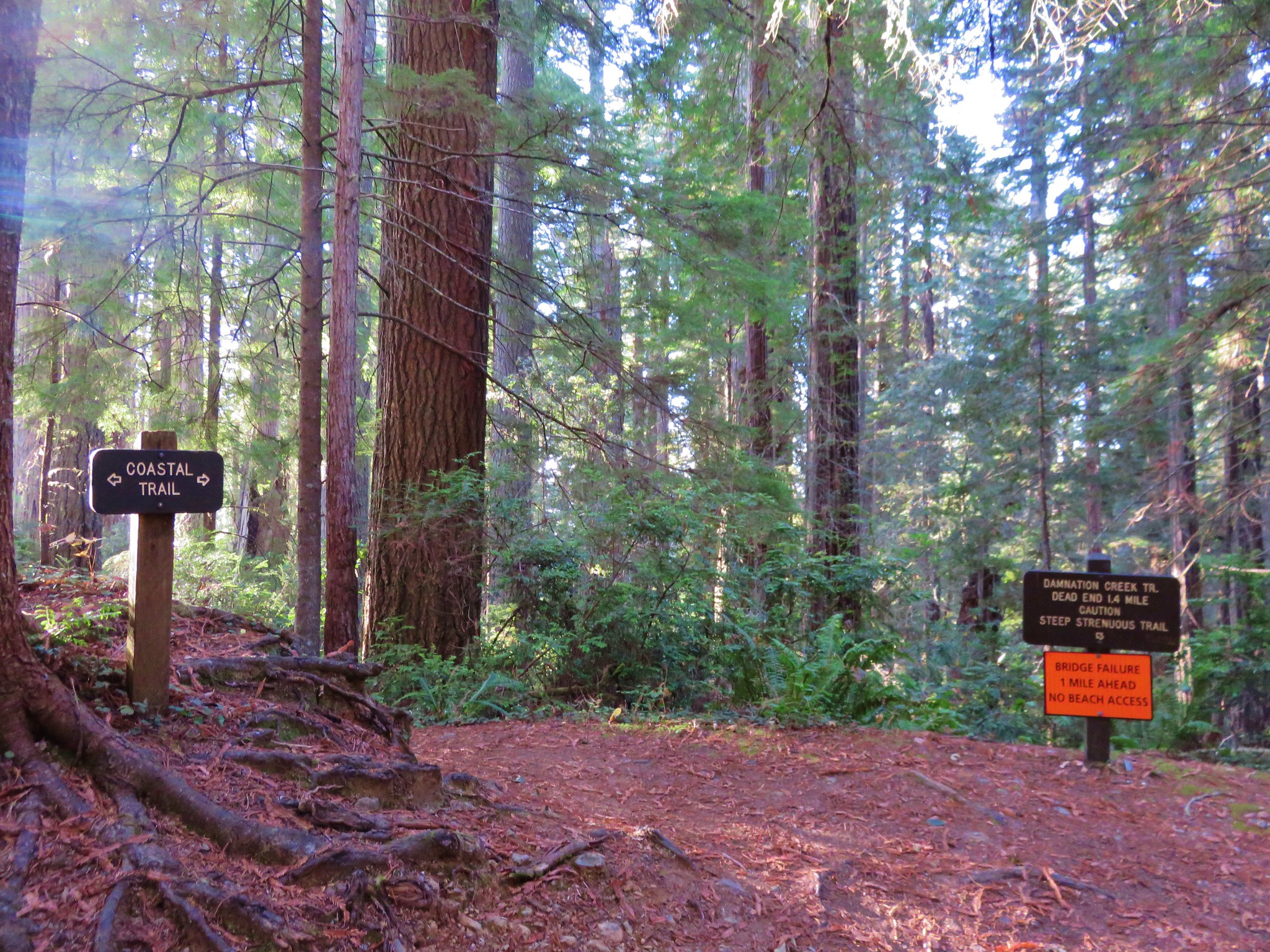
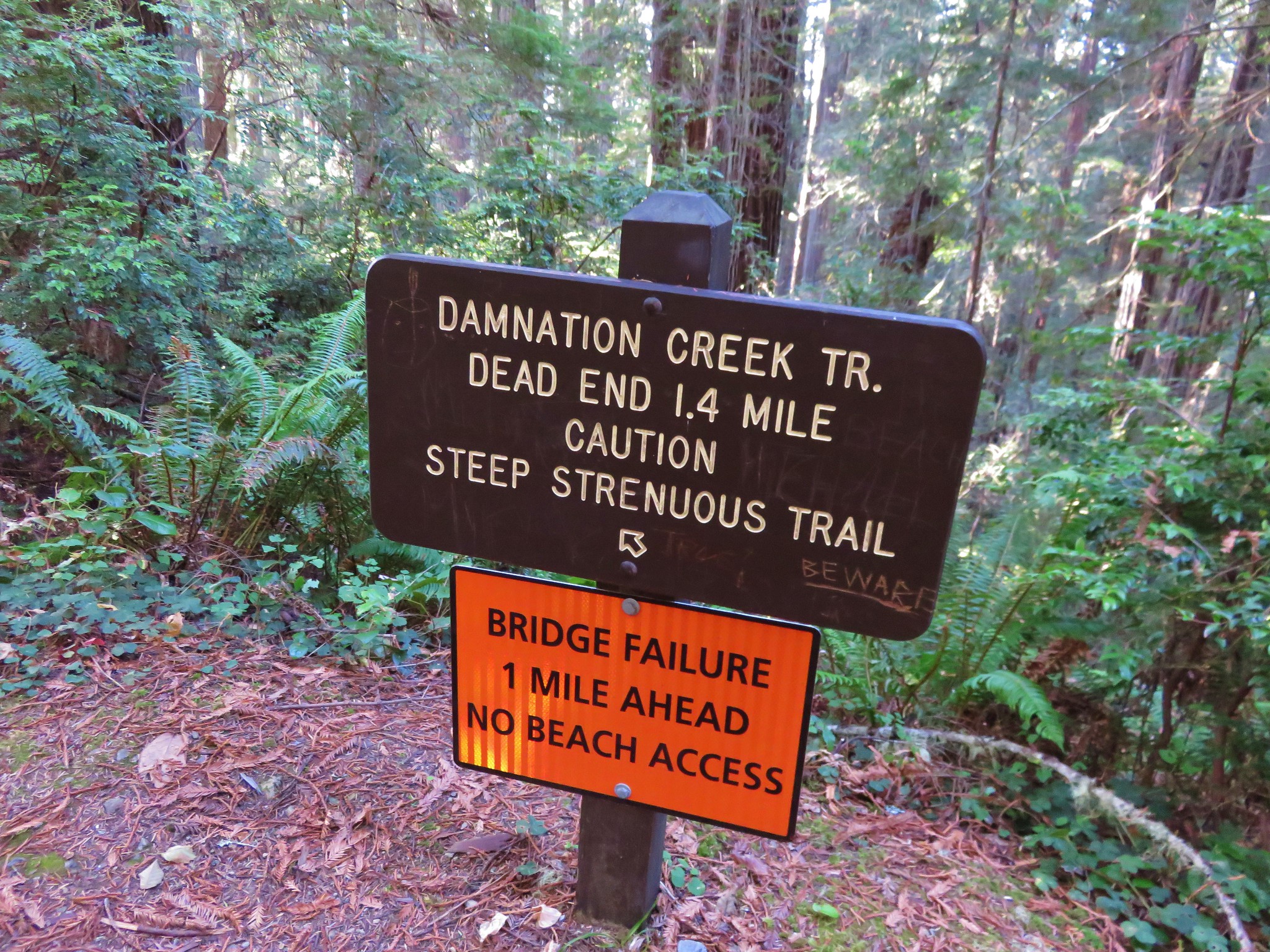
After returning to the hotel we hopped in our car and headed 10 miles south on Highway 101 to the Damnation Creek Trailhead in the Del Norte Coast Redwoods State Park. Our plan was to hike 2.2 miles down to the rocky beach for the sunset, but things began to unravel a bit as soon as we arrived at the trailhead.
IMG_1557//embedr.flickr.com/assets/client-code.js

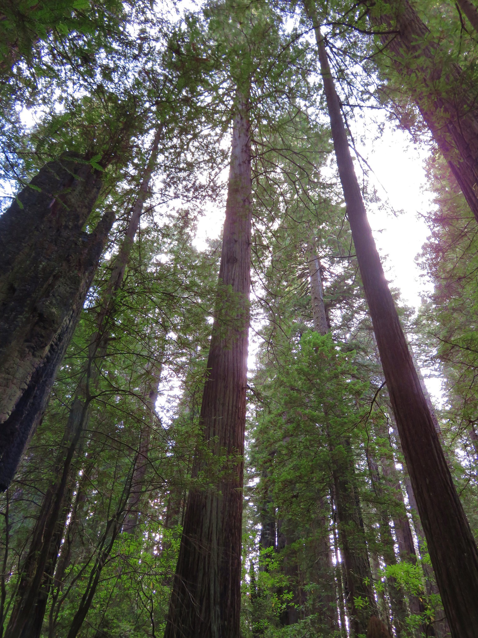
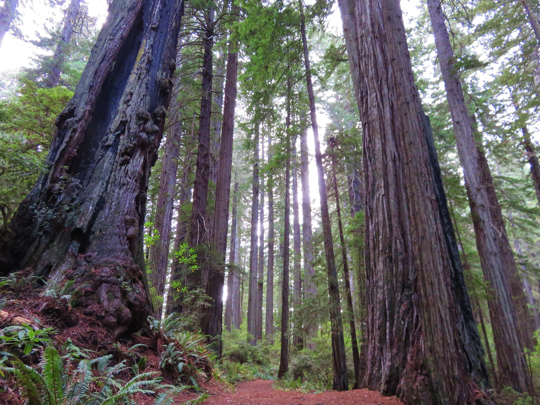
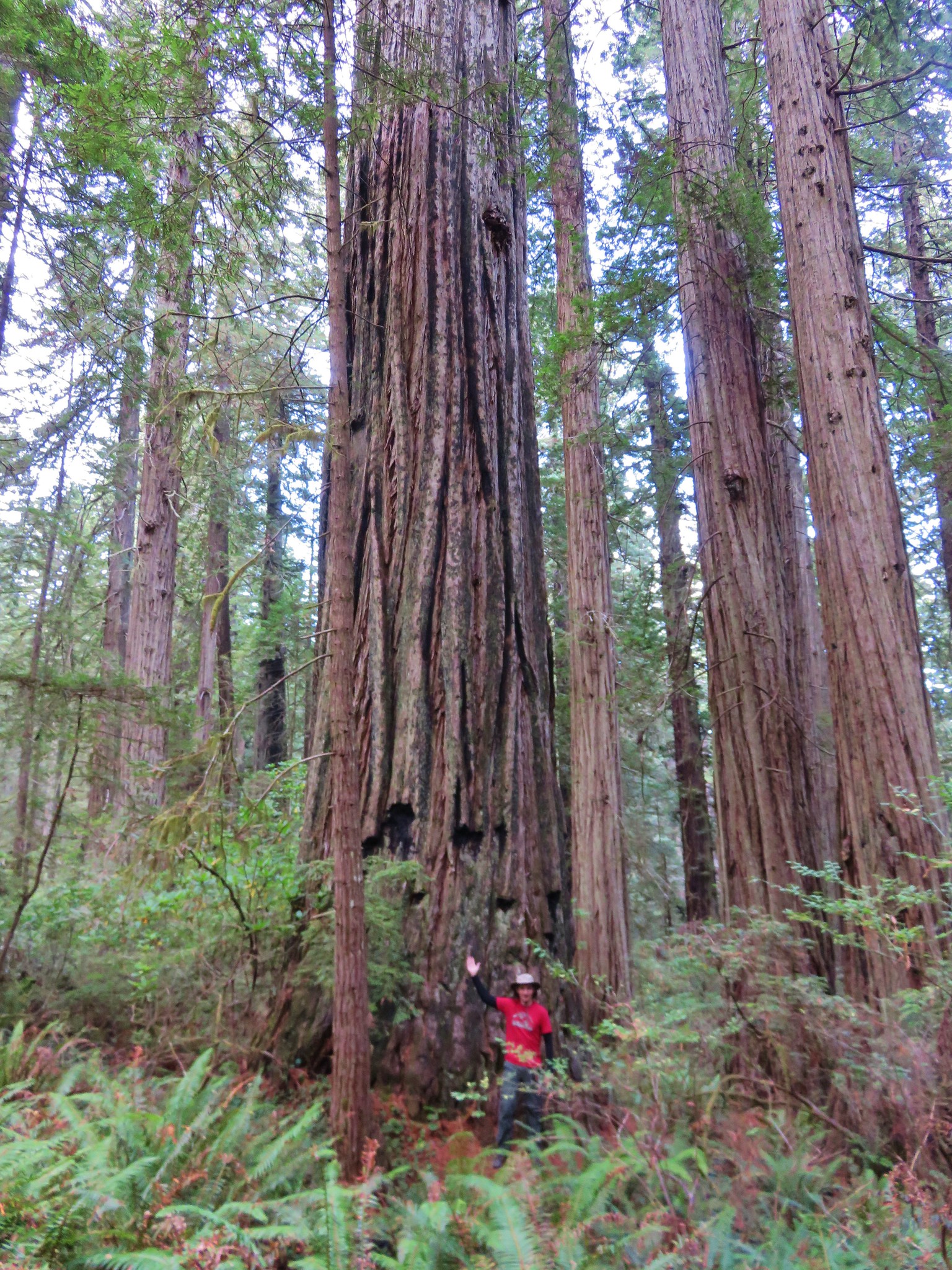
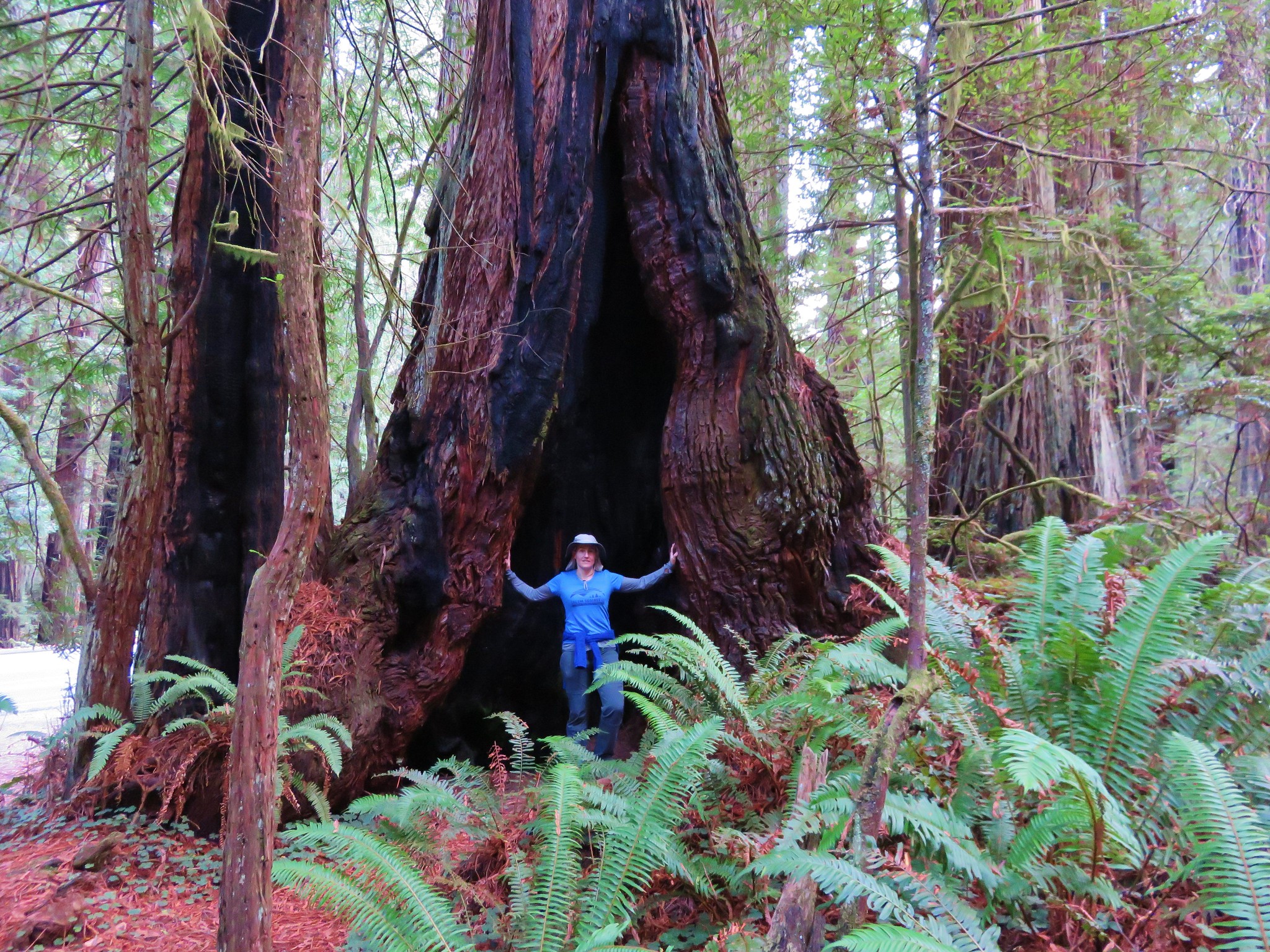
We weren’t sure what exactly was meant by bridge failure but we decided to go ahead and hike as far as we could. We would still get to hike through some redwoods and we thought we still might be able to get down to the beach with a little extra effort. I hadn’t been in the redwoods since I was a child and this was Heather’s first visit so we were excited to get our first up close views of the giant trees.
IMG_1560//embedr.flickr.com/assets/client-code.js

IMG_1565//embedr.flickr.com/assets/client-code.js

IMG_1569//embedr.flickr.com/assets/client-code.js

IMG_1562//embedr.flickr.com/assets/client-code.js

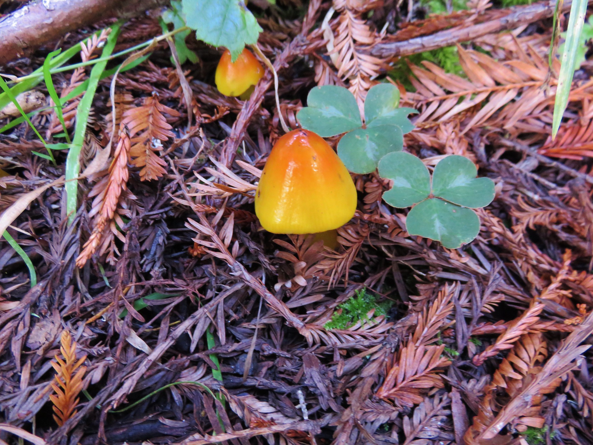
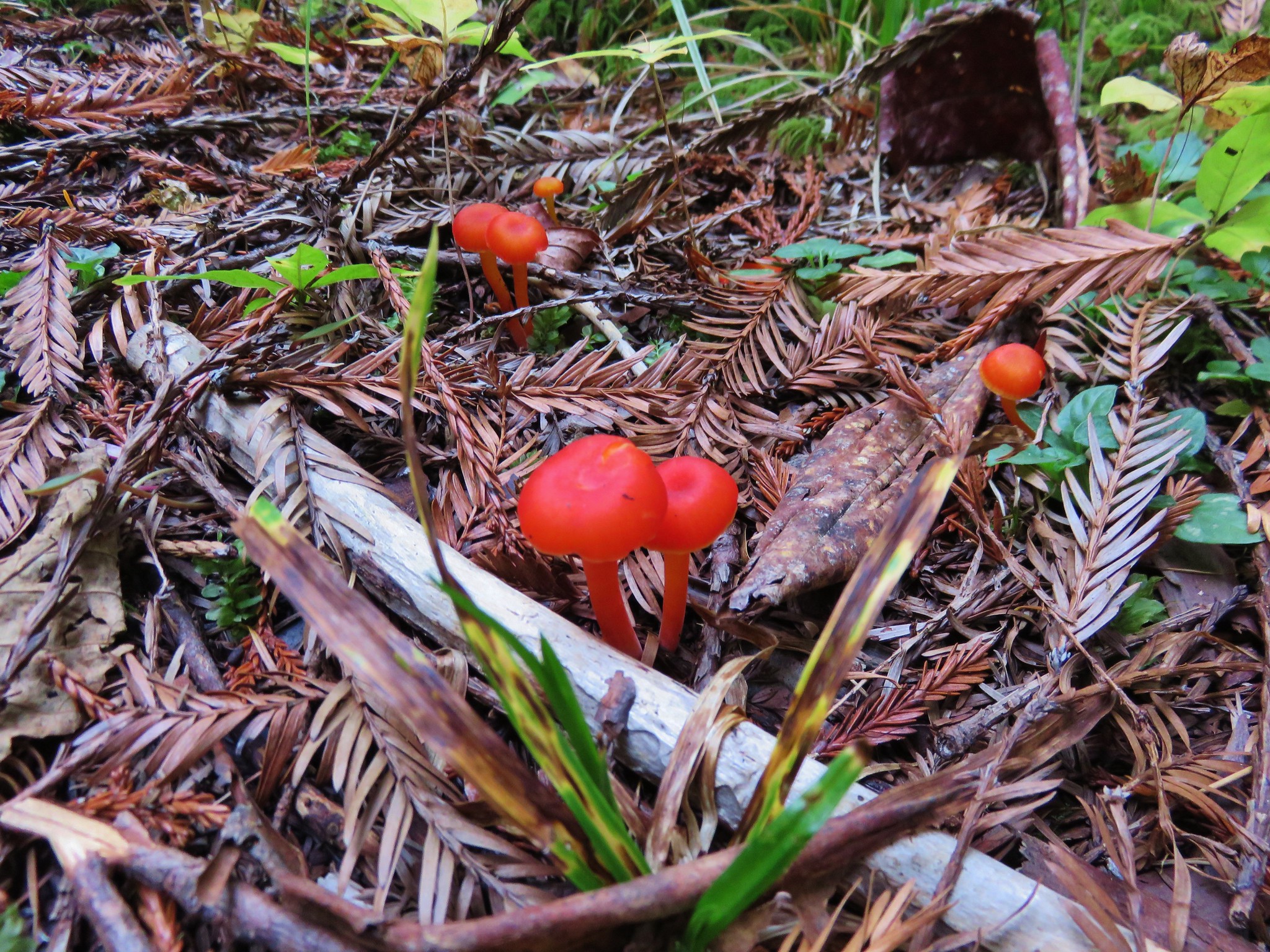
Our next hiccup came when we reached an unsigned trail junction that neither of us clearly recalled from the map (which we left in the car). We initially turned left which wound up being the wrong way and wound up on the Coastal Trail. We realized our mistake after about a quarter mile and turned around returning to the unsigned junction. In the meantime we had spotted some very colorful mushrooms.
IMG_1593//embedr.flickr.com/assets/client-code.js

IMG_1595//embedr.flickr.com/assets/client-code.js

Back at the junction we went the other way and quickly arrived at another junction complete with signs.
IMG_1597//embedr.flickr.com/assets/client-code.js

IMG_1598//embedr.flickr.com/assets/client-code.js

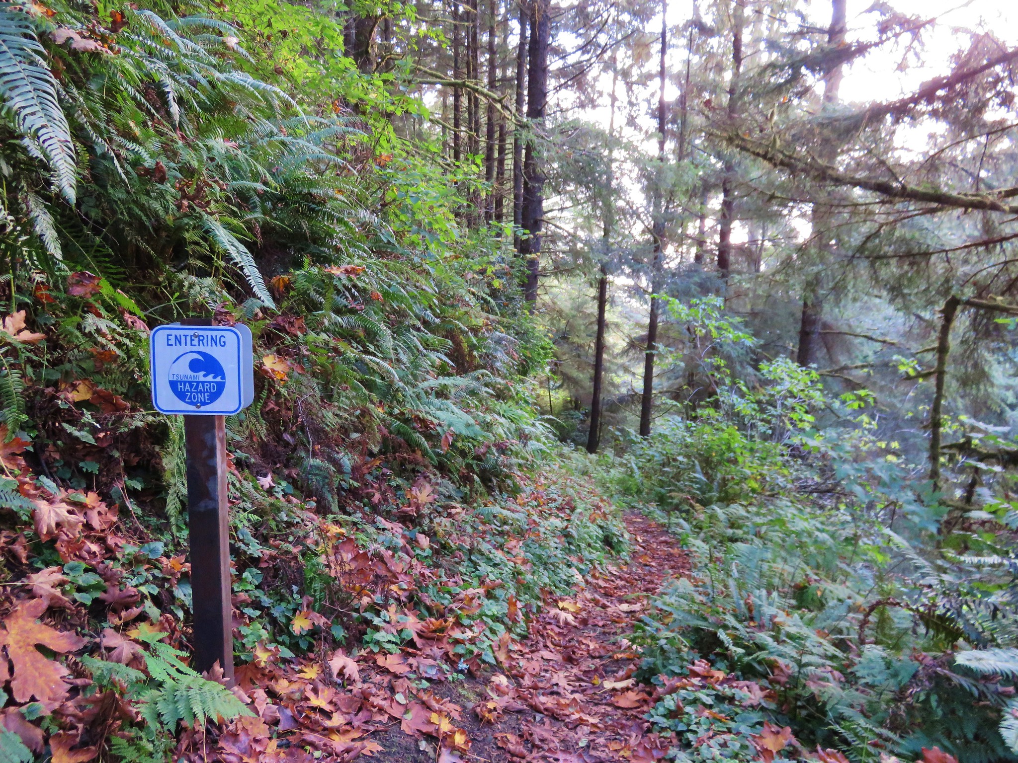
We took note of the second bridge failure sign and sallied forth. The trail began descending more rapidly and we entered the Tsunami Hazard Zone.
IMG_1603//embedr.flickr.com/assets/client-code.js

We knew there were two bridges along the trail so we were curious about which one had failed. When we arrived at the first bridge we found it to be in good shape.
IMG_1605//embedr.flickr.com/assets/client-code.js

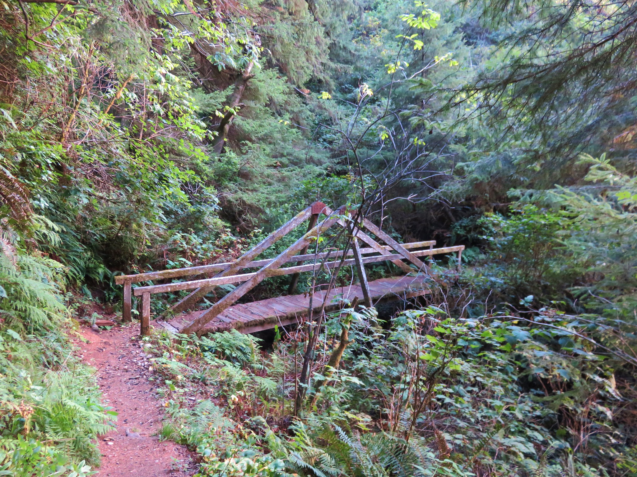
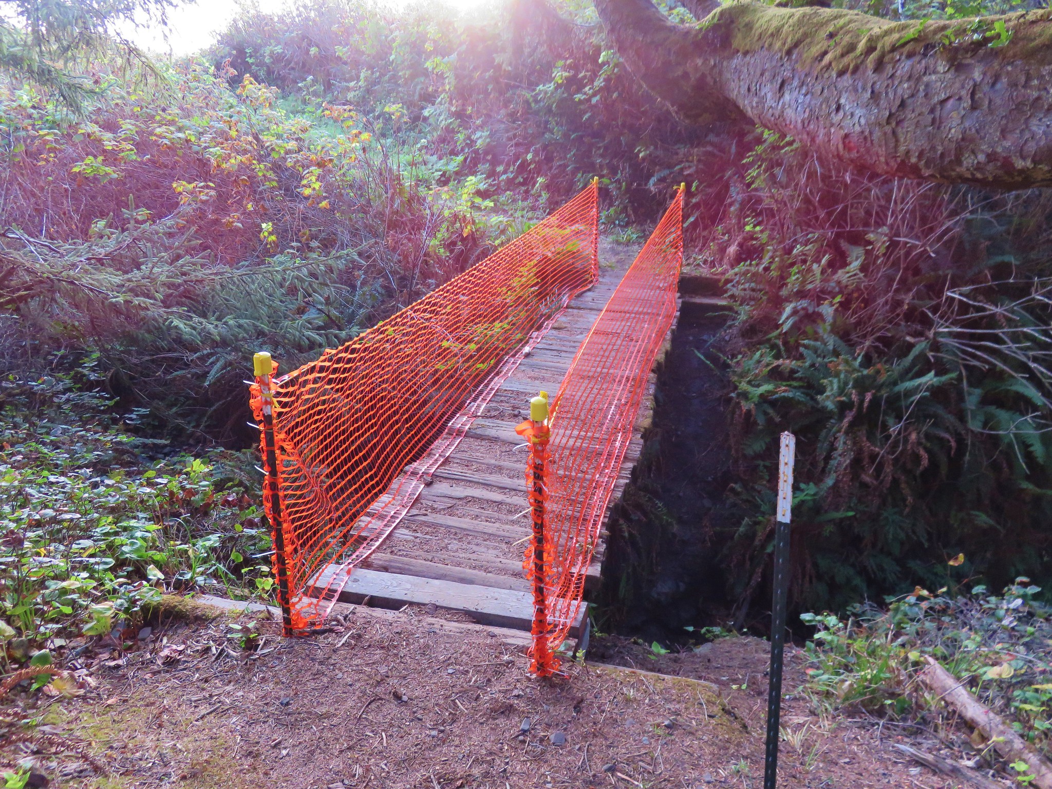
Now we knew it was the second bridge that had the issue so the only question was whether we could find away to continue on the trail beyond it. When we spotted the second bridge we were surprised to find the only issue was there were no railings.
IMG_1607//embedr.flickr.com/assets/client-code.js

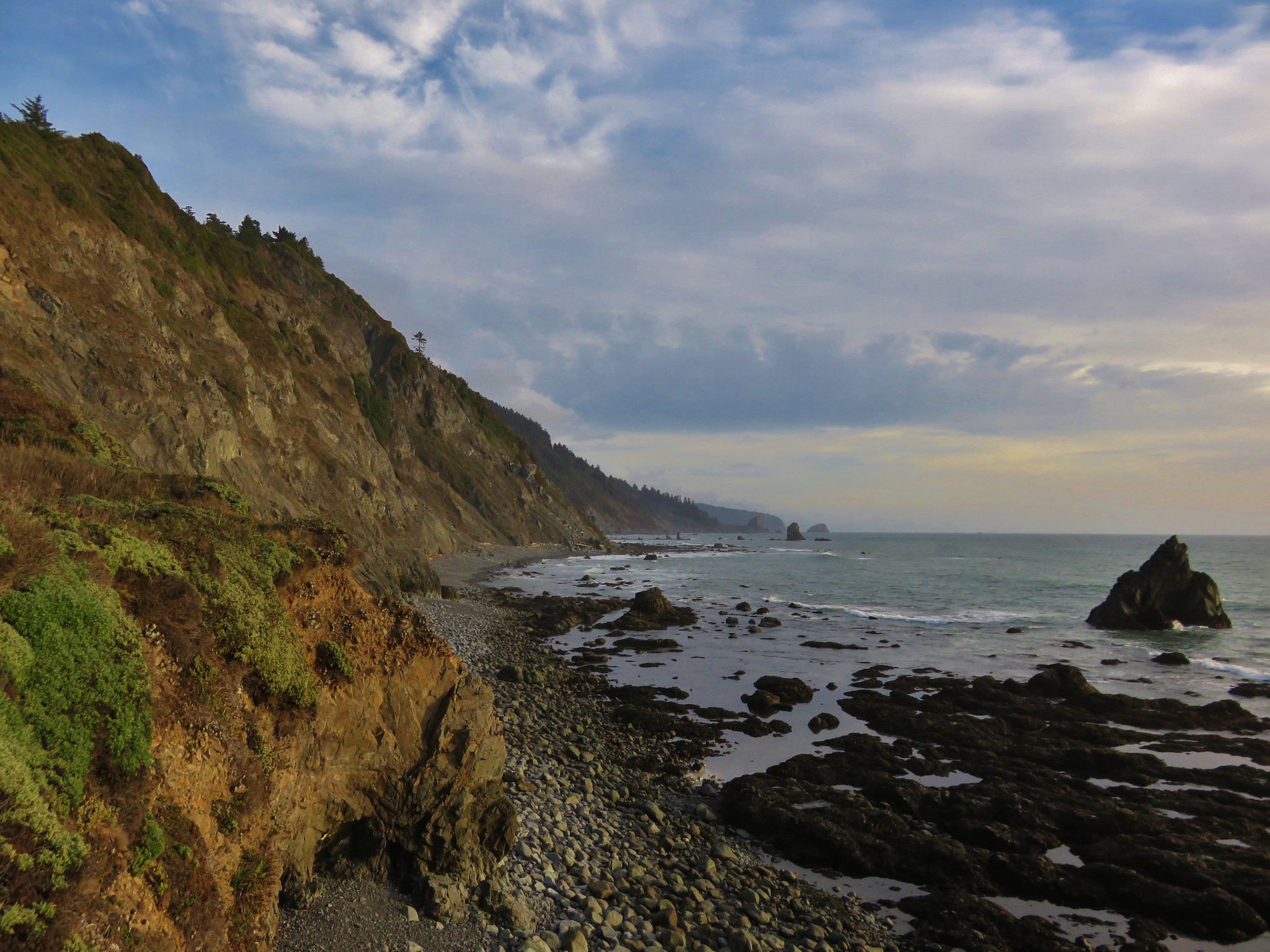
We crossed the bridge and continued on leaving the forest behind and entering a meadow above the ocean.
IMG_1614//embedr.flickr.com/assets/client-code.js

IMG_1616//embedr.flickr.com/assets/client-code.js

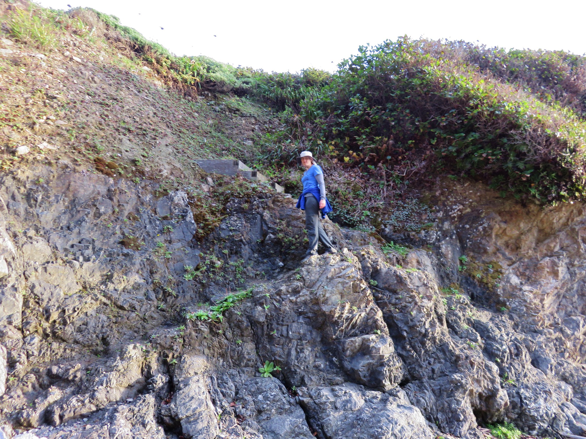
Our guide book had said there was a path down to the creek and rocky beach located in the north end of the meadow which we easily found.
IMG_1617//embedr.flickr.com/assets/client-code.js

The path brought us to the edge of Damnation Creek.
IMG_1619//embedr.flickr.com/assets/client-code.js

IMG_1620//embedr.flickr.com/assets/client-code.js

IMG_1622//embedr.flickr.com/assets/client-code.js

IMG_1623//embedr.flickr.com/assets/client-code.js

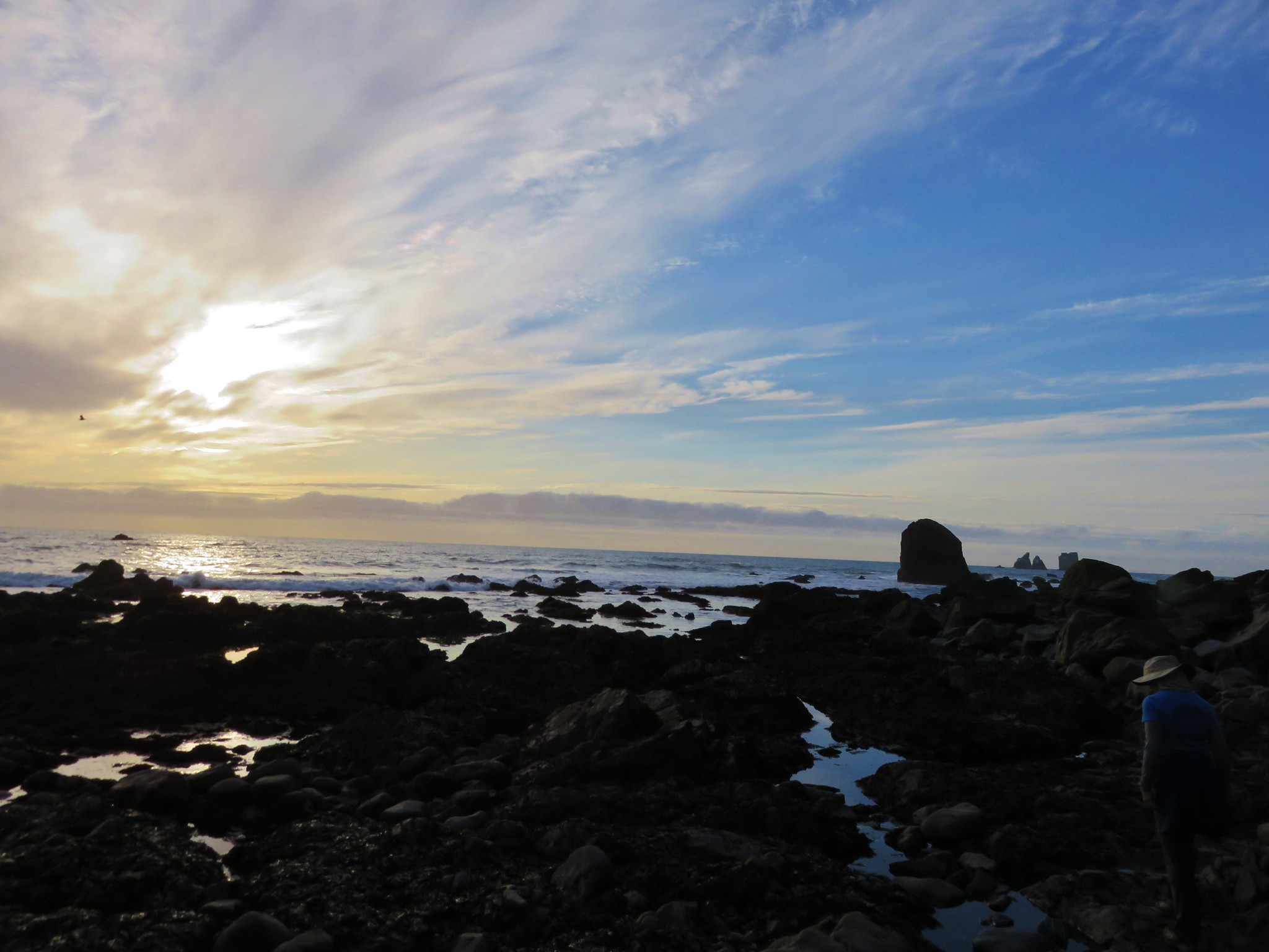
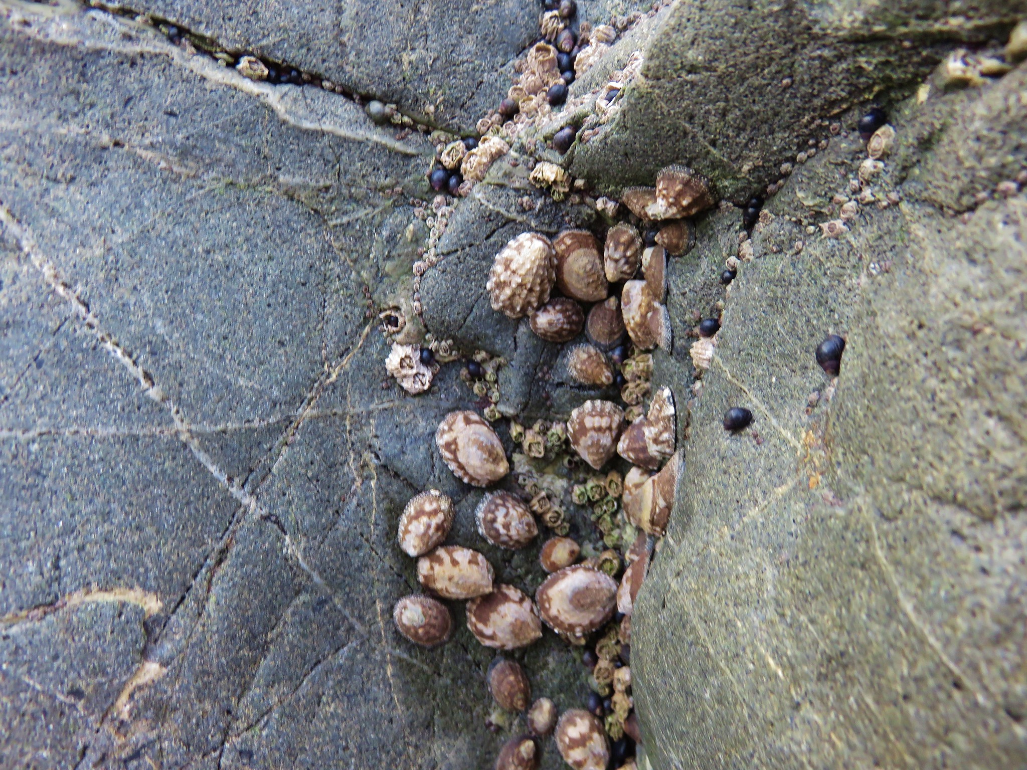
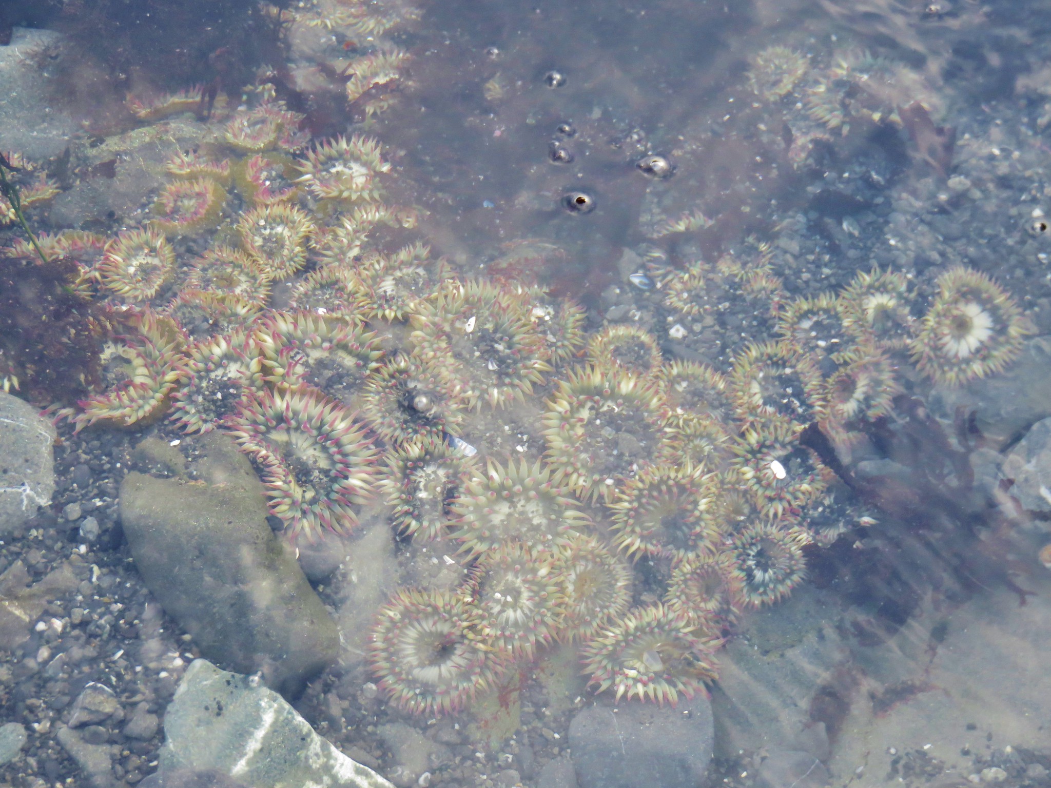
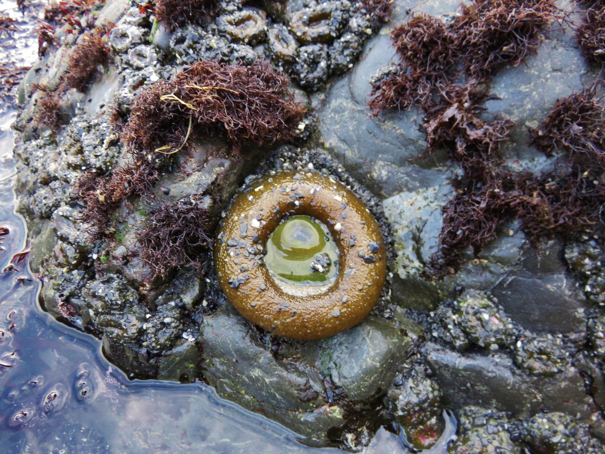
It was just past low tide when we arrived on the beach which allowed us to explore the tide pools.
IMG_1634//embedr.flickr.com/assets/client-code.js

IMG_1644//embedr.flickr.com/assets/client-code.js

IMG_1645//embedr.flickr.com/assets/client-code.js

IMG_1647//embedr.flickr.com/assets/client-code.js

IMG_1650//embedr.flickr.com/assets/client-code.js

IMG_1653//embedr.flickr.com/assets/client-code.js

IMG_1654//embedr.flickr.com/assets/client-code.js

IMG_1658//embedr.flickr.com/assets/client-code.js

IMG_1660//embedr.flickr.com/assets/client-code.js

The tide pools weren’t the only source of wildlife viewing as numerous seabirds were flying about and sitting on the many rocks visible out in the ocean.
IMG_1629//embedr.flickr.com/assets/client-code.js

IMG_1698//embedr.flickr.com/assets/client-code.js

IMG_1687//embedr.flickr.com/assets/client-code.js

IMG_1638//embedr.flickr.com/assets/client-code.js

IMG_1677//embedr.flickr.com/assets/client-code.js

IMG_1688//embedr.flickr.com/assets/client-code.js

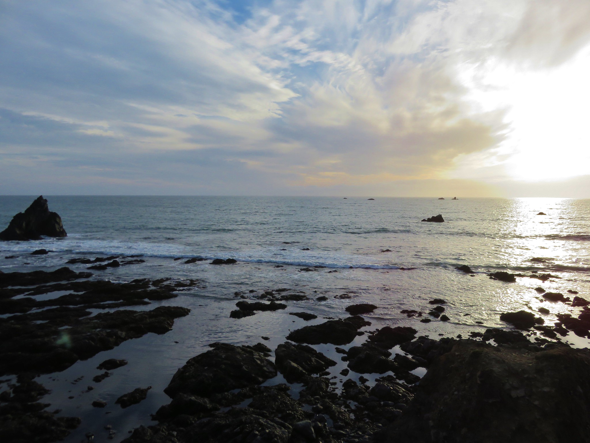
Our final mistake was actually our first mistake in that we hadn’t brought our headlamps with us so we didn’t feel comfortable staying for the full sunset not wanting to hike back uphill in the dark. We reluctently headed back toward the trailhead watching the beautiful sunset over our shoulders.
IMG_1705//embedr.flickr.com/assets/client-code.js

IMG_1707//embedr.flickr.com/assets/client-code.js

IMG_1711//embedr.flickr.com/assets/client-code.js

IMG_1715//embedr.flickr.com/assets/client-code.js

It hadn’t been a perfectly executed start to our vacation, but it had been a great day and we were excited to see what the rest of the week had to offer. Happy Trails!

Flickr: https://www.flickr.com/photos/9319235@N02/albums/72157660179257590