Categories
Hiking Oakridge Area Old Cascades Oregon Trip report

Deception Butte and Dead Mountain Trails

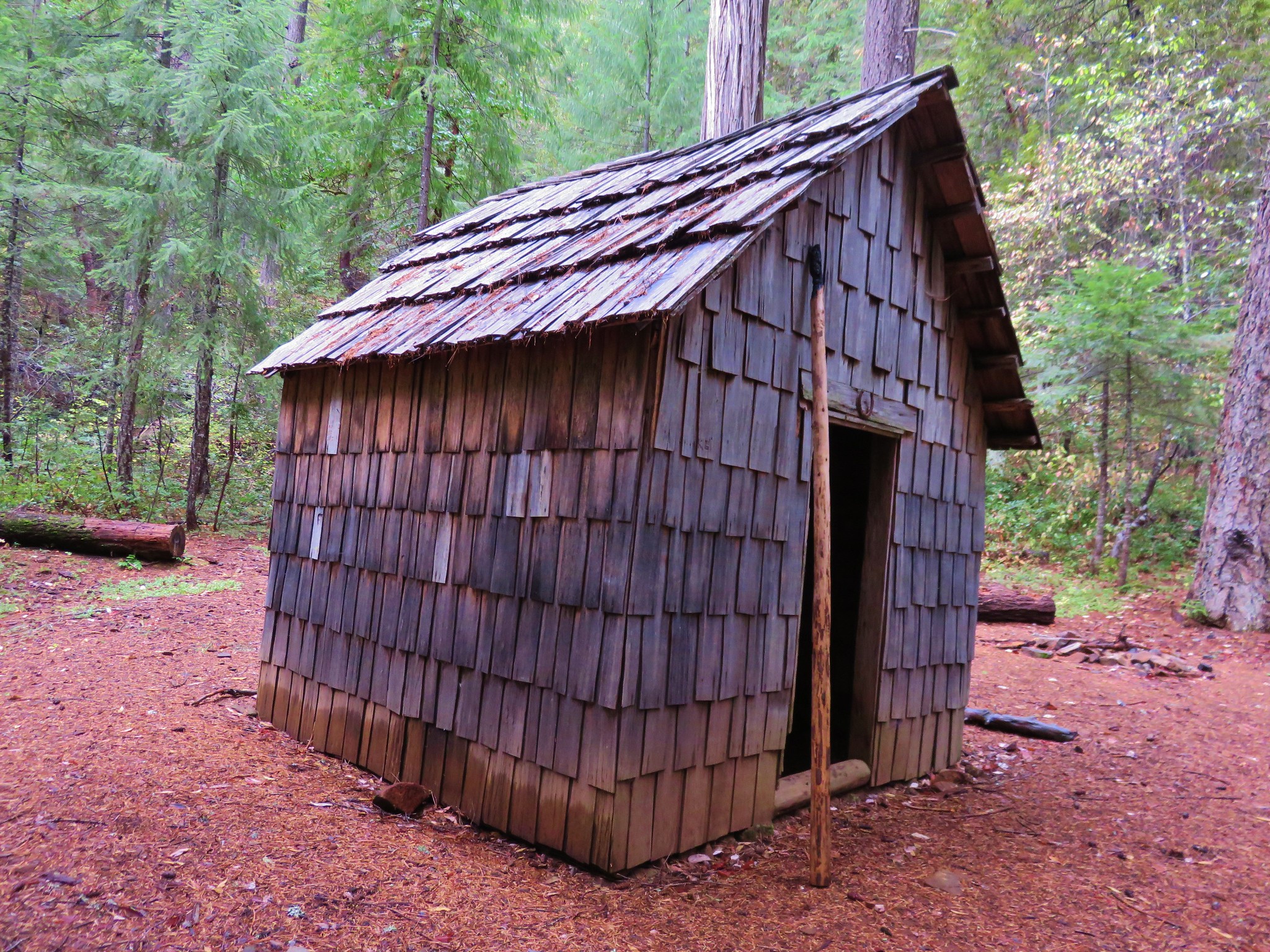
Our latest outing was a microcosm of our year so far. Several days of rain and snow coupled with overnight temperatures in the mid 20’s had our plans in flux until the night before our hike. In the end we wound up having a great time but the planning and process were anything but smooth.

In the end we decided to try the Deception Butte Trail . The trailhead elevation was low enough that we didn’t need to worry about icy roads in the morning which was our biggest concern in determining our destination.

We weren’t sure what to expect from the Deception Butte Trail. In 2014 the Deception Fire had closed and burned some of the trail. The trail description on the Forest Service page didn’t say anything about the trail still being closed, but it did contain a map from 2014 showing the closure. The map description states “This map shows the open and closed sections of the trail resulting from damage from the Deception Fire in 2014.” It was unclear whether that was just to let the reader know that the map was old and that was why there were red and green sections of the trail or if it was to inform the reader that the trail remained closed. Spoiler alert it was the latter.

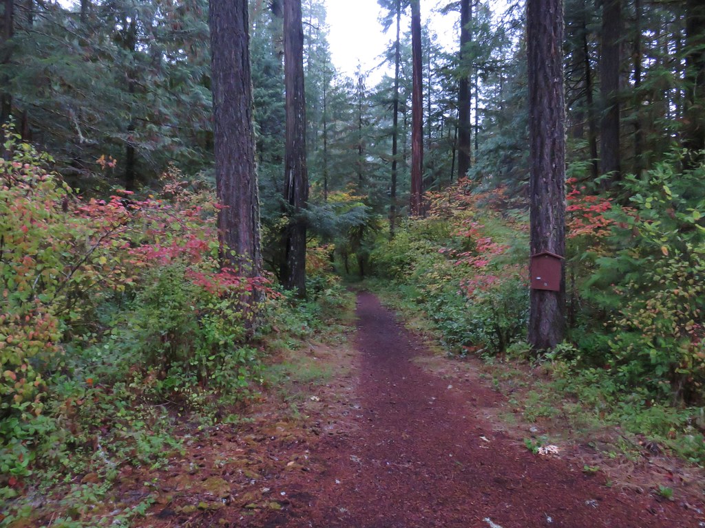
We started our morning at the Lower Deception Butte Trailhead which is located 3 miles west of Oakridge, OR one hundred yards up Deception Creek Road.
Deception Butte Trailhead

We were encouraged by the lack of any signage to indicate that part of the trail remained closed as we set off into the forest.
Deception Butte Trail

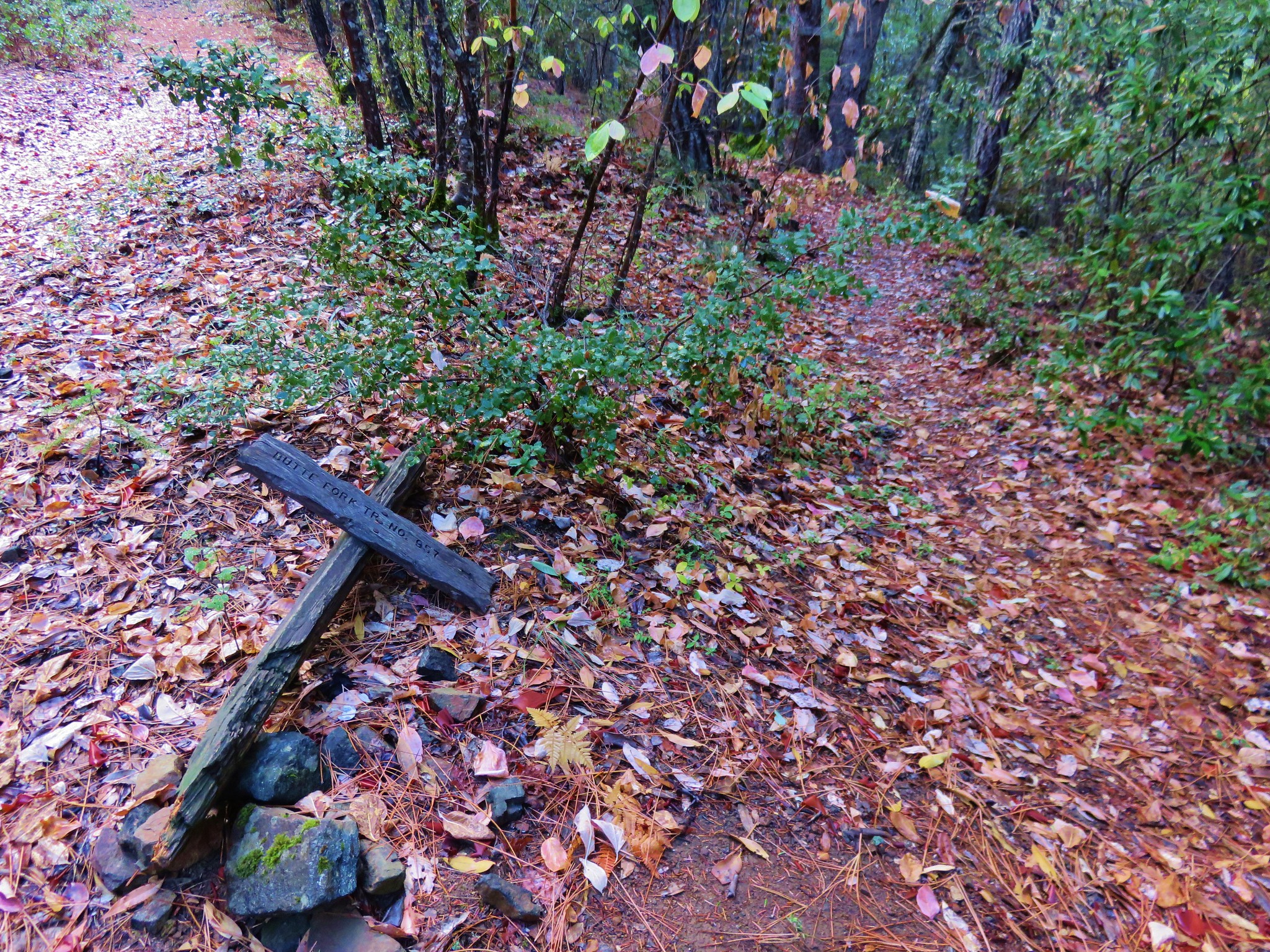
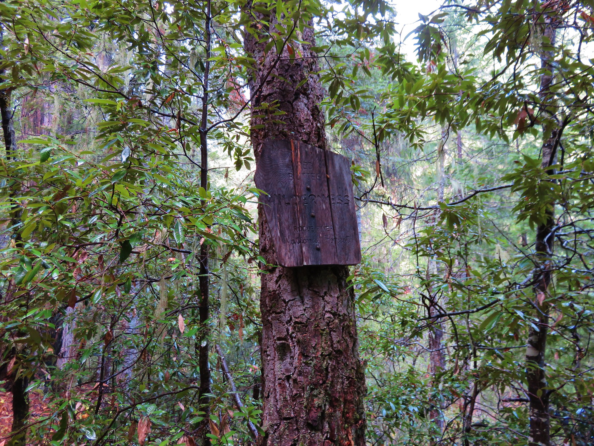
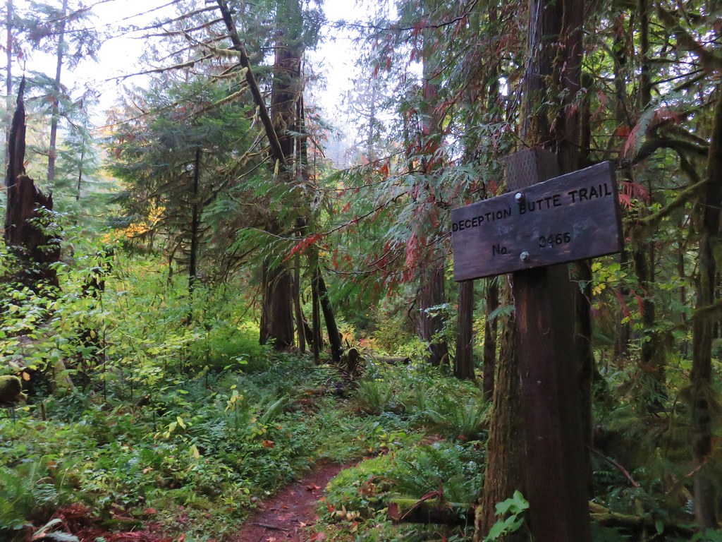
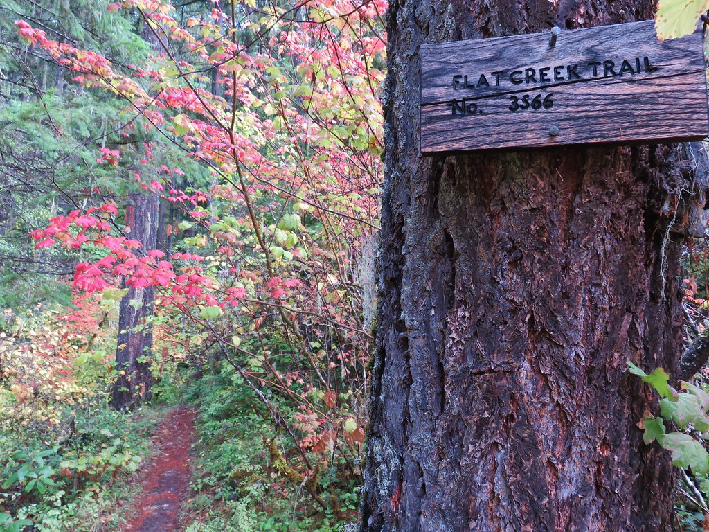
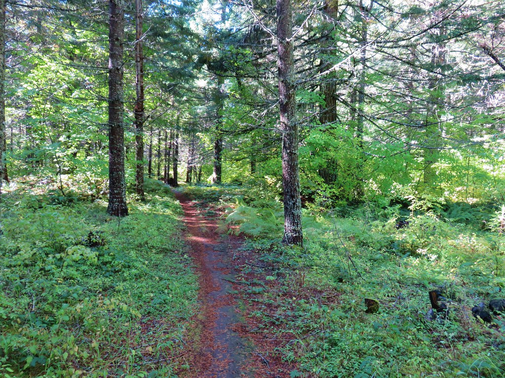
We followed the Deception Butte Trail sign.
Deception Butte Trail

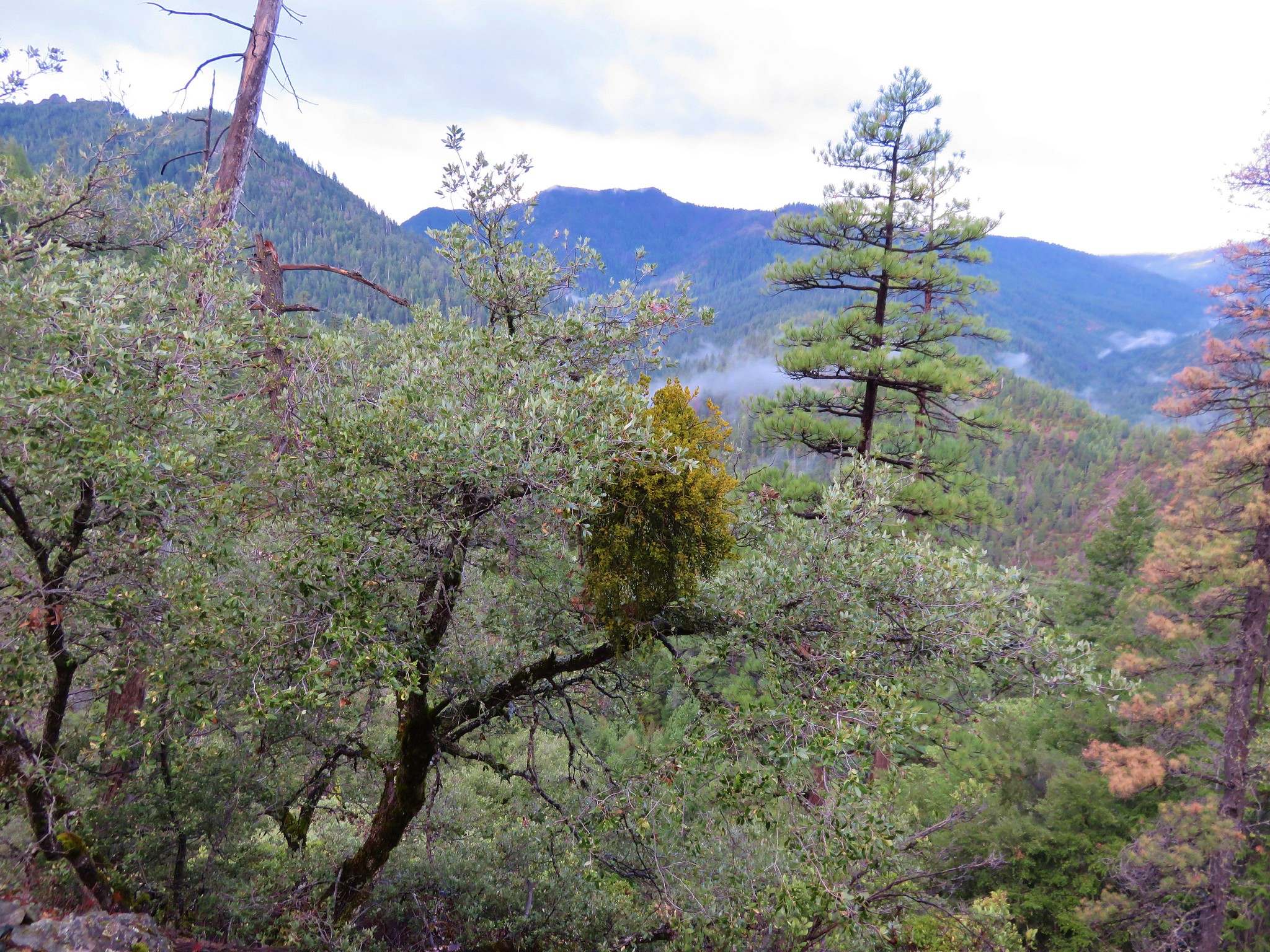
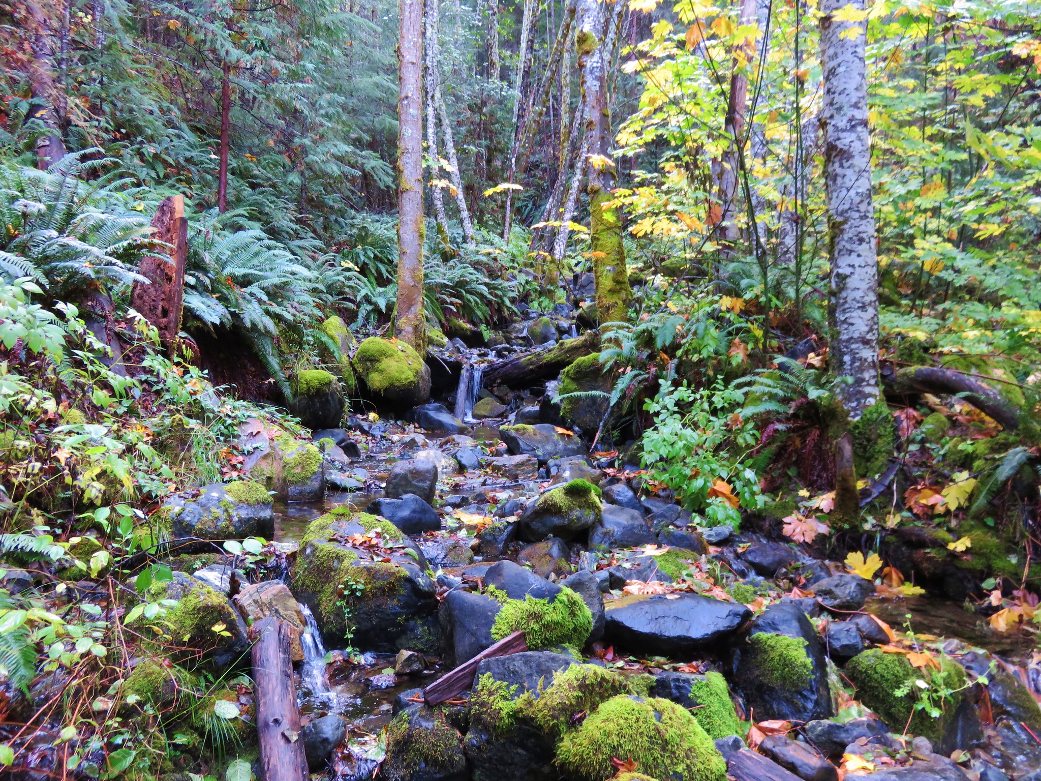
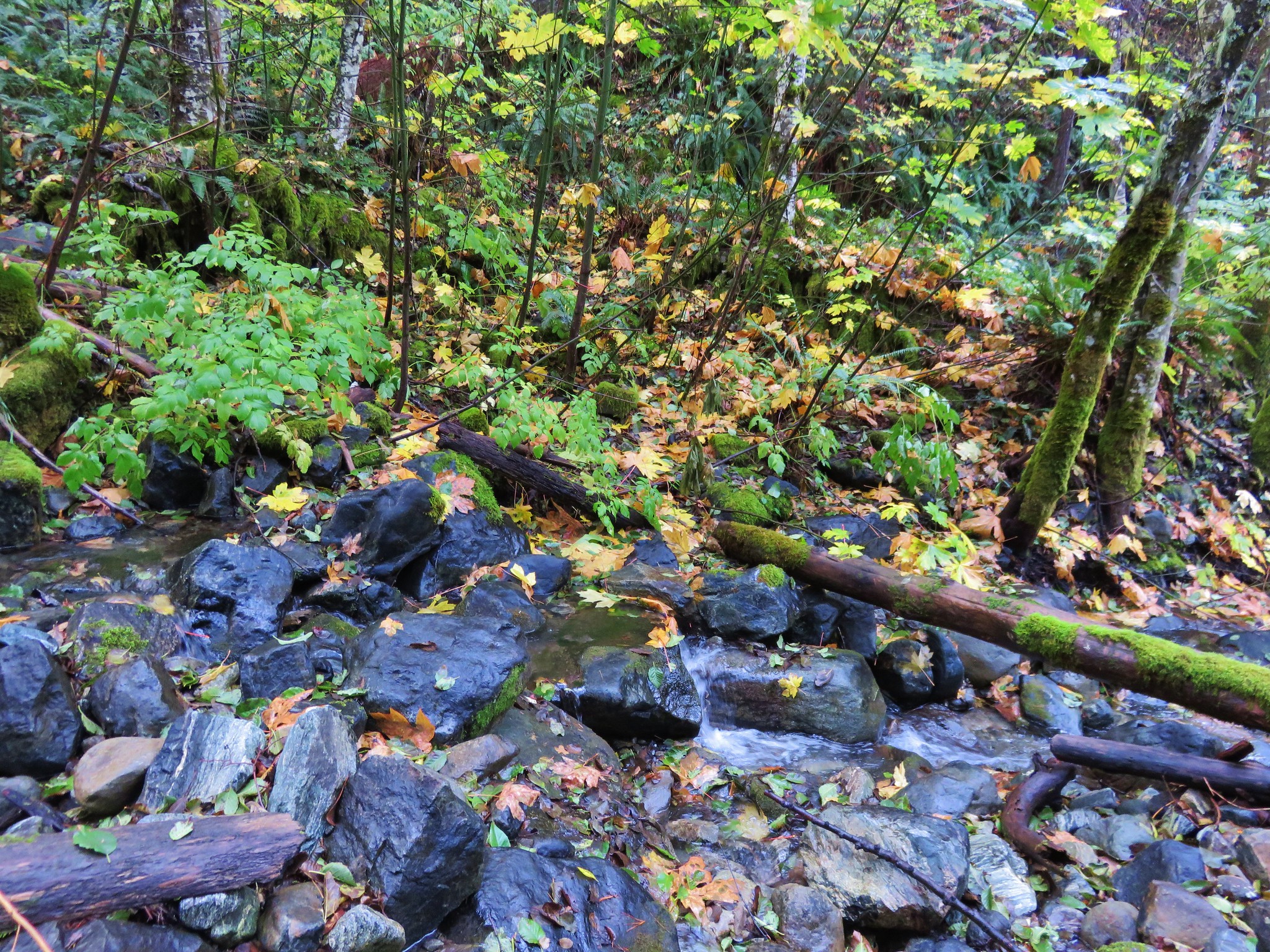
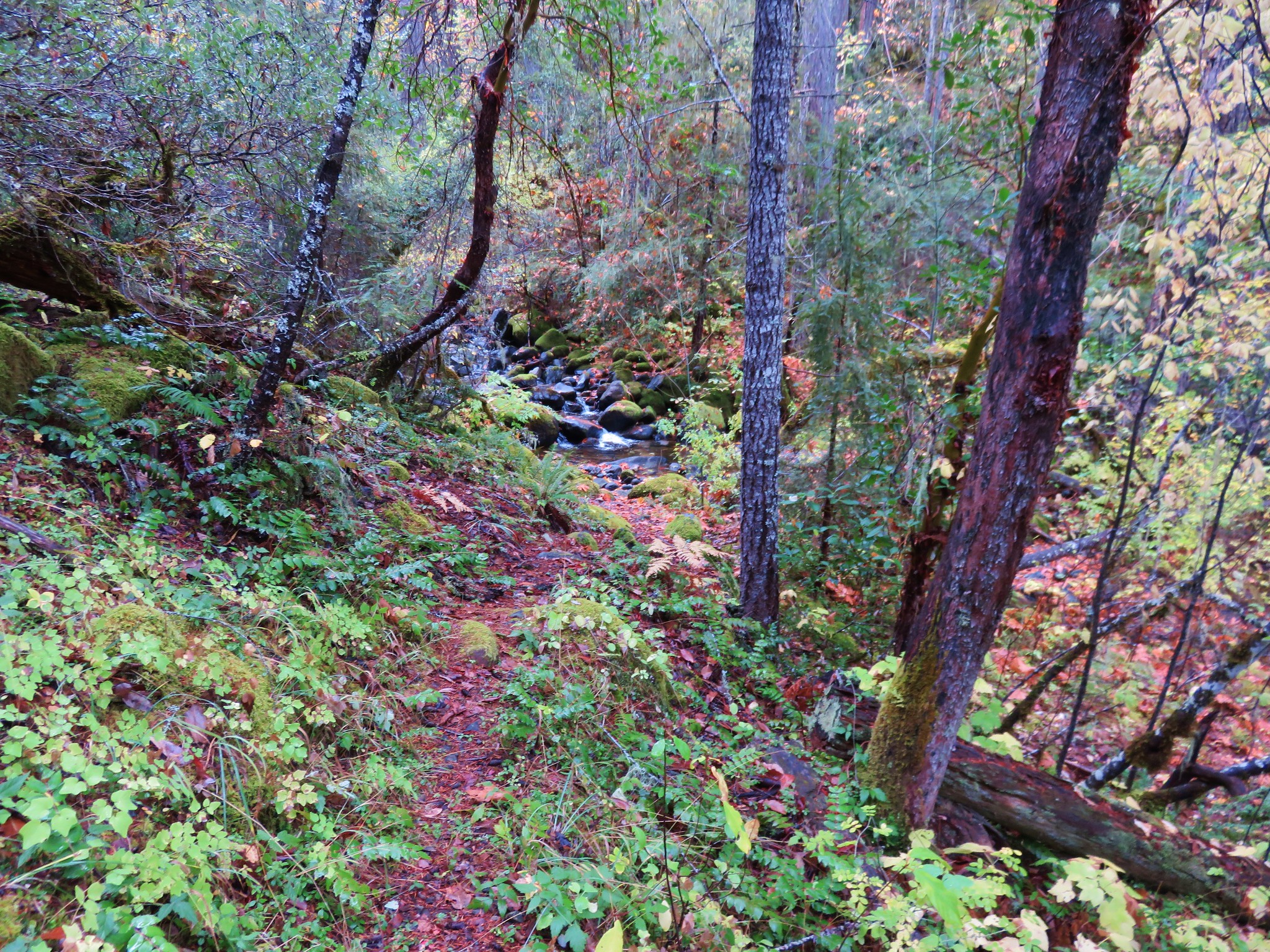
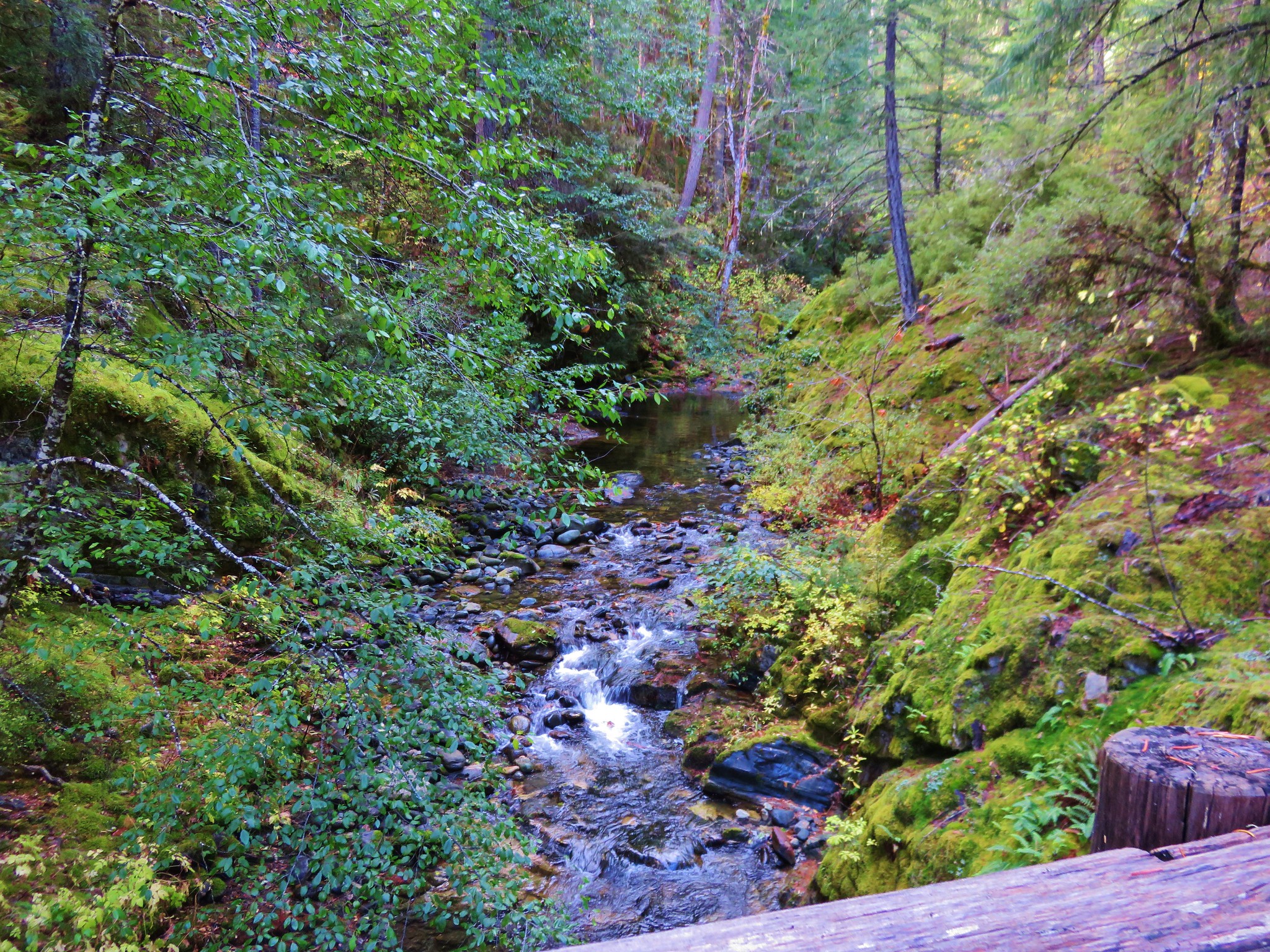
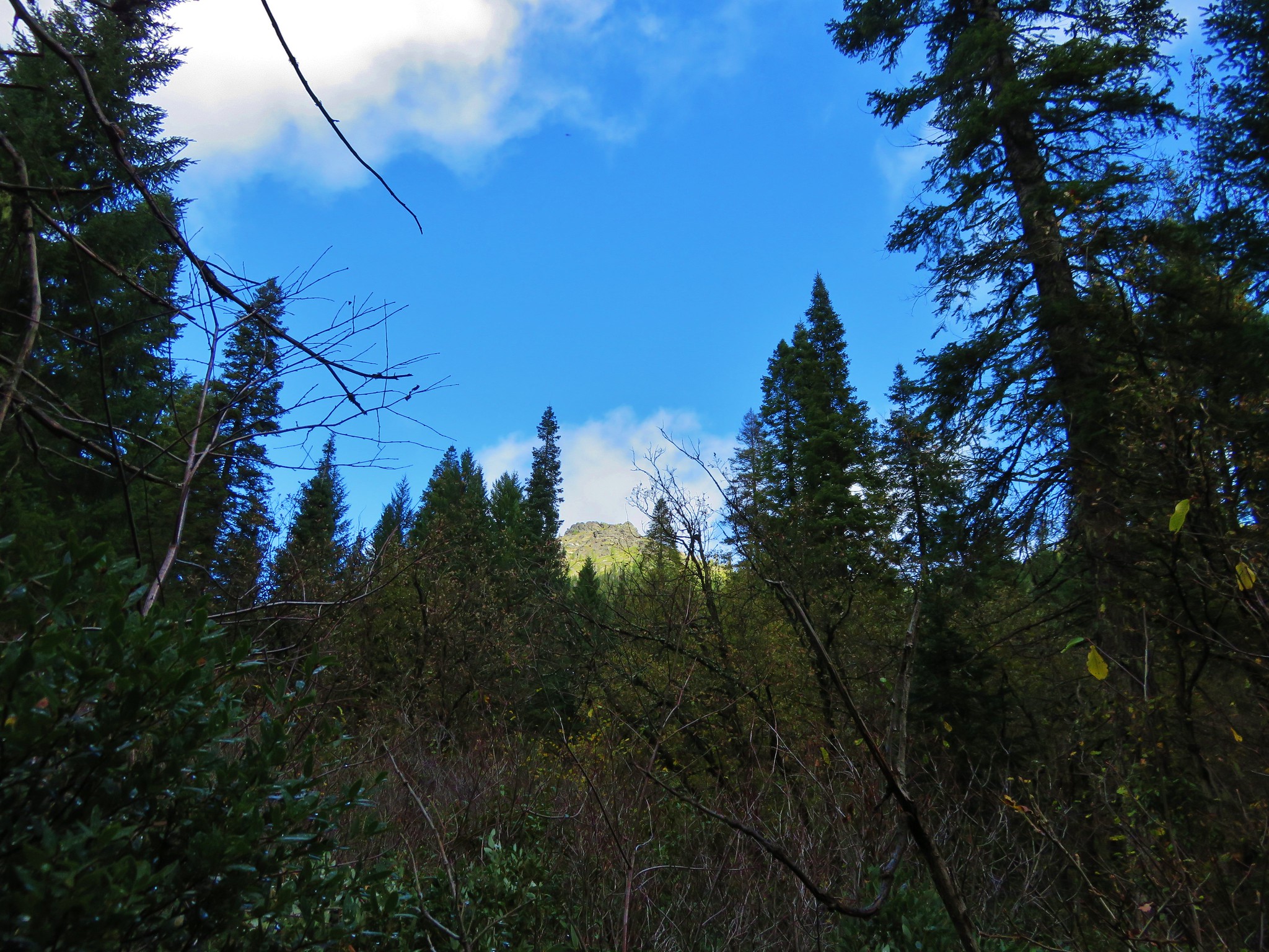
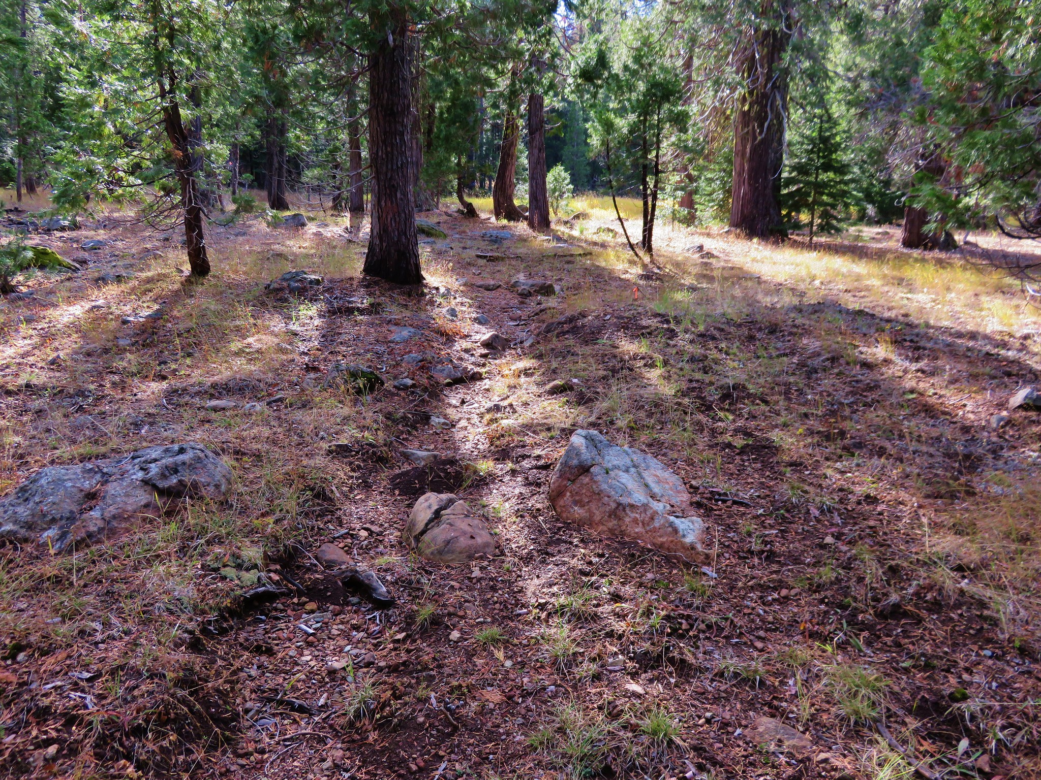
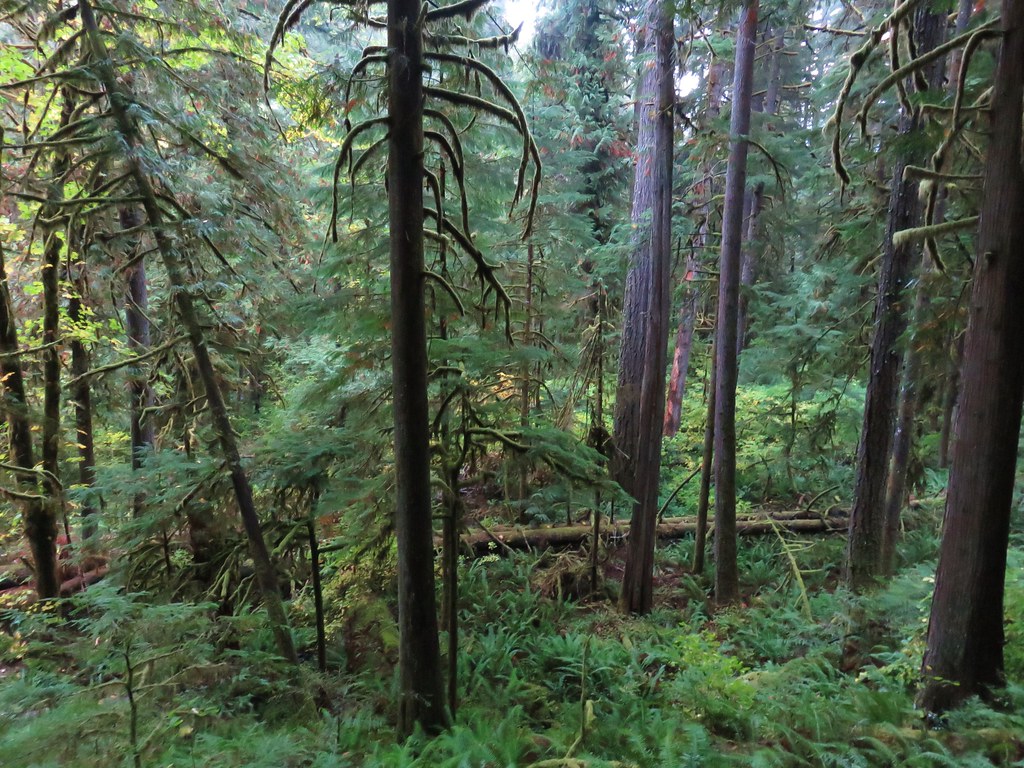
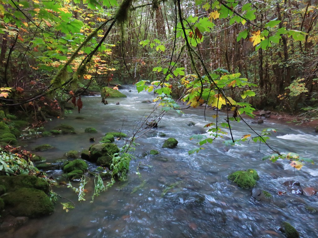
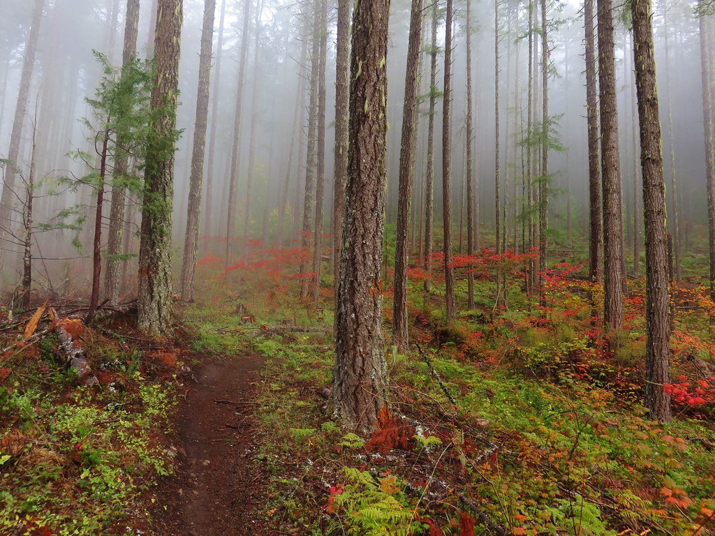
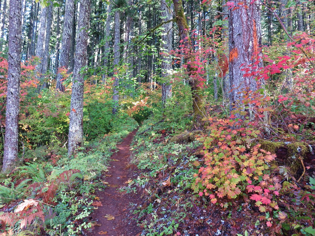
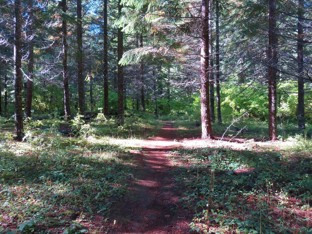
The trail passed through a lush forest as it bent around a hill where it began to follow along Deception Creek.
Deception Butte Trail

Mushrooms on a log

Forest along the Deception Butte Trail

Deception Creek from the Deception Butte Trail

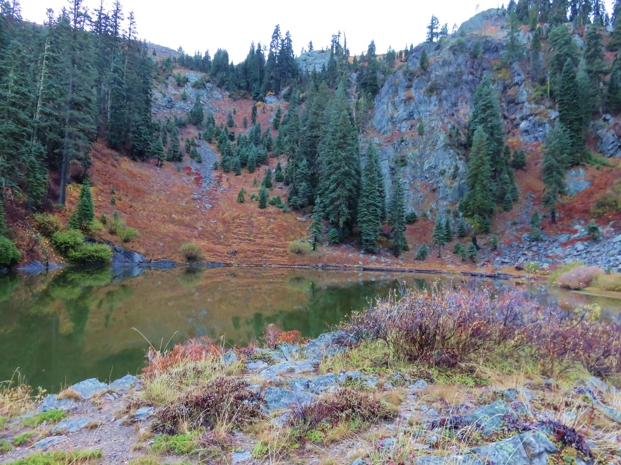
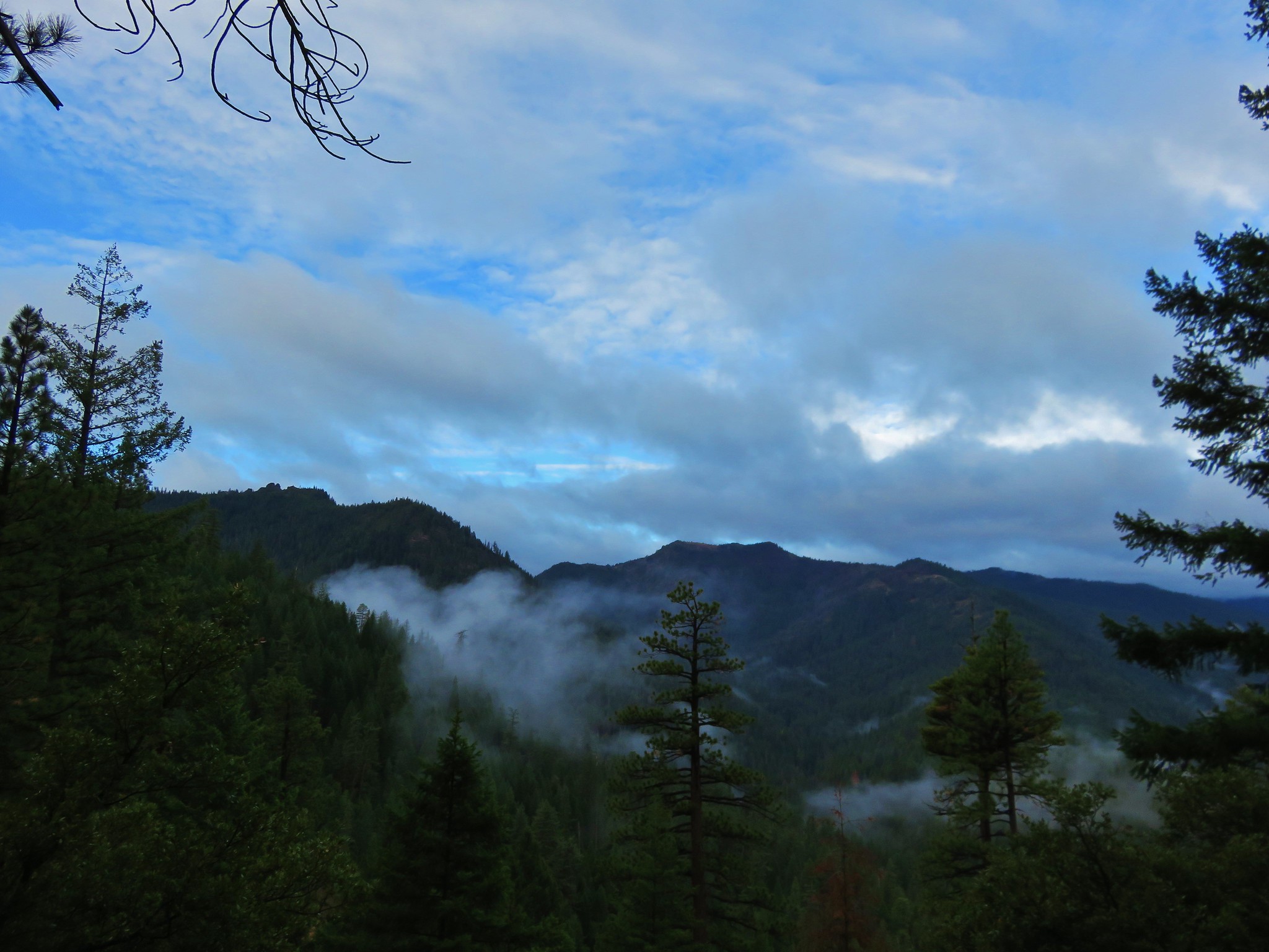
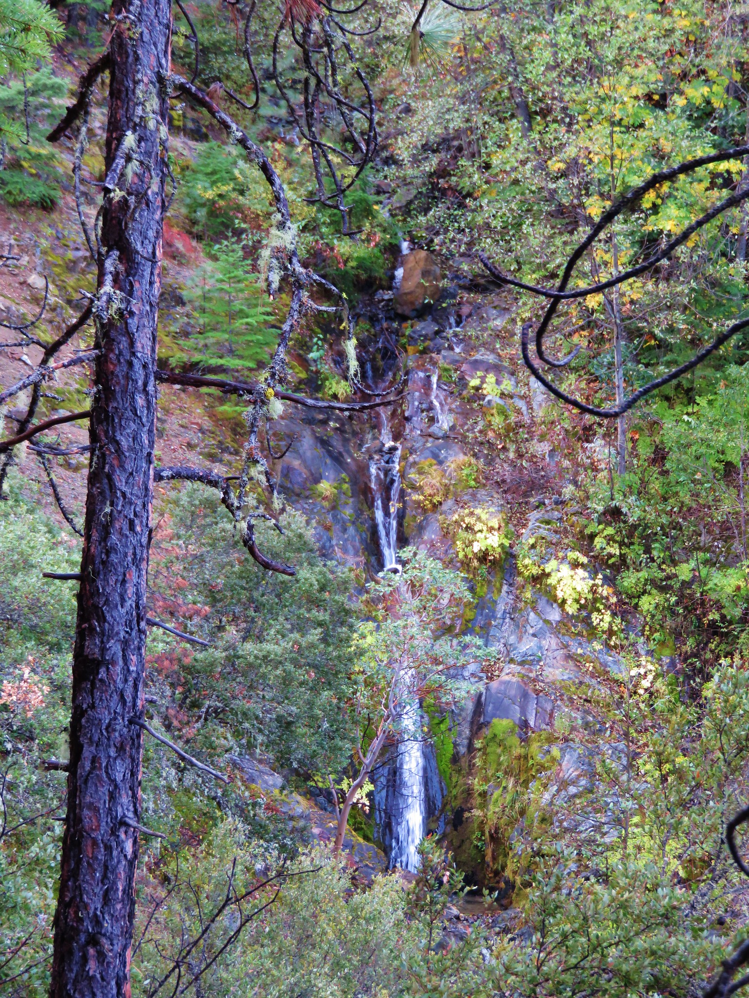
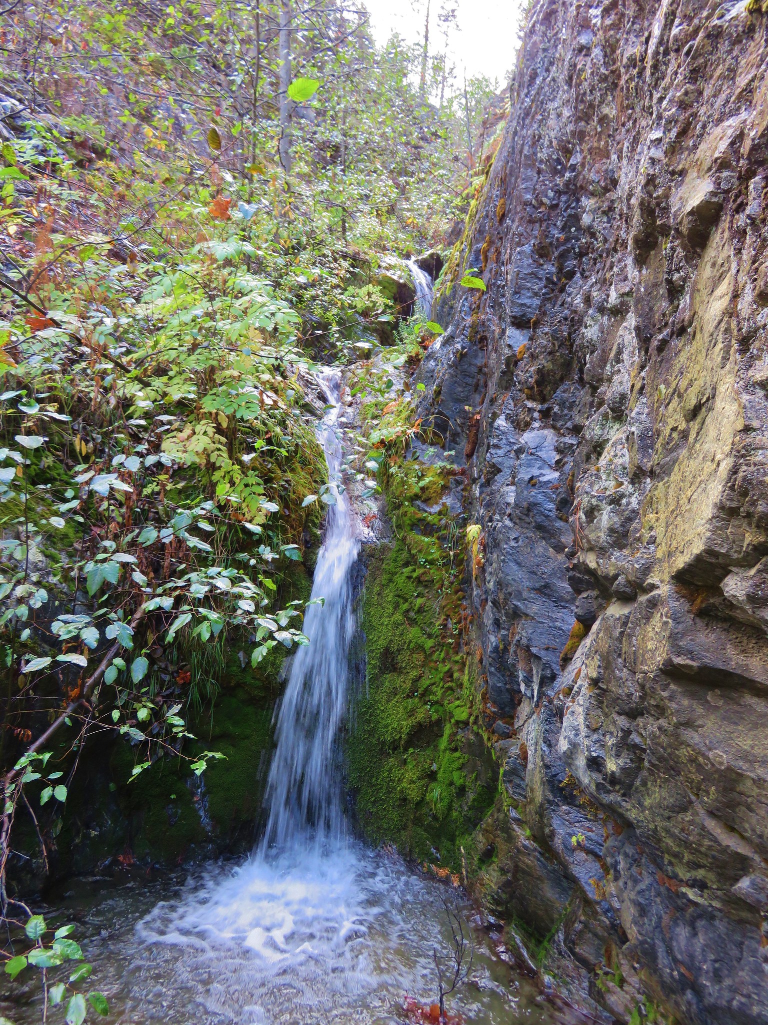
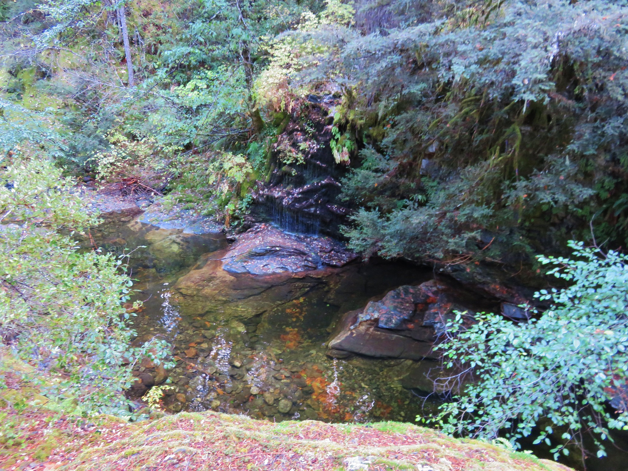
The trail dropped a bit to the creek which was flowing fairly well due to all the recent precipitation.
Deception Creek

Deception Butte Trail

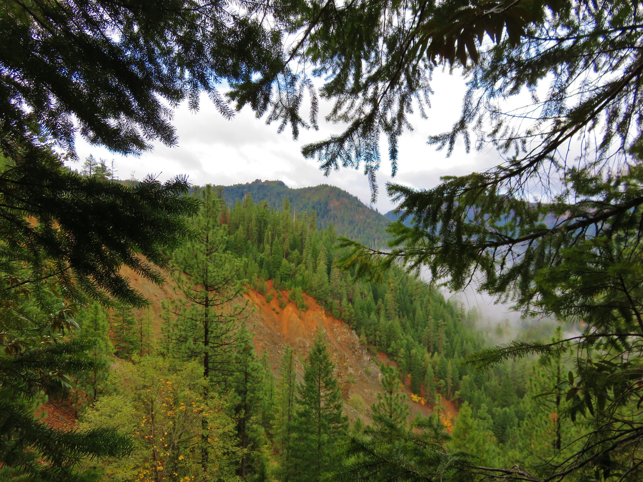
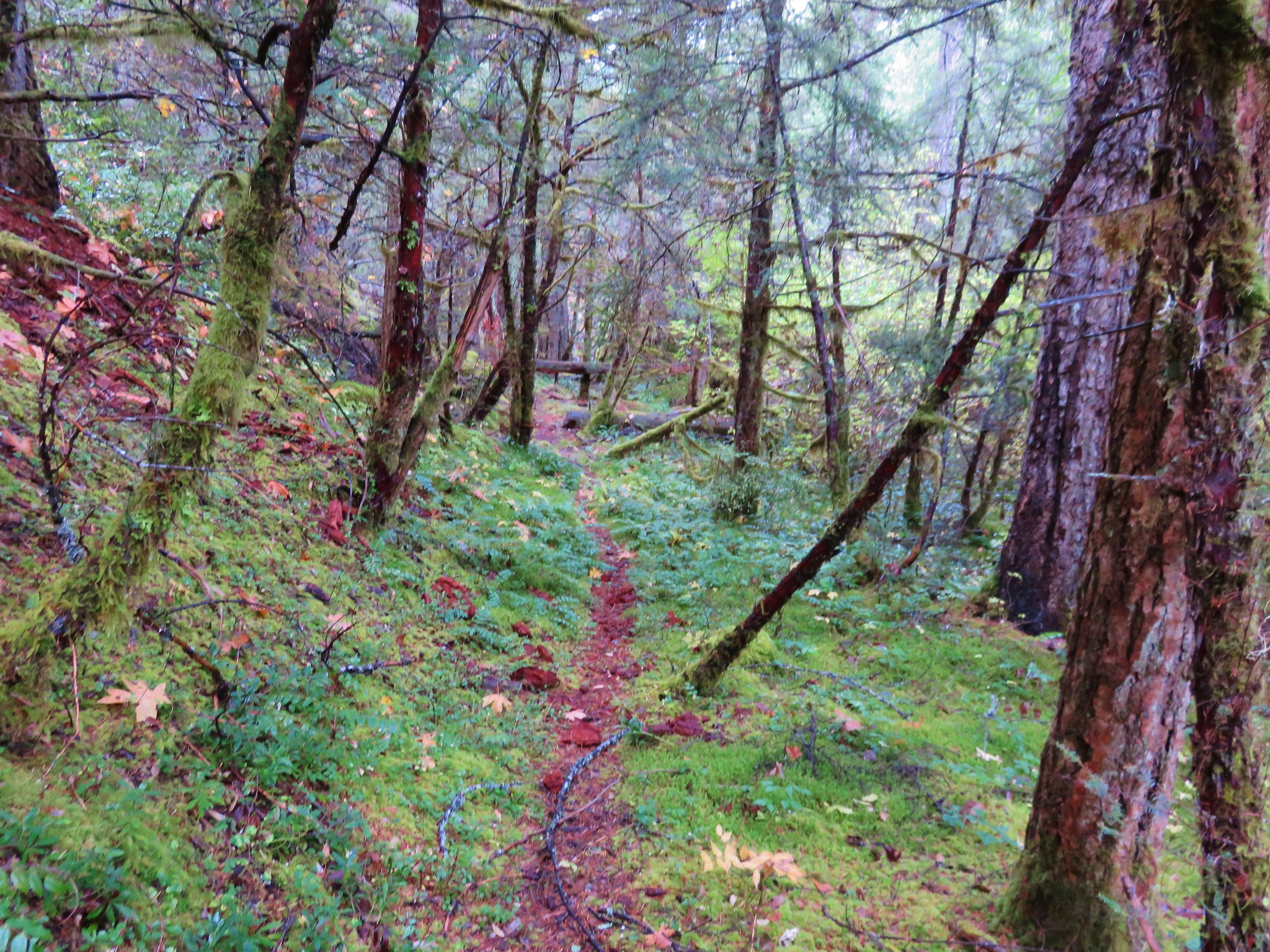
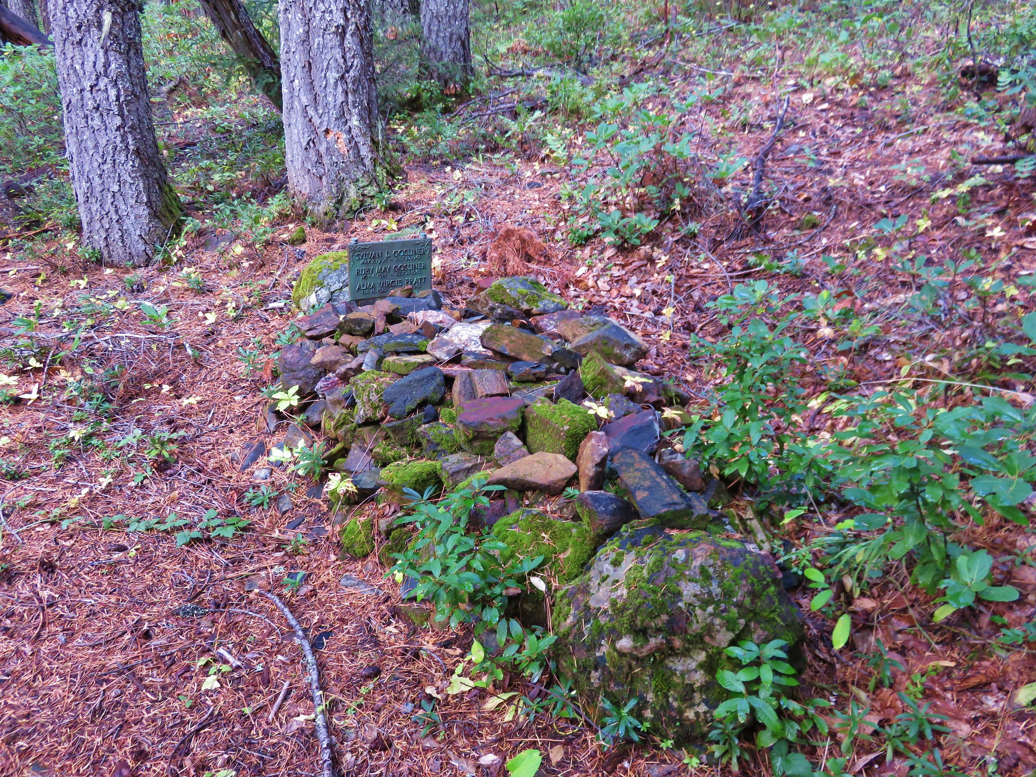
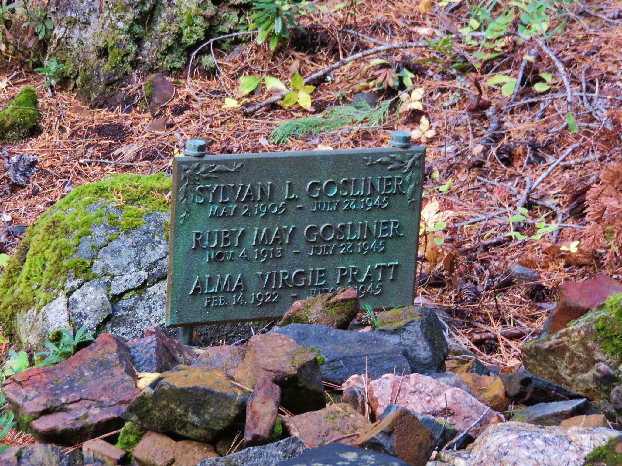
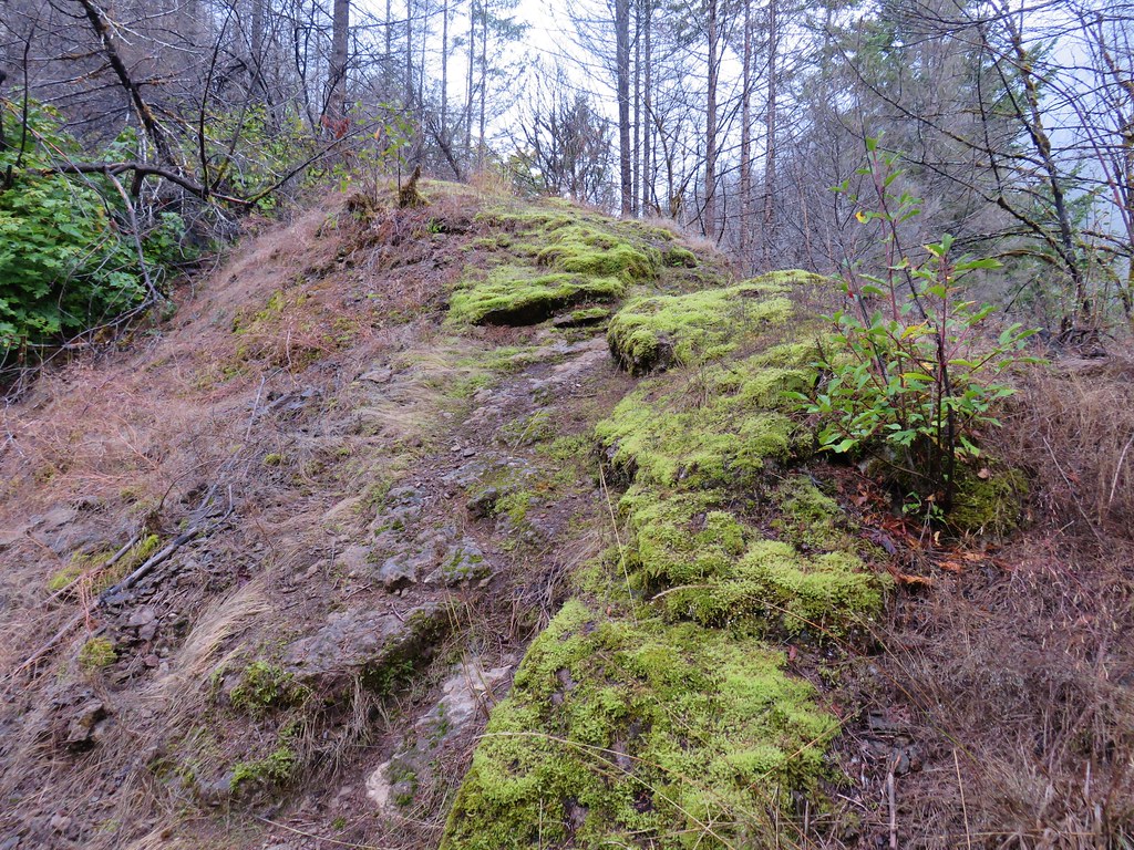
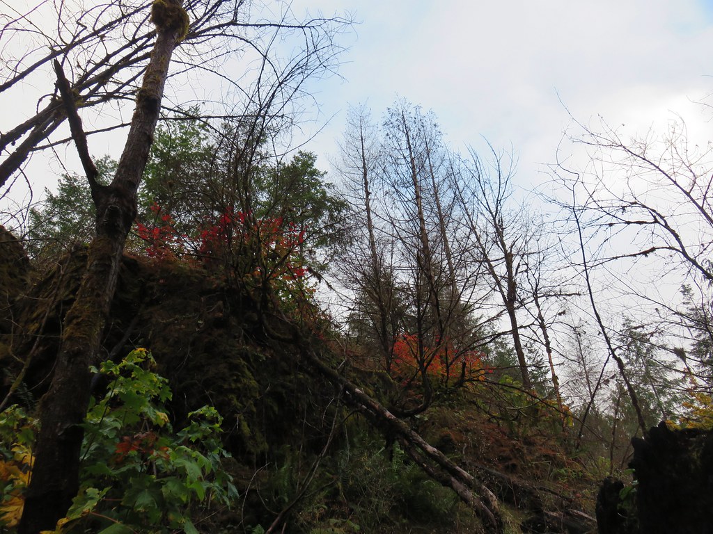
Signs of the 2014 fire could be seen on the hillside above the trail.
Burned forst above the Deception Butte Trail

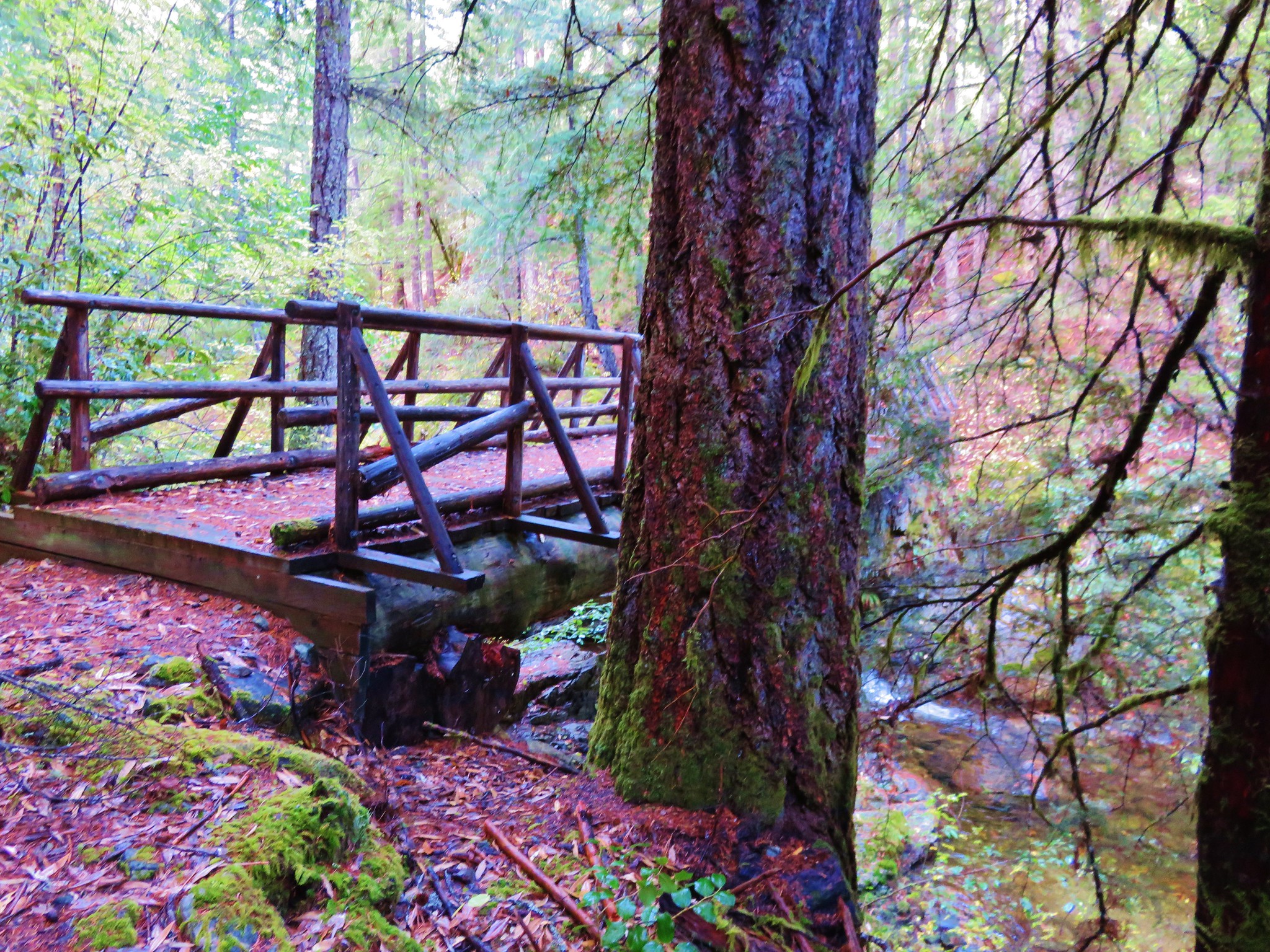
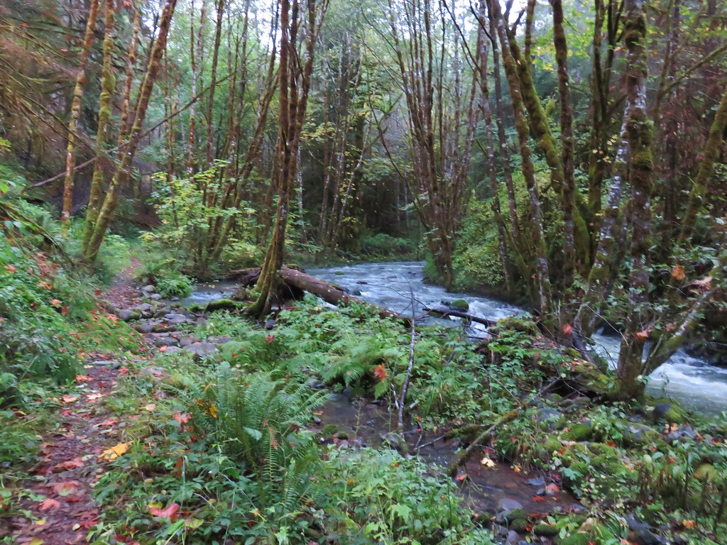
At the 1.75 mile mark we came to a footbridge over Deception Creek.
Footbridge along the Deception Butte Trail

Deception Creek

There still had been no signs warning of a trail closure so we crossed the bridge and continued on. Not even a tenth of a mile beyond the bridge we came to a rocky ridge and entered the burn area.
Deception Butte Trail

Vine maple

We began to encounter blowdown almost immediately. The first couple of obstacles were navigable but then we came to this.
Blowdown over the Deception Butte Trail

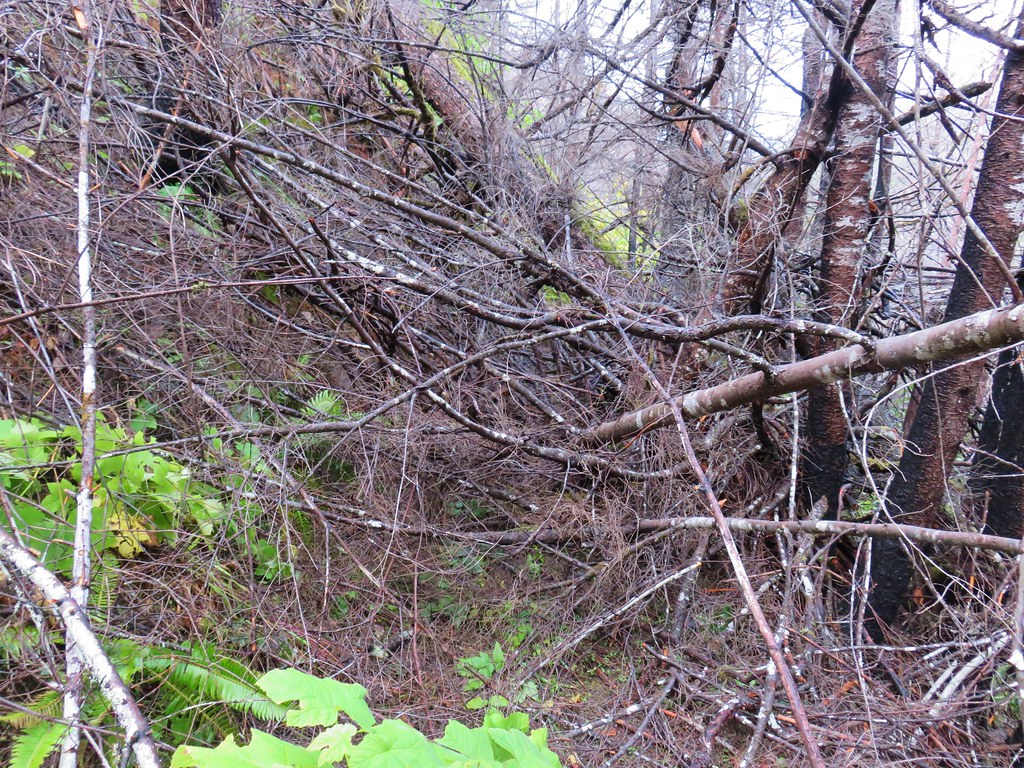
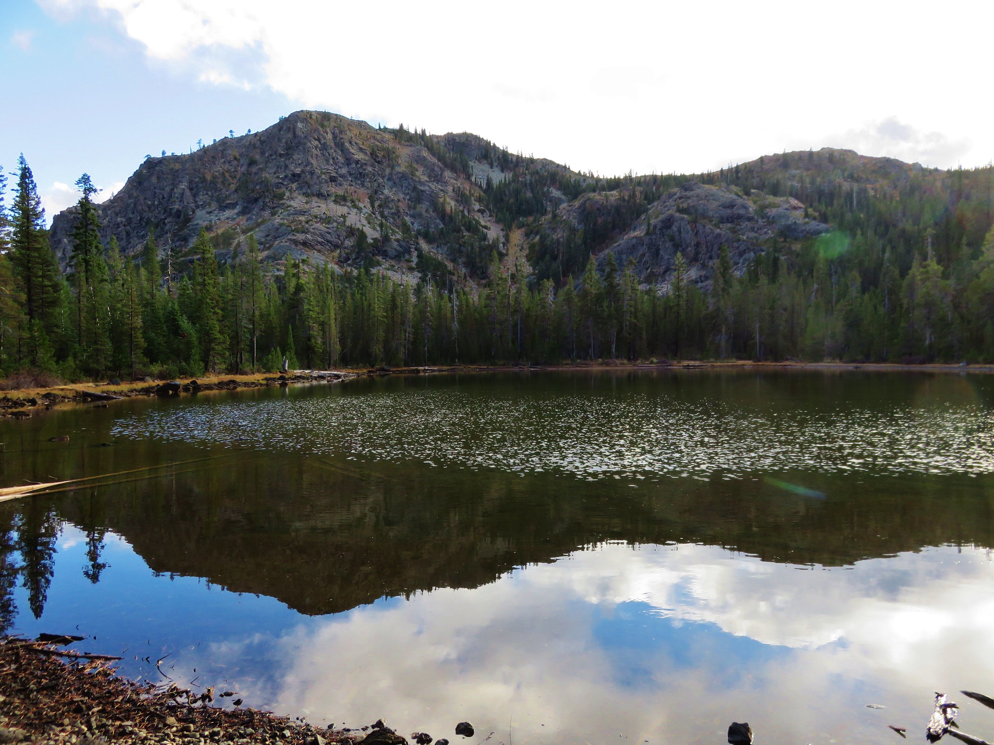
The steepness of the hillside made going around the jumble of debris impossible so we turned back. Even though there had been no notices of the trail being closed it clearly wasn’t being maintained. We had made it 1.8 miles before heading back making this a 3.6 mile round trip. The forest along Deception Creek was nice and so was the creek so the trail is still good for a quick leg stretcher or easy day hike.

For us the hour and a half hike wasn’t going to be enough to justify the hour and forty five minute drive each way so we turned to our contingency plan, the Dead Mountain Trail.

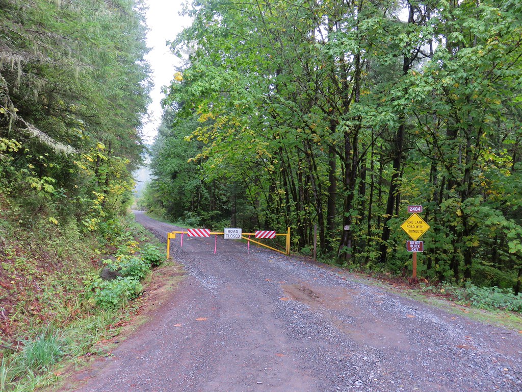
Formerly the Flat Creek Trail, the trail and name were changed in 2015 when it was extended from 4.3 miles to 6.3 miles. Sections were added at both ends to connect the trail from the Salmon Creek Trail up to the summit of Dead Mountain. Our guidebook was written prior to the trail extension so instead of parking at the new lower trailhead 2 miles outside of Oakrdige on Forest Service Road 24 (Salmon Creek Road), the hike description we had said to start .7 miles along Forest Road 2404 (Flat Creek Road) which was only 1.75 miles outside of Oakridge.

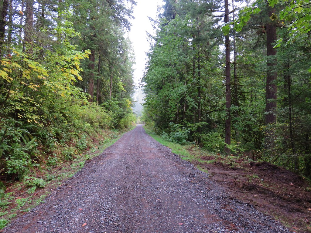
Flat Creek Road was gated shut so we parked on the shoulder and began hiking up the road.
Flat Creek Road

Flat Creek Road

As we were walking up the road we spotted a runner cross the road from the left to the right then recross the road a short time later. We were about a half mile from the gate when we came to the spot where the runner had crossed. A trail was visible on both sides of the road but it was unsigned and not shown on the GPS leaving us to wonder what it was and where it went. We continued on the road for another .2 miles where we came to the former Flat Creek Trailhead marked by a hiker symbol on a tree.
Dead Mountain Trail at Flat Creek Road

We had noticed other runners on a trail that was running parallel with the road which helped us realize that the trail we had crossed back on the road was an extension of the Flat Creek/Dead Mountain Trail. We began to suspect there was some sort of trail race happening since they were wearing numbered bibs. We joined that trail and turned right heading uphill.
Dead Mountain Trail

Dead Mountain Trail

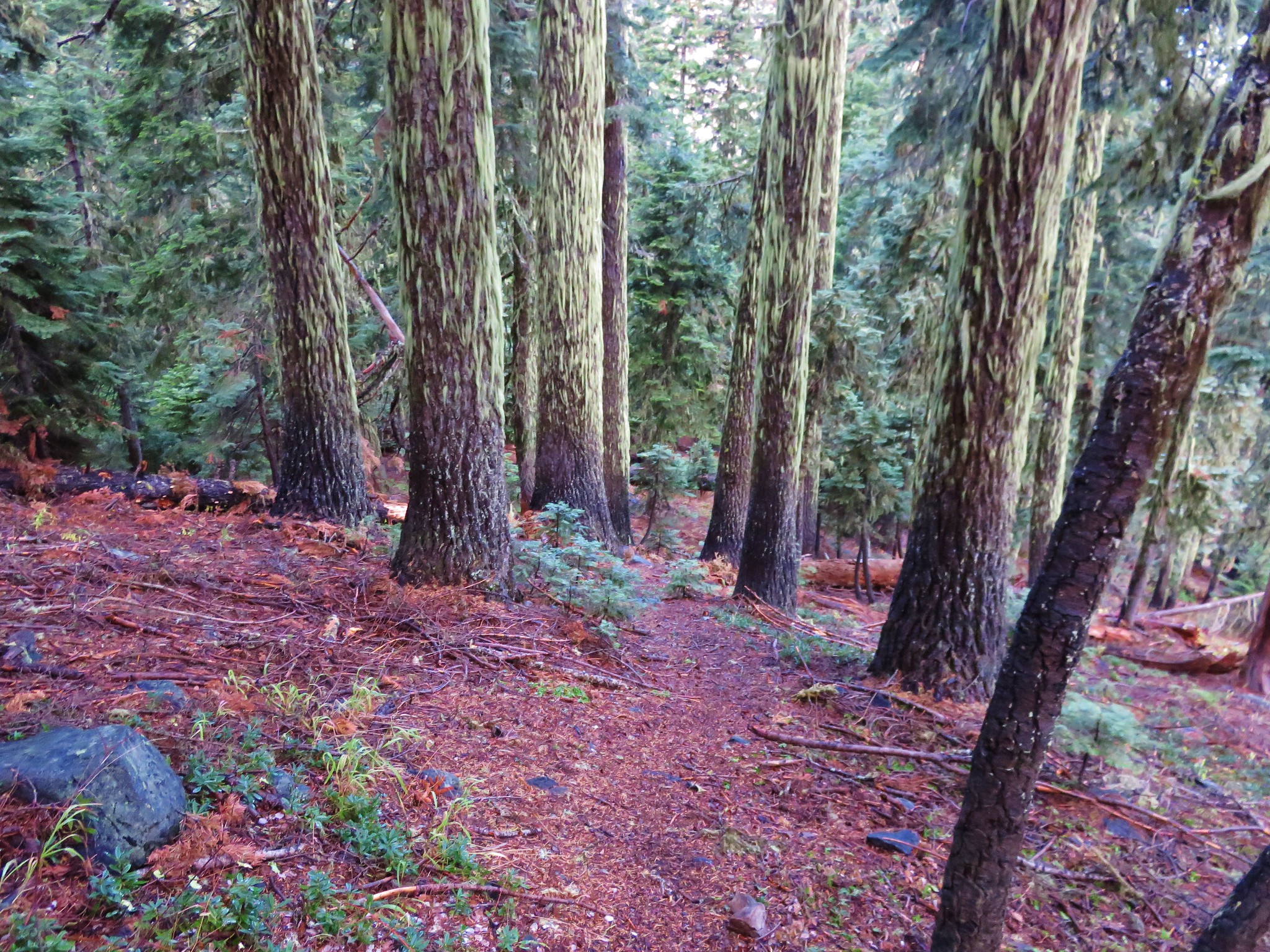
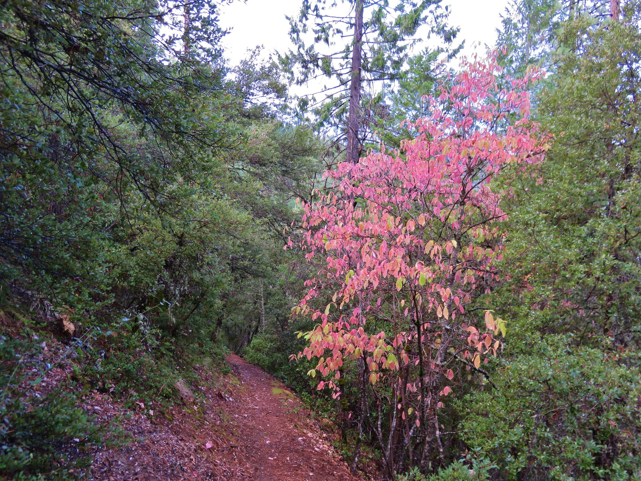
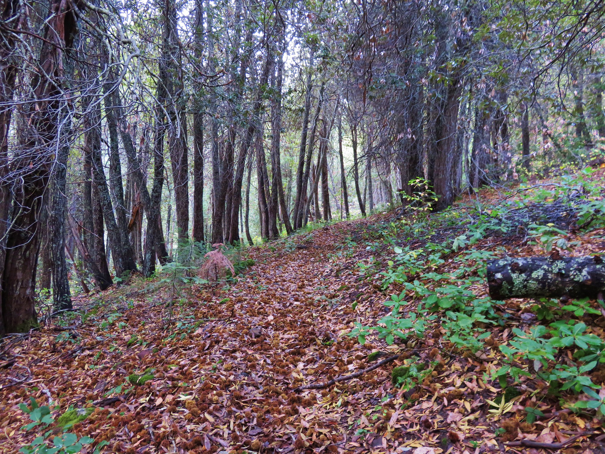
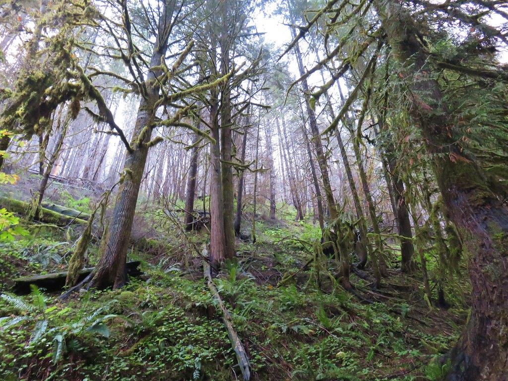
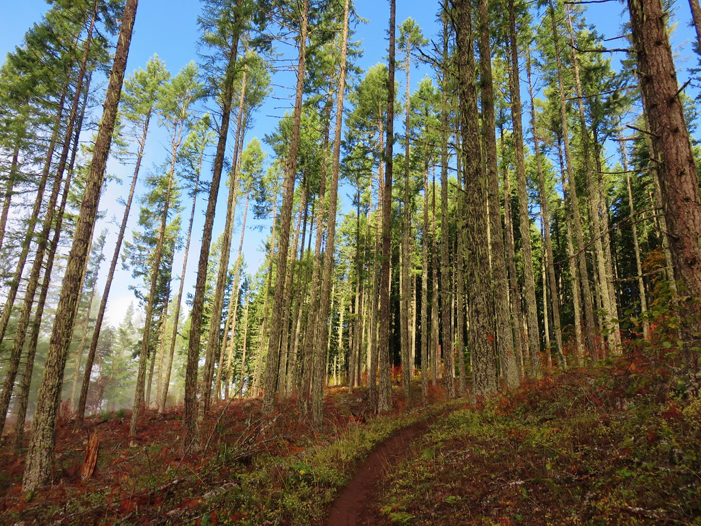
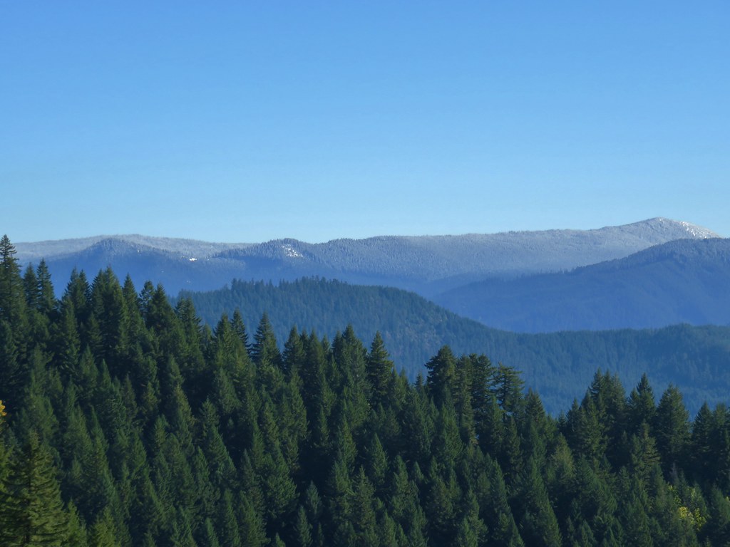
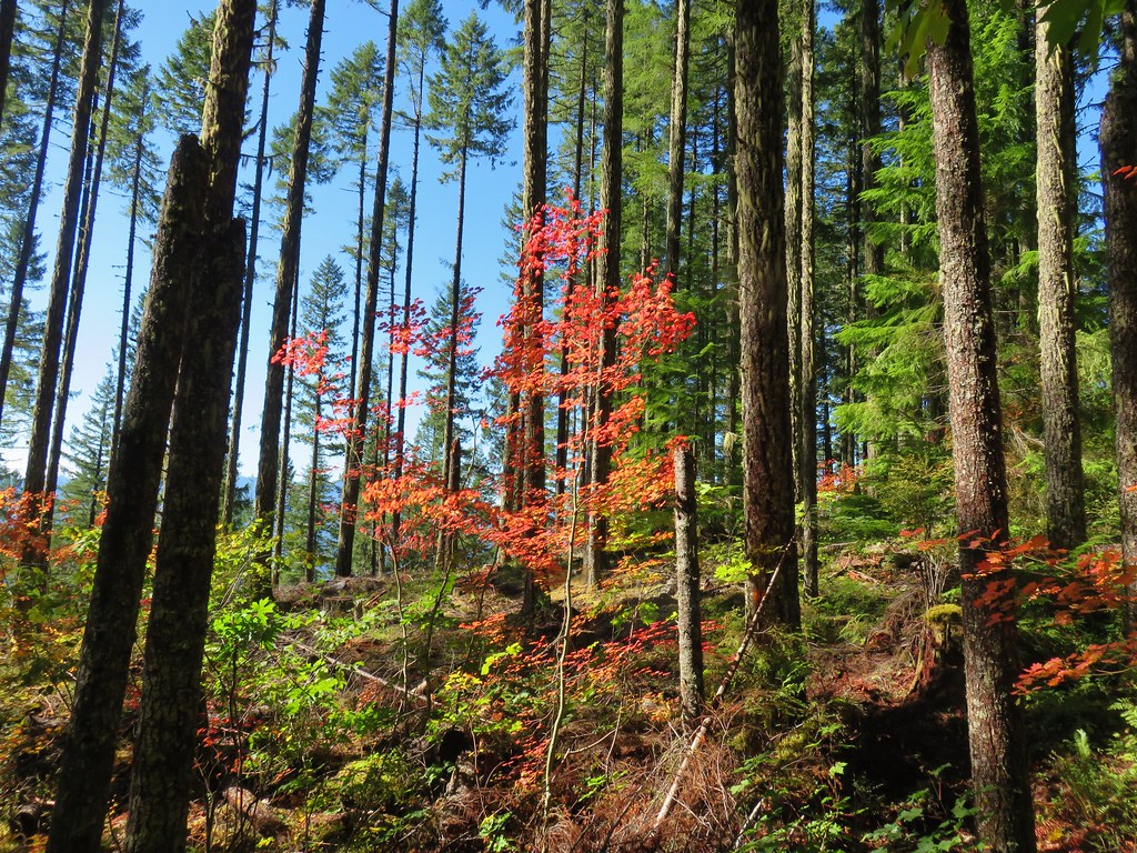
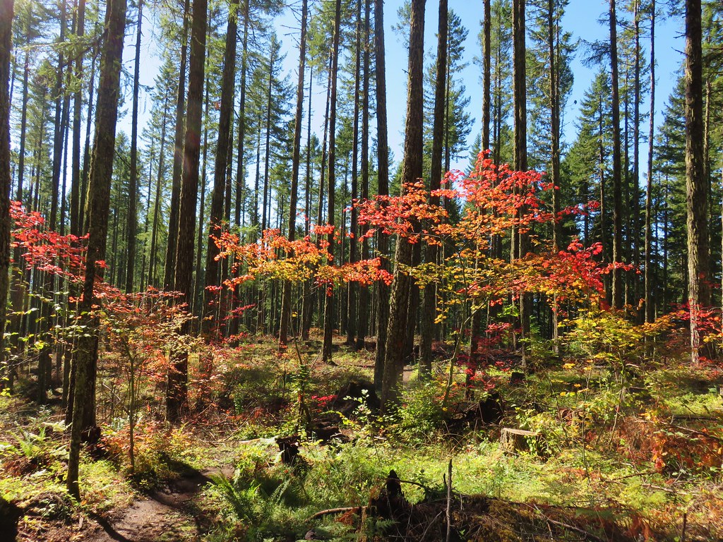
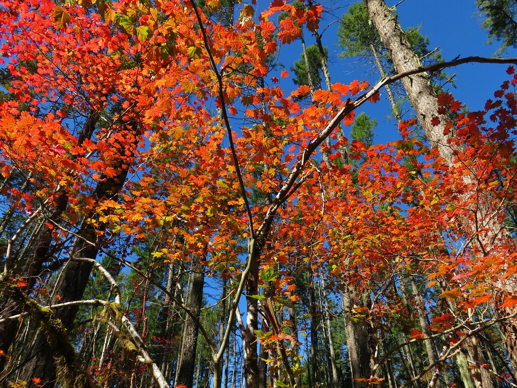
The trail is open to hikers, equestrians, mountain bikes and motorcycles and is heavily used so it was in really good shape as it climbed through a thinned forest full of fall colors.
Dead Mountain Trail

Dead Mountain Trail

Dead Mountain Trail

Dead Mountain Trail

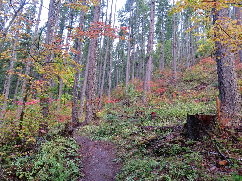
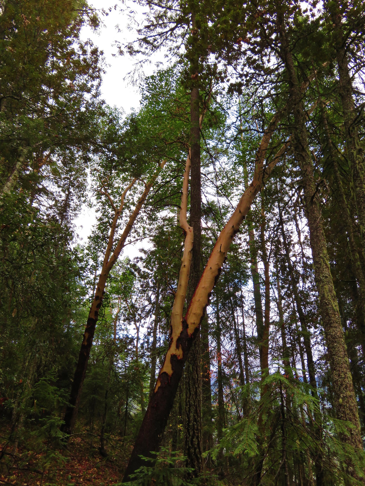
There were also a few madorne trees along the trail.
Dead Mountain Trail

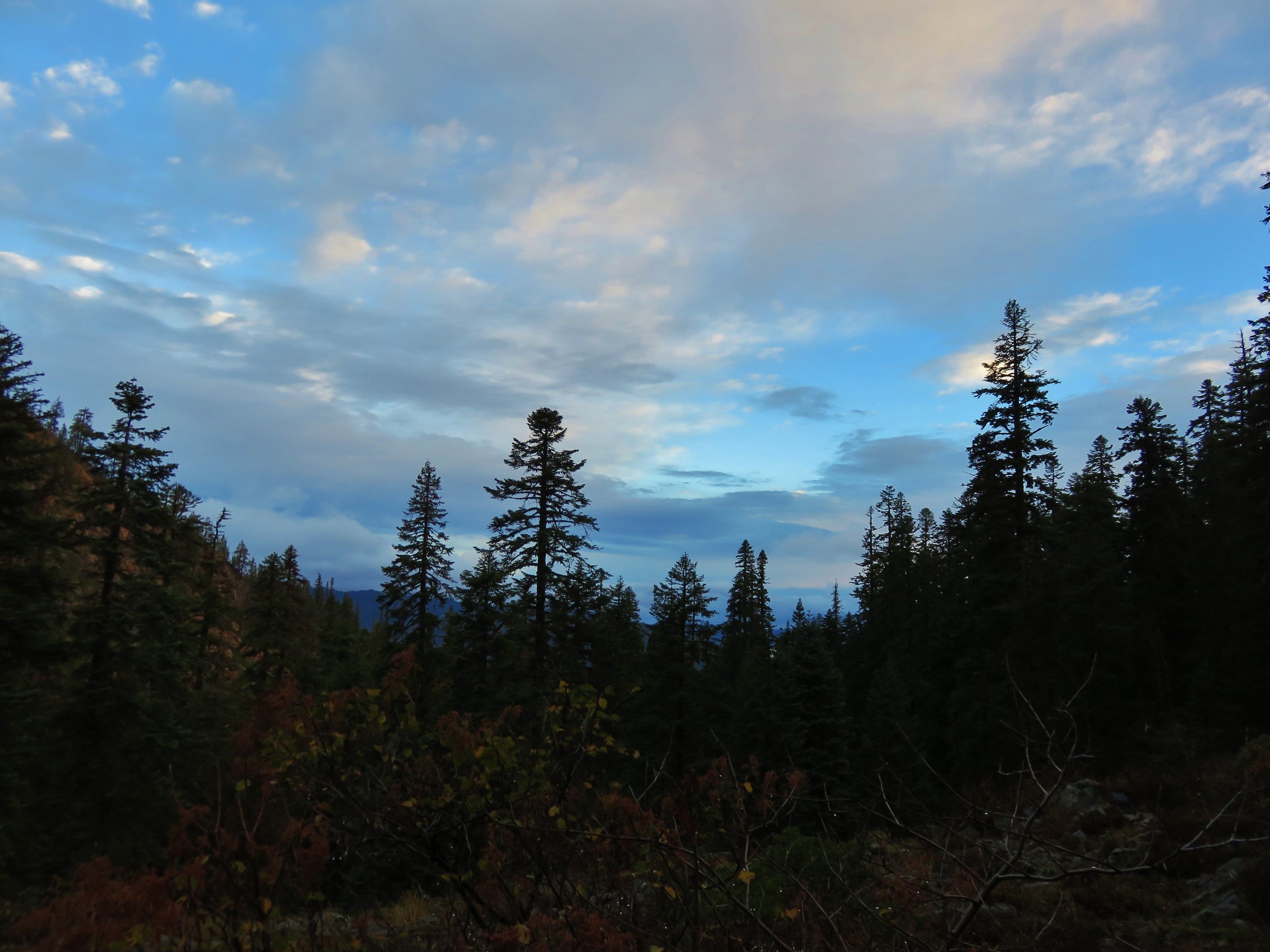
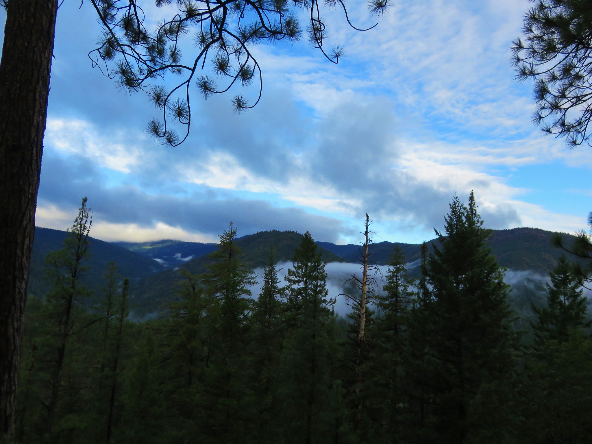
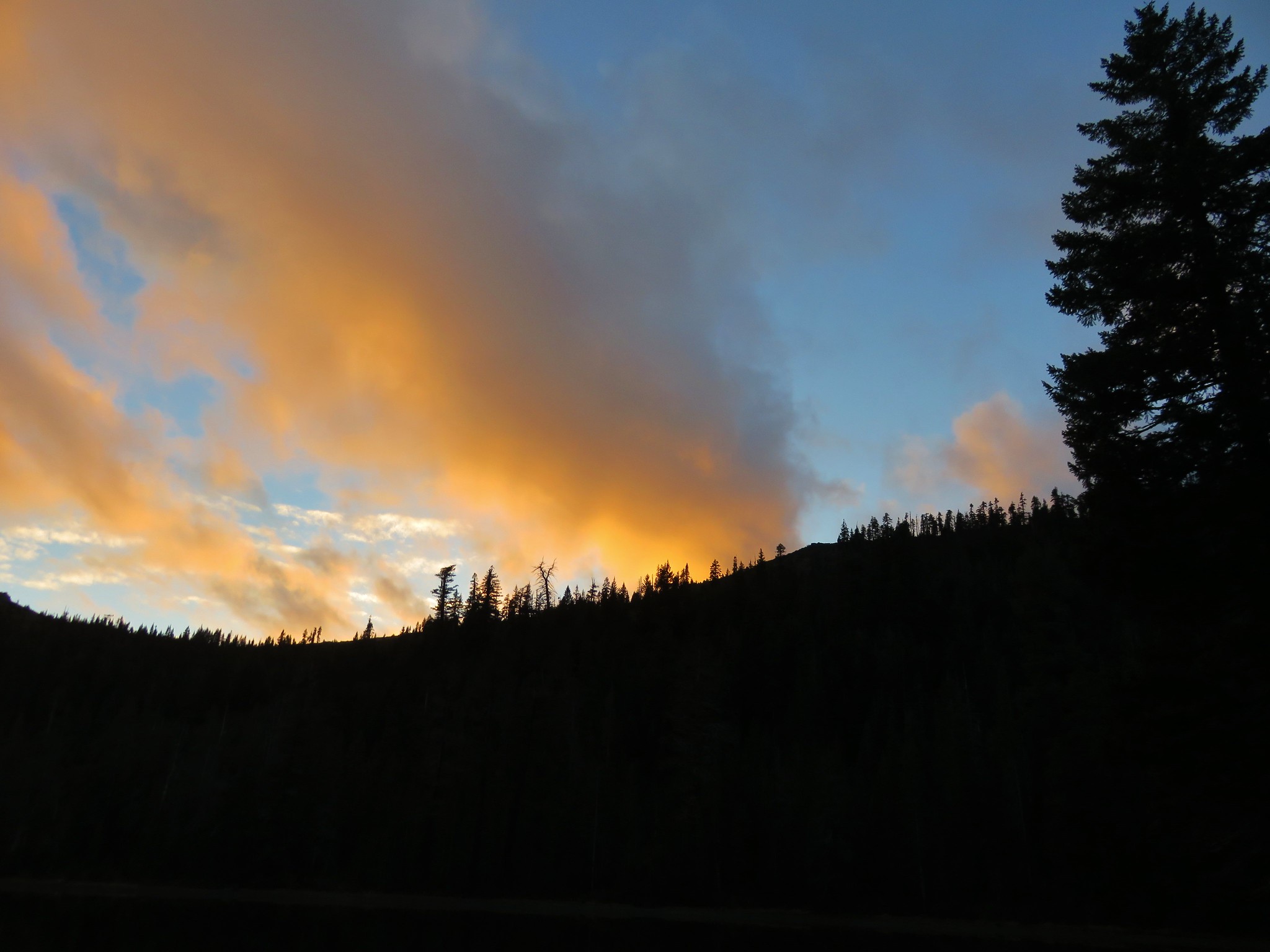
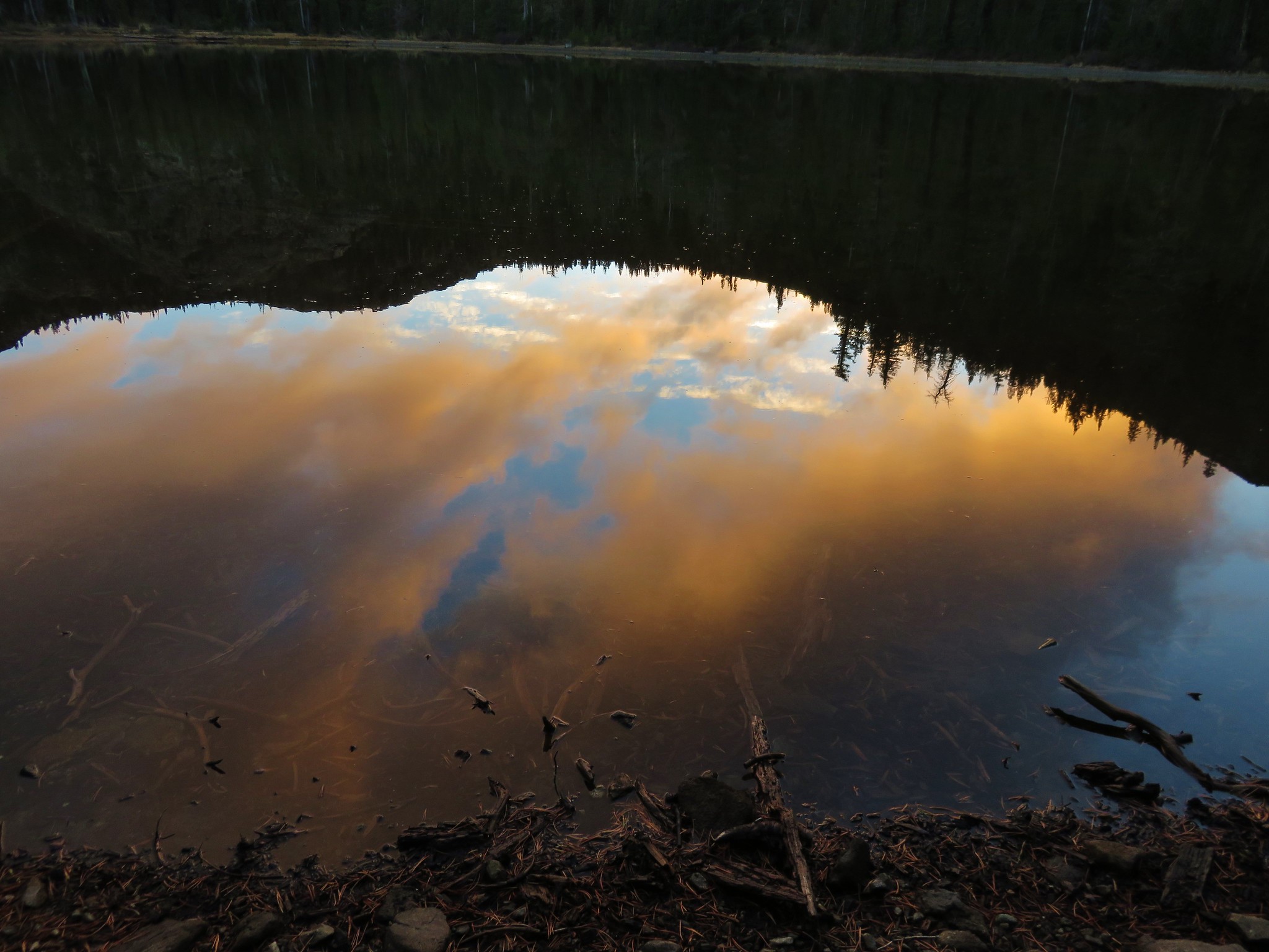
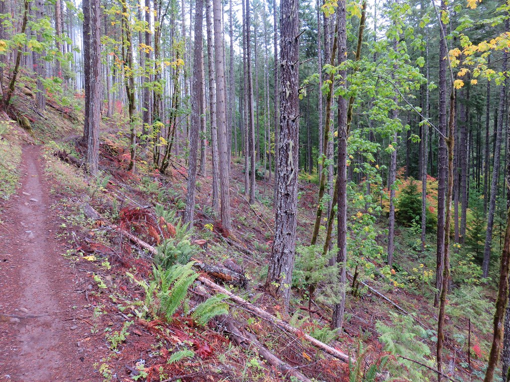
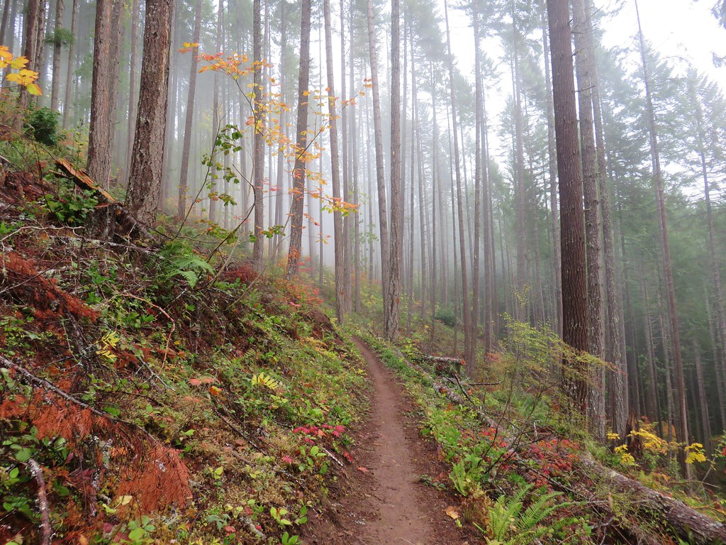
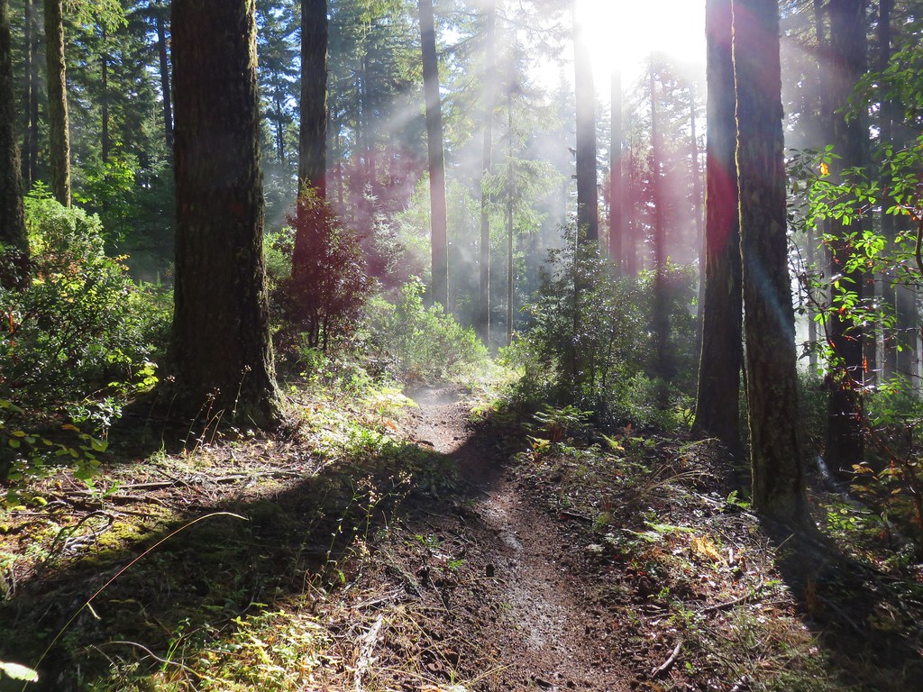
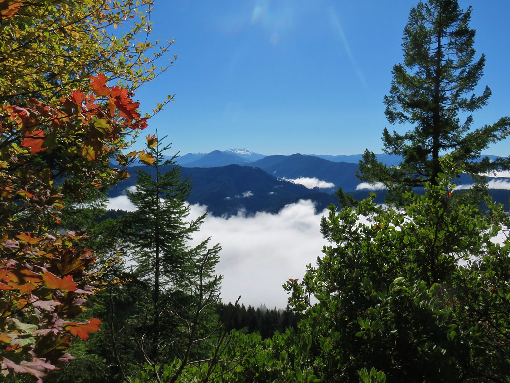
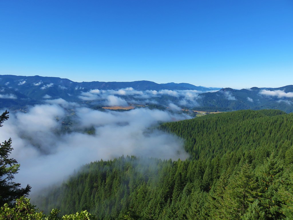
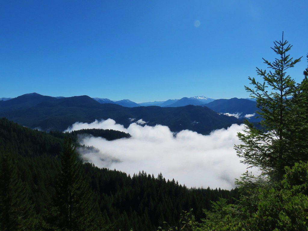
The forecast had been for sun but we had been stuck under low clouds or in fog on both trails. As the morning wore on signs pointed to clearing skies.
Clouds breaking up from the Dead Mountain Trail

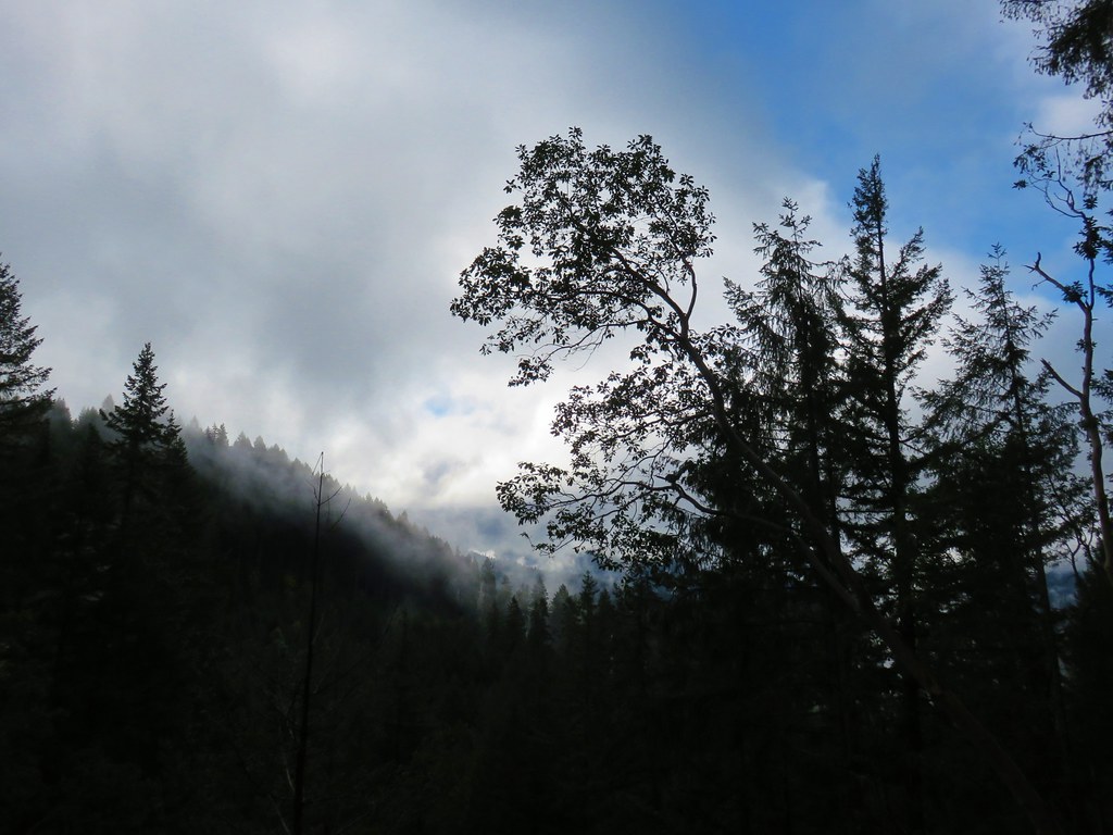
About two miles from the gate as we neared the end of the thinned forest we finally broke out of the fog.
Dead Mountain Trail

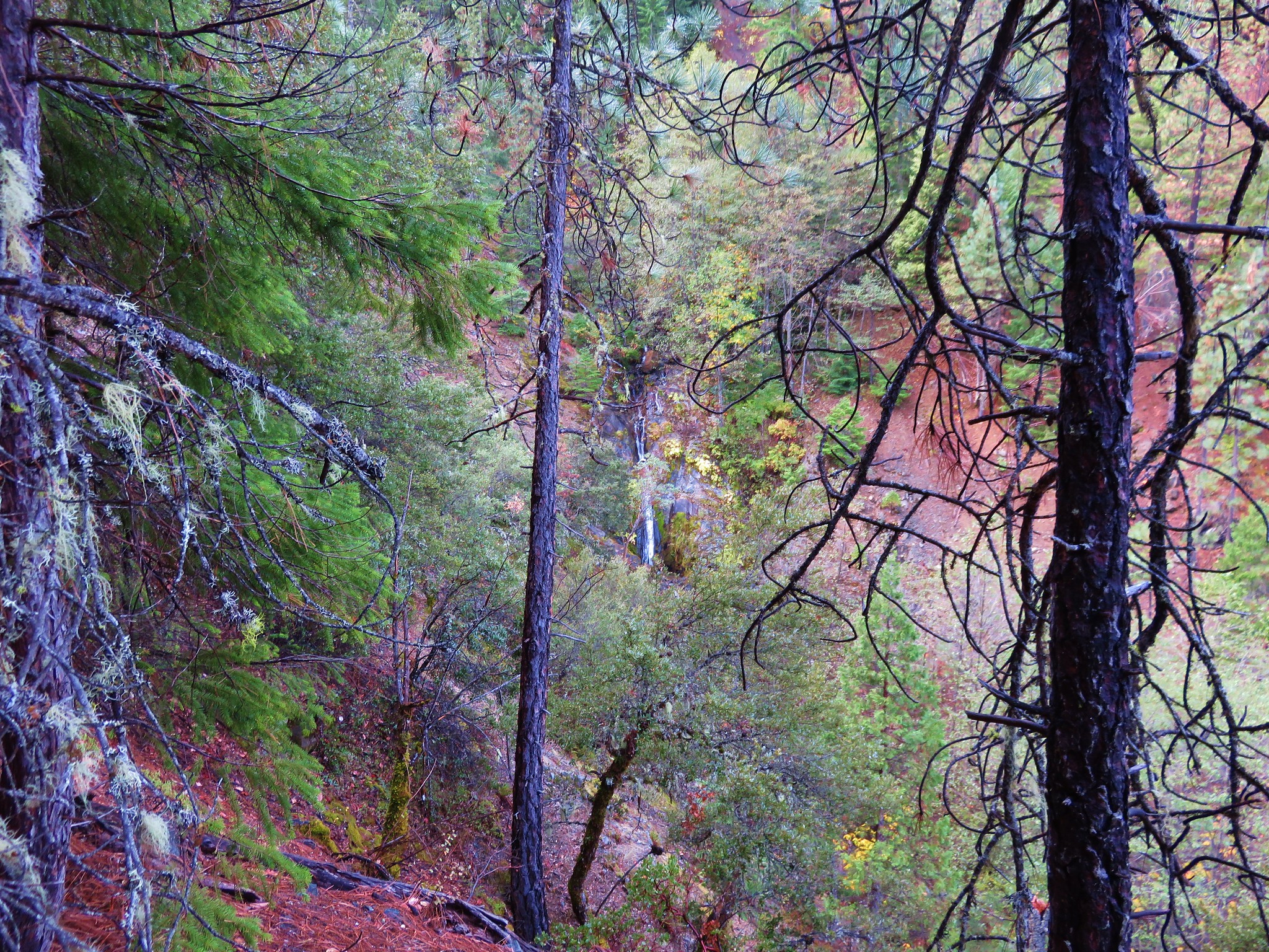
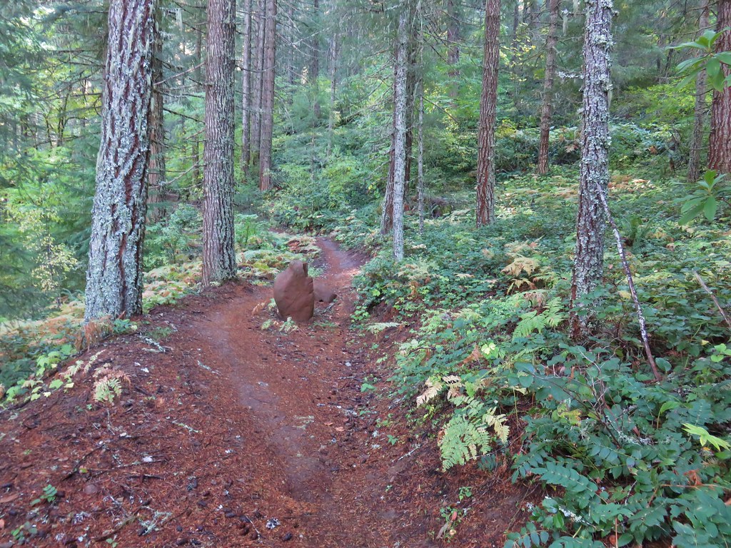
The trail then promptly entered a denser forest.
Dead Mountain Trail

Dead Mountain Trail

Dead Mountain Trail

The trail crossed an old road before arriving at another road junction a quarter of a mile later where an aid station was set up for the trail race. We asked the volunteers what race it was and they explained that it was the Oakridge Triple Summit Challenge, a three day event where runners make three different summit ascents.

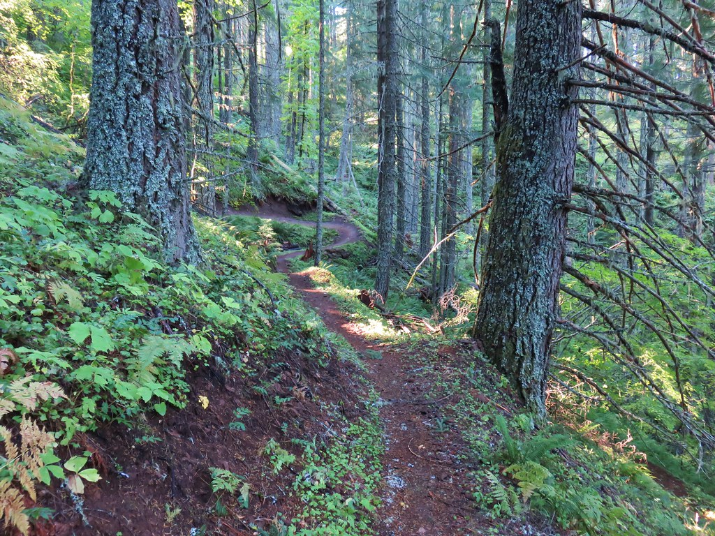
Our guidebook would have had us turn uphill to the right on Dead Mountain Road at this junction but with the extension of the trail we crossed the road and continued on a path that had been clearly designed to be a mountain bike trail.
Dead Mountain Trail

Dead Mountain Trail

The trail had many ups and downs and hairpin corners as it climbed toward the summit.
Dead Mountain Trail

Just over 1.75 miles from the road junction the trail crossed Dead Mountain Road.
Dead Mountain Trail

After another tenth of a mile of climbing we arrived at the broad flat summit of Dead Mountain.
Dead Mountain Trail

Dead Mountain Trail

The trail wound around the summit to the Upper Dead Mountain Trailhead at the end of Dead Mountain Road.
Dead Mountain Trail

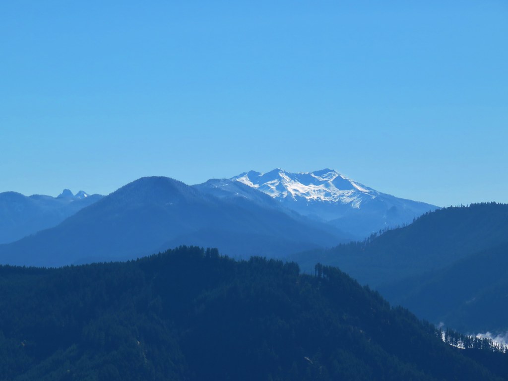
Several radio and cell towers were located near the upper trailhead and it was in this area where we were finally able to get a mountain view.
Diamond Peak

Diamond Peak
Diamond Peak

We did a little exploring and headed downhill on a road track which led to a path that headed out onto a narrow ridge with even better views. It was a great view but definitely not a spot for anyone with a fear of heights.
Ridge on Dead Mountain

View from Dead MountainLooking SW

View from Dead MountainHills Creek Reservoir (behind the tree)

Diamond Peak

Diamond PeakMount Yoran and Diamond Peak

Waldo MountainWaldo Mountain

We decided to follow Dead Mountain Road down for a bit which was the route that the runners had followed.
Dead Mountain Road

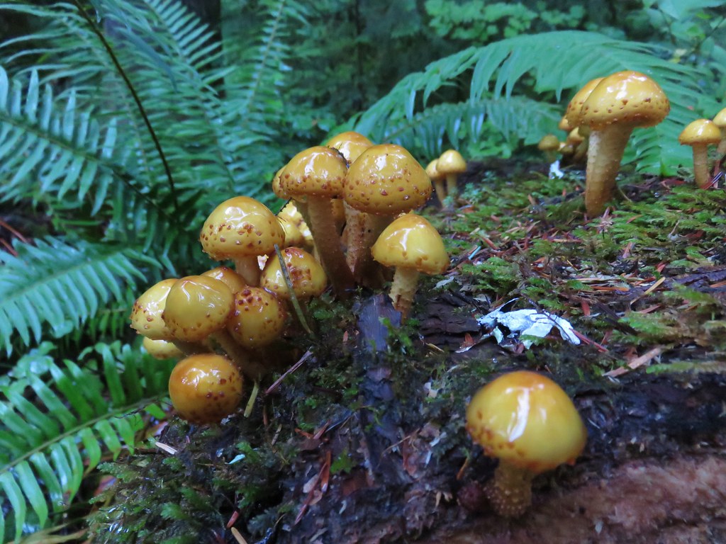
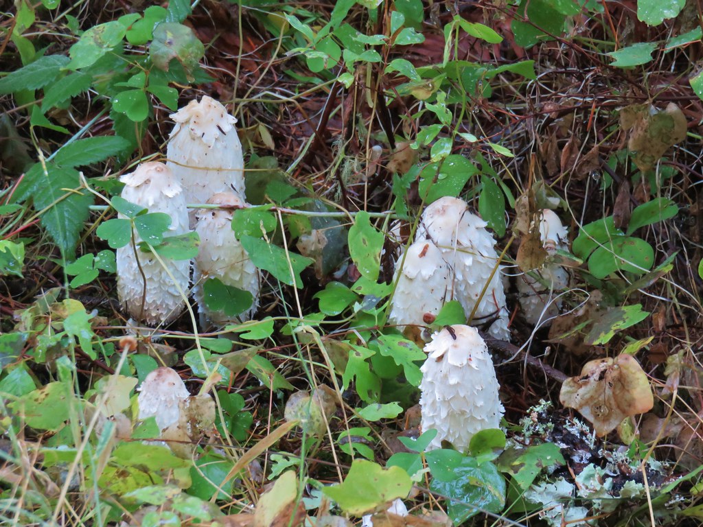
There were some interesting white mushrooms along the road.
Mushrooms on Dead Mountain

We followed the road for approximately three quarters of a mile passing a “Road Work Ahead” sign along the way.
Road work sign on Dead Mountain Road

After the three quarters of a mile we forked right on another old road bed then took a short trail which had been marked for the race back to the Dead Mountain Trail.
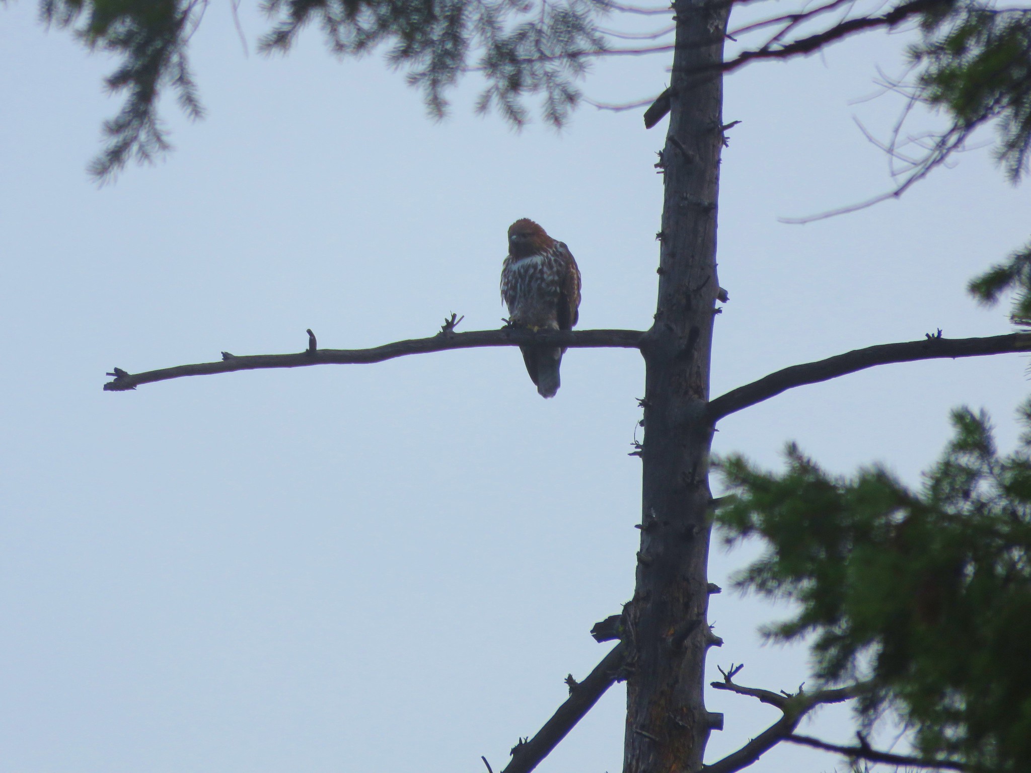
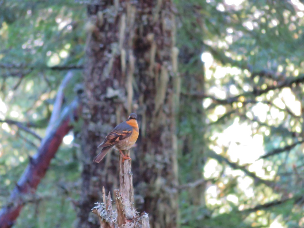
Along the way we had an encounter with my old nemesis, the varied thrush. We see quite a few of these colorful birds on the trails but I am rarely able to get an even remotely decent photo. They move around a lot and they always seem to be in poorly lit areas. After a couple of attempts at this particular thrush it finally sat still long enough for a slightly blurry photo.
Varied thrush

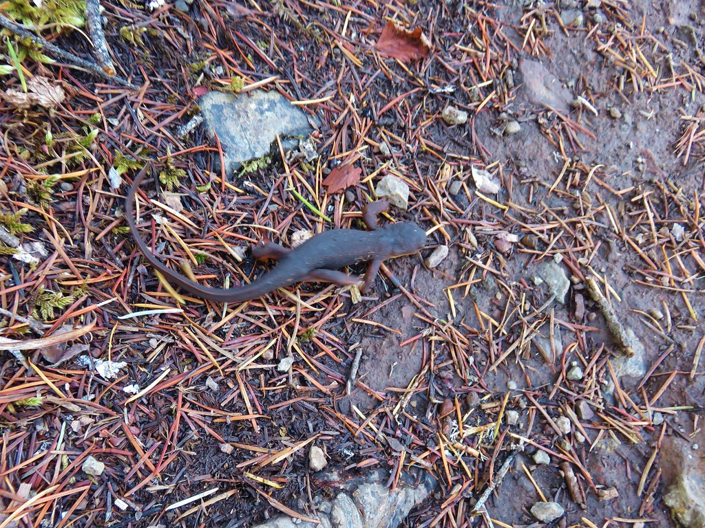
The aid station had been packed up and removed by the time we arrived back at the road junction and the runners on the trail had been replaced by other hikers and mountain bikers (and one speedy newt) as we made our way down.
Rough skinned newt

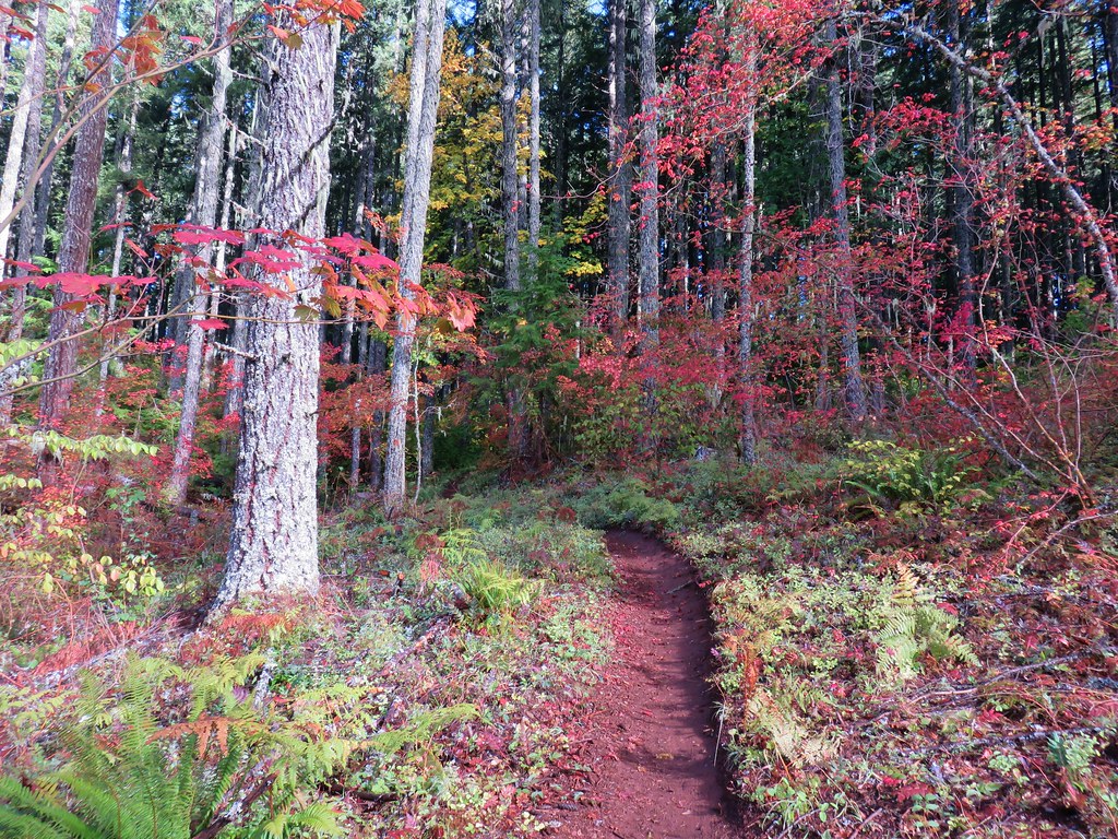
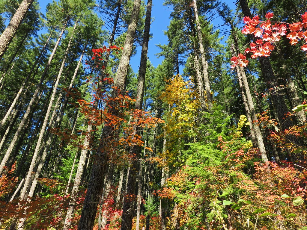
With the fog gone the fall colors were on full display in the thinned area.
Fall colors along the Dead Mountain Trail

Vine maple

Dead Mountain Trail

Vine maple

We followed the Dead Mountain Trail past where we had joined it from Flat Creek Road earlier but didn’t take the portion between Flat Creek Road and Salmon Creek Road due to not knowing for sure how long it was nor how far it might leave us from our car.
Dead Mountain Trail

Our route for this hike wound up being a total of 10.7 miles with over 2000′ of elevation gain. The trail made for a nice hike but given it’s design as a mountain bike trail and heavy use might not always be the most peaceful hike.

As our hiking season winds down we’ve done few of the hikes we’d planned on but those that have taken their places have turned out well and today was no different. Happy Trails!

Flickr: Deception Butte and Dead Mountain Trails

Categories
California Hiking Klamath Mountains Siskiyou mountains Trip report

Red Buttes Wilderness Day 3 – Echo Lake back to Azalea Lake

**Note the 2017 Knox and Abney Fires as well as the 2020 Devil Fire burned portions of this hike.**

It was still raining when we awoke Wednesday morning and we began packing everything we could into our dry sacks. While we were figuring out our strategy on exiting the tent and taking it down, the rain stopped. God had been good and just as the rain began after we had gotten into the tent, it ended just as we were preparing to exit.
IMG_2293//embedr.flickr.com/assets/client-code.js

IMG_2300//embedr.flickr.com/assets/client-code.js

We packed up our wet tent and cooked breakfast then headed away from the lake on the Horse Camp Trail downhill toward the Applegate River. It was the steepest trail of the hike but it was well maintained and easy to follow.
IMG_2302//embedr.flickr.com/assets/client-code.js

We were following a ridge down Echo Canyon until the trail veered away to the right to go around the Butte Slide.
IMG_2310//embedr.flickr.com/assets/client-code.js

As we passed the slide we descended a series of switchbacks with views of the leftover clouds drifting over the valleys.
IMG_2311//embedr.flickr.com/assets/client-code.js

IMG_2321//embedr.flickr.com/assets/client-code.js

We stopped to watch a hawk who seemed to be just as curious about us as we were of him.
IMG_2318//embedr.flickr.com/assets/client-code.js

The vegetation changed as we lost elevation and we began seeing some different trees including Madrones.
IMG_2309//embedr.flickr.com/assets/client-code.js

IMG_2322//embedr.flickr.com/assets/client-code.js

IMG_2325//embedr.flickr.com/assets/client-code.js

Before reaching the river we arrived at the junction with the Butte Fork Trail which we would take back up to Azalea Lake where we had stayed on our first night. Not surprisingly the trail sign was lying on the ground.
IMG_2328//embedr.flickr.com/assets/client-code.js

Now is a good time to mention that we had been using the USFS Red Buttes Wilderness topographic map during the trip. It was the only map I could find covering the area and we had it and our compasses as well as our Gamrin 62s GPS unit. The Garmin was of limited use though due to the fact that we were in California and we do not own the California Map so all it could show us was our elevation and where we were in relation to our earlier tracks and waypoints. We were checking the map often so that we were familiar with our route and any markers to expect along the way. Our markers for the first part of the Butte Fork Trail were a small side creek, passing beneath the Butte Slide, crossing the river near Echo Canyon, and then reentering the Red Buttes Wilderness.

The first side creek was a pleasant surprise as the trail passed between a series of small falls.
IMG_2329//embedr.flickr.com/assets/client-code.js

IMG_2332//embedr.flickr.com/assets/client-code.js

IMG_2333//embedr.flickr.com/assets/client-code.js

Things began to get interesting soon after the falls as we arrived at Echo Creek. The trail led us straight to the creek instead of down and across the river.
IMG_2340//embedr.flickr.com/assets/client-code.js

The trail was hard to see on the other side of the creek but we hopped across the rocks and found it covered in leaves.
IMG_2341//embedr.flickr.com/assets/client-code.js

We left Echo creek behind and continued on looking for the river crossing we had been expecting, but instead we came to a wilderness sign.
IMG_2342//embedr.flickr.com/assets/client-code.js

We had entered the wilderness on the opposite side of the river from what the map showed. We double and triple checked the map but we were clearly not where the trail on the map was. The trail crossed another side creek which we deemed to be Hello Creek and kept heading up the canyon on the south side of the river.
IMG_2345//embedr.flickr.com/assets/client-code.js

IMG_2346//embedr.flickr.com/assets/client-code.js

As we continued on the trail condition deteriorated. Sections were overgrown and large trees had come down across the trail along the steep canyon hillsides. We climbed over some and under others. A couple of times we had to detour up the steep hillside and crash through a mass of broken limbs to continue on. At one point the trail forked and we headed downhill finally reaching the river near what appeared to be an old campsite. We were hoping that this was the river crossing, but there was no obvious sign of the trail on the far bank nor any way to cross save fording. We returned to the fork and took the left hand fork continuing to encounter numerous downed trees. We hadn’t gotten too far from the campsite when we decided to go back and do a little more searching to see if we couldn’t find away across and possible pick up the trail shown on the map on the north side of the river. As we walked up the river bank a log lying along the hillside on the far bank caught my eye. Looking the area over we could see that it had once been lining a trail but that trail was now washed out leaving a hole on the other side where the trail had been. We now suspected that the trail had been rerouted at some point and that the map had never been updated. We decided to press ahead on the south side of the river hoping that things would improve and we at least would not encounter any obstacles that would make it impossible for us to continue. We could now see sections of the trail on the far hillside lending credence to our reroute theory.

The next marker we would have been looking for after reentering the wilderness was a junction with a trail coming from the Shoofly Trailhead to the north. We had been watching the elevation on our Garmin to give us an idea of where we might be by comparing it to the topo map and we could see we were still at a lower elevation than the trail junction so we were hoping conditions might improve once we made it that far. As we got close to the correct elevation the trail suddenly arrived at a nice bridge spanning the Butte Fork Applegate River.
IMG_2348//embedr.flickr.com/assets/client-code.js

IMG_2349//embedr.flickr.com/assets/client-code.js

IMG_2351//embedr.flickr.com/assets/client-code.js

We happily crossed the river and were finally on the side we had expected to be on. We noticed a trail that had been blocked off with branches coming from the direction that we would have been coming from had we been on the north side of the river which all but sold us on the reroute theory.

Not far from the bridge we arrived at another trail junction marked only by a small stake with “2 1/4” and an arrow pointing uphill written on it. We initially headed up this path thinking that the other trail was just going to lead down to the river, but Heather had a feeling this was incorrect and her gut instincts are usually right so we turned around and took the left hand fork which turned out to be correct. The other trail must have led up to the Shoofly Trailhead.

We were now on a nice trail that clearly saw more traffic than the section we had just come from. Signs of recent horse travel were evident on the trail and there was a nice little shelter along the way.
IMG_2362//embedr.flickr.com/assets/client-code.js

IMG_2360//embedr.flickr.com/assets/client-code.js

IMG_2361//embedr.flickr.com/assets/client-code.js

We had been gradually climbing up the valley and were passing Fruit Mountain when we heard some noise ahead and to our right. A mama bear and a cub were racing back up the hillside and disappeared into the forest. We had now seen as many bears (3) as people on the trip.
Fruit Mountain
IMG_2363//embedr.flickr.com/assets/client-code.js

Beyond Fruit Mountain our next marker was the one that had most interested us. On the map was the word “Graves” next to the trail at approximately the 4320′ elevation mark. We weren’t sure what we were looking for but it was obvious when we saw it.
IMG_2365//embedr.flickr.com/assets/client-code.js

IMG_2366//embedr.flickr.com/assets/client-code.js

Later we learned that a plane crash in 1945 had claimed the lives of four people, the pilot and his three passengers, a husband and wife and her sister whose graves this was.

After the grave site we recrossed a now much smaller river and climbed to Cedar Basin.
IMG_2367//embedr.flickr.com/assets/client-code.js

We relaxed against one of the large cedars before climbing the final .9 miles to Azalea Lake. We had half expected to find the horseback riders whose signs we’d seen on the trail but it was just us at the lake again for the night. We set up camp at the same site as before and watched the sun go down behind the ridge between Figurehead Mountain and Buck Peak.
IMG_2370//embedr.flickr.com/assets/client-code.js

IMG_2376//embedr.flickr.com/assets/client-code.js

IMG_2377//embedr.flickr.com/assets/client-code.js

Happy Trails!

Flickr: https://www.flickr.com/photos/9319235@N02/albums/72157660615820905