In 2023 we took a trip to Crater Lake for a series of hikes as we pursued our goal of hiking at least some of all 100 featured hikes in William L. Sullivan’s “100 Hikes/Travel Guide Southern Oregon & Northern California” edition 4.2 (post). During that trip we were only able to complete part of three of the featured hikes due to two trail closures, The Pinnacles (post) and Lady of the Woods (post) and the boat tours to Wizard Island not operating (post). While we did check off those featured hikes for the purposes of our goal we vowed to return when the two trails reopened and the boat tours were operating.
The two trails reopened in 2024 and the company that had been contracted as the concessionaire for the park was replaced by ExploreUS. When the boat tours were announced for 2024 we planned a trip and made reservations. We scheduled a shuttle to Wizard Island for Sunday allowing us to do the other two trails on Saturday on the way to our lodging.
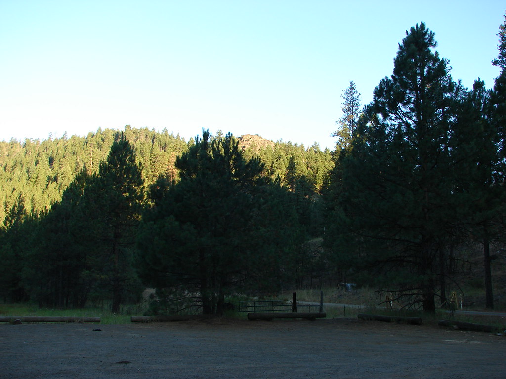
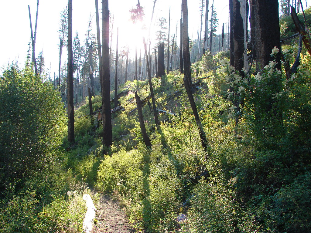
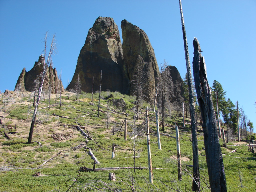
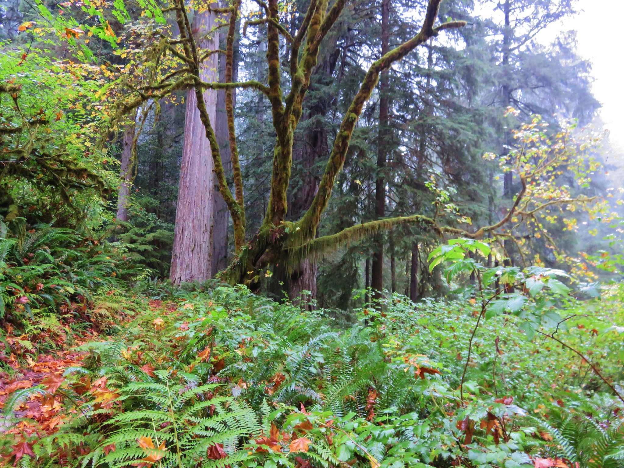
It was a smokey and overcast drive to park, but visibility was pretty good at the Pinnacles Trailhead.
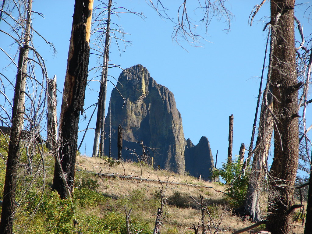
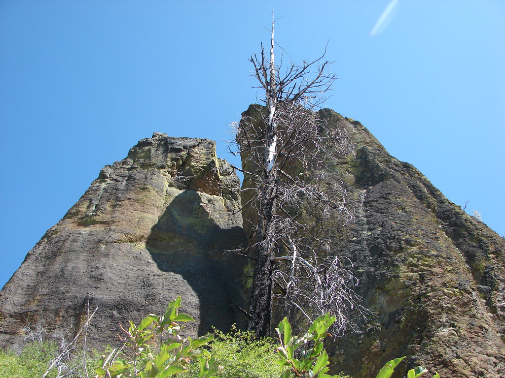
The pinnacles are a result of gasses escaping superheated rocks after a volcanic eruption through vents and welding the pyroclastic deposits in their immediate vicinity


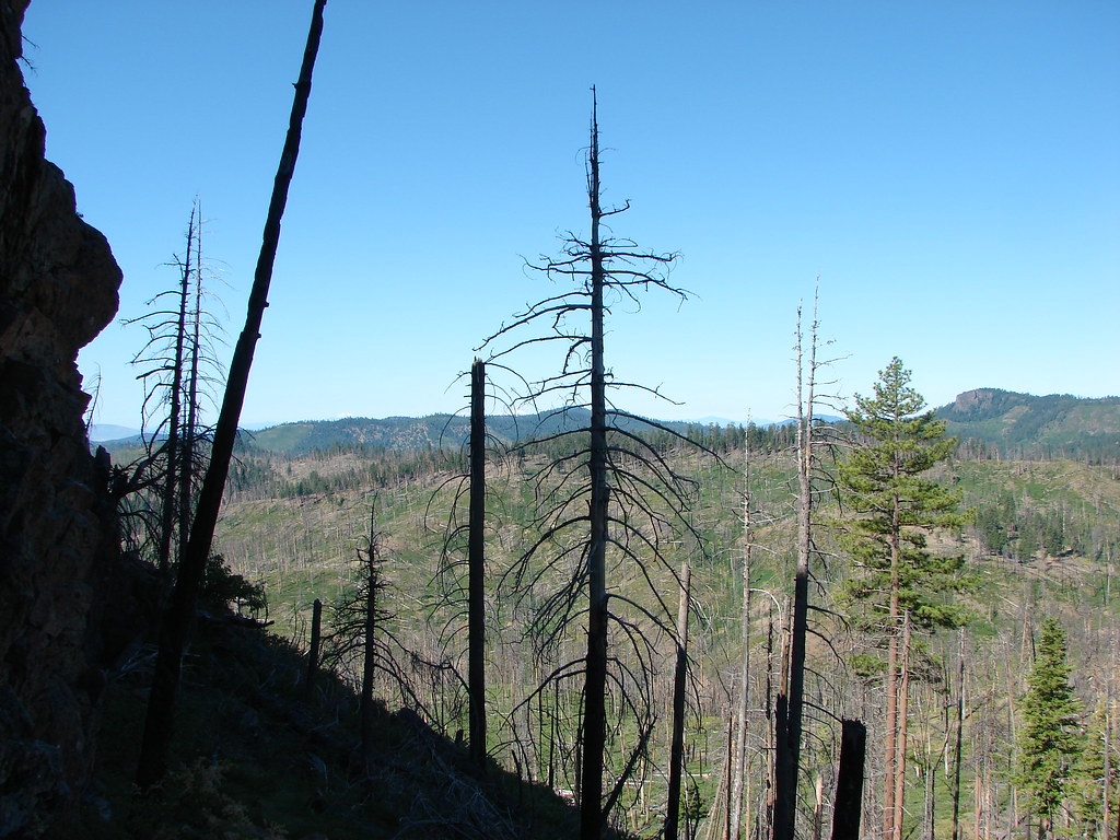
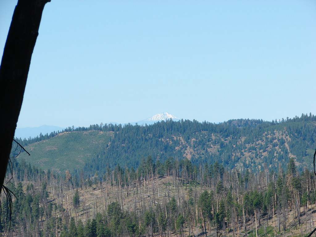
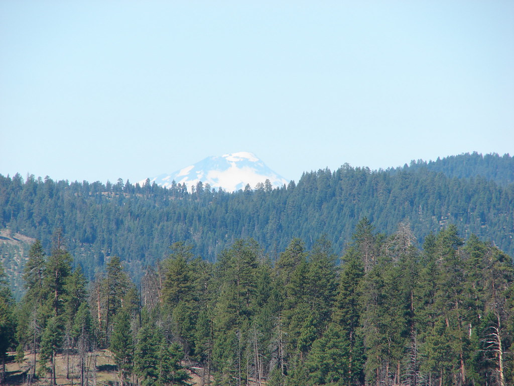
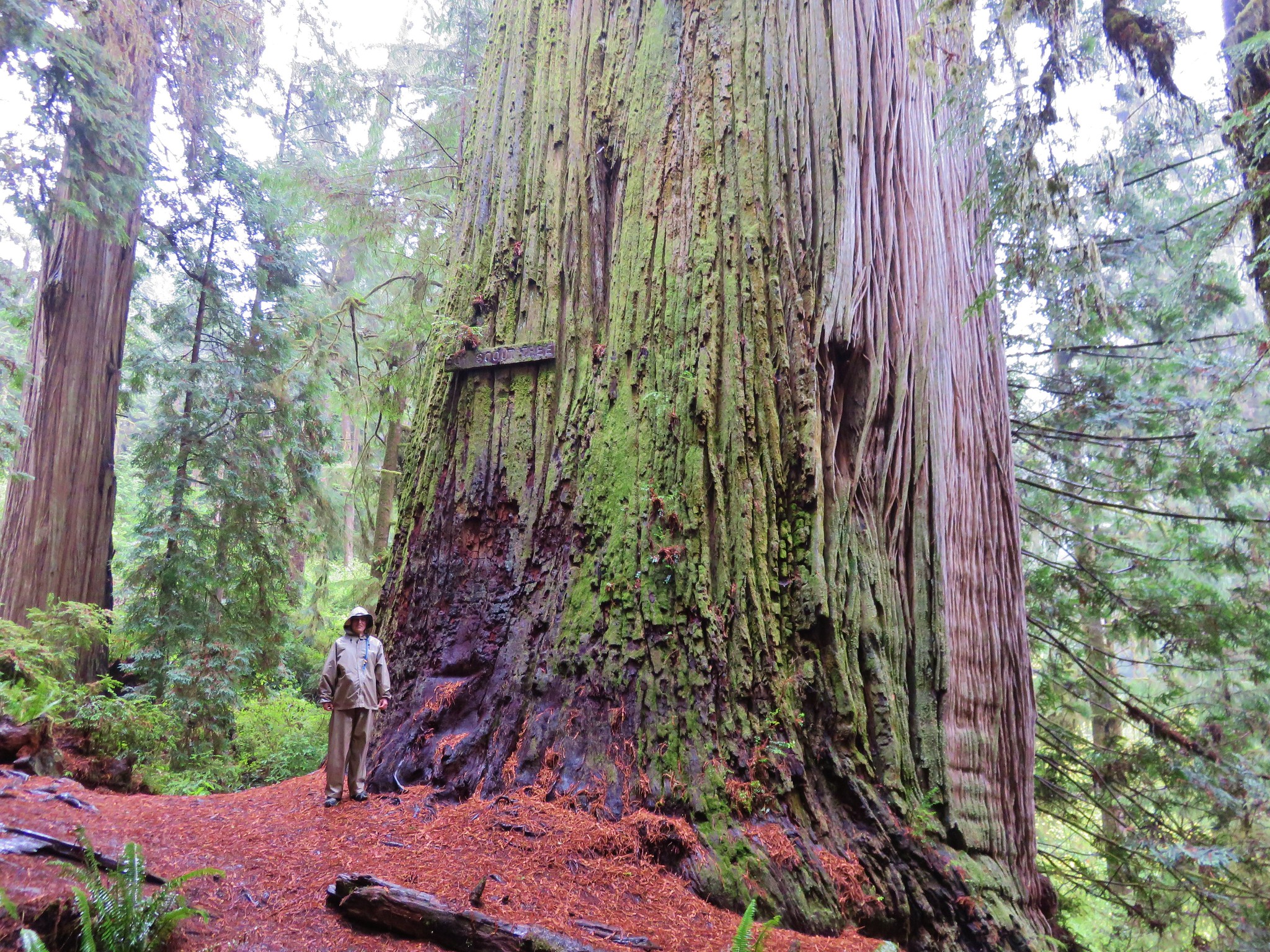
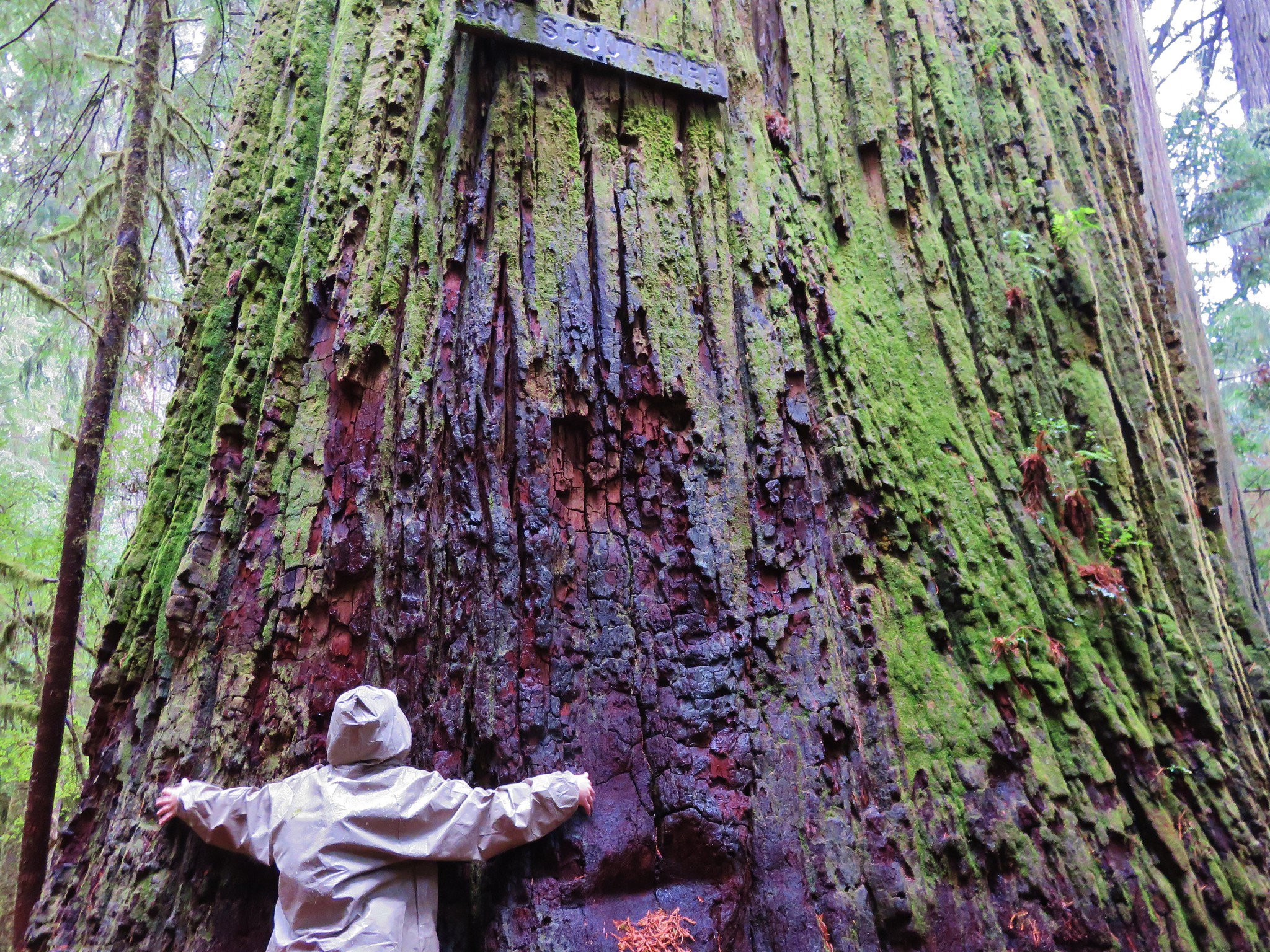
Mount Scott (post)
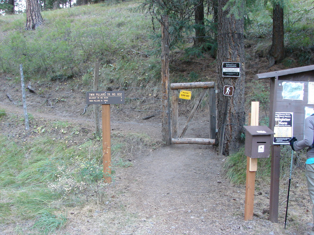
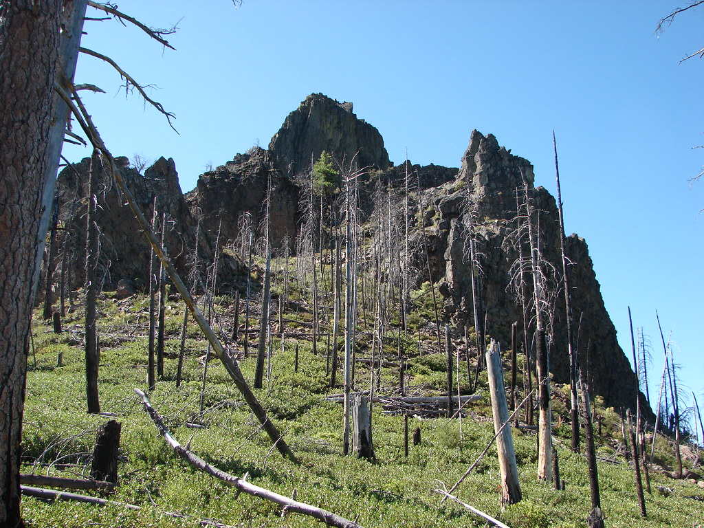
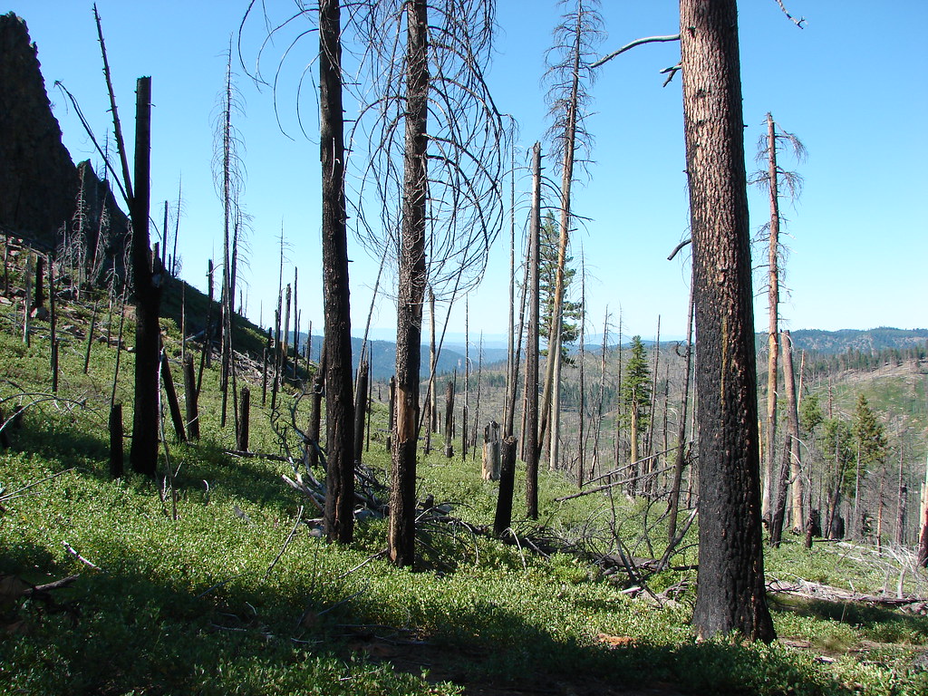
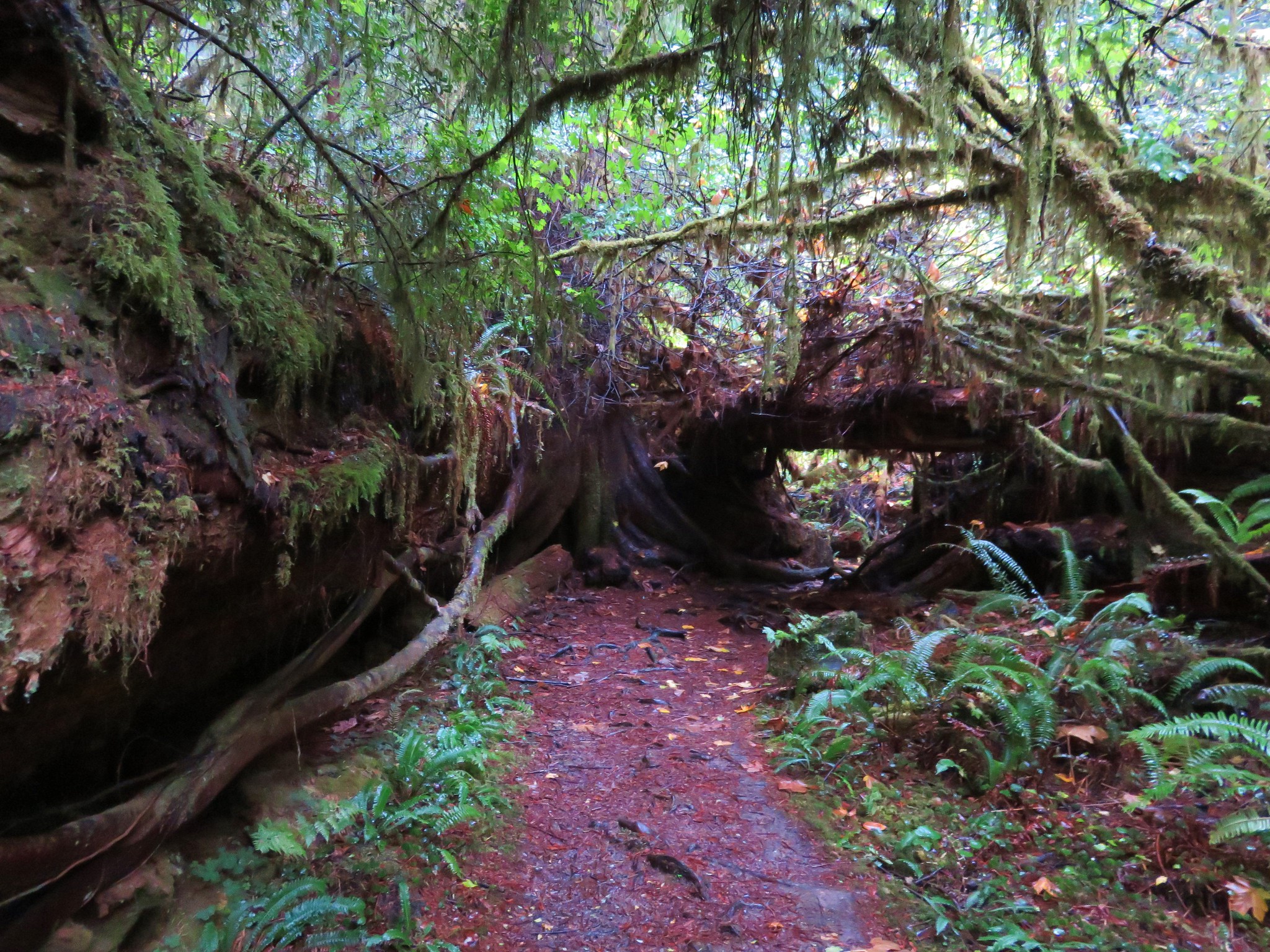
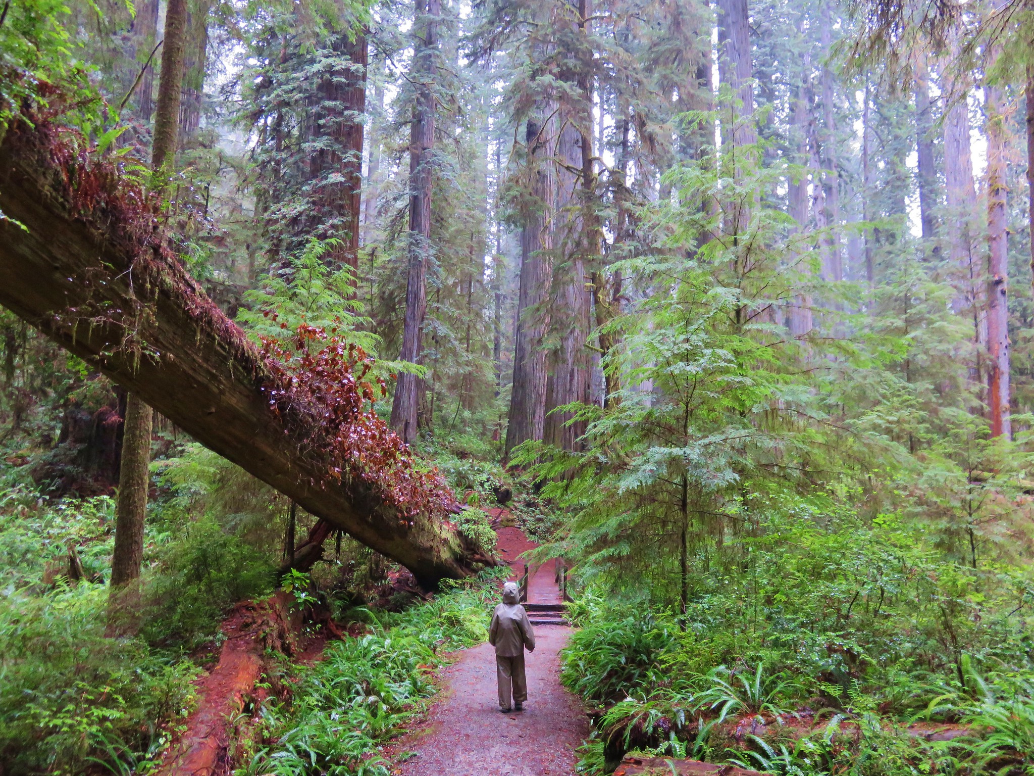
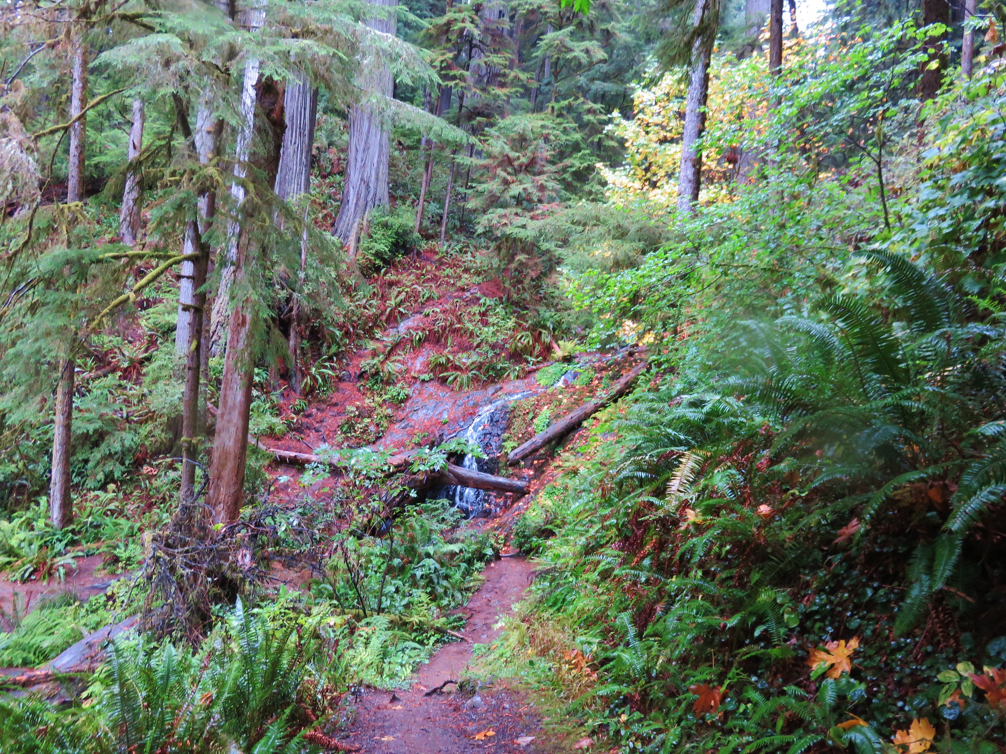
We followed the trail nearly half a mile to the former East Entrance to Crater Lake National Park.

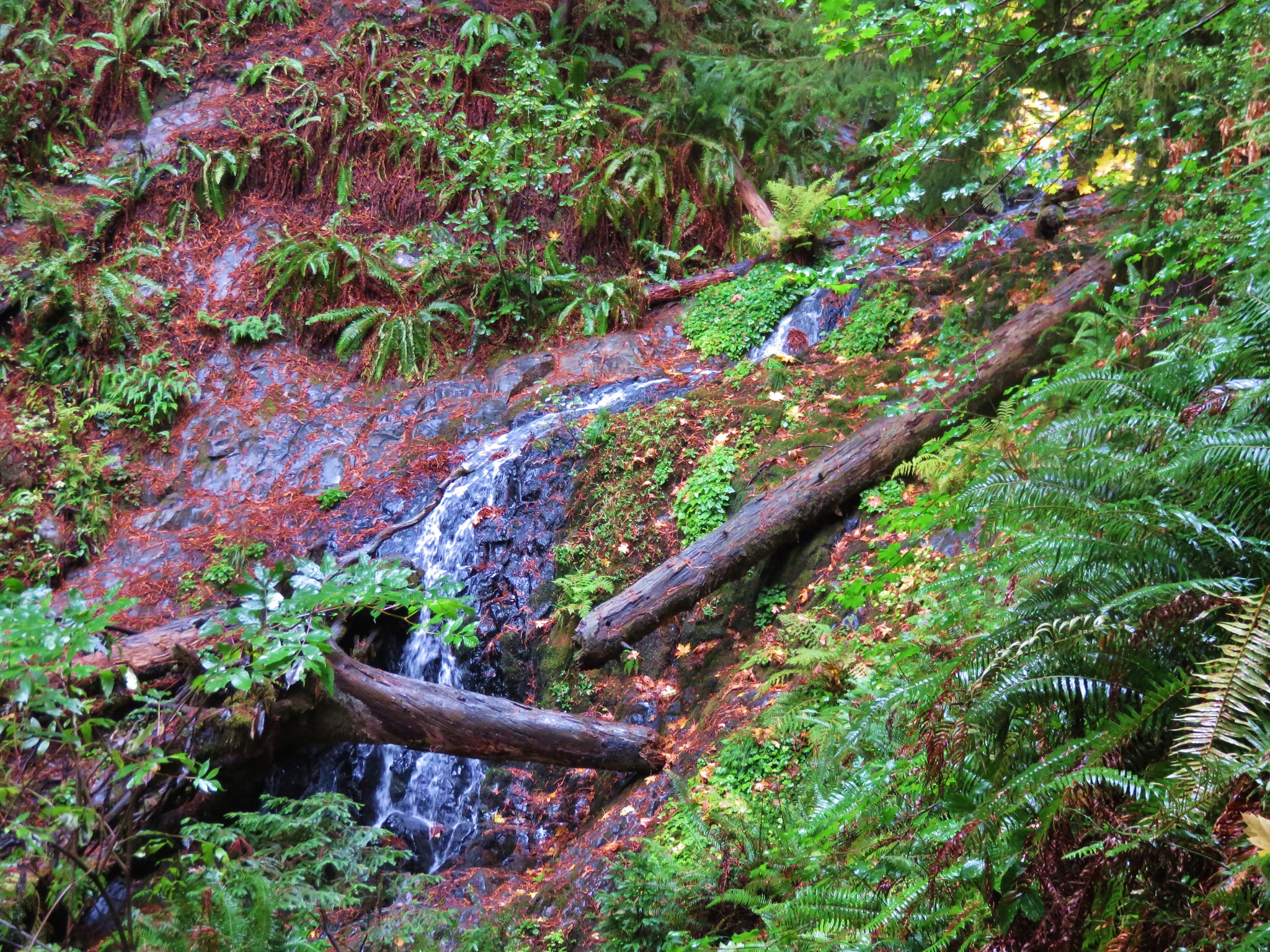
Wheeler Creek below the trail.

Golden-mantled ground squirrel


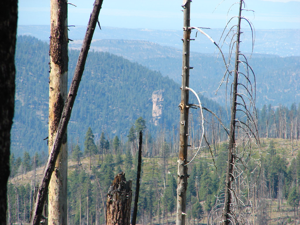
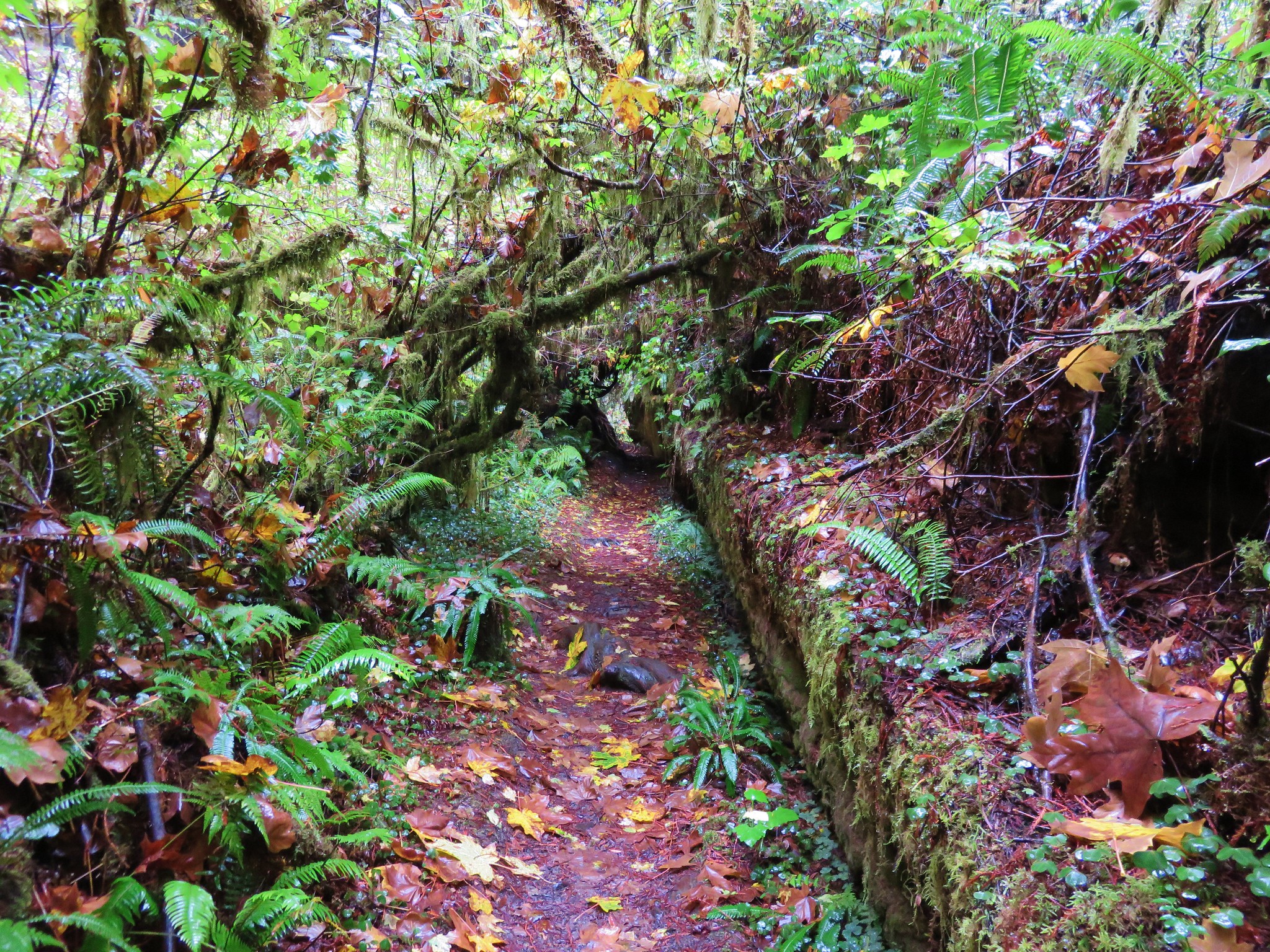
Coming up on the park boundary.

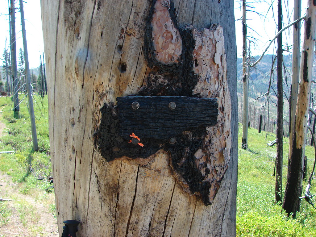
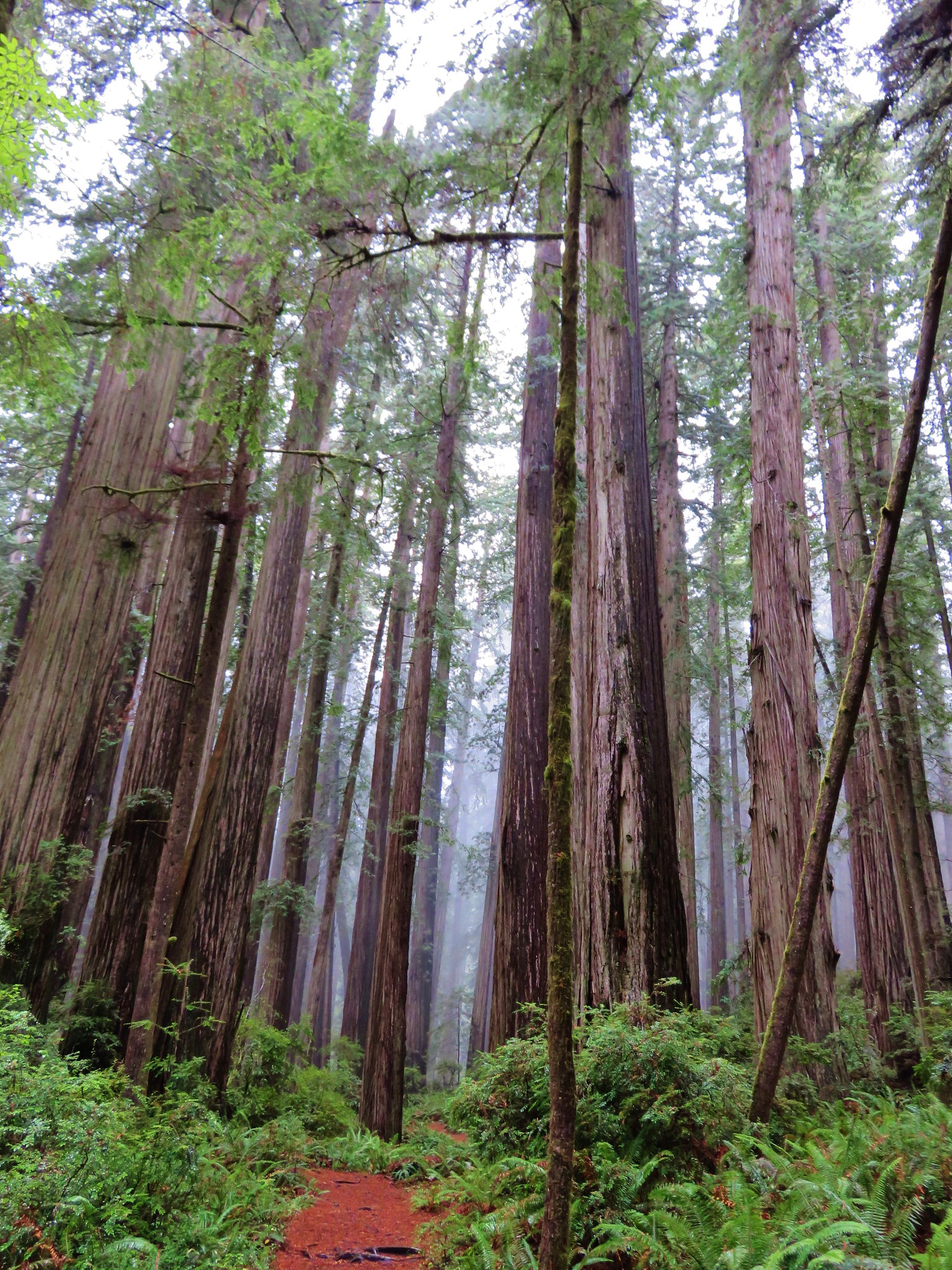
The former east entrance.
You can continue another half mile to FR 2304, but the best views are behind you at this point. We turned around here and returned to the car and headed for our next stop.
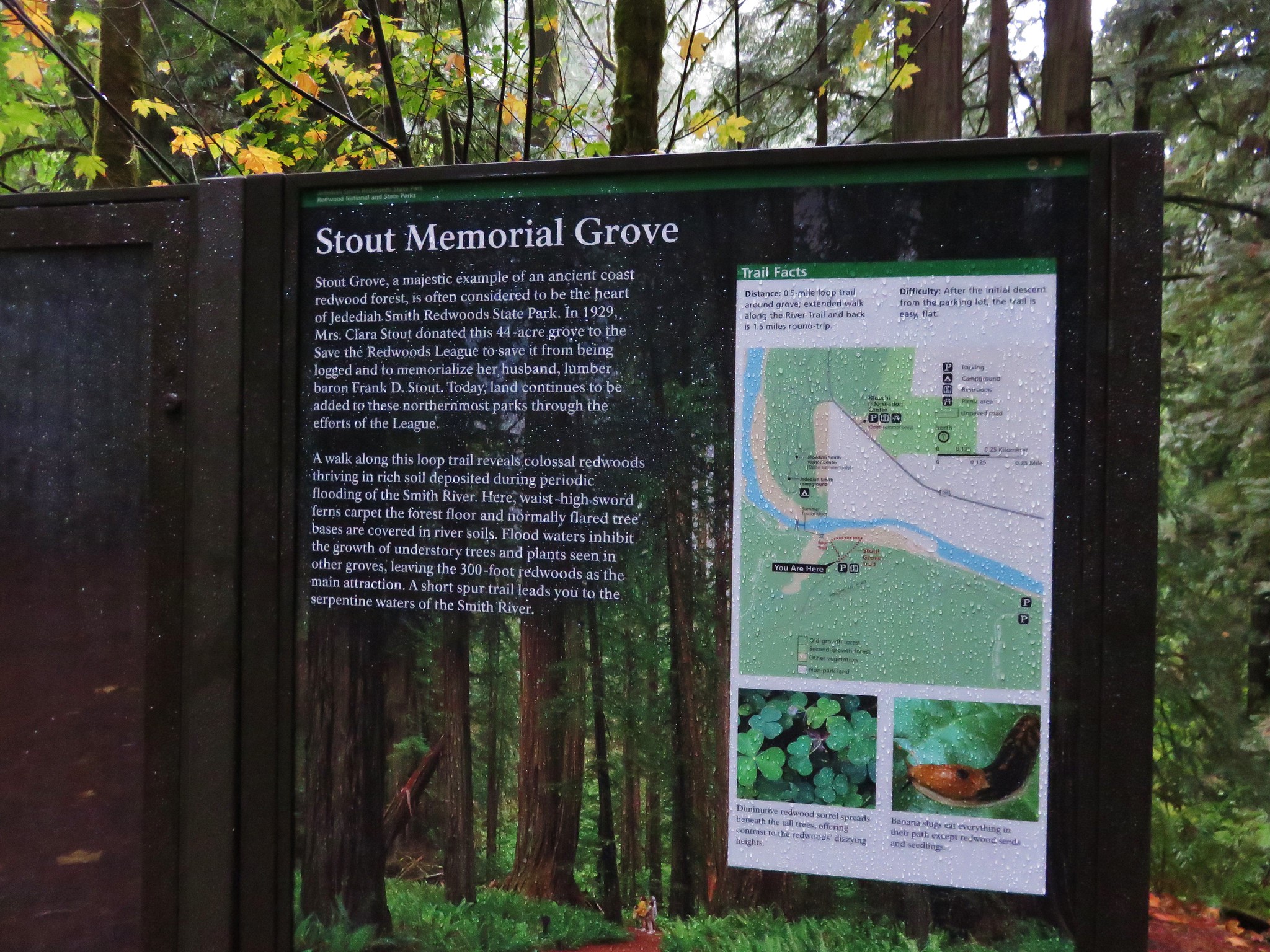
The second trail that had been closed in 2023 was the Lady of the Woods loop. The 0.7-mile loop starts at Park Headquarters, but we opted to park at the Castle Crest Trailhead instead.
Starting here allowed us to re-hike the 0.5-mile Castle Crest Wildflower loop then take a 0.4-mile connector trail to Park Headquarters for the Lady of the Woods loop.


Monkshood

Lewis monkeyflower

Monkeyflower

Lupine


Bistort


Hummingbird

Columbine and a visitor.

Fireweed

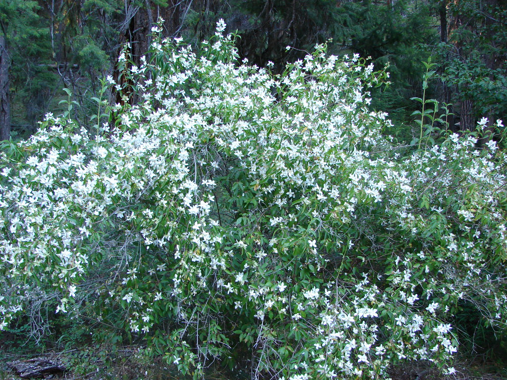
Bog orchid


Scarlet gilia
After completing the loop we headed for the headquarters.

Rim Drive and Park HQs.

Steele Visitors Center
We followed a pointer for the loop to the left of the visitors center.


Note the “The Lady of the Woods” sculpted in the boulder in 1917 next to the sign on the upper left side of the photo.
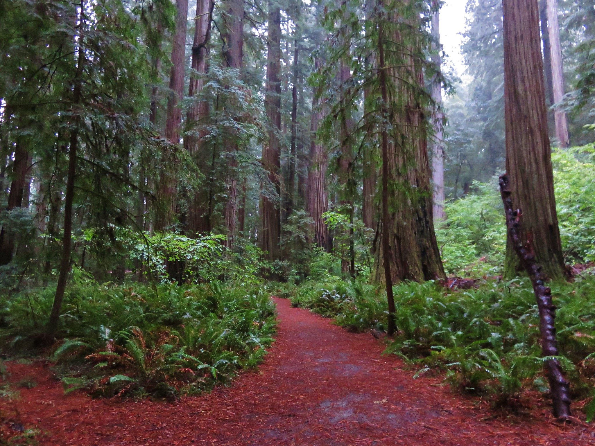
The loop climbed gradually through an open forest then passed an educational center that was formerly the superintendent’s residence.

Numbered posts were located along the interpretive loop.

Approaching the educational center.


Snow below the educational center.
Beyond the educational center the trail descended along a meadow and looped back to the Steele Center.


Arriving back at Park HQs.


Penstemon

Spirea

Completing the loop behind the visitor’s center.
We stopped in the visitor’s center for a moment then headed back to our car. The Pinnacles hike had been just under a mile and this hike came in at just 2.2-miles.
The Lady of the Woods and Castle Crest loops.
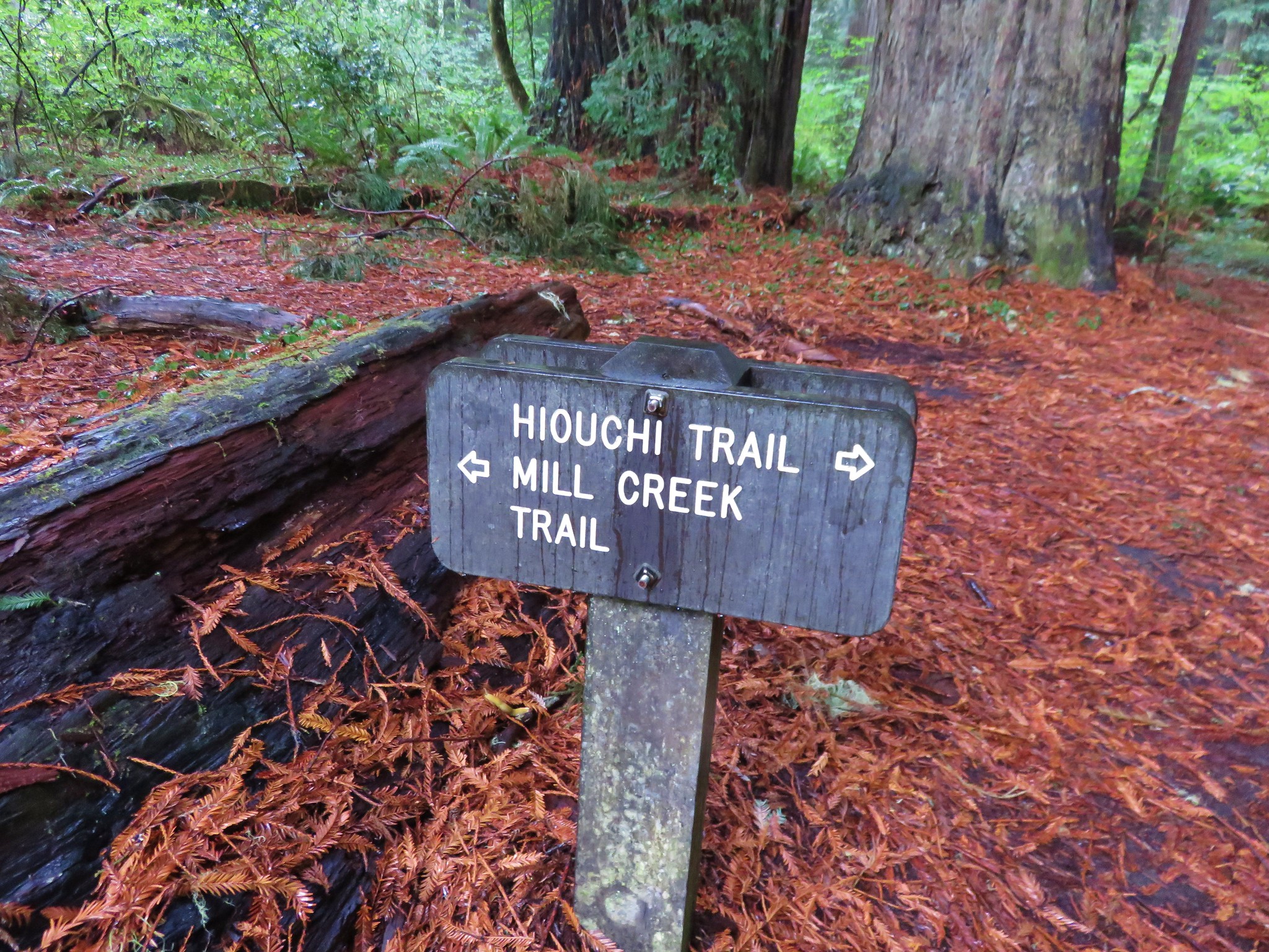
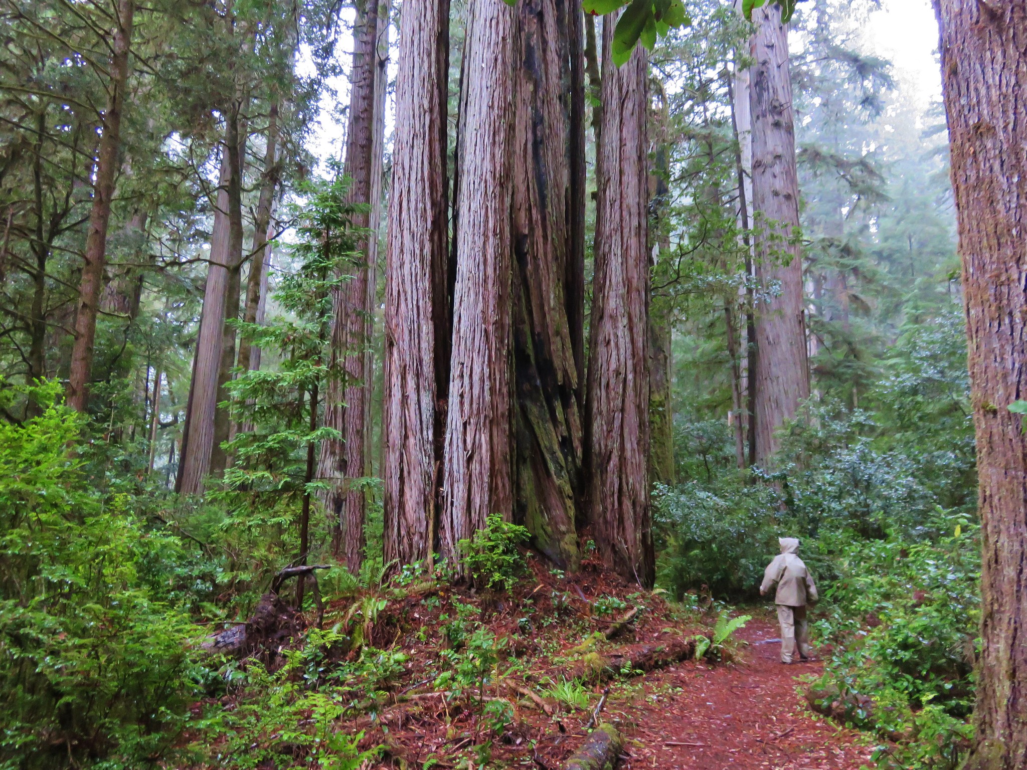
We had plenty of time and energy left for another hike and we’d chosen Pearsony Falls in Prospect, OR for our finale, but first we made a pit stop at Beckie’s Cafe in Union Creek for lunch. After our meal and securing a couple of slices of pie for later we drove to the Pearsony Falls Trailhead.
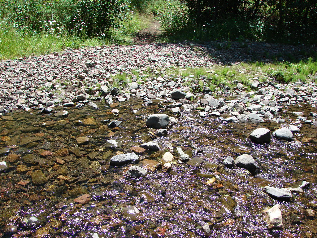
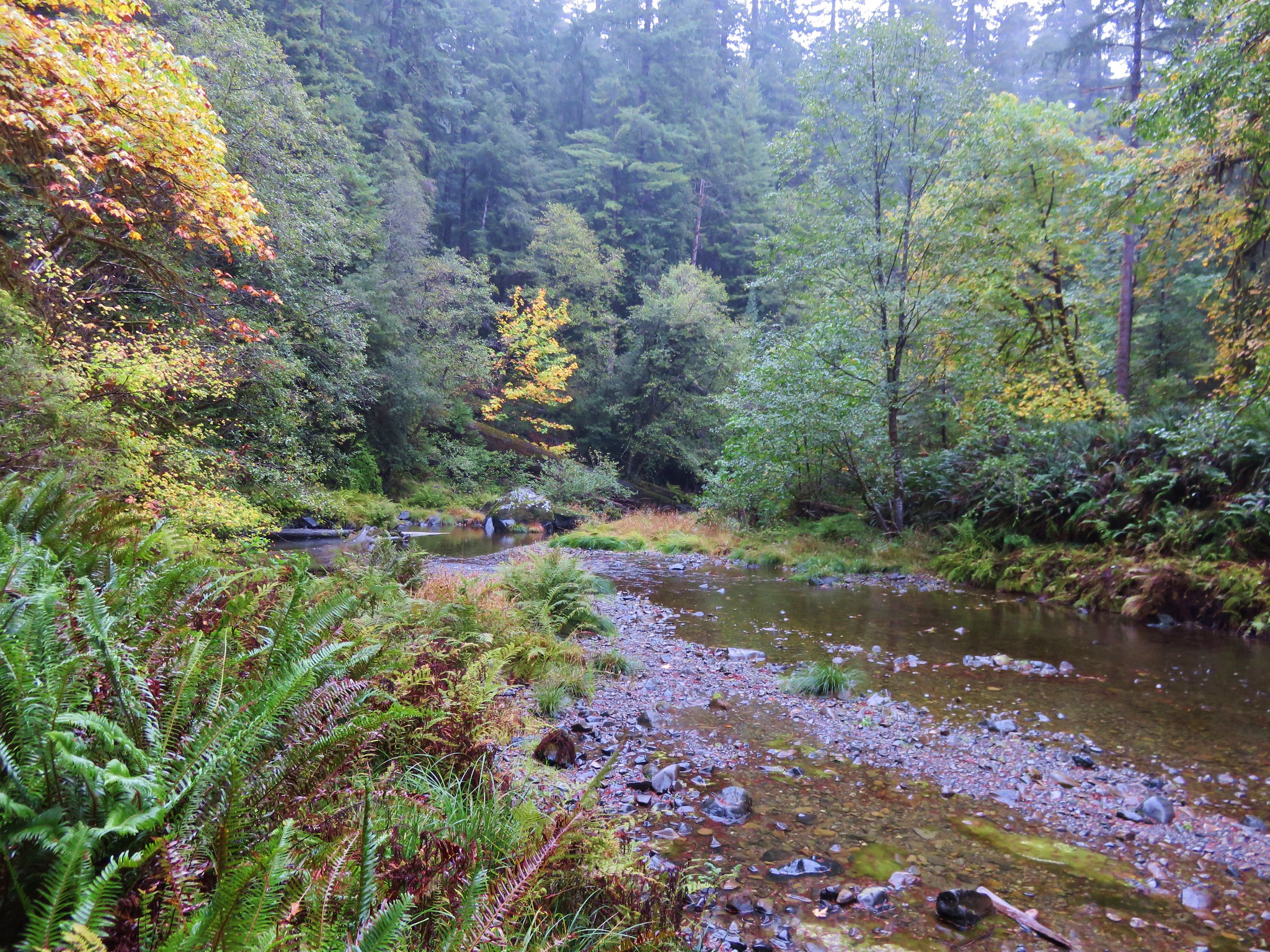
The trail starts at a large signboard and follows a wide path that soon reaches Mill Creek.


Oregon grape

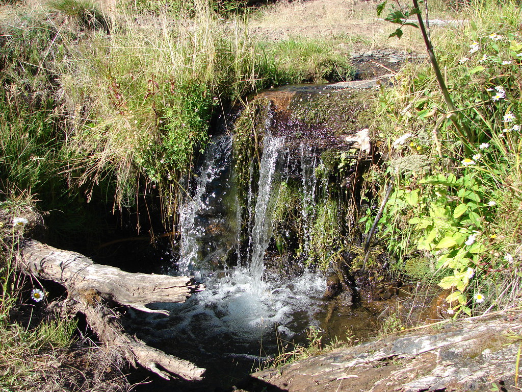
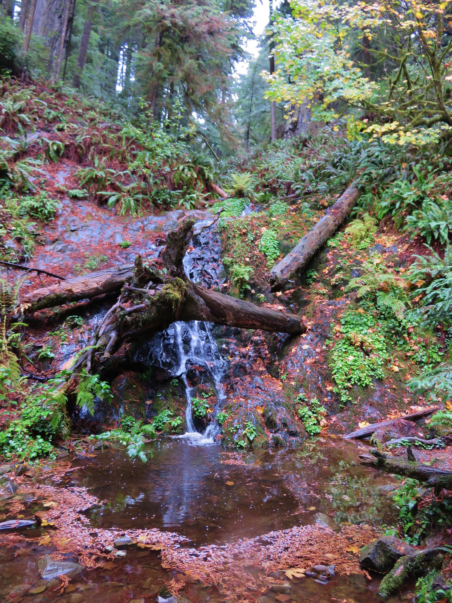
We arrived at the falls approximately a third of a mile from the trailhead.
Pearsony Falls
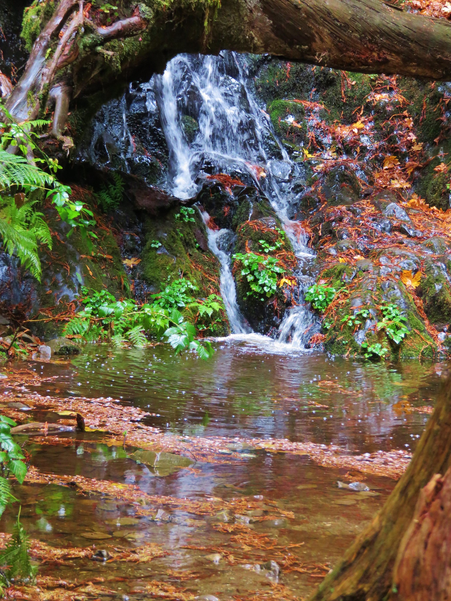
The mist generated by the falls was hovering in front of them making it impossible to get a clear photo, but they were nice to look at none the less.
Random dude in front of the falls.

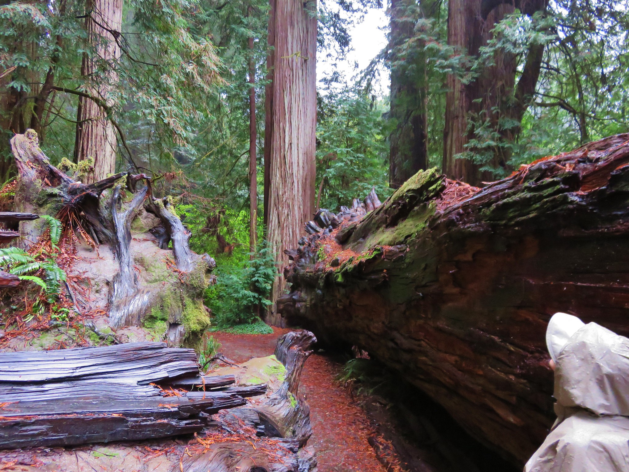
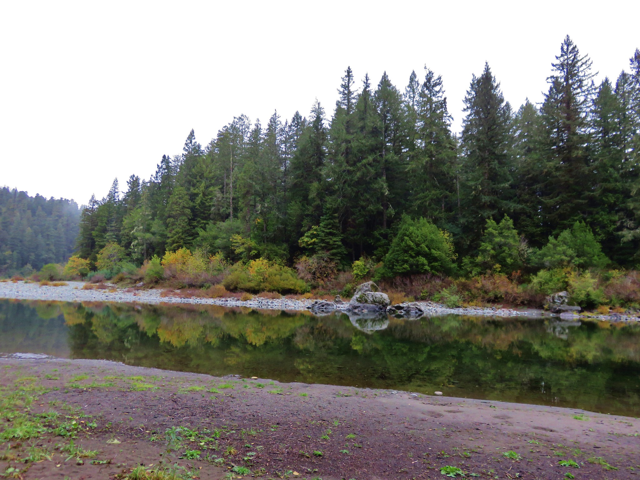
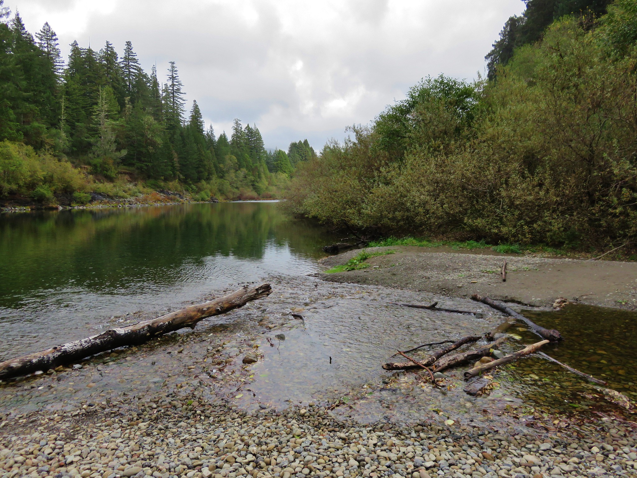
The trail continued beyond the falls another third of a mile to a viewpoint of the Avenue of Boulders on the Rogue River.

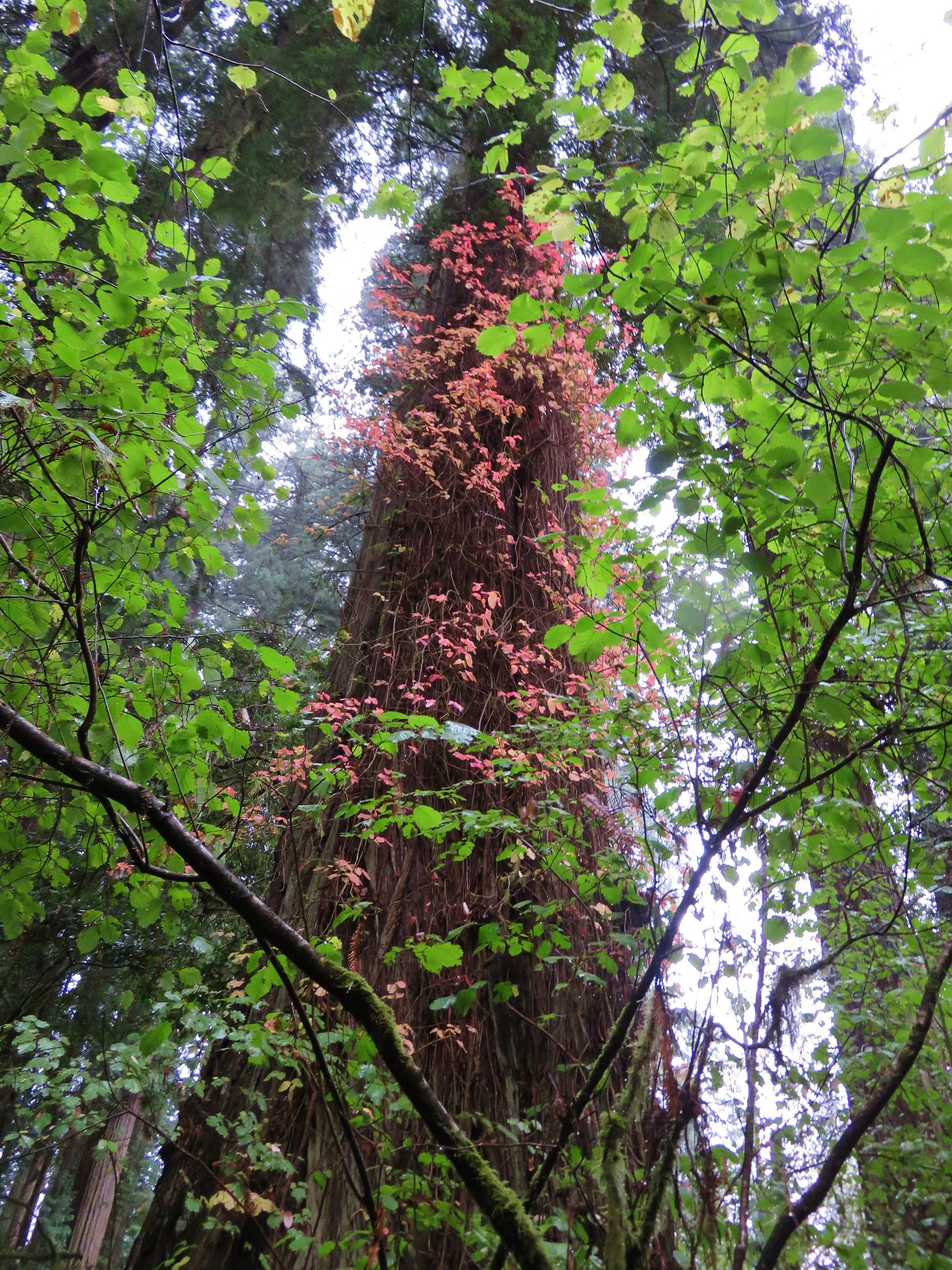
Madrones


We’d seen this feature from the other side during a hike to see Mill and Barr Creek Falls (post).
The trail continued beyond the viewpoint, so we did too, at least for another quarter mile. It was getting brushy and fainter as we neared Mill Creek again. When we looked at the GPS and saw that we had reached the end of the trail shown on that map. We turned back opting not to try and reach the lip of Mill Creek Falls.

Our turnaround spot.
We headed back passing quite a few other hikers along the way.
There was a slightly clearer view of the falls on the way back.
This hike came to 1.7-miles giving us a total of 4.8 for the day with just a little over 300′ of total elevation gain.
Ignore the “Barr Creek Falls” label to the upper left, the map has the placement wrong. Those falls are located along Barr Creek in the lower left corner.
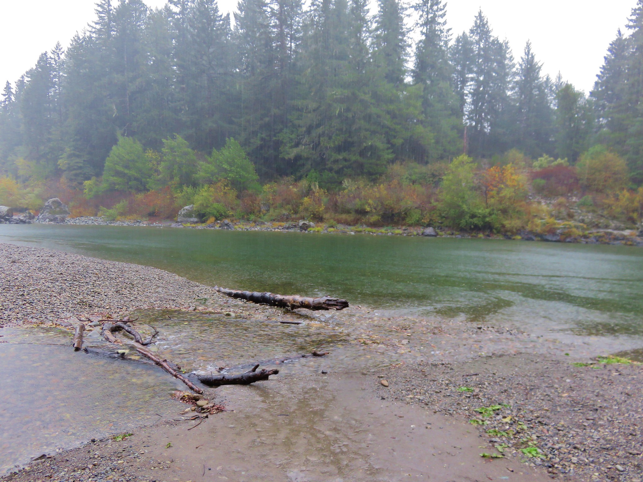
We stayed in Shady Cove for the night with a view of the Rogue River. It was a little too smokey to sit out on the balcony, but we could see rafters drift by occasionally through the glass doors. Happy Trails!
Flickr: The Pinnacles, Lady of the Woods, and Pearsony Falls