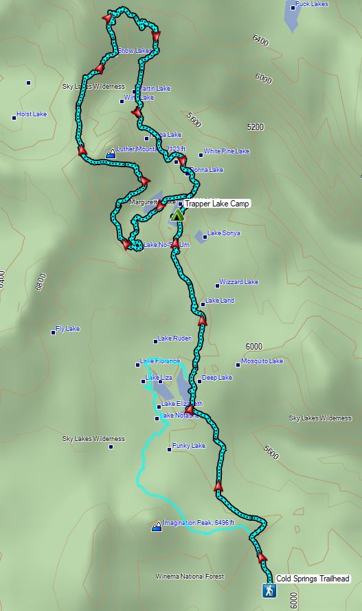
An excellent weekend forecast allowed us to head back to the Southern Oregon Cascades less than a week from our three night, four day stay in Shady Cove (post). In an attempt to give us the best chance to finish our featured hike goal (post) I’d recently broken a 5-6 day backpacking trip in the Sky Lakes Wilderness into shorter trips. During our Shady Cove stay we did the Blue Lakes Basin hike (post) and now we were back for an overnight backpack in the Sky Lakes Basin to check off Sullivan’s Sky Lakes via Cold Springs and Sky Lakes via Nannie Creek hikes. (Hikes #43 & #44 respectively in edition 4.2 “100 Hikes/Travel Guide Southern Oregon & Northern California.)
We started at the Cold Springs Trailhead.

 Shelter at the trailhead.
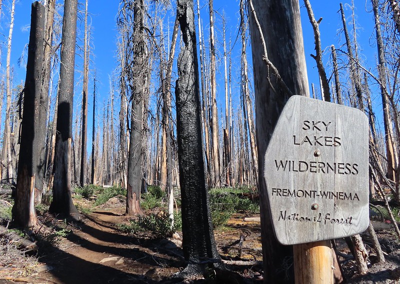
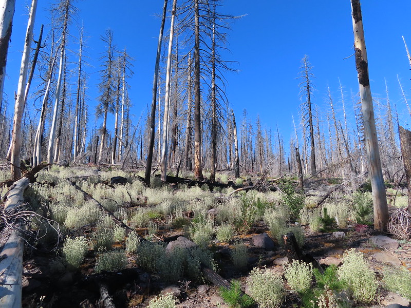
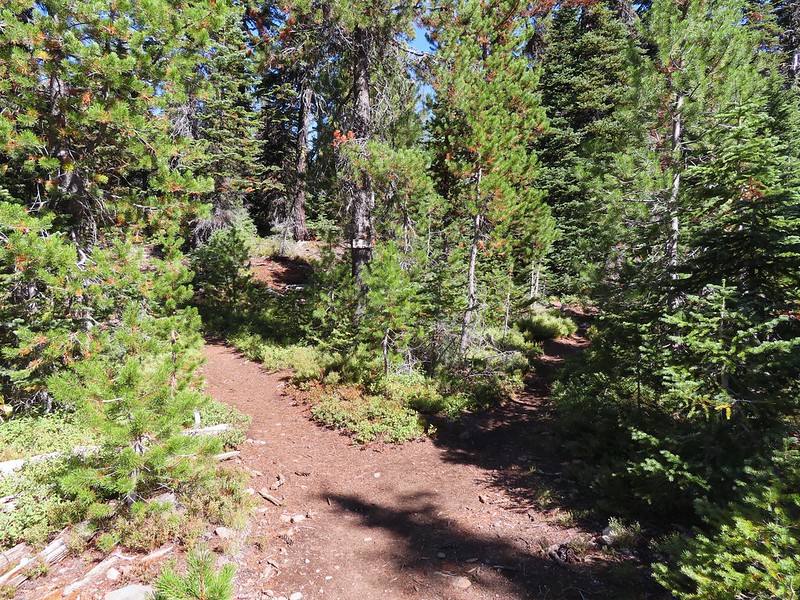
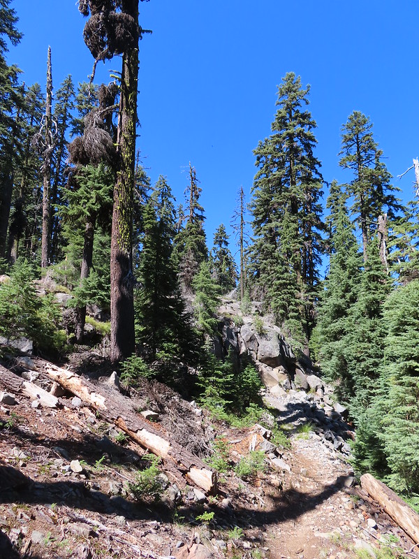
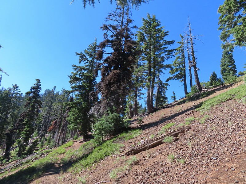
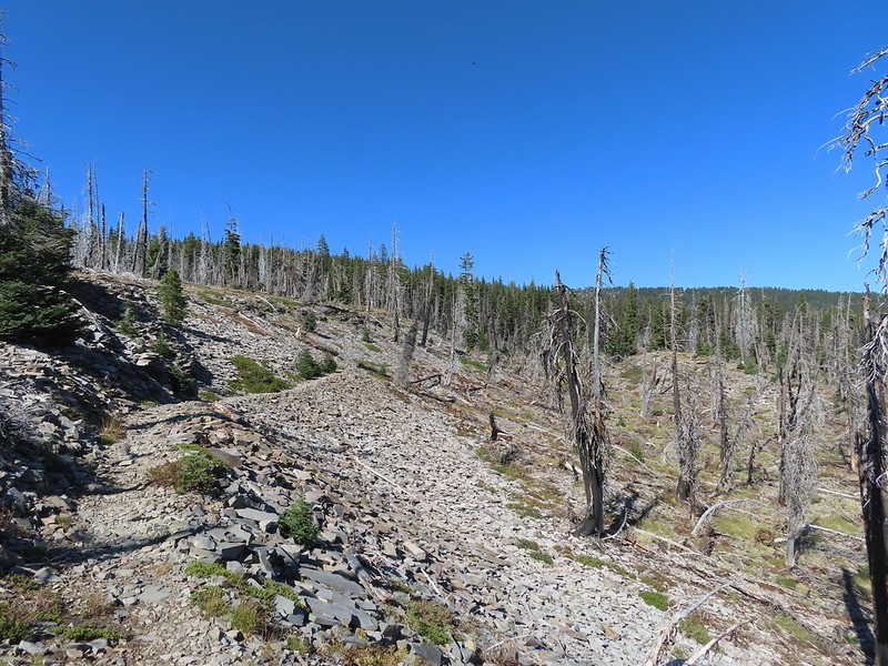
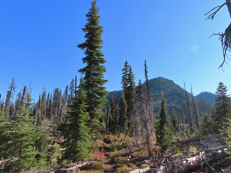
We set off through a 2017 fire scar following the Cold Springs Trail into the Sky Lakes Wilderness.


 Aster
Aster
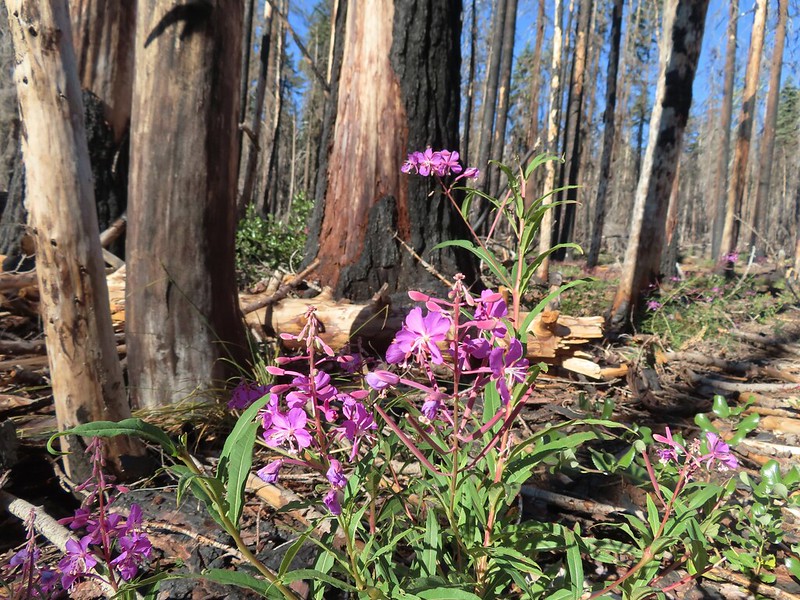 Fireweed
After 0.6 miles we came to a junction with the South Rock Creek Trail.
Both forks would lead to the Heavenly Twin Lakes but the South Rock Creek Trail would do it in a shorter distance (1.8 vs 2.4 miles) so we stayed to the right and followed that trail through more burned forest.

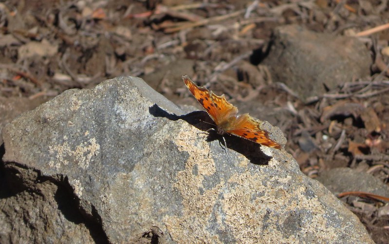
 Comma butterfly
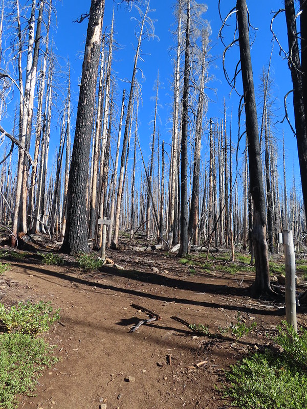
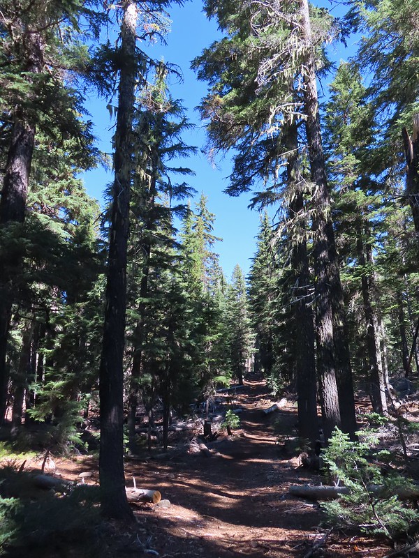
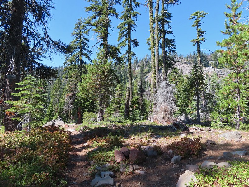
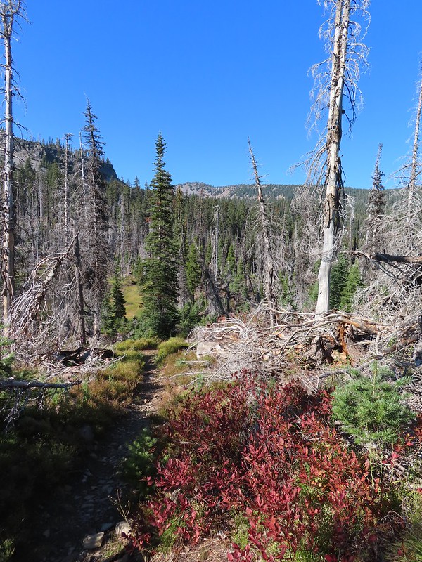
We left the fire scar after about a mile and continued another 0.8 miles to the first Heavenly Twin Lake.
 Exiting the fire scar.
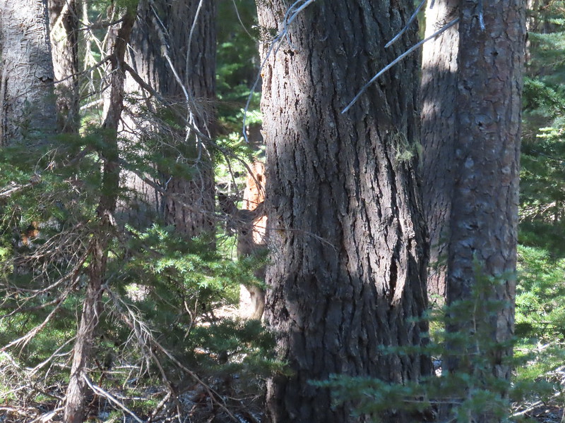 Doe watching us through the trees.


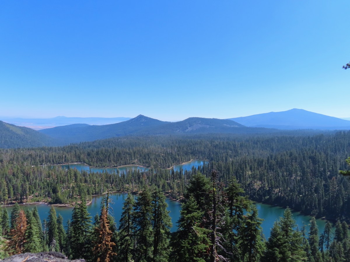
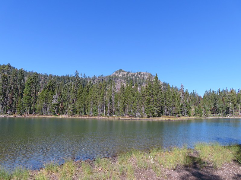
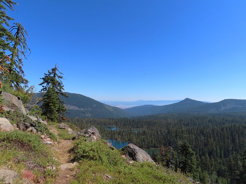
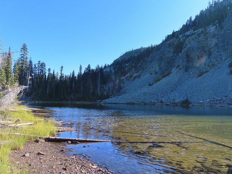
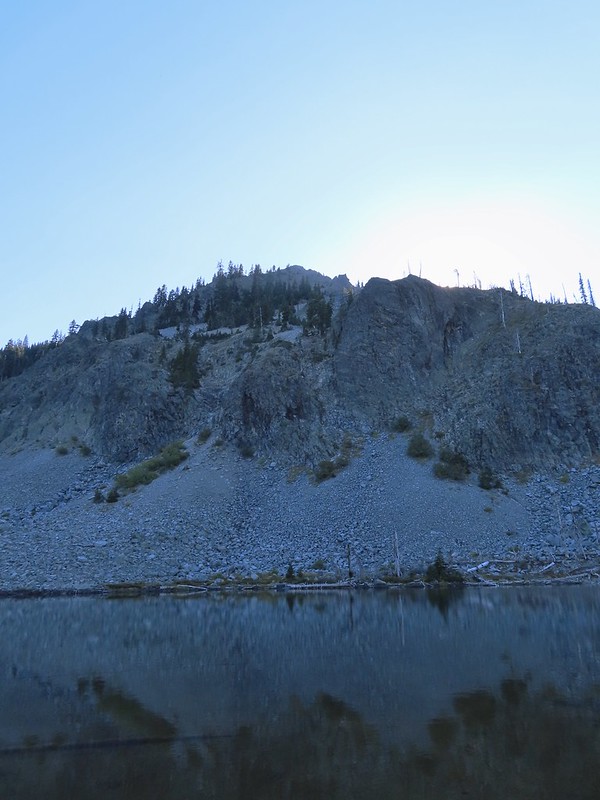
The larger lake lay just beyond the smaller and provided a view of Luther Mountain.
 Luther Mountain on the left and Lee Peak on the right.

After checking out the view we continued on the Sky Lakes Trail which led along the East side of the large lake arriving at the junction with the Isherwood Trail at the far end.
 Sign for the Sky Lakes Trail.

 Isherwood Trail junction.
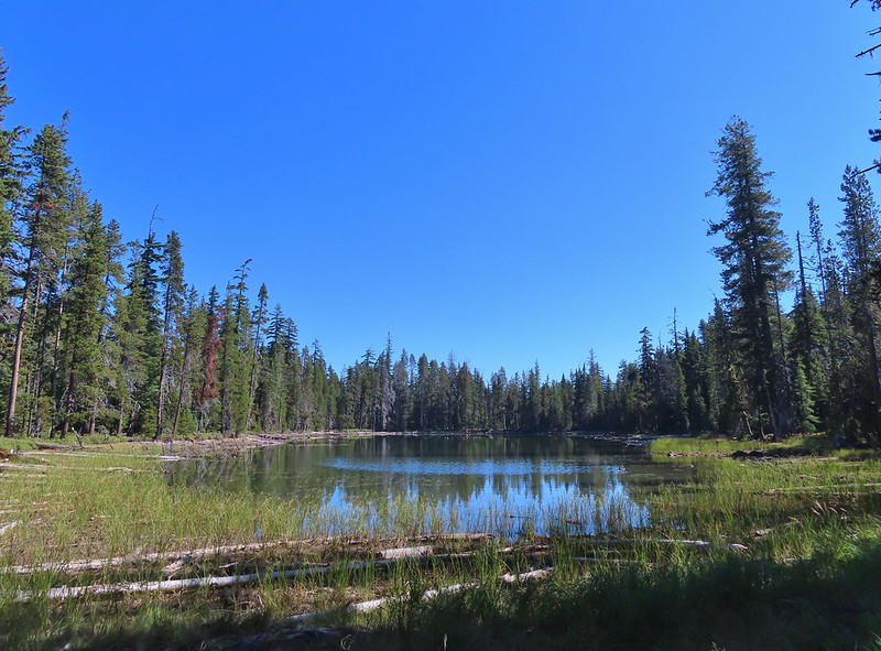
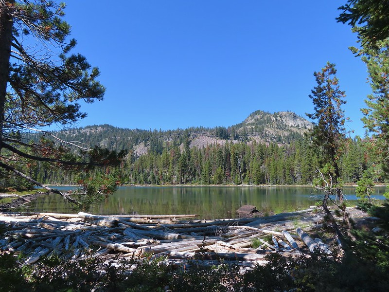
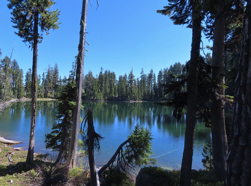
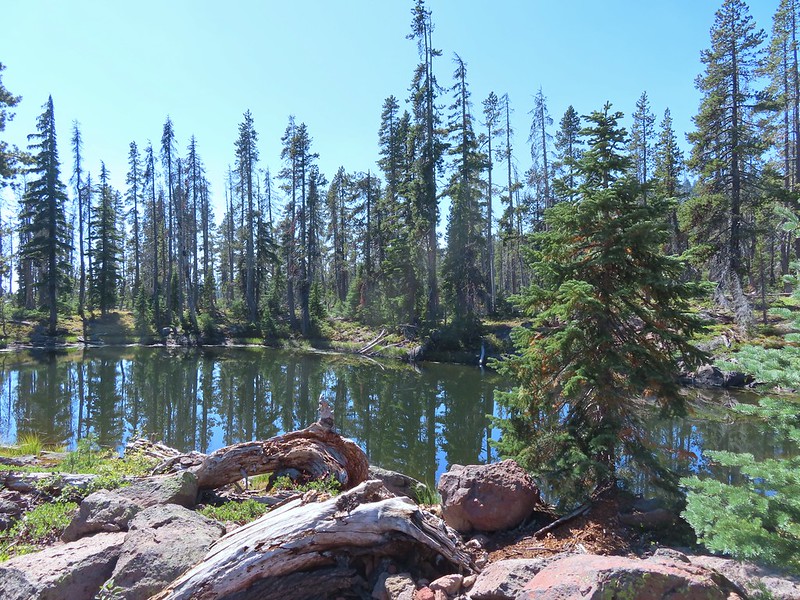
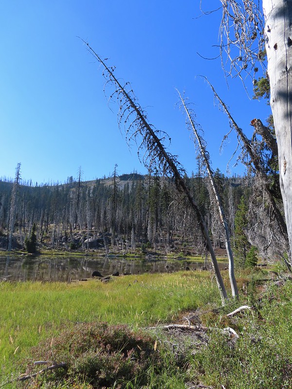
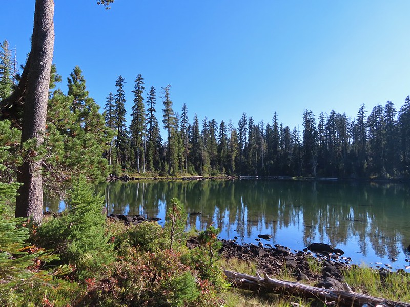
We would be taking the Isherwood Trail the next day on our way back to the car but for now we continued straight for 1.9 miles to Trapper Lake where we looked for and found a campsite for the weekend. Along the way we passed several small ponds and unnamed lakes and one named one. It was clear why the area is notorious for mosquitos until late Summer (we only noticed two the whole weekend).

 Lake Land

 Luther Mountain from Trapper Lake.

After setting up camp we returned to the Sky Lakes Trail and continued North along the lake passing the Cherry Creek Trail coming up from the right before arriving at a junction with the Donna Lake Trail.
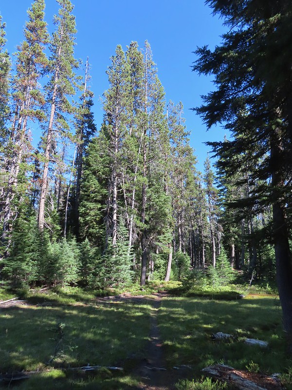
 View along the trail.
 Sign for the Cherry Creek Trail.
 Sky Lakes Trail sign.
 Donna Lake Trail to the right.
This was the start of an approximately 8.8 mile loop around Luther Mountain. We had decided to do the loop counter-clockwise so we took the left hand trail which kept us on the Sky Lakes Trail. This trail led around the North end of Trapper Lake for 0.2 miles where it met the Divide Trail.

 Divide Trail junction.
We stayed left here and started following the Divide Trail which would lead us to the Pacific Crest Trail in 2.8 miles. Shortly after starting up this trail we detoured right to check out Margurette Lake.


The trail passed close to this lake offering several views of Luther Mountain along the way.


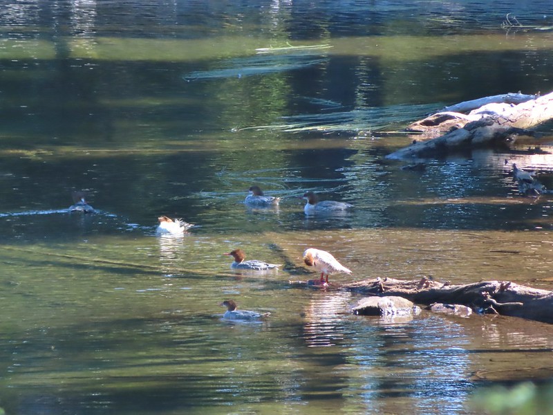
Beyond Margurette Lake the trail began to wind it’s way uphill passing several smaller bodies of water including Lake No-SE-Um where several mergansers had congregated.

The trail turned back to the North passing above Margurette and Trapper Lakes along a shelf before turning West and climbing more steeply via switchbacks.

 Saddle Mountain is in the distance with pointy Cherry Peak in the foreground. I believe that is Agency Lake visible in the Valley.
 Pelican Butte to the right.
 Mt. McLoughlin (post) to the South.
 Eagle flyby.
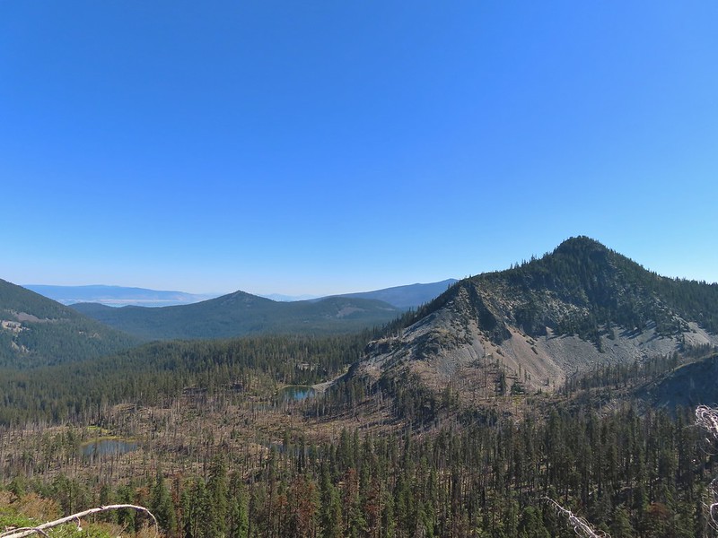
 Lather Peak with several more lakes below.
 In the distance to the left is Aspen Butte (post) in the Mountain Lakes Wilderness.
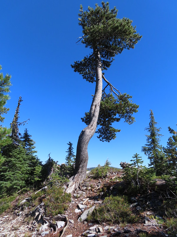
 Fall is in the air.
 On of several small bodies of water along the shelf.
 We know there were pikas out there because we heard their “meeps” off and on all day but with so many rocks we were never able to spot one.
 Heading toward Luther Mountain.
 Pelican Butte on the left and Mt. McLoughlin on the right. The peaks in the Mountain Lakes Wilderness are behind and to the right of Pelican Butte then the small, closer hump is Imagination Peak. To the right of Imagination Peak and slightly further back is Lost Peak and then further to the right (left of Mt. McLoughlin) is Brown Mountain (post). Interestingly according to Peak Finder Mt. Shasta should be visible in between Imagination and Lost Peaks but apparently there was enough smoke/haze in the sky that it was camouflaged.
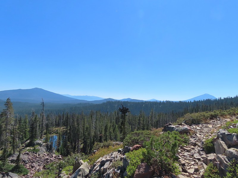
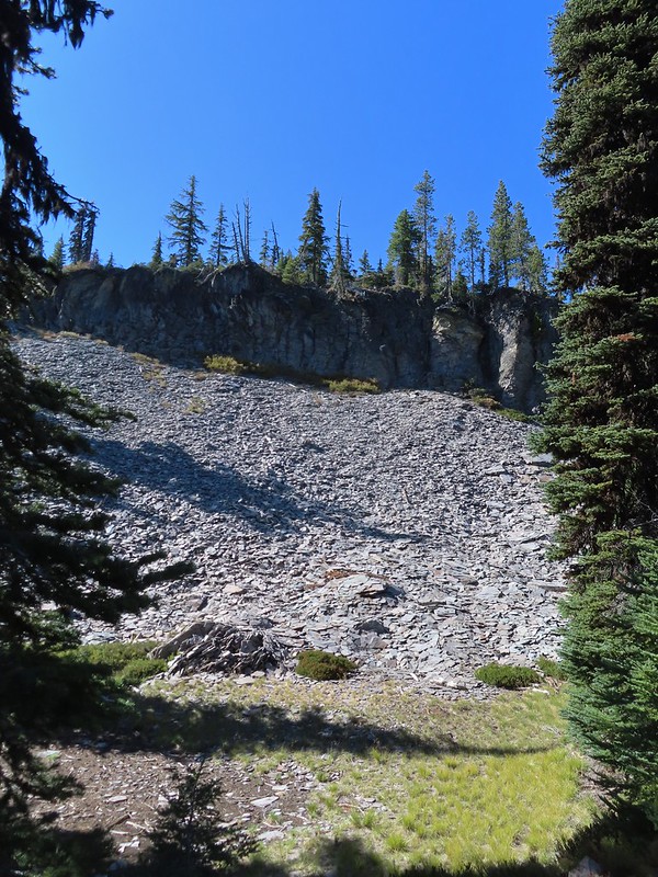
After passing through the switchbacks the trail straightened out and headed almost due West as it climbed through a rock field on the southern flank of Luther Mountain.


We left the rock field and made a final climb to a saddle where we arrived at the PCT.
 Luther Mountain from the saddle.
 The Pacific Crest Trail.

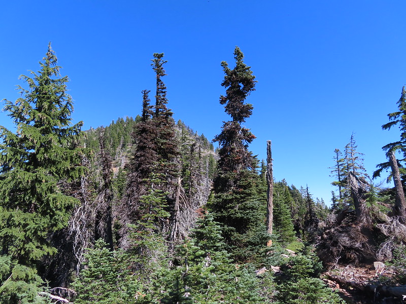
After catching our breath we turned right on the PCT which descended slightly to a ridge to the West of Luther Mountain. We followed this ridge, which had been burned in 2014, for a little over a mile to a junction with the Snow Lakes Trail.
 Lucifer Peak directly behind Shale Butte.
 Lucifer Peak, Shale Butte, Devil’s Peak and Lee Peak.
 Blowdown on the PCT.
 Luther Mountain
 Luther Mountain and Mt. McLoughlin behind us.
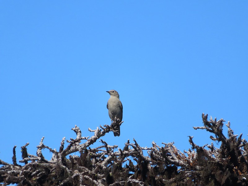
 Lots of little birds along the ridge but most didn’t stop long enough for even a poor picture.
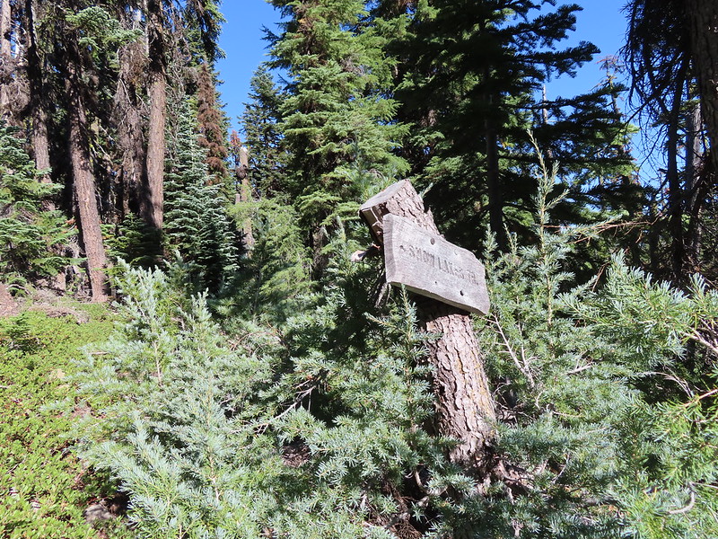
 Sign at the Snow Lakes Trail junction.
We turned right onto the Snow Lakes Trail which passed along another shelf full of small lakes.
 Martin, Wind and a Snow Lake from the Snow Lakes Trail.
 Hawk circling overhead.
 While I was trying to keep track of the hawk this Bald Eagle flew over.
 Nearing the end of the 2014 fire scar.
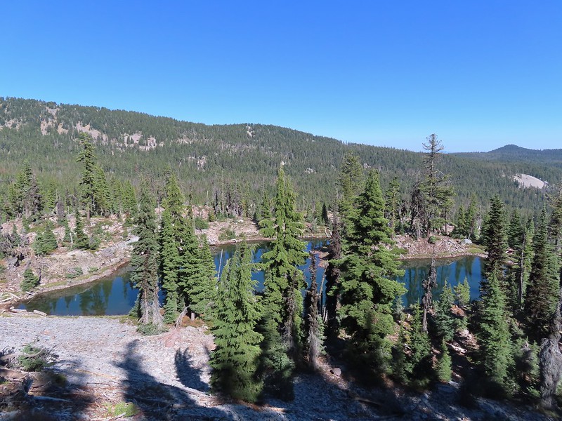
 Luther Mountain from one of the Snow Lakes.
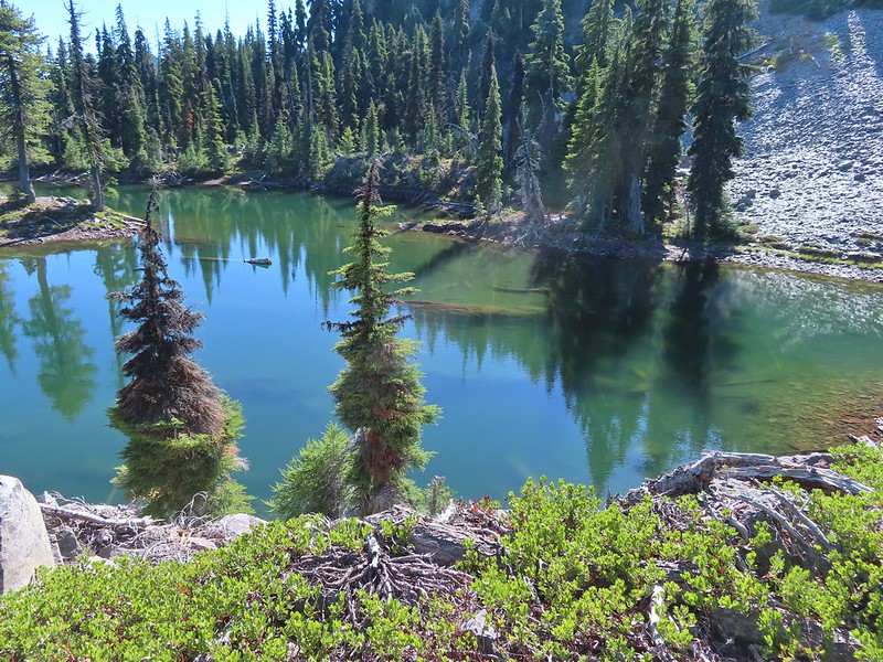
 Another of the lakes.
 Tree on the edge of the shelf.
 View from the shelf.
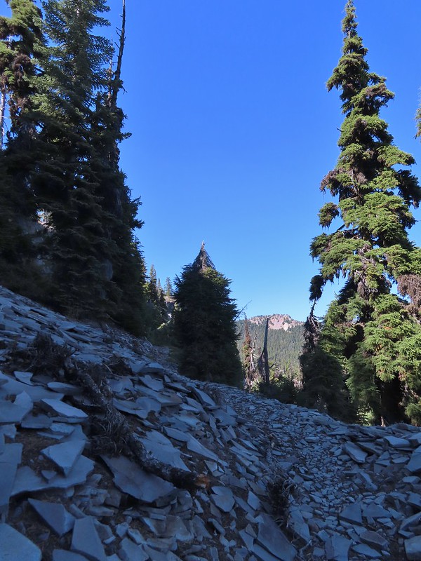
 There were many cool rock features along the trail.
 Devil’s Peak
 Lee Peak and another of the Snow Lakes.
After approximately three quarters of a mile on the Snow Lakes Trail we dropped to one of the larger lakes where we briefly lost the trail.
 A tree had fallen over the Snow Lakes Trail hiding it right where a use trail veered off to the lake. Only seeing the use trail we followed it along the lake until it petered out. A quick look at the map showed we were off-trail so we made our way back finding the downed tree covering the actual trail.
After regaining the trail we followed it downhill via a series of switchbacks past another lake.

The trail then began to turn ESE as it continued to descend toward Martin Lake and the Lower Snow Lakes. A total of 2.3 miles from the PCT we came to the Nannie Creek Trail junction.
 The worst obstacle for the day.

 Pelican Butte from the trail.
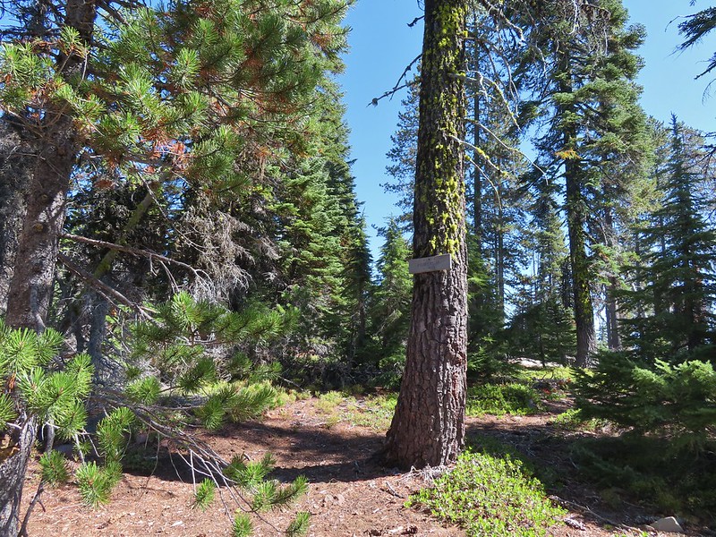
 Sign at the Nannie Creek Trail junction.
We stayed right on the Snow Lakes Trail at the junction. After 0.4 miles we passed Martin Lake on our right.
 Luther Mountain as we neared Martin Lake.
 Dragon fly blending in with the huckleberry leaves.
 Martin Lake with a view of the shelf that we’d been on.
Two tenths of a mile beyond Martin Lake we came to what was labeled Lower Snow Lakes on our map which was partly in Luther Mountain’s shadow.
 Red huckleberry leaves
We found a log in the shade along the shore where we took a nice break.

After our break we continued on the Snow Lakes Trail another three quarters of a mile to a junction with the Donna Lake Trail.


It was another 0.7 miles back to Trapper Lake either way but the Donna Lake Trail led past Deep and then Donna Lakes so we veered left and took that trail.
 Deep Lake was up first, just a tenth of a mile down the trail.
 Donna Lake was only two tenths further.
 Donna Lake Trail
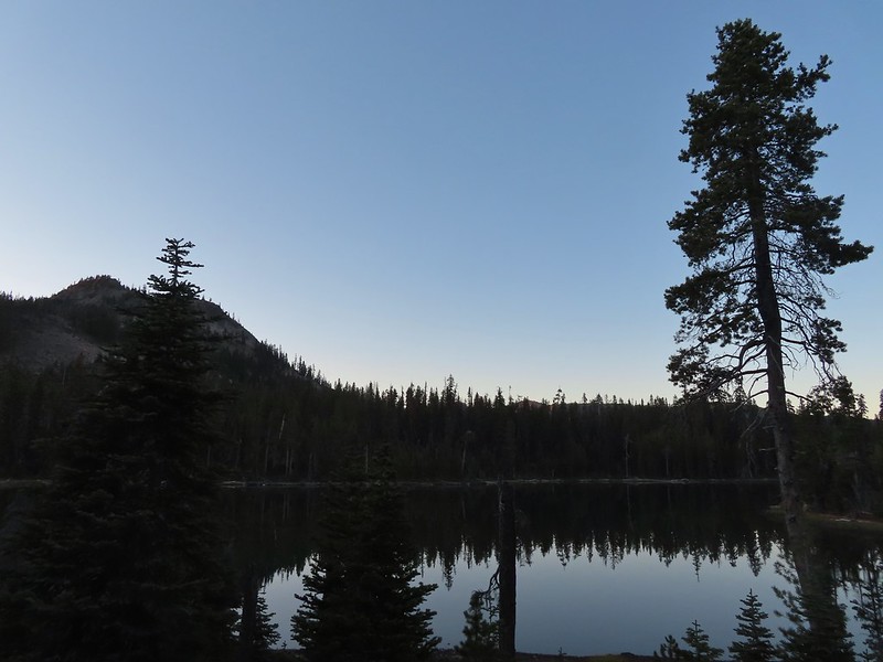
We arrived back at the Sky Lakes Trail at Trapper Lake and headed back to our campsite for dinner.
 Back at Trapper Lake.
Dinner didn’t go as planned as we realized when we pulled our water filter out that we’d left all the hoses at home. Fortunately we carry Iodine tablets for just such an occurrence so we had a way to treat water but by the time it was all said and done we decided to skip a warm meal and opted to eat some of the extra food we’d brought. At least we’d have water for the hike out the next day though. It cooled off quickly once the Sun had vanished and for the first time in a while we got to test the warmth of our sleeping systems.
Today’s hike came in at 14.5 miles with approximately 2300′ of elevation gain.
The number of lakes/ponds was almost hard to believe and the scenery was really nice. The timing was great with almost no bugs and the trails were in relatively good shape, just a few downed trees here and there but nothing too difficult to get past. Happy Trails!
Flickr: Sky Lakes Basin Day 1
