A left leg issue caused me to put hiking on hold for about a month. I was experiencing shifting discomfort and tightness from the piriformis down to the calf. It seemed to be a different location every day and after a couple of weeks the area around my knee was consistently feeling tight. X-rays and an exam showed the knee itself was in good shape structurally, so I’ve been referred to physical therapy. My first PT appointment isn’t until mid-April, but in the meantime the leg has been gradually improving and the orthopedist said I had no restrictions other than to not overdo it.
With that in mind we decided to see how my leg responded to hiking with a multi-stop outing of up to four short hikes in and around the Nehalem River Corridor. The short hikes would allow me to test my leg while allowing us to easily cut the day short if necessary.
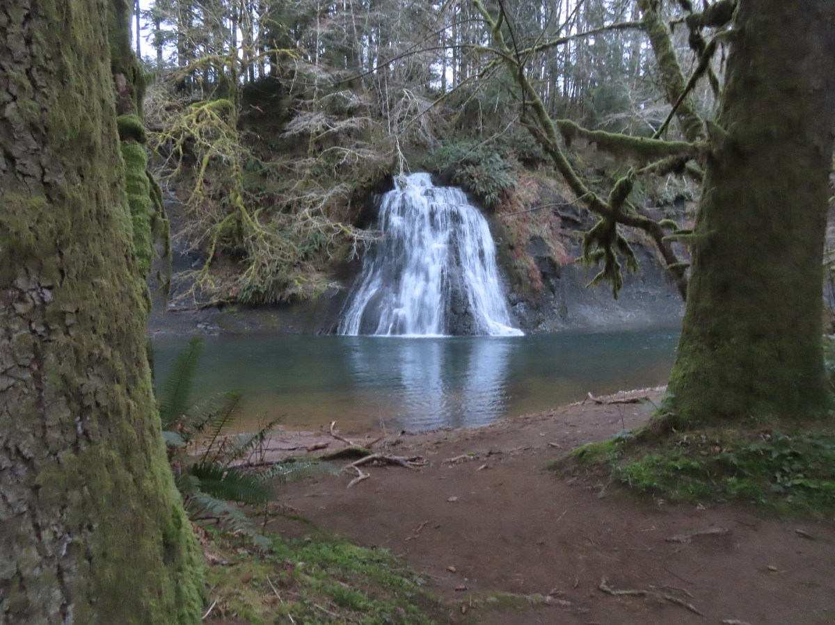
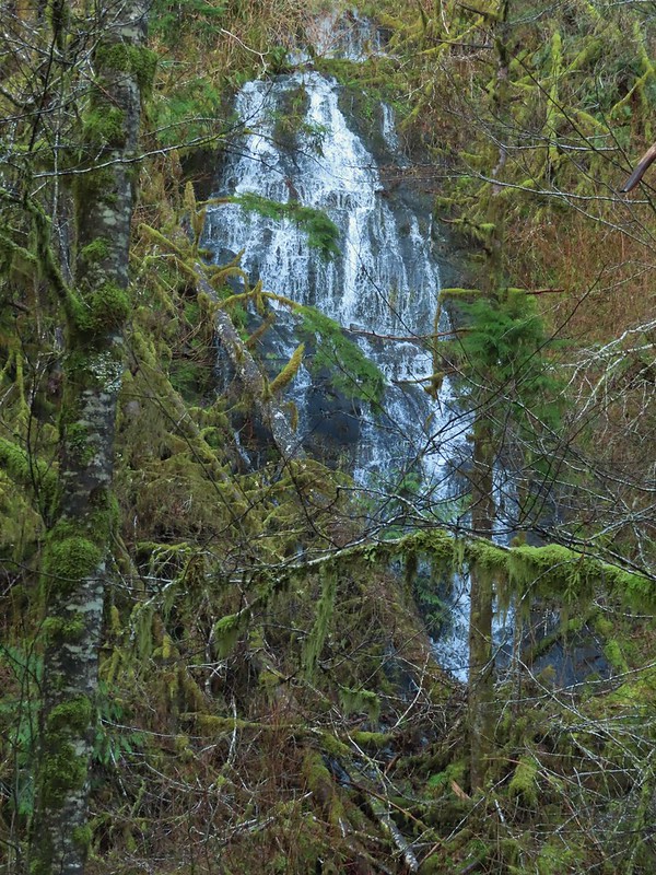
We started our morning with the shortest of the planned hikes, a visit to Umbrella Falls at the Nehalem Fish Hatchery. We had attempted to visit the waterfall in February of 2021 prior to our North Fork Nehalem River hike (post). The hatchery was closed to the public due to COVID restrictions and although walking through to the river would probably have been allowed, we opted to save it for another time. That time was now and we opted to park at the North Fork Nehalem County Park adjacent to the gate at the hatchery entrance which acts as parking for non-disabled anglers.


We walked down the entrance road stopping at the rearing ponds to look at some of the fish then continued to the western end of the hatchery to a sign for the Umbrella Falls Trail.


We followed the trail 250 yards to Umbrella Falls across the North Fork Nehalem River.


Violets

Umbrella Falls

After visiting the falls, we continued on the short loop back to the hatchery and returned to the car.


Trillium

Coltsfoot

Bald eagle above the hatchery.
This stop was just over three-quarters of a mile. Umbrella Falls is a nice waterfall, and the fish hatchery added quite a bit to see.

My leg felt great during the first stop, so we drove to our next stop at the Nehalem River Dike. There is limited parking along the shoulder of Tideland Road. There is room for a couple of cars at the location linked above. We wound up parking approximately 100 yards to the south along the shoulder to the road.


The gate at the trailhead in the Oregon Hikers Field Guide.
There is a three-quarter mile section of a grassy dike open to hiking. The dike travels between the Nehalem River and the Nehalem Bay wastewater ponds. The draw of the hike is wildlife viewing and we were not disappointed.


Swallows

One of a several great blue herons.

Red-winged blackbird

The city of Nehalem across the river.

Mallards

Scaup

One of the wastewater ponds.

Seal

Common mergansers

Northern shovelers

Great blue heron

End of the dike trail.

Heading back.

Sparrow

Bufflehead

Caterpillar

Bald eagle

Northern flicker

Cormorant
This hike was just over 1.75-miles with nice views and a lot of wildlife which made for an enjoyable hike.

I was still feeling good so when we got back to the car we headed for our third planned stop at the Nehalem Falls Campground. With the campground still closed for the season we parked near the gate at the entrance road.

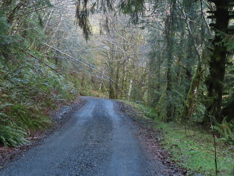
We walked down the entrance road a tenth of a mile to a sign for the “Hiking Trail”.

Skunk cabbage

Day use parking area

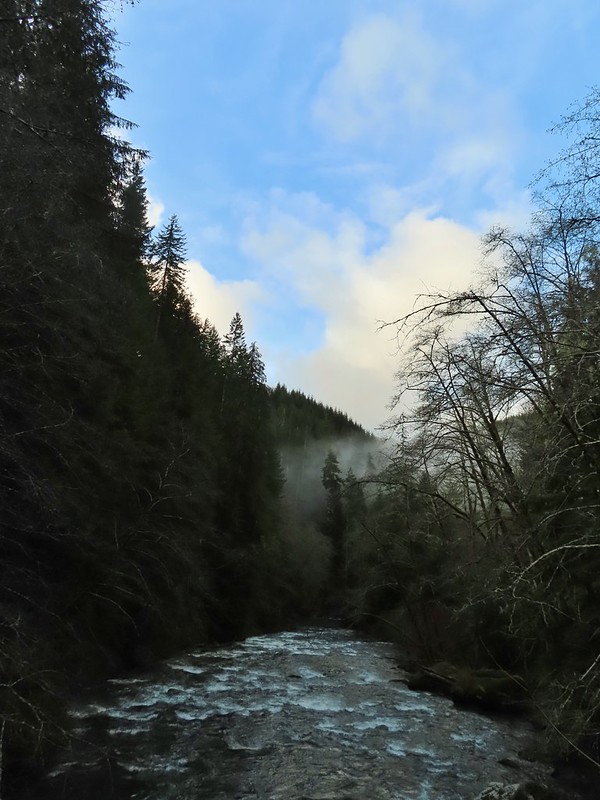
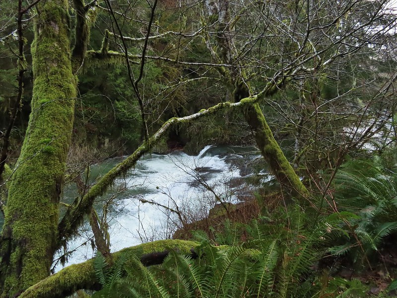
We headed down the trail which quickly drops near the river at Nehalem Falls. These falls are more of a rapid with the tallest drop being just 8′. Depending on the water volume the drop isn’t visible.

Violets


The fish ladder is visible to the far right. At times this too is underwater and not visible.

Pink fawn lilies
After visiting the falls, we continued on the hiking trail which loops around the campground in just under a mile.


Bleeding heart


Blackberry blossoms


Trillium

One of several benches along the loop.

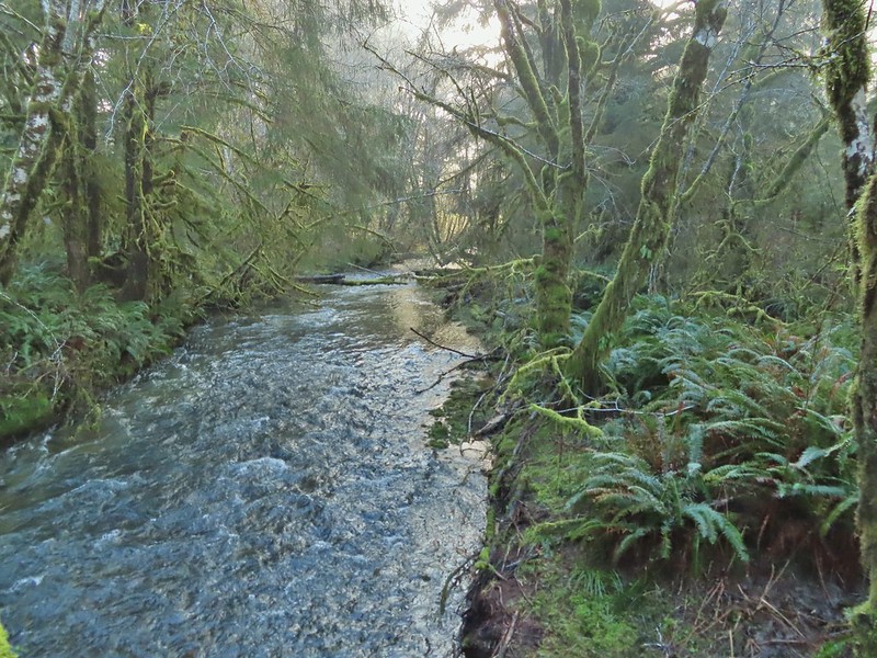
Fall Creek

Chestnut-backed chickadee

Toothwort


There were a lot of trilliums along the trail.

The trail dropped us into the campground.
A short walk along the campground road led us back to the day use parking area to complete the loop then we walked back up to our car.

The final hike we had planned was located less than a mile from the Nehalem Falls Campground at Cougar Valley. In 2007 an Oregon Department of Parks and Recreation proposal included development of a 315-acre parcel of land located in Cougar Valley that had been purchased by the State in 2005. Local pushback on the proposal suspended that development and today the tract of land is open for day use only. The abandoned Lost Creek Road serves as what All Trails refers to as the Lost Creek Trail. This “trail” is not officially maintained, at least not frequently.
We parked at the gated roadbed and set off on a grassy track through blackberry bushes.


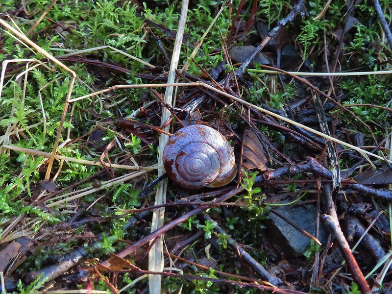
There were dozens of snails along the roadbed.

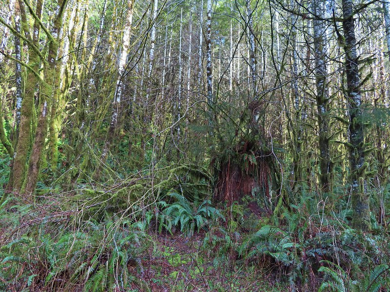
Maple meadow. The land had previously been the homestead of Cougar Bill and Cougar Marie, mountain line bounty hunters.


Lost Creek below Lost Creek Road.

Lost Creek

Salmonberry

One of two washed out areas along side creeks, possibly from flooding in February 2026.

Pacific wren


Mushroom


Rusted dozer blade
We made it almost a mile and a half before we began to encounter overgown conditions.

After picking our way through the first section we came to an even thicker mass of vegetation and decided to turn around. The old logging road had originally continued a couple more miles, and the roadbed had been accessible to at least the 1.75-mile mark where it crosses Lost Creek. Time has allowed nature to slowly reclaim the roadbed though.

Our turnaround point.
We headed back toward the car but took a short detour 0.4-miles before the trailhead down an old spur road that led to an old bridge over Lost Creek.

The old bridge from Lost Creek Road.

The spur road is on the right heading out Lost Creek Road. Since we were on the way back it was a left for us.

A very rough trail was cut through the blackberry bushes. We came away with quite a few scratches.

I didn’t trust the bridge enough to try stepping on it.

Lost Creek from the edge of the bridge.
After checking out the bridge we fought our way back up through the blackberries and returned to our car.

Our hike in Cougar Valley came in just under three miles and Nehalem Falls had been 1.1-miles.

One note is that we both did wind up with a tick on our long sleeves post hike. With the unusually warm, dry winter all reports indicate they are bad all over the State this year and this was the first time we’d picked any up in the Coast Range. It was a good reminder to always perform a tick check at the end of your hikes.
In all the four stops wound up being 6.6-miles with just 175′ of elevation gain. Here is a look at the relative location of our four stops.

My leg held up surprising well and as I am writing up this trip report the next day it’s still feeling good which is encouraging. Our plan is to take things easy and hopefully the physical therapist will be able to identify whatever the issue is and we’ll go from there. In the meantime, Happy Trails!


 Gods Valley Creek
 Frog near the old picnic tables.
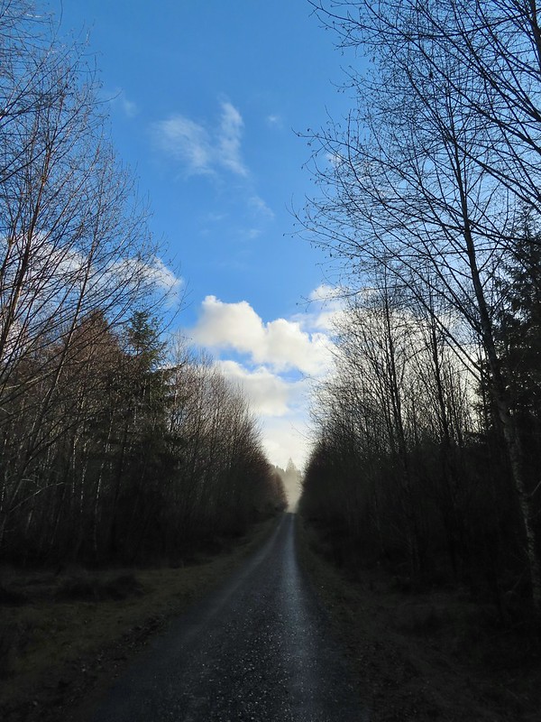


 Not much in the way of flowers yet but there was a bit of skunk cabbage in bloom.
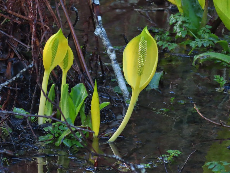
 Some low hanging trees, presumably from the storm. The roads had been cleared but occasional damage along the side of the road was evident.
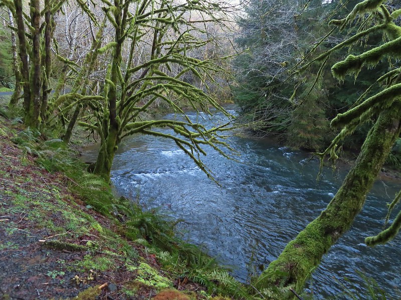
 There were no recent clearcuts in the Clatsop State Forest section but there was evidence of past logging.
 Fall Creek
 Not sure why I neglected to get a picture of the bridge from the locked gate but this is the only one I took of the bridge.
 The hike description in the Oregon Hikers Field Guide mentions walking along the bank to get a view of Upper North Fork Falls from the rocks below but that wasn’t going to be an option with the river level today.
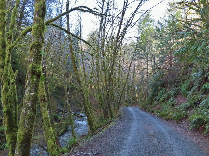


 We both thought that this thick moss looked like some sort of hairstyle.
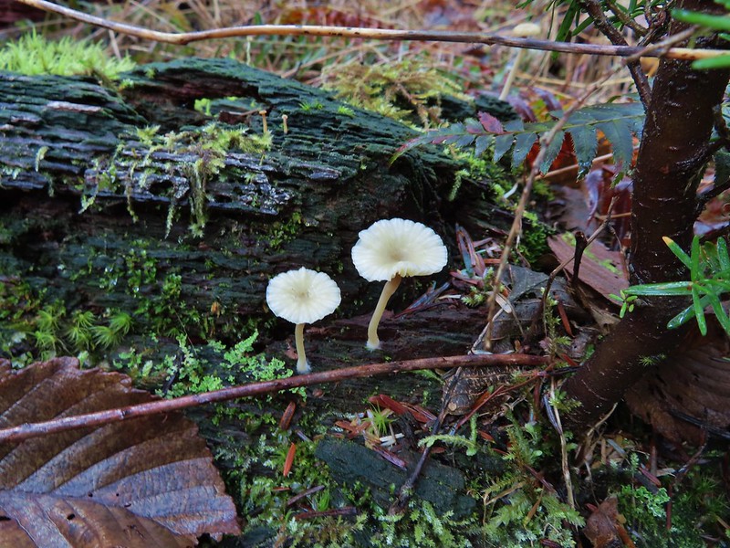
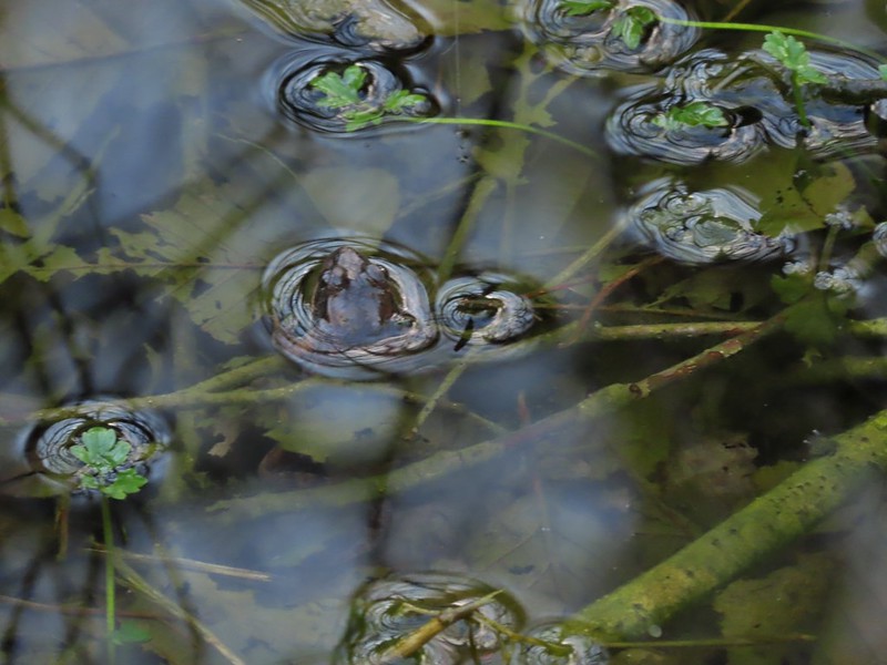
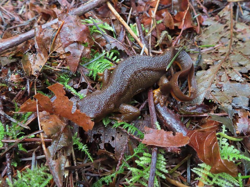 Rough-skinned newt