The first week of December greeted us with some beautiful weather. Unfortunately the forecast called for the arrival of rain Friday evening and we were unable to get time off of work during the week to take advantage of the sunny conditions. We kept our eyes on the forecast though and by Friday there was a window of time Saturday morning where it looked like it might be dry along the coast south of Florence so we made a last minute call to take our final outing of the year.
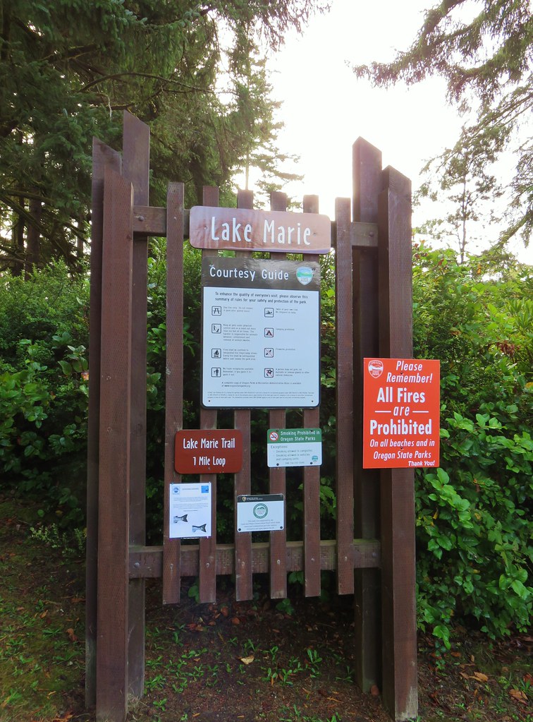
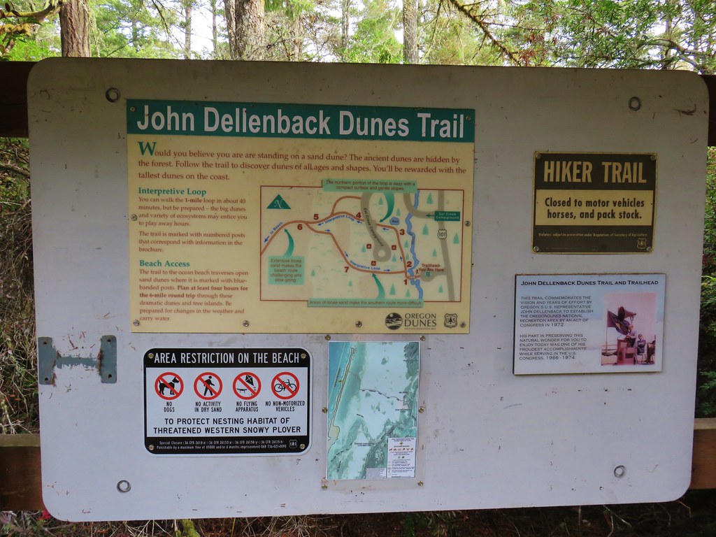
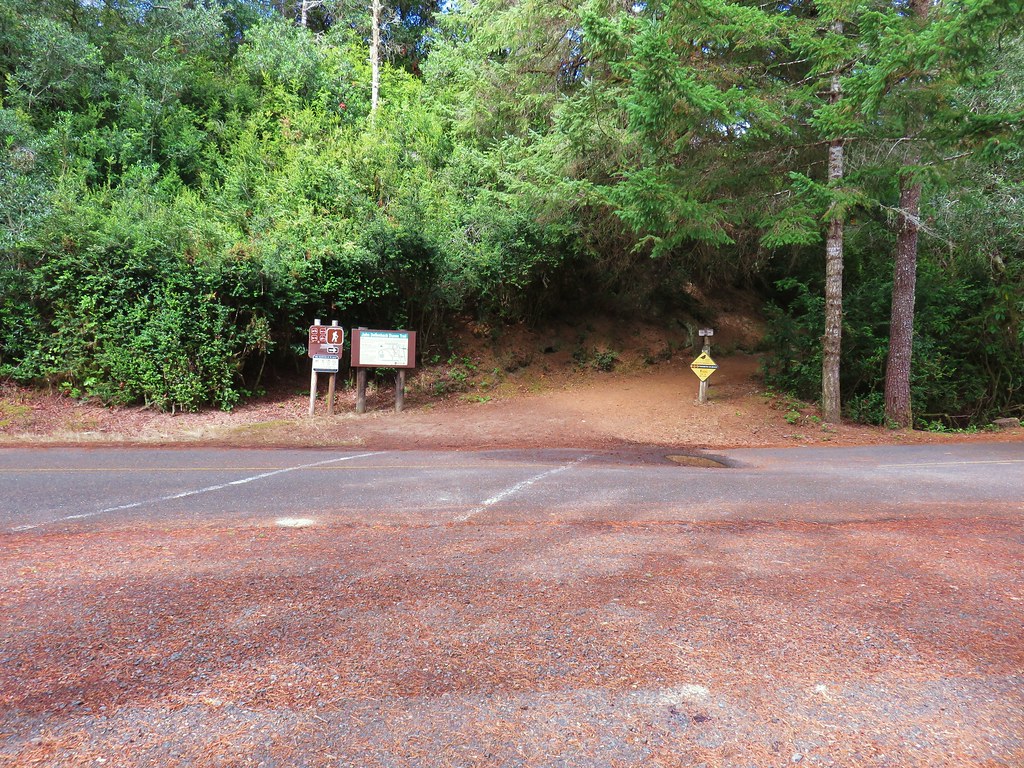
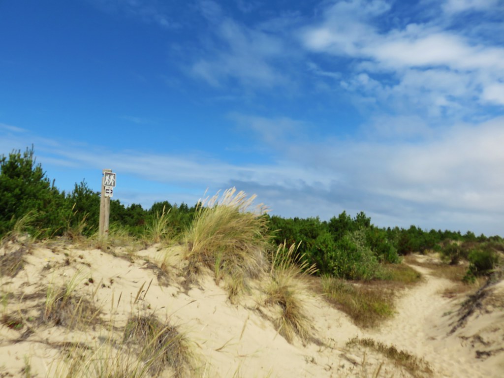
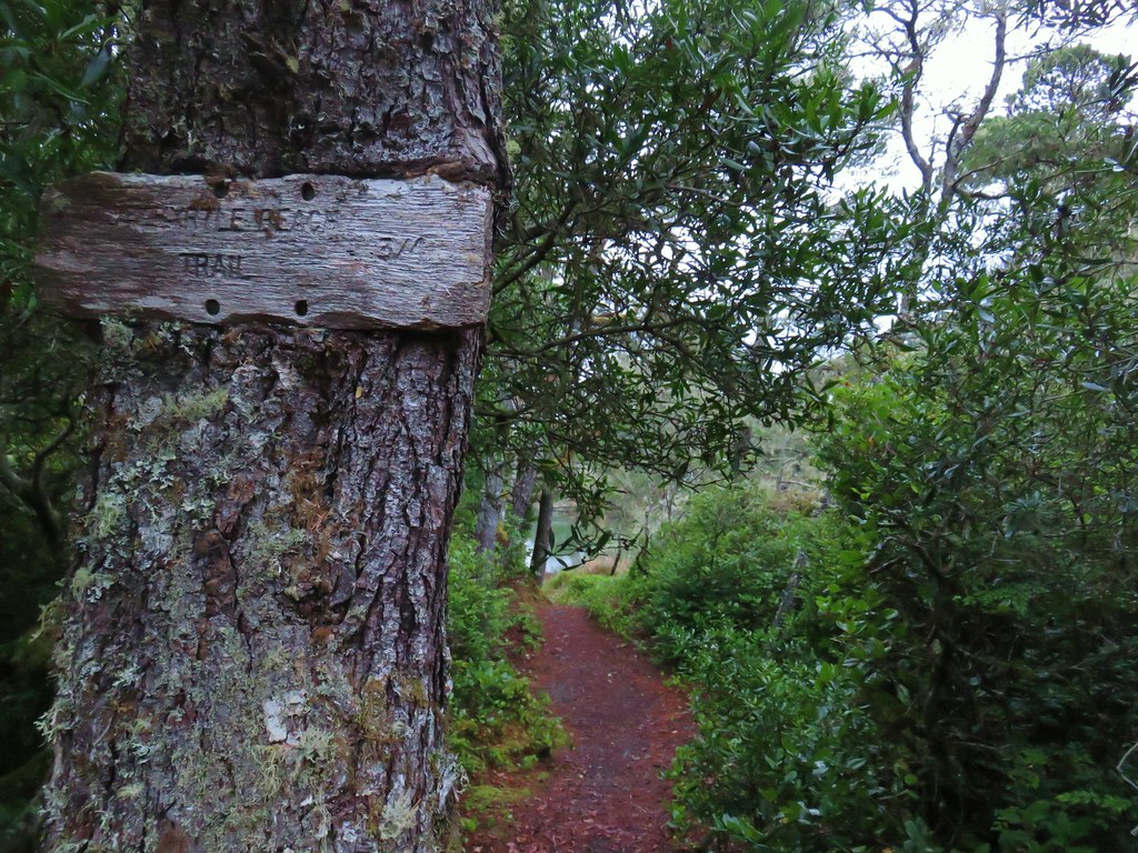
Our plan was to end the year much as it started (post), with a three stop day along the Oregon Coast. For this trip we’d picked three hikes just south of Florence, OR in the Oregon Dunes National Recreation Area. Our first stop was at the Stagecoach Trailhead, eight miles south of Florence, in the Siltcoos Area.


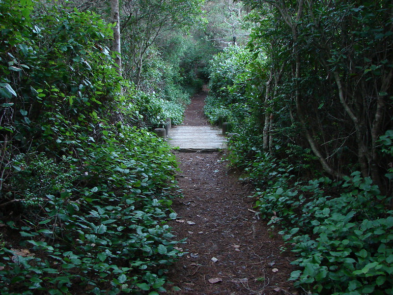
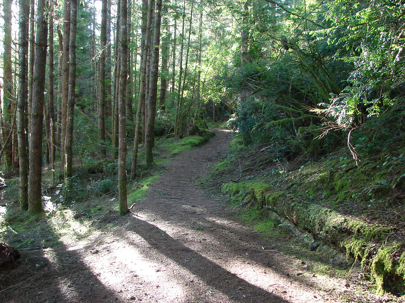
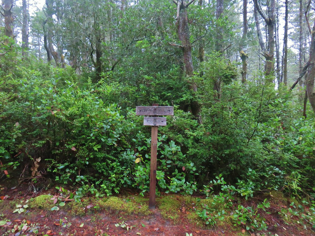
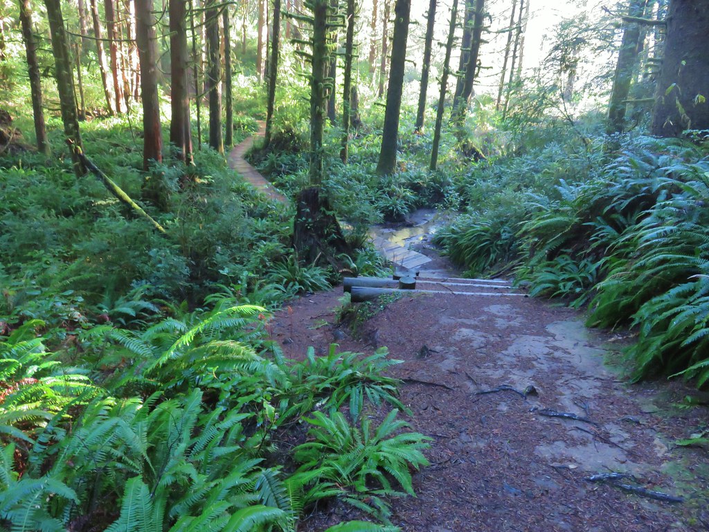
From the trailhead we followed signs for the Waxmyrtle Trail which led us across the Siltcoos River on bridge on the entrance road to the Waxmyrtle Campground.
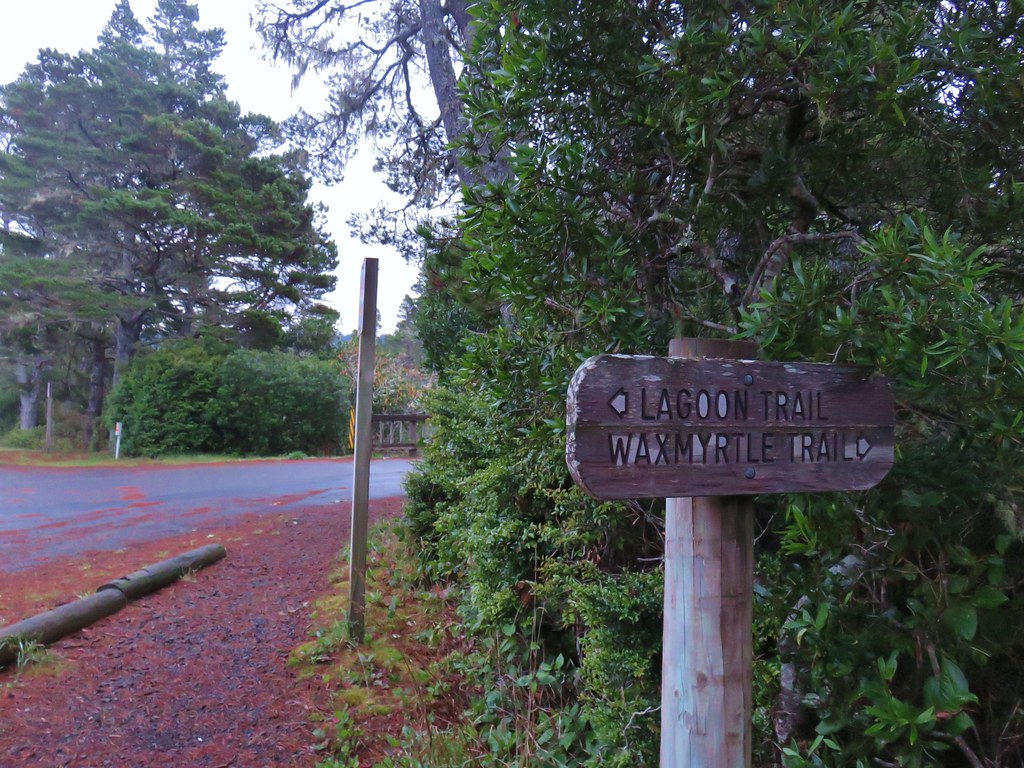
Once across the bridge we turned right along the river bank on the Waxmyrtle Trail.

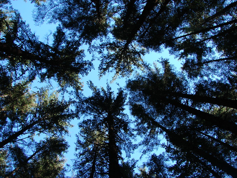
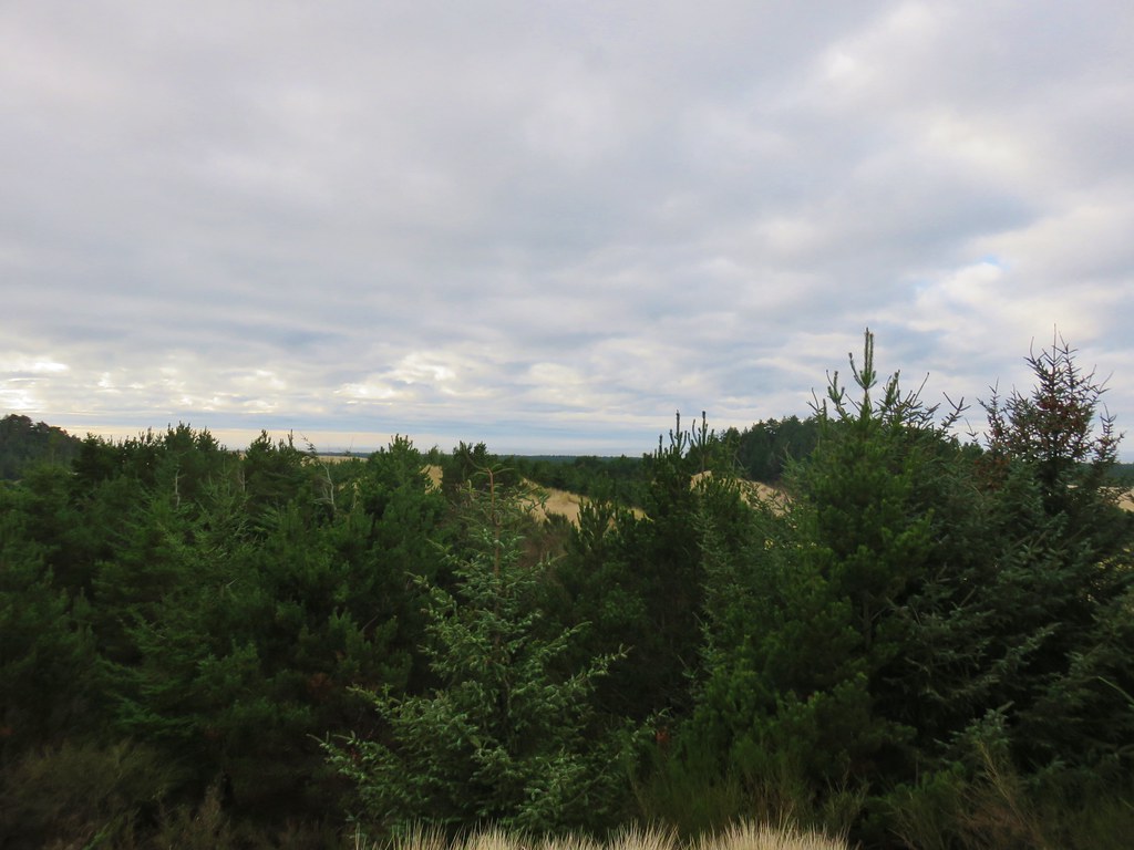
It was a mostly cloudy morning, but it was dry and there was a least some breaks which gave us hope that it would turn out to be a nice day after all.
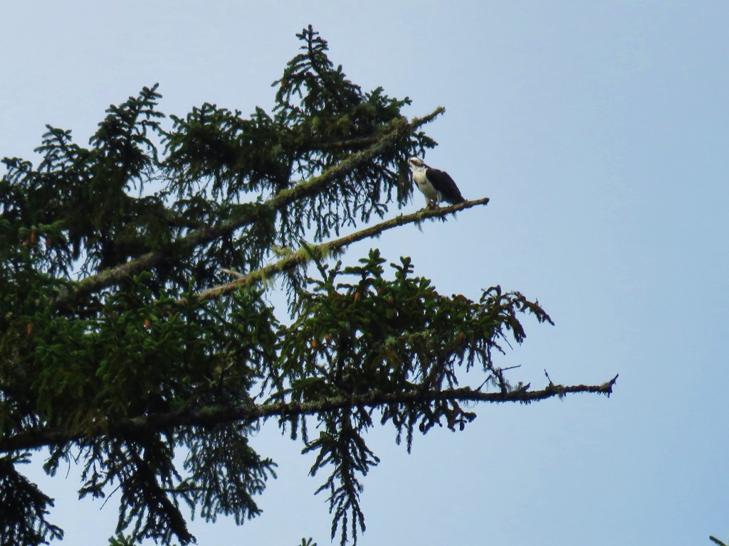
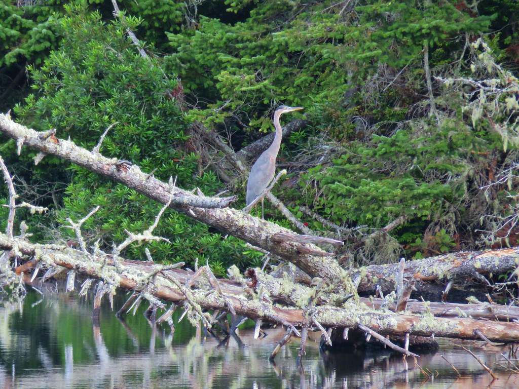
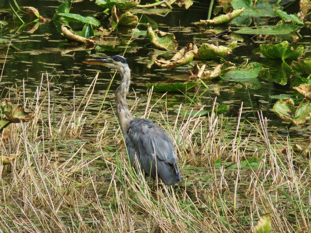
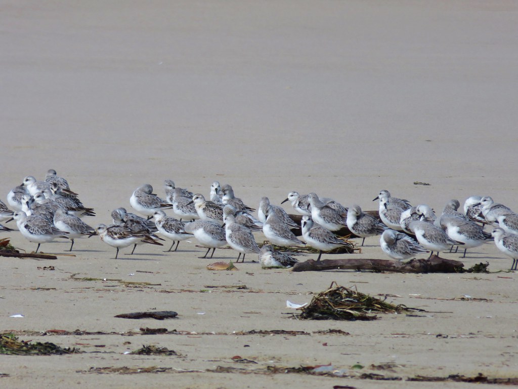
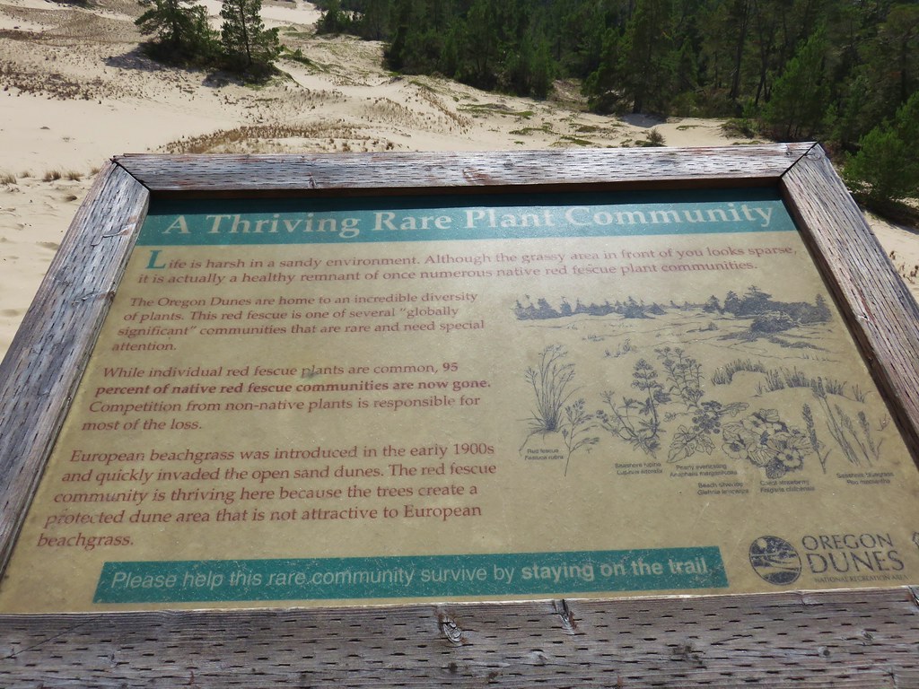
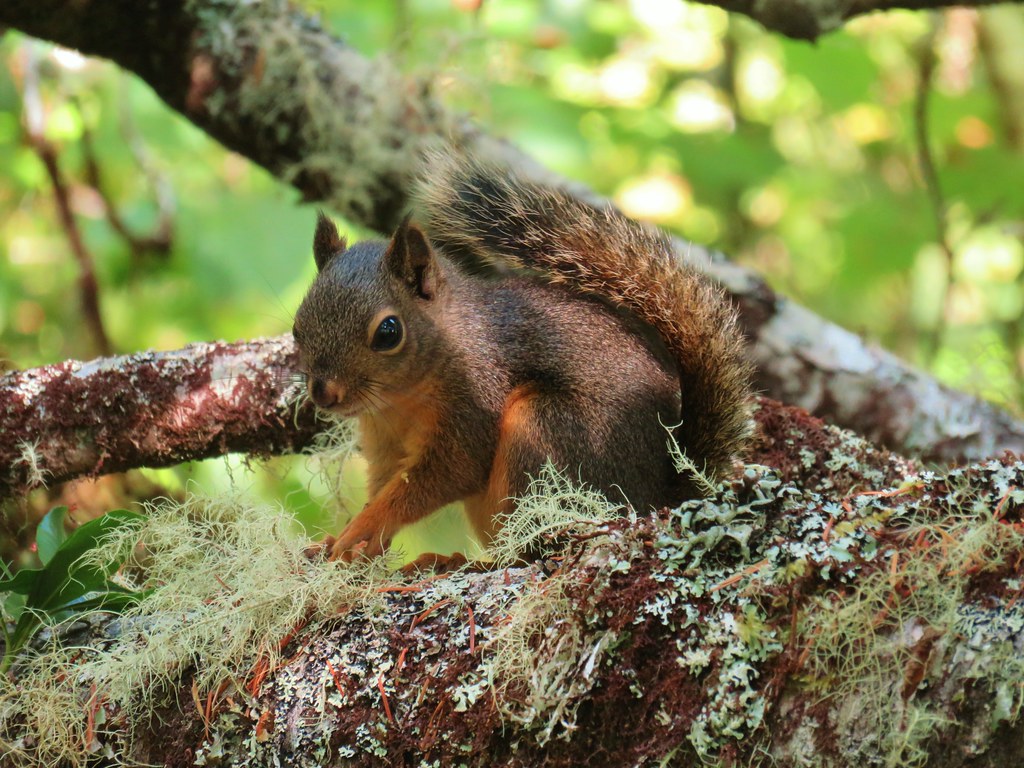
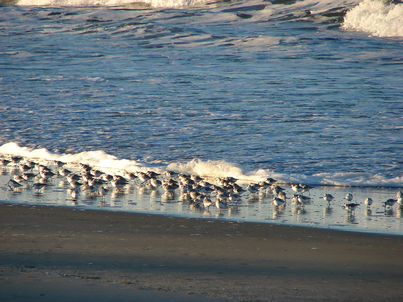
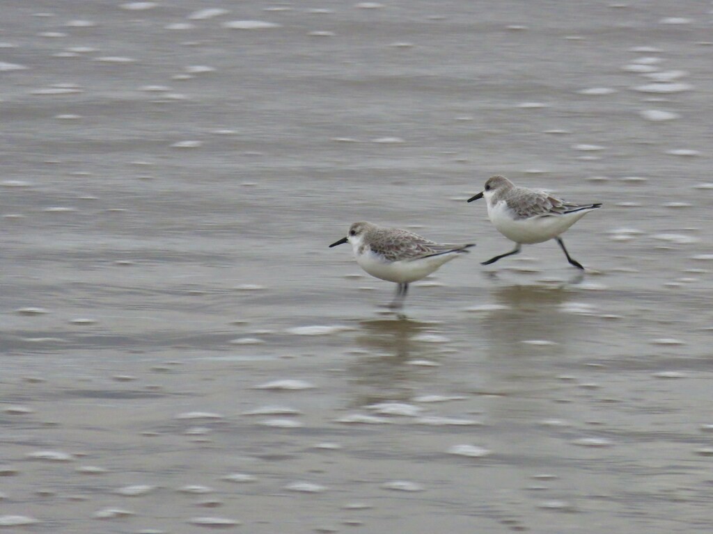
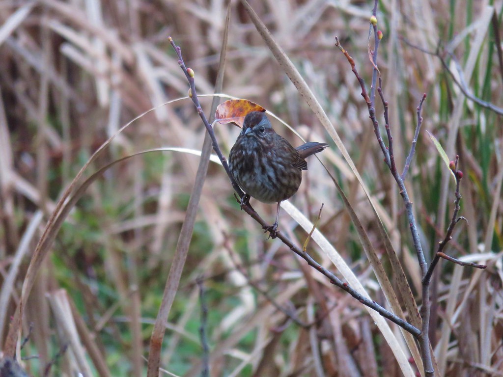
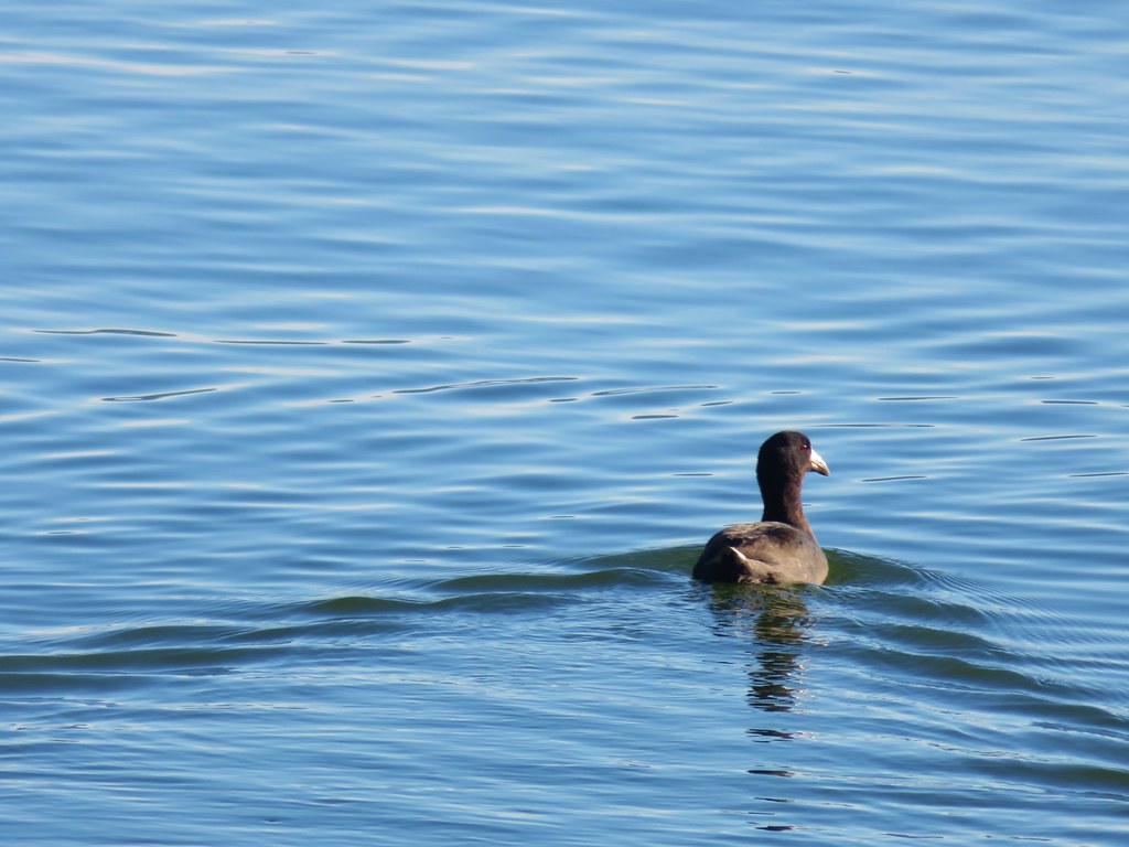
Our guidebook had mentioned that this area was one of the best areas for bird watching in the State. Although we didn’t see a large number of birds on this morning we did spot a few along the estuary here.
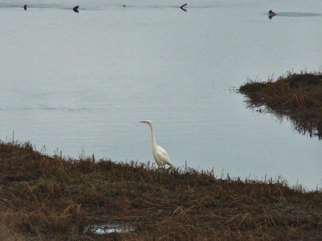 Egret
Egret
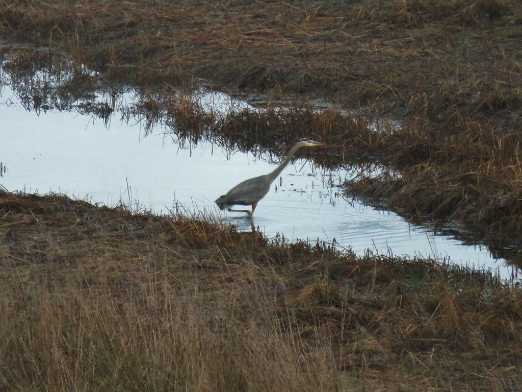 Great blue heron
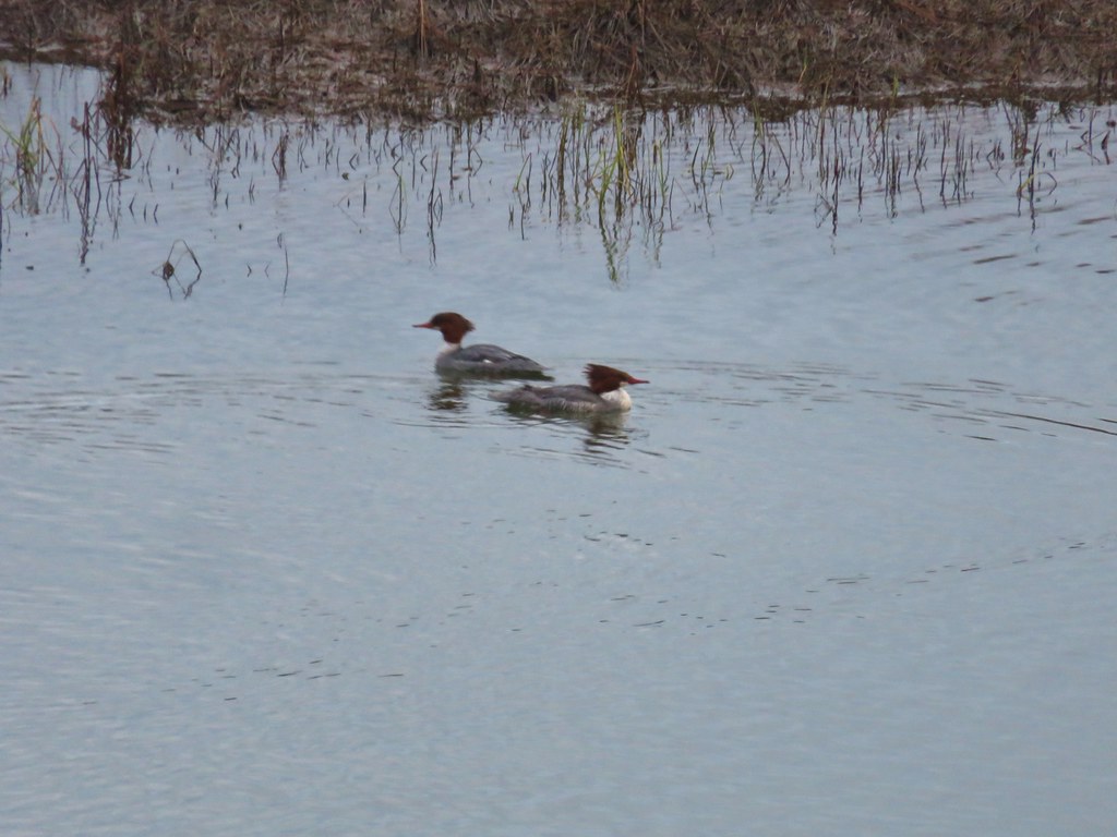 Common mergansers
 Bufflehead
A little under a half mile from the bridge we came to an old fork in the trail. The right hand fork had been a seasonal trail sticking closer to the river, but it has been closed due to erosion.

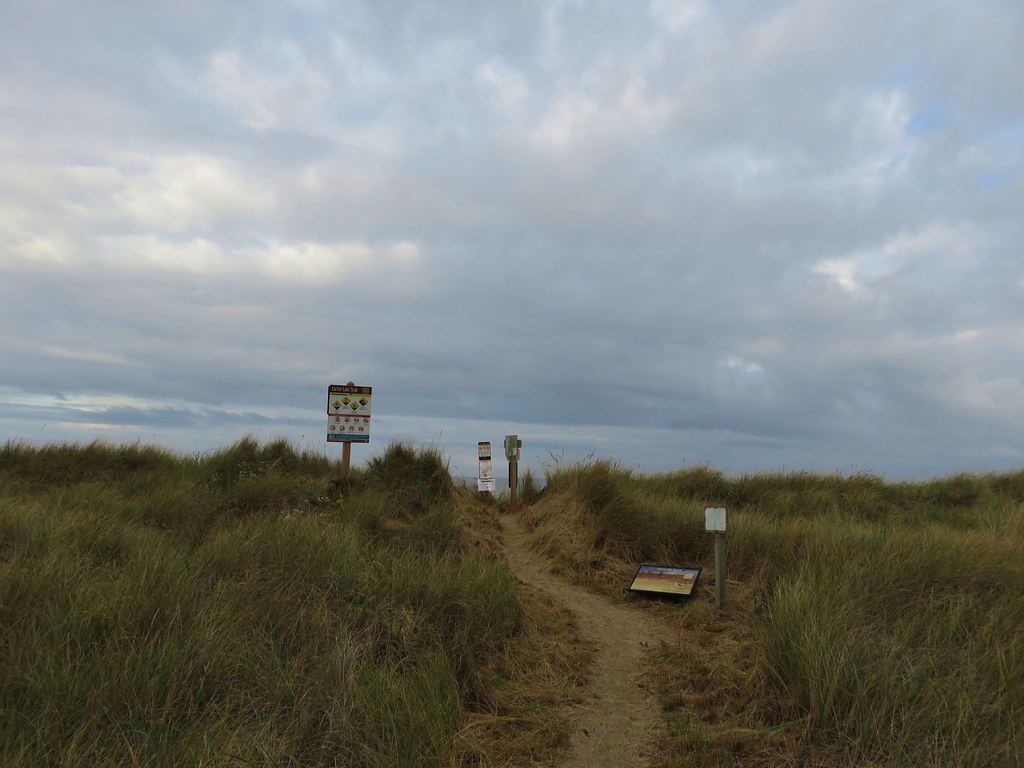
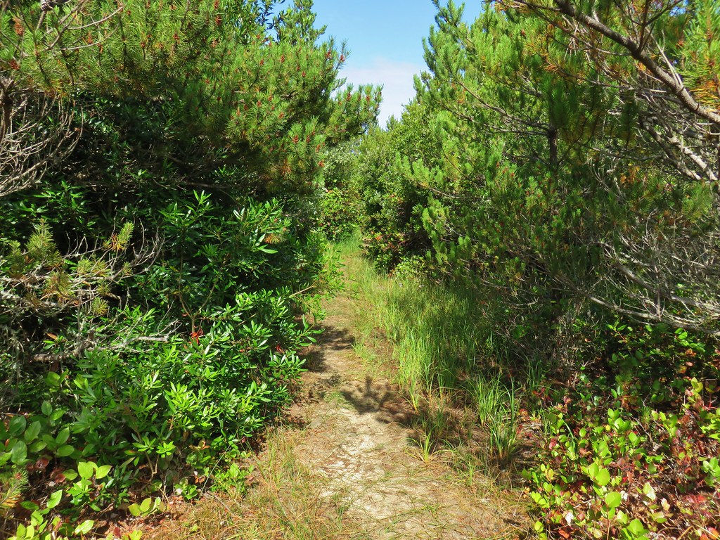
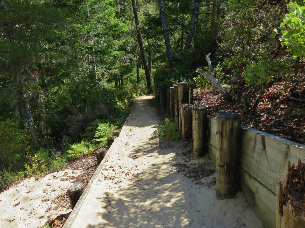
We stayed left and shortly arrived at a sandy road leading between the campground and the beach. A sign here pointed right for the continuation of the Waxmyrtle Trail.
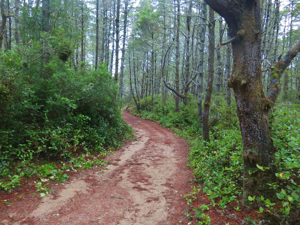
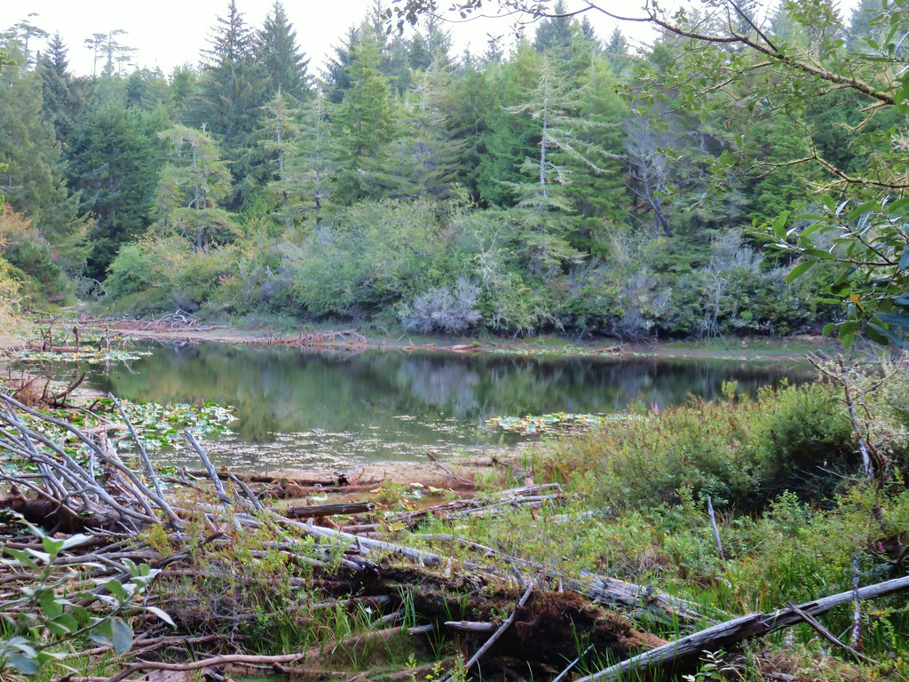
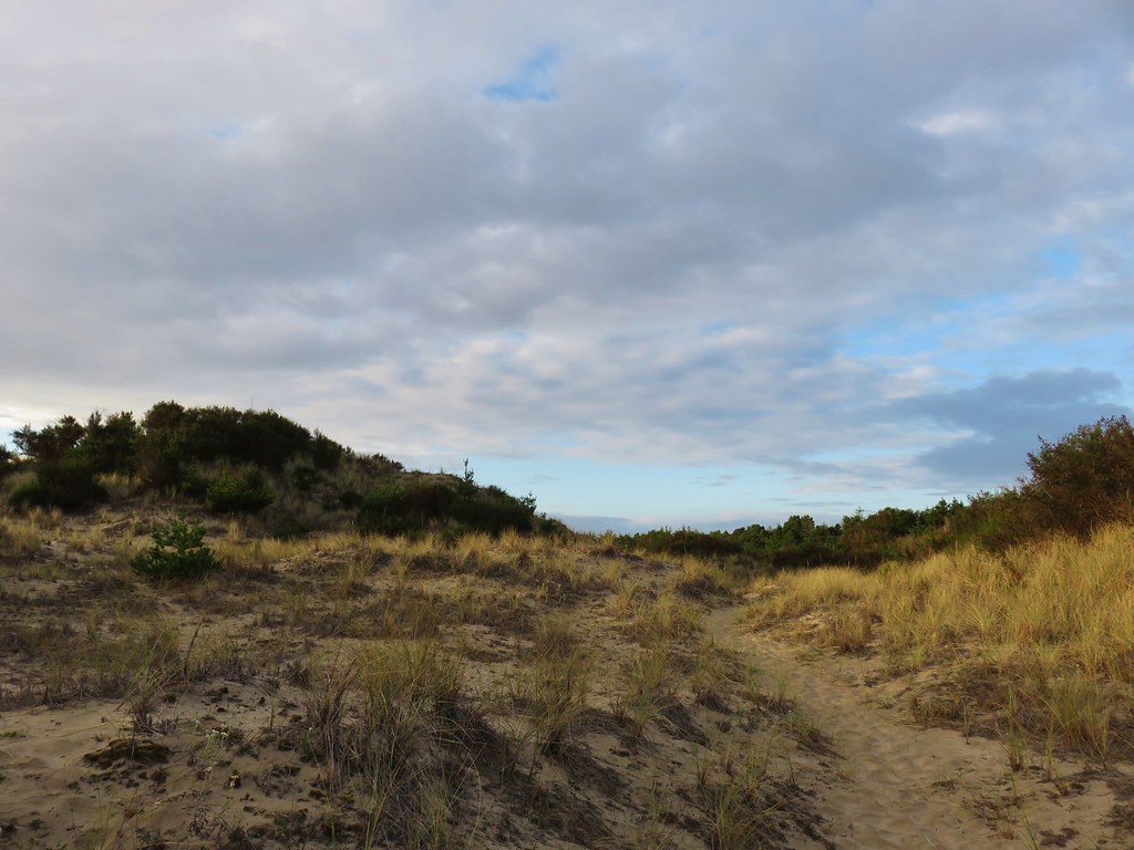
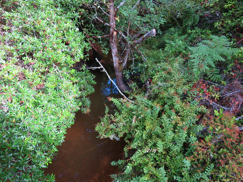
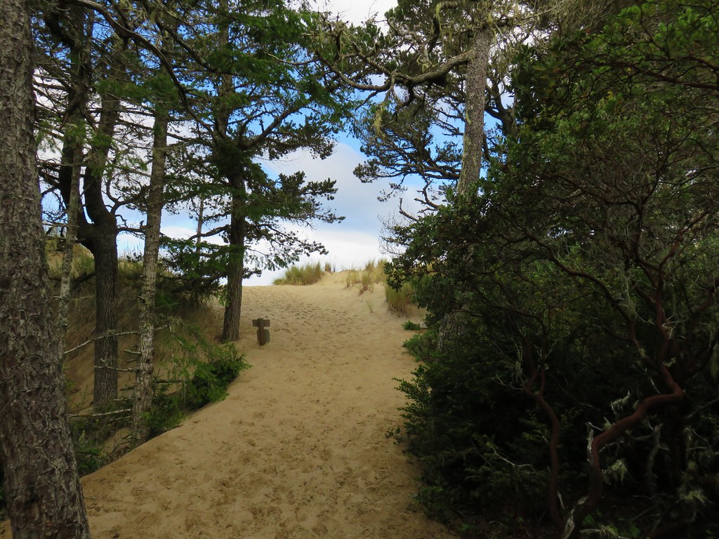
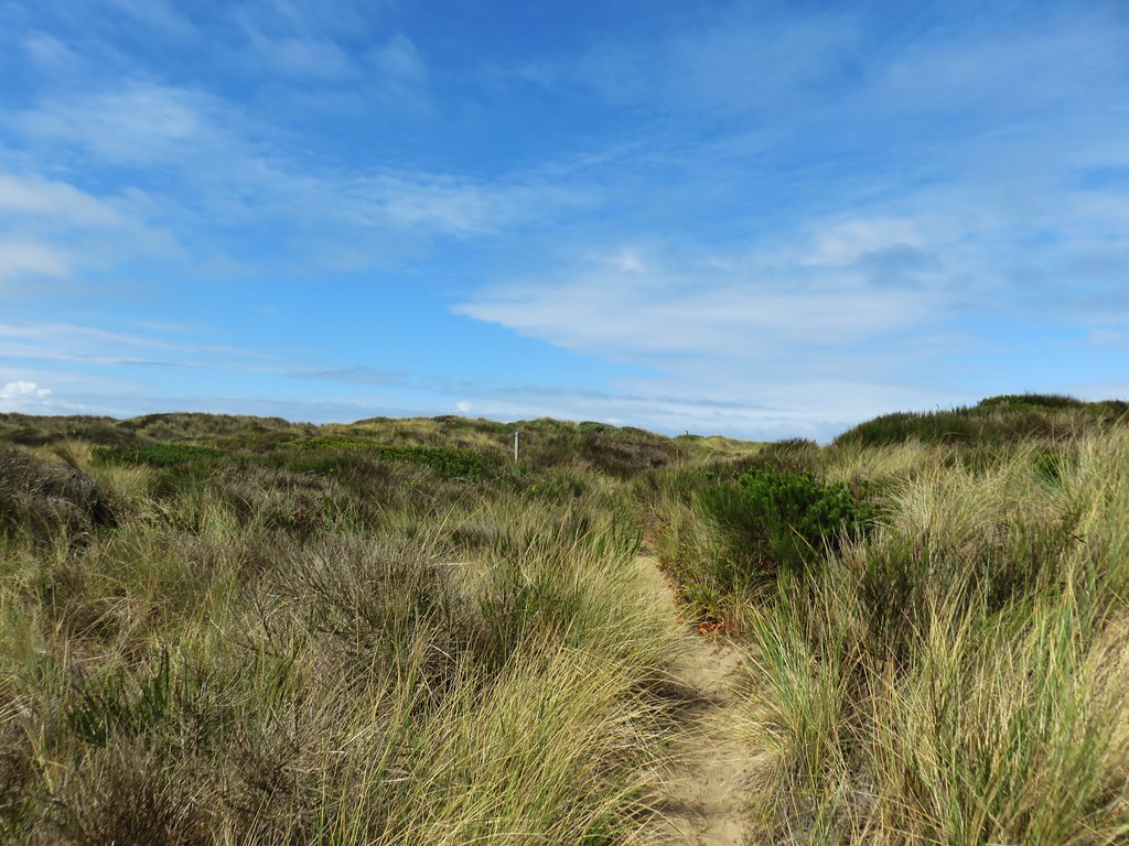
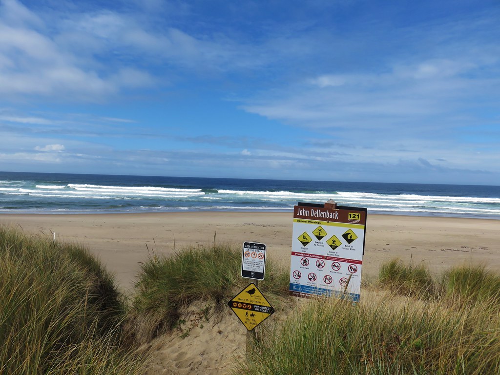
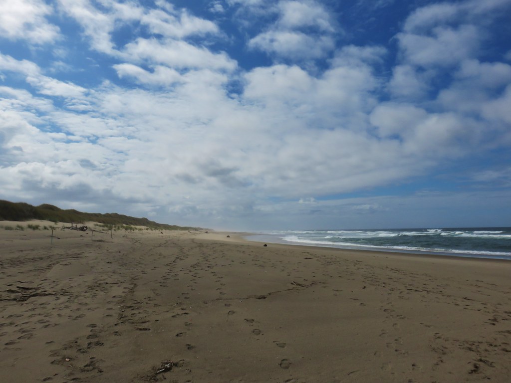
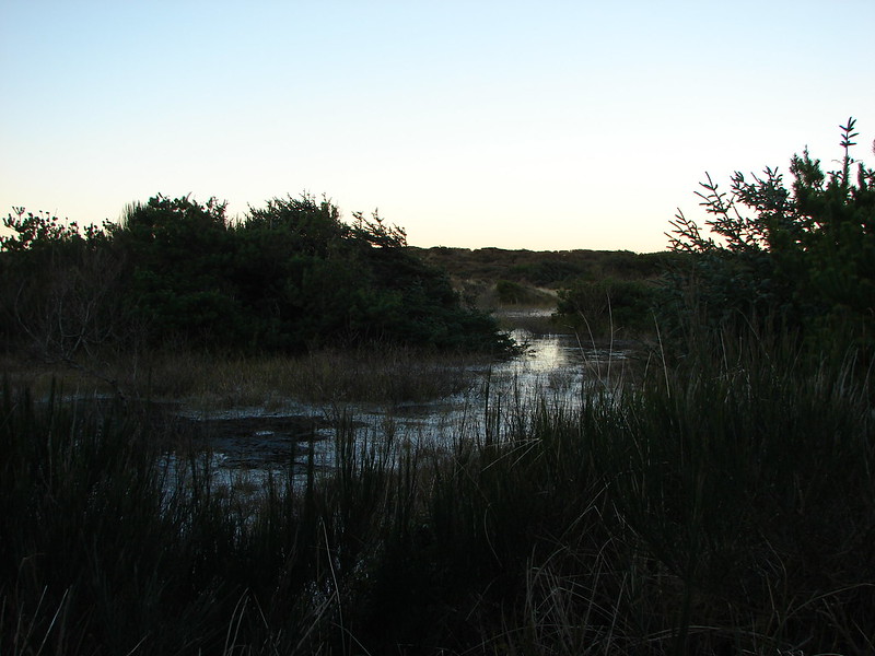
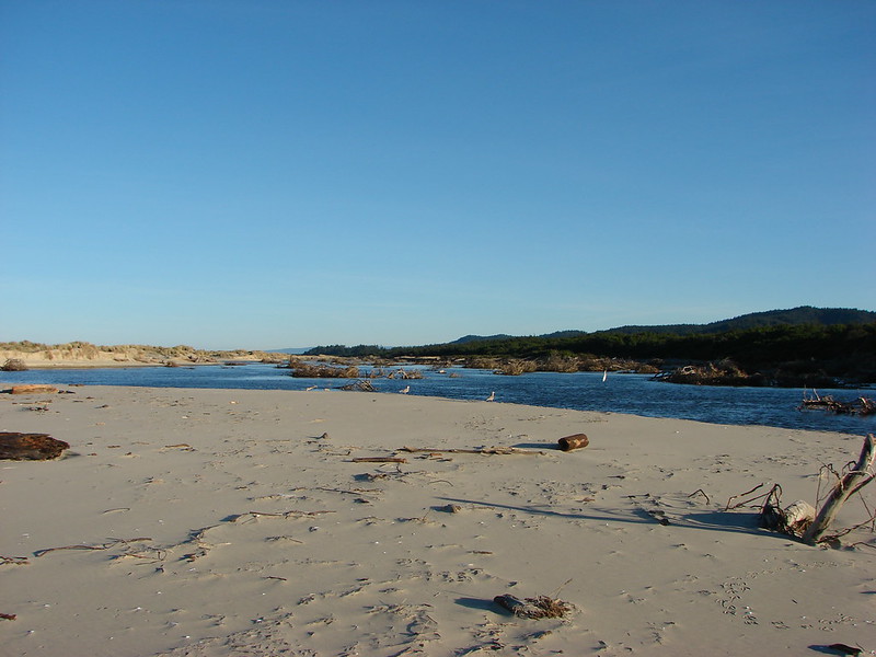
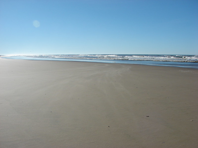
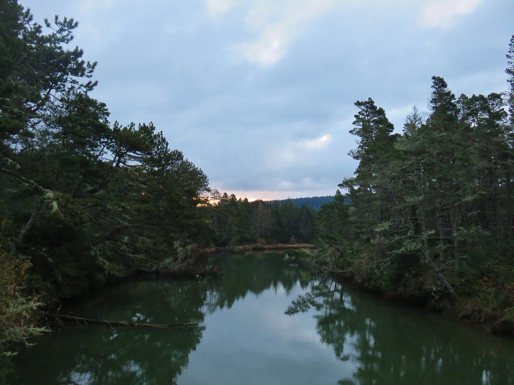
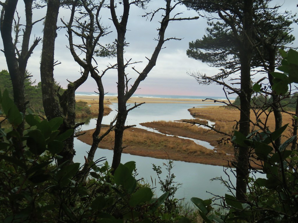
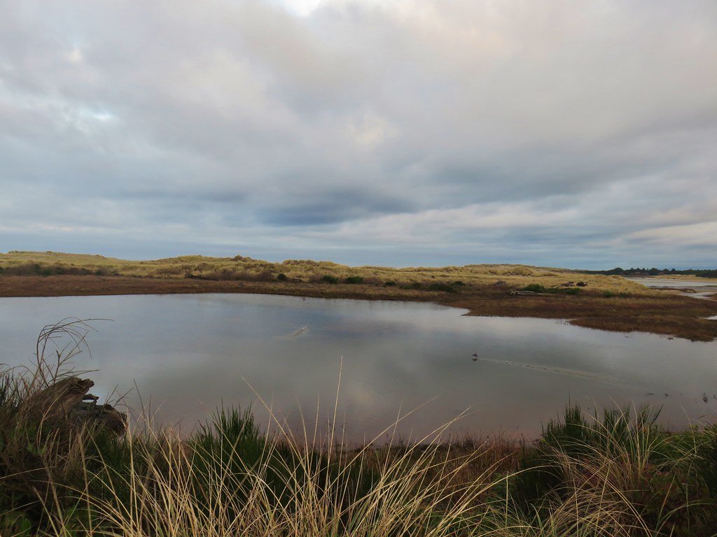
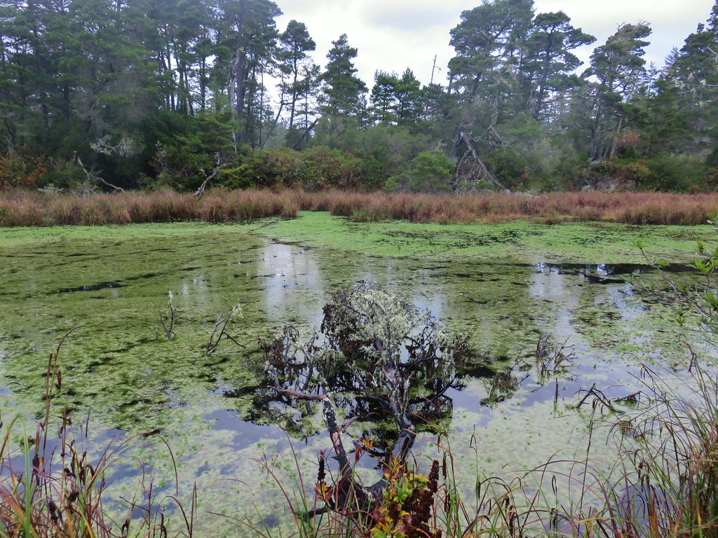
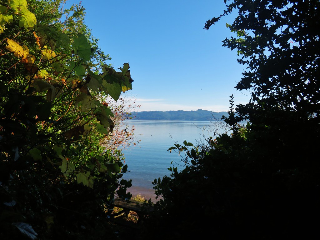
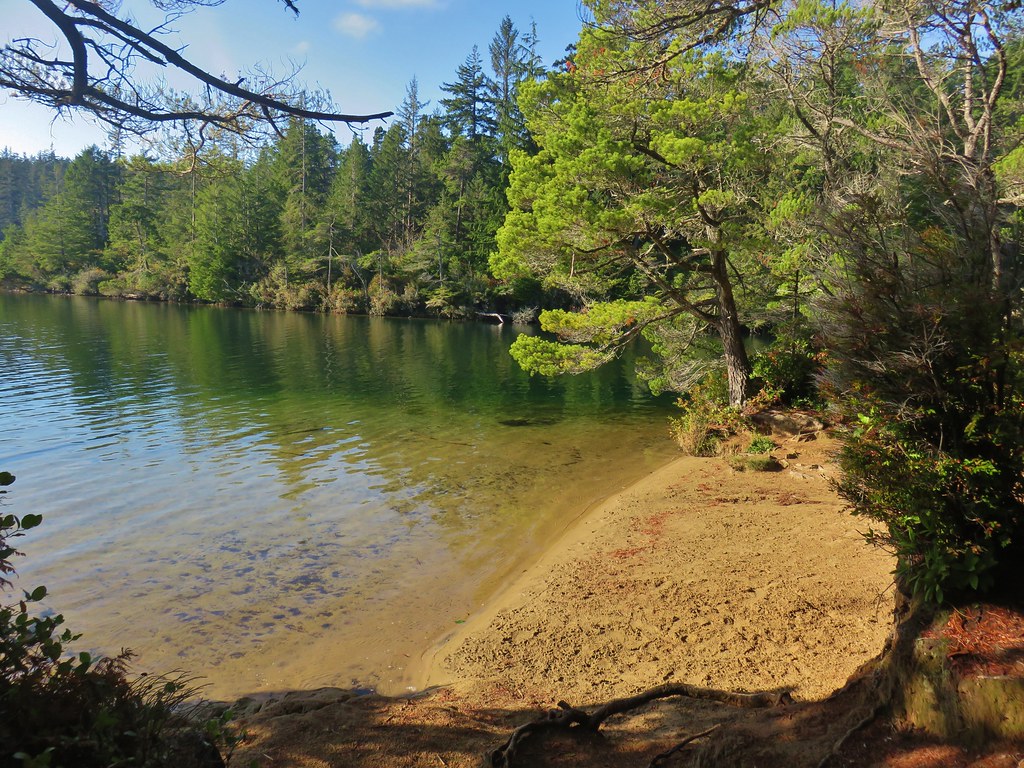
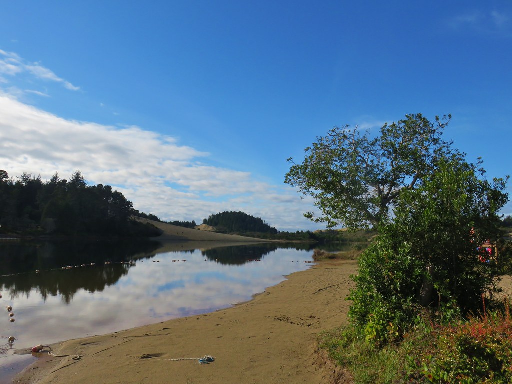
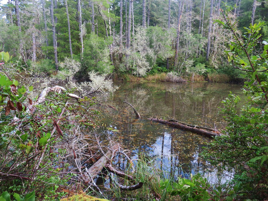
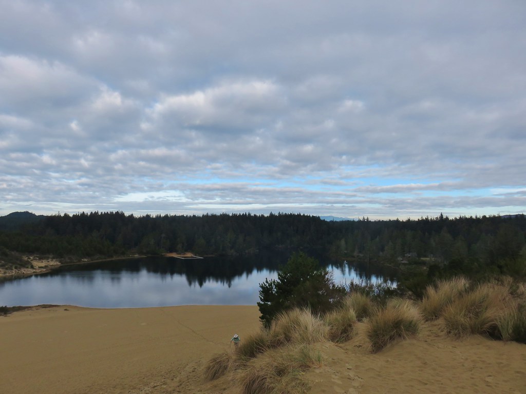
We followed this sandy track 3/4 of a mile to Waxmyrtle Beach. Along the way we passed through Waxmyrtle Marsh where the morning colors reflected off the still waters on either side of the trail.


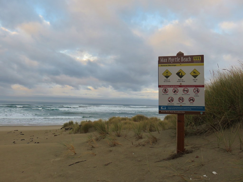
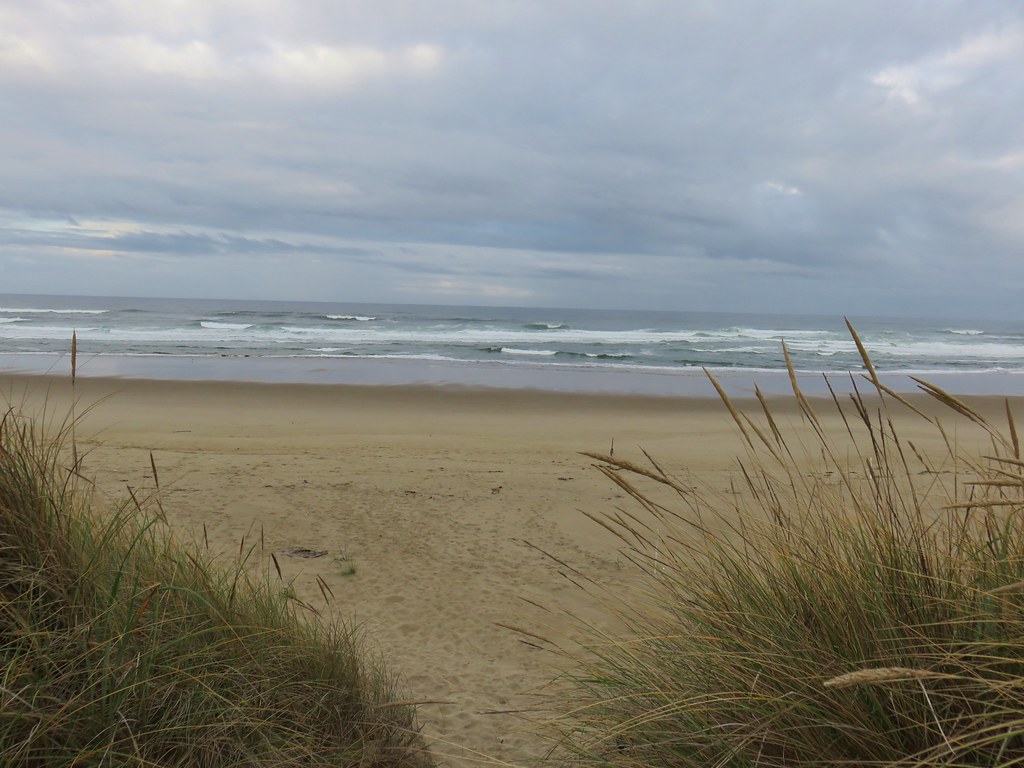
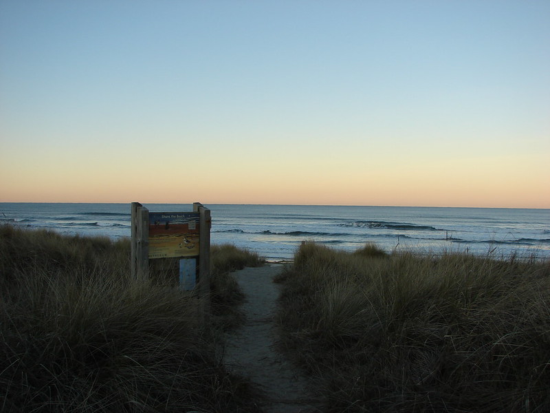
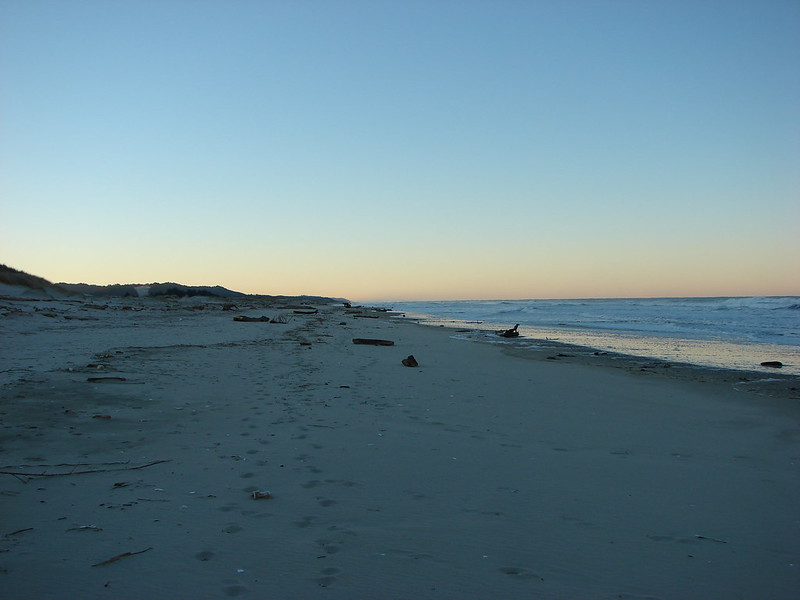
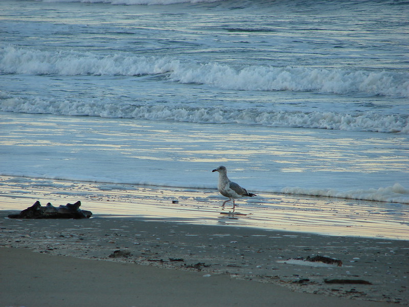
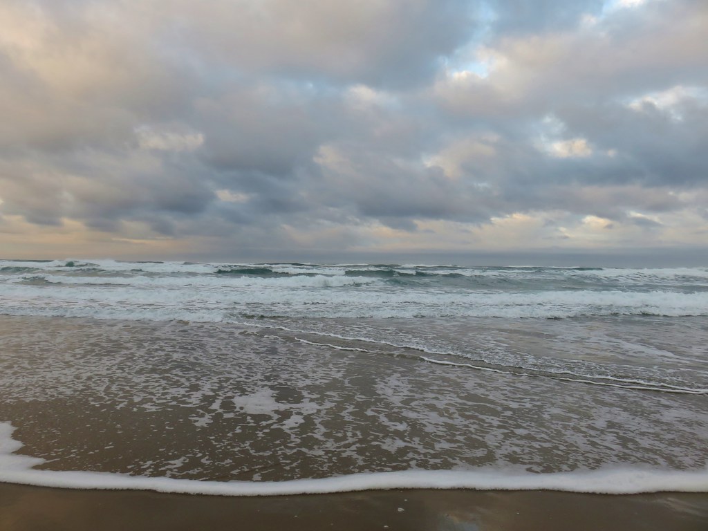
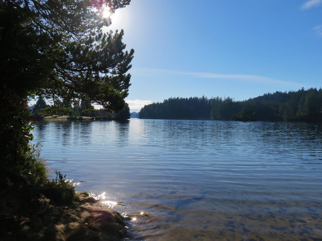
For a longer hike here we could have walked along the beach, but with two other stops ahead of us we simply stopped for a moment to enjoy the Pacific Ocean. It was a perfect morning for a visit, the temperature was in the upper 40’s, there was no breeze at all, and the sky above seemed to compliment the waves below.


After enjoying a peaceful moment on the beach we headed back the way we’d come, careful to not step on any of the numerous rough skinned newts that were out and about.

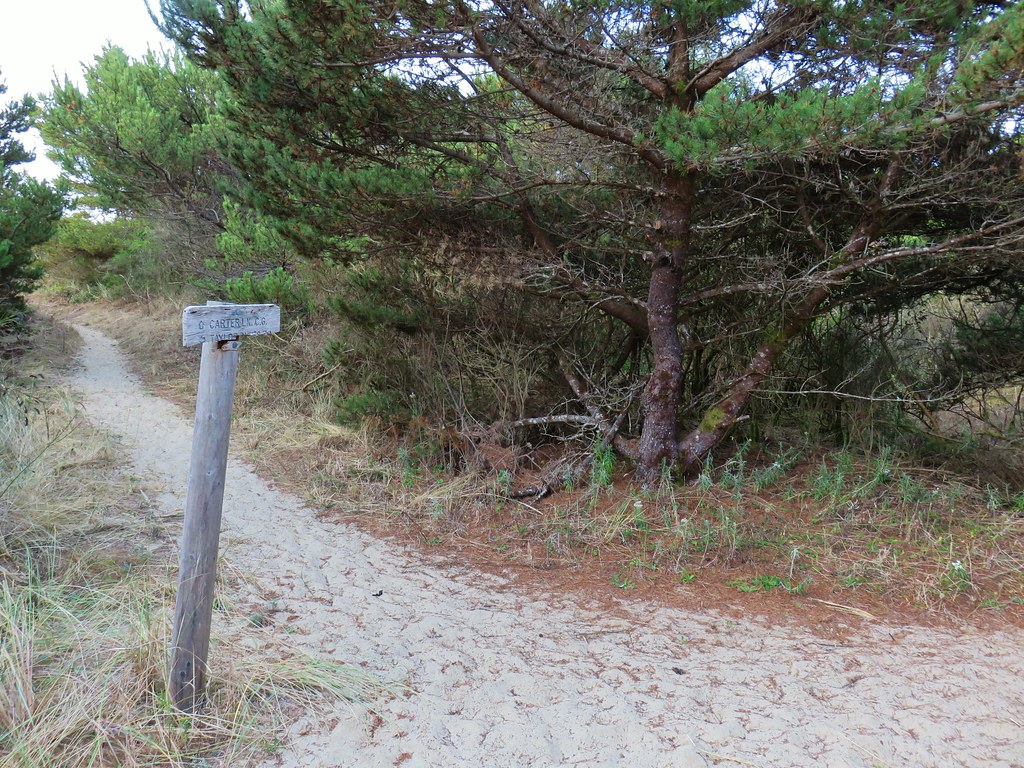
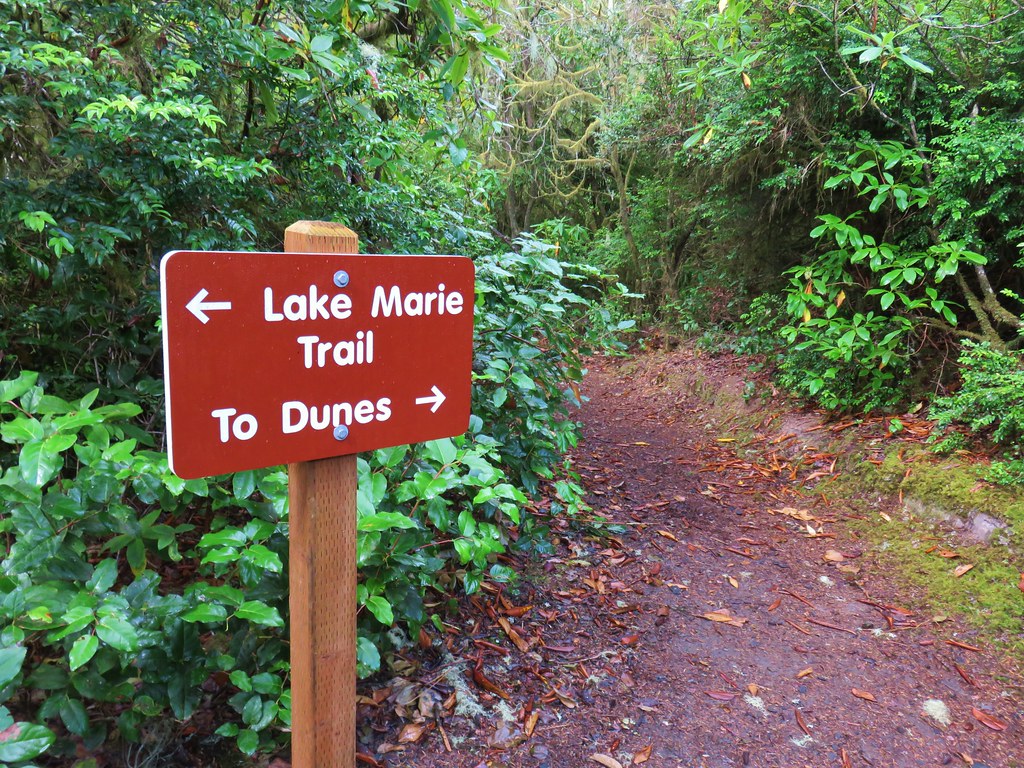
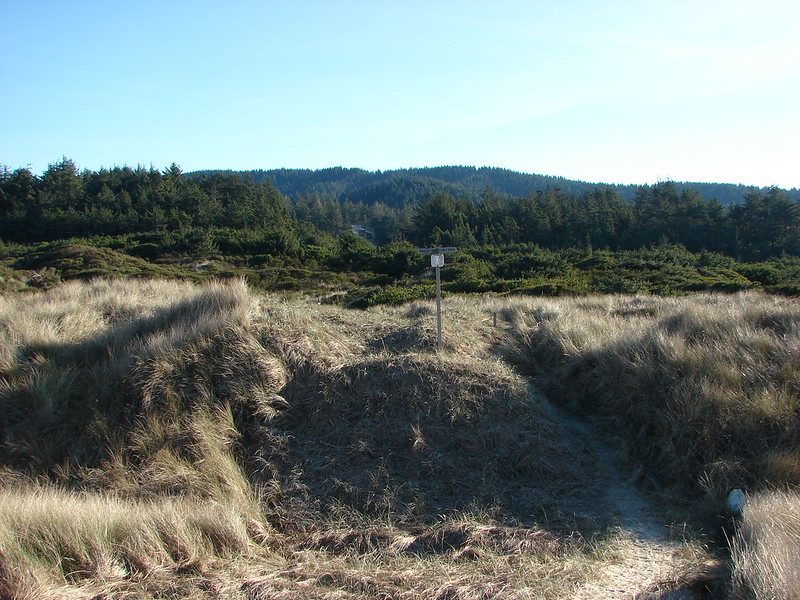
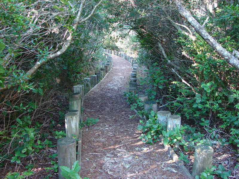
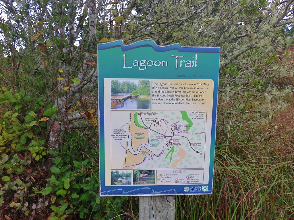
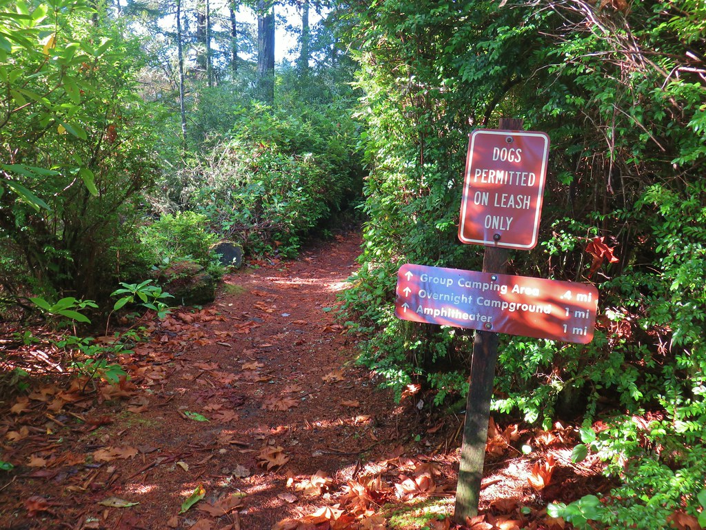
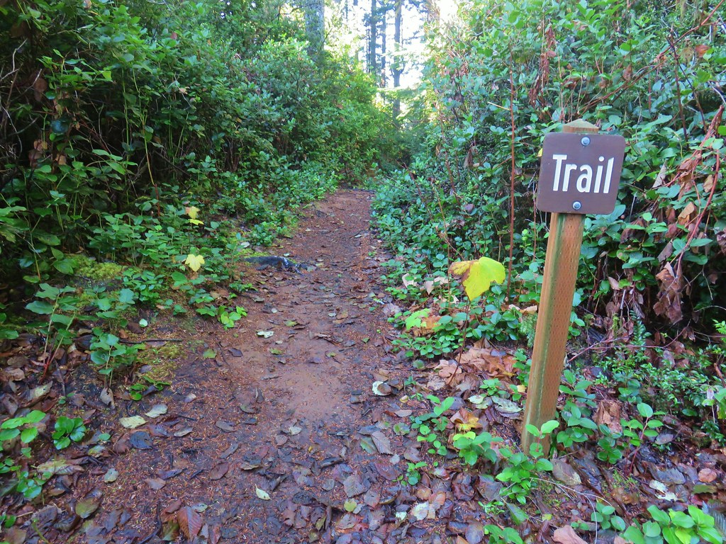
After recrossing the Siltcoos River and before returning to the Stagecoach Trailhead we crossed the main road to take the .7 mile Lagoon Trail.
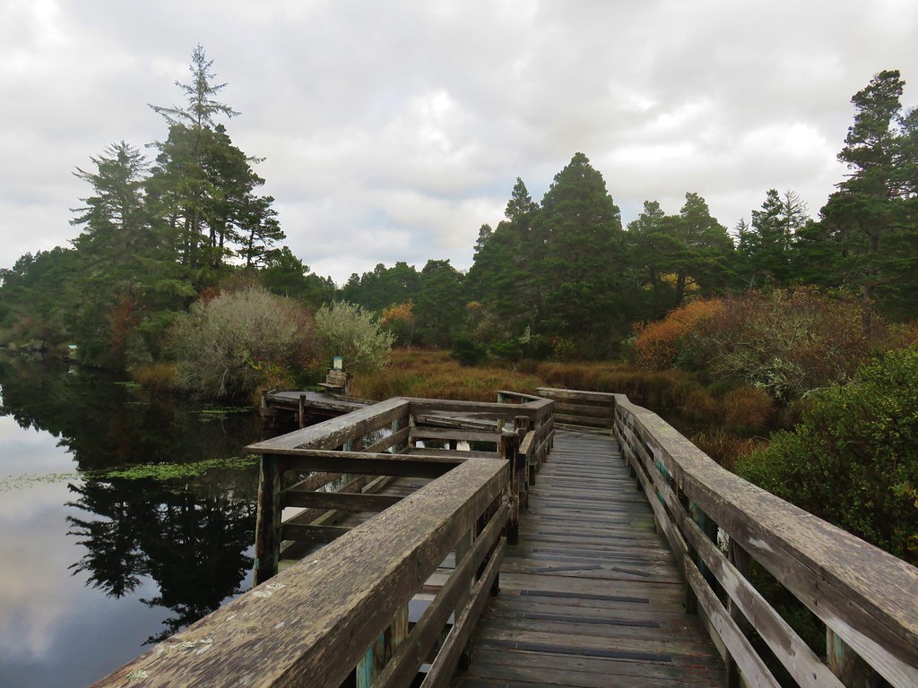
On the far side of a boardwalk the Lagoon Trail began a .7 mile loop around a campground in the middle of the Siltcoos Lagoon.


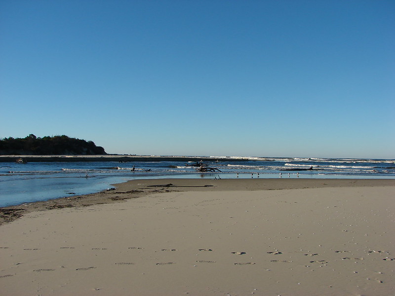
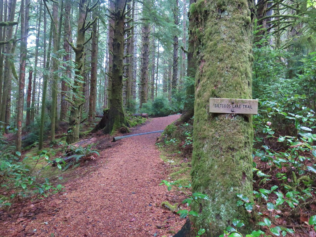
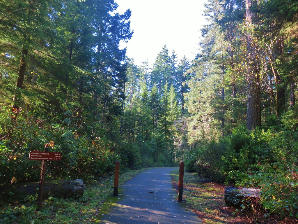
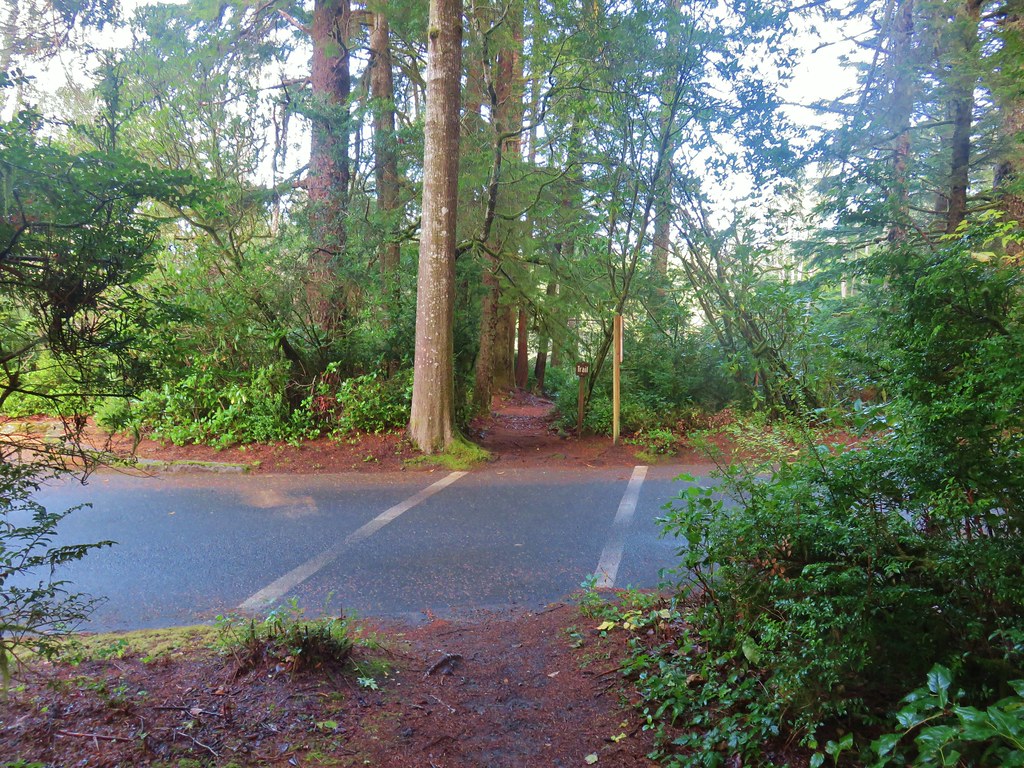
After finishing the loop we returned to our car. The hike here had only been 3.3 miles but had offered a nice variety of scenery and wildlife. We drove back to Highway 101 from the trailhead and crossed directly over it to reach the Siltcoos Lake Trailhead.

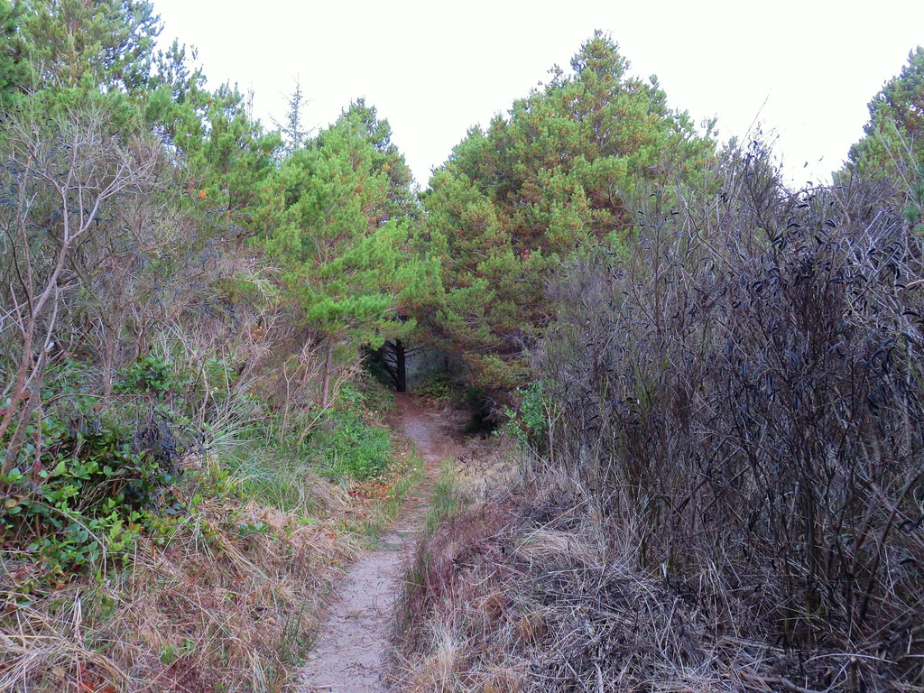
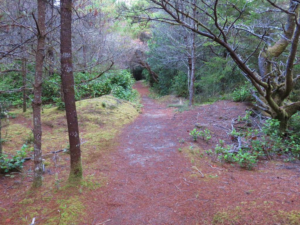
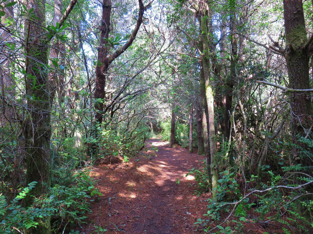
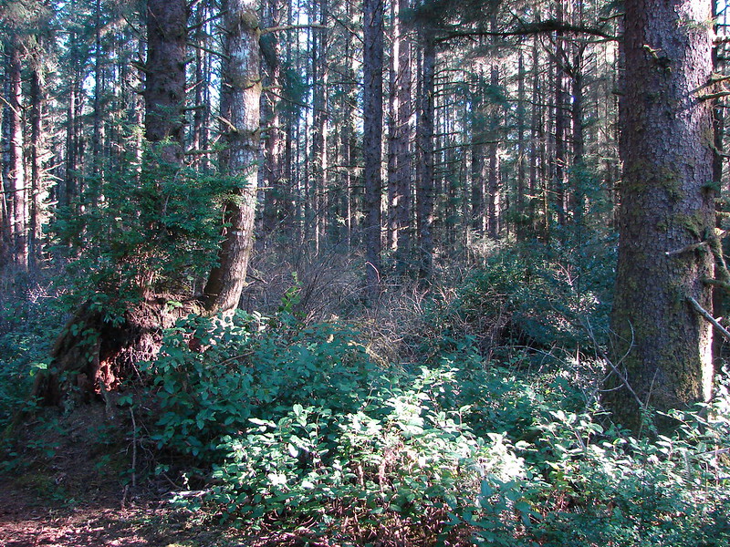
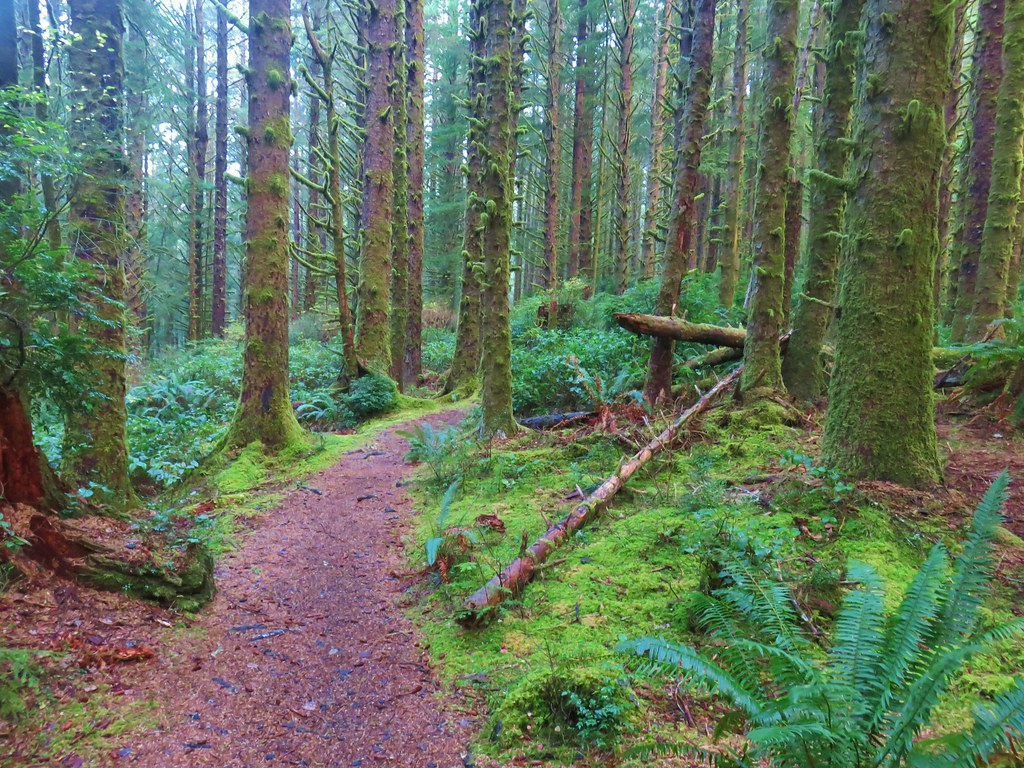
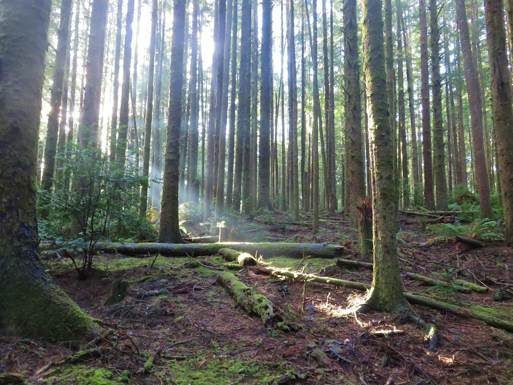
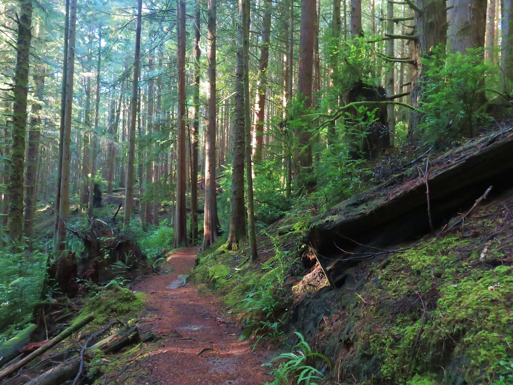
The Siltcoos Lake Trail with a .9 mile climb inland through a second growth forest to the start of a loop.

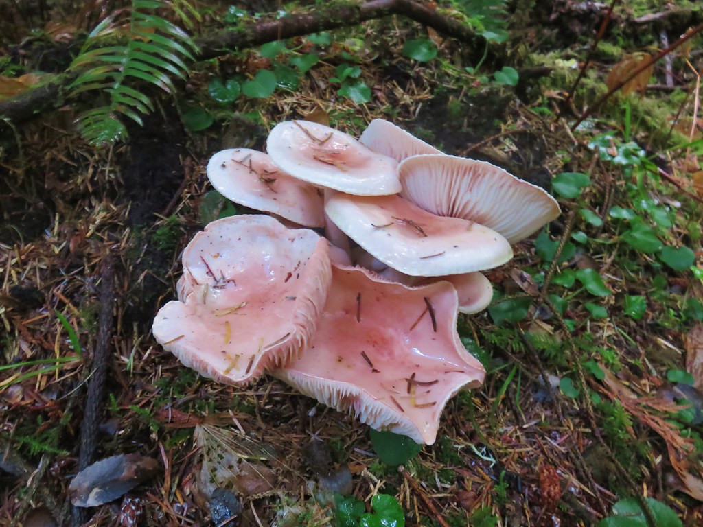
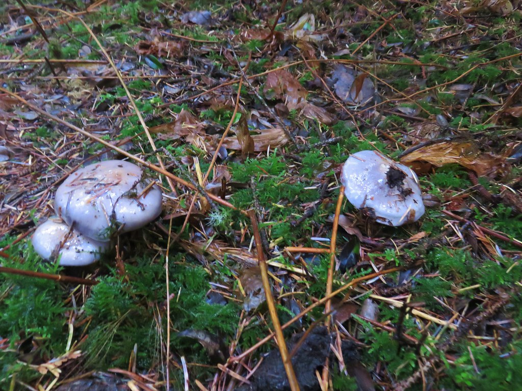
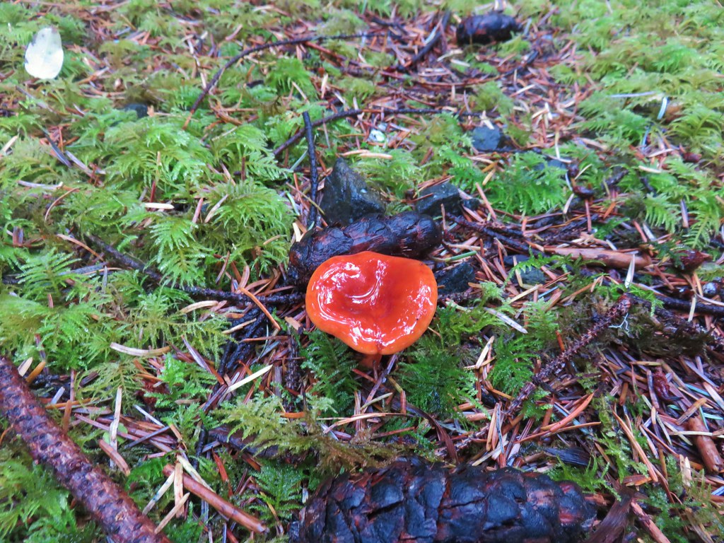
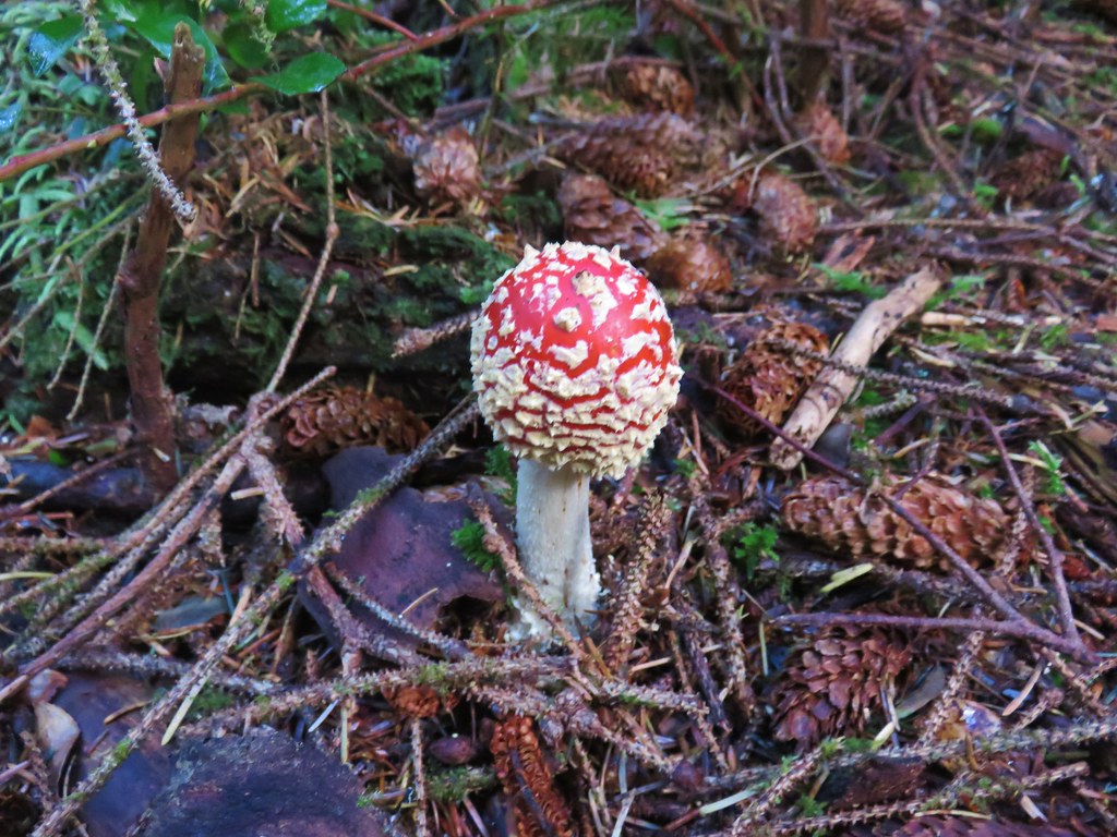
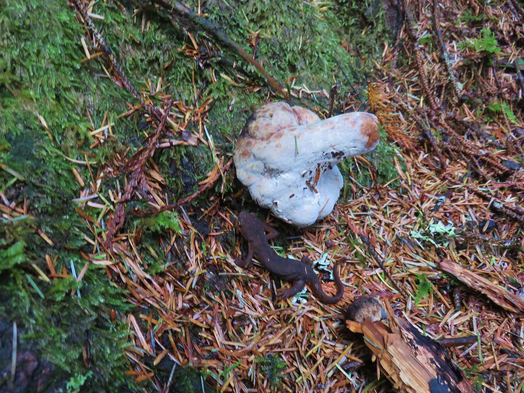
A wide variety of mushrooms grew along the forest floor where there were also more newts to watch out for.
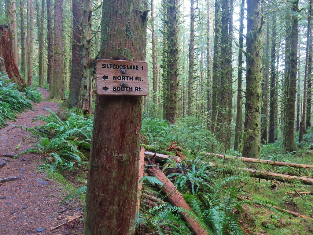
We turned right at the start of the loop and followed the trail a little over three quarters of a mile to another junction.

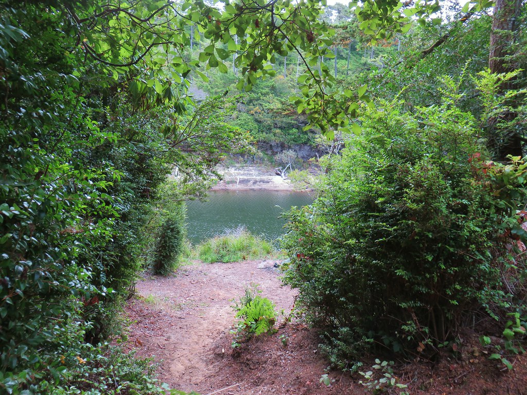
We had lost nearly all the elevation we had gained and the trail to right continued downhill for another quarter mile to South Camp, a tent site along the lake shore.
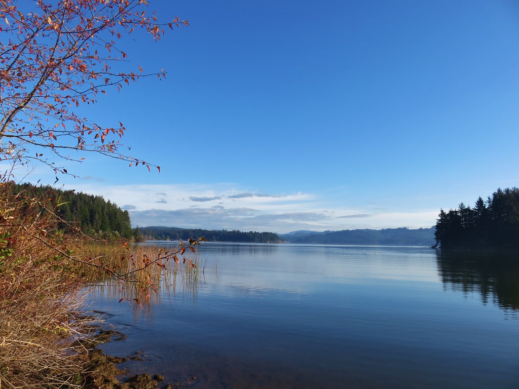
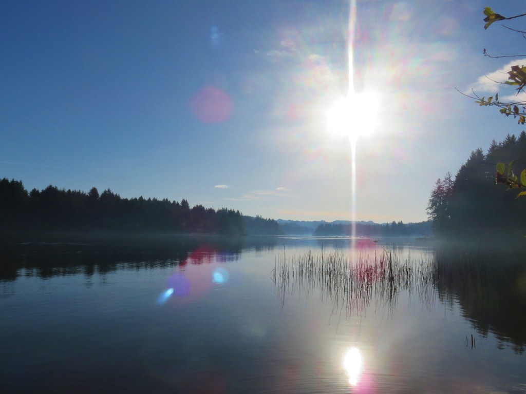
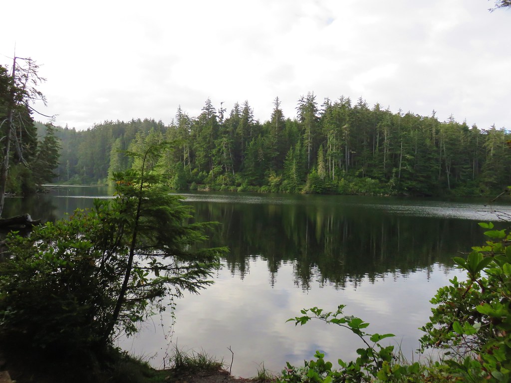
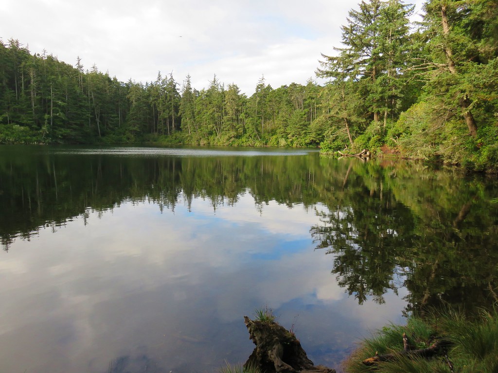
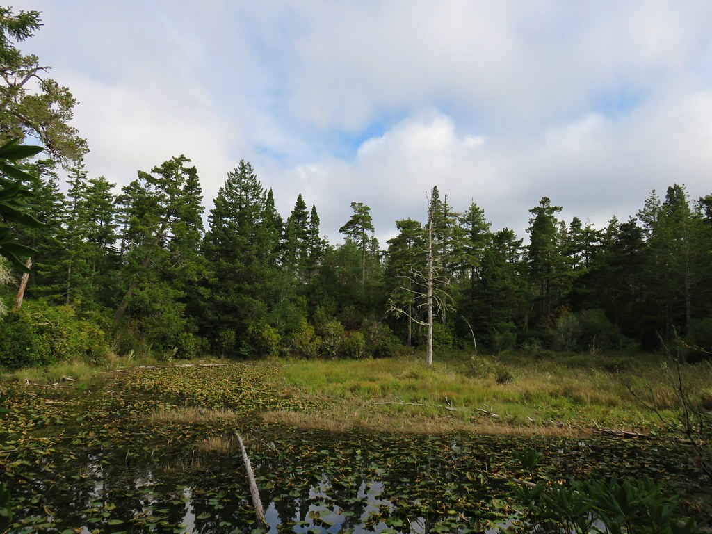
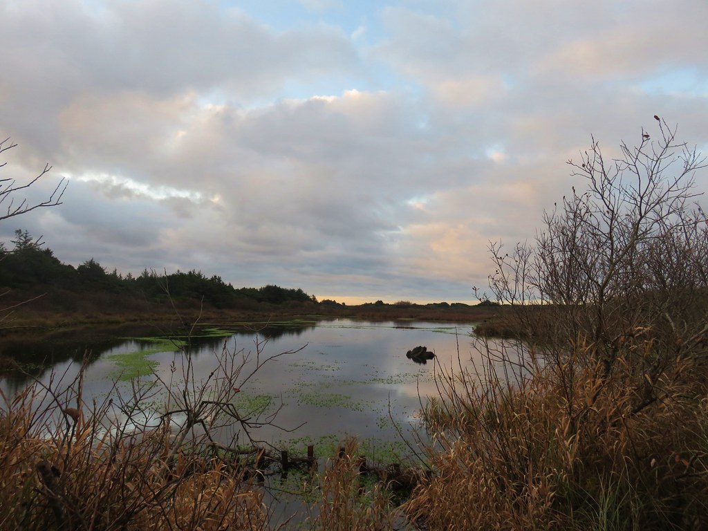
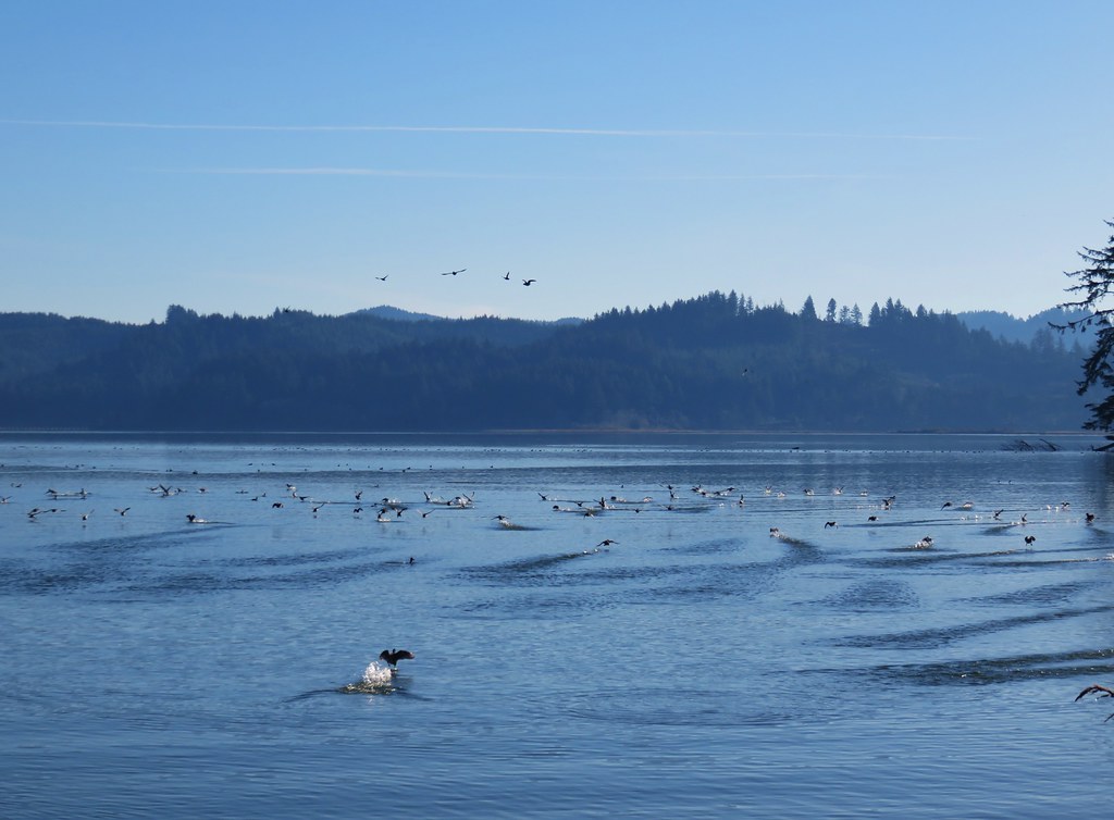
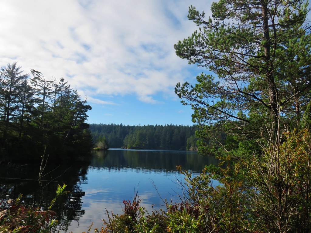
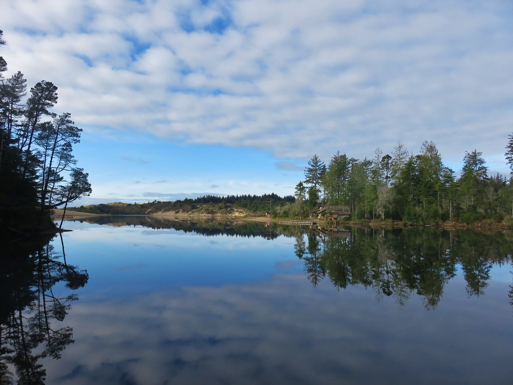
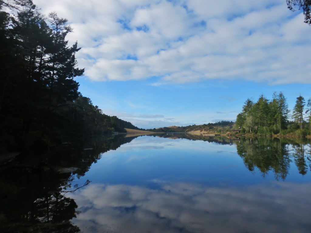
The lake was very pretty and full of birds but the nearly constant sound of gunfire took a little away from the enjoyment.


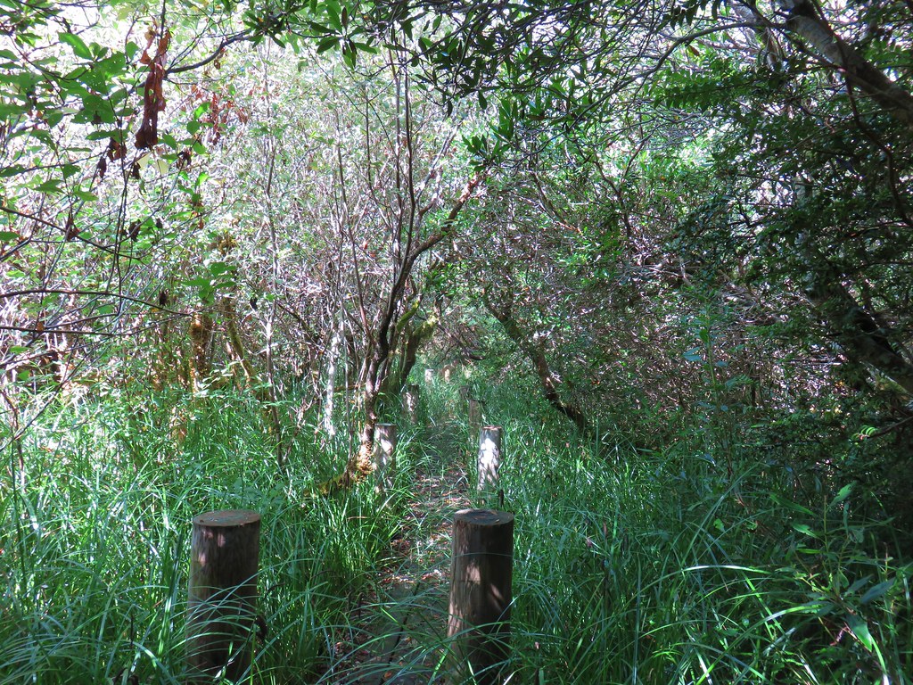
We climbed back up to the Sitlcoos Lake Trail and continued a half mile on the loop which dropped to a small creek crossing before arriving at a sign for the tent sites at North Camp where we again turned right and visited the lake shore.
Following paths north along the shore led us past all the sites and back to the Siltcoos Lake Trail.

Just under a mile and a quarter from North Camp we finished the loop and then returned the .9 miles to the trailhead to complete the 4.4 mile hike.
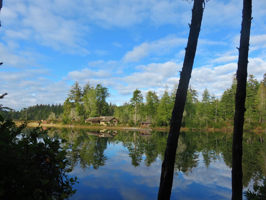
Next we drove north on Highway 101 just over 4.5 miles to signs for Jessie M. Honeyman State Park where we turned east on Canary Road. We followed this road for a half mile before turning right into the East Woahink Day Use Area.
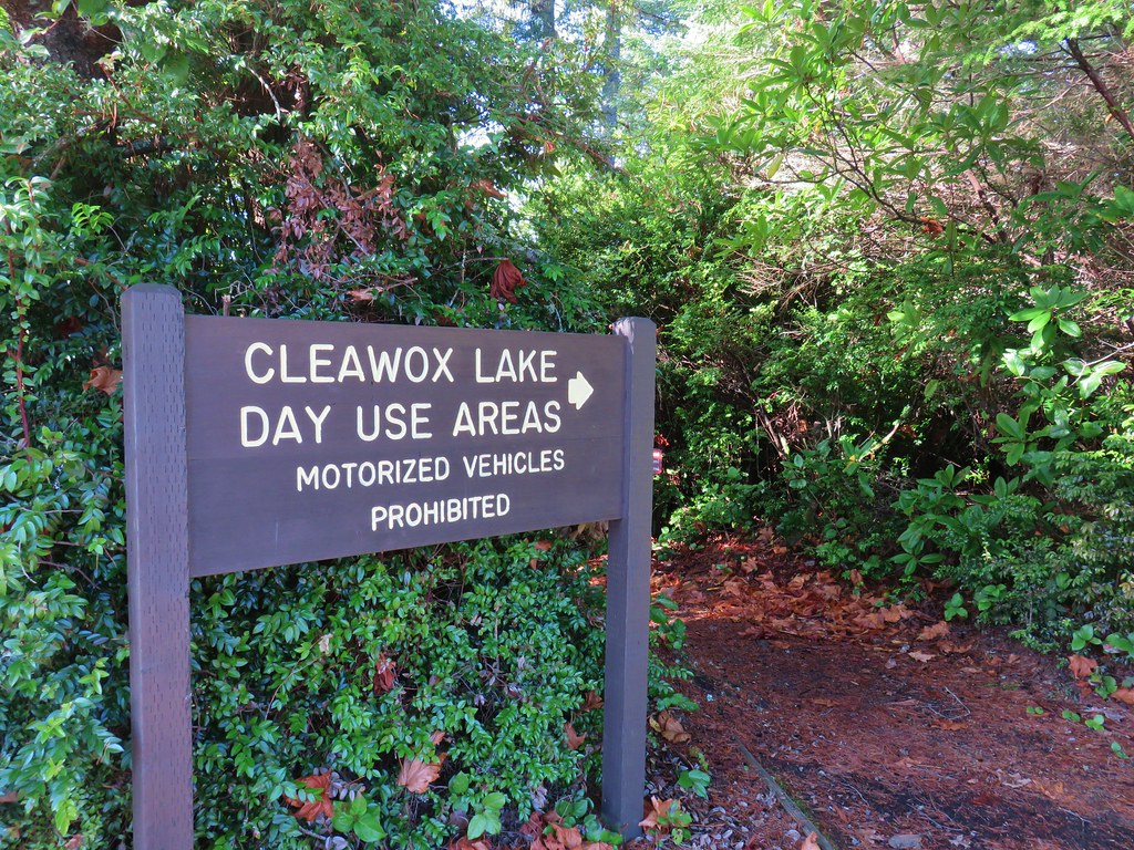
After parking in the large parking area we walked back toward the entrance to a large sign for Cleawox Lake Day Use Areas.
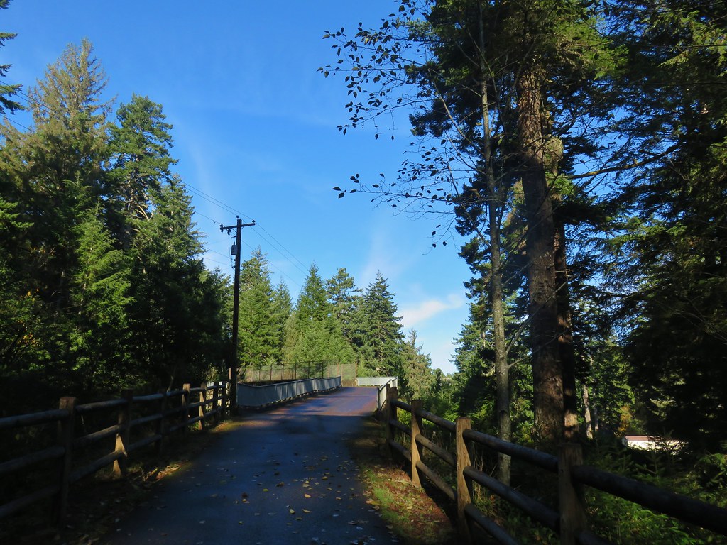
This path led briefly through a forest before joining Canary Road to cross a portion of the lake.
After passing over the water along the road the trail dipped back into the forest and immediately forked. The right hand fork led directly into the West Woahink Day Use Area while the left fork (which we took) looped around the day use area along the lake shore passing picnic tables and a small beach.
On the far side of the West Woahink Day Use Area we once again found ourselves on the shoulder of Canary Road passing over more of the lake. The trail again veered away from the somewhat busy road and we followed pointers for Cleawox Lake to a paved bike path leading over Highway 101.

Rough skinned newts had become the theme for the day and even the bike path was not free of them.

Shortly after crossing over the highway we turned right off the bike path at a trail sign.
This path led downhill past a small stone structure and across a couple of paved roads before reaching Cleawox Lake.

On the far side of lake was the day use area complete with a very nice bathhouse. We turned right at the lake and made our way around the water to the bathhouse and swimming area.

We could imagine that this would be a very busy place at other times of the year but on the second weekend in December there were only a few other people that we could even see and they were all across the water in other areas. We found a dry bench and sat a for a bit listening to a sparrow sing.

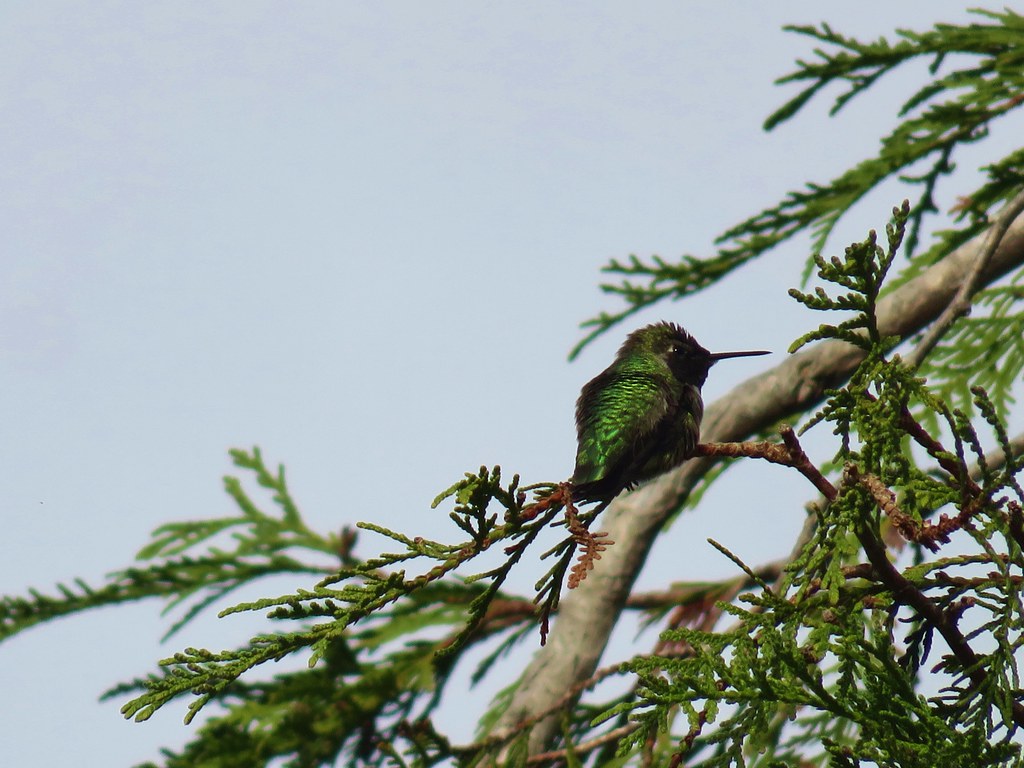
As we started to head back an Anna’s hummingbird zoomed by and landed in a nearby tree.

We passed by the trail that we had come down to the lake on and continued along the water to a large parking area on the opposite side of the bathhouse.
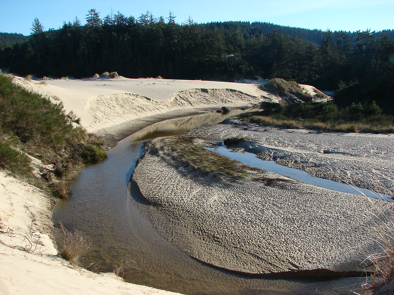
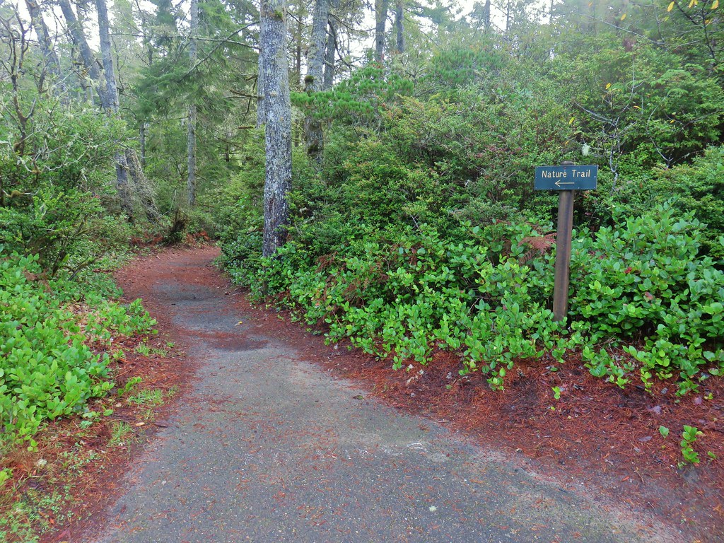
At the end of the parking lot a path led to a dune along the lake, but before we headed out onto the sand we took a very short side trip on the signed Nature Trail to visit Lily Lake.
 Lily Lake
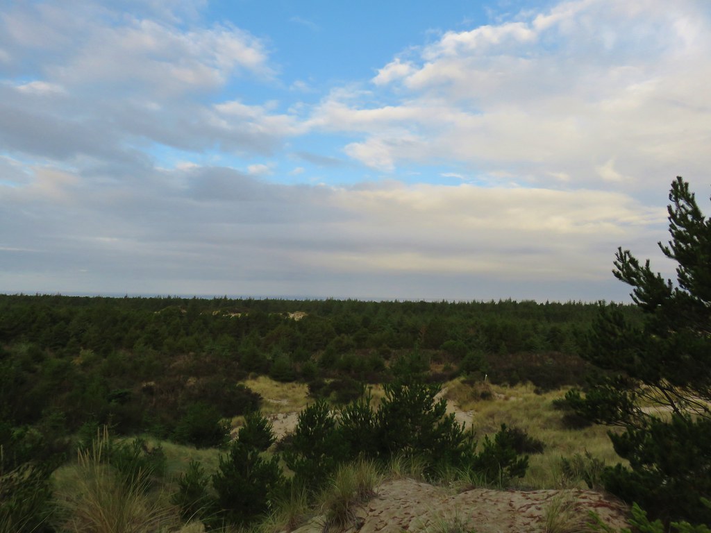
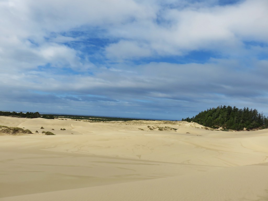
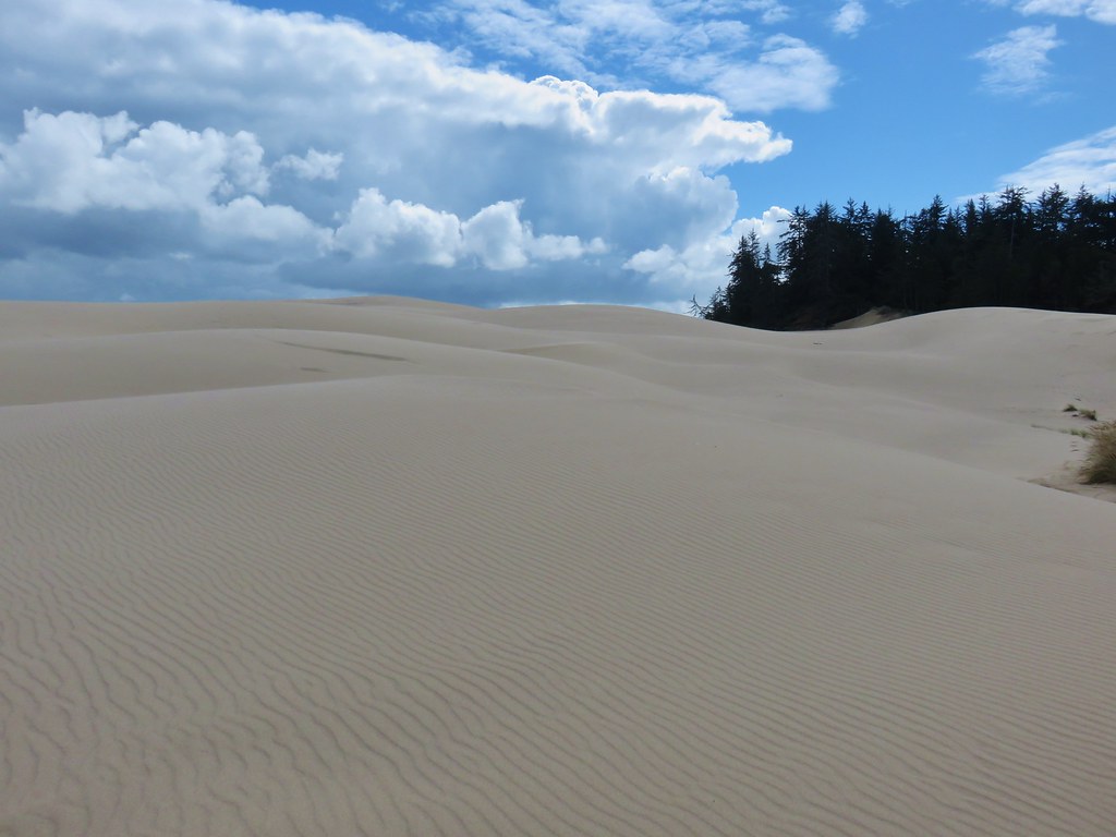
After seeing the small lake we headed up the sand dune overlooking Cleawox Lake.

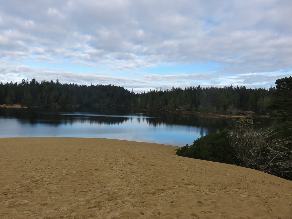
We climbed to the top of the dune and surveyed the surrounding area.
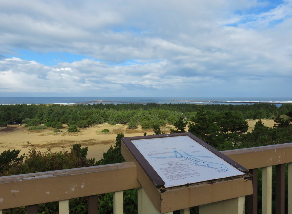
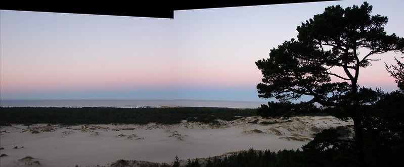
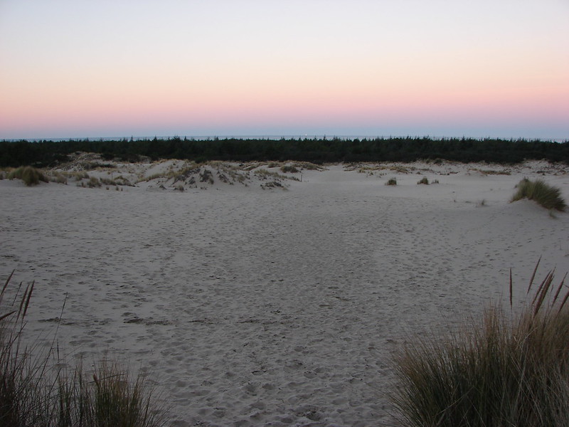
 The Pacific Ocean from the dune.
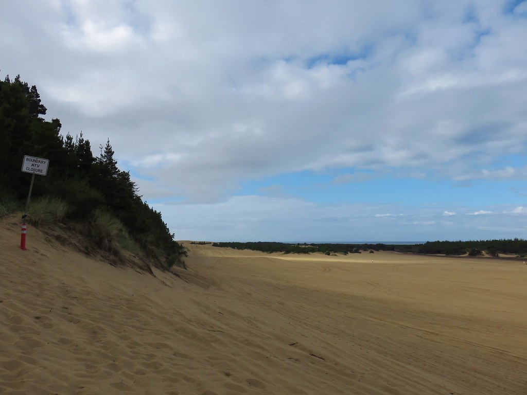
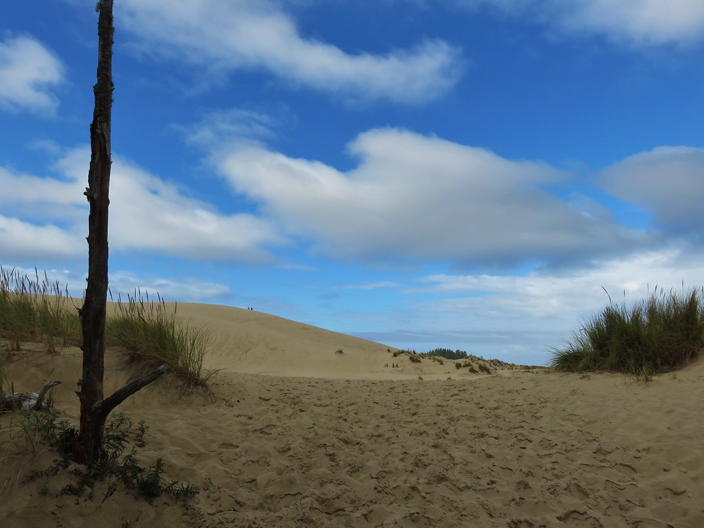
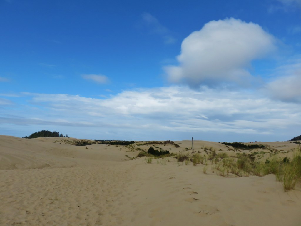
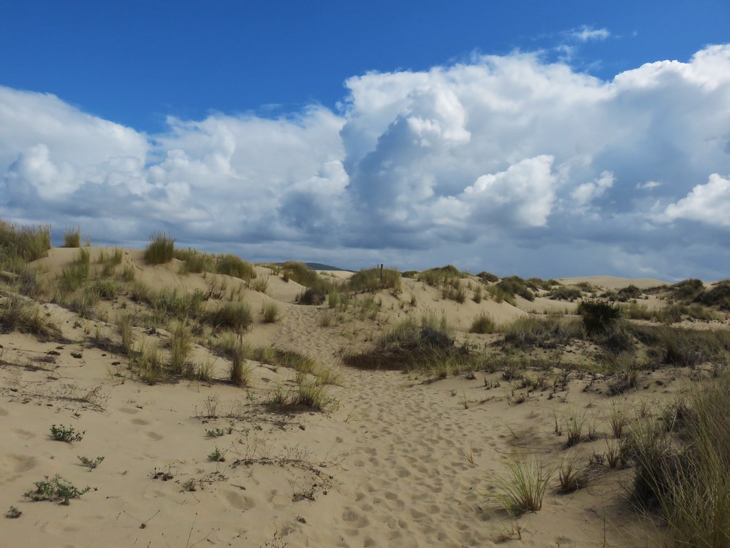
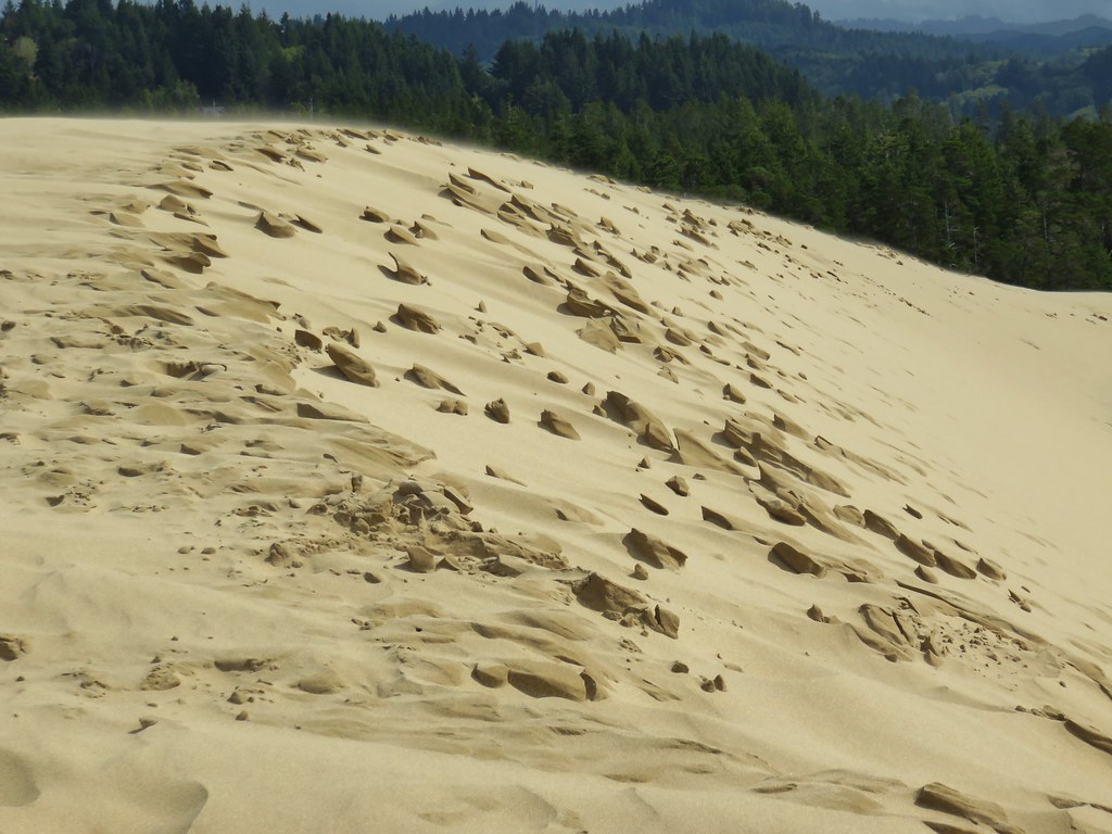
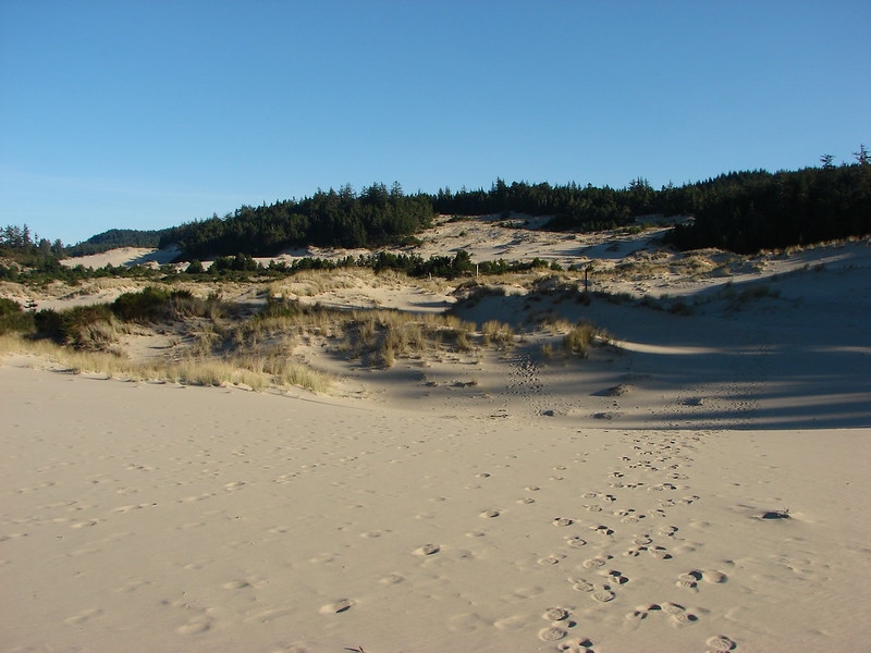
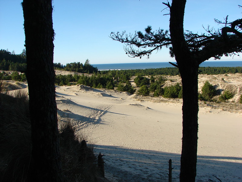
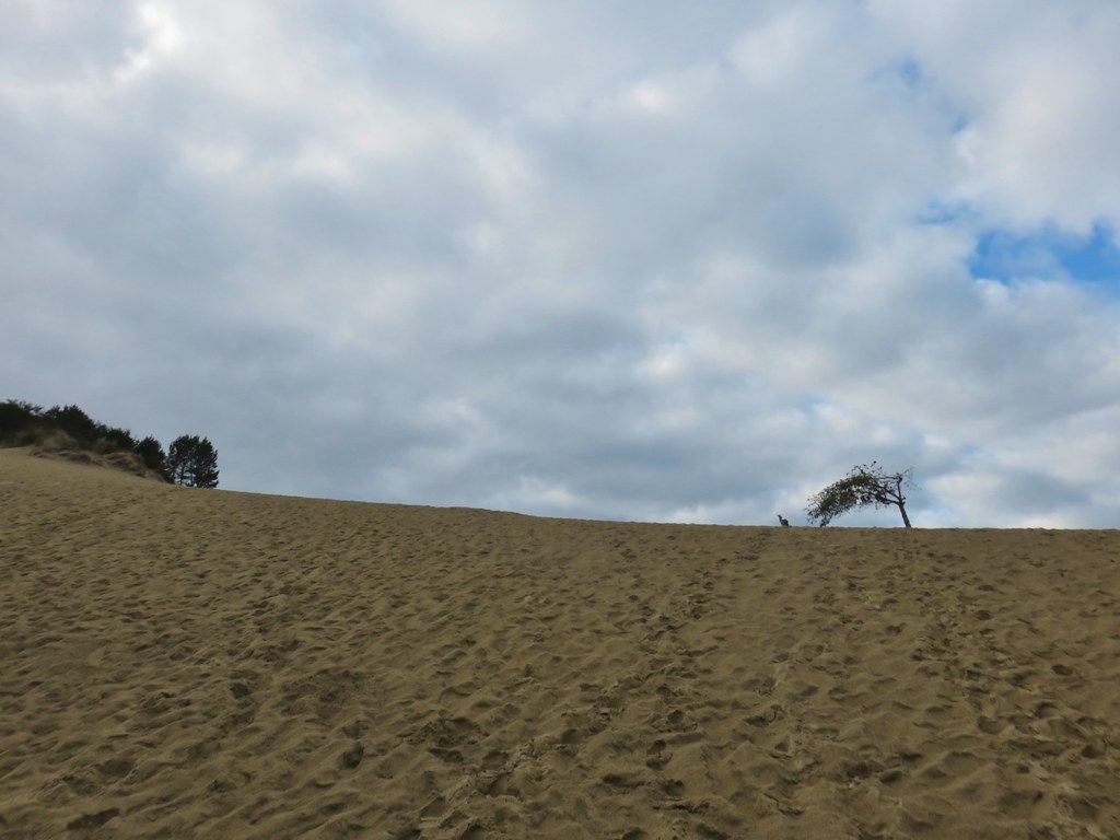
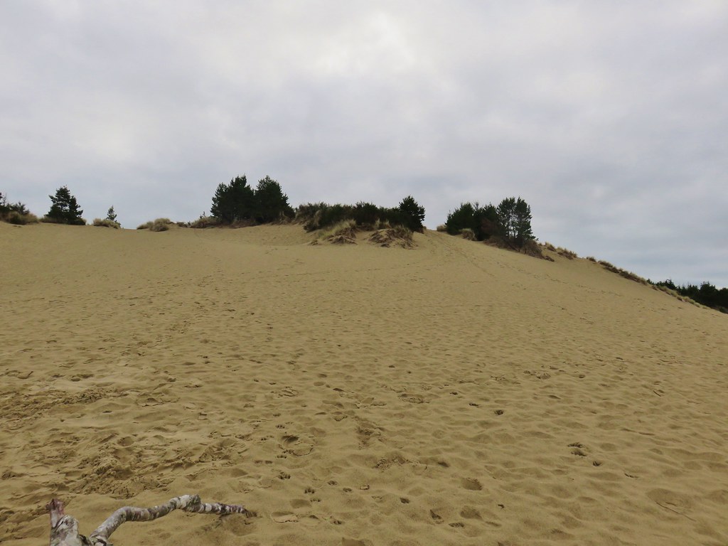
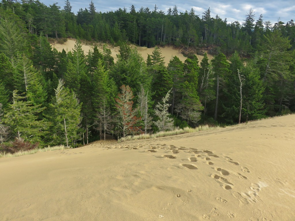
To the south we could see our goal, the largest sand dune (at least in that area) in Jessie M. Honeyman State Park.

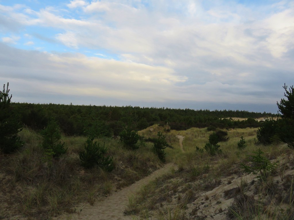
It was a half mile of sandy up and down walking between the two dunes.

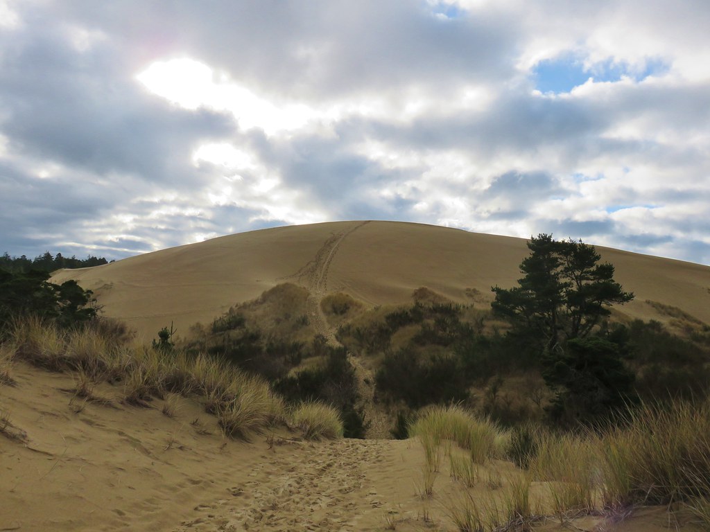
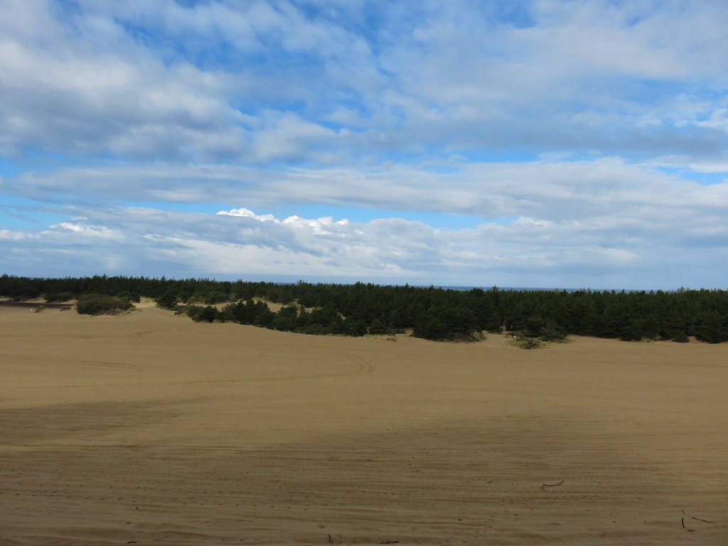
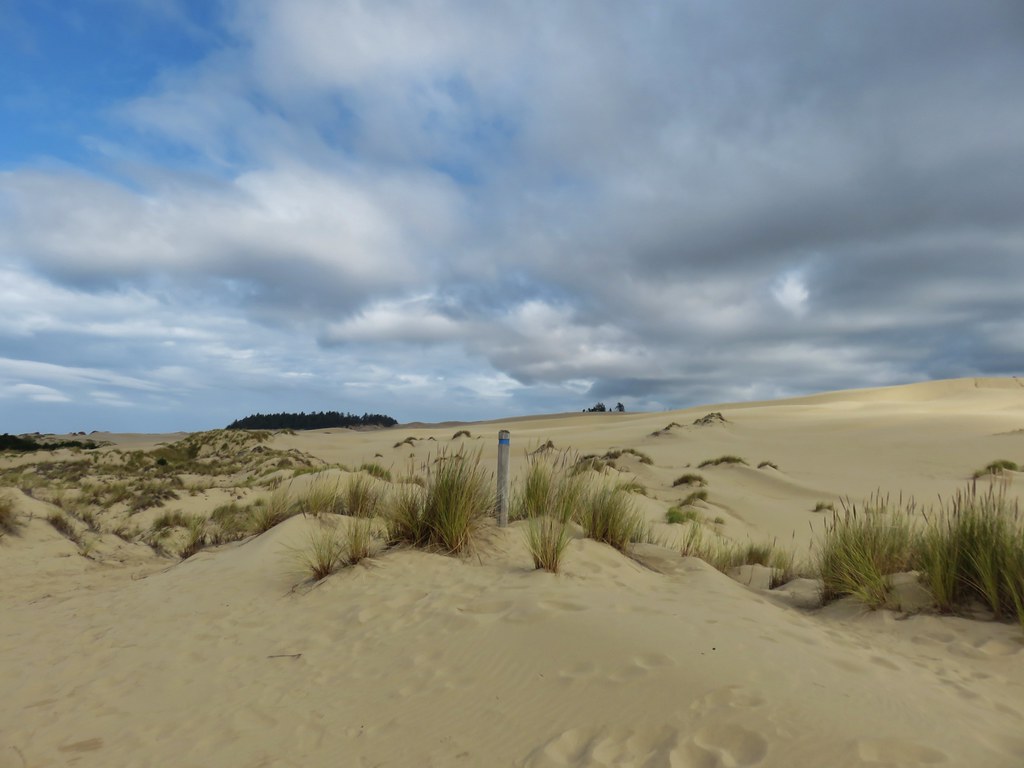
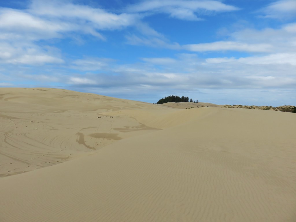
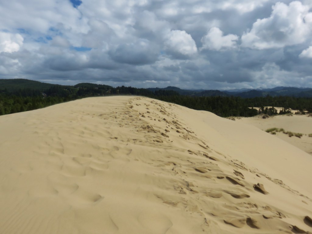
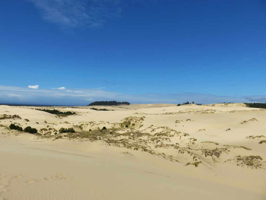
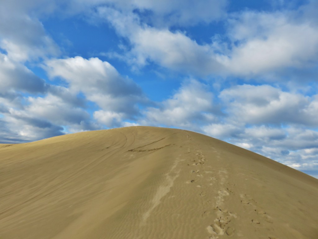
After a nearly 150′ climb we arrived at the top of the dune and its 360 degree view.


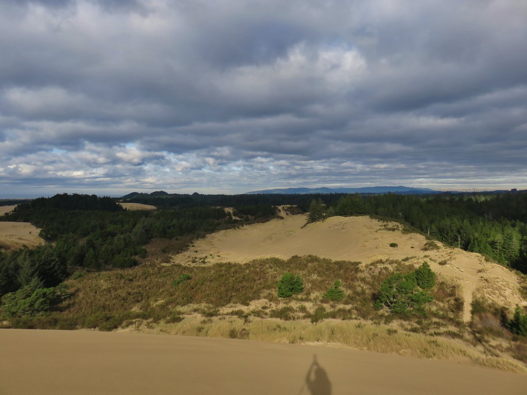

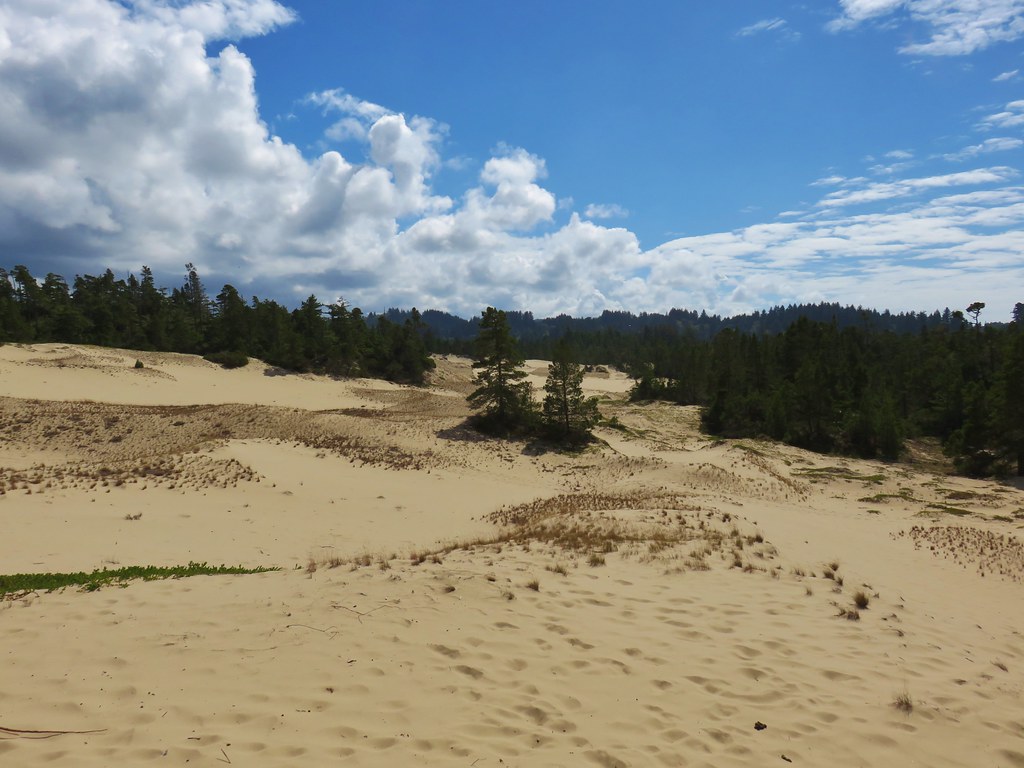
Although off road vehicles are allowed in much of the park this dune (and our route to and from it) are off limits. After soaking in the view (and watching a couple of motorcycles in the distance) we followed footprints steeply downhill to the east.
After a short stint through trees we followed tracks around a sandy bowl reentering the trees just above the park’s campground.

Once in the campground we headed north following the paved roads to Loop “B”.

We turned east along the northern end of Loop B which brought us to the bike path that we had crossed Highway 101 on earlier.

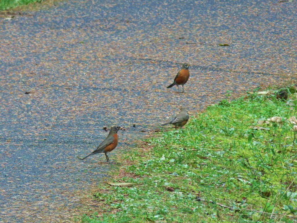
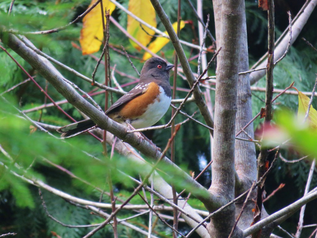
We followed path back up and over Highway 101 and returned to the East Woahink Lake Day Use Area. The path was full of birds now, mostly robins but we also spotted a nice spotted towhee.
The only thing we did differently on the way back was that we went through the West Woahink Day Use Area instead of around it which allowed us to use the facilities there before our drive home. This was our longest hike of the day at 5.2 miles bringing the days total to 12.9.
We had been all prepared for wet and rainy weather, but instead we had a nearly perfect day for hiking at the coast. Happy Trails!
Flickr: Siltcoos River, Siltcoos Lake, & Honeyman State Park