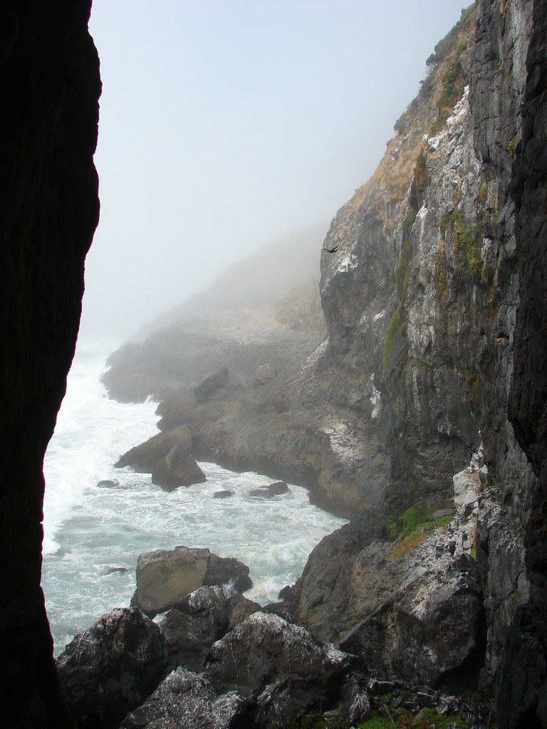
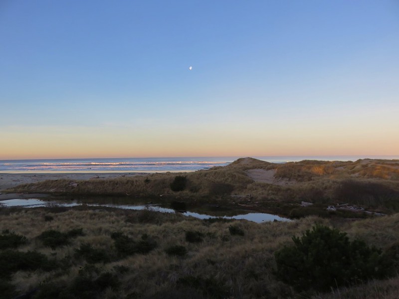
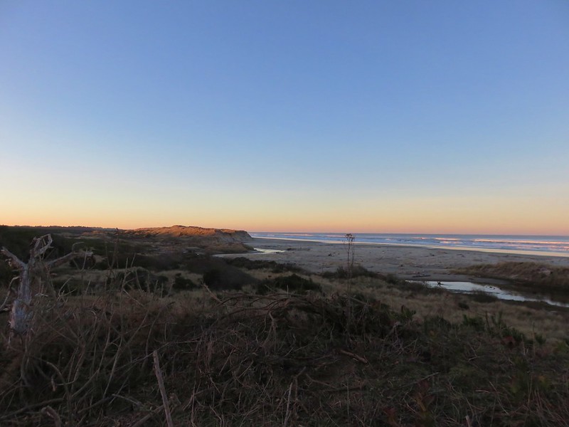
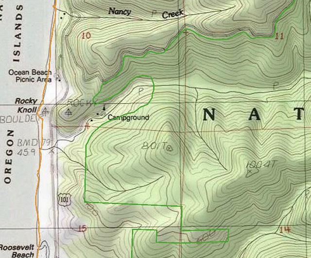
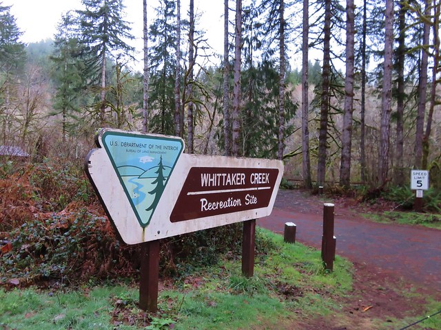
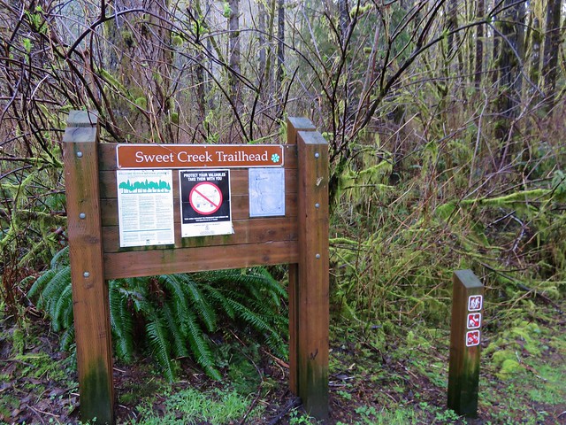
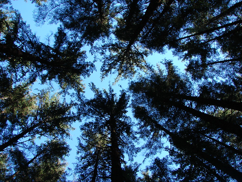
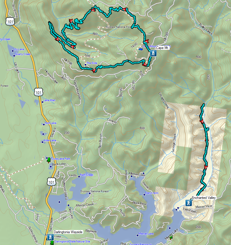
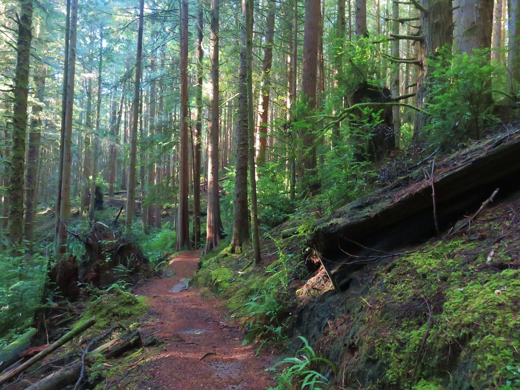
It had been a little over a month since we’d hiked someplace more than 20 miles from Salem and almost six months since we’d been more than 100 miles from home. It was time reset those counters and set our sights on a three stop trip to the area north of Florence, OR. Two of the stops would be brand new to us and the third, Cape Mountain, was a hike we’d done nearly 12 years ago. We were interested in revisiting the trails in that area since it had been so long and it had been a different time of year (September).
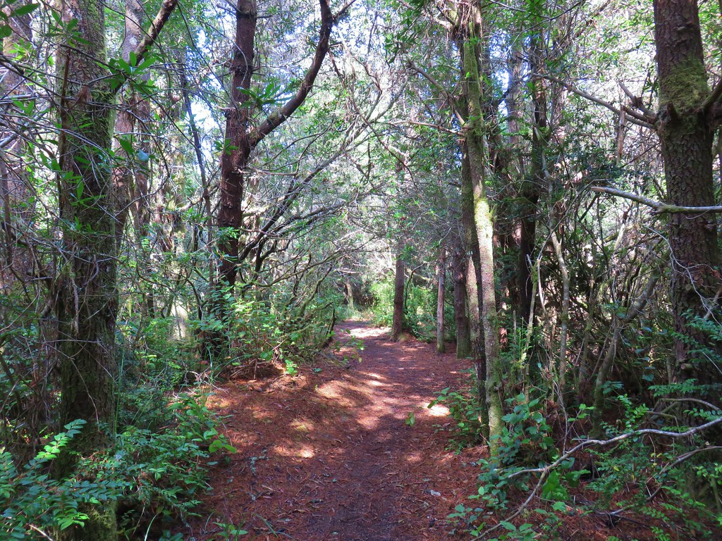
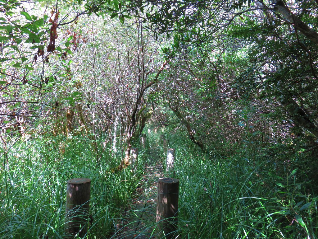
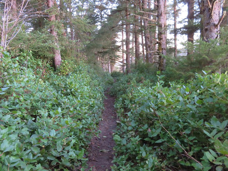
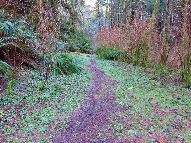
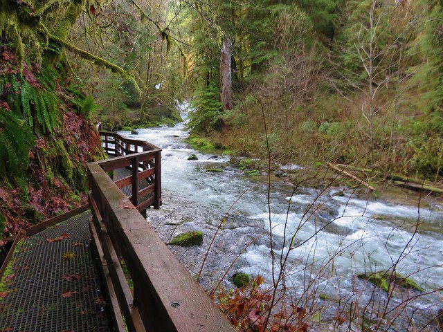
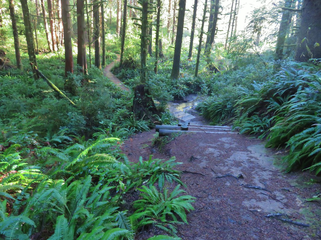
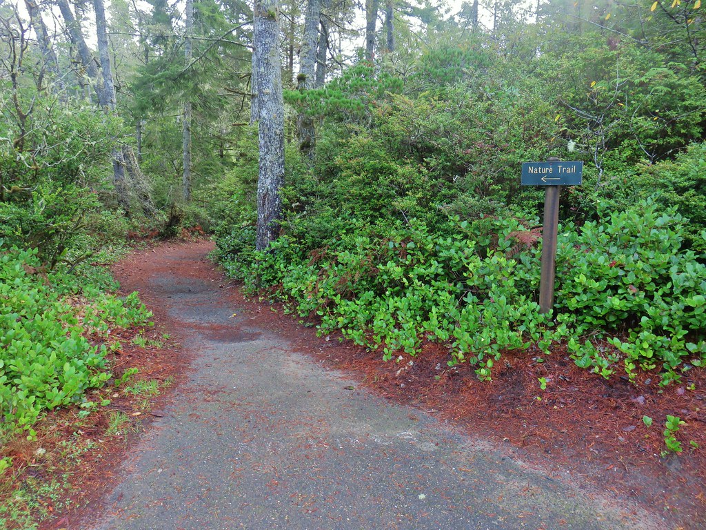
We started our morning with the 2-mile Enchanted Valley Trail. The Forest Service warns of seasonal flooding in Winter months and the Oregonhikers.org Field Guide mentioned muddy conditions, so we had brought a backup pair of shoes. The first section of trail lived up to its muddy reputation but the recent rains hadn’t created any impassable flooding.

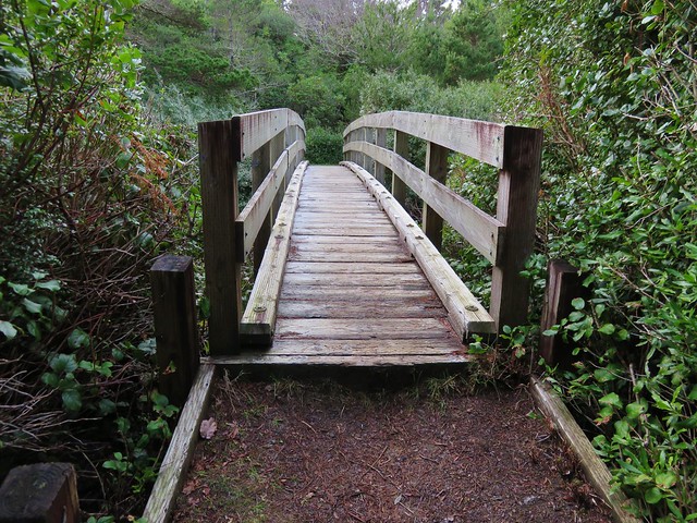
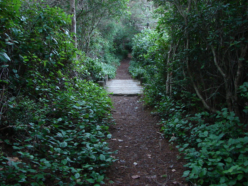
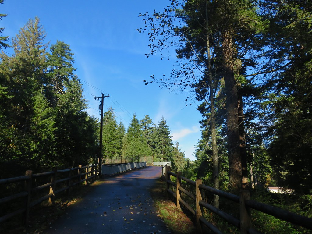
 One of the muddiest sections was just beyond a small footbridge near the trailhead.
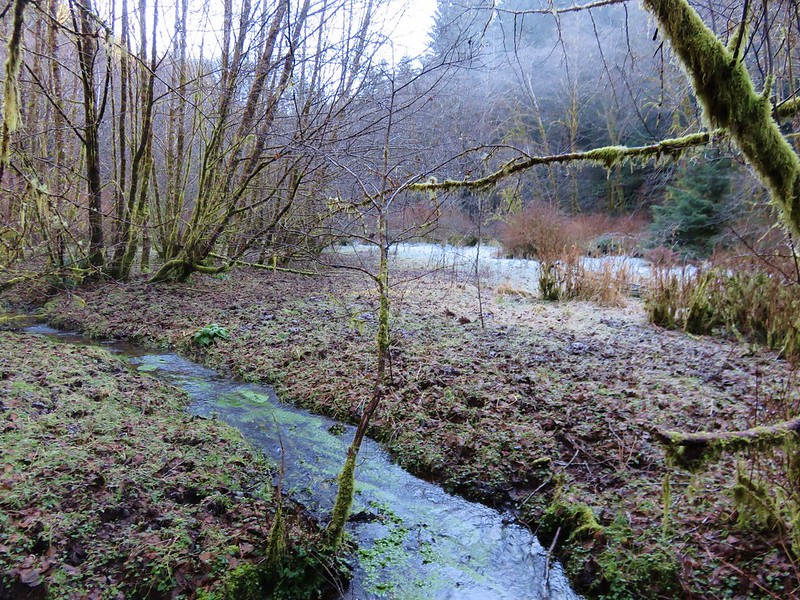
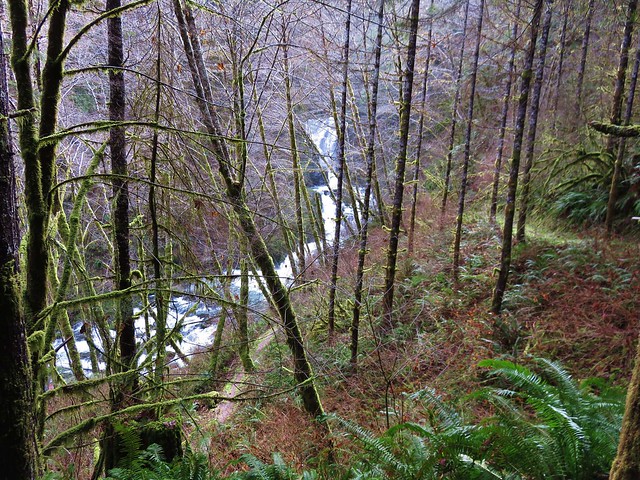
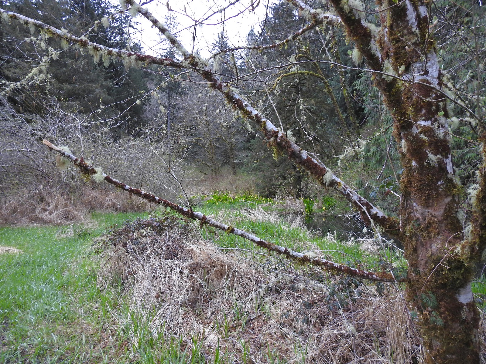
The trail spent the first half mile passing through the damp grassy meadow with what the map showed as Bailey Creek on our right.
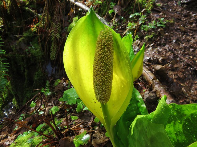
 Skunk cabbage blooming along Bailey Creek.
 Skunk cabbage
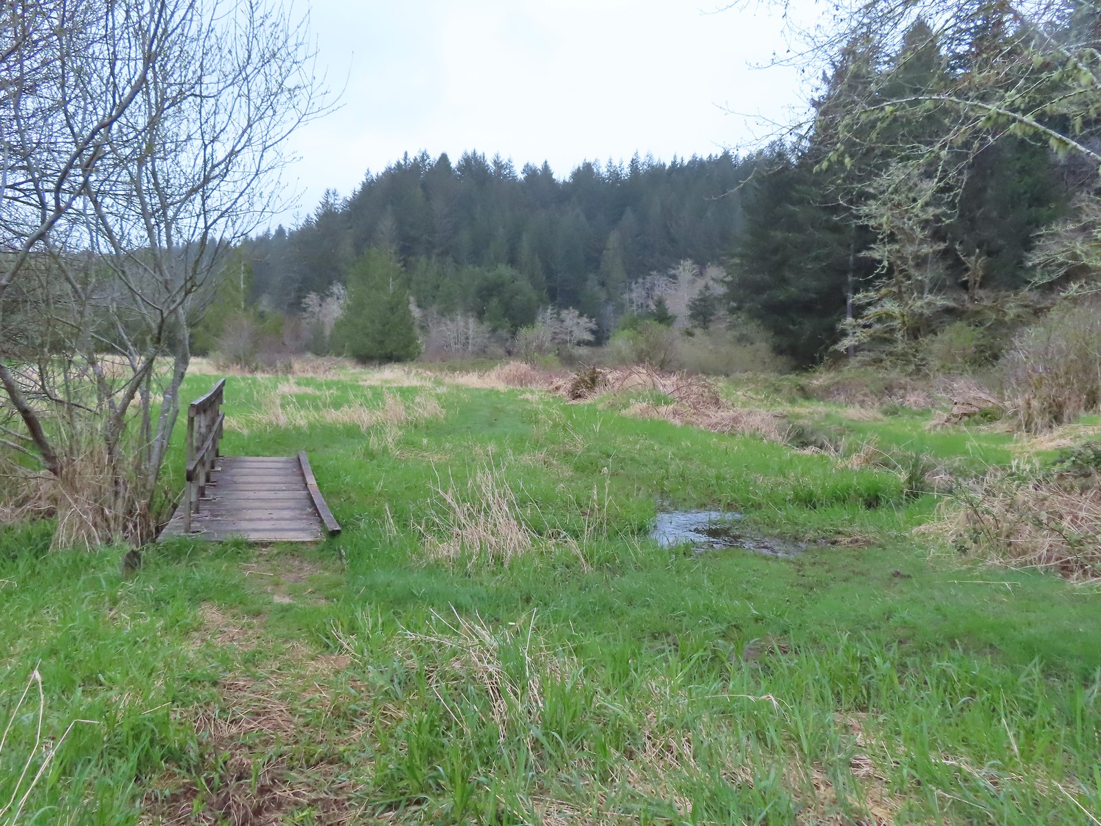 A second little footbridge.
 Coltsfoot
 Closer look at the coltsfoot.
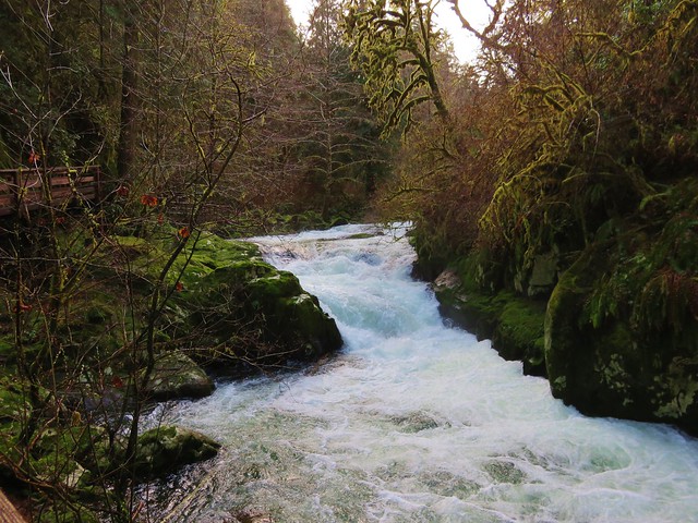
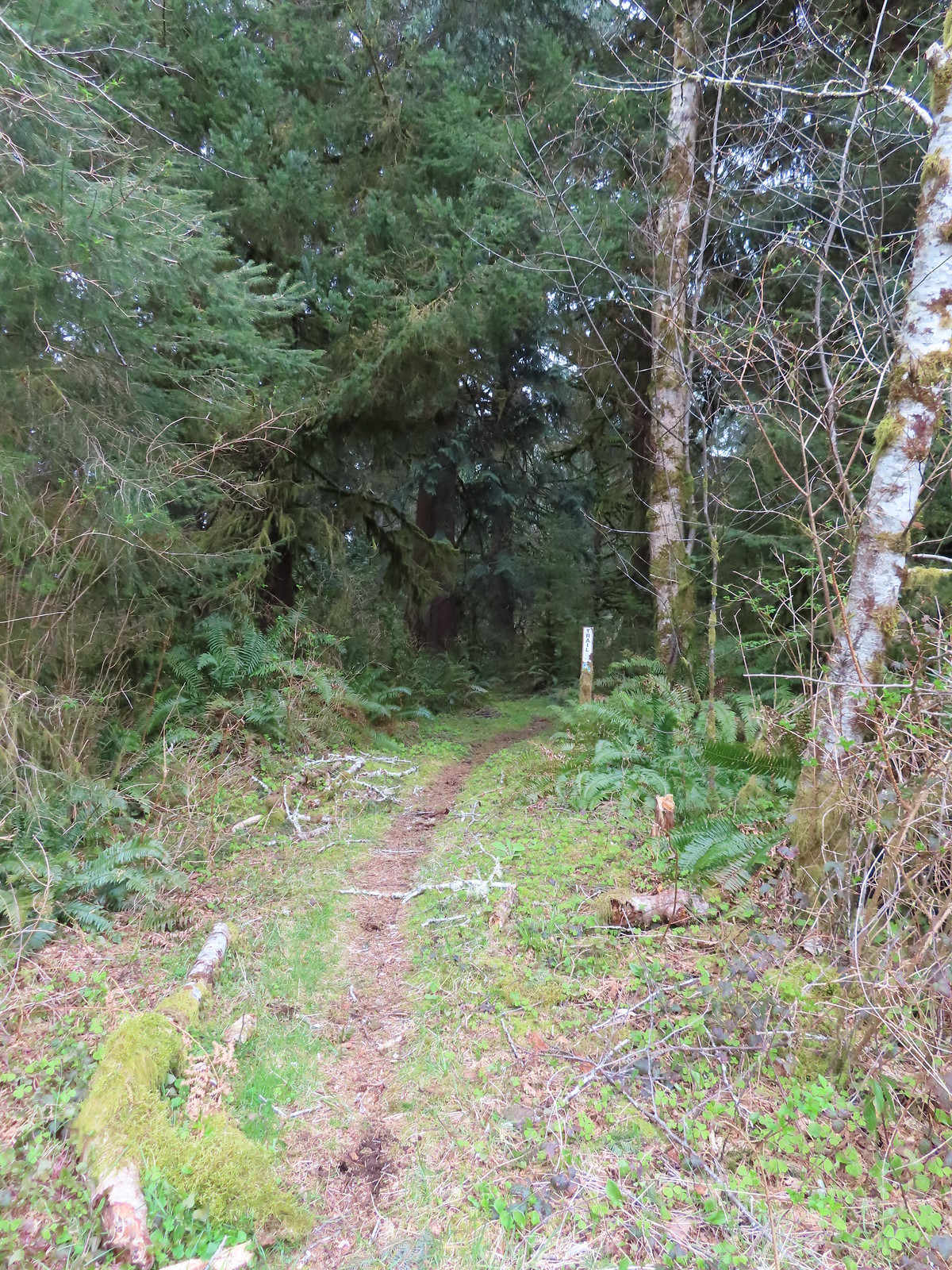
At the half mile mark, near a fence, the trail turned left for a tenth of a mile and crossed an unnamed creek.
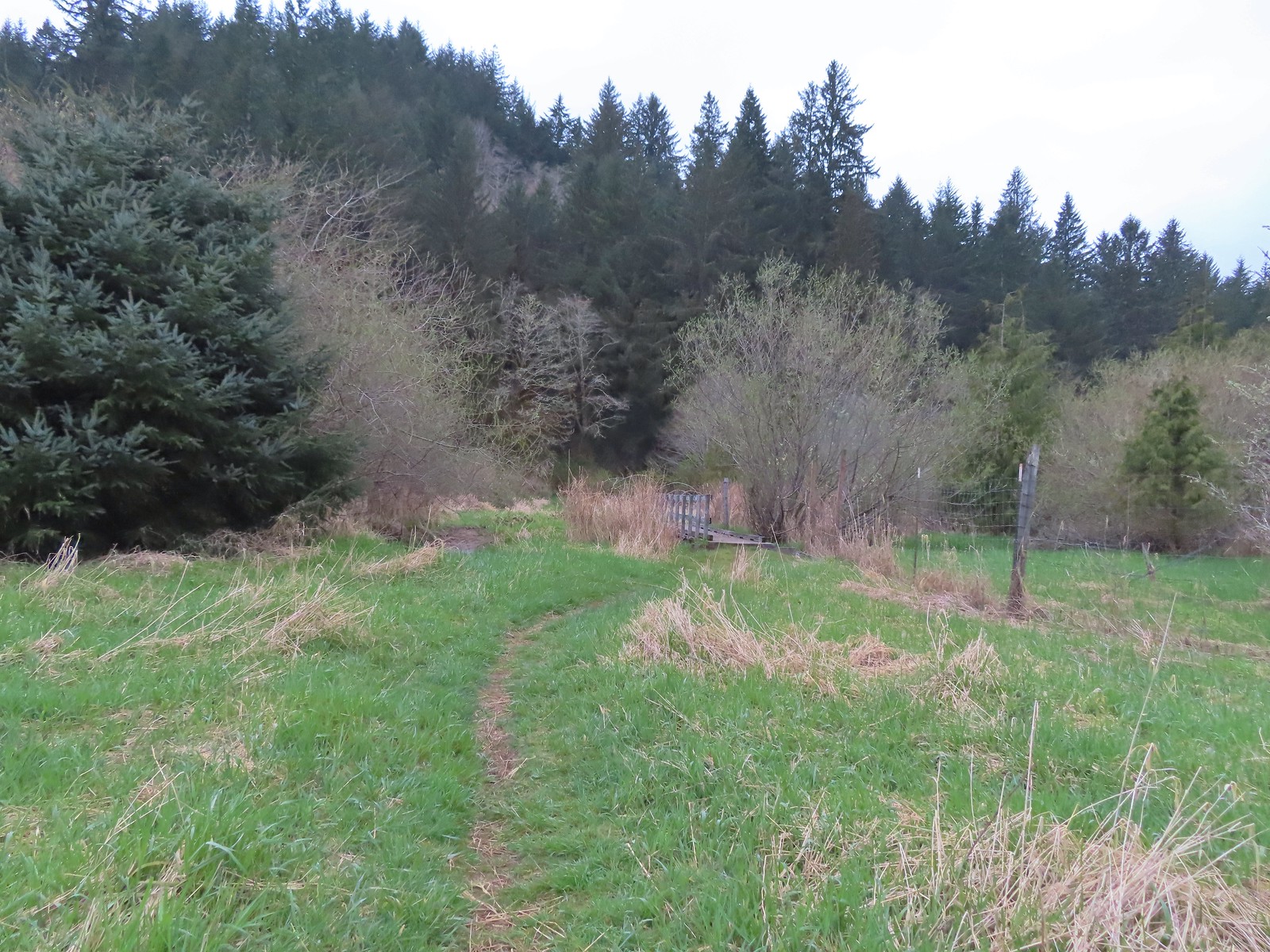 Approaching the footbridge over the unnamed creek.
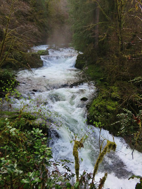
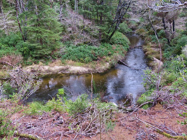
 This creek was really deep here although it’s hard to tell from the photo.
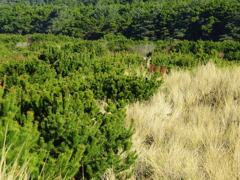
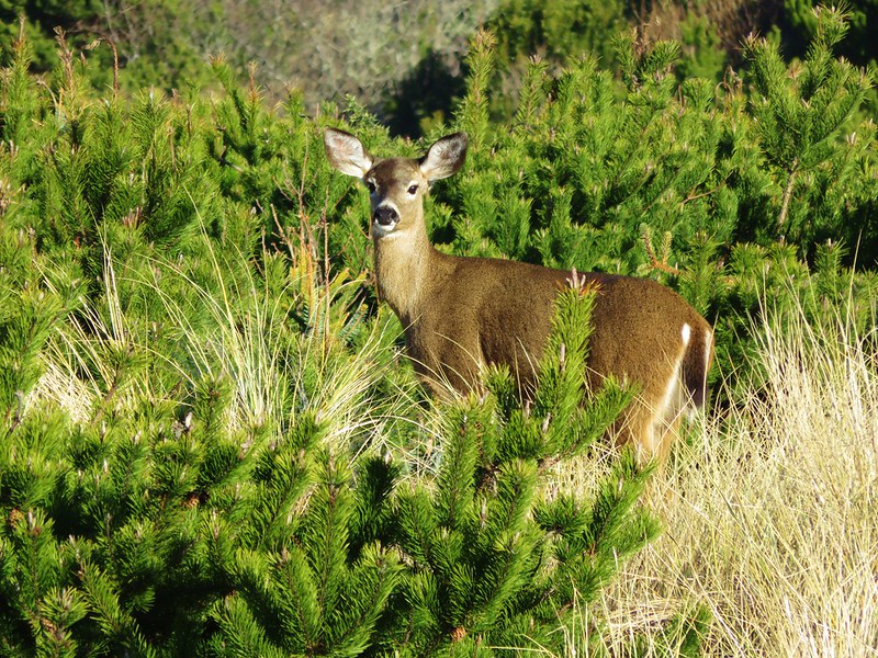
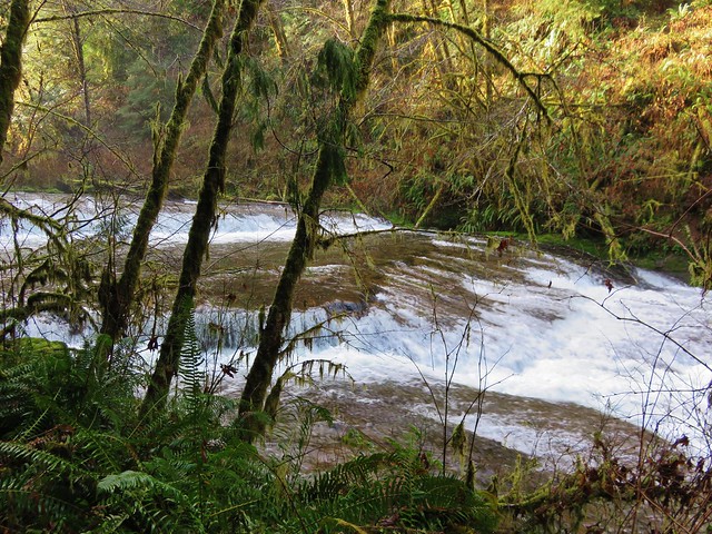
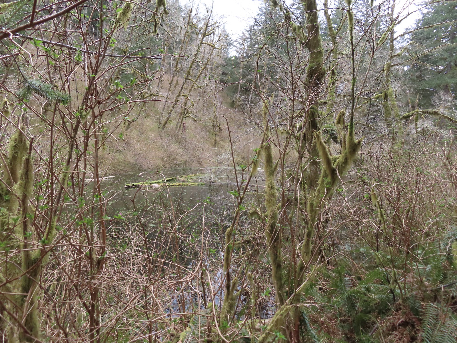
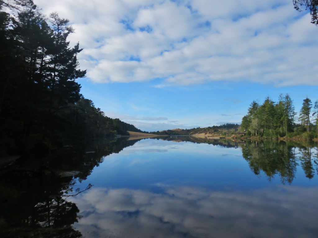
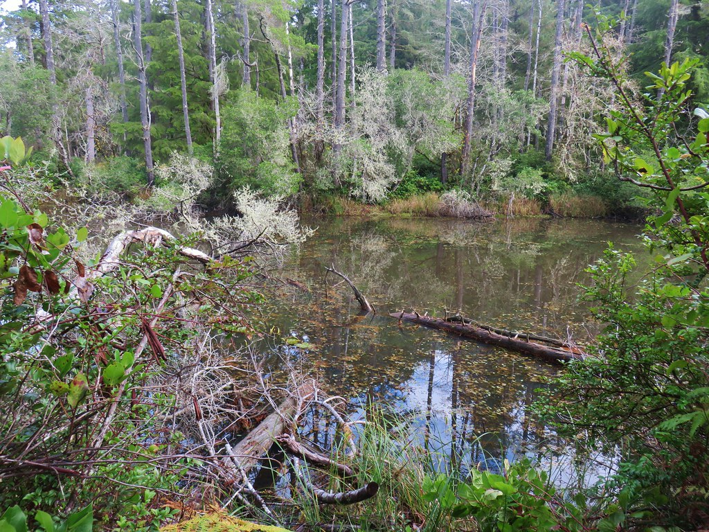
The creeks flow into nearby Mercer Lake which at one time actually extended into this valley. Elk are regular visitors but we didn’t see any on this day. Apparently in warmer months snakes are also prevalent along the trail.

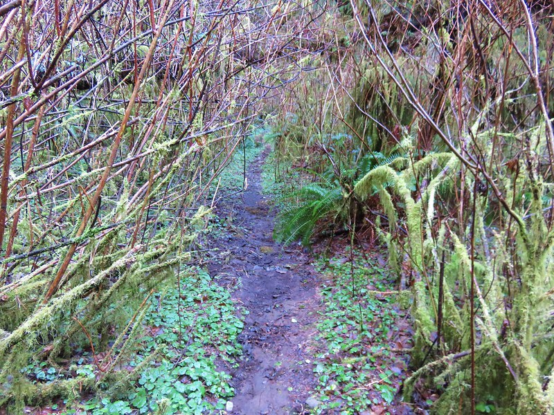
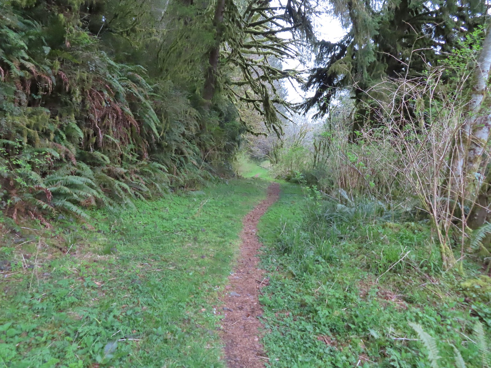
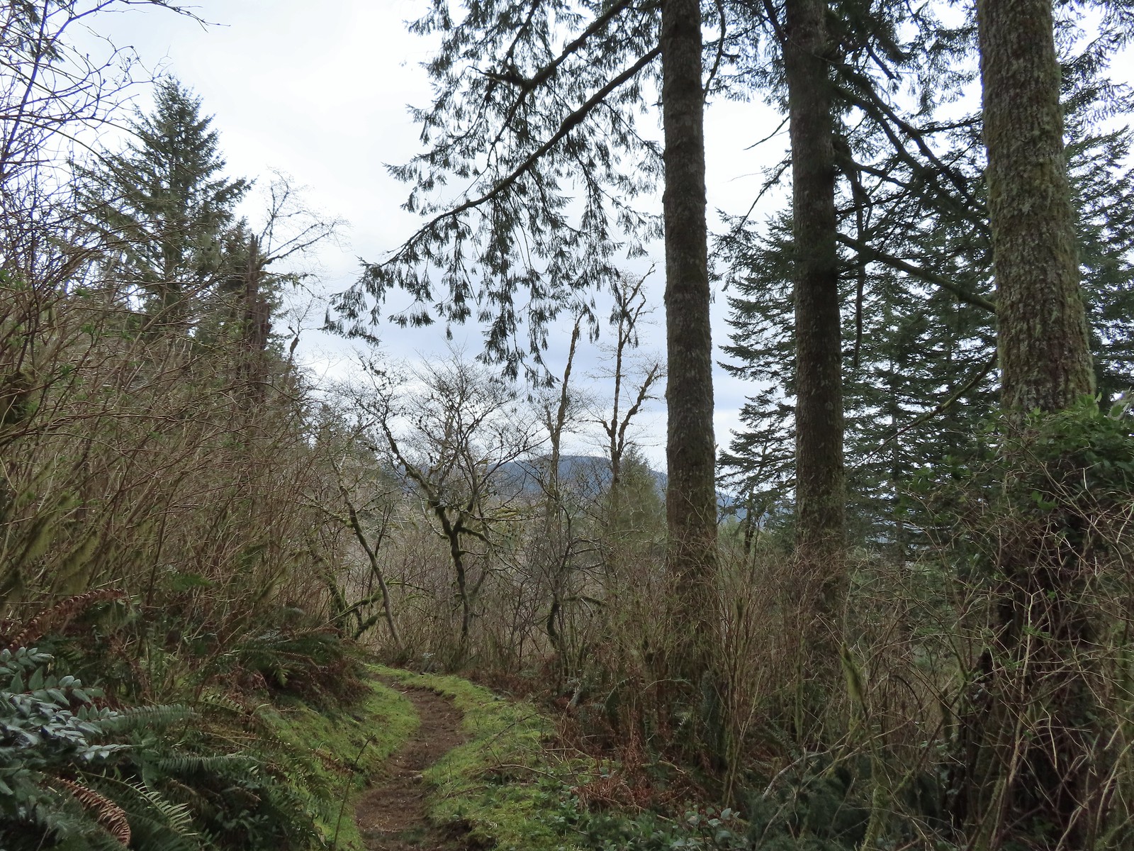
On the far side of the second creek the trail entered the edge of the forest and turned right following the valley northward.
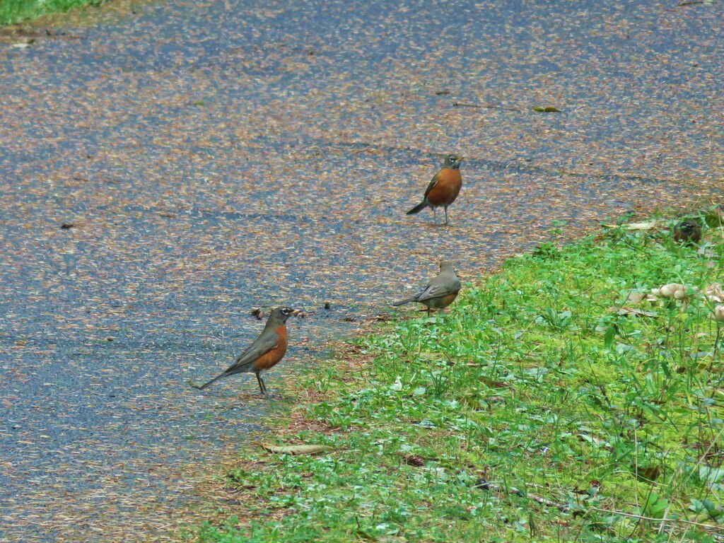
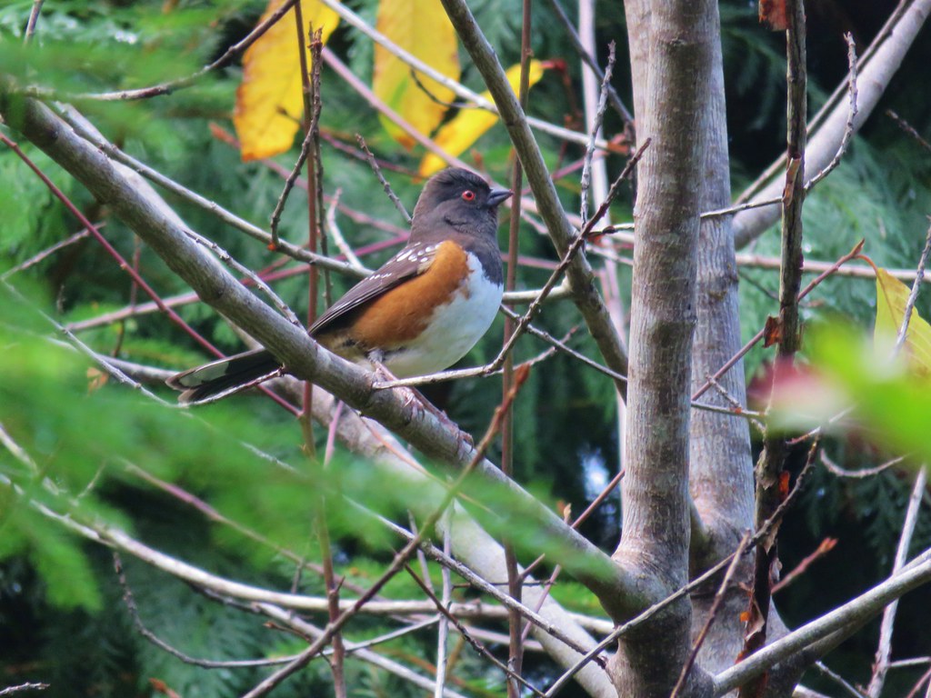
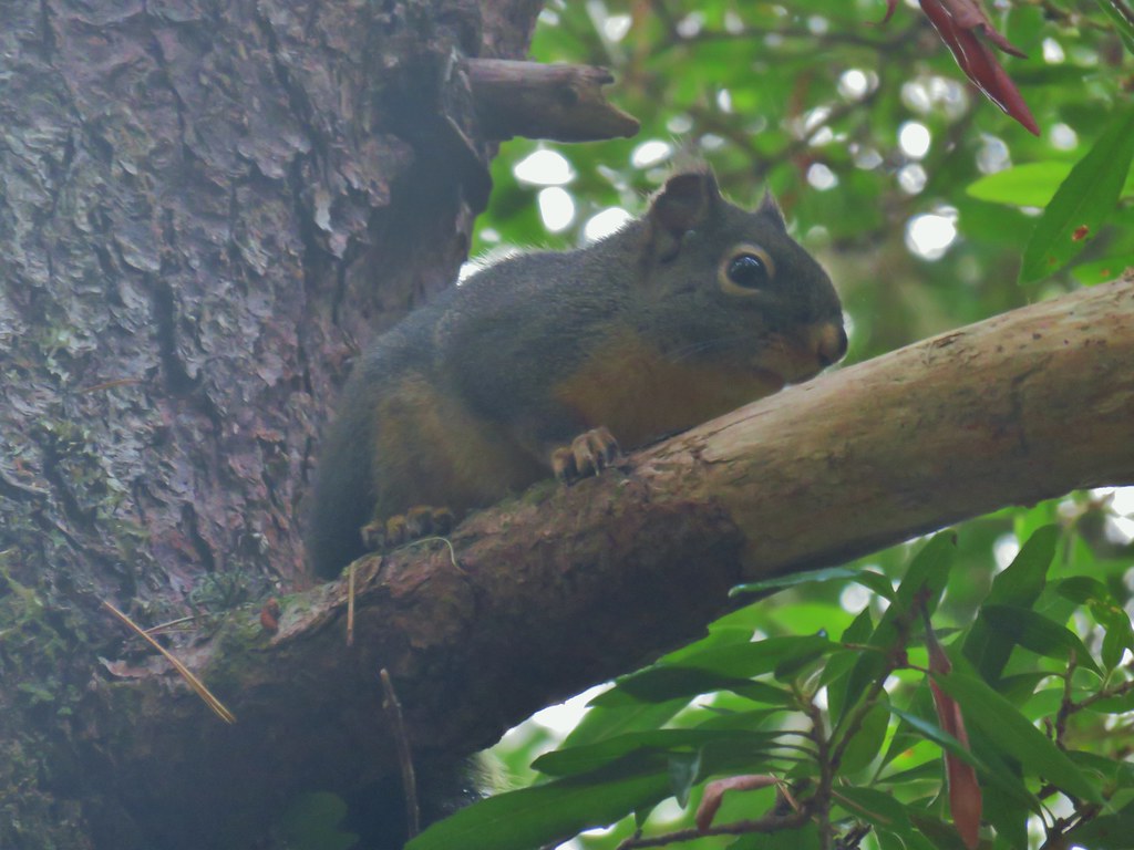
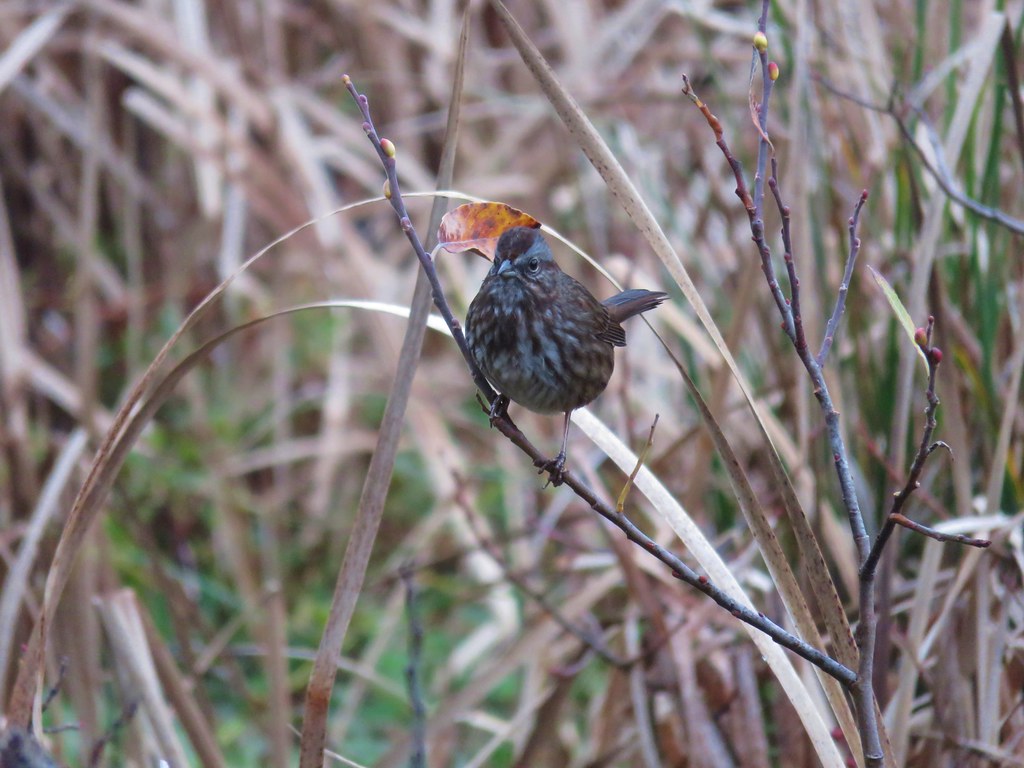
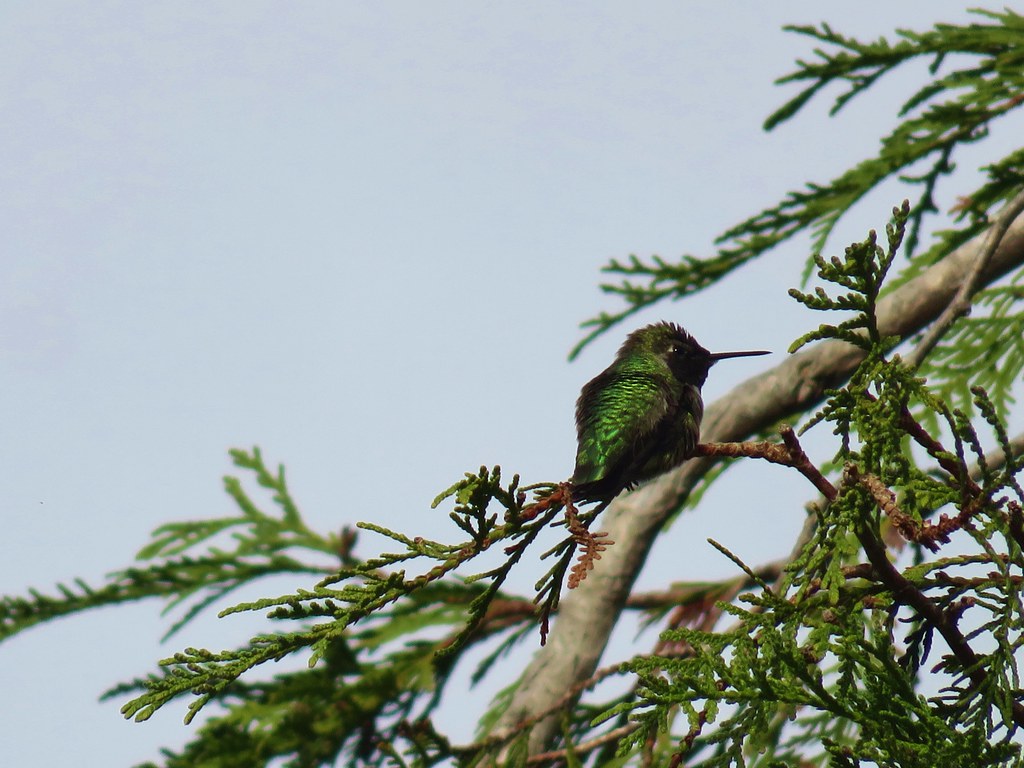
There were a lot of small birds including a number of hummingbirds visiting the salmonberry blossoms but none wanted to sit still long enough for a photo. The wildflowers on the other hand were captive subjects.
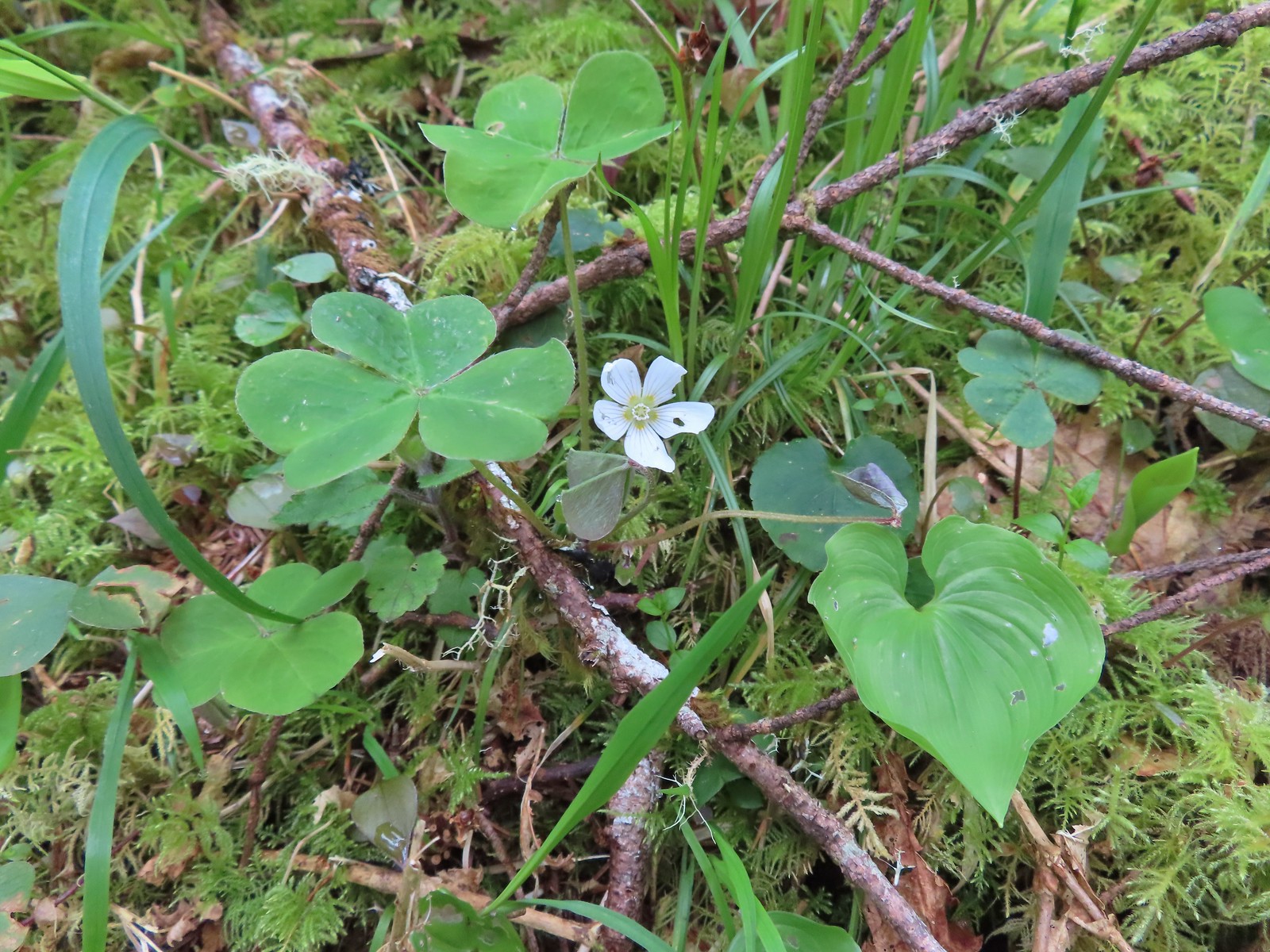
 Wood sorrel
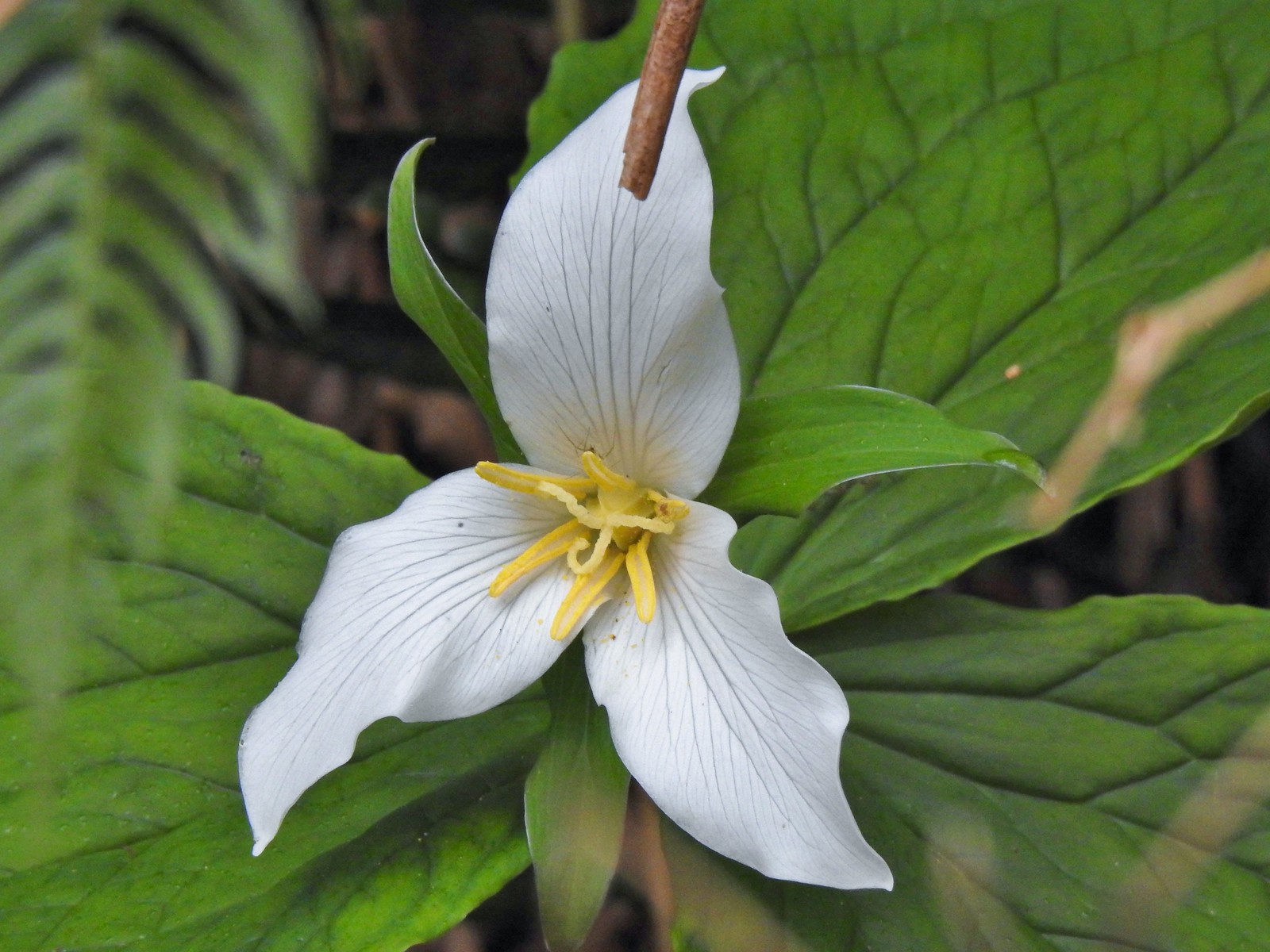 Trillium with a resident spider.
 More skunk cabbage, also with a resident spider.
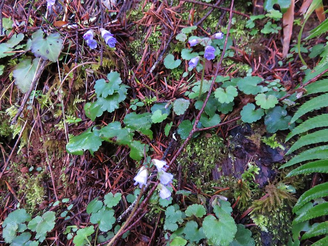
 Violet
 Bleeding heart
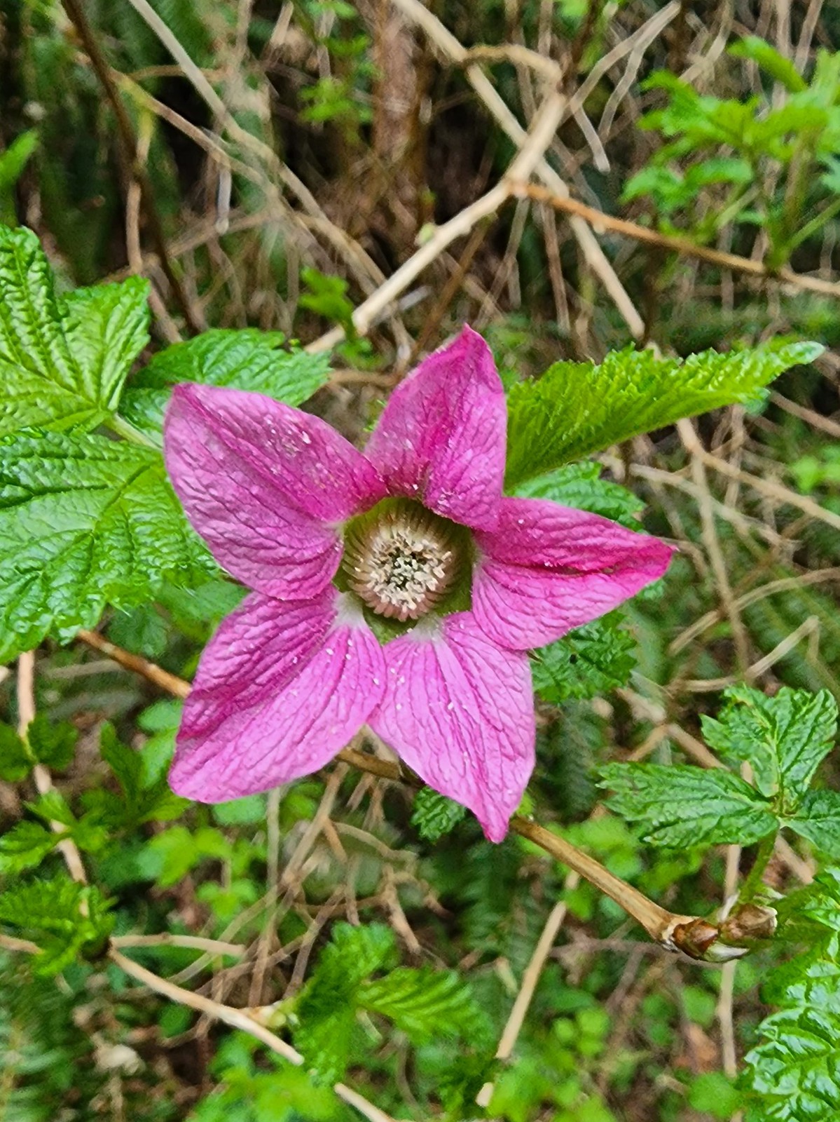 Salmonberry
 Toothwort
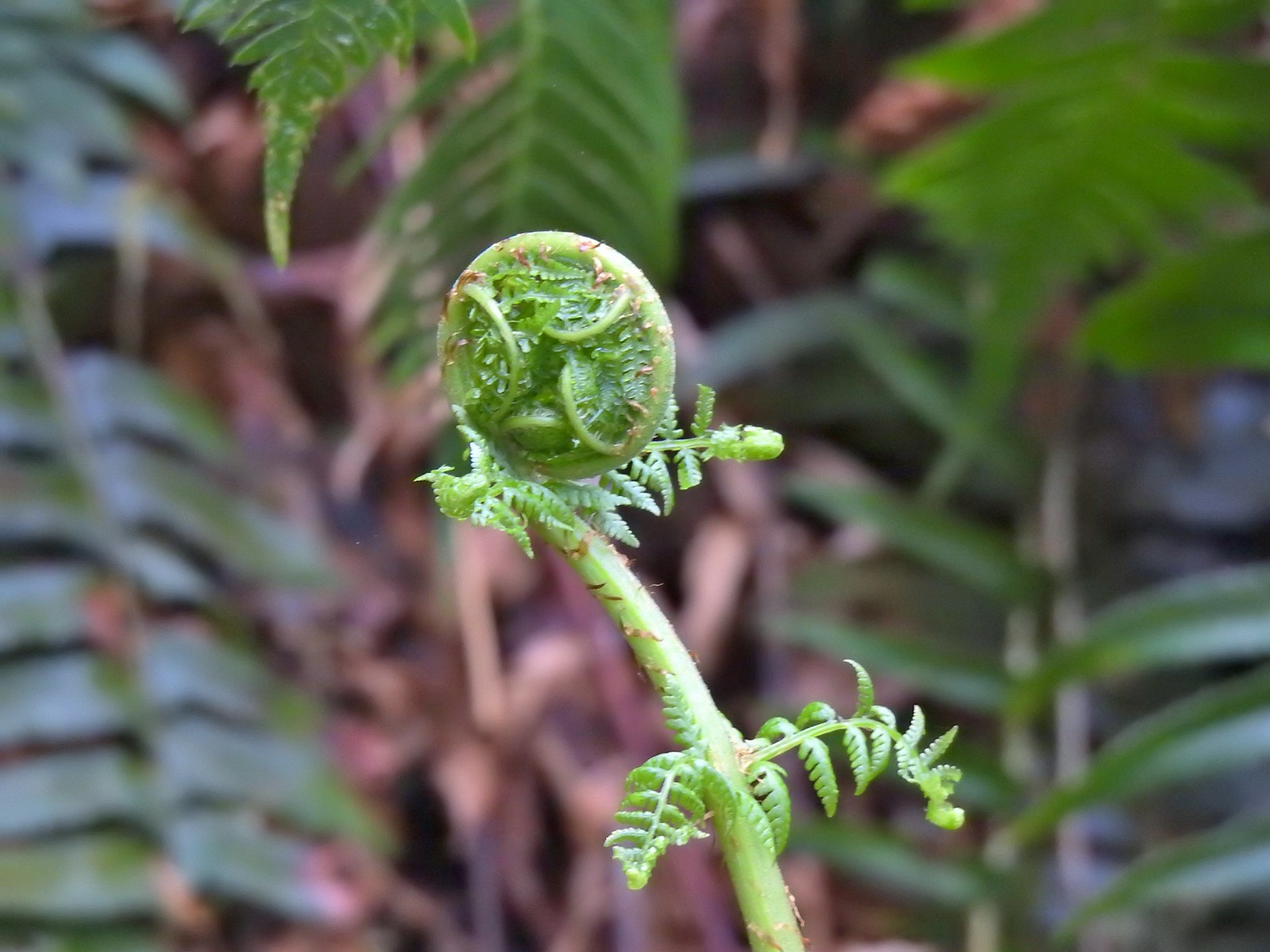 Unfurling fern
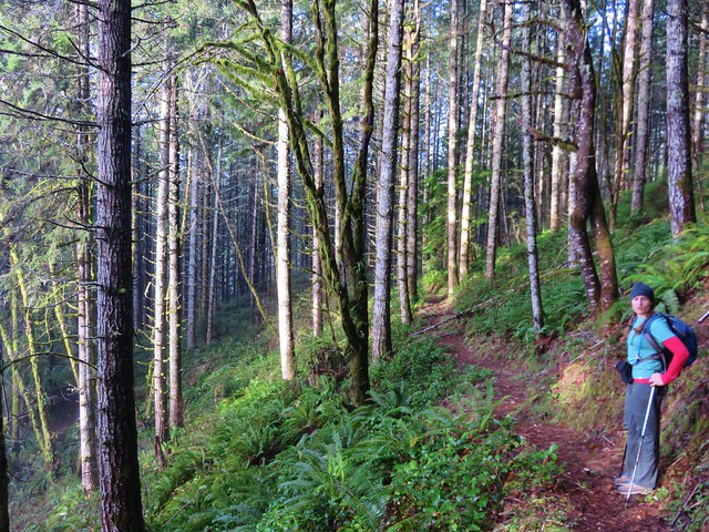
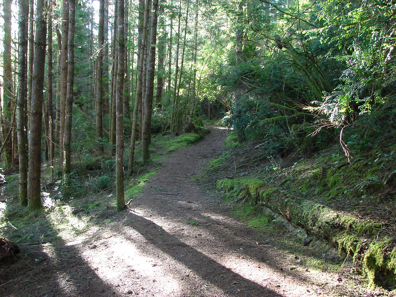
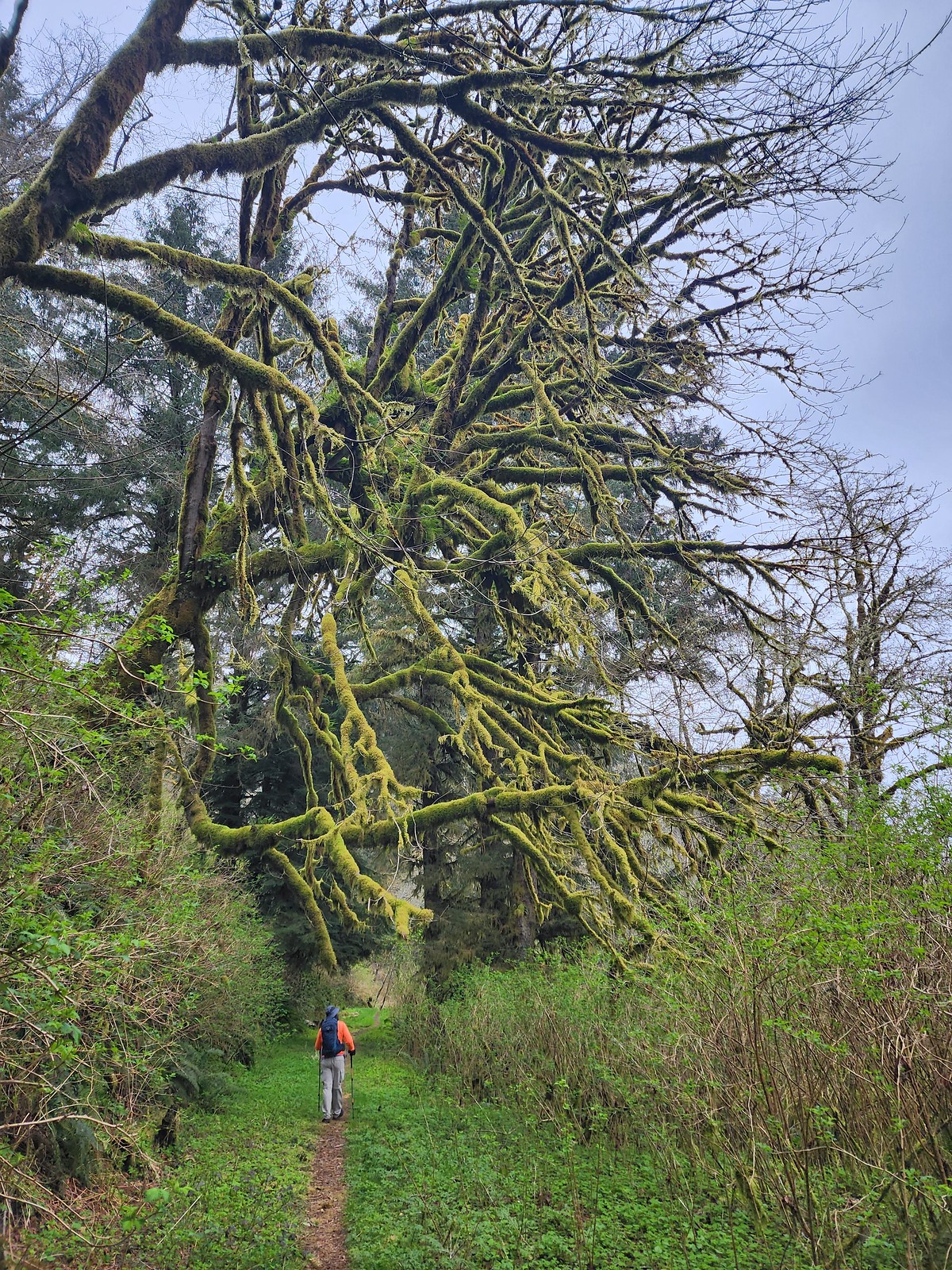 Me passing under a mossy tree.
 Snail on the trail.
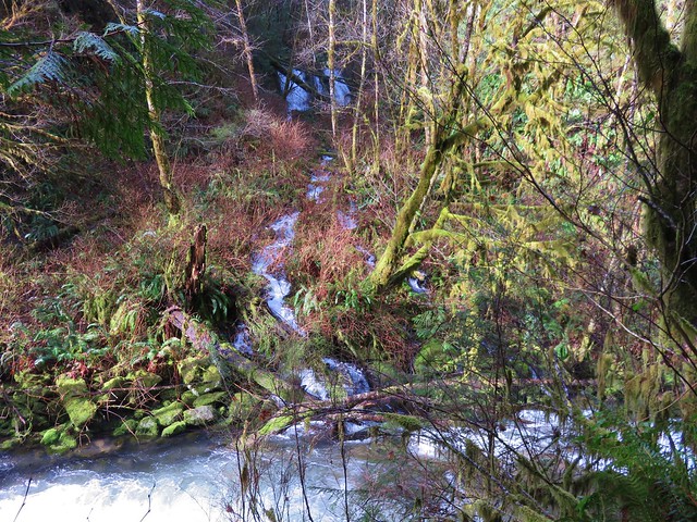
The trail crossed several small streams, one of which was flowing down the trail.
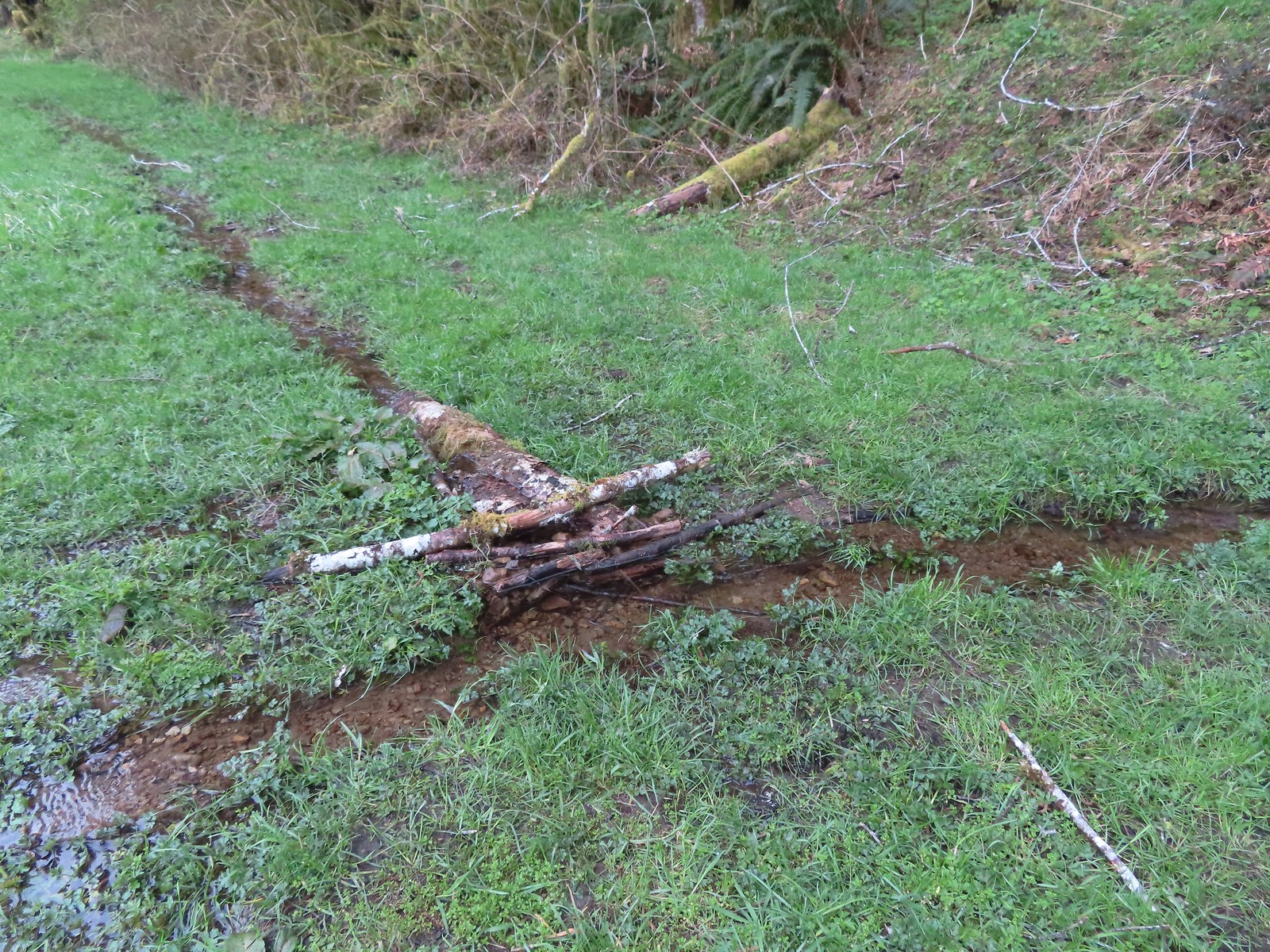 This makeshift damn was not stopping the water from flowing down the trail.
 Another of the small stream crossings.
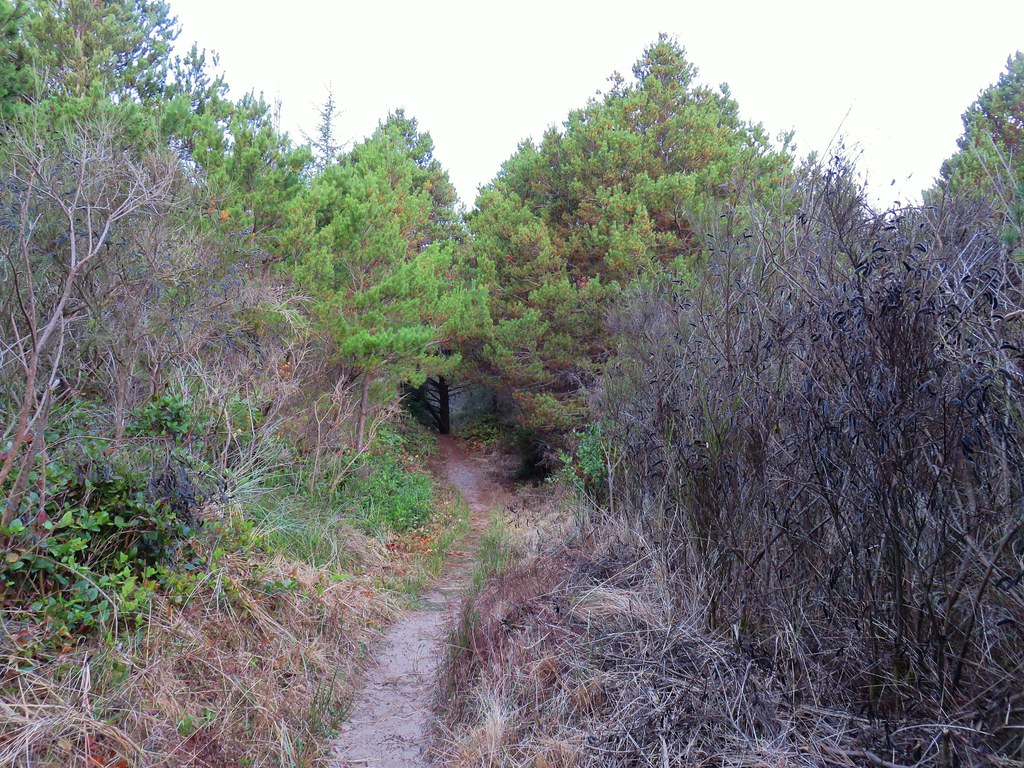
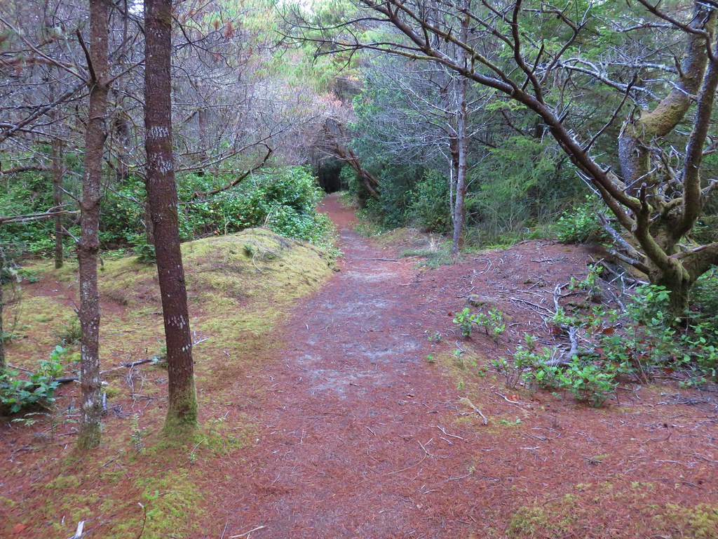
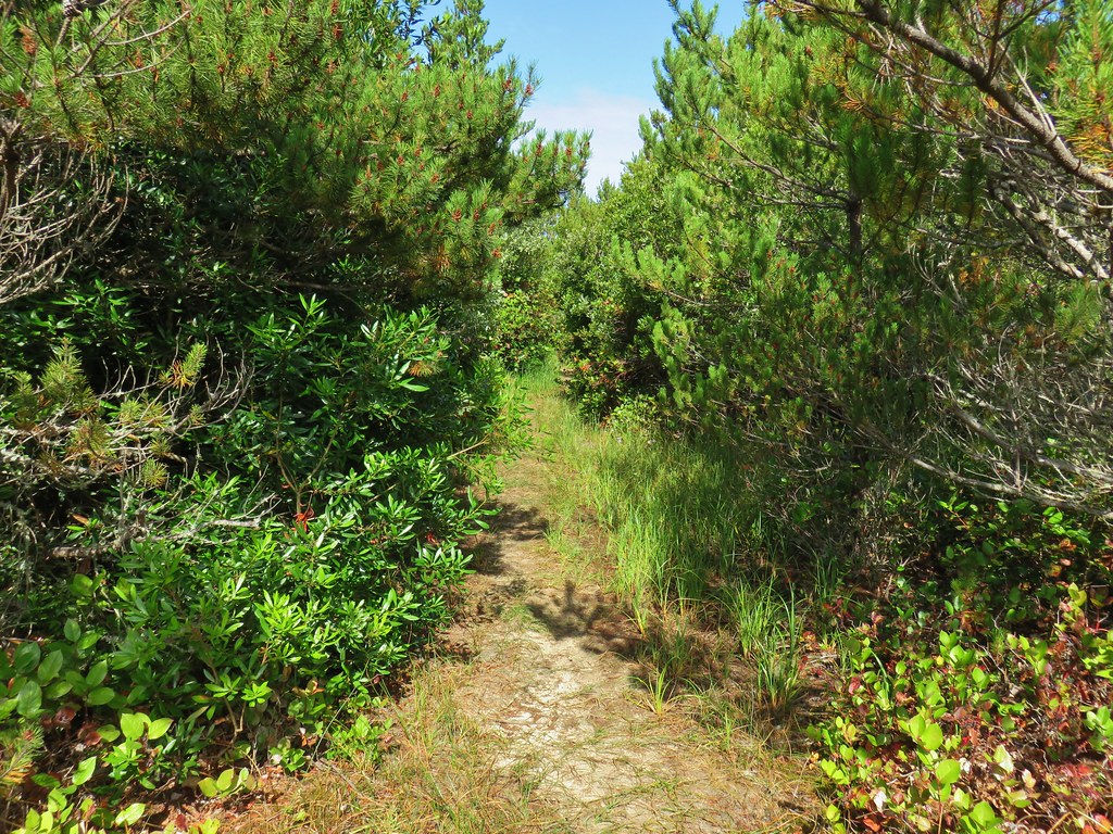
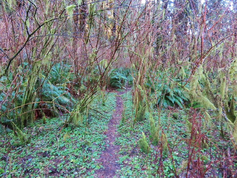
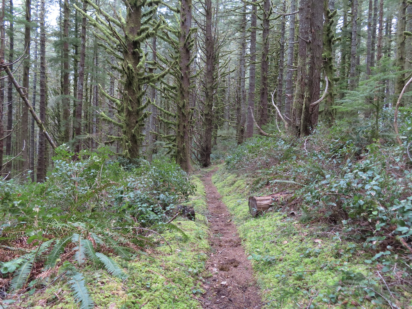
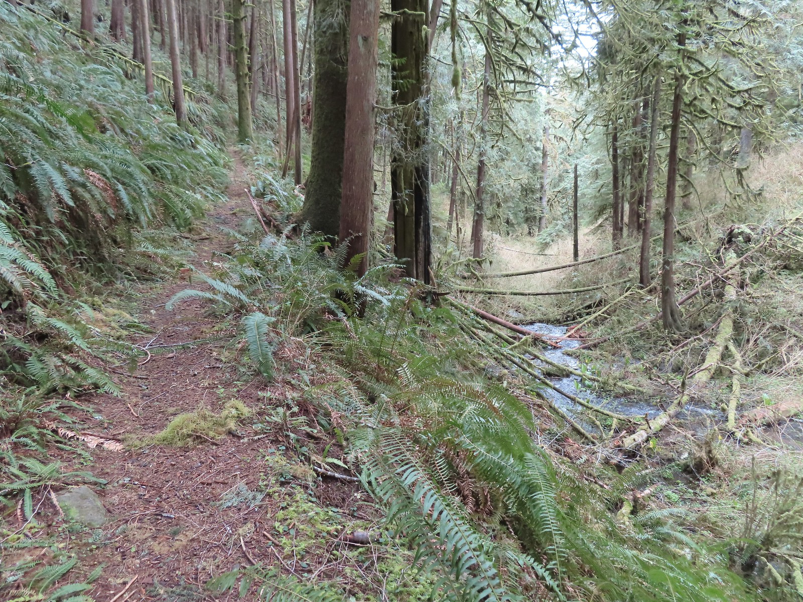
For the most part the trail was in good shape, but we did encounter a few downed trees in the final half mile.
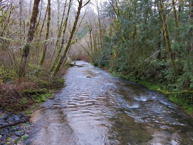
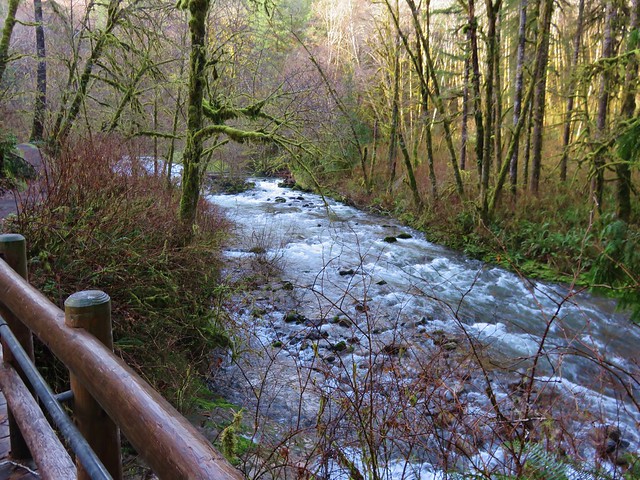
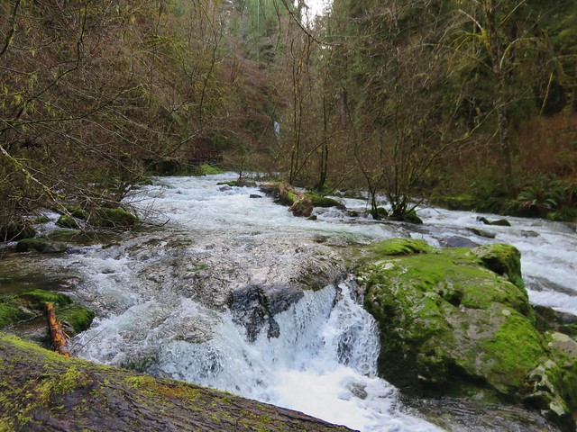
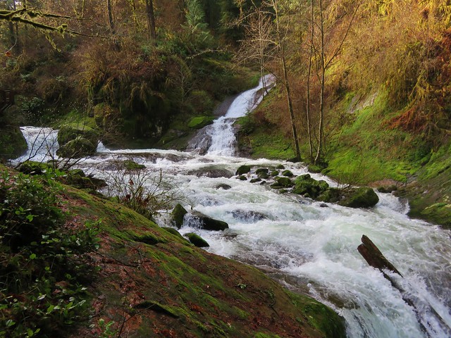
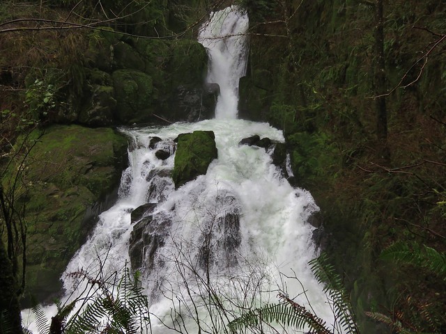
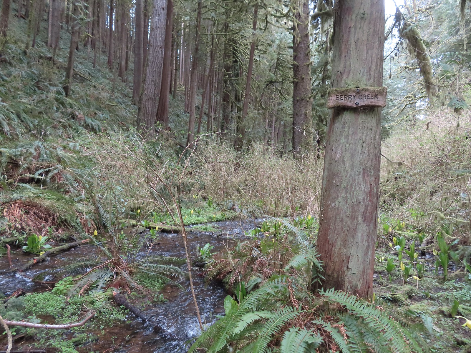
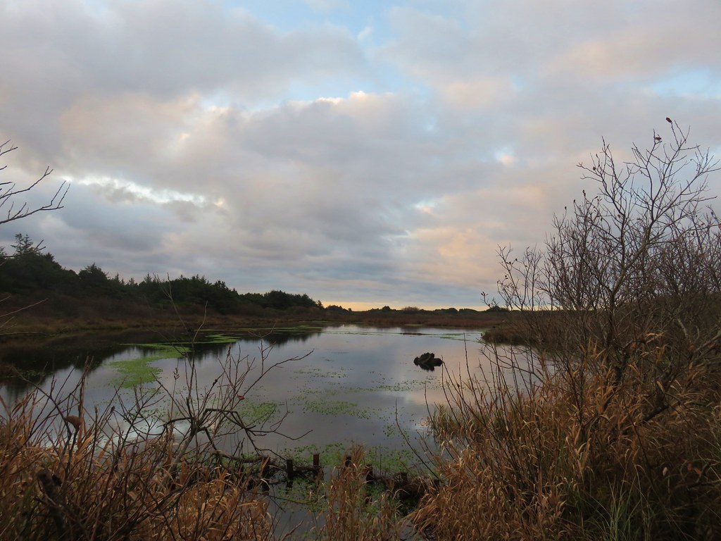
We knew the trail ended at a creek but we weren’t sure which one and we also knew that it was theoretically possible to continue on bushwacking to the site of a former dairy. We had not planned to attempt that, but we did want to make sure we reached the end of the official trail. When we arrived at a larger creek with a sign announcing “Marshall Creek” we assumed this must be it and declared victory.
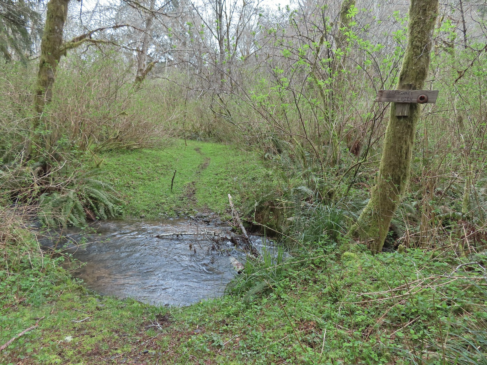 The creek was actually pretty deep here with the recent wet weather we’d had.

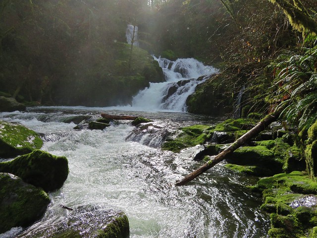
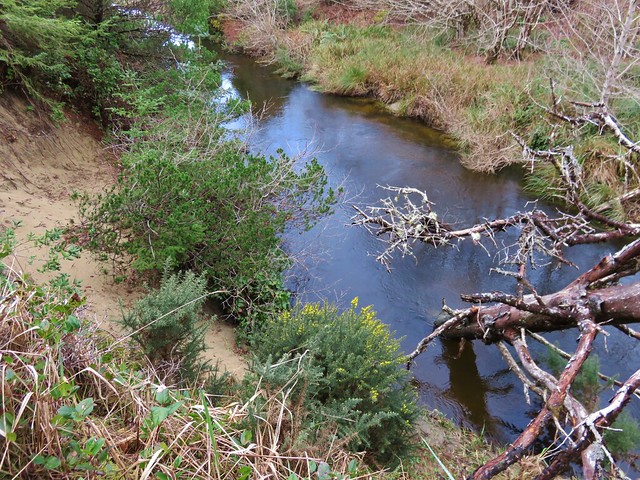
We declared victory and headed back to the trailhead. We made a short detour to visit Bailey Creek on a faint use trail along the way.


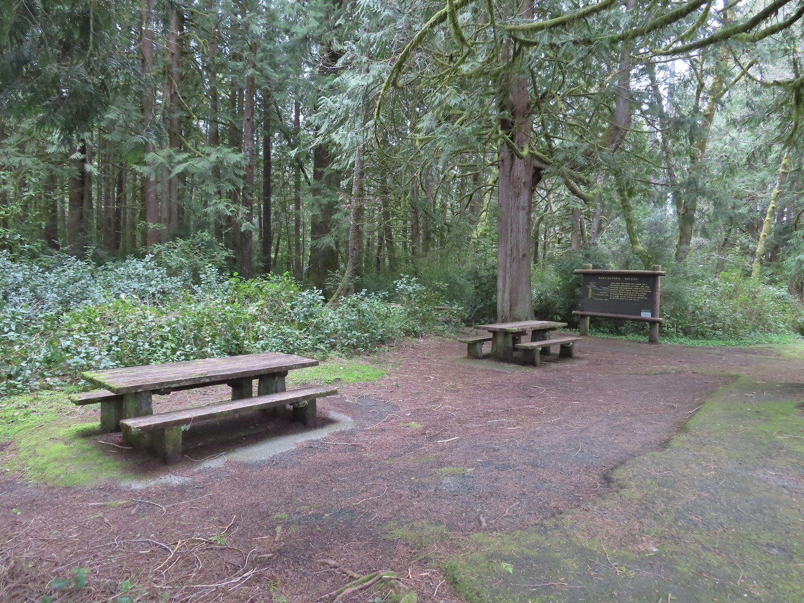
We were a little disappointed to not have seen any elk but I did spot a coyote near the turn around spot so that was something. Heather’s boots held up well in the wet, muddy conditions so I was the only one who needed to change shoes and socks back at the car. After putting on dry footwear we drove back toward Highway 101 stopping at the Darlingtonia State Natural Site
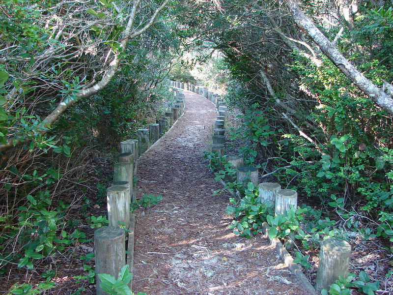
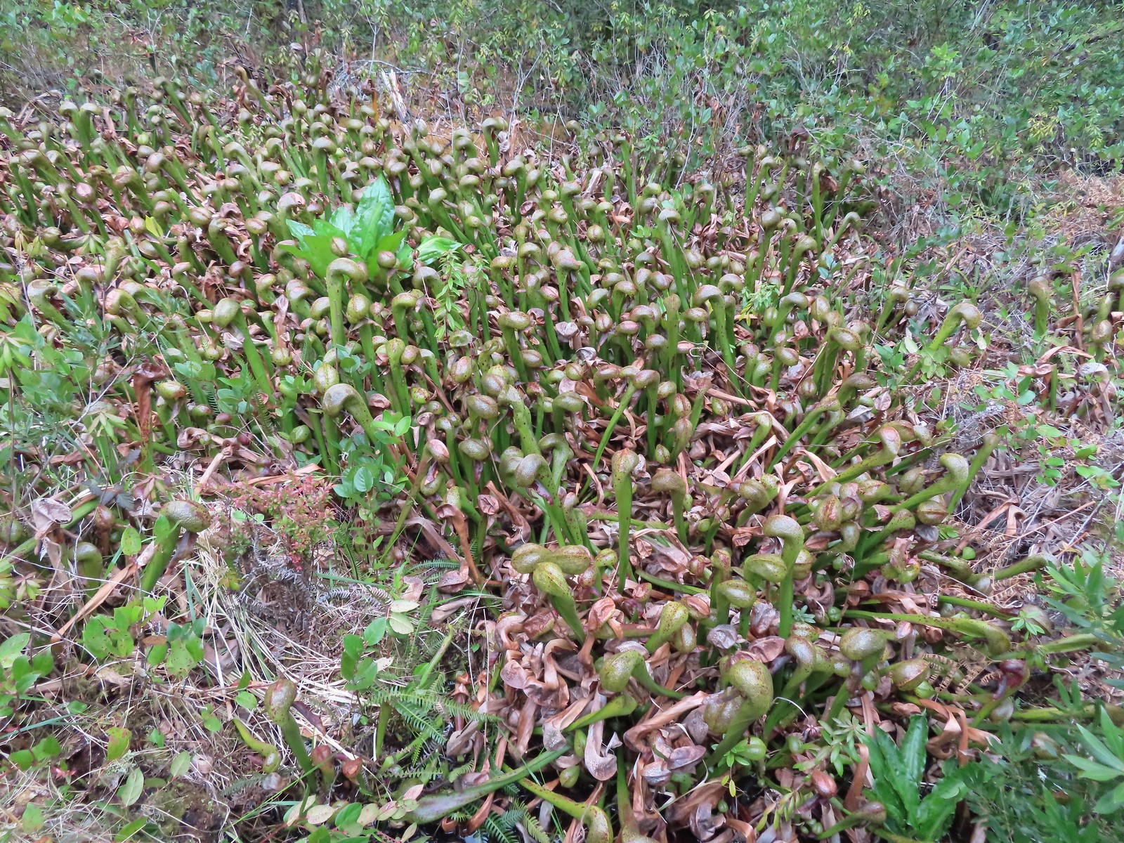
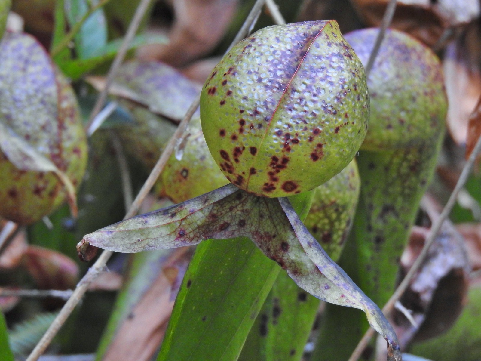
A 0.2-mile boardwalk here loops through a fen that is home to darlingtonia californica or cobra lily which is the only member of the pitcher plant family in Oregon. The plants bloom in late May or early June so we were a little early for that but the hooded leaves are interesting on their own.
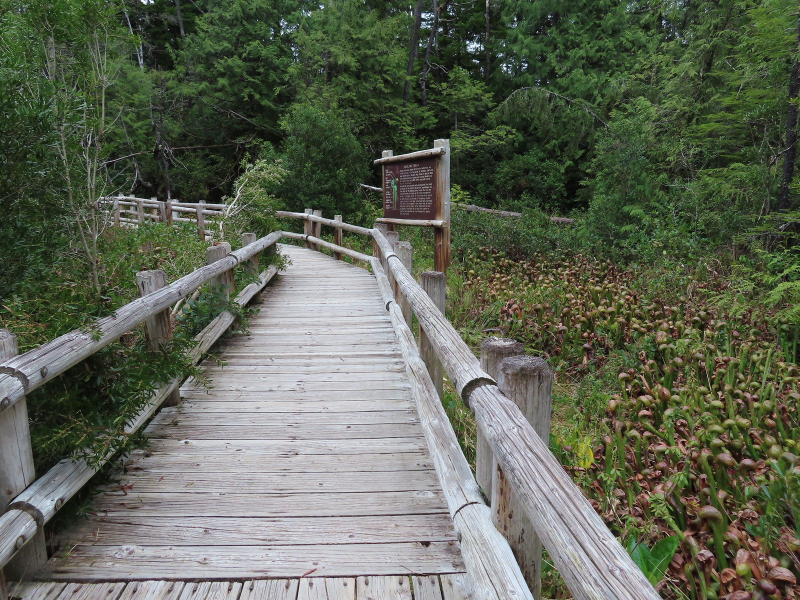

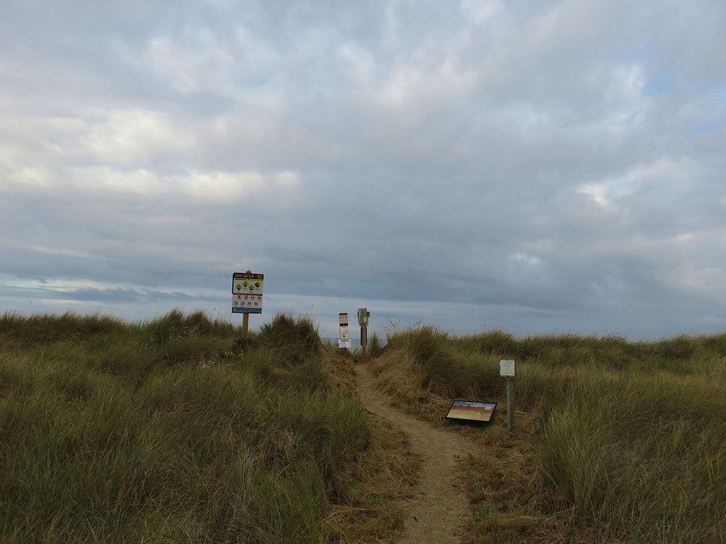
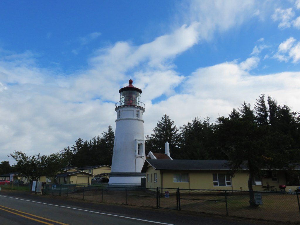
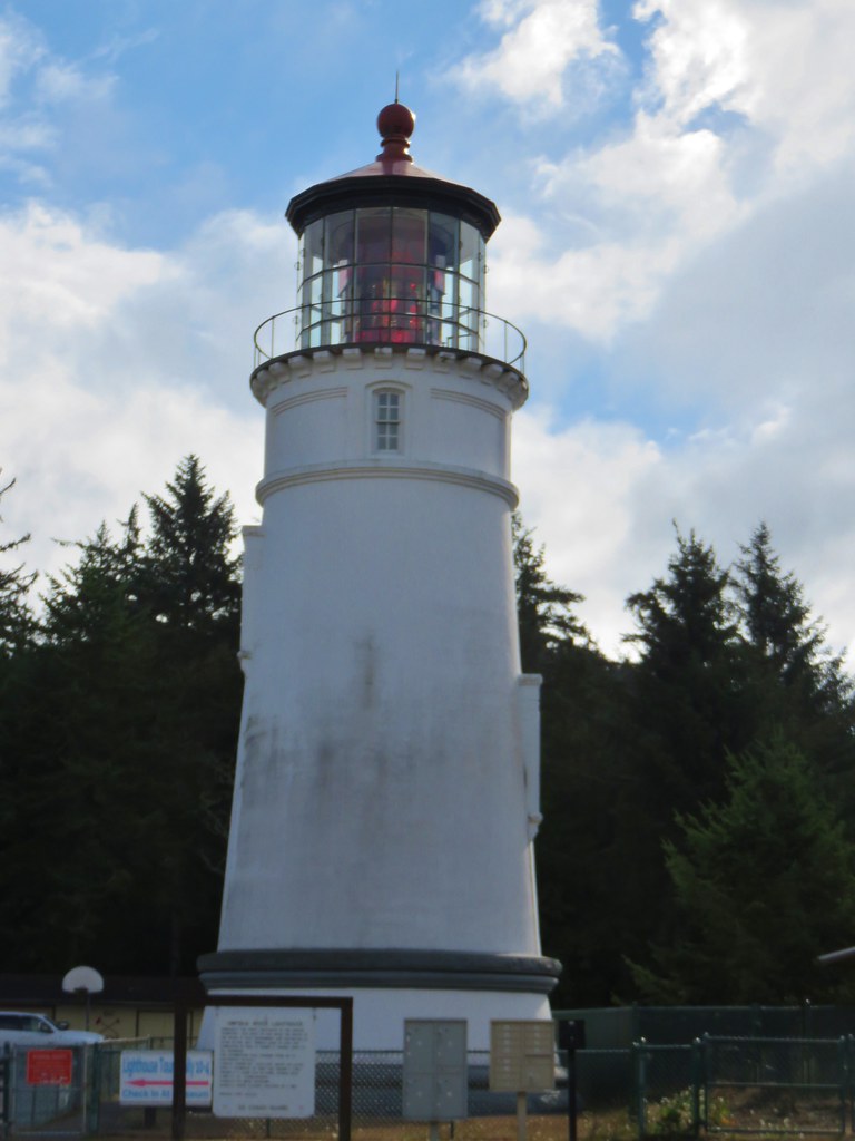
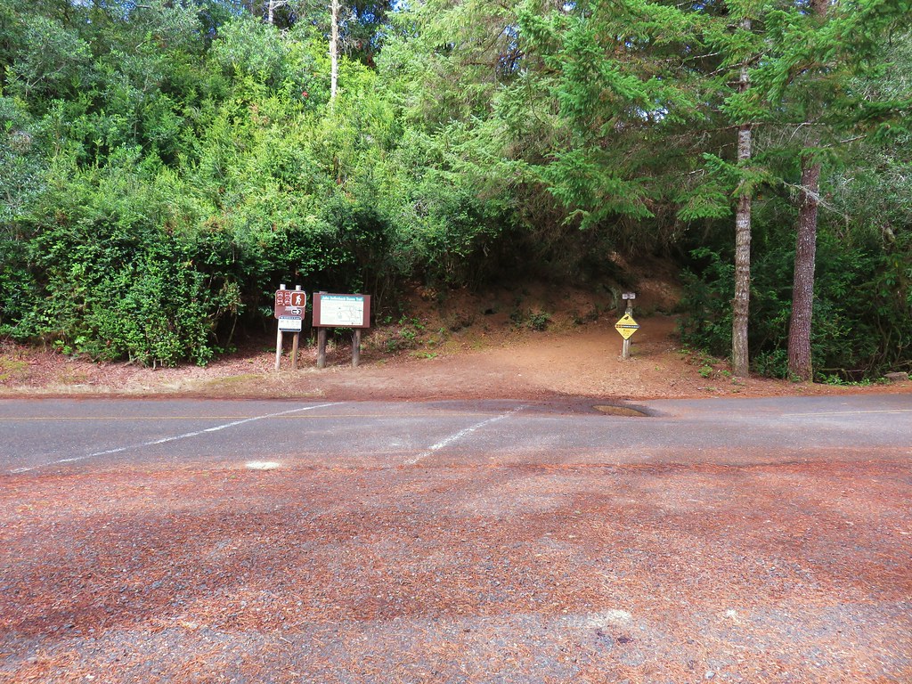
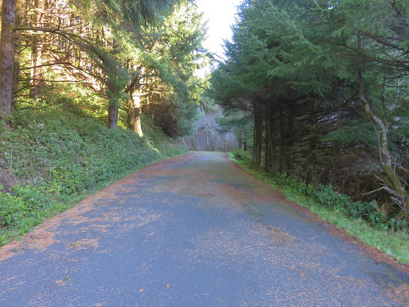
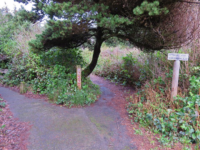
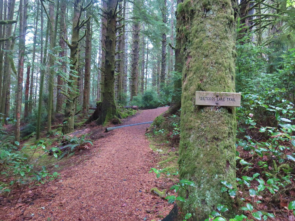
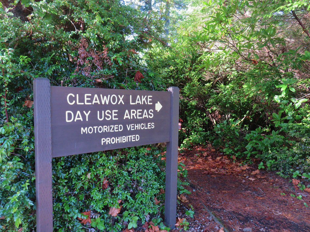
The wayside is just 100 yards from Highway 101 so after our quick stop we made a quick right onto the highway and headed for our final destination of the day at Cape Mountain’s Dry Lake Trailhead

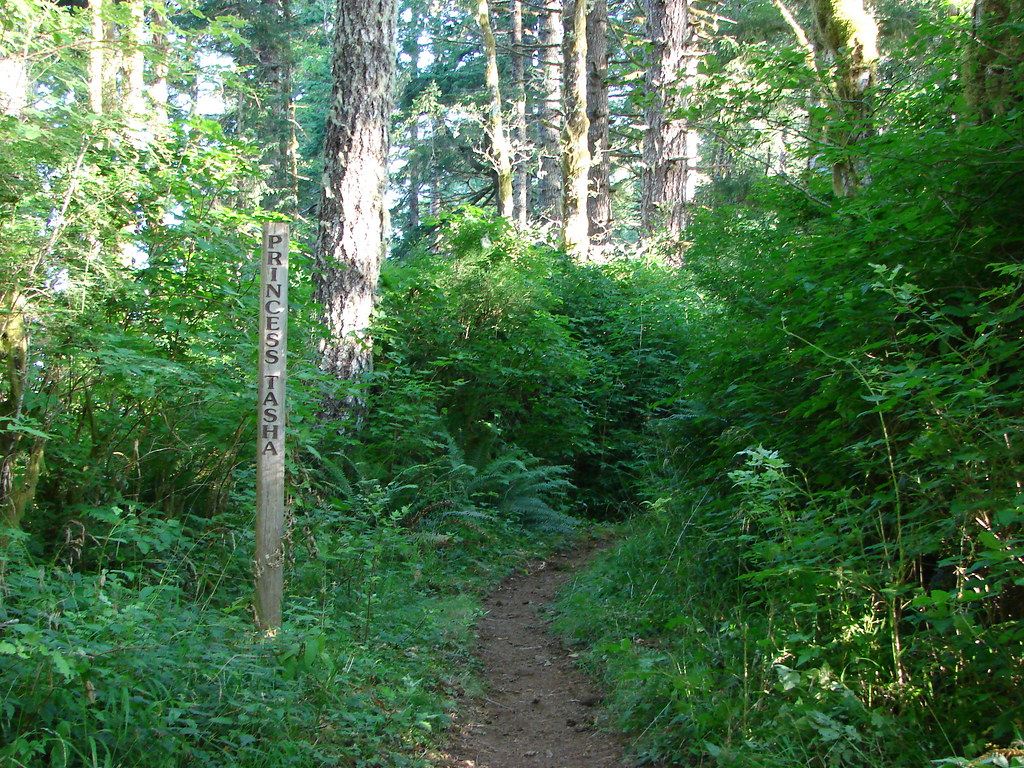
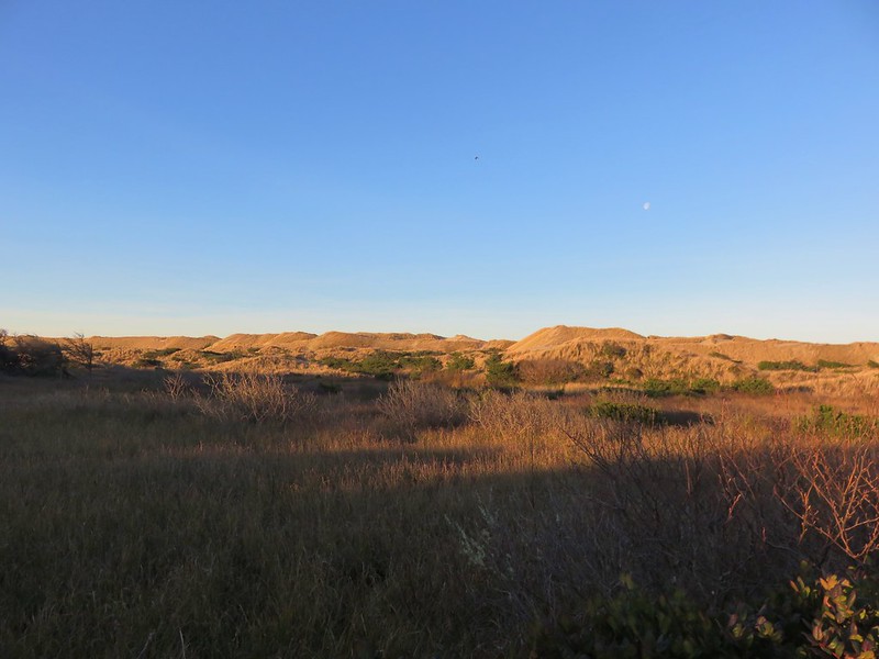
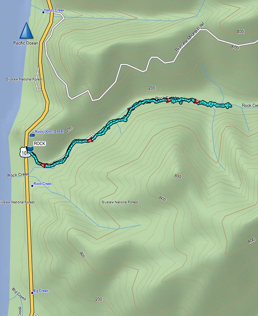
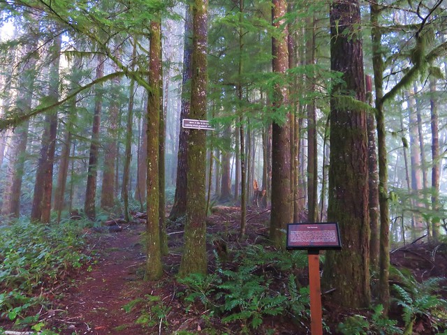
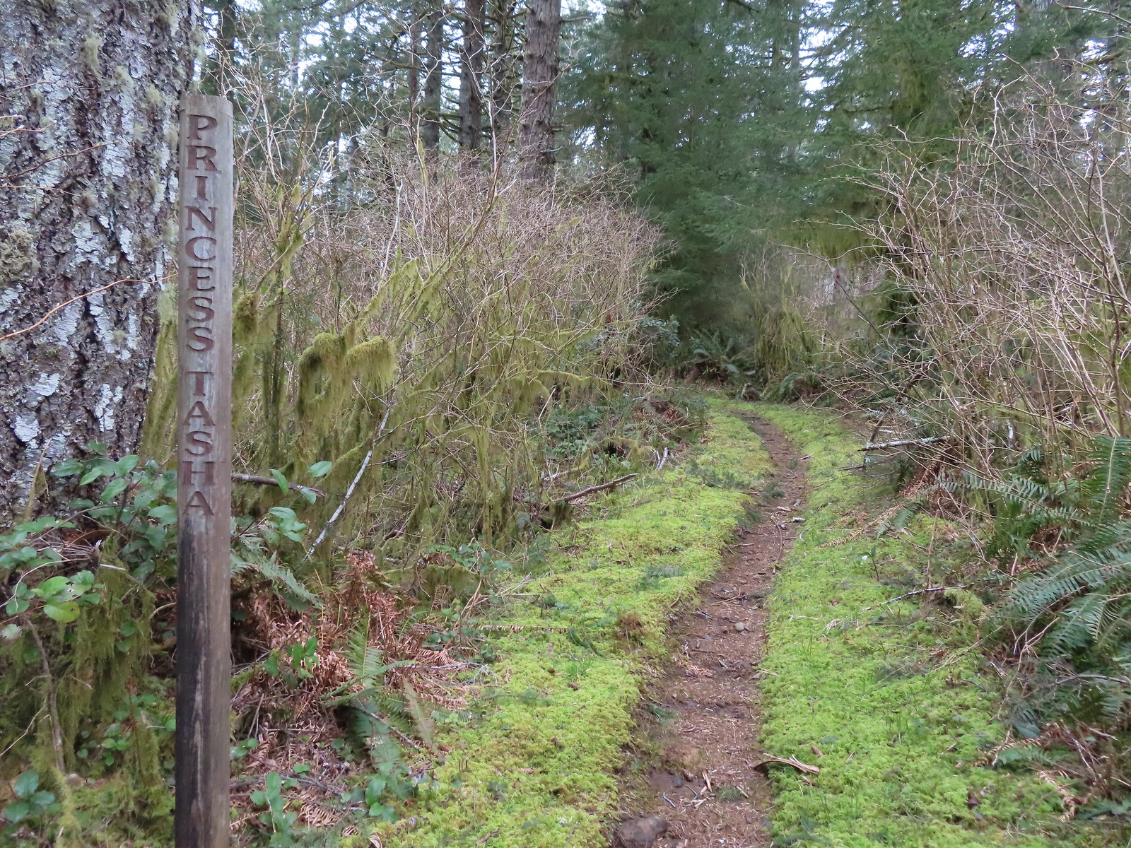
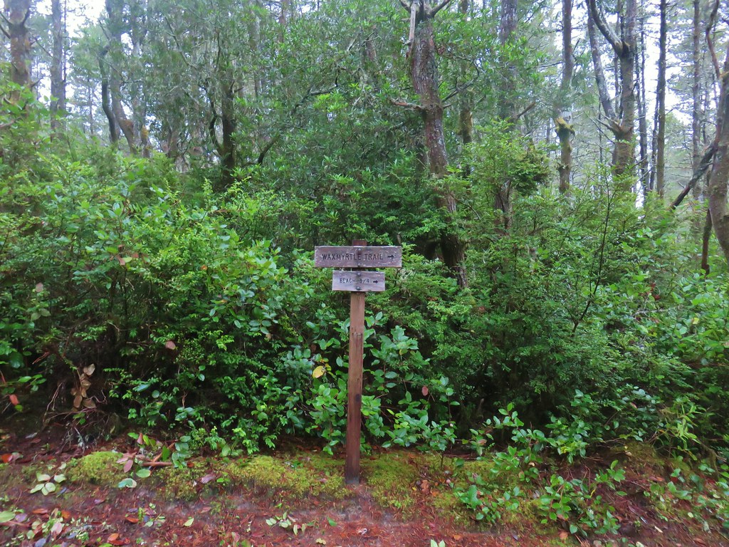
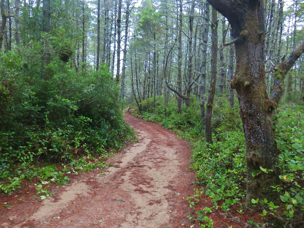
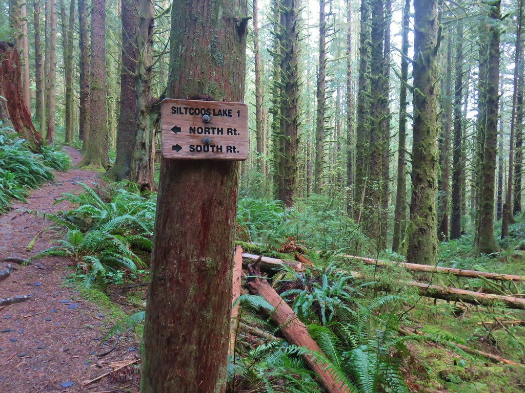
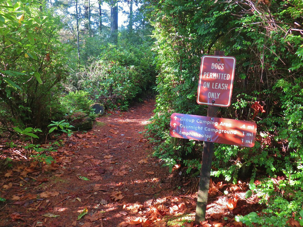
There are a network of trails and old roadbeds here that make it possible to do various loops, but we wound up taking the same route as we had done in 2011 (post) because it was the only route that hit the two main attractions, a replica hitsi and the meadow on Nelson Ridge. We started on the Princess Tasha Trail which set off North from beyond the restrooms.


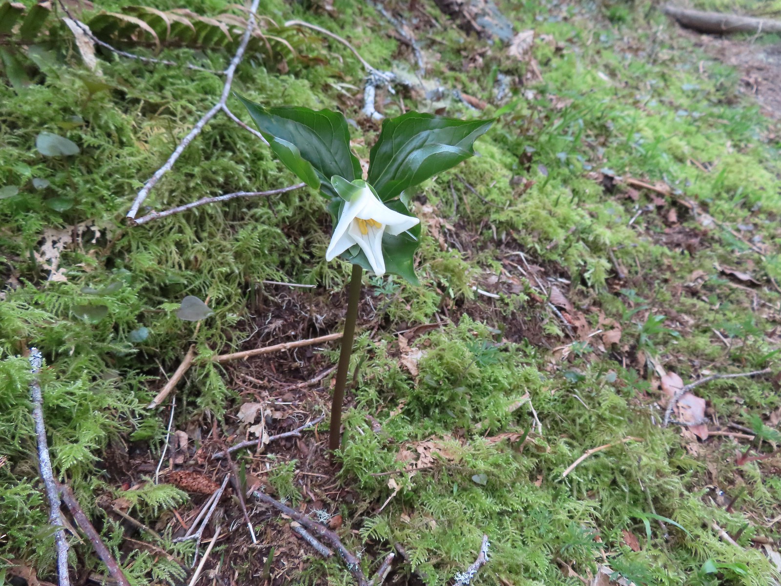 A trillium unfurling.
 Violets
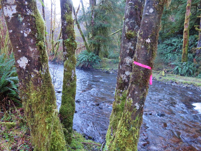
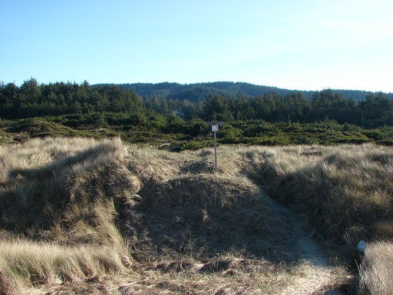
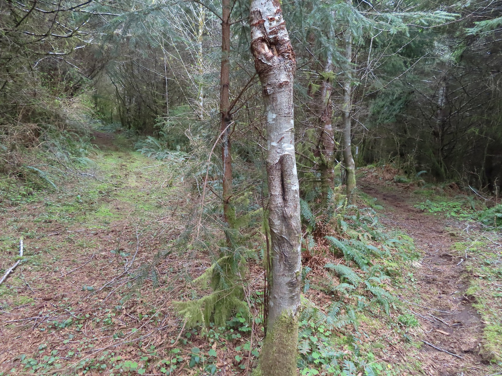
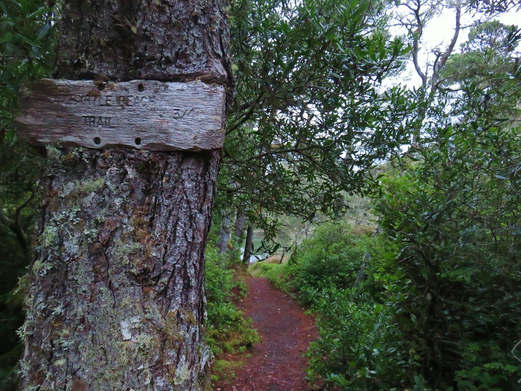
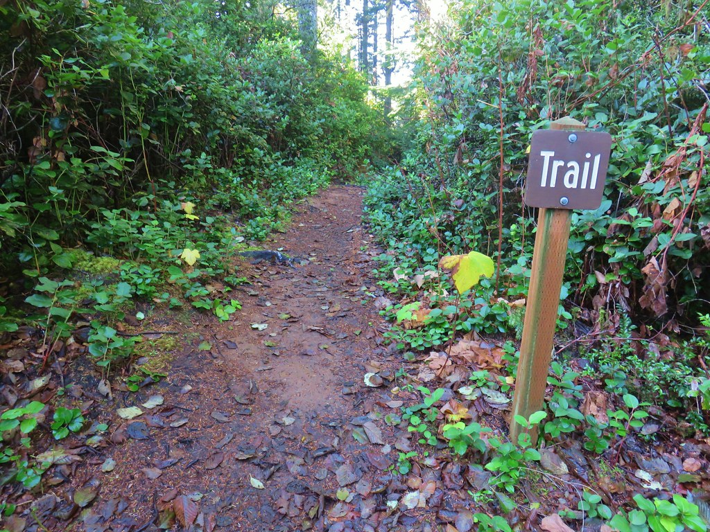
 Several trails have similar markers with most of them being at or near junctions. This one was just alone along the trail.
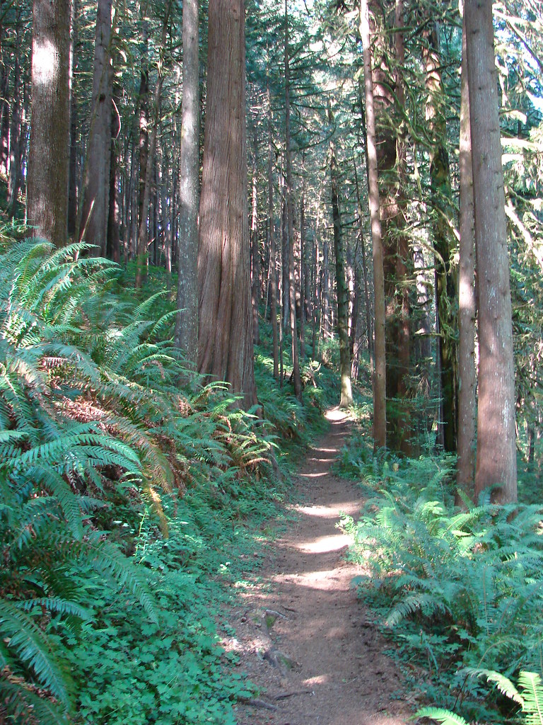
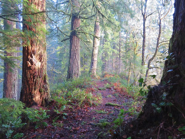
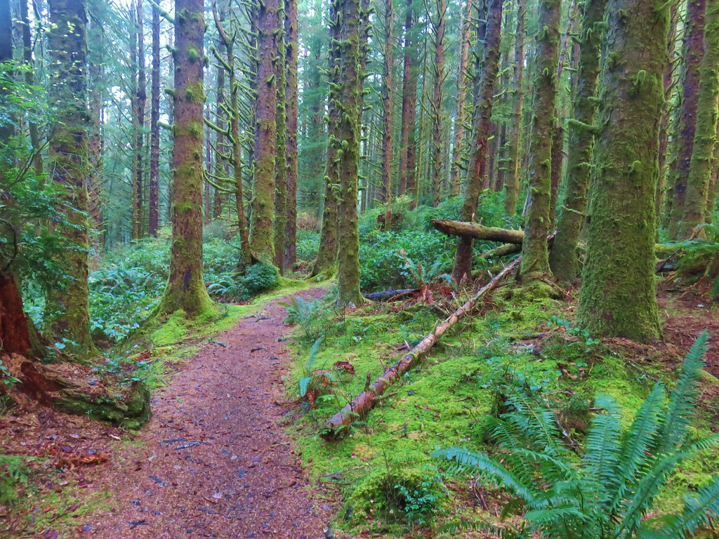
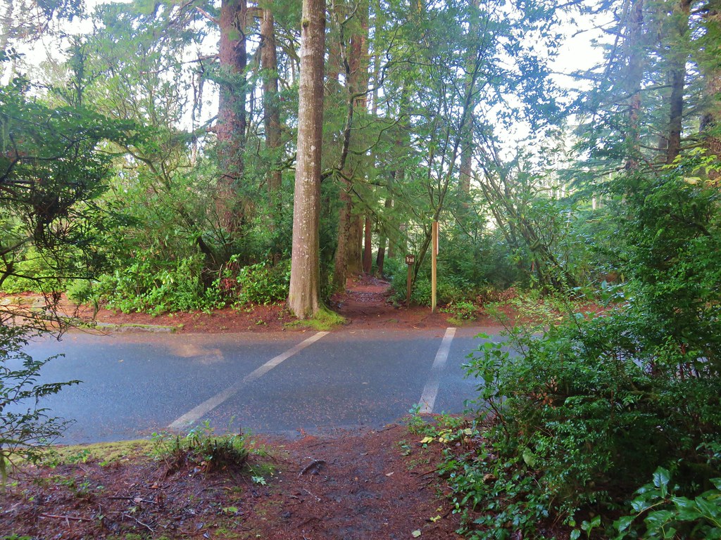
The trail climbed a little under half a mile to a junction on a ridge.

We stayed on the right most path which remained the Princess Tasha Trail.
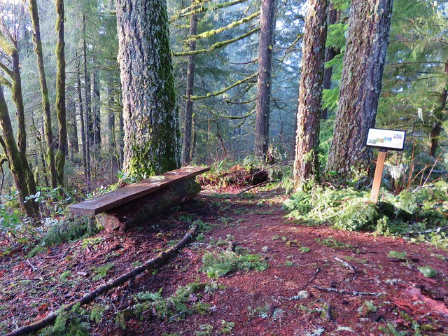
As we neared the one-mile mark we came to a picnic table and bench that neither of us recalled from our first visit.


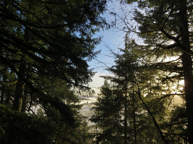
There wasn’t much of a view from the bench which we’ve found is a fairly common occurrence on coastal trails.

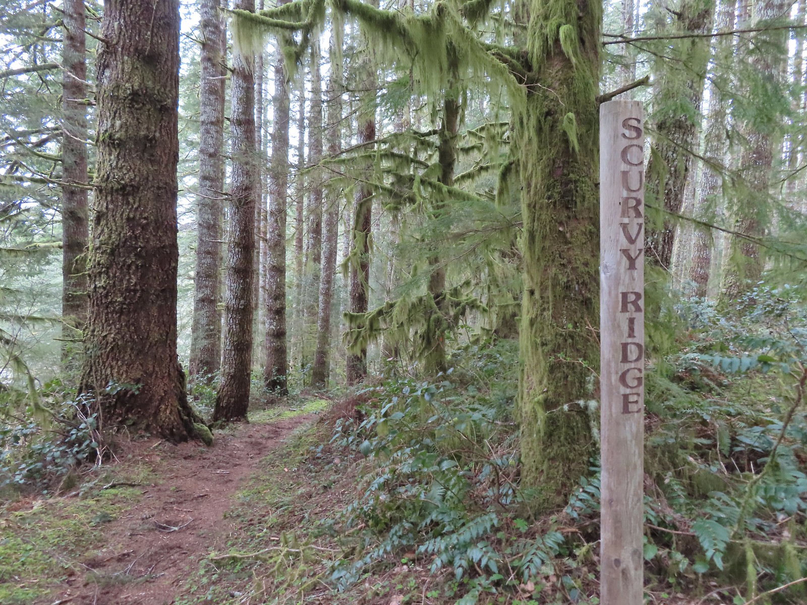
We continued on from the bench on what was now the Scurvy Ridge Trail.
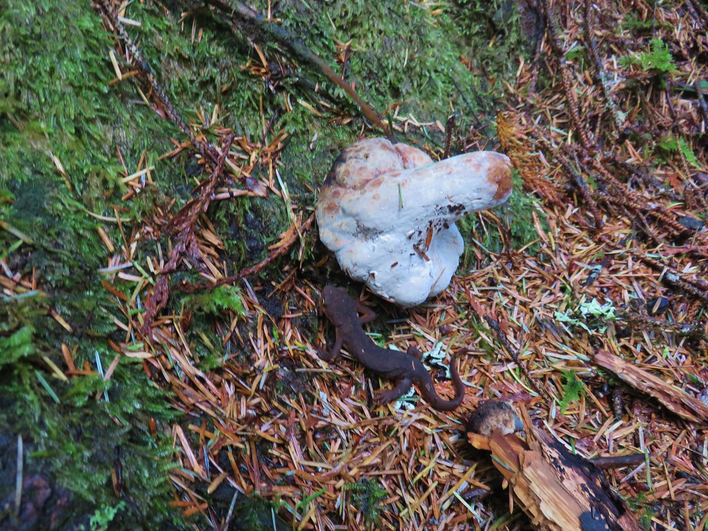
 Rough skinned newt
We arrived at the hitsi just over a mile from the bench.
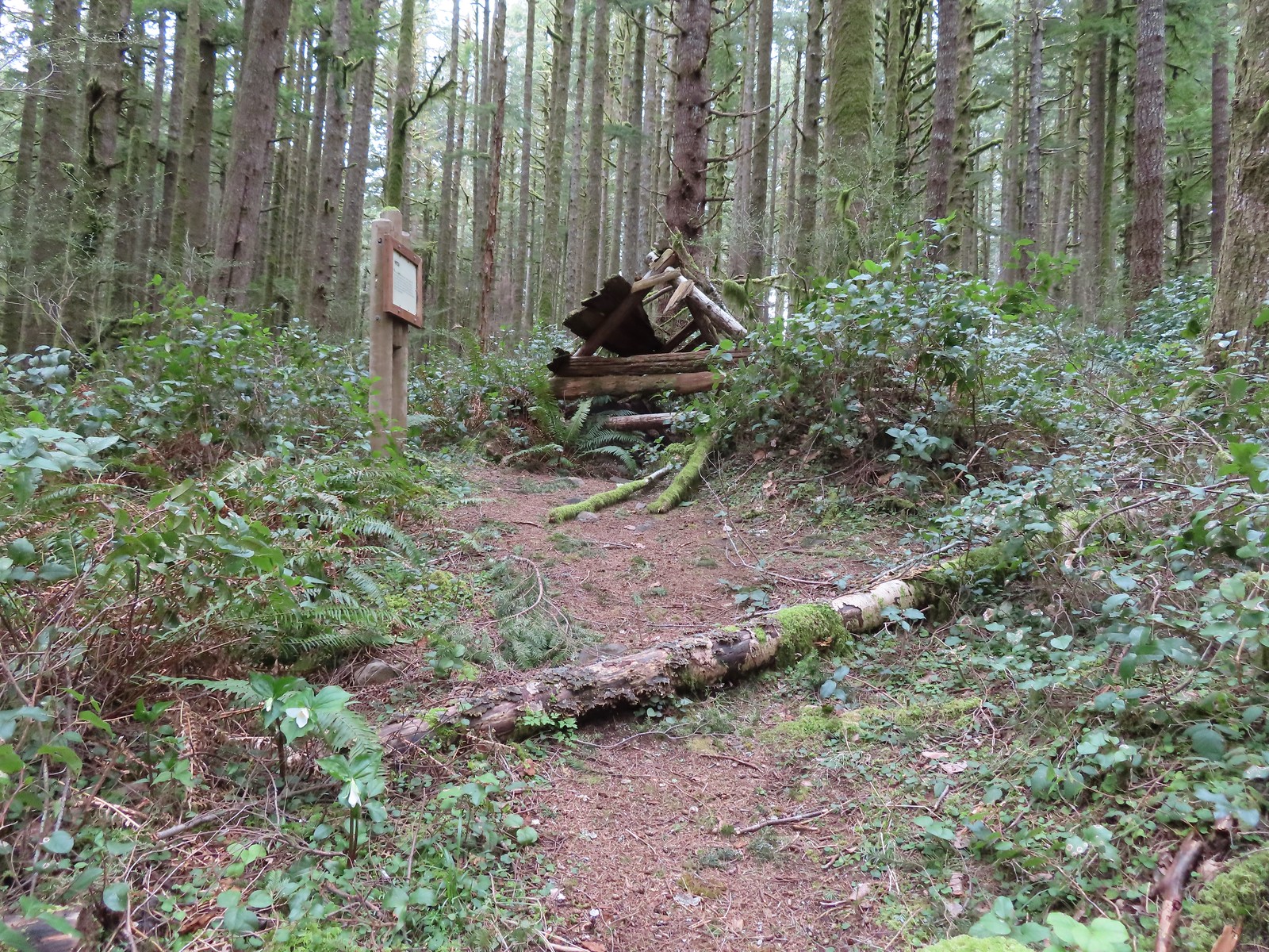
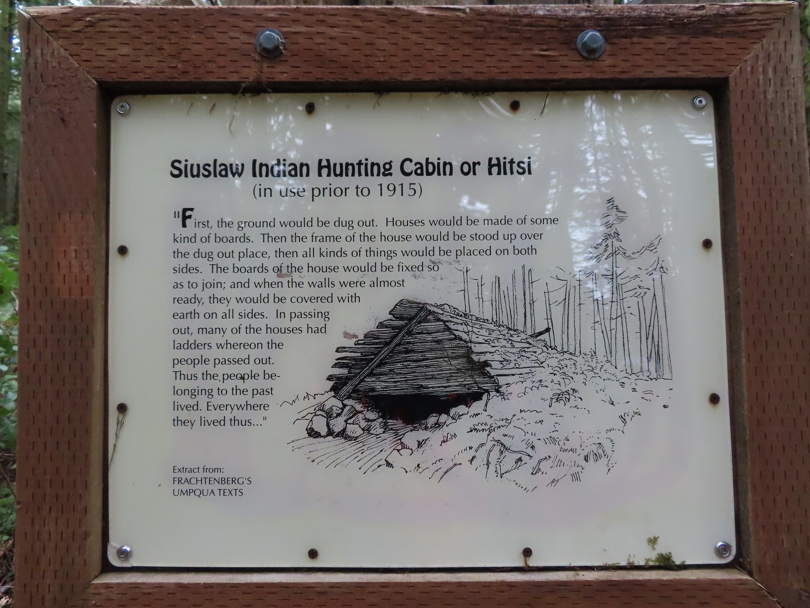

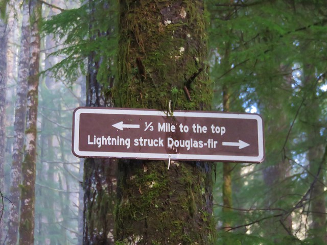
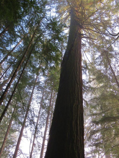
 Time has not been kind to the hitsi.
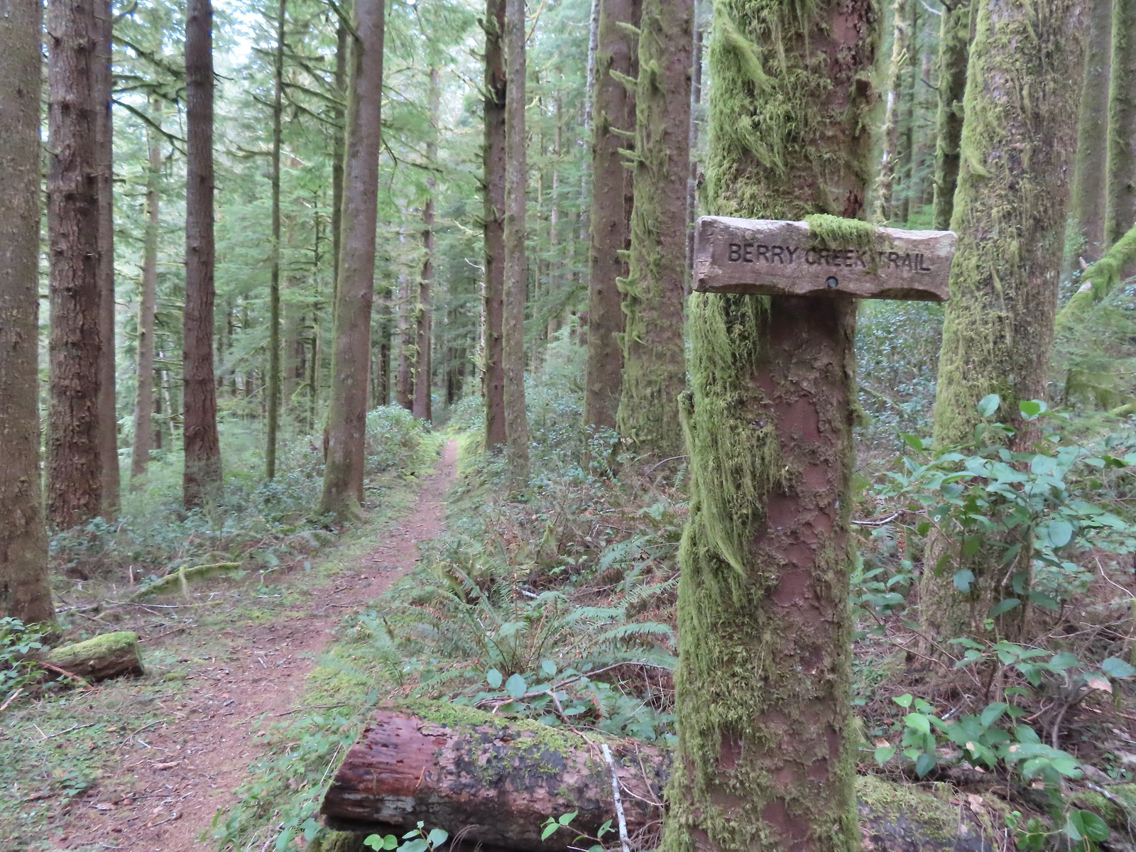
A little over a tenth of a mile beyond the hitsi we came to another junction. We planned on turning left onto the Berry Creek Trail but it turned out that we had options. The left most fork led past a water station for horses while the next fork led a bit more directly downhill. Neither of us remembered going toward the water so we chose that fork.


The two forks rejoined and descended to Berry Creek via a series of switchbacks.
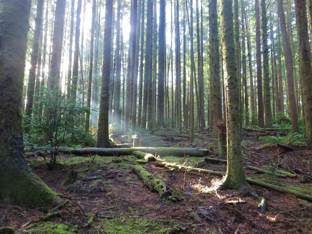
 The trail briefly followed an old roadbed.
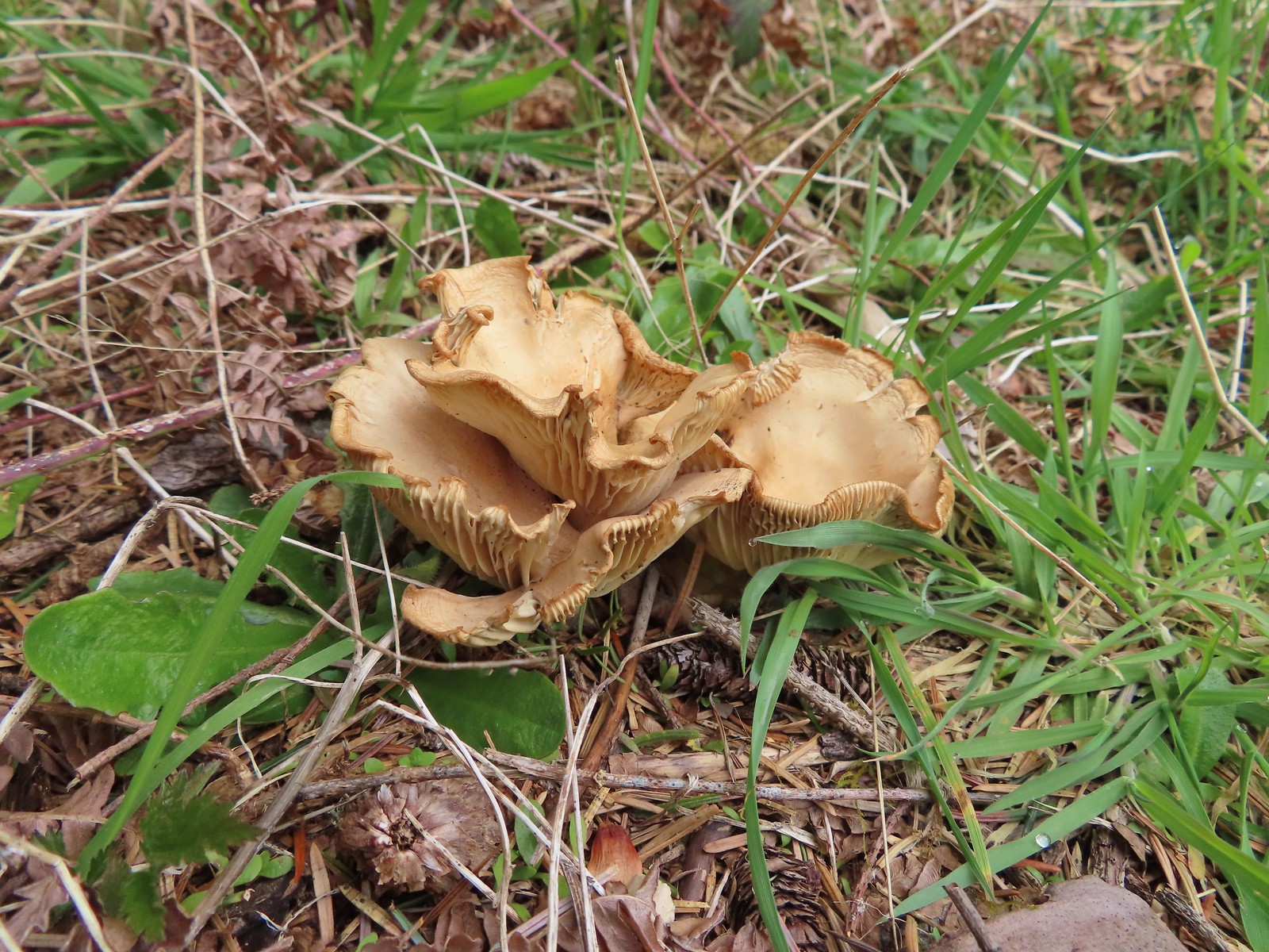
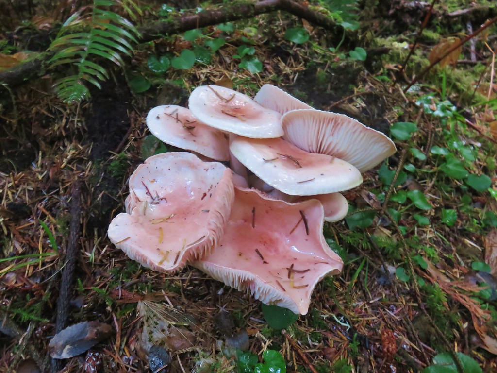
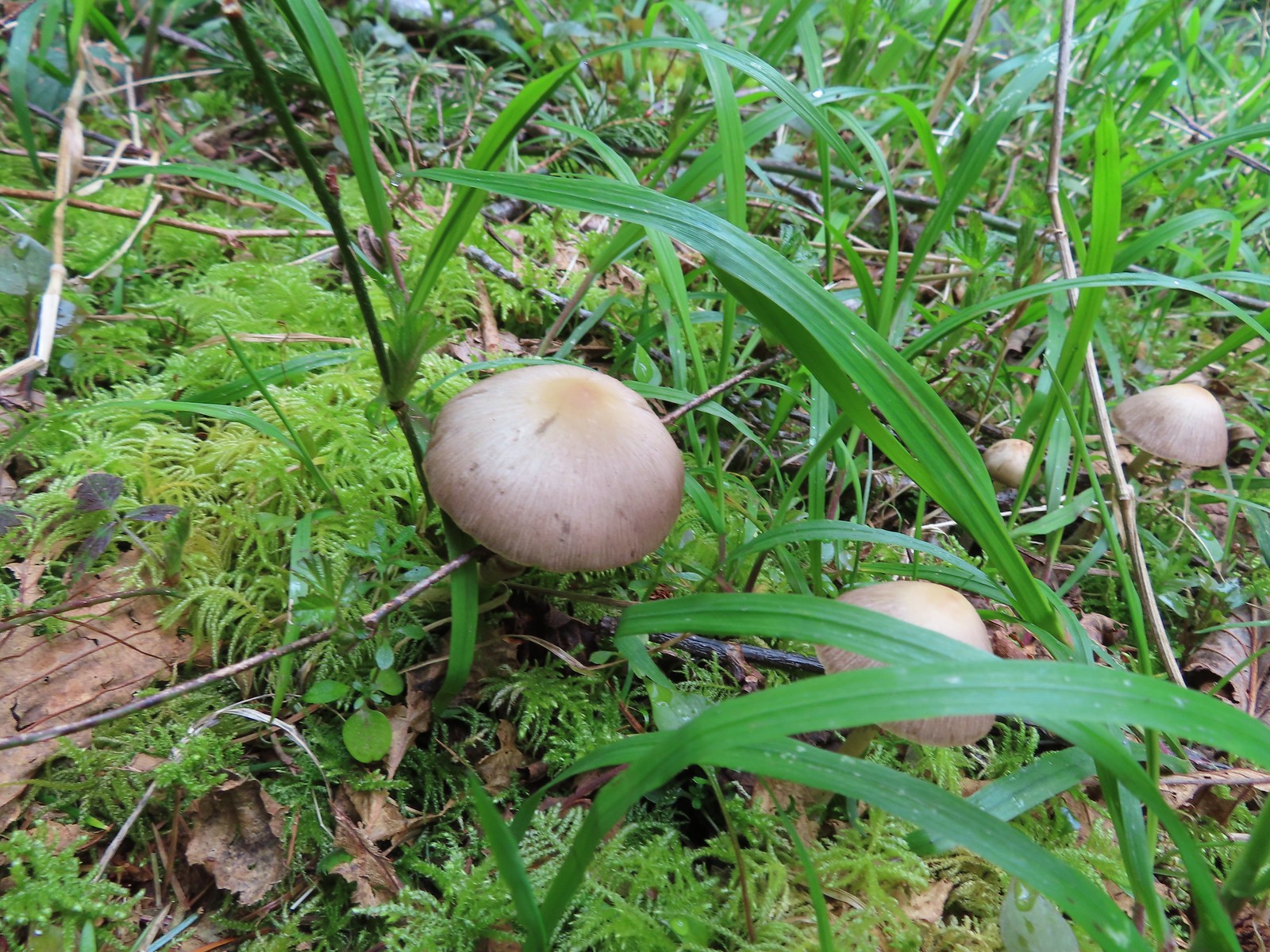 Mushrooms along the roadbed.
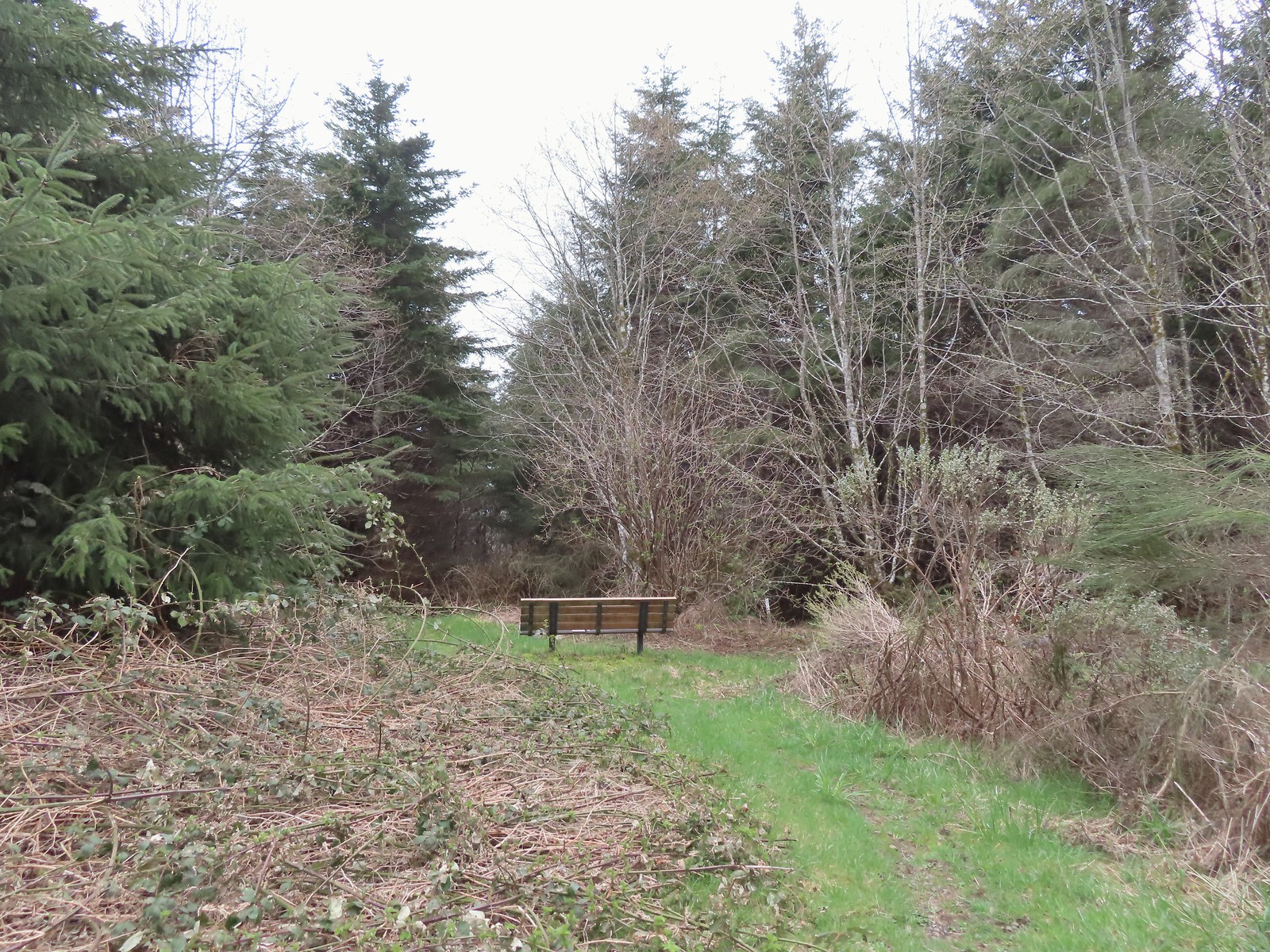 Another bench with a questionable view at the end of the roadbed segment.
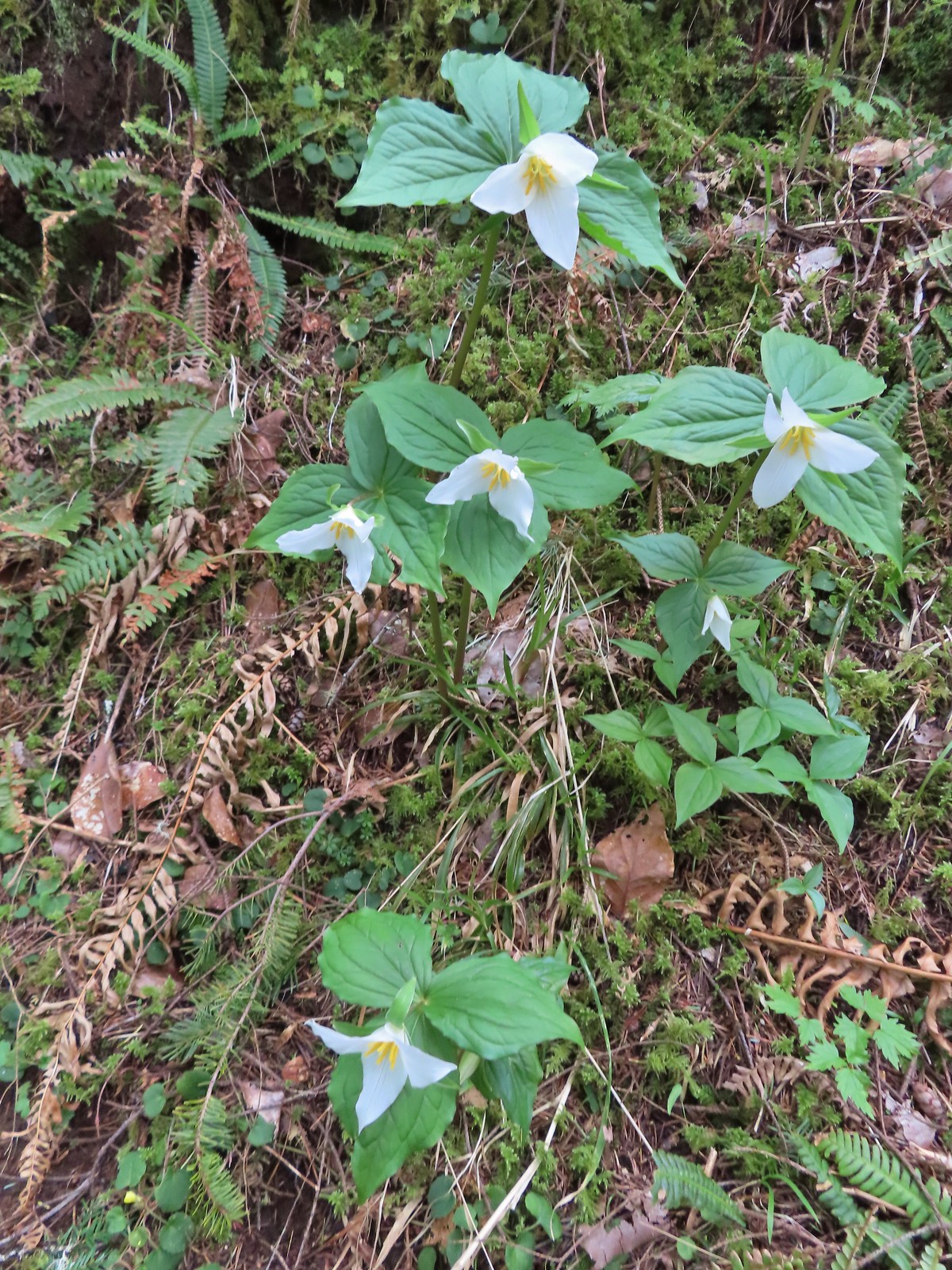 Flowers are a few weeks behind this year but there were quite a few trillium along the trails.
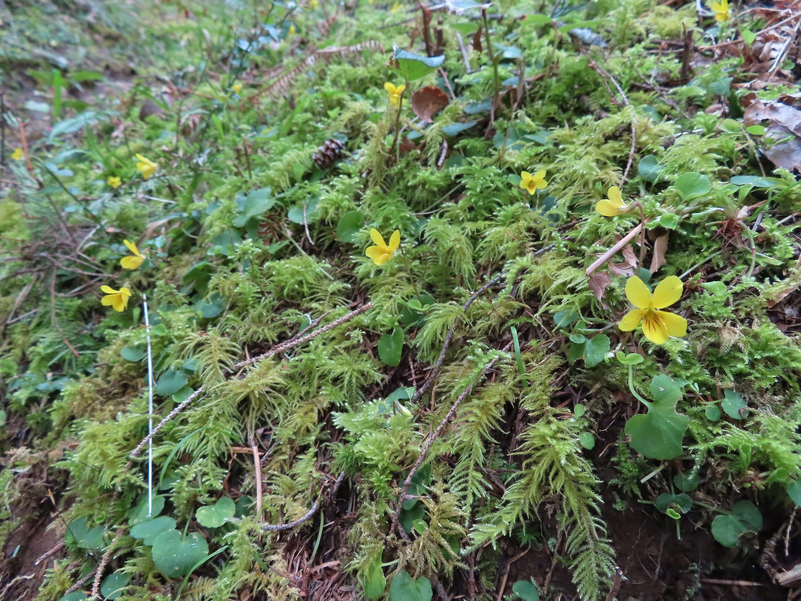 Violets were the other abundant flower.
 Red flowering currant beginning to bloom.
 Wood sorrel
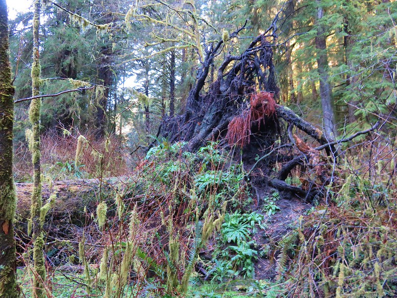
 This looked to be a fairly recent uprooting.
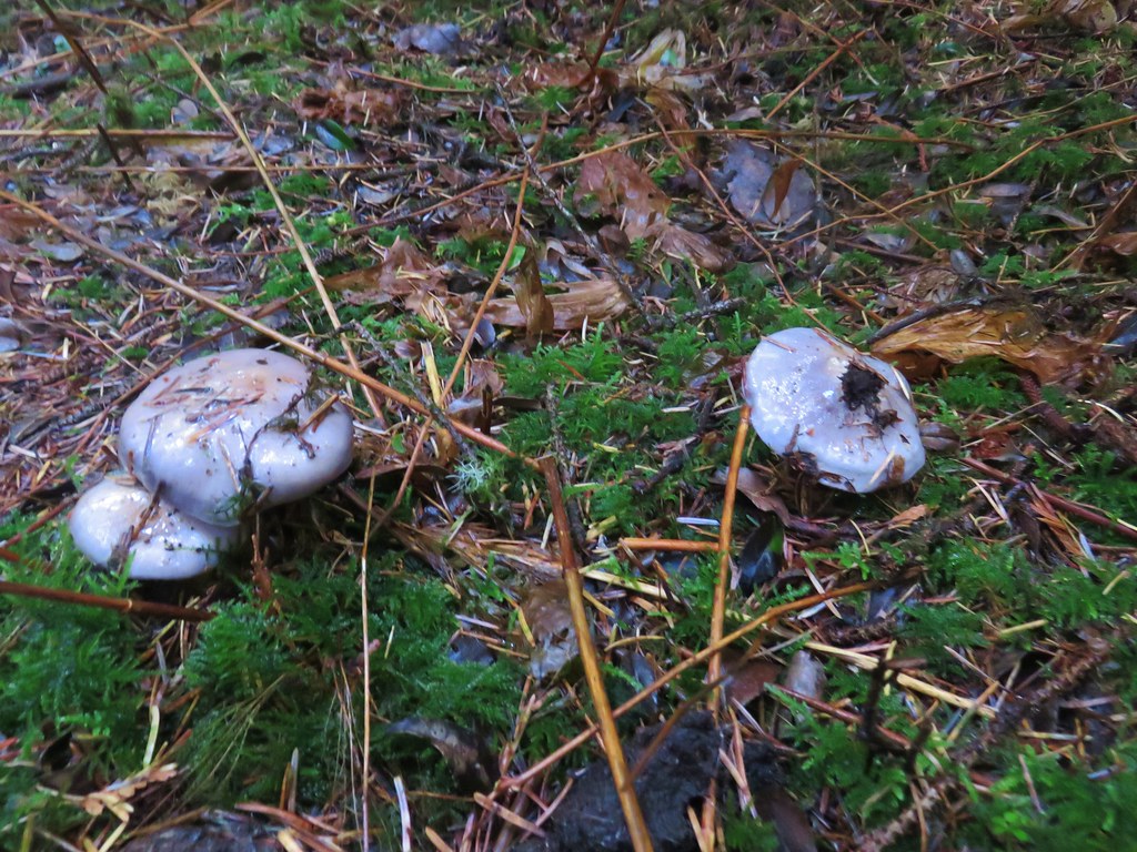
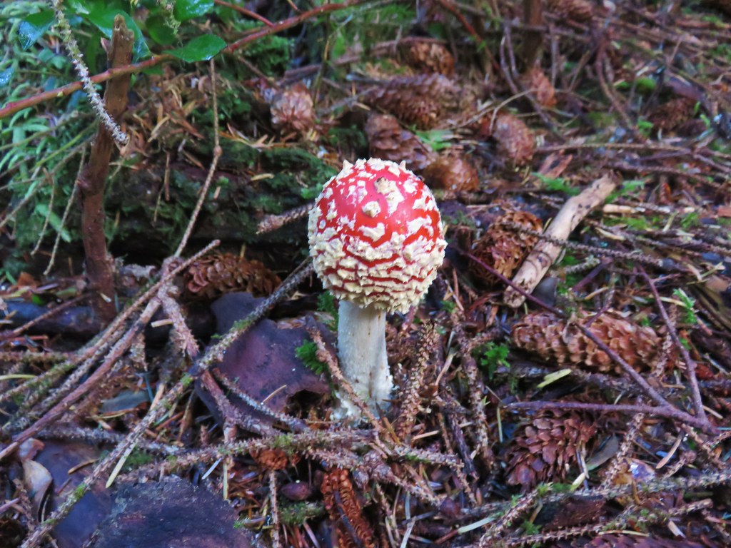
 A cute fungus
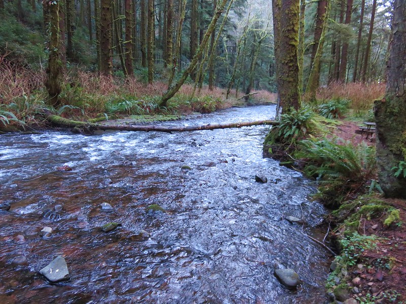
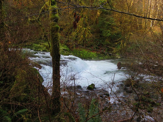
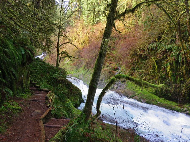
Berry Creek required an easy fording which meant another pair of wet shoes and socks for me.
 Looking back after fording.
The trail made a short climb beyond the first crossing of Berry Creek and came to a 4-way junction.


 We made a sharp right here onto the Nelson Ridge Trail.
We then dropped to a second crossing of Berry Creek (different fork).
 Skunk cabbage at Berry Creek.
Beyond the second crossing the Nelson Ridge Trail gradually climbed for three quarters of a mile before gaining the ridge and making a u-turn and entering the meadow.
 A few bleeding-heart blooms.

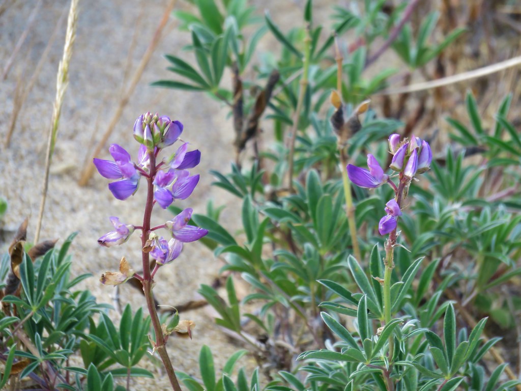
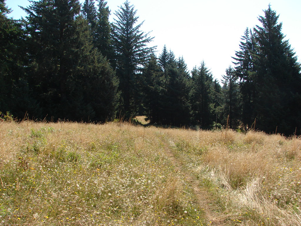
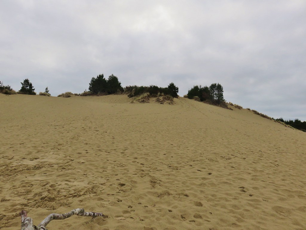
Although it was a different time of year the meadow looked pretty similar, maybe a touch greener. There were some lupine that didn’t look to be even considering blooming anytime soon though.
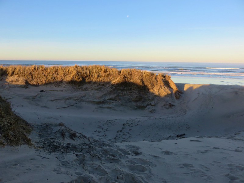
 At least this bench had a view of the Pacific Ocean.

We followed the trail through the meadow and stayed to the right at junctions to stay on the Nelson Ridge Trail which eventually brought us back to the trailhead.
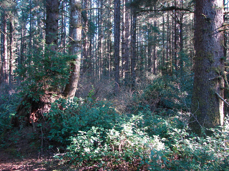
 Passing through a stand of trees along the ridge.
 Another bench.
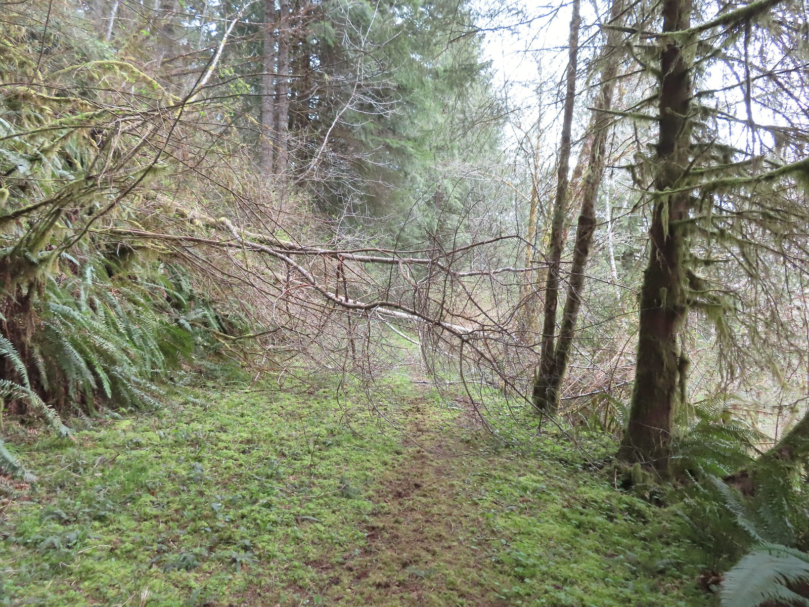
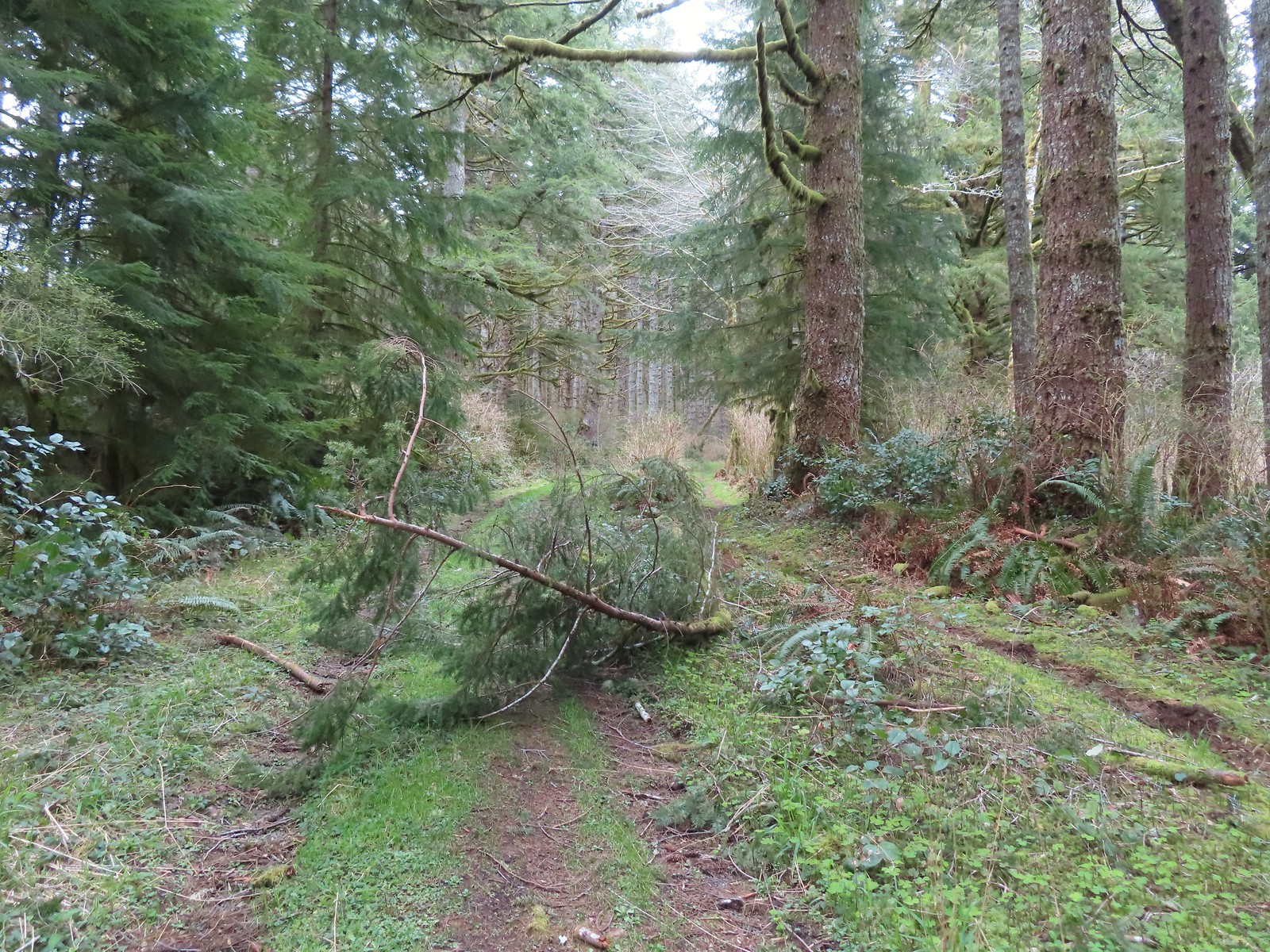
 Some easy to walk around blow down.
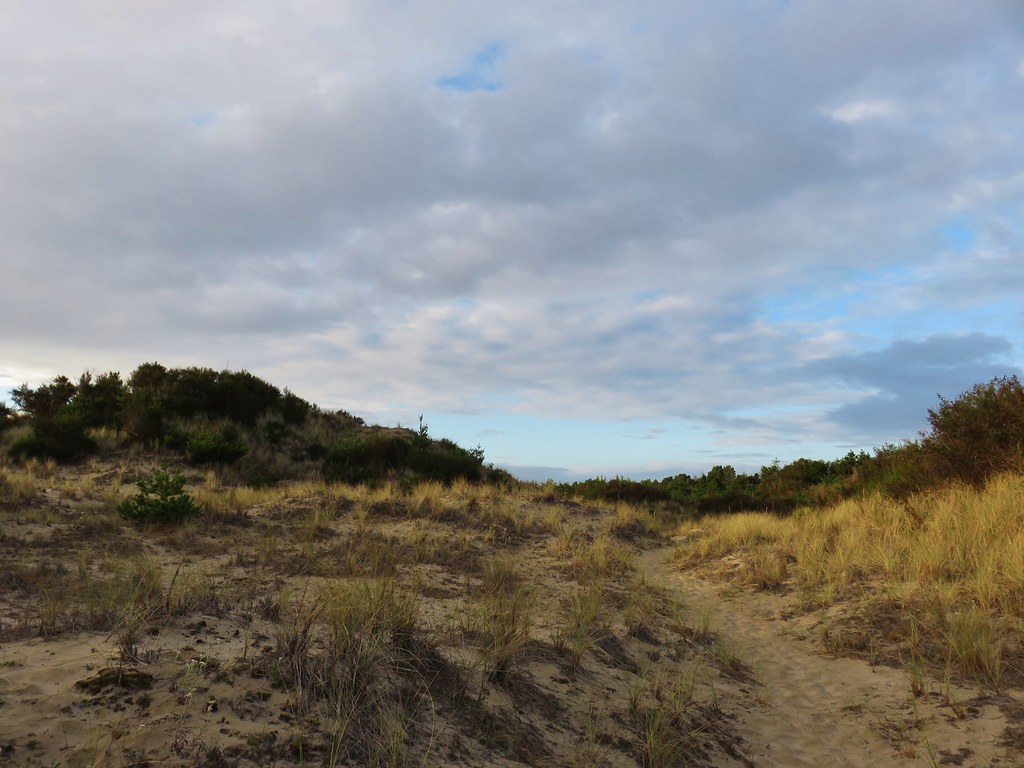
 We couldn’t tell what this road/trail to the left was on the map so we stayed right to be safe at this junction.
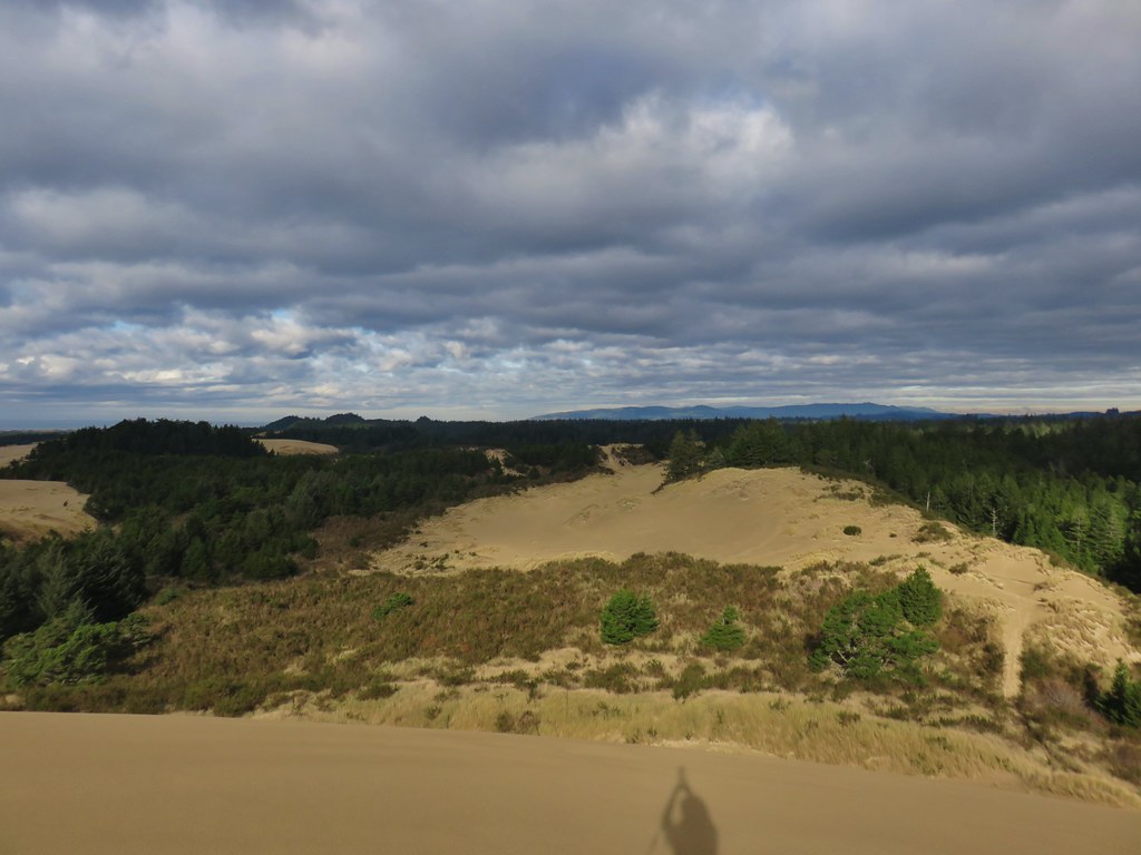
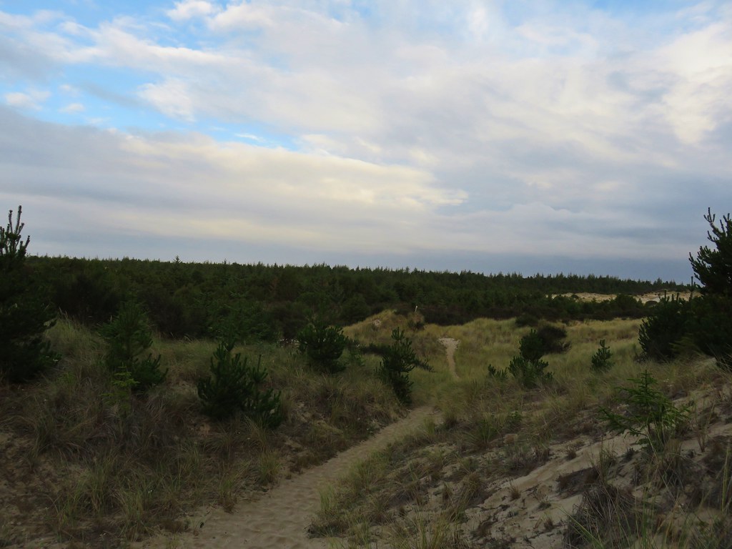
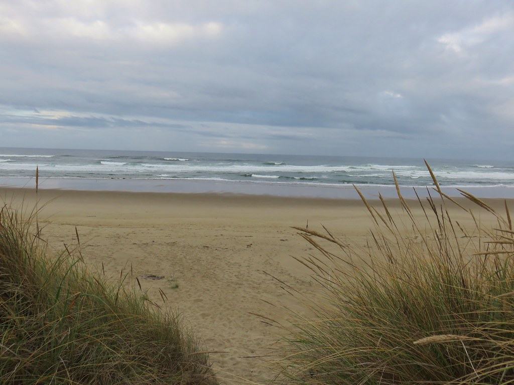
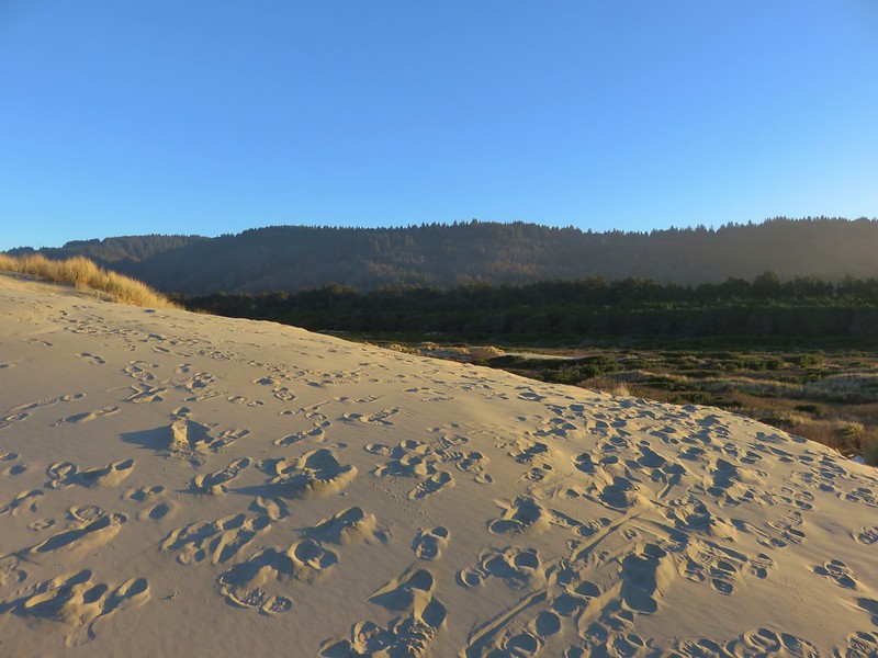
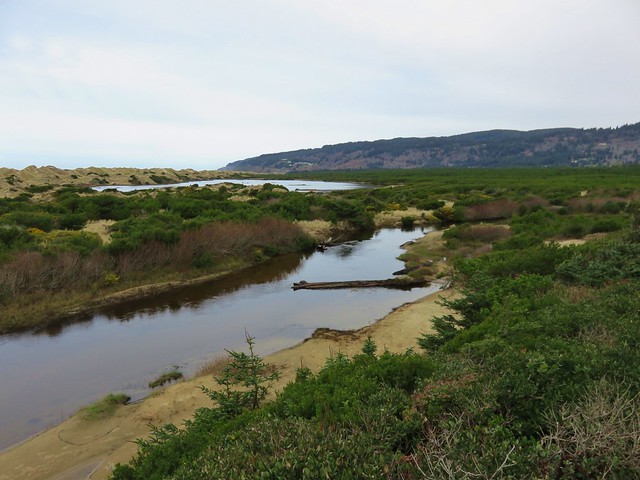
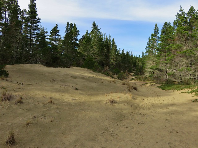
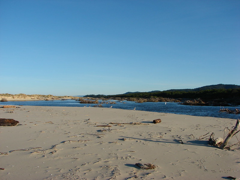
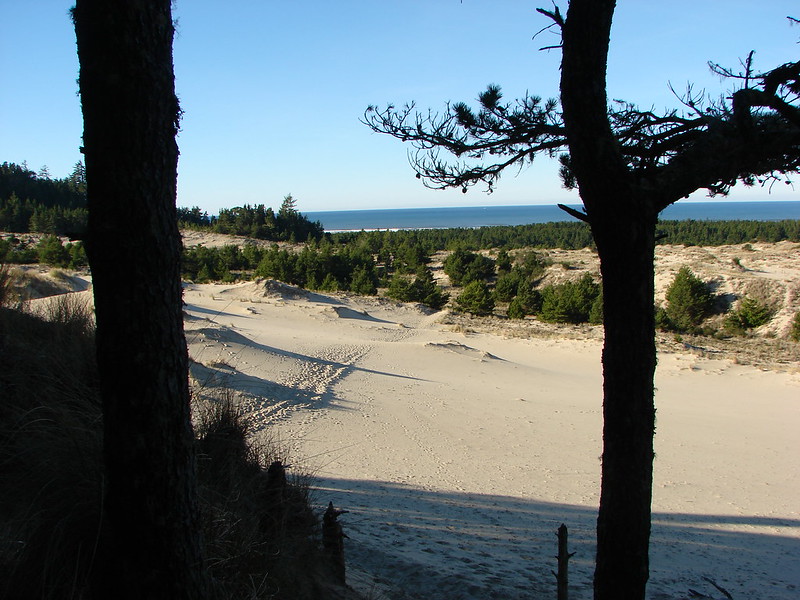
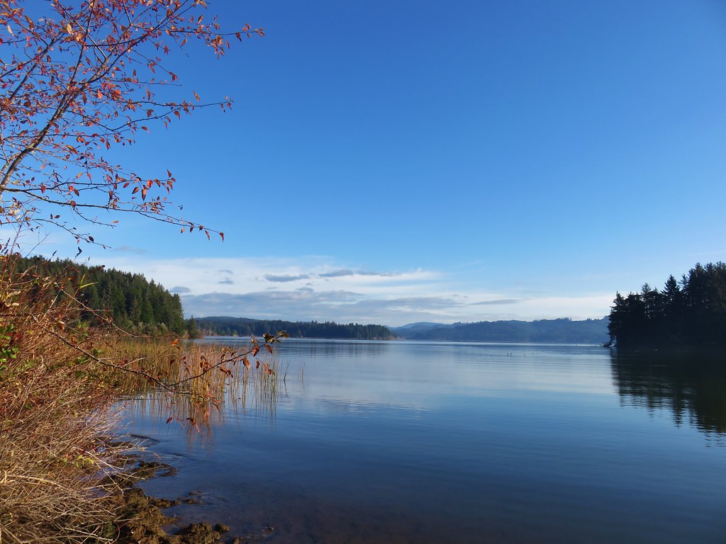
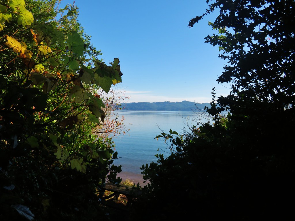
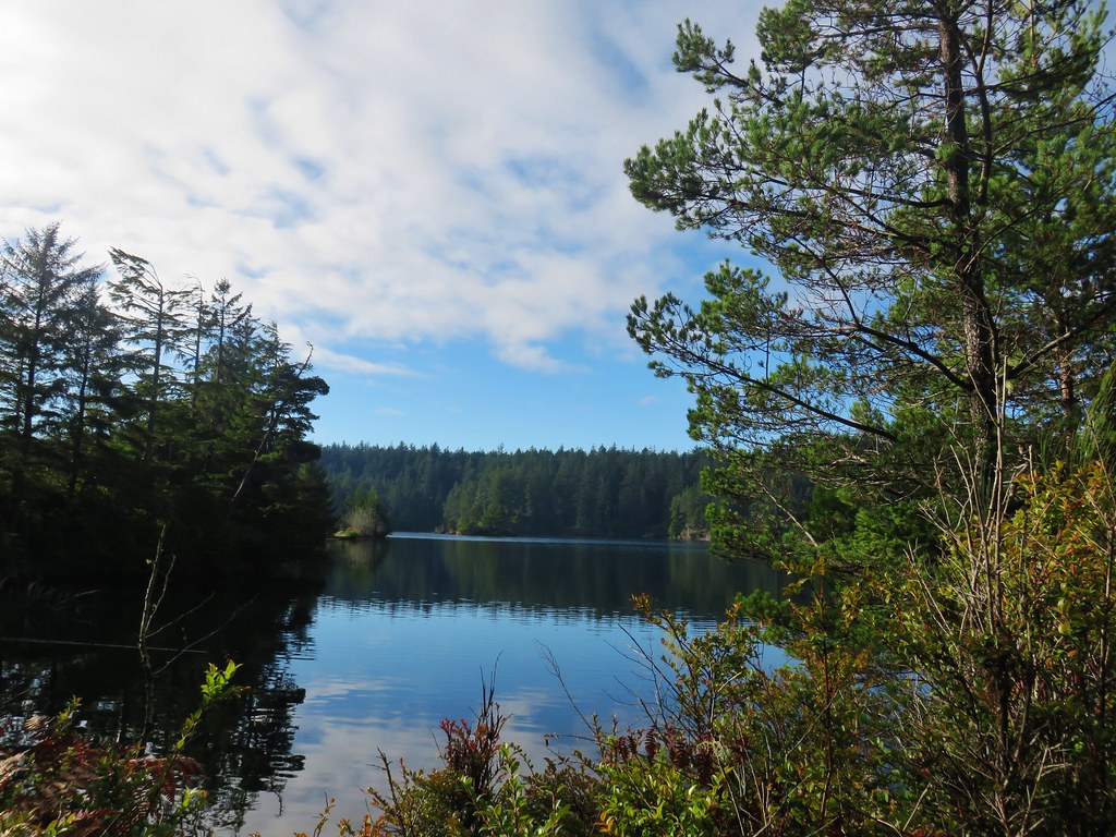
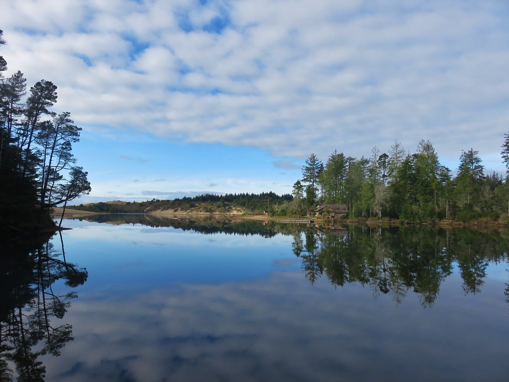
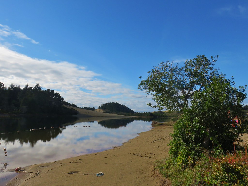
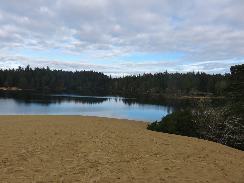
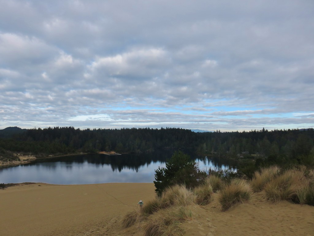
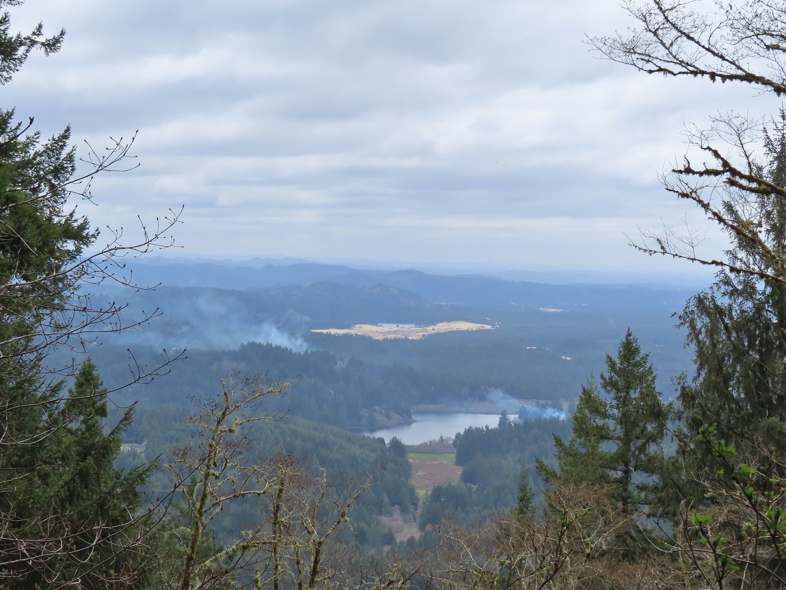 I think that is Sutton Lake and beyond the sand is Clear Lake.
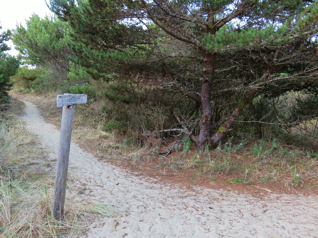
 The end of another short roadbed section.
 I walked on this roadbed for a bit just to do something a little different than on the first visit when I stuck to the trail (on the right).
 Starting to descend toward Dry Lake.
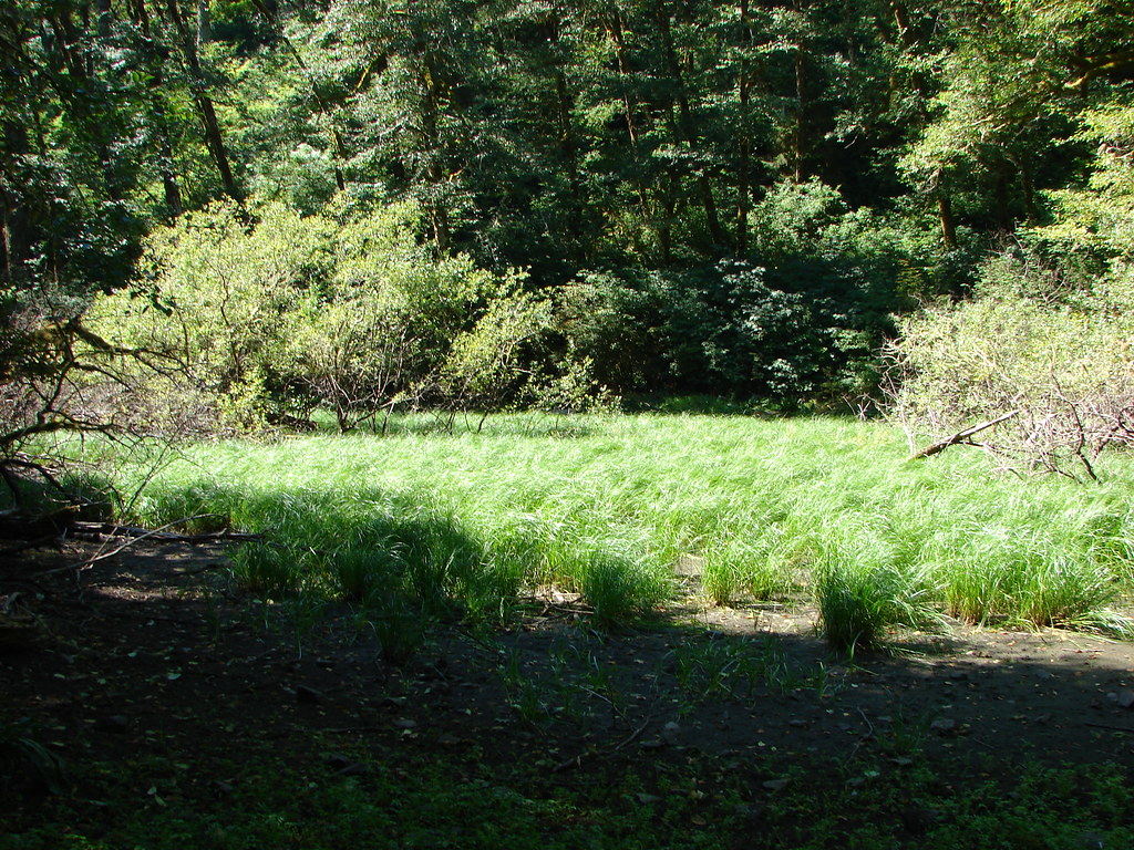
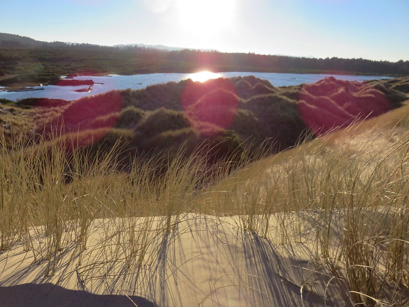
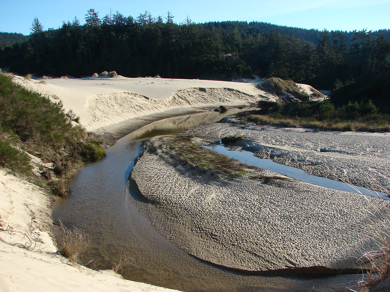
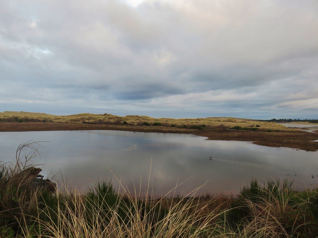
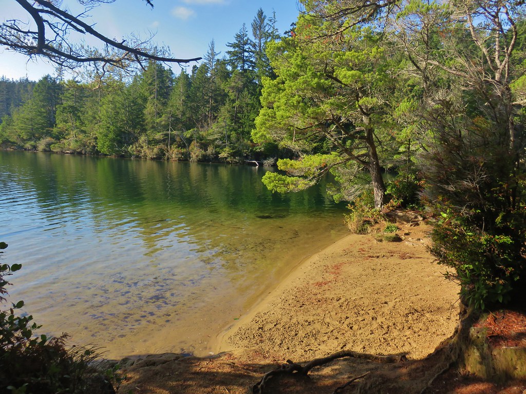
The Nelson Ridge Trail passes Dry Lake just before arriving at the trailhead. On our previous visit the lake had lived up to the name Dry. This time however it really was a lake.
 Dry Lake
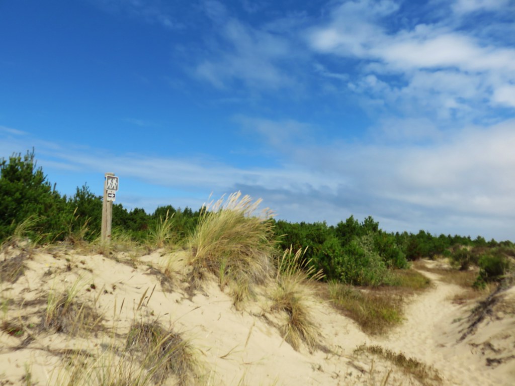
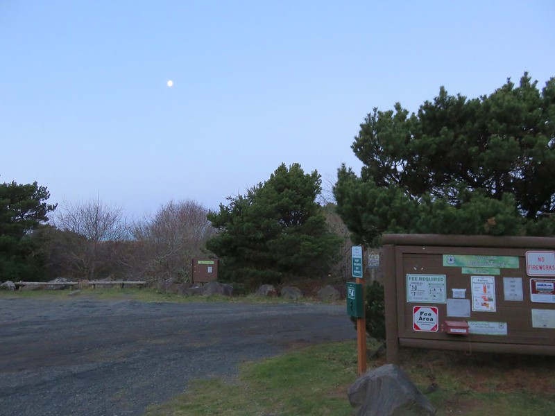
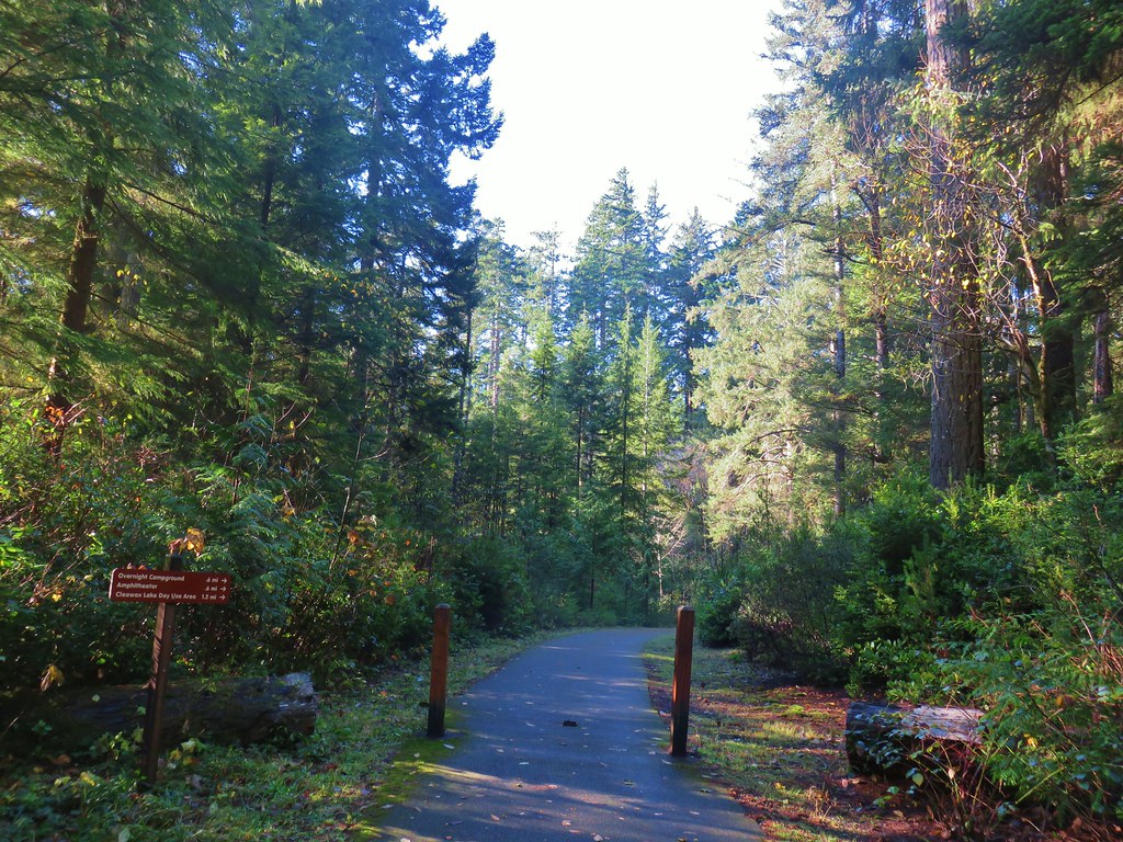
 Back at the trailhead.
Our three hikes came in at 4.3, 0.2, and 8.1 miles respectively with a little under 1200′ of cumulative elevation gain (1100′ was at Cape Mountain).
It was nice to see some of the Spring flowers blooming and it’s always fun to see darlingtonia. We have several wildflower hikes on our schedule over the next couple of months and it will be interesting to see how the late bloom affects what we wind up seeing. Regardless we know that we’ll enjoy our time on the trails and there will always be something to see. Happy Trails!
Flickr: Enchanted Valley, Darlingtonia Wayside, and Cape Mountain


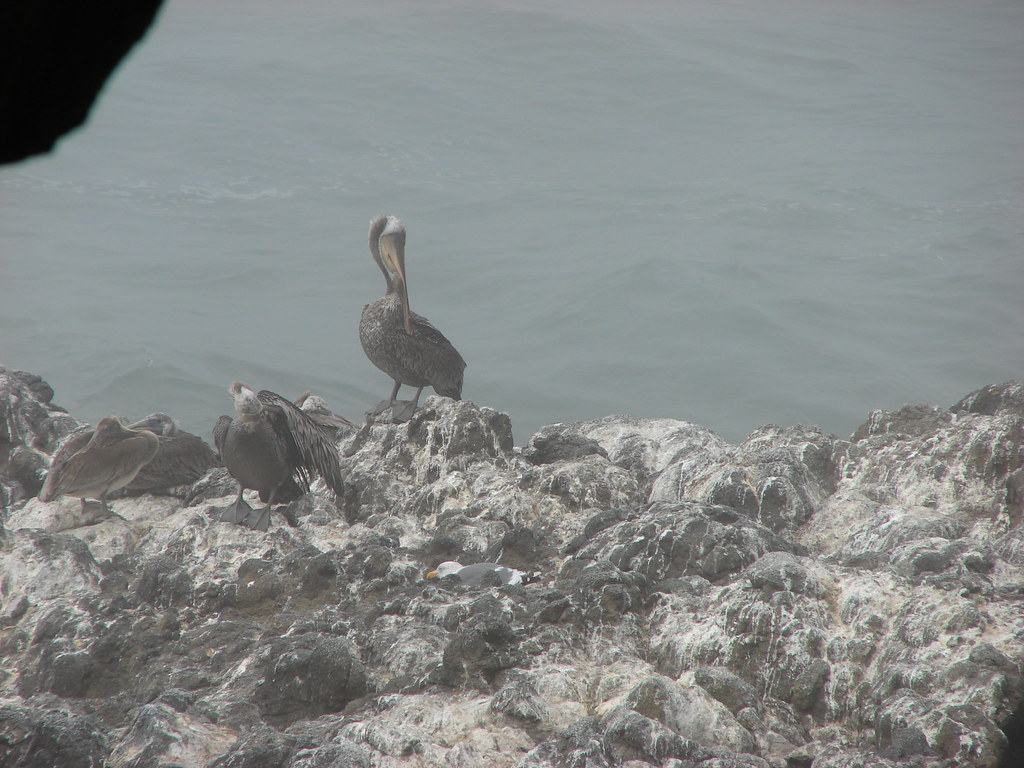
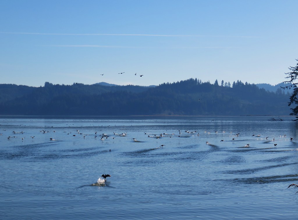
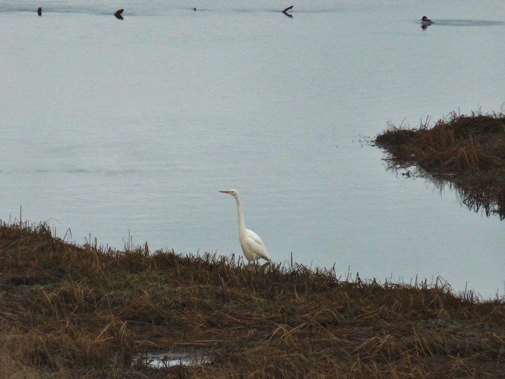 Egret
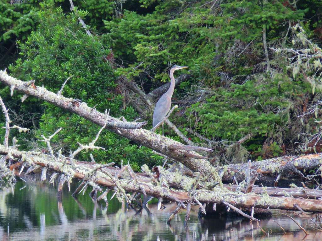
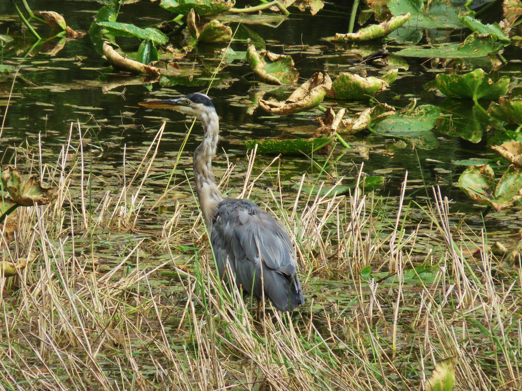
Egret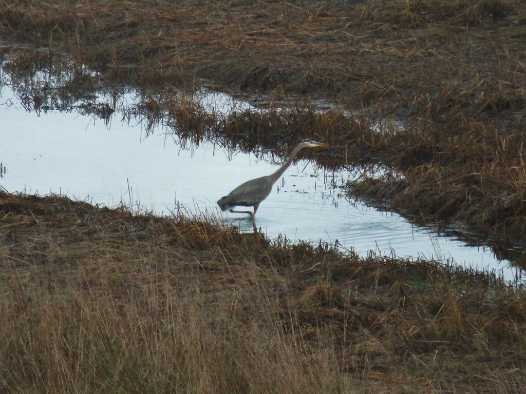 Great blue heron
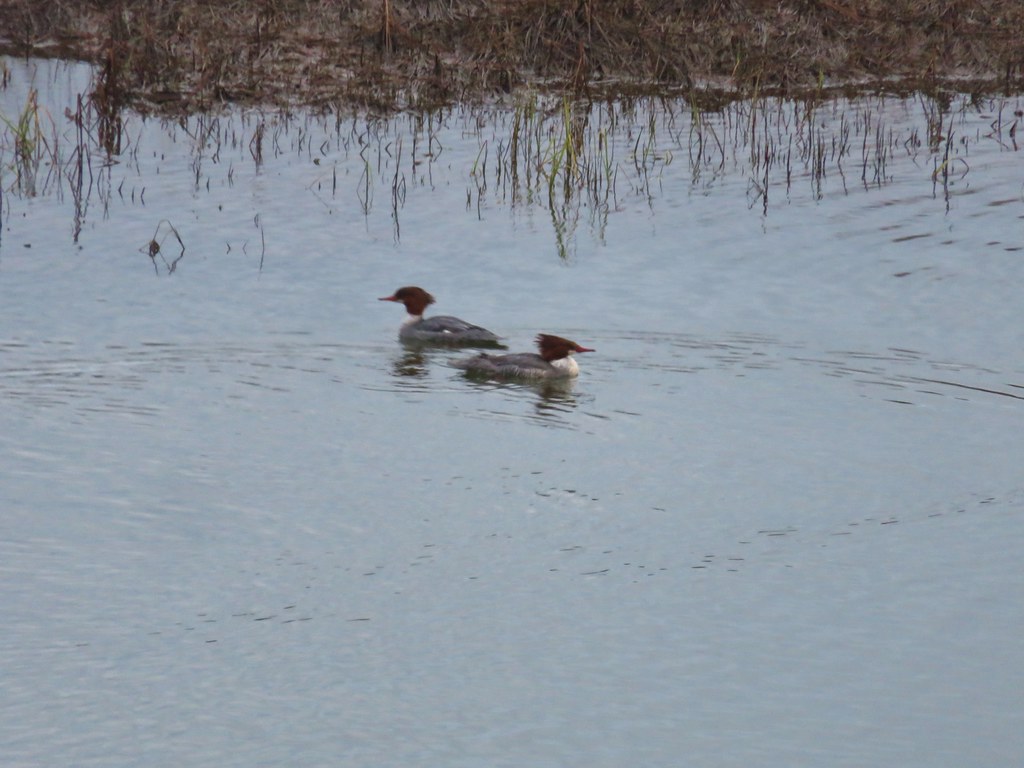 Common mergansers
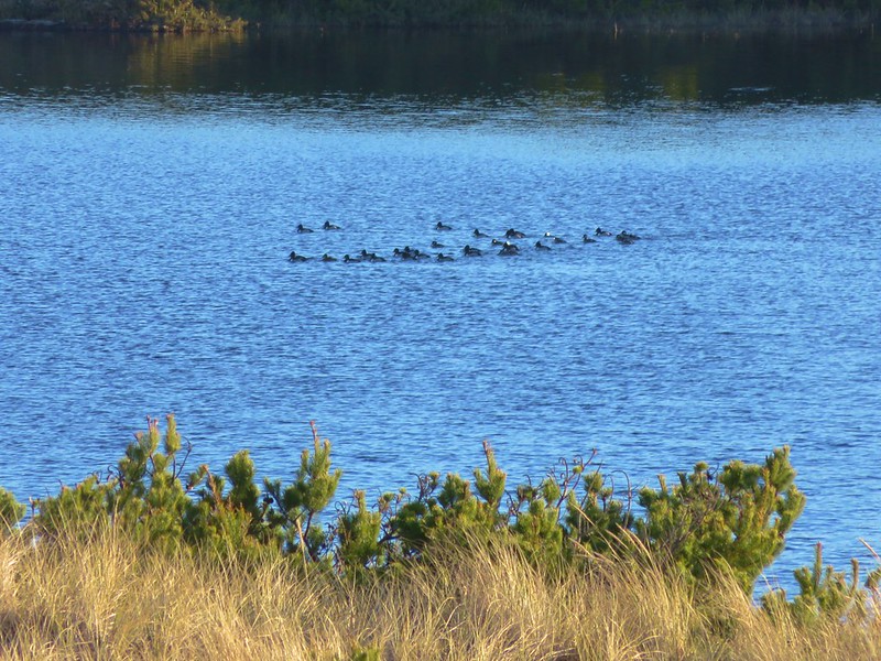
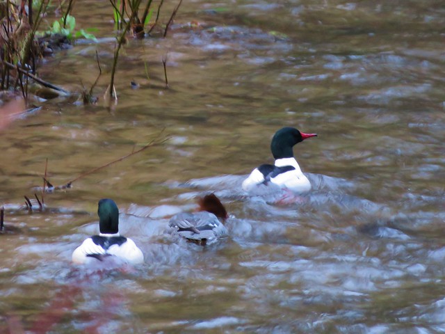
 Bufflehead


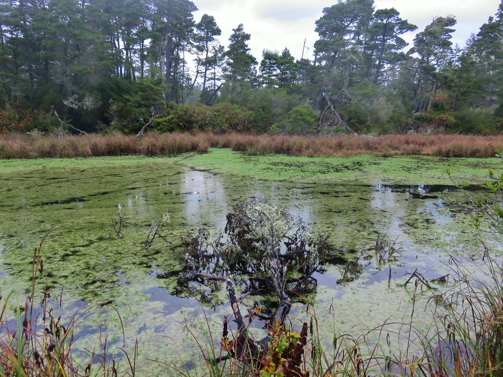


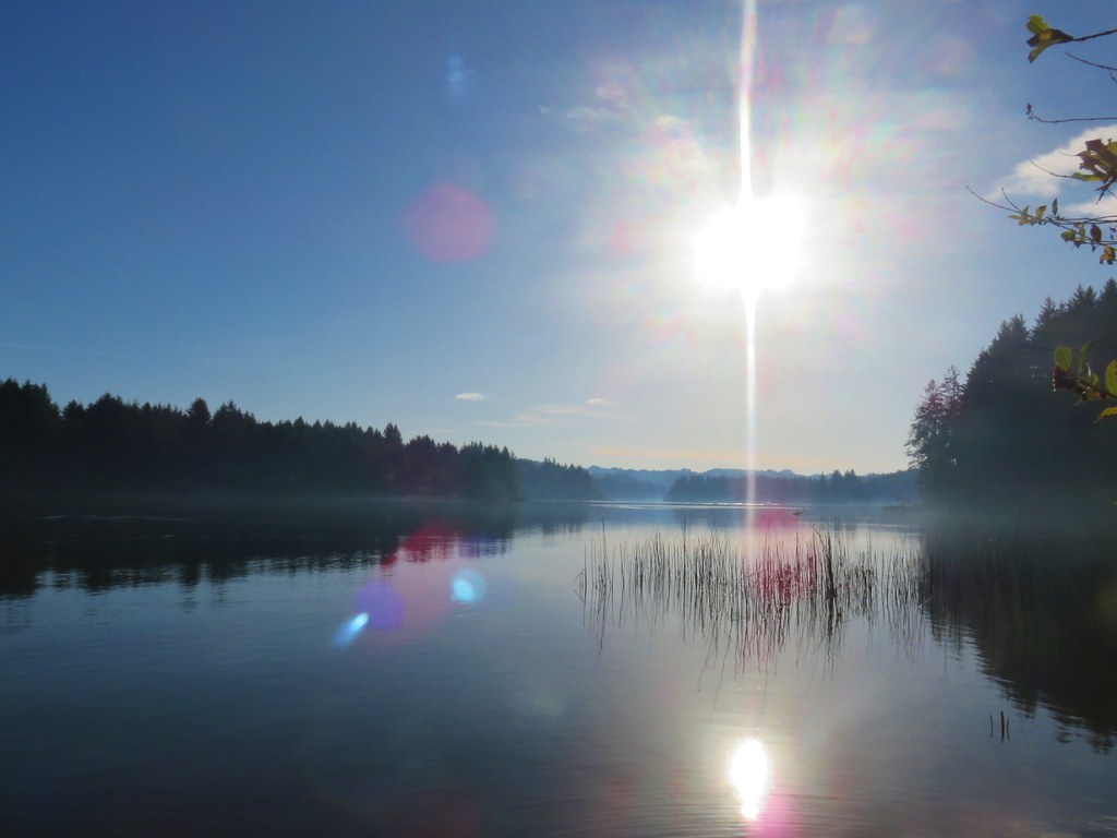


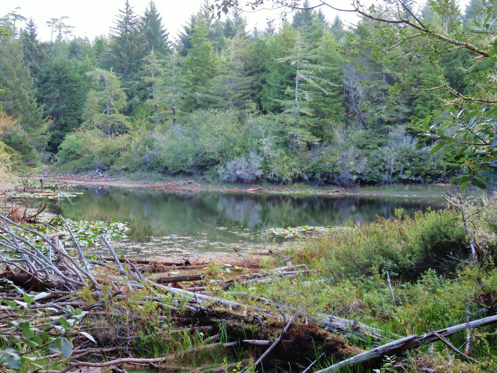
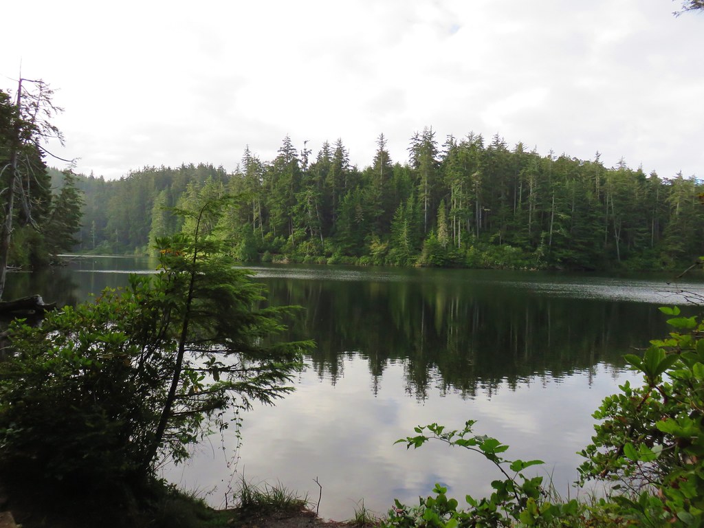
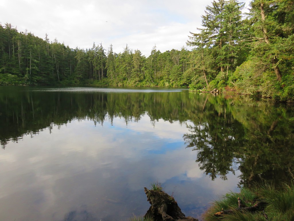
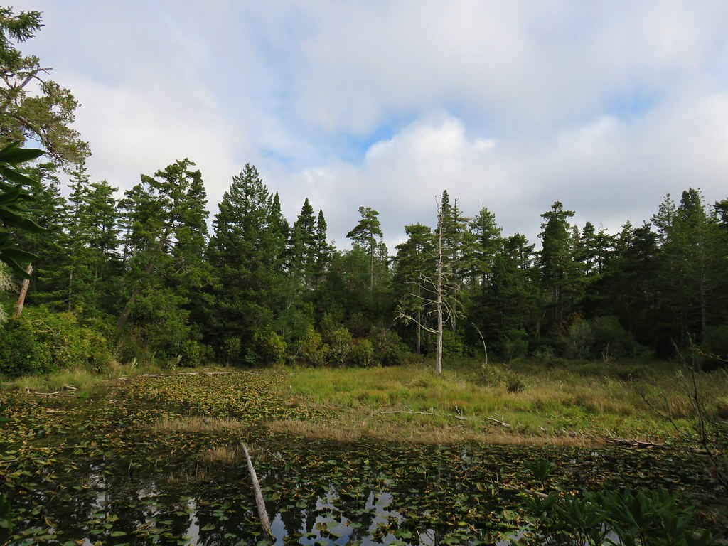
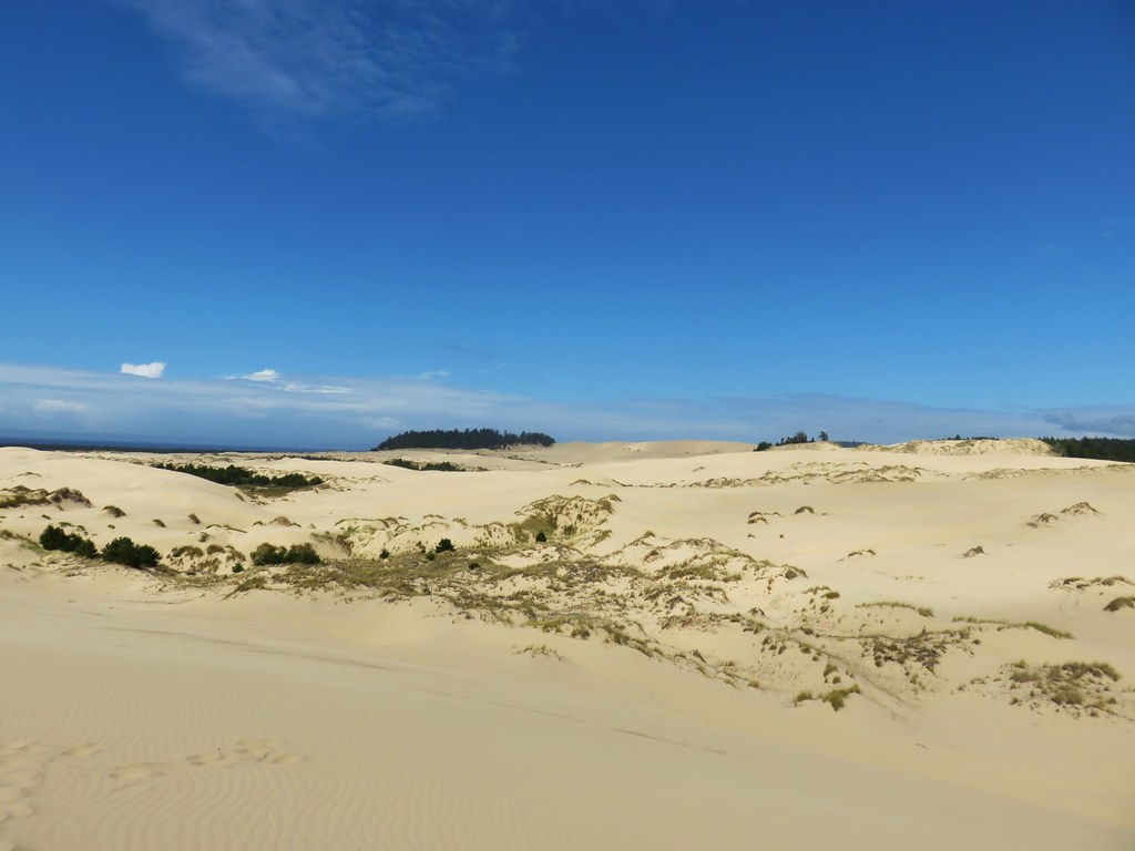
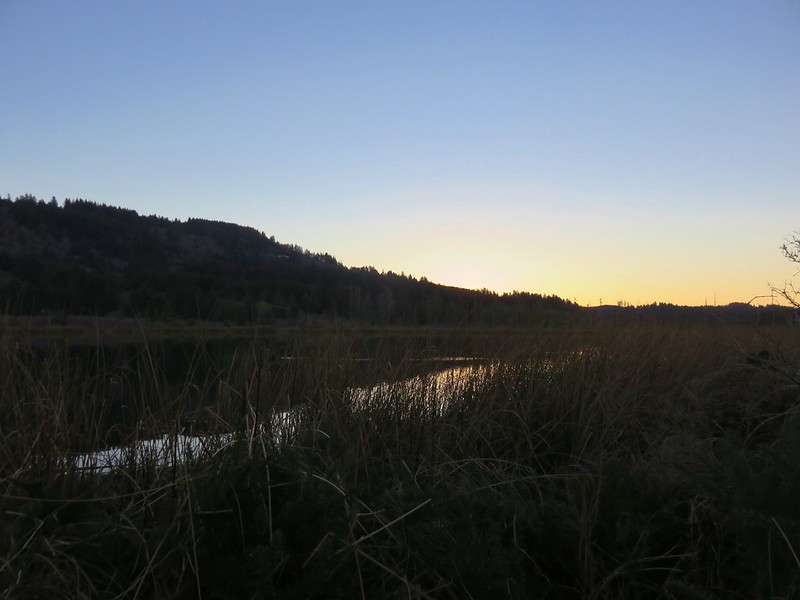
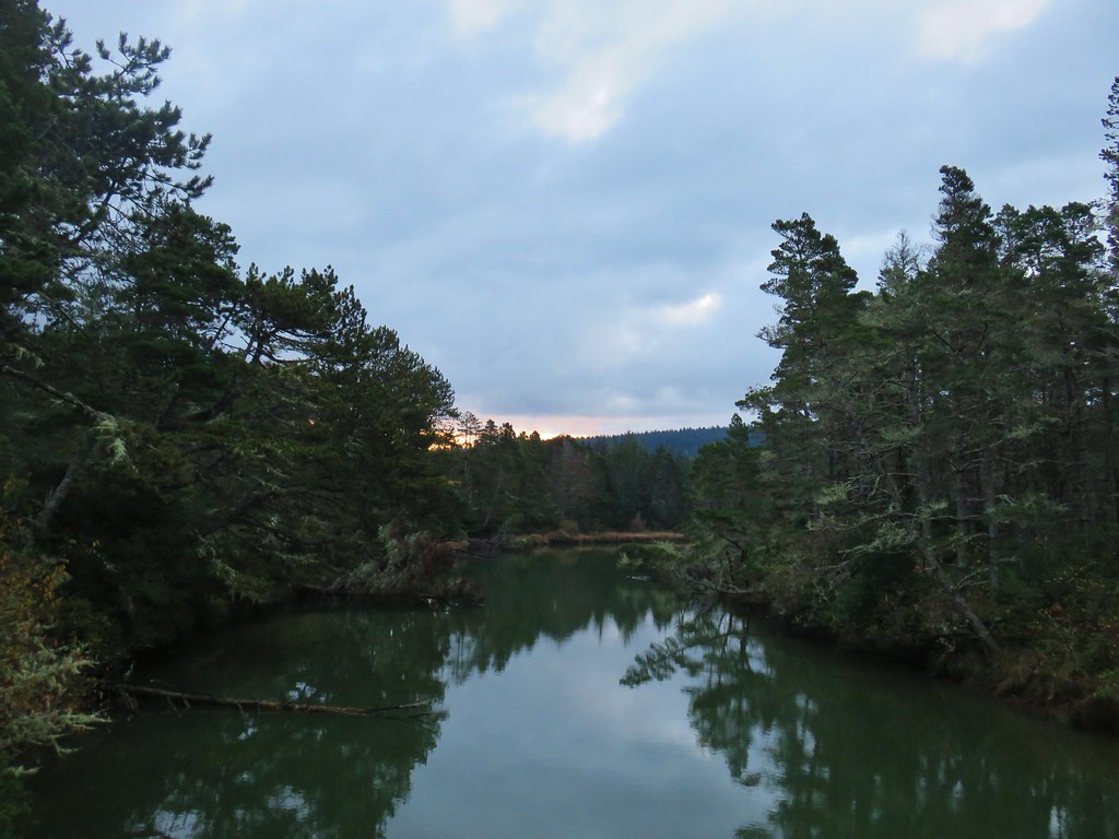
 Lily Lake
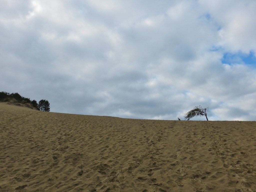
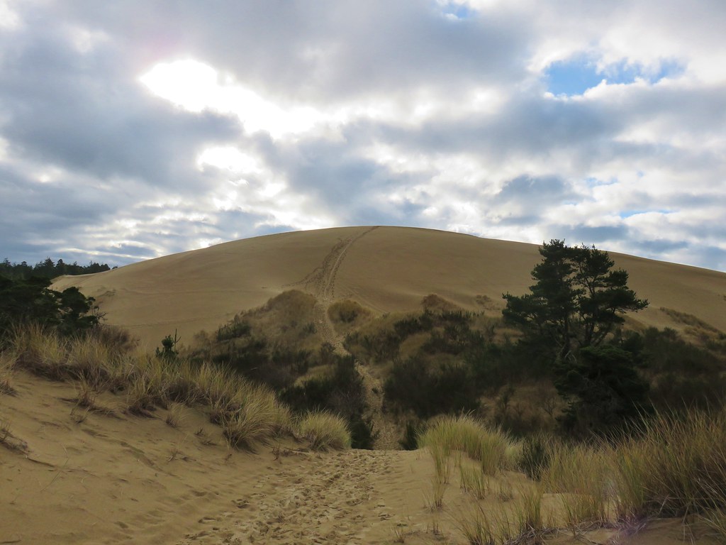
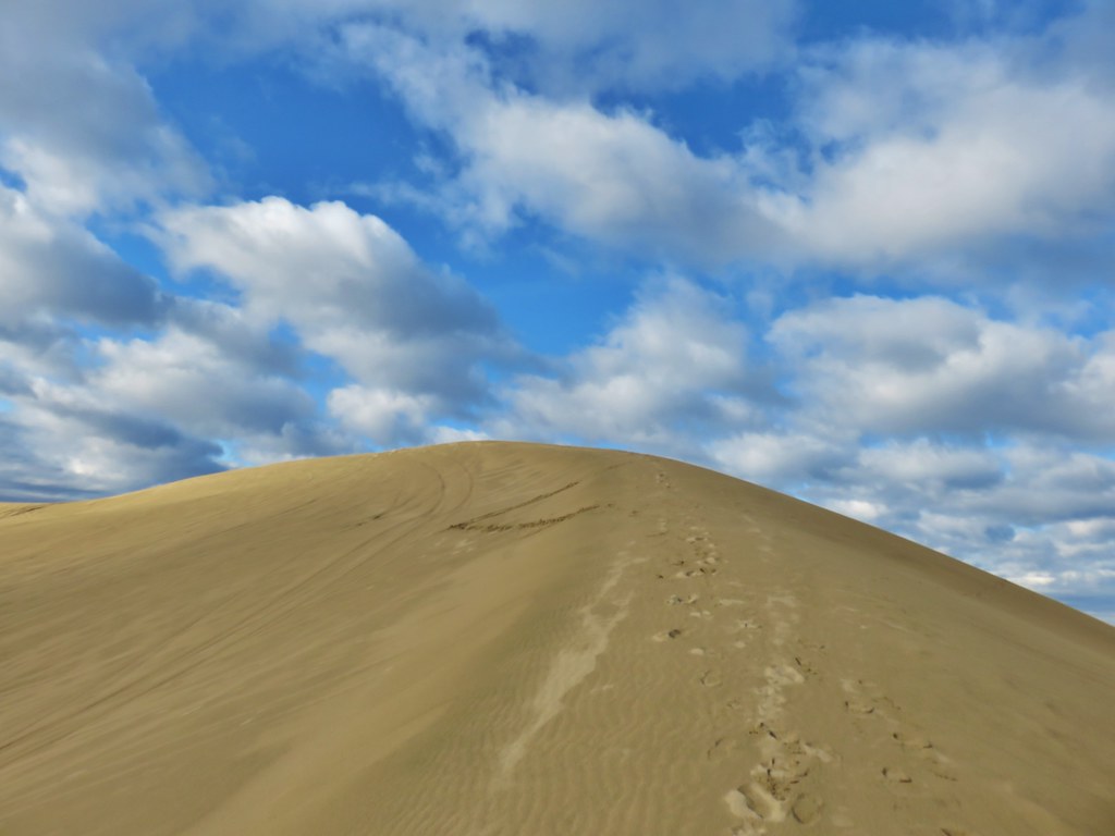
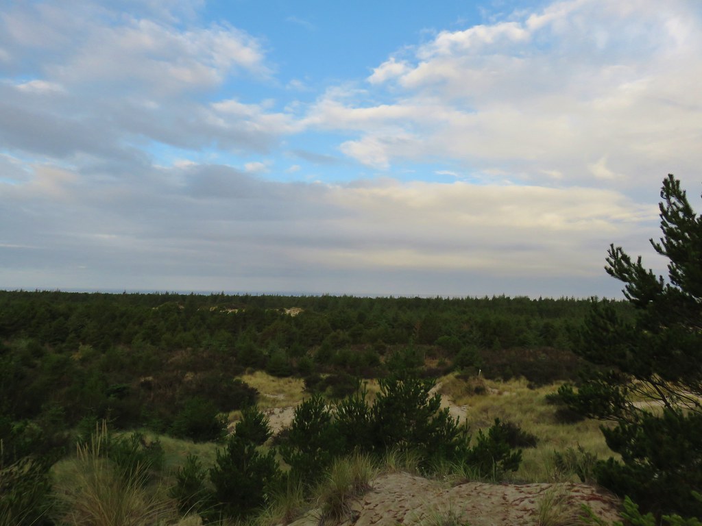
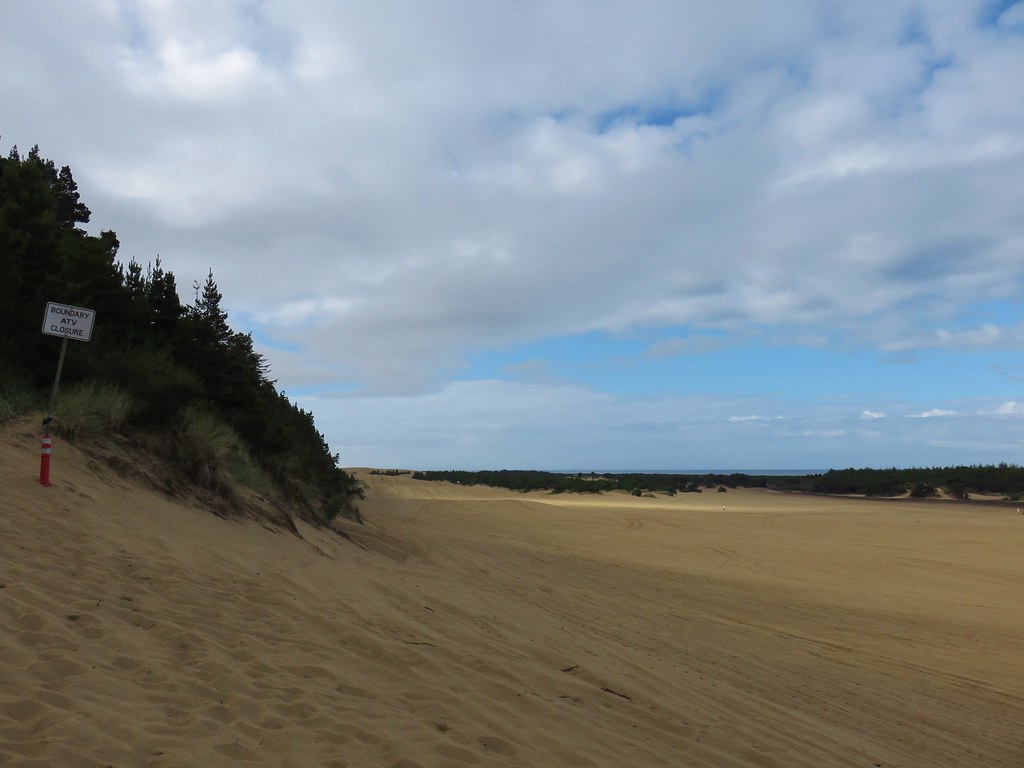
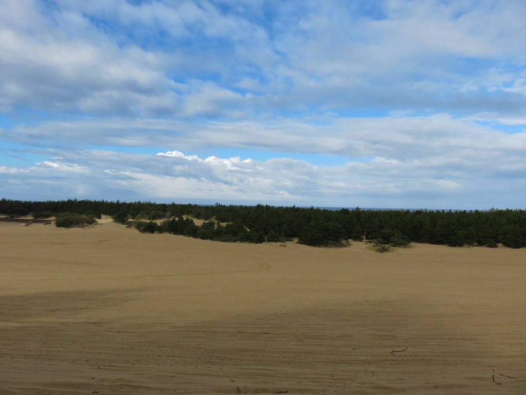
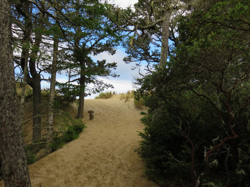
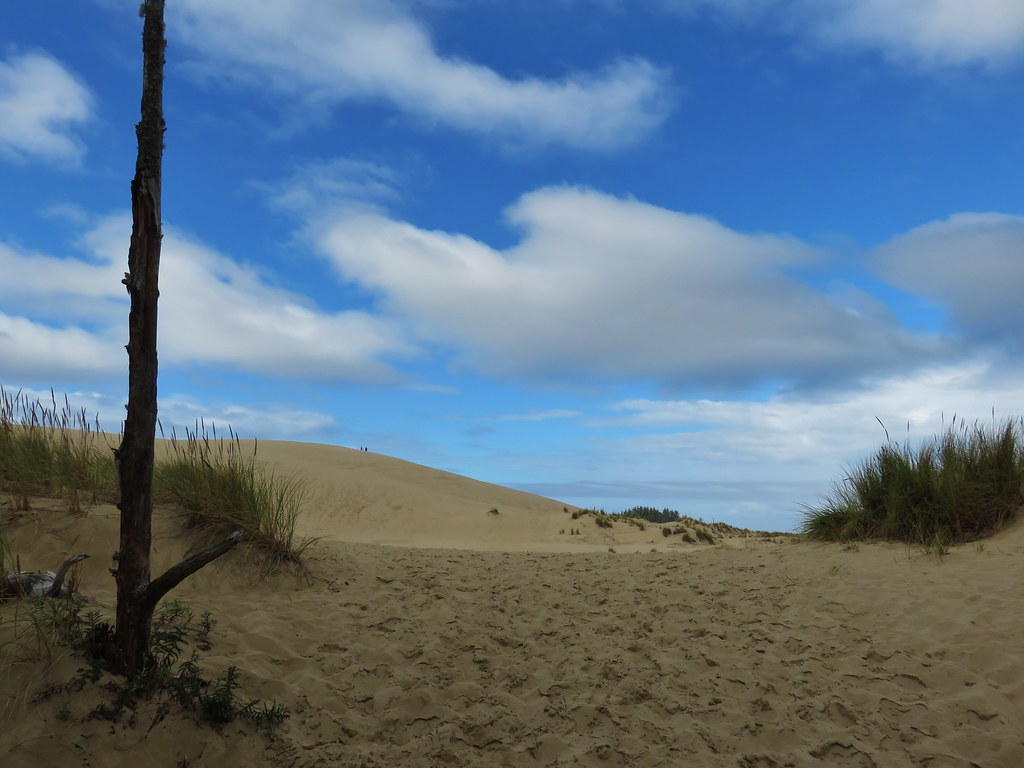
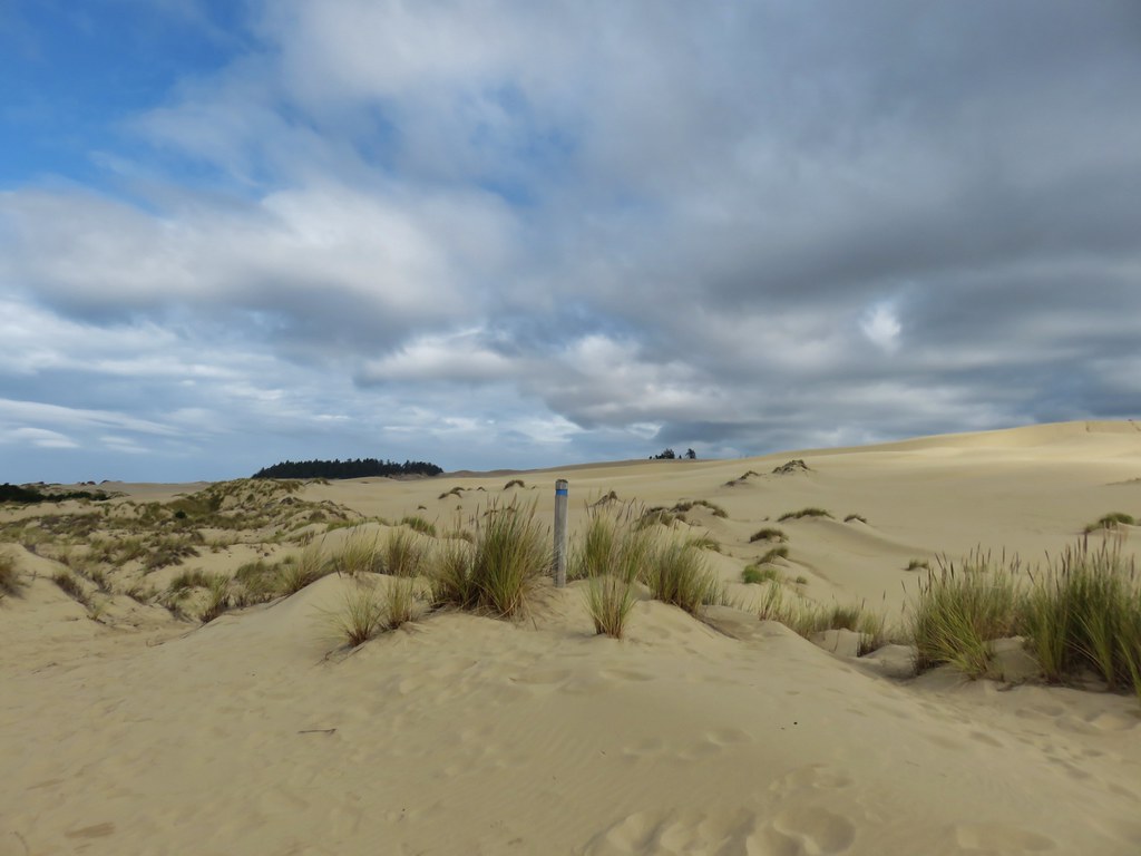
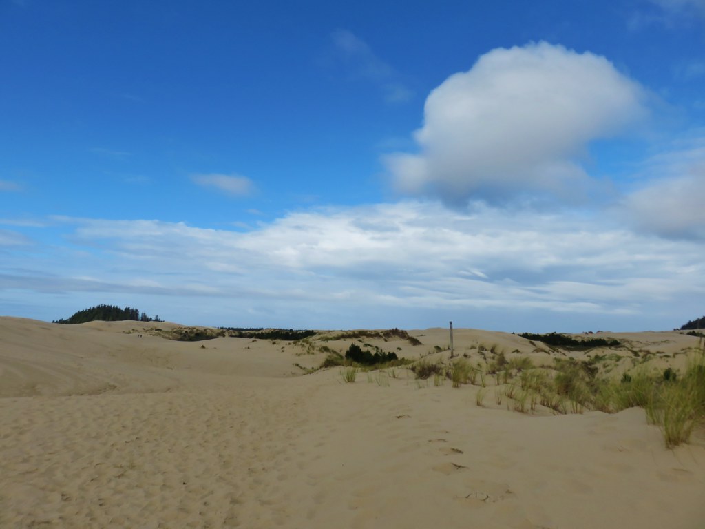
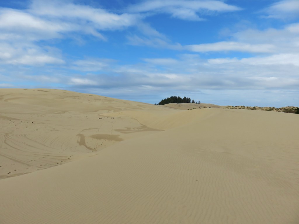
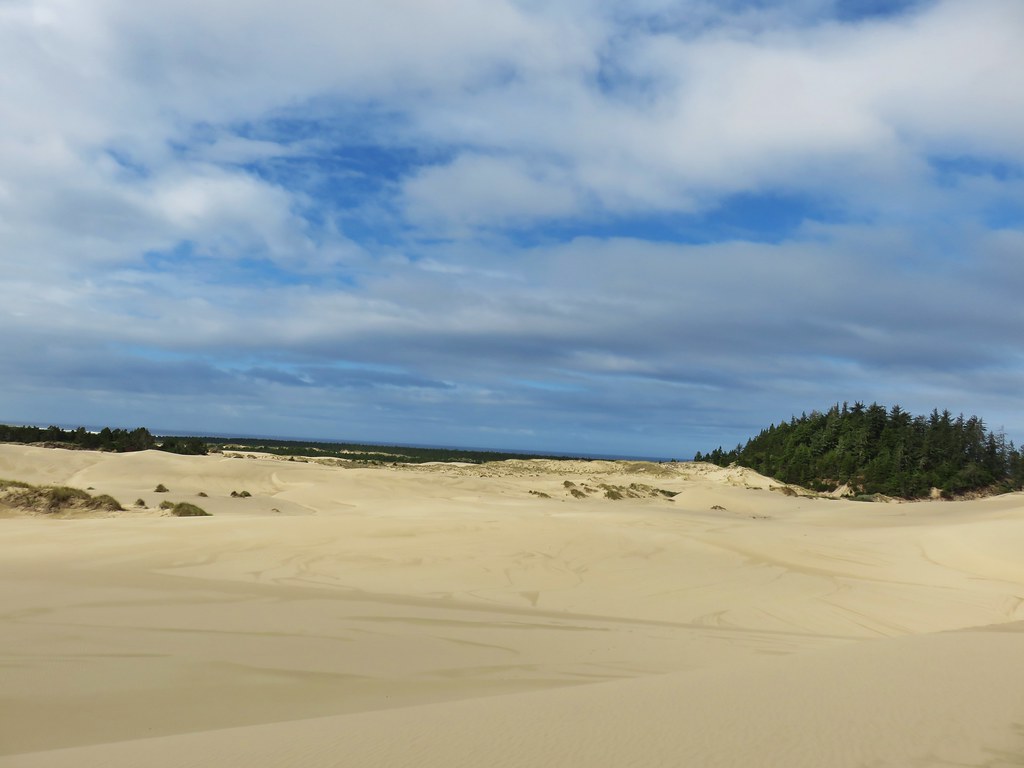
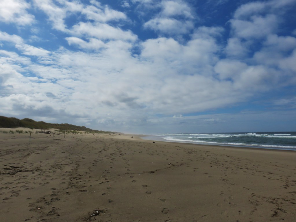
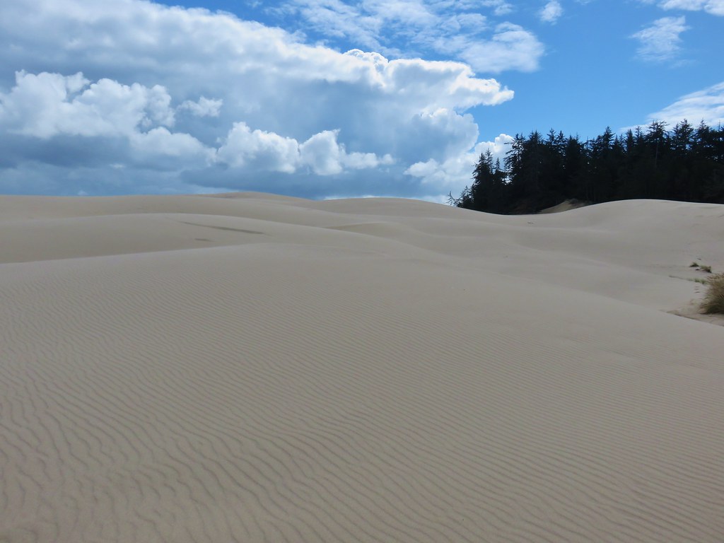
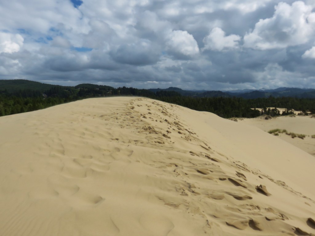
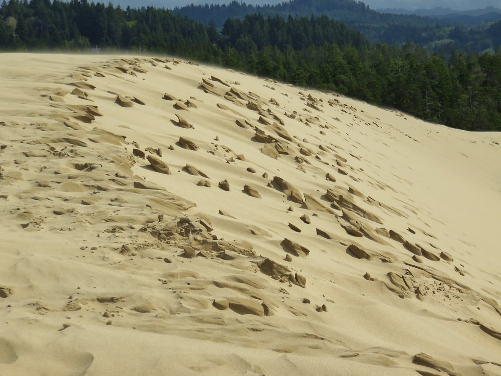
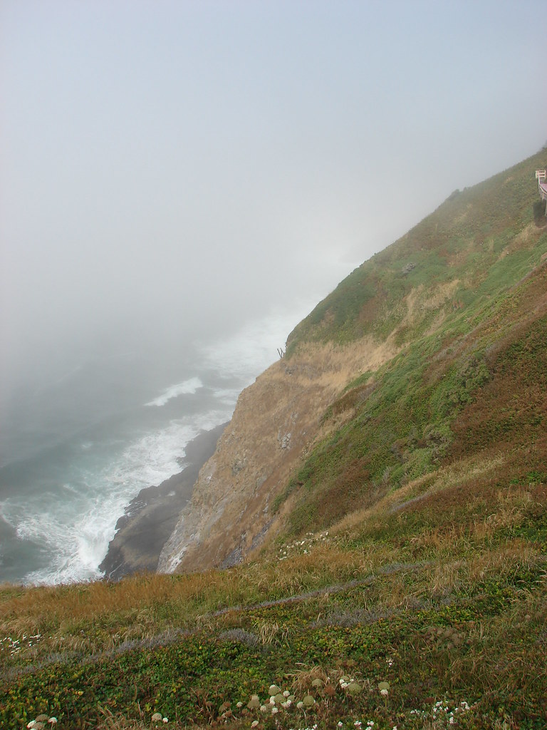
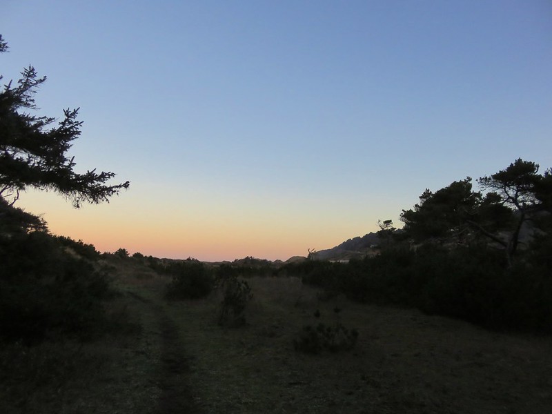
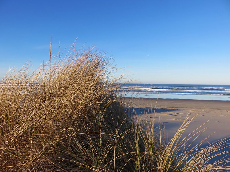
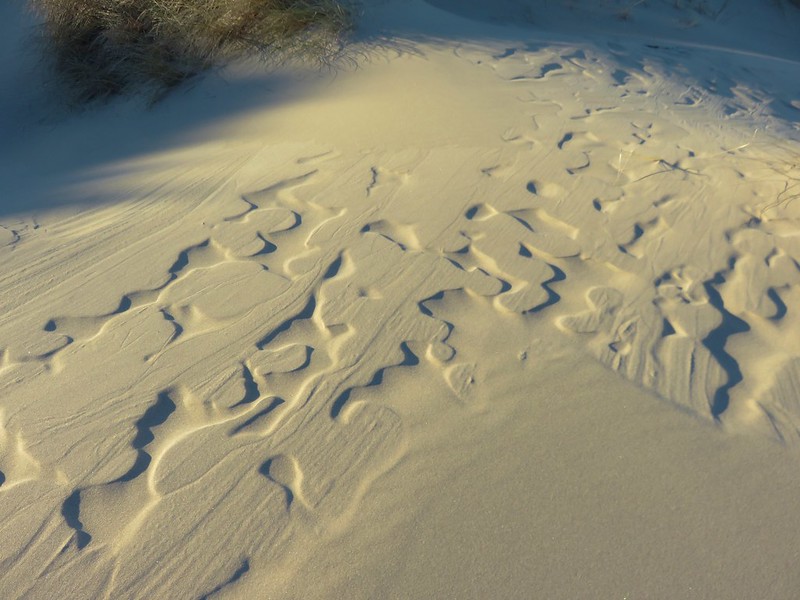
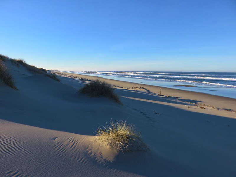
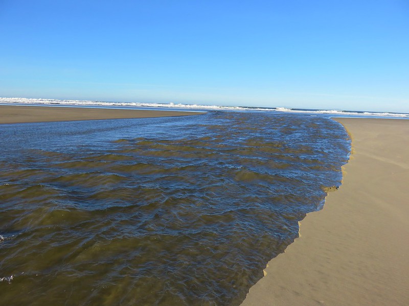
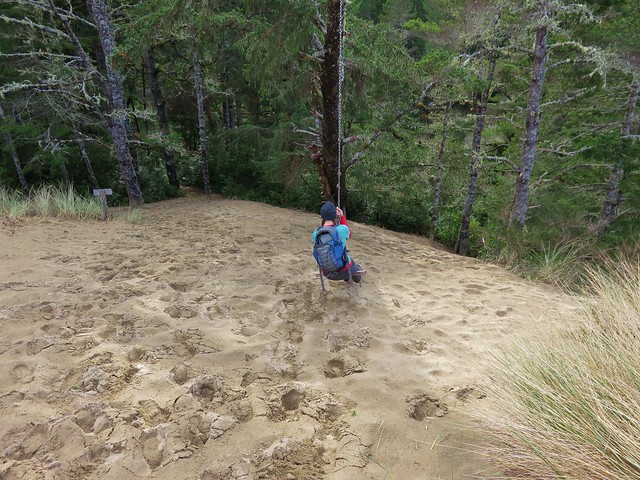
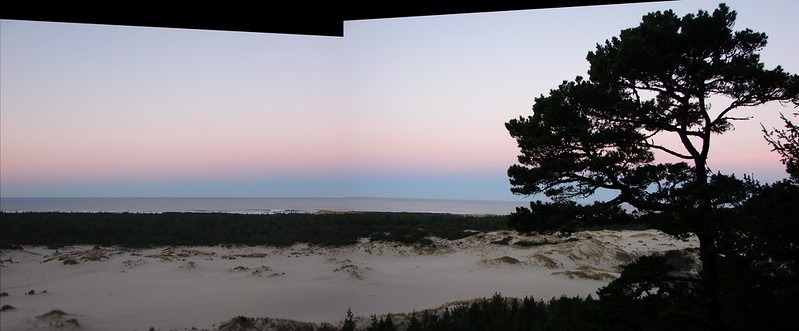
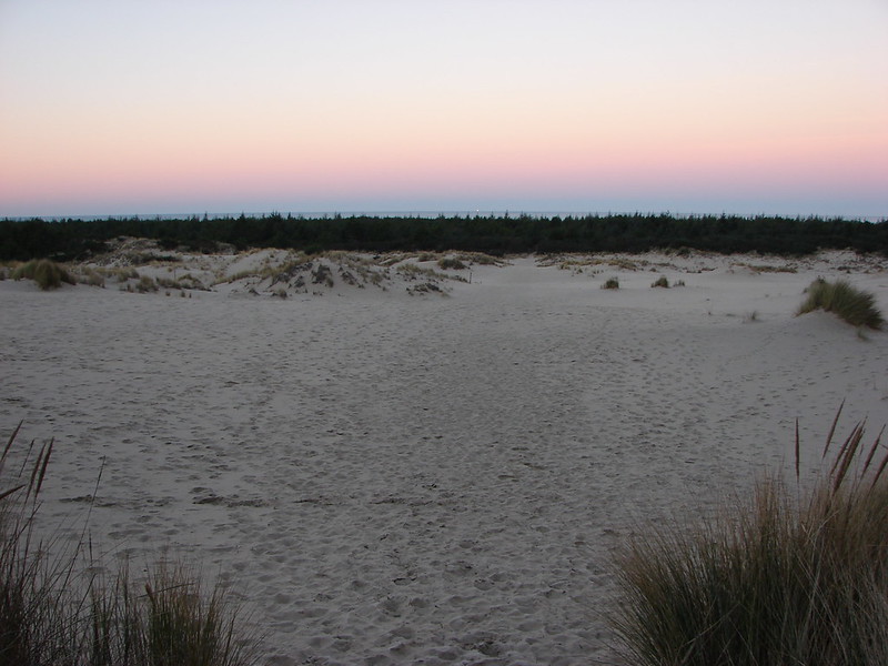
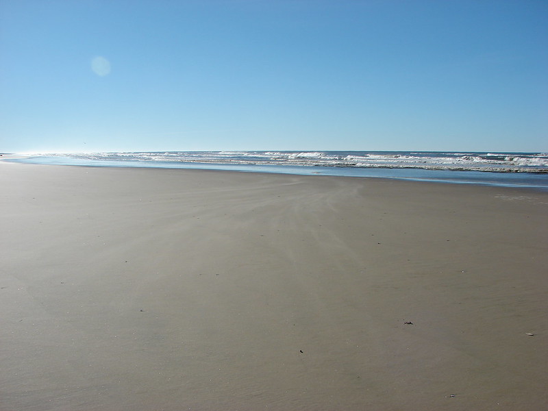
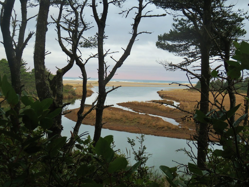
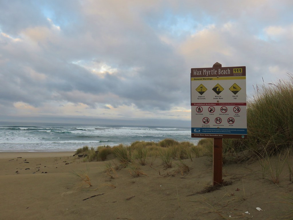
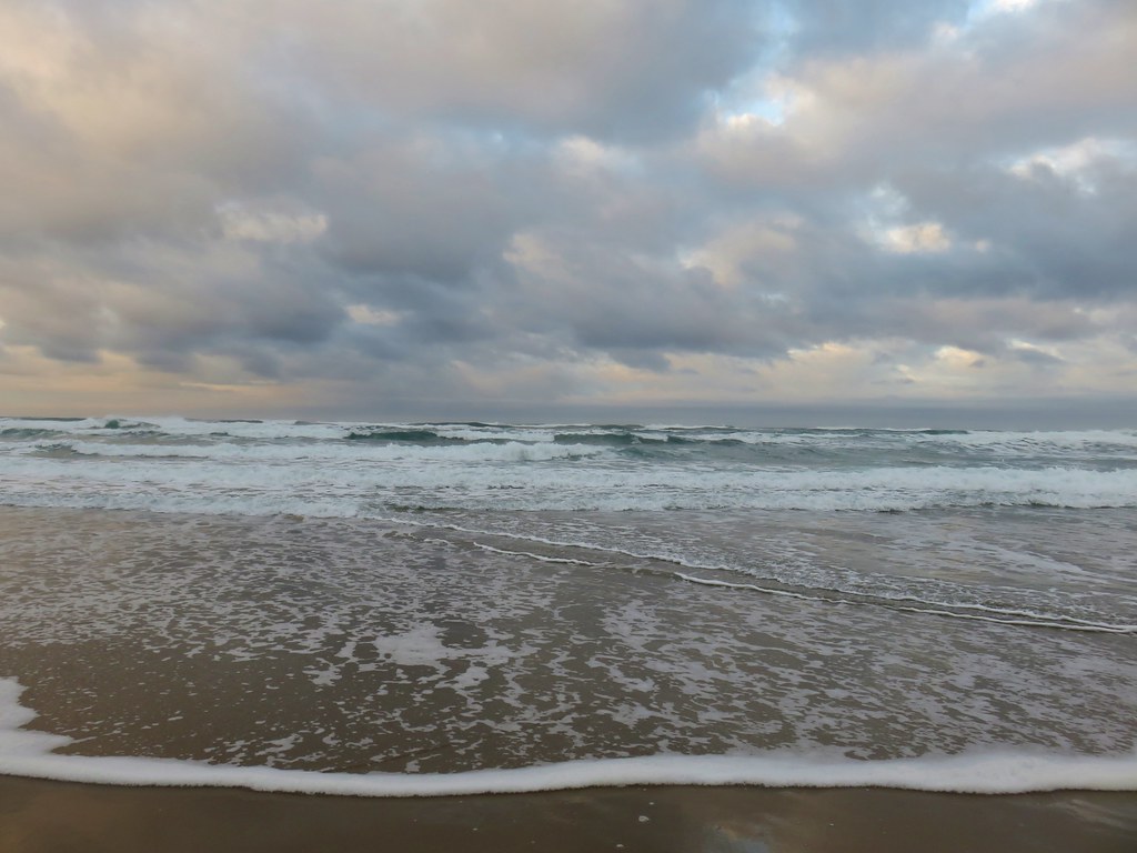
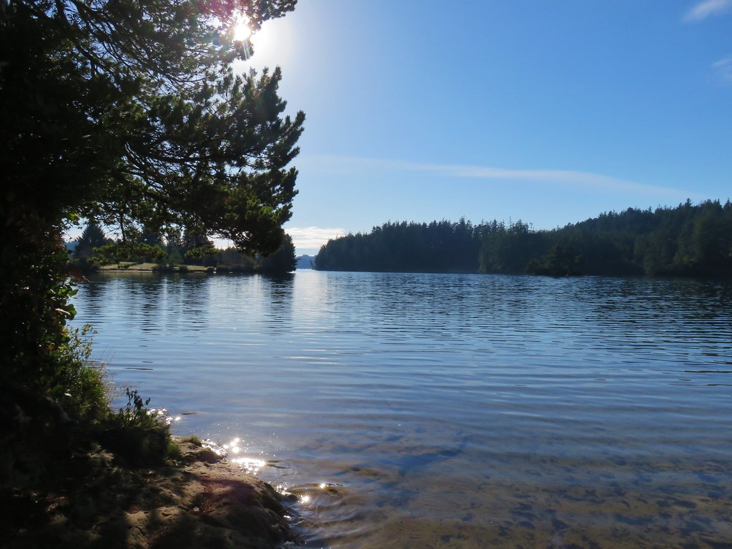
 The Pacific Ocean from the dune.