We had visited Neahkahnie Mountain in January 2014 (post) and had wanted to come back in Spring to hopefully see some wildflowers. The Oregon Coast Trail (OCT) crosses over Neahkahnie Mountain passing below a rocky viewpoint. In 2014 we had come from the north so this time the plan was to start from the south using a newer section of the OCT beginning in Manzanita, OR. Heather had other plans, so I was on my own for this outing, and decided that I would go up and over Neahkahnie Mountain and visit the Devil’s Cauldron before climbing back over to Manzanita.
The trailhead for the OCT is just a pullout on the shoulder of Neahlem Road.
 I had arrived just after 6:30am so it was still a little dark as I set off.
It was early enough that I didn’t have to worry much about traffic when I crossed Highway 101 from Nehalem Road to the signed Oregon Coast Trail.


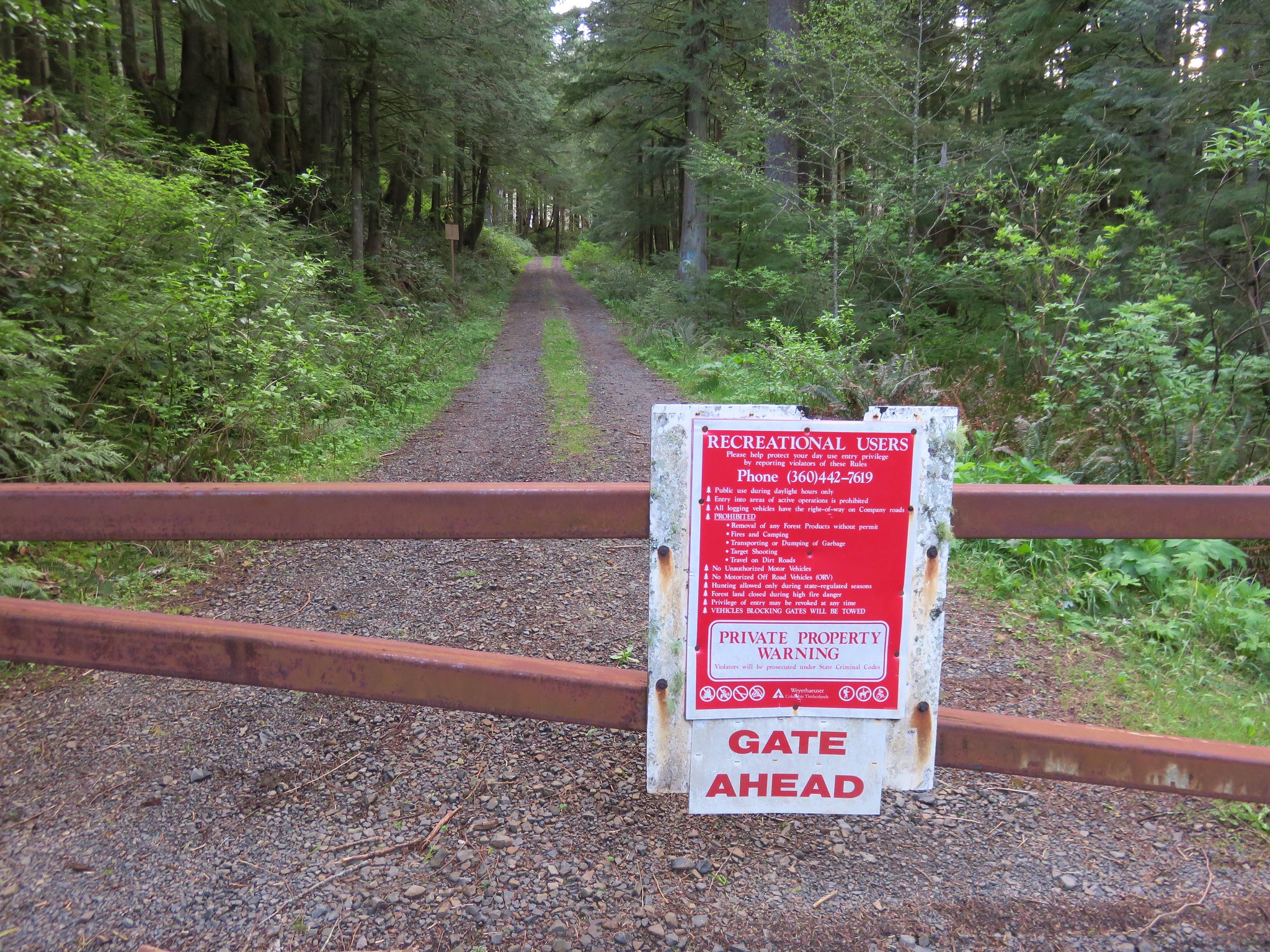
This 2.1-mile section of the OCT was constructed in 2020 and passes through the Neahkahnie Headwaters Preserve managed by the Lower Nehalem Community Trust.
 Please respect private landowners wishes when recreating to ensure that public access continues to be allowed.
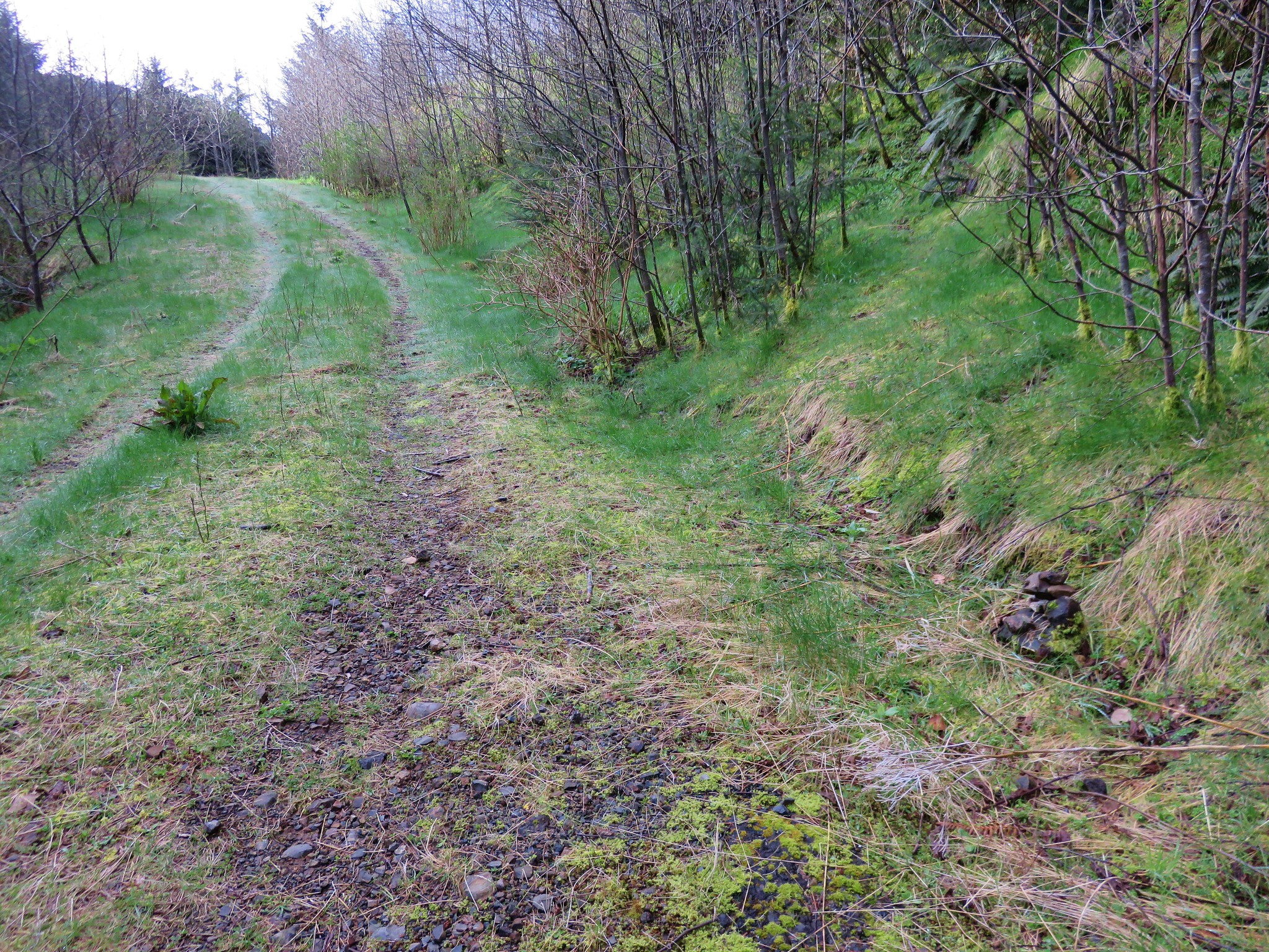
The trail began with a couple of ups and downs as it followed a powerline corridor.
 Looking back at the sunrise.
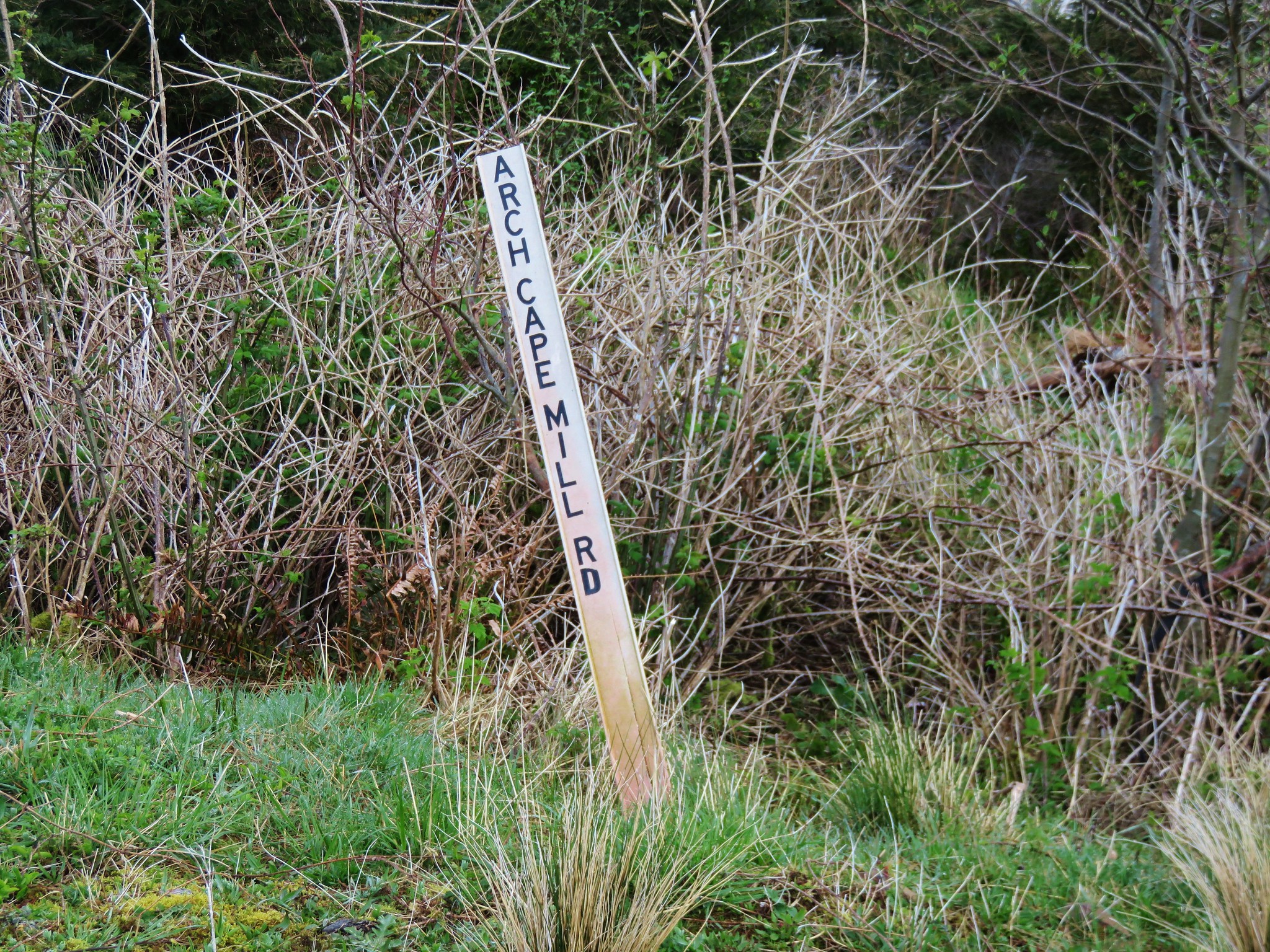
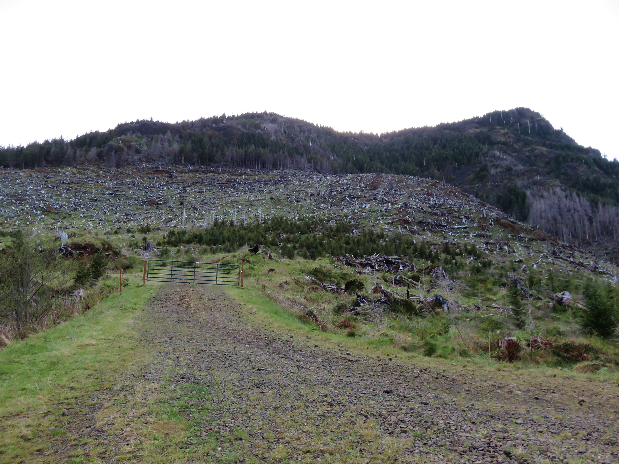
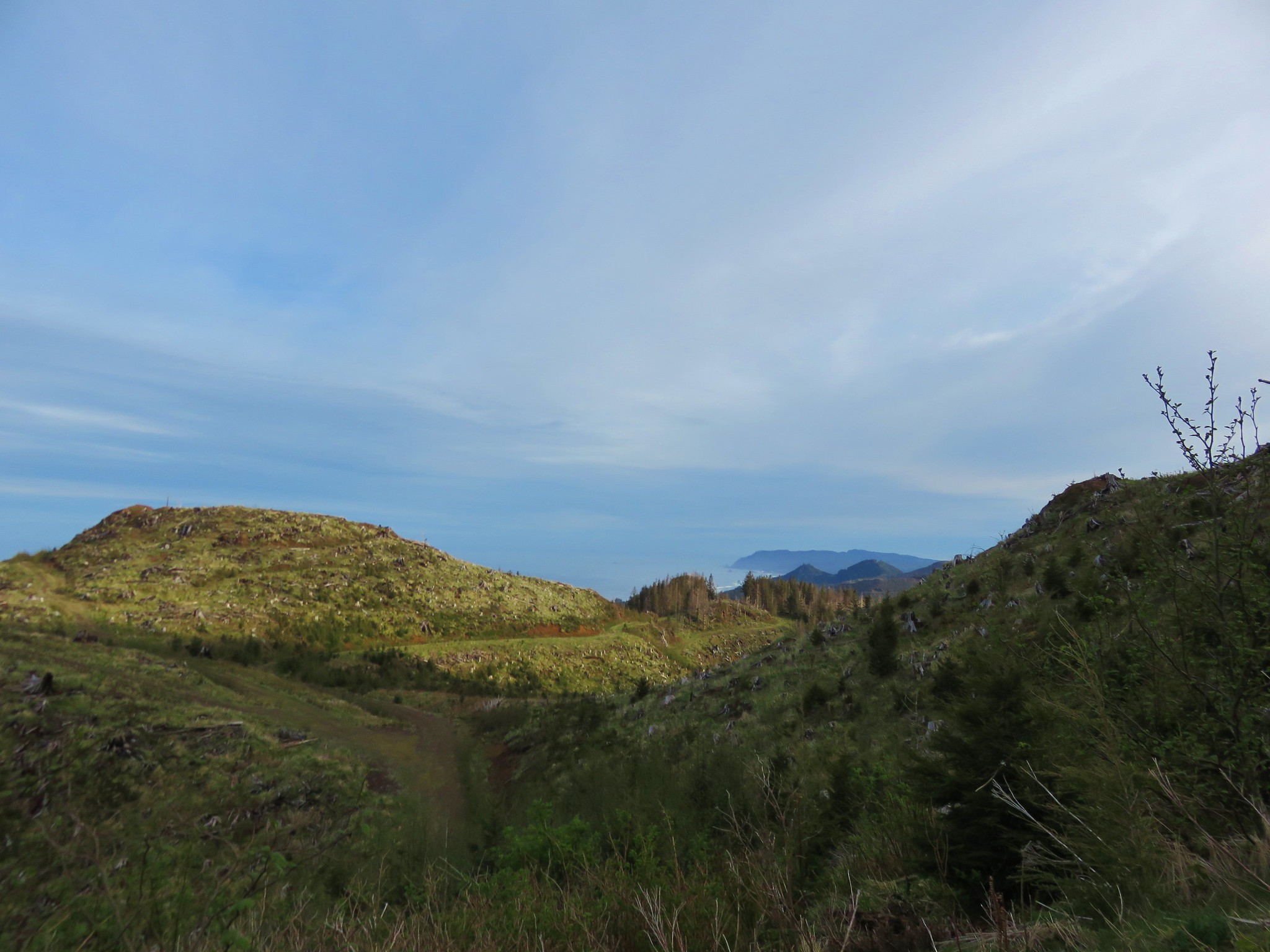
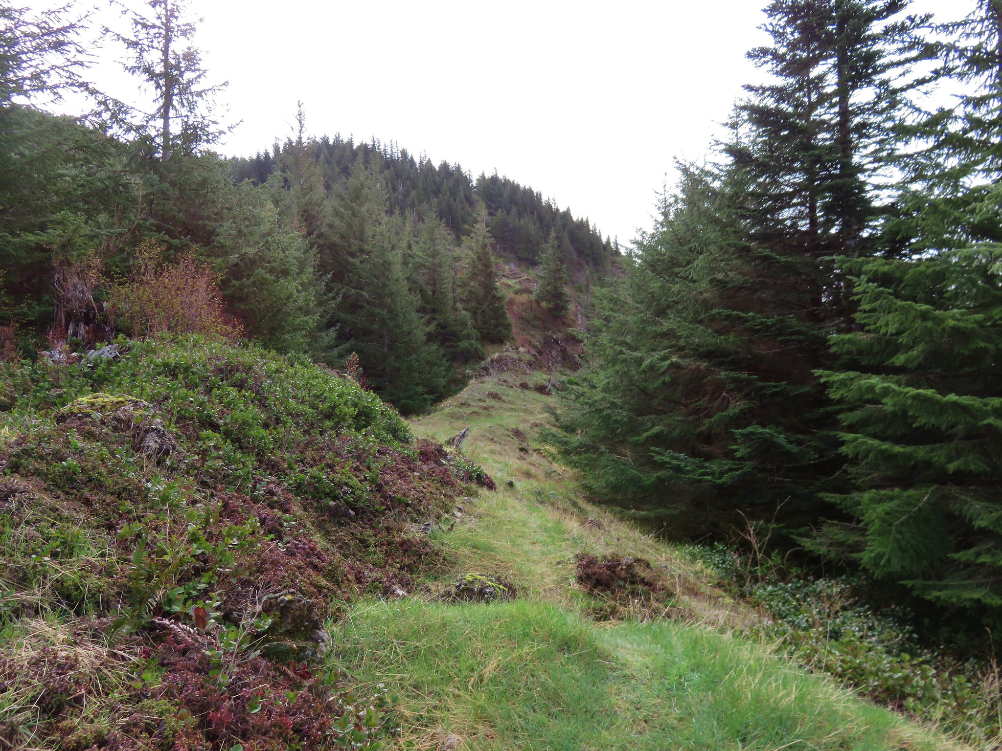
The trial eventually left the powerlines and passed through a few stands of trees before arriving at a clearcut. The trail continued climbing through the clearcut and then reentered the forest. Approximately two miles from the trailhead I arrived at a signboard along Road 38555 where I turned left, hiking downhill past a gate to the South Neahkahnie Mountain Trailhead.


 Entering the clearcut.
 Bleeding heart
 The OCT is well marked.
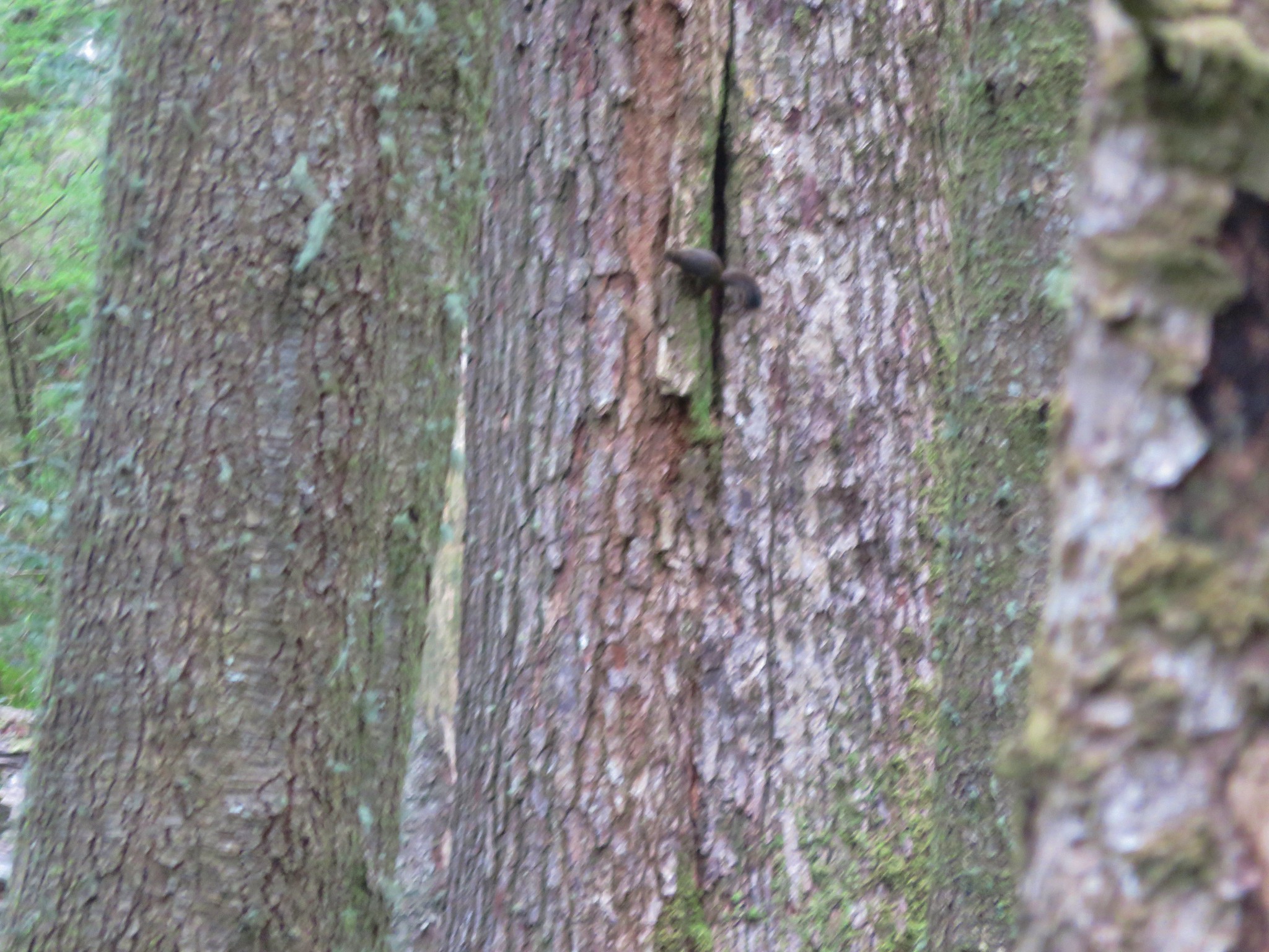
 Woodpecker
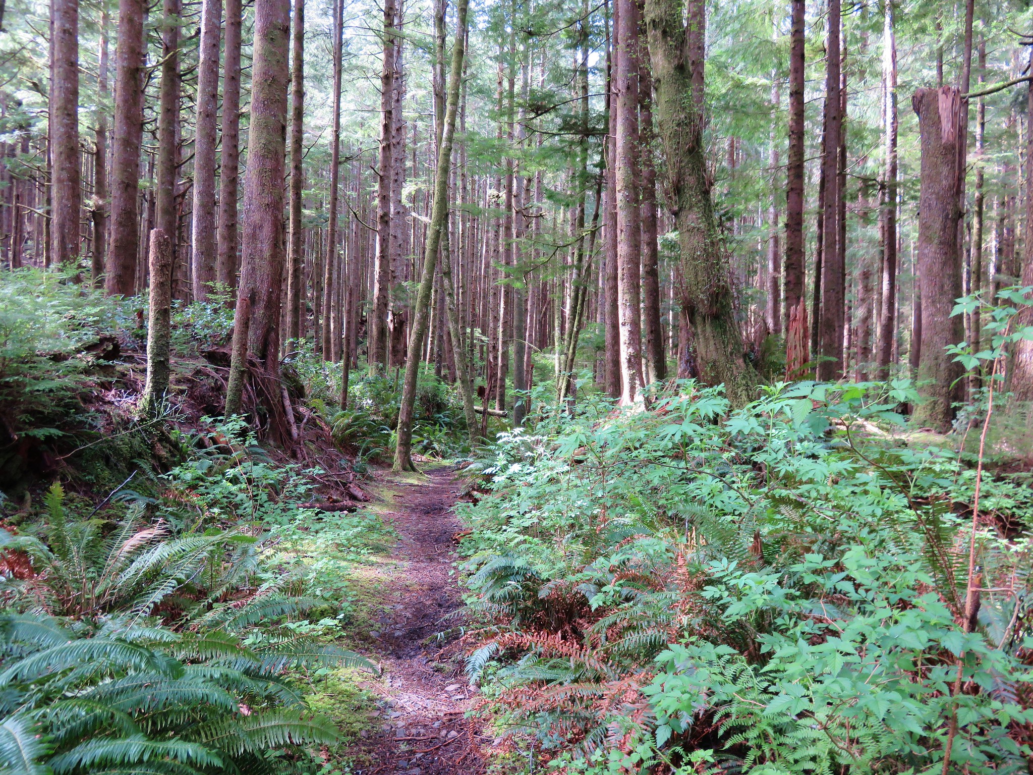
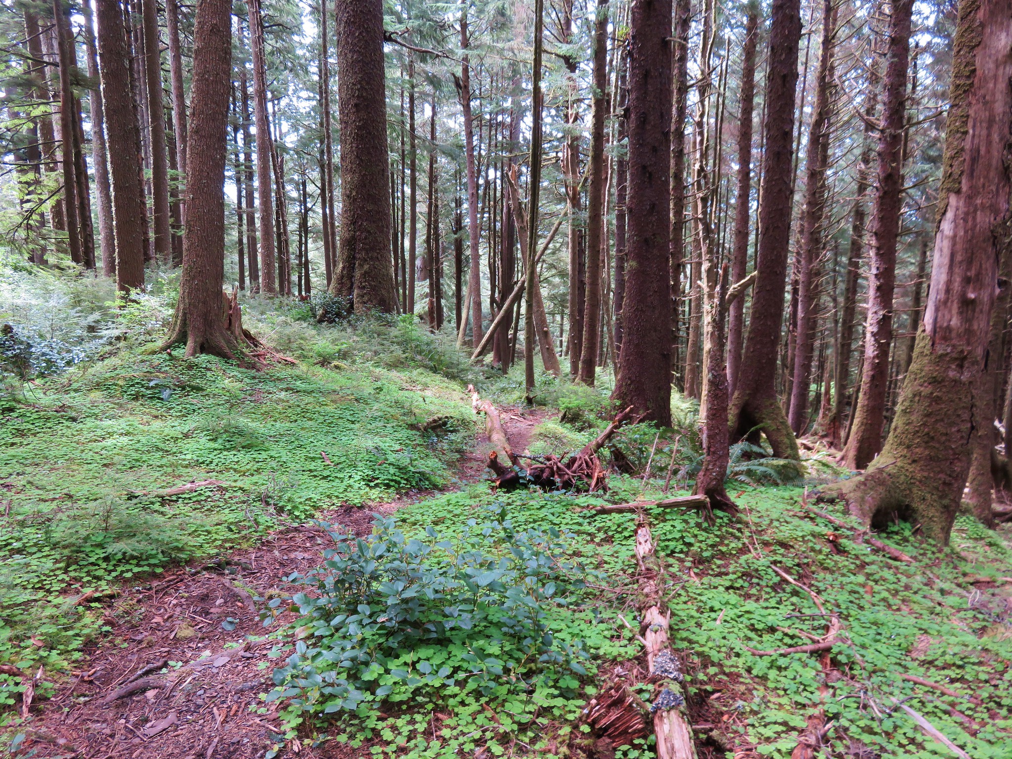
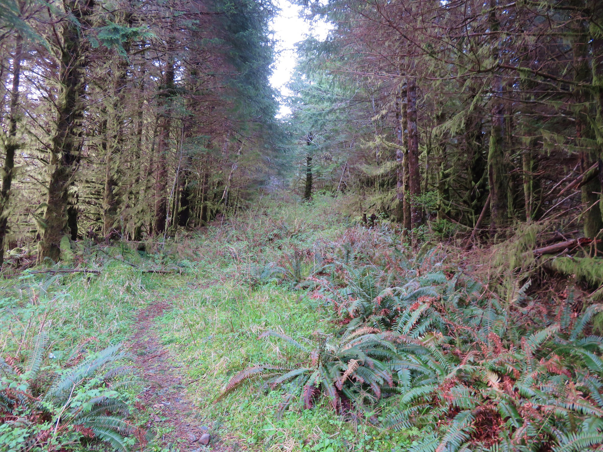
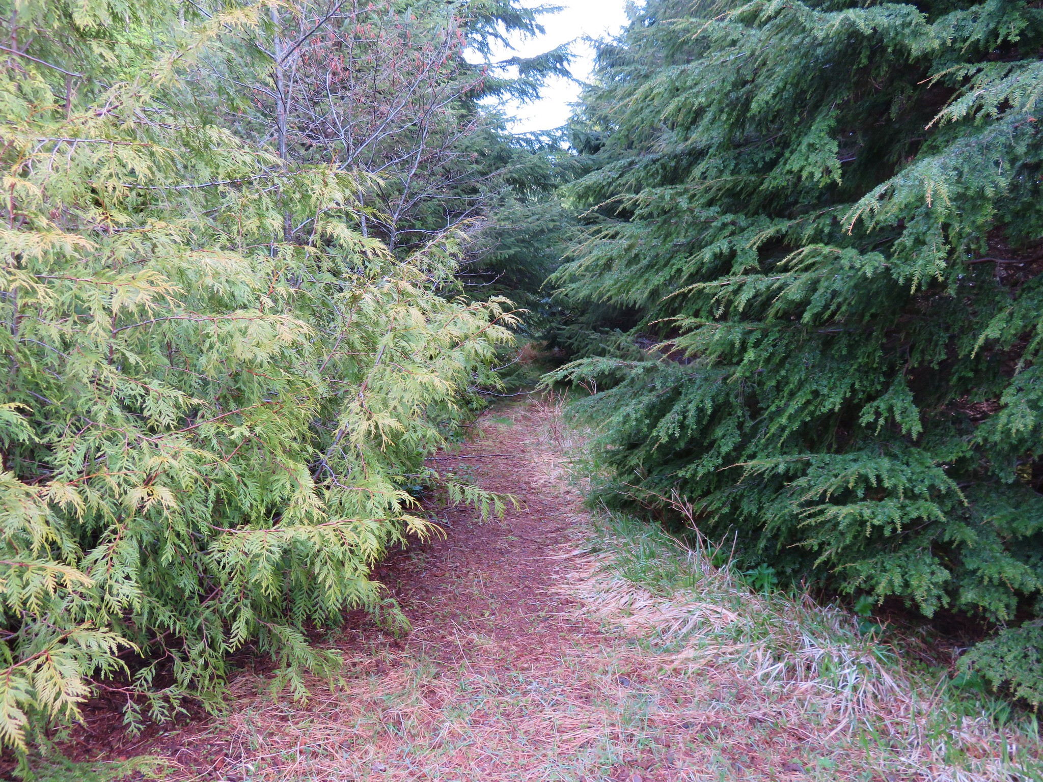
 Back in the forest.
 Interpretive signs in the preserve.
 Bench at a viewpoint.
 Nehalem Bay (post) from the bench.
 Salmonberry blossom
 Leaving the preserve.
 Violets and pink fawn lilies. These were the first pink fawn lilies I had seen, it seems that we hadn’t timed our coastal hikes right to catch their bloom in the past.


The trailhead was empty at 7:20am.
Trail signs identified the continuation of the OCT which began a series of approximately a dozen switchbacks through the forest.

 Trillium
 Fringecup

 Toothwort

The switchbacks led to a 4-way junction with an old roadbed where the OCT continued on the opposite side.

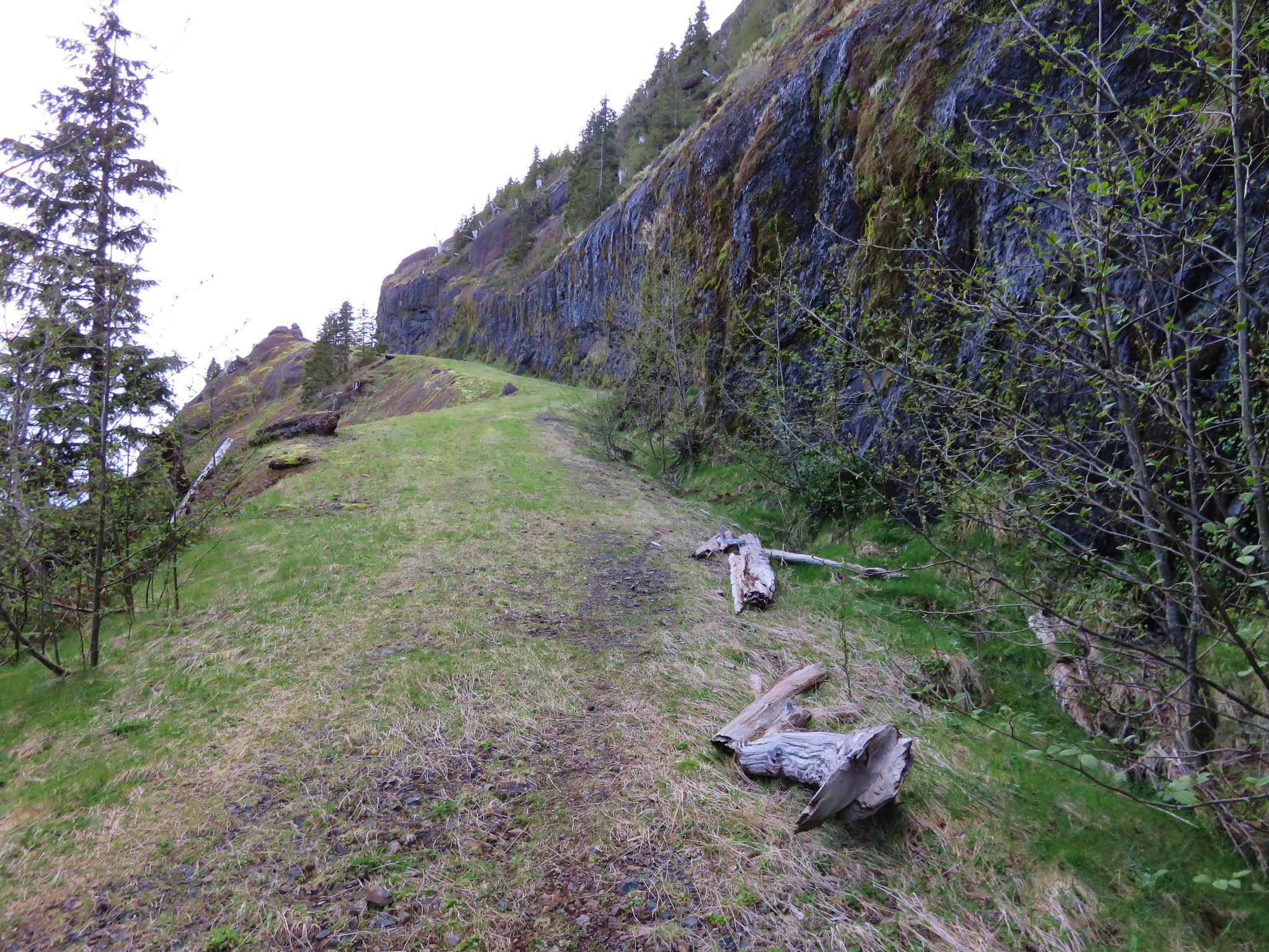
For the next half mile the trail traversed along the hillside below the summit ridge of Neahkahnie Mountain.

 I made use of this bench on the way back to take a break and do some stretching.
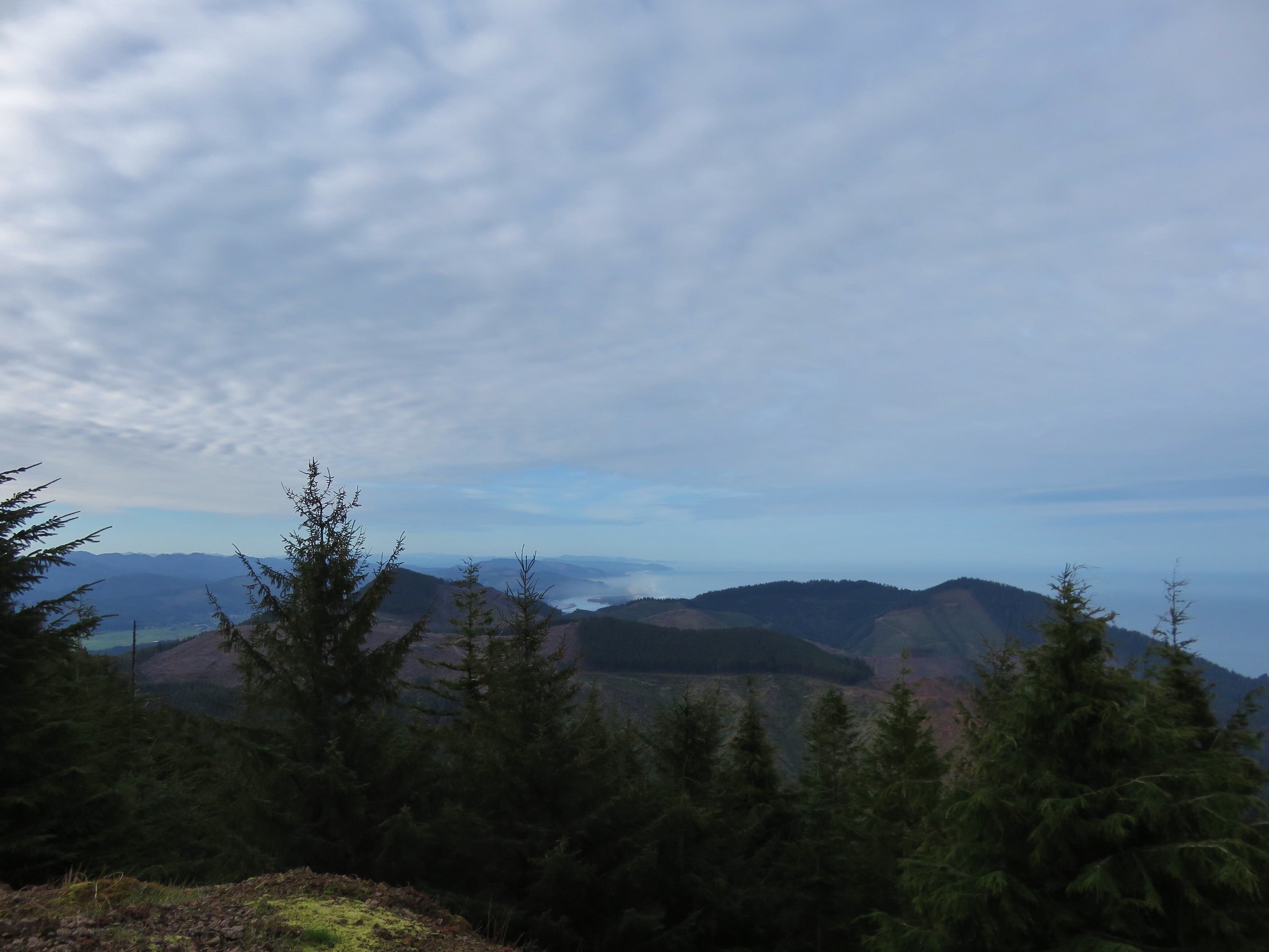
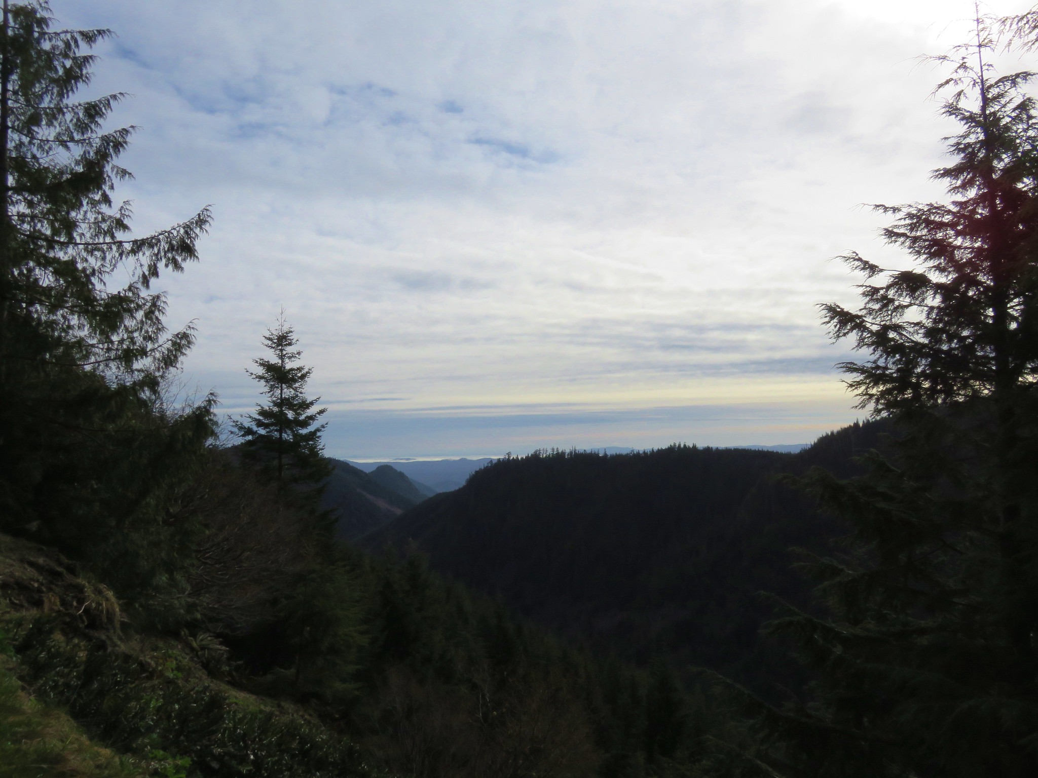
 View to the north.
 Tillamook Head (post) and Haystack Rock (post)
After the half mile the trail made a switchback. The trail here was a little sketchy.

 It was obvious that there had been some work done to try and shore up this section of trail.
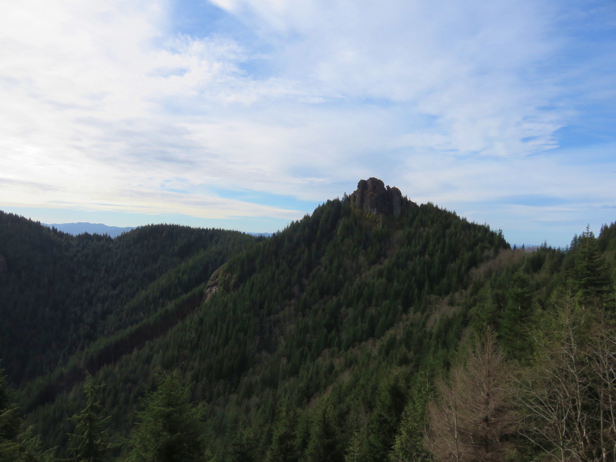
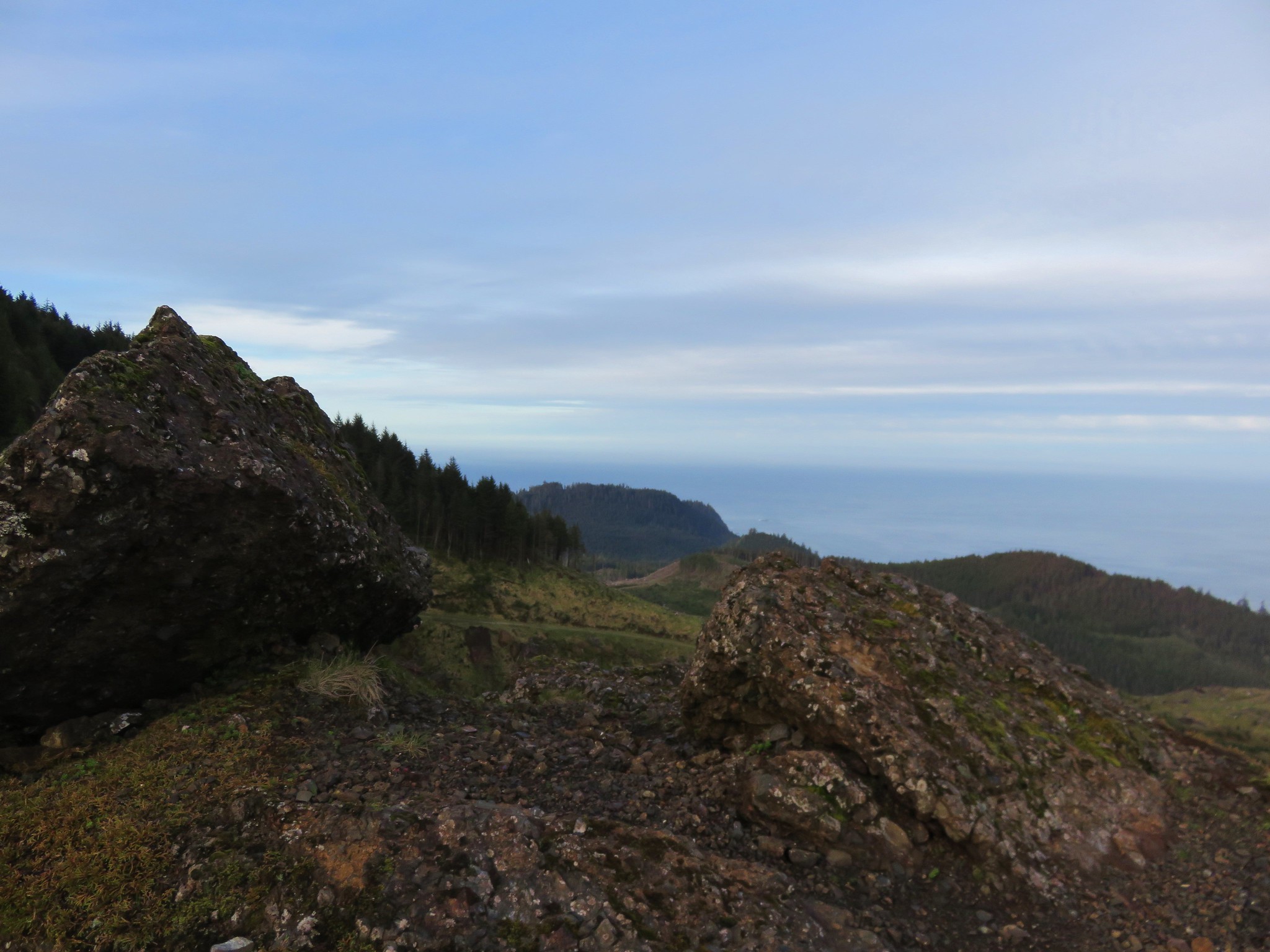
The trail continued to a saddle where a spur to the right led up a rocky spine to the viewpoint summit.

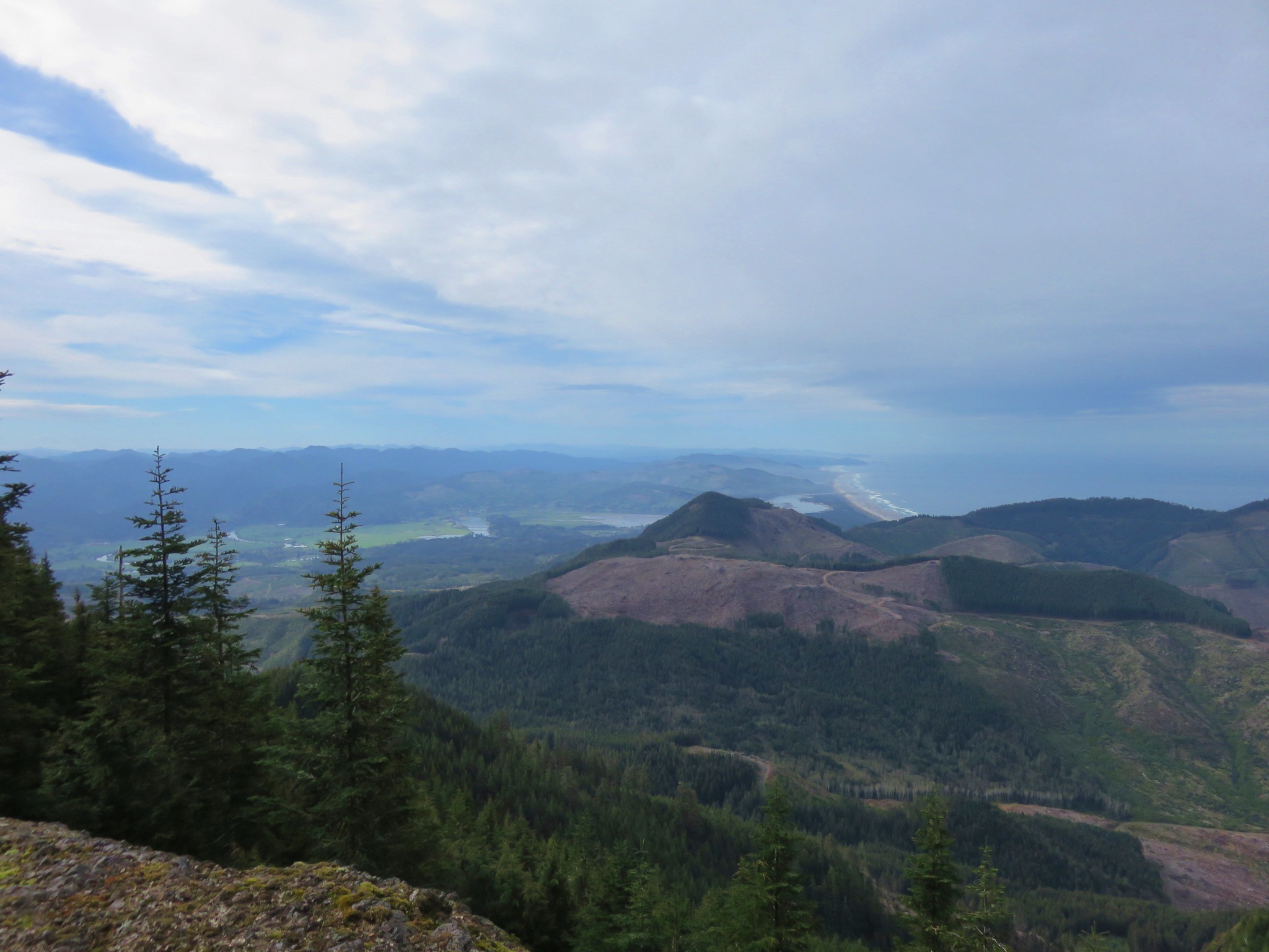
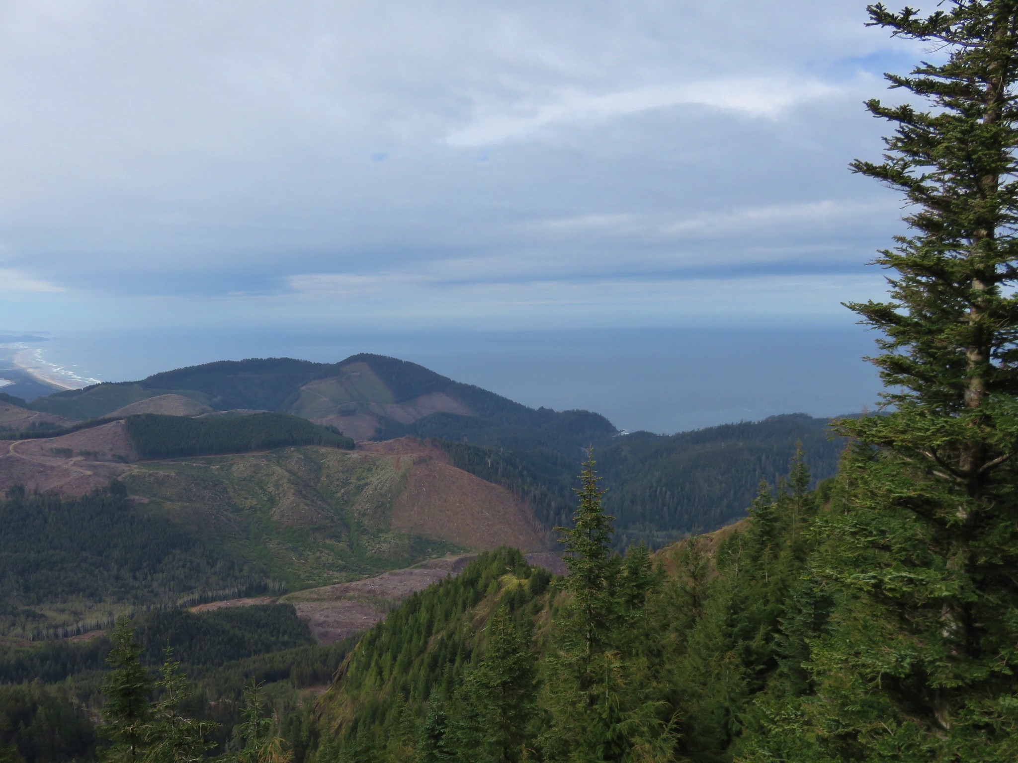
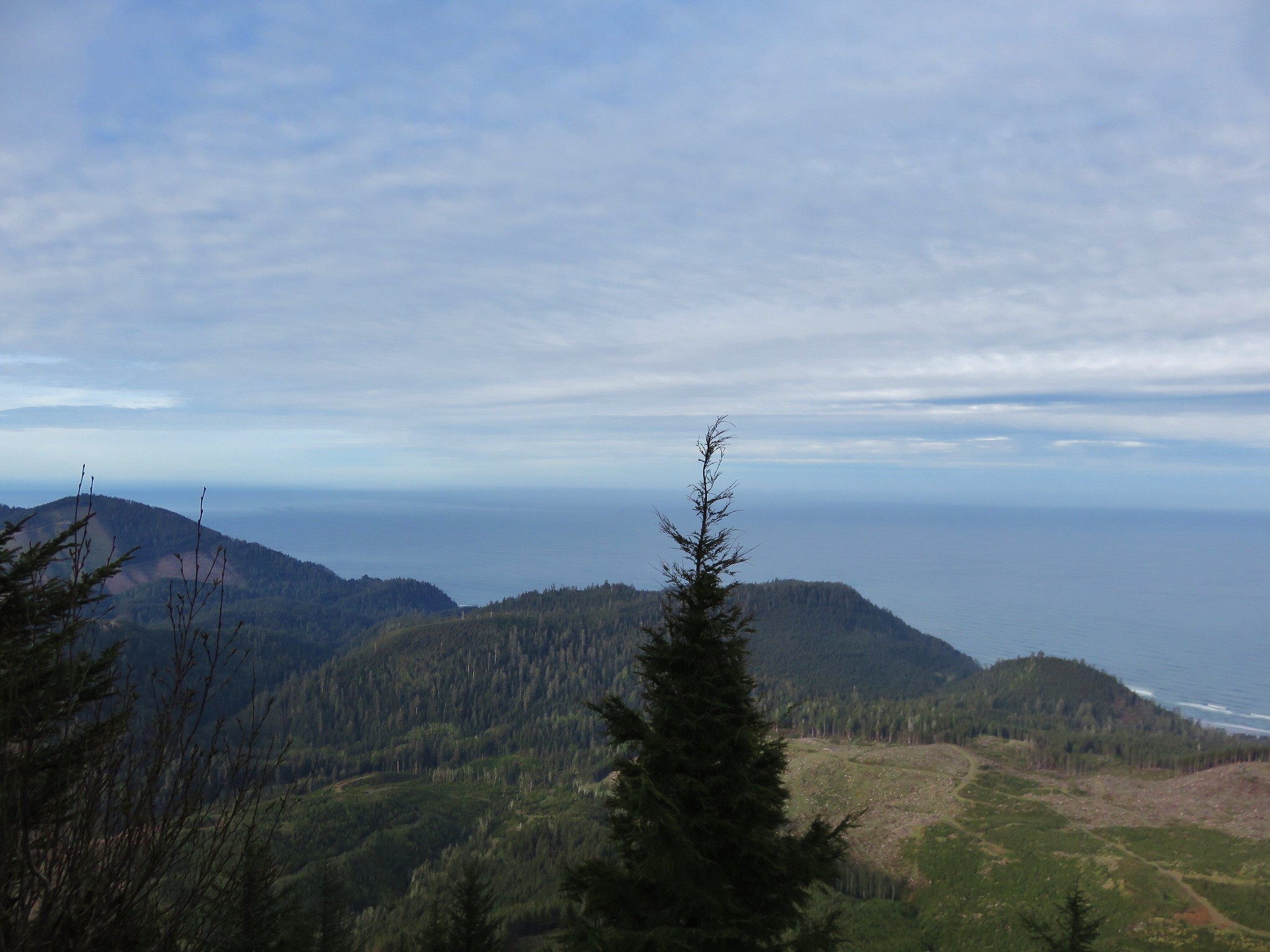
 The view south from the viewpoint.
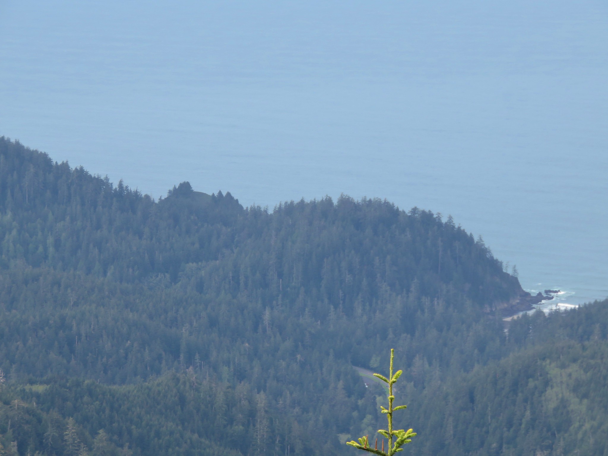
 Cape Meares (post), Three Arch Rocks, and Cape Lookout (post).
 Cascade desert parsley near the summit.
After taking in the view I returned to the OCT and continued north.

 Looking up at the viewpoint from the OCT.
It was a little over 2-miles down to the North Neahkahnie Mountain Trailhead. A September 2020 windstorm had resulted in heavy blowdown to sections of this trail. The trail was closed until 2022 when crews were able to clear it.
 Trillium
 This was the only obstacle that required any sort of maneuvering.
 There are some great trees along the upper section of the trail.
 Violets
 Recent trail work.
 Anemones and violets.
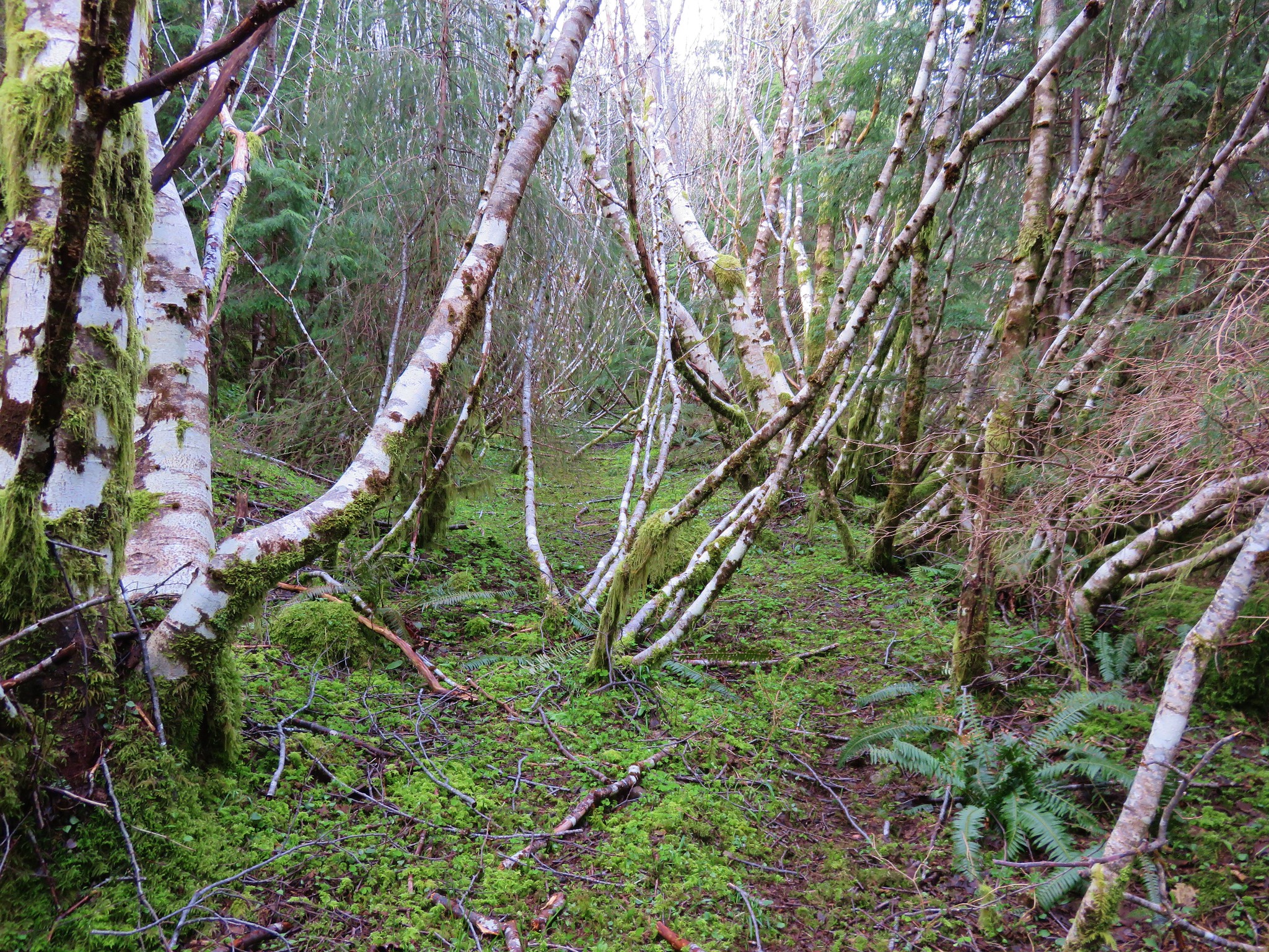
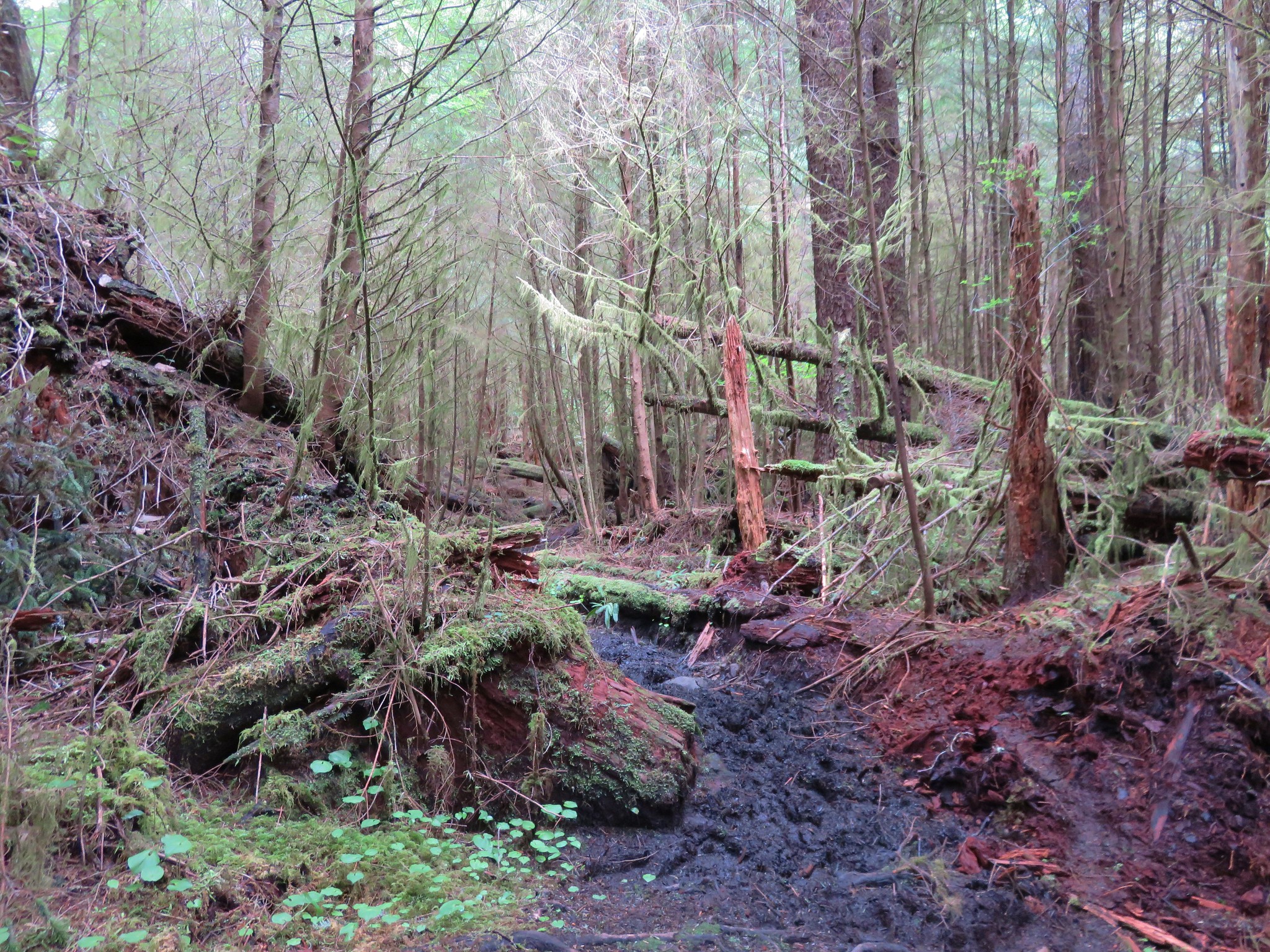
 Entering the storm damaged area.
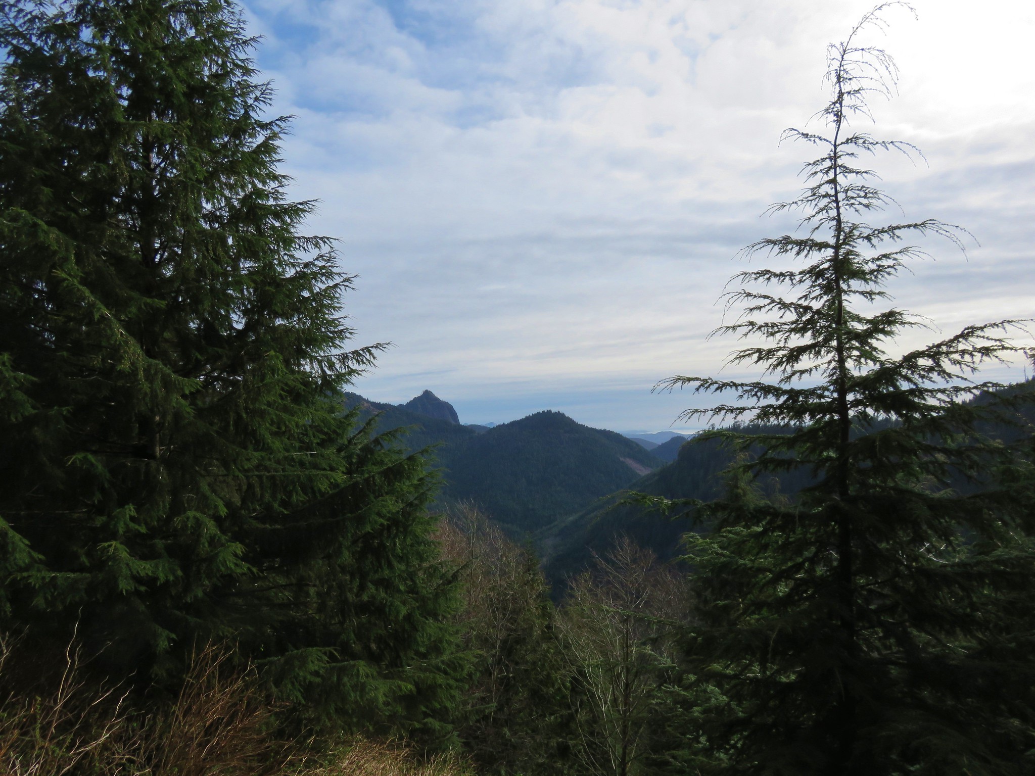
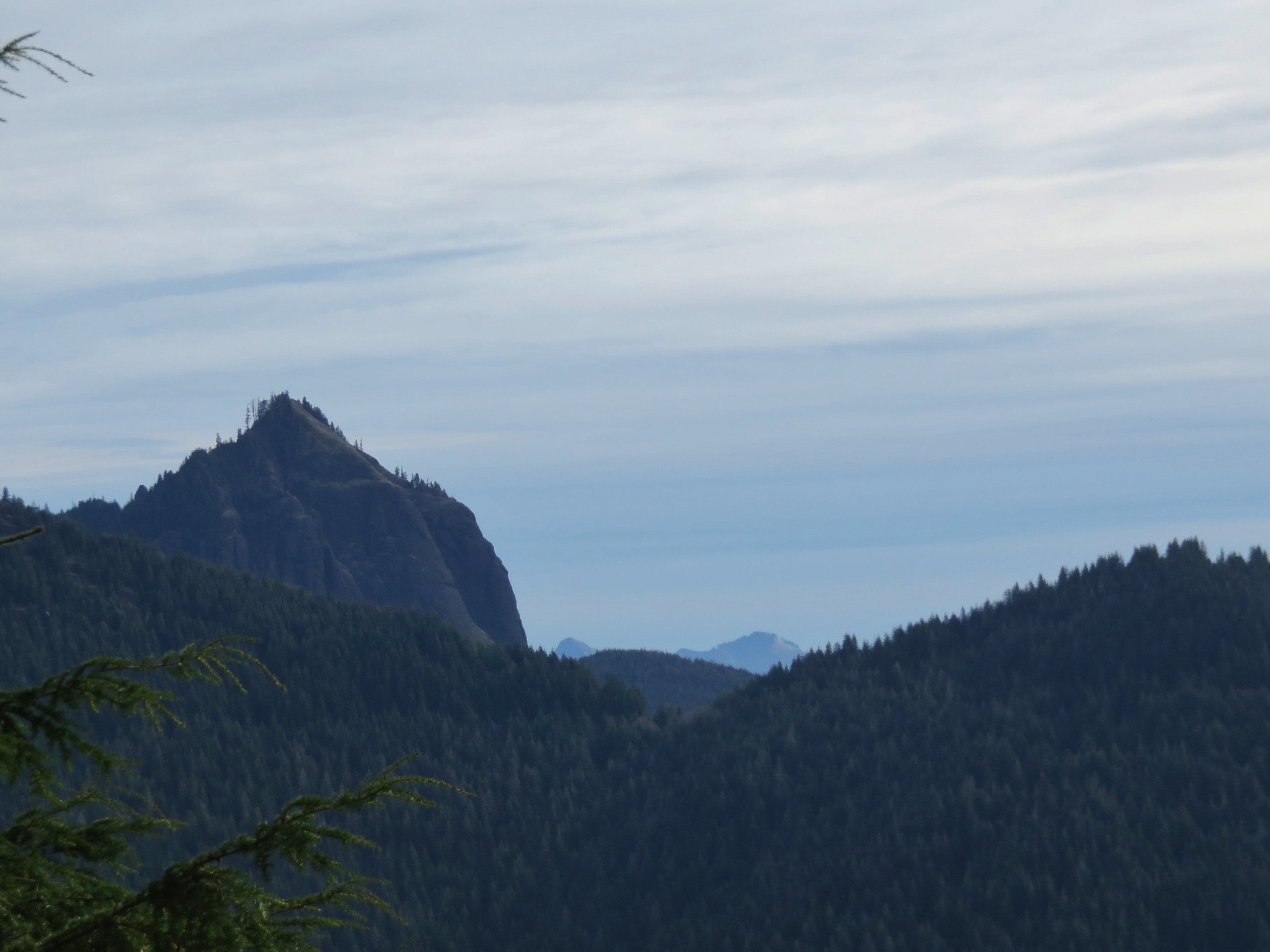
 Angora Peak (post) through the trees.
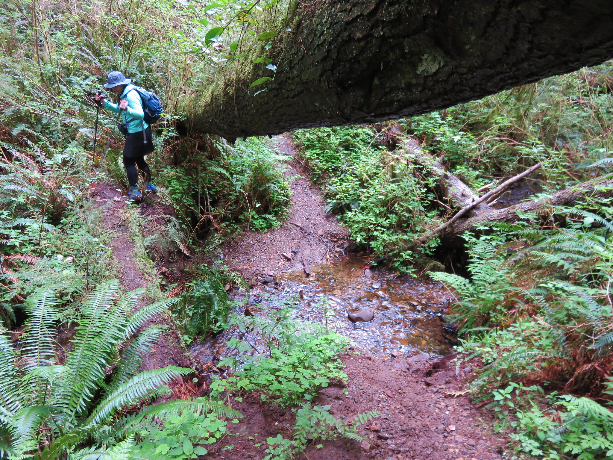
 Getting creative with the trail route.
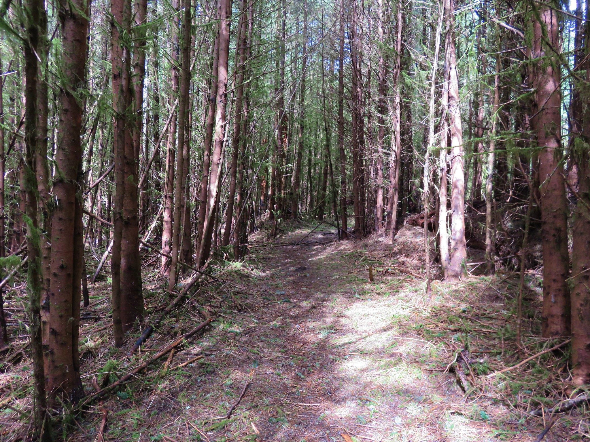
 Out of the storm damage.
 Skunk cabbage
 Cape Falcon from the trail.
 Pink fawn lilies

 Arriving at Highway 101 near the North Neahkahnie Mountain Trailhead.
I dashed across the highway to the trailhead and immediately spotted a few elk in the meadow below the highway.


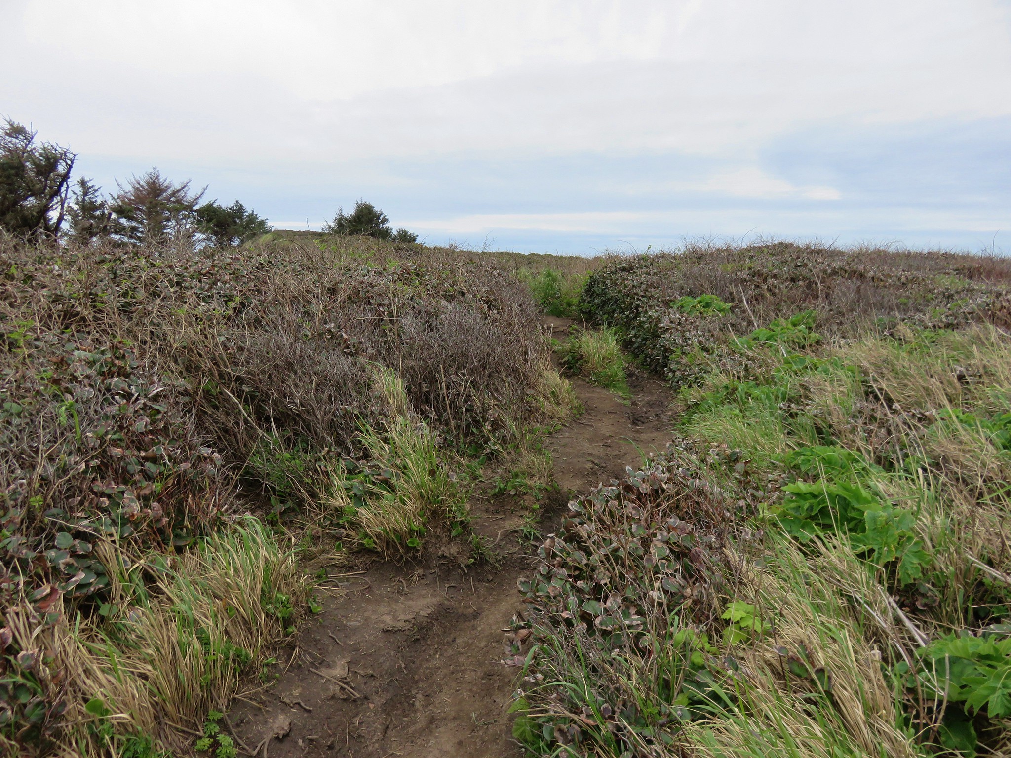
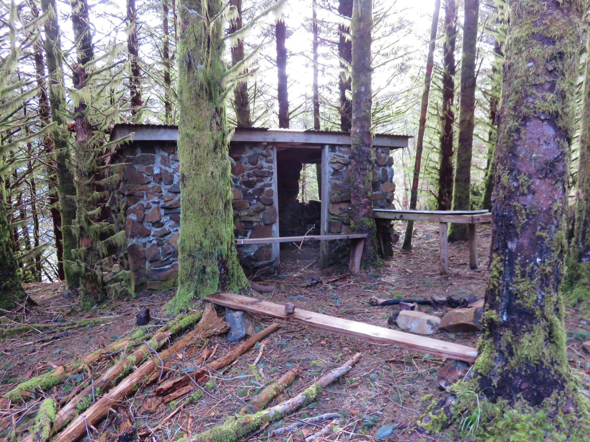
From the trailhead I picked up the Elk Flats Trail and followed it a tenth of a mile to the Devil’s Cauldron Overlook Trail.


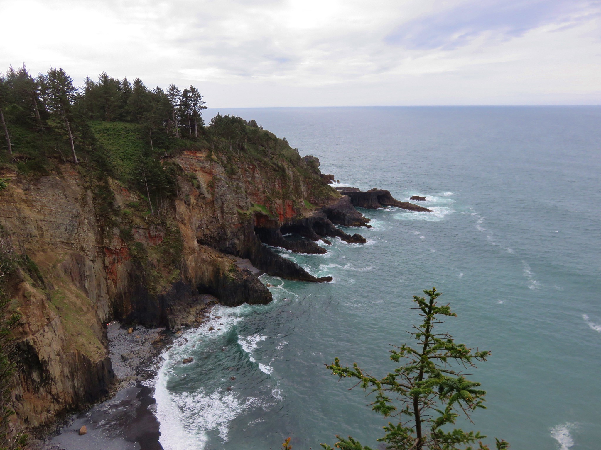
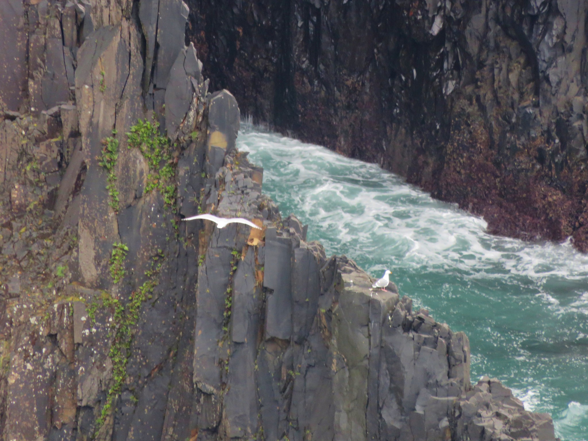
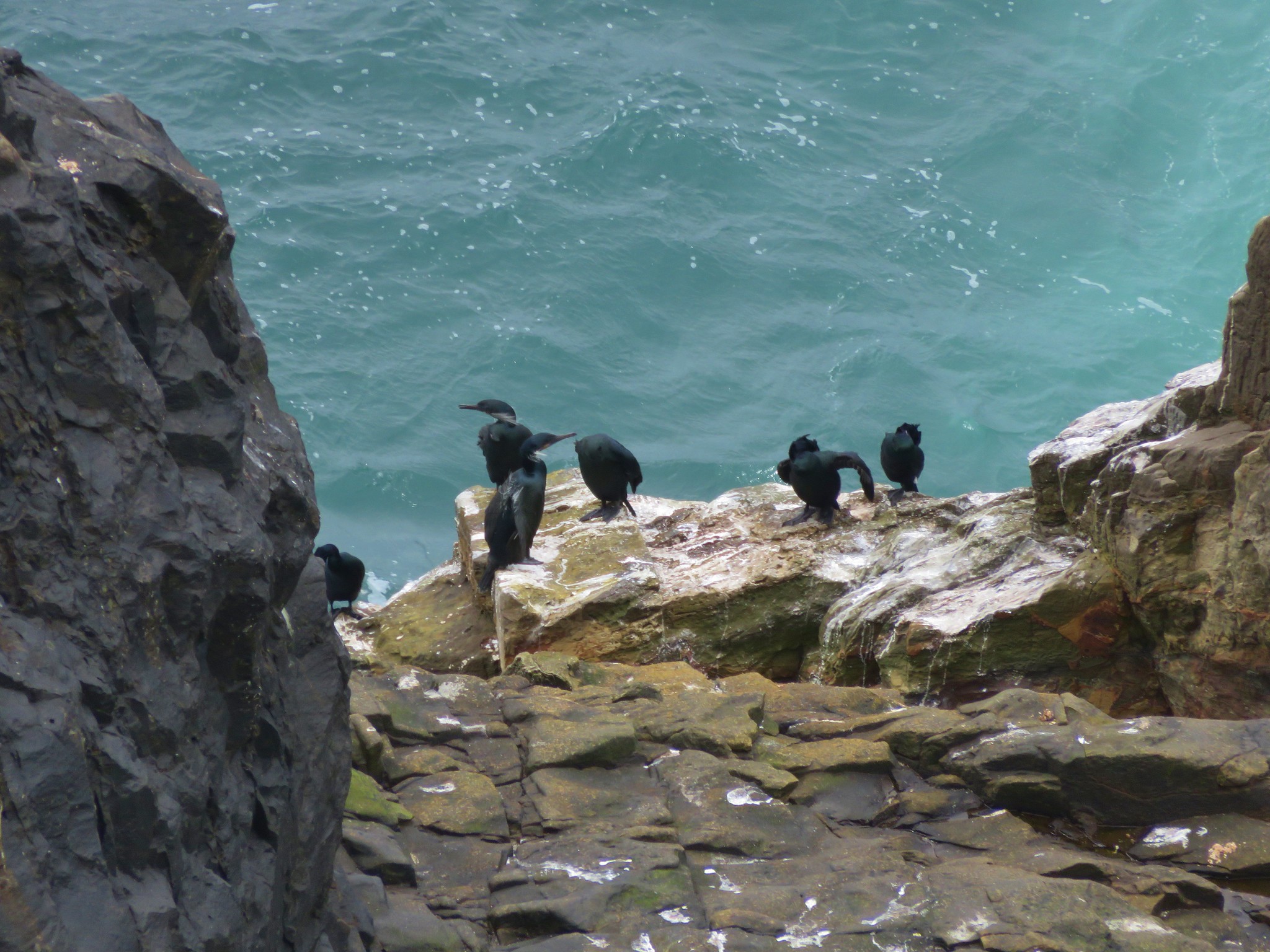
Another tenth of a mile brought me to the overlook.


After admiring Devil’s Cauldron I headed back. The climb back up to the saddle below the viewpoint was approximately 1400′, and after having climbed over 1600′ from Manzanita, and I felt the burn.

 Snow queen
 He may have been moving faster than I was.
 There is nothing better than hearing wrens sing in the forest.
 More creative trail in the storm damaged area.
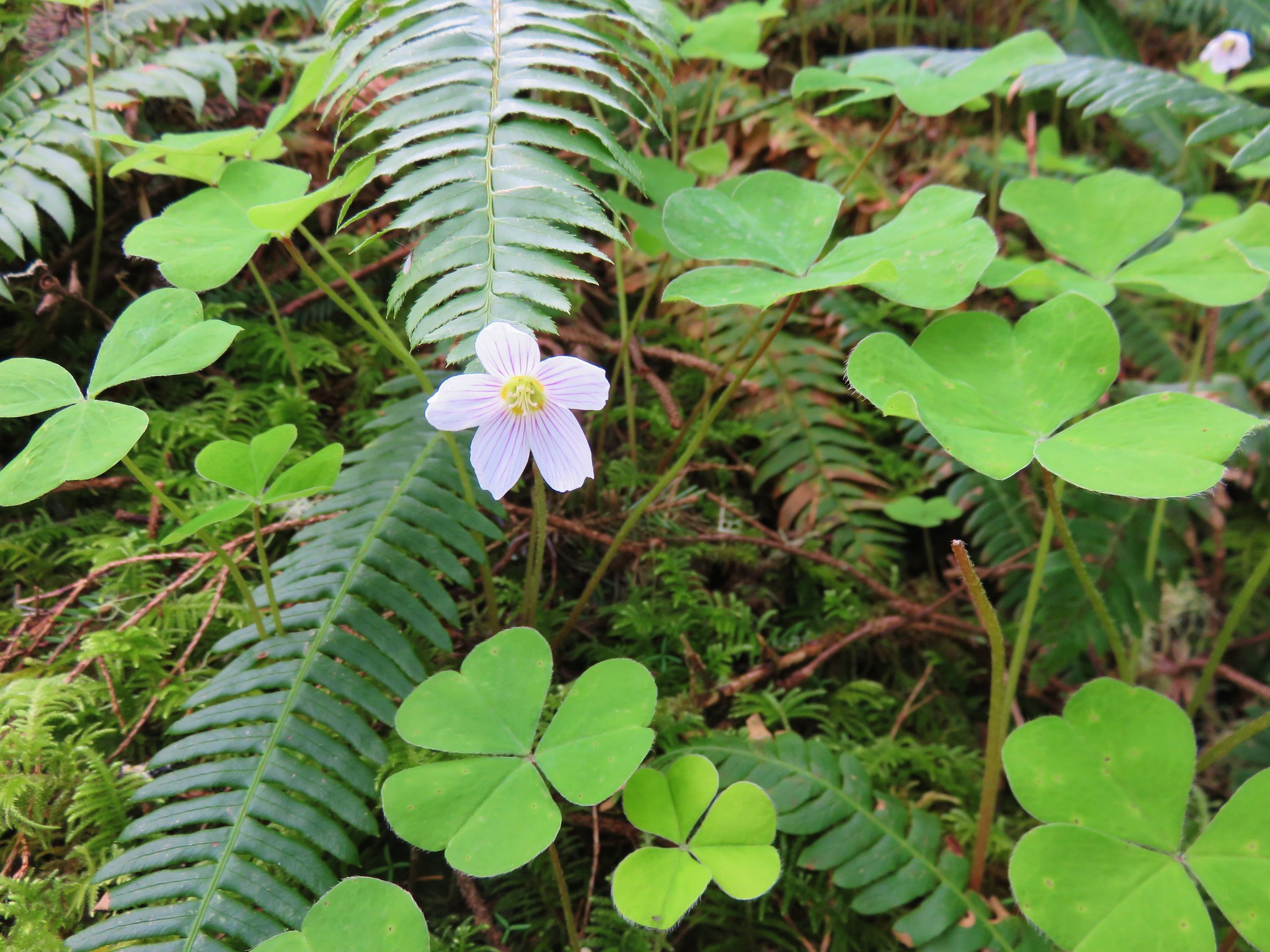
 Wood sorrel
 The view if you don’t scramble up the spine.
Up to the point that I started back down from the saddle I’d passed 11 people on the trail, all of which were after having spent time at the viewpoint. On the way down I passed at least 30 people between the saddle and the South Neahkahnie Mountain Trailhead which was now packed with cars.

 Trillium with a touch of pink.
 Arriving at the packed trailhead.
Continuing on from the busy trailhead I only passed two more people before arriving back Nehalem Road and my lonely car.
 Leaving the crowds behind.
 Big patch of pink fawn lilies.

 Highway 101 from the powerline corridor.
 Margined white
 One of the more impressive trees in the preserve.
 Nearing the Highway 101 crossing. I arrived just as a long line of traffic was passing by but was able to safely cross shortly afterward.
This hike came in at 11.6 miles and roughly 3000′ of elevation gain.

This was a good hike with quite a few wildflowers, some wildlife, and some nice views. It was also a good training hike for some of the alpine hikes with significant elevation gain later in the season. The various trailheads offer plenty of options for those who might not want to hike as far or climb so much, but even the shortest route (South Neahkahnie Mountain Trailhead) gains 840′ in 1.5-miles to the viewpoint. Happy Trails!


 Tillamook Head
 Tillamook Rock and Tillamook Head
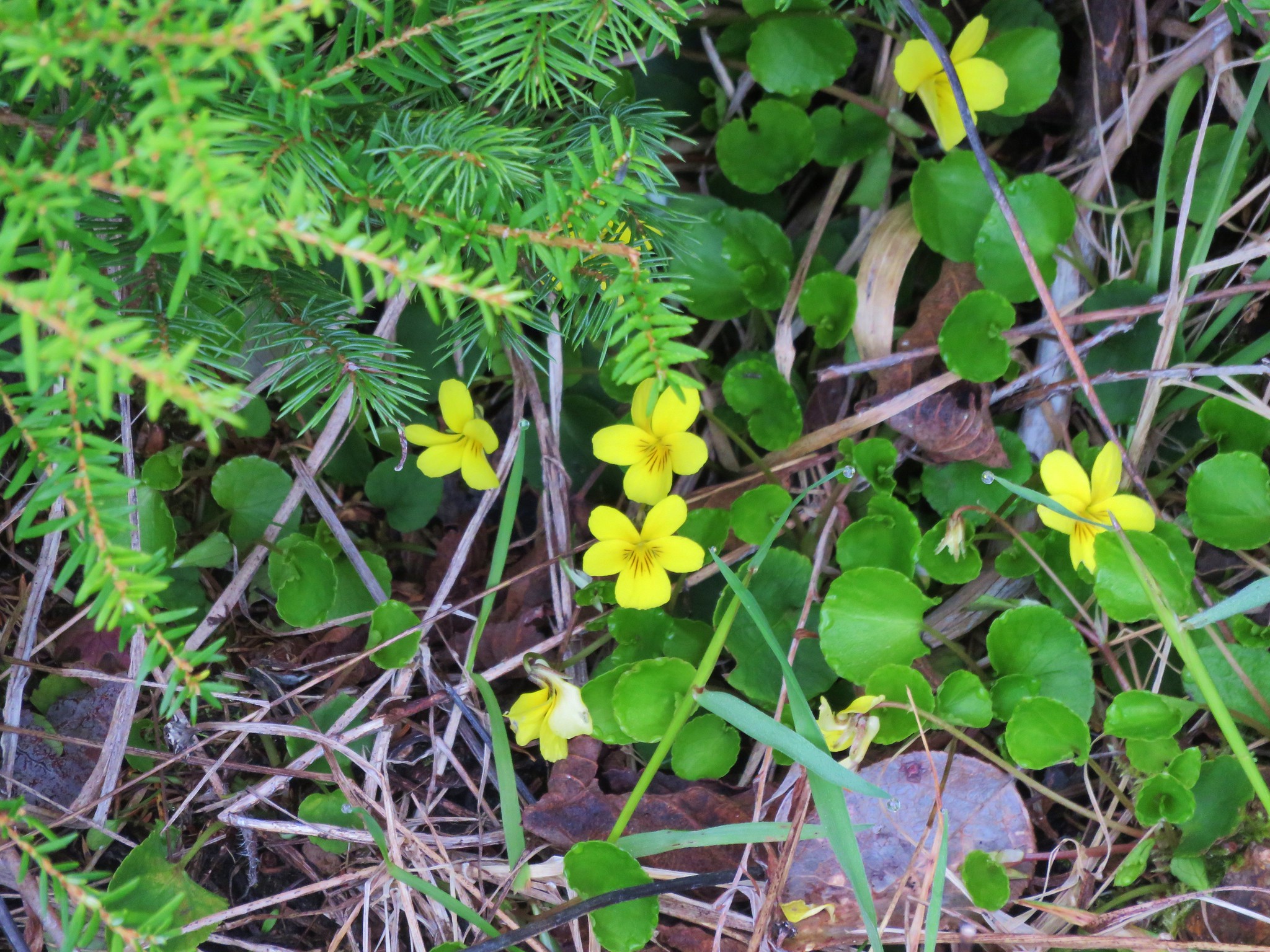 Violets
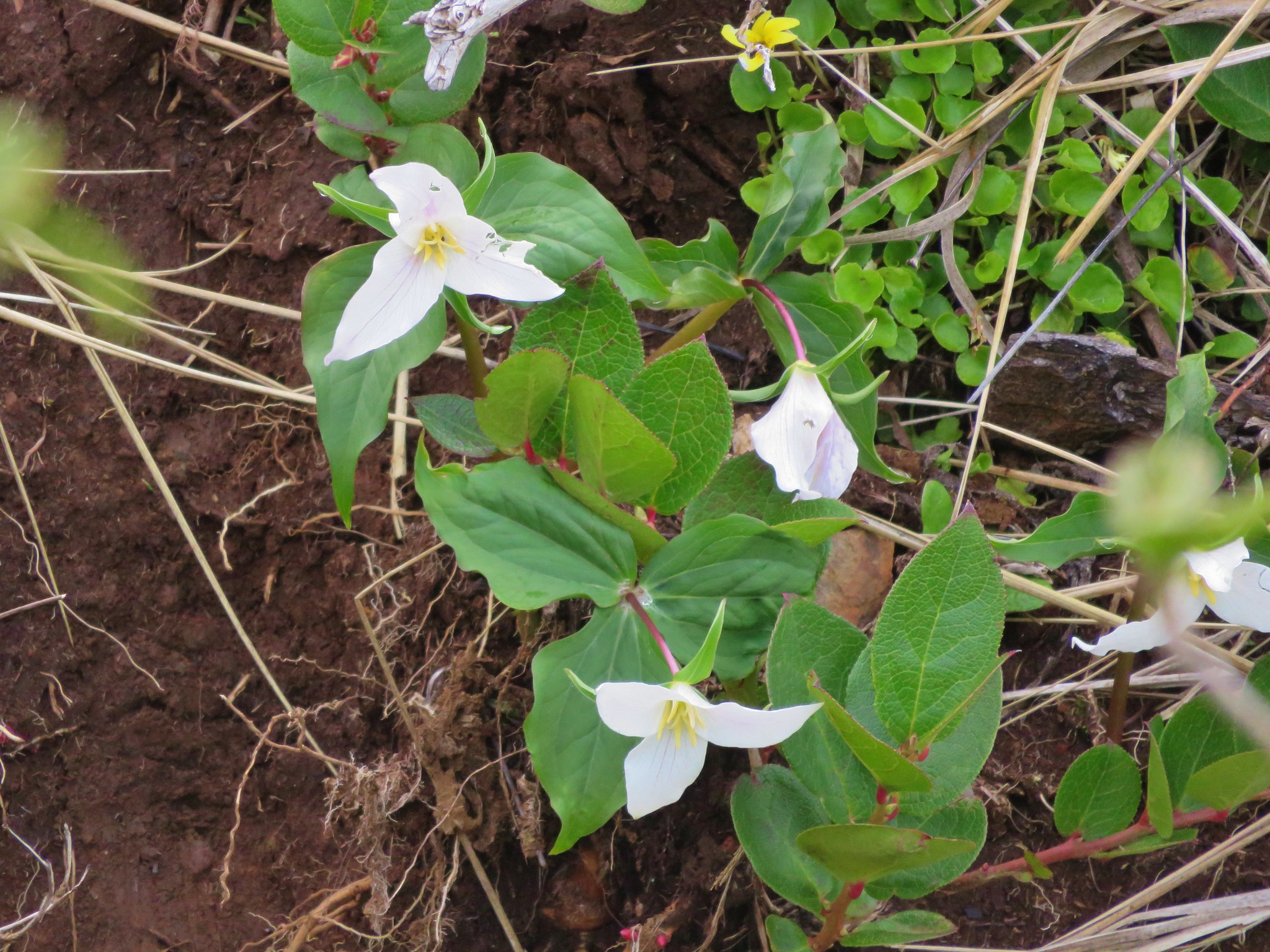 Trillium
 Paintbrush
 Salmonberry
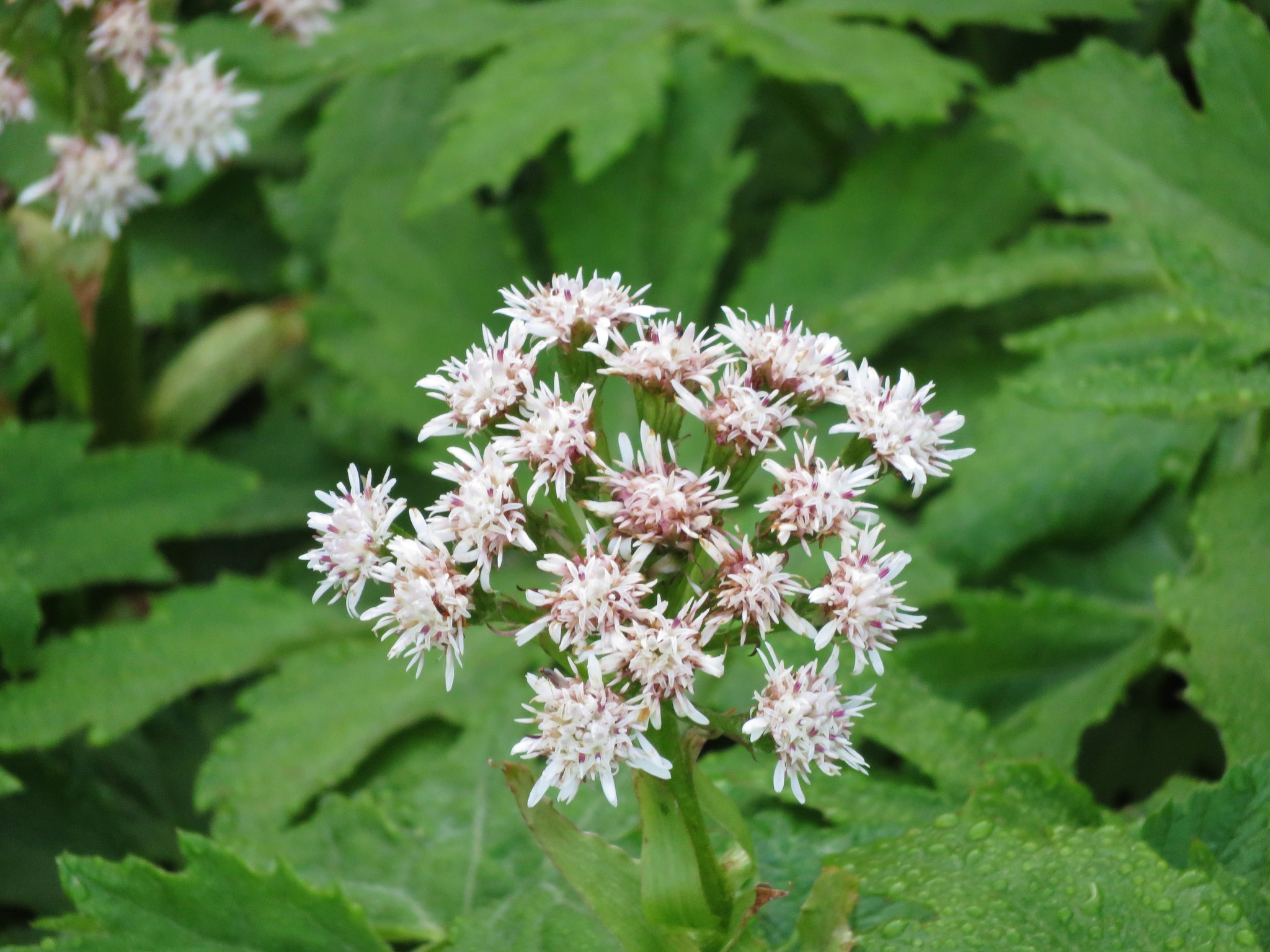 Coltsfoot
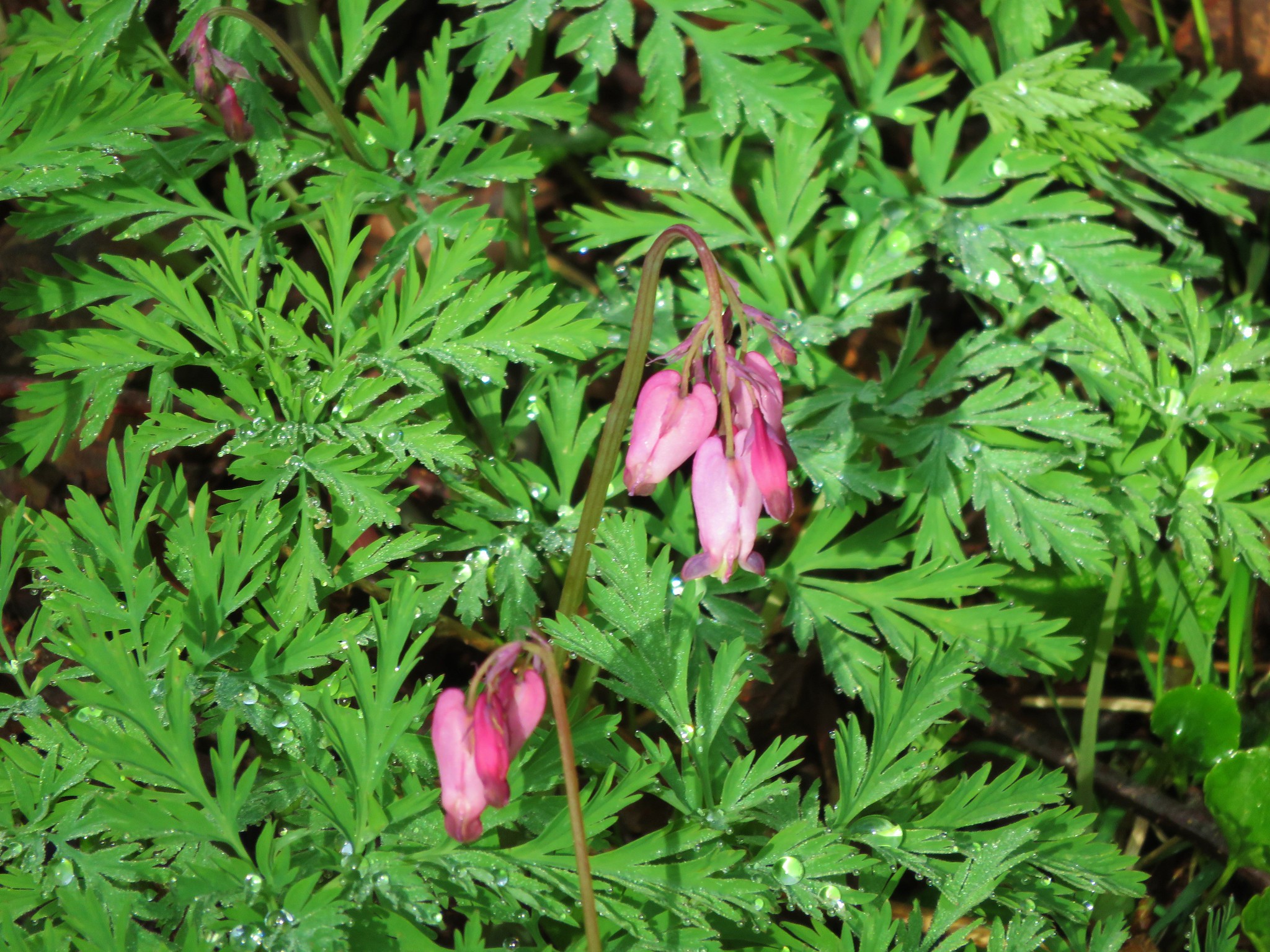 Bleeding heart
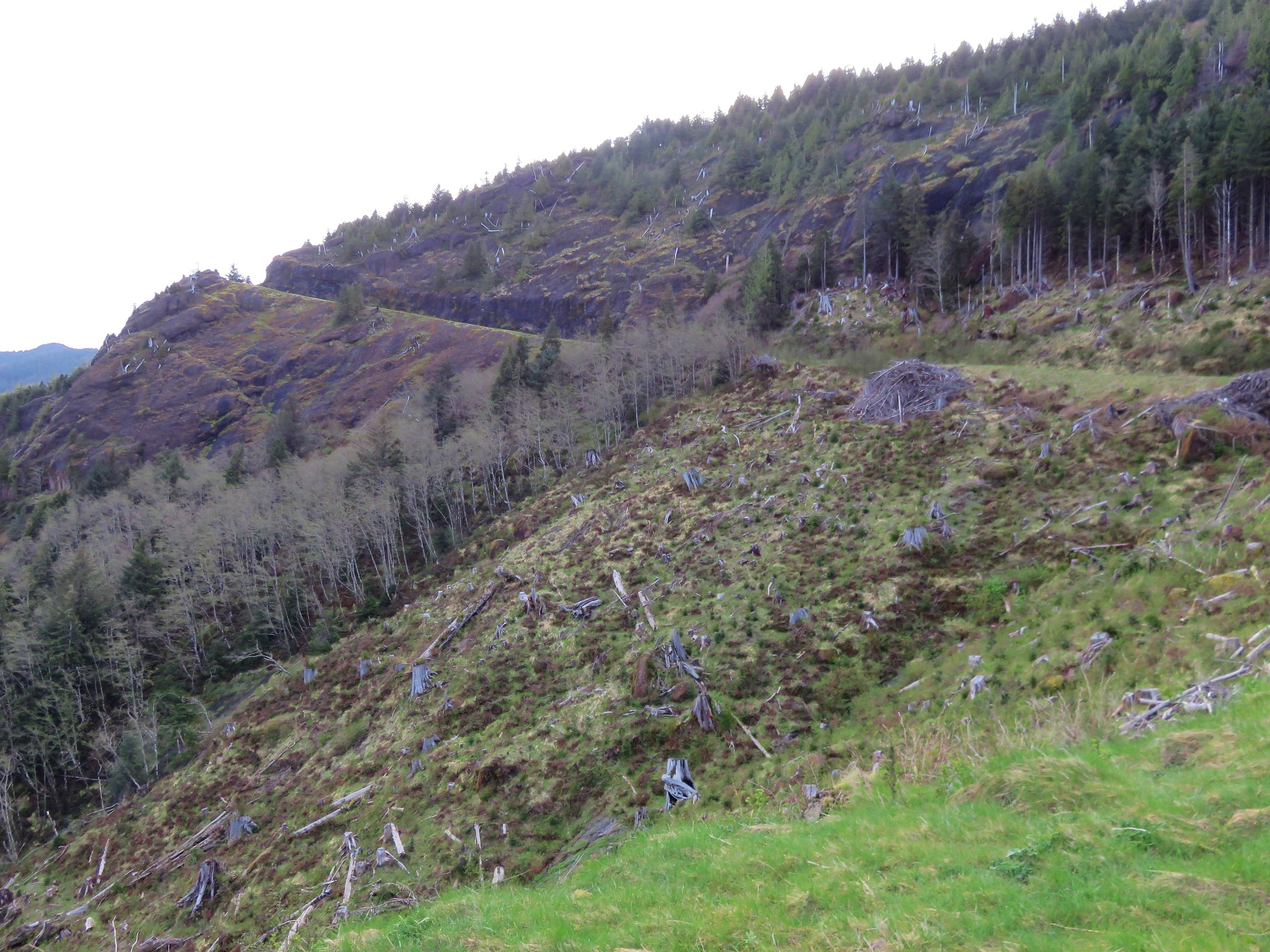


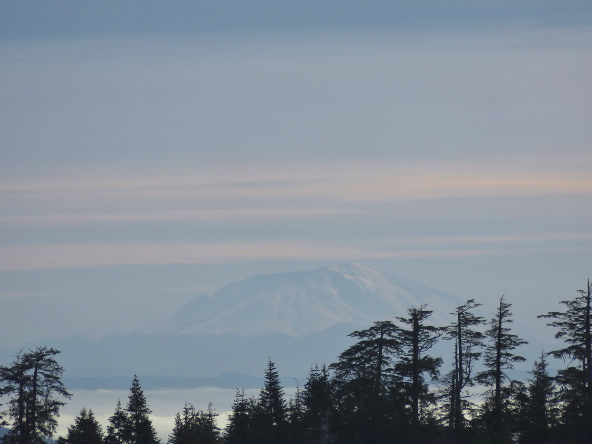 Mt. St. Helens