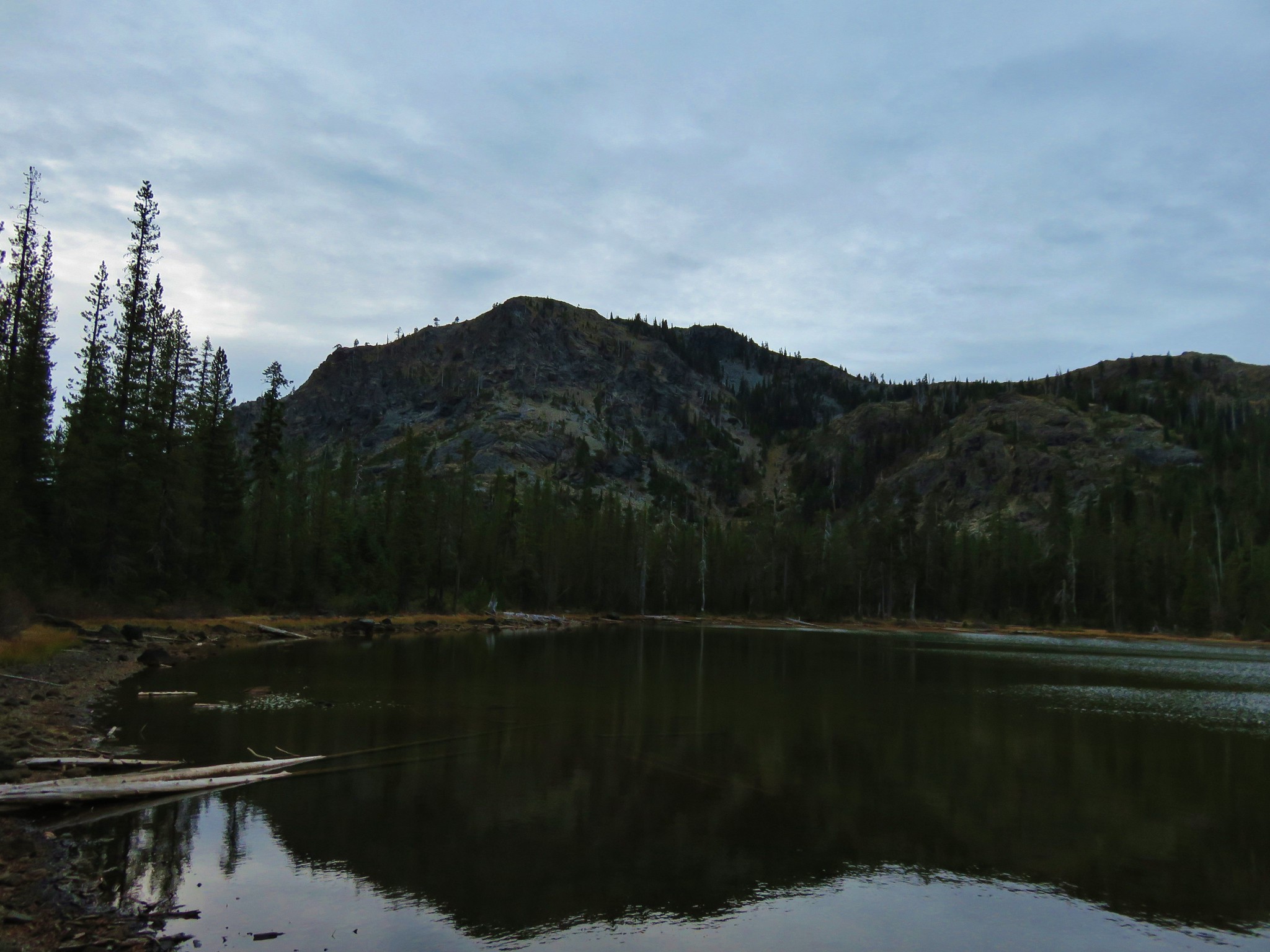
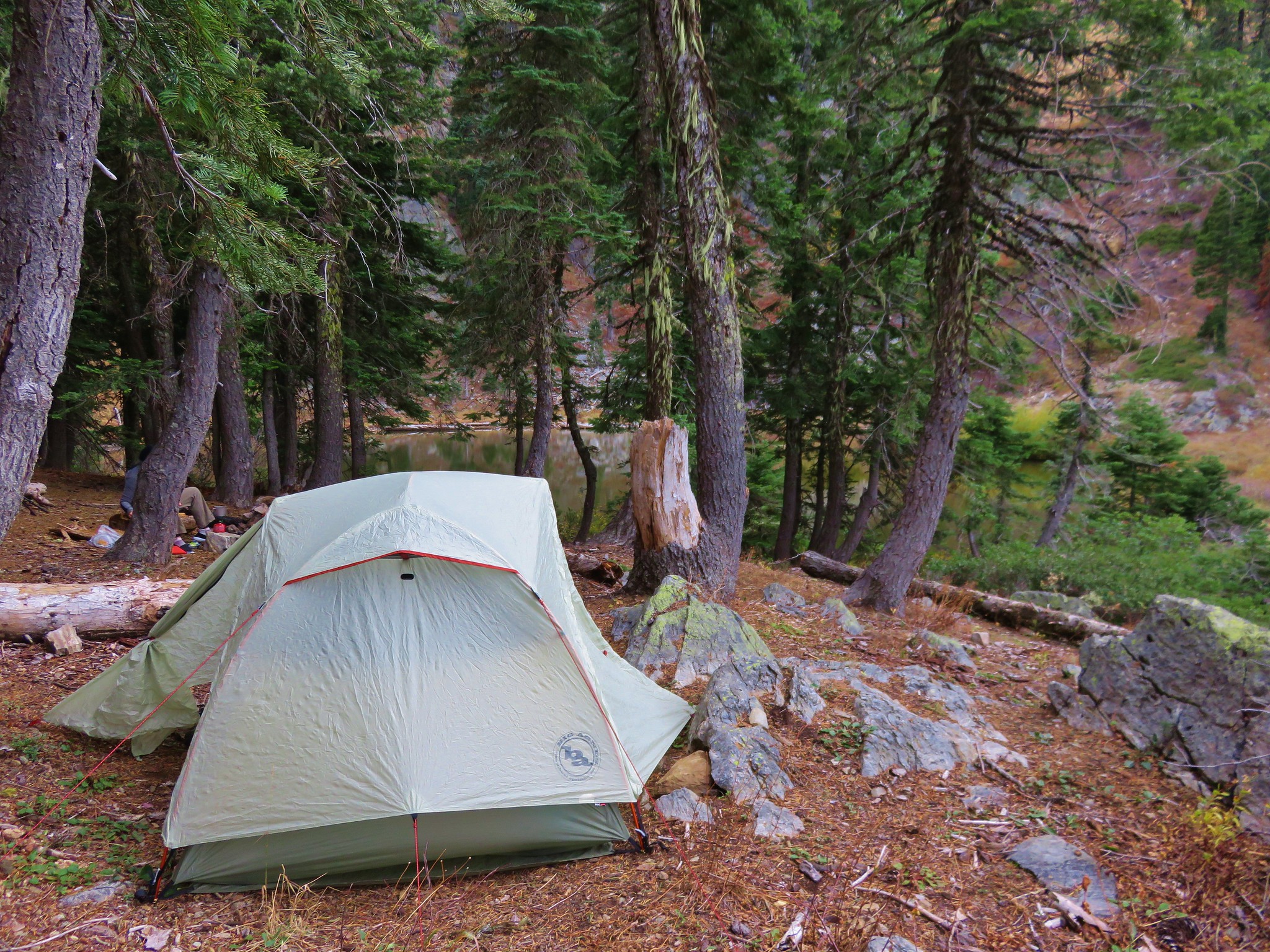
After spending the night at Wiley Camp (post) we grabbed our day packs and crossed the West Fork Muir Creek on the Wiley Camp Trail.

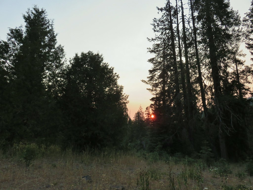 Smokey skies turning the Sun red.
We followed the cairn and flagging that we had found the day before and picked up the trail on the far end of the meadow.


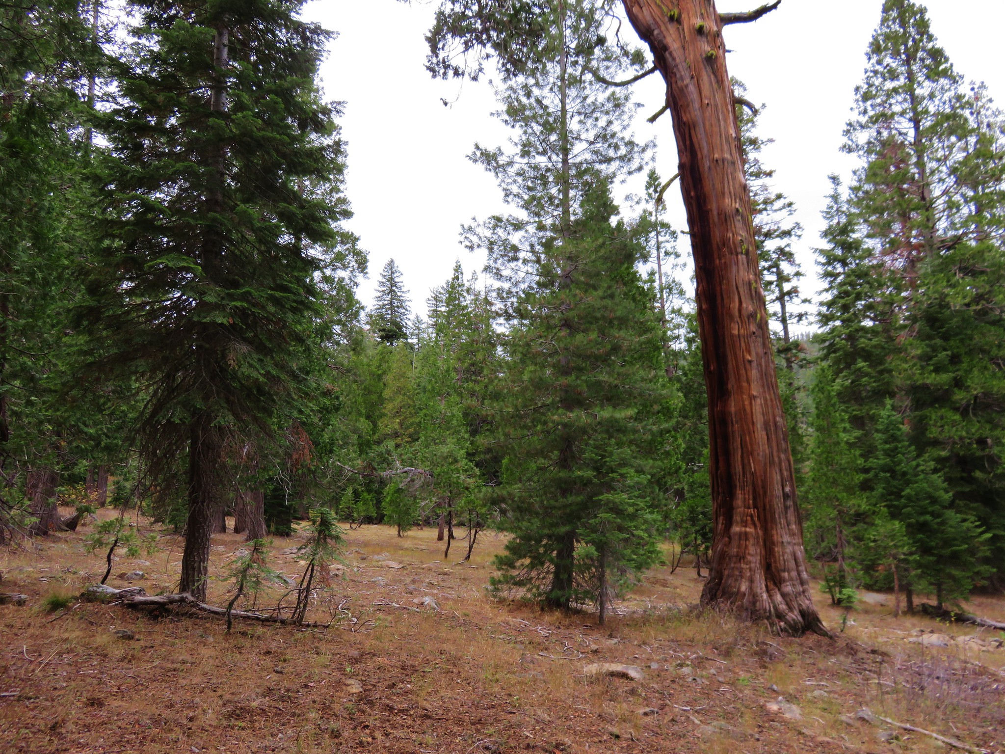
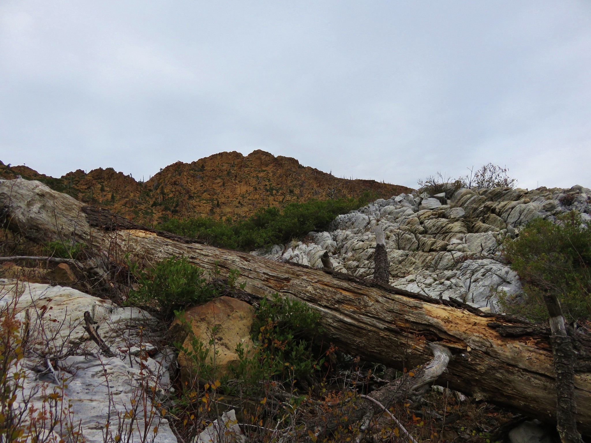
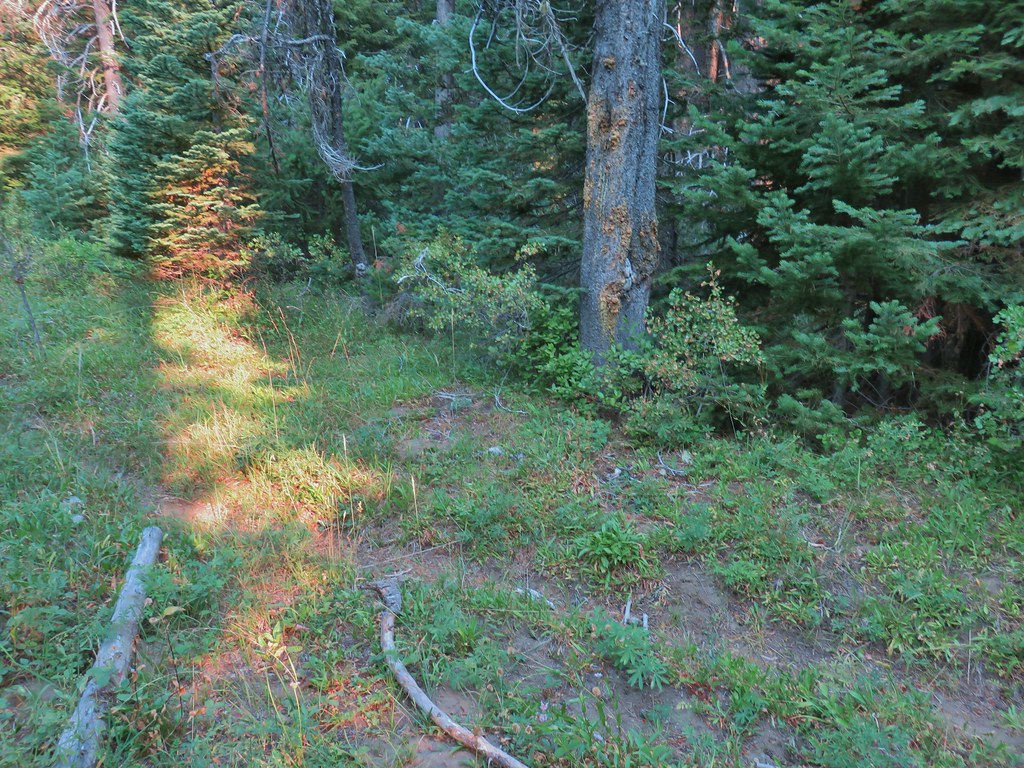
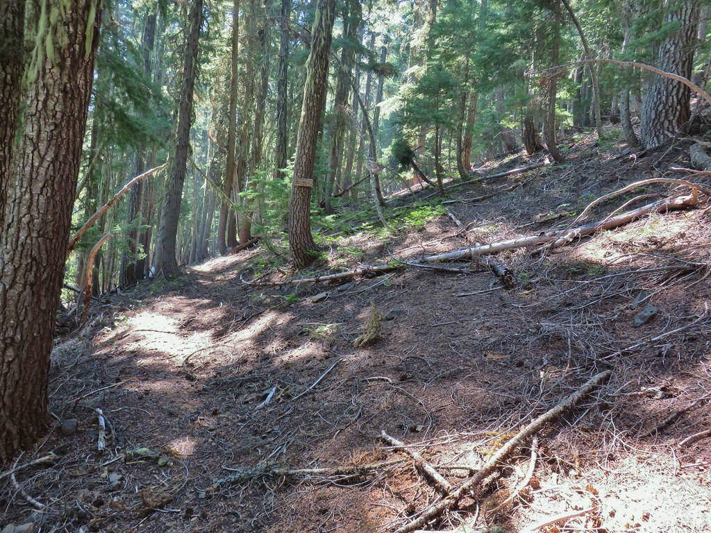
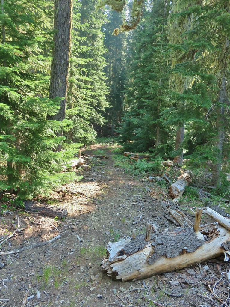
The Wiley Camp Trail entered the trees where we had to navigate around and over a number of downed trees.


Despite the numerous obstacles the trail was easy enough to follow and it passed a number of huge trees.

 Little trees surrounding a giant.
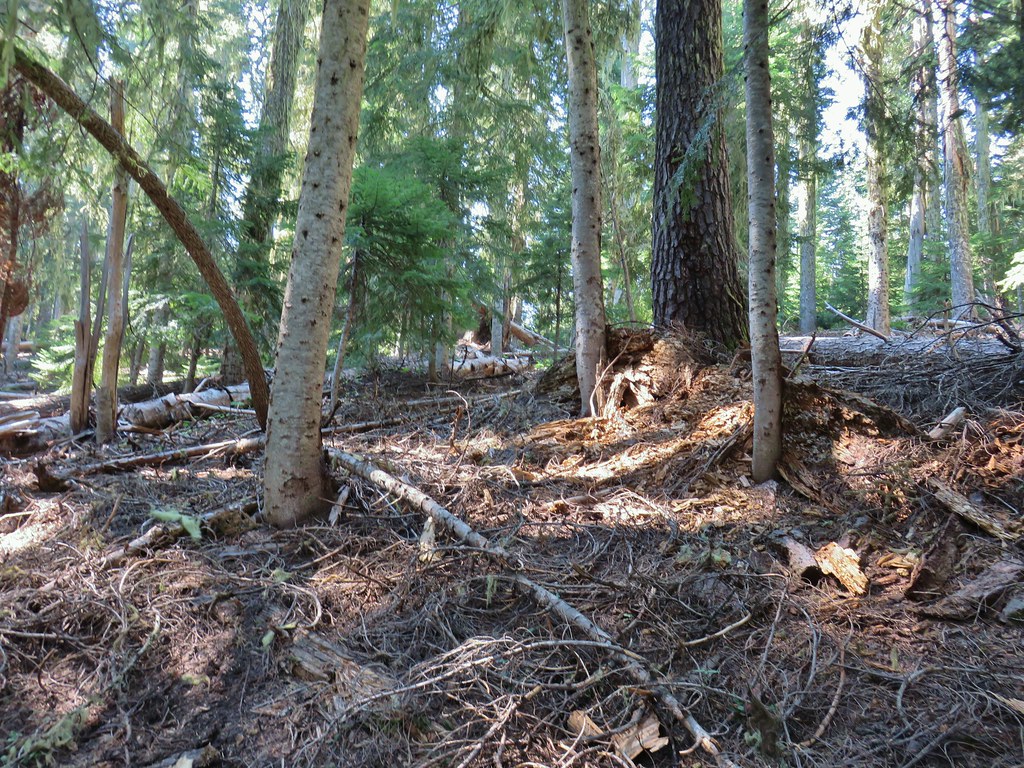
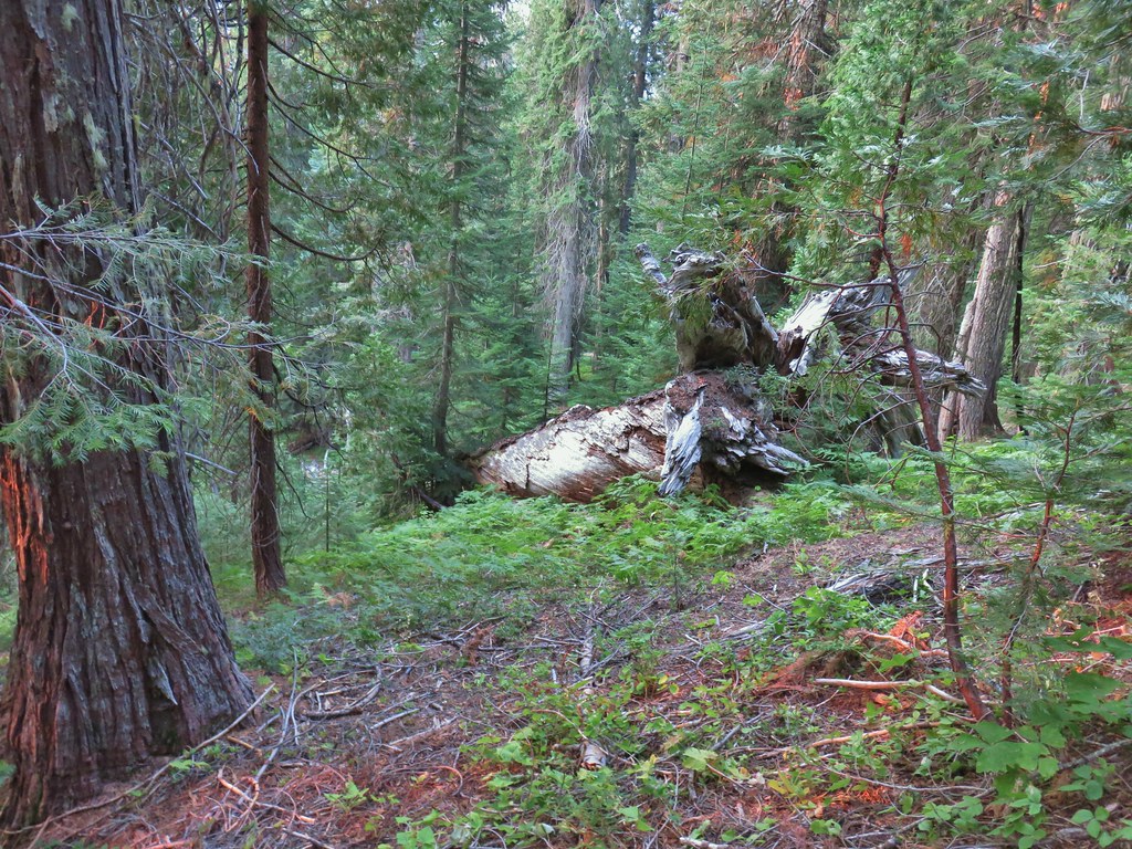 A downed giant.
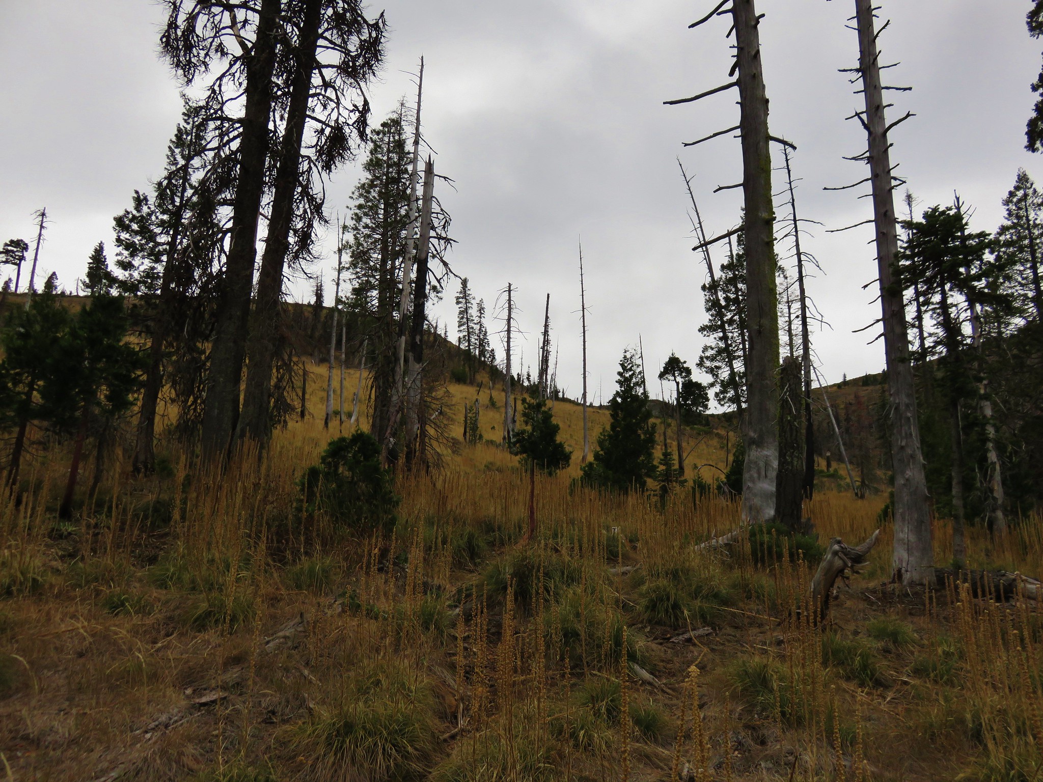
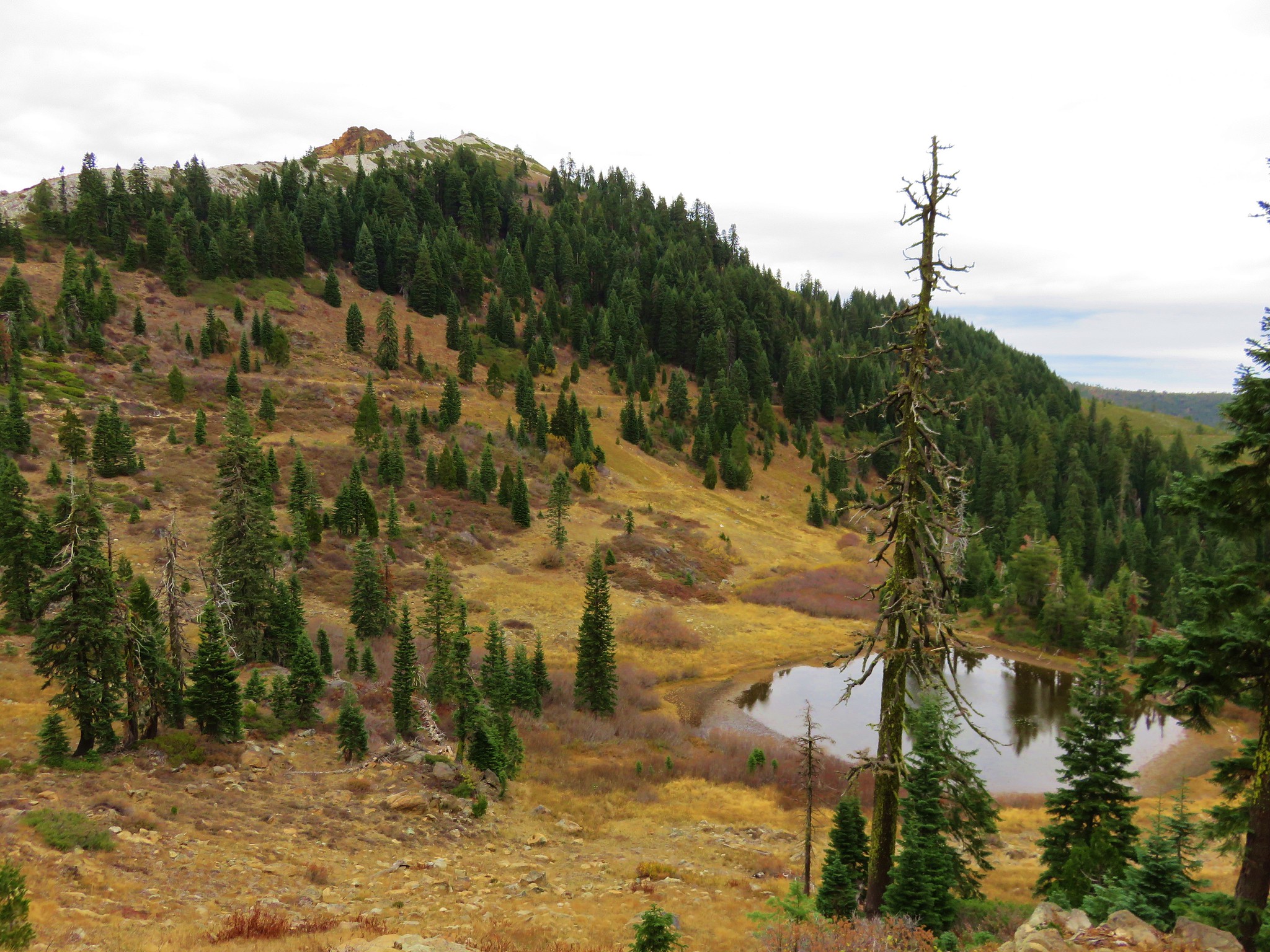
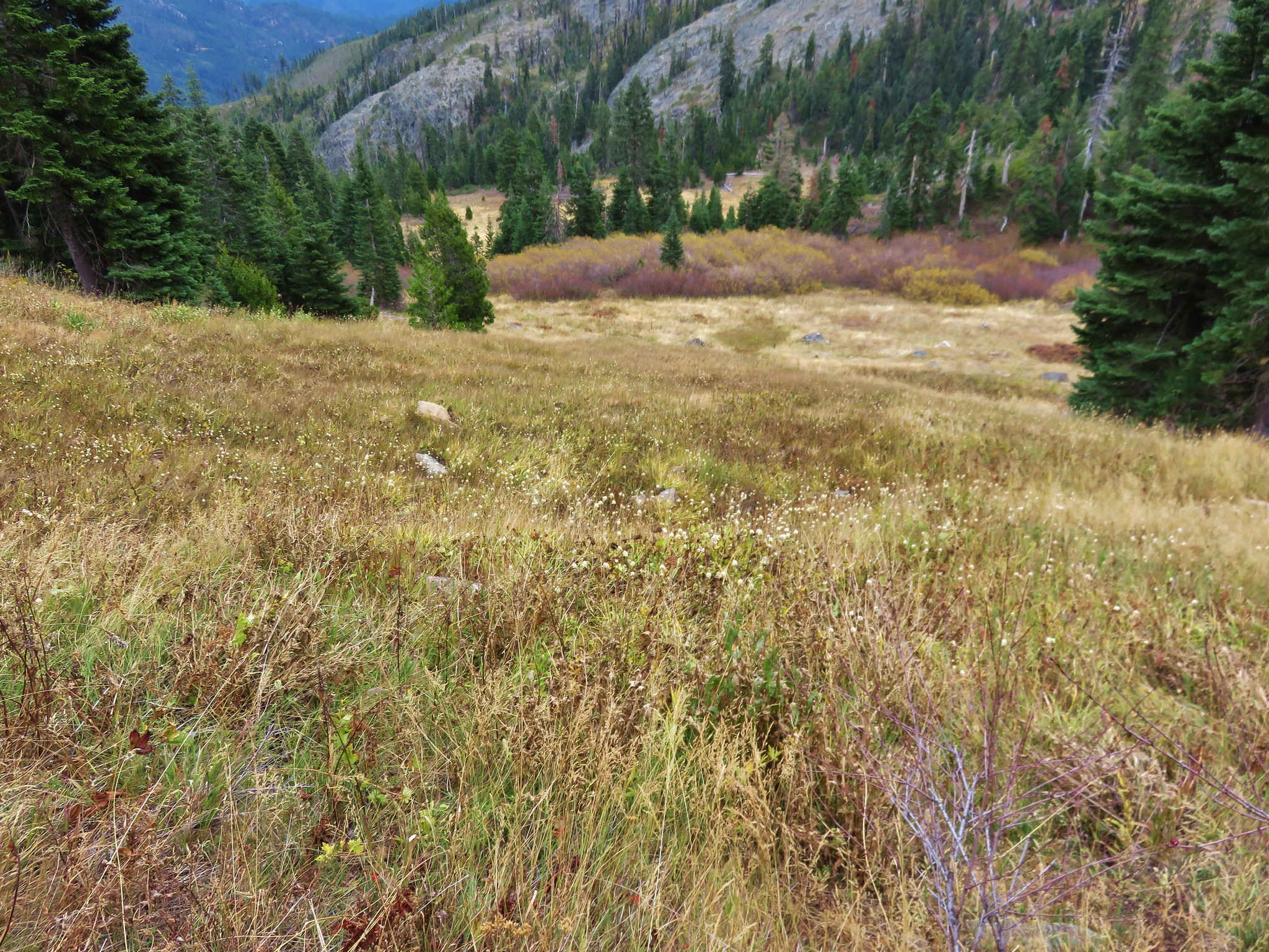
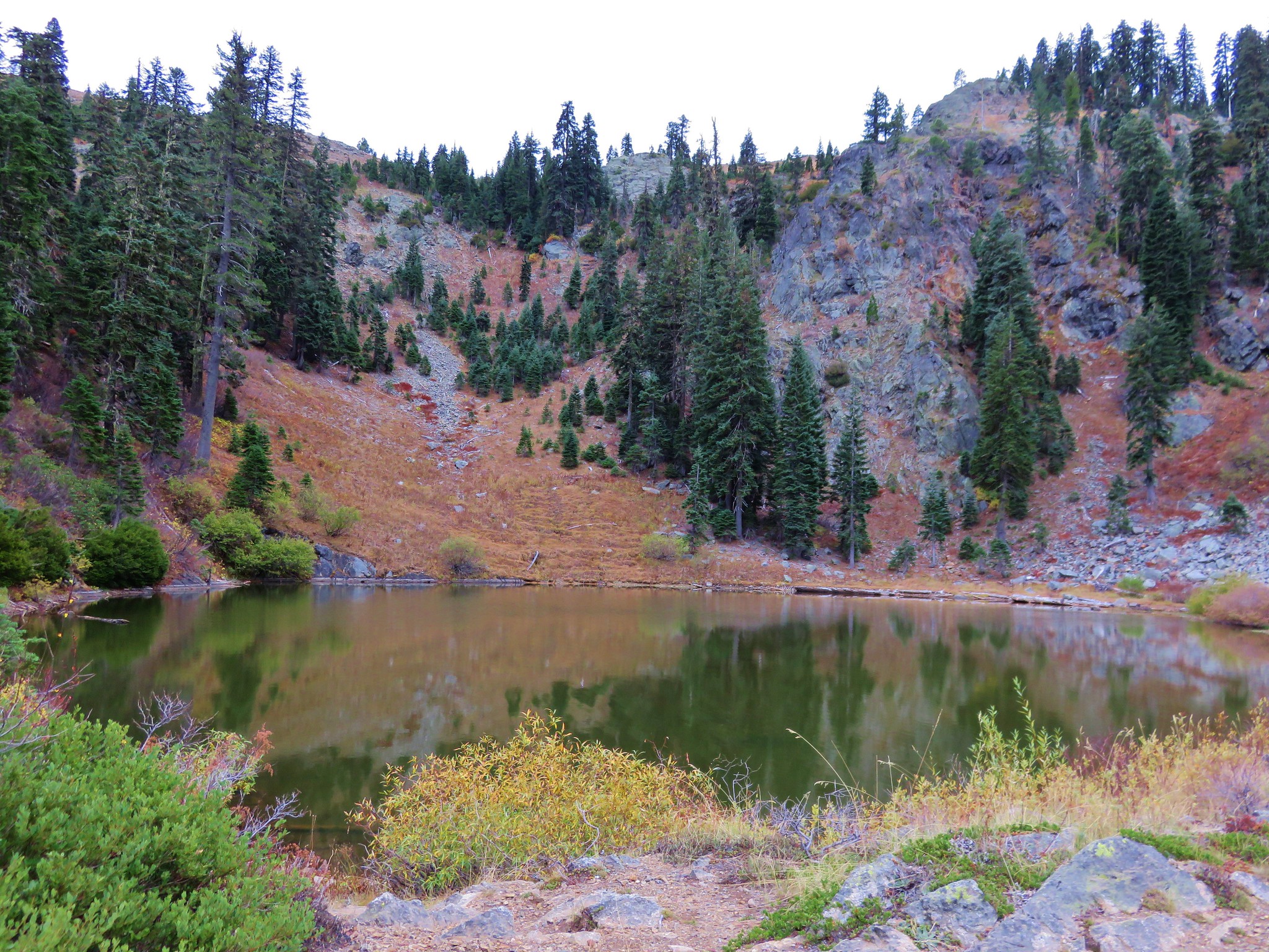
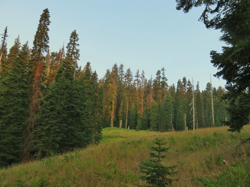
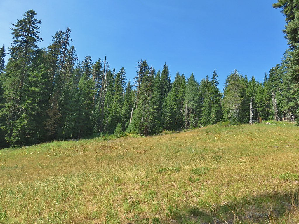
Three quarters of a mile from Wiley Camp the trail entered a large meadow where we finally lost the tread.

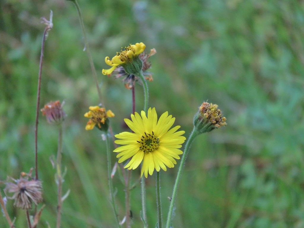 Madia
Madia
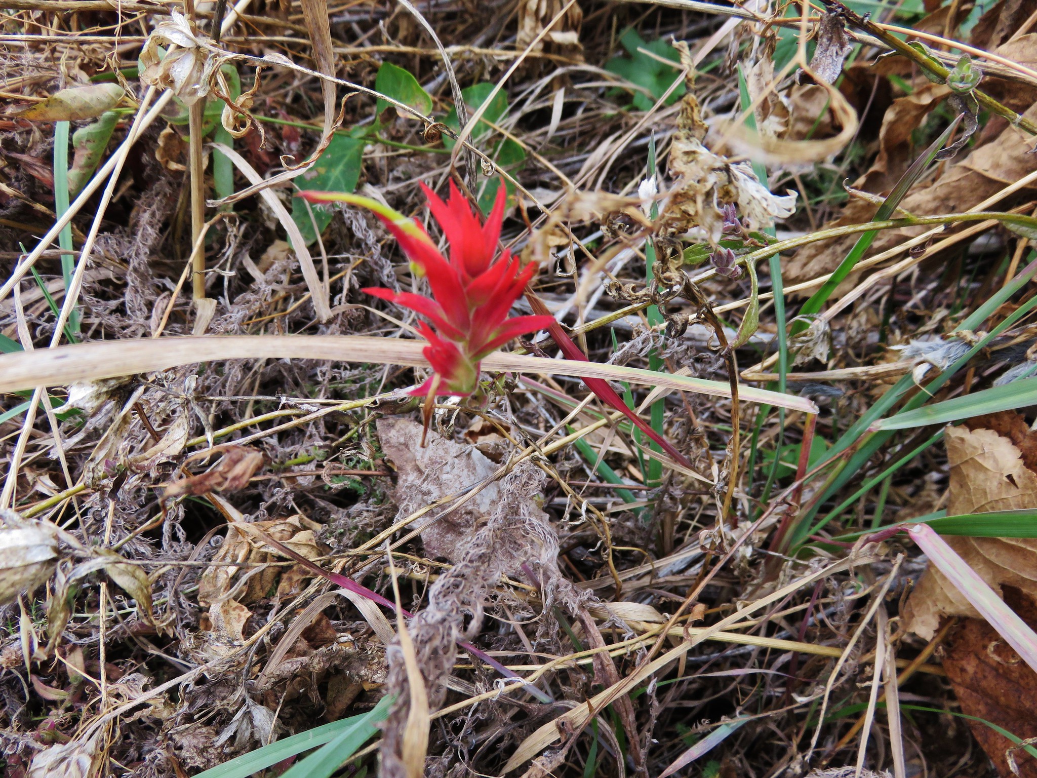
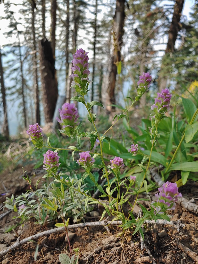
 Paintbrush
We used the GPS to relocate the trail at the upper end of the meadow in a saddle.
The trail then dropped a tenth of a mile to the Wiley Camp Trailhead on Fish Creek Valley Road 870.

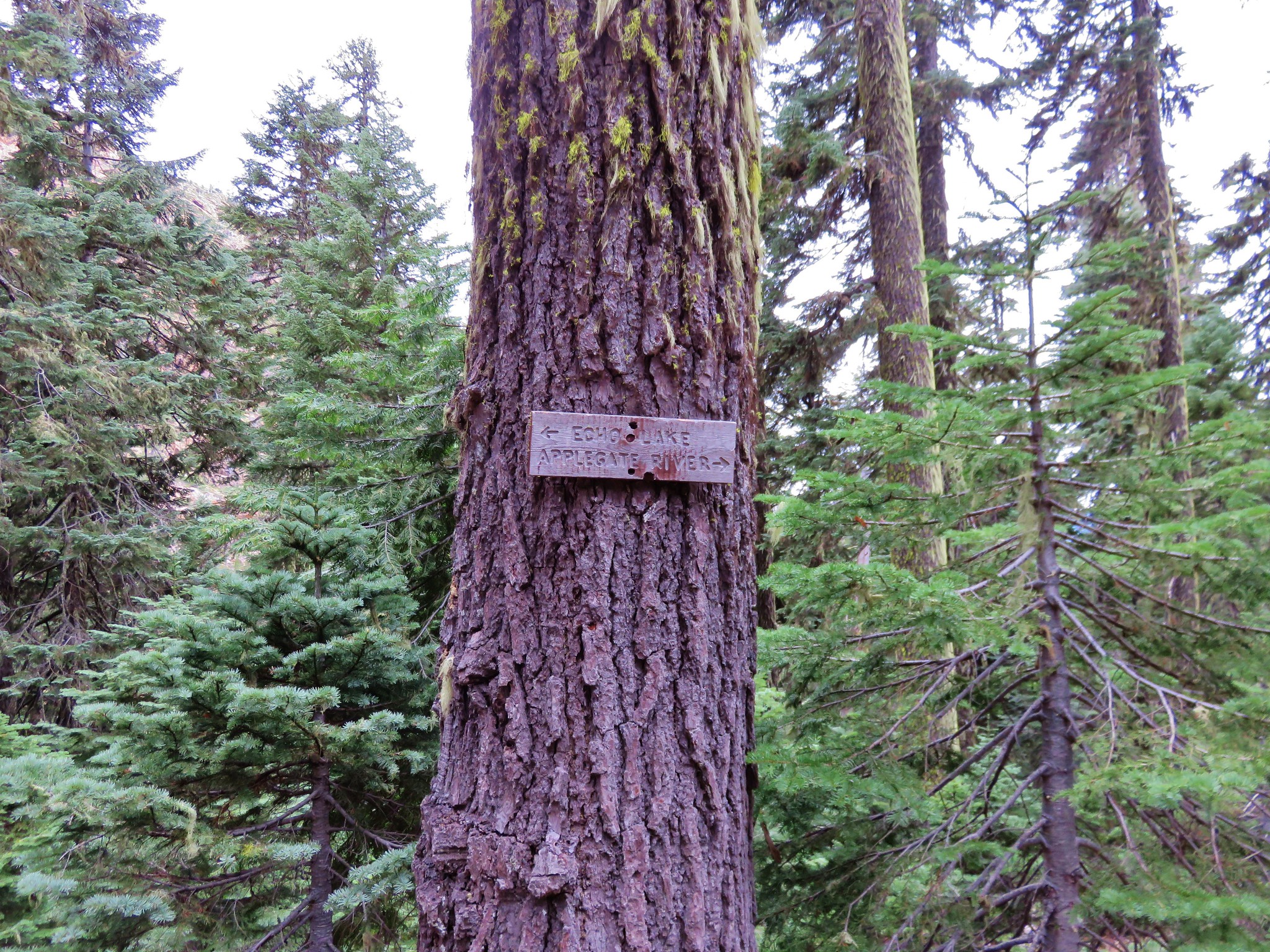
On the far side of the road was a pointer for the Whitehorse Meadows Trail.

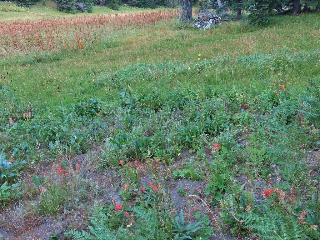
This trail reentered the Rogue-Umpqua Divide Wilderness and dropped into another meadow following a small stream.


 Goldenrod and other flowers.
 Arnica?
 Columbine
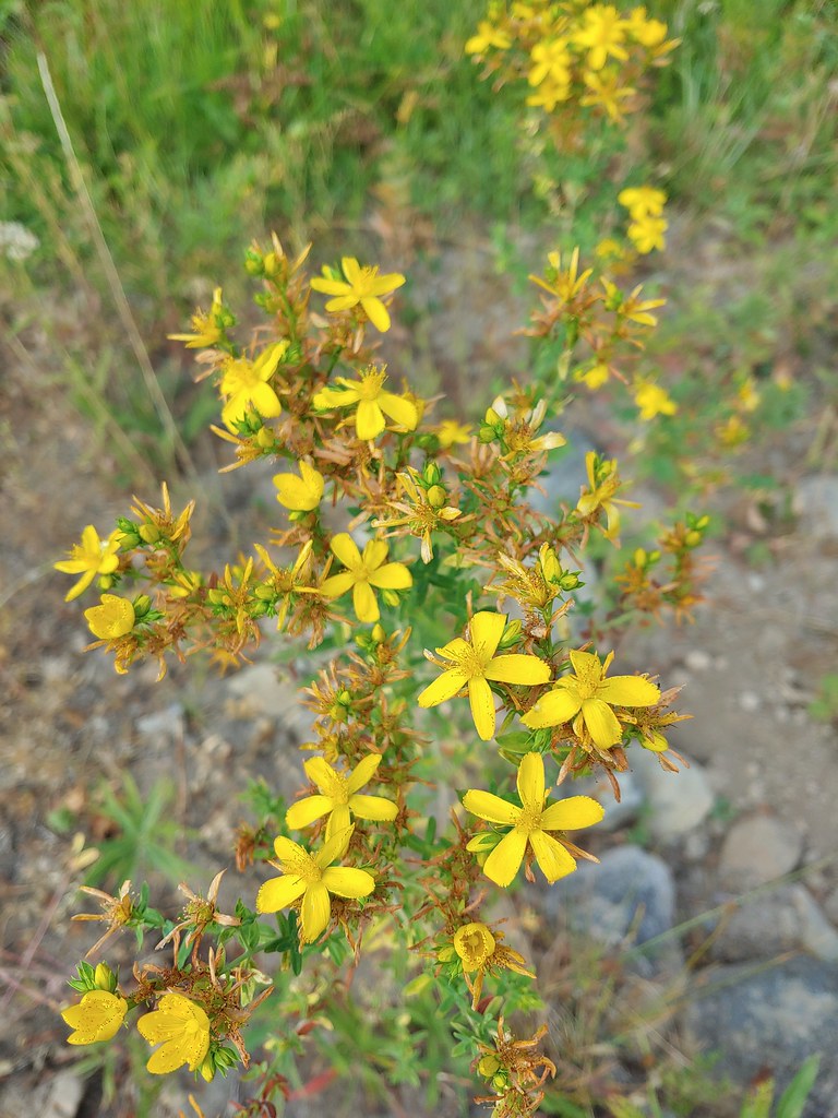 St. John’s wort
 Fleabane (or aster) and coneflower
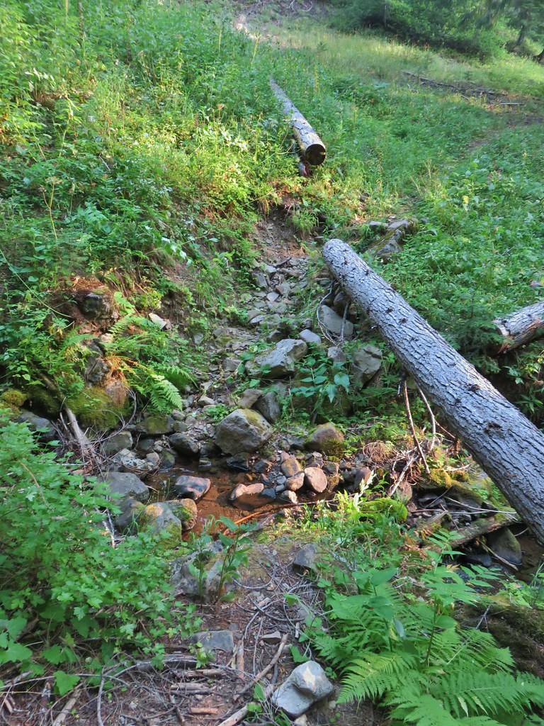
Three quarters of a mile from the road we arrived at Fish Creek where the trail briefly disappeared.


Heather found the trail on the far side of the creek where we turned left along the edge of the meadow before turning right at a tree with another trail sign.


Just beyond the trees we came to the unsigned Rogue-Umpqua Divide Trail.
Here we turned left following this trail a quarter of a mile where the Whitehorse Meadows Trail split off uphill to the right.

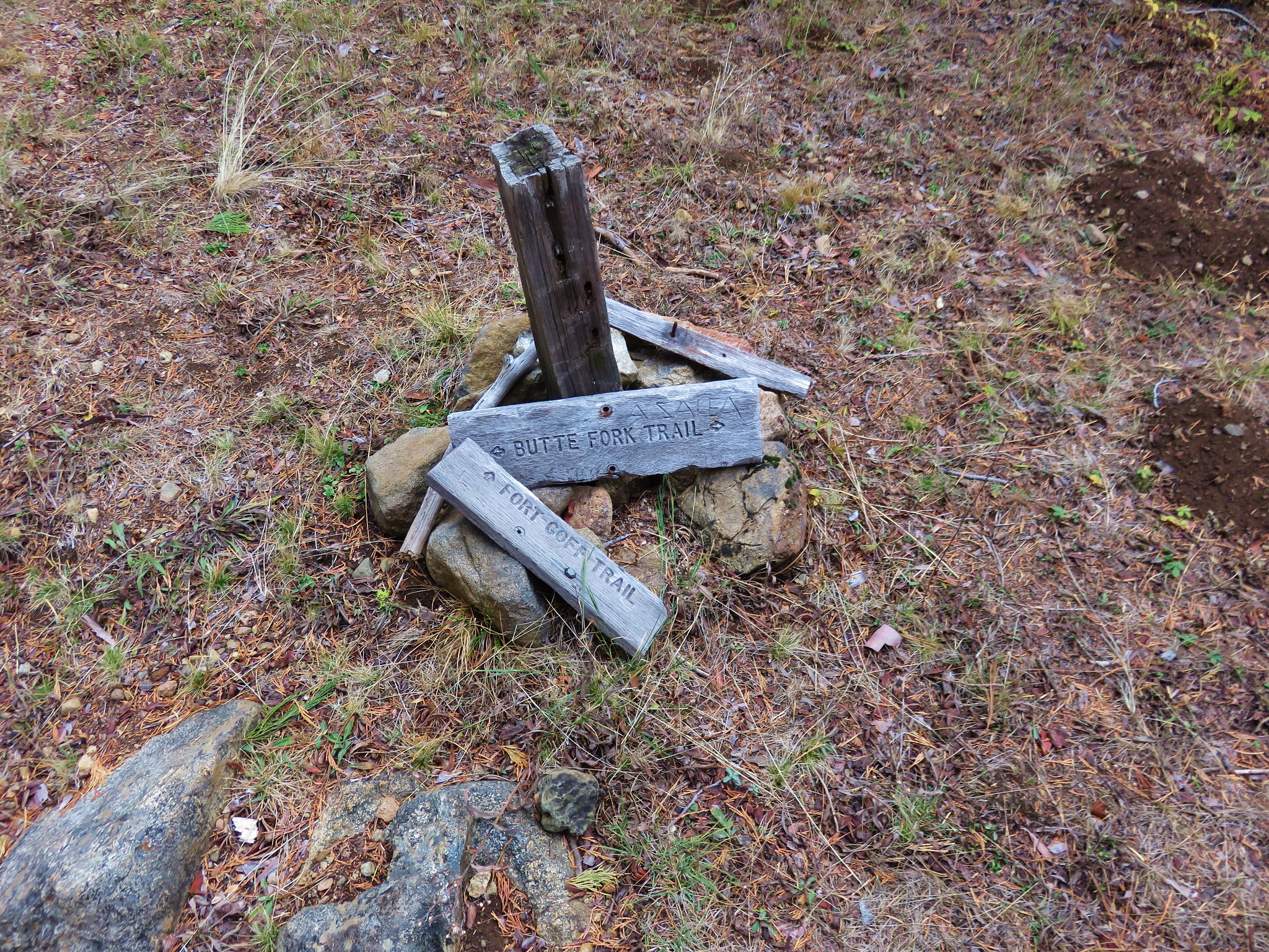
 The trail sign on the left wasn’t particularly descriptive.
The Whitehorse Meadows Trail climbed steadily through meadows and forest for 1.2 miles to a four-way junction at Windy Gap. The highlight of this section was an owl that flew by and landed in a nearby tree.
 The owl is in the center of the picture behind the branch with green needles.
 Small stream crossing
 Chipmunk


 Windy Gap
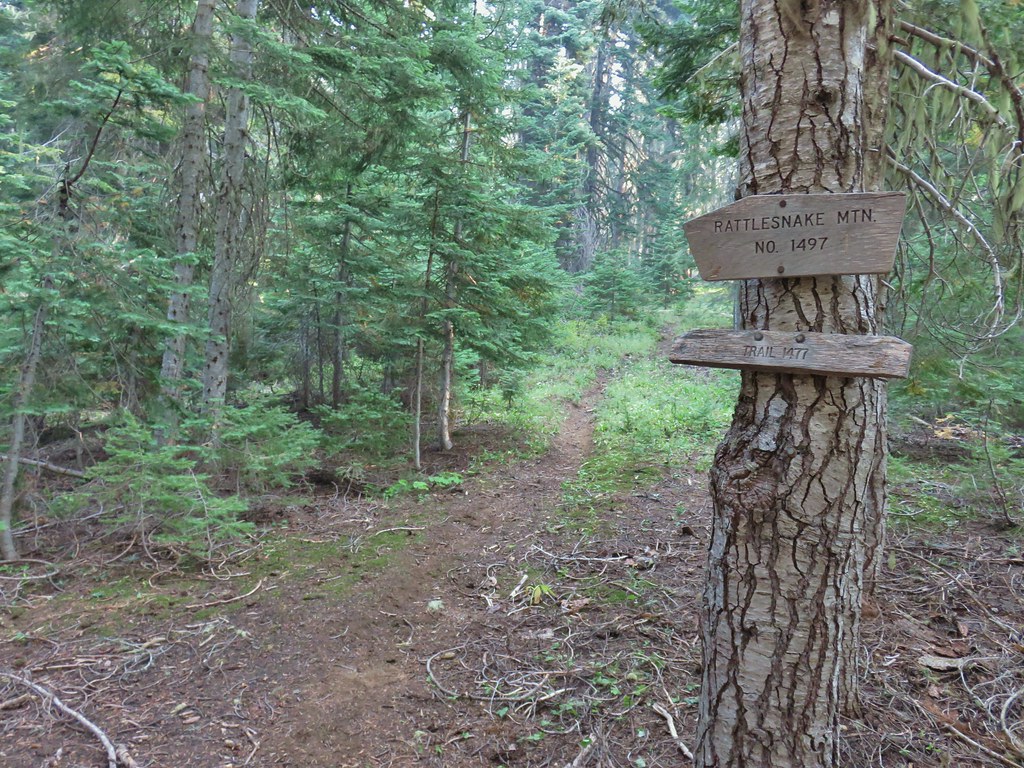
We took a break on some logs at the gap before heading up the Rattlesnake Mountain Trail (which was on the right as we arrived).
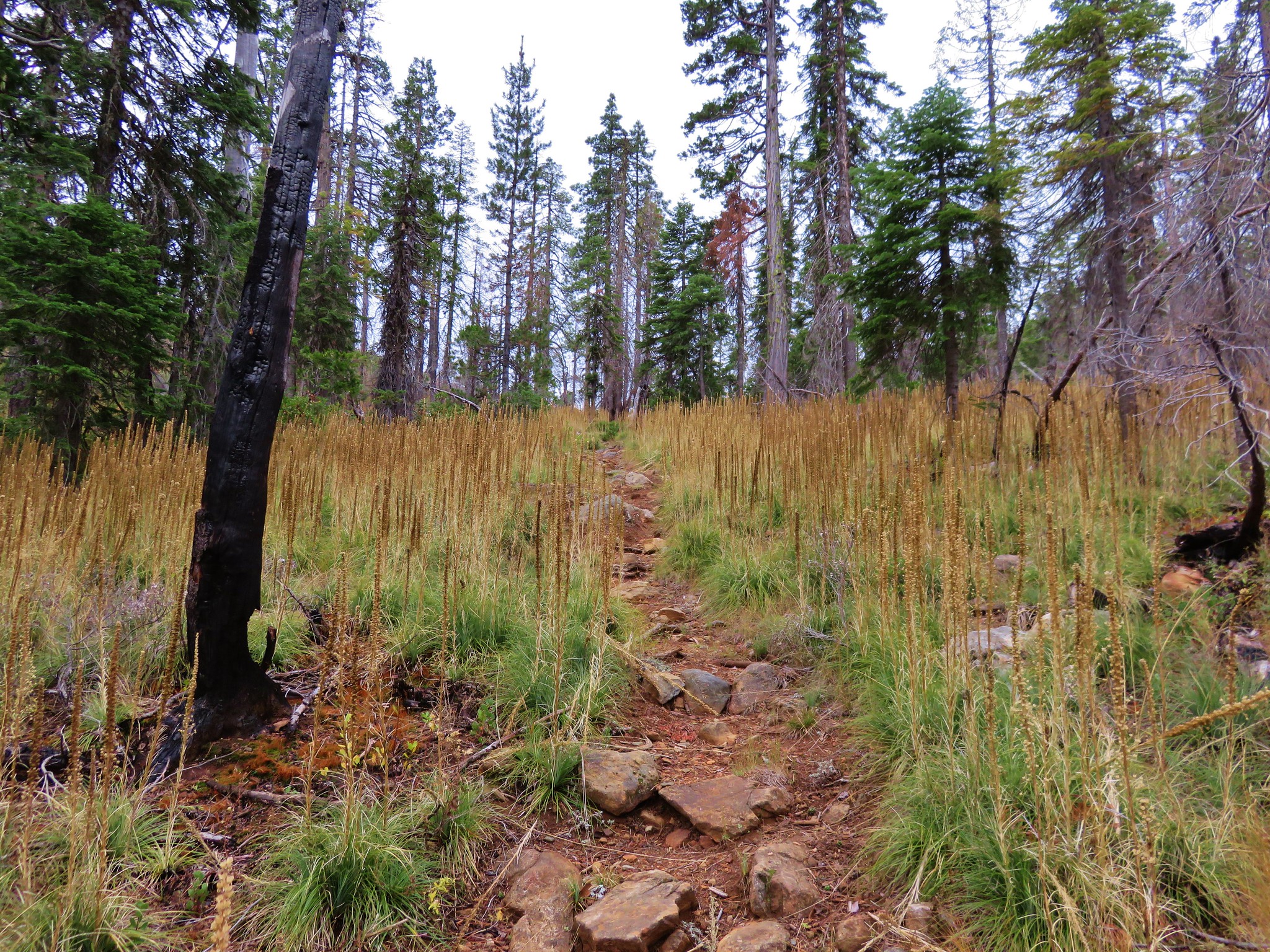
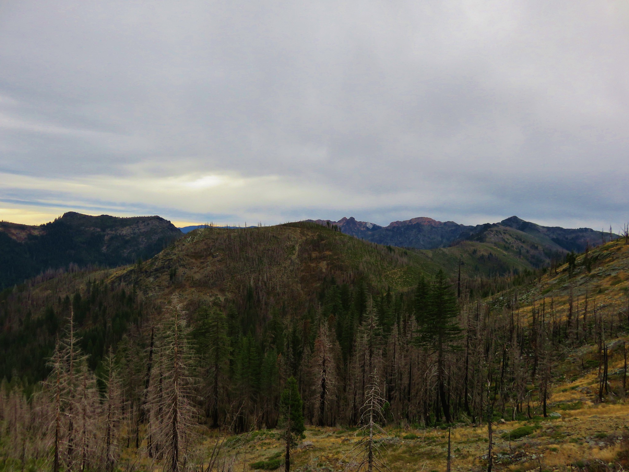
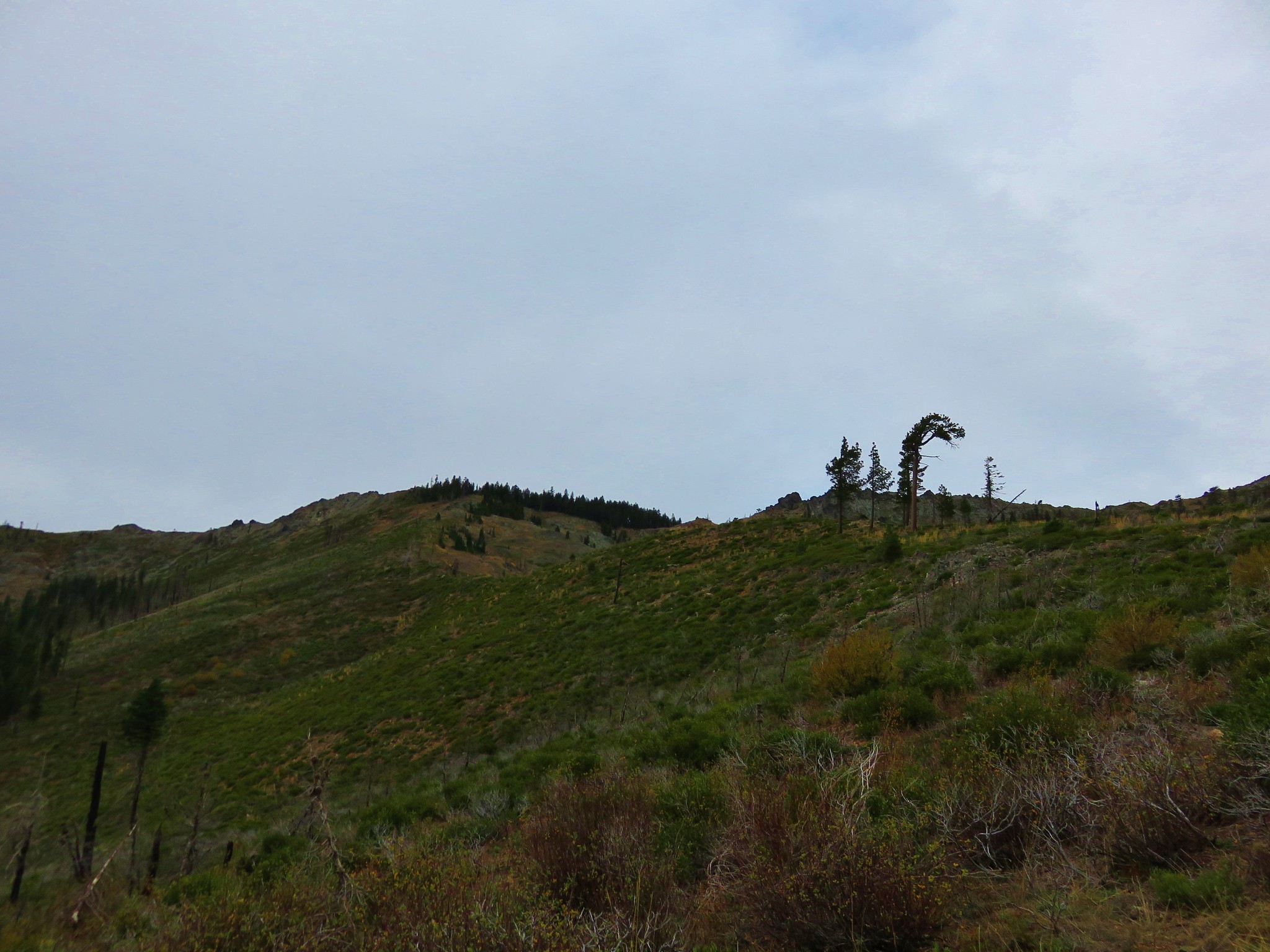
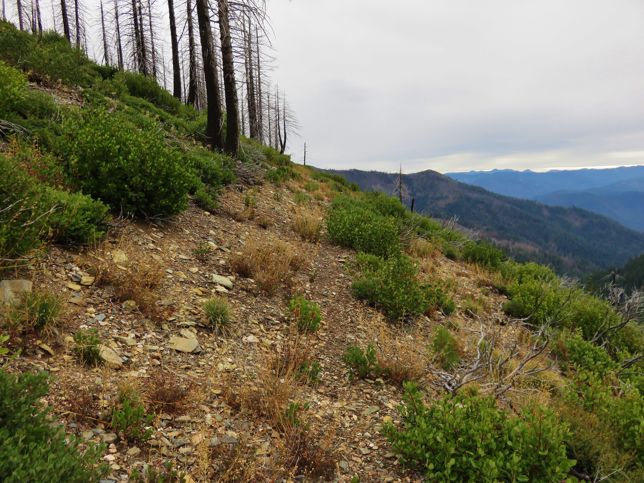
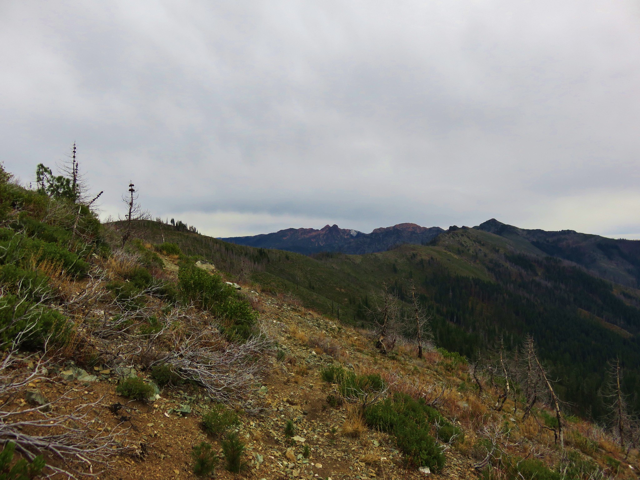
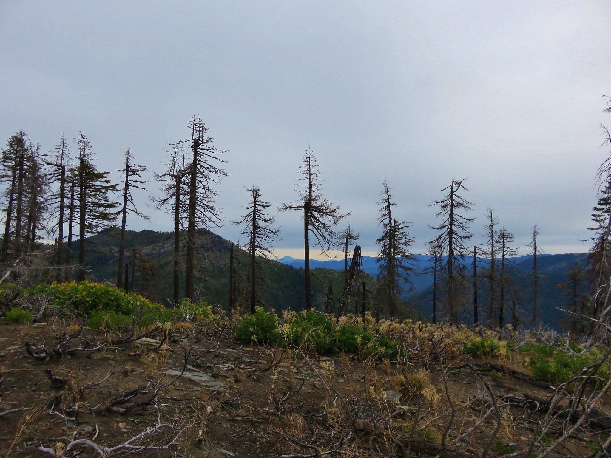
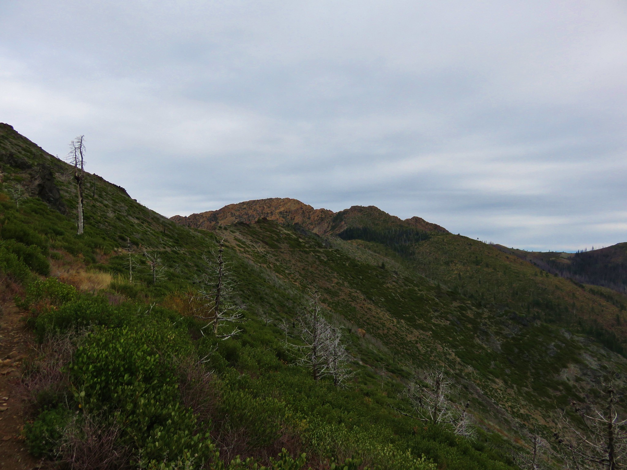
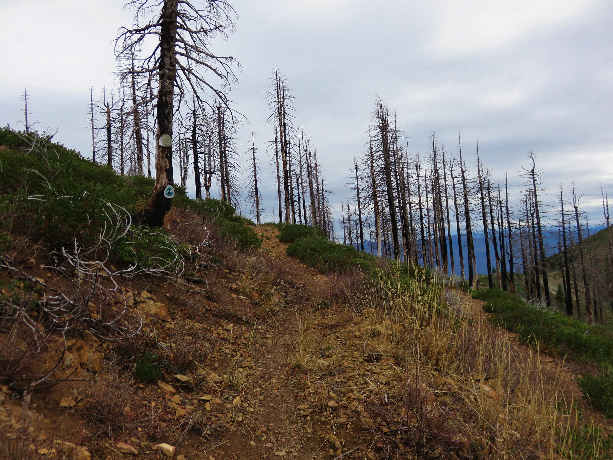
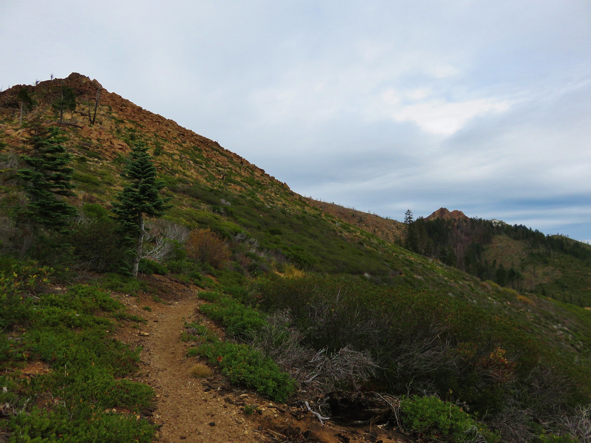
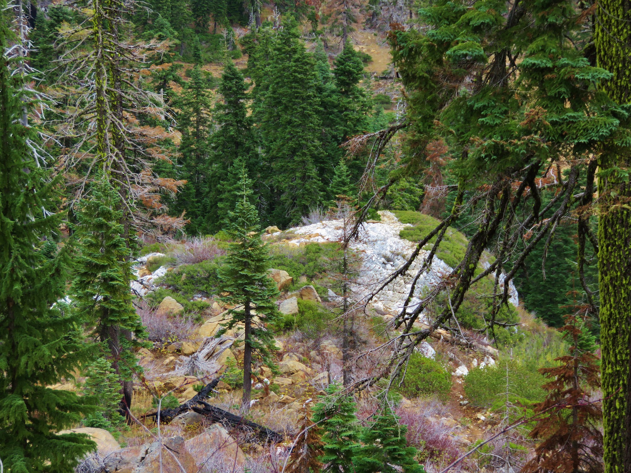
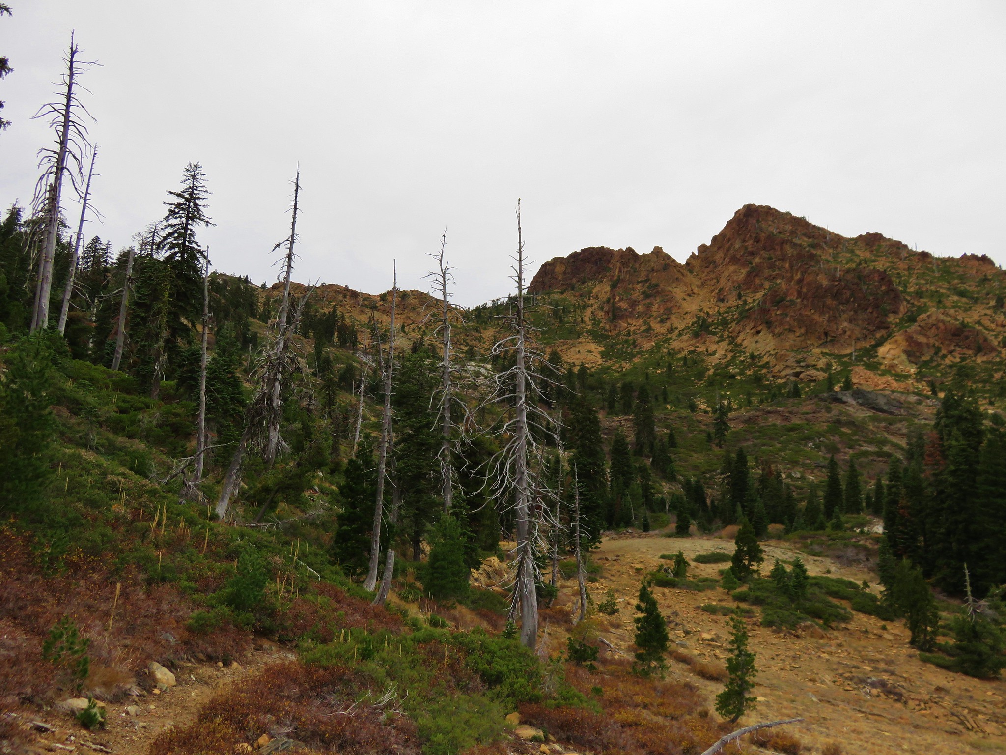
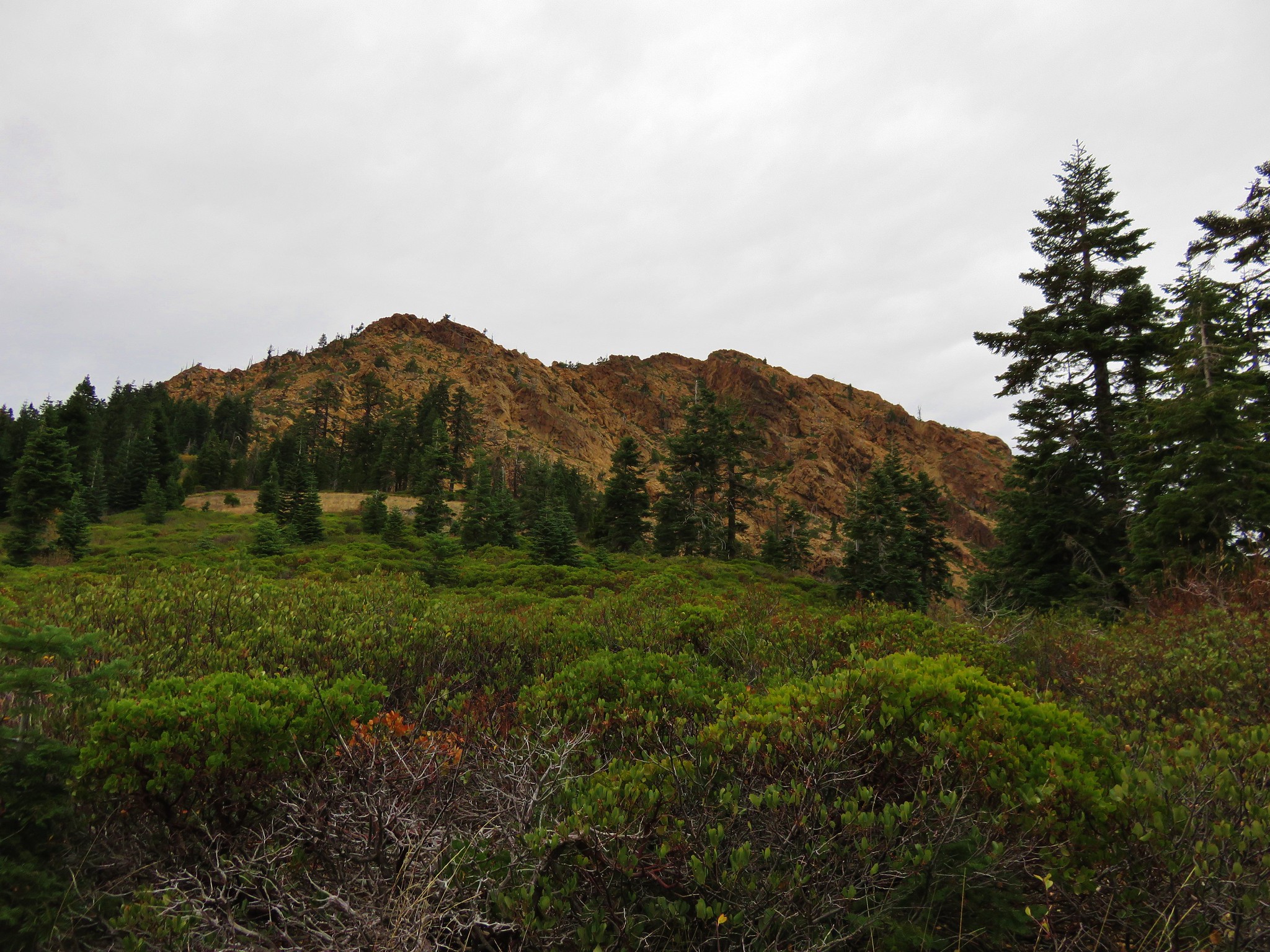
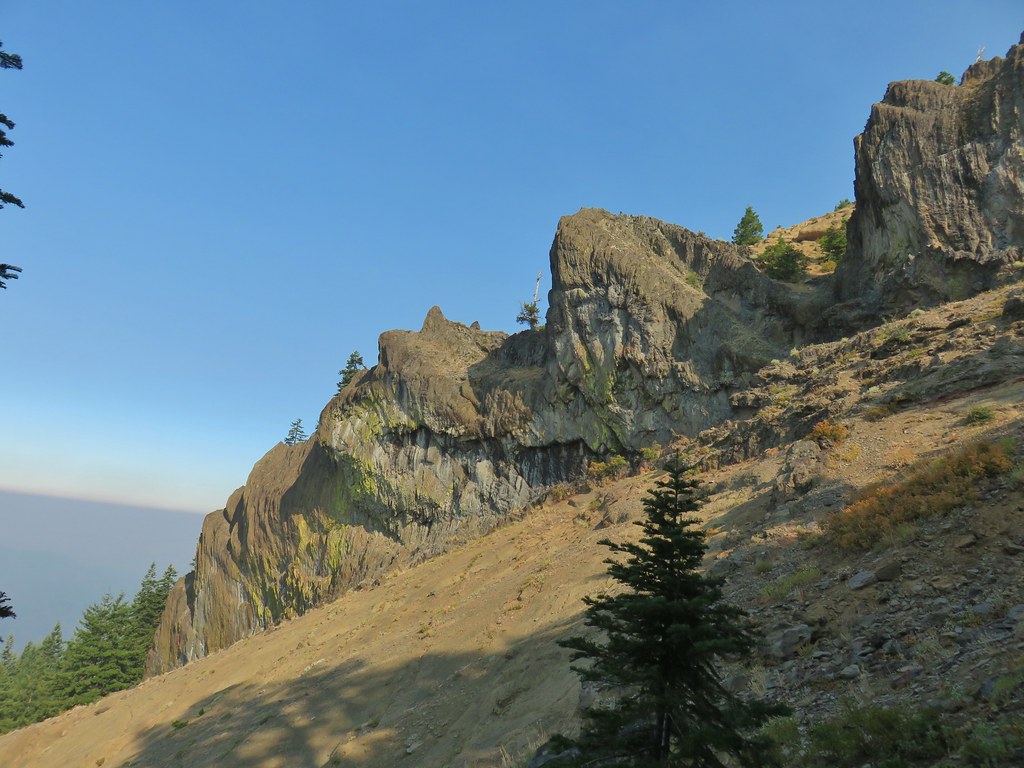
The sometimes faint Rattlesnake Mountain Trail gained over 800′ in the next 1.2 miles as it climbed via a series of switchbacks, steeply at times to a large rock cairn. It had been a little smokier than the previous day but as we climbed we managed to get above the smoke.


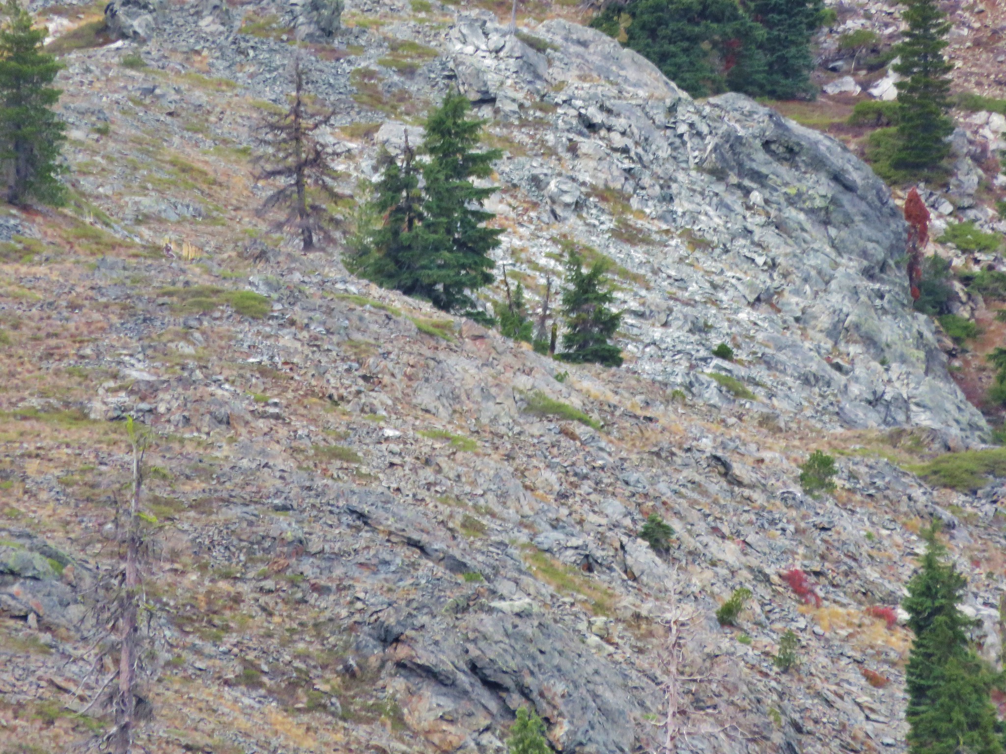
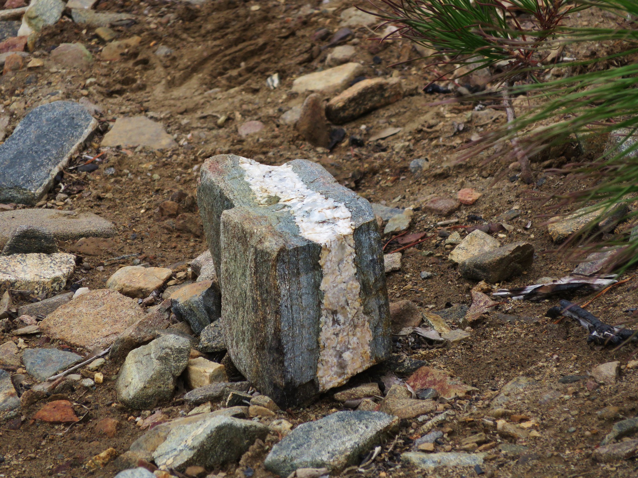
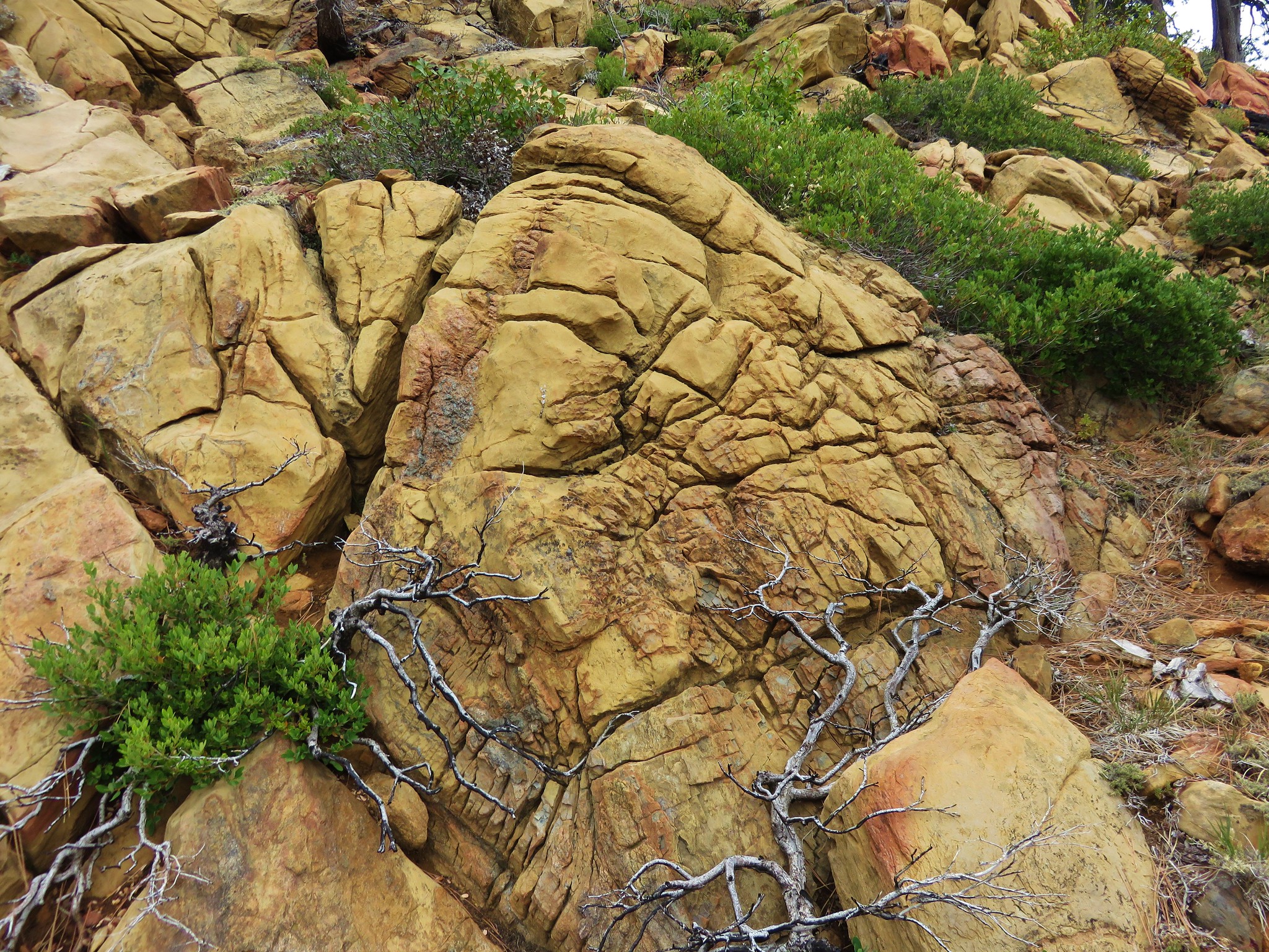
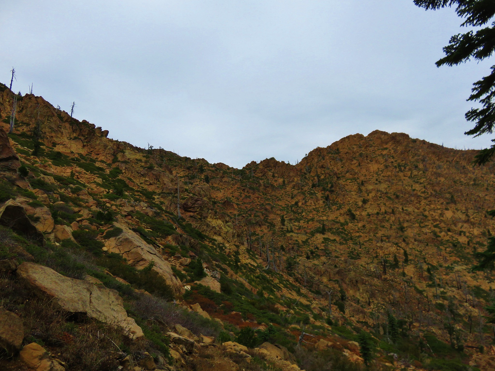
Along the way we passed an impressive rock outcropping.

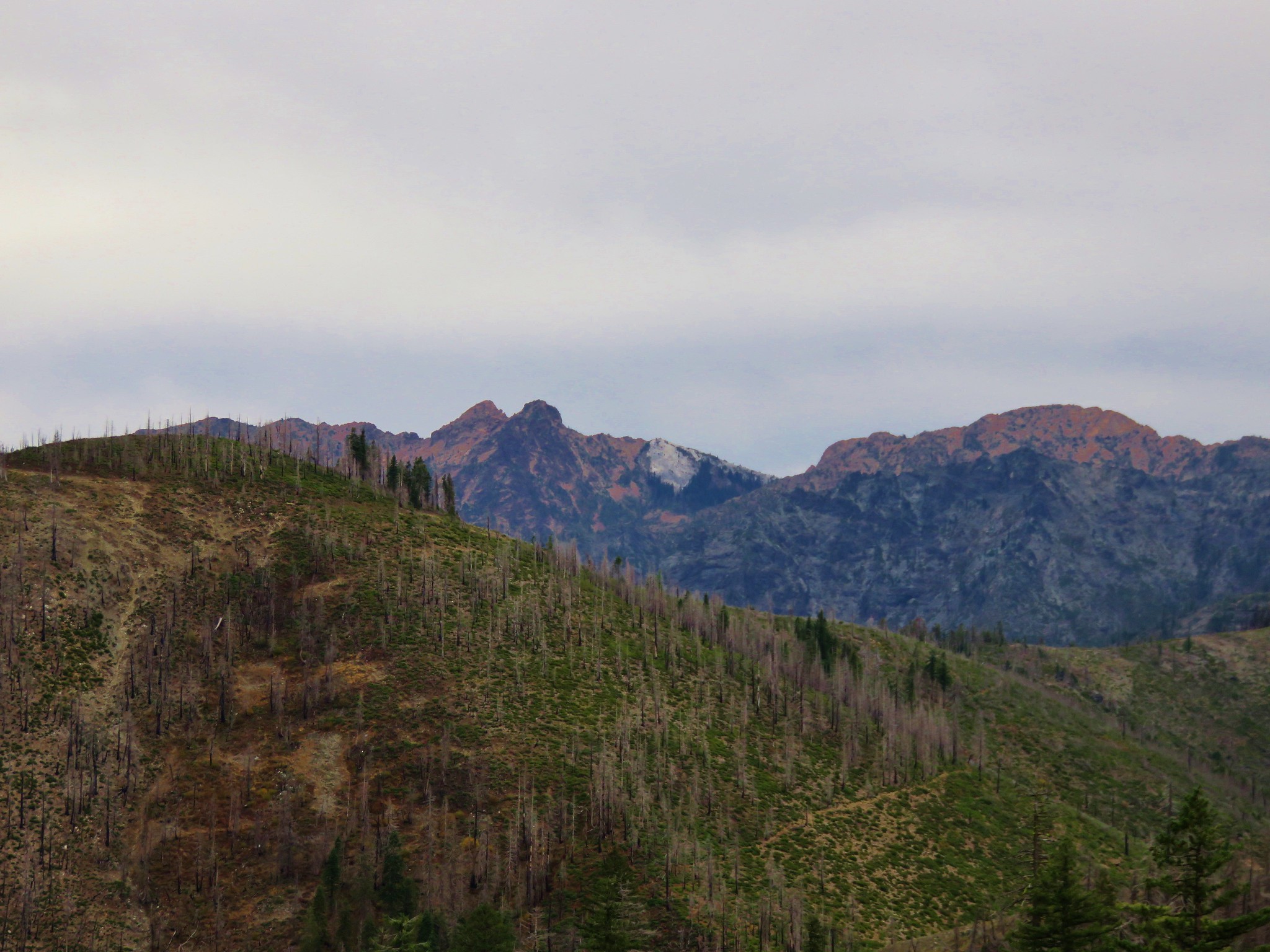
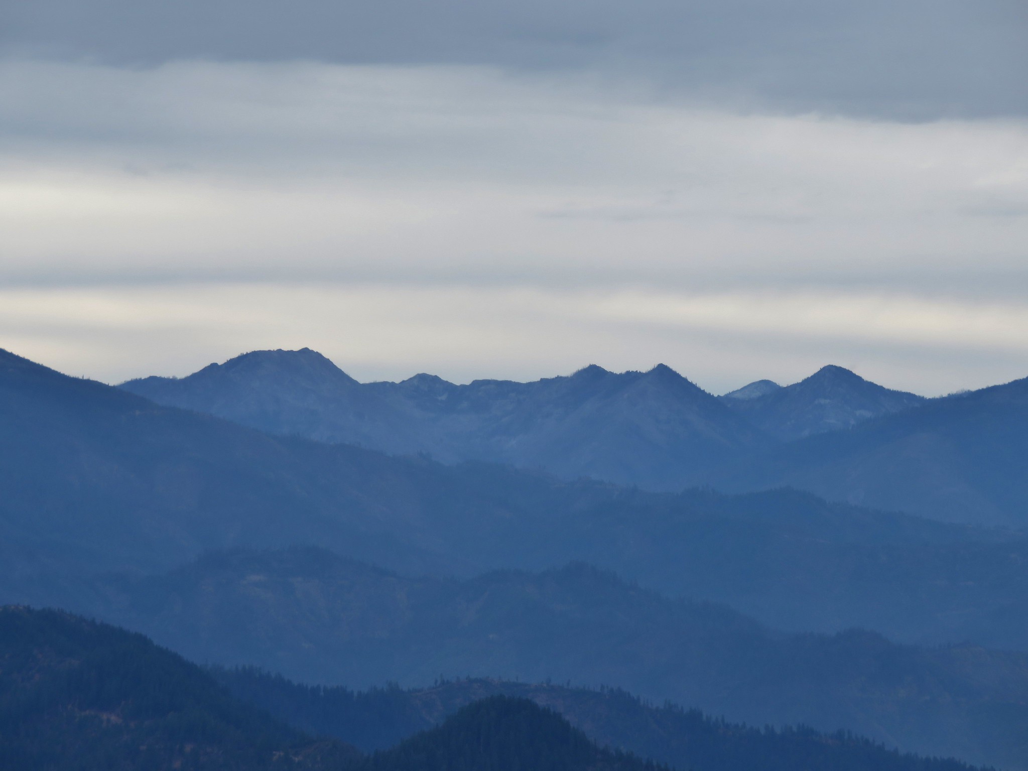
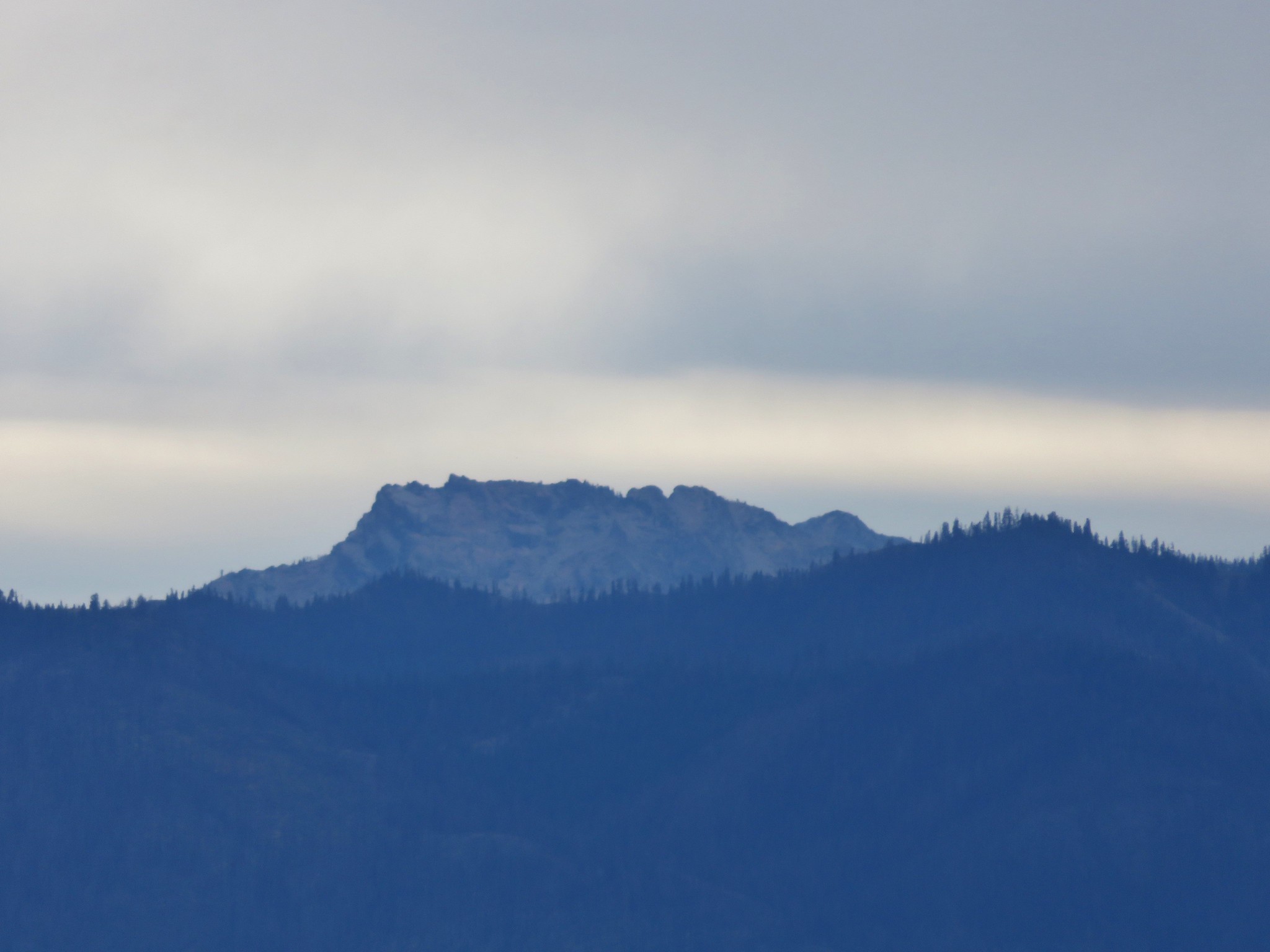
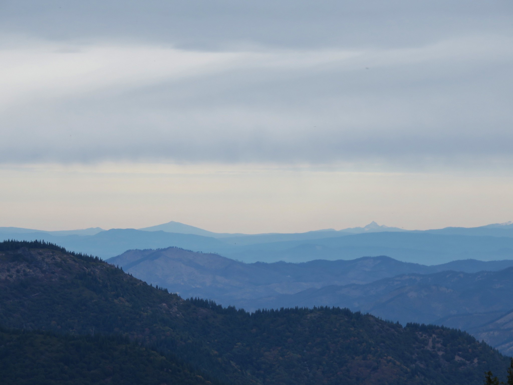
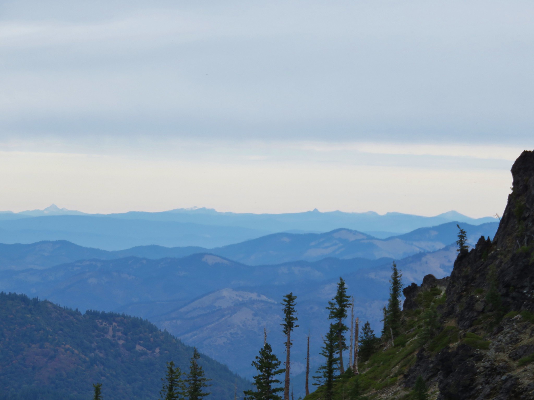
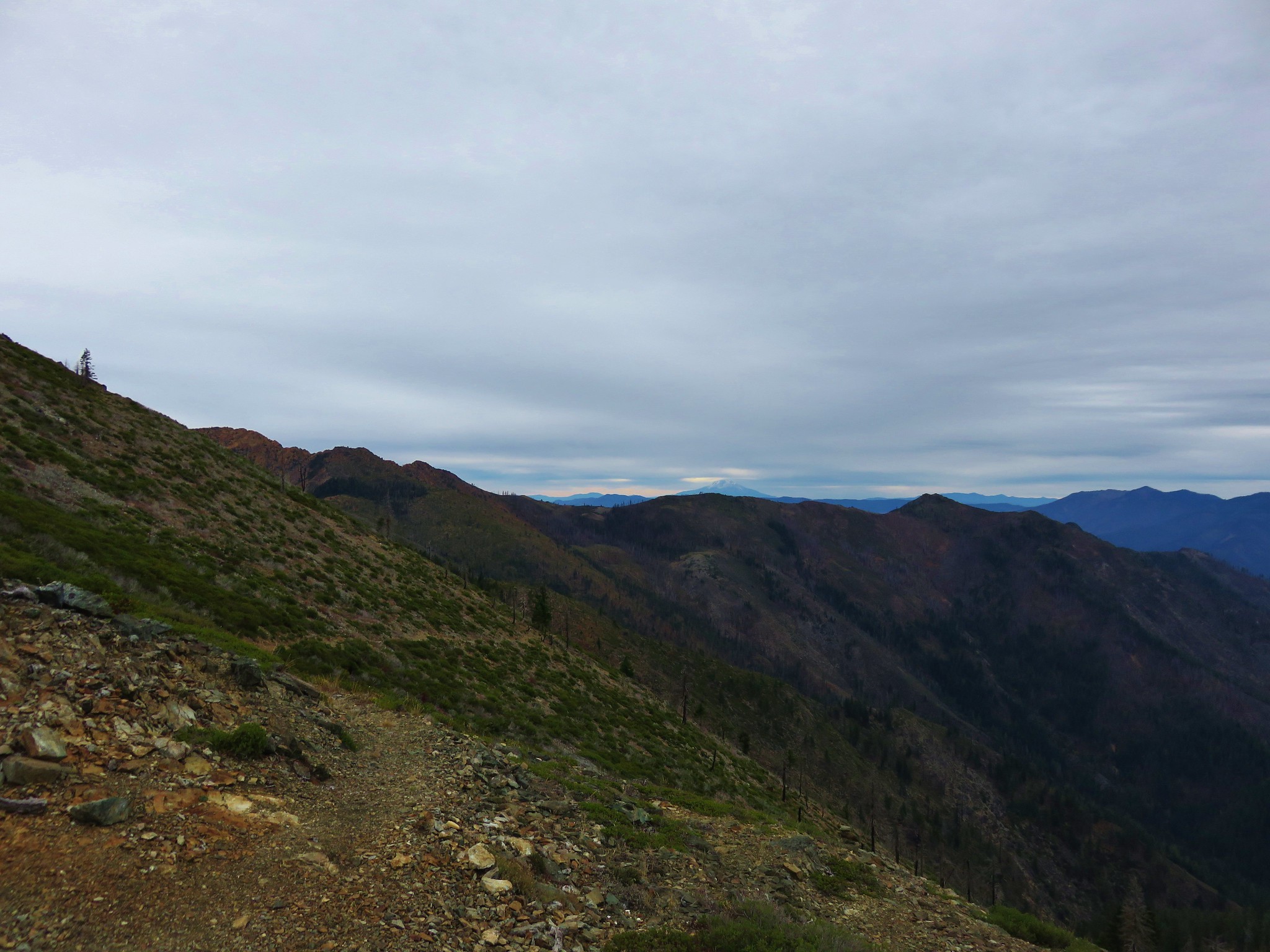
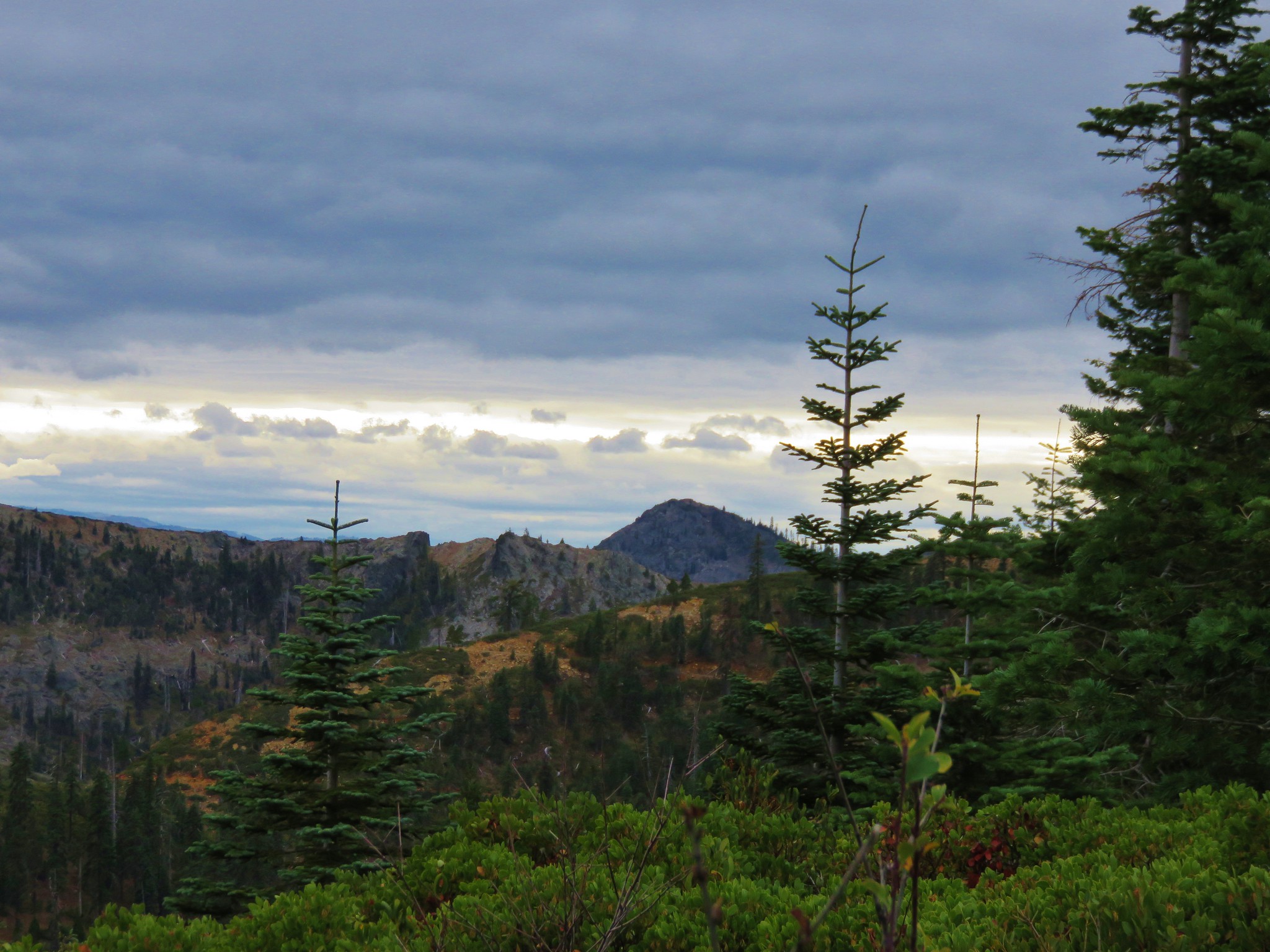
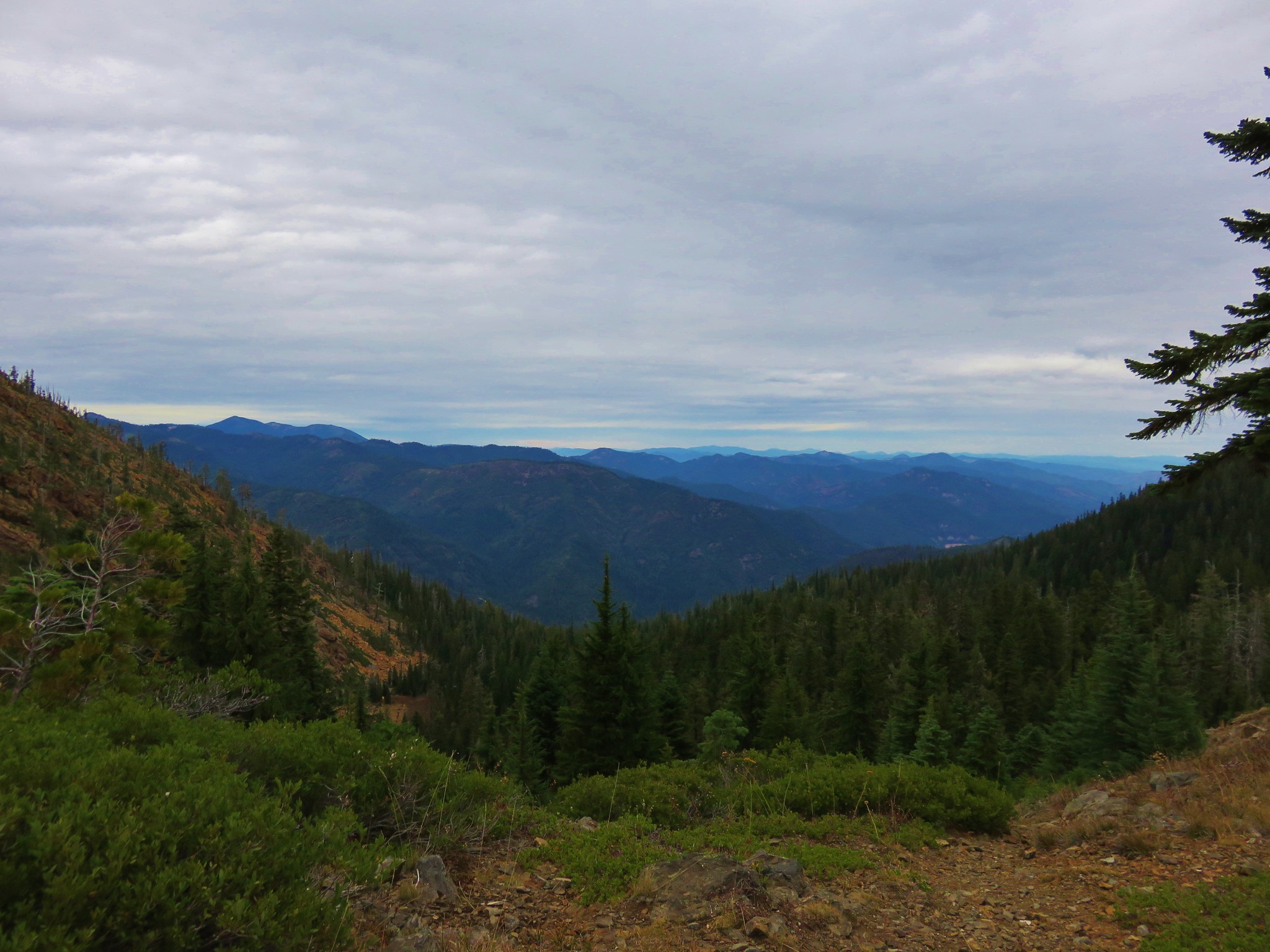
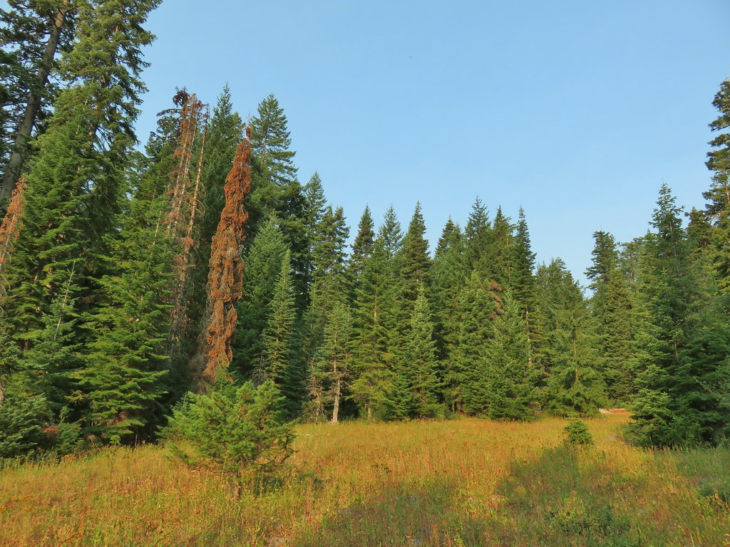
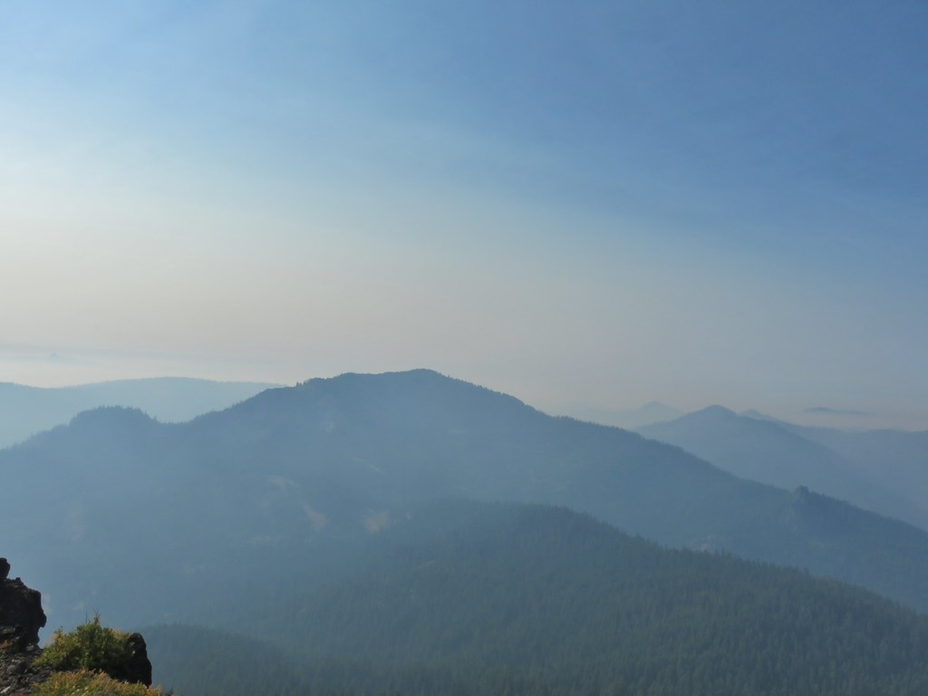
 Near the upper end of the 1.2 mile section we entered a burn scar with views of Mt. Bailey, Mt. Thielsen and Crater Lake.
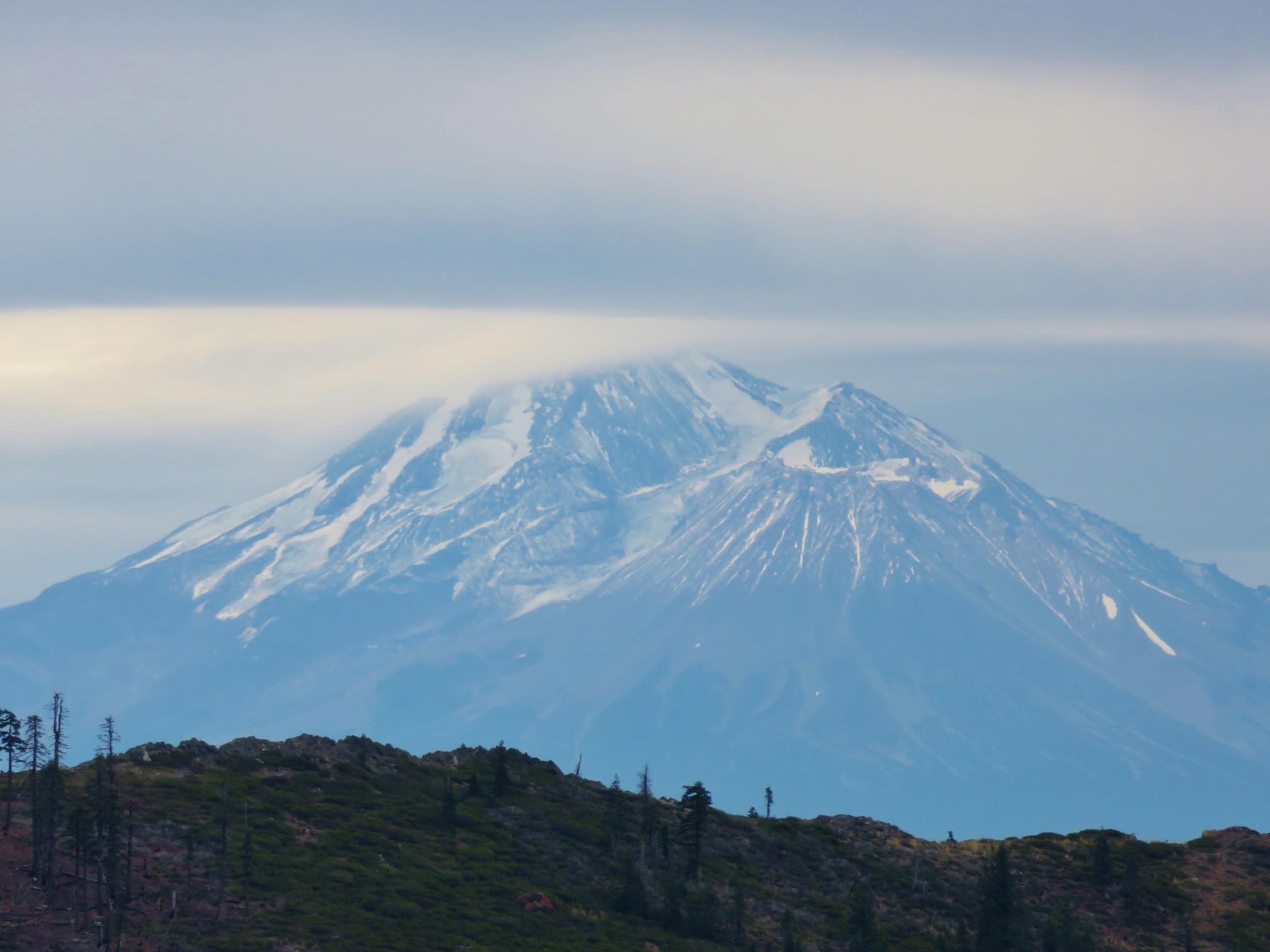
 Mt. Thielsen
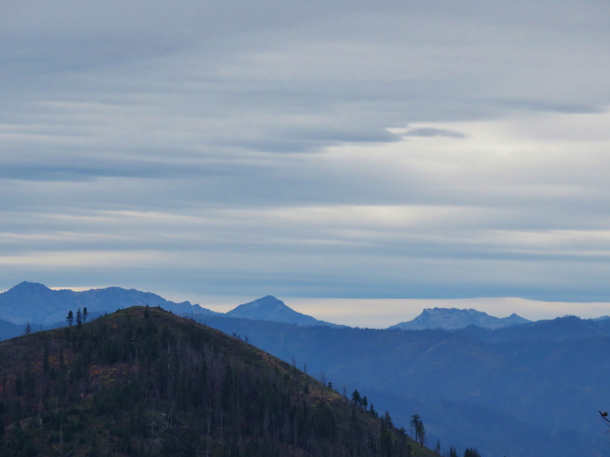
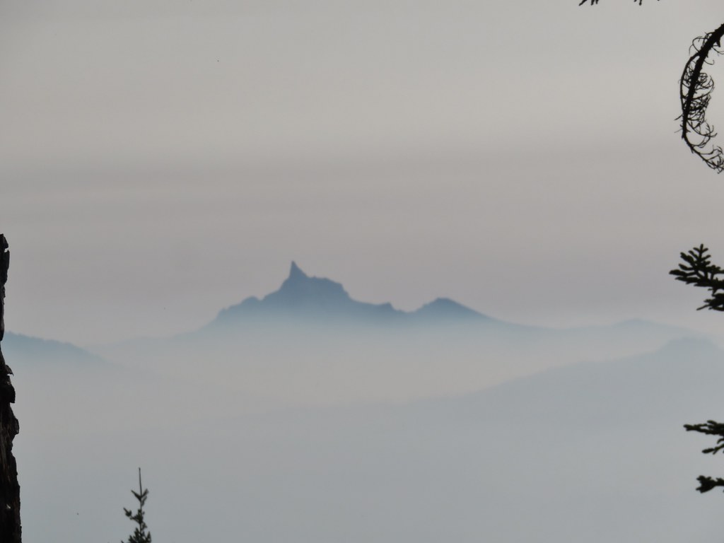
 High points along the rim of Crater Lake above the smoke.
 A bee photobomb with Mt. Bailey and Mt. Thielsen to it’s right.
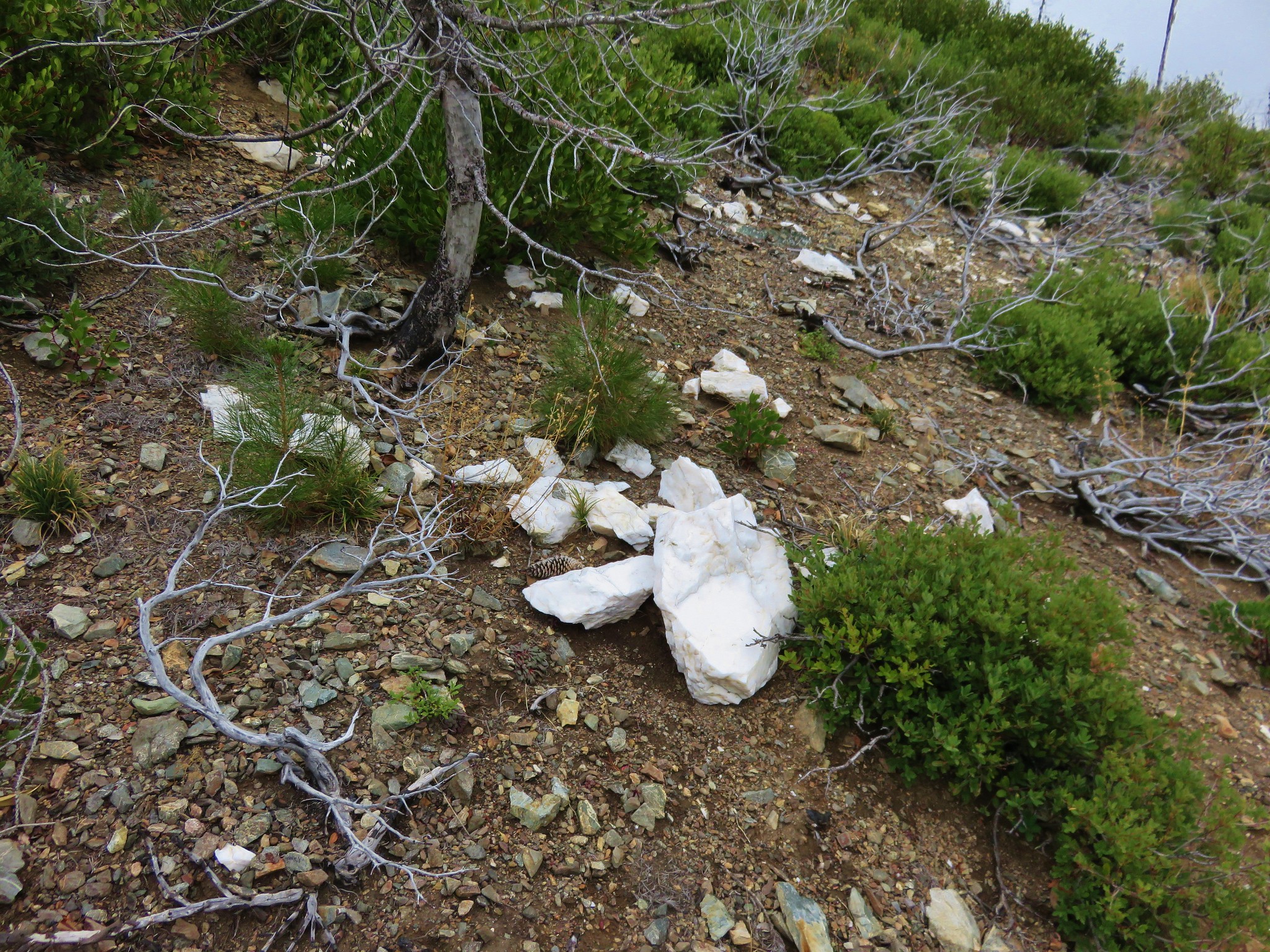
 Flagging in the burn scar.
 Nuttall’s linanthus
 Owls clover

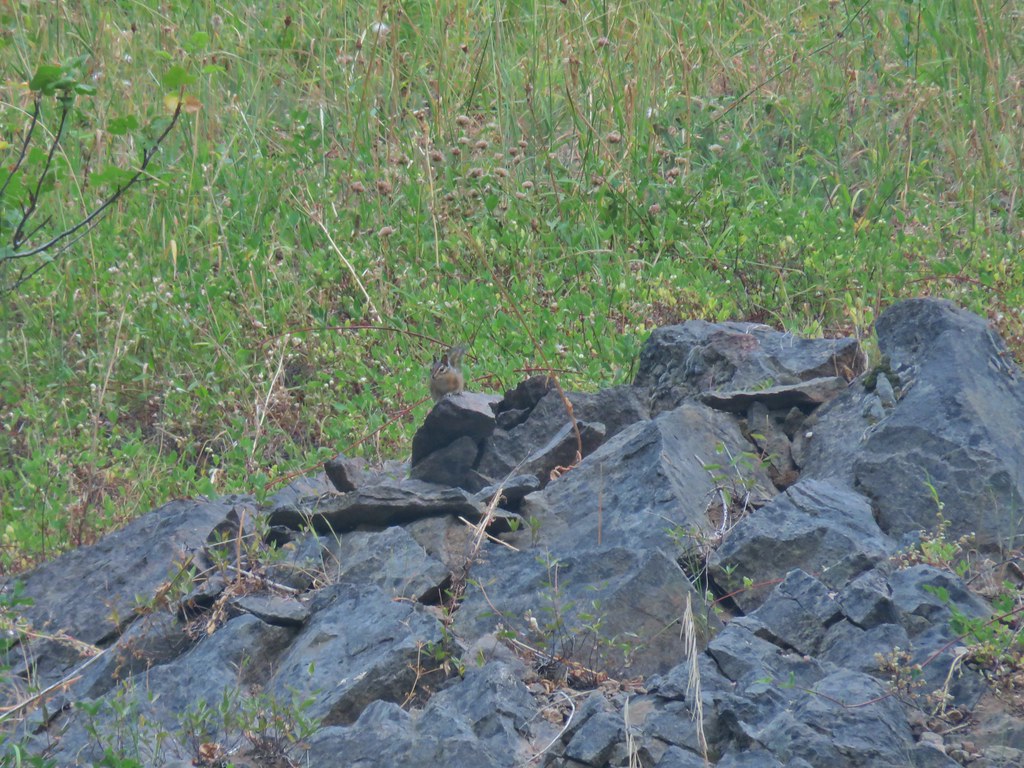
 Golden-mantled ground squirrel.
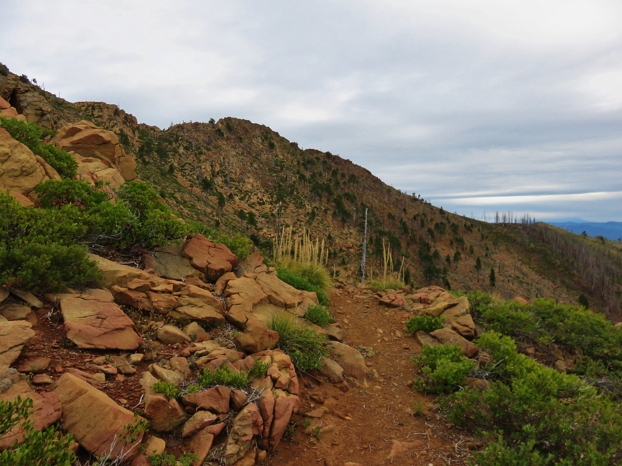
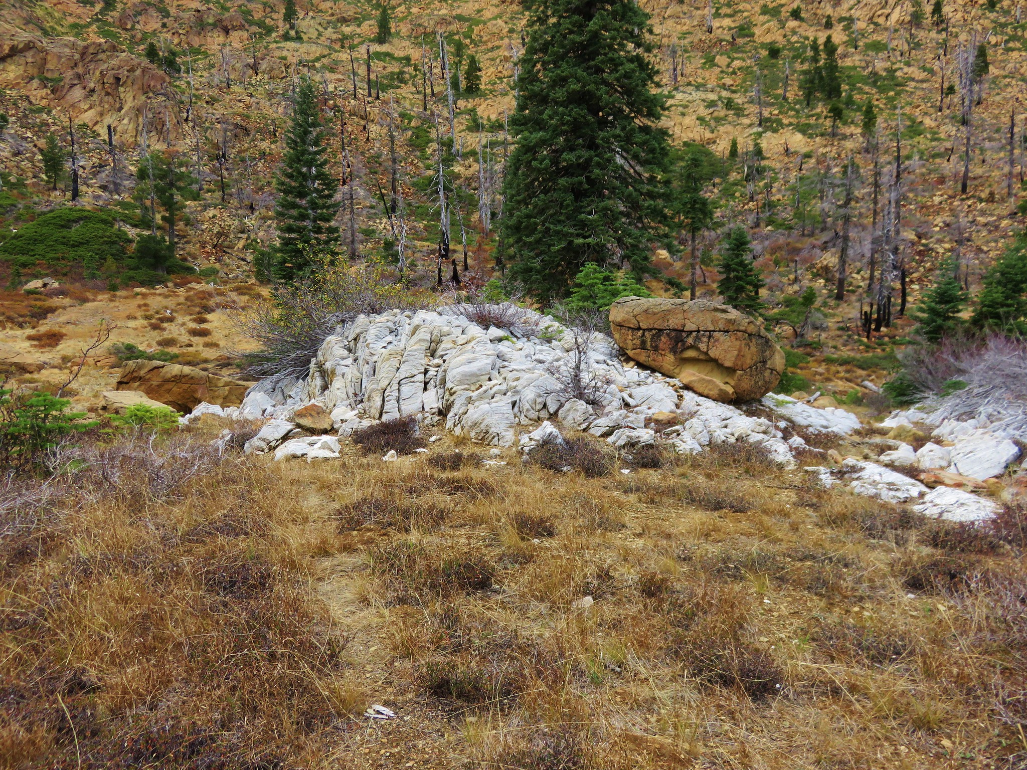
 The rock cairn.
The Rattlesnake Mountain Trail continued NE at a much smaller cairn at a switchback below the larger cairn. We missed this on the way up, it appears that it had not been maintained since the 2017 Rattlesnake Fire.

From the large cairn we simply headed uphill through the meadow to a viewpoint on the west side of the mountain.
 Nearing the summit.
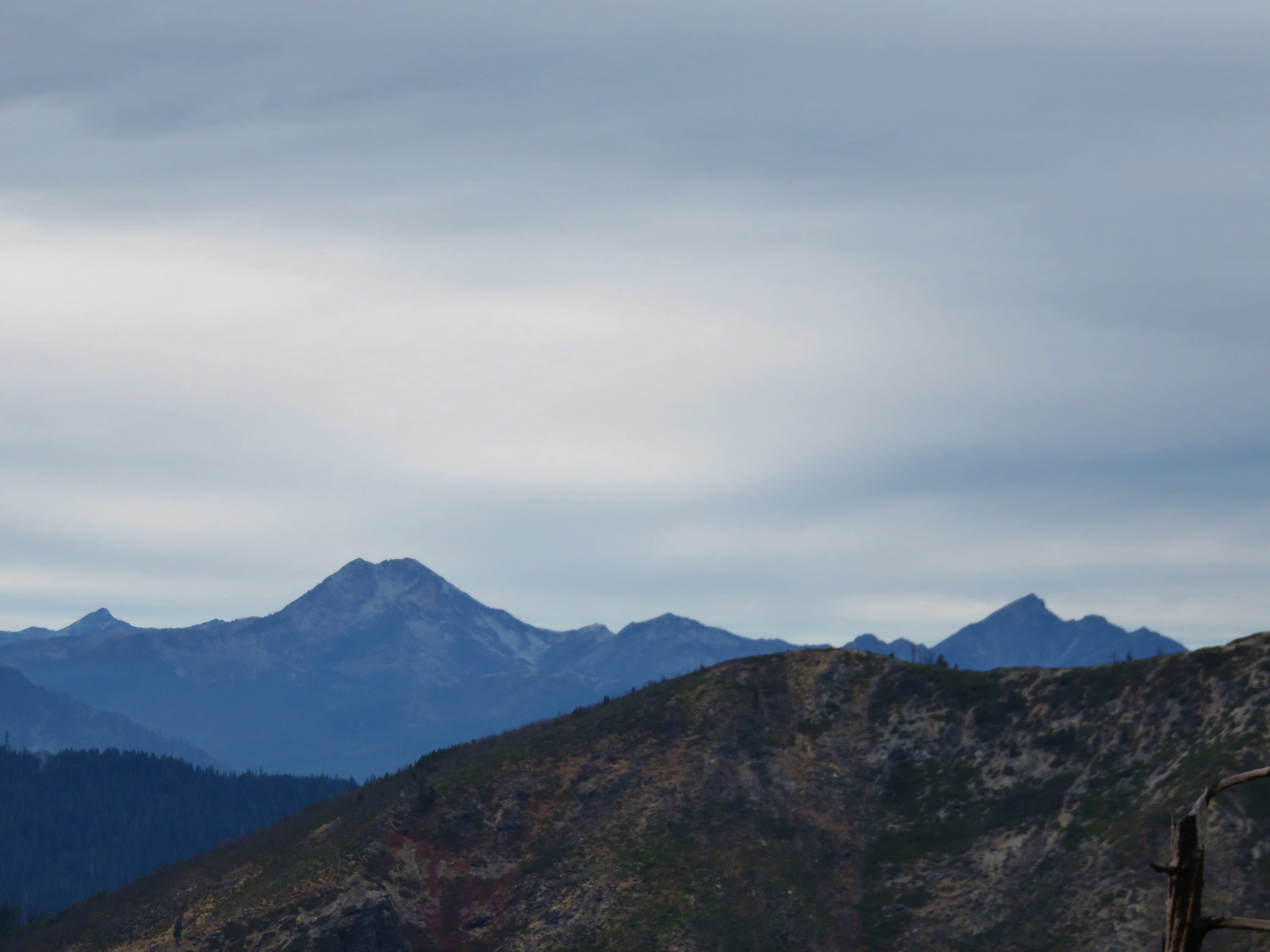
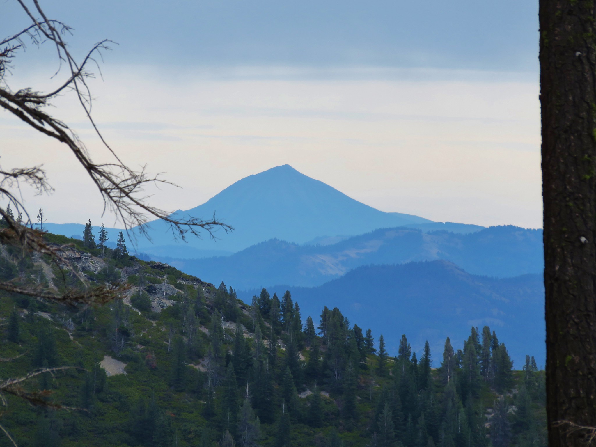
The air was okay where we were, but the smoke was impacting the views. We were able to make out the top of Mt. McLoughlin beyond Fish Mountain.
 Mt. McLoughlin
 Hillman Peak and The Watchman at Crater Lake
We tried taking a break amid the trees near the summit but we wound up attracting a number of yellow jackets (and I don’t do yellow jackets) so we decided to instead stroll around the fairly level top of Rattlesnake Mountain where we located the old lookout site.

 Butterfly and bees.
We did a small loop around the forested top and dropped back down through the meadow to the cairn and returned to Windy Gap.
 For some reason this cracked us up.
 Heather spotted this cricket on my shoulder (I always have some sort of insect on me for some reason).
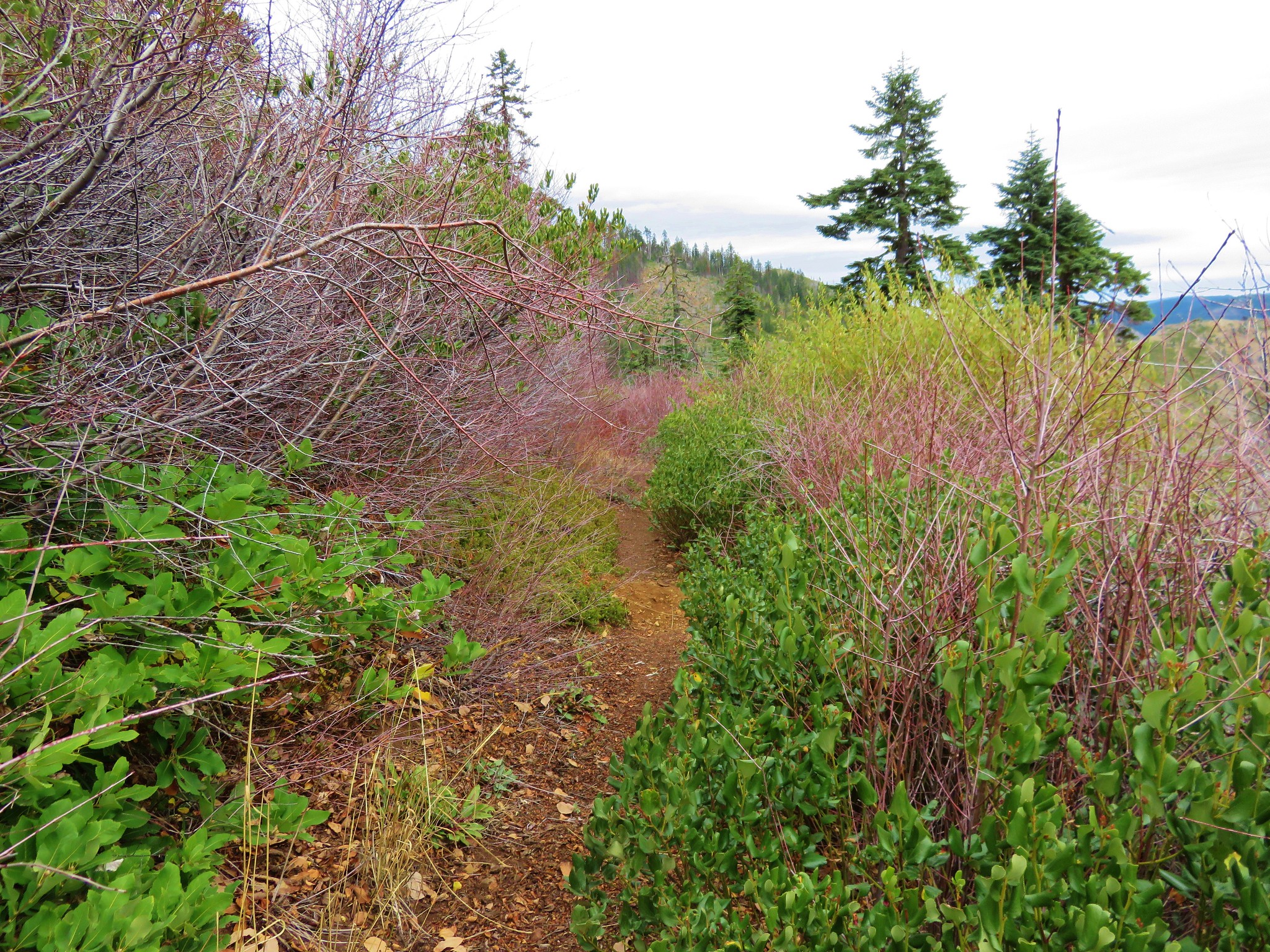
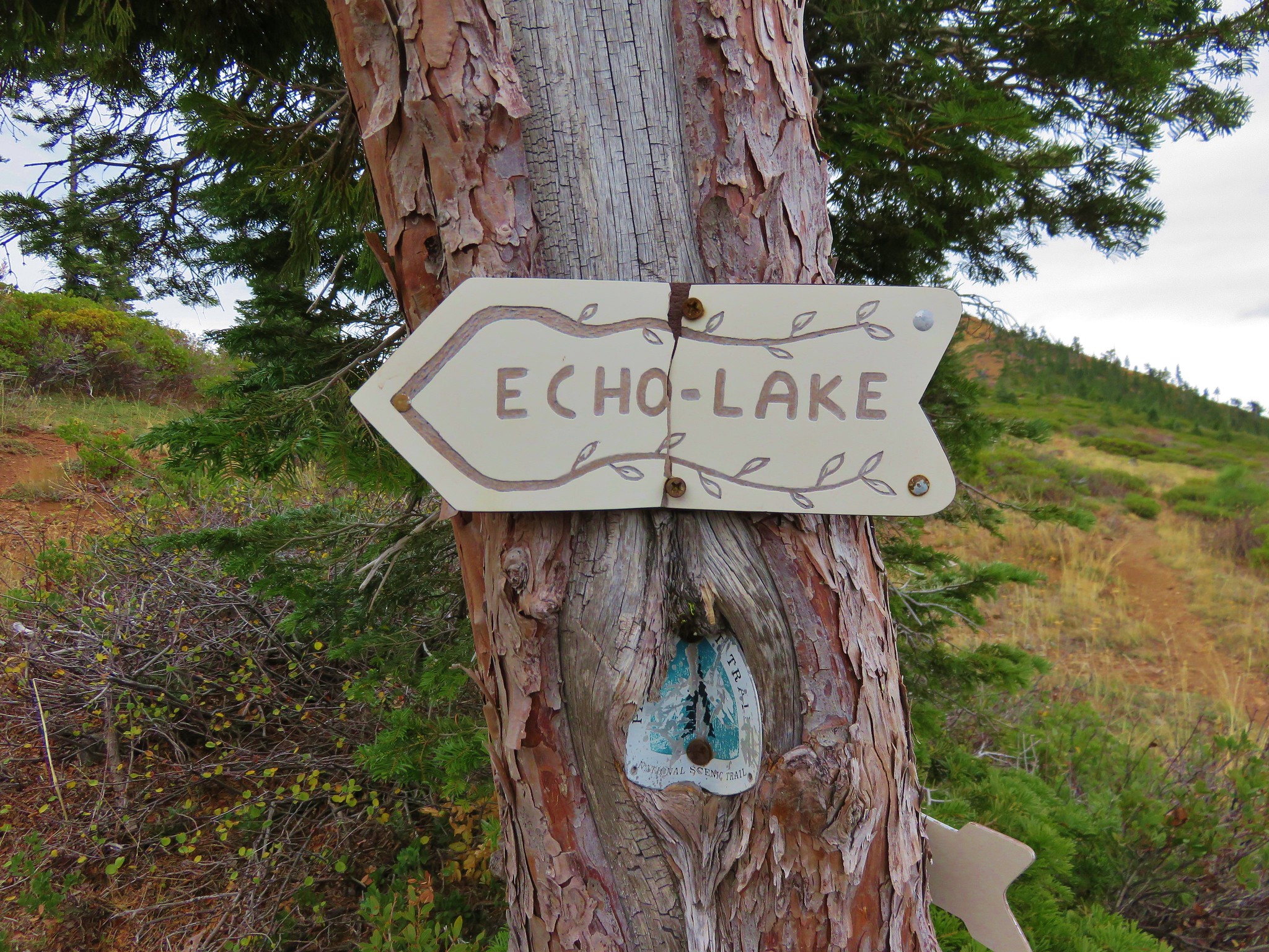
At the 4-way junction at Windy Gap we went straight following a sign for the “Tie Trail to Castle Creek Trail No. 1576”. (Not a trail name that just flows off the tongue.)

Approximately .2 miles from Windy Gap we passed a sign for a faint unnamed trail leading uphill to the right.
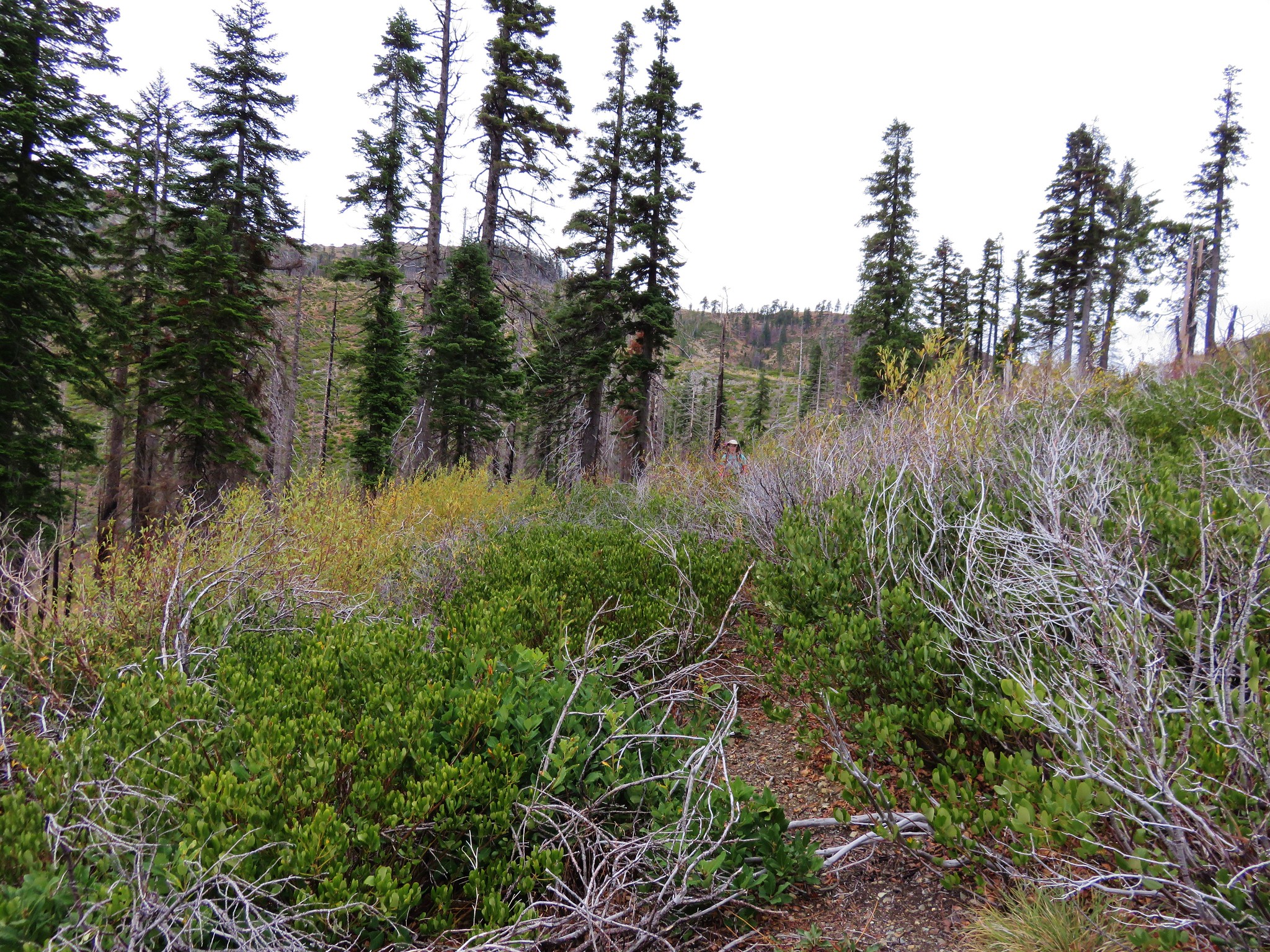
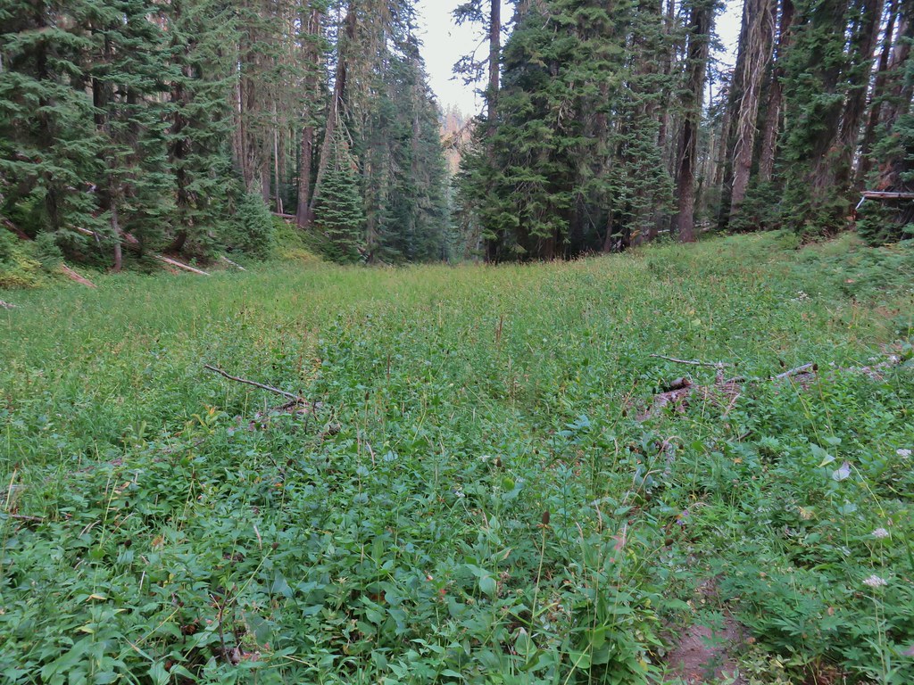
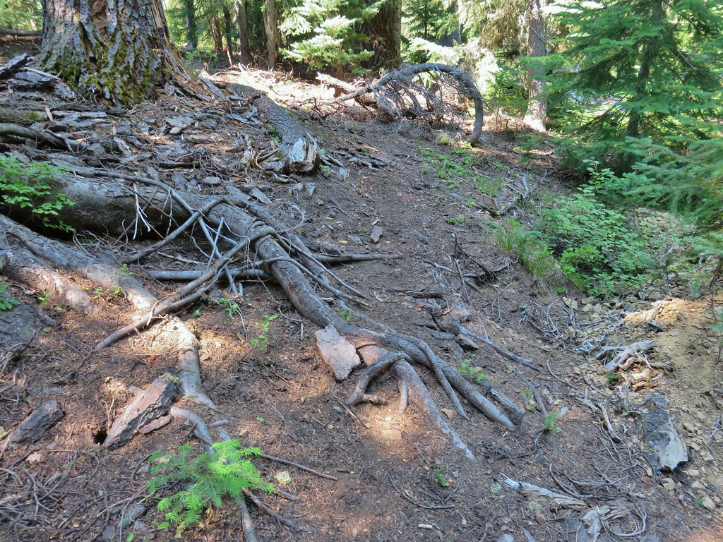
The next .2 miles were interesting as the trail grew faint and then disappeared in a meadow.

This section of trail was not shown on the GPS so we couldn’t use that to stick to where the trail was supposed to be so we wound up crossing the meadow and then heading uphill to the Castle Creek Trail which was shown on the GPS.
 We’d lost the trail here and were just heading for the Castle Creek Trail.
 We came across this faint tread in the trees before reaching the Castle Creek Trail and started following it.
 Apparently it was the actual trail as it popped us out at a trail sign along the Castle Creek Trail.
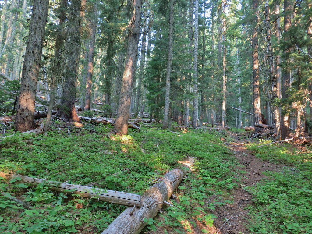
We turned left on the Castle Creek Trail, which followed an old roadbed downhill for 1.1 miles to the end of Fish Creek Valley Road 877 at the Happy Camp Trailhead

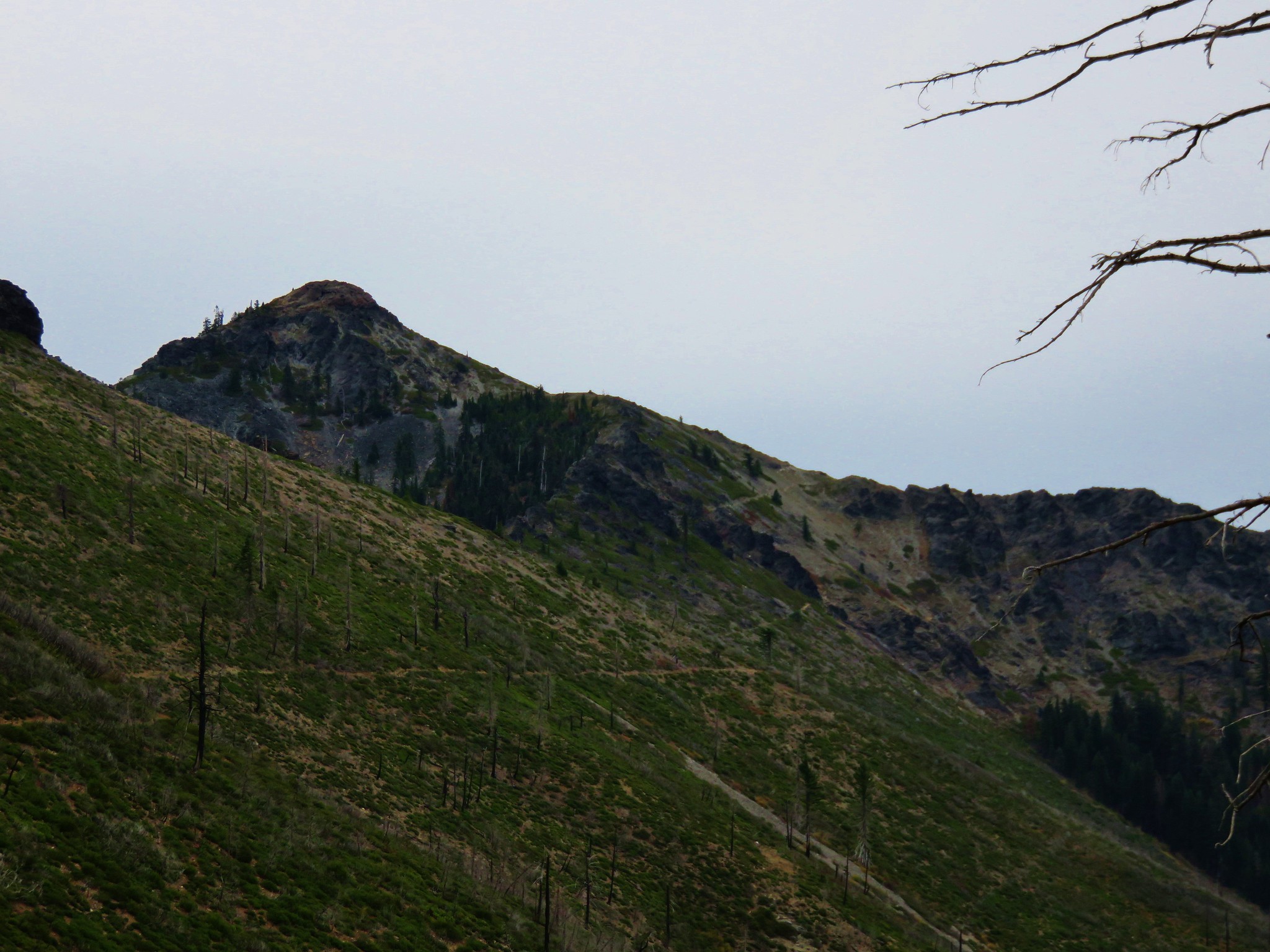
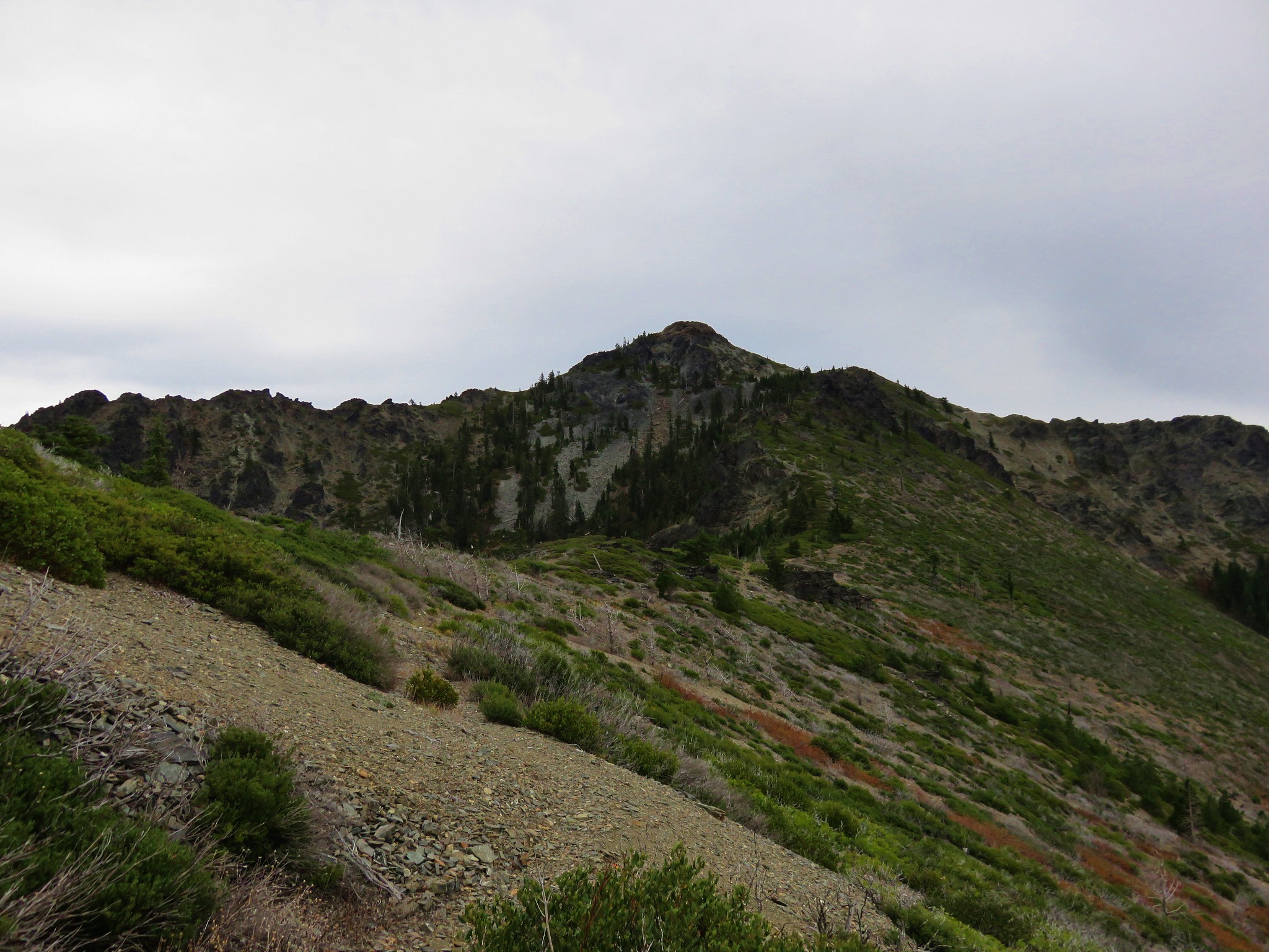
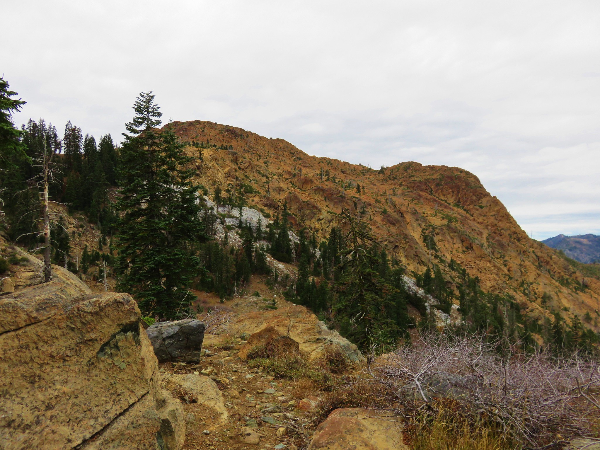
 Rattlesnake Mountain
 Happy Camp Trailhead
We followed the road to the left 100 yards to the Rogue-Umpqua Divide Trail.
 Rattlesnake Mountain
 Rogue-Umpqua Divide Trail
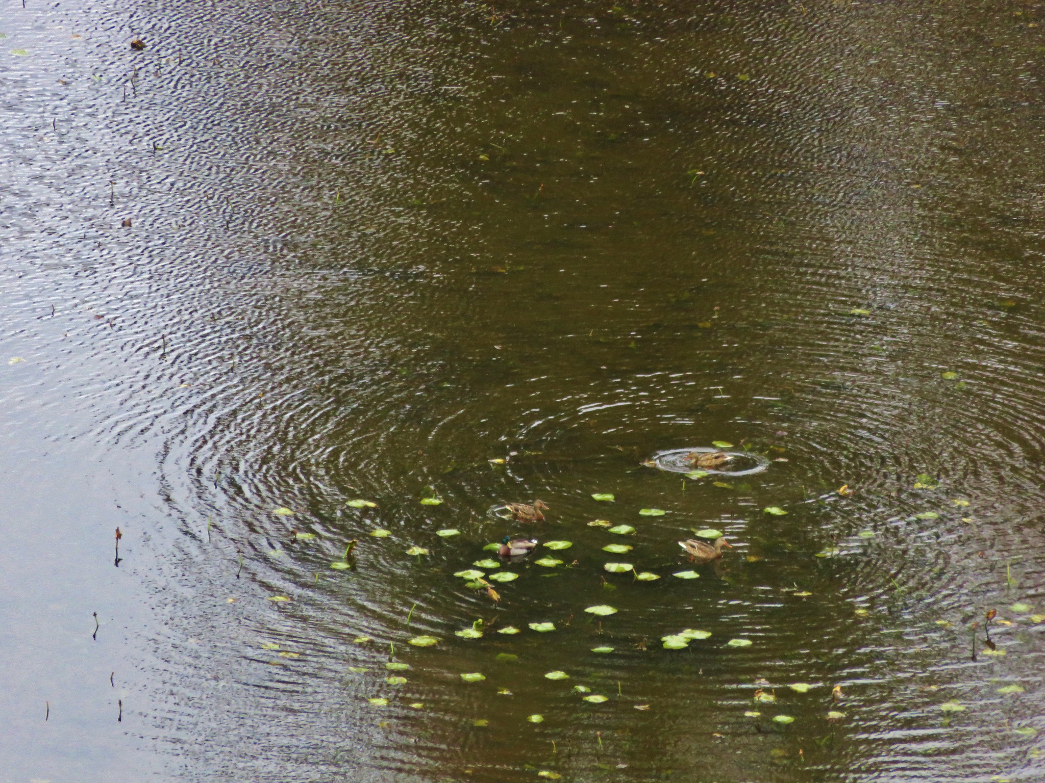
The trail dropped into a meadow and crossed Fish Creek. We followed this trail three quarters of a mile to the junction with the Whitehorse Meadows Trail where we had turned uphill earlier in the day.

 Snake in Fish Creek

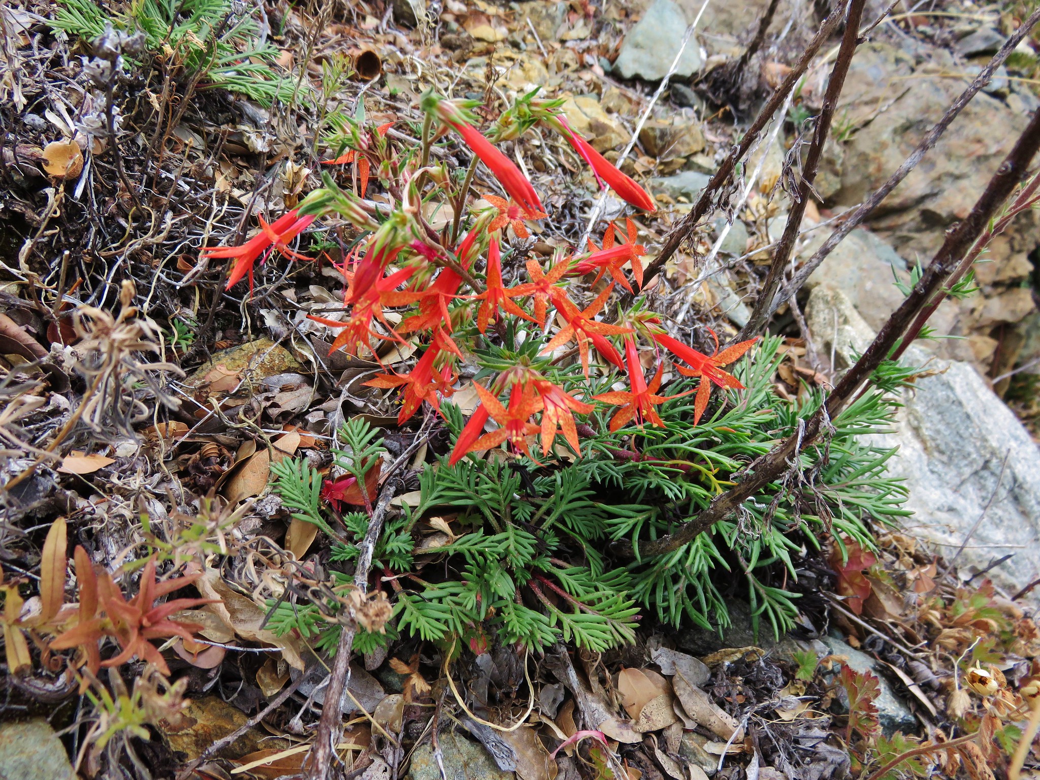
 Scarlet gilia
We then retraced our steps to the Wiley Camp Trail and the Fish Creek Crossing where we refilled our water supply.
 Fish Creek
 Fish in Fish Creek
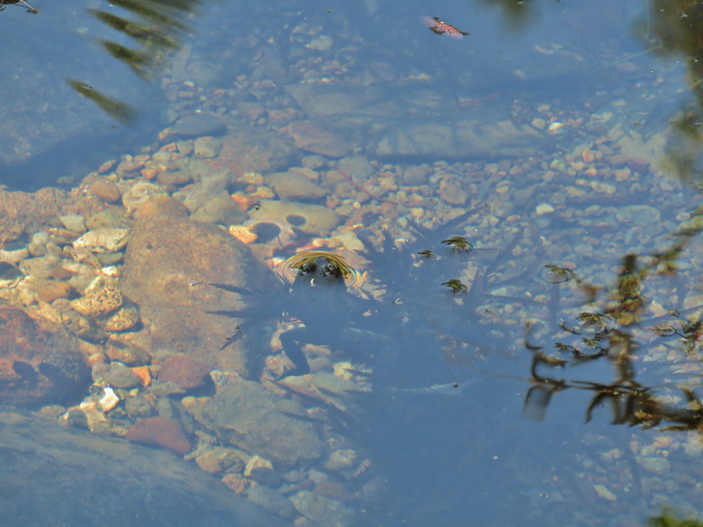 Frog in Fish Creek
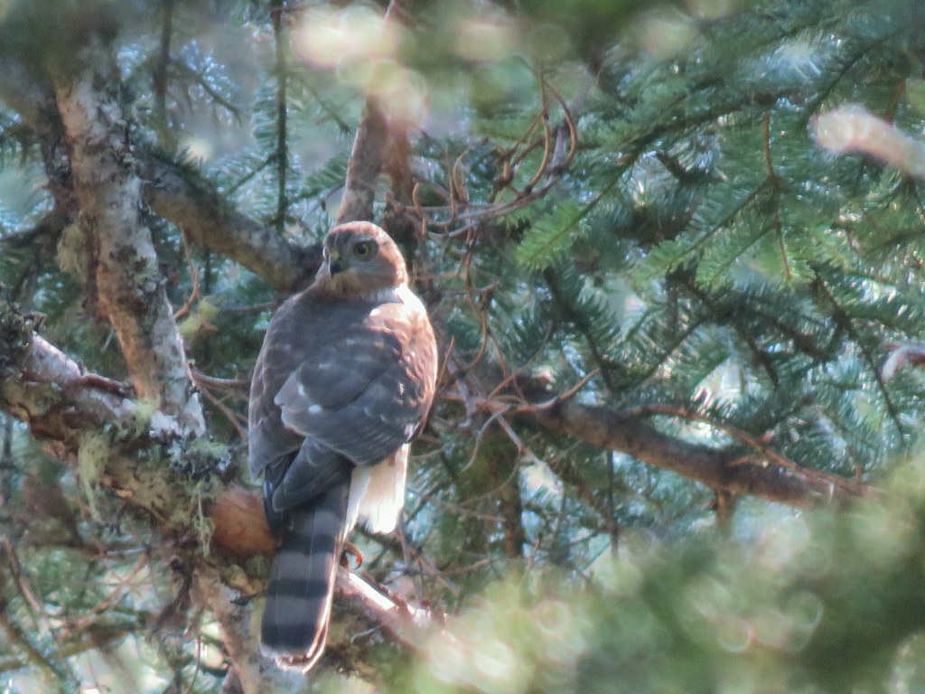
As we climbed past the meadow beyond Fish Creek we spotted several hawks and one deer who crashed off before we knew what had happened.

We recrossed Fish Creek Valley Road 870 and returned to camp on the Wiley Camp Trail.

No sooner had I sat down at camp when a bat flew by and landed on a nearby tree.
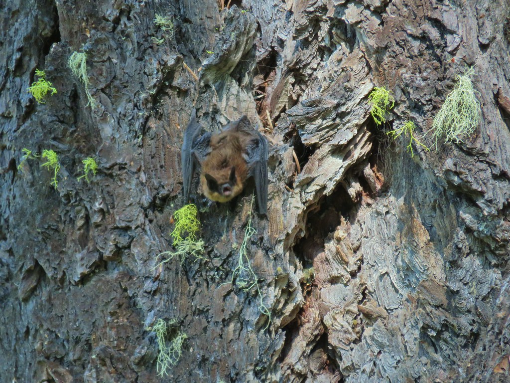
I’m not sure why it was out during the day but it stayed on the tree for a minute or two then flew off across the creek. We spent the rest of the day relaxing at the creek (which was really cold).
 Monkshood
 This frog decided that under Heather’s pack was a nice spot to chill.
We didn’t see another person the entire day which was nice but in a way also a shame. The area is beautiful but it clearly sees little maintenance and appears to see most of it’s visitors during hunting season. The lack of visitors likely contributes to the lack of maintenance which in turn discourages visitors. It’s really a shame. We enjoyed the privacy though and had another nice evening alone with the critters. Happy Trails!
Flickr: Rattlesnake Mountain