For our day trips we try and keep our driving time time to trailheads under 3 hours (preferably two and a half or less). The one exception to that is Mount Adams which sits right around that 3 hour mark from Salem. Due to the distance we don’t get there as much as we’d like but we’d put it on this years schedule. We’ve been turning more to Matt Reeder’s guidebooks and hike #16 his “Off the Beaten Trail (2nd edition) was the hike that we’d originally planned on. While doing some research on the Riley Camp Trail I learned of a use trail not far from the that trail’s junction with the Pacific Crest Trail that led to Crystal Lake so we decided to extend his suggested hike a bit.
A very favorable forecast, sunny skies with a high in the low 50s, provided a green light for our plans and we made the long drive to the Riley Camp Trailhead.
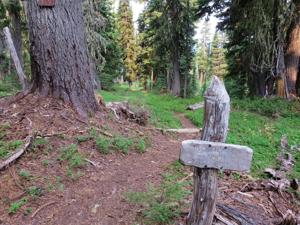
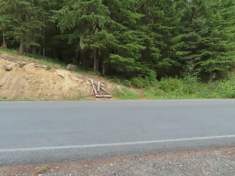 The Riley Camp Trail (Trail 64) on the opposite side of FR 23.
A short distance up the trail we stopped to fill out a day use permit (free) and review the wilderness map on the signboard.


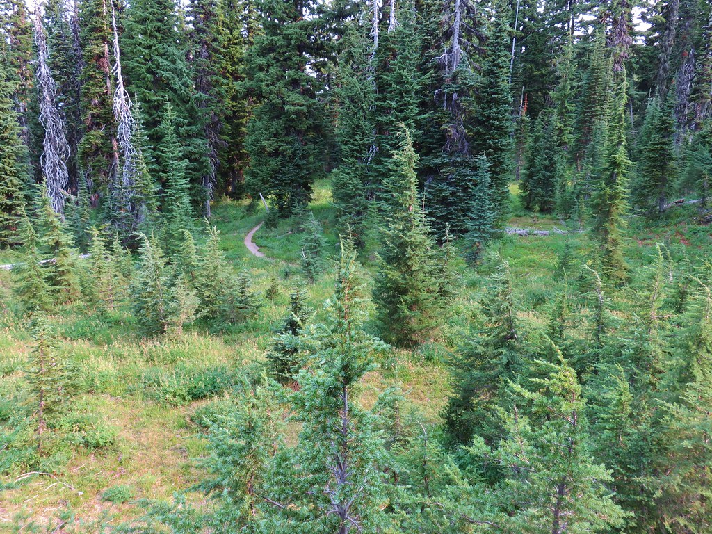
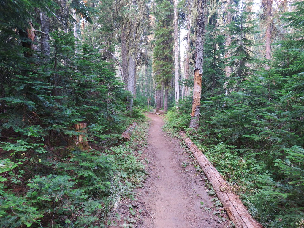
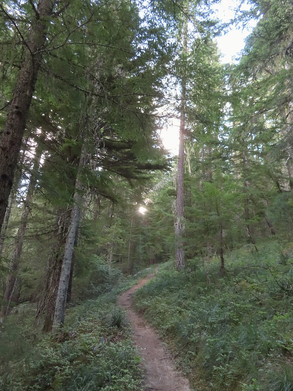
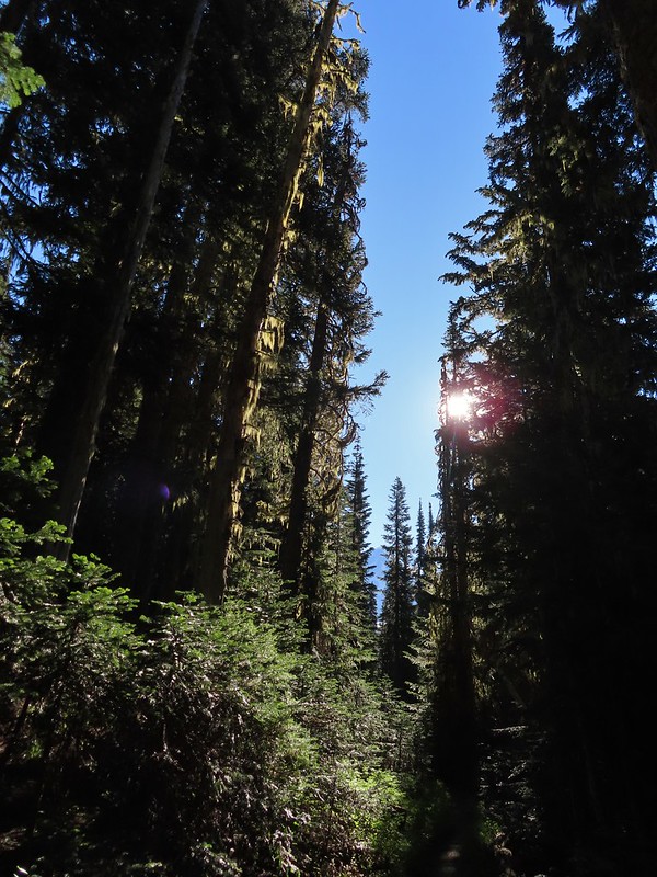
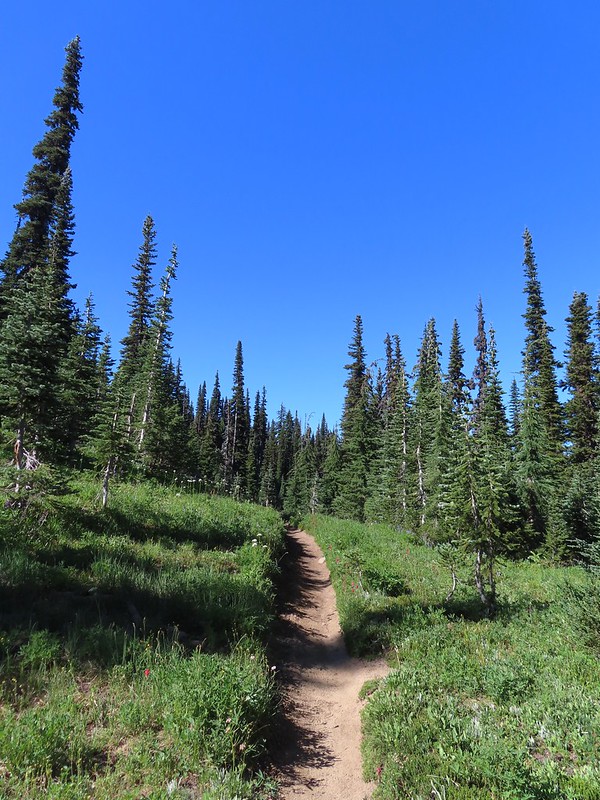
Trail 64 led gradually uphill through a nice forest.
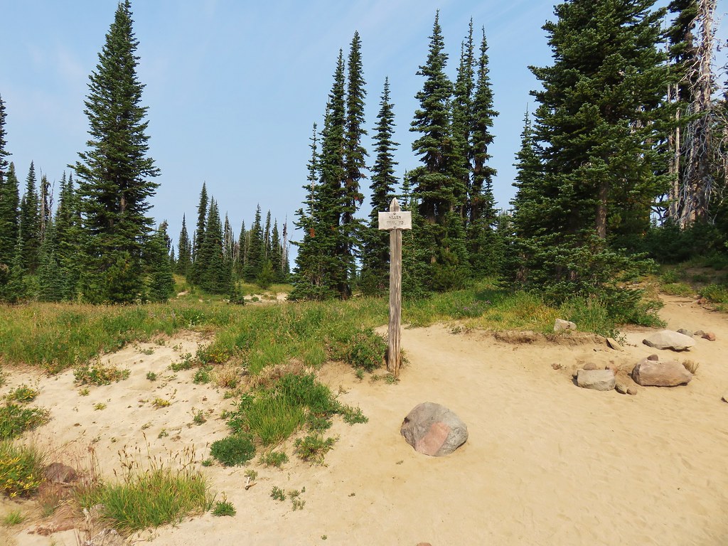
A little over one and a quarter mile from the trailhead we came to a signed junction with the Riley South Trail (Trail 64A).

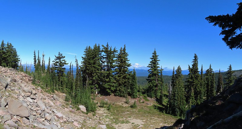
We stayed left on the Riley Camp Trail which almost immediately entered the Mount Adams Wilderness.

 We weren’t aware that the Forest Service was employing wilderness greeters.
 May I see your self-issued permit?
We had started to notice a fair number of mosquitos near the junction and were forced to turn to the Deet. We’d been pretty luck so far this year at avoiding the little blood suckers but not on this day. While they weren’t anywhere near as bad as we’ve had them before they were persistent between the Riley South junction and the end of the Riley Camp Trail at the PCT. With the bugs after us we kept a decent pace as the trail continued it’s gradual climb through the forest.
 The trail was in pretty good shape with just a few downed trees to step over/under.
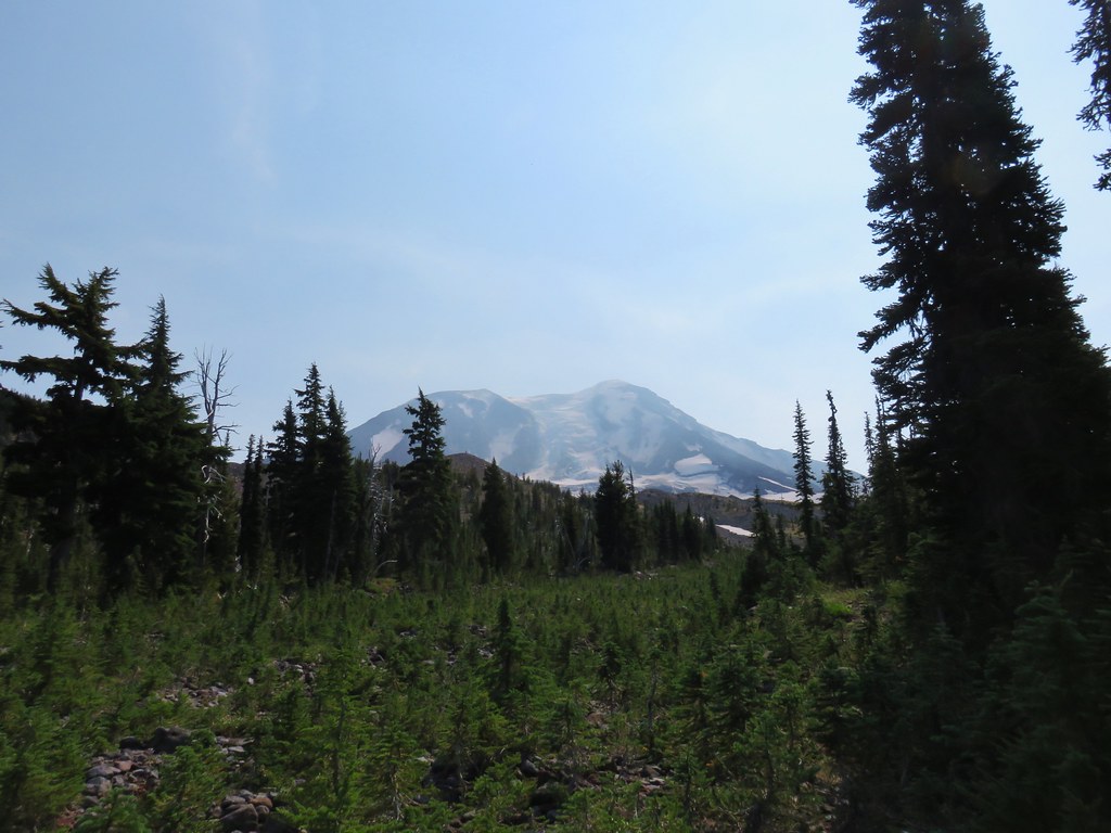
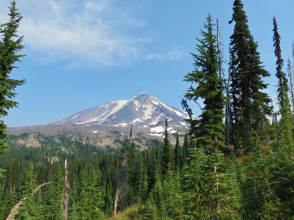
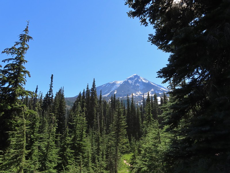
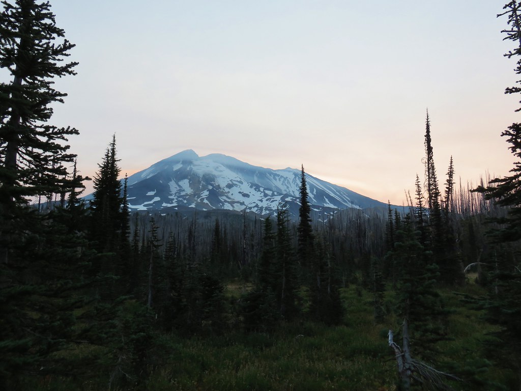
 First look at Mt. Adams through the trees.
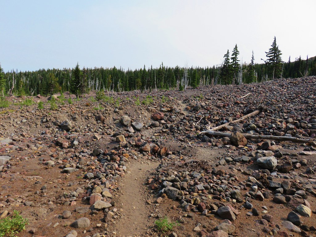
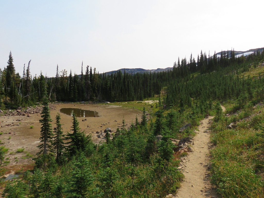
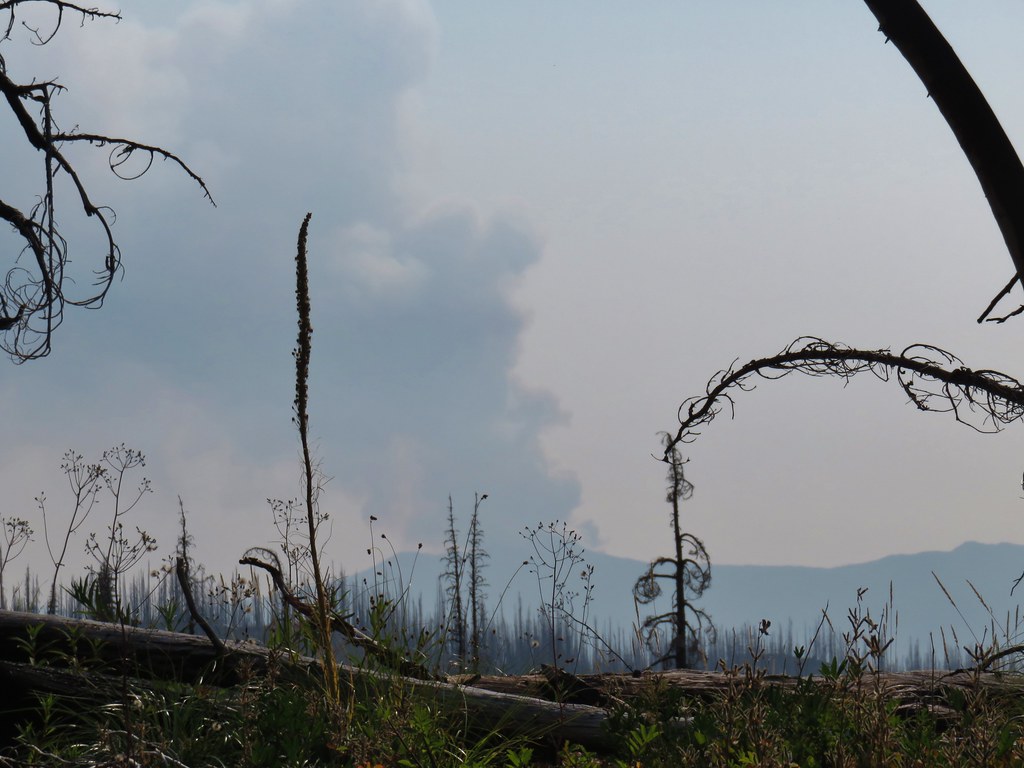
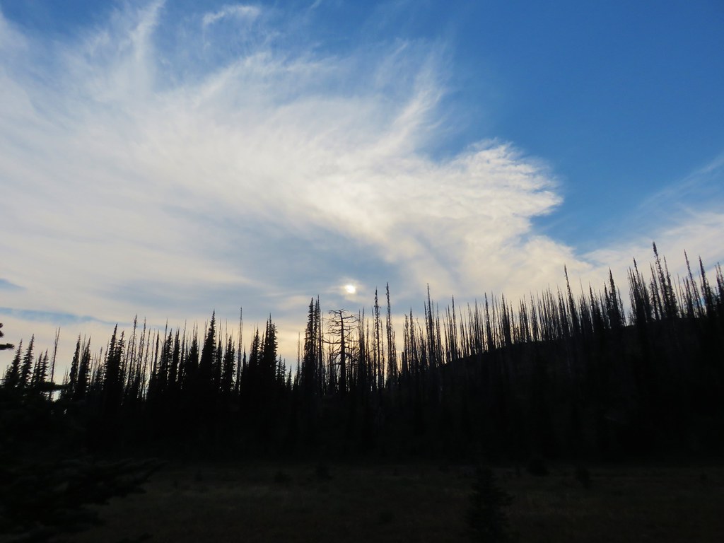
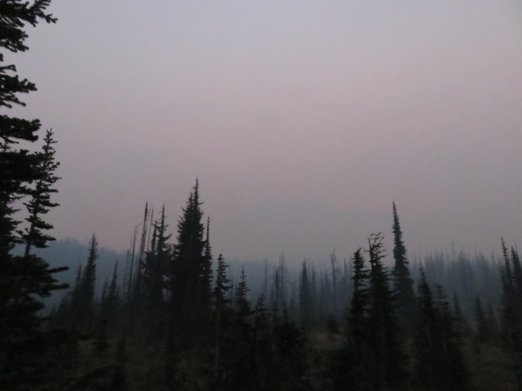
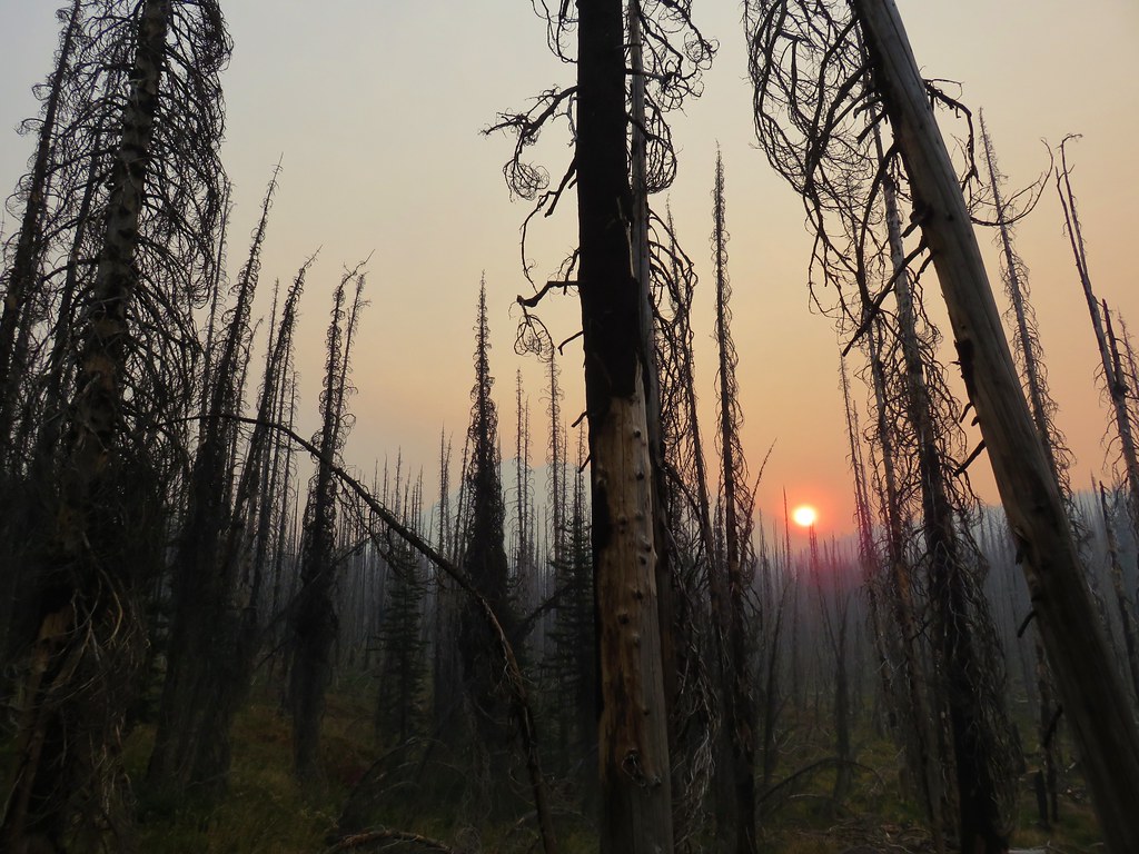
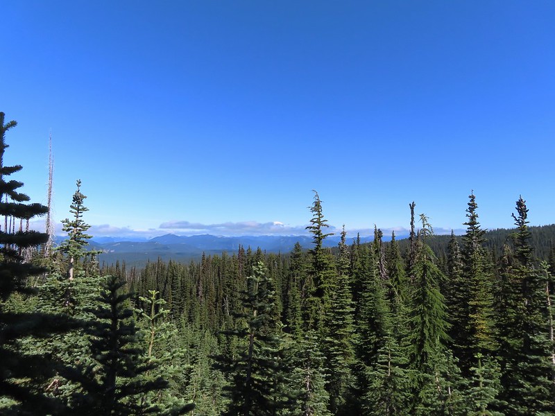
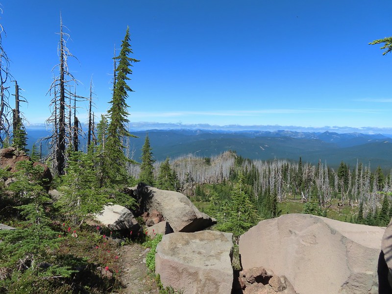
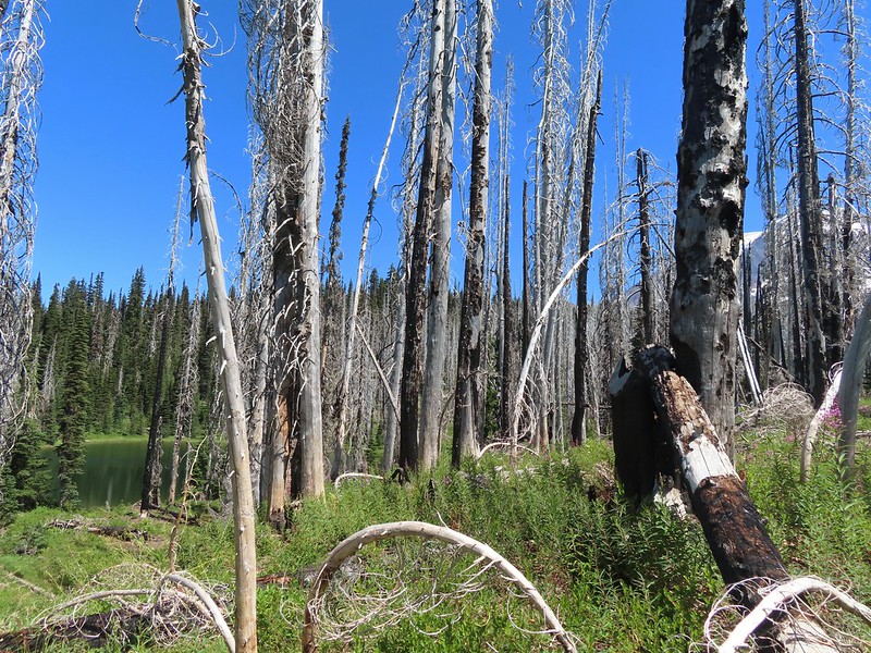
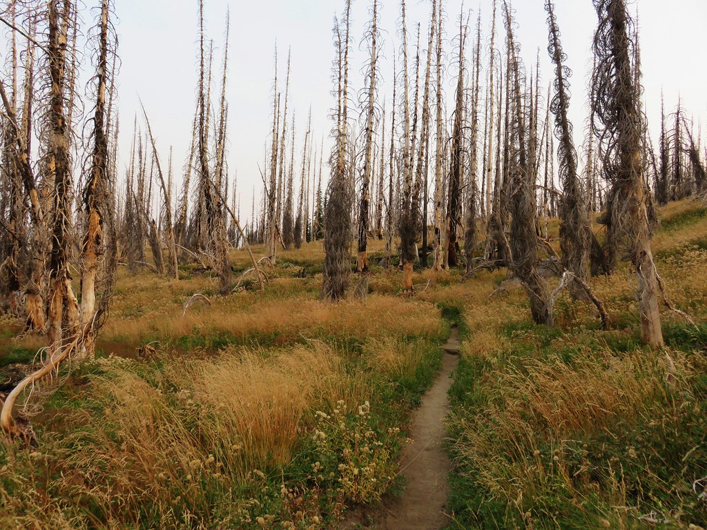
Near the 2.7 mile mark the trail briefly entered a 2015 fire scar.


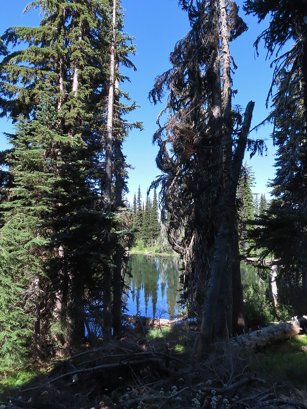
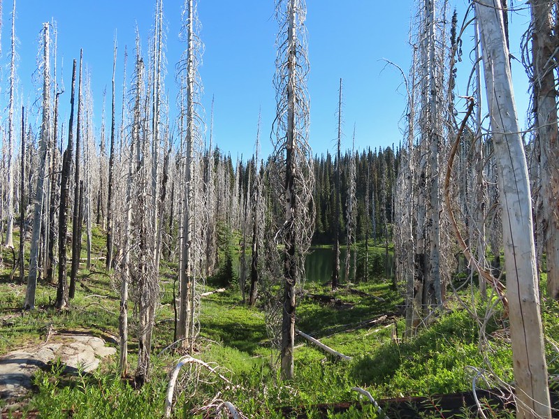 Luna Lake
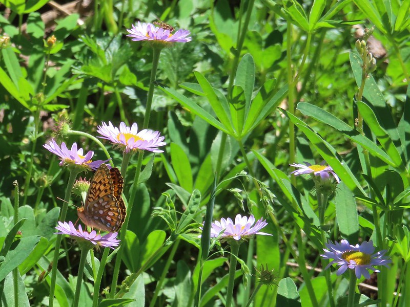
 Aster
Aster

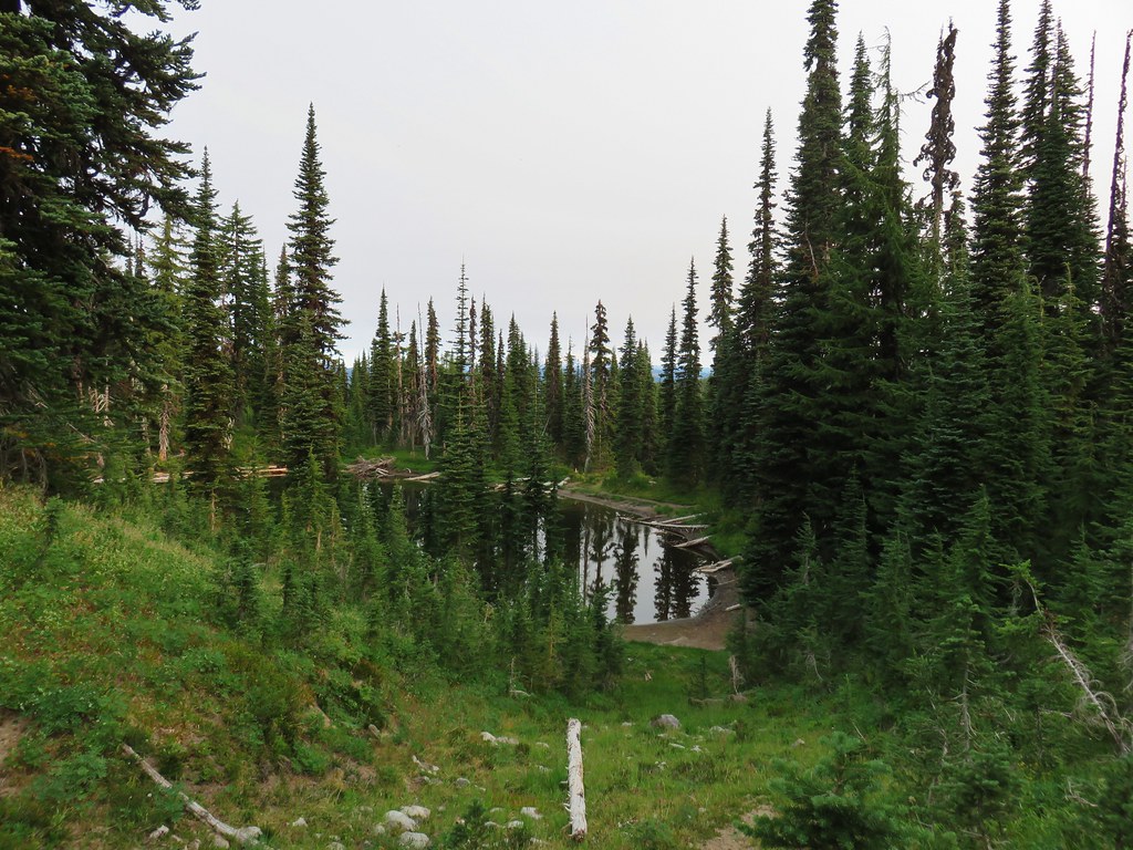
We left the fire scar behind as the trail turned north passing by a series of ponds/lakes (mosquito breeding grounds).

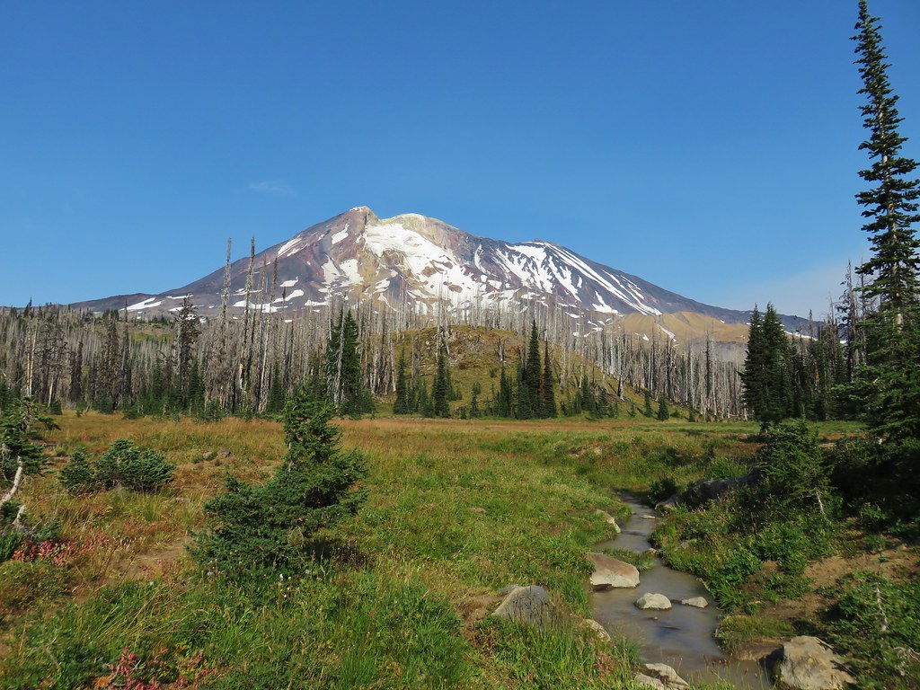
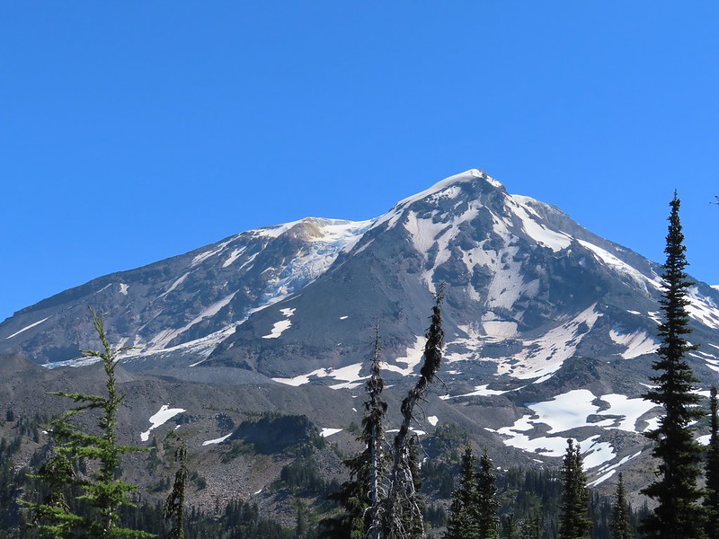
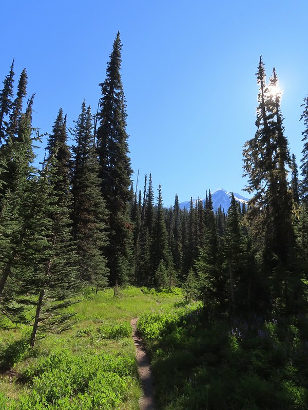 More Mt. Adams.
 Paintbrush and lupine

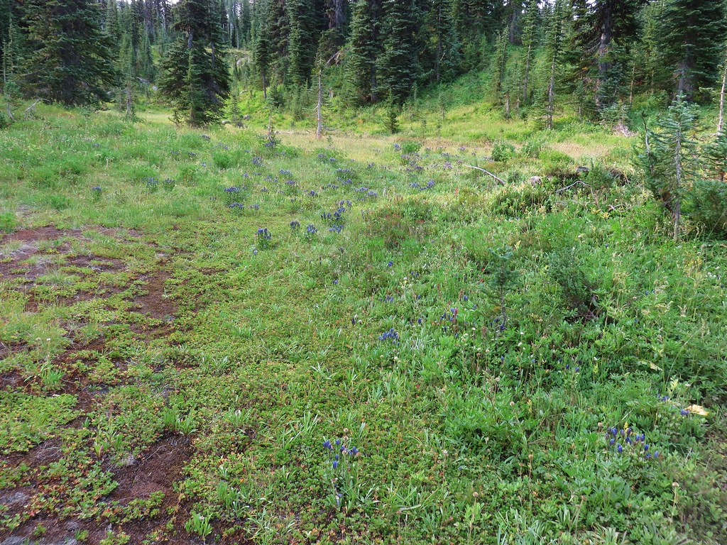
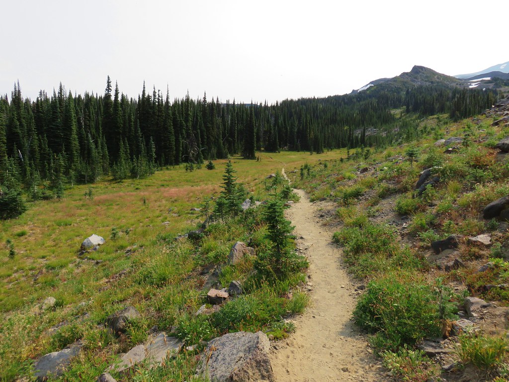
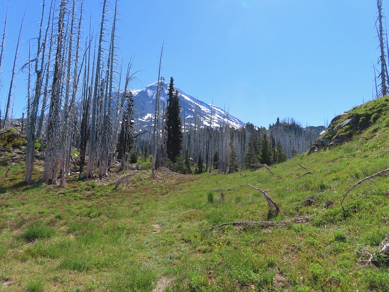
Beyond the mosquito birthing centers the trail began to curve back to the east and entered Riley Creek Meadows.

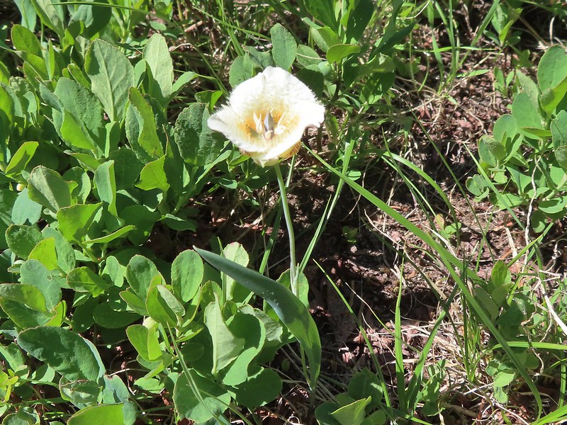 Sub-alpine mariposa lily
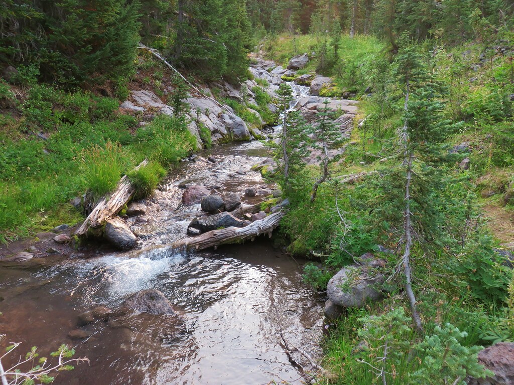
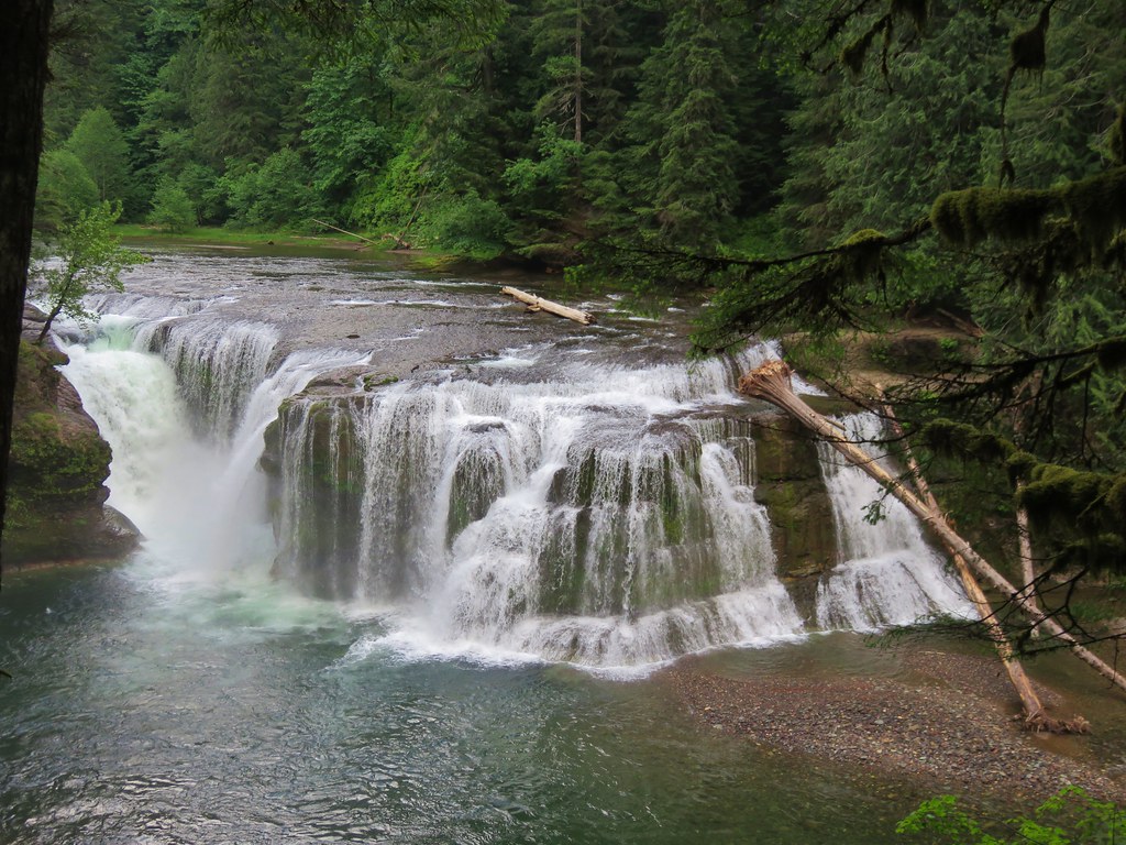
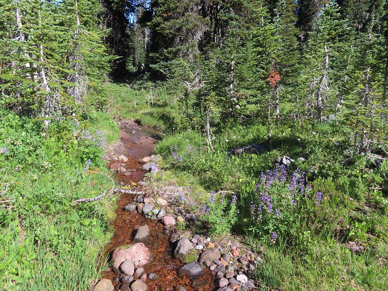
 Riley Creek along the trail.
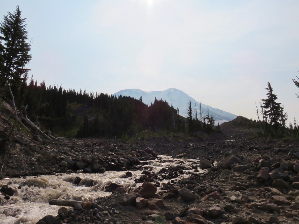
Just over 4.5 miles from the trailhead we crossed Riley Creek.
 Riley Creek at the crossing.
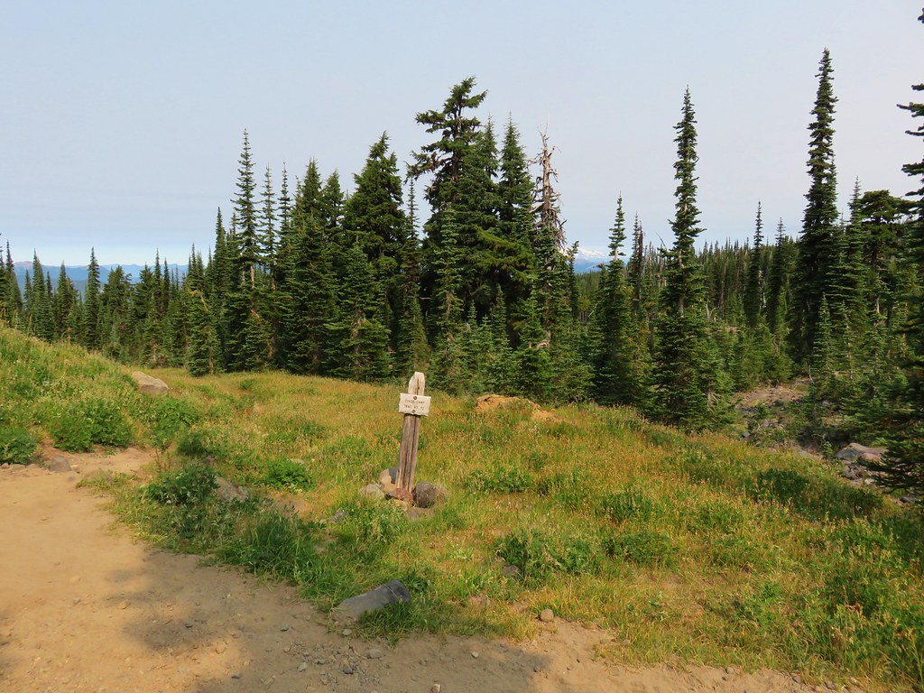
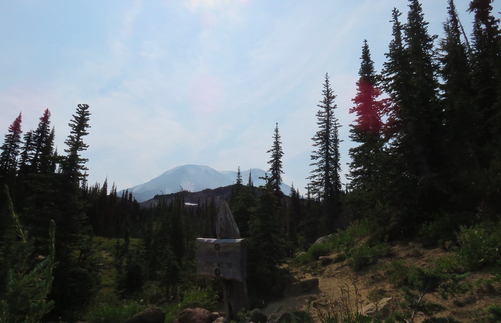
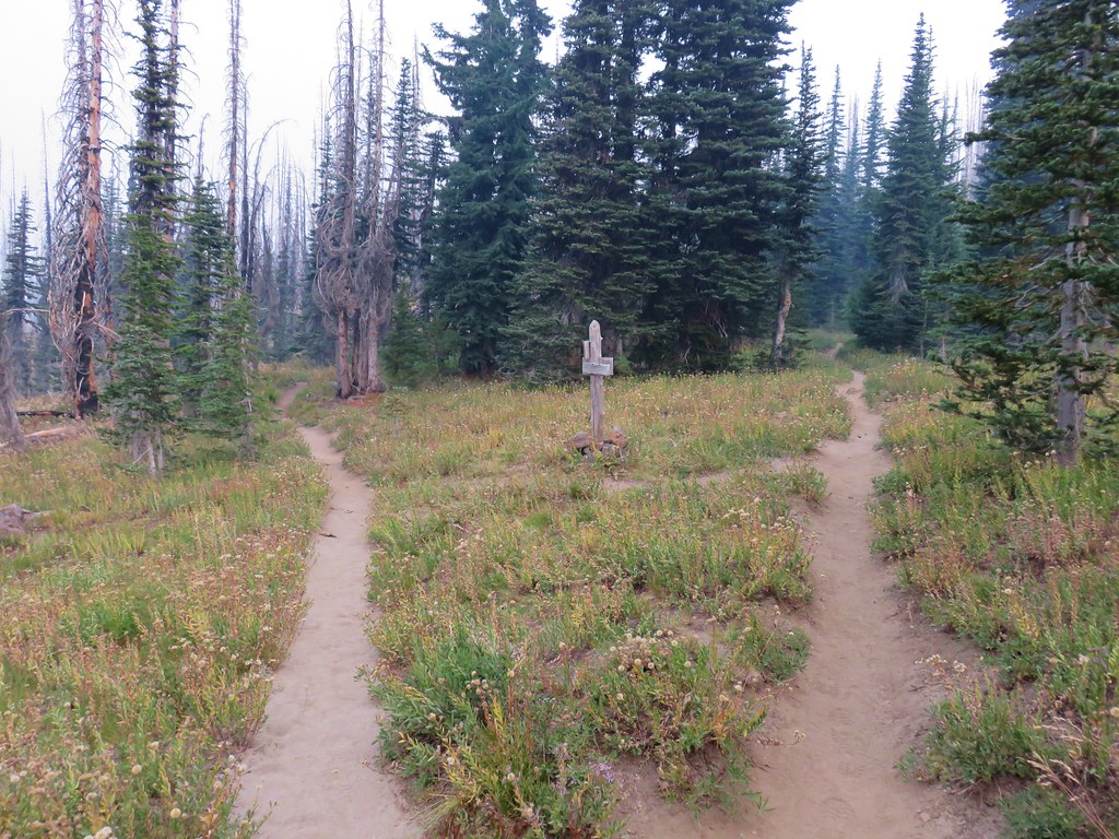
Beyond the crossing the trail made a final 0.3 mile climb to the PCT.
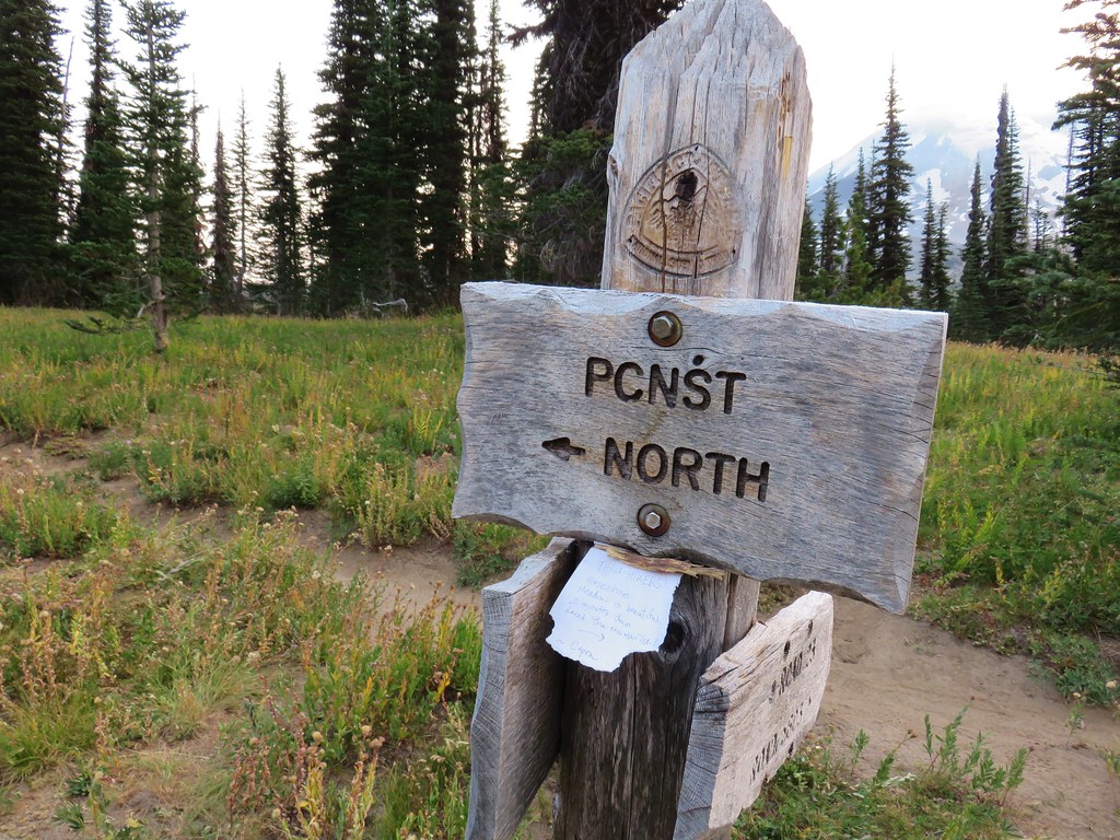
 A trail sign up ahead at the junction.
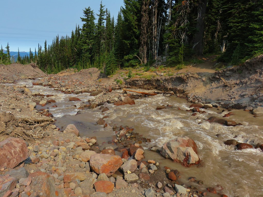
We turned right on the PCT which brought us back to Riley Creek after 0.2 miles.
 PCT marker on the tree.
 Riley Creek below the PCT crossing.
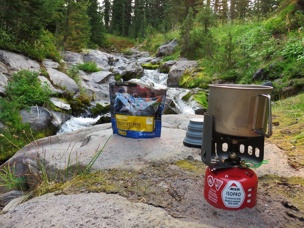
We detoured briefly upstream to revisit our dinner spot during an overnight trip in 2017 (post).

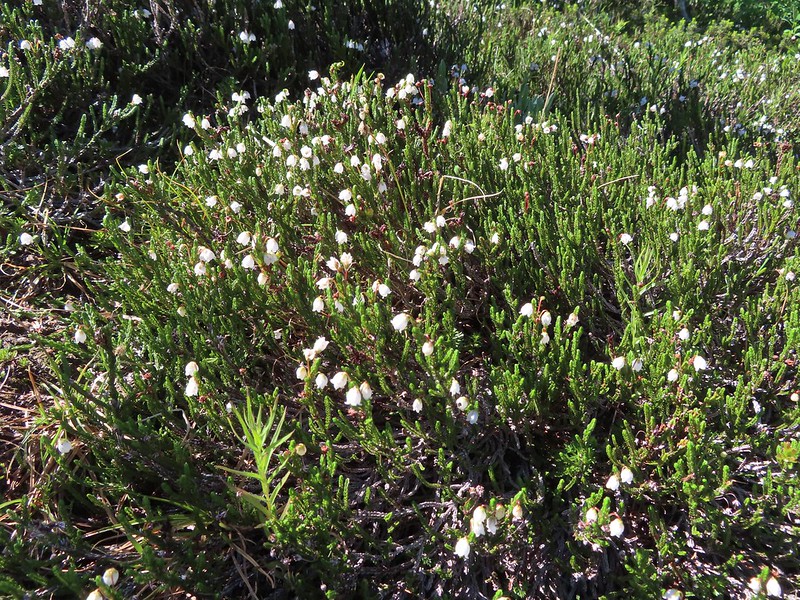 White mountain heather
 A nice paintbrush
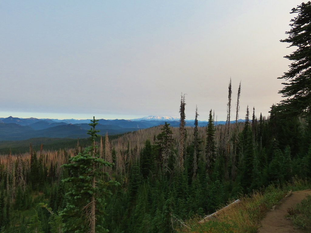
After the short detour we continued south on the PCT to Burnt Rock (just under half a mile from Riley Creek).
 Mt. Adams behind us as we headed south.
 Sheep Lake
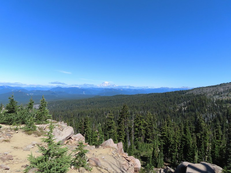
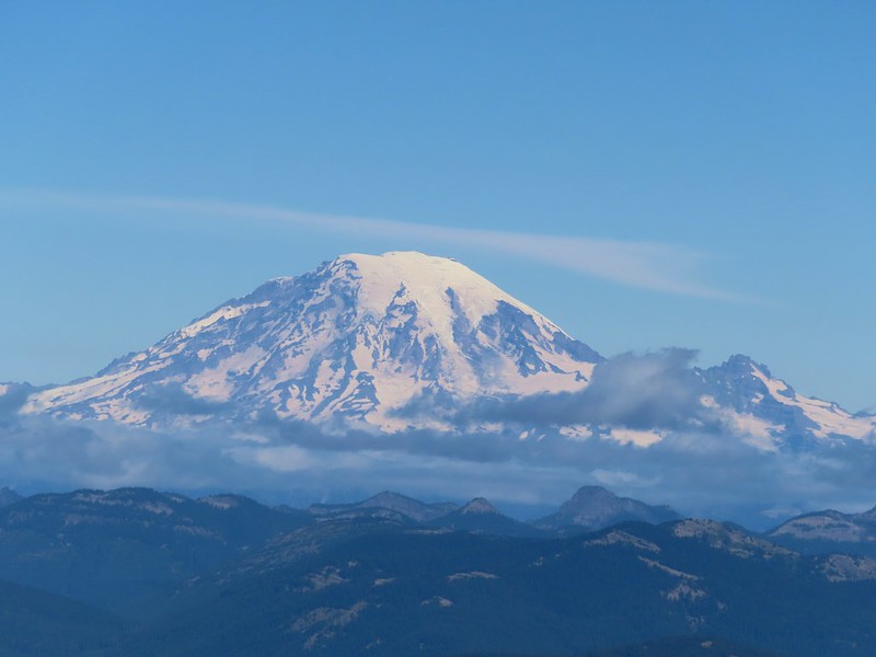
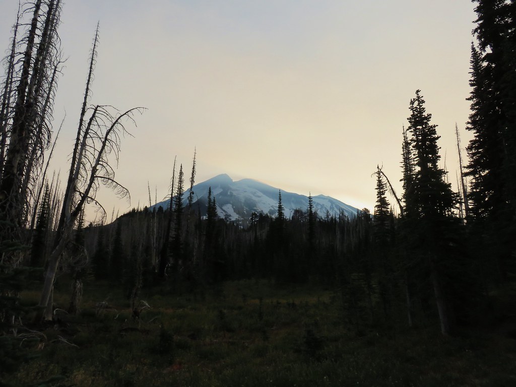
 Mt. Rainier behind a line of clouds.
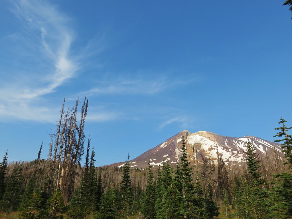
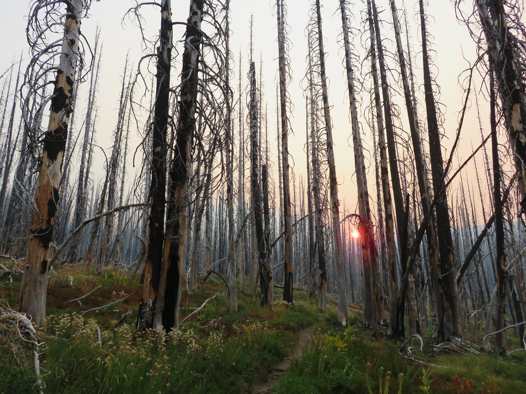
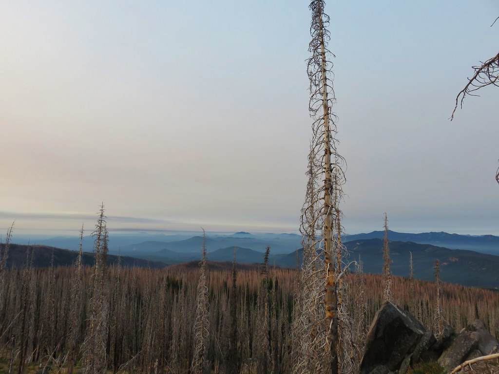
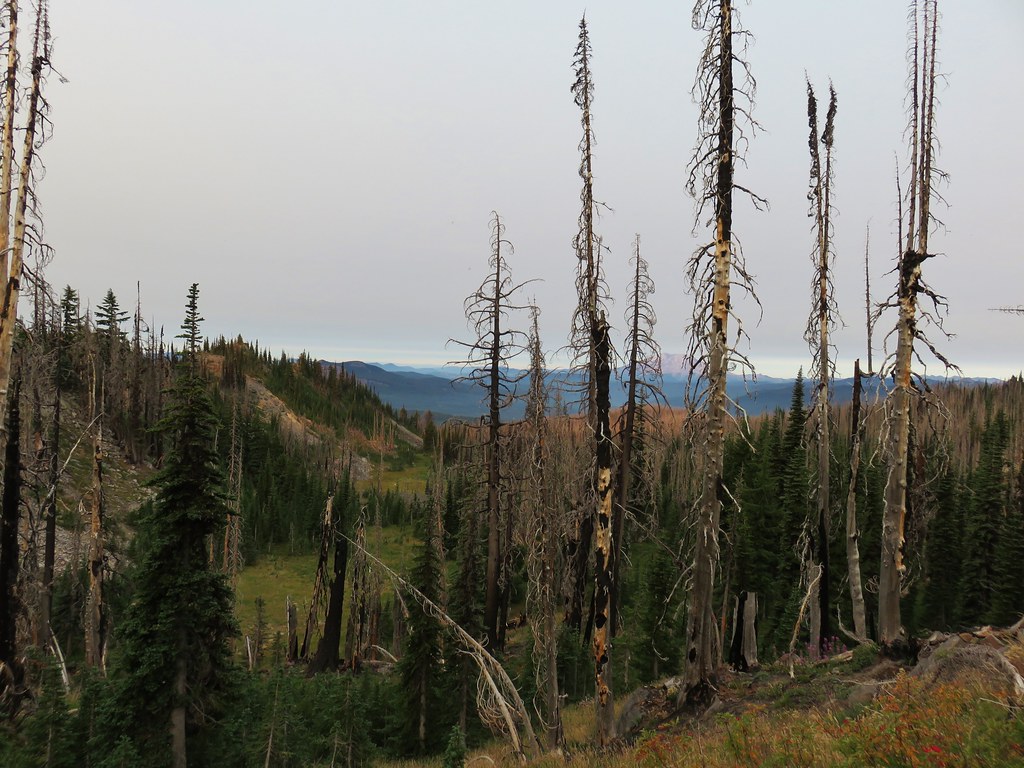
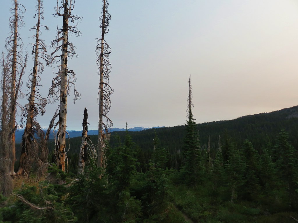
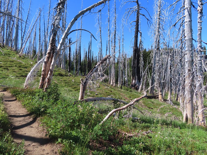 Burnt Rock behind the snags left over from the 2012 Cascade Creek Fire.
 Alpine false dandelion
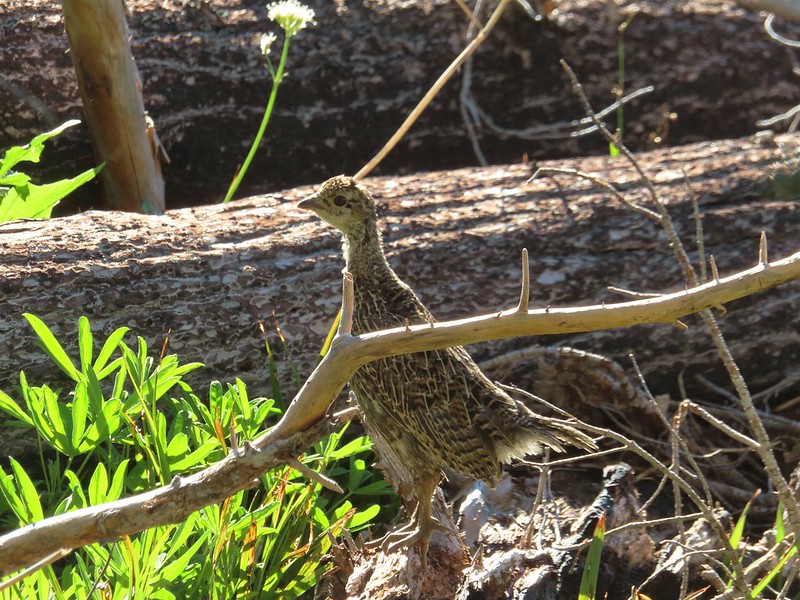 Grouse
Near Burnt Rock we looked for a user trail heading toward the mountain and took a left onto it once we spotted it.
It was another half mile to Crystal Lake. The use trail was fairly easy to follow. It did steepen just before the lake.

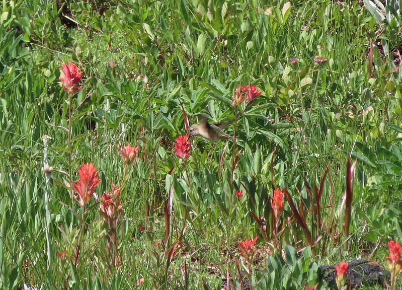 Hummingbird visiting paint.
 Mountain heather


 On the final pitch.
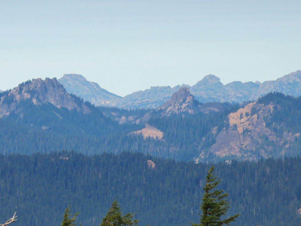
 Mt. Rainier and Goat Rocks
 Phlox
Phlox
 Almost there.
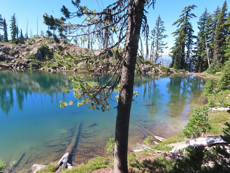
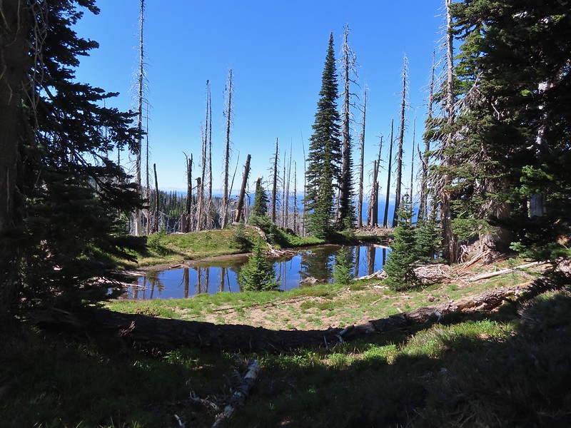 Not Crystal Lake, just a pretty little tarn nearby.

Fortunately mosquitos weren’t an issue up here so we were able to relax and spend a good deal of time exploring around the lake and a little beyond.
 Mt. Rainier
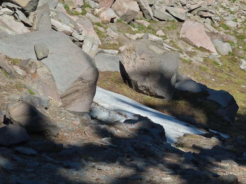 Just a bit of snow left around 6300′.
 The little tarn we’d passed.
 While not big Crystal Lake was deep.
 View down from the rocky ridge on the south side of the lake.
 The rocky ridge along the south side of the lake.
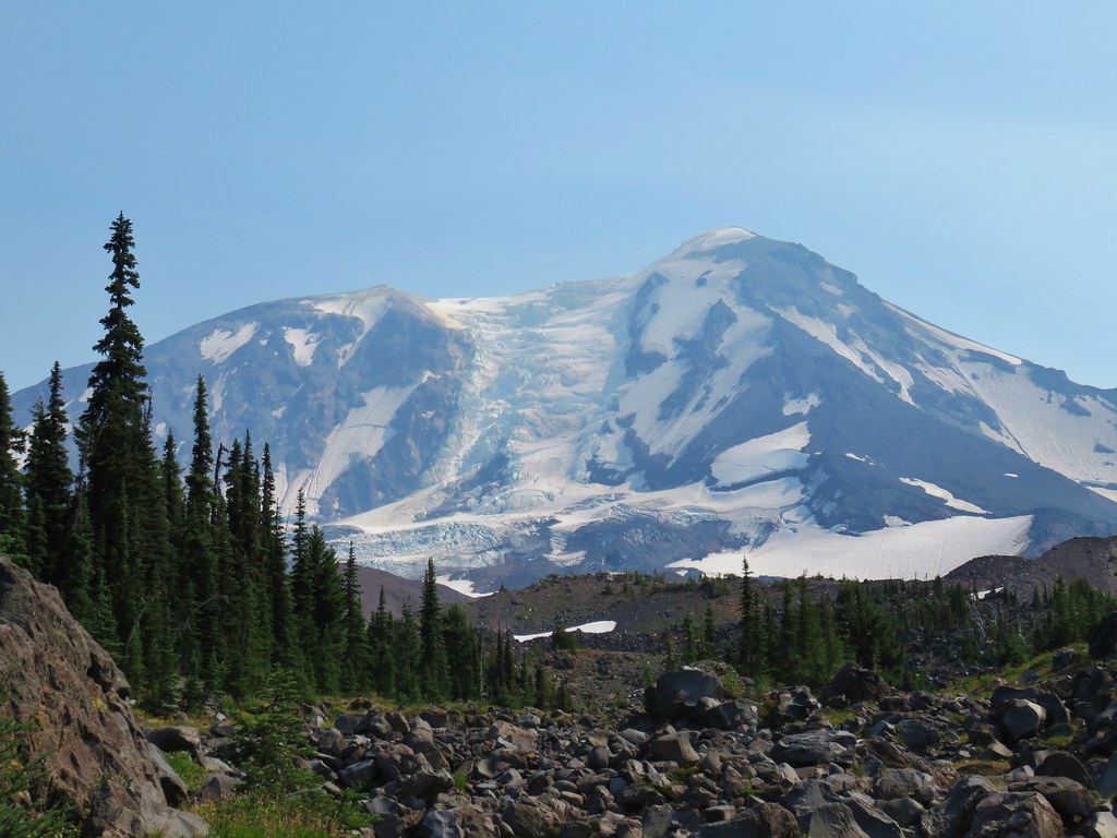
 We continued a tenth of a mile beyond the lake for a dramatic view of Mt. Adams.
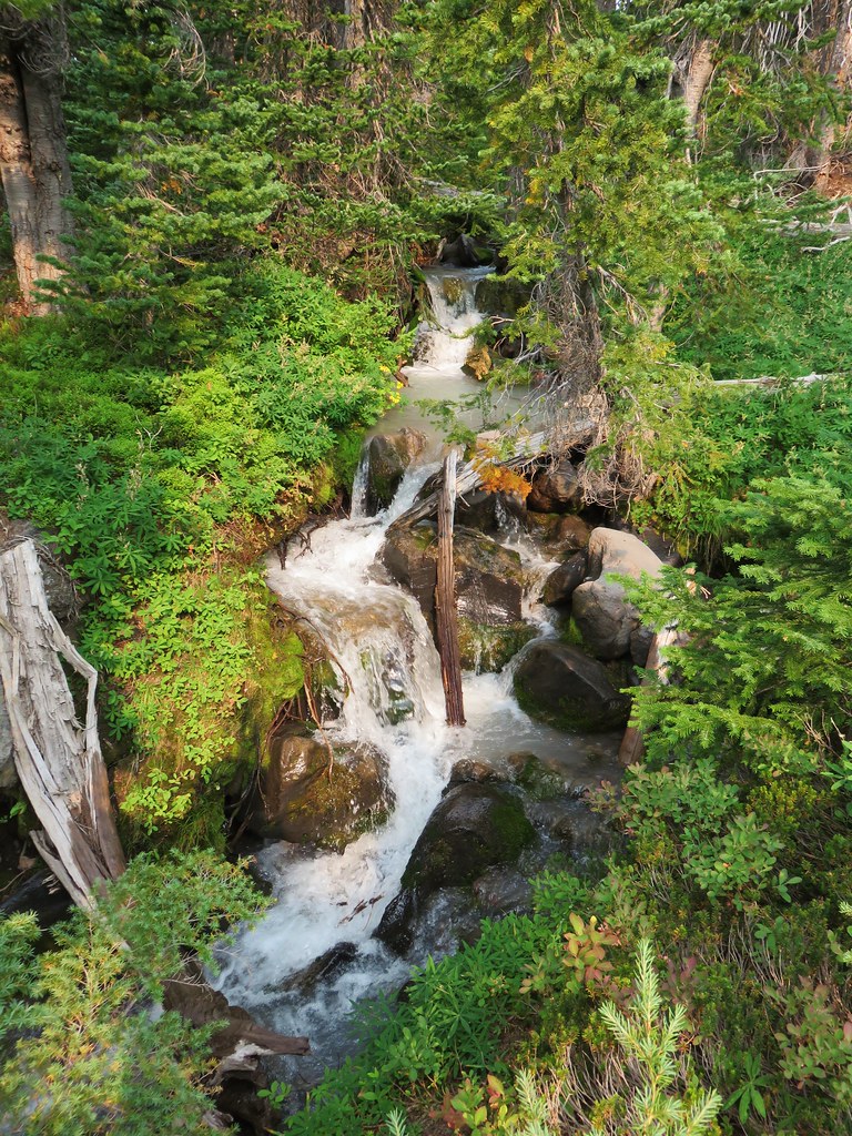
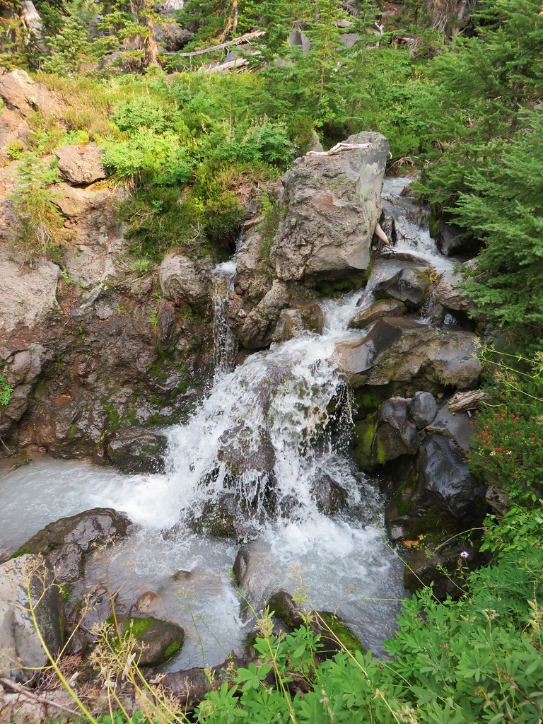
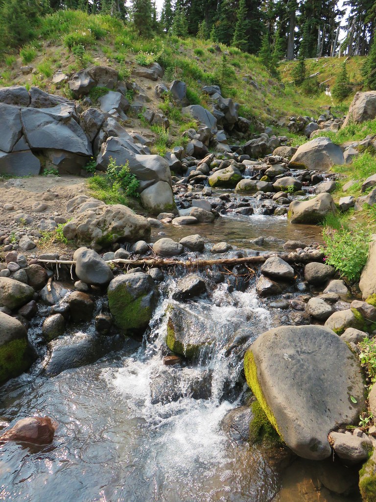
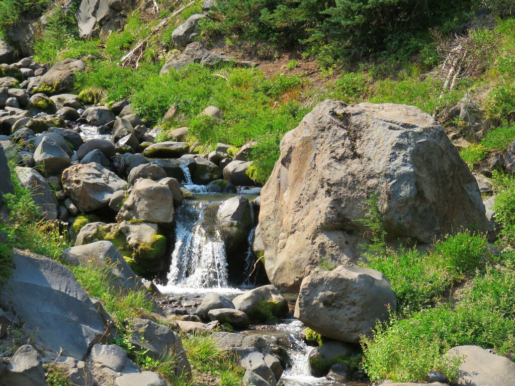
 We could hear a waterfall below on Riley Creek.
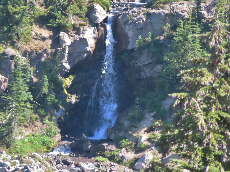 Zoomed in on the waterfall below.
 Crystal Lake from above.
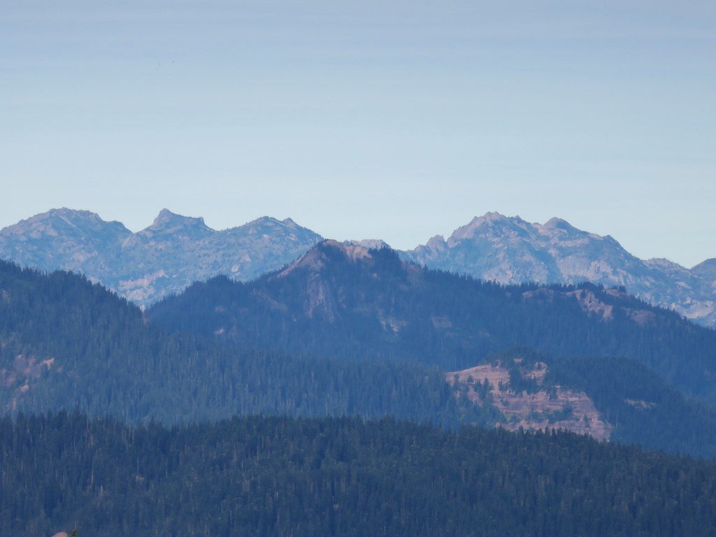
 Mt. Rainier with Goat Rocks to the right.
 Mt. Rainier
 Some of Goat Rocks.
 Golden-mantled grounds squirrel
After a good break we headed back down past the lake and back to the PCT.


 Getting ready to drop down.
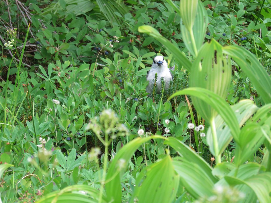
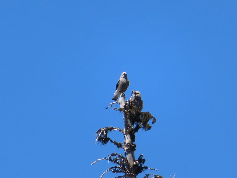 Clark’s nutcrackers
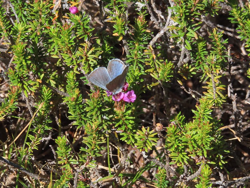 Butterfly on mountain heather.
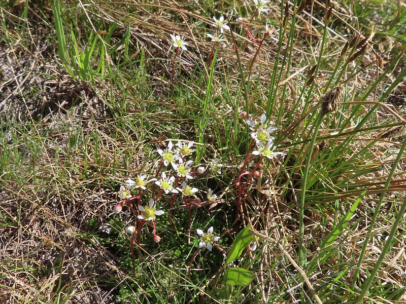 Saxifrage
 Violet
 Alpine speedwell
 A checkerspot
 A crescent
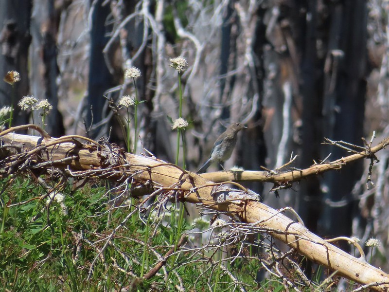 Mountain bluebird
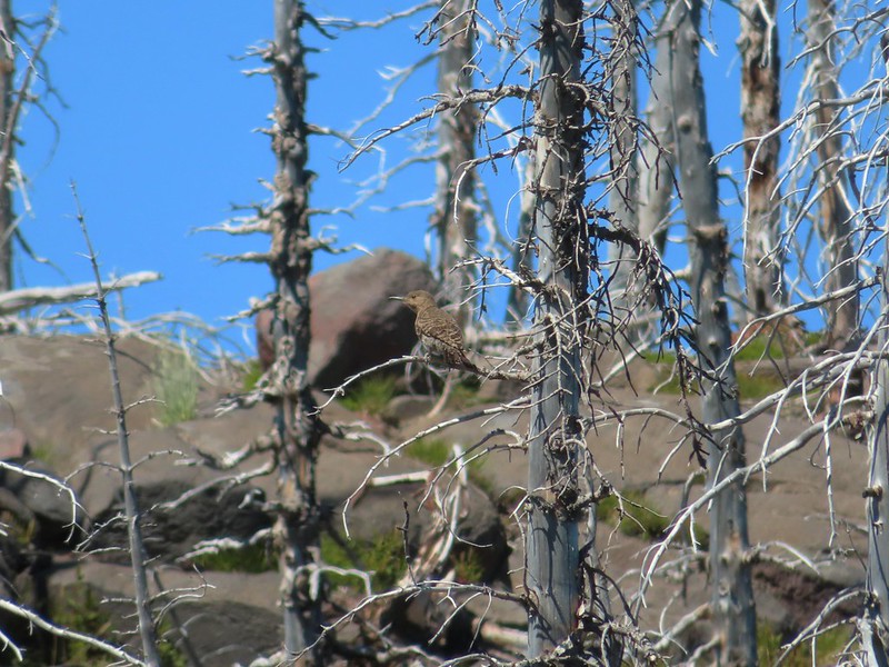 Northern flicker
 I’m guessing a warbler of some sort. We saw quite a few of these little yellow birds but had a hard time actually getting a photo.
We turned right on the PCT and followed it back to the Riley Camp Trail and then followed that trail back to our car.
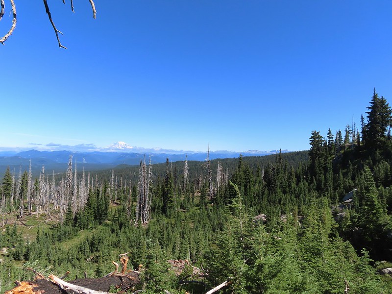
 Mt. Adams from the PCT.

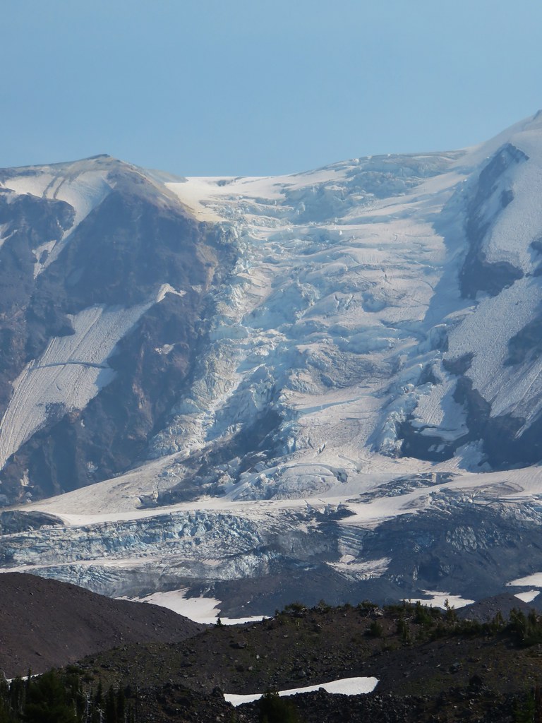
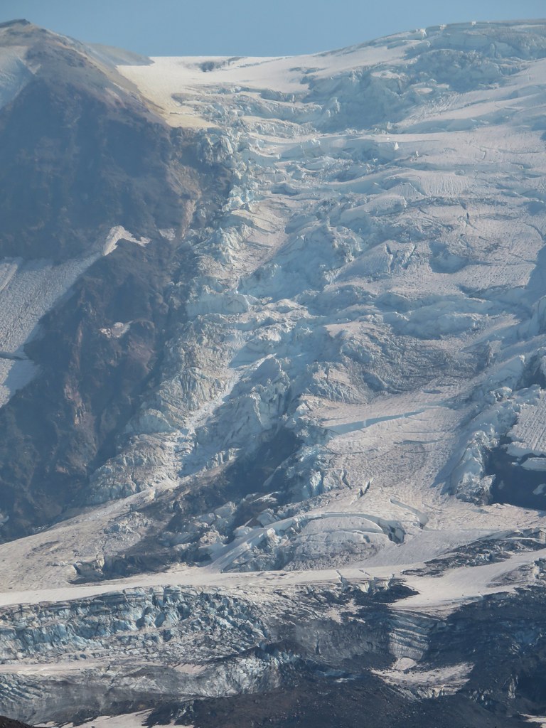
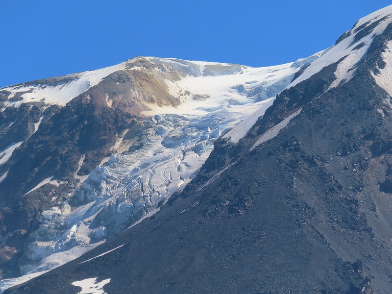 Adams Glacier
 Riley Creek at the PCT crossing.
 Wildflowers along the PCT.
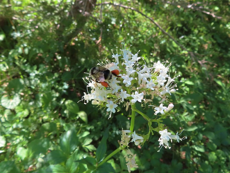 Bee on valerian
 Butterfly on valerian
 Another butterfly on valerian
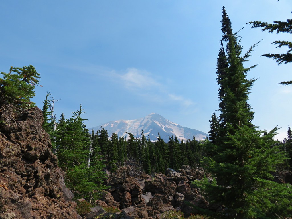
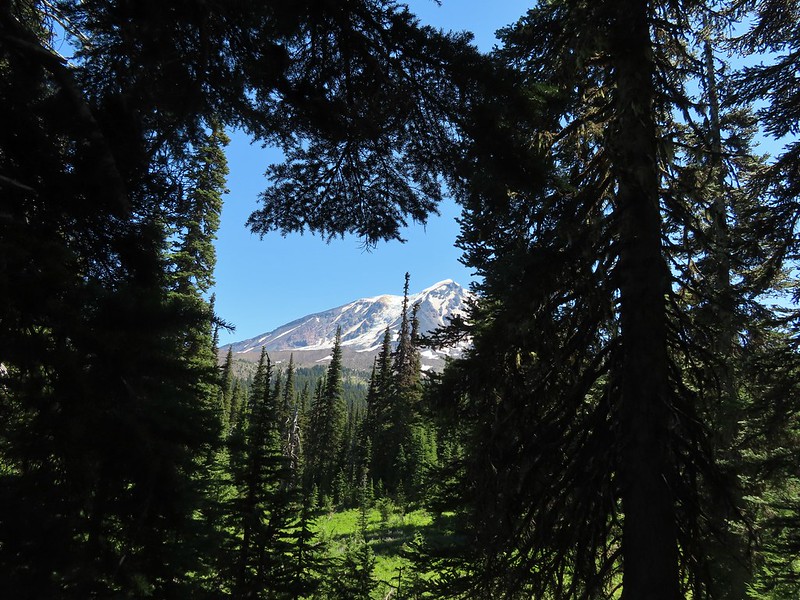
 Looking back at Mt. Adams from the Riley Camp Trail.
 Passing through Riley Creek Meadows.
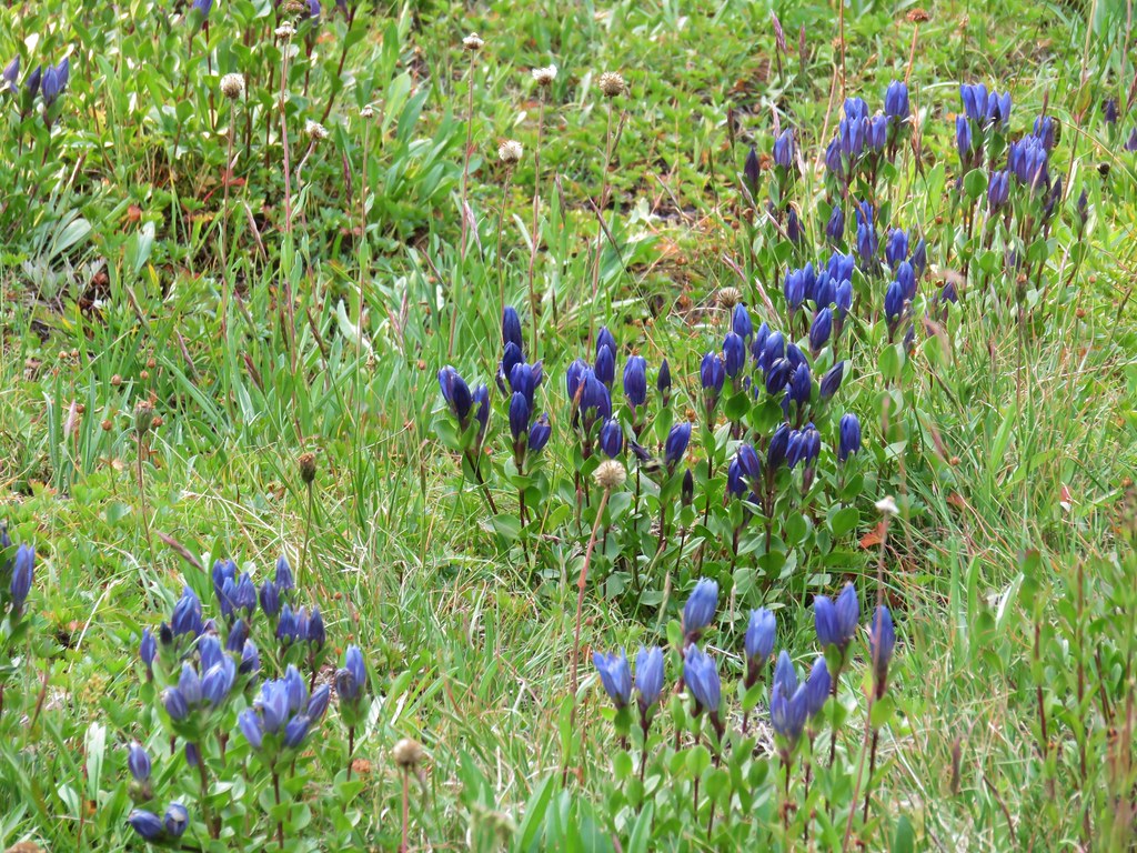
 Gentian
 We only saw a couple of beargrass blooms.
 Pollinators on fleabane.
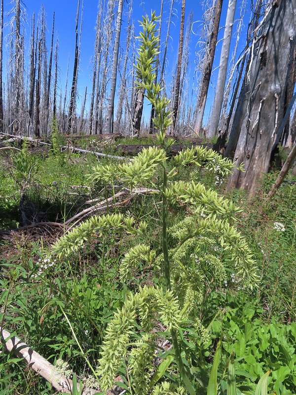 False hellebore
 Luna Lake and Mt. Adams from the trail.
The mosquitos remained a nuisance as we made our way back to the car so we kept a brisk pace. When we arrived back at the car there was a family preparing to set off for an overnight stay. They had an extra half of a pizza due to getting a free pie after the pizzeria initially made the wrong one. They offered us the extra since they couldn’t take it with them and we gladly accepted. Lunch was solved and dinner wound up also being solved when my parents took us and our Son (who was visiting for our Nephew Tyler’s 4th birthday party) out to Gilgamesh Brewing’s The Woods. It was a great ending to the day.
Our hike to Crystal Lake came in at 12.6 miles with approximately 2900′ in cumulative elevation gain. While I typically don’t share tracks for off trail hikes this one is listed on several prominent hiking websites so am including it below. If you do visit please be respectful, tread lightly, and Leave No Trace. Happy Trails!

Flickr: Crystal Lake


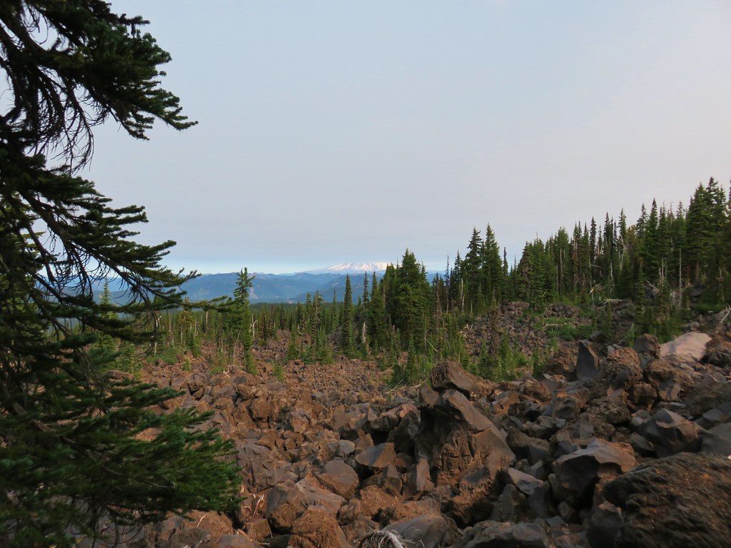
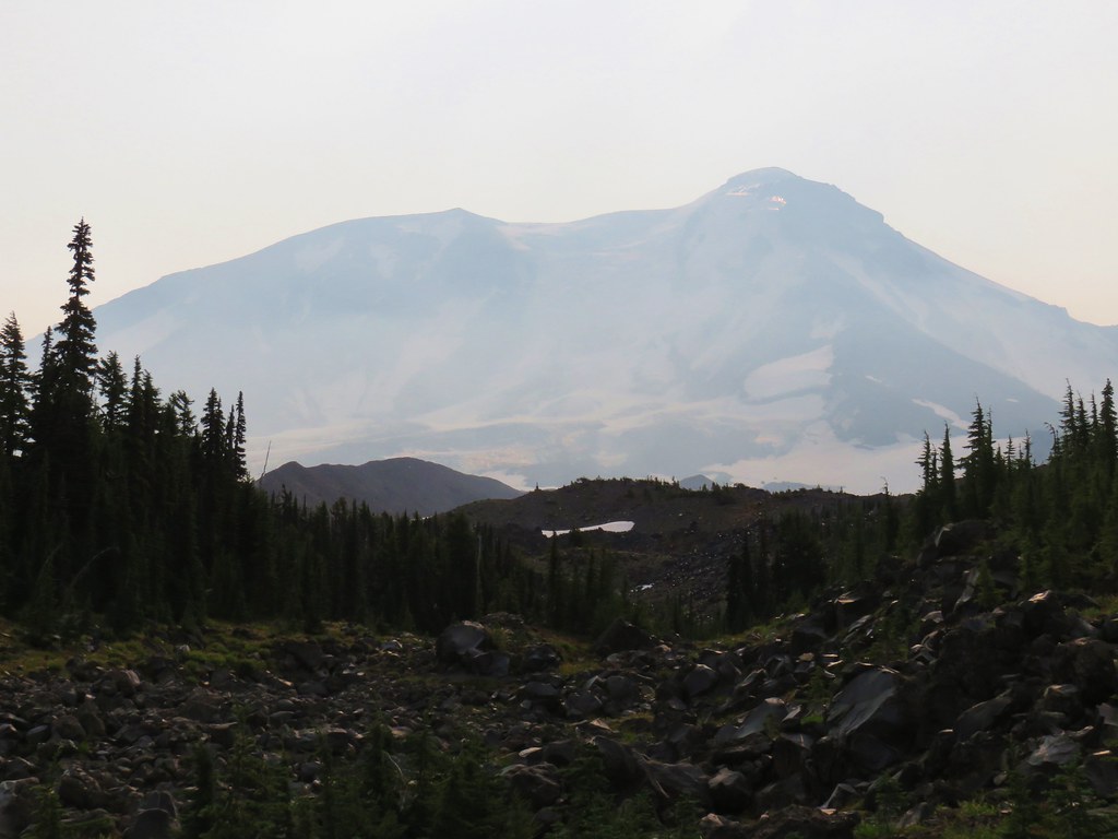
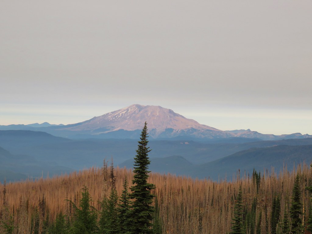 Mt. St. Helens
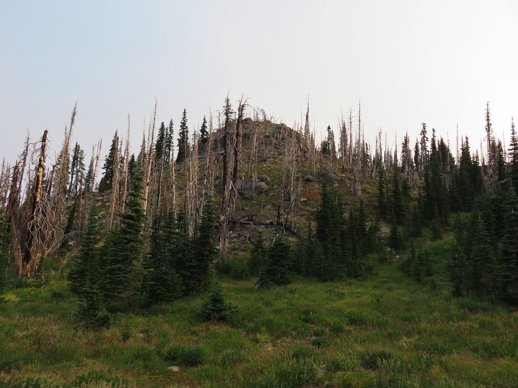
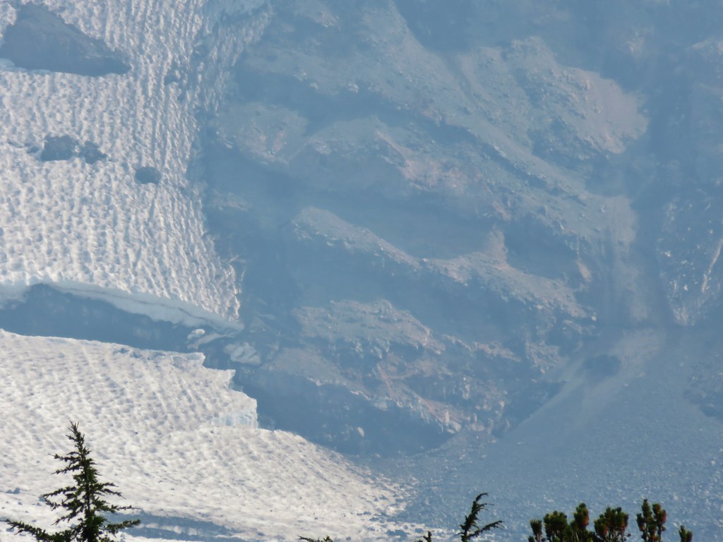
 The bottom of Mt. Rainier
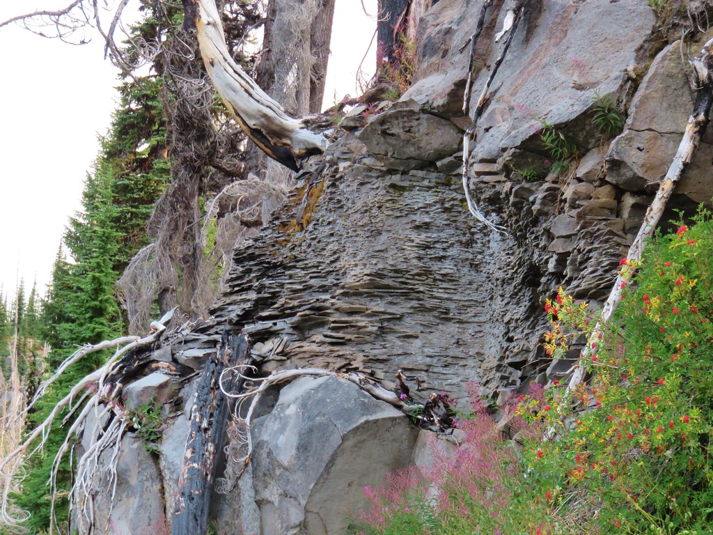
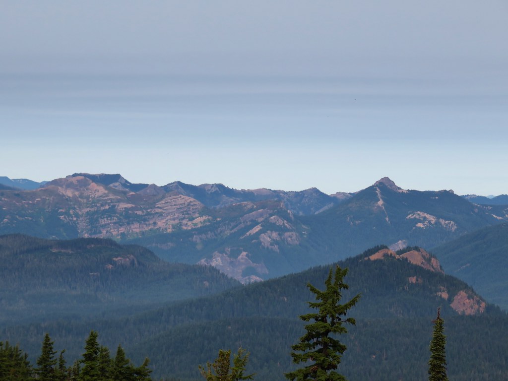
 Goat Rocks
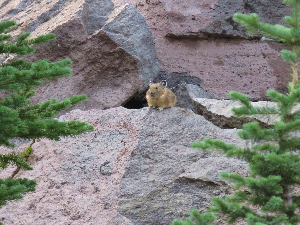
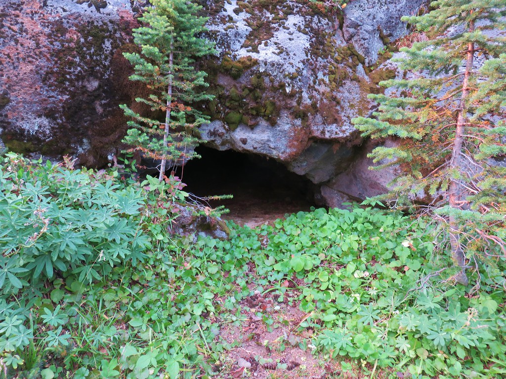 Small cave along the PCT