Categories
Hiking Mt. Rainier Trip report Washington Washington Cascades

Paradise Area (Mt. Rainier) – 08/04/2025

We had planned five days of hiking in Mount Rainier National Park starting with a visit to the Sunrise Area. Those plans fell through when we experienced a flat tire on Sunday’s drive to Walupt Falls (post). In 2024 the park instituted a timed entry reservation system to help alleviate congestion in parts of the park. In 2025 the Sunrise Area was the only one subject to timed entry. Timed entry reservations are required from 7am to 5pm. Reservations are not required outside of that window however and given our penchant for early starts our plan was to arrive well before 7am.

Instead of heading to the park first thing Monday morning we were waiting for 7am when Rod’s Tire Source in Randle, WA opened. Thankfully not only did they have tires in stock that would fit our Subaru they could get us in just after 8am. That meant we should have plenty of time to still get one of our other planned hikes in. We made the 14-mile drive to Randle and the folks at Rod’s were all ready for us at 8am. They had us on our way shortly after 8:30am, and after stopping by our room to grab our packs we headed for the Paradise Area of Mt. Rainier.

The Paradise Area is possibly the most popular area at Mt. Rainier and had been subject to the timed entry reservations in 2024. Due to road and pavement projects in 2025 timed entry wasn’t applied to Paradise in 2025. By the time we reached the trailhead parking area at 9:45am it was full. Luckily there was space along a pullout between this lot and the picnic area (the picnic area acts as overflow parking).
IMG_7324
Sign for the picnic area from the pullout.

We headed toward the picnic area the crossed the road to a set of stairs that led to the lower parking area.
IMG_7326

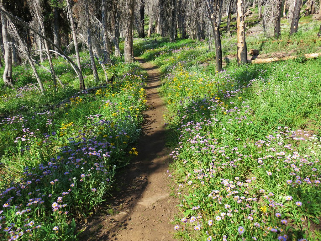
The forecast had been for partly sunny skies, but the parking area was socked in with fog. We hoped that it might burn off at some point, but regardless we were excited to be getting a hike in at all given the tire issue. We stopped at a signboard and confirmed out planned route which was to hike the Skyline Trail counterclockwise.
IMG_7332
Because we started from the lower lot we needed to take the Alta Vista Trail to the Skyline Trail.

IMG_7335

IMG_7339

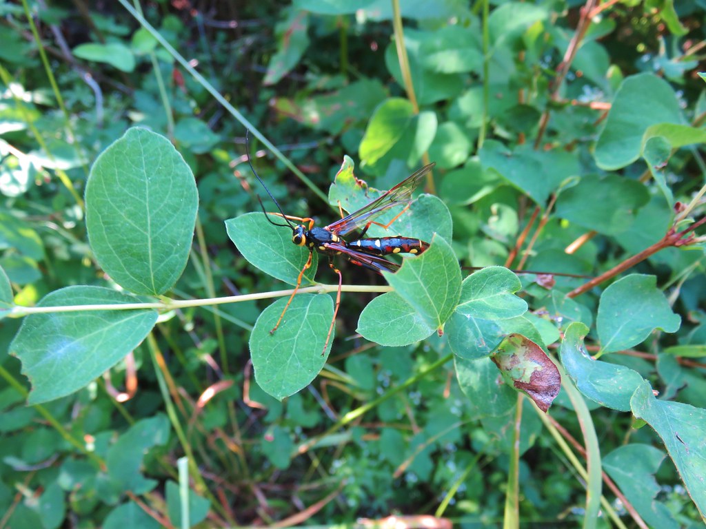
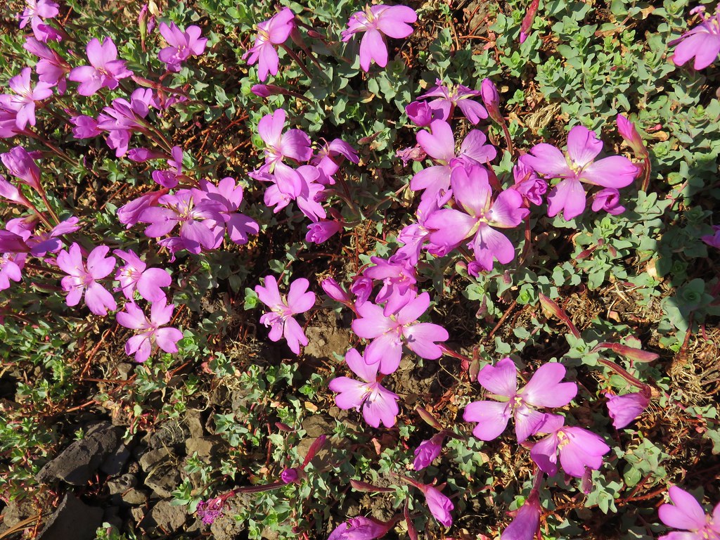
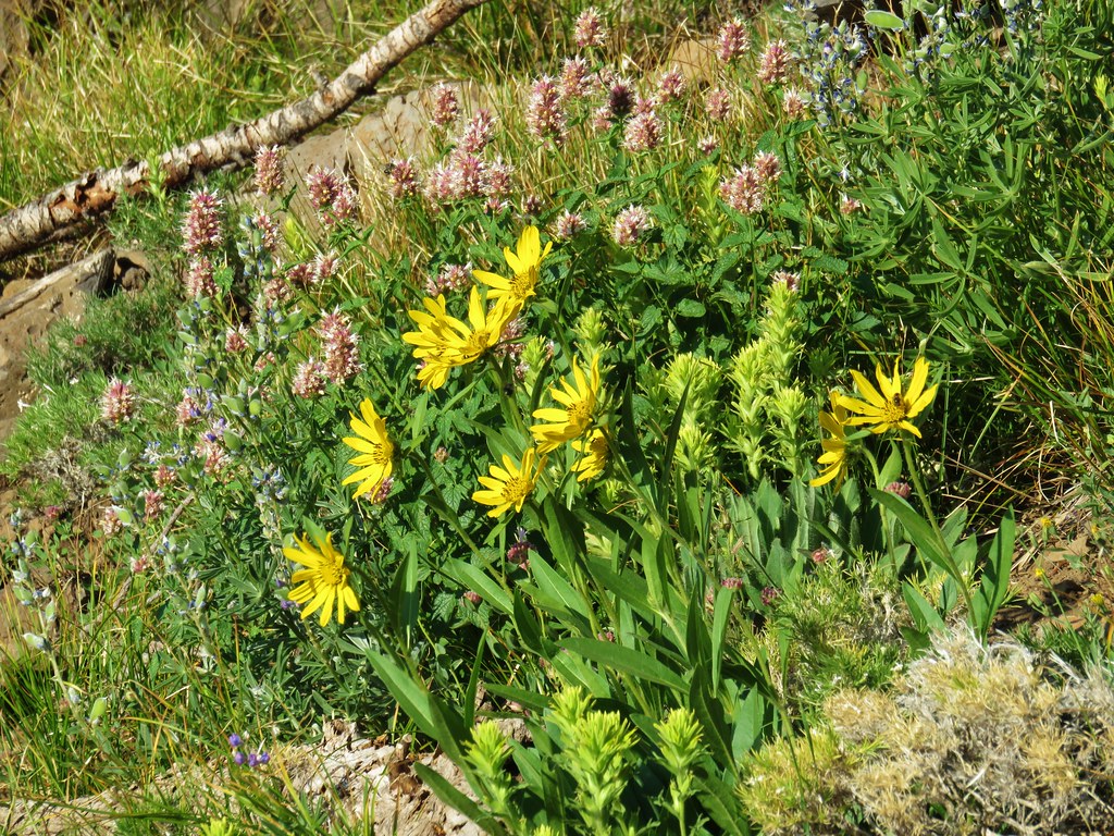
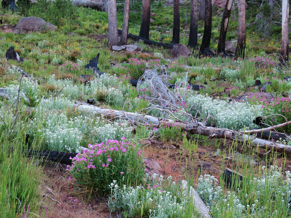
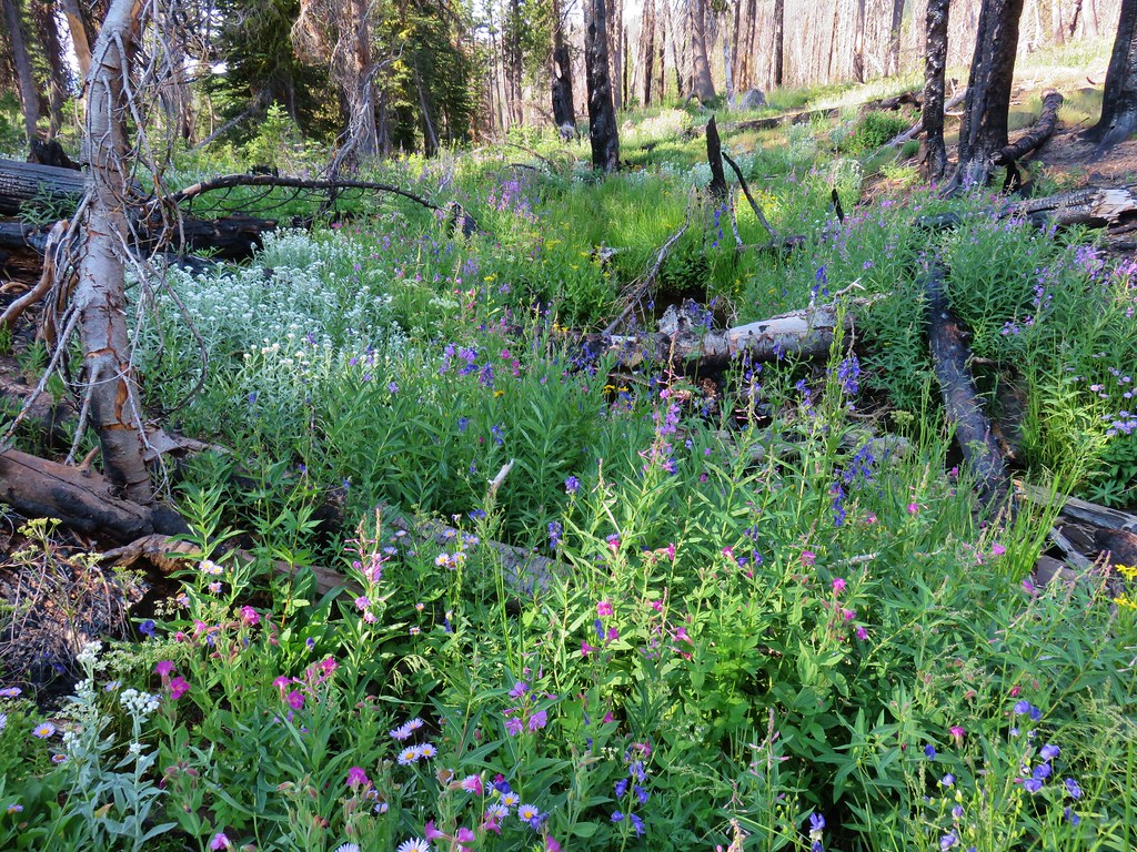
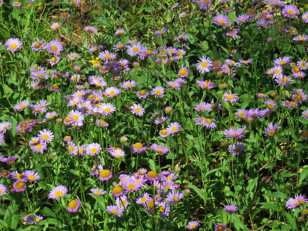
The wildflowers were amazing from the start, and we couldn’t imagine what it would have looked like if the fog wasn’t limiting our sight distance.
IMG_7340

IMG_7341

IMG_7343

When we arrived at the junction with the Avalanche Lily Trail a family mentioned that there was a doe bedded down a couple hundred feet to the left, so we detoured that way.
IMG_7353

IMG_7344
The doe bedded down in the wildflowers.

We kept the proper distance from the doe and used the zoom on the camera to get some photos.

IMG_7345

After a few pics we headed back to the junction and took the Avalanche Lily Trail toward the Jackson Visitors Center where we picked up the Skyline Trail.
IMG_7358
Jackson Visitors Center

IMG_7360
We headed toward Myrtle Falls to do the loop counterclockwise.

IMG_7361
Paradise Inn

IMG_7363
A big patch of partridgefoot amid other wildflowers.

IMG_7364

IMG_7369
Arnica and multiple other flowers.

IMG_7372
Shooting star

IMG_7374
Mostly bistort

IMG_7375
We detoured down the short path to the Myrtle Falls Viewpoint before continuing on the loop.

IMG_7379
Myrtle Falls

Edith Creek
Edith Creek above Myrtle Falls.

IMG_7384
Pink monkeyflower and a speedwell.

IMG_7385
A white field of valerian (and some bistort).

IMG_7388
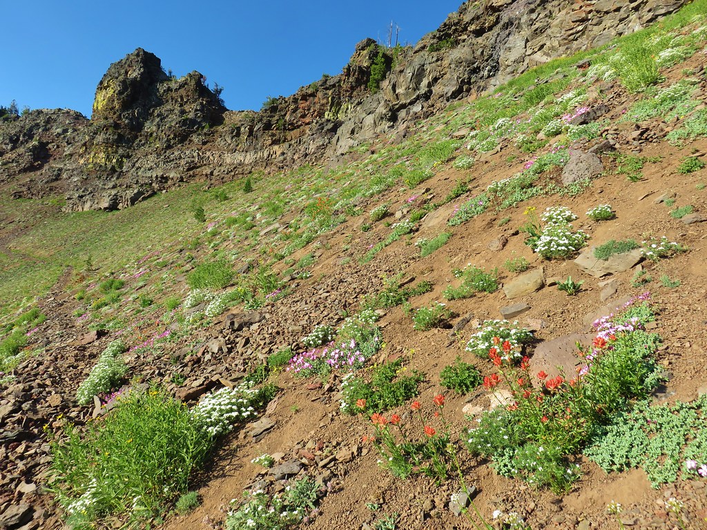
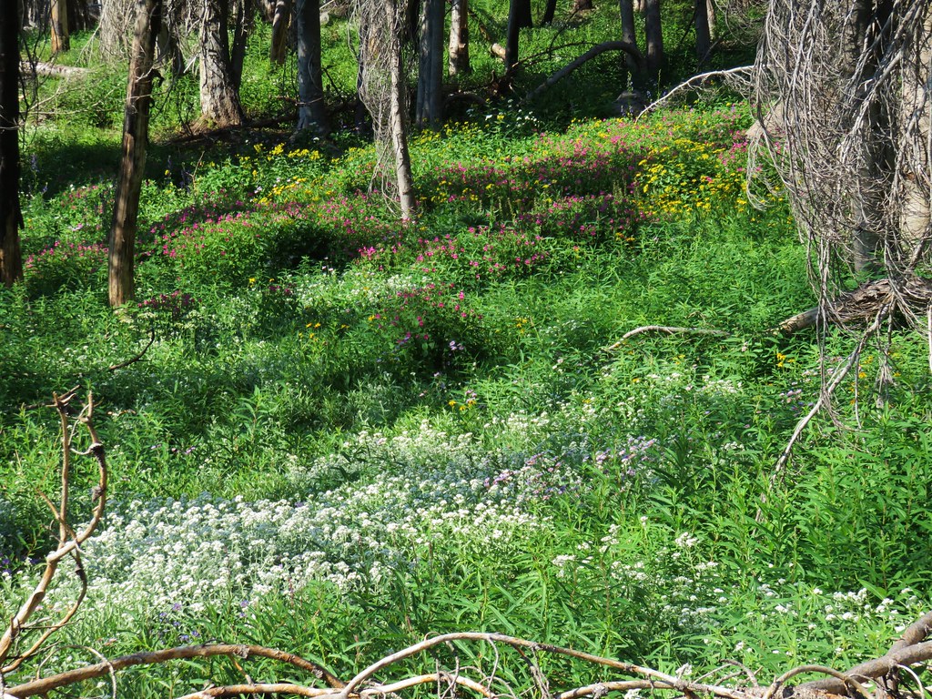
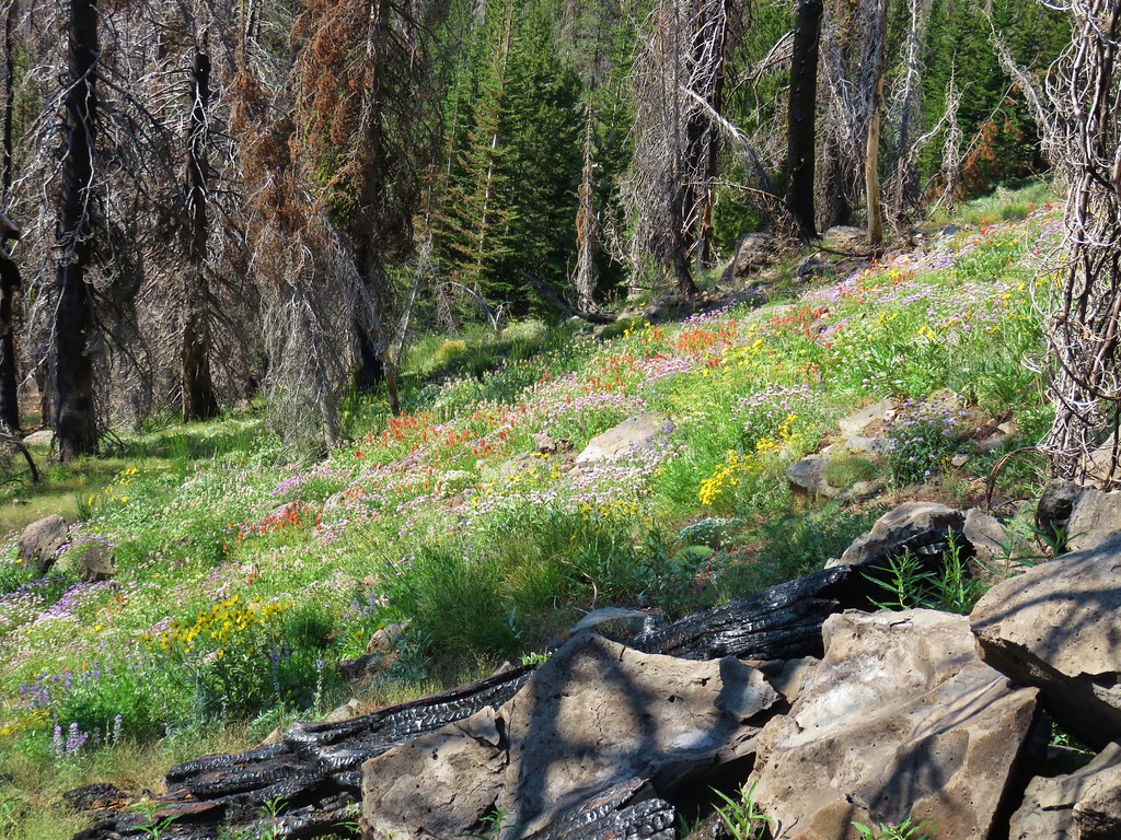
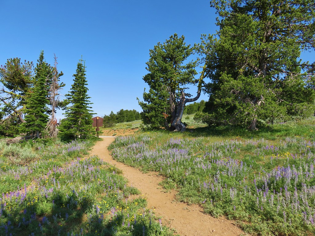
There are a number of trails crisscrossing the Paradise Area allowing for shorter loops and a lot of exploration.

IMG_7391
Spirea

IMG_7395
Yellow penstemon

IMG_7398
Coiled lousewort

IMG_7400
Arrowleaf groundsel

IMG_7406
Bird’s beak lousewort

IMG_7411
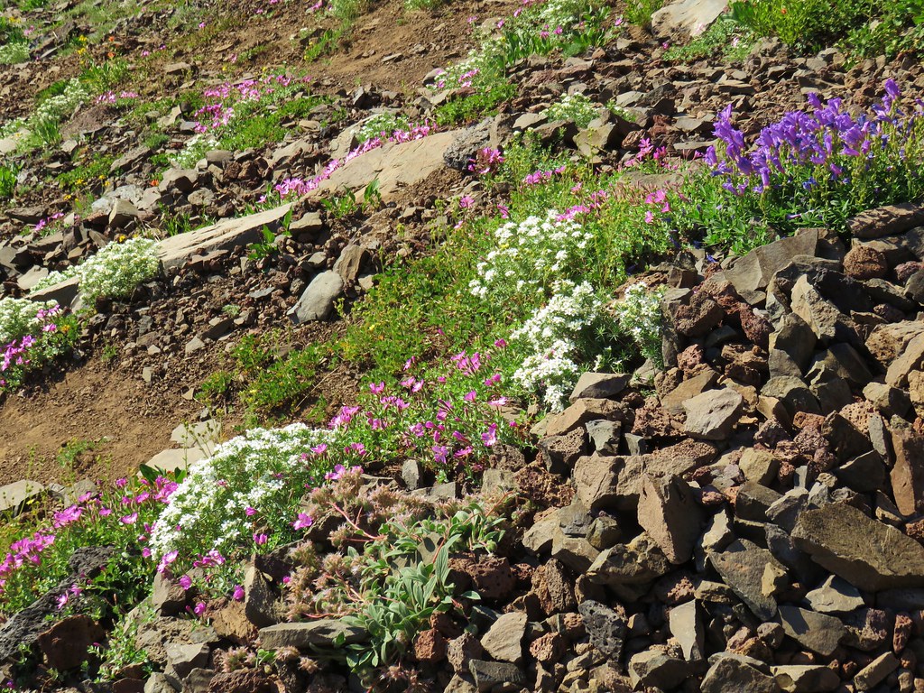
It wasn’t all wildflowers, but it mostly was.

IMG_7412
Sickle-top lousewort

We ran into a small crowd gathered below a talus slope. Most of them were watching a hoary marmot but there was also a pika for those who spotted the small animal.
IMG_7416

DSCN6971
Pika

DSCN6975
Marmot

DSCN6981
The marmot was busy looking for brunch.

IMG_7421
Tall mountain bluebells

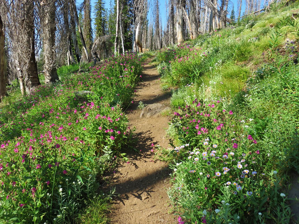
After watching the critters for a few minutes we continued on past the parade of flowers.
IMG_7429
Fireweed

DSCN6988
Thistle

IMG_7431
There were so many flowers it was impossible to catch everything but on this hillside we spotted some yellow paintbrush.

DSCN6989

IMG_7450

IMG_7456
Paradise River

IMG_7468
Paintbrush in front of western pasque flowers.

IMG_7472
Columbine and yellow willow-herb

IMG_7478

IMG_7482
Pink mountain heather and lupine

IMG_7489

DSCN7016
Sparrow with a snack.

IMG_7492
Bracted lousewort

IMG_7503
Cusick’s speedwell

IMG_7509

IMG_7512

DSCN7019
Golden-mantled ground squirrel.

Despite the many reminders not to feed the wildlife we witnessed several people unable to follow this simple rule (at least one of which got bit).

IMG_7516
Phlox

IMG_7524

IMG_7529

IMG_7532
Beargrass

IMG_7540

IMG_7546
Elephant’s head

IMG_7551
Monkeyflower

IMG_7555

DSCN7029
Bird and some sort of willowherb (tiny pink flowers on the right).

IMG_7558

IMG_7565
Bird’s beak lousewort and white mountain heather.

IMG_7568
First patch of snow along the trails.

DSCN7033
Pussytoes

IMG_7577
Cinquefoil

IMG_7582
Western pasque flower in bloom.

IMG_7586
Saxifrage

IMG_7597
Marsh marigold

IMG_7599
Catchfly

IMG_7601

IMG_7611
Orange agoseris

IMG_7616
Pink monkeyflower

DSCN7046
Littleflower penstemon

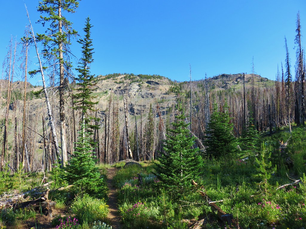
As we neared the highpoint of the loop the fog began to give way.
IMG_7628

IMG_7636
Golden fleabane

When the trail gained a ridge there was a slightly obscured view of Mt. Raininer.
IMG_7642

I took a seat on a rock and watched the changing views while I waited for Heather to catch up.
DSCN7048

DSCN7050
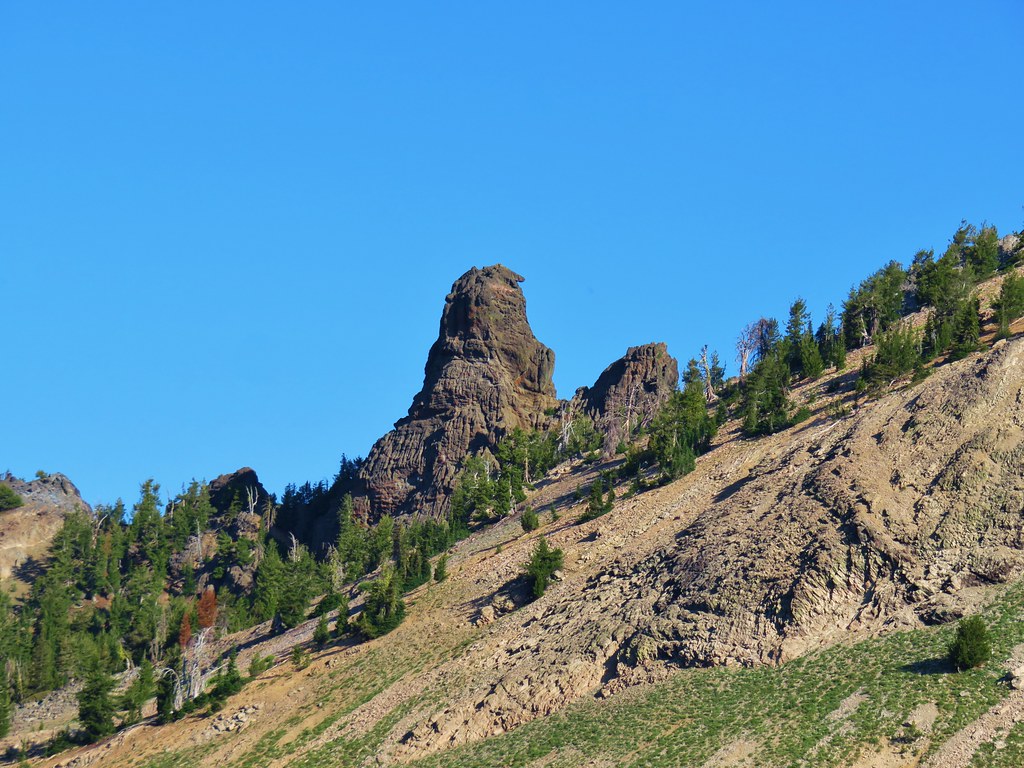
The Goat Rocks on the left with Mt. Adams on the right.

IMG_7648
I was not alone at the viewpiont.

When Heather got to my rock I left my pack with her and continued up the ridge to McClure Rock.
IMG_7663
McClure Rock straight ahead.
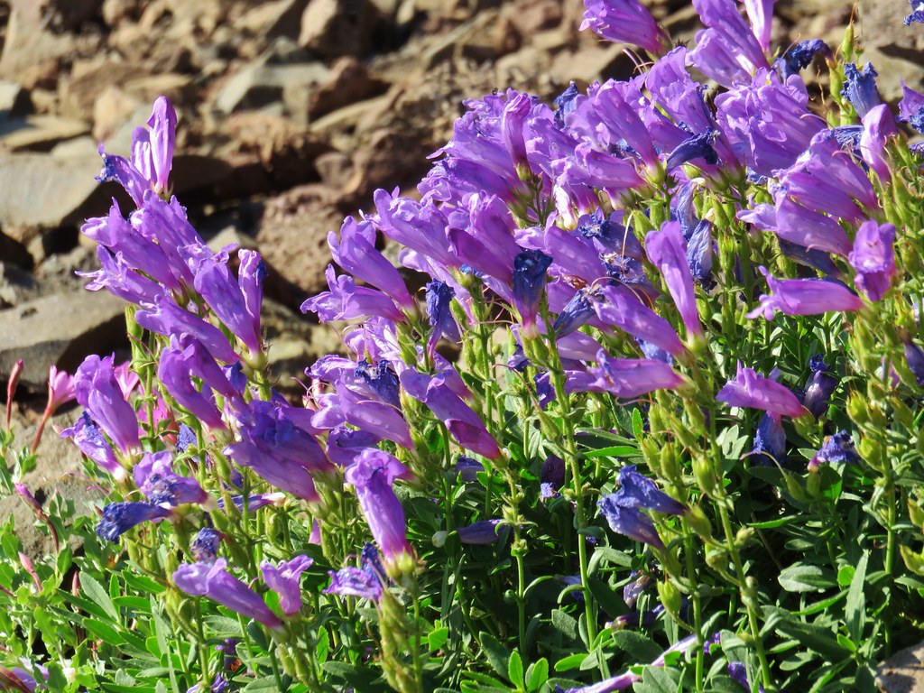
IMG_7665
Penstemon

IMG_7668
There was a little more elevation involved than I had anticipated.

IMG_7669
Aster and partridgefoot

IMG_7675
Giant cairn on McClure Rock.

IMG_7678

IMG_7679
Climber’s trail heading toward the mountain.

DSCN7064
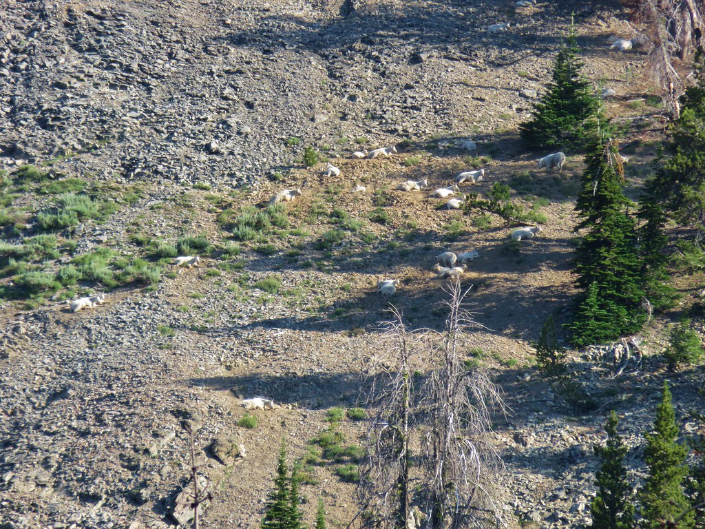
A look at people on the snowfield above.

IMG_7681
Goat Rocks and Mt. Adams from McClure Rock.

IMG_7683
Bismark Peak to the right with Mount Aix behind Nelson Ridge.

IMG_7694

IMG_7697
Pussypaws

IMG_7699
Dwarf lupine

I returned to Heather and we continued on the loop which quickly reentered the fog.
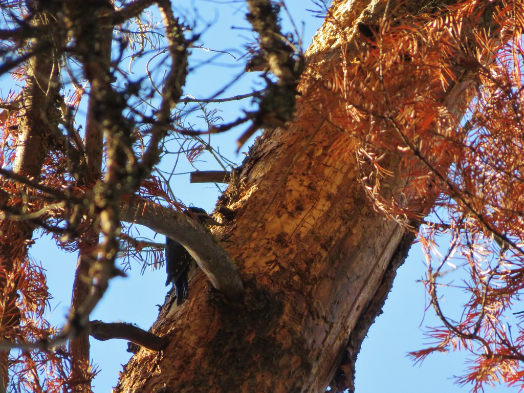
IMG_7705

IMG_7707

DSCN7073
Raven

DSCN7077
Goldenrod

IMG_7717
Penstemon

IMG_7722
The Panaroma Point Overlook was crowded despite being in the fog.

IMG_7726
Back into the flowers.

IMG_7733

IMG_7736
Arnica, mountain heather, and lupine.

IMG_7740
Bog laurel

DSCN7079
Gentians

IMG_7751

DSCN7082
Saxifrage

IMG_7756
The only snow remaining over the trail.

IMG_7772
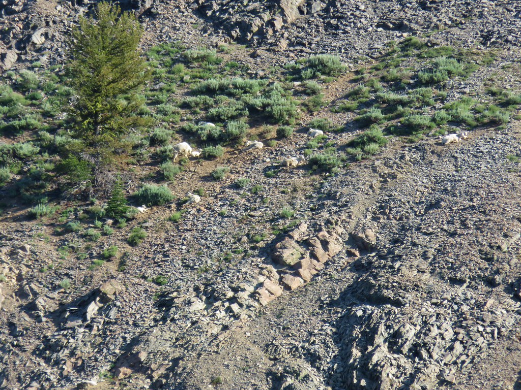
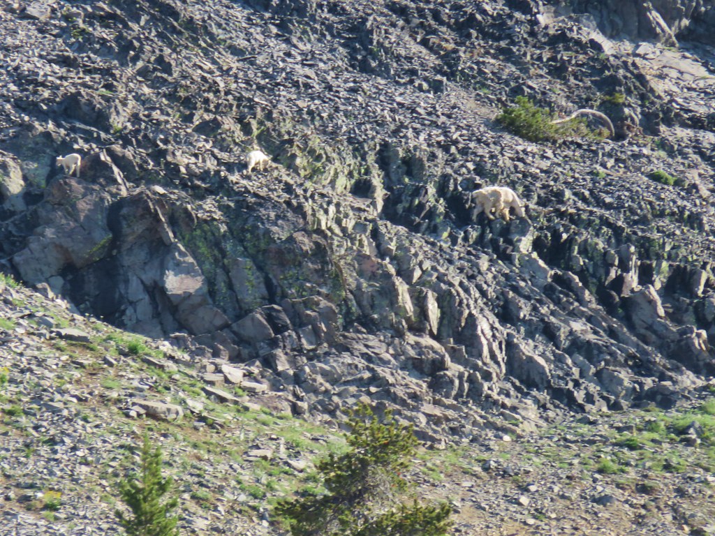
Lots of marmots along the route.

IMG_7776
Fleabane and mountain heather

IMG_7777
Fleabane and paintbrush

We decided to leave the Skyline Trail when we came to a junction with the Dead Horse Creek Trail
IMG_7779
The stroller was empty, not sure what the story with that was.

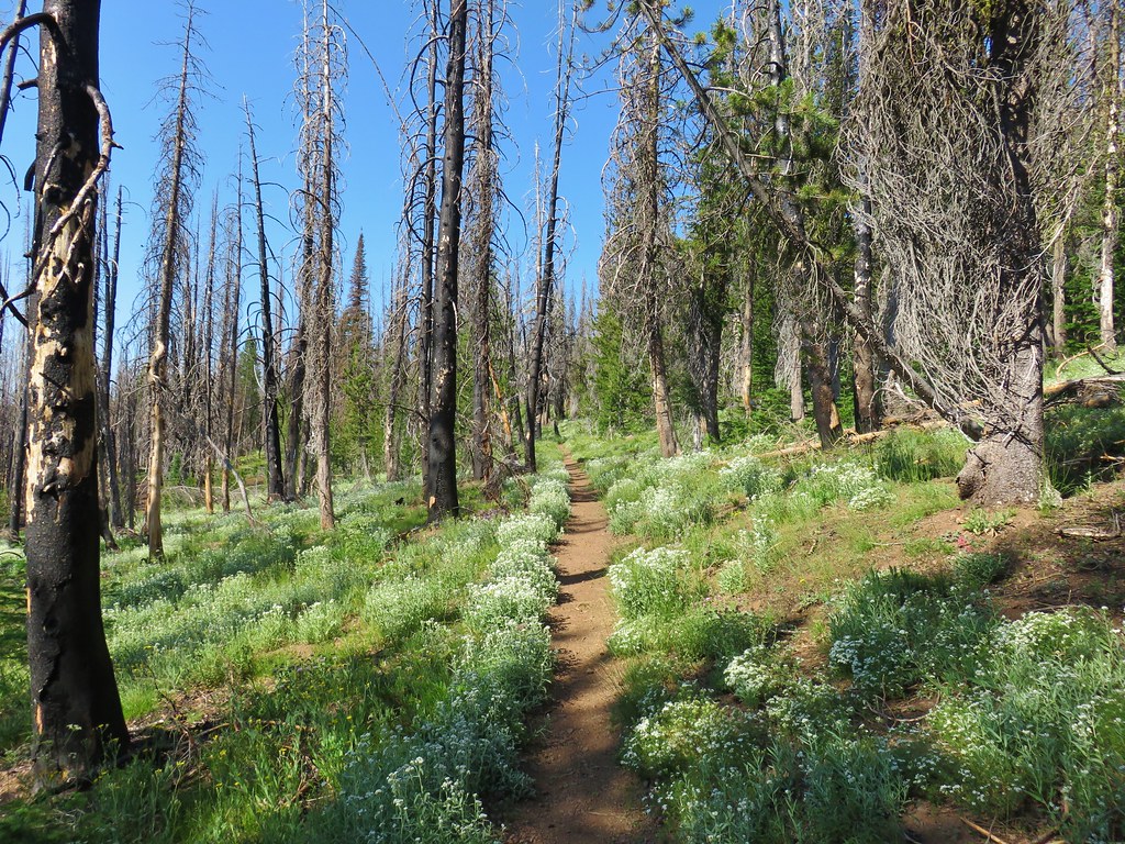
The Dead Horse Creek Trail was much less used which provided a little more solitude as we headed downhill. There was not a noticeable drop off in flowers though.
IMG_7781

IMG_7796
Not sure what this chipmunk was eating but it wasn’t from us or any other person we saw.

IMG_7800

IMG_7804

We paused to watch four marmots on a rock, two of which were wrestling.
IMG_7807

DSCN7093

IMG_7833

IMG_7837
We stayed right here on the Dead Horse Creek Trail.

IMG_7843
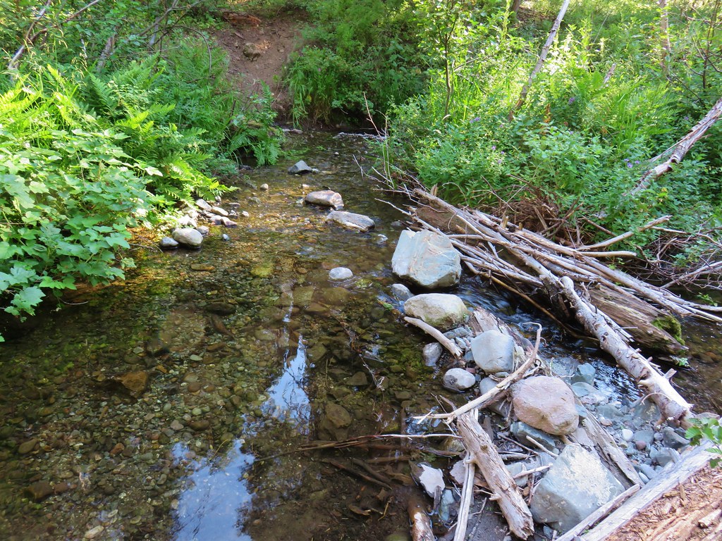
Flowers along Dead Horse Creek.

IMG_7848

DSCN7102
Nuthatch

As we neared the end of trail we spotted another deer bedded down amid the flowers.
IMG_7853

DSCN7108
Buck in the wildflowers

IMG_7860
The lupine was profuse near the bottom of the Dead Horse Creek Trail.

IMG_7864
Stairs leading to the lower parking lot.

My hike here wound up being 7.7-miles with a little over 2000′ of cumulative elevation gain.
Screenshot 2025-08-09 095428

Before we headed back to Packwood we drove up to the upper parking lot and found a spot near the visitor’s center and went inside to grab a little food and check out the exhibits.
IMG_7866

When we finally got back to our room we were greeted with a few elk grazing in the grass out back. (This was a regular occurrence.)
DSCN7117

It turned out to be a great day considering we started off needing to replace our tires. Our plan was to visit the Sunrise Area on Tuesday where the forecast was for mostly sunny skies. Happy Trails!

Flickr: Paradise Area

Categories
Central Oregon Hiking John Day Oregon Trip report

Strawberry Mountain Wilderness Days 3 & 4 – Slide Lake to East Fork Canyon Creek TH

Hope springs eternal and it was with new hope that we got up on the third day of what had so far been the most grueling backpacking trip we’d undertaken. On paper it didn’t look much different than some of our other trips but the big difference maker had been the heat. It had been hot during the afternoon on some of our previous trips but this trip was different. Not only was it hot during the day but it wasn’t really cooling down at night which meant it was still warm in the morning. Day 3 was no different.

We had an early breakfast in front of a beautiful view of Slide Lake.
IMG_9360_stitch

As we were finishing up we were joined by a doe who was cautiously grazing nearby.
IMG_9365

IMG_9374

As we watched the sunlight overtake more of the cliffs above the lake we noticed our route for the day cutting across the rocks below the far cliffs.
IMG_9377

Seeing the trail produced two thoughts, first it reminded us that we were facing a nearly 1000′ climb out of the Slide Lake Basin, and secondly that the climb would be in full sunlight. We left Slide Lake shortly before 7am and hiked the quarter mile back to the junction with the Sky Line Trail where we turned left following a pointer for High Lake.
IMG_9380

After an all to brief stint in the trees which provided some shade the trail entered rockier terrain where the Sun was already heating things up.
IMG_9381

IMG_9384

IMG_9385

Some years there is a snow patch that remains over the trail into August which requires a bypass nearly straight up the hillside but with this being a low snow year there was no need for us to climb any more steeply than necessary. By 7:30am Slide Lake already looked far away.
IMG_9388

It was also already officially hot. Luckily after a a quarter mile of switchbacks at the 1 mile mark the climb became much more gradual.
IMG_9393

It was still hot but at least we weren’t having to work as hard as we traversed below the cliffs.
IMG_9416

A nice variety of wildflowers splashed the hillside with color.
IMG_9397

IMG_9400

IMG_9406

IMG_9414

IMG_9413

After following the Skyline Trail a little over a quarter of a mile we arrived at junction with the Mud Lake Trail.
IMG_9420

The Mud Lake Basin was heavily burned which revealed both Little Mud Lake which I thought looked like Pacman and the larger Mud Lake.
IMG_9427

IMG_9434

At the junction the Skyline Trail turned right and steepened as it climbed past wildflowers to a ridge end above High Lake.
IMG_9424

IMG_9425

IMG_9430

IMG_9436

The 1.6 mile descent from this ridge end down to High Lake was one of the more pleasant stretches of trail on the trip. It was downhill and the ridge blocked the sunlight leaving it a little cooler than it had been on the other side. There were also plenty of wildflowers and views across the basin to the back side of the Rabbit Ears.
IMG_9440

IMG_9444

IMG_9453

IMG_9449

IMG_9450

We had been scanning the cliffs for animals, in particular California big horn sheep, which the Forest Service Map mentioned as a possible sighting in the wilderness along with deer, elk, and pronghorn. One thing the map didn’t mention was mountain goats so we were a little surprised when we spotted what appeared to be mountain goat fur in a small pine tree.
IMG_9446

Fifteen minutes later we spotted them way up on the hillside ahead of us.
IMG_9459

IMG_9456

IMG_9467

IMG_9458

It is always amazing to watch these animals maneuver on the rocky hillsides.
IMG_9495

We watched them as we made our way to High Lake which we arrived at ten minutes later.
IMG_9474

IMG_9477

IMG_9481

IMG_9483

IMG_9486

We took a nice break at the lake and replenished our water supply before continuing on. We crossed the outlet creek and soon began climbing out of the basin.
IMG_9487

IMG_9489

IMG_9491

IMG_9500

The 1.3 mile climb out of the basin gained approximately 550′ while it passed some of the best wildflower displays of our visit.
IMG_9502

IMG_9504

IMG_9509

IMG_9512

IMG_9514

IMG_9515

IMG_9518

After climbing out of the basin we arrived at the High Lake Rim Trailhead.
IMG_9530

Here I was excited to see a wilderness sign.
IMG_9526

I have been trying to collect pictures of signs for each wilderness area we visit and there hadn’t been a sign along the East Fork Canyon Creek Trail. That sign most likely burned in the 2015 fire. From the trailhead we faced a .4 mile road walk to the Roads End Trailhead.
IMG_9533

IMG_9539
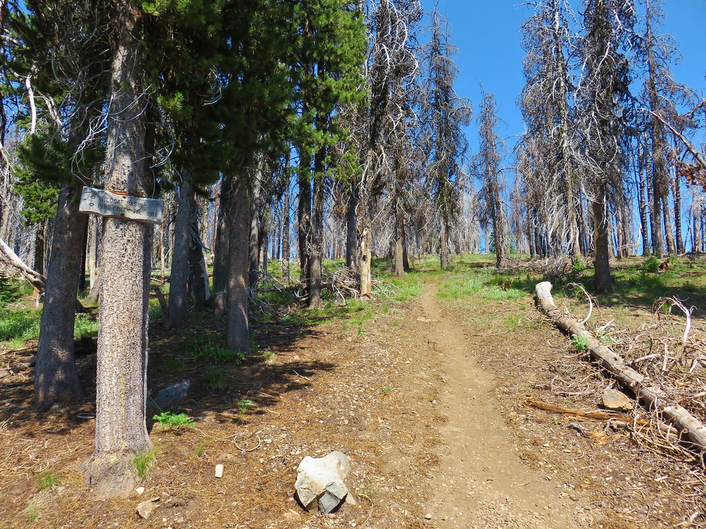
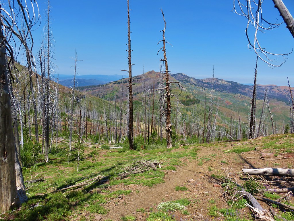
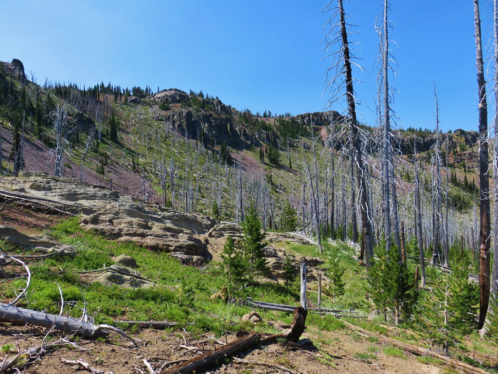
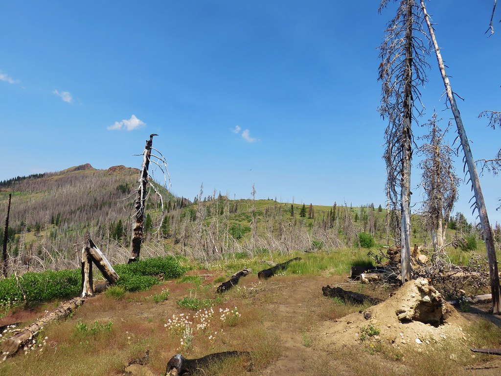
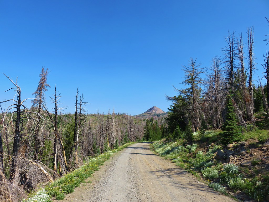
Strawberry Mountain from FR 1640.

IMG_9540

IMG_9541

The Roads End Trail follows a closed roadbed for 1.2 miles to the junction with the Onion Creek Trail which we had been at the day before. (post)
IMG_9546

As far as road walks go this one provided some nice scenery that we could have appreciated even more if had been a bit cooler out.
IMG_9548

IMG_9550

IMG_9555

IMG_9552

Near the end of the old roadbed the ground became muddy due to the presence of a series of seeps.
IMG_9556

At the unsigned junction a small cairn marked the familiar path downhill to a saddle.
IMG_9557

We turned left for .3 miles to a signed junction where we turned right onto the Indian Creek Trail.
IMG_9559

The day before we had come from the left having stayed the night in Wildcat Basin. By going right here would complete a loop back to the Pine Creek Trail. It was also 1.3 miles shorter than it would have been to retrace our steps through Wildcat Basin.

After a brief initial climb we gained a view of Indian Creek Butte.
IMG_9562

The trail then descended past some more volcanic ash formations similar to the ones we’d seen near Wildcat Basin.
IMG_9563

IMG_9564

IMG_9567

This was another area affected by fire and there were a number of trees down across the trail.
IMG_9568

IMG_9569

A little past the ash formations the trail approached a marsh filled with tall onions.
IMG_9570

IMG_9572

IMG_9574

A couple of small cairns helped guide us through the marsh but on the far side we missed a sharp right turn and continued straight. We soon realized we were no longer following a trail but that wasn’t anything new during this trip and we could see the saddle we were aiming for straight ahead so we kept going for a bit. Two tenths of a mile from where we should have taken the sharp right downhill we ran into a cliff where we were unable to continue forward. The GPS showed the actual trail as being a tenth of a mile away and 150′ below us. At that point we didn’t know about the sharp right and couldn’t figure out how we got so far off course but there we were. We found a game trail and followed steeply downhill in the general direction of the real trail.
IMG_9576

IMG_9578Our route down.

From above it didn’t look like it was going to be too difficult to go cross country but once we were down in the basin we realized it was going to be a lot harder than we’d thought.
IMG_9579

There were some surprising displays of flowers to be found in the gullies as we crashed through the brush and over numerous downed trees.
IMG_9580

IMG_9581

IMG_9582

After a lot of sweat, a little blood, and no tears (we didn’t have the moisture left to make any) we found the actual trail.
IMG_9585

A hundred foot climb brought us up to the saddle where we rejoined our path from the first day at a signed junction.
IMG_9586

We turned right and headed toward Indian Creek Butte on the faint Pine Creek Trail.
IMG_9587

It was less hazy than it had been the previous two days allowing for some clearer views from the trail.
IMG_9589_stitch
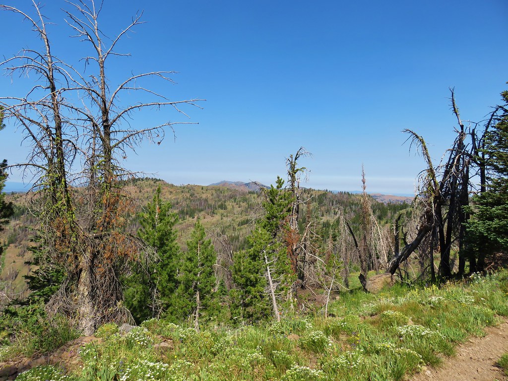
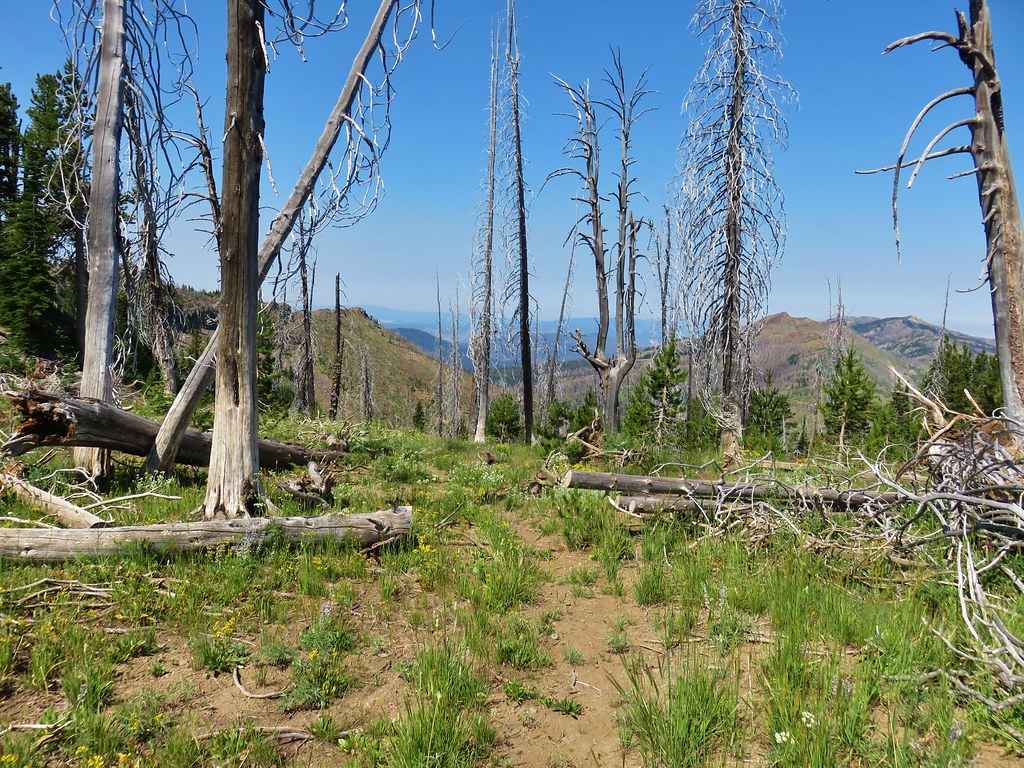
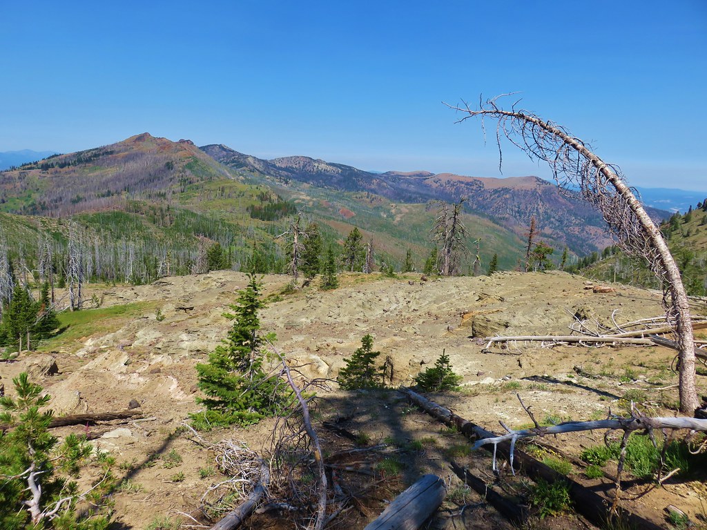
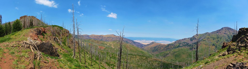
Indian Creek Butte, the John Day Valley, and Strawberry Mountain

It was 1.4 miles to a junction on the east side of Indian Creek Butte where we had the choice of staying to the right on the Pine Creek Trail for .9 miles then turning left on the East Fork Canyon Creek Trail for another 1.3 miles to the spring where we had eaten our dinner on the first day. The other option was to go back the way we’d come up the first day around the south side of the butte. This second option was three quarters of a mile shorter and the condition of the trail, albeit is sad, was known to us. We’d had enough surprises for one trip so we deiced to go with the known option.

Even though we had seen this area before there were some new sights to be had.
IMG_9597

IMG_9602

When we reached the series of rock cairns in the green trees on the SW flank of the butte we attempted to use the GPS to follow the actual route of the trail this time.
IMG_9599

That proved to be mostly futile as the brush was just too dense and the tread too light to allow us to stay on course.
IMG_9606

Other than the rare sighting of a cut log we had no idea where the trail was actually supposed to be.
IMG_9608

In the end we wound up aiming for our previous track as shown on the GPS and eventually managed to pick up the actual trail at the same place we’d lost it on the first day. We made our way back to the spring and once again took a break near the lawn chairs.
IMG_9610

This time Heather discovered a mylar pumpkin balloon which we stuffed into our garbage and packed out. We took an extended break in some shade here before setting off on what we had planned on being our last mile for the day down to Hotel De Bum Camp. As we neared the meadow near the camp though we heard the neighing of horses. A good sized group of equestrians had ridden up to the camp and were spending the night there. There really wasn’t any room for us so we decided that we’d just keep going and stop at the next good camp site.
IMG_9614A horse in the meadow at Hotel De Bum Camp

I had thought there might be a couple of spots near Miners Creek when I had checked that area out on the first day but after descending 1.4 miles from Hotel De Bum Camp a closer inspection of the area resulted in us deciding against trying to force a site there. We decided to take another break, have dinner, get more water, and look at the map to see about other potential spots.

The next camp shown on the forest service map was Grindstone Y Camp which looked to be a half mile down the trail. When we arrived in the area we spotted what appeared to be a camp where there were all kinds of supplies stashed in the nearby trees. There really didn’t seem to be a viable tent site though and with all the items about it had an off-putting vibe so we pressed on.

Nearly a half mile later we came to a fork in the trail. On the first day we had come up from the right hand side (north side of the creek) but the equestrians had clearly come up from the right hand fork. We determined that the right hand fork was the trail we should have been on to avoid the ugly bushwhack across East Brookling Creek. We took the right hand fork and promptly crossed East Fork Canyon Creek.
IMG_9616

The trail remained on the south side of the creek for nearly a half mile before recrossing the creek. Near this crossing we spotted the biggest wasp either of us had ever seen.
IMG_9620

A short climb up from the creek brought us to the orange flagging where we had taken the uphill fork on the first day.
IMG_9622

That mystery was solved but the more pressing mystery was where were the decent camp sites. A half mile later (and over three and a half miles from Hotel De Bum Camp) we finally found enough clear level ground to pitch our tent.
IMG_9624

We were somewhere in the vicinity of Bingham Camp and only a tad over four miles from the trailhead. It had been a 15.2 mile day and once again we were beat. We sat in our chairs for a couple of hours while a woodpecker dropped debris on us.
IMG_9630

It was slightly cooler that night and the next morning but still not as cool as we’d have liked as we set off for the final 4.2 miles back to our car at 6:30am.
IMG_9635

The Sun chased us from behind as we followed the creek downstream through the forest.
IMG_9640

IMG_9653

We arrived back at the rental car around 8:15am thankful that we would soon feel the cool breeze of air conditioning.
IMG_9655

Our original plans had been to return to Bend, stay the night with Heather’s parents, and then head to the Mt. Thielsen Wilderness for a single night in hopes of visiting an off trail waterfall (Bruce knows the one), but after the brutal heat we’d hiked through for the previous four days neither of us had anything left. We scrapped those plans and decided to simply head home after the night in Bend.

This was by far the hardest backpacking trip we’ve done, so much so that we weren’t able to fully appreciate the beauty that we were seeing. We had timed the trip well for the flowers it was just unfortunate that it was during a heat wave. One thing is for sure we’ll never forget our first visit to the Strawberry Mountain Wilderness. Happy Trails!

Flickr: Strawberry Mountain Wilderness Days 3 & 4