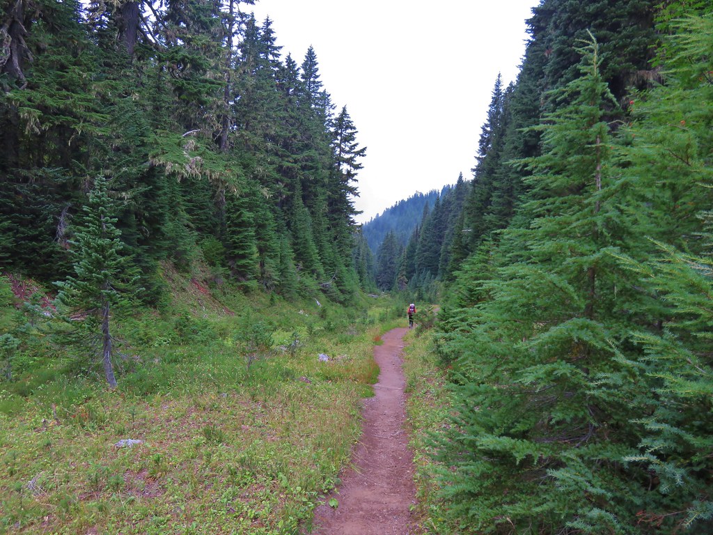
For our final hike of our Mount Rainier vacation we landed on the Naches Peak Loop. This was originally not going to be our final hike but after several changes to our plans throughout the week it wound up here and we couldn’t be happier that it did. This was a spectacular hike with tons of wildflowers, great views, and a nice variety of wildlife.
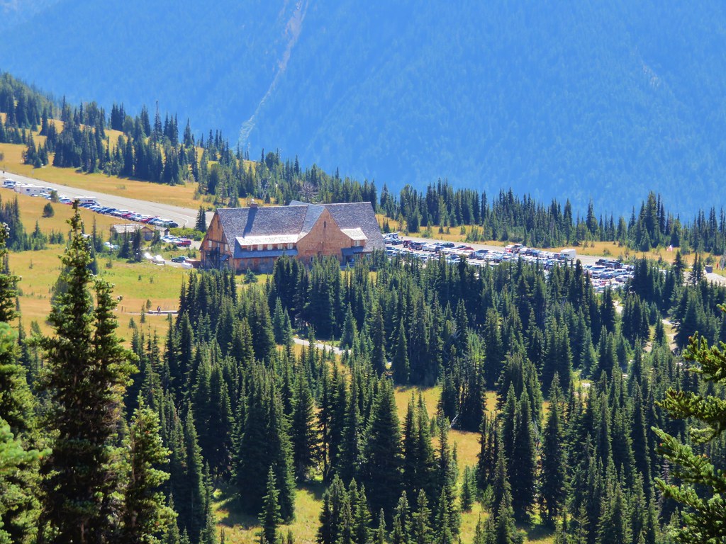
Less than 40 minutes from Packwood we arrived at the trailhead a little before 5:45am.


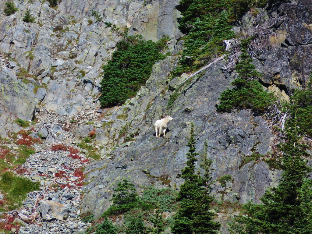
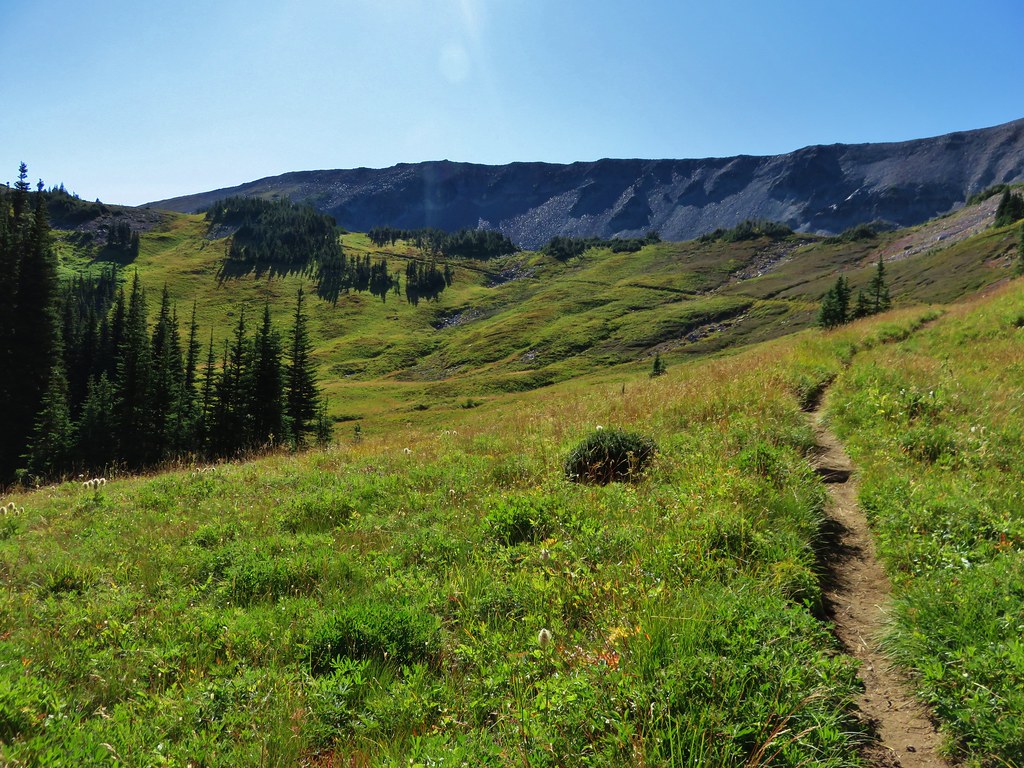
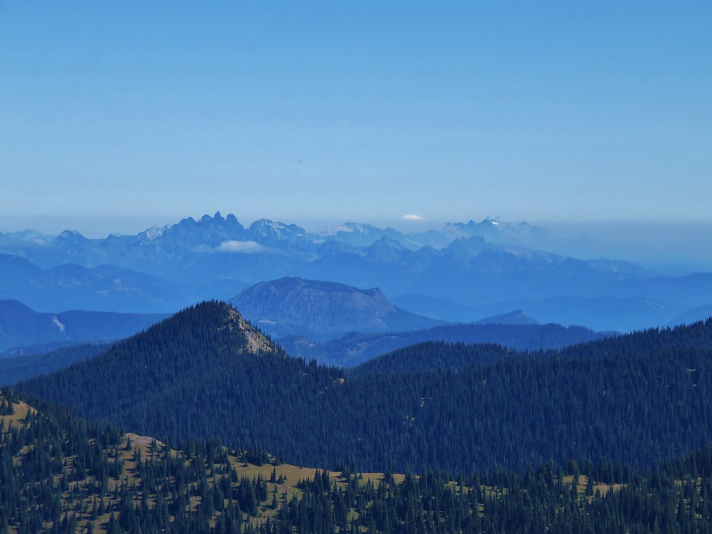
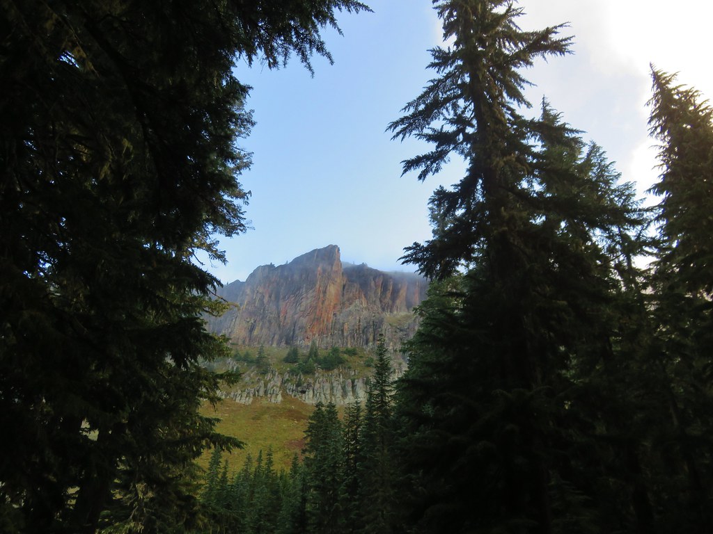
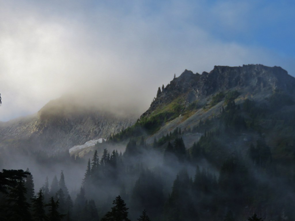
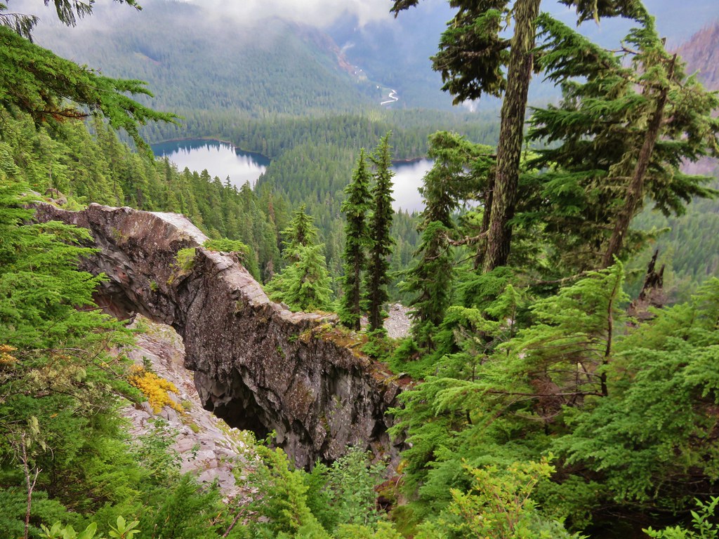
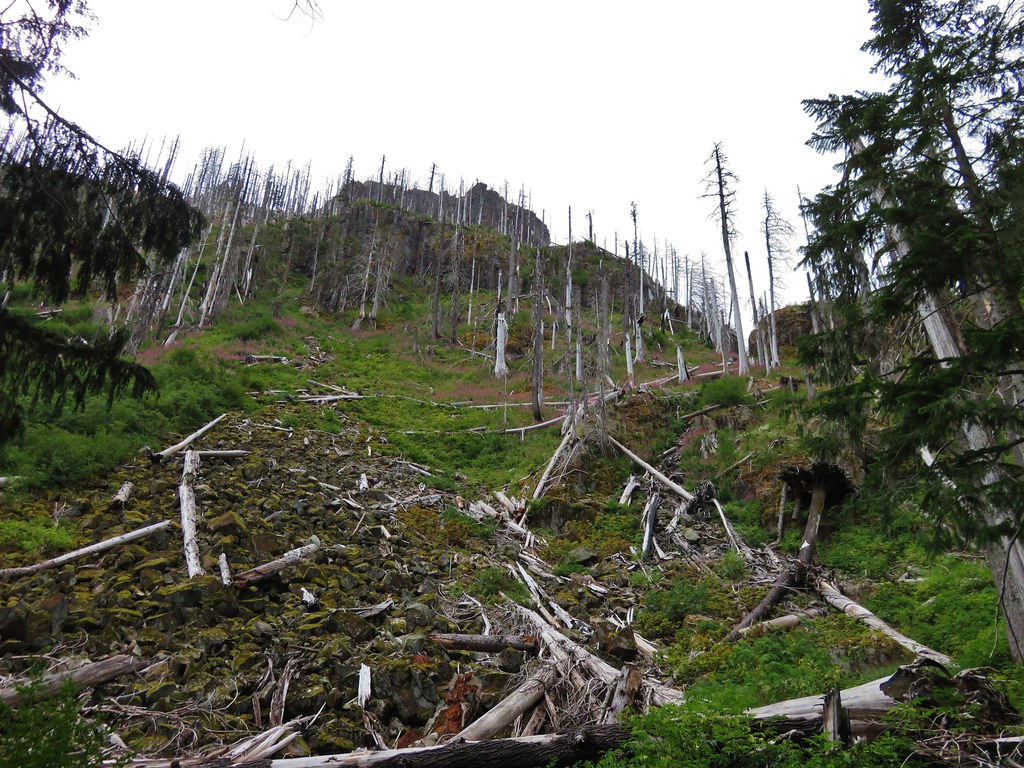
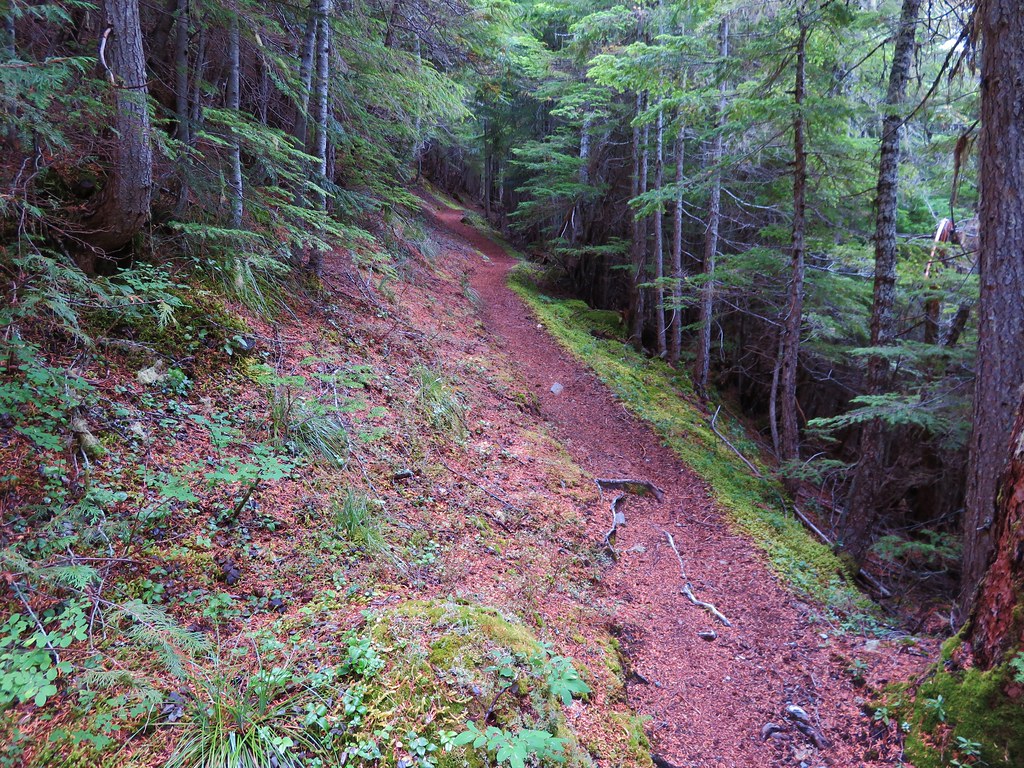
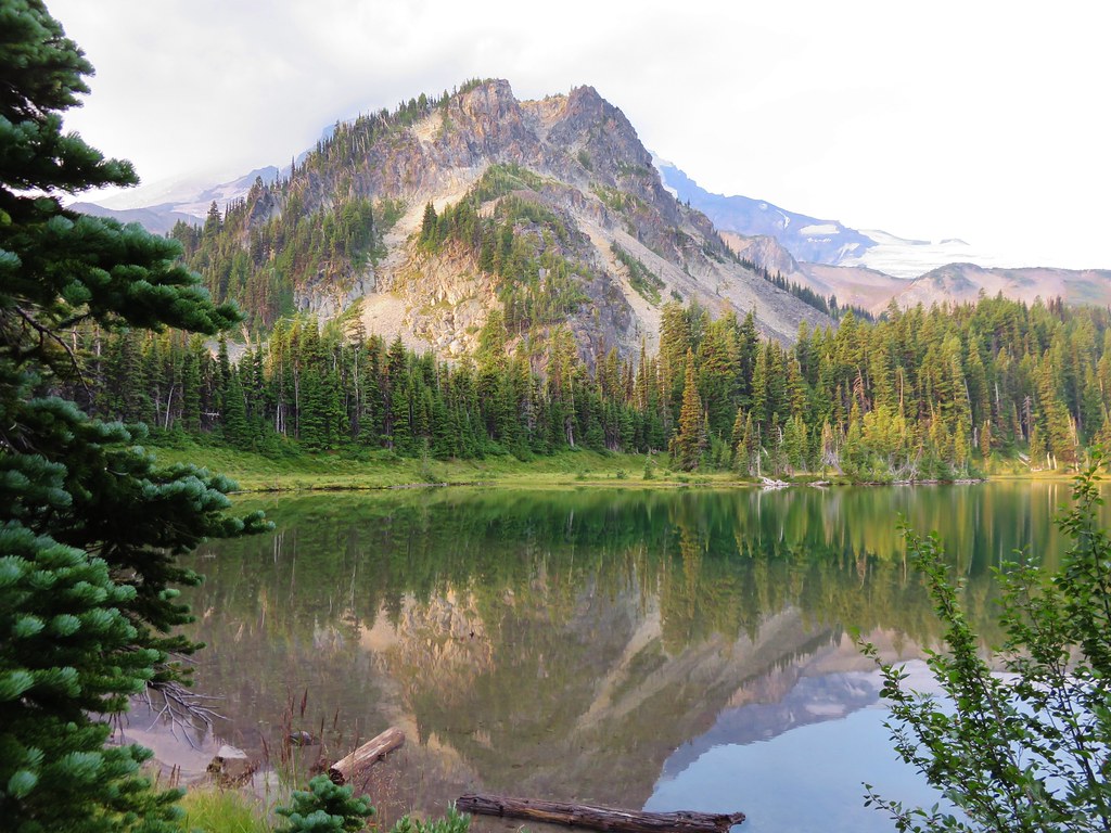
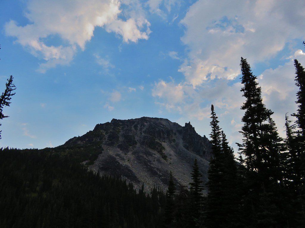
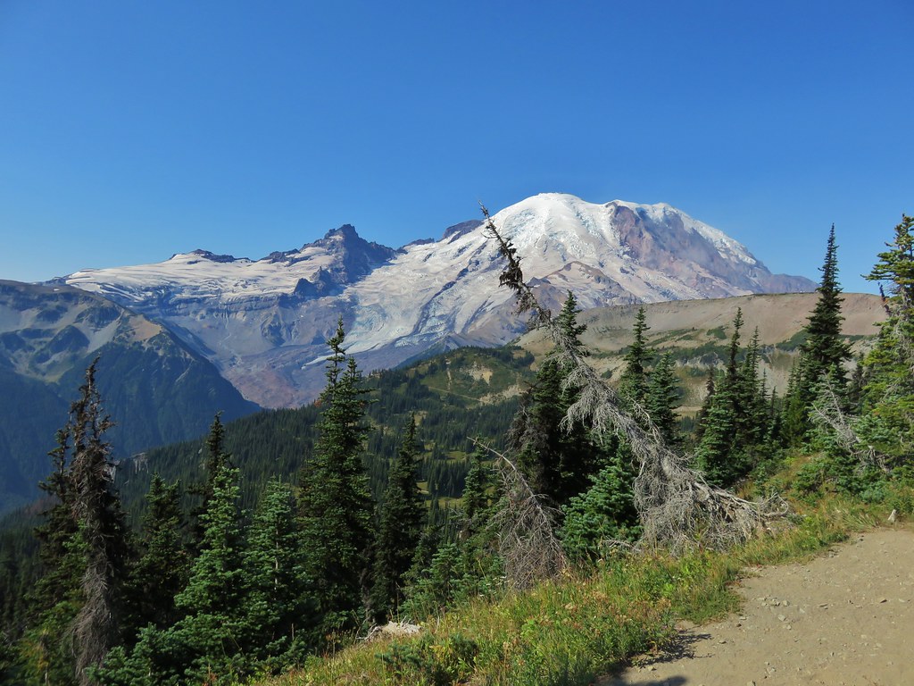
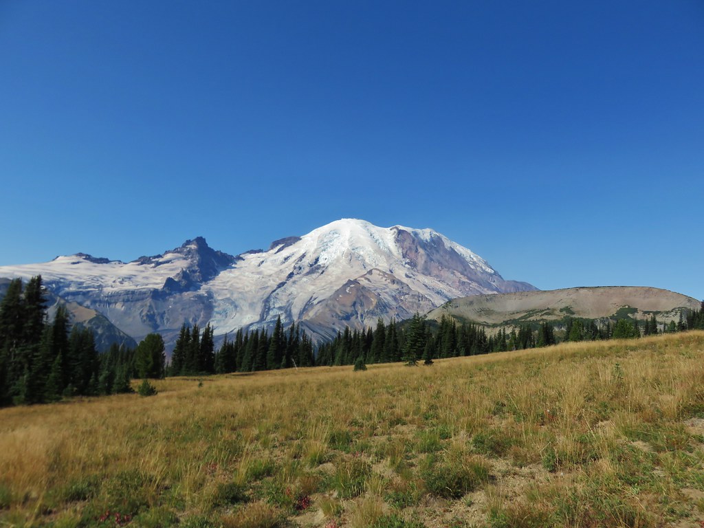
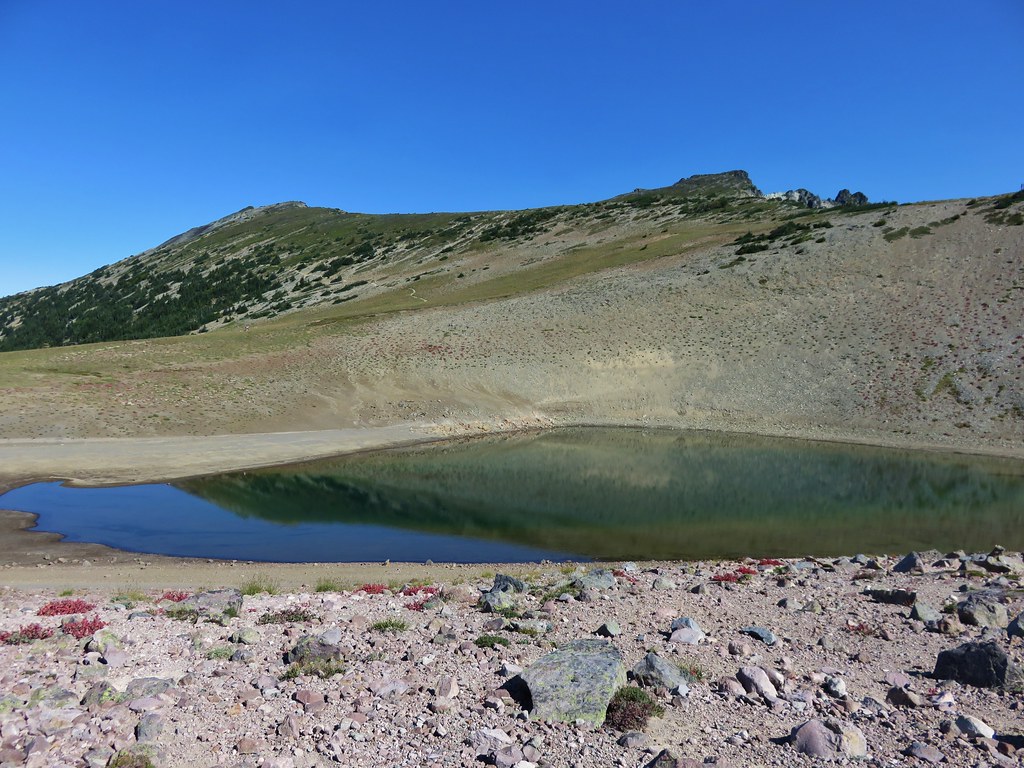
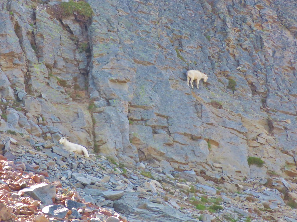
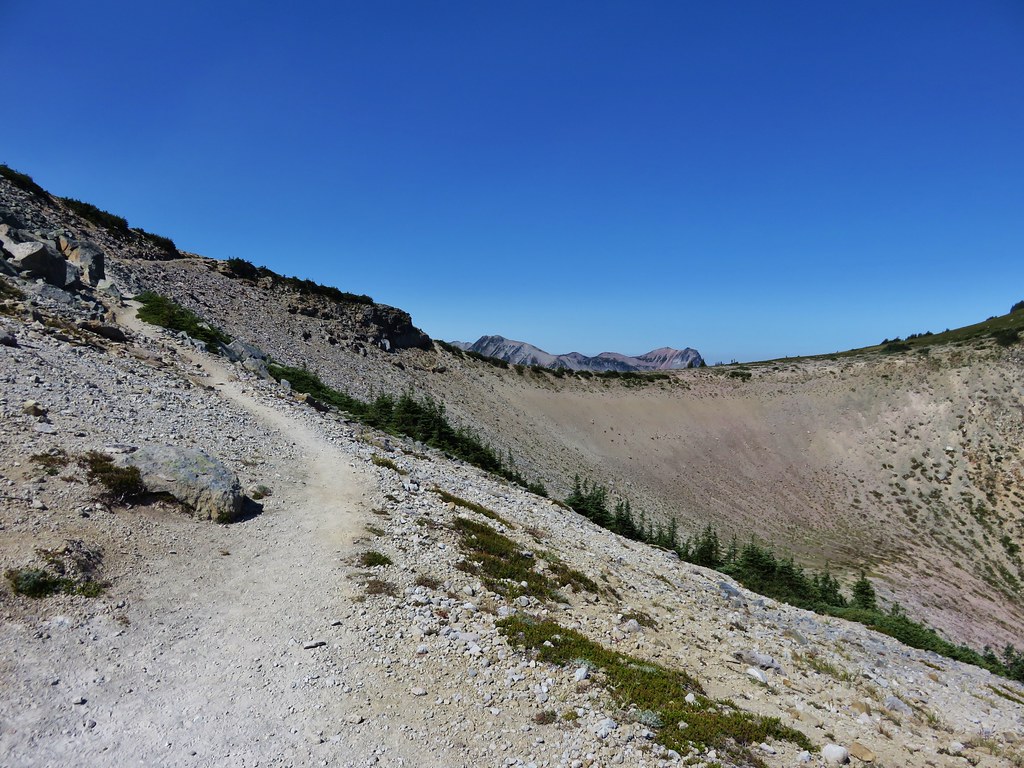
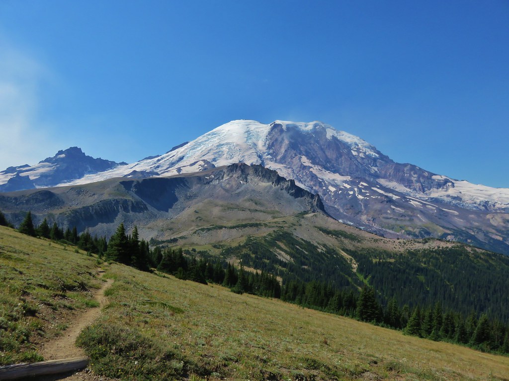
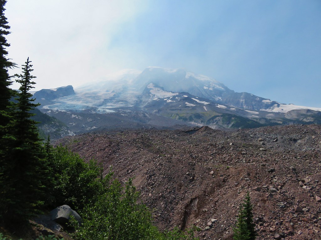
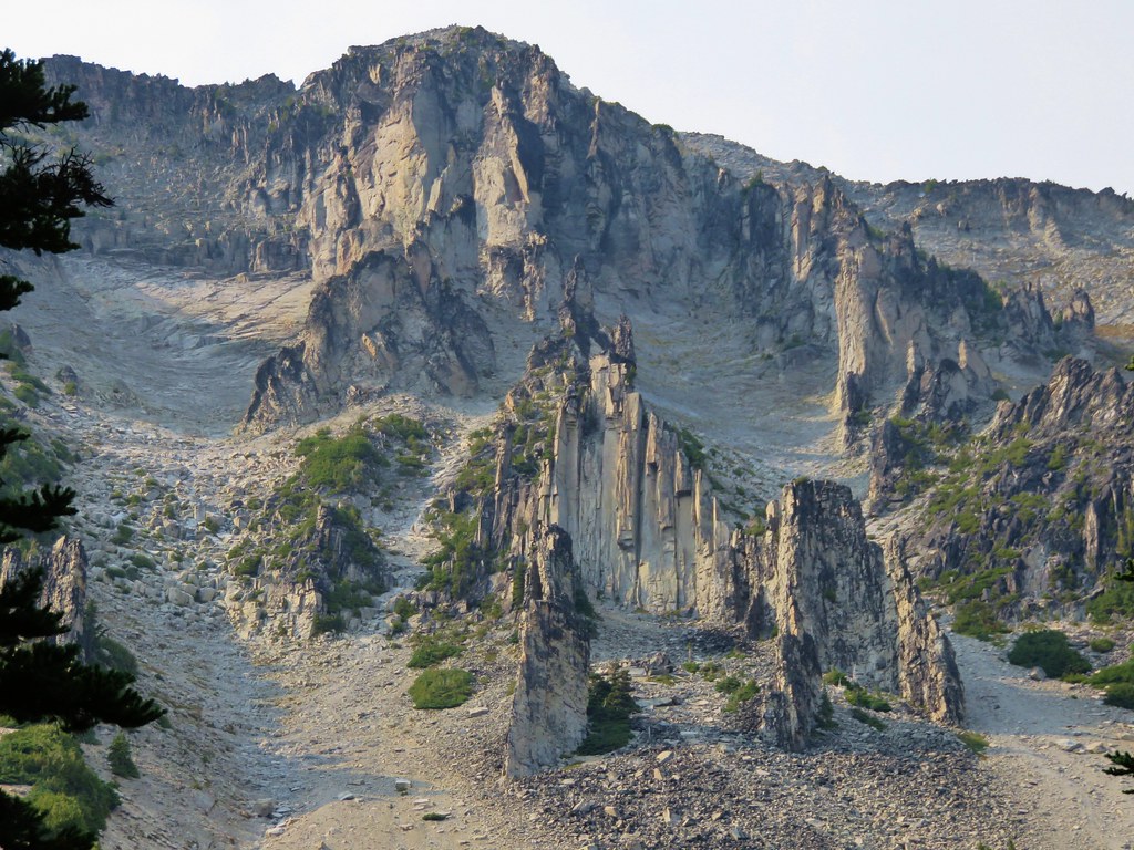
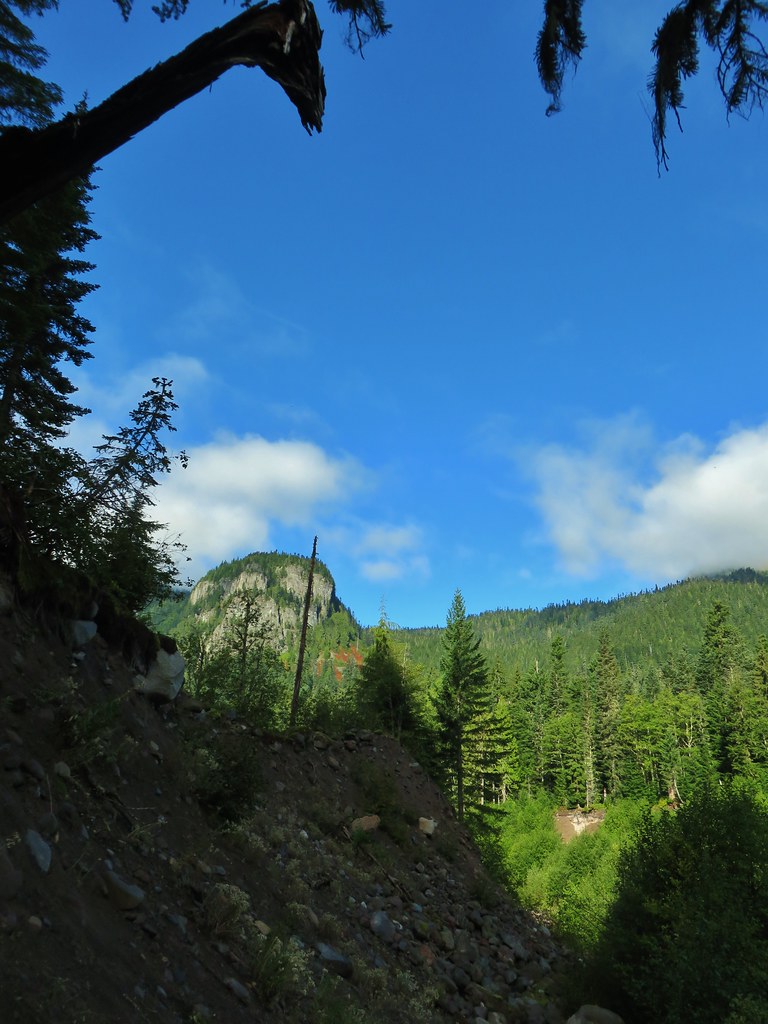
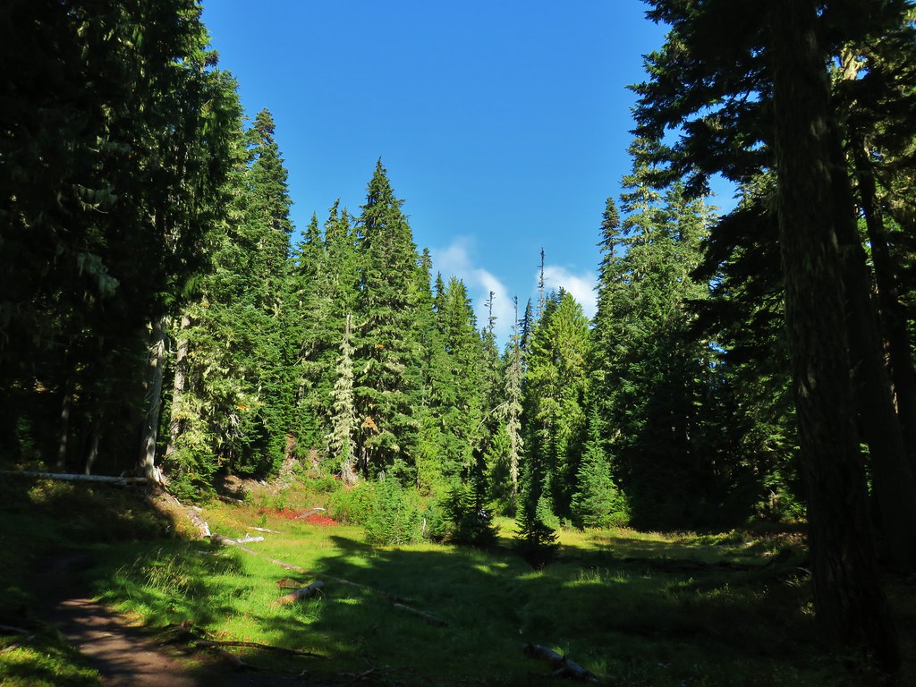
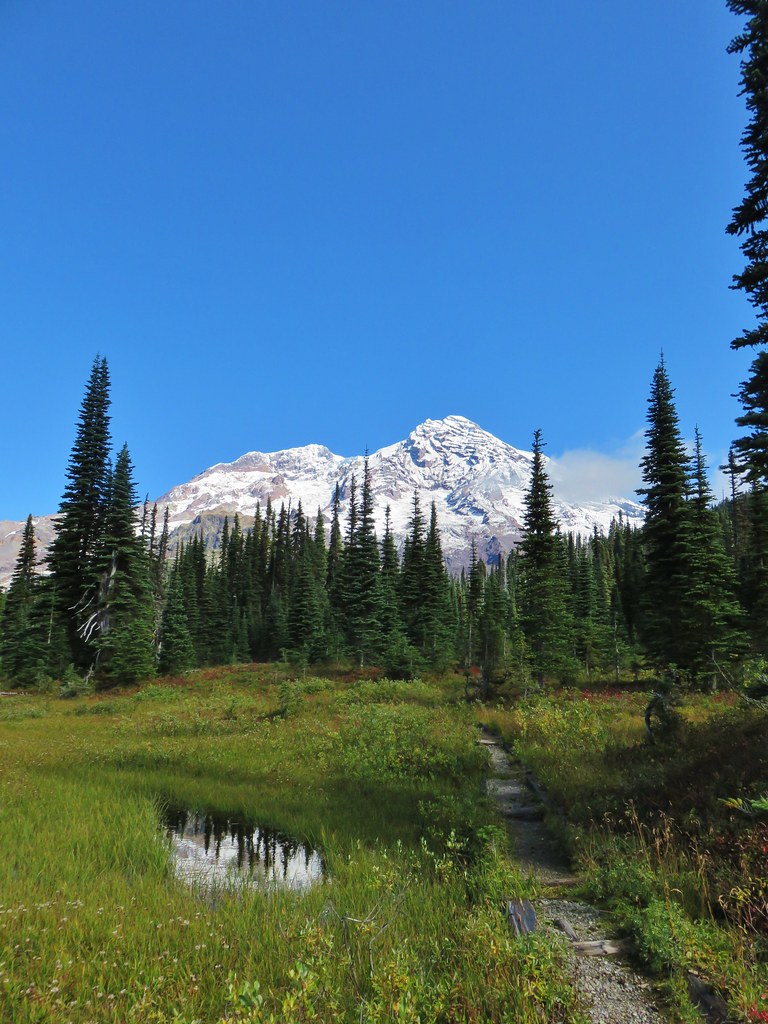
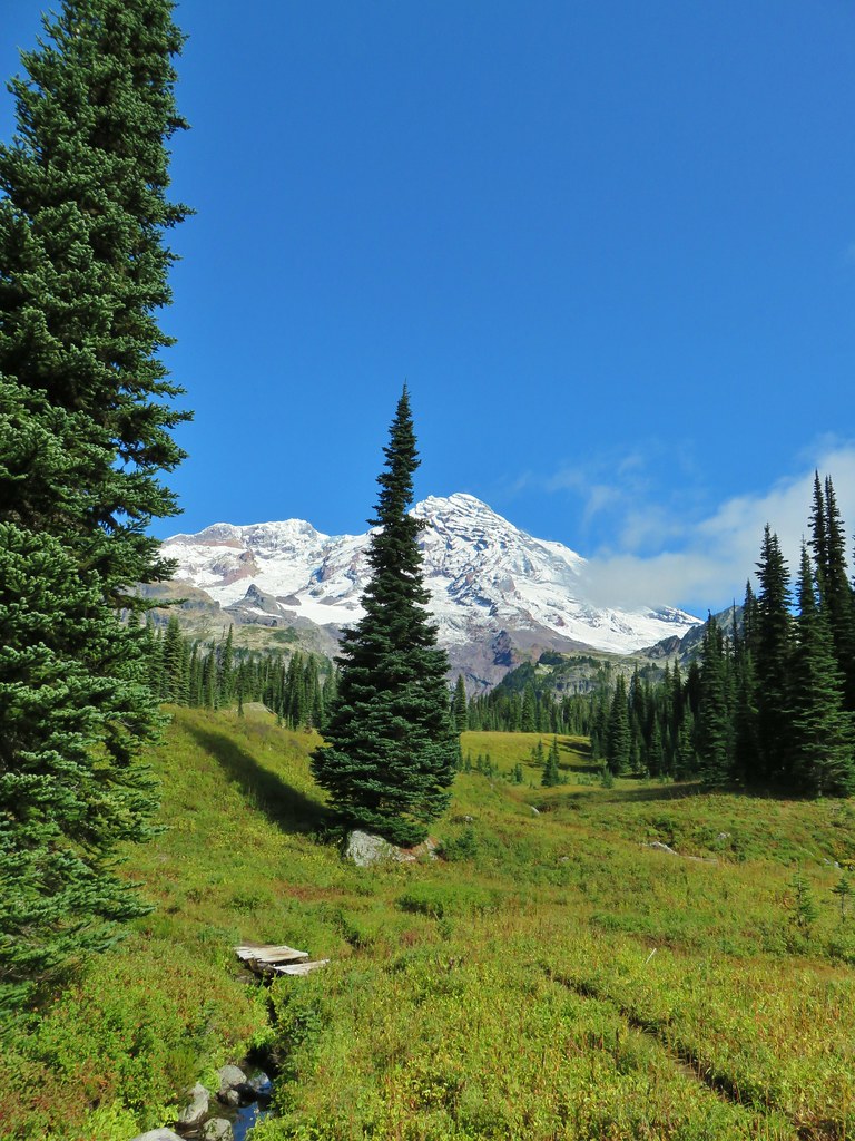
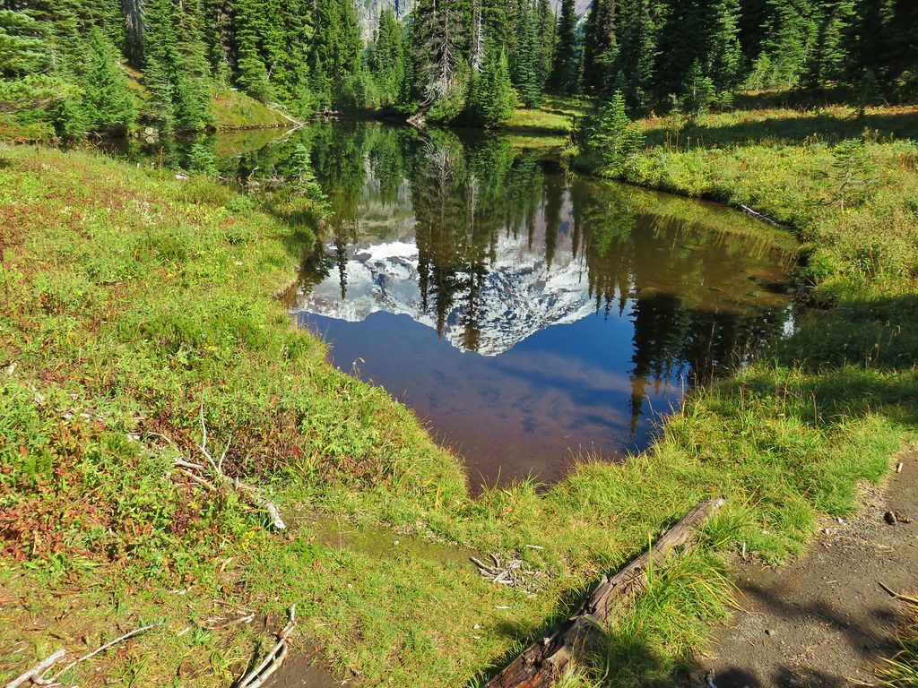
Double Peak
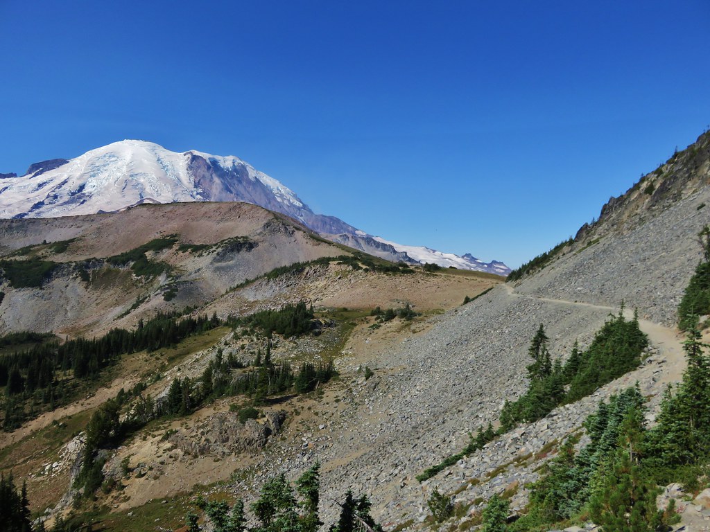
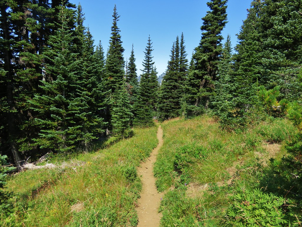
The Naches Peak Loop Trail is 3.5-miles with 500′ of elevation gain. A portion of the loop follows the Pacific Crest Trail which provided an opportunity for a side trip down to Dewey Lakes in the William O. Douglas Wilderness.

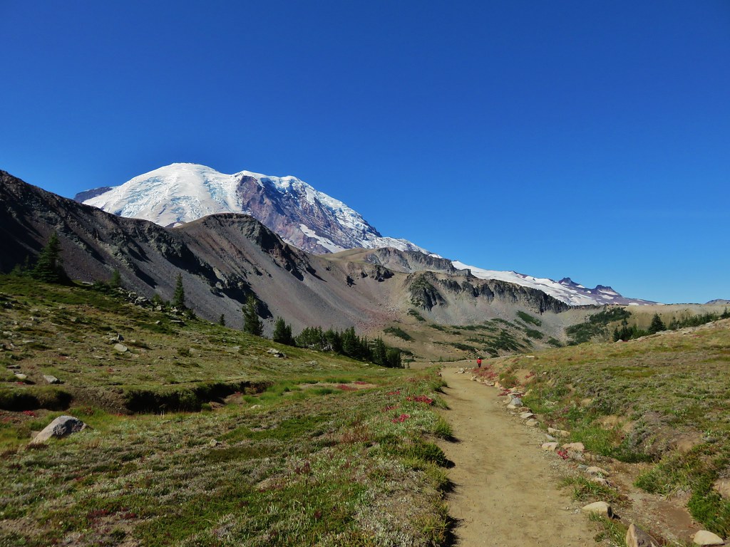
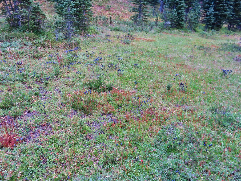
It is recommended to hike the loop clockwise to maximize the views of Mount Rainier so that was our plan as we set off. The wildflower display was immediately profuse.


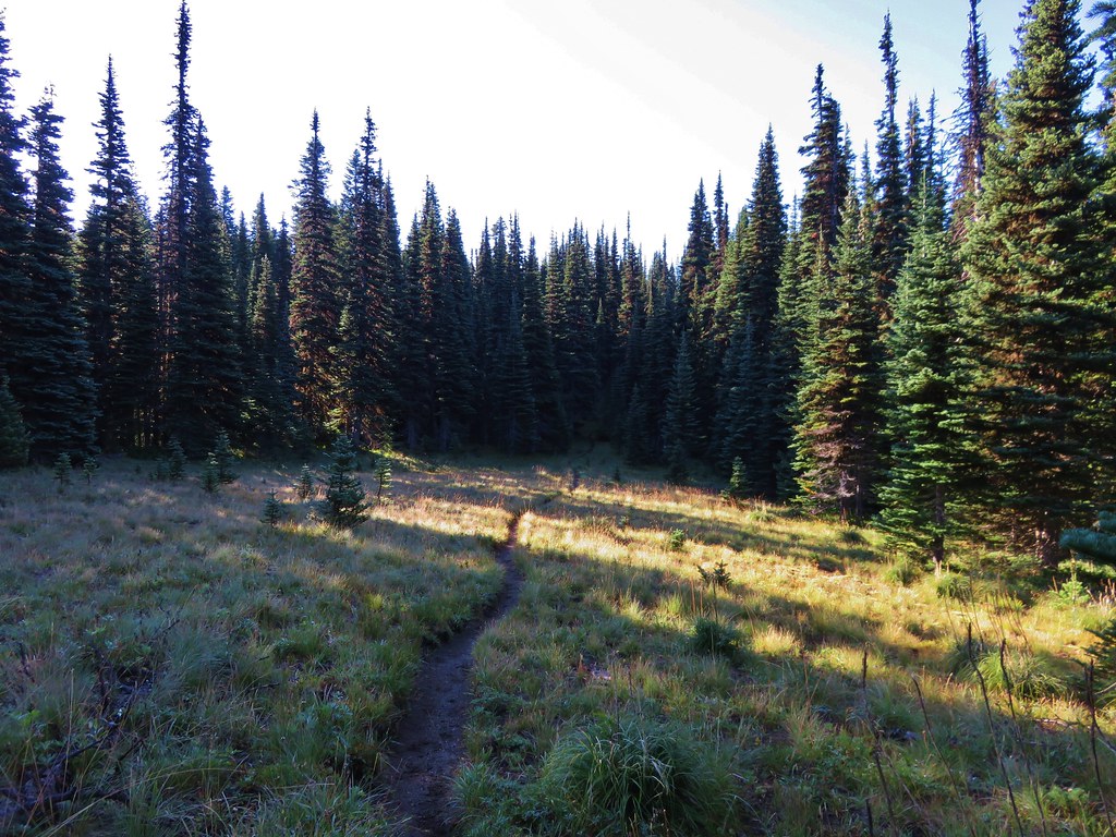
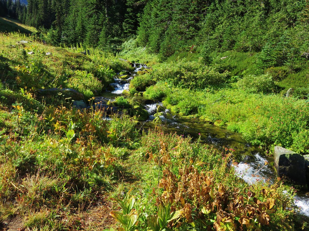
Heading down to the start of the loop near Tipsoo Lake.

Tipsoo Lake

Spirea, lupine, western pasque flower, and bistort.

We turned left at the start of the loop and climbed for a third of a mile to the Pacific Crest Trail at Chinook Pass.


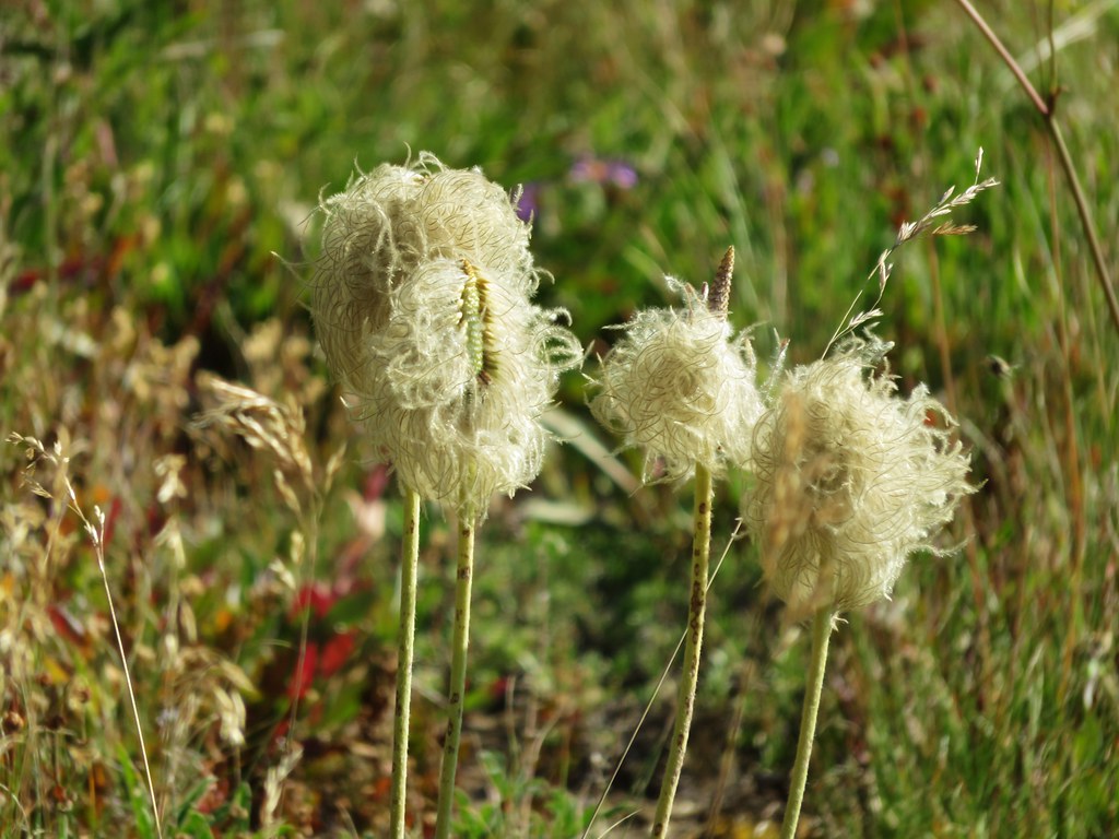
Western pasque flower seedheads and aster.


Valerian and bistort

Larkspur


Arnica, fleabane, lupine, bistort, and valerian.

Partridgefoot

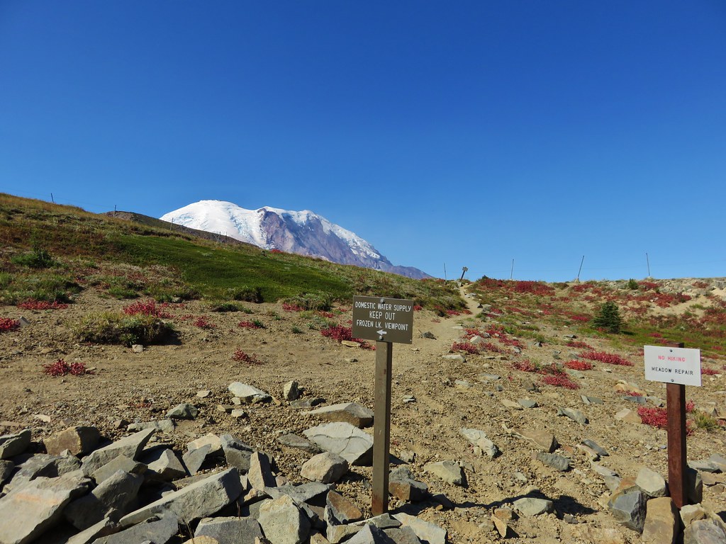
Highway 410 at Chinook Pass.

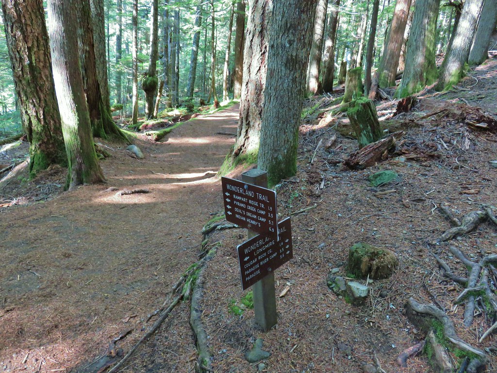
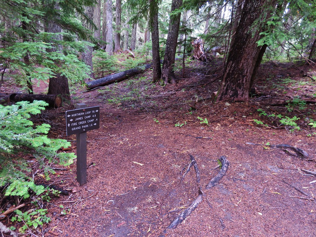
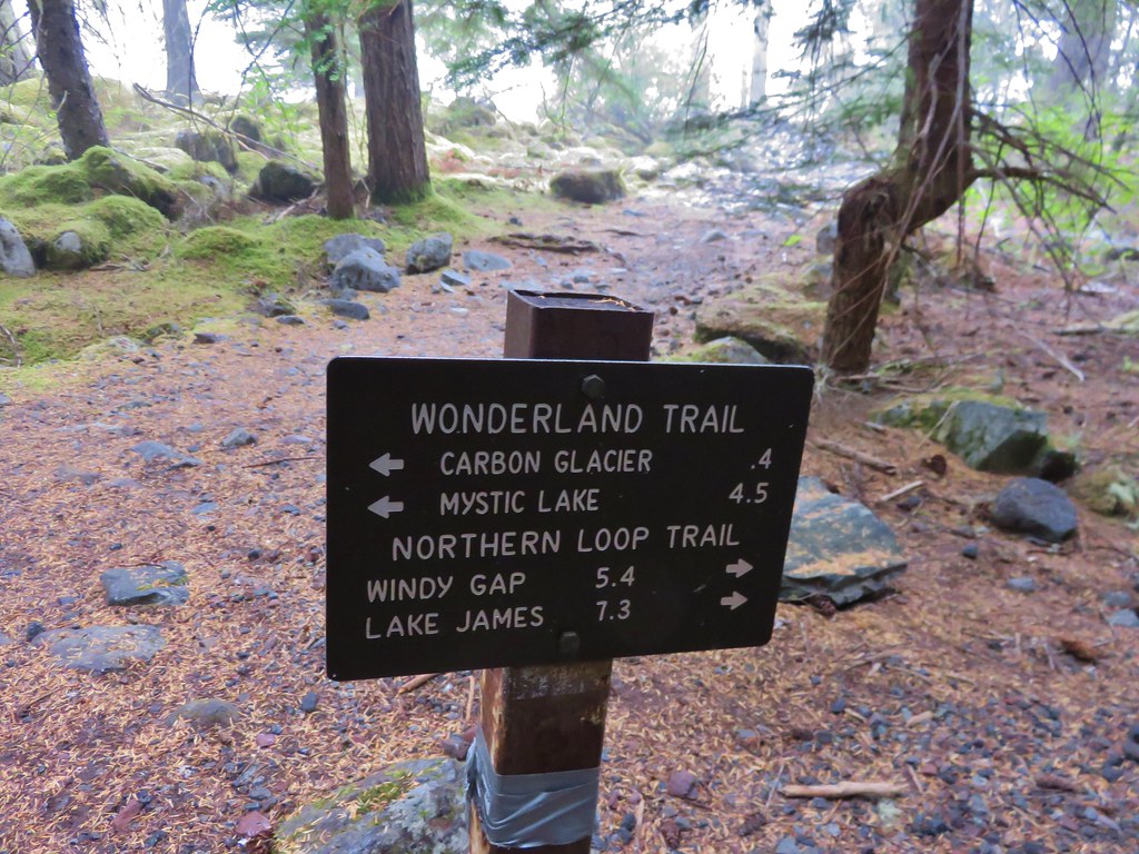
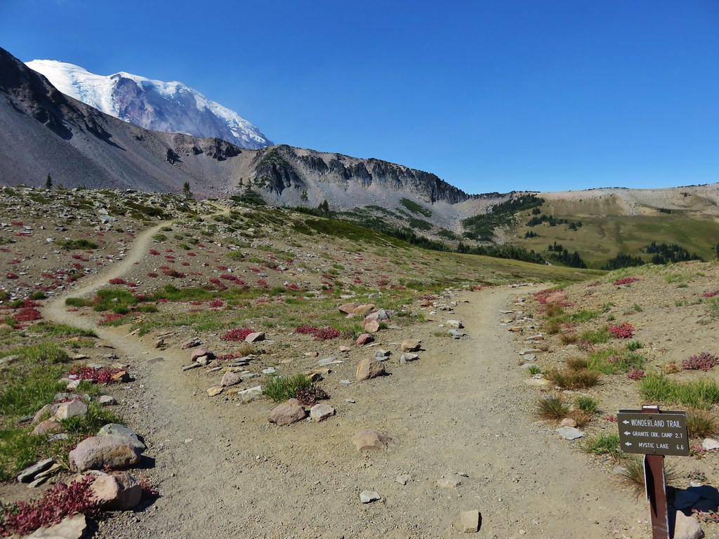
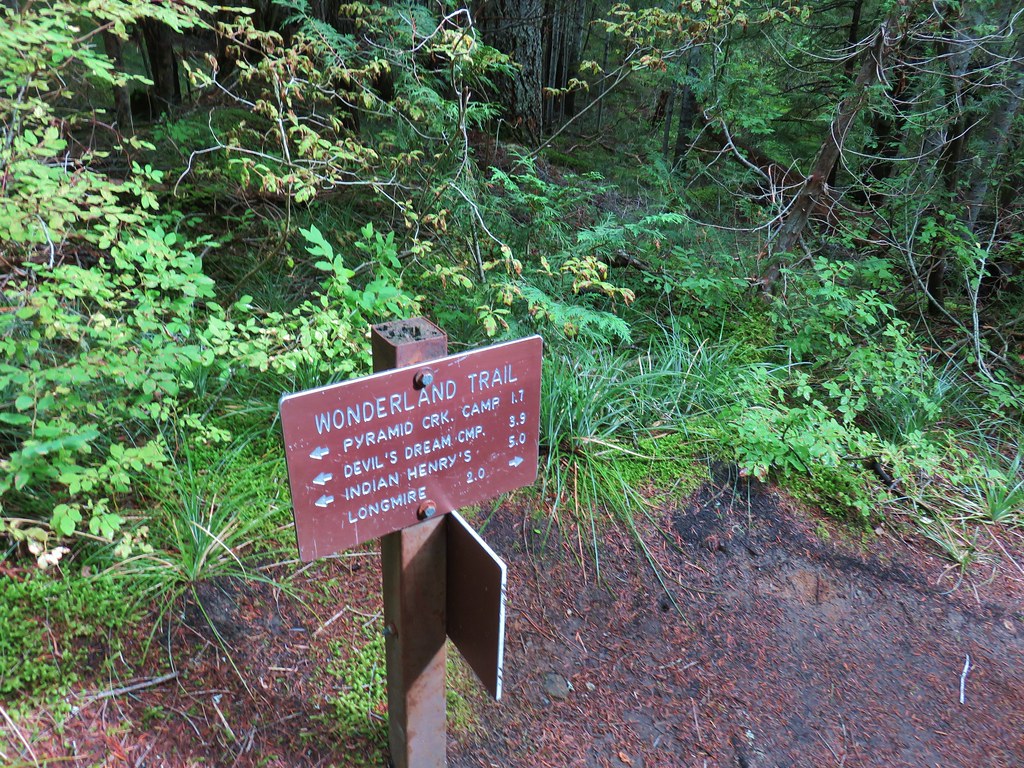
Trail sign for the PCT.
We turned right on the PCT and crossed the highway on an overpass.

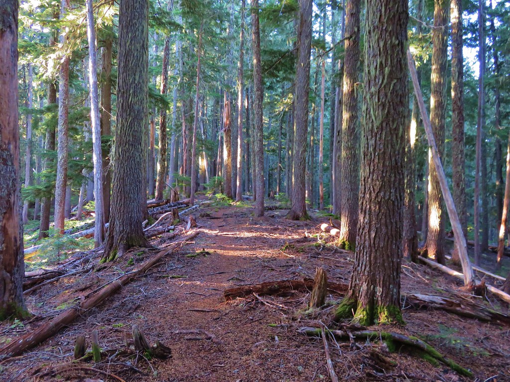
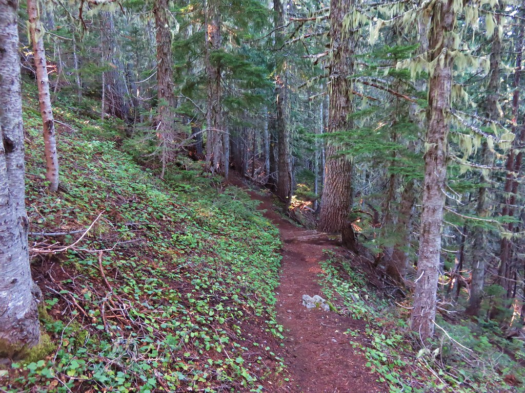
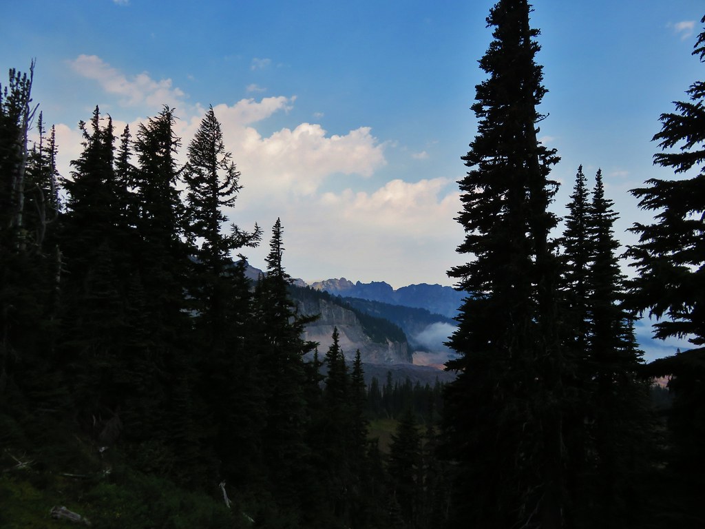
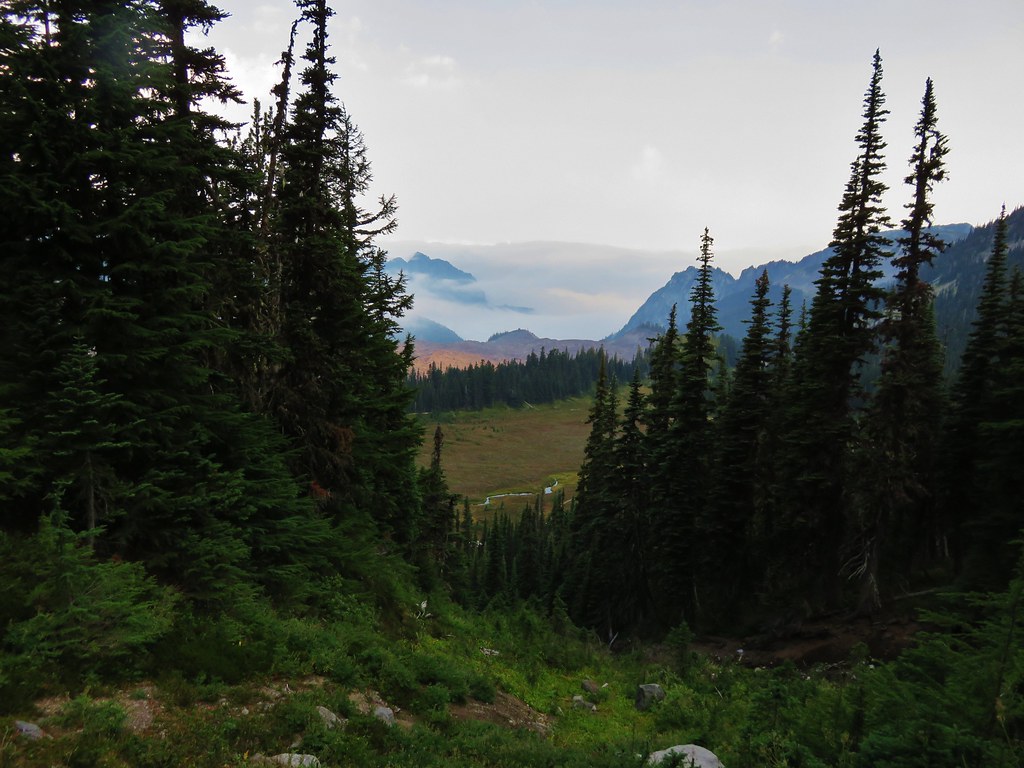
The PCT was more level as it traversed the hillside below Naches Peak.

Looking back at Yakima Peak.

We were leaving the National Park and entering the Okanogan-Wenatchee National Forest.

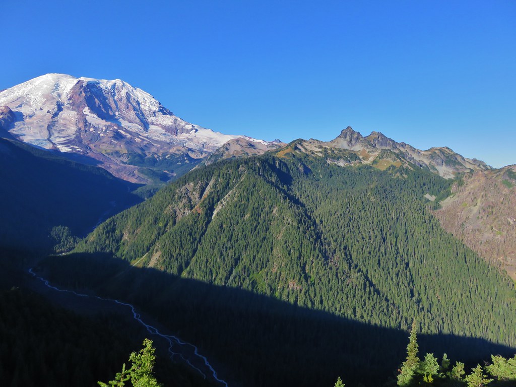
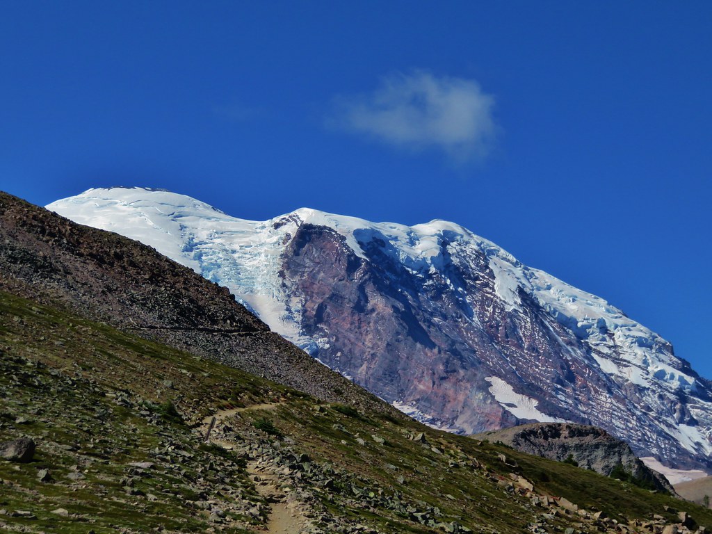
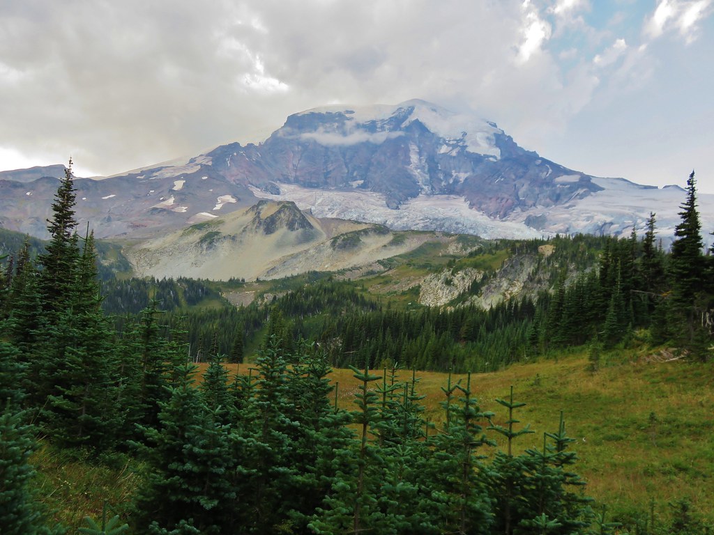
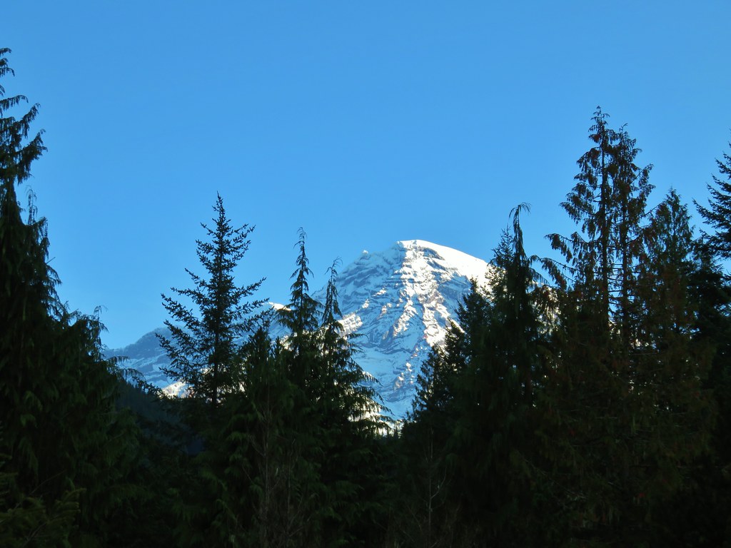
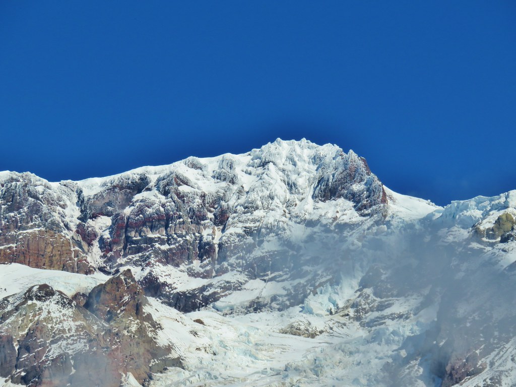
The top of Mount Rainier to the left of Yakima Peak.

Saxifrage

Bird’s beak lousewort


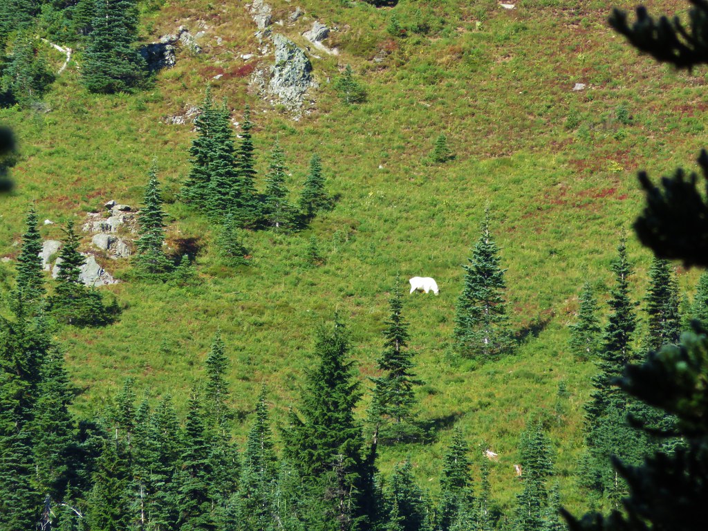
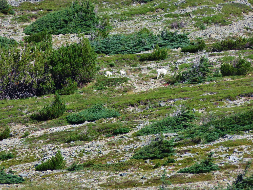
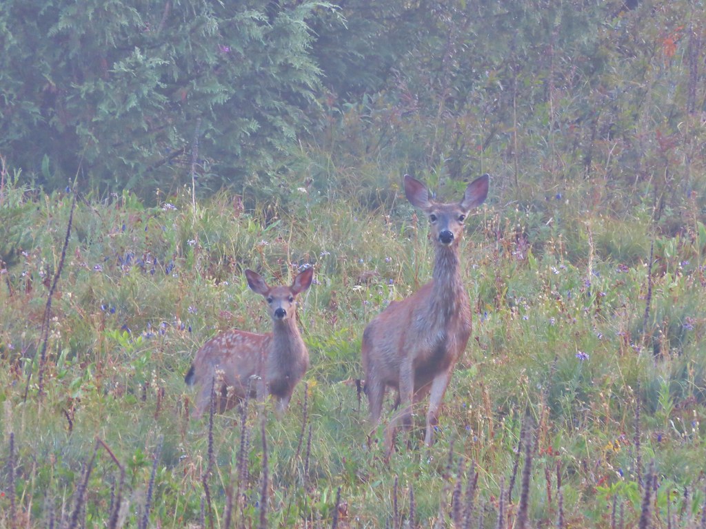
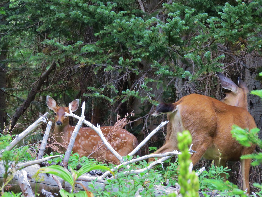
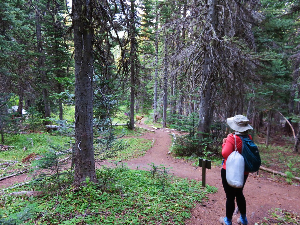
At one point we looked back toward Yakima Peak and spotted some deer dashing across the hillside.

Doe and two fawns.


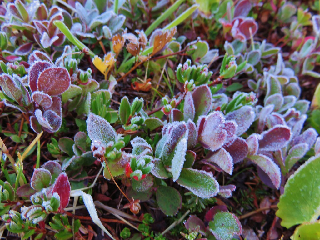
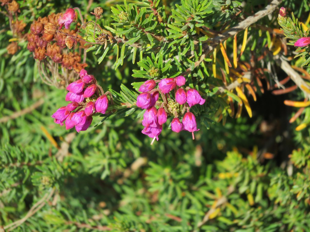
White mountain heather

Wilderness information for the William O. Dougals Wilderness.


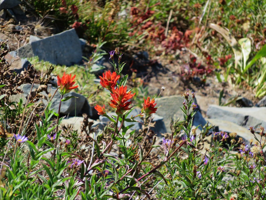
Paintbrush


Grass-of-parnassus and an arnica.

Allumroot

Columbine with several other types of flowers.

Cusick’s speedwell


Pink monkeyflower


Wilderness sign


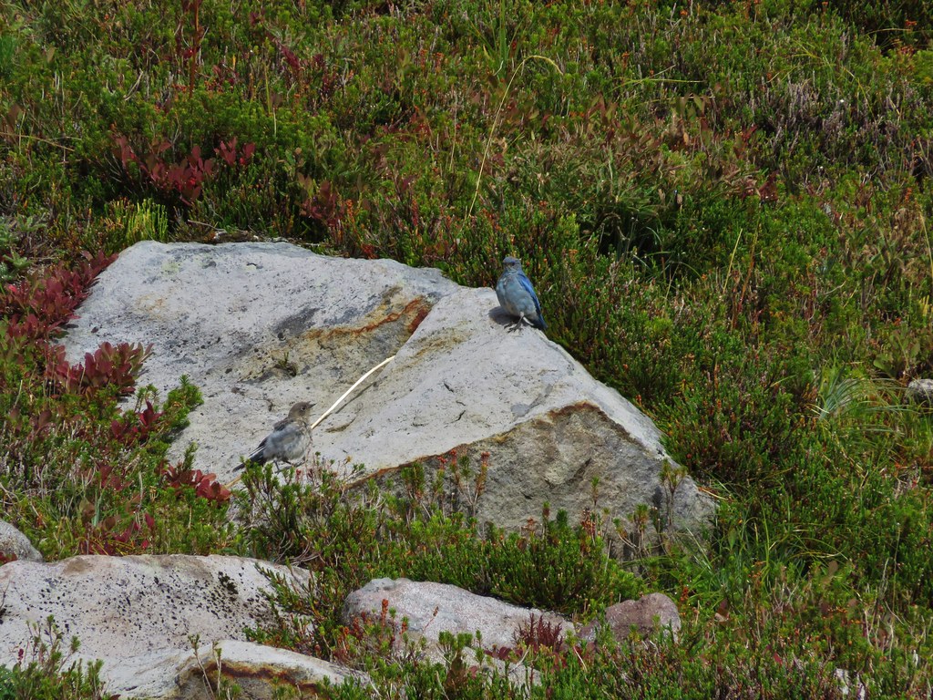
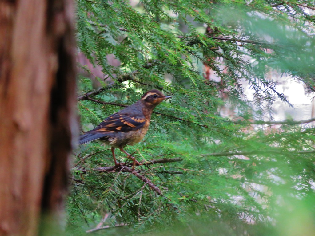
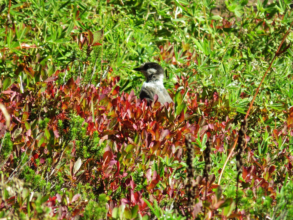
Bird with a snack.


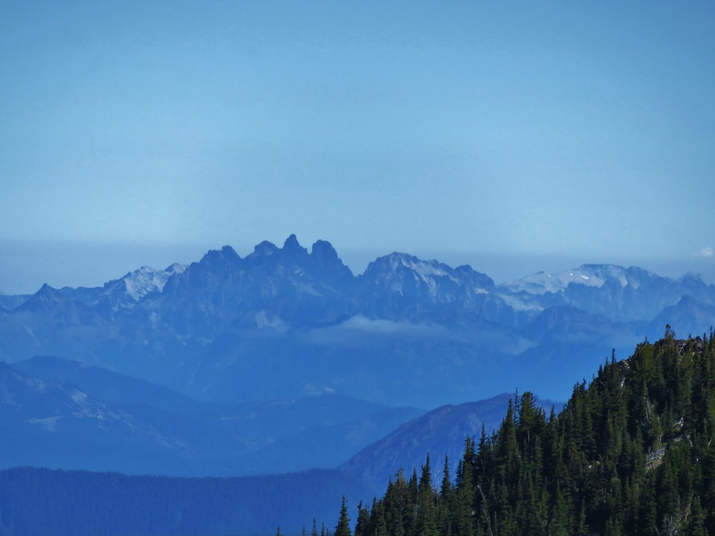
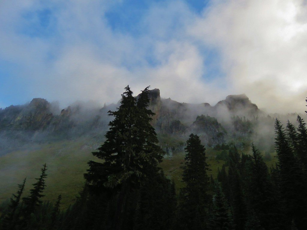
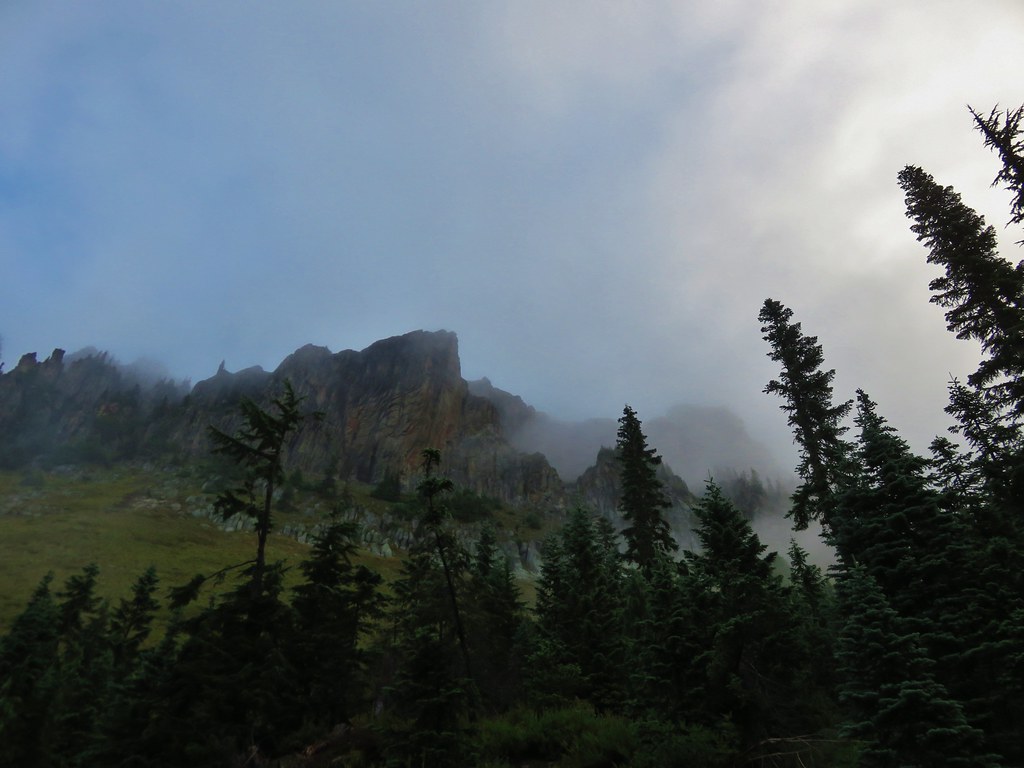
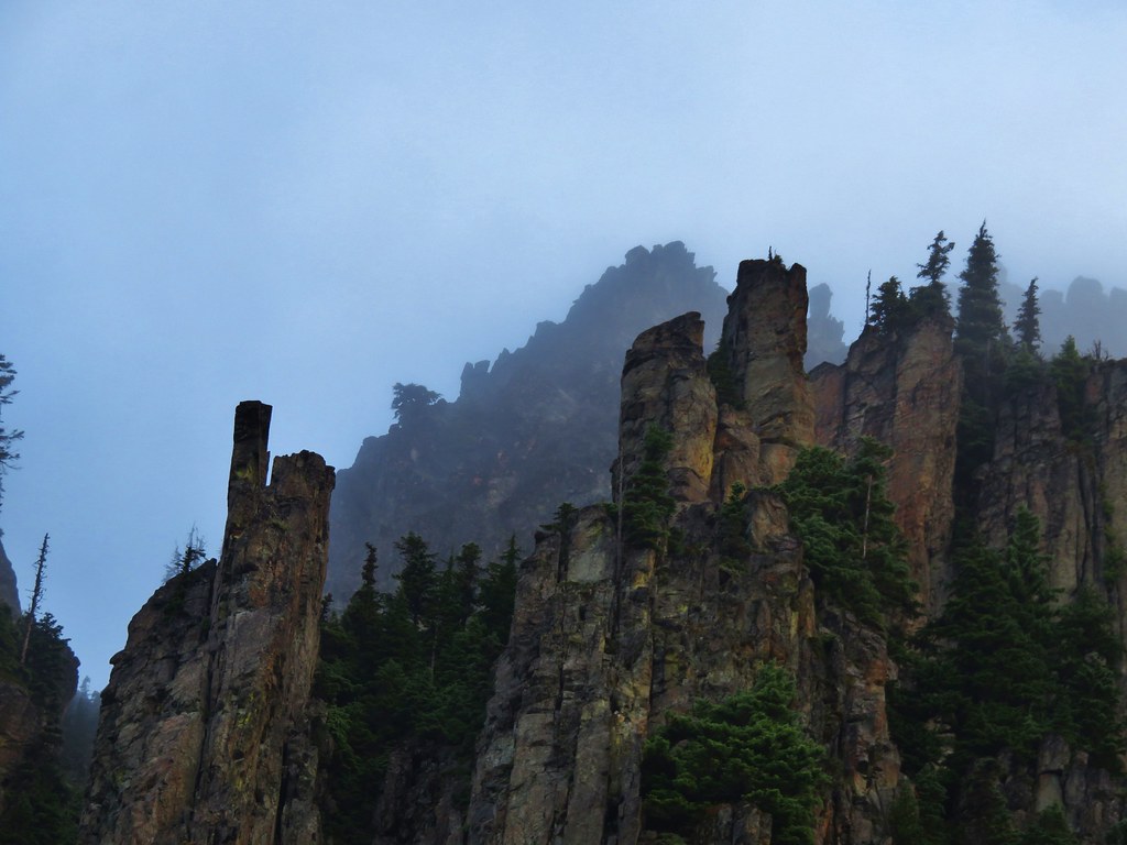
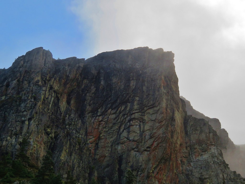
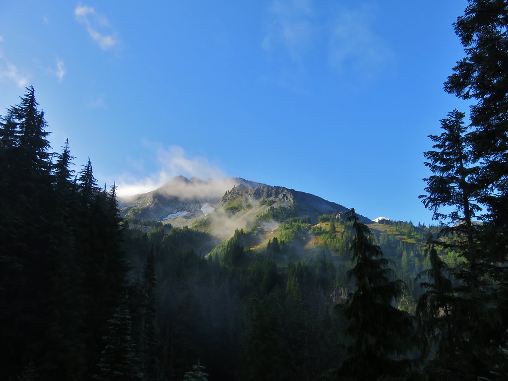
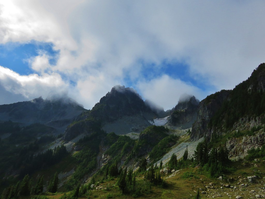
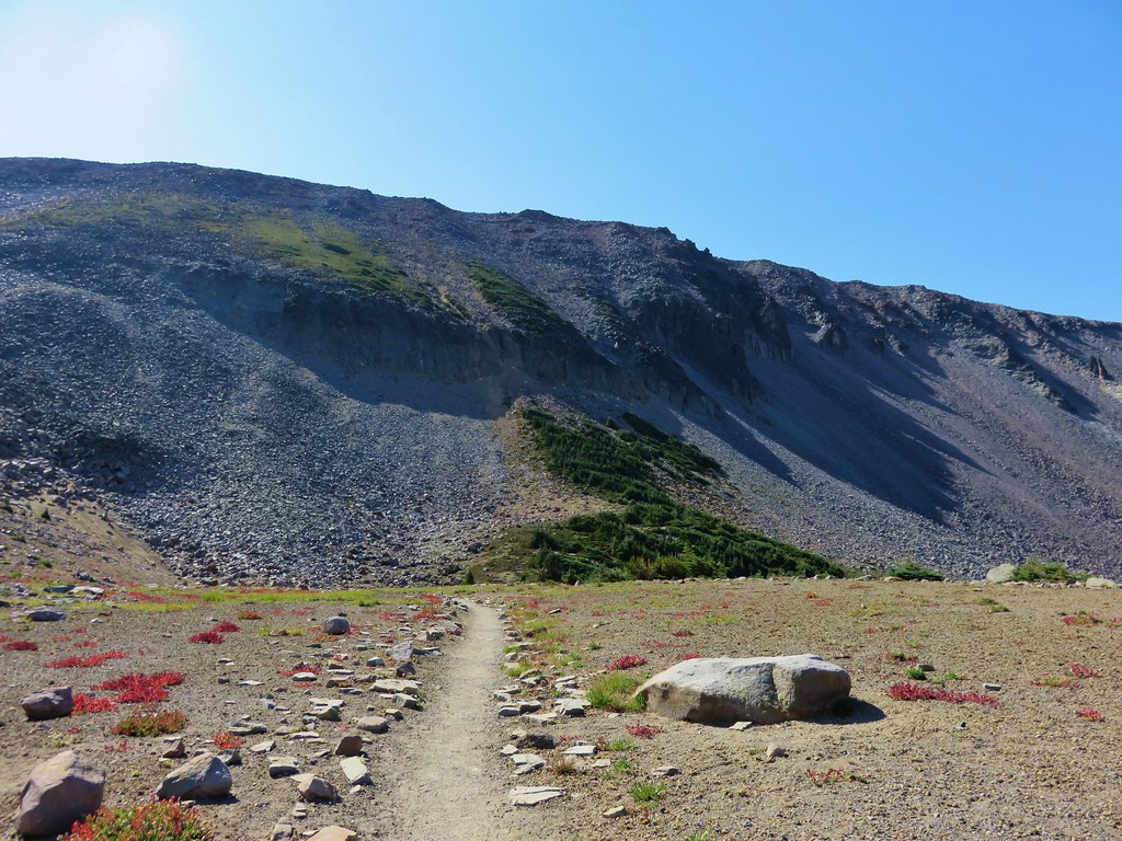
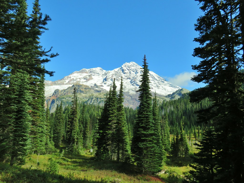
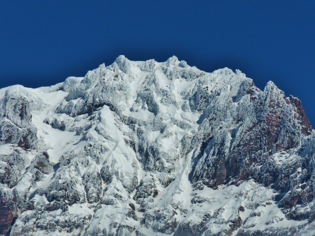
Naches Peak
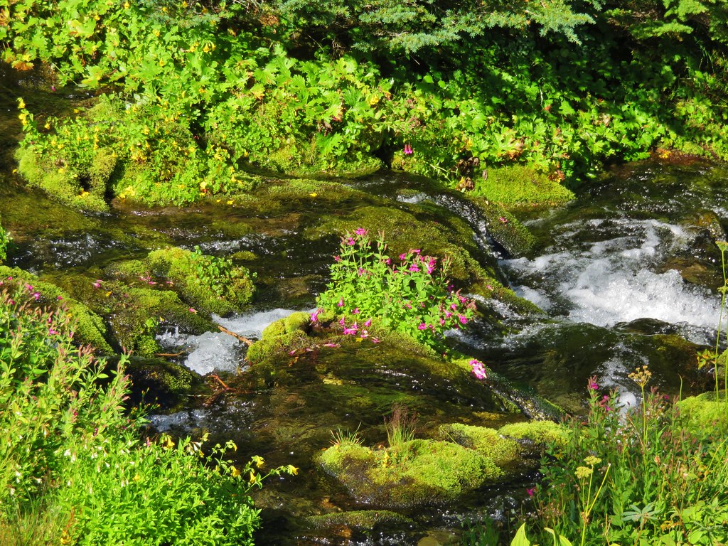
Just under a mile from Chinook Pass the PCT passes a small tarn below Naches Peak. We detoured around the tarn on a use trail.


Sickle-top lousewort


Penstemon

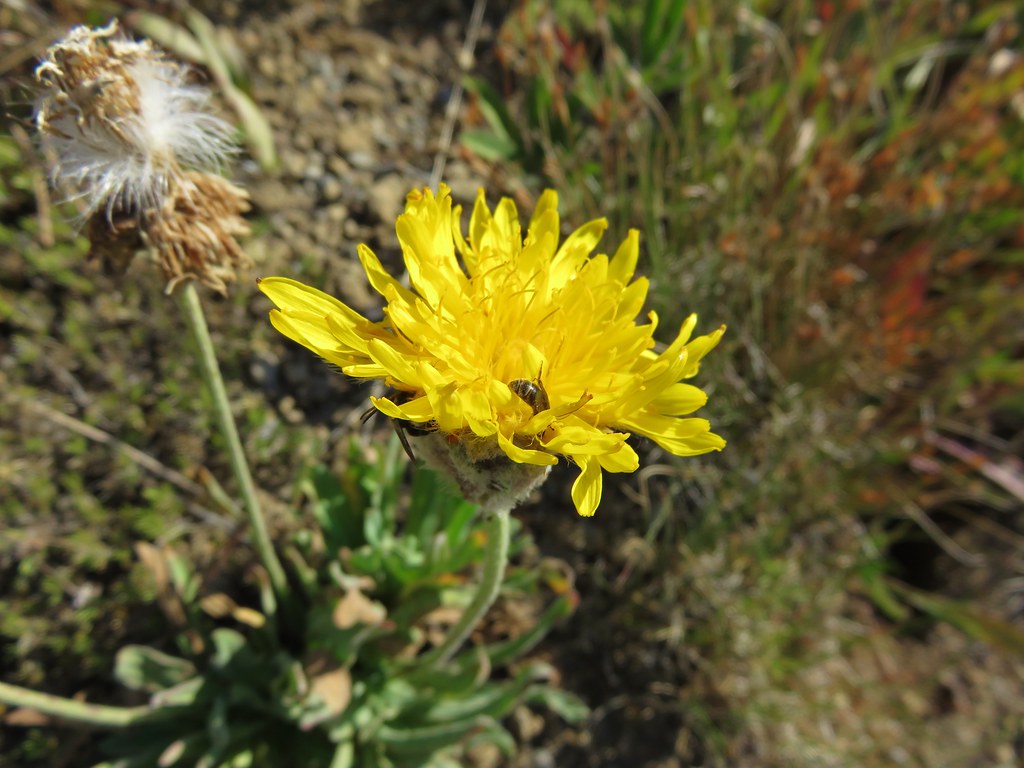
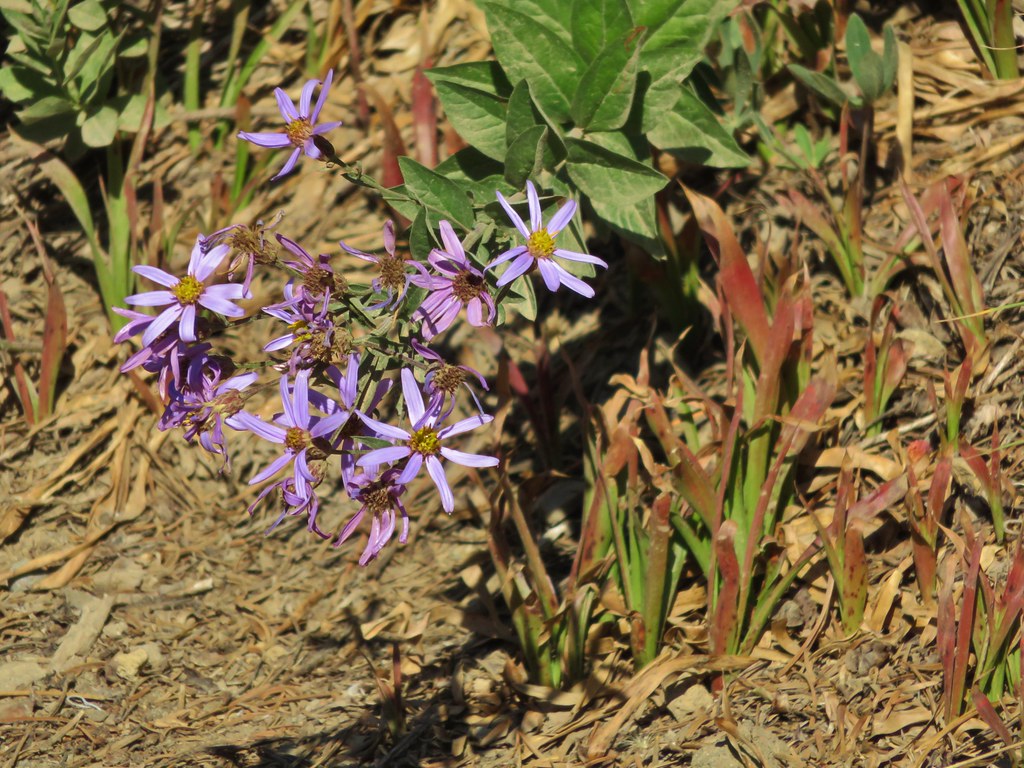
Aster

Pink monkeyflower and arnica


Pussytoes

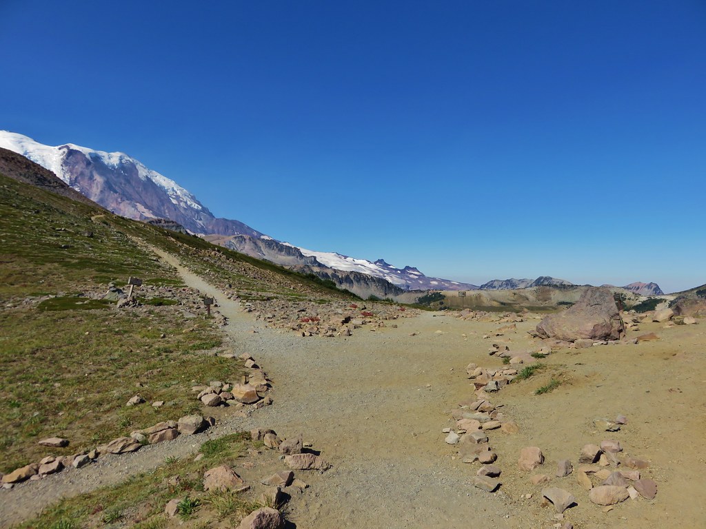
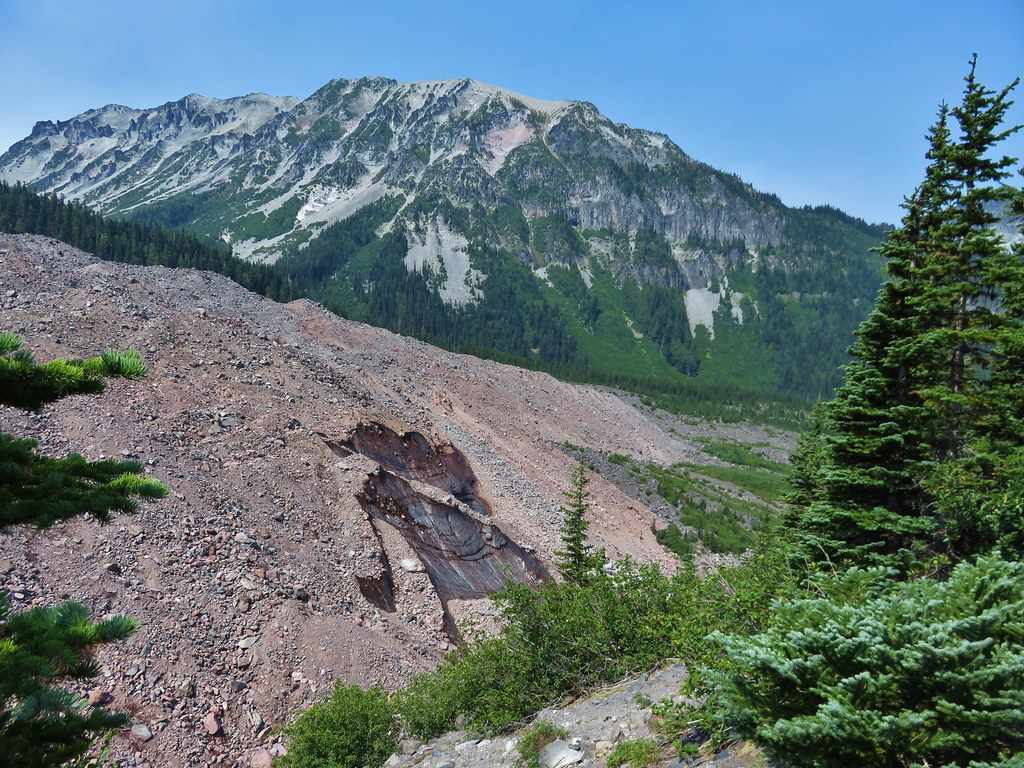
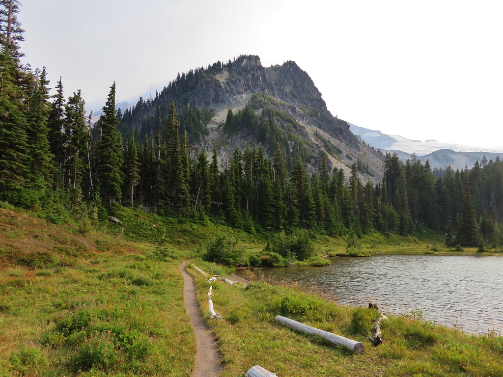
Dewey Peak

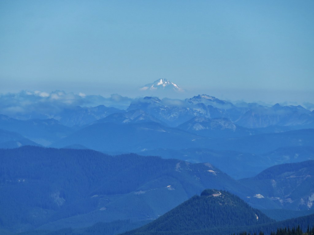
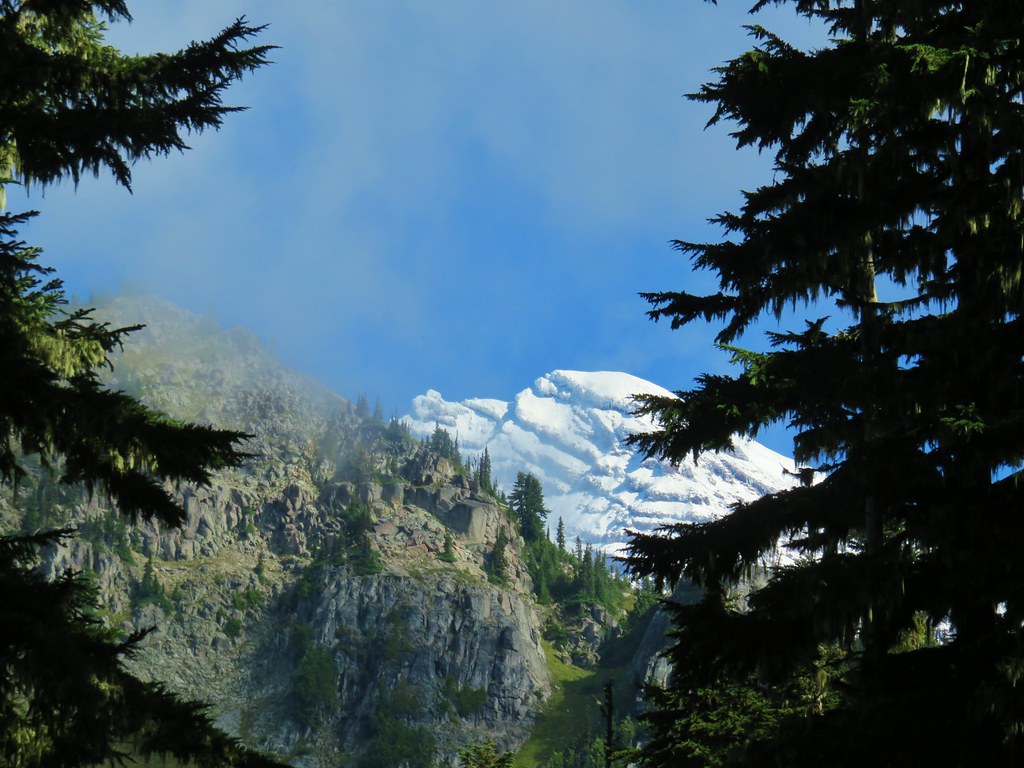
The top of Mt. Adams between Dewey and Seymour Peaks.

Mt. Adams

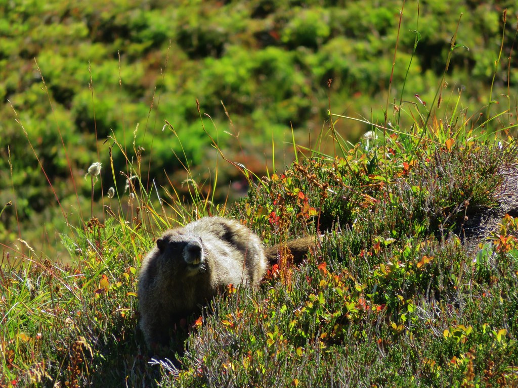
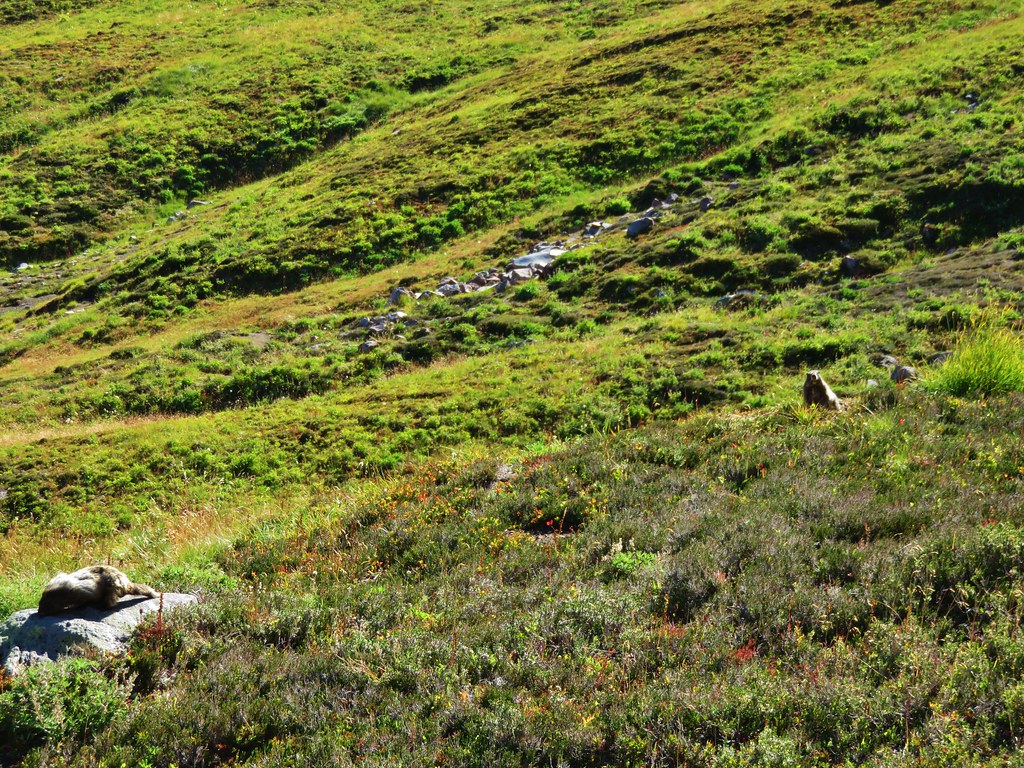
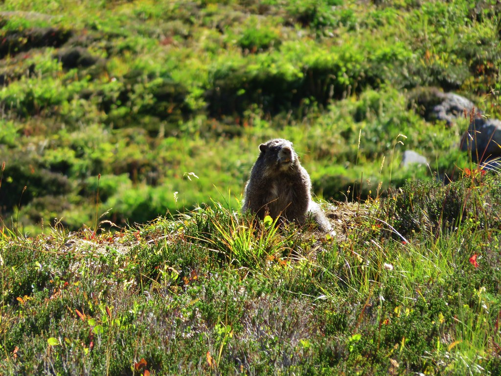
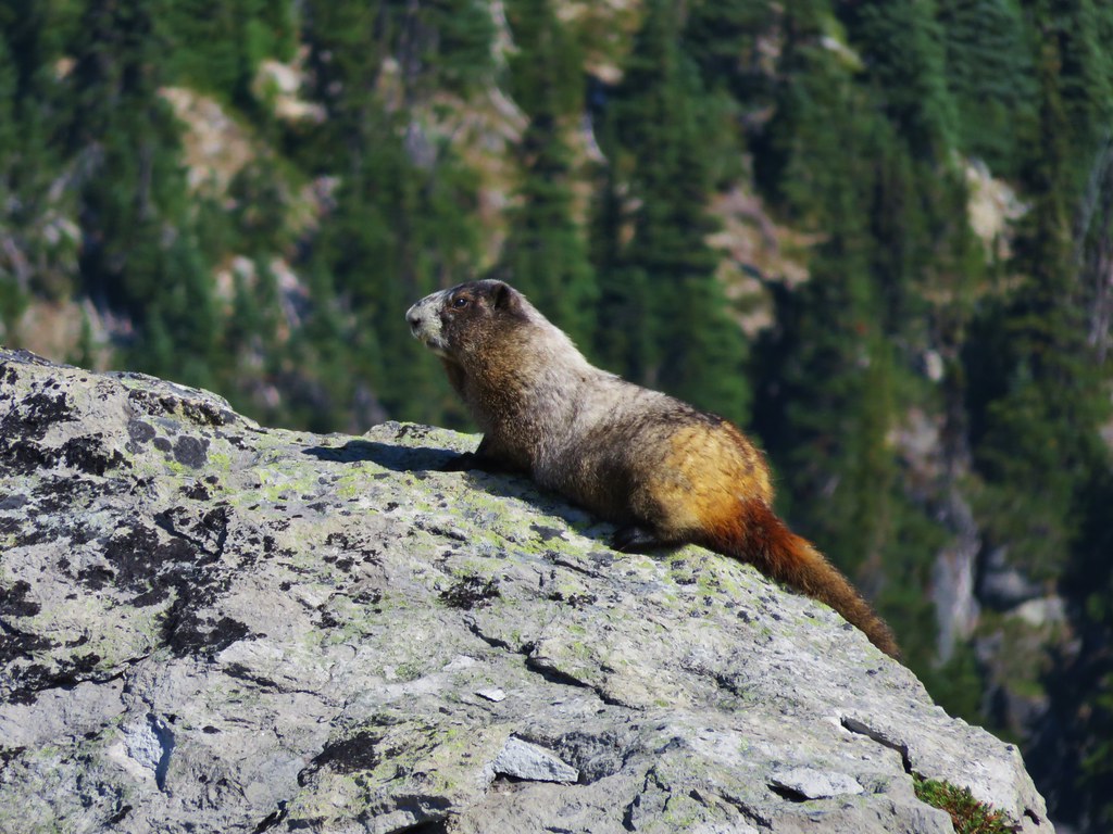
Golden-mantled ground squirrel enjoying the view.

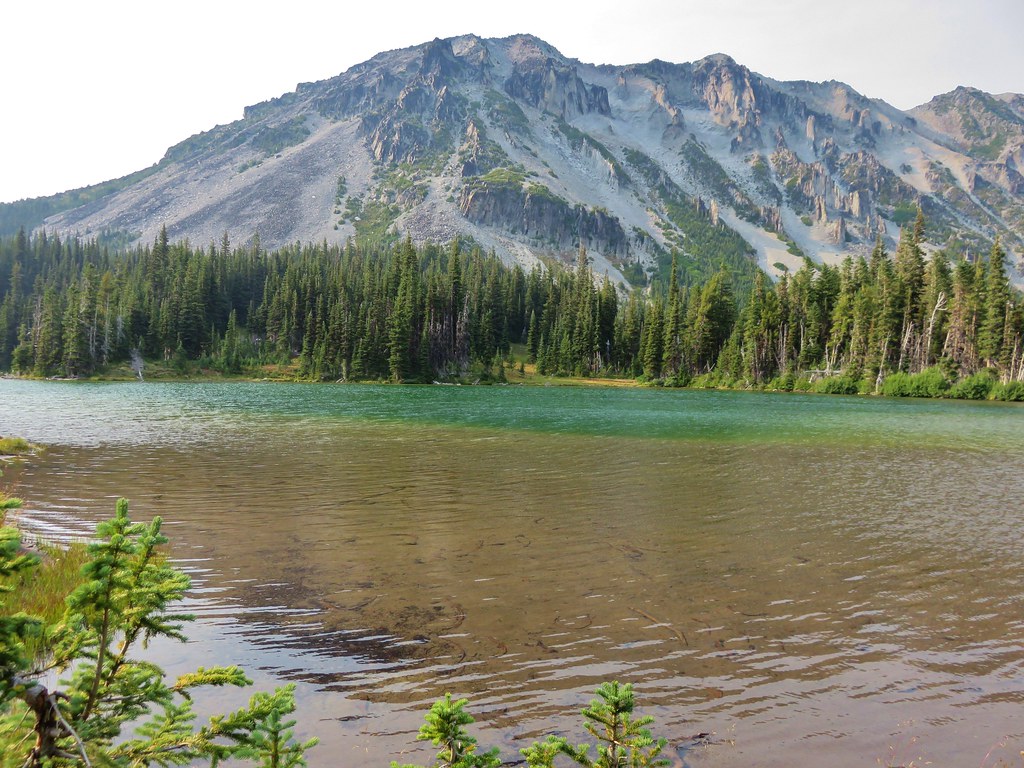
Dewey Lake below Dewey Peak.
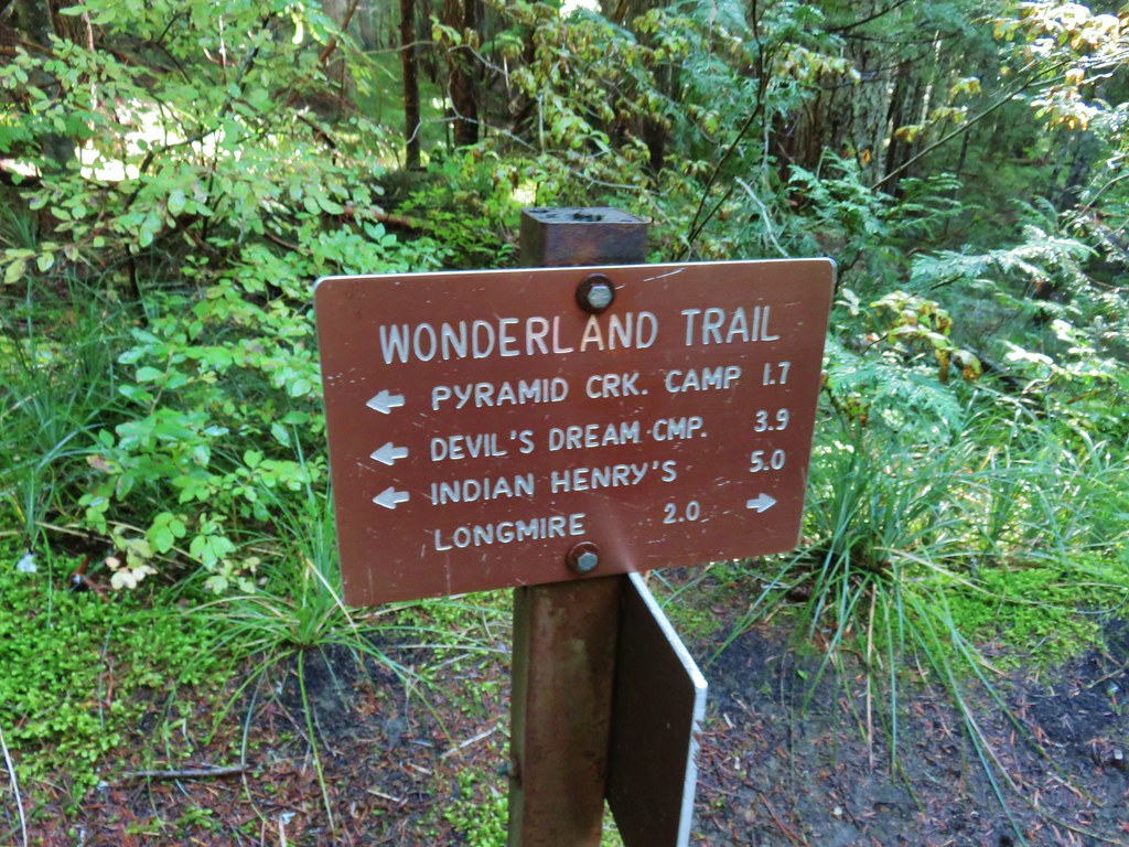
We came to a junction 1.7-miles from Chinook Pass where the PCT forked left to head downhill to Dewey Lake.

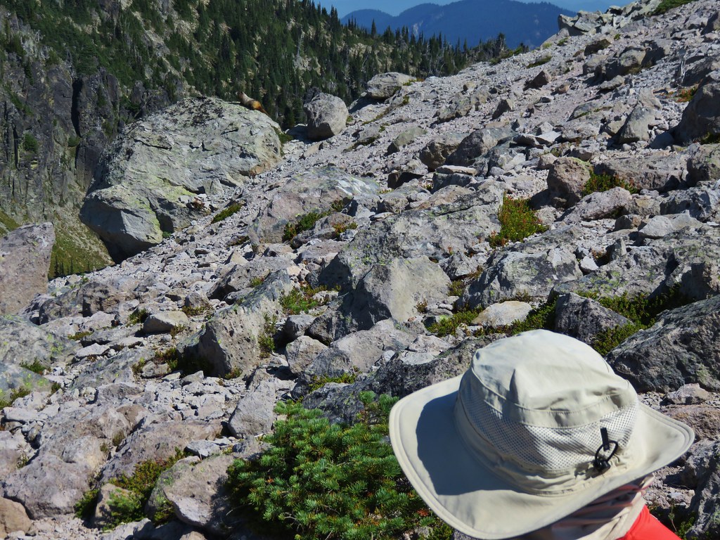
Heather decided not to make the side trip down to Dewey Lake as it added over 600′ of elevation gain, and over 3 miles to the hike. I headed down the PCT which made one big switchback then headed more directly toward the lakes.


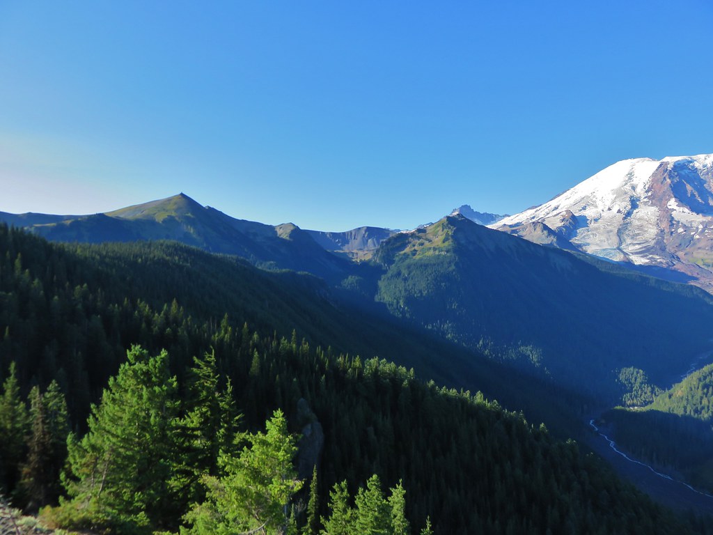
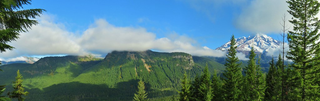
Double Peak with the snowy Tatoosh Range behind.

Stevens, Boundary, and Unicorn Peaks

Yarrow

Rainiera


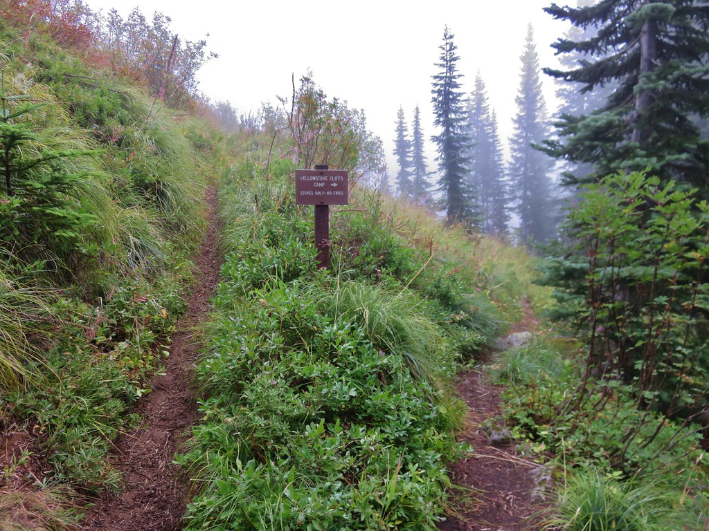
No fires reminder.

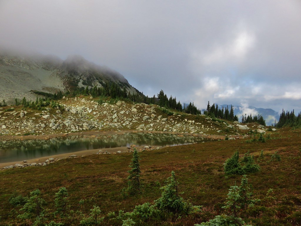
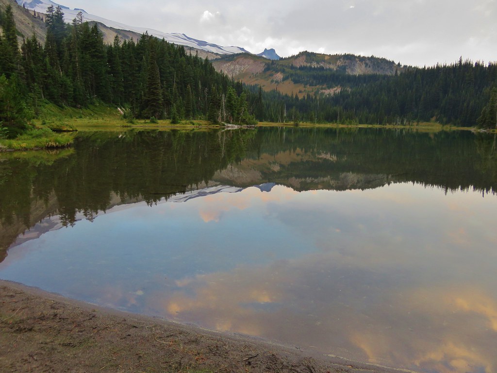
Dewey Lake
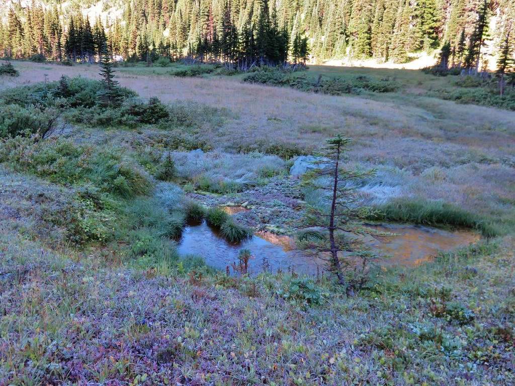
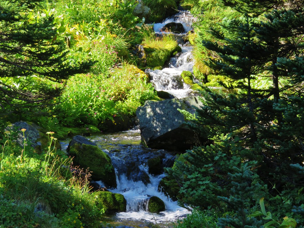
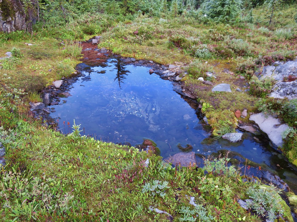
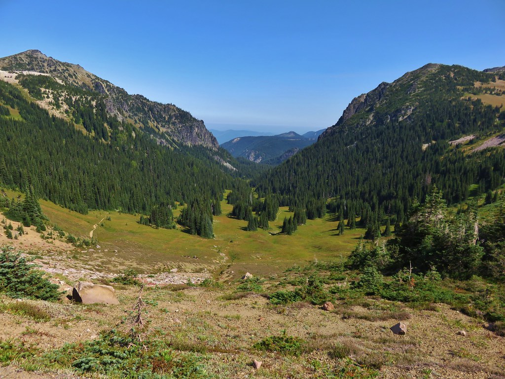
There are several smaller ponds/lakes along the PCT in addition to Dewey Lake.


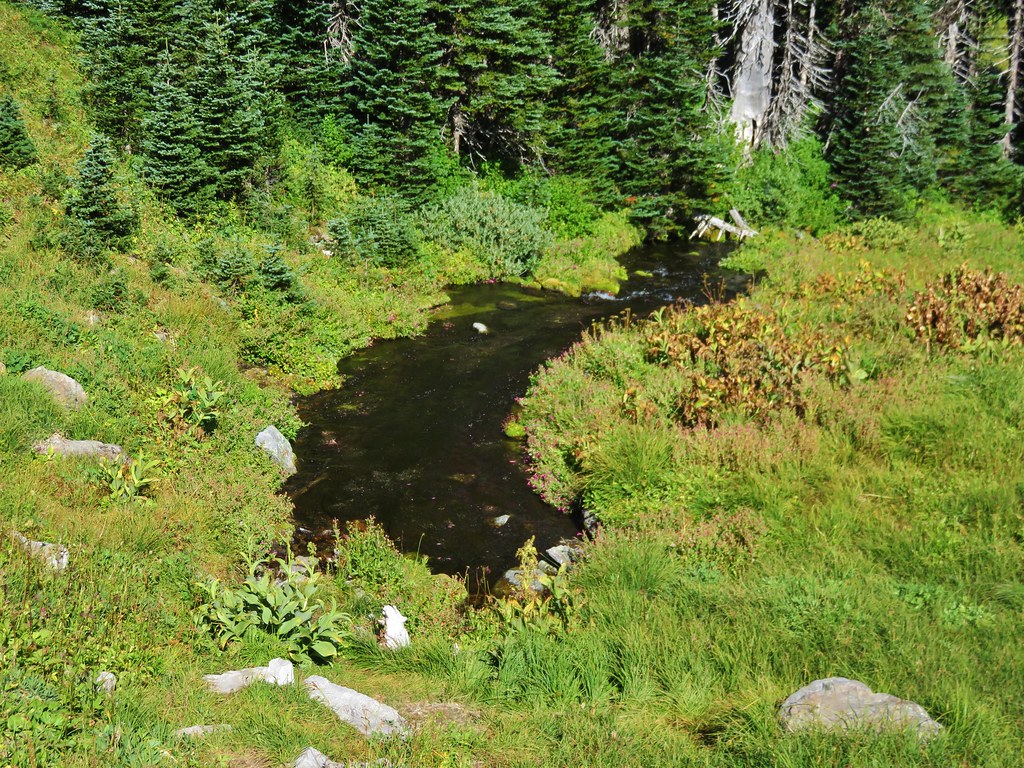
The largest of the smaller bodies of water.

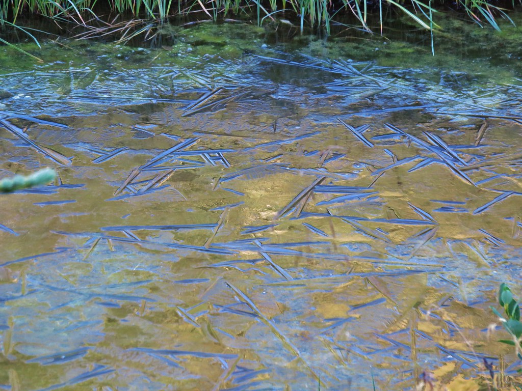
Reflections in a pond.

PCT along Dewey Lake.
I turned around at the southern end of the lake and headed back to the Naches Peak Loop.

Elephants head at Dewey Lake.

Sandpiper

Junco


Great blue heron

Lousewort

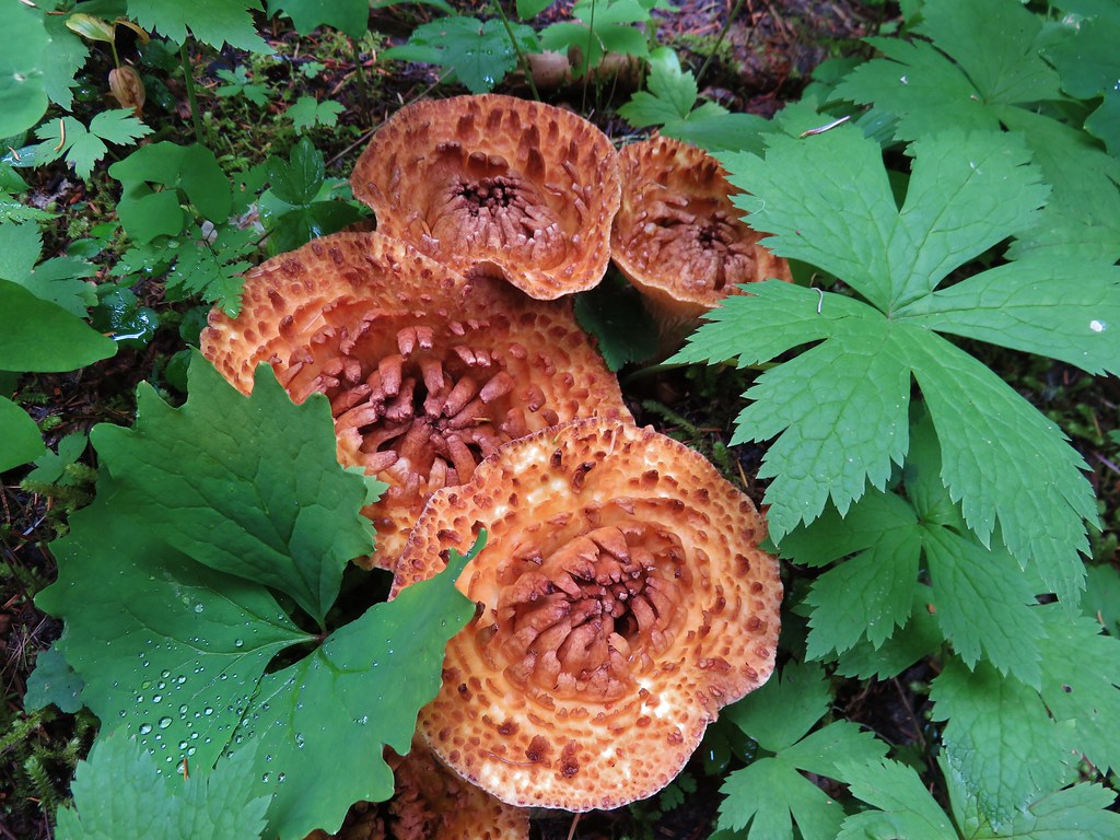
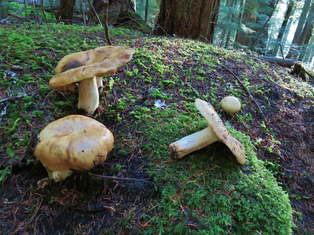
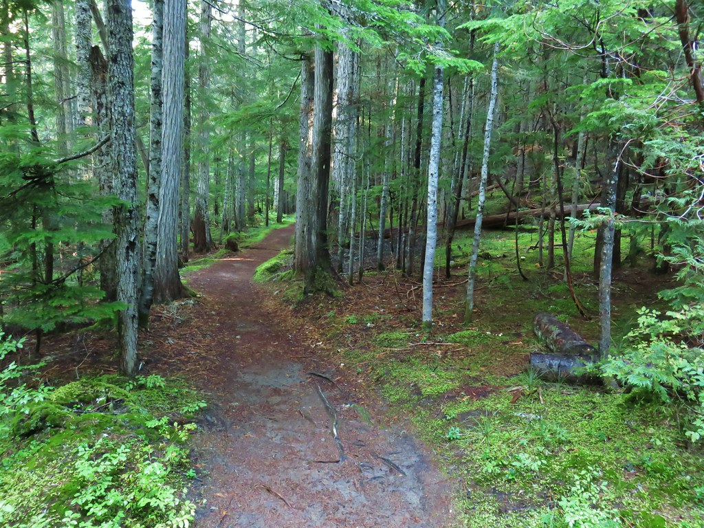
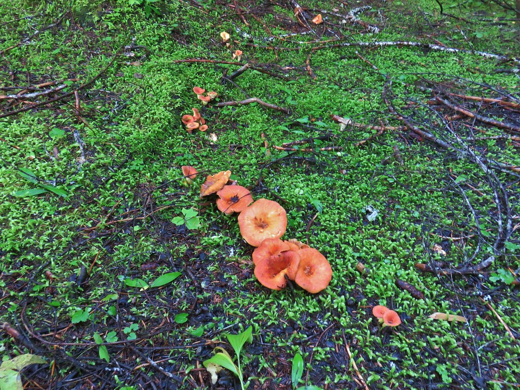
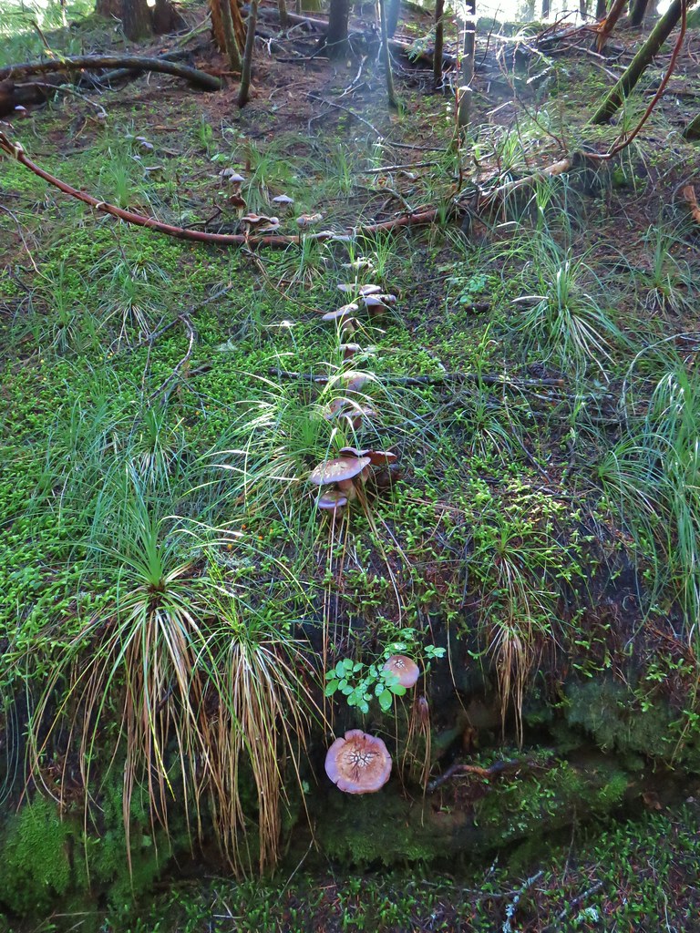
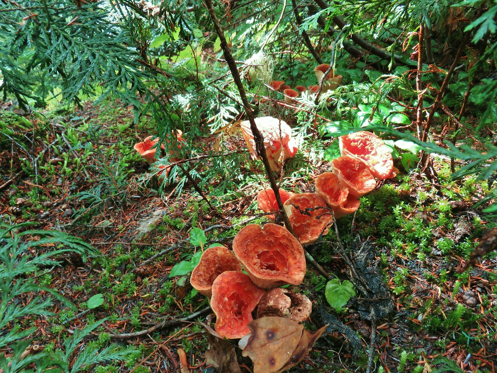
Mushrooms

Grouse

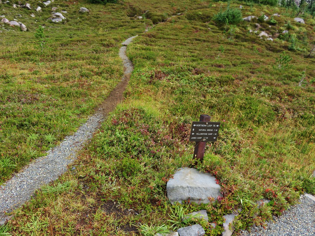
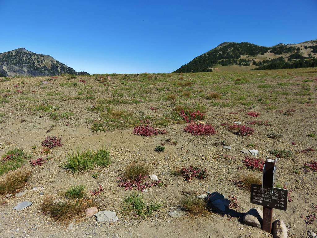
The signs at the Naches Peak Loop junction ahead.
I continued counterclockwise on the Naches Peak Loop. The wildflowers were not as thick on this side of Naches Peak, but the views of Mount Rainier were excellent.

The Tatoosh Range.

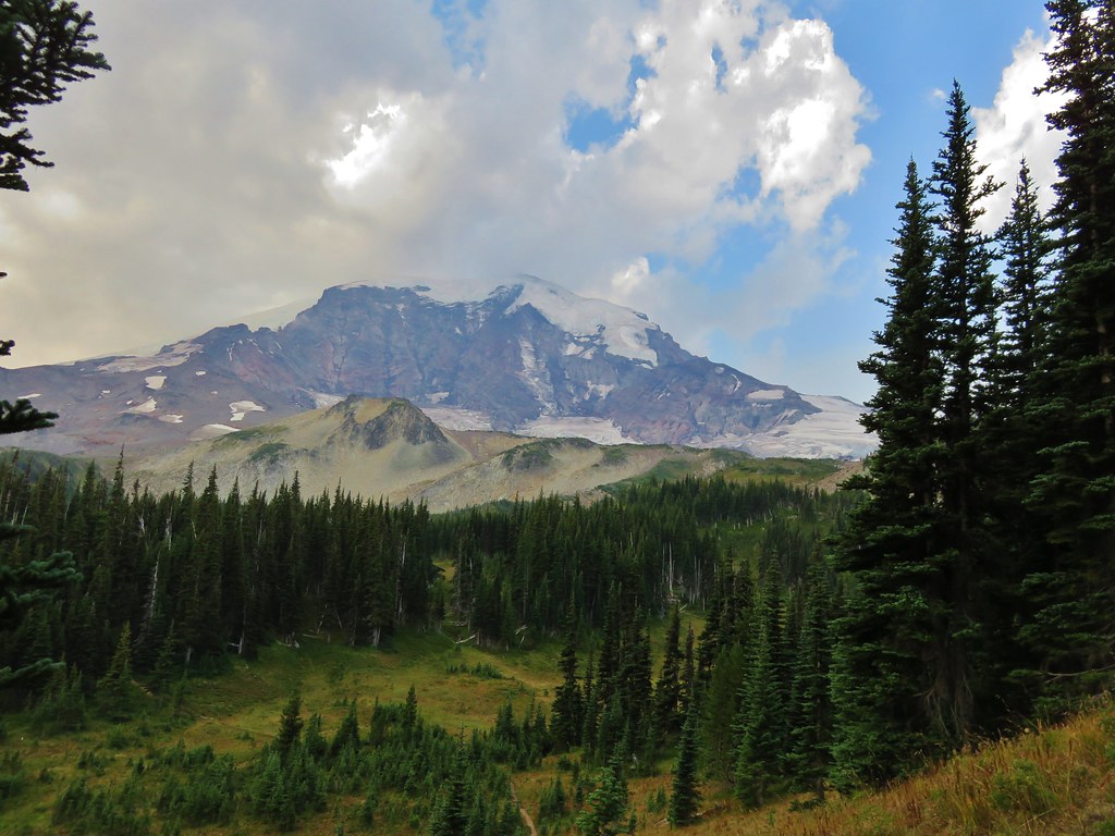
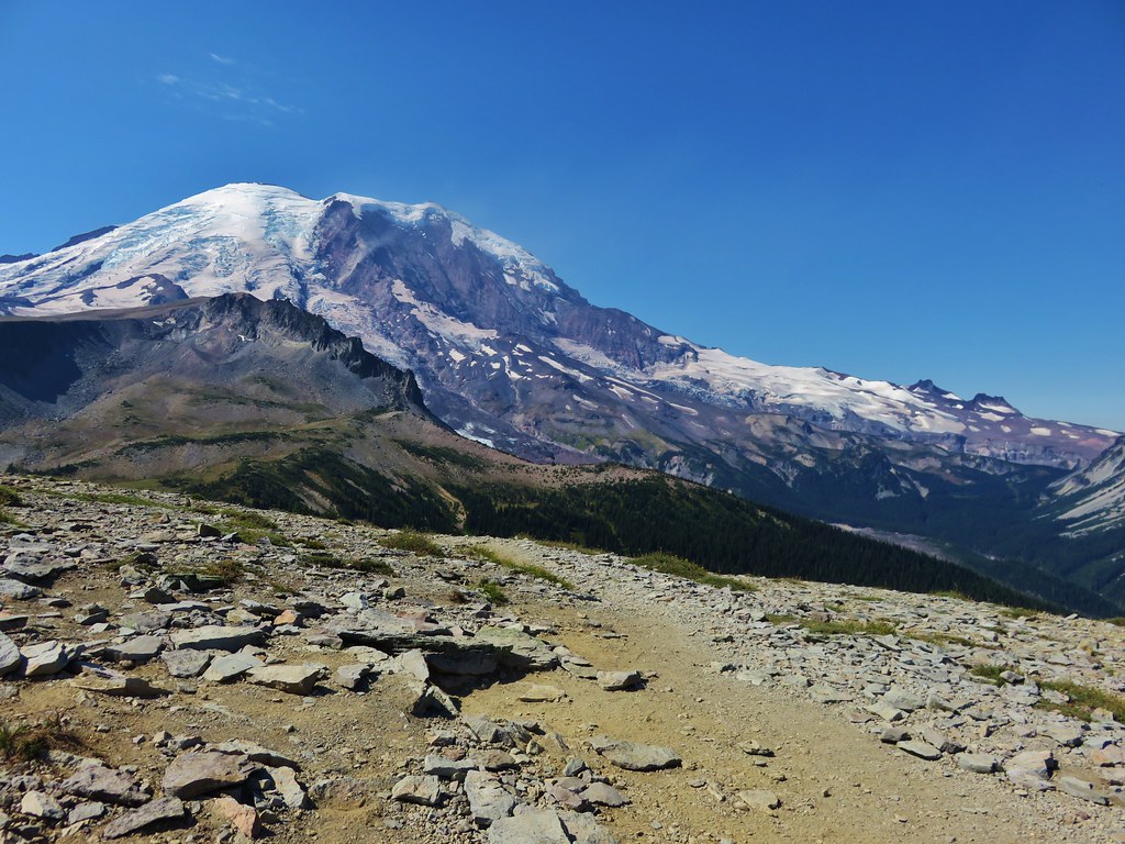
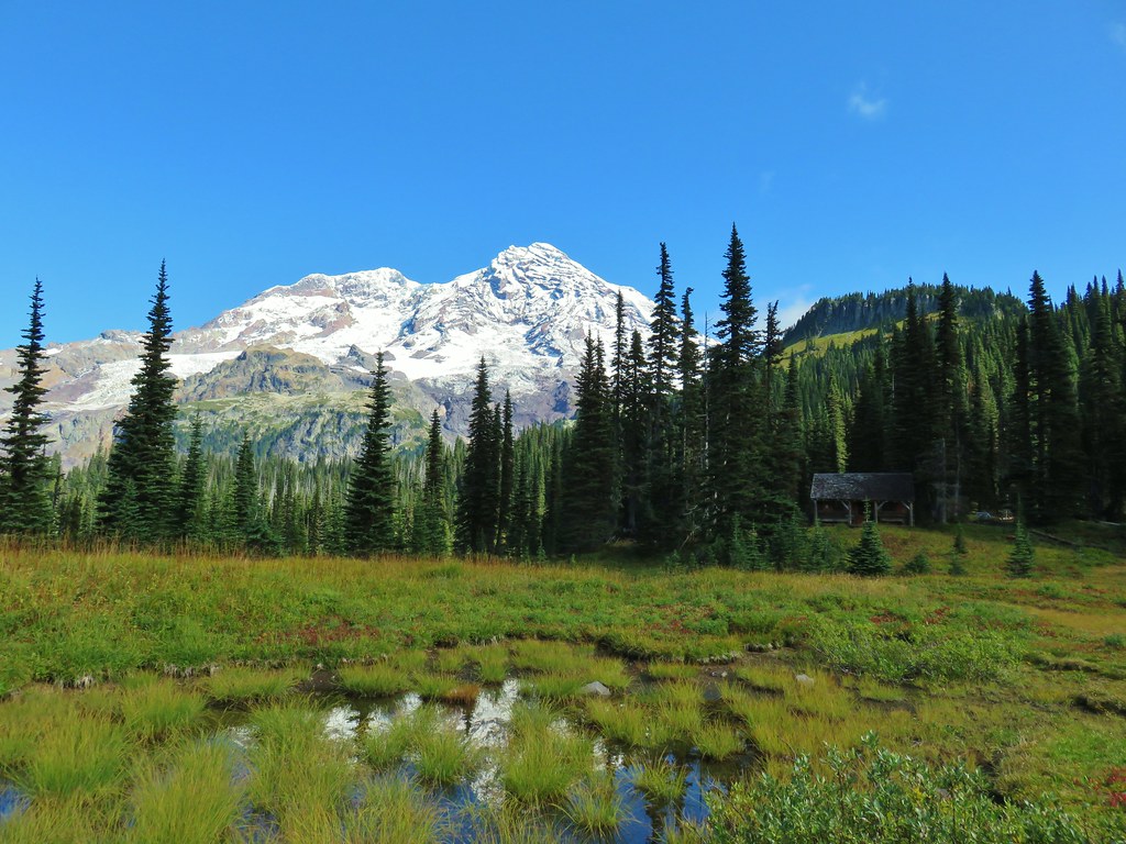
Mt. Rainier and Naches Peak

Unnamed lake along the Naches Peak Loop.

There were some good flowers near the unnamed lake.


Robin


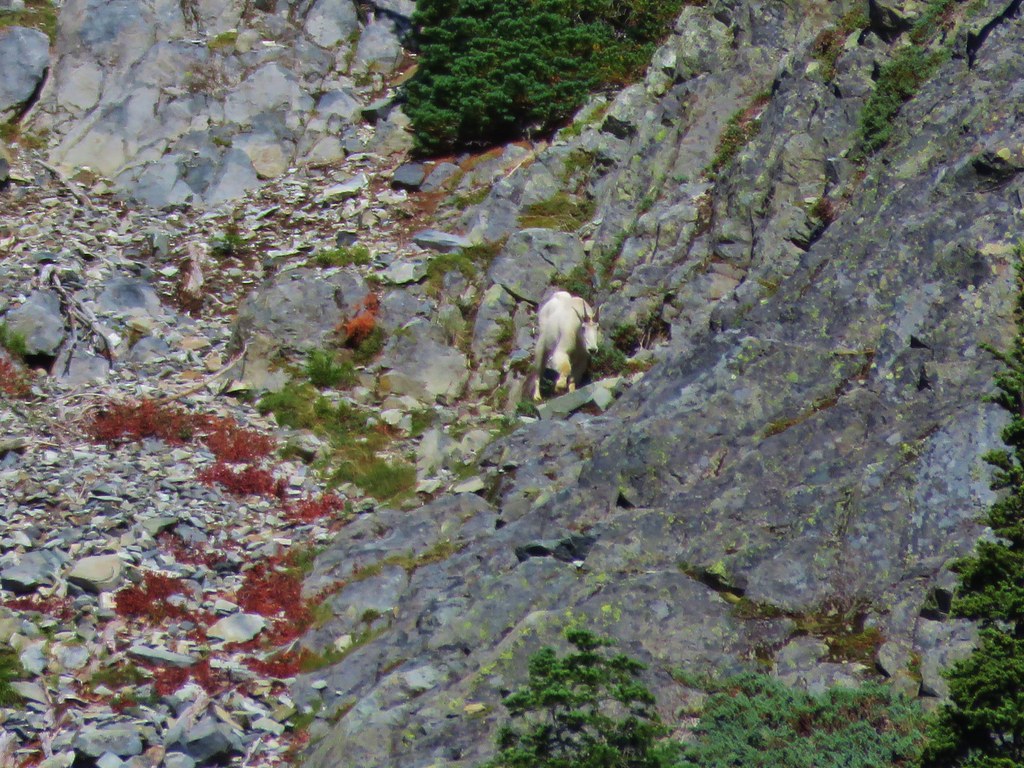
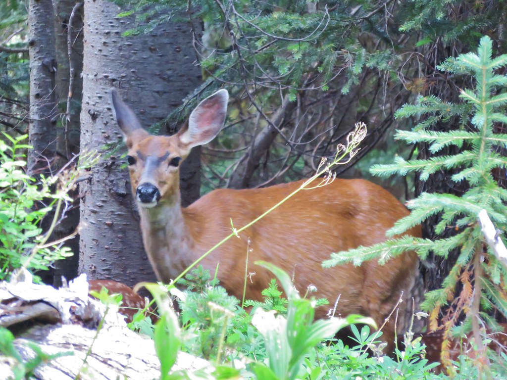
A nice buck crossed the trail just ahead of me then disappeared into the forest.


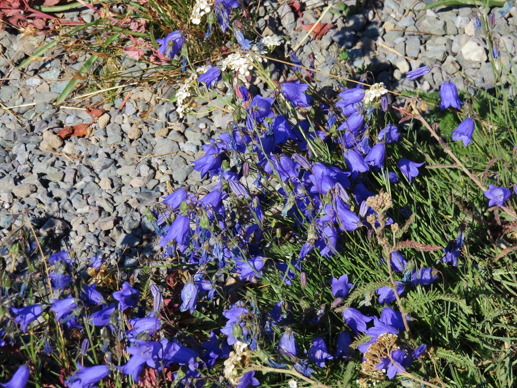
Harebells

Cedar waxwings

Mt. Adams

Hawkeye Point and Johnson Peak in the Goat Rocks Wilderness in front of Mt. Adams.


Sourdough Ridge

Yakima Peak and Highway 410.

Tipsoo Lake from the southern trailhead.

Yakima Peak from Tipsoo Lake.


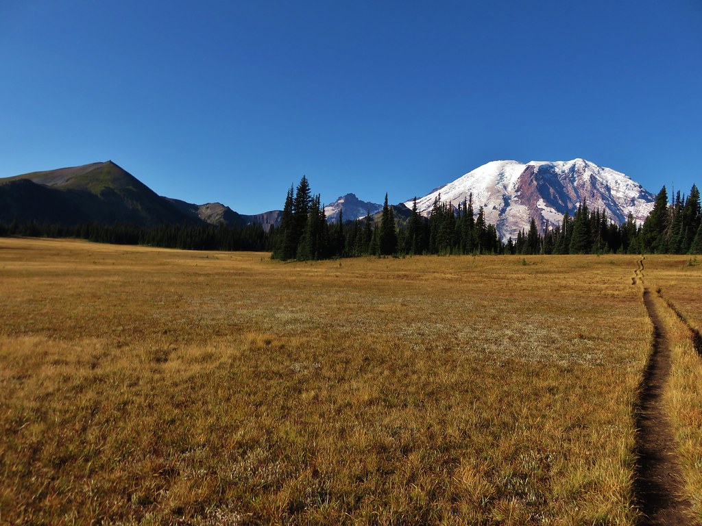
Mt. Rainier from Tipsoo Lake.

Butterfly


Pine siskin


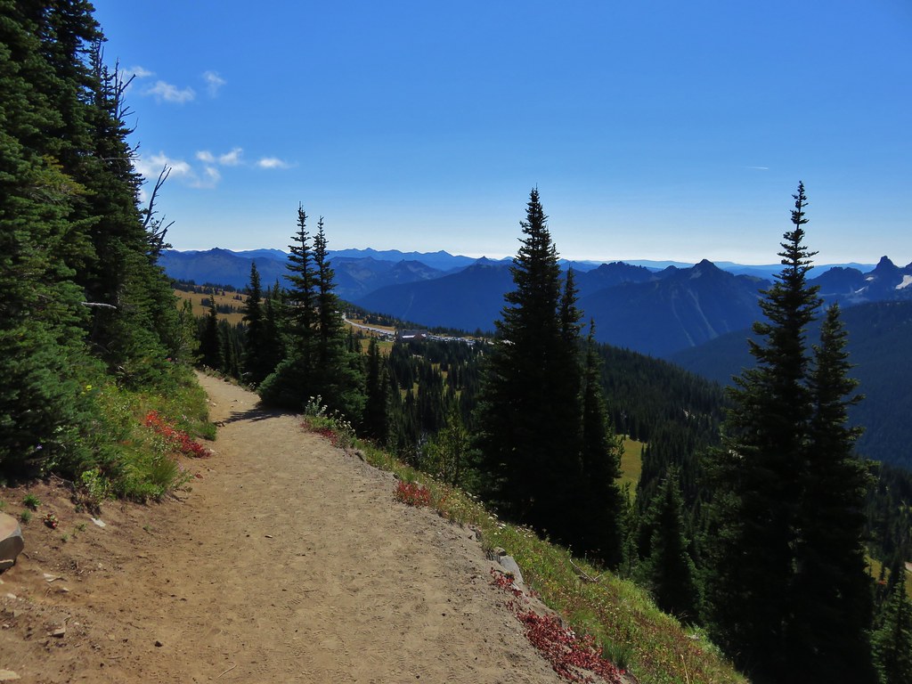
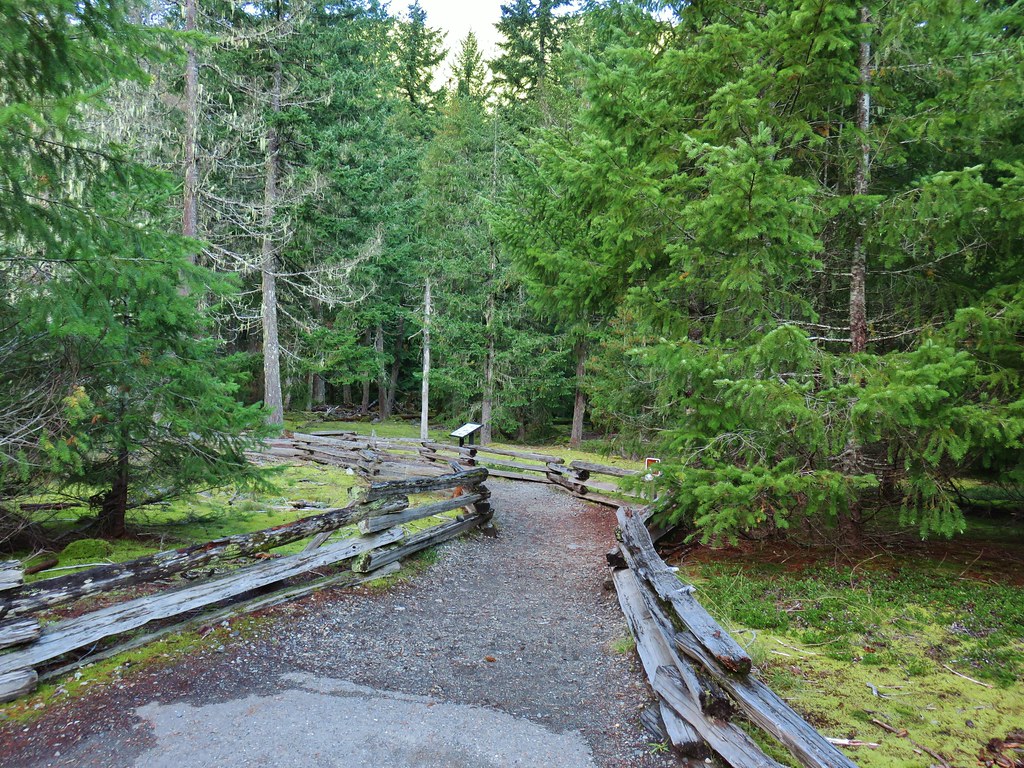
The trailhead where we had parked on the far side of a small pond.
With the detour to Dewey Lakes my hike wound up being 7.2-miles with roughly 1200′ of elevation gain.

This wound up being the perfect hike to end our trip with providing big views and extensive wildflower meadows along with a surprising variety of wildlife sightings. It was also short enough that we on our way back to Salem a little before 10am allowing us to be home mid-afternoon (no thanks to Portland traffic). It had been a great trip, even with the flat tire the first day. The temperatures had been especially welcome as it never got above 60 degrees Fahrenheit. It seems like it had been many years since our last summer vacation that didn’t include 90-to-100-degree temperatures at some point. We were also pleasantly surprised with how often we didn’t notice the crowds. While the park was busy there were times every day where we were able to enjoy a feeling of solitude, even in the Paradise Area. We weren’t in the park on a weekend so things might have felt differently on a Saturday, but our experience was very positive. I don’t know when we’ll be back, but there are still plenty of trails left for us to explore at Mount Rainier. Happy Trails!
Flickr: Naches Peak Loop


 \
\


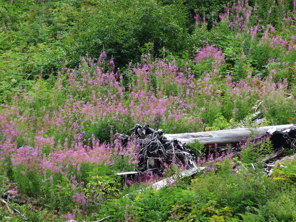
 Fireweed


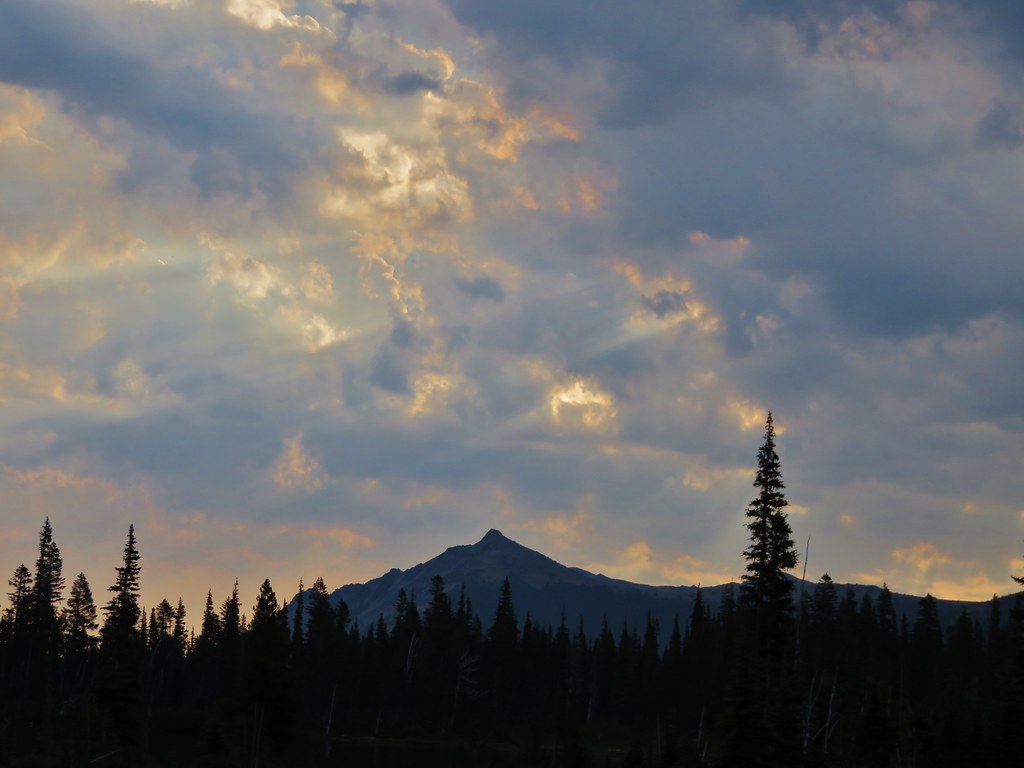
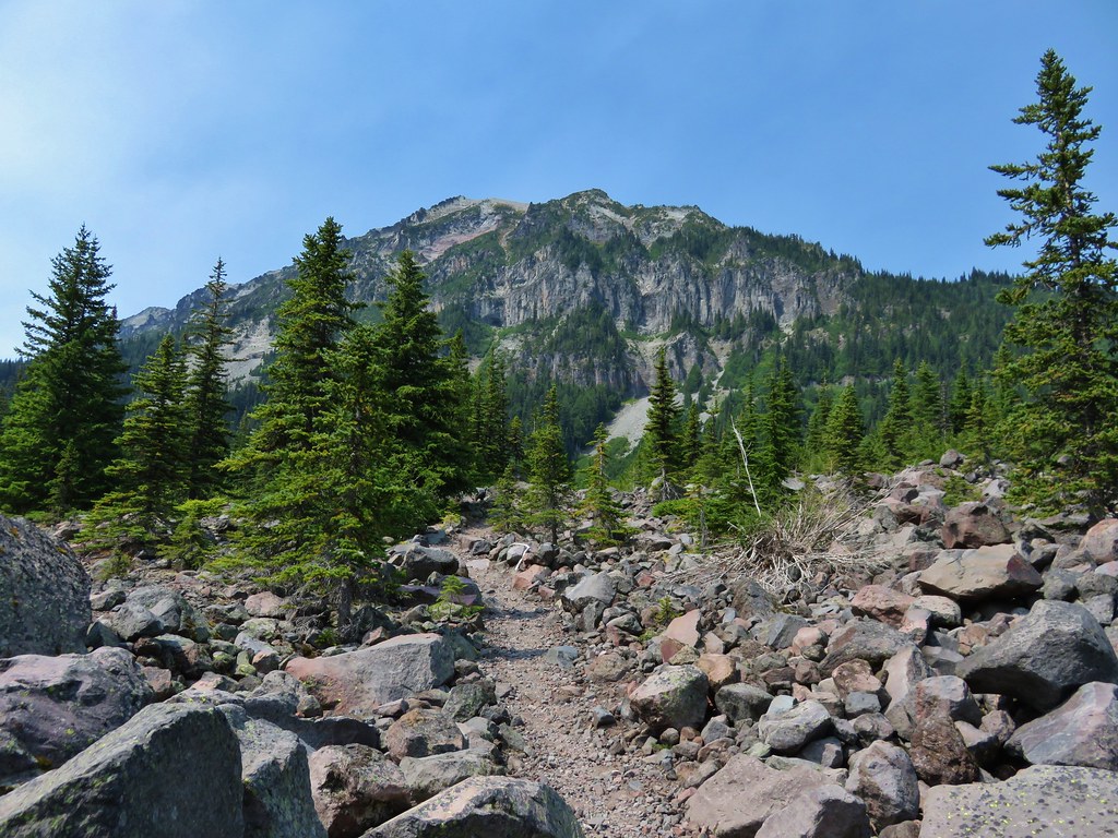
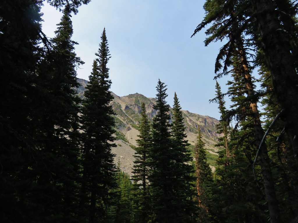
 Satuick Mountain
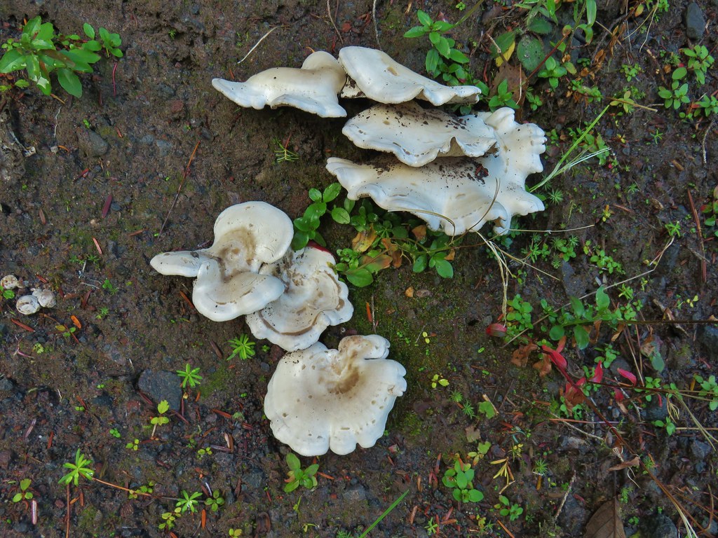

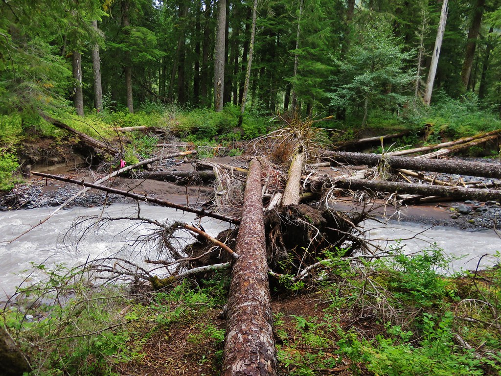
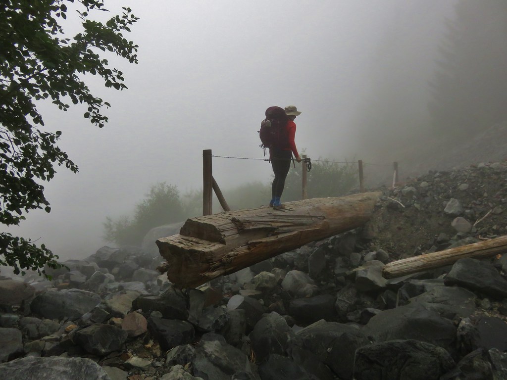
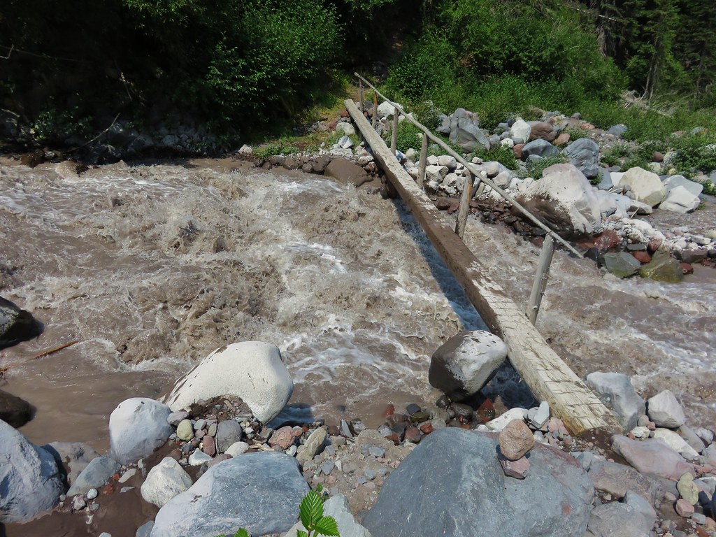
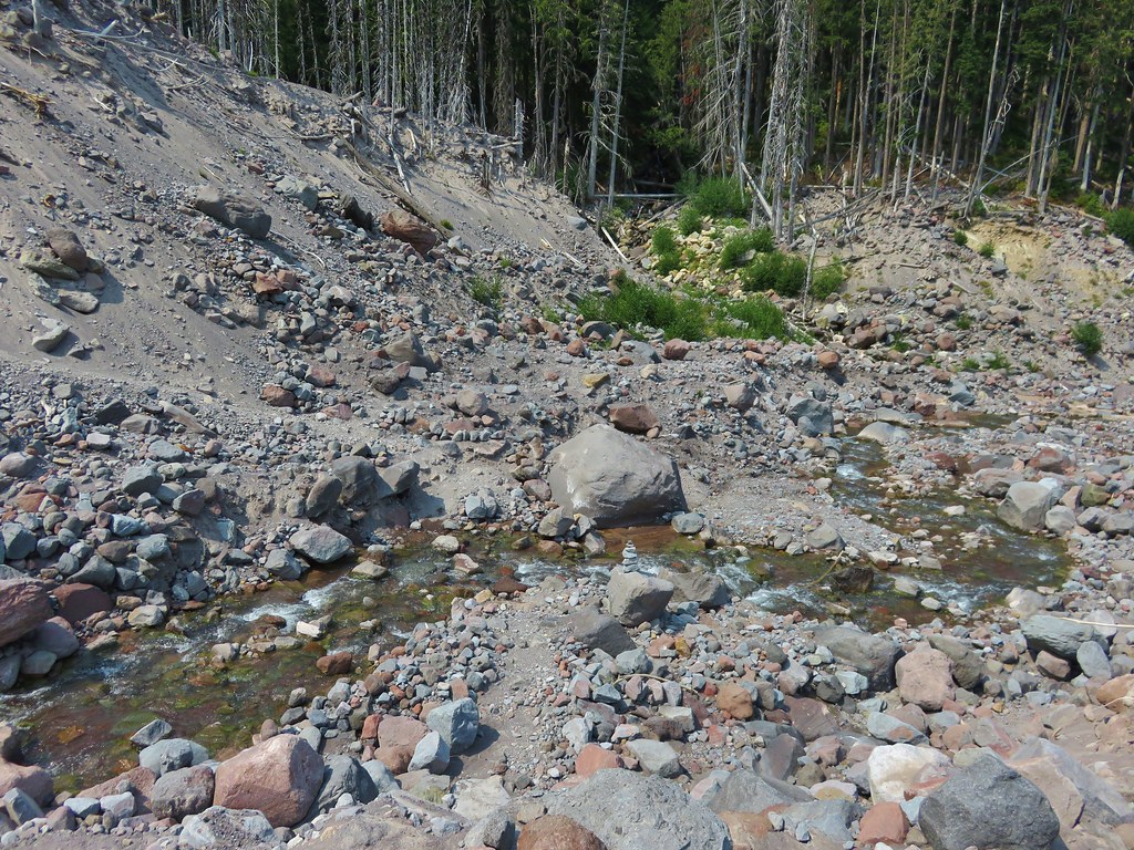
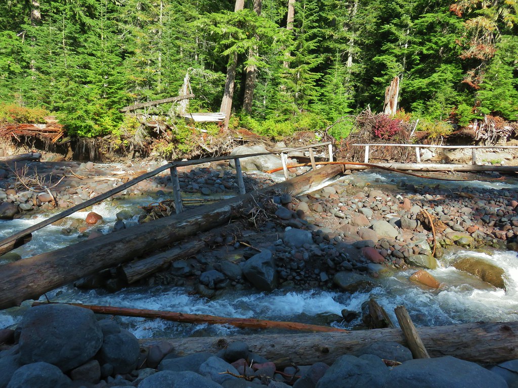
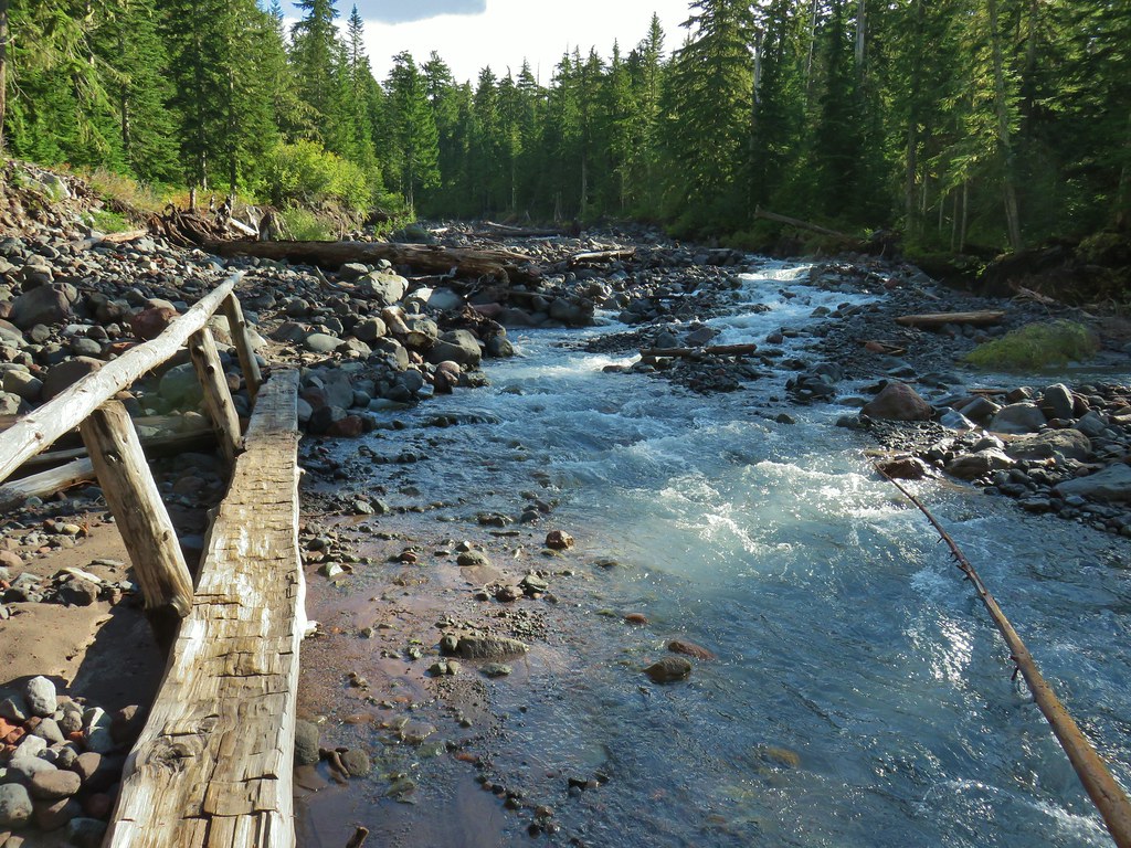
 First crossing
 Second crossing
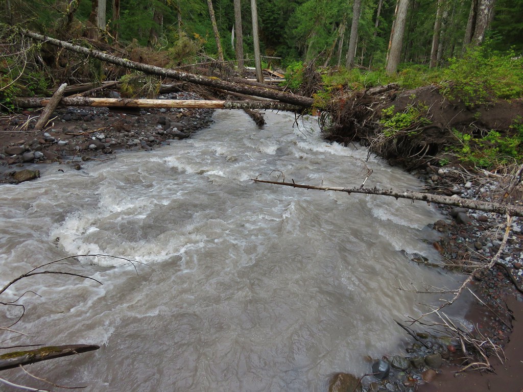
 The third channel was the largest but still relatively small.
 Mt. Rainier from the far side of Kautz Creek.

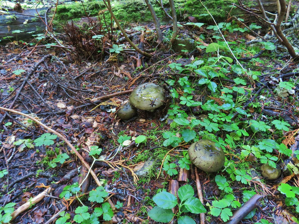
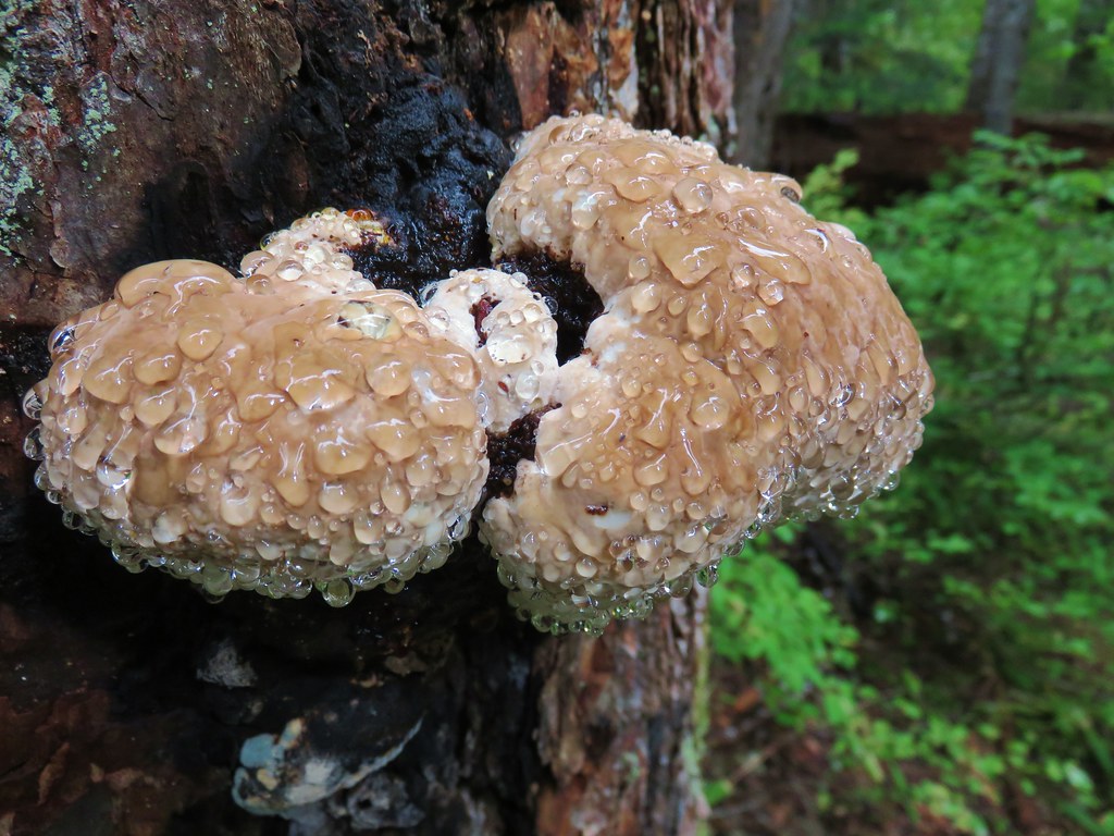
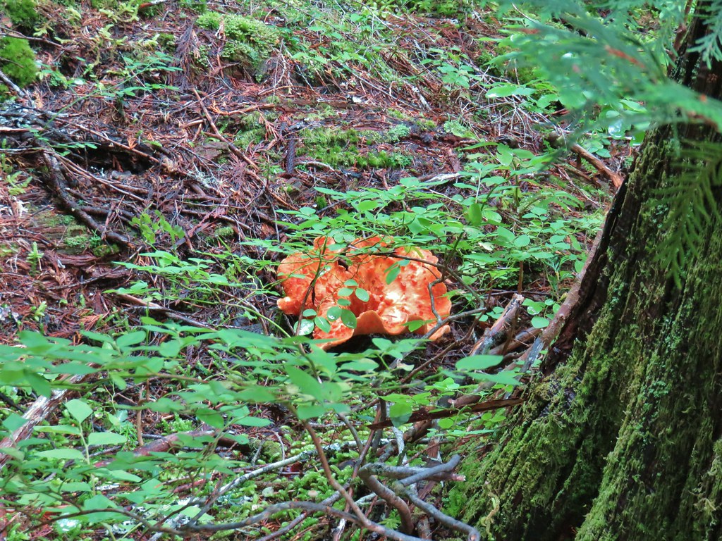
 Yet another big mushroom.


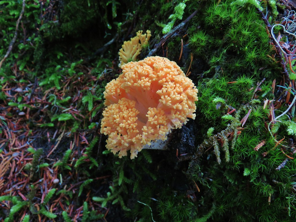 There were quite a few coral fungi present as well.
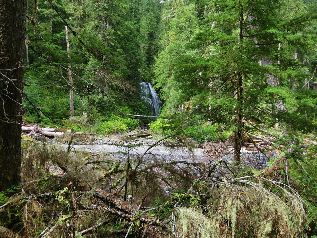
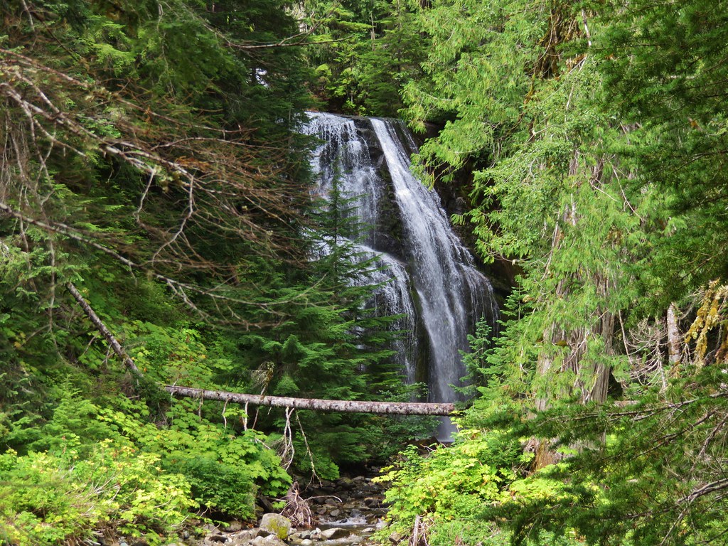
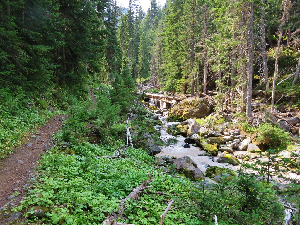
 Fishers Hornpipe Creek
 The mushrooms in the back had exploded.
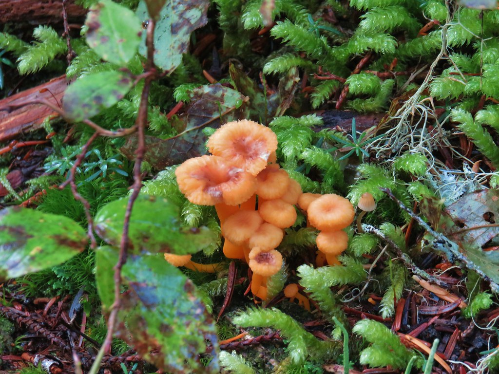
 A few red huckleberries left to eat.


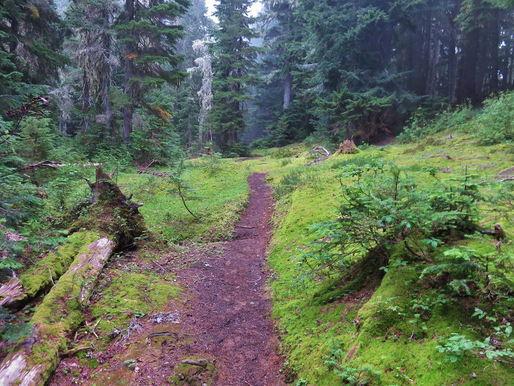
 Bear pole


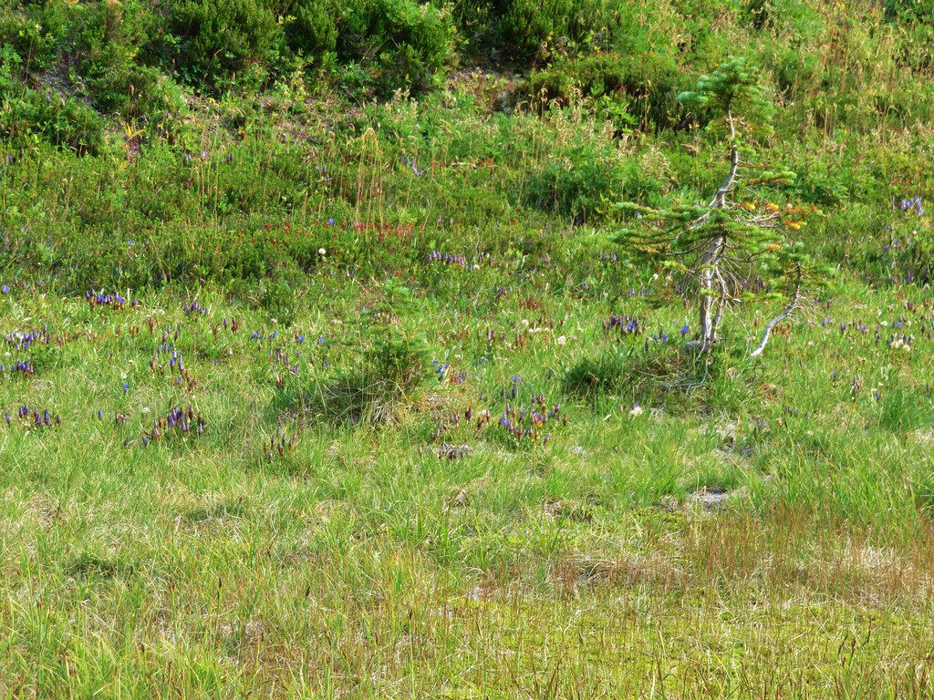
 Gentians
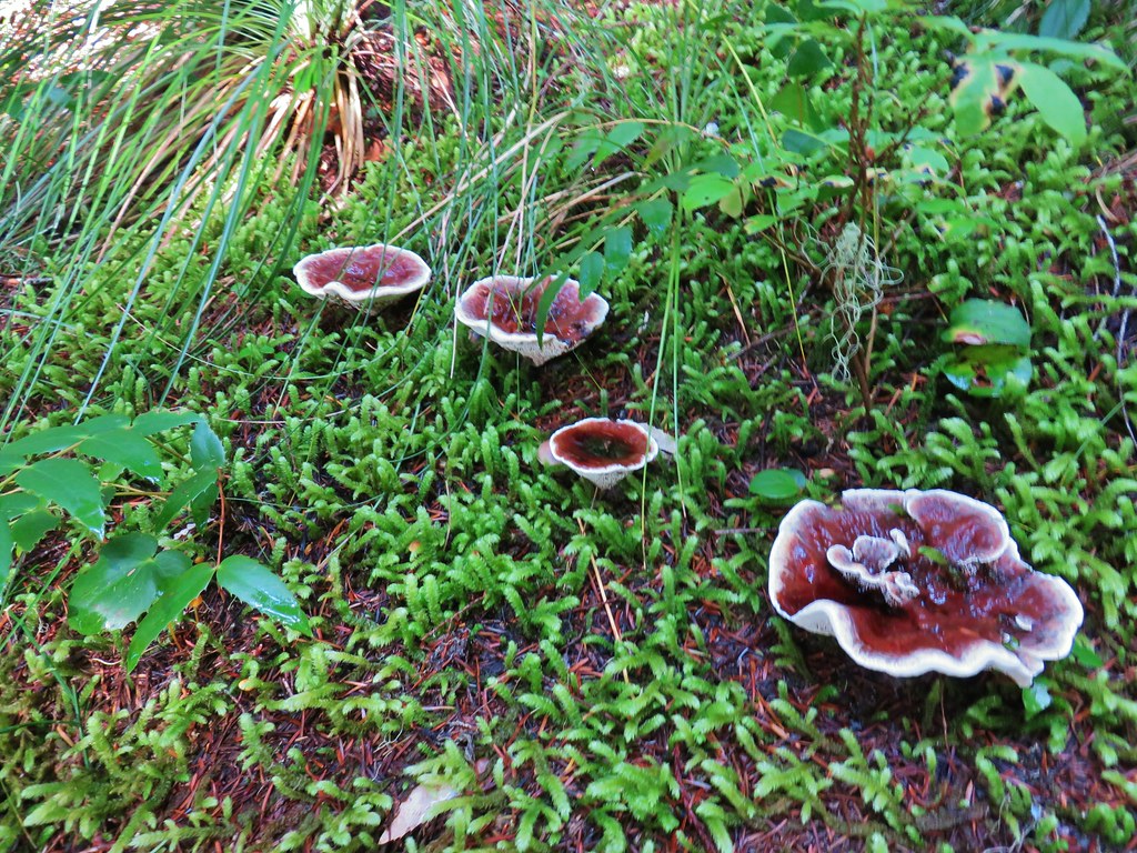
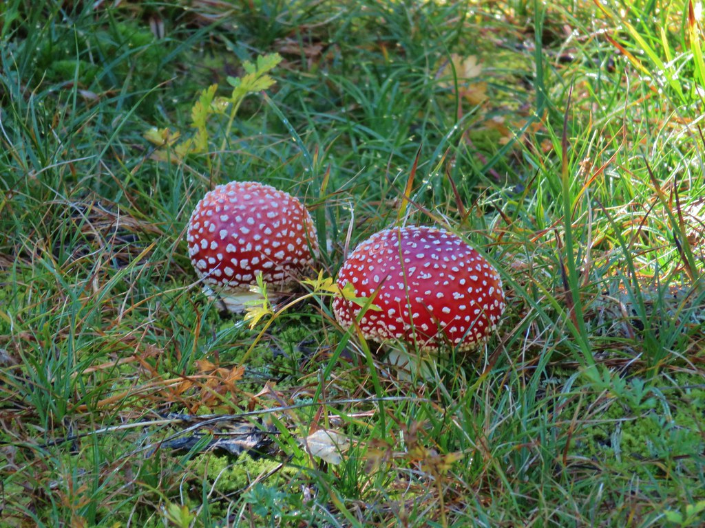 Mushrooms in the meadow.
 Gray jay in the huckleberries.
 Iron Mountain from the lake.


 Western pasque flower
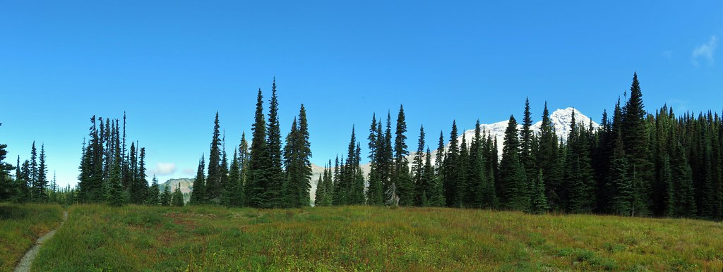


 Paintbrush
 Butterfly on the remains of an aster.
 Gentians
 Pyramid Peak to the right.


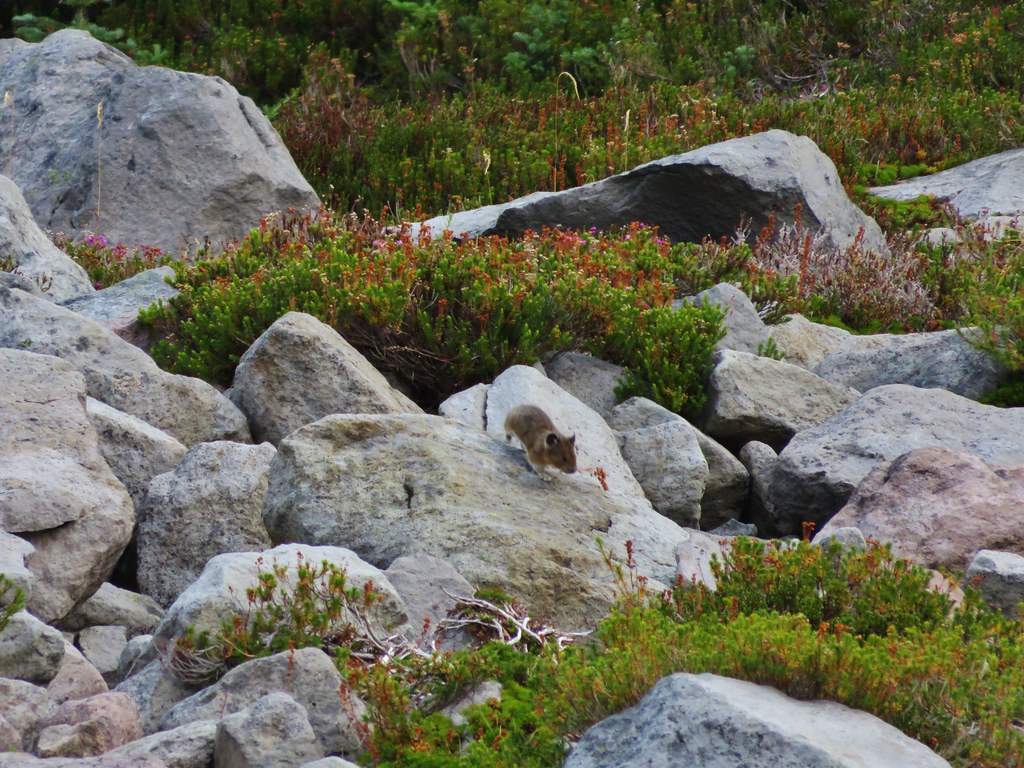
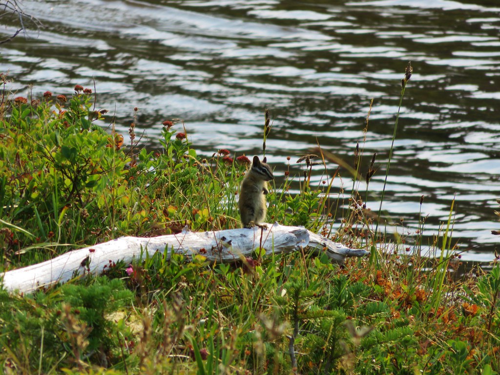
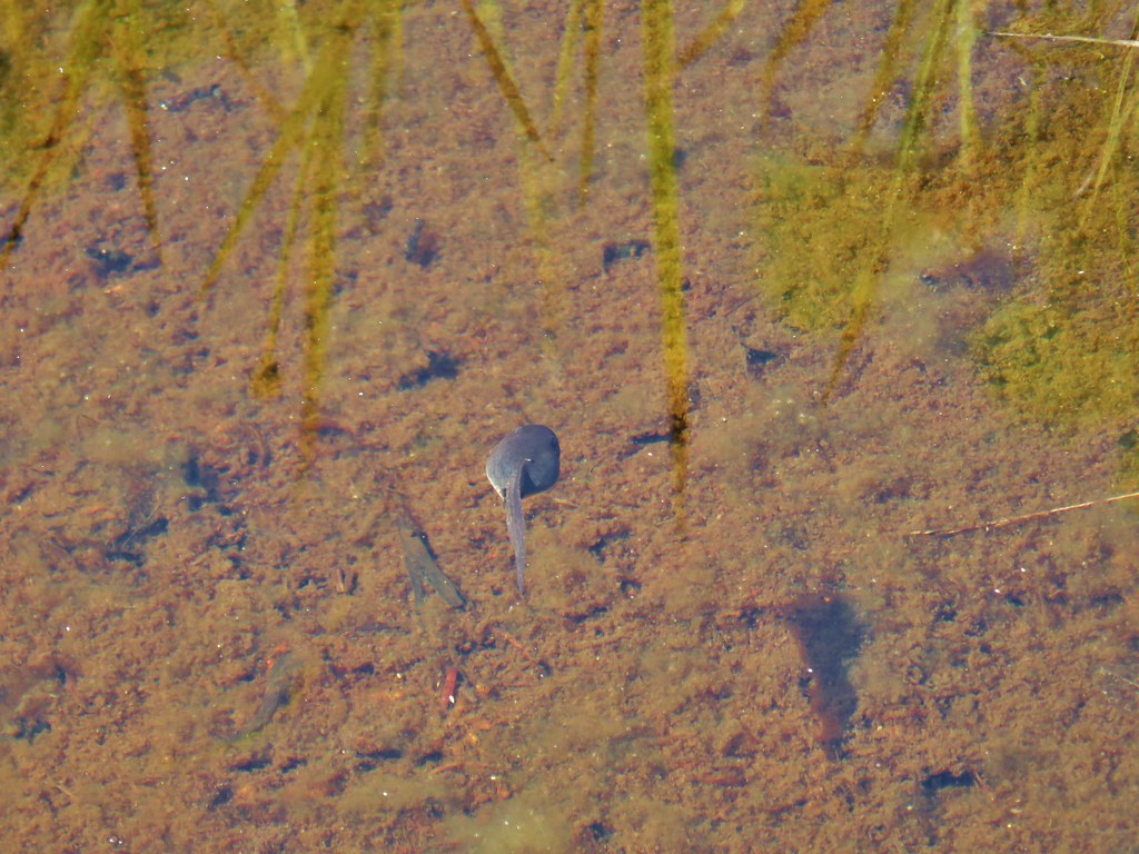
 This guy was tiny.

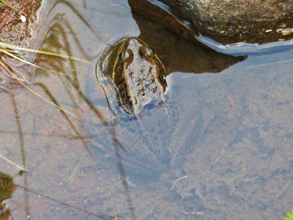
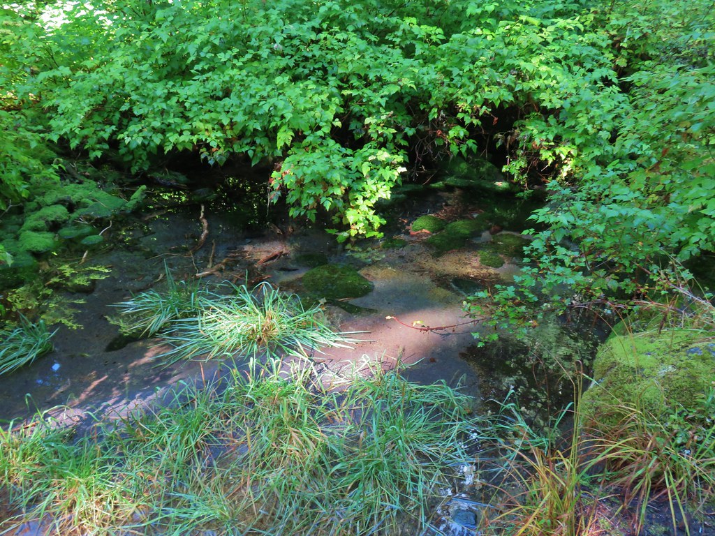
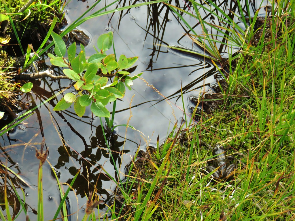
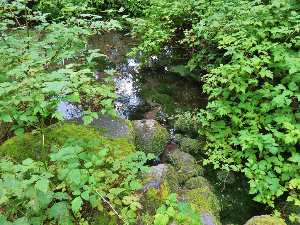 Frog on a rock at the spring.


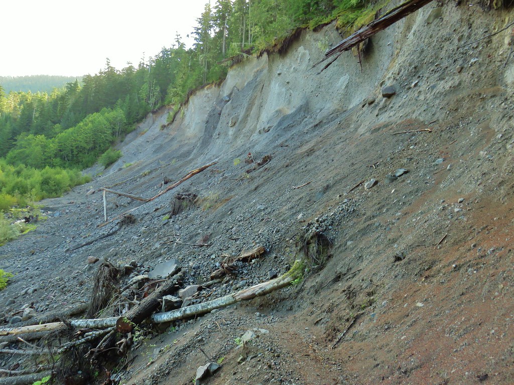
 Looking back across the road.