
After a dry spell, April showers returned as we prepared for a planned outing to the Columbia River Gorge. On the plus side the plan was to visit several waterfalls which would only benefit from the additional precipitation, and it might keep a few folks home meaning less crowds. On the minus side was the potential for limited views during our planned loop to Devil’s Rest, and possible difficulty keeping the camera lens dry. The pros won out and we got our typical early start to try and make sure there would be a parking spot when we got to our third stop at the Wahkeena Falls Trailhead.
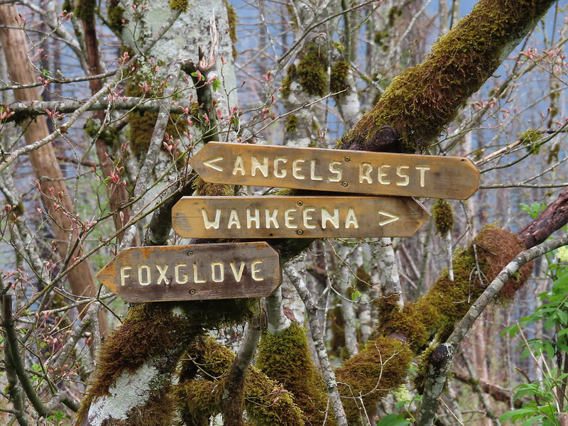
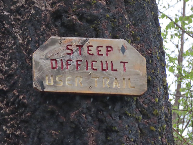
Our plan for the day was to begin by stopping at the two shorter hikes first then end with a longer lollipop loop hike from the Wahkeena Falls Trailhead up to and around Devil’s Rest. Note that all loops visiting Devil’s Rest rely in part on a network of user-created trails. This network of trails, sometimes known as “Foxglovia”, was largely the result of the hard work of “Red Shorts” who sadly passed away unexpectedly earlier this month. Thanks to his work the trails we used on this day were in good shape and well signed for the most part. It will now be left up to others to carry on his work if the trails are to remain passable. As always it is important to attempt to get updated trail conditions before heading out.
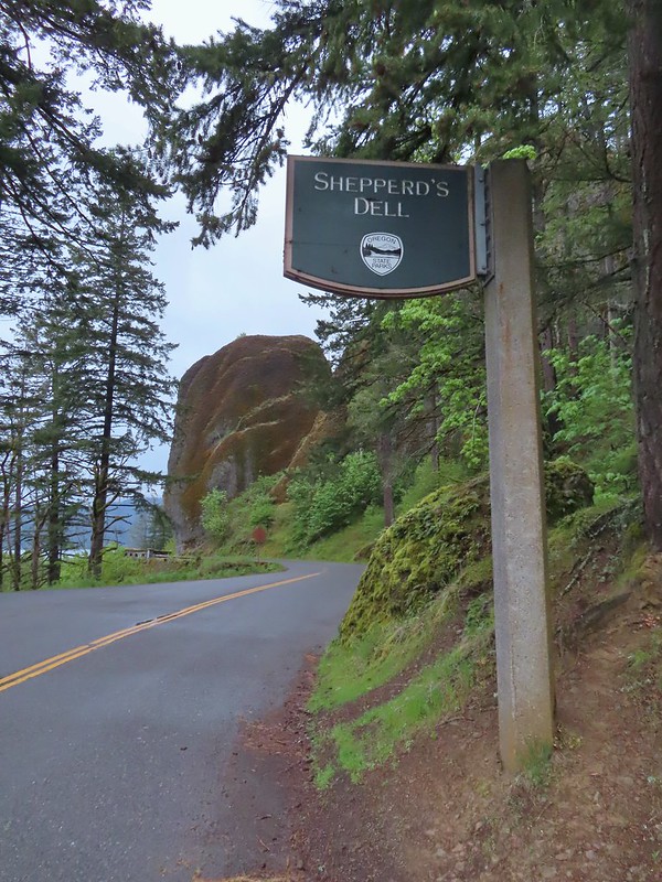
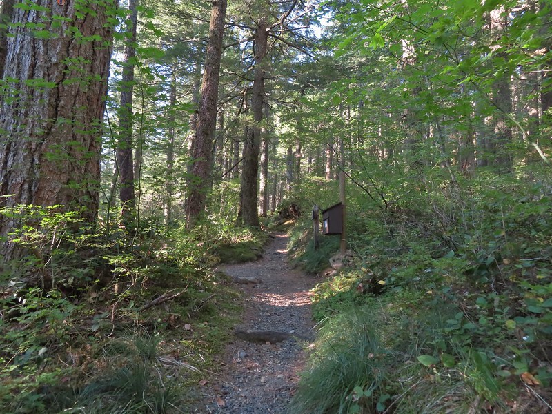
We started with the shortest hike of the day by parking at a small pullout along historic Highway 30 across from a sign for Sheppard’s Dell.
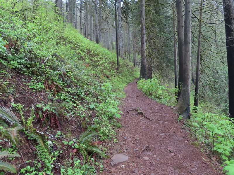
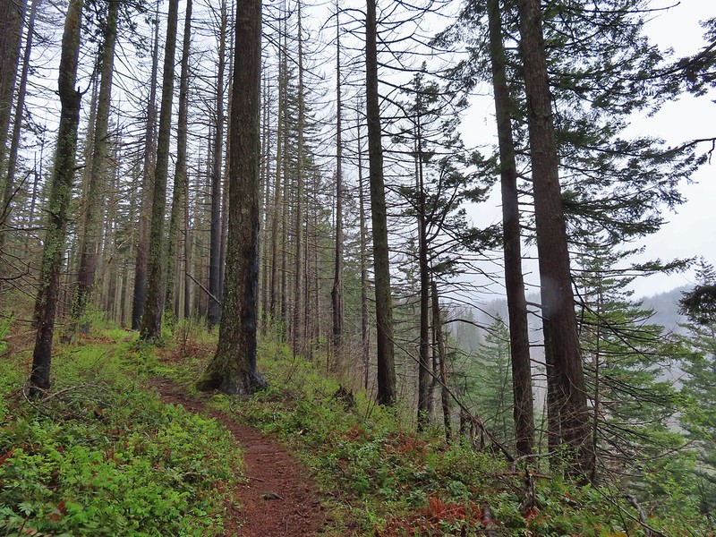
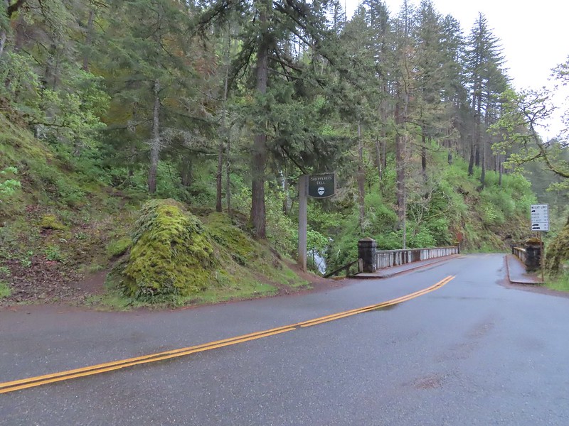 The trailhead at 6:15am.
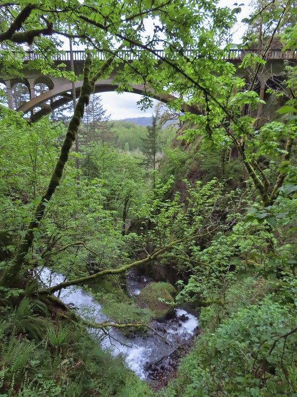
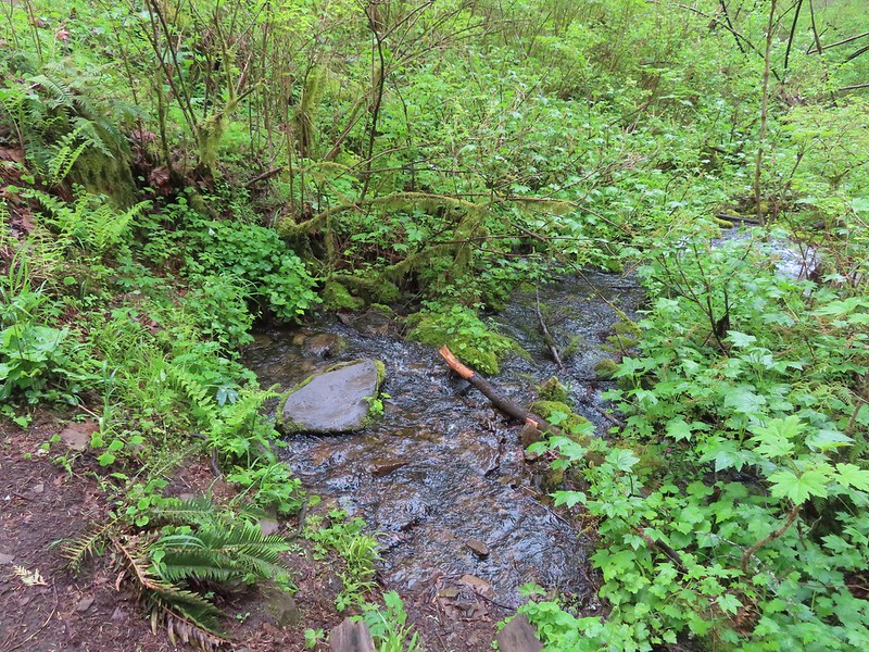
A short path on the far side of the highway leads to a viewpoint at Young Creek and of the 1914 highway bridge.
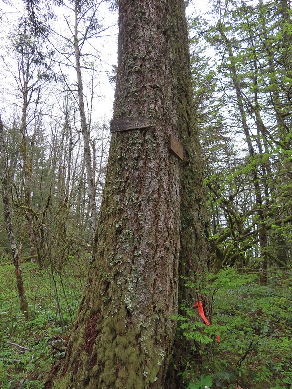
 The Bishops Cap along Highway 30.
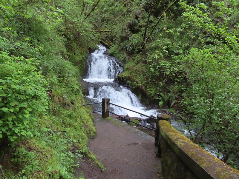
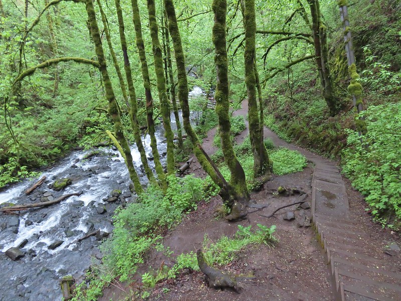
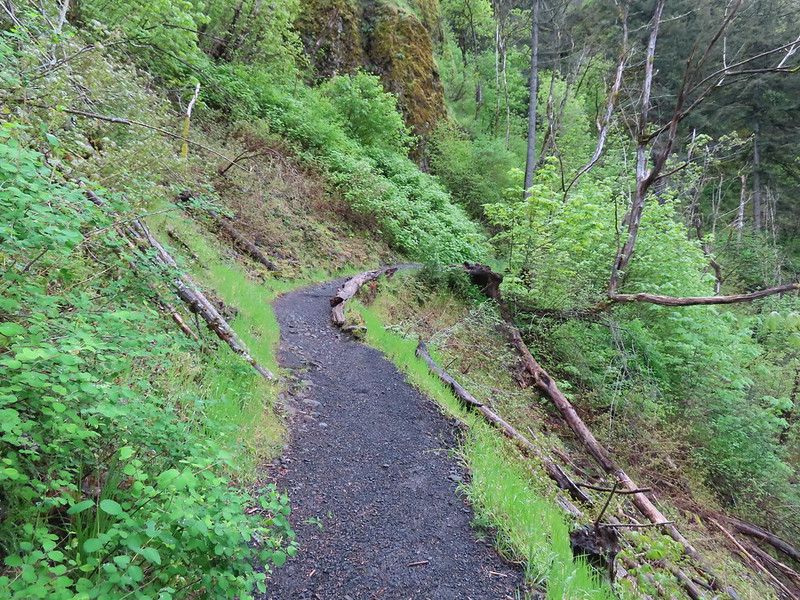
 The stone railed trail can be seen along the cliff above the lower falls.
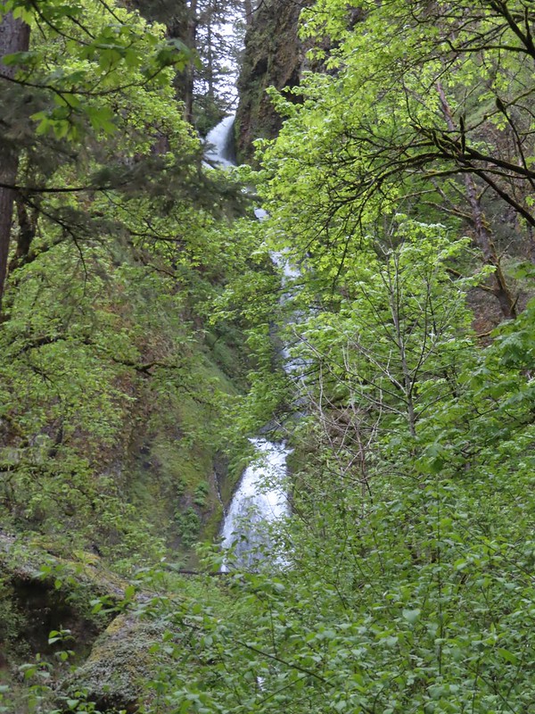
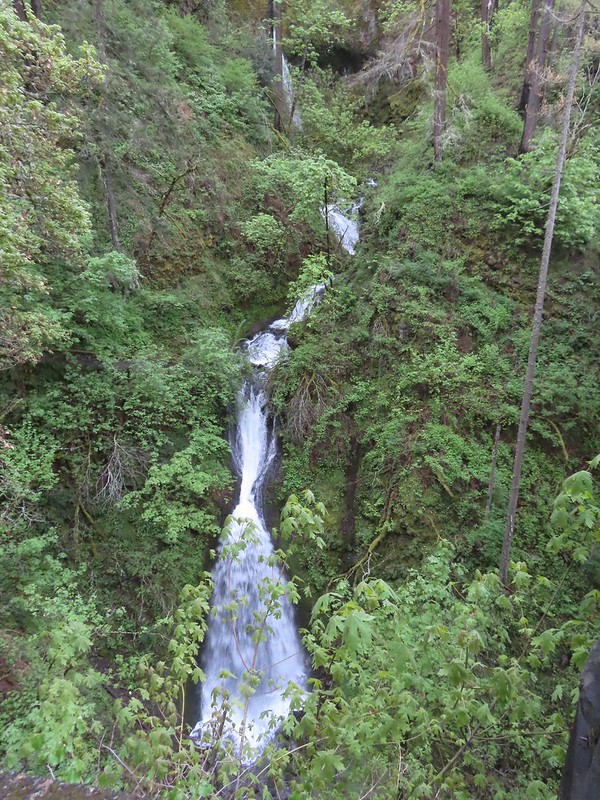 The upper falls can be seen through the trees with the lower falls more visible.
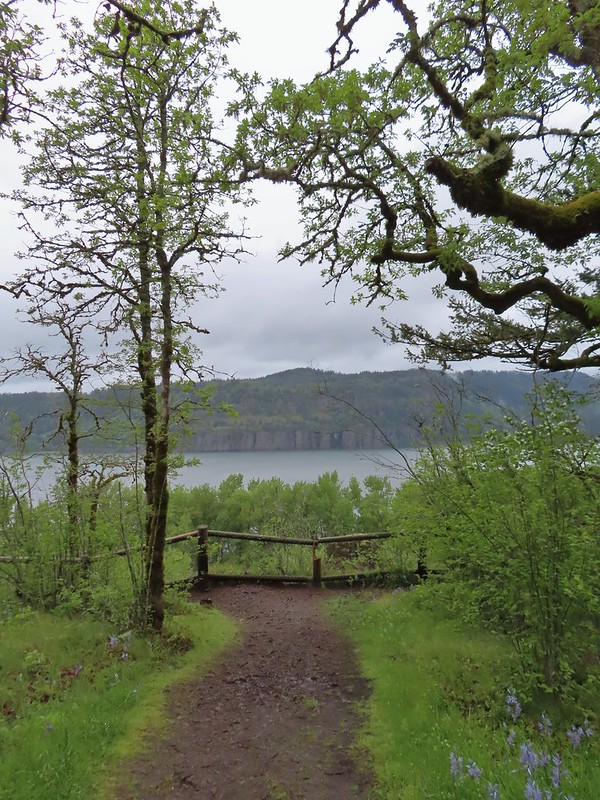
 End of the trail.
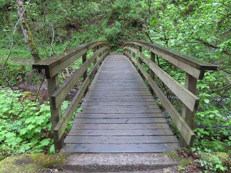
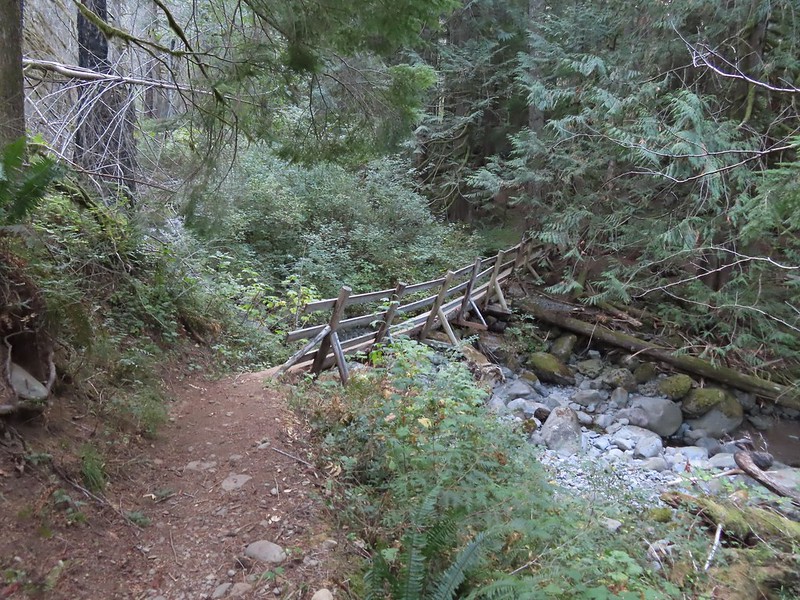
 The bridge from the trail.
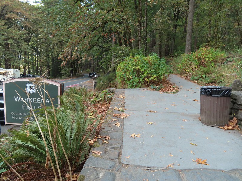
From Sheppard’s Dell we drove east on Highway 30 (less than a mile) to the Bridal Veil State Scenic Viewpoint.
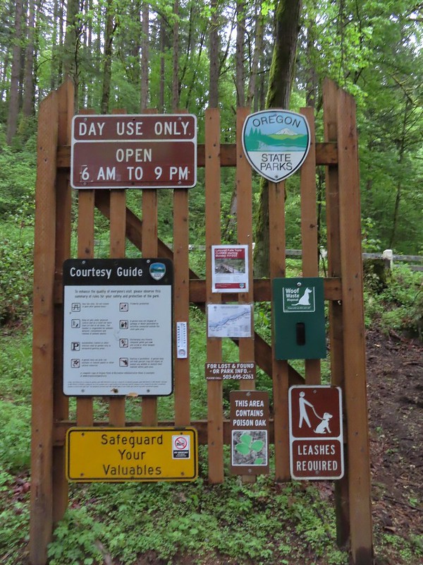 Informational signboard at the trailhead.
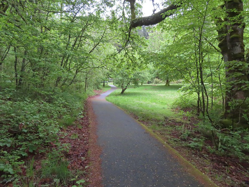
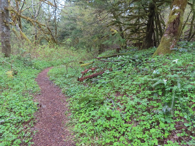
This park hosts two short trails, the Bridal Viel Falls Trail and the Overlook Loop Trail. We started with trail to the falls which began as a paved path next to the restrooms.

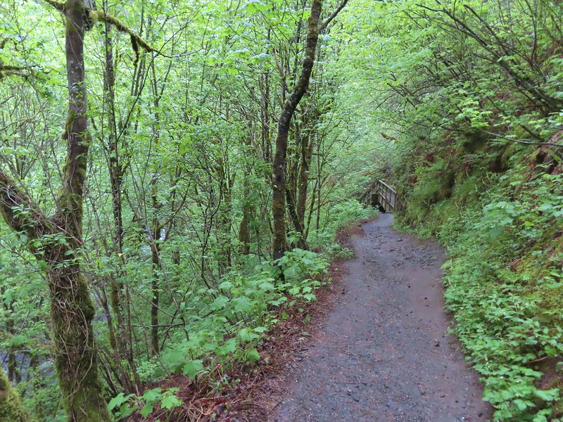
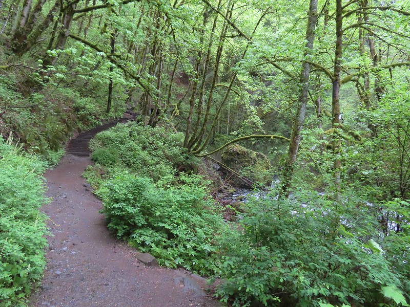
After a short distance the trail turns to gravel as it begins to descend to Bridal Veil Creek.
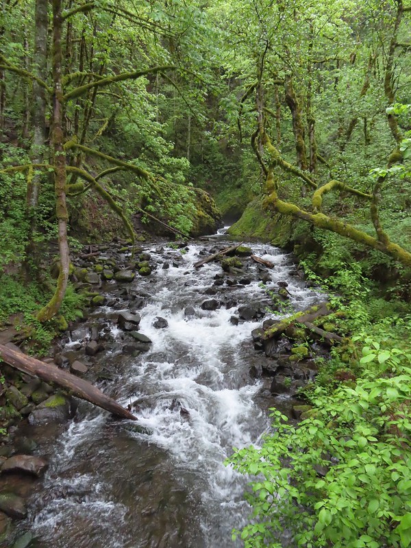
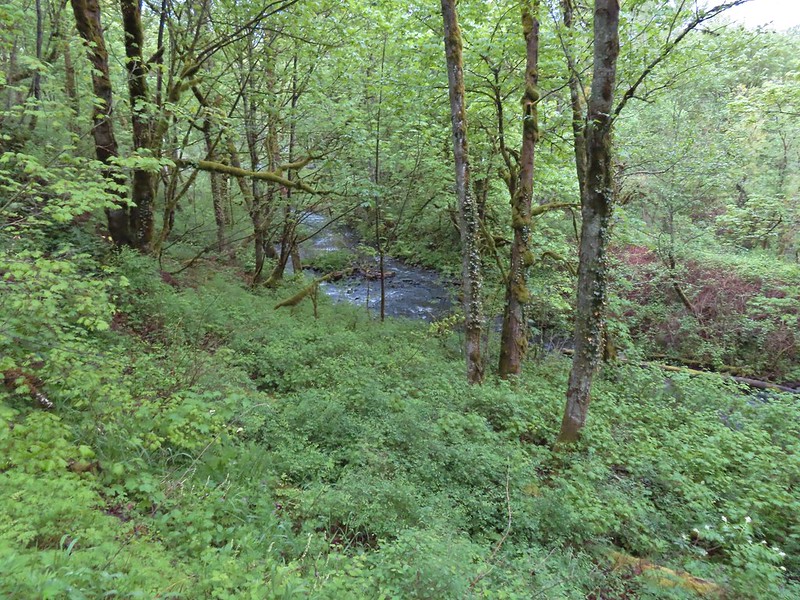 Bridal Veil Creek
The trail crosses the creek on a wide footbridge then turns right and climbs slightly to a viewing platform across from the falls.
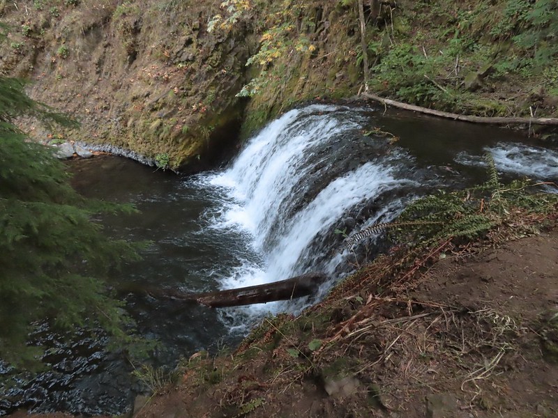
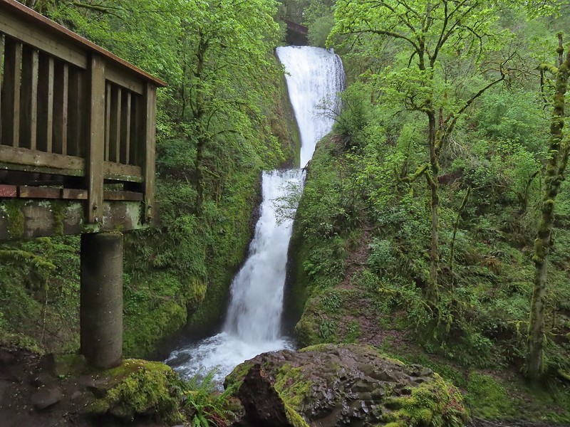 The 120′ two-tiered Bridal Veil Falls.
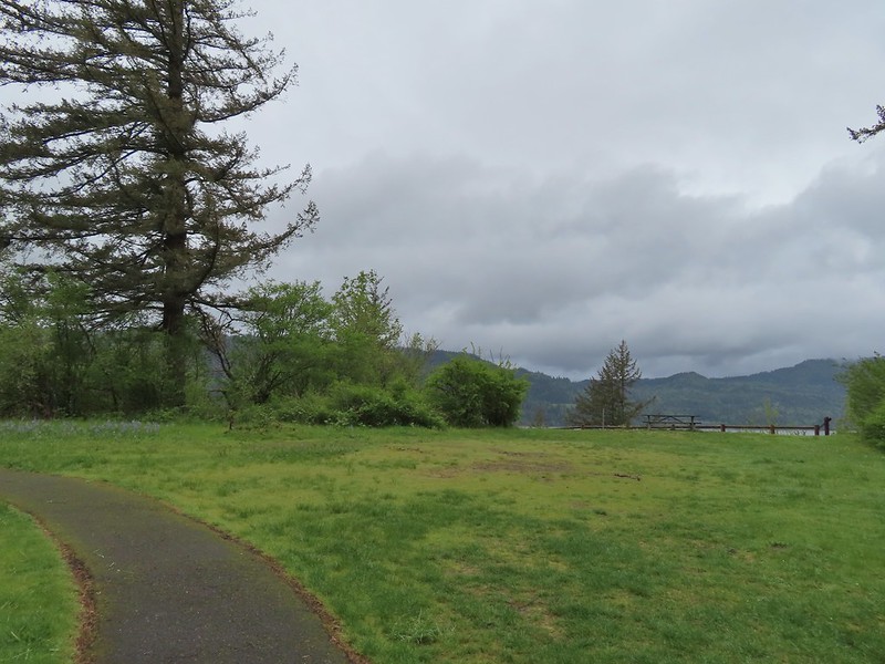
After admiring the waterfall we returned the way we’d come and set off on the Overlook Loop Trail. The half mile interpretive loop passes several viewpoints across the Columbia River to Washington.
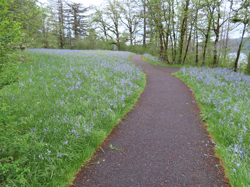
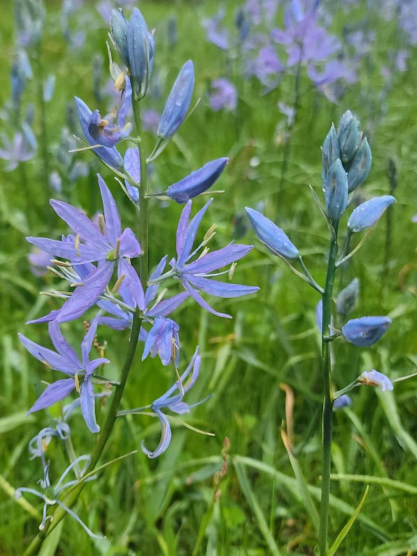
There was a lot of camas blooming along the trail.
 Cape Horn (post) across from one of the viewpoints.
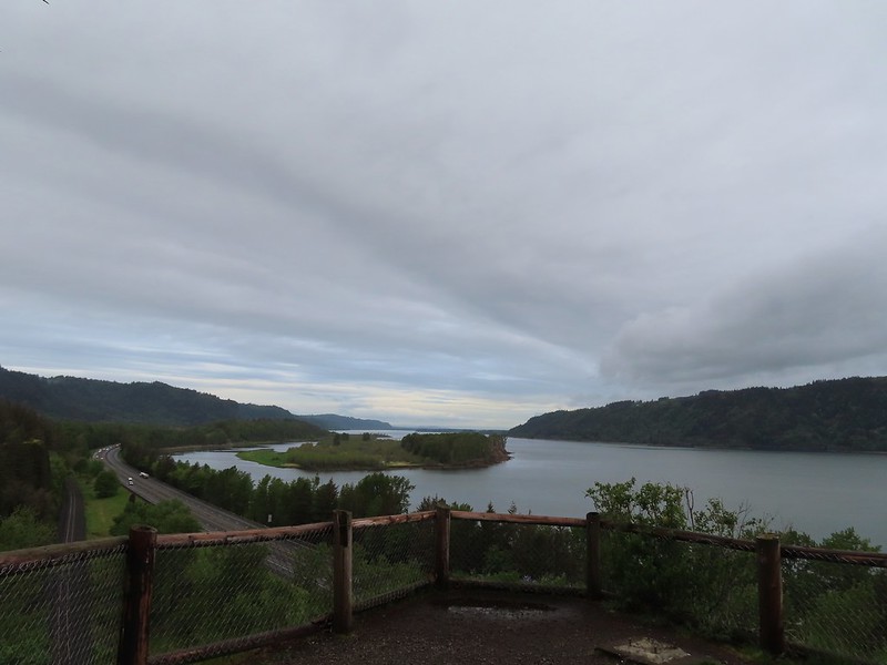 Sand Island to the west.
 The Overlook Loop arriving back at the trailhead parking area.
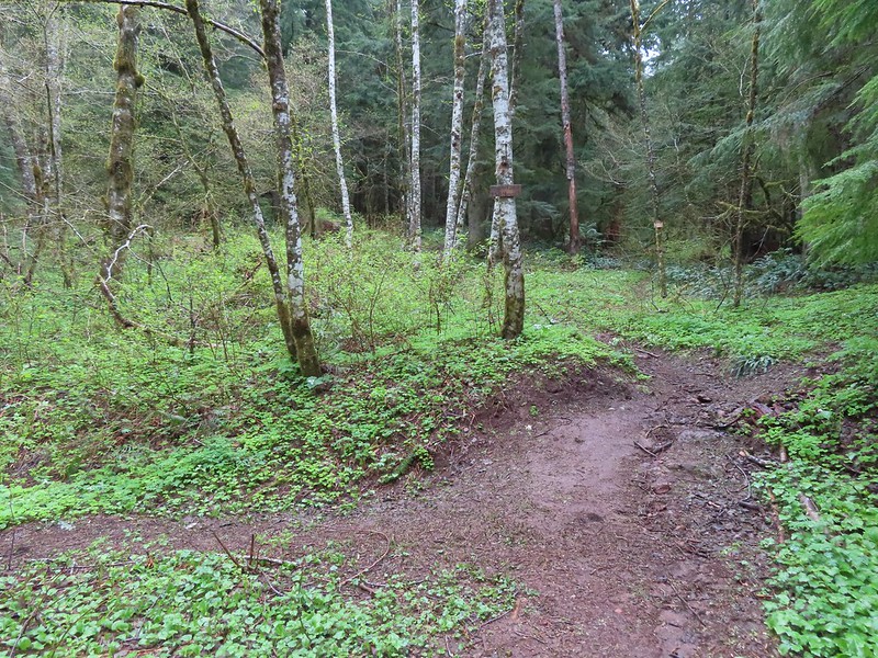
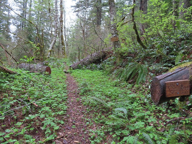
The short 1.1-mile hike here was still a mile longer than that at Sheppard’s Dell which meant it only a little after 7am as we headed for our final stop of the day. There are actually several starting points for loop hikes involving Devil’s Rest with the most popular seemingly being the Angel’s Rest and Wahkeena Falls Trailheads. Multnomah Falls and Palmer Mill Road are two others that allow for loops under 10-miles. While the Angel’s Rest Trailhead was closer to Bridal Veil it is a slightly longer loop with more elevation gain than starting from Wahkeena Falls Trailhead. Starting at Wahkeena Falls also means getting to see that waterfall and Fairy Falls prior to the start of the loop.
There were a few parking spots available at the Angel’s Rest Trailhead and even fewer cars at Wahkeena Falls when we arrived at 7:15am. We’d been to Wahkeena Falls before. Heather, Dominique and I on an out-and-back from the aforementioned Angel’s Rest Trailhead in 2013(post) and just myself in 2022 after hiking to Larch Mountain from Multnomah Falls (post). Before starting the 1.4-mile climb to the start of the loop we stopped at the Wahkeena Falls viewpoint.

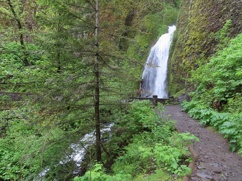
 While the Wahkeena Trail passes just below the falls the upper portion of the falls is only visible from a distance.
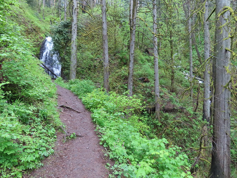
The trail begins as pavement as it switchbacks uphill before turning to rock/dirt and arriving at a footbridge below the lower portion of Wahkeena Falls at the 0.2-mile mark.

Beyond the falls the trail climbs to a spur trail to the Lemmons Viewpoint then continues along Wahkeena Creek (crossing it twice) to Fairy Falls at the 1.1-mile mark.
 The Wahkeena Trail switchbacking up to the Lemmon Viewpoint junction.
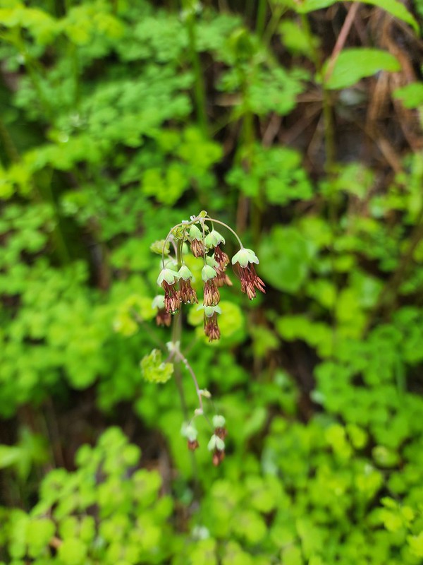
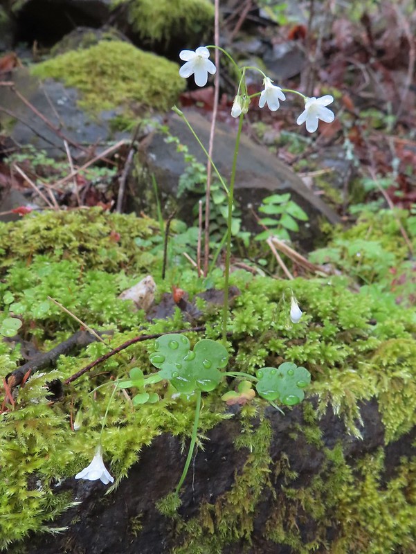 Sitka mist-maidens
 Woodland-star
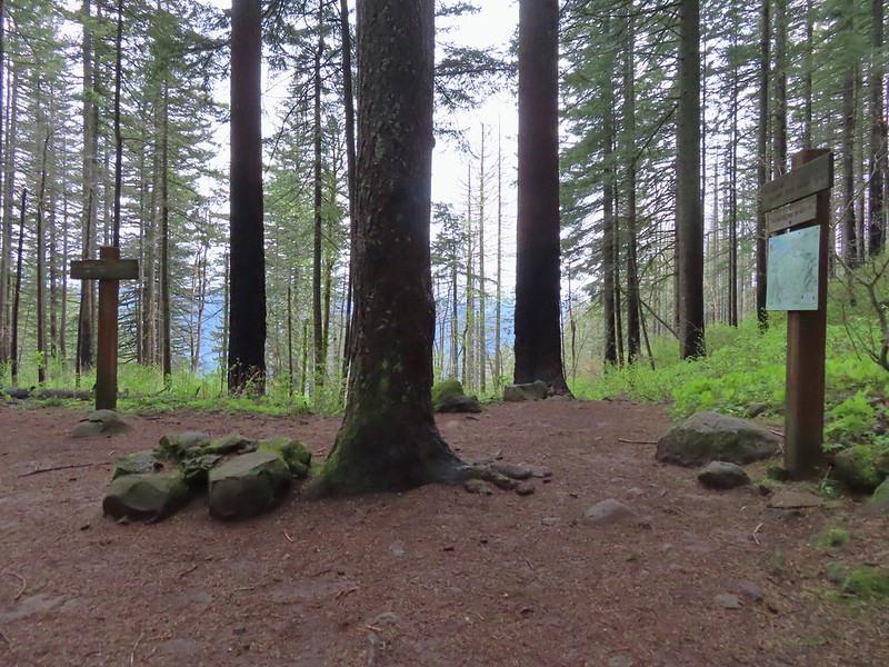
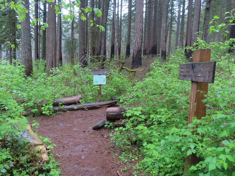
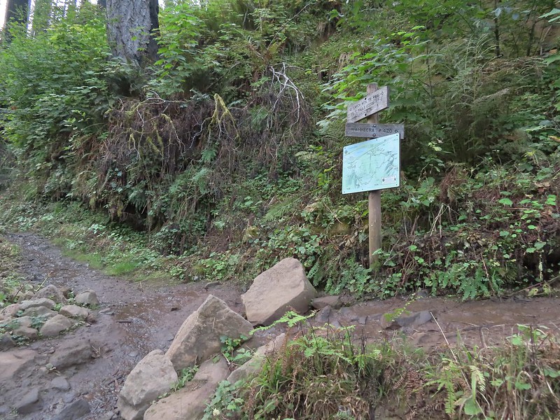
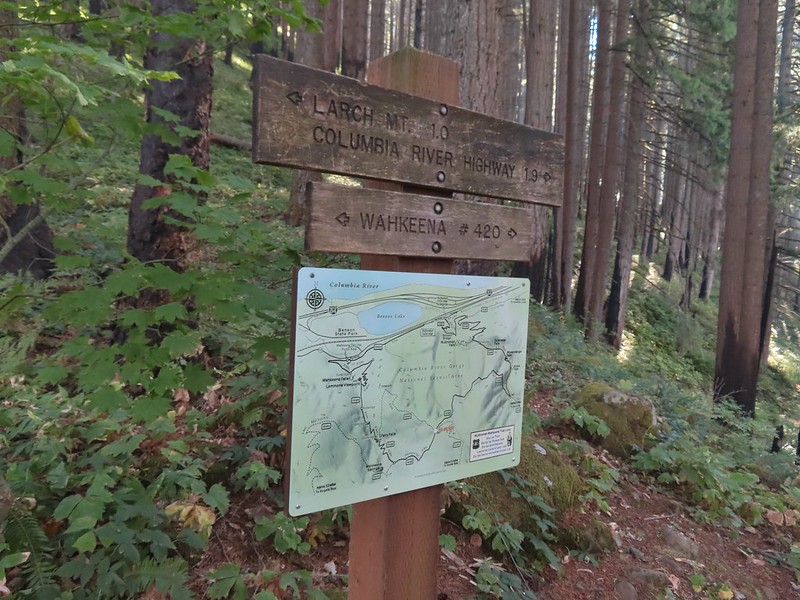
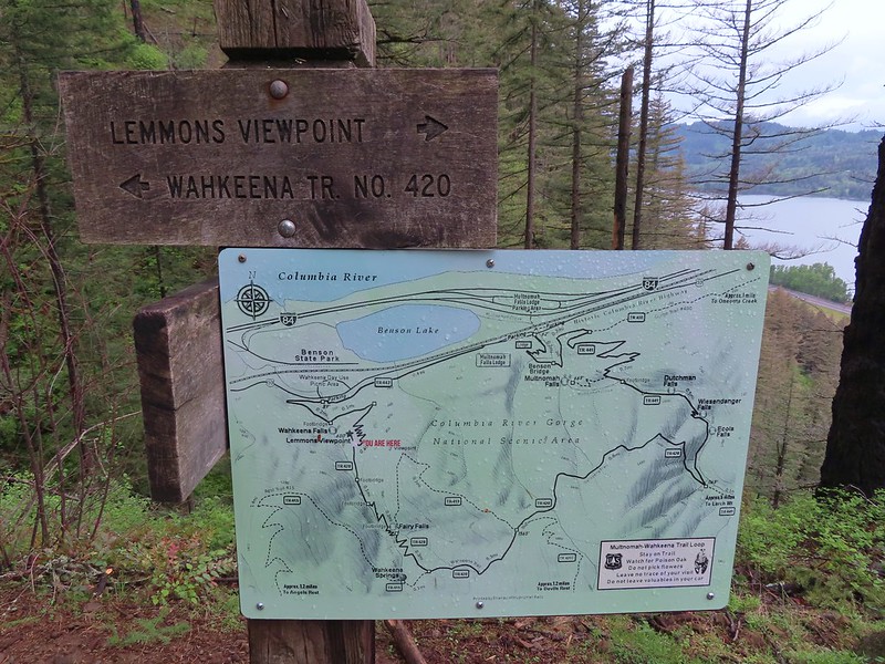 The Forest Service includes maps at junctions involving official USFS trails. Note that the map does not extend to Devil’s Rest or include the Foxglovia area.
 Our first paintbrush sighting for the year was at the Lemmons Viewpoint.
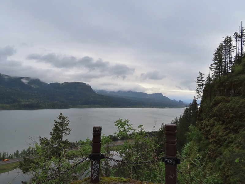 Archer Mountain in the foreground with Hamilton Mountain (post) and Beacon Rock (post) further to the east.
 The first crossing of Wahkeena Creek.
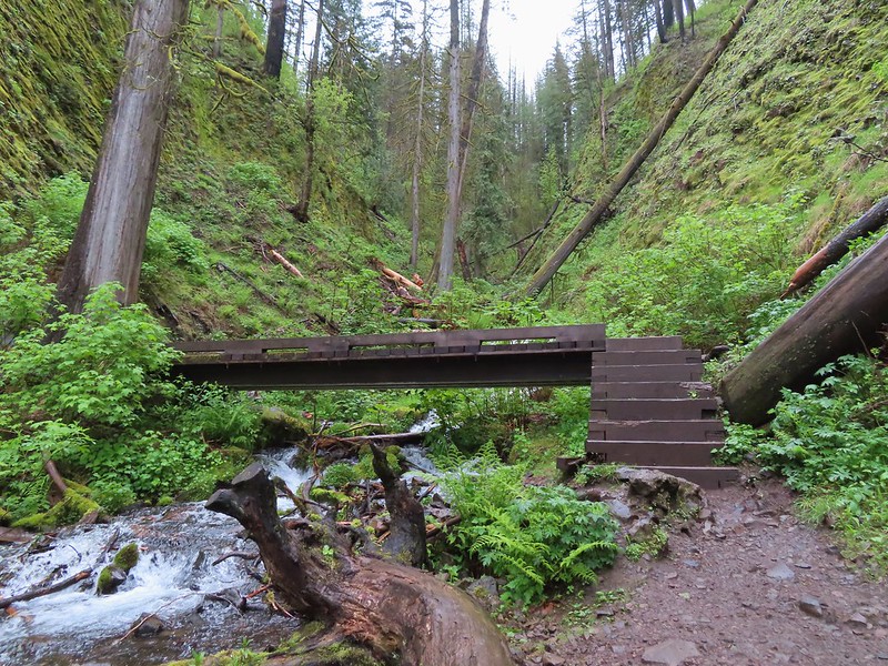 Second footbridge.
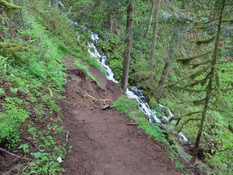
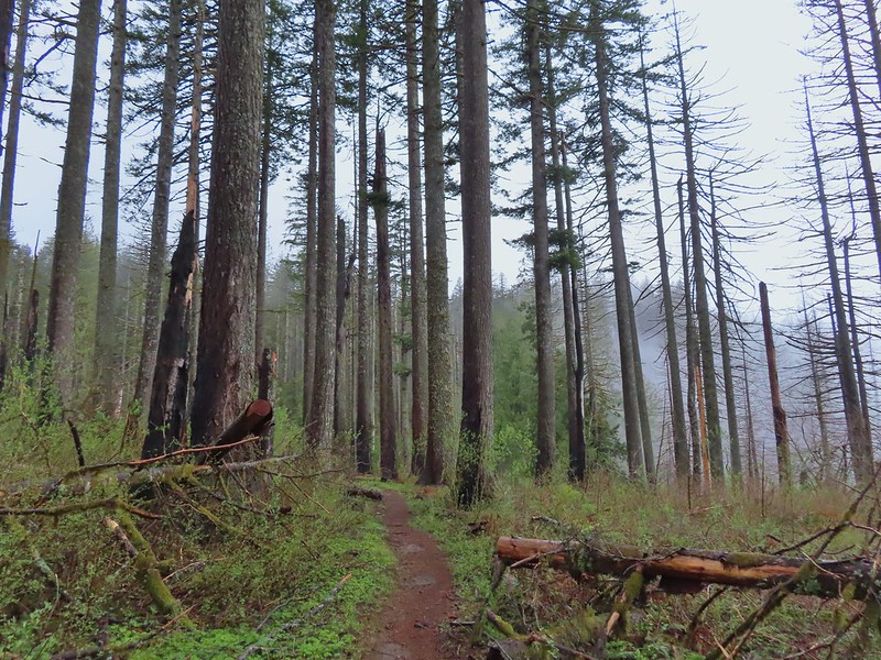
Since my visit in October 2022 the trail has experienced a couple of slides, likely a lingering result of the 2017 Eagle Creek Fire. As of 2/18/24 the Forest Service advises caution if attempting to navigate the slides and in fact does not recommend attempting it. They had not officially closed the trail, but also do not have an eta on repairs.
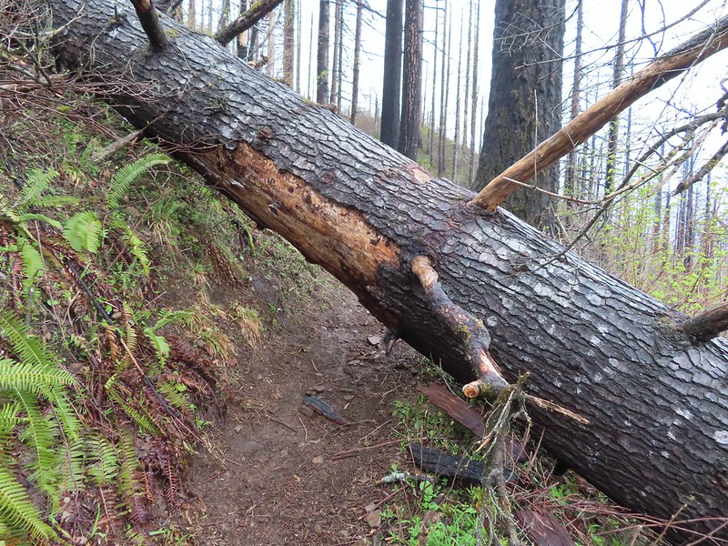
 This was the first sketchy new obstacle. The large tree is cutting across a switchback rerouting the trail steeply uphill. While there were some footholds the steepness combined with muddy conditions required caution.
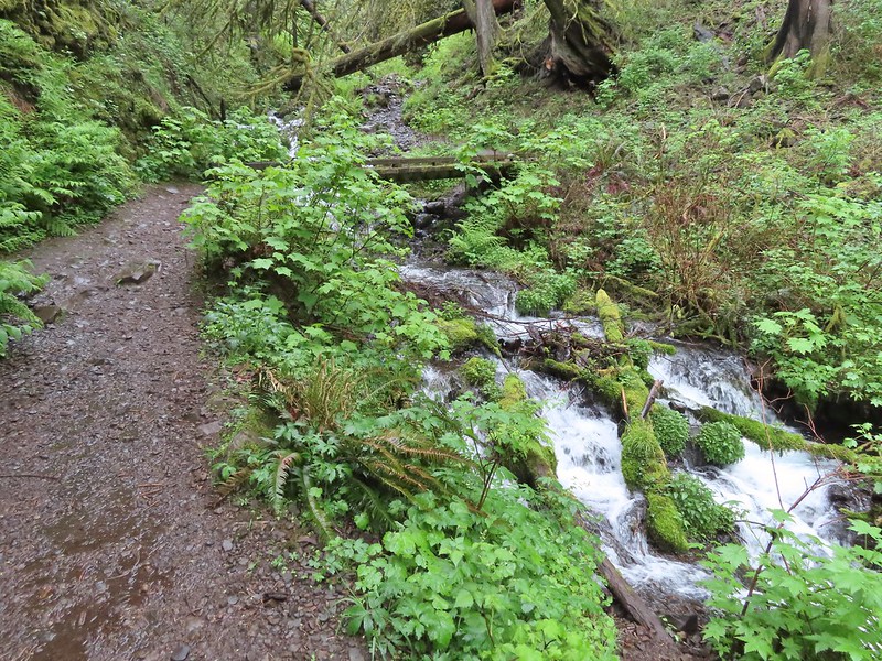
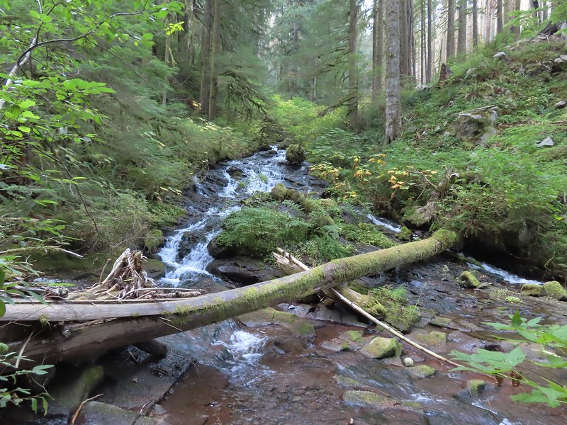
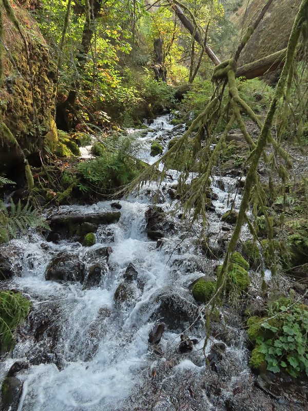
 Wahkeena Creek
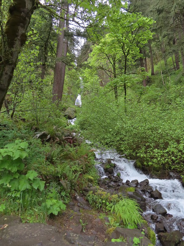
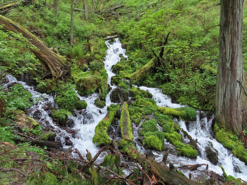
 Fairy Falls with Wahkeena Creek through the trees on the right.
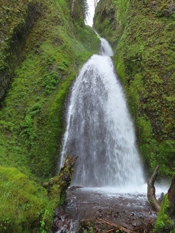
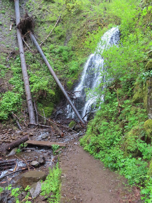
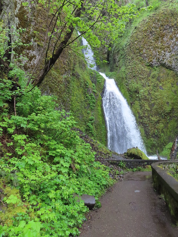
 Fairy Falls
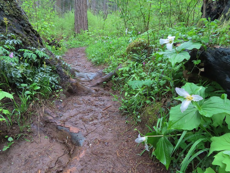
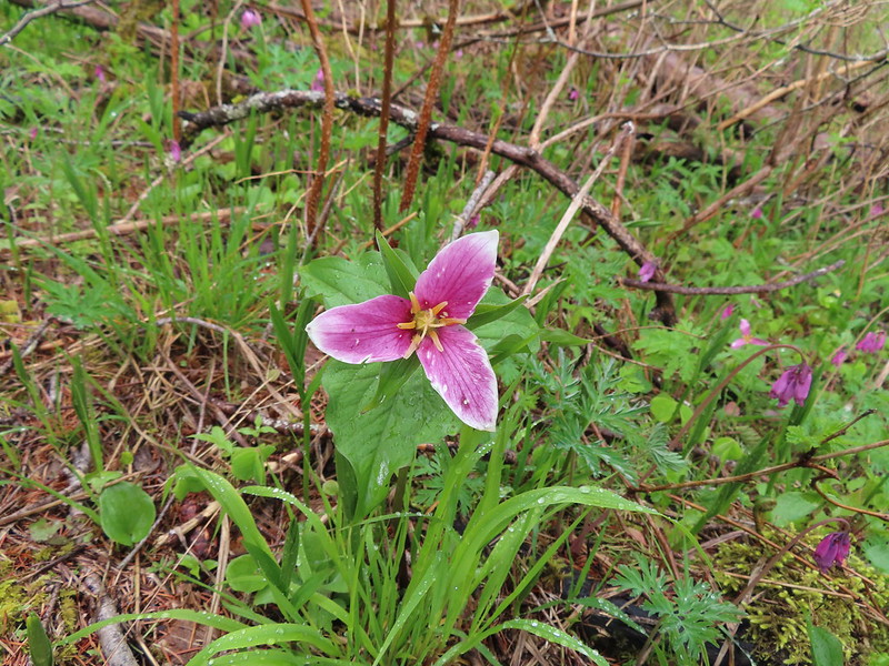
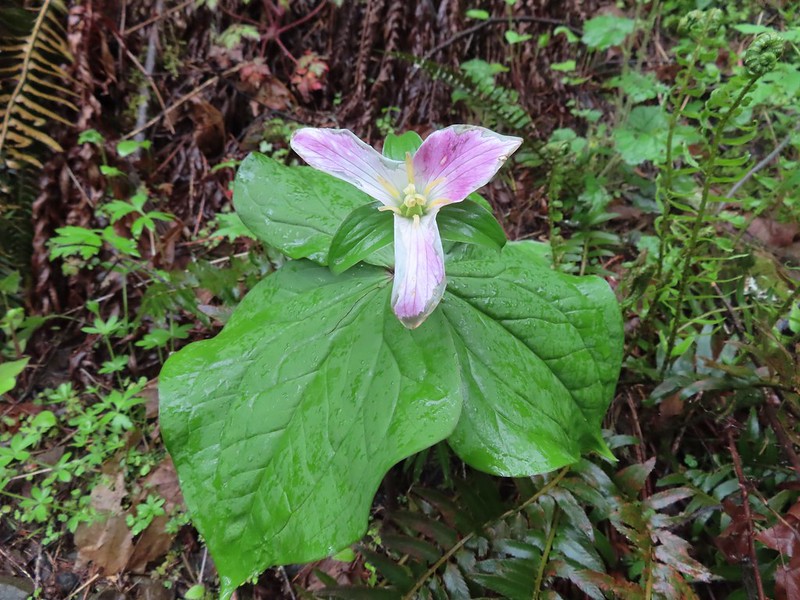 Trillium
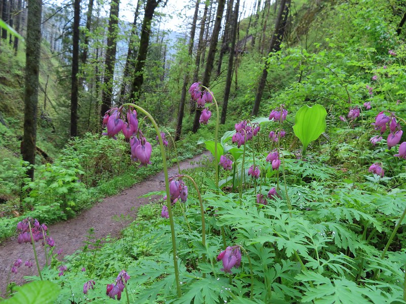 Bleeding heart
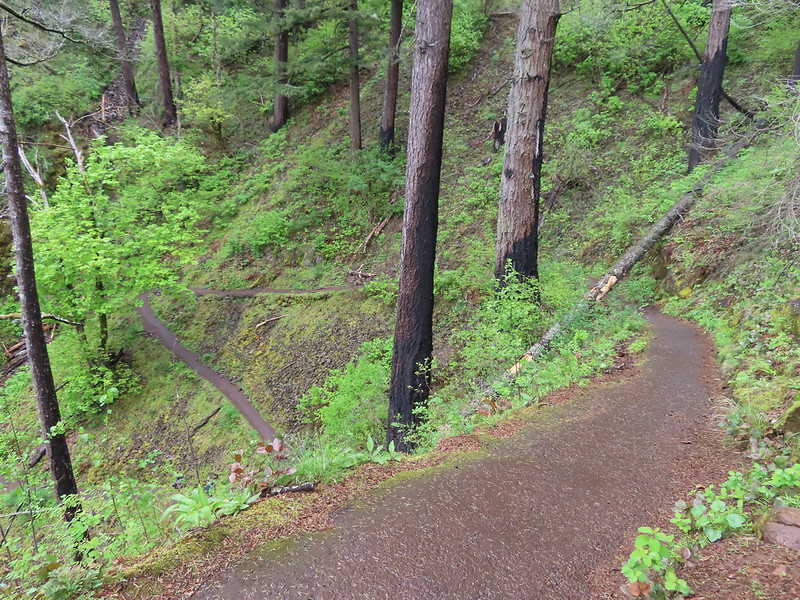
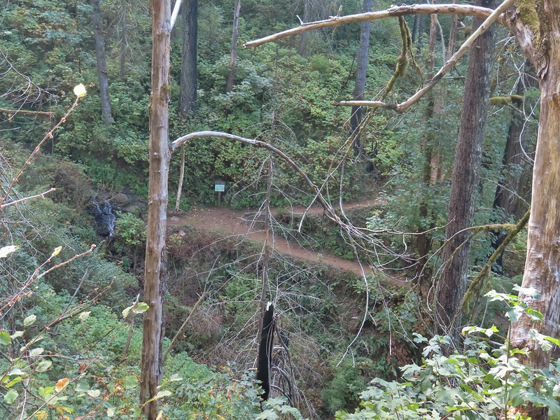
The worst of the slides was a short distance beyond Fairy Falls.
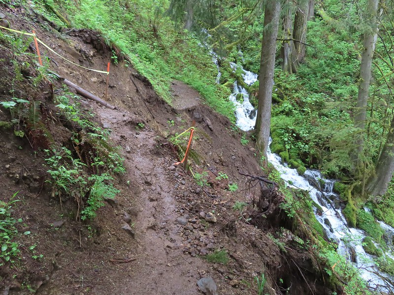 The worst slide took out a section of trail just before a switchback.
 Looking down the washout.
 The switchback in 2022.
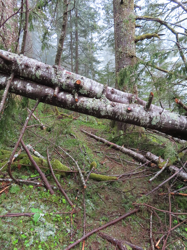
Not pictured, but just above the missing section of trail was another large, downed tree. It was possible to pass under but to do so we both needed to get on our hands and knees.
Neither of us were looking forward to going down either of these washed-out sections but that was a problem for later. The rest of the Wahkeena Trail was in good shape and we followed it past its junction with the Vista Point Trail to a junction with the Angel’s Rest Trail and the start of the loop.
 Coming up on the lower end of the Vista Point Trail.
 The Angel’s Rest Trail junction.
We went left at this junction sticking to the Wahkeena Trail as it climbed to a junction with the upper end of the Vista Point Trail.
 Signs at the junction with upper end of the Vista Point Trail.
Beyond this junction the Wahkeena Trail descended slightly to a junction with the Devil’s Rest Trail.
We veered uphill to the right on the Devil’s Rest Trail.

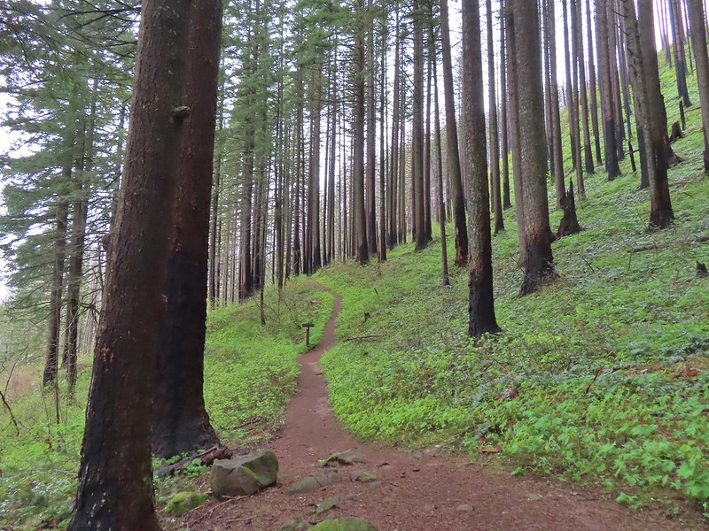
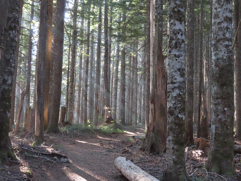
The Devil’s Rest Trail (Trail 420C) is an official USFS trail that ends at the rocky outcrop atop Devil’s Rest after 1.6 miles. The trail climbs approximately 800′ but is fairly gradual initially using switchbacks to keep the climb reasonable.
 Coltsfoot along the trail.
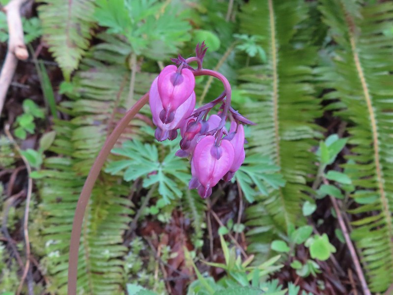 Bleeding heart
 Violets lining the trail.
After switchingback along Shady Creek the trail arrives at the rim of the Wahkeena Bowl where the climb becomes even more gradual.
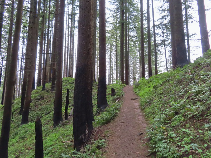
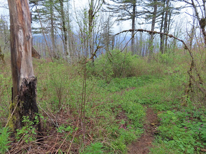
 Traveling along the rim of the Wahkeena Bowl.
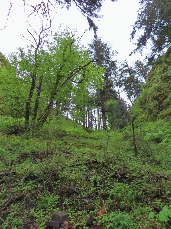
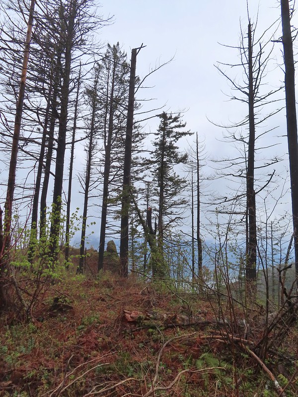
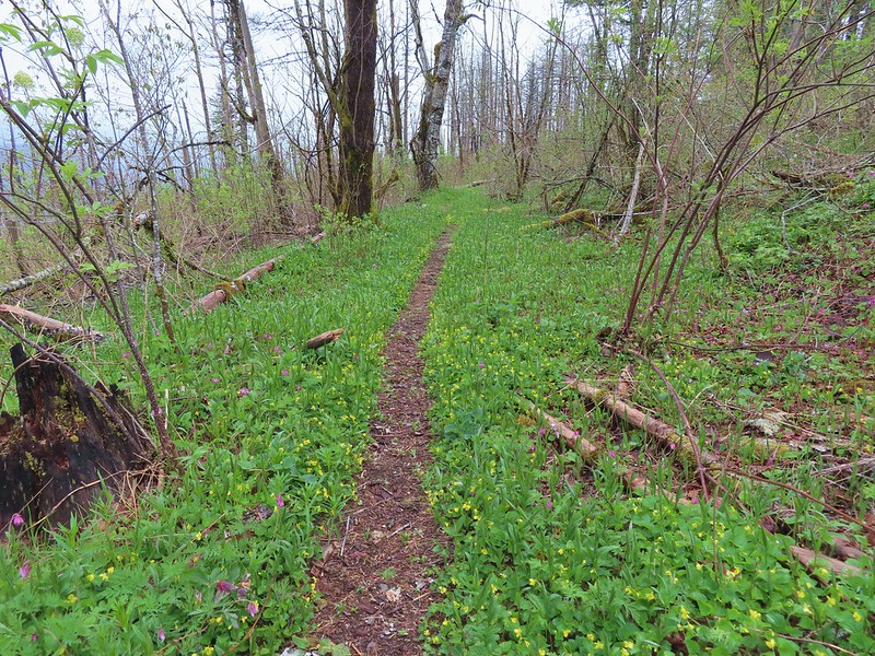
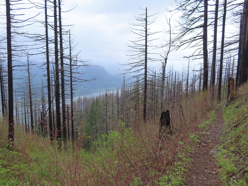
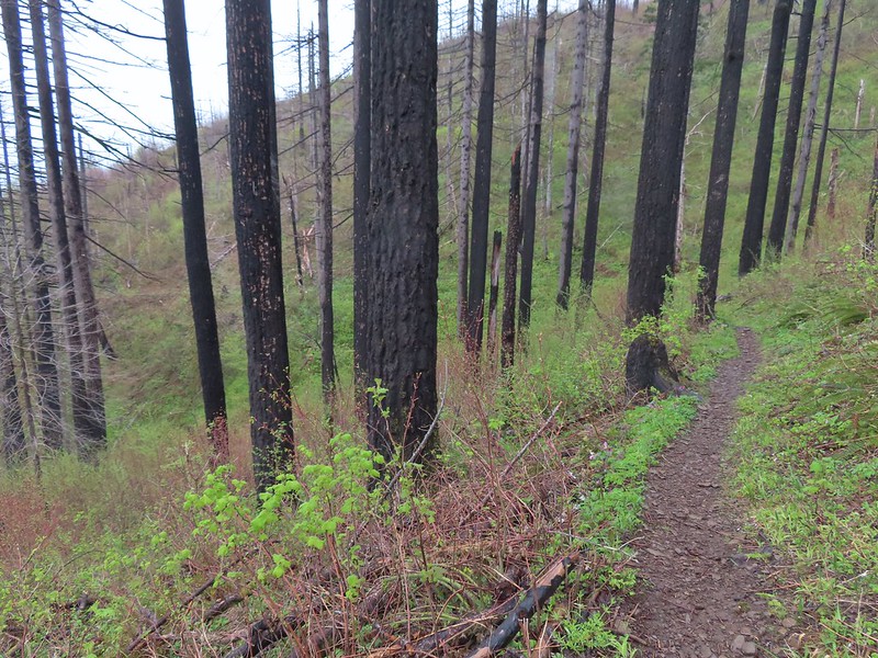
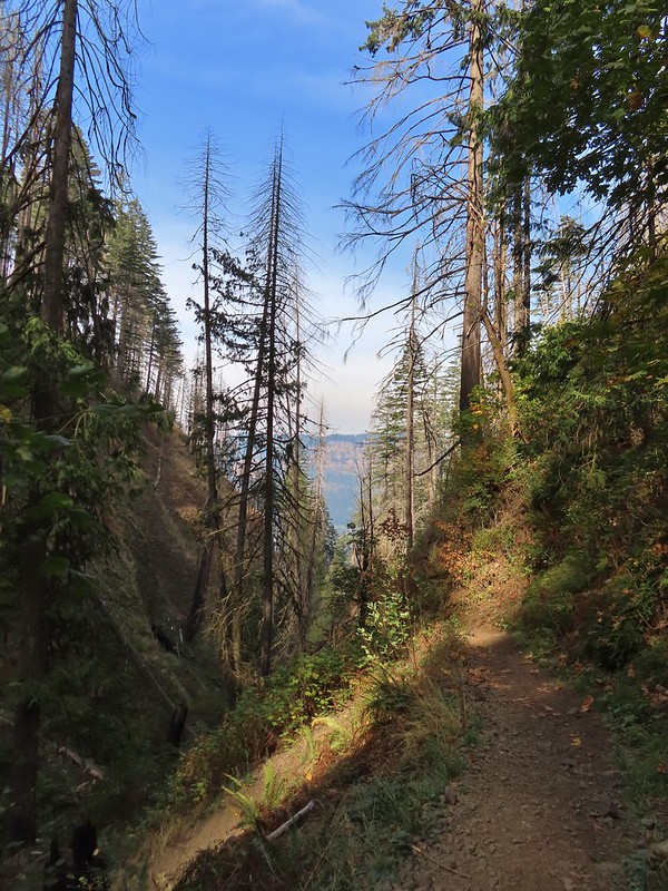
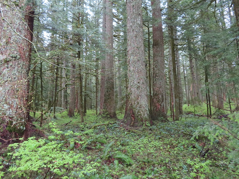 A small pocket of forest that escaped the Eagle Creek Fire.
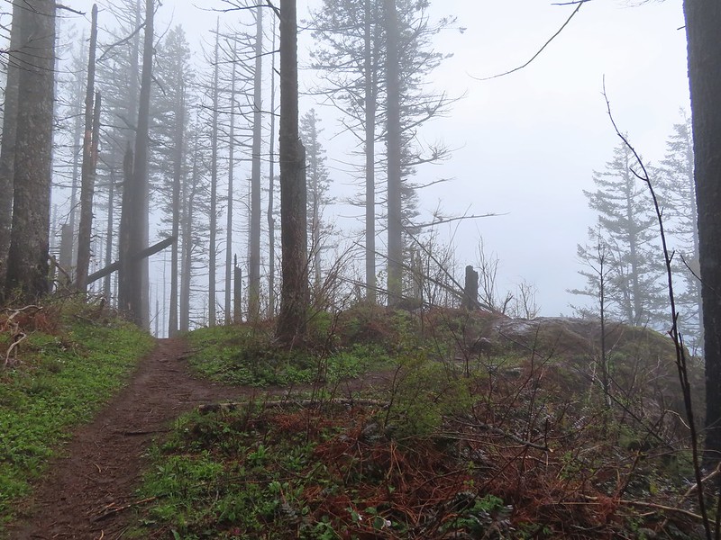
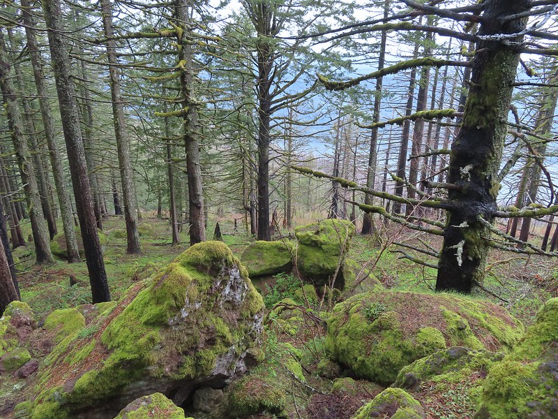
 Devil’s Rest looking a little foggy from below.
 There were a lot of trillium along the rim.
We passed a trail crew that was just hiking in to start work. Not sure how they got up there, but it was nice to see them out and we thanked them for their efforts.
The trail passed two rocky viewpoints before making a final climb to Devil’s Rest.
 The first viewpoint was slightly off the trail.
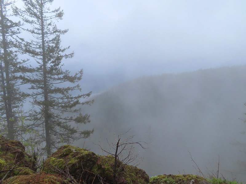 We could at least make out the Columbia River below.
 We were going in and out of fog ever few minutes.
 Archer Mountain making an appearance.
 A trail led to the second outcrop which had a rock sticking up.

 Company at the viewpoint.
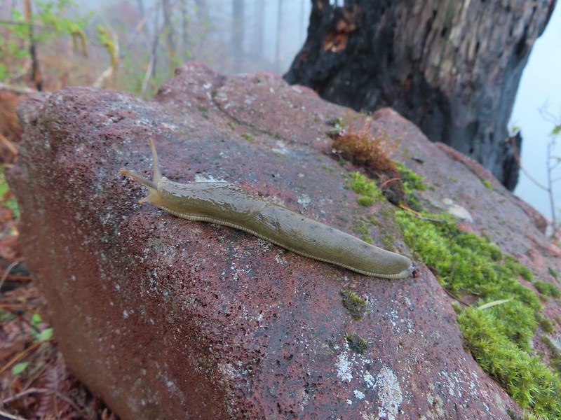
 Something for the trail crew to work on.
 Nearing Devil’s Rest.
The Devil’s Rest Trail veered right at a fork and ended at a rock outcrop.
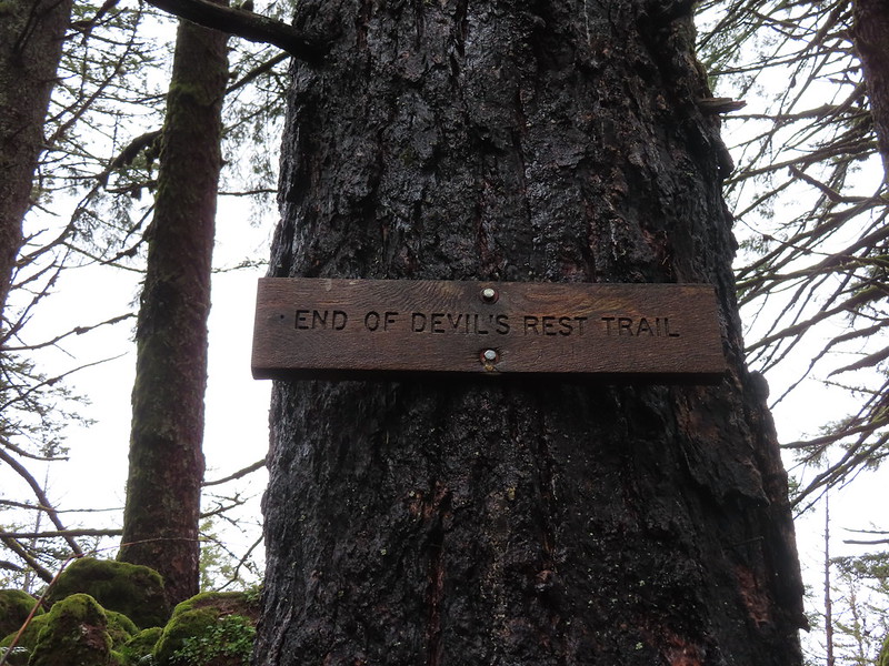

Even without the foggy conditions there wouldn’t have been much of a view from Devil’s Rest, the FS mentions that in their description, but it still makes for a nice destination.
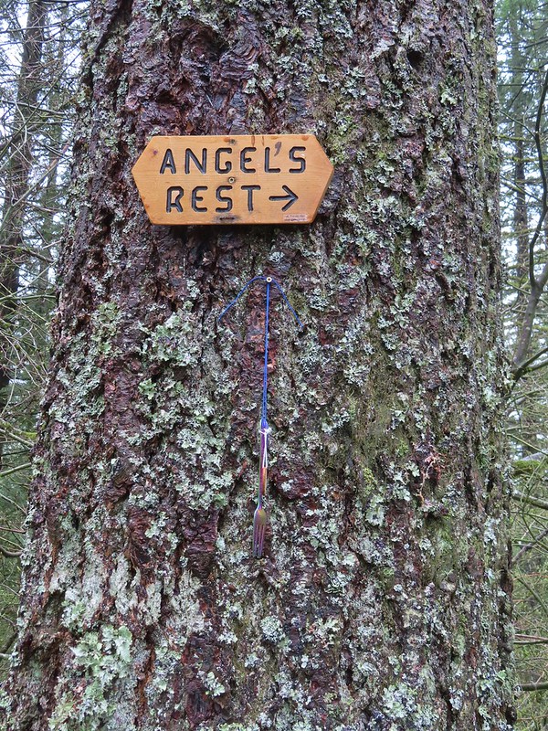
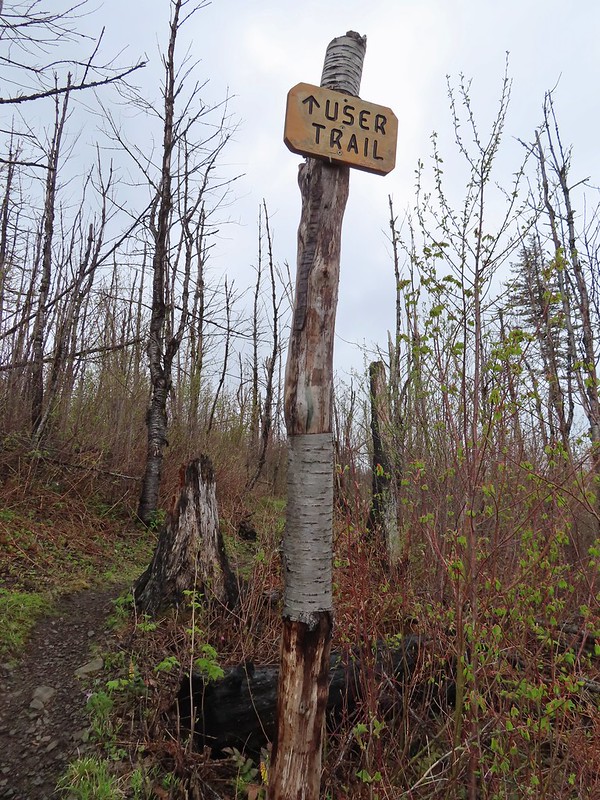
Earlier I mentioned that there were several potential places to start a hike to Devil’s Rest, but there are also several options for returning. The obvious being simply returning via the USFS Trail. To make a loop out of the hike there are a number of options. The steepest and most difficult would be finding the Primrose Path which reportedly heads directly downhill from Devil’s Rest. We didn’t see that trail, but we also weren’t planning on using it. We hiked back along the Devil’s Rest Trail to the junction below and turned right following a pointer for Angel’s Rest.
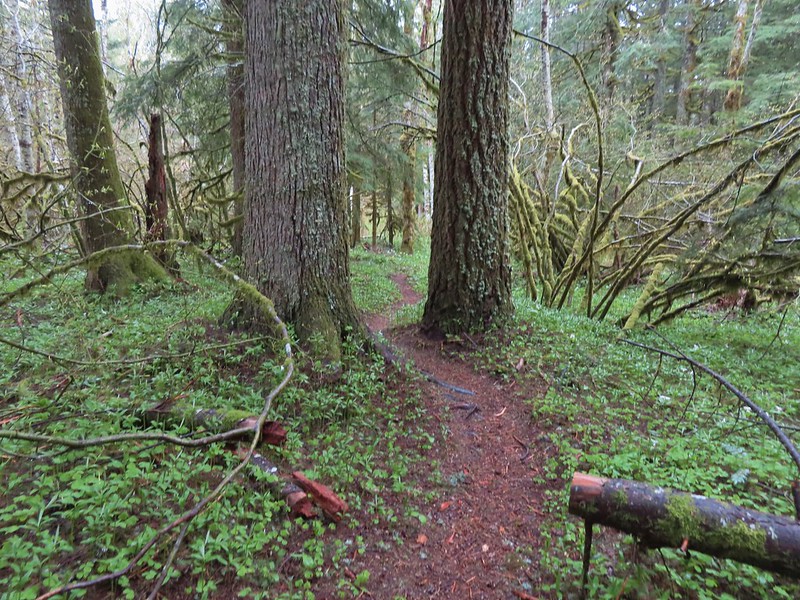
From there things got a little confusing for us. While we had our GPS and maps showing loops from both Oregon Hikers and NW Hiker none of them showed all of the current trails, but we didn’t realize that initially. This trail is part of the upper Foxglove Way Trail. 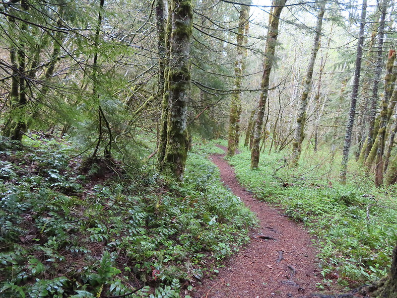
A short distance from the the first Angel’s Rest point we came to a fork in the trail with another Angel’s Rest pointer. This one saying to go take the left hand fork.
By going left we were now on a newer (22-23) route. This new trail is referred to as either the She Devil Trail or Red Shorts Cut Trail.
 The pointer says “To She Devil Trail” with Red Shorts Cut at the bottom but AllTrails and some more recent Oregon Hikers maps label this section the She Devil Trail.
Regardless of which is the official name it wasn’t on the maps we had but it took us a bit to realize we weren’t where we thought we were. As it turns out Red Shorts built this trail as a more gradual, albeit longer, option. This explained the Angel’s Rest pointer since this was his intended route. The trail itself was in great shape and easy to follow.

The first clue that we might not know where we were came when we passed a stake marking a less worn trail that simply said “Multnomah Basin Road” with a pointer.
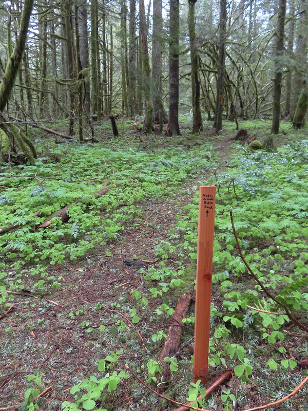
Post hike research revealed this was the Lil’ Devil Trail which connects to yet more trails. We correctly ignored this spur and continued on She Devil.

It wasn’t long before we passed another trail and pointer, this time on our right.
This turned out to be the She Devil – Devil’s Fork Trail junction. Taking the Devil’s Fork Trail would have saved us a fair amount of distance as it descends to the Foxglove Trail in 0.2 miles then continues another 0.4 to the Lily’s Lane Trail. Because we didn’t have all the existing trails on our maps we mistook this for a different trail altogether. Instead of turning right we stuck to the She Devil Trail.

We now had enough of a GPS track that we could compare it to the route shown on the Oregon Hikers/NW Hiker maps and see that something seemed off. Our track had headed too far to the SSW compared to the maps so when we came to the next split in the trail we veered right on a flagged trail.
 The pointer on the left is for Smith Road. We didn’t see any signs for the right-hand fork.
Despite not seeing a sign for the flagged trail we knew we didn’t want to continue heading SSW. This turned out to be the Red Shorts Cut Trail which slowly curved around to head NNW and meet up with the Foxglove Trail.
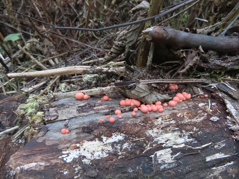
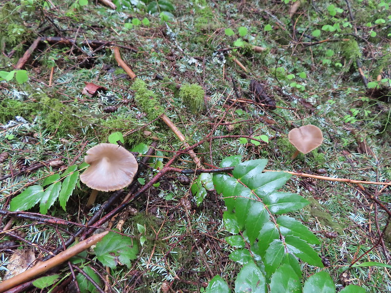 Mushrooms
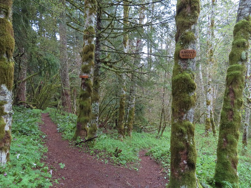
Approximately 0.4-miles along the Red Shorts Cut Trail we arrived at the Foxglove Trail where we were initially confused once again. We could continue in a NNW direction or turn right (ENE). We correctly, although not confidently, turned right onto the Foxglove Trail.

After a third of a mile we arrived at a 4-way junction.
This was the Devil’s Fork Trail crossing the Foxglove Trail. In other words, had we taken the Foxglove Trail way back when we veered left on the She Devil Trail it would have led us here. Likewise had we taken the Devil’s Fork Trail when we stayed left on the She Devil Trail it would have brought us here. Regardless of which trail brought us to this 4-way junction following the pointer for the Wahkeena Trail was the direction we wanted to go.

We turned left onto the Devil’s Fork Trail which briefly followed an old road bed.

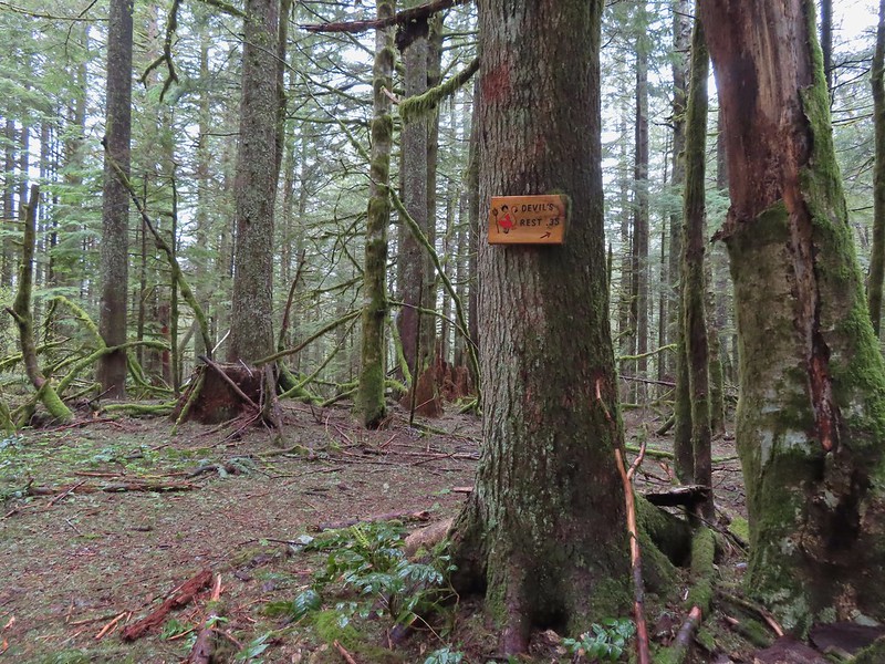
We passed the signed Devil’s Cut-off Trail a tenth of a mile from the 4-way junction. This is the trail we mistook the upper portion of the Devil’s Fork Trail for. The cut-off leads over to the Primrose Path.
 The Devil’s Cut-off Trail on the right.
 Signage on the Devil’s Cut-off Trail.
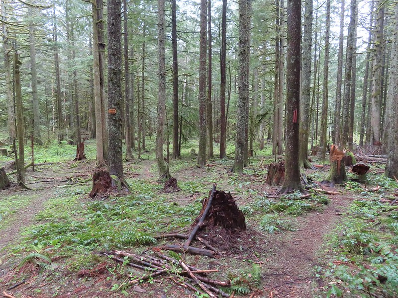
Sticking to the Devil’s Fork Trail brought us to the Lily’s Lane Trail in another third of a mile.

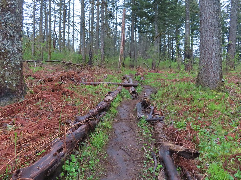
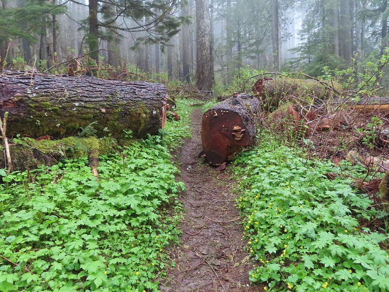
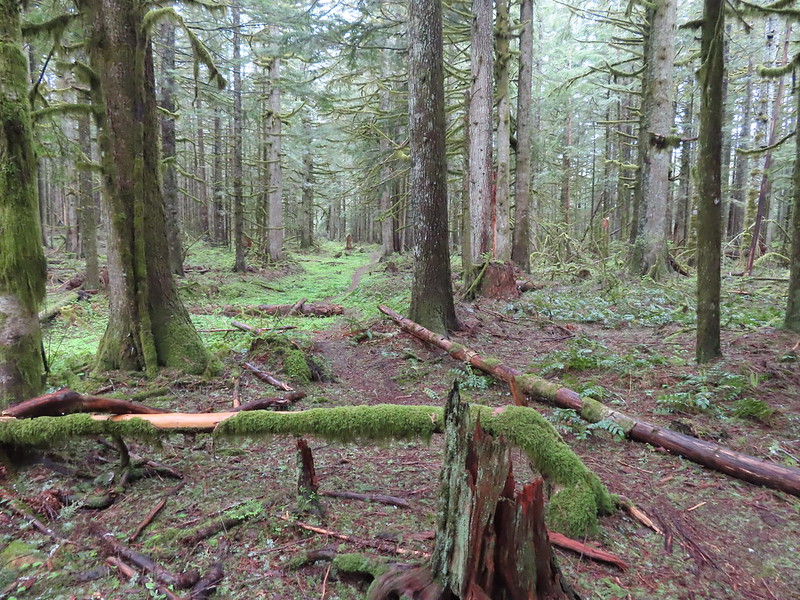
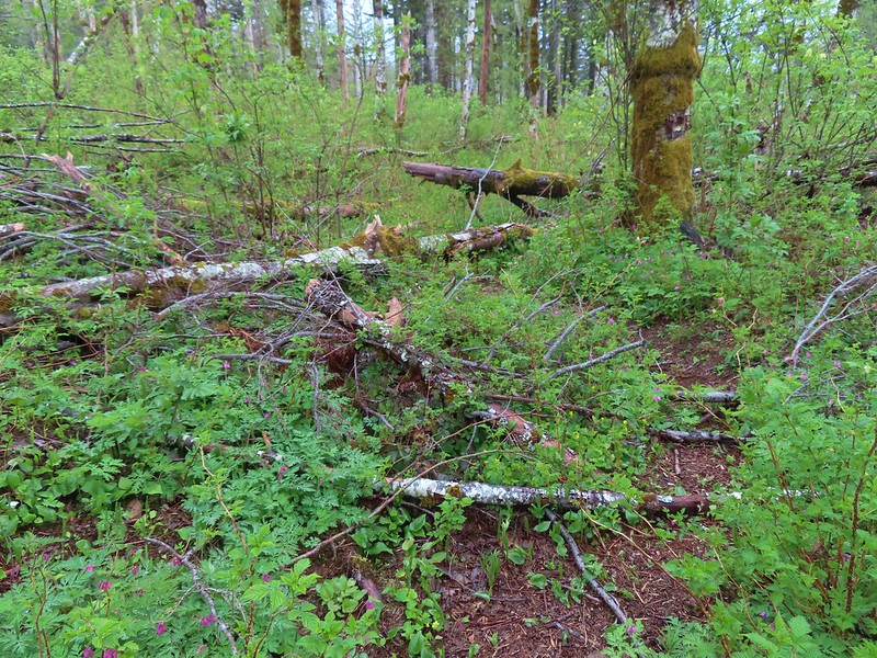 This was honestly the most debris/blowdown we encountered on the user-maintained trails.
 Pointers at the junction with the Lily’s Lane Trail.
 Devil’s Fork Trail signs at the junction.
We turned right on Lily’s Lane for 0.2-miles to its end at the Angel’s Rest Trail.
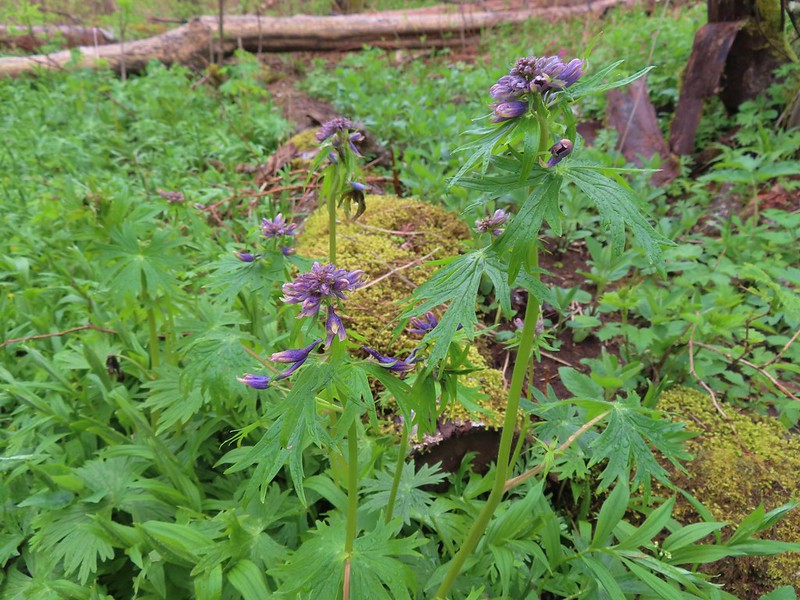 Columbian larkspur getting ready to bloom.
 Sign at the Lily’s Lane/Angel’s Rest Trail junction.
We turned right on the Angel’s Rest Trail and followed it for 1.5-miles back to the Wahkeena Trail.
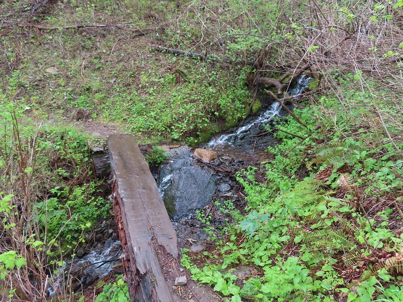 Mist Creek Footbridge.
 The first of two logs that required crawling under.
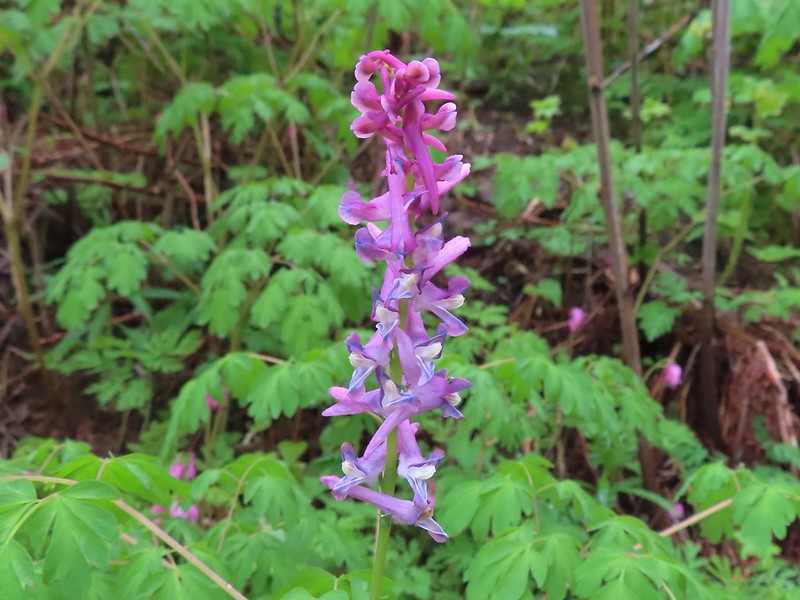
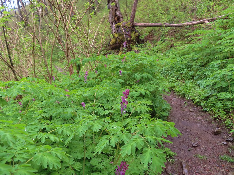 There was a short section filled with Scouler’s corydalis.
 The Primrose Path joining from the right.
 Primrose Path warning.
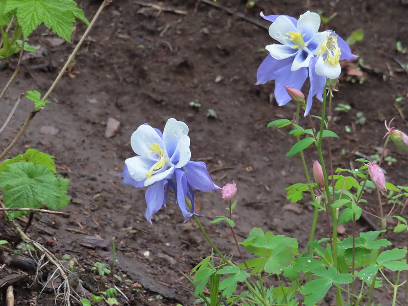 Does anyone know the story of this columbine at the Primrose junction? It has to be non-native.
 Wahkeena Creek from the Angel’s Rest Trail.
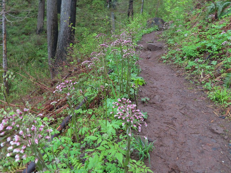
 Valerian
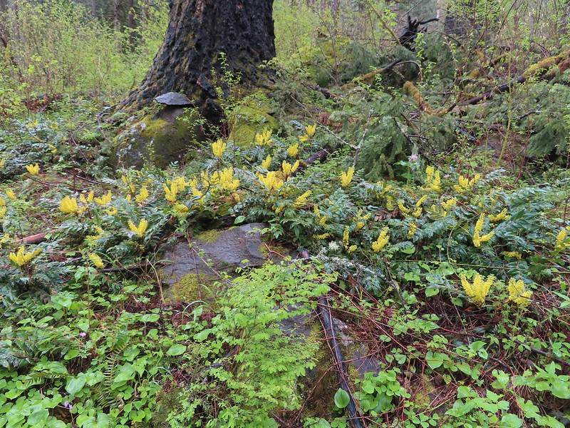 Nice display of Oregon grape near Wahkeena Springs.
 Arriving at Wahkeena Springs.
 Wahkeena Springs
 The Wahkeena Trail junction is a very short distance from Wahkeena Springs.
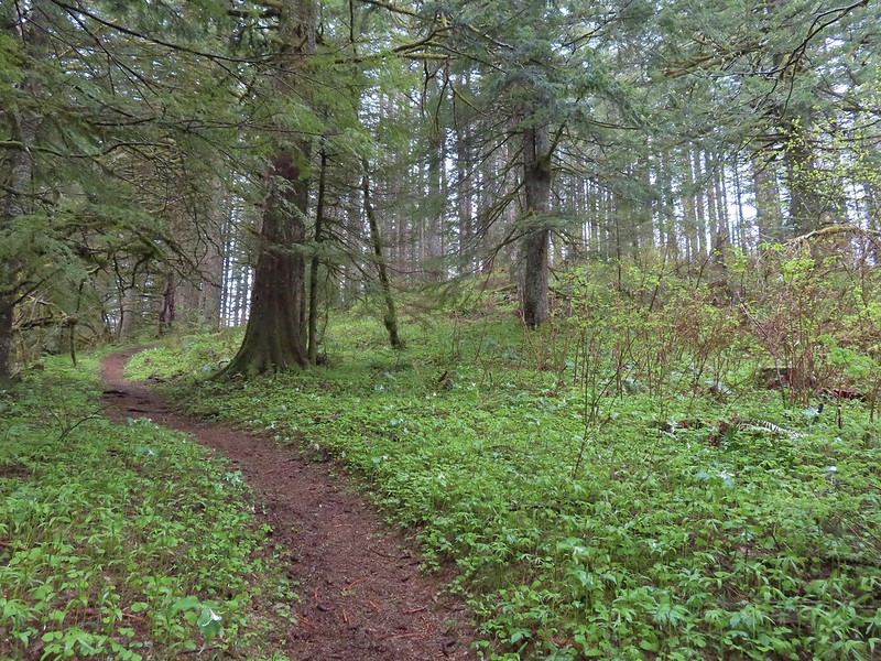
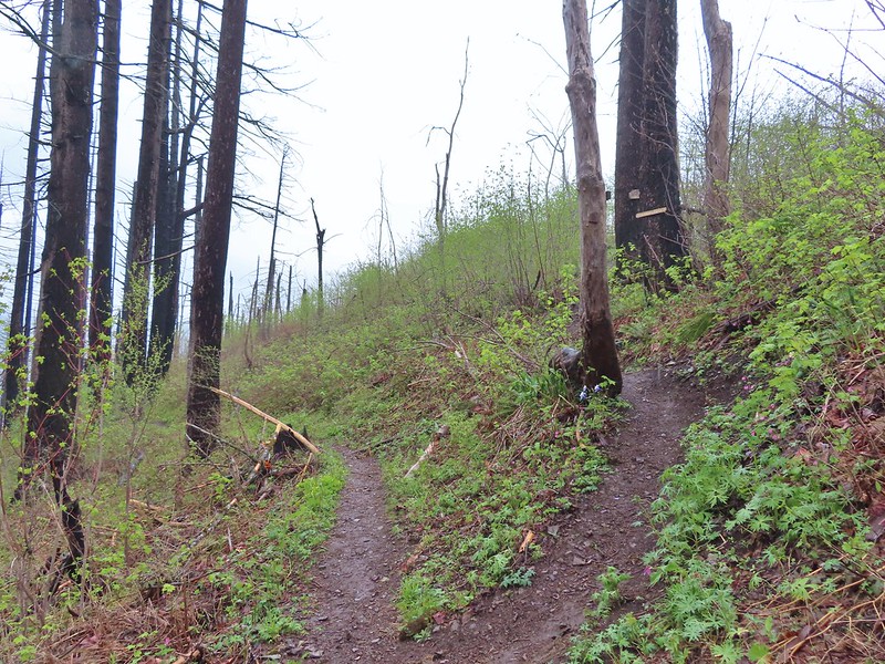
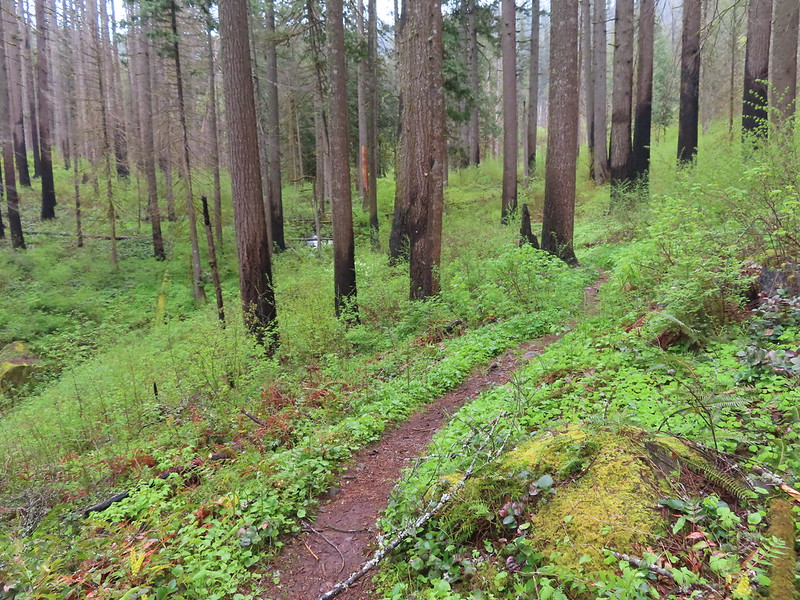
We turned left onto the Wahkeena Trail and began our decent. It was busier than it had been that morning, but it still wasn’t crowded. The less-than-ideal weather seemed to have worked in our favor. Aside from a couple of brief light showers we’d stayed dry and couldn’t have hoped for better given the forecast. We carefully navigated the tricky slides and made our way back down to Wahkeena Falls.
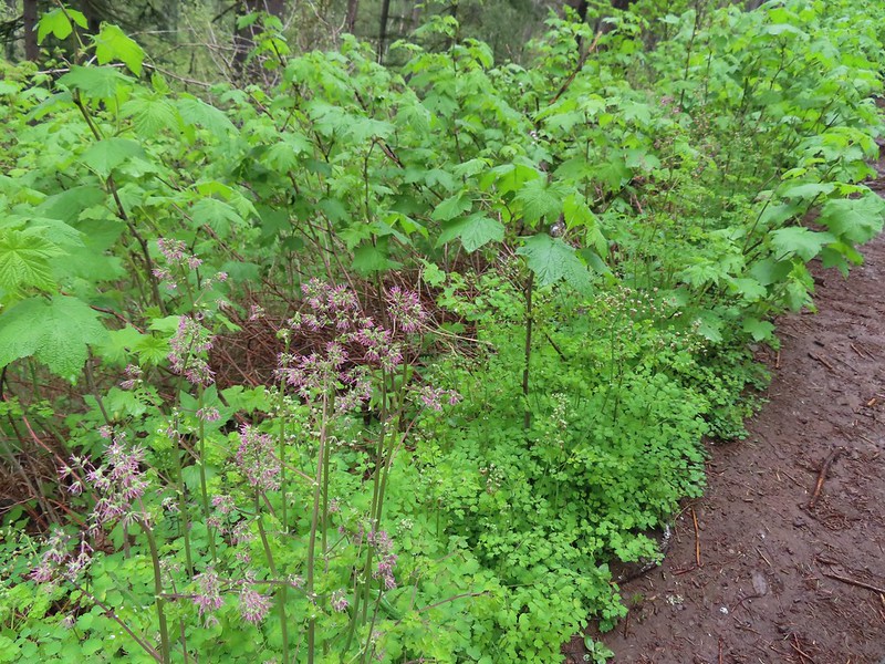 Both female and male versions of western meadowrue. Today was by far the most meadowrue we’d ever seen on a hike.
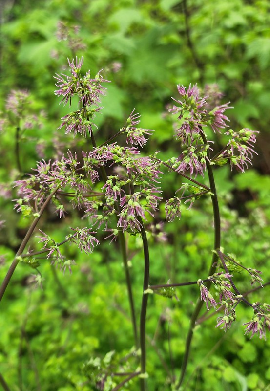 Female
 Male
Male
 Fairy Falls
 Starting down the switchbacks.
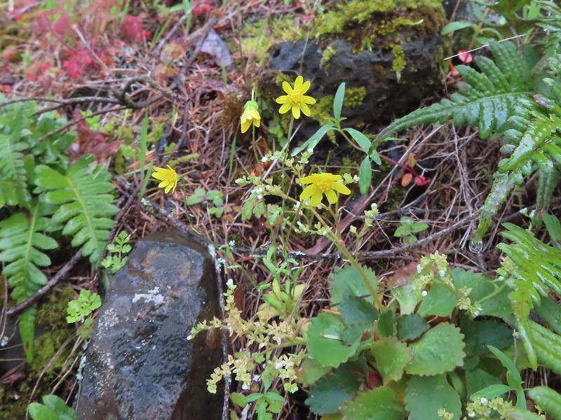 Gold stars
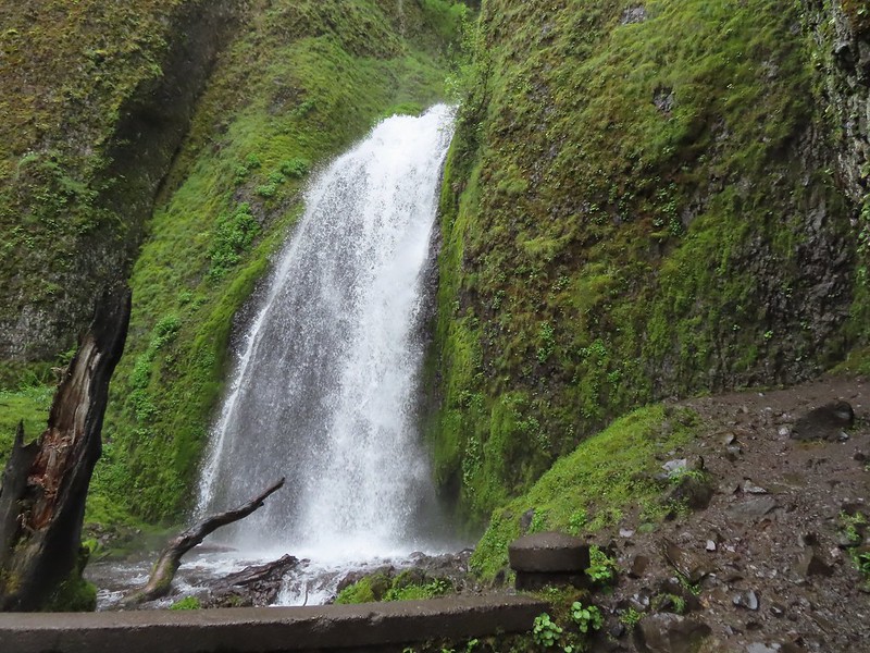
 Wahkeena Falls.
The version of the loop that we did came to 9.4-miles with 2350′ of elevation gain.

This turned out to be a great day in the Gorge with the first two waterfalls being more than worth the quick stops and the Devil’s Rest hike added a good amount of adventure. I was saddened to learn of Red Shorts passing when I got home and started researching what we’d done wrong. I was glad to have taken the route that we wound up with though as it was a testament to his hard work and effort.
Flickr: Sheppard’s Dell, Bridal Veil Falls, and Devil’s Rest


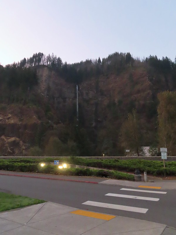
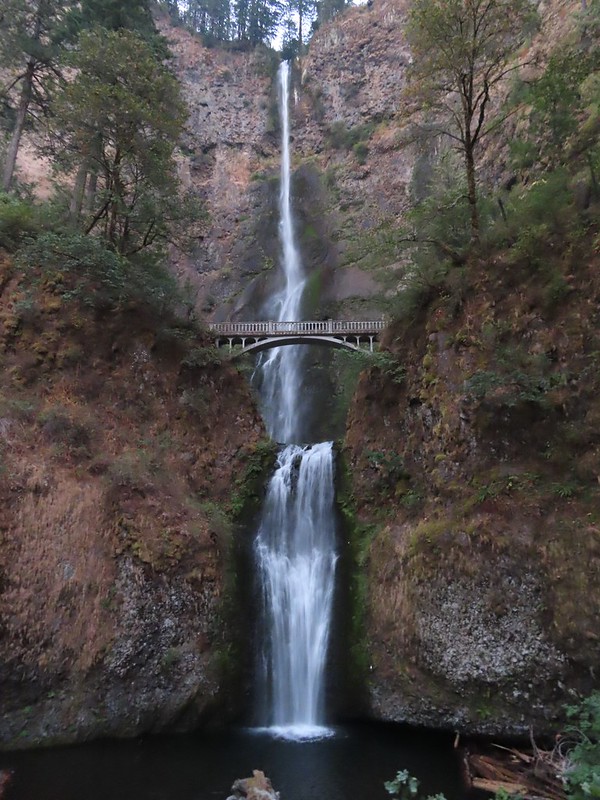 Multnomah Falls
 The Benson Bridge.
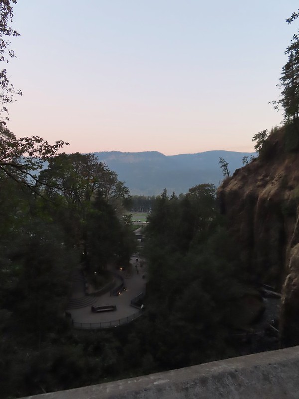 View from the bridge.
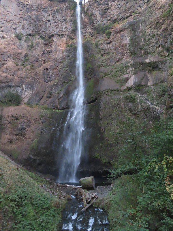 Multnomah Falls from the bridge.
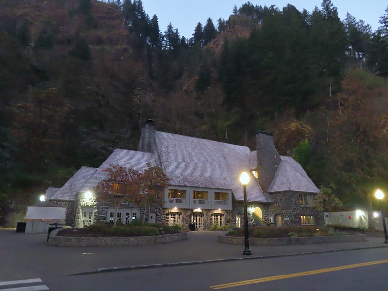
 The Moon beyond the Columbia River and Multnomah Falls Lodge.
 Beacon Rock (
 The second switchback.
 Another view of the falls. I passed a pair of hikers along this stretch then didn’t see another person for another couple of hours.
 Viewpoint trail.

 Small fall just upstream from Multnomah Falls.
 Cape Horn (
 Bridge over Multnomah Creek.
 Approaching Middle Dutchman Falls.
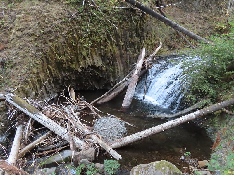 Middle Dutchman Falls
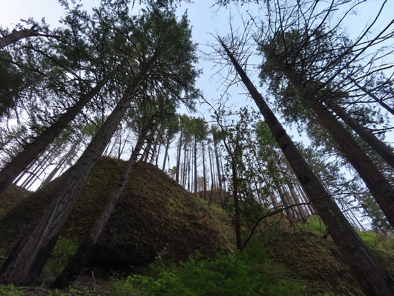
 Upper Dutchman Falls
 Dutchman Tunnel
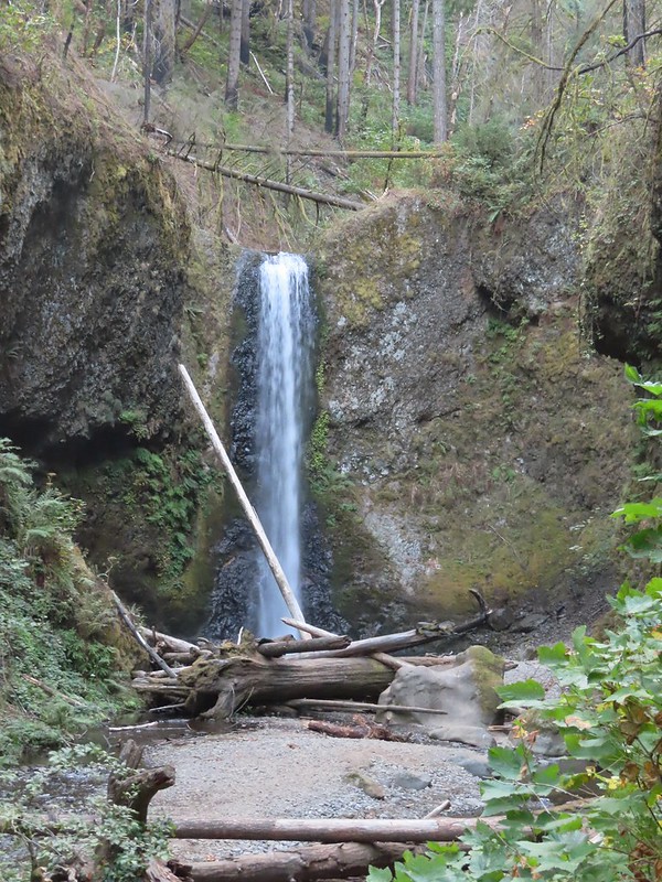 Wiesendanger Falls is located just beyond Dutchman Tunnel.
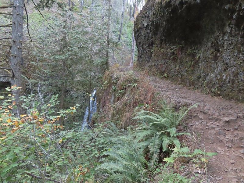 A short distance beyond Wiesendanger Falls is Ecola Falls.
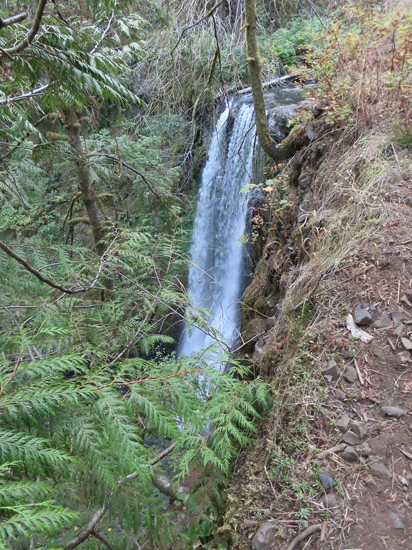 Ecola Falls
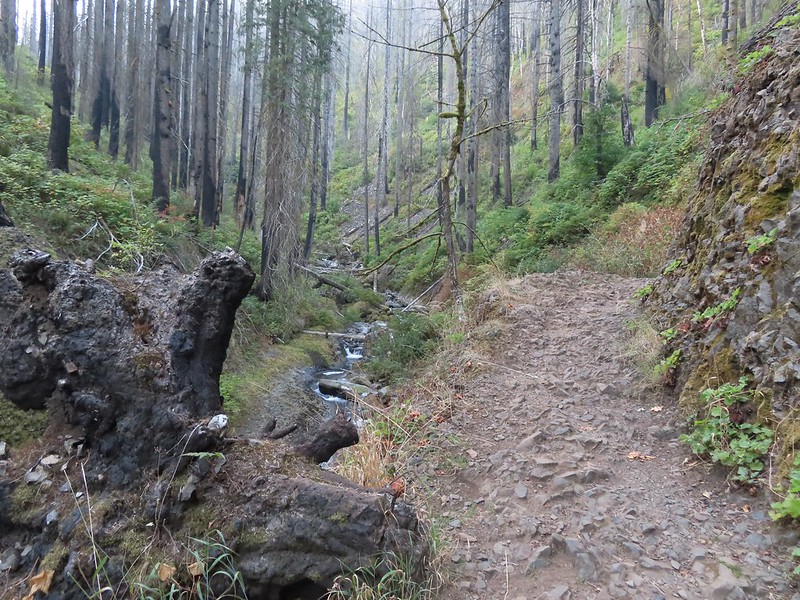
 Good signage at nearly all trail junctions, especially those closest to the trailheads.
 Looking down the creek at sunlight starting to hit the hillside.
 A few bleeding heart were still in bloom.
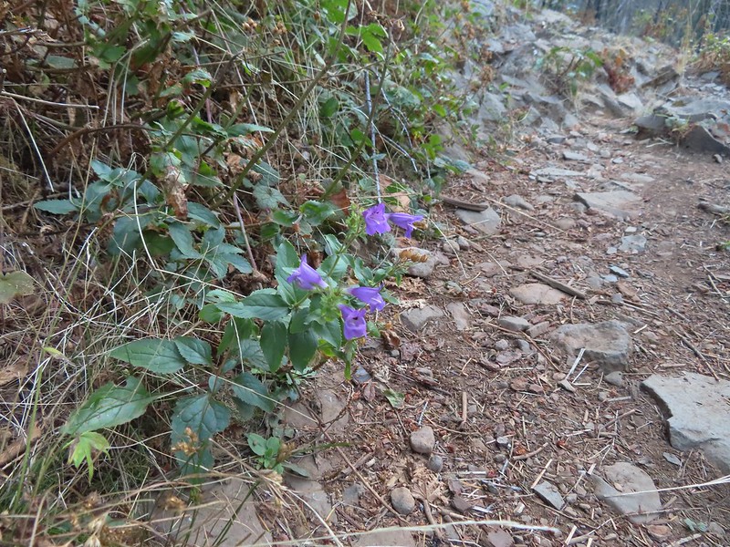 Penstemon
 This section is flooded in late Winter/Spring. The signed High Water Trail leads up and around it for those high water times.
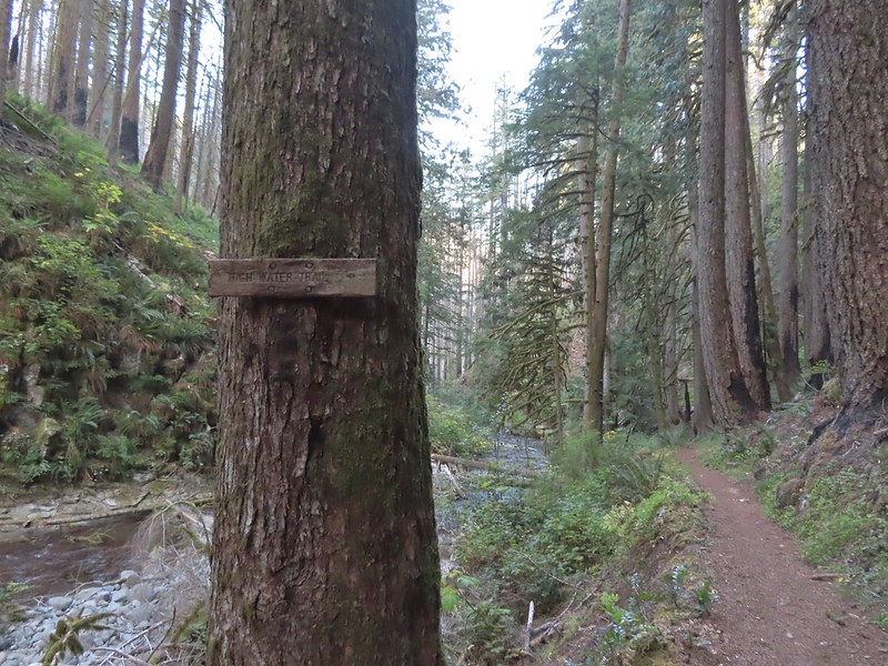 Sign for the High Water Trail at its southern end.
 The southern end of the High Water Trail heading uphill to the right.
 I couldn’t find a name for this creek but it had a good flow, in fact it was more water than what was in Multnomah Creek upstream from their confluence.
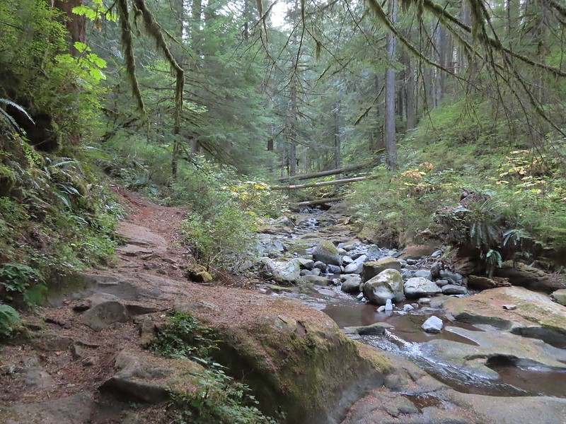 Multnomah Creek upstream from the unnamed creek.


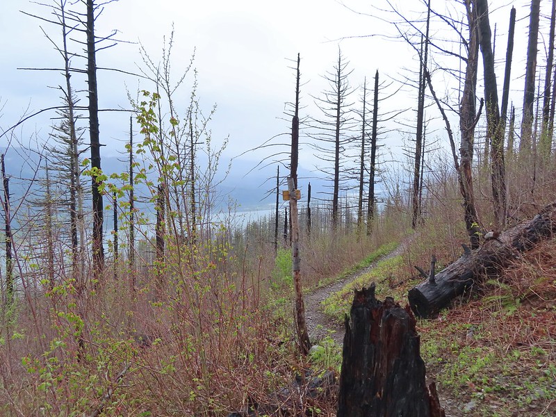
 Reentering the fire scar.
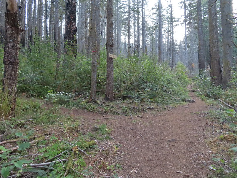 The Franklin Ridge Trail on the left.


 Maple changing colors
 I’m sure there is at least one pika in this photo somewhere.
 Looking back toward Franklin Ridge.
 Arriving at the junction.


 I was hoping for less smoke in the air but these sunbeams told me that there was still a fair amount lingering around much as it had been for the last several days.
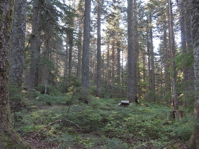 After 1.25 miles I passed a pair of old campsites with picnic tables on the right. I stayed right at an unsigned junction with a trail that led uphill to the left. We had come down that way on our previous trip skipping a short section of the actual Larch Mountain Trail.
 There were four cars at this trailhead.
 Vine maple near the Sherrard Point Trail.


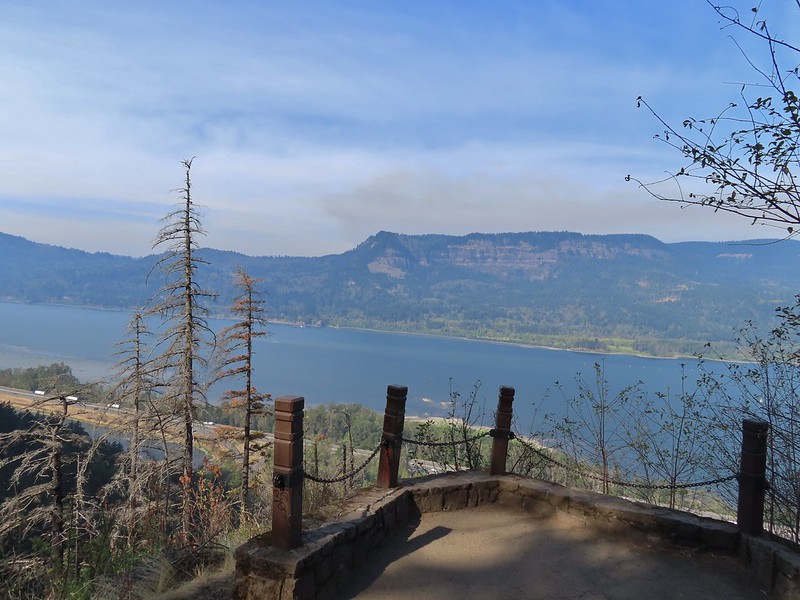
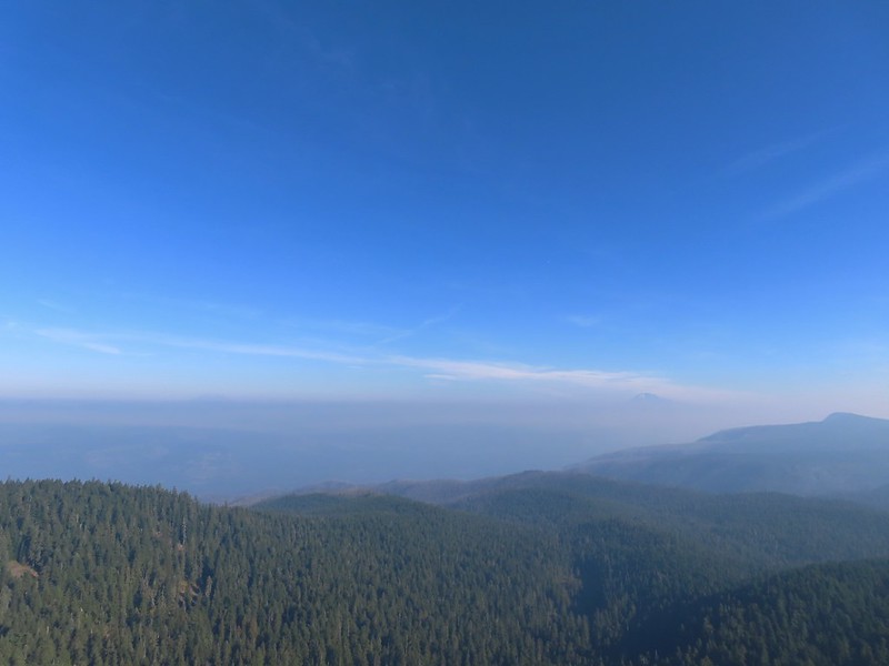 Mt. St. Helens in the smoke to the left and Mt. Adams a bit above it to the right.
 Mt. Hood
 Mt. Adams
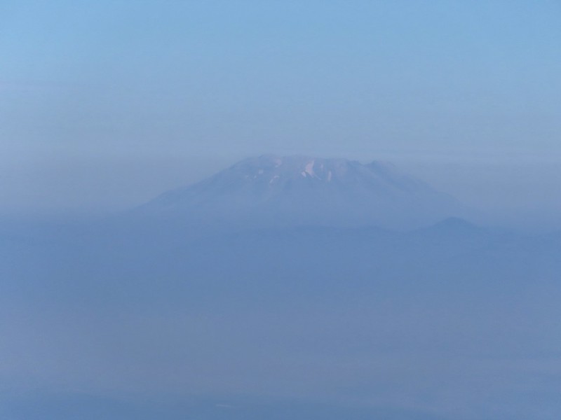 Mt. St. Helens
 Silver Star Mountain (
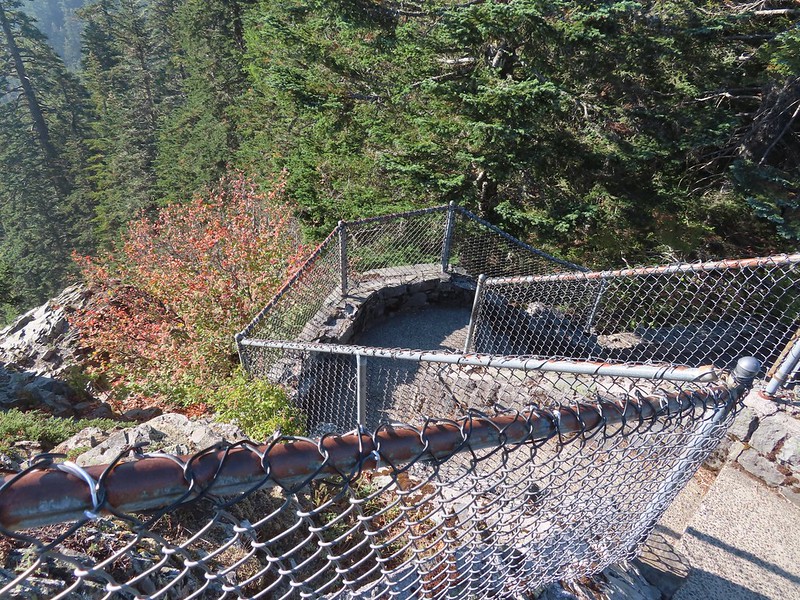 Heading down.


 Lots of fungi on this tree.
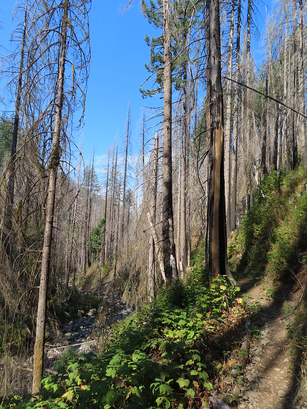
 Hedgenettle
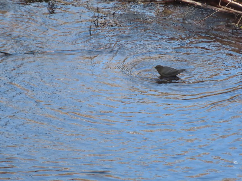 Ouzel
Ouzel
 Looking back down at Multnomah Creek.
 Cape Horn again across the Columbia.
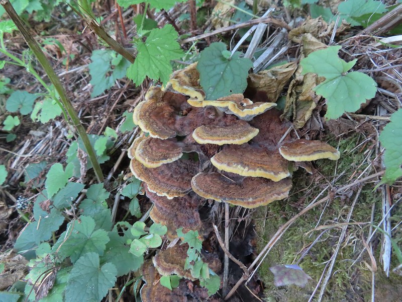
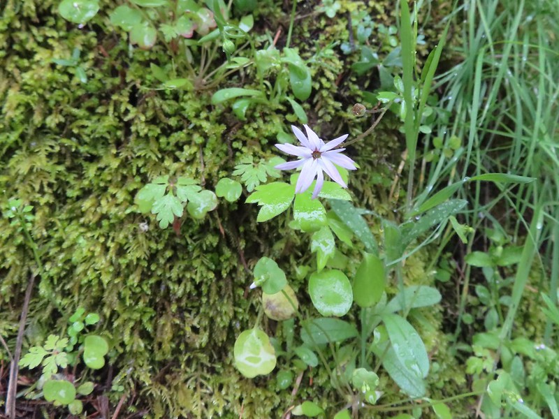
 I couldn’t recall seeing these before on a hike, not this color anyway.
 The Devil’s Rest Trail on the left at the ridge top.
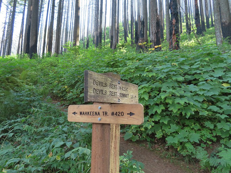
 I should have followed the Wahkeena Trail Pointer here.
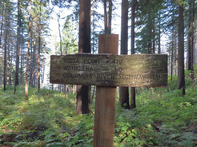 Instead I followed the pointer for Wahkeena 1.0.
 Vista Point Trail
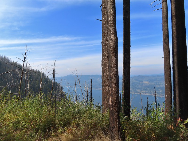


 There is the trail I had intended to be coming down arriving at the junction with the other end of the Vista Point Trail.
 Looking back at the Vista Point Trail from the junction.
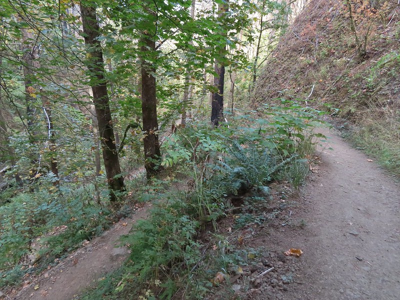 Lots of tight switchbacks to get down the gorge.
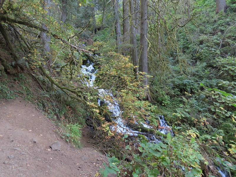
 Fairy Falls
 Fairy Falls

 Looking out across the Columbia River.
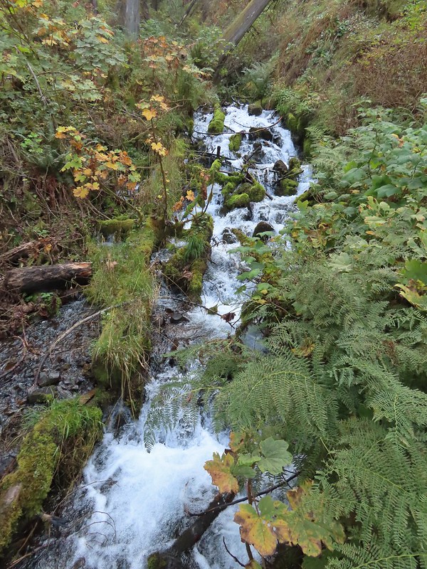


 Cape Horn (again)
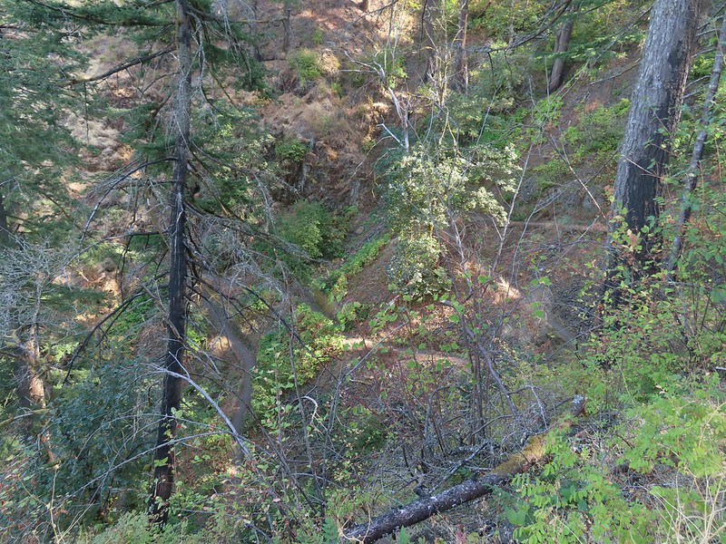 The Wahkeena Trail from Lemmons Viewpoint.
 The poison oak was really colorful.
 Approaching Wahkeena Falls.
 Wahkeena Falls
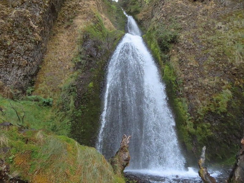 Wahkeena Falls.
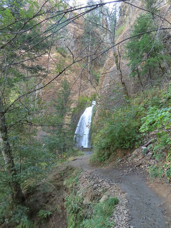 Looking back at Wahkeena Falls.
 One last look at Wahkeena Falls through the trees.

 A line of cars on Historic Highway 30 in front of the lodge.


 Merry (black) is 3 mos. and Pippin is 2 mos. Both boys from separate litters.
