With Heather still sidelined with a bum knee and a Monday holiday that most of the rest of Oregon didn’t have off I decided to tackle the climb from Multnomah Falls to Larch Mountain. Starting at the Multnomah Falls Trailhead the hike to Sherrard Point is roughly 14.5 miles out-and-back with just over 4000′ of elevation gain. If I was feeling up to it, my plan was to extend the hike just a bit by detouring on the way back to visit Fairy and Wahkeena Falls adding another 1.7 miles and 500′ of elevation to the days total.
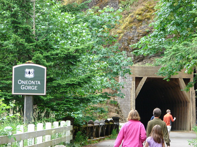
We had hiked to Multnomah Falls on a big loop in 2012 starting at Oneonta Trailhead (post), Larch Mountain in 2020 from Road 315 Trailhead (post), and Wahkeena Falls in 2013 from the Angels Rest Trailhead (post). Even though we had visited all of these main attractions before, this route would provide several miles of trail that I had yet to be on. Two of those trips also occurred prior to the 2017 Eagle Creek Fire which burned most of the forest along the lower portion of this hike.
I arrived at the Multnomah Falls parking lot a little before 7am and was pleased to find that I was just the fourth car.

It was still a bit before sunrise but there was enough light once I had gotten everything together to set off towards the falls.
The lack of light did nothing for my point and shoot camera but that was a small price to pay to have the falls to myself (save for a few staff preparing the grounds for the day).
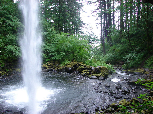
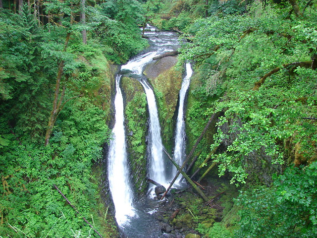
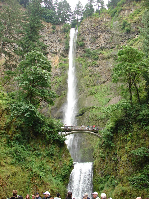
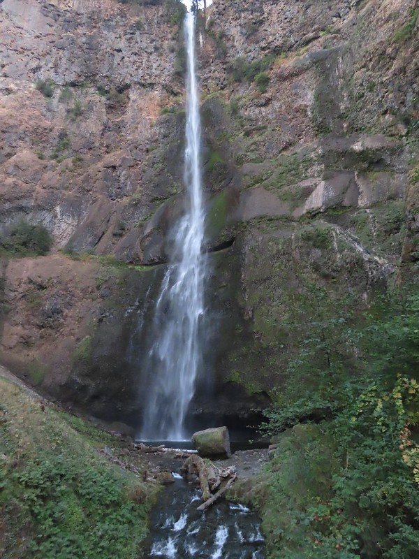
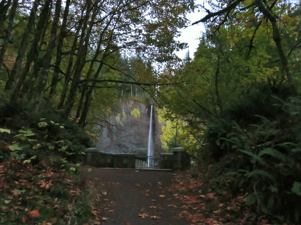
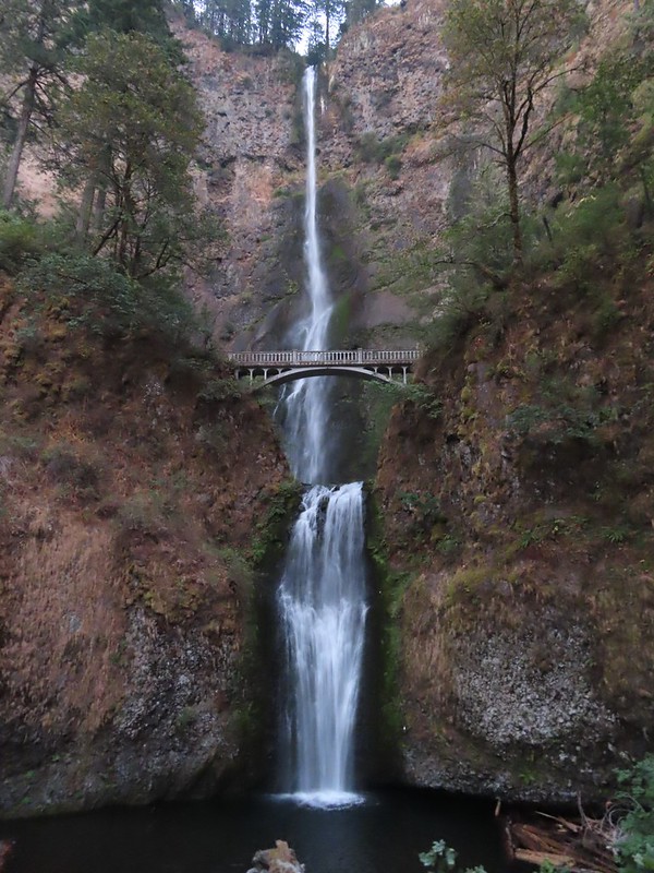 Multnomah Falls

 The Benson Bridge.
 View from the bridge.
 Multnomah Falls from the bridge.
Beyond the bridge the paved trail climbs steeply via 11 switchbacks. (I’m pretty sure they squeezed a very short 12th in there.)

 The Moon beyond the Columbia River and Multnomah Falls Lodge.

 Beacon Rock (post) to the east on the Washington side of the Columbia.

 The second switchback.
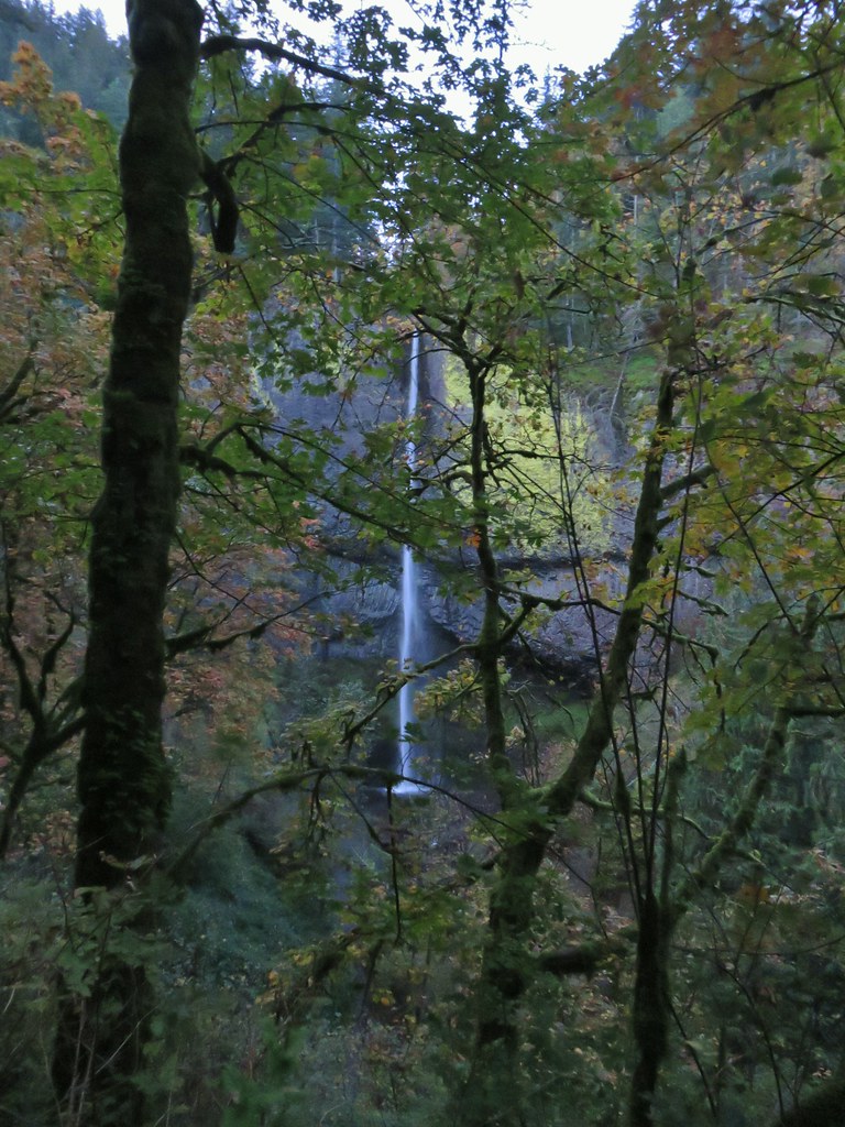
 Another view of the falls. I passed a pair of hikers along this stretch then didn’t see another person for another couple of hours.
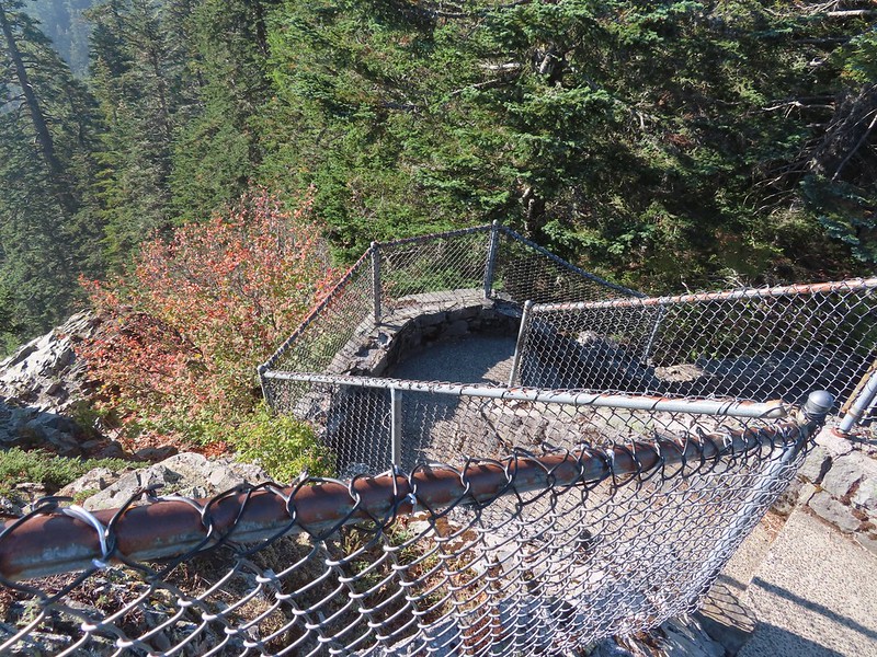
After climbing above the falls via the switchbacks I took my first detour to visit the Multnomah Falls Viewpoint.

 Viewpoint trail.
This trail descends a tenth a mile to a viewpoint above the falls.


 Small fall just upstream from Multnomah Falls.
 Cape Horn (post) to the right across the Columbia.
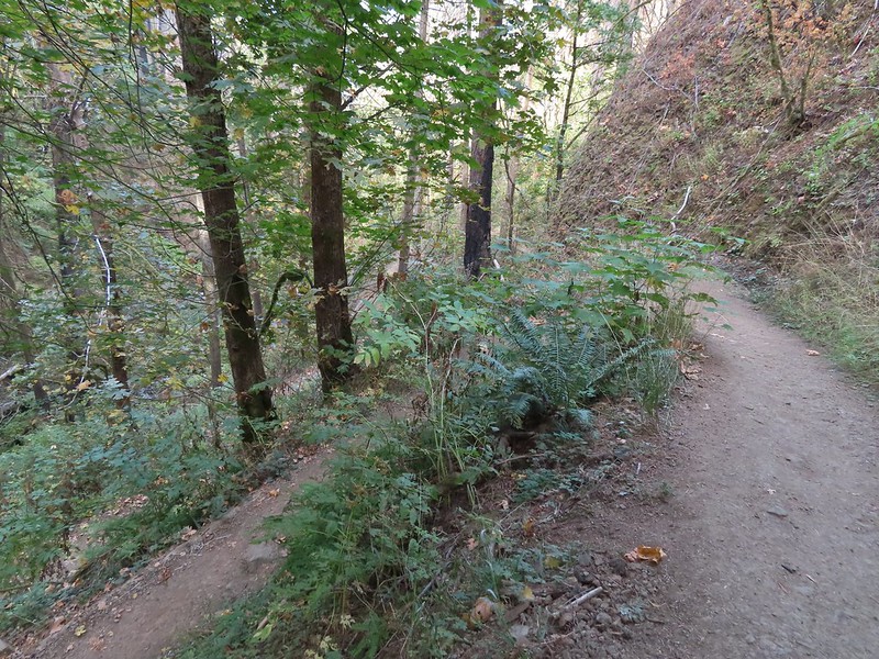
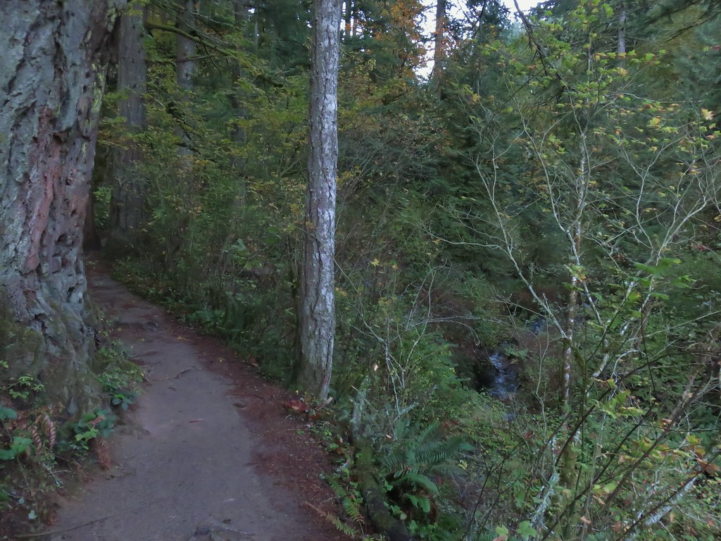
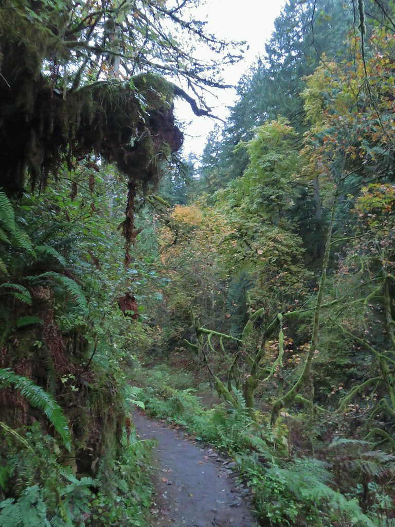
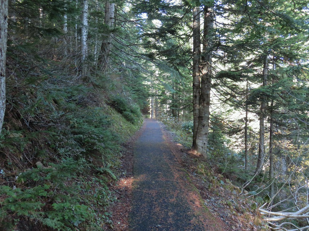
I returned to the Larch Mountain Trail and continued towards Larch Mountain. After a brief descent to cross Multnomah Creek the trail began a long gradual climb along the creek.
 Bridge over Multnomah Creek.

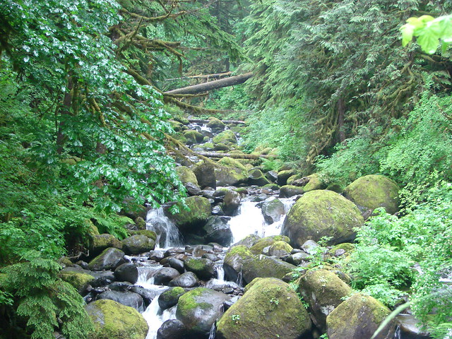
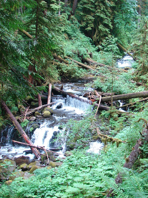
 Approaching Middle Dutchman Falls.
 Middle Dutchman Falls
 Upper Dutchman Falls
 Dutchman Tunnel
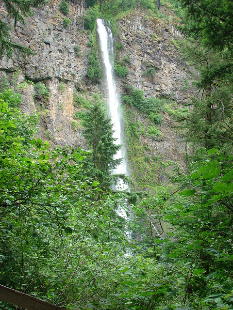
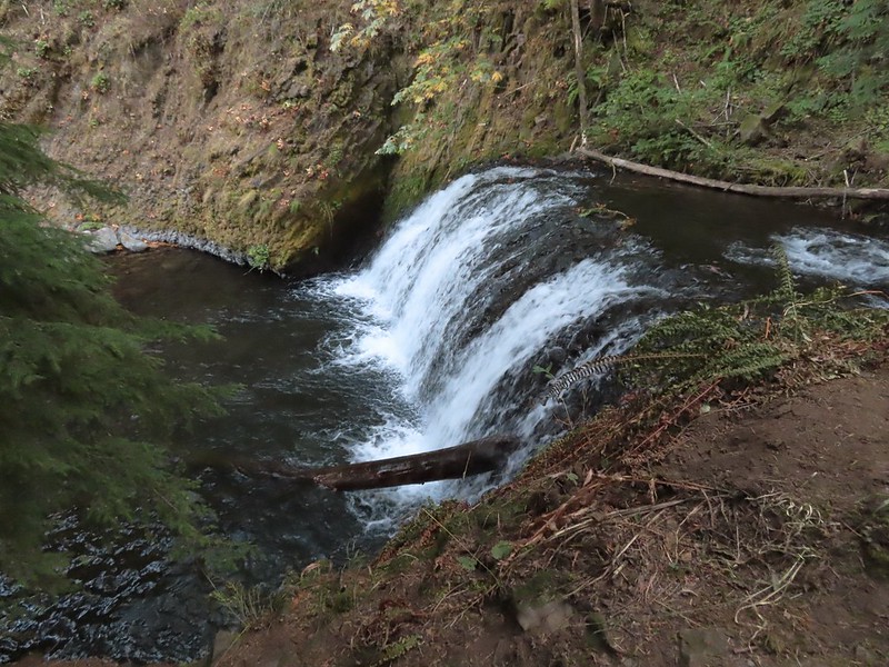
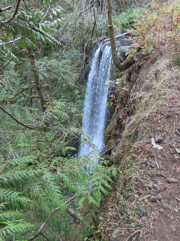
 Wiesendanger Falls is located just beyond Dutchman Tunnel.
 A short distance beyond Wiesendanger Falls is Ecola Falls.
 Ecola Falls
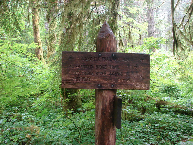
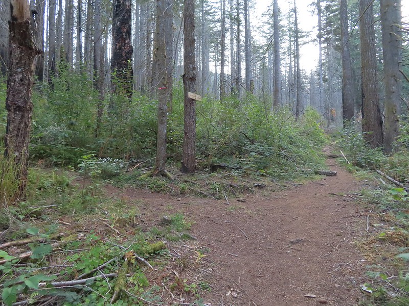
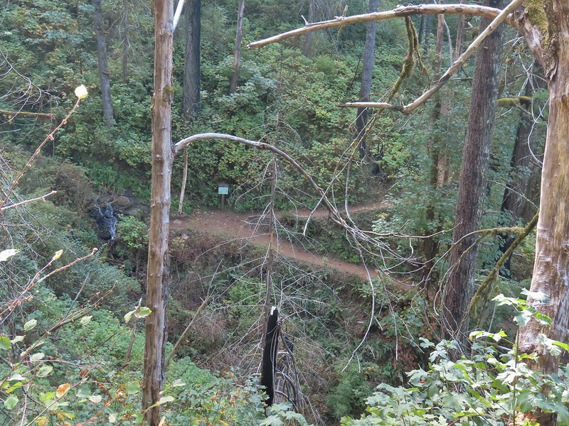
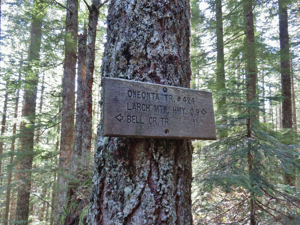
A quarter mile beyond Ecola Falls (and 2 miles from the trailhead) I arrived at the Wahkeena Trail junction.
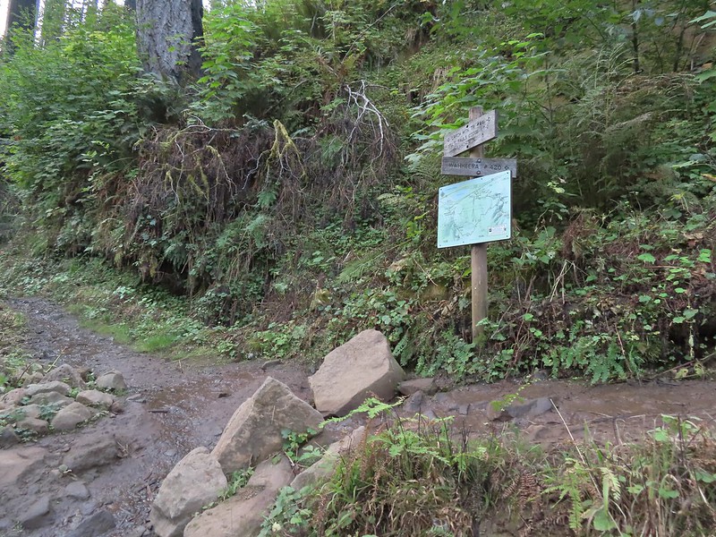
 Good signage at nearly all trail junctions, especially those closest to the trailheads.
I stayed on the Larch Mountain Trail which crossed the creek on a newer (2018) steel bridge that replaced the one burnt in the Eagle Creek Fire.

 Looking down the creek at sunlight starting to hit the hillside.
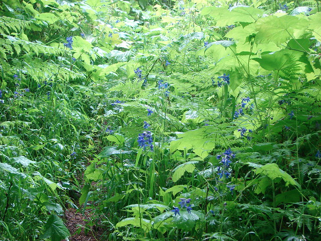
 A few bleeding heart were still in bloom.

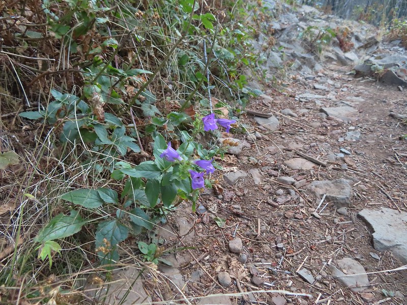 Penstemon
 This section is flooded in late Winter/Spring. The signed High Water Trail leads up and around it for those high water times.
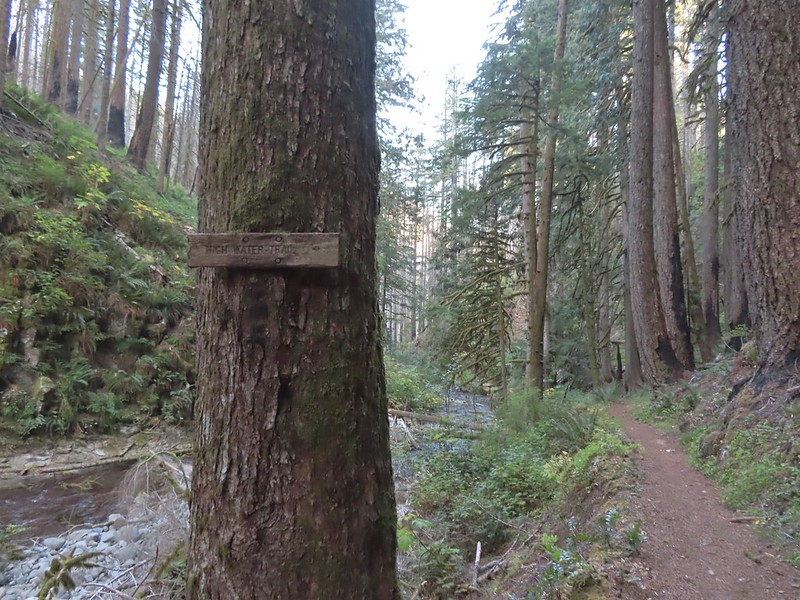 Sign for the High Water Trail at its southern end.
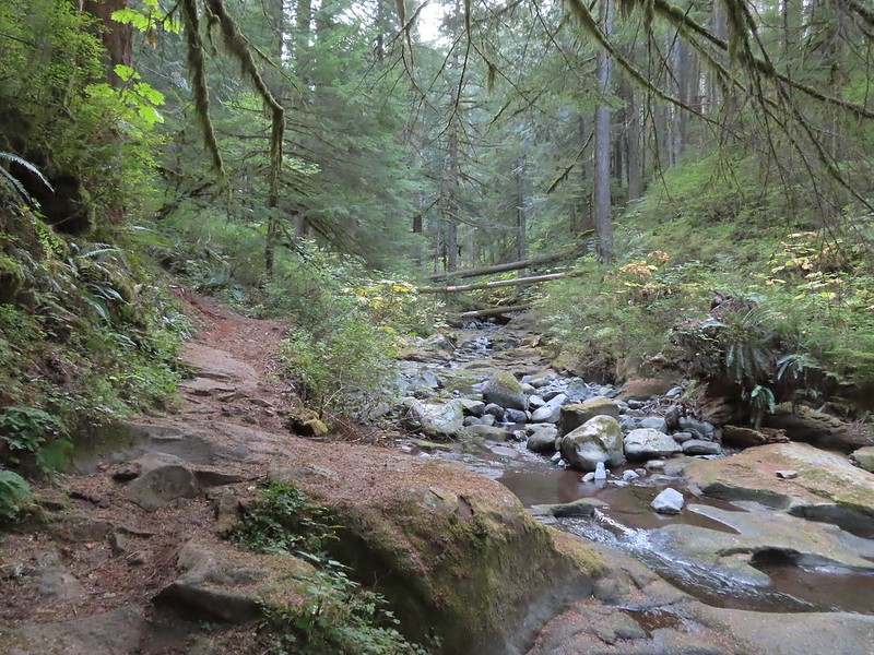
 The southern end of the High Water Trail heading uphill to the right.

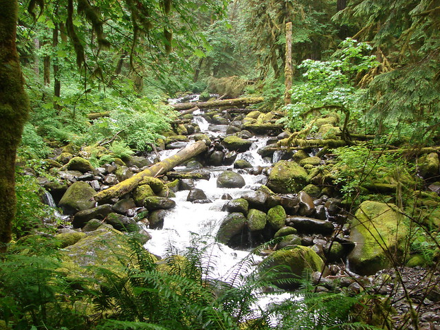
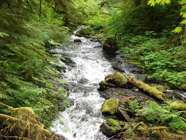
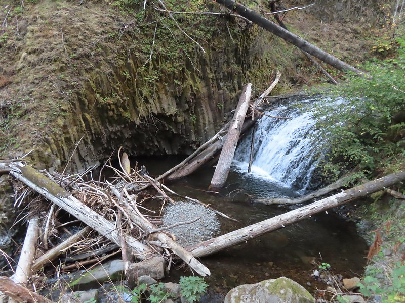
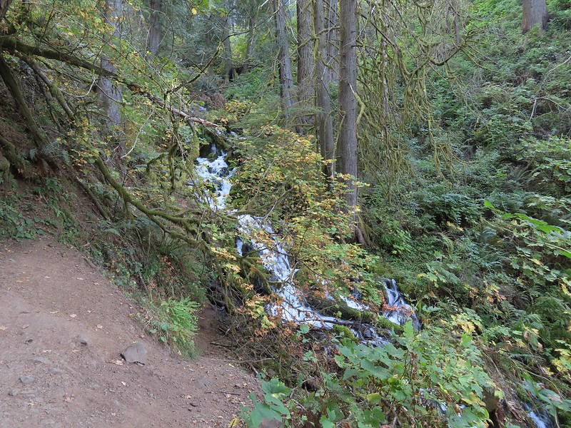
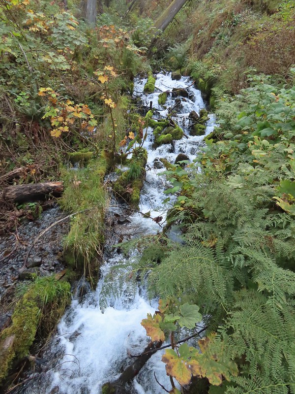
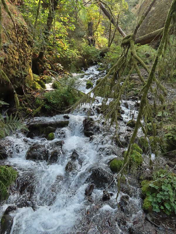
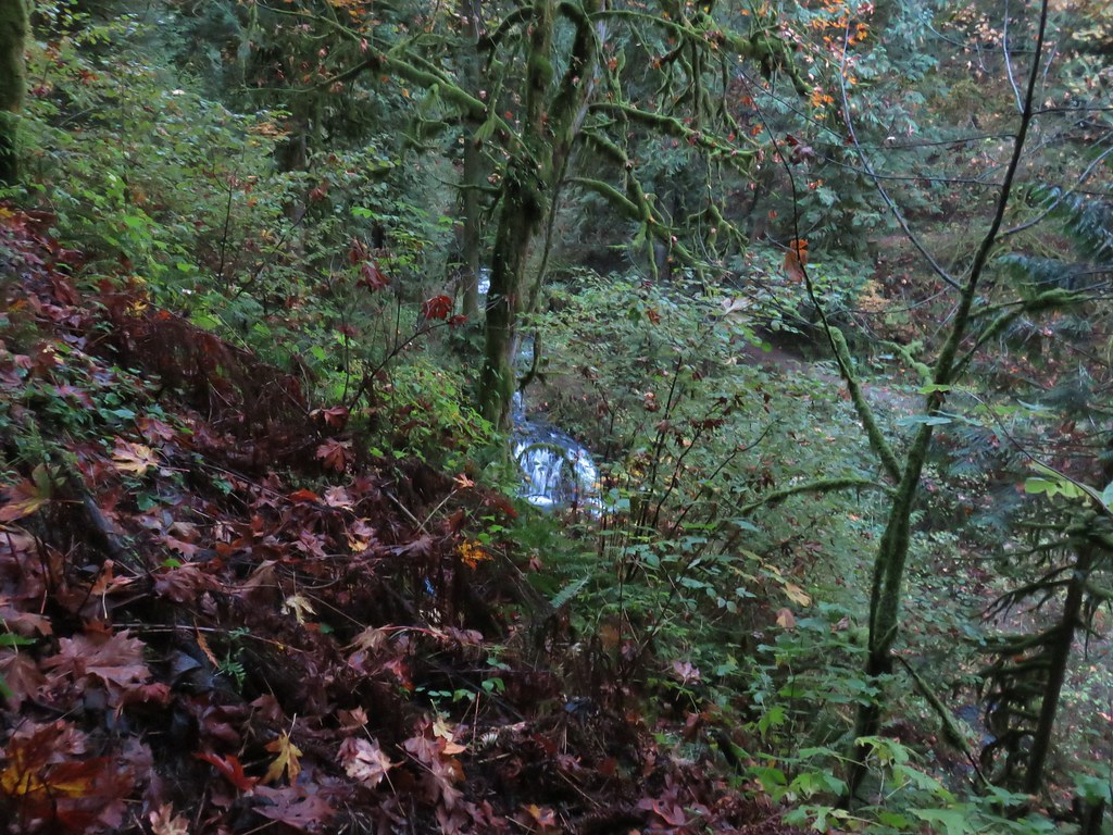
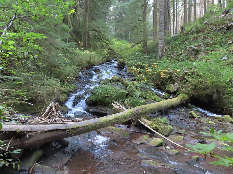 I couldn’t find a name for this creek but it had a good flow, in fact it was more water than what was in Multnomah Creek upstream from their confluence.
 Multnomah Creek upstream from the unnamed creek.
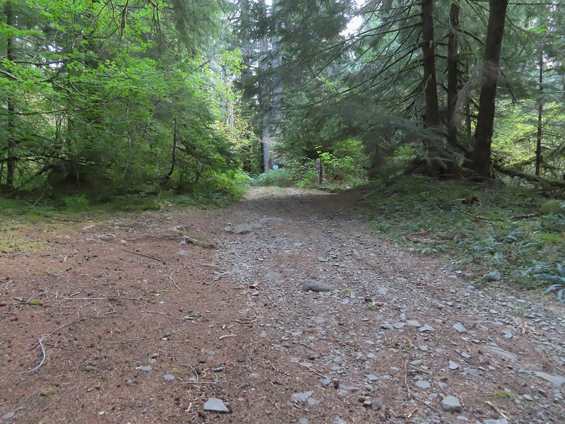
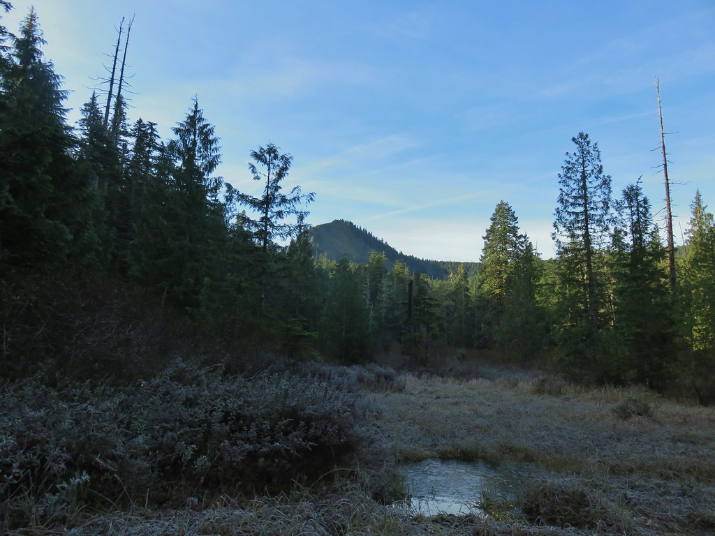
One point two miles from the Wahkeena Trail junction I came to the Multnomah Basin Road where the Larch Mountain Trail jogged slightly left before continuing on and entering the Mark O. Hatfield Wilderness.


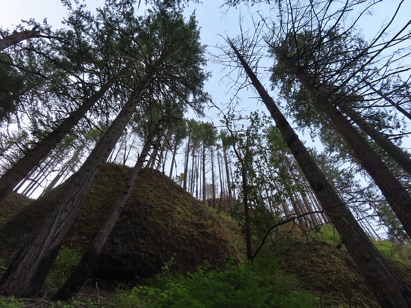
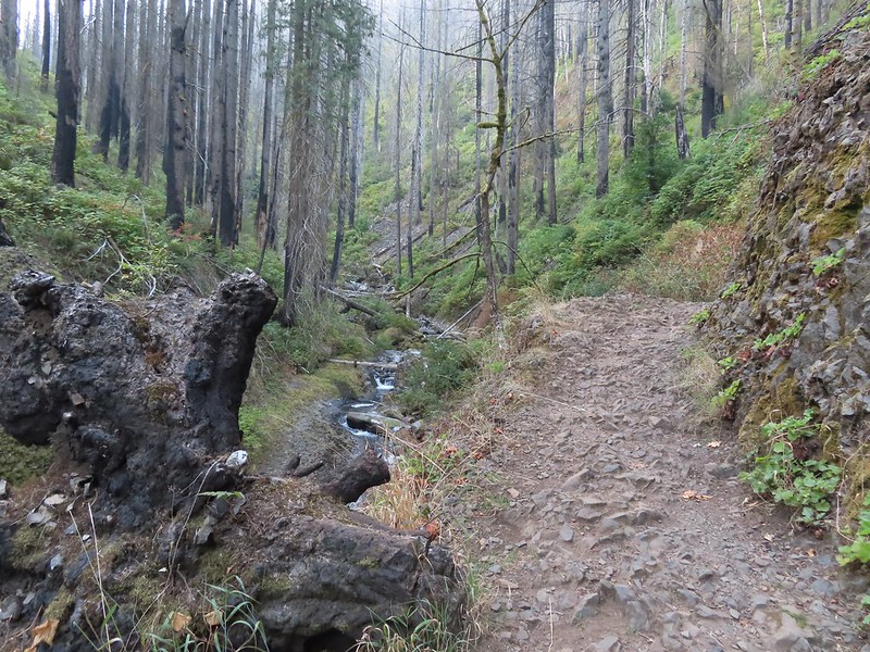
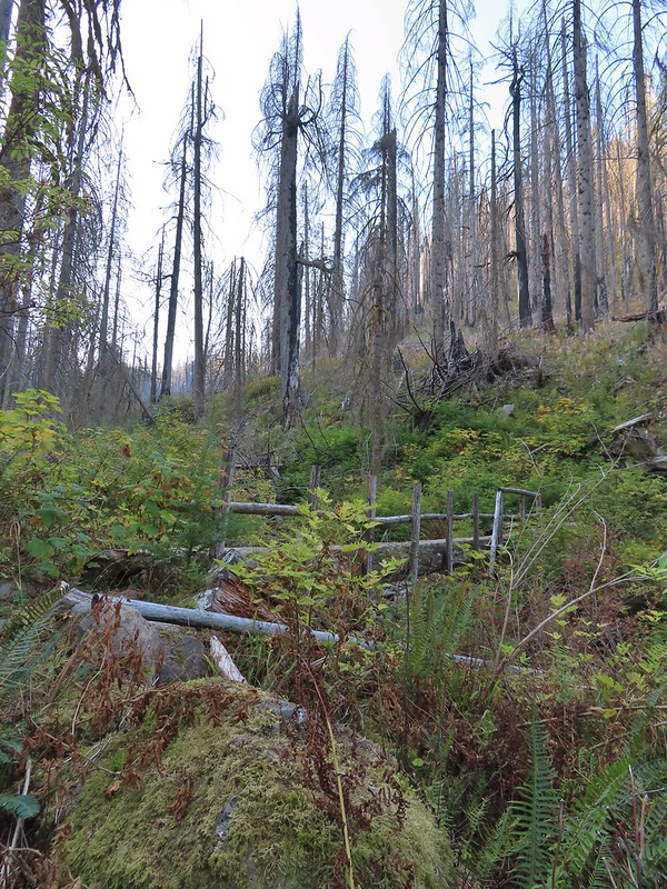
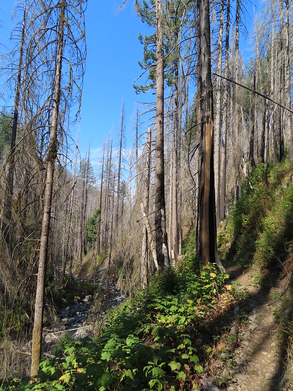
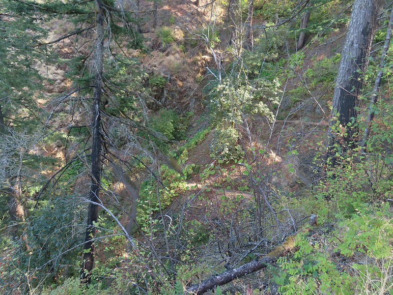
The forest around the wilderness boundary had mostly been spared by the fire but I quickly reentered the burn before arriving at a junction with the Franklin Ridge Trail.
 Reentering the fire scar.
 The Franklin Ridge Trail on the left.
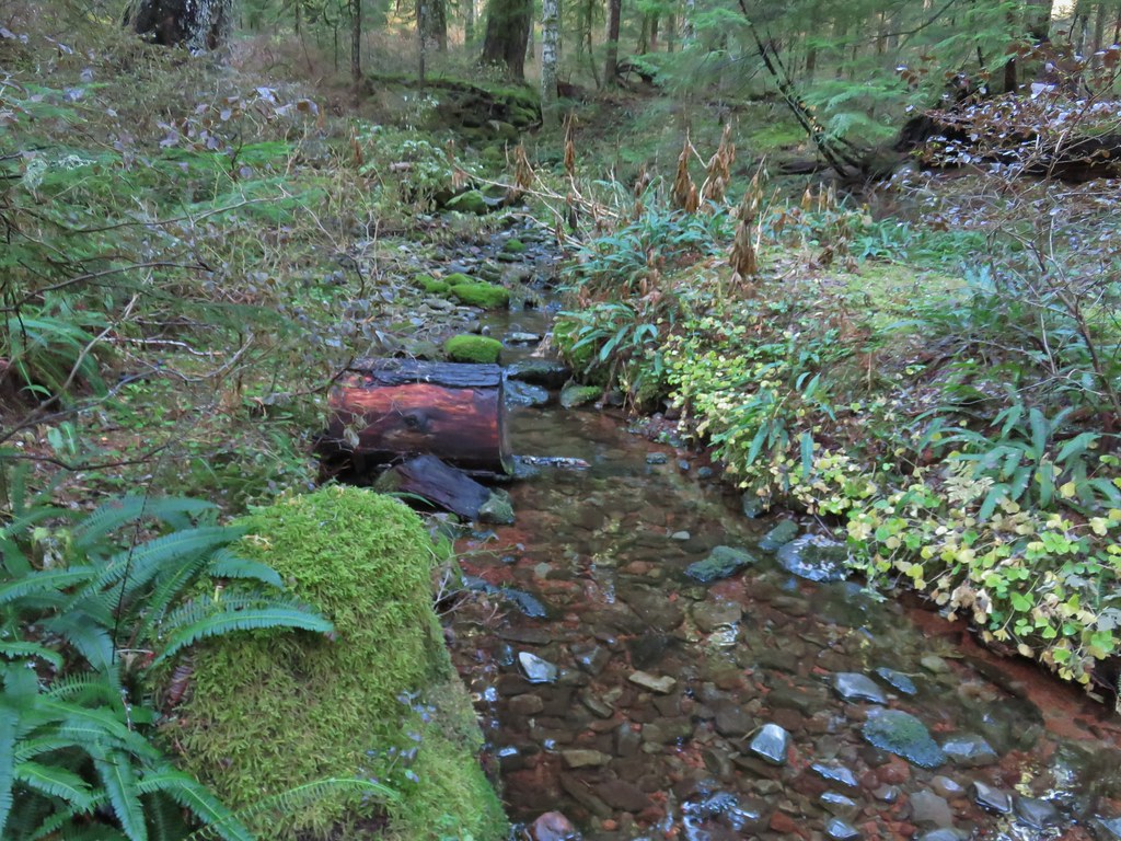
A tenth of a mile from the junction the trail crossed the nearly dry East Fork Multnomah Creek on a small footbridge.

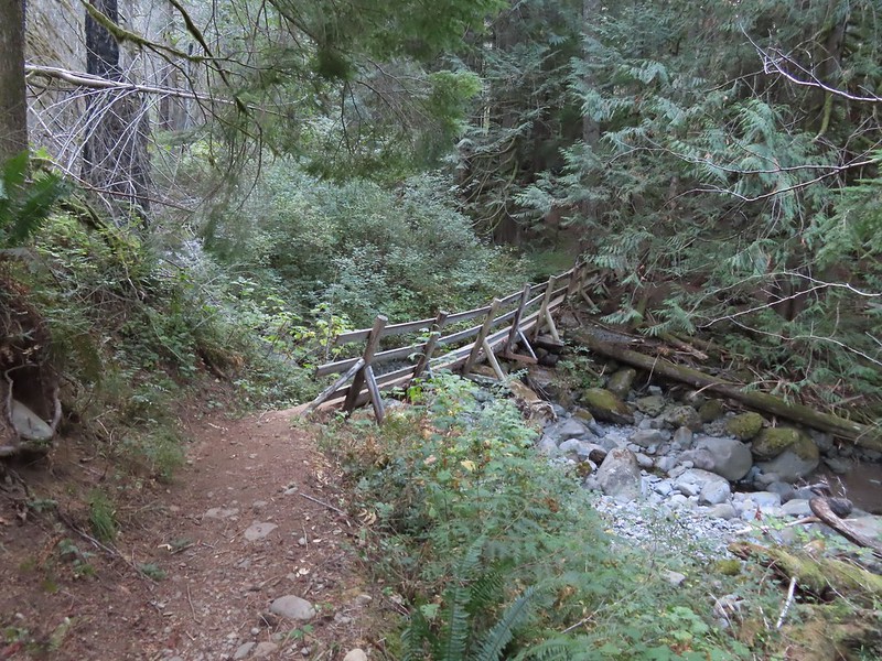
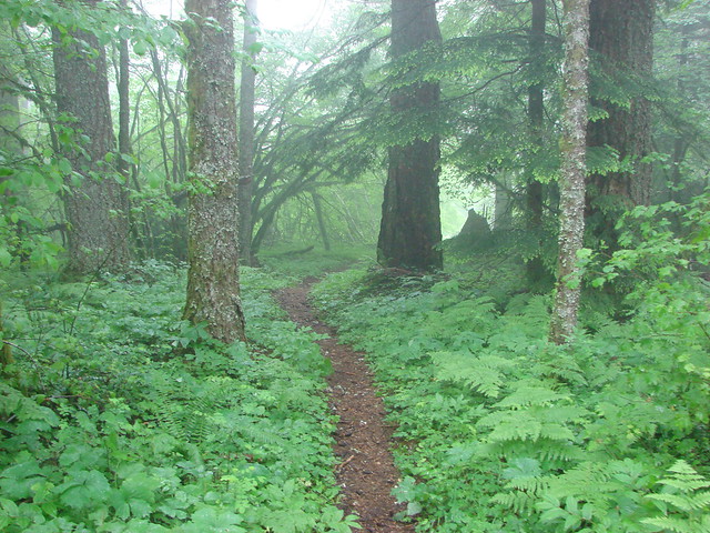
The trail continued briefly through a patch of green trees up a ridge between the East and West Forks of the creek then reentered the fire scar. Four tenths of a mile from the East Fork crossing I came to a second footbridge, this one crossing the West Fork.

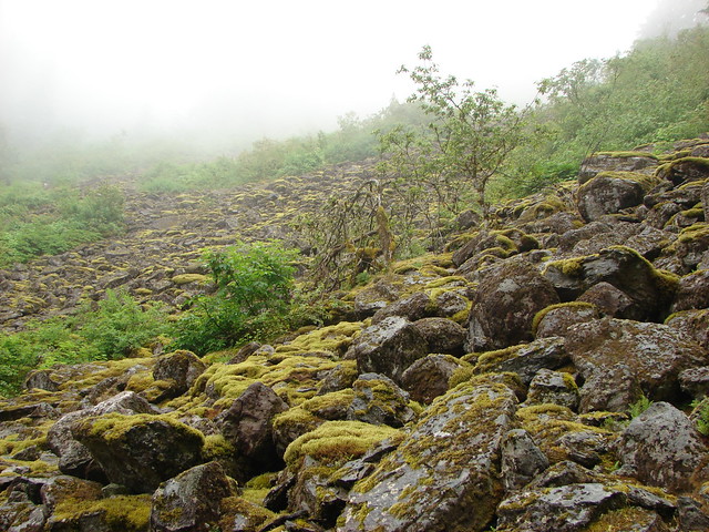
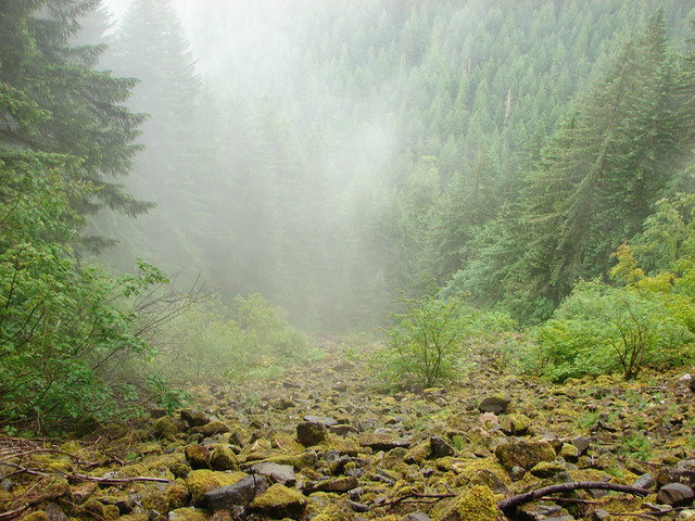
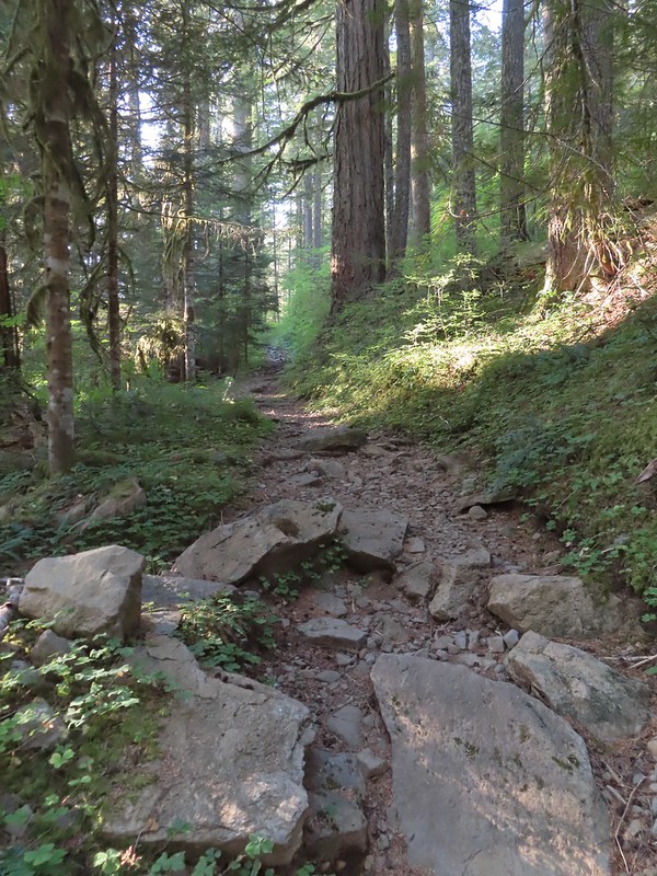
Beyond this second footbridge the trail crossed a large scree field where I was taunted by the distinctive “meep” of pikas. They were seemingly all around but I wasn’t ever able to spot any of the little rock rabbits this time.

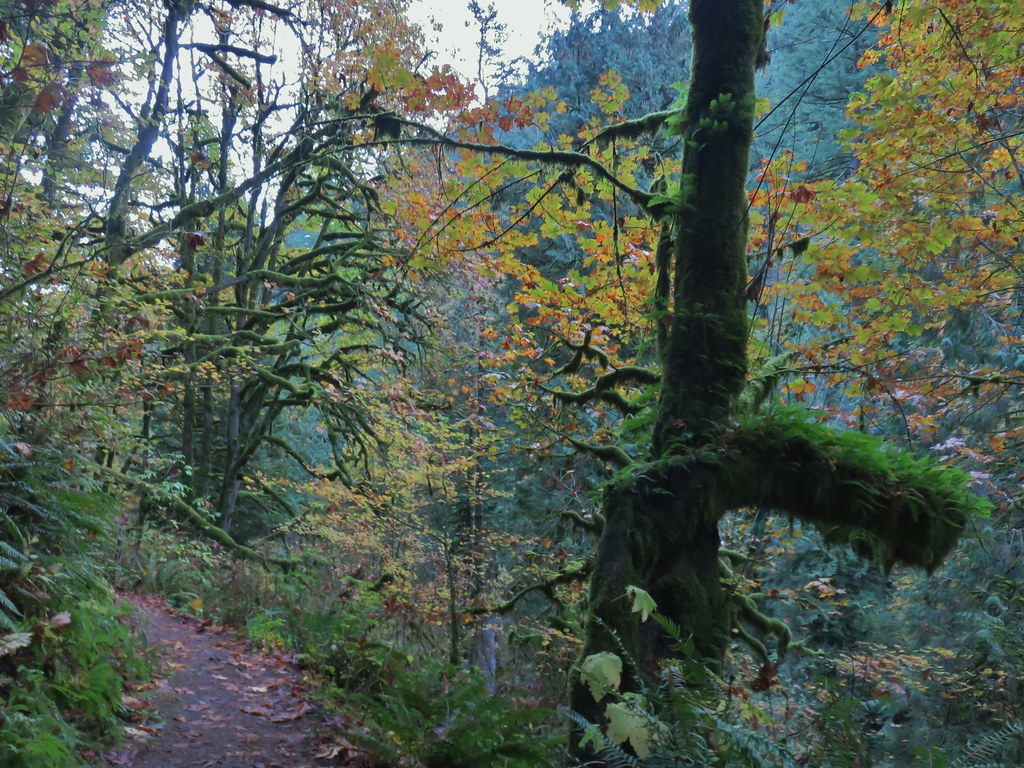
 Maple changing colors
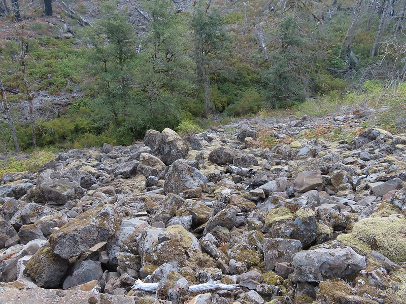 I’m sure there is at least one pika in this photo somewhere.
 Looking back toward Franklin Ridge.
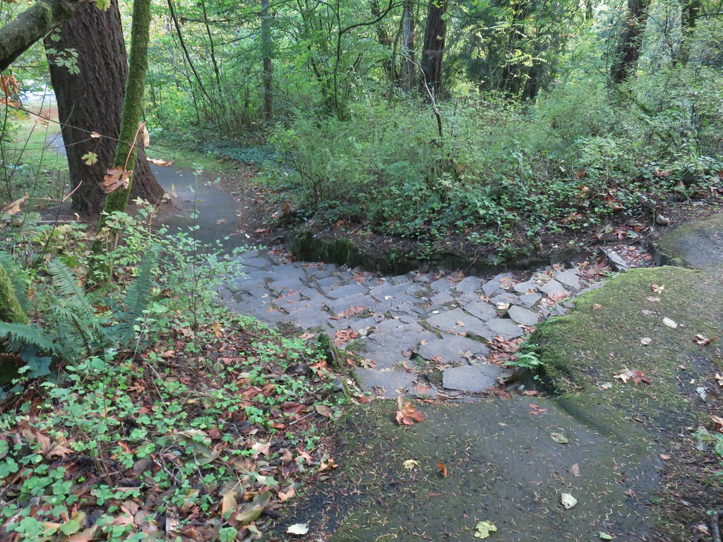
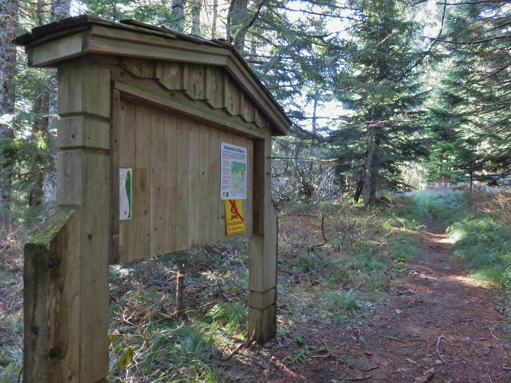
A short distance beyond the scree field the trail left the fire scar for good arriving at a junction with the Multnomah Creek Way Trail 1.8 miles from the Multnomah Basin Road crossing.
 Arriving at the junction.
I stayed left at this junction on the Larch Mountain Trail and climbed 0.4 more miles to a road crossing of gated FR 315 (Where we had started our previous Larch Mountain hike).


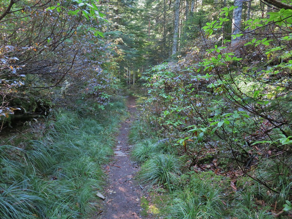
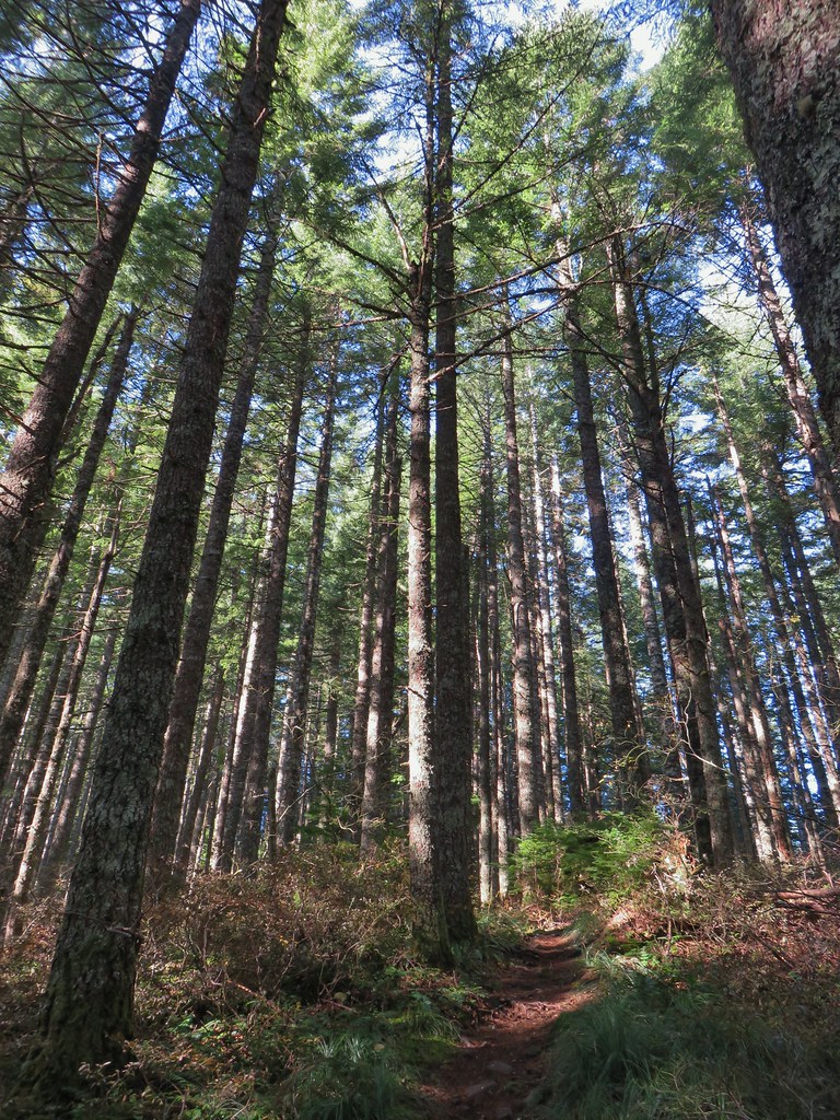
I crossed the road and continued climbing. The trail steepened noticeably at first but quickly relented and resumed a more gradual grade.


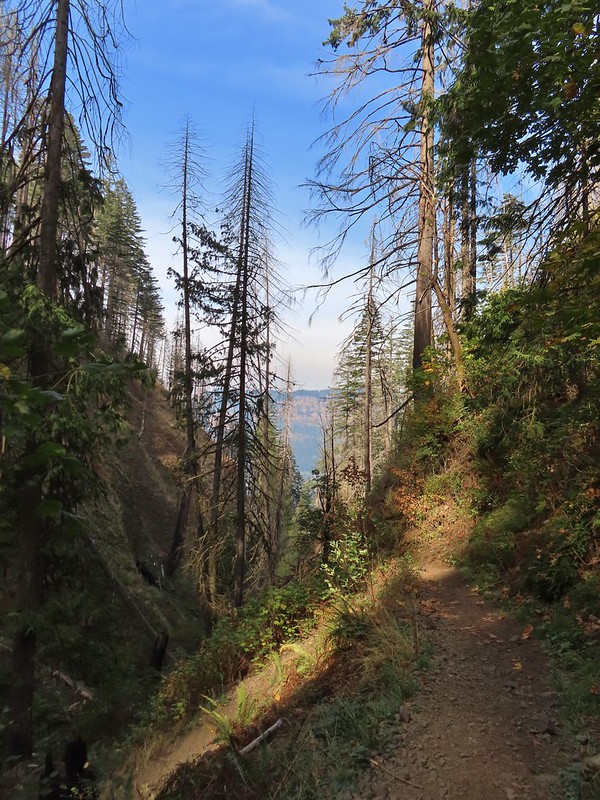
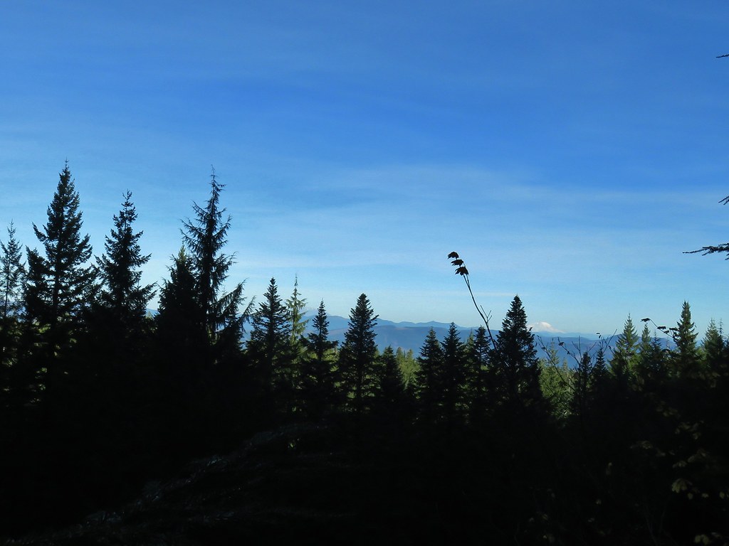
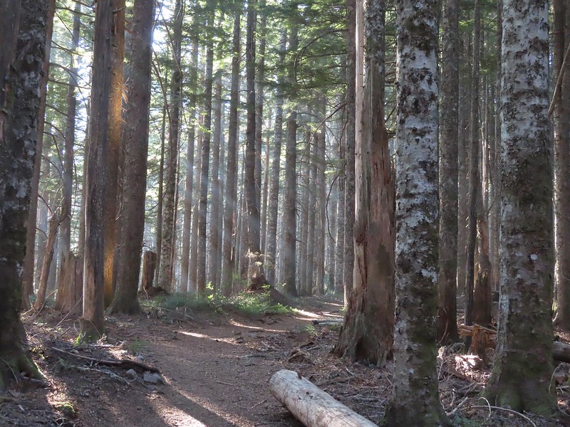 I was hoping for less smoke in the air but these sunbeams told me that there was still a fair amount lingering around much as it had been for the last several days.
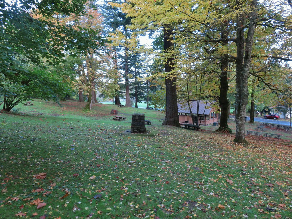
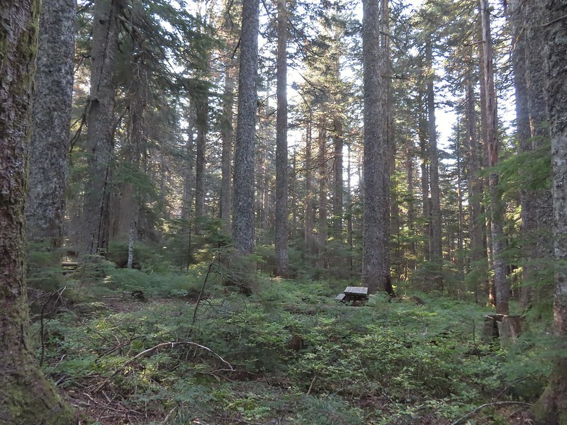 After 1.25 miles I passed a pair of old campsites with picnic tables on the right. I stayed right at an unsigned junction with a trail that led uphill to the left. We had come down that way on our previous trip skipping a short section of the actual Larch Mountain Trail.
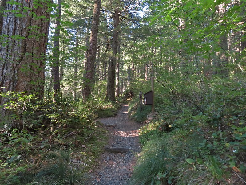
Another quarter mile brought me to the Larch Mountain Trailhead
 There were four cars at this trailhead.
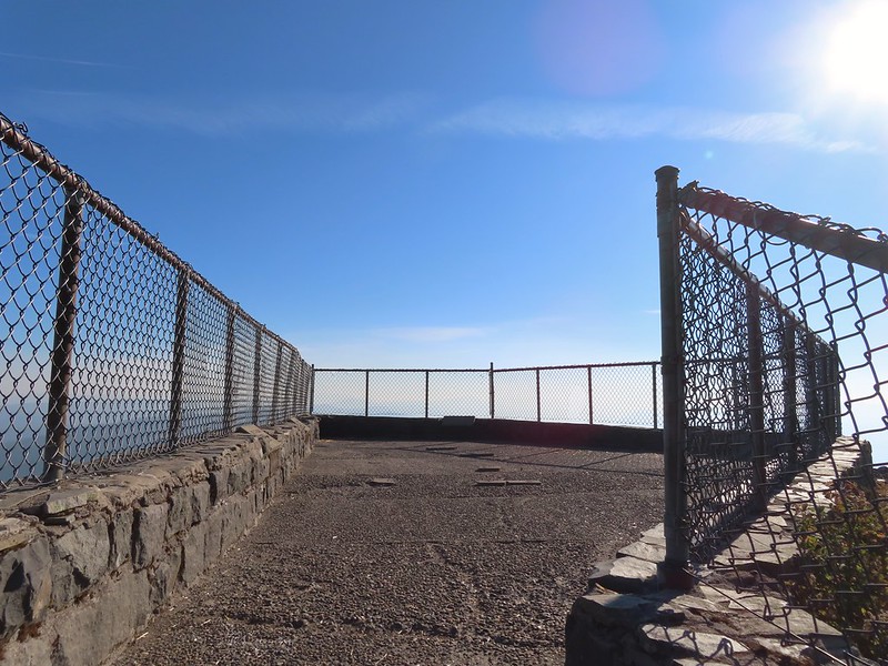
I’d passed one person with a dog followed by a pair of ladies with another dog between FR 315 and the trailhead. I turned onto the paved Sherrard Point Trail expecting to see the other car owners along this 0.3 mile path but was pleasantly surprised to find that I had Sherrard Point all to myself.
 Vine maple near the Sherrard Point Trail.


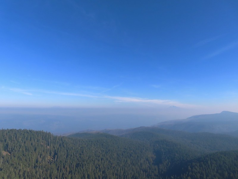
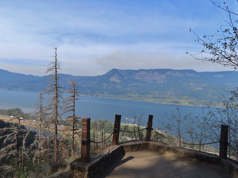
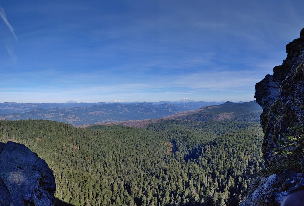
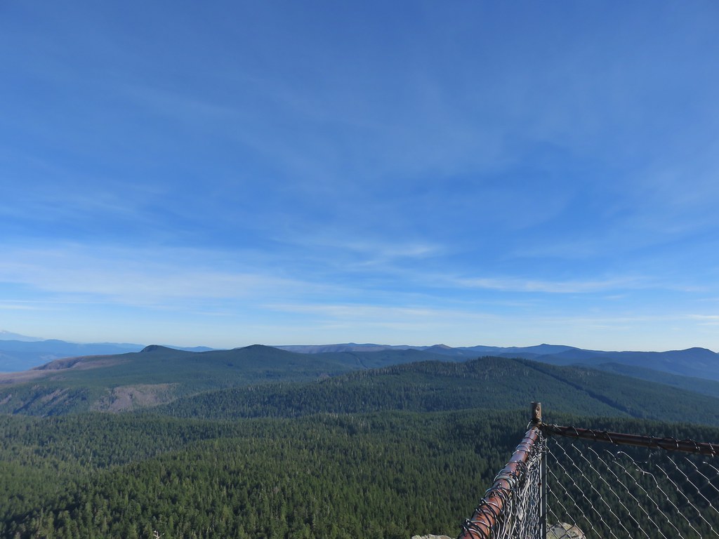
One of the factors that had led me to choose this hike for the day was due to the forecast calling for clear sky at this viewpoint whereas the other hikes I had considered were expected to have widespread haze. Technically I think the forecast was correct because if I looked straight up it looked like a blue bird day. Looking out was a different story though with smoke in every direction.

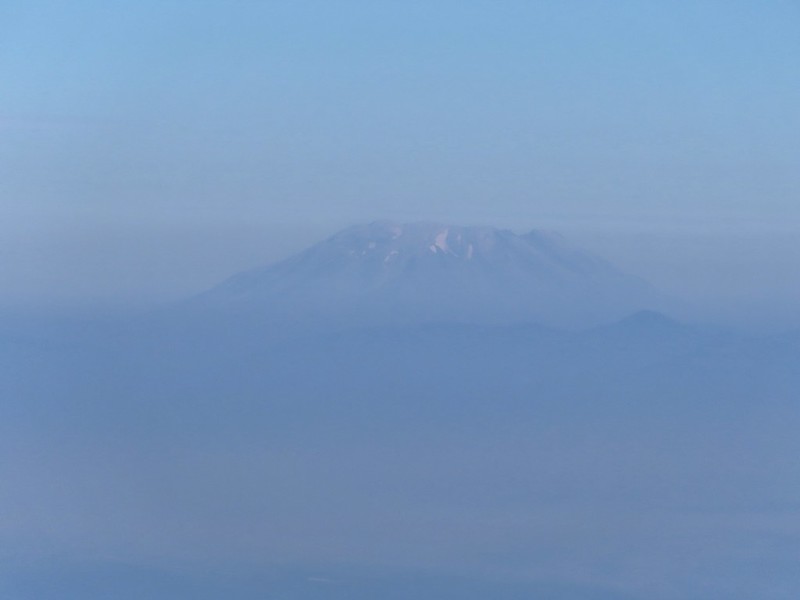
 Mt. St. Helens in the smoke to the left and Mt. Adams a bit above it to the right.
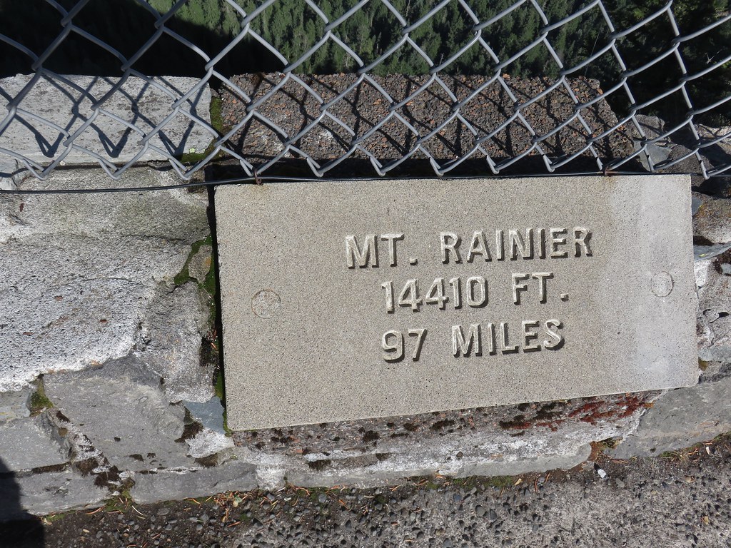
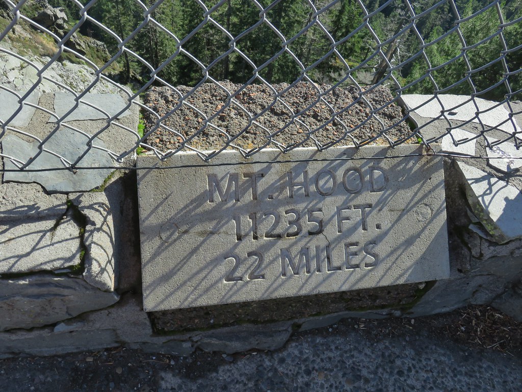
 Mt. Hood
 Mt. Adams
 Mt. St. Helens
 Silver Star Mountain (post)
Unbeknownst to me at the time a new fire, the Nakia Creek Fire, had started near the Larch Mountain in Clark County, WA to the SW of Silver Star less than 24 hours earlier contributing to the smokey conditions.
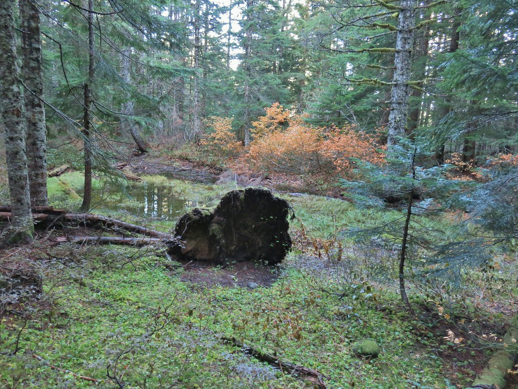
It wasn’t the view I’d hoped for but it was something, at least I could see parts of several mountains. I didn’t spend much time at the viewpoint given the conditions and made my way back to the old picnic tables by crossing over Larch Mountain. I took a short break at one of the tables to drink a Gatorade I had been hauling around and put on a clean pair of socks for my return hike.
 Heading down.
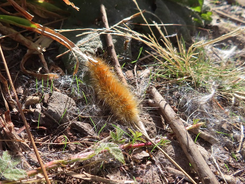
From the picnic table I returned to the way I’d come up to the Wahkeena Trail junction. Up to that point I had only encountered a total of eight other hikers. I had however seen dozens of woolly caterpillars.


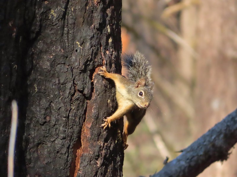
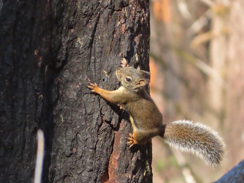
I heard fewer pikas on my way back through the scree field but saw the same number, zero. There was an encounter with a squirrel that came crashing through the brush, jumped across the trail, and climbed a snag so that it could give me a scolding.
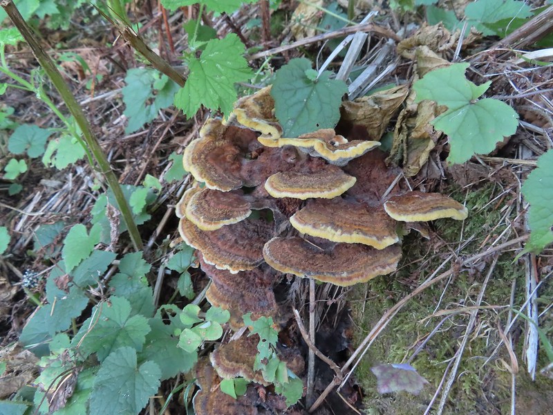
 Lots of fungi on this tree.
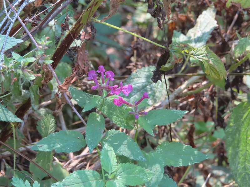 Hedgenettle
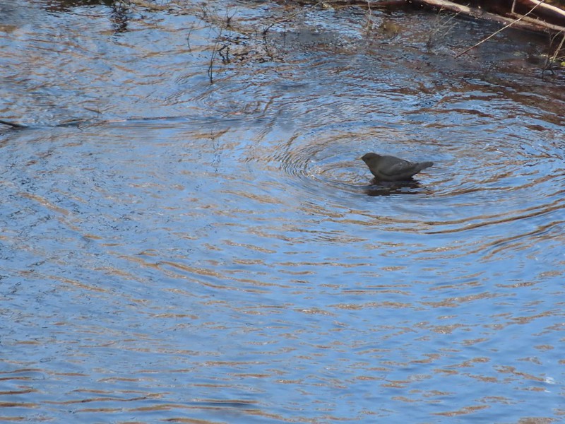 Ouzel
Ouzel
The solitude that I had been enjoying ended abruptly at the Wahkeena Trail junction where a number of hikers could be seen heading uphill on the trail ahead and a group was effectively blocking the trail at the junction as they attempted to make sense of the trail signs.

I tried to align my photos with the hikers ahead passing behind trees.
I had made the decision to take the longer way back past Wahkeena Falls since I had been making good time and I was still feeling pretty energetic. I hadn’t really paid attention to the fact that the Wahkeena Trail gains over 300′ in the first mile as it traverses up the hillside to a junction on a ridge top.
 Looking back down at Multnomah Creek.

 Cape Horn again across the Columbia.
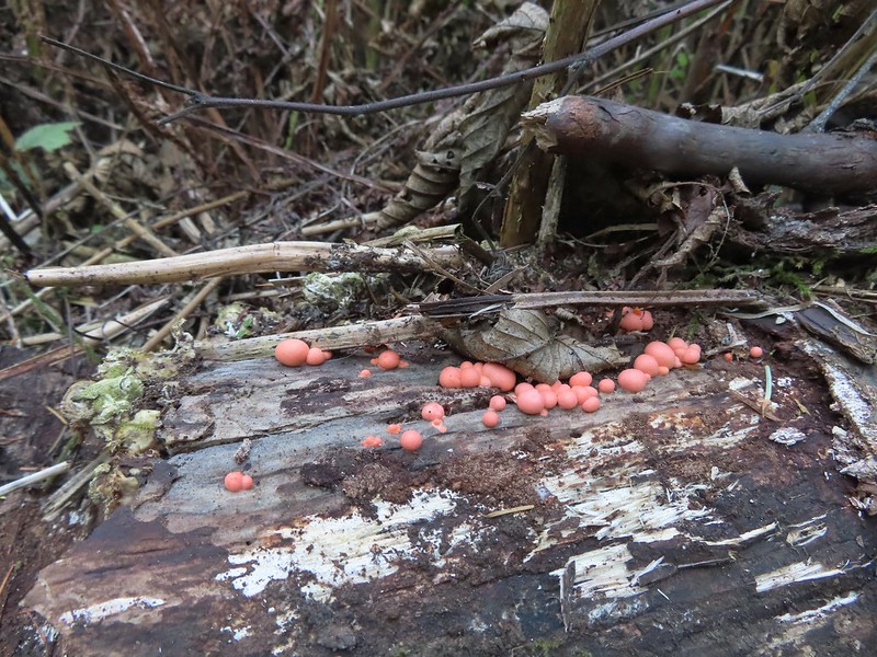 I couldn’t recall seeing these before on a hike, not this color anyway.
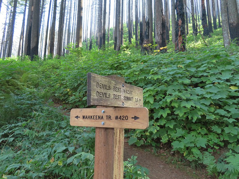
 The Devil’s Rest Trail on the left at the ridge top.
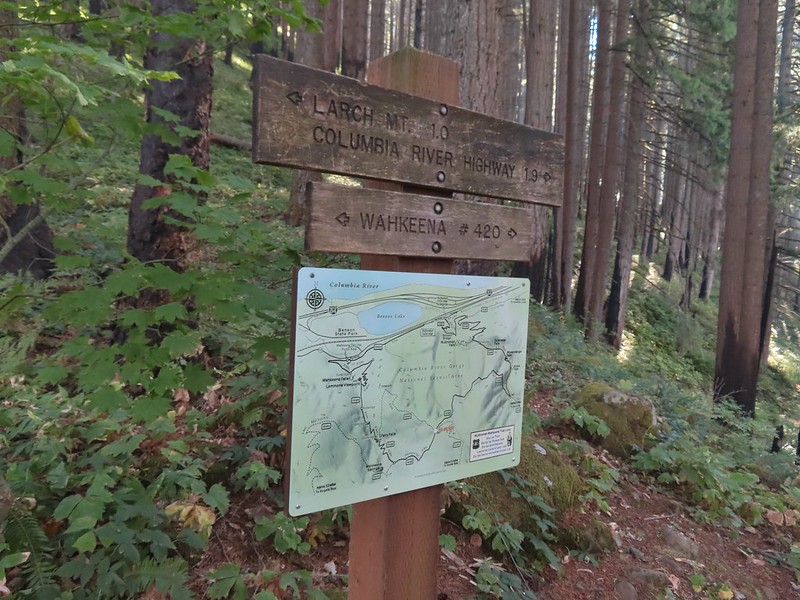
I wound up getting distracted by the different hikers coming and going atop the ridge and turned right onto the Vista Point Trail instead of staying straight on the Wahkeena Trail which had been my planned route. In the end I was glad I did. It was only about a tenth of a mile longer to take this detour which was a bit overgrown but it also passed a viewpoint that I detoured out to.
 I should have followed the Wahkeena Trail Pointer here.
 Instead I followed the pointer for Wahkeena 1.0.
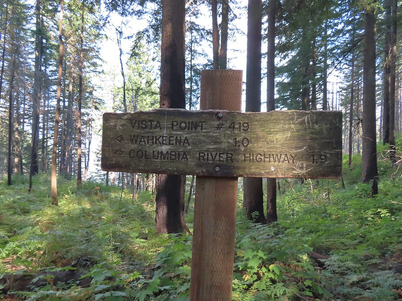
 Vista Point Trail
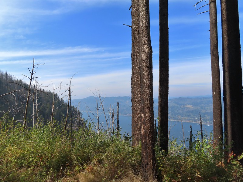


I could see my car in the parking lot from the viewpoint.
 There is the trail I had intended to be coming down arriving at the junction with the other end of the Vista Point Trail.
The Vista Point Trail was in pretty good shape (other than the overgrowth) save for the final 10-20 feet which was now part of a stream bed. The combination of slick wet rocks and it being downhill made for a tricky descent to the junction.
 Looking back at the Vista Point Trail from the junction.
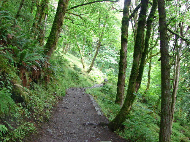
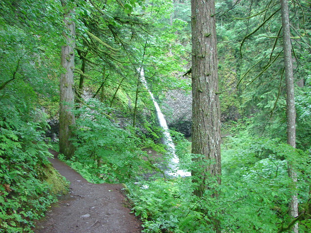
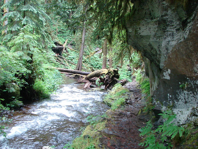
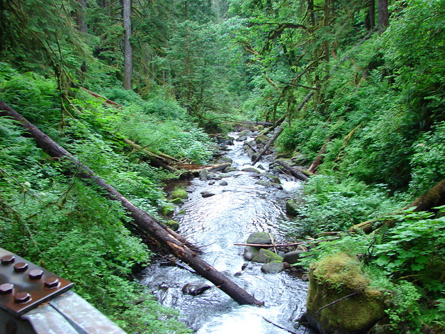
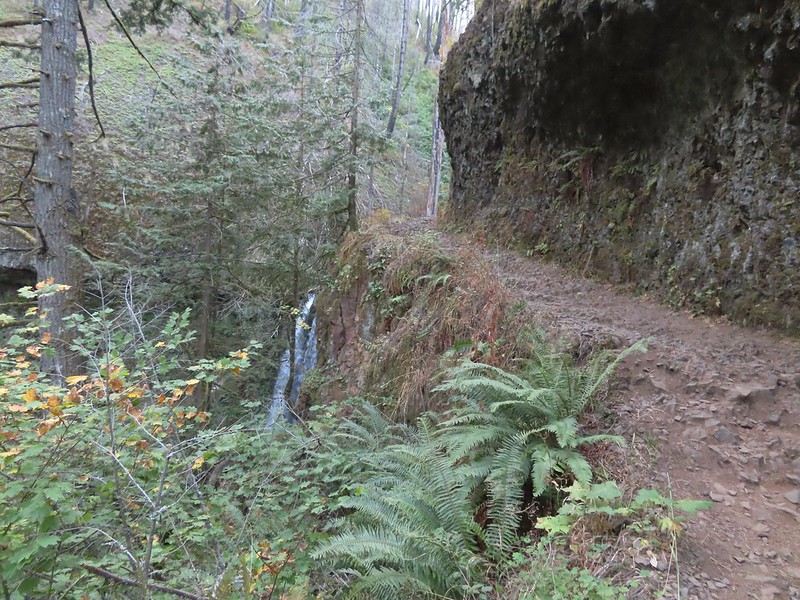
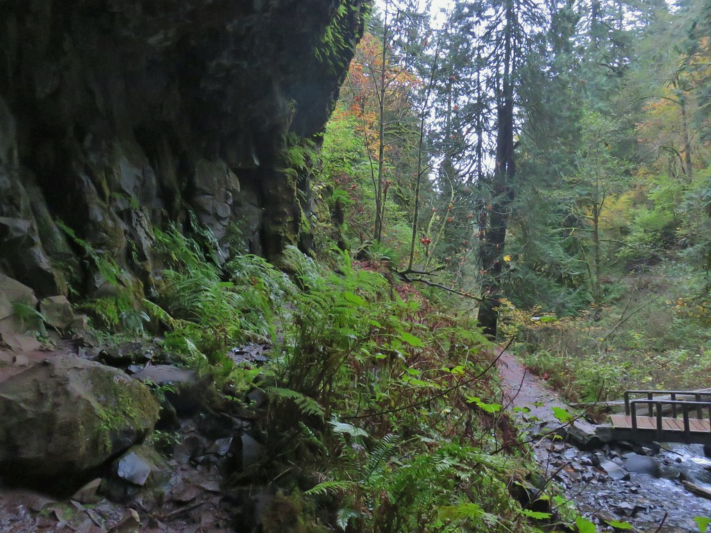
After successfully navigating the wet rocks I turned down the Wahkeena Trail. I immediately was glad that I’d chosen to come this way as I had forgotten how scenic Wahkeena Creek is flowing through the narrow gorge. Even after the fire it was still beautiful.
 Lots of tight switchbacks to get down the gorge.
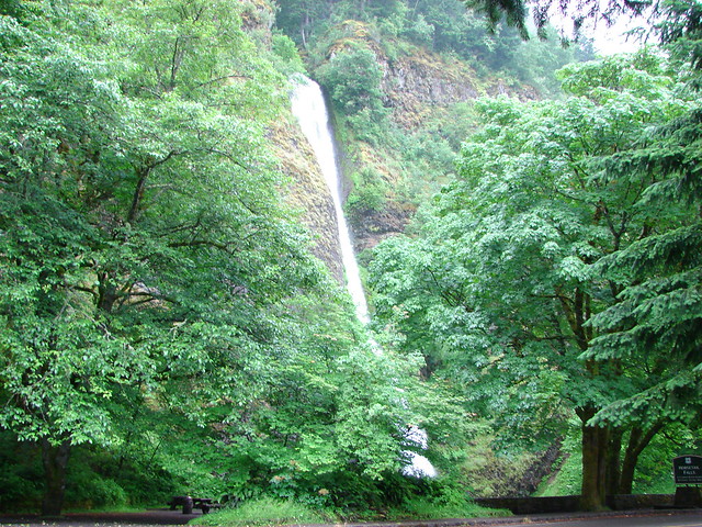
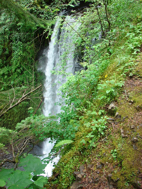
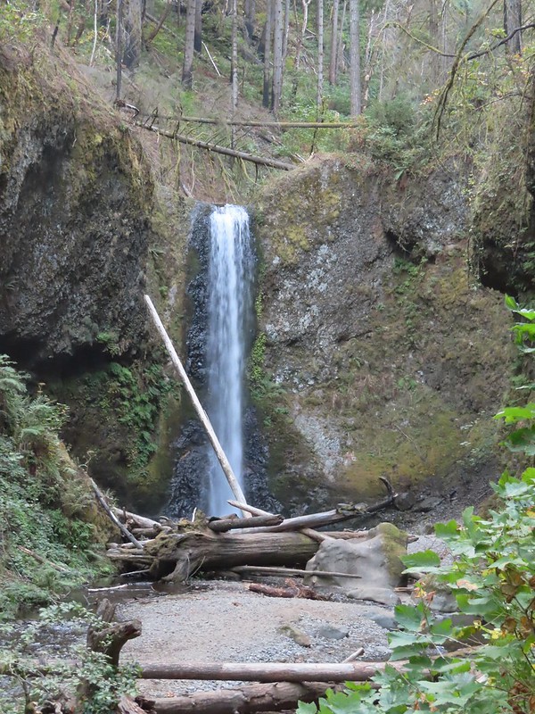
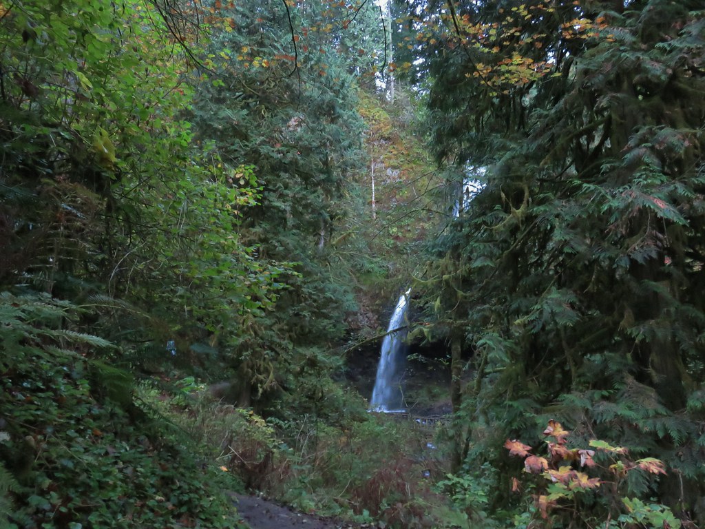
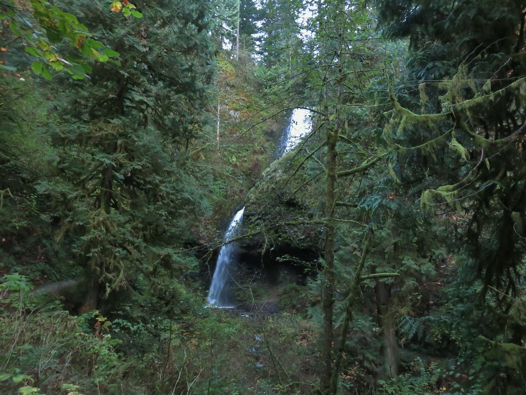
 Fairy Falls
 Fairy Falls


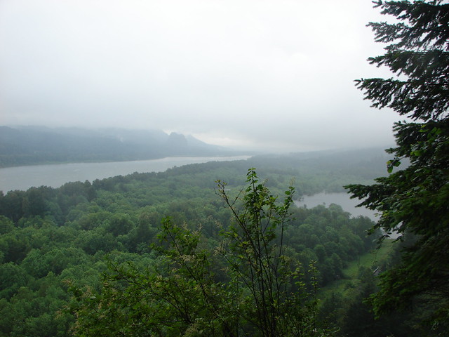
 Looking out across the Columbia River.


A half mile down this trail I took a short detour to Lemmons Viewpoint.

 Cape Horn (again)
 The Wahkeena Trail from Lemmons Viewpoint.
Another half mile descent brought me to the base of Wahkeena Falls where I was happy to find only a small number of other hikers.
 The poison oak was really colorful.
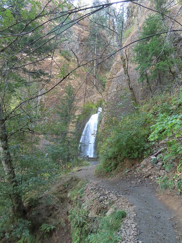
 Approaching Wahkeena Falls.
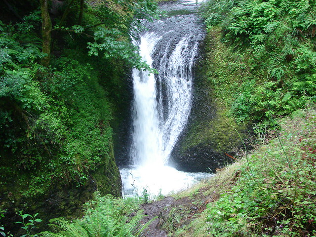
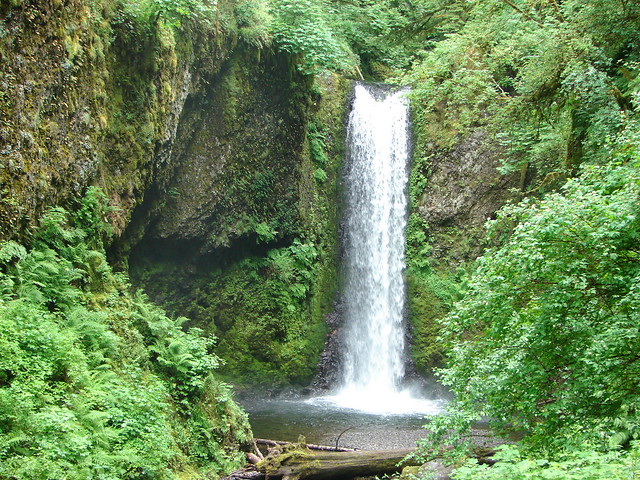
 Wahkeena Falls
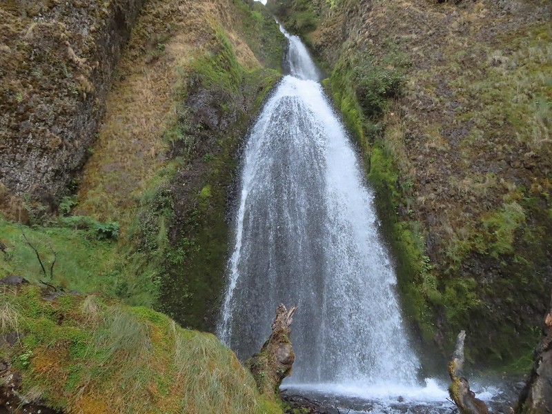 Wahkeena Falls.
 Looking back at Wahkeena Falls.
There were plenty of folks at the trailhead as I passed by before hopping onto the Multnomah Falls Return Trail.

 One last look at Wahkeena Falls through the trees.

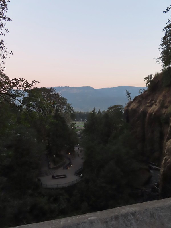
It was roughly half a mile back to the now busy lodge at Multnomah Falls and another tenth or so to my car.

 A line of cars on Historic Highway 30 in front of the lodge.


This hike came to 16.2 miles with around 4500′ of elevation gain. A tough but scenic outing with highlights at the start, mid-point, and end to help take the mind off the body.

I was on my way home at 1:45pm and looking forward to spending some time with our new kittens. After losing Buddy in 2020 (post) and Hazel in 2021 (post) we’d been cat-less for over a year. With Heather unable to hike it seemed to the perfect time to open our home up again and on Monday the 3rd Heather picked up Merry and Pippin from the Humane Society.
 Merry (black) is 3 mos. and Pippin is 2 mos. Both boys from separate litters.

They have been keeping us plenty busy. Merry is a snuggler while Pippin is a ball of chaotic energy until he runs out, then he likes to snuggle too. Happy Trails!


 Silver Star Mountain in the background with the cliffs of Cape Horn (
 Looking east down the Columbia River.
 Looking NW across the Columbia.
 Silver Star Mountain again.


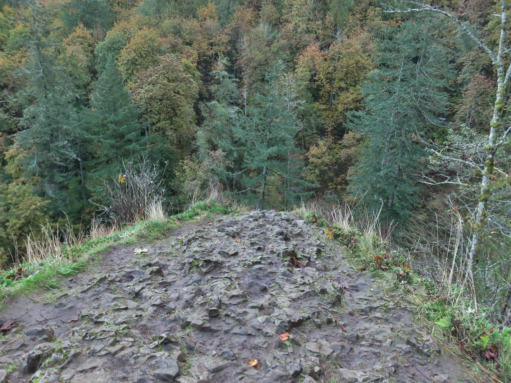
 Looking down toward the corner from the small pullout on the right.


 Multnomah Creek Way Trail.
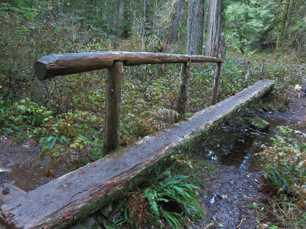


 Larch Mountain from Multnomah Basin

 Mt. St. Helens (behind some tress) and Mt. Rainier.
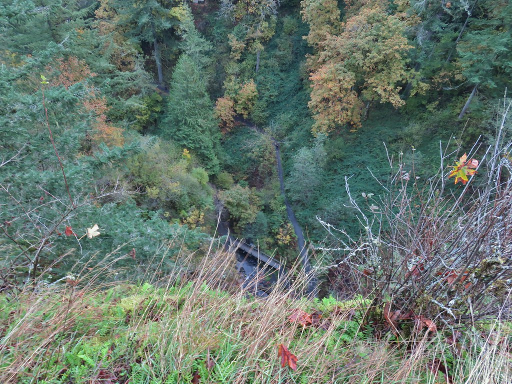
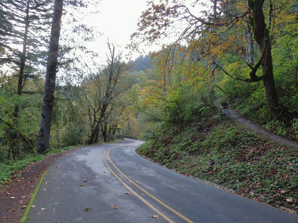
 Signboard near Larch Mountain Road.
 Larch Mountain Road from the end of the Oneonta Trail

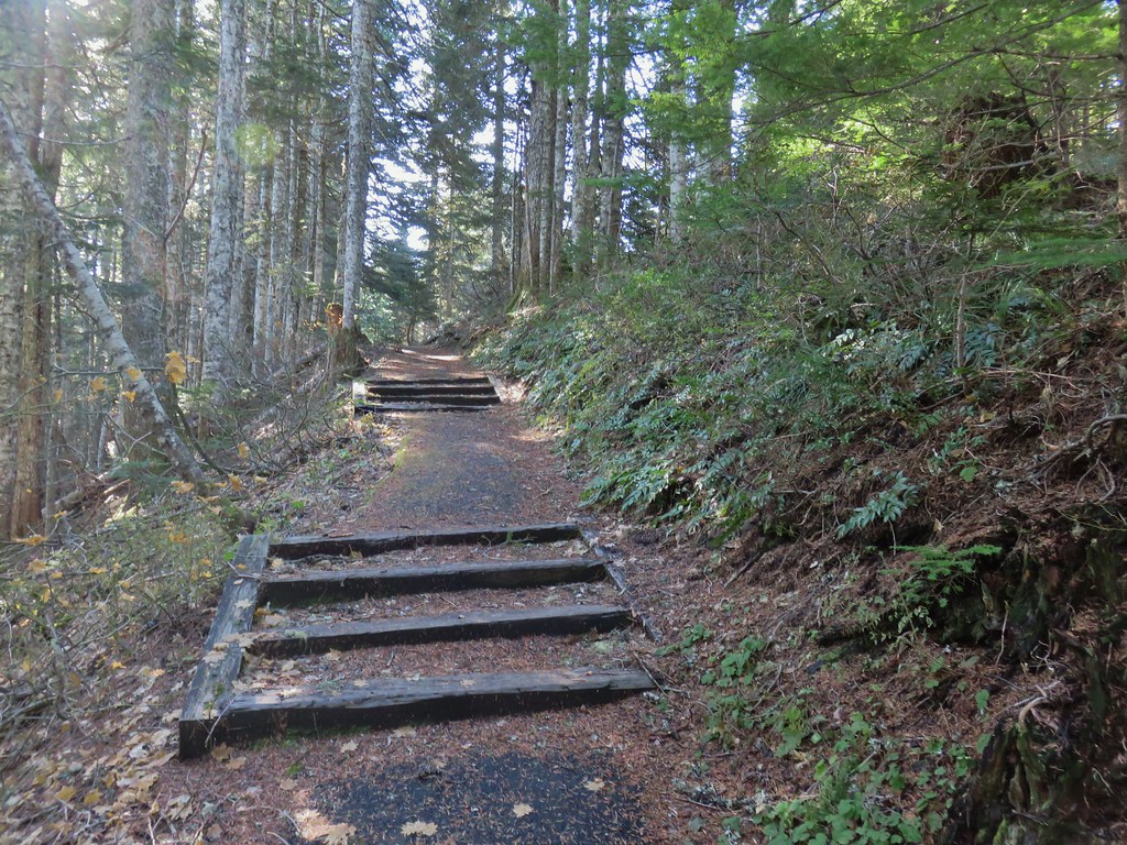
 Just a few of the steps up to Sherrard Point.
 Mt. St. Helens, Mt. Rainier, and Mt. Adams.
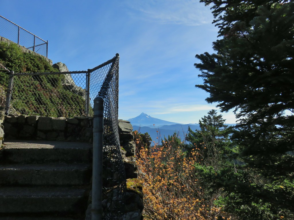 Mt. Hood
 Mt. Hood with Mt. Jefferson to the right.
 Mt. Jefferson
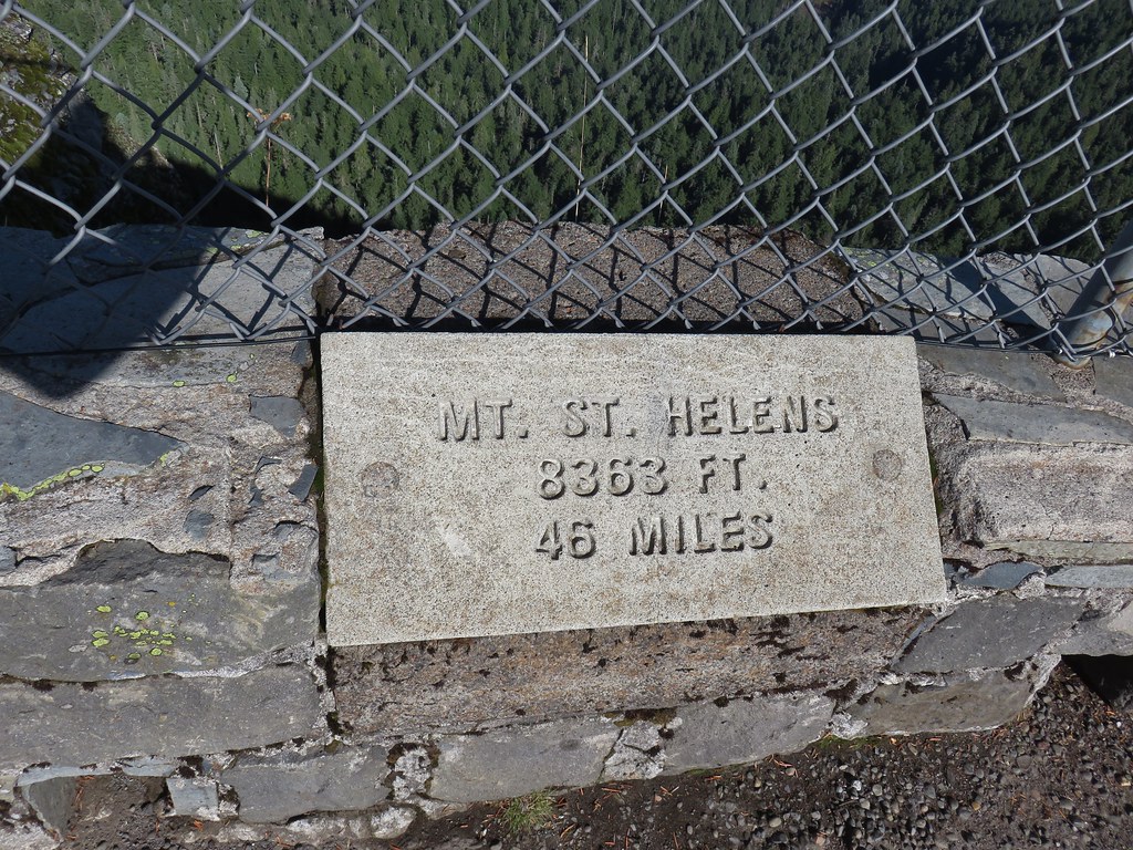


 View east from Sherrard Point.