**Note the 2024 Ore Fire burned over the access road for the trailhead but spared the trails.**
As we continued to let the weather dictate our vacation plans we couldn’t pass up a “sunny” morning forecast for Tidbits Mountain near Blue River, OR. Another of Sullivan’s featured hikes, the trip to the site of a former lookout tower atop Tidbits Mountain is just 4.4 miles round trip from the Tidbits South Trailhead. This was actually a bit of a problem as the drive from Salem was a little over two and a half hours which meant our hiking time would most likely not be greater than our driving time which would break our rule of not driving longer than hiking. Our original plan to solve this was going to be making a second stop at the Lower McKenzie River Trailhead where we could hike as far as we liked on the McKenzie River Trail, but while researching the Tidbits Mountain hike another option presented itself.
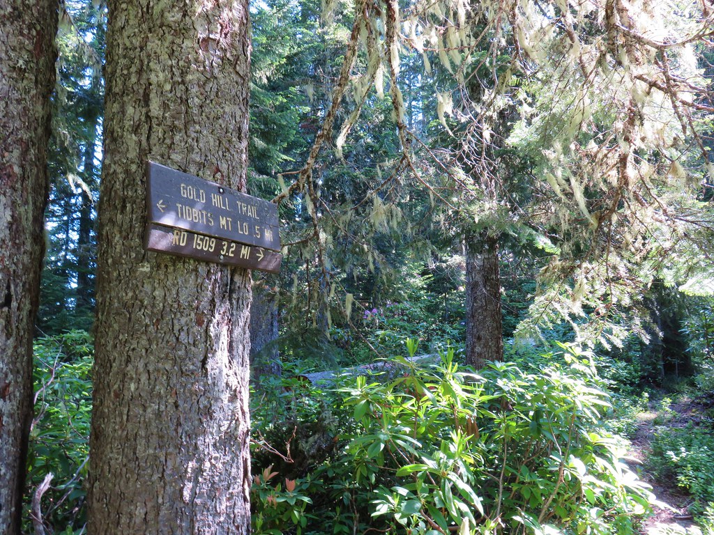
The Gold Hill Trail travels 3.2 miles along a ridge to a junction with the Tidbits Mountain Trail three quarters of a mile from the summit of Tidbits Mountain. Instead of driving to a different trailhead we could spend some time on the Gold Hill Trail which the Forest Service warned sees only periodic maintenance.
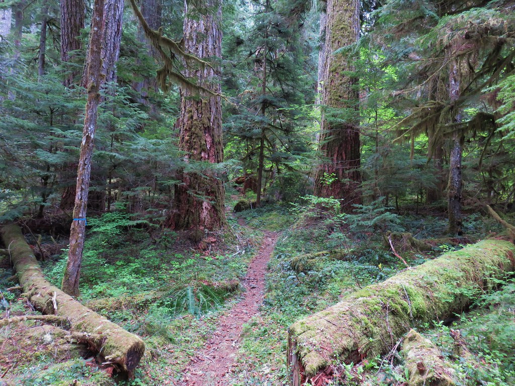
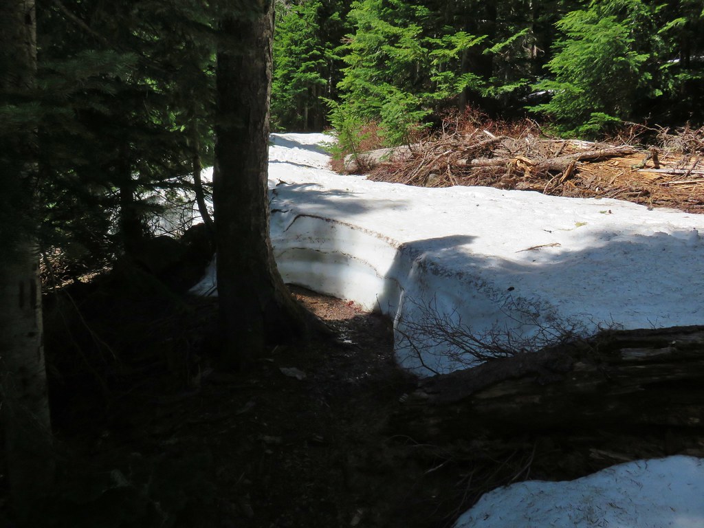
We started our hike not at the Tidbits South Trailhead but rather along Forest Road 1509 where FR 877 headed uphill .2 miles to the trailhead on the left.
 FR 877 at FR 1509
Both the Forest Service and Sullivan pointed out that FR 877 was steep and Sullivan added that turning around at the trailhead was “awkward”, thus our decision to walk up the road.

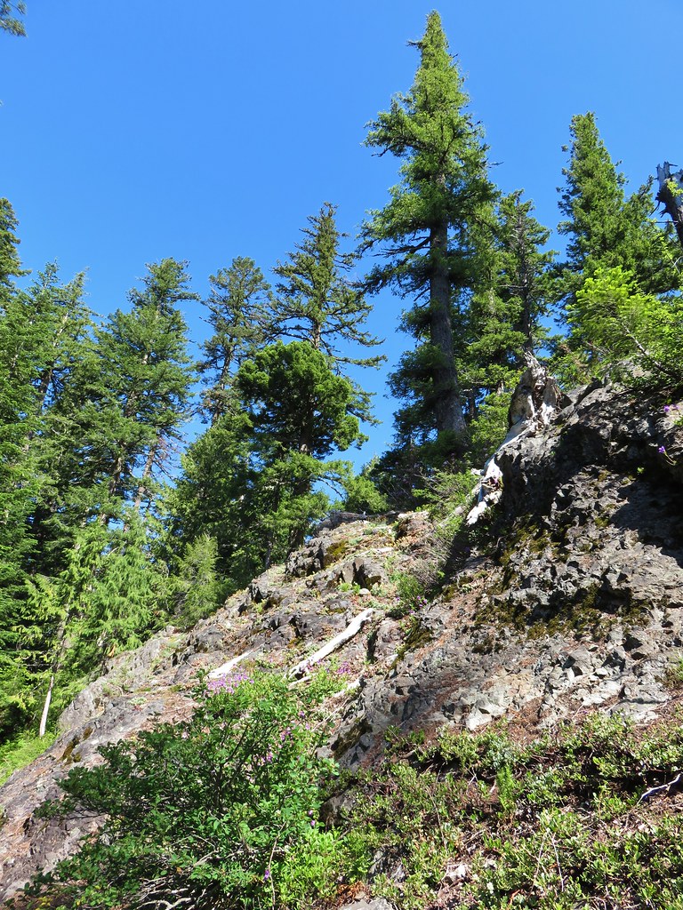
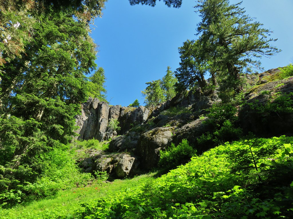
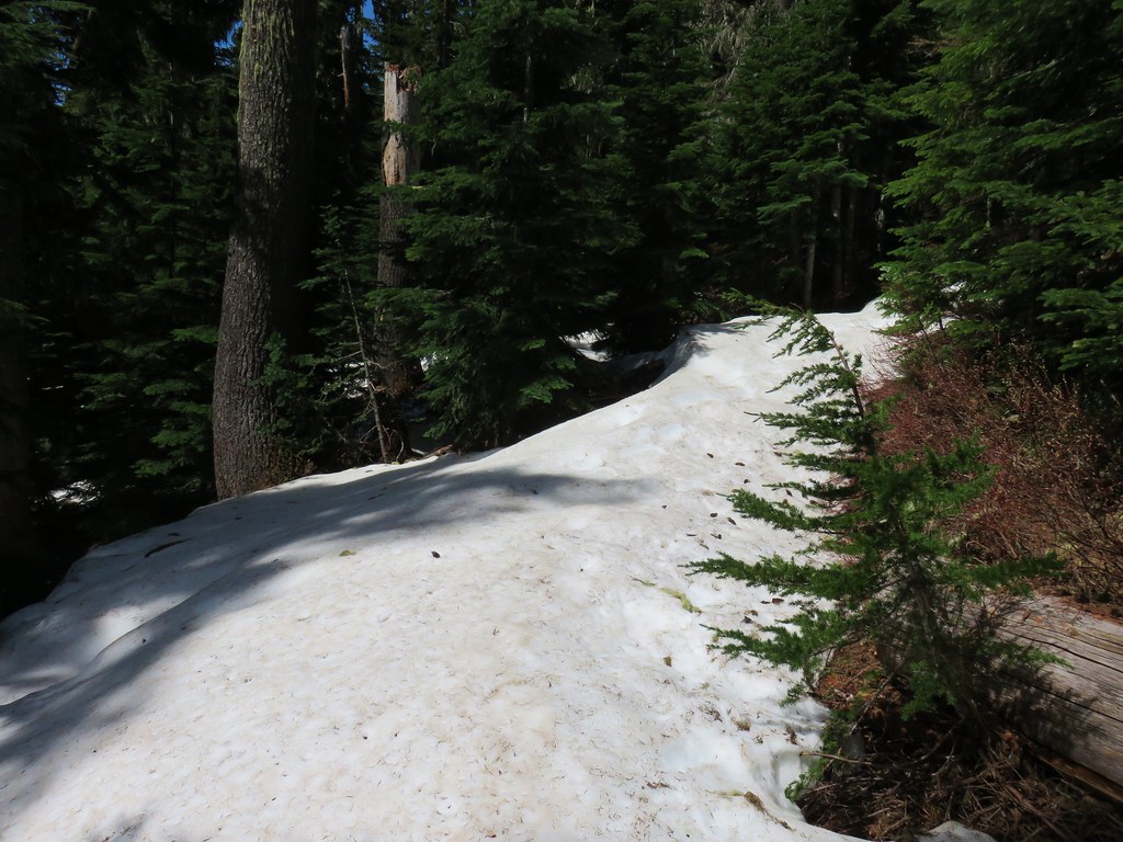
As we hiked up the road there were a couple of views of the rocky pinnacles of Tidbits Mountain on the left.


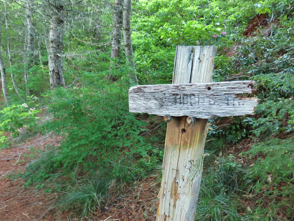
A sign marked the start of the Tidbits Mountain Trail.
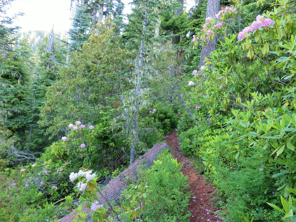
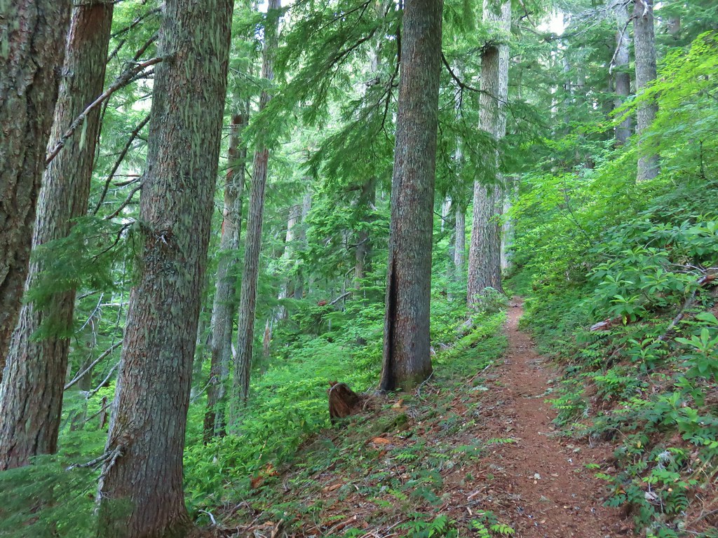
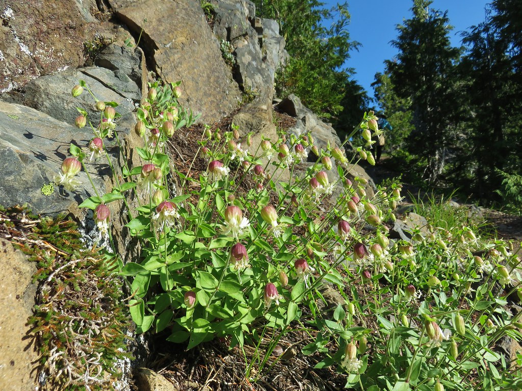
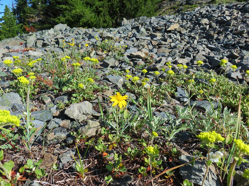
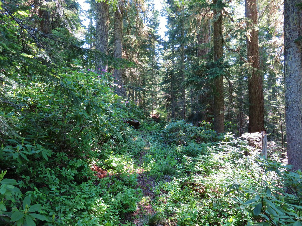
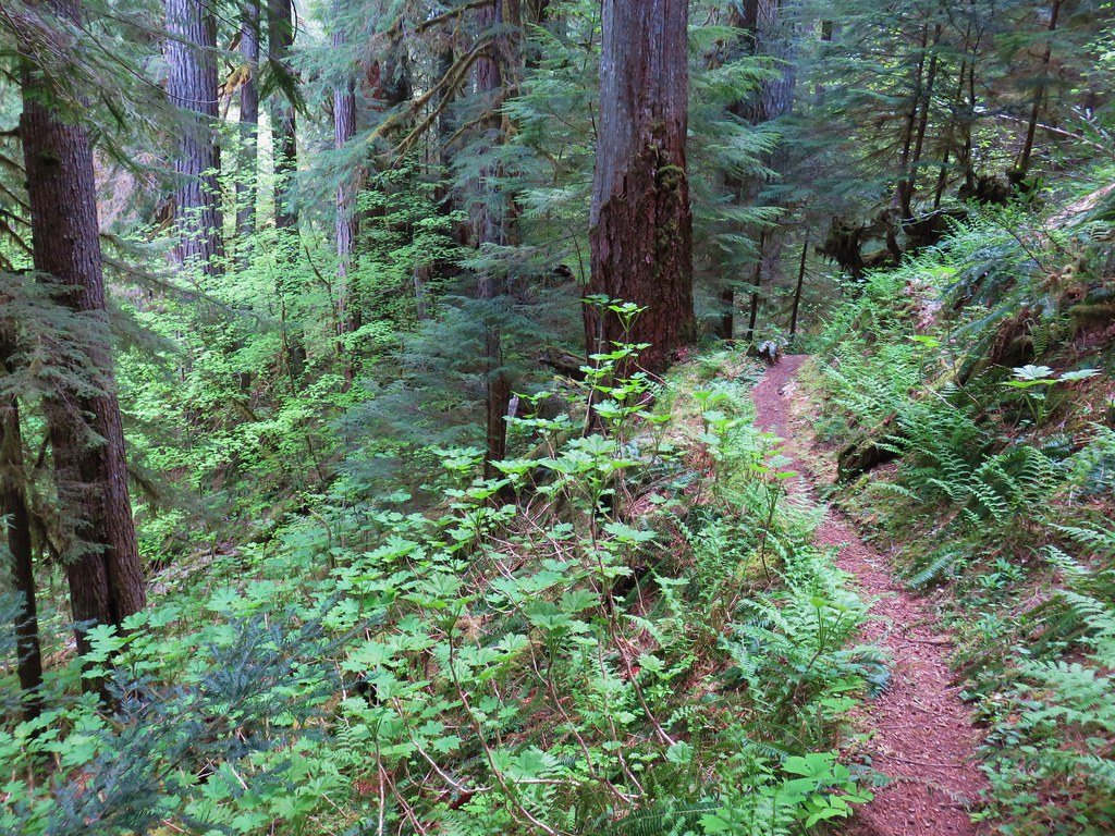
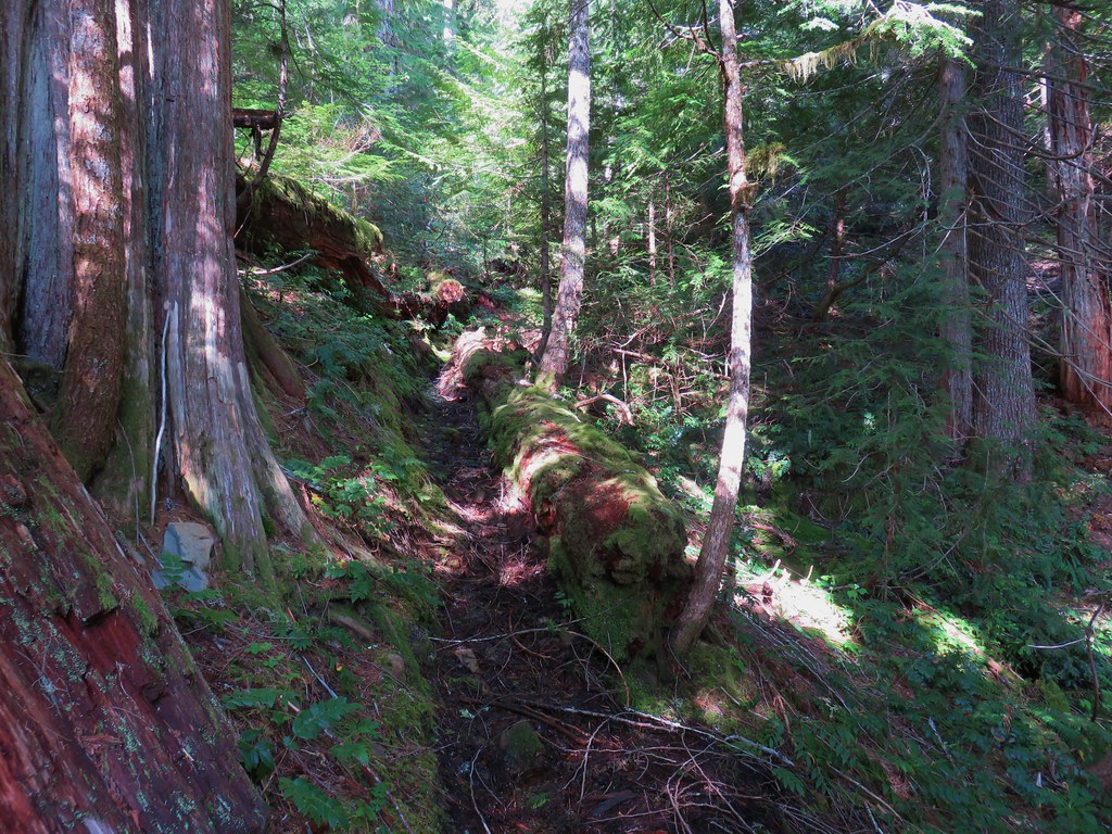
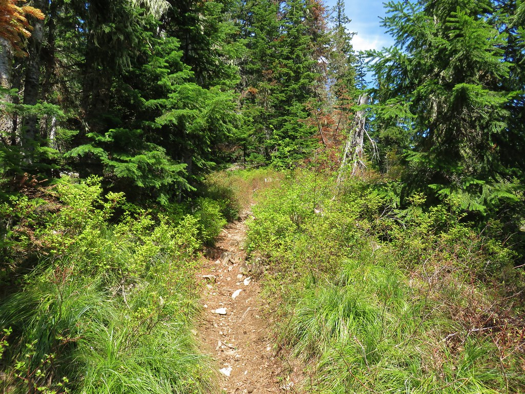
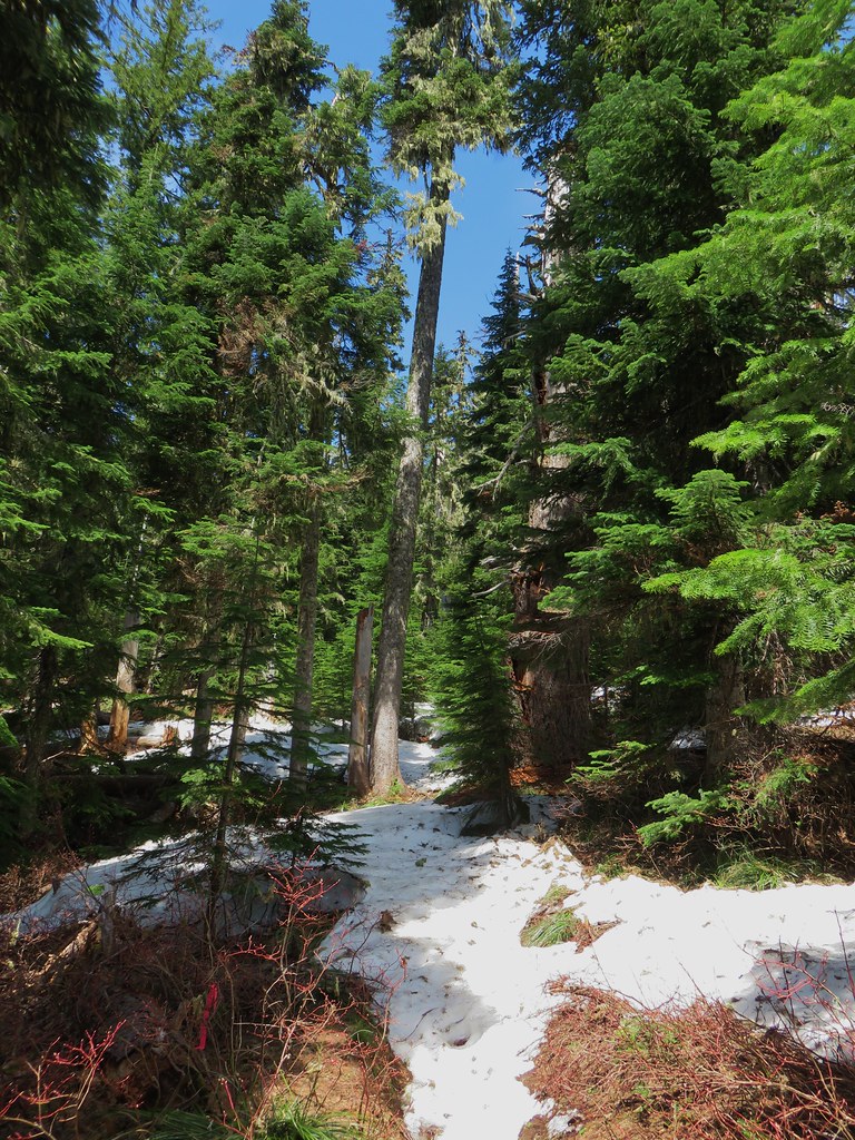
The trail climbed gradually for 1.3 miles to a junction on a ridge crest. This section of trail passed through some old growth trees and was full of rhododendron blooms. It was by far the best display of rhododendron that we had seen.


There were a few other flowers along the way as well but none in anywhere near the numbers as the rhodies.
 Penstemon
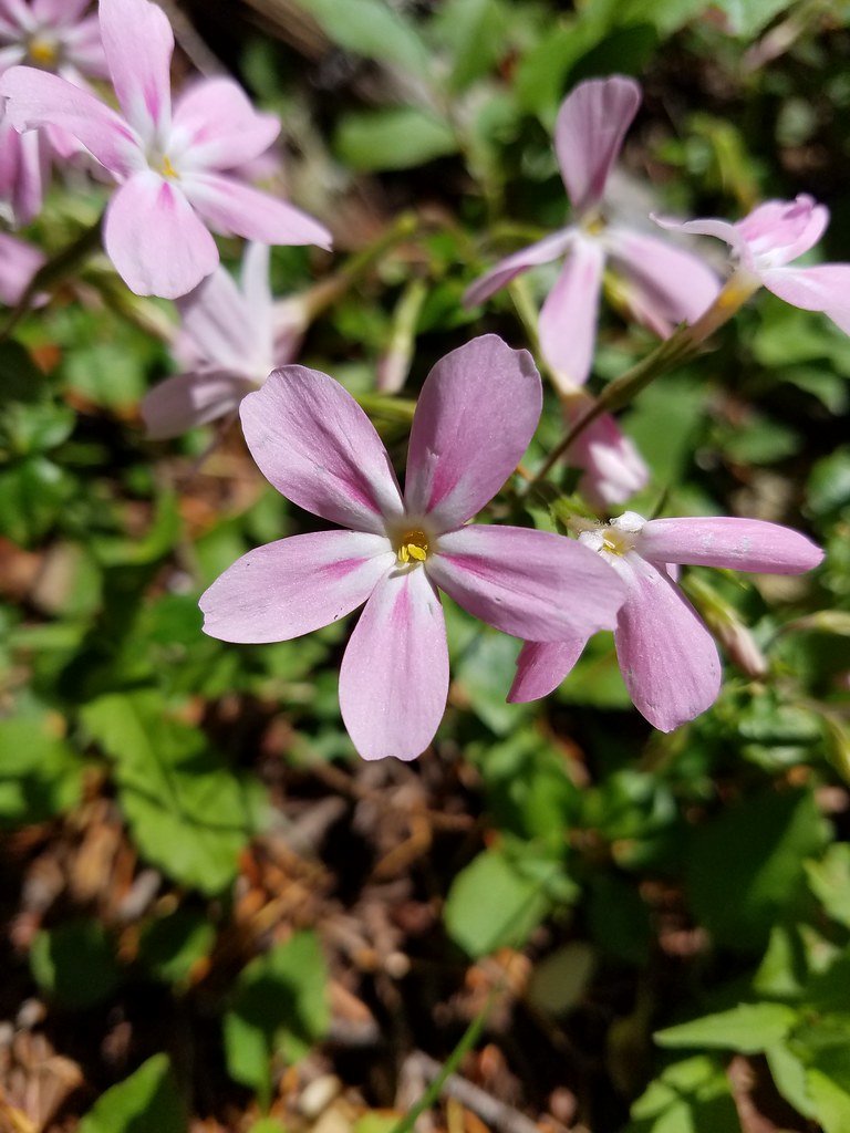
 Showy phlox
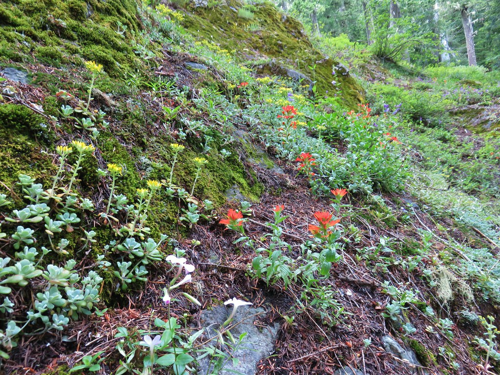 <script async src=”//embedr.flickr.com/assets/client-code.js” charset=”utf-8″Paintbrush and stonecrop
 Anemone
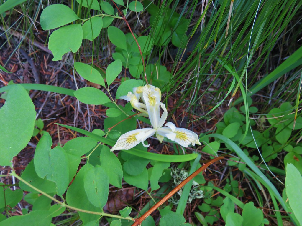 Iris
Iris
 Arnica
At the junction we turned left following a pointer for the Tidbits Mountain Lookout.

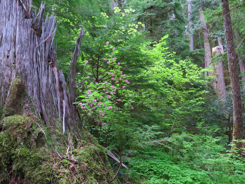
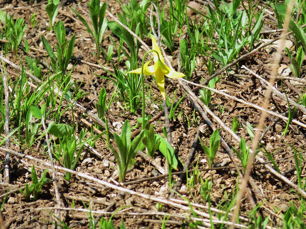
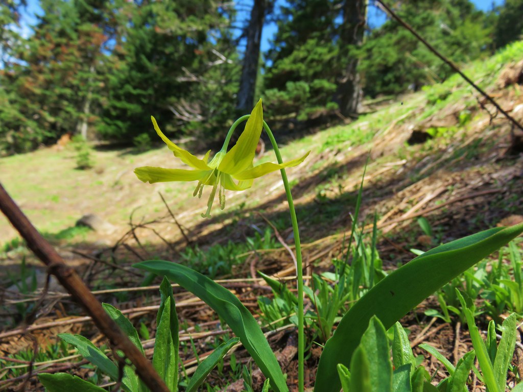
This section of trail traversed a rocky hillside on the north side of Tidbits Mountain. Being on the north facing slope trillium were still in bloom and a few remnants of glacial lilies remained.


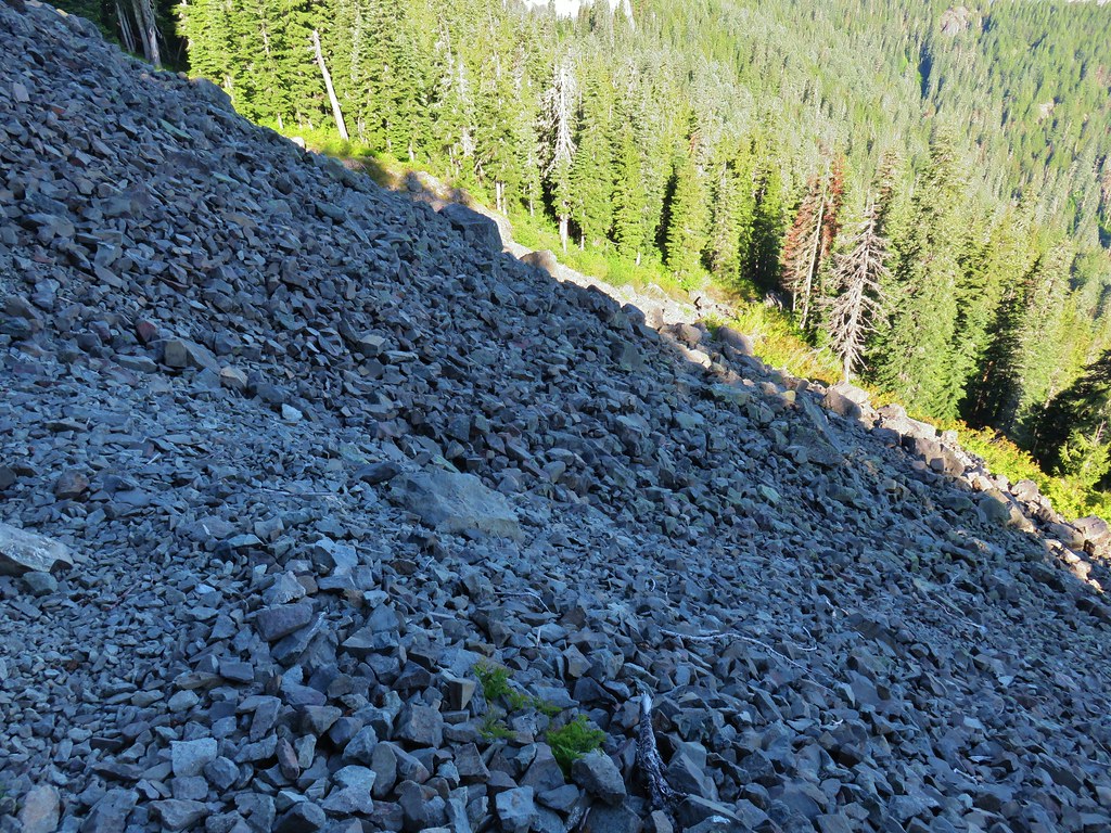
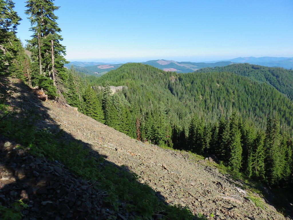
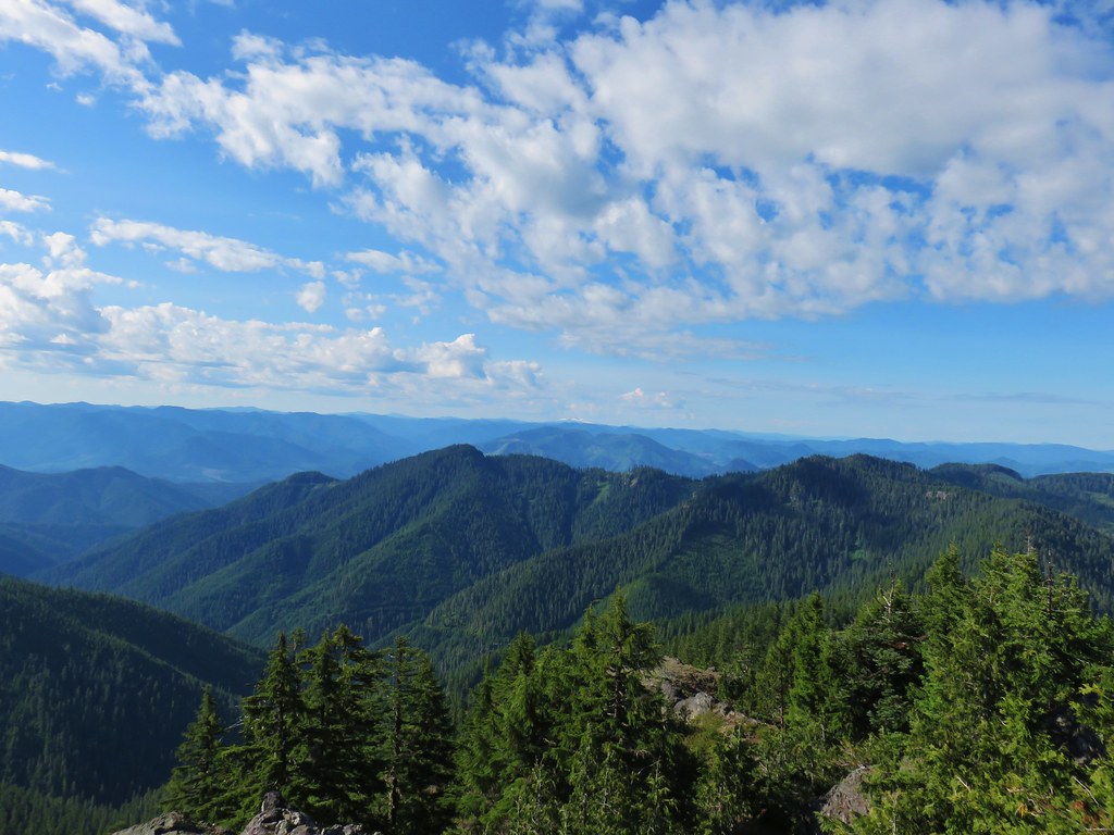
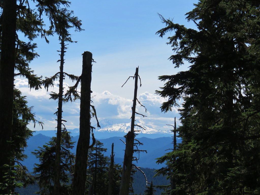
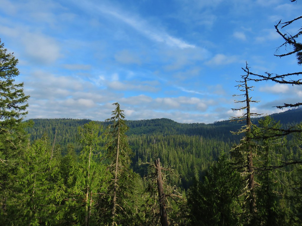
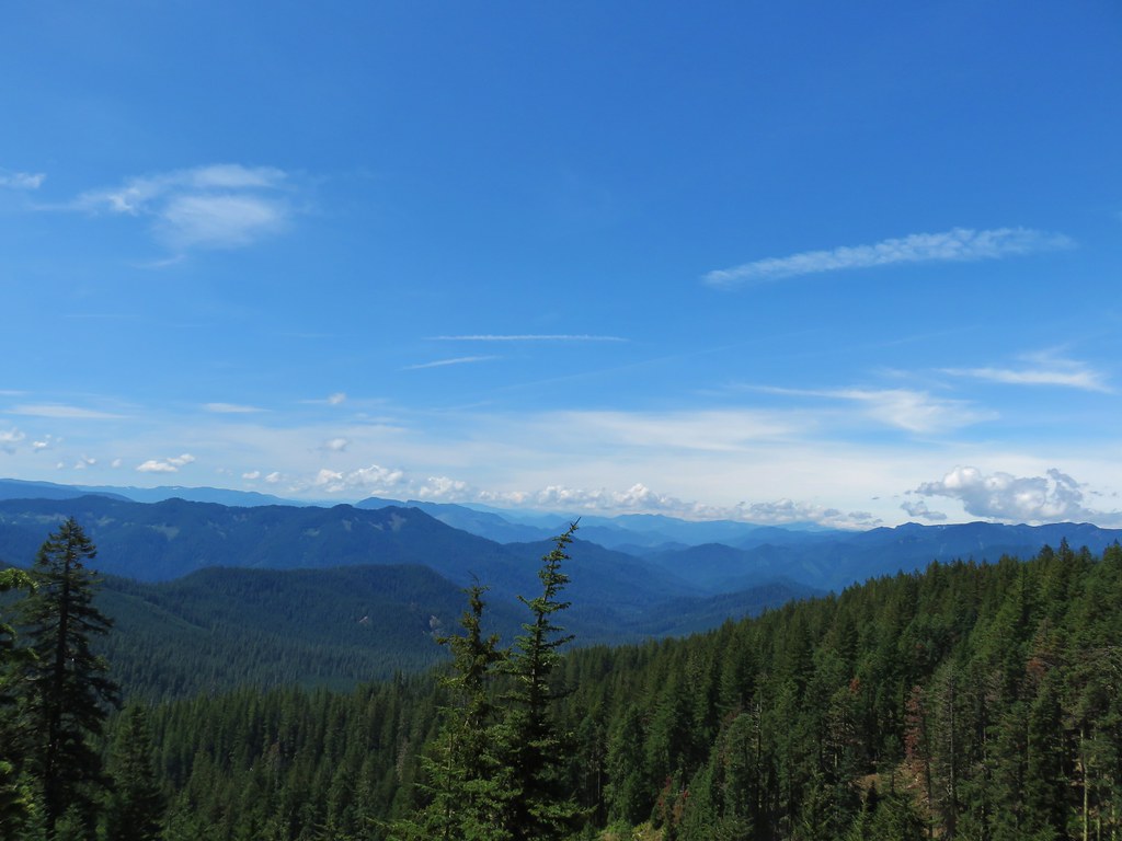
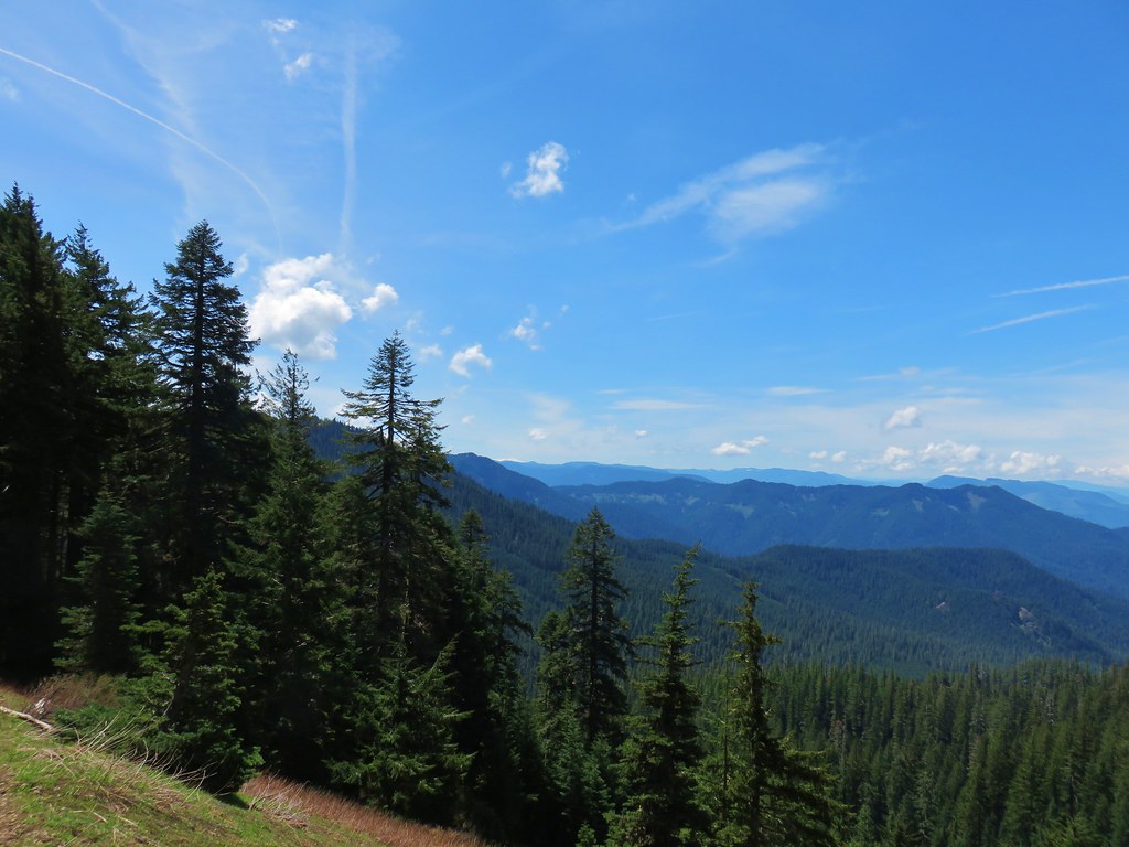
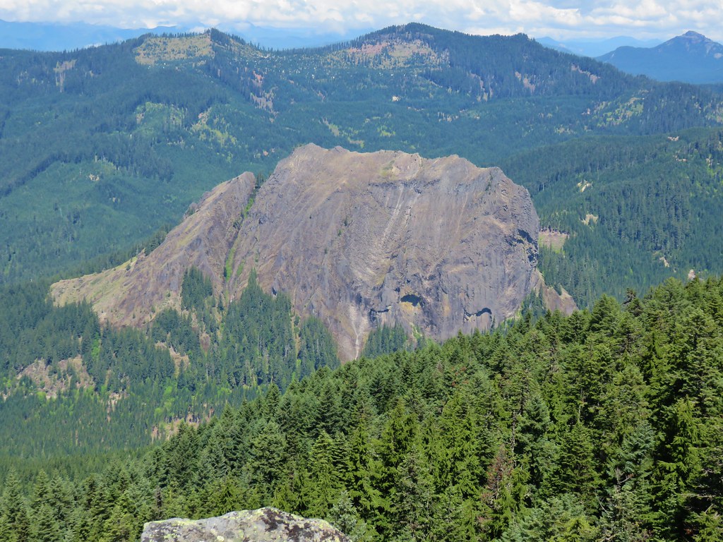
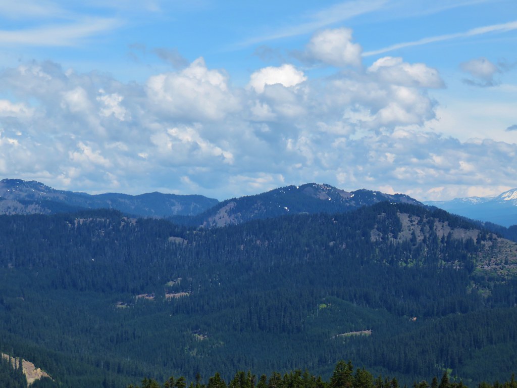
The talus slopes below Tidbits Mountain allowed for some previews of the views to come at the summit.

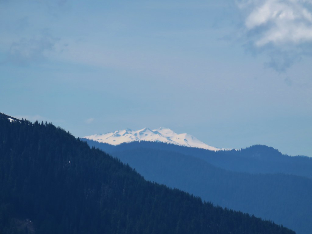
 Looking west toward the Green Mountain Lookout.
 Green Mountain Lookout
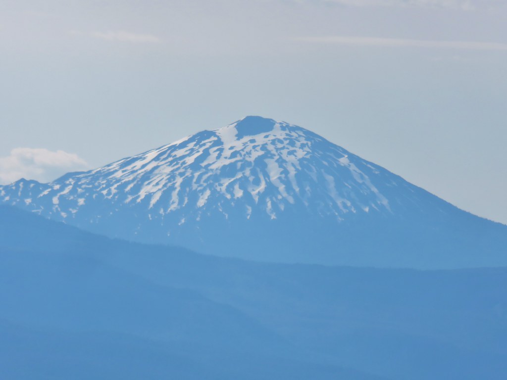
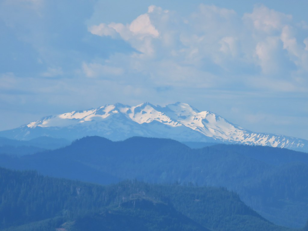
 Mt. Jefferson
 Three Fingered Jack
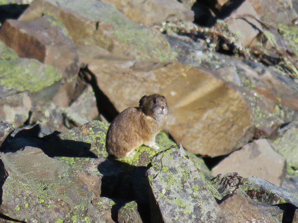
The talus is also home to one of our favorite wild animals, the pika! They are not particularly easy to see but once you know what you are looking for with a little luck you’ll spot one of these rabbit relatives. It was a lucky day for us as we spotted two.
 There is at least one pika in this picture.
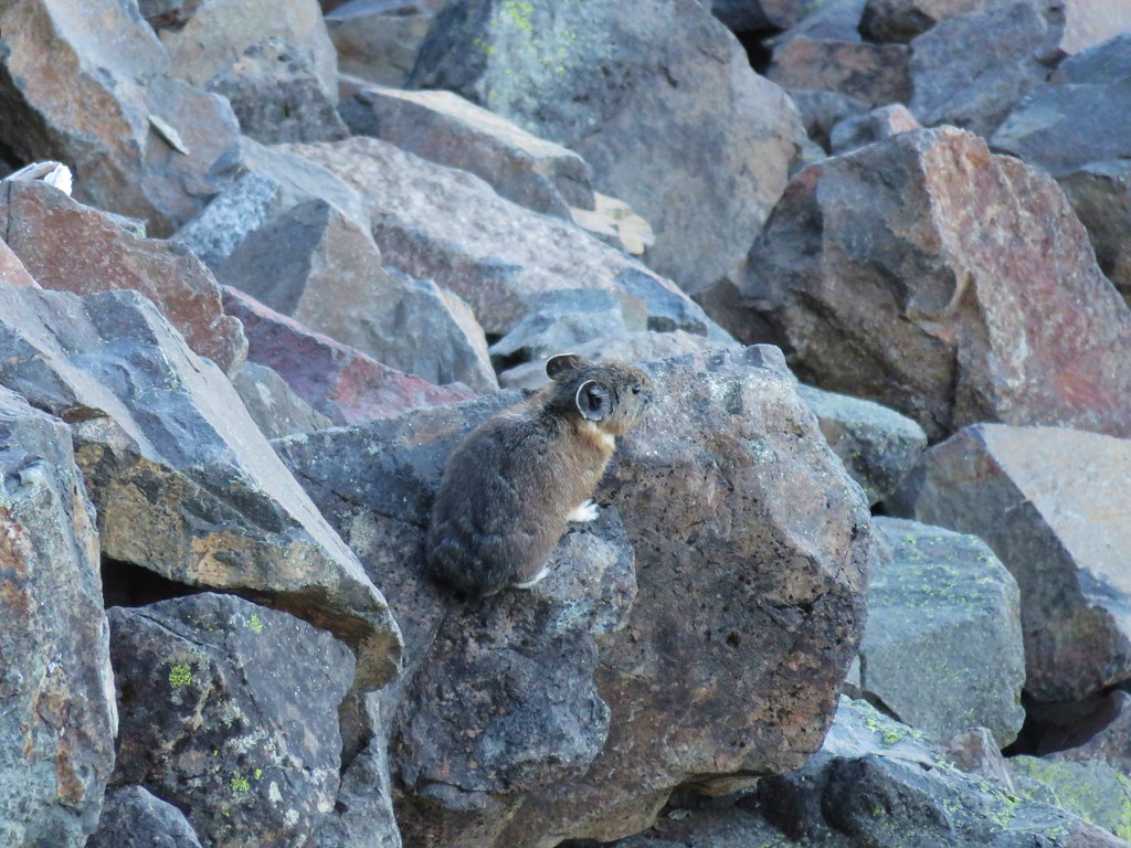
 There is another one in this picture.
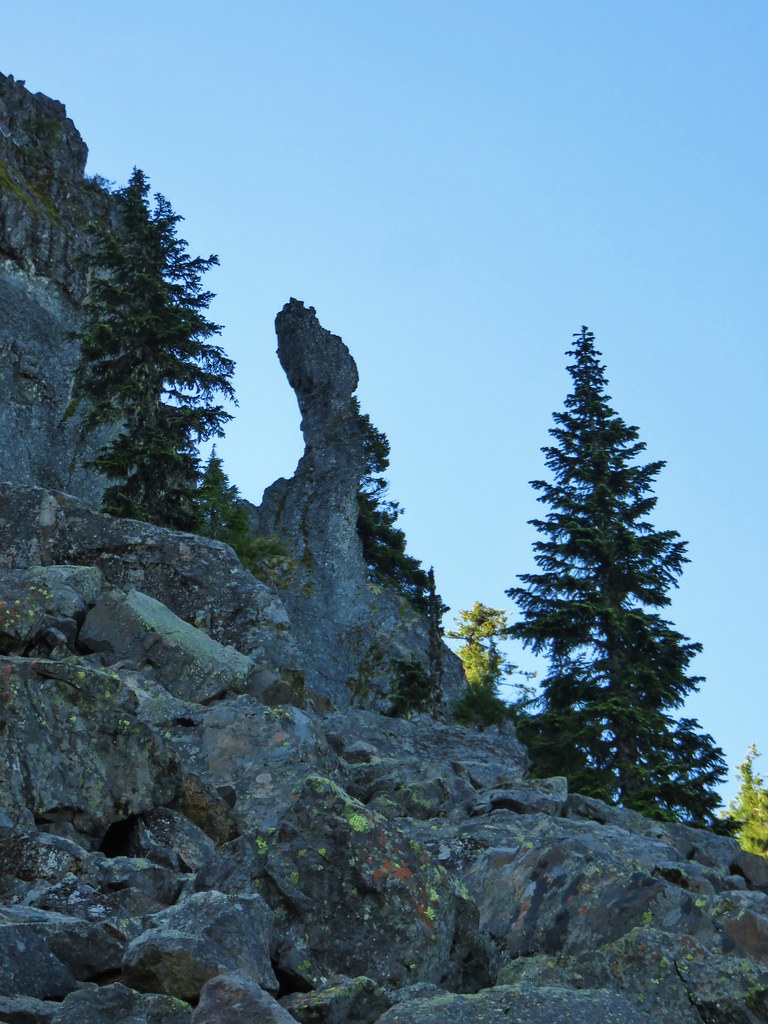
When we weren’t scanning the rocks for pikas we did a lot of looking up at the formations above us.


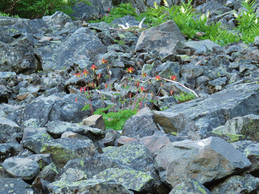 Columbine and solomonseal in the talus slope.
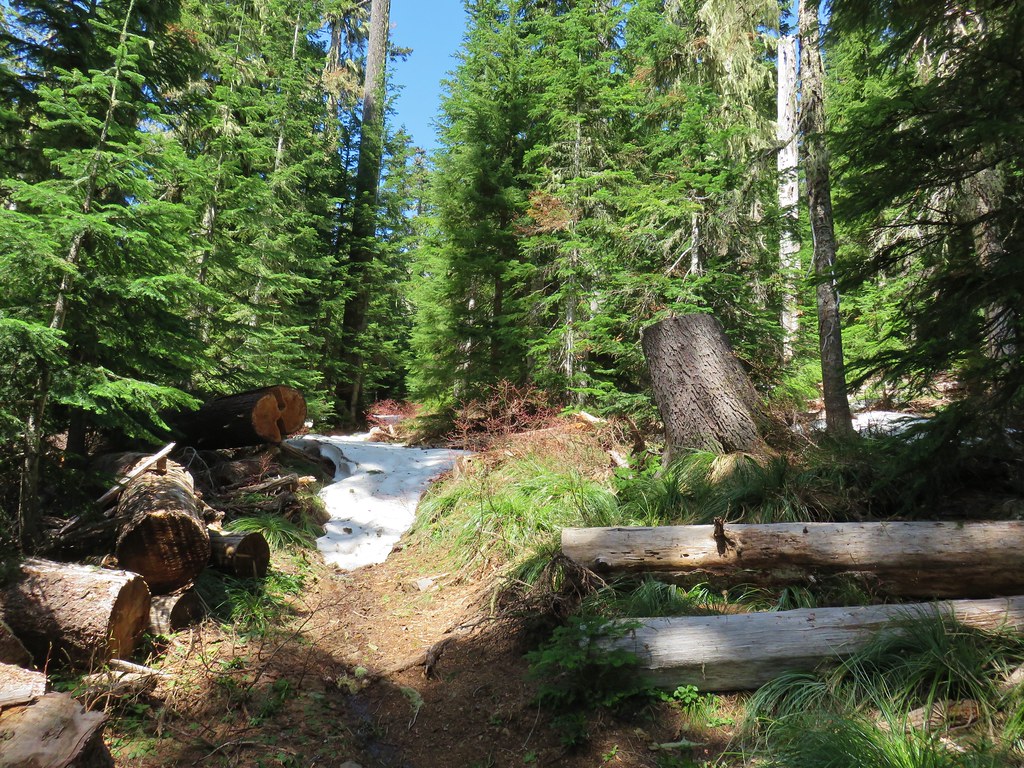
 Last of the snow along the talus.
At a saddle a half mile from the junction with the Gold Hill Trail we came to a second junction. This one was unsigned. To the right a trail headed downhill to the Tidbits West Trailhead. The Gold Hill Trail used to continue straight here but it was so faint and overgrown that we didn’t even see it on the first pass. We turned uphill to the left and began the steep .2 mile climb to the summit.


 Catchfly on the way up.
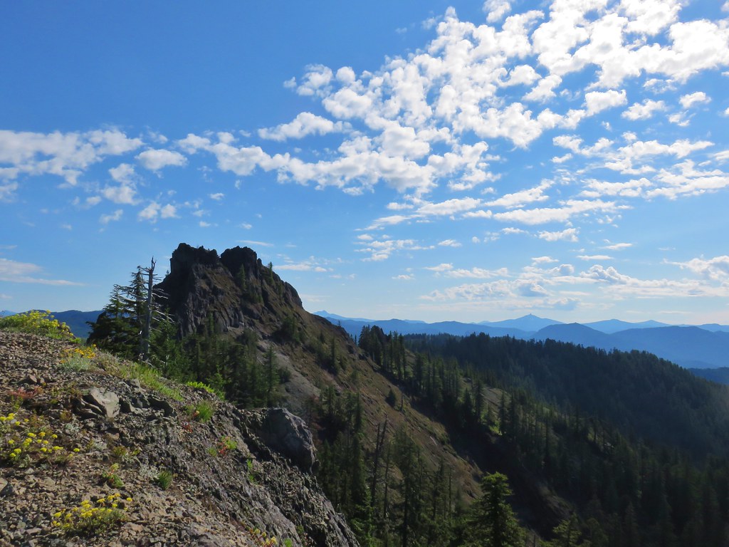
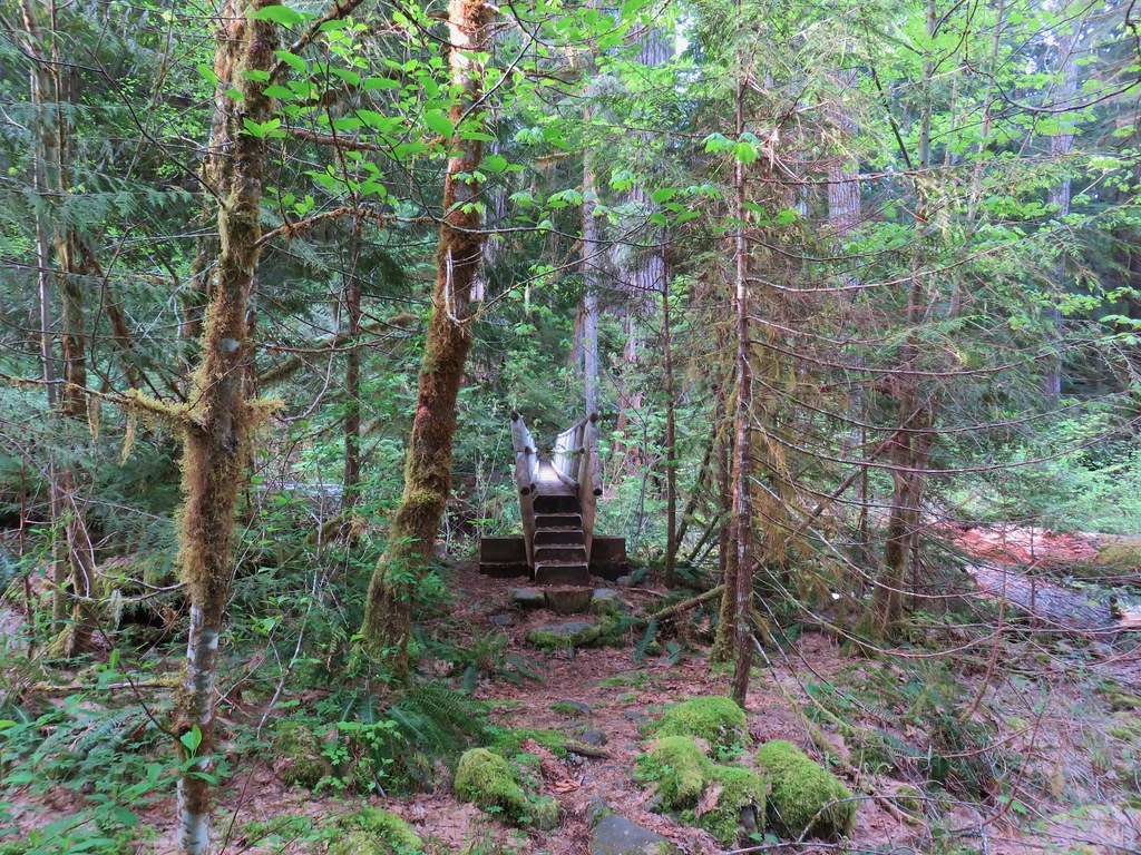
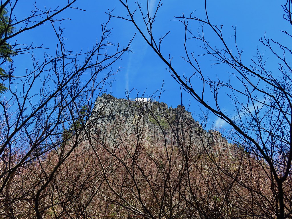
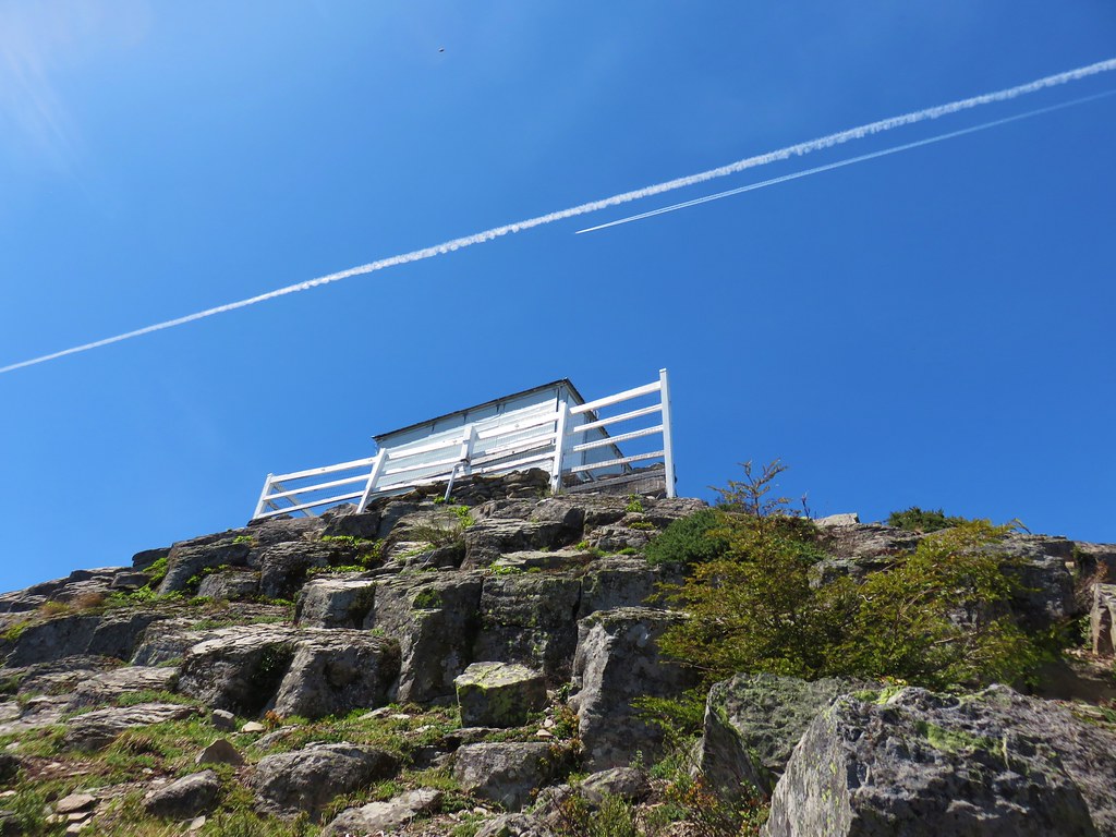
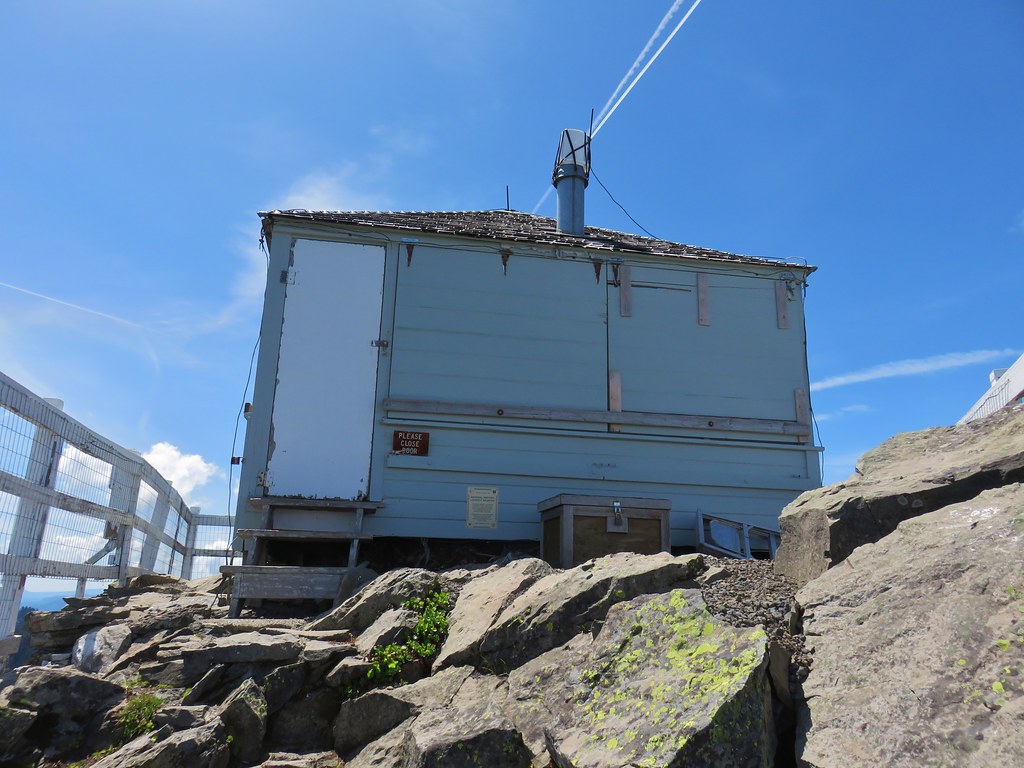
 Lookout remains below the summit.

 Foundation remains
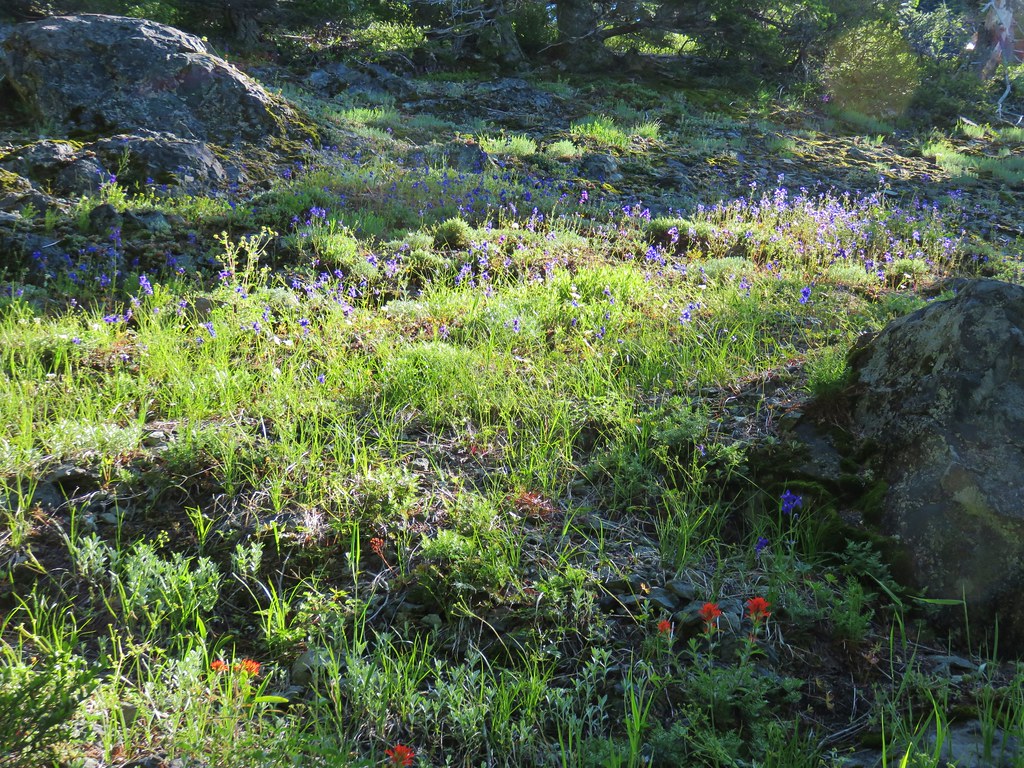
 Wildflowers at the summit.
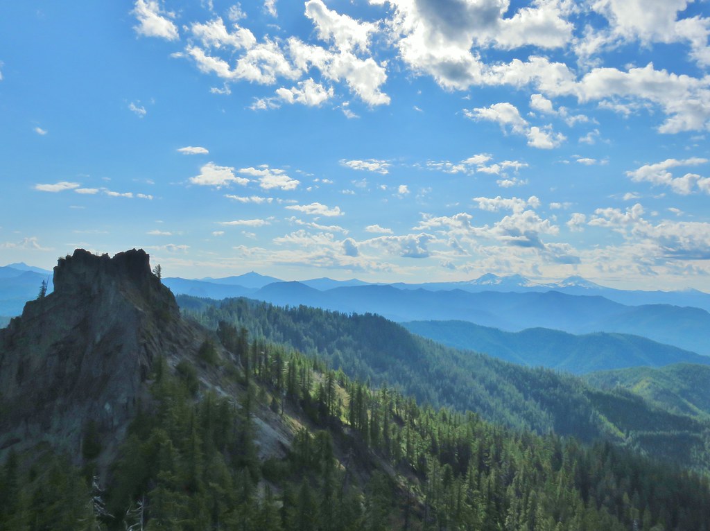
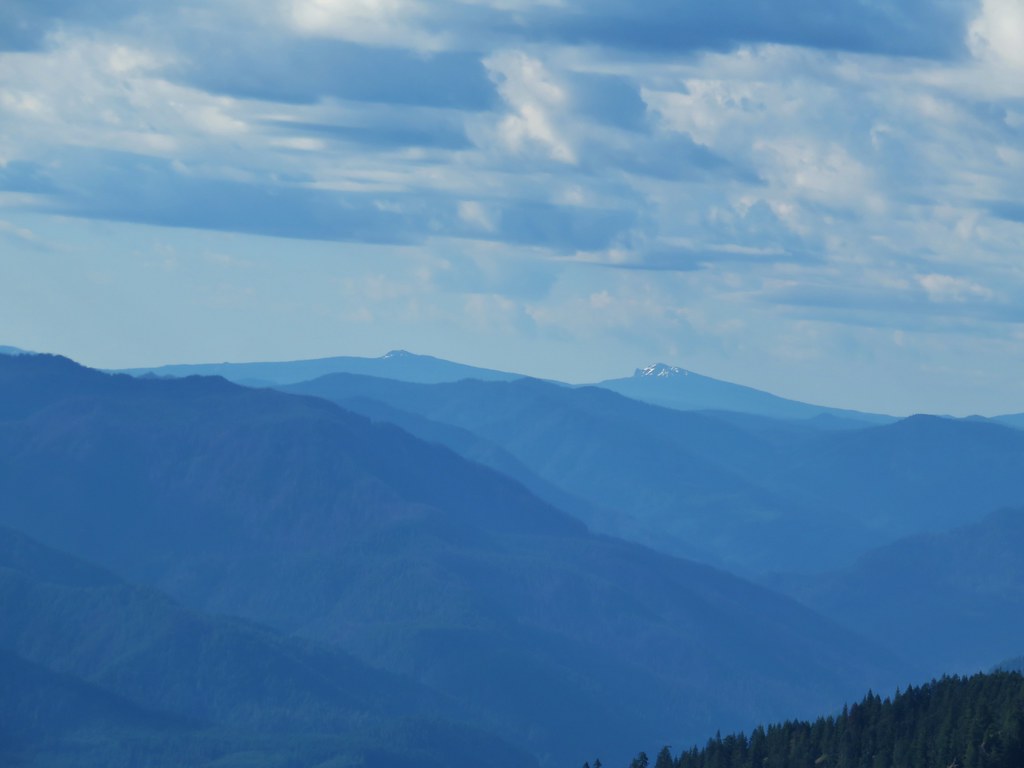
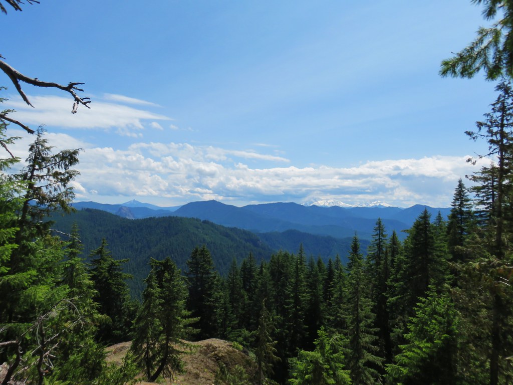
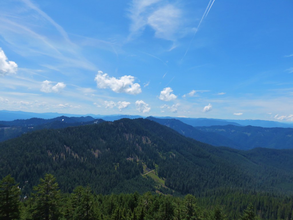
The 360 degree view from the summit was very good although our timing meant the sun was overhead between us and the Cascades impacting the ability to get clear photos of those mountains.
 NE we could see Mt. Hood, Mt. Jefferson, and Three Fingered Jack.
 Mt. Hood
 Mt. Jefferson behind Iron Mountain and Cone Peak
 Three Fingered Jack
The eastern view added Mt. Washington, The Three Sisters, and Mt. Bachelor.
 Mt. Washington
 Three Sisters
 Mt. Bachelor
We could also just make out the lookout tower atop nearby Carpenter Mountain (post).

To the SE we could make out Maiden Peak, Mt. Thielsen, and Diamond Peak.
 Maiden Peak (post)
 Mt. Thielsen (post)
 Diamond Peak
We spent a good amount of time on the summit taking in the view before descending to a lower viewpoint with a number of flowers.

 Cat’s ear lilies
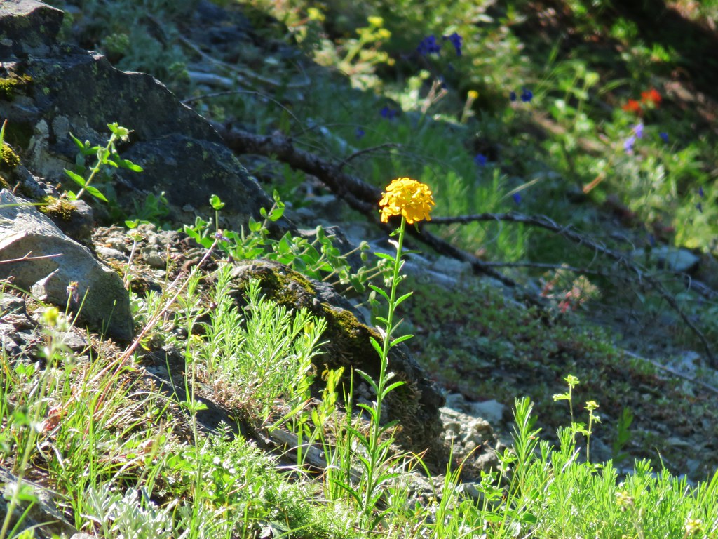
 Oregon sunshine amid buckwheat
 Penstemon and paintbrush
 A fleabane or aster

 Looking down from the lower viewpoint.
We then headed back down to the trail junction where we found the faint tread of Historical Gold Hill Trail. We followed it just far enough to get a close up view of a flower garden.

 Western wallflower
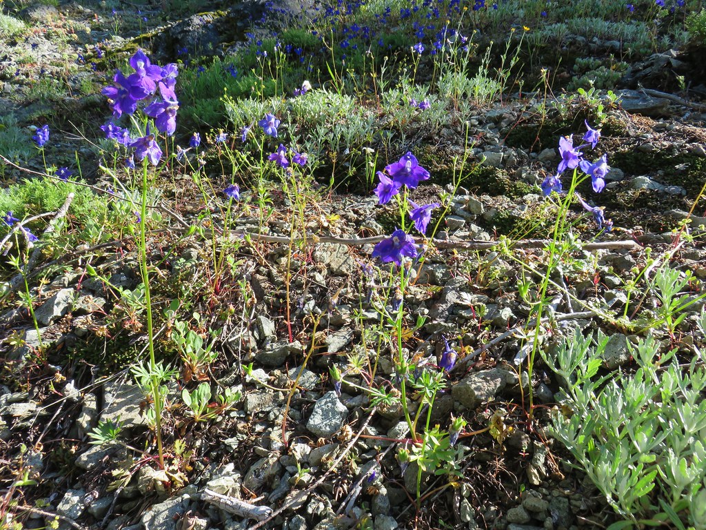 Larkspur
 Paintbrush
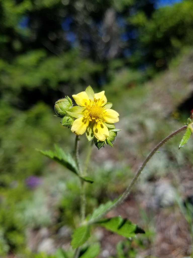 Cinquefoil
We returned to the Tidbits Mountain Trail and recrossed the talus slopes, this time we didn’t spot any pikas. We did stop to admire some of the flowers though.
 Baneberry
 Current
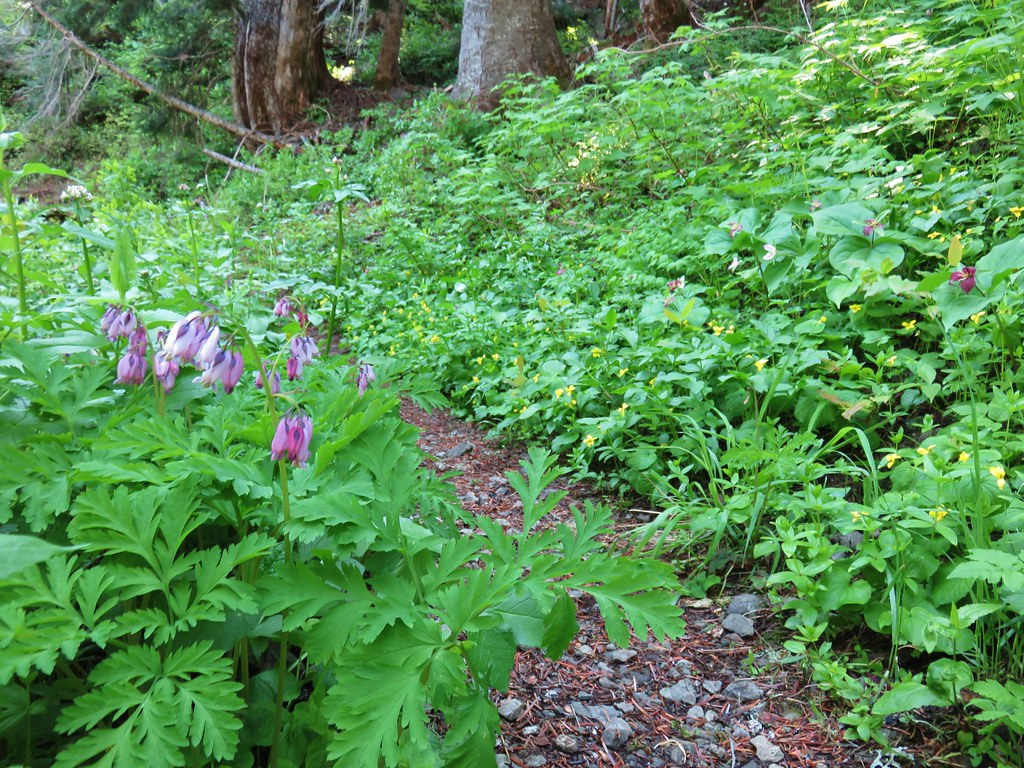 Bleeding heart, trillium and wood violets
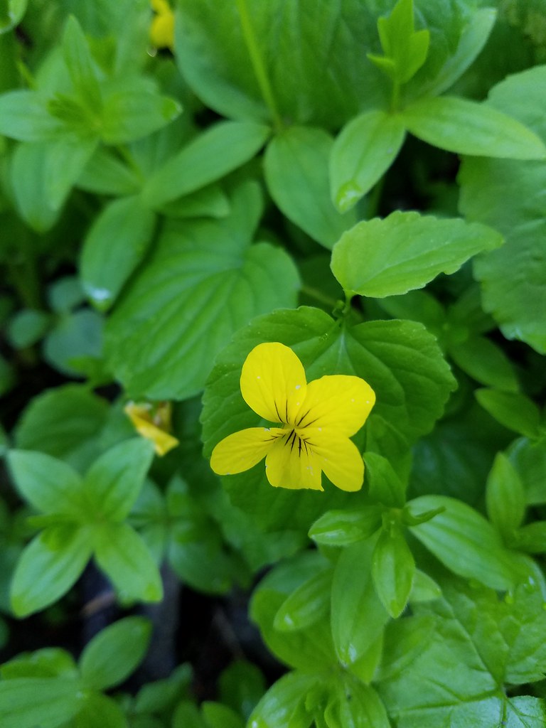 Wood violet
With the Sun starting to pass overhead Mt. Jefferson was a little more photogenic.

When we arrived back at the junction with the Gold Hill Trail we briefly searched for any sign of a former shelter that was indicated on the map.
After failing to uncover any sign of it we headed out on the Gold Hill Trail. Given the Forest Service mentioned that this trail only receives periodic maintenance we weren’t sure how far we might go but we were curious to check it out.

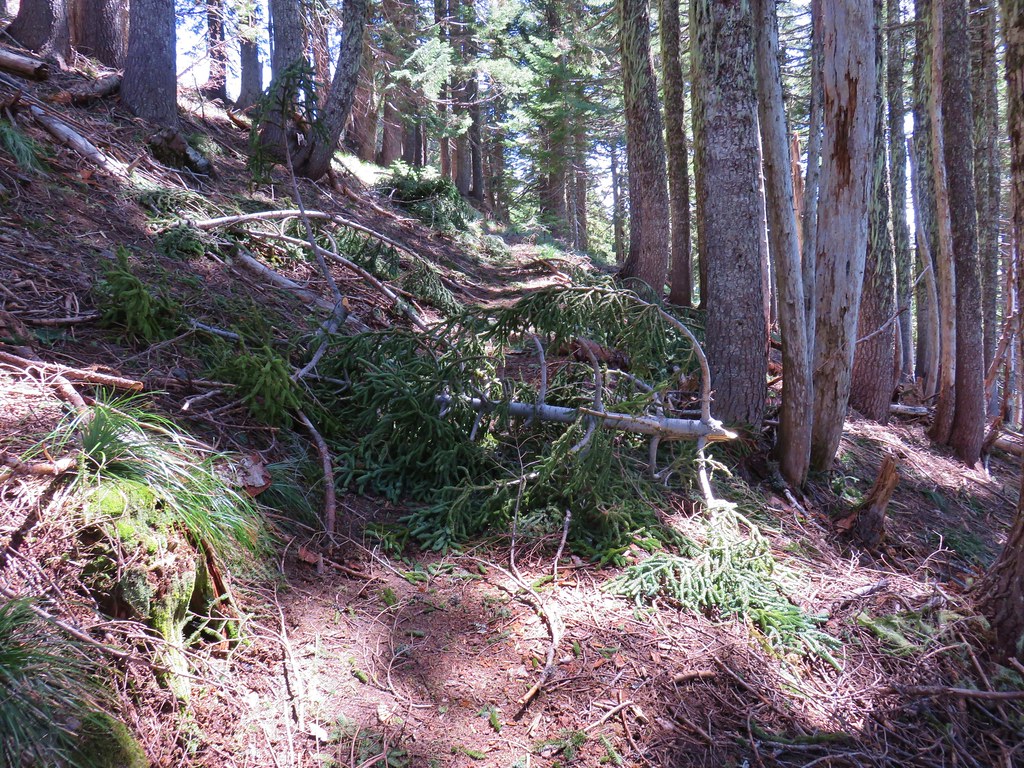
The trail was pretty overgrown, not crowded with brush, but it had a lot of vegetation growing in the middle of it indicating a lack of use.

We soon passed a rock outcrop where a patch of small monkeyflowers were blooming.


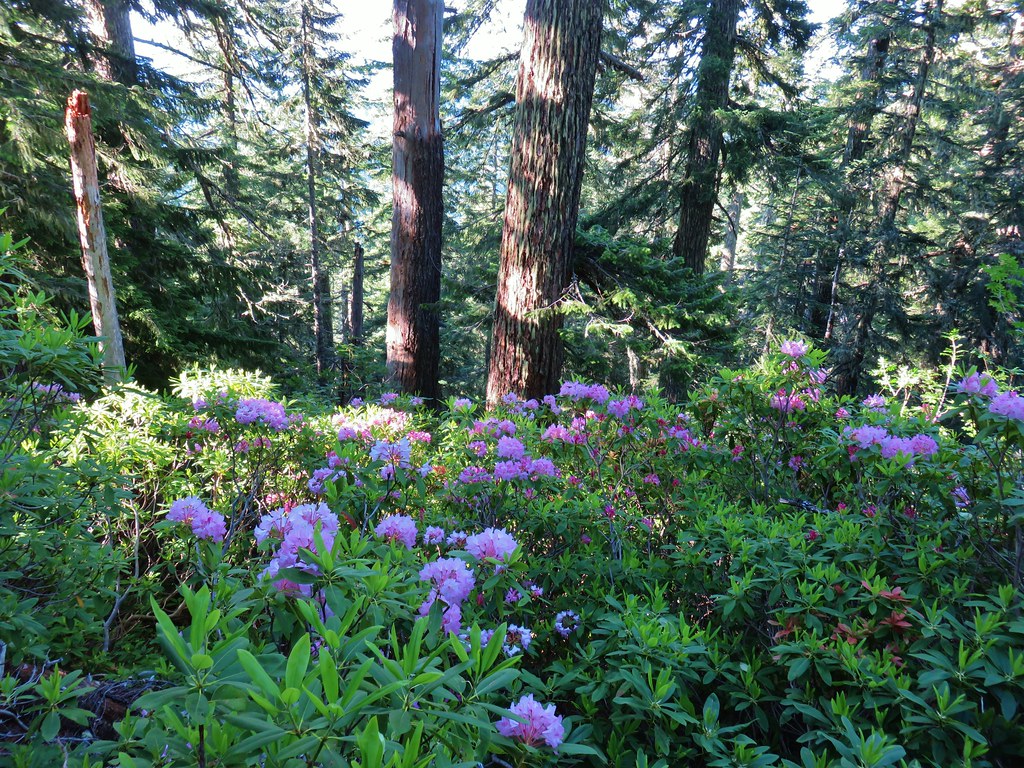
We followed the trail a total of 2.7 miles losing a total of 800′ through a series of ups and downs as it followed a ridge to the north and east. We passed through some lovely forest filled with more blooming rhododendron and by several rock outcrops. There were occasional views of the Three Sisters and Mt. Bachelor through the trees and also spotted some deer, at least one doe and fawn, as they dashed away through the trees. Despite the lack of use and periodic maintenance the trail was in pretty good shape with just a few trees to step over.
 North and Middle Sister


 Mt. Bachelor

 Showy phlox
 Washington lilies getting ready to bloom


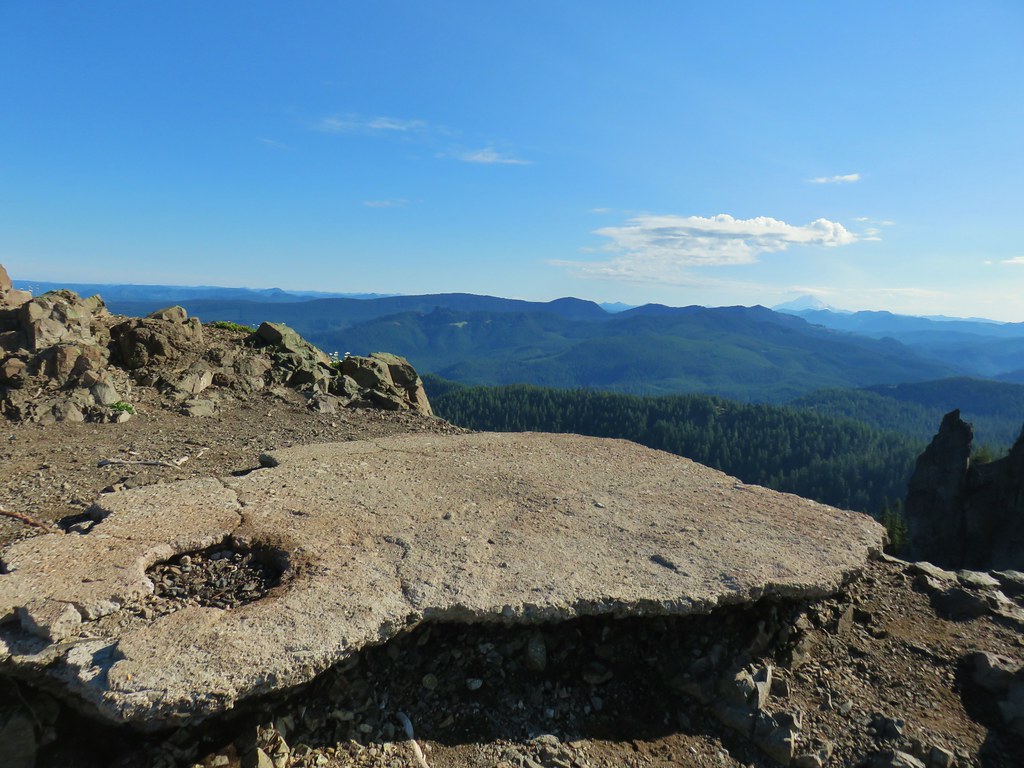
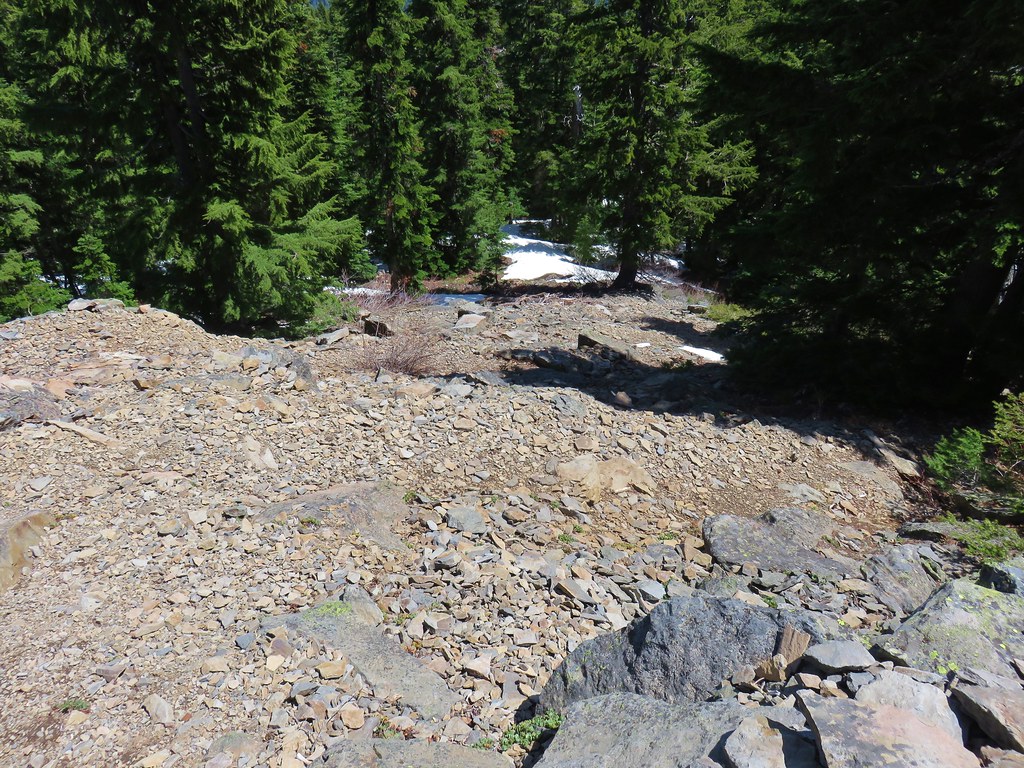
At the 2.7 mile mark the trail began a final 400′ descent in the remaining half mile to FR 1509. We weren’t overly keen on having to climb back up that just to say we reached the road plus we had set an 11:30 turn around time and it was just after 11:20. We noticed an open knoll just off trail to the right so we decided to check it out and make this be our turn around spot.

The knoll turned out to be very interesting. In addition to some nice views there were a number of flowers.

 The Two Girls
 Mt. Washington and the Three Sisters
 Wolf Rock an Mt. Washington
 North Sister
 Middle Sister
 South Sister
 Mt. Jefferson had been overtaken by clouds but Iron Mountain and Cone Peak were still visible.
 Buckwheat and paintbrush
 Wallflower and cat’s ear lilies
 Penstemon and paintbrush
After exploring the knoll we headed back looking for anything we missed on our first pass. We did notice a couple of interesting old tree trunks and a grouse crossed the trail in front of us.

 Young tree growing out of an old trunk.
 Grouse
We made our way back to the Tidbits Mountain Trail and returned to the trailhead without seeing another person until we ran into a gentleman at the trailhead who seemed to just be out for a drive and looking around. We ended up with a 10.5 mile hike which was perfect. It was a nice way to end our vacation. Happy Trails!
Flickr: Tidbits Mountain
 Red flowering currant
 Large solomonseal
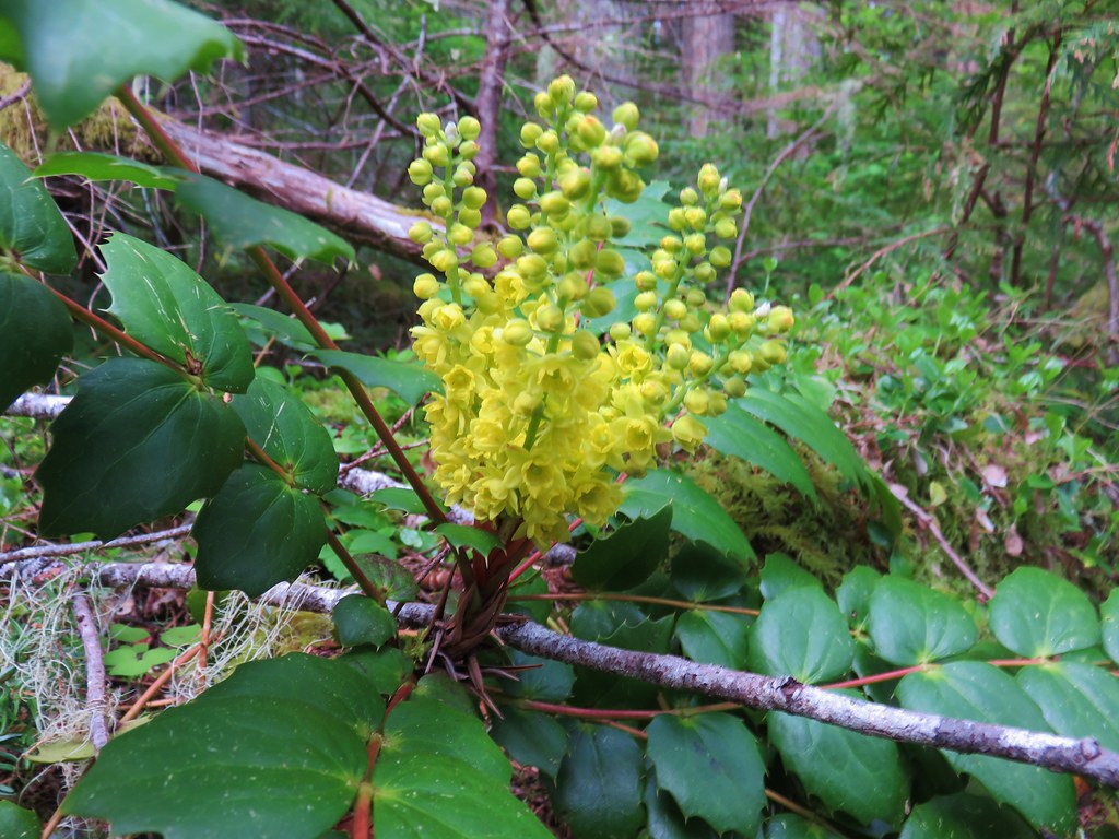 Oregon grape
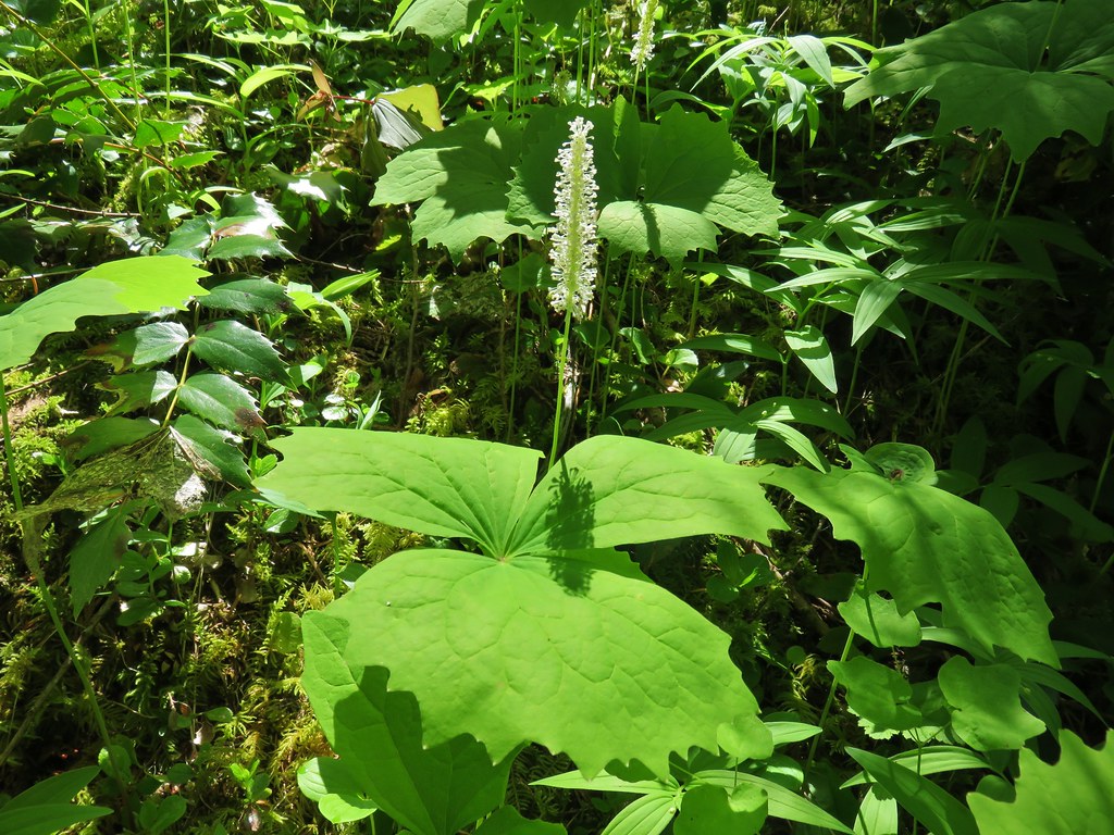 Vanilla leaf
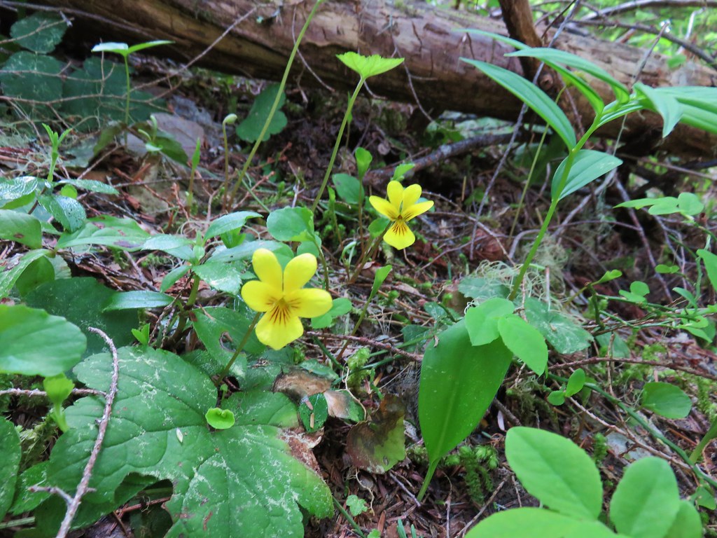 Violets
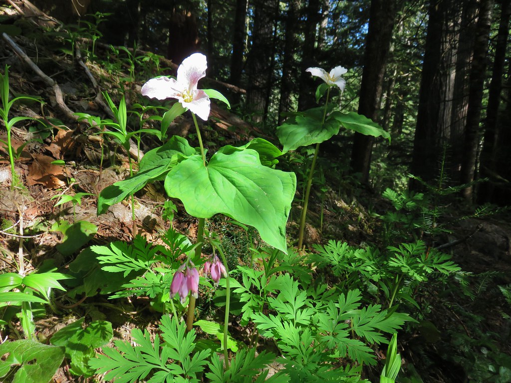 Trillium and bleeding heart
 Bunchberry
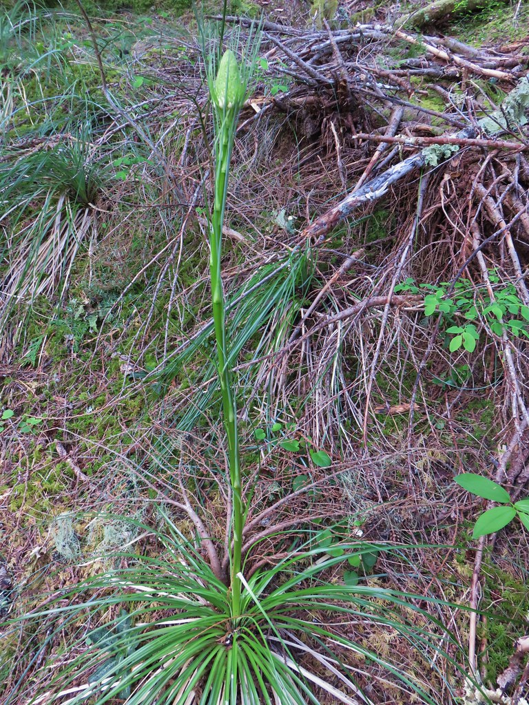
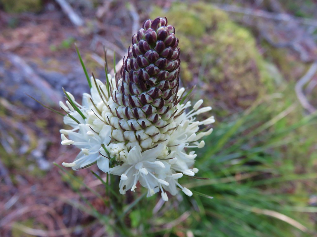 Beargrass
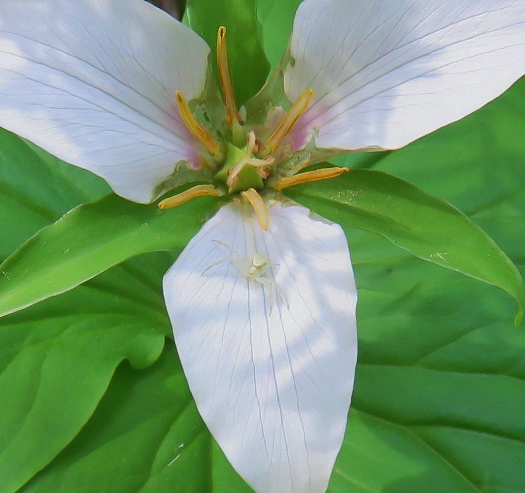 Crab spider on trillium
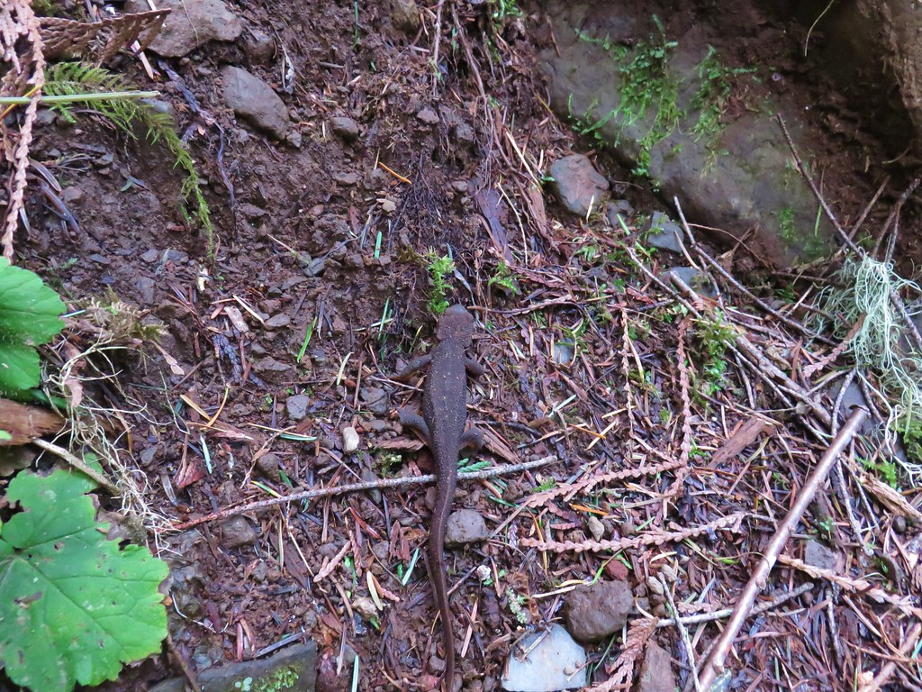 Rough-skinned newt
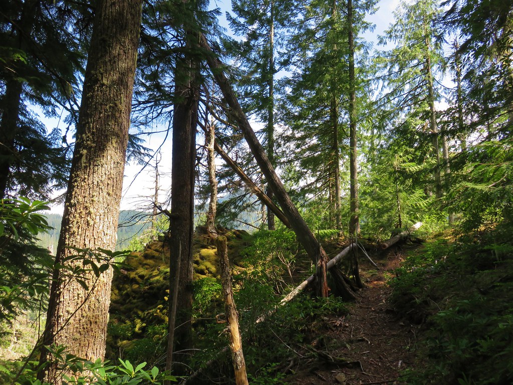

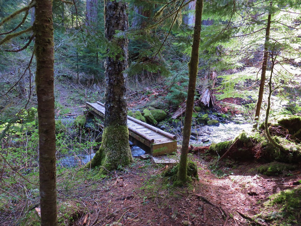

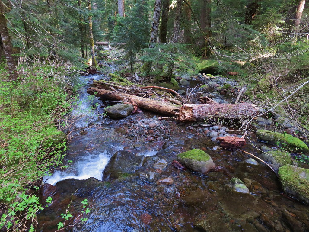
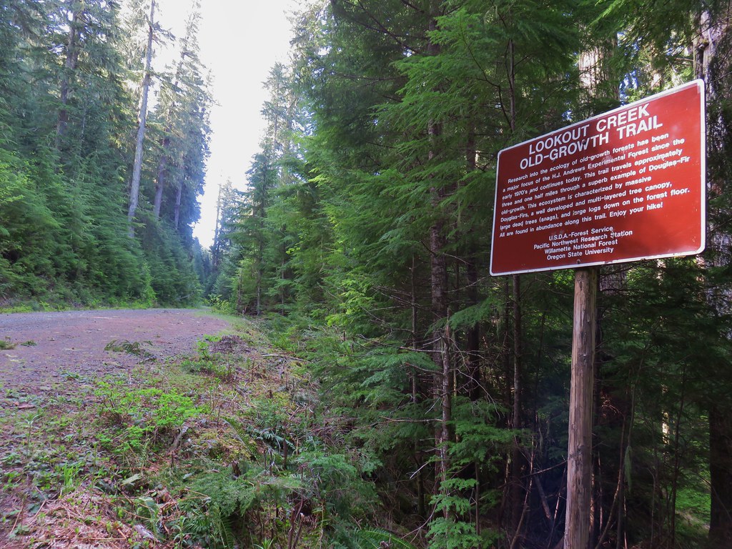
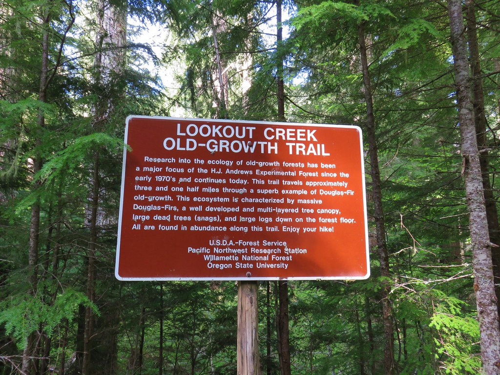
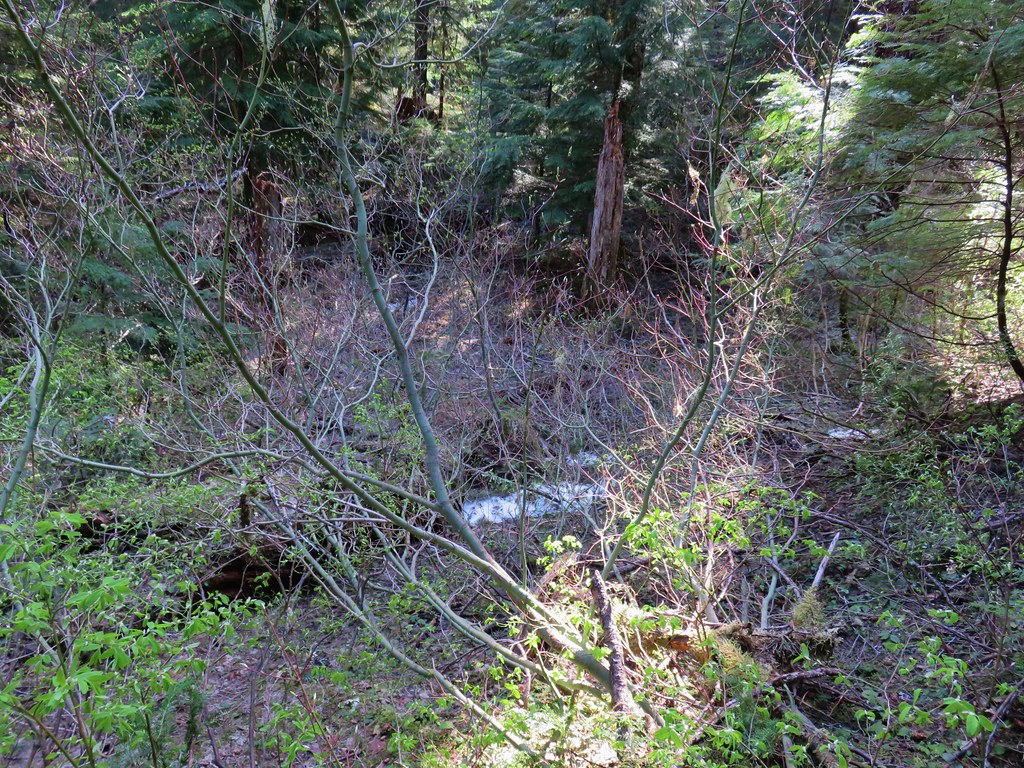 Snow in the bushes along the Lookout Creek Trail
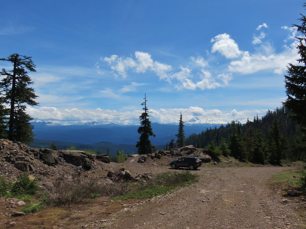


 Looking back down at the route up
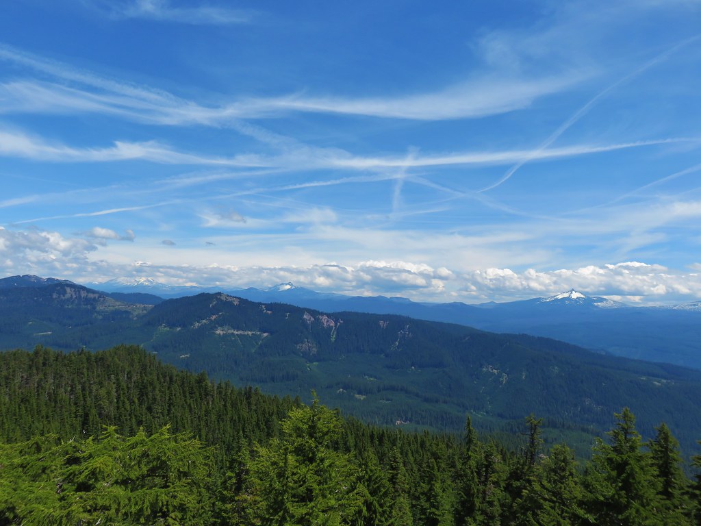 Mt. Jefferson, Three Fingered Jack and Mt. Washington
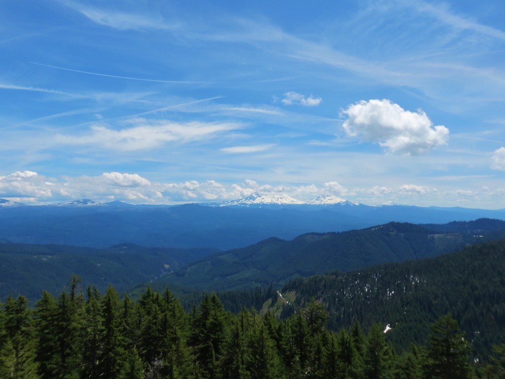
 Diamond Peak
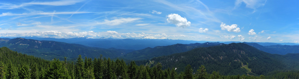 Panorama
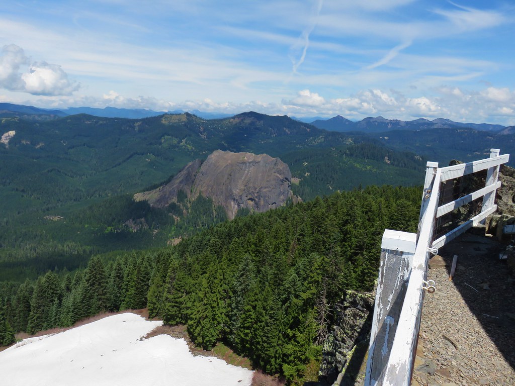

 Browder Ridge (
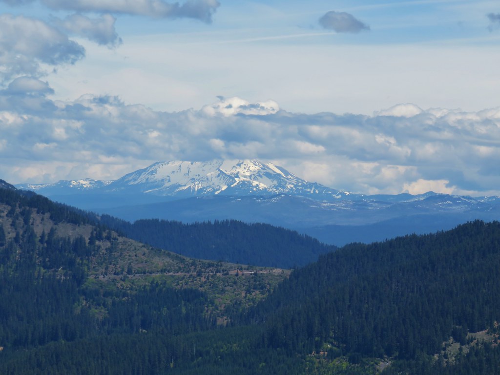 Mt. Jefferson
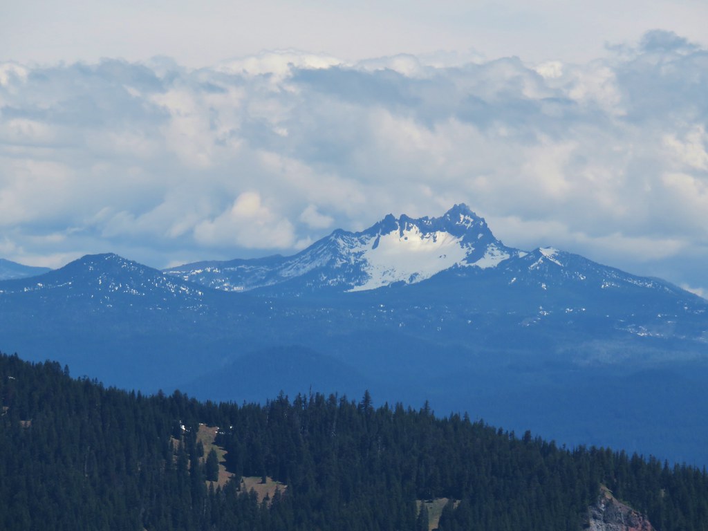 Maxwell Butte (
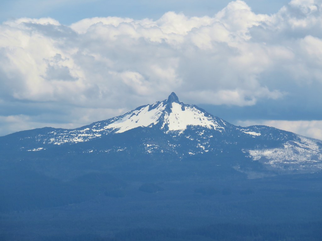 Mt. Washington
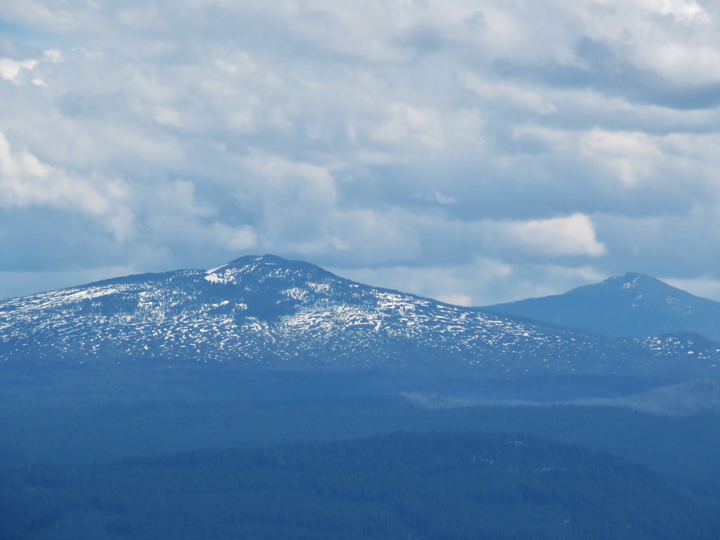 Belknap Crater (
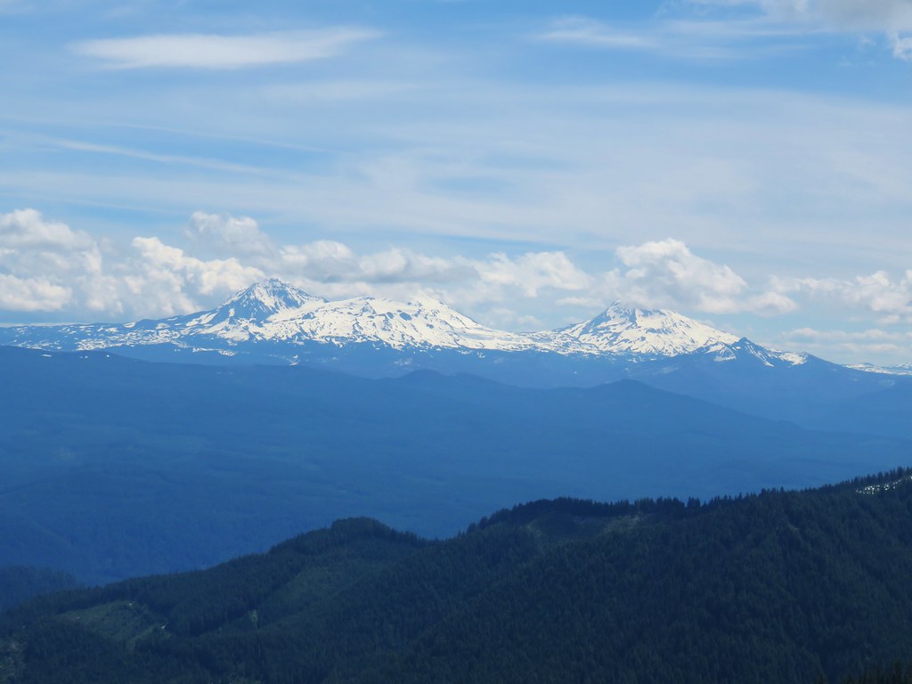 The Three Sisters and The Husband
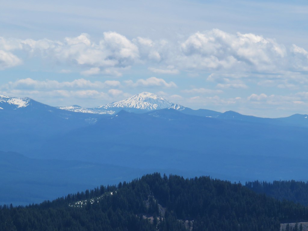 Mt. Bachelor
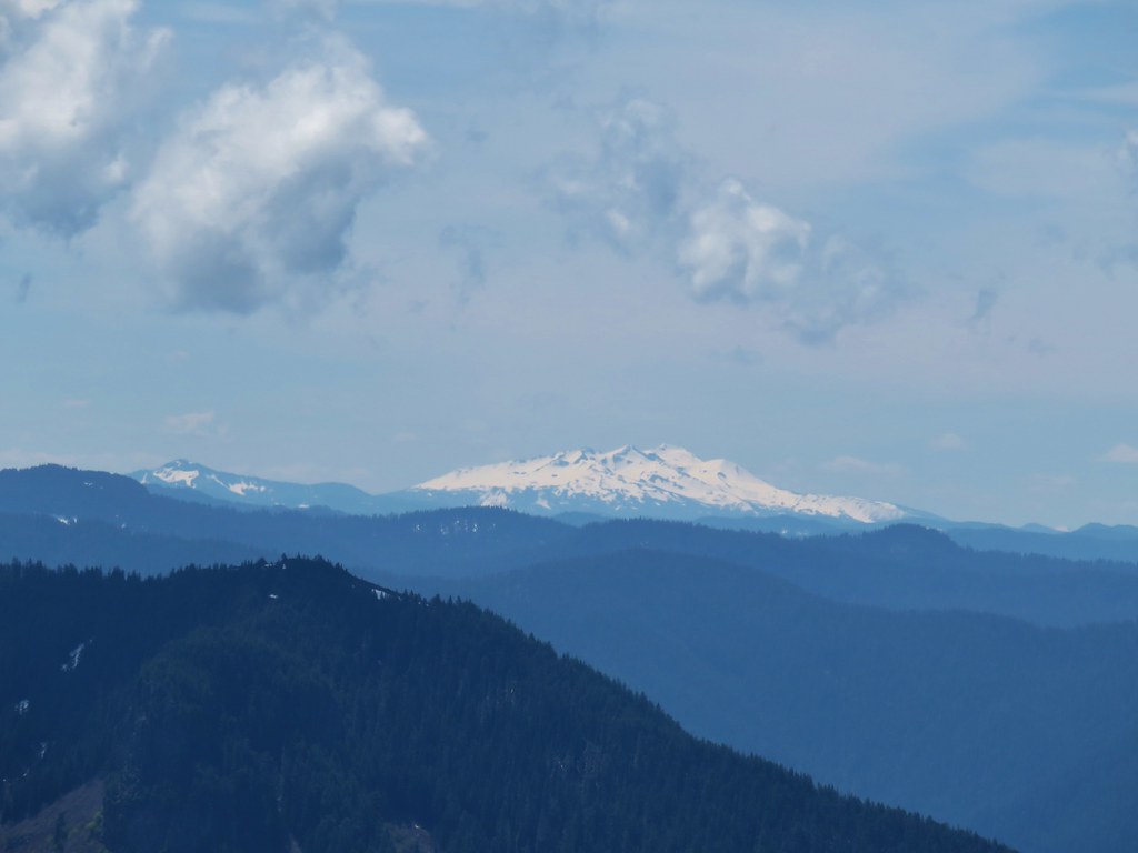 Fuji Mountain (
 Tidbits Mountain