**Note portions of these hikes burned in the 2023 Lookout Fire.**
We found ourselves doing some last minute schedule rearranging due to an ever changing weather forecast. After deciding against a possibly wet overnight trip along the Salmon River we chose a pair of hikes we had originally planned on doing in early June. We picked these because they gave us options. The Lookout Creek Old-Growth Trail wasn’t view dependent so it didn’t matter if it was raining or partly sunny. We did however want at least partly sunny skies for the shorter hike to the lookout tower atop Carpenter Mountain so our plan was to decide on our way to Blue River, OR which hike to start with. Worst case scenario was that it showered all day in which case we would just hike the Lookout Creek Trail and save Carpenter Mountain for another time.
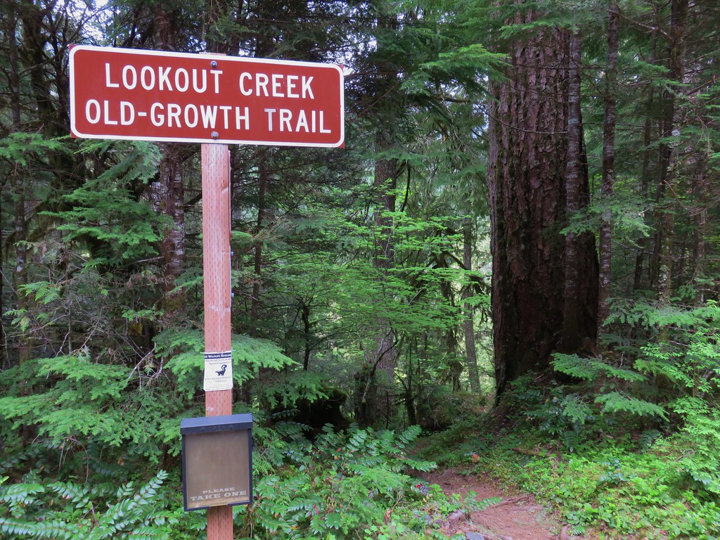
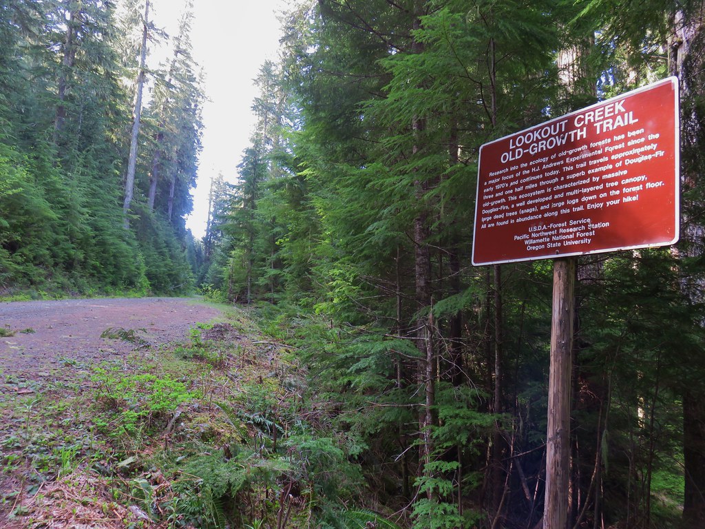
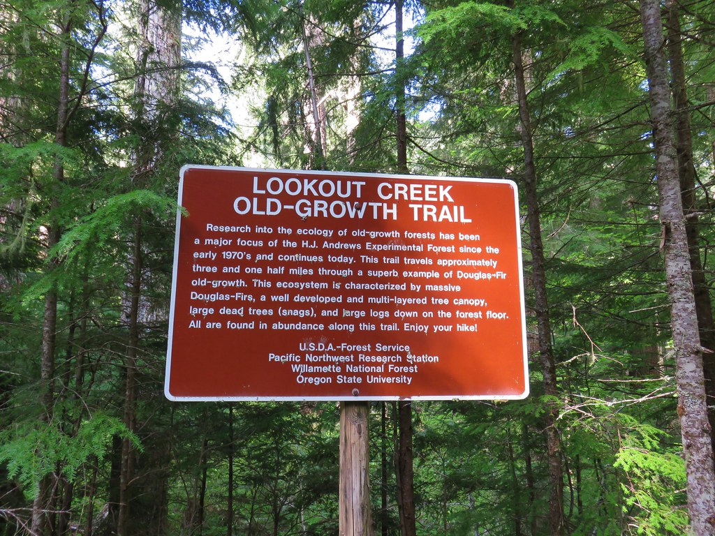
It was a misty drive south to Eugene and more of the same as we drove east from there on Highway 126 to Blue River so we headed to the Lookout Creek West Trailhead. The trail passes through the H.J. Andrews Experimental Forest, a 16,000 acre portion of the Willamette National Forest supported by Oregon State University and the U.S. Forest Service. The trail begins and ends on Forest Road 1506 making a car shuttle possible.
From the west trailhead the trail descended quickly down to Lookout Creek.
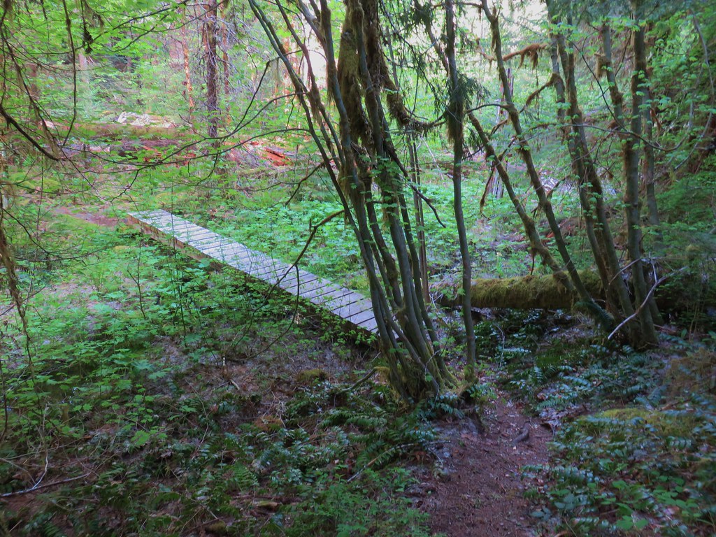
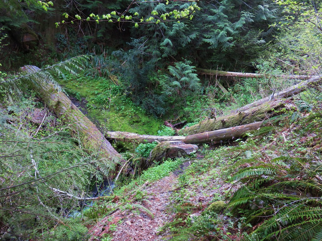
A small footbridge crossed a marshy area just prior to reaching a much longer bridge spanning Lookout Creek.
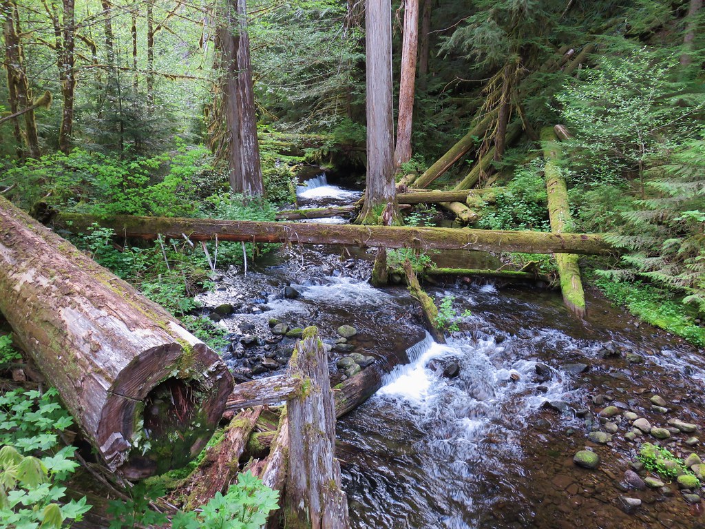
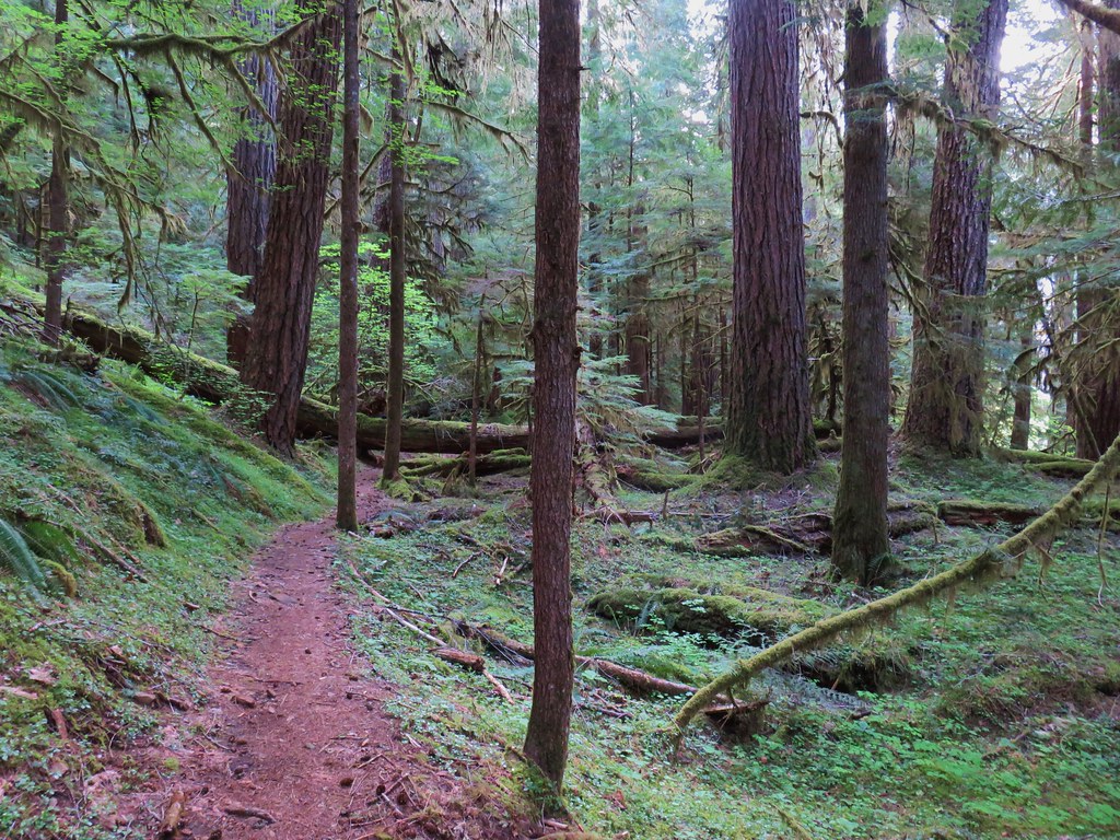
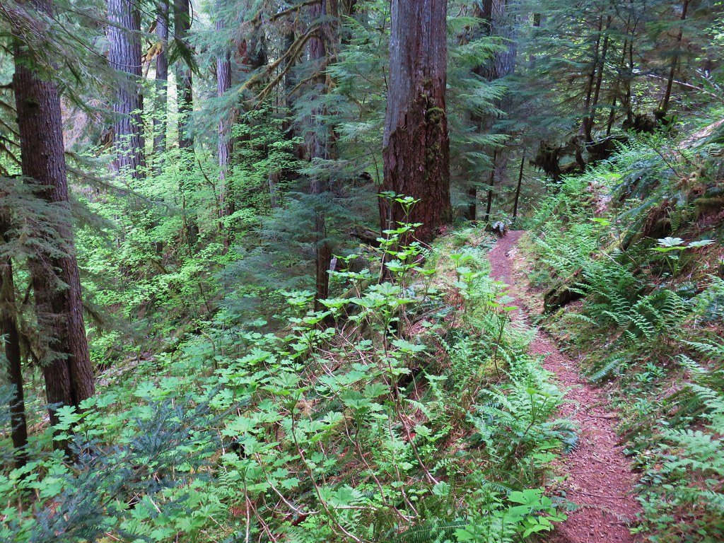
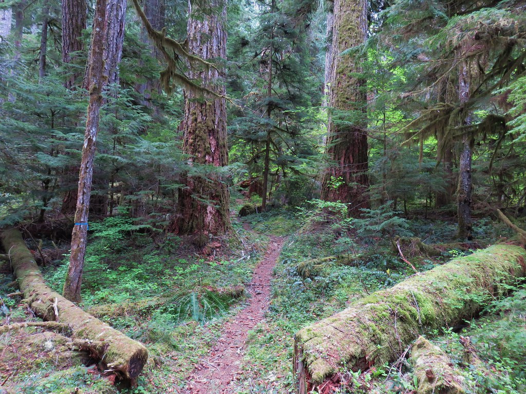
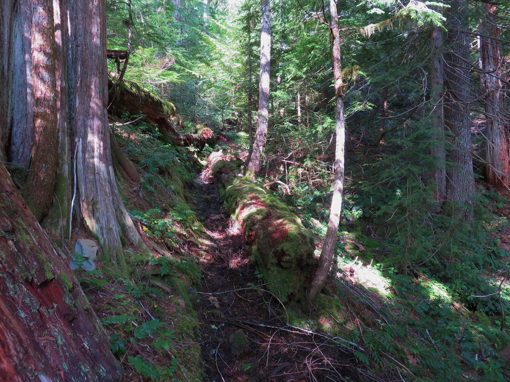
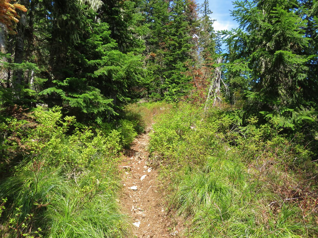
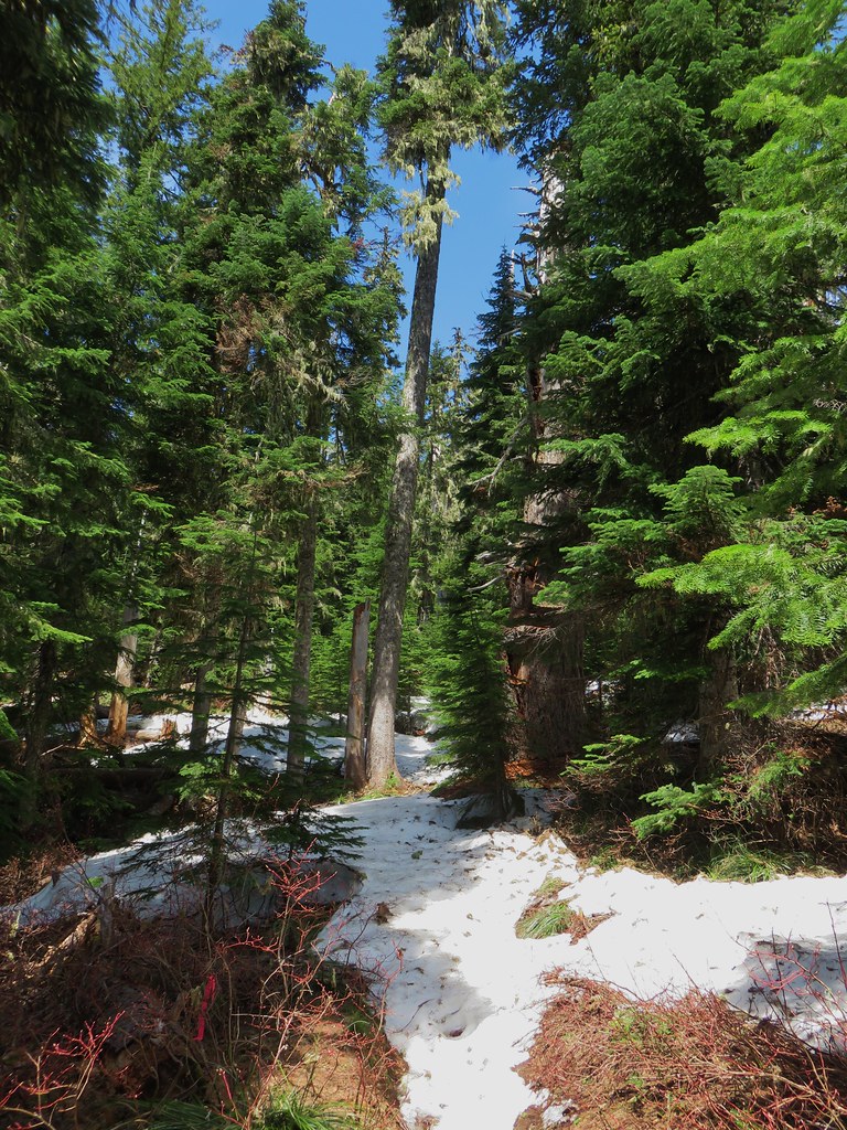
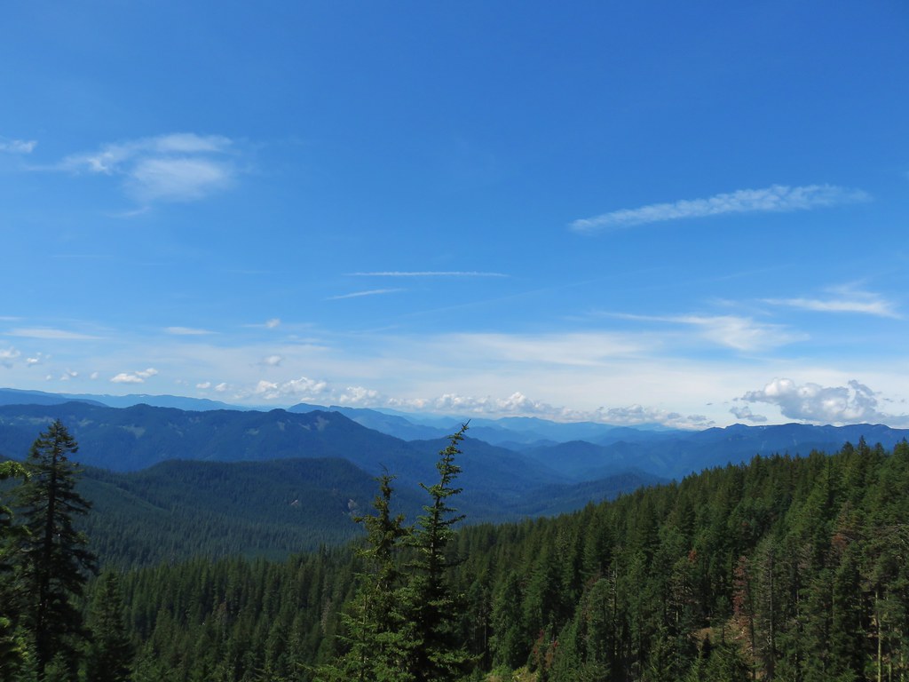
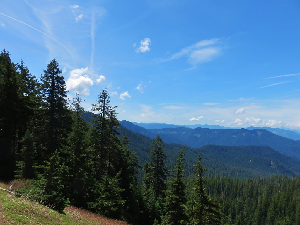
The trail then climbed steeply away from the creek up a ridge for about a mile then began traversing the hillside several hundred feet above the creek. The old-growth forest was the star of the hike.
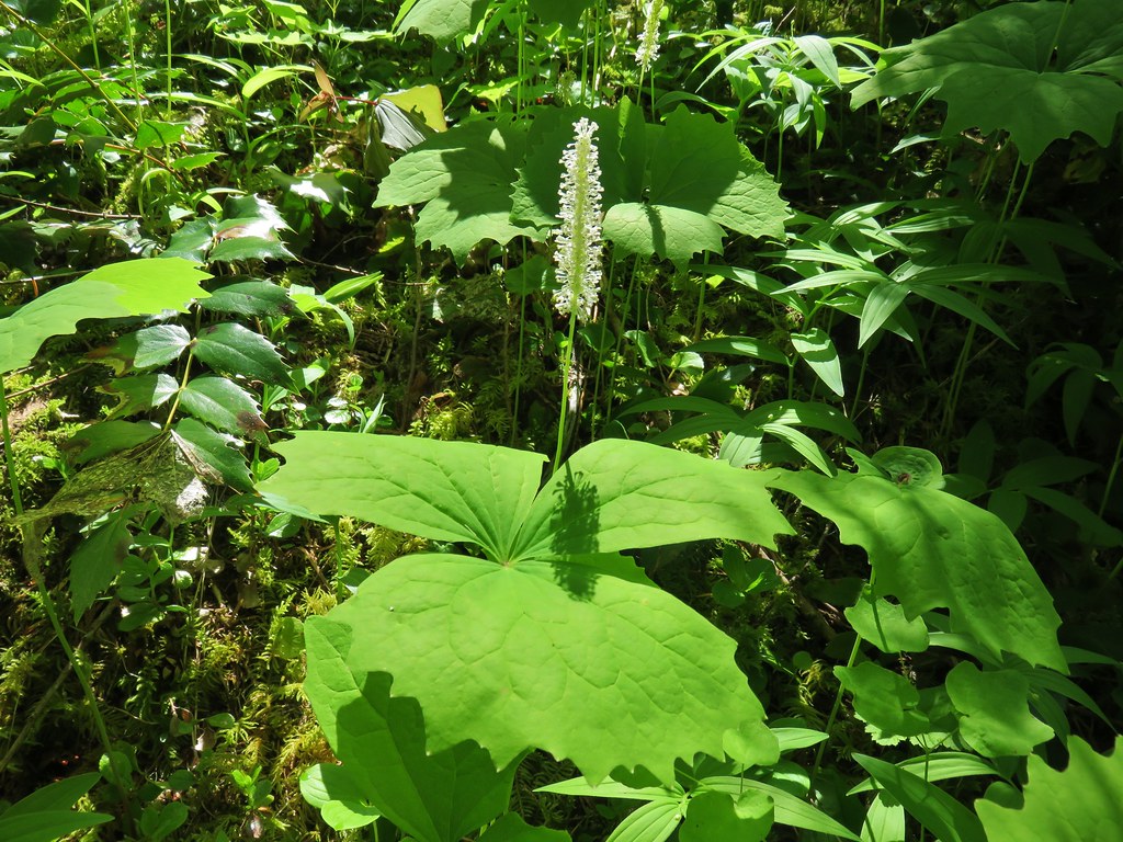
Several types of wildflowers were either blooming or preparing to bloom along the way.
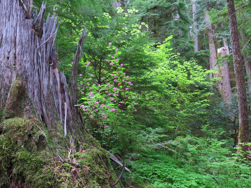 Red flowering currant
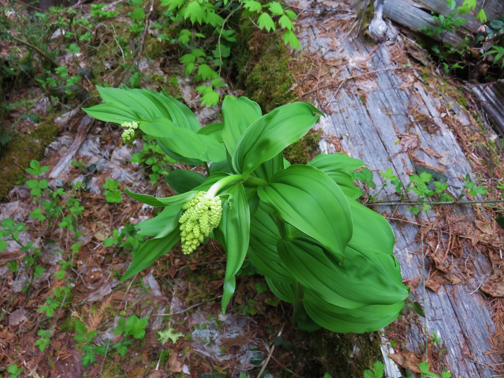 Large solomonseal
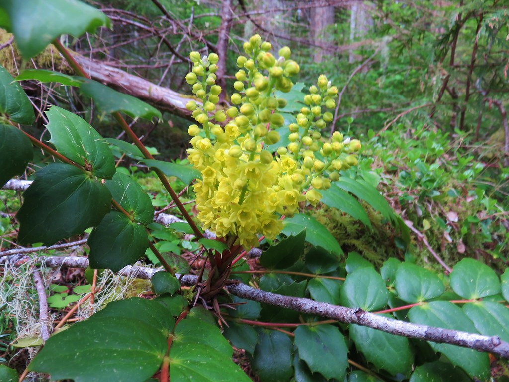 Oregon grape
 Vanilla leaf
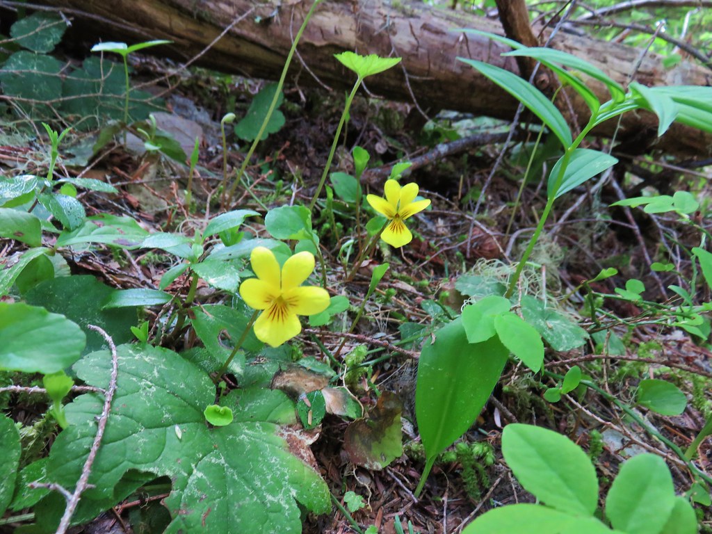 Violets
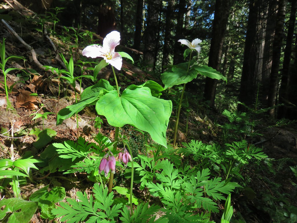 Trillium and bleeding heart
 Bunchberry
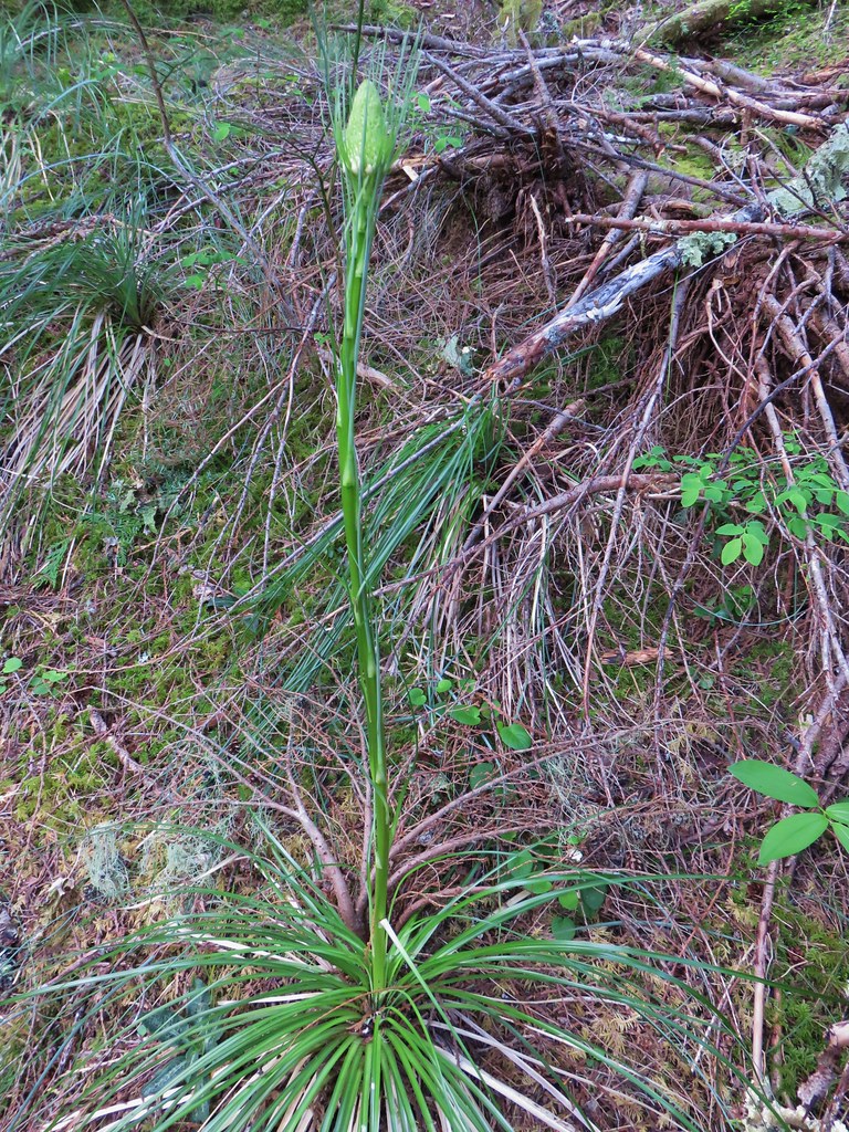
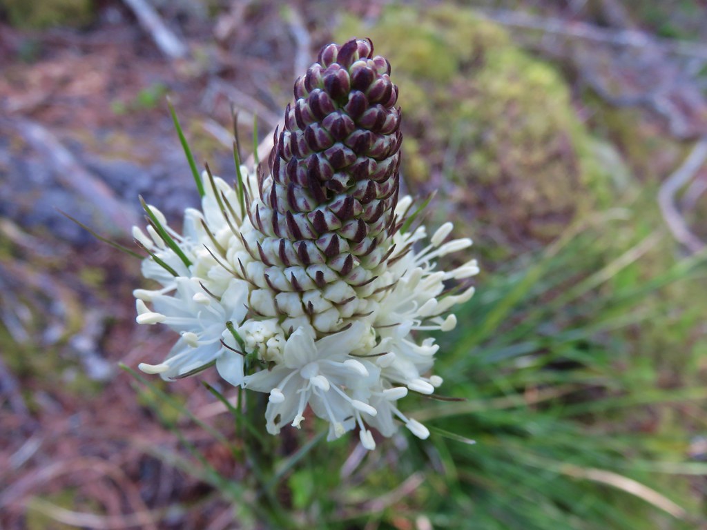 Beargrass
Wildlife was confined to the smaller varieties.

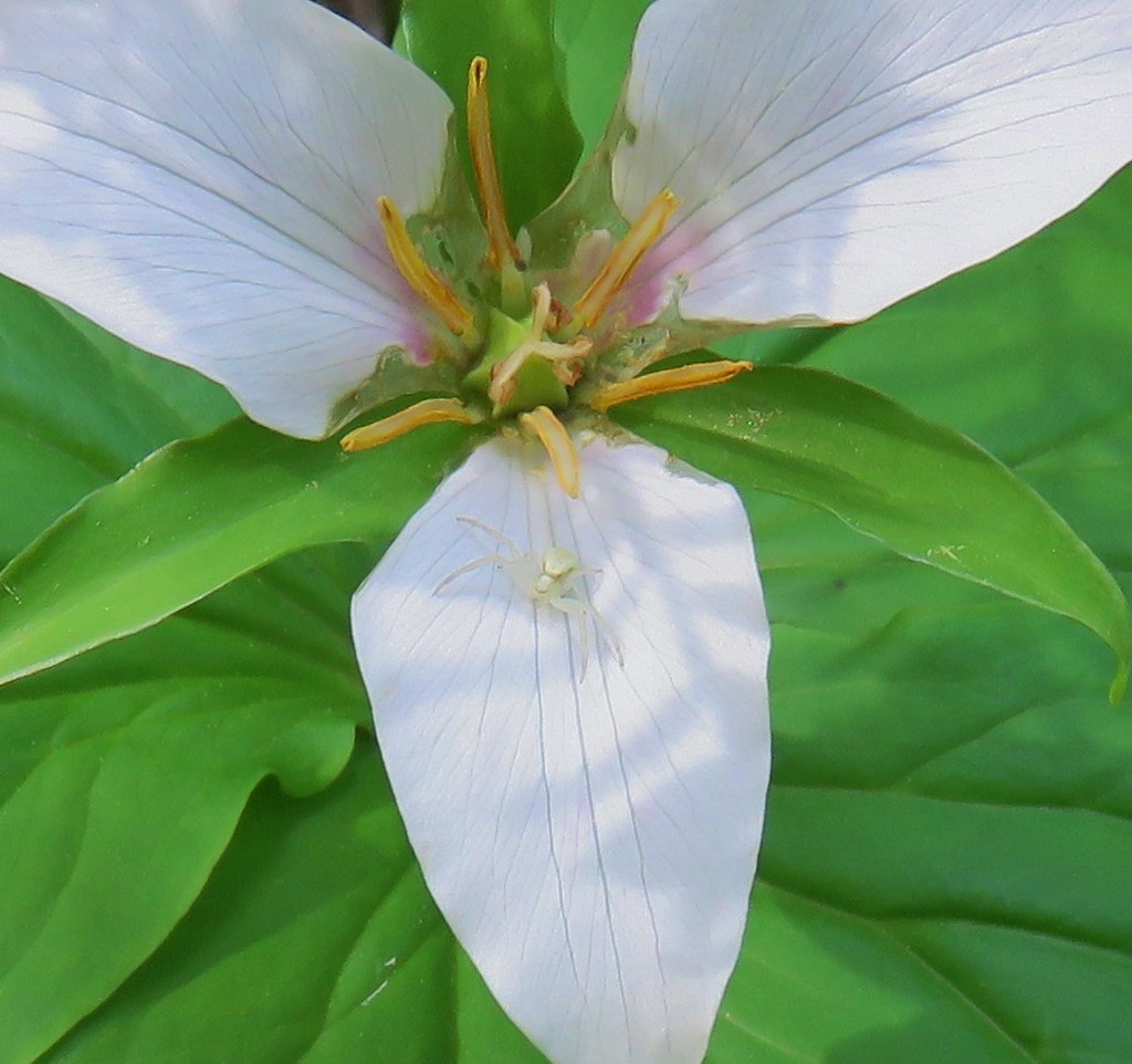 Crab spider on trillium
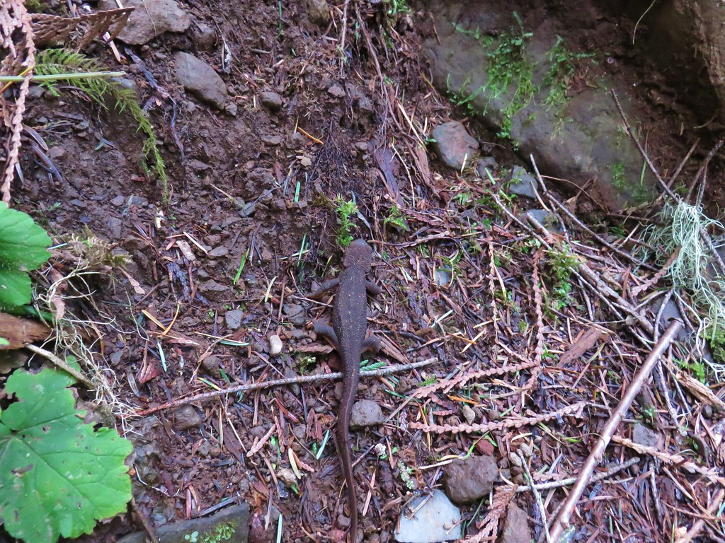 Rough-skinned newt
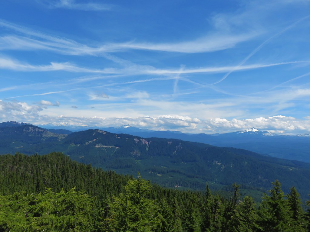
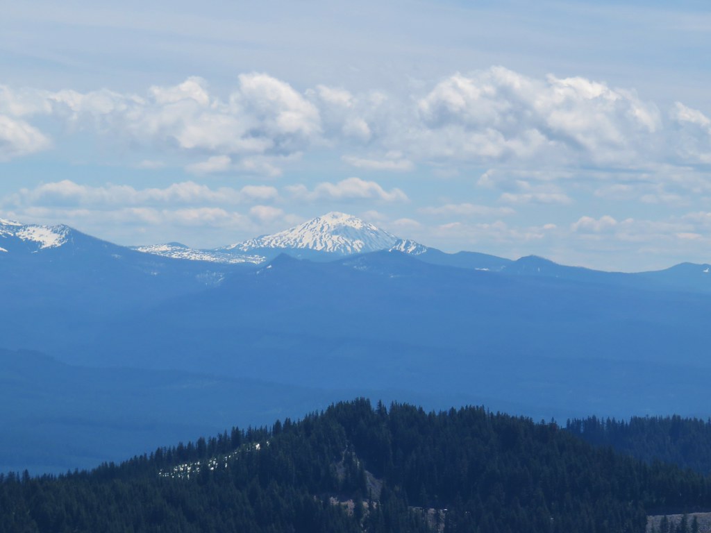
A mile and a half from the west trailhead was the only real viewpoint along the trail. A rock outcrop there looked out over the Lookout Creek Valley.

From the viewpoint we could see that the clouds seemed to be breaking up which gave us some hope that by the time we were finished with this hike it might be clear enough to warrant the visit to Carpenter Mountain.
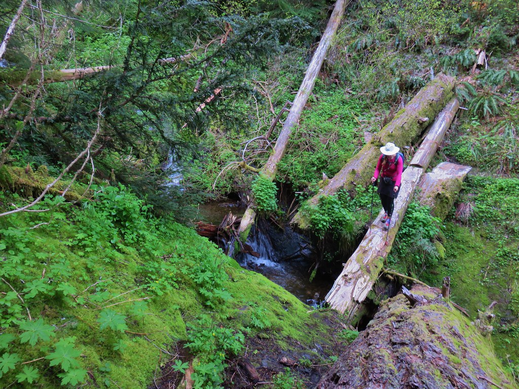
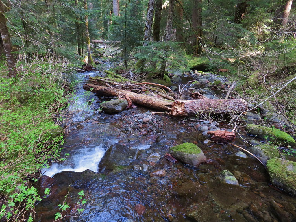
Beyond the viewpoint the trail crossed several small seasonal streams. Only one of these crossing was a little tricky. The log over the stream was angled down which made it a little awkward to cross.
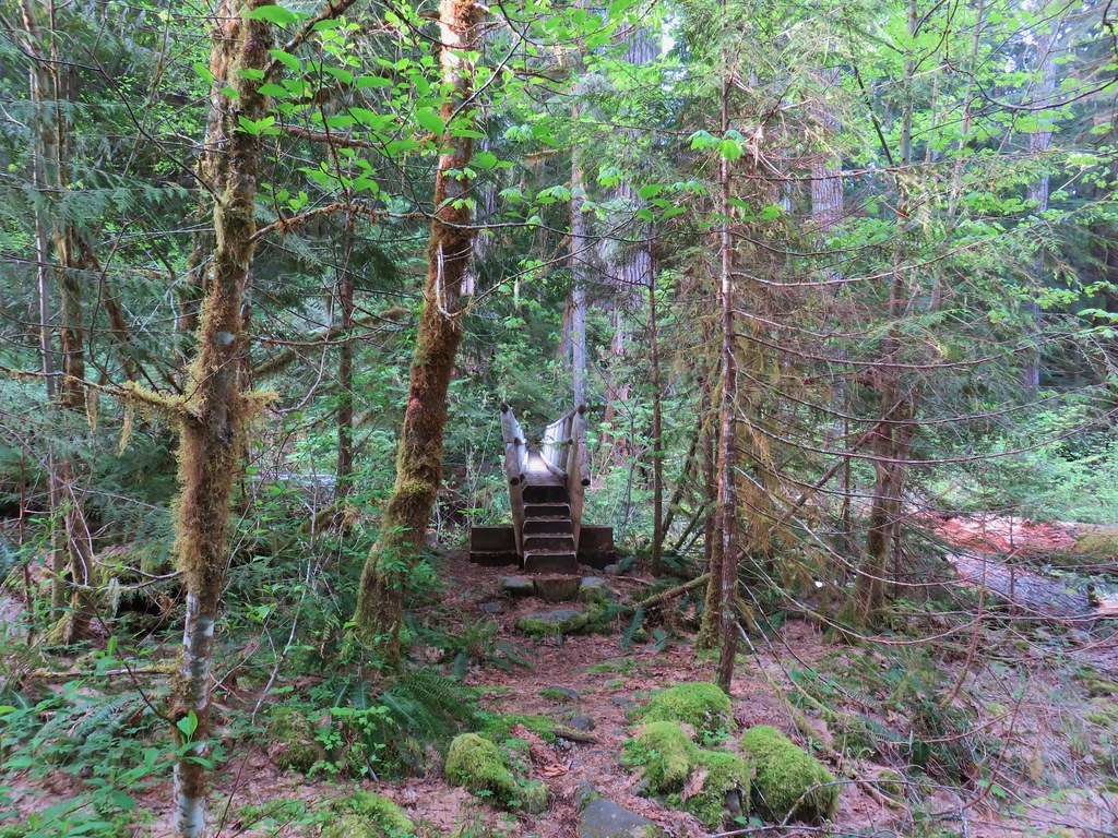
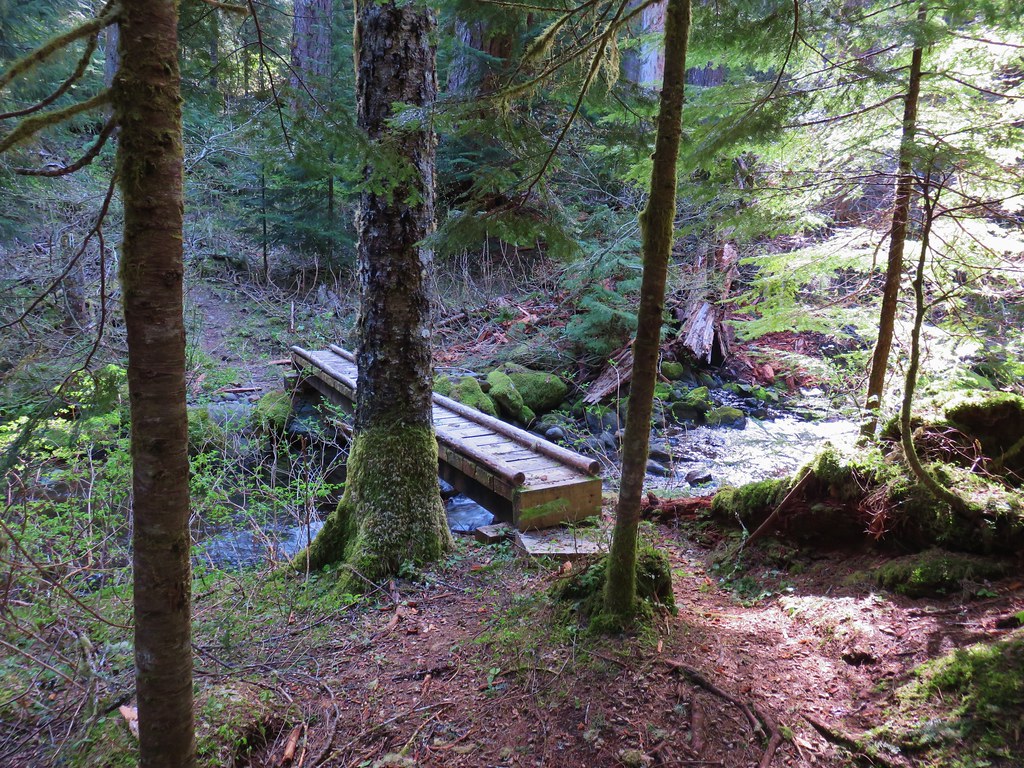
The trail dropped back down to a second crossing of Lookout Creek before climbing back up to Road 1506 at the eastern trailhead. The bridge and the creek where much smaller at this end.

Our guidebook had described the trail in part as “A woodsy 6.3-mi trail….” (since corrected in subsequent printings) so we had been thinking that hiking the entire trail out-and-back would be 12.6 miles but a sign at this trailhead indicated that the trail was only 3.5 miles one way.
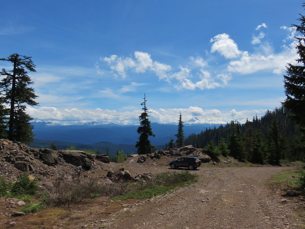
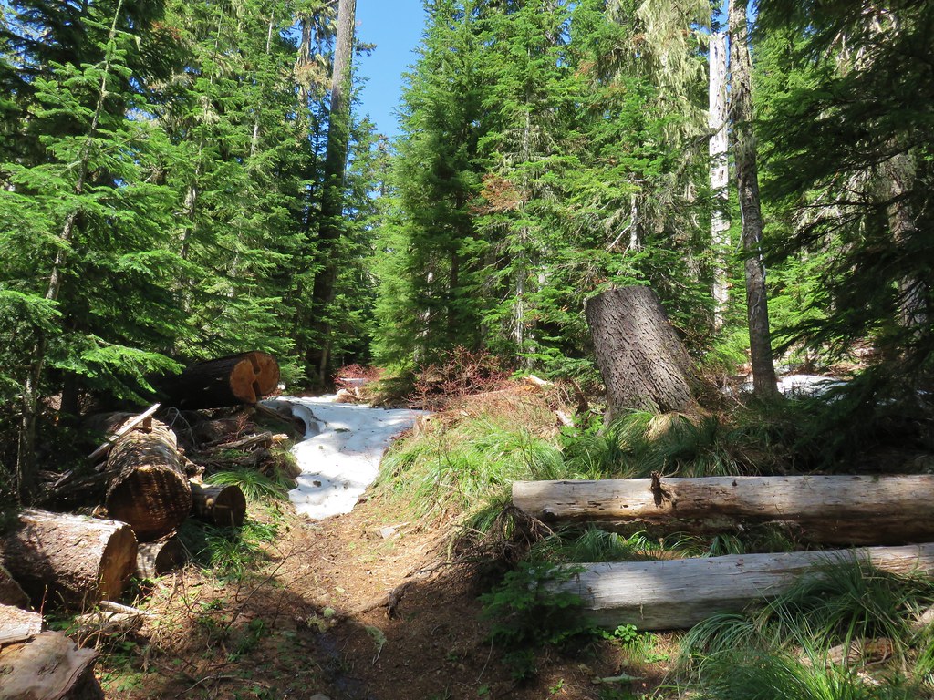
We returned the way we’d come passing a handful of hikers on the way back to our car. Since the hike wound up only being 7 miles instead of 12.6 we made it back to the car at a quarter after eleven. The sky above seemed clear enough to give Carpenter Mountain a try. The trailhead for Carpenter Mountain is located on Forest Road 350 which we had passed on Road 1506 less than a quarter mile from the Lookout Creek West Trailhead. We drove back to Road 350 and turned onto it heading uphill (north) for approximately 5 miles to a pullout at a saddle. Even though the snow pack is below normal this year, we weren’t entirely certain that we would make to the trailhead which was at an elevation just over 4400′. We knew from our Patterson Mountain outing just two weeks prior that there was still some snow present in areas starting around 4000′ feet and we had even seen one very small patch of snow along the Lookout Creek Trail around 3400′.
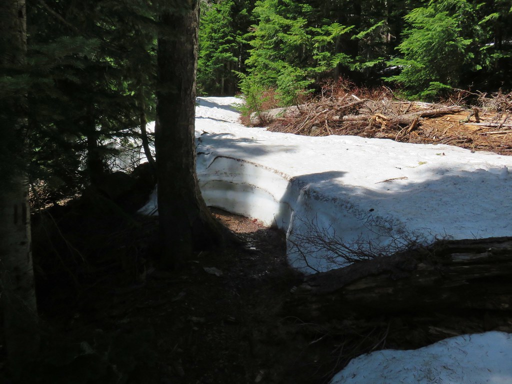
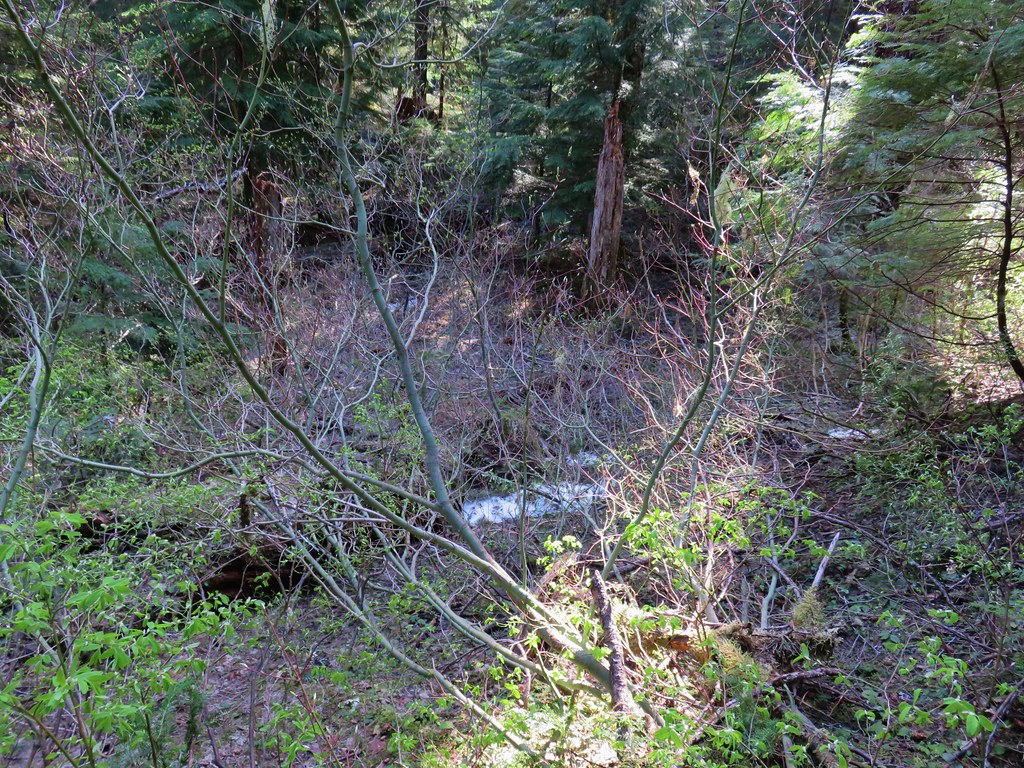 Snow in the bushes along the Lookout Creek Trail
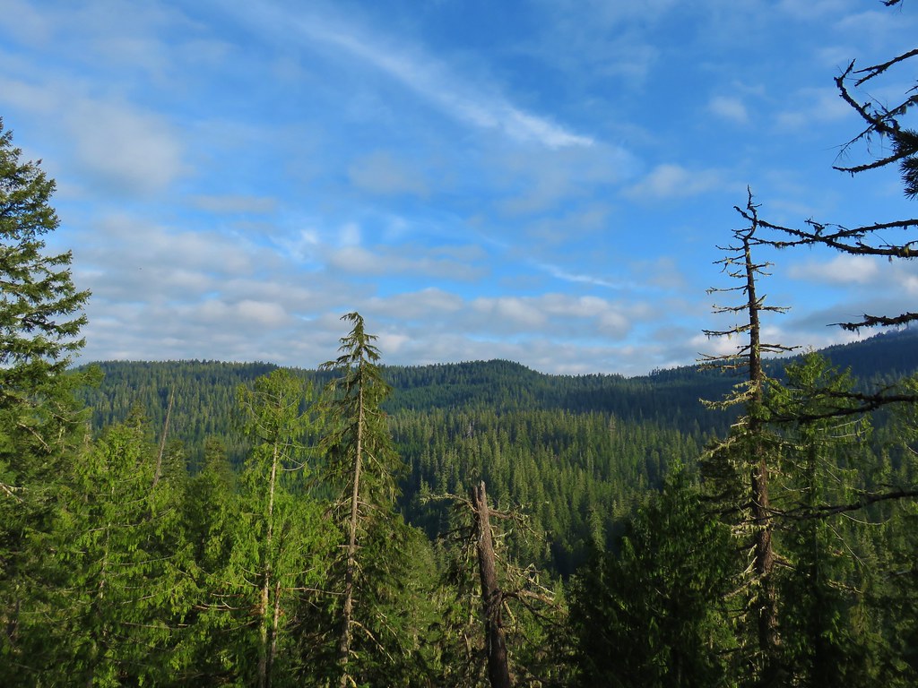
The road was in pretty good shape, it appeared that the Forest Service had taken care of the trees that had fallen over the winter and aside from a few rocks here and there the drive was fine. Near the trailhead there was some snow present along the shoulder of the road but that was it. We parked at the saddle which had a decent view east to several mountains.
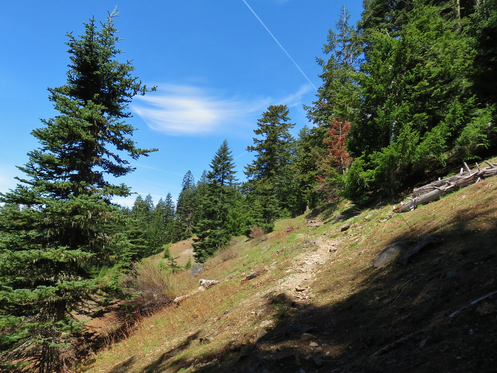
A short walk up the road brought us to the signed trail.


The trail climbed up through huckleberry bushes just beginning to get their leaves.
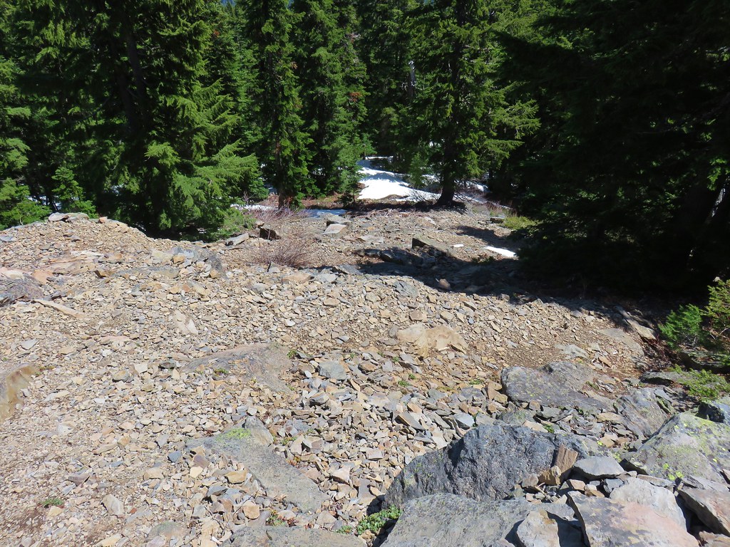
It wasn’t long before we hit the first section of snow covered trail.
For a short while the trail occasionally popped out from under the melting snow.
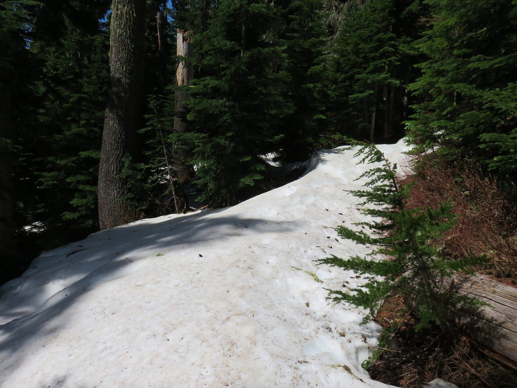
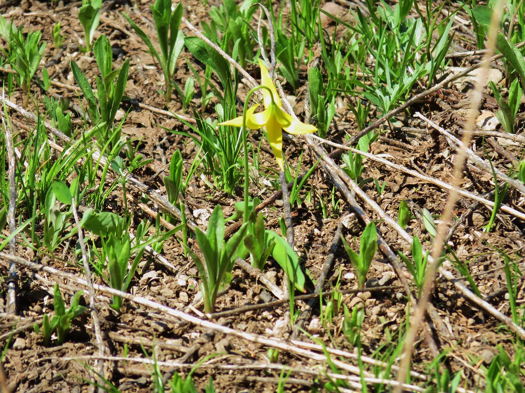
We had micro spikes with us but never needed them. The trail actually became snow free after about four tenths of a mile and at the half mile mark passed through a hillside meadow with a few yellow glacier lilies.
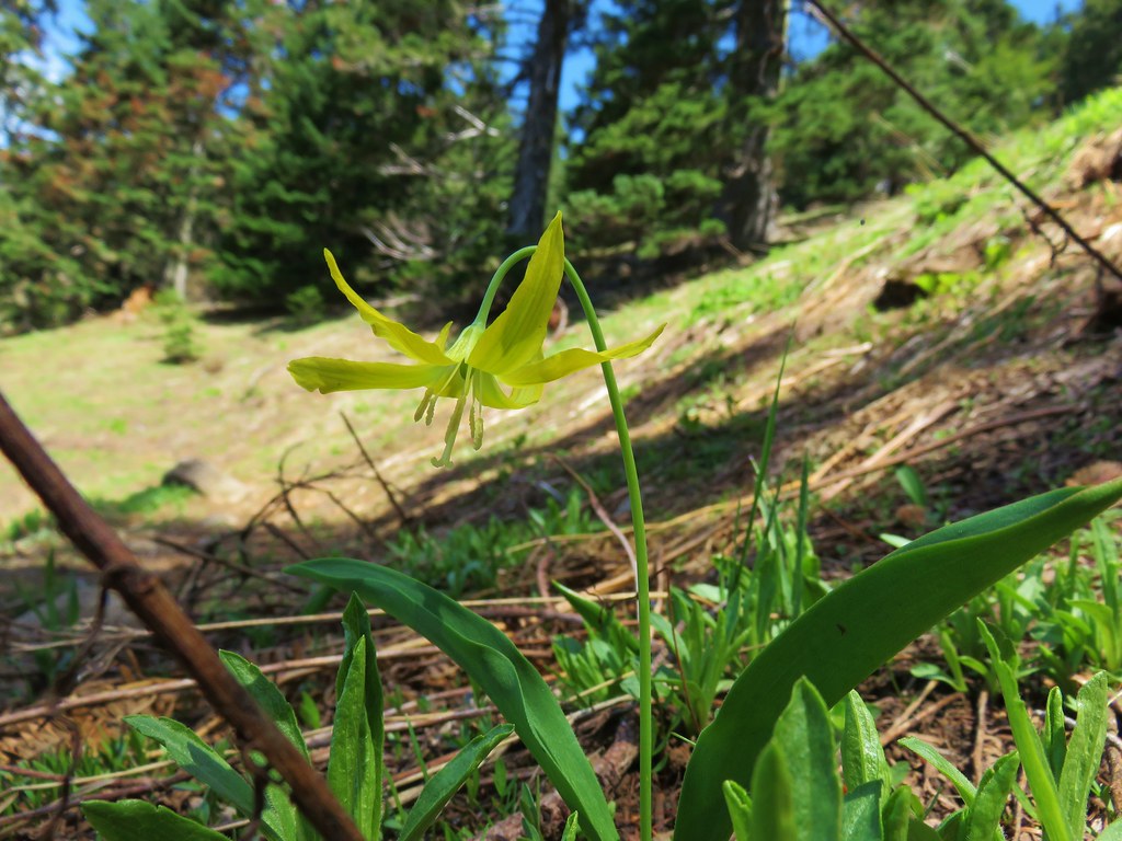
The meadow allowed for views SSW to Diamond Peak.
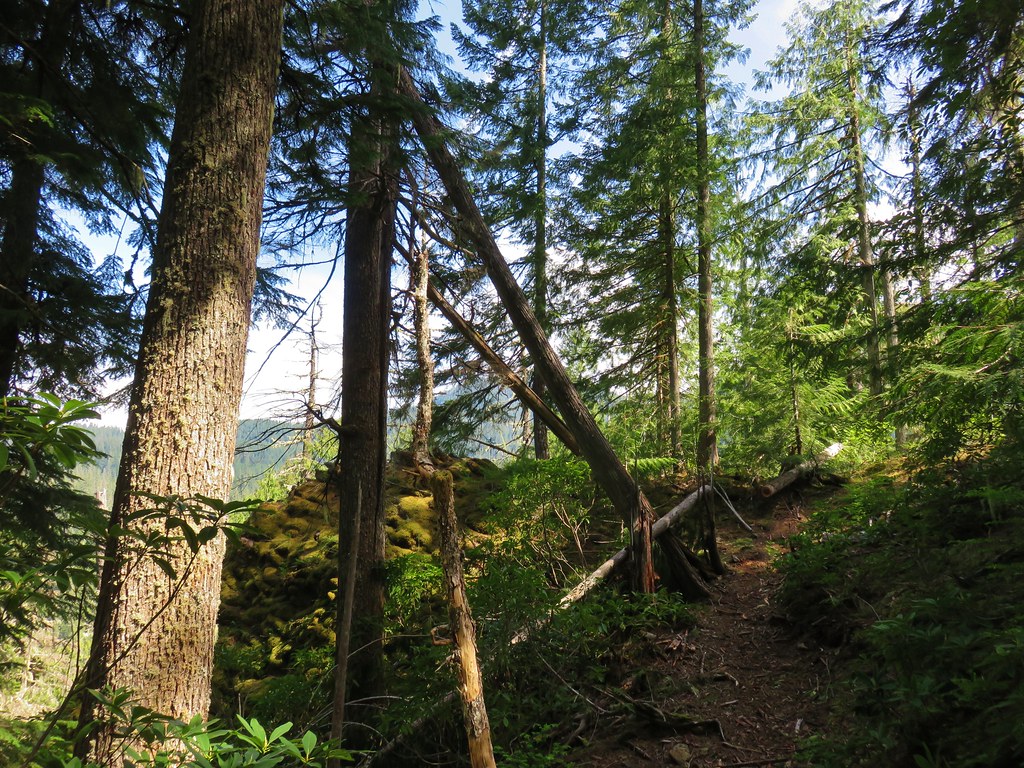
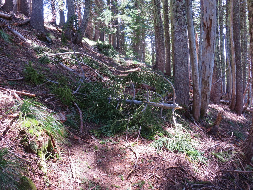
Beyond the meadow the trail wound its way up Carpenter Mountain through a forest that had lots of debris down from the winter.

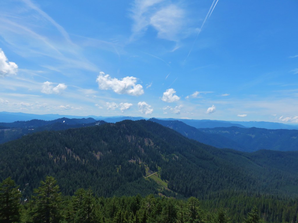
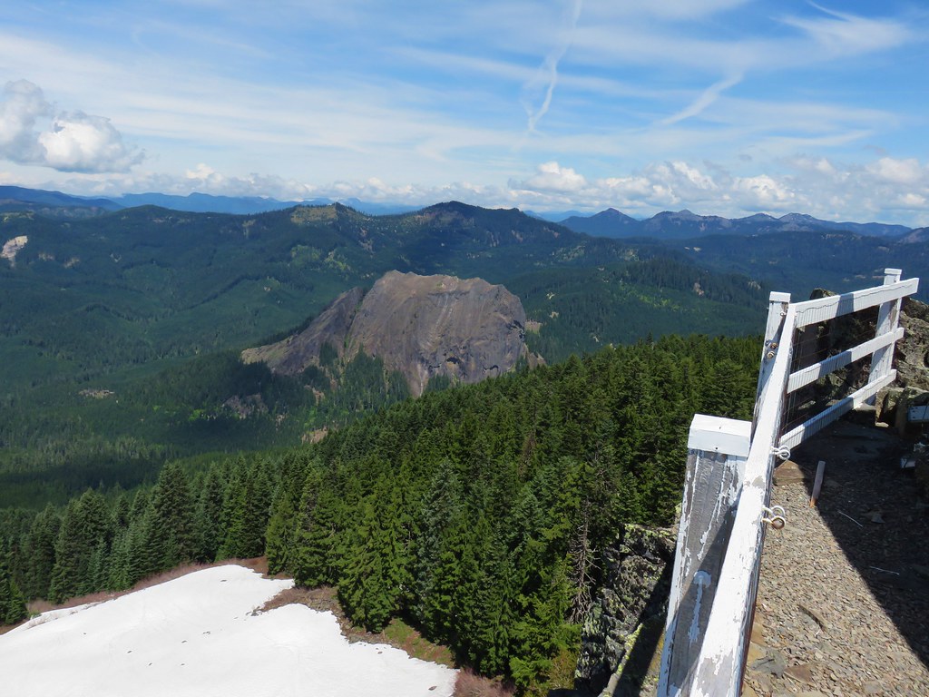
A little under a mile from the car the trail passed an opening where we could see the basalt cliffs of Carpenter Mountain’s summit and the lookout tower atop them.
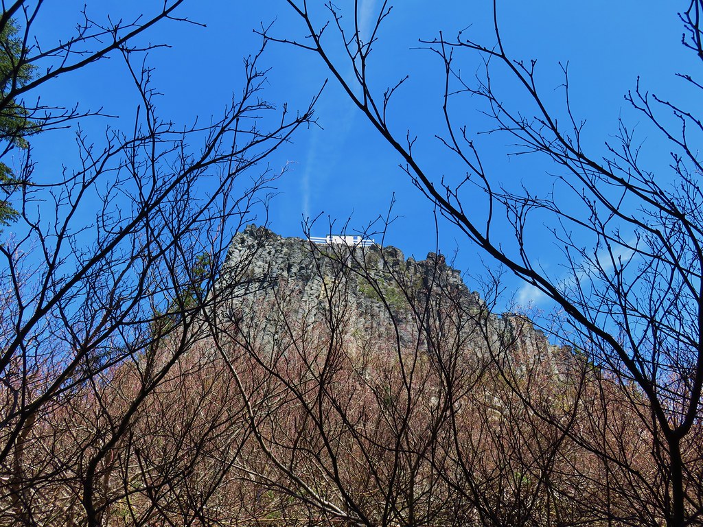
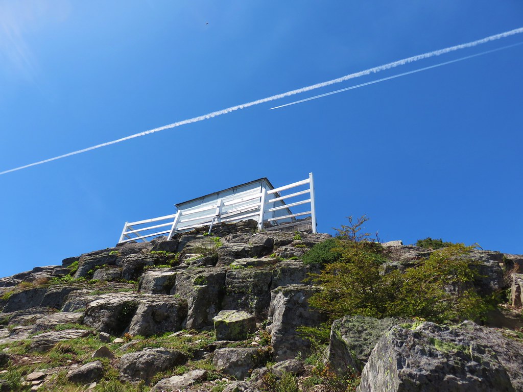
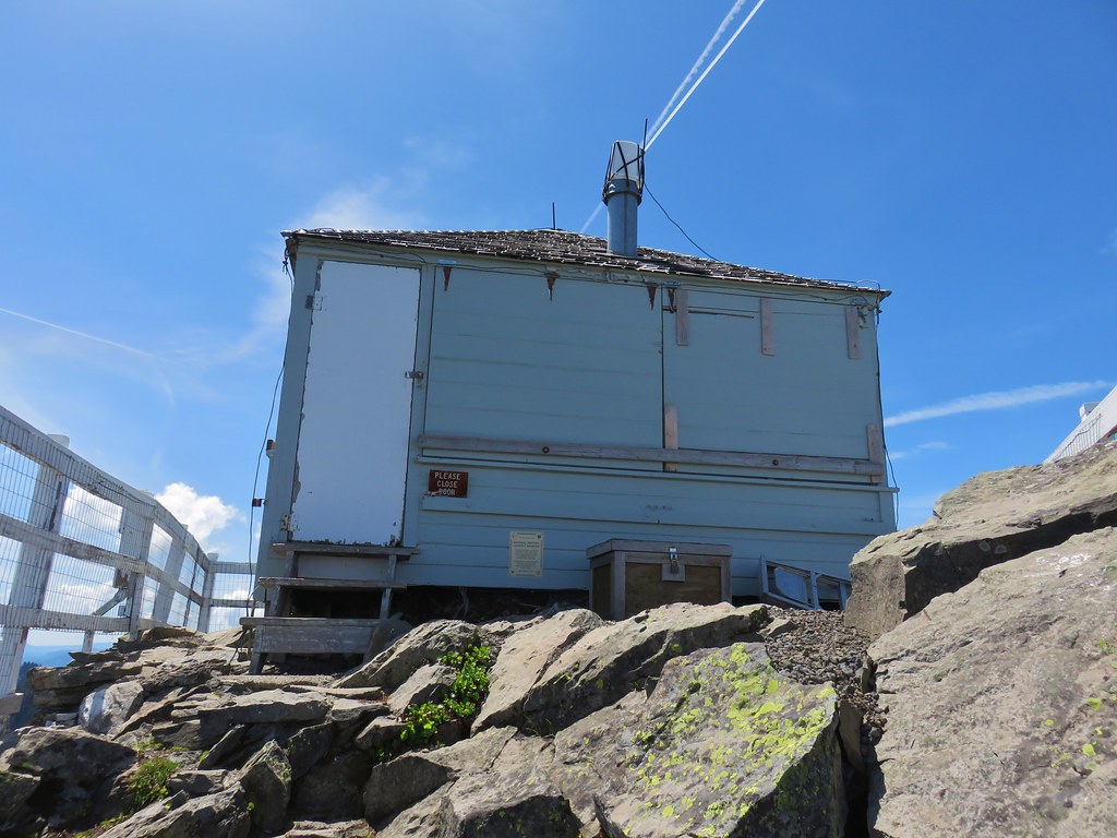
The trail took us around to the east side of the mountain where we climbed up the rocks to the lookout tower.
 Looking back down at the route up
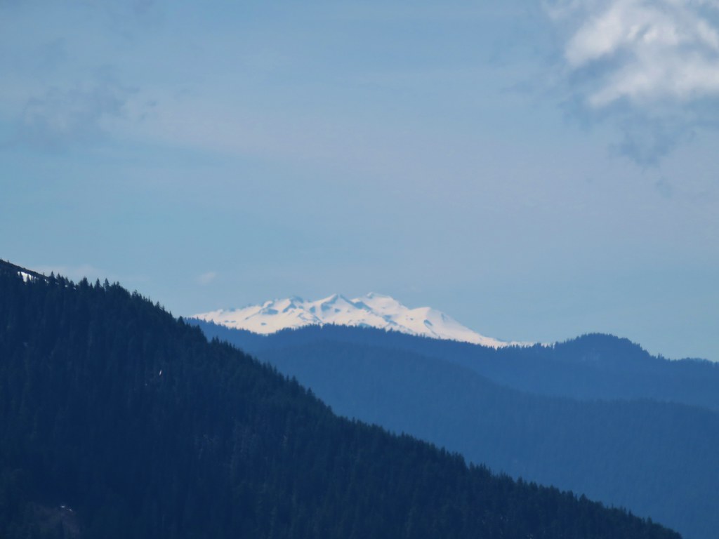
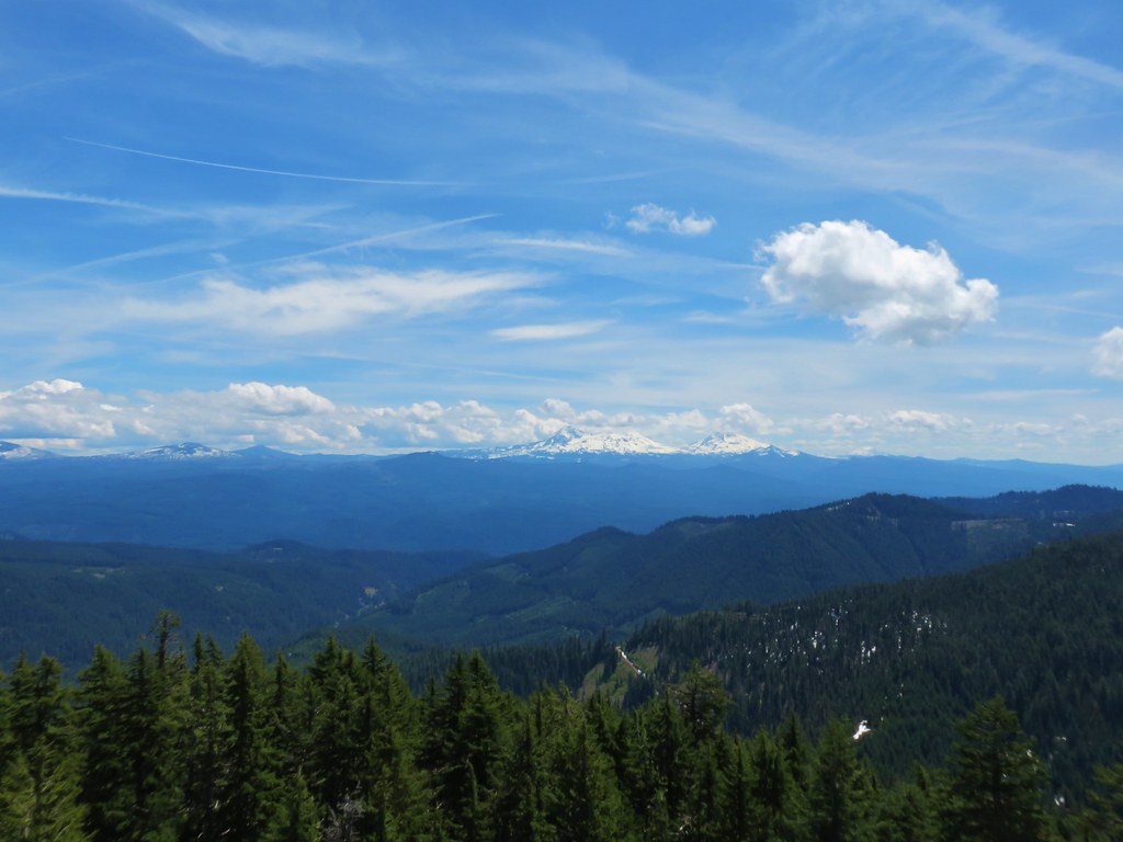
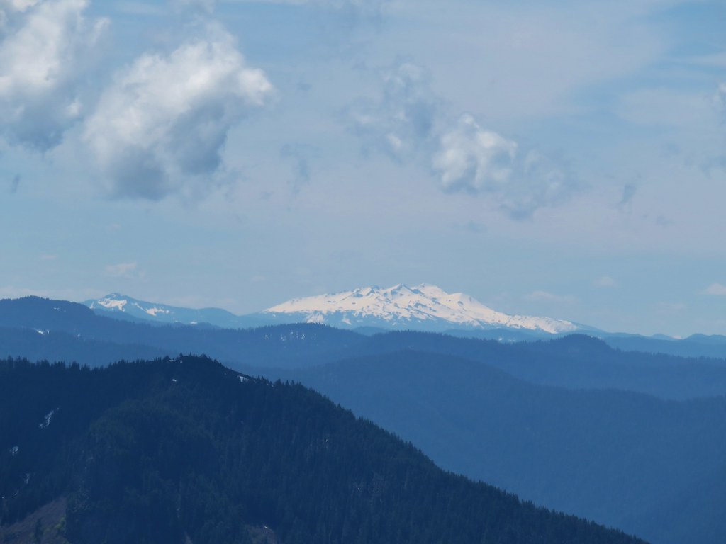
The tower wasn’t staffed yet for the season so we had the summit to ourselves. There were still some clouds in the sky but overall the views were pretty darn good. Mt. Jefferson was a little obscured and Mt. Hood was completely hidden but the rest of the Cascades from Three Fingered Jack to Diamond Peak were on full display.
 Mt. Jefferson, Three Fingered Jack and Mt. Washington
 Belknap & Black Craters, The Three Sisters & The Husband, and Mt. Bachelor
 Diamond Peak
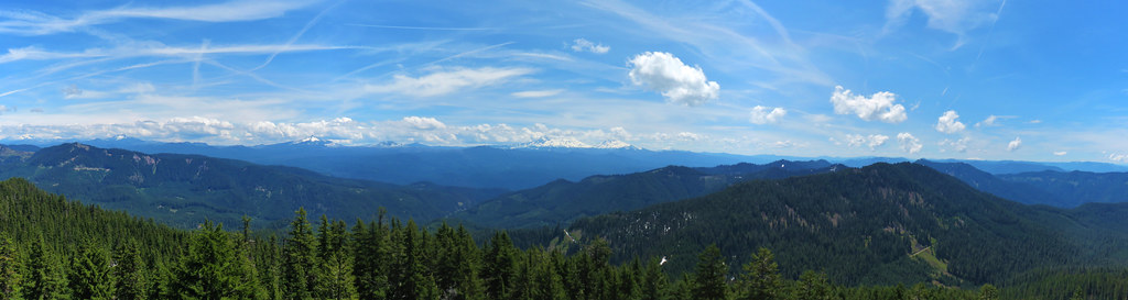 Panorama
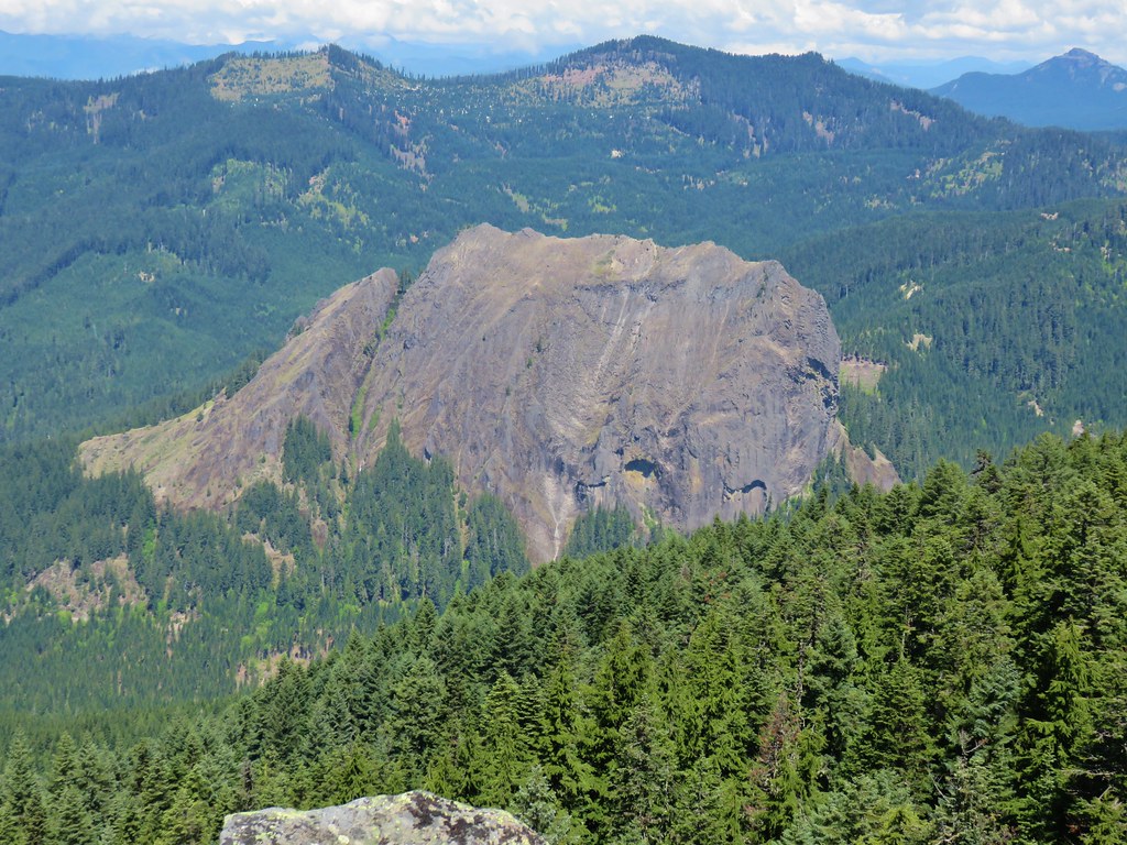
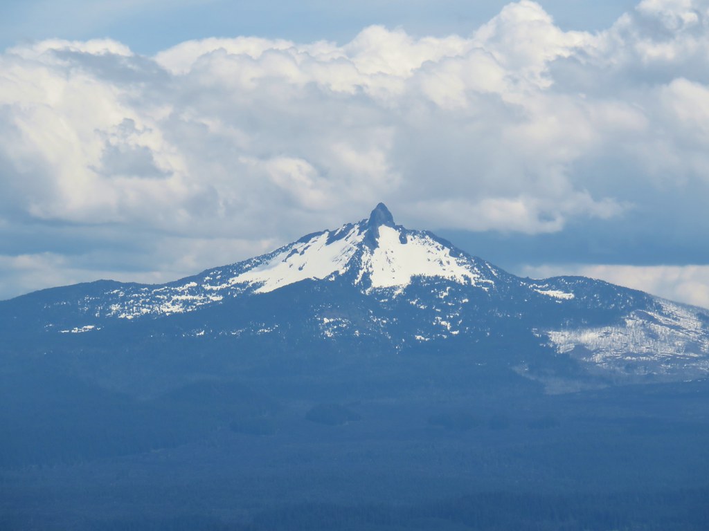
One of the most interesting sights from the lookout is Wolf Rock, a monolith just to the north.
We took a nice long break at the tower and tried to identify as many of the visible peaks as possible. Starting to the north:
 Iron Mountain and Cone Peak (post) with Battle Ax Mountain (post) between in the distance.
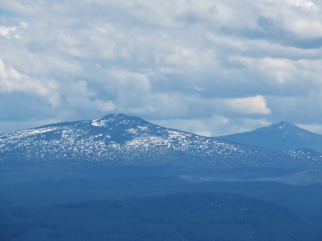
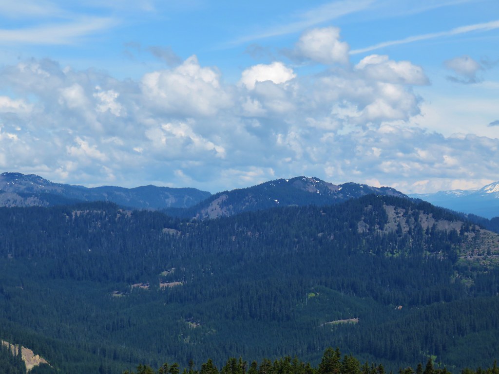 Browder Ridge (post)
 Mt. Jefferson
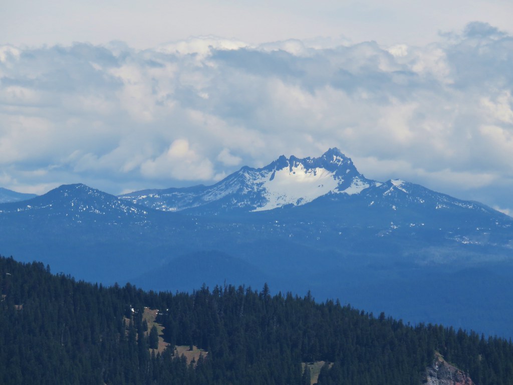 Maxwell Butte (post) and Three Fingered Jack
 Mt. Washington
 Belknap Crater (post) and Black Crater (post)
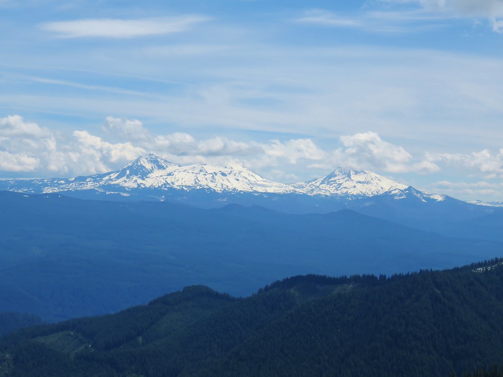 The Three Sisters and The Husband
 Mt. Bachelor
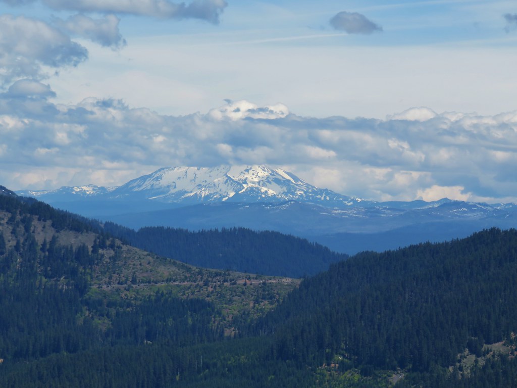
 Fuji Mountain (post) and Diamond Peak
 Tidbits Mountain
The thought of an actual meal finally tore us away and we headed back down. It was a great reward for a relatively easy two mile hike. Even though the trail gained over 900′ of elevation over the course of the mile it was a fairly gradual climb. The old-growth trail had also been very nice, it was a pretty forest with lots of bird song. All in all not a bad way to spend a day. Happy Trails!

2 replies on “Lookout Creek & Carpenter Mountain”
[…] We could also just make out the lookout tower atop nearby Carpenter Mountain (post). […]
[…] Mountain, Wildcat Moutain, Tidbits Mountain (post), Bunchgrass Mountain, and Carpenter Mountain (post) followed by an unidentified ridge on the […]