After attending Pericles the day before we spent our third day in the Ashland area hiking. We were staying east of town at the Green Springs Inn and Cabins on Highway 66 in the Cascade-Siskyou National Monument under two miles from where the Pacific Crest Trail crosses that highway on its trek from Mexico to Canada. We were also only 20 minutes from the Hobart Bluff Trailhead where the PCT crosses Soda Mountain Road as it emerges from the Soda Mountain Wilderness. Our hike to Boccard Point started at the Hobart Bluff TH, but instead of heading north on the PCT toward Hobart Bluff we headed south into the wilderness. It was a damp and foggy morning as we set off.

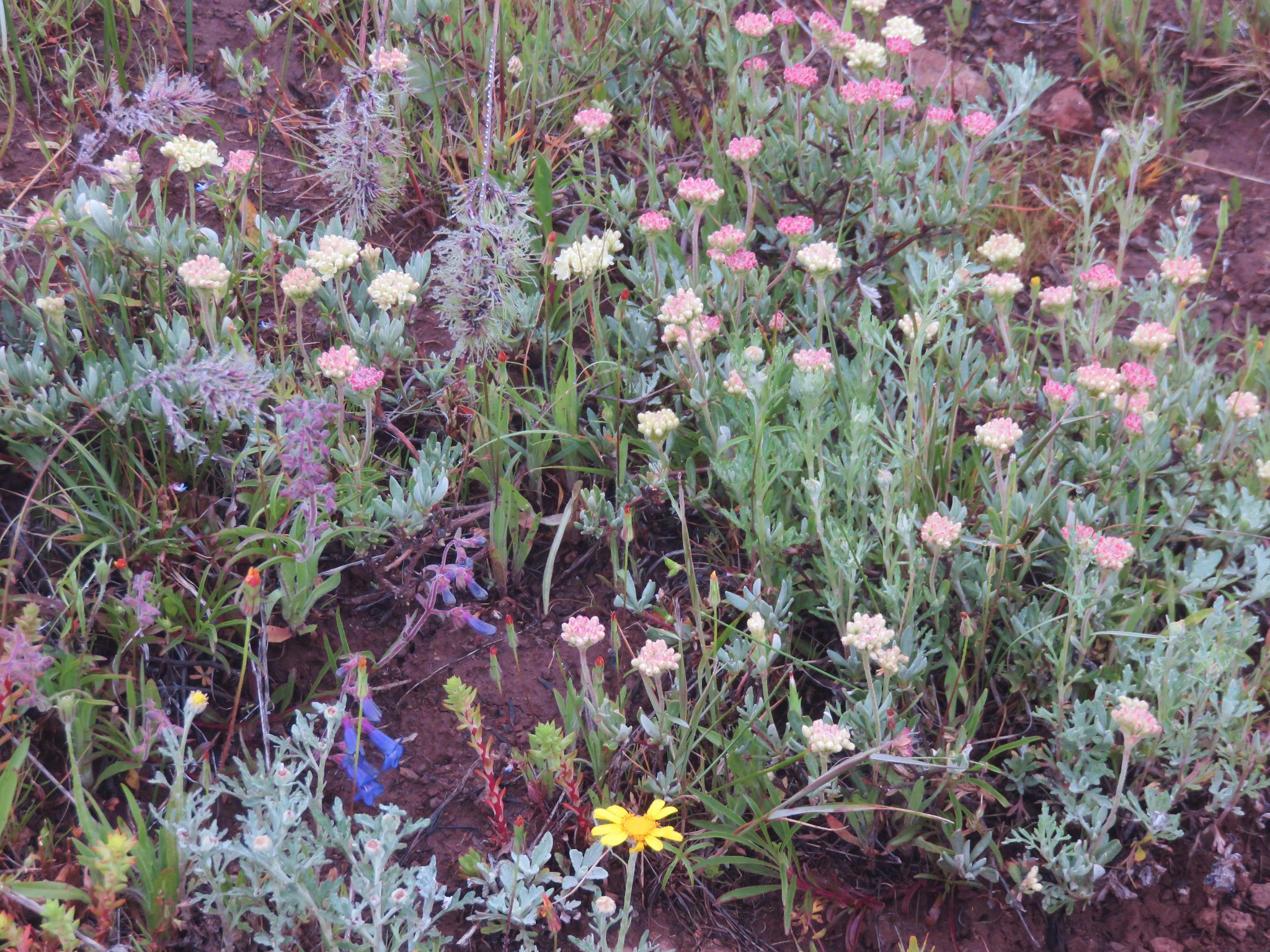
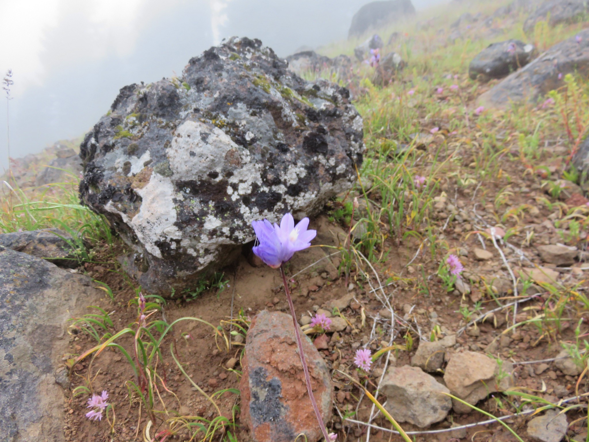
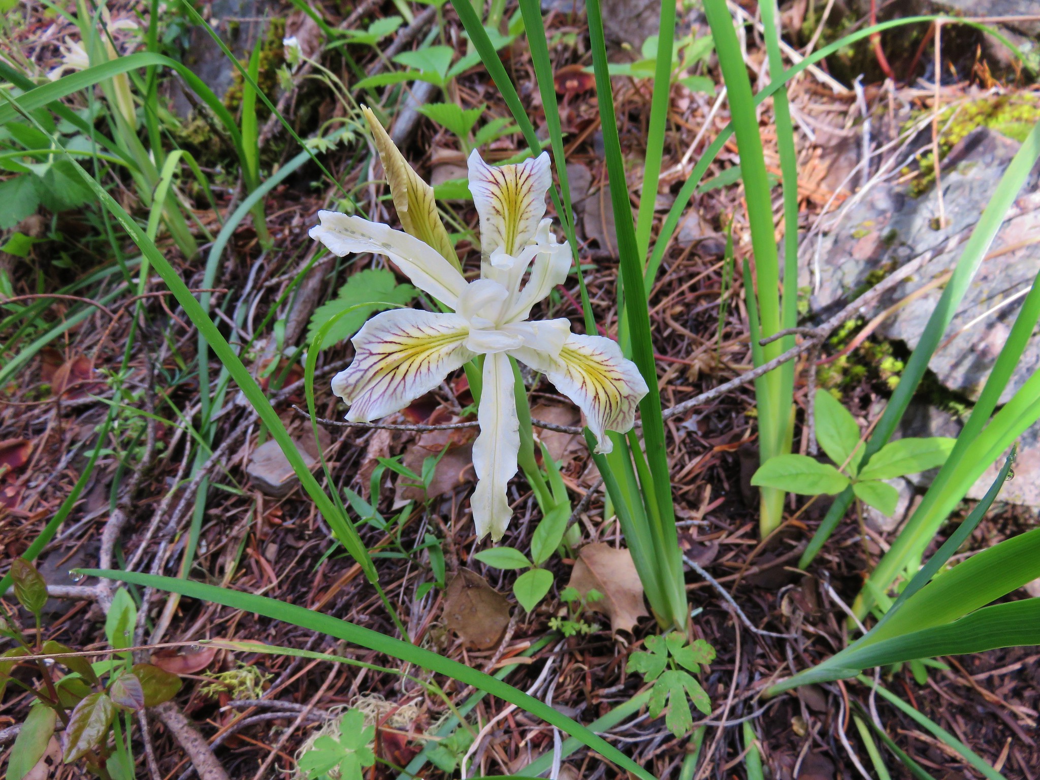
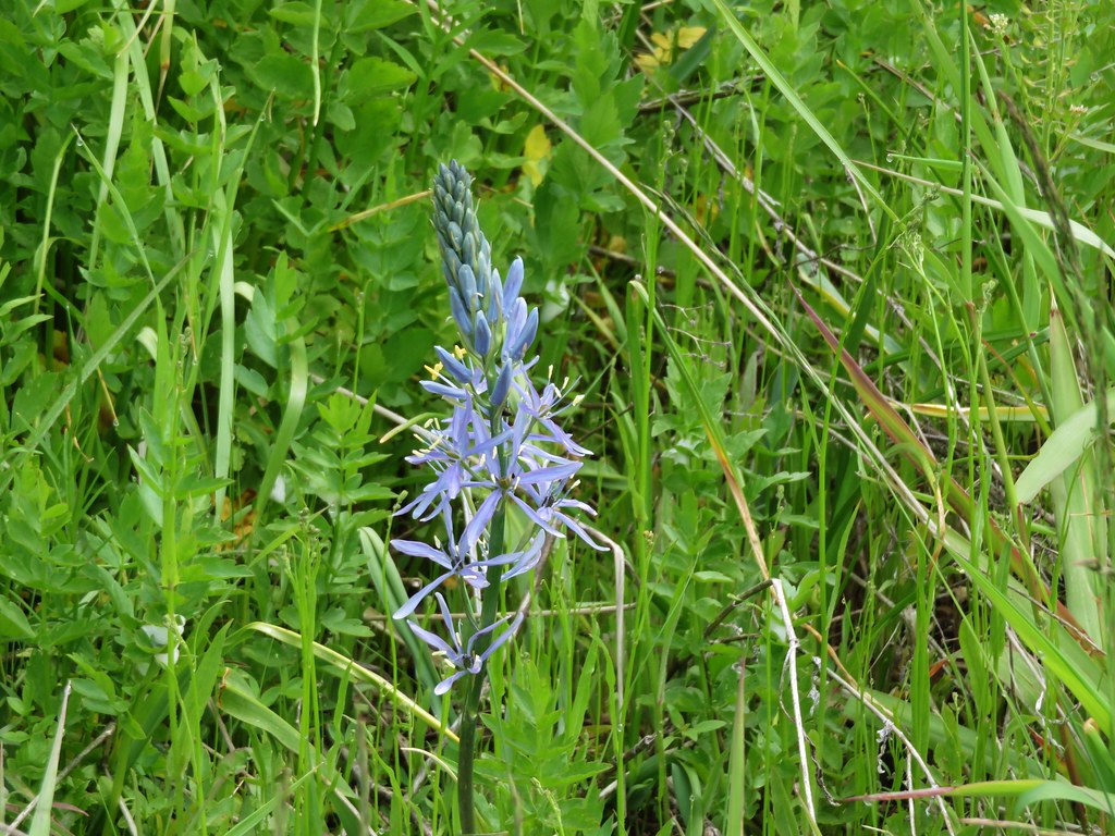
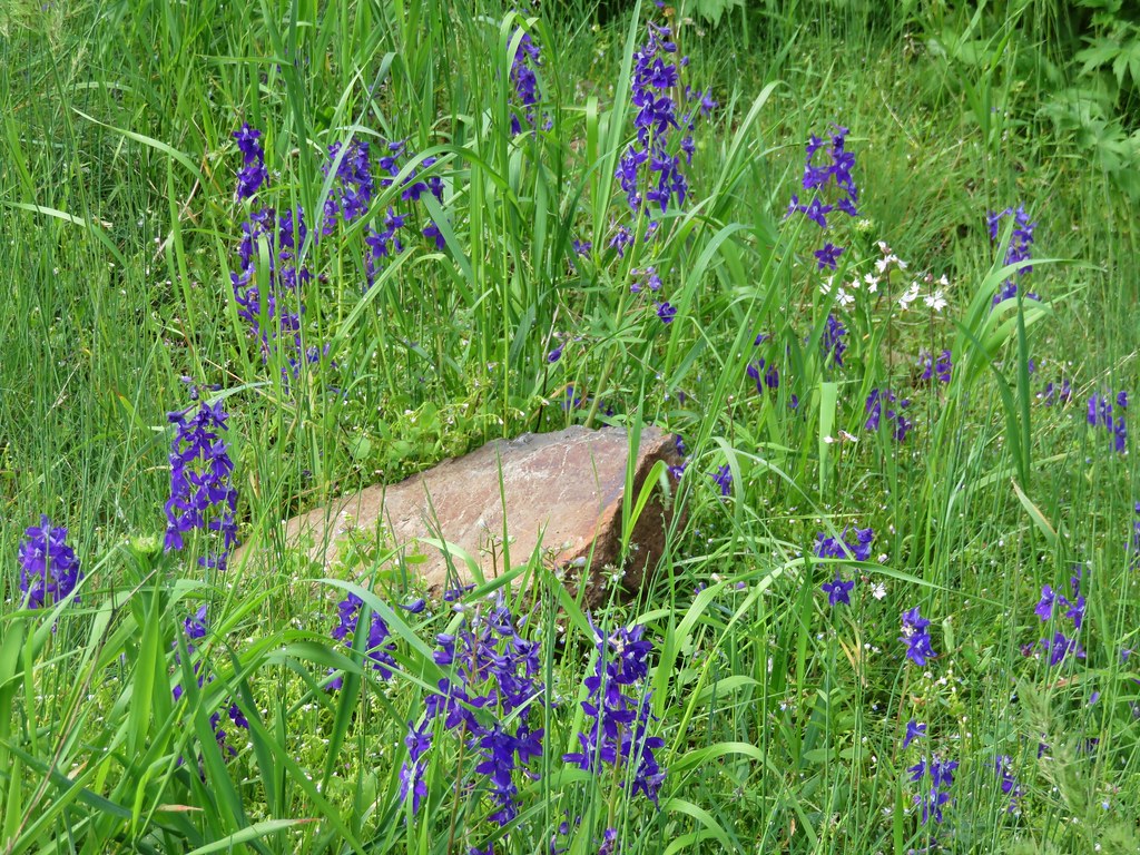
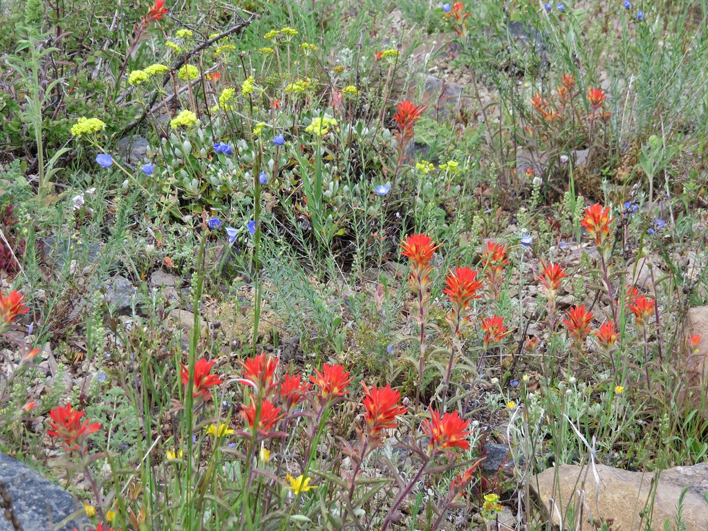
We spotted a number of different flowers before we even made it into the wilderness.
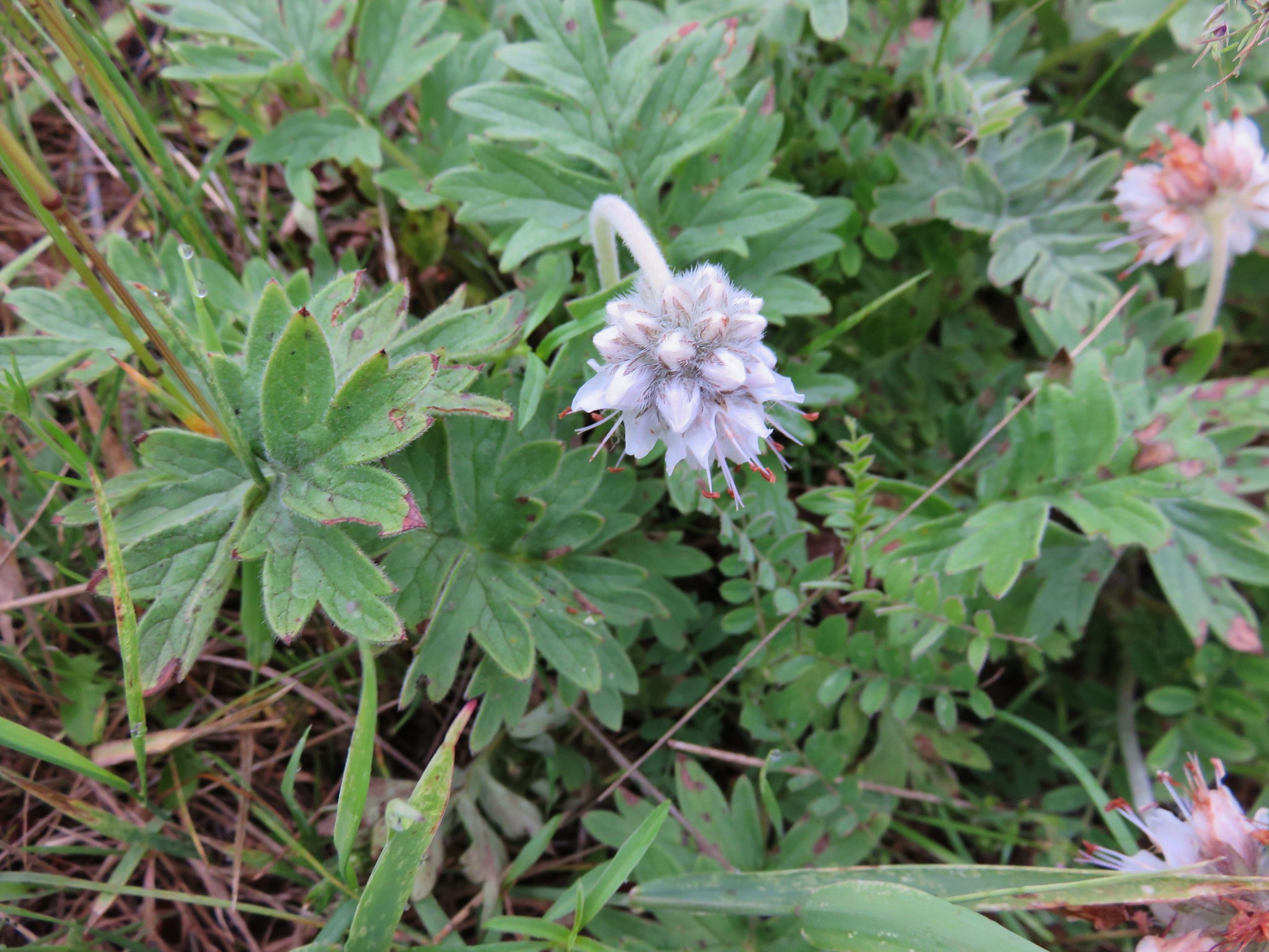
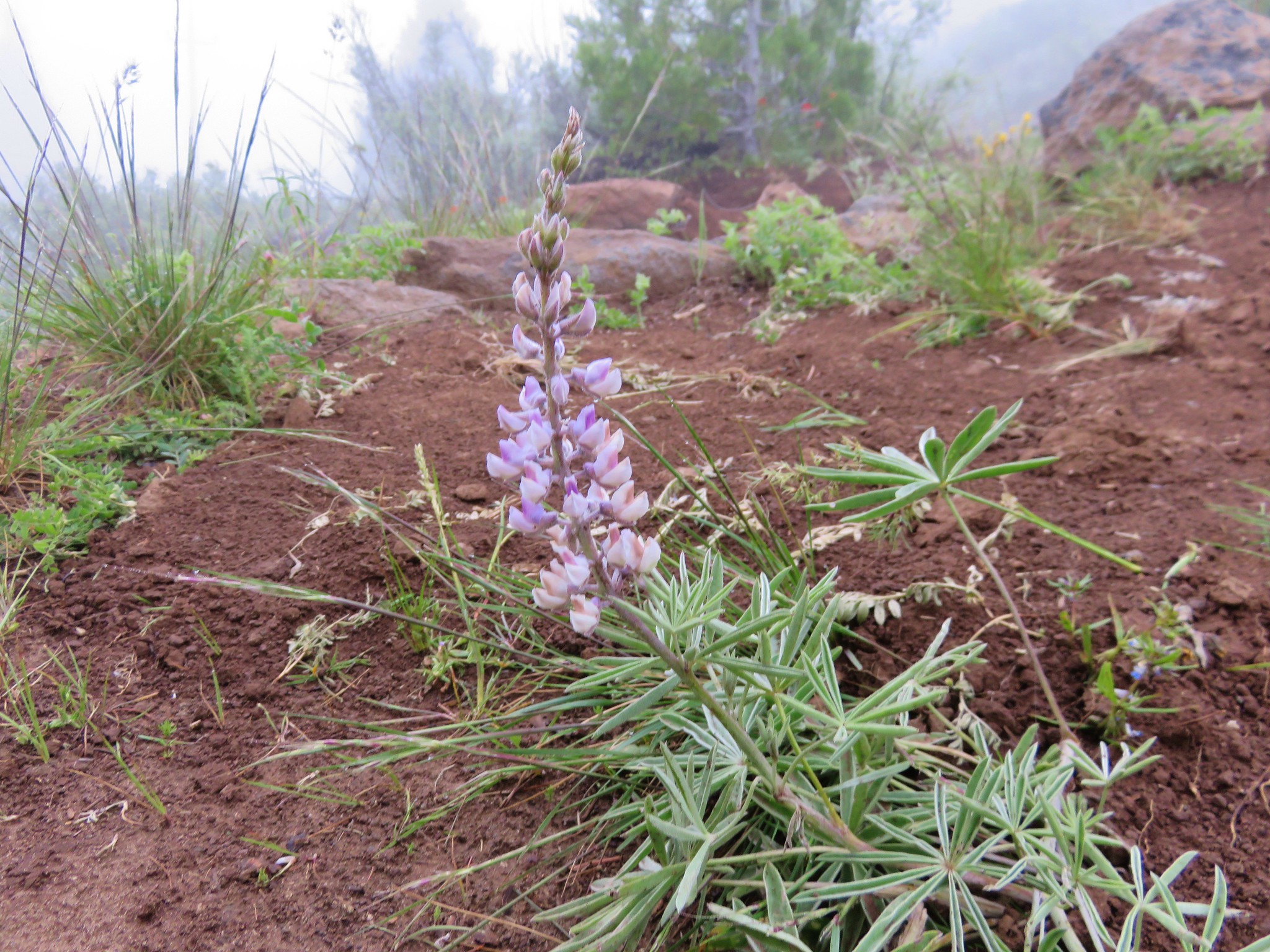
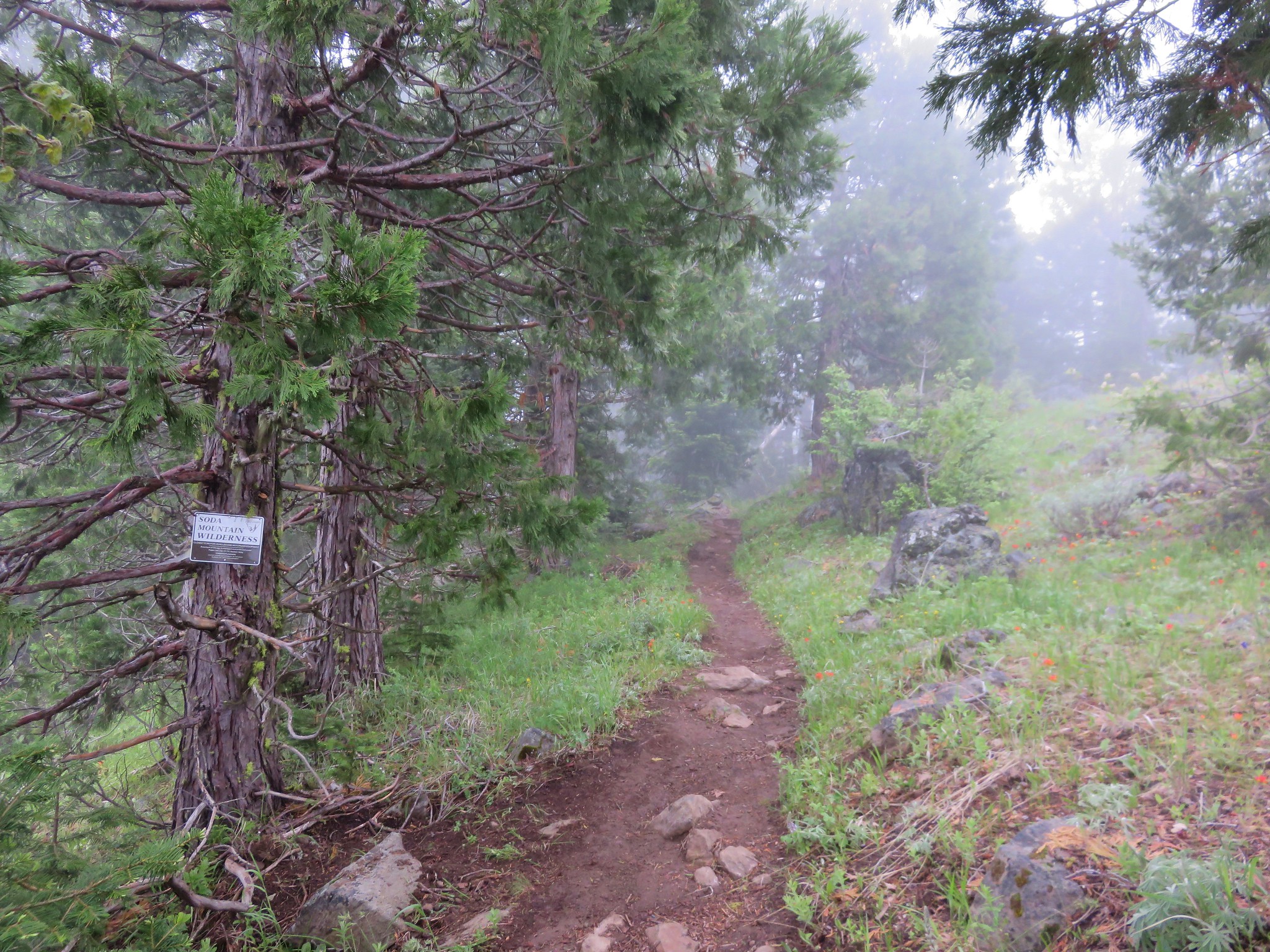
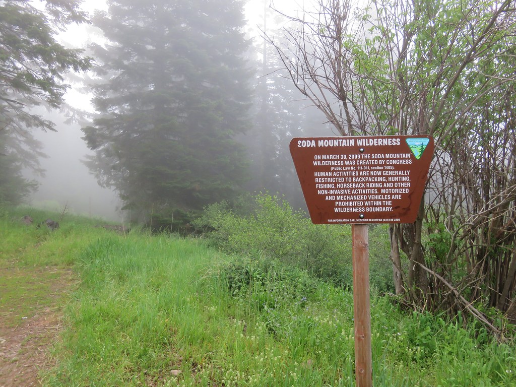
Shortly after passing under some powerlines we entered the wilderness.
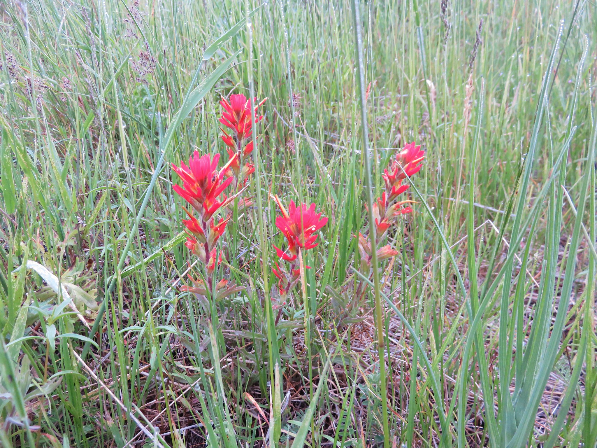
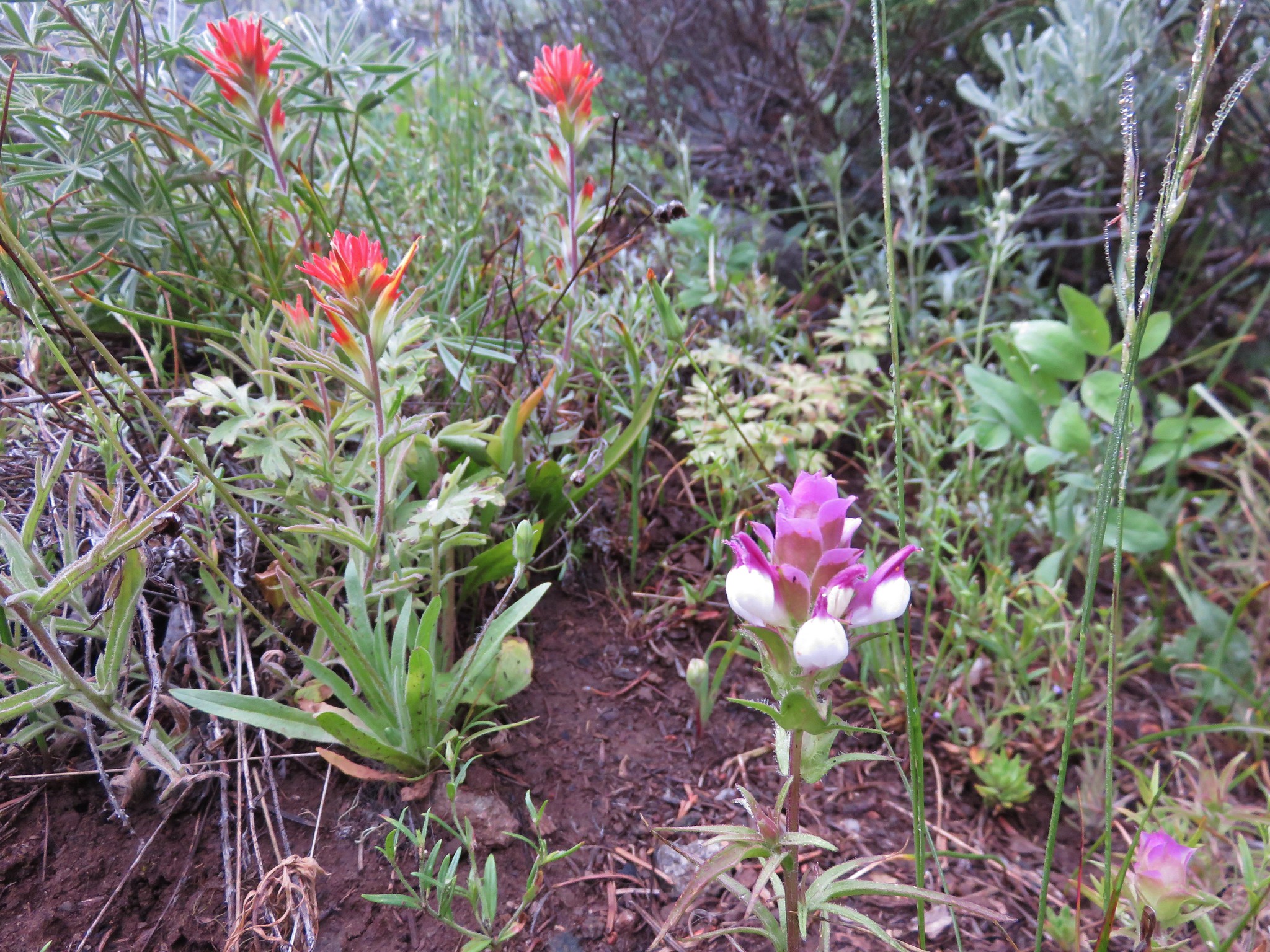
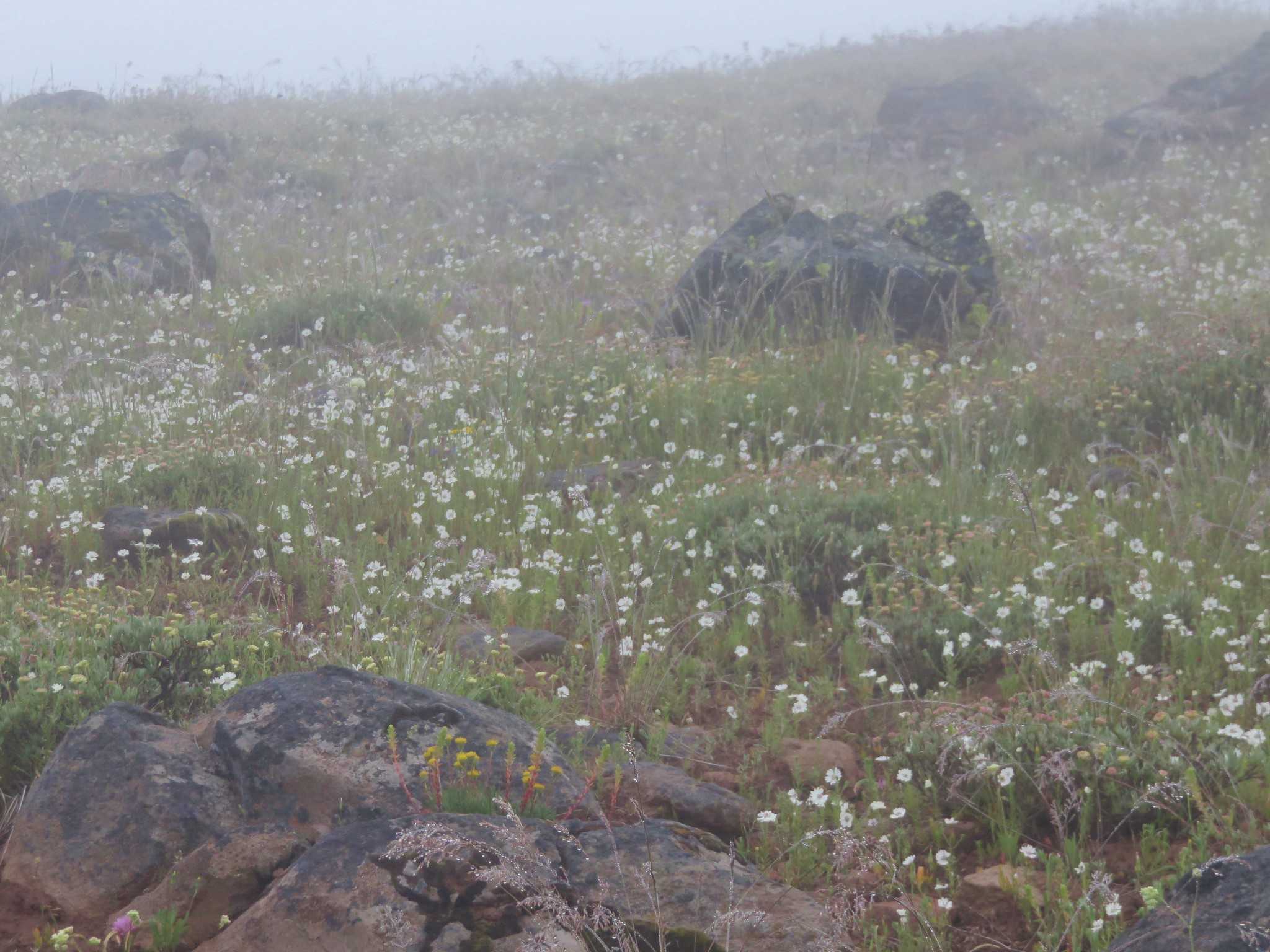
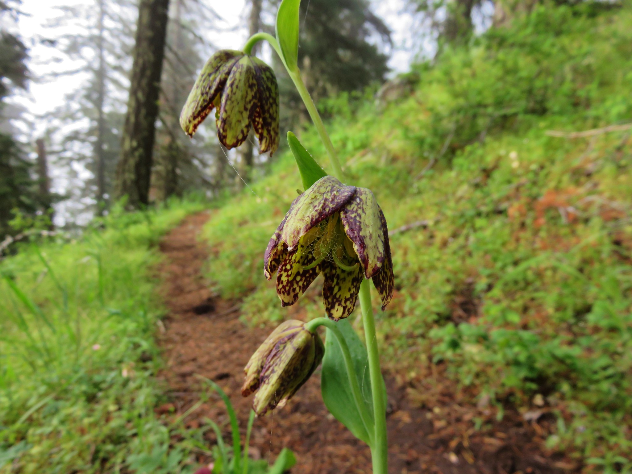
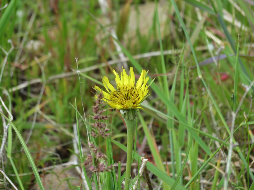
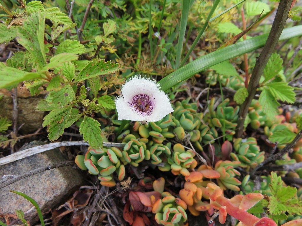
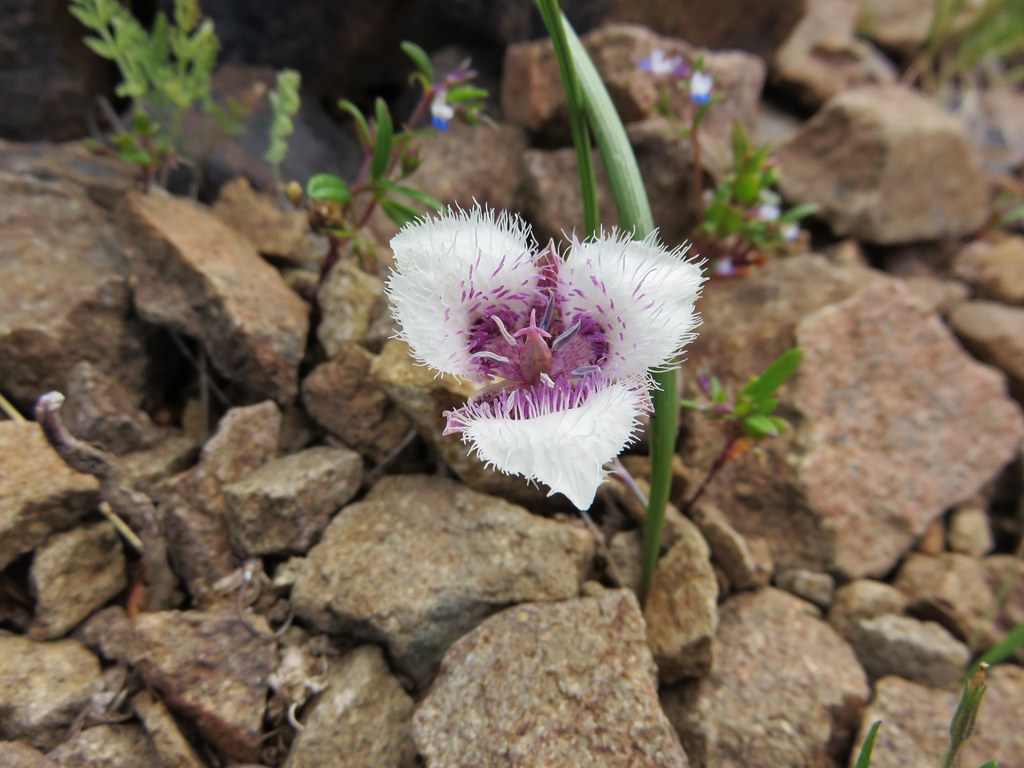
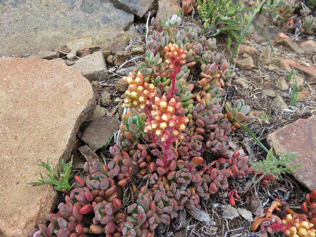
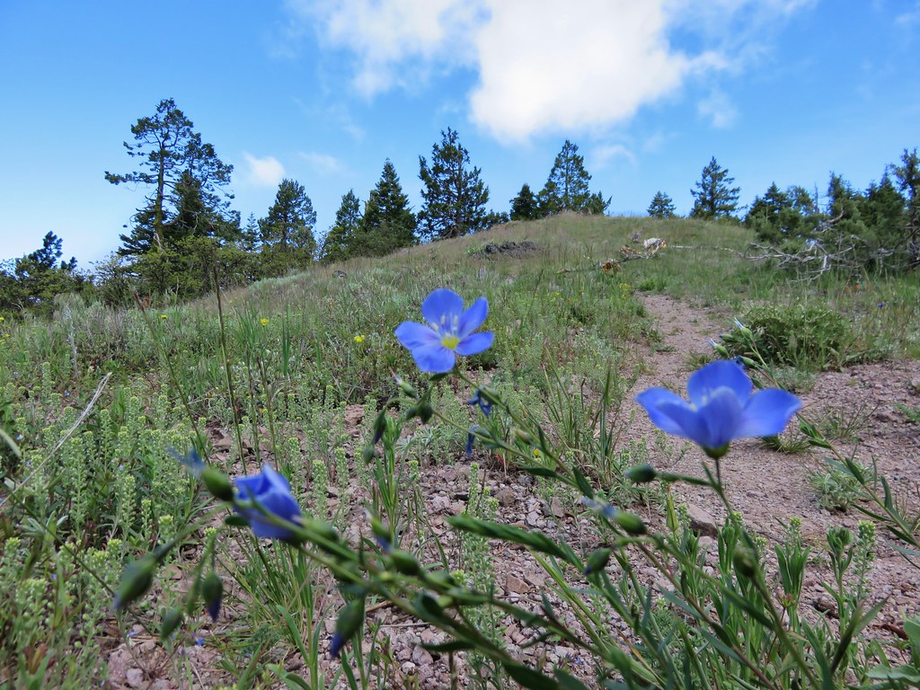
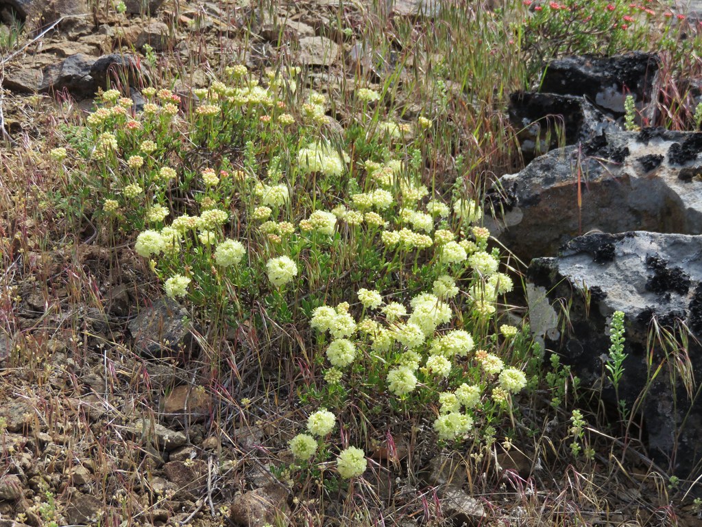
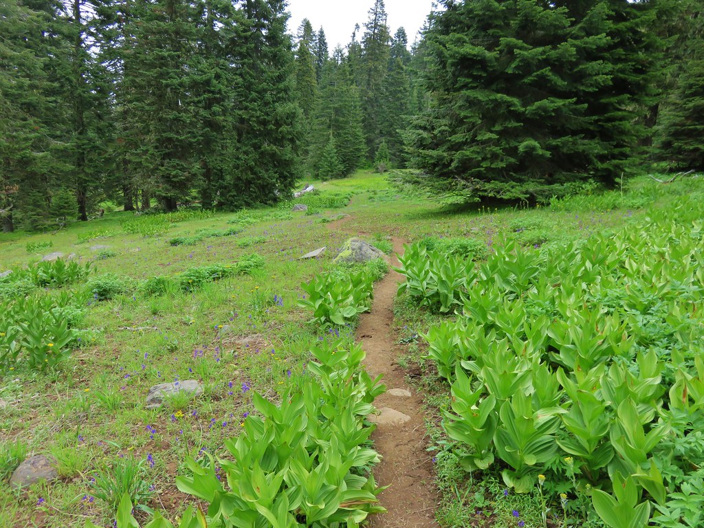
The flower show continued as the trail passed several rocky meadows.

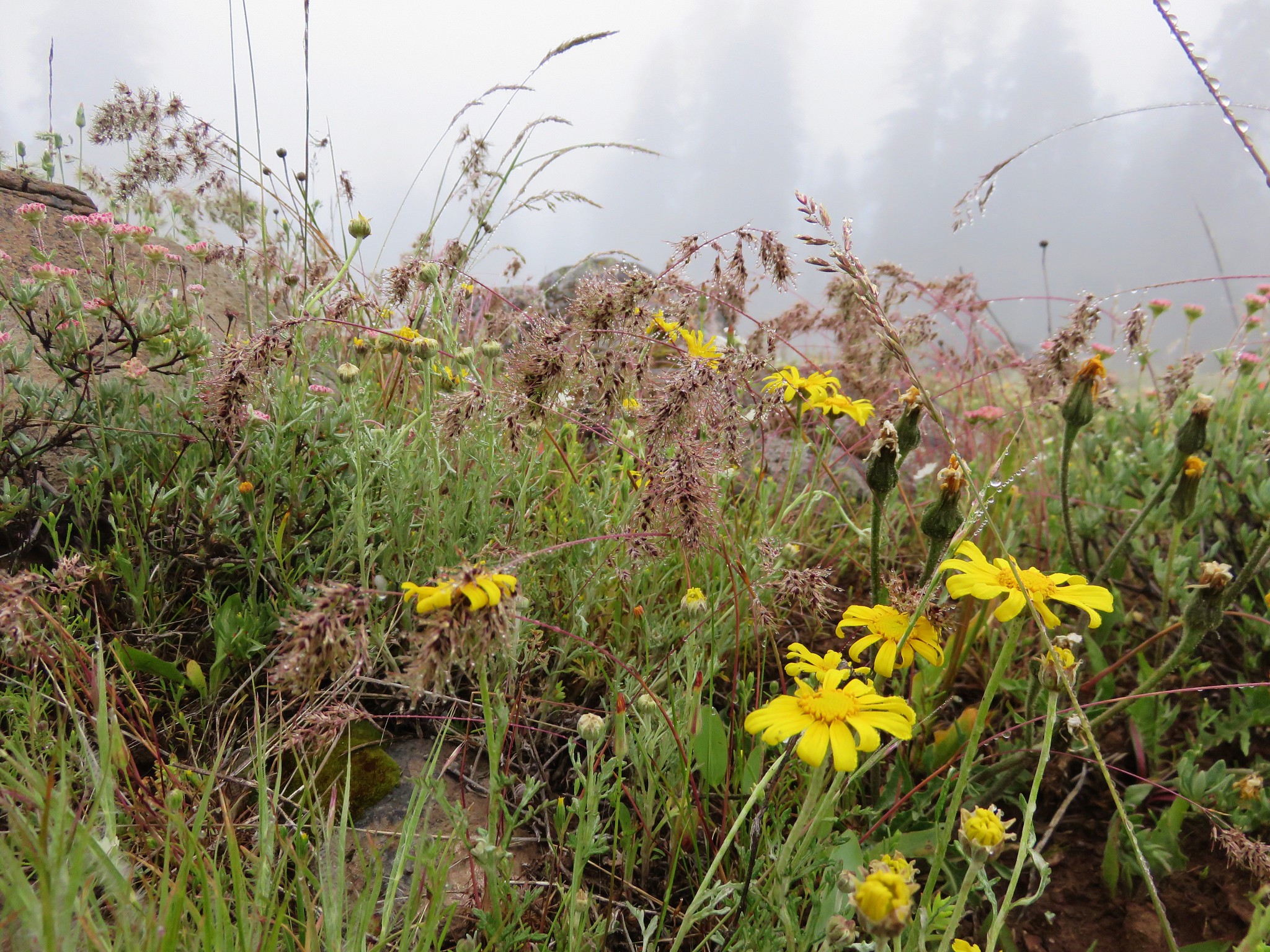
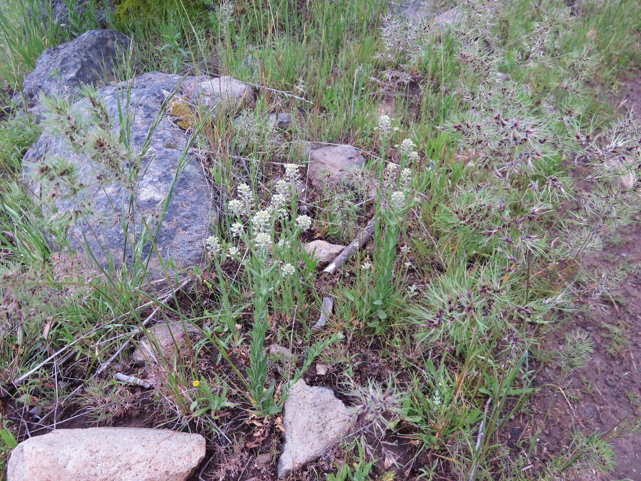
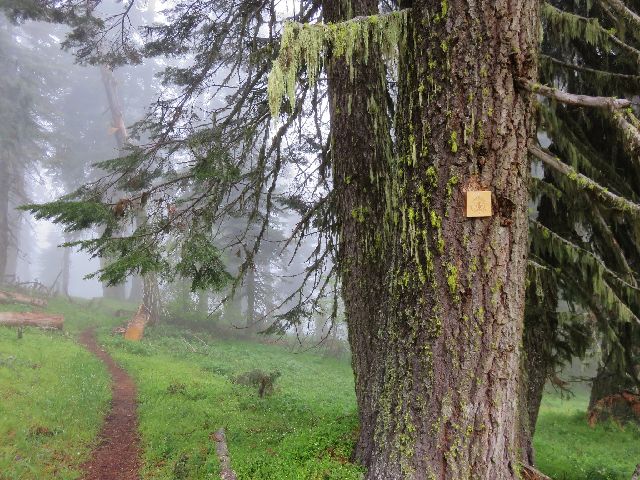
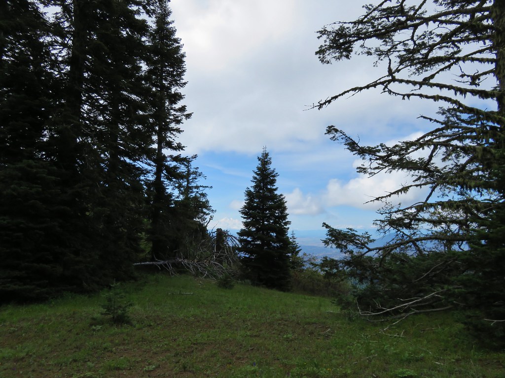
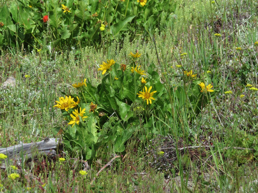
The PCT also traveled through some more forested areas with other flowers.
After 2.9 miles at a large wilderness sign the PCT meets an old road junction. Here we left the PCT and headed deeper into the wilderness on an abandoned road just to the left of the sign.

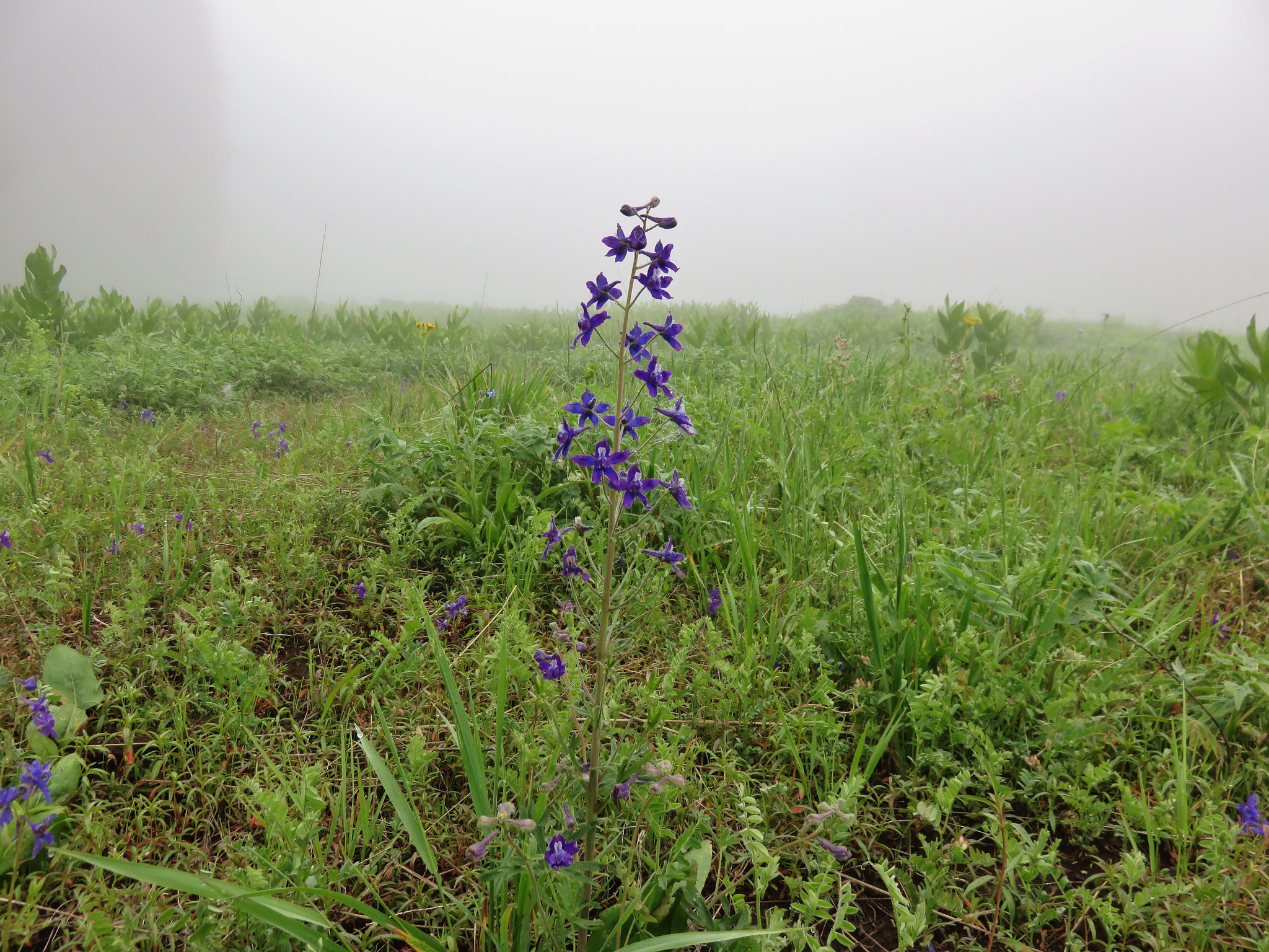
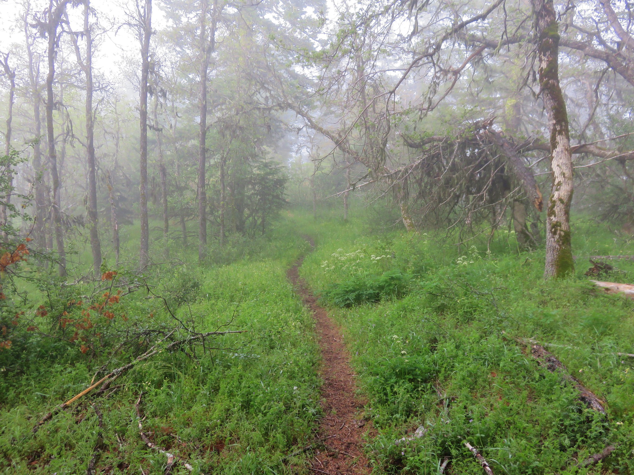
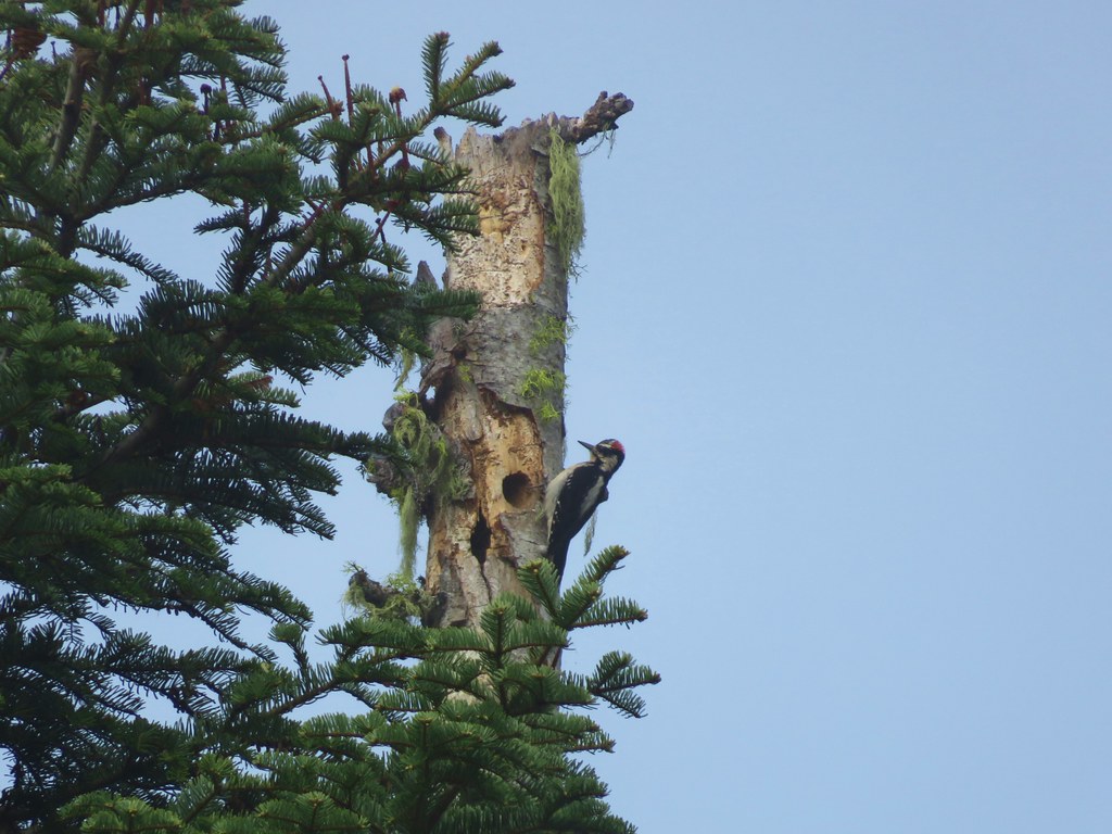
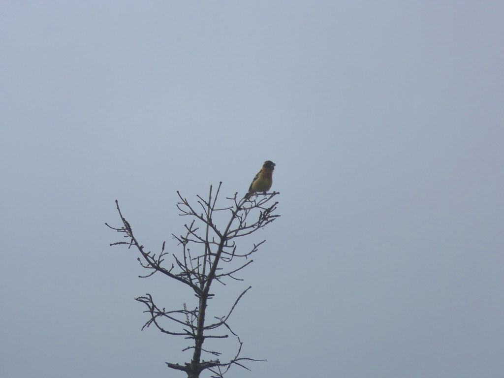
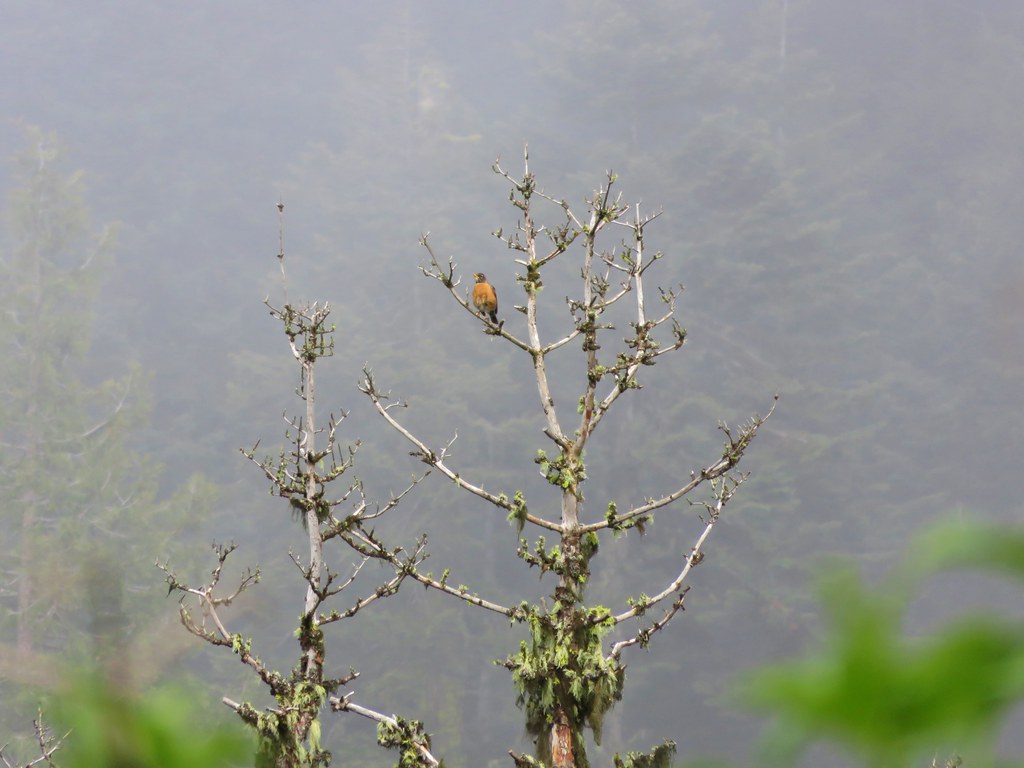
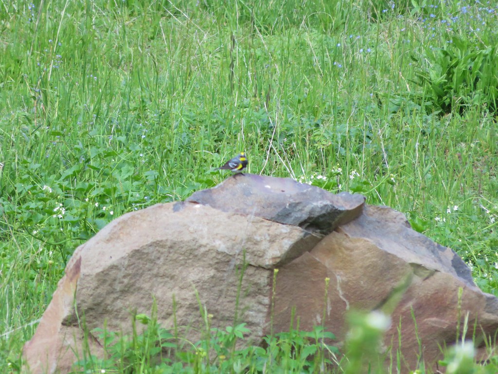
Along this stretch of trail the old road curved around a damp wildflower meadow where there were many nearby birds and other wildlife.


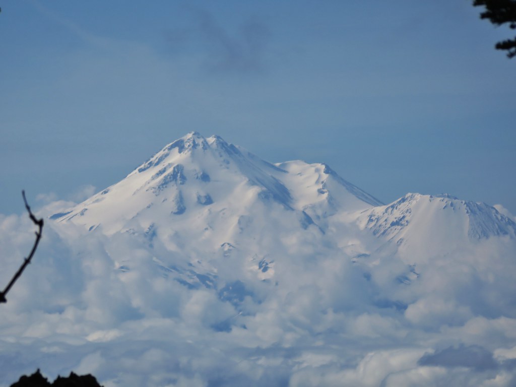
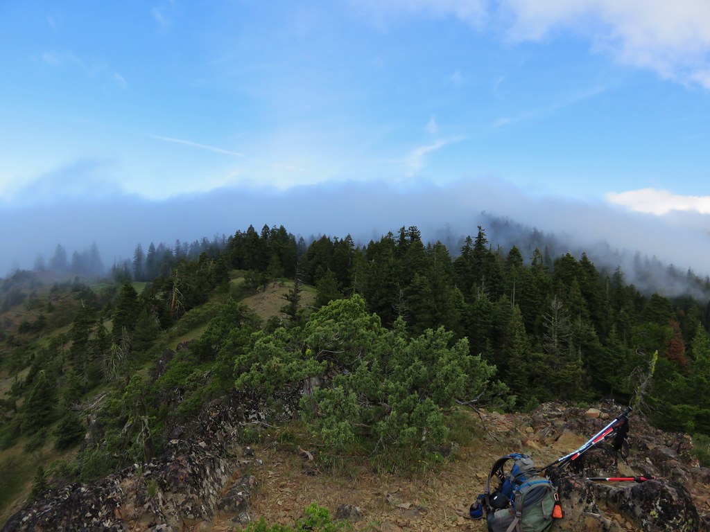
We had been in the fog almost the entire hike but just as we were starting the final quarter mile stretch to Boccard Point we emerged from under the clouds and were greeted with a view of Mt. Shasta.
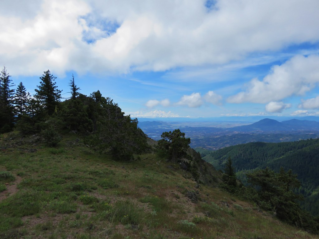
As the rocky outcrop of Boccard Point approached the views to the south kept getting better.
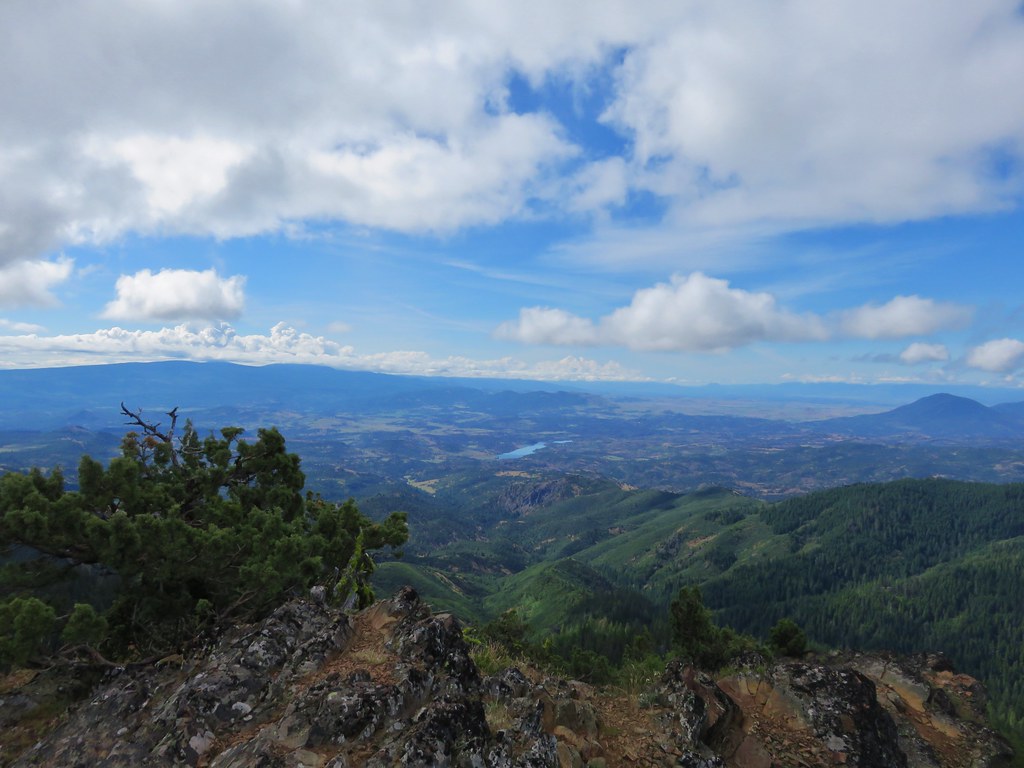
To our right the edge of the clouds were lapping over Pilot Rock.
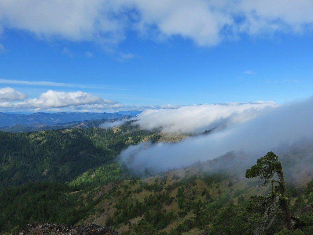
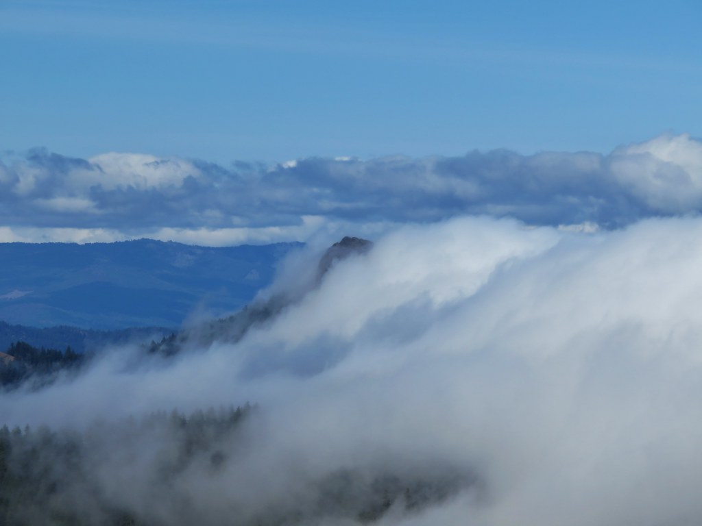
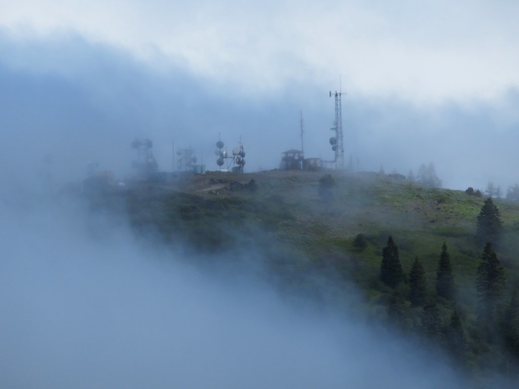
To the left the clouds were busy drifting over the lookout tower on the summit of Soda Mountain.

And behind us was the cloud that we had spent the morning in.
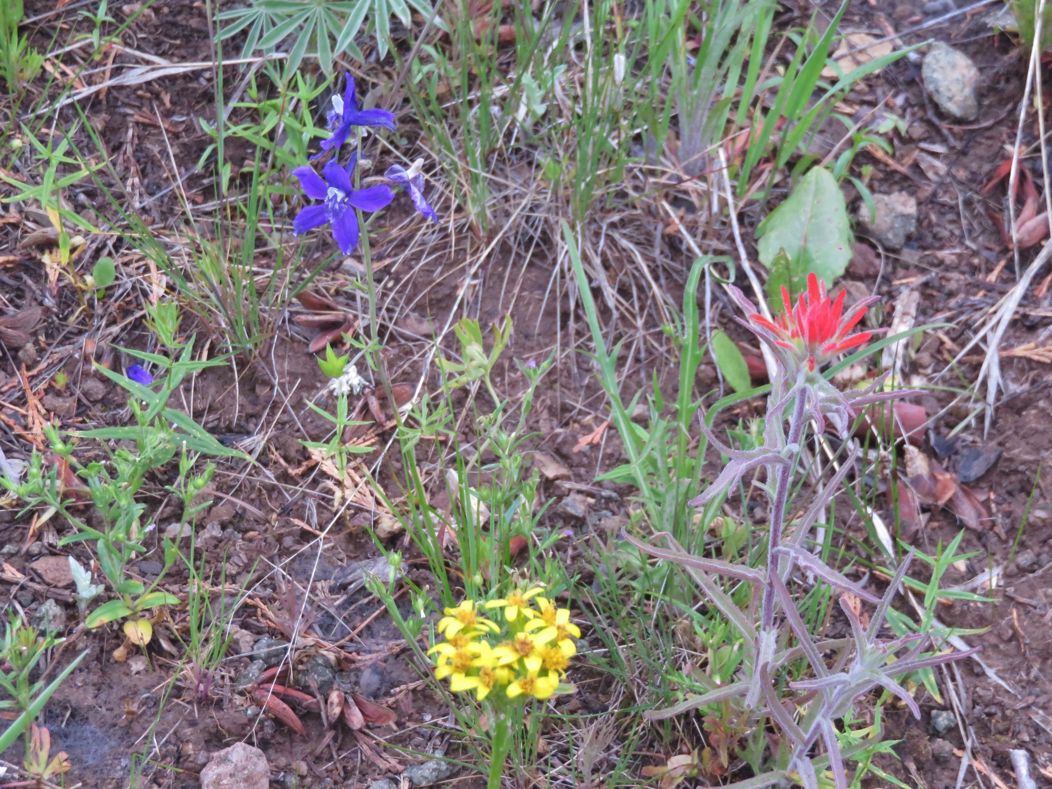
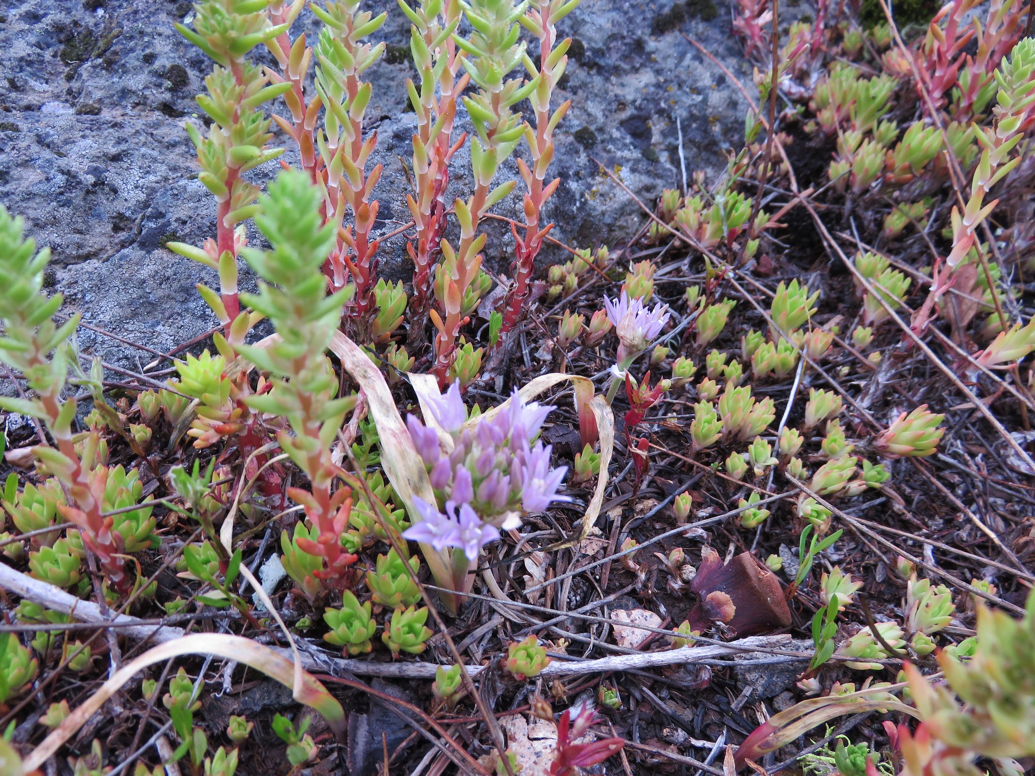
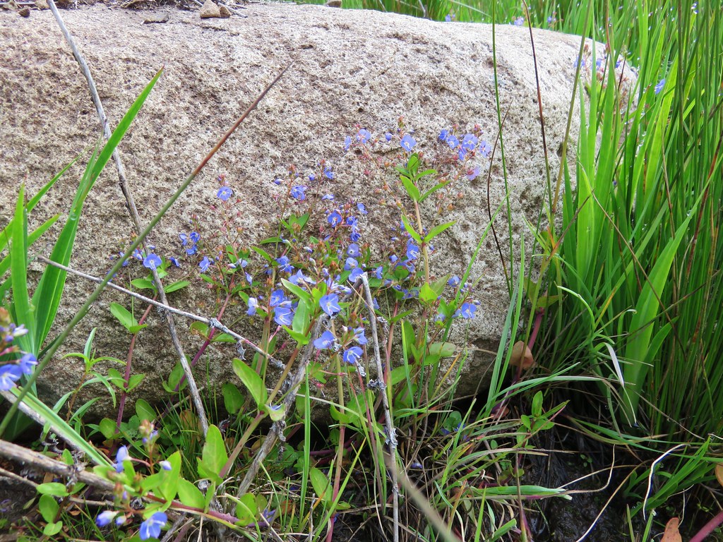
The rocky terrain around Boccard Point was also dotted with wildflowers.

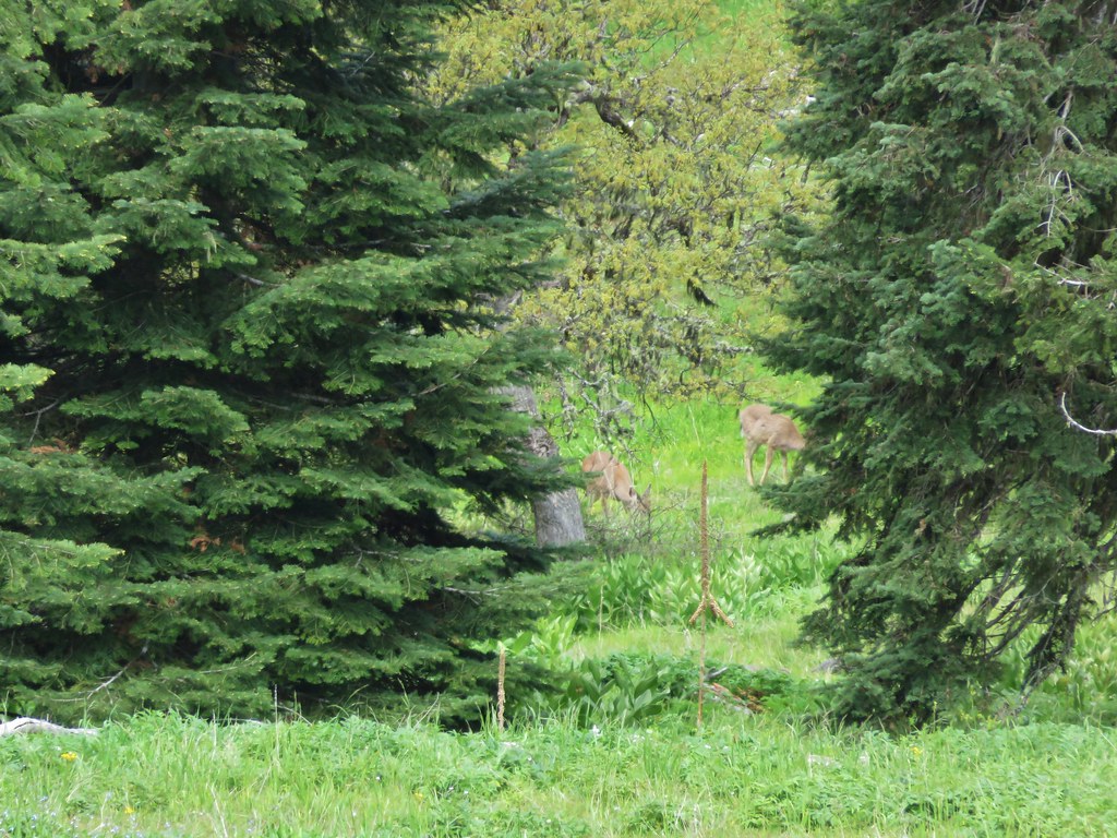
We headed back under the cloud. On the way back by the damp meadow we spotted more wildlife including a pair of deer that Heather spied.

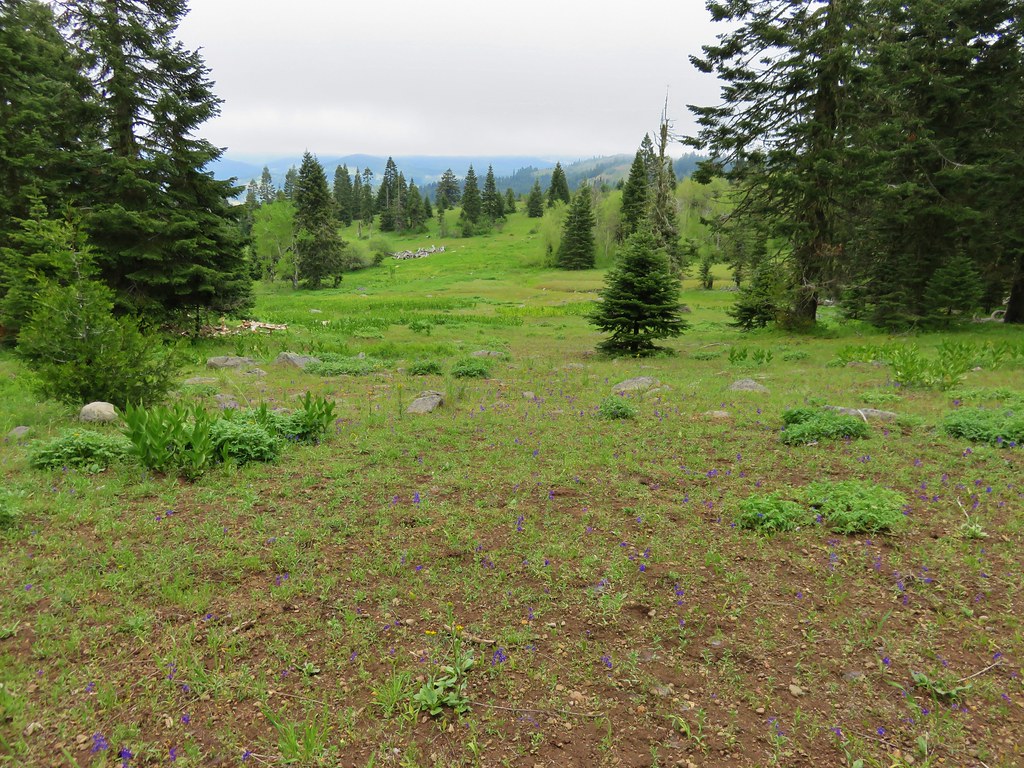
The fog had at least lifted as we traveled back to the trailhead revealing more of the meadows we had passed earlier that morning.
We skipped heading up to the lookout based on the cloud situation given the views we did get on Boccard Point. The total distance for the hike ended up being 10.5 miles with only about 1200′ of elevation gain. It was a gentle enough hike that we decided to head out again that afternoon after a brief rest back at the Green Springs Inn and Cabins. Happy Trails!
flickr: https://www.flickr.com/photos/9319235@N02/sets/72157653708085508

4 replies on “Boccard Point – Soda Mountain Wilderness”
It is nice to see some familiar territory in your travels! I hope you are able to make it down here to the Mount Shasta area some time!
It’s on our wishlist. When we do your posts will be a valuable source of information. We just need to figure out how to get more vacation time. 🙂
[…] Mountain – 2015, […]
[…] #47 Lake of the Woods-Hiked 10/7/2018 #48 Mountain Lakes-Hiked 8/25/2016 #49 Soda Mountain-Hiked 6/3/2015 #50 Pilot Rock-Hiked 7/29/2017 #51 Mount Ashland Meadows-Hiked 6/3/2015 #52 Lithia Park-Hiked […]