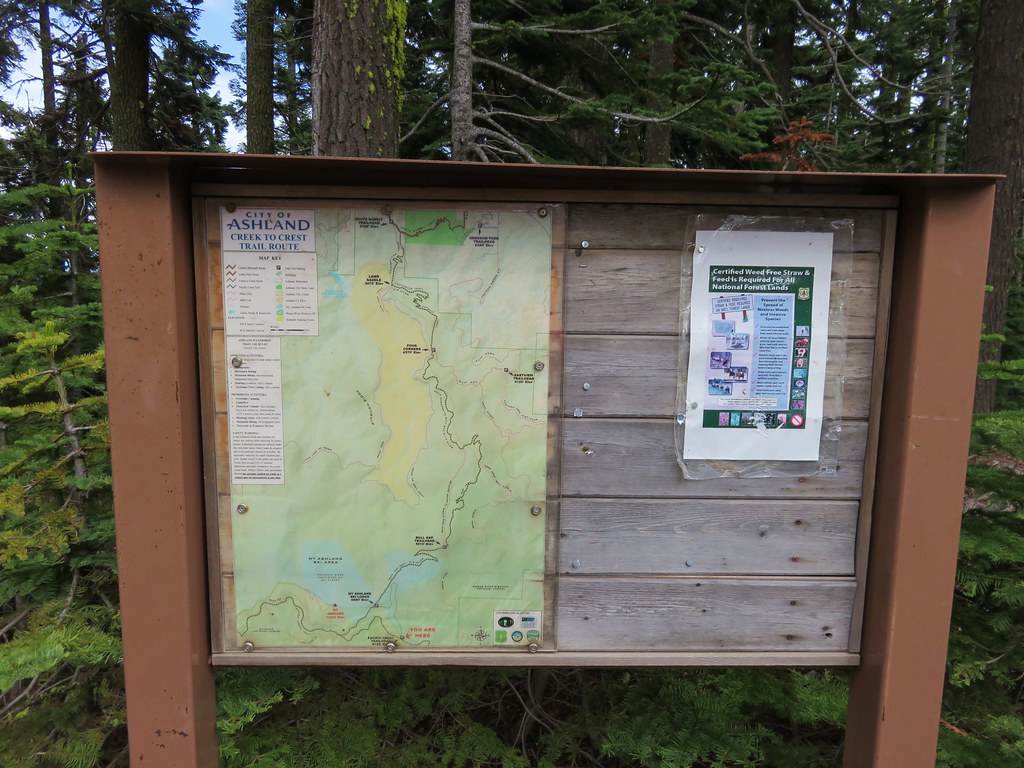
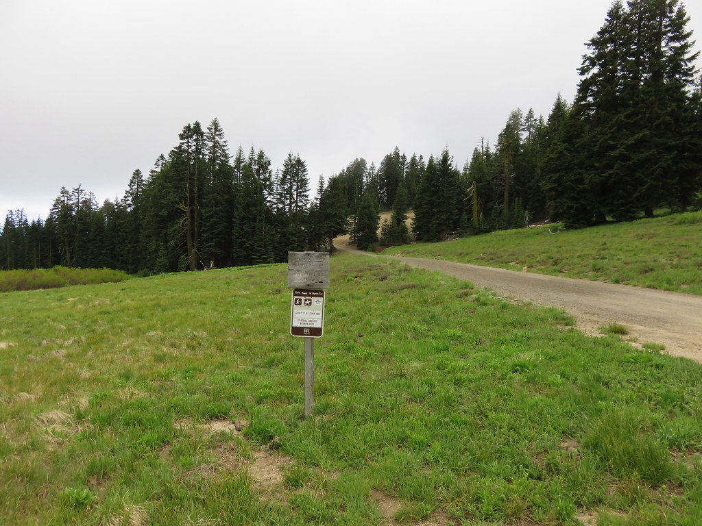
After hiking to Boccard Point in the morning and resting for a couple of hours back at the Green Springs Inn we headed into Ashland. Our plan was to pick up a meal to go and then eat it at Grouse Gap Shelter on Mt. Ashland. The shelter makes for a good turnaround point for a moderate hike along the Pacific Crest Trail on the flanks of Mt. Ashland. After picking up some sandwiches from the Greenleaf Restaurant we headed toward the Mt. Ashland ski area south of Ashland. The Pacific Crest Trail crosses Mt. Ashland Rd. (Road 20) just beyond the 7 mile marker which is where we parked at a pullout with a signboard to begin our hike.
We crossed the road and headed south on the PCT.

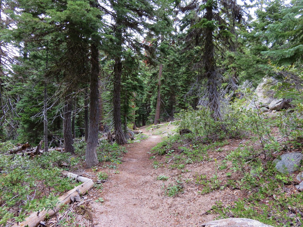
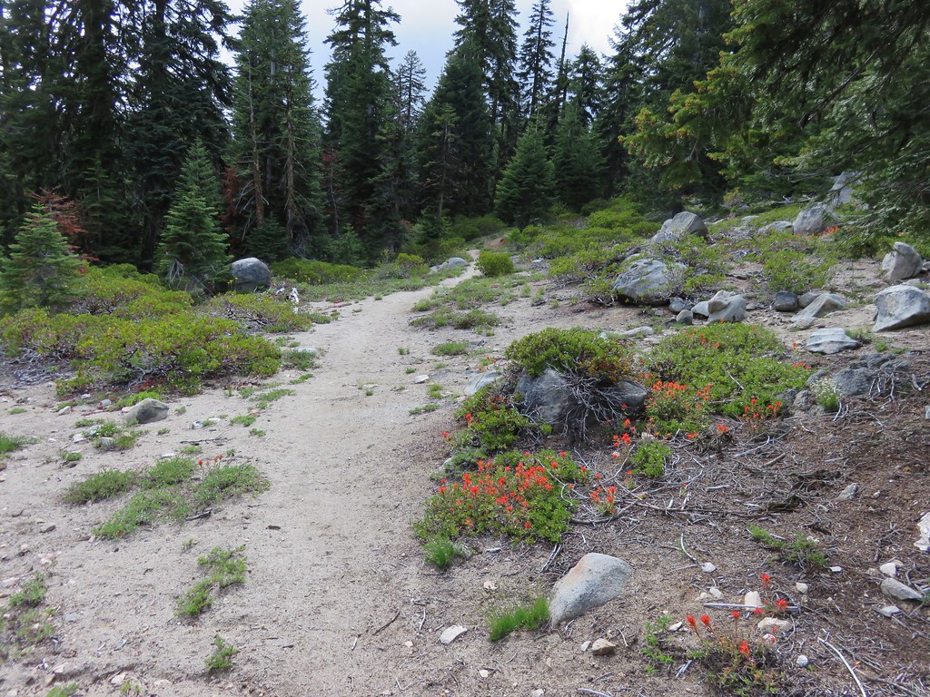
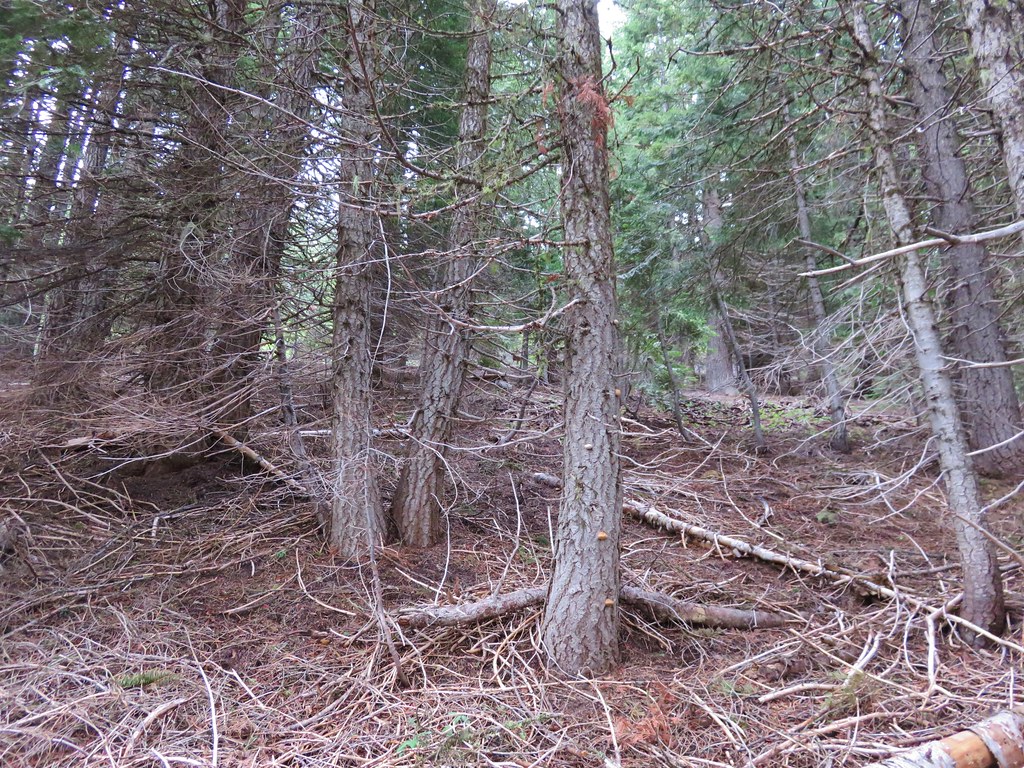
The first section of trail passed through forest before emerging in the first of the meadows.
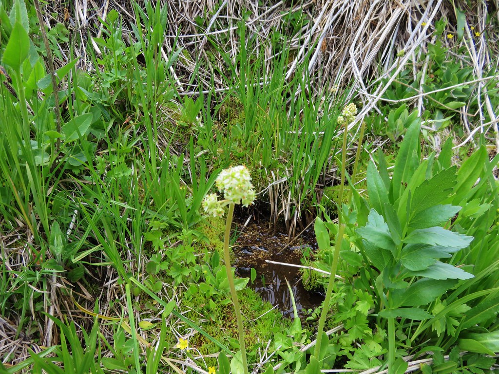
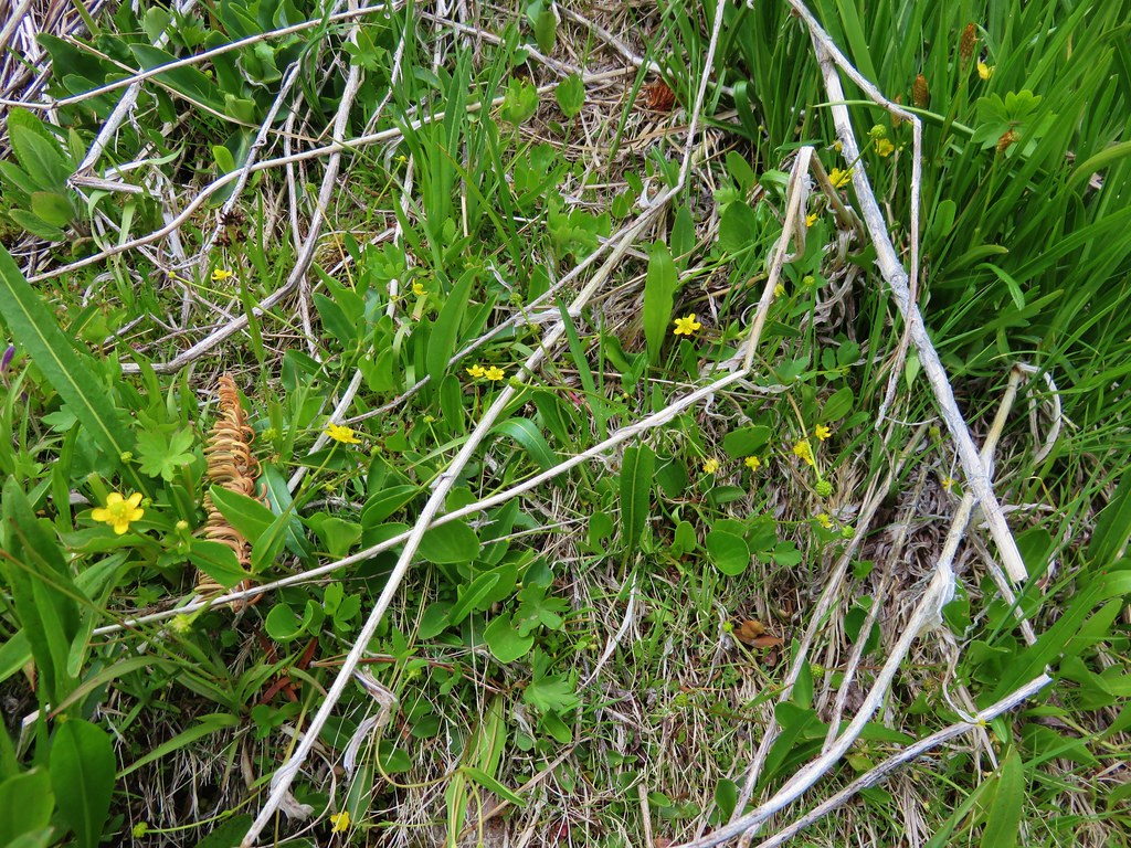
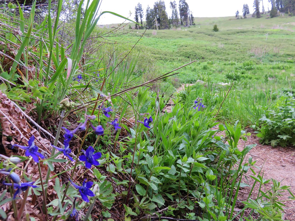
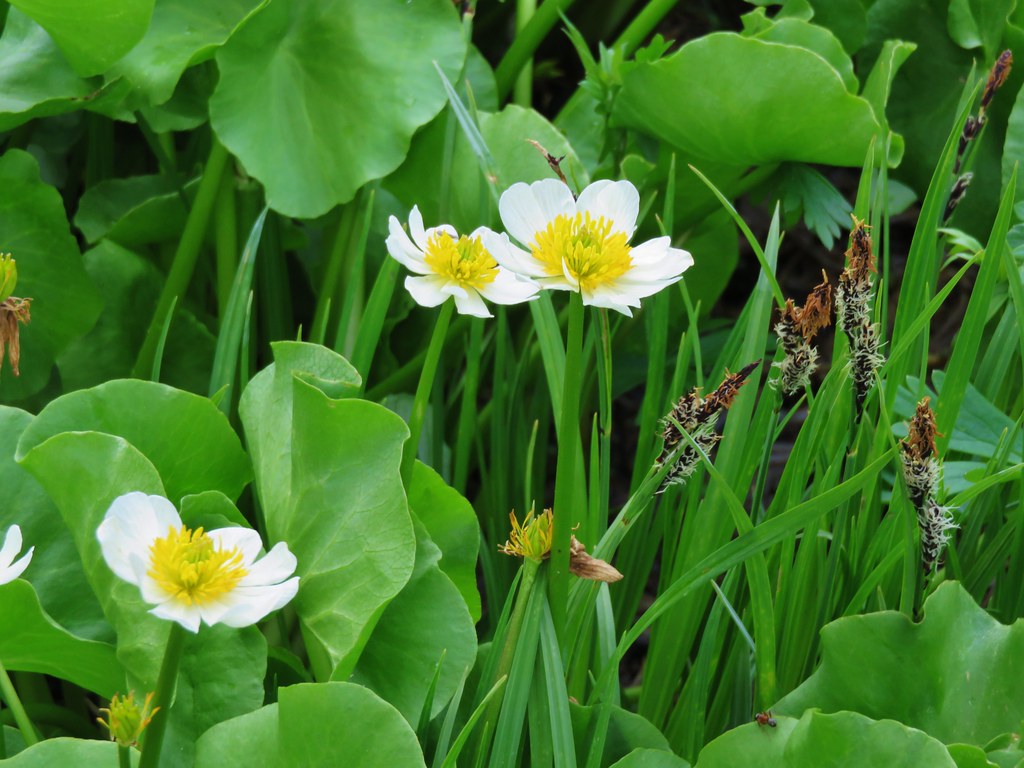
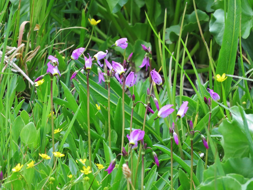
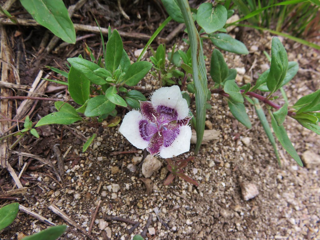
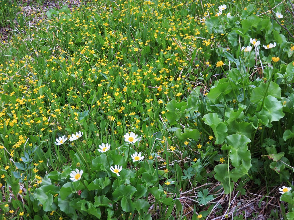
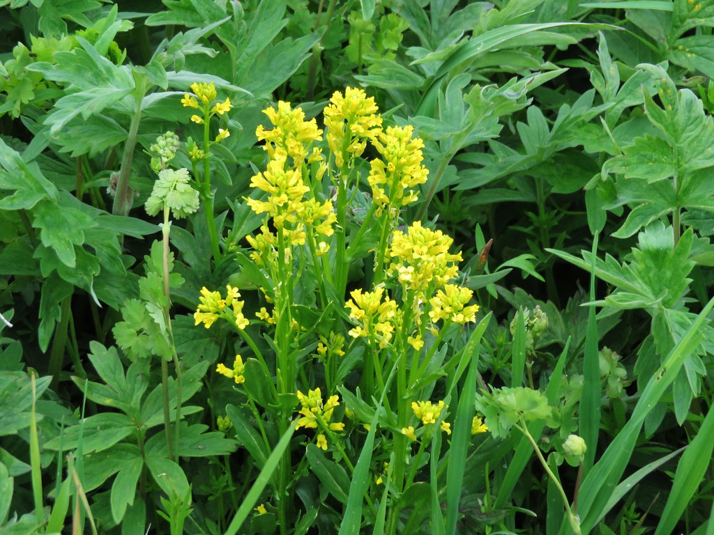
It was a little early in the year for most of the flowers but we spotted a few.
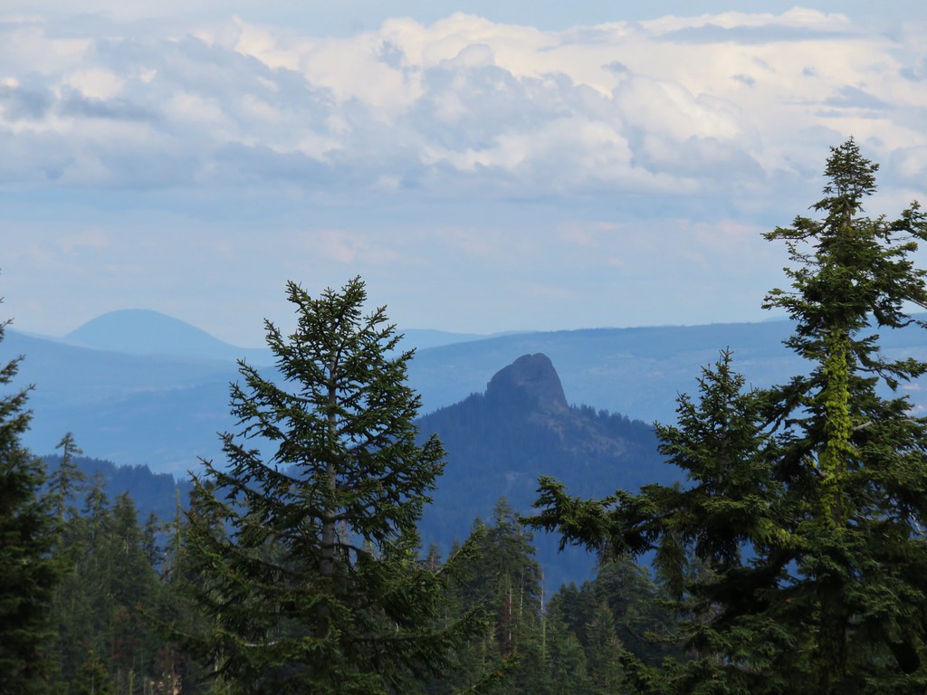
In the second meadow we had views of the now mostly cloud covered Mt. Shasta and the now cloud free Pilot Rock. A near reversal from that mornings hike.


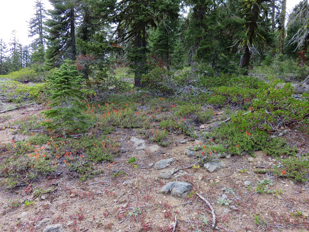
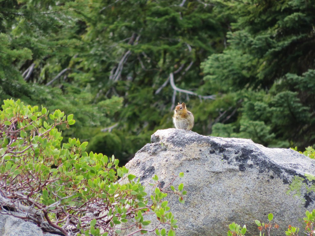
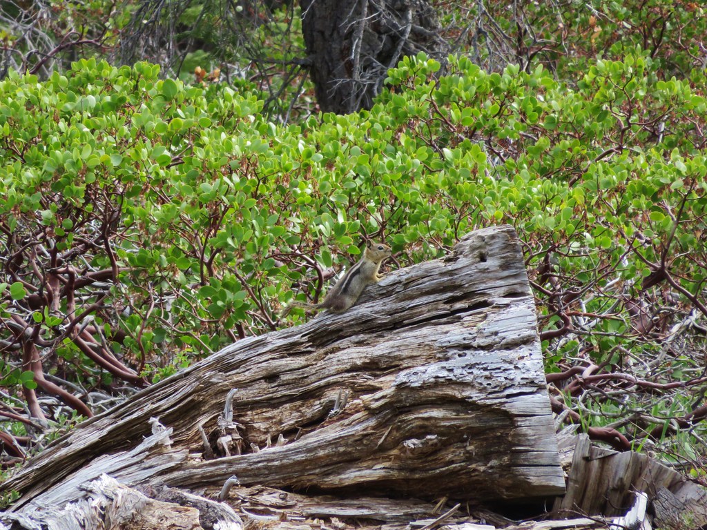
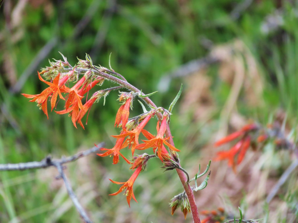
After leaving the second meadow the PCT crossed a drier slope dotted with red paintbrush and manzanita. We were also joined by some golden-mantled squirrels.
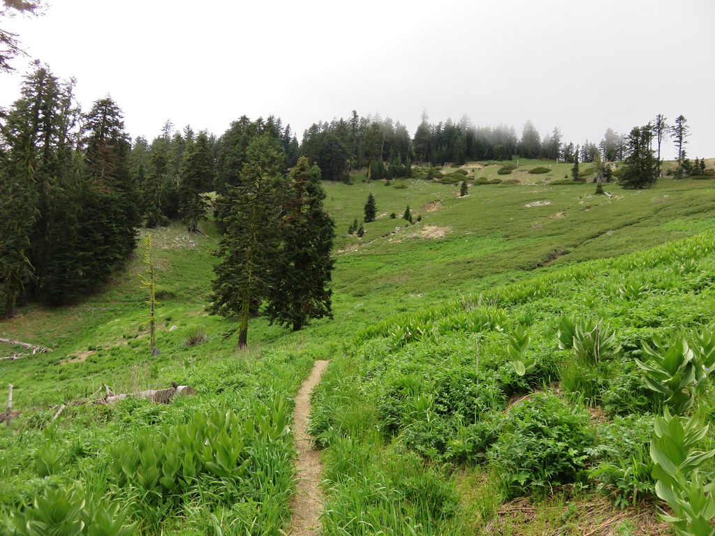
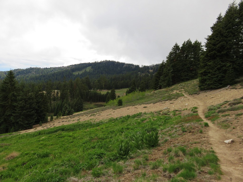
After about a mile and a half we crossed a gravel road and entered another meadow.
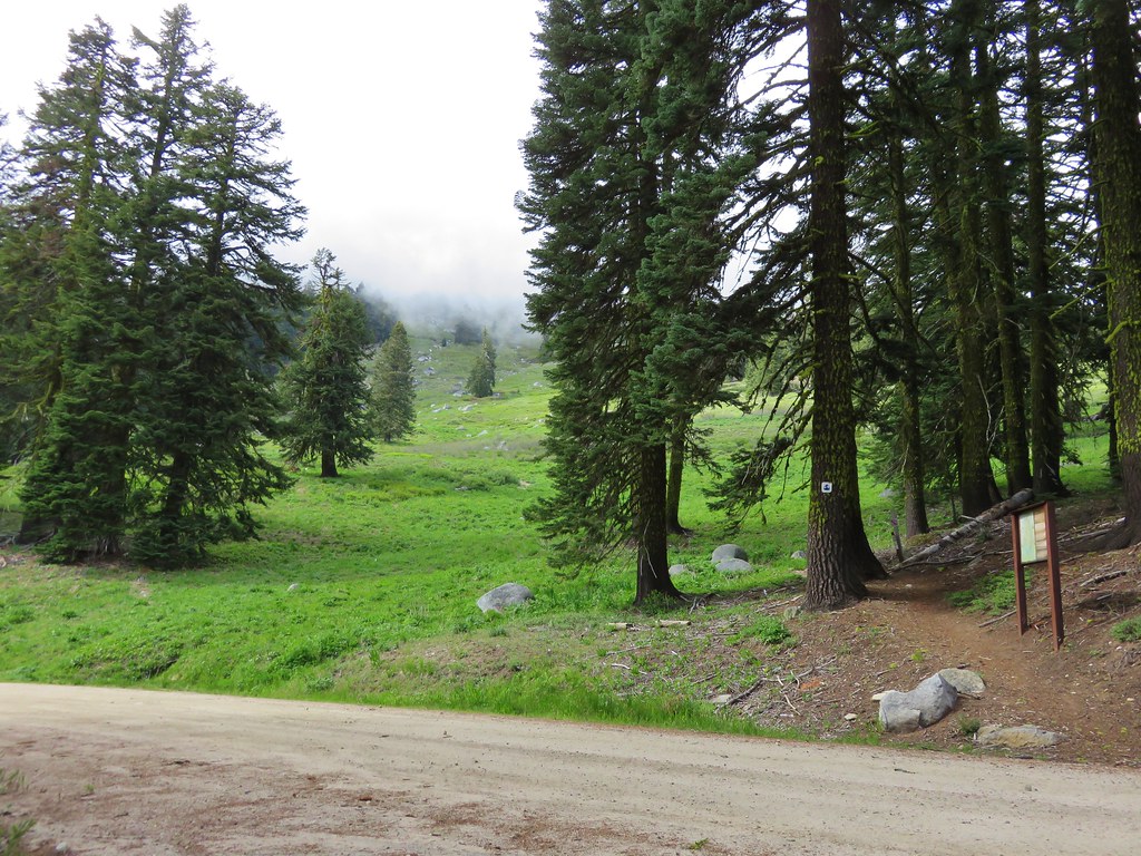
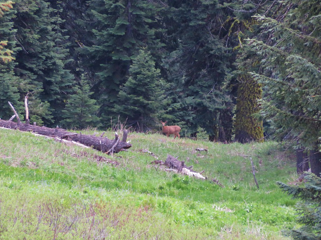
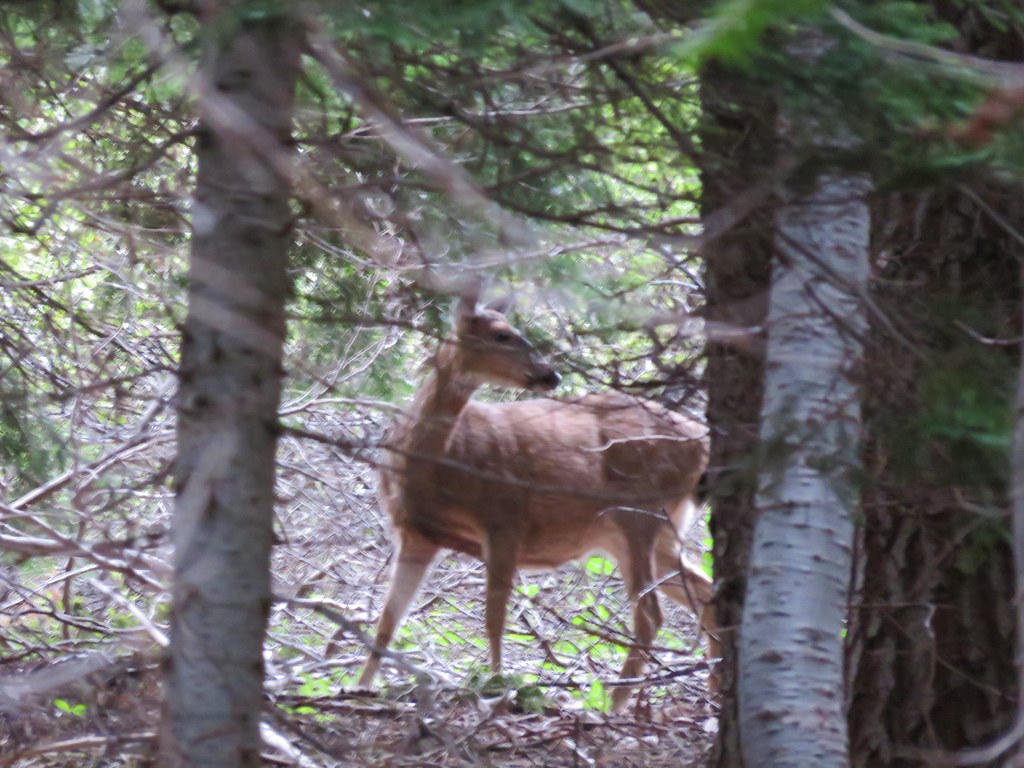
Just beyond this meadow was another smaller meadow where we spotted a deer far below at the meadows end.

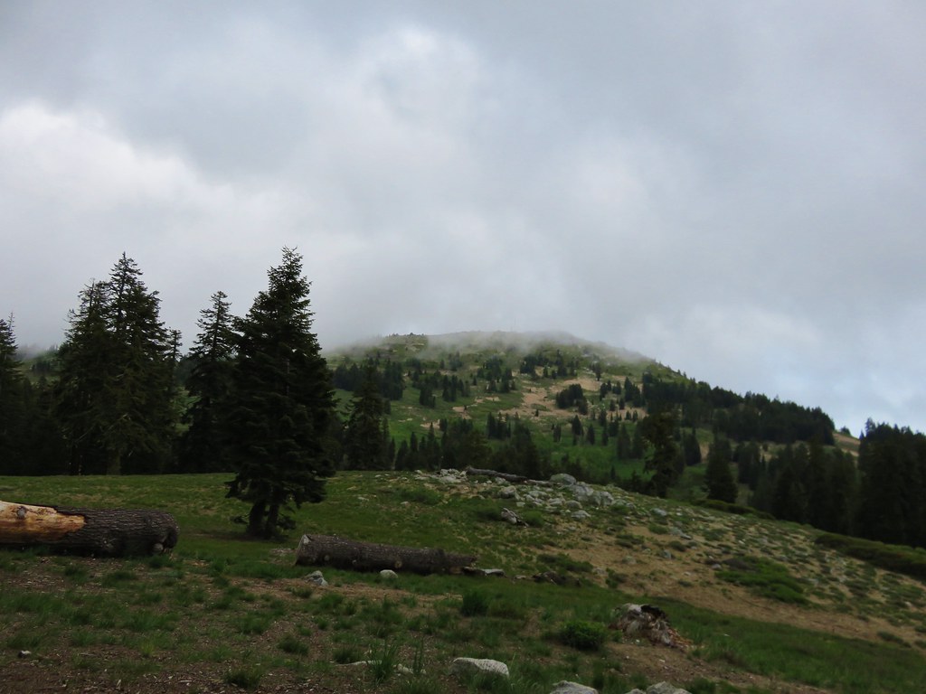
The trail continued to pass through alternating meadows and forest before entering the final broad meadow before the Grouse Gap Shelter. It was still early for flowers but this large meadow had the most we’d seen on this hike.

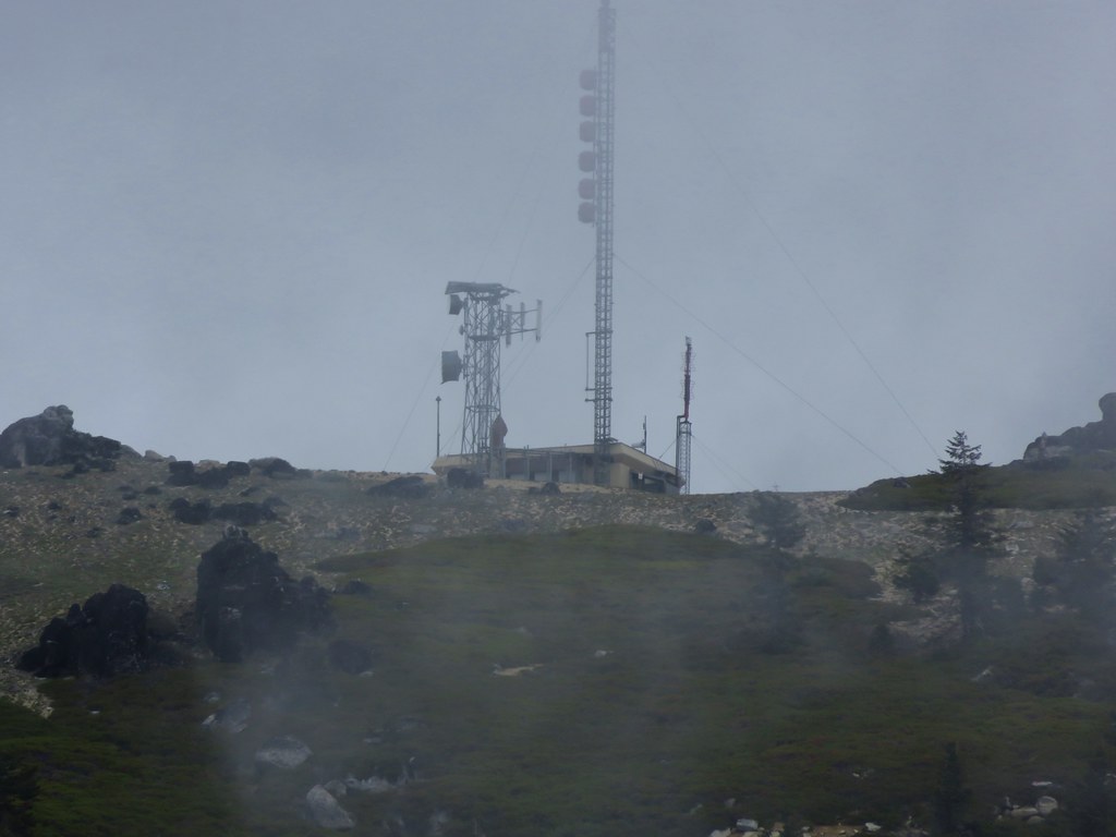
From the meadow we could see the shelter at the far end.
A quarter mile road led from the PCT down to the shelter.
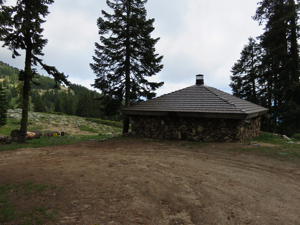
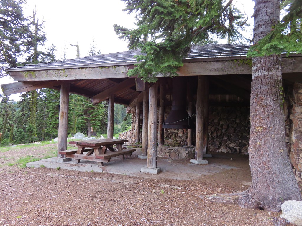
The shelter looks out across the meadow toward the summit of Mt. Ashland. We were below the clouds this time but the summit wasn’t.
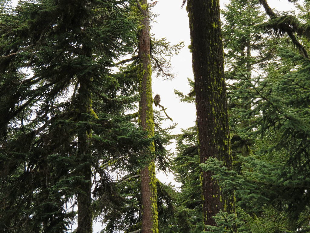
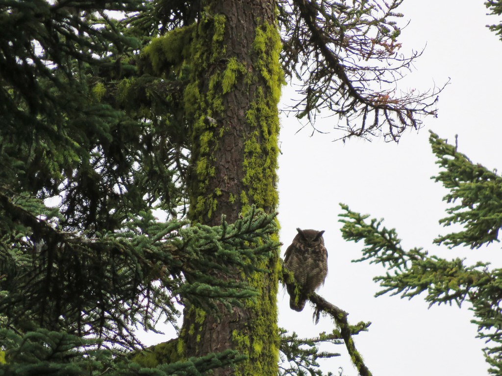
After eating our sandwiches we headed back. On the way we spotted another deer in the same meadow we had seen the earlier deer in, an owl who was nice enough to sit and have its picture taken, and a final deer amid the hillside trees.

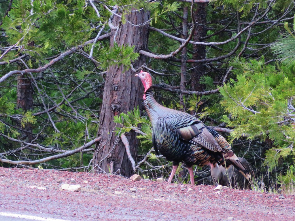
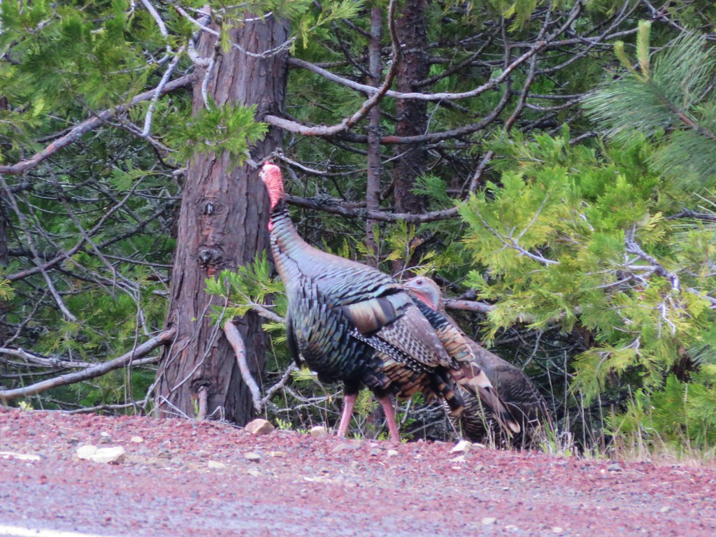
Then as we were driving back down the mountain a pair of turkeys emerged from the forest.
This hike wound up being a little over 7 miles long with about 700′ of elevation gain. The Grouse Gap Shelter proved to be a perfect place to stop for a meal making this a great relaxing hike to end the day. Happy Trails!
flickr: https://www.flickr.com/photos/9319235@N02/sets/72157651795646153

8 replies on “Mt. Ashland Meadows”
[…] Mount Ashland is our local ski area and this winter – thanks in large part to El Niño – there was plenty of snow and it was open on its regular winter schedule. On the two days of the week it’s normally closed, we used the Sno-Park next to it as the starting point for three snowshoe hikes in the snow-covered forests and meadows to the west: one out-and-back to the Grouse Gap Shelter (post), one just to the summit of Mt. Ashland when a storm was rolling in, and, finally, a loop over the summit, out to the Shelter, and back partially cross-country on some steep snow (post). But we’d never been up there in the summer! So with air temperatures in the Rogue Valley pushing into the triple digits, now seemed like the perfect time for an easy out-and-back hike on the Pacific Crest Trail (PCT) from the Mount Ashland access road to the Grouse Gap Shelter. The Grouse Gap section of the PCT is an enjoyable, easy day-hike close to the Rogue Valley. The trail offers wonderful displays of wildflowers in midsummer, and outstanding vistas of Mt. Shasta, the Marble Mountains and the Trinity Alps to the south (when the views are not otherwise filtered or obscured by smoke and haze). Here the PCT contours through five meadows at a thermally comfortable 6,500 feet; meadows where some of the wildlflowers that peaked in July could still be seen, along with a whole other set of flowers that peak in August! Not quite as lush as they can be in June but still surprisingly verdant (wanderingyuncks, June 2015). […]
[…] the south was the snowy Mt. Ashland and Wagner […]
Jul 18 Saturday decided to stay at split rock trail ,McDonald peak botanical area .Jul 19 when we were heading out we decided to peak at the top of that peak in about 20 minutes I had my little Yorkie chihuahua and lost him his always next to me but while I was taking pics, he disappeared I searched that area for a couple of hours couldn’t find him . His is 19 years and has been with me thru many hikes . If someone has seen him please I beg to give a call the dog belongs to my 18 year old son we are devastated. (541)816 8037
[…] Mountains including Mt. Ashland (post), Wagner Butte (post), and Dutchman […]
[…] Ashland (post) peaking through a hole in the […]
[…] lower flank of Grizzly Peak (post) to the left. Mt. Ashland (post) is hiding behind the clouds almost straight […]
[…] We could see Mt. Thielsen (post), the rim of Crater Lake (post) and Mt. McLoughlin beyond Wagner Butte (post) and Mt. Ashland (post). […]
[…] #49 Soda Mountain-Hiked 6/3/2015 #50 Pilot Rock-Hiked 7/29/2017 #51 Mount Ashland Meadows-Hiked 6/3/2015 #52 Lithia Park-Hiked 6/2/2015 #53 Bandersnatch Trail-Hiked 6/17/2022 #54 White Rabbit […]