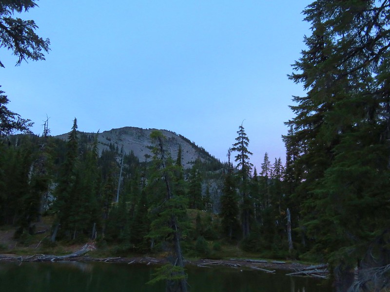
The third, and what turned out to be final day, of our trip around Cowhorn Mountain was originally going to be a 10 mile hike moving our camp near Indigo Lake on the west side of the Cascade Crest to the Windy Lakes on the east side. That would have left us about 11 miles from our car for the final day’s hike out. I had already begun rethinking that in the days before we started out because we’d likely be at the Windy Lakes before 1pm which would mean we’d be hanging around that group of lakes for half of the day when we could have been shortening the distance for our final day.
After going over our maps the night before and discussing it we had decided that we would continue past the Windy Lakes and set up camp at one of several other lakes along our route. We would let our bodies and the time of day decide when it was time to stop. Our options were Suzanne and Darlene Lakes which were a mile beyond the Windy Lakes, Oldenburg Lake which was another 4 miles along, or go another 2+ miles to Nip & Tuck Lakes.
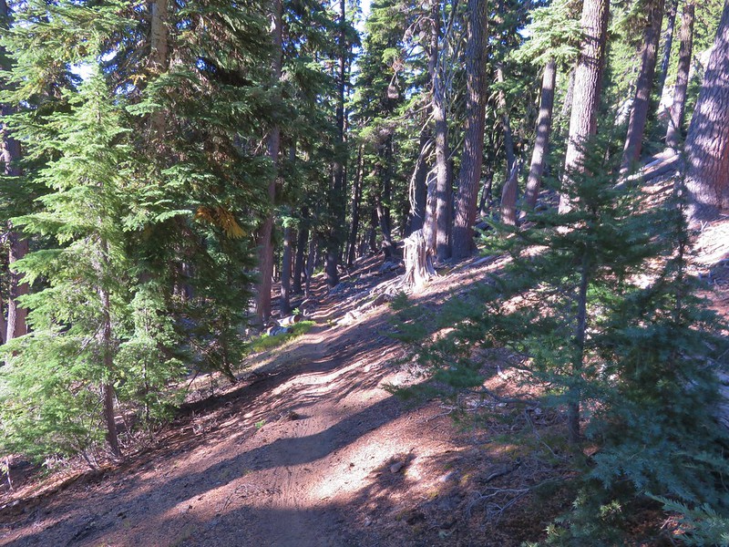
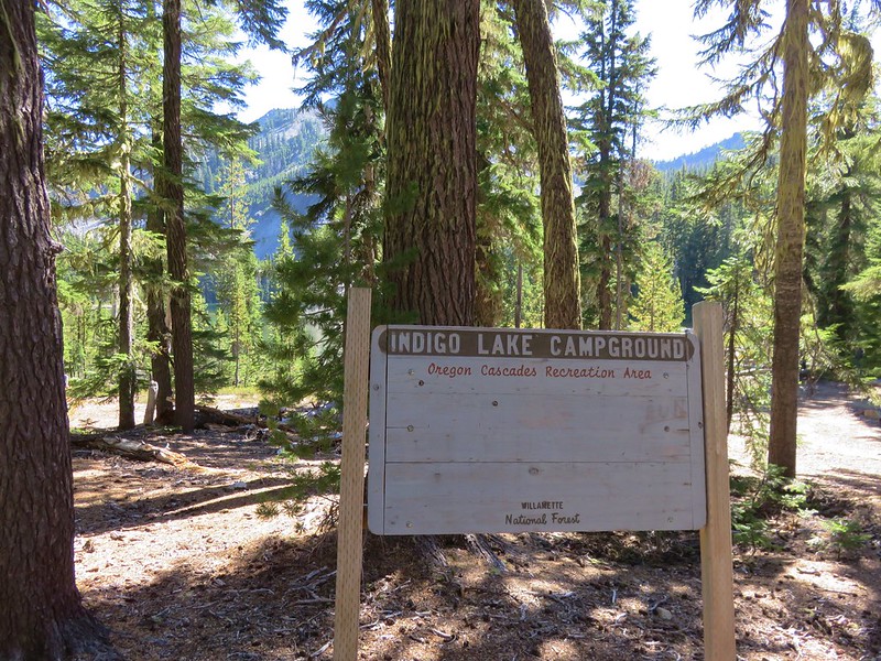
Before we could decide where to camp for the night though we had to get to these lakes. We said goodbye to the little lake we had been staying at and set off a little before 7am.
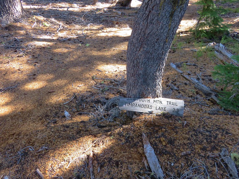
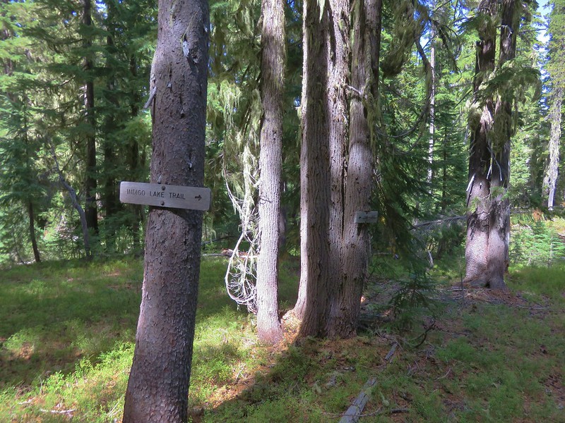
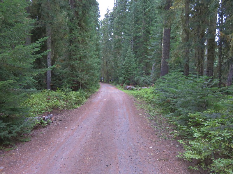
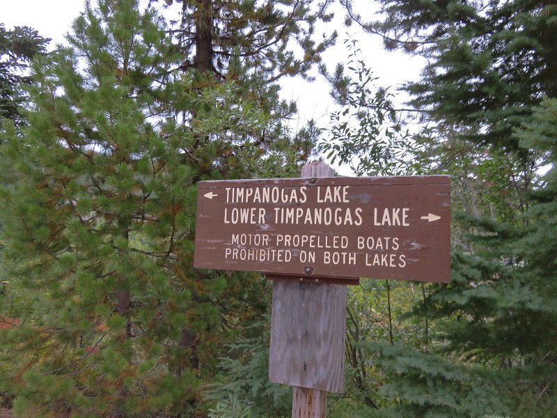
We took the Indigo Extension Trail down to Indigo Lake then followed the Indigo Lake Trail nearly 2 miles to the trailhead near the Timpanogas Lake Campground. A short road walk into the campground brought us to the Lake Shore Trail along Timpanogas Lake.
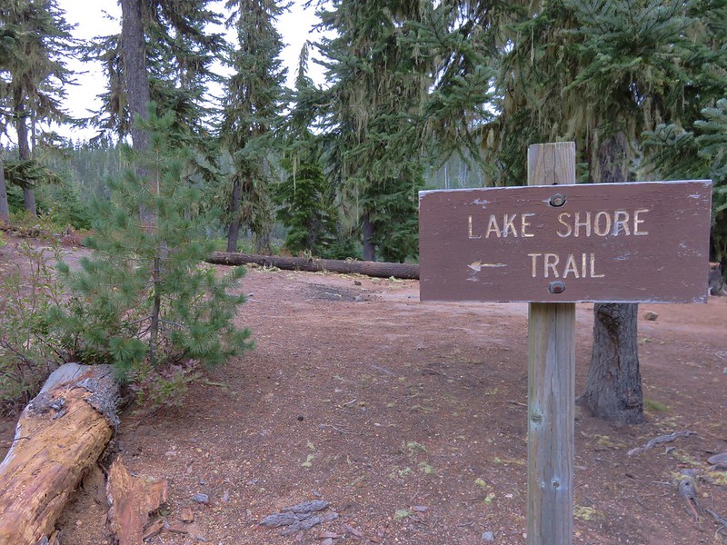
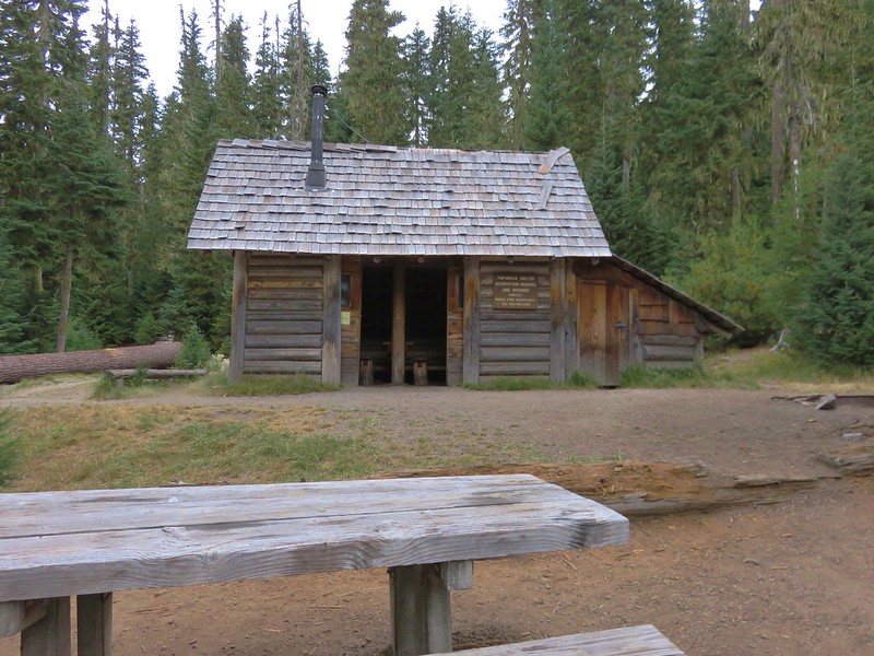
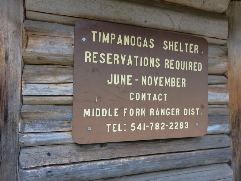
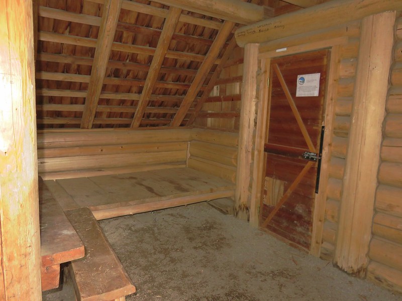
We followed the Lake Shore Trail for .4 miles to the Timpanogas Shelter.

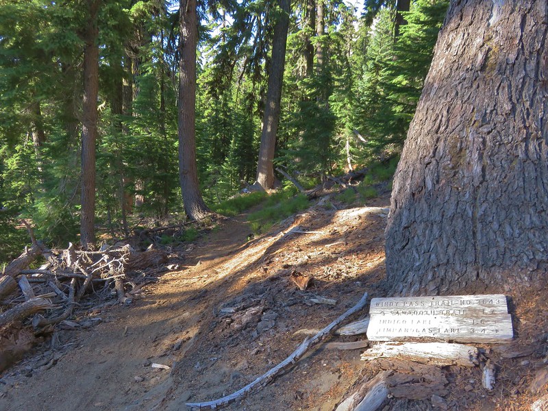
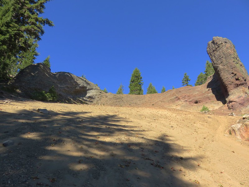
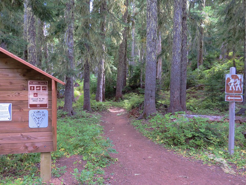
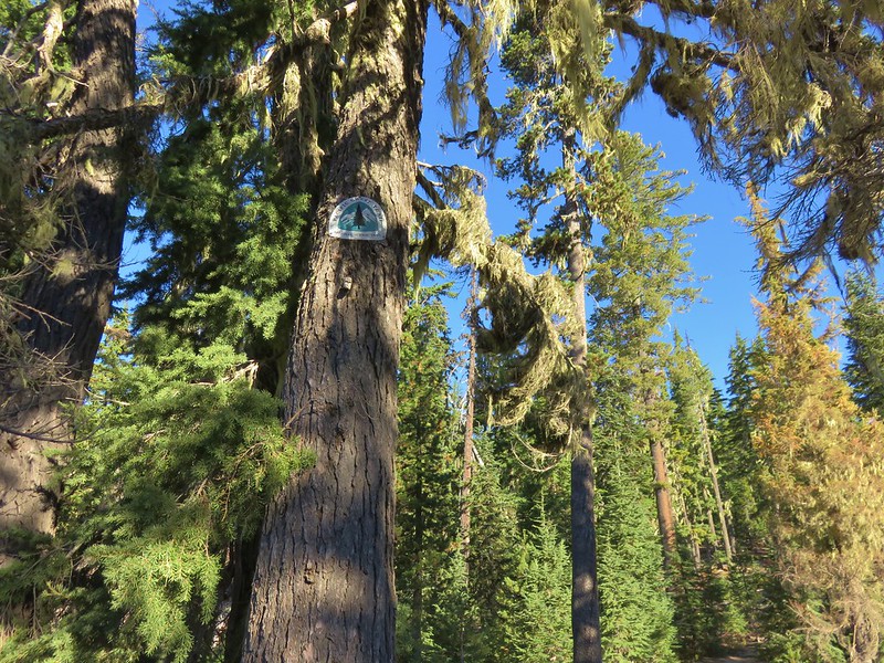
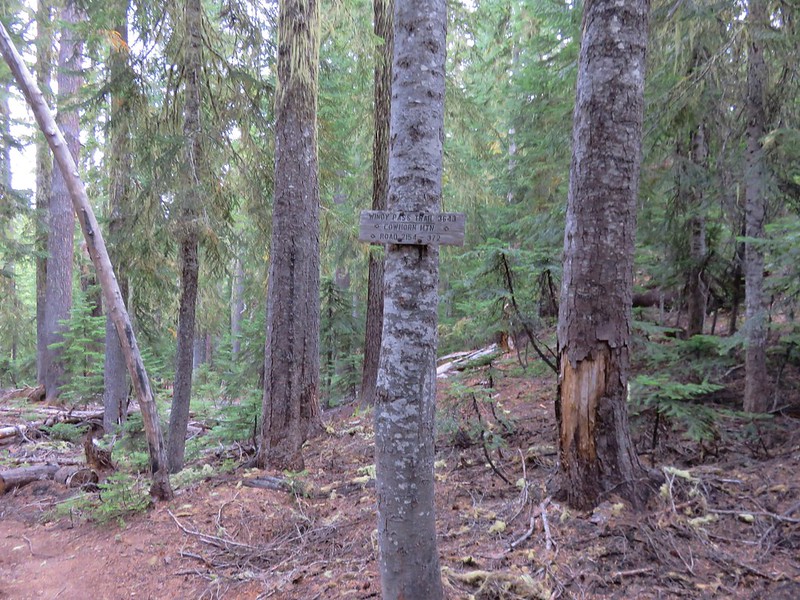
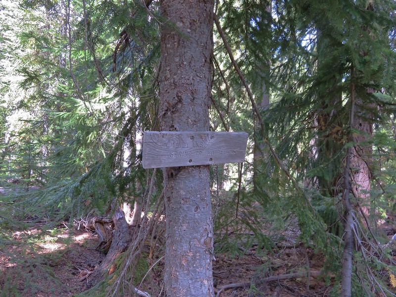
Just beyond the shelter were signs for the Start O’Willamette Trail.
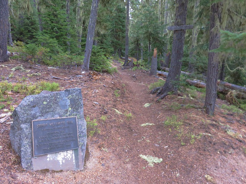
We turned uphill on this trail and climbed nearly 600′ in just over a mile to the Windy Pass Trail.
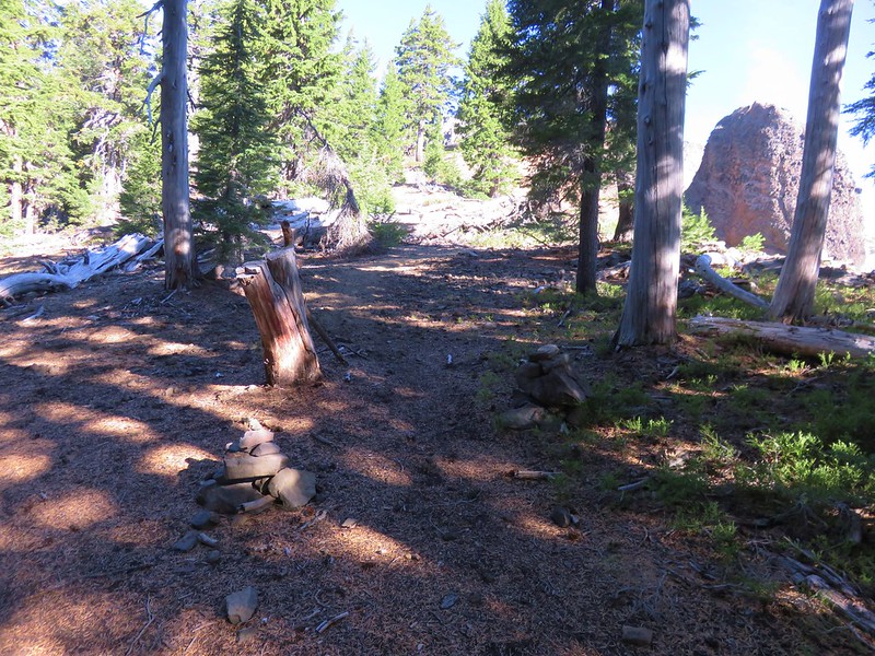
There were several unnamed lakes shown on the map near the junction and we quickly passed on after turning right onto the Windy Pass Trail.
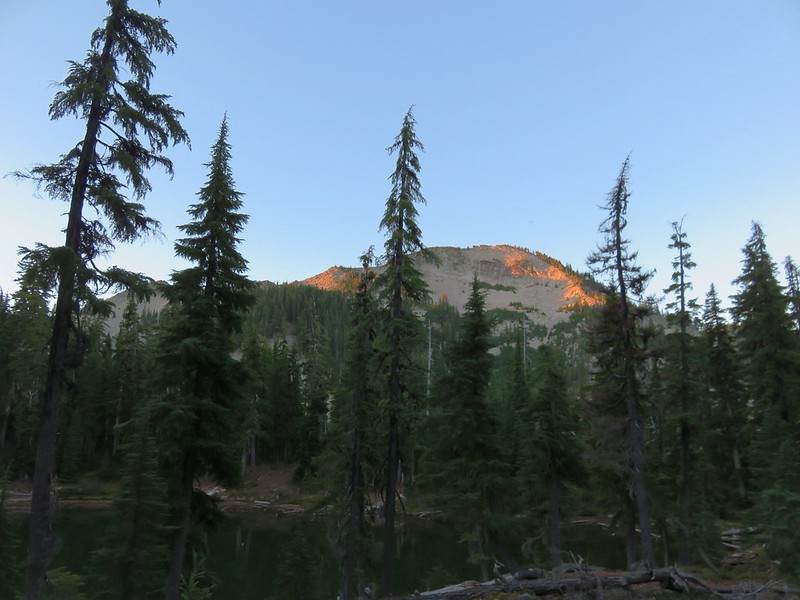
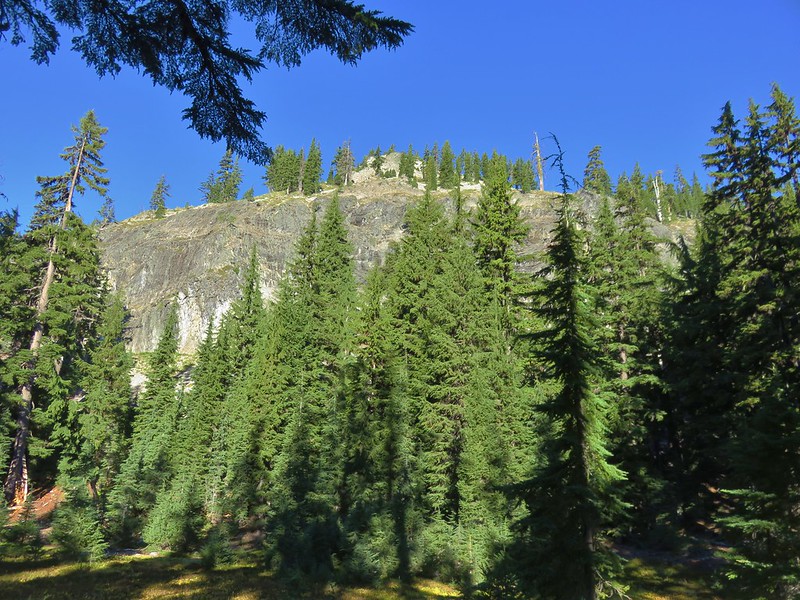
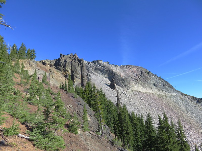
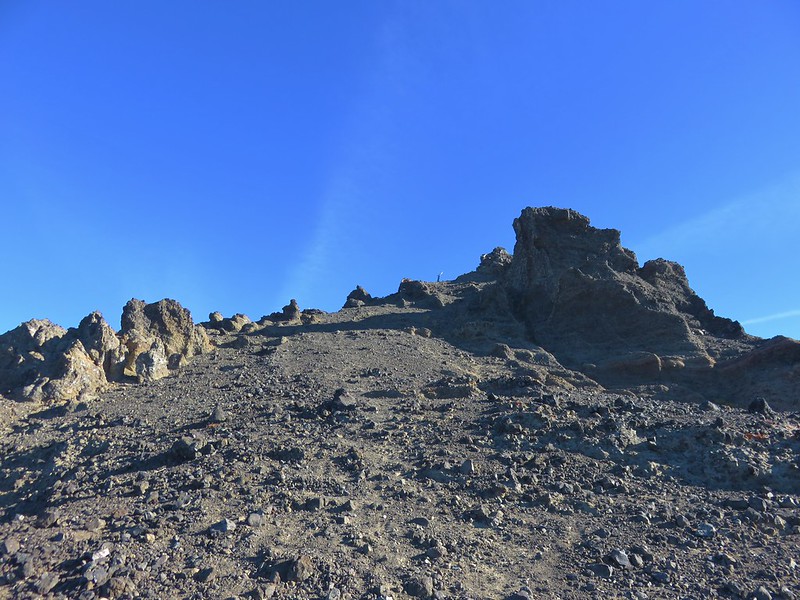
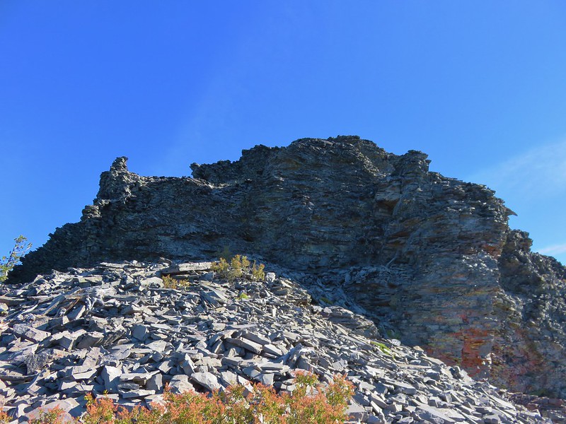
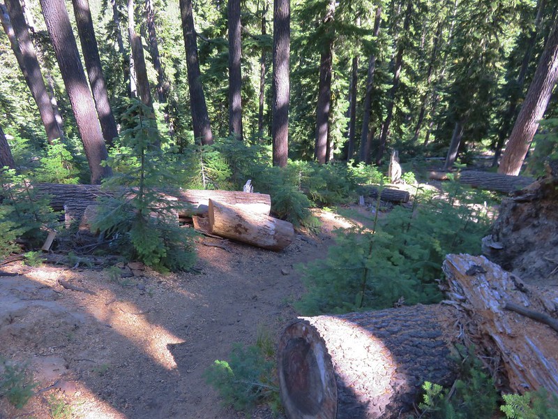
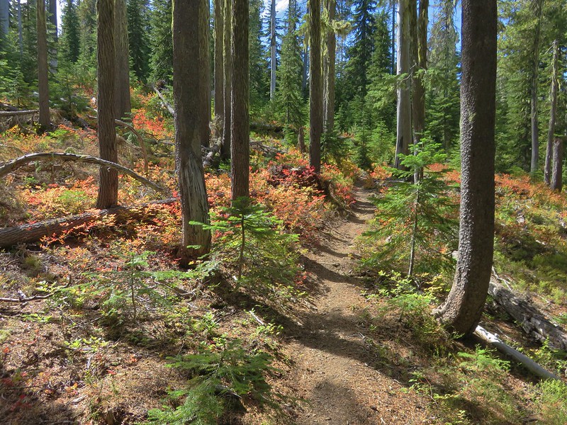
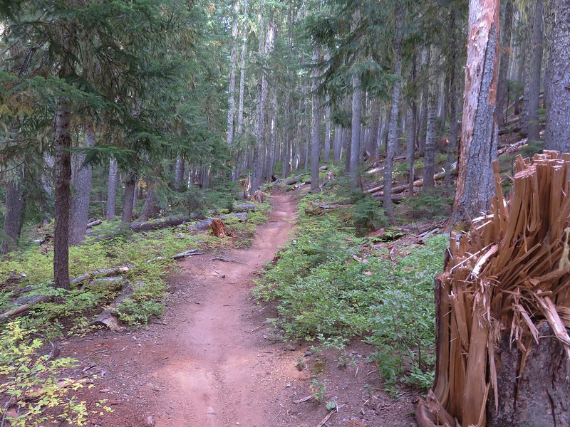
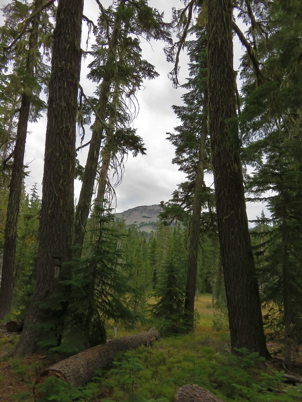
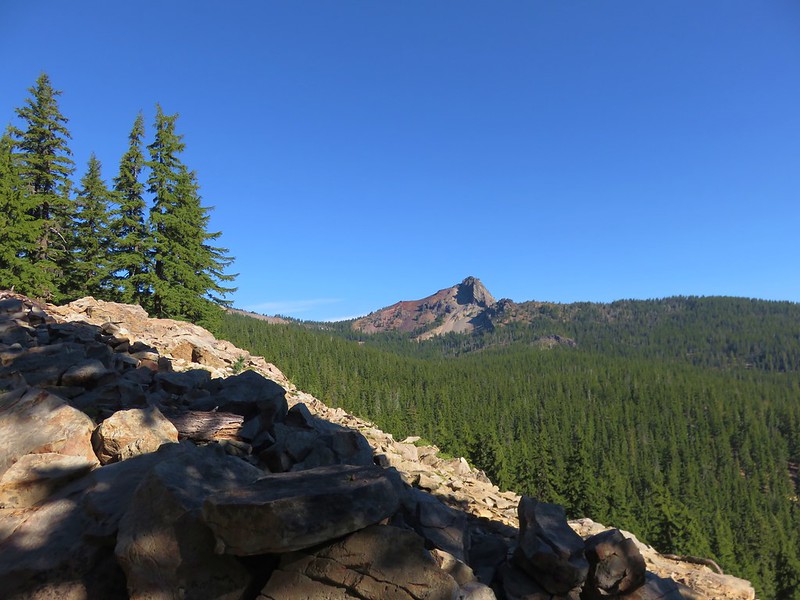
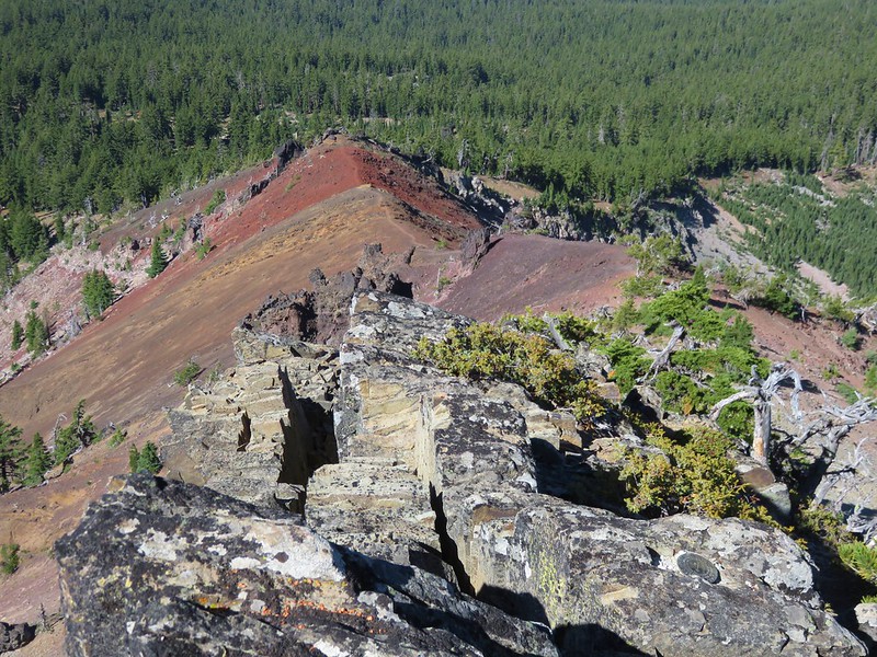
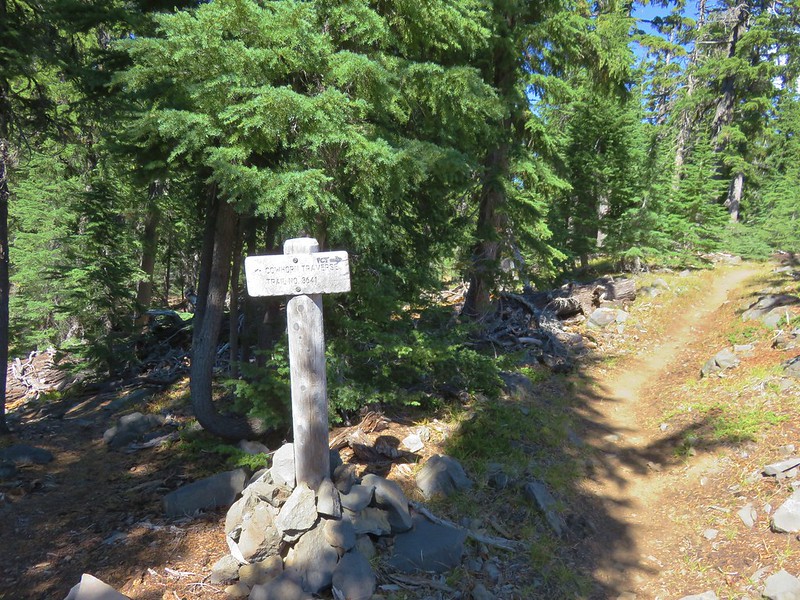
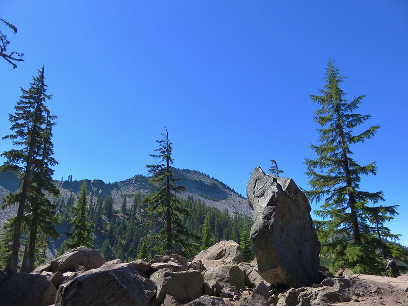
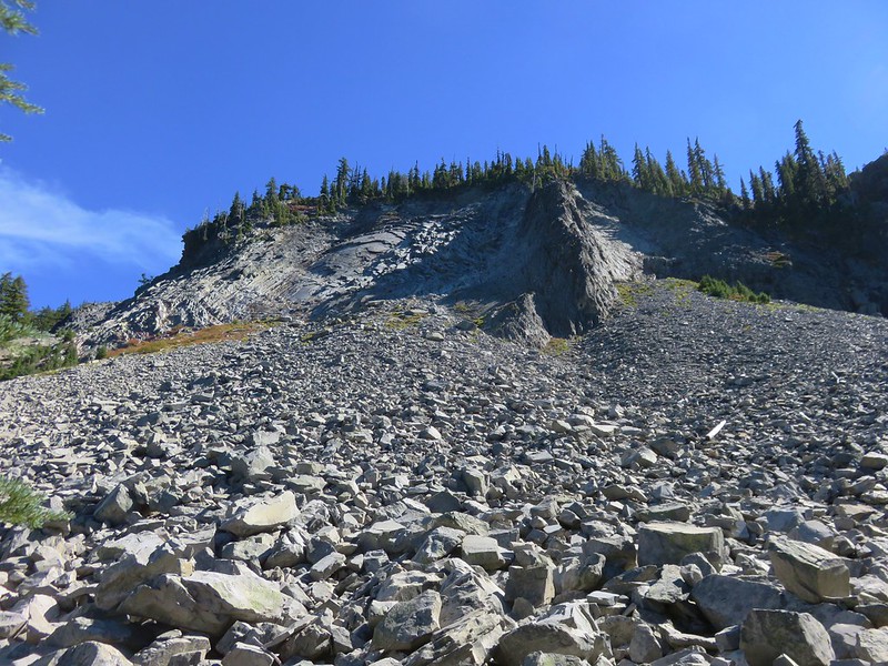
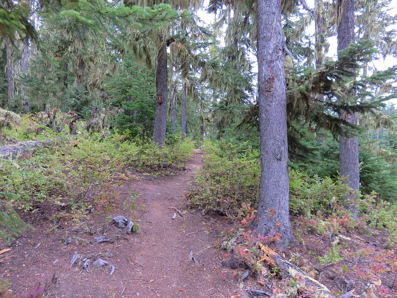
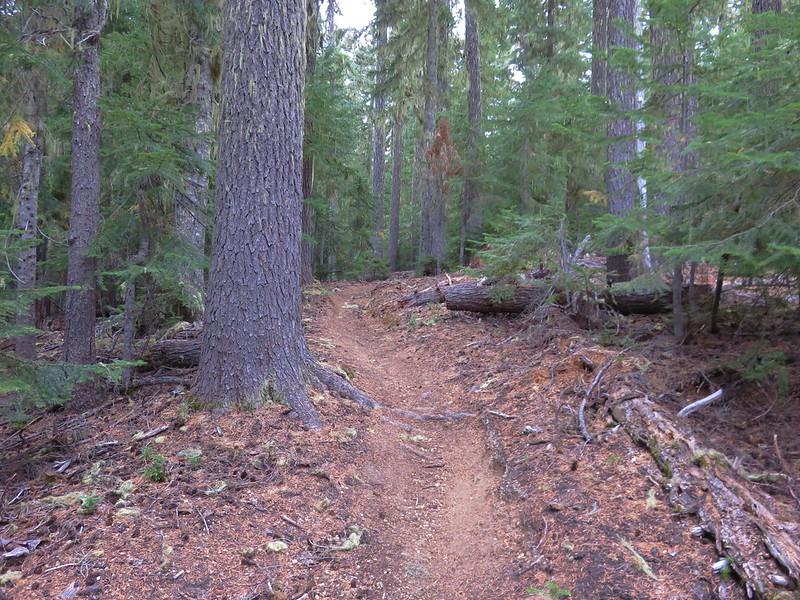
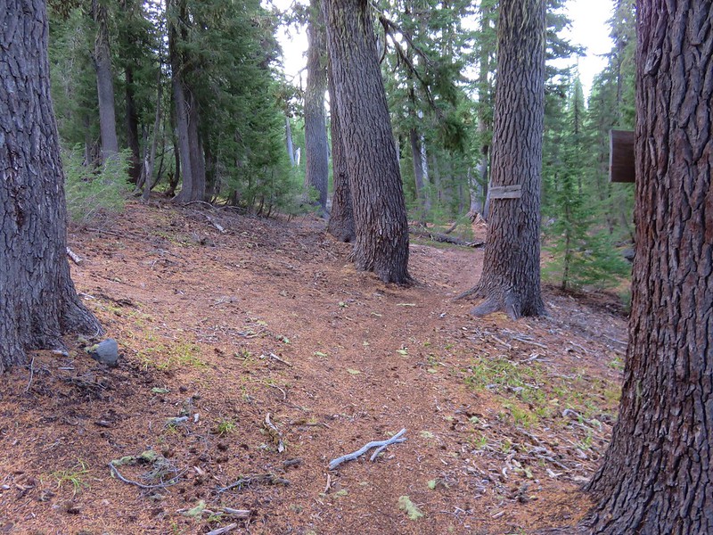
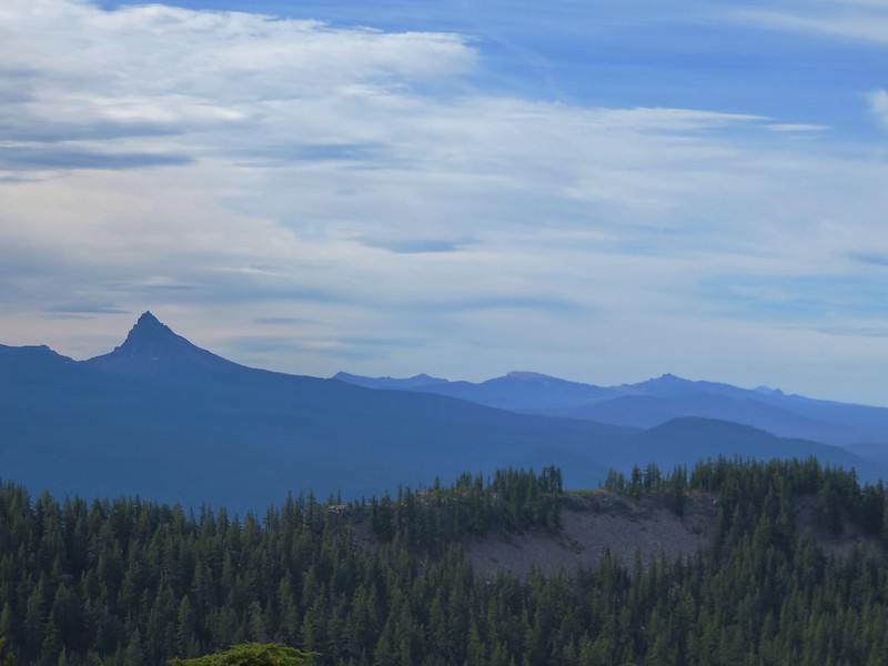
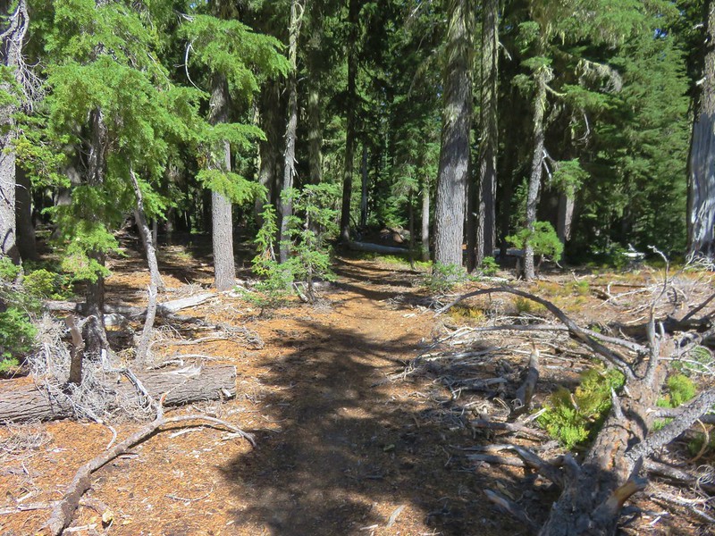
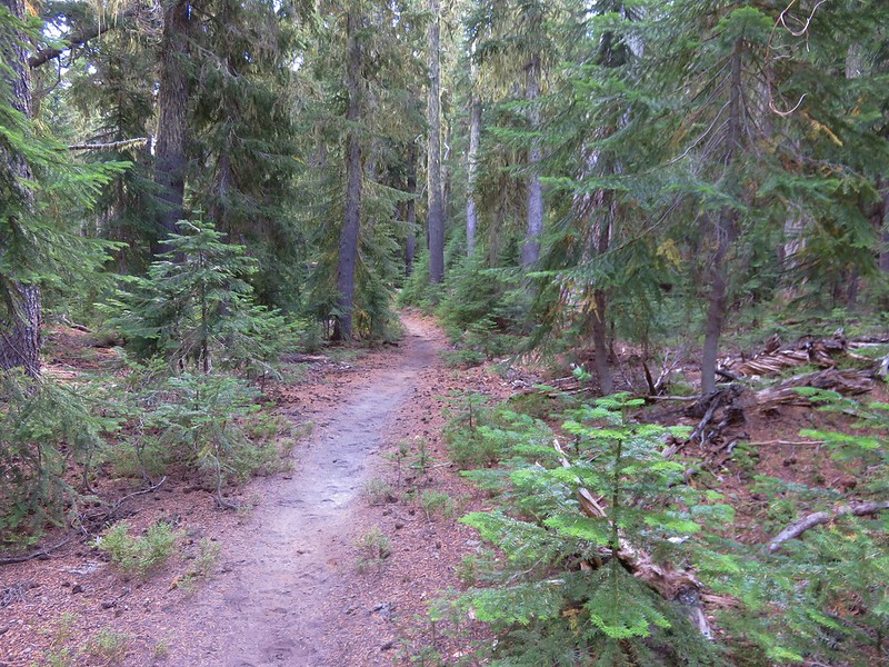
From the junction we needed to follow the Windy Pass Trail for 2.7 miles to the Cowhorn Traverse Trail where we had come down from the Pacific Crest Trail two days before. This section of trail gained almost 900′ but it was never steep making it a fairly easy climb. The trail was forested but there were occasional views of Sawtooth Mountain across the valley we were circling.

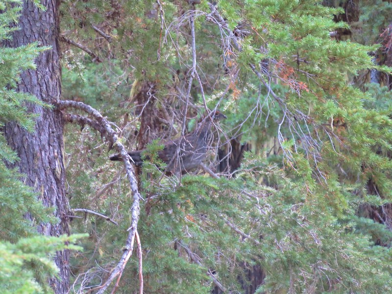
We were in a zone and making good time when a pair of grouse startled us.
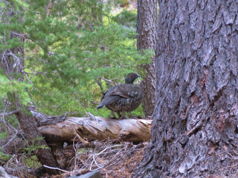
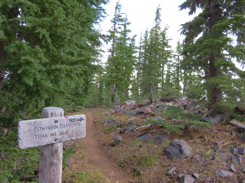
After stopping to watch the grouse we continued on to the junction with the Cowhorn Traverse Trail where we turned left and followed it .3 miles to the PCT.
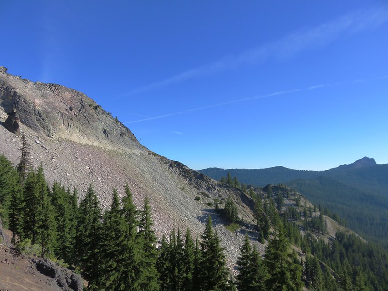
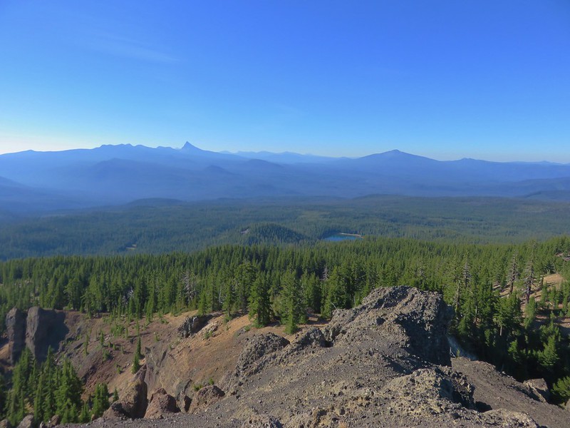
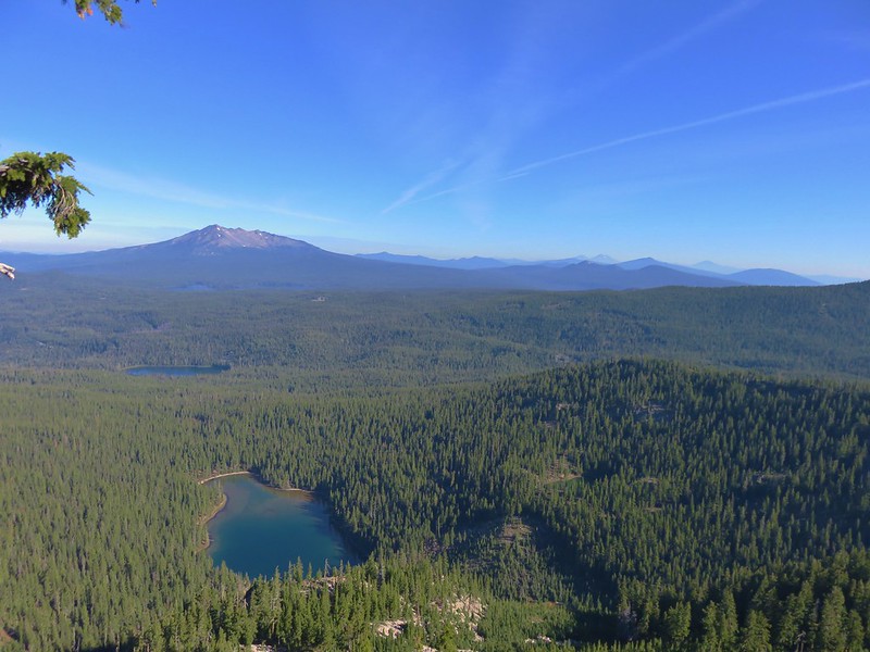
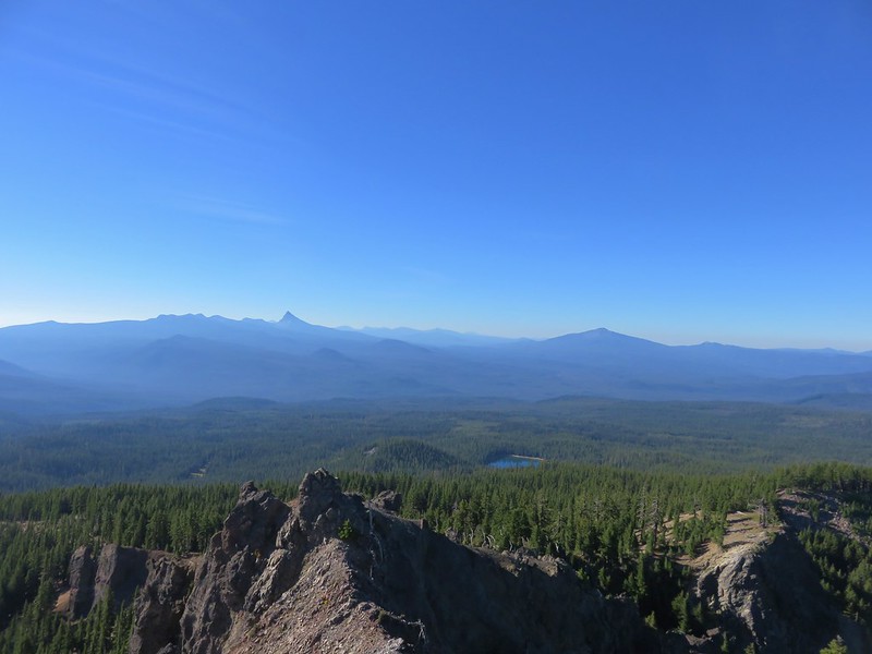
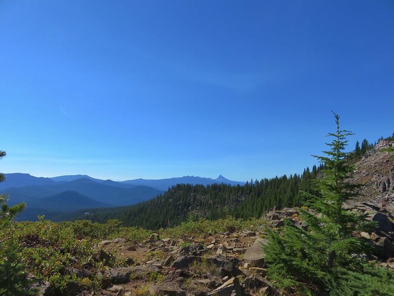
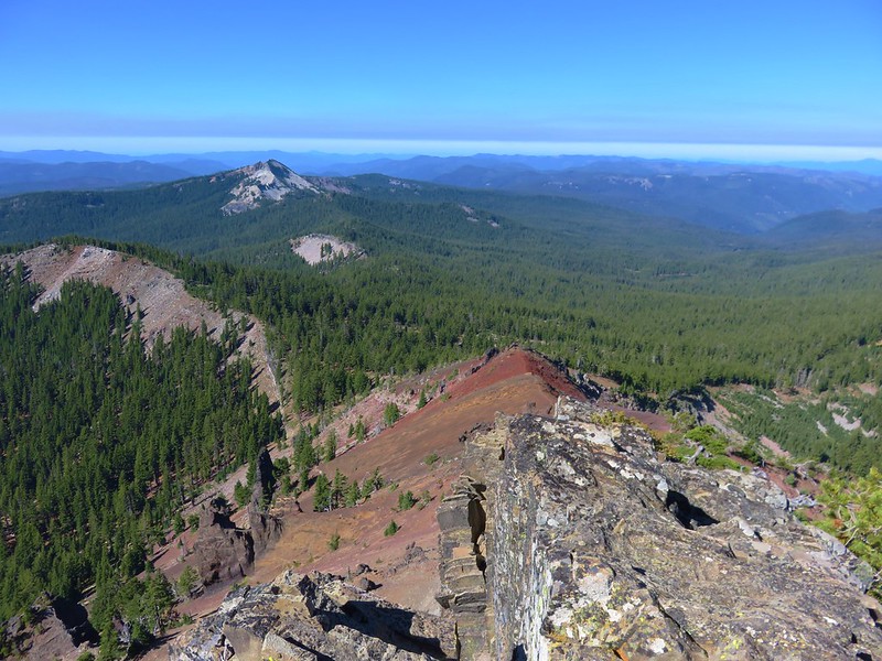
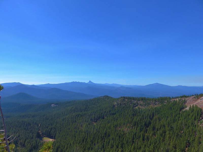
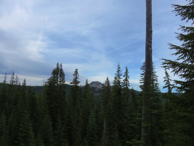
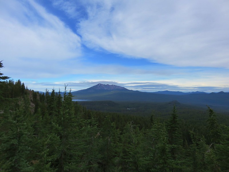
If we turned right (south) on the Pacific Crest Trail it would be about than 5 miles to our car, but we turned left and headed north. The PCT traveled along the Cascade Crest offering some big views in all directions as the trial occasionally switched sides along the ridge.
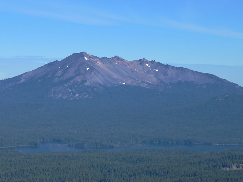
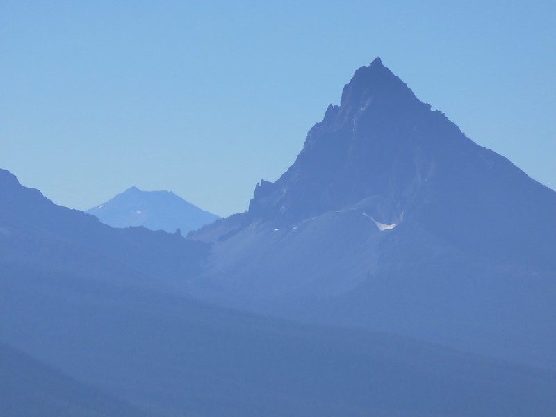
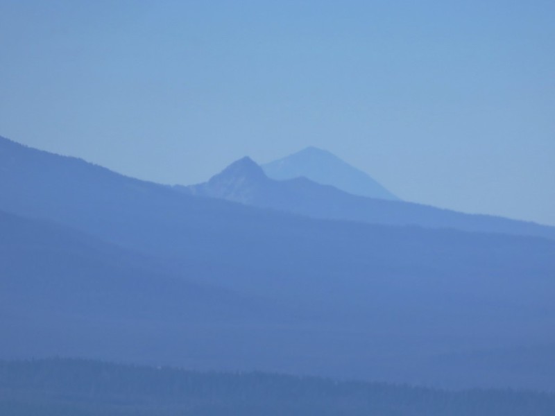
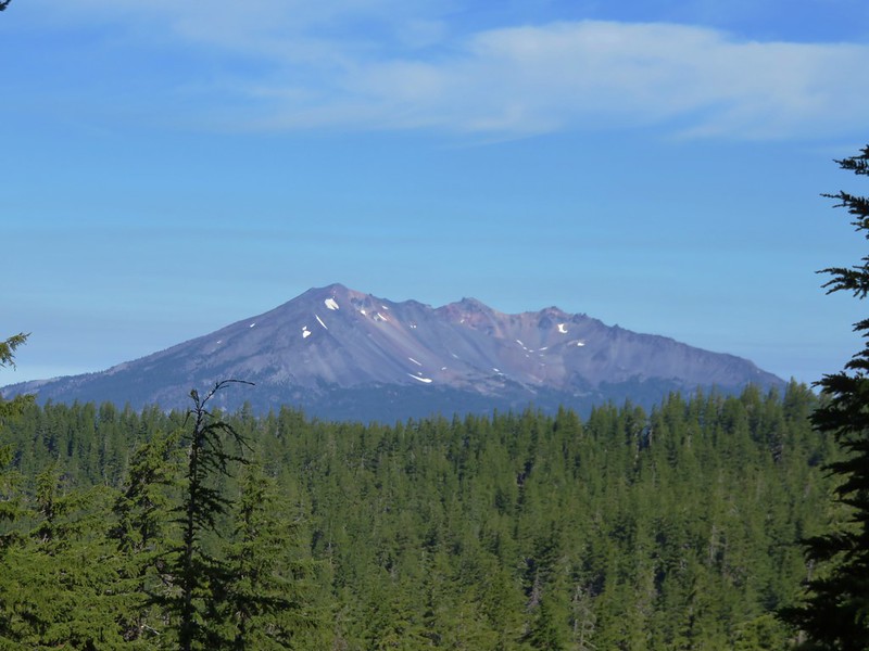
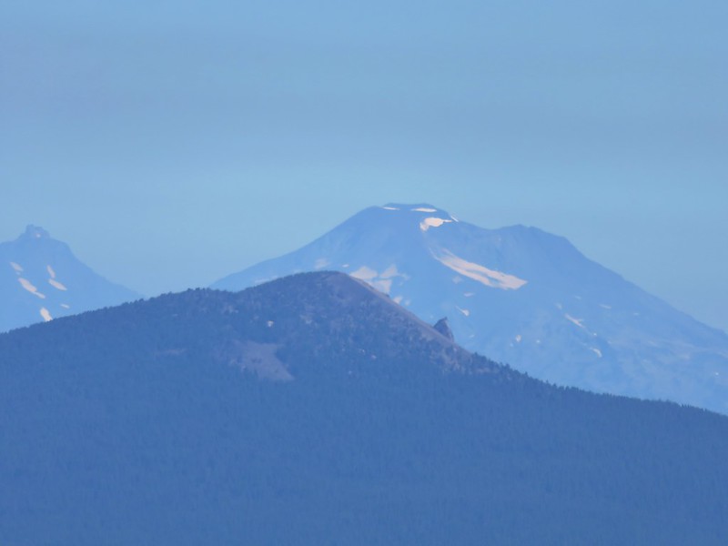
Diamond Peak to the north
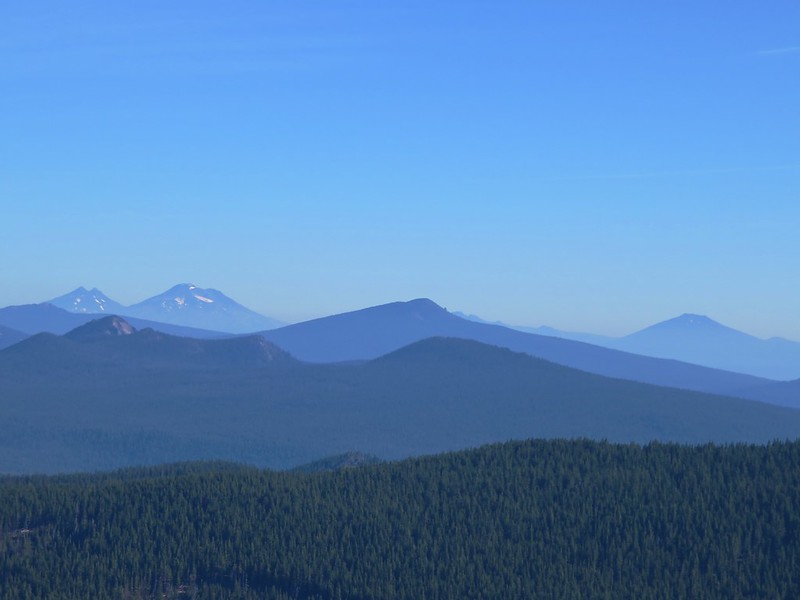
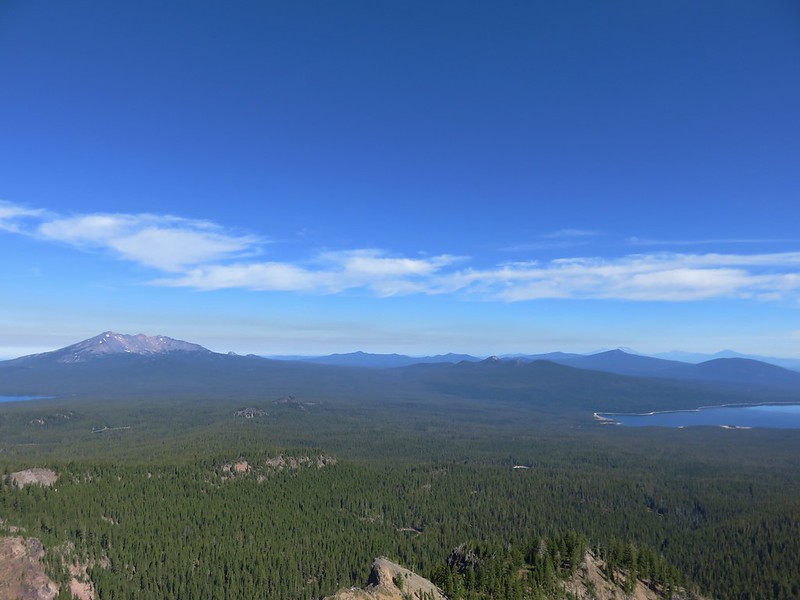
Maiden Peak, Mt. Bachelor and Crescent Lake to the NE
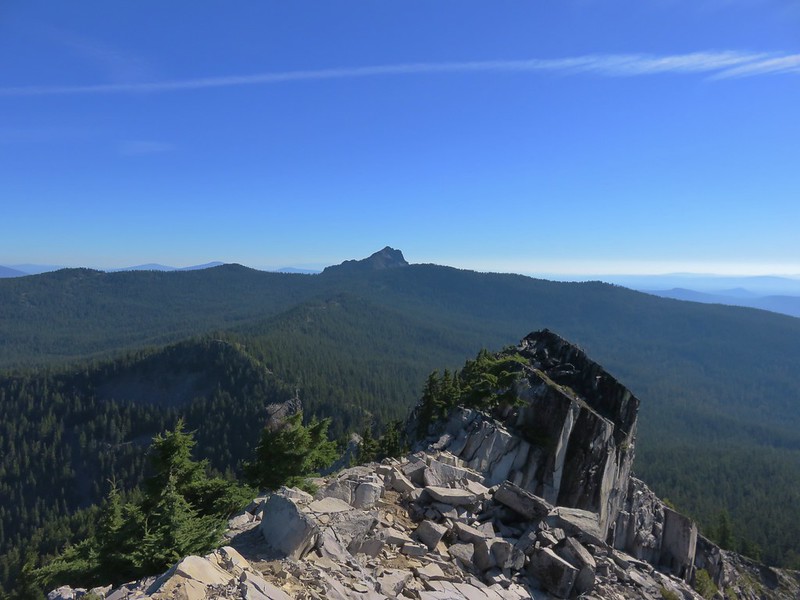
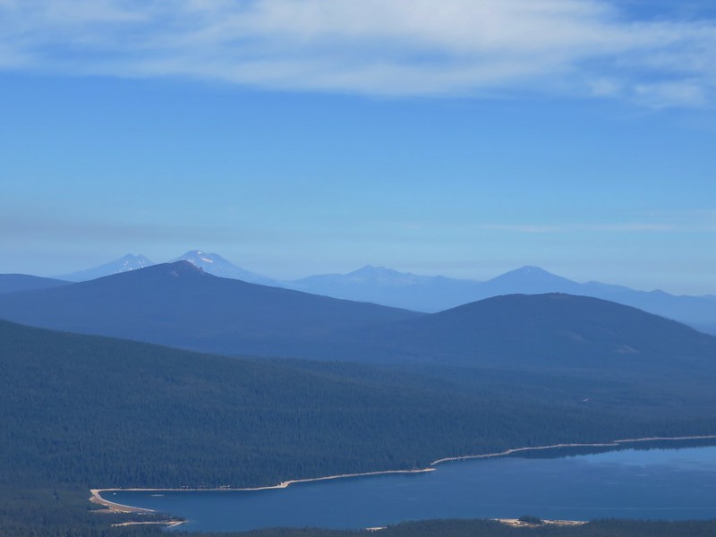
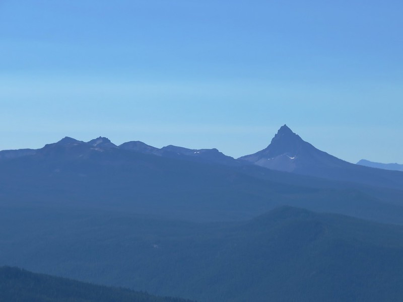
Mt. Thielsen, Mt. Bailey, and Sawtooth Mountain to the south
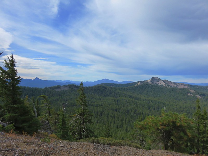
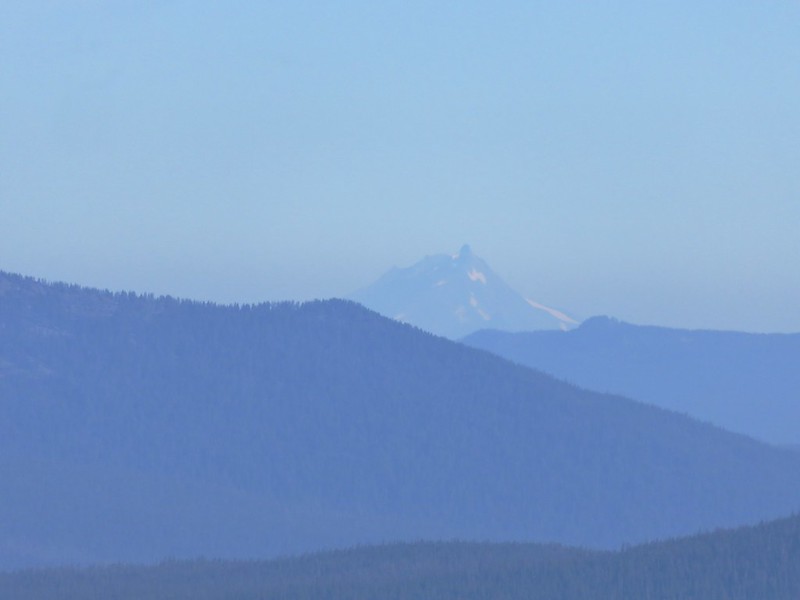
Mt. Thielsen, peaks around Crater Lake, Union Peak, and Mt. McLoughlin
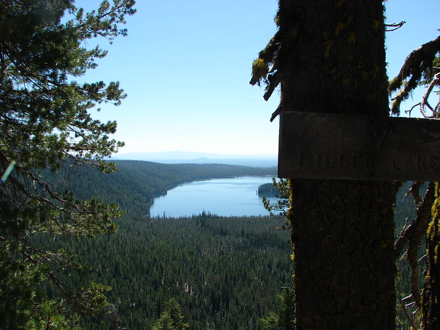
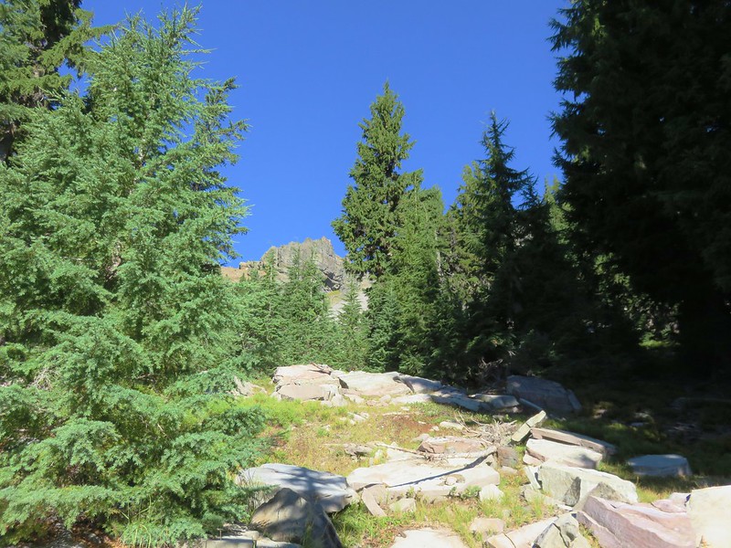
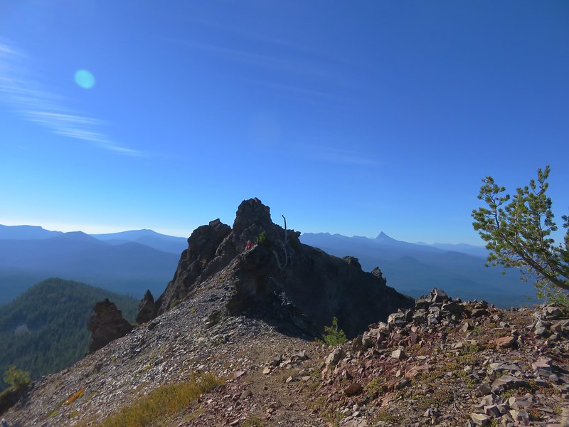
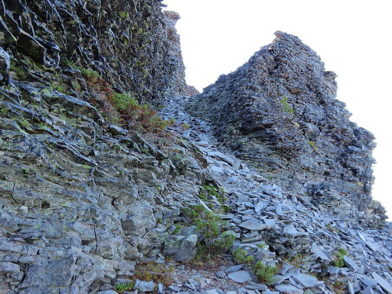
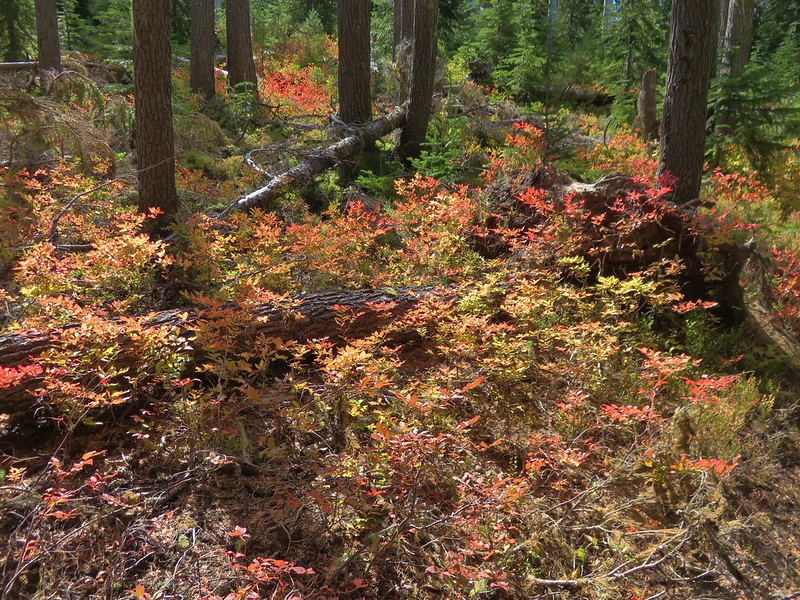
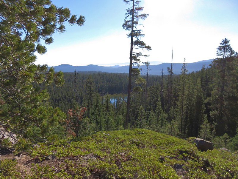
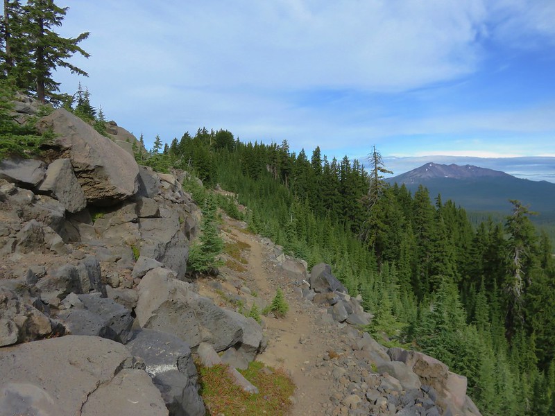
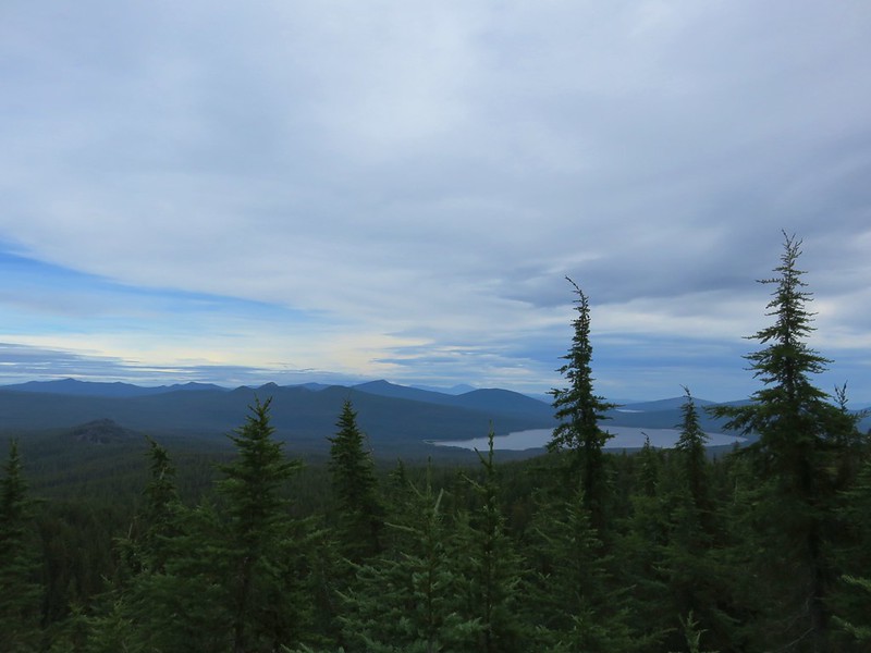
The trail began a series of sections where it would switchback down through the forest on the west side of the crest before popping out at a viewpoint along the ridge. The Windy Lakes were below the ridge to the east and we were gaining better views of them each time we reached the ridge.
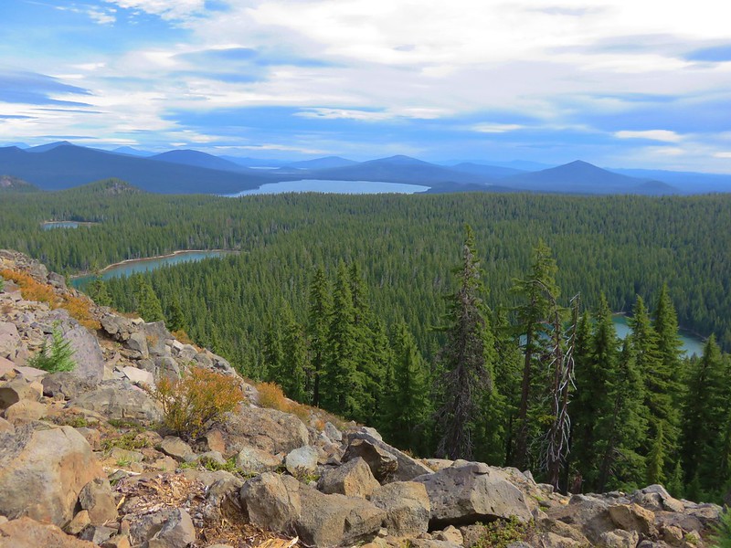
Our plan to visit the Windy Lakes included some off-trail hiking because there was no direct route from the PCT to the Windy Lakes Trail. We spent quite a bit of time looking at the topographic map determining where we thought the best spot to head cross country would be. We identified a switchback due west of Middle Windy Lake as the best option. We used the GPS to make sure we were in the right area when we finally decided to leave the PCT just under 3 miles from the Cowhorn Traverse Trail.
The cross country route was much easier than we could have ever hoped for with very little blowdown and no underbrush to speak of.

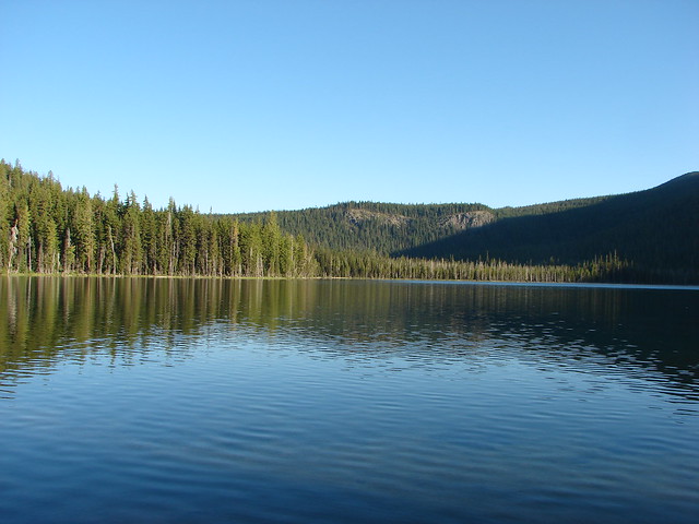
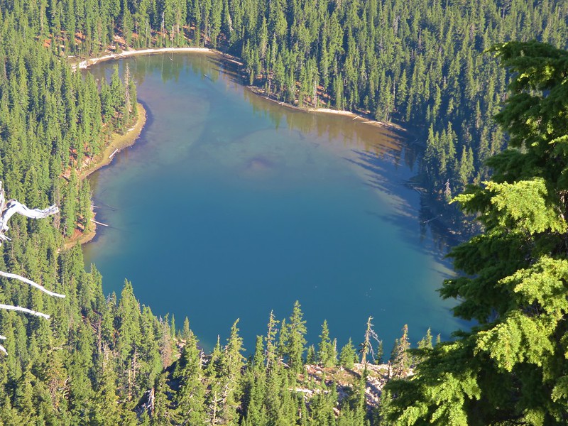
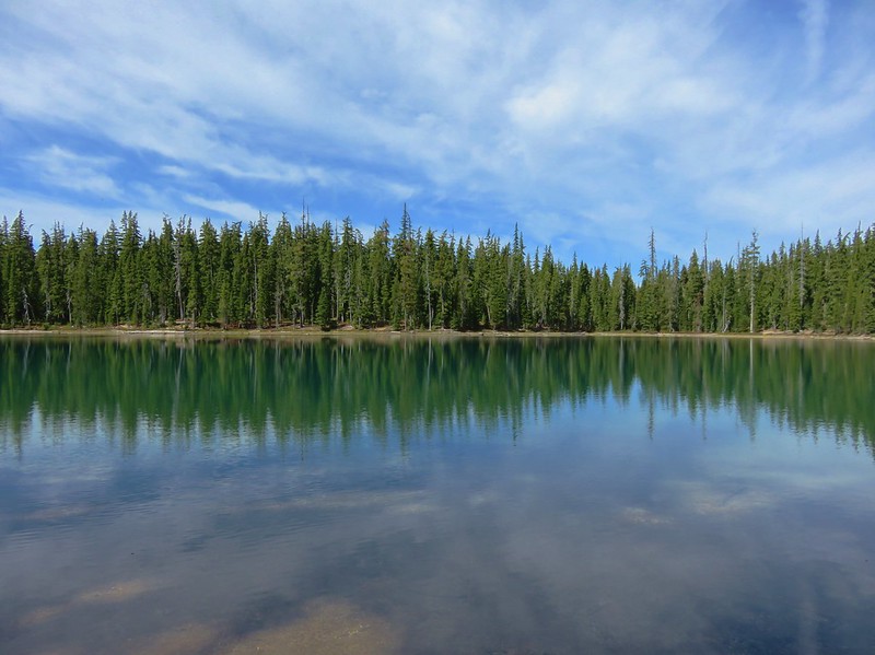
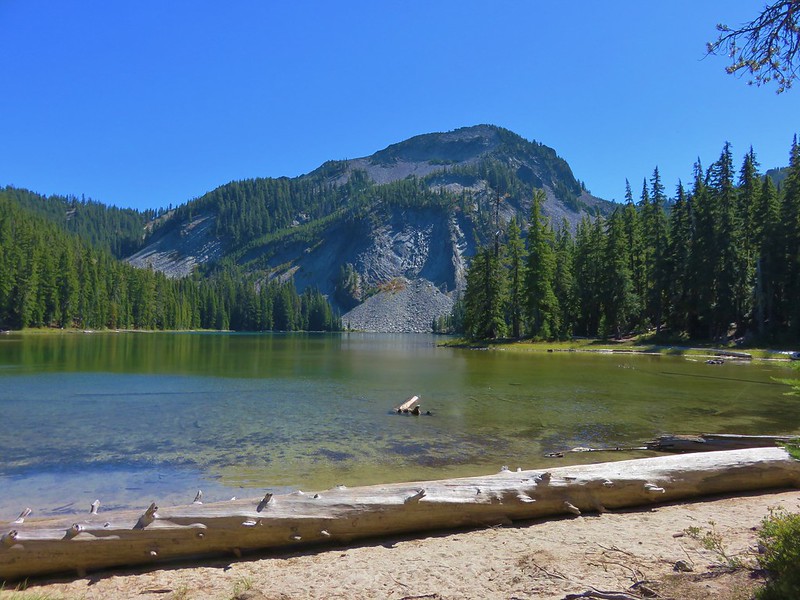
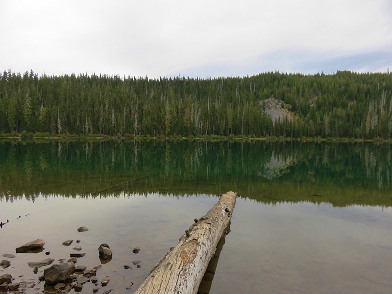
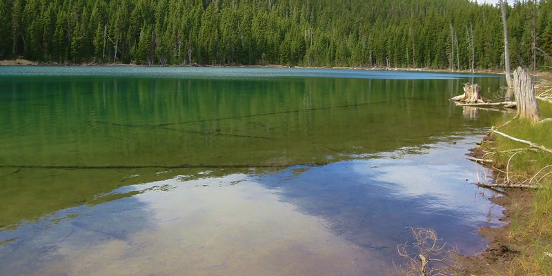
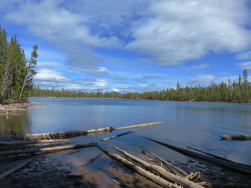
We used the GPS to make sure we were staying on the right heading and were quickly approaching a lake. For all the good the GPS does it occasionally messes with us. The lake we were approaching was the furthest lake shown on the display to the south. We had expected to be headed toward Middle Windy Lake but the furthest Windy Lake to the south is South Windy Lake. We would have preferred reaching South Windy Lake first because we planned on visiting it in any event and it would have been out of the way to head there from Middle Windy Lake. As we approached the lake shown on the GPS the Windy Lake Trail was shown on the map on the opposite side.
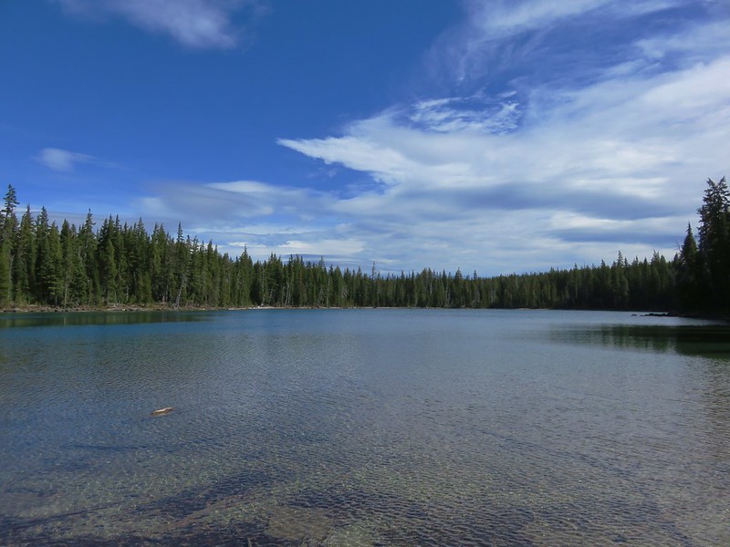
We decided to go around the southern end of the lake to meet up with the trail closer to its end. I should have realized something was amiss when I noticed that the GPS showed the trail continuing even further south even though there was no lake shown at its end. I was too busy enjoying the scenery of the lake though to pay much attention to a trail to nowhere though.
We located the Windy Lakes Trail near a campsite at the SE end of the lake and turned left hiking along the lake.
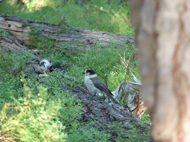
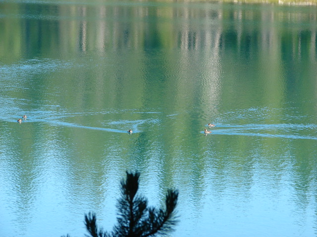
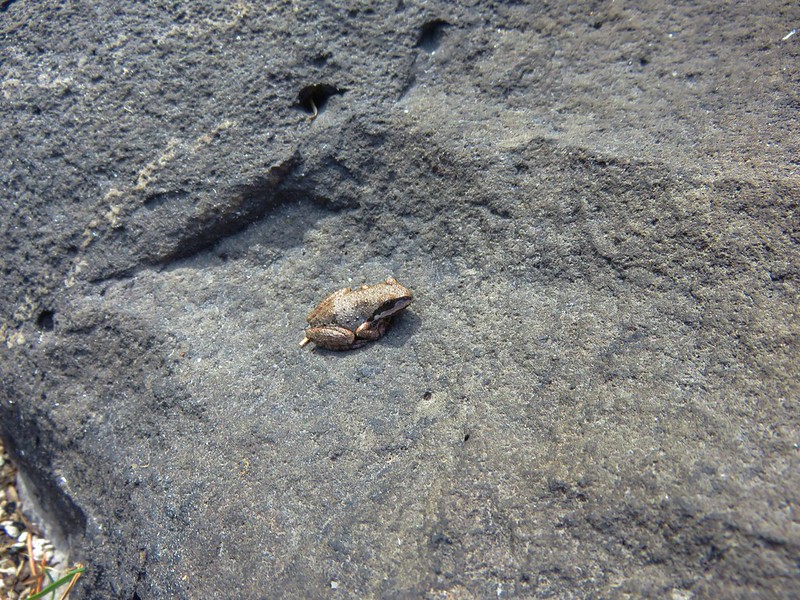
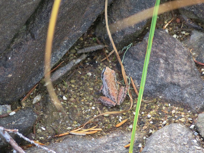
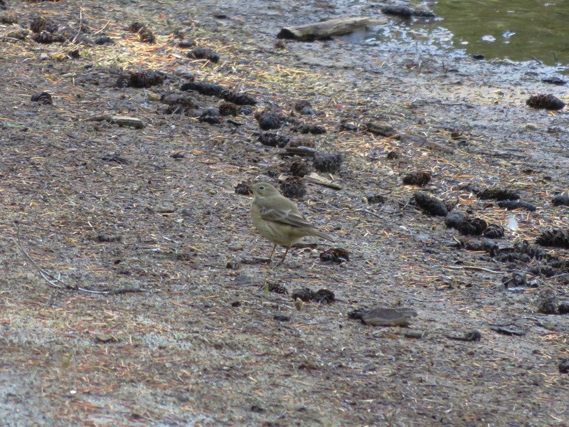
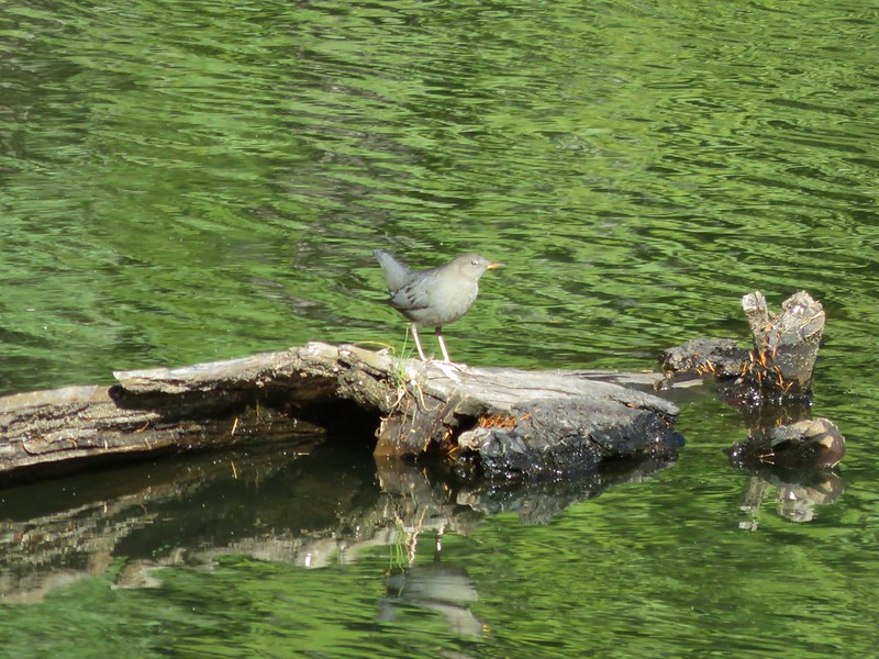
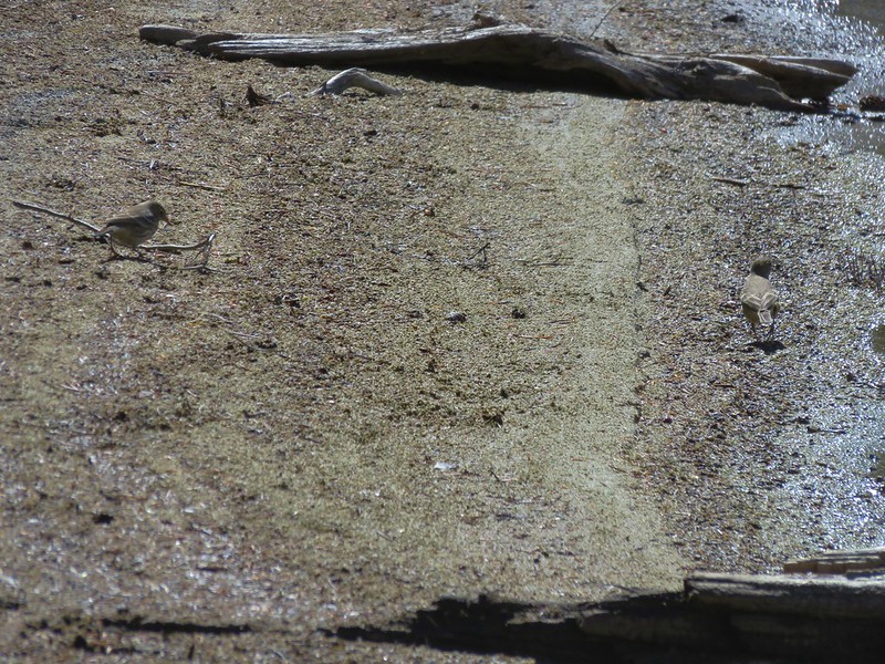
We decided to take a break and sat on a log along the sandy beach watching some birds hunting for food.
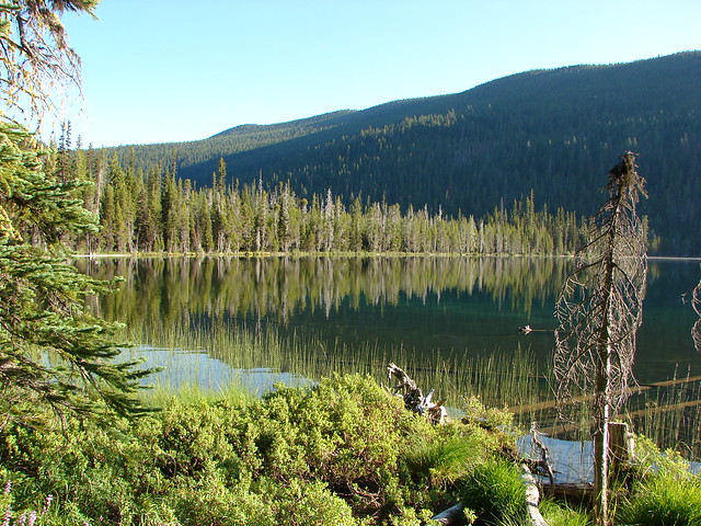
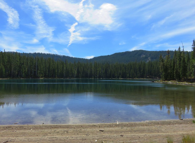
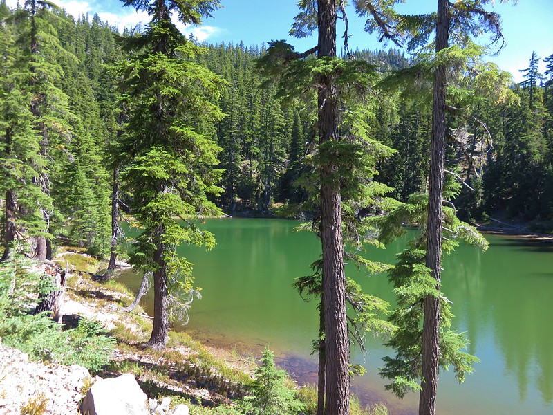
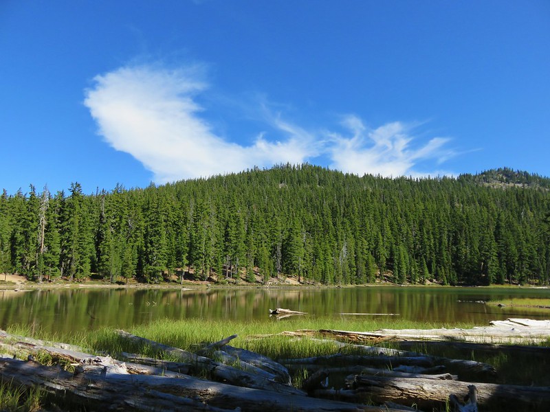
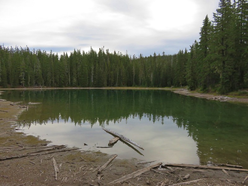
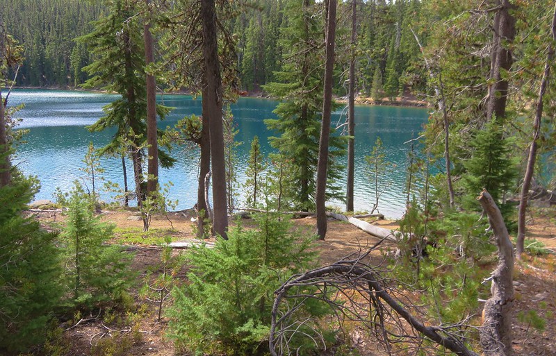
From there we continued north on the Windy Lakes Trail passing briefly through forest before arriving at the next lake.

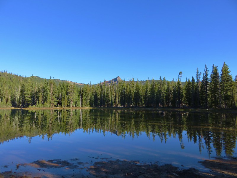
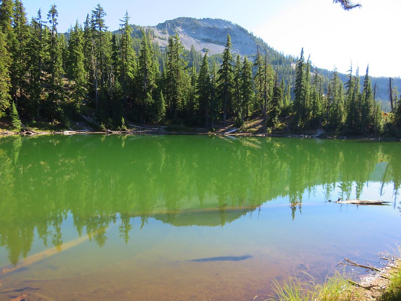
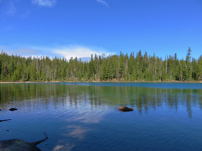
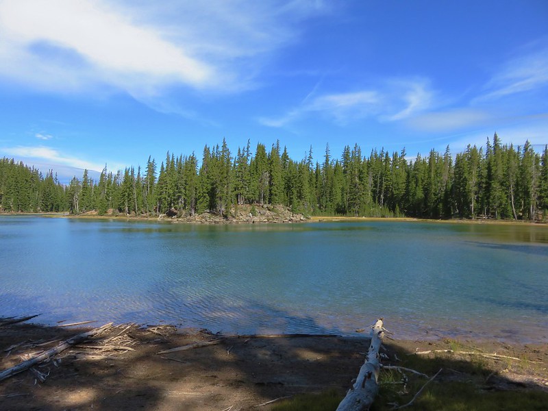
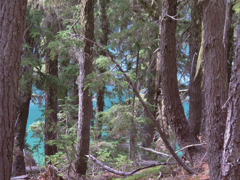
We thought this must be Middle Windy Lake and it had a bit of a view of Diamond Peak.

It also had a nice looking peninsula which was a little odd because we remembered from the maps that East Windy Lake had peninsula.
The peninsula prompted me to look at the GPS again and I noticed that we were getting pretty close to our next trail junction and we’d only passed two lakes not the three we were expecting. I scrolled the display back up to the where it showed the end of the Windy Lakes Trail and zoomed in to find that instead of showing a lake the map had the area labeled as a marsh. We don’t know why the map (Google is the same) didn’t show the actual lake but we knew it was there having seen it from the PCT. We briefly considered skipping it, but that just didn’t sound like us so we turned around and headed back up the Windy Lakes Trail. After passing East Windy Lake and the correctly identified Middle Windy Lake we came to the campsite where we had first stepped onto the Windy Lakes Trail and continued into the forest.
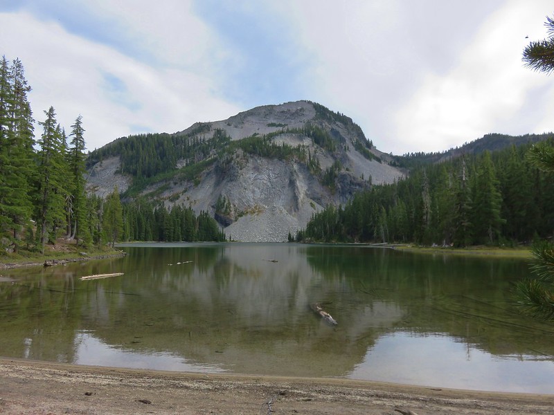
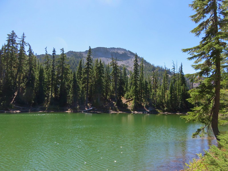
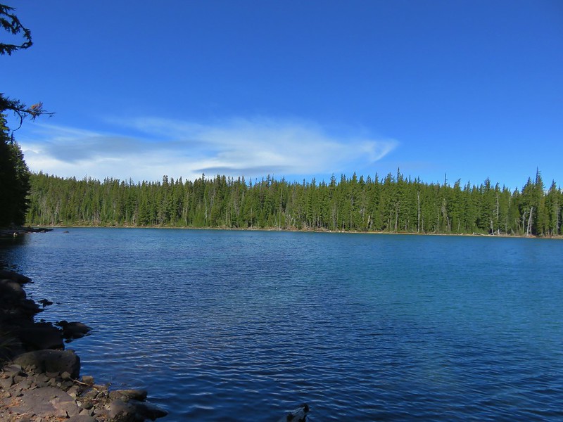
It was just under a half mile to South Windy Lake from the campsite.
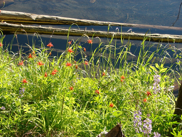
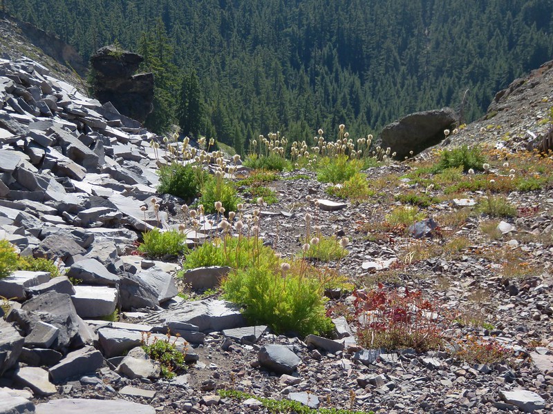
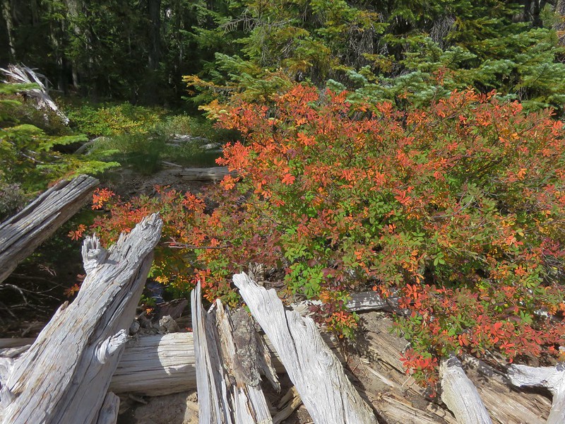
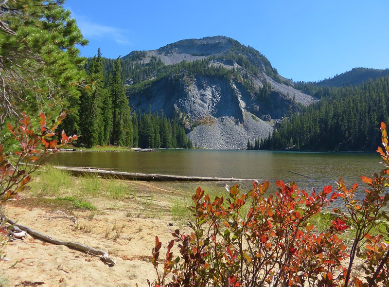
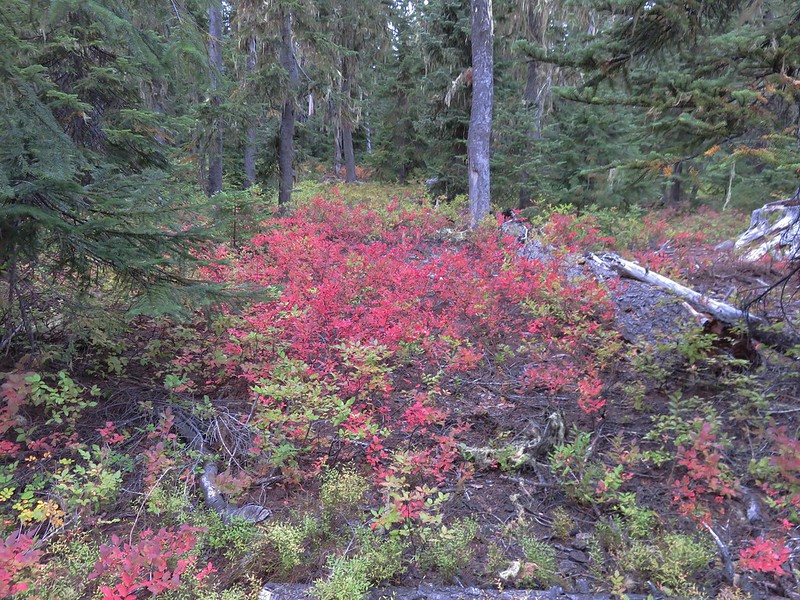
The lake was in a bowl at the head of the valley and the shore was heavily forested with a lot of brush making it a little less inviting than the other two lakes we had visited. We both thought it was prettier to look at from above through the trees where it was a little more colorful.
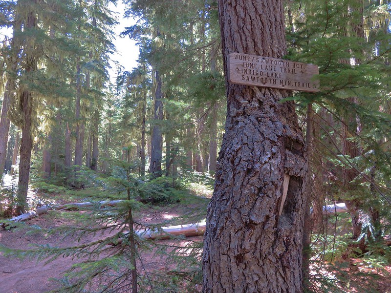
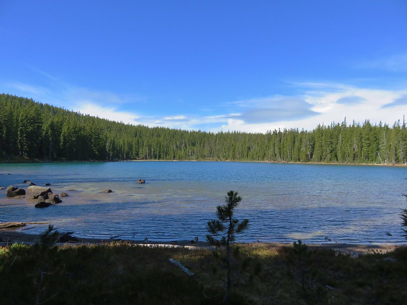
In any event we’d seen it and now had our lakes properly identified so now we could continue our loop. We passed Middle and East Windy Lakes once again and then turned right following a pointer for Oldenburg Lake at a 3-way junction.
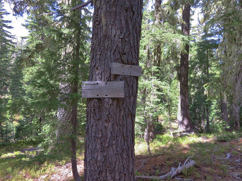
After passing an unnamed lake we arrived at a second 3-way junction where we once again turned right ignoring the pointer for the Spring Trail.
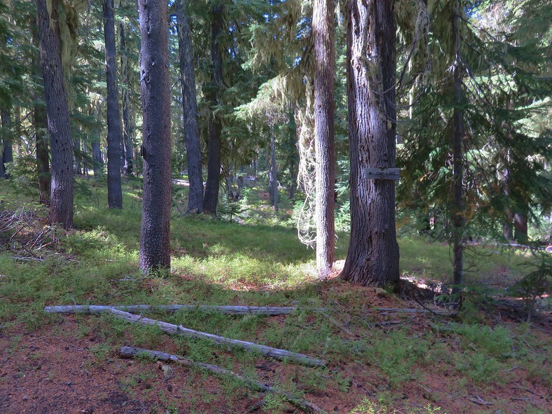
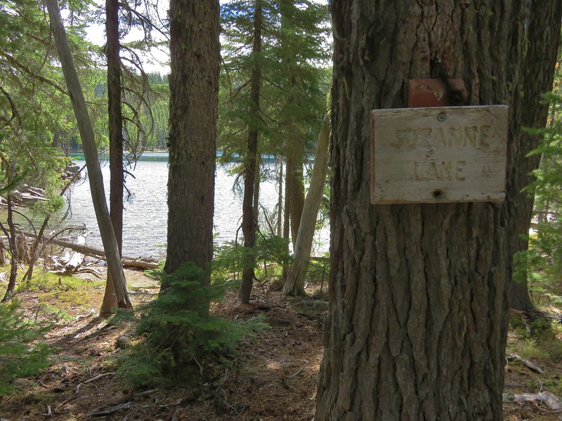
The next lakes up were Suzanne and Darlene. Suzanne Lake was a quick, level mile from first 3-way junction.
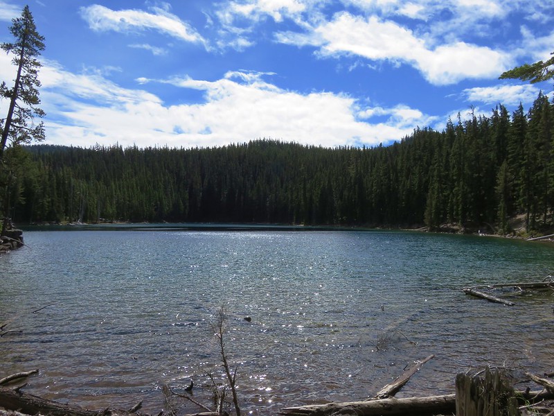
There were a couple of established tent sites here but it was still too early in the day for us to want to stop so we continued to Darlene Lake which was only a quarter mile away.
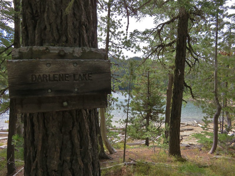
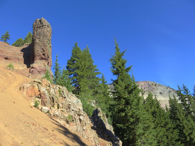
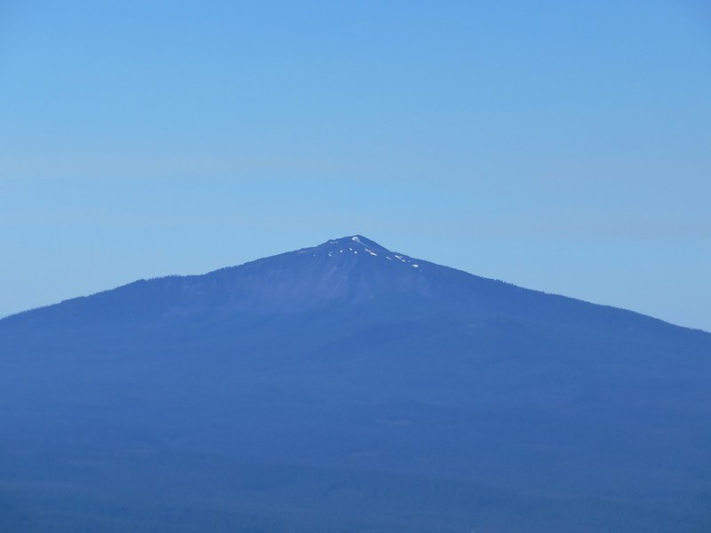
The summit of Cowhorn Mountain was visible over the forest on the far side of the lake.
We took a short break on a log at Darlene Lake but it was only just now after 1:00pm and Oldenburg Lake was less than 4 miles away so we sallied forth.

It had been growing increasingly cloudy which was something we had been keeping our eyes on. We had come prepared for rain, but we hadn’t really expected any based on the forecast the morning we had left. We had noticed though that the forecast for some of the rest of Oregon had suddenly been calling for rain over the final days of our trip so we knew there was a possibility that the forecast might change while we were out. Not far from Darlene Lake a light rain began to fall. Heather was the first to suggest what we had both been considering, hiking all the way to the trailhead instead of stopping at one of the lakes for the night. We discussed it briefly and decided that we’d both prefer not to mess with the rain gear and since we would still be getting to visit everything we’d planned on we wouldn’t be missing out on anything. With that settled we picked up our pace and really started moving.
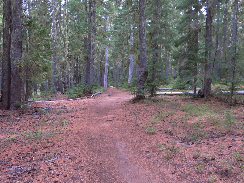
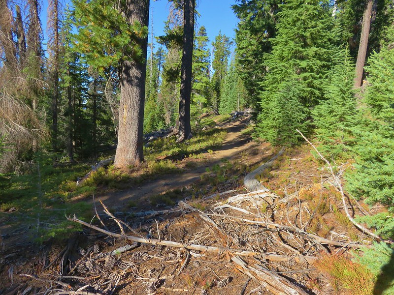
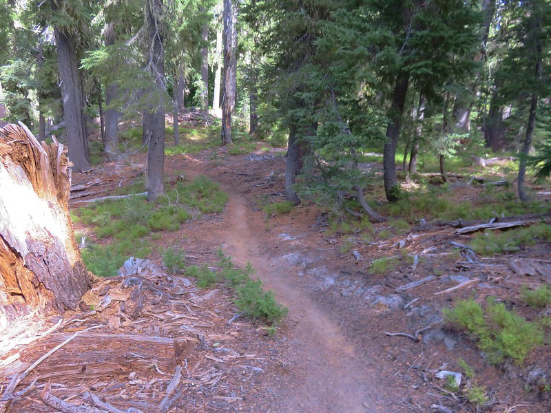
The forest began to change as we got closer to Oldenburg Lake and we were soon hiking through lodgepole pines on a dusty trail.

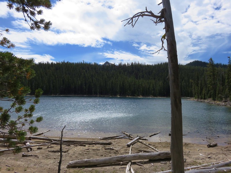
We arrived at Oldenburg Lake just after 2:30 having traveled the final 3 miles in about an hour.
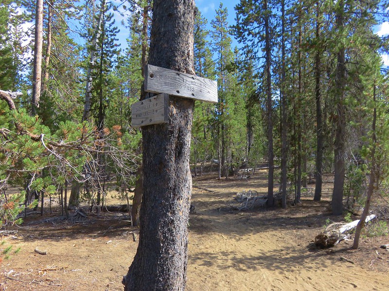
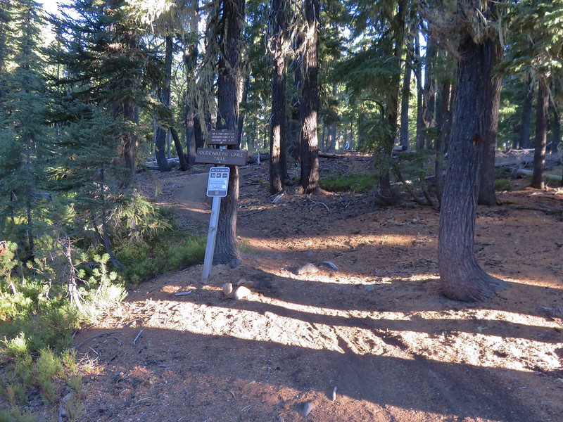
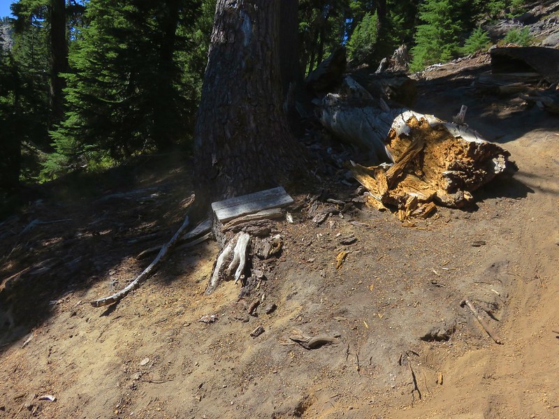
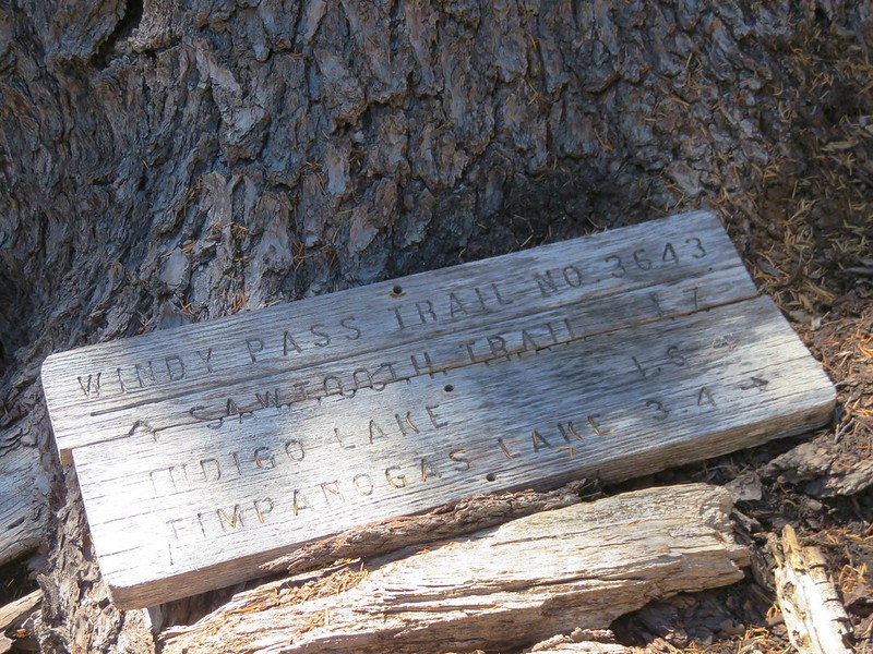
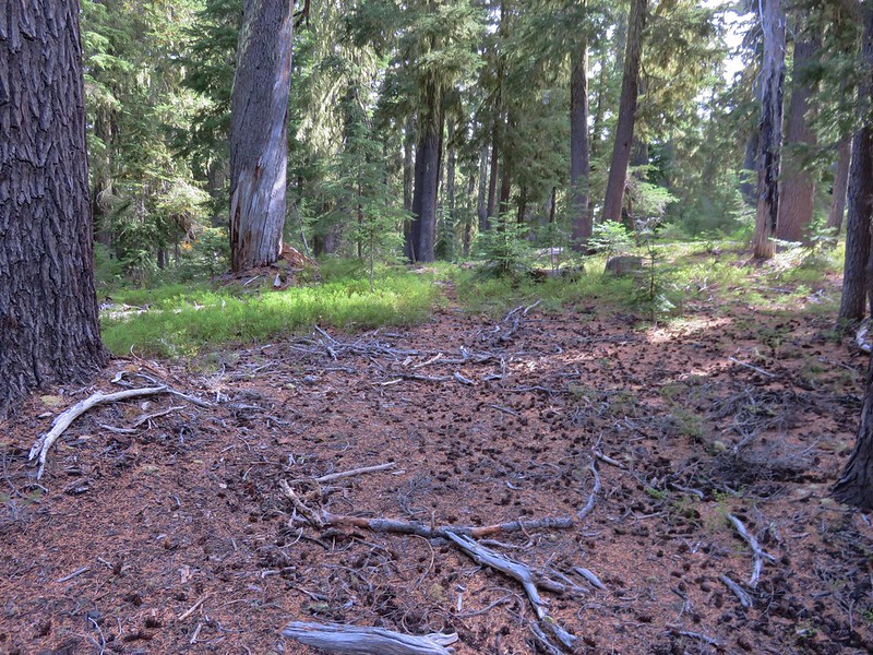
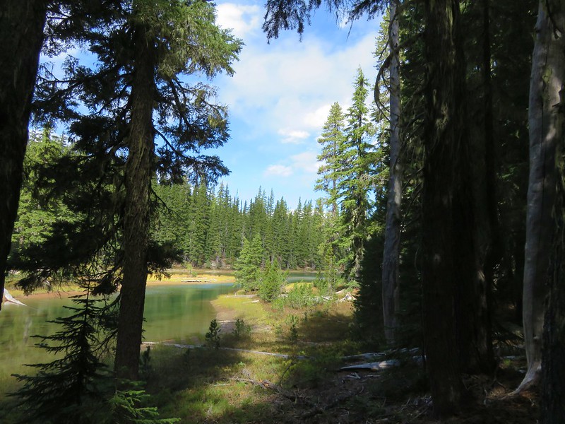
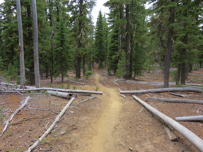
We took another short break at Oldenburg Lake before continuing on toward Nip & Tuck Lakes. This next section of trail was a little slower due to a gentle but steady uphill. Just over 2 miles from Oldenburg Lake our GPS showed that Nip & Tuck Lakes were off the trail to the east. They were hidden by trees so we were watching for any sign of a side trail down to the lakes. According to the maps we had there was no official trail leading to them. When it looked as though we were about to pass them completely we decided to attempt a cross country route but were quickly stymied by closely knit lodgepole stands. We decided to skip these lakes after all and returned to the Oldenburg Lake Trail. About a hundred yards from where we had left the trail to go cross country we came to a junction with a signpost for the lakes.
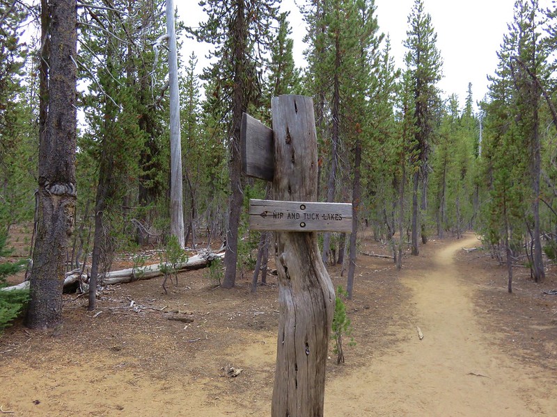
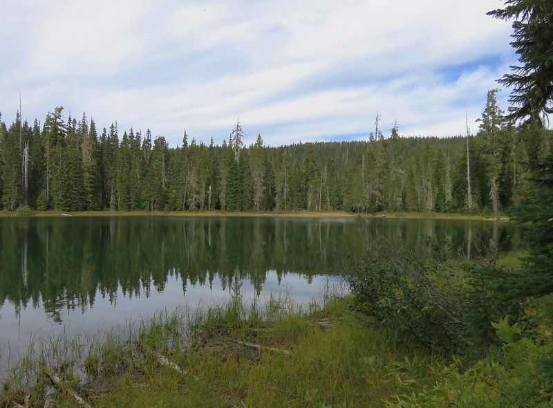
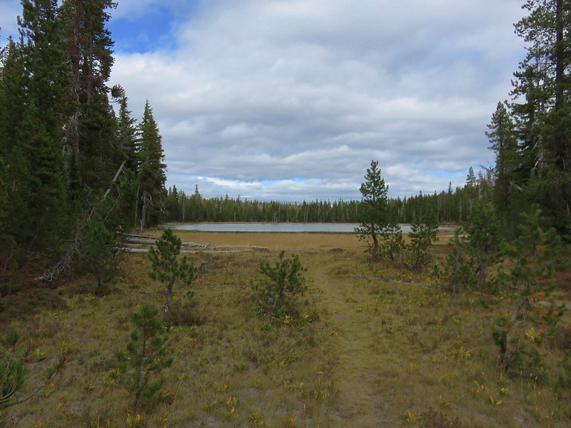
It was less than a tenth of a mile to this pair of little lakes. They were unlike any of the other lakes we’d visited during our trip. They were smaller, shallower, and ringed mostly with grasses and reeds.
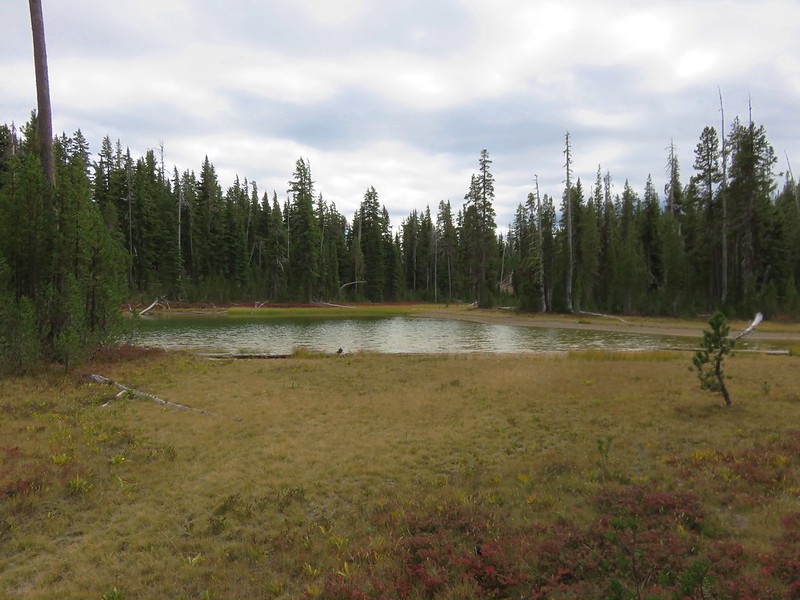
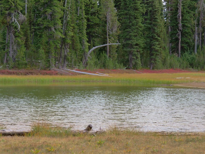
When full it is actually one continuous lake but this late in the year the two parts were separated by a grassy meadow.
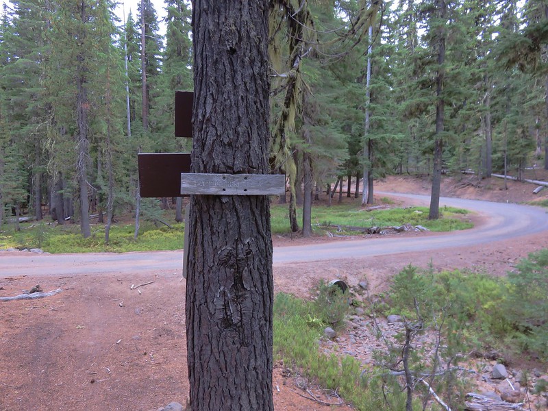
We took one final break at the larger of the two bodies of water before setting of on the final stretch. We were a little under 2 miles from the Oldenburg Lake Trailhead and it was just about 3:45pm. The final section of trail was only sightly uphill so we made decent time and managed to arrive at the trailhead along Forest Road 60 just after 4:20pm.
We were soon on our way home. The GPS put us at 22 miles even for the day which was the most we’d ever done with our full backpacks and our feet knew it. 🙂 We don’t know how much it rained or if it even did where we would have camped, but we drove through plenty of it on the way back home. It had been a great three days with some amazing views and above all it had been another great adventure. Happy Trails!
Flickr: https://www.flickr.com/photos/9319235@N02/albums/72157672911107731