A week of snow and icy conditions had kept us indoors much of the week so when the forecast for Sunday looked promising we decided to cash in our December hike and make the short drive down to Chip Ross Park in Corvallis. The park offers a 1.5 mile loop trail as well as access to the more extensive trail network in Oregon State University’s McDonald-Dunn Research Forest.
It was a foggy morning when we arrived at the parking area at the end of Lester Rd.
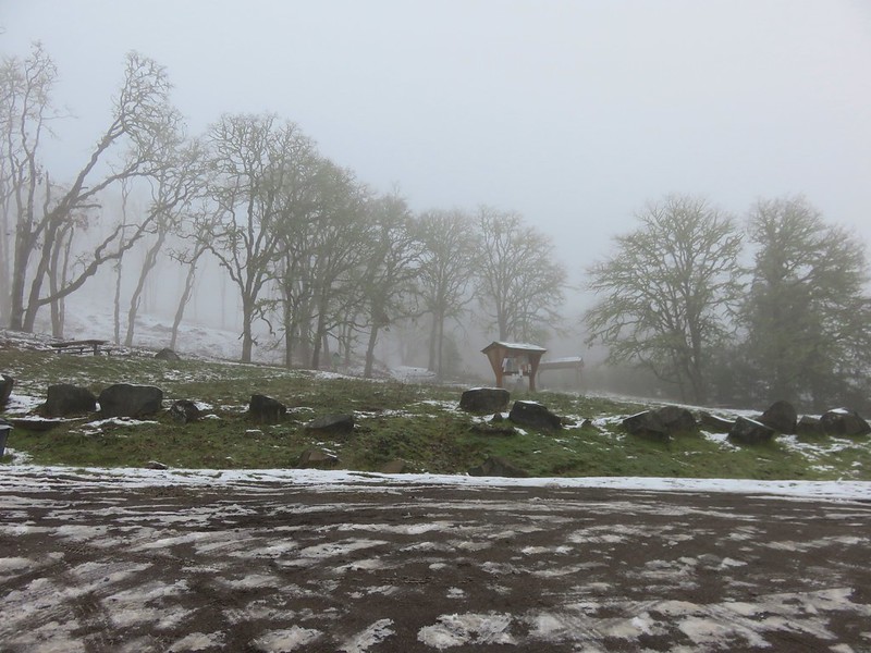
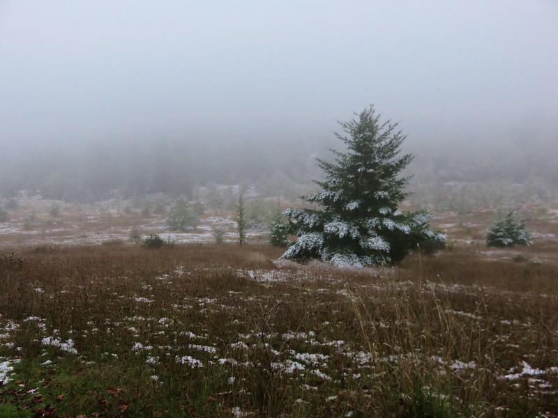
Chip Ross Park had been closed part of the year as the City of Corvallis attempts to restore the area to it’s natural oak habitat. Many trees have been removed and some of the trails closed or rerouted. A small section of the loop remains closed but should be reopened in early 2017.
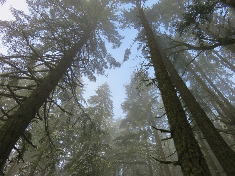
We headed left along a wide tract passing many piles of debris left over from the tree removal.
 <
<
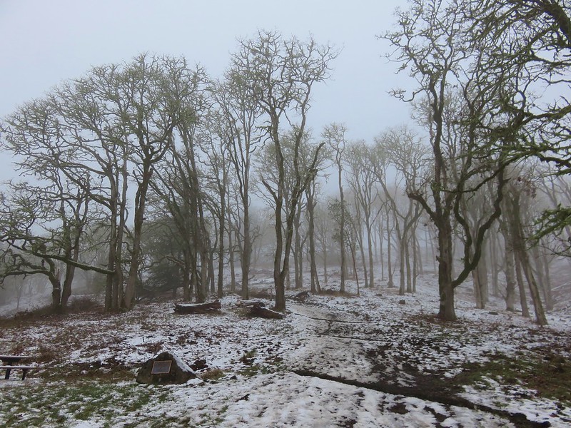
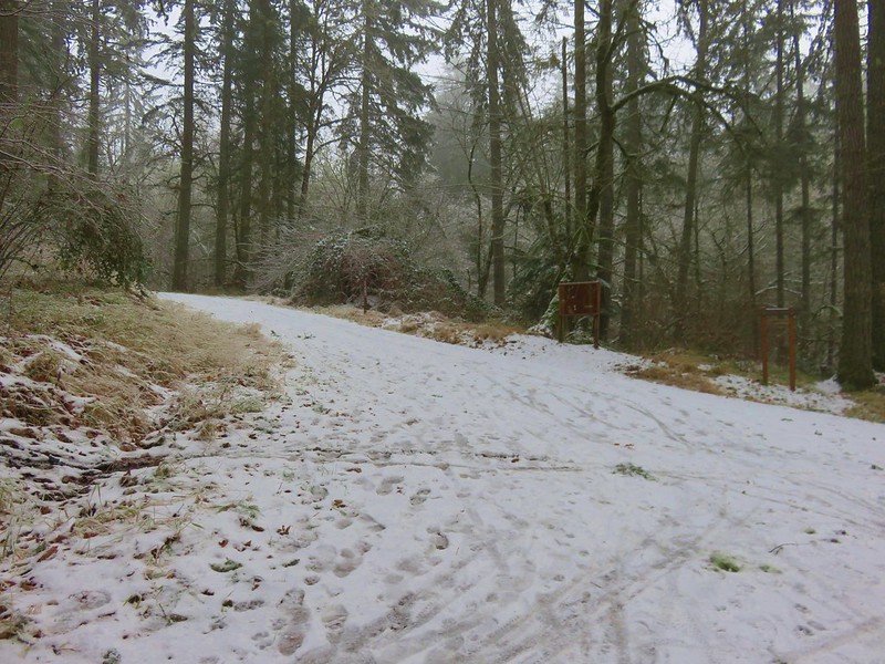
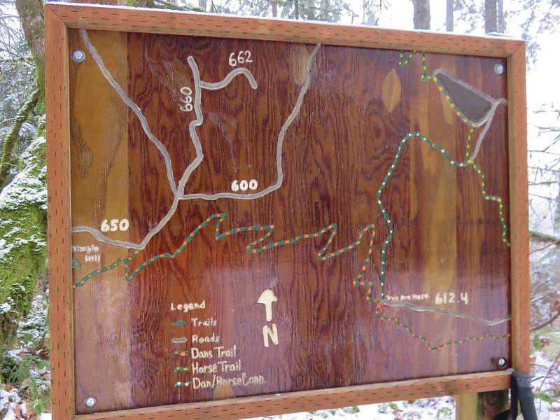
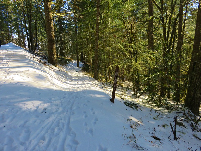
After a quick half mile climb we arrived at a signboard and trail map for the McDonald-Dunn Research Forest.


We had visited the forest in October when we hiked to the summit of McCulloch Peak and really enjoyed that hike so we were looking forward to checking out some of the other trails.
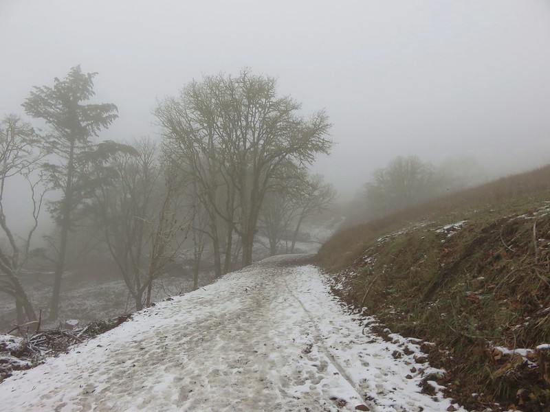
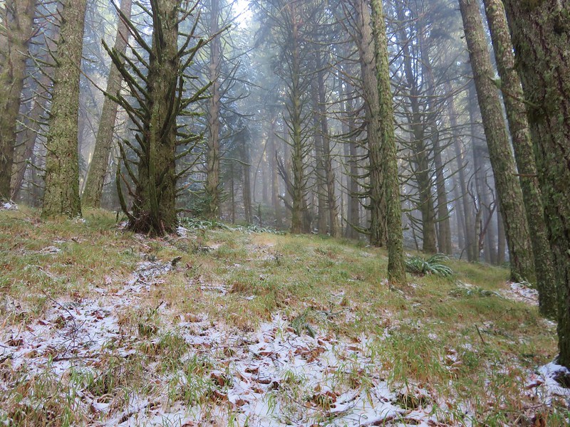
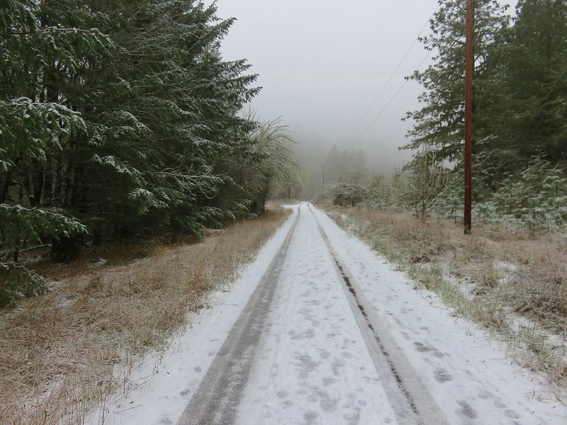
We set off on Lower Dan’s Trail following it through the forest just under a mile to a road crossing.


We then took Upper Dan’s Trail which began on the far side of the road.

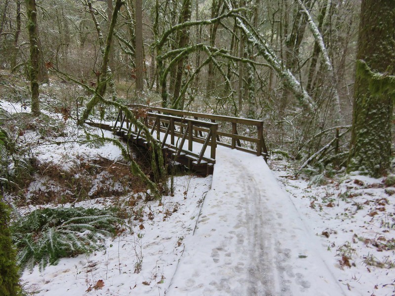
This trail crossed Jackson Creek on a footbridge before climbing up toward the summit of Dimple Hill.
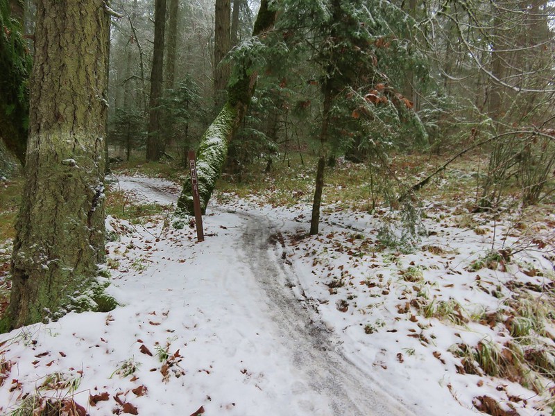
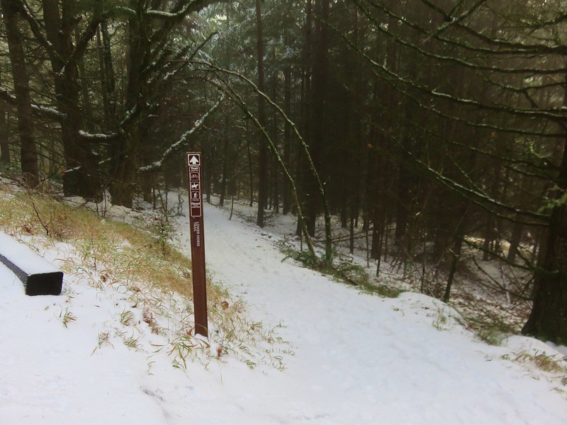
Junctions along the way were well signed making it fairly easy to stay on track.
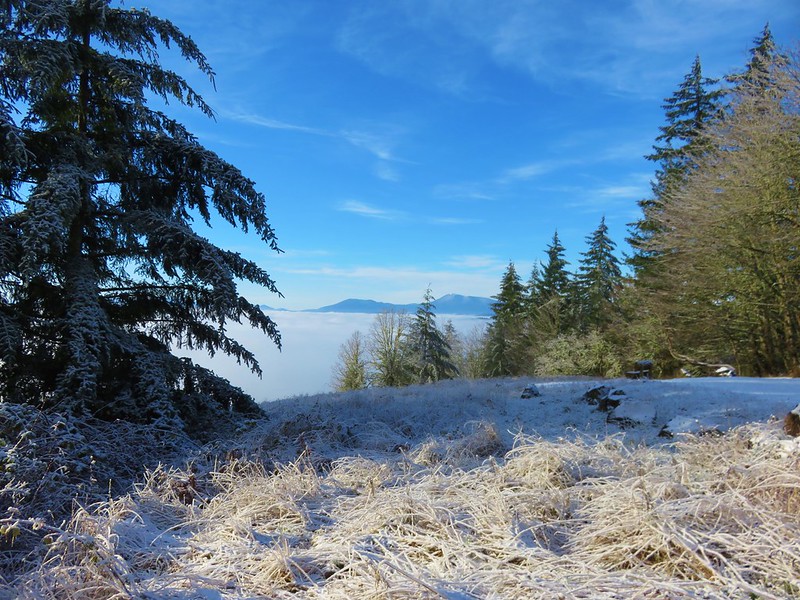
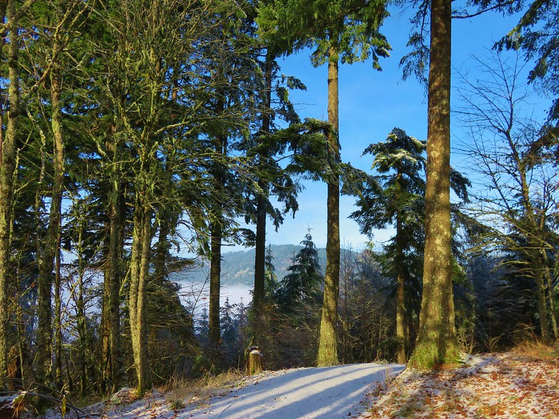
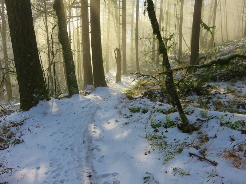
As we followed Upper Dan’s Trail to the 1493′ summit of Dimple Hill we began to catch some glimpses of blue sky above the fog.
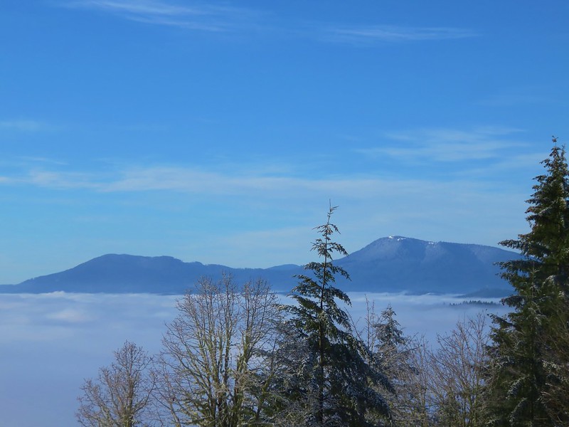
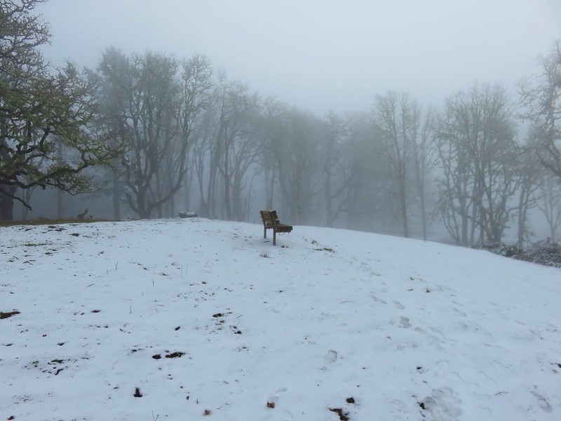
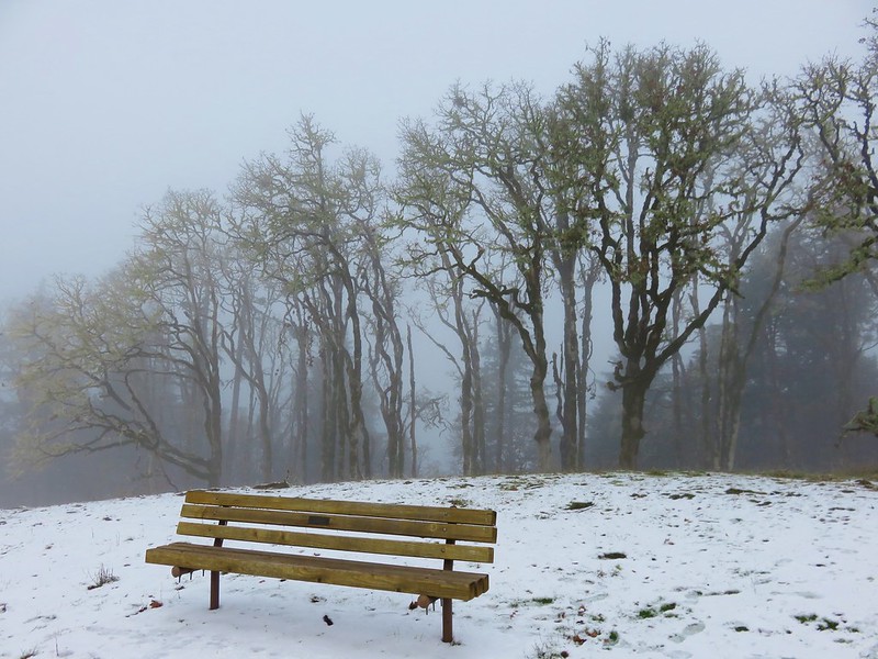
Approximately 2.5 miles from the road crossing we arrived at the summit of Dimple Hill.
The summit was above the clouds and we had a great view of Mary’s Peak to the south.
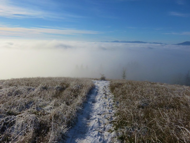

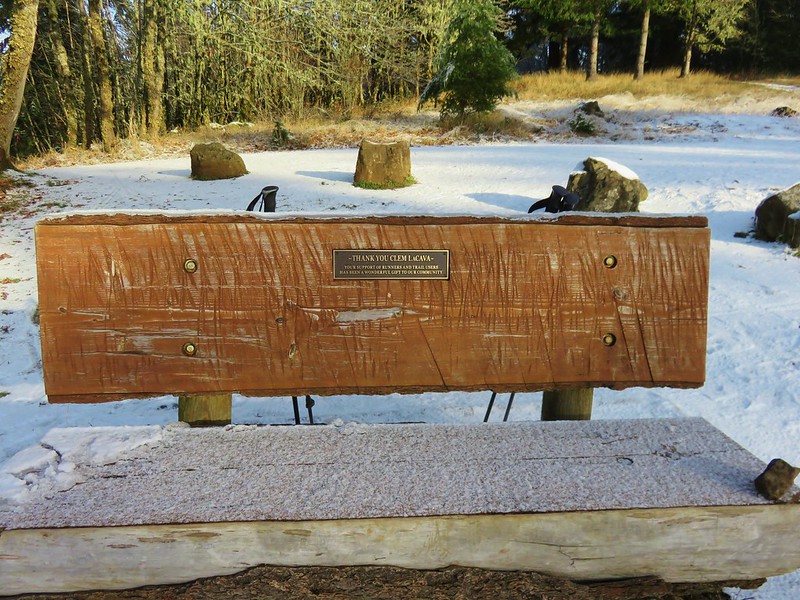
We took a short rest on the summit bench soaking in the sunshine before continuing on.
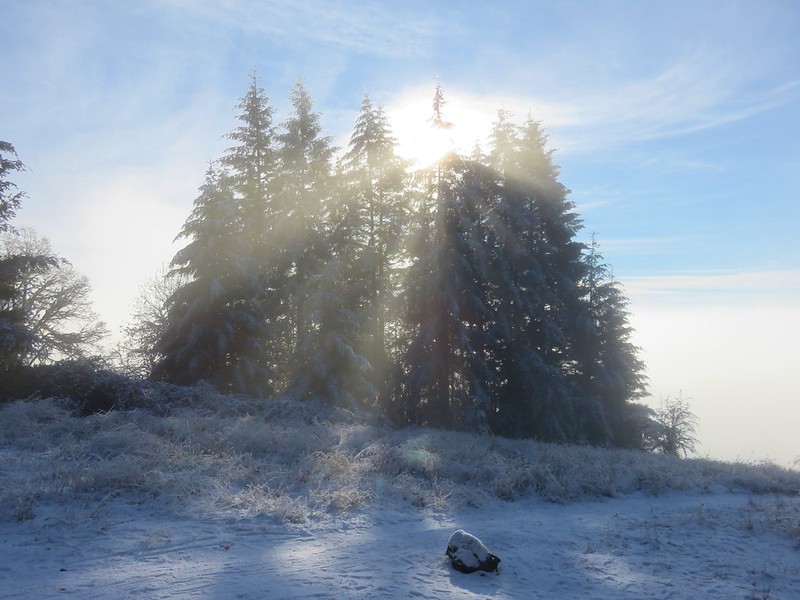
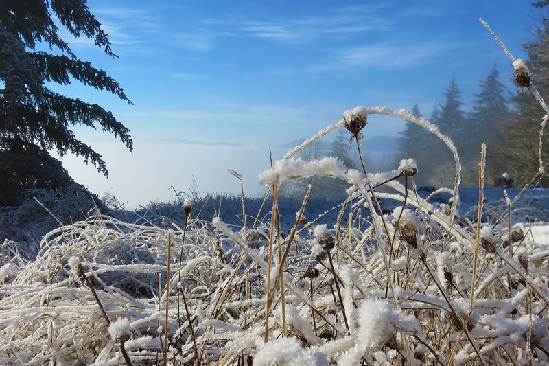
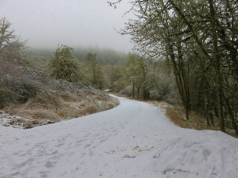
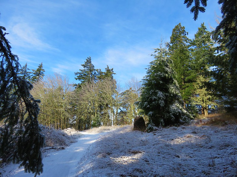
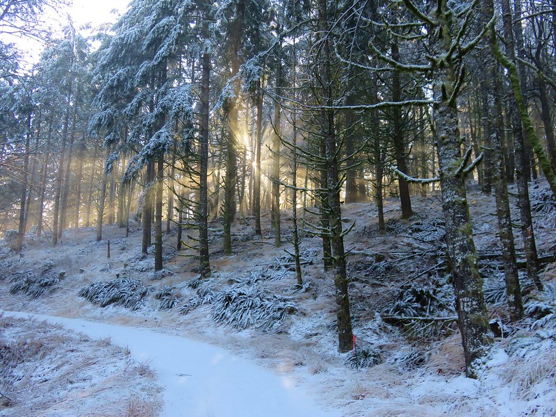
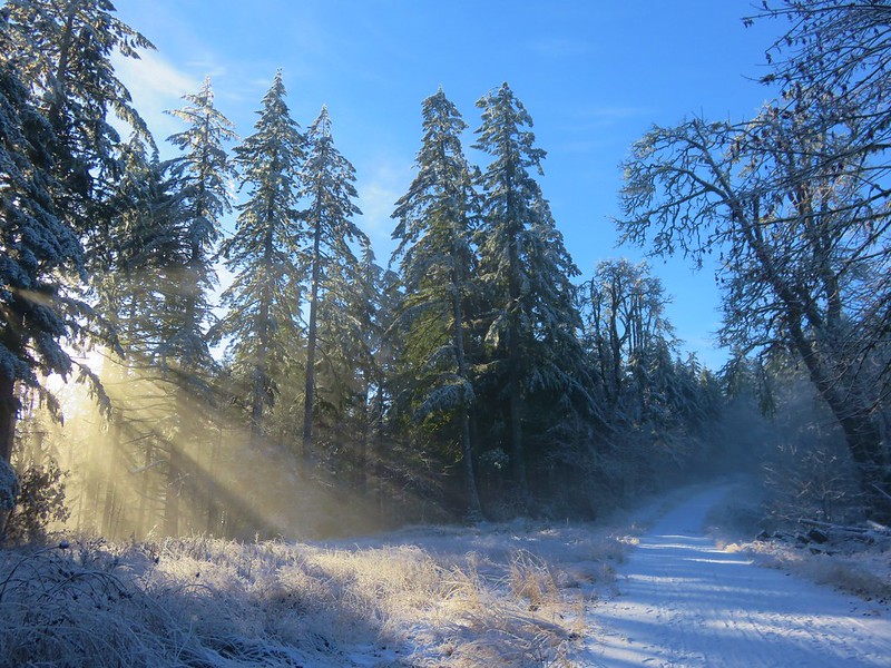
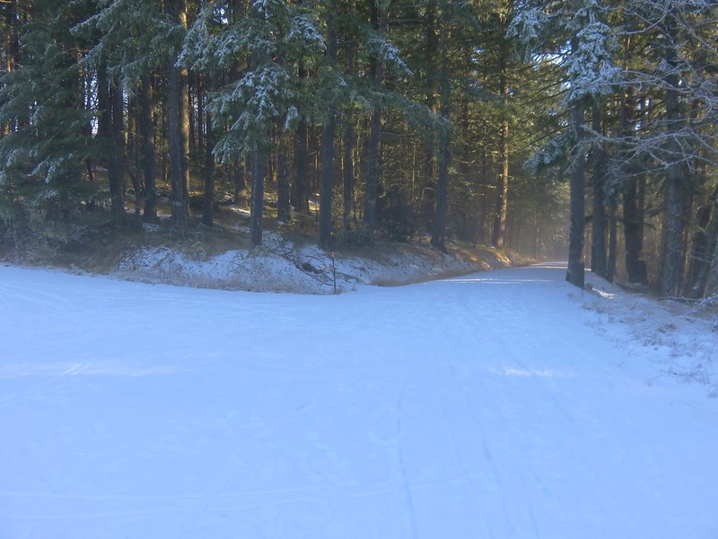
We took Road 650 down and around the NE side of Dimple Hill where we found quite a bit more snow than there had been at the summit.

The combination of snow, fog, and sunlight created some beautiful scenery.
At a fork in the road we headed right on Road 600 a.k.a. Patterson Road.
After about three quarters of a mile on Patterson Road we turned downhill on the Upper Horse Trail
This trail switchbacked downhill eventually reentering the fog.
At another junction we followed a pointer for the Lower Horse Trail.

We continued to follow pointers for the Lower Horse Trail passing a private residence in a meadow before turning right briefly on the road to that house.
We forked left on this road which crossed Jackson Creek before leading us back to Lower Dan’s Trail at the road crossing. We then headed back to Chip Ross Park where we checked out it’s summit benches which were still in heavy fog.
The total hike was 9.1 miles with approximately 1650′ elevation gain. The view on Dimple Hill was wonderful and just what the doctor had ordered after the spell of bad weather we’d had. For what was possibly our final hike of 2016 it was a great way to end the year. Happy Trails!
Flickr: https://www.flickr.com/photos/9319235@N02/albums/72157678011347405

8 replies on “Chip Ross Park and Dimple Hill”
With our current “active weather pattern” it has been hard to find a nice day for a hike. Looks like you managed to find a good one though. I really like the above-the-cloud shot from Dimple Hill! But then Dimple Hill sounds like it could be a Hugh Grant movie(?).
[…] thought our hikes were done for the year after visiting Chip Ross Park and Dimple Hill earlier this month, but a rare opportunity to hike with our Son on Christmas Eve couldn’t be […]
[…] in inclement weather having visited McCulloch (post) Peak in October 2016 and Dimple Hill (post) in December of that same […]
[…] our fourth hike in McDonald Forest having previously hiked to McCulloch Peak (post), Dimple Hill (post) and Peavy Arboretum (post). Each of those three hike had been entirely unique with no steps […]
[…] Chip Ross Park & Dimple Hill – Hiked 12/18/2016 & […]
[…] able to connect two of the three hikes, McCulloch Peak (post) and Chip Ross Park to Dimple Hill (post). My plan for this outing was to connect the other hike, Peavy Arboretum (post), as well as […]
[…] Peak (post), Dimple Hill (post), and Vineyard Mountain (post) in the McDonald-Dunn Forest to the […]
[…] done a few hikes in the area (Bald Hill & McCulloch Peak, Chip Ross Park and Dimple Hill, Peavy Arboretum – McDonald Forest, McDonald-Dunn Forest via Sulphur Springs – 10/02/2021, […]