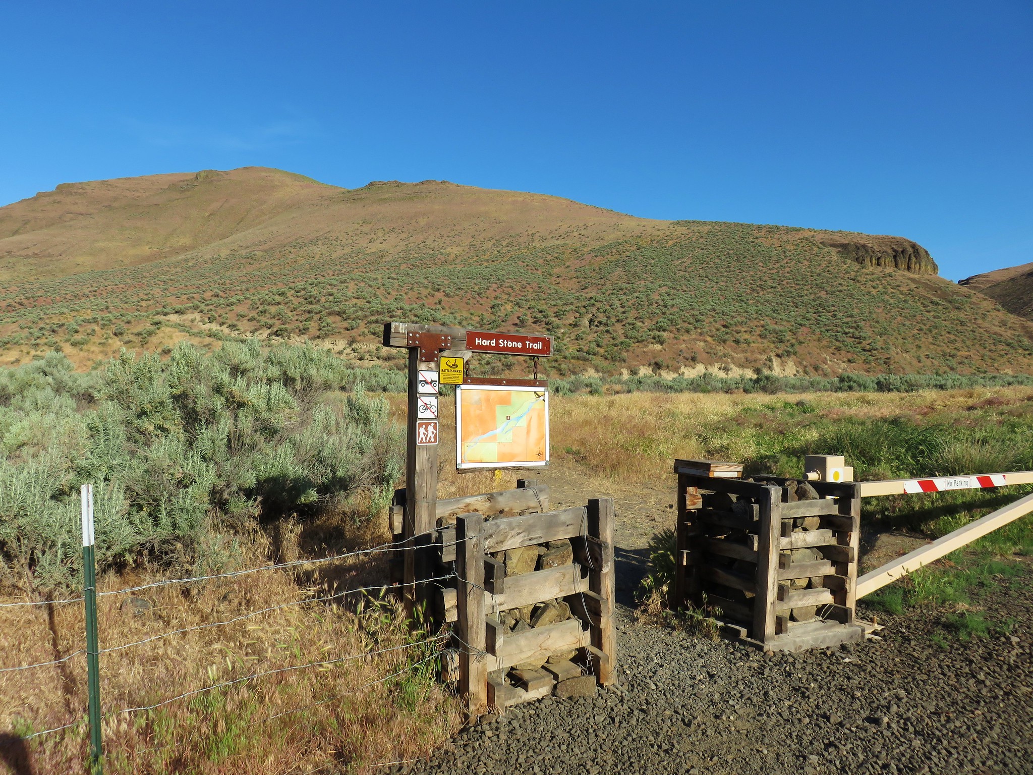
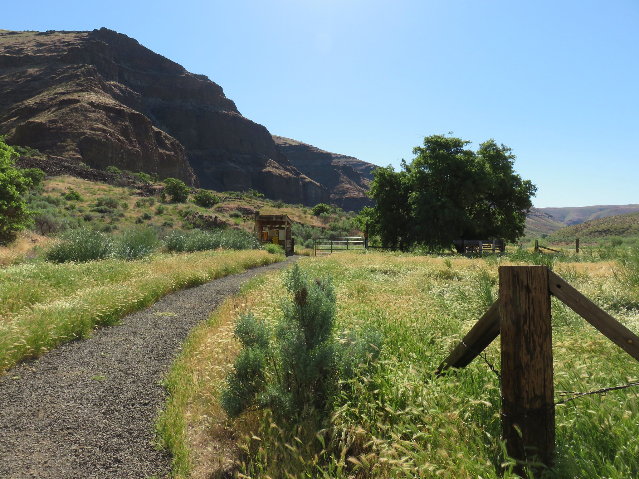
After spending the night in The Dalles, OR we got another early start and drove south on Highway 97 to Maupin, OR. On the south side of the Deschutes River near the southern end of town we turned right (west) at a signboard for the “Deschutes River Rec. Area” and followed this narrow road 3.9-miles to a small parking area at a locked gate.

The road beyond the gate passes through private property but the BLM has an easement that allows hiking (and wheelchairs) along the next 4.5-miles of the road.

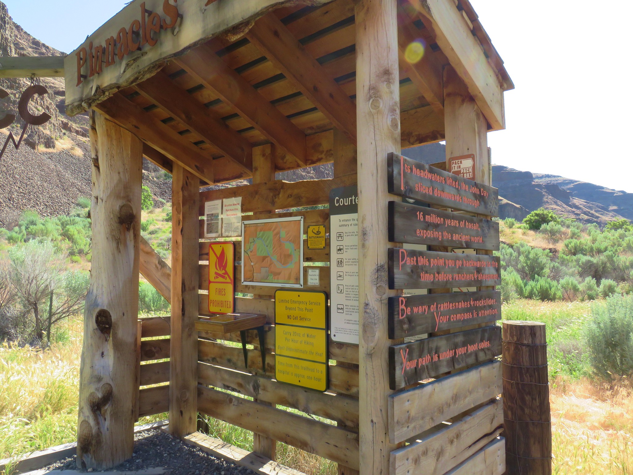
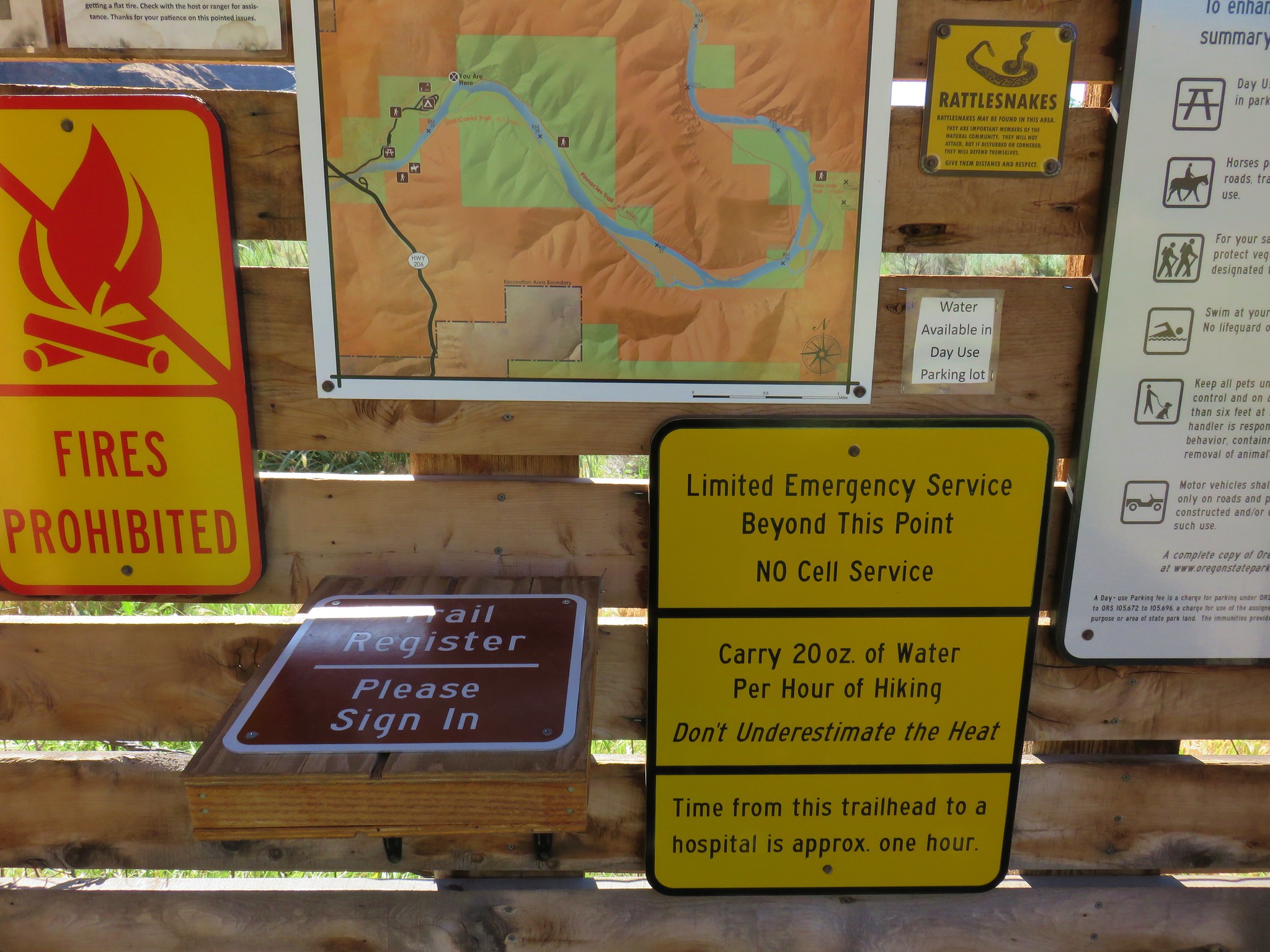
We had hiked in the BLM’s “Criterion Tract” in 2023 (post) as part of our goal to hike at least part of 500 featured hikes in William L. Sullivan’s guidebook series (post). That hike was one of the “part of” hikes where we started at an alternate location and took a different route to the hikes main goal. In this case that was Stag Point, a viewpoint above the Deschutes River. We had started from Highway 197 above Stag Point for that hike while the hike described in Sullivan’s “100 Hikes Easter Oregon” began at the locked gate. He describes an out-and-back hike from the road to Stag Point, but various trip reports in the Oregon Hikers Forums showed loop options using the road easement as a return route. A good map, GPS and route-finding skills are important here since there are no official trails, just a collection of old jeep tracks and game/cattle trails.
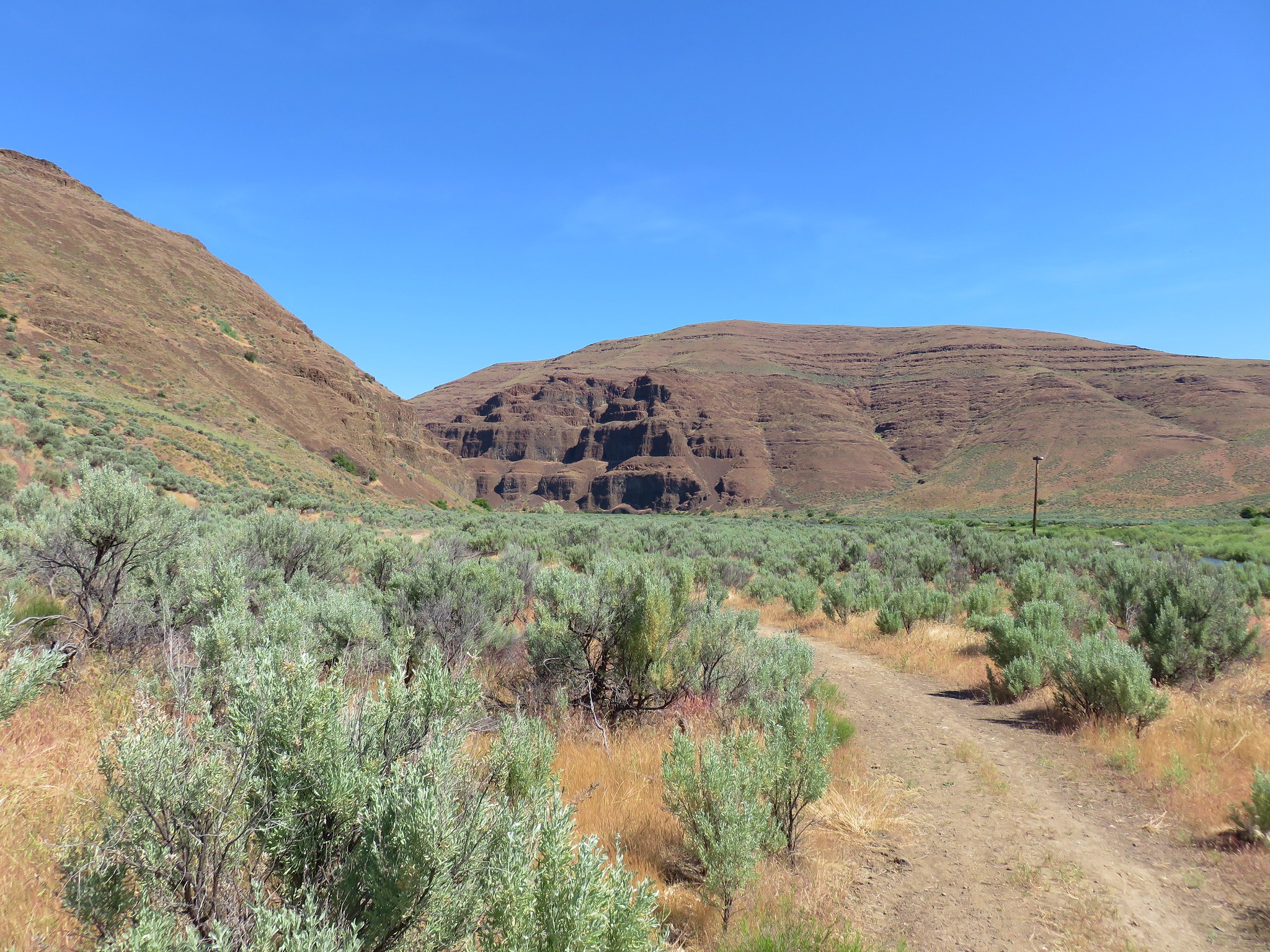
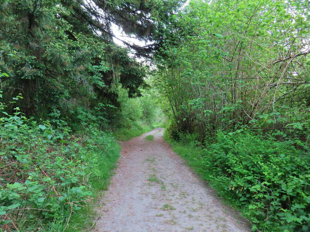
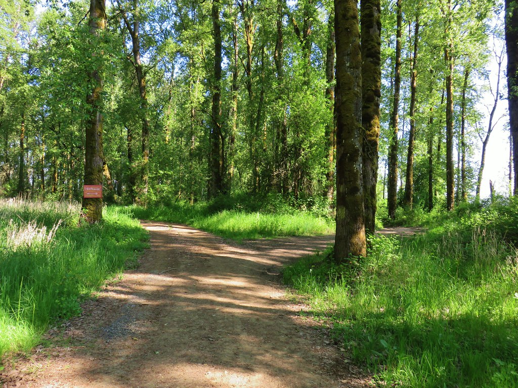
From the parking area we headed uphill past a rusty gate and picked up a clear path.


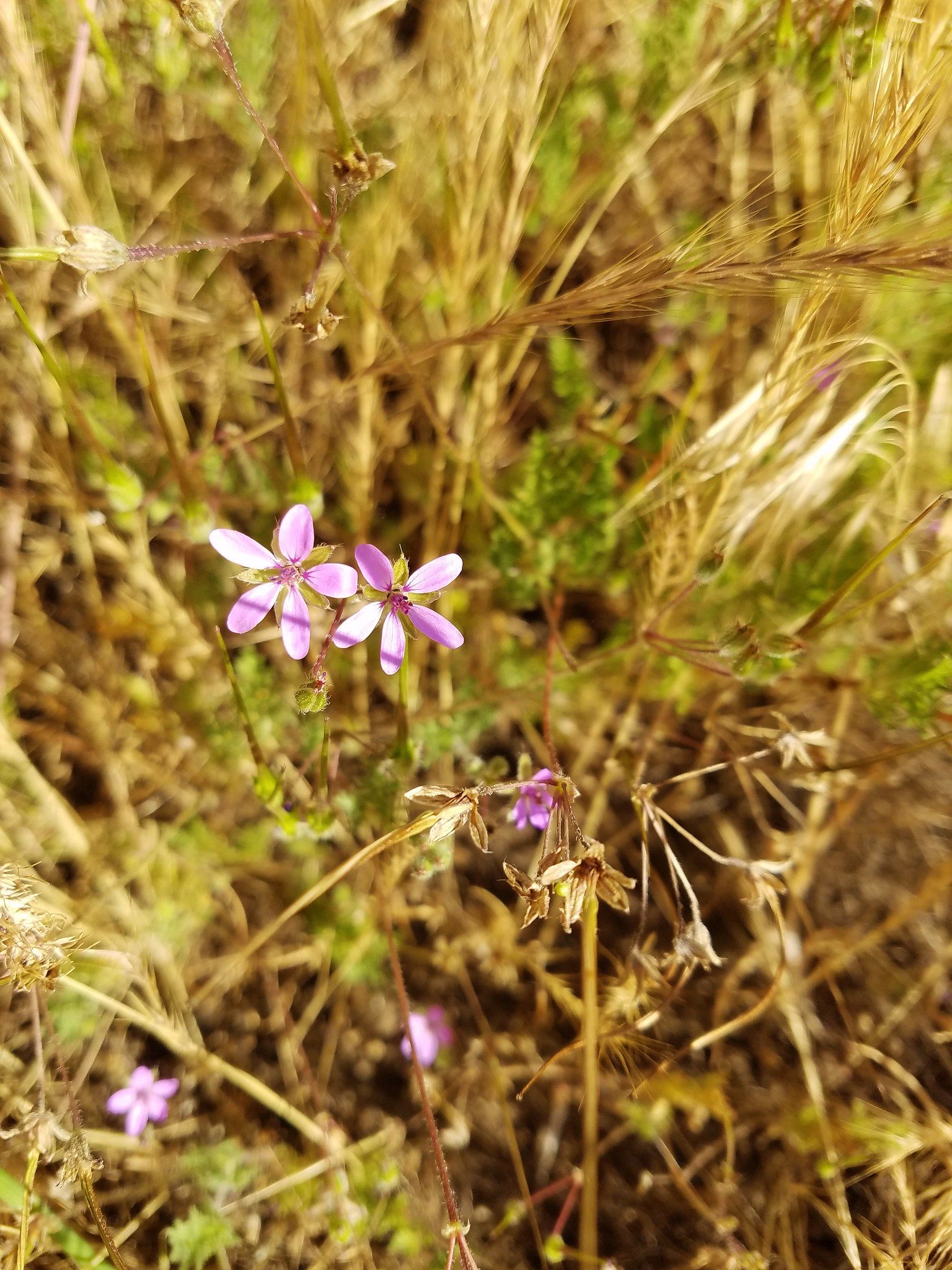
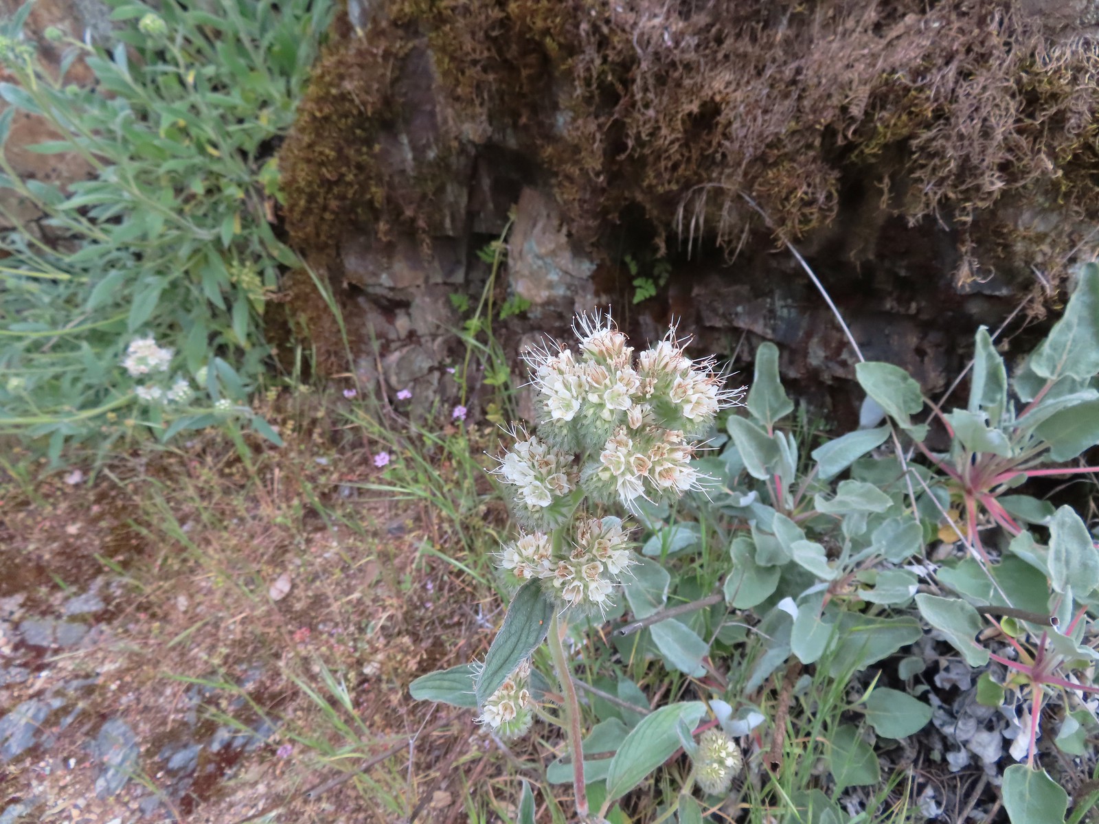
 Phacelia
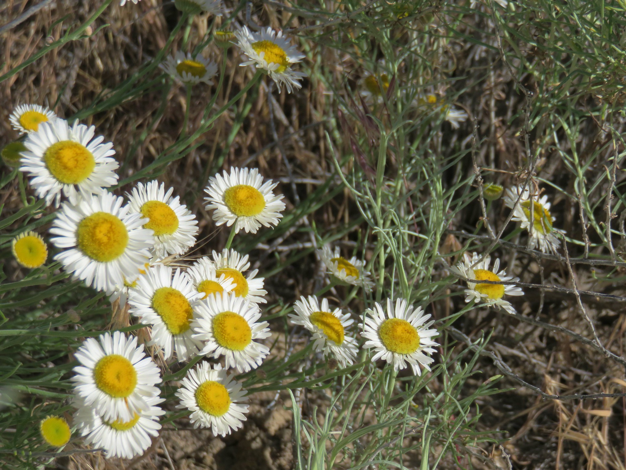
 Fleabane
 Thistle
 Madia
Madia
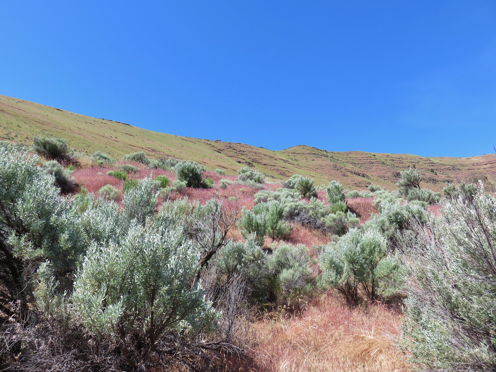
There was a lot of really nice lupine along this lower portion of the hike.

 Fiddleneck and lupine

 The first of several deer we spotted during the day.
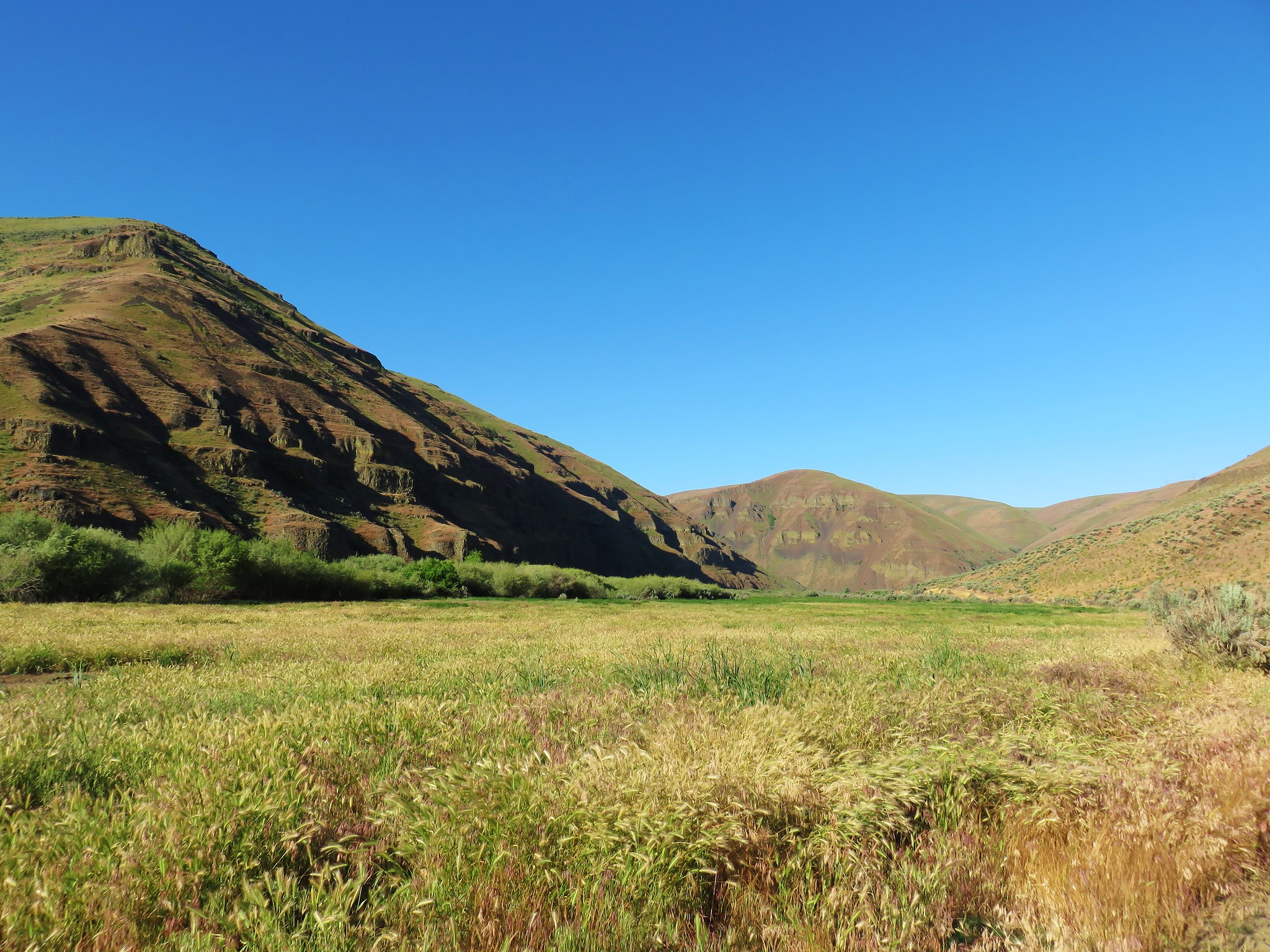
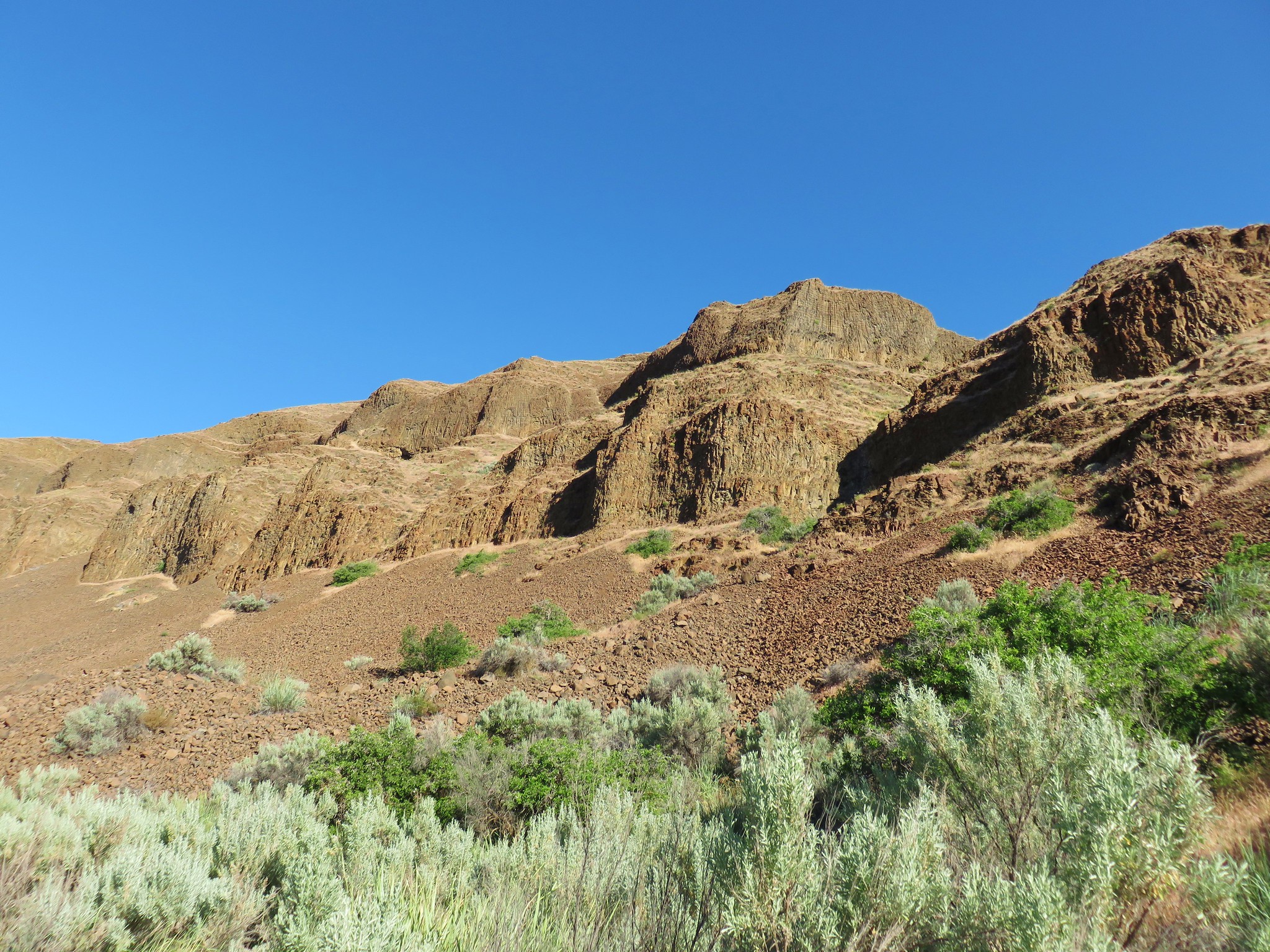
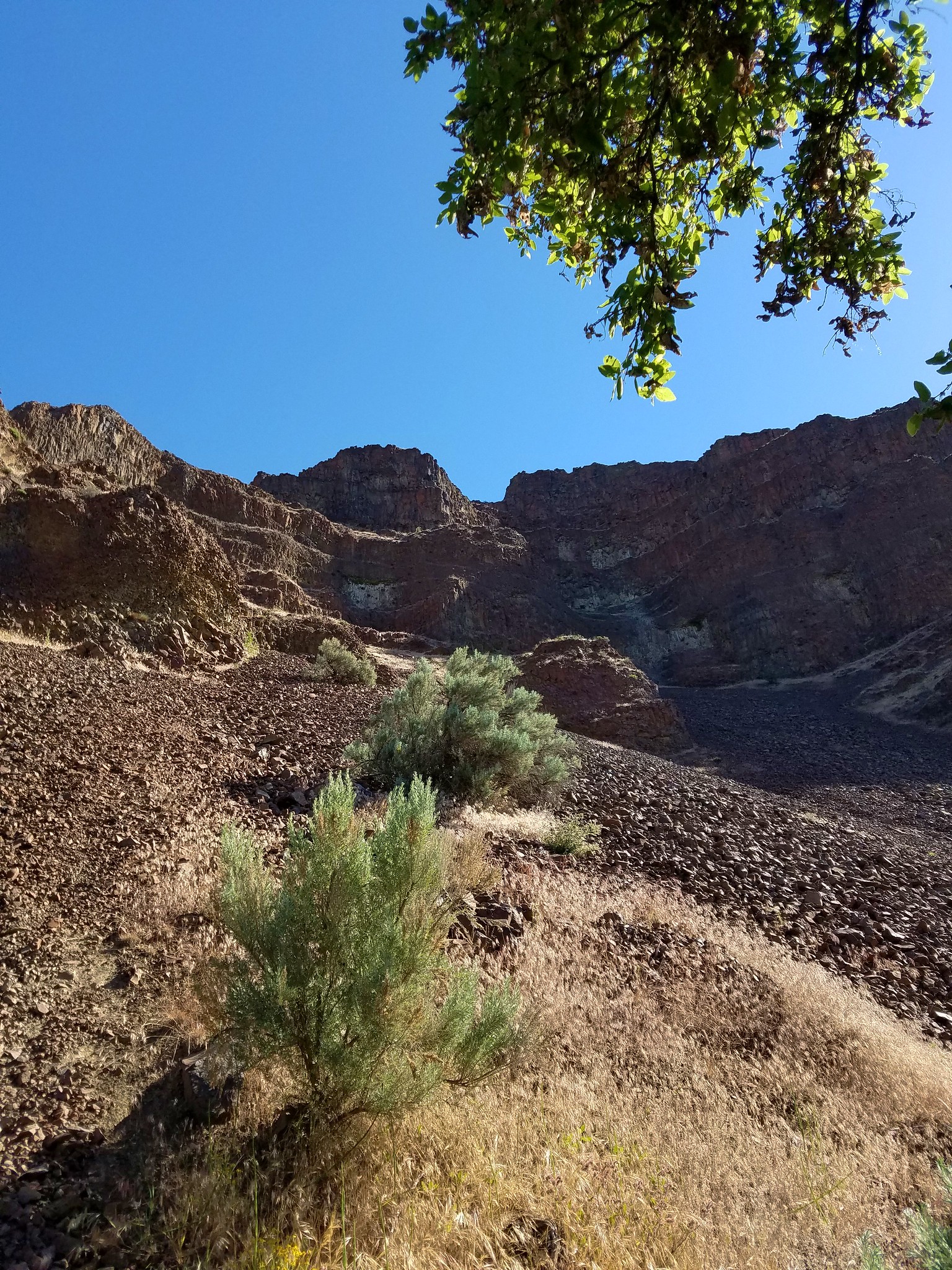
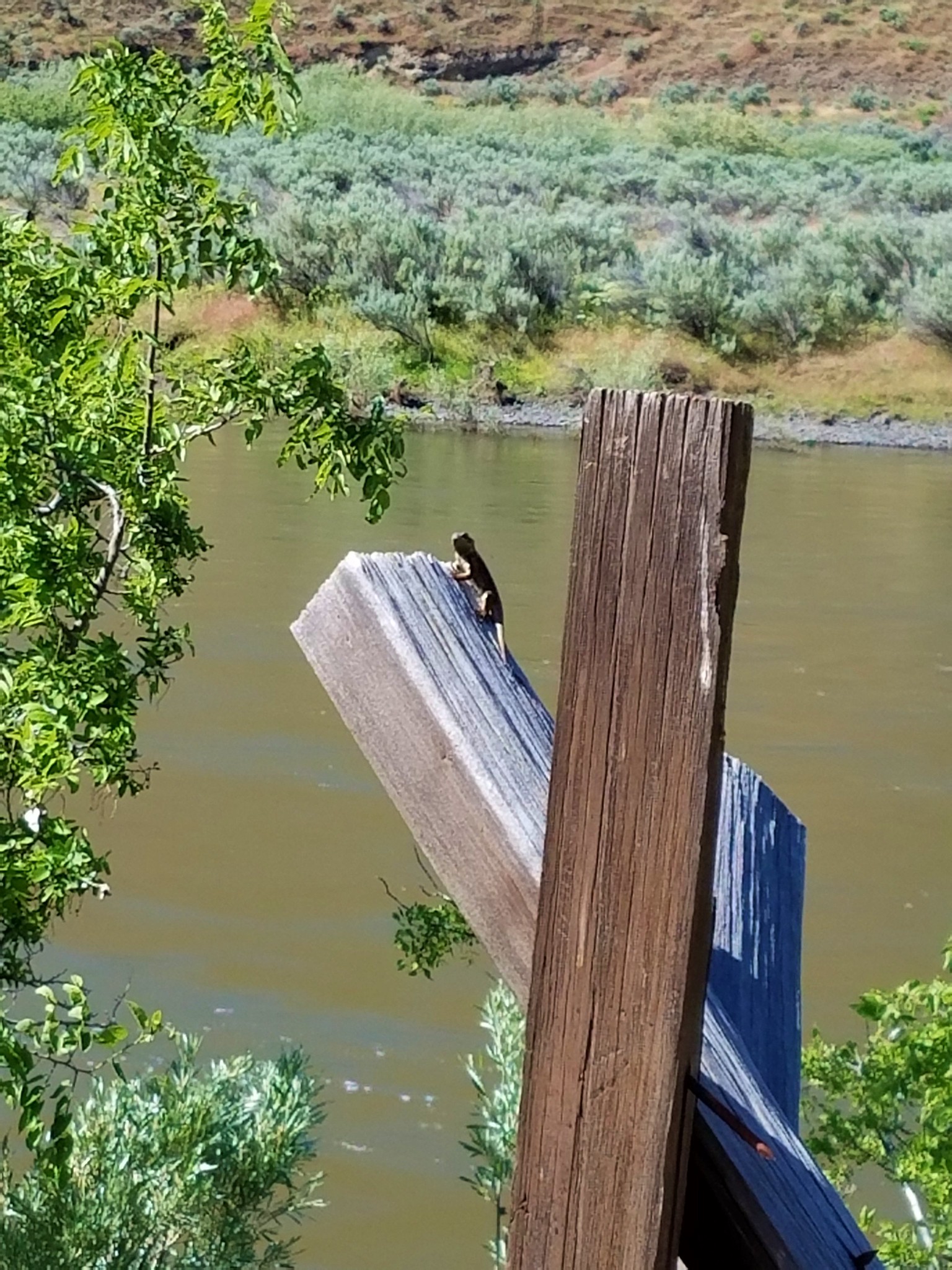
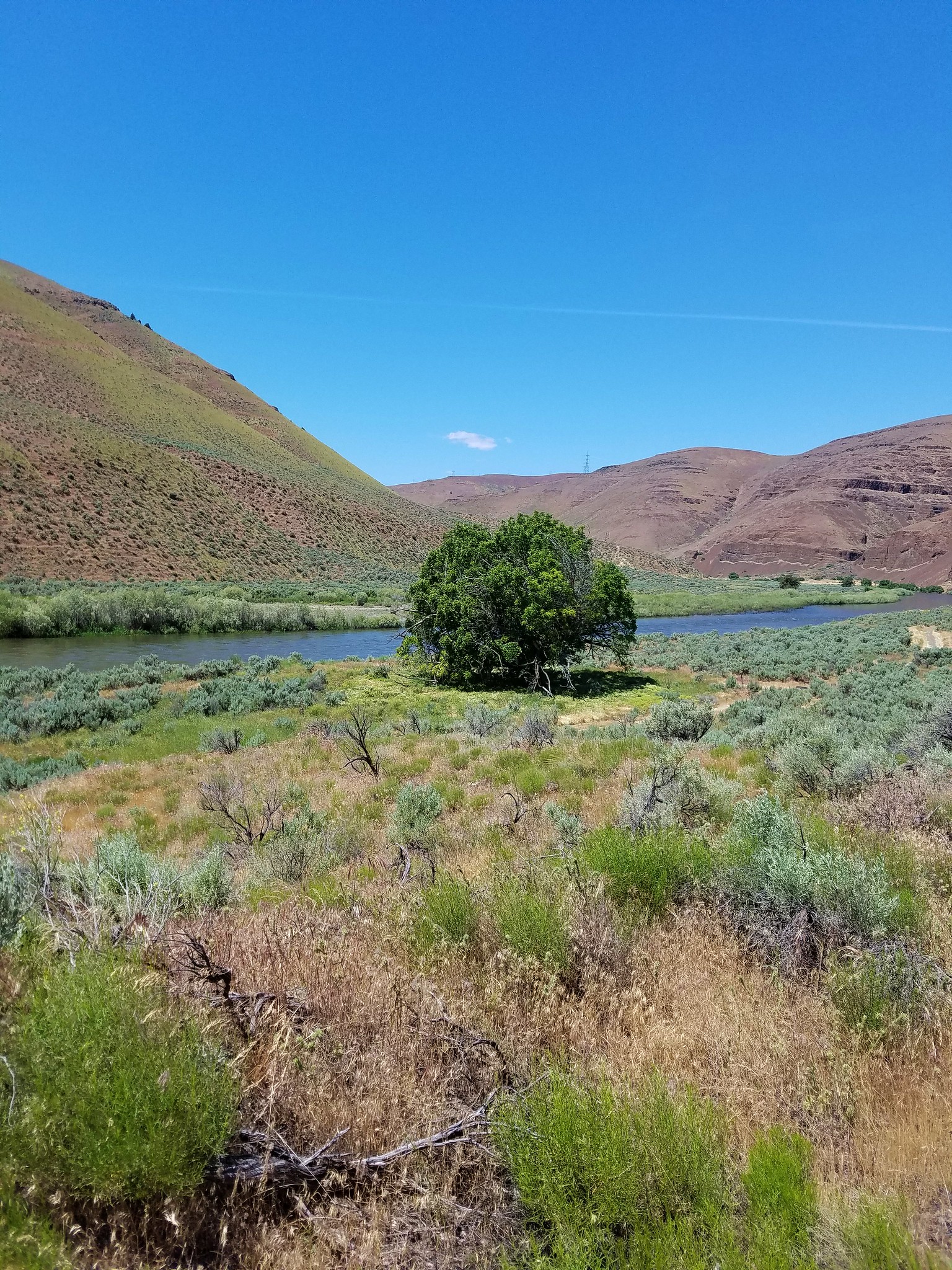
 The distinctive cliffs behind the lupine are across the river from the parking area so we were almost always able to tell where we had parked.

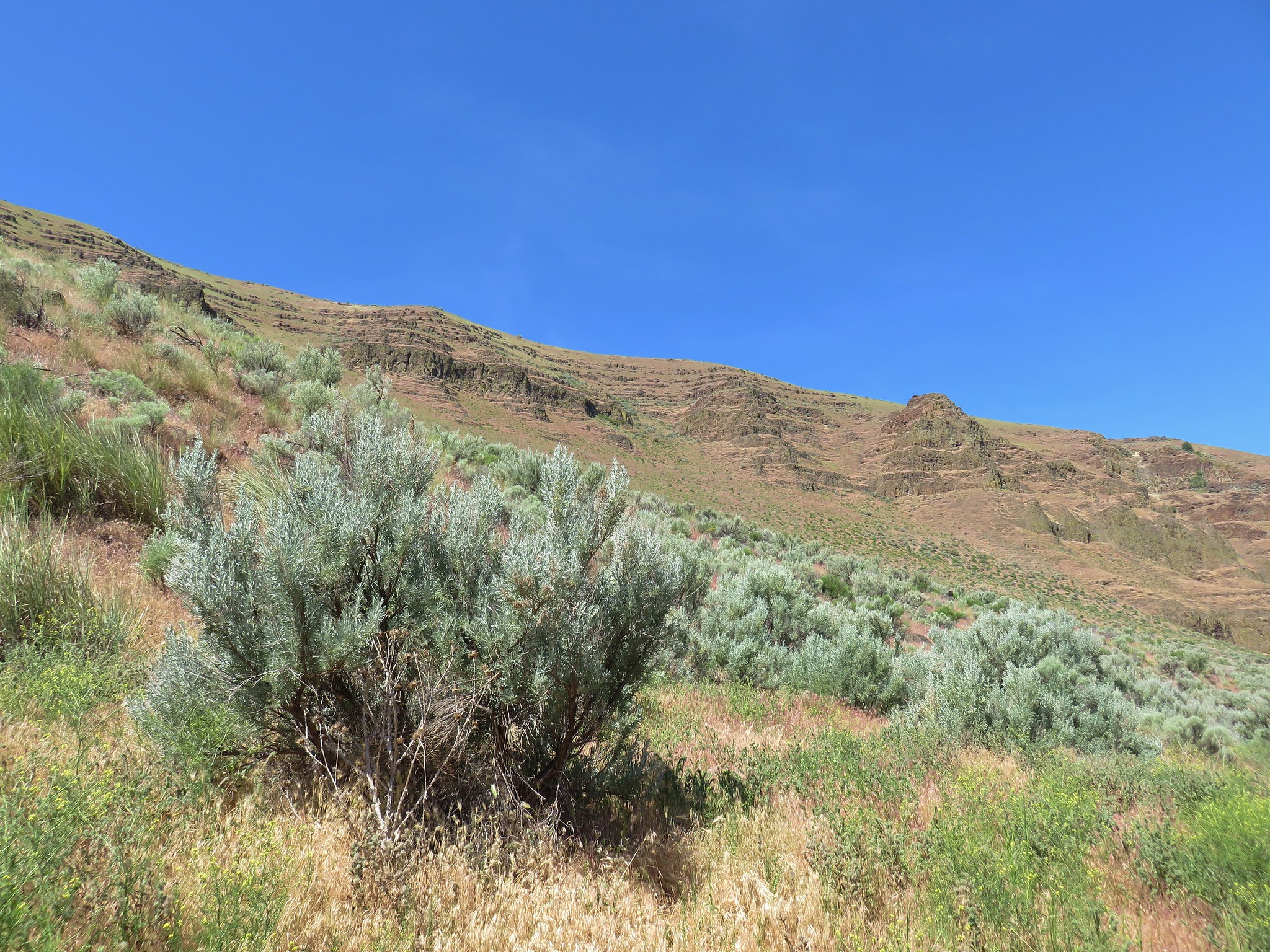
 This jeep track would veer to the left to pass between the smaller hills and cliffs ahead.
 Western meadowlarks could be heard throughout the hike.
 The view south.
 Desert yellow fleabane
 The view west.
 Mt. Hood peaking over the canyon rim to the NW.
 Mt. Hood
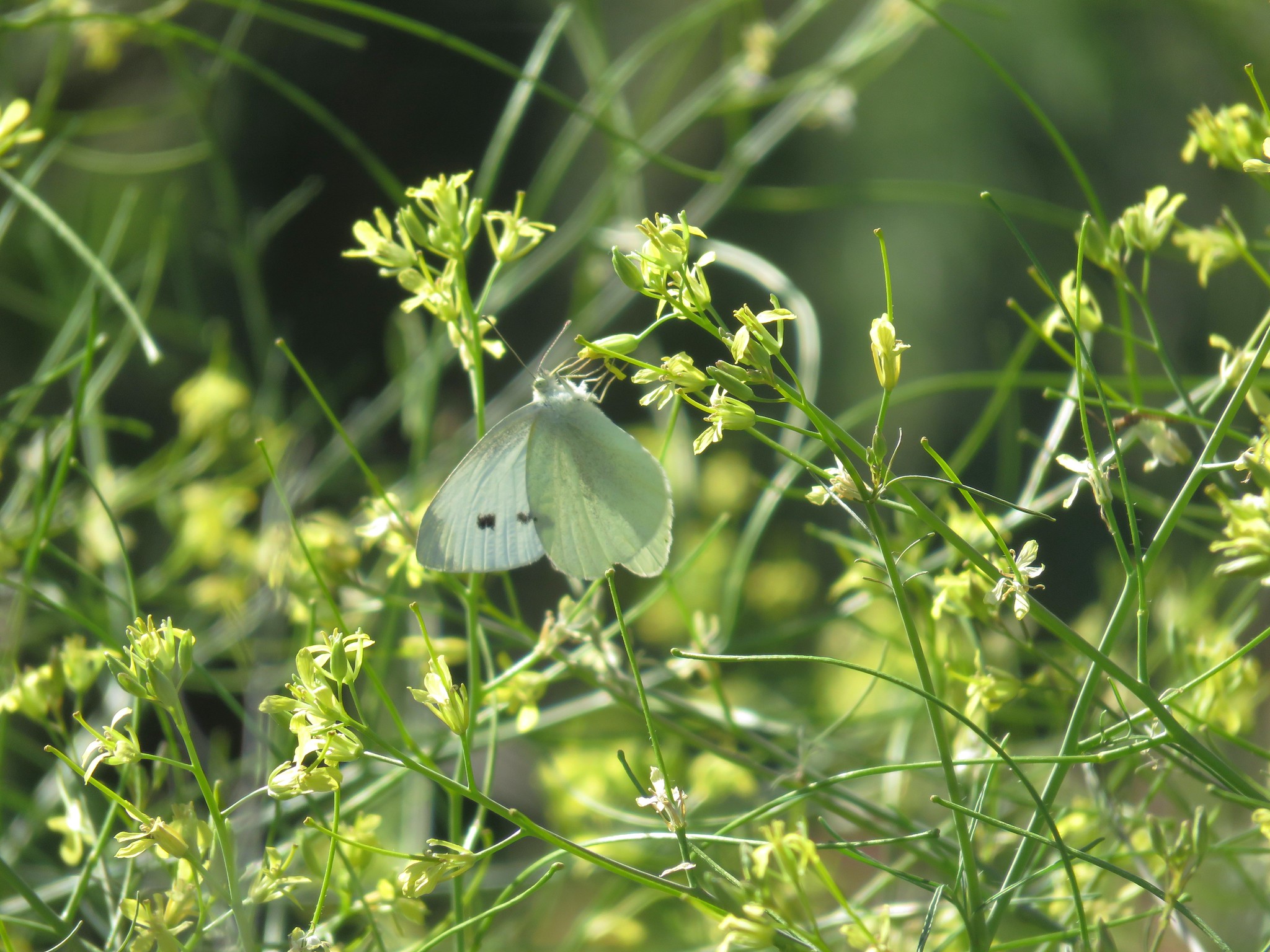
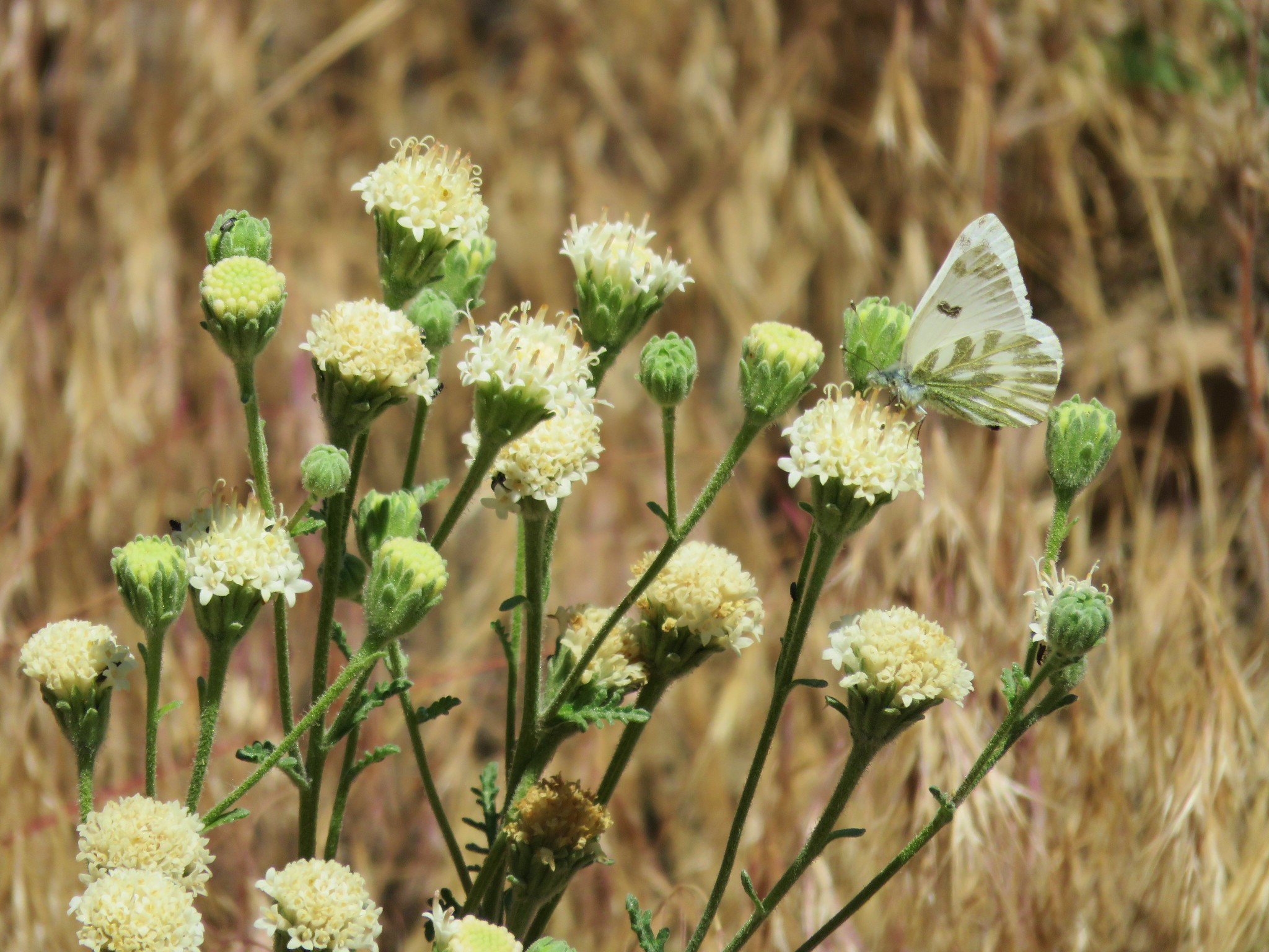
 Butterfly on yarrow
 Grasses and wildflowers added color to the landscape.
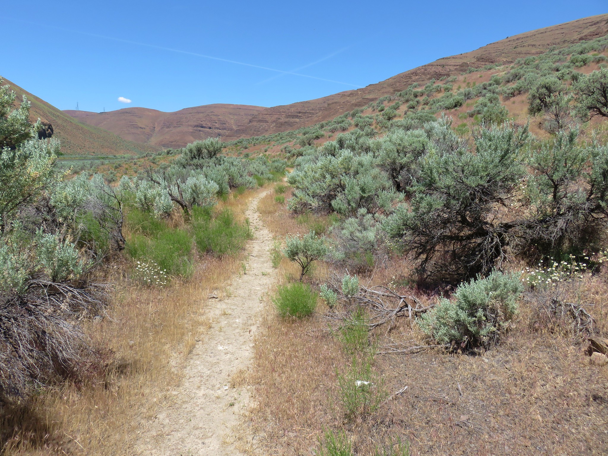
 The route became very faint at times.
 Balsamroot
 Looking back at the route so far.
 View from the trail after passing between the hills and cliffs.
 An old fence.
 Mt. Hood and Lookout Mountain (post).


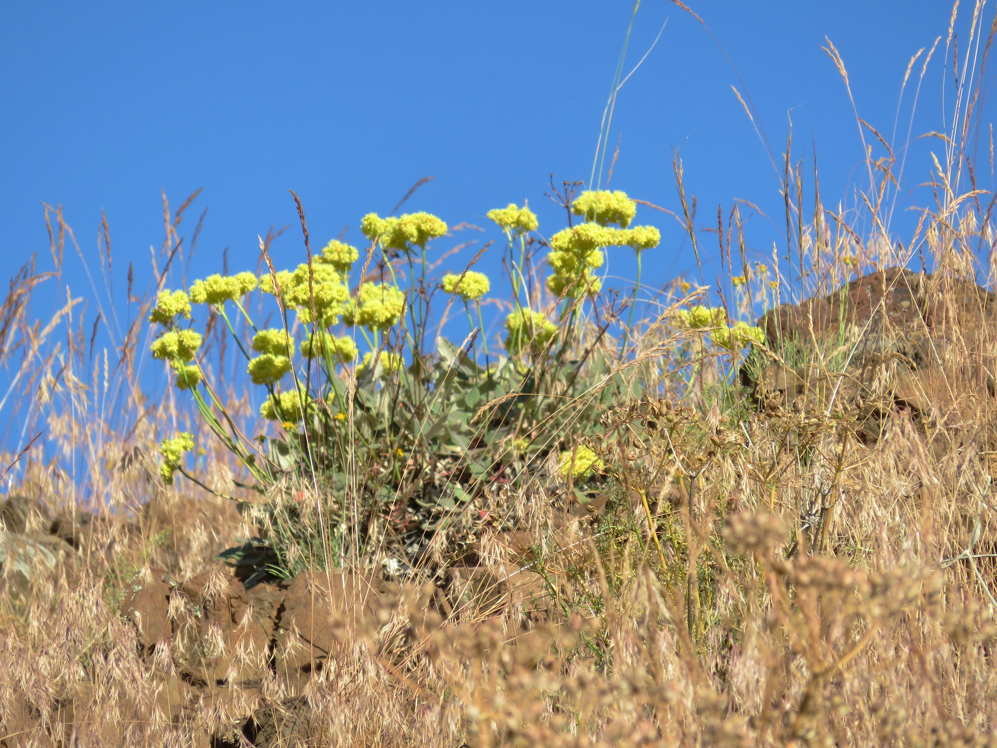
 Buckwheat
As we continued to follow the jeep track views of the Deschutes began to open up.


 Rough eyelashweed
 Paintbrush
A short detour to the cliff edges just over 2-miles from the rusty gate led to a nice view.


We continued to follow the jeep track beyond the viewpoint as it veered away from the river to hug the hillside.
 Another stretch of faint tread.
 It was often easier to see the road ahead than below our feet.
 Balsamroot and lupine
 Grand collomia and lupine.
 Spreading dogbane
 Digging in.
 Small water trough (empty).
 View from the water trough.
 Haven’t identified this bird yet.
 Looking back at the route again.
Approximately 0.4-miles beyond the water trough the jeep road turned more steeply uphill climbing to a newer barbed wire fence and the BLM boundary.

 Mt. Hood again.
 Ochre ringlet. There were hundreds of butterflies.
 Looking at the climb ahead. At this point most of the rest of the hike would be in direct sunlight, and it was already getting warm.
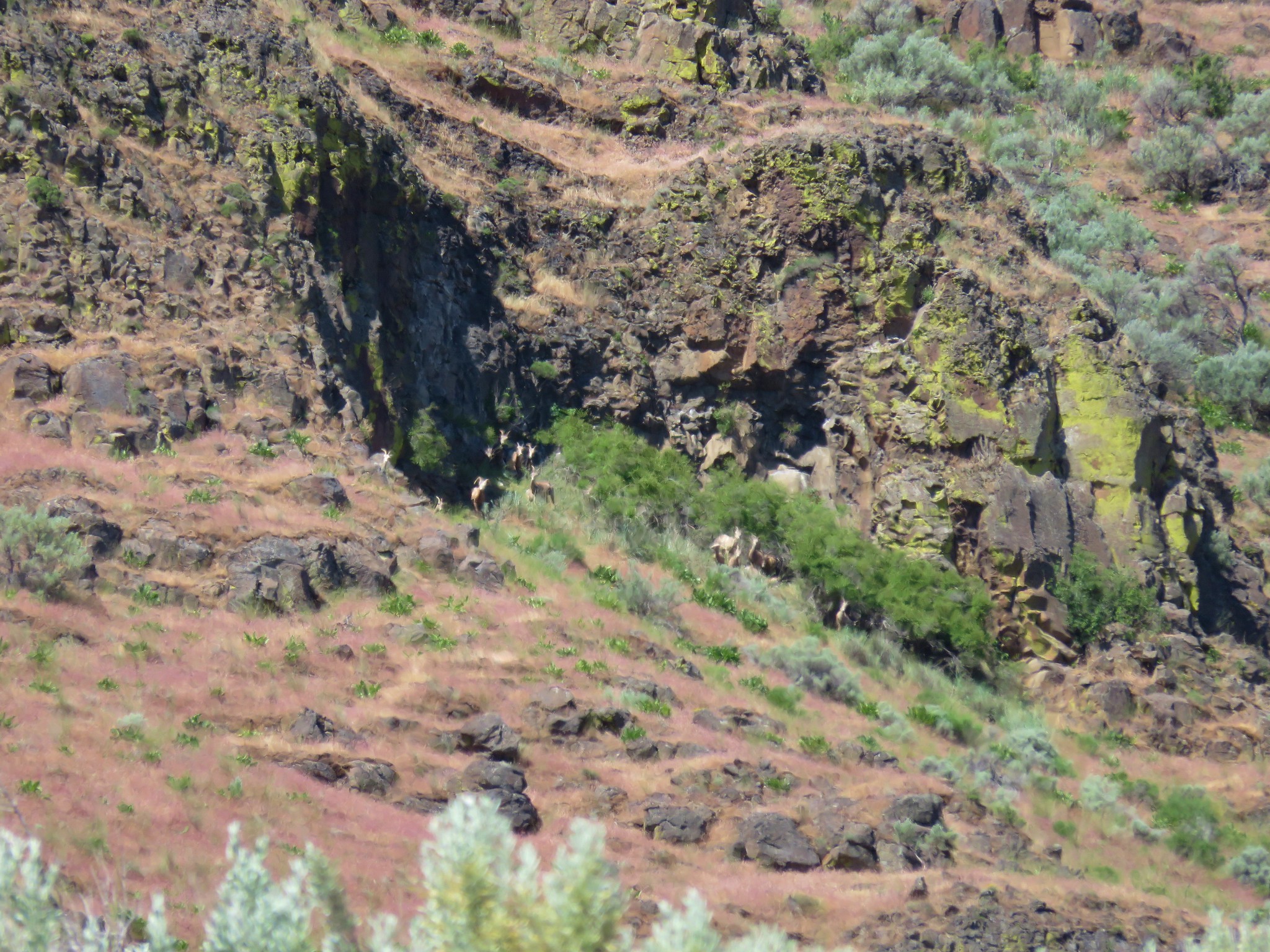
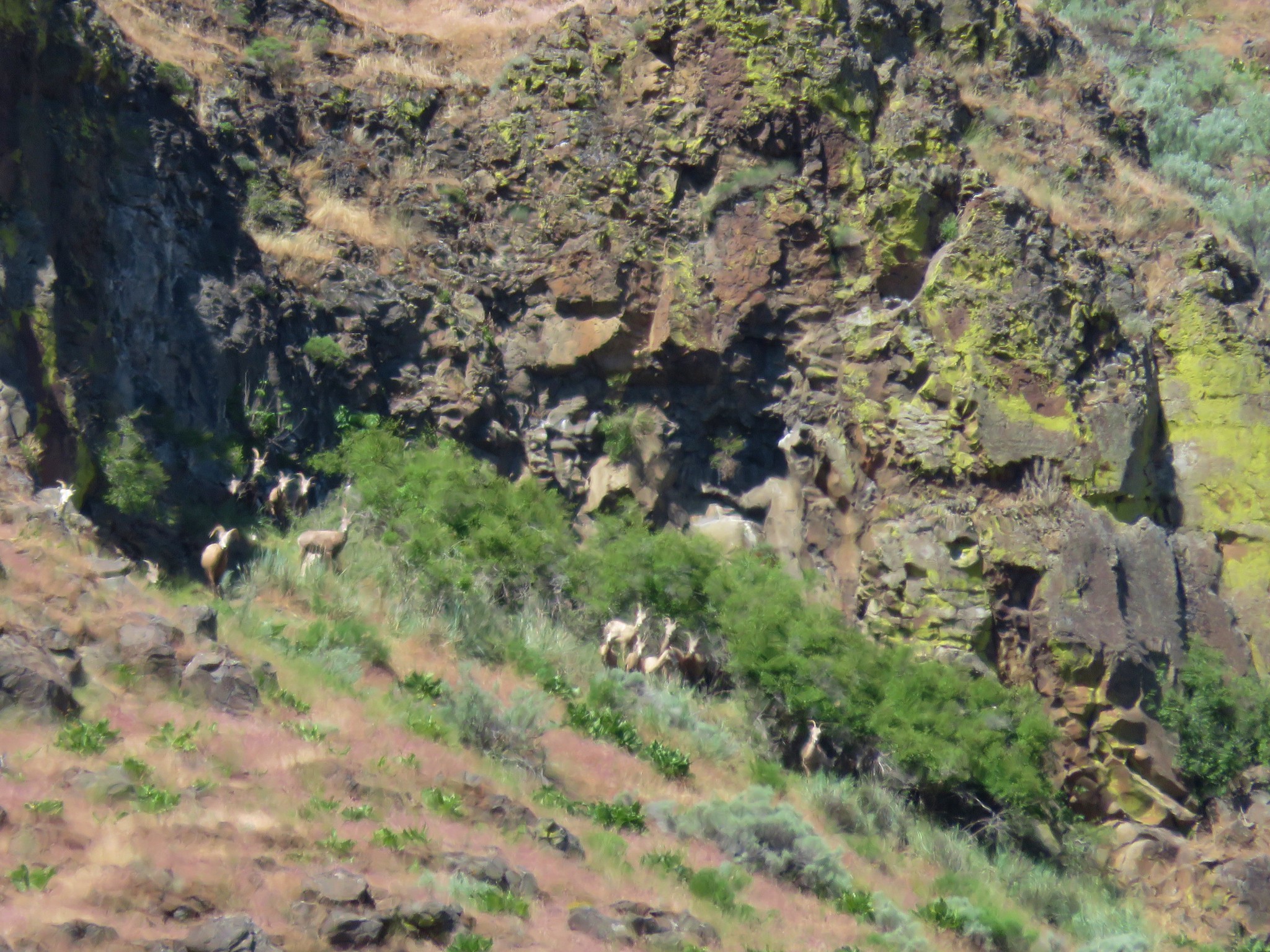
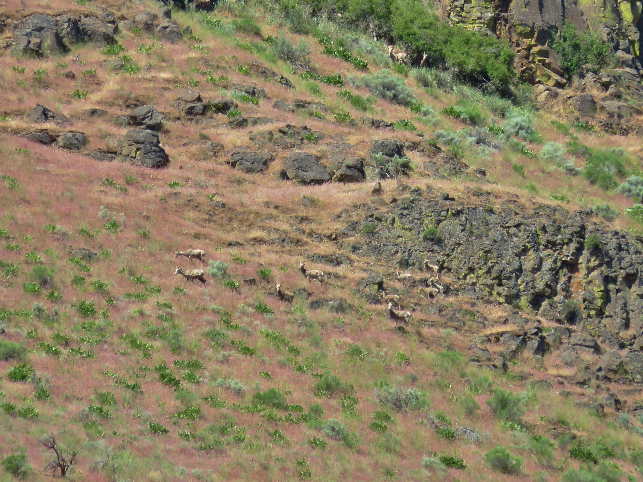
 Buck
Buck
 Buck number two.
 We had to get pretty high up before we could see Washington’s Mt. Adams and even once it was in view the lighting made it hard to make out.
 Mt. Adams
 The newer barbed wire fence at the public land boundary. This is around 3.5-miles from the parking area.
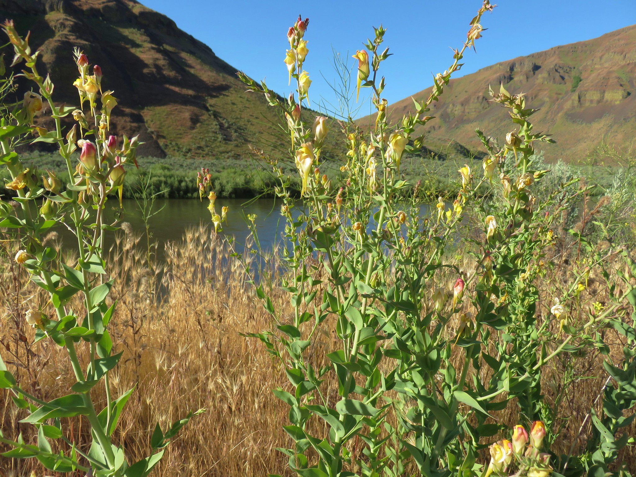
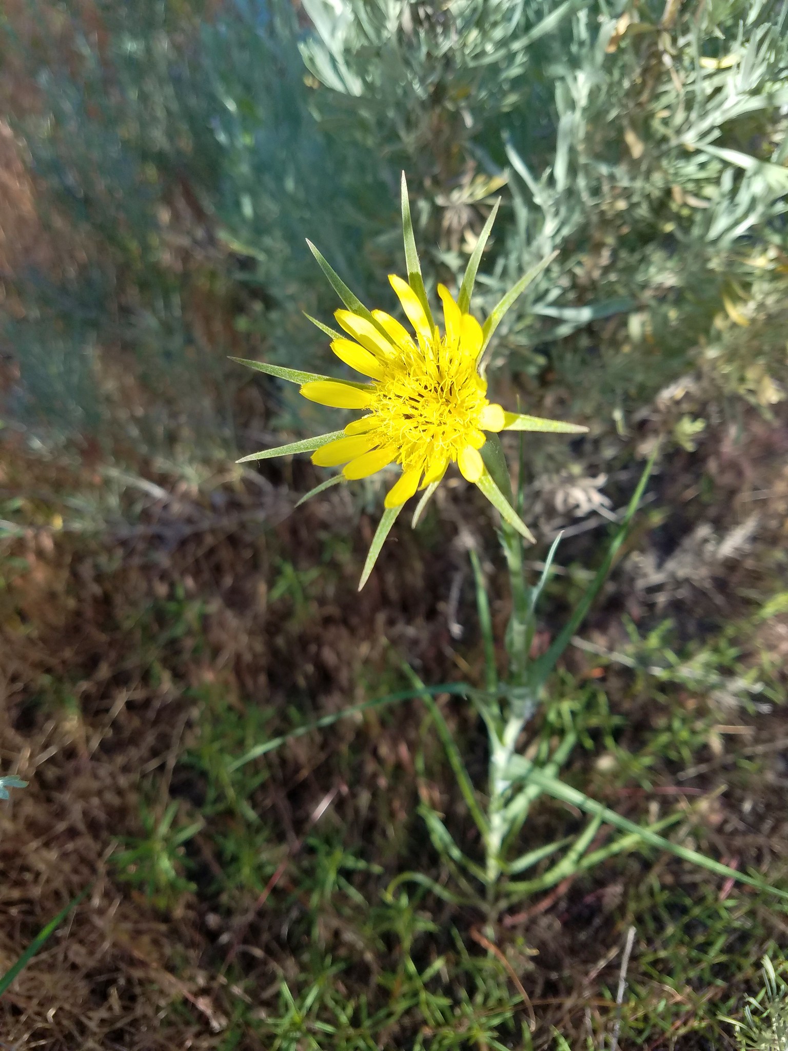
 Hawksbeard
After taking a warm break at the fence, we turned right (south) along the fence line. The jeep track had gone through the fence onto the private land, so we were now relegated to following cattle/game trails.
 The fence went up and down steeply so that meant we got to as well.
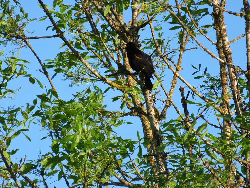
 Crow
Crow
 Fritillary
 Cattle trail
 Western kingbirds
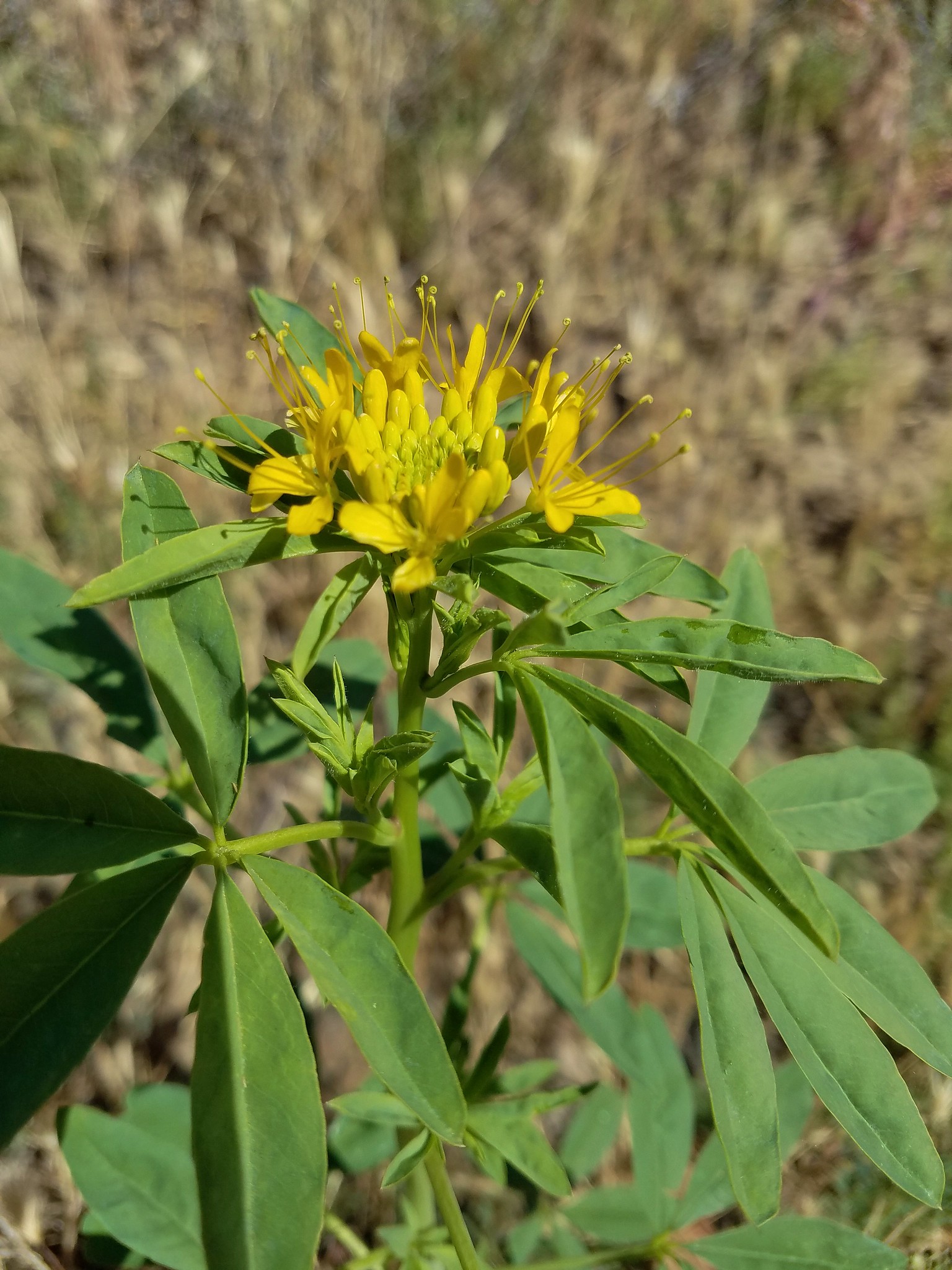
 A milkvetch
 Another butterfly on balsamroot.
 Stag Point is the high triangular point along the plateau in the foreground.
 Zoom in on Stag Point. (The lone post on top gives it away.)

 First and only brief view of the top of Mt. Jefferson.
 Mt. Jefferson
After approximately 0.8-miles along this newer fence we came to a corner where an old rusty fence continued straight.
 The newer fence turned left at the corner.
We began following the rusty fence line which Sullivan said came to an old road in another 0.4-miles.
 Onion
Onion
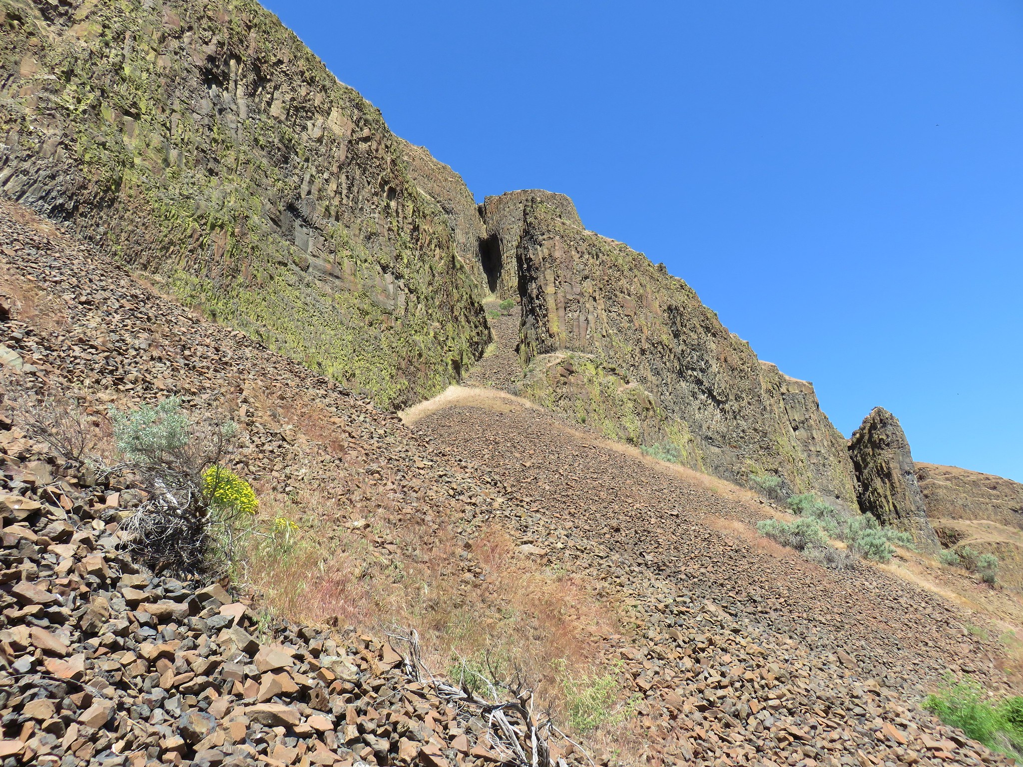
 This rocky gully was a little tricky to cross.
 Checkerspot
 Old stone structure along the fence.
 Western meadowlark
 Lark sparrow
After following the rust fence for maybe 0.2 of a mile we decided we could cut a little distance off our hike by heading diagonally cross country toward Stag Point since we could see it from where we were.

 Probably cattle bones.
 Checkerspot on fiddleneck.
We came upon the road after 0.3-miles of following cattle trails.

 Balsamroot and Mt. Hood from the road.
We turned right onto the road and headed downhill. At this point we discussed if we really wanted to head cross country to Stag Point. Since we had climbed up to it on our previous trip, and the hike today had already provided extensive views we opted to skip Stag Point and just continue our loop on the road.

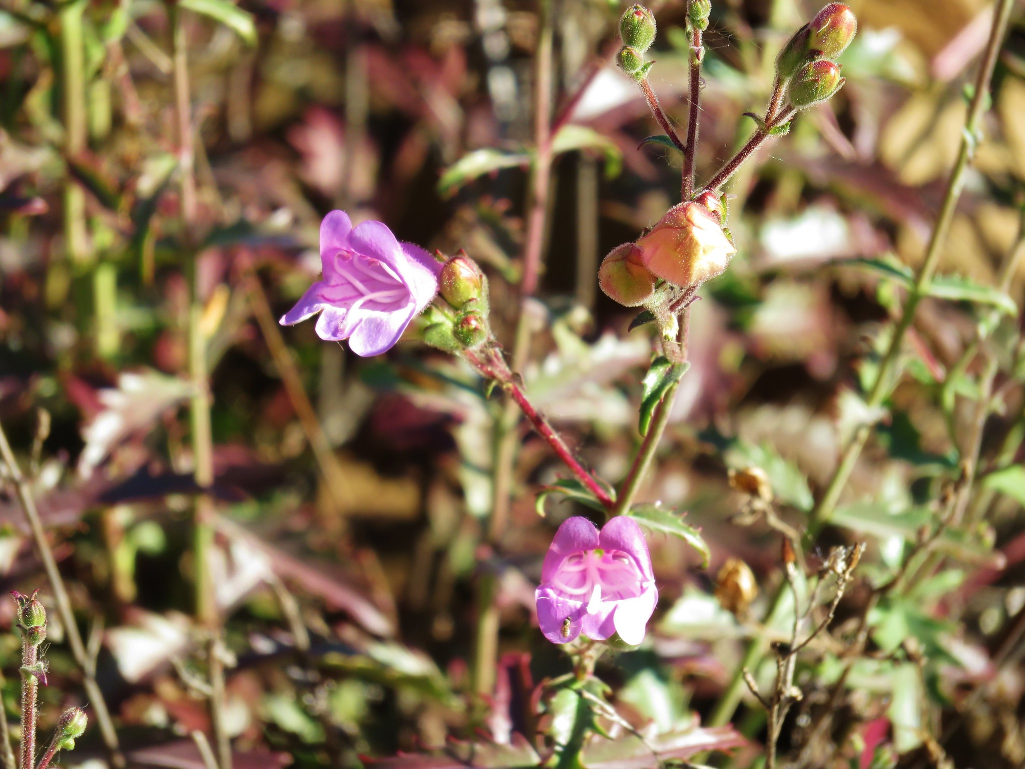
 Phlox
Phlox
 Indra swallowtail
 Checkerspot
 Another checkerspot
 A blue or copper of some sort.
The old road made a series of switchbacks below a stock pond gaining views again of the Deschutes River.

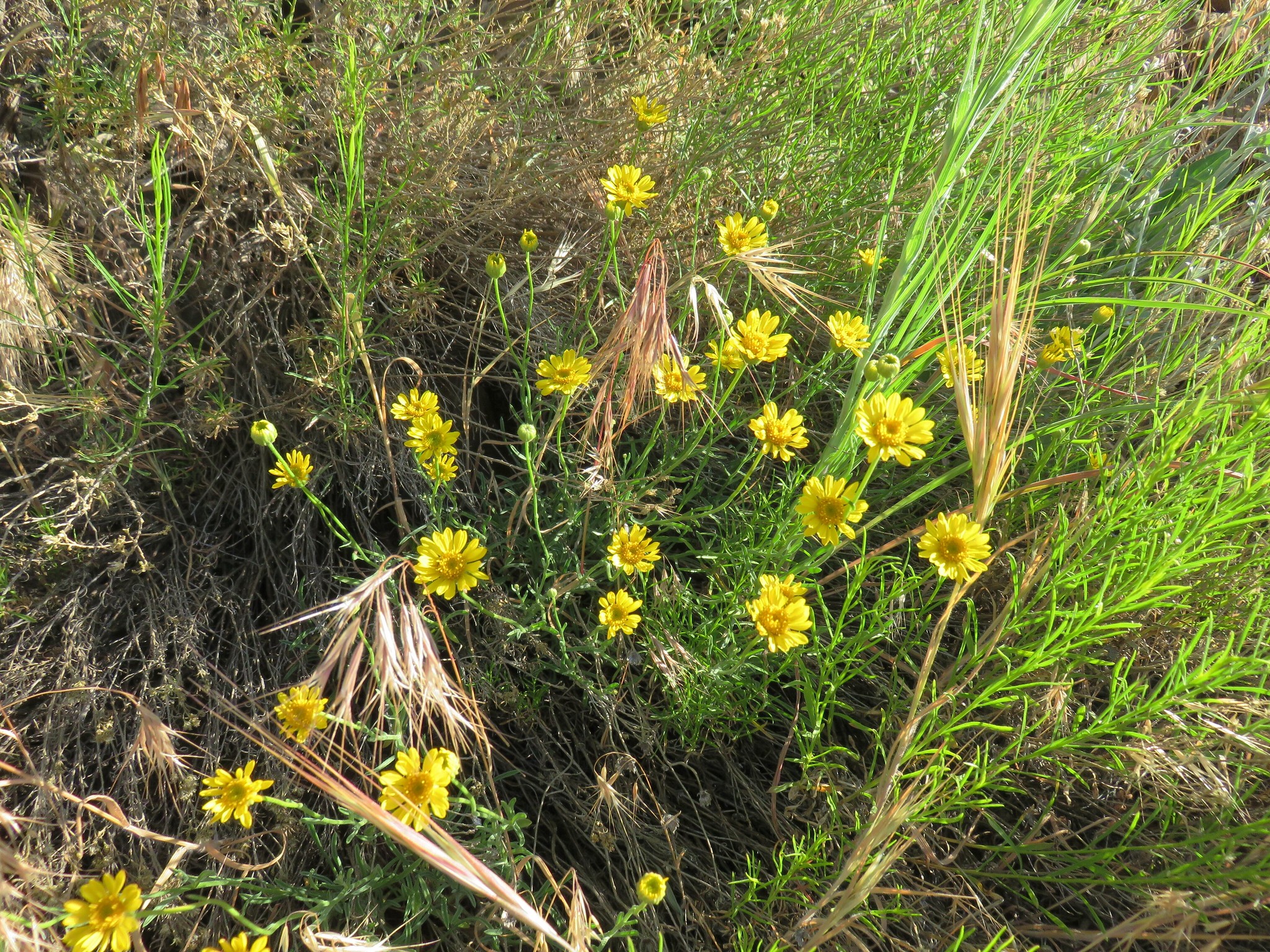
 Oregon sunshine
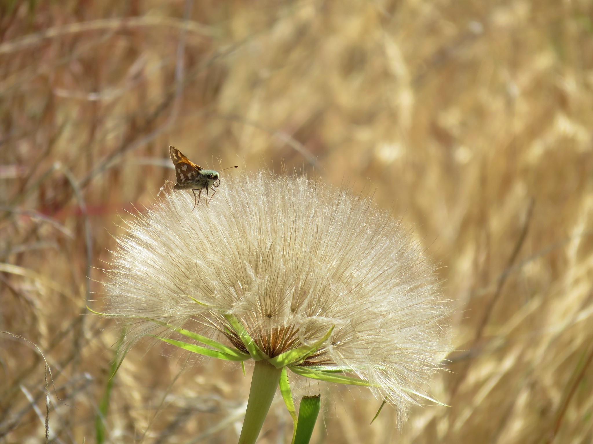
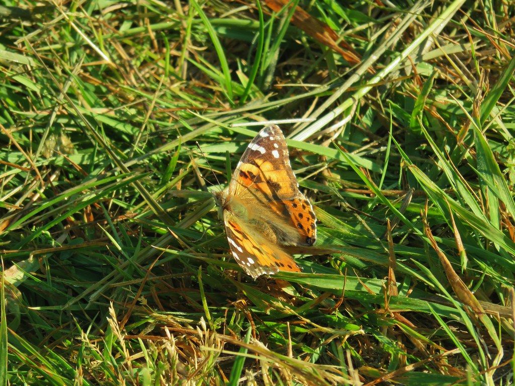
 Skipper
 Colorful rocks
 Looking back up along the switchback section.
 Gate along the road at the end of the switchbacks.
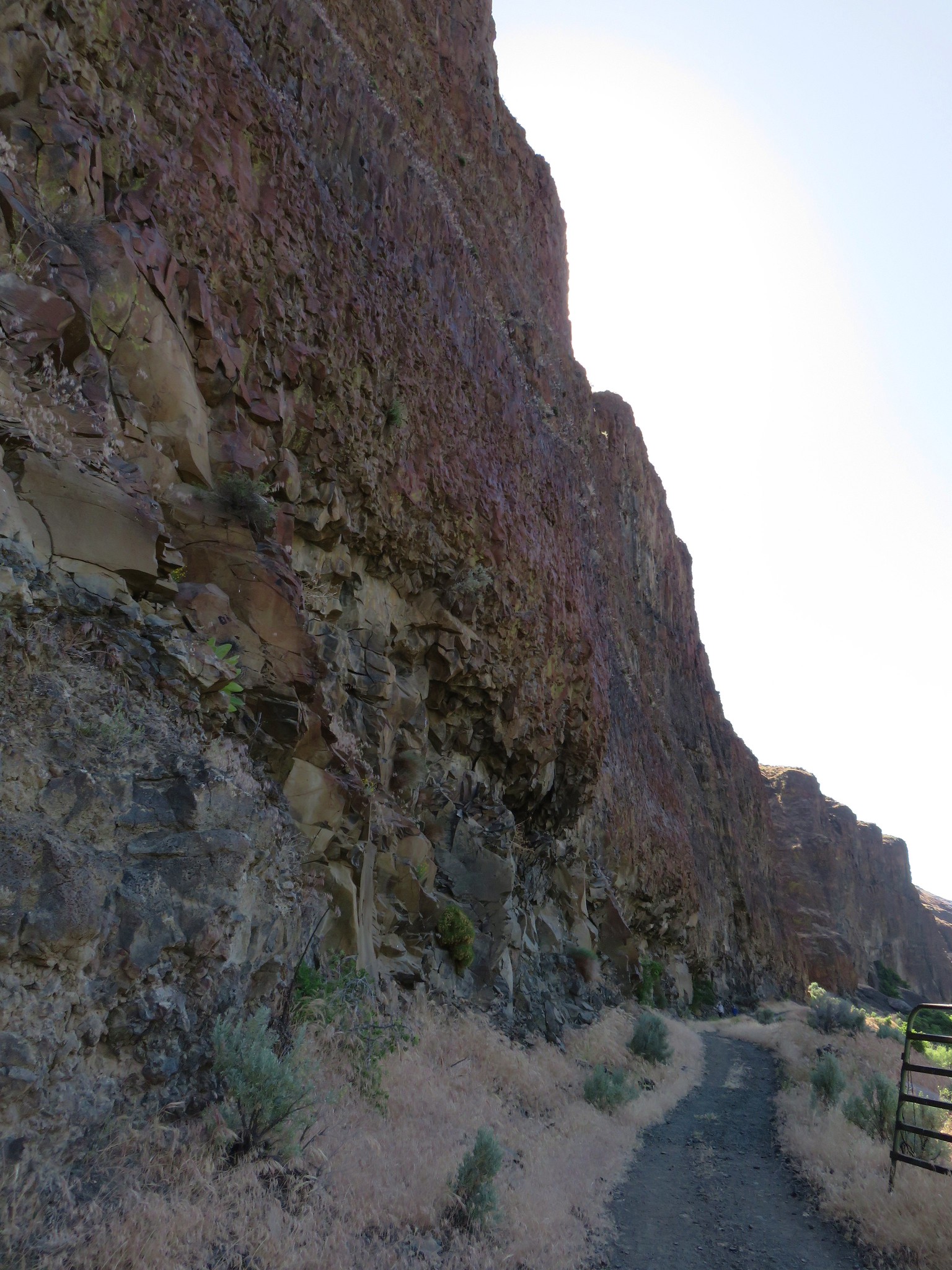
Beyond the gate the road straightened as it descended below some cliffs.

 Allumroot


 Cusick’s sunflowers and desert yellow fleabane.
 Cusick’s sunflowers
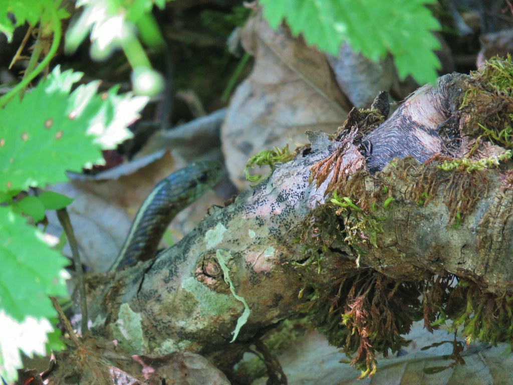
As we descended the road we were alerted to the presence of a western rattlesnake when it loudly hissed and shook its rattle.

Unbelievably this was only the second rattlesnake that we’ve encountered while hiking. It gave us a jump scare but stayed in its defensive position and kept an eye on us while we left the road to give it a wide berth before hoping back onto the tack.
 Looking back up the road toward the snake.
 The still coiled snake to the right of the track.
After that bit of excitement we continued down the road a short distance before arriving at an even fainter jeep track heading steeply downhill.
 The fainter jeep track split off here to the right. It’s really hard to see it in the photo but was a little more obvious in person.
It is necessary to use this jeep track for the loop due to the other road entering the private landholdings just a little further on. The jeep track stays on public lands which extend all the way across the river here making it the only area where one can legally descend down to the access road.
 The goal was to aim for the knoll ahead then find two junipers that were relatively close together and descend between them.
 Looking back up from the jeep track.
 The view upriver with a private house.
From the knoll the tops of the two junipers were visible.

 Going between the two junipers.
The hillside was steep so we carefully picked our way down through the bunchgrass, eventually picking up a faint path that led us down to the road.

 Looking back up at the two junipers.

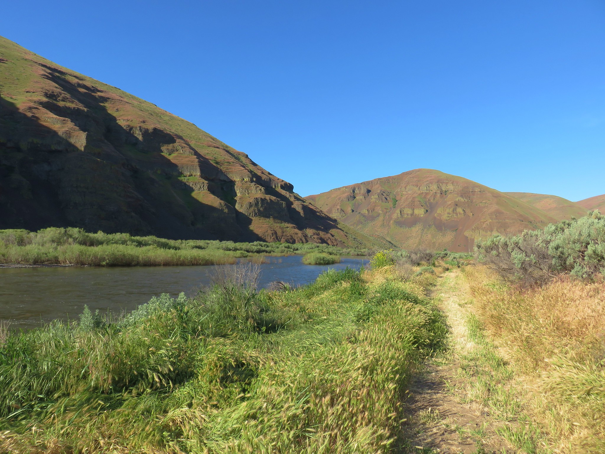
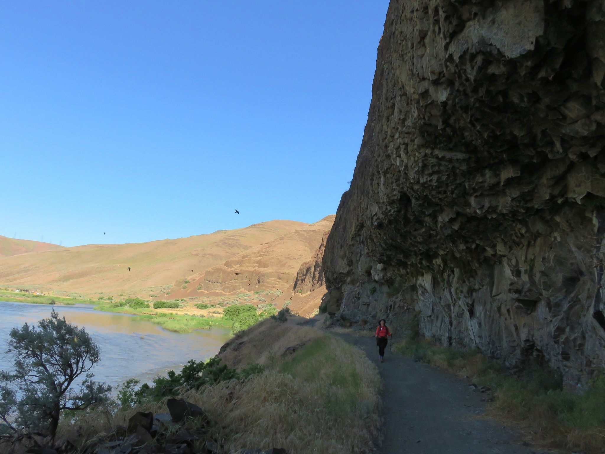
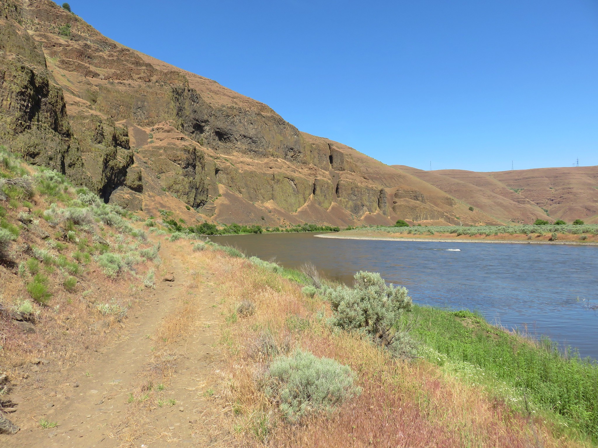
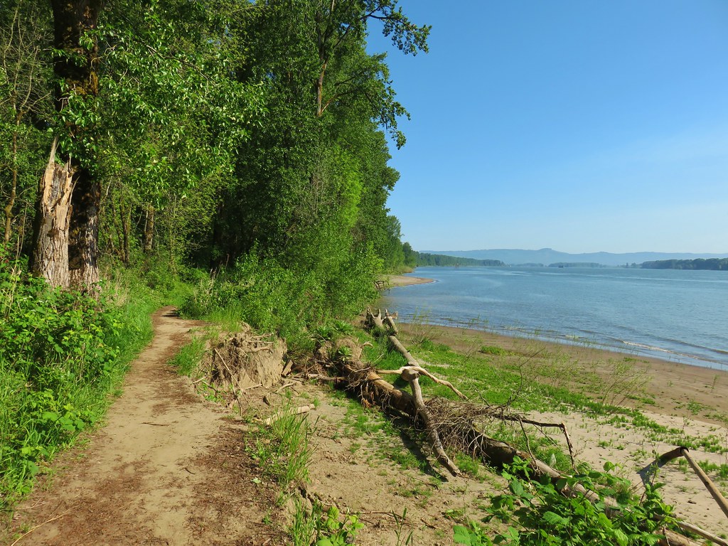
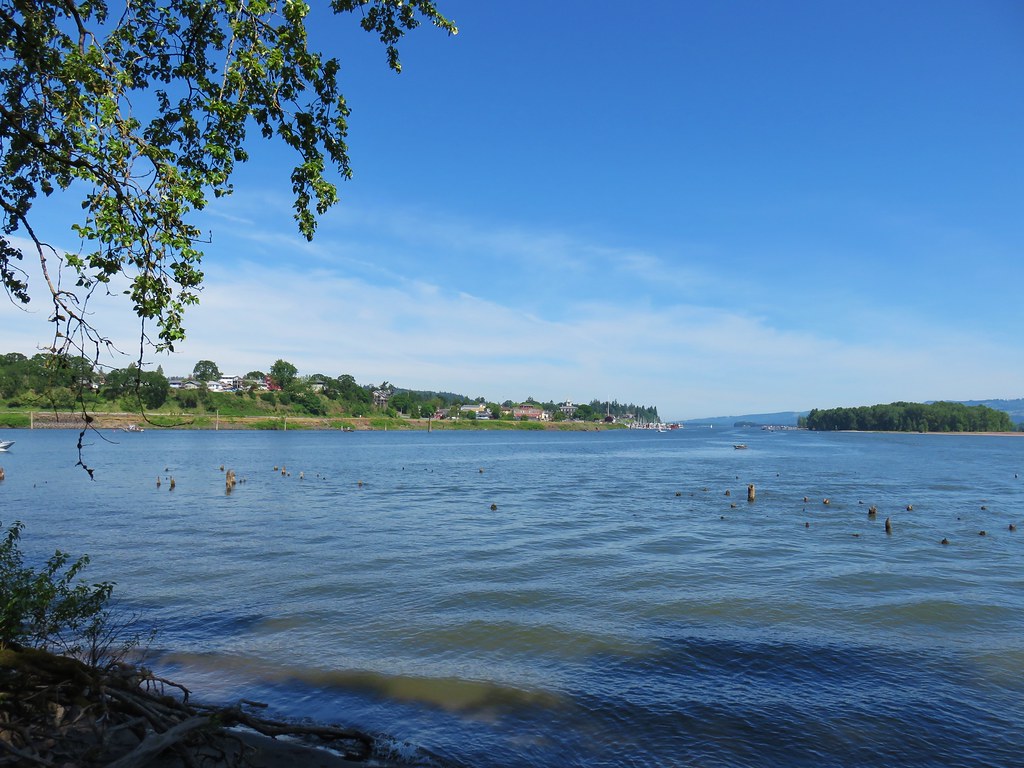
We turned right on the road for a 4-mile road walk back to the gate at the parking area. It was flat which was welcome, but it was late enough in the morning that there was virtually no shade being cast from the canyon walls. It was in the low to mid 80s so we were feeling the heat. As road walks go it wasn’t bad aside from the heat with lots of views of the river along with a number of bird sightings. There were a few cars and closer to the parking area we encountered a number of anglers. Before reaching the road the only people we’d seen was a group of four people coming up the rattlesnake road, presumably from the private land at the end of that road which is owned by the Portland Deschutes Club.
 It’s a checkerboard of public and private land along the road. While this portion of the road is open to hikers, public fishing along the riverbank is limited to the public land portions. No trespassing signs line the road in the private sections.

 Heather spotted this rattlesnake off the side of the road. We couldn’t tell if it was still alive and didn’t really want to find out.
 One of the few bits of shade along the road walk.
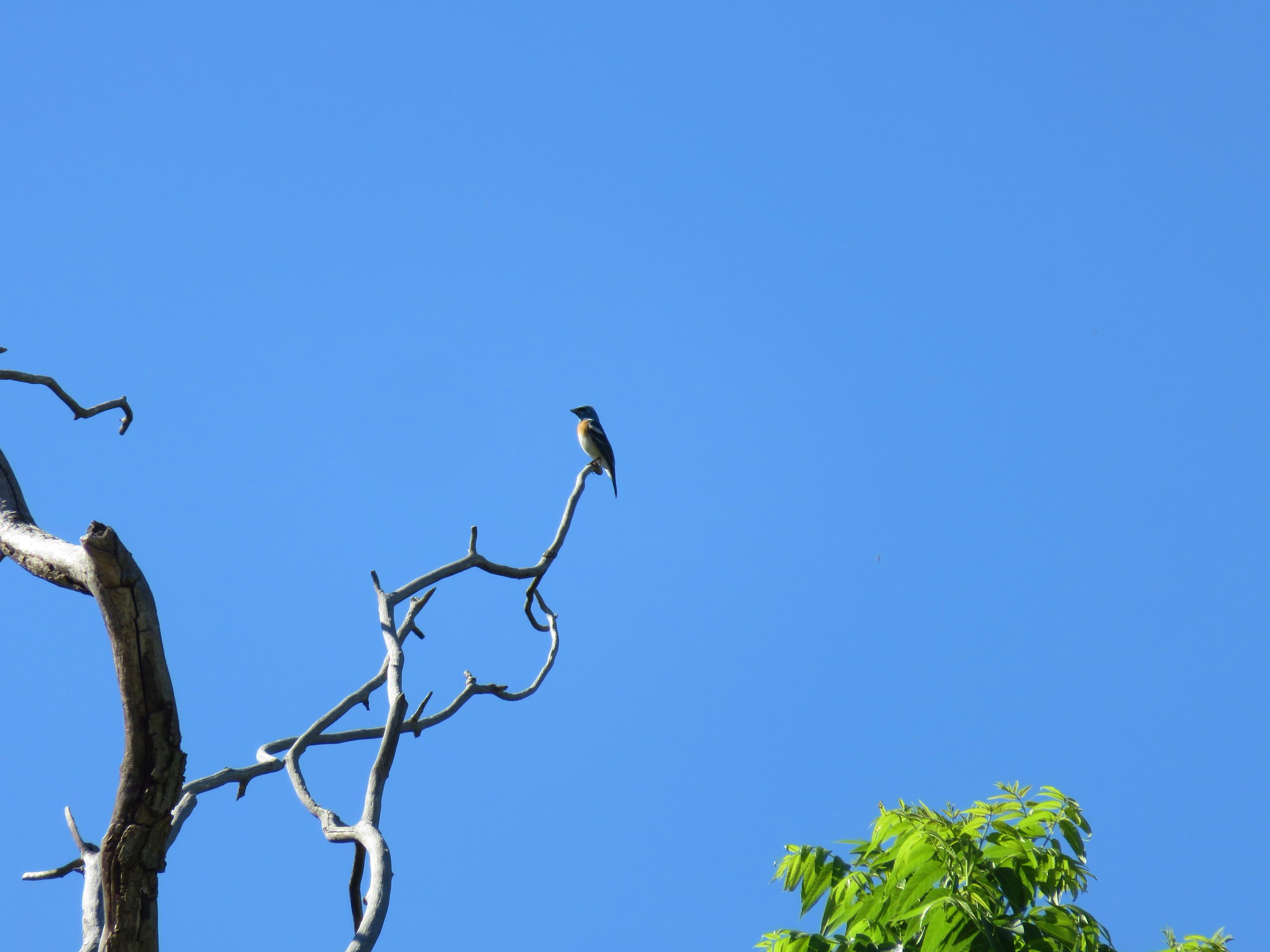
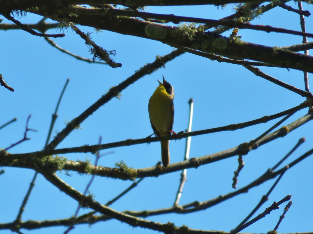
 Probably some sort of flycatcher.
 There were a lot of osprey along the river.

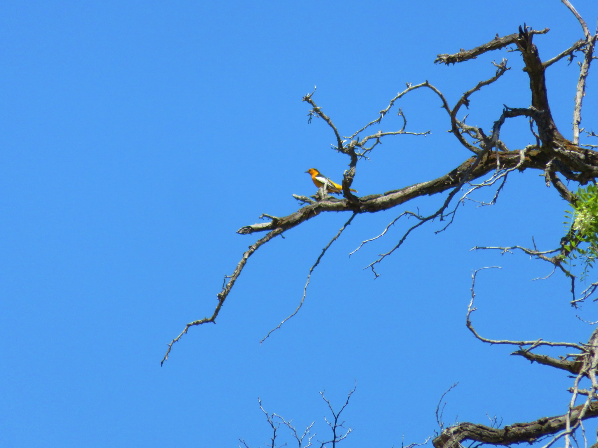
 There were also quite a few Bullock’s orioles.
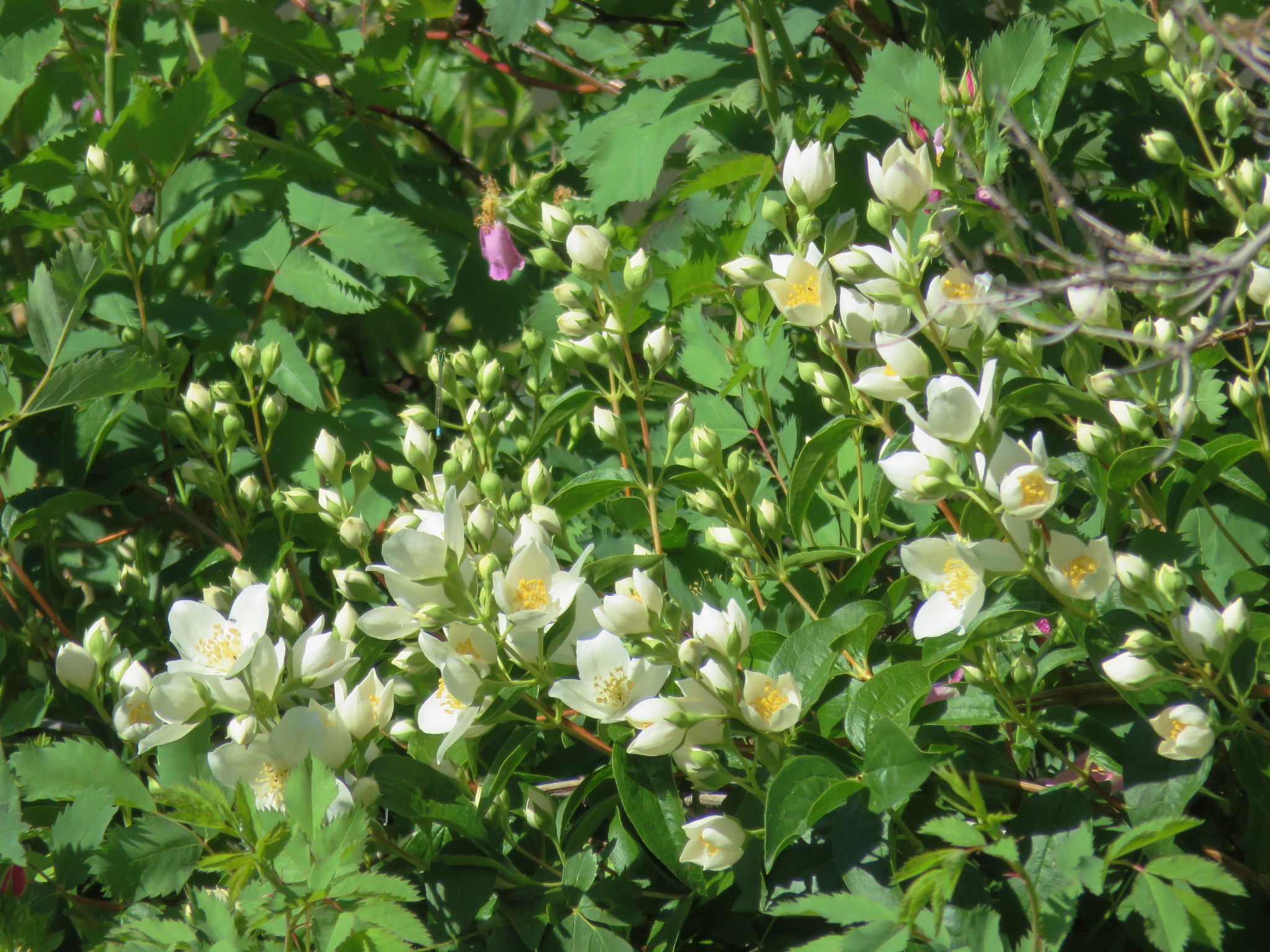
 Mock orange along the river.
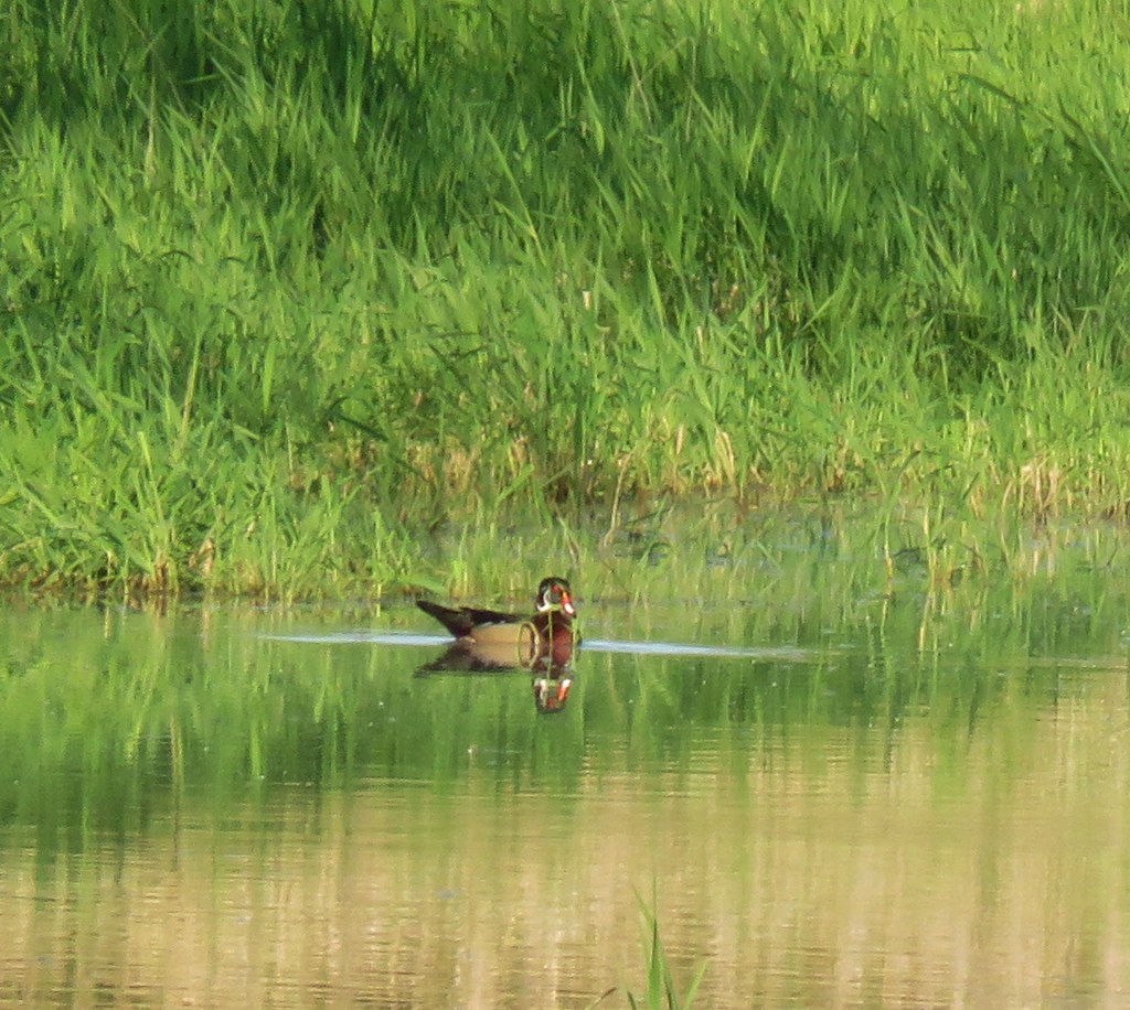
 Mallard
 Bindweed
 Another unknown bird and an angler in the river.

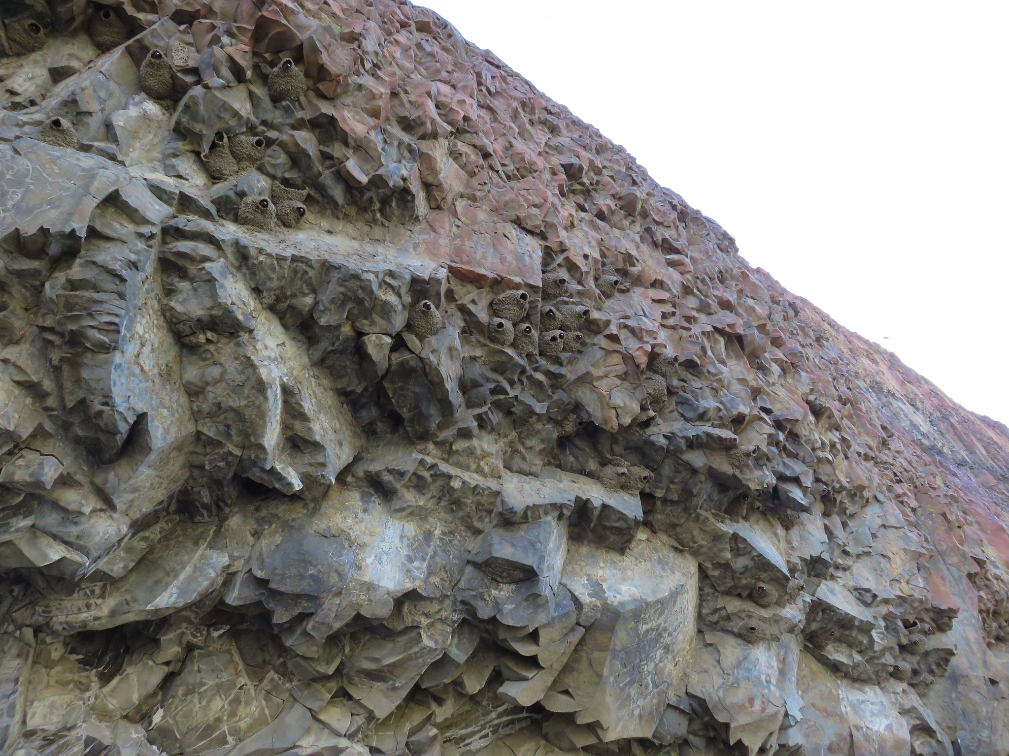
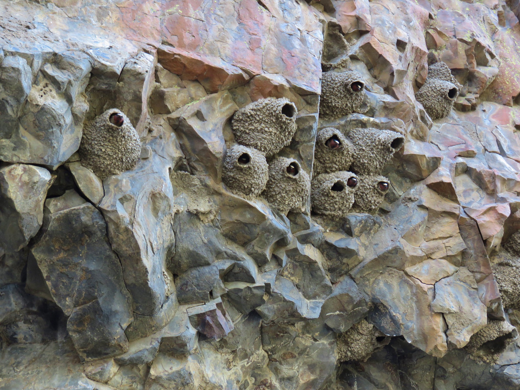
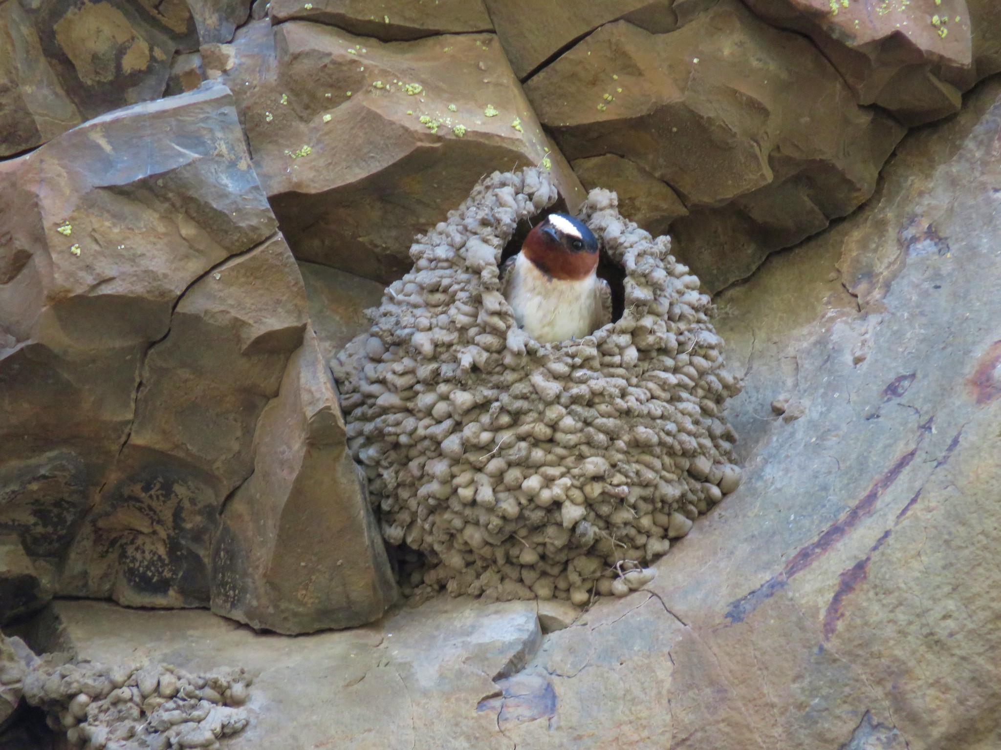
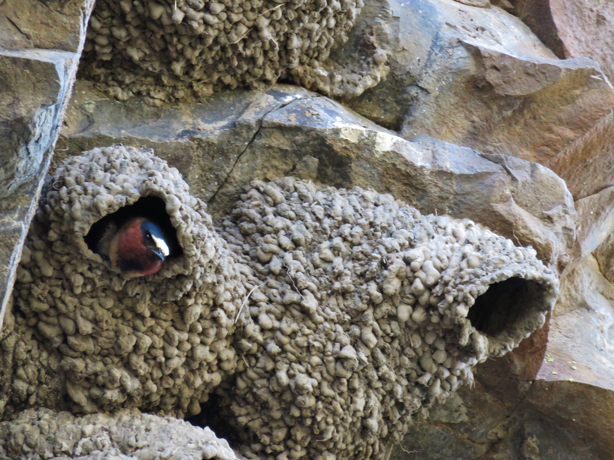
 Cliff swallow
 Dove
Dove
 More osprey
 Portland Deschutes Club Gatekeepers House
Visitors hiking in along the road must check in and then sign out at the Gatekeepers House but since we didn’t come up the road we hadn’t checked in so we couldn’t check out. Heather did use the shade along the road here for a break from the Sun though.

From the Gatekeepers House we had 2.5 more road miles left and we wound up using just about every bit of water, including the extra water we’d brought with us, to get back to the car.

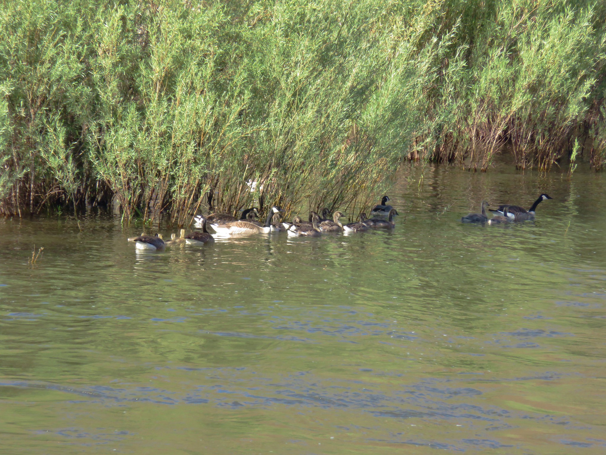
 Geese
Geese
 Common merganser
 Yarrow covered hillside.
 Rock formations above the road.
 The distinctive cliffs on the opposite side of the river from the parking area.
 Arriving back at the parking area.
The loop came to 11.8-miles with approximately 2100′ of elevation gain.
 Yellow is our track from 2023.
This was a beautiful albeit challenging hike made even more difficult by the warm temperature. That being said it was enjoyable. There are other possible loop options and routes in the BLM land here if you’re comfortable with route finding and not afraid of some challenging terrain. Happy Trails!
Flickr: Criterion Tract

 Red larkspur with blue dicks in the background.
 Lupine
 Red larkspur, madia, blue dicks, and tomcat clover along the trail.
 Blue dicks
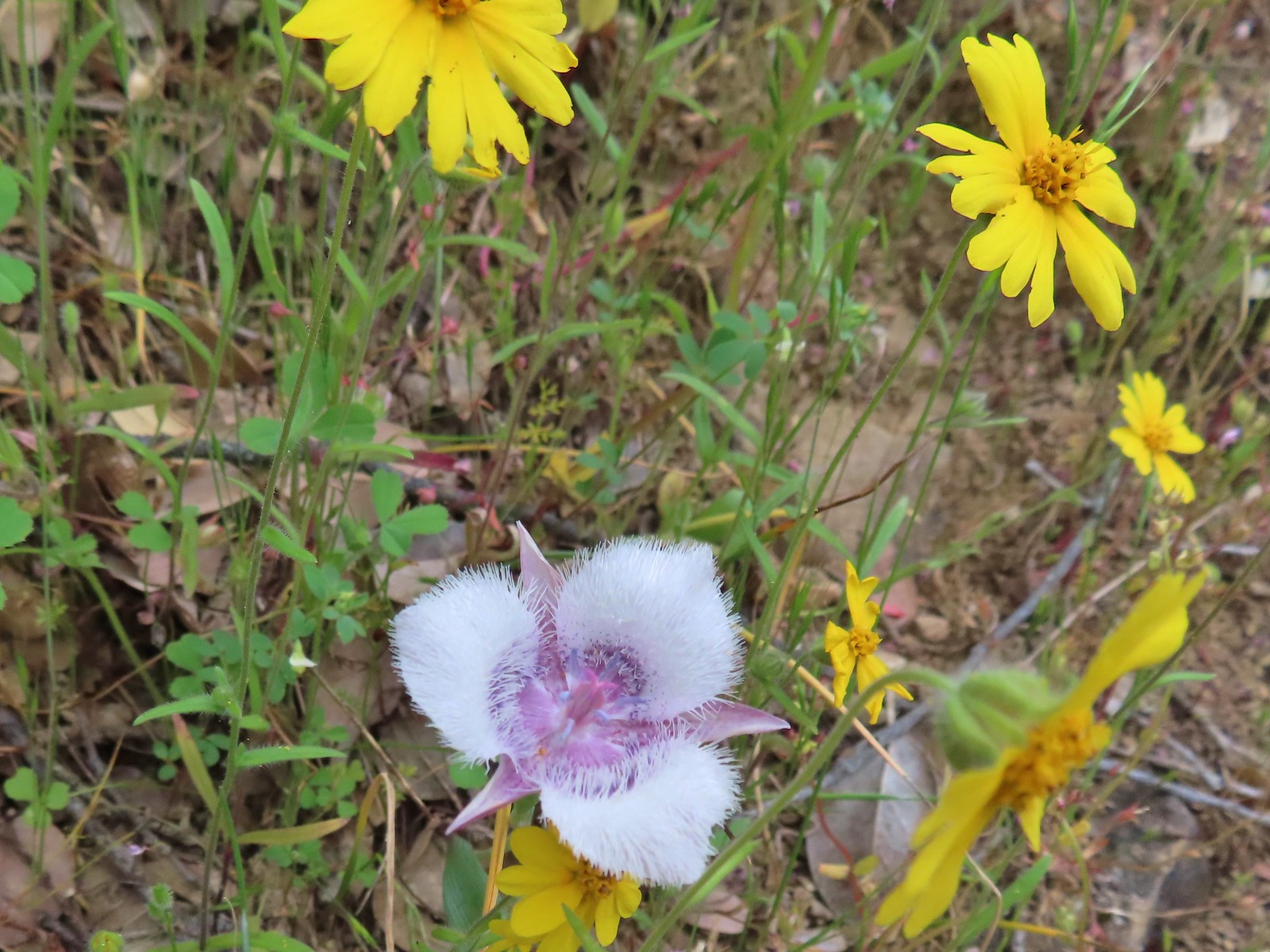 Tolmie’s mariposa lily and some madia.
 Larkspur and a red larkspur
 Plectritis
 Monkeyflower
 Serpentine phacelia
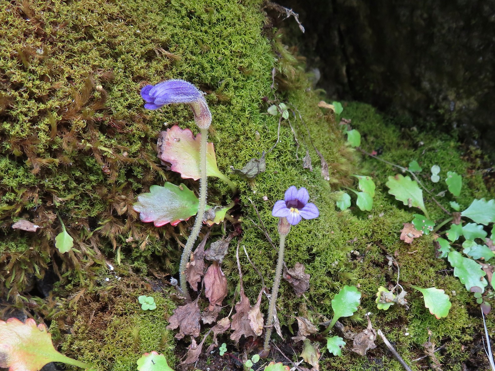 Naked broomrape
 Camas with monkeyflower and plectritis
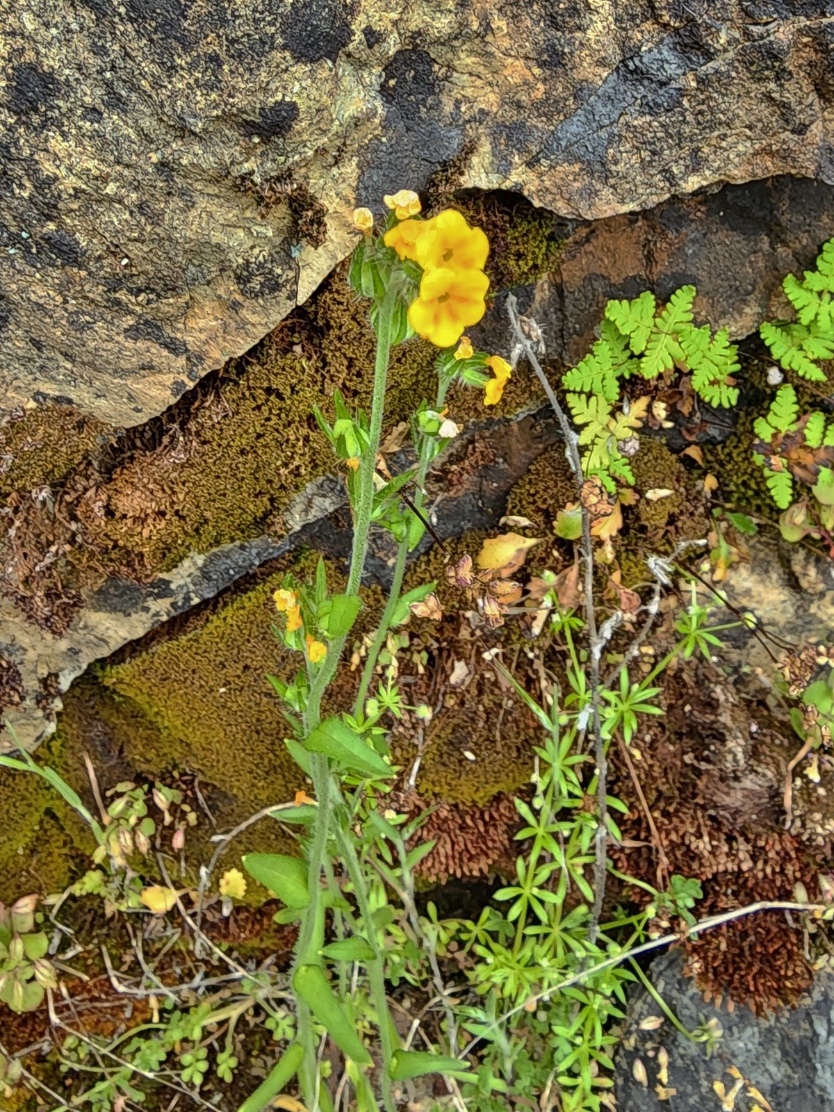 Fiddleneck
 Saxifrage
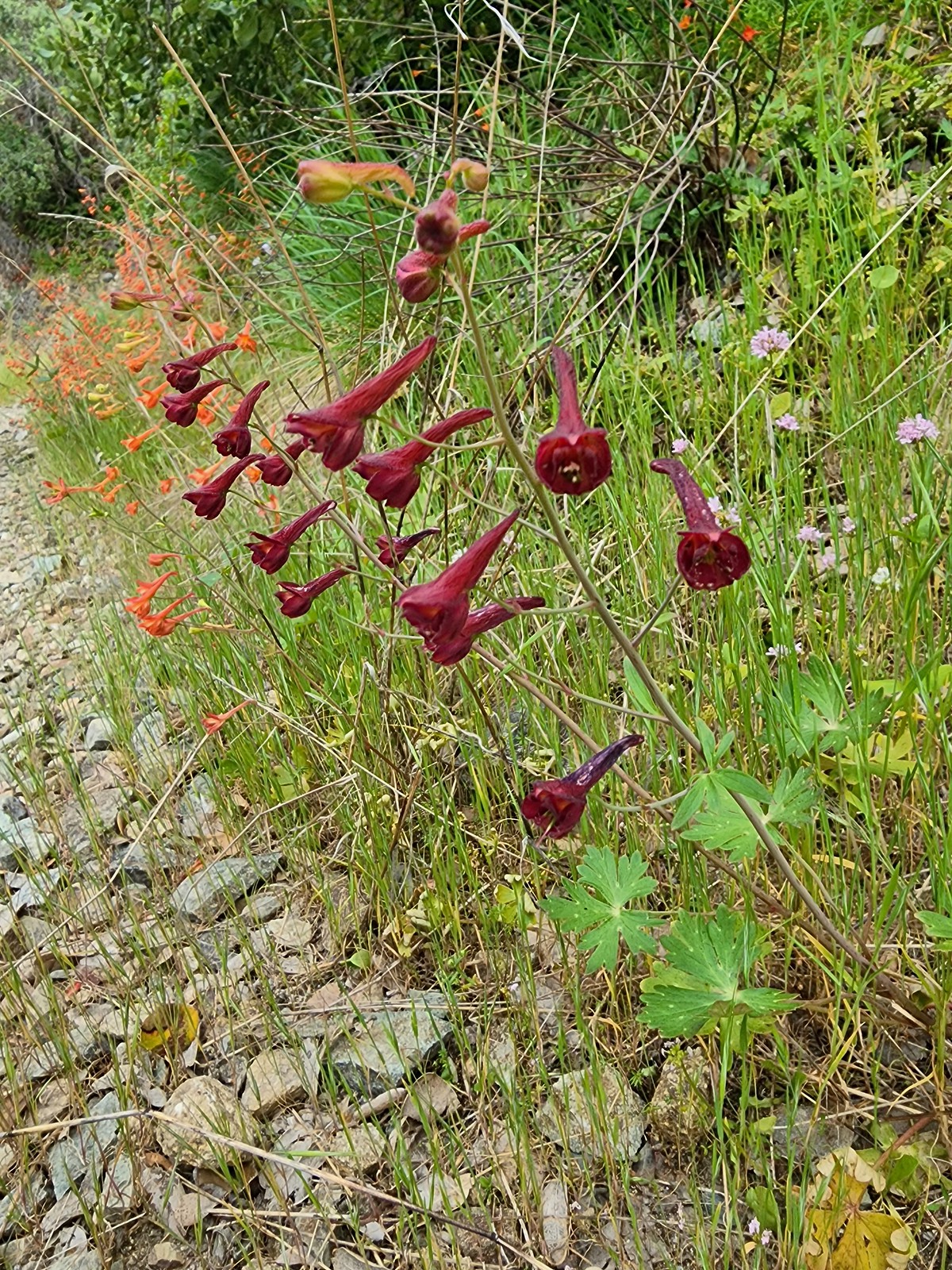 A darker red larkspur
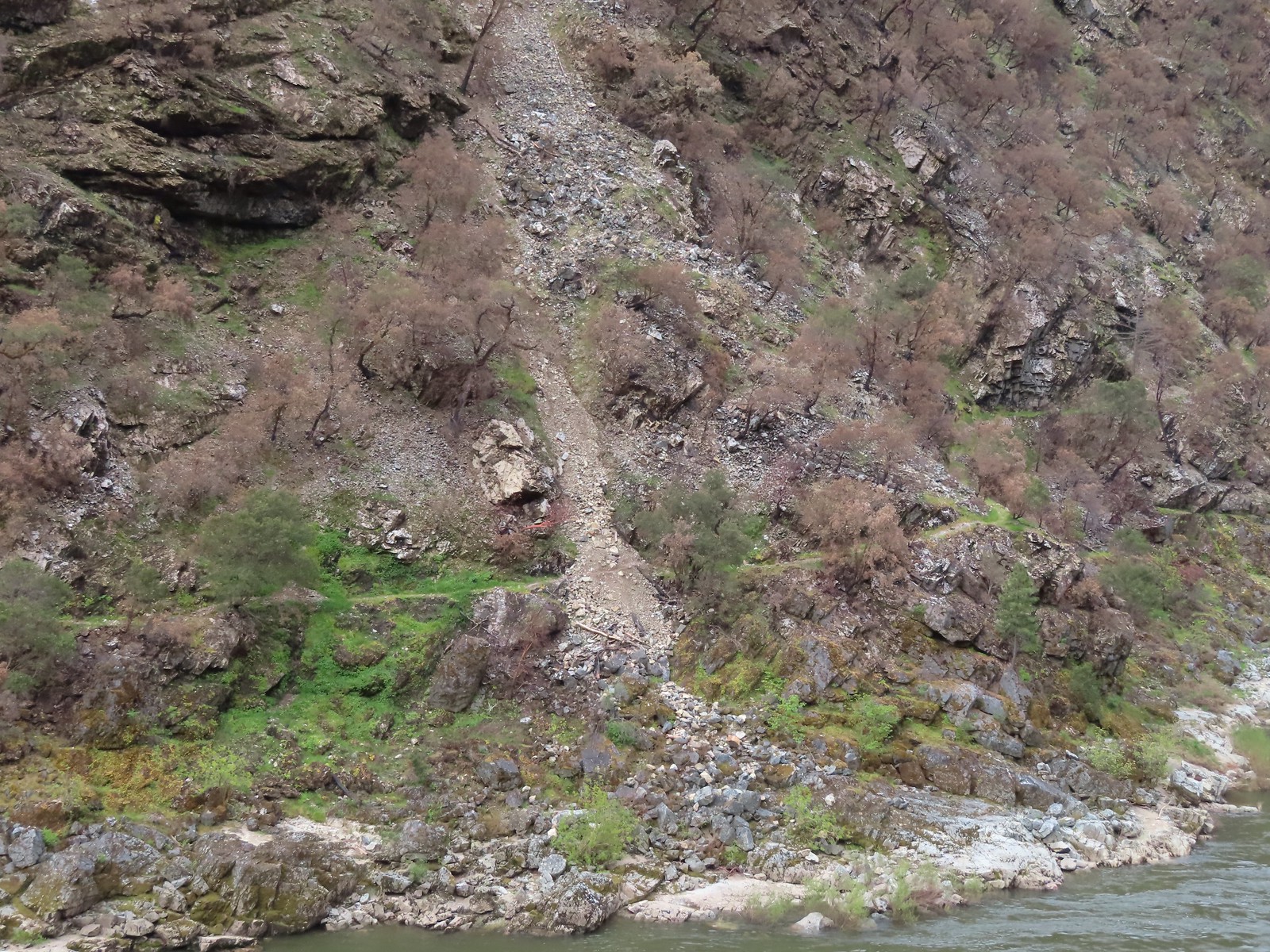 Some of the damage to the trail to Rainie Falls on the opposite side of the river.
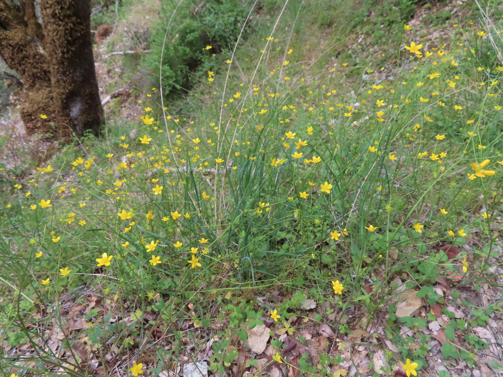 Buttercups
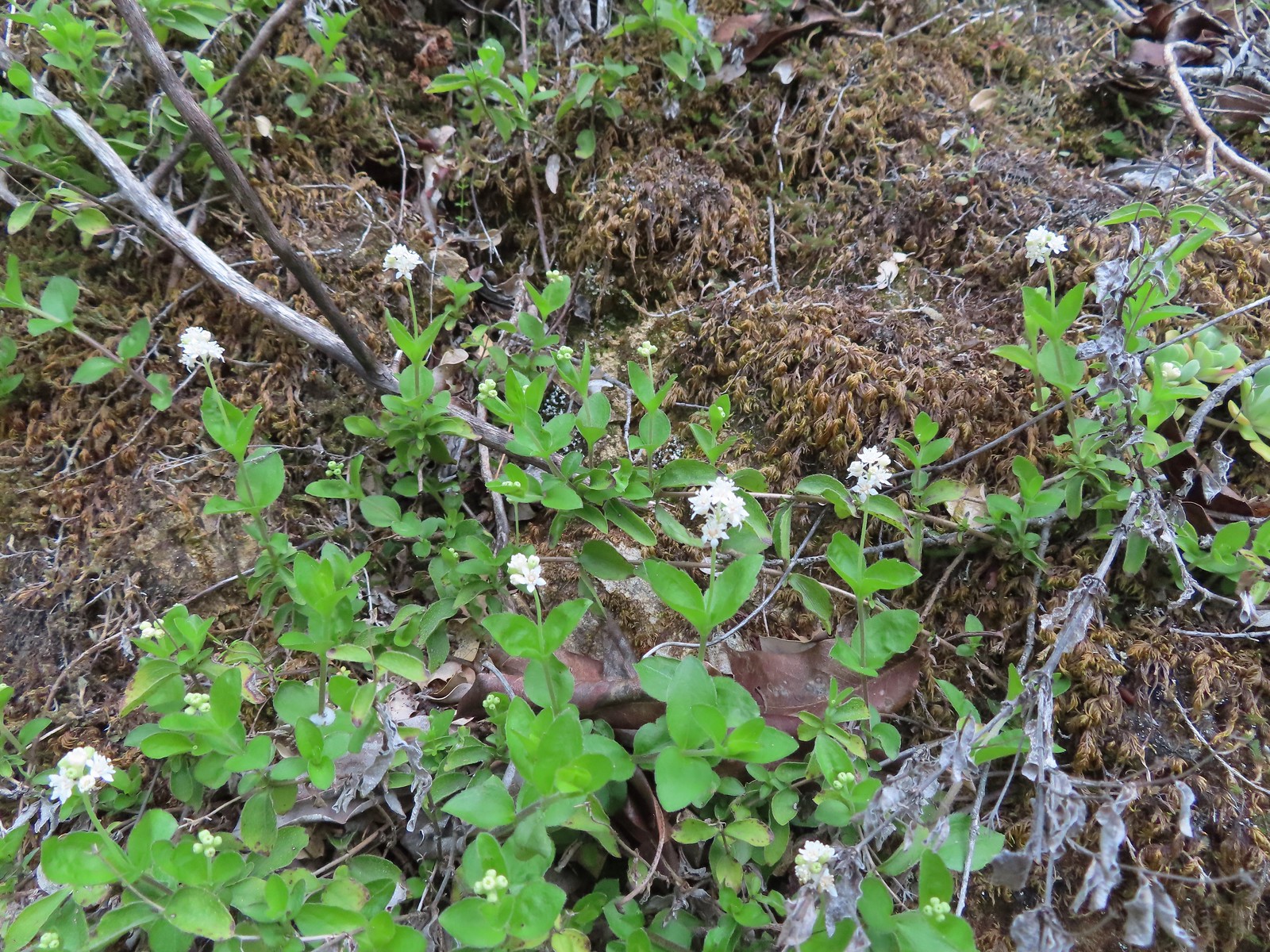 Common whipplea
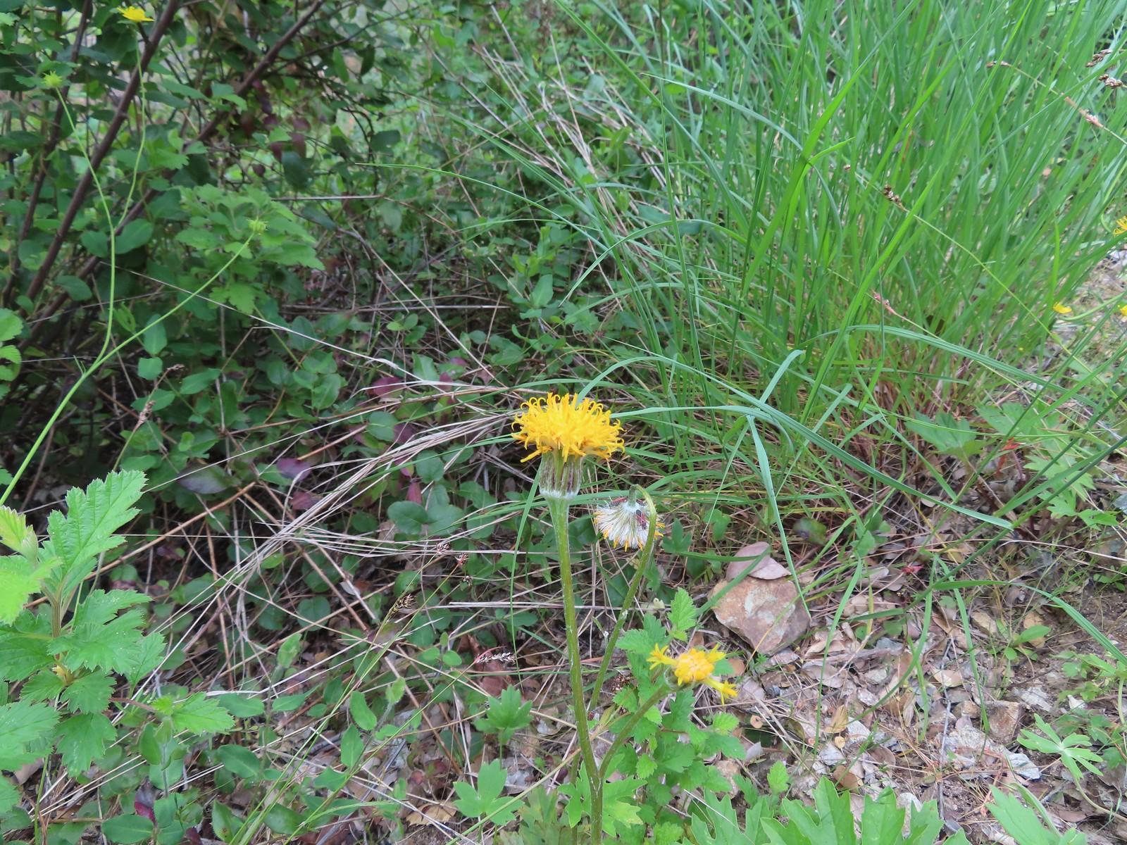 Silver crown
 The wet rock here was sneaky slick.
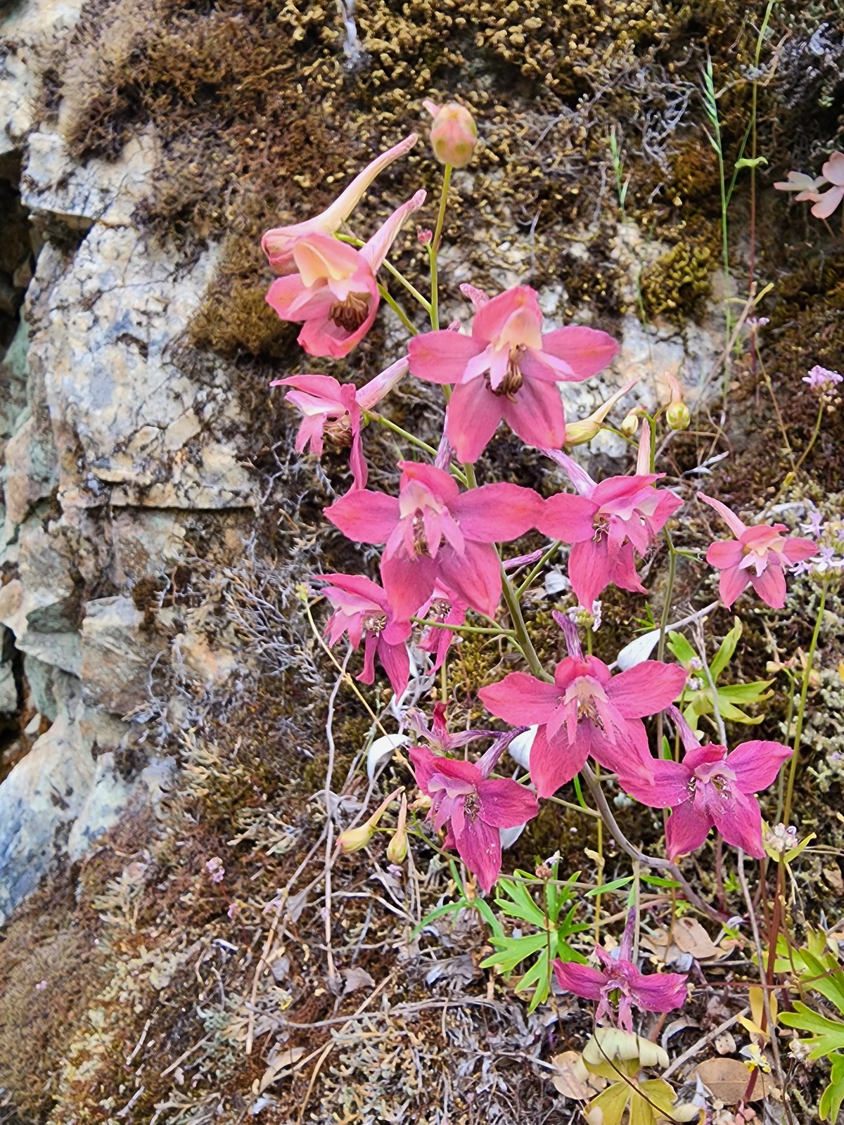 We spotted a couple of pink larkspur.
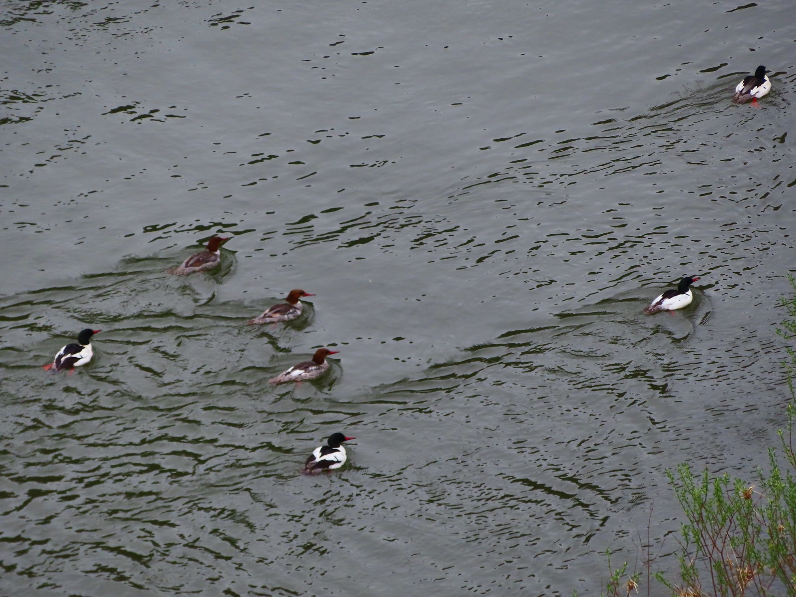 Common mergansers
 Common cryptantha
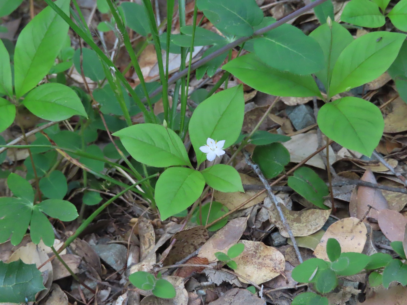 Starflower
 Paintbrush
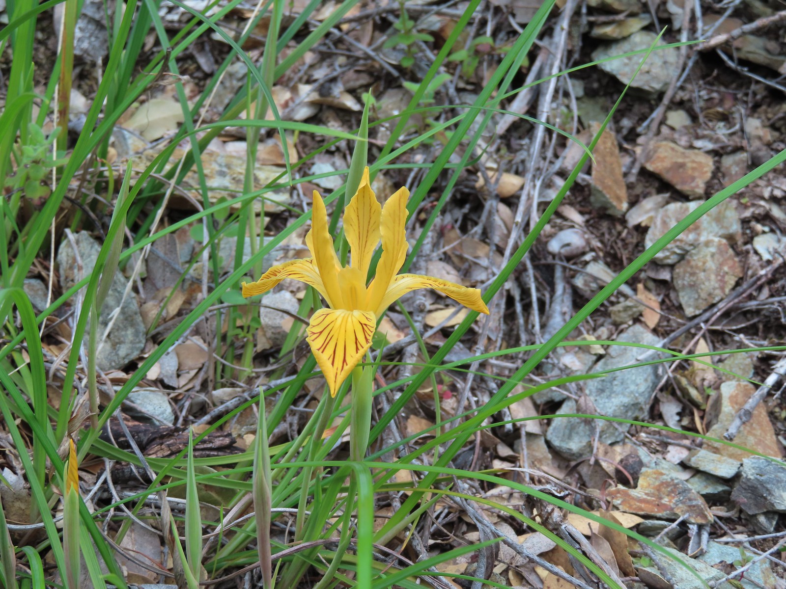 Del Norte iris
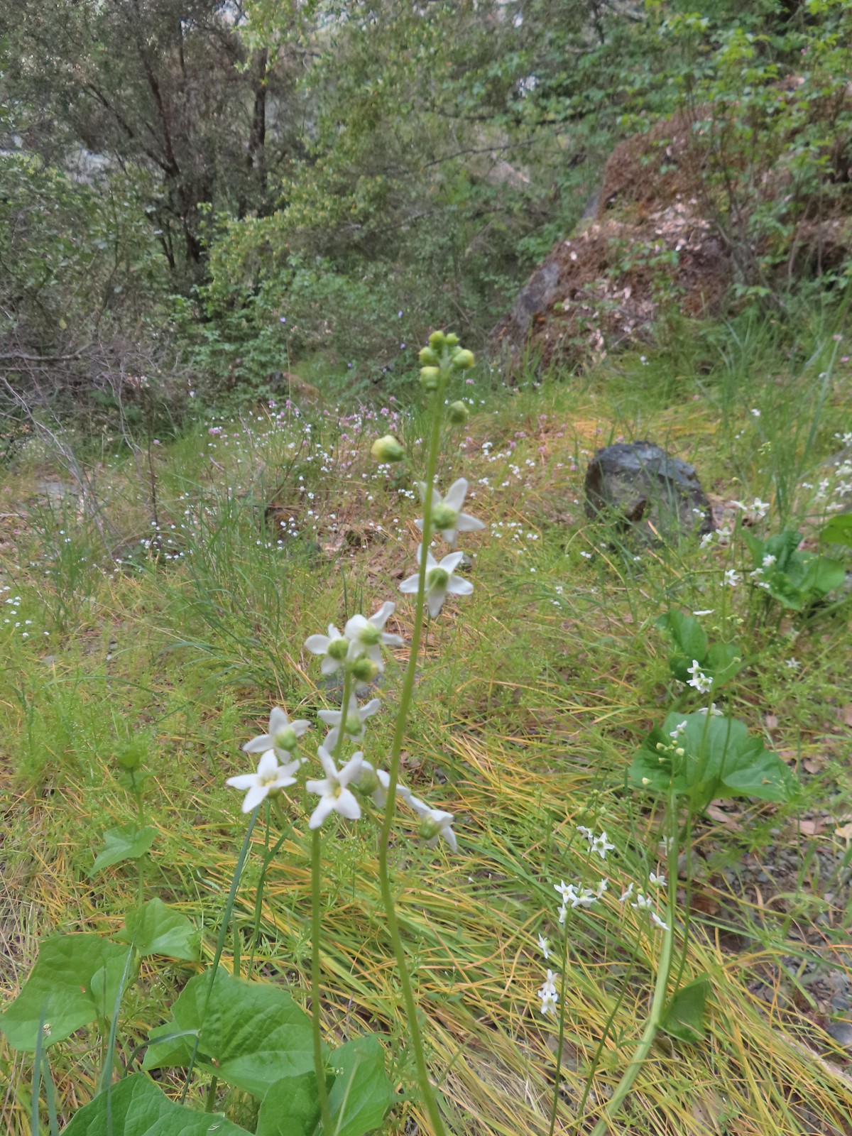 Coastal manroot
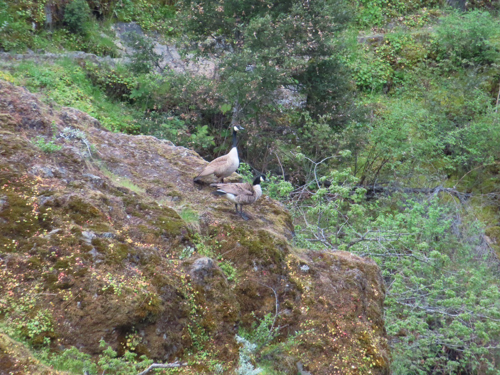 Canada geese
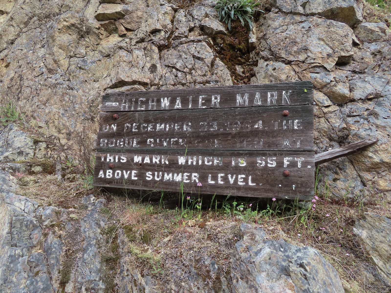
 Looking back upriver from the high water sign.
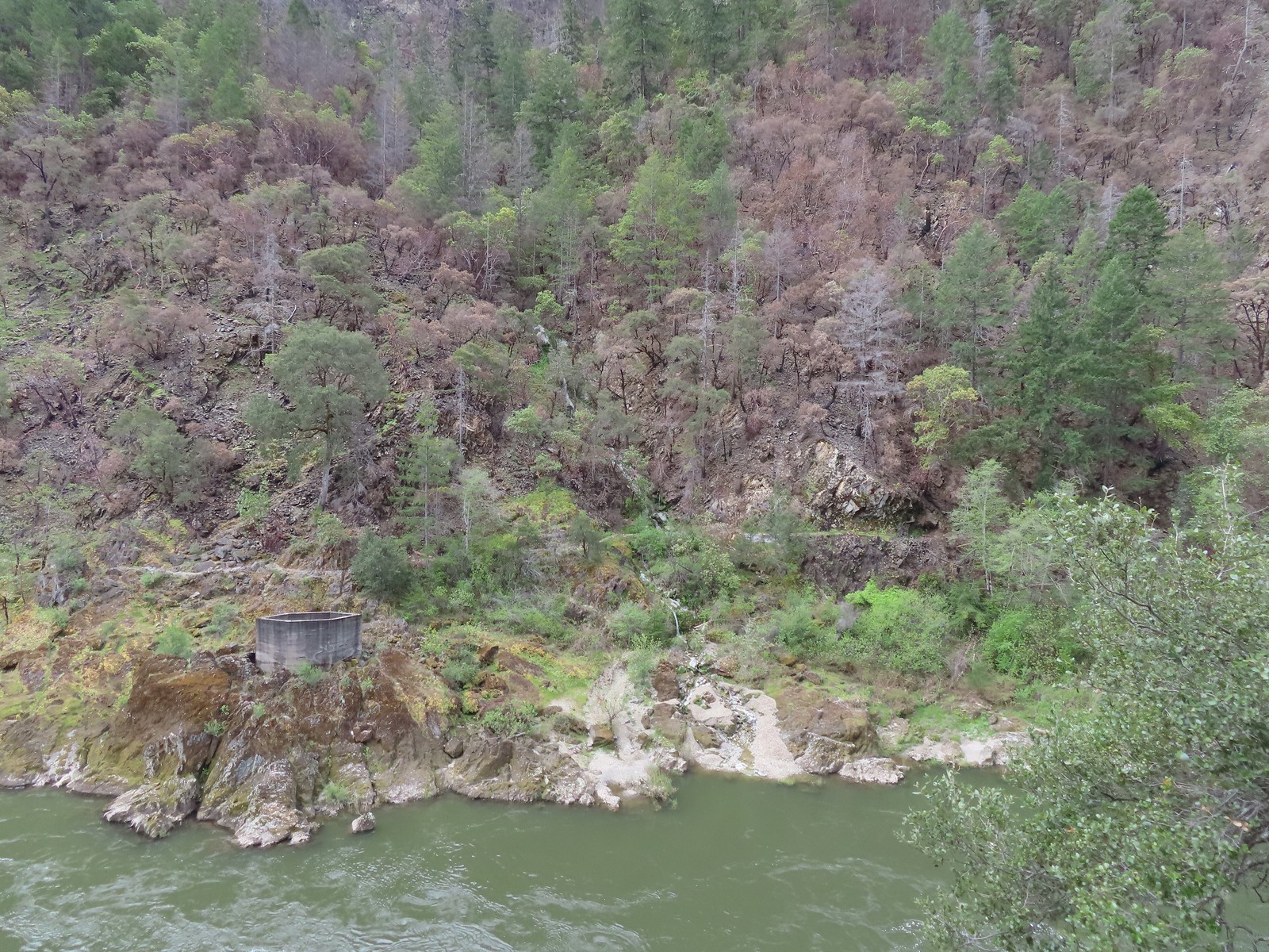 Sanderson Bridge site
 Golden-crowned sparrow
 Scarlet fritillary
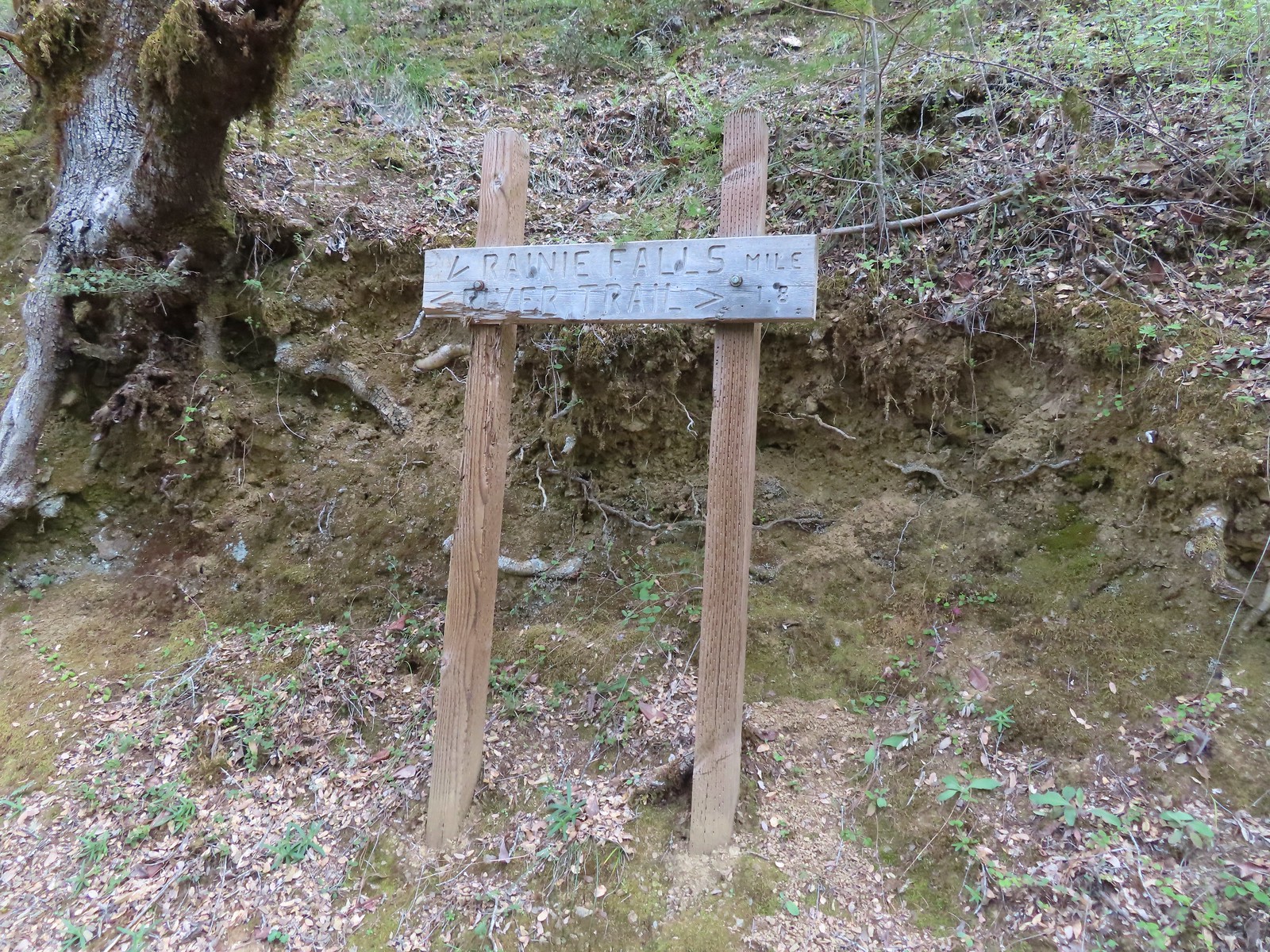
 White campion
 The only water we could make out on the far side of the river.
 Bullock’s oriole
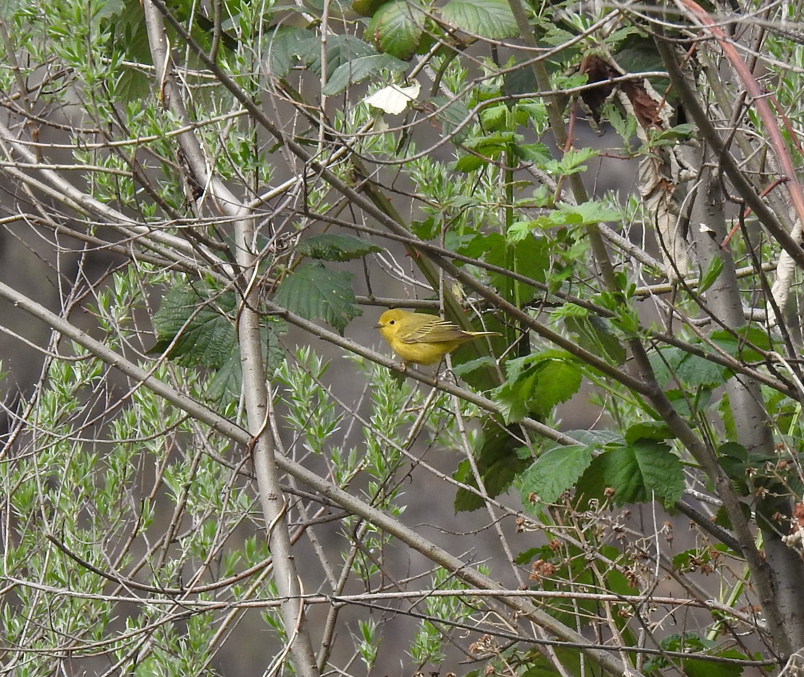 Yellow warbler
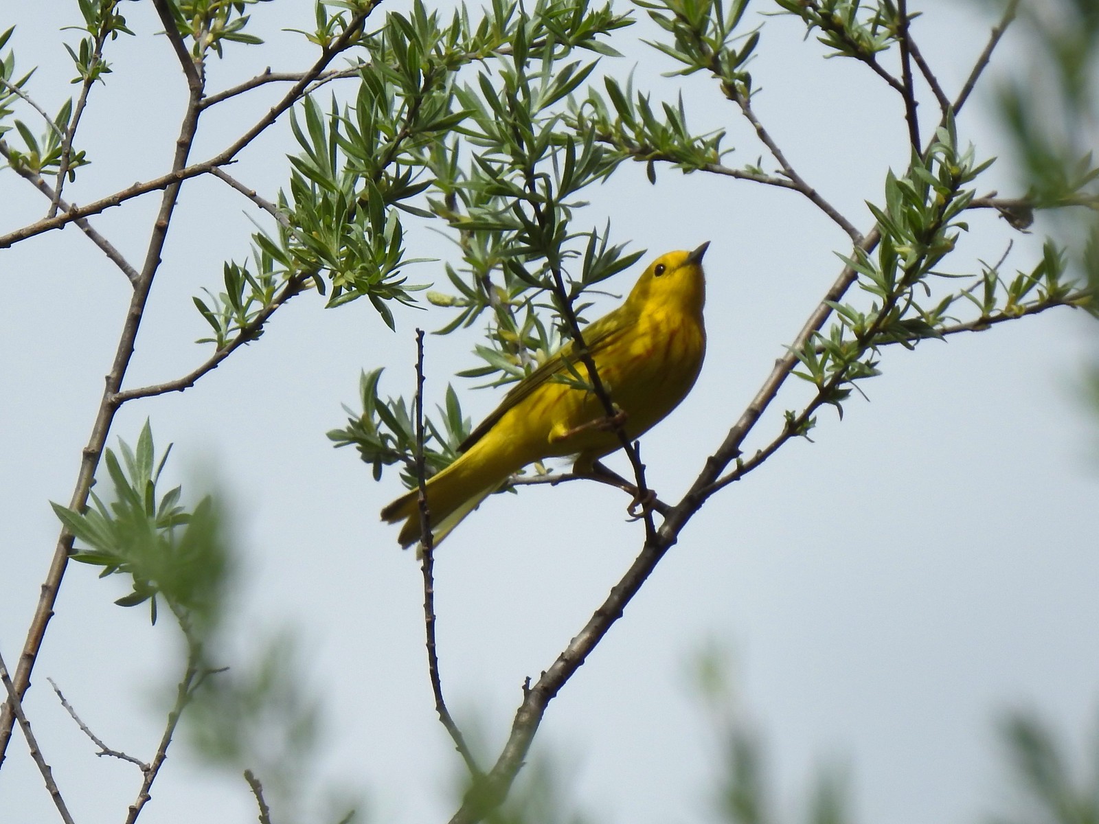 Yellow warbler
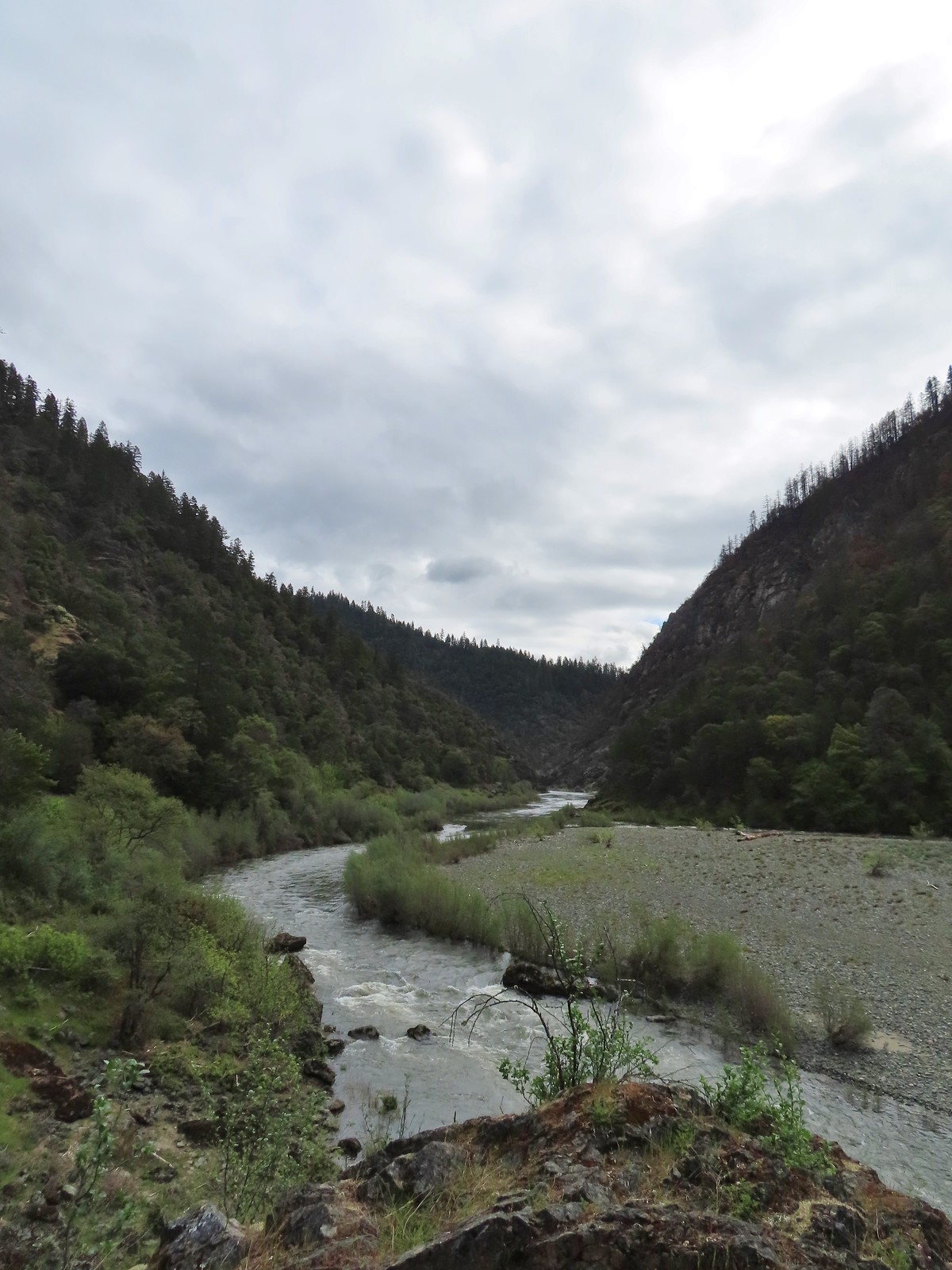
 Sandy beach along the Rogue River.
 Shooting star
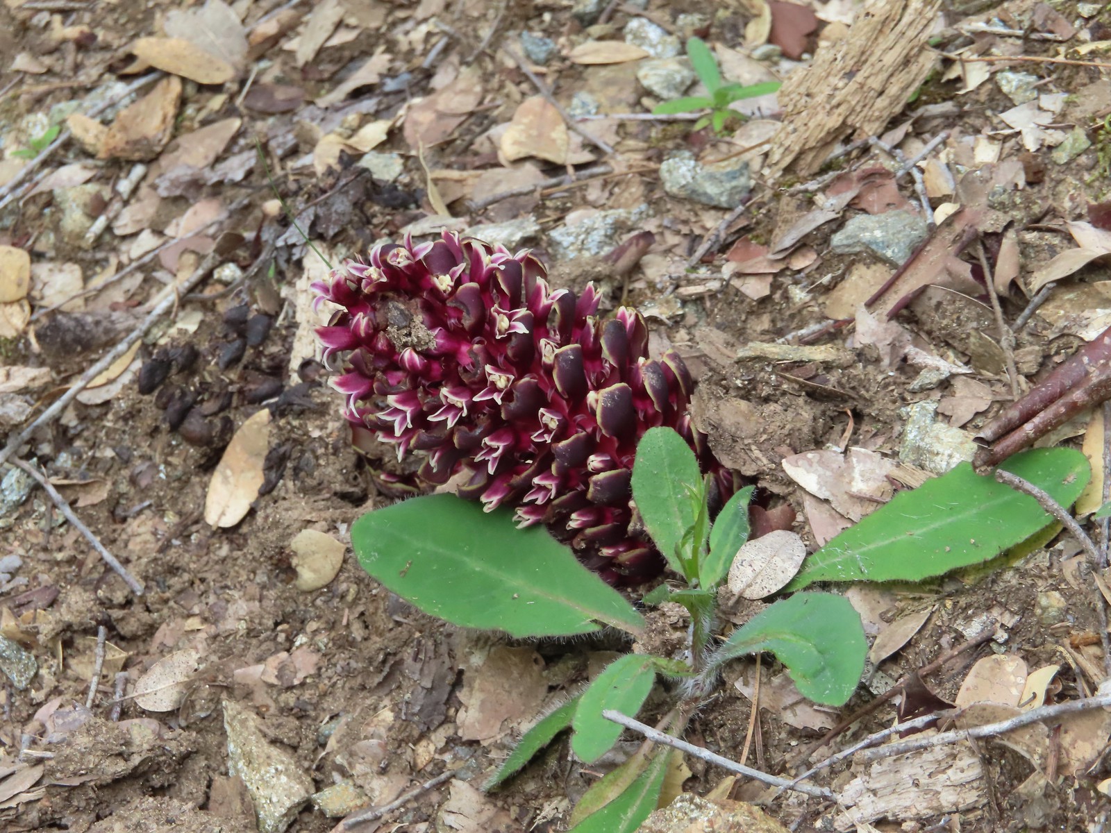 California groundcone
 Small-flowered woodland-star
 Approaching China Gulch
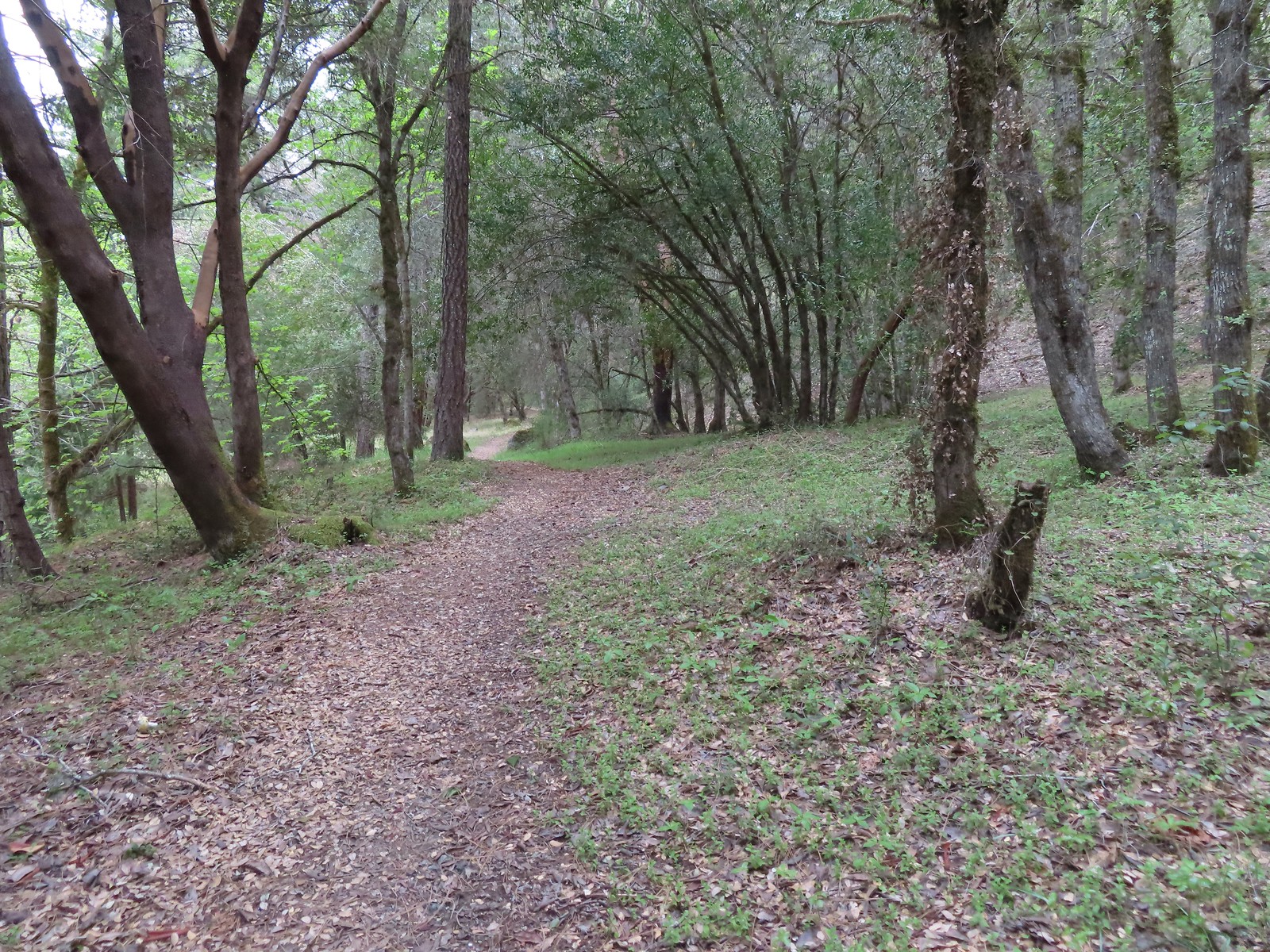
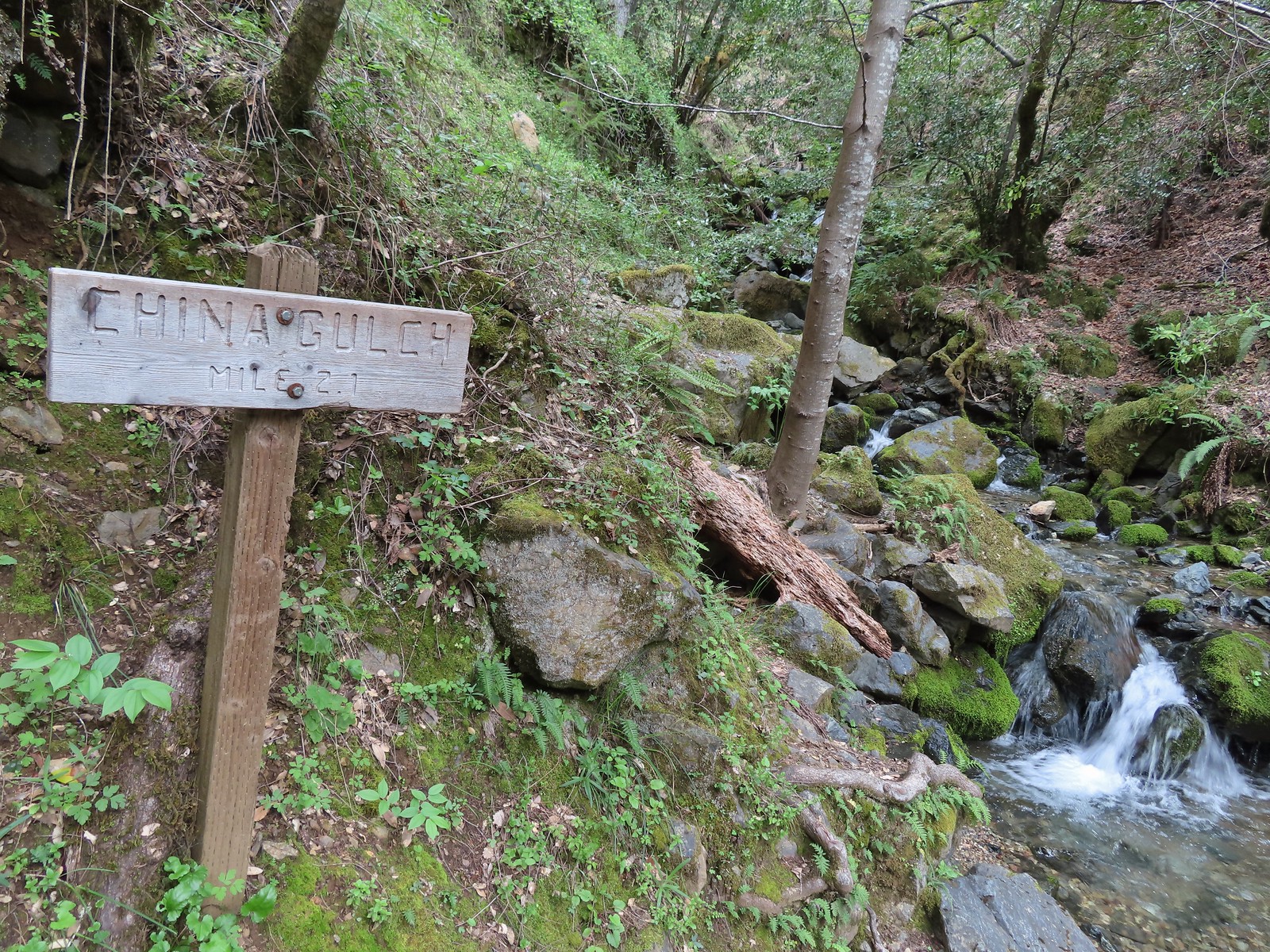
 Vetch
Vetch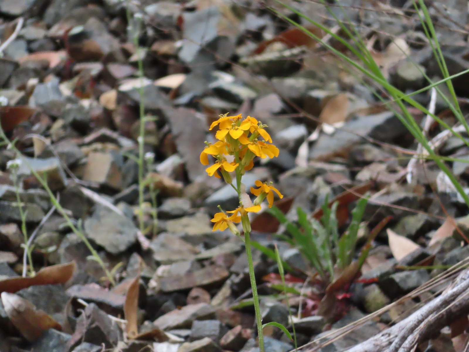 Wallflower
 Silverpuffs
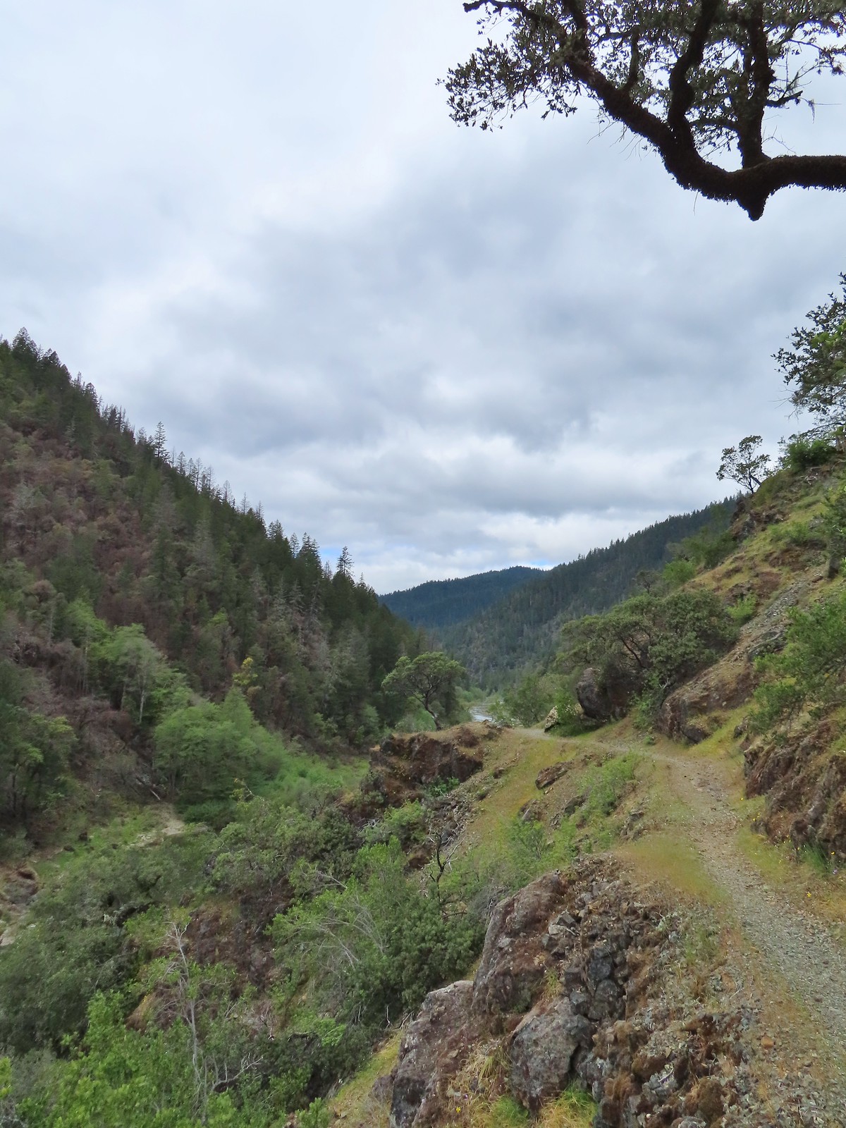
 This manzanita was particularly striking in person.
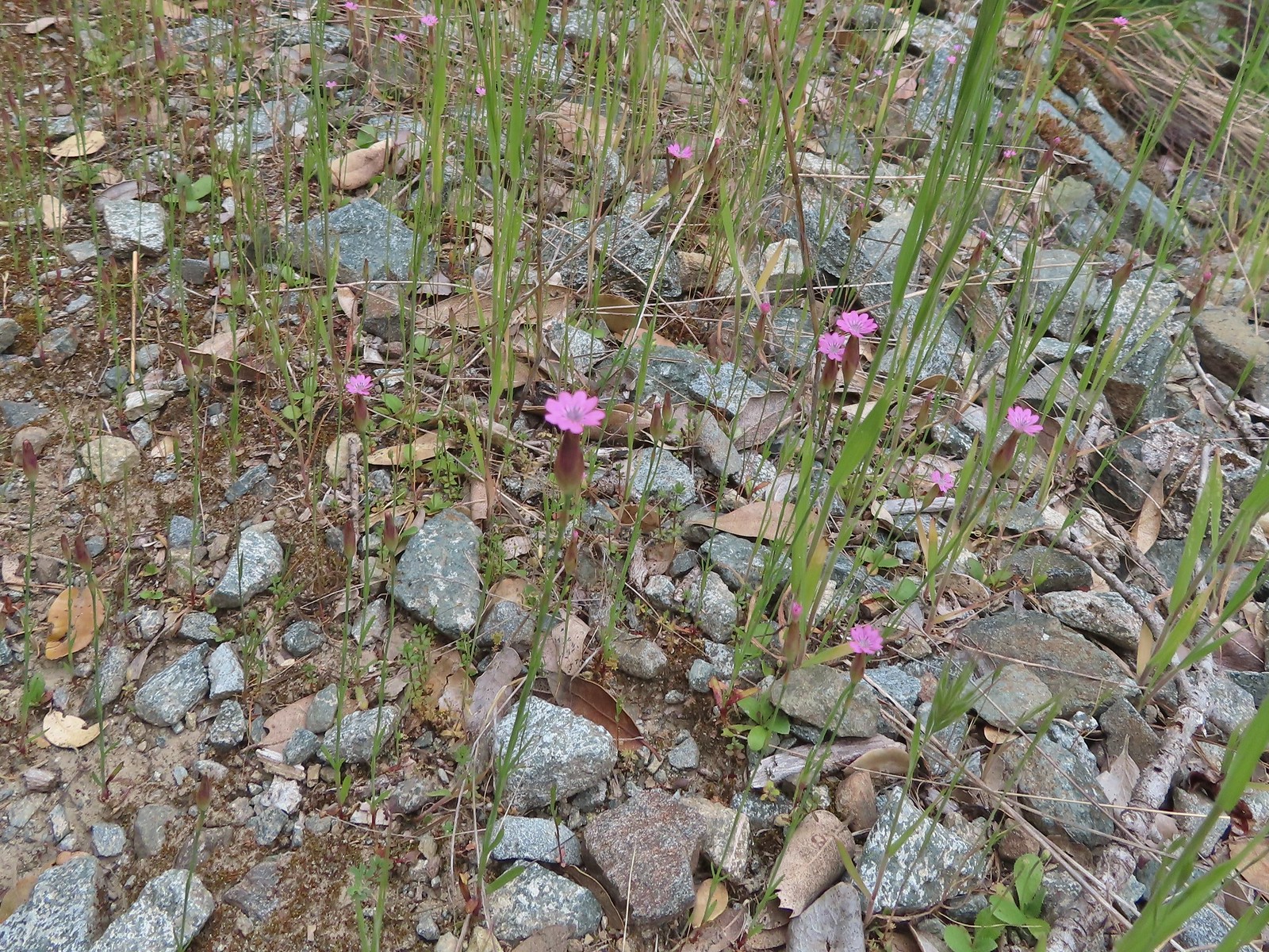 Hairy pink
 Robin
Robin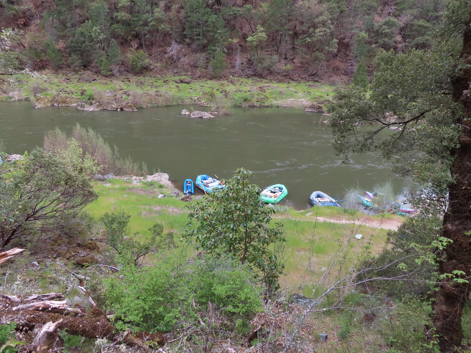 Rafts at Whiskey Camp.
 Whiskey Creek
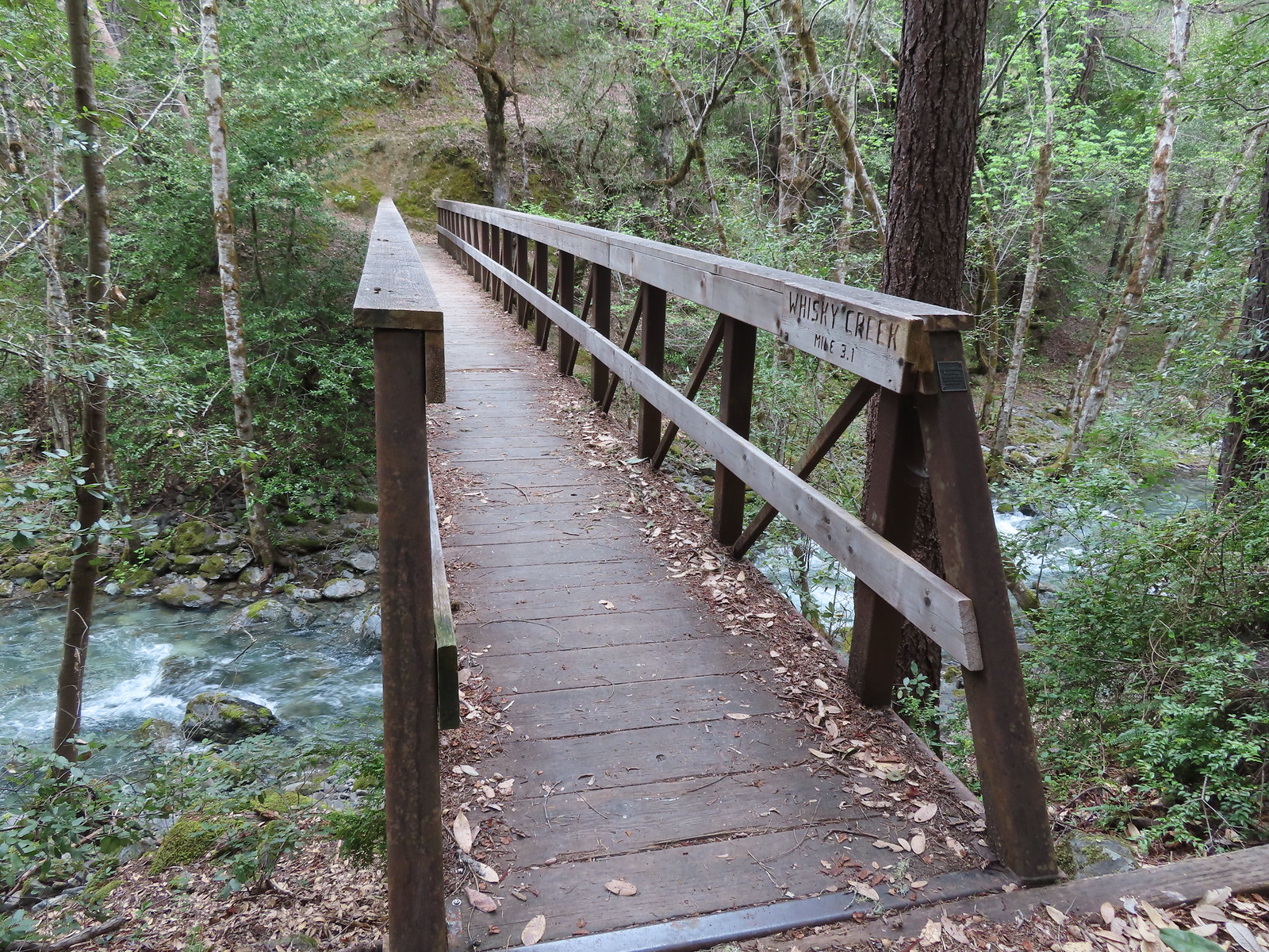 Footbridge over Whiskey Creek
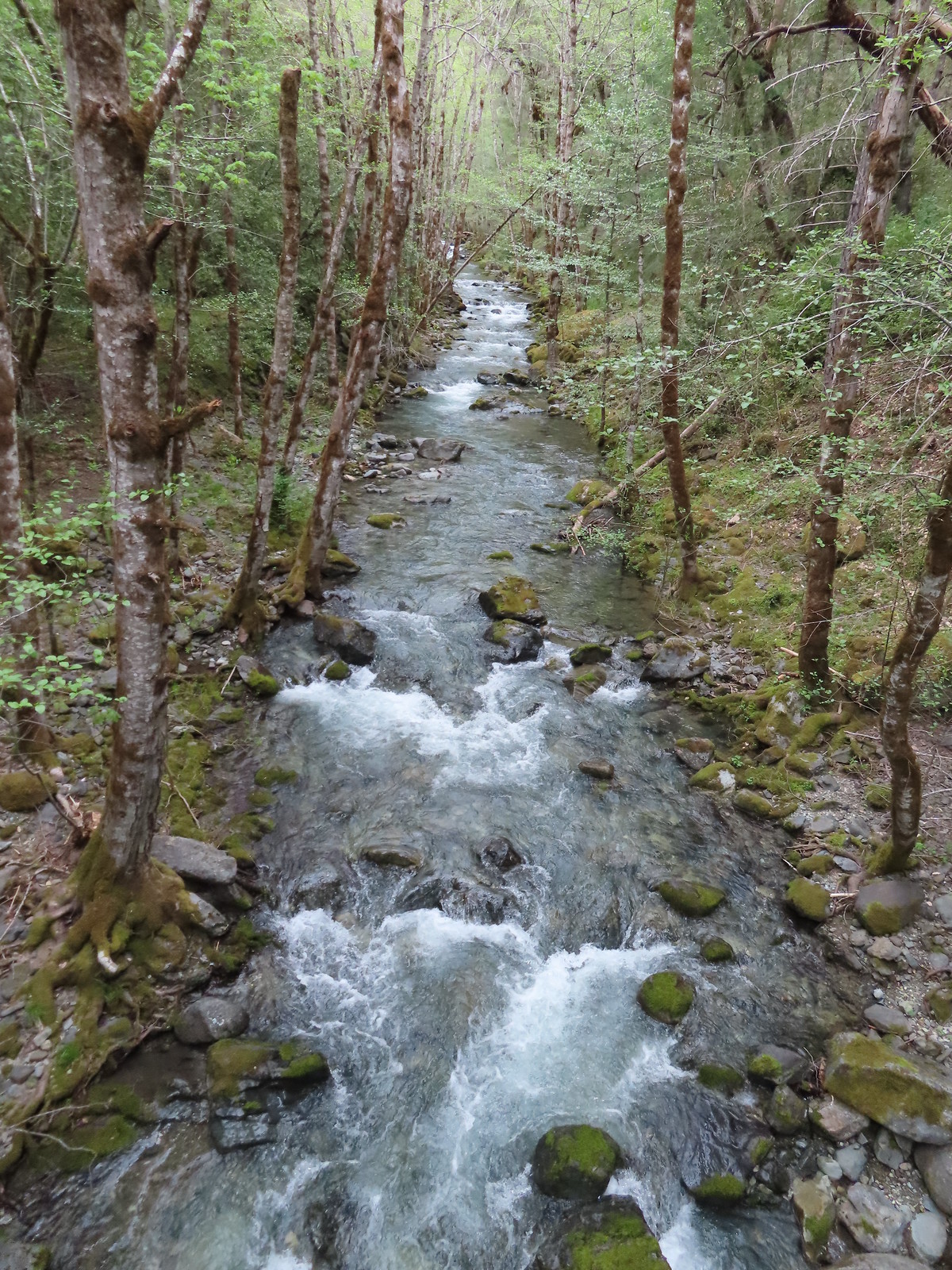
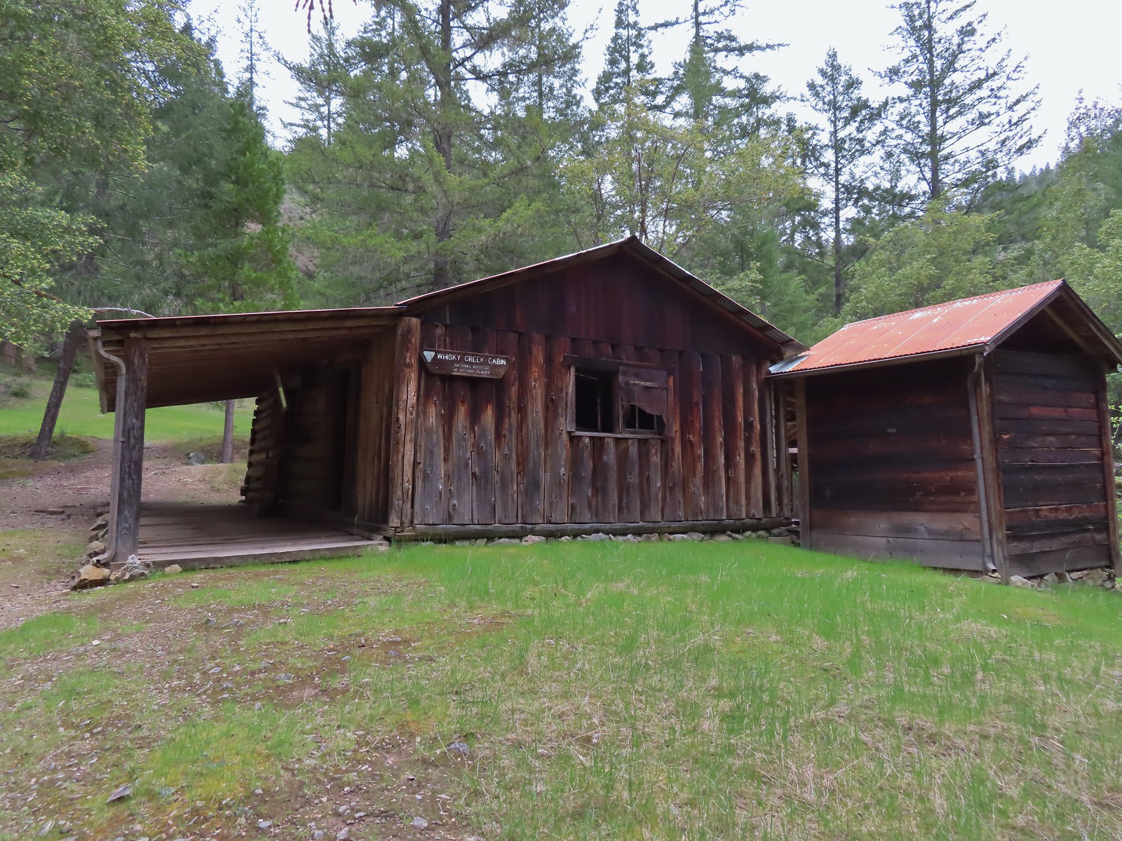
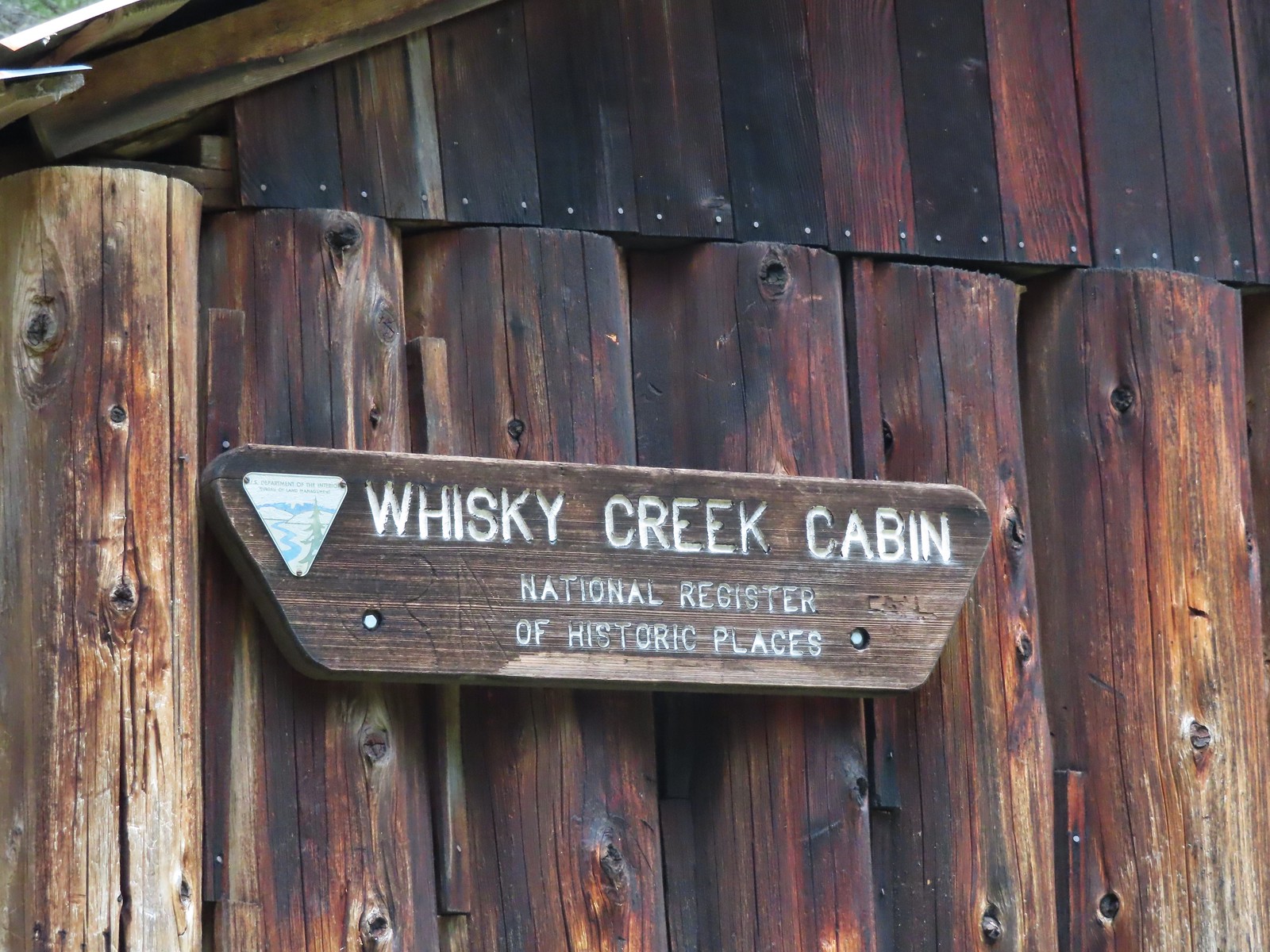
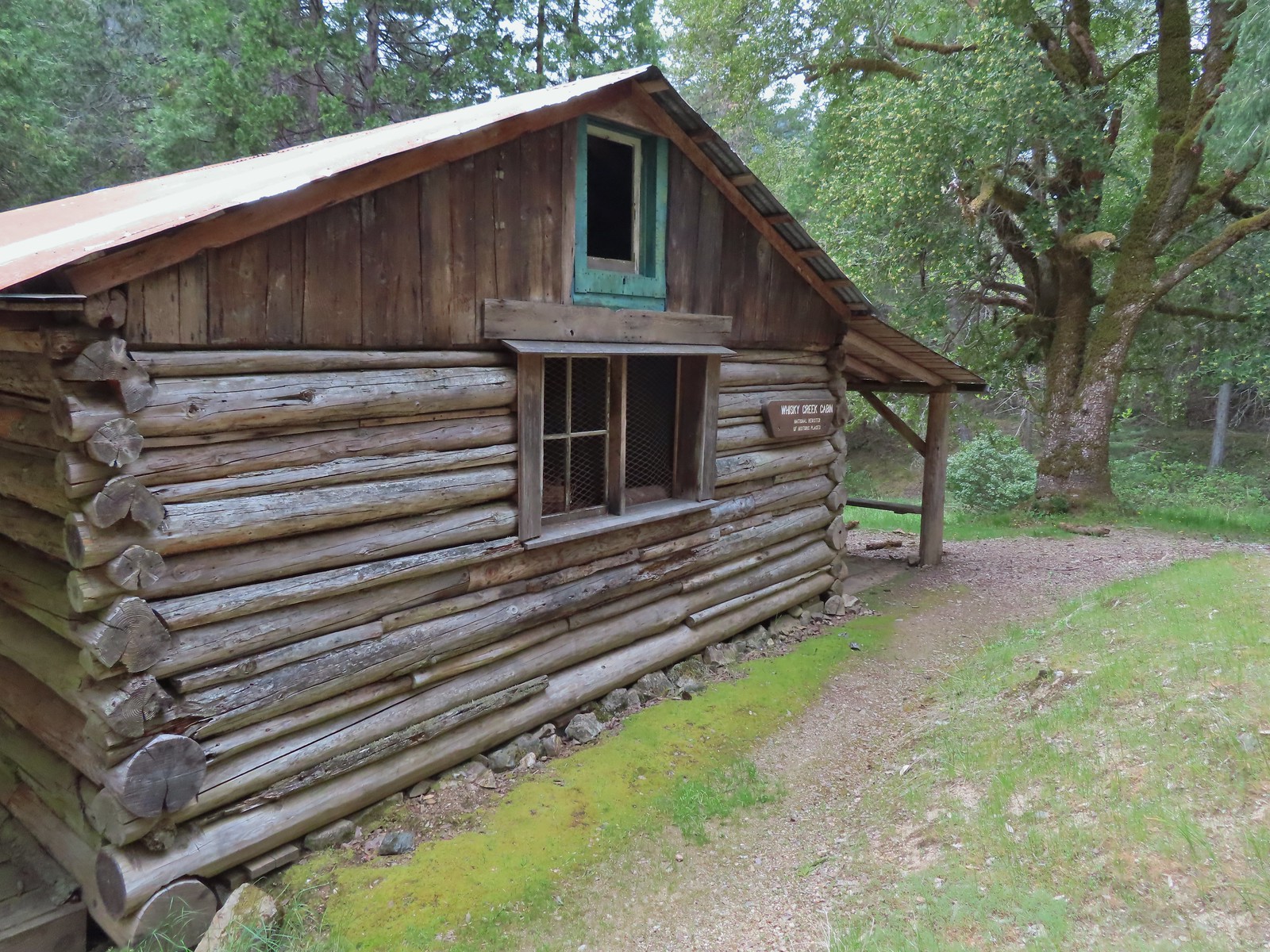
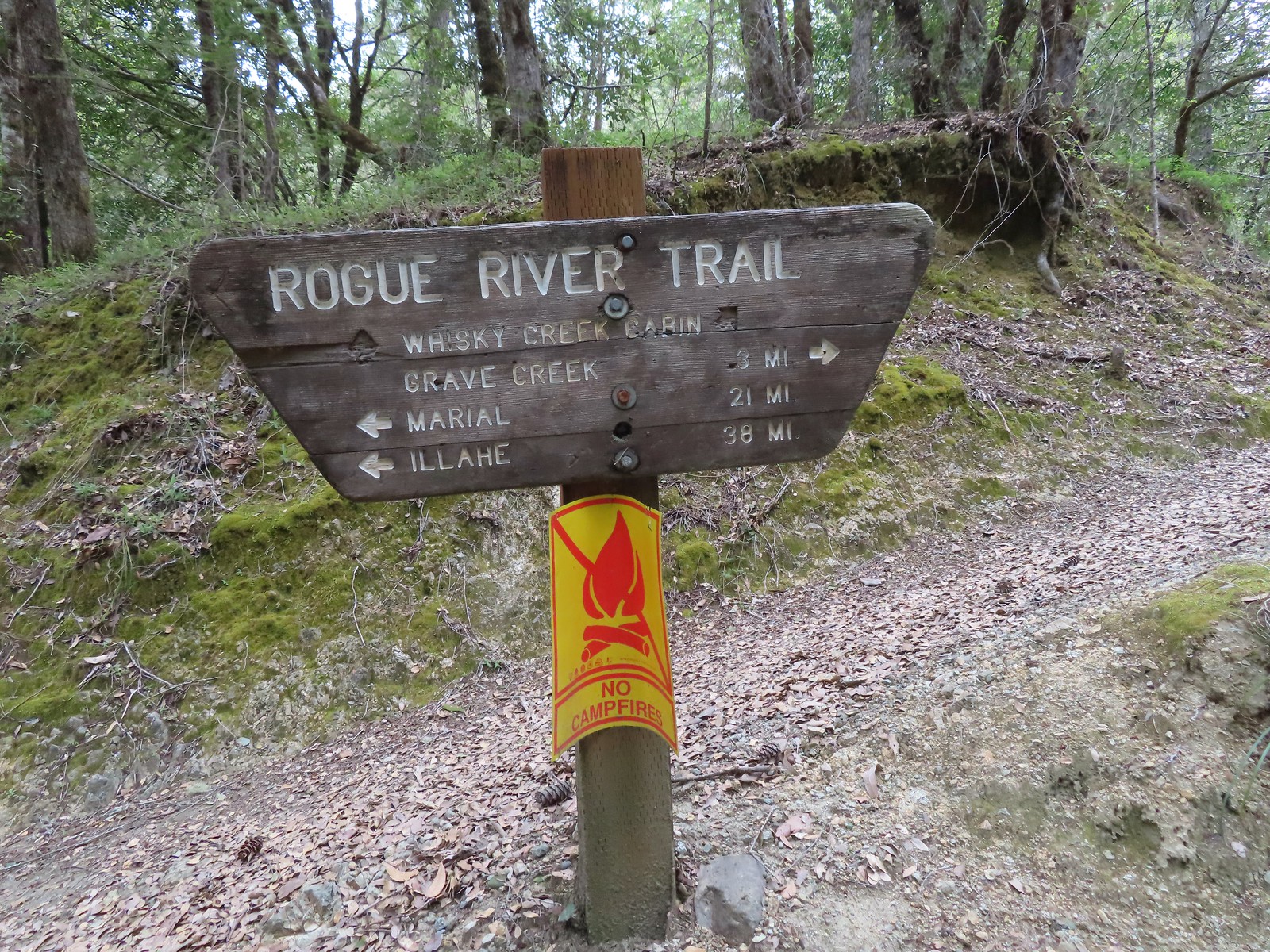 Sign at the spur trail to the cabin.
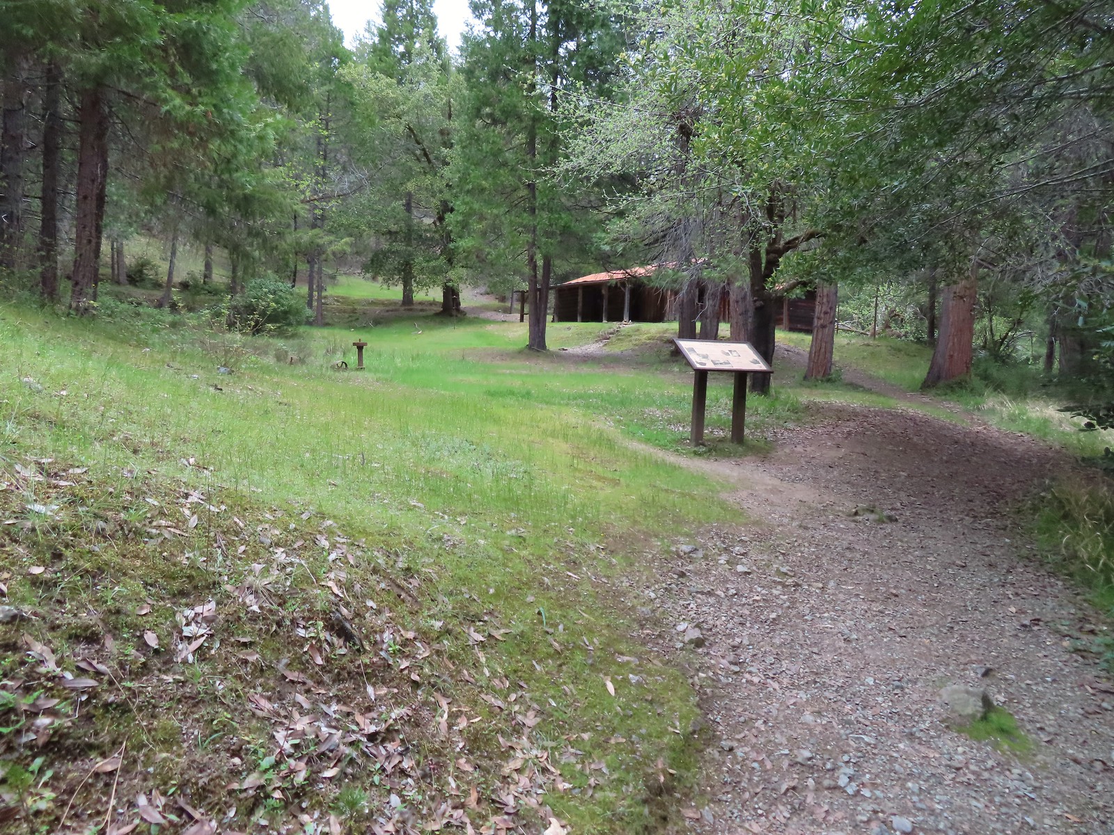


 Del Norte irises
 Big Slide Camp to the left.
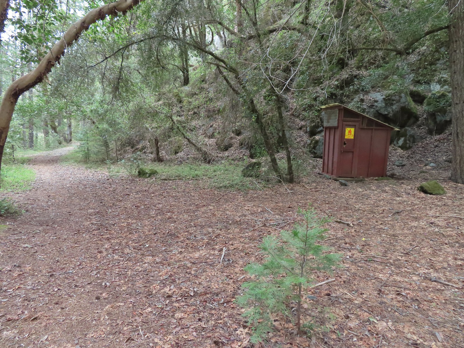 Outhouse at Big Slide Camp.
 Common mergansers
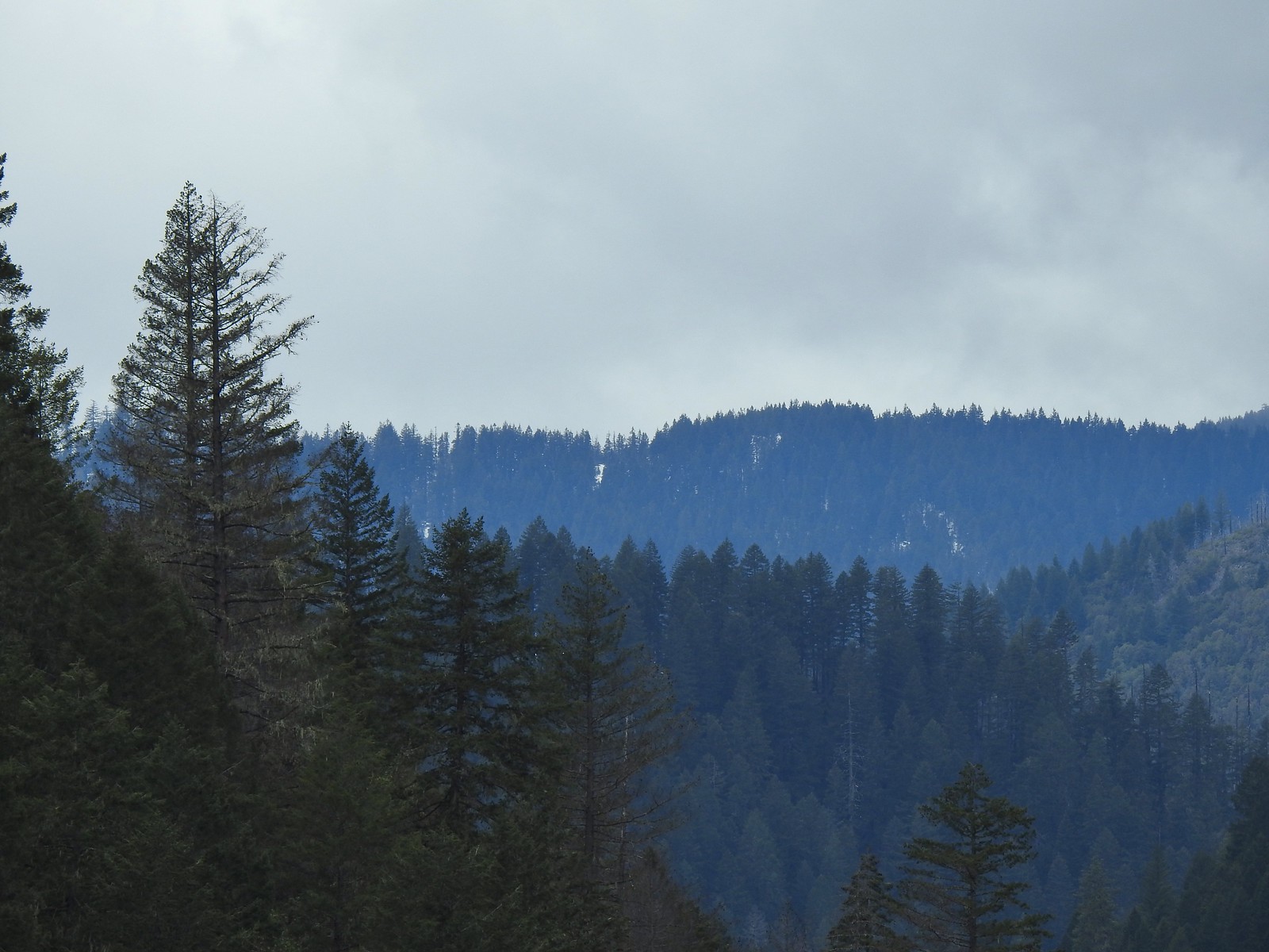 Snow on a ridge above the Rogue River Valley. (This was a sign of issues for us later in the week.)
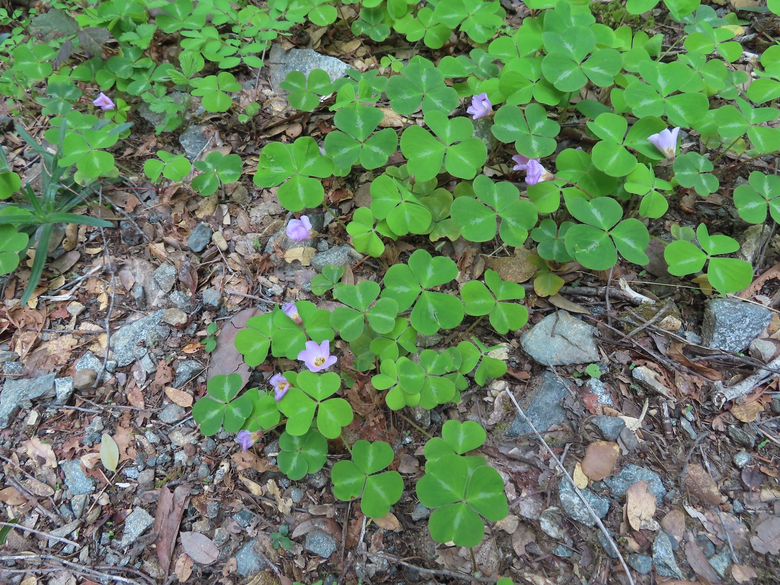 Redwood sorrel along Whiskey Creek.
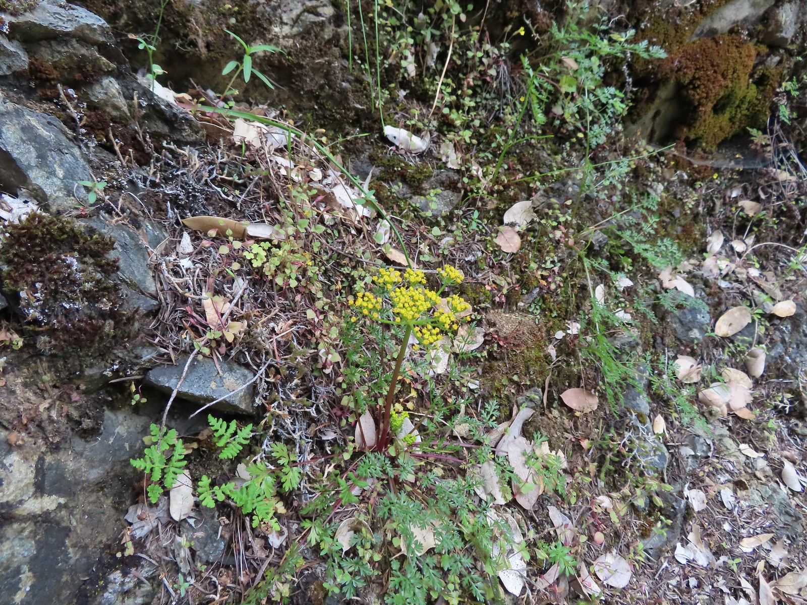 Buiscuitroot
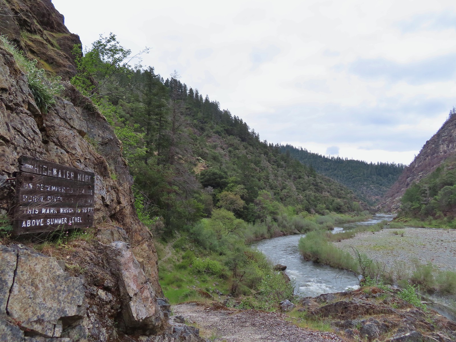 Passing the high water mark.
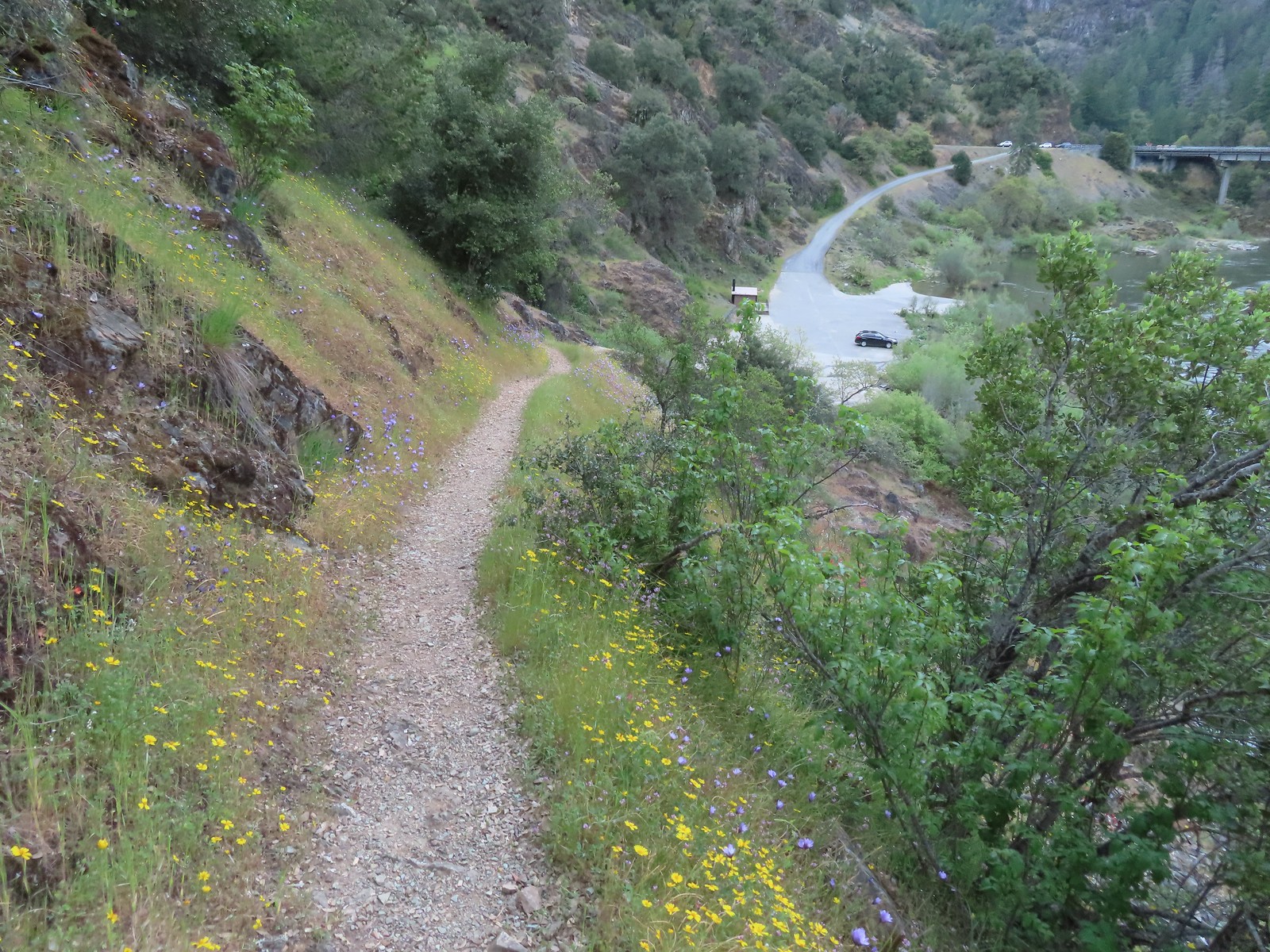 Arriving back at the trailhead.


 Black-headed grosbeak


 Mallards with a great blue heron in the distance.
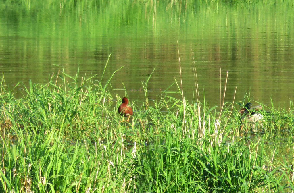 Cinnamon teal and a mallard
 Pied-billed grebe


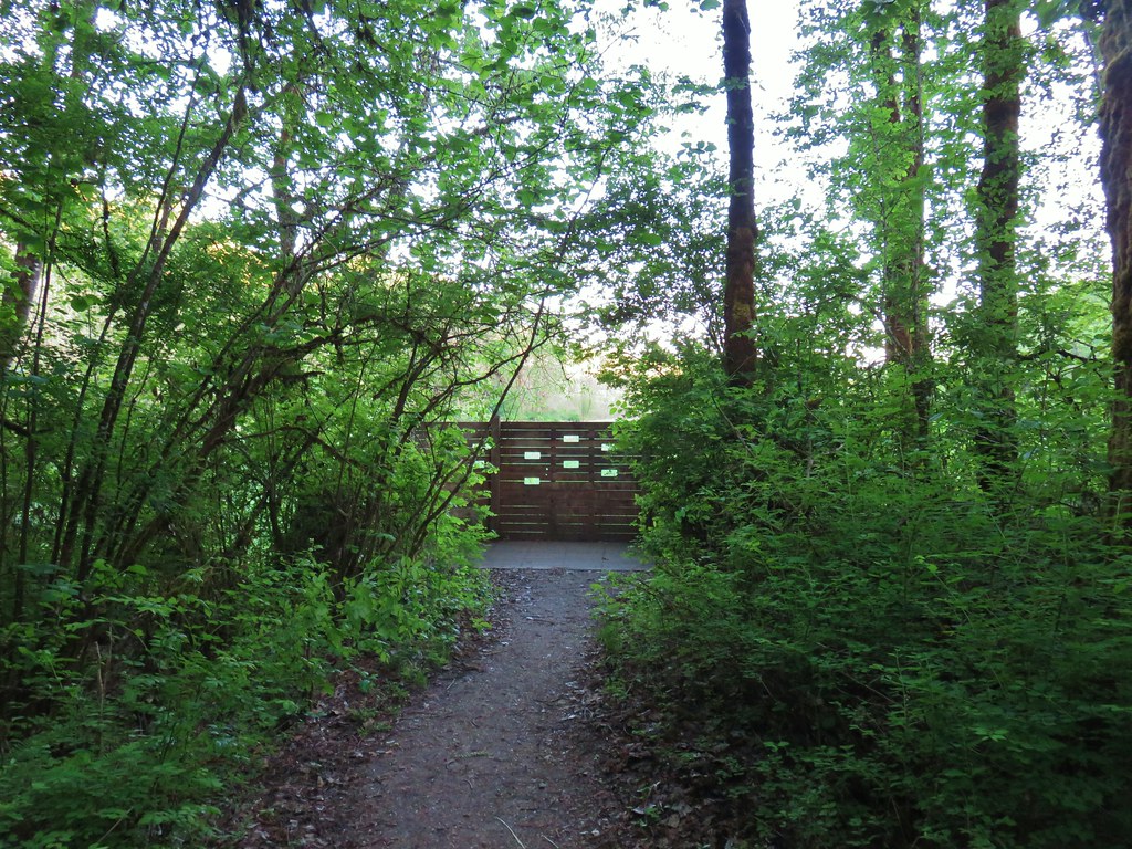
 Looking back at the gate.

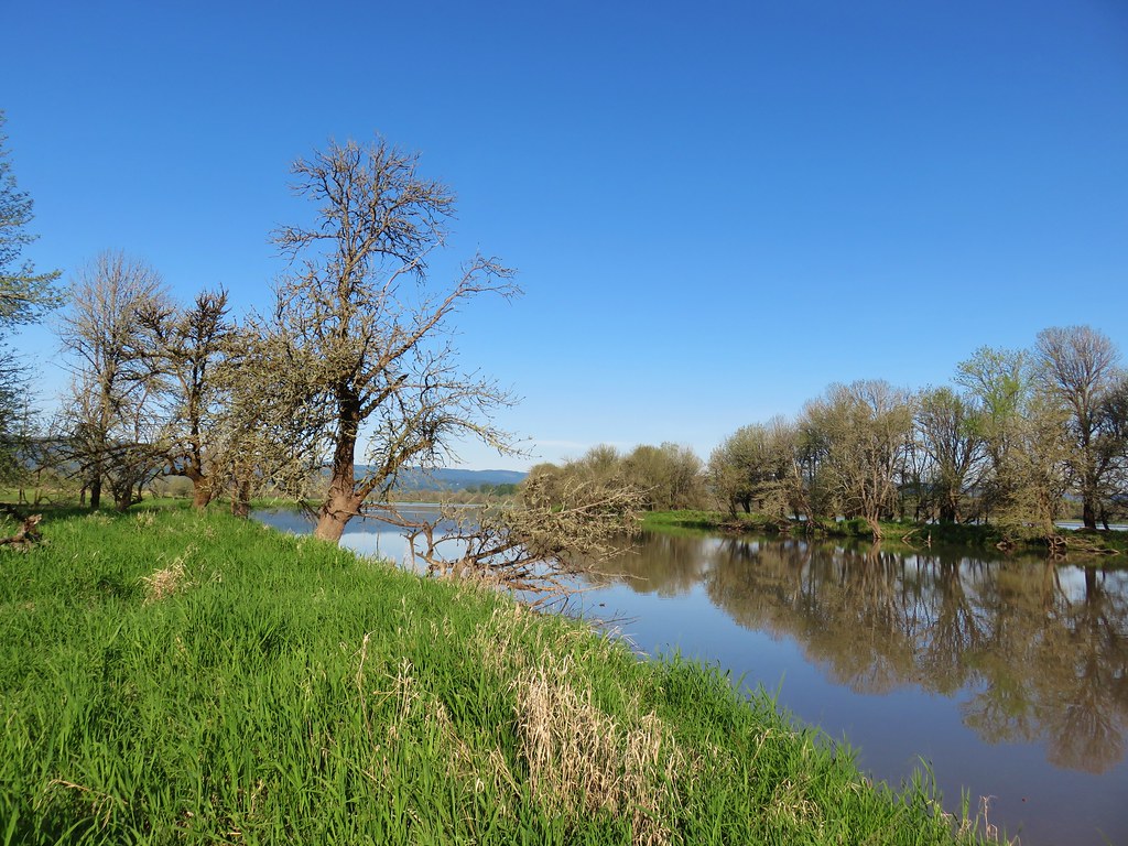 Looking toward Steelman Lake from the Narrows.
 The Narrows. Another lake, Mud Lake, is on the other side of the trees.
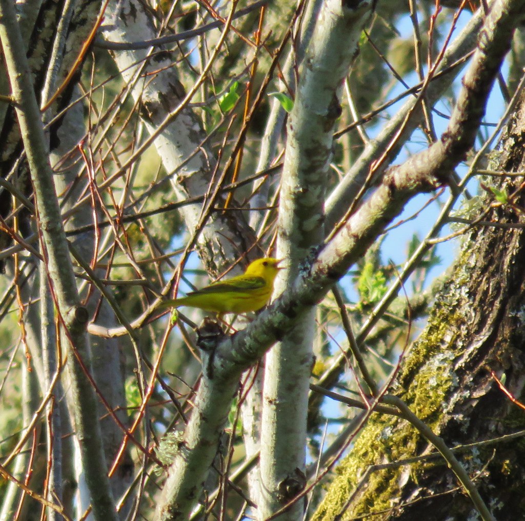
 Mt. Adams (it is really there)
 Mt. St. Helens


 Mt. St. Helens and an Osprey nest.
 Female
 Male
Male

 Mt. St. Helens again.


 1905 Columbia County Courthouse