We recently spent a week in Mount Shasta City to do some day hiking in Northern California. We drove down on 7/23/17 and on the way stopped at Kangaroo Lake.
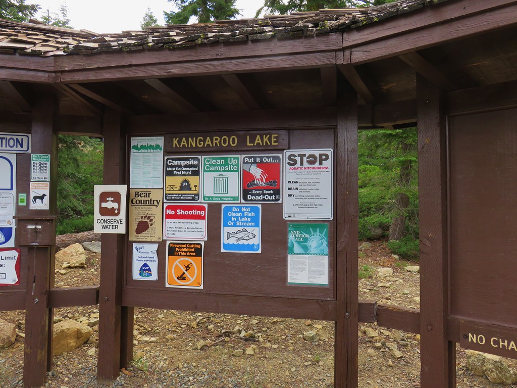
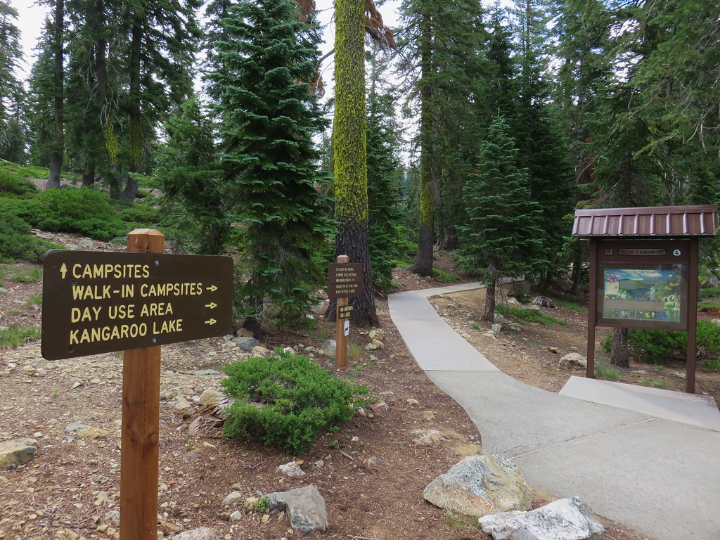
We walked down to the picnic area to eat lunch and look at the lake before walking a short distance back up the entrance road to pick up the Fen Trail.

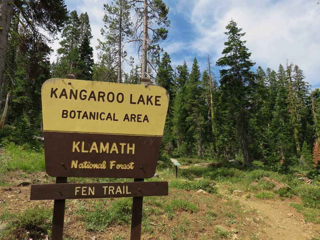
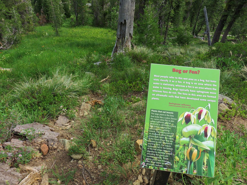
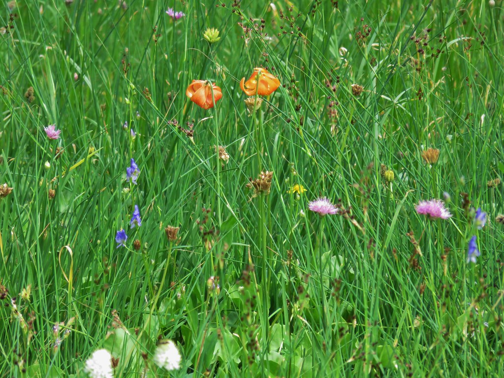
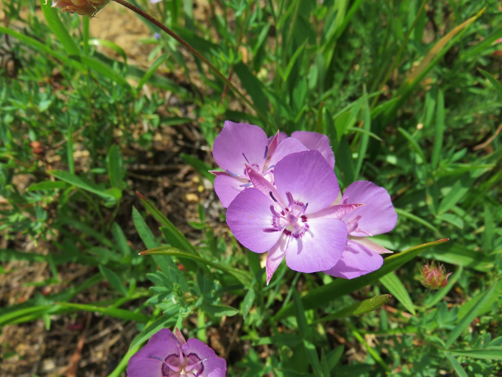
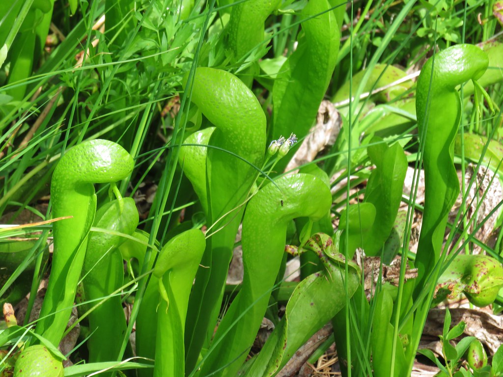
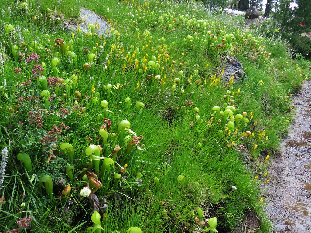
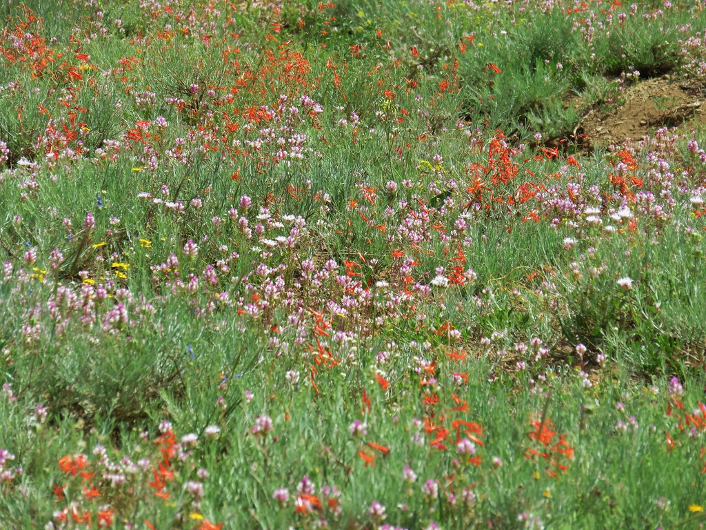
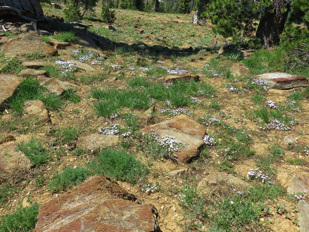
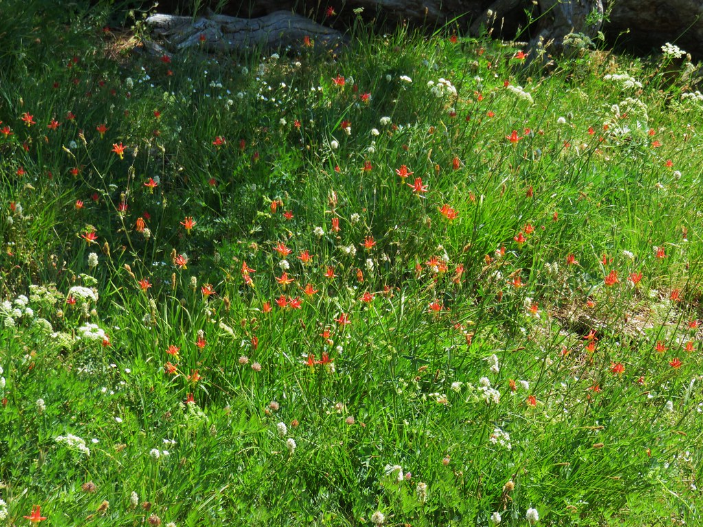
The Fen Trail climbed a hillside along a fen which was home to many wildflowers including Darlingtonia California, California pitcher plants.

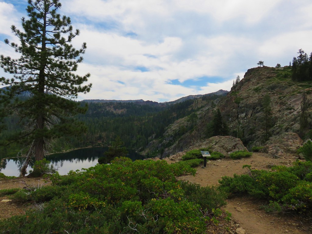
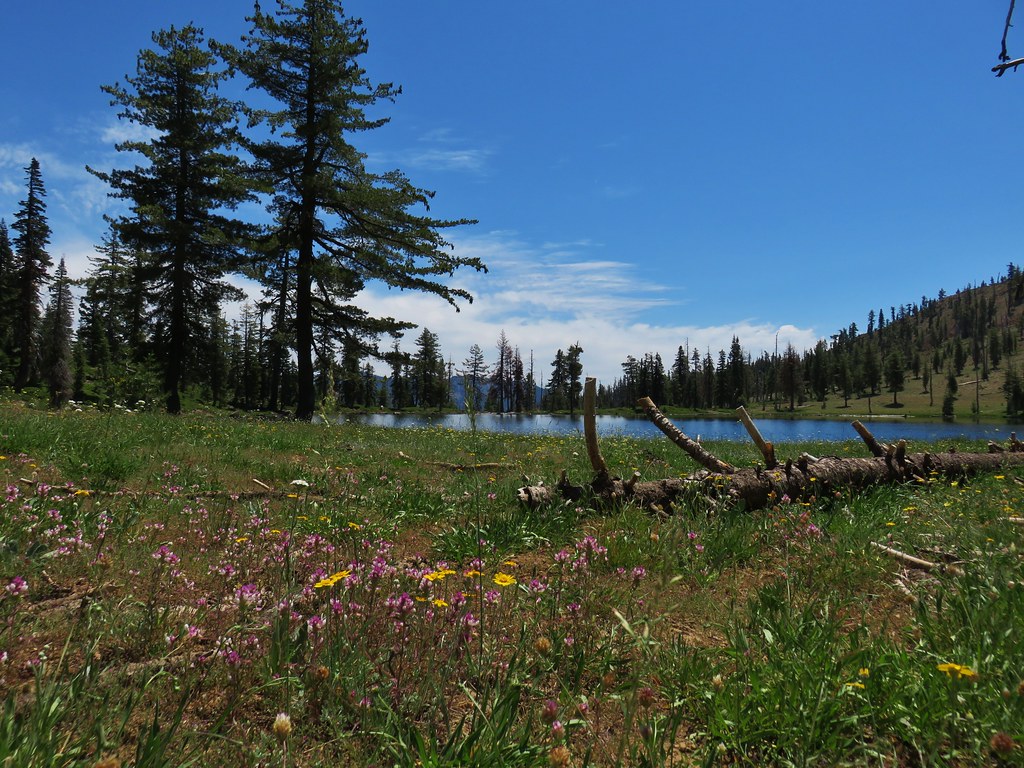
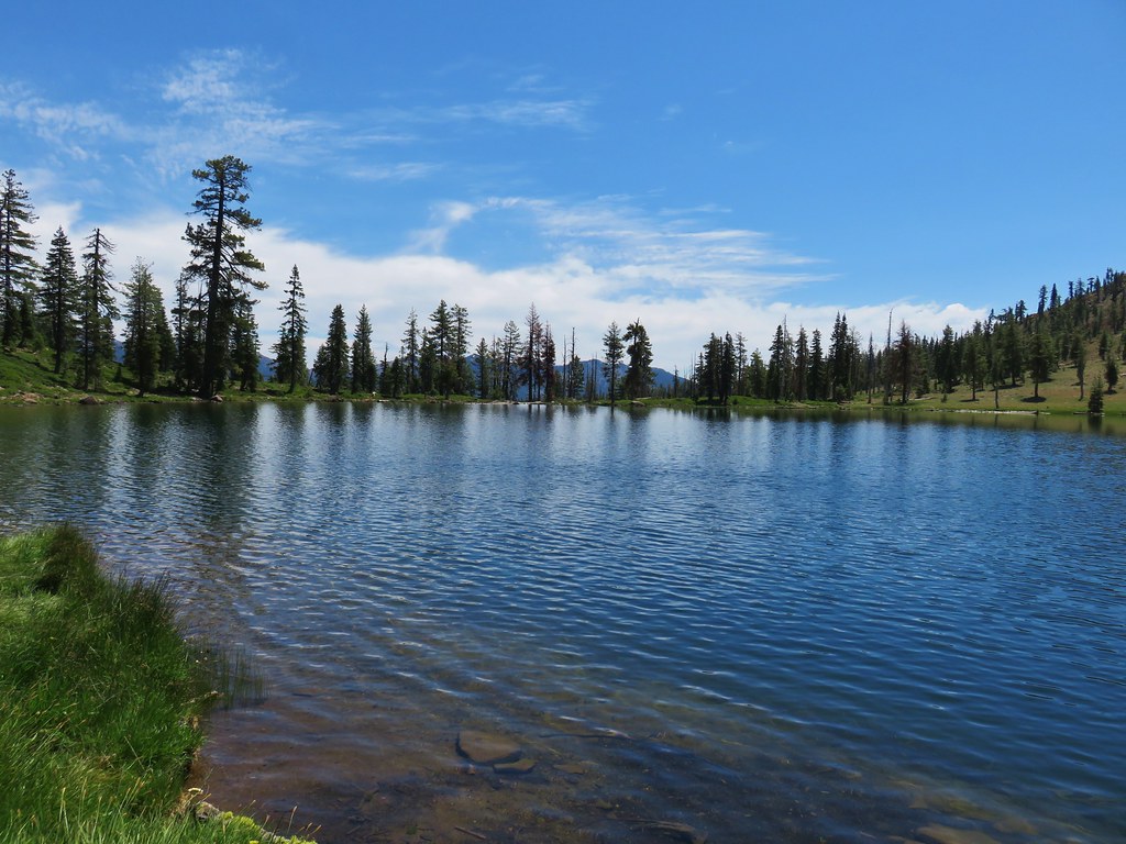
In a half mile the trail came to a viewpoint overlooking Kangaroo Lake.
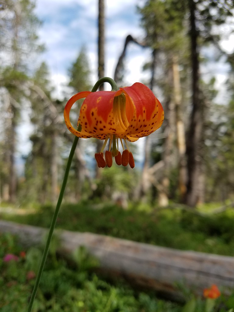
The trail continued for another .9 miles passing more wildflowers before ending at the Pacific Crest Trail.
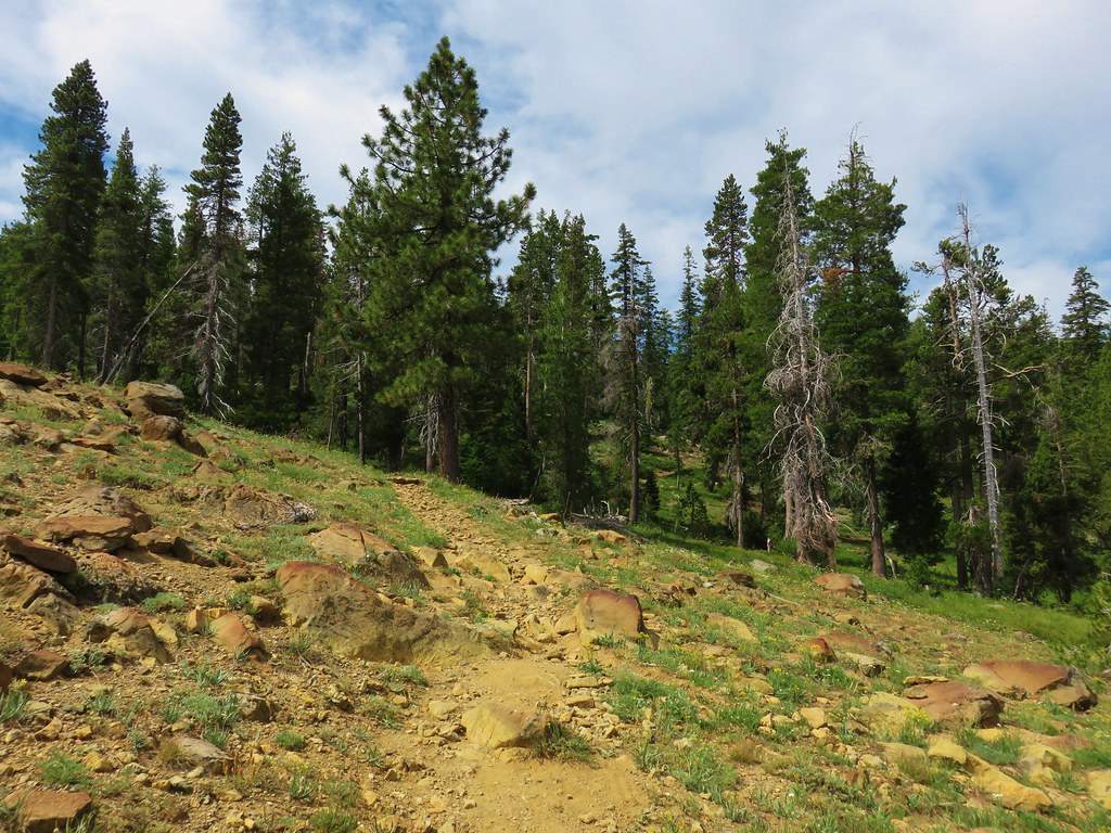

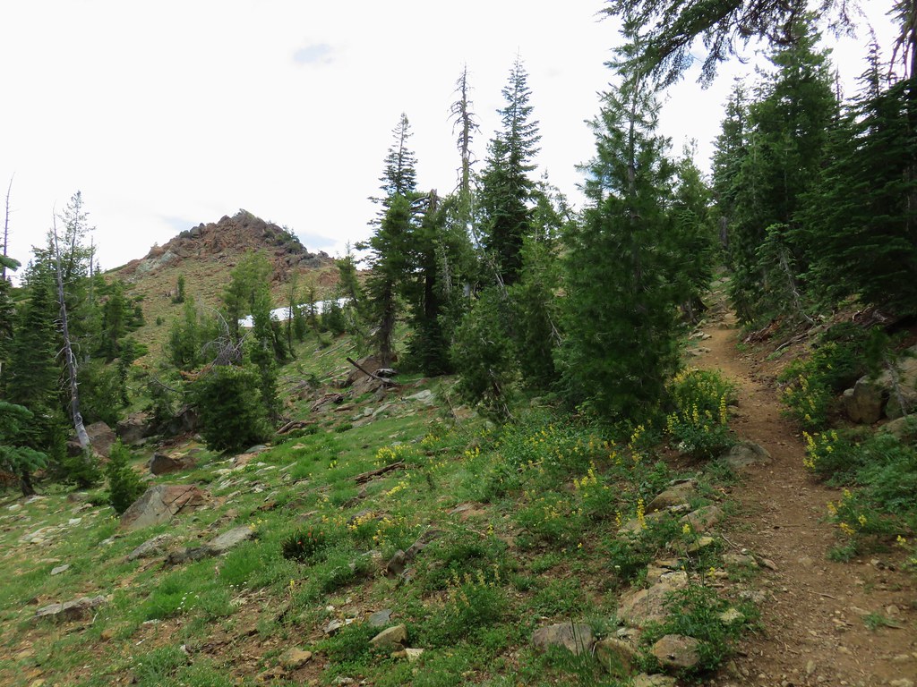
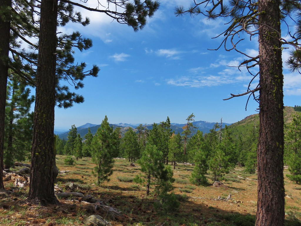
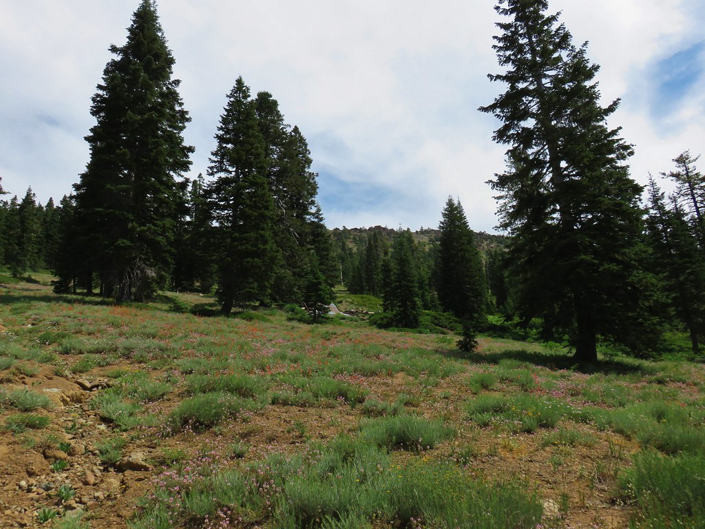
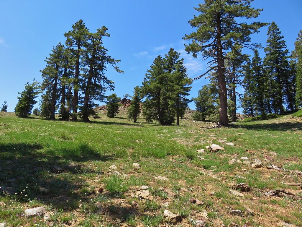
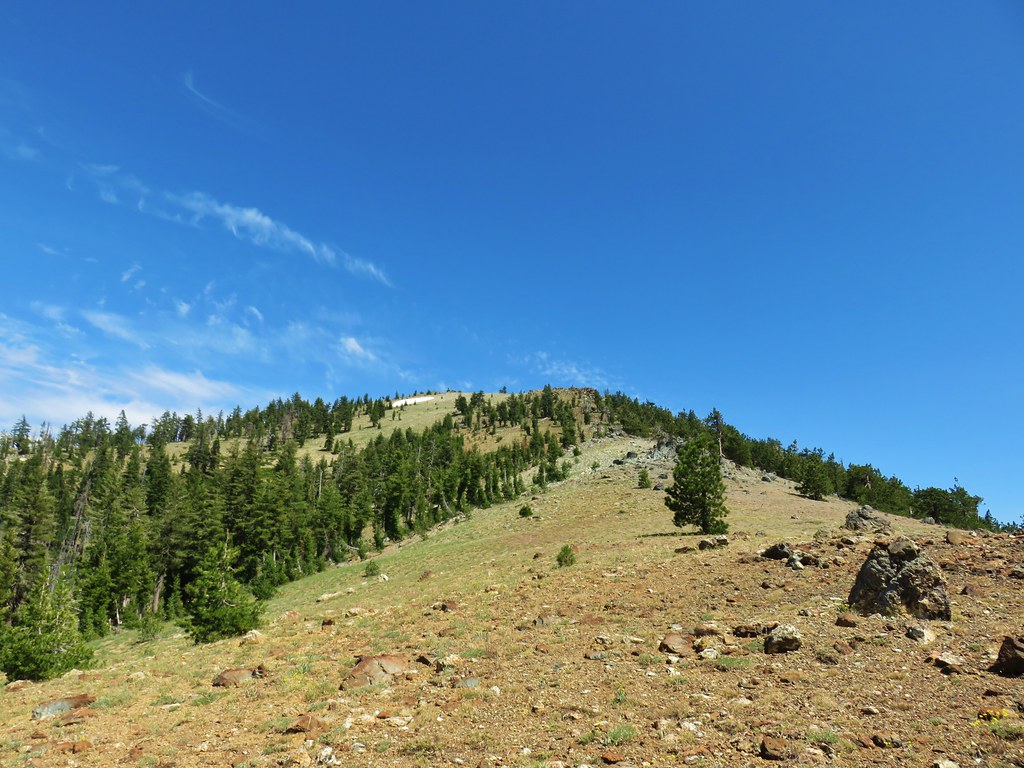
We turned left (south) on the PCT and headed for Bull Lake. The trail here passed through ponderosa pines with wide open views.

<
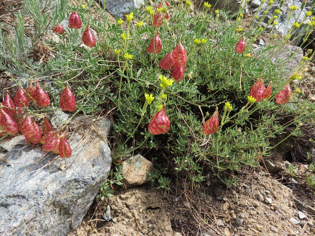
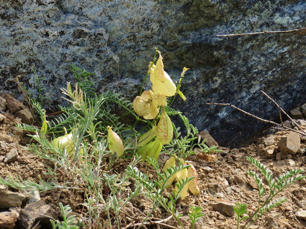
The ground along this stretch was covered with balloon pods.

We passed several thru-hikers including a couple resting at a damp hillside which housed more pitcher plants.
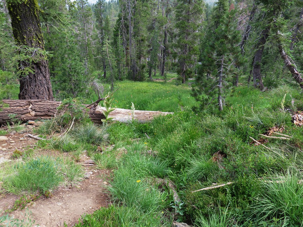
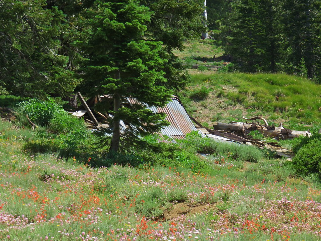
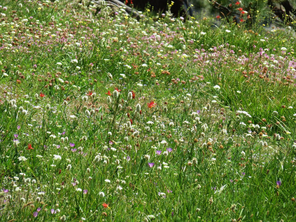
Beyond the pitcher plants the trail entered a drier meadow where we noticed a collapsed structure amid the wildflowers.
As we passed through this area I spotted the final few inches of a rattlesnake slowly leaving the trail and disappearing into a manzanita bush. It was the first we’d seen while hiking and just from the small portion we saw it was a lot bigger than the garter snakes and rubber boas we usually see. We made a wide arc around the bush and continued on, now on high alert.
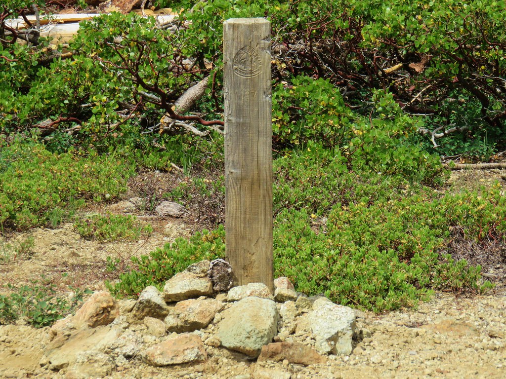
Just under a mile after turning onto the PCT we stayed left at a fork in the trail which would have taken us down to Robbers Meadow. We did the same in another 1.7 miles when that trail returned to the PCT at a four-way junction at a pass.

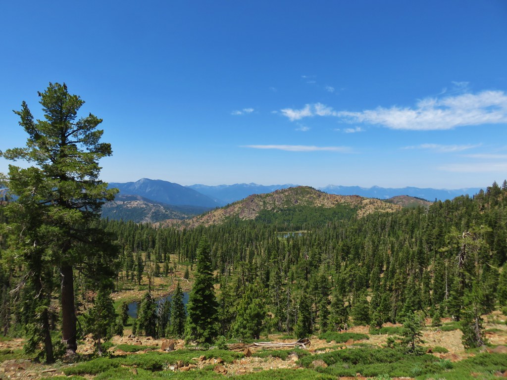
From the pass we could see Bull Lake below and Mt. Shasta on the horizon.

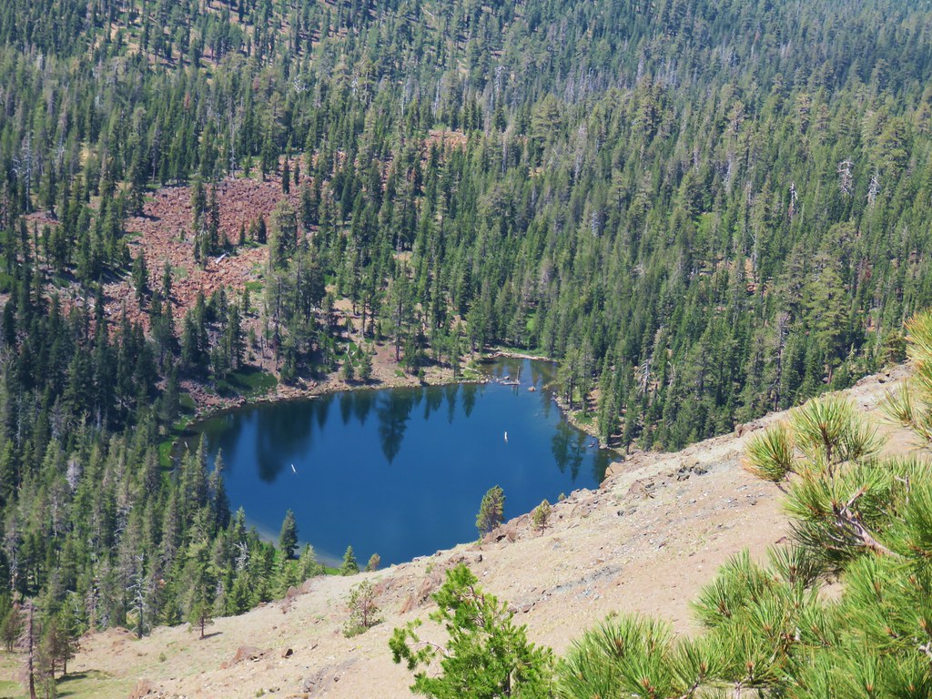
We stayed on the PCT until we had nearly passed Bull Lake where we struck off downhill on a faint user trail to the lake shore.
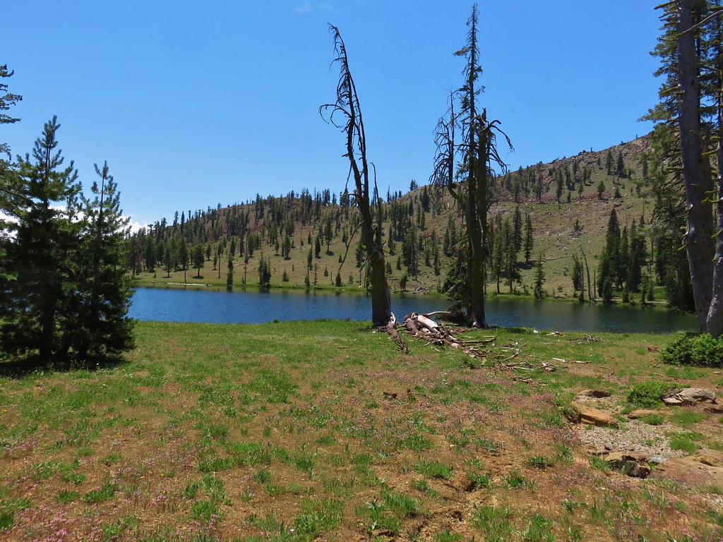
After a relaxing break at the lake it was time to head back. For our return trip we chose to follow a route suggested by Bubba Suess from Hike Mt. Shasta. Our plan was to follow his directions from Bull Lake up and over Cory Peak and back down to the PCT. We returned to the PCT from the lake and when we spotted what appeared to be a fairly open route so we left the PCT and headed uphill.

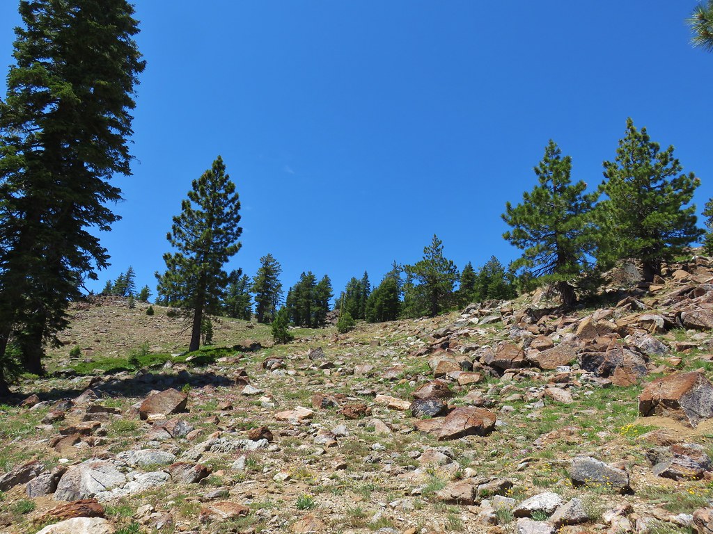
The brush soon gave way to a rocky slope which made the cross country route fairly easy, just a bit steep.
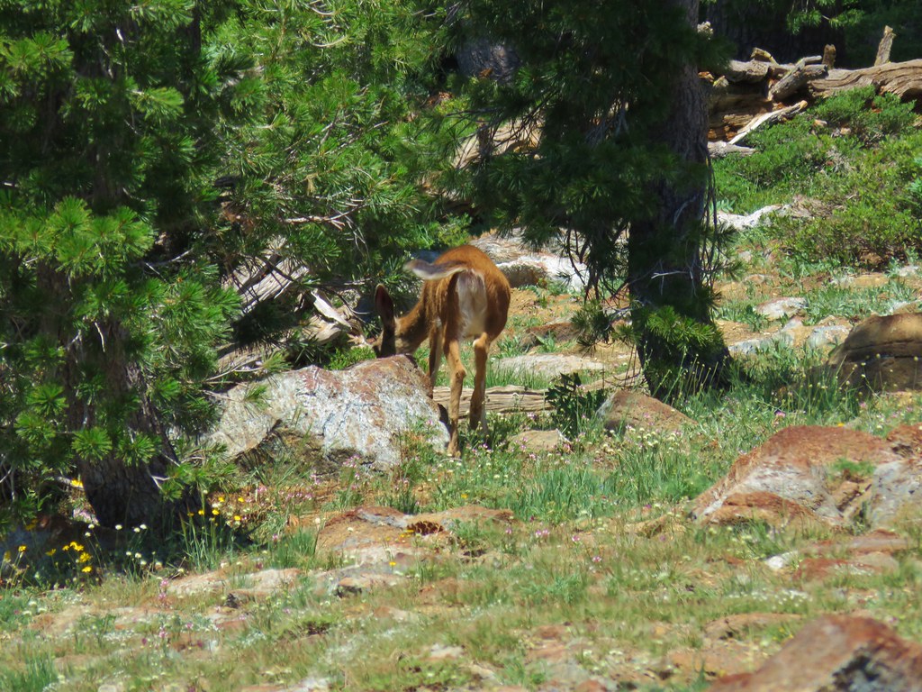
Using the track provided on the website we were able to compare our route shown on our GPS to make sure we were staying on the right track. It’s always interesting to see what is hiding back off the trails. We came to a small green bowl were a doe was grazing.
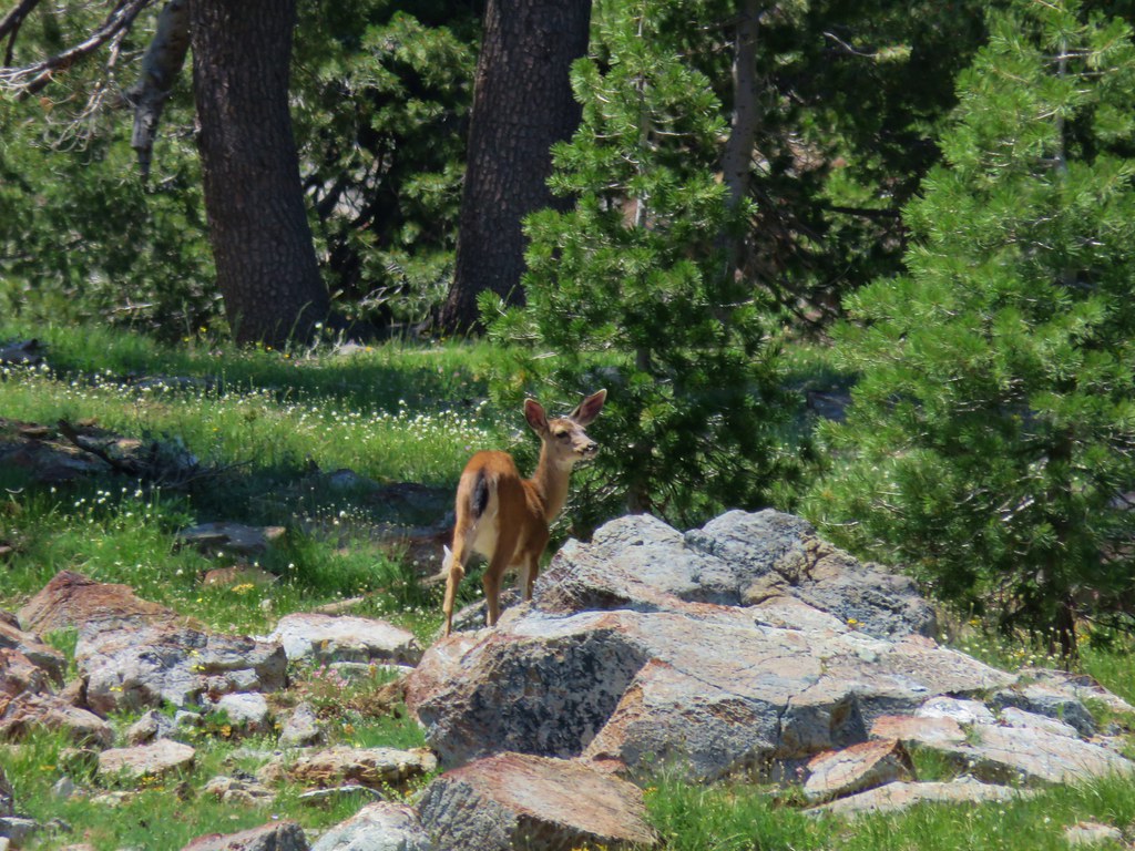
She headed uphill on nearly the same route we were on so we saw here a couple more times before our route veered to the right at a saddle to climb up an even higher ridge.

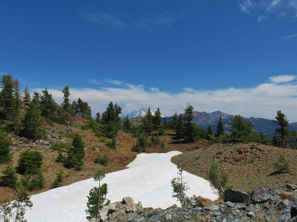
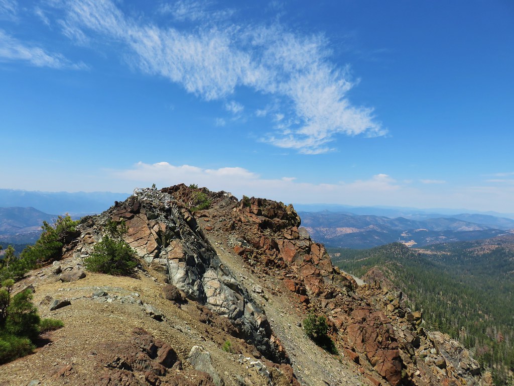
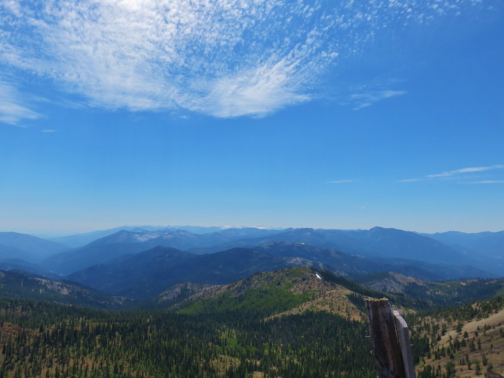
We arrived at the ridge top just to the SE of a snow melt lake below Cory Peak.


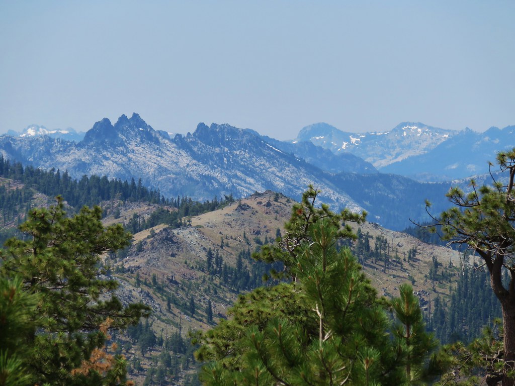
To the SW the snowy Trinity Alps lined the horizon.

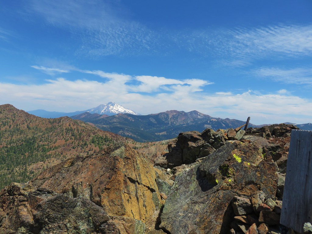
Mt. Shasta and Mt. Eddy rose to the east.
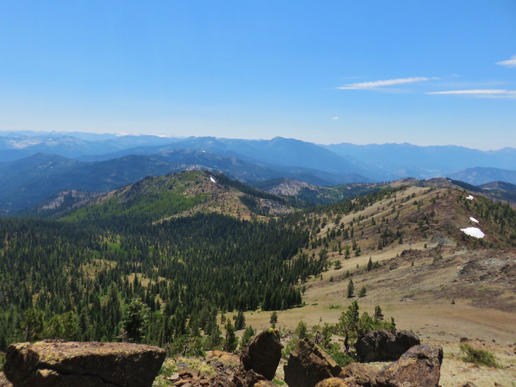
They were all locations we had plans to visit during the week. After catching our breath we followed the ridge along the lake and scrambled up to the top of some rocks which looked from the lake like the summit of Cory Peak. Once on top we could see that the summit of Cory Peak was actually further along a broad ridge.
We made our way along the ridge to another set of rocks with an old sign protruding from the top.
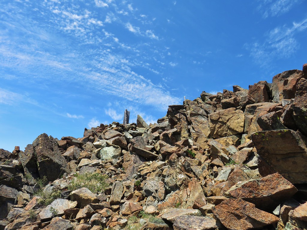
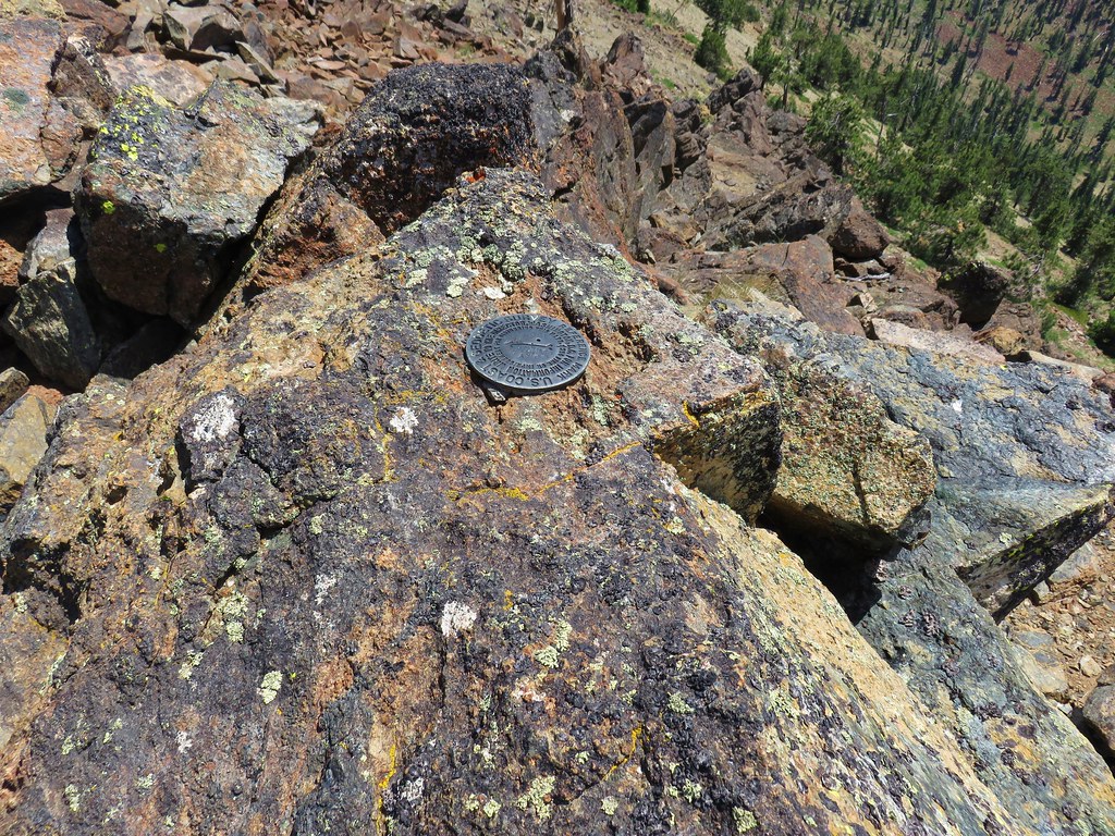
Here we found a geologic survey marker and a summit register.
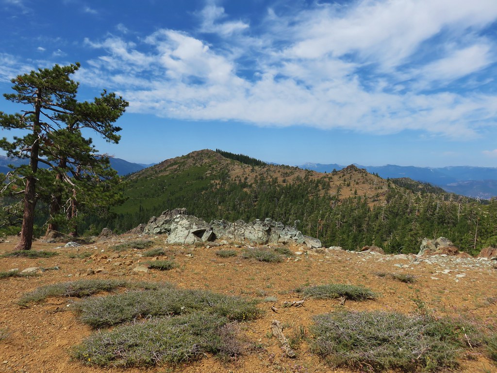
After another short break we continued west dropping down to a saddle along the ridge where we had a nice view of Rock Fence Lake below to the north.
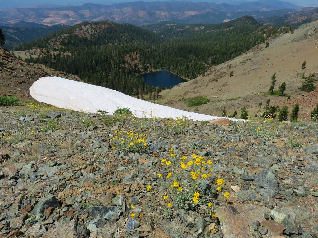
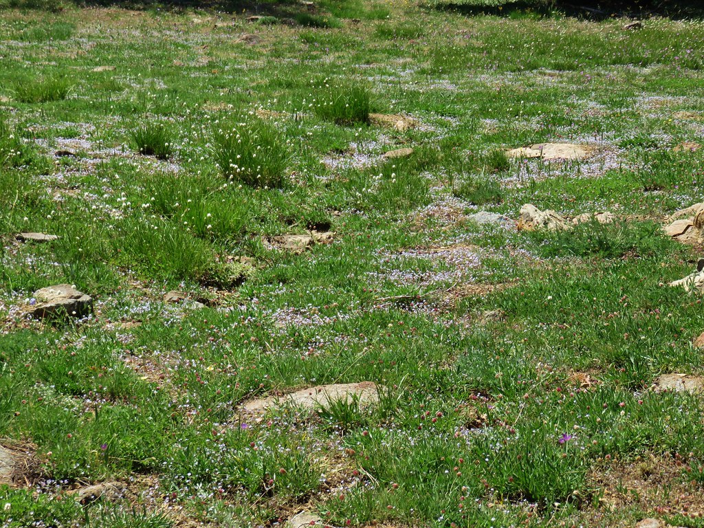
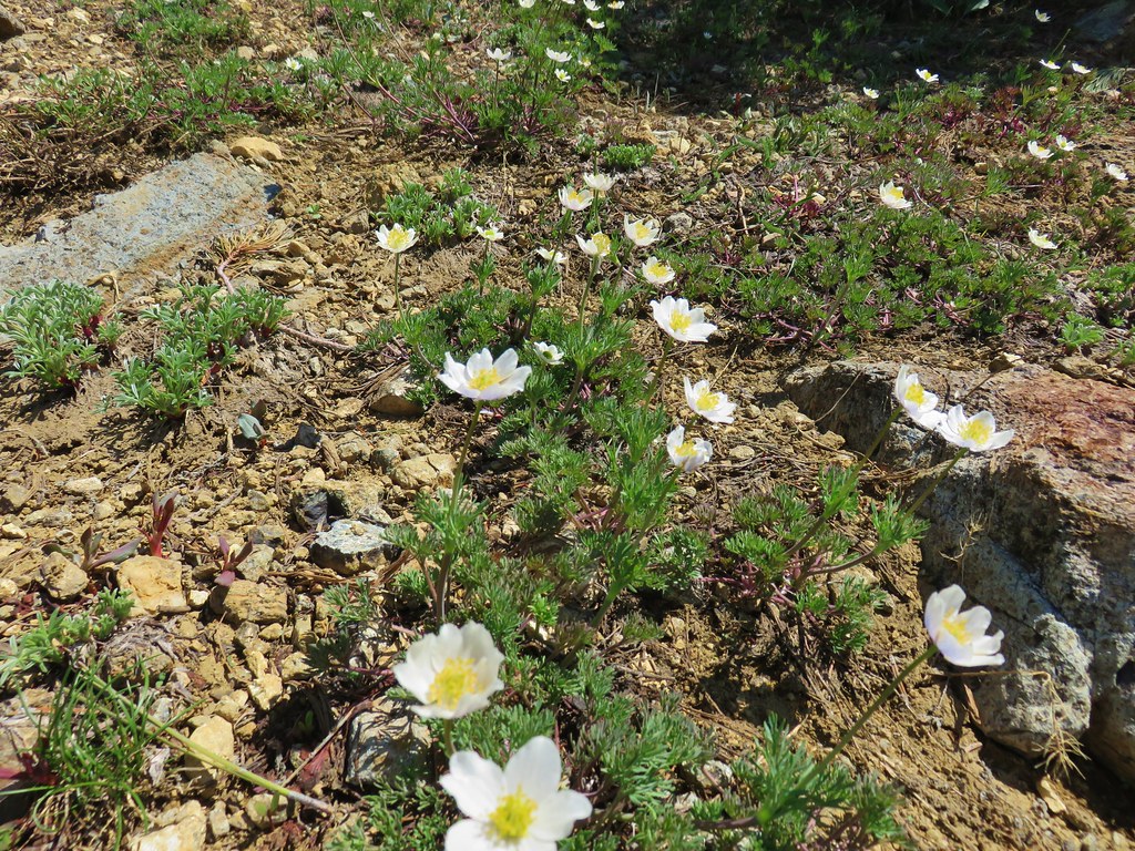
We followed the ridge down picking up a mylar balloon along the way. Our route passed a nice bunch of wildflowers and below some melting snow before we bailed off the ridge and hooked back up with the PCT about a quarter mile from the junction with the Fen Trail.
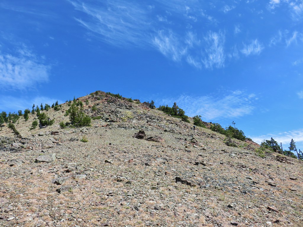 Looking back up at Cory Peak.
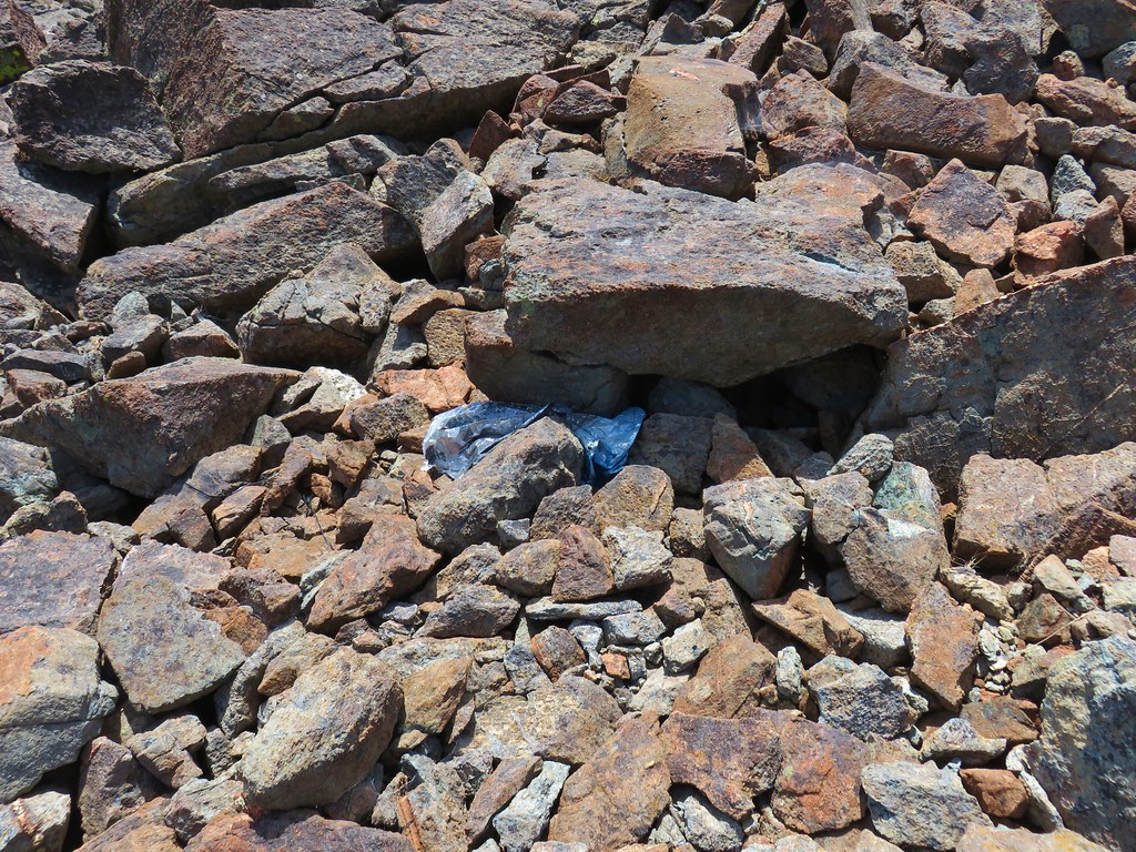 Mylar balloon.
 Looking back along the ridge to Cory Peak.
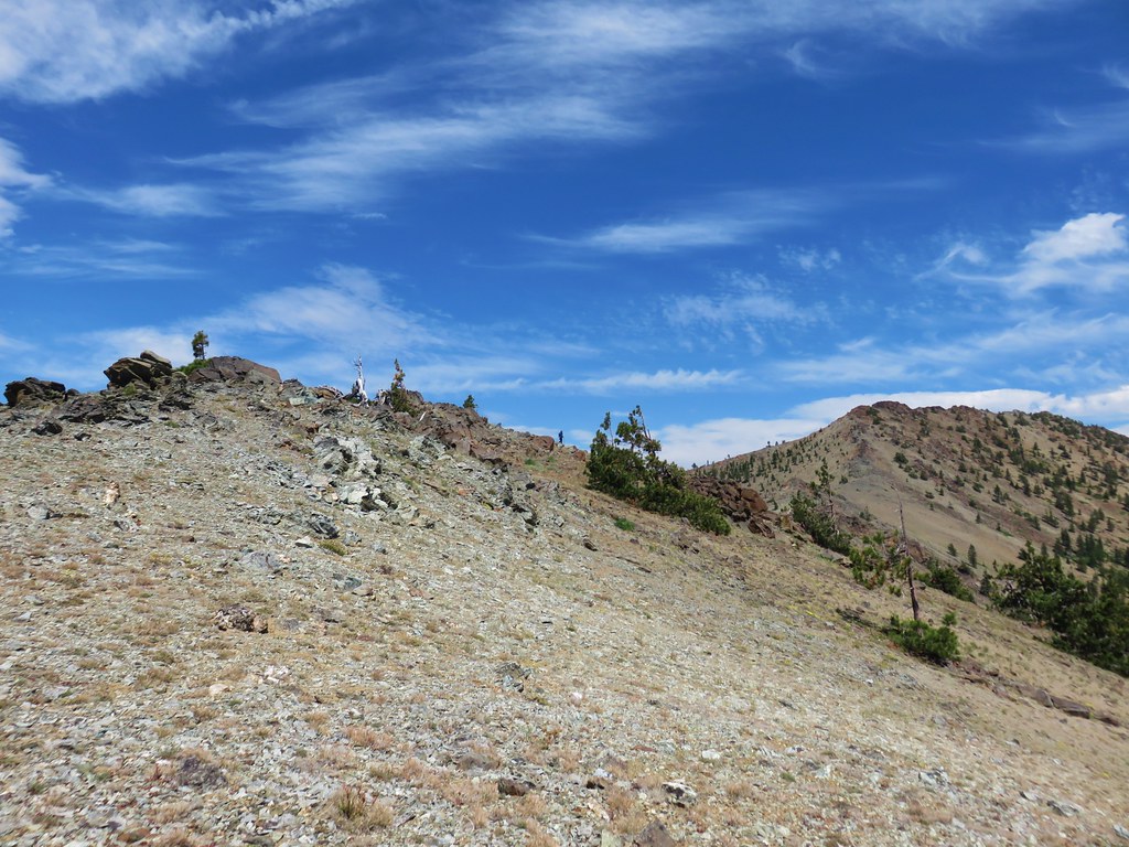
 More of the ridge we descended.
 Final stretch down to the PCT.
Once we were back on the PCT we returned to Kangaroo Lake on the Fen Trail and headed for Mount Shasta City. It had been a good start to the vacation and getting to see many of the areas we were going to be visiting was a great motivator. Happy Trails!
Flickr: Kangaroo Lake

3 replies on “Kangaroo Lake”
Great scenery along that one!
[…] A special thanks goes out to Bubba Suess and his Hike Mt. Shasta website for his suggestions and input on our visit to the Mt. Shasta area in July. On that trip we visited four of California’s wilderness areas: Russian (post), Castle Crags (post), Trinity Alps (post), and Mt. Shasta (post). Our visit the the Trinity Alps brought us to the most southerly point while hiking to date. We also reached our highest elevation on that trip when we hiked to the top of Mt. Eddy (post) and saw our first rattle snake along the PCT (post). […]
[…] Trail Gulch Lake-Hiked 8/25/2022 #93 East Boulder Lake-Hiked 8/23/2022 #94 Kangaroo Lake-Hiked 7/23/2017 #95 Deadfall Lakes-Hiked 7/25/2017 #96 Caribou Lake-Hiked 7/27/2017 #97 Castle Lake-Hiked […]