We were watching the weather closely during our stay in Mount Shasta City. Scattered thunderstorms were being forecasted for the first half of the week and we didn’t want to be up on some peak during a lightning storm. We’d also added an extra day at the last minute in hopes that the Everitt Memorial Highway would be opened by the end of our stay so we could make it to Panther Meadows on Mt. Shasta. To fill the extra day we chose the hike to Paynes Lake in the Russian Wilderness based in part on a recent trip report posted on vanmarmot.org. While his hike didn’t take him to Paynes Lake it was in the same area and provided some good information on a side trip we could take from the Pacific Crest Trail down to Taylor Lake.
We started our hike at the Etna Summit Trailhead by taking the Pacific Crest Trail south.

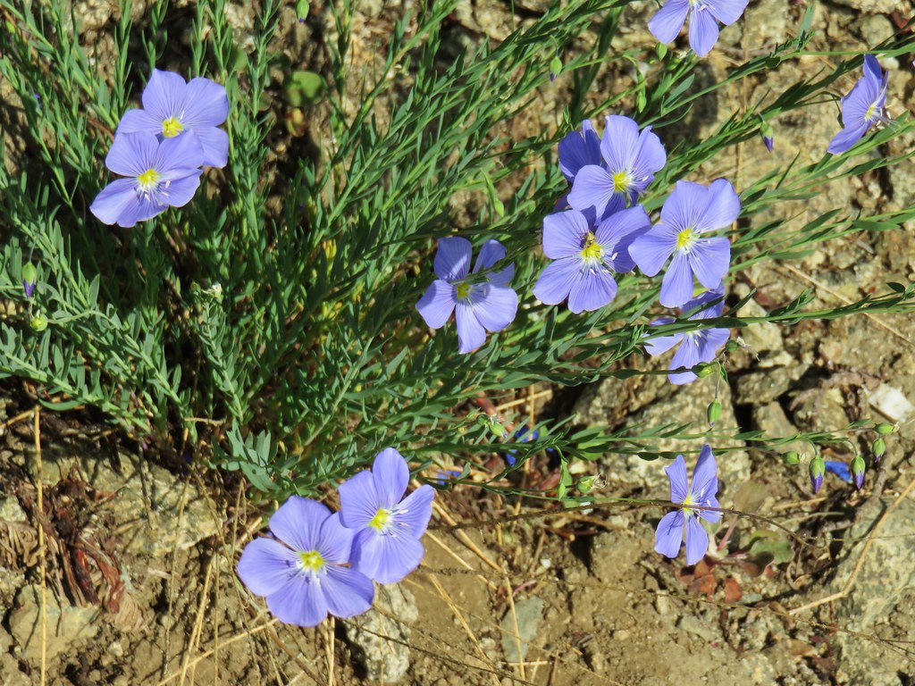
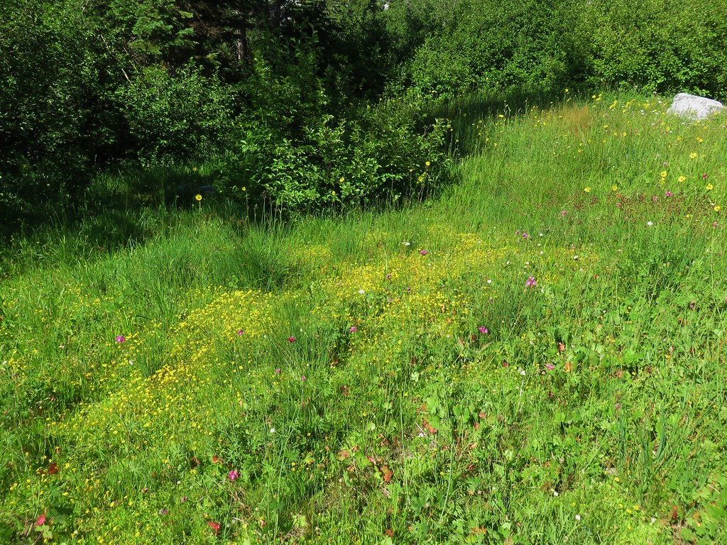
The PCT passed through a couple of nice meadows with wildflowers and great views in the first 1.7 miles.


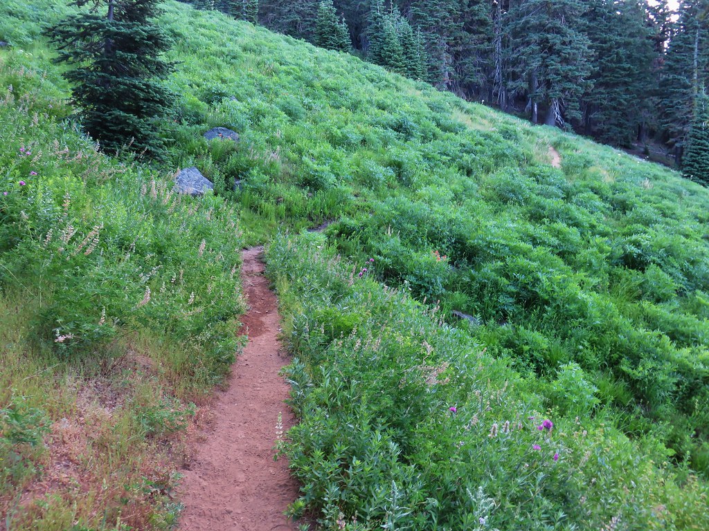
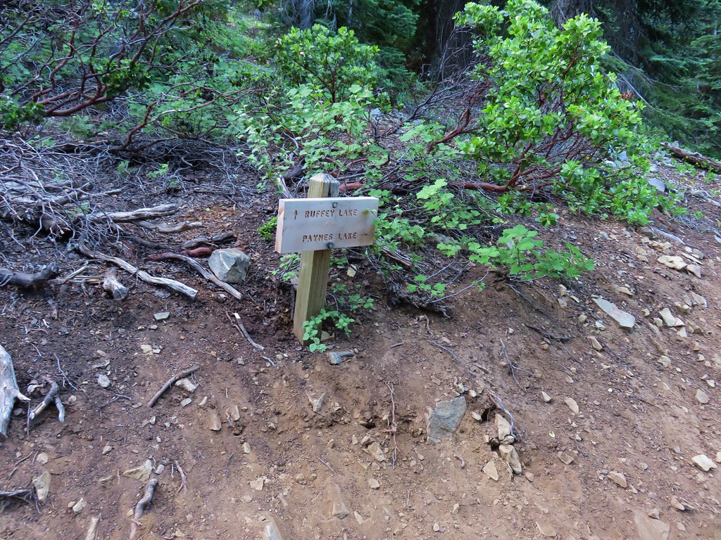
At the 1.7 mile mark we arrived at a 4-way junction where the PCT crossed a on old roadbed now acting as a trail to Ruffey Lake.

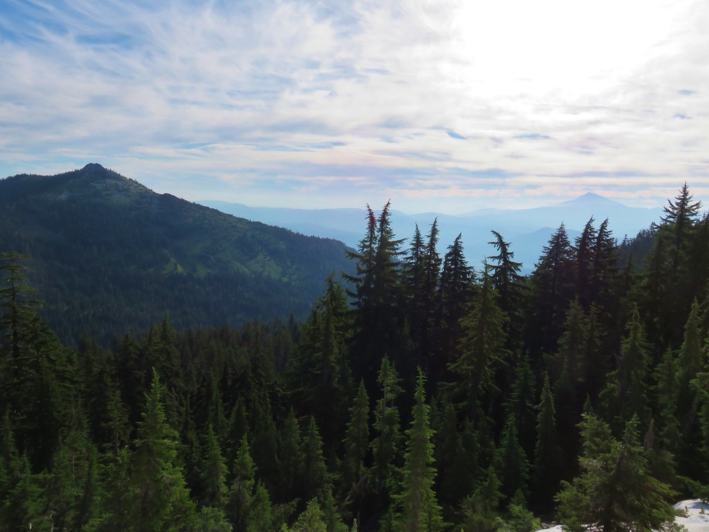
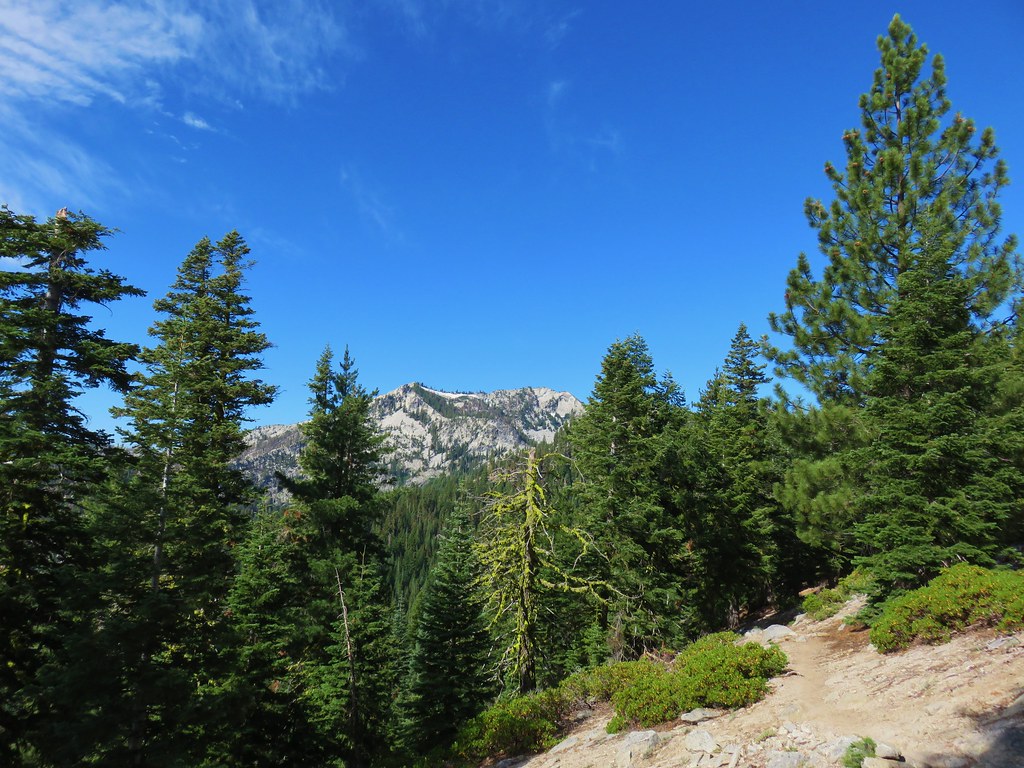
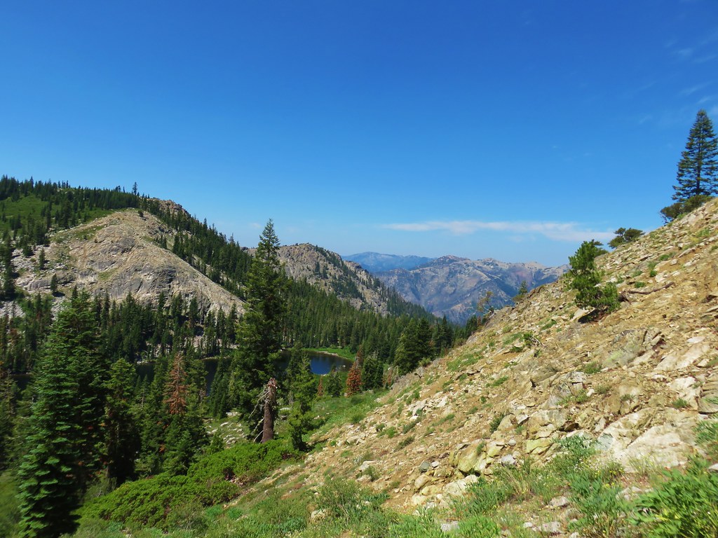
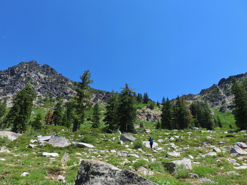
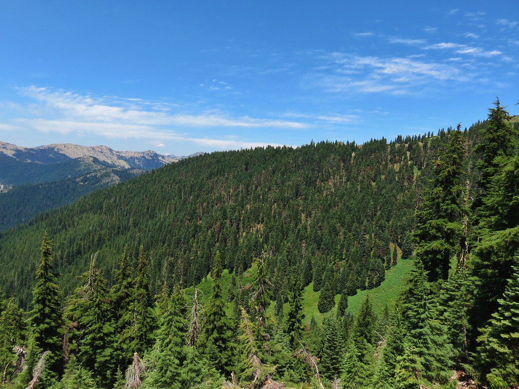
Beyond the junction the trail traversed a sagebrush covered hillside with a good view of the peaks rising from the Russian Wilderness.
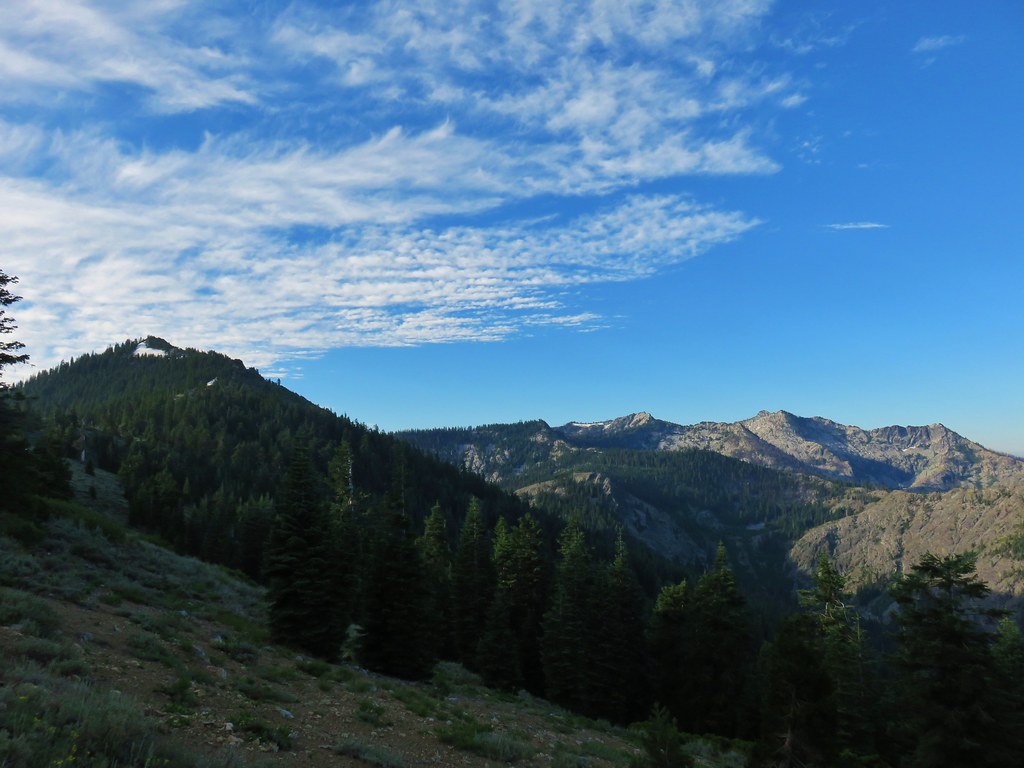
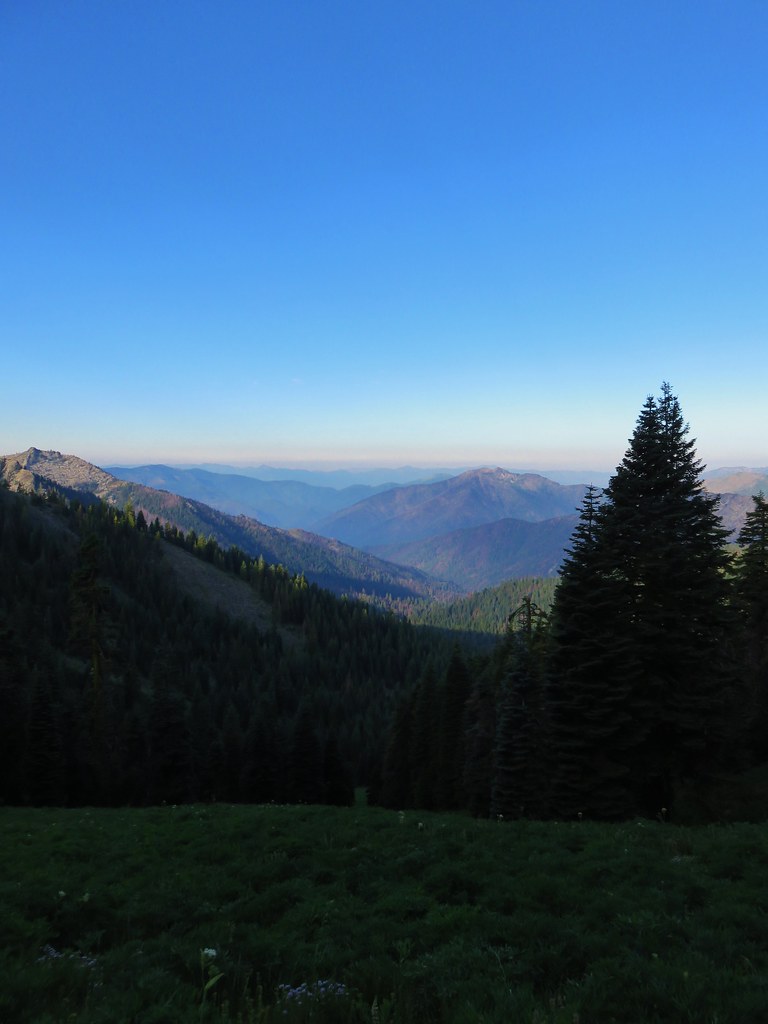
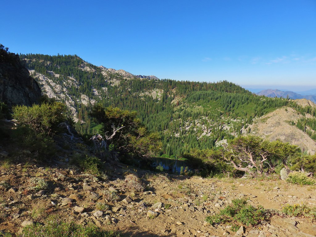
Behind us the Marble Mountains were visible despite a couple of wildfires burning in that wilderness.
The trail followed a ridge toward a peak where we could see a large snow drift that we appeared to be heading straight for.
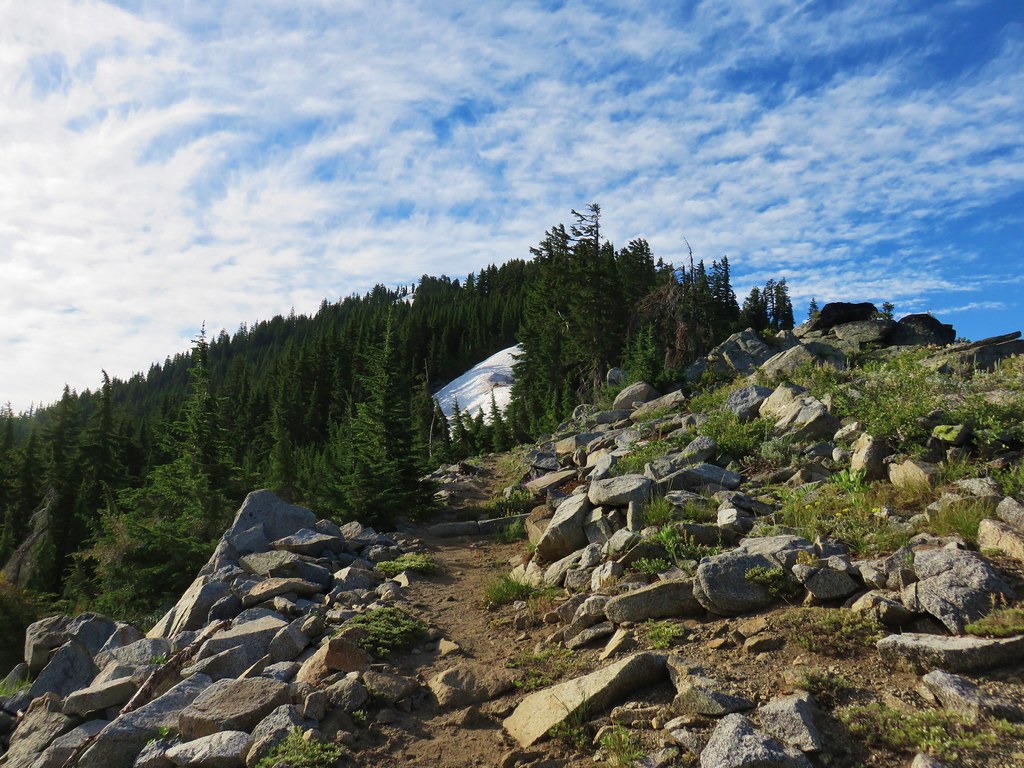
We spotted a group of hikers just finishing their crossing of the snow so we waited for them to finish taking the opportunity to admire Mt. Shasta looming to the east.
From below the snow we couldn’t tell just how far we were going to travel on it so we decided to use it as an excuse to finally try out our Kahtoola MICROspikes. After putting them on we stepped out on the snow and fell in love. Unfortunately (or not) our need for them was short lived. After just a few steps up we discovered a clear path in the snow covered with debris to assist with traction.
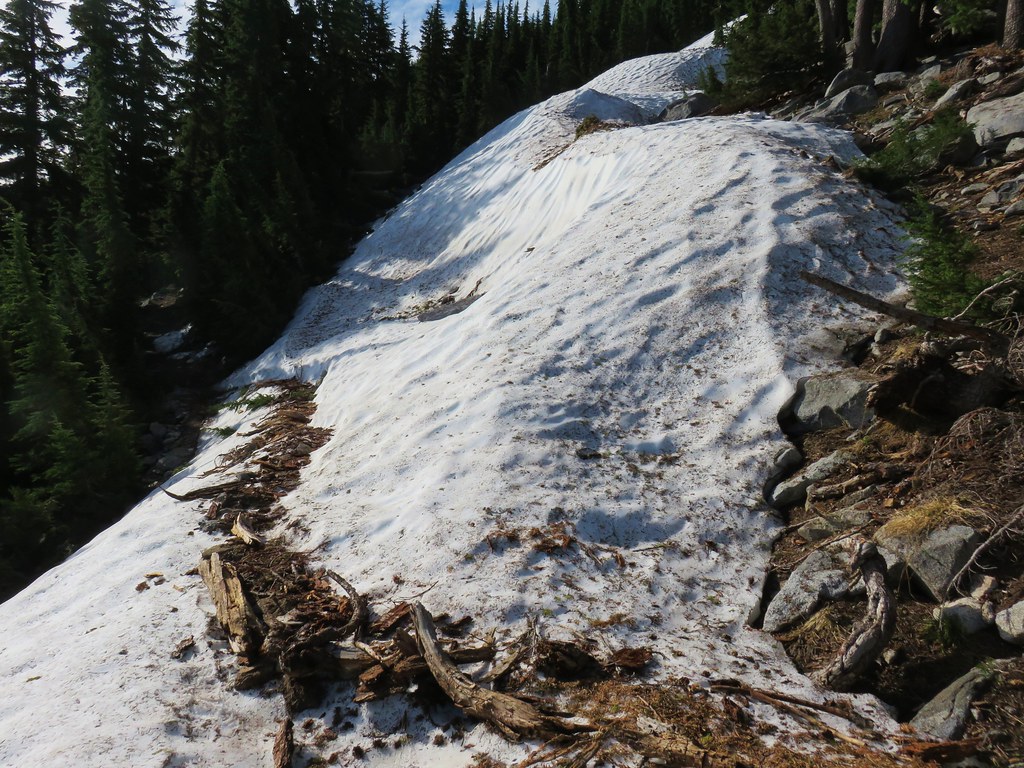
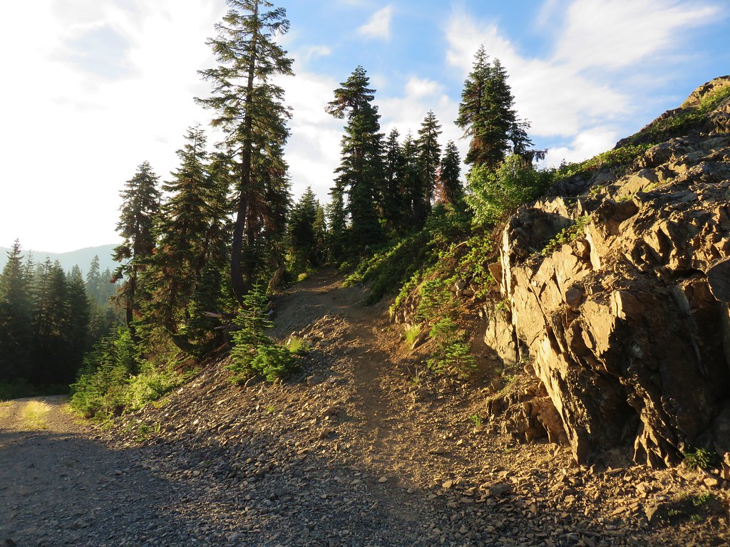
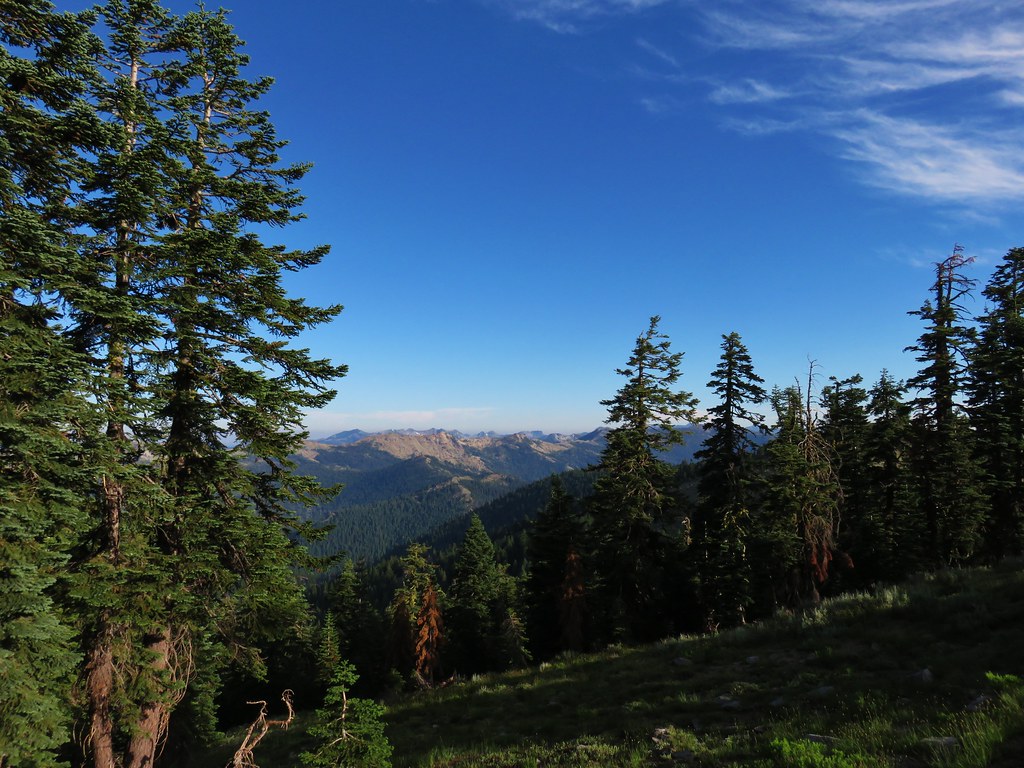
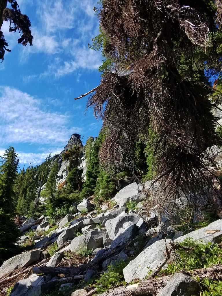
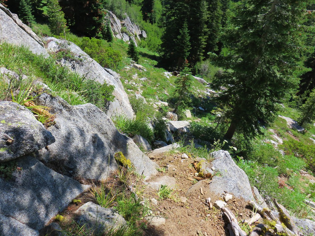
Off came the spikes and onward we went. The PCT traversed a hillside above Smith Lake passing through a section of granite rocks.
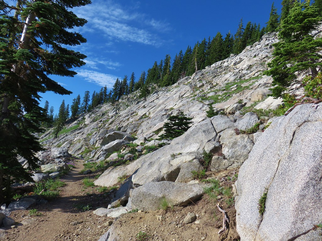
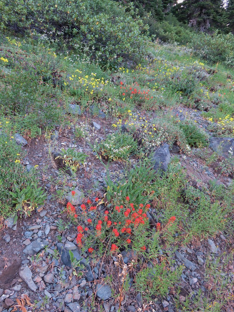
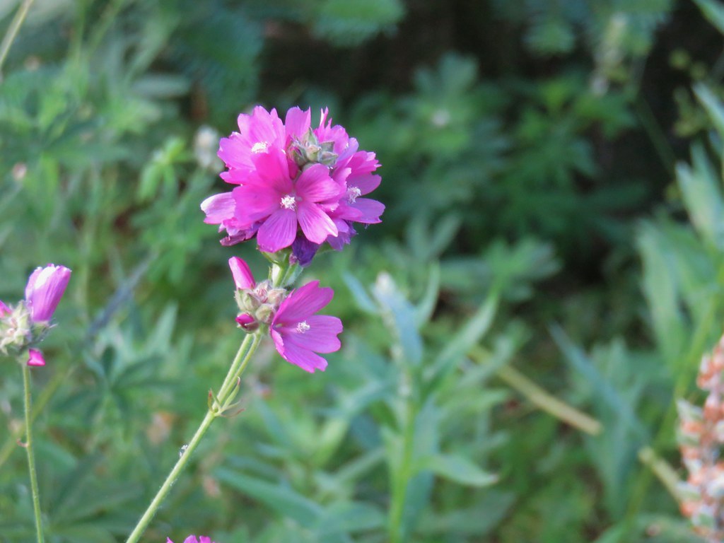
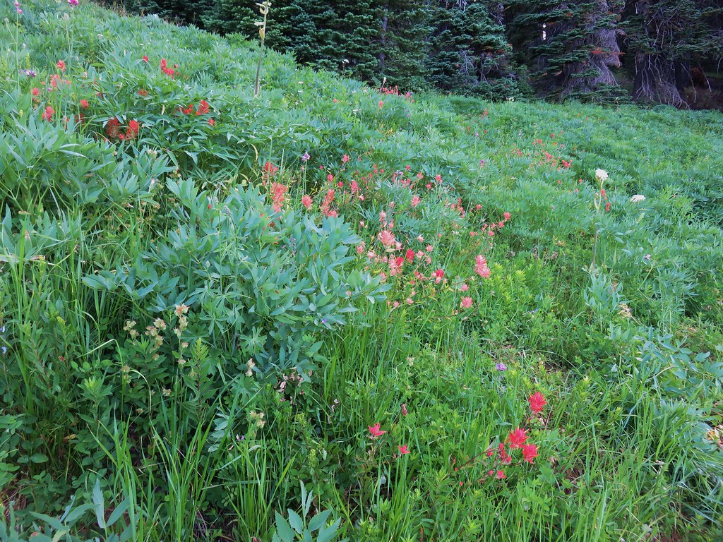
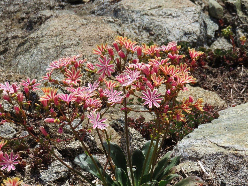
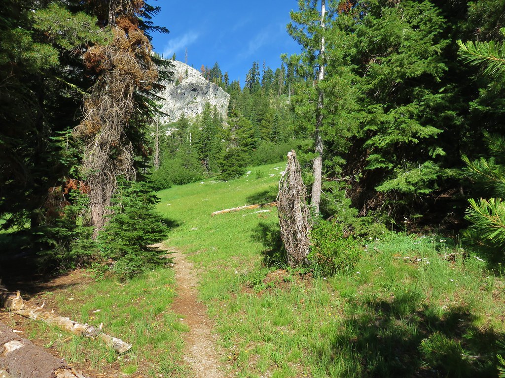
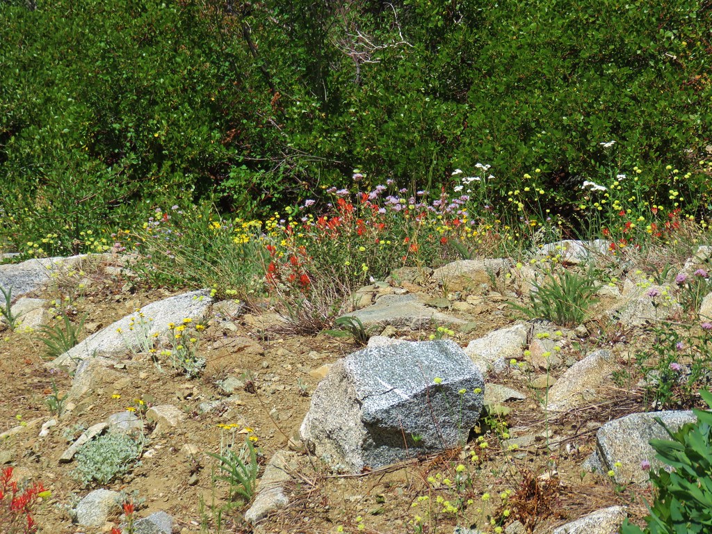
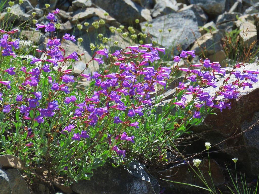
A total of 3.5 miles from the trailhead we passed Smith Lake and began a fairly substantial descent to a saddle above Taylor Lake. The open rocky hillside was sporting a good variety of blooming flowers.

We arrived at the saddle .3 miles after passing Smith Lake where we took note of the user path from Vanmarmot’s trip report.
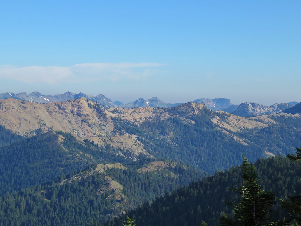
Our plan was to take the path down to Taylor Lake on our way back using the old roadbed to Ruffey Lake to return to the PCT. For the time being though Paynes Lake was our goal so we continued on the PCT which continued to traverse the hillside below some impressive rock formations.


We made a 90 degree turn around a ridge end and reentered the trees.

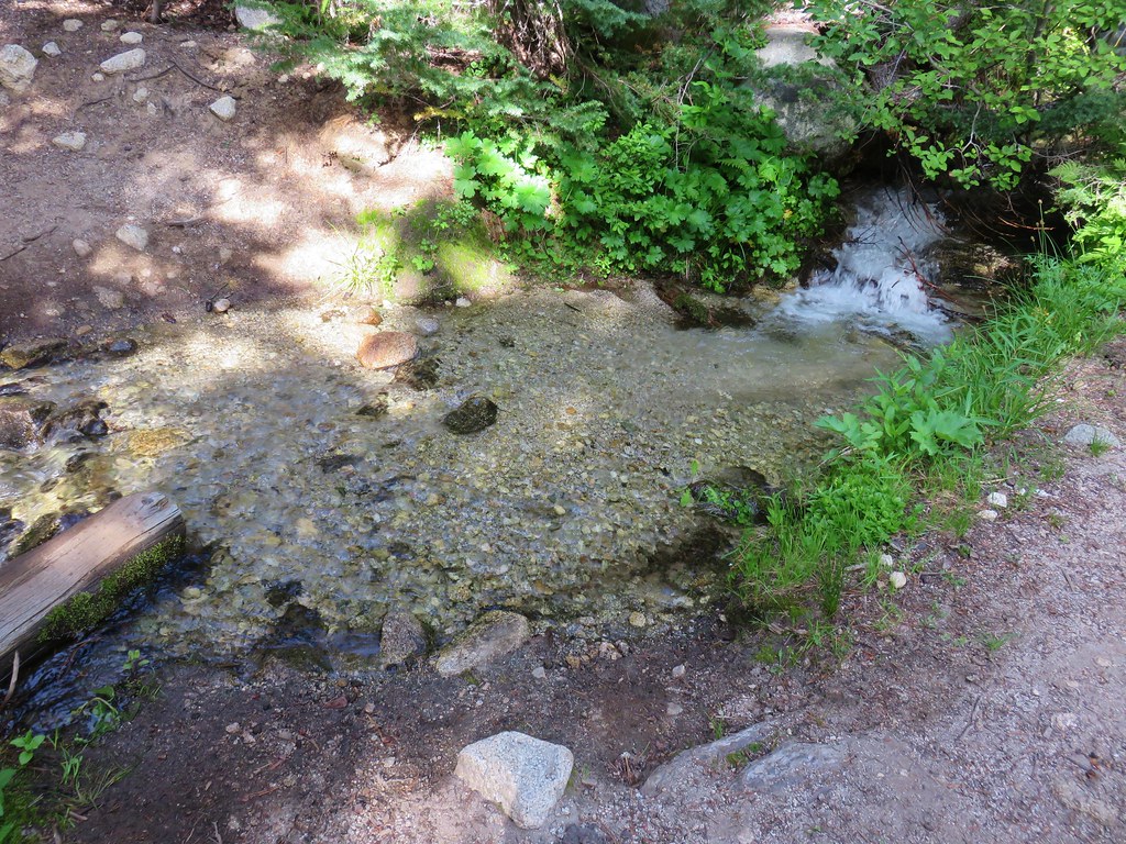
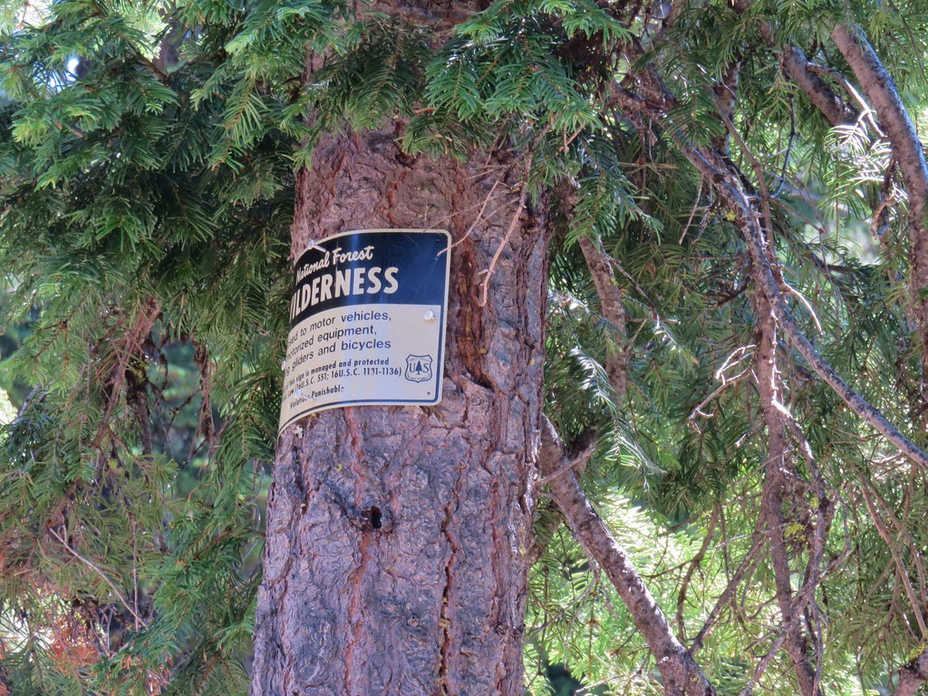
Shortly after making the turn we entered the Russian Wilderness. One of the things that I try and do is get pictures of wilderness signs from the the wilderness areas we visit. We hadn’t noticed a sign by the time we reached an unnamed creak that we knew to be well within the wilderness boundary.
We’d keep a watch for a sign on the way back and would also be crossing the wilderness boundary near Taylor Lake giving us another possible location for a sign.
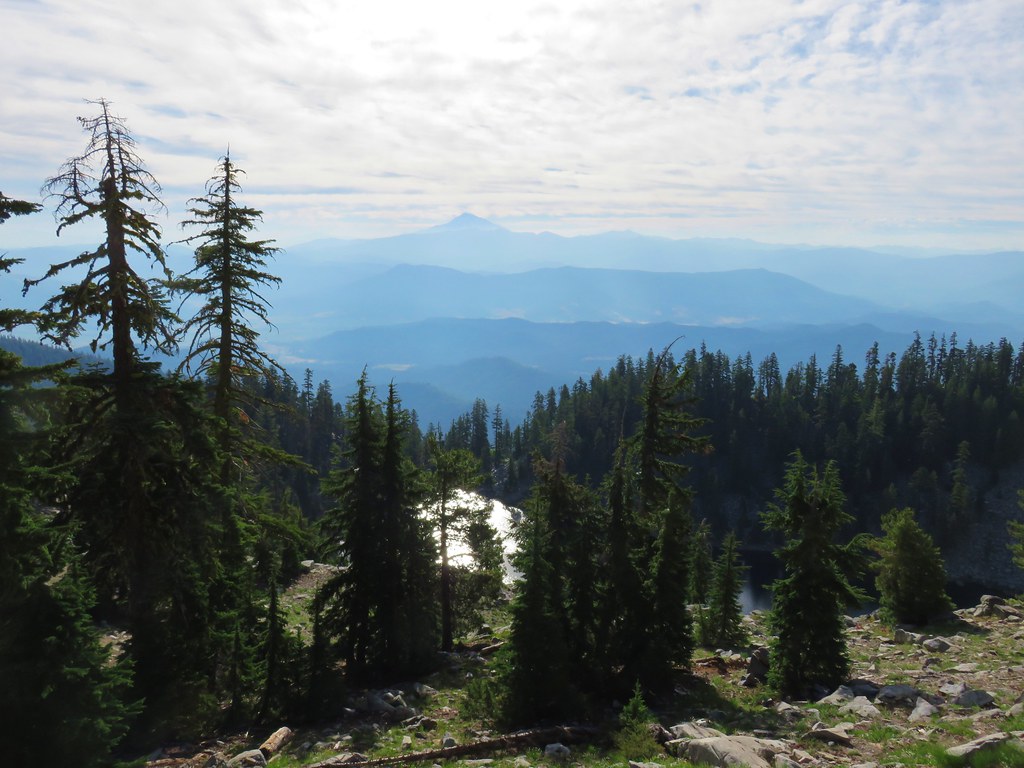
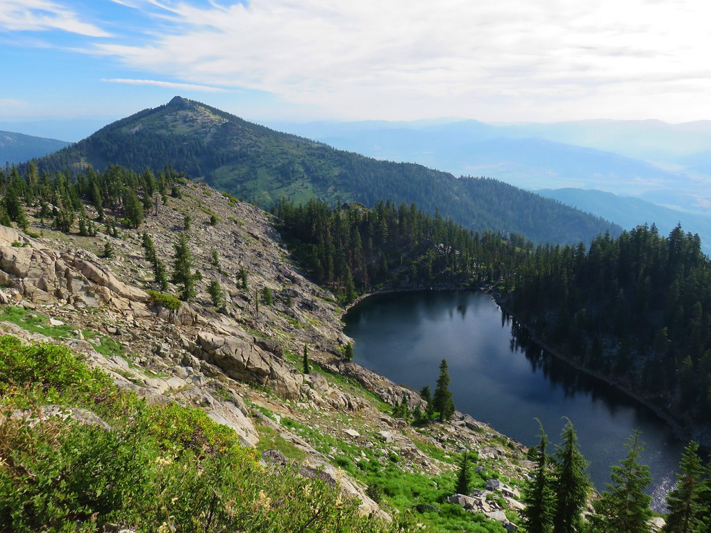
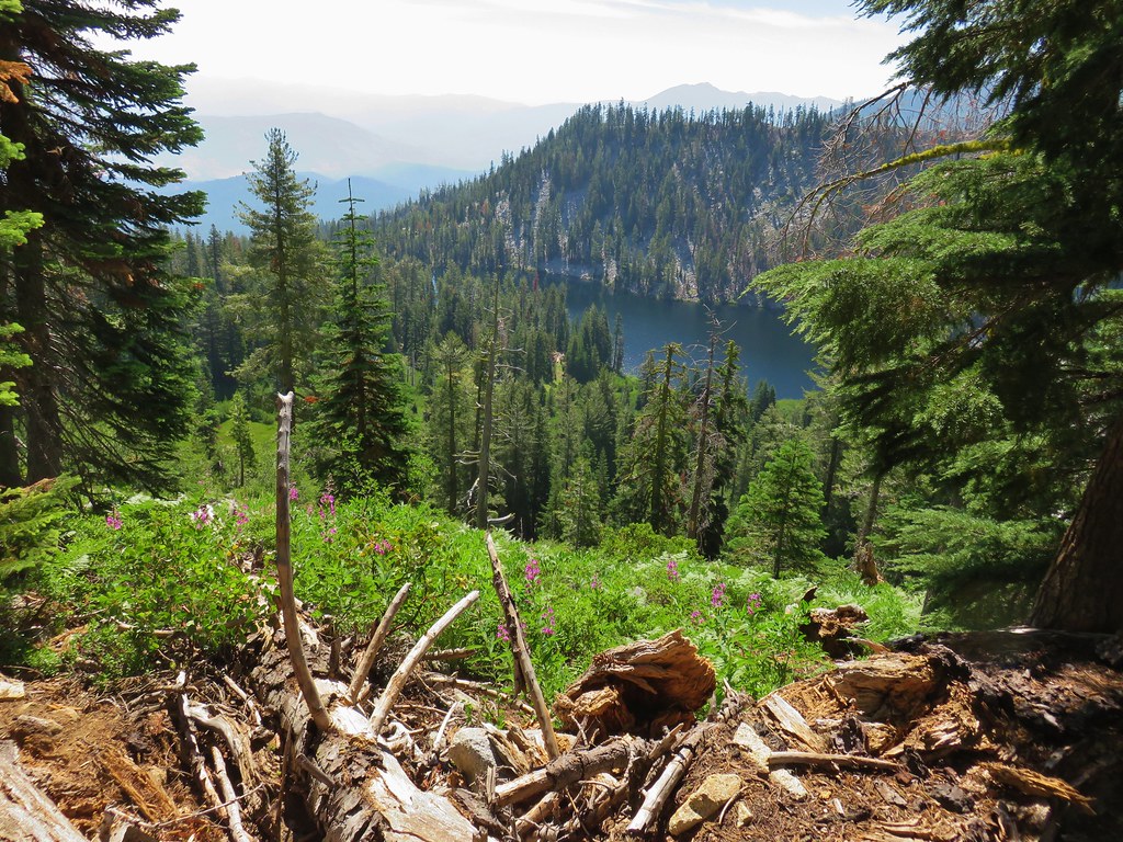
Beyond the creek the PCT rounded another ridge end bringing into view the granite peak above Paynes Lake.

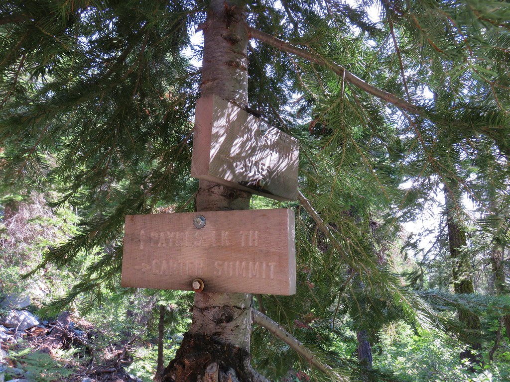
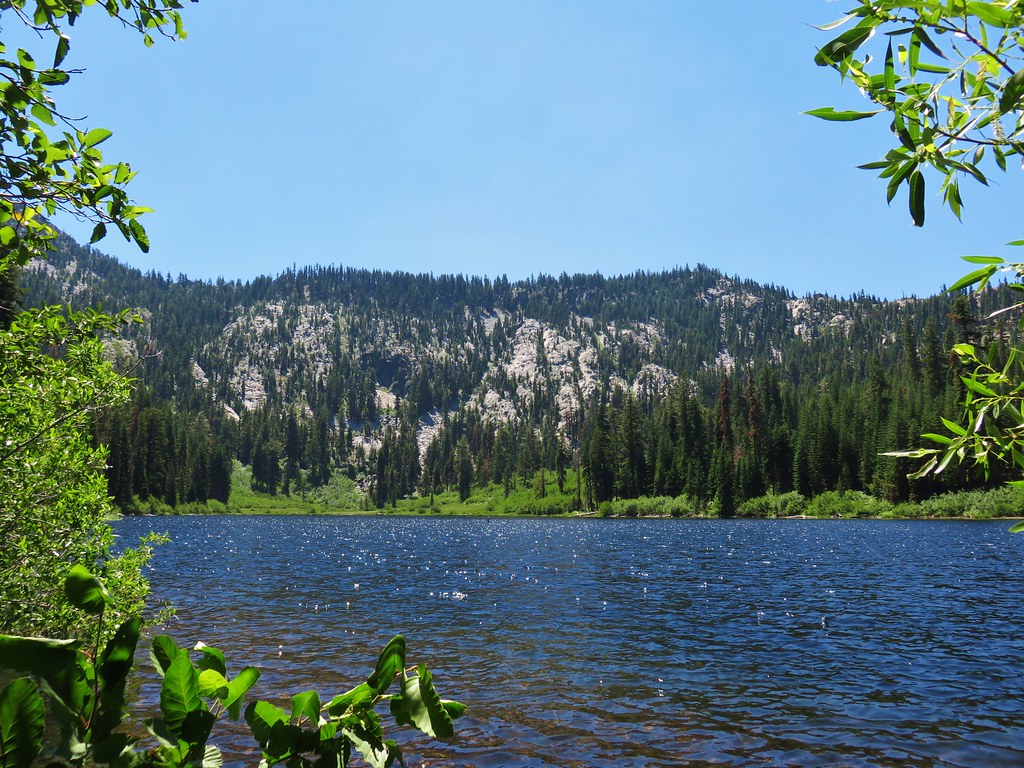
A total of 2.2 miles from the pass above Taylor Lake we arrived at a signed junction with the Paynes Lake Trail.
We turned right here and arrived at the lake after a hundred feet.

After admiring the lake for a few minutes we continued on a path along the north side of the lake. We were hoping to follow this path up to the Albert Lakes. We followed the trail to a meadow where we turned uphill a little too soon.

We were following what at times looked like a possible trail or several game trails through a boggy, brushy meadow.
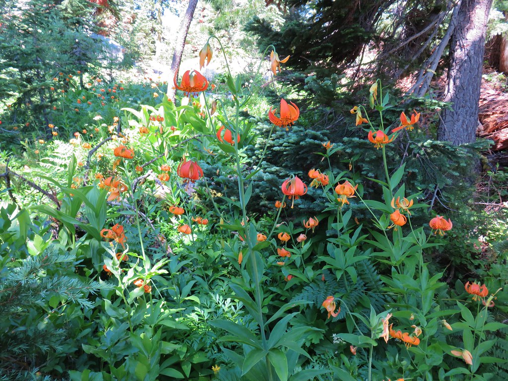
After several consultations with the GPS we managed to find the actual faint trail which was actually on the other side of the meadow. It climbed steeply uphill for about half a mile to a basin above Paynes Lake.
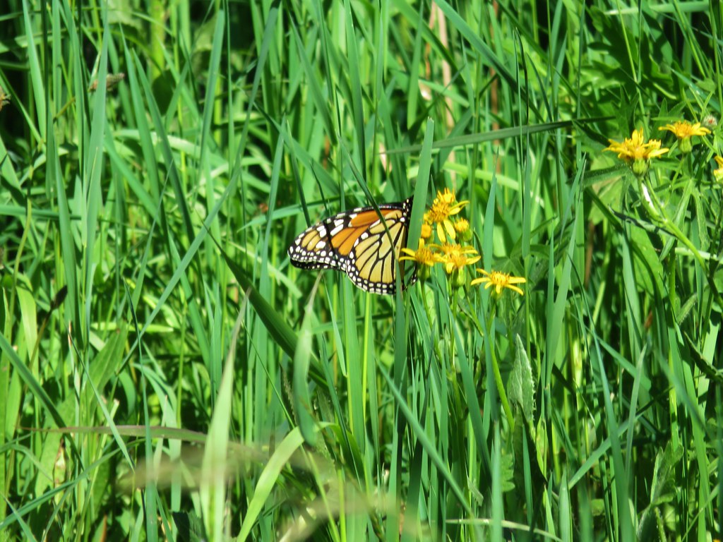
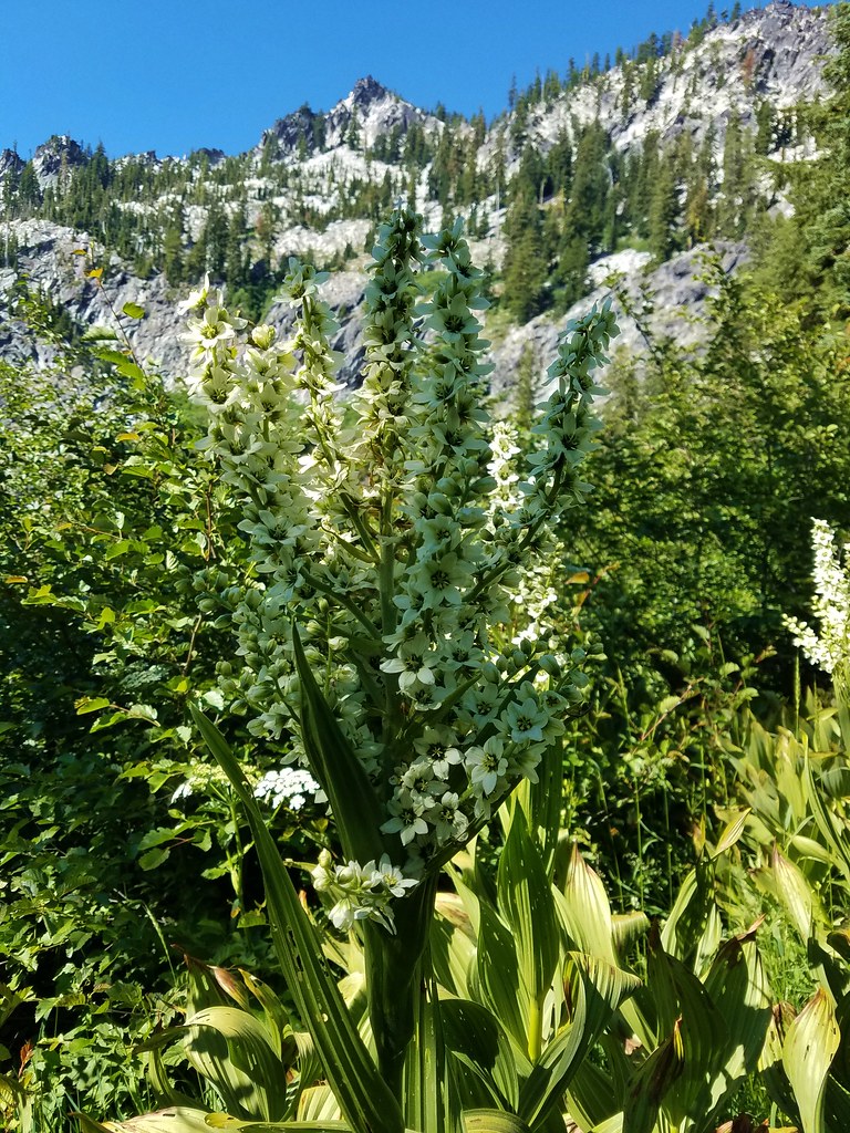
An amazing display of tiger lilies greeted us to the basin.
The visible trail ended at Lower Albert Lake.
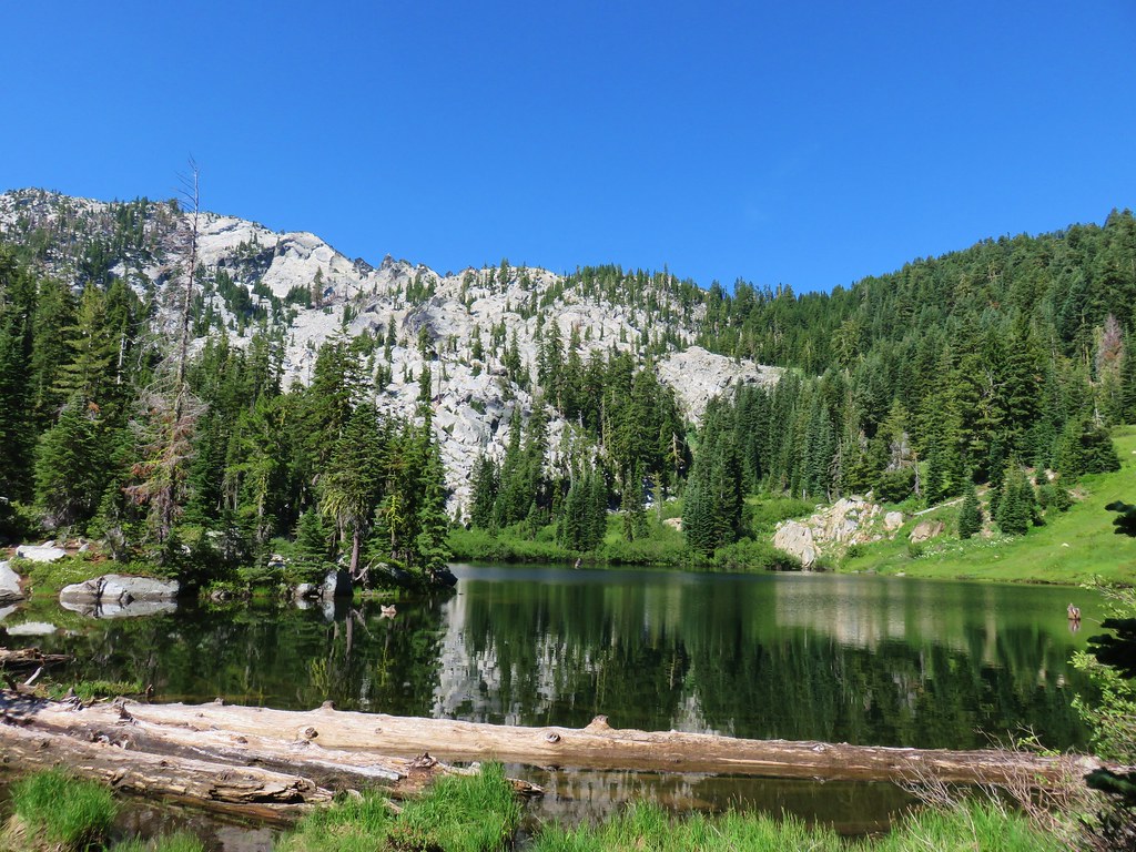
In looking at the surrounding terrain the best route to Upper Albert Lake would likely be around the south side of the lower lake but the water level was high enough that crossing the outlet creek didn’t look particularly appealing nor did the climb up to the other lake. If we had been set on completing a loop to Taylor Lake via Big Blue and Hogan Lakes that would have been the way to go, but that was more than we were willing to take on so we returned to Paynes Lake and headed back along the PCT.
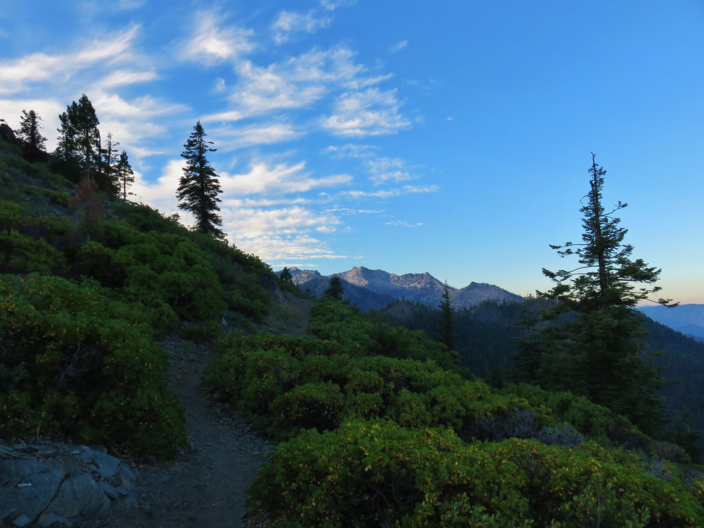
When we arrived back at the saddle above Taylor Lake we had a better view of Mt. Shasta than we’d had that morning.

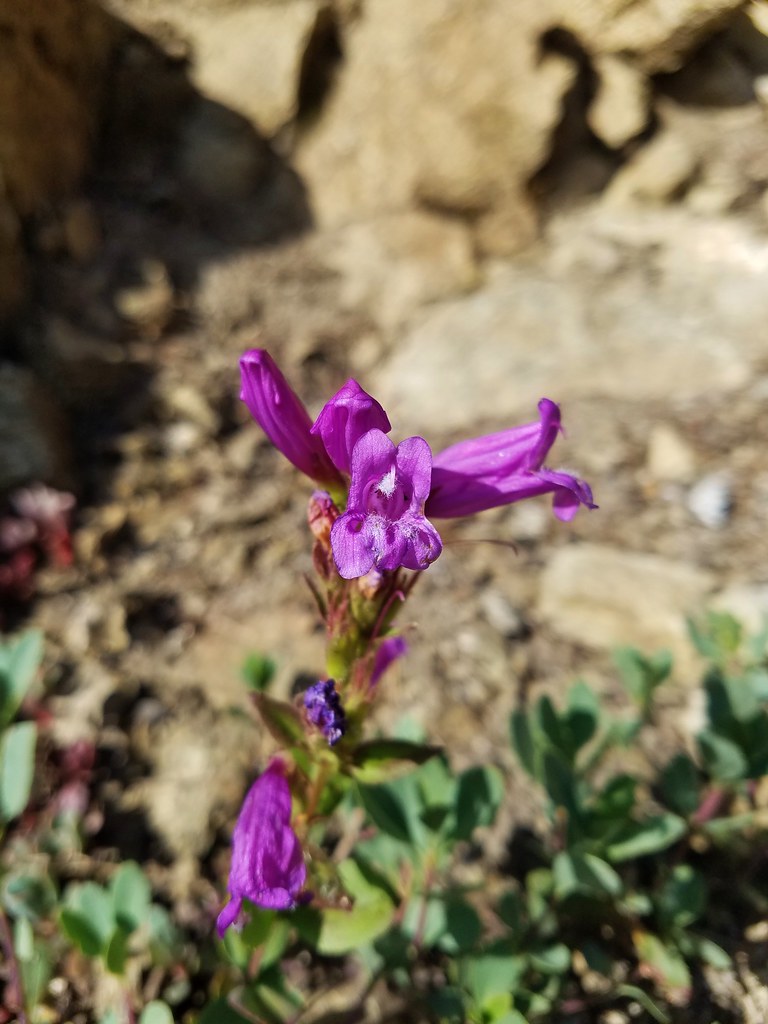
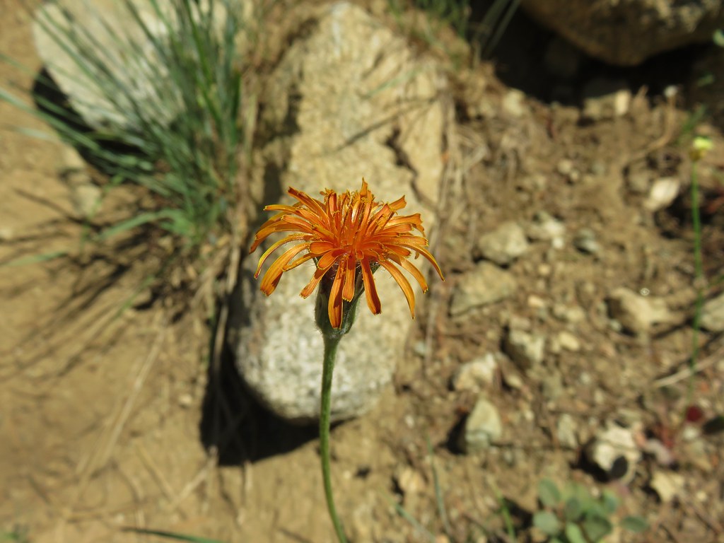
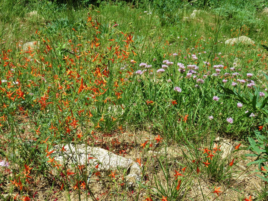
We headed downhill on the steep user trail which switchbacked past some nice wildflowers.

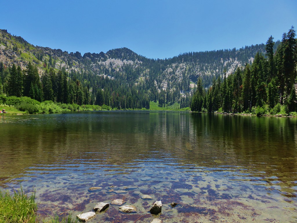
We arrived at Taylor Lake without incident and took another short snack break along the shore before hiking to the right around the lake to the Taylor Lake Trailhead.
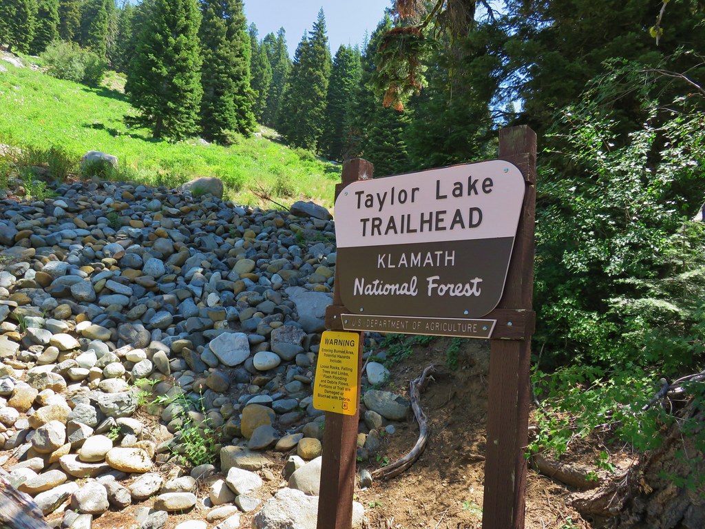
My hopes for a Russian Wilderness sign ended when just before we arrived at the Taylor Lake Trailhead we finally spotted a small generic metal sign marking the wilderness boundary.
From the trailhead parking area we followed a paved road uphill to the right which quickly turned to dirt.
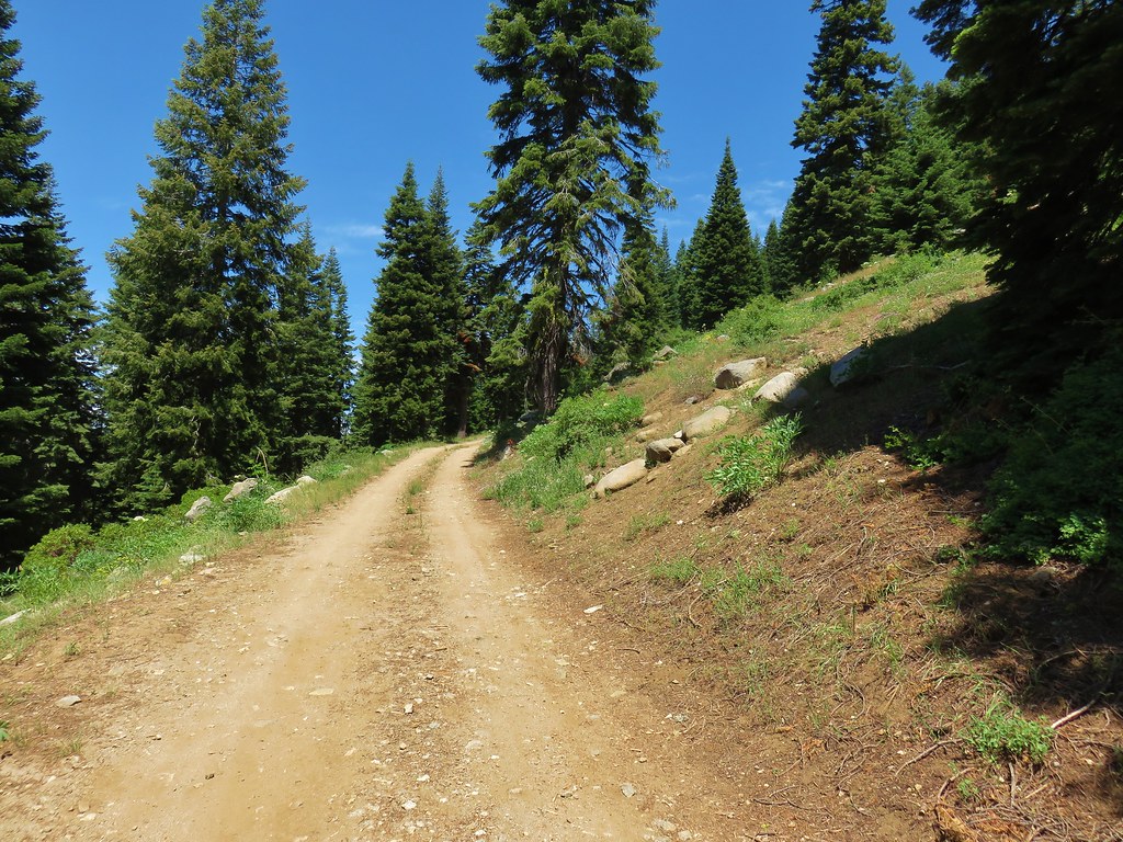
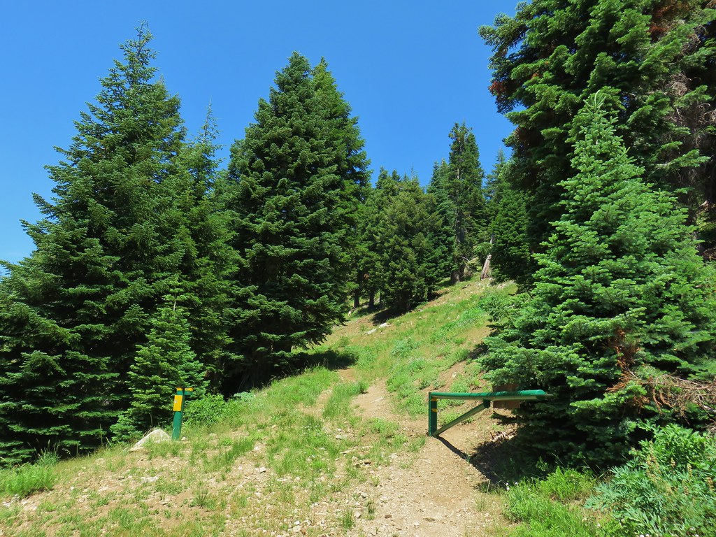
The road was still open up to a green metal gate where it deteriorated to a wide trail.
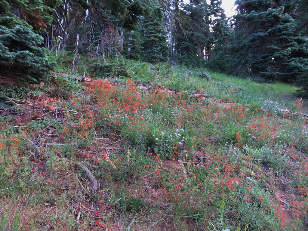
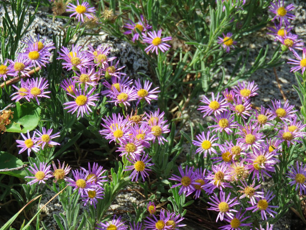
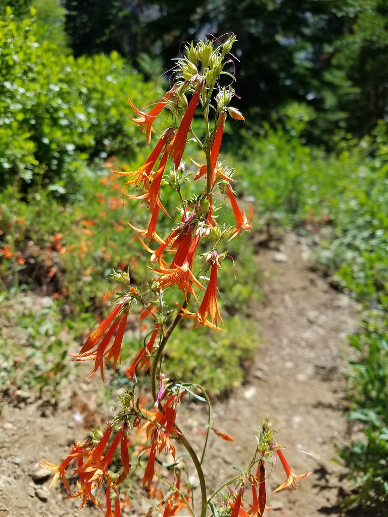
There were a few views and some wildflowers along the 1.2 miles from Taylor Lake to the PCT.

From there it was just 1.7 miles back to the Etna Summit Trailhead where one of the thru-hikers we’d passed on the trail was in need of a ride into Etna, a hiker friendly town along Highway 3. We offered him a ride and had a nice talk during the 10.2 mile drive to town. He introduced himself as Octane from Oakland, CA. He, like many of the thru-hikers this year, had skipped the Sierras due to snow and was having to do sections out of order.
We dropped Octane off in Etna and returned to Mount Shasta City to check the weather forecast to see where we’d be going next. Happy Trails!
Flickr: Paynes Lake

2 replies on “Paynes Lake – Russian Wilderness”
[…] Shasta area in July. On that trip we visited four of California’s wilderness areas: Russian (post), Castle Crags (post), Trinity Alps (post), and Mt. Shasta (post). Our visit the the Trinity Alps […]
[…] #87 Sky High Lakes-Hiked 6/29/2016 #88 Campbell Lake-Hiked 6/27/2016 #89 Paynes Lake-Hiked 7/24/2017 #90 Russian Lake-Hiked 8/24/2022 #91 Hidden & South Fork Lakes-Hiked 8/26/2022 #92 Trail […]