What a strange year 2022 was for us from a hiking standpoint. We have come to the conclusion that there is no such thing as a “normal” year knowing that there will always be surprises and things that we haven’t experienced yet. This year was full of ups and downs, sometimes on the same day. We go into every year with an initial set of hikes planned out for the year knowing that by the end of the year changes will have been made, but this year may have seen the most changes to the initial plan in the 10 years we’ve been doing this. As is the case most years weather and wildfires caused the majority of the changes but in 2022 we were the cause several as well.
Our goal is to get out once a month from Jan through April and in both November and December while taking at least one hike a week from May through October. We had managed to hike a least once a month since February 2013 but the injury bug finally got one of us this year. Heather had to shut her hiking down at the end of September but did manage to get back out for the December hike. I kept to the schedule but instead of the planned hikes which would have been new to both of us I put some new twists on some old favorites. My end of the year numbers were 61 days hiking totaling just over 660 miles with a little more than 115,200′ of elevation gain. Heather’s numbers were 55 hikes, approximately 557 miles, and 97,450′ of elevation gain.
Once again we focused on hikes that were new to us (at least in part) so no day was an exact duplicate of one we’d done before. Union Creek Falls (post) was very close for me but I did manage to see one section of Union Creek that I hadn’t bushwhacked to on my first visit (post). Heather had not been with me that day due to an injury she’d sustained earlier in the day at Abbott Butte. While our Elk and Kings Mountain Loop (post) in May was a repeated hike we added a stop at Killin Wetlands to keep the day from being a repeat. Forty-four days were completely new trail for me while forty-five of Heather’s were new.
Another focus was our continuing quest to complete 100 featured hikes from each of the five William L. Sullivan’s “100 Hikes…” books (Feb 2022 Progress Report). We’ll go into more detail on that quest in our annual progress report next month, but we managed to make significant progress in the Southern Oregon/Northern California area and inched a little closer to our goal in Eastern Oregon. We now have an outside shot of finishing all 500 by the end of 2024.
Five days were spent hiking in Washington while twelve days were, at least in part, spent in California, our first visits since 2018. We visited four designated wilderness areas in California including our first ever visit to the Siskiyou Wilderness (post).
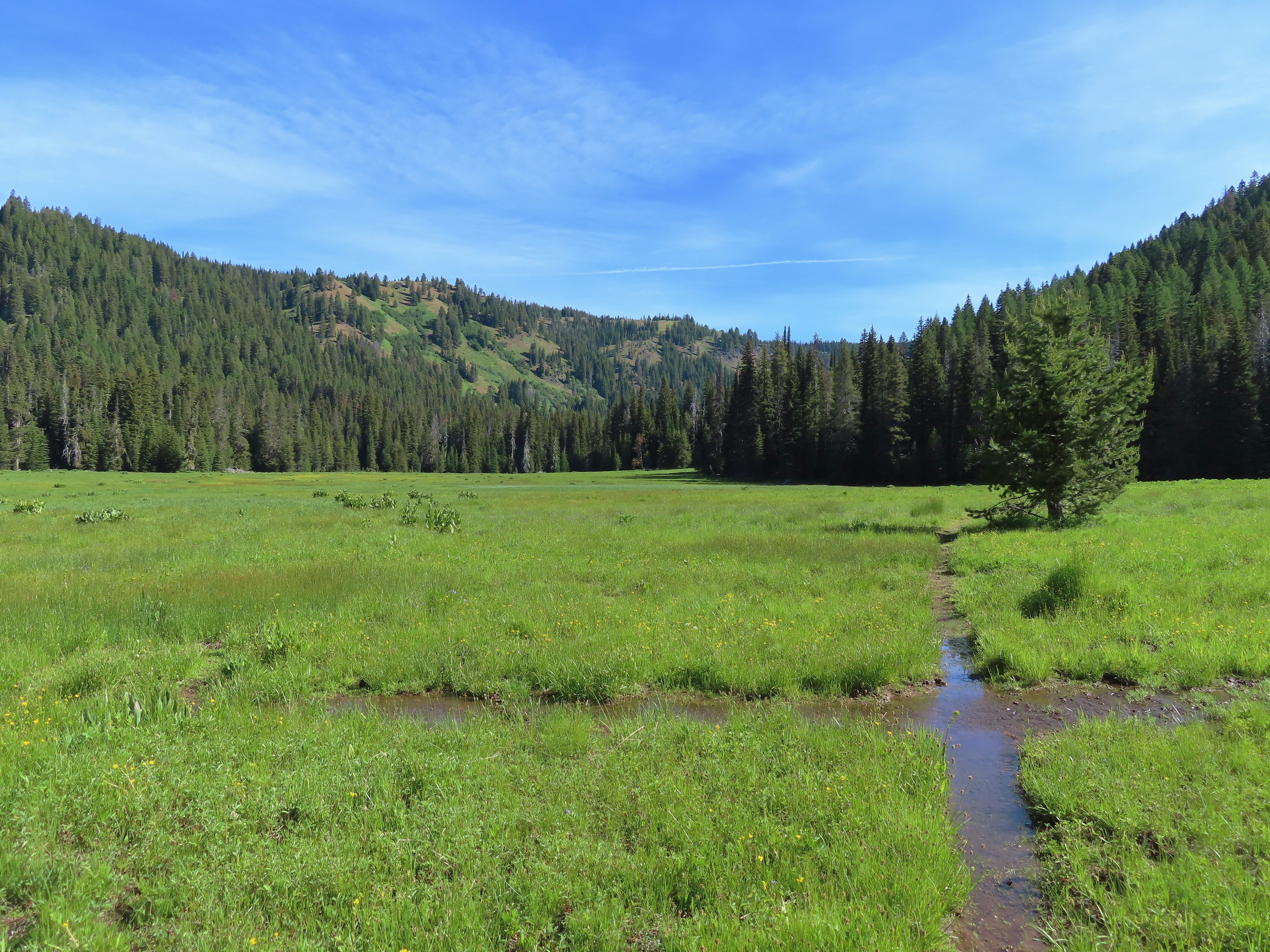
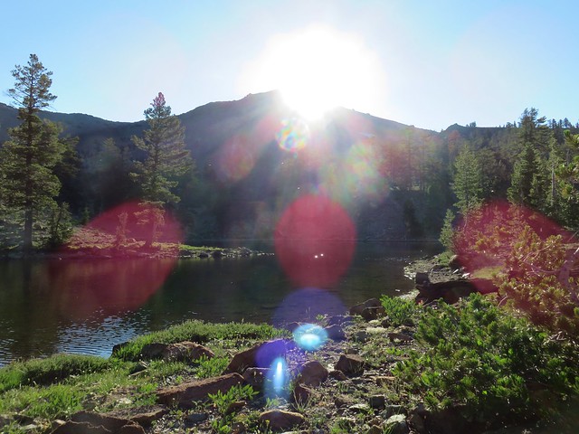
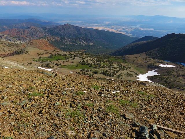
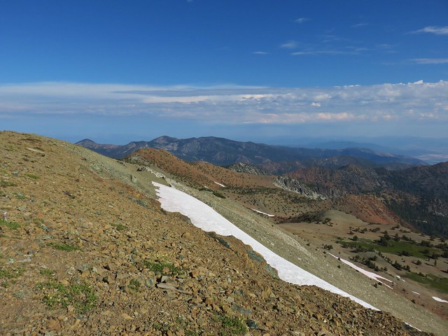
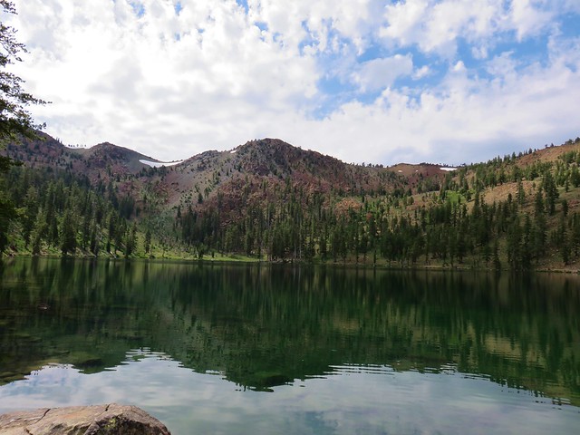
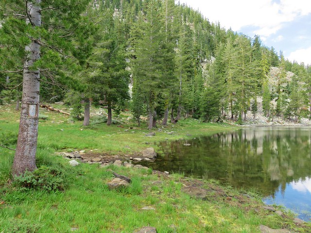
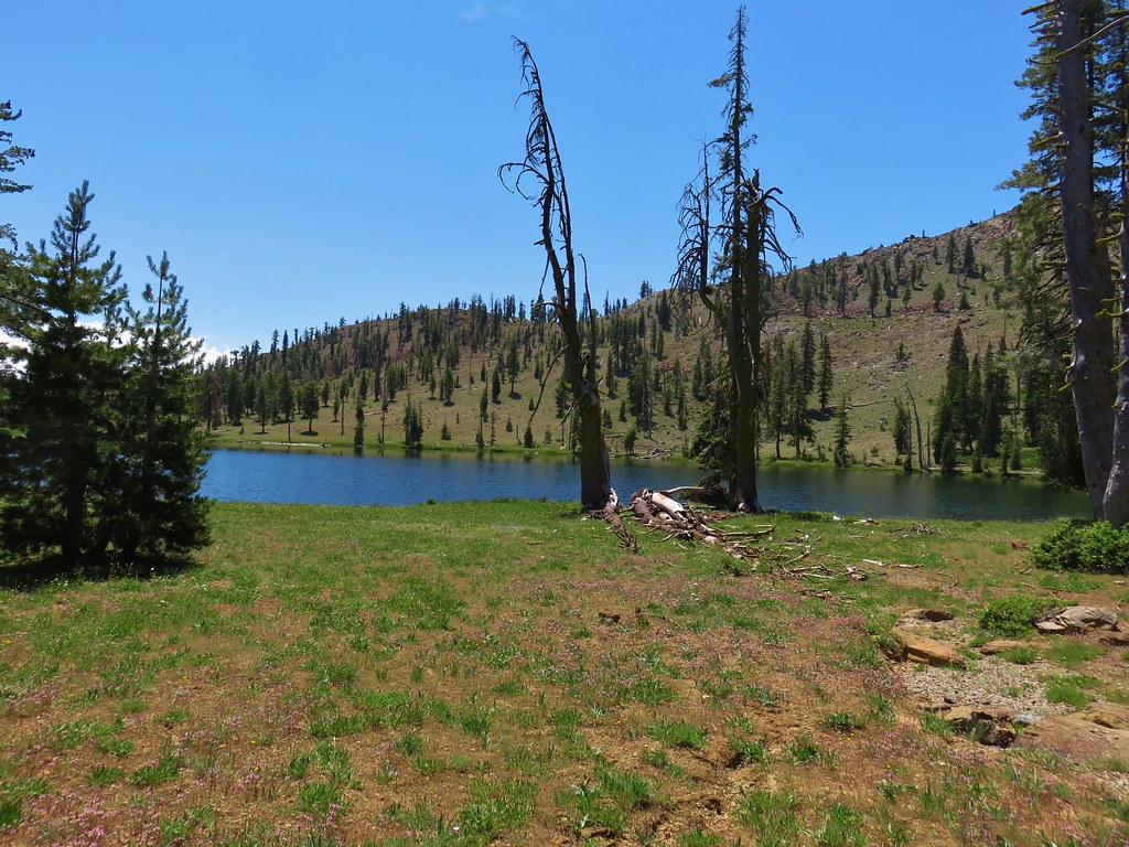
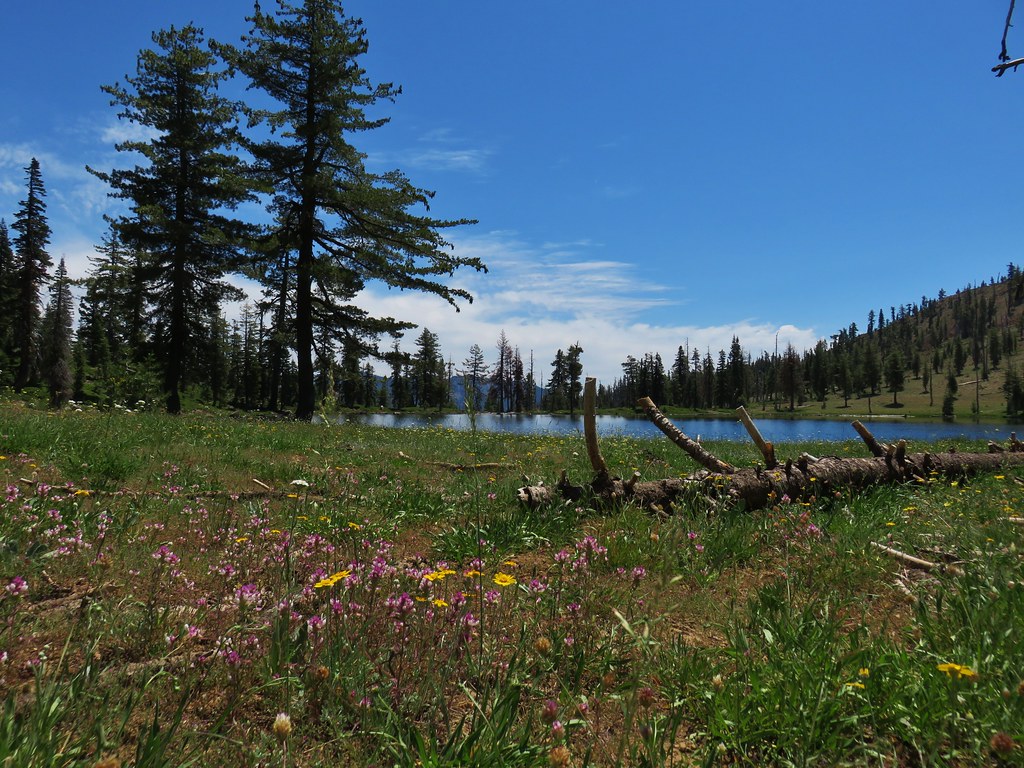
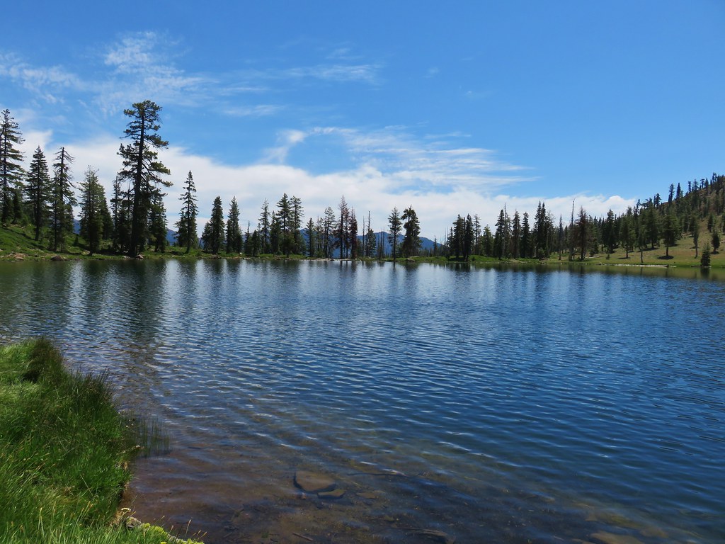
It’s interesting to me each year to see what hikes were the furtherst in each direction on the map. This year our most southern hike was our visit to Trail and Long Gulch Lakes (post).
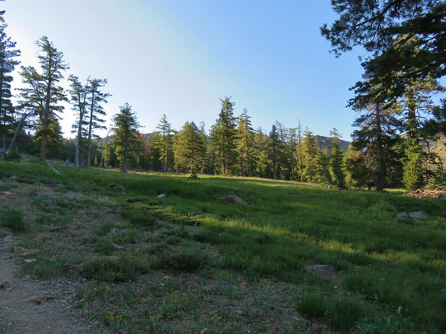
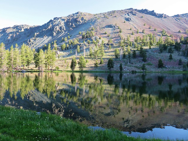
 Long Gulch Lake. The furthest south we hiked was on the trail a short distance after leaving this lake.
To the west one of the beaches along the Pacific Ocean is typically our most western hike but this year it was just inland from the ocean at Yakona Nature Preserve (post).
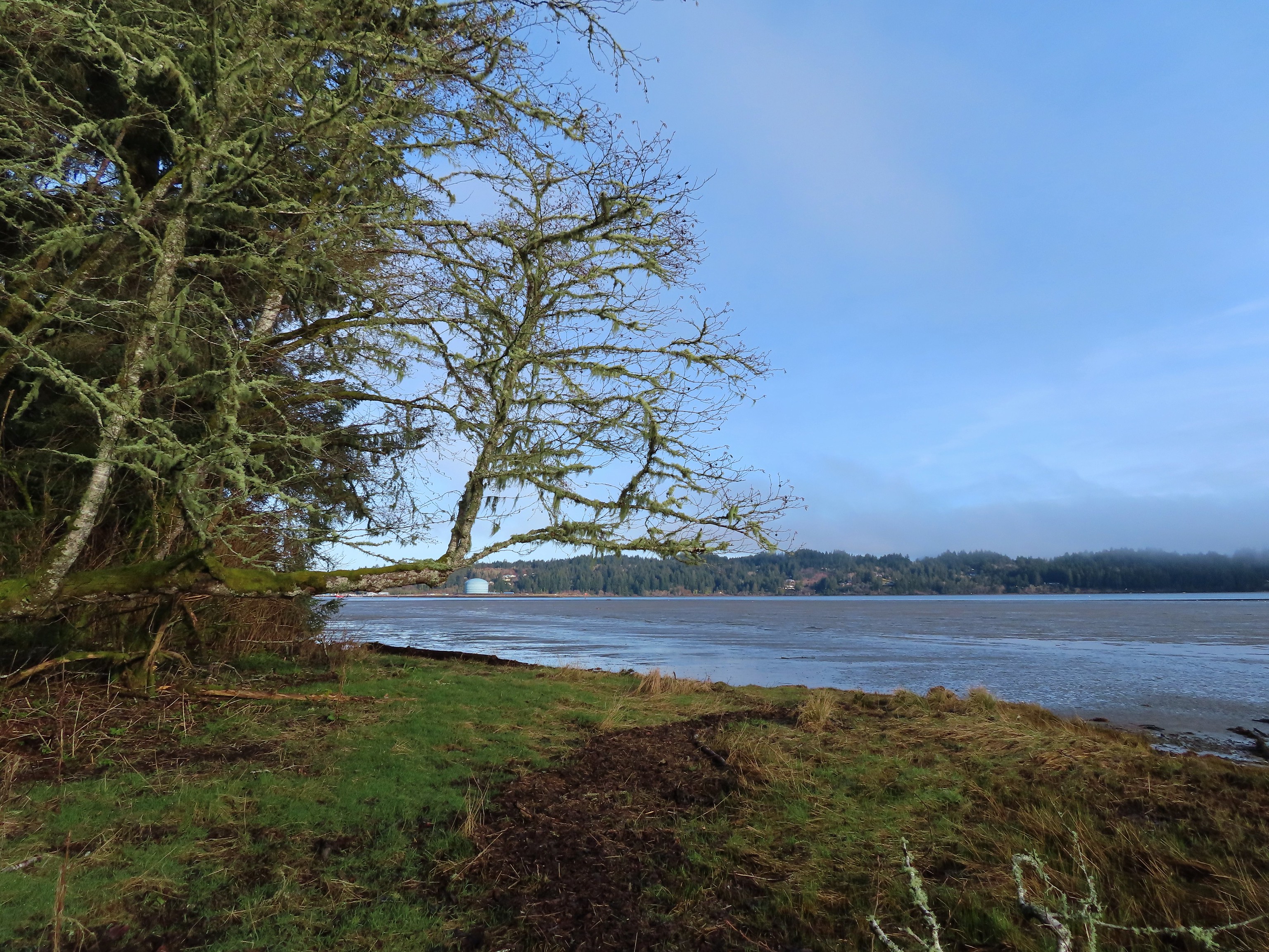 Technically the western most spot we hiked at was the trailhead for this hike, but the Yaquina River was a nicer picture.
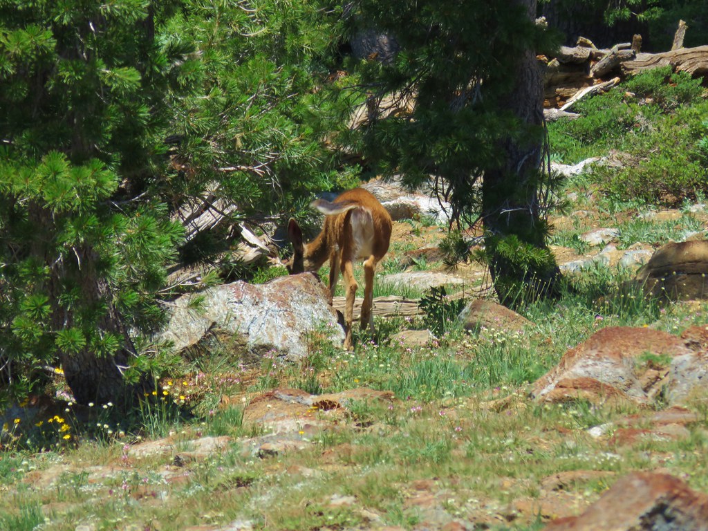
Surprisingly our northernmost hike was neither our visit to Goat Marsh Lake at Mt. St. Helens (post) or Crystal Lake in the Mt. Adams Wilderness (post) but rather a hike we did just across the Columbia River from Oregon at the Julia Butler Hansen Refuge for the Columbian White-Tailed Deer (post).
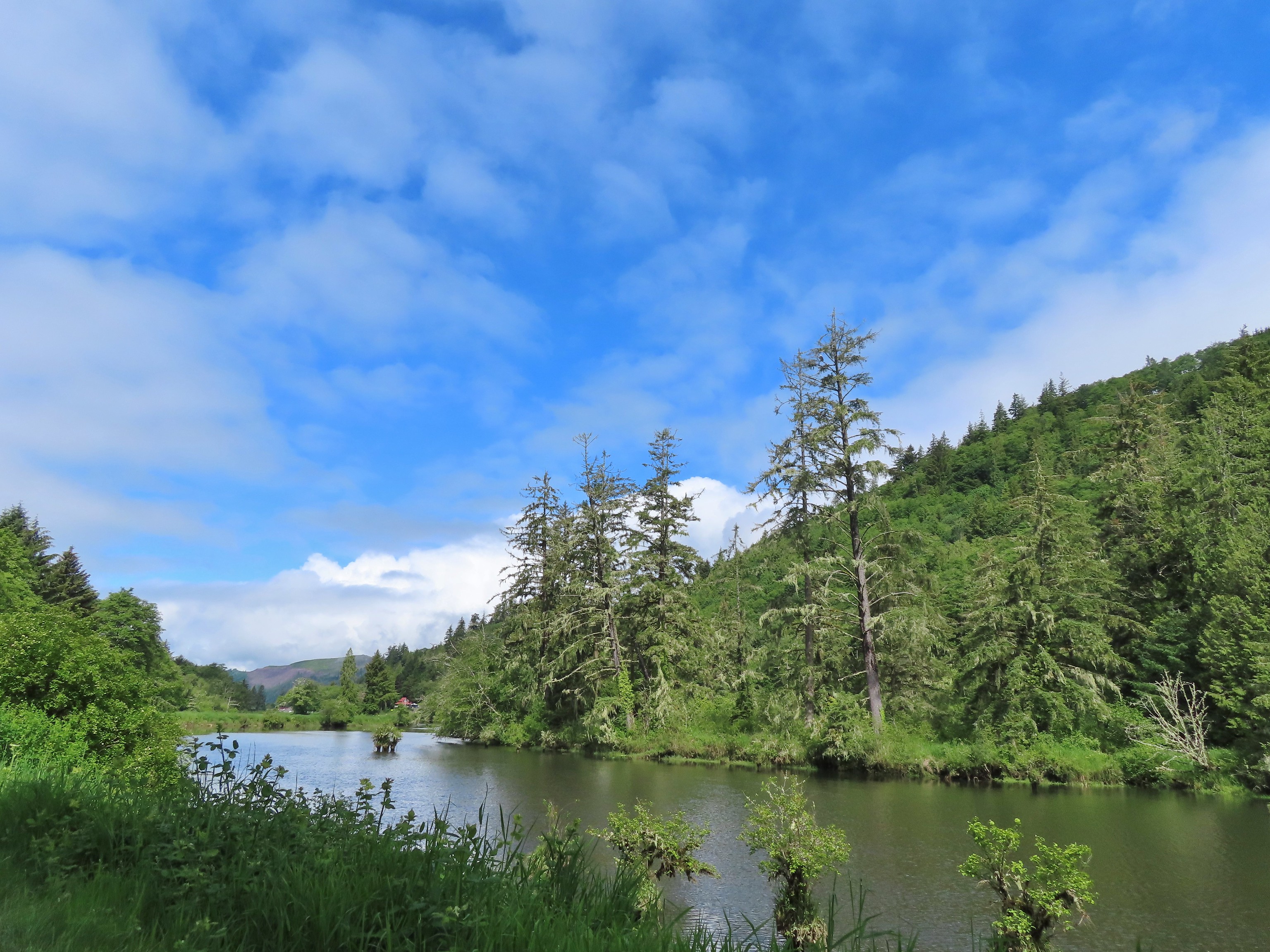 We hit our northernmost point during the stretch of our hike that followed Brooks Slough.
Our one trip to Eastern Oregon produced our easternmost hike which was a visit to the Wallowa Homeland (post) in Wallowa, Oregon.
 View of the Wallowa Mountains from our easternmost point.
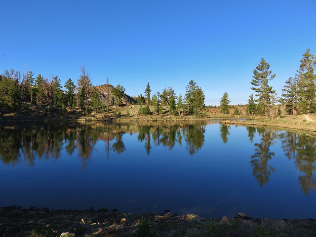
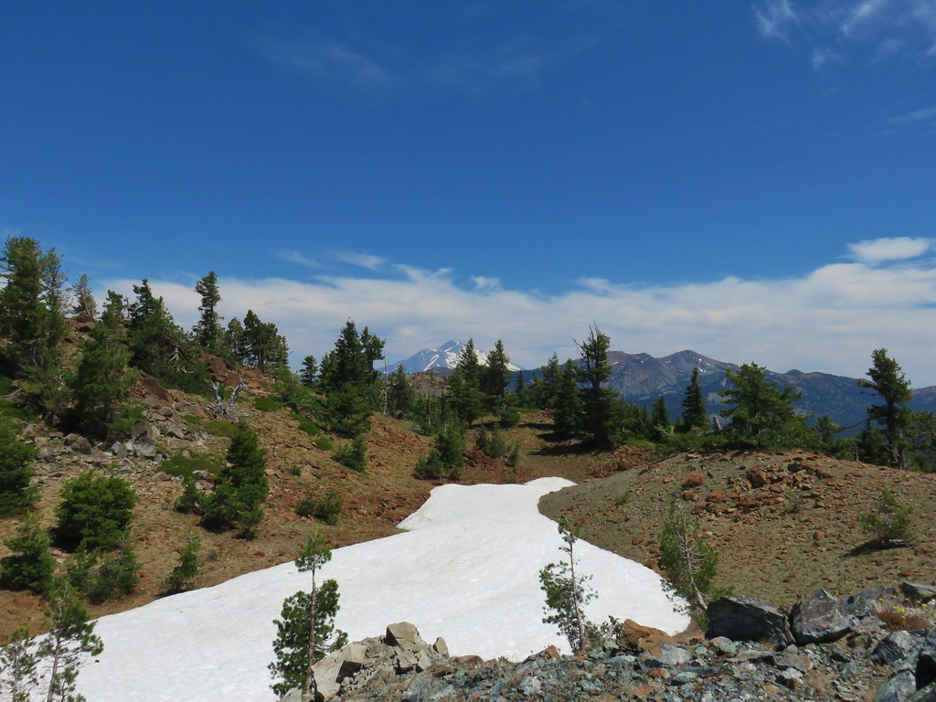
While weather considerations prompted us to make a number of changes to the timing of, and sometimes destinations for, our hikes 2022 may well have been the best all-around weather conditions we’ve experienced in a year. Several hikes throughout the year had forecasts for possible rain showers yet we only experience a couple of very brief periods of precipitation. Clouds also seemed to be less of an issue this year than in years past. It seems that almost every year we have at least one “viewpoint” hike where we arrive to find ourselves in a sea of grey. This year that really didn’t happen. We did arrive at the lookouts atop Illahee Rock (post) in the clouds, but the lookouts were the goal not necessarily the view.

Furthermore, it was just the first of two stops that day and by the time we arrived at our second viewpoint of the day above Twin Lakes the views had drastically improved.

Wildfires, which there were still far too many of, also had much less of an impact on our plans than they’ve had the last couple of years. The second week of September was the only time fires forced us to get creative. Heavy smoke saw us stick close to home for a short hike at the Spring Valley Greenway (post).
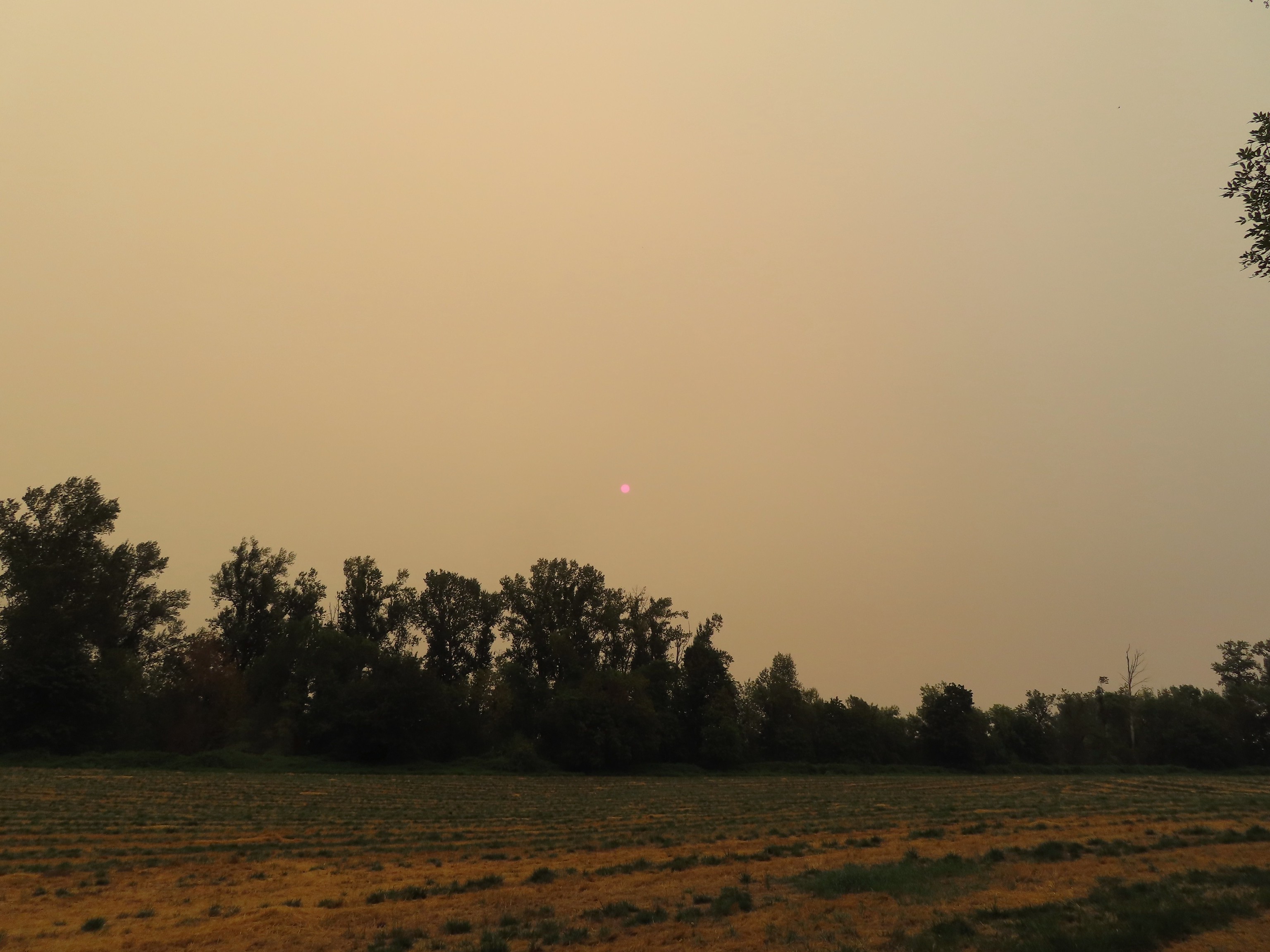 That’s the Sun above the trees.
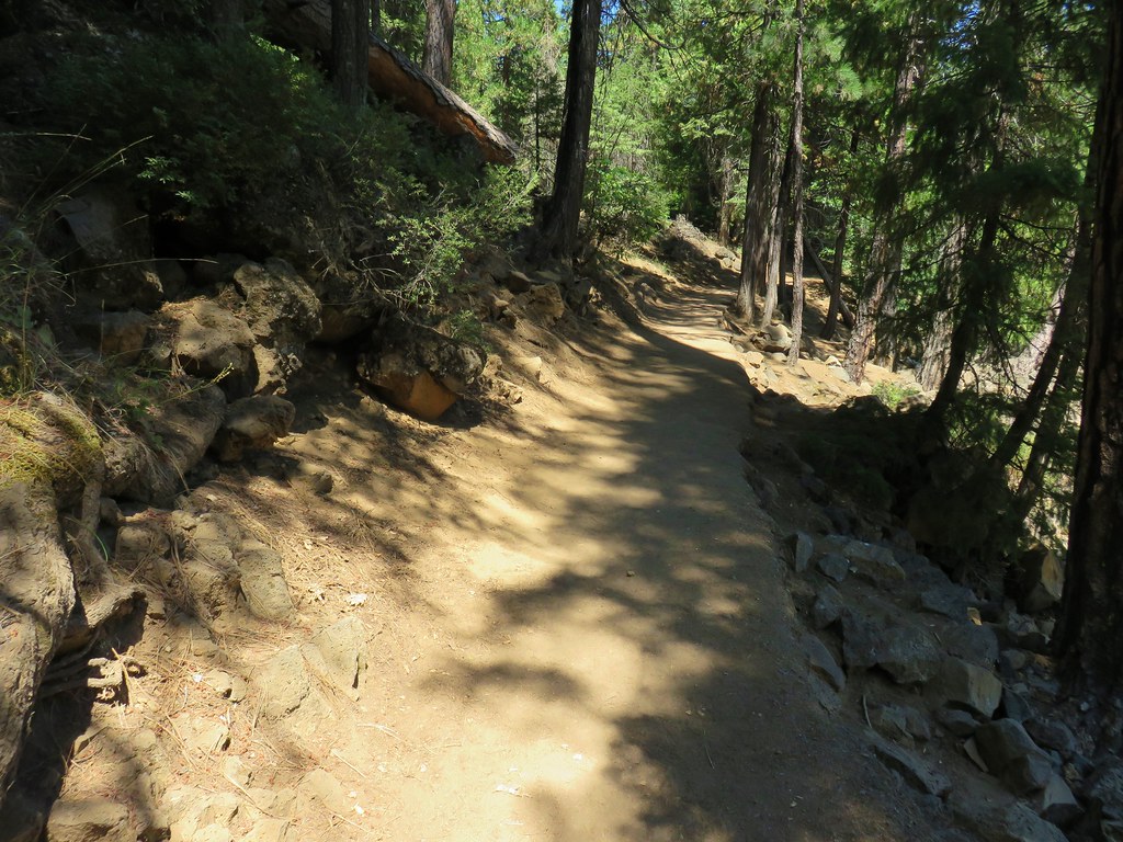
I believe the destinations for our 2022 hikes were the most diverse in terms of the type of managing agency/entity. We visited trails located on private timberland (obtaining permits ahead of time when required), in city, county, state and national parks, and privately owned nature preserves (again with permits where required). We took hikes on BLM managed lands, state and federal wildlife refuges, state and national forests, wilderness areas, and a National Volcanic Monument. Our hikes also took place on a variety of trail types and surfaces.
 Iced over snow in Portland’s Forest Park.
 The Crown-Zellerbach Trail, a converted logging road.
 The Klickitat Trail, a converted railroad.
 The Hood River Pipeline Trail.
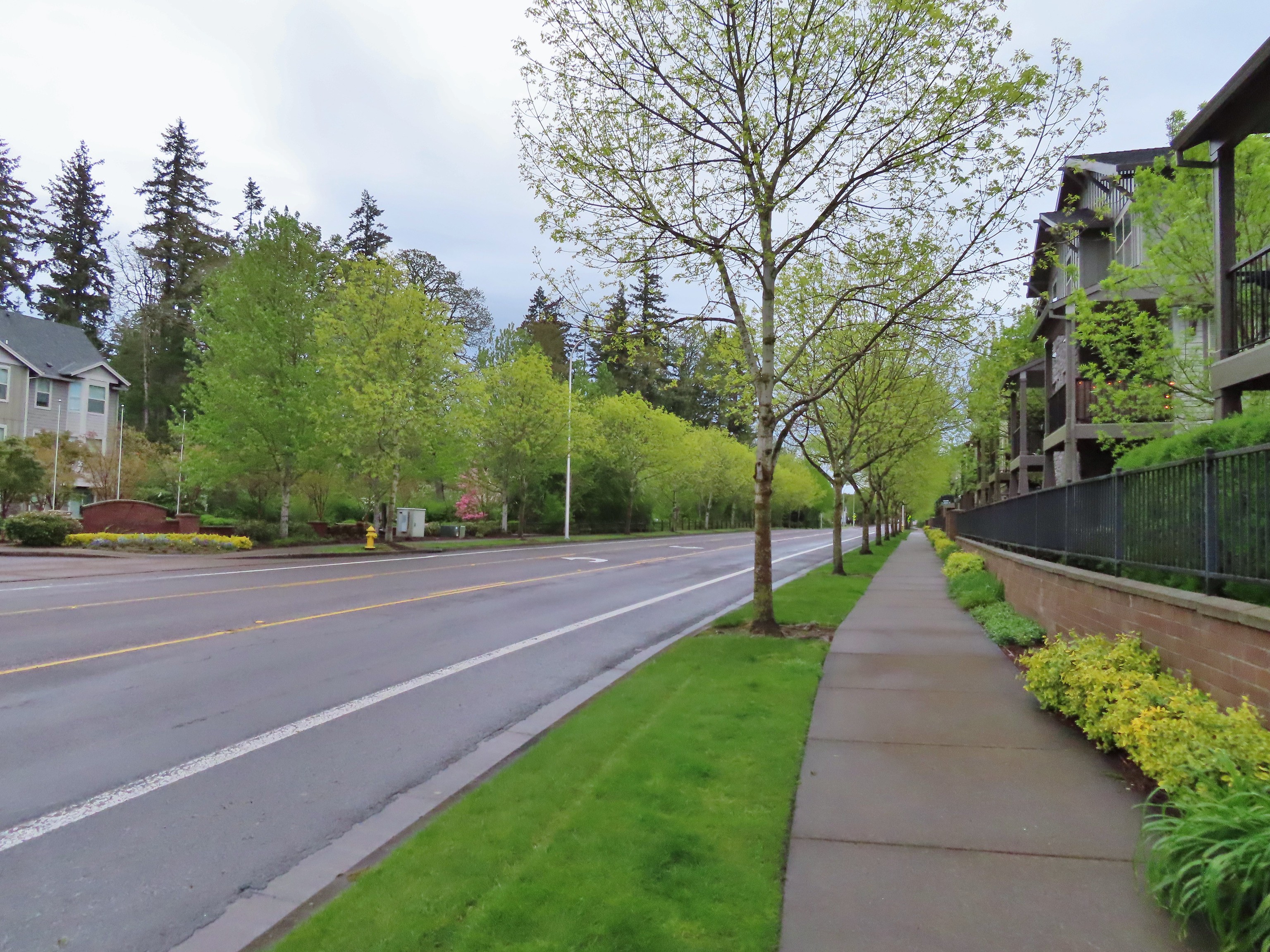 Sidewalk, Rock Creek Trail.
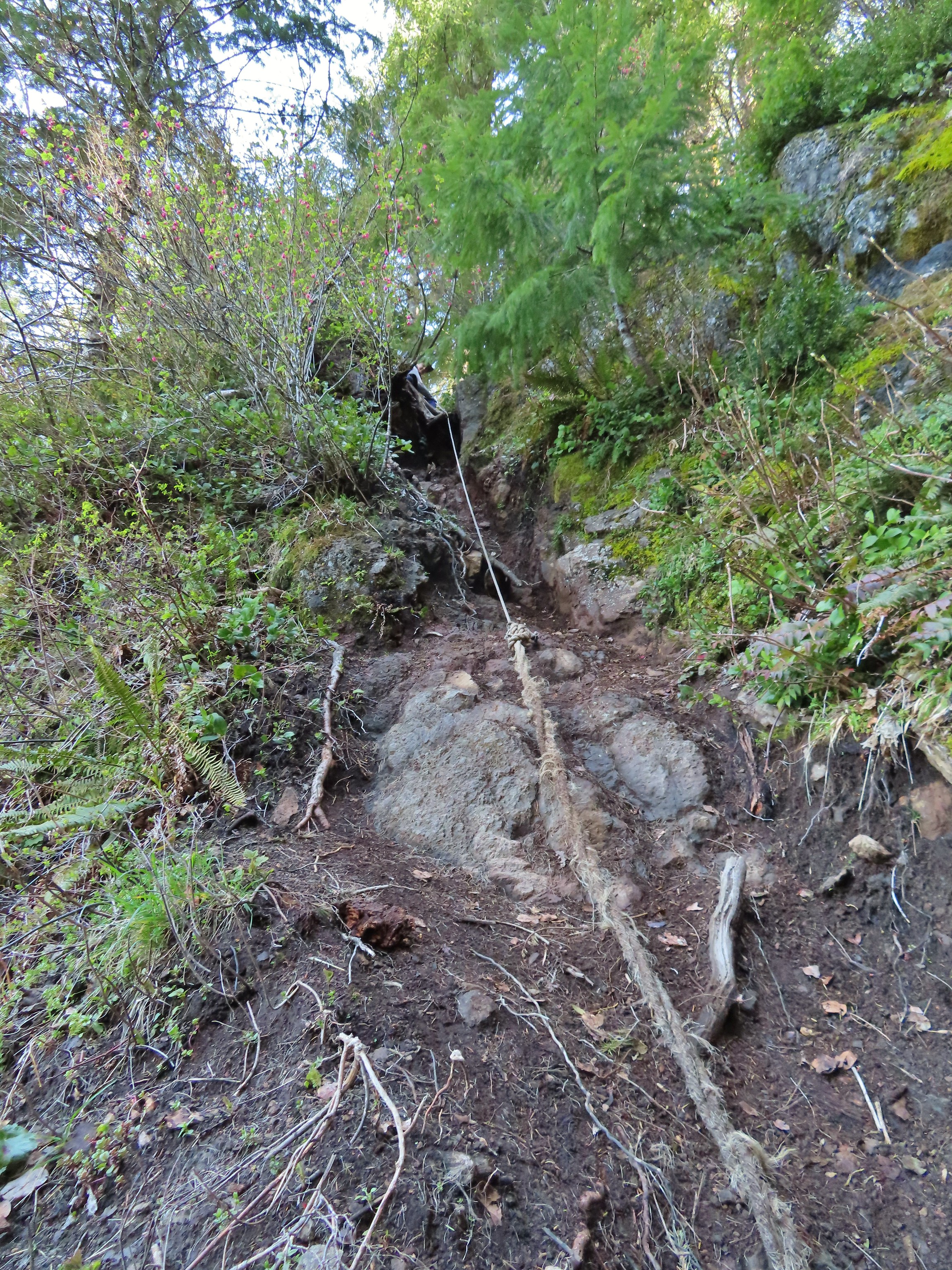 Rope section of the Kings Mountain Trail.
 Gravel Road at Denman Wildlife Area.
 Paved Brooks Slough Road, Julia Hansen Butler Wildlife Refuge (it is open to cars).
 Dirt road at Siskiyou Gap.
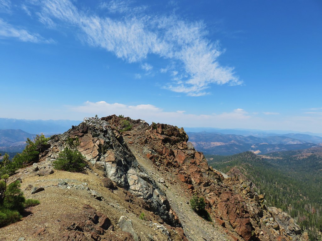
 Cross-country to Observation Peak.
 Crossing over granite to reach the Devil’s Punchbowl in the Siskiyou Wilderness.
 Water covered trail at Catherine Creek Meadows.
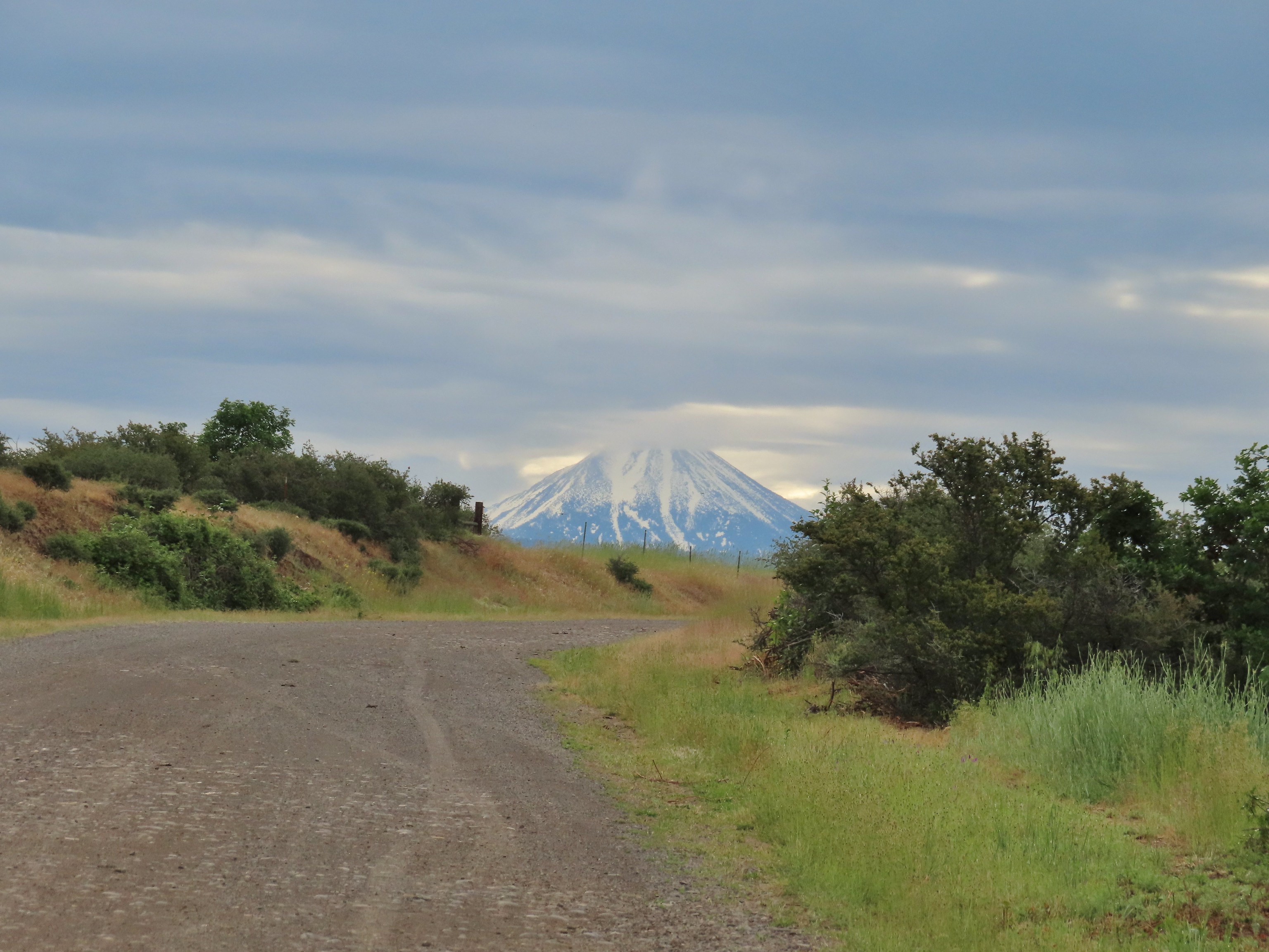
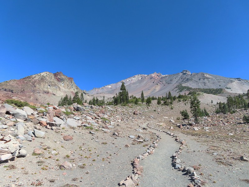
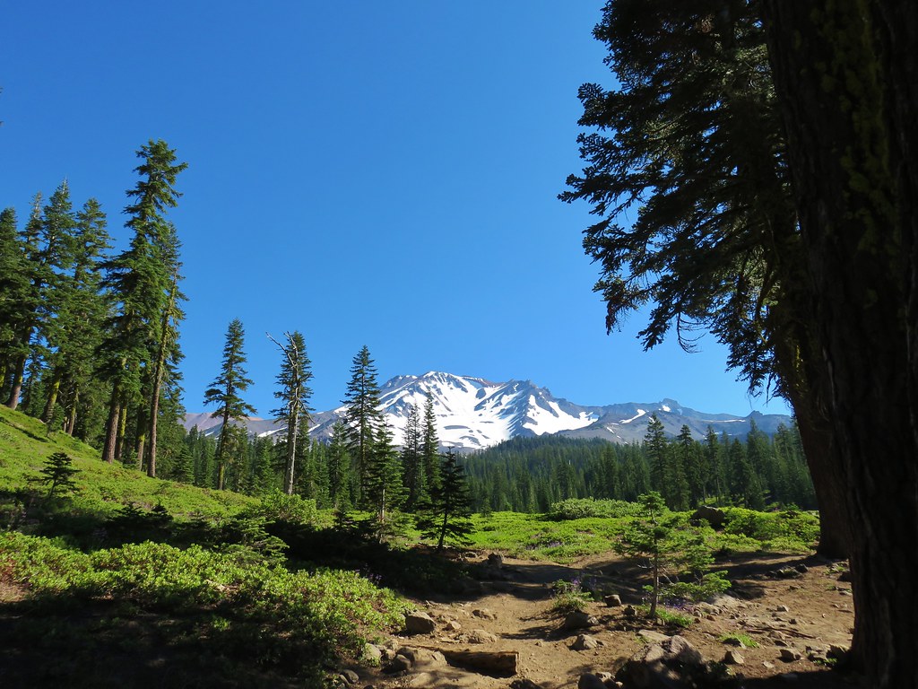
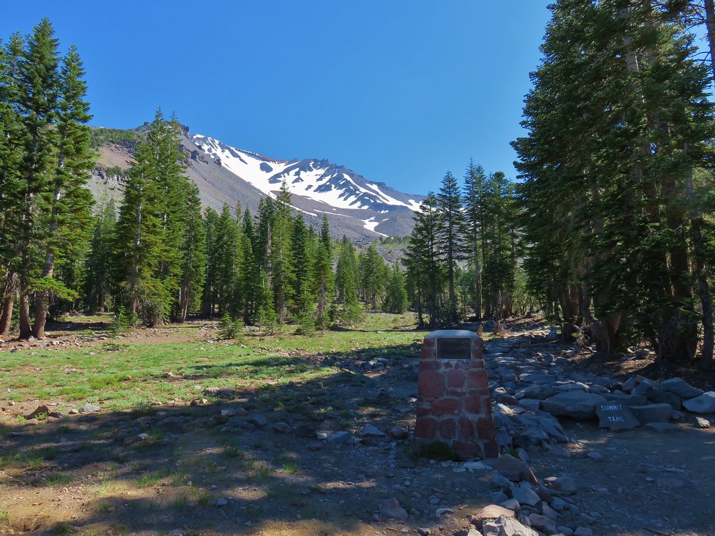
 Sandy dirt Mt. Shasta.
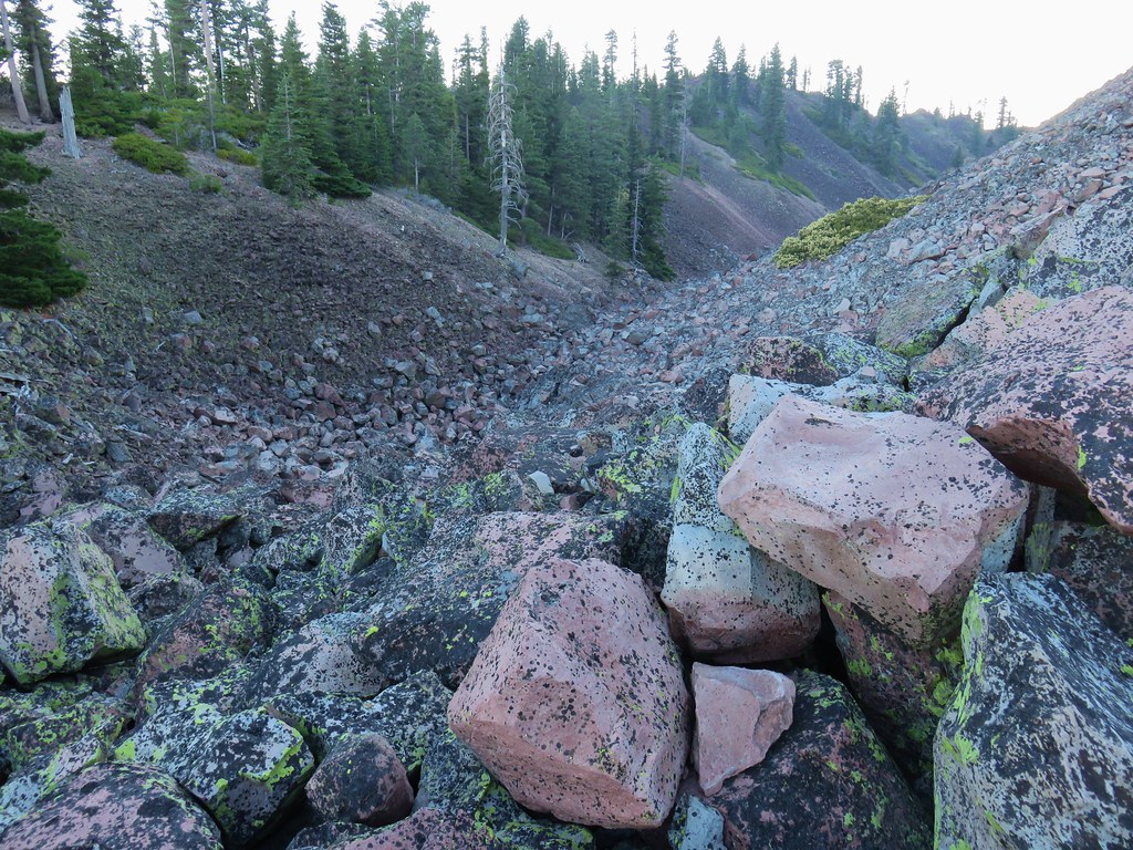
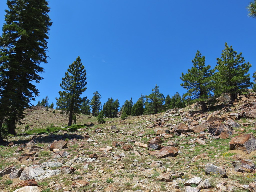
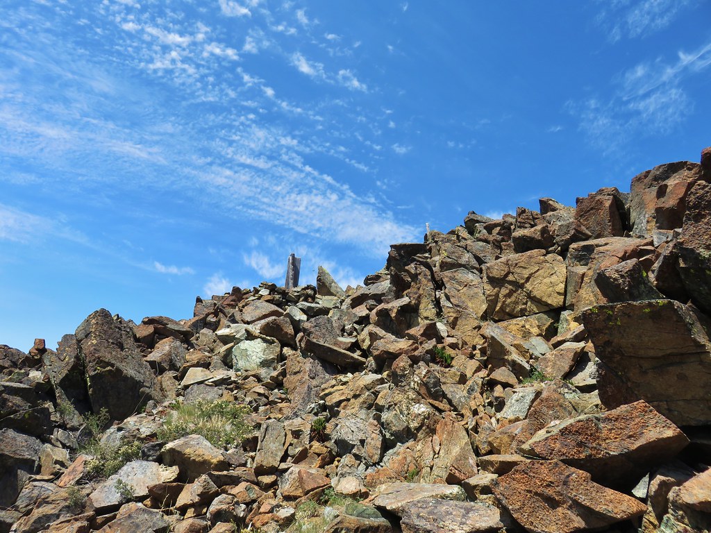
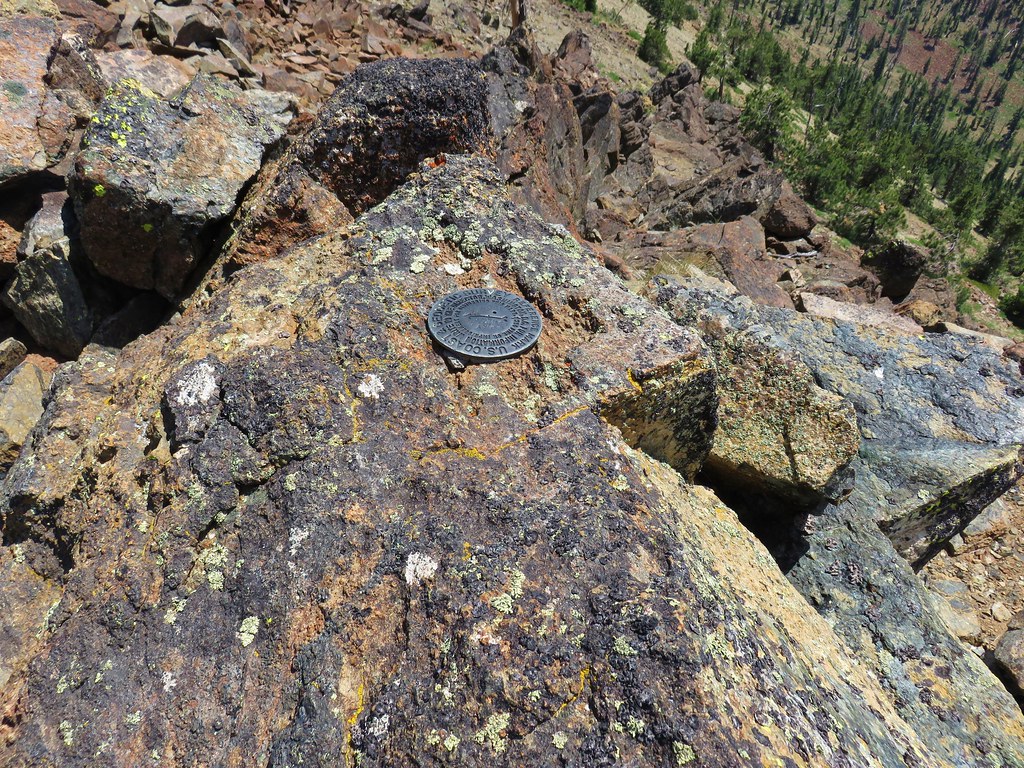
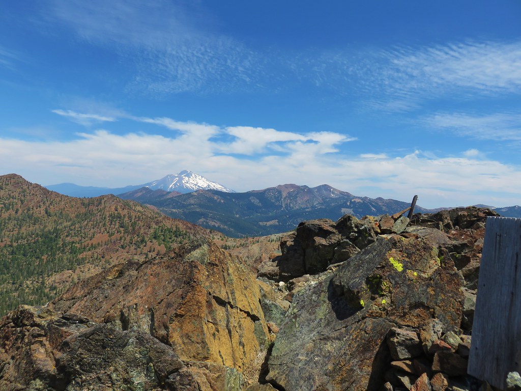
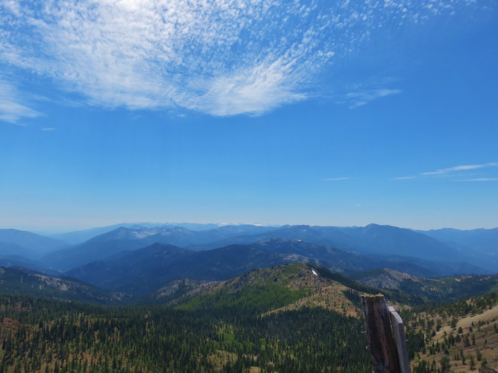
 Rock field, Union Peak.
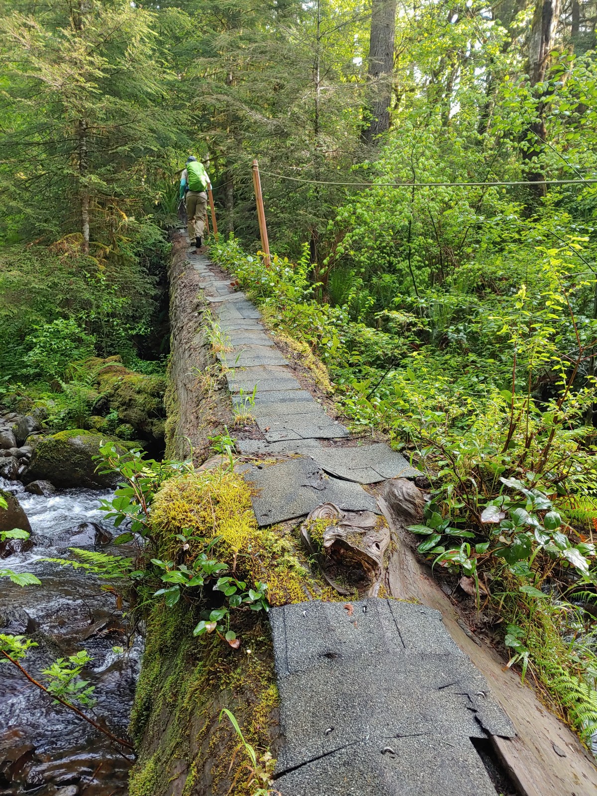
 The remains of the Union Creek Trail.
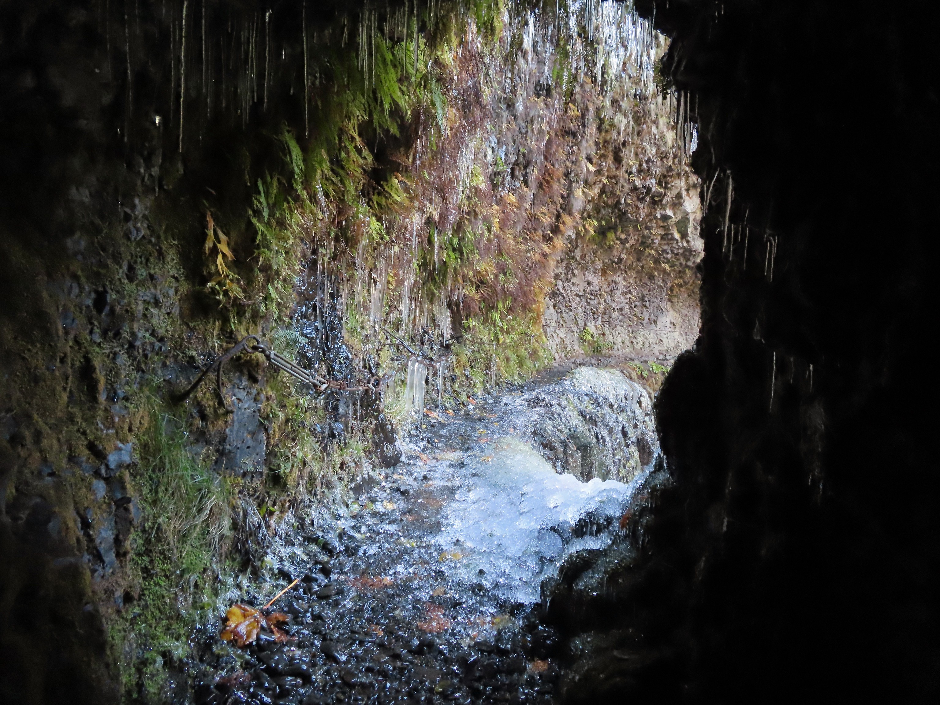 Frozen tunnel on the Eagle Creek Trail.
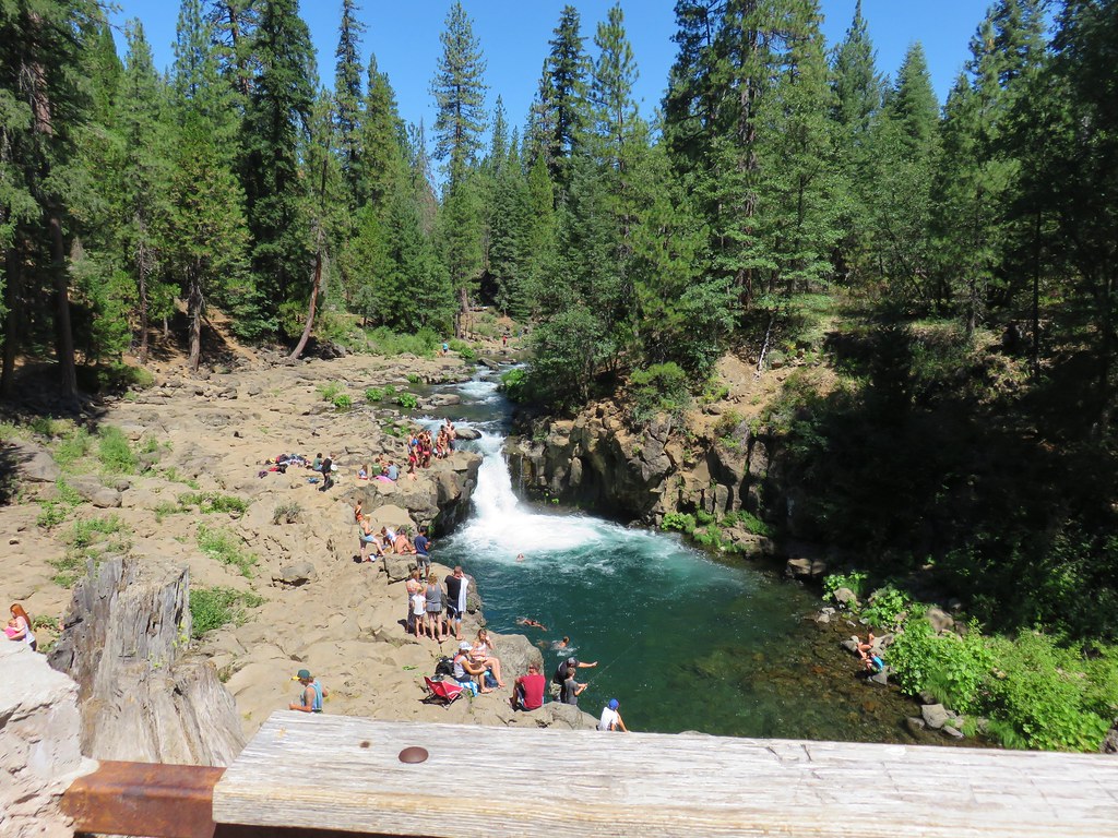
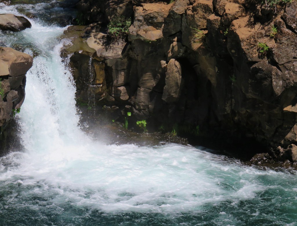
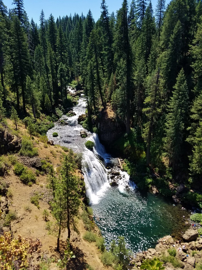
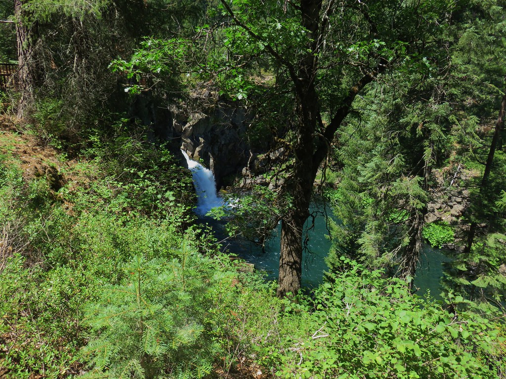
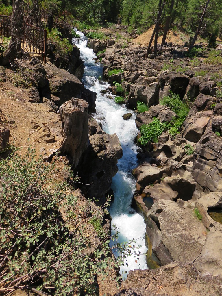
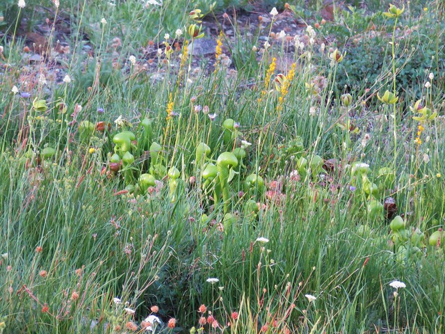
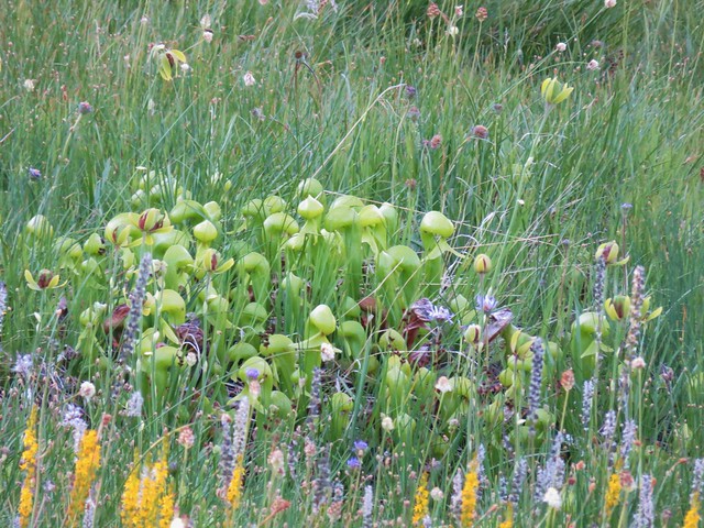
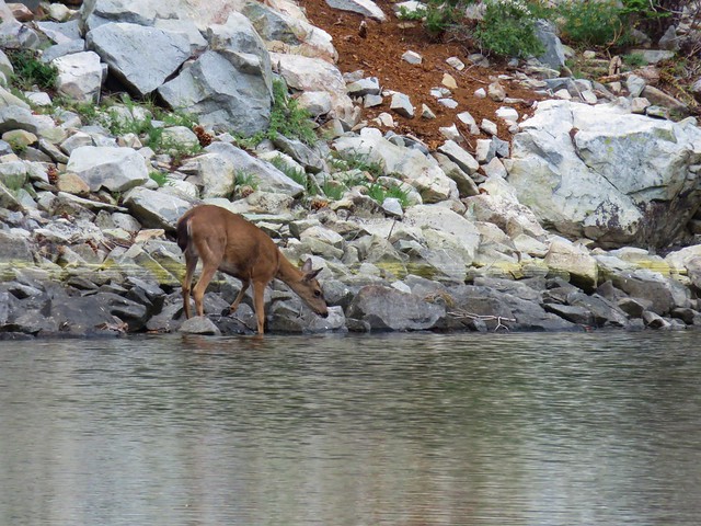
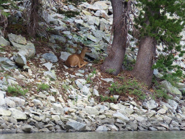
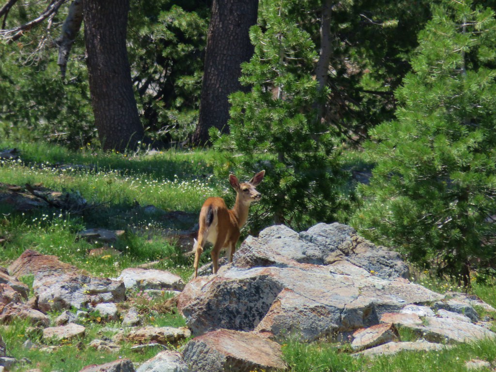
As far as our destinations go waterfalls and lakes were the top two goals for the hikes this past year, and we are always on the lookout for wildlife and flowers. There were also a few unique features, both natural and man-made, that we visited.
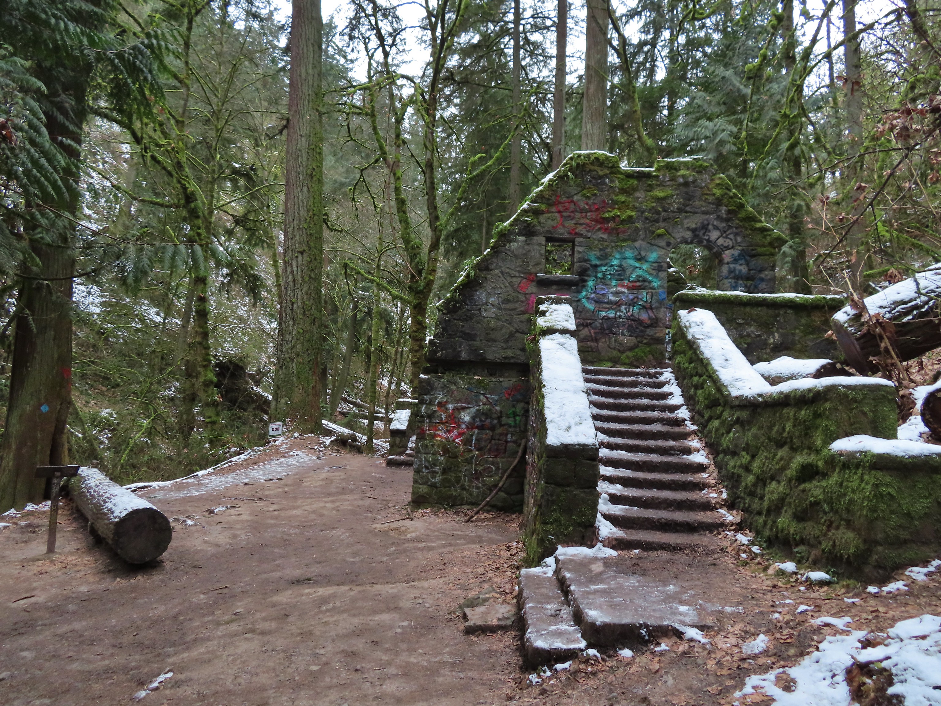 Witch’s Castle – Forest Park, Portland, OR
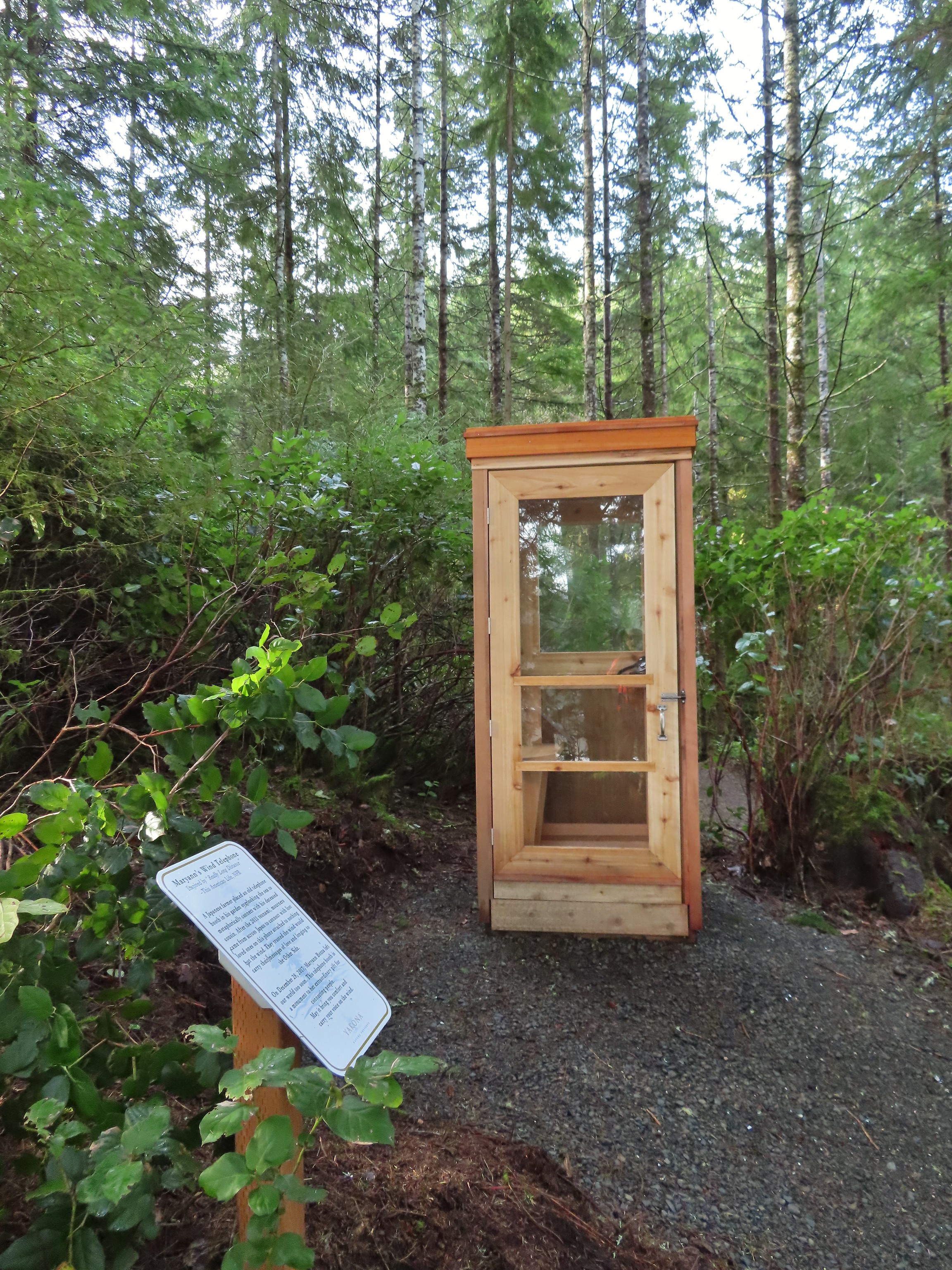 Wind Telephone, Yakona Nature Preserve – Newport, OR
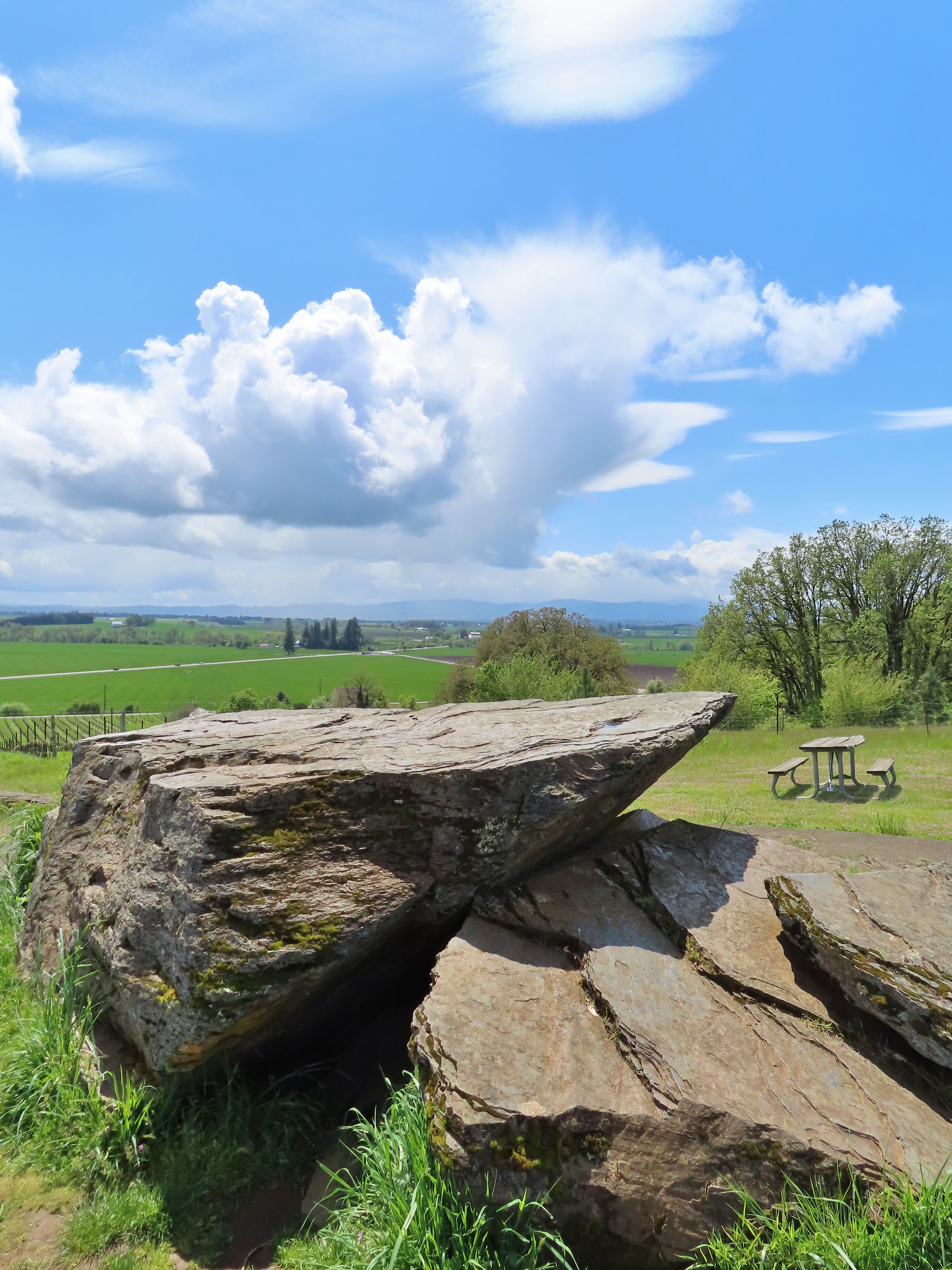 Erratic Rock (post)
 One of several military bunkers at Ken Denman Wildlife Area – Medford, OR
 Umpqua Hot Springs – Umpqua National Forest, OR
 Illahee Rock Lookout – Umpqua National Forest, OR
 Twin Lakes Shelter – Umpqua National Forest, OR
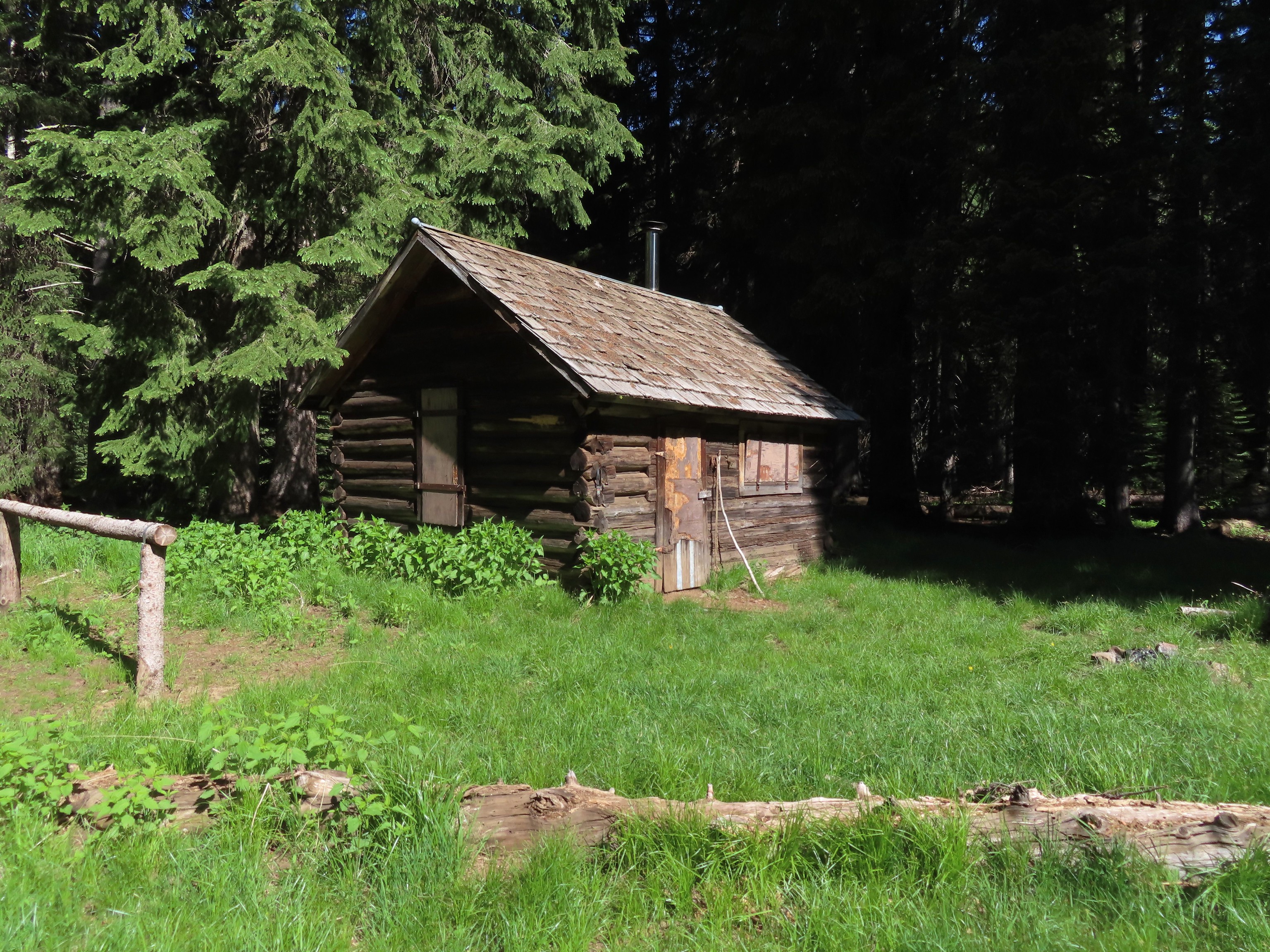
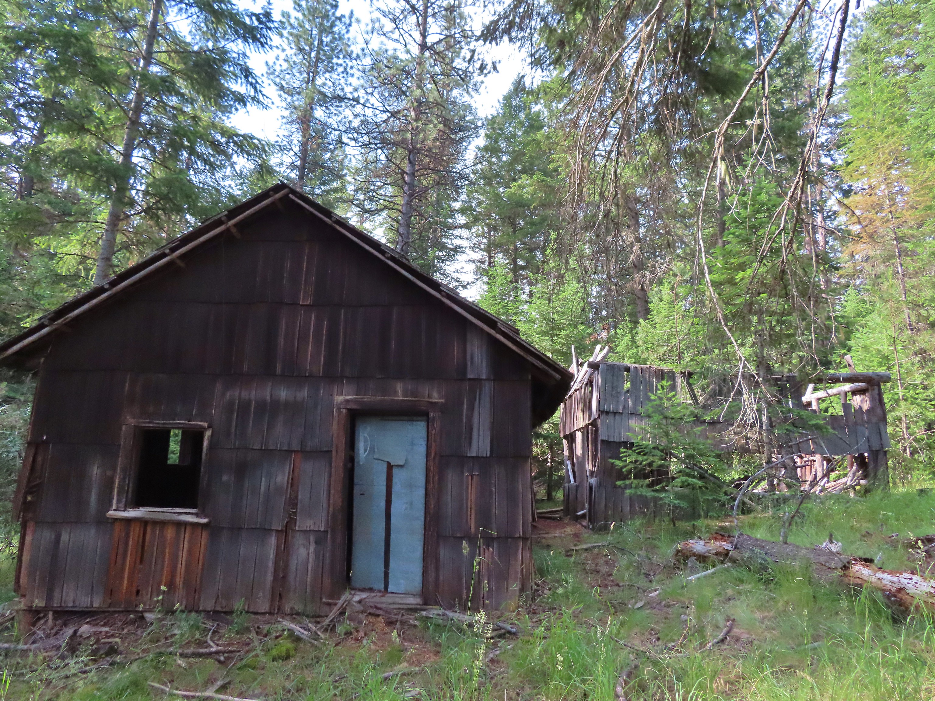
 Donomore Cabin – Donomore Meadows, CA
 Mt. Ireland Lookout – Wallowa-Whitman National Forest, OR
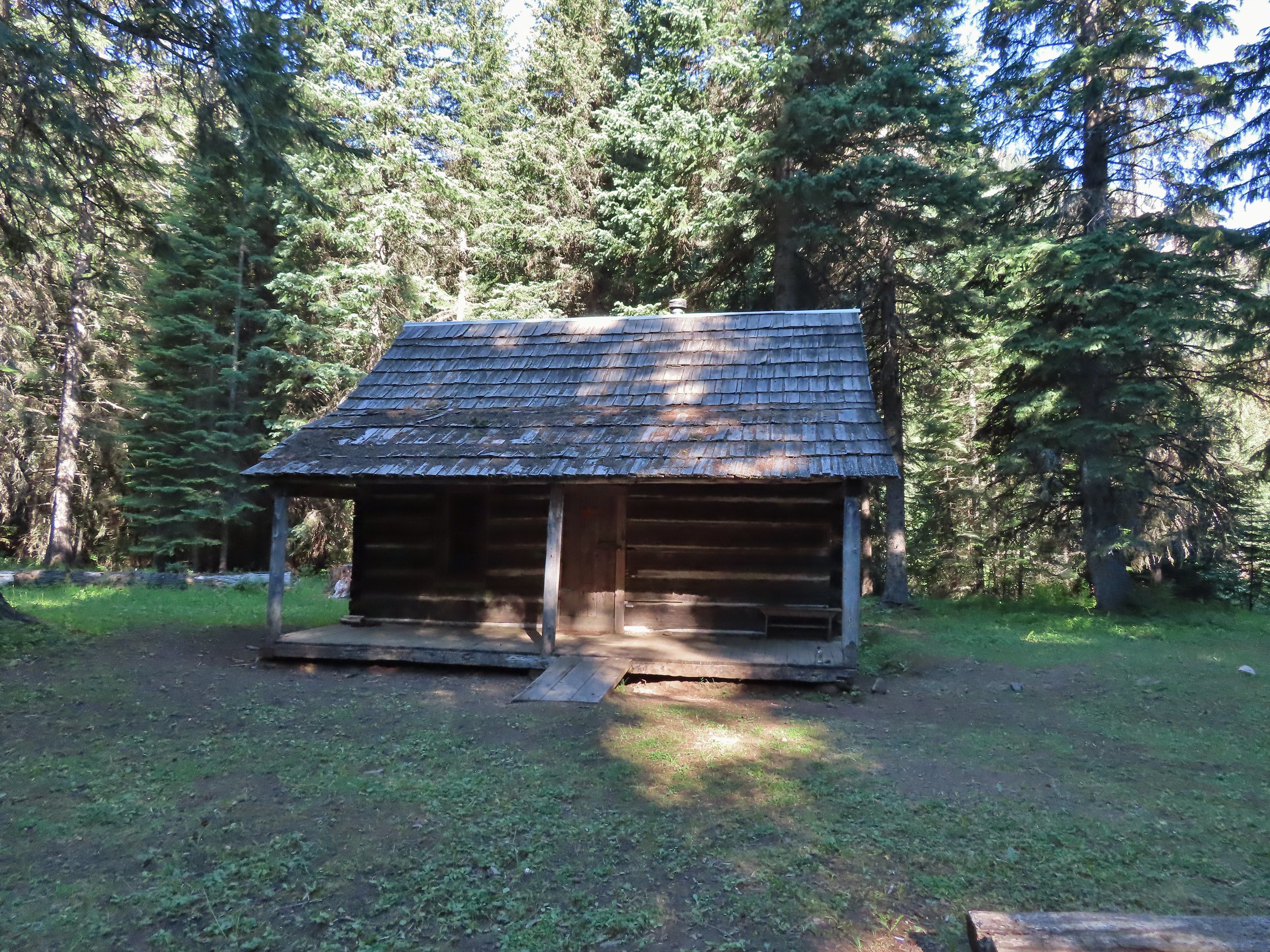
 Cabin at Catherine Creek Meadows – Wallowa-Whitman National Forest, OR
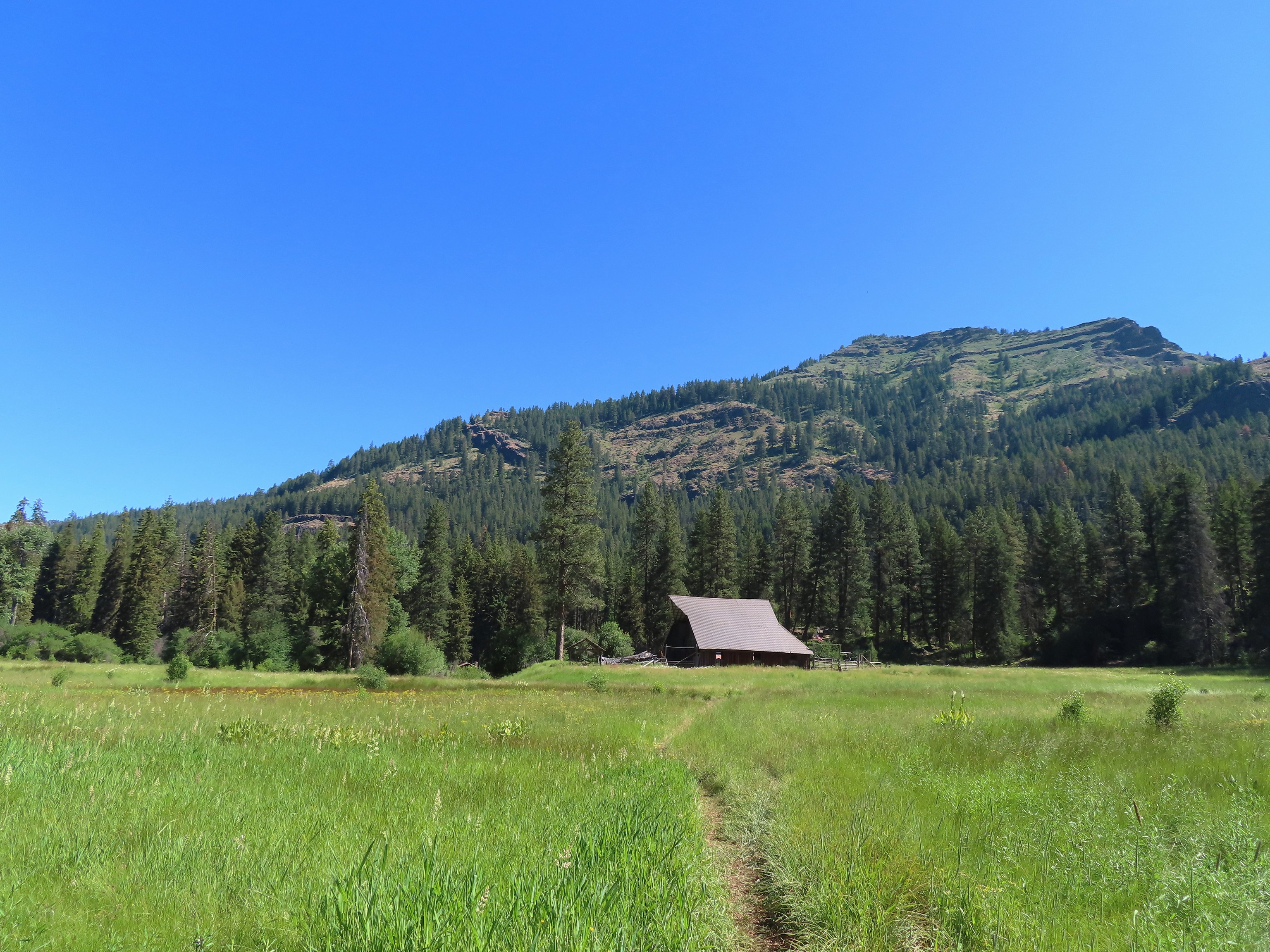 Reds Horse Ranch – Wallowa-Whitman National Forest, OR
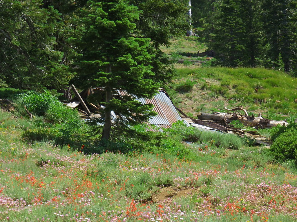
 Lodge ruins – Wallowa-Whitman National Forest, OR
 Bear Creek Guard Station – Wallowa-Whitman National Forest, OR
 Gazebo on Tick Hill – Wallowa, OR
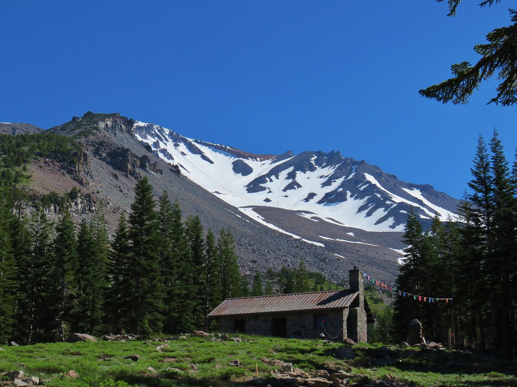
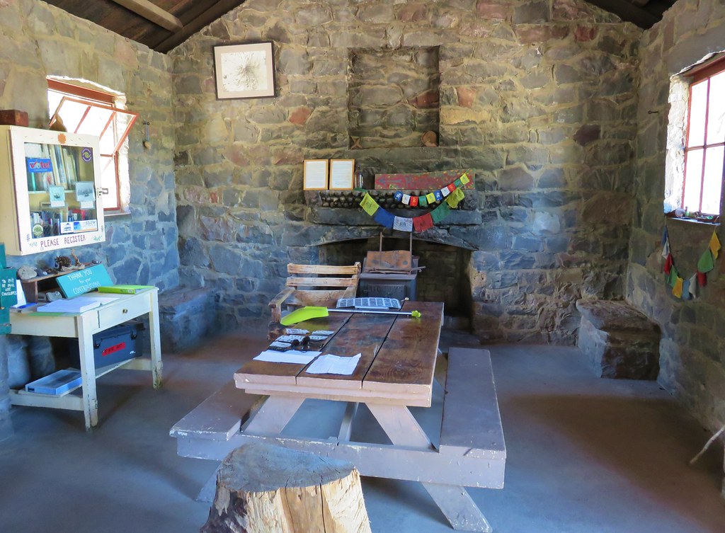
 Spring above Southgate Meadows – Mount Shasta Wilderness, CA
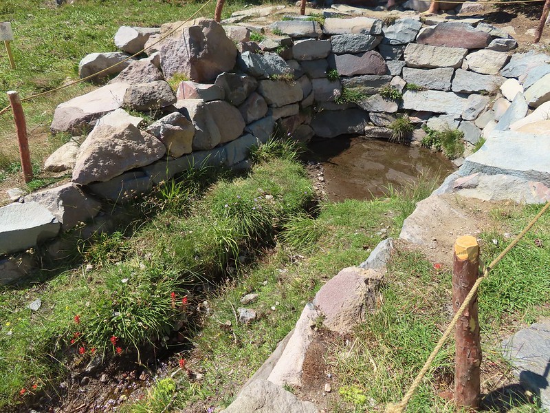
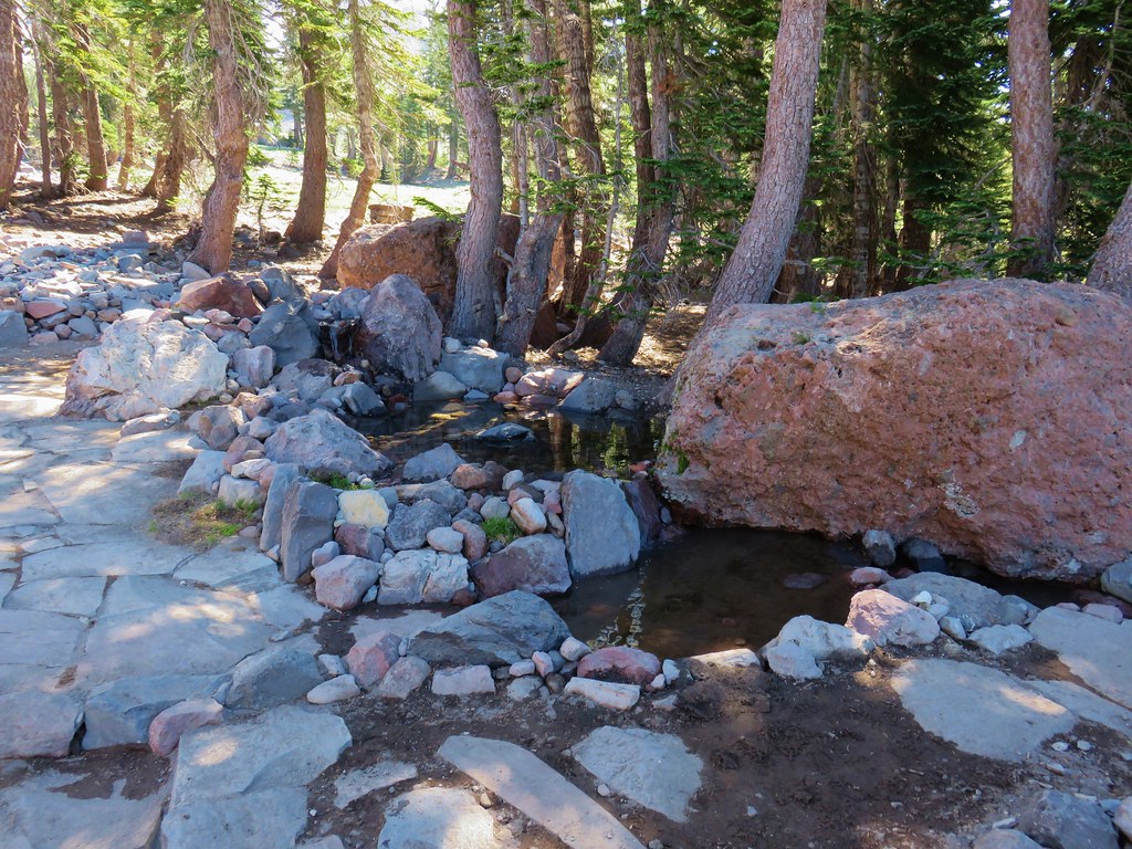
 Panther Spring – Mount Shasta Wilderness, CA
 Remnants of the OSU Dean’s house – McDonald Forest, Corvallis, OR
 Talking Water Gardens – Water treatment wetlands, Albany, OR
I will save the flowers, wildlife, waterfalls, and lakes for their own 2022 galleries. We’re looking forward to 2023 and hoping that Heather makes a full recovery. We’ve done a bit of shuffling for the first part of 2023 to help ease her back into things. While 2022 was a good year we hope 2023 has a few less bumps along the way. Happy Trails!

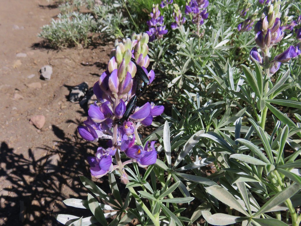
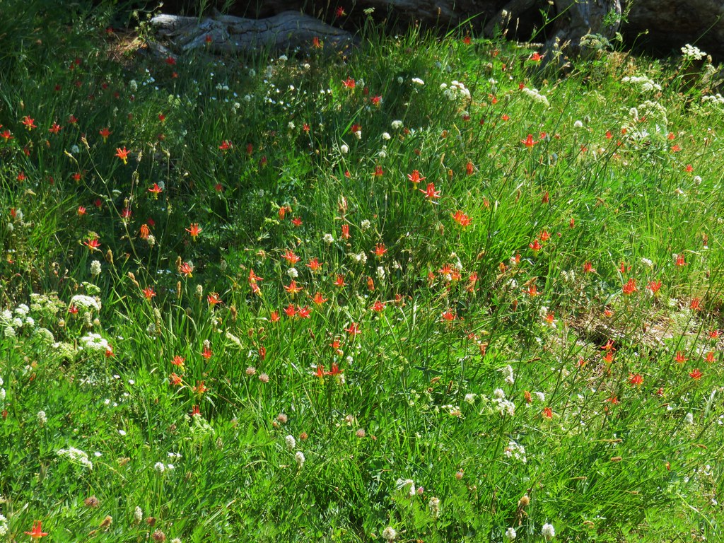
 Lupine at the trailhead.
 A line of smoke over the Castle Crags (
 Castle Crags
 Green Butte and Mt. Shasta
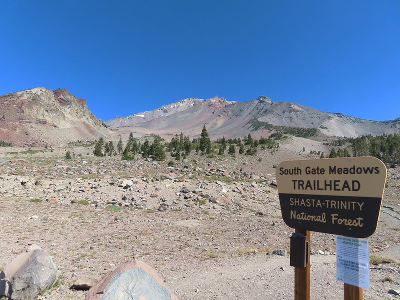
 Common buckeye

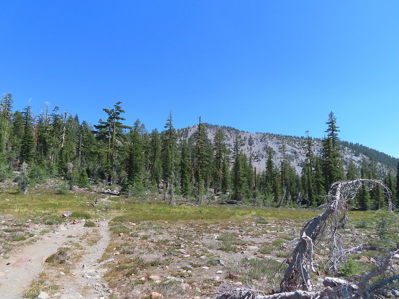
 Red Butte from the pass.
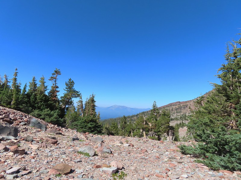 Mount Eddy from the pass.
 Heather standing at the wilderness boundary.
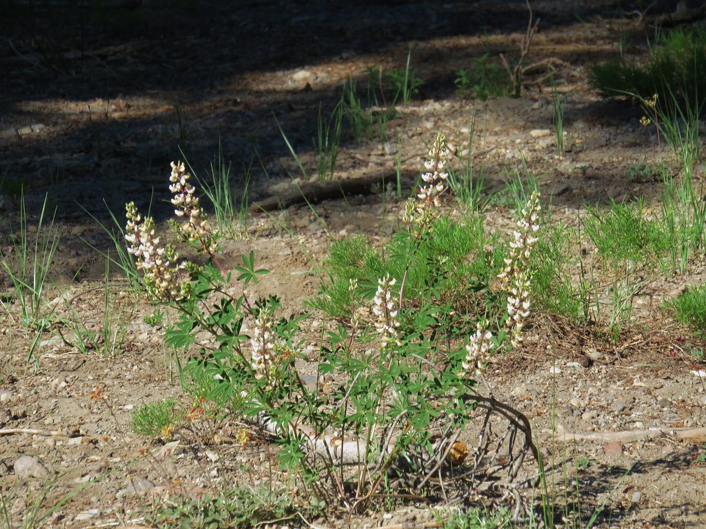
 A dry spring along the trail. Ideally we would have been doing this hike (and trip) in late July for more wildflowers but sometimes the circumstances dictate when and where we wind up.
 Approaching The Gate.
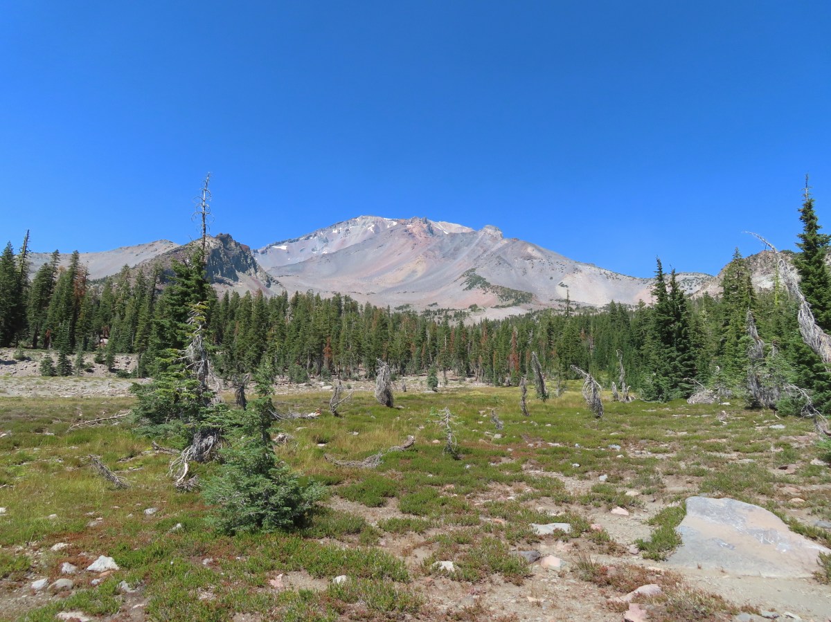
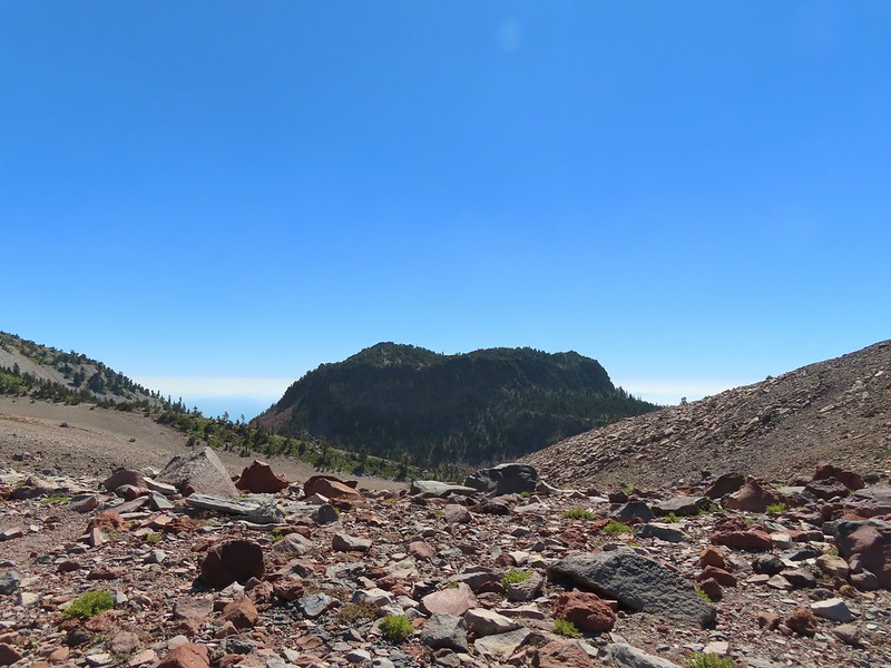
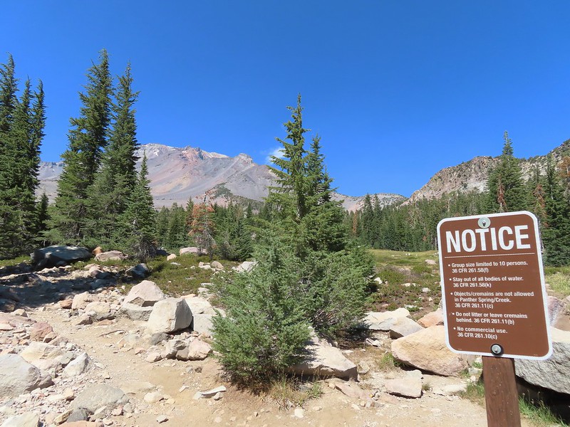
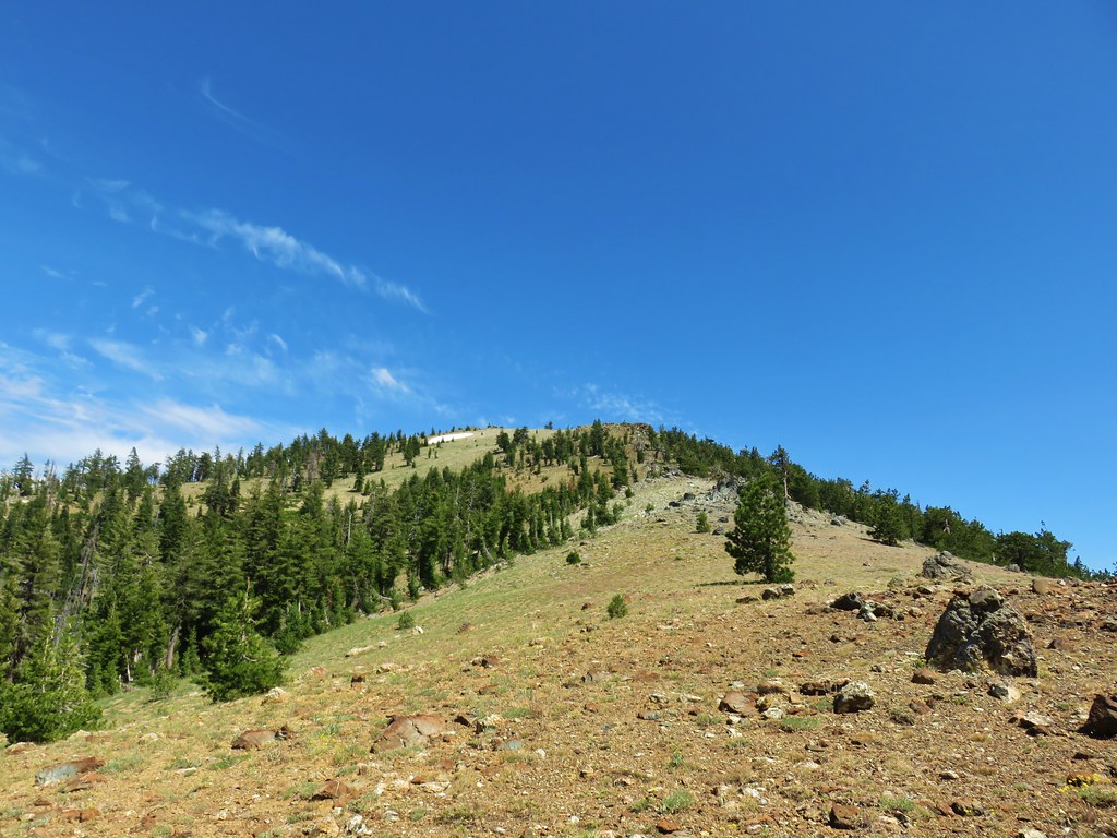
 Shastarama Point and Thumb Rock
 Gray Butte
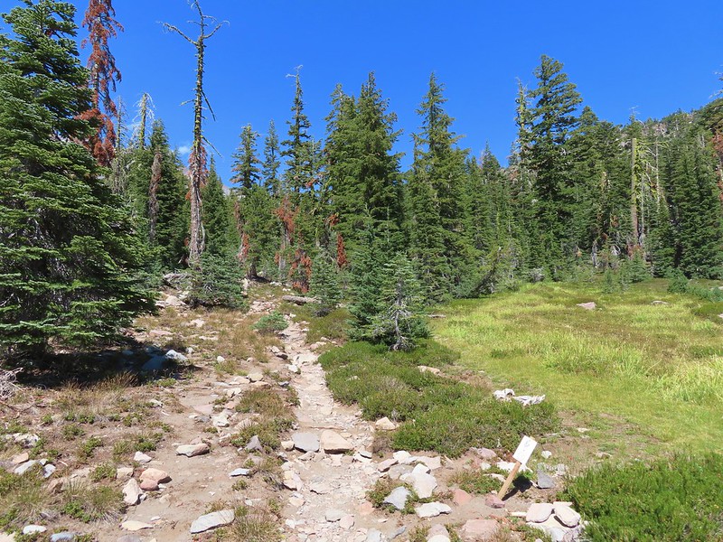
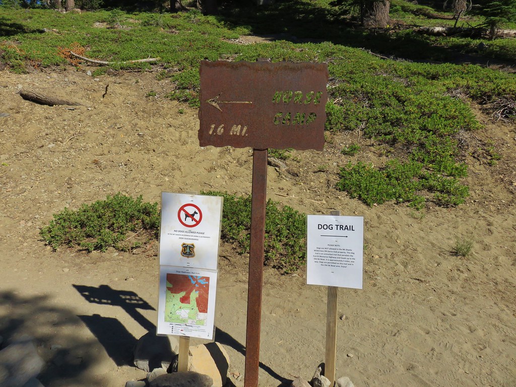
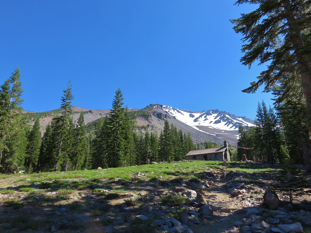
 The trail junction near The Gate. The trail to the right would be our return route to make a loop through Panther Meadows, but for now we went left following the pointer for South Gate Meadows.
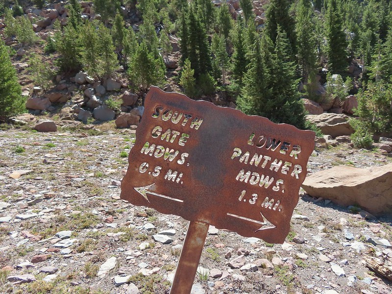


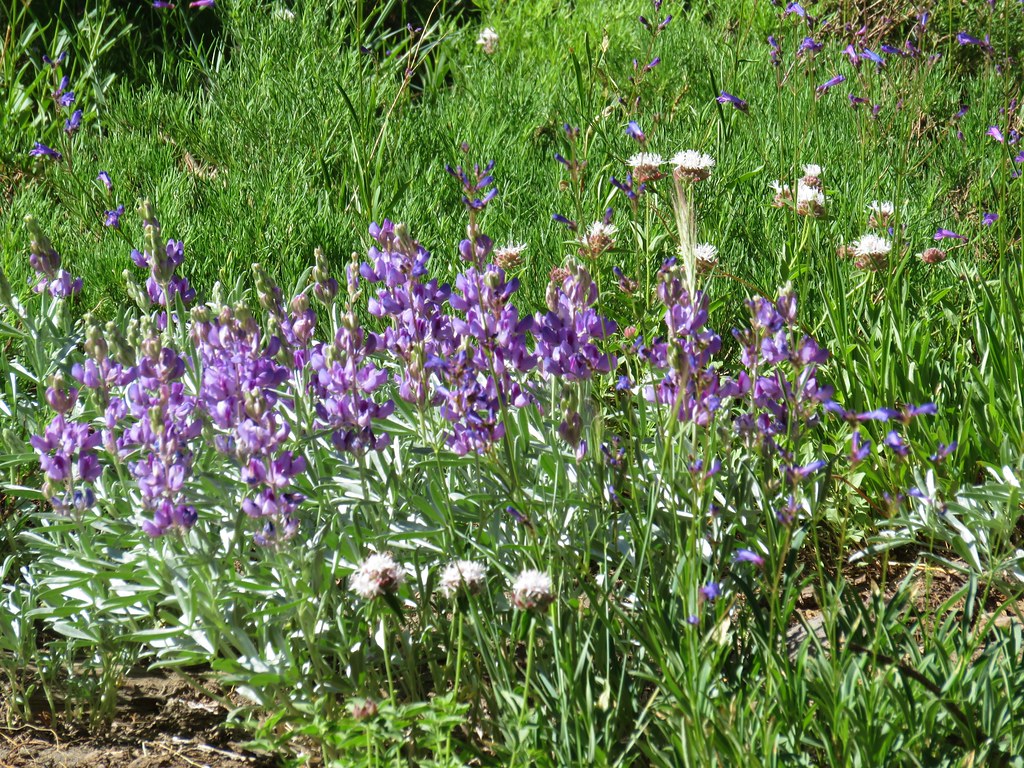
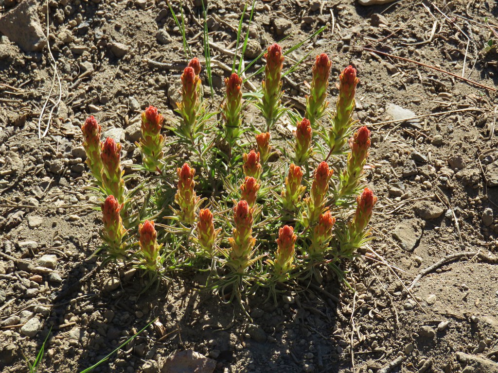
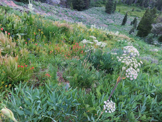
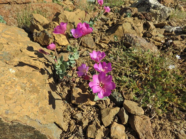
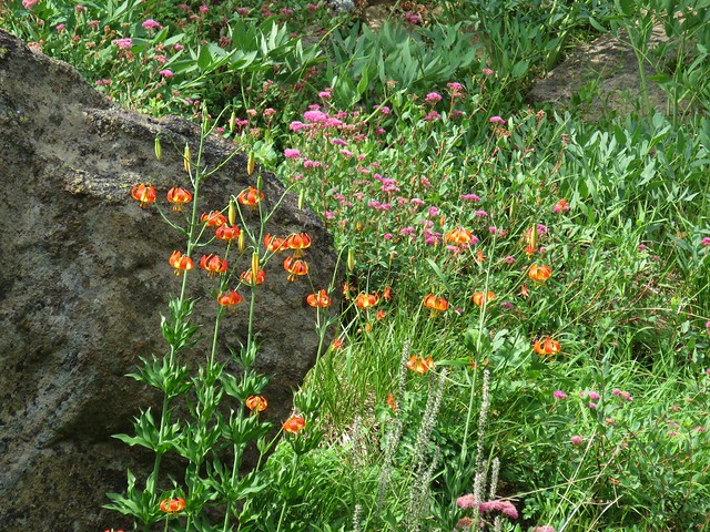
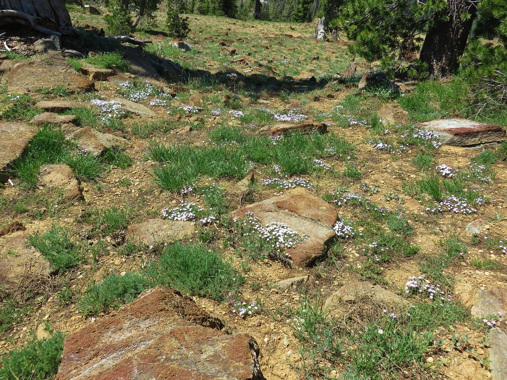
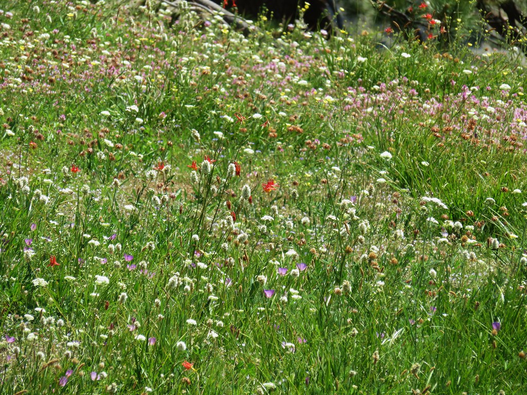
 A paintbrush and aster.
 Penstemon
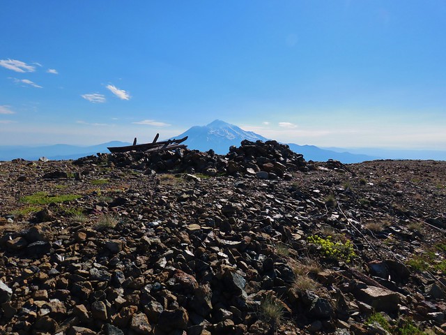
 Some haze to the south but we could make out Lassen Peak which is one we rarely ever get to see.
 Lassen Peak

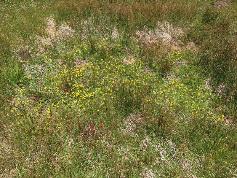
 Primrose monkeyflower
 The use trail crossing the creek.
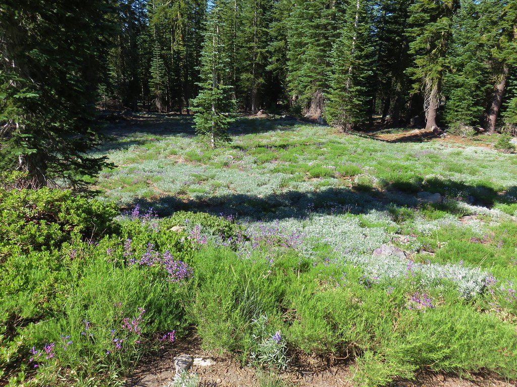
 In sight of the circular meadow.
 Marsh grass-of-Parnassus
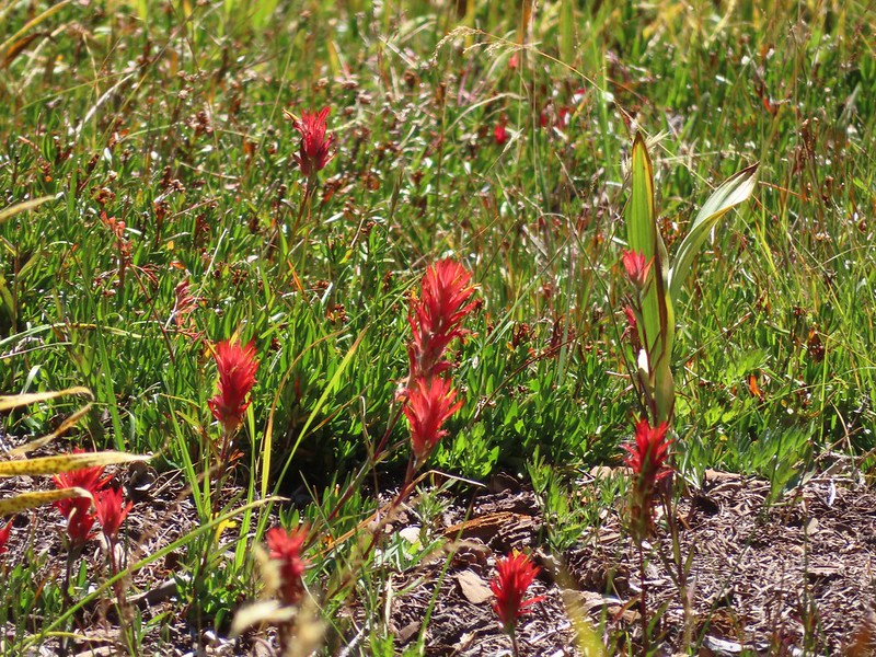 Paintbrush
 Back at the meadows.
 A pair of common buckeyes.
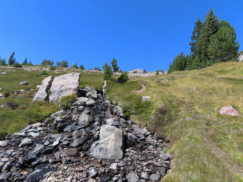
 Primrose monkeyflowers and paintbrush
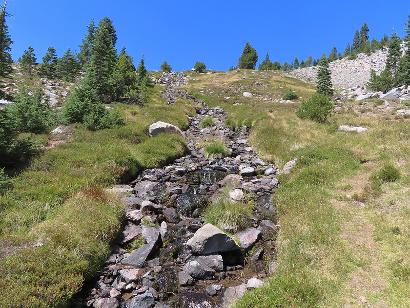
 Not the “monkeyflower” spring but a smaller one along the way up.
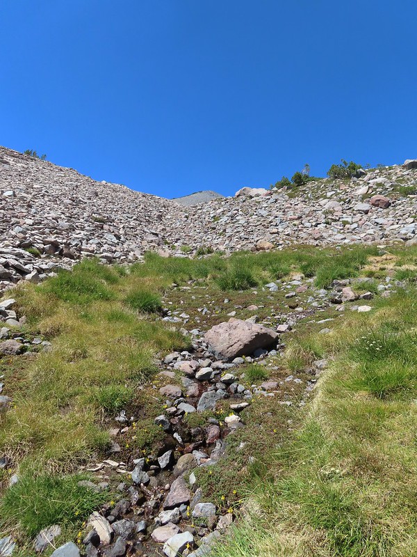 The “monkeyflower” spring.
 A couple of monkeyflowers and a buckeye.
 I climbed a bit above the spring to check out the view.
 Heather arriving at the spring.
 A Clark’s nutcracker also taking a break.
 Two types of monkeyflower and bog St. John’s wort,
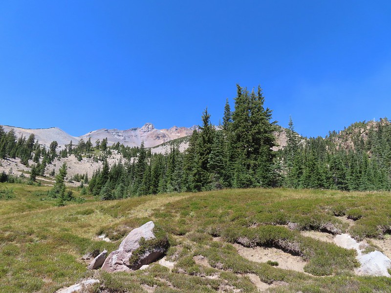 One last pass through South Gate Meadows.
 Red Butte
 Shasta knotweed
 Back at The Gate.
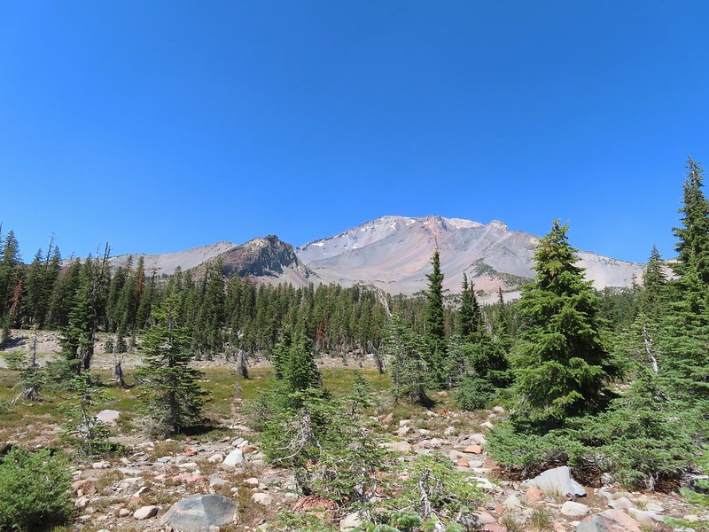
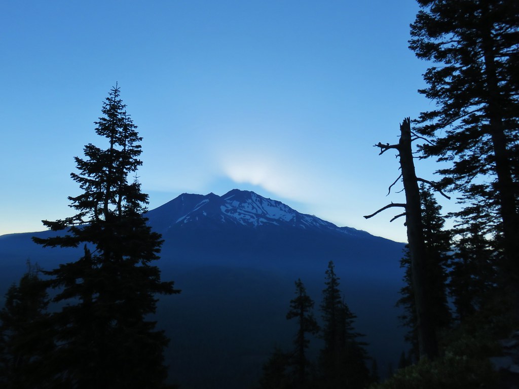
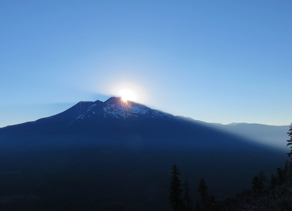
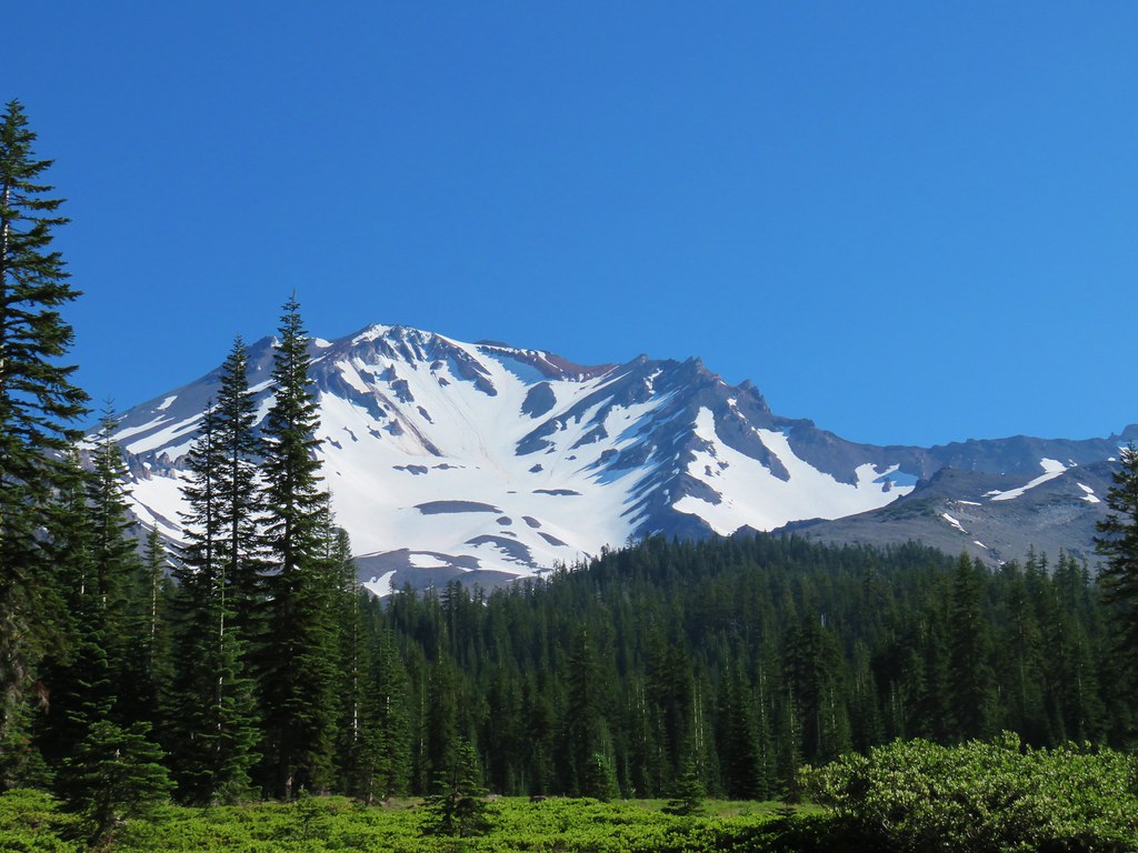
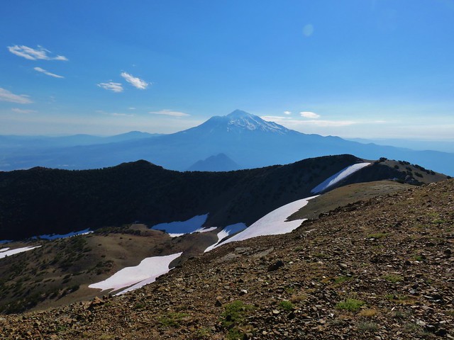
 Mt. Shasta from the trail.
 Red Butte
 Glaciated rock.
 Mt. Shasta and Sargents Ridge.
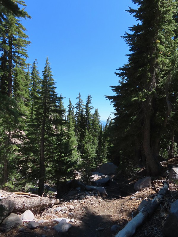 Into the forest.
 The trail left the wilderness along the way.
 The junction with Gray Butte behind the trees.
 Another Clark’s nutcracker. They are boisterous birds and other than first thing in the morning we get a kick out of listening to them.
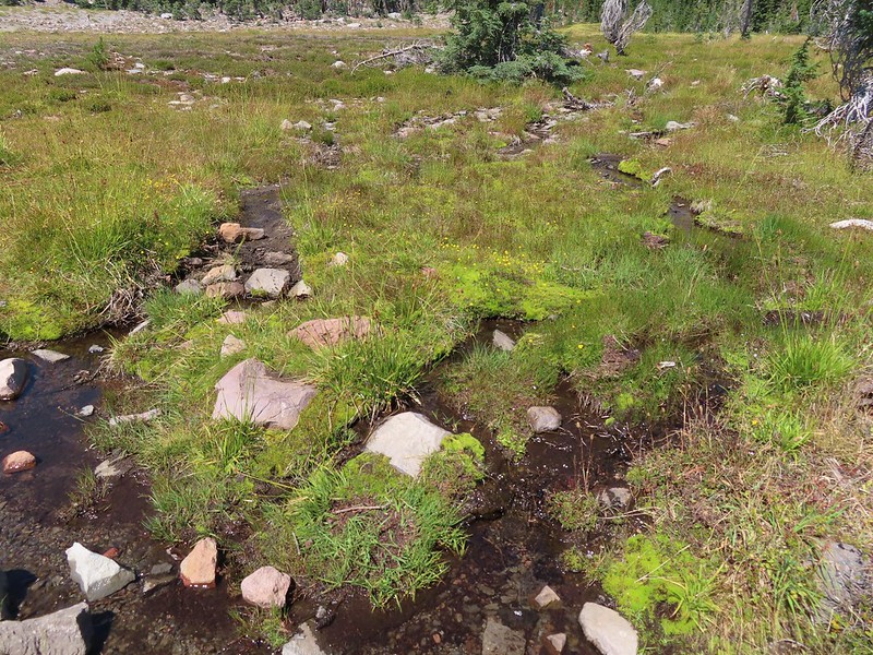 Stream flowing through the meadows.
 Gray Butte from Panther Meadows.


 Picnic tables at the trailhead.


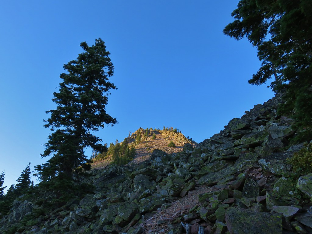


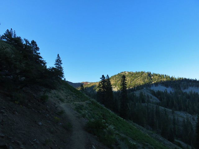


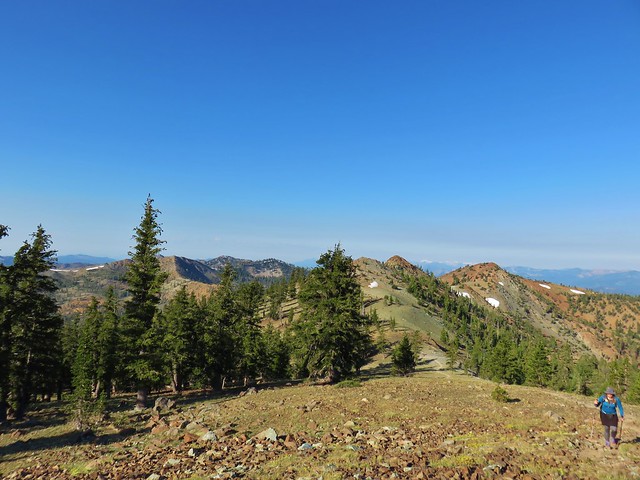


 Looking back up at Cory Peak.
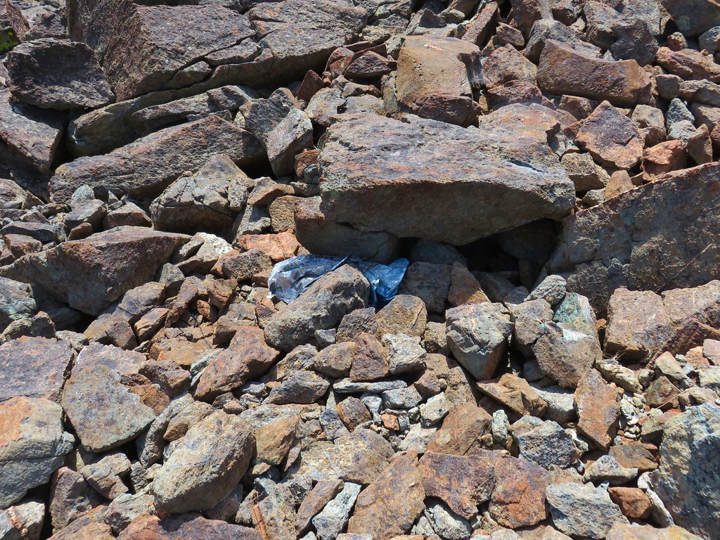 Mylar balloon.
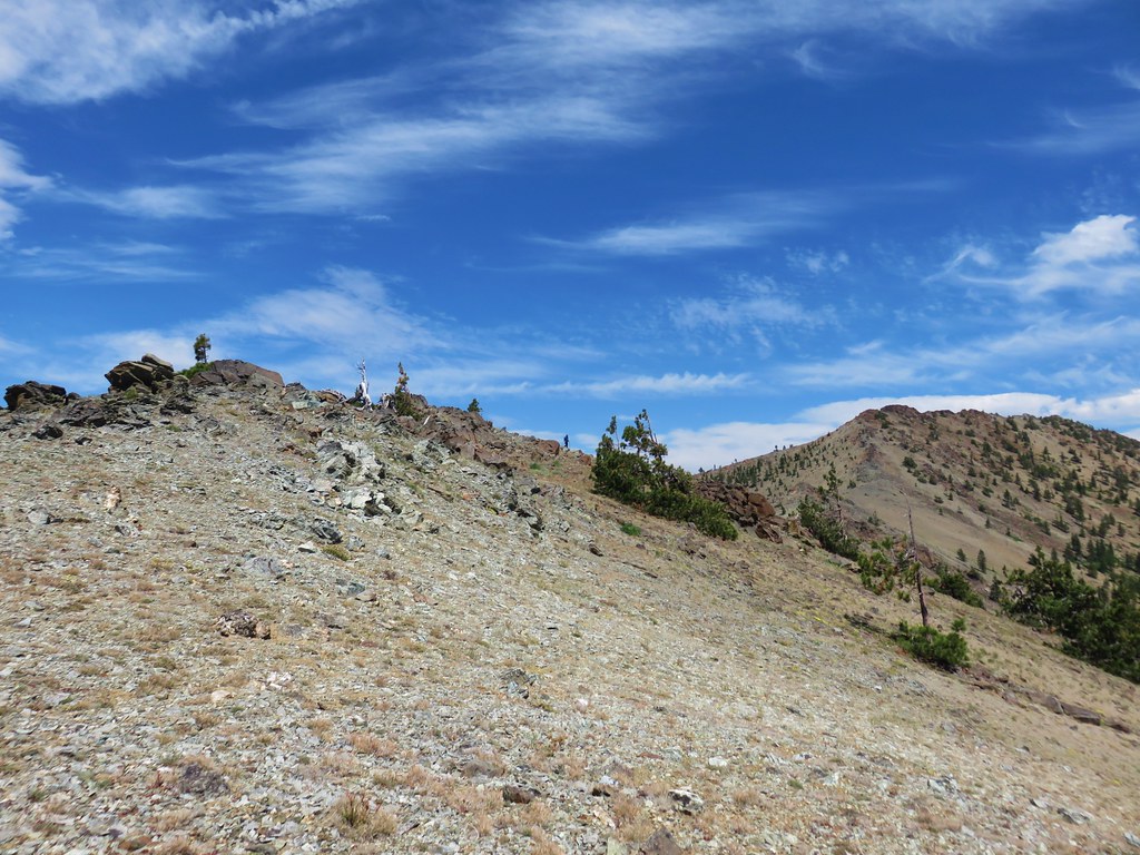 Looking back along the ridge to Cory Peak.
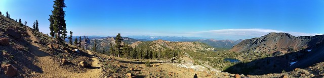
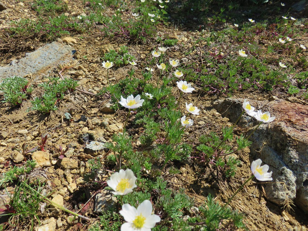
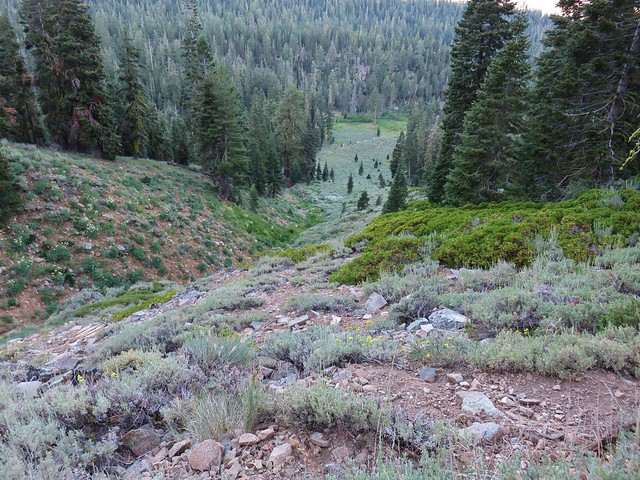
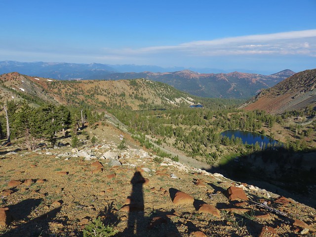
 More of the ridge we descended.
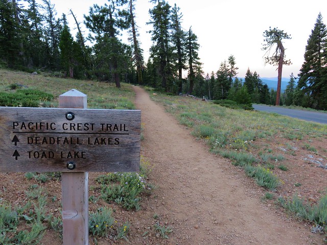
 Final stretch down to the PCT.