Following our somewhat underwhelming backpacking trip in the Waldo Lake Wilderness (Day 1, Day 2) we spent Labor Day Weekend backpacking in the Mt. Jefferson Wilderness.
For this trip we began at the Cabot Lake Trailhead.
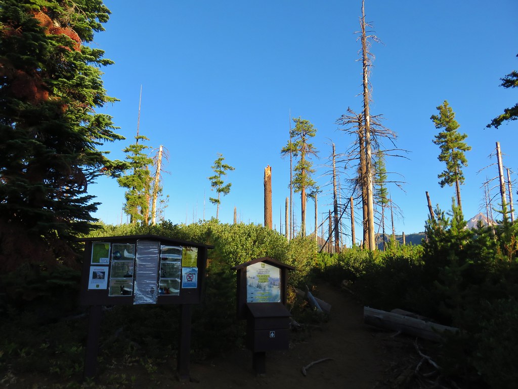
The trailhead is located at the end of Forest Road 1230 which is accessed via Forest Road 12. Forest Road 12 is located 8 miles east of Santiam Pass or 12 miles west of Sisters along Highway 20.
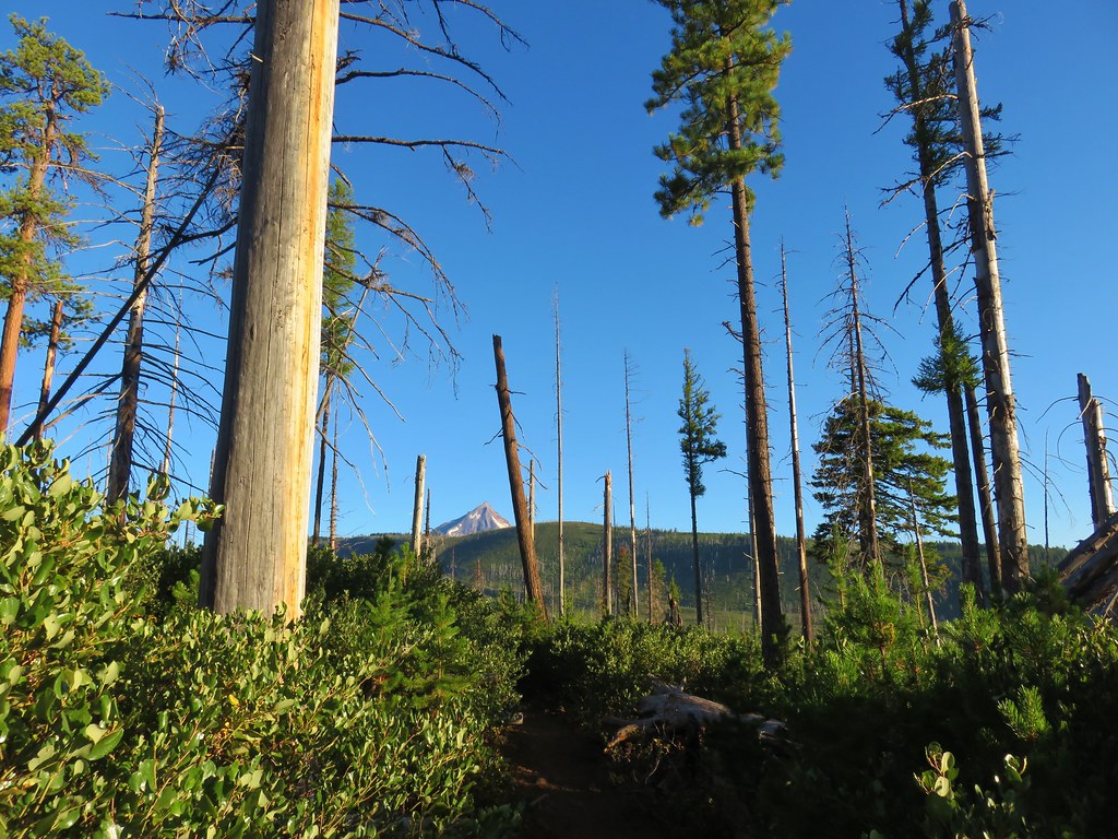
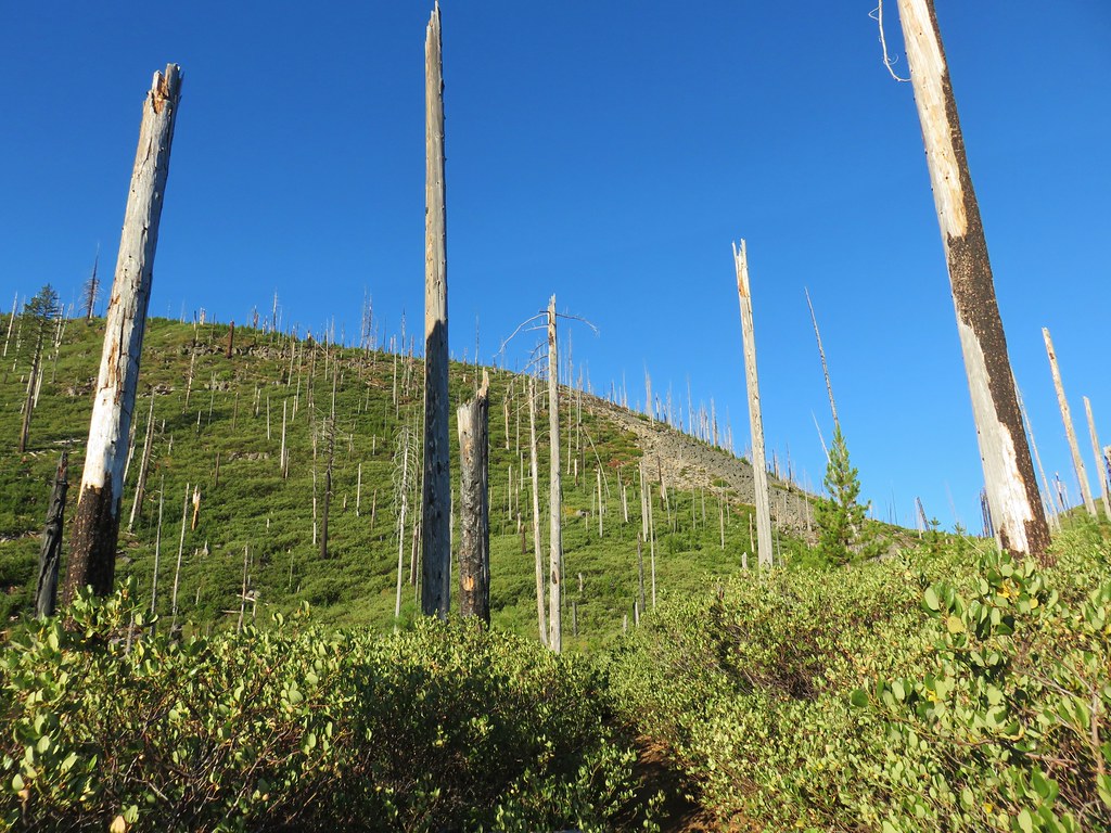
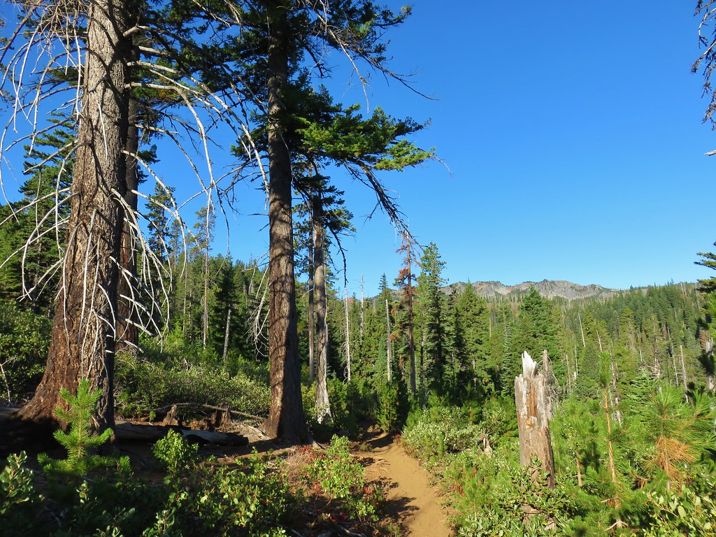
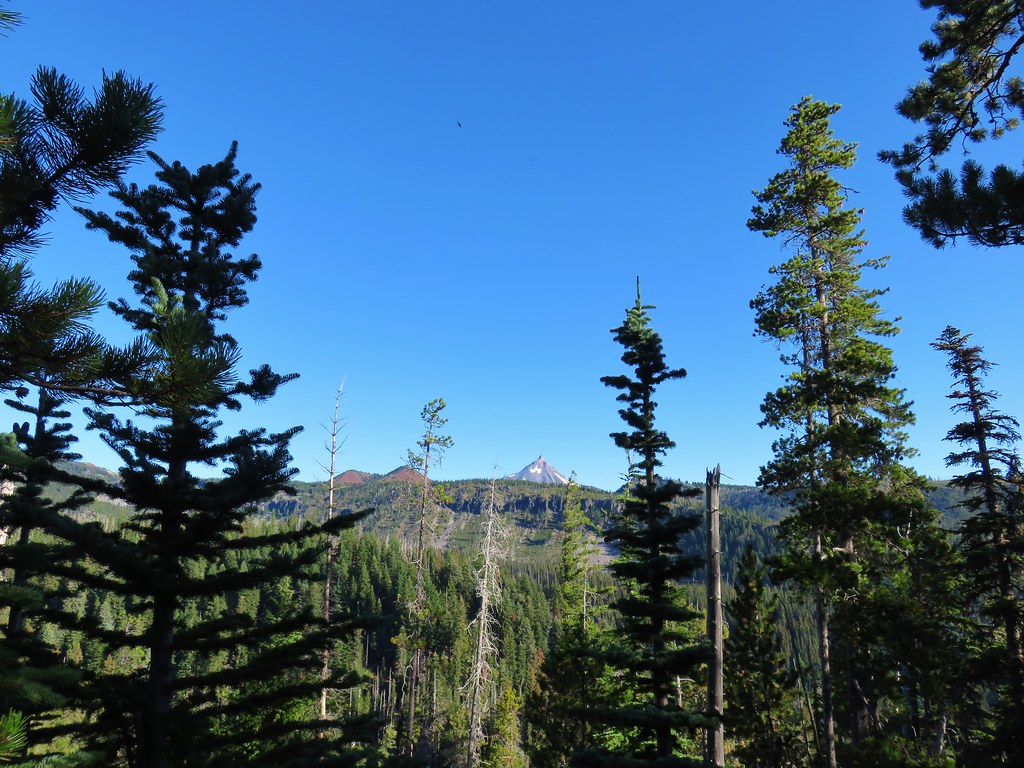
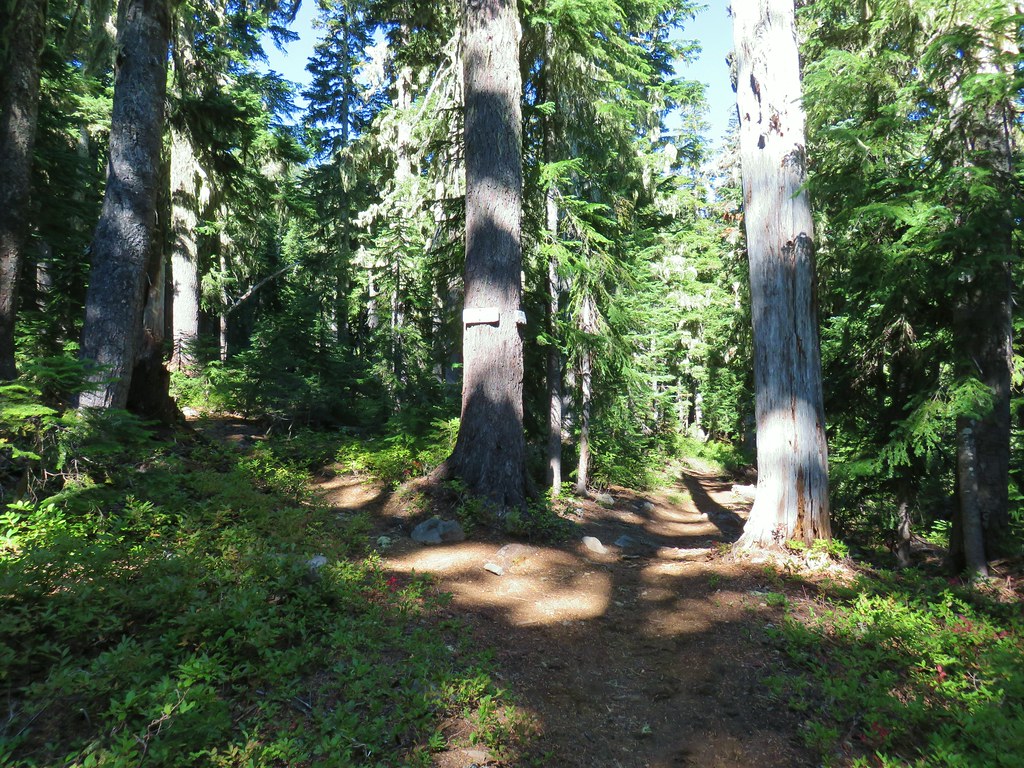
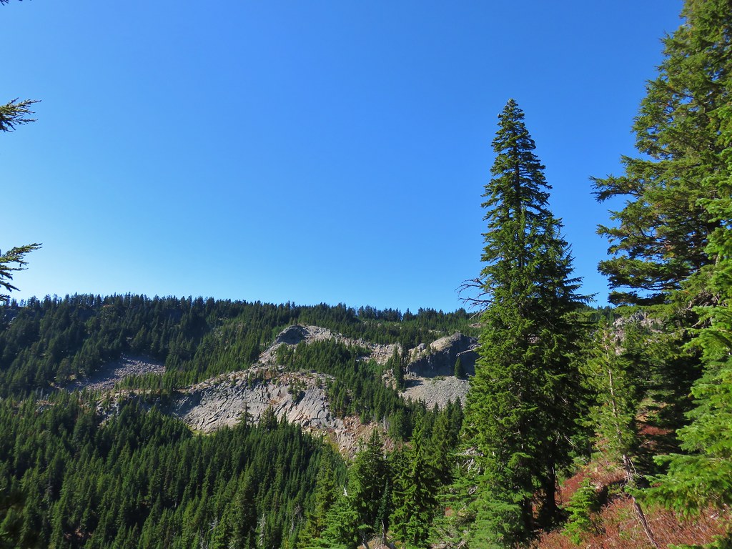
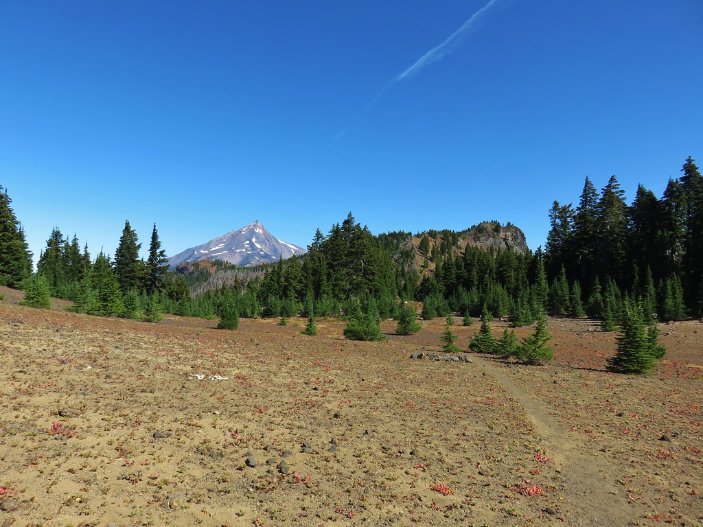
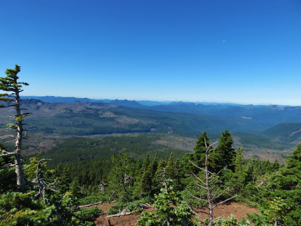
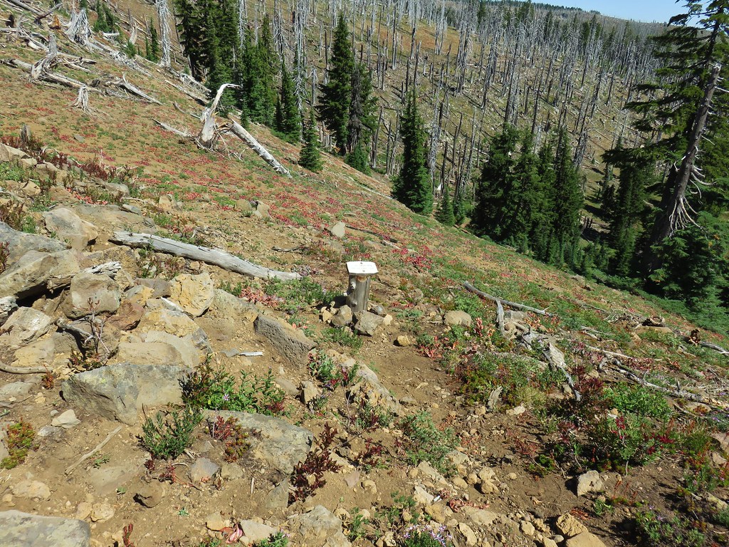
The first 1.8 miles of the Cabot Lake Trail pass through the scar of the 2003 B & B Fire. Much of the area burned in this fire has been taken over by snowbrush which is the case along this section of trail. Several other trails in the Mt. Jefferson Wilderness have been lost to the fire and subsequent thickets of snowbrush but the Cabot Lake Trail has been kept open and was in good shape as it passed through the shoulder high brush. Without trees to block the views Mt. Jefferson could be seen in the distance behind Sugar Pine Ridge.
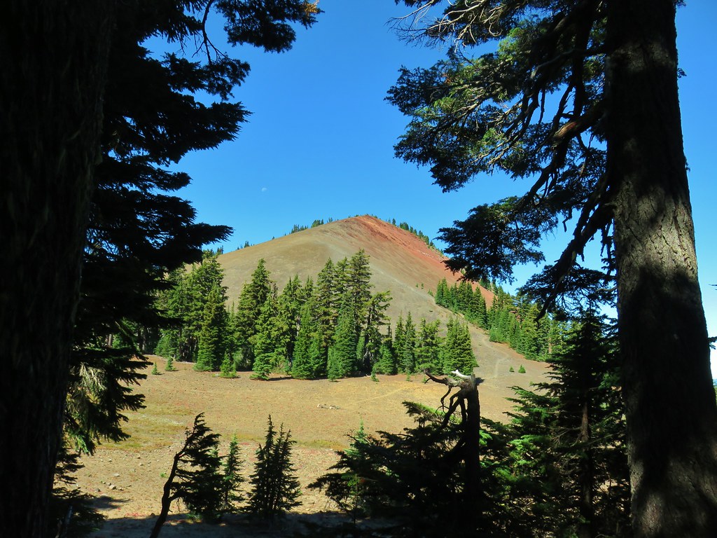
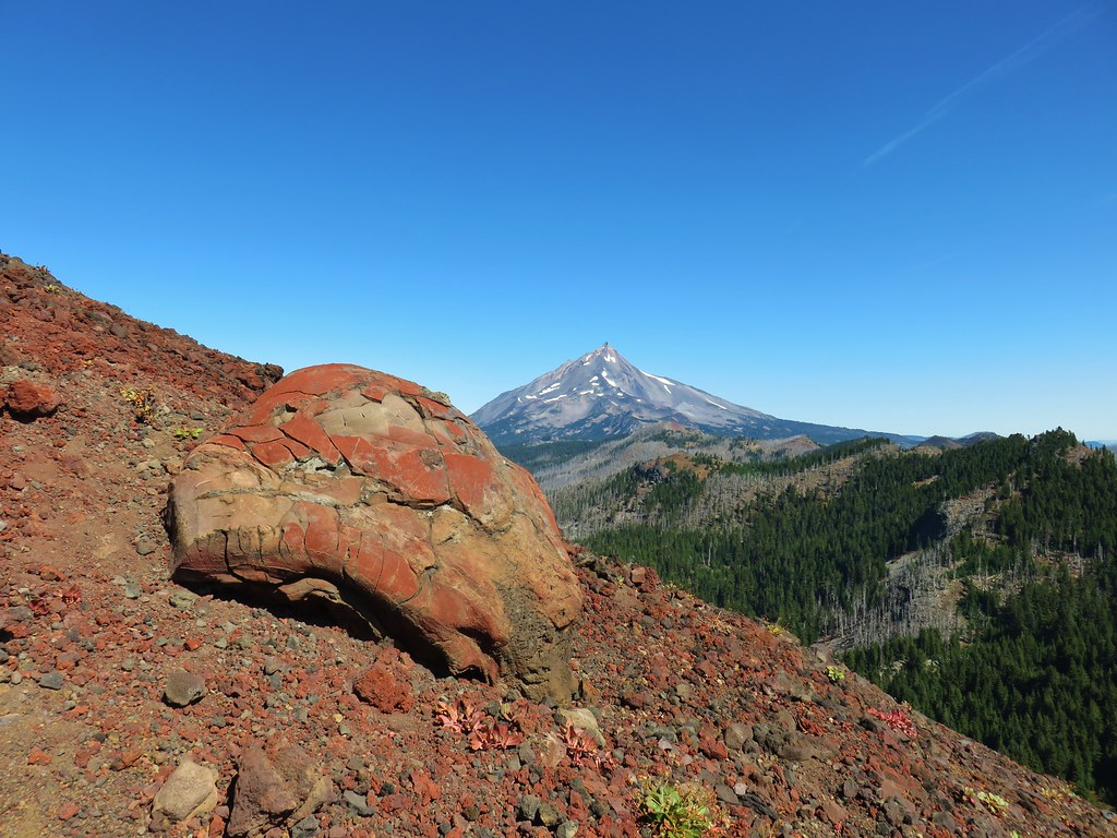
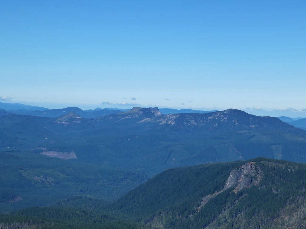
 From left to right – North Cinder Peak, Forked Butte, and Mt. Jefferson
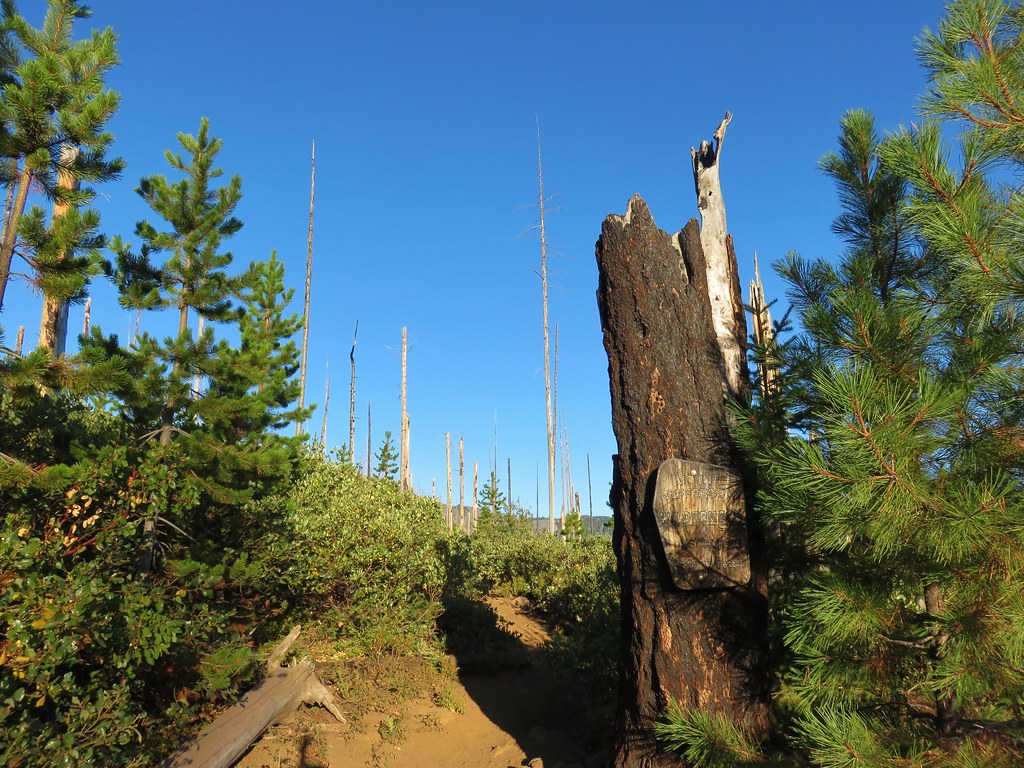
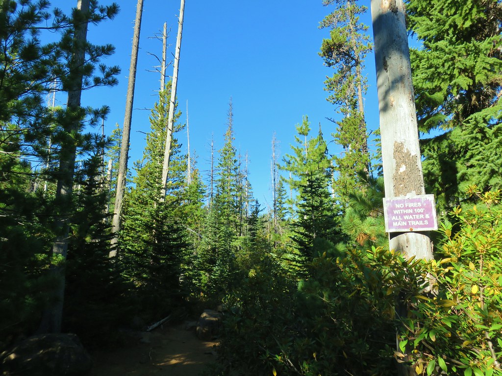
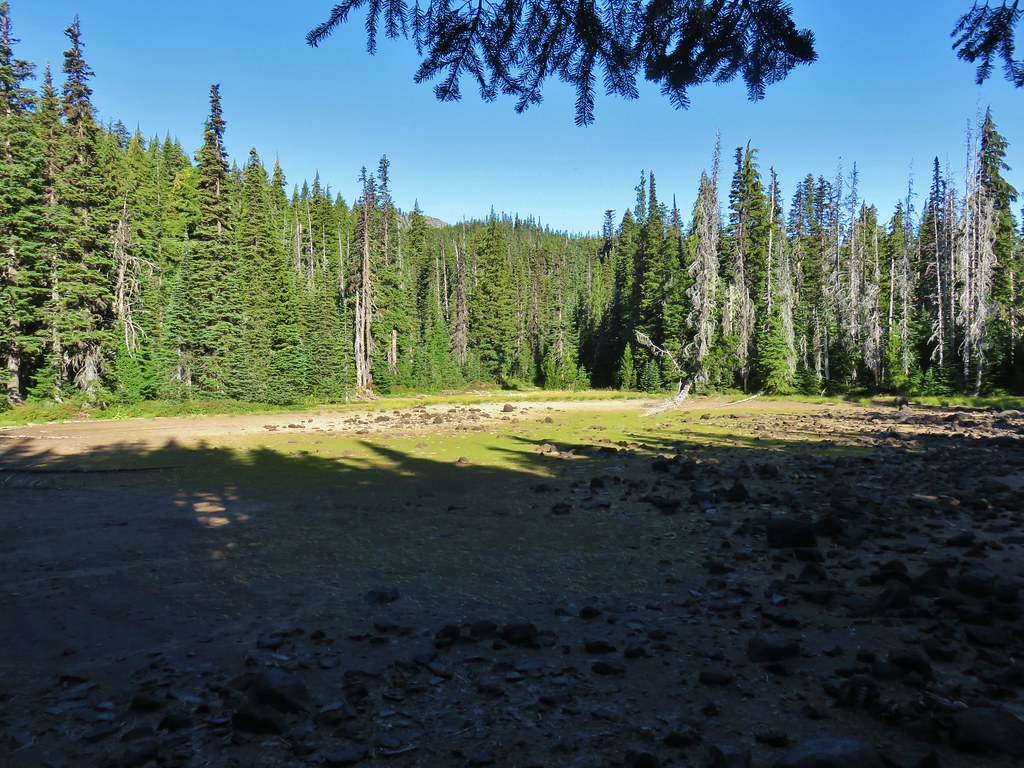
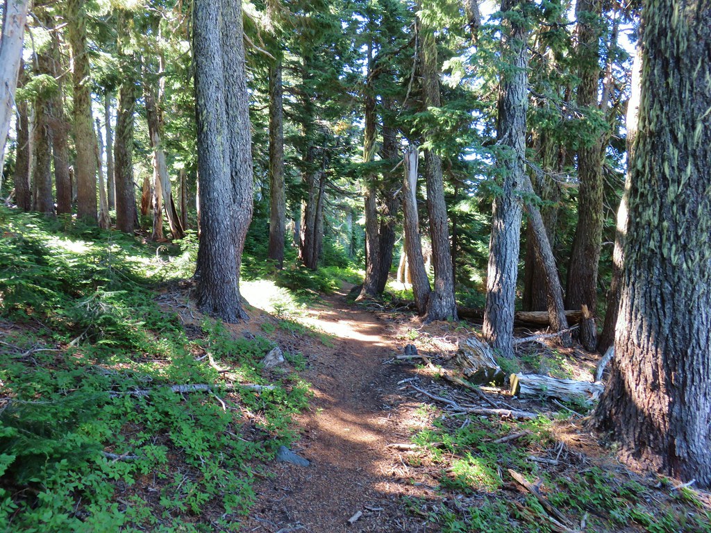
Just over 1.75 miles into the hike we began seeing more green trees.
Shortly after leaving the snowbrush behind we came to a junction with a short side trail down to Cabot Lake.
We turned right and descended steeply downhill to visit the small lake.
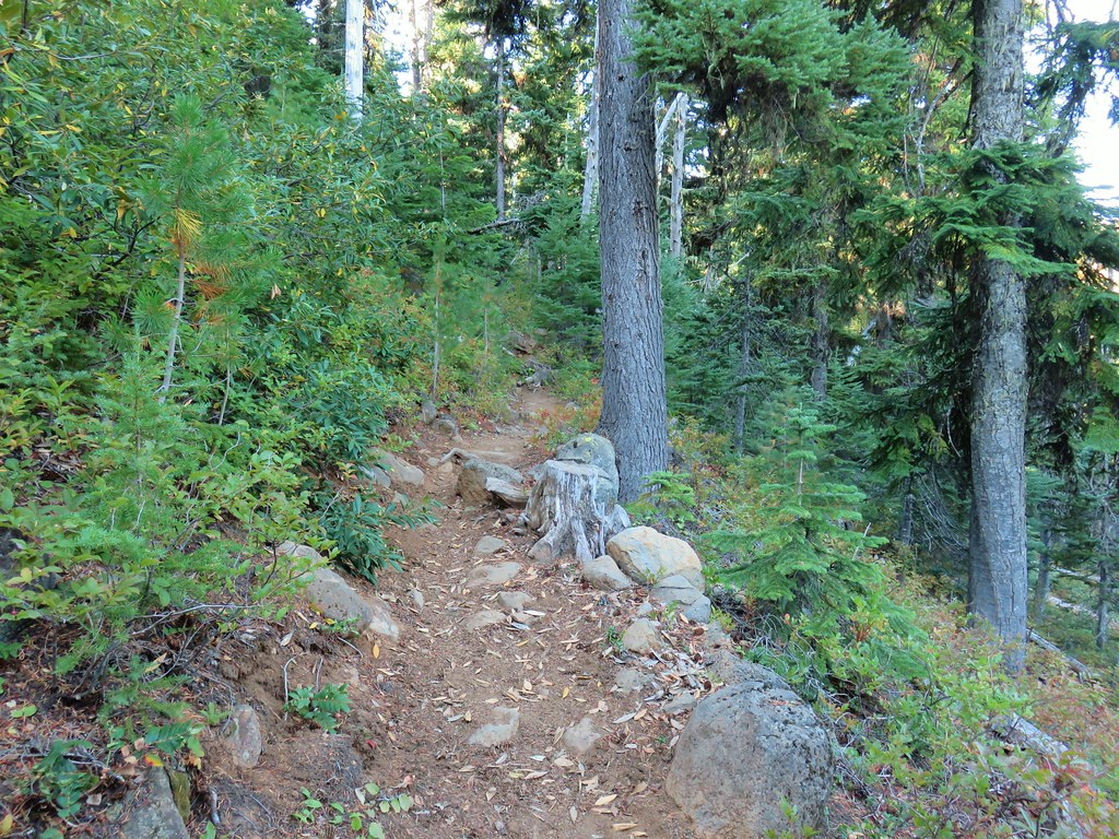
Returning to the Cabot Lake Trail we continued on, climbing a series of switchbacks with occasional views to the north of Mt. Jefferson.
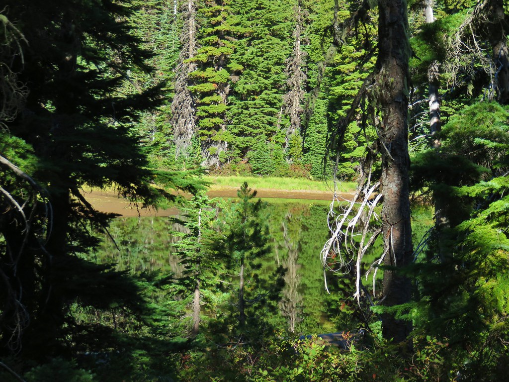
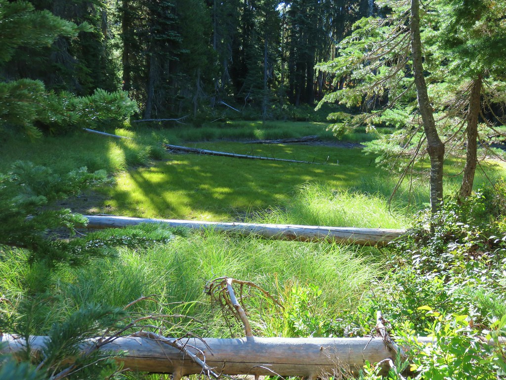
After about a half mile of good climbing the trail began a more gradual climb. Along this section we passed many ponds, some dry some not.
Just under two and a half miles from Cabot Lake we passed a final pond. This was the largest (with water) and had a view of Mt. Jefferson. There were a couple of campsites nearby which we made note of in case we couldn’t find one at Carl Lake.
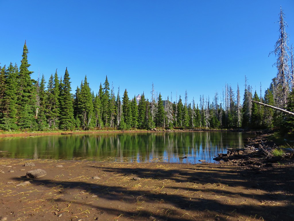
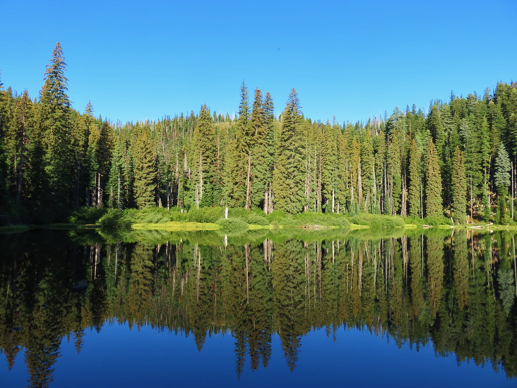
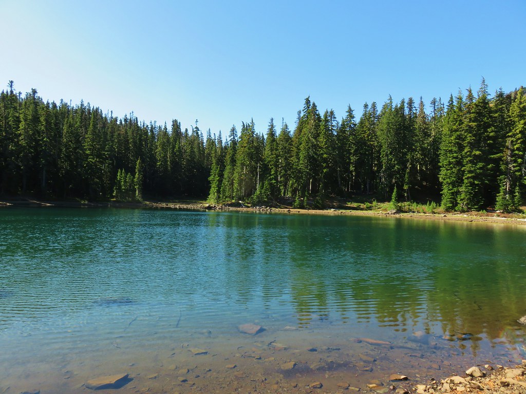
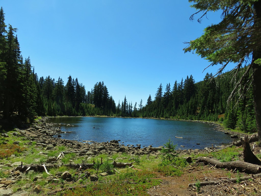
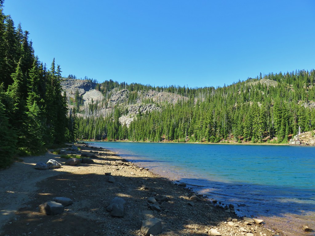
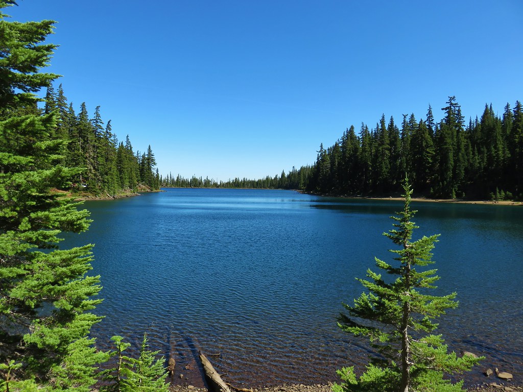
Another half mile brought us to Carl Lake.
Larger than we’d expected, Carl Lake was a beautiful blue lake backed by the cliffs of the Cascade Crest.
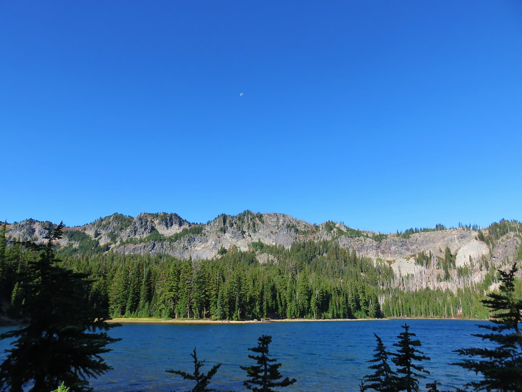
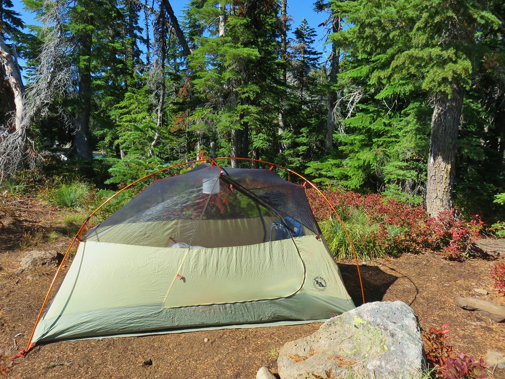
There had been a decent number of cars (and two horse trailers) at the trailhead which had us a little worried about available campsites. At the lake we turned right planning on taking the first available spot we found but as we made our way around the lake we didn’t see any other tents anywhere. We settled on a spot as far back from the lake as the rocky ledge would allow due to a steady wind blowing across the water. Our little spot had just enough trees between it and the lake to create a nice wind break.
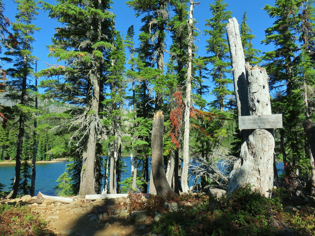
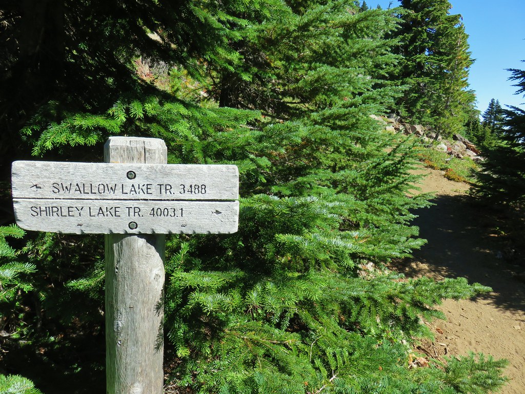
After setting up camp we returned to the Cabot Lake Trail and followed it around the southern side of Carl Lake for a quarter mile to a signed junction with the Shirley Lake Trail.
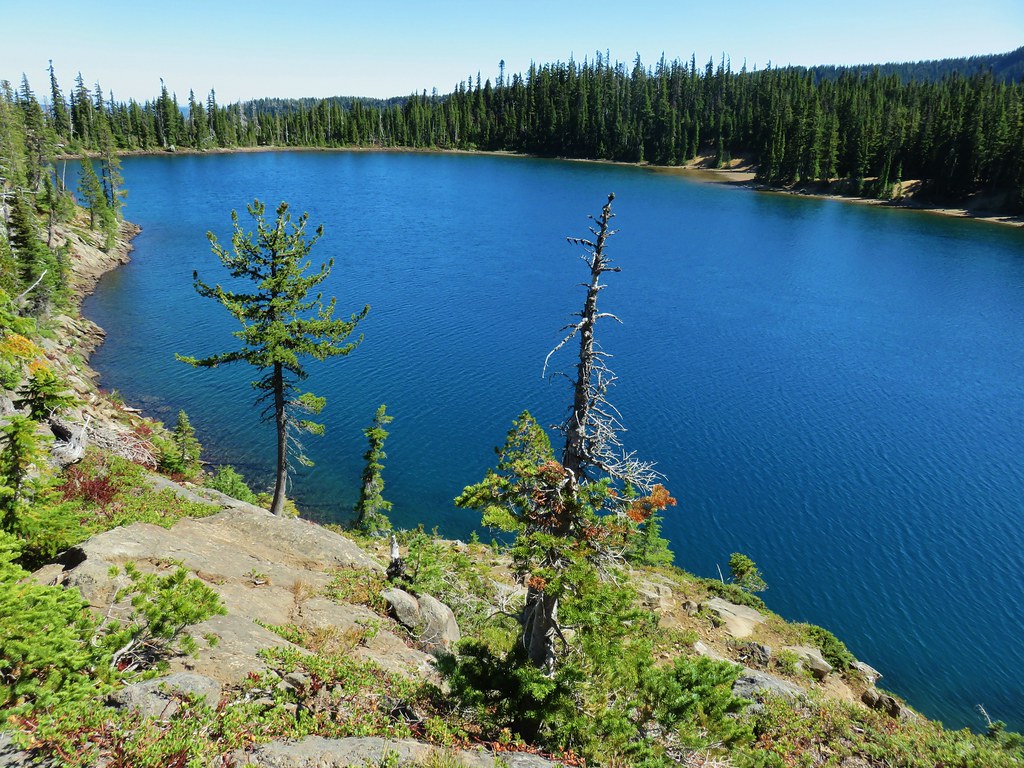
We veered left onto the Shirley Lake Trail which began climbing toward the Cascade Crest. After another quarter mile we spotted green Shirley Lake through the trees below the trail to our left.
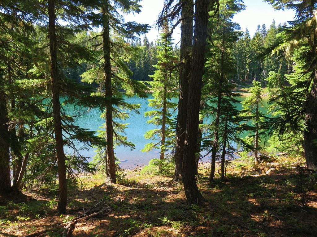
We didn’t see any obvious trails down to the lake so we followed an open ridge down through the trees to the lakes northeastern shore.
We climbed back up to the trail and continued uphill toward the crest. As we climbed the view of Mt. Jefferson to the north improved.
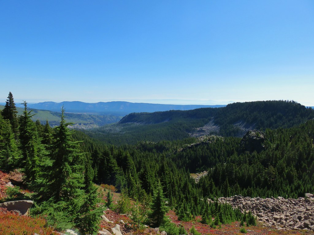
The trail left most of the trees behind as it rounded a ridge three quarters of a mile beyond Shirley Lake. The valley below was full of rock fields and cliffs.

A little over 1.25 miles from Shirley Lake we arrived at a four-way junction at a saddle. Here the Shirley Lake Trail from the east and the Swallow Lake Trail from the west ended at the Pacific Crest Trail.
Our plan was to hike up to the summit of nearby South Cinder Peak which was just SW of the junction. We turned south on the PCT (we could also have taken the Swallow Lake Trail) and followed it until we were due east of South Cinder Peak.
We left the PCT and headed cross country, crossed the Swallow Lake Trail, and picked up a use trail up the cinder cone.
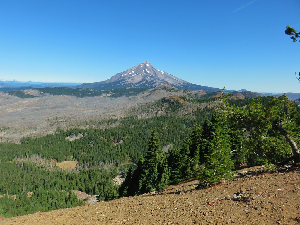
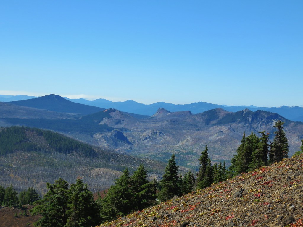
 Mt. Jefferson and the Swallow Lake Trail
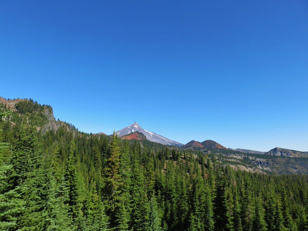
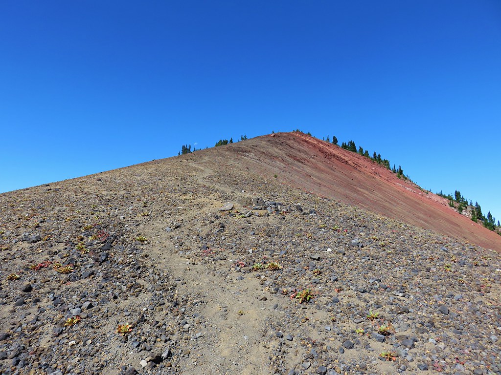
The quarter mile climb up South Cinder Peak was a little steep and the loose rock required some extra effort but the views were worth it. We benefited from a cloud free sky and the smoke was limited to the east and south where the Terwilliger Fire continued to burn near Cougar Reservoir.
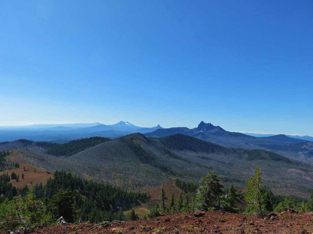 Broken Top, The Three Sisters, Mt. Washington, and Three Fingered Jack to the south.
 Mt. Jefferson to the north.
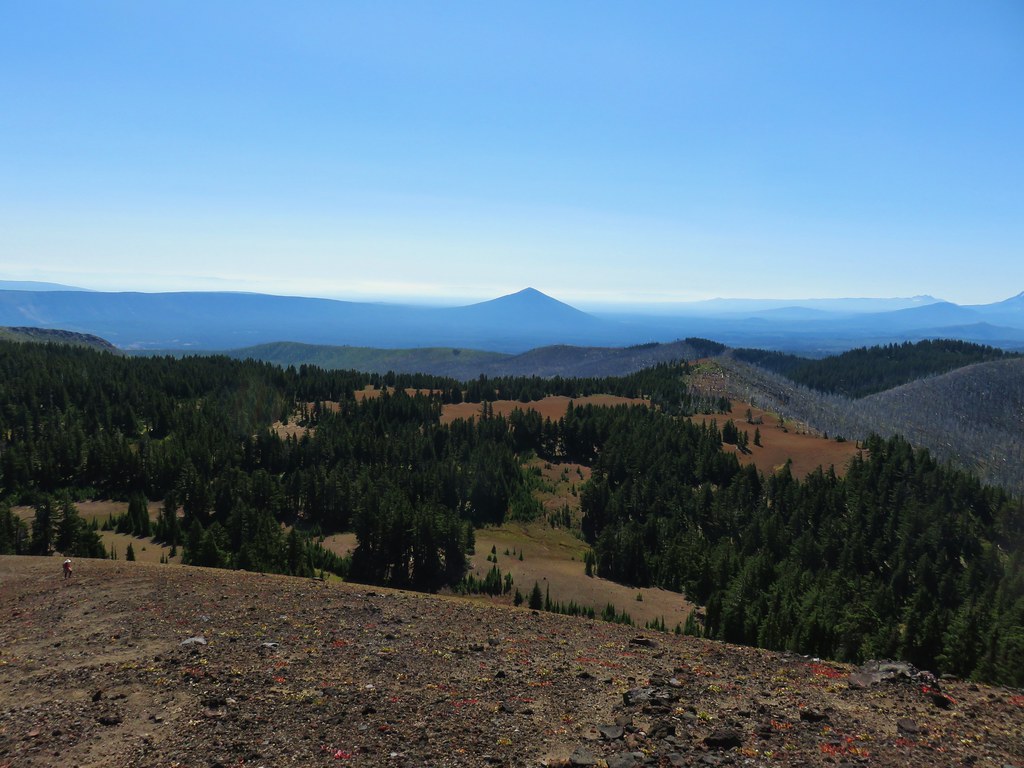 Black Butte to the SE
 The Three Pyramids and Marion Lake to the west
 Coffin Mountain and Bachelor Mountain to the NW
 Maxwell Butte, Red Butte, and Duffy Butte to the SW
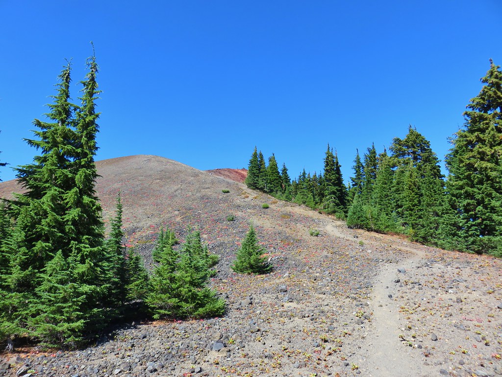
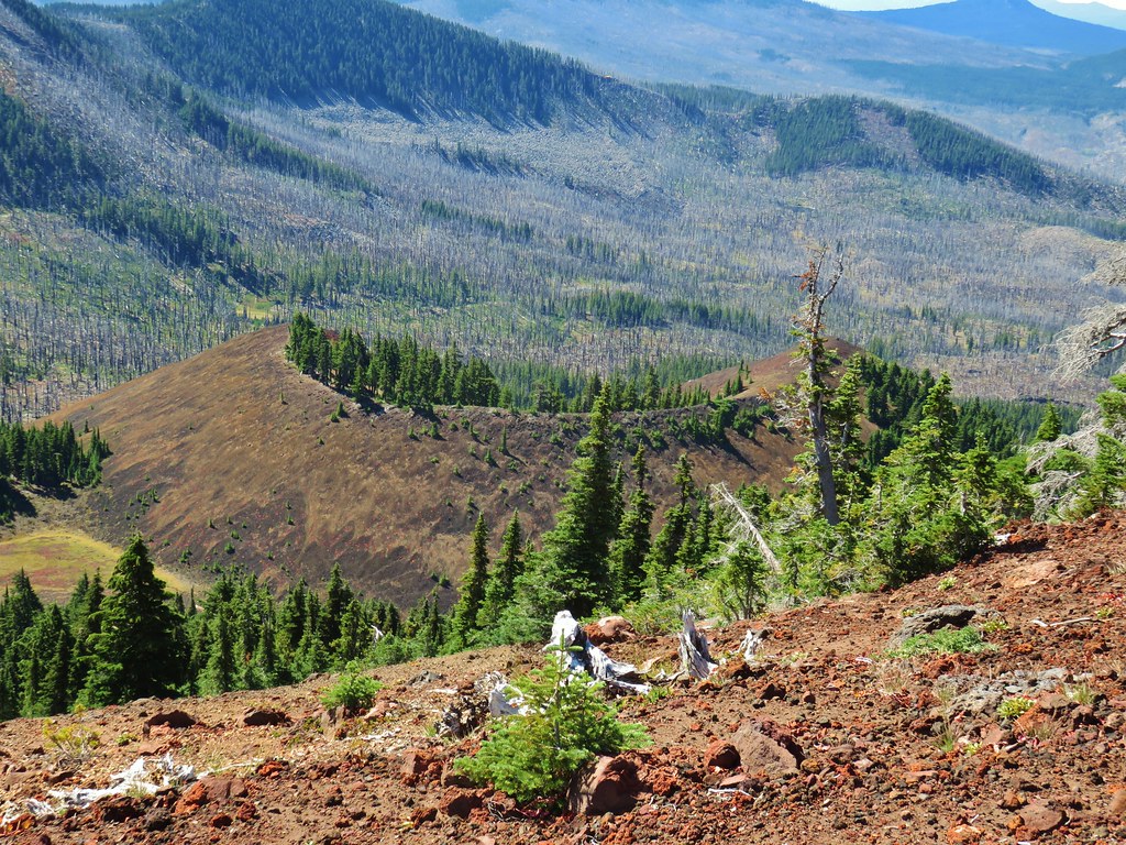 Cinder cone below South Cinder Peak
After a break at the summit we returned to the PCT and decided to continue south to Rockpile Lake which was just over a mile away. It turned out to be a good decision as the open views along this stretch of the PCT were nice.

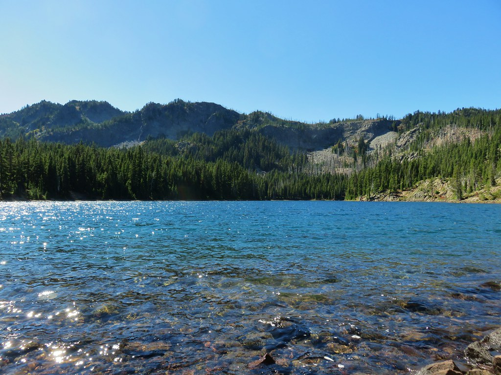
We stopped again at Rockpile Lake which was right next to the PCT.
After a relaxing break at the lake we started back. Along the way we noticed a small sign marking the location (or maybe not) of the abandoned Brush Creek Trail.
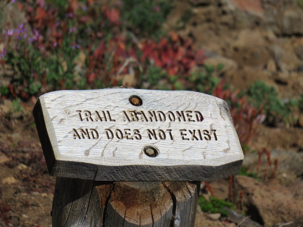
We both got a kick out of the sign wondering how a trail that doesn’t exist can be abandoned.
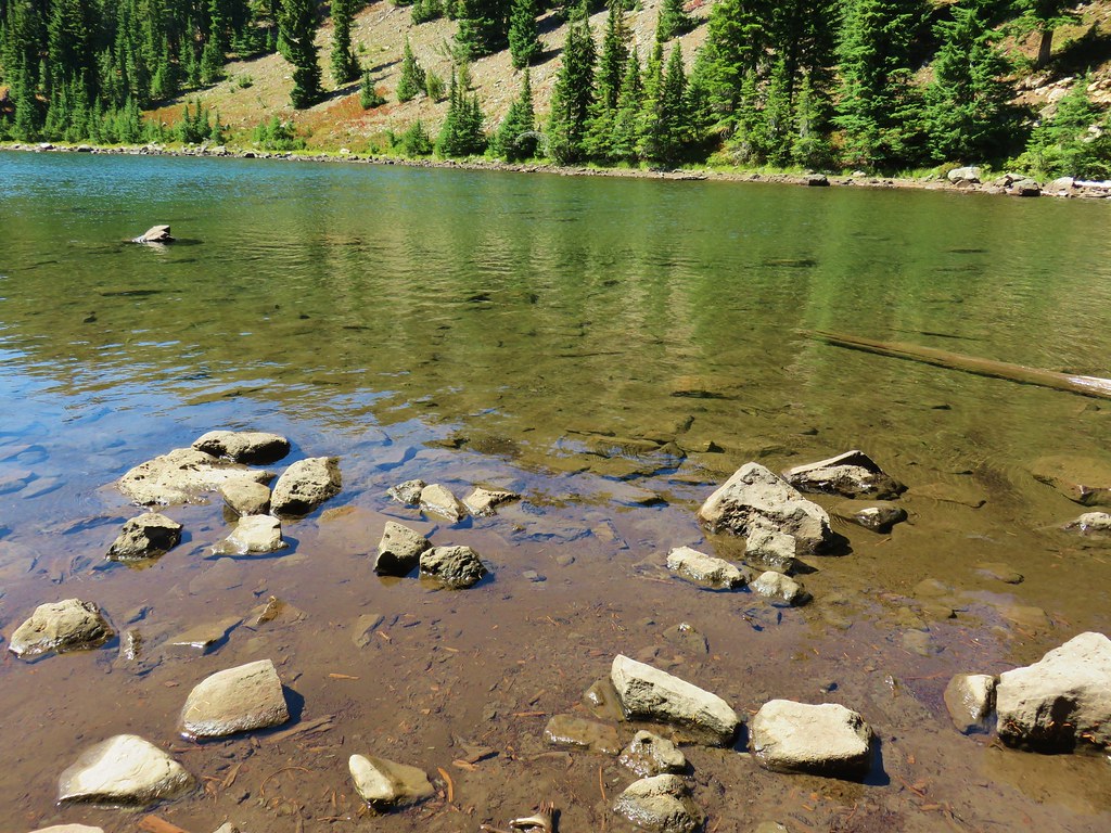
We took the Shirley Lake Trail back down to its junction with the Cabot Lake Trail then decided to follow one of the many use paths down to the shore of Carl Lake.
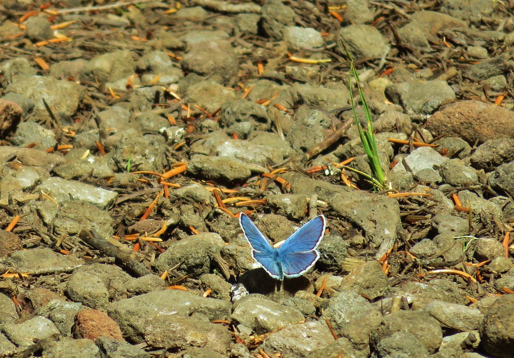
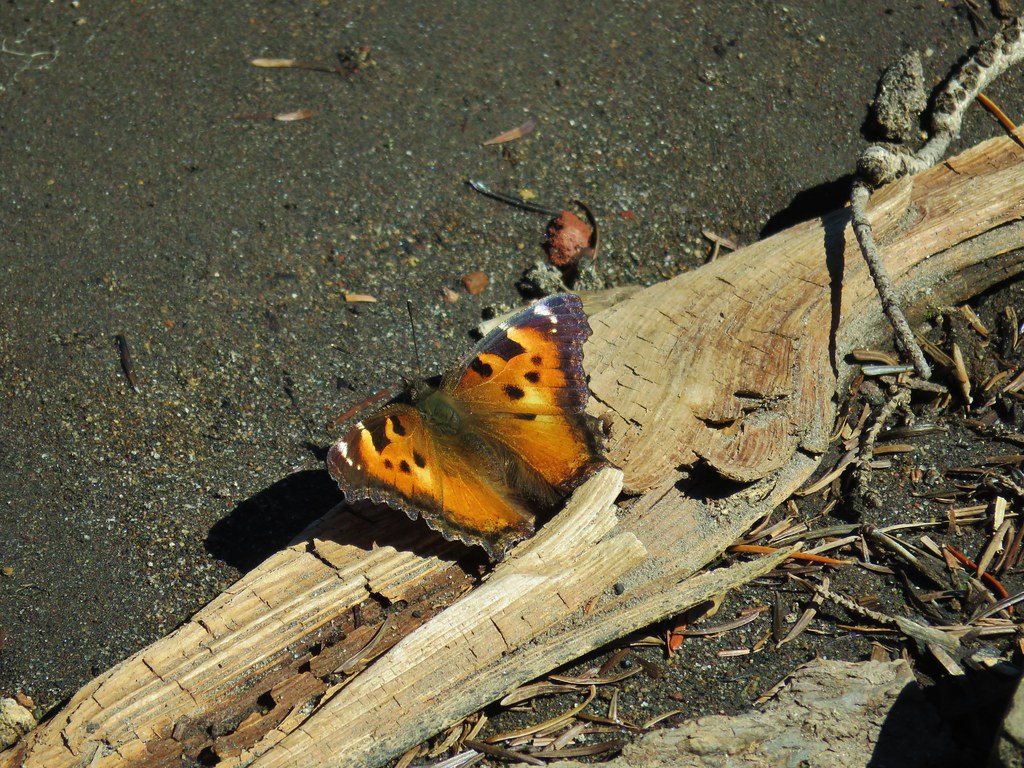
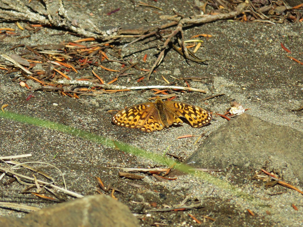
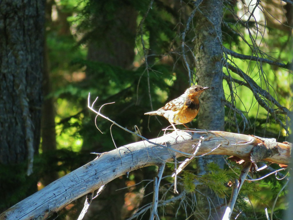
We then decided to walk clockwise around the lake to get back to our campsite. The walk was easy at first and we spotted a good number of butterflies and a varied thrush along the way to the lakes western end.

The Cabot Lake Trail came down nearly to the shore at this end so we hopped back onto it for a bit. When the trail turned away from the lake at some campsites we were no longer able to follow the shoreline around. A narrow rock outcropping running along the northern end of lake bordered the water forcing us to scramble over it. The view down to the lake was nice but the scramble was a bit of a pain.
We made it back to camp around 2:45pm having hiked 13.1 miles on the day. That gave us plenty of time to relax by Carl Lake which we did as best as we could. There was a nearly constant breeze blowing across the lake at us which made it a little chilly when we were simply sitting by the water. To make matters a little worse the glare from the Sun became intense as it made its passage west.
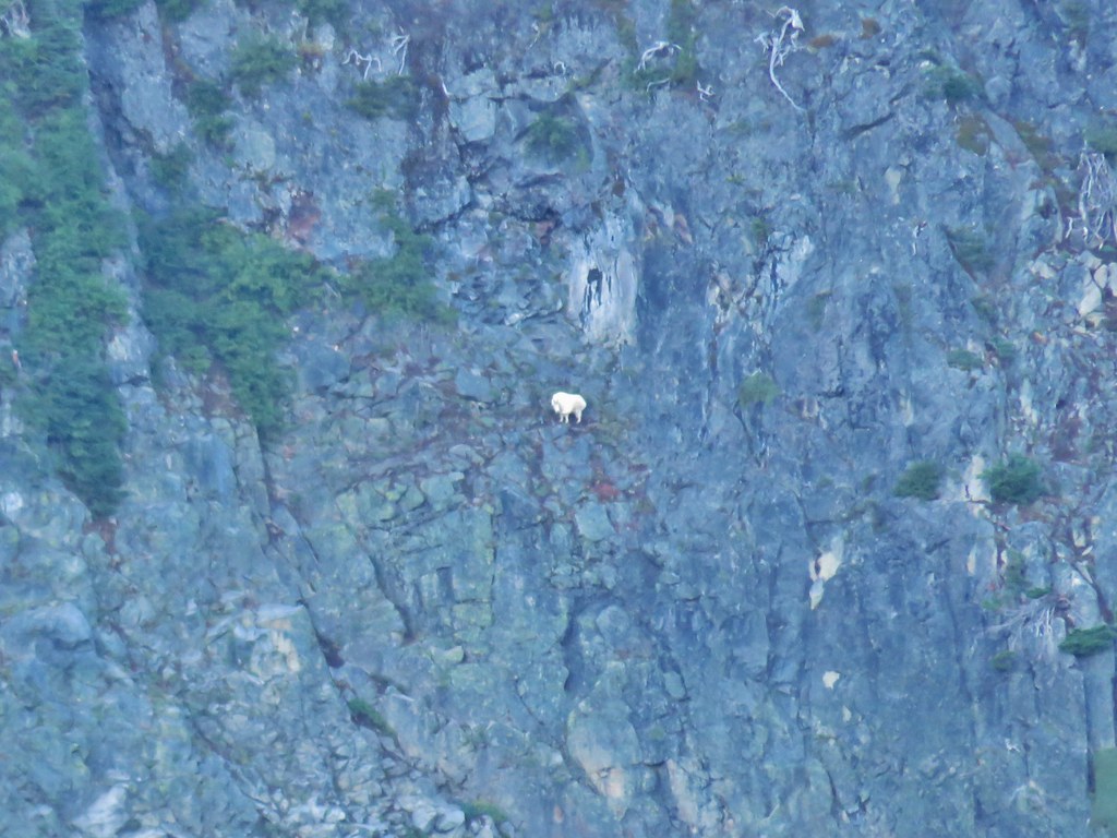
We put on some of our extra layers and moved around a few times looking for a comfortable place to settle down. We couldn’t really find one but we did manage to hold out long enough to spot a mountain goat on the cliffs beyond the lake. Between the distance and the lighting it was hard to get a decent photo but I was able to get a couple where the goat can at least be identified.

We eventually took our chairs back to our campsite where the breeze was mostly blocked but with the Sun now behind the crest we were having trouble warming up so we called it a day and turned in early. We had another big hike ahead of us the next day so the extra sleep couldn’t hurt. Happy Trails!
Flickr: Carl Lake and South Cinder Peak

9 replies on “Mt. Jefferson Wilderness Day 1 – Carl Lake and South Cinder Peak”
[…] Carl Lake to hook up with the Cabot Lake Trail after having come back on that side the day before (post). It would have been shorter than taking the Cabot Lake Trail around the southern and western ends […]
Trust me, the Brush Creek trail DOES exist, even if the FS has abandoned it to history. I’ve hiked it from the eastern trailhead to the intersection with the PCT. The old sign used to say “Unsafe for Livestock” and “Not Maintained”. Too bad, it’s a scenic trail, even if it is a bit hard to follow at times and is hard to find at it’s eastern trailhead. The old trail becomes apparent soon after cresting the ridge heading west.
That’s good to hear, we could see the tread there at the junction which made the whole “does not exist” thing seem even more absurd.
[…] Mt. Jefferson and Three Fingered Jack where we could make out North and South Pyramid Peaks (post). South Cinder Peak is the high point along the […]
[…] Cinder Peak (post) to the left and Three Fingered Jack to the […]
[…] We spotted another familiar prominent feature along the Cascade crest as well. South Cinder Peak (post) […]
[…] – Carl Lake 9/1/2018 Burned 2003, B&B Complex, 2006 […]
[…] view of Mt. Jefferson and Three Fingered Jack with Maxwell Butte (post) and South Cinder Peak (post) in […]
[…] end of the butte I headed back across the summit to get the view to the north. South Cinder Peak (post) between the trees and Rockpile Mountain to the right of […]