**Note the 2020 Beachie Creek Fire burned a portion of this hike.**
For the final hike of our vacation we were looking for something relatively close to home that we had not done before. While we had visited the Table Rock Wilderness twice before (post) both of the previous hikes started from the Table Rock Trailhead. Two of our guidebooks contained hikes starting at the Old Bridge Trailhead which would allow us to do a predominately new hike in the BLM managed wilderness.
One author (Sullivan) suggested a 6.4 mile loop utilizing the High Ridge and Bull Creek Trails as well as Rooster Rock Road while the other author’s (Reeder) suggested hike was a 10.8 mile out and back to Rooster Rock on the High Ridge Trail. We decided to combine the two and visit the meadow below Rooster Rock and then return via the Bull Creek Trail/Rooster Rock Road route described by Sullivan. We parked at the Old Bridge Trailhead which had it’s pros and cons.

Trailhead sign at the Old Bridge Trailhead.
On the pro side the entire drive to the trailhead is on paved roads. On the con side the trailhead is at a gravel pit used for target shooting and there were a lot of empty shell casings as well as litter in the immediate vicinity.
The first few feet of the trail were nearly hidden by thimblerry bushes but after passing through them the trail was obvious and well maintained.

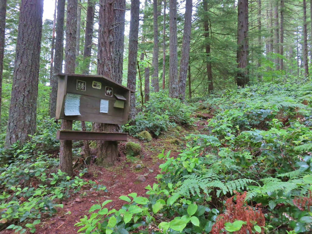 A second signboard just up the trail from the trailhead.
There was a chance of showers in the forecast that never materialized, but it was foggy and the fog left the vegetation wet which in turn made us increasingly wet as we brushed against the leaves.
 Wet leaves around an iris.
One thing that we’ve come to expect from hikes in this wilderness is a good climb and this portion of the High Ridge Trail was no exception. Starting at an elevation just over 1200′ the trail climbed 1800′ in 2.5 miles to a junction with the Image Creek and Bull Creek Trails. The majority of the climb is through a mature forest but at the 2.4 mile mark a small wildflower meadow awaits.


 Rhododendron
 Coralroot
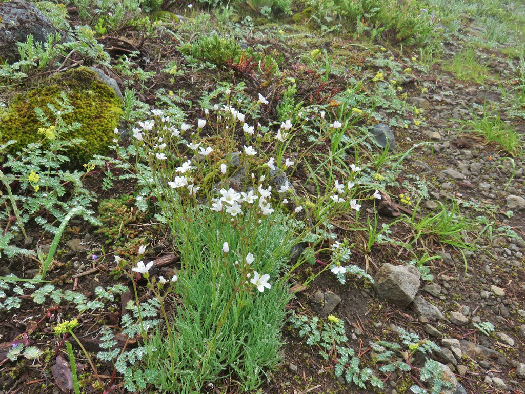
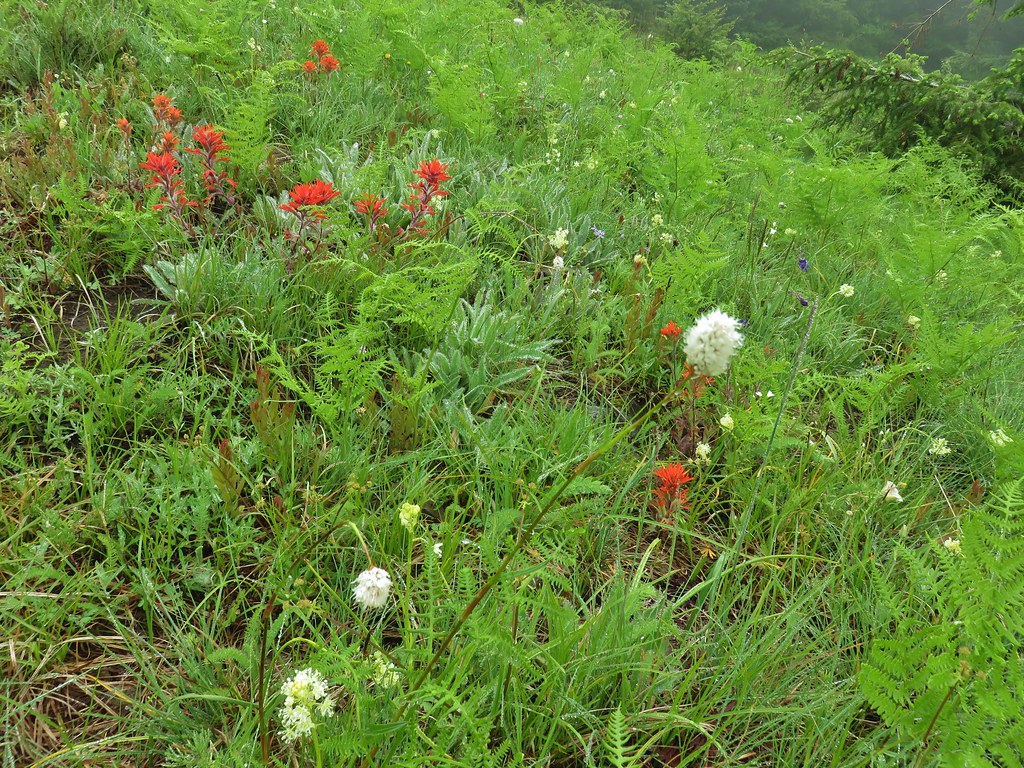
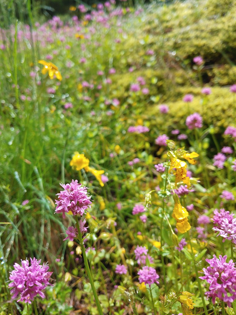
 The small wildflower meadow.
We’d timed it fairly well for the flower display but the fog made it a little hard to get the full effect of colors.

 Paintbrush, Oregon sunshine, and plectritis
 Sub-alpine mariposa lily
 Death camas
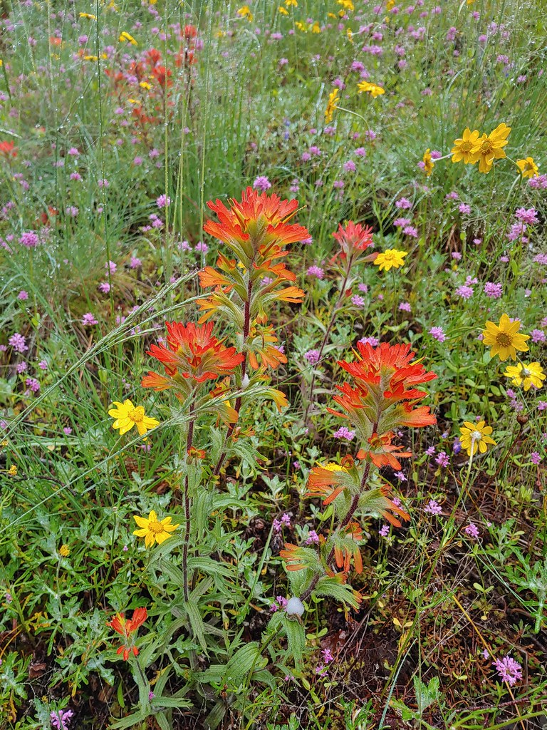 Paintbrush
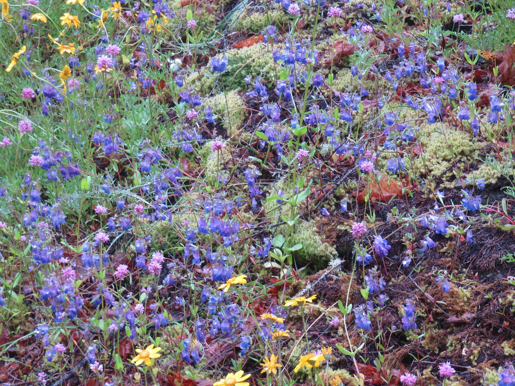 Blue-eyed Mary
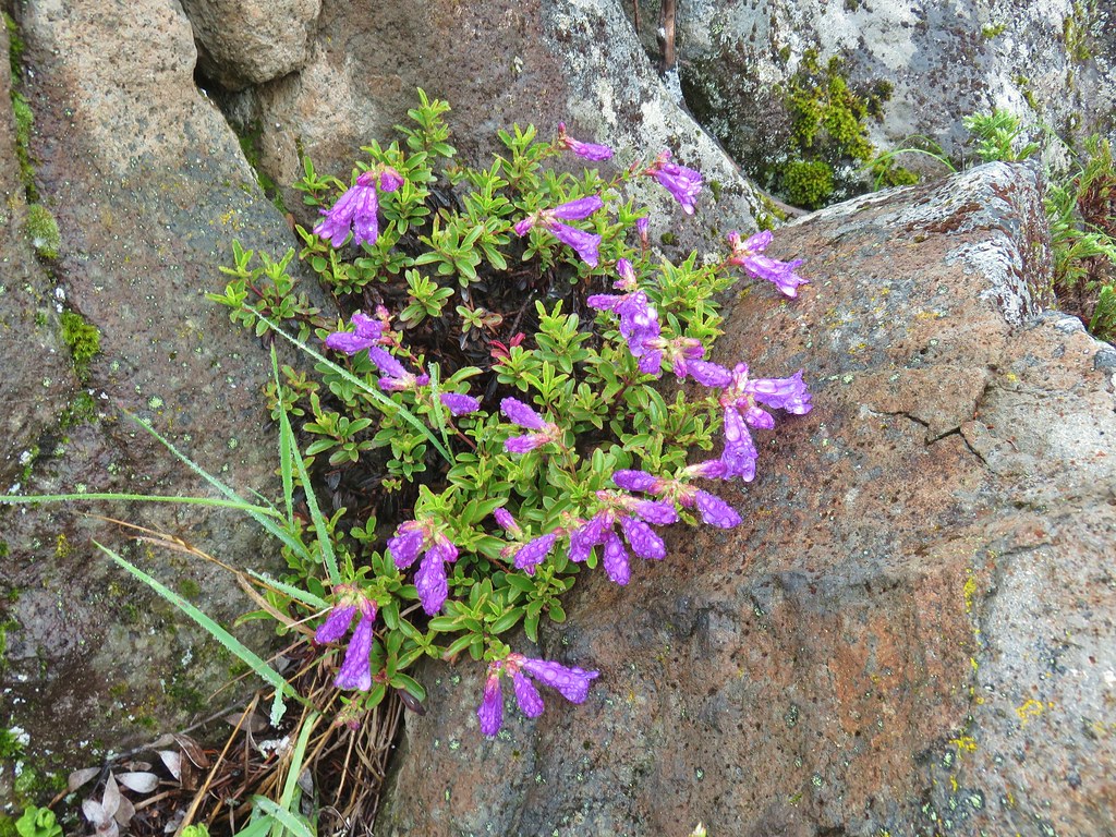
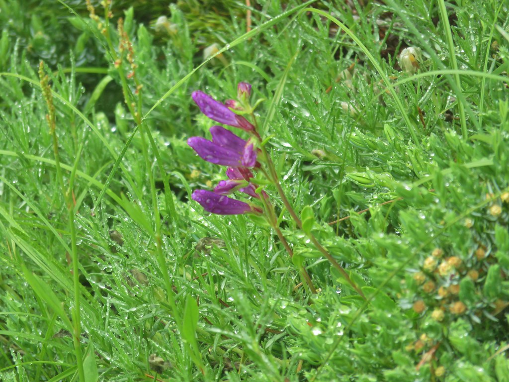
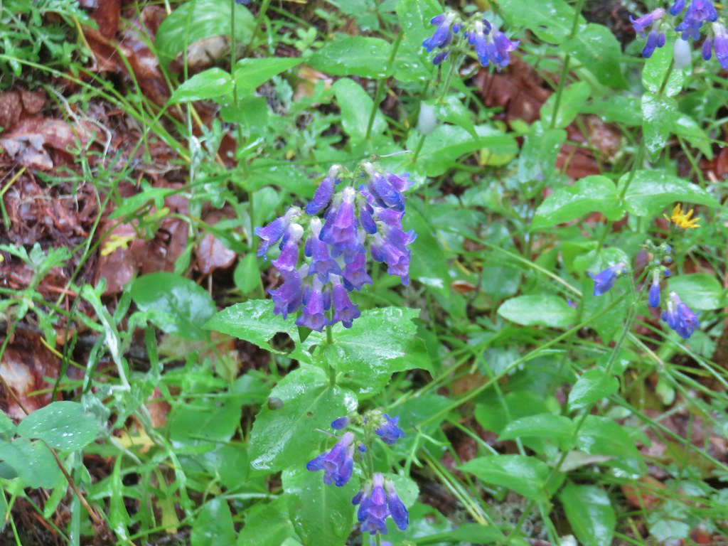 A penstemon
The trail briefly reentered the forest before coming to a second, larger meadow in .1 miles.

 Balsamroot at the edge of the meadow.
 Penstemon
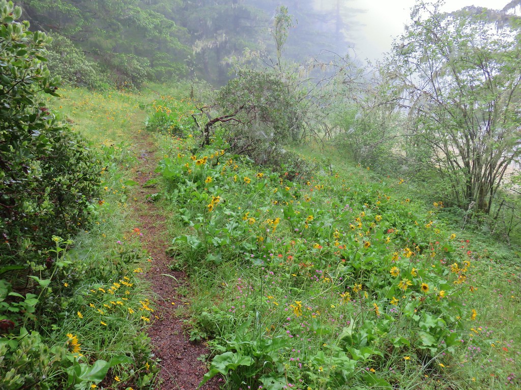
 Larger meadow
This meadow was quite a bit larger with a few additional types of flowers present but it was also disappointingly foggy.
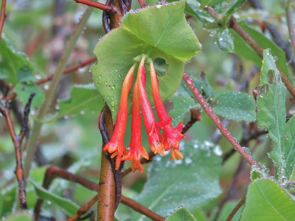 Honeysuckle
 Larkspur amid the paintbrush and Oregon sunshine
 Tomcat clover
 Possibly a milk-vetch or some sort of vetch.
On the far side of the meadow we arrived at the wide 4-way junction with the Image Creek Trail on the left, the Bull Creek Trail on the right, and the continuation of the High Ridge Trail straight ahead.
 Image Creek Trail and the High Ridge Trail.
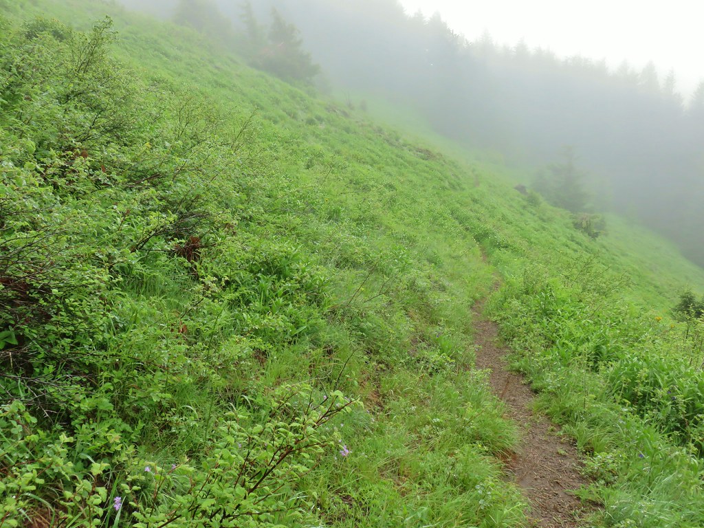
We stuck to the High Ridge Trail which launched uphill. The trail gained the ridge and leveled out for a bit before another steep climb. There were a few dips along the way as the trail was forced to leave the ridge to drop under rock outcroppings which just increased the amount of climbing needed.
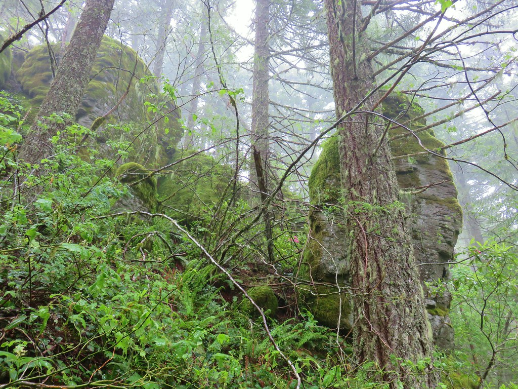 One of the sets of rocks along the way.
 In the middle of one of the climbs.
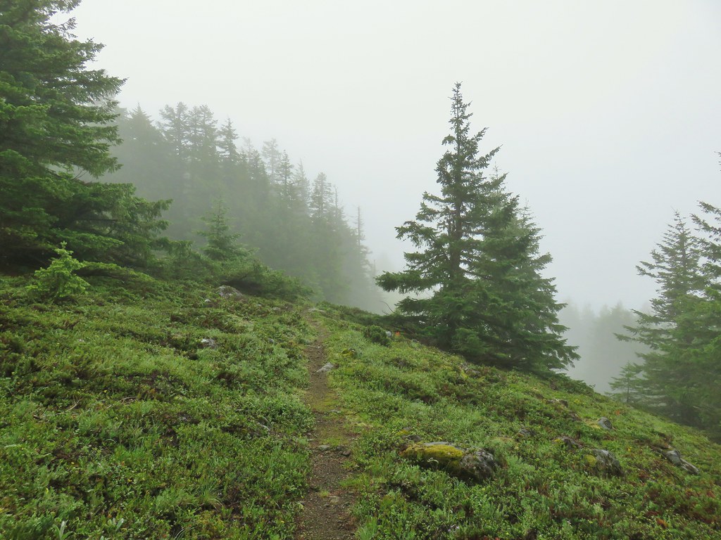
 The trail leveling off a bit.
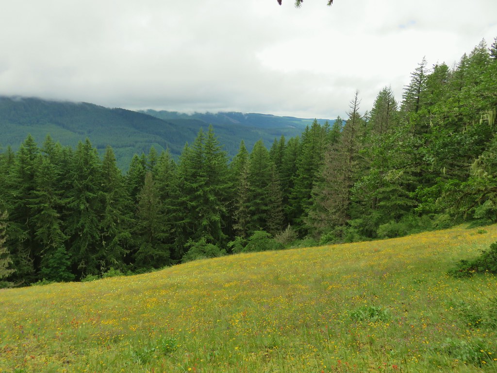
Approximately 2 miles from the junction we came to the first of a series of small meadows, each with a slightly different feel.
 Oregon sunshine
 Mountain sandwort
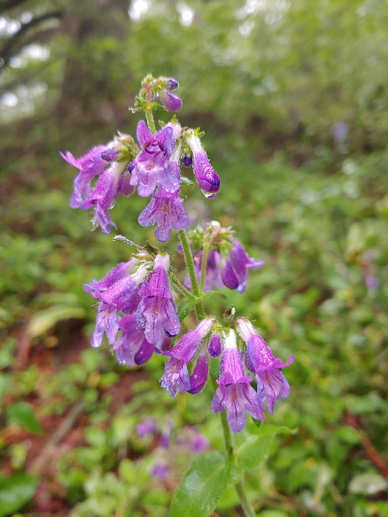
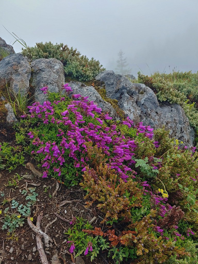
 Penstemon
 Olympic onion
 Back in the trees.
 Fawn lilies
 The next little meadow.
 Larkspur and blue-eyed Mary
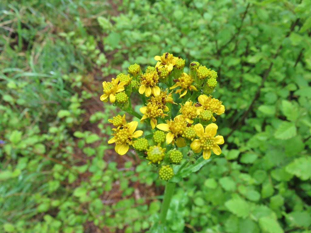 Groundsel
 Trees again.
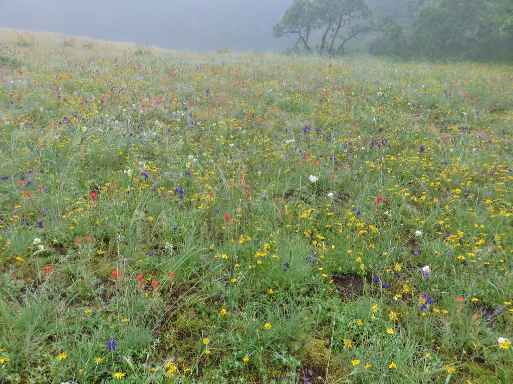
 Another meadow
 Phlox
Phlox
 Phlox
Phlox
 Chickweed
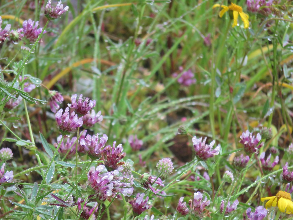
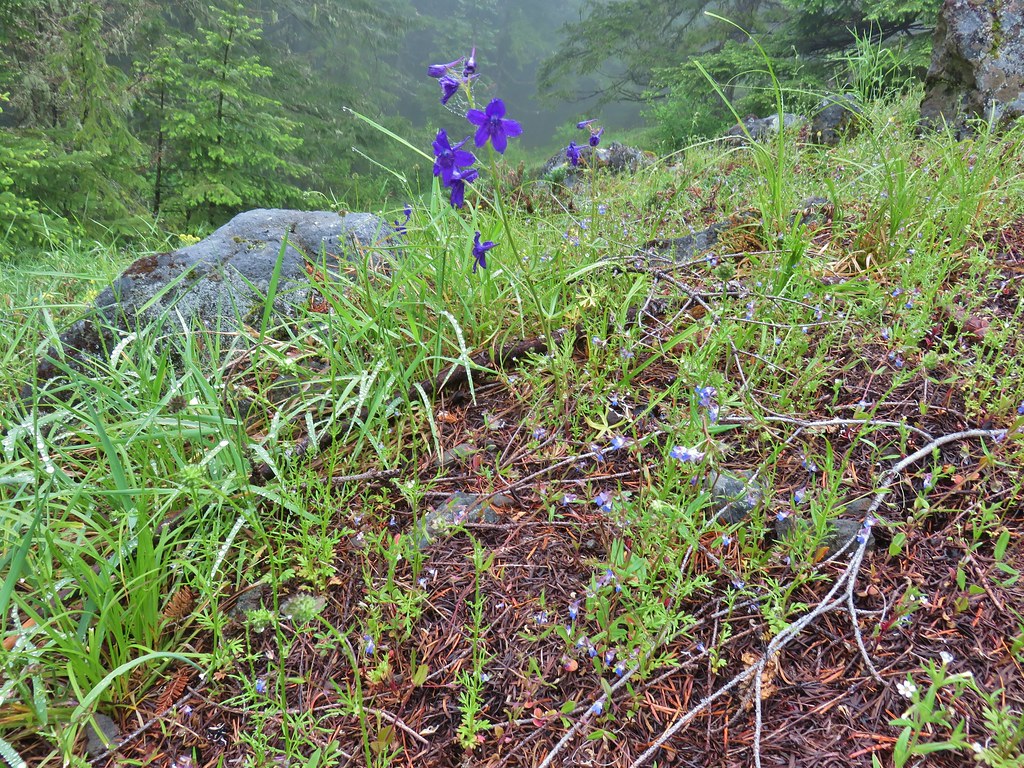
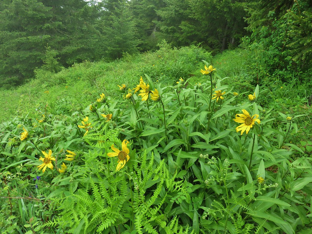
Just under 3 miles from the junction we arrived at the meadow below Rooster Rock. This was the first part of the hike that was familiar to us having visited Rooster Rock on both our previous trips to the wilderness.

We were just a week or two early for the full false sunflower display but a few of the blossoms had opened and there were plenty of other flowers blooming.
 Larkspur
 Lupine
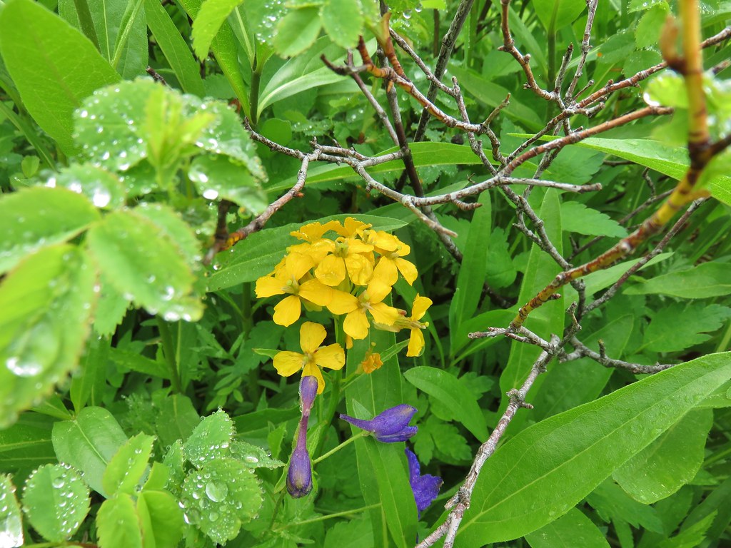 Wallflower
 Paintbrush
 Bistort
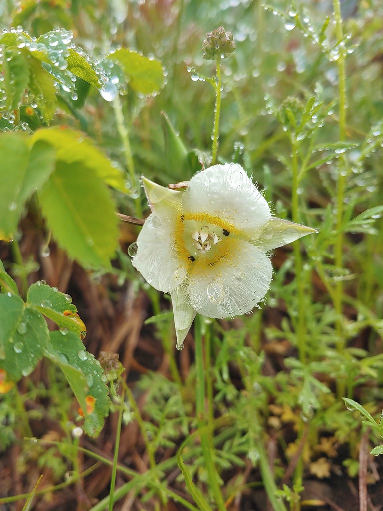 Sub-alpine mariposa lily
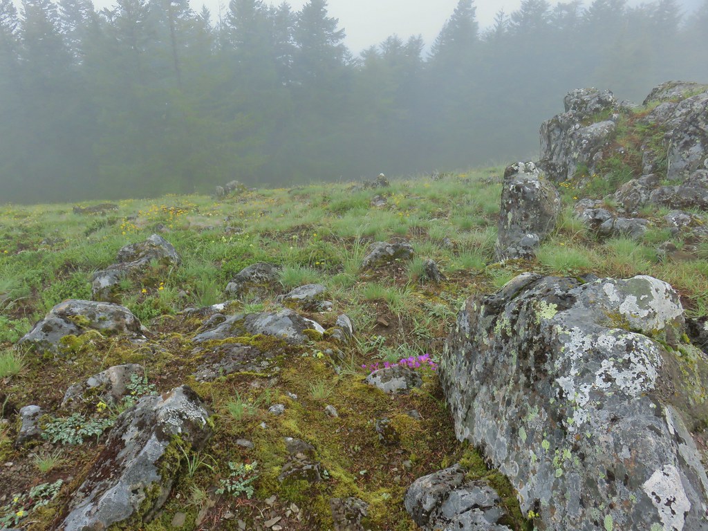
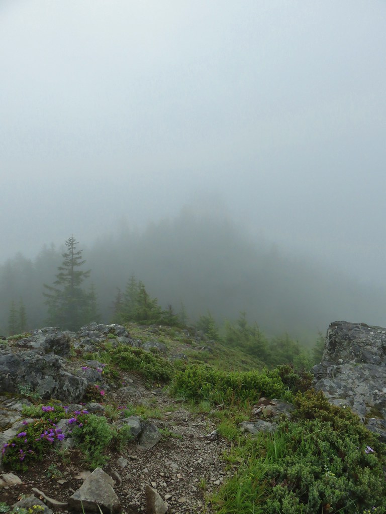
We turned left at a “Y” junction with the Saddle Trail and climbed to, wait for it…. a saddle between Rooster Rock and Chicken Rock. With the fog we couldn’t really see either rock formation but we knew they were there. While Rooster Rock is taller there is no trail to it, but there is one up to Chicken Rock and we headed up despite knowing that there would be no views of Mt. Jefferson today. There was a lot of colorful clumps of purple and pink penstemon though.


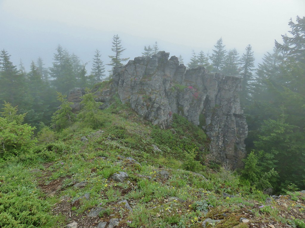
The rocks were at least a good spot to take a short rest and have a bit to eat. We were occasionally able to make out the shape of Rooster Rock across the saddle as we sat.
 For comparison.
After our break we explored a little more of the meadow along the High Ridge Trail looking for any types of flowers that we might have missed earlier.
 Sticky cinquefoil
We headed back along the High Ridge Trail to the junction with the Bull Creek Trail. The three miles back to the junction were pretty uneventful except for startling an unexpected hiker who we thought had seen us but hadn’t. He was in the middle of the trail and when he didn’t move we noticed he had ear buds in. I said hi and he about jumped off the trail. He wasn’t expecting to see anyone else on the trail he said. We wished him luck with the view as it was supposed to clear up at some point during the day and continued on our way.
By the time we arrived at the junction the fog had at least lifted so we took a faint user trail out to the edge of the big meadow from the Bull Creek Trail to take another look.


After returning to the trail we noticed a smaller meadow on the opposite side that was bursting with color.
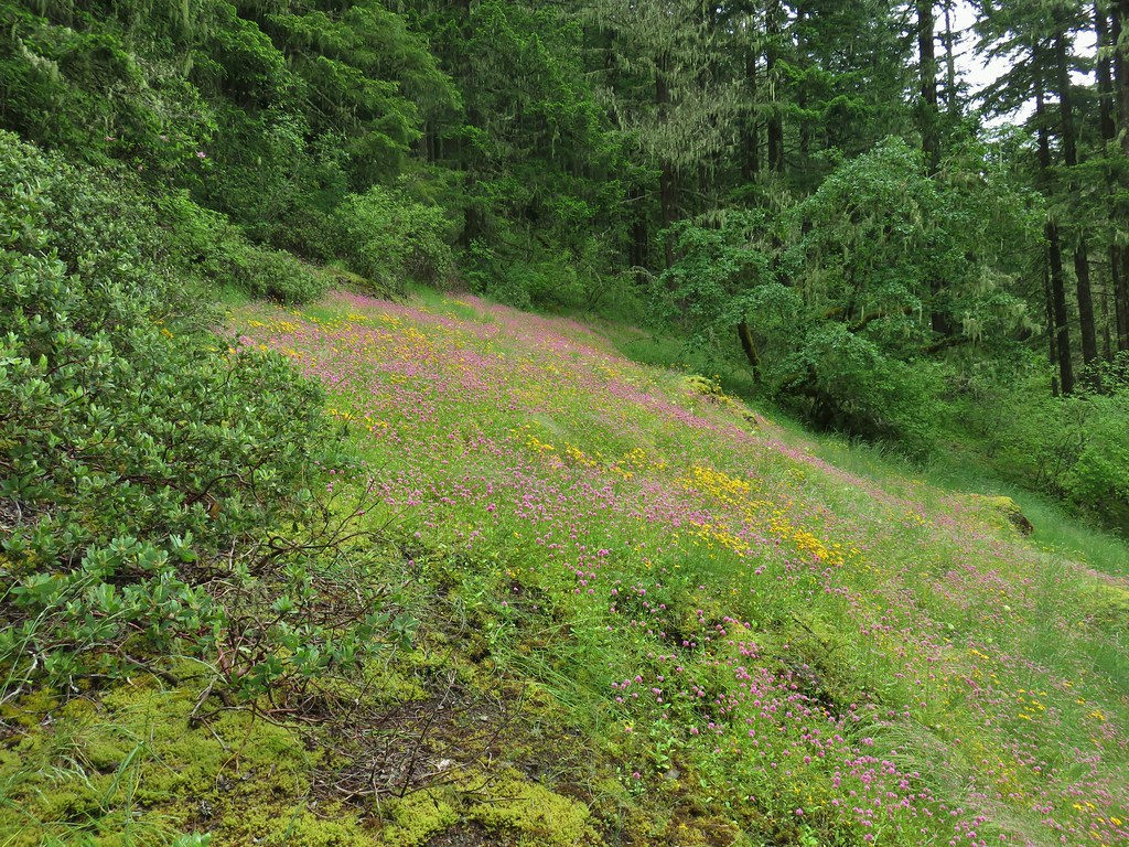
It was mostly plectritis and Oregon sunshine but Heather managed to spot a couple of yellow monkeflowers.
 Plectritis and Oregon sunshine
 A monkeyflower by some plectritis.
The Bull Creek Trail dropped fairly steeply along an old roadbed to a crossing of a branch of Bull Creek.

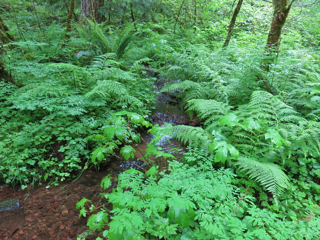
In a cruel twist the trail climbed away from this crossing. We had hoped that we were done climbing for the day but not quite. We then dropped to a second branch of the creek.

After a brief smaller climb form this crossing the trail dove downhill in a hurry to the Bull Creek Trailhead along Rooster Rock Road.
 Iris along the trail.

It was 1.6 miles from the junction to the trailhead and now we faced a 2.3 mile road walk back to the Old Bridge Trailhead.
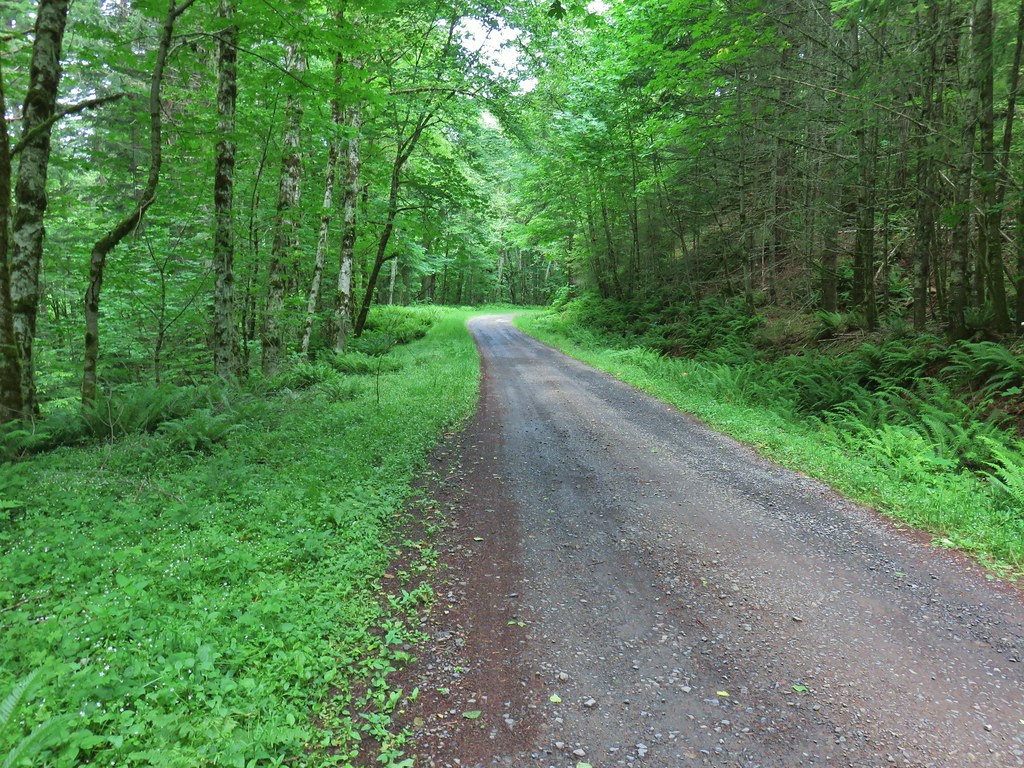
As road walks go this one wasn’t too bad. We could hear (and occasionally got a glimpse of) the Molalla River and there was finally some blue sky overhead.

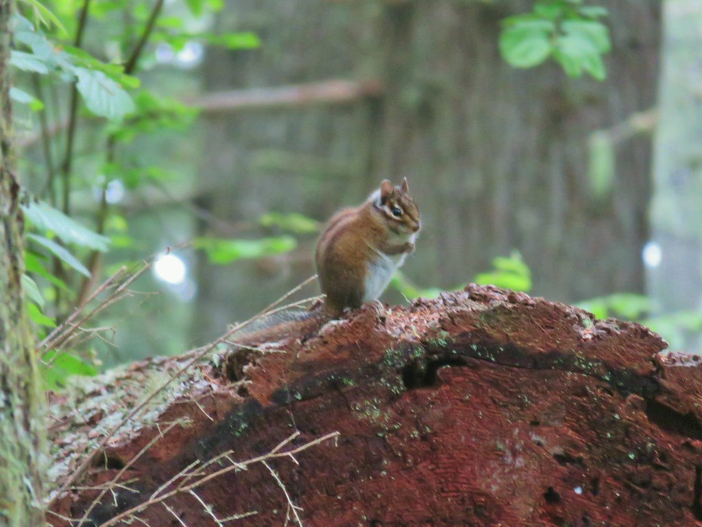
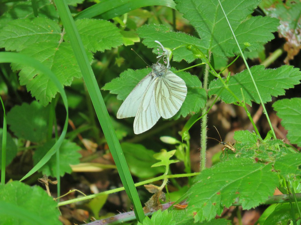
The butterflies were coming out to pollinate the flowers so we watched them as we shuffled along.
 I didn’t see the beetle until I was uploading this photo.

We spotted a colorful bird flying back into some trees but couldn’t quite figure out where it had gone of what it was. I took a bunch of pictures of the branches though hoping to at least get an idea of what it was which actually sort of worked. It was a western tanager.
 Where’s the western tanager.
The highlight of the road walk came as we neared the trailhead. Several cedar waxwings were in the trees nearby.

Instead of 12.4 miles my GPS showed 13 but that’s to be expected when we wander around exploring things. 🙂 This was a tough hike with nearly 4000′ of elevation gain up some steep climbs but it was a good one. Having already gotten to experience the views from Chicken Rock helped alleviate any disappointment about the foggy conditions and we got to see a very different set of flowers in the meadow on this trip. Happy Trails!

2 replies on “Table Rock Wilderness West Meadows – 6/21/2020”
[…] #89 Table Rock – Hiked 10/11/2012, 7/4/2015 & 6/21/2020 […]
[…] Table Rock (post) […]