After ending a five day stretch of hiking with a 13 mile, nearly 4000′ elevation gain hike we chose a longer hike with even more elevation gain for our next outing. I found the the Monte Carlo – Monte Cristo Loop while working on our future hiking plans in the off season. A recent trip report indicated that the wildflowers were near peak and a mostly sunny forecast for Saturday made it seem like a good time to check it out. In addition this hike is not particularly popular so social distancing most likely wouldn’t be a problem.
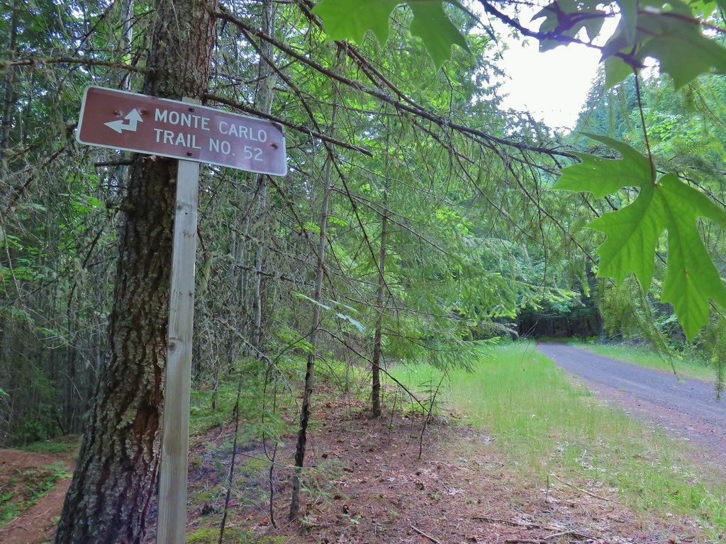
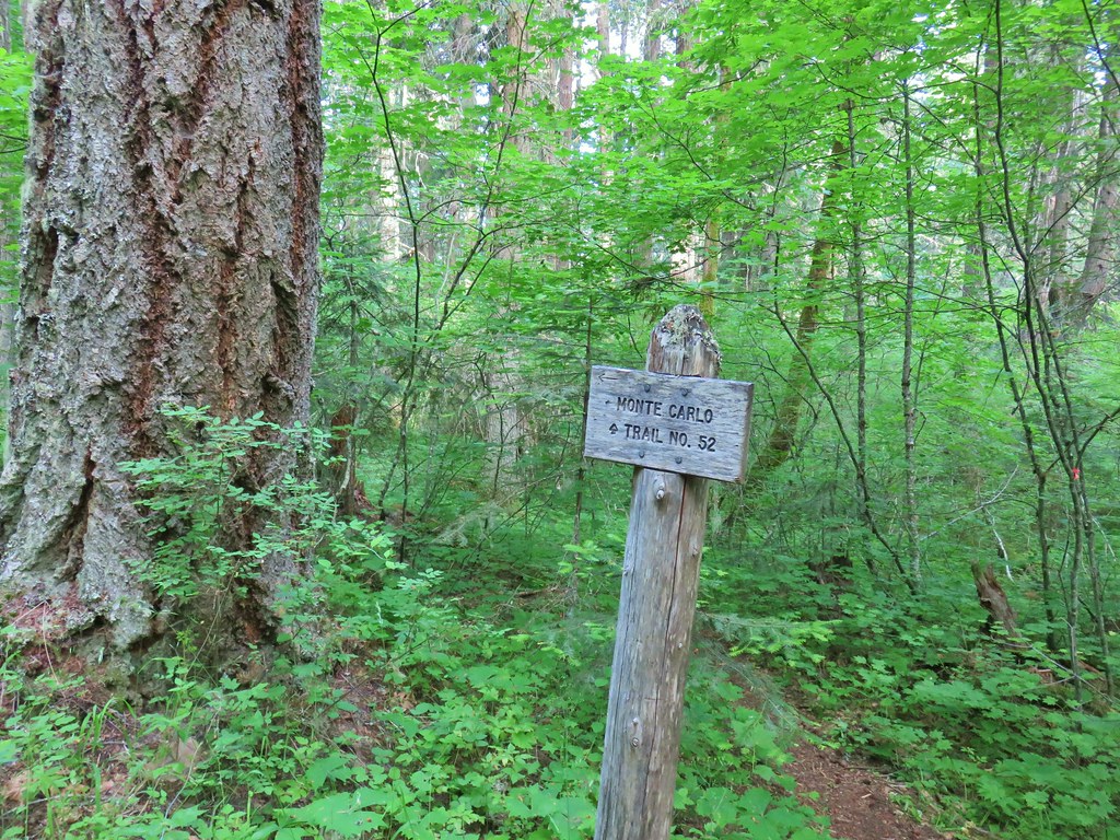
There are numerous potential starting points for this loop (or shorter hikes to one or both of the peaks) we chose to start at the Monte Carlo Trailhead. The reason was twofold. First this was the starting point for the hike described in the Oregonhikers.org field guide and secondly the drive was almost entirely paved.
We missed the parking area for the trailhead which was directly across FR 18 from the start of the trail mistaking it for part of the Oklahoma Campground. We wound up turning up the next little forest road (I believe it was 752) on the right and parking at a pullout along it and walked down FR 18 to the trail. This really didn’t add any extra distance as the loop ended by walking approximately 2 miles along FR 18 between the Lower Monte Cristo Trailhead and the Monte Carlo Trailhead.

We followed the field guide entry closely for this hike due to numerous logging road crossings, a couple of road walks and a few odd junctions. The field guide was spot on (despite being a bit off on total distance which we’ll get to later) so I won’t reinvent the wheel here and try and describe every twist and turn of the route. A tenth of a mile up the trail we came to a forest road which was the same one that we parked along. There was no signage at this junction but we knew from the field guide (and our GPS) to turn right. After our hike some hikers came by our car having turned left at the junction. After following the road for approximately 450′ we came to a trail on the left which quickly began climbing.

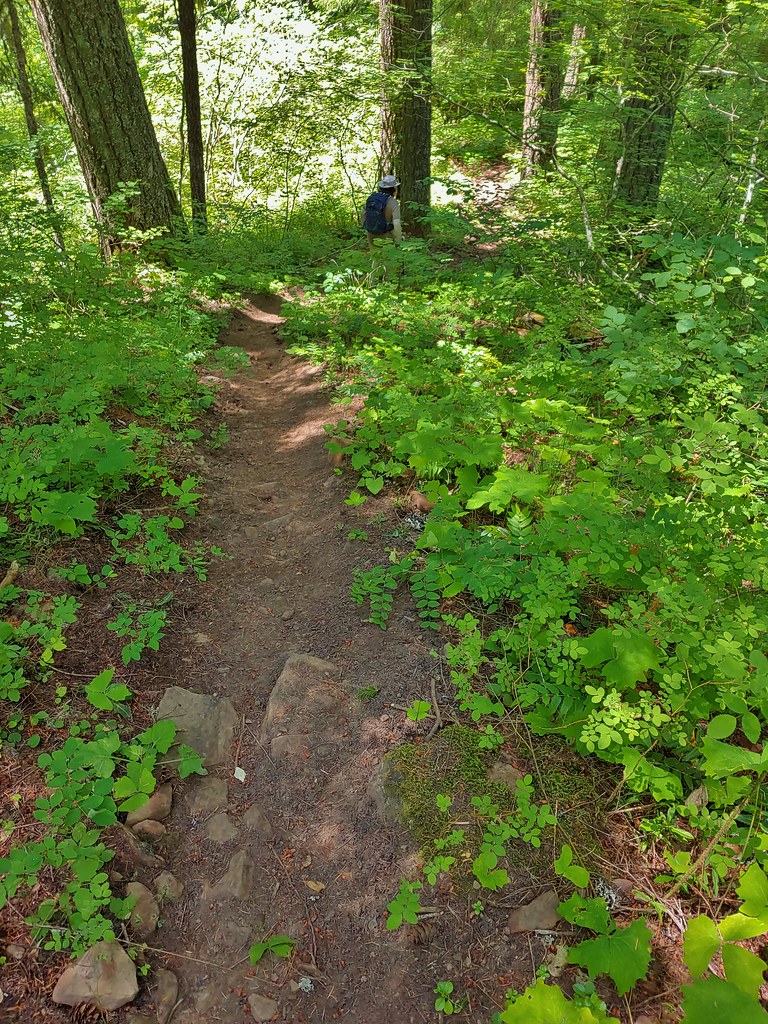
The designer of the trail apparently had little use for switchbacks as the trail went just about straight uphill. A little over three quarters of a mile in we came to an old logging road which the trail followed to the right where it leveled off a bit.

This road ended at FR 1840 where a sign pointed to the left for the Monte Carlo Trail.
At another road junction after just 500′ on FR 1840 another segment of trail launched uphill. In the forest here we found a large number of phantom orchids.
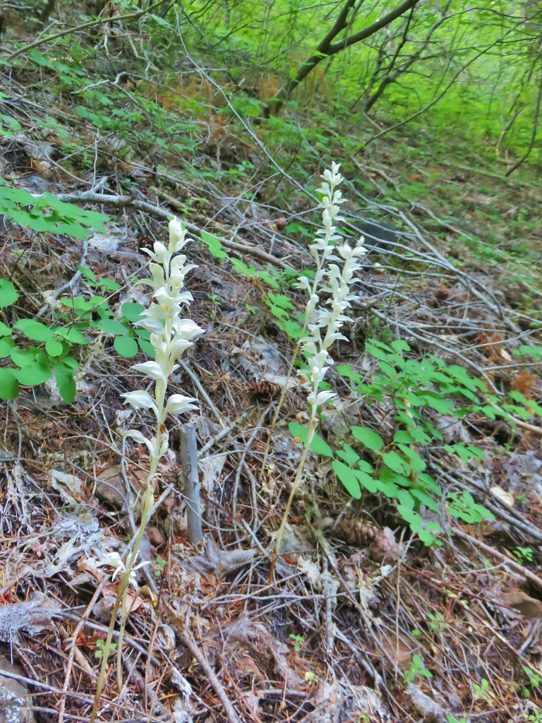
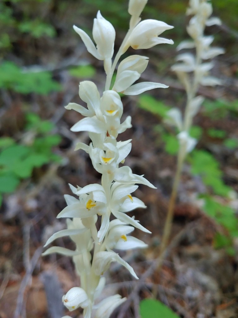
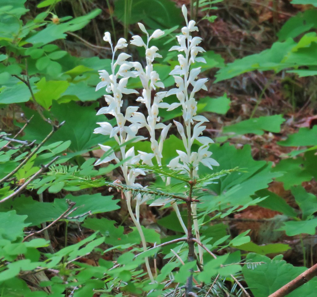
 One of the phantom orchids to the right of the trail.

Just over a quarter mile after leaving FR 1840 we came to another logging road which we turned right on briefly to pick up the continuation of the Monte Carlo Trail.
Another .3 mile climb was followed by another short walk to the right on a road followed by yet more climbing.
 A rare level section of trail.
 There were thimbleberry bushes along the roads/trails all day long.
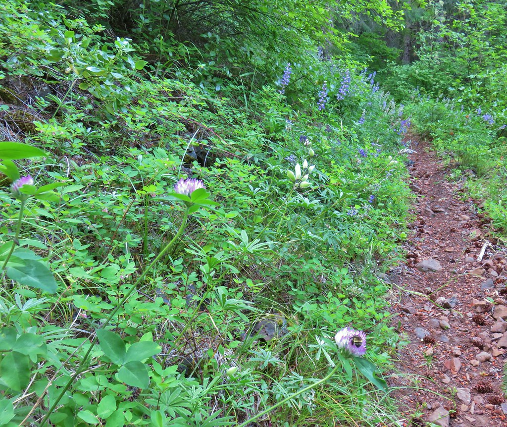
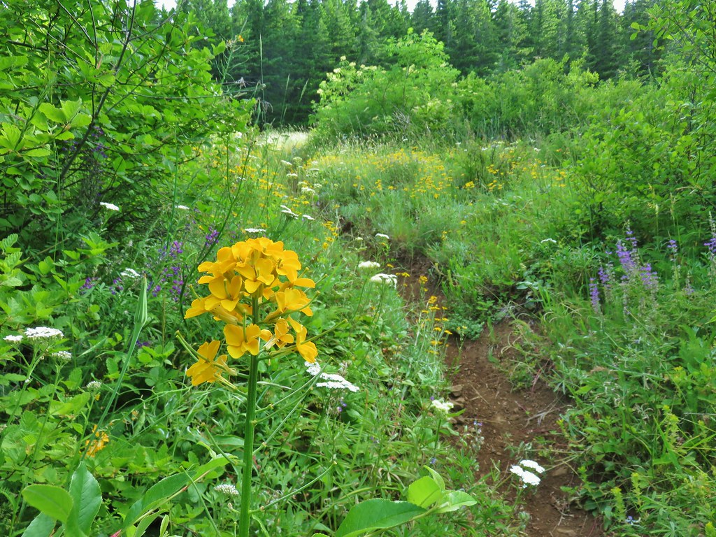
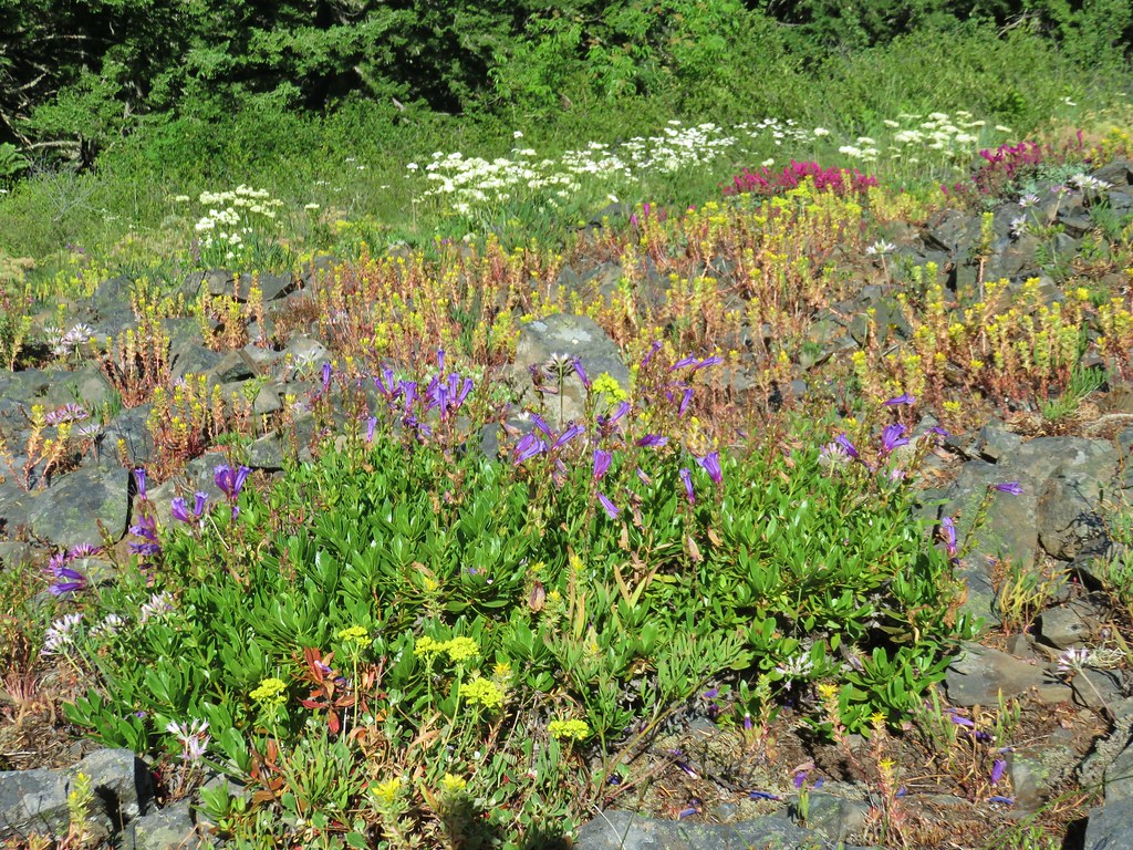
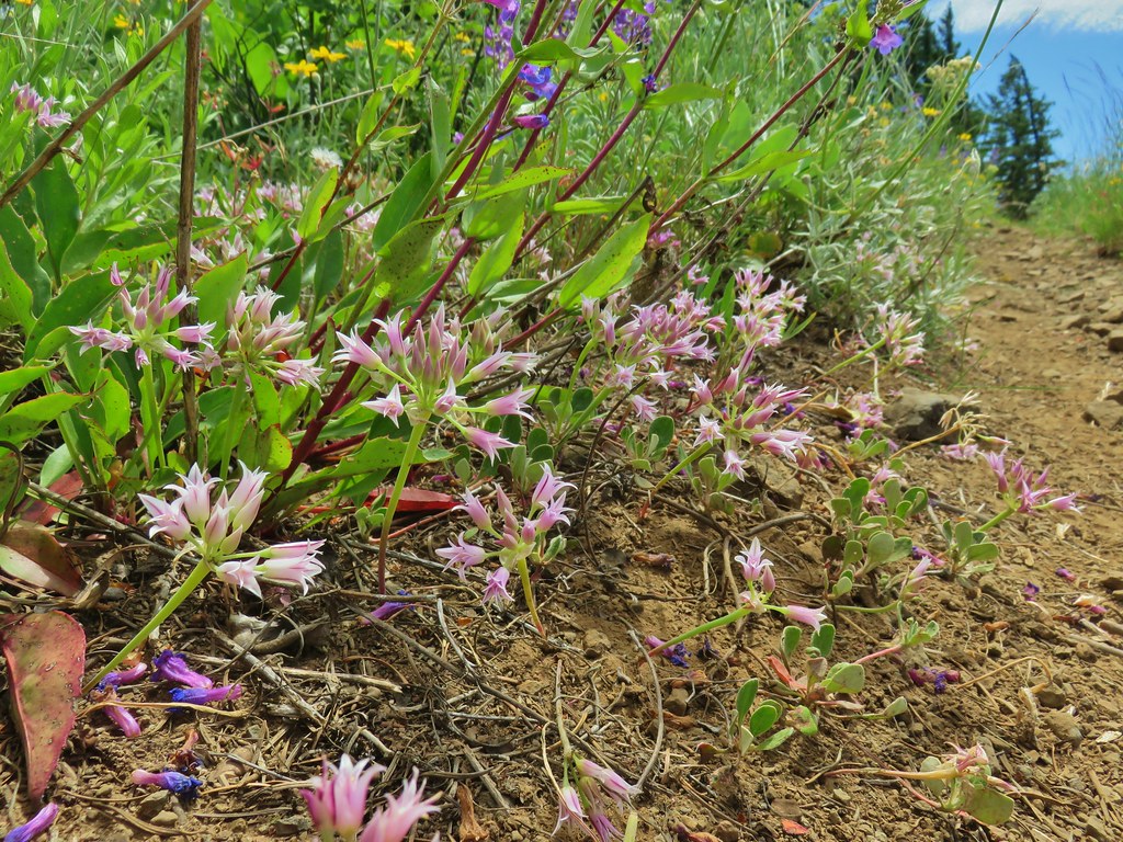
Just over 2 miles into the hike we came to a small hillside meadow.
 Bumble bee working on some clover.
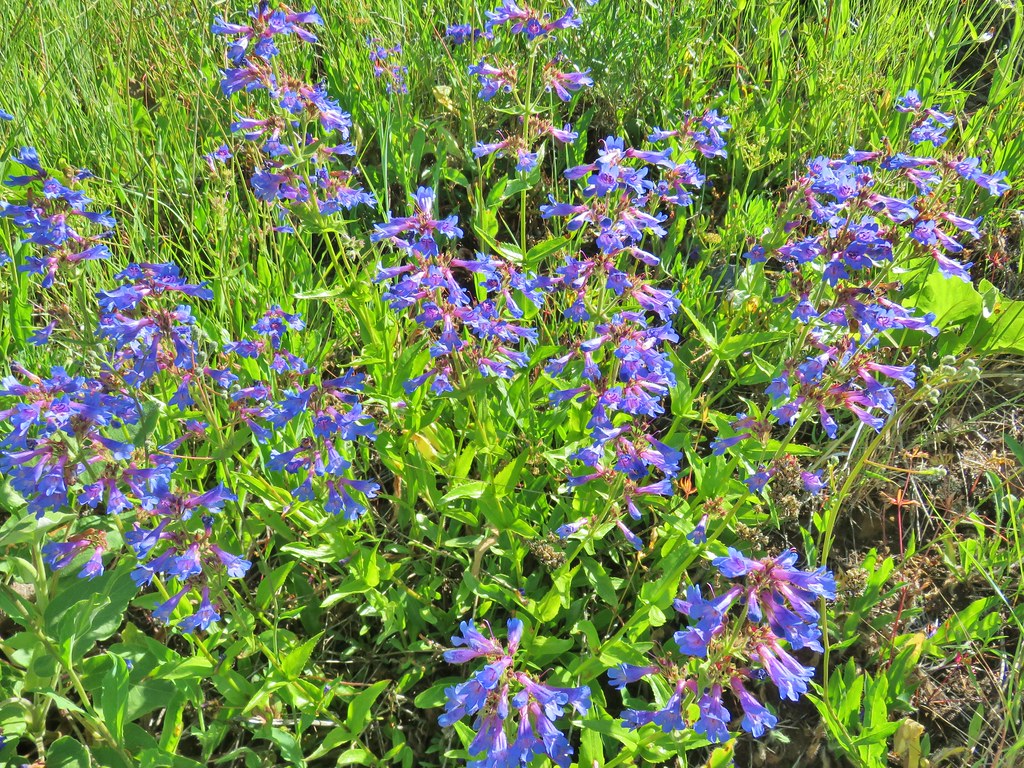
 Penstemon
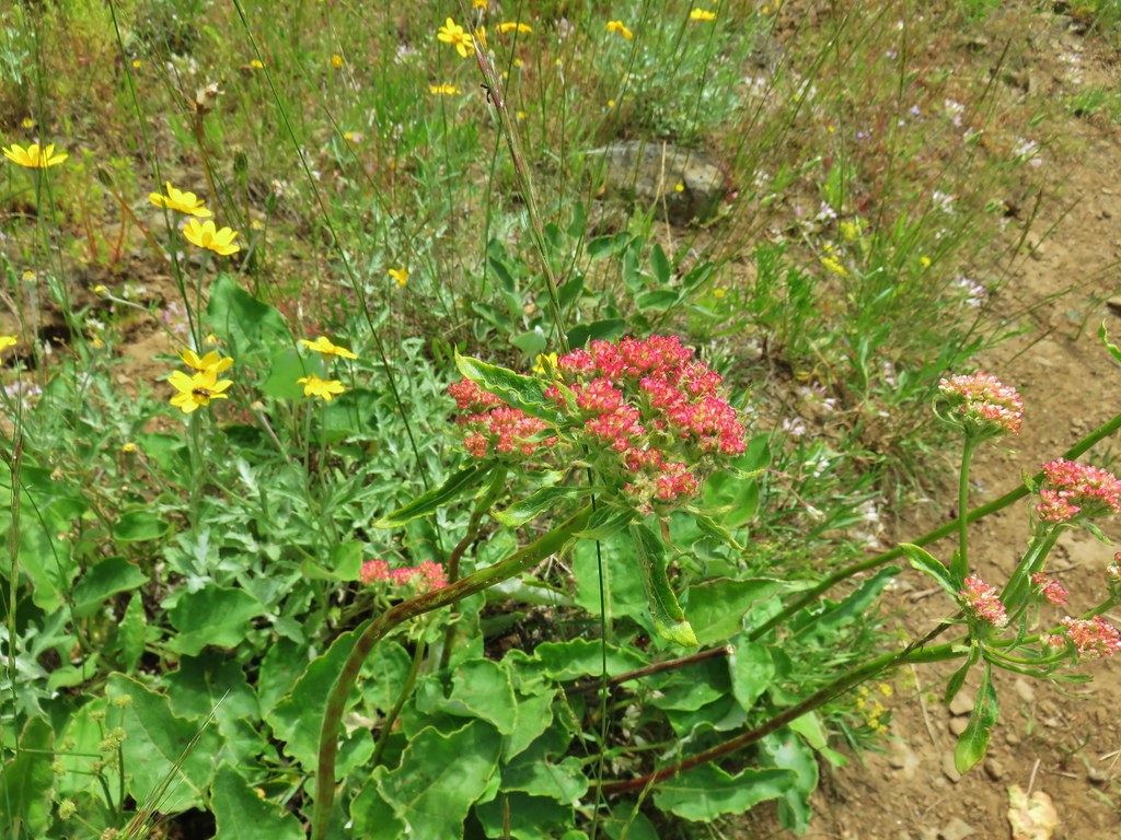
 A few wildflowers.
 Yarrow
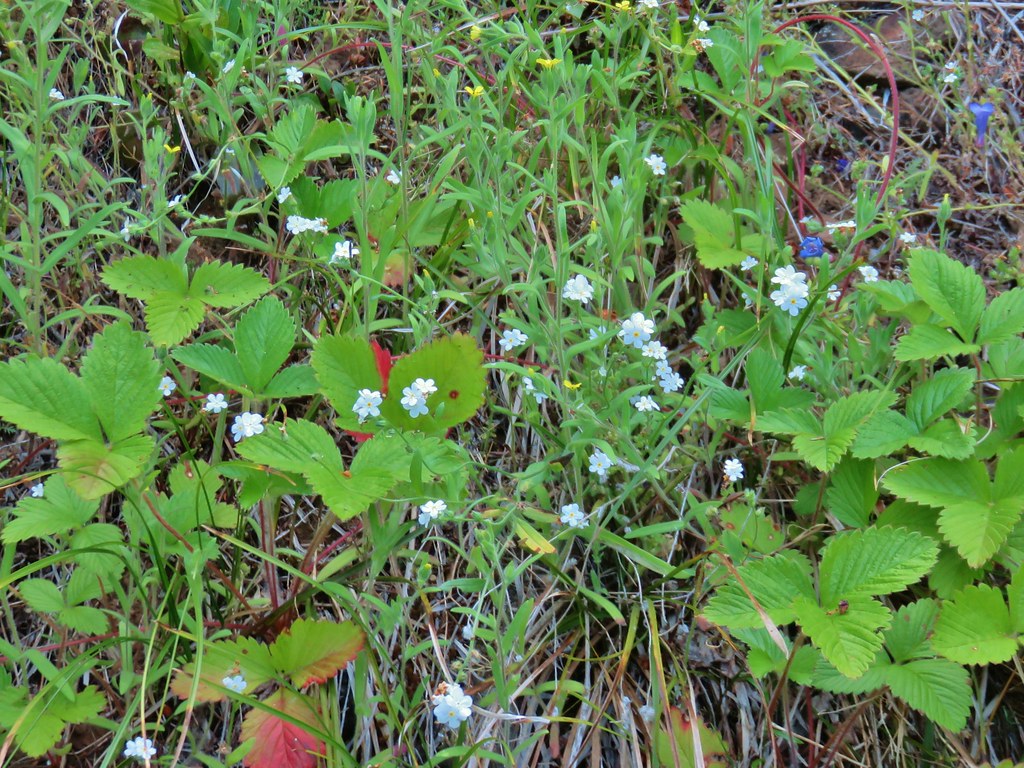 Popcorn flower and strawberry plants.
After rounding a corner we came to a bigger meadow with more wildflowers and some views.
 Timberhead Mountain
 Little Huckleberry Mountain
 Nightblooming false bindweed
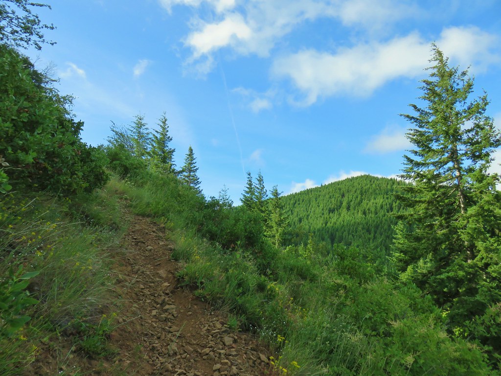
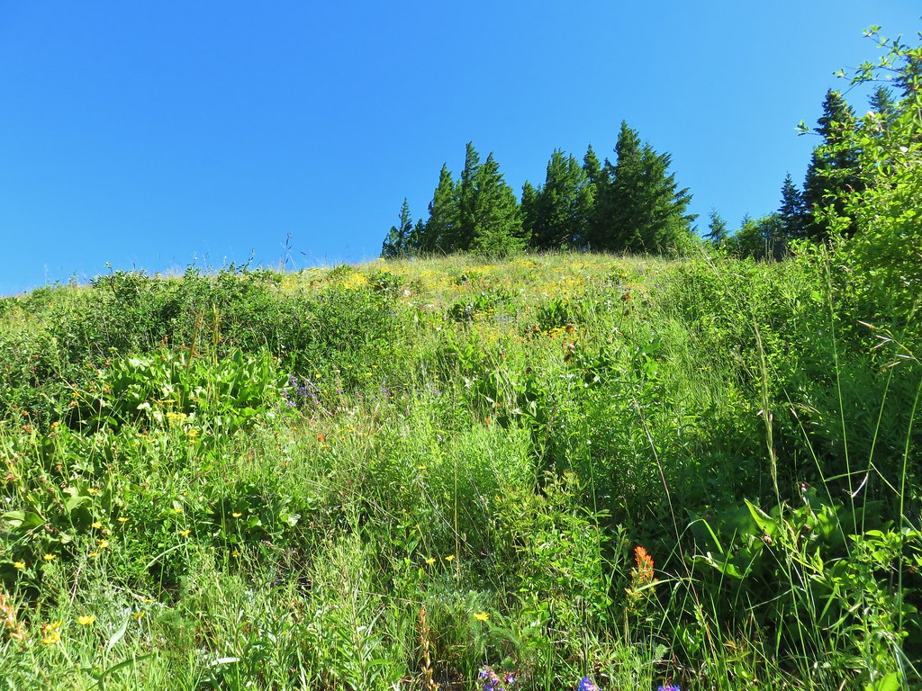
The trail managed to steepen as it headed uphill and entered the upper portion of the meadow.
 Wallflower

The meadow was full of Oregon sunshine and a few other flowers.
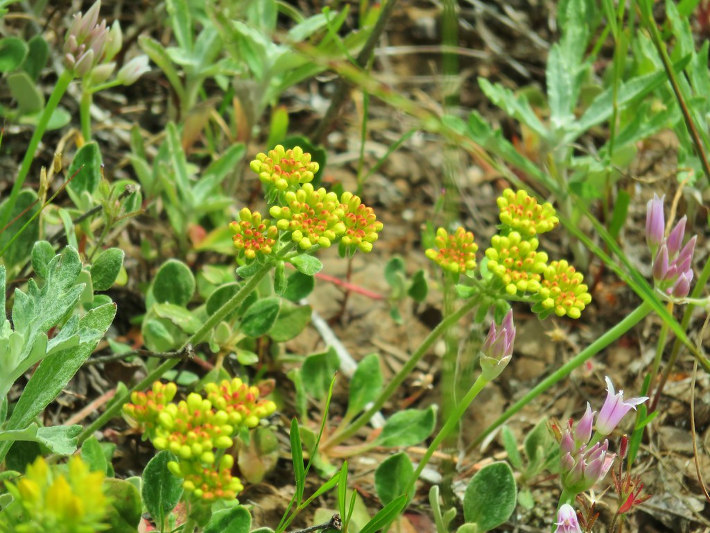
 Tall buckwheat
 Closer look at the tall buckwheat.
 Oregon sunshine
 Yarrow, lupine and penstemon
At the top of the meadow the trail leveled out a bit and entered some trees before arriving at a trail junction.
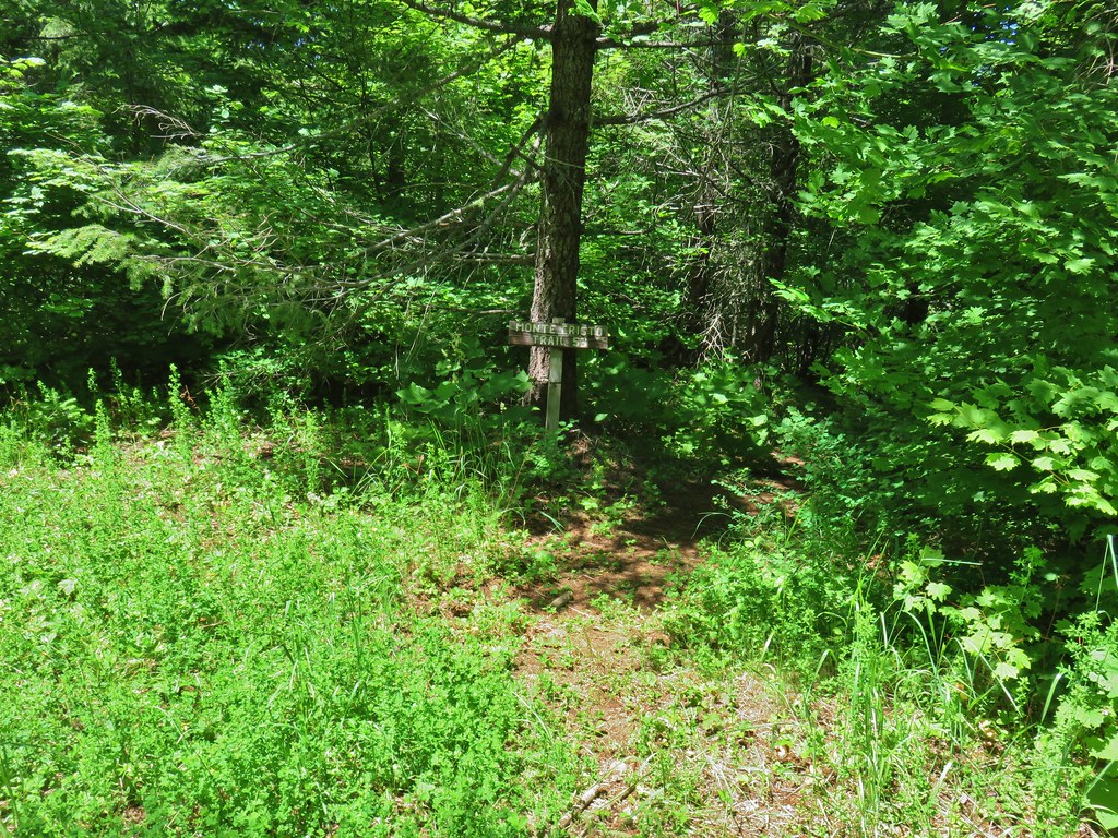
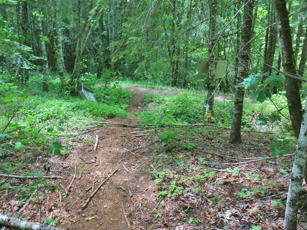
 Many of the signs along the route were no longer in the ground so it was important to make sure they really were pointing in the correct directions.
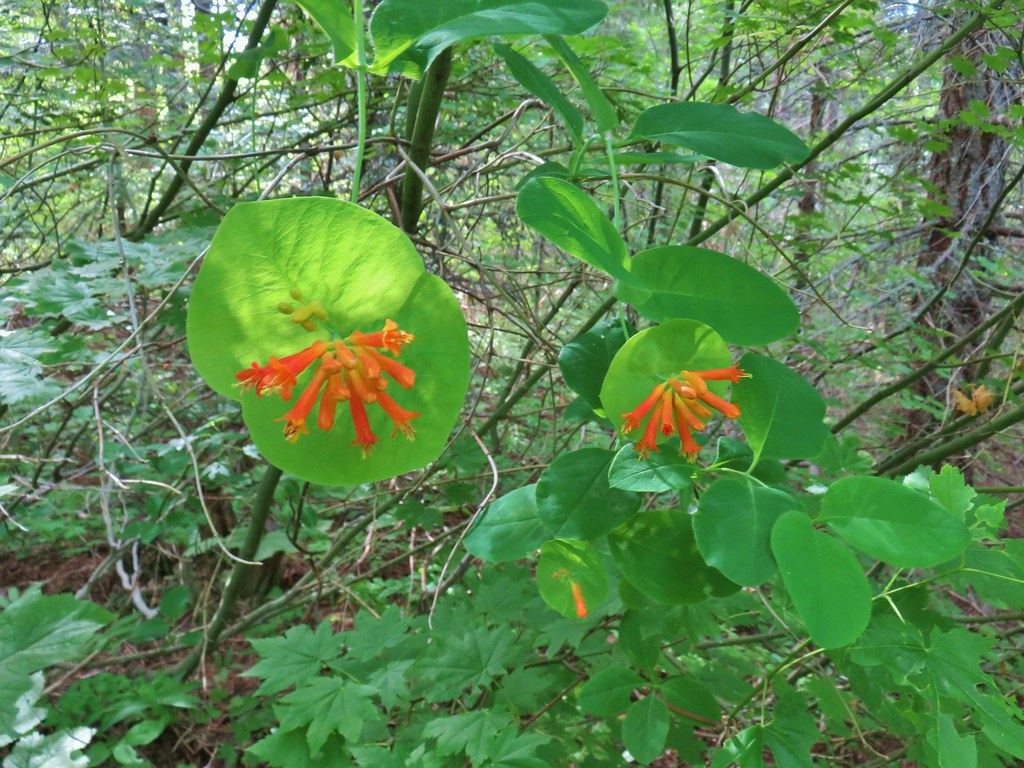 Honeysuckle
The junction consisted of the Monte Carlo Trail which we were on and the Buck Creek Trail which is managed by the Washington Department of Natural Resources whose land we were now on. We kept left on what was now a combination of the Monte Carlo and Buck Creek Trails which crossed and old logging road then arrived at the Buck Creek No. 2 Trailhead. We picked up the Monte Carlo – Buck Creek Trail here at a sign for the Middle Fork Grove and Monte Carlo Viewpoint.


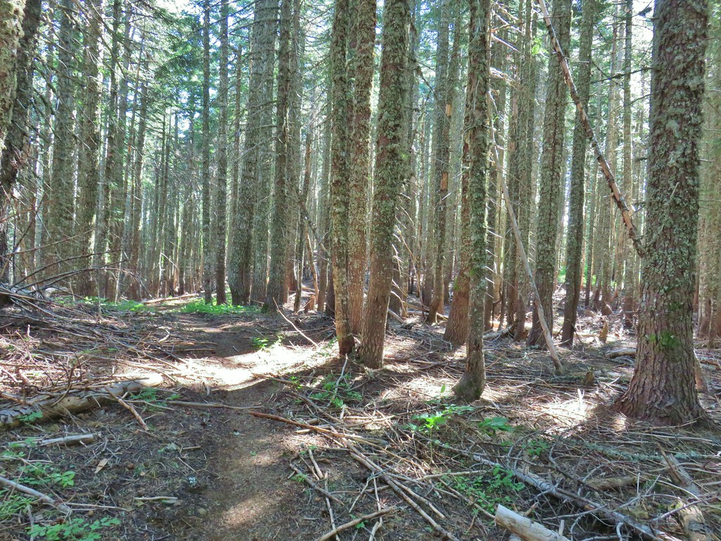
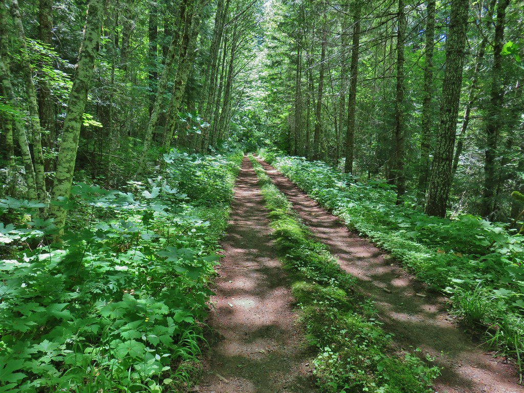
The Monte Carlo-Buck Creek Trail dropped to a crossing of Buck Creek before climbing for almost a mile (crossing one logging road) to a 90-degree right hand turn. Much of the time was in previously logged forests.
 A few trees that were spared.
 Bunchberry
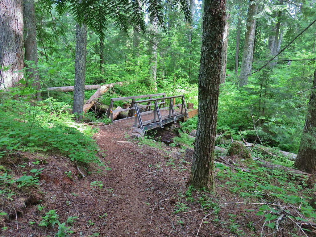 Footbridge over Buck Creek.
 Salsify
 Streambank globemallow
 Silverleaf phacelia
 Logging road crossing.

The trail had reentered forest a bit before the 90-degree turn. After turning the trail dropped just over 200′ to Road B-1500 where we encountered the first other hikers of the day. A couple had parked along this road and were getting ready to head up to Monte Carlo for the wildflowers.
 Starting the descent.
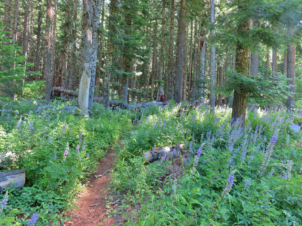
The trail set off from B-1500 amid a lot of lupine.
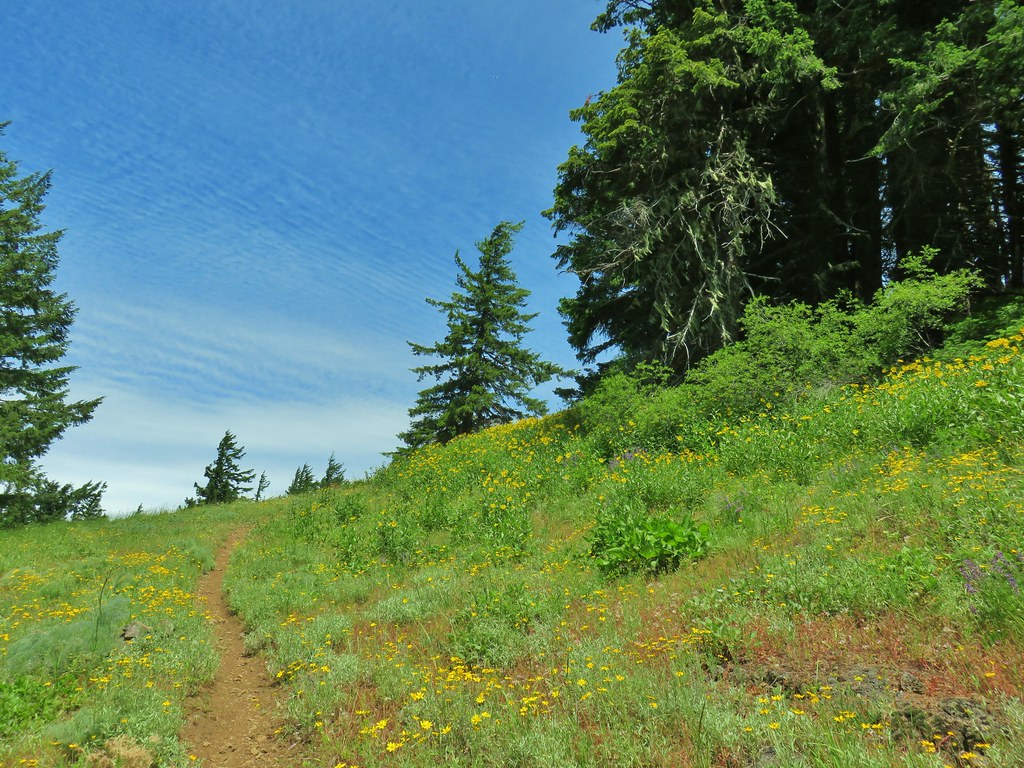
The trail climbed steeply gaining over 600′ in the next three quarters of a mile to a junction atop Monte Carlo. A bit below the summit the trail enters an open hillside with wildflowers and some actual switchbacks. There is also reportedly an excellent view of Mt. Hood but there were enough clouds present that we could not verify that.
 Entering the meadow.
 Pollinator on wallflower
 Bee heading for some penstemon.
 Clouds to the south.
 Penstemon


 Lots of Oregon sunshine again.
 Taper tip onions
 Penstemon and lomatium seedheads.
 Warning for mountain bikers going down the trail.
After briefly reentering the woods (and leveling out for a bit) the trail reached the summit junction.

At this point the trail is back in the Gifford-Pinchot National Forest. A jeep track to the right heads down Eton Ridge while the Buck Creek Trail also drops to the right down Penny Ridge. The Monte Carlo Trail turned left and began a mile long traverse of the Monte Carlo Ridge.

The ridge walk was a delight. First it was relatively level and better yet it was covered in wildflowers.


 Balsamroot
 Ladybug on a flower.
 Cat’s ear lily
 Lupine
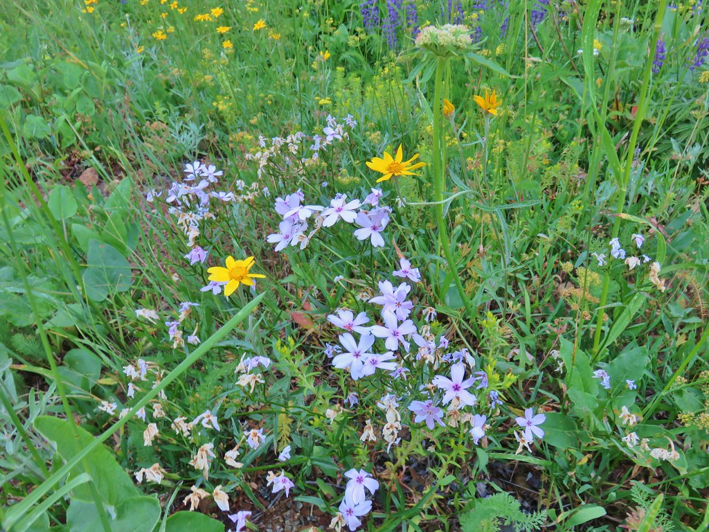 Phlox and Oregon sunshine
 Buckwheat
 Paintbrush
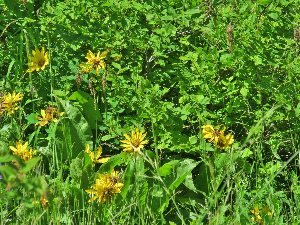
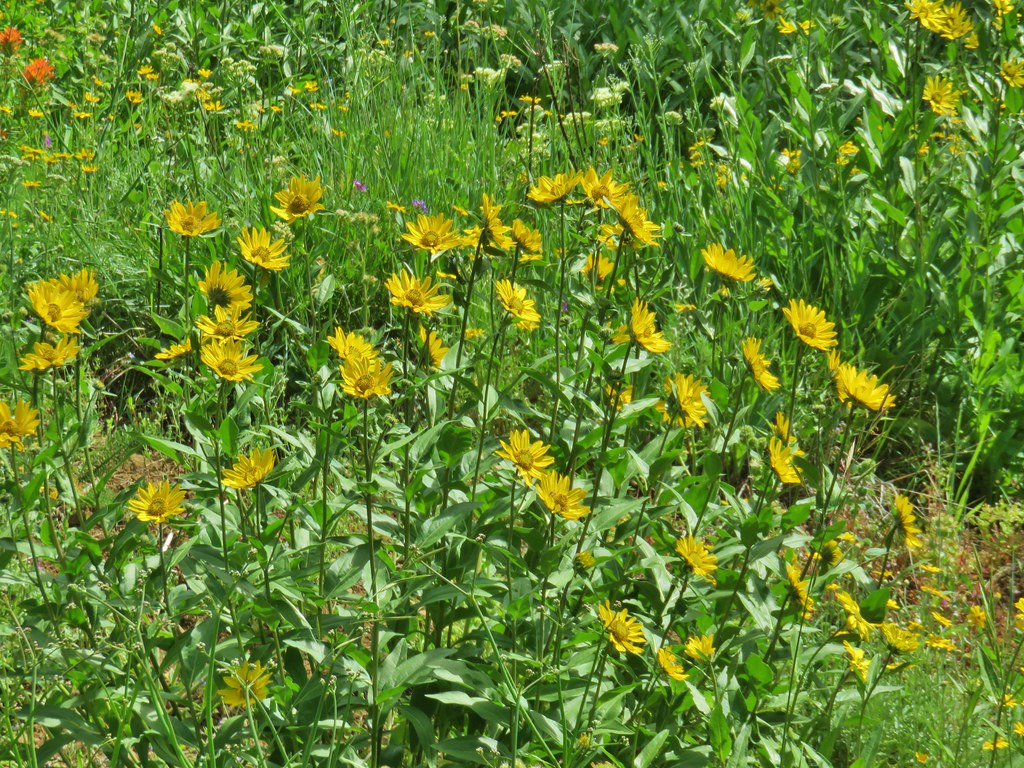
 Sunflowers

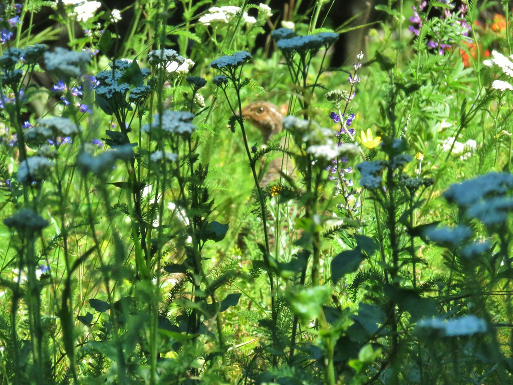 Grouse in the flowers.
 Columbine
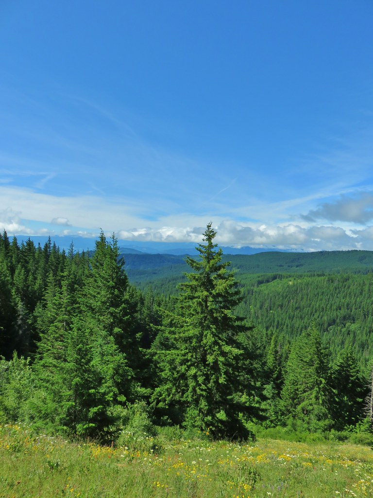
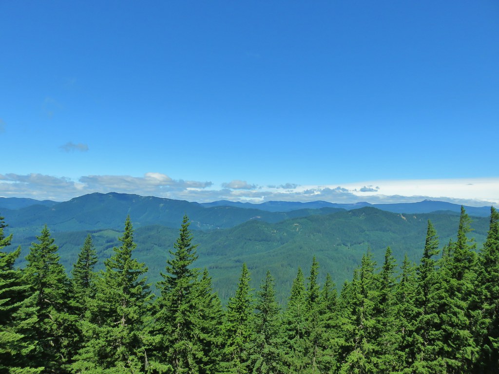
Despite the clouds having hidden Mt. Hood from the meadow below there were plenty of views from the ridge.
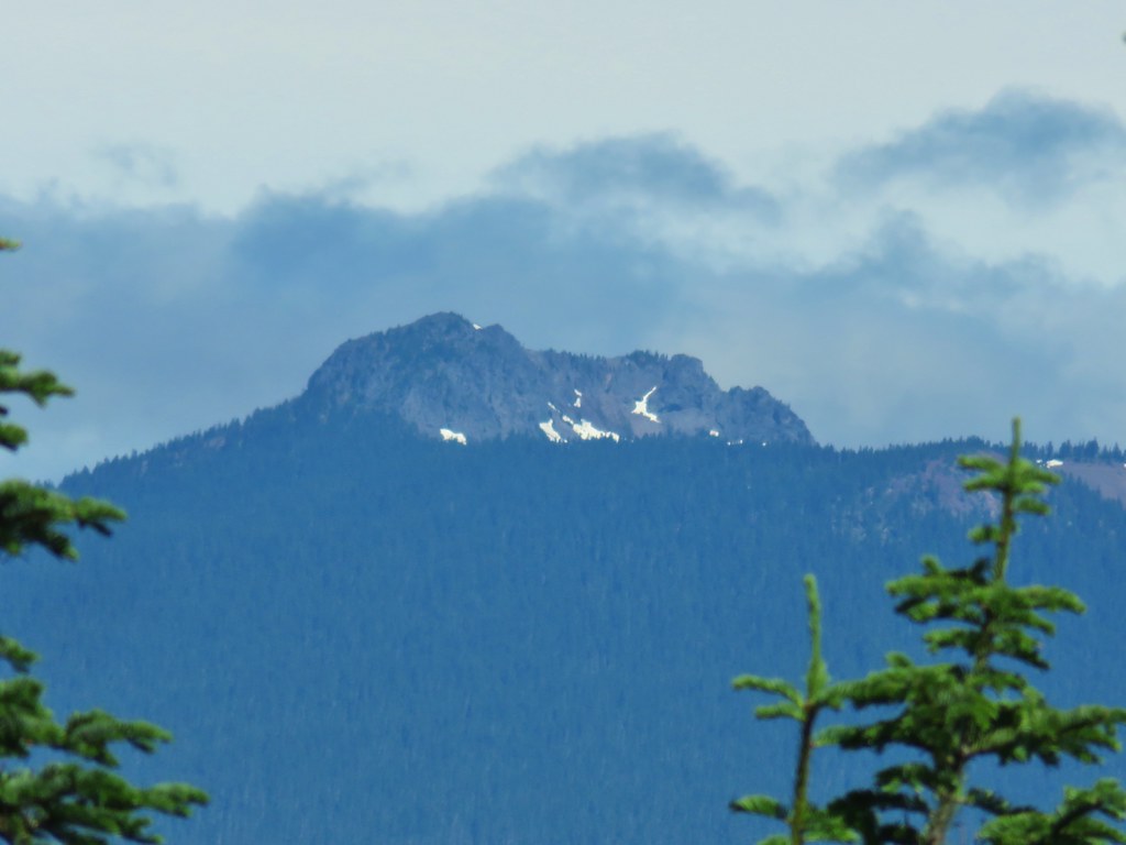
 Little Huckleberry Mountain to the left and Lemi Rock to the right.
 Lemi Rock in the Indian Heaven Wilderness
 Looking SE into Eastern Oregon.
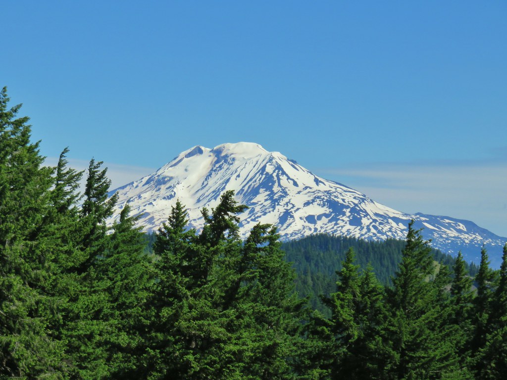
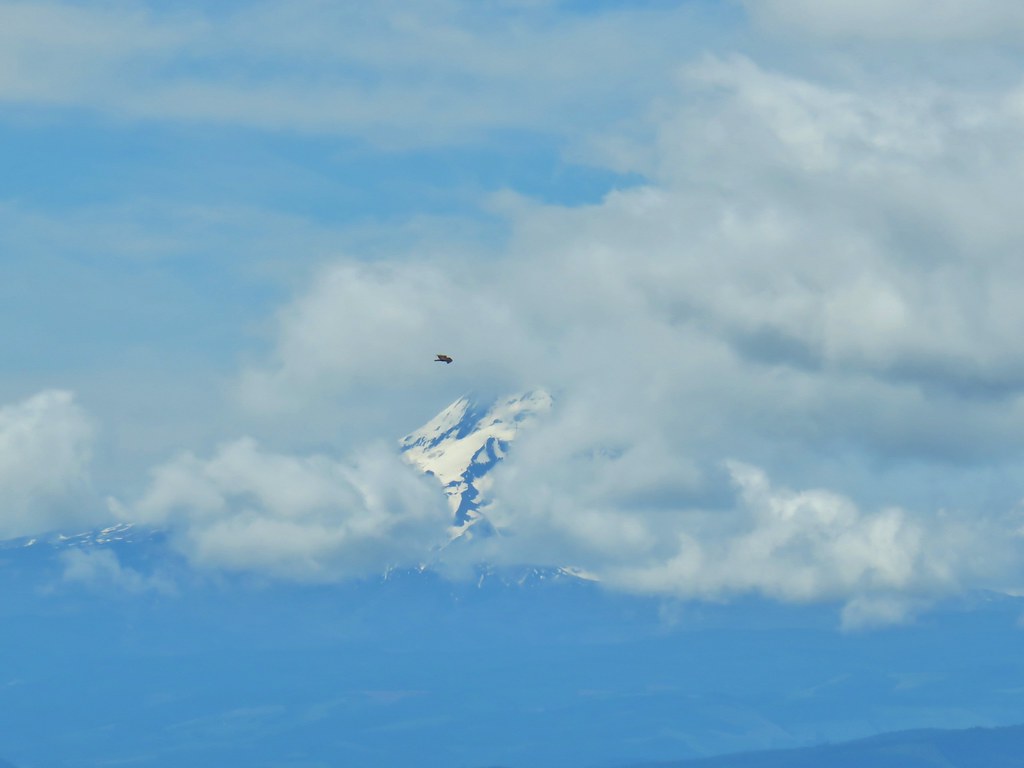
By far the best view was of Mt. Adams.

There were various penstemons in the area with the view of Mt. Adams.


The level trail ended at the ridge end where the Monte Carlo Trail dove down toward a saddle and FR 1840. The trail dropped nearly 800′ in .7 miles before reaching the road. Worse than the steepness of the descent was knowing that we would need to gain all of the lost elevation back to visit Monte Cristo.
 Starting the drop.
 There were huge amounts of Arnica in the forest.
 Monte Cristo from the trail as we dropped….further, and further.
The trail arrives at the Monte Carlo Upper Trailhead on FR 1840.

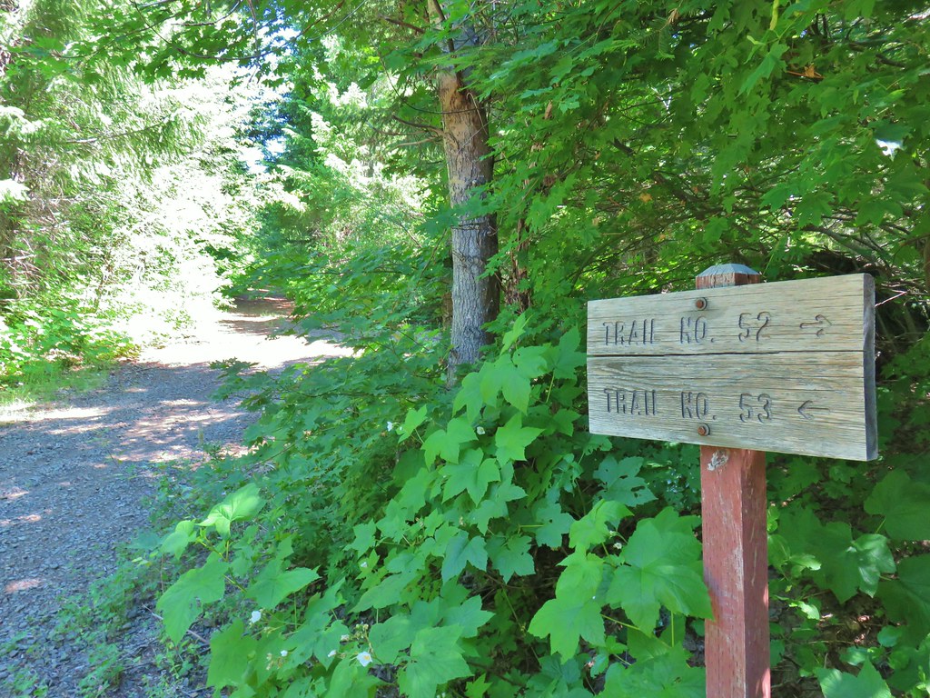
To complete our loop we would eventually need to start down FR 1840 to the left but to reach Monte Cristo we needed to head uphill to the right on FR 1840-100 following pointers for the Monte Cristo Trail 53.
 FR 1840-100.
 Shiny beetles
After .6 miles of gradual climbing the road ended at the an old trailhead.

It was time to gain that elevation back and the Monte Cristo Trail did it with gusto. Despite the presence of actual switchbacks the concept seemed to escape the designer and instead of tight turns and gradual grades the trail went from a moderate grade to nearly straight uphill before turning back along the hillside at a moderate grade. We gained over 800′ in the next .8 miles.
 A “switchback” turning directly uphill.
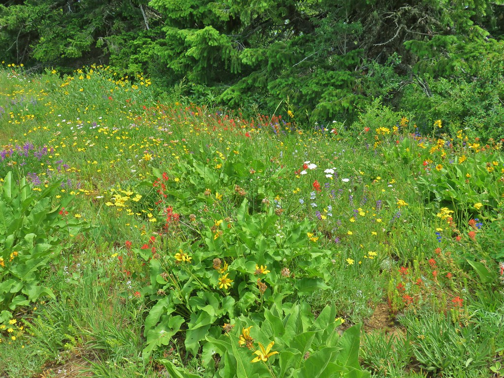
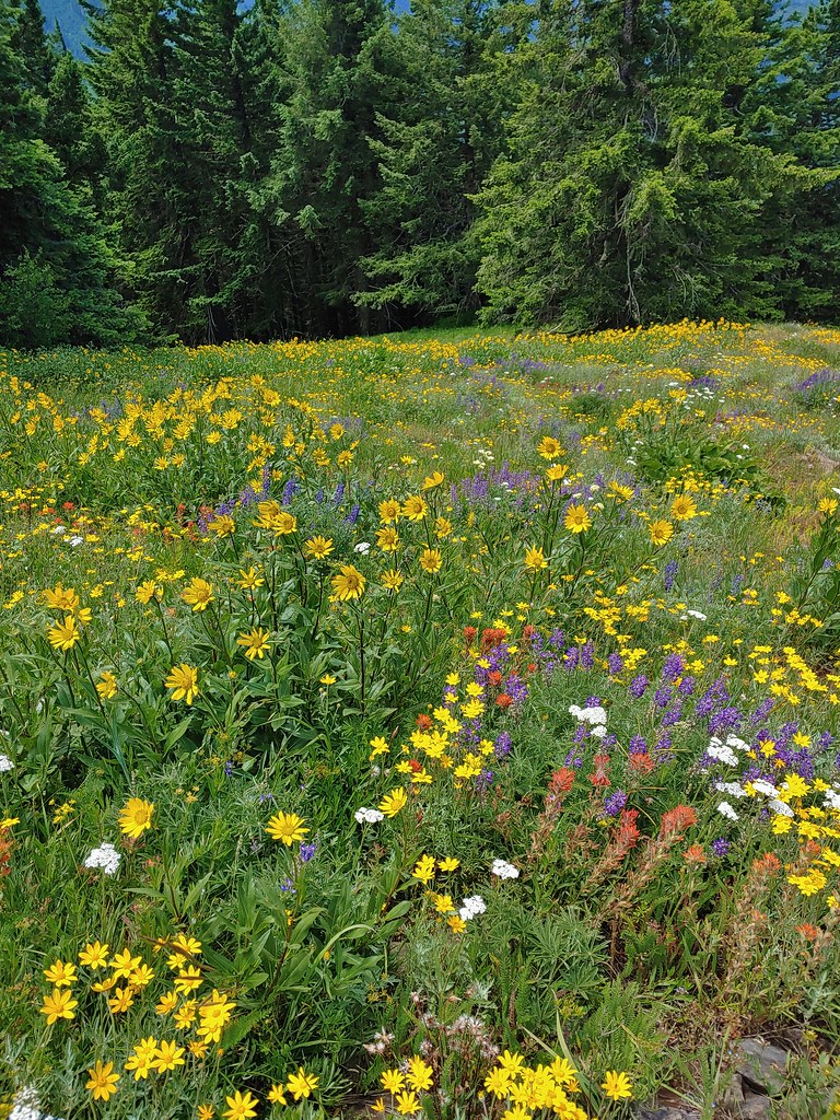
About a tenth of a mile below the summit the trail entered a spectacular wildflower meadow.
 Sunflowers at the edge of the meadow.
 Approaching the meadow.
 Sunflowers
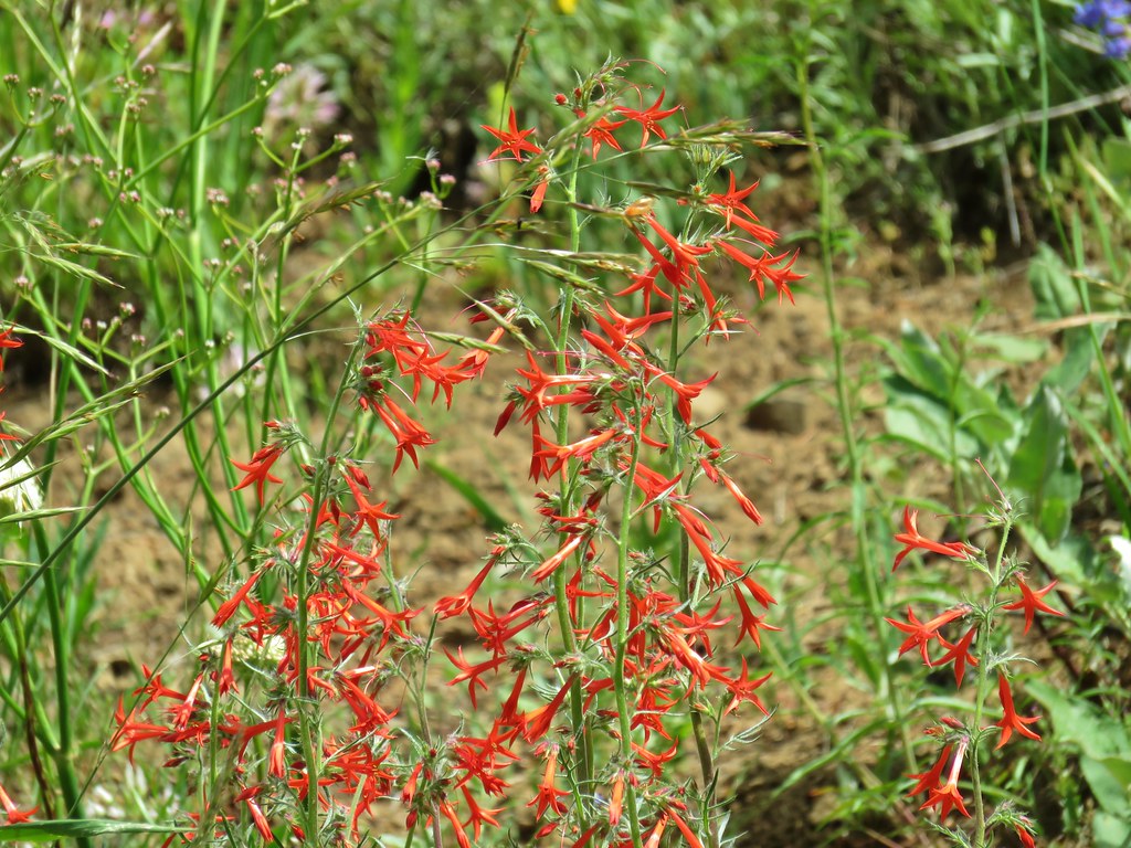 Scarlet gilia

After having missed out the view of Mt. Hood earlier there was just enough of a break in the clouds to see the mountain from Monte Cristo.


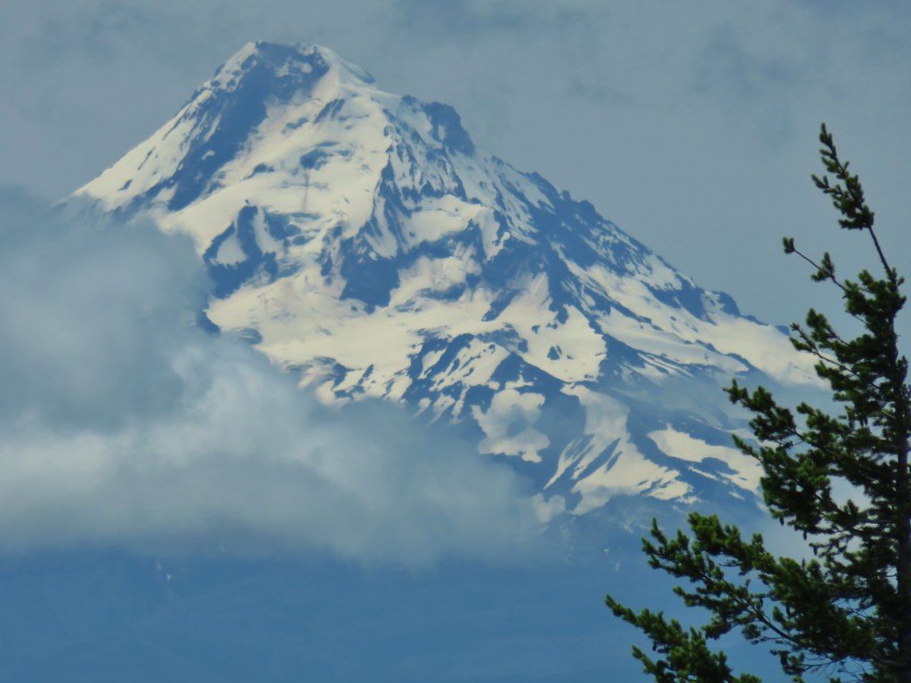
A lookout tower once sat atop the peak.

A much shorter ridge than on Monte Carlo ran north from the summit where the Monte Cristo Trail continued eventually reaching the Monte Cristo Upper Trailhead. Our second encounter with hikers came along this ridge when a group of three people were coming up from this upper trailhead.
The short ridge was covered with wildflowers including quite a bit of white-stemmed frasera which we haven’t often encountered.

 Pussytoes
 White-stemmed frasera
 Phlox
Phlox
 Taper tip onions
 White-stemmed frasera
 Wallflower and paintbrush
 A white lupine
 Paintbrush and phlox
We took a short break at the summit which was just long enough for Mt. Hood to sort of reemerge from clouds that had hidden it. This happened at the same time a hawk decided to ride an updraft straight up in the sky.
After admiring the hawks flight abilities we started back down through the meadow.
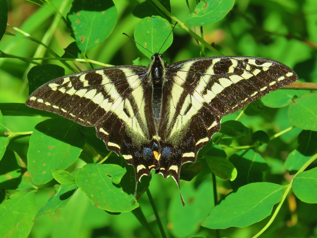
The trail was just as steep going down as it had been coming up and our knees were starting to protest this whole adventure. We made our way back to FR 1840-10 and followed it back to the Monte Carlo Upper Trailhead, pausing briefly to watch some swallowtail butterflies.

We followed FR 1840-100 a few yards downhill to it’s junction with FR 1840 and turned left for 20 yards to the signed Monte Cristo Trail on the right.
Our knees would not be getting a break just yet as the Monte Cristo Trail descended over 1000′ in just over a mile to the Monte Cristo Lower Trailhead along FR 18.
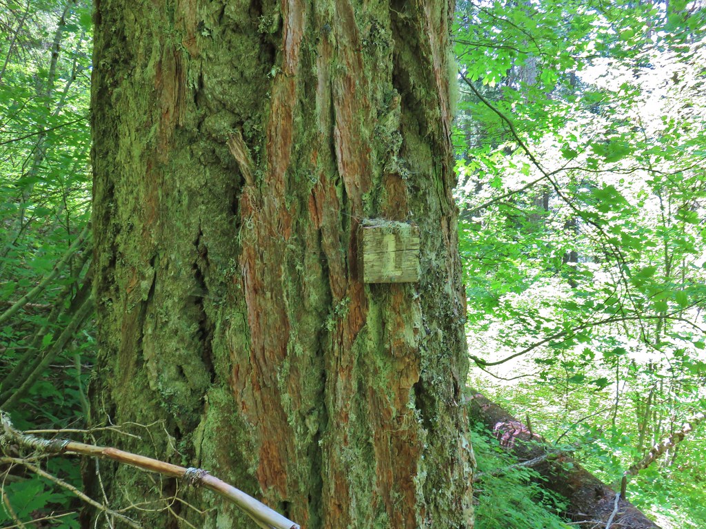 Presumably letting you know that you’re a mile from the road. (It could also be that this tree is “Number 1”.)
 Twinflower in the forest.
 Our first blooming prince’s pine of the year.
 Not nearly the steepest section.
 FR 18 finally!
We turned left on FR 18 the nearly 2 mile road walk back to our car. The good news was that the road surface wasn’t too hard and better yet it was nearly level the whole way!
The field guide lists the hike as 11.8 miles but a trip report from 6/20 that I’d seen said that the hike came in closer to 14 miles for him. My Garmin came in at 13.6 miles so keep that in mind if you’re considering this hike. It was certainly challenging but the wildflowers and the views made it a worthwhile endeavor. Happy Trails!
Flickr: Monte Carlo-Monte Cristo Loop

One reply on “Monte Carlo – Monte Cristo Loop – 6/27/2020”
[…] had hiked a segment of the Buck Creek Trail in 2020 on our Monte Carlo – Monte Cristo Loop (post). Today’s segment would be a roughly 4.2 mile climb to a former lookout site atop Nestor […]