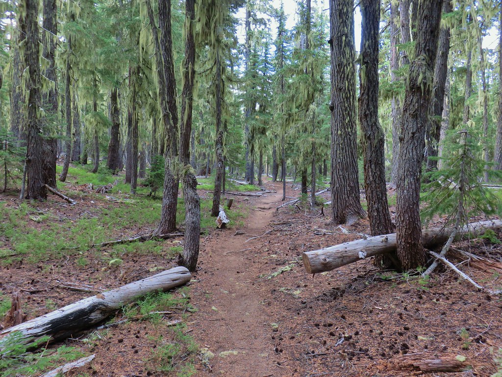
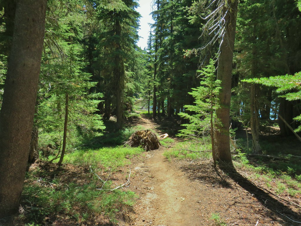
Four of the five remaining featured hikes from William L. Sullivan’s “100 Hikes/Travel Guide Central Cascades” (4th edition) were scattered around Diamond Peak in the Diamond Peak Wilderness. To check these off our to-do list we decided to hike a four day loop around the mountain visiting most of the highlights of those four hikes. We started our trip at the Trapper Creek Trailhead, a trailhead that we were familiar with having started our Yoran Lake hike there in 2014 (post). After crossing some railroad tracks we arrived at the actual trail and set off into the Diamond Peak Wilderness.

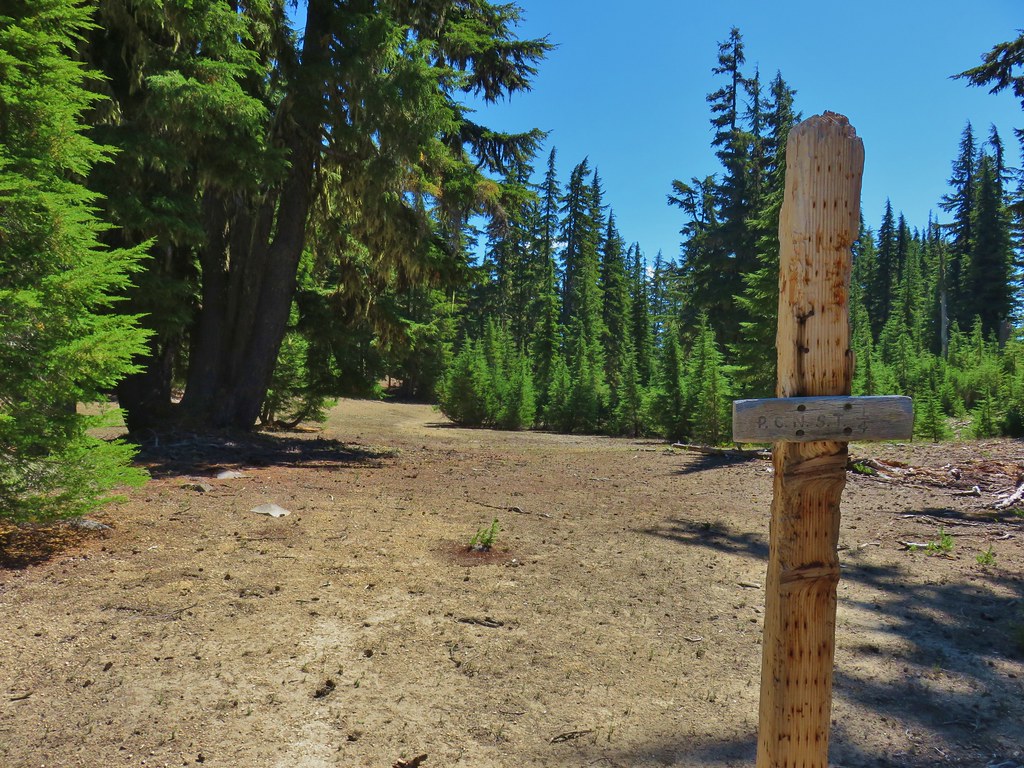
 The writing on the sign made us chuckle, it says “If you need a map you should stay home”. All kidding aside you should always carry a map and refer to it as often as necessary.
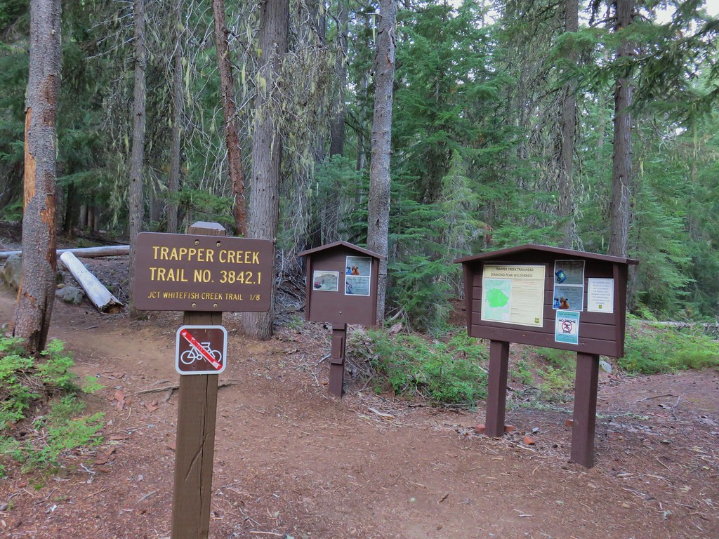

Two tenths of a mile from the railroad tracks we arrived at the Yoran Lake/Whitefish Trail junction where we had turned right in 2014. Posted on this sign (as well as before the railroad tracks and on the signboards at the start of the trail) was a notice that the Trapper Creek Bridge was closed due to damage. That was our return route for the final day but we knew there was an established ford so we weren’t too concerned about it.

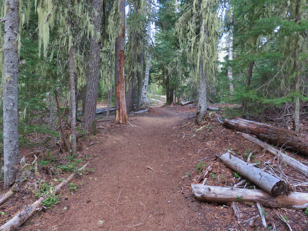
We stayed left on the Whitefish Creek Trail which climbed gradually following Trapper Creek.


 Breakfast time.

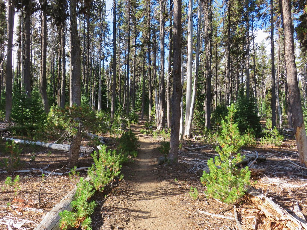
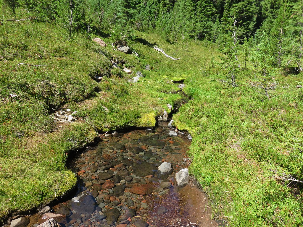
While several lakes including Yoran, Karen, and Diamond View drain into Trapper Creek they are seasonal flows yet Trapper Creek was flowing nicely. The main source of water for the creek is a spring between those lakes. As we continued up the Whitefish Trail the sound of running water faded and the forest shifted to dustier lodgepole pine.
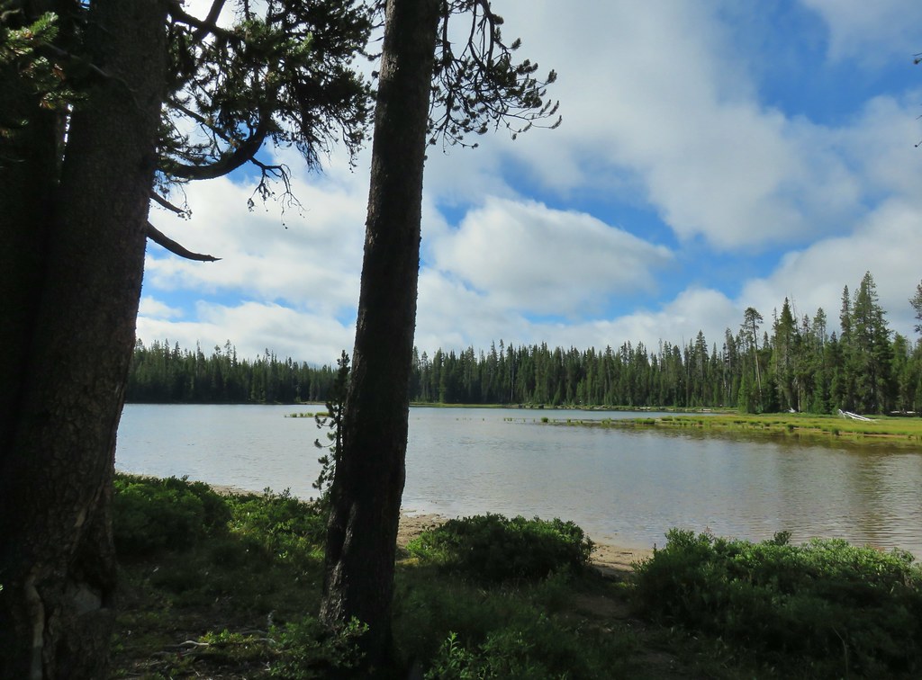
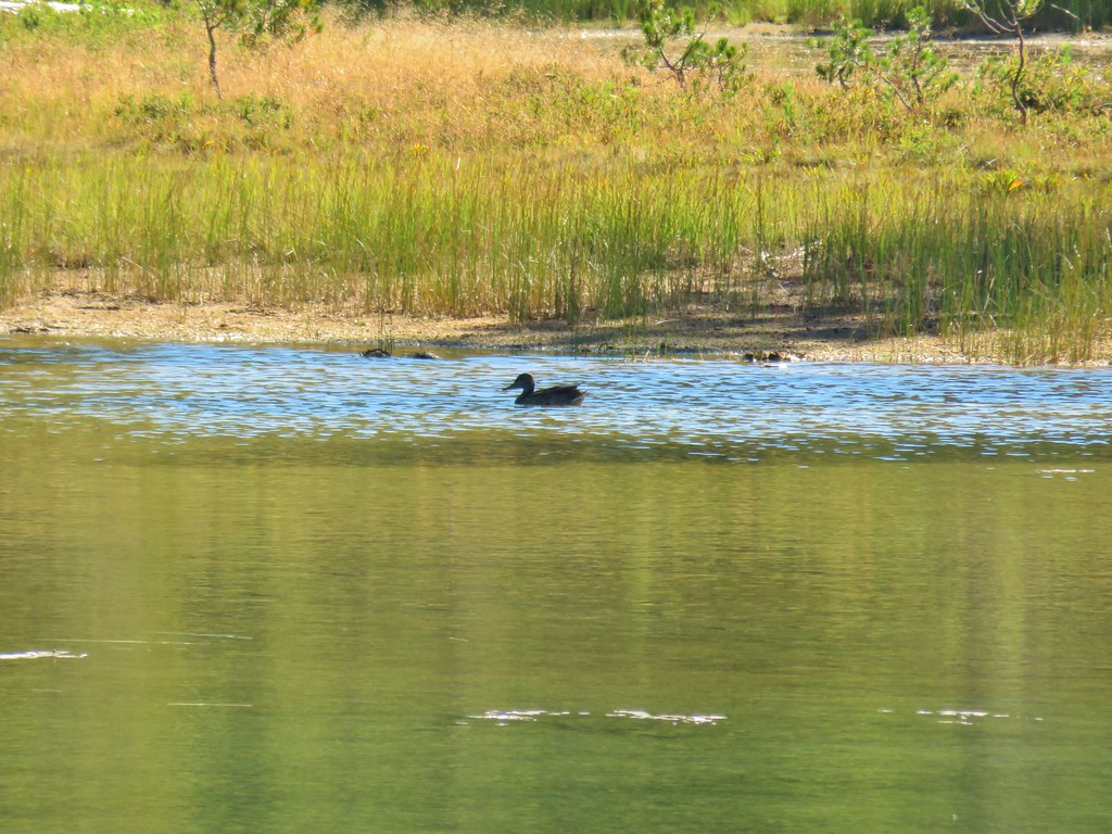
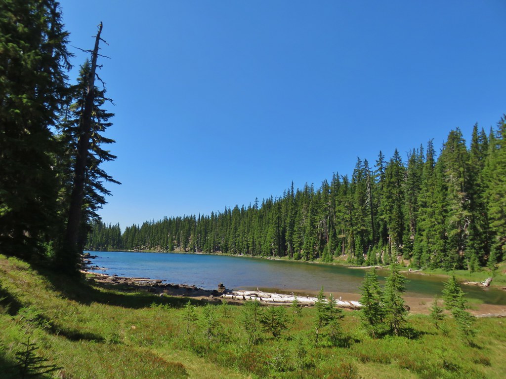
 Unnamed lake along the Whitefish Trail
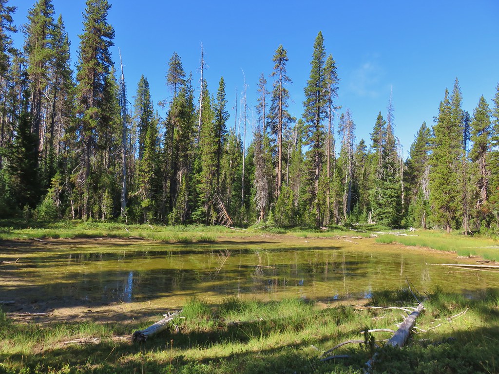
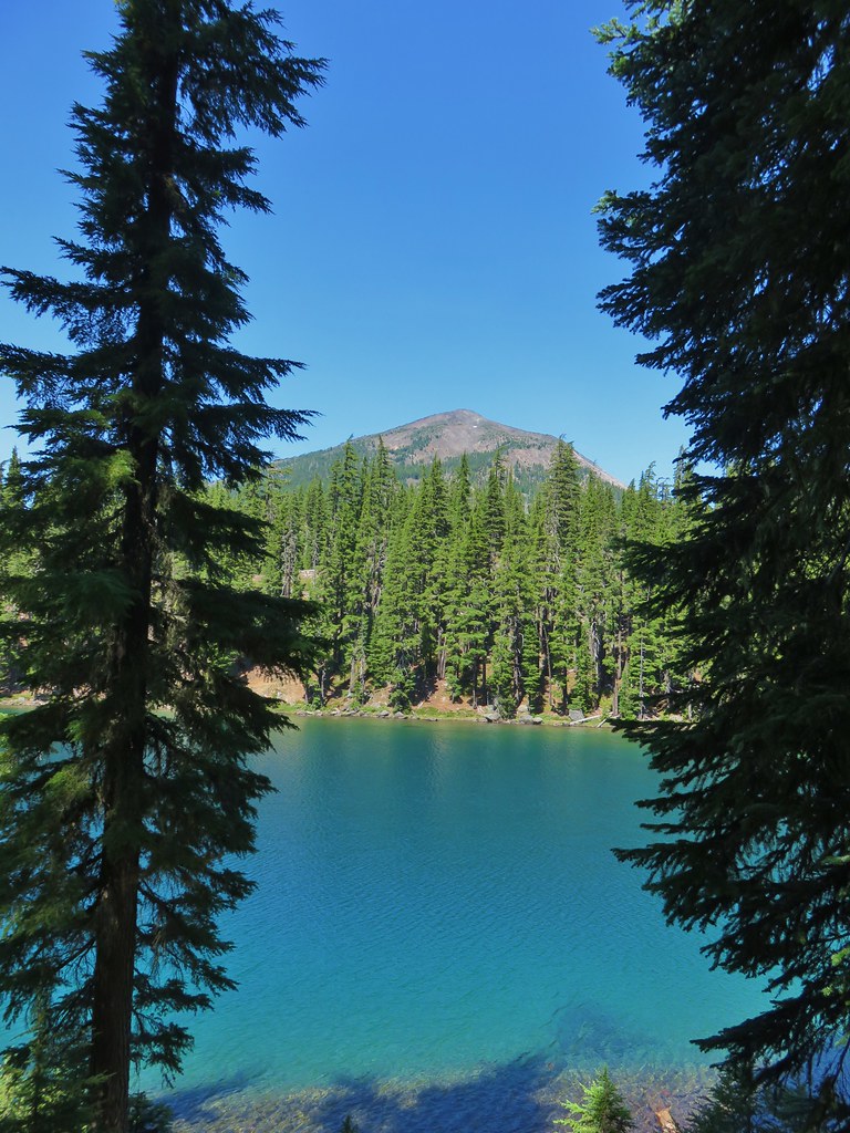
Just under 5 miles from the trailhead we arrived at Diamond View Lake. It had been overcast when we began our hike but the clouds were burning off fast and as we sat at the lake taking a break the clouds lifted and gave us a full view of the east side of Diamond Peak.
 Arriving at Diamond View Lake

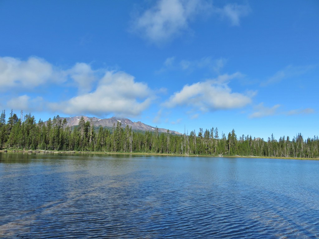 Diamond Peak with Mt. Yoran to the right.

 Sharing our break spot with a butterfly
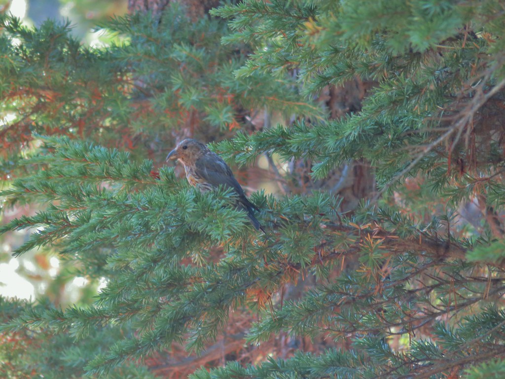 Crossbill near Diamond View Lake
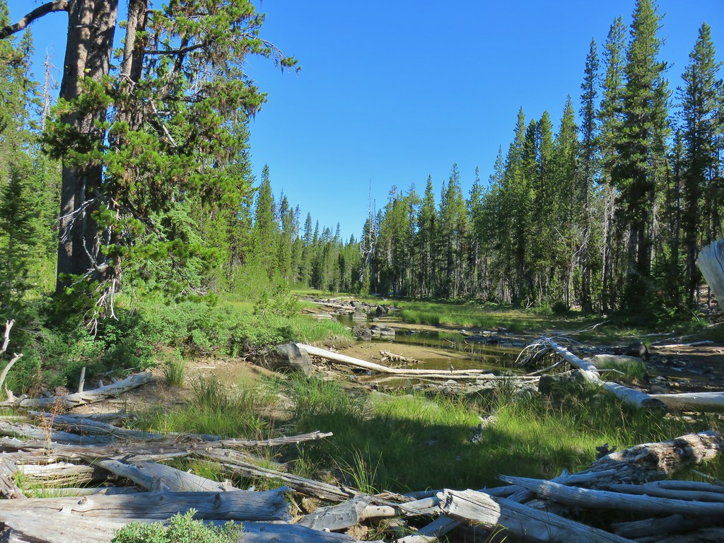
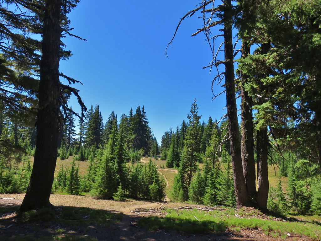
We continued past Diamond View Lake passing a couple small lakes and ponds before arriving at a 4-way junction with the Crater Butte Trail a total of 5.7 miles from the trailhead.


From the junction the Whitefish Trail continues for 3.9 miles to Crescent Lake. The 13.7 mile Crater Butte Trail starts at the Crater Butte Trailhead on the east side of Odell Lake and passes Fawn and Saddle Lake (post) prior to the junction and then continues on to the Pacific Crest Trail. That was where we were headed so we turned right on the Crater Butte Trail which promptly crossed a mostly dry bed of Whitefish Creek.
There were some markers along the trail, possibly mile markers and after two miles on this trail we passed the signed junction for the Snell Lake Trail.
 Mile marker?
 A lone lupine
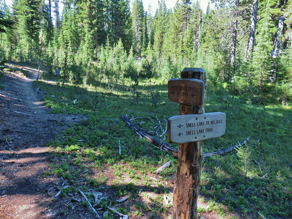 Nice looking sign for the Snell Lake Trail.
 It didn’t look like the Snell Lake Trail sees much use, at least at this end.
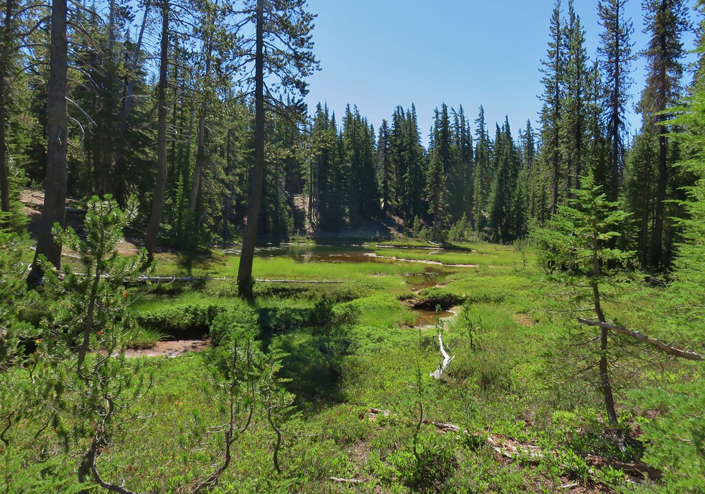
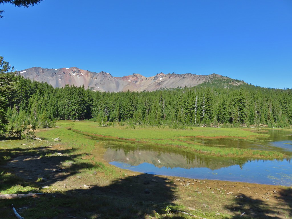
Beyond the Snell Lake Trail junction the scenery became a little greener with heather filled alpine meadows and Mountain View Lake with a great view of Diamond Peak.
 The heather was all done blooming but there was a lot of dried blossoms.


 The summit of Diamond Peak.
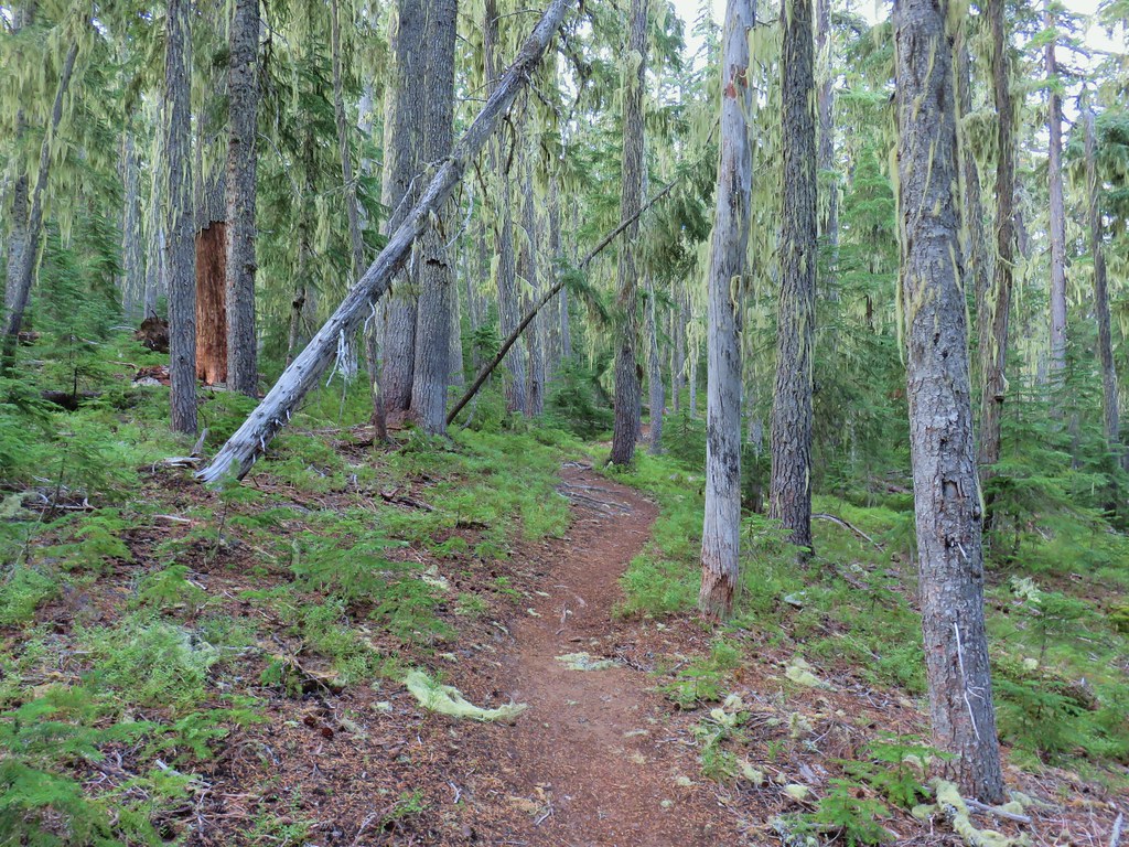
One and a quarter miles from the Snell Lake junction we crossed the small but pretty Mountain Creek before a short steep climb.
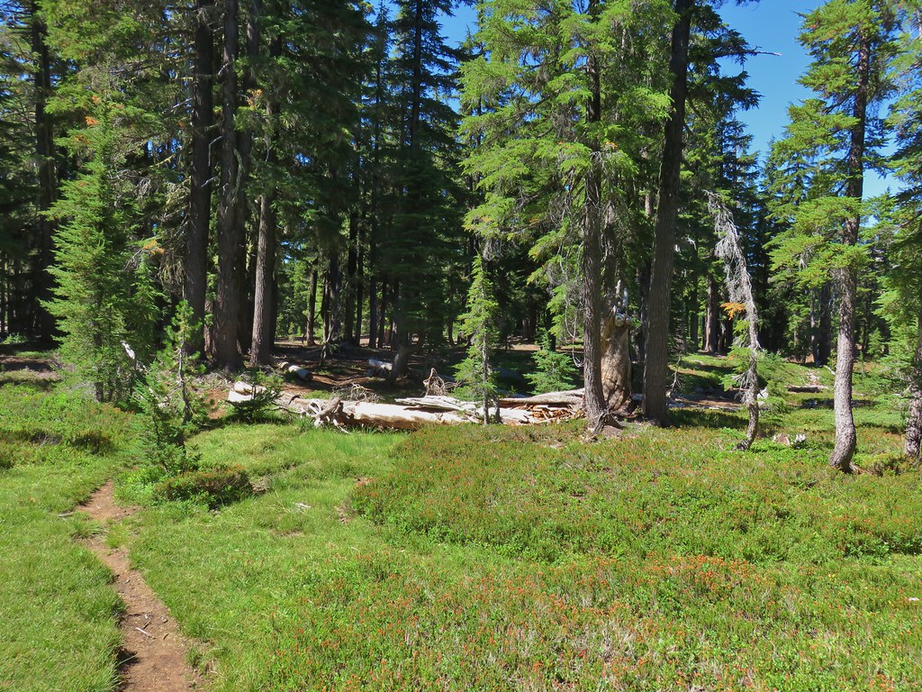
After the climb the trail returned to its gradual grade with a few ups and downs.

Just over 5 miles after turning onto the Crater Butte Trail we arrived at the PCT.
Our plan was to set up camp near the junction as we hoped to summit Diamond Peak the next morning from the PCT before continuing on our loop. With COVID-19 significantly lowering the number of thru hikers we weren’t too concerned about taking spots from them so we picked one a bit off the trail and set up our tent.
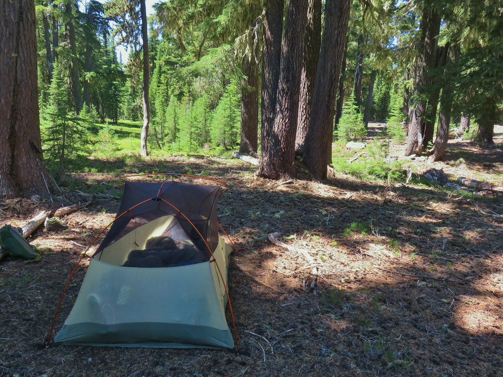
As it wasn’t quite 1:00 yet we could do some exploring after getting camp situated. We briefly contemplated attempting to summit that afternoon but decided against it due to heat and needing water so instead we headed for Rockpile and Marie Lakes by taking the Rockpile Trail which continued across the PCT from the Crater Butte Trail.

We would be going this way when we continued on our loop but both of the lakes are a bit off the trail and visiting them now gave us the opportunity to relax by the water before turning in for the night. A half mile down the Rockpile Trail on the left we found the signed .1 mile spur trail to Rockpile Lake.
 Diamond Peak from the Rockpile Trail

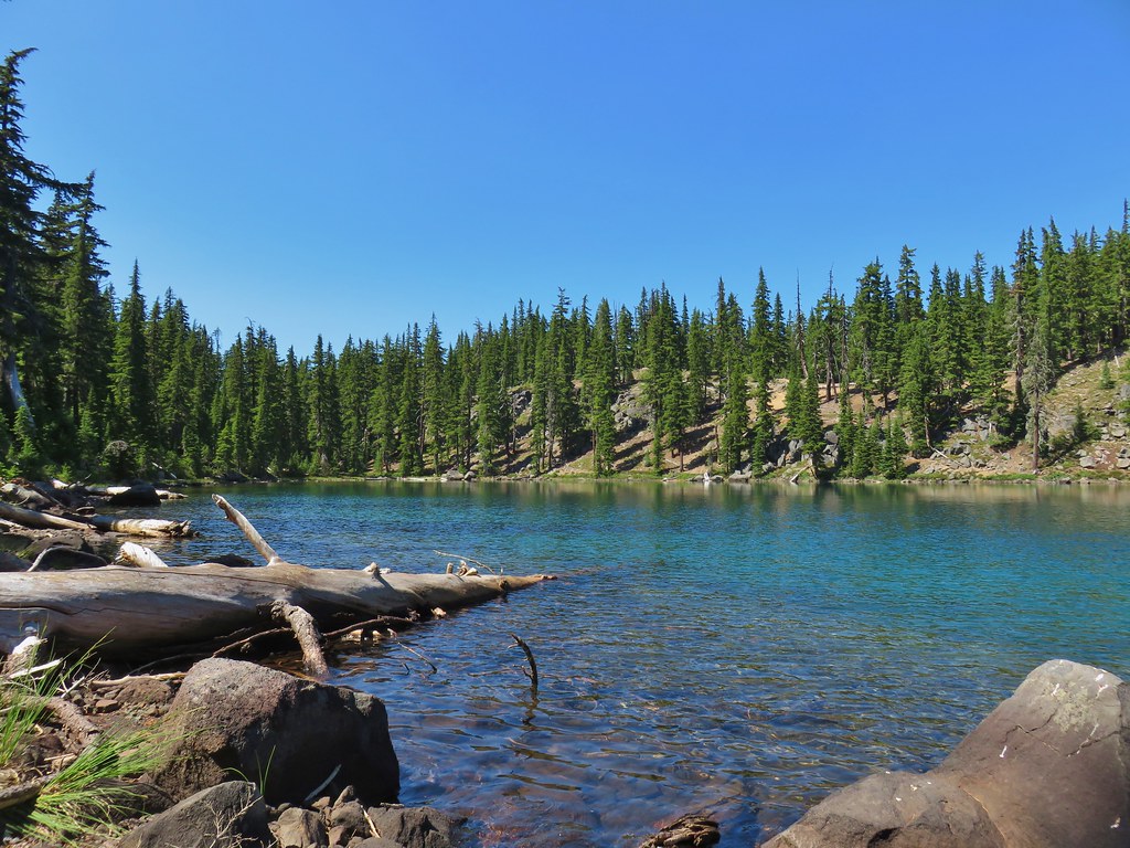
 Rockpile Lake
There were a few camps set up along the south side of the little lake. We decided not to stay long here as kids throwing rocks into the lake might be fun but it isn’t exactly relaxing so after checking it out we returned to the Rockpile Trail and turned left toward Marie Lake. After 110 yards we came to a junction with the Rockpile Trail continuing to the left while a spur trail continued .2 miles to Marie Lake.

We followed a trail along the south side of the lake to a view of Diamond Peak. While there were people camped here too the lake was bigger and we found a spot along the lake shore to sit and relax.
From our spot we could see the false summit of Diamond Peak and the route that we would be taking the next morning.

 Hikers on the trail to the right coming down from the false summit.
As the afternoon turned to evening more people showed up including some bathers, some floaters and a couple of skinny dippers. We kept the photos to the non-humans at the lake though.

 Dragon fly
We had dinner by the lake then pumped water before heading back to our tent. We spent a little time exploring the area around camp and picked some huckleberries before turning in for the night. We had planned on hiking somewhere in the area of 12 miles but we wound up showing 14.3 on our GPS units (they actually agreed this time). It had been a beautiful day, not too warm and pleasantly smokeless given the number of wildfires in California and Oregon. We were hoping that the rest of the trip would be equally nice and turned in looking forward to the next days adventures. Happy trails!
Flickr: Diamond Peak Loop Day 1

4 replies on “Diamond Peak Loop Day 1 – 08/22/2020”
[…] our recent backpacking trip around Diamond Peak (post) leaving us with just one more featured hike yet to do from William L. Sullivan’s “100 […]
[…] – Diamond View Lake 8/22/2020 Diamond Peak from Diamond View […]
The unnamed lake you mention with a view of Diamond Peak is Mountain View Lake.
I really enjoy your thorough trip reports and excellent photos. Thanks!
Thanks for the help on identifying the lake!