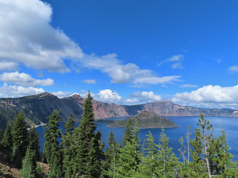
The longest planned hike of our Southern Oregon trip also promised to be the most scenic with nearly two and a half miles being along the rim of Crater Lake. After a couple of days of rain showers (and one night of thunderstorms) Monday was forecast to be partly sunny albeit with a 40% chance of showers. We were hoping for clear views of the lake with just enough clouds to make the sky interesting. We had picked up a 7-day pass on Saturday when we’d driven through Crater Lake National Park and now reentered the Park from Highway 62 to the south and parked near the Rim Village Gift Shop and Cafe.
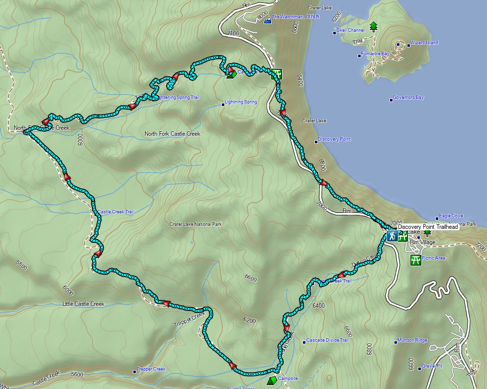
Our plan was to hike the Discovery Point and Lightning Spring loop described by Sullivan in his “100 Hikes/Travel Guide Southern Oregon & Northern California” (edition 4.2 hike #21). He describes hiking the route counter-clockwise hiking along the rim of the caldera to Discovery Point first but we opted instead for a clockwise loop for two reasons. First was that we wanted to be hiking the rim later in the day when the Sun would hopefully be directly overhead instead of across the lake to the east. The second reason was because Sullivan described the final section of the Dutton Creek Trail as “climbing more seriously…to your car”. Our thought was that it might be more enjoyable to be going down that stretch rather than up.
Before starting the loop we passed by the Gift Shop to check out the morning view of the lake.

 Mt. Scott (post) with a bit of a lenticular cloud.

 Raven making a landing atop a mountain hemlock.
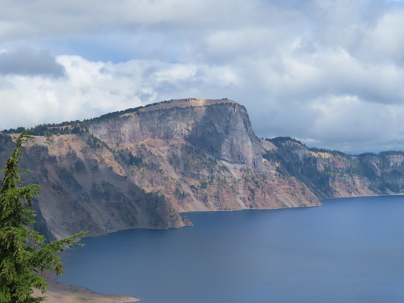
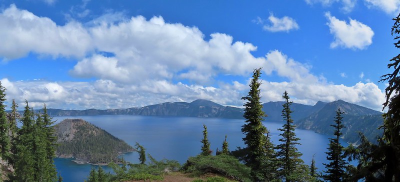
 The Watchman (post), Hillman Peak, and Llao Rock along the western side of the rim.
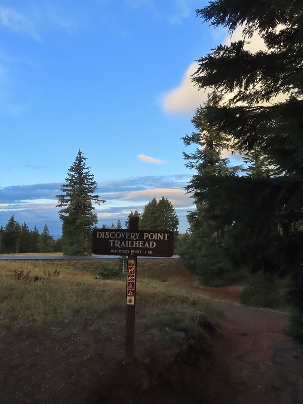
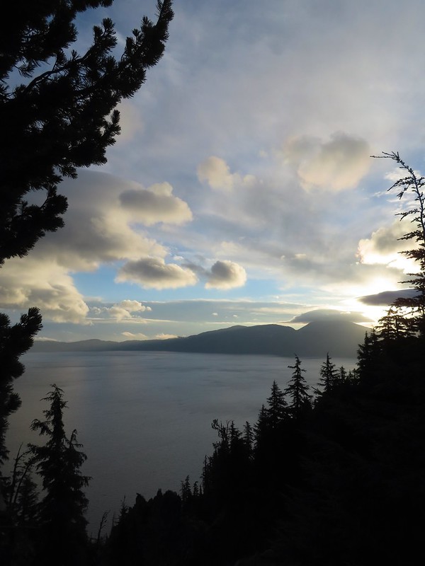
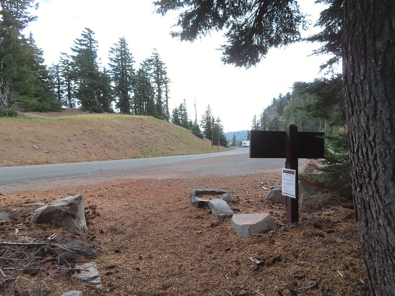
The view was amazing and aside from the ravens we were about the only people around this early. We got distracted enough by the views that we didn’t catch that the Dutton Creek Trail was located a bit downhill along the West Rim Road and we set off on the Rim Trail toward the Discovery Point Trailhead.
In our defense the topo map on our GPS showed a connector trail further along the Rim Trail (that trail no longer exists) but we didn’t catch our mistake until we’d gone nearly a quarter mile. We turned around and hiked back to the entrance road to Rim Village and hiked downhill to the signed Dutton Creek Trail.
 It was by far the most scenic mistake we’ve made while hiking.
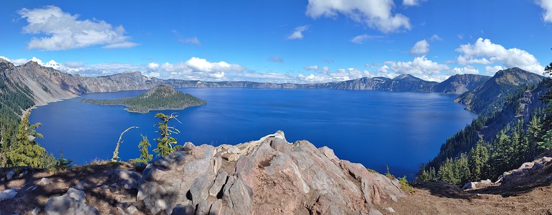
 Wizard Island and Llao Rock
 Mount Scott
 We joked that views had been so good maybe we should just end the hike now.

A short distance down the Dutton Creek Trail we came face to face with a pair of bucks.


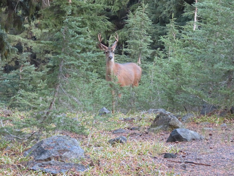
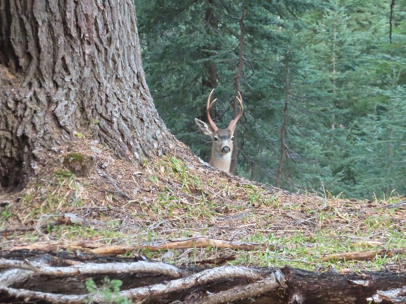
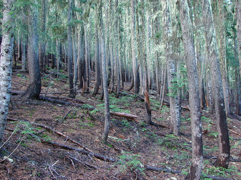
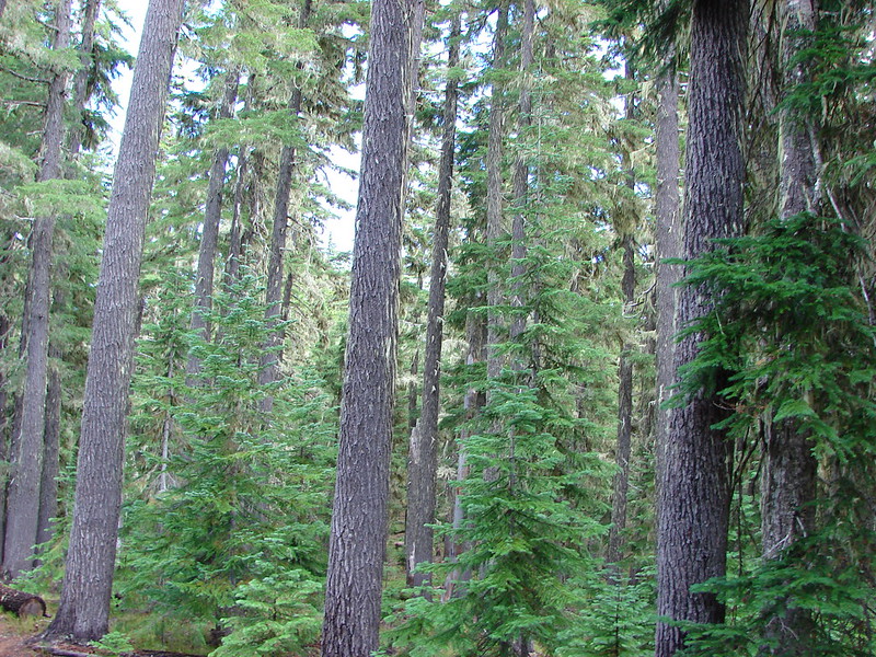
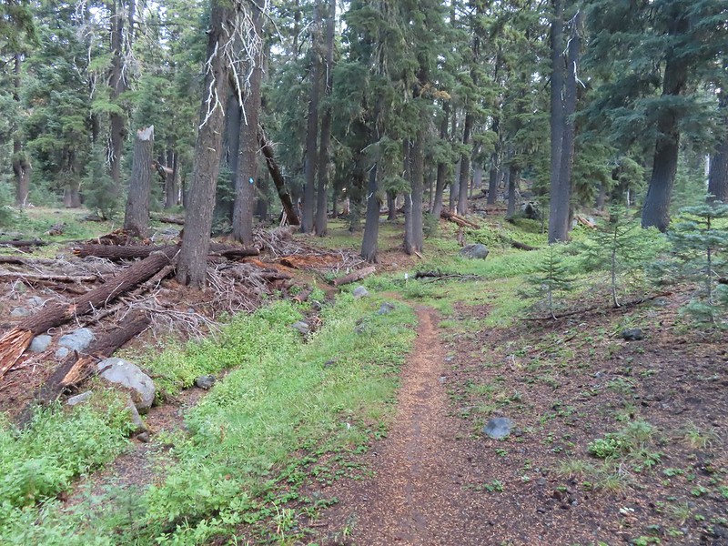
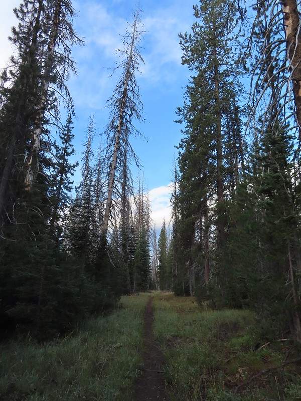
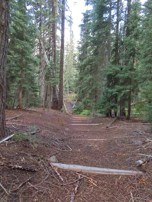
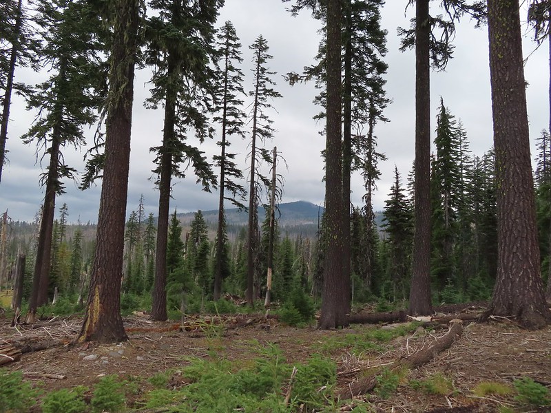
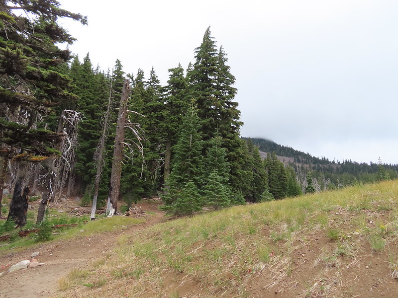
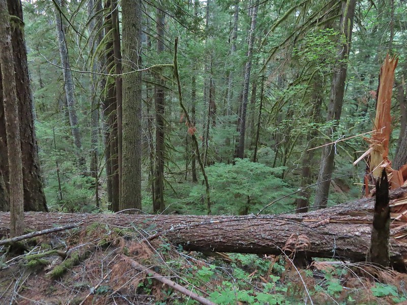
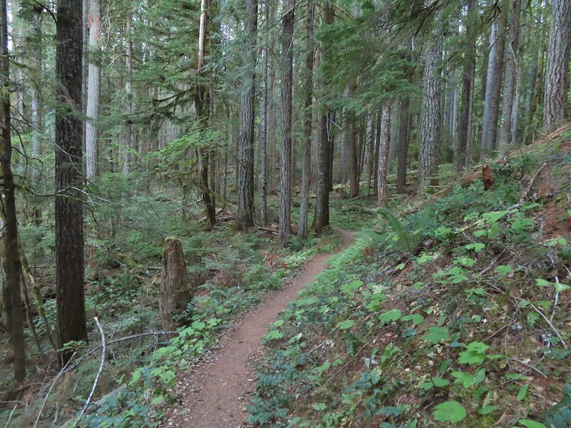
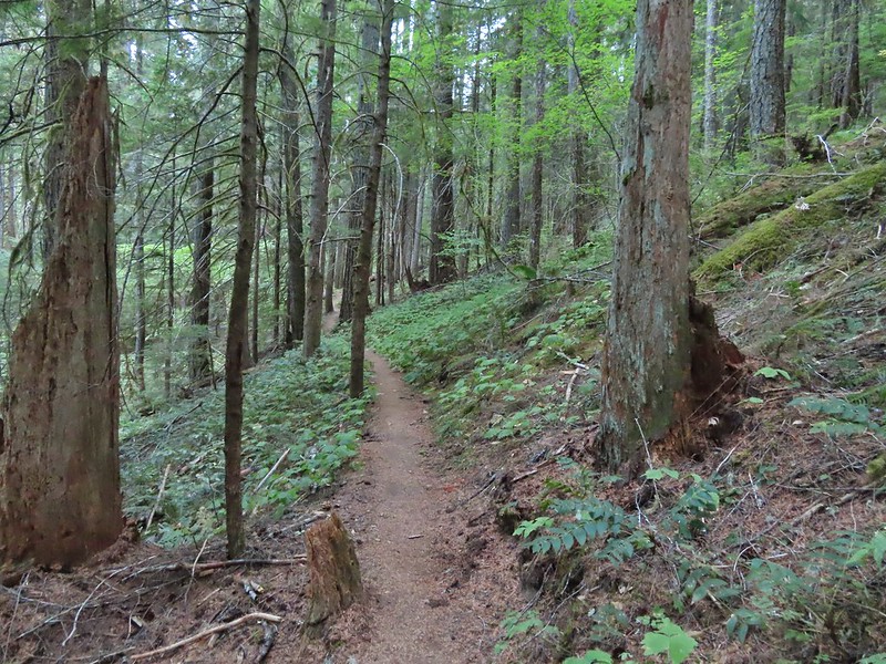
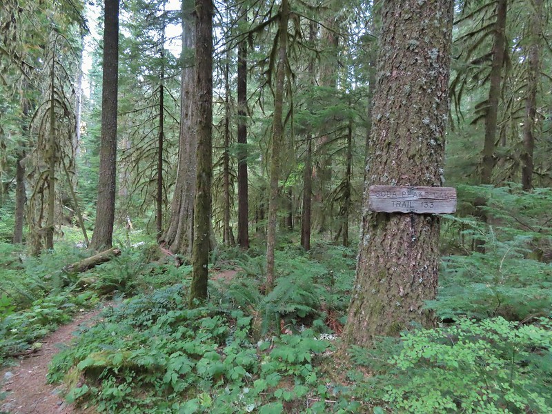
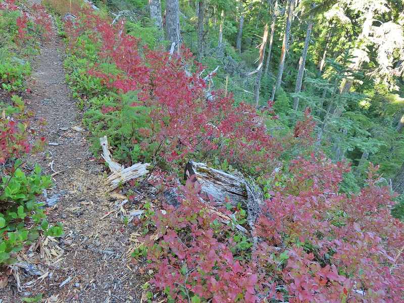
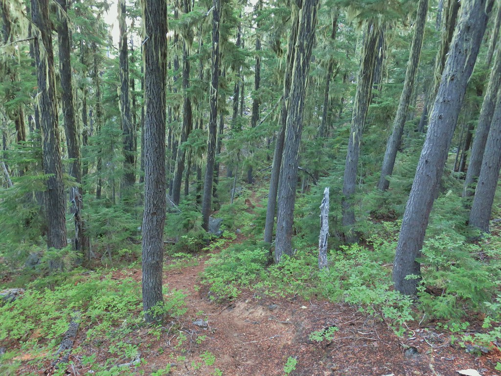
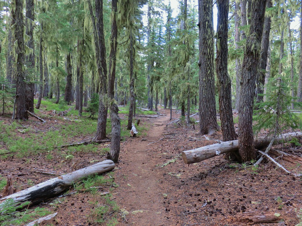
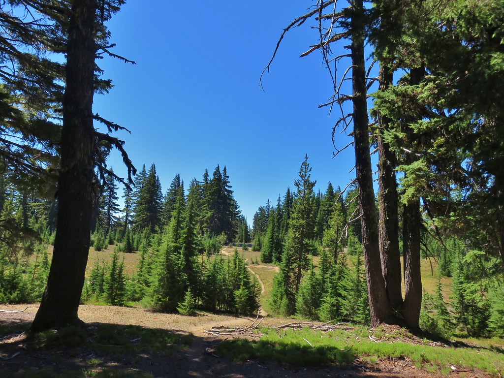
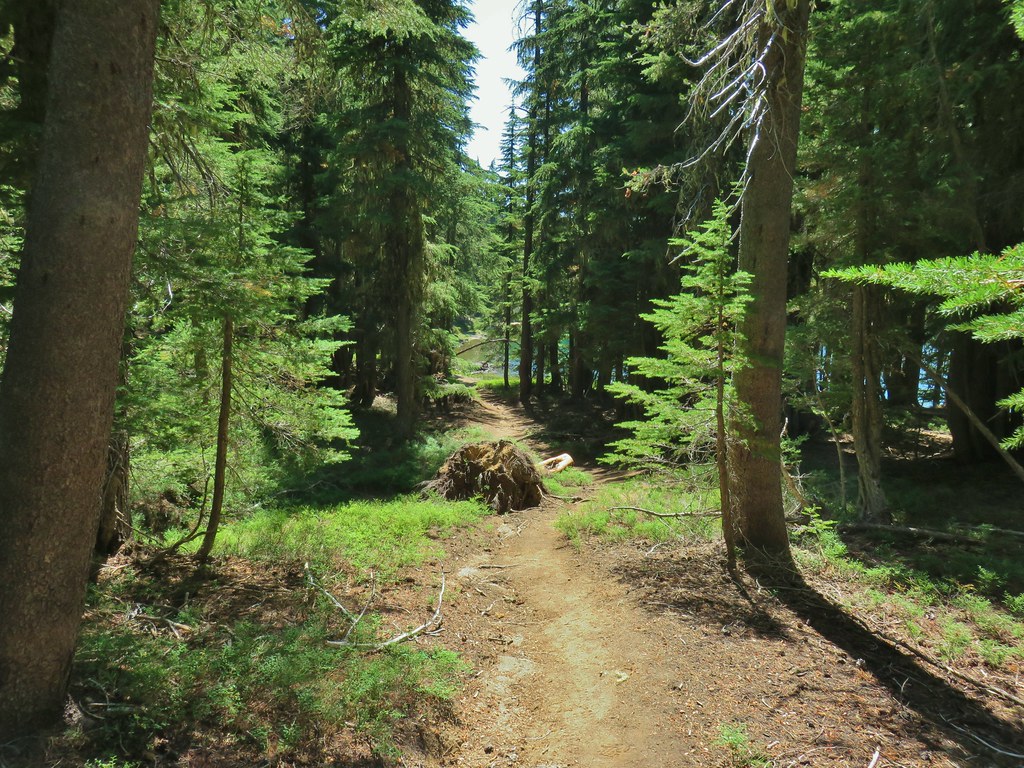
It was quite the start to the hike and we wondered how anything during the remainder of the hike could top the beginning. We followed the Dutton Creek trail a total of 2.4 miles to the Pacific Crest Trail. The upper portion had indeed been fairly steep before leveling out quite a bit. The forest along the trail was very nice and the trail was in excellent shape.


 Dutton Creek was dry.
 Blue sky ahead.
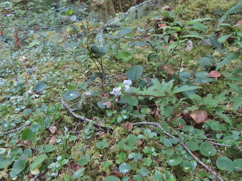
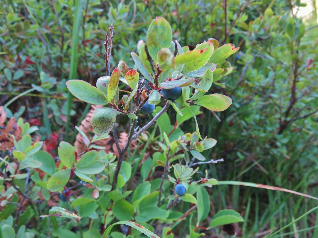
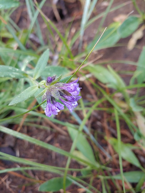 Not much left for flowers, this could be a Crater Lake collomia although it’s a little late in the season.
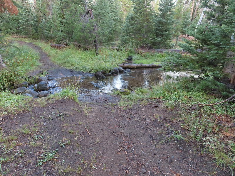
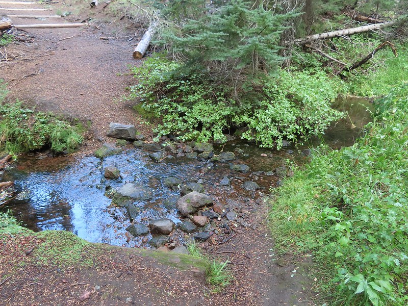
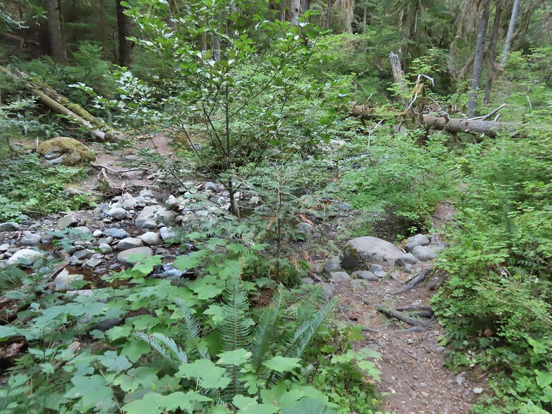
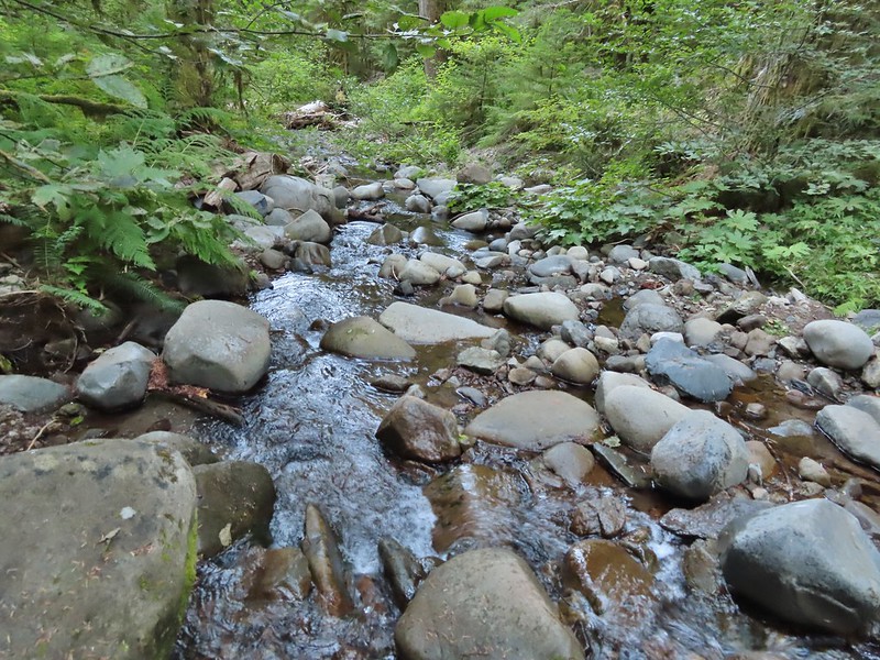
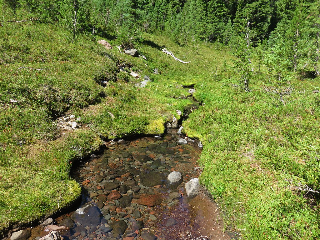
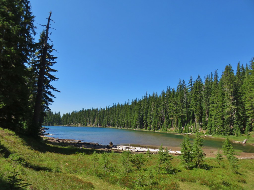
 Castle Creek still had some water flowing.
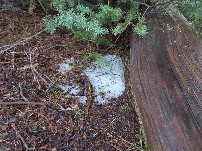 We spotted several piles of hail, possibly from the severe thunderstorms that had been forecast for Saturday night?
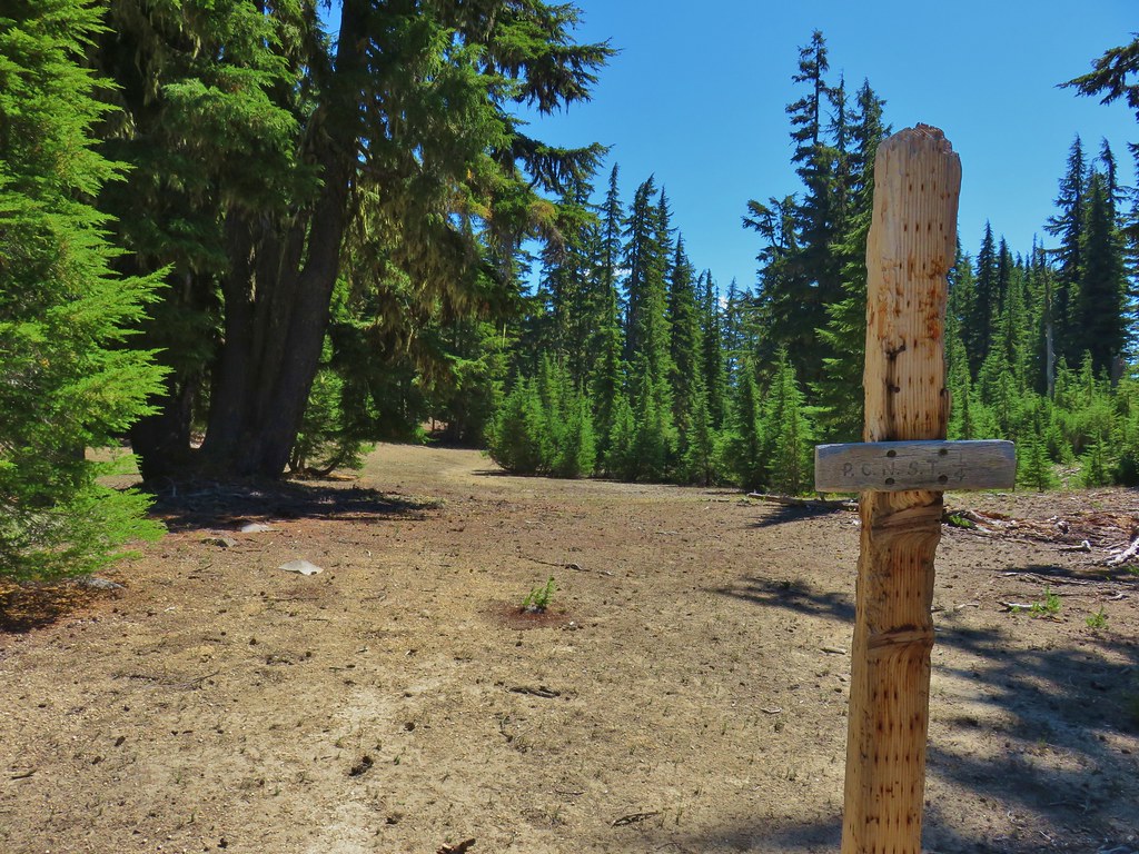
 Arriving at the PCT.
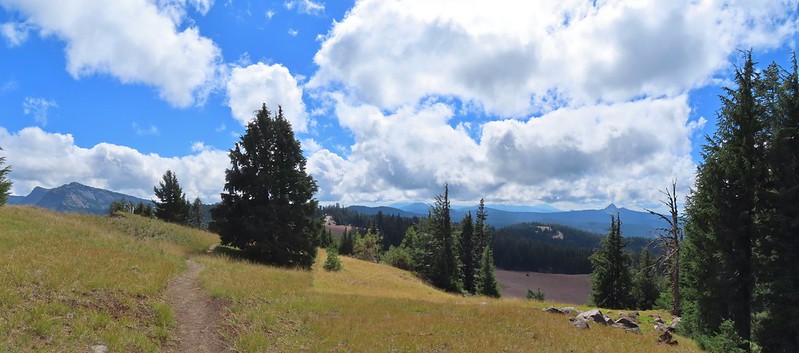
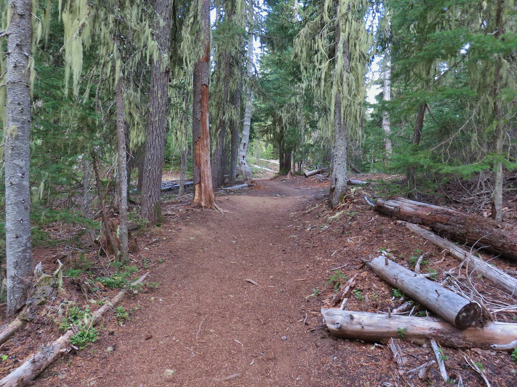
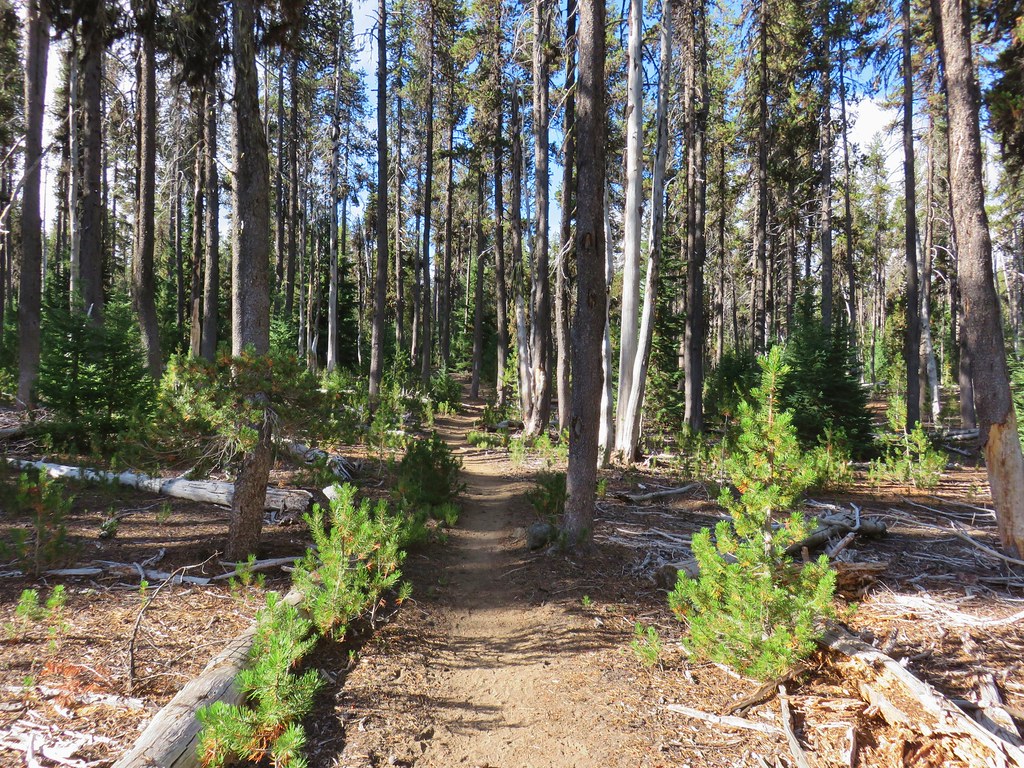
We turned right on the PCT and followed it for 4.4 fairly level miles to the Lightning Springs Trail. Sullivan described this section of trail as relatively dull but there was enough variety in the scenery to make it enjoyable if not remarkable.

 The campsite at the junction was closed due to hazard trees.
 Recrossing Castle Creek.
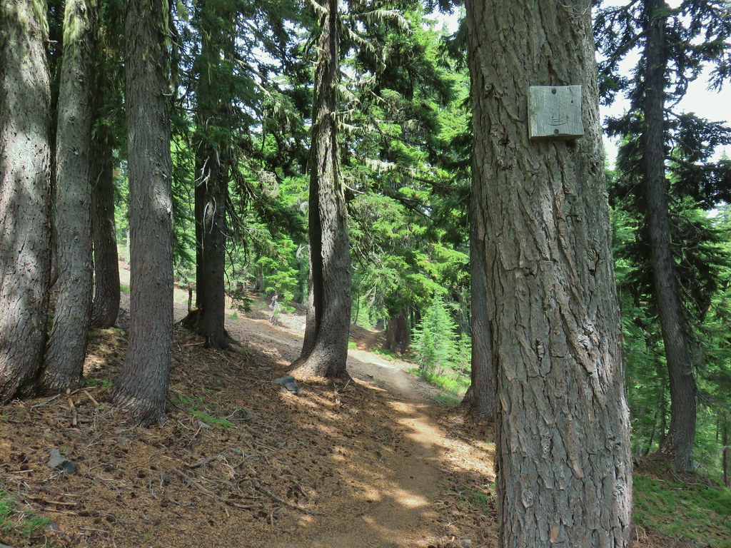
 The PCT appeared to be following an old road bed through the park.
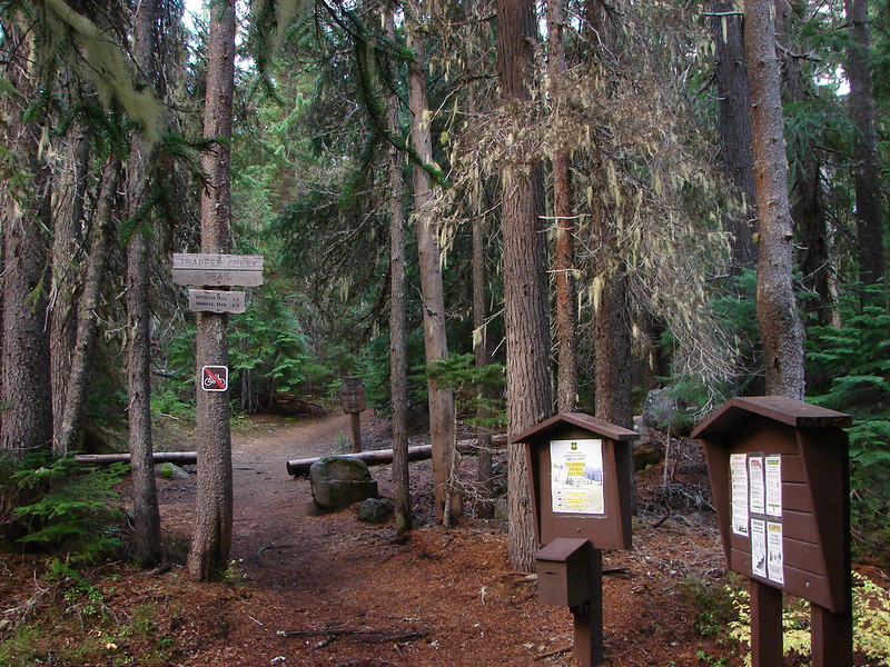
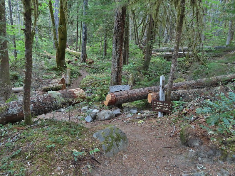
 Dropping down to Trapper Creek.
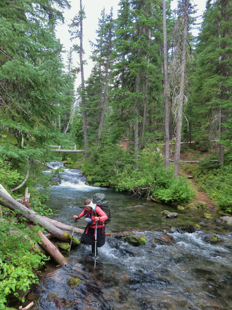
 PCT crossing of Trapper Creek.
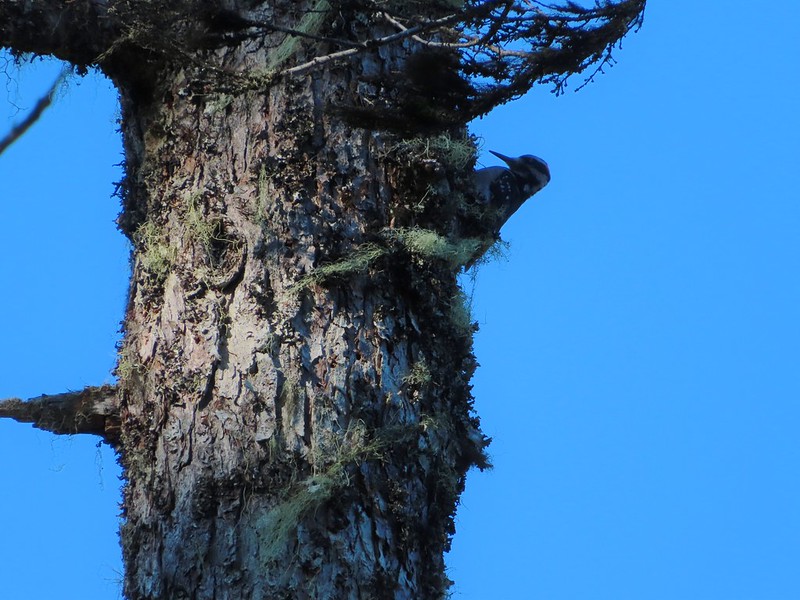
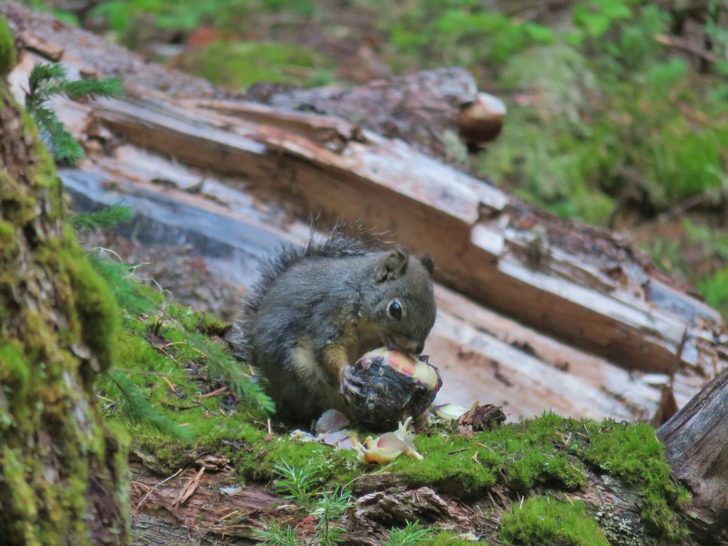
We saw one other deer, a doe in the trail, and otherwise it was a lot of chipmunks and squirrels along with numerous birds.
 A red-breasted nuthatch that was toying with me as I tried to get a photo.
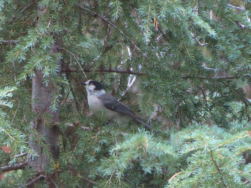 Canada jay (grey jay)
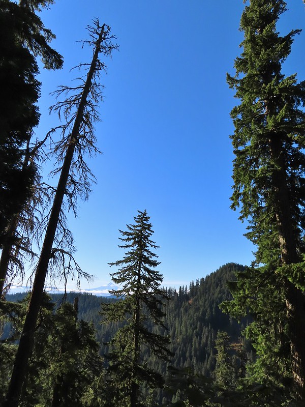
 Blue sky to the north ahead.
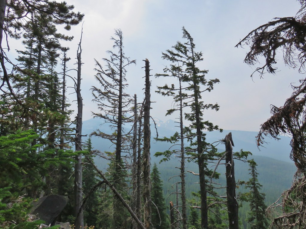
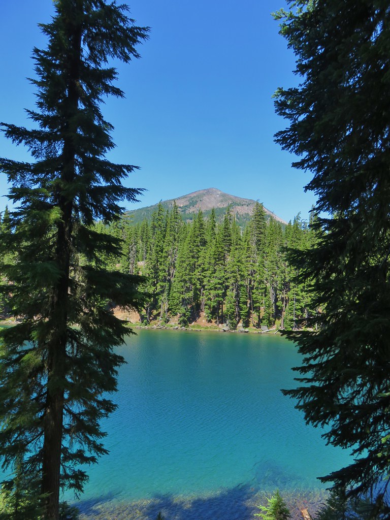
 Some blue sky south too with a glimpse of Union Peak (post).
 Union Peak
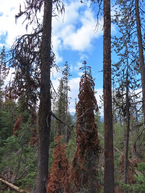
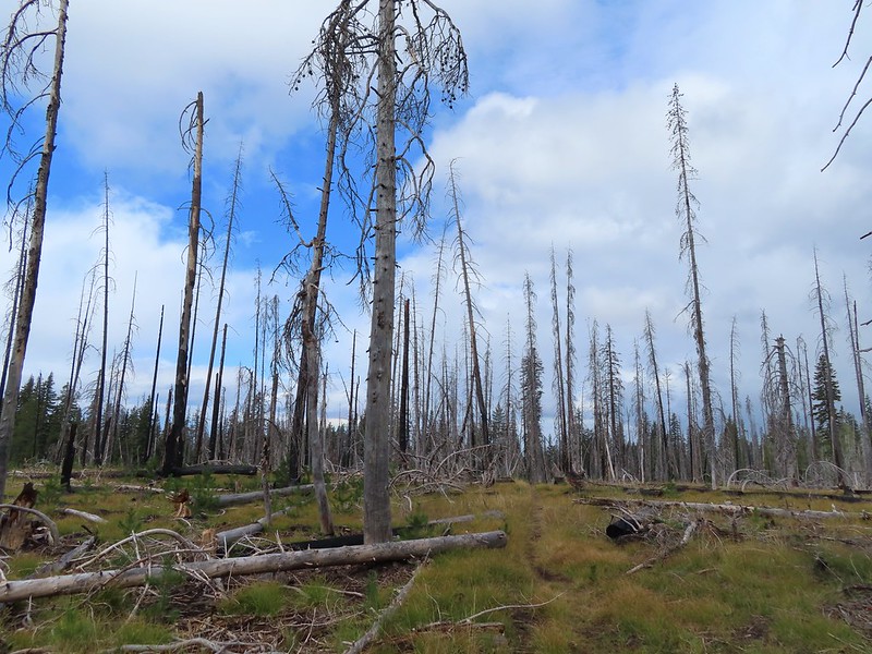
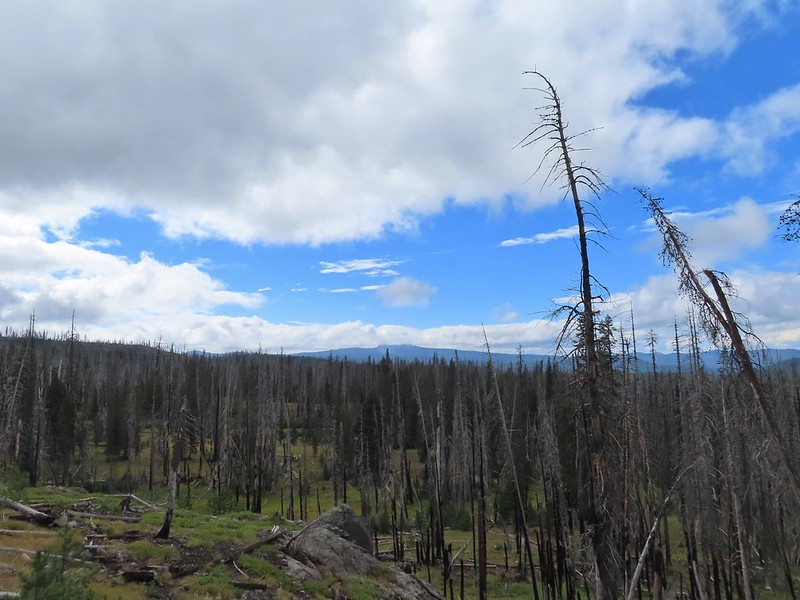
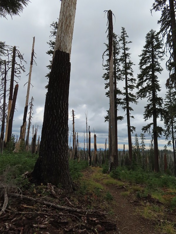 Entering the 2006 Bybee Complex fire scar.
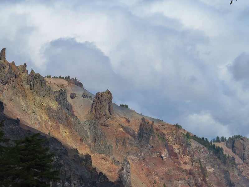
 The Watchman. The lookout tower on top was in a cloud after having been clearly visible from rim earlier. We wondered what that might mean for our views when we finally made it back to the rim.
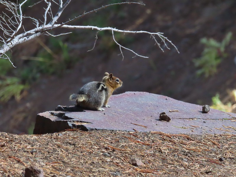
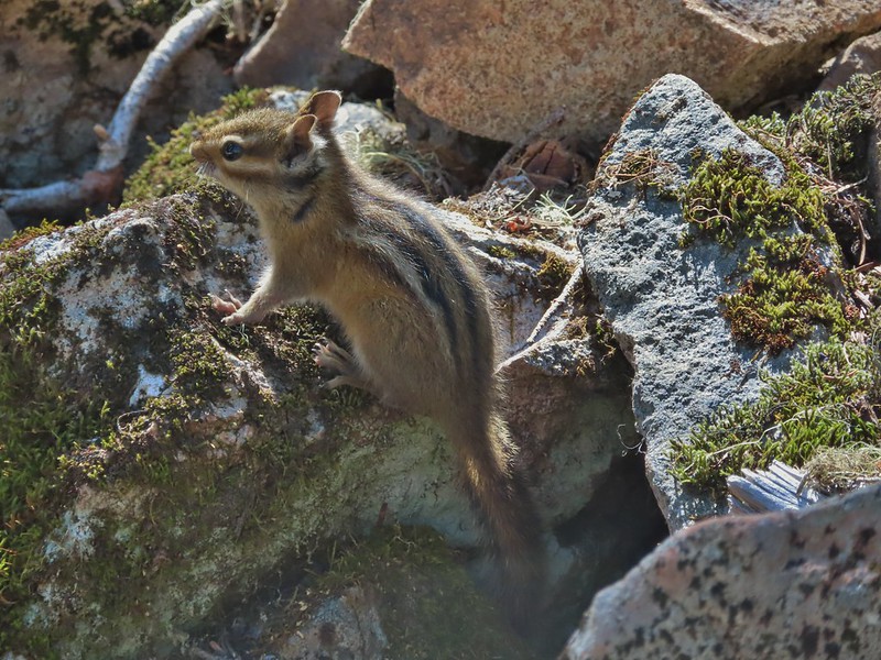
 Chipmunk checking us out.
 Coneflower remains
 Another creek crossing.
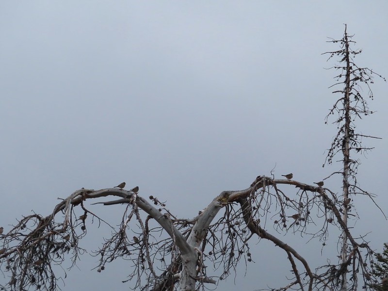
 Red crossbills at the creek crossing.
 There were some pretty ominous looking clouds behind us but no showers yet.
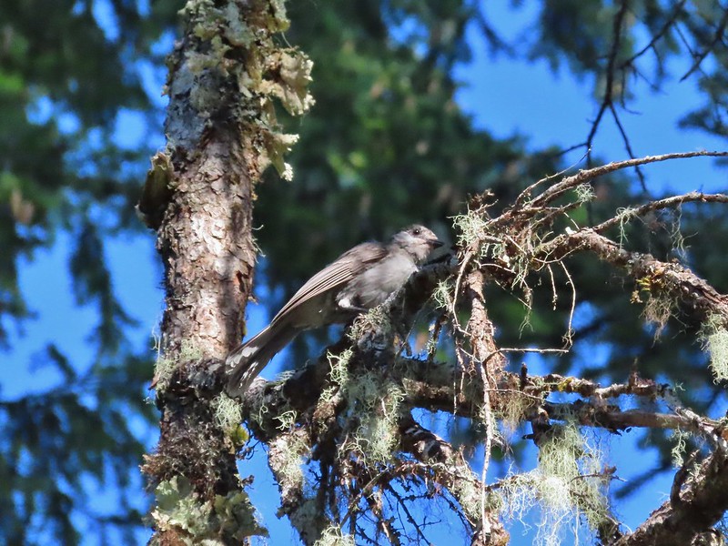
 Several white crowned sparrows and at least one junco. We could also hear chickadee calls but I couldn’t find one in this capture.
 Despite the ugly clouds behind us there was almost always blue sky ahead.
 North Fork Castle Creek
 Approaching the junction with the Lightning Springs Trail.

We turned onto the Lightning Springs Trail and headed for the clouds above The Watchman.

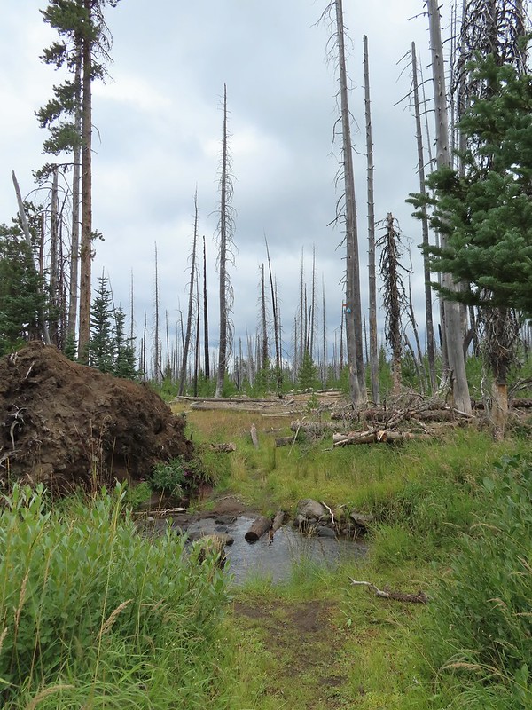
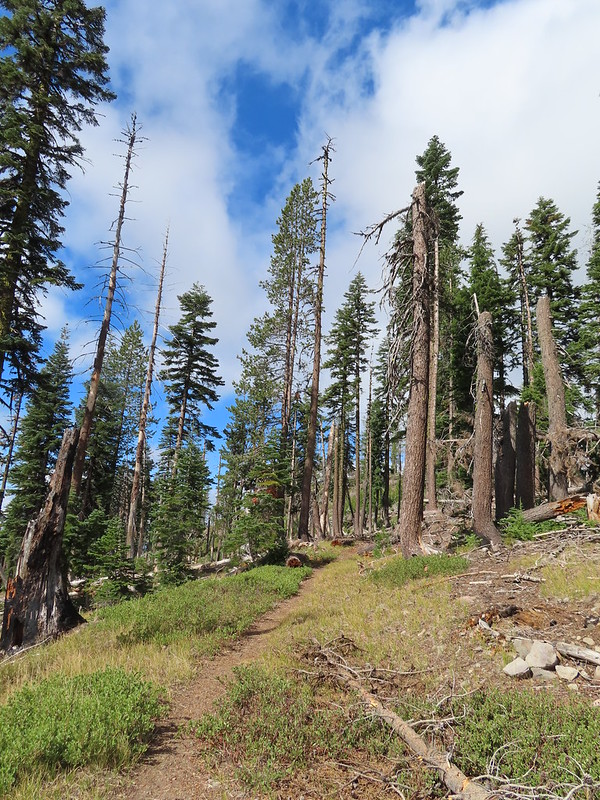
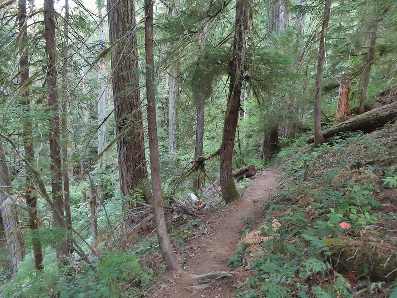
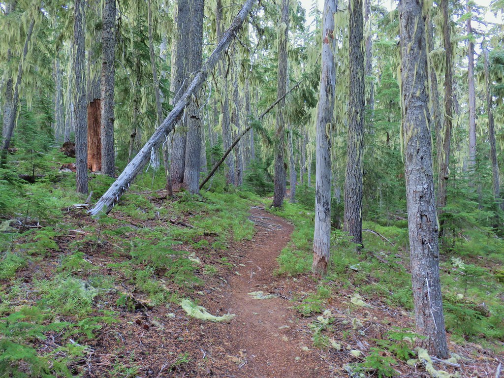
This trail climbed gradually along a ridge at the edge of a 2016 fire scar.
 Townsend’s solitaire
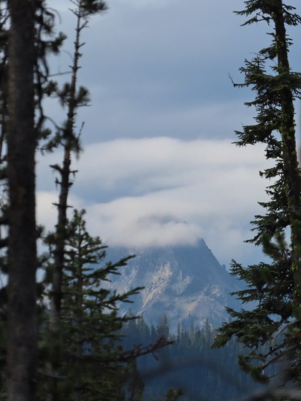
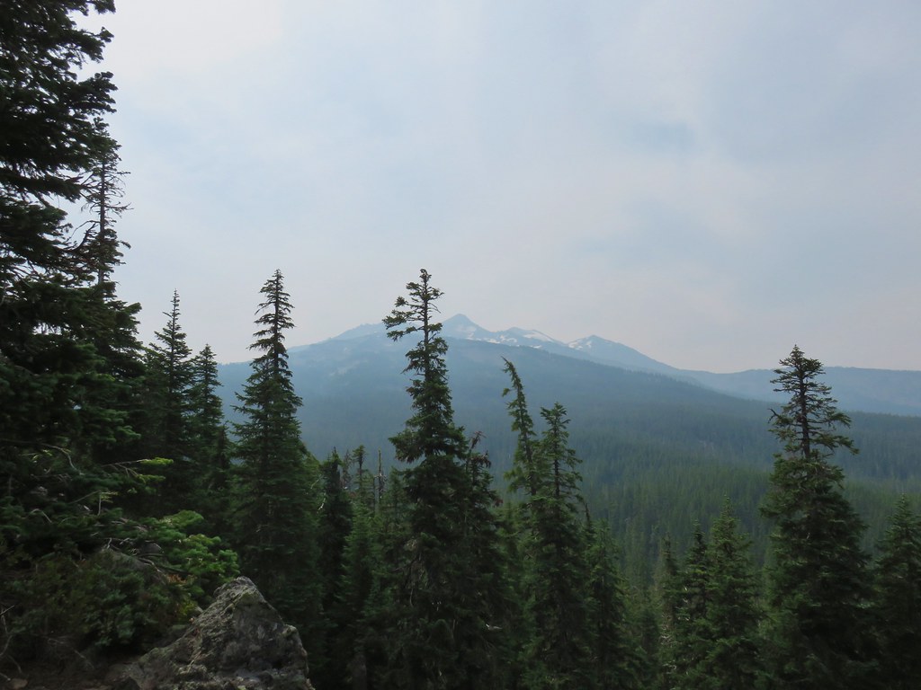
 Union Peak had been swallowed by clouds.

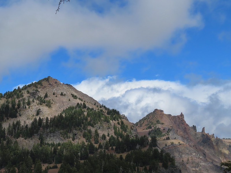
 The Watchman with a cloud still hanging on.
 Hawk
Hawk

 The base of Union Peak with lots of blue sky around.
 A brief stint in full sunlight.
 Robin
Robin
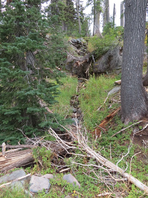
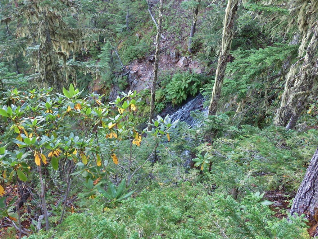
We were supposed to pass below a small waterfall after 2.4 miles along Lightning Creek but this late in the Summer it was dry.
The trail continued to climb beyond the dry fall arriving at Lightning Springs after another 0.8 miles.
 Union Peak nearly free of clouds.

 The Watchman still not free.


 Mountain bluebird

We detoured a short distance down the trail to Lightning Springs Camp to check out the springs which were not dry.

After visiting the springs we continued another 0.8 miles to West Rim Drive and crossed over to the Rim Trail.
 Full view of Union Peak.
 And finally a full view of The Watchman.
 Conditions were changing quickly and now there was blue sky above The Watchman.
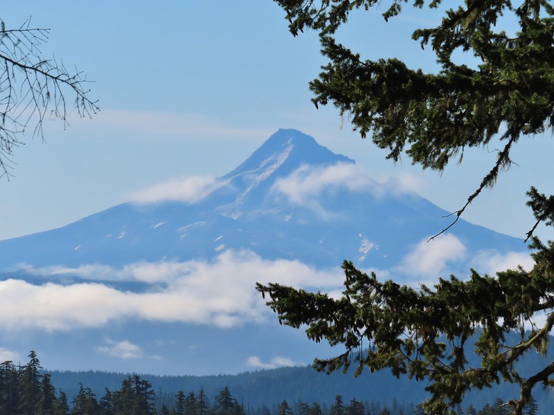
 West Rim Drive ahead with the lower portion of Mt. McLoughlin (post) in between the trees to the right.
 Mt. McLoughlin
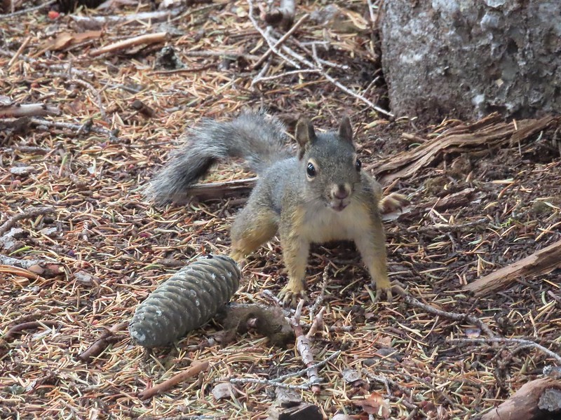 This squirrel put its cone down in case I had something better for it, but we don’t feed the wild animals per Park rules (and Leave No Trace Principles).
We followed the Rim Trail for 2.4 miles back to Rim Village passing Discovery Point at the 1.1 mile mark. The views were spectacular resulting in many, many photos for which we don’t feel the least bit sorry about.


 Wizard Island’s cone

 Llao Rock

 Dock along Wizard Island
 The Watchman and Hillman Peak

 Garfield Peak to the left with Union Peak to the far right.


 Phantom Ship
 Mount Scott

 Clark’s nutcracker

 That blue though!
 Golden-mantled ground squirrel
 Back to where we’d been that morning.
Including our wandering around Rim Village and going the wrong way to start our hike came to 14.4 miles with 2000′ of cumulative elevation gain.
I don’t think we could have asked for better conditions. It only sprinkled for one brief moment and the amount as well as type of clouds added to the beauty instead of hiding it. Add in temperatures that didn’t get much over 50 degrees if that and it was about a perfect day for a hike. We changed our shoes and socks then grabbed lunch in the cafe and did some shopping in the gift shop before heading back to Shady Cove. Happy Trails!


 Some blue sky again.
 Happy Lake Trail junction.
 Just a small part of the meadow.
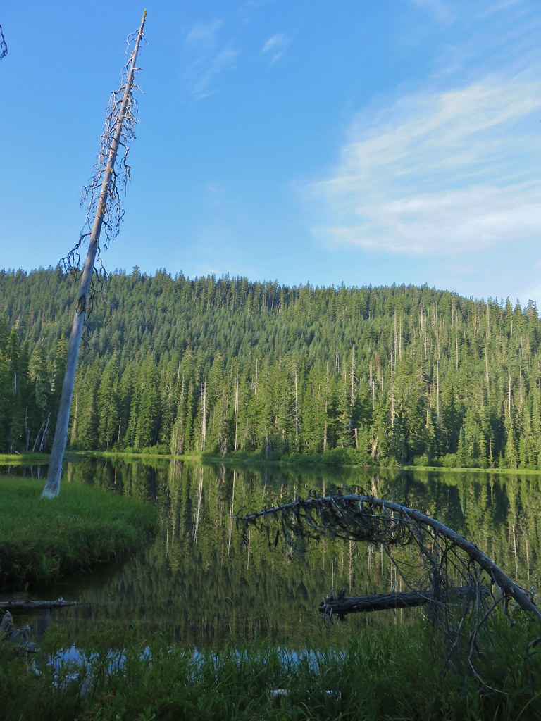


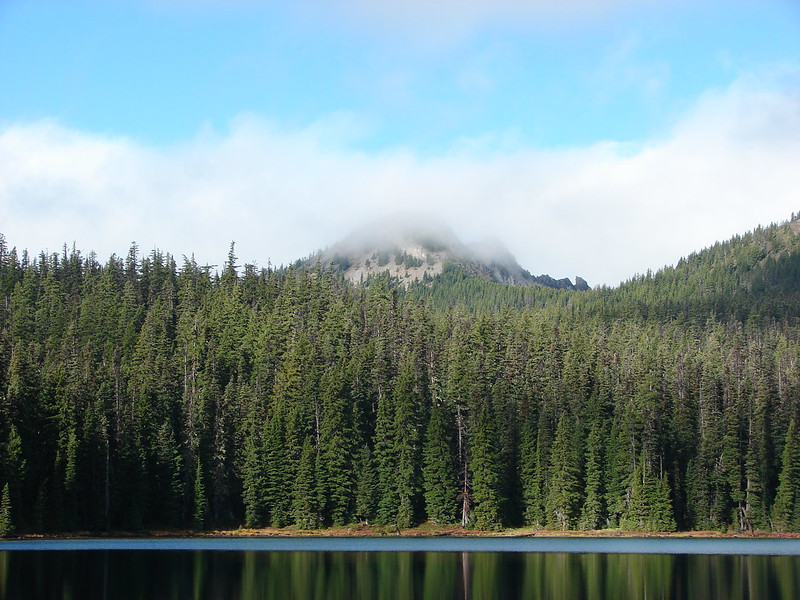
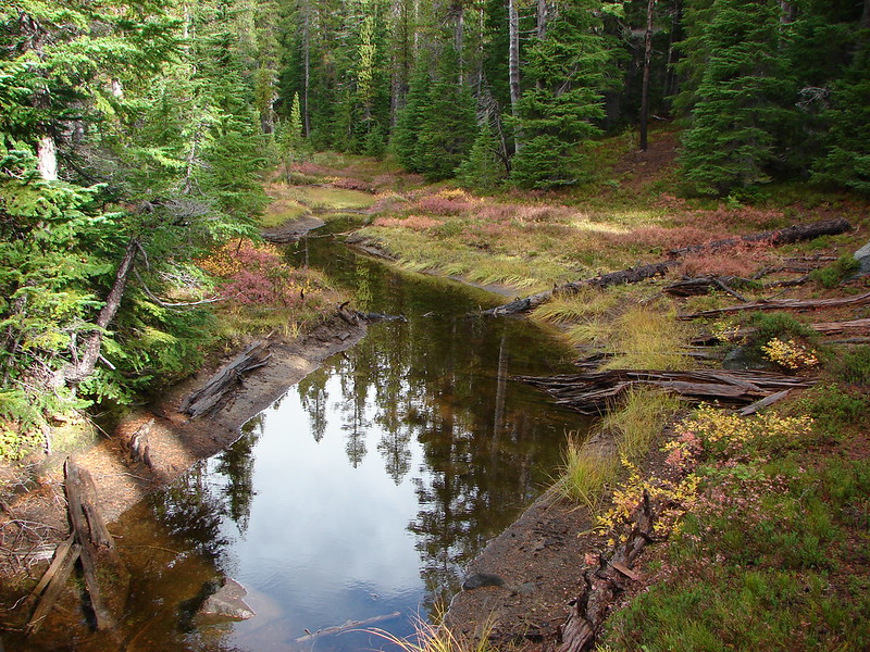
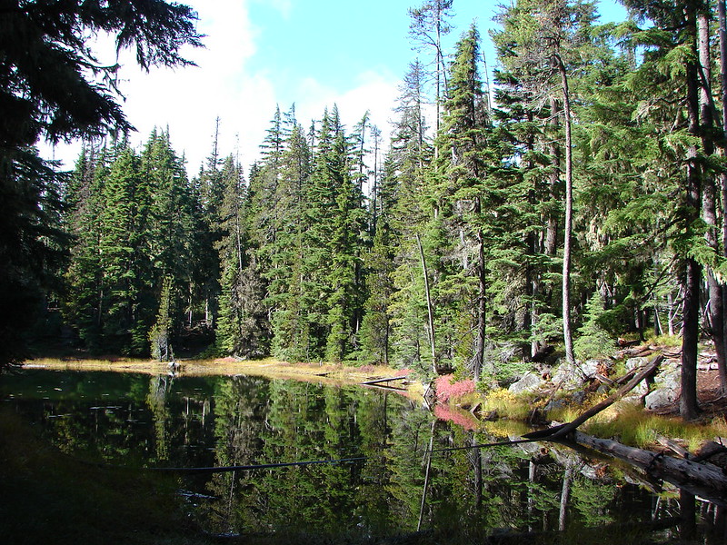
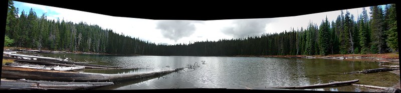
 We think this was Bear Creek. Other than the outlet of Happy Creek no other creek beds had flowing water on this side of the mountain.
 Diamond Peak from the trail.
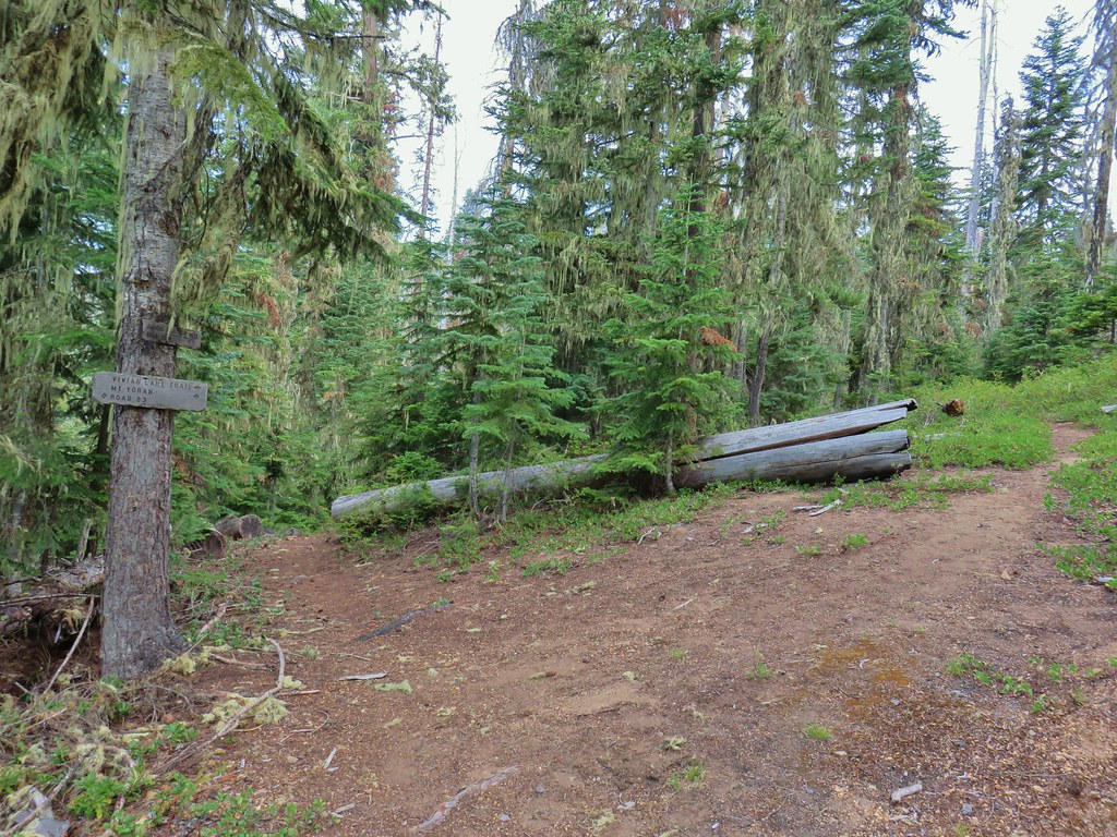


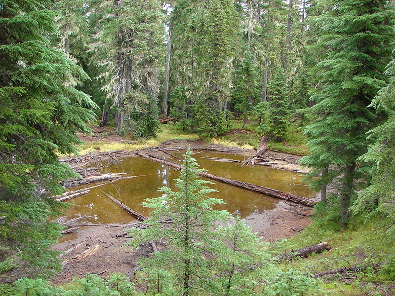
 One of several damp meadows.
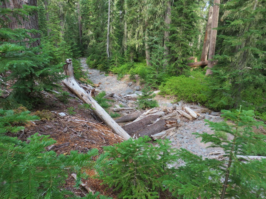 The creeks were still dry though.
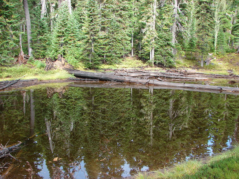
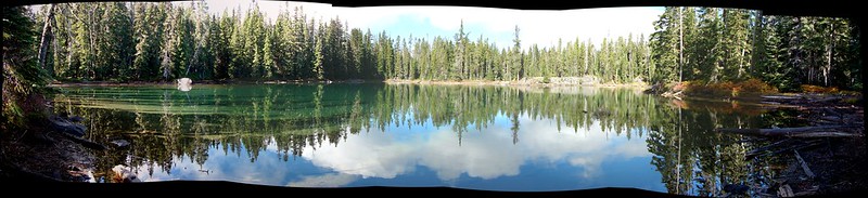
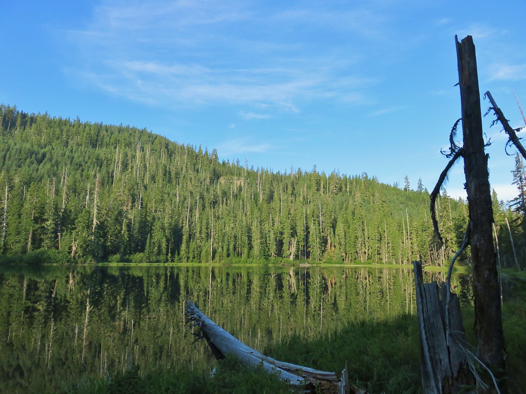
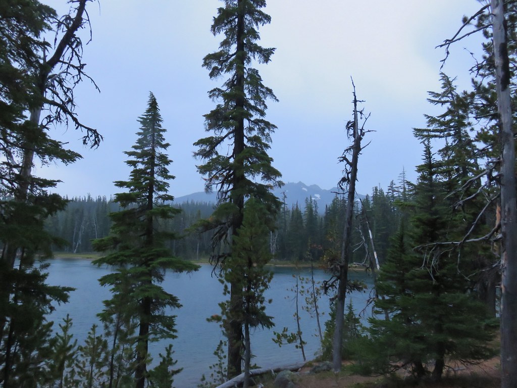
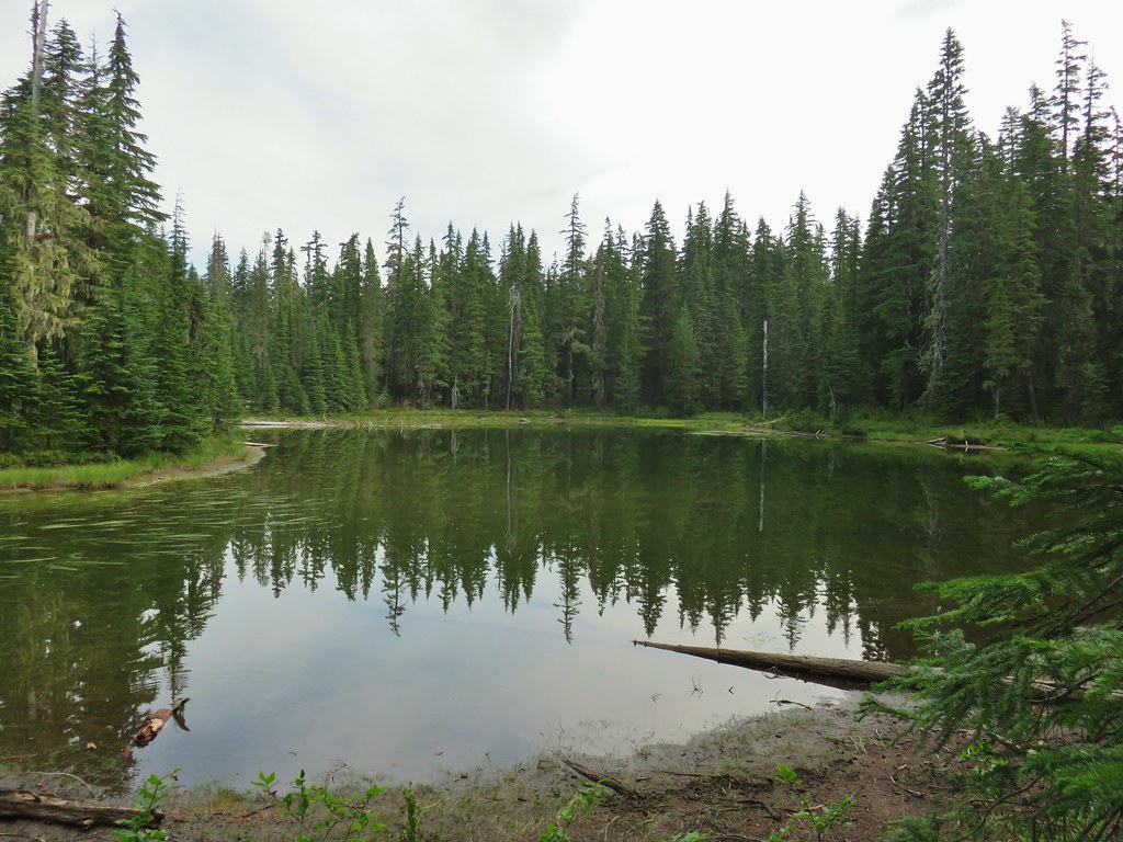 An unnamed lake.
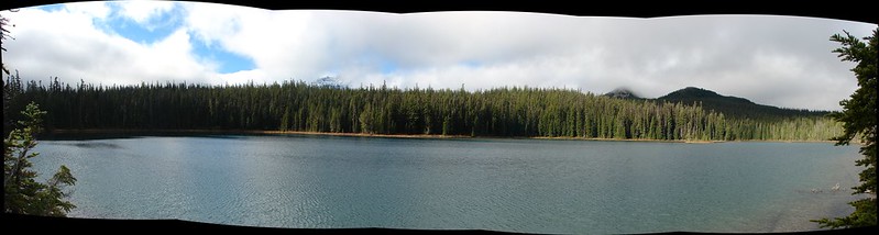
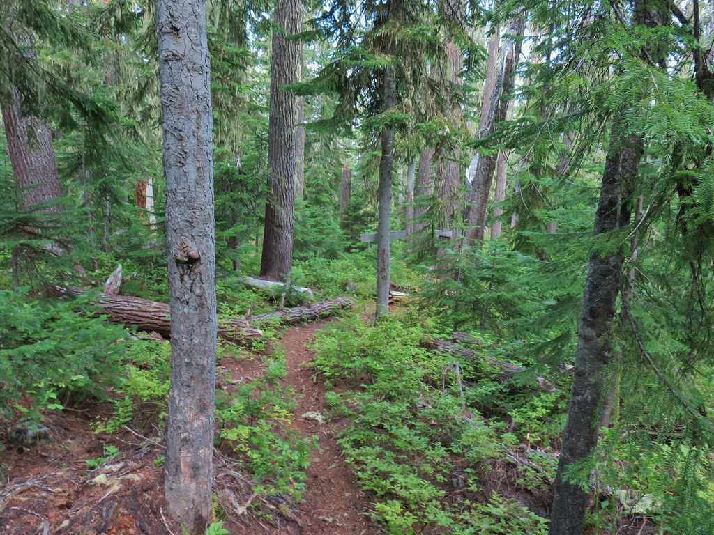
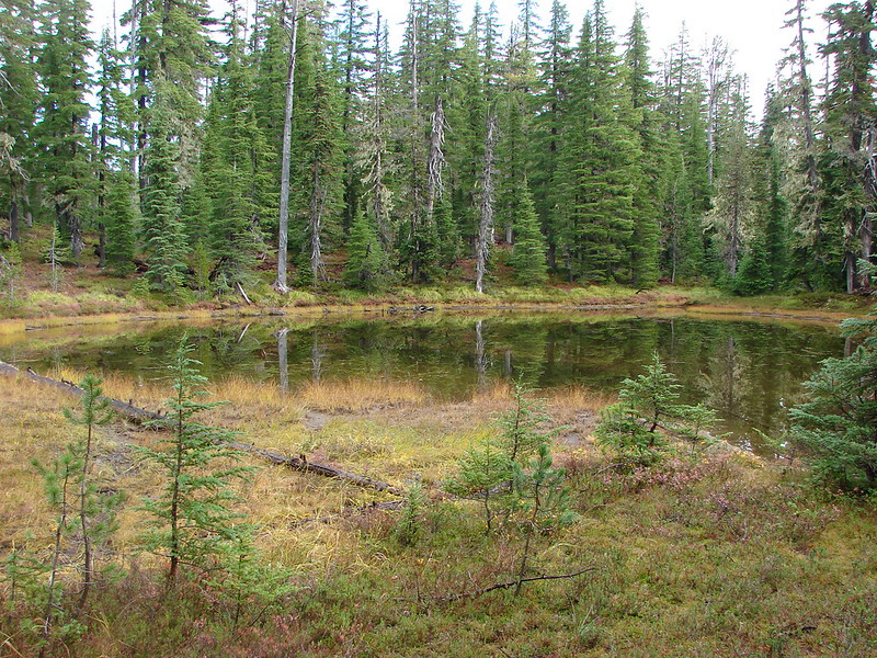
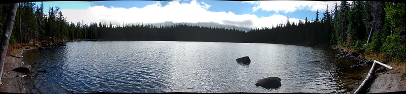
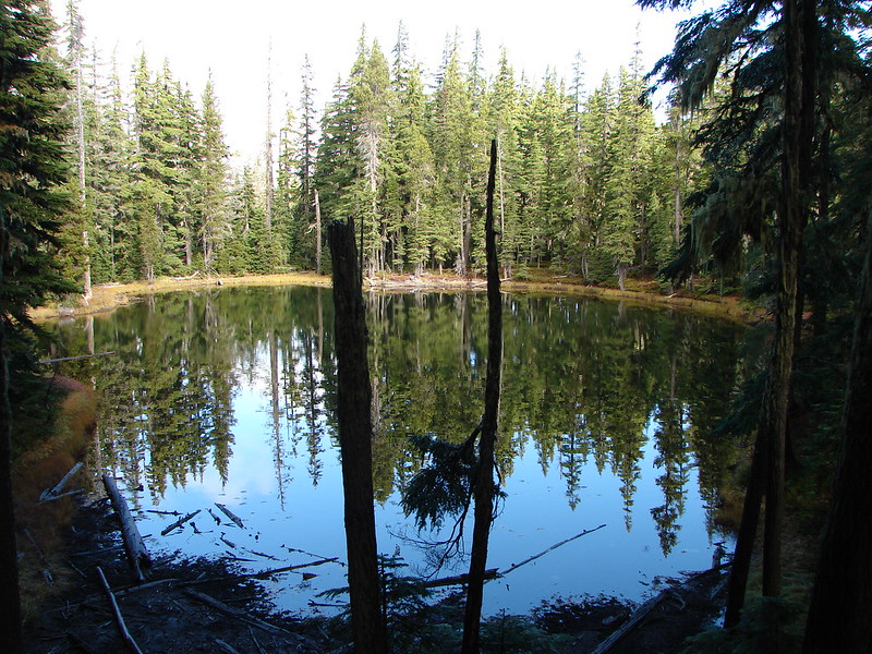
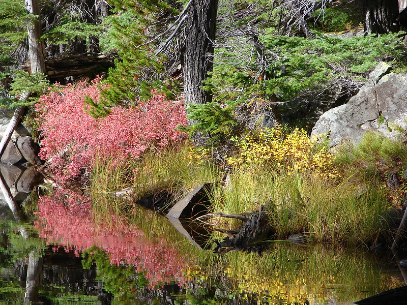
 Small unnamed lake just before Notch Lake.
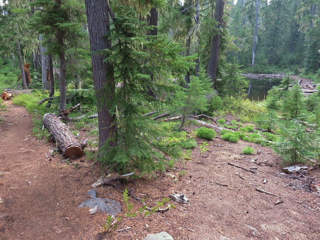 Another little lake/pond near Notch Lake.
 Notch Lake

 Beargrass

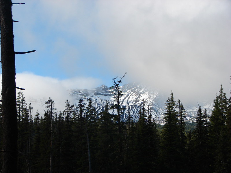
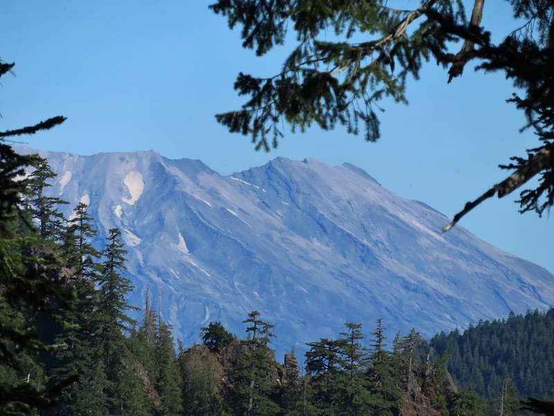
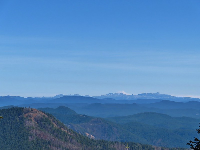
 Diamond Peak from the trail; the smoke was back.
 Textured mushroom
 On the ridge.
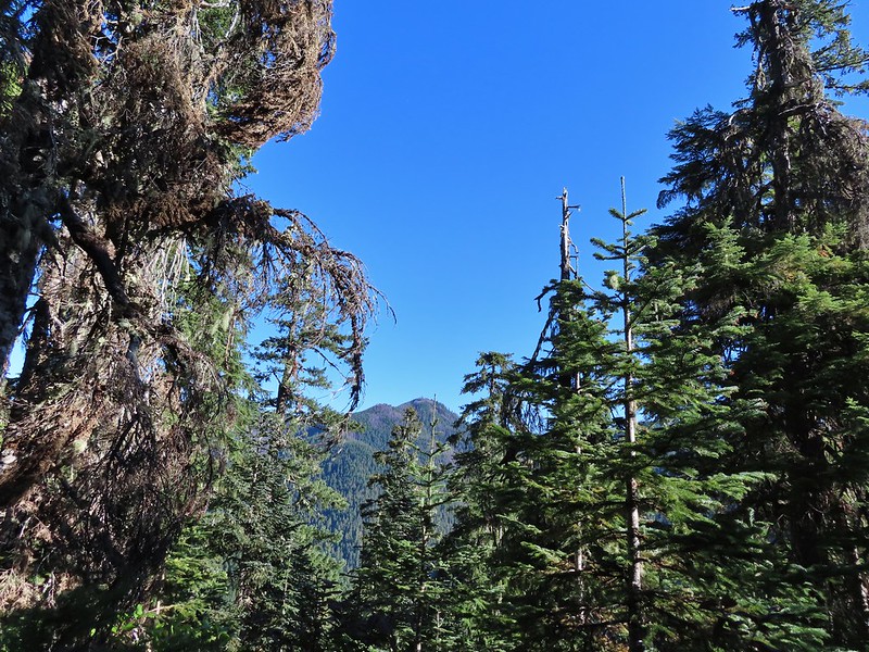
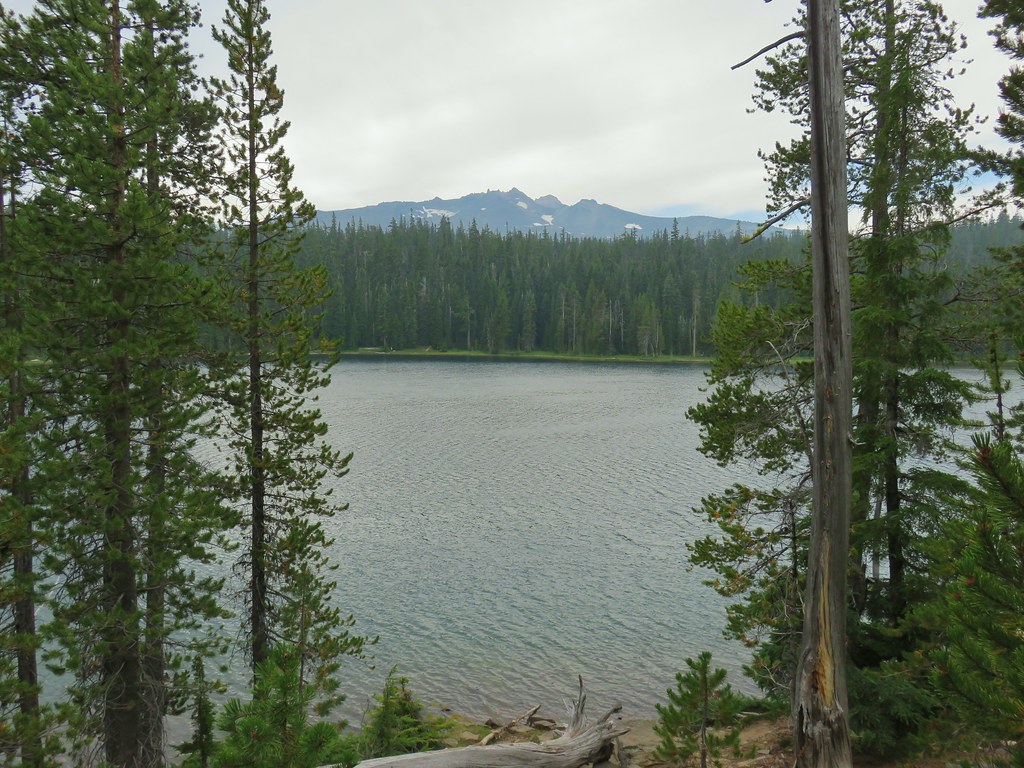
 Diamond Peak
 Lousewort
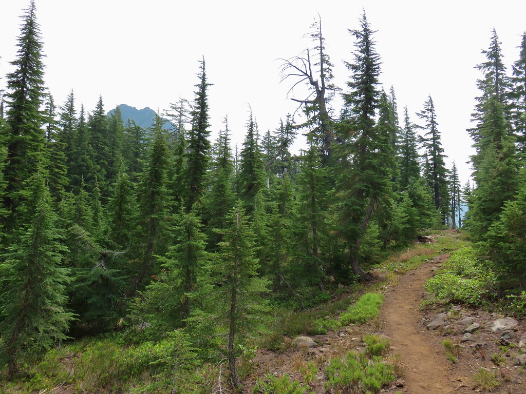 Mt. Yoran from the trail.
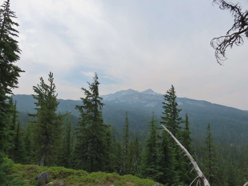 Diamond Peak again.
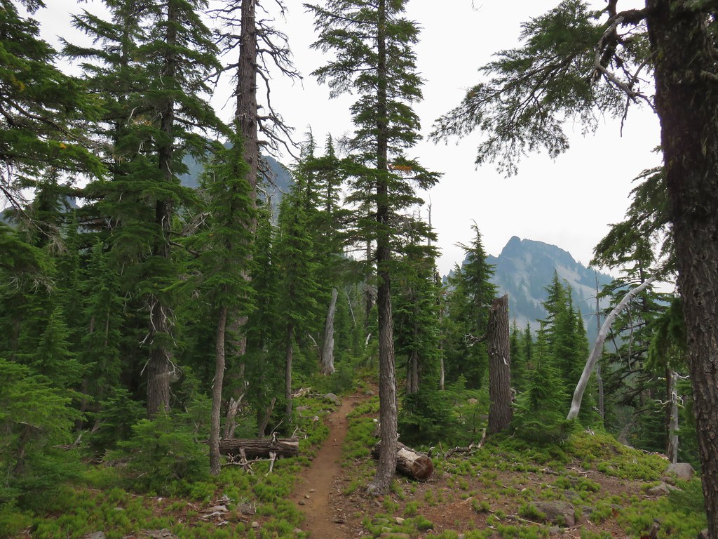 Mt. Yoran on the left and the divide on the right.
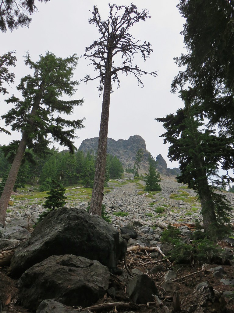 Passing under Mt. Yoran.
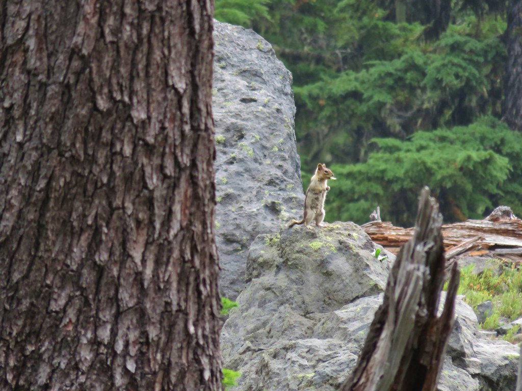 Please tell me that’s a seed and not that the ground squirrels have taken up smoking.
 Divide Lake
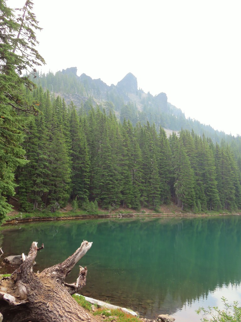

 Blue sky making a comeback.
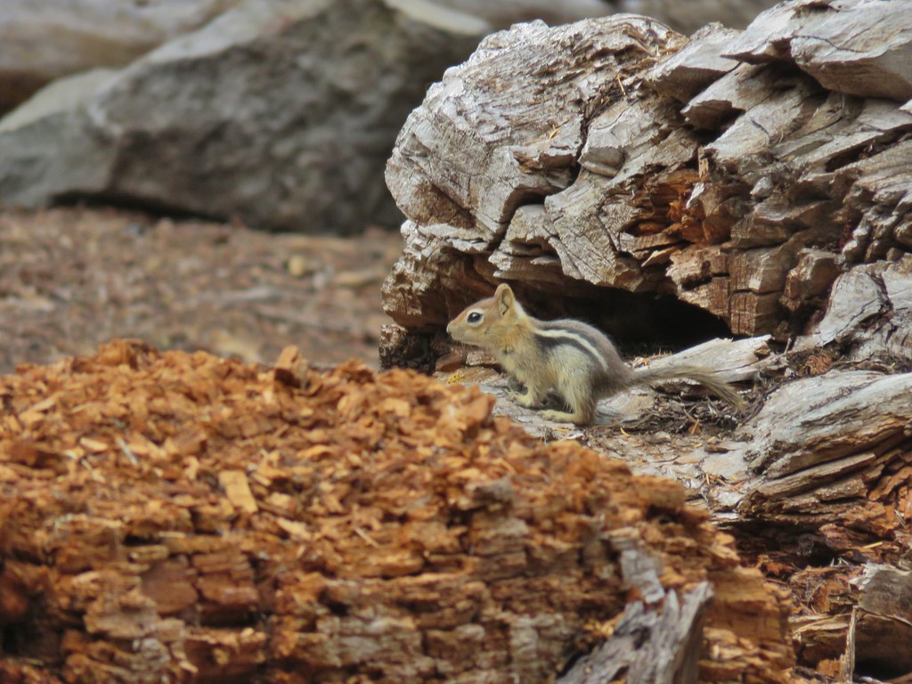
 Diamond Peak from Divide Lake
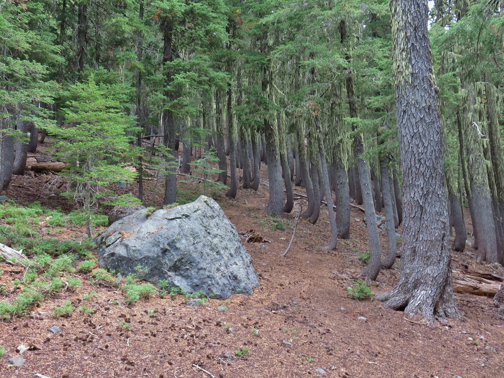 Climbers trail to Mt. Yoran.
 Thank goodness it was a seed.
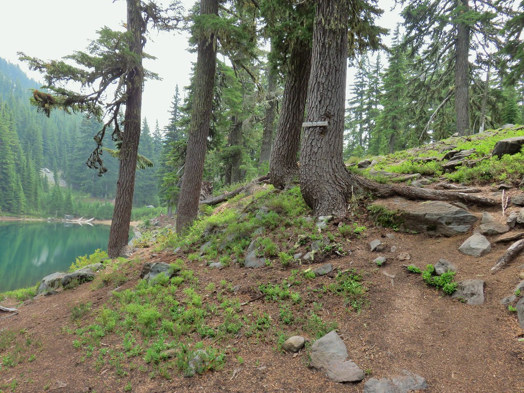
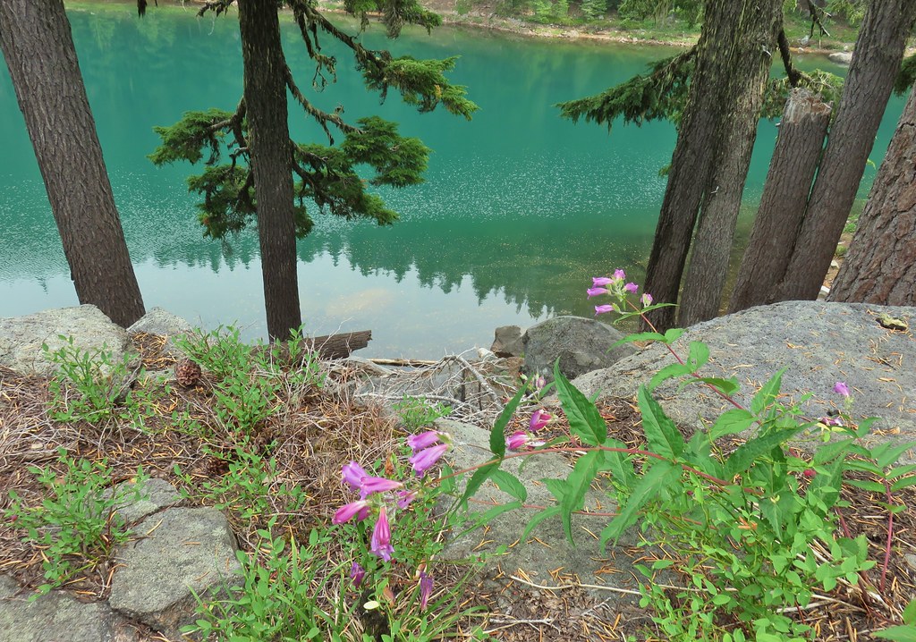 Beardtongue
 Mt. Yoran from Divide Lake
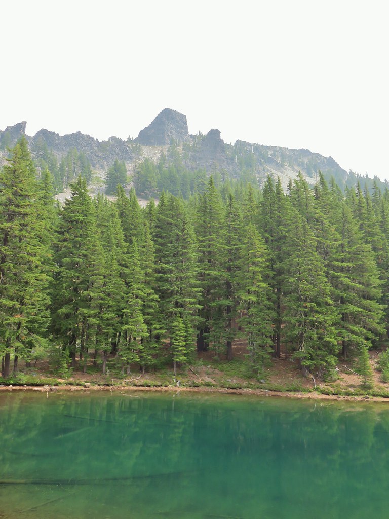
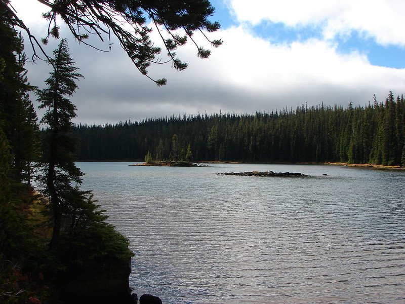
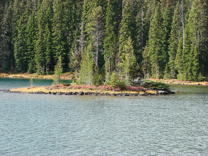
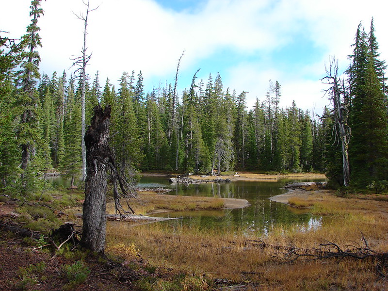
 One of the unnamed lakes.
 Starting up to the divide.
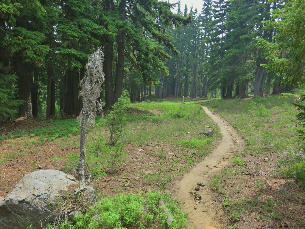
 PCT
PCT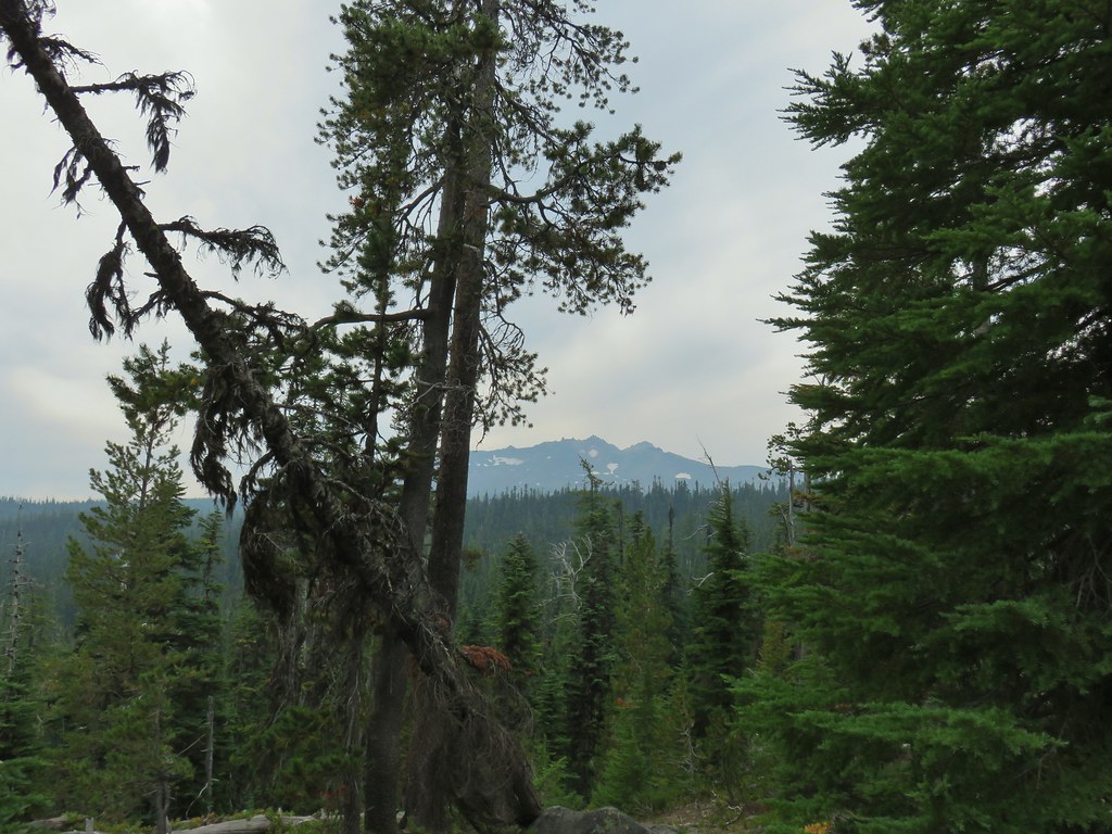 Diamond Peak from the PCT.
 Lakeview Mountain
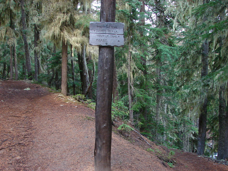
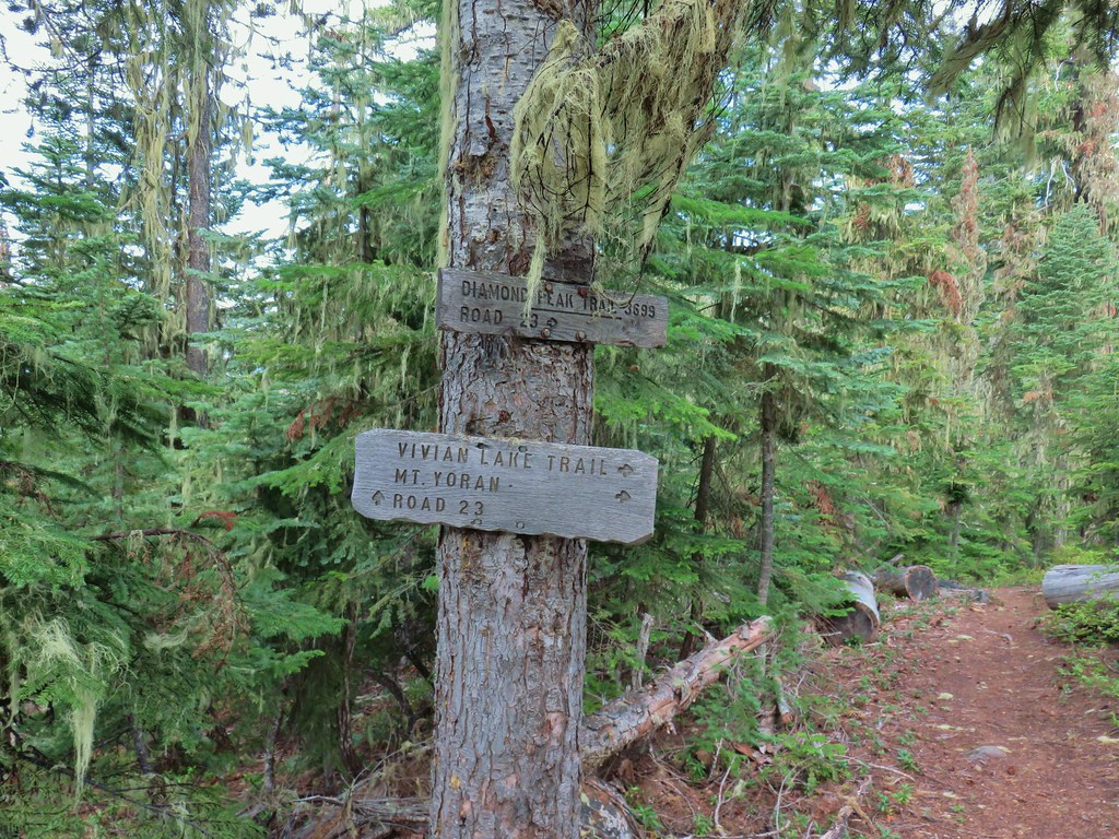
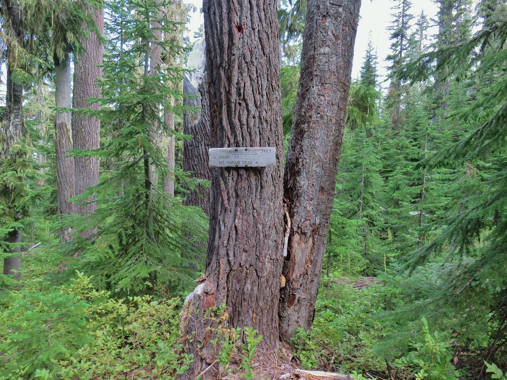
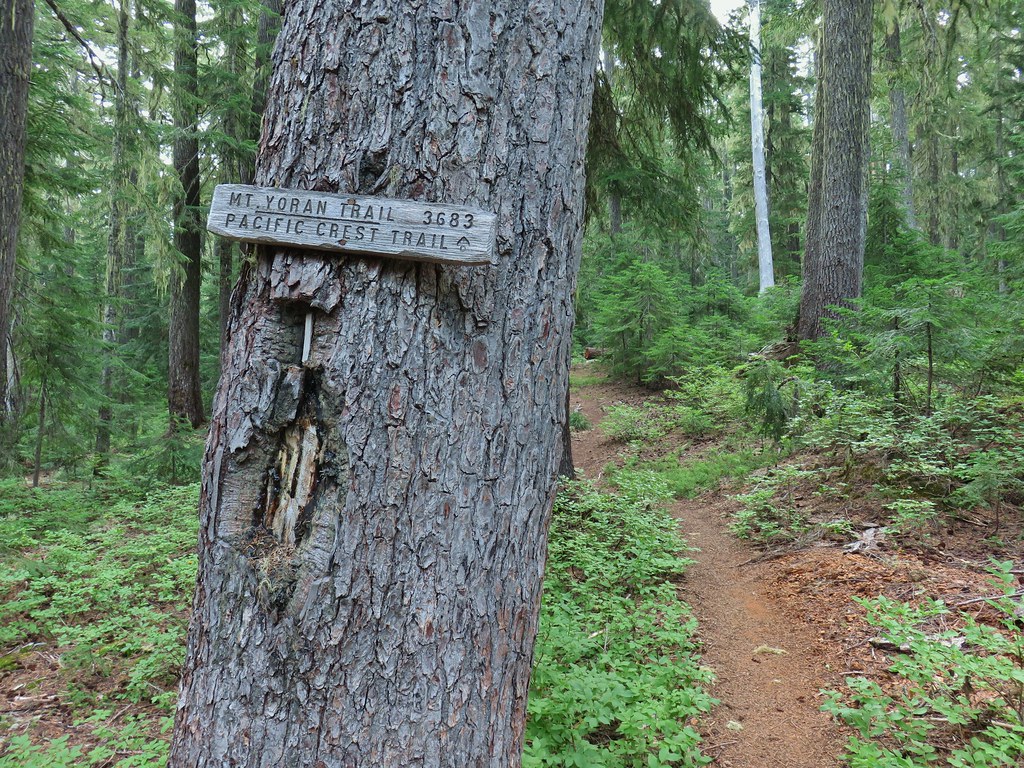
 New looking sign at the newly extended Yoran Lake Trail.
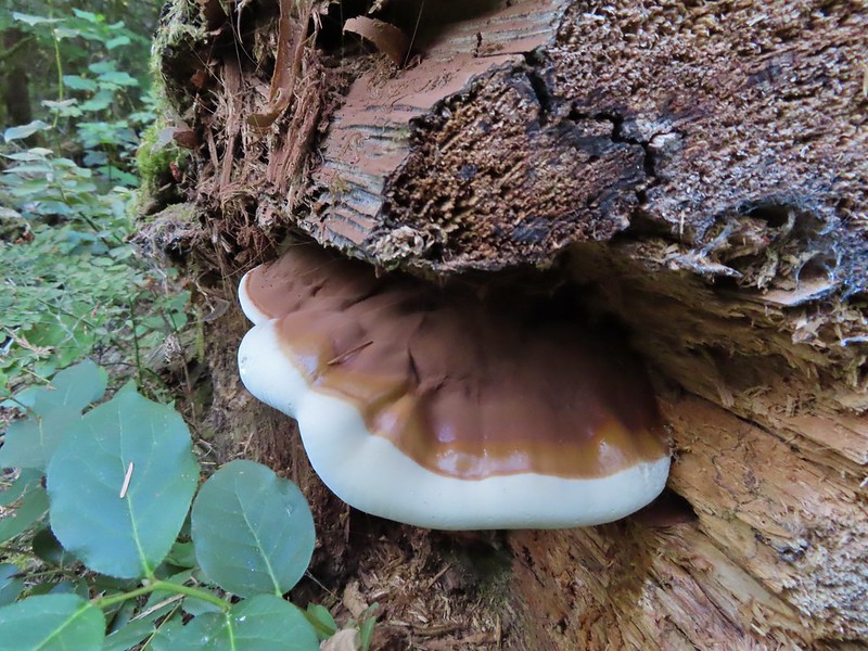
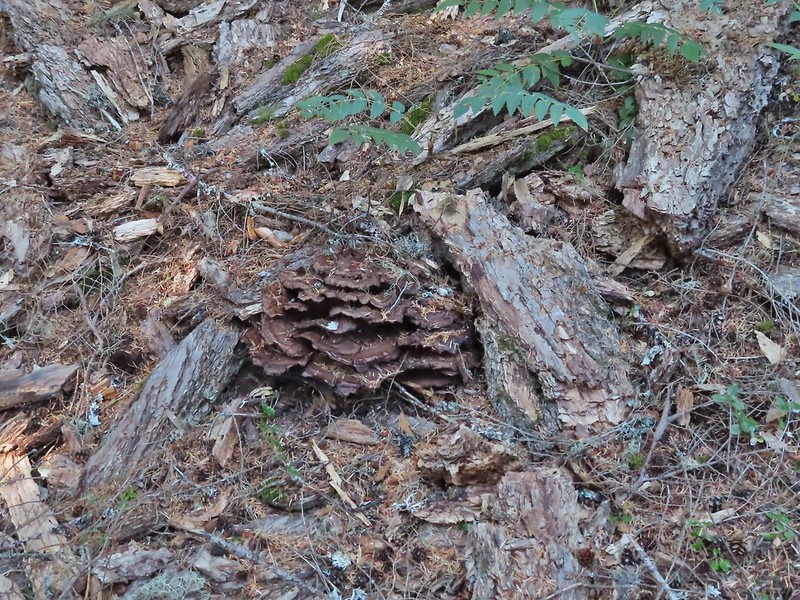
 Huge tree mushroom at the junction.
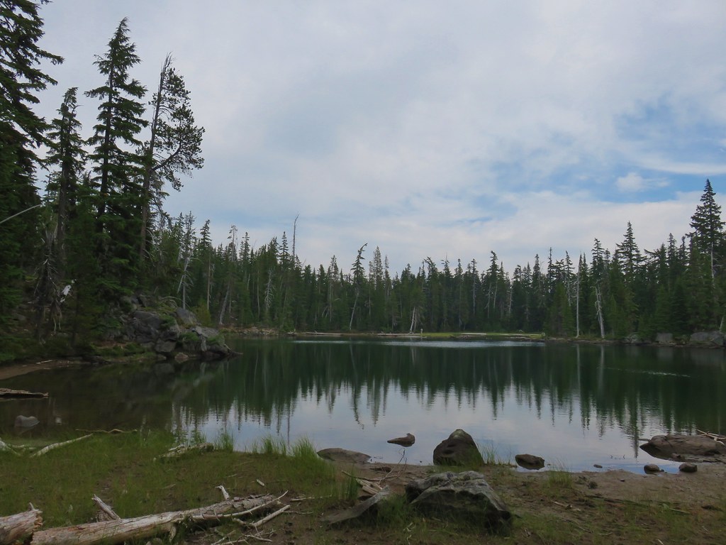
 Diamond Peak from Yoran Lake.
 Dry creek bed (this feeds Trapper Creek).
 Right hand fork to Karen Lake.
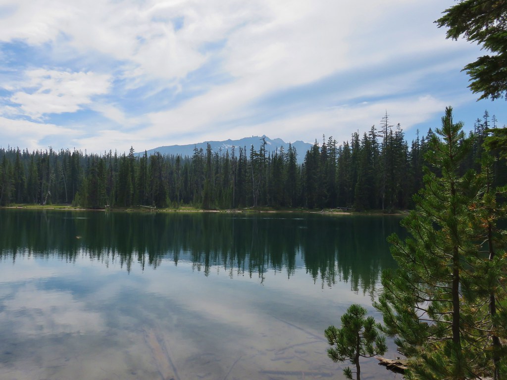
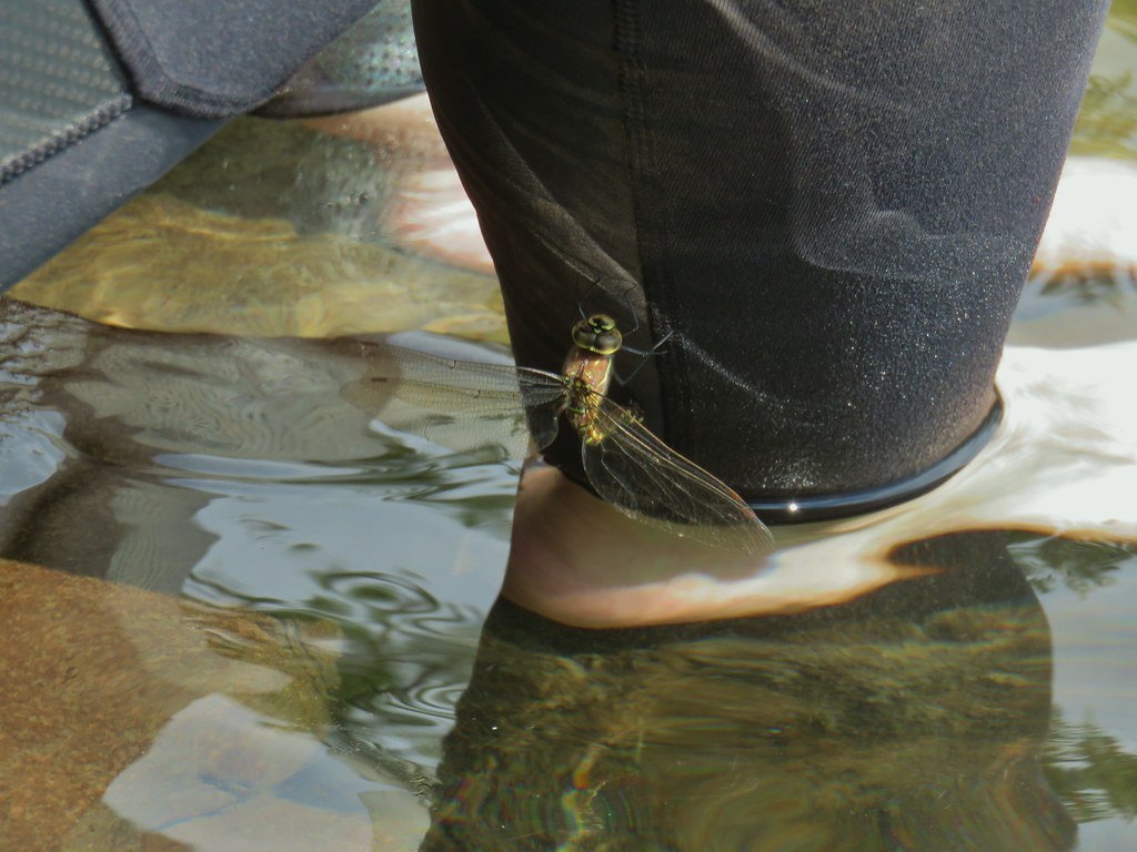 Dragon fly visit.
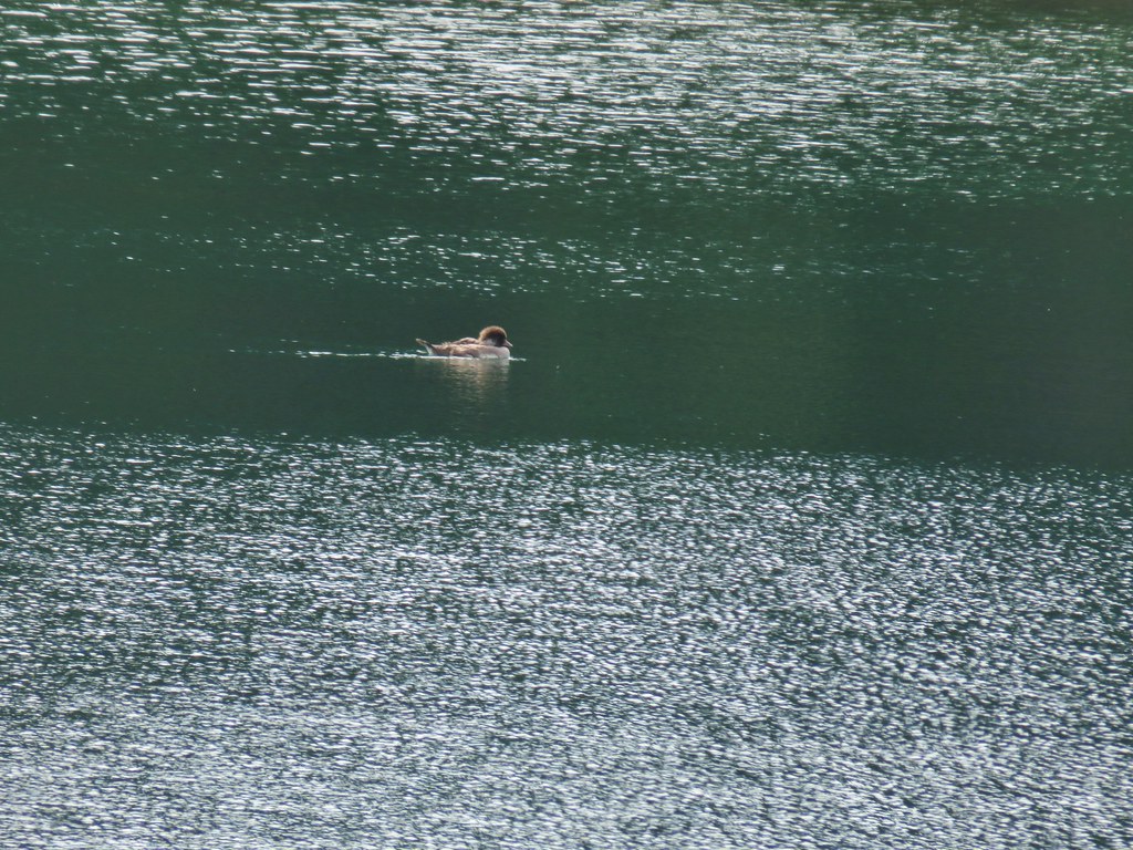
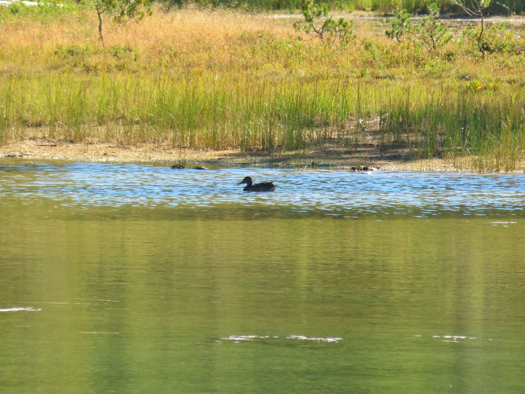
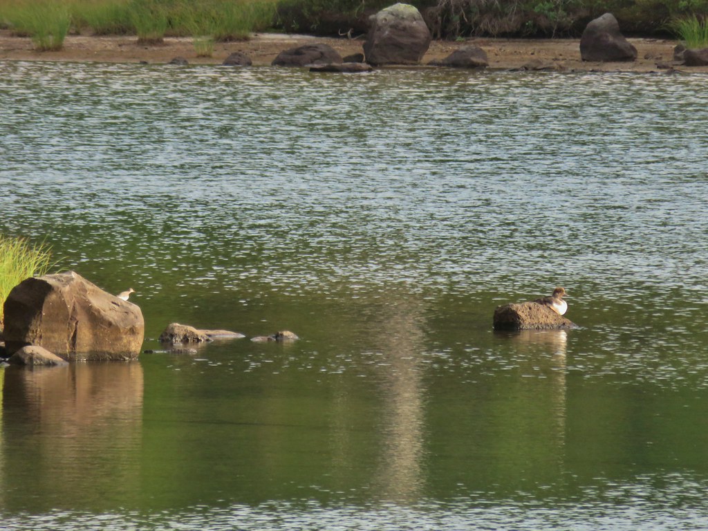 A little bird joining the duck on the rocks.
 Is this a tadpole? We first thought it was a newt then a fish but it’s got feet.
 The moon was really showing up well over the mountain.
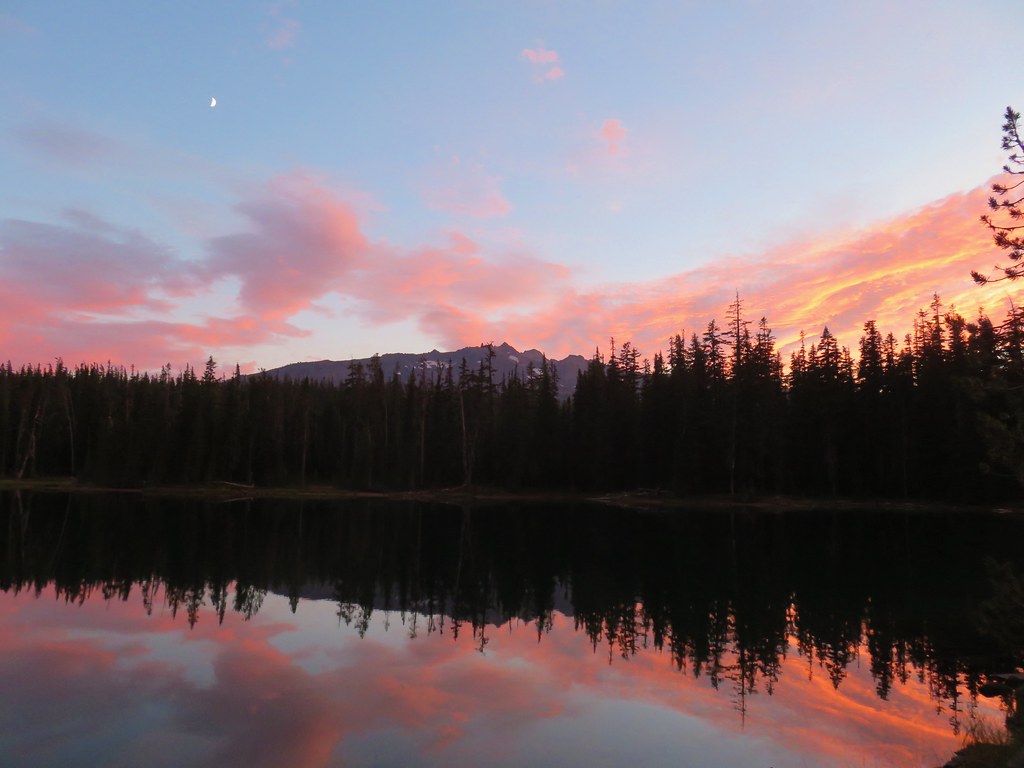


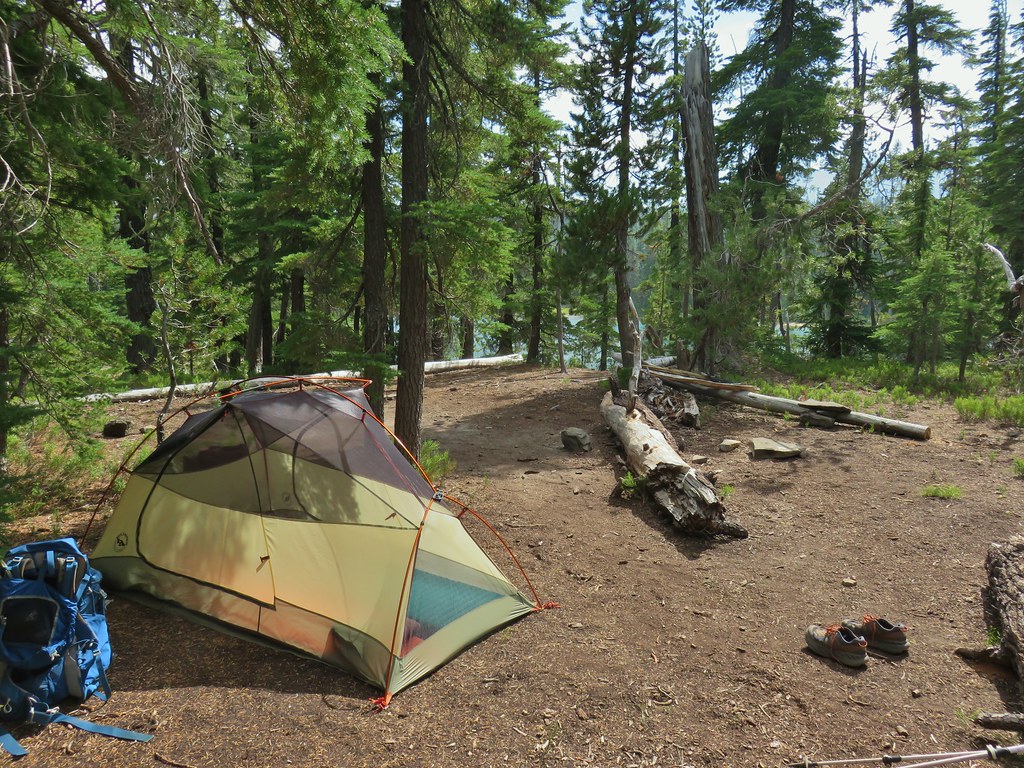
 Rainfly deployed
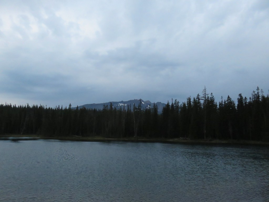
 Another light shower passing over as we were leaving.
 Some funny looking beargrass along the trail.


 The lake doesn’t show a name on the map but West Bay Creek flows out of it (of course it too was dry at this time of year).


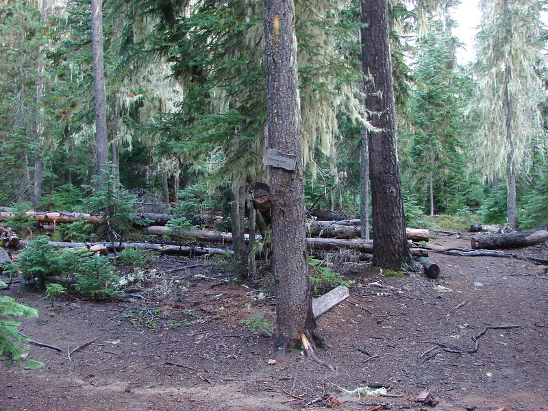
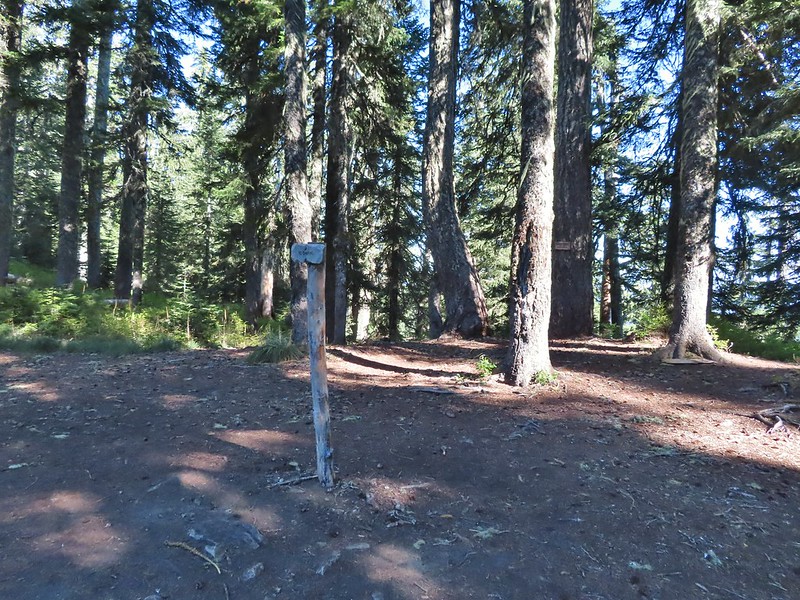
 The writing on the sign made us chuckle, it says “If you need a map you should stay home”. All kidding aside you should always carry a map and refer to it as often as necessary.


 Breakfast time.
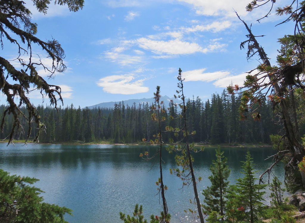
 Unnamed lake along the Whitefish Trail
 Arriving at Diamond View Lake
 Diamond Peak with Mt. Yoran to the right.
 Sharing our break spot with a butterfly
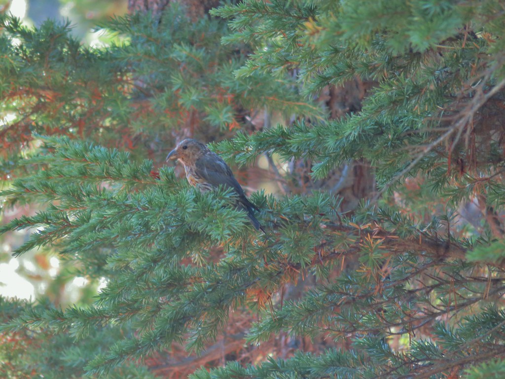 Crossbill near Diamond View Lake

 Mile marker?
 A lone lupine
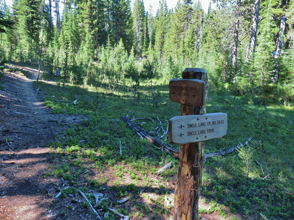 Nice looking sign for the Snell Lake Trail.
 It didn’t look like the Snell Lake Trail sees much use, at least at this end.
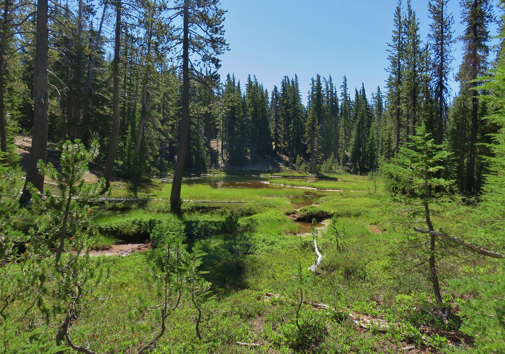
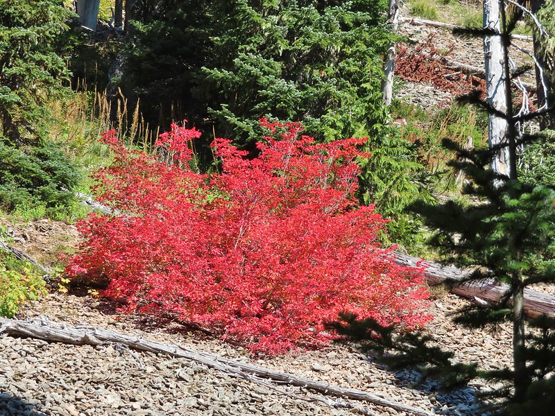
 The heather was all done blooming but there was a lot of dried blossoms.

 The summit of Diamond Peak.
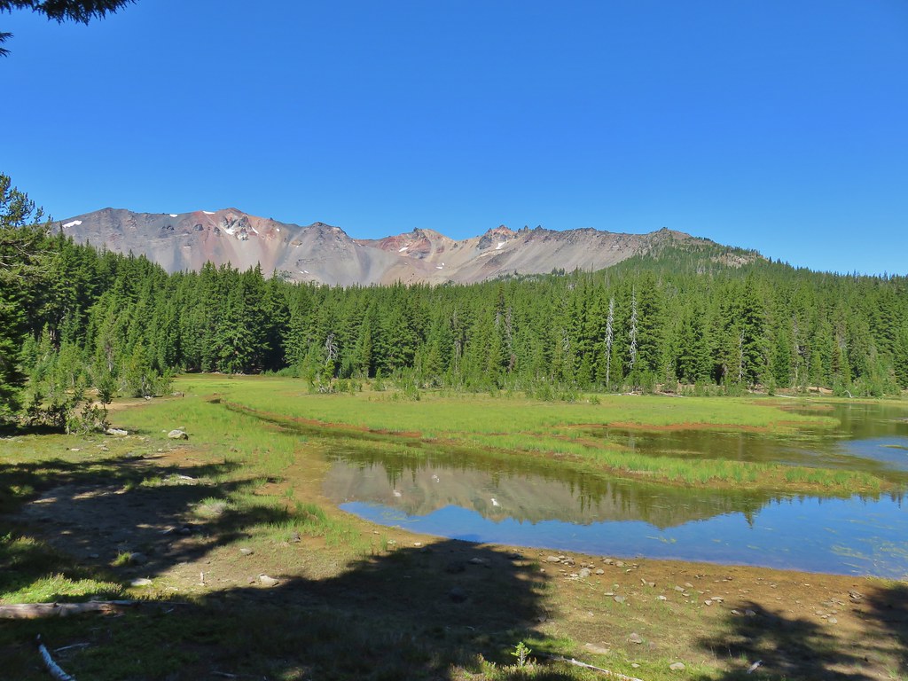


 Diamond Peak from the Rockpile Trail
 Rockpile Lake

 Hikers on the trail to the right coming down from the false summit.
 Dragon fly