
For the first time in 2021 we were forced to change plans having to delay our hike at the Ridgefiled Wildlife Refuge until the Kiwa trail reopens. (Nesting sandhill cranes have temporarily closed access as of this writing.) Since Ridgefield was out we looked at our schedule late May 2022 and decided to move up a hike on the Surveryor’s Ridge Trail. We had previously hiked portions of the 16.4 mile long trail as part of our Bald Butte (post) and Dog River Trail (post) hikes. For this visit we planned on hiking the center section of trail to visit Shellrock Mountain and Yellowjacket Point.
There are several possible trailheads for the Surveyor’s Ridge Trail and the Oregon Hikers Field Guide suggests starting at the Shellrock Mountain Trailhead for a 7.9 mile hike. We decided to be a bit different though and chose to park further south along the Forest Road 17 in a large gravel pullout at a spur road on the left. (Coming from FR 44/Dufur Road it is 1.4 miles after turning off of Brooks Meadow Road.)
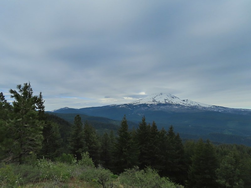
 Mt. Hood partly obscured by clouds from the parking area.
There were three reasons we chose this starting point. First it meant 2.5 miles less driving on gravel roads. Second if you’re visiting both Shellrock Mountain and Yellowjacket Point from the Shellrock Mountain Trailhead you wind up going to one then back past the trailhead to the other because the trailhead is in between the two. The final reason was this way we would get to experience more of the trail (although the tradeoff is an extra 5 miles of hiking round trip).
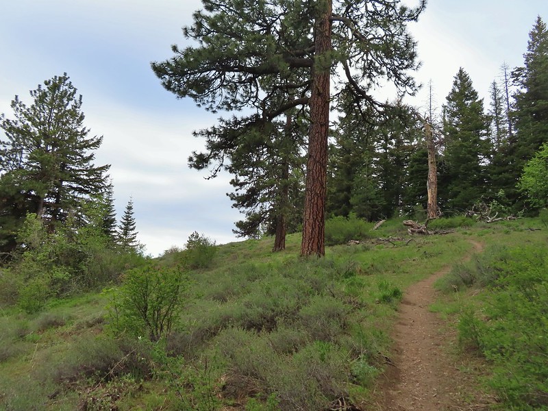
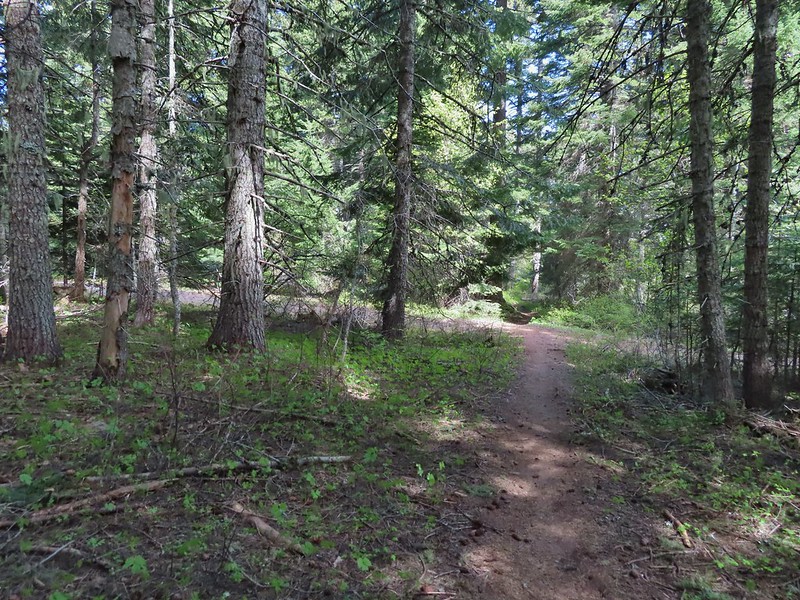
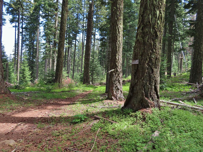
We followed the spur road downhill just over a hundred yards to the Surveyor’s Ridge Trail crossing.
 The signpost is laying on the ground.
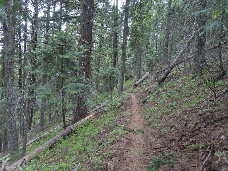
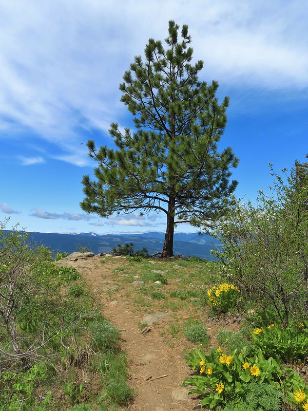
We weren’t really sure what to expect out of the trail. It is popular with mountain bikers (we saw maybe a dozen or so on the day) so it is well maintained but we weren’t sure what kind of views it might offer except for at Shellrock Mountain and Yellowjacket Point.

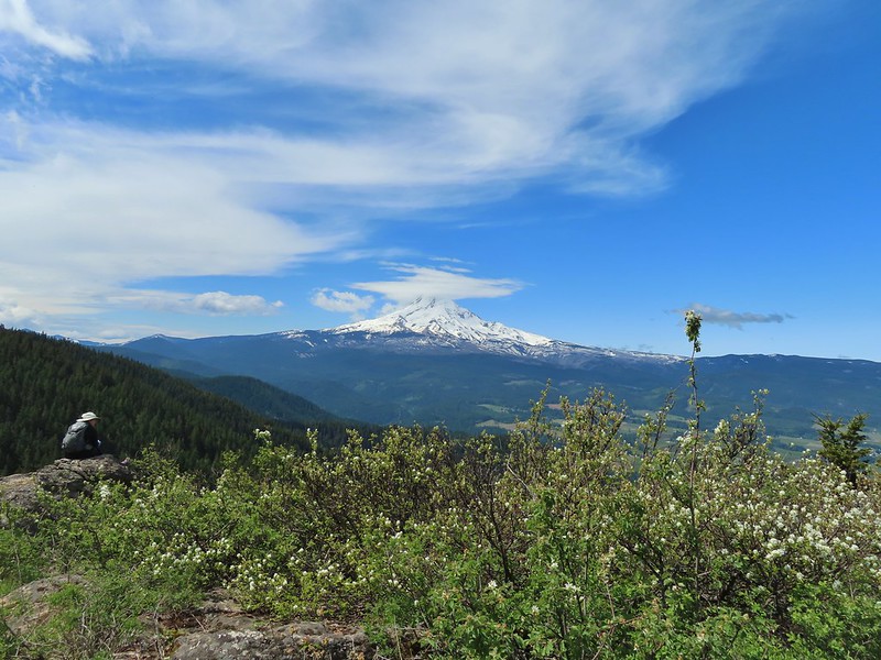
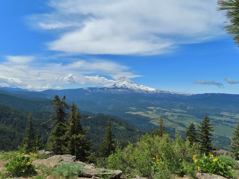
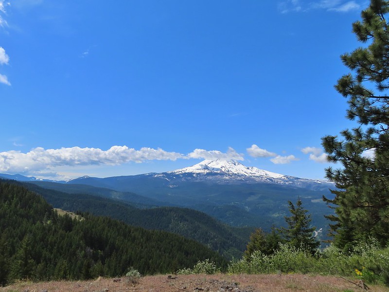
We were pleasantly surprised when just a third of a mile in we came to an opening with a view of Mt. Hood to the west.
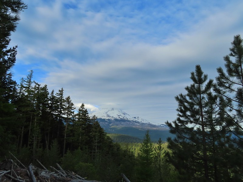
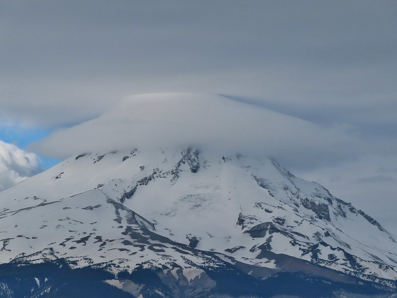
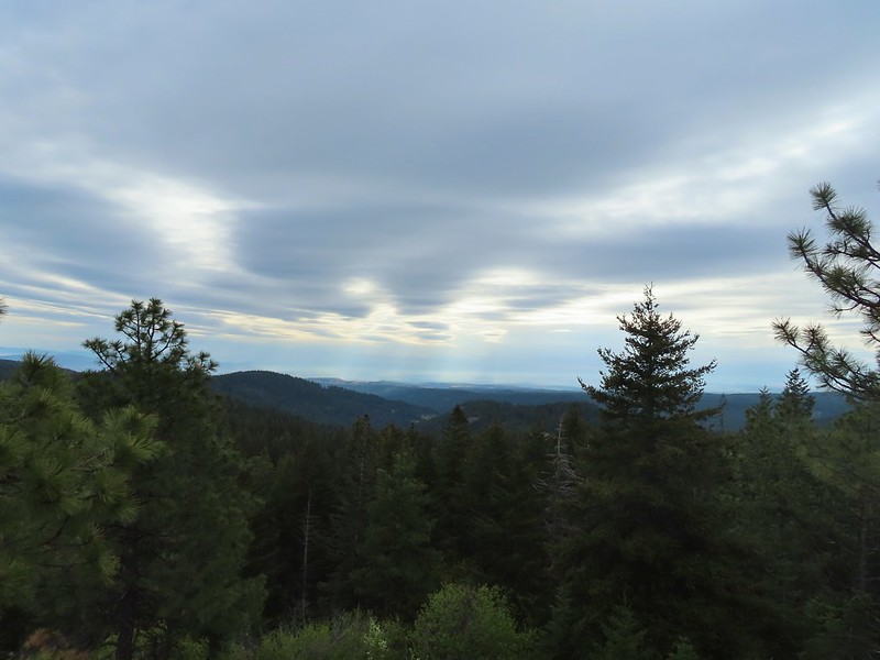
The forecast for the day was mostly sunny skies in the morning with a 20% chance of showers developing after Noon. Our drive to the trailhead had been through low clouds/fog with no view of Mt. Hood to speak of so even seeing this much of the mountain was exciting plus a nice lenticular cloud was developing up top.
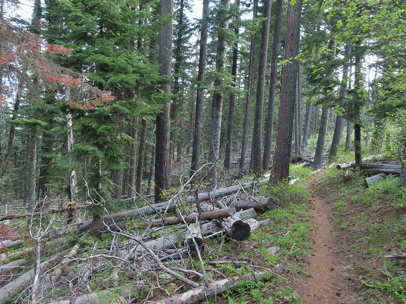
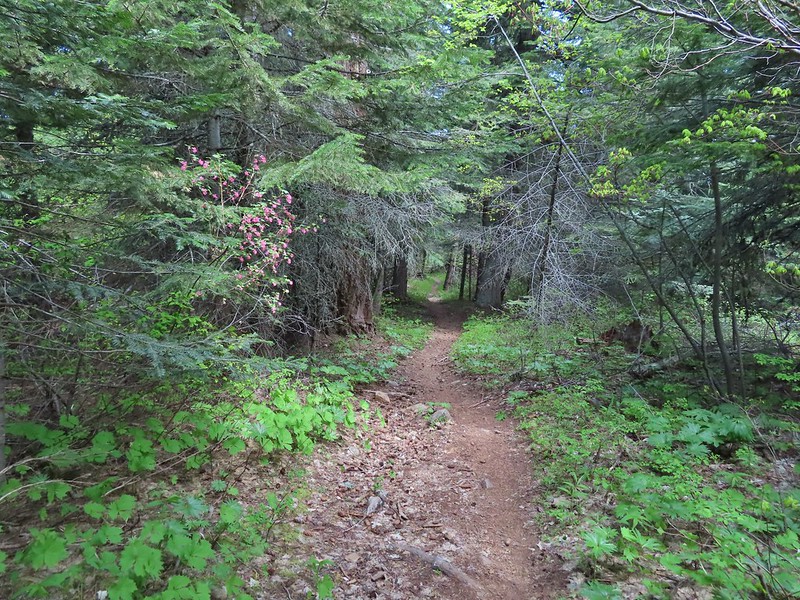
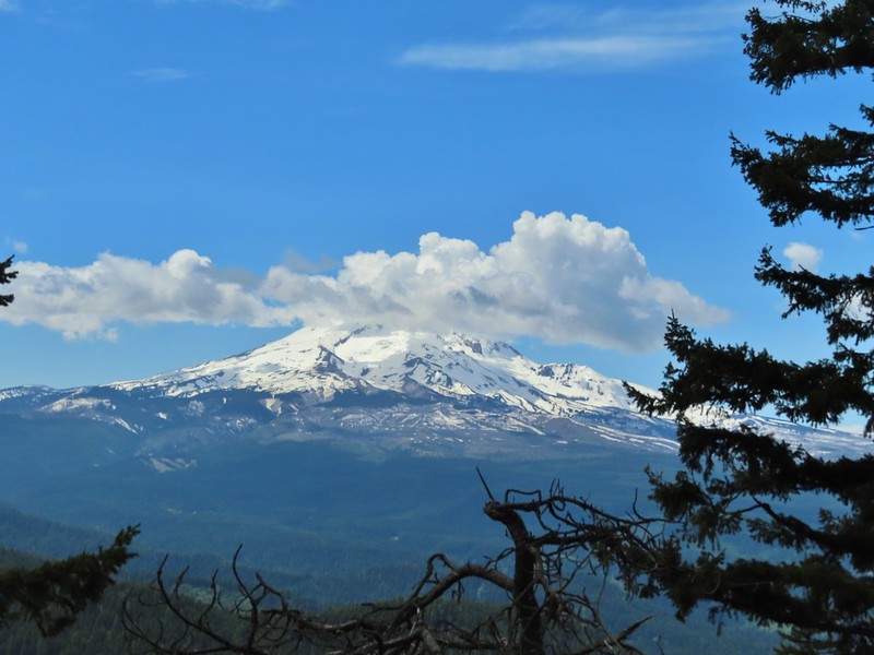
Over the next two and a quarter miles the trail passed through alternating forest types and several more views of Mt. Hood (and one of Mt. St. Helens). While no snow remained, much of the vegetation was in its early stages although a variety wildflowers were blooming.
 Manzanita
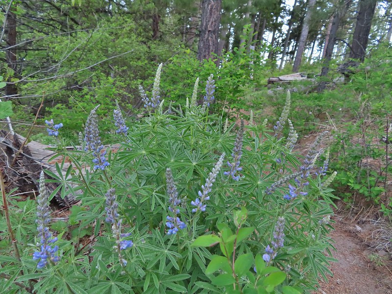 Lupine
 Mt. Hood again.
 Jacob’s ladder
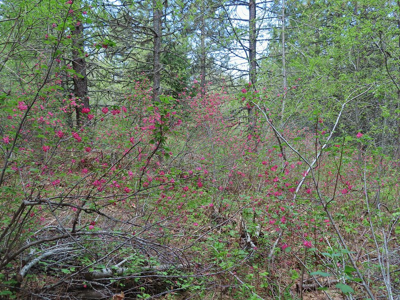
 Red-flowering currant
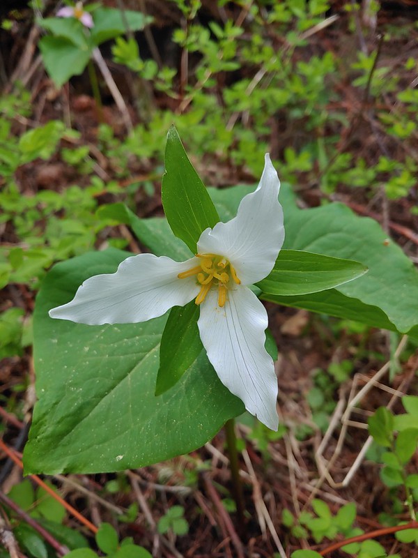 Trillium (can you spot the crab spider?)
 Sticky currant
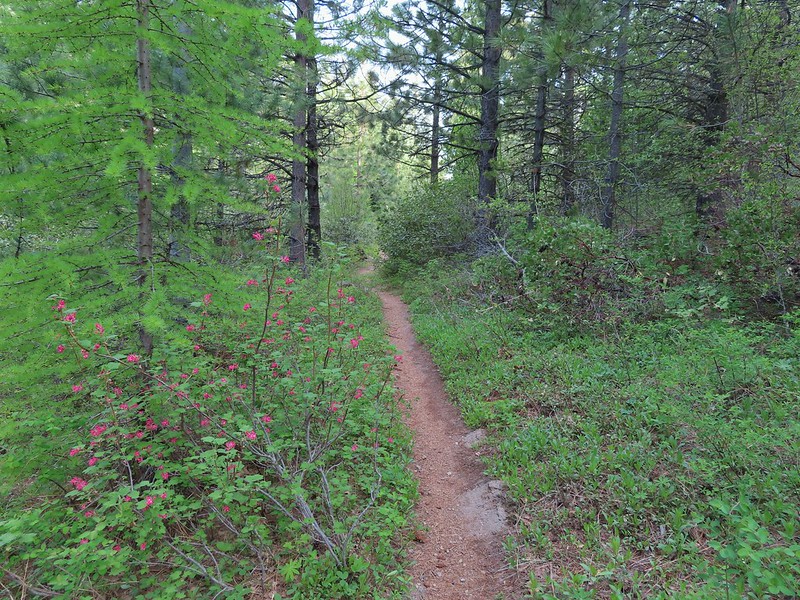 Western larch tree and red-flowering currant on the left.
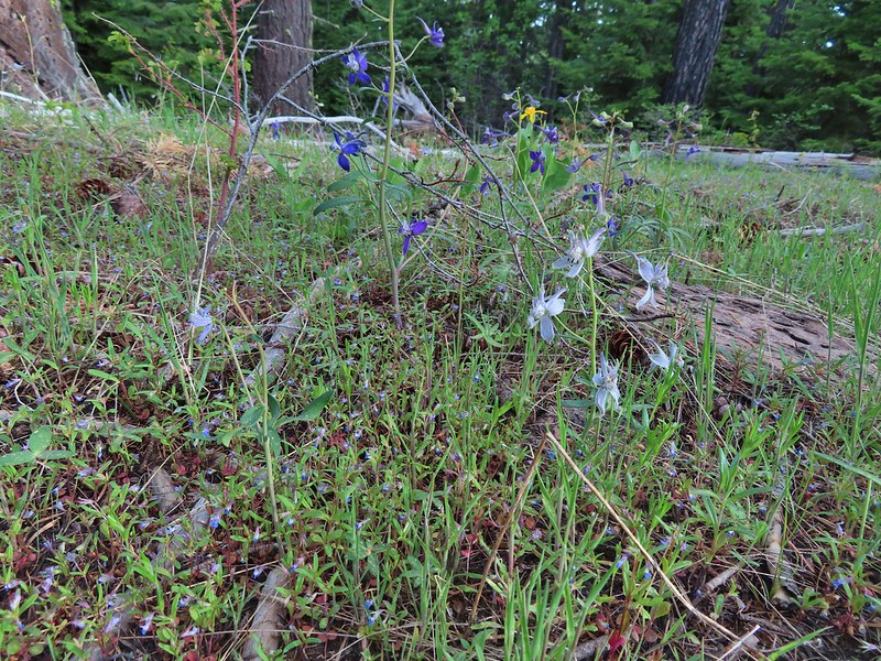 Larks spur and blue-eyed Mary
 Columbine well before blooming.
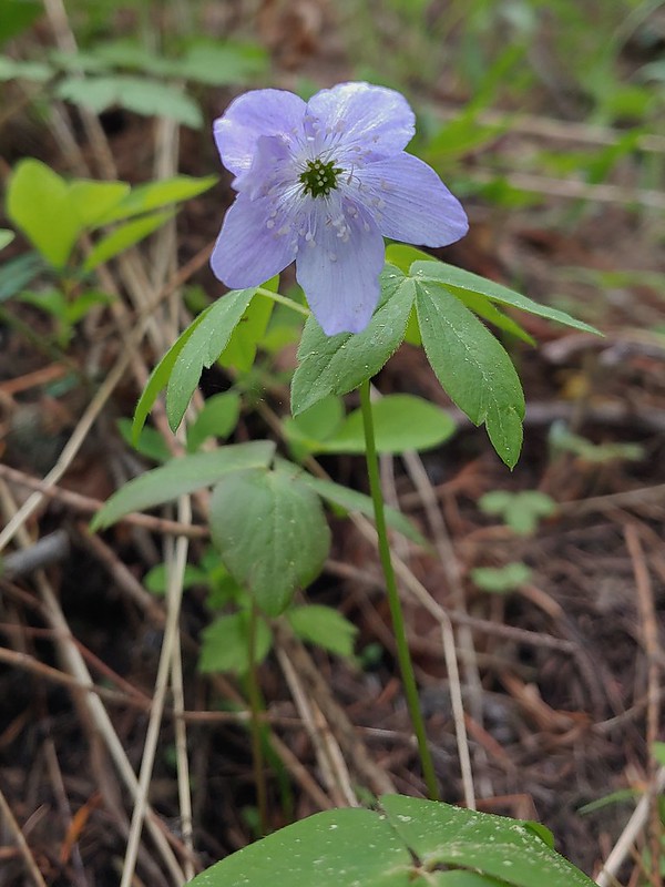 Anemone
 Largeleaf sandwort
 Vanilla leaf getting ready to bloom.
 Arnica
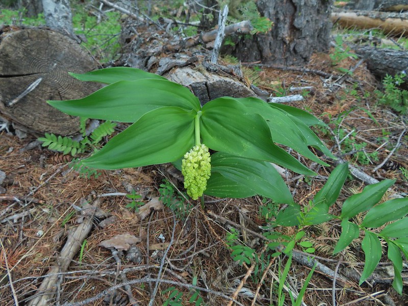 False solomons seal starting to bloom.
 Star-flower false solomons seal prior to blooming.
 Ballhead waterleaf
 Ponderosa
 Scarlet gilia not yet in bloom.
 Balsamroot
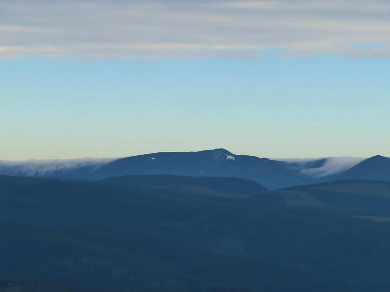
 Hood River Valley and Mt. St. Helens
 Mt. St. Helens
 Mt. Hood
 Indian Mountain (post)
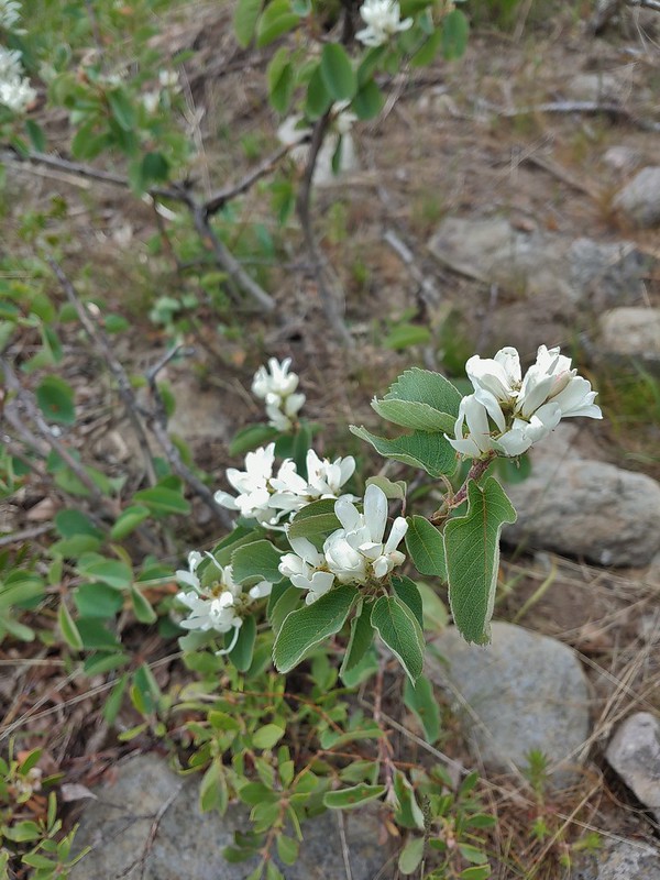 Western serviceberry
 Fairy bells
 Glacier lily
 Shellrock Mountain from the trail.
Just to the south of Shellrock Mountain there is a signed spur to the left for “Shellrock Mountain” which does not go to Shellrock Mountain but rather ends after few hundred feet in a small meadow below the mountain. Despite knowing this we ventured out to the meadow just to check it out.


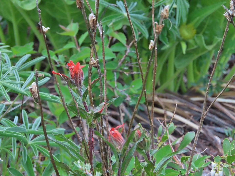 First paintbrush of the day spotted in the little meadow.
The route to the 4449’summit lays .2 miles further north at the crest of the trail where a rough unsigned user trail veers uphill.
 User trail to the left.
The faint trail was fairly well flagged and easy enough to follow through the vegetation to the open rocky slope of Shellrock Mountain.


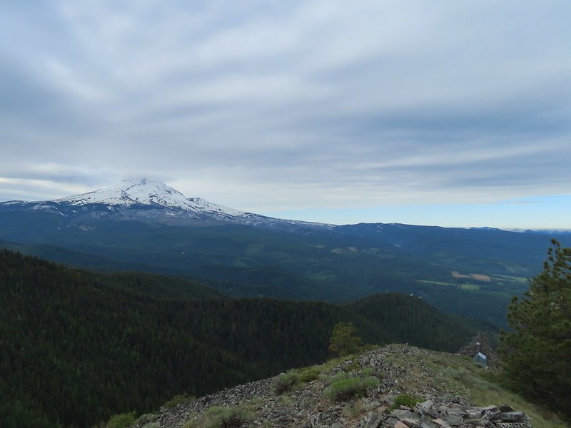
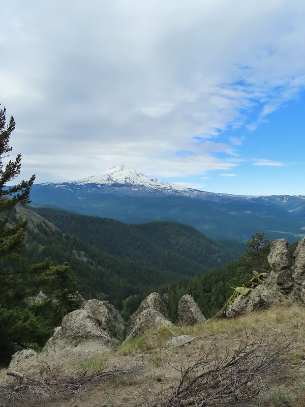
Once we were out in the open we simply headed uphill to the summit where a lookout once sat. The three-hundred and sixty degree view includes Mt. Adams and Mt. Rainier in addition to Mt. Hood and Mt. St. Helens.


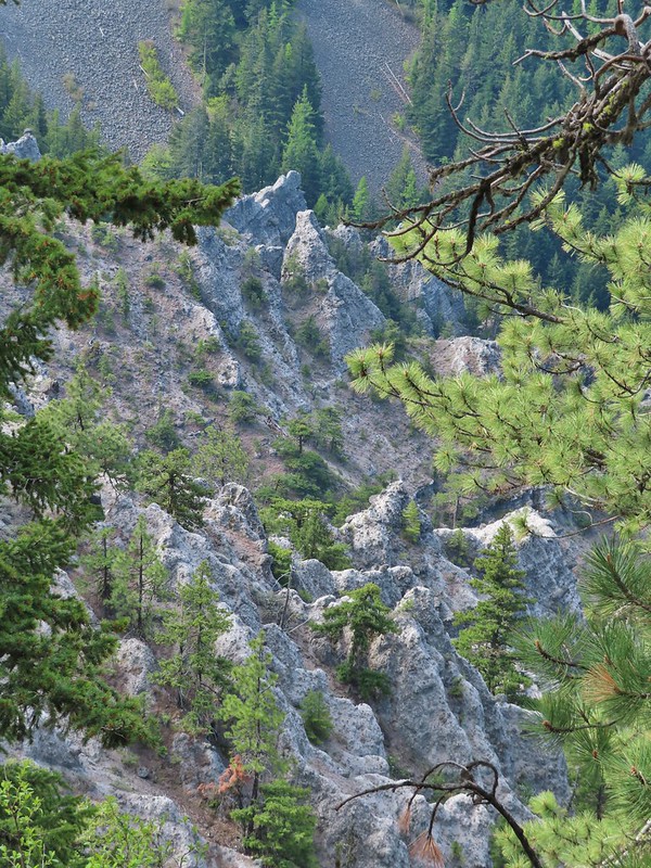
 Shellrock Badlands Basin, an eroded volcanic formation.
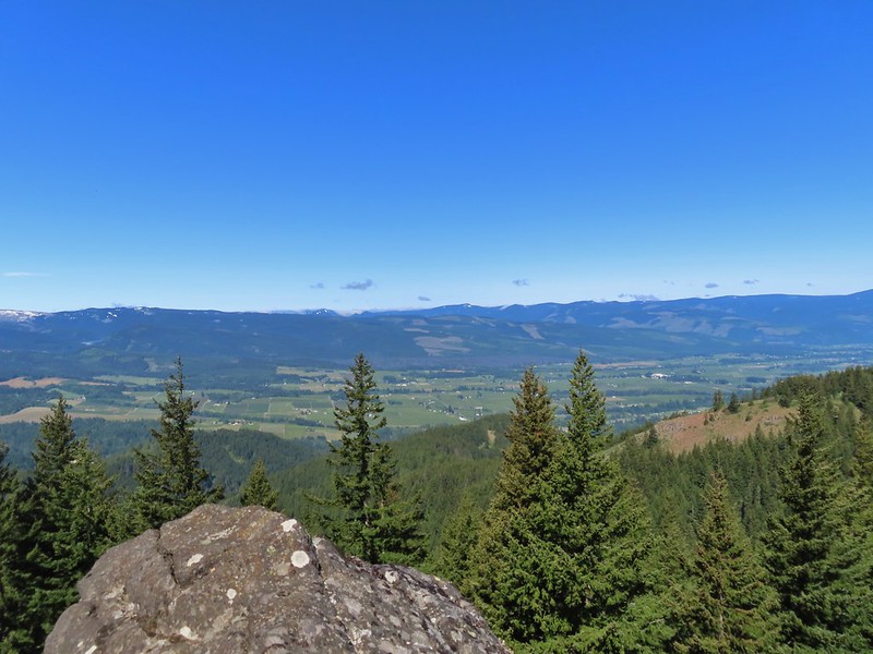
 View east into Central Oregon.
 Mt. Hood
 Mill Creek Buttes with Lookout Mountain and Gunsight Butte (post) behind to the right.
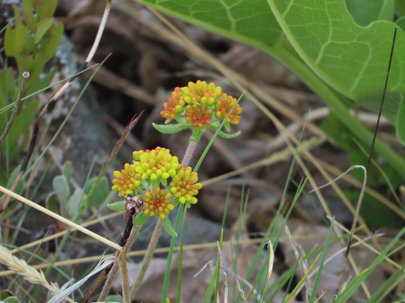 Buckwheat
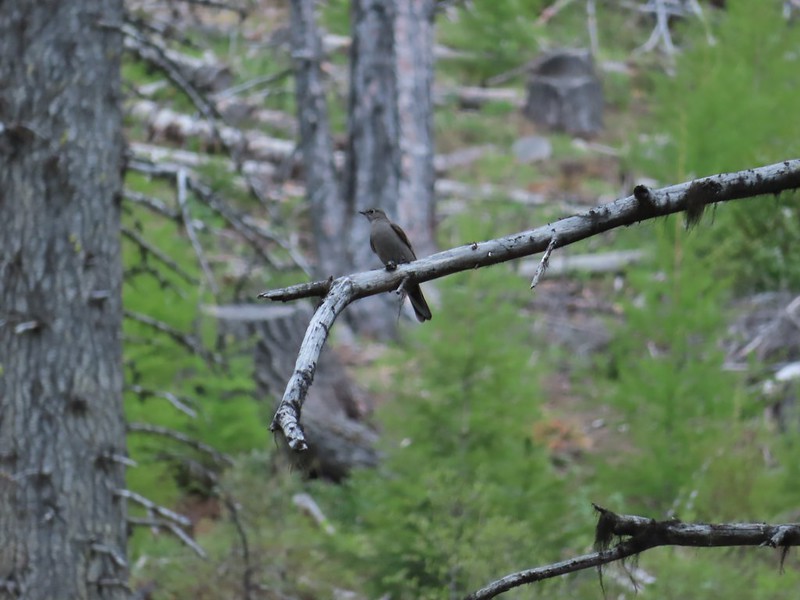
 Bird below Shellrock Mountain.
We took a nice long break at the summit before descending back to the Surveyor’s Ridge Trail where we continued north.

 A whole lot of trillium.
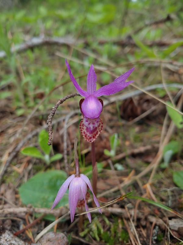 Fairy slippers
Approximately .4 miles from the user trail we arrived at the Shellrock Mountain Trailhead.

 Sign at the trailhead.
Continuing beyond the trailhead the Surveyor’s Ridge Trail passed above the Shellrock Badlands Basin with views back to Shellrock Mountain and eventually Mt. Hood again.


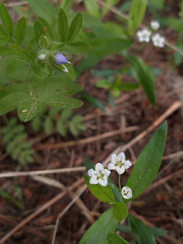
 parsley and popcorn flower.


 Lupine
Over the course of the morning the cloud situation improved substantially, enough that when we arrived at a viewpoint 3/4 of a mile from the Shellrock Mountain Trailhead most of the sky around Mt. Hood was blue.

While Mt. Hood wore a lenticular cloud for a hat, my hat wore an inch worm.

 I frequently have insects hitching rides, so often that we joke about me being an Uber for bugs.
Beyond this latest viewpoint the trail began a gradual climb to the former site of the Rim Rock Fire Lookout (approx 1.75 miles from the Shellrock Mountain Trailhead).
 Rock out cropping in the Rim Rock section of trail.
 Tailed kittentails
 Western tanager female
 Western tanager male
 View from a rocky viewpoint just before crossing from the east side of the ridge back to the top.
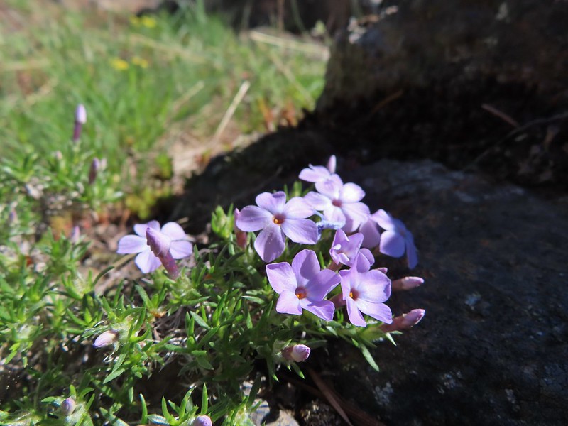 Phlox
Phlox

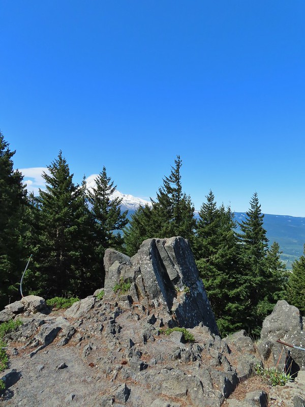
When the trail regained the ridge crest we took a user trail to a viewpoint where Mt. Hood once again dominated the view.


 Hood River Valley
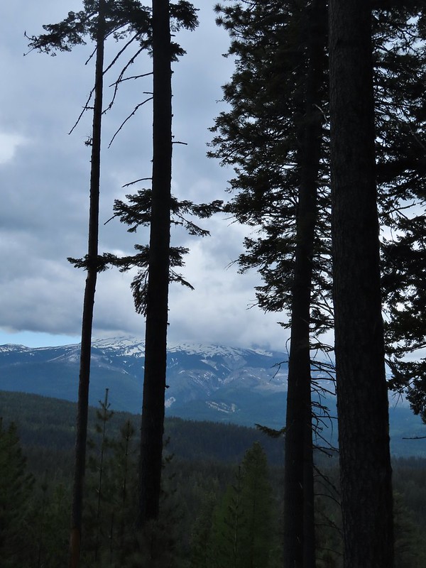
Interestingly the improved visibility of Mt. Hood had been countered by a loss of visibility of the Washington Cascades.
 Clouds encroaching on Mt. Adams.
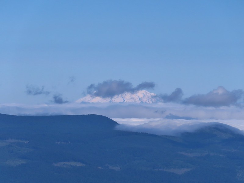 Mt. St. Helens
Another unmarked side trail led to the former lookout site.

 The other viewpoint had a better view.
Three tenths of a mile from the lookout site we crossed an old roadbed then crossed a second in another .3 miles.
 The first roadbed crossing.
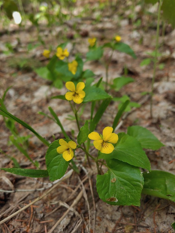 Violets
There was a profusion of Red-flowering currant in between the road crossings.
 Trail signs at the second road crossing.
 Coralroot sprouting
Four tenths of a mile beyond the second road crossing we thought we had reached Yellowjacket Point when we arrived at an open hillside where we followed a faint path out to some rocks.

 Balsamroot and paintbrush

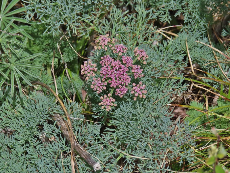 Desert parsley
 Western stoneseed
 Wildflowers on the hillside.
After another long break (and removing two ticks from my pant legs) we started to head back. Something just didn’t seem right though so we checked our location on the GPS and discovered that we hadn’t quite gotten to Yellowjacket Point yet. We turned around and hiked an additional 0.1 miles to a junction where we turned left.
 Sign at the junction.
 Spur trail to Yellowjacket Point.
We arrived at Yellowjacket Point a tenth of a mile later.
 No yellowjackets, just a robin.
Having finally reached Yellowjacket point we could head back. As usual we kept our eyes open for anything we missed on our first pass.
 Things like this gooseberry shrub.
 Chipmunk
 Townsend’s solitare?
The biggest story on our hike back was the deterioration of the view of Mt. Hood. NOAA had not been wrong about the chance of showers in the afternoon and we watched as the clouds moved in. By the time we had arrived back at the car it had indeed started to sprinkle ever so lightly.
 12:40pm
 12:50pm

 1:00pm
 1:30pm
 2:04pm
 Returning to the parking area at 2:11pm
The 12.9 mile hike came with approximately 1800′ of elevation gain. We were really impressed with the variety of scenery and the views on this hike. Despite being a multi-use trail we didn’t see that many other users; a few trail runners, a couple of hikers, and a dozen or so mountain bikers. All in all a great day in the forest. Happy Trails!

Flicker: Surveryor’s Ridge

3 replies on “Surveryor’s Ridge – 05/22/2021”
Cool bird sightings! Never heard of a Townshend’s Solitaire, so that is pretty awesome. Tanagers are so pretty. I’ve only seen them twice.
Good to hear from you. We love seeing tanagers. Growing up in Central Oregon we had occasional visits from the solitaires at our house. They have a nice song.
I love seeing lenticular clouds; however, not so much inch worms on hats!
Was surprised you would even consider any hike with “yellow jacket” in the title!