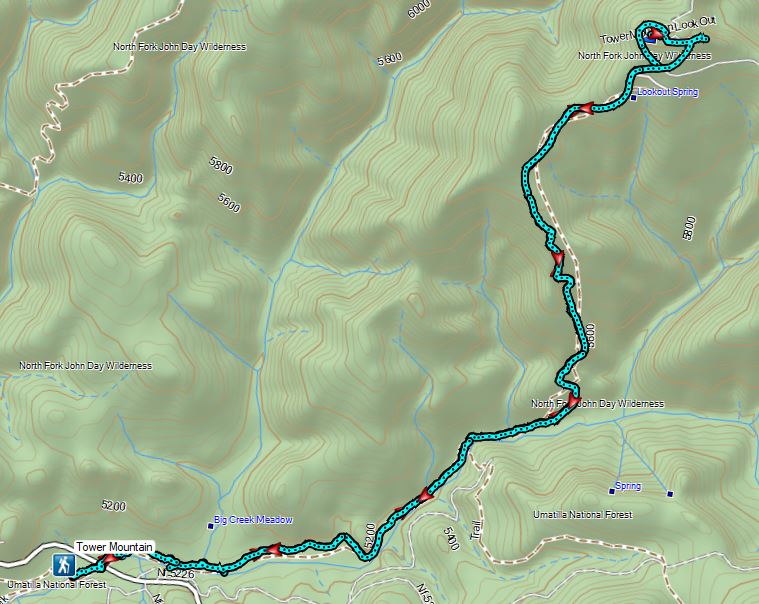
After three days of hiking in the North Fork Umatilla Wilderness we headed south from Pendleton planning on spending the next two nights in John Day. While I was planning this vacation I began looking for possible hikes between the two towns. Sullivan had a pair of hikes in the back of his Eastern Oregon guidebook starting from the Winom Creek Campground including a hike to Tower Mountain, the highest point in Umatilla County. A 92′-tall Aermotor steel lookout tower stands atop the mountain and is still in operation during the fire season. Sullivan’s description used the Upper Winom Creek and Cable Creek Trails to reach the summit road for a 16.4 mile out and back or a 16 mile loop by descending the Tower Mountain Trail to Big Creek Meadows and following a tie trail from there to the Winom Creek Campground. Nearly all of the area was impacted by the 2019 Tower Complex Fire. There wasn’t a lot of information online regarding the trails here which pass through the North Fork John Day Wilderness but from what I could find online it appeared that our best bet was to simply start at Big Creek Meadows Campground and do an out and back hike using the Tower Mountain Trail.
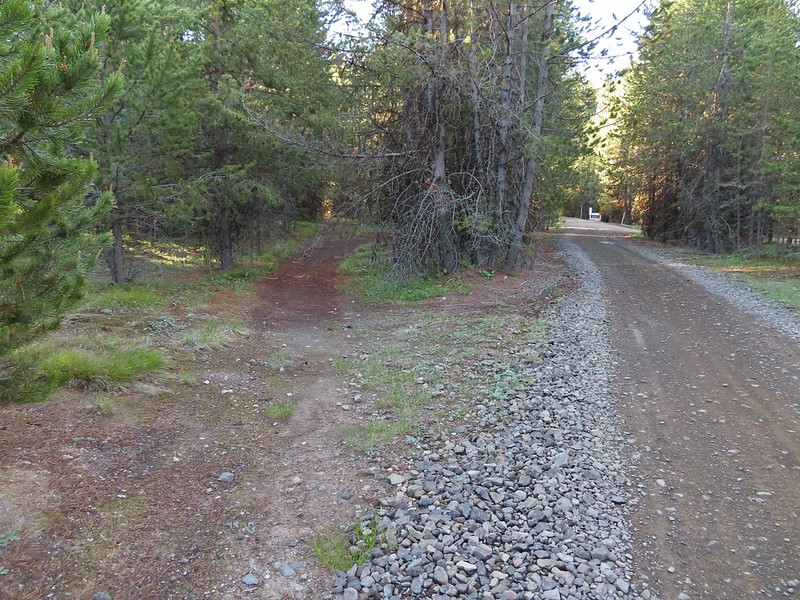
We parked at the trailhead for the Tower Loop Trail at Big Creek Meadows Campground.

Instead of heading off on the Tower Loop Trail though we backtracked along the road to Big Creek and turned left following it to NF-52 (Blue Mountain Scenic Byway).
 Frosty penstemon
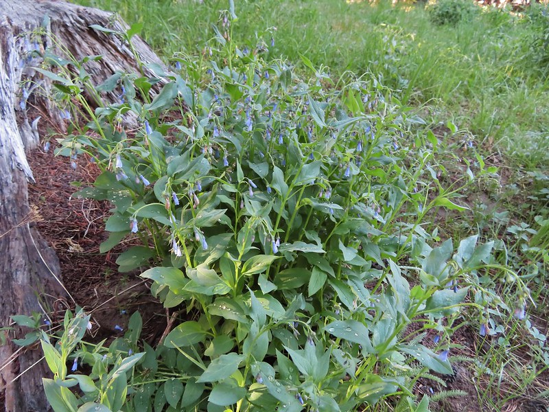 Tall mountain bluebells
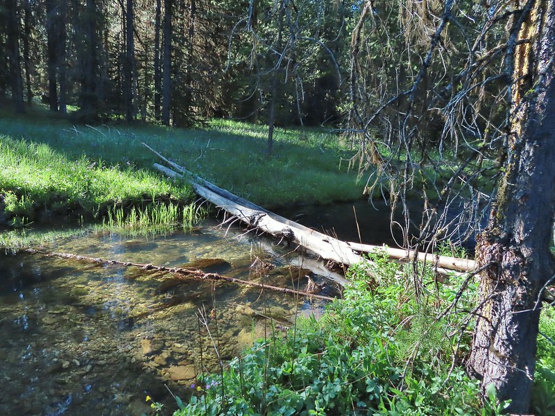
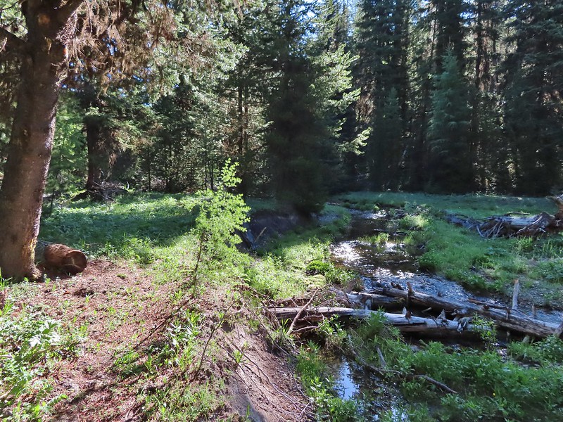
 Big Creek
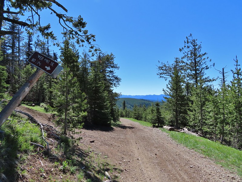
 Sign for the Tower Mountain Trail across NF-52.
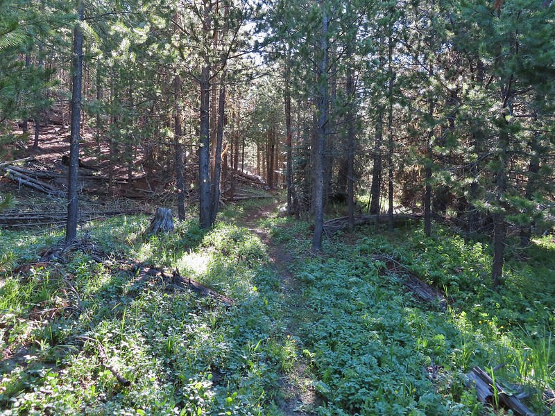
The tread for the Tower Mountain Trail was faint to say the least as it started in meadows along Big Creek.

 Buttercups
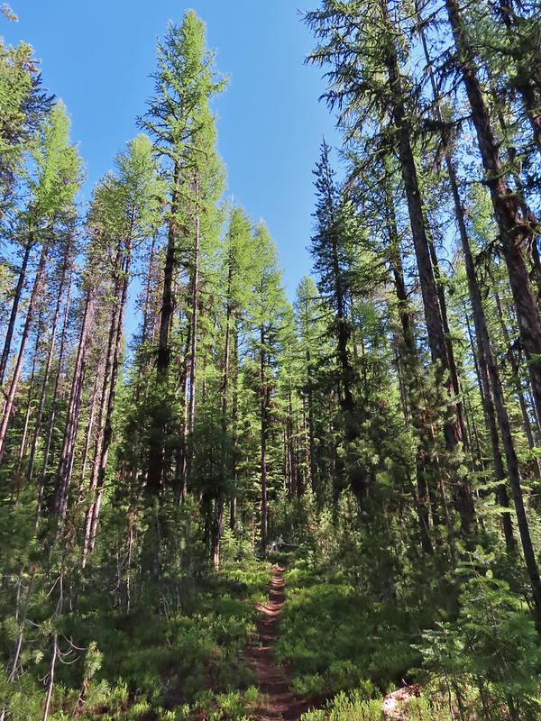
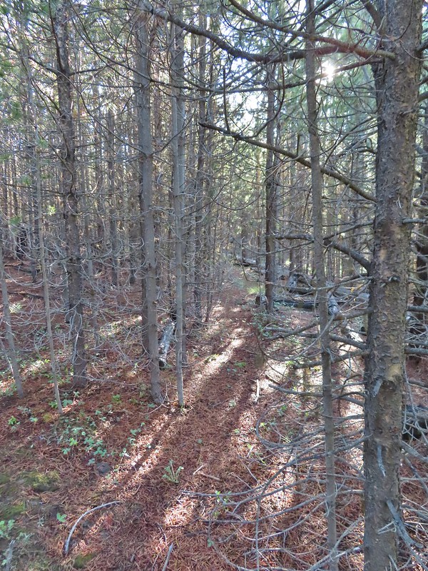 The trail passed through a stand of young lodgepole pine where it was easier to see but there wasn’t much room to maneuver. Our theory on why the Forest Service hadn’t widened this was to deter OHV riders from using the trail as there is a large network of OHV approved roads/trails in the area.
 Back to the faint tread.
 Elk had chewed up this section of trail.
 Snowshoe hare
 The hare wasn’t too concerned about us and even stopped to munch on some grass just a few feet away from us as we passed.

 The only sign/marker for the trail through the meadows.
On the map the trail appeared to cross a branch of Big Creek which it did.

We were surprised to find a second crossing (of the same creek) just a few moments later.
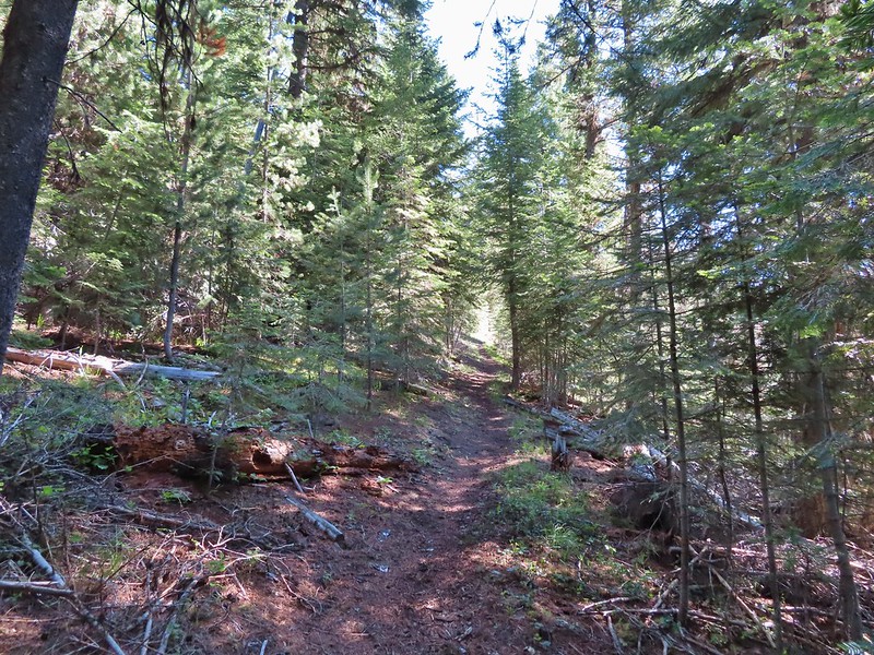
The trail became clearer as we continued on. It followed Big Creek for a little over 3.25 miles, sometimes climbing above the meadows along forested hillsides and other times passing through wet meadows with wildflowers. Some of other sections had avoided at least the worst of the 1996 fire.


 Elephants head


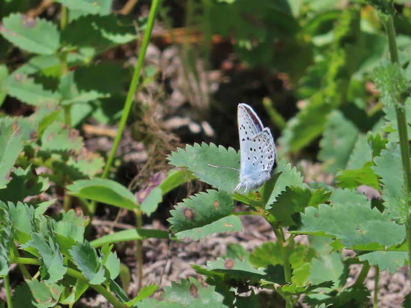
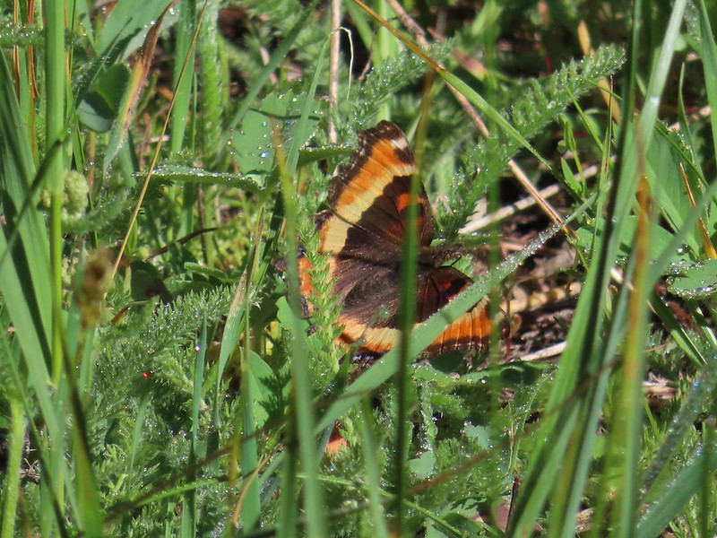 Milberts tortoiseshell
 Fleabane along the trail.
When the trail turned away from Big Creek it began to climb through an open lodgepole pine forest with some western larch mixed in.
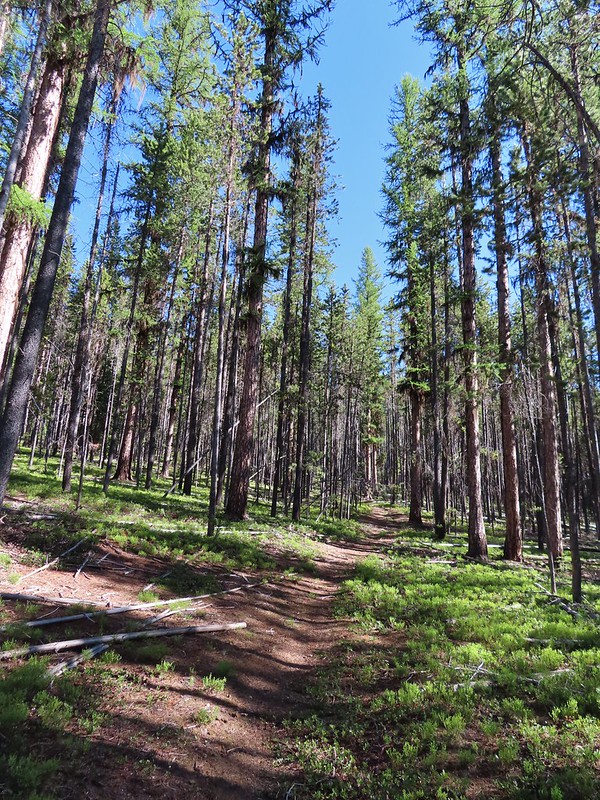

Soon the lodgepole forest gave way to other conifers.

We began to have views of the Elkhorns (post) to the east.

 Either a cinquefoil or an aven.
 Arnica
The trail grew a bit faint as we passed through an open meadow with a variety of wildflowers.
 Parsley
 Woodland stars
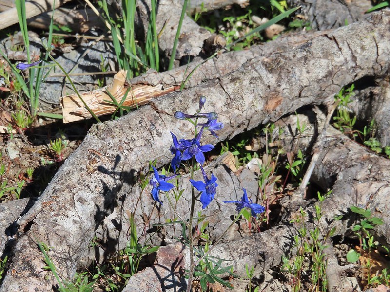 Larkspur
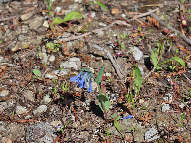 Mountain bluebells
 Violet
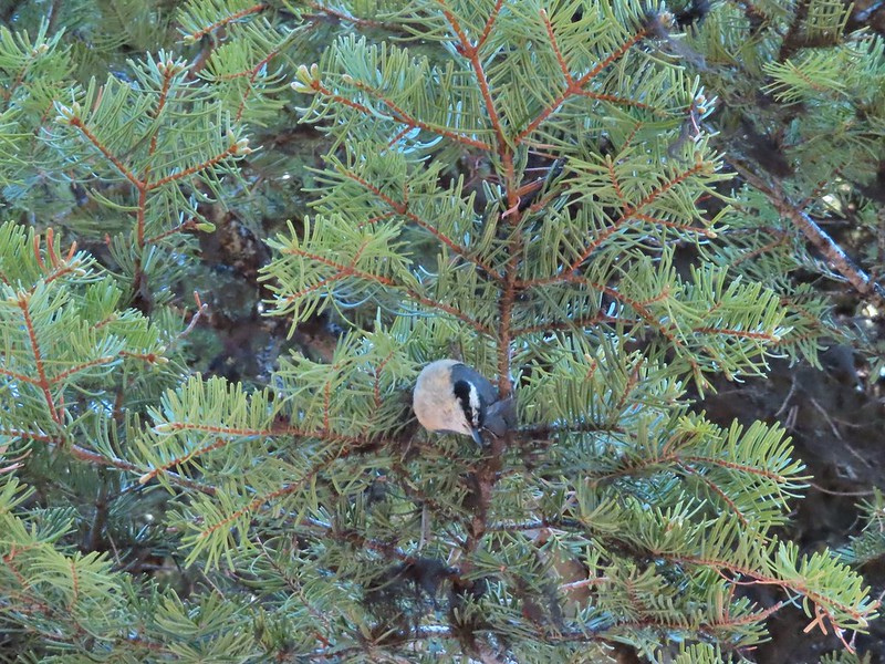 Nuthatch
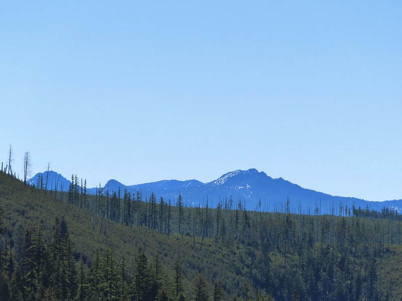
There was also a nice view south of the Greenhorn Mountains including Ben Harrison and Vinegar Hill (post)

 Vinegar Hill is in the center with Ben Harrison to the right of the green tree in the foreground.
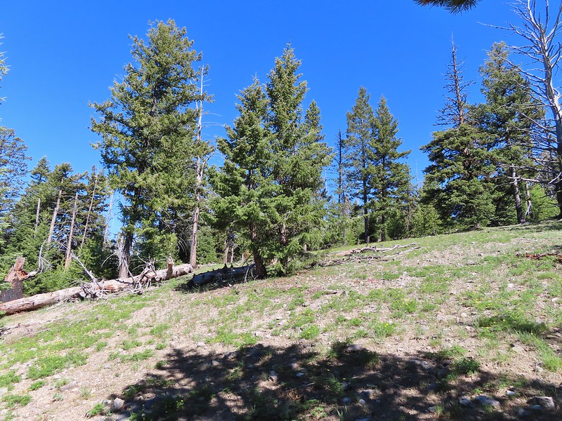
The trail began to climb more gradually and actually dropped a bit to a saddle below Tower Mountain before again climbing steadily to an old roadbed at the wilderness boundary.
 Back in forest burned in 1996.
 Glacier lilies
 Dropping to the saddle with Tower Mountain in the distance.
 Valerian
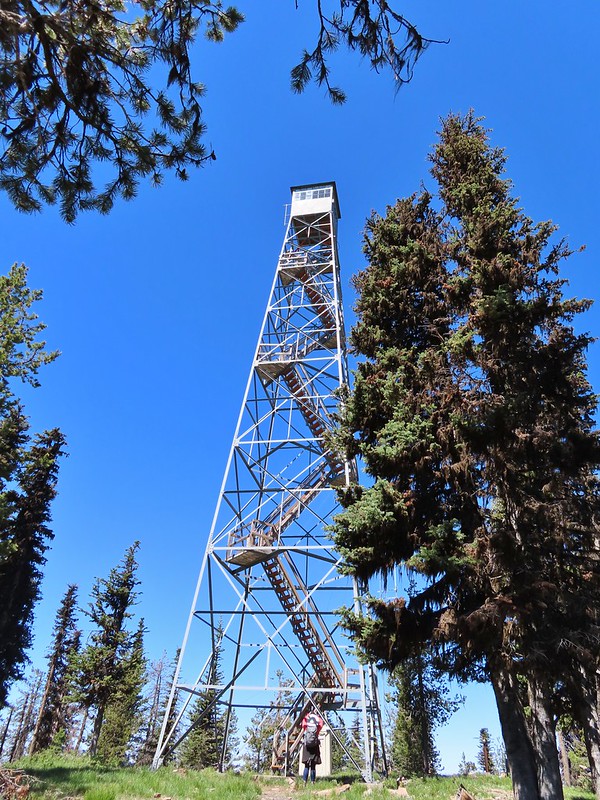
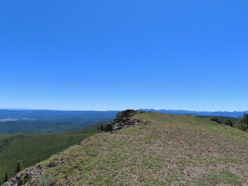
 The lookout tower on Tower Mountain.

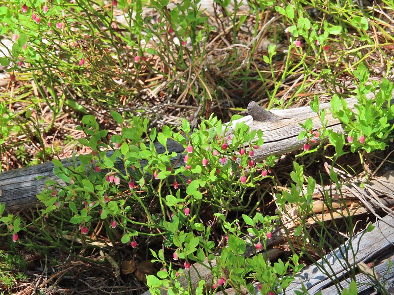 Huckleberry blossoms
 Arriving at the wilderness boundary.
 Looking back into the North Fork John Day Wilderness.

A short distance later the trail ended at Forest Road 5226.

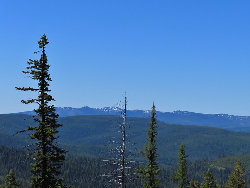
 The Elkhorns from NF-5226.
The road loops around the summit of the mountain so either left or right would have led us to the lookout tower. We decided to go clockwise and headed left up the road.
We arrived at the summit after a 0.4 mile climb.
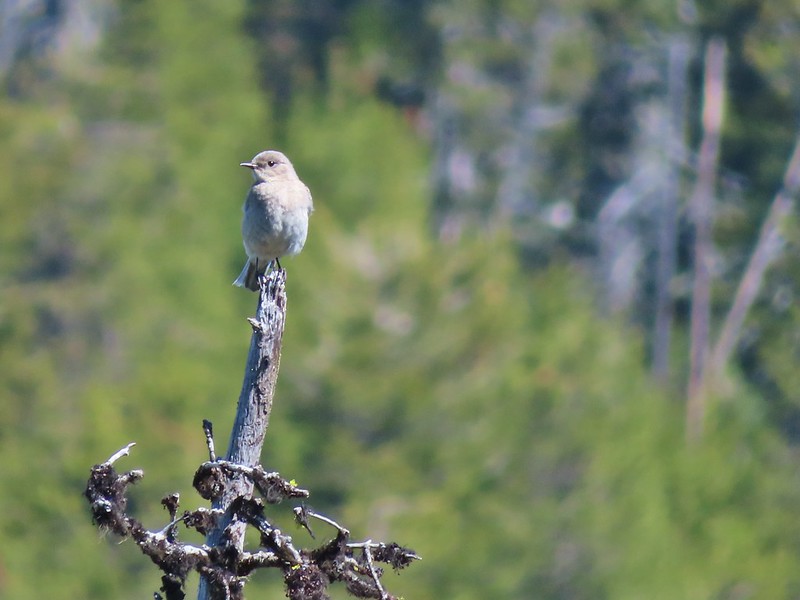 Western bluebird

We sat at on a bench facing the Elkhorns to rest and have a snack.


After the break we walked over to the tower to check it out. It wasn’t clear if it was okay to climb the stairs, there was no signage either way. We decided to admire it from the ground though.


After admiring the tower we continued on the road loop. When we came to a fork in the road we detoured left to a ridge end meadow with a view that included the Wallowa Mountains (post).


 Wallowas on the left and the Elkhorns on the right.
 Wallowa Mountains including Eagle Cap
 Elkhorns
 Balloon pod milk vetch
 A patch of snow clinging to Tower Mountain.
 Lupine
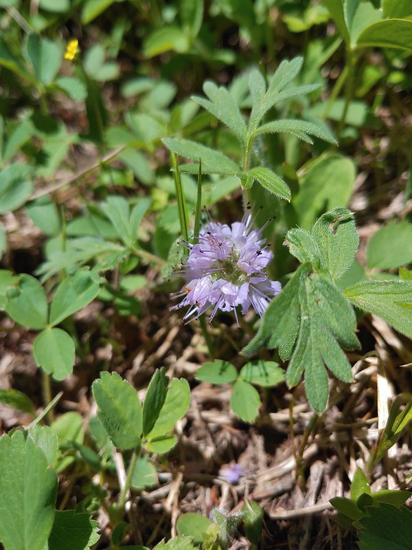
 A penstemon
 Paintbrush
 Old man’s whiskers
We completed the road loop and then headed back down the Tower Mountain Trail. We retraced our steps looking for flowers and wildlife along the way.

 Ball head waterleaf
 Violets and ?
 Tortoiseshell on a cone.
 Shooting star
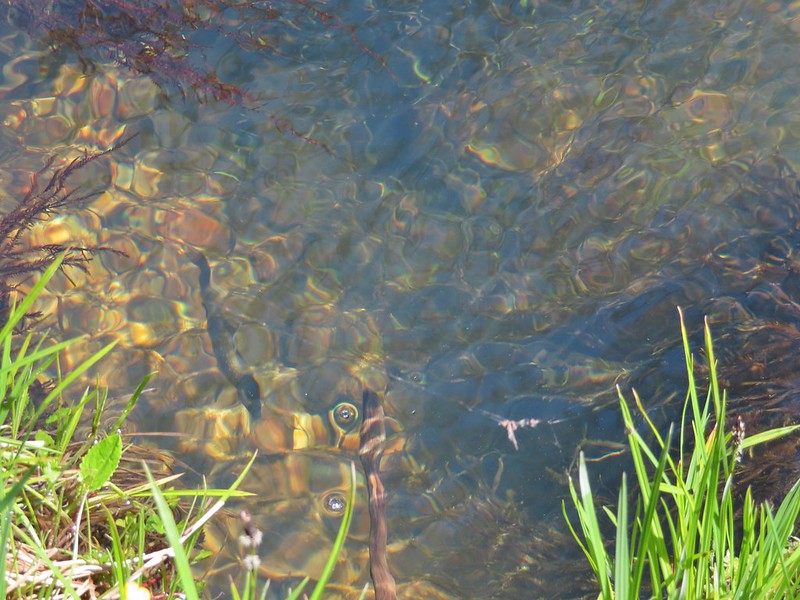 Fish in Big Creek.
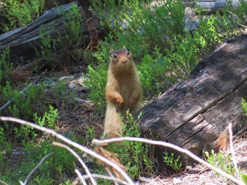 I believe this is a columbian ground squirrel.
 California tortoiseshell butterflies
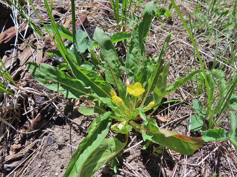 Diffuseflower Evening-primrose
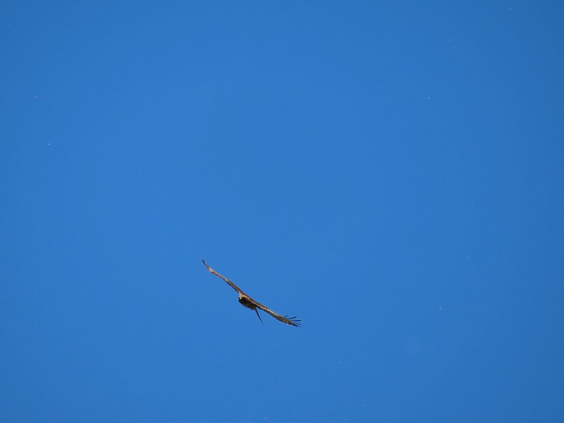 Red tailed hawk
Our hike came in at 12.7 miles with a little under 2000′ of elevation gain. The climb never felt very steep and the scenery along the trail was great.
We were both very impressed with this hike and it wound up being our favorite of the whole trip. Having a map for the lower faint portion of trail was necessary but the trail itself was in really good shape. We then drove to John Day and after checking into our motel had a wonderful dinner at 1188 Brewing. Happy Trails!
Flickr: Tower Mountain

5 replies on “Tower Mountain – 06/16/2021”
Very nice photos. I need to try that hike. I love old lookout towers.
👍
What a find! My Dad, Mom and I lived up there the summer of 1953 where Dad was the fire lookout person. I was 15 at the time.
Quite an experience. Could write a book about the memories!
That must have been interesting. The lookout staff we’ve talked to always have some great stories.
[…] Yuncks have a trip report from June 2021 that describes the conditions of the trail in detail (post). We caught glimpses of the tower and where we were headed as we drove along NF-5226. It was a […]