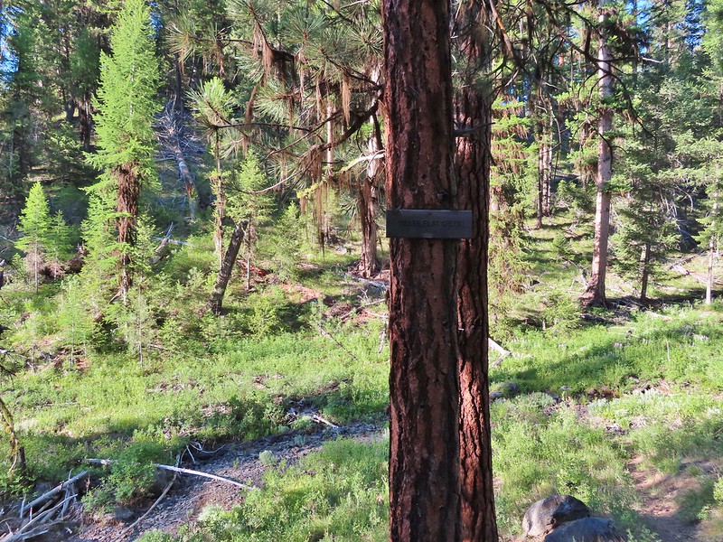
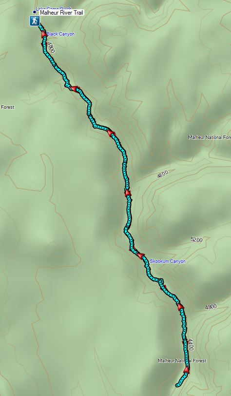
After a night in John Day we headed south for a day hike on the Malheur River Trail. The trail starts at Malheur Ford Trailhead where Forest Road 1651 actually does ford the river.

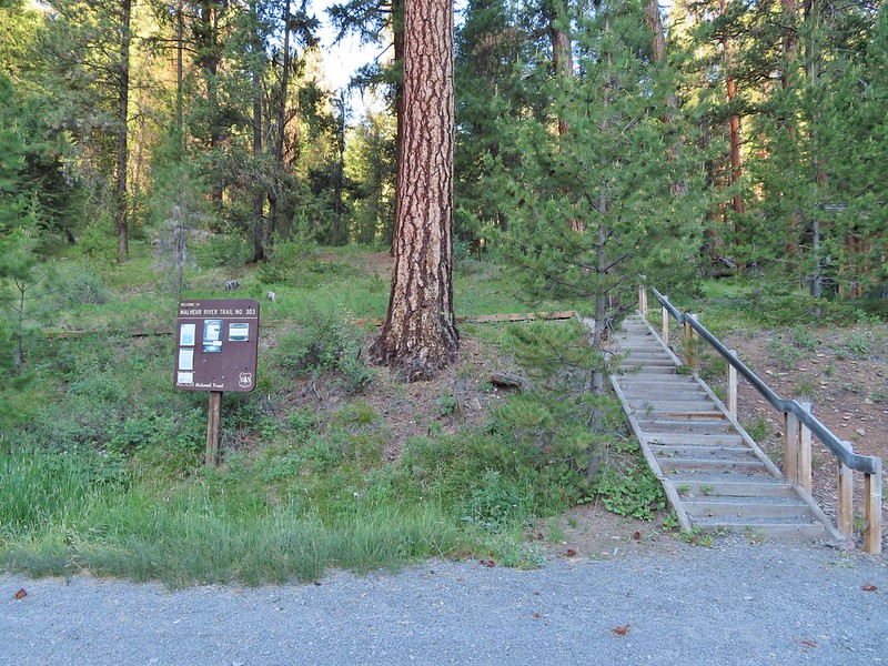
The Malheur, a designated Wild and Scenic River, is fed from the Strawberry Mountain Wilderness (post). The trail is 7.6 miles long running from the ford to another trailhead at Hog Flat. For our hike we planned on hiking around 6.5 miles of the trail at which point the trail would be starting the steep climb away from the river to Hog Flat. It was a pleasantly cool morning as we set off on the trail. Despite the Forest Service indicating that the trail had not been maintained it was in good shape with just a couple of trees to step over/around.
 Bench near the trailhead.

 Lupine along the trail.
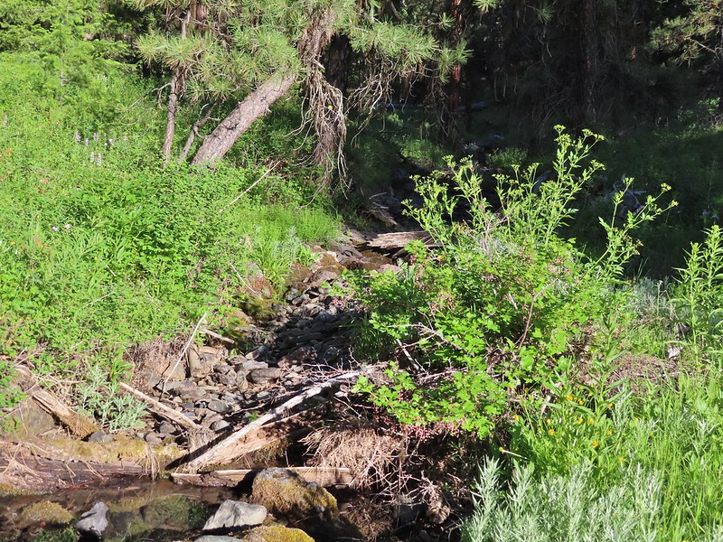
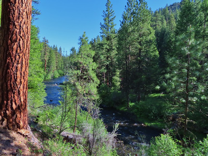
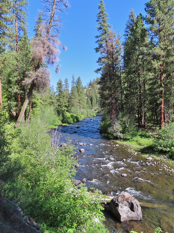
 There was plenty of river access along the way.
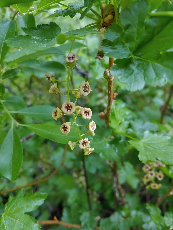 Currant
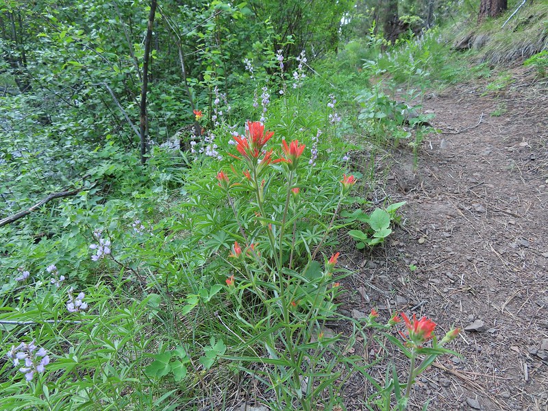 Paintbrush and lupine along the trail.
 Geraniums
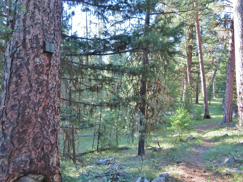
 Ponderosa pines
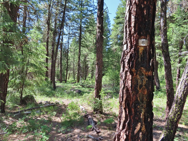
Mile markers were present (at least to mile 6) although we missed 3 & 5 on the way out. We managed to spot them on the way back though. There did seem to be a bit of a discrepancy regarding the first mile as there were two trees sporting “1”s.
 First 1
 Second 1
A little past the mile 1 markers the trail descended to Miller Creek where just a little water was present but it was enough to host a number of flowers.
 Camas
Camas
 Balsamroot, columbine, geraniums and paintbrush.
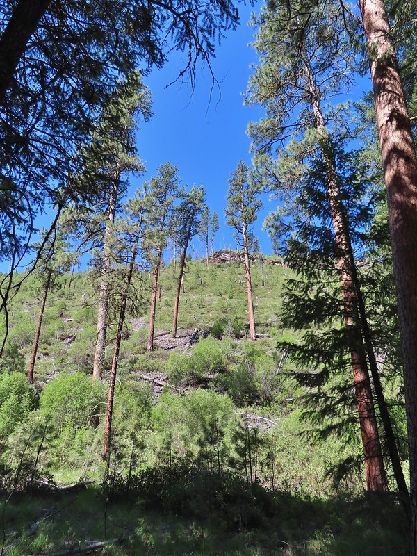
The trail did several more ups and downs sometimes rising above the river and other times dropping down to flats along it. A rocky viewpoint just before the 2 mile mark was fairly impressive.
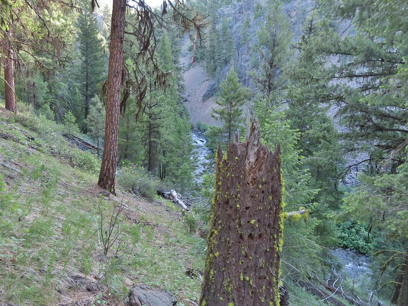
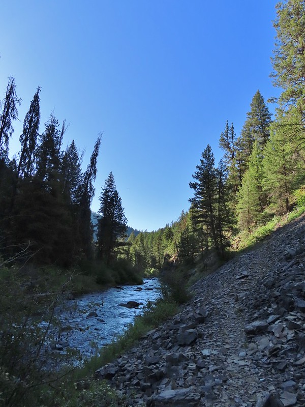
 Photo from the afternoon on the way back.
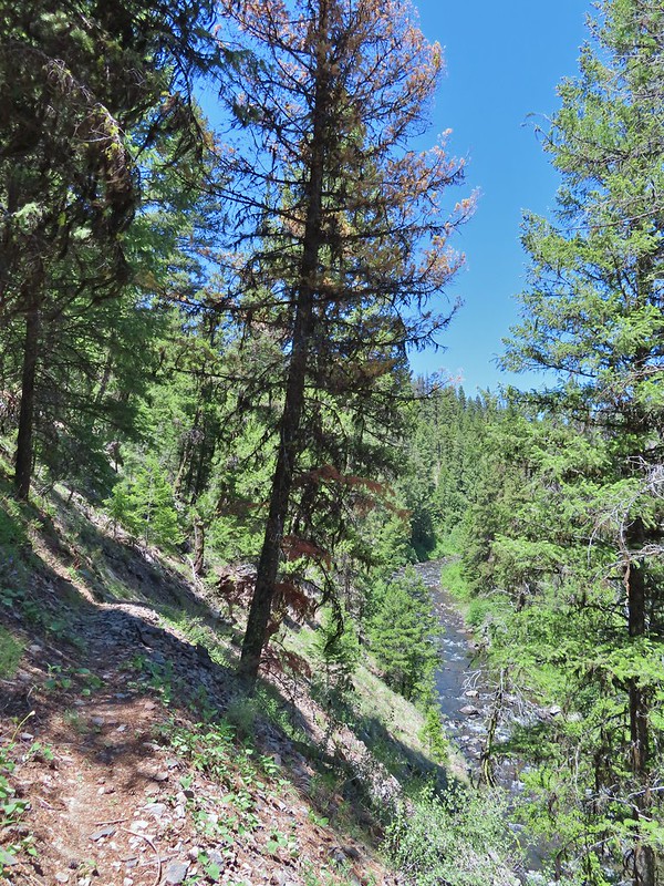 Photo from the afternoon on the way back.
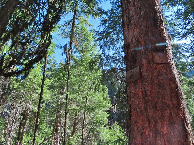 Tree marking mile 2.
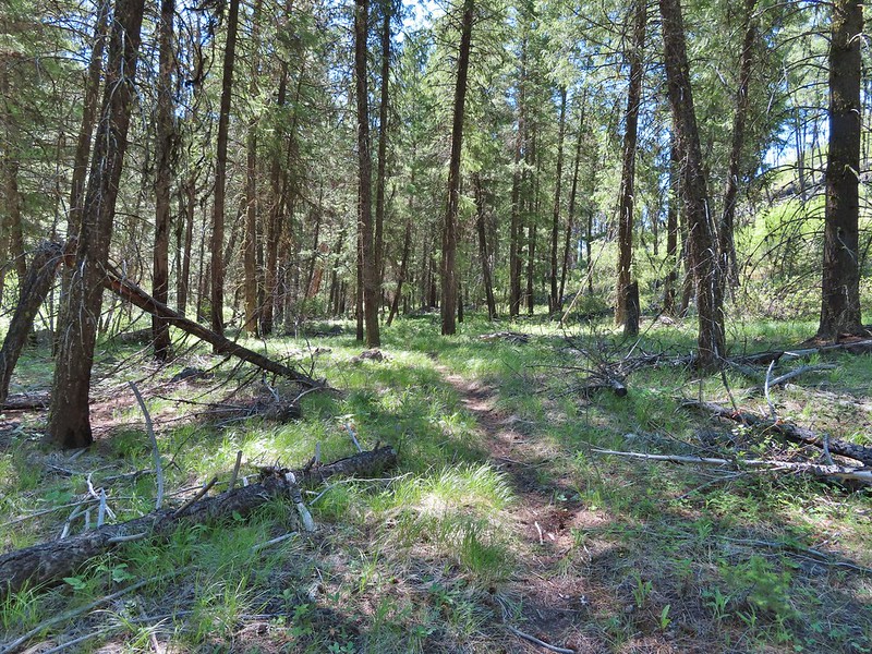
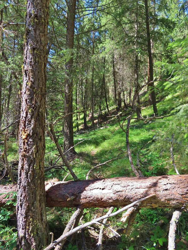
 Typical “obstacles” that were present along the trail.
 Columbine
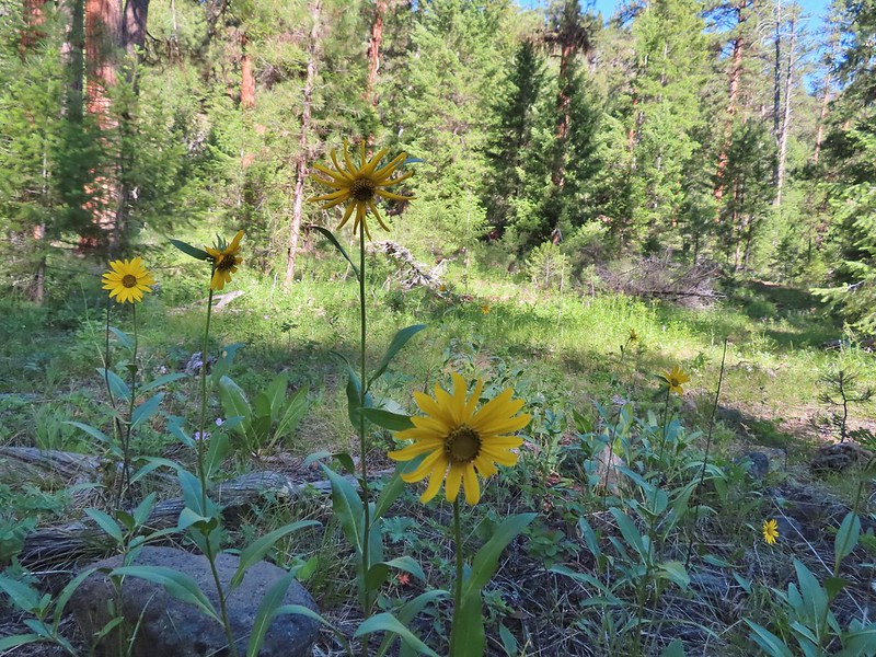 Cusick’s sunflower?
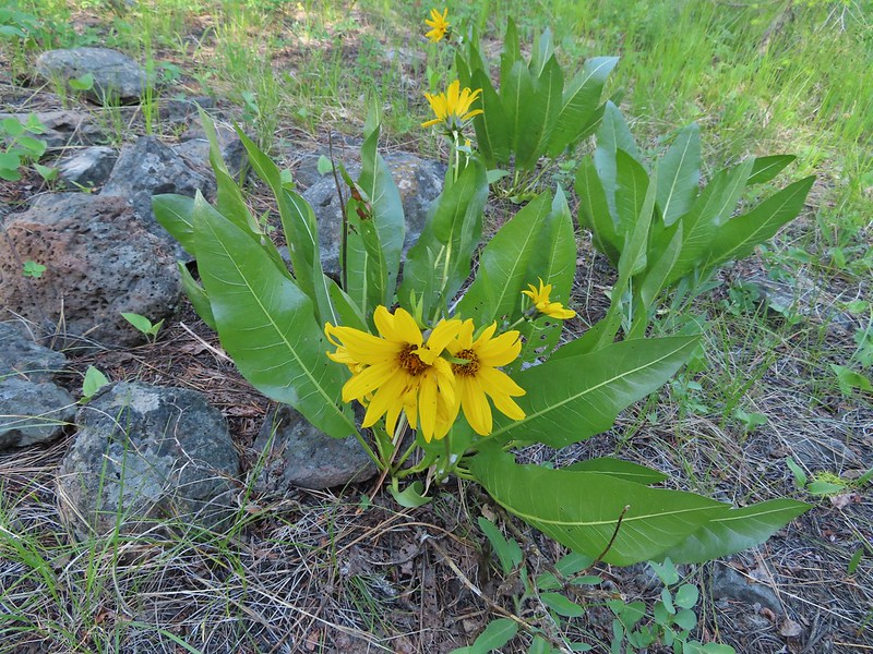 Balsamroot or mule’s ears?
 Woodland stars

 Mile 4
Right around mile five (which we missed the marker for) was a riverside meadow of wildflowers.

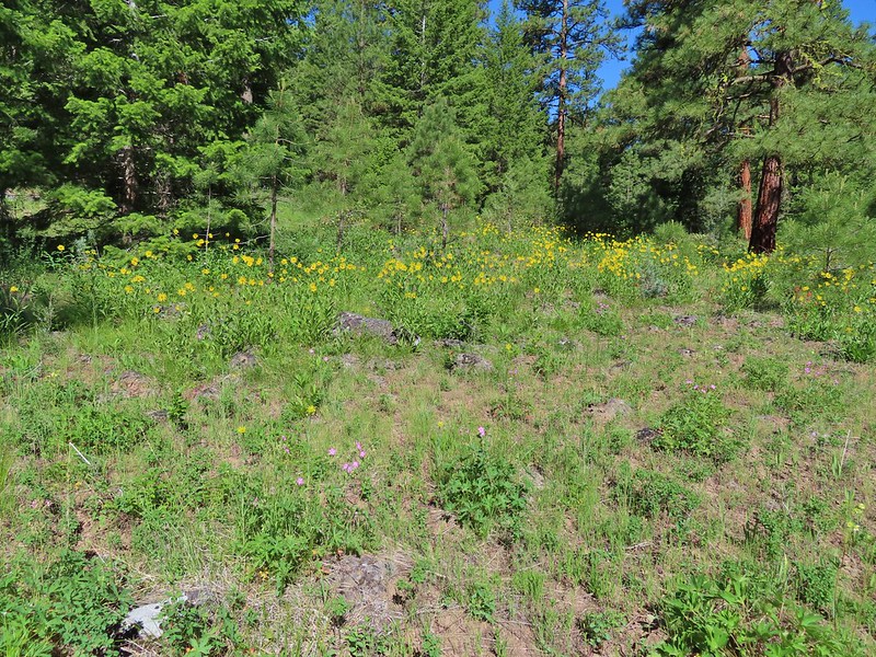
 Salsify and geraniums
 Sticky cinquefoil
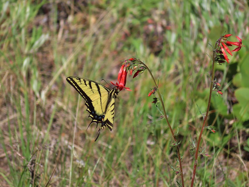 Swallowtail on scarlet gilia
 Geranium
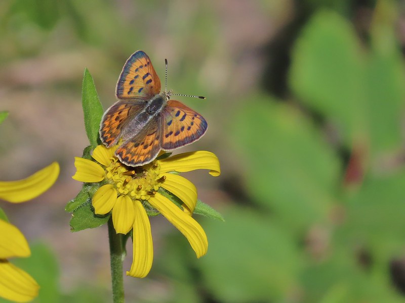 Some sort of copper butterfly
 A checkerspot
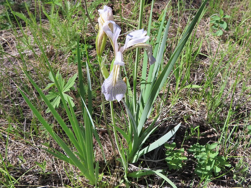 Iris
Iris
 Balsamroot (or mule’s ears)
 A fleabane
 A different type of fleabane.
 Larkspur
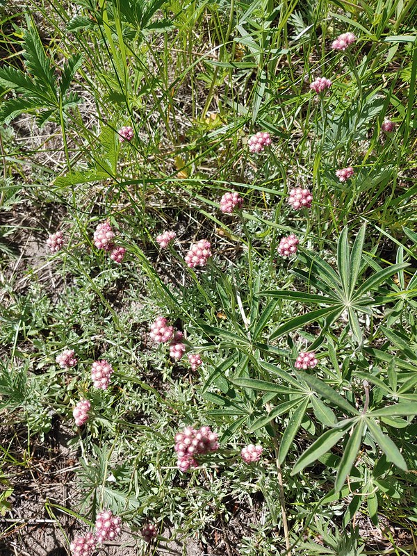 Rosy pussytoes
After hanging out in the meadow watching the butterflies for awhile we continued on.
 Hog Flat is up on top of the hillside.
 Mile 6 markers.
 Cracked egg in the trail.
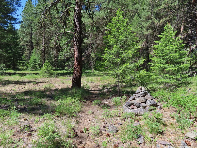 We passed this cairn around the 6.5 mile mark.
 We turned around here shortly after passing the cairn. It appeared the trail was beginning it’s climb and we took the cairn and downed tree as signs that it was time to turn around. We did just that and headed back keeping our eyes open for the mile 3 and 5 markers.
 A fritillary butterfly on an iris.
 Found 5
 This was a particularly tricky little muddy spot to stay dry crossing.
 And there’s “3”.
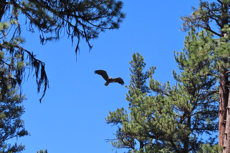 Immature bald eagle. We saw it on the way out in the same area but couldn’t get a photo. This time it flew right by me, and I think it was giving me the stink eye.

 Back at the trailhead.
This was a 13.5 mile out and back with a few hundred feet of elevation gain spread over the various ups and downs along the way. There were plenty of views of the river and a nice variety of wildflowers and wildlife making this a nice river hike. Happy Trails!
Flickr: Malheur River Trail

2 replies on “Malheur River – 06/17/2021”
Looks like a nice hike
[…] #30 Malheur River – Hiked 6/17/2021 […]