As we continue to close in on and complete some of our long term hiking goals such as hiking all 100 featured hikes in at least one edition of William L. Sullivan’s five 100 Hikes guidebooks some of the remaining hikes have provided some challenges (post). Distance, weather, and various closures have required us to be flexible and get creative at times. Our visit to the Ridgefield and Willapa Wildlife Refuges in SW Washington was a good example. We had a visit to the Ridgefield Wildlife Refuge on our schedule for 2020 but then COVID-19 struck and things changed. It was back on the schedule for this Spring but nesting Sandhill Cranes caused the refuge to close the 1.5 mile Kiwa Trail which was part of Sullivan’s featured hike. The Ledbetter Point hike had been a featured hike in the “100 Hikes/Travel Guide Oregon Coast & Coast Range” 3rd edition but was moved to an additional hike in the 4th edition. We had switched to the 4th edition as the one to attempt completing all 100 featured hikes in part because the hike at Ledbetter Point was only 4 miles long but was a three and a half hour drive from Salem. Subsequently we switched back to the 3rd edition due to the indefinite closure of the Salmonberry Railroad which was a new featured hike in the 4th edition.
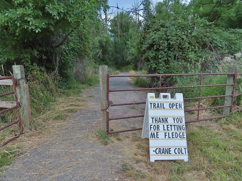
After having to postpone our Ridgefield hike and modify the plan if we were going to hike there this year (I had originally combined it with a hike at the Stiegerwald Wildlife Refuge but a restoration project has closed it for the entirety of 2021.) I came up with the idea to combine it with the Ledbetter Point hike which was also planned for this year. It was only a little bit out of the way to stop at Ridgefield before continuing up to Ledbetter Point State Park. The combined hikes would be close to 11 miles which was a reasonable distance and with an early start would likely get us back home between 5 and 6pm. (This did mean breaking our self imposed rule of not spending more time driving than hiking on day hikes but sometimes compromises must be made.) With the plan set we just needed for the hikes to be open and as luck would have it the sandhill crane colt fledged and the Kiwa Trail was set to reopen on the very day we had hoped to do the hike.
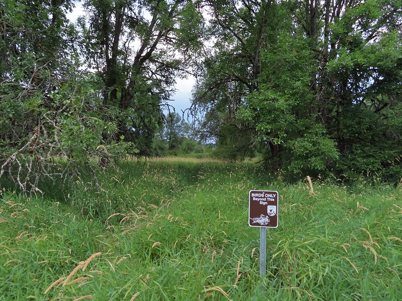
After paying the $3.00 entry fee at the Ridgefield Wildlife Refuge our first stop of the morning was at the Kiwa Trailhead.
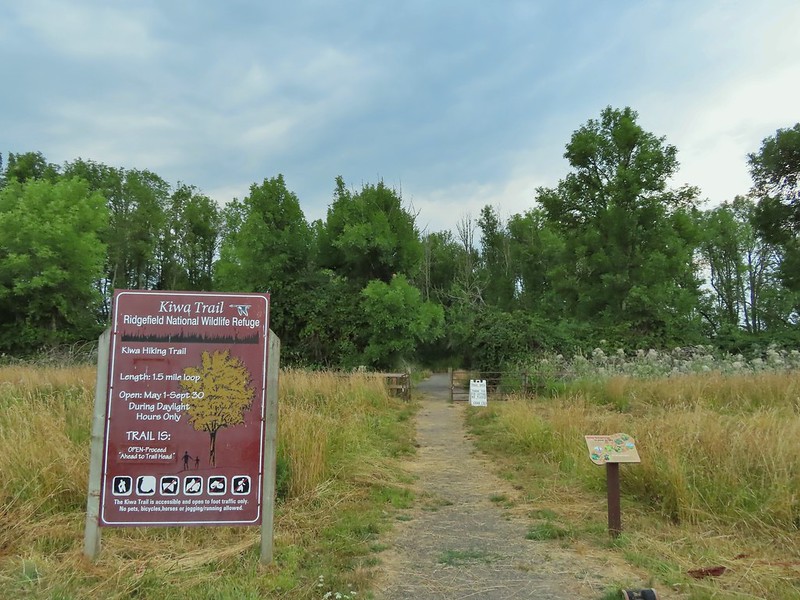
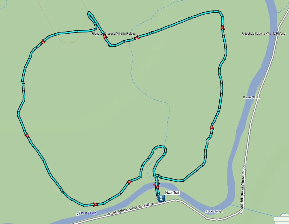
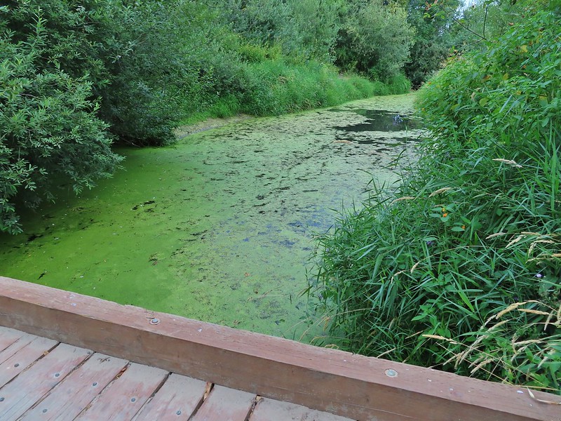
The Kiwa Trail crossed the Bower Slough and then splits to create a loop around South East and Middle Lakes. We chose to hike the trail in a counter clockwise direction.
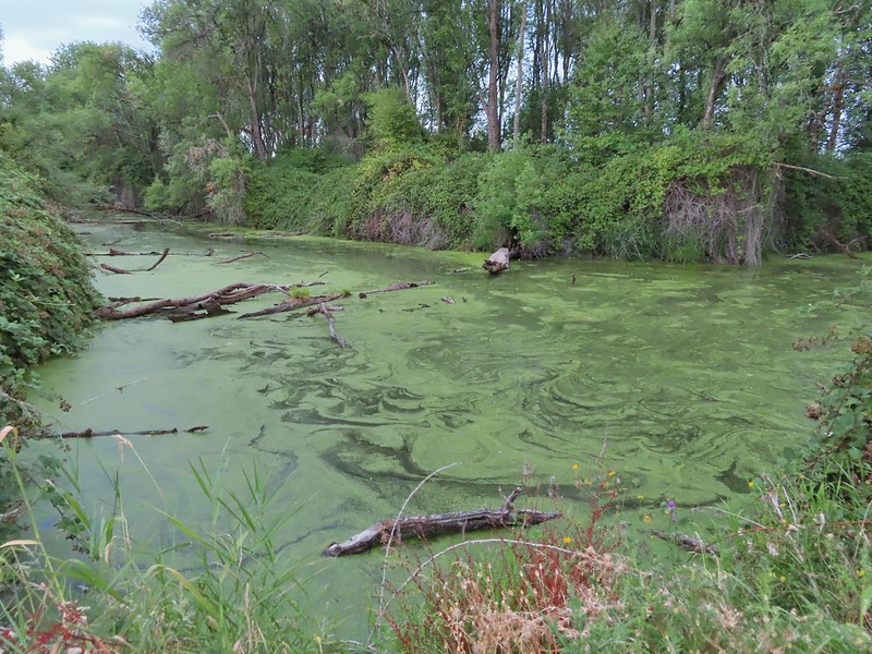 Bower Slough
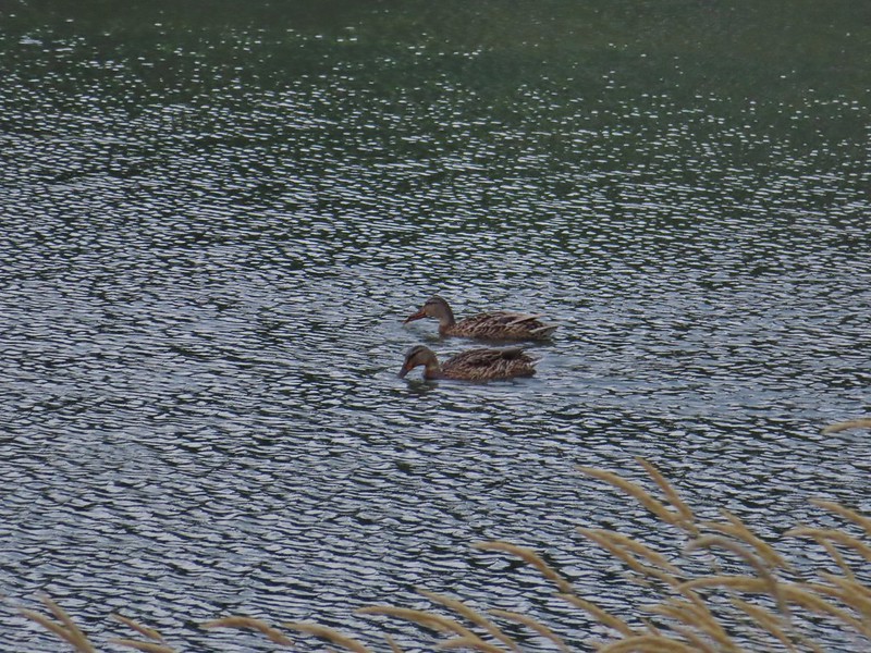
 Ducks in the slough.

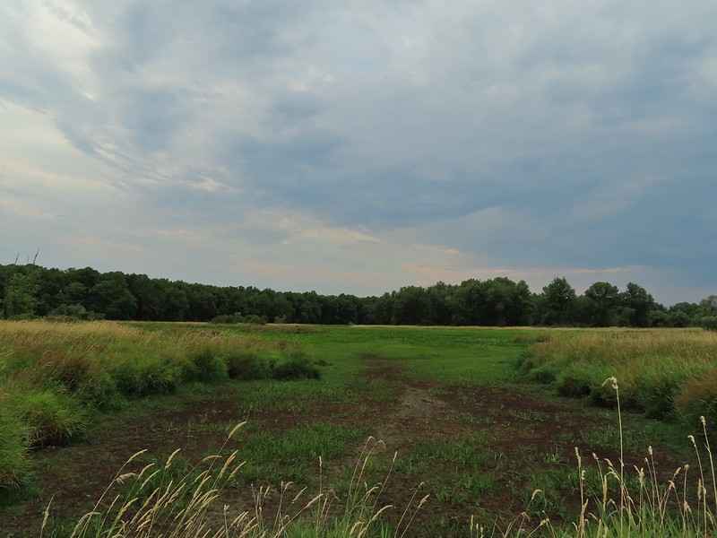
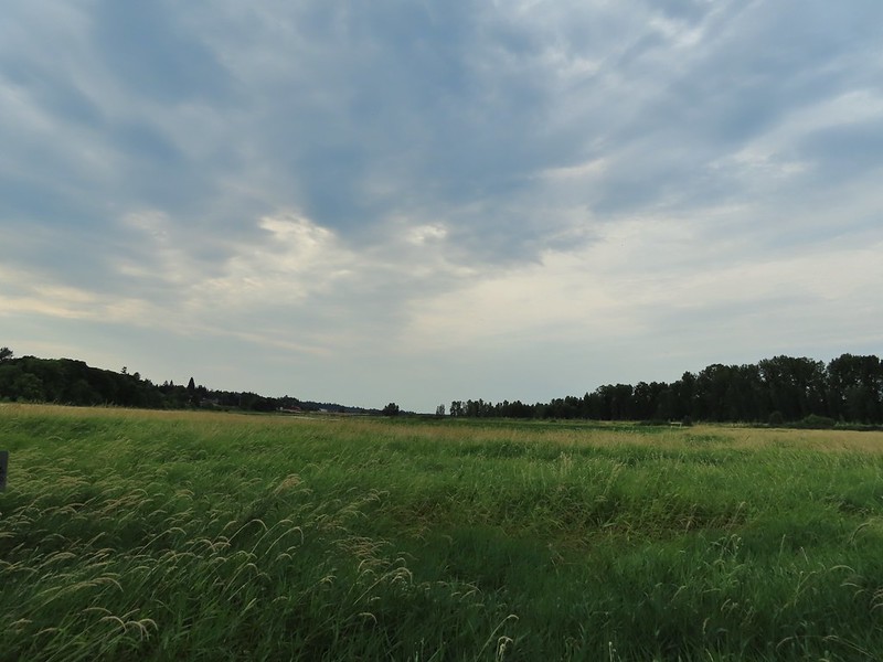
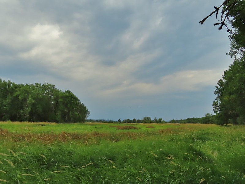 South East Lake which was mostly dried up at this point in the year.
 Apparently deer can’t read based on the trail leading past the sign.
 The bed of South East Lake
 Some moisture passing through this morning.
 Dove
Dove
 Walking along a cleaner looking portion of the slough.

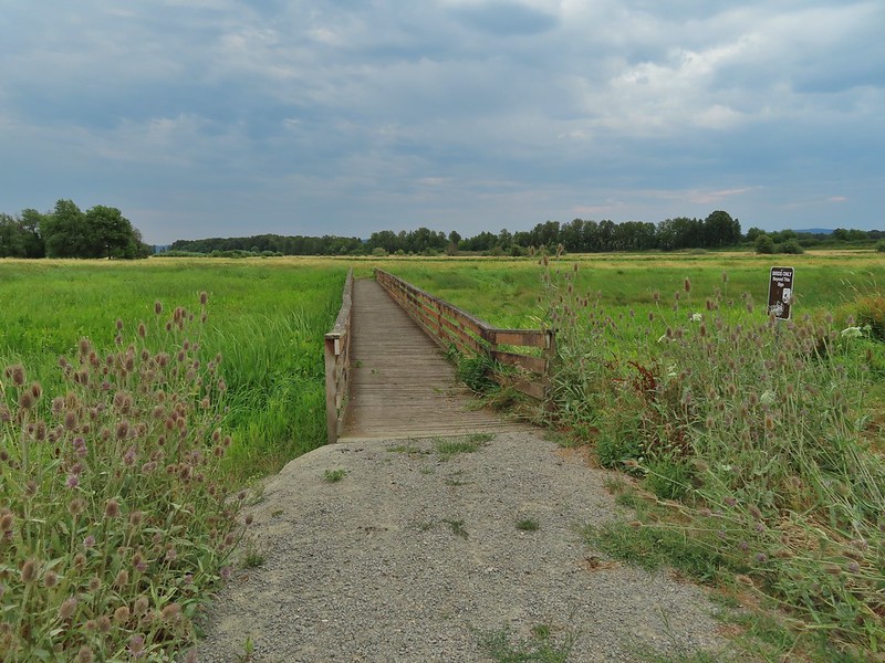 Bridge/boardwalk between Middle Lake (left) and West Lake (right).
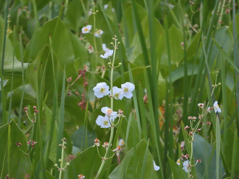 Wapato blossoms
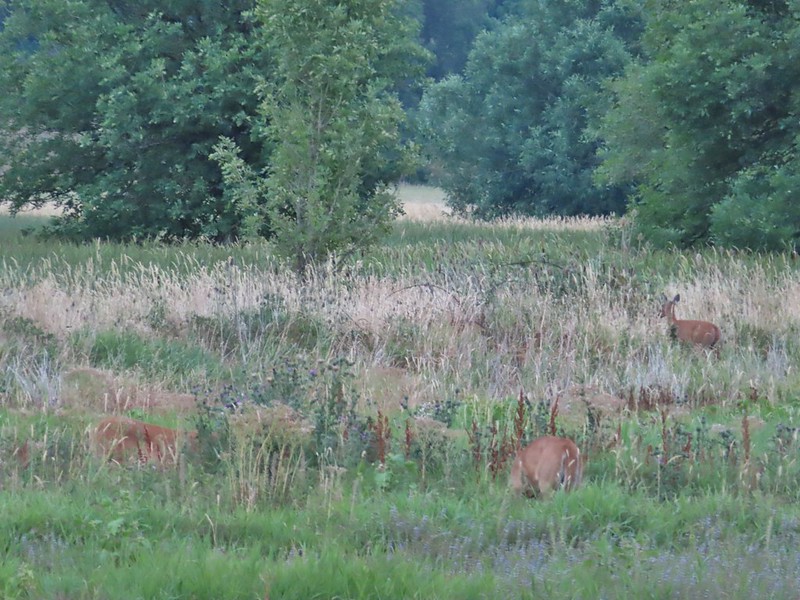
With the lack of water this time of year there wasn’t much in the way of wildlife other than lots of little birds flying in and out of the vegetation. The views were nice enough to keep us entertained on the short loop though and when we got back to the trailhead there were several deer in the field across the road and a rabbit just a short distance from our car.

 Lots of ripening blackberries.
 Second crossing of Bower Slough near the end of the loop.


Since the trailhead is along the 4.2 mile one-way auto tour loop we drove back around to the fee booth and restrooms at the start of the loop. Along the way we stopped several times for wildlife.
 Great blue heron
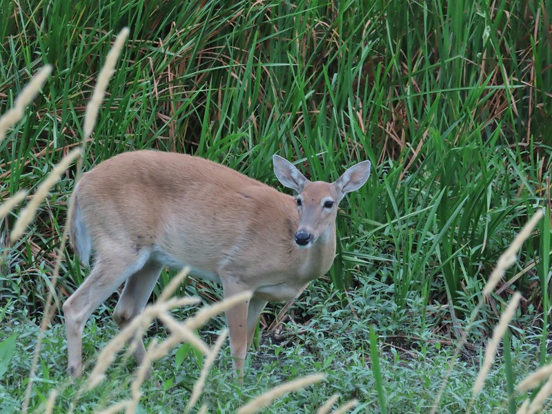 Doe
Doe
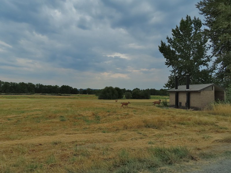 Deer near the restrooms/fee booth.

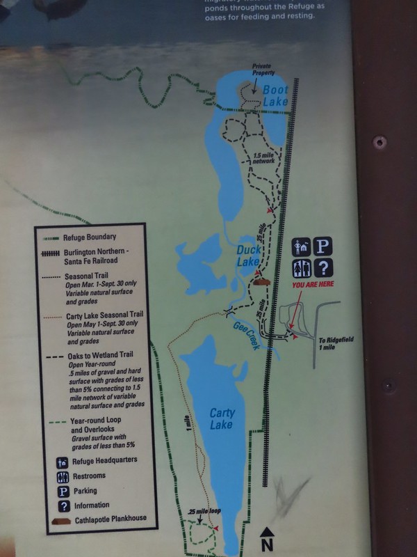
From the auto tour loop we drove to our second stop in the refuge at the Ridgefield Trailhead in the Carty Unit.

Construction to build a new multi-purpose building is in process to be completed in 2022.
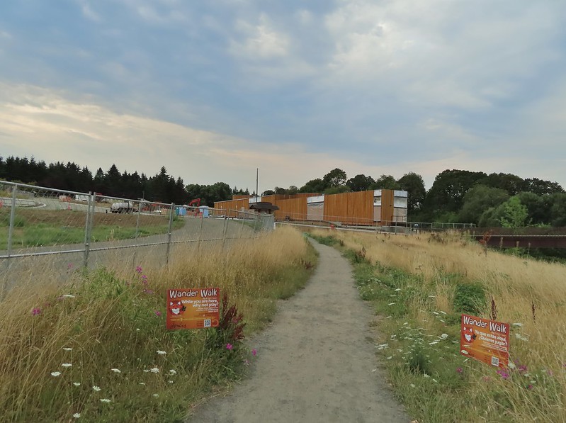
We passed the new building and crossed over some railroad tracks on a nice footbridge.
 <
<
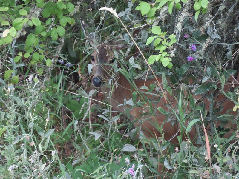 Doe in the brush near the tracks.
The trail then led to a replica plankhouse.


The trail split on the far side of the plankhouse with the Carty Lake Trail heading left around Duck Lake and the Oaks to Wetland Trail system to the right.
 Carty Lake Trail and Duck Lake
 Ducks on Duck Lake
We went right to explore the Oaks to Wetland Trails. The maps show several loop possibilities but an ongoing restoration project currently has some connector trails closed and an entire portion of the system closed on Thursdays.
 Paved and dirt options allow for a mini-loop near the start, later the trails are all dirt.


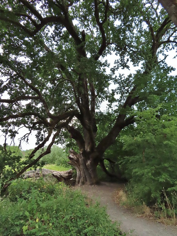 Big oak
 One-way pointers for a second loop.
 The trails can reportedly be quite muddy during the wet season but the current drought meant a hard packed surface.
 Bright red poison oak climbing some of the tree trunks.
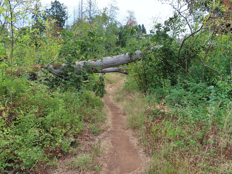 A bit of a low bridge.
Passing back by Duck Lake on the way back.
After touring the Oaks To Wetlands trails we headed past Duck Lake toward Carty Lake.
<img src="https://live.staticflickr.com/65535/51349920581_2ee1202bd3_c.jpg" width="800" height="600" alt="IMG_1434">Looked like a young pied billed grebe.
 Spotted towhees
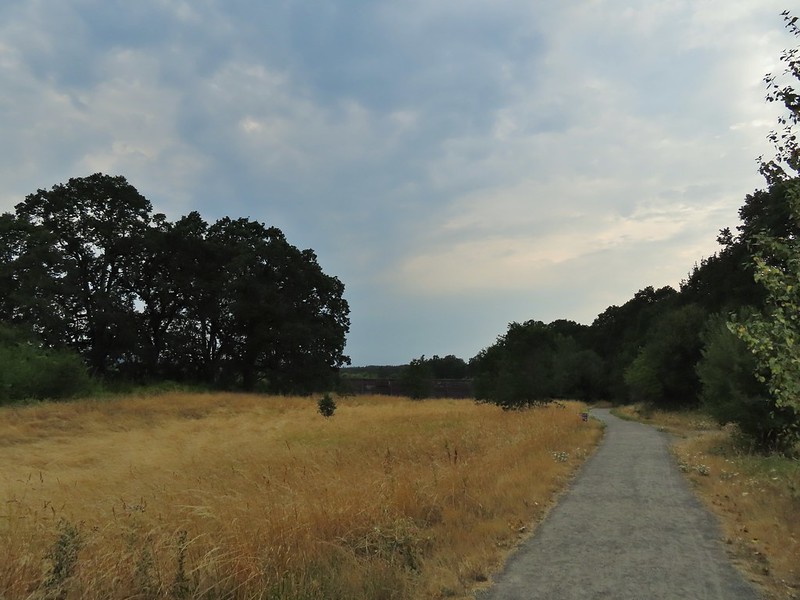
 Onward toward Carty Lake.
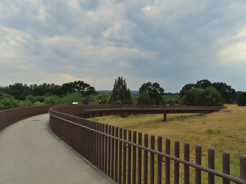
It’s possible to follow the Carty Lake Trail all the way to the Port of Ridgefield Trailhead on the Lake River but for our hike today we simply hiked until the trail turned south on the far side of Carty Lake then turned around and headed back to the car.
 Gee Creek
 Orange jewelweed along Gee Creek.
 Carty Lake also lacking much water.
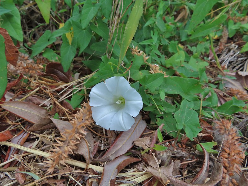 Bindweed
 A primrose
 Wapato at Carty Lake
 The trail turning south toward the Port of Ridgefield.

From Ridgefield we drove north to Longview, WA where we crossed back into Oregon to take Highway 30 to Astoria only to return once again to Washington eventually making our way to the Ledbetter Point Trailhead.

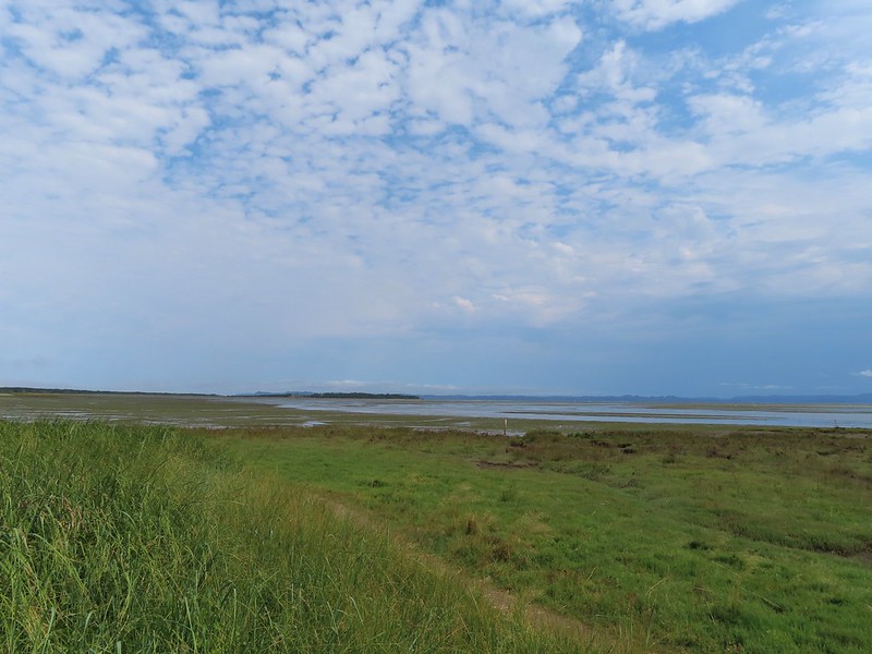
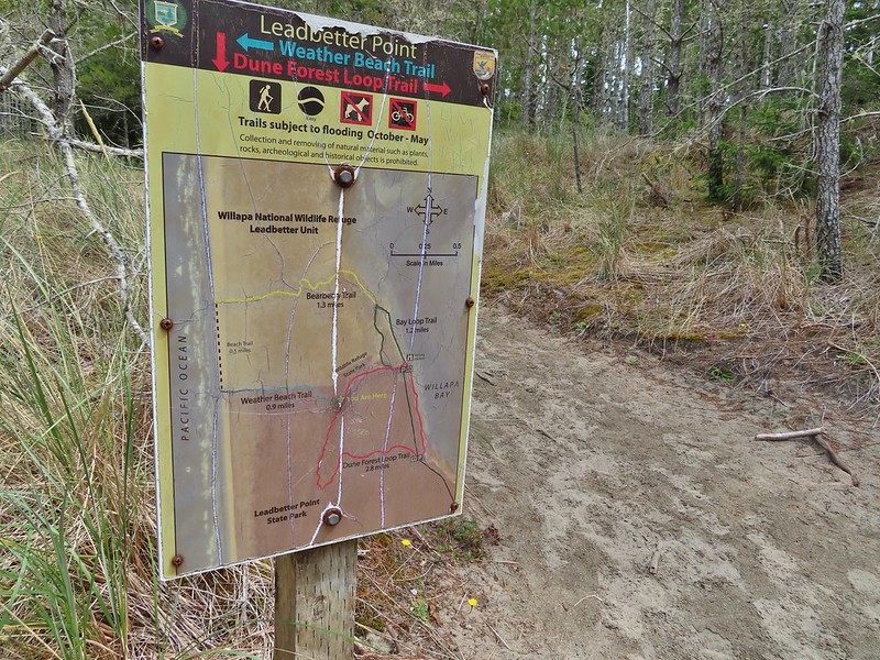
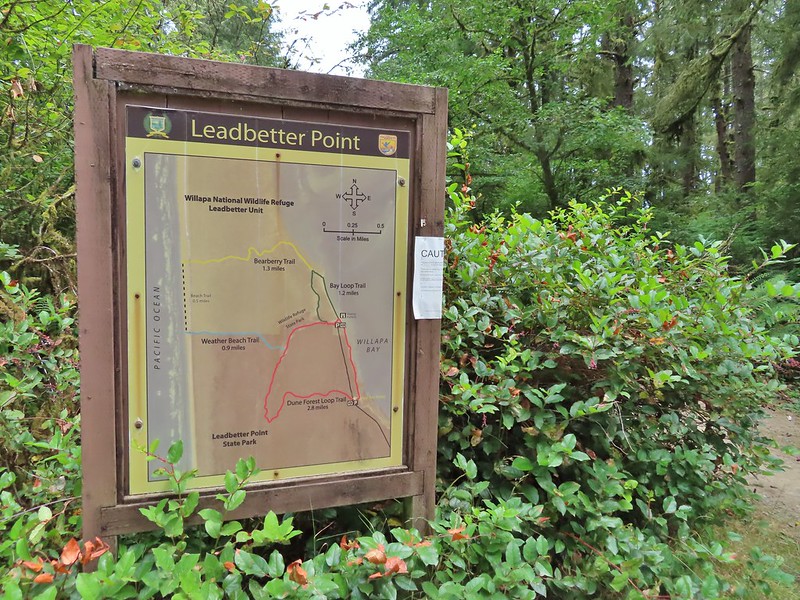
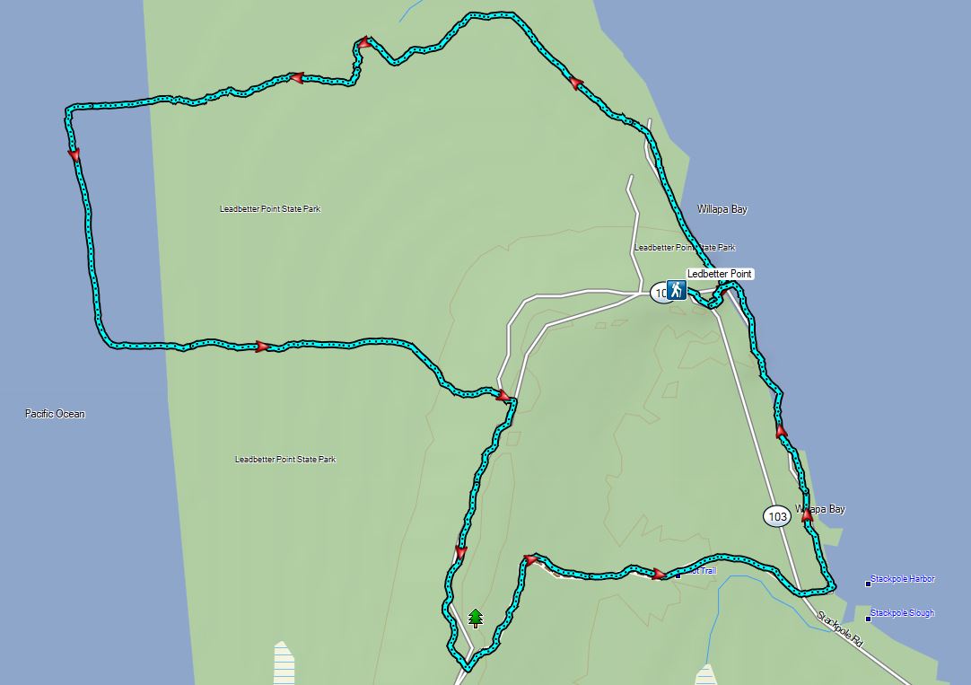
We got a little confused at the trailhead as three trails appeared to start here, one was to the left of the restrooms, one on the right of the signboard which appeared to head straight for Willapa Bay, and another to the right of the signboard that appeared to head parallel to the bay. Our plan was to follow the Bay Loop Trail (Green) north along the bay to the Bayberry Trail (Yellow) and take that trail west across the peninsula to the Beach Trail at the Pacific Ocean. We’d then head south along the beach to the Weather Beach (Blue) Trail where we would turn inland and hook up with the Dune Forest Loop Trail (Red). Sullivan’s description of this hike would have had us turn left here for 0.6 miles back to the trailhead but our plan was to go right for 1.5 miles to the southern parking lot and then turn north along Willapa Bay for 0.7 miles back to the car.

The official trail is the one to the left of the restrooms but being unaware of that we struck out on the path which looked to head directly to the Willapa Bay.

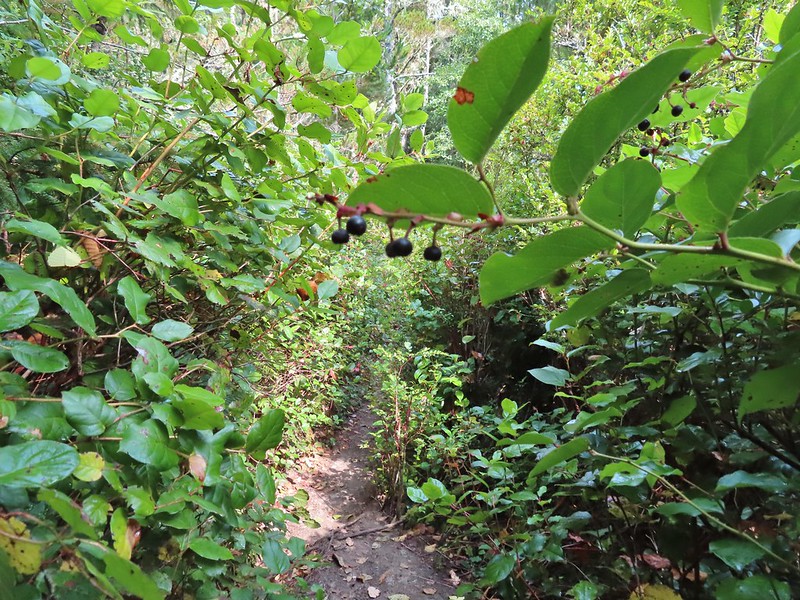 Lots of salal along the trail.
The trail did pop us out near the bay and onto an official trail where we turned left.

We realized we’d chosen the wrong path when we spotted a group of hikers that had taken the left hand trail ahead of us on the trail. When we made it to where they had come out we found a signboard and viewing platform indicating it had been the official trail.

 Map near the platform.
We continued up the beach until we spotted another signboard and hiker post.

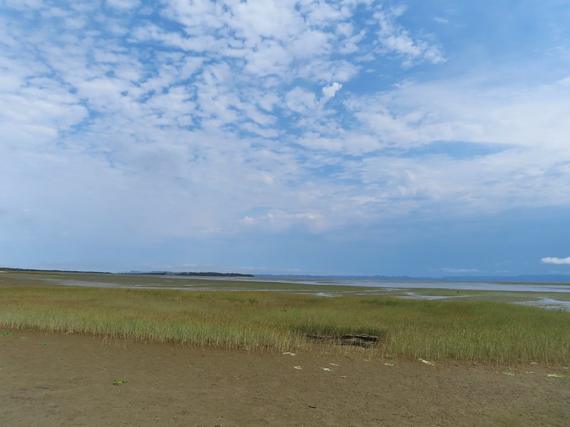 High tide had been between 7 and 8am so the water was retreating from the Bay.
 Looking south.

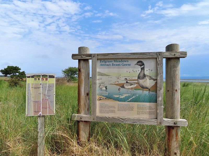
A short distance later we came to another signboard at the junction of the Bay Loop and Bayberry Trails. Here we began to follow the hiker posts coded in yellow for the Bayberry Trail.


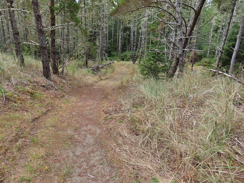
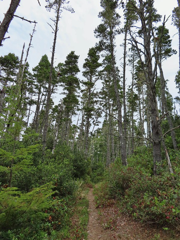
The Bayberry Trail soon turned inland into the forest.


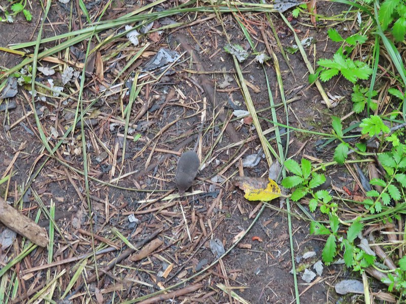
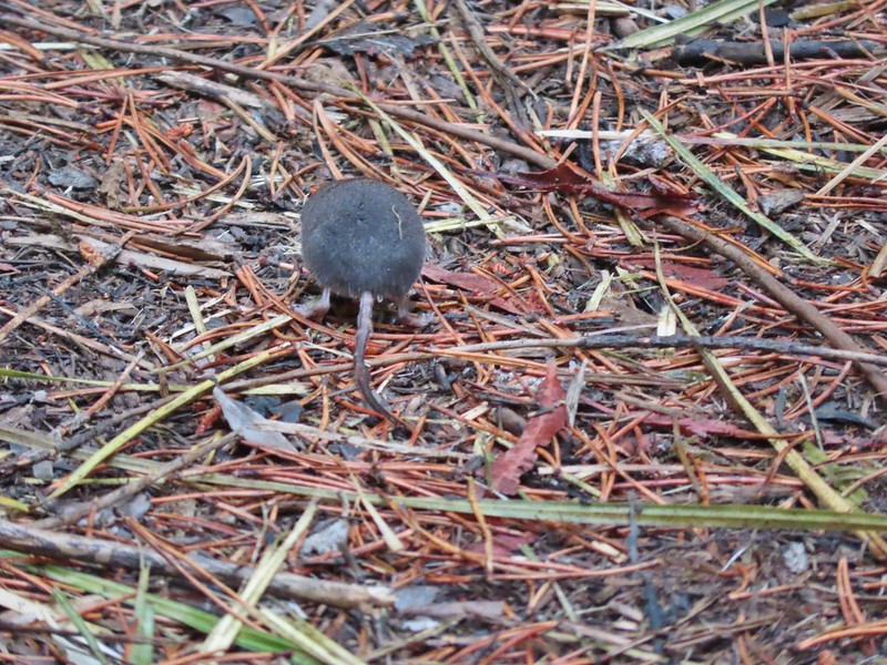
We were following another pair of hikers who had spotted something small running along the trail. We stopped and watched as what we believe was a mole hurried down the trail right past us nearly running into my foot in the process.
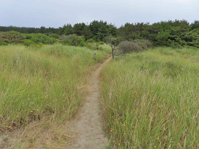
The trail eventually left the forest and entered the deflation plain behind the dunes along the beach.


 Looking back along the trail.
 Cresting the dune.
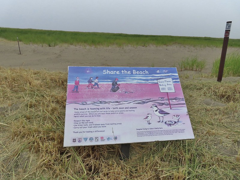 Snowy plover sign, a common sight along the beaches in Oregon too.
 Bayberry Trail passing through the snowy plover closure area.
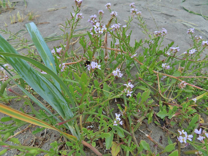 Bumblee on American skyrocket.
While there had been a bit of blue sky above Willapa Bay the Pacific Ocean was covered in fog (another familiar sight to for us).

We turned south as planned, hiking through the fog between the Pacific and the snowy plover closure area, until we spotted an opening in the foredune marking the Weather Beach Trail.


We followed this trail back into the forest to its end at the Dune Forest Loop Trail.

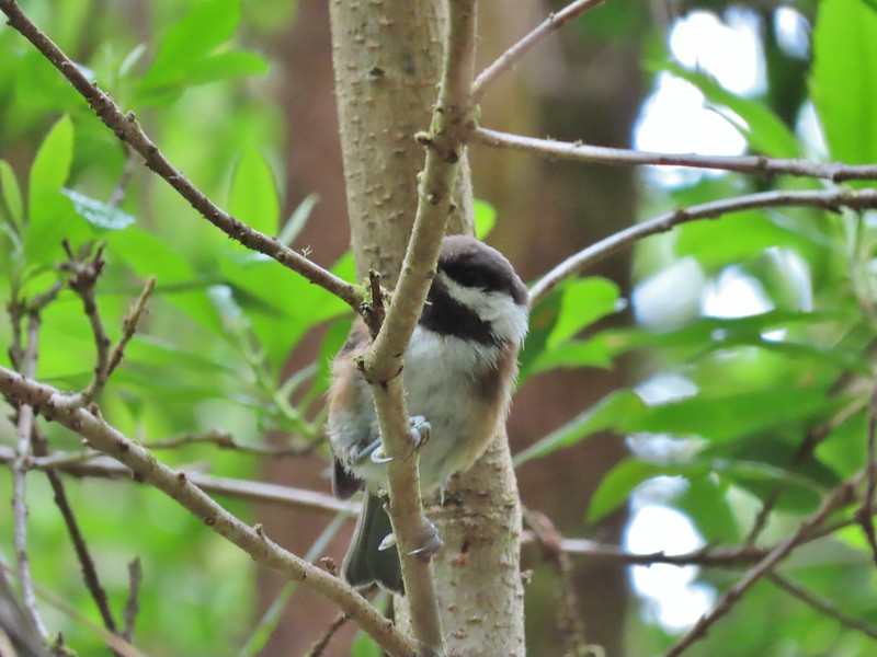 Chestnut backed chickadee

We turned right as planned wondering why Sullivan didn’t have you do the same.

 Someone had written “umpassable (sic) swamp” below the word loop on this sign. This is when we began to guess why Sullivan had you turn left at the Weather Beach Trail junction.
 Slug and a mushroom. We both thought of Alice in Wonderland.
While we did not encounter any swamps the vegetation did get thick and it was easy to see how in wetter times of the year the trail would be difficult if not impossible. Our biggest problem though were the mosquitos which were a nuisance.


 Signboard at the southern trailhead.
We were happy to have reached the southern trailhead and gotten back to the bay where the openness and breeze kept the mosquitos away.


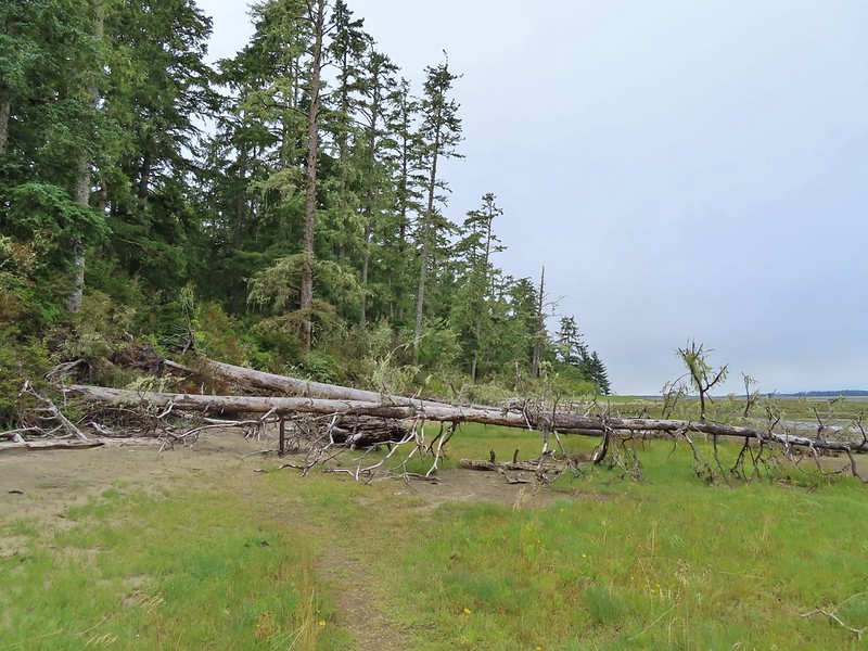
We turned north and followed the trail back to where we had come down from the trailhead and hiked back up that same way. There were a few downed trees that needed to be climbed over along this stretch. We were also fortunate to have a bald eagle land ahead of us with its catch and then watch as some pesky crows tried to steal it for their own.

 Looking back over one of the trees.
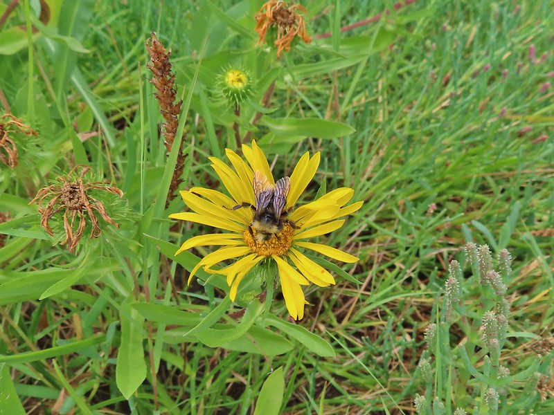 Bumble bee on gumweed.
 A pair of great blue herons in Willapa Bay.
 The eagle has landed.
 Crow attack
 Looking for a quite place to eat.
 We didn’t see what happened to the kill, if the eagle got to eat it or not.
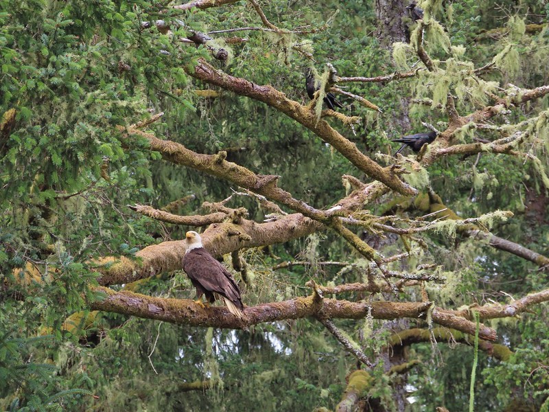 The crows weren’t leaving the eagle alone.
 Last of the trees to navigate.
Our hike here was a little over 6 miles giving us about 10.5 miles on the day with minimal elevation gain.
On the way home we stopped in Warrenton for a late lunch/early dinner at Nisa’s Thai Kitchen. We’d eaten here in 2017 and really enjoyed the food and it was as good as we had remembered. It was a good way to celebrate checking off our final featured hike of the coast guidebook as well as the 97th in the northwestern Oregon book. Happy Trails!

4 replies on “Ridgefield Wildlife Refuge and Ledbetter Point – 07/31/2021”
[…] By the end of July we had also completed our goal of hiking at least part of all 100 featured hikes in William L. Sullivan’s “100 Hikes/Travel Guide Oregon Coast” guidebook and in August we did the same with his “100 Hikes/Travel Guide Northwest Oregon and Southwest Washington” guidebook. Ledbetter Point, the last of the hikes from the coast book. (post) […]
[…] visit them. The last final featured hike happened to be featured hike #1 – Leadbetter Point (post) which we visited on 7/31/2021. Many of the featured hikes in this book are shorter hikes with some […]
[…] #15 Ridgefield Refuge – Hiked 7/31/2021 […]
[…] Lake the complex also includes the Franz Lake, Pierce, and Ridgefield refuges. Of those Ridgefield (post) is the only one we’d previously visited. We had hoped to visit this refuge a couple of years […]