Mount Mitchell is located near Cougar, WA just south of the Lewis River (post) and only 10 miles south of Mt. St. Helens providing an up close view of the mountain’s southern flank. That is if there is any visibility at the summit. On our recent visit we had near zero visibility from the former lookout site but despite missing out on the view this was an enjoyable hike which will soon likely be inaccessible due to planned logging activities.
Until 2011 the hike to Mount Mitchell began at the Mount Mitchell Trailhead on the north side of the mountain and was a 5 mile round trip gaining just over 2000′. In 2011 the owner of private land which the access road passes through gated the road and cut off recreational access. An alternate route via the North Siouxon Creek Trail requires a 20+ mile hike and quite a bit more elevation gain but for now at least there is a third unofficial option, a hunter’s path from the east along Sugarloaf Ridge to the Mount Mitchell Trail. The hike starts on Washington Department of Natural Resources land (which means a Discover Pass is required) at the end of a dirt/gravel road not shown on Google Maps (it is visible on the satellite image though).
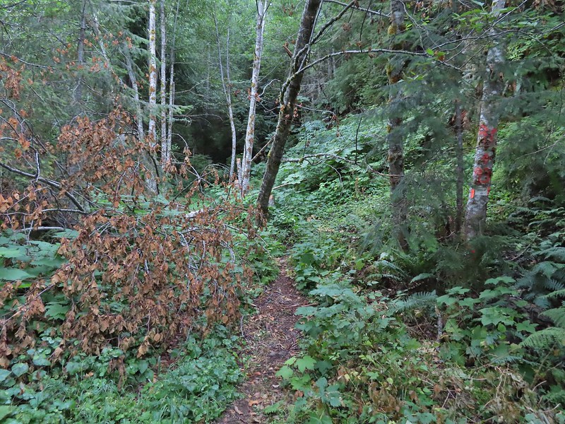
 The start of the “trail” at the end of the road.
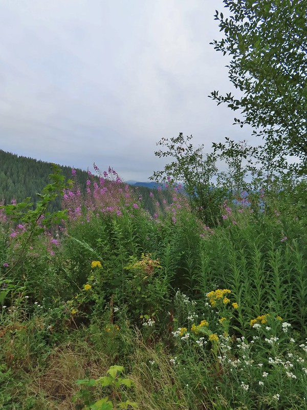 Wildflowers at the trailhead.
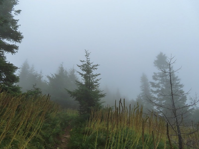
It was a cloudy morning but the last forecast I had seen was for partly sunny skies so we were hoping the clouds might burn off, although some precipitation wouldn’t be the worst thing given the current drought conditions in the West. After briefly following an old road bed the trail launched steeply uphill through thick vegetation.


It’s hard to capture steepness in pictures but it was steep. Luckily this wasn’t the case for long and we soon found ourselves on a more level trail.

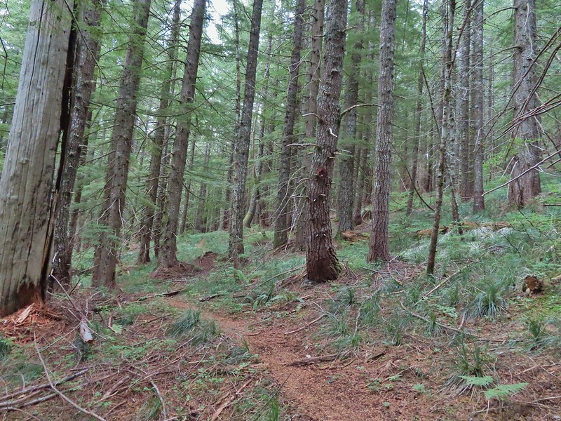
For an unofficial trail it was in good shape and easy to follow. We did run into a hunter later in the day who said he had been one of the people that originally cleared some of the trail years ago. He wasn’t sure the history of the trail, he thought possibly loggers, but the tread had been there. He also said that it had become a much clearer and well wore trail ever since it showed up on “some yuppie hiker website”. While the tread was good and there were pointers and flagging present there was also a lot of recent flagging done for the timber sales along the first mile or so of the hike.
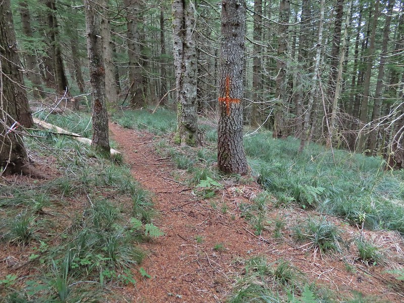
 Orange dot on a tree.

 Another orange dot.
 Occasionally there were short steep climbs but nothing as steep as the first part.
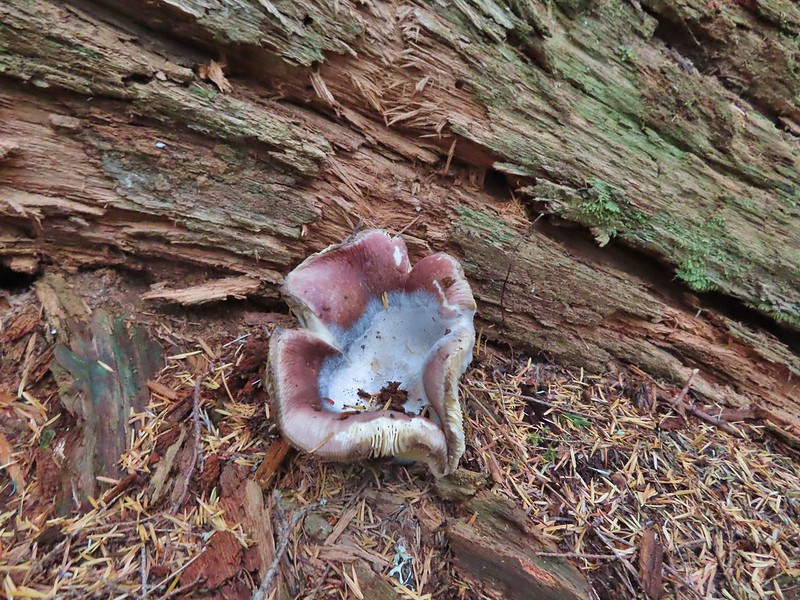 Mushroom
 Pink flagging on the right related to the timber sale.
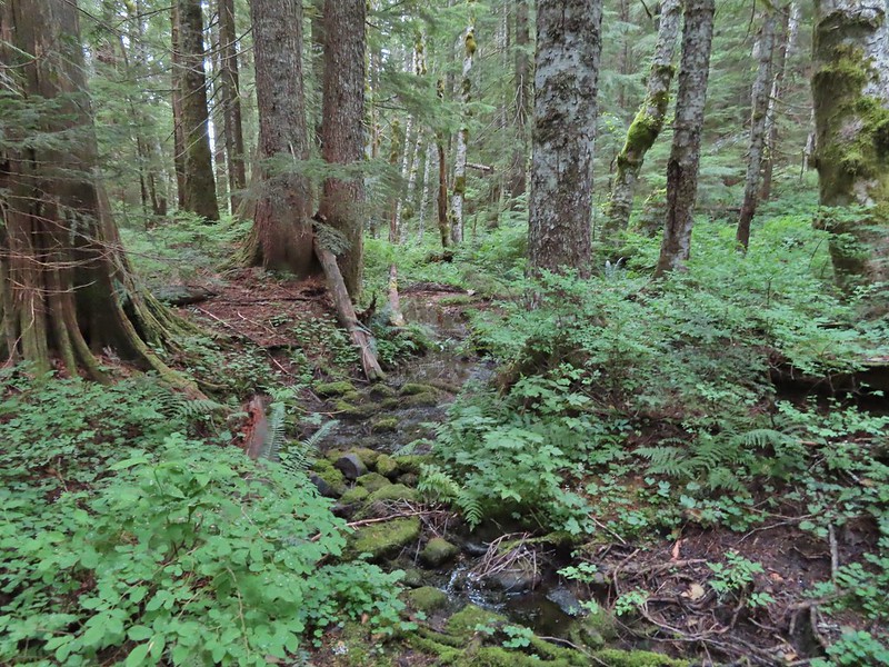 Water in a creek bed.
 Mushroom amid bunchberry leaves.
 Red huckleberries
 Timber sale boundary sign on the right with a flag.
 More huckleberries.
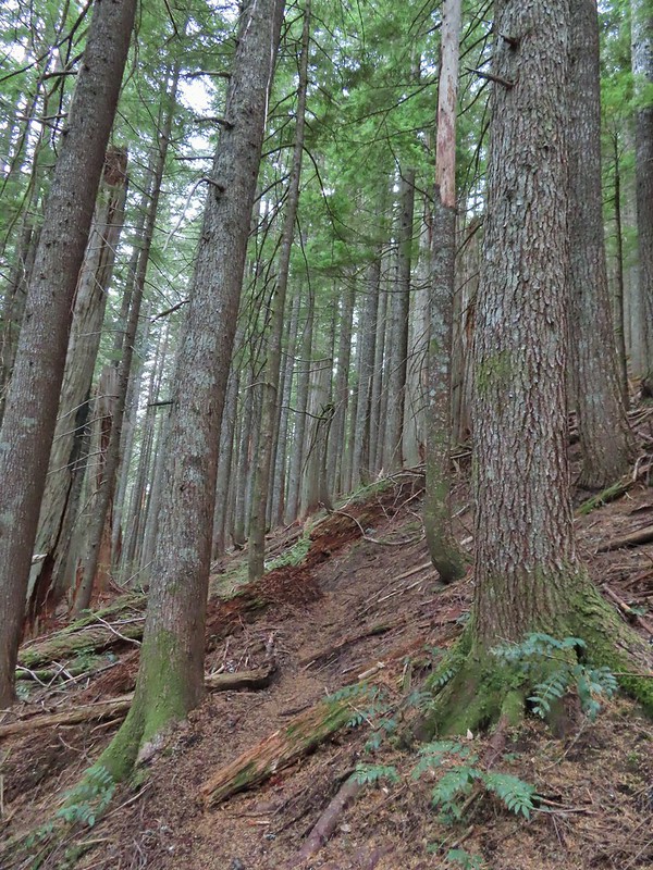
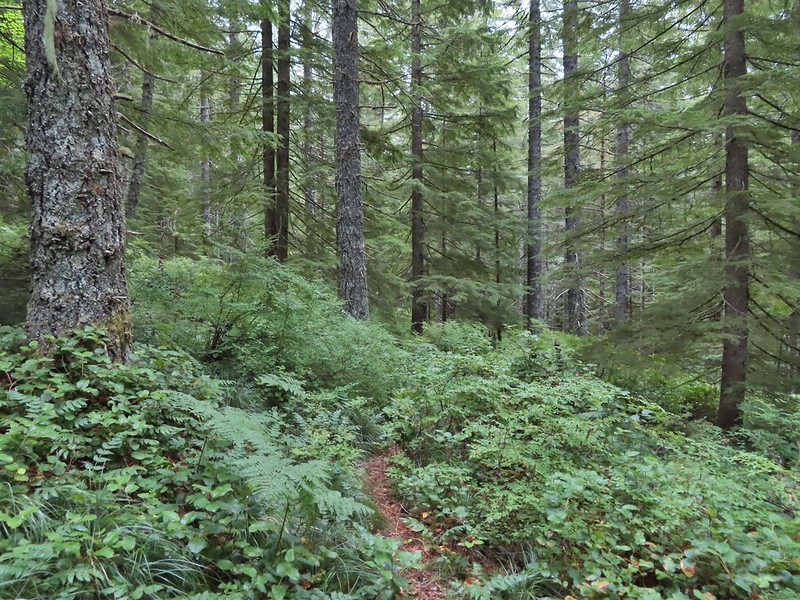
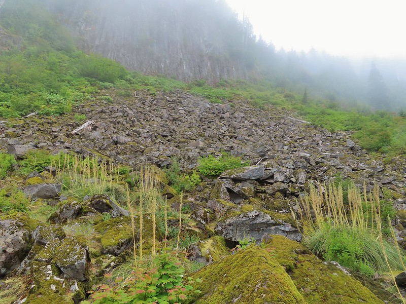
After leaving the timber sale the trail continued through a nice forest until reaching basalt cliffs below Sugarloaf Mountain near the 2.5 mile mark.


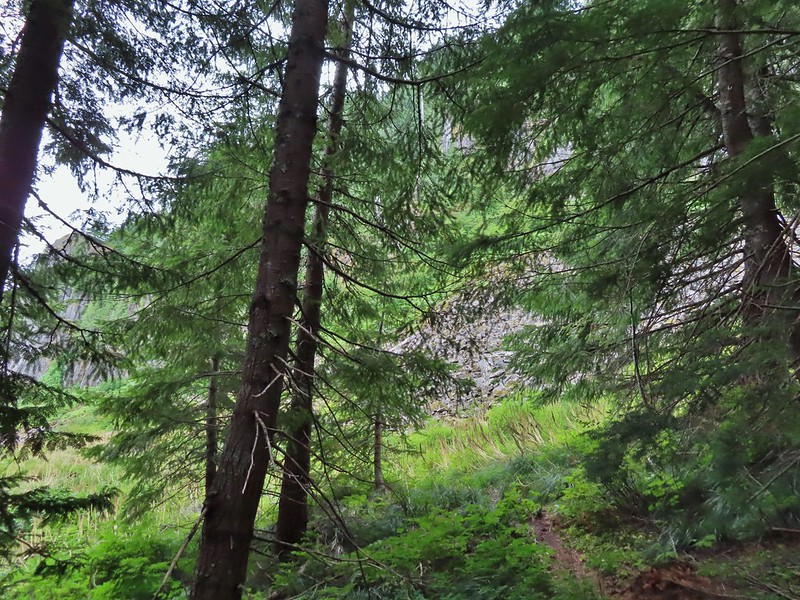
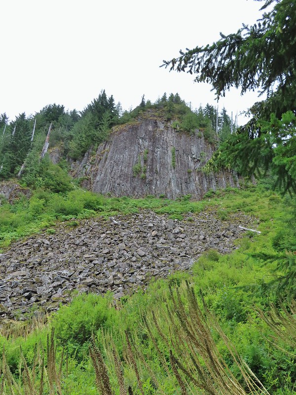

The cliffs reminded us a lot of Table Rock (post) near Mollalla just not quite as tall. We thought we heard a pika or two “meep” from the rocks but weren’t able to spot any. There were however a good number of flowers blooming along the route below the cliffs.
 Bluebell of Scotland
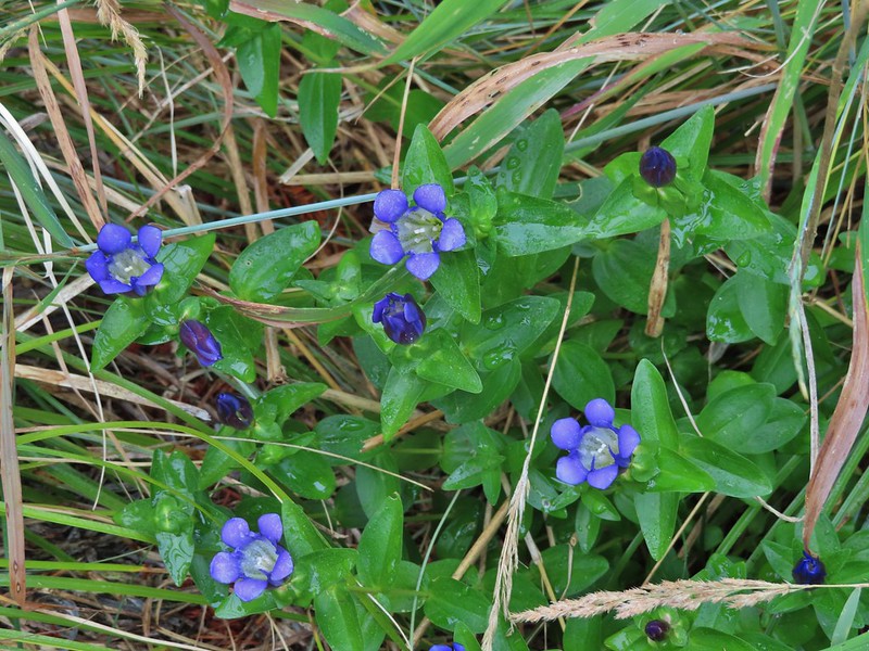 Gentian
 Pearly everlasting
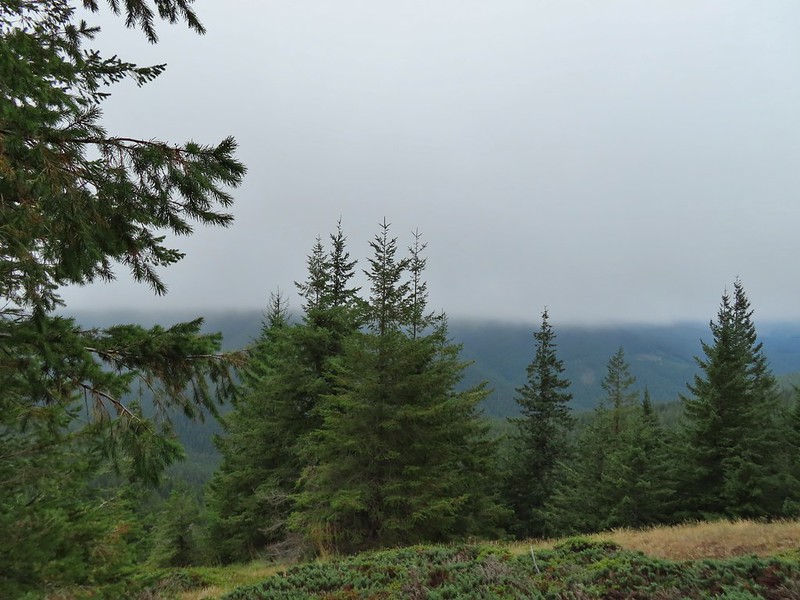
 The view north, not much to see.
 Mount Mitchell from the path.
 Paintbrush
 Gentian
 Penstemon
 aster
aster
 Oregon sunshine
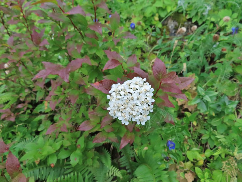 Yarrow
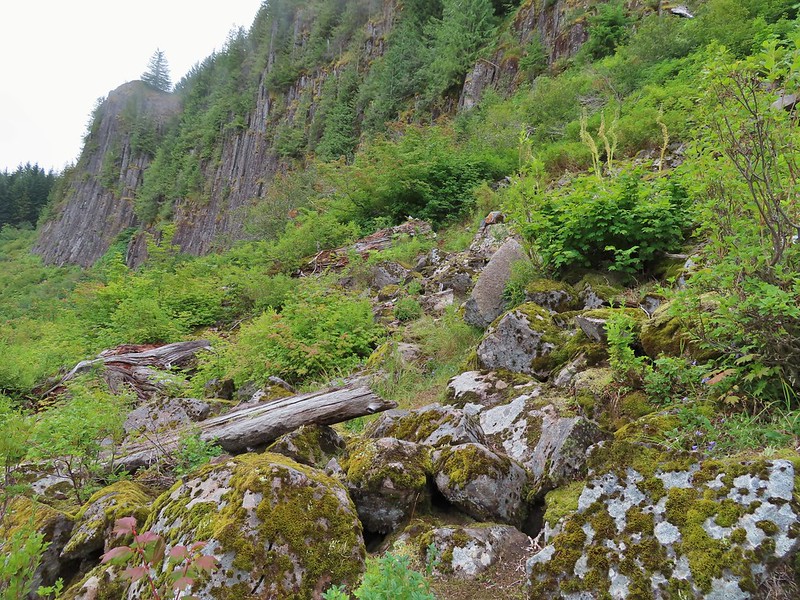
 The trail nearing the end of the basalt cliffs.
The trail reentered the forest beyond the cliffs and a short distance later arrived a junction with the Sugarloaf Trail.

We turned right on the Sugarloaf Trail and followed it 200 yards to a viewpoint where we met the hunter who gave us the back history on the area.
 The view south across North Siouxon Creek was the same as it had been to the north.
It’s possible to follow a faint trail from the viewpoint to the top of Sugarloaf Mountain but with no views to be gained by doing so we returned to the junction and continued east on the Sugarloaf Trail toward Mount Mitchell.


 It was apparently a good beargrass year along the trail.

A half mile from the junction we arrived at the Mount Mitchell Trail as it made a turn uphill.

We followed the left hand fork uphill through more beargrass stalks.

 Fireweed amid the beargrass.
We reached the rocky summit after 0.4 miles only to find ourselves in the middle of passing clouds.


 Mt. St. Helens is out there somewhere.
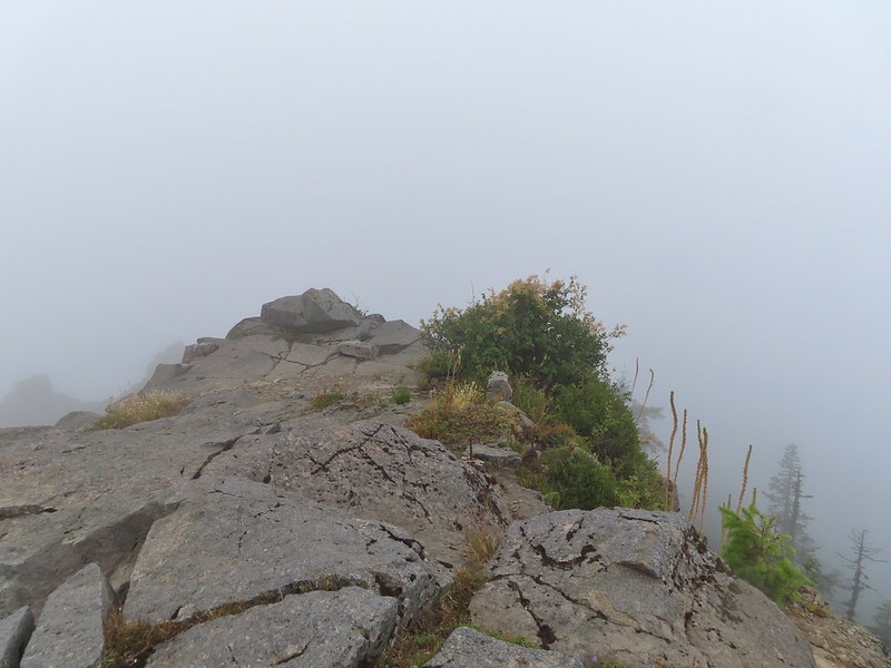 Looking east over the site of the former lookout.
 The survey marker and one of several neat rock formation near the summit.
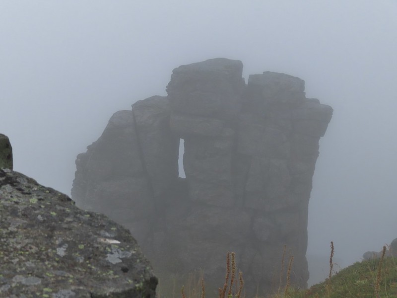 Closer look at the formation.
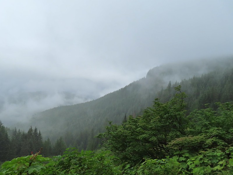
It was an interesting summit even without the views but it was also a little chilly due to the dampness of the passing clouds and our own sweat from the hike up so we didn’t stay too long before heading back down. We had wondered if this was going to be one of those hikes where the skies didn’t clear up until we were on our way back down but that wasn’t the case today. By the time we were passing the basalt cliffs it was sprinkling off and on and the visibility was even less than it had been earlier when we passed through.

This time we for sure were hearing the meeps of pikas so we took our time passing through and stopped below the largest rock field and watched.

Heather was the first to spot one darting toward some brush at the edge of the rocks. After a little more surveying I spotted a flash of movement in the middle of the rocks. After seeing another bit of movement I took a picture of the area and even though I couldn’t pick it out then I got a pika in the picture.
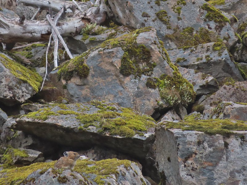
 A second picture after seeing it move again.
The pika disappeared for a moment behind a larger rock but we waited it out knowing from experience that it would probably reemerge to keep an eye on us.
 The pika popped back out below the larger rock that it had run behind.

This was our first pika this year as we haven’t spent much time in areas where they are present in 2021 and they are not easy to spot.
 A non zoomed in photo, the pika is still in the same spot as in the two photos immediately above.
Having seen the pika more than made up for the lack of views. We completed the final 2.5 miles in on-again off-again light showers.

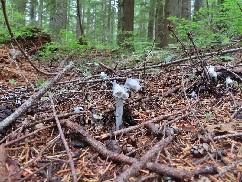 Spotting this patch of ghost pipe emerging from the forest floor was another highlight on the return hike. The hike is reportedly 7.3 miles with a little over 2000′ of elevation gain but Heather’s GPS put us at 7.8 miles and mine registered 8.3 miles. (If you’ve read other posts you know that Heather’s unit used to almost always show the higher mileage but lately mine has been.) Whatever the actual mileage it was a good hike through a very nice forest which sadly, barring a last minute successful change, may not be possible in the future.

Typically I’d say Happy Trails here but the thought of losing another to logging, fire or abandonment somehow makes it seem inappropriate.
Flickr: Mount Mitchell

3 replies on “Mount Mitchell via Sugarloaf Ridge- 08/07/2021”
I saw a report on OregonHikers that DNR felled some trees on that spur road to the trailhead in order to block access. I’m guessing you visited before they did that?
I saw that report too but someone had cut them. We were ready to have to walk that 1.9 miles of road if needed.
[…] this trailhead is actually the Mitchell Peak Trail which leads to the summit of Mount Mitchell (post) but that destination is over 9 miles away with the upper portion of the trail being unmaintained. […]