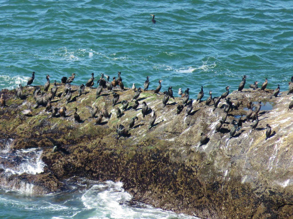
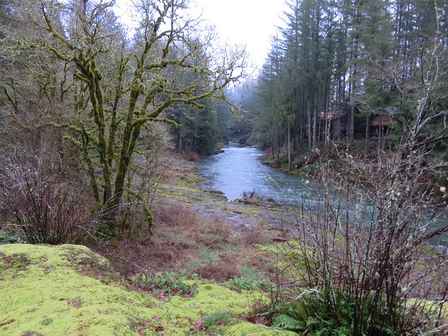
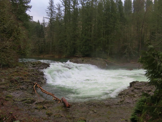
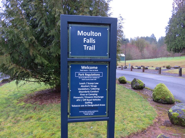
The late snow melt in in SW Washington had prompted us to push a planned hike to Silver Star Mountain at the end of June to next year but when we found ourselves in need of a substitute for another hike we took the opportunity to pull it back into this year. This would be our fourth visit to Silver Star Mountain having previously taken Ed’s Trail in 2013 (post), the Bluff Mountain Trail in 2015 (post), and the Grouse Vista Trail in 2019 (post). Those hikes had taken place on July 1st, June 27th, and June 24th respectively so this was a later visit for us, but we knew that the late snow melt had delayed the wildflower display so we still expected to get to experience that.
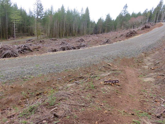
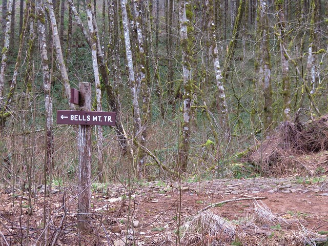
Our inspiration for this visit came from Matt Reeder’s “Off the Beaten Trail” (2nd edition) which was printed in 2019. Reeder calls the hike to Silver Star Mountain via the Starway Trail as “by far the most difficult….”. He also mentions that the last two miles of driving on FR 41 to reach the trailhead are “potholed and rocky” while the Forest Service states “Trailhead is best accessed by high clearance vehicles due to rough road conditions.” The Washington Trail Association also mentions that “…most of the roads accessing the trailhead have been severely degraded…” This last description was probably the most accurate description of what we encountered for the final 3 miles on FR 41. The road didn’t have pot holes, it had craters. Our Outback scrapped the ground twice emerging from said craters and I can’t imagine how a low clearance vehicle could make it given the current condition of the road. In fact there was a sign at the Sunset Falls Campground with slash going through a low clearance vehicle. We parked at a pullout near a gate at the FR 41/FR 4107 junction. Reeder mentions that you can drive 4107 approximately a half mile to the start of the actual Starway Trail at Copper Creek but if the gate gets closed your stuck. Looking at the gate we weren’t sure if it even still closed but we were more than done with driving at that point.

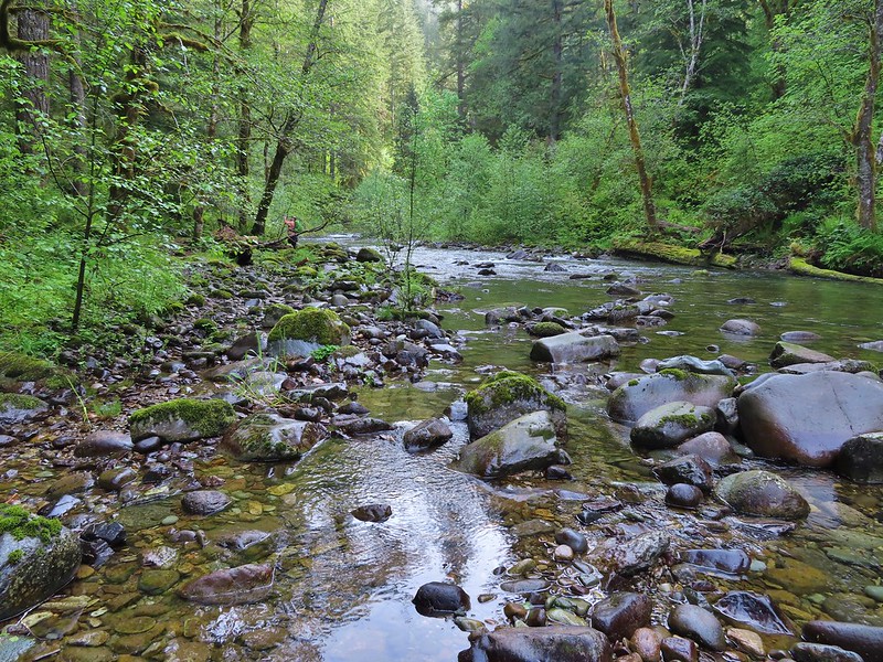
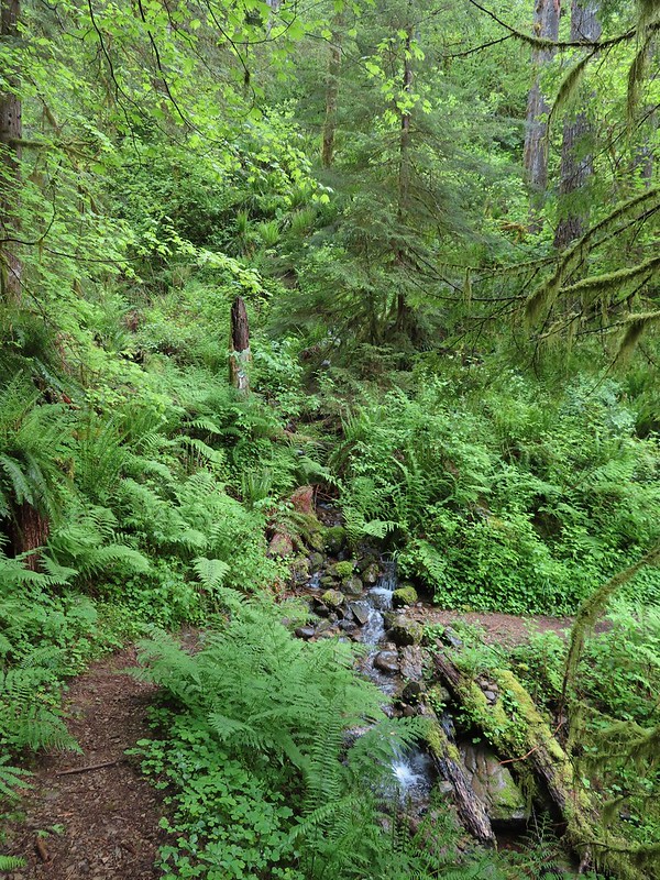
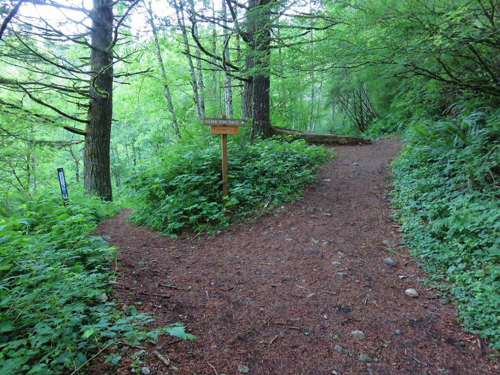
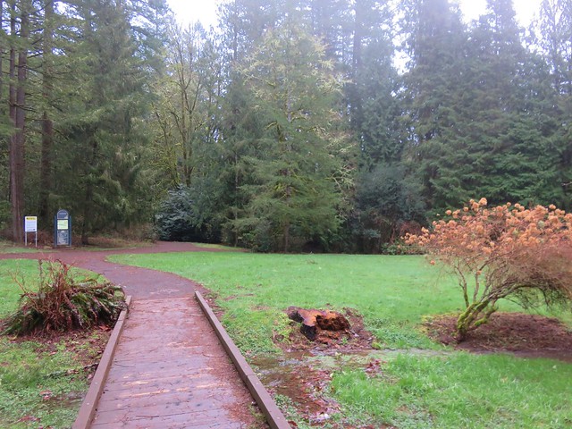
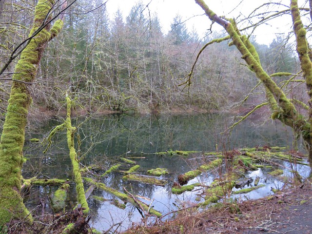
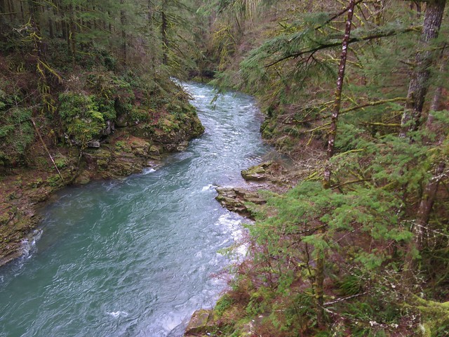
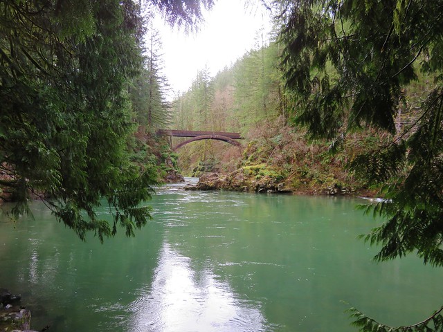
We headed down this one lane road approximately a half mile to a small parking area near a bridge over Copper Creek.


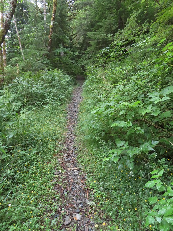
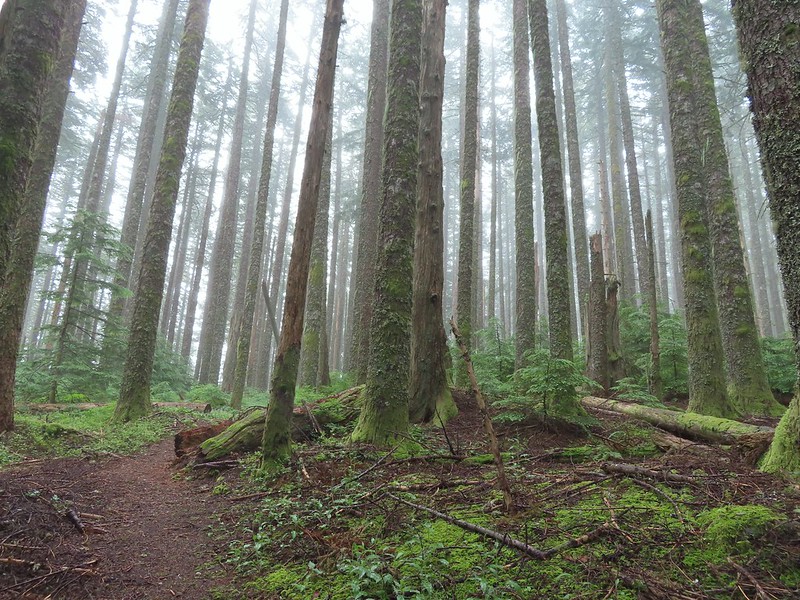
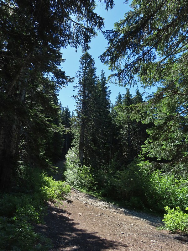
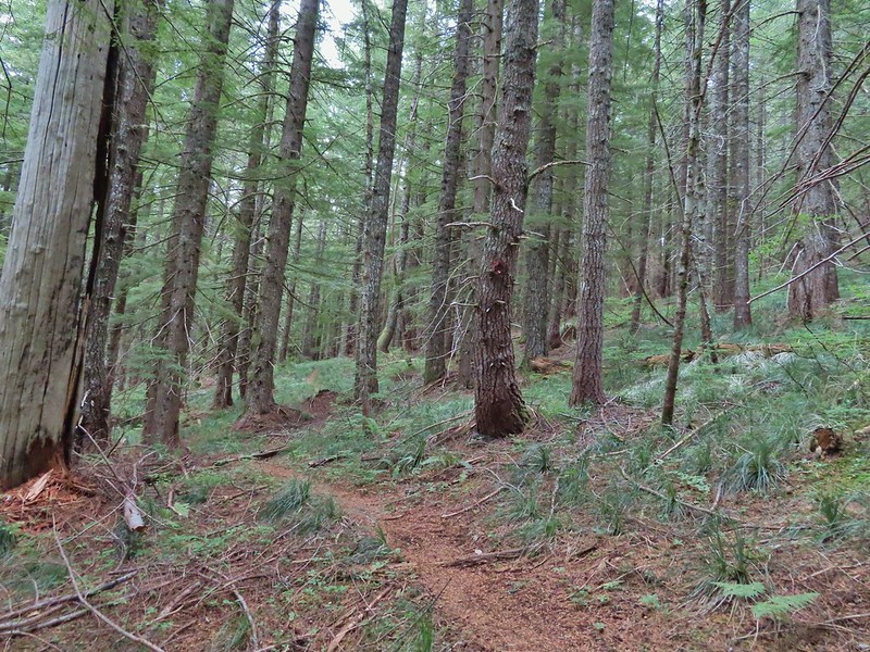
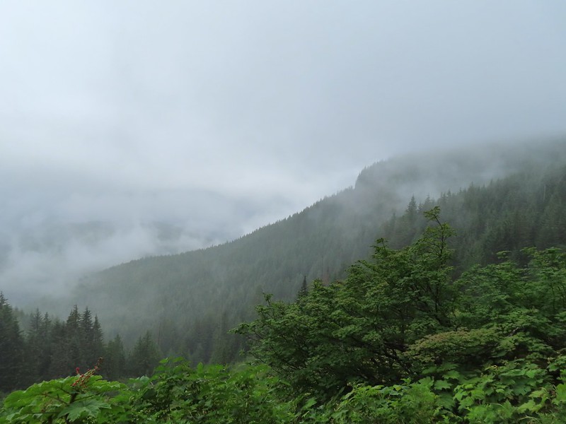
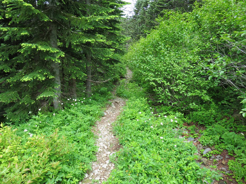
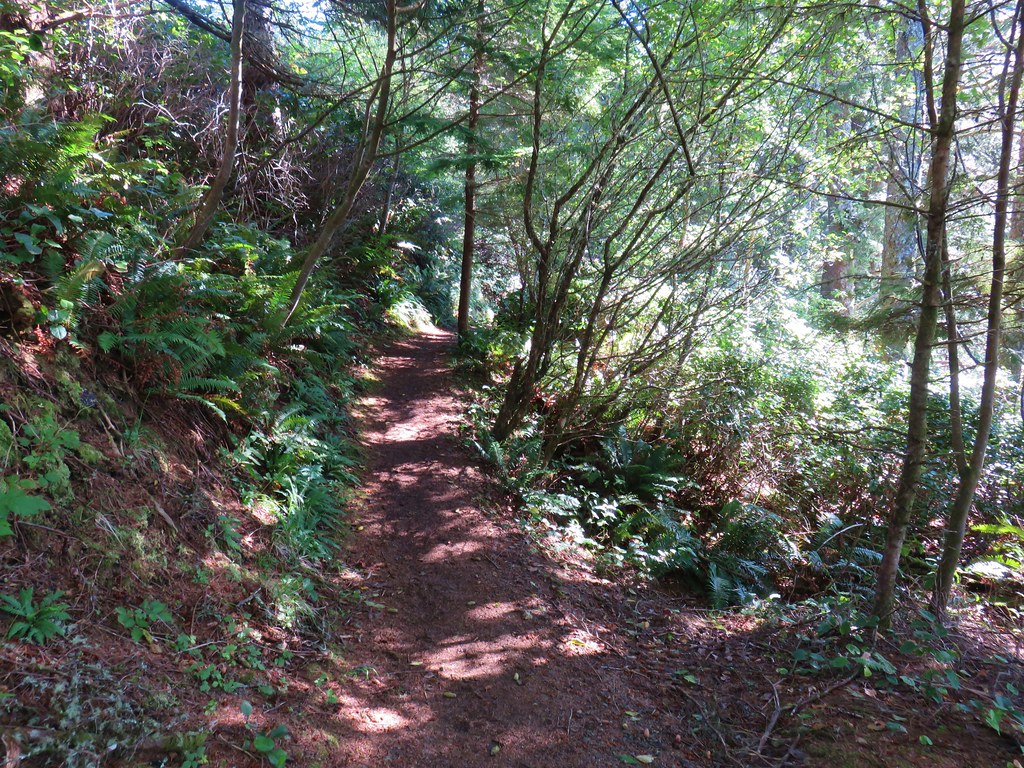
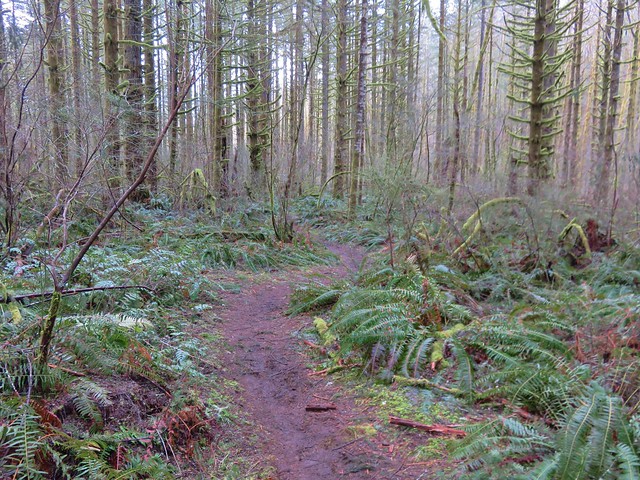
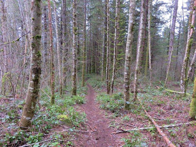
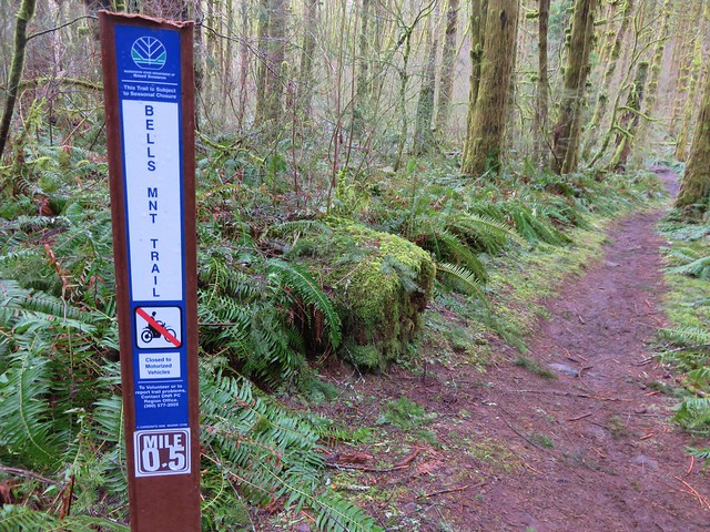
It was an overcast morning which was a welcome sight for this hike. Reeder had recommended not attempting this hike on warmer days due to the steepness of the climbs. The forecast for Silver Star was for a high in the low 60’s with partly sunny skies. We hopped that by the time we reached Silver Star we’d be greeted by those partly sunny skies, but the low 60’s temperatures were what we were really after. Beyond Copper Creek the trail followed an old road bed as it gradually climbed for a little over a quarter of a mile to a fork.
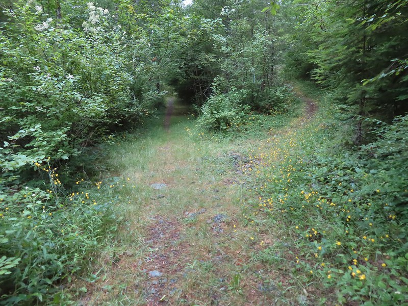
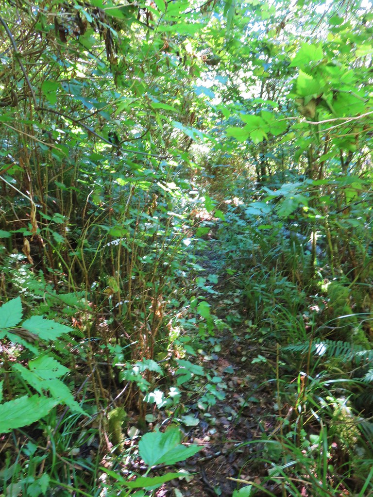
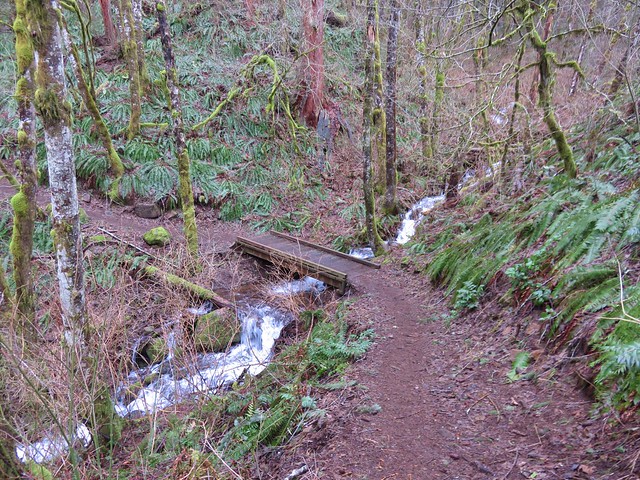
 Overgrown roadbed that is now the Starway Trail.
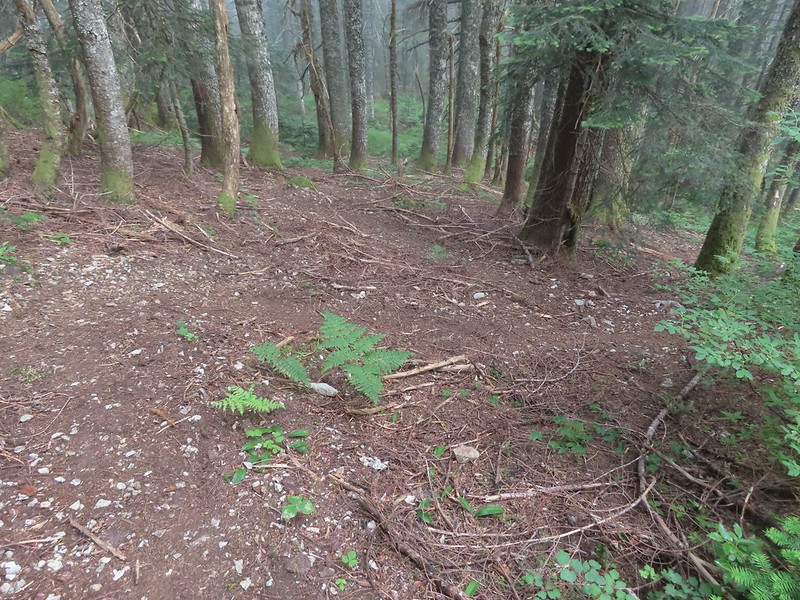
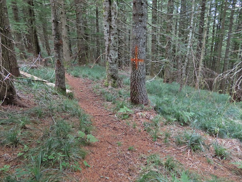
 The fork with the Starway Trail to the right.
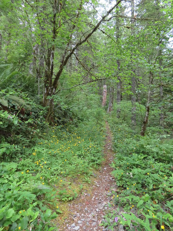
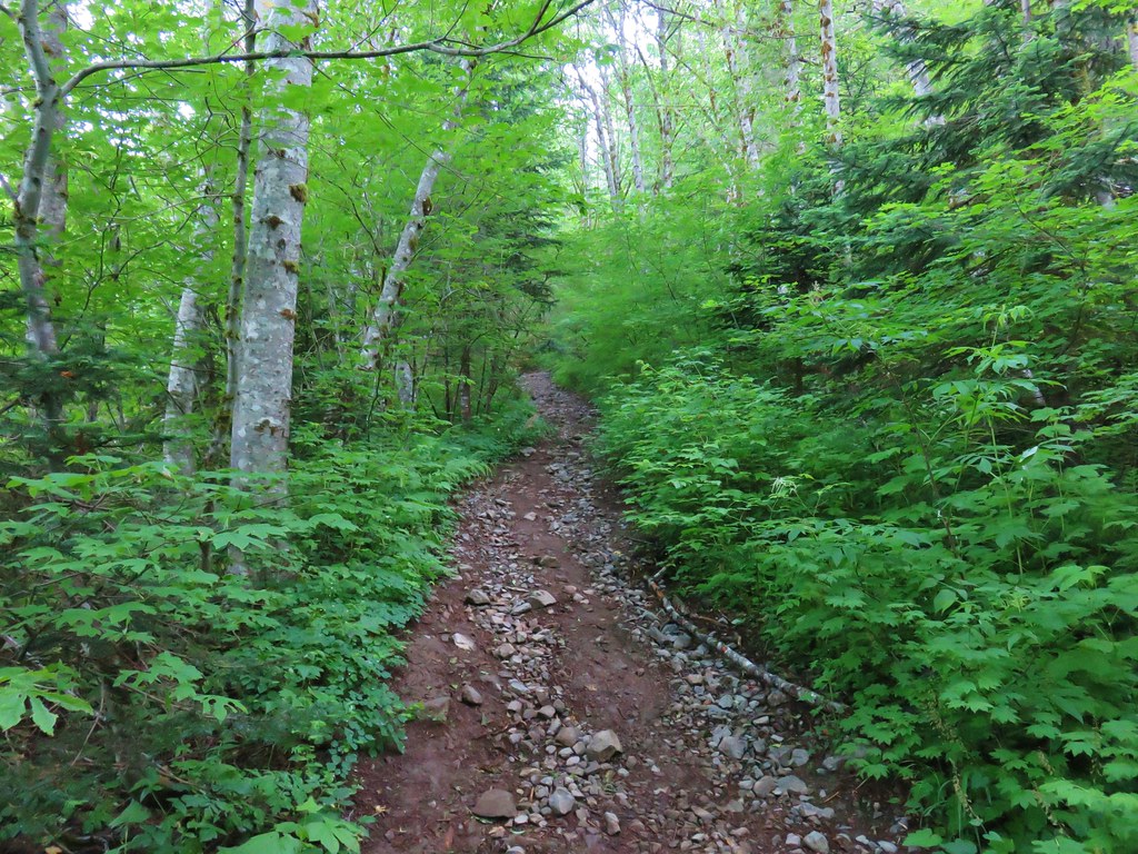
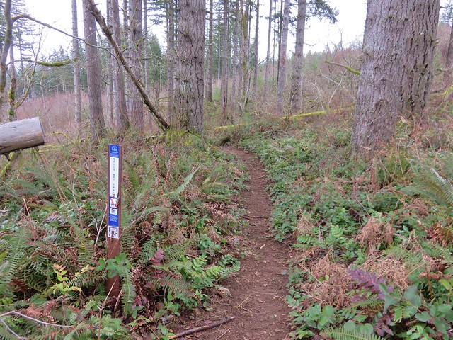
The trail began to steepen here but didn’t really pick up steam until reaching a couple of switchbacks 0.4 miles from the fork.
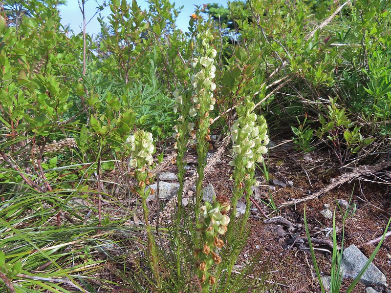
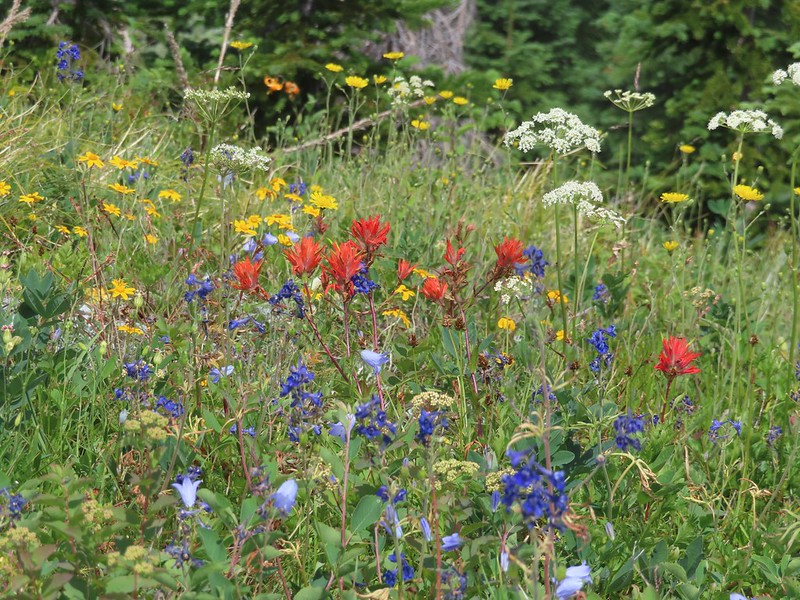
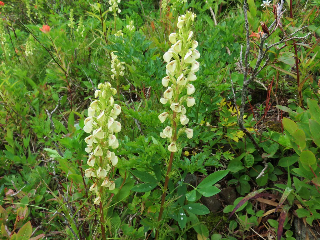
 Scouler’s bluebells
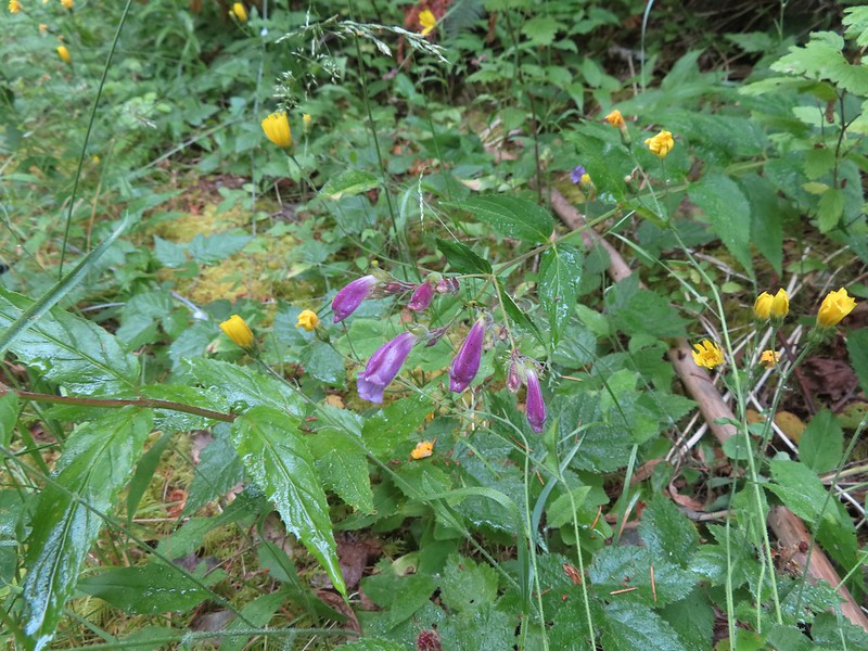 Beardstongue
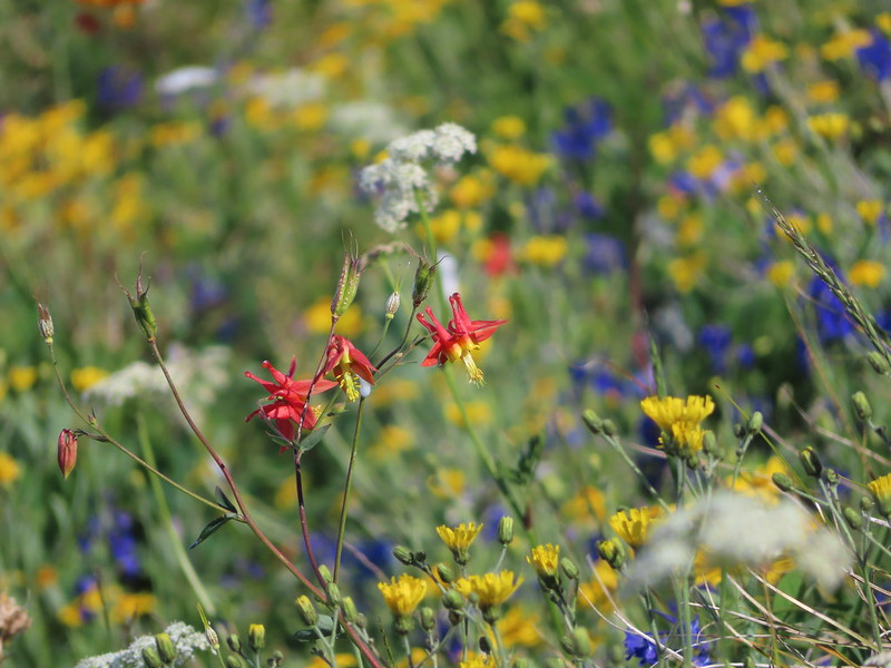
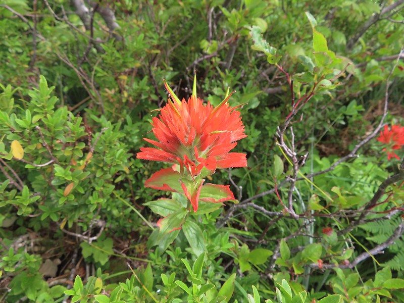
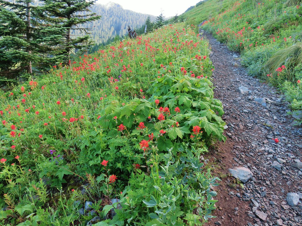
 Paintbrush
 Taken from the first switchback this gives a little reference for how steep the trail was.
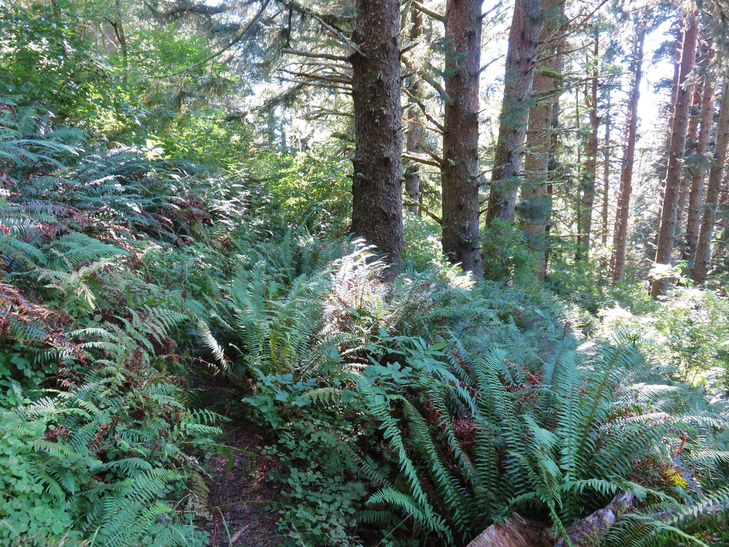
The switchbacks only lasted a tenth of a mile and then the trail shot almost directly uphill. The grade varied between steep and really steep for three quarters of a mile where it finally leveled out for a bit on a bench along the ridge we had been following.
 Pictures never do justice to just how steep trails are.
 Almost to the bench.
 Level trail!
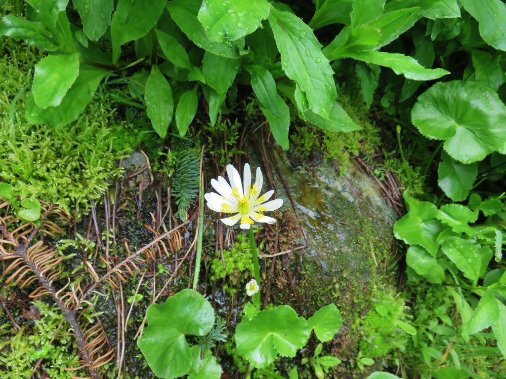
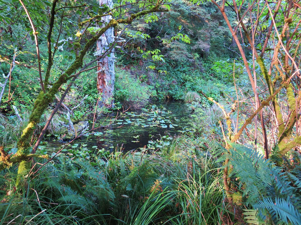
A section of trail on the bench passed through a carpet of foam flower. We’d never seen so much of that flower in one area.

 Inside out flower
For about a half mile the trail avoided any overly steep climbing and then it once again headed uphill in earnest.
 The trail starting to steepen again.
Every website I checked agreed with Reeder that the Starway Trail didn’t see a lot of use. They all mention the steepness of the trail and that the trail was faint and could be difficult to follow. After having hiked the trail we can confirm the steepness but it appears that someone or some agency has put a good deal of work into improving the trail. We had no trouble following the tread and there were a couple of places where a series of short switchbacks appear to have replaced sections that went straight uphill.
 The first set of what appeared to be fairly recently built switchbacks.
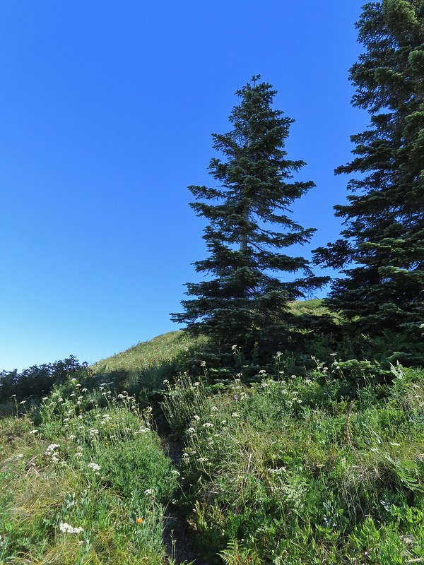
At the top of the switchbacks the trail emerged in a small meadow where it once again leveled out.
 Approaching the little meadow.
 A little bit of blue overhead through the fog.
 Tiger lily
 Paintbrush
 Wood rose
 Thimbleberry
I had gotten to this level section first and looked for a place to sit down and wait for Heather but the meadow was too wet so I found a log in the trees at the far end and had a seat.
 Into the trees to look for a log.
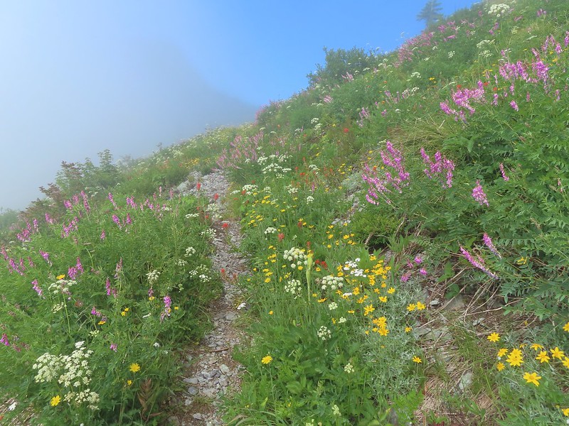
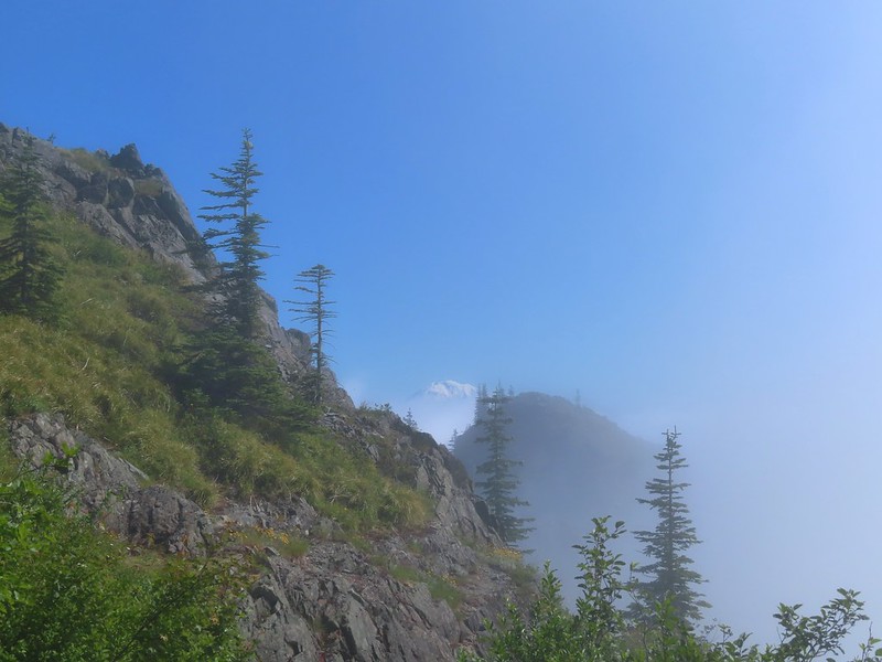
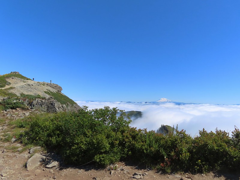
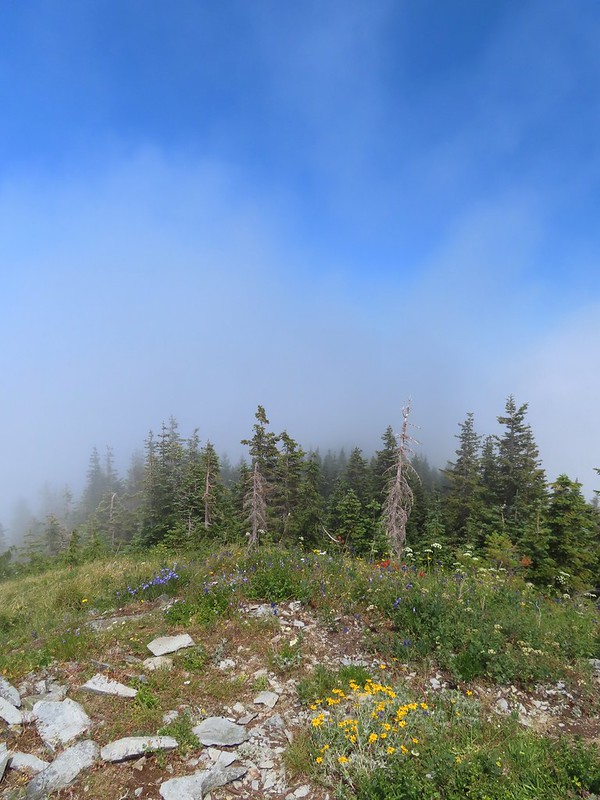
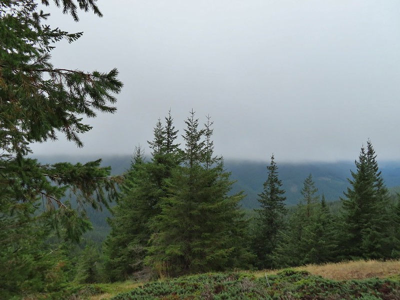
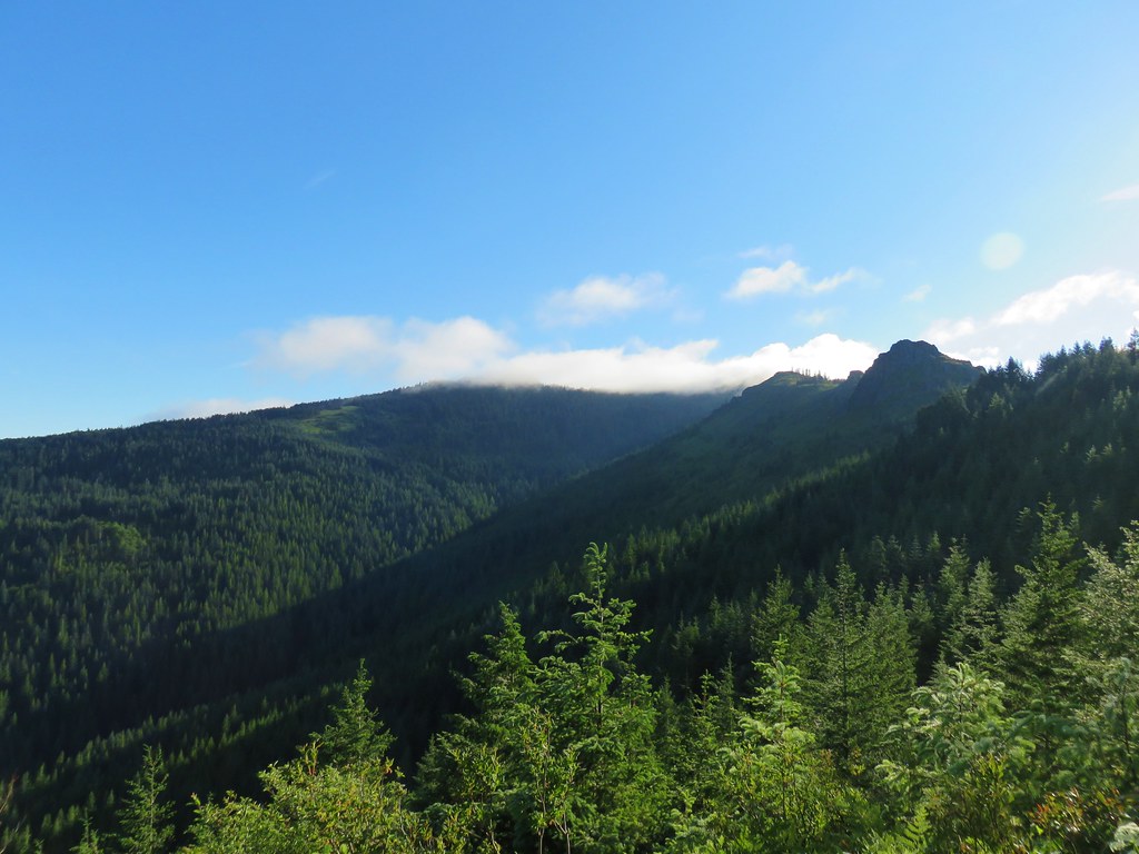
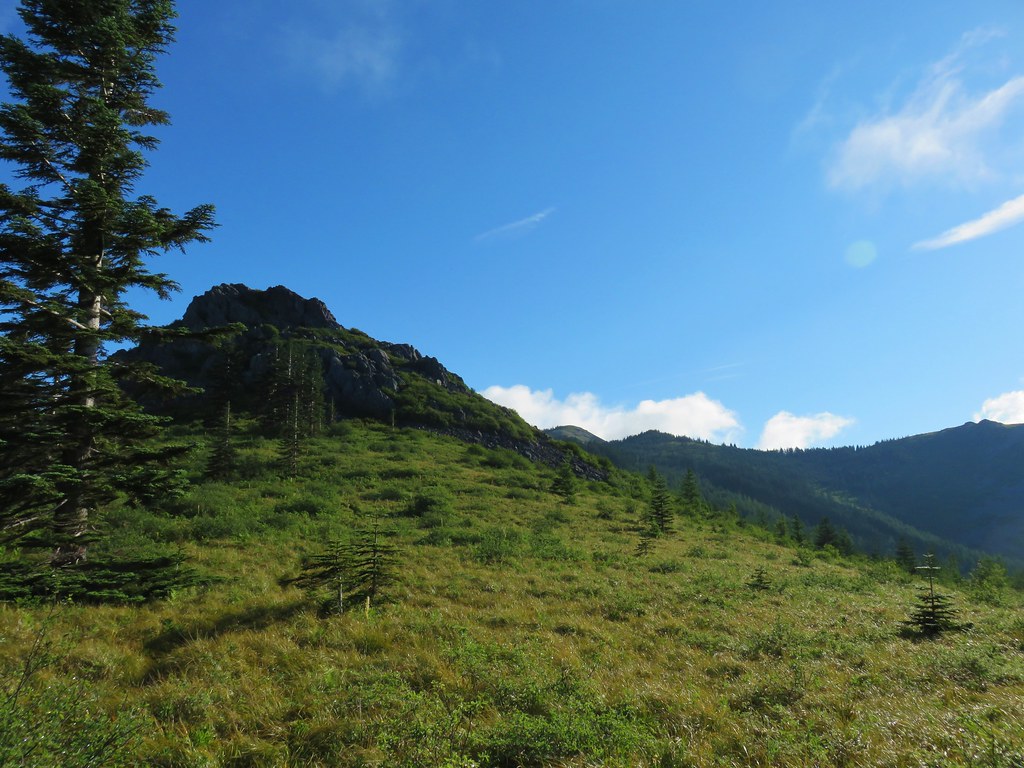
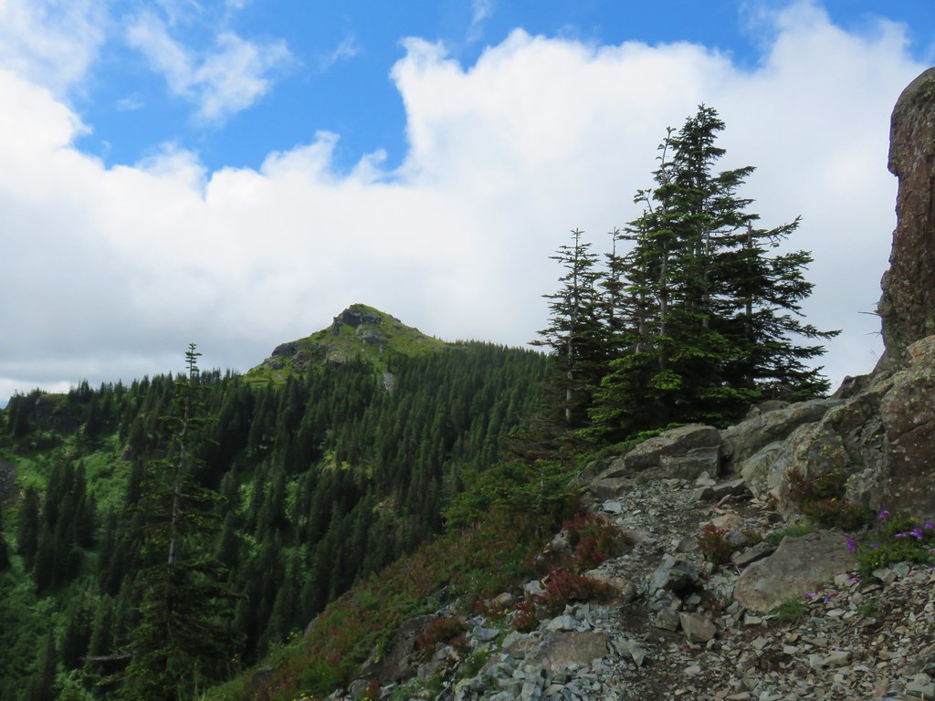
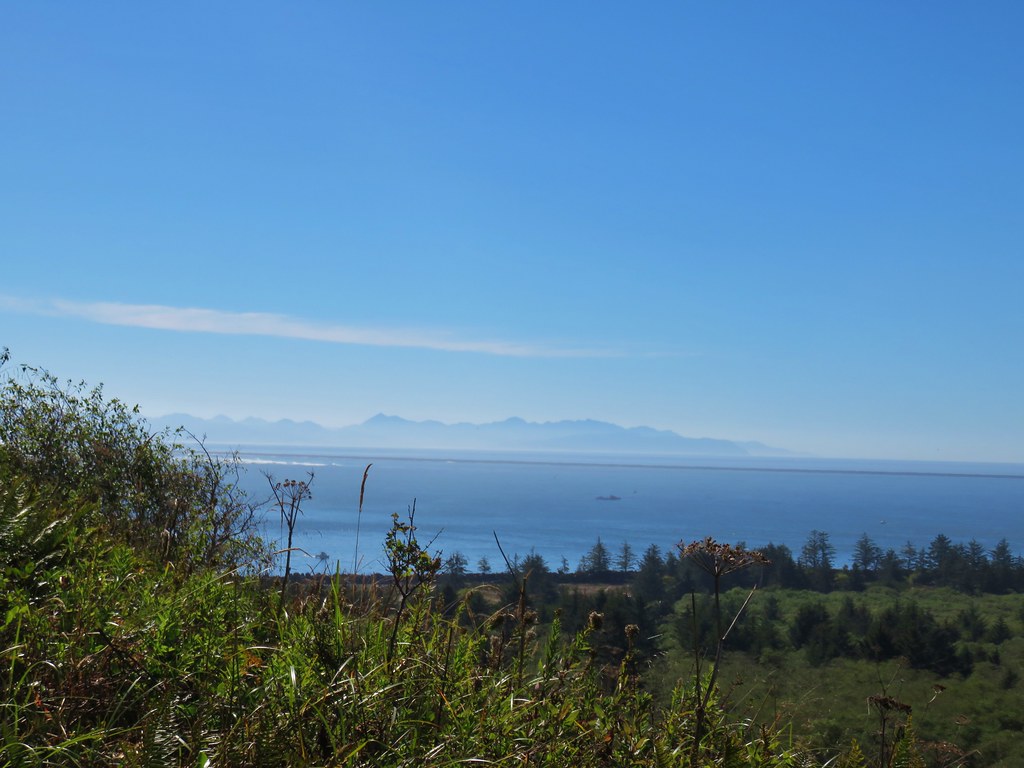
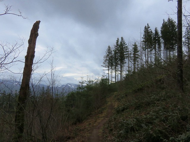
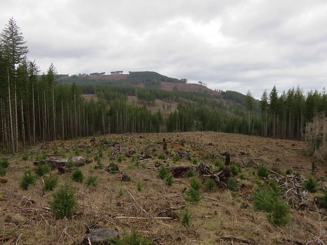
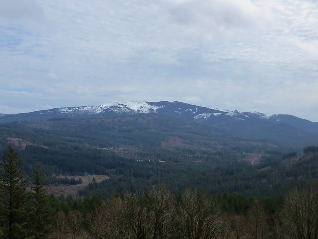
For a little over a half mile the trail climbed gradually alternating between forest and small meadows before arriving at its high point just below the wildflower covered Point 3977. Along the way we emerged from the clouds and got our first glimpses of Silver Star Mountain and Mt. St. Helens.

 Silver Star Mountain
 Bunchberry
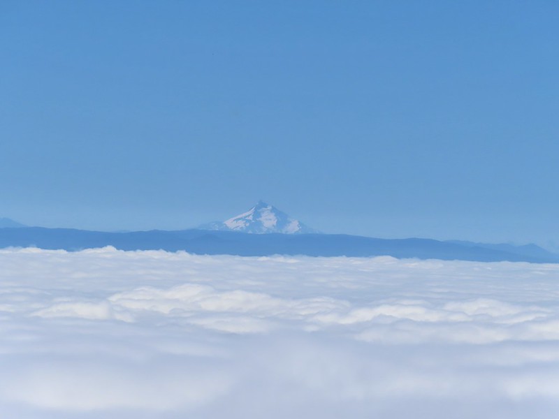
 Our first view of Mt. St. Helens
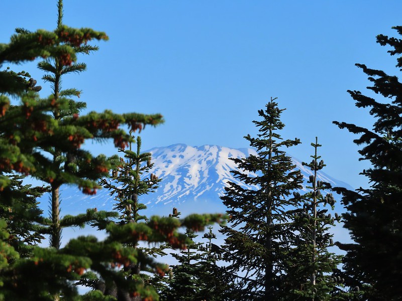 Zoomed in on Mt. St. Helens.
 Arriving below Point 3977.
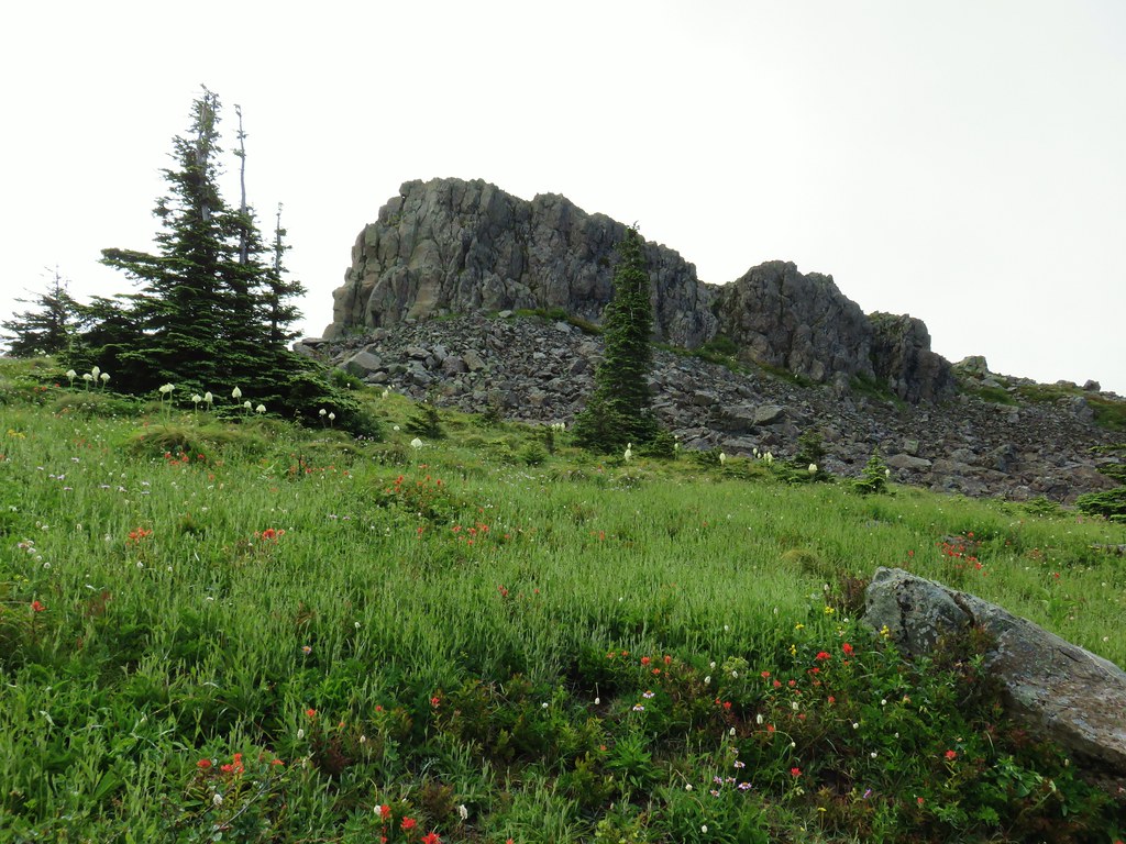
 Point 3977
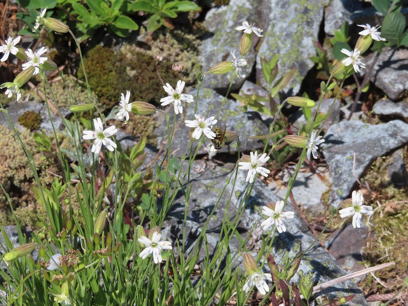 Pollinator on catchfly
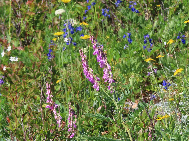 The pink vetch was very bright.
 Silver Star Mountain from the trail below Point 3977.
 Rose
Rose
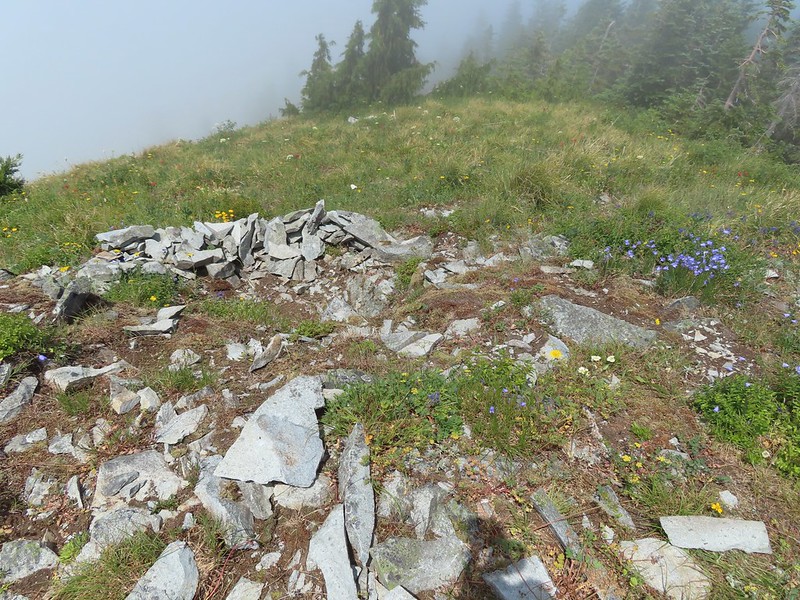
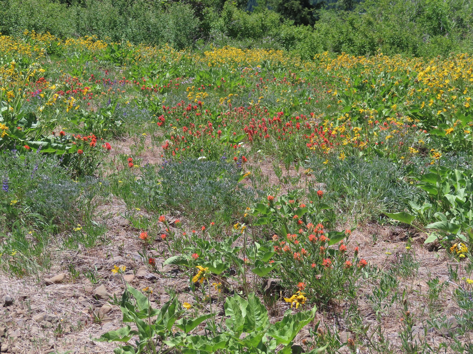
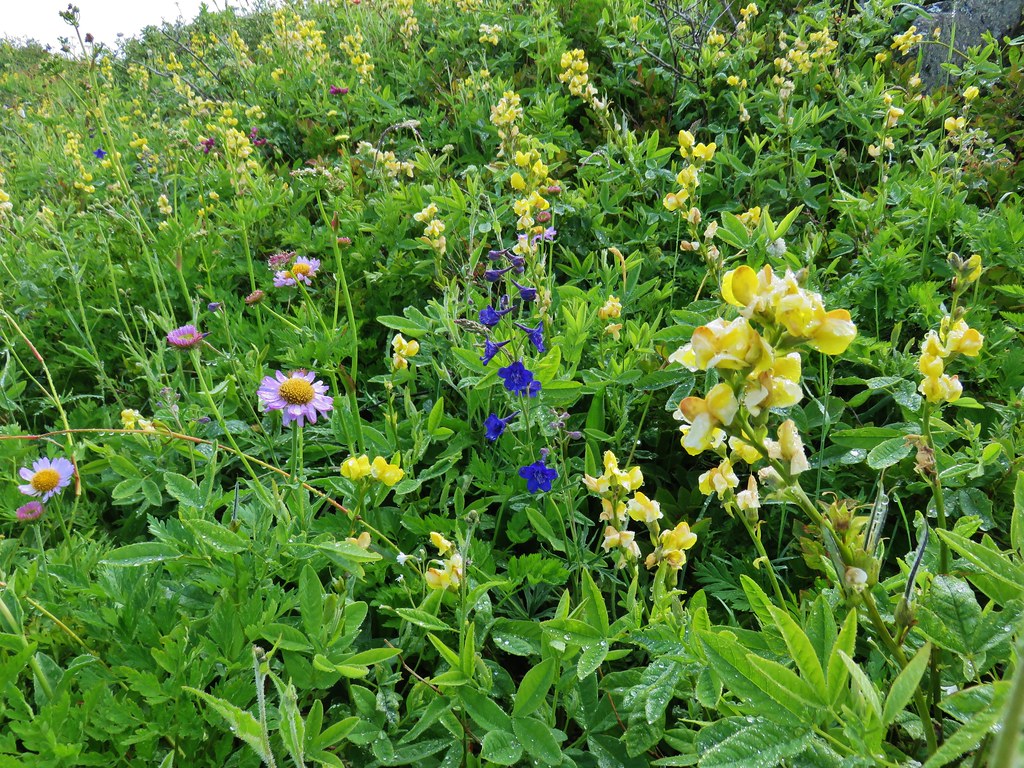
 Wildflowers on Point 3977.
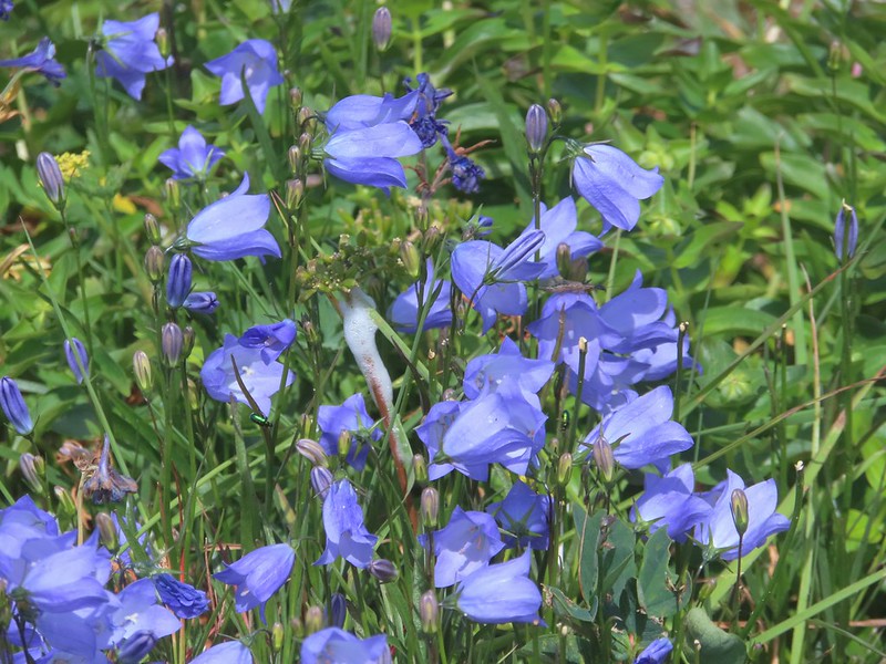
 Bluebells of Scotland
 Sub alpine mariposa lily
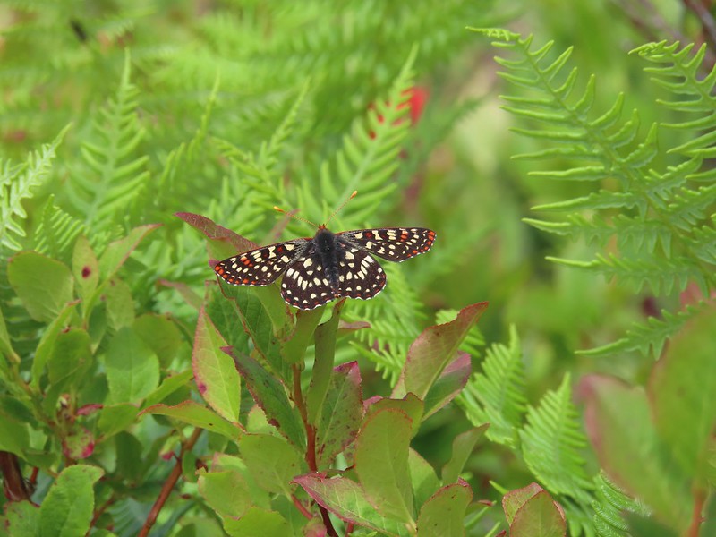
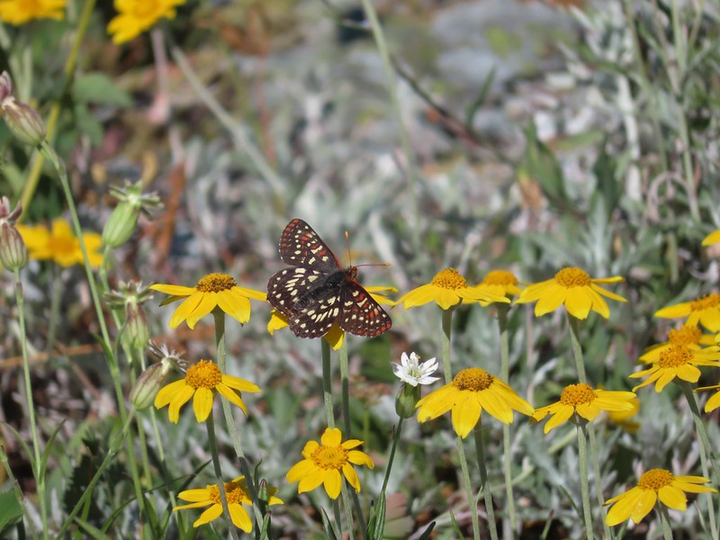 Checkerspot on Oregon sunshine
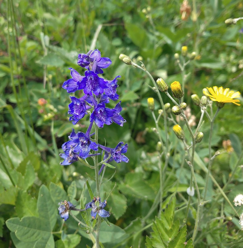
 Lots of purple larkspur amid the other flowers.
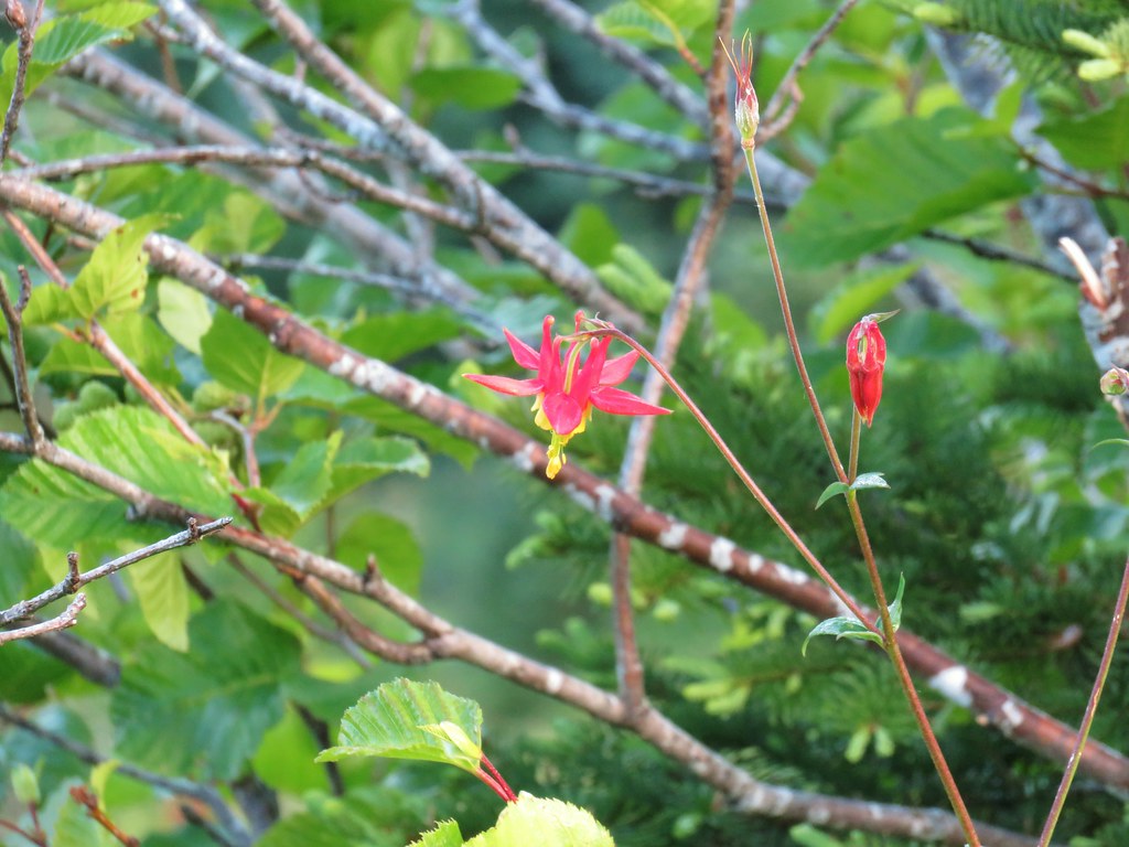
 A few columbine were hiding in the mix.
 Violet
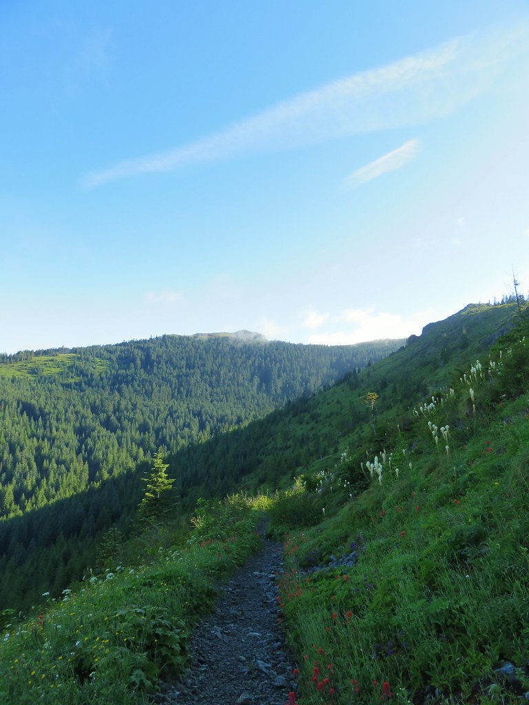
We surprised a fellow hiker as he rounded Point 3977 from the other side. He said he hadn’t expected to run into anyone on the Starway Trail. He’d started at the Ed’s Trail Trailhead and was doing a big loop using the Starway Trail and then road walking FR 41 & 4109 back to his car. He climbed up Point 3977 and we continued on planning to do that same thing on our way back. On the far side (south) of the point the Starway Trail suddenly dropped heading steeply downhill through a meadow.
 Starting down.
 Looking back up.
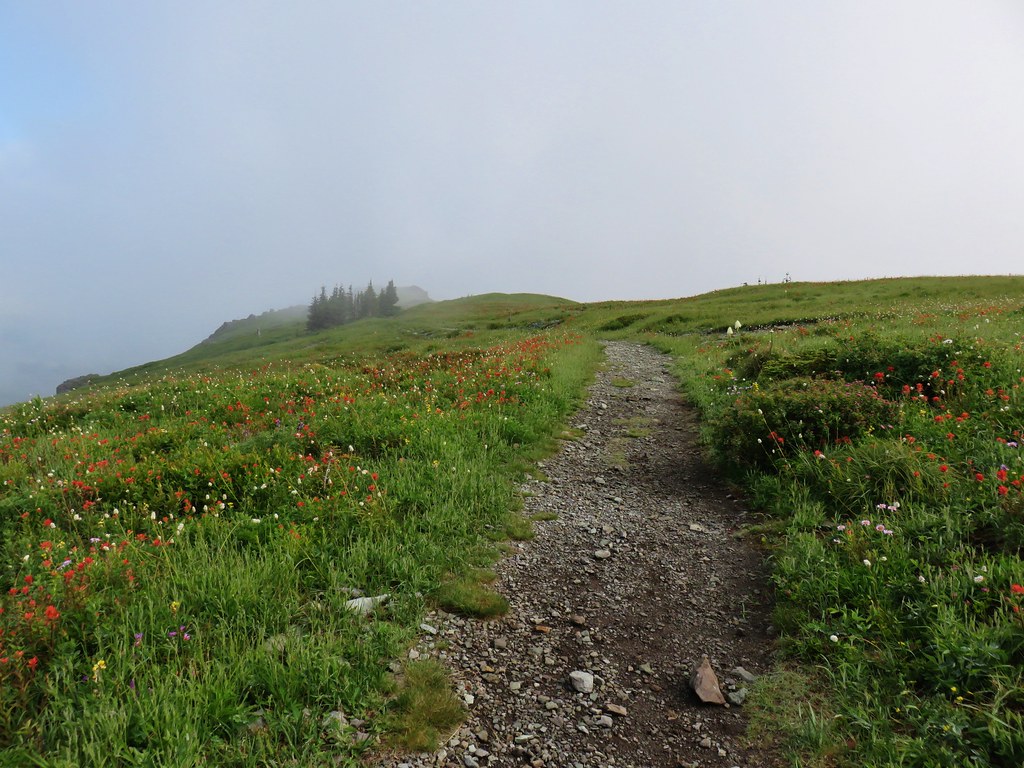
For nearly the next three quarters of a mile the trail alternated between steep descents and more gradual downhills losing a little more than 500′ in the process. Then the trail shot back uphill gaining over 300′ in the next 0.3 miles before arriving at a junction with the Bluff Mountain Trail.
 Stars on the trees marked the Starway Trail at times.
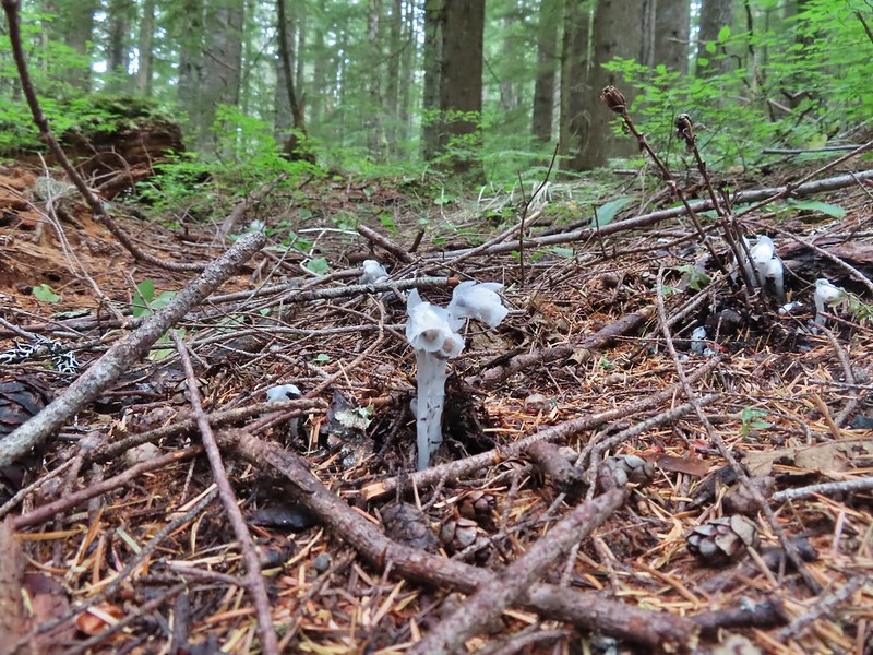
 Pinesap emerging from the ground.
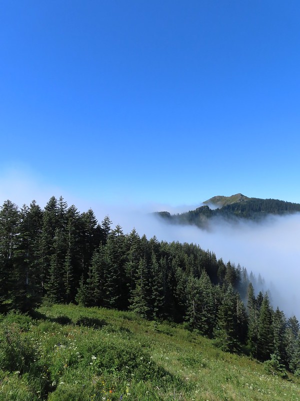
 A cairn at the end of this brief level section marked the start of another steep descent. By this time we’d lost enough elevation to be back in the clouds.
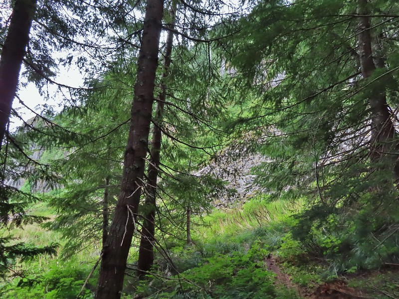
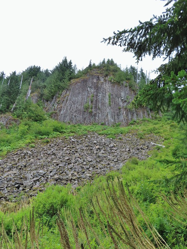
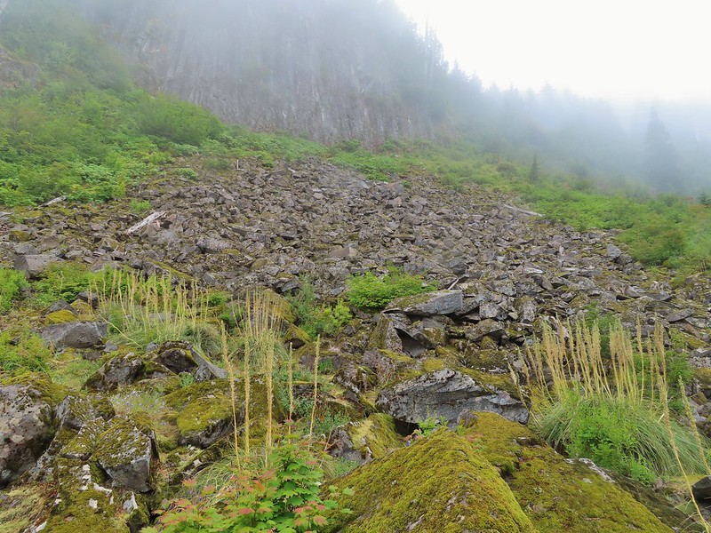
 Part of the elevation loss was to drop below some interesting rock outcrops.

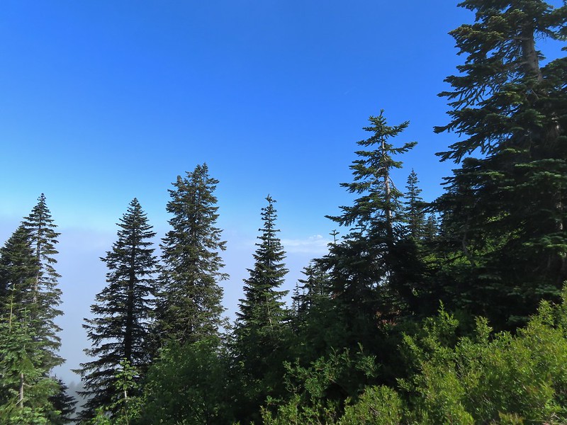
 Fully back in the fog.
 Time to climb again.
 Big root balls.
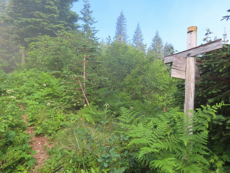
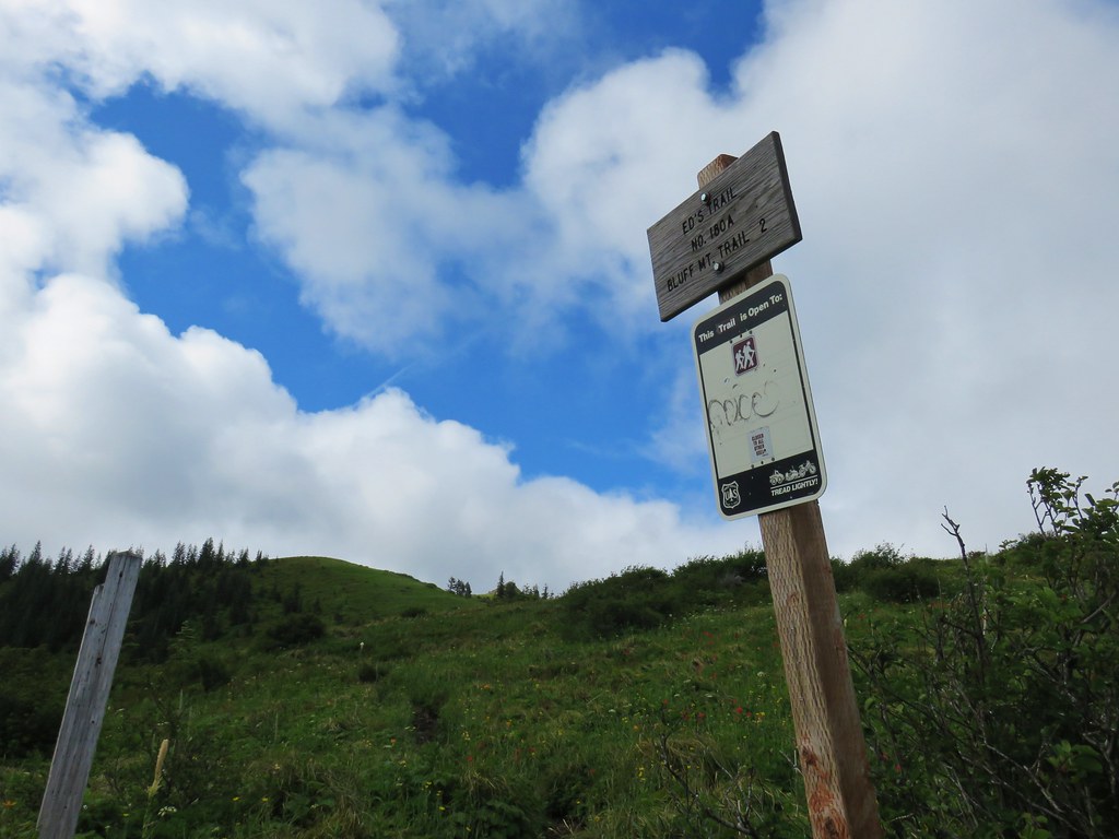
 Trail sign near the Bluff Mountain Trail junction.
 Final pitch to the Bluff Mountain Trail.
 On the Bluff Mountain Trail at the junction.
We turned right on the Bluff Mountain Trail which steadily climbed for nearly three quarters of a mile to a fork.


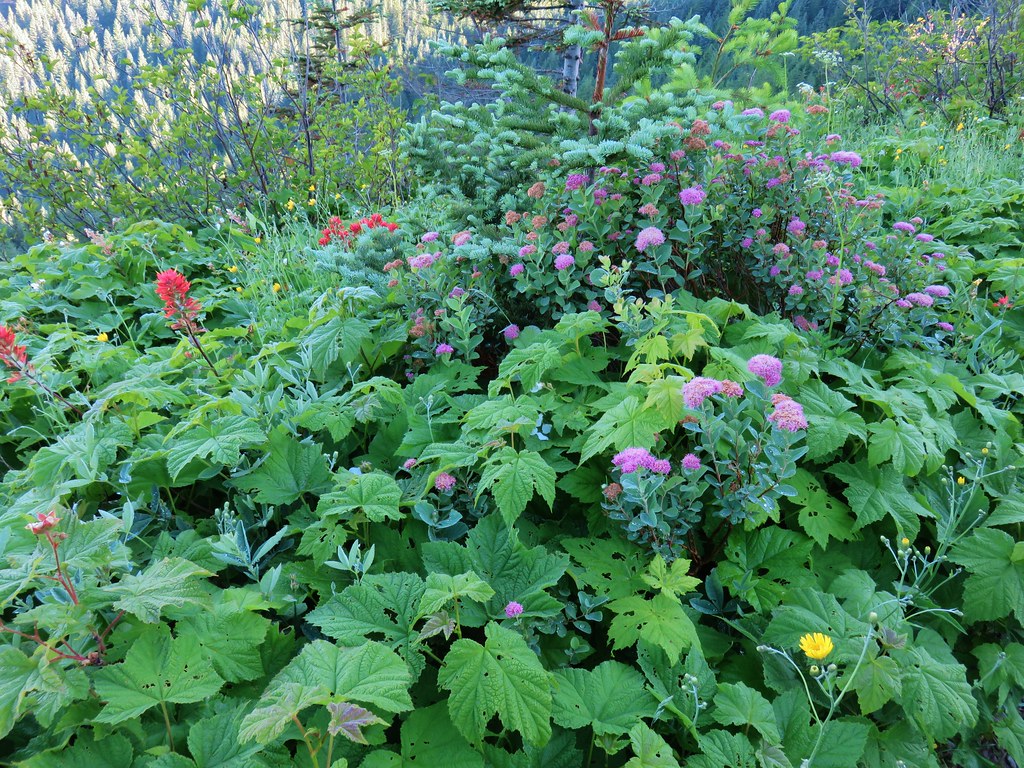
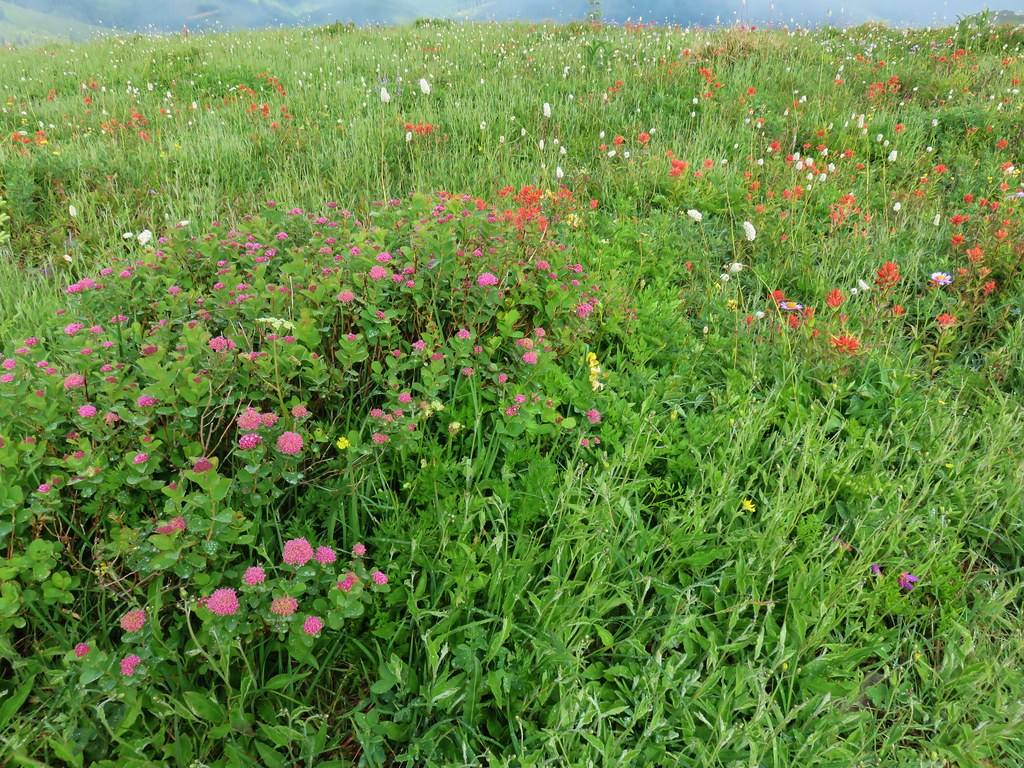
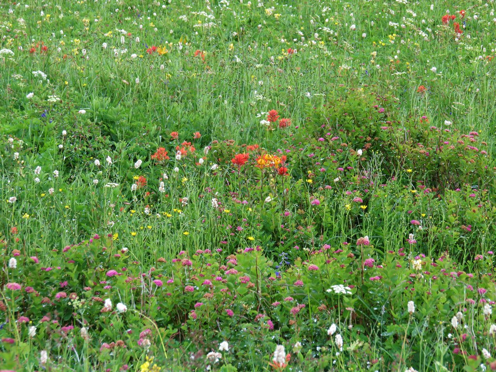
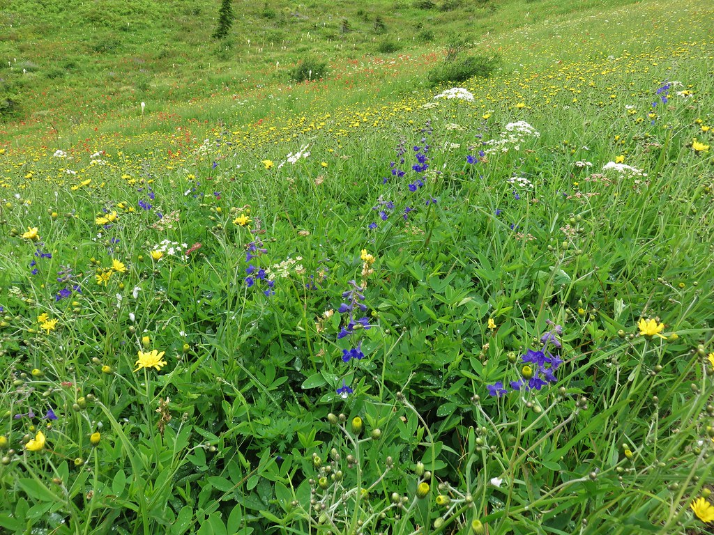
 Lots of nice wildflowers along the Bluff Mountain Trail.
 Another checkerspot
 Paintbrush
 Penstemon
 We just couldn’t quite shake the fog.
 First sighting of Mt. Rainier.
 Mt. St. Helens to the left with Mt. Rainier to the right.
 Coiled lousewort
 Lupine
 Getting closer to Silver Star.
 Crab spider on fleabane
 Spirea along the trail.
 Bistort and mountain goldenbanner
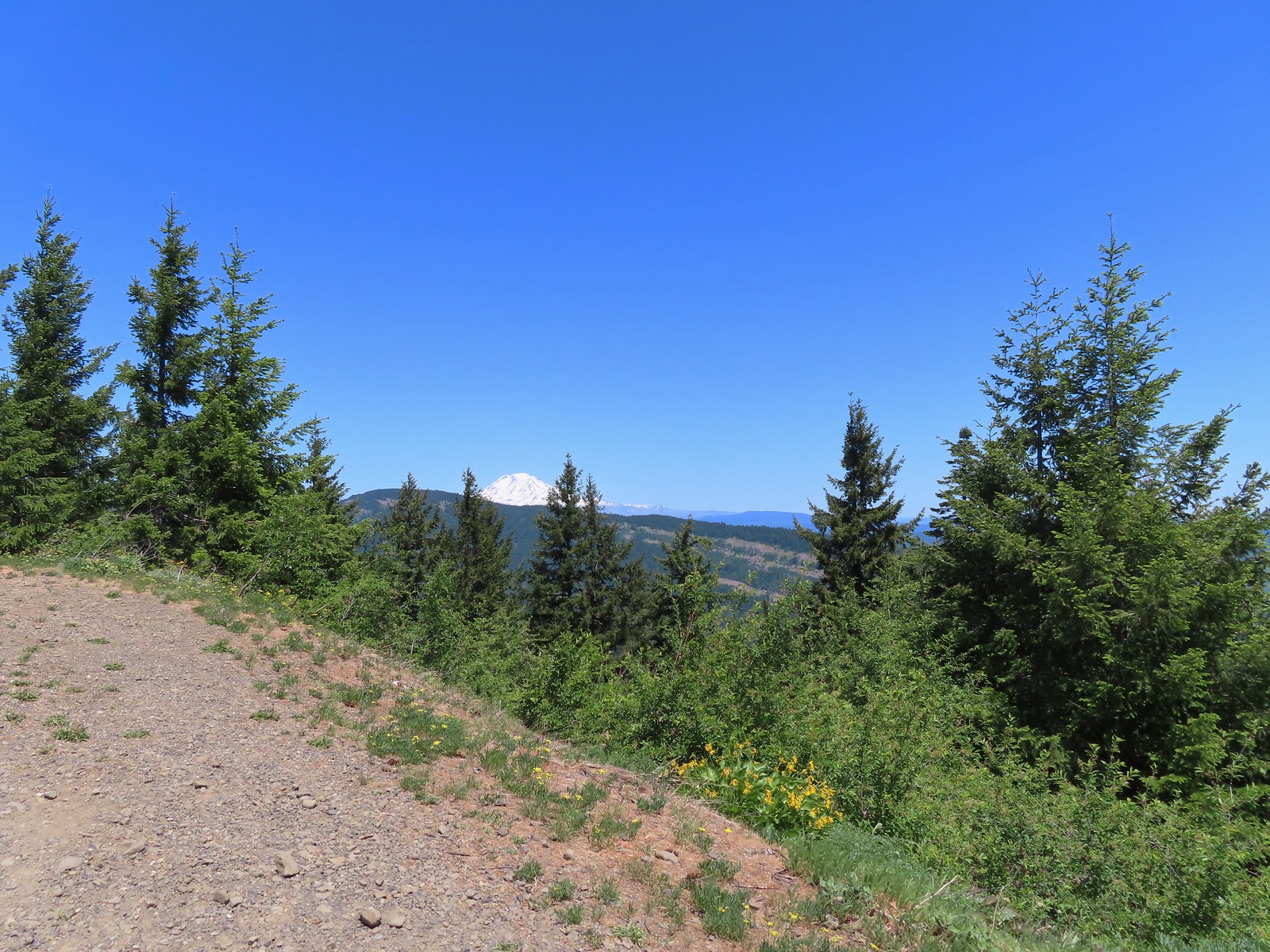
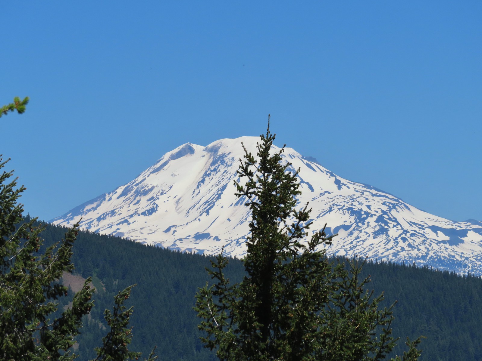
 First Mt. Adams sighting.
 A crescent on bistort.
 Penstemon
 Wallflower with beetle.
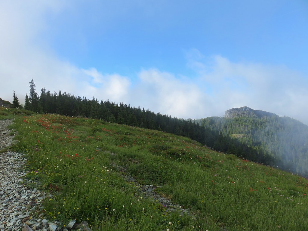
 Passing below Silver Star Mountain.
 Mt. Hood

 Rock arch below Silver Star’s summit.
At the fork we turned uphill to the left leaving the Bluff Mountain Trail.

This short connector trail climbed 0.1 miles to an old roadbed.
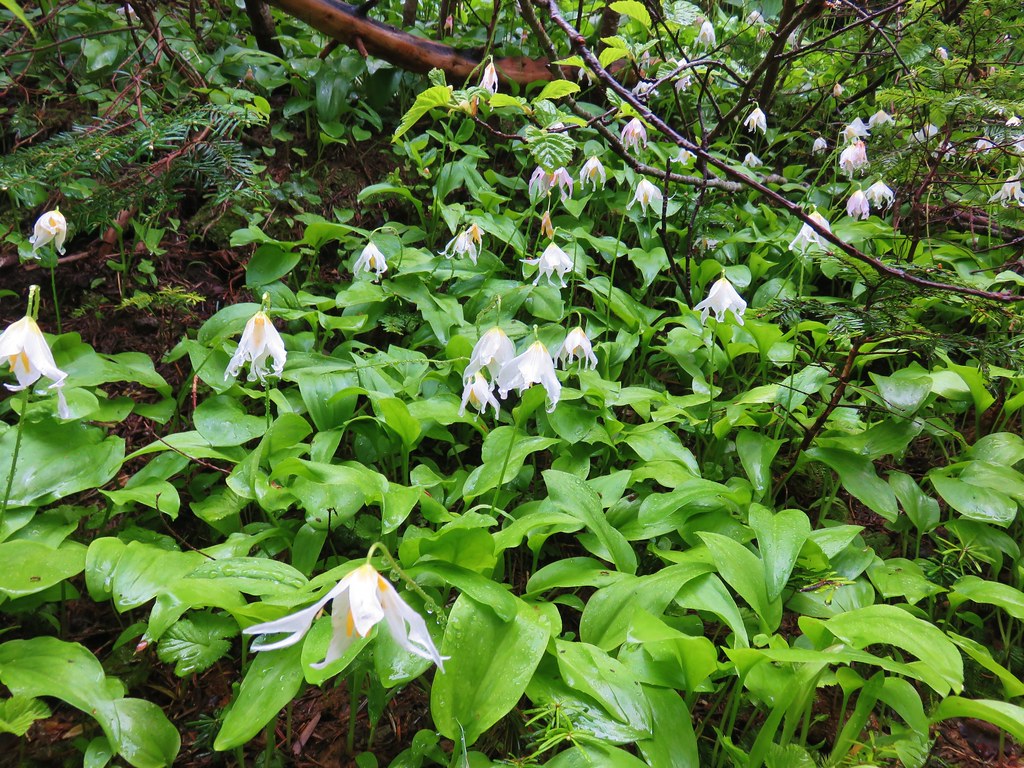
 Fading avalanche lily.
 The old roadbed.
We turned left and followed the roadbed 0.2 miles to a saddle.
 The summit to the left with Mt. Adams in the distance.
 Mt. Hood to the right at the saddle.
We headed for the summit to start and met a couple with a cute puppy named Hazel, the same name as our cat that we’d lost a year ago nearly to the day (post). The puppy even shared similar colored fur to our Hazel’s.
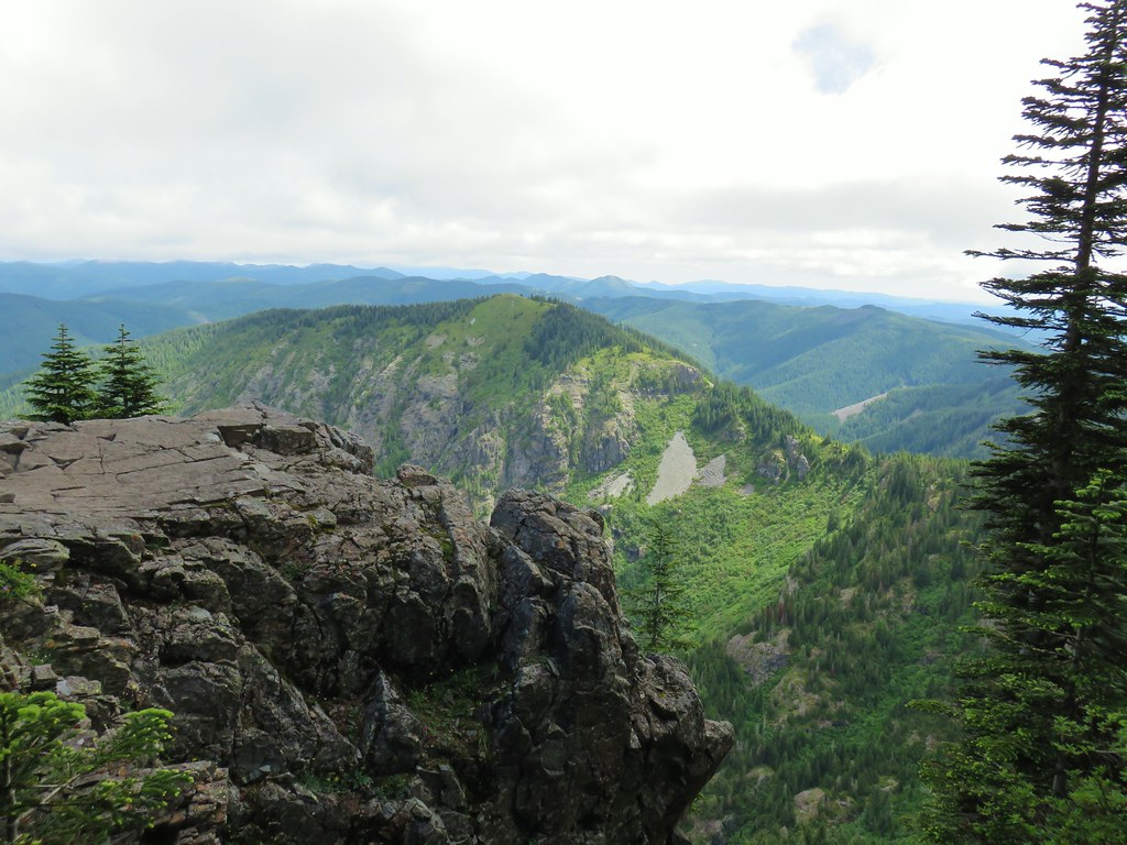
The view from the summit was a good one on this day. The clouds were low enough that we could see all five of the Cascade volcanoes: St. Helens, Rainier, Adams, Hood and Jefferson.
 Mt. St. Helens, Mt. Rainier, and Mt. Adams.
 Goat Rocks (between Mt. Rainier and Mt. Adams)
 Mt. Hood and Mt. Jefferson
 Mt. Jefferson. If you enlarge and look closely you can also make out Three Fingered Jack and the North Sister to the far right.
 Swallowtail
 Sturgeon Rock
 Wildflowers at the summit.
 Bug at the summit.
After a nice break at the summit we dropped back down to the saddle then climbed to the southern high point just to say we did.
 Point 3977 is the the island surrounded by clouds.
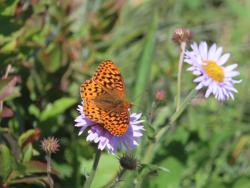
There was a lot of butterfly action here.

After tagging the southern point we headed back the way we’d come.
 The only beargrass bloom we saw all day.
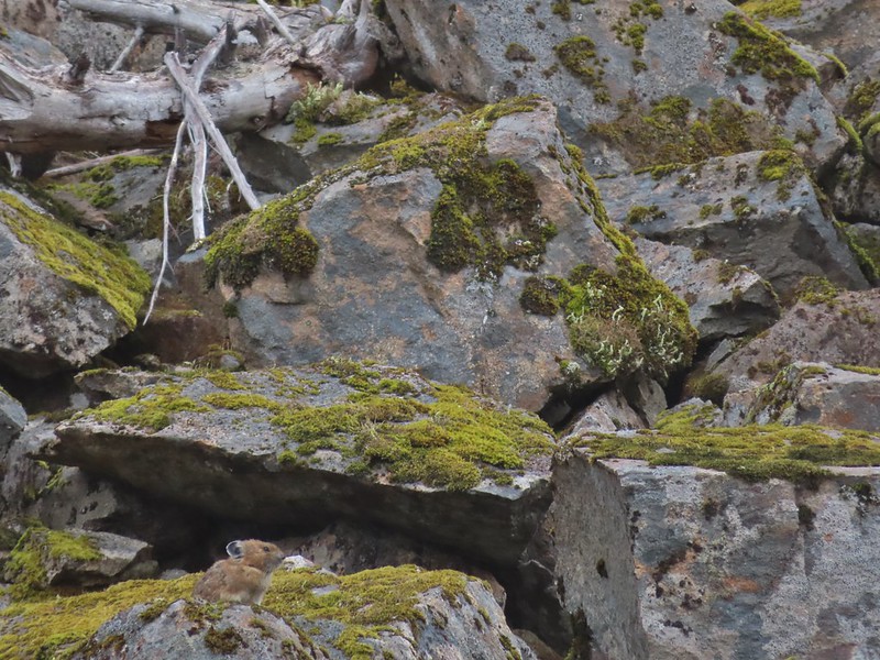
As we were passing below Silver Star we kept our eyes out for our favorite trail animals, pikas. We’d heard a few from the summit and we were rewarded with spotting one of the little rock rabbits in a talus slope.
 The talus slope.
 Pikas are not easy to spot.
 On alert.
As always we kept our eyes out for other things we’d missed on the first pass.
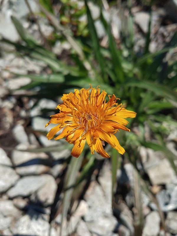 Orange agoseris

 Ladybug
 Making the steep climb back up to Point 3977.
We did wind up making the short climb to the top of Point 3977 even though the clouds had risen enough to effectively block most of the views.
 Looking toward Mt. St. Helens and Mt. Rainier.
 Looking toward Silver Star.
The views weren’t great but the wildflowers were.
 Possibly a Native American vision quest pit.
 Bluebells of Scotland with at least three visible insects.
 Some bright paintbrush.
 Larkspur
 A brief appearance by Silver Star’s summit.
After a short break on Point 3977 we began the relentless descent to Copper Creek. The long steep descent was not a friend to the knees but we managed to make it down in one piece. Just before reaching the bridge we passed just the second hiker on the Starway Trail for the day.

 Sorry knees.
 Mock orange
 A little blue sky in the afternoon.
We walked back up FR 4107 to our car and began the tedious drive back down FR 41 and made our way safely home.
 Salmonberries along FR 4107. I may have eaten a few as well as some red huckleberries along the lower portion of the Starway Trail.

Both of those berry types are too sour for Heather who prefers thimbleberries but alas those were only beginning to show signs of ripening.
 Looking back at the hillside the Starway Trail climbs from FR 4107.
In my research I’ve seen several different distances listed for this hike. In Reeder’s book he lists the hike to Silver Star as 10.2 miles. Our GPS units recorded 11 miles though. Some of that may be due to going to both ends of Silver Star and some additional distance may be due to the newer switchbacks (assuming they really are new). Regardless of the actual distance I think everyone agrees that the total elevation gain is right around 4200′.

I’m not sure we could have asked for a better day to do this hike on. We got some big views and lots of wildflowers while the temperature remained mild thanks to the low clouds and we saw our first pika of the year. I don’t know that either one of us would ever want to try that drive again but the hike itself was worth the effort. Happy Trails!
Flickr: Starway Trail to Silver Star


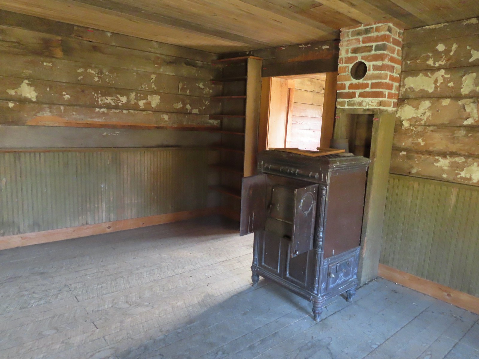
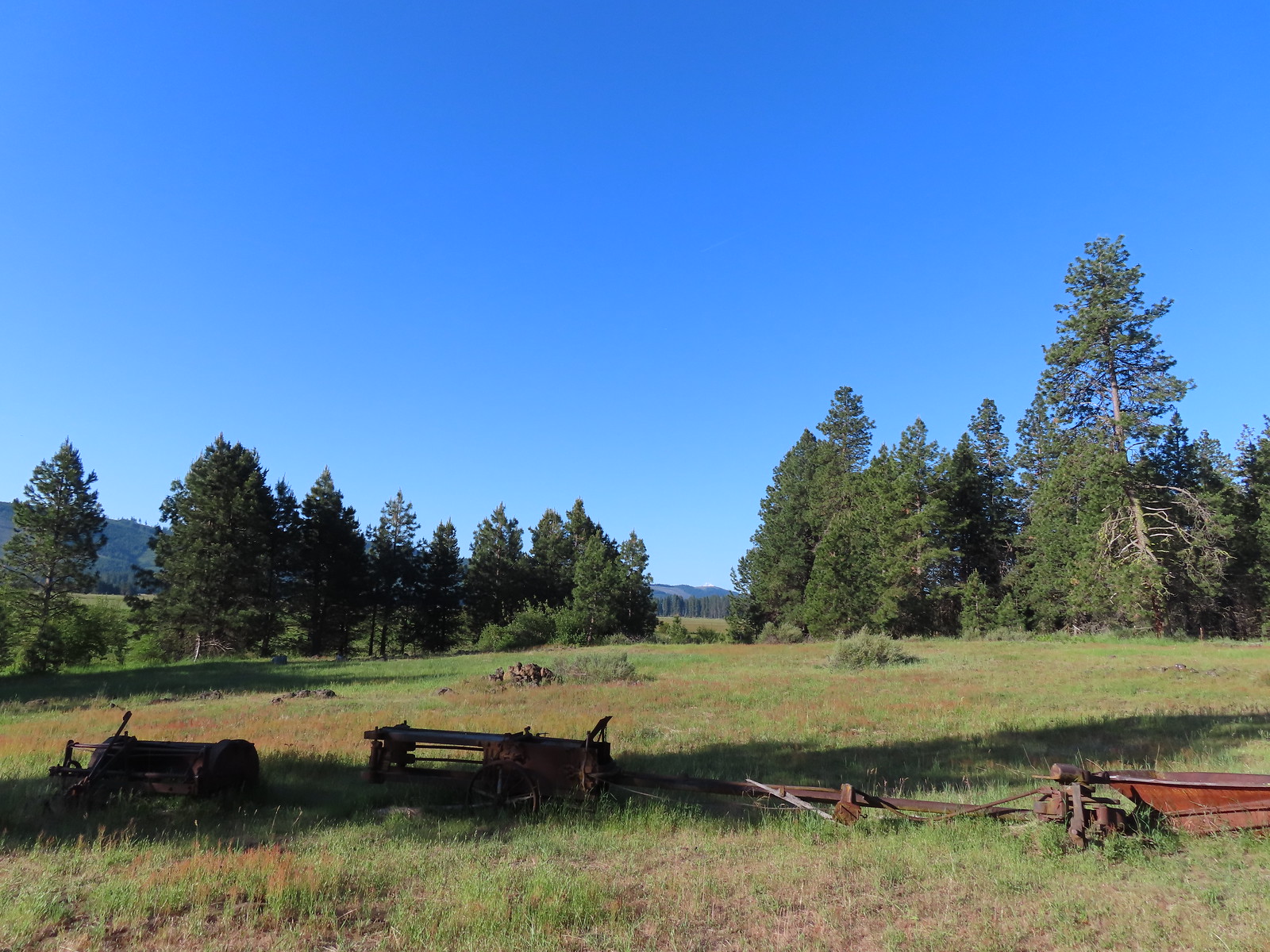
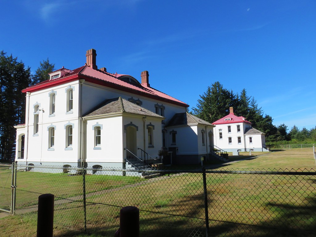
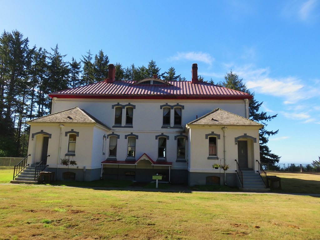
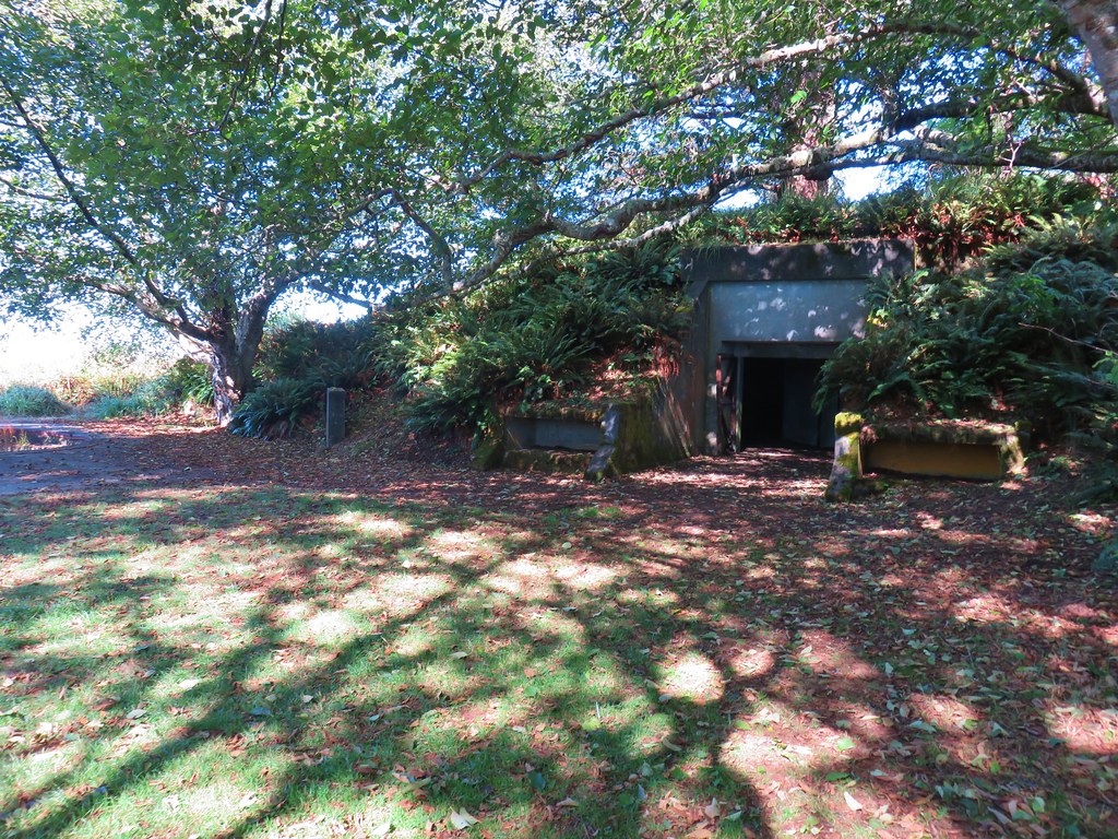
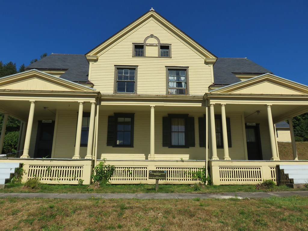
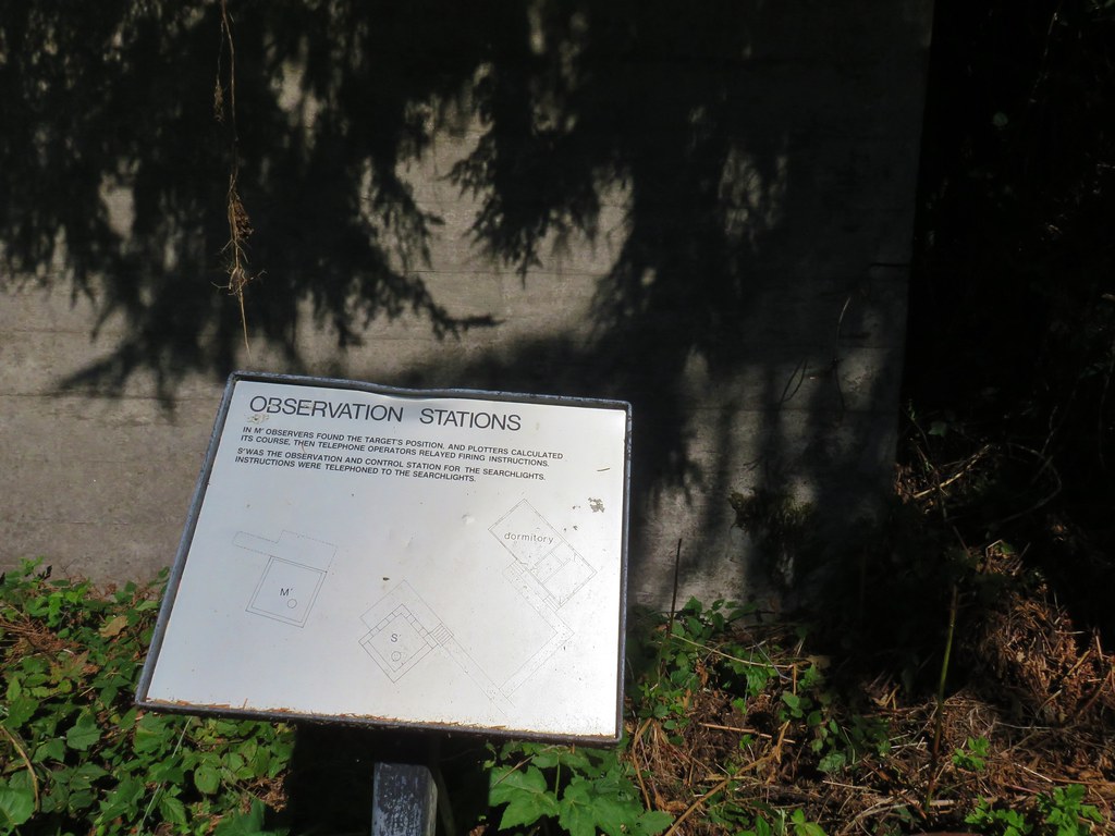
 The path to the cabin on the right.
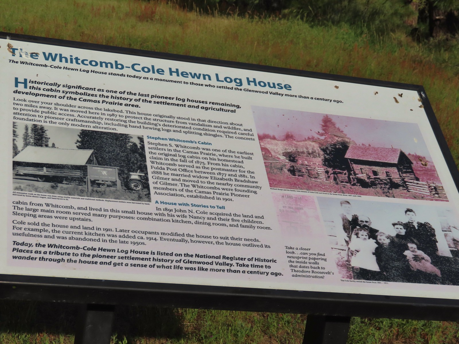 Built in 1875 the cabin was moved from its original location in 1987.

 The snowy top of Mt. Hood from the cabin.

 There was a lot of monkeyflower in and along the ditch.
 Lupine along the ditch.
 Lazuli bunting
 Robin
Robin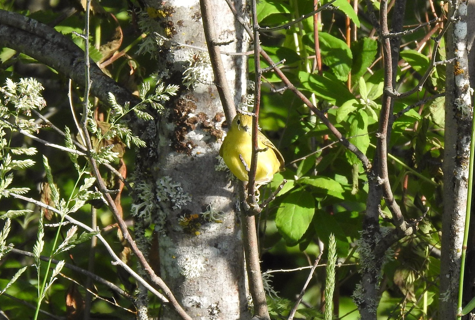 Yellow warbler (according to the Merlin app).
 Red-winged blackbird
 The top of Mt. Adams above the trees.

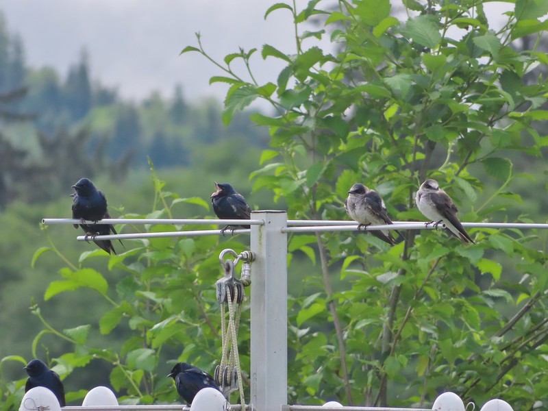
 Swallow
 Western bluebirds

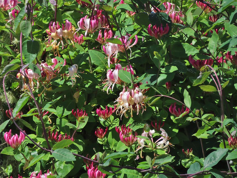
 Honeysuckle
 Columbine
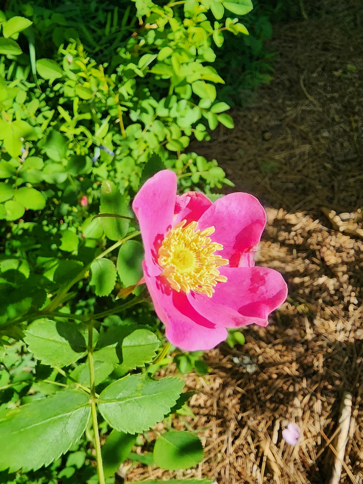 Rose
Rose


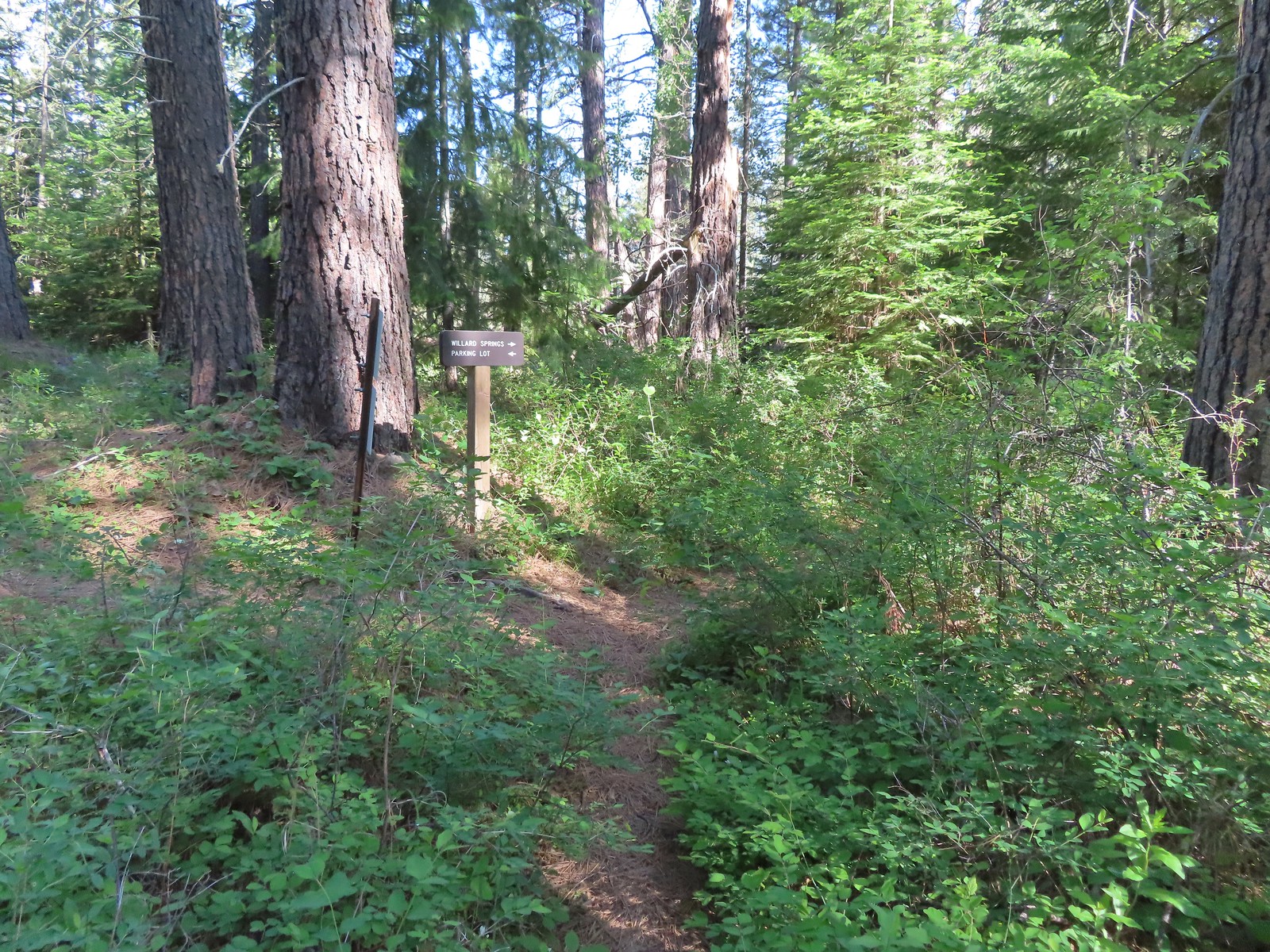
 Continuation of the Willard Springs Trail behind the sign.


 We hung around long enough that this warbling vireo came to check on us.


 Willard Sprins hidden in the vegetation. We could hear them better then we could see them.
 A healthy lupine near the springs.
 Cat’s ear lily
 Hitchhiker
 Lupine along the trail.
 Golden-mantled ground squirrel
 Swallowtail
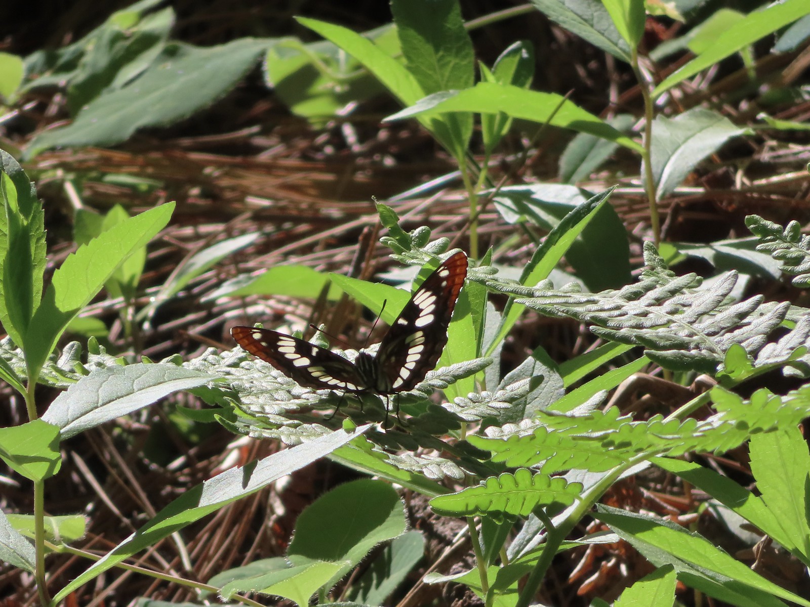 Lorquin’s admiral
 Arriving back at the refuge headquarters.
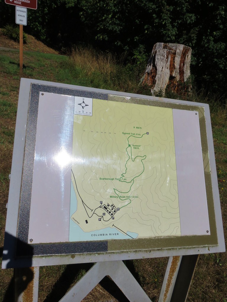
 Trail map at the trailhead.


 There were lots of phantom orchids blooming along the lower sections of the hike.
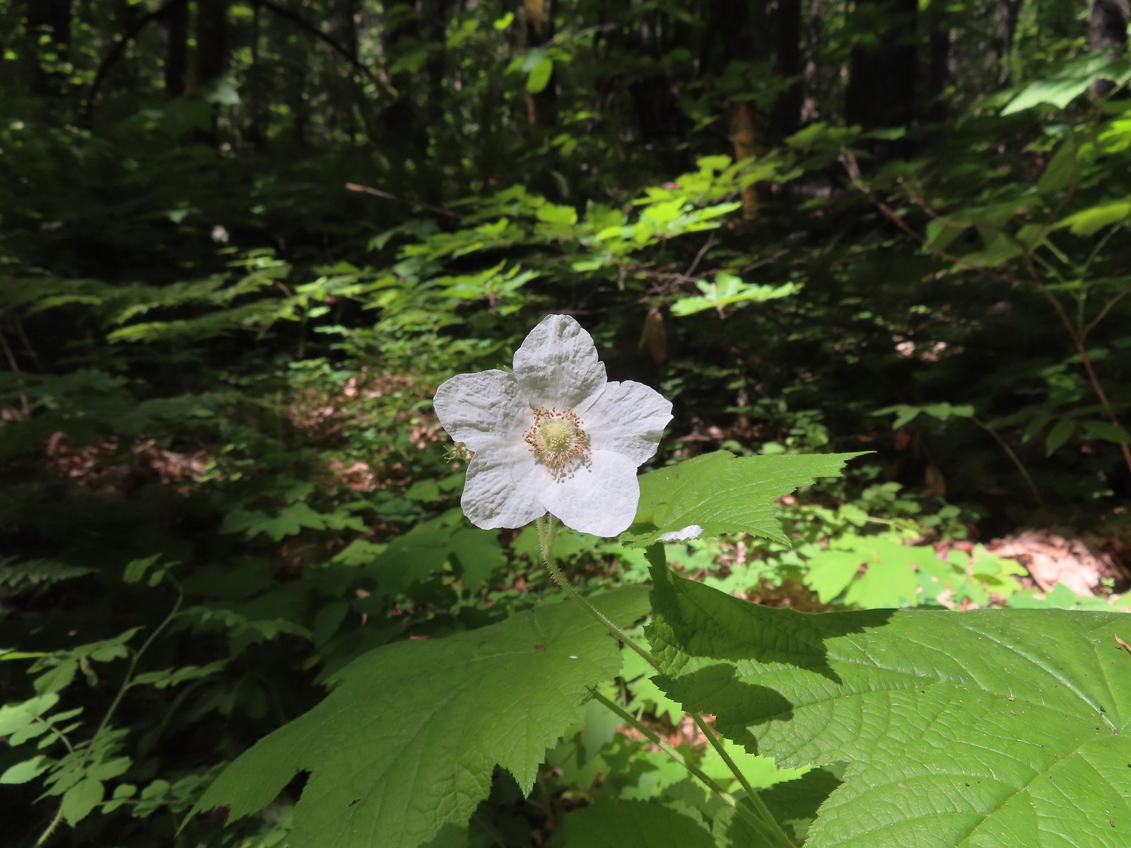 Thimbleberry
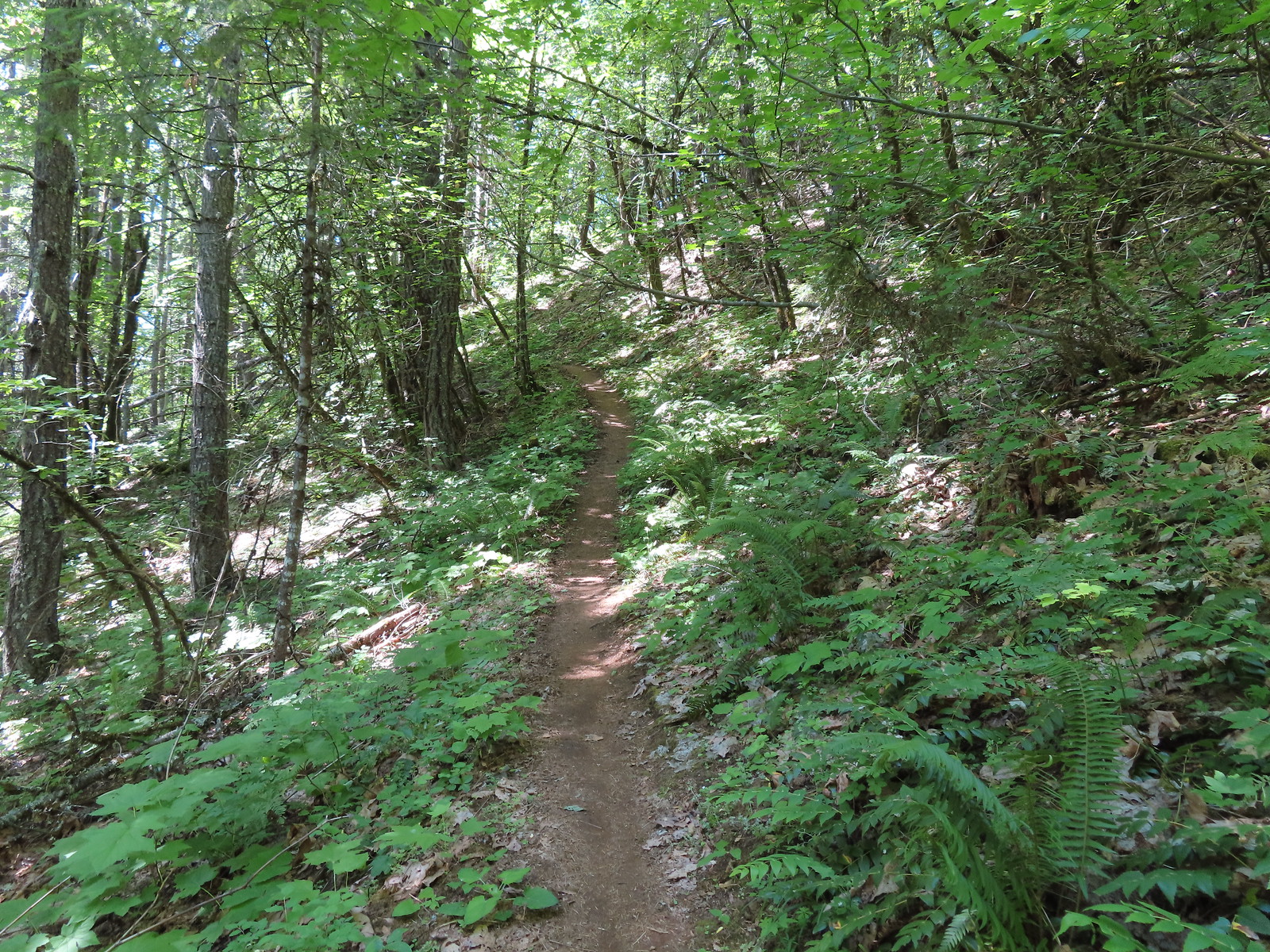
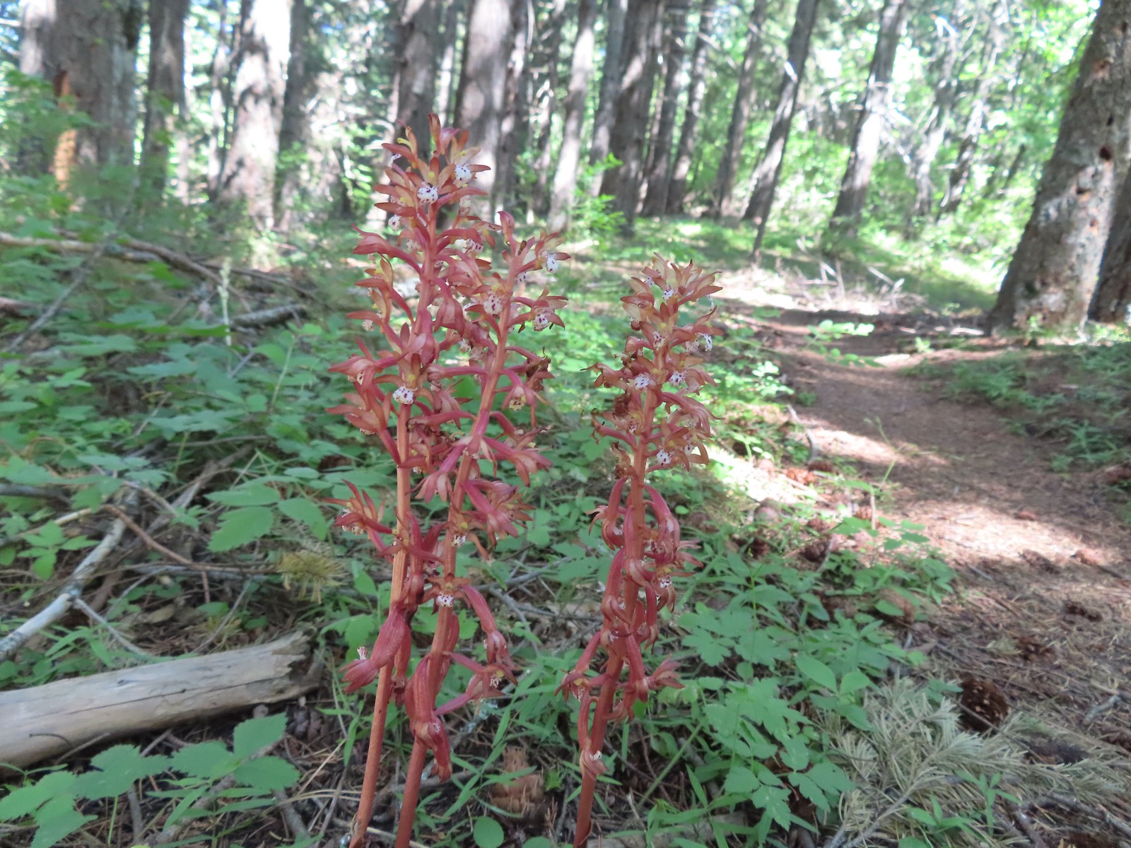 Spotted coralroot was also plentiful.
 Wallflower


 One of only two trees that were down over the trail, both were easily manageable.
 The one small stream crossing.
 There was enough sunlight getting through to really heat up the trail.
 While there wasn’t much there we did occasionally see poison oak throughout most of the lower 2/3rds of the hike.
 Sign above the switchbacks warning mountain bikers that they were ahead.
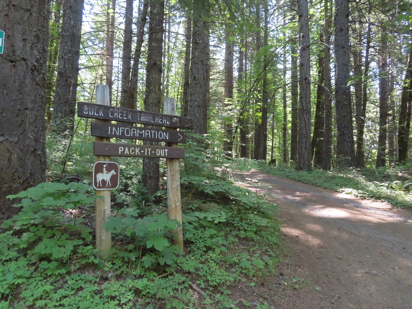
 Buck Creek Trail to the left near the roads end.
 More spotted coralroot.

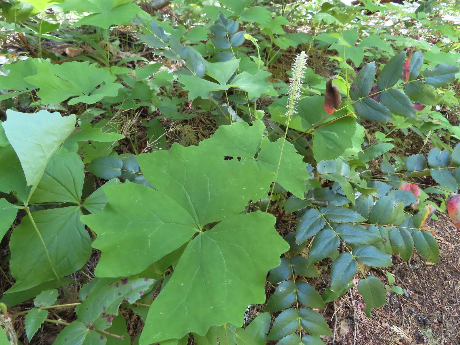 Vanilla leaf
 Queen’s cup
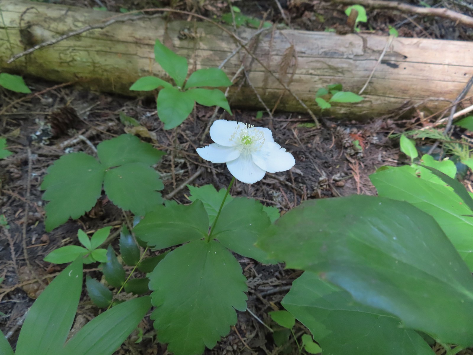 Anemone
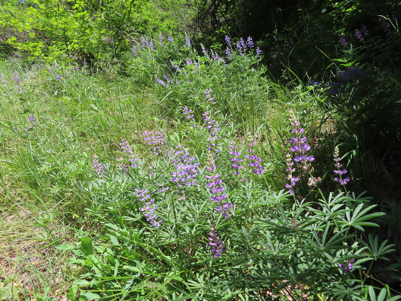 Lupine
 Mt. Hood from the Buck Creek Trail.
 Mt. Hood
 Cedar hairstreak on yarrow.
 Paintbrush, lupine, penstemon, and balsamroot.
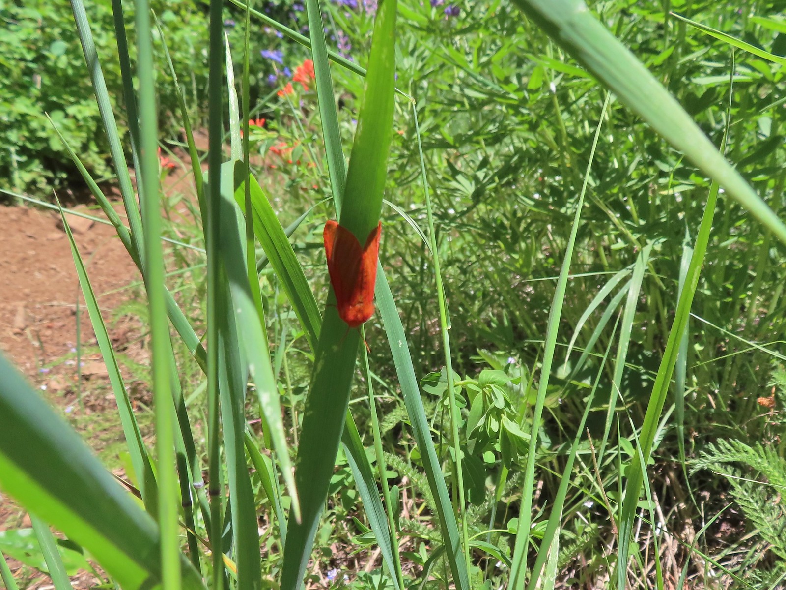 Moth
Moth Penstemon
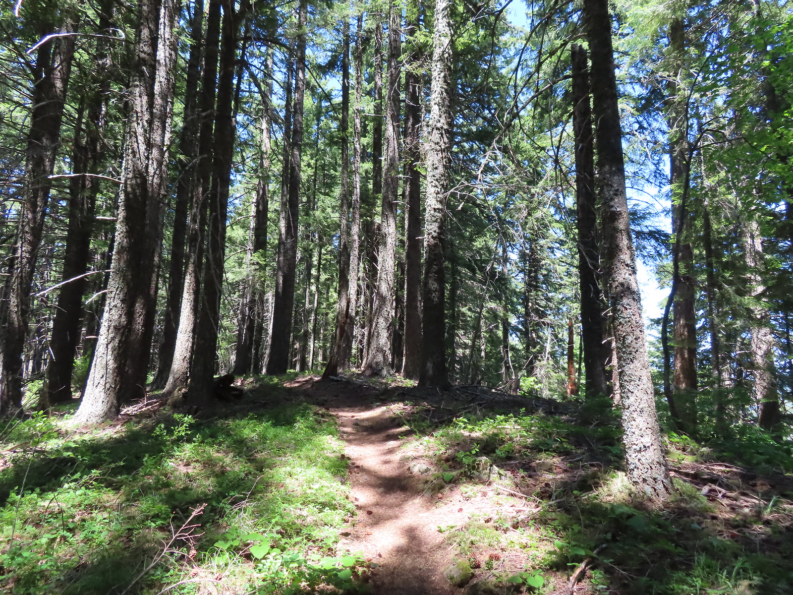 Gaining the ridge.
 Paintbrush
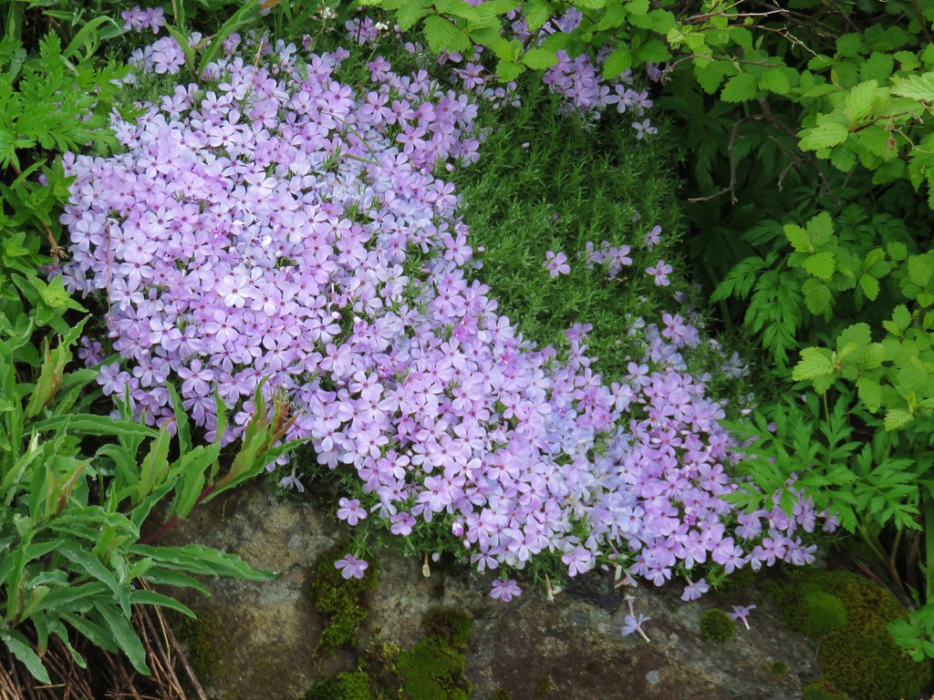
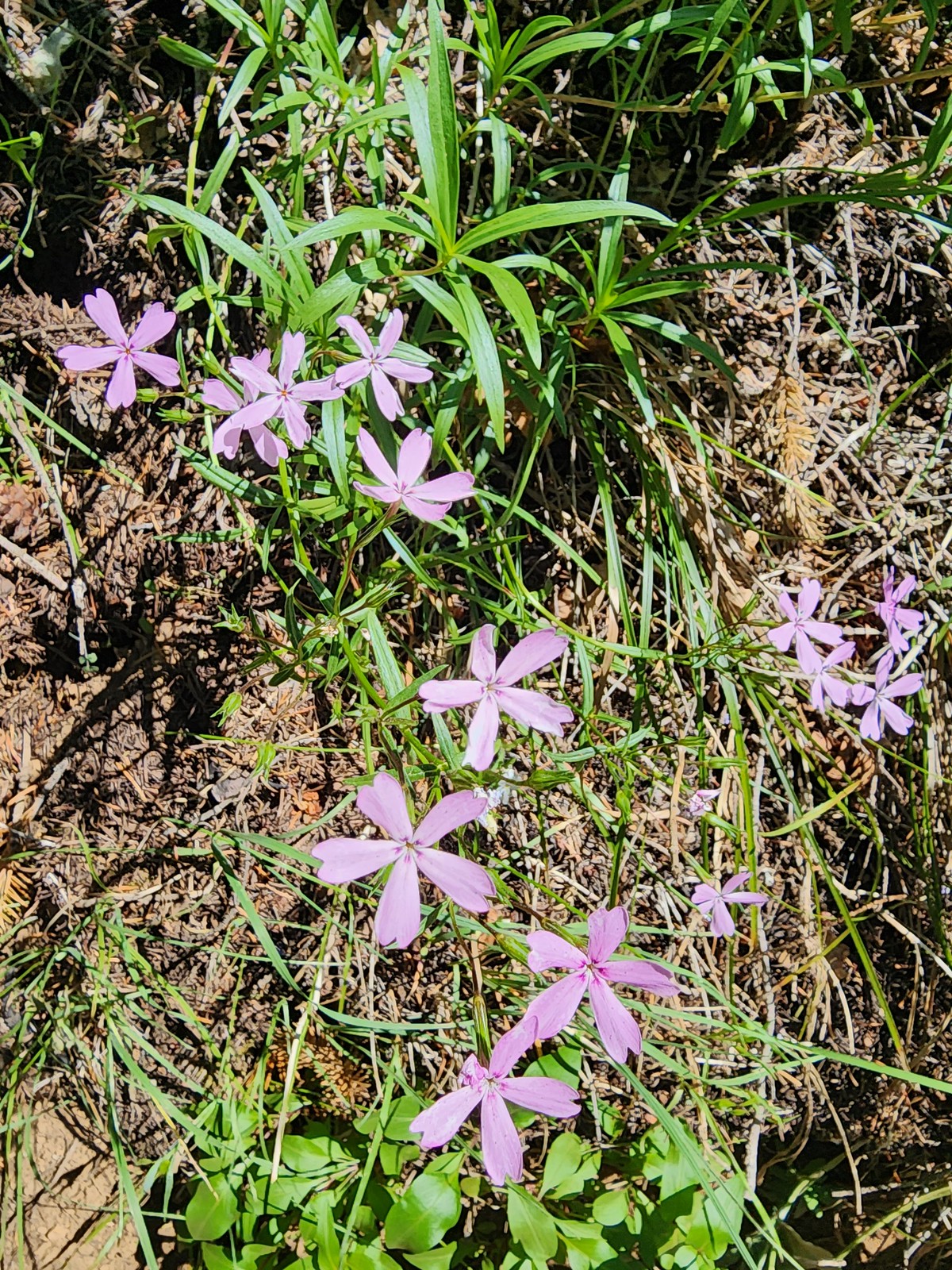 Showy phlox
 Approaching the start of the final climb.
 Sub-alpine mariposa lily
 Showy phlox
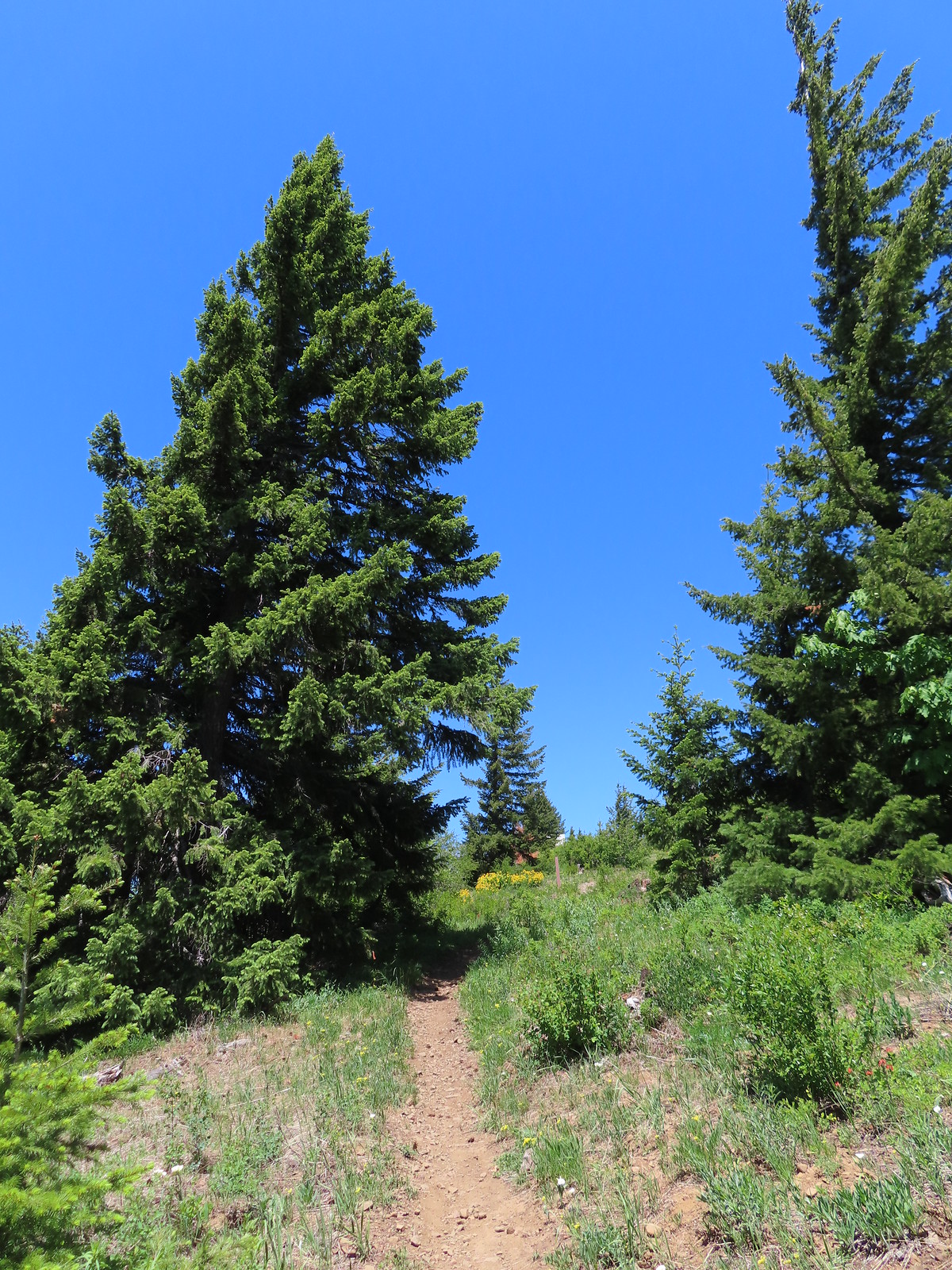
 Road N-1600.


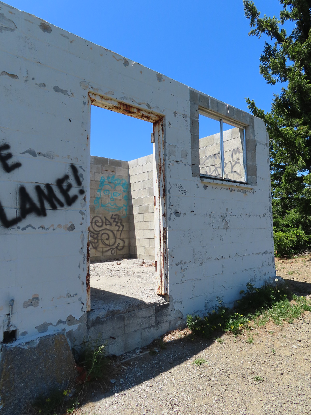 Unfortunate amount of graffiti on the old shed.
 Mt. Hood and balsamroot.
 Mt. Hood
 Oregon sunshine
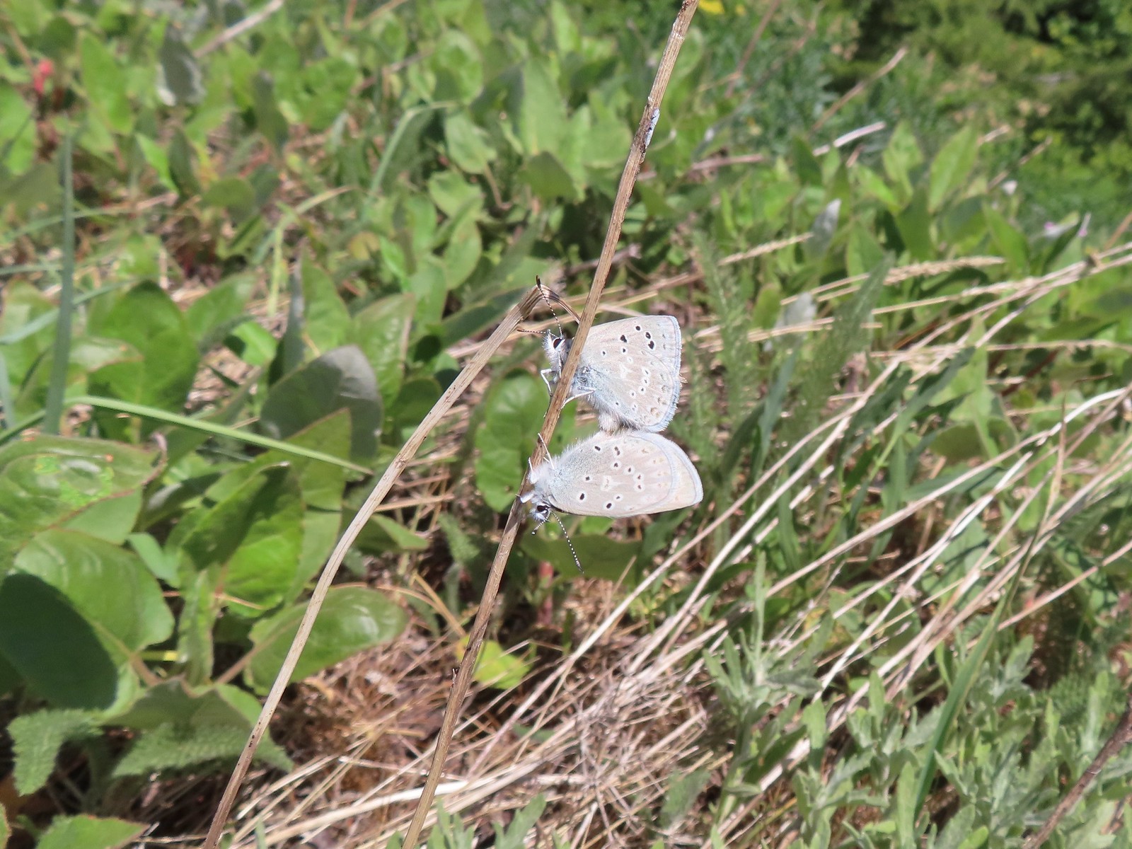 Boisduval blues
 Duskywing
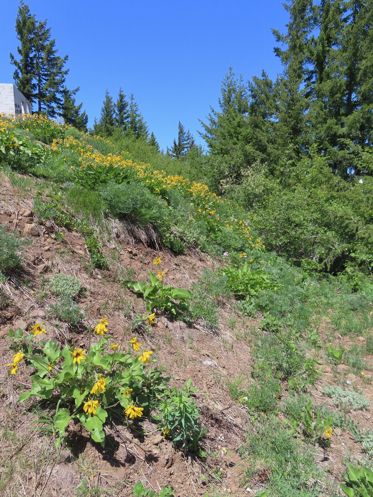 Balsamroot
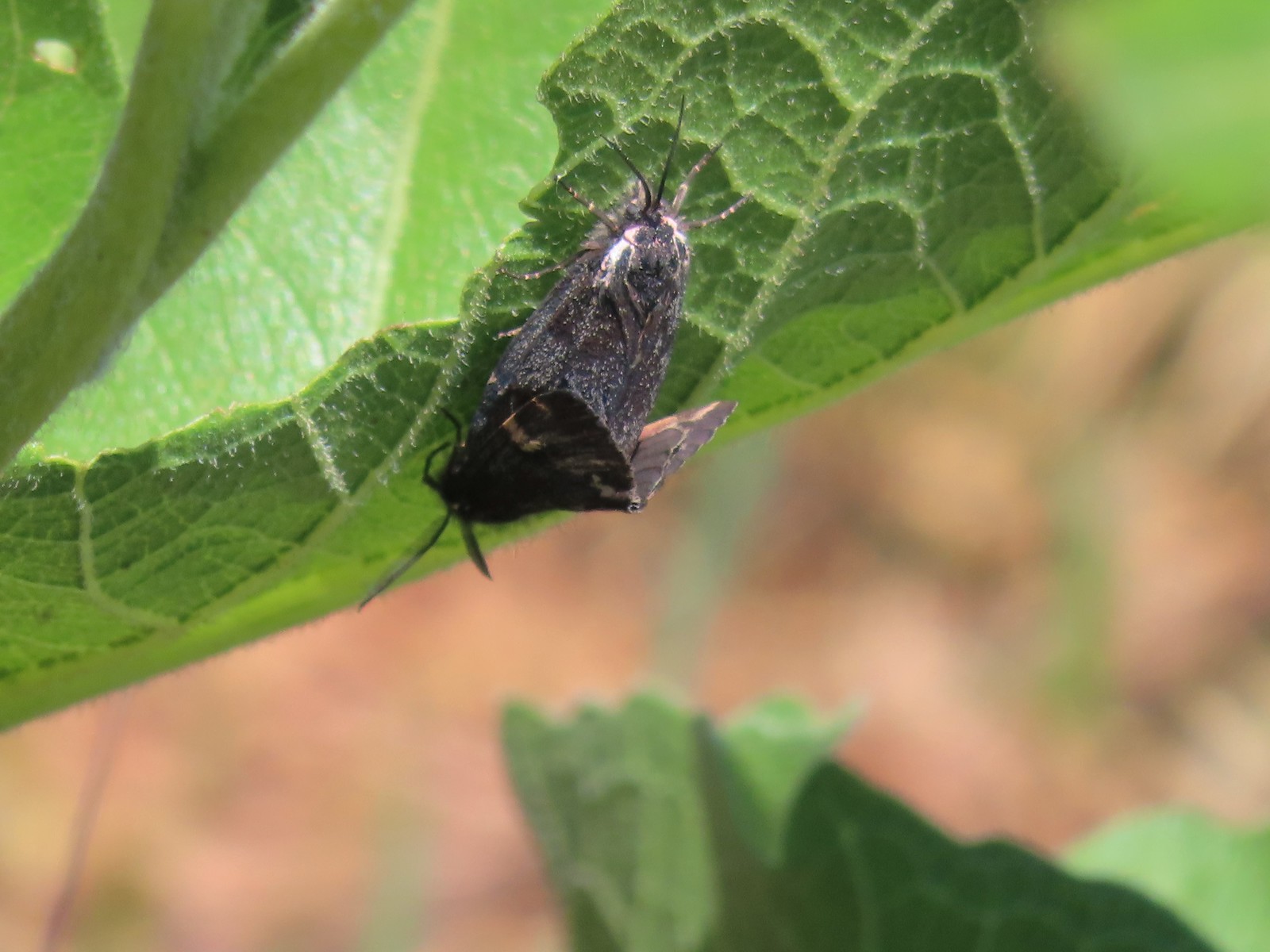 Moths
Moths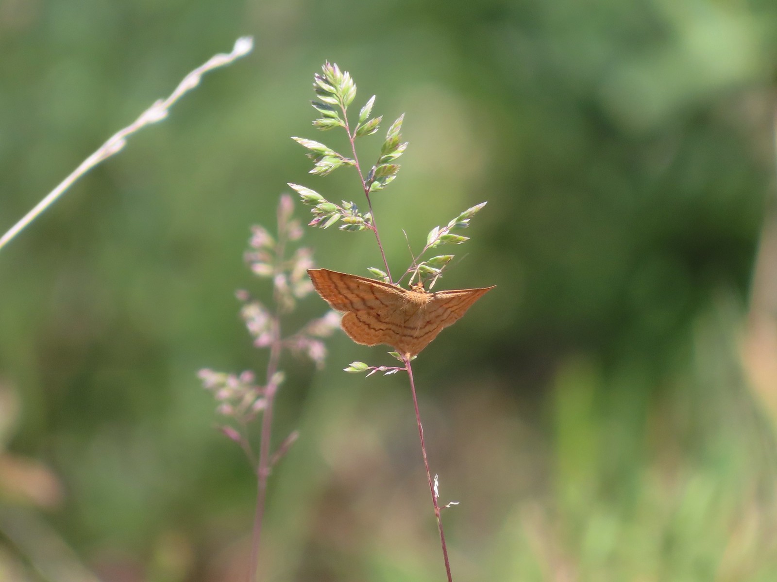 Moth
Moth Lupine
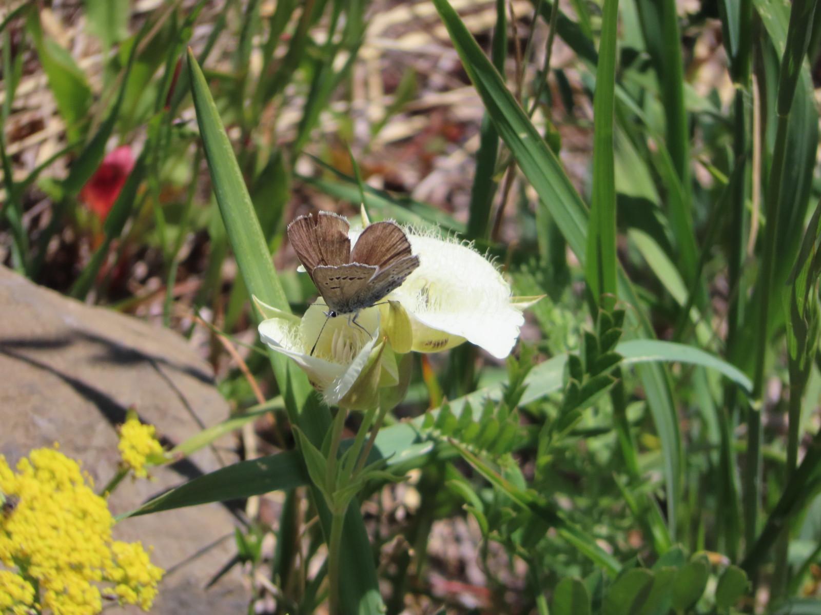 Butterfly on cat’s ear lily.
 Woodland stars
 Paintbrush
 Blue-head gilia
 Ookow
Ookow Winecup clarkia
 Mountain lady slipper


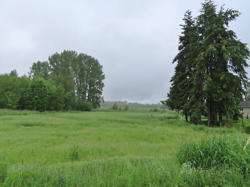
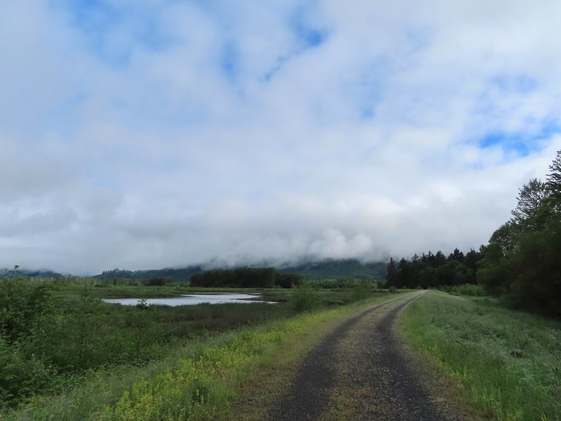
 A damp and cloudy morning.
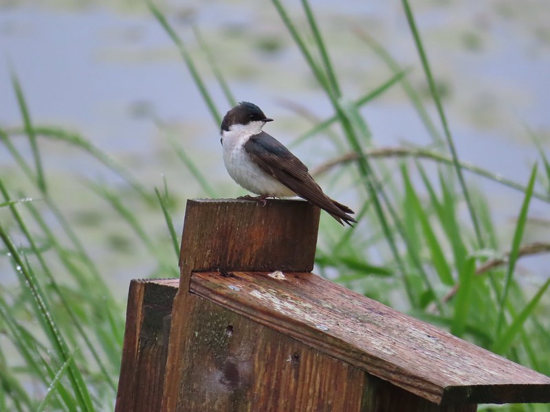 Swallow
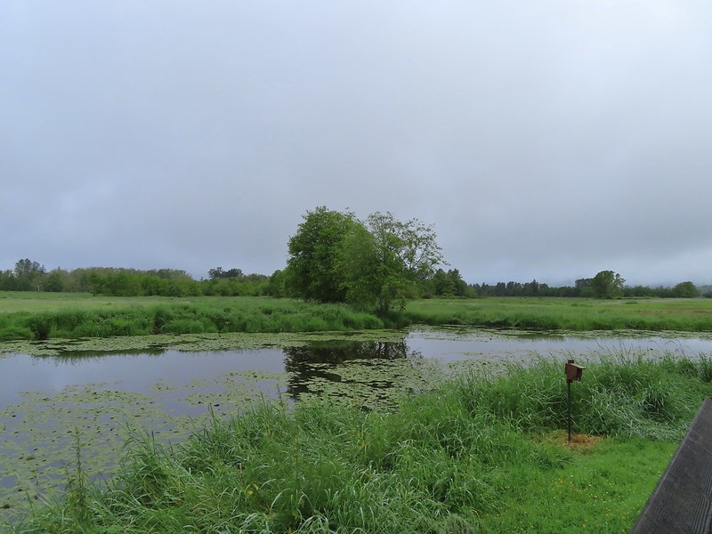
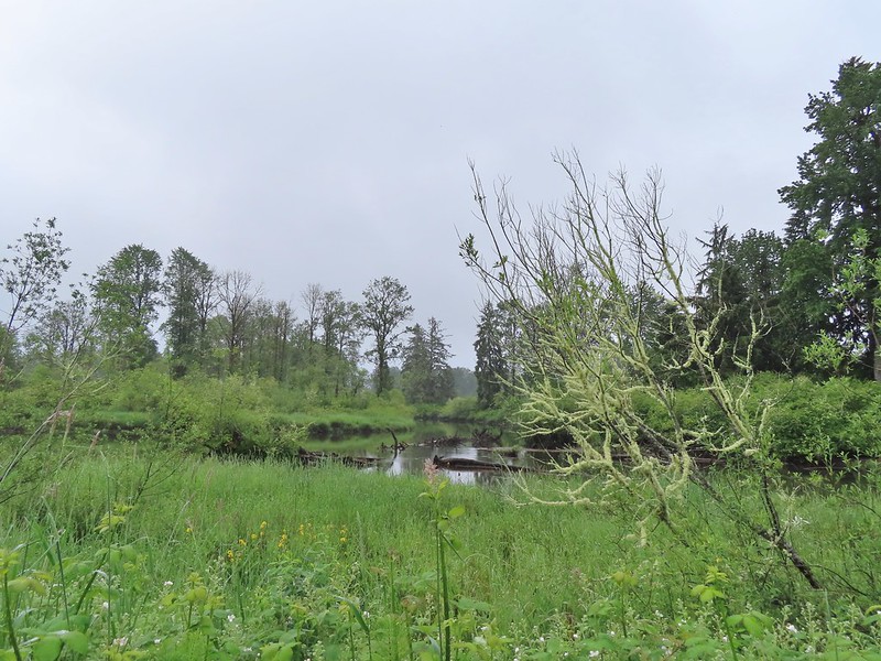
 Indian Jack Slough and the garage from Refuge HQ.
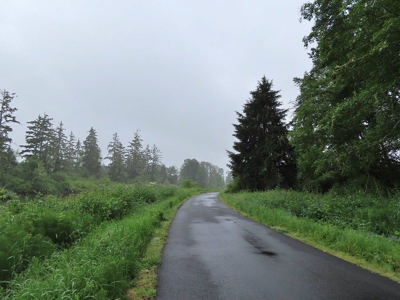
 Elochoman Slough
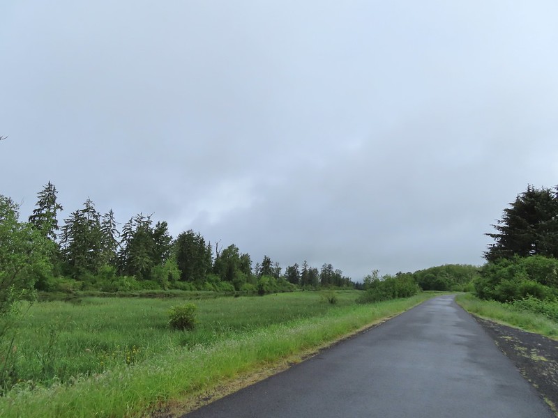 The first of many bald eagles we spotted (atop the dead tree across the slough).
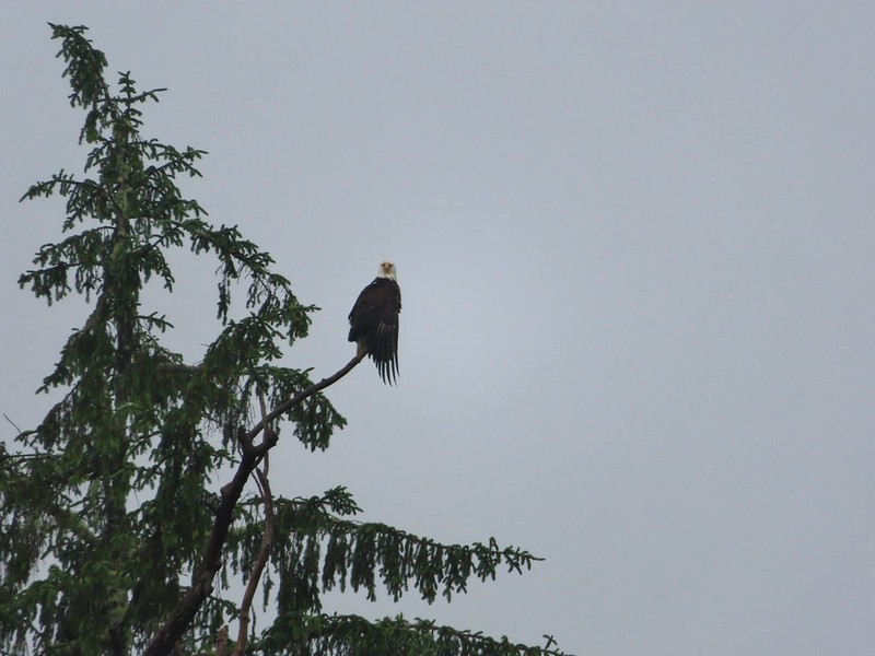 Working on drying out.
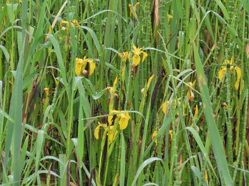 Lots of non-native yellow flag iris in the area.
 Little birds such as this sparrow were everywhere but rarely sat still.
 A different eagle waiting to dry.
 There are at least 5 birds in the tree including four goldfinches.
 A male goldfinch takes off.
 The morning clouds were starting to break up as forecasted.
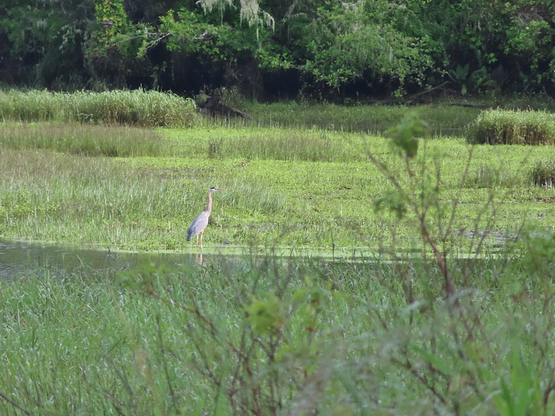 One of many great blue herons.

 A male wood duck.
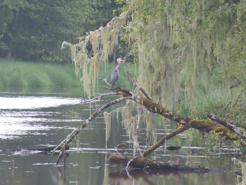 Another great blue heron with the female wood duck on the log below.
 The first of several osprey.
 Cattle in a field along the road.
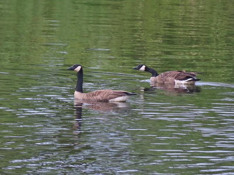 Geese
Geese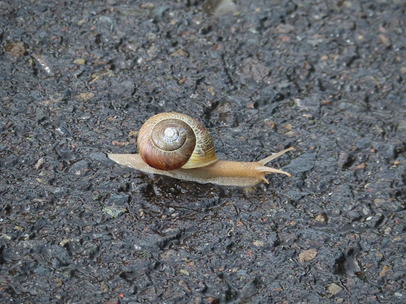 Snail crossing the road.
 Maybe a yellow warbler. I had to use the digital zoom to get between the branches so it’s not the clearest photo.
 There was a pole with a bunch of bird nests hung from it near the start of the trail. We’d never seen one like it before.
 Bald eagle in the same area.
 Slug on lupine
 A different type of lupine.
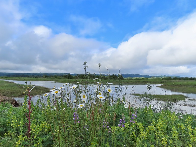 Lupine, daisies and yellow gland-weed.
 Bumble bee needing to dry out.


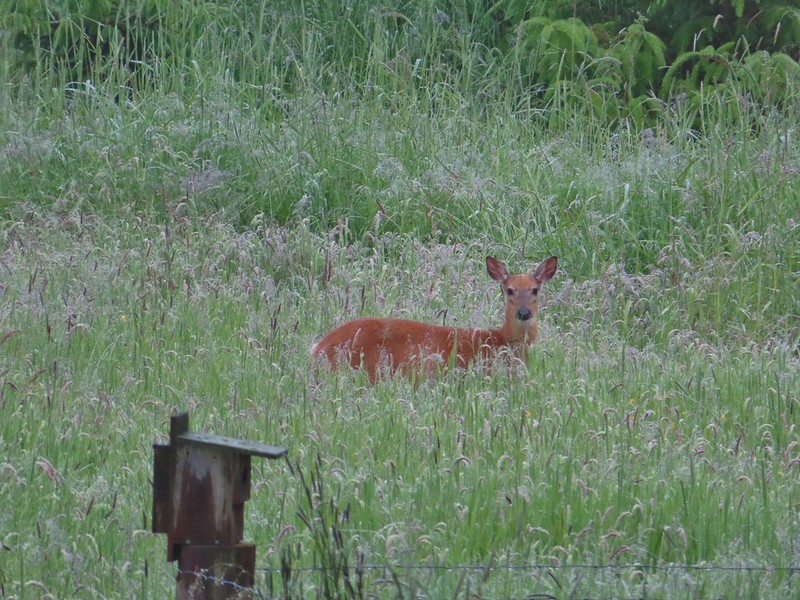
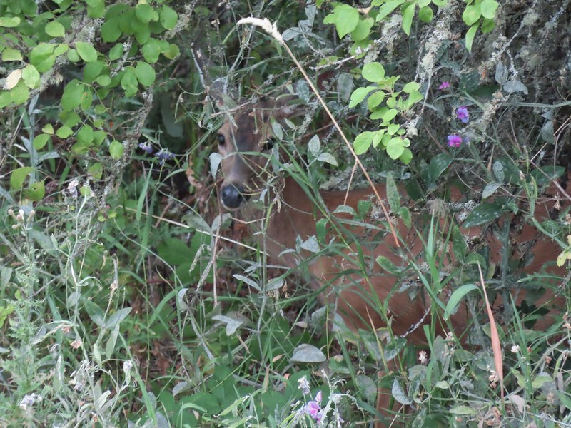
 A look at the white tail. He gave us a better look but in that one he was also doing his business so we stuck with this uncentered, slightly blurry version.
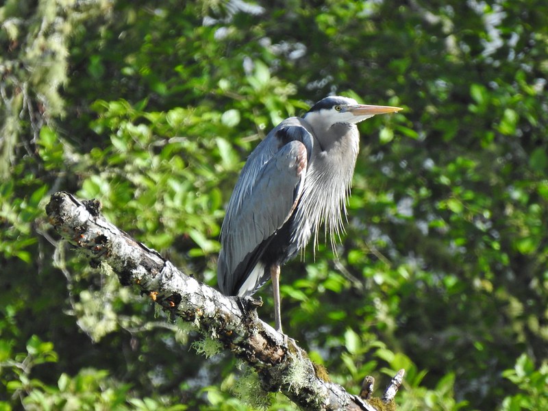

 Guessing marsh wren.
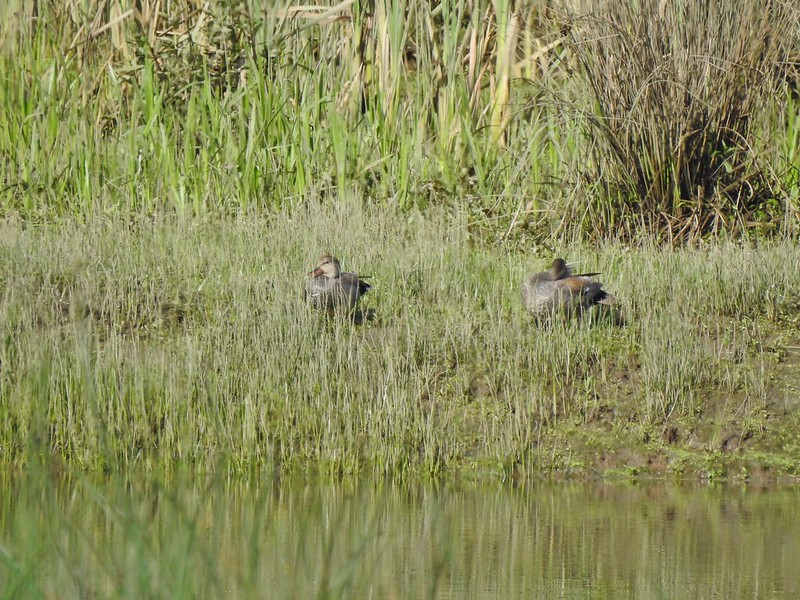 Ducks
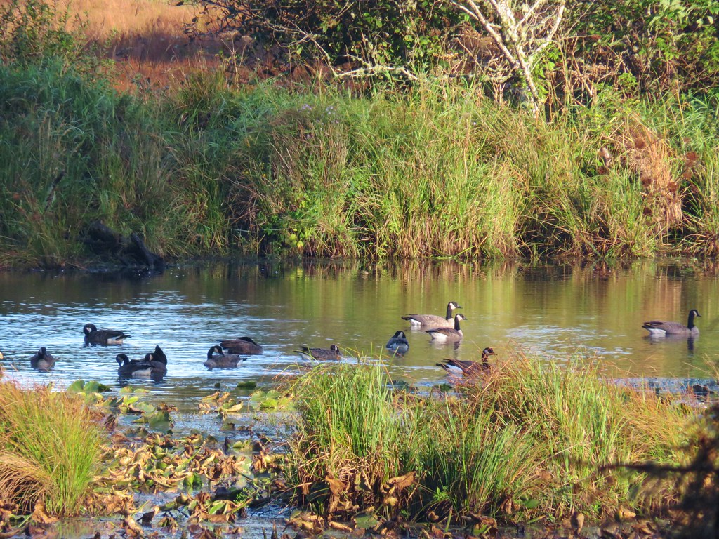
Ducks Goose with goslings.
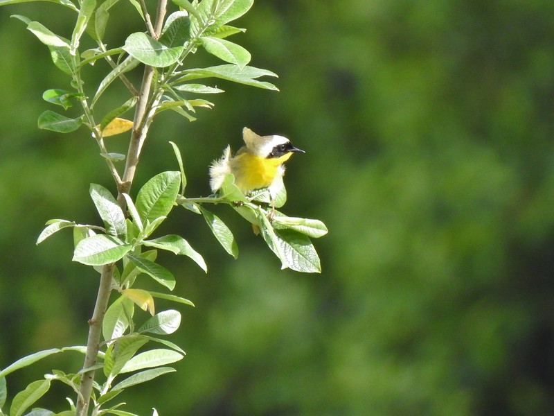 Common yellow throat.
 Male gadwall?
 There was pretty much non-stop bird song throughout the day.
 Traffic on the Columbia River.
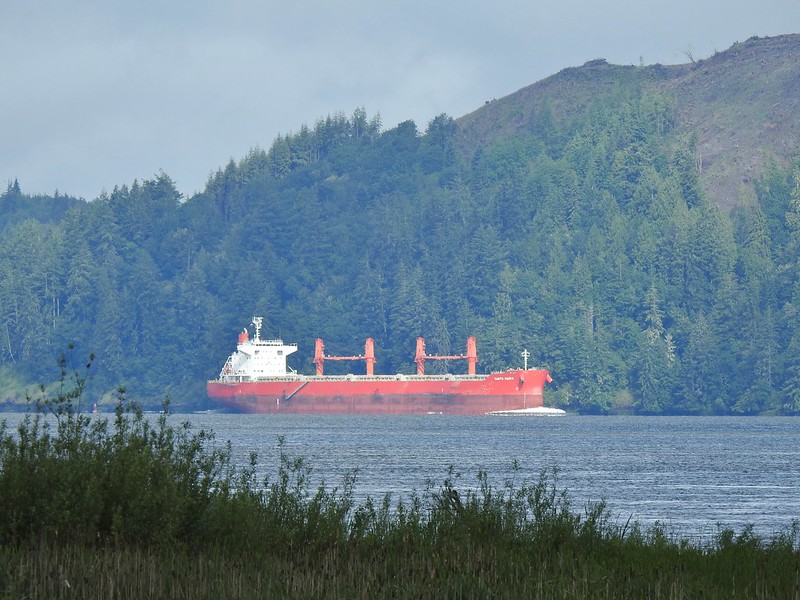 The Santa Maria on the Columbia.
 Female brown-headed cowbird?
 Flowers along the levee.
 American robin
 Red-winged blackbird chasing a heron.

 Note the sign does not indicate that you cannot reach the HQ from the road, it simply says it is 5 miles round trip. Online it adds that hikers must exit the trail the way they entered.
 Roses along the road.
 Muskrat
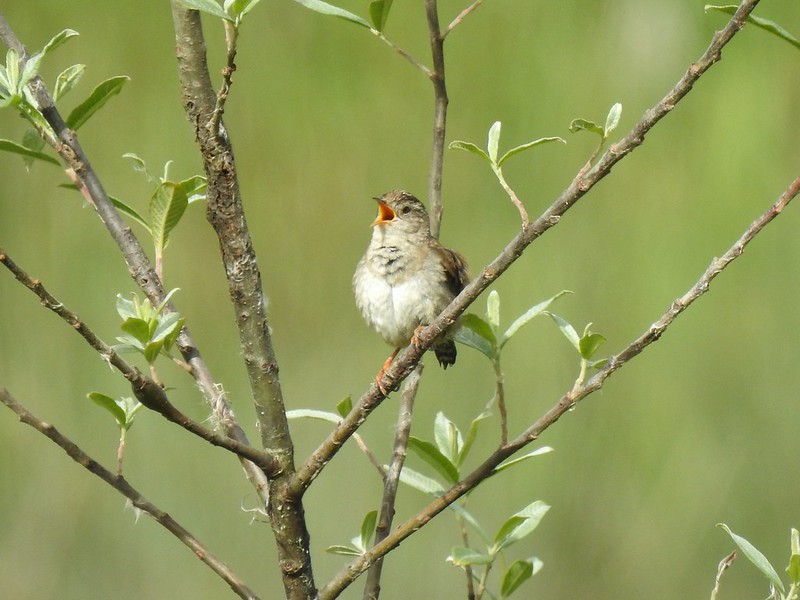
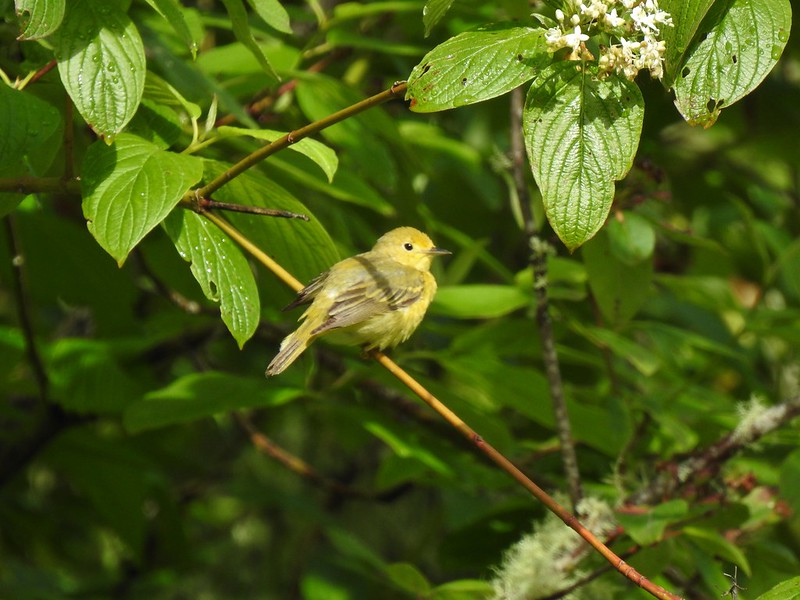 Warbler
 Osprey
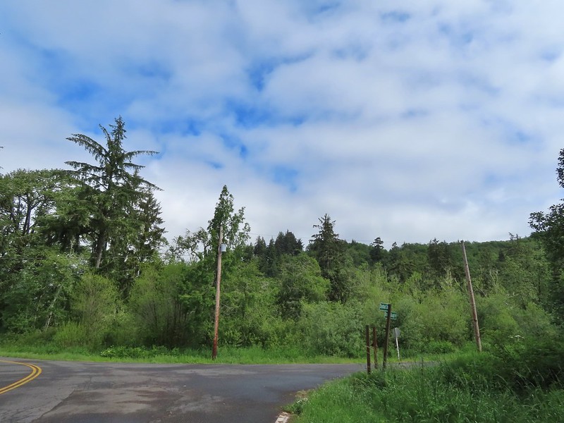 Brooks Slough Road junction.
 Another eagle sitting near the top of the first tall tree on the far side of the slough.
 Interesting shrub along the road.
 The partly sunny skies had indeed materialized.
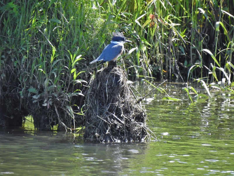 Kingfisher
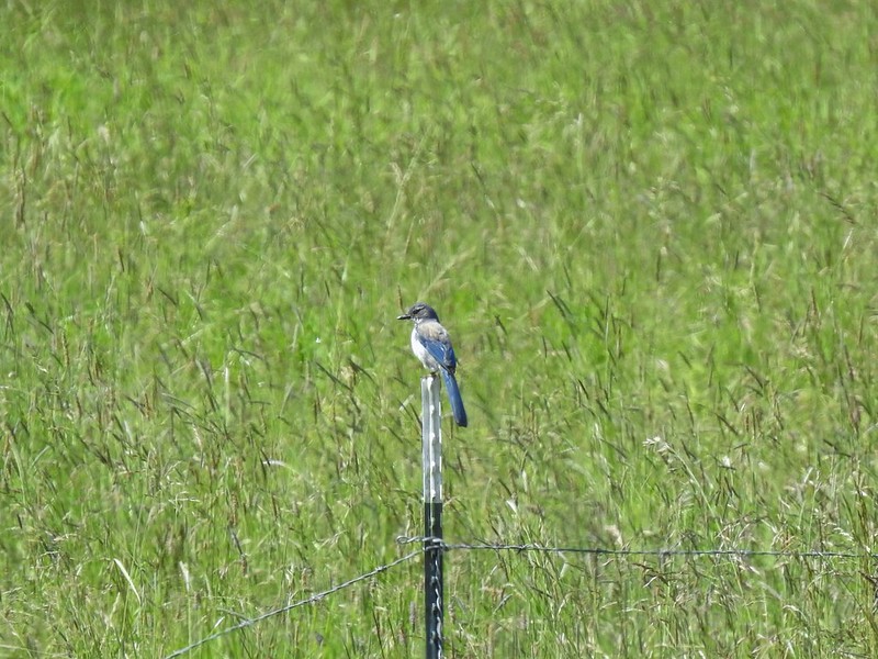 California scrub jay
 White pelicans
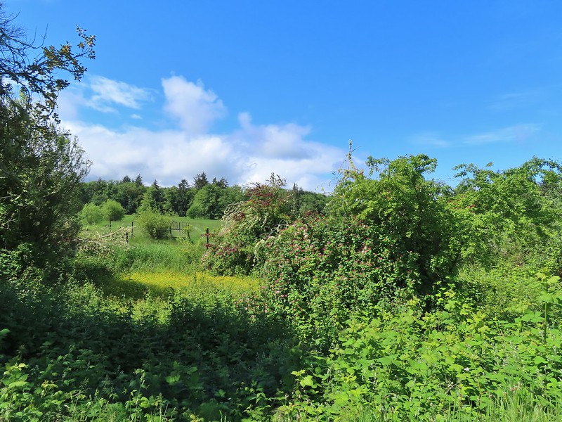
 Some sort of ornamental shrub/tree but it had cool flowers.
 Turkey vulture
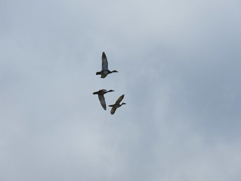 Couldn’t tell what type of ducks they were.
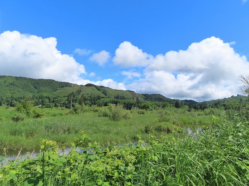 Alger Creek somewhere in the grass flowing into Brooks Slough.
 Pond on the other side of the road.
 Black pheobe?
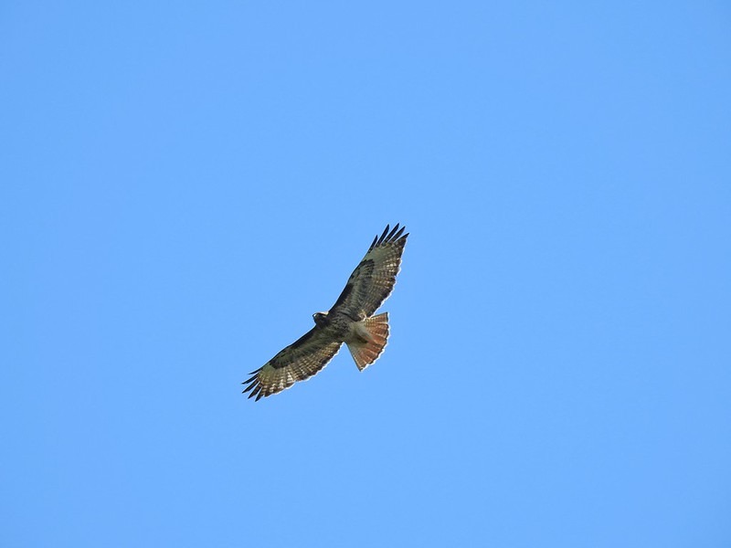 Red-tailed hawk
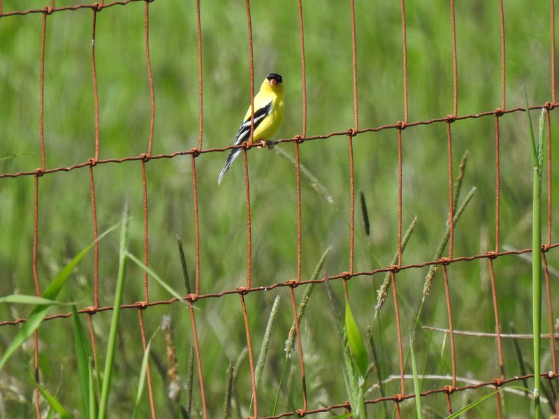 American goldfinch
 Swallowtail
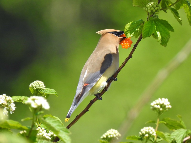 Cedar waxwing with a salmonberry.
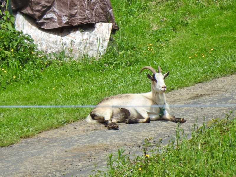 Goat lounging in a driveway across the highway. There had actually been a black goat in nearly the same spot on our first pass.
 Caterpillar
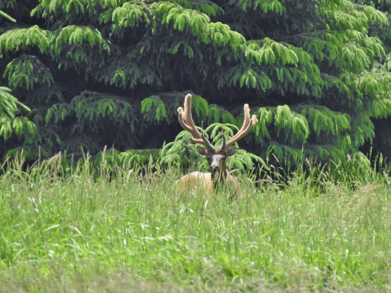
 The elk is in the center of the photo near the tree line.
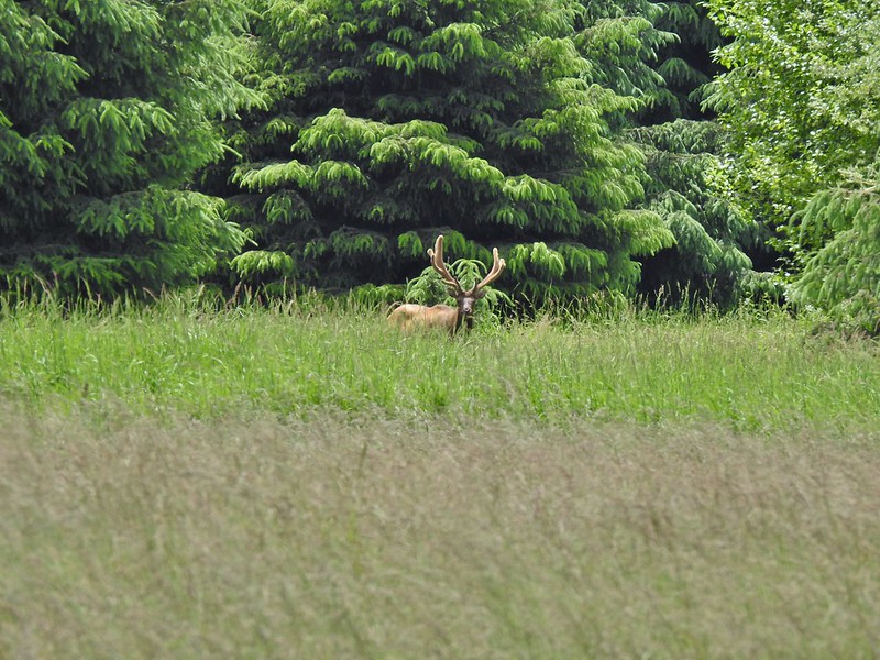


 Here is a not so decent picture of the egrets.
 One of the bitterns in flight.


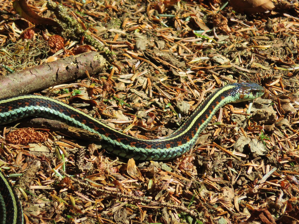
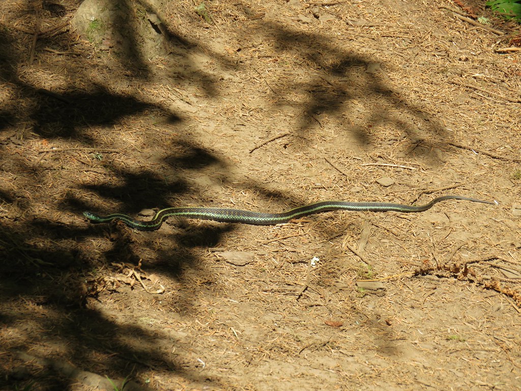
 Heather spotted this garter snake along Center Road. Another animal to add to the days list.
 Back at the White-tail Trail.
 It had cooled down again which provided some relief as we trudged back.
 A second turtle
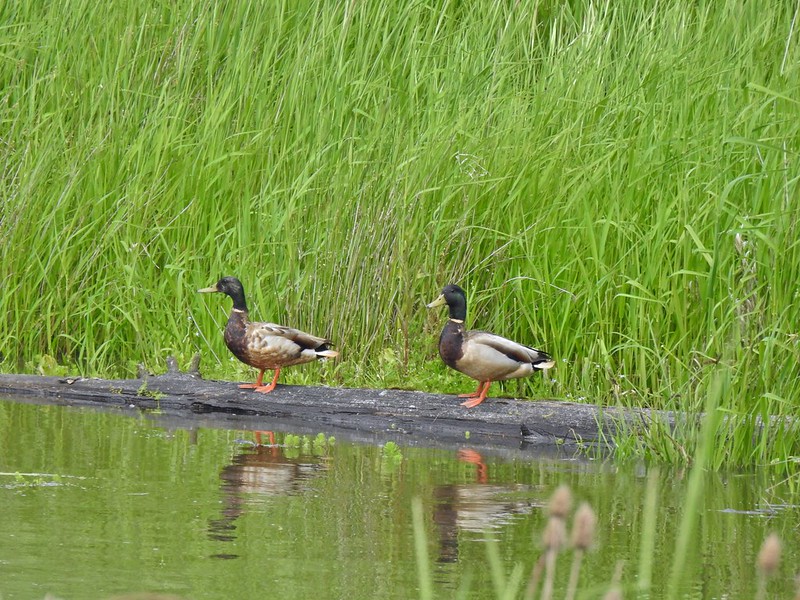 Mallards
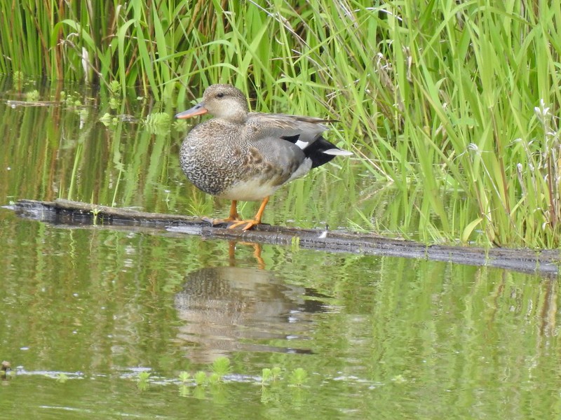
 Way more water in the afternoon.
 Another kingfisher. It was in the same tree as the heron had been earlier that morning when we were watching the bucks.
 Family swim
 By Steamboat Slough Road we had all kinds of blisters/hotspots on our feet.
 Arriving back at the refuge HQ.


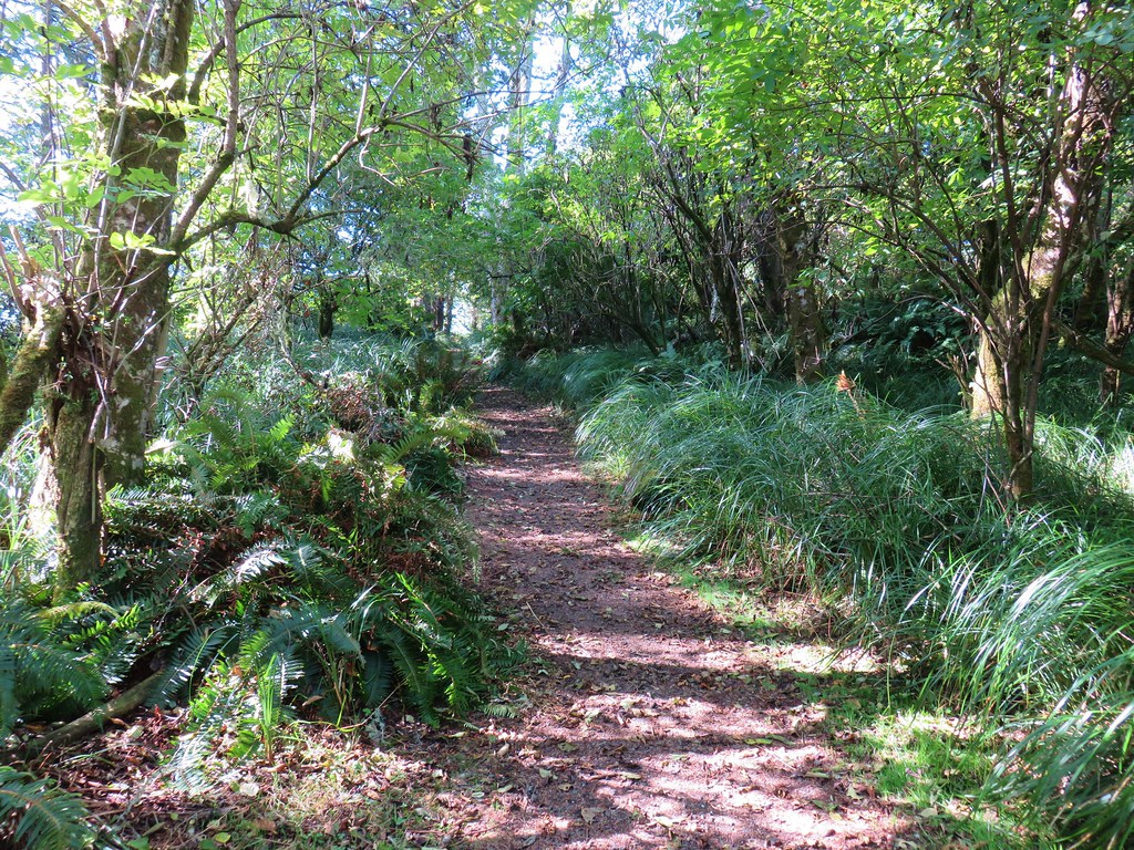
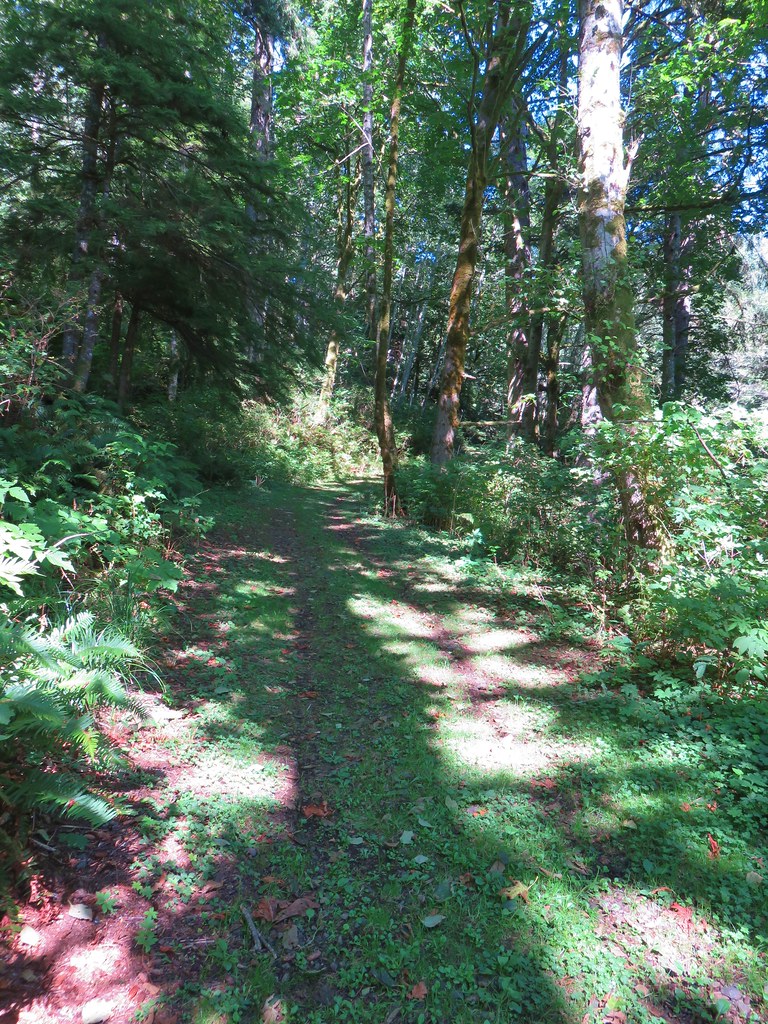
 Dropping into the forest.
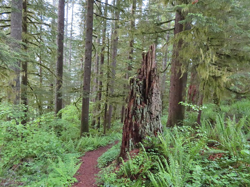
 Anemone
 Vanilla leaf
 Baneberry


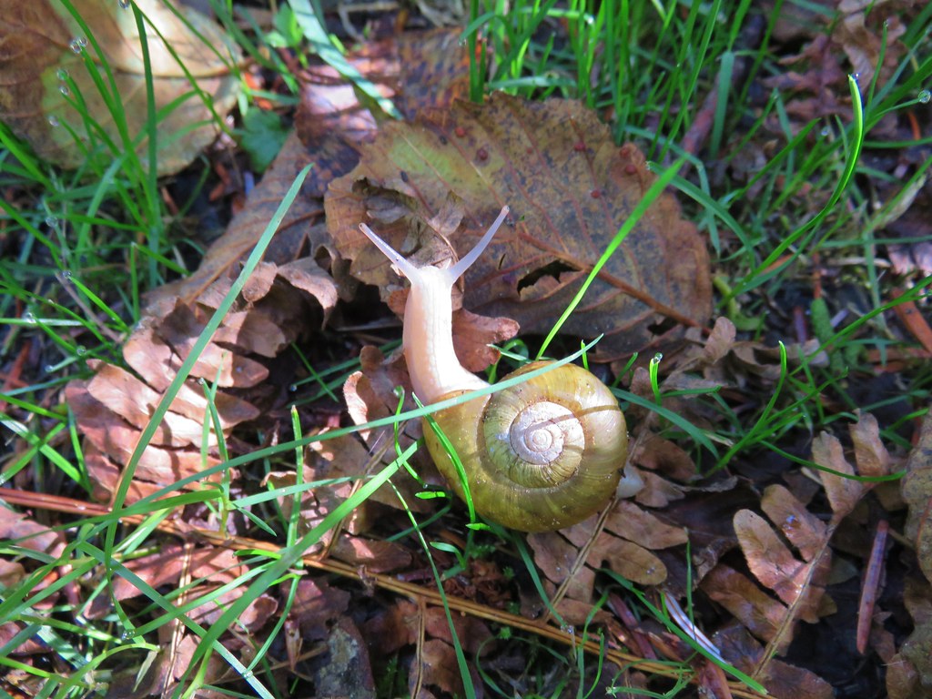
 Quite a few snails and slugs along the trail.
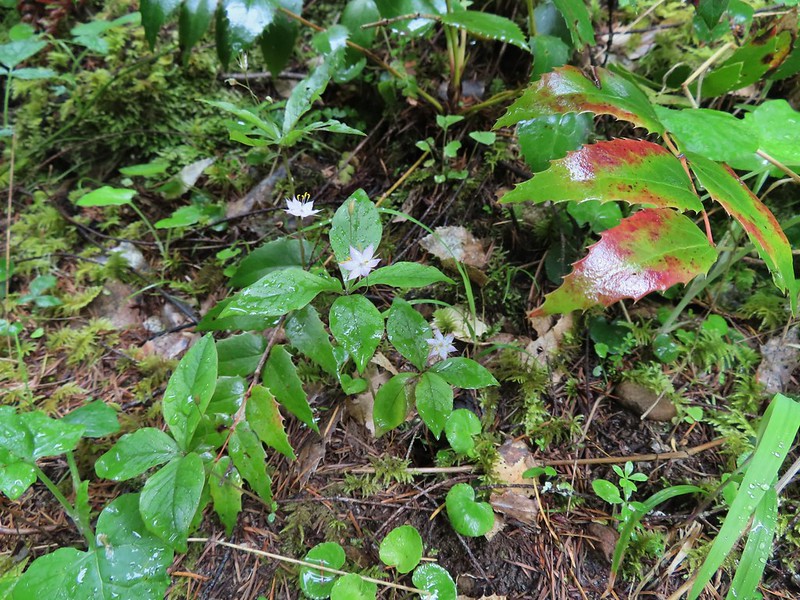 Starflower


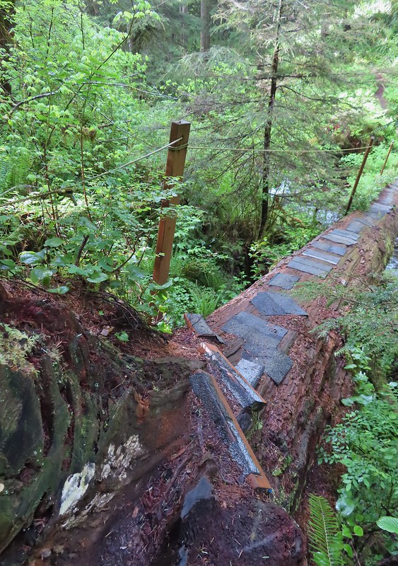
 Some of the logs had had tiles and ropes placed on them to help avoid slipping.
 Surprisingly this was the only rough-skinned newt we spotted all day.
 Foam flower
 Inside-out flower
 There were some huge nursery logs in the forest here.
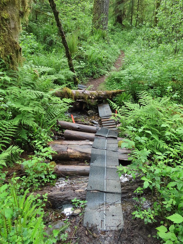 A good example of a makeshift crossing.
 Most of the flowers were white or pale pink but this salmonberry blossom added a splash of bright color.


 Violets
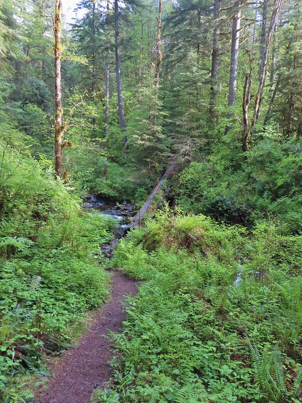 This was an interesting log/bridge.
 Millipedes were everywhere but this one was a color we hadn’t seen before.
 These were the ones we were seeing all over.
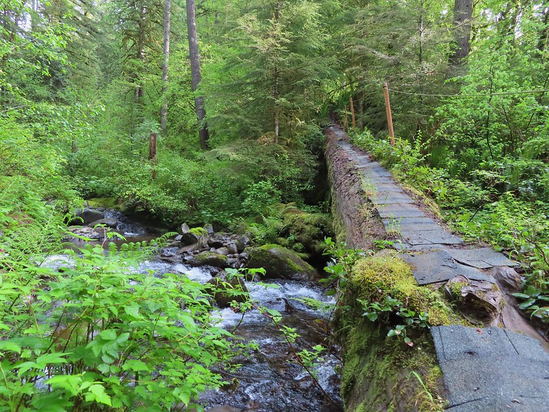
 The dismount was a little awkward but doable.
 Star-flowered solmonseal catching a moment of sunlight.
 Fairybells
 Solomonseal
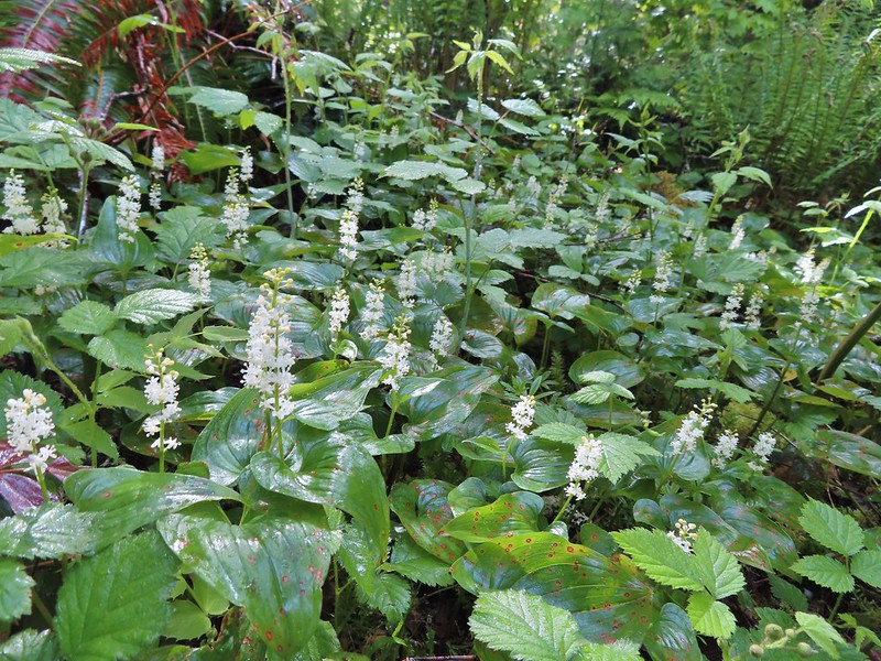 False lily of the valley
 Moss and lichens
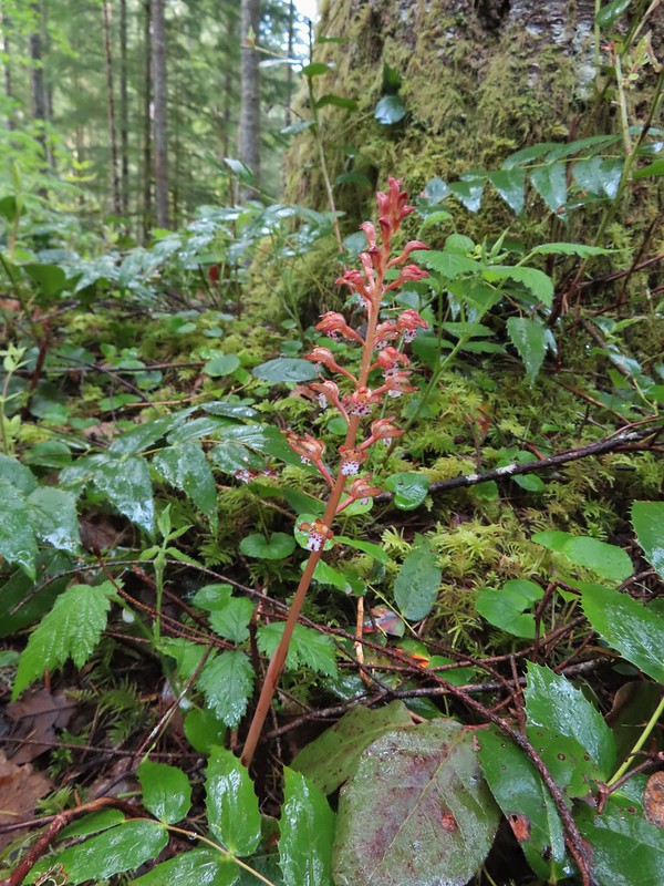 Spotted coralroot
 Bunchberry
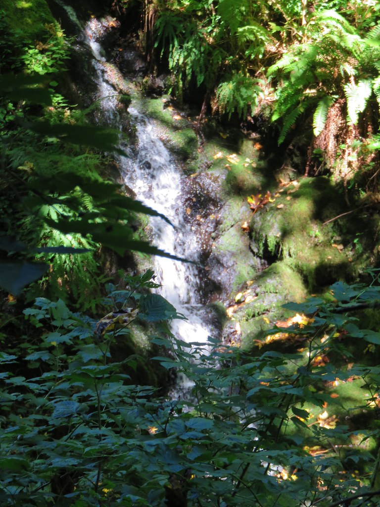
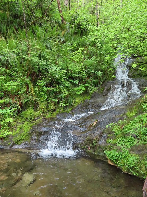 Small fall along the trail.
 Did I mention millipedes were everywhere?
 Another creek crossing.

 The reroute
 This was one of the log crossings that looked too slick and high to warrant an attempt so we forded here. The water was ankle deep and we crossed easily.
 We forded just above the larger rocks in the middle of the creek.
 The lower of the two cascades.
 The upper cascade.
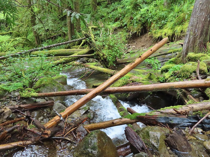 Looking across the old crossing you can see where some of the hillside was washed out.
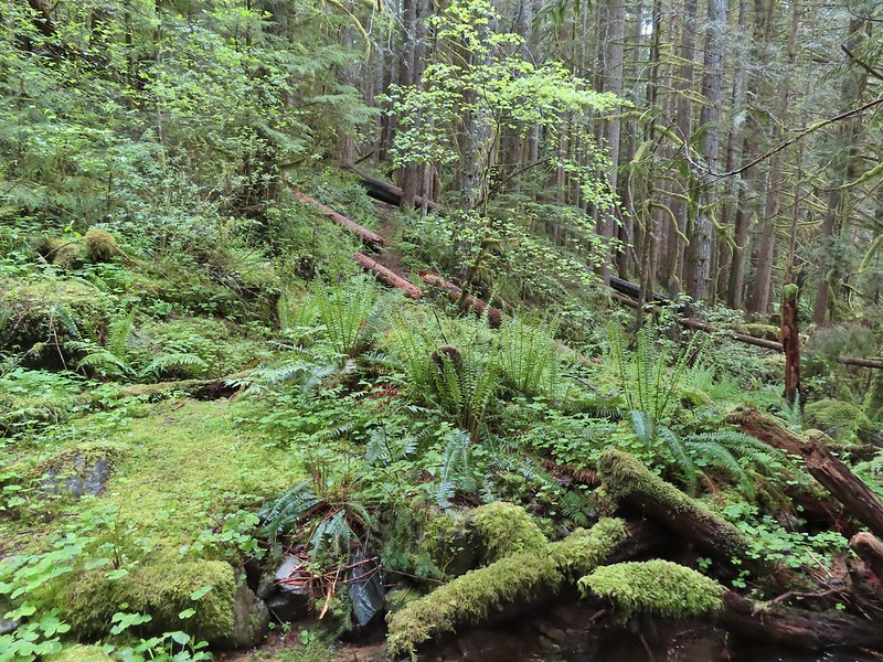 Looking back at the trail from the creek. The large downed tree was the one that was too wide to climb over.
 Most of the downed trees were like this although there was one that required ducking pretty low.
 We could hear the songs of wrens throughout the hike but only caught flitting glimpses of the little singers.

 Two of the footbridges were in a state like this. It held but we had to watch our step to not only avoid the holes but also the millipedes.
 This was another ford/rock hop. There was a log serving as the bridge but it also looked slick. The rope in the picture was connected to the log and I almost didn’t see it (both times by).
 Deep pool near the crossing.

 First view through the trees.
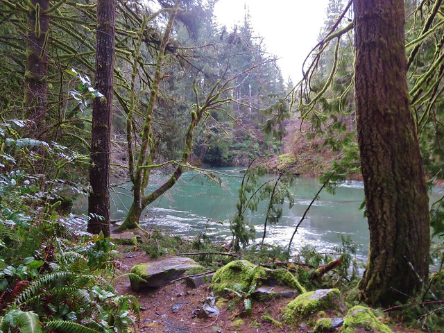
 The pool was a beautiful green.
 More cascades and clear pools were located downstream.
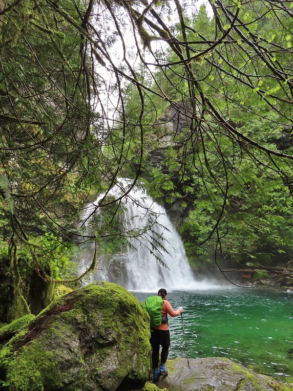 Heather taking in the view.
 Since I was already wet from the fords I waded out in the calf deep creek to get a different angle.
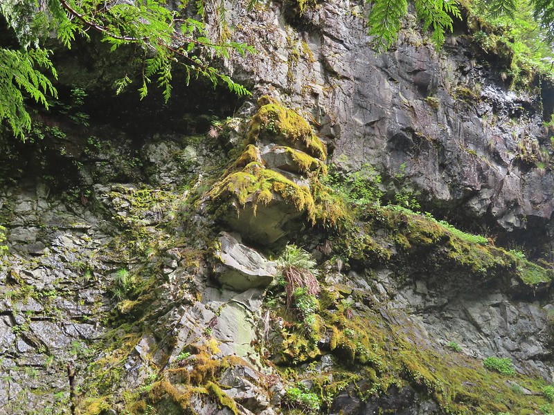
 The right fork heading on toward Mount Mitchell.
 A really long nursery log spanning across this whole depression.
 Camouflaged mushrooms.
 The only trillium that still had its petals.
 It looked like someone took a slice of this mushroom.
 There weren’t too many views of North Siouxon Creek from the trail but this was a nice one.
 Sour grass
 Youth-on-age
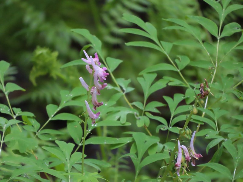 Scouler’s corydalis
 Candy flower
 The start of the “trail” at the end of the road.
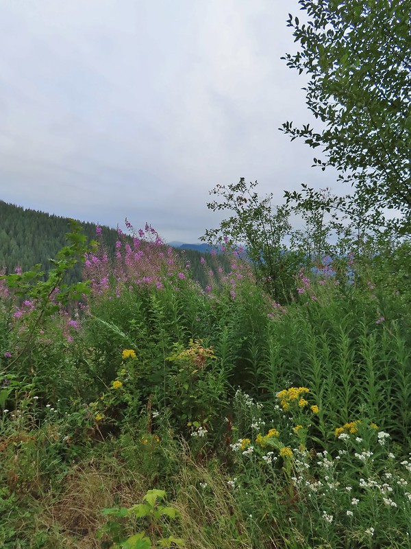 Wildflowers at the trailhead.
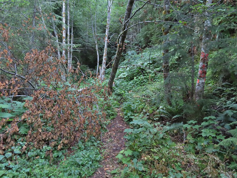


 Orange dot on a tree.
 Another orange dot.
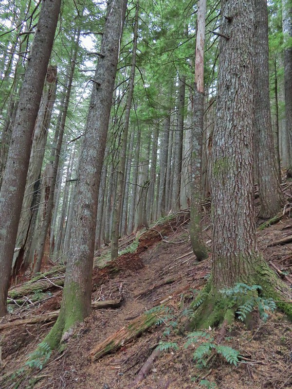 Occasionally there were short steep climbs but nothing as steep as the first part.
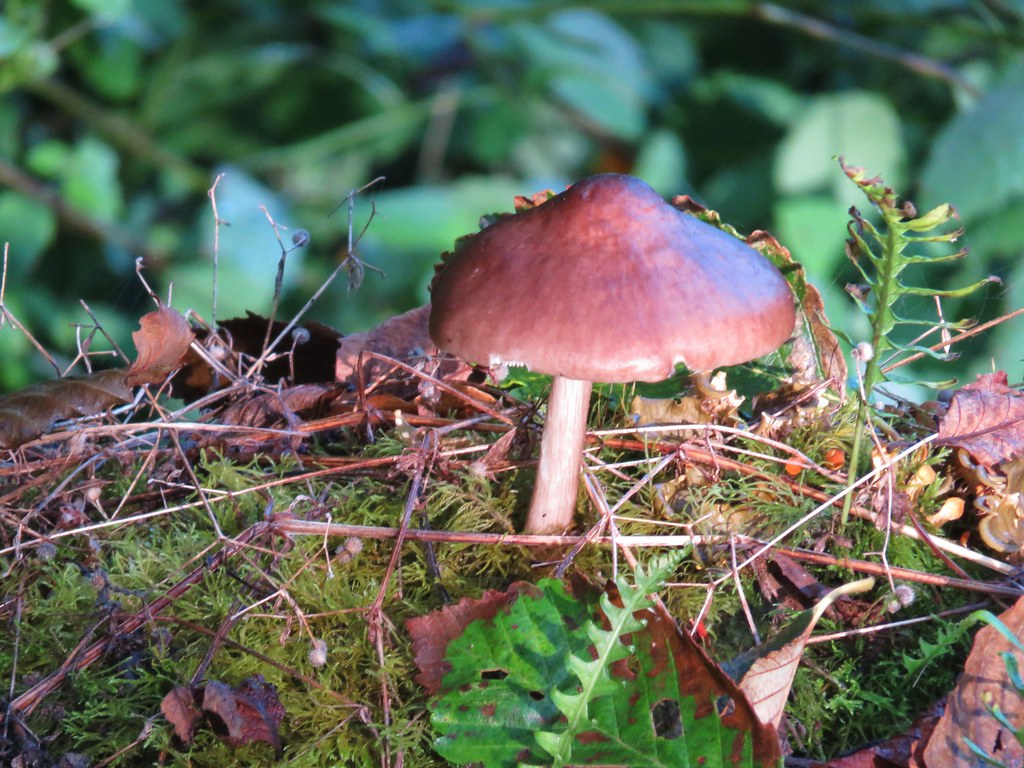
 Mushroom
 Pink flagging on the right related to the timber sale.
 Water in a creek bed.
 Mushroom amid bunchberry leaves.
 Red huckleberries
 Timber sale boundary sign on the right with a flag.
 More huckleberries.
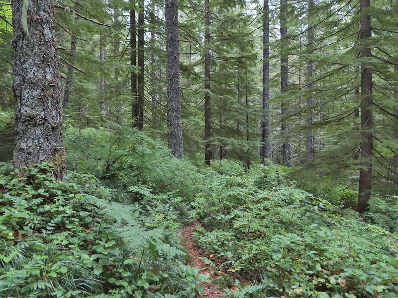


 Bluebell of Scotland
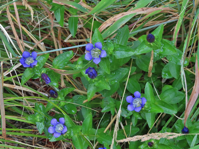 Gentian
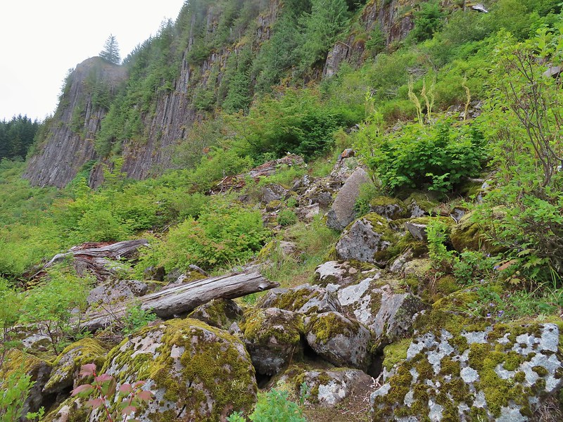
 Pearly everlasting
 The view north, not much to see.
 Mount Mitchell from the path.
 Paintbrush
 Gentian
 Penstemon
 aster
aster Oregon sunshine
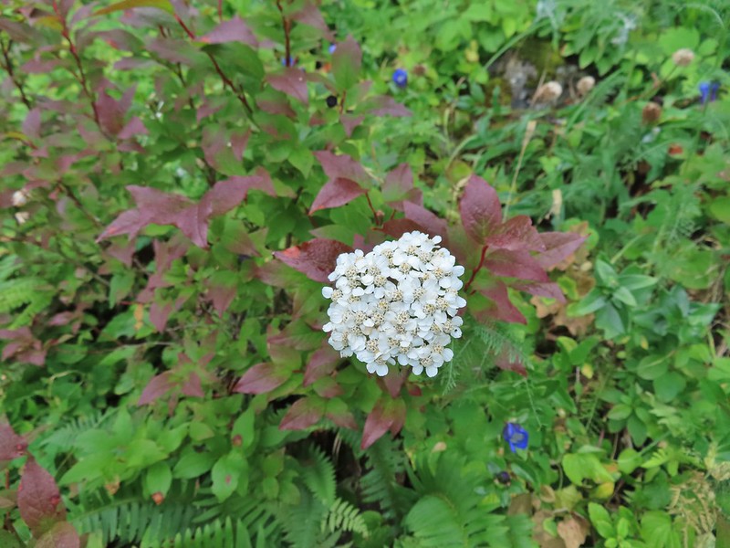 Yarrow
 The trail nearing the end of the basalt cliffs.
 The view south across North Siouxon Creek was the same as it had been to the north.

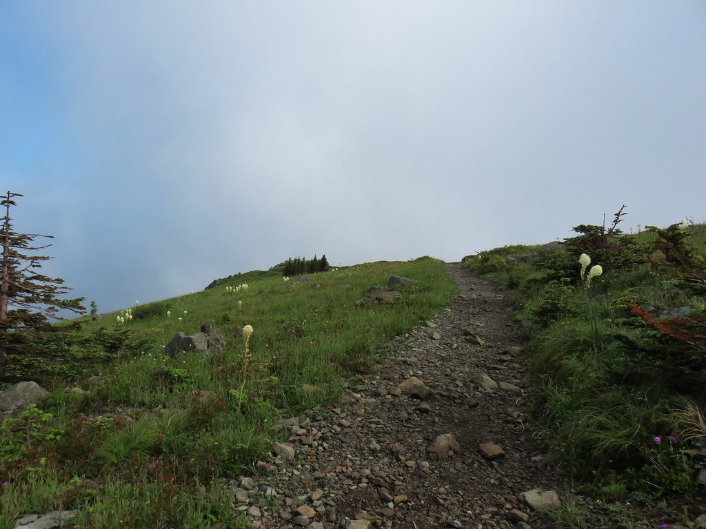
 It was apparently a good beargrass year along the trail.


 Fireweed amid the beargrass.
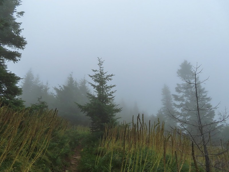


 Mt. St. Helens is out there somewhere.
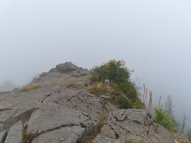 Looking east over the site of the former lookout.
 The survey marker and one of several neat rock formation near the summit.
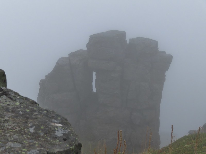 Closer look at the formation.

 A second picture after seeing it move again.
 The pika popped back out below the larger rock that it had run behind.
 A non zoomed in photo, the pika is still in the same spot as in the two photos immediately above.
 Spotting this patch of ghost pipe emerging from the forest floor was another highlight on the return hike. The hike is reportedly 7.3 miles with a little over 2000′ of elevation gain but Heather’s GPS put us at 7.8 miles and mine registered 8.3 miles. (If you’ve read other posts you know that Heather’s unit used to almost always show the higher mileage but lately mine has been.) Whatever the actual mileage it was a good hike through a very nice forest which sadly, barring a last minute successful change, may not be possible in the future.
 Bower Slough
 Ducks in the slough.
 South East Lake which was mostly dried up at this point in the year.
 Apparently deer can’t read based on the trail leading past the sign.
 The bed of South East Lake
 Some moisture passing through this morning.
 Dove
Dove Walking along a cleaner looking portion of the slough.
 Bridge/boardwalk between Middle Lake (left) and West Lake (right).
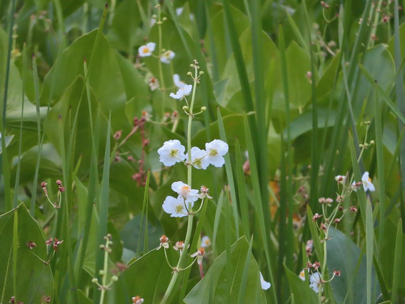 Wapato blossoms
 Lots of ripening blackberries.
 Second crossing of Bower Slough near the end of the loop.


 Great blue heron
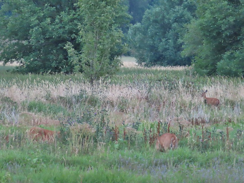
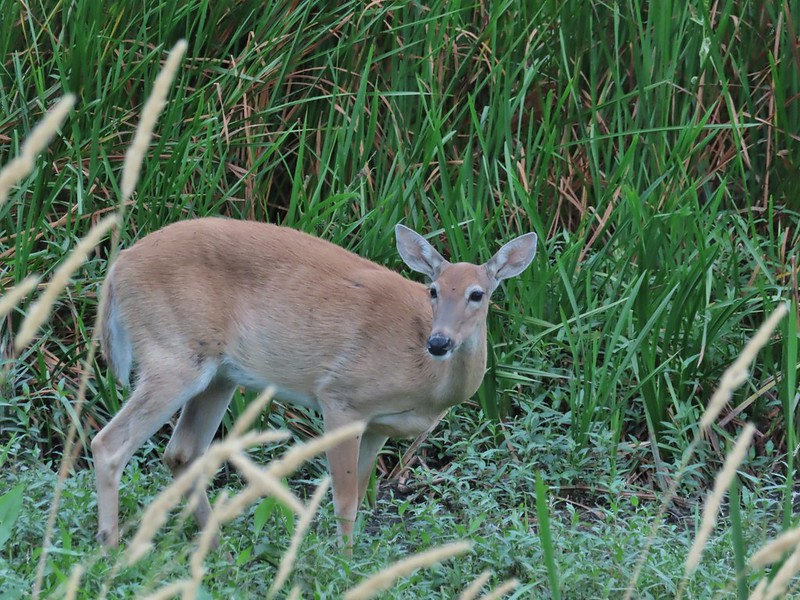 Doe
Doe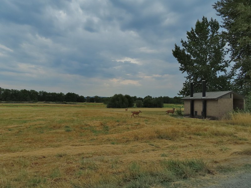 Deer near the restrooms/fee booth.

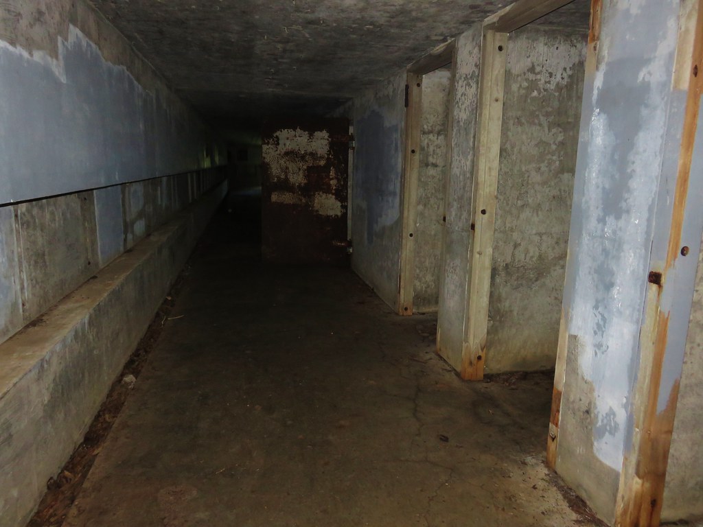
 <
<
 Doe in the brush near the tracks.
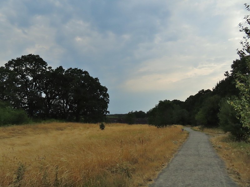


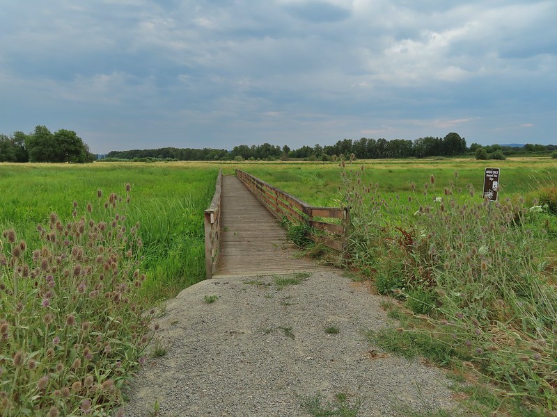
 Carty Lake Trail and Duck Lake
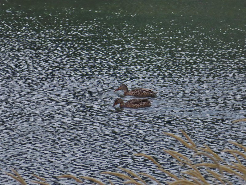 Ducks on Duck Lake
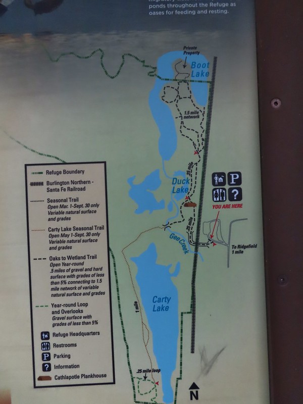
 Paved and dirt options allow for a mini-loop near the start, later the trails are all dirt.

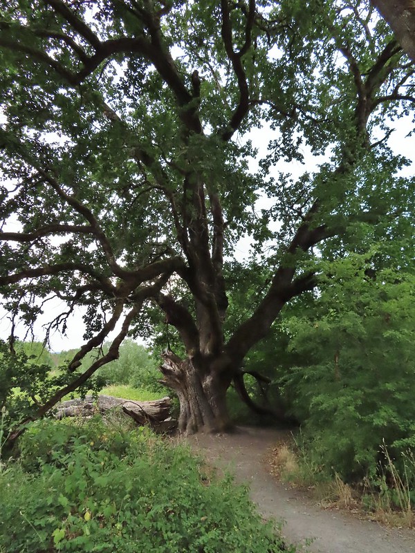 Big oak
 One-way pointers for a second loop.
 The trails can reportedly be quite muddy during the wet season but the current drought meant a hard packed surface.
 Bright red poison oak climbing some of the tree trunks.
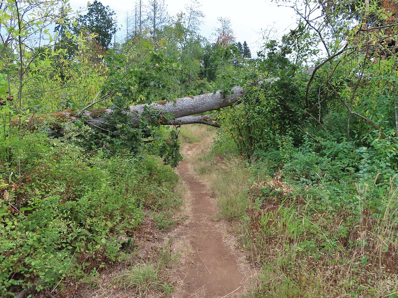 A bit of a low bridge.
 Spotted towhees
 Onward toward Carty Lake.
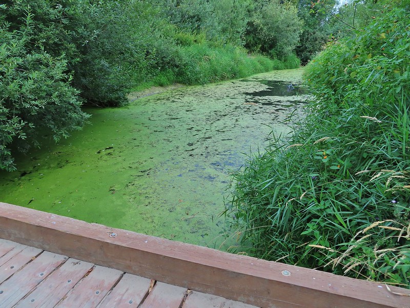 Gee Creek
 Orange jewelweed along Gee Creek.
 Carty Lake also lacking much water.
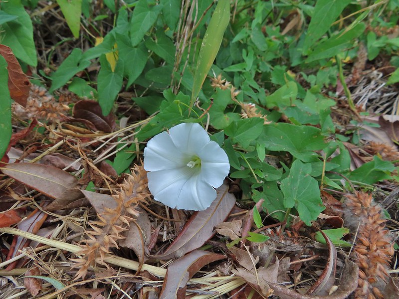 Bindweed
 A primrose
 Wapato at Carty Lake
 The trail turning south toward the Port of Ridgefield.


 Lots of salal along the trail.

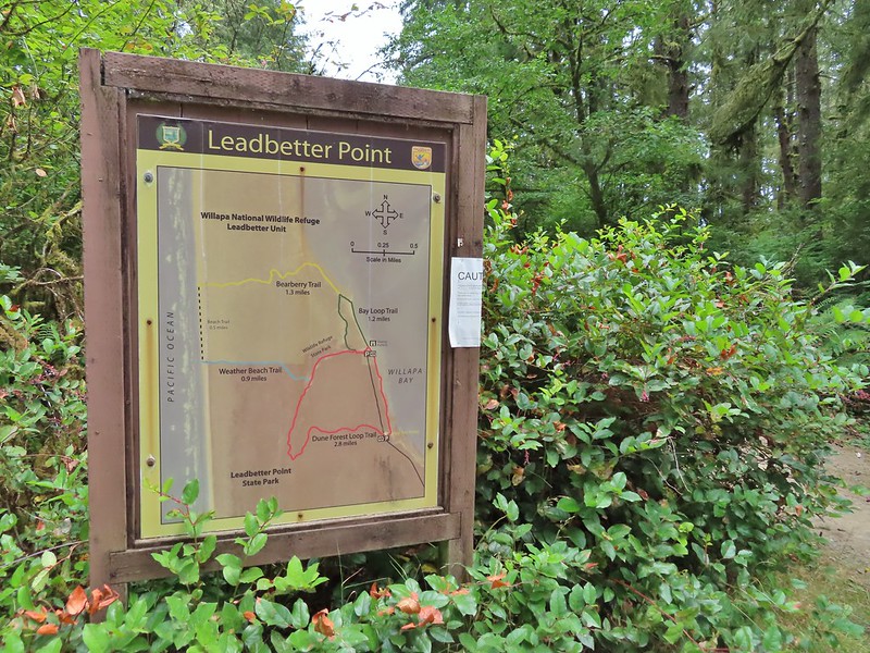
 Map near the platform.
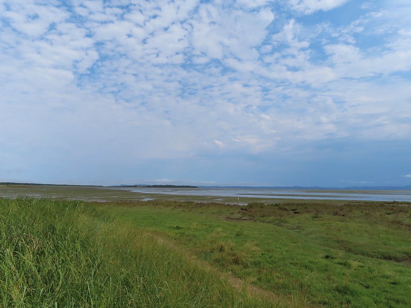
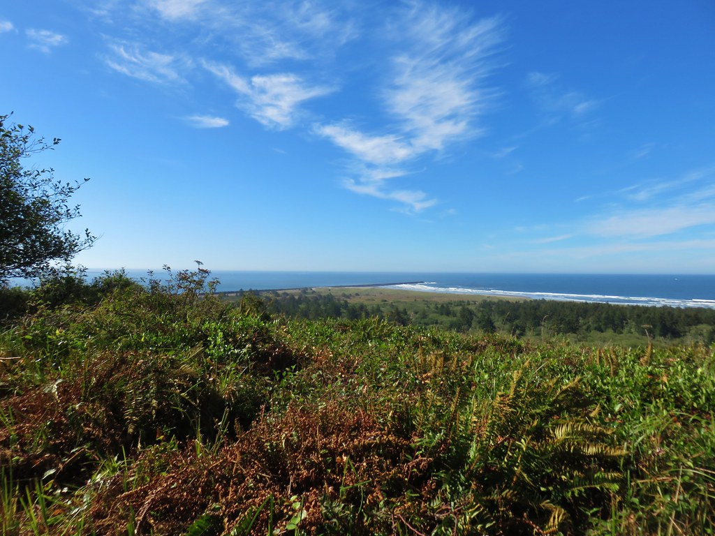
 High tide had been between 7 and 8am so the water was retreating from the Bay.
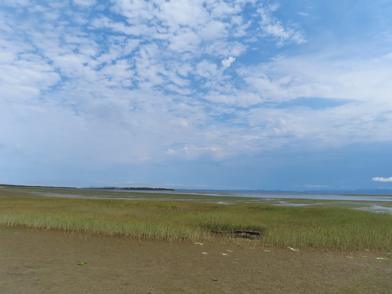
 Looking south.


 Looking back along the trail.
 Cresting the dune.
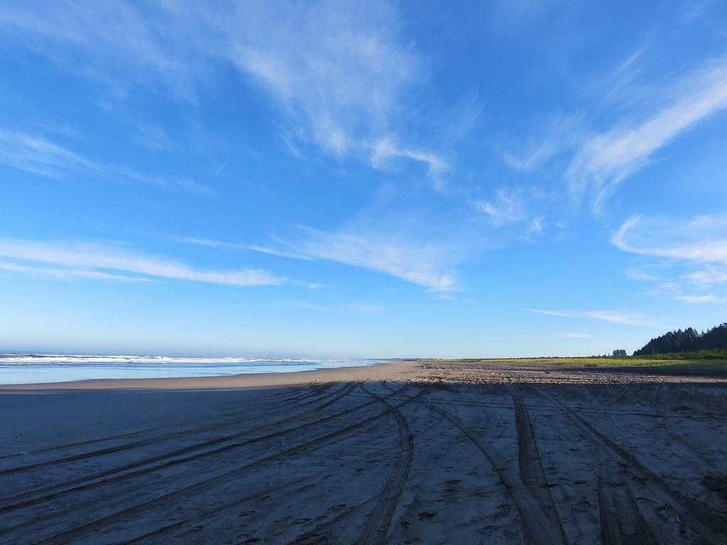
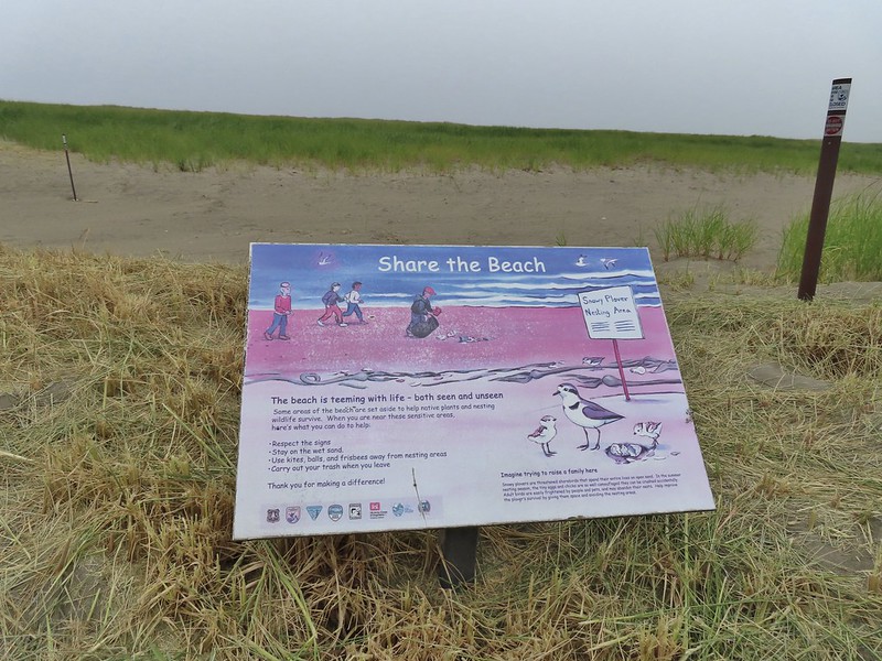 Snowy plover sign, a common sight along the beaches in Oregon too.
 Bayberry Trail passing through the snowy plover closure area.
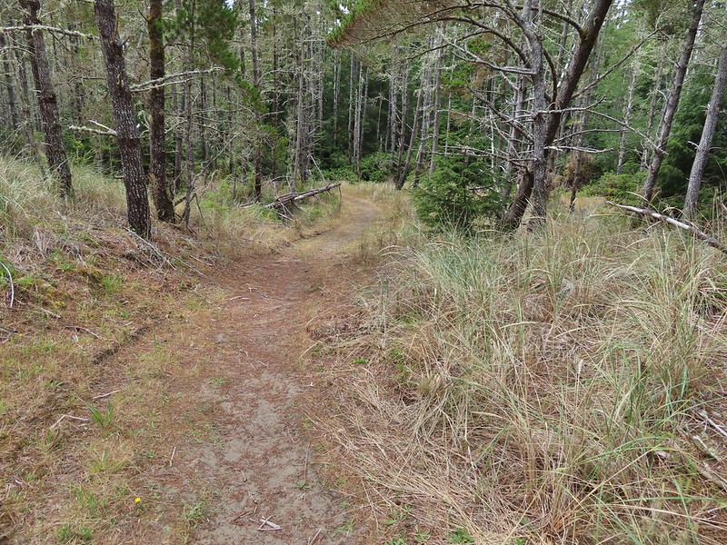
 Bumblee on American skyrocket.


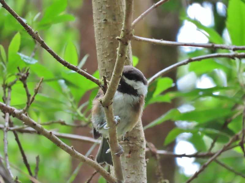 Chestnut backed chickadee
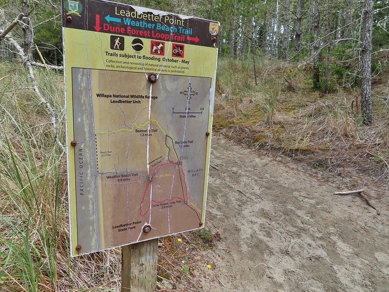

 Someone had written “umpassable (sic) swamp” below the word loop on this sign. This is when we began to guess why Sullivan had you turn left at the Weather Beach Trail junction.
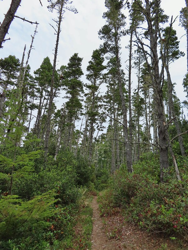
 Slug and a mushroom. We both thought of Alice in Wonderland.

 Signboard at the southern trailhead.


 Looking back over one of the trees.
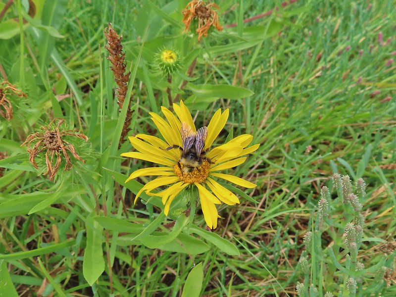 Bumble bee on gumweed.
 A pair of great blue herons in Willapa Bay.
 The eagle has landed.
 Crow attack
 Looking for a quite place to eat.
 We didn’t see what happened to the kill, if the eagle got to eat it or not.
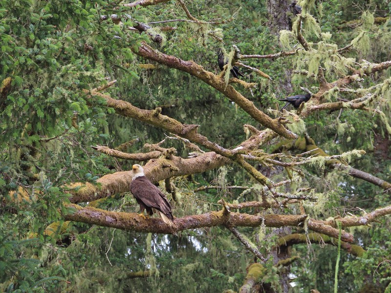 The crows weren’t leaving the eagle alone.
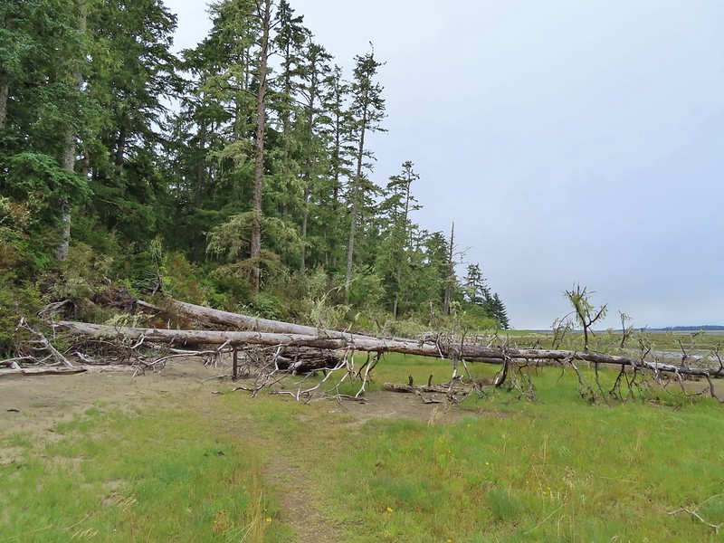 Last of the trees to navigate.
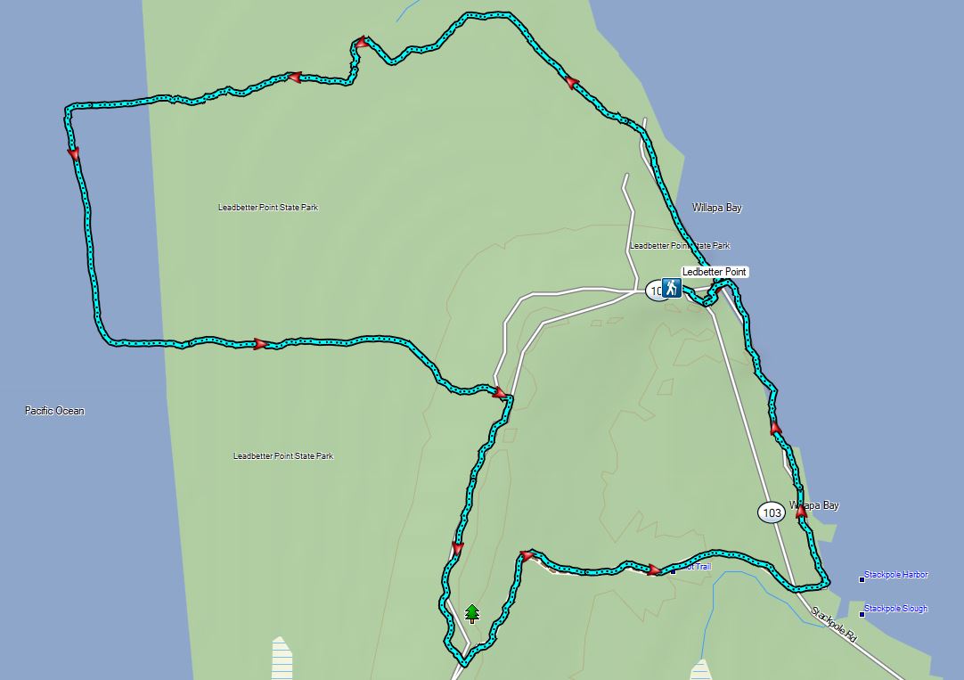


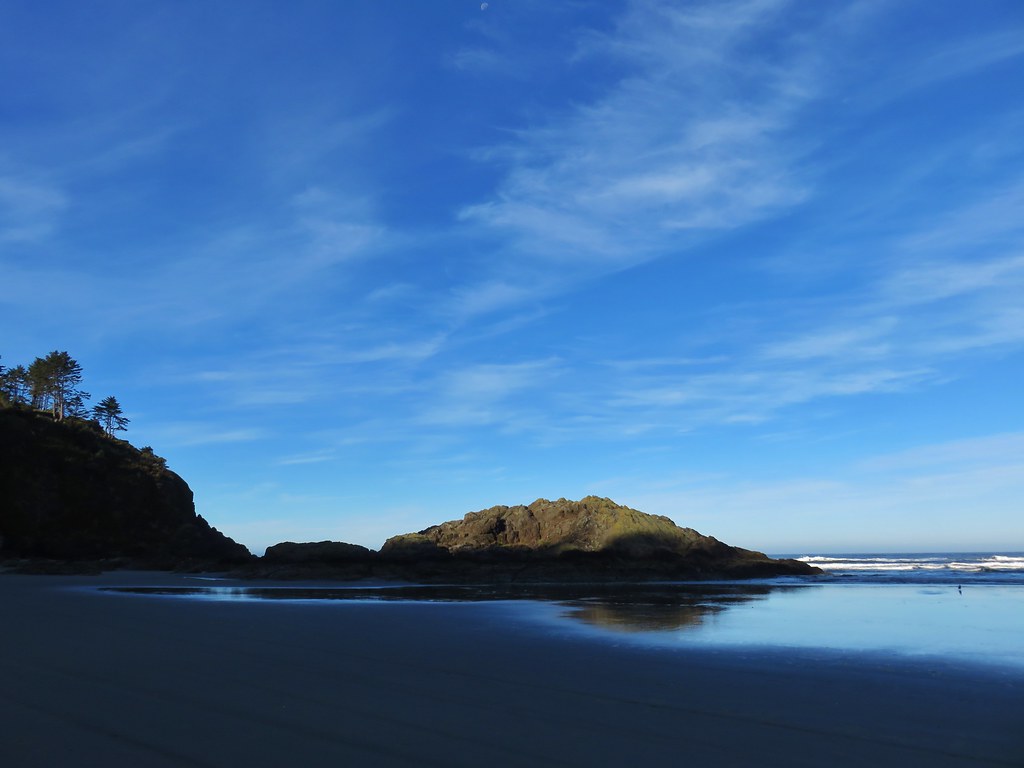
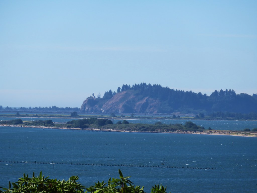
 Sturgeon Rock (still with cloud) and Pyramid Rock
 Wild iris
 Paintbrush and lupine
 Daisies
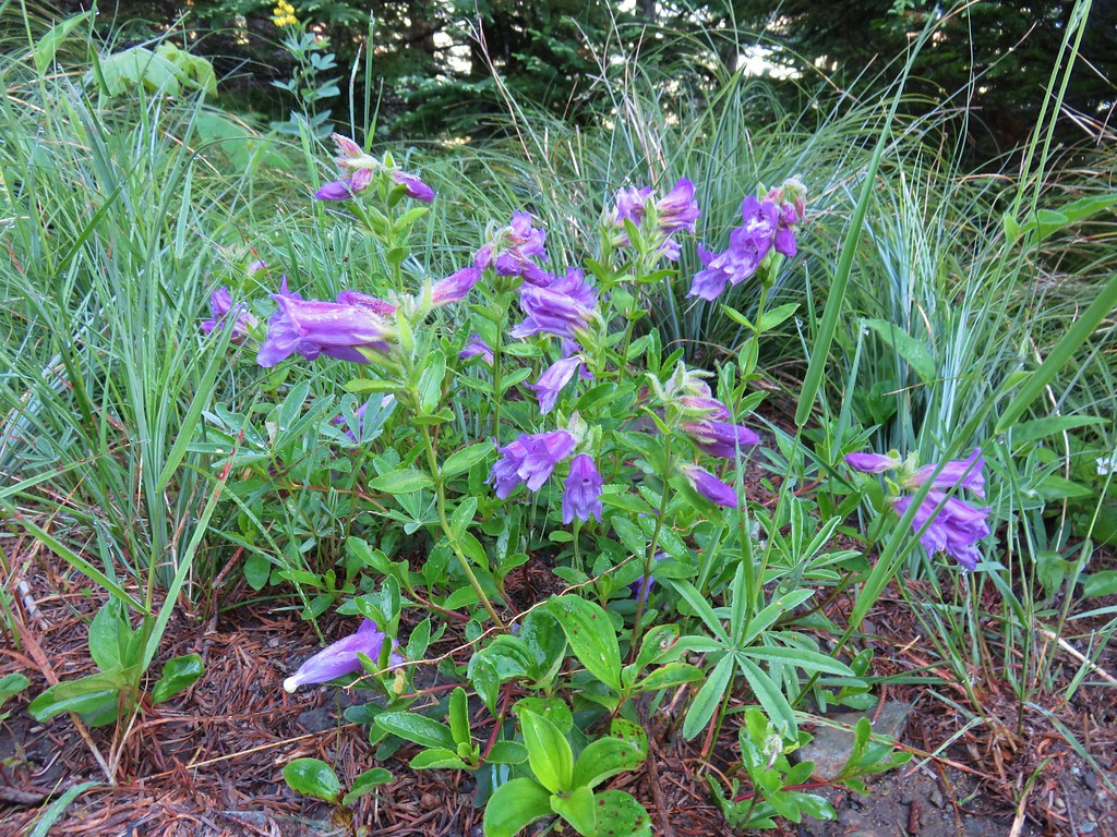 Penstemon
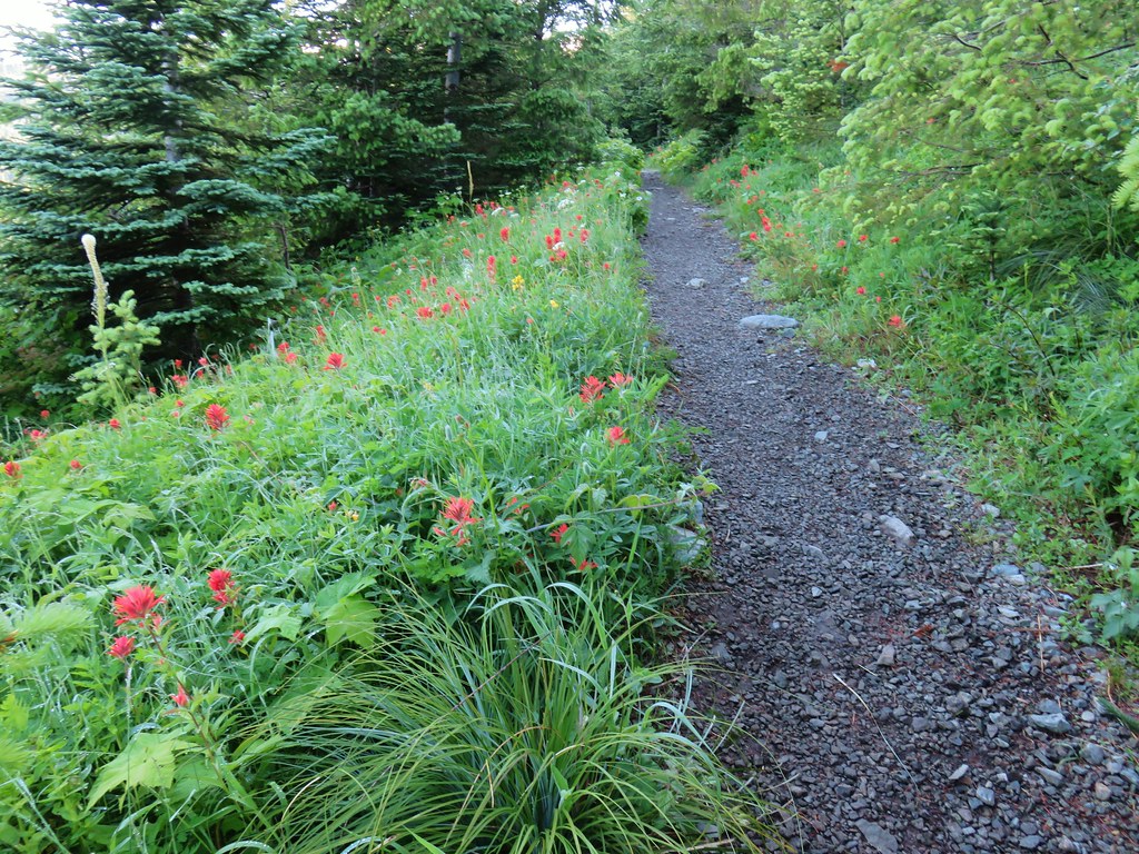


 paintbrush and mountain spirea
 Beargrass

 Columbine
 A penstemon
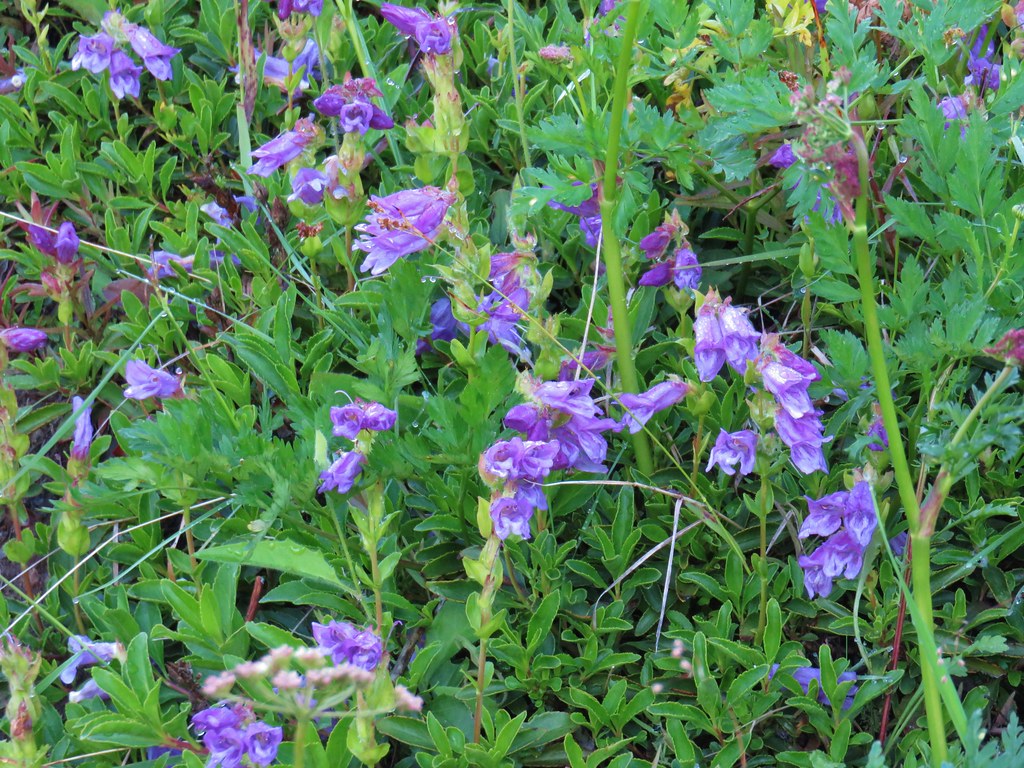 More penstemon
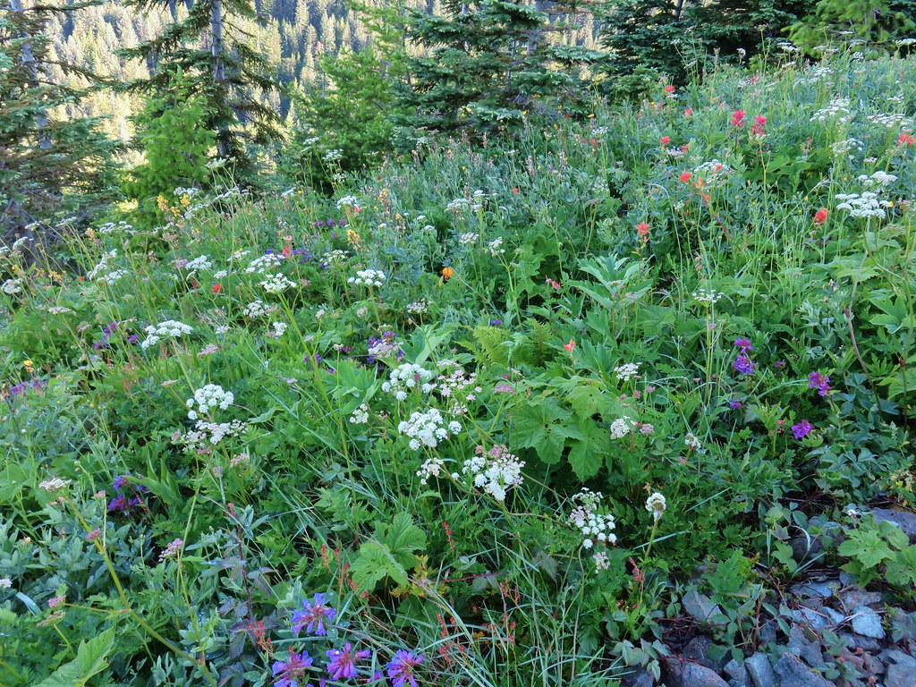 Variety pack
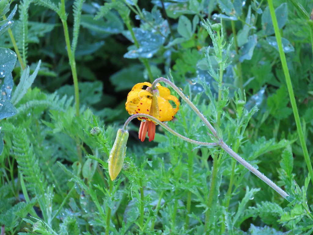 Tiger lily
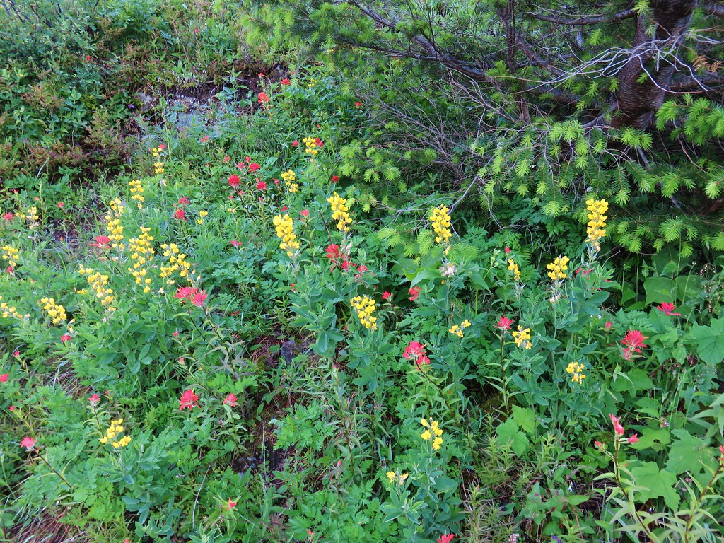 Golden pea and paintbrush
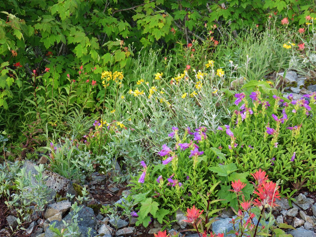 Another variety pack
 Wallflower
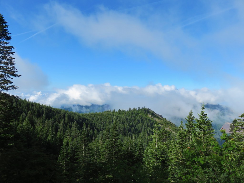

 Avalanche lilies near the junction.
 Sign for the Silver Star Trail.
 Silver Star Trail
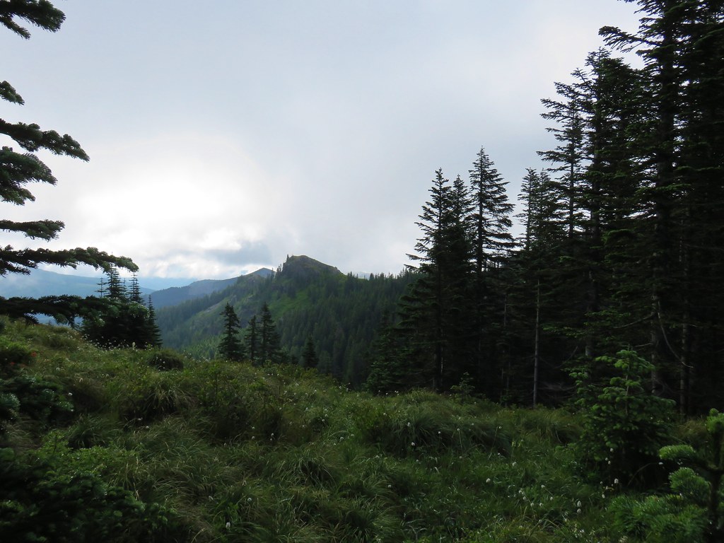


 Sturgeon Rock momentarily out of the clouds.


 Phlox
Phlox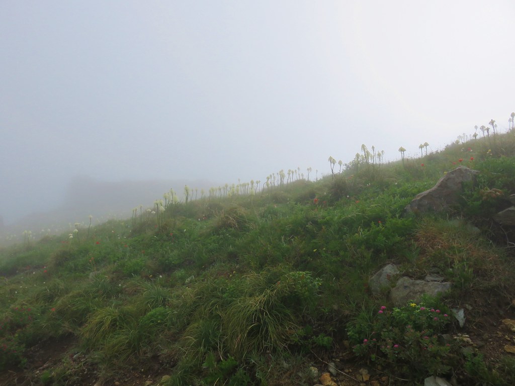 Beargrass


 White crowned sparrow
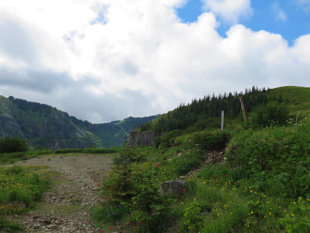


 Cat’s ear lily
 Rose
Rose Violets
 Rock penstemon
 Bleeding heart
 Candy flower
 Lousewort
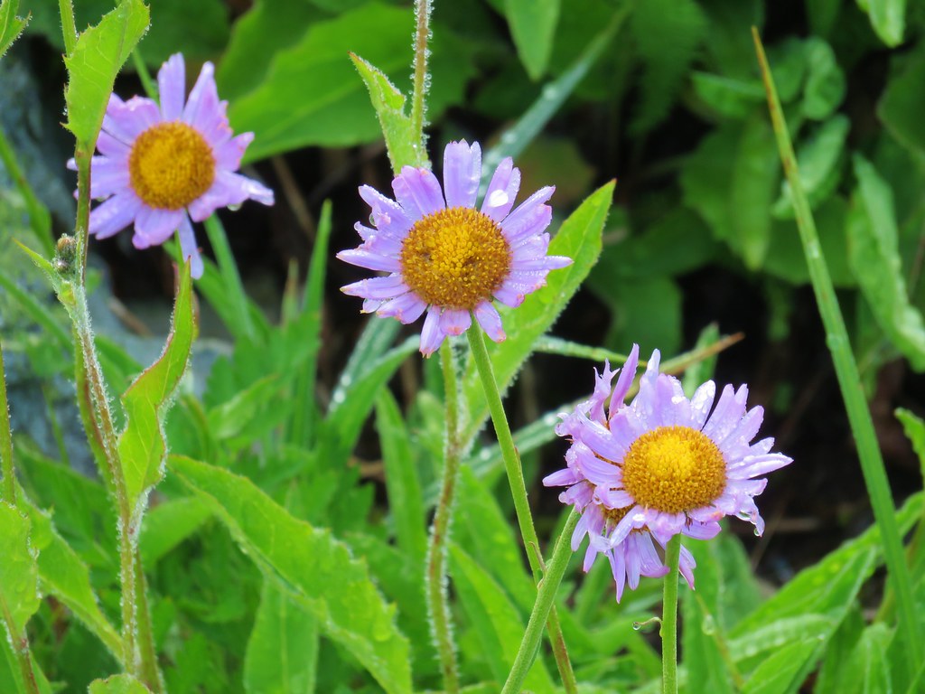
 An aster or fleabane
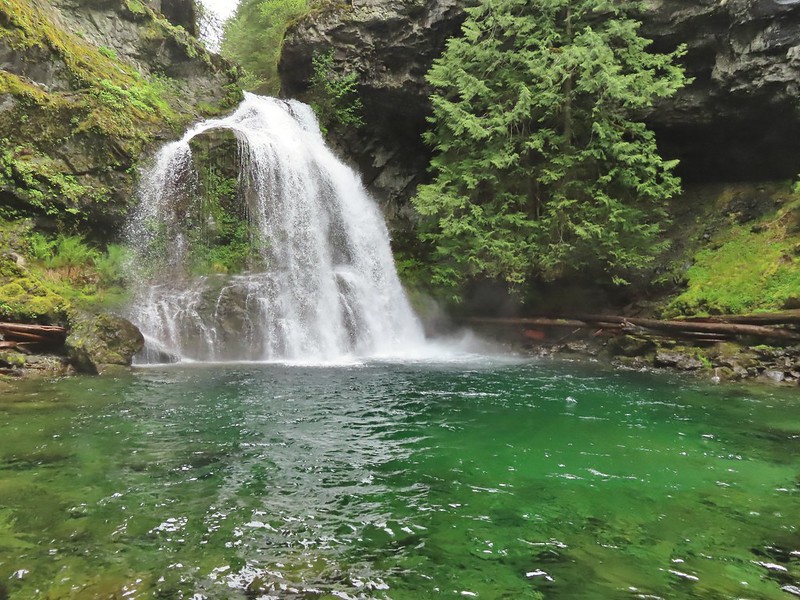
 Backside of the arch.
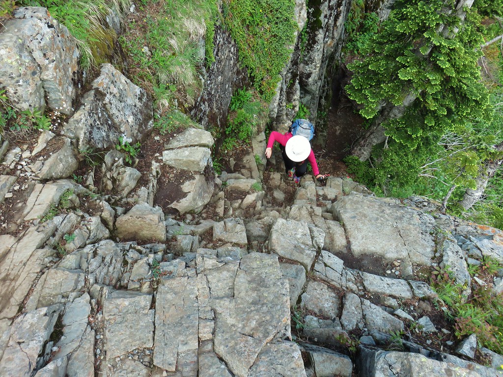


 Marsh marigold
 Marsh corydalis


 Pyramid Rock from the Tarbell Trail
 Black headed grosbeak
 Mountain parnassian
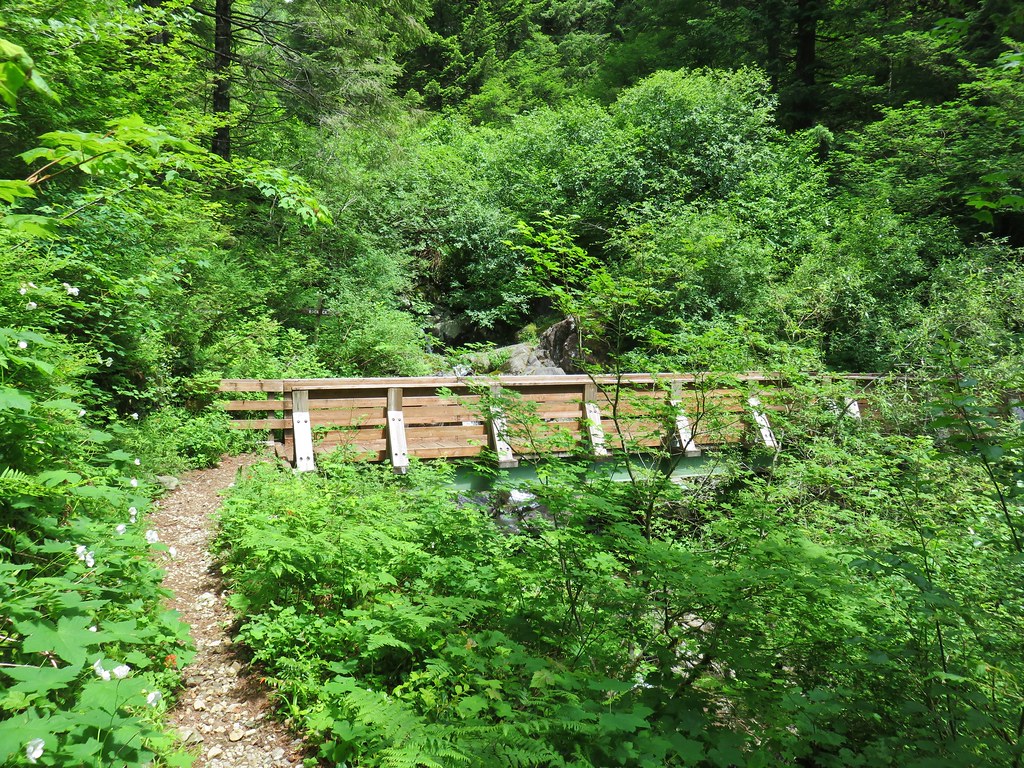


