We had a long day planned for the final day of our trip to SE Oregon. We were starting off by doing Sullivan’s Pueblo Mountains hike (#96 in his “100 Hikes/Travel Guide Eastern Oregon” guidebook and we were going to attempt the long drive back to Salem (a 6 1/2 to 7 hour drive). We were a little nervous about getting to Sullivan’s starting point for his described 7.2 mile hike which follows a portion of the Oregon Desert Trail. He describes the final 2.2 miles of road as a “rocky, bumpy road”..”passable only by high-clearance vehicles”. Given where we were and the tire scare we’d had earlier in the week we decided that adding 4.4 miles of road walk round trip was okay with us so after turning right off of Highway 205 exactly three miles south of Fields we followed a decent gravel road 4.7 miles to a fork where we took the left most track a hundred yards or so to the first decent spot we could pull off and park at.
The Oregon Desert Trail is a 750 mile route doesn’t always follow a trail (or road or other discernible track).

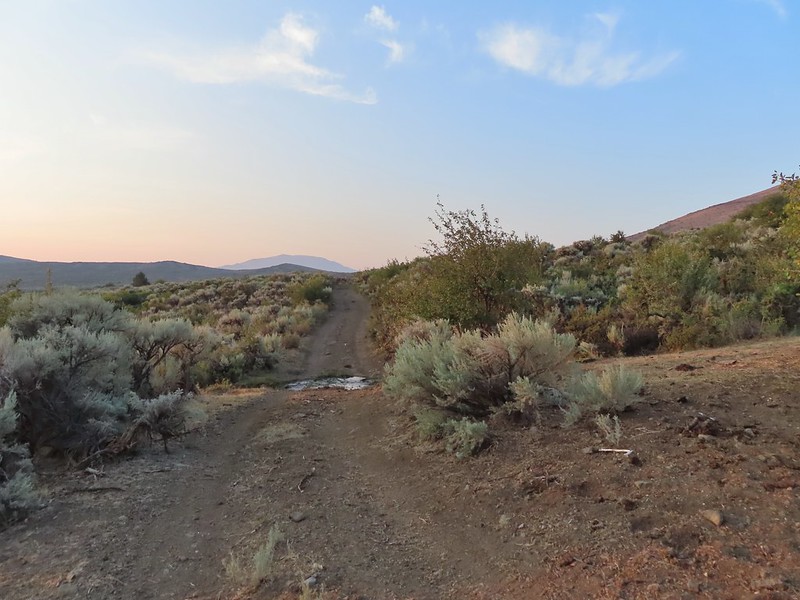
The section we would be hiking was guided by rock cairns with a couple of sections of what appeared to be actual tread but may also simply have been game/cattle trails that were going the same way. First we had to get to the start of the hike though so after a moment appreciating the desert sunrise we started up the rocky road.

 The view back along the road to the fork.
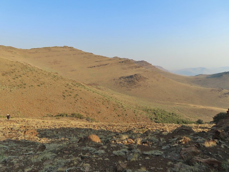
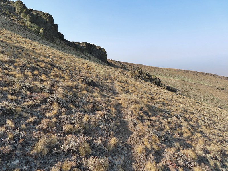
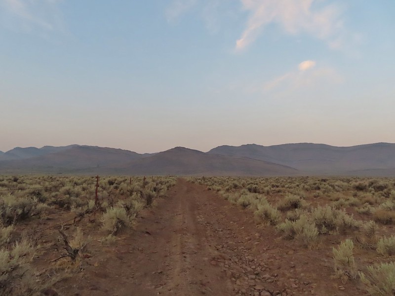 Road walk
 Rabbit
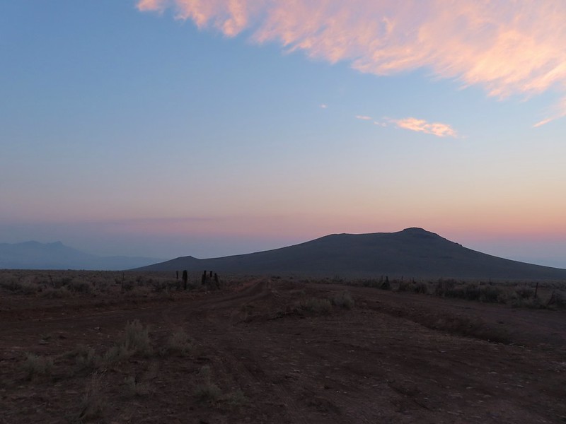
There was a bit more smoke/haze on the horizon this morning than there had been for a few days and a red Sun rose in the east.


After just under a mile the road made a 90 degree turn at a fence corner then crossed Sesena Creek, which was still flowing.

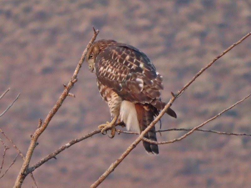
 A hawk in a dead tree above the springs feeding Sesena Creek.
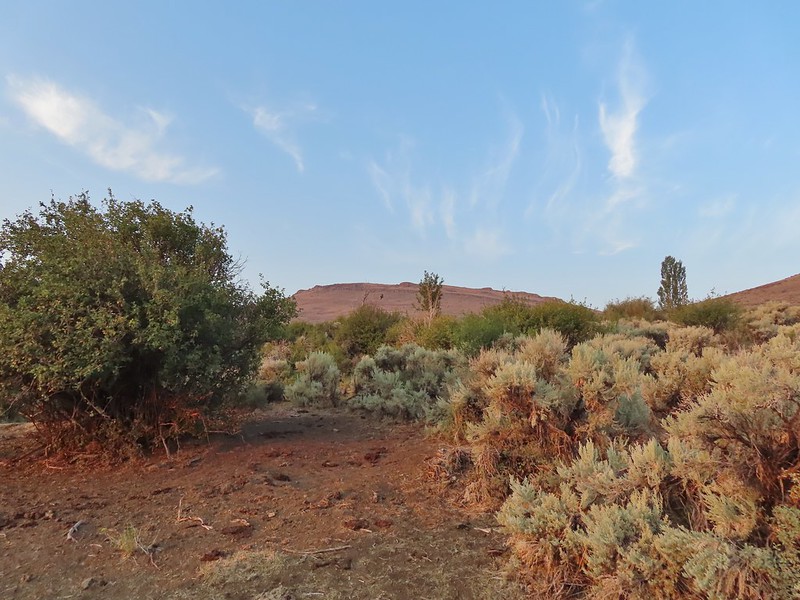
 This was the only water we’d see all day.
We arrived at the grassy flat Sullivan described as the start of the hike. Sullivan listed 14 cairns along his hike starting with one here at the starting point but the rocks it had been comprised of were spread on the ground. We hoped that wasn’t a sign of things to come.

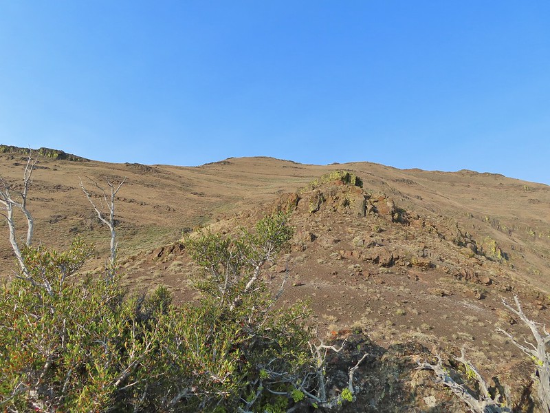
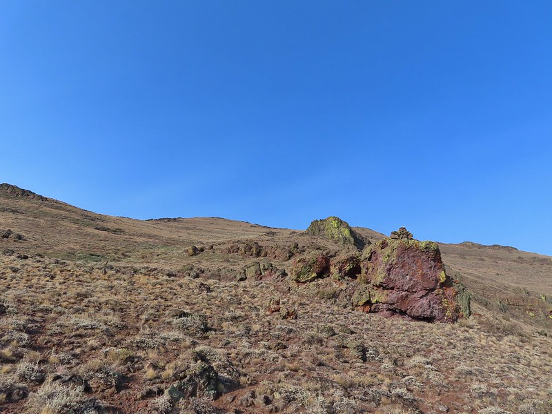
 The first cairn from later in the day.
Luckily Sullivan had supplied GPS coordinates both along the drive and for cairns 1, 5, 10, and 14 which I had entered into both our GPS units. From the road at cairn one we followed an old road bed through the sage brush toward the mountains.


A little over half a mile along the road brought us to another grassy area, an old cow lick, where we veered left on a trail (cattle?) through the sagebrush.
We could see the second cairn on a little rise ahead to our right and made our way towards it.


Sullivan’s instructions beyond the cow lick were to “head cross-country up the leftmost branch of the valley and scramble up past a grove of shrub-sized mountain mahogany trees to find cairn #3”. We could see the mahogany trees and using binoculars and the zoom feature on the camera were able to spot what we assume to be cairn #3.

From there the climb got steep fast and neither of us are sure we we ever saw cairn #4. Luckily we had the GPS coordinates for #5, which was 0.3 miles from #3, to keep us relatively on track.
 View from cairn #3.
 Looking back over the mahogany trees, the rise with cairn #2 and the cow lick.
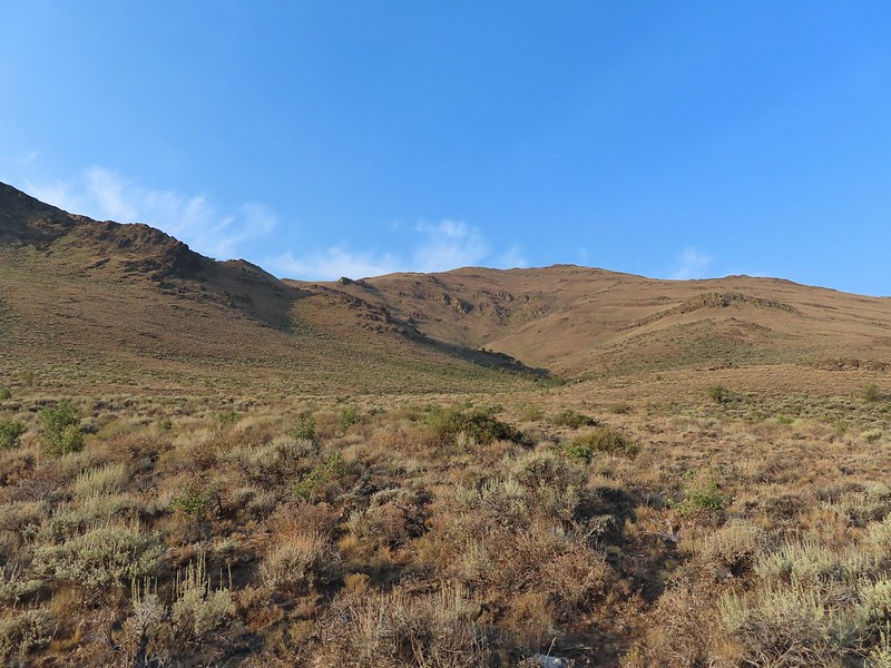
 Looking up the steep hillside.
 On the climb up to #5.
Cairn #5 was said to be atop a 12′ rock in a saddle. There appeared to be more than one possible saddle though as we climbed and at the angle we were at we couldn’t see any 12′ rocks.

I picked a saddle to aim for and arrived first but there was no cairn here.

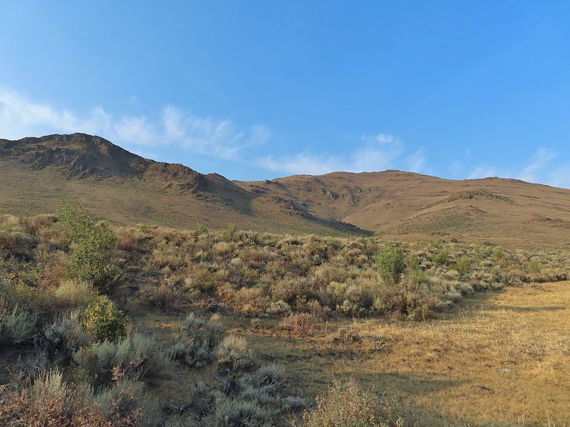
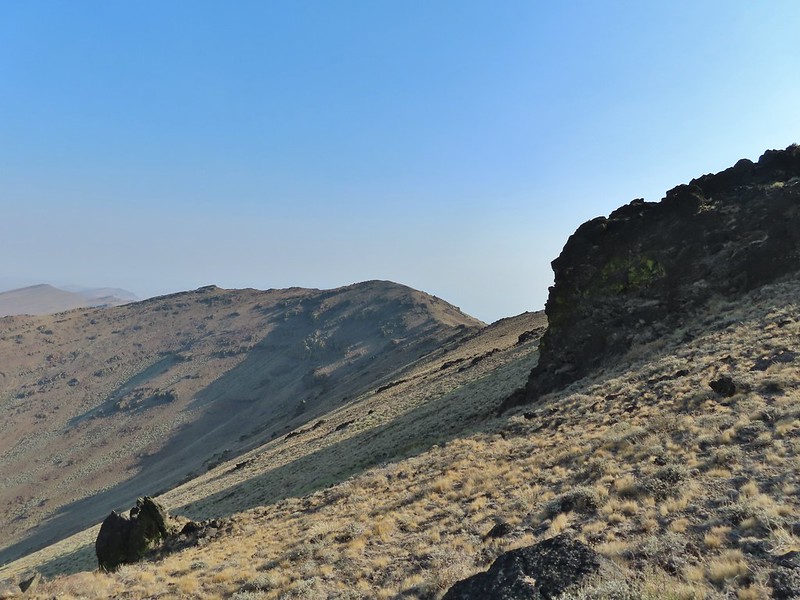
 The view from the saddle.
I climbed up on a the rocks to the west of the saddle to see if I could see cairn #5 which, based on the GPS coordinates would have been a little to the SE and downhill from where I was.
When Heather arrived we discussed the next stage our hike. Even though we couldn’t see #5 from where we were we could see another cairn atop a cliff on the hillside ahead of us.

We decided to contour up along the hillside heading for that cairn and as we came over a rise we spotted what must have been cairn #5.

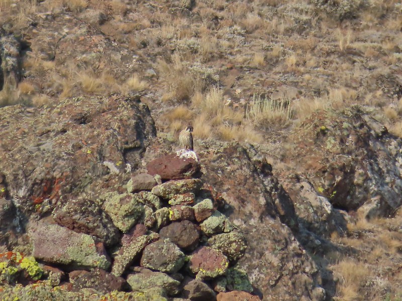 A kestral on a cairn.
The GPS coordinates were a little off but it fit the description of the fifth cairn pretty well.
We continued heading uphill toward the cliff with what we believe was cairn #6.

 You can see Heather following me up on this “less” steep section.
As we neared the cliffs we spotted another cairn which was a lot easier to reach.

 Looking down into the haze in the east.
From the cairn with no number we could see another cairn perched atop a rock outcrop which we determined to be #7 since #8 was shown to be at a pass.

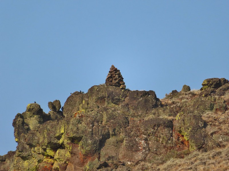 Cairn #7 was being guarded by magpies.
Cairn #7 was uphill more than was necessary to reach the ridge beyond it so instead of heading directly for it we traversed the hillside below it.
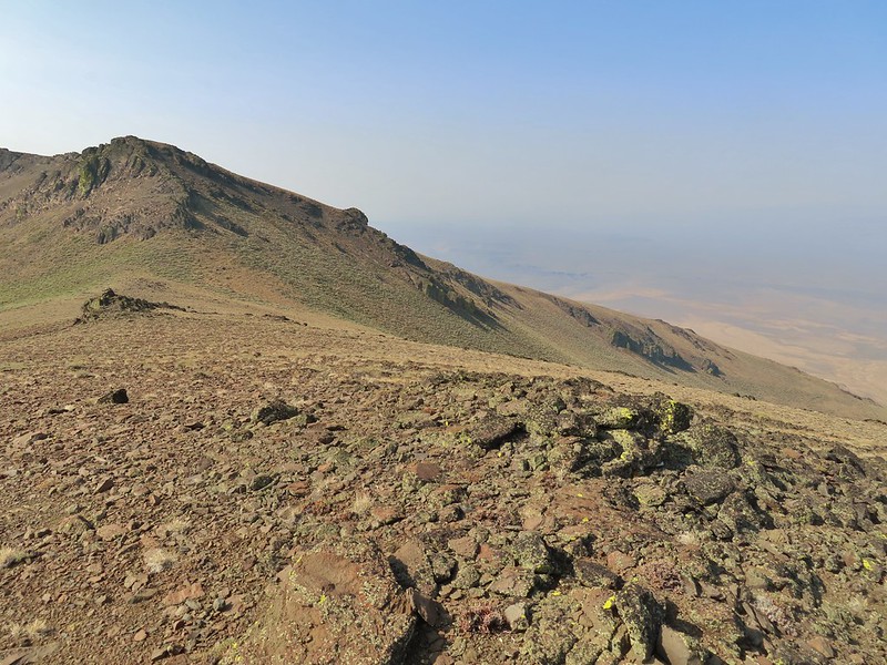
 View south over the Pueblo Mountains.
 Passing below cairn #7 (upper right corner).
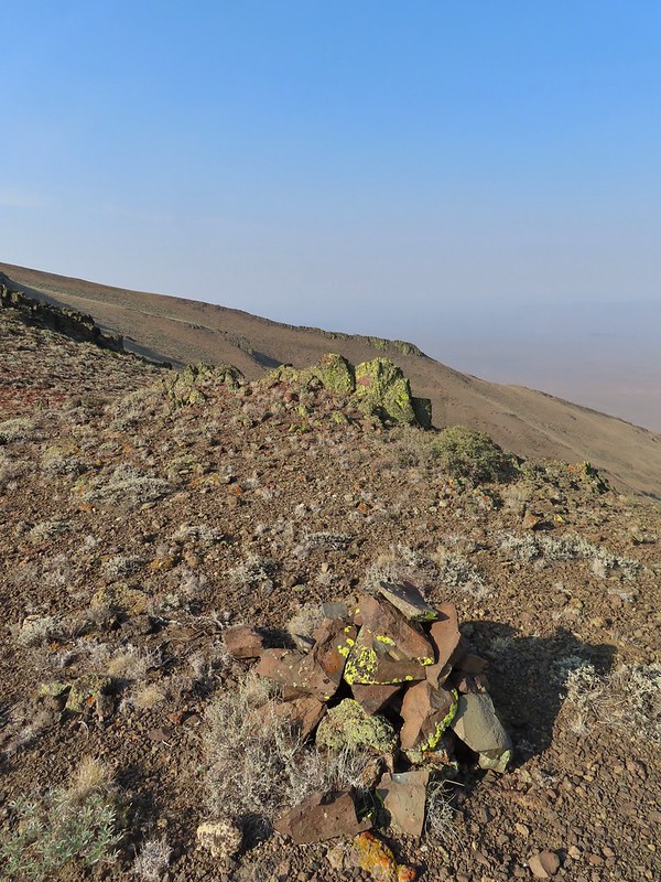
We found cairn #8 at the pass.
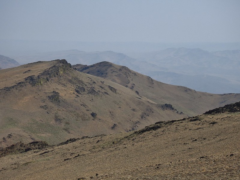
 View to the NW from the pass.
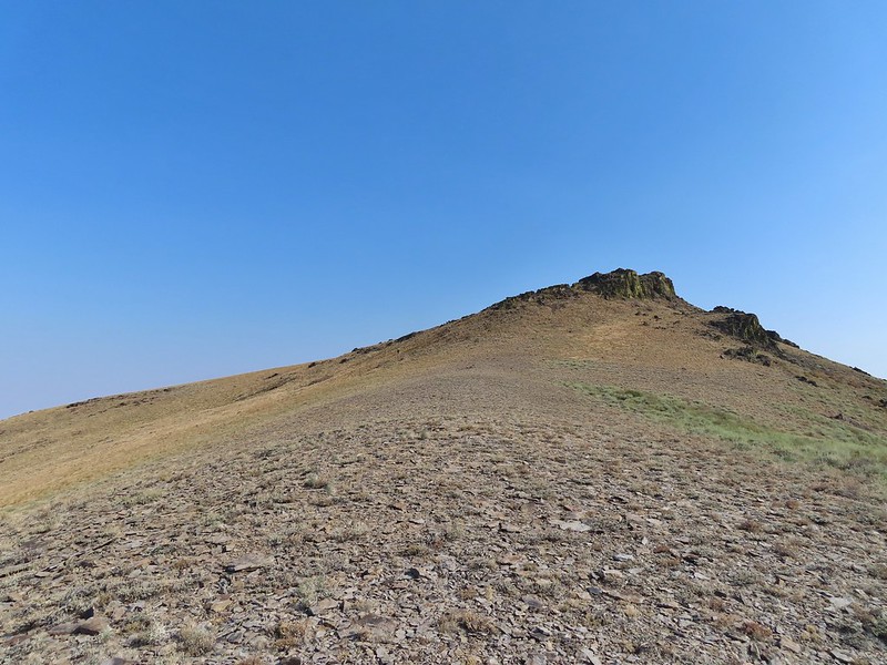
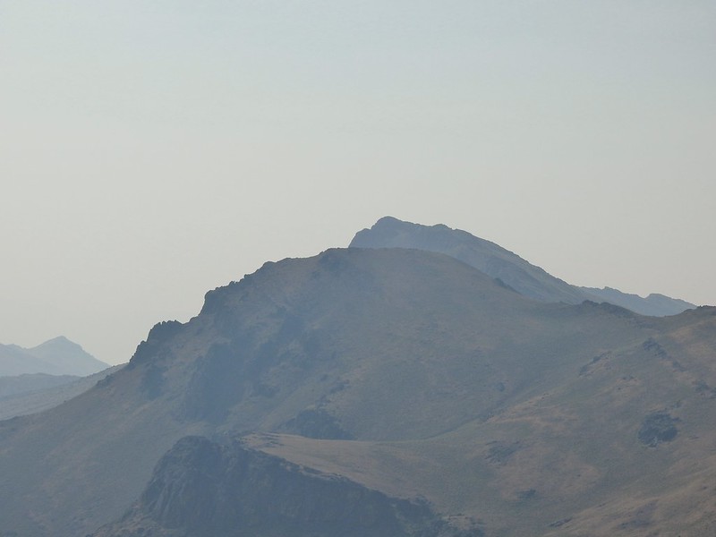
 Pueblo Mountain (the large rounded peak) from the pass.
Heather was delayed reaching the pass due to spotting a sheep moth.

Sullivan’s map was a little confusing from cairn #8 to cairn #9. The sketch appeared to show the route passing behind (on the west side of) a rise to cairns #9 & #10 and then arriving at cairn #11 at another pass. What we found was that it was easier to hike south on the ridge for two tenths of a mile where a much larger rock outcrop forced us off the ridge to the west.
 We climbed this rise on the ridge and continued on the top for a bit.

We didn’t cross over to the west side until we reached a much larger rock formation along the ridge.
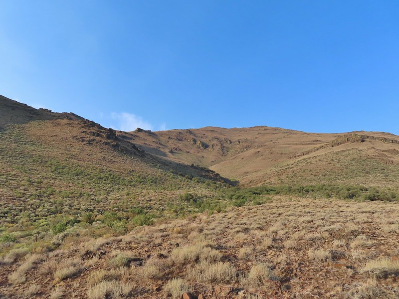
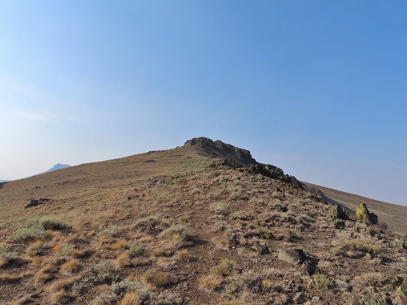 Looking at the rocky cliffs that would force us to the west.
We were starting to notice actual tread along the ridge and when we reached the rocks a clear, albeit thin, trail could be seen traversing the hillside.

 It’s not a desert trail without bones.
As we approached the other end of the rock outcrop we spied cairn #9 on a hillside.

 Looking back
The tread disappeared in a small draw filled with sagebrush, but a little bushwhacking and a short steep climb got us to the cairn.
 The sagebrush draw below (Heather is traversing the hillside.)
 Cairn #9 and the view west.
For some reason cairn #10 was ahead and further DOWN the hillside. From cairn #9 we could see our goal for the day ahead, a high point on a ridge above the Oregon Desert Trail before it began a descent that would eventually lead to Denio, Nevada.
 The next ridge is where the high point we were planning to turn around at was.
We made our way to the saddle where cairn #11 sat.
 Cairn #11 in the saddle along the ridge.
 Heather dropping down to the saddle, cairn #10 was out of frame to the left here.
 View to the west from the saddle.
From cairn #11 we could see cairn #12 sitting atop an outcrop at the start of the next rocky section.
 Sculpted rock along the ridge.
The small section of hike near cairn #12 was one of the toughest on the day. Large boulders were surrounded by taller and thicker sagebrush than any we’d encountered since the mahogany trees. The easiest route was to boulder hop as directly as possible to the cairn which meant extra climbing but the vegetation was too thick to pass through safely due to hidden holes amid the boulders.
 Heather making her way up to #12.
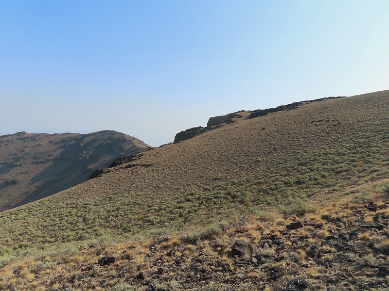
We then followed the rocky ridge until the sagebrush thinned out.

 Thought this might be an arrowhead or at least something that was used for a tool of some sort.
 Heather resting by cairn #12 while I scouted the route.
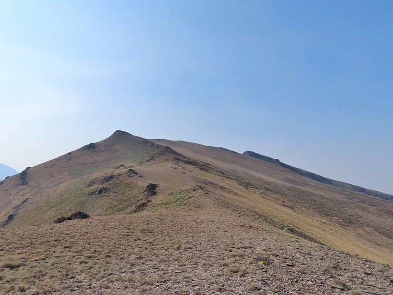
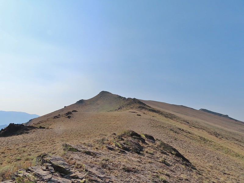
After a false summit we realized that the high point was at the far end of the ridge.

 A hazy Pueblo Mountain (and more of the Pueblo Mts.) from the high point.
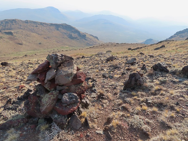
 Cairn #15 is on a small rock outcrop near the saddle at center.
 Cairn #15 (at least we think).
We had a nice break at the summit, and for some reason I felt compelled to trot down and tag cairn #14 only to realize too late that I had to hike back up to the high point.
 Cairn #15 below from the cairn #14 coordinates, it appears that cairn #14 may have been at least partially dismantled.
 Oh great, more uphill.
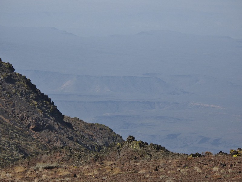
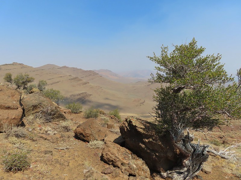
It would have been nice to have had a less hazy view but at least we could make a few things out.
 Peaks in the Pueblo Mts. near the Nevada border.
 Cairn #12 and the saddle zoomed in.
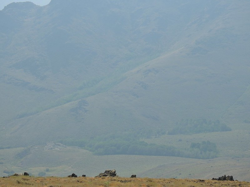 Van Horn Creek is down there somewhere as is Ten Cent Meadows.

After resting up we headed back attempting to follow the same route but judging by our track we may have been drinking something other than water up at the high point.
 A lupine with a few blossoms left.
 Lots of colored lichen on the rocks along the way.
 Vertical rocks.
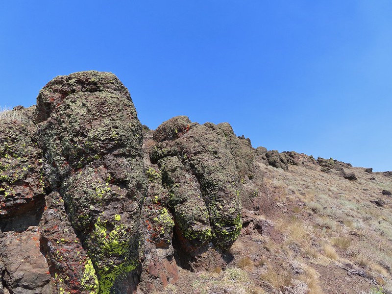 Rounded rocks.
 Back to the mahogany trees.
 Cairn #2 dead ahead.
 Found the cow lick again.
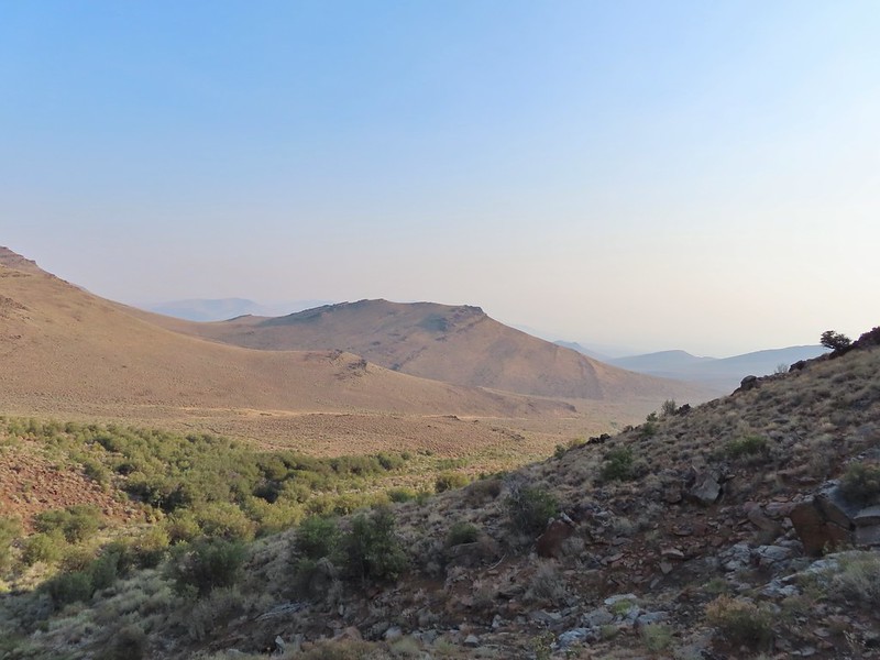
 Looking back at the Pueblo Mountains from the road walk.
 Trees marking the spring and Sesena Creek.
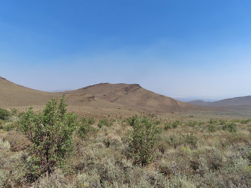
 The southern end of Steens Mountain from the road walk.
 Sage grouse hen
The last half mile or so of the road walk provided us with a couple of close encounters with common nighthawks that were resting along the barbed wire fence.


We got back to our car just before 1pm and after changing started the long drive to Salem. We got home just before 8pm making for a long but fun day. It had been a really nice vacation despite the hazy conditions for several of the hikes. The temperatures had ranged from hot the first two days to freezing on Wednesday to just about right Tuesday, Thursday and the hike in the Pueblos wasn’t all that warm either. We already have more ideas for hikes and stops in that part of Oregon so we’ll be heading back at some point even though we have finished with the “featured hikes” in the area. Happy Trails!
My mileage for the day came in at 13.3 including a total of 4.2 along the dirt road. Total elevation gain was approximately 2400′.

Flickr: Pueblo Mountains

3 replies on “Pueblo Mountains – 08/20/2021”
Great photos. I always wondered what that hike would be like. Awfully rugged.
[…] Pueblo Mountains (post) in the distance including the domed Pueblo […]
[…] #96 Pueblo Mountains – Hiked 8/20/2021 […]