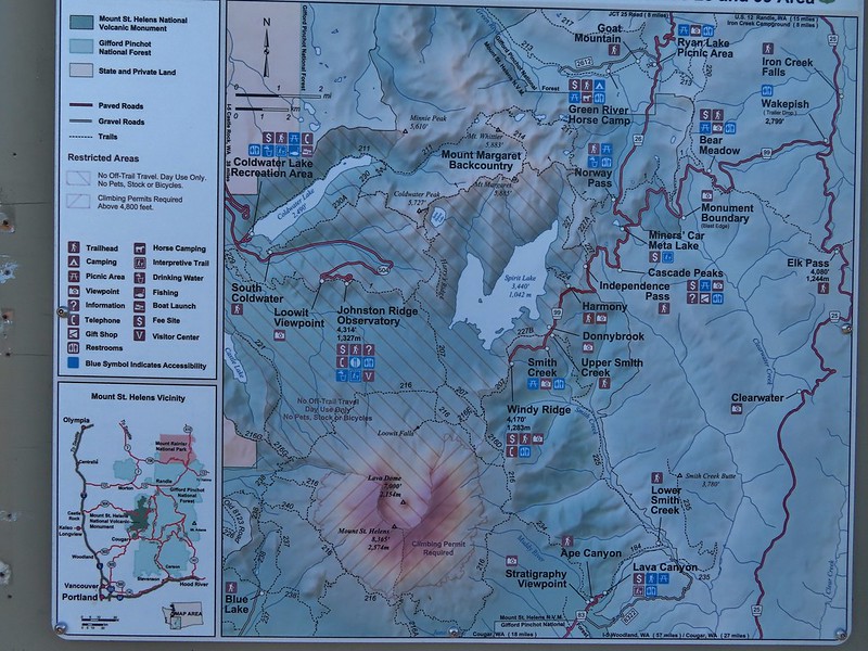
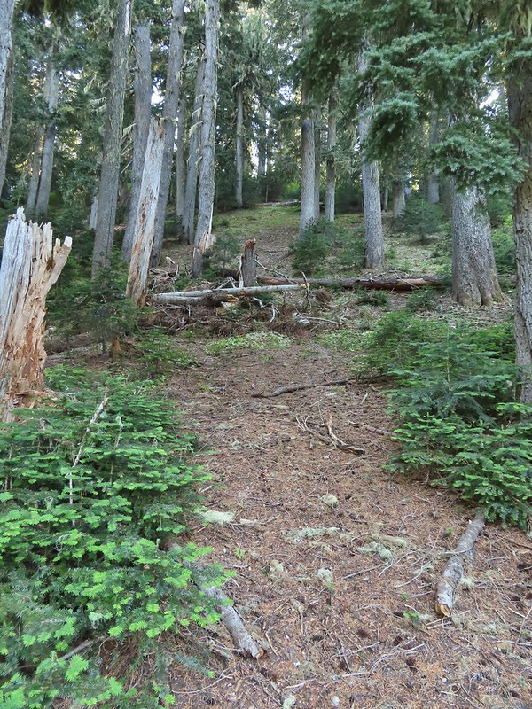
After having spent a week in SE Oregon checking off a few of Sullivan’s featured hikes in that region we turned our focus back to the Northwest Oregon/Southwest Washington guidebook where just 3 featured hikes remained. All three hikes were located on the NW side of Mt. St. Helens, a three and a half hour drive from Salem. These last three hikes were a good example of some of the things we’ve had to work out on what counts toward being able to check off a hike. Due to their distance day hikes were out and a limited number of nearby rooms meant we needed to get creative. Our plan was to do portions of all three hikes on Saturday starting at Mt. St. Helens and ending with us backpacking in to Badger Lake and the finishing up on Sunday by driving back to Mt. St. Helens to complete one of the three options Sullivan has for his Spirit Lake hike (4th edition hike #29).
One of the quirks with Sullivan is that while he has the 100 featured hikes he often gives multiple options. Typically the second option is an extension of the shorter option but sometimes the options go in different directions or are even completely different hikes starting at different trailheads. Two of these last three hikes had three options. For Spirit Lake the shortest option, Harmony Falls, started at the Harmony Trailhead while the other two, Norway Pass and Mt. Margaret, began at the Norway Pass Trailhead. We had hiked up Mt. Margaret on a previous trip coming from the other direction (post) so we didn’t feel we needed to do that option but the other two options would be new to us so we planned on doing them both starting with Harmony Falls and saving Norway Pass for Sunday.

From the Harmony Viewpoint a 1.2 mile trail leads 700′ downhill to Spirit Lake.

 Mt. St. Helens from the viewpoint.
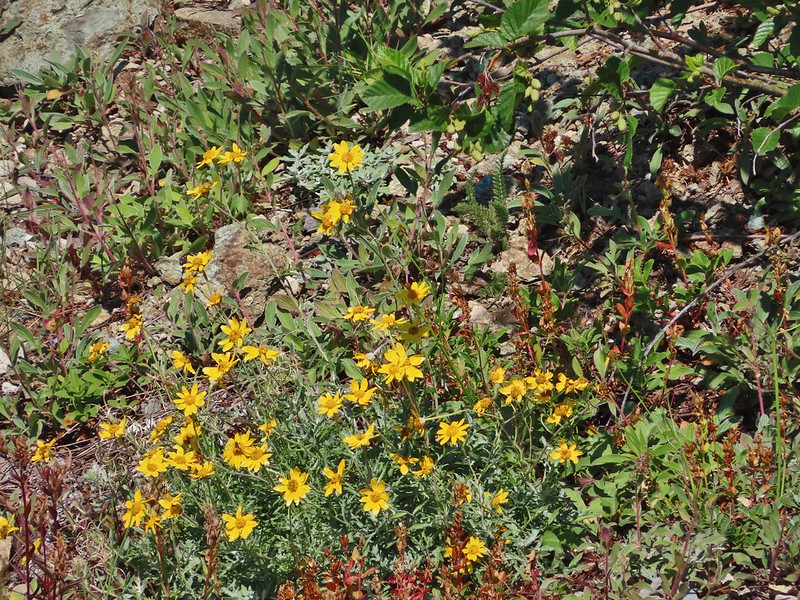
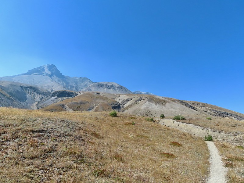
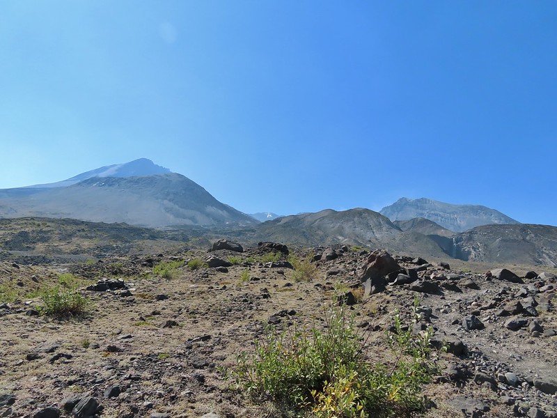
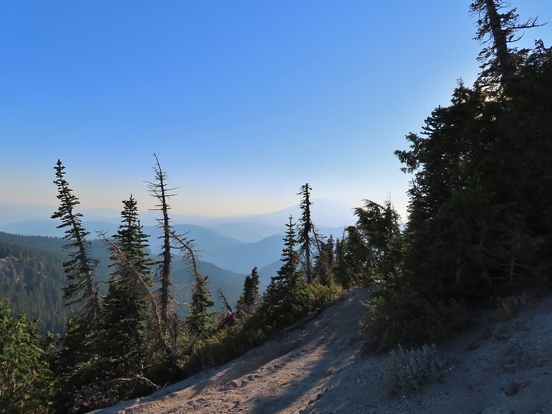
As has been the case this Summer there was a good deal of haze surrounding us but we had blue(ish) sky overhead. There were also a fair amount of wildflowers blooming, at least compared to what we had seen in SE the previous week.


 Pearly everlasting
 Penstemon
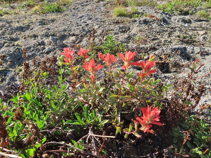 Paintbrush
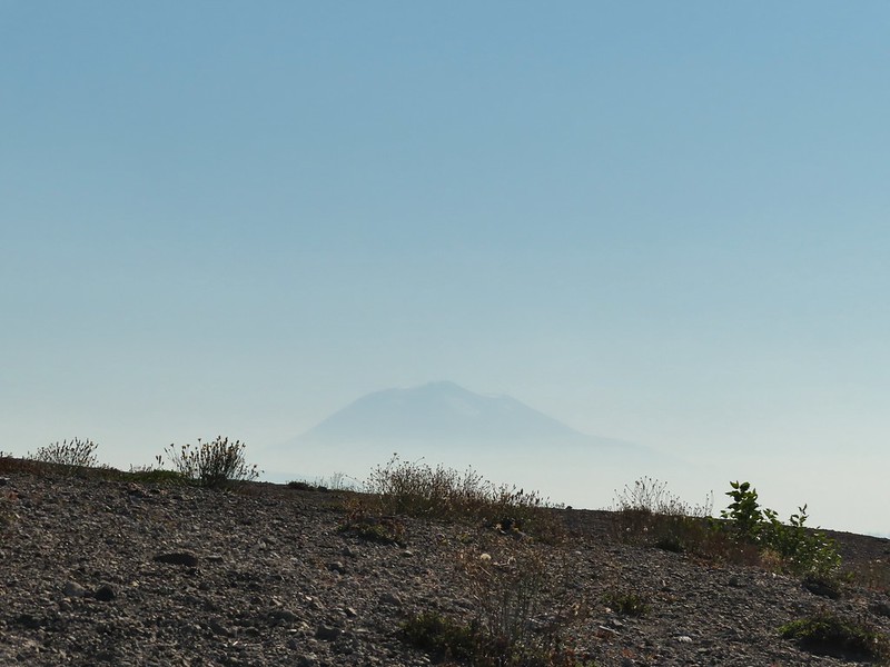
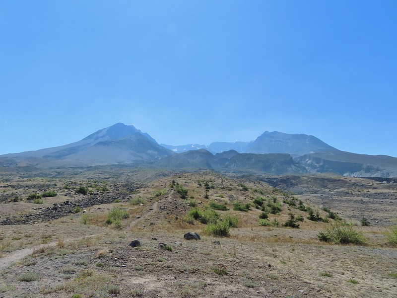
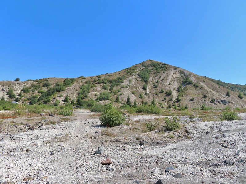
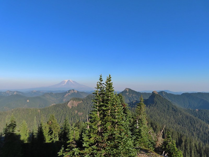
 Mt. St. Helens

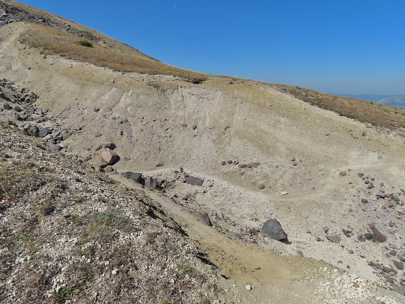
Prior to the 1980 eruption of the mountain Harmony Falls was a 50′ waterfall but most of the falls were buried as was the lodge that sat near the base of the falls. Now there is only a small cascade along the trail.

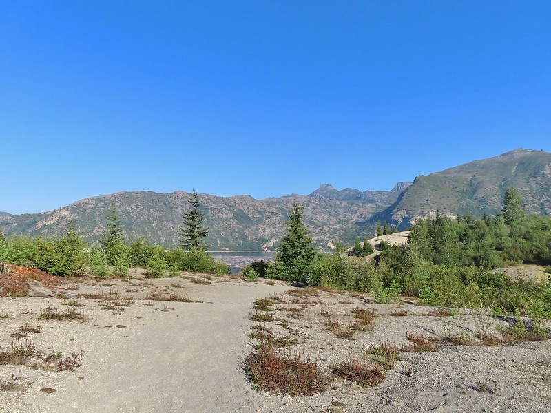
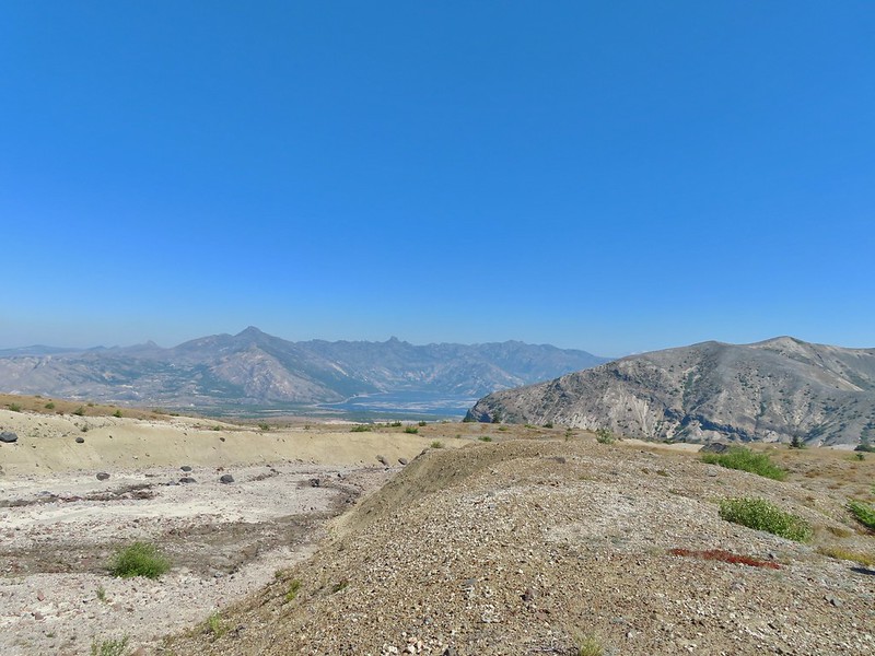
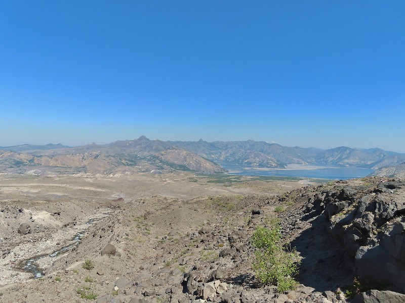
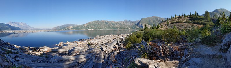 Mt. St. Helens and Spirit Lake from the end of the trail.
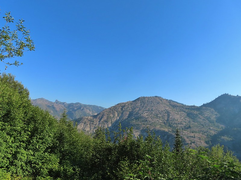
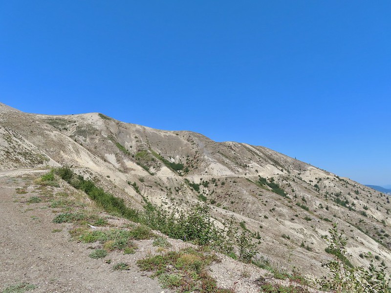
As we were making our way back we were doing our best to try and identify the various rock formations and peaks across the lake.
 Coldwater Peak (post) is easy with the white equipment on top.
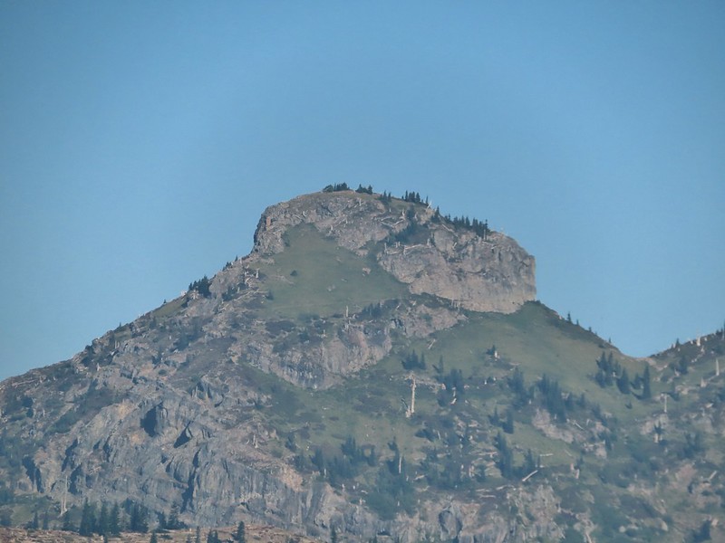 The Dome
 Mt. Margaret
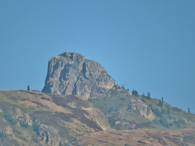 Mount Teragram
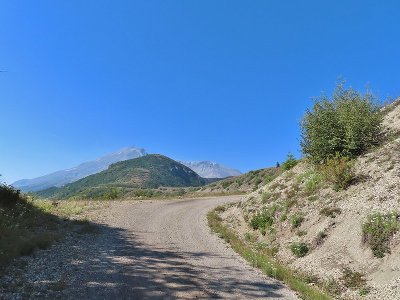
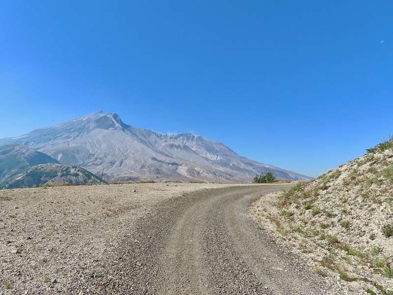
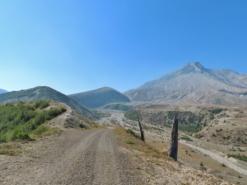
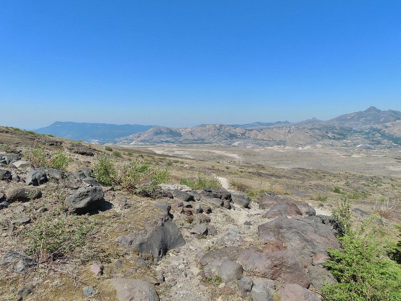
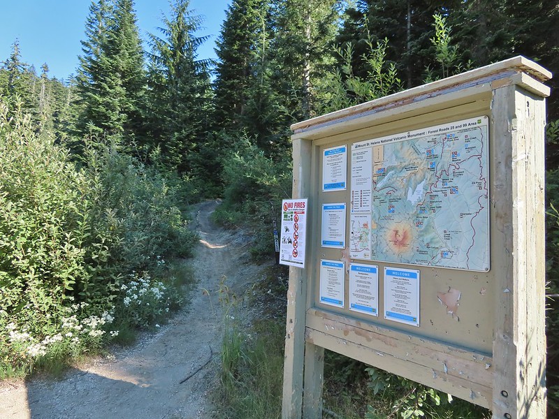
After finishing this 2.4 mile hike we continued driving toward Mt. St. Helens on FR 99 and parked at the Windy Ridge Interpretive Site where the road is gated and only open to research vehicles.

We were now working on featured hike #28 – Windy Ridge. Again Sullivan had three options, this time all starting from this parking lot. The shortest option was a .2 mile round trip up a steep set of stairs to the Windy Ridge Viewpoint at the northern end of the parking lot (see photo above). We set off across the lot to tackle this one first.
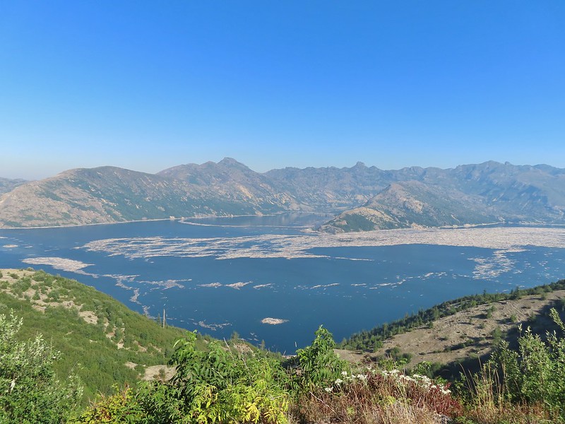
<img src="https://live.staticflickr.com/65535/51413600517_e0b437d3fb_c.jpg" width="800" height="600" alt="IMG_3847">The interpretive site and Spirit Lake.
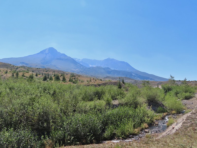
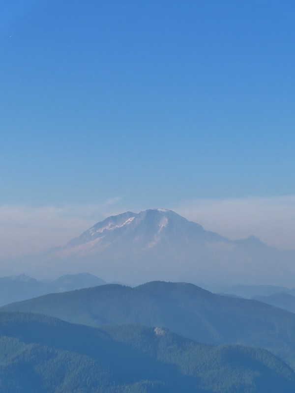
 Mt. St. Helens.

Aside from a little section near the top the stairs were nicely spaced making the climb better than it looked from the bottom.

In addition to Mt. St. Helens both Mt. Adams and Mt. Rainier were visible from the viewpoint although on this day the haze was an issue.
 Mt. Adams
 Mt. Rainier

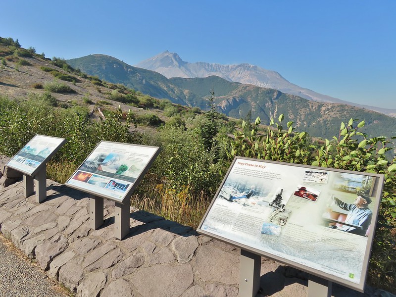
The interpretive signs at the viewpoint did a good job of identifying different features that were visible which we appreciated.

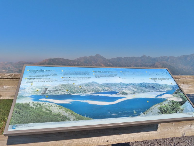
 The Johnston Ridge Observatory was visible across Spirit Lake on a far hillside.

 It’s often hard to tell if you’re seeing dust from rockfall or steam from one of the vents.
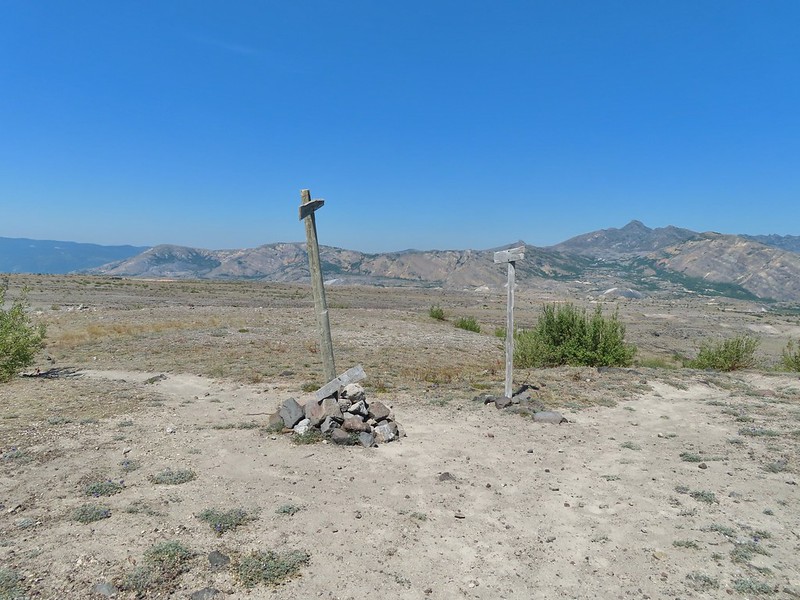
After reading the signs and taking in the views we headed down the stairs and to the other end of the parking area where we walked past the gate and followed FR 99 for 1.8 miles to a sign for the Abraham Trail, the return route for the longer option.


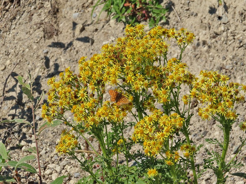 Butterfly on ragwort
 Butterfly on pearly everlasting
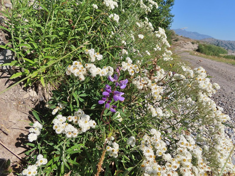 Lupine in the pearly everlasting
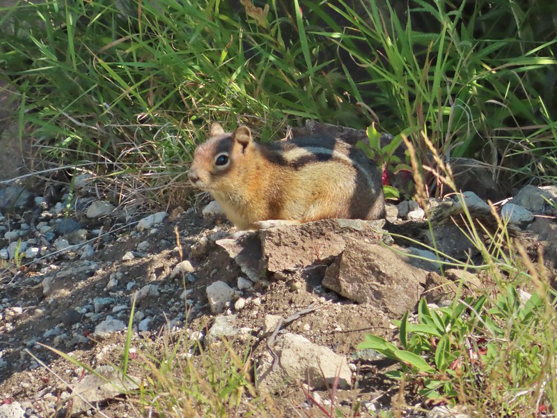 Golden-mantled ground squirrel
 Might be Oregon sunshine
 Penstemon
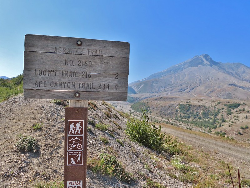
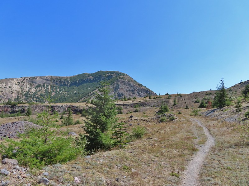
The longer option would add approximately 2.2 miles and 500′ to our hike and visit the Plains of Abraham. As with Mt. Margaret we had visited the Plains of Abraham (post) previously so we were going to stick to the shorter option. Beyond the junction with the Abraham Trail FR 99 dropped to a small parking area for research vehicles where two trails began.

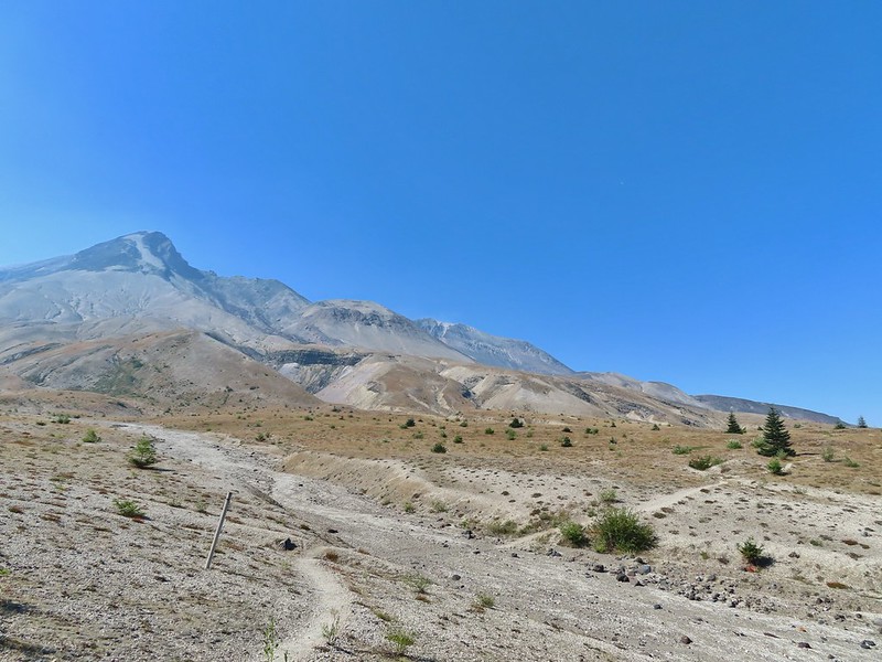
To the left was the Windy Trail and to the right was the Truman Trail. Our plan was to take the Windy Trail and hike a clockwise loop returning on the Truman Trail.


We followed the Windy Trail just over a mile to the Loowit Trail where we turned right.


 Paintbrush and dwarf lupine
 Pearly everlasting

 The Loowit Trail junction.
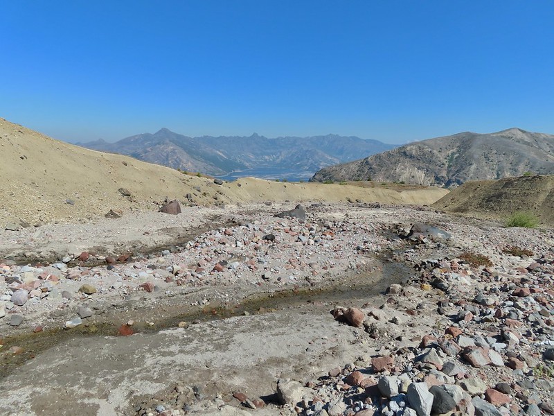
The Loowit Trail immediately dropped into a gully to cross a small stream.
 Spirit Lake from the junction.
 In the gully.
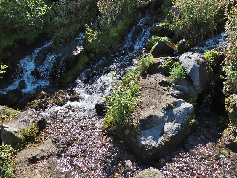
We continued another 0.4 miles before arriving at Big Spring which was a big surprise.
 Another gully to cross.
 Big Spring is in the willow thicket.
We knew that there was a spring but more often than not the springs wind up being small trickles or big mud puddles but not Big Spring. This was a good sized stream beginning almost right next to the Loowit Trail.

 The stream flowing over the Loowit Trail.
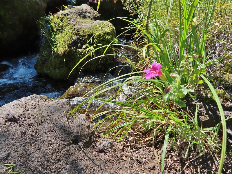 A pink monkeyflower at the spring.
 Looking back at the willows and Big Spring.
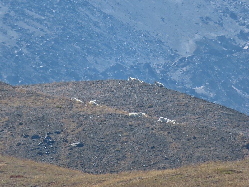
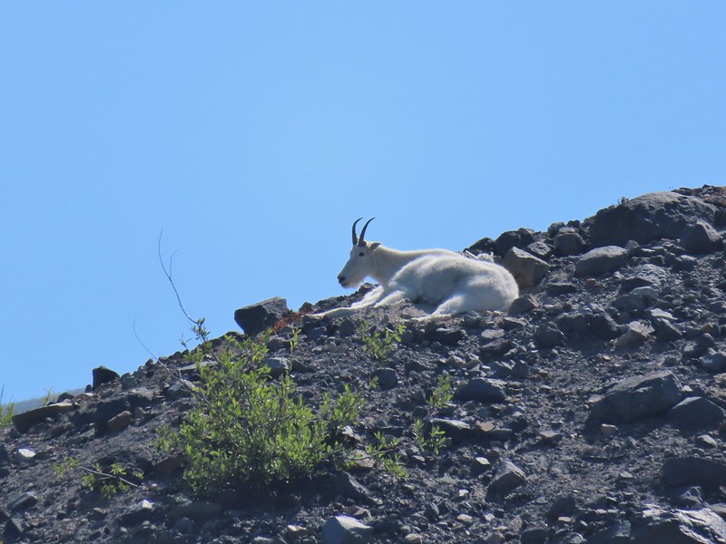
Another half mile of big views and a couple of gully crossings followed Big Spring. We were excited to spot mountain goats lounging on a ridge between the mountain and the trail along this stretch.
 Coldwater Peak to the right.
 The Sugar Bowl lava dome.
 Spirit Lake from the trail.
 The first goats we spotted are on this ridge above the lone tree.
 The Loowit Trail crossing two gullies in a short stretch, one red one black.
 Dropping into the second gully.
 From the second gully we could see quite a few more goats on the ridge.
A half mile from Big Spring we arrived at another trail junction.
 Approaching the junction with the side trail to Loowit Falls.
 Sign for Loowit Falls.
We stayed straight here following the pointer for Loowit Falls for another half mile.
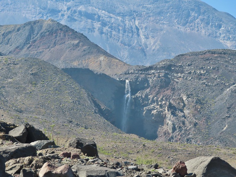
 Loowit Falls (right side of the photo) was visible for much of the half mile.
 Looking back at Coldwater Peak and Spirit Lake. (The top of Mt. Rainier is barely visible peaking over the top of the ridges.)
As we neared the falls we noticed another small herd of mountain goats on the hillside.


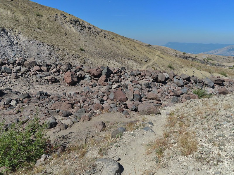
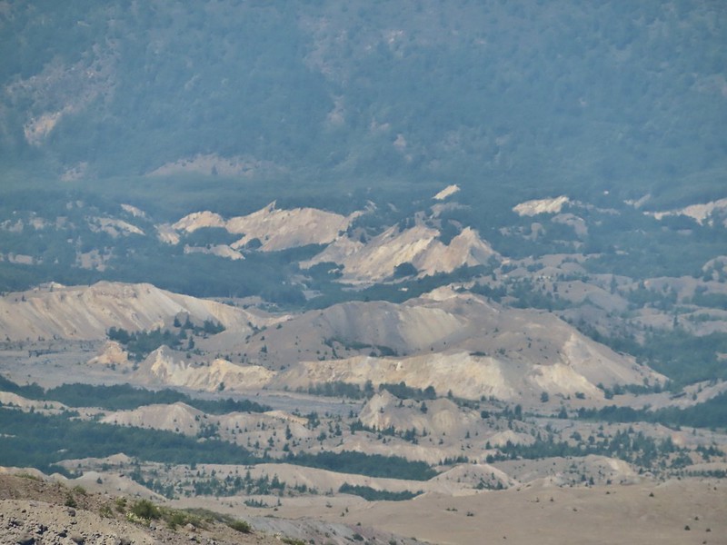
We could also see the hummocks (post) off in the distance to the NE, pieces of the mountain that slid off during the 1980 eruption and settled in the debris flow creating odd mounds.

Loowit Falls looked bigger than I had expected. We took a good break at the viewpoint with a couple of other hikers and a pair of young Forest Service workers.


 Spirit Lake from the viewpoint.
After our break we returned to the Loowit Trail to continue the loop.

 Paintbrush
 Dwarf lupine
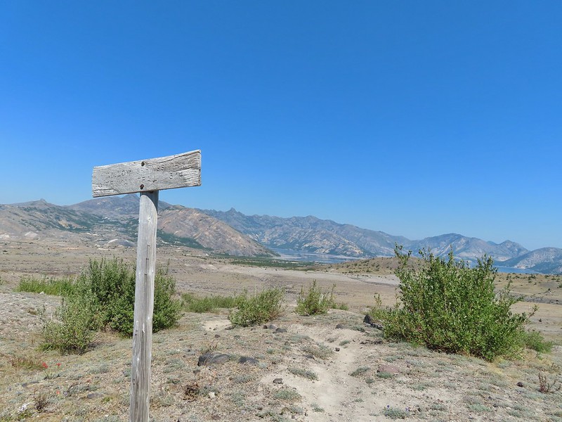
Just under three quarters of a mile from the Loowit Falls Trail junction we arrived at the Willow Springs Trail junction.
Here we left the Loowit Trail by turning right on the 0.8 mile long Willow Springs Trail.
 Mt. St. Helens from the Willow Springs Trail.
 Heading toward Spirit Lake.
The Willow Springs Trail ended at the Truman Trail where we again turned right.

We followed the Truman Trail for a mile and a half back to the research vehicle parking area, re-crossing the gullies and streams we had crossed on the Loowit Trail.

 The Dome above Spirit Lake


 Vehicles ahead in the research parking area.
From the parking area we followed FR 99 (mostly uphill until the very end) 1.8 miles back to the Windy Ridge Interpretive Site. The haze was improving as the day wore on and we could now at least make out some snow on Mt. Adams.
 Mt. Adams to the left.
 Mt. Adams
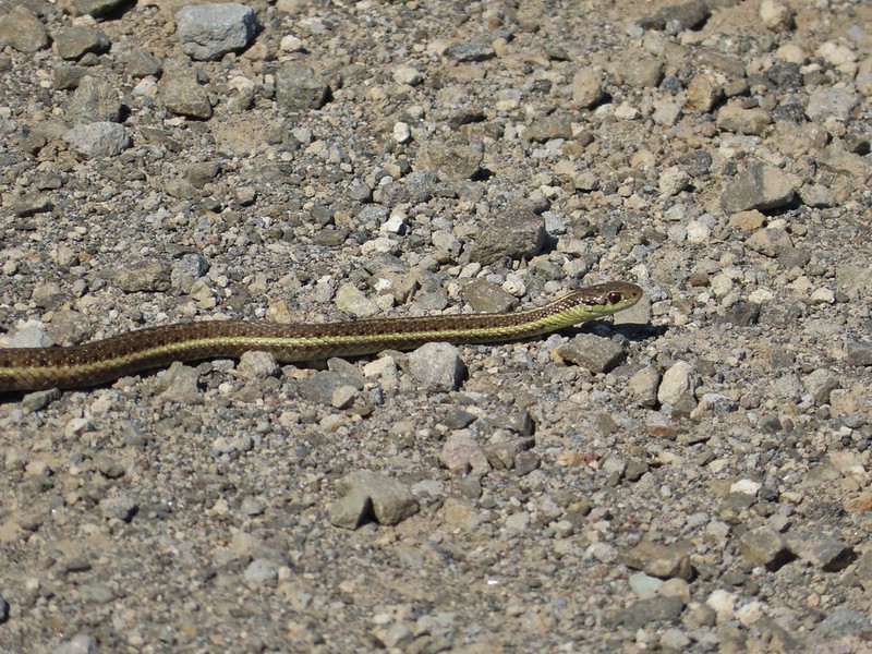
 Look out for snakes, not the poisonous kind just don’t want to step on them.
 Some sort of sulphur butterfly on pearly everalsting.

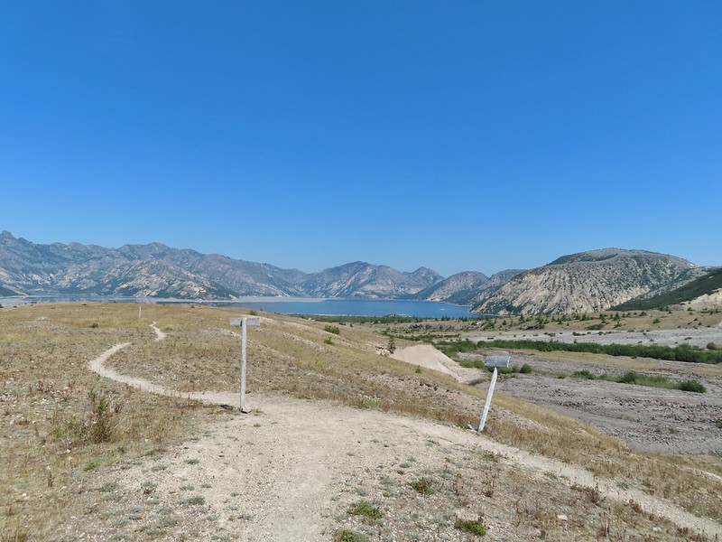
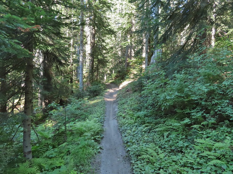
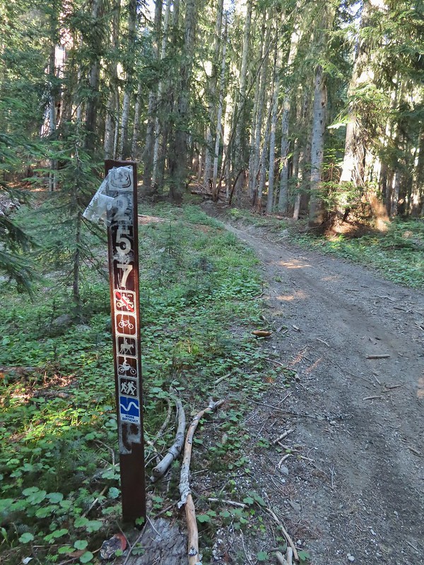
We hopped in the car and drove back to FR 25 where we turned south to reach the Boundary Trailhead at Elk Pass.
The 53.7 mile long Boundary Trail’s western end is near Norway Pass where we planned on hiking the next day while the eastern end is located at Council Lake near Mt. Adams. The section of the trail that we planned on hiking was a 4.3 mile segment from Elk Pass to Badger Lake. From the signboard at the trailhead a short spur led away from FR 25 into the trees before joining the Boundary Trail.

We turned left on the Boundary Trail and promptly arrived at FR 25 which we then crossed.


This trail is open to both mountain bikes and motorcycles which probably explains why it was only briefly one of Sullivan’s featured hikes (#30 in his 4th edition). The forest was pretty and quiet (no motorcycles during our visit) but the trail showed a lot of wear from tires.

One plus was a good variety of berries along the way and there were a few flowers as well.
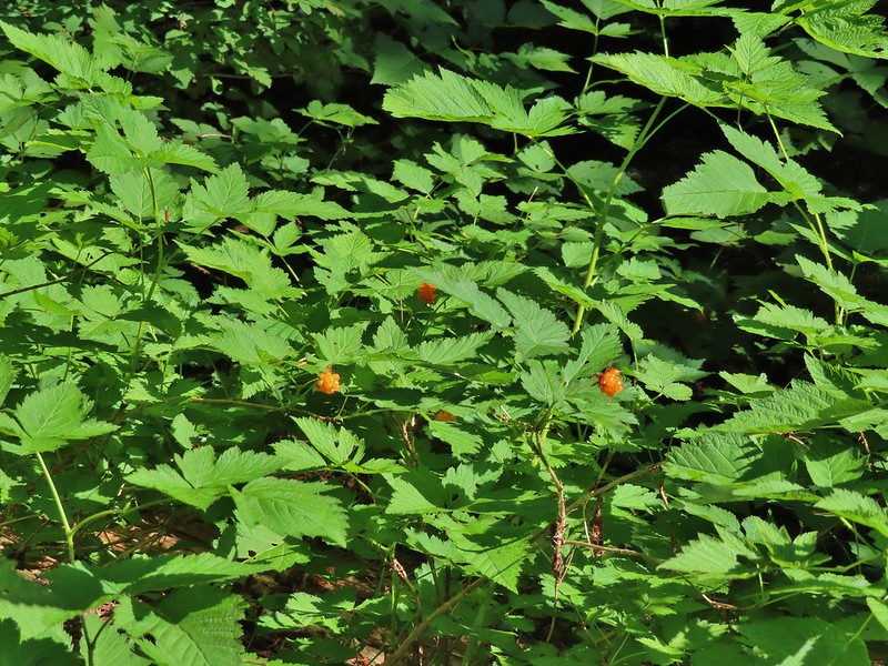 Salmonberries
 Blueberries
 Huckleberries
 Mushrooms (the flowers of Fall)

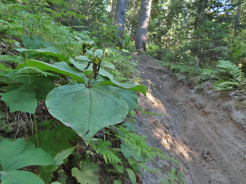 I was really surprised to still be able to make out the remains of the petals on these trillium.
 These bunchberries with a few petals left were near the trillium above.
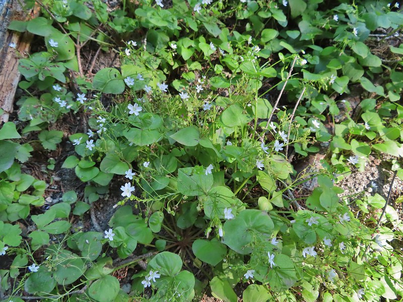 Candyflower
At the 2.3 mile mark we passed the Mosquito Meadows Trail on the left.

At this junction Heather told me to go on ahead and find a campsite then hike up Badger Peak without her if I wanted. Her plantar fasciitis had flared up on the way back from Loowit Falls and was struggling a bit. We had planned on hiking up to the summit after setting up camp and I didn’t want to wait for morning because the rising Sun would have been directly behind Mt. Adams. (Sullivan’s short option for this hike was to the lake and back while the longer option was to the summit.)
The trail gained a little over 600′ over the next two miles which doesn’t sound like a lot but nearly all the elevation was packed into two short sections of the leg.

 These thimbleberries weren’t ripe but a short distance further were a lot of ripe ones. I thought I might have to hike back and retrieve Heather from them.
 A brief glimpse of Mt. Rainier from the ridge the trail was following, it looked like a lot of the smoke had blown away.
Two miles from the Mosquito Meadows Trail I arrived at a junction with the Badger Peak Trail.

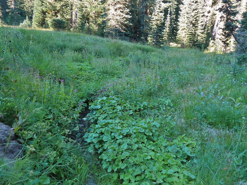
Before I headed up that trail though I needed to hike on to Badger Lake to find a campsite (and get rid of my full backpack). Beyond this junction the trail passed through a meadow crossing Elk Creek and arriving at the lake on the far side.
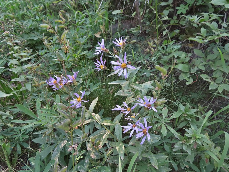 Aster
Aster
 Elk Creek
 Pink monkeyflower along Elk Creek
 Lupine
 The trail near Badger Lake was particularly torn up and there were several signs posted admonishing motorcyclists to stop driving off trail.
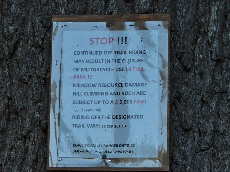
 Torn up hillside near the lake, it only takes one or two idiots to cause a lot of damage (the same goes for hikers/mountain bikers).
 The little puddle in the foreground is not the lake, it is further back.
I found a tent site back in the trees near the meadow and dropped my pack off and hung my hunter orange shirt so Heather couldn’t miss it. Then I grabbed my day pack and hiked back to the Badger Peak Trail and headed uphill.
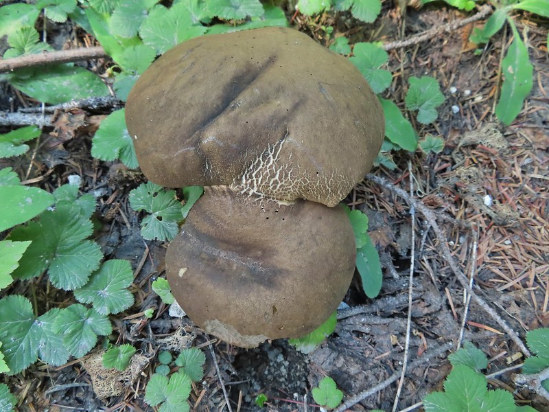
 This mushrooms was at least as wide as a salad plate.
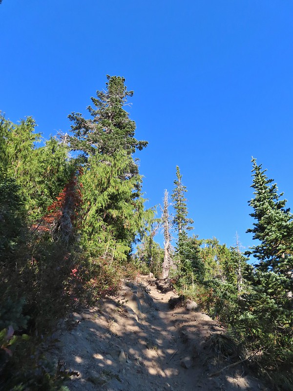
It was 0.8 miles to the summit with 700′ of elevation to gain which meant the trail was pretty steep. In addition the motorcycles had gouged a deep trough in the center of much of the trail which was uncomfortably narrow to walk in. It turned out to be for the best that Heather had decided to skip the summit.


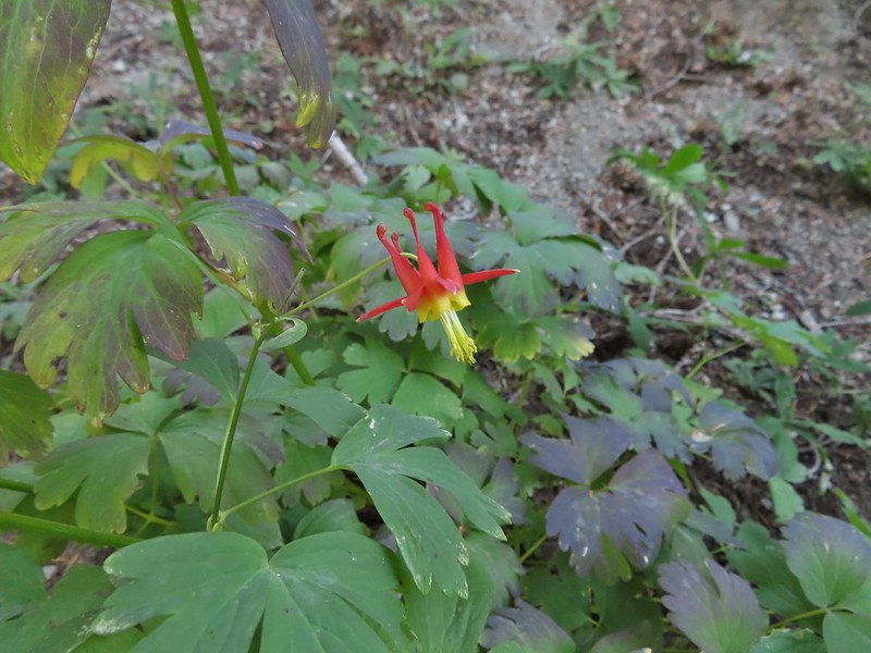 A columbine
The view was nice though and the sky around Mt. Adams had also cleared up greatly from earlier in the day.
A hiker from Boise was at the summit when I arrived. She said she had been planning on staying up there until sunset but was having second thoughts due to the chilly breeze and not wanting to have to hike down the trail in the dark. I helped her identify the different mountains as this was her first time to the area. She was on a driving expedition as was thinking of heading to the Olympic Mountains next.
 Mt. St. Helens was hard to make out with the combination of haze and Sun position.
 Looking south toward Mt. Hood (I could make it out with the naked eye.)
 Mt. Hood in the haze.
 Mt. Rainier
 Mt. Rainier
 Mt. Adams
 The Goat Rocks were also hard to make out due to the smoke.
 Western pasque flowers, aka hippies on a stick, below the summit.
I headed down after a short break and found Heather finishing setting up our tent.

We took our dinner over near Badger Lake and then turned in for the night. It had been a long day with a lot of hiking. For me it was a 19.4 mile day with approximately 3800′ of elevation gain and Heather was in the 18 mile range with over 3000′, no wonder her plantar acted up.


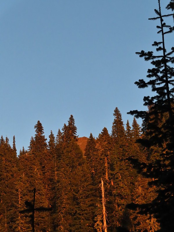 The last of the sunlight hitting Badger Peak.
We hoped her foot would be feel better in the morning so the hike out wasn’t too miserable and so she might be able to do the Norway Pass hike. For now though we just needed to get our sore bodies to let us fall asleep. Happy Trails!

6 replies on “Harmony Falls, Loowit Falls, and Badger Lake – 08/28/2021”
Wow, Mt St Helens hardly even looks like a volcano anymore. The views on these hikes look lovely and Loowit Falls is really neat. Thanks for sharing!
It’s a pretty dramatic view from that side for sure.
[…] spending the night in our tent at Badger Lake (post) Heather’s foot was feeling a better enough to give the Norway Pass hike a go. We were up […]
[…] Badger Lake, the last hike from the northwestern book. (post) […]
[…] #28 Windy Ridge – Hiked 8/28/2021 […]
[…] The Smith Creek Trail ends at Forest Road 99 just north of the Smith Creek Viewpoint (post) […]