
We welcomed the month of May by kicking off our official hiking season. We took advantage of a one day window of dry weather and headed toward the eastern end of the Columbia River for a pair of short wildflower hikes near Mosier, OR followed by a third short stroll in Hood River along an old pipeline. During wildflower season sunny weekend days mean crowds so we got an extra early start and headed out the door a little before 5am hoping for a little solitude at least to start with.
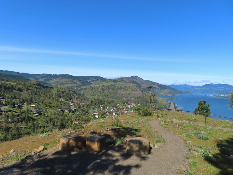
We chose to start our morning at Memaloose Hills, the furthest east of our three stops and the most popular. We had visited the area in April of 2018 (post) when you could park at a rest area along Interstate 84. That is no longer allowed so we parked at the Memaloose Overlook along Highway 30 which is now the de-facto trailhead for the unofficial trails here.

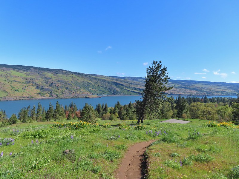
 Looking west down the Columbia River from the overlook.
After a brief visit to the overlook we crossed the highway to pick up the well defined trail.

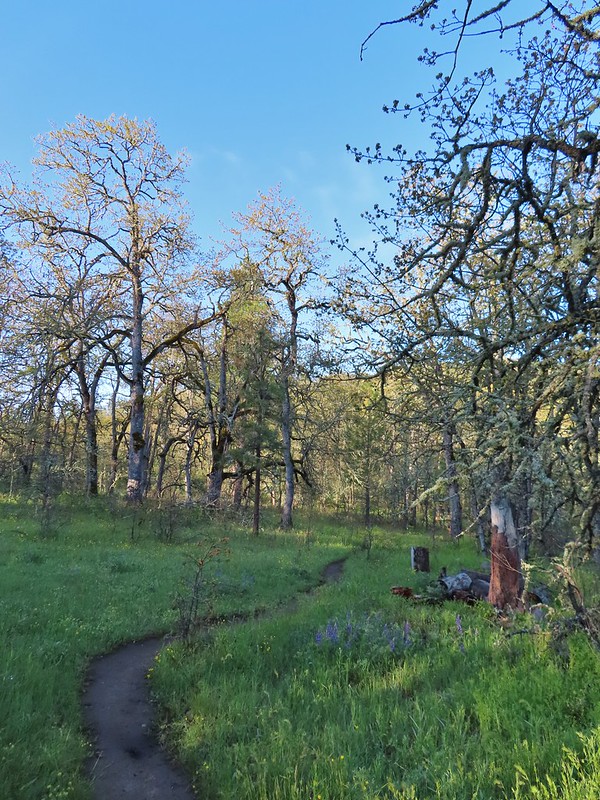
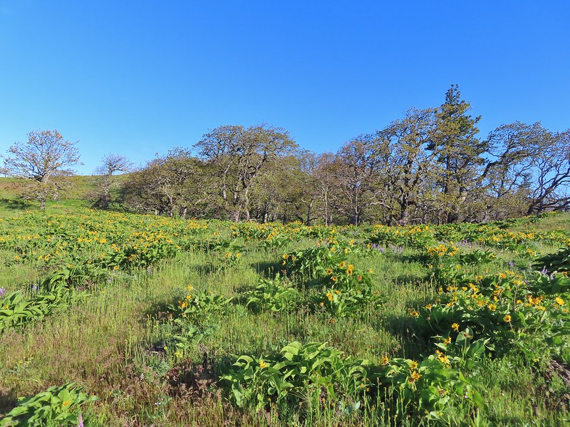
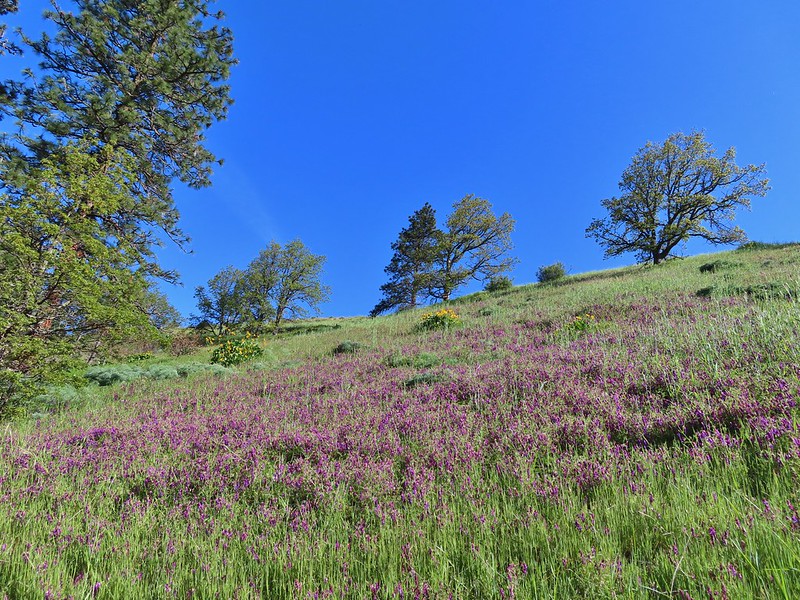
From the highway it was just under three quarters of a mile to a junction where the trail splits with the left hand fork climbing to the top of Marsh Hill and the right fork to Chatfield Hill. There are a few ups and downs along this stretch as the trail passes through oak woodlands before crossing a small creek just before the junction. We took our time admiring the wildflowers and to watch a pair of deer.
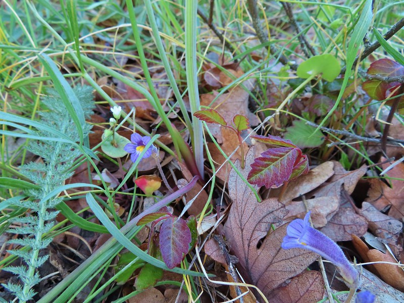 Naked broomrape and poison oak
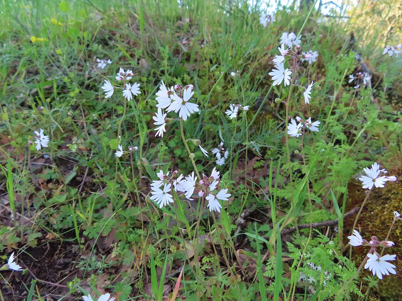 Woodland stars

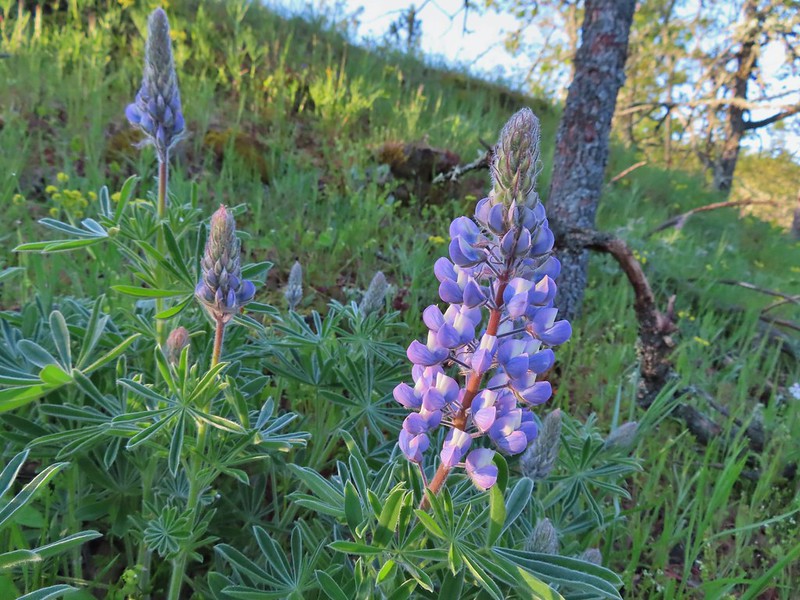 Lupine
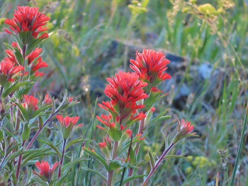 Paintbrush
 Larkspur and parsley
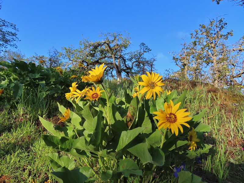 Balsamroot


 Chocolate lilies
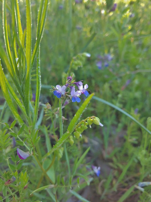 Giant blue-eyed Mary
 Coming up on the creek crossing.
On our previous hike we had only taken the left-hand fork to Marsh Hill so today we went right first and headed for Chatfield Hill.
This section of trail passes through a grassland as it wraps around a small pond then passes a fence before turning up Chatfield Hill after a third of a mile.

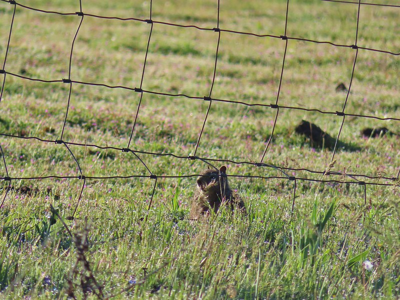 Ground squirrel on the other side of the fence.
 Looking back at the pond surrounded by trees.
 Heading up Chatfield Hill.
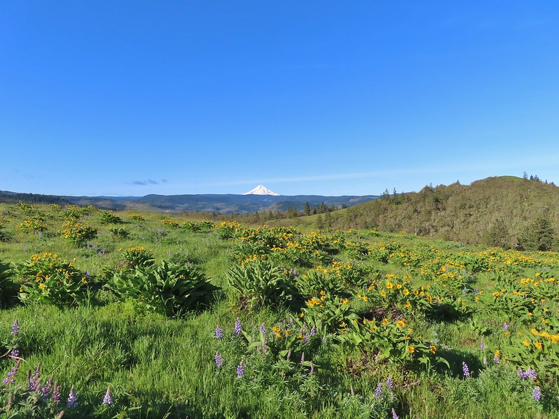
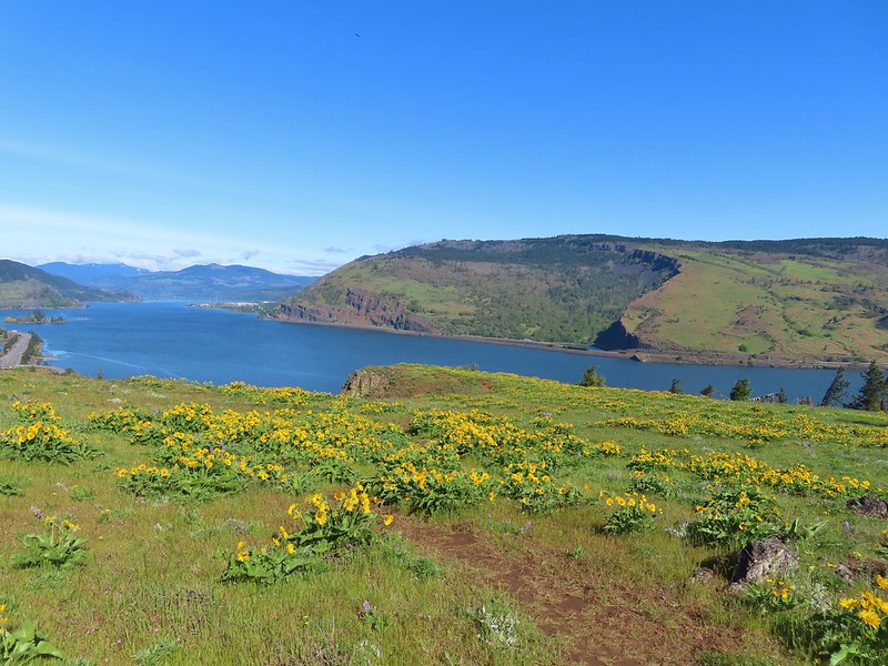
The trail gained a little over 250′ in 0.3 miles as it climbed through wildflowers to the top of the hill. The cooperative weather provided us with some great views of Mt. Hood.

 Fiddleneck and other wildflowers in front of Mt. Hood.


Near the top of the hill Mt. Adams came into view to the north.


 The Hood River Bridge spanning the Columbia River.
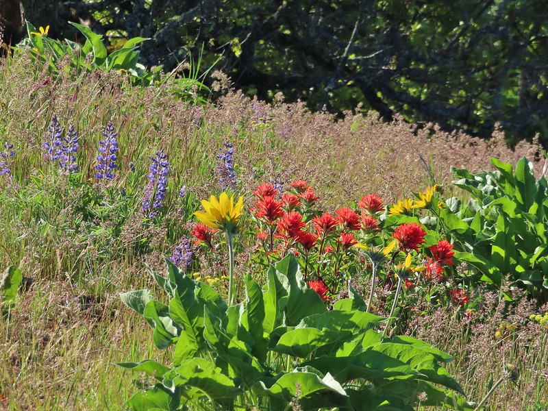 Lupine, balsamroot, and paintbrush
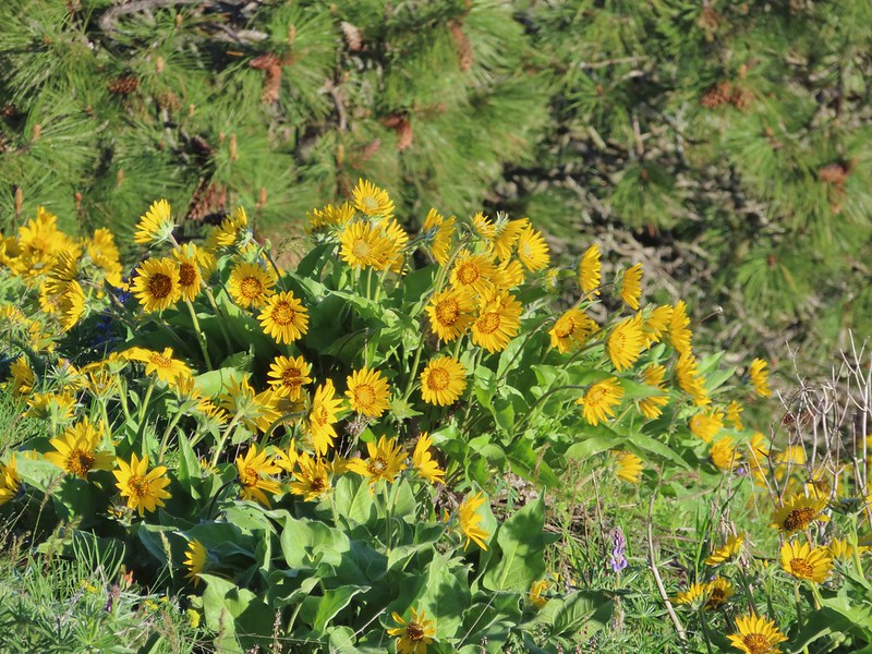 Balsamroot
 Large-head clover
 Large-flower Triteleia
We took a short break before heading back down and then made our way back to the junction and turned right to head up Marsh Hill.
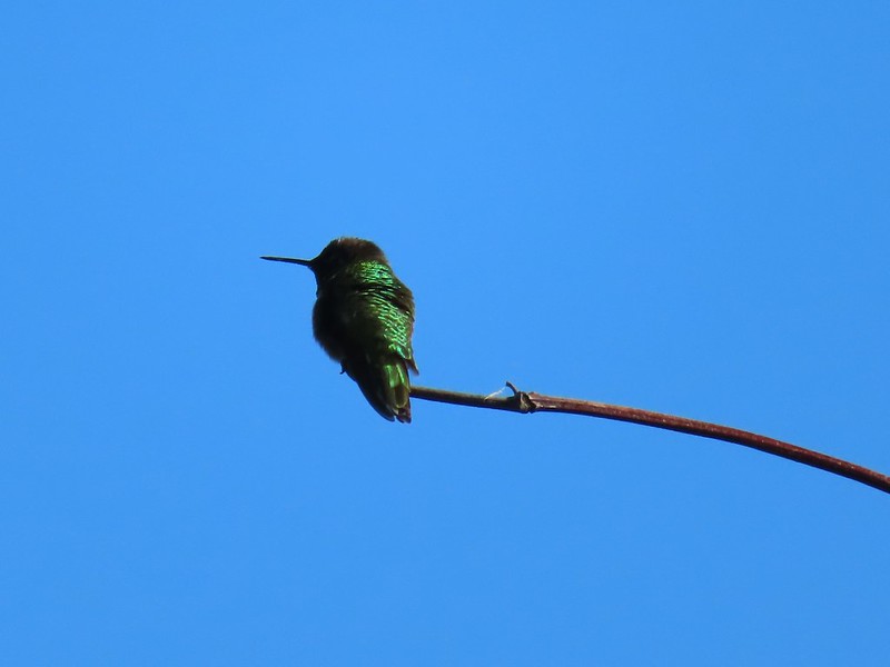 Hummingbird
 Balsamroot on Marsh Hill
The climb up Marsh Hill was more gradual and in a third of a mile we found ourselves at the top looking at Mt. Hood and Chatfield Hill.
 Lupine and balsamroot
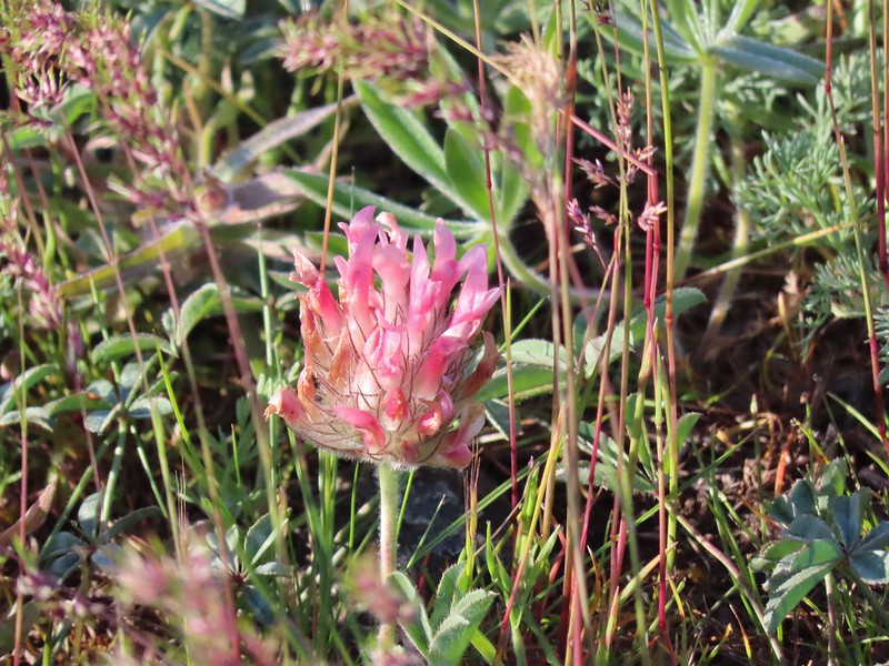
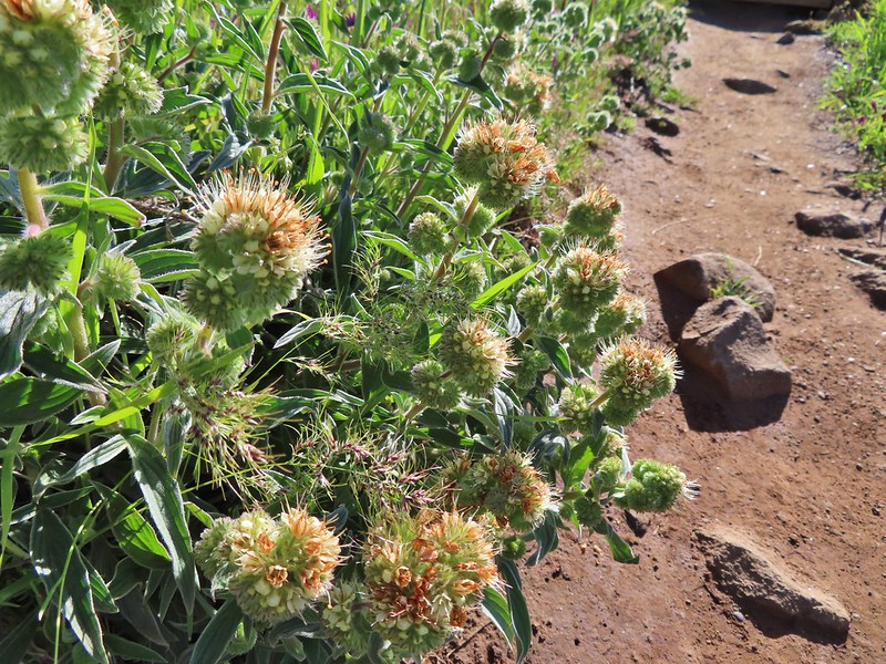
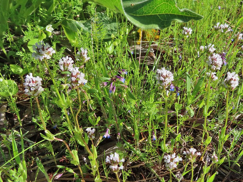 I think this is longhorn plectritis
After another short break we returned the way we’d come and at the junction began finally running into other hikers. Our early start had paid off again having had both hill tops to ourselves. Once we got back to the car we drove west on Highway 30 into Mosier for our next hike on the Mosier Plateau Trail. We parked in a signed parking area along the highway just west of a one lane bridge spanning Mosier Creek.
 Sign for the parking area (If this small lot is full there are other options nearby.)
To reach the trail we had to walk across the bridge then turned uphill at a bench.


The trail climbed a tenth of a mile to a viewpoint bench just beyond the historic Mosier Cemetery.


A better viewpoint was just 150 yards further along at a railing overlooking Mosier Creek Falls.
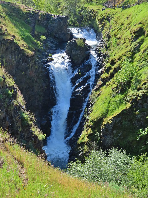
We continued on detouring to visit the rocks above the falls.


Shortly beyond the falls the trail began a steep climb via a series of switchbacks and stairs to reach the plateau.
 Looking up the hillside.
 Red-stem storksbill
 Vetch and balsamroot

 Silver-leaf phacelia

We followed the trail as it wound along the plateau gradually descending to the start of a signed loop.
 Coyote Wall (post) across the Columbia River

We went clockwise around the loop which brought us to the edge of the plateau above I-84 and Highway 30.

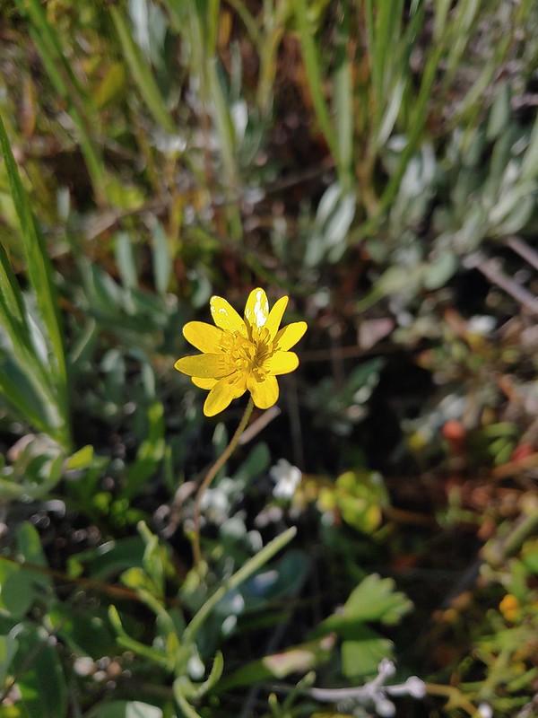 Gold star
 Fiddleneck
 Balsamroot
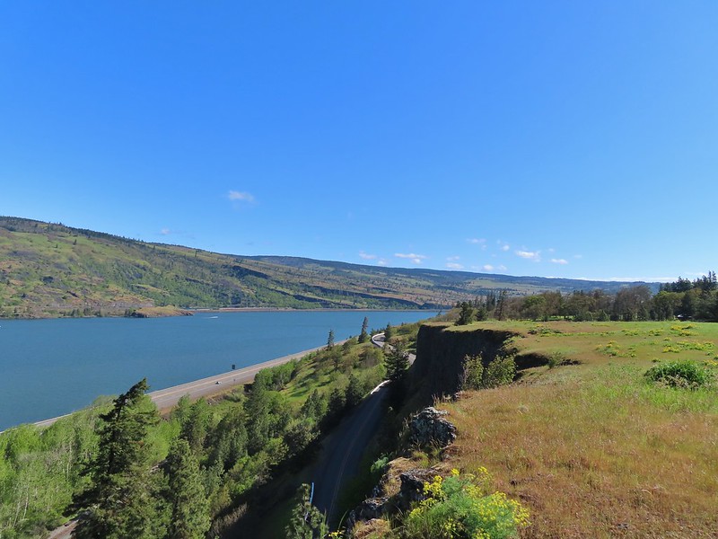 View east.
 Mosier to the west.
It was warming up nicely on our way back and the pollinators were starting to come out.
 Gray hairstreak
 Busy bumblebee
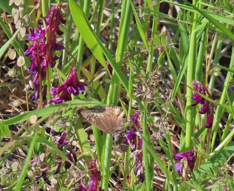 A duskywing (propertius?) on vetch.
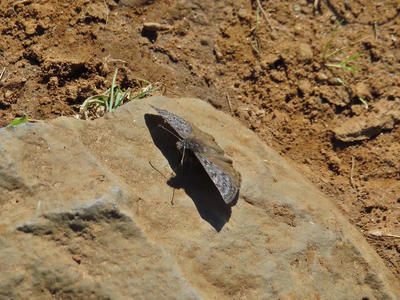 Propertius duskywing
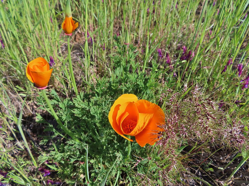 Poppies opening up to the Sun.
 Bachelor button
We passed quite a few groups heading to the plateau on our way down and more were on there way as we loaded back into the car. From Mosier we returned to I-84 and drove west to Hood River where we took exit 64 and made our way to the Powerdale Powerhouse Trailhead. The hike starting here is described in Matt Reeder’s “PDX Hiking 365”. (The Mosier Plateau hike is also featured in that book.) While we have been focused on completing William L. Sullivan’s series of hiking guidebooks (post) we have been working in Reeder’s hikes more and more. While many of the hikes show up in each author’s books Matt throws some unique and more obscure hikes into his books which we appreciate.
 The old powerhouse.
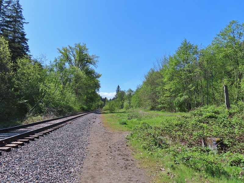
The hike here may not exactly be well known to hikers. The many access points to Hood River attract fishermen and in the Summer folks looking to escape the heat. The trail starts on a gated road then quickly crosses ACTIVE railroad tracks.


 Stellar’s jay near the tracks.
We crossed the tracks and turned left walking along them for about a tenth of mile before the trail jogged slightly to the right to follow the route of the former penstock which led from the decommissioned 1923 Powerdale Dam on the Hood River to the powerhouse.
 The trail ahead to the right.
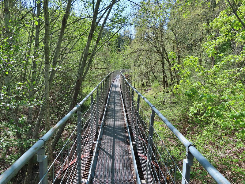
We followed this dirt path for a little over half a mile before arriving at the pipeline bridge spanning the Hood River where we crossed on the catwalk atop the pipe.
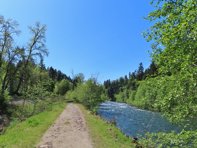


For the next 0.6 miles we followed the catwalk along the pipeline which ends abruptly at a 2006 washout that also led to the removal of the dam up river.
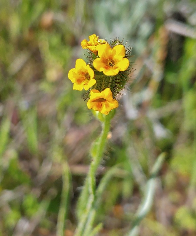
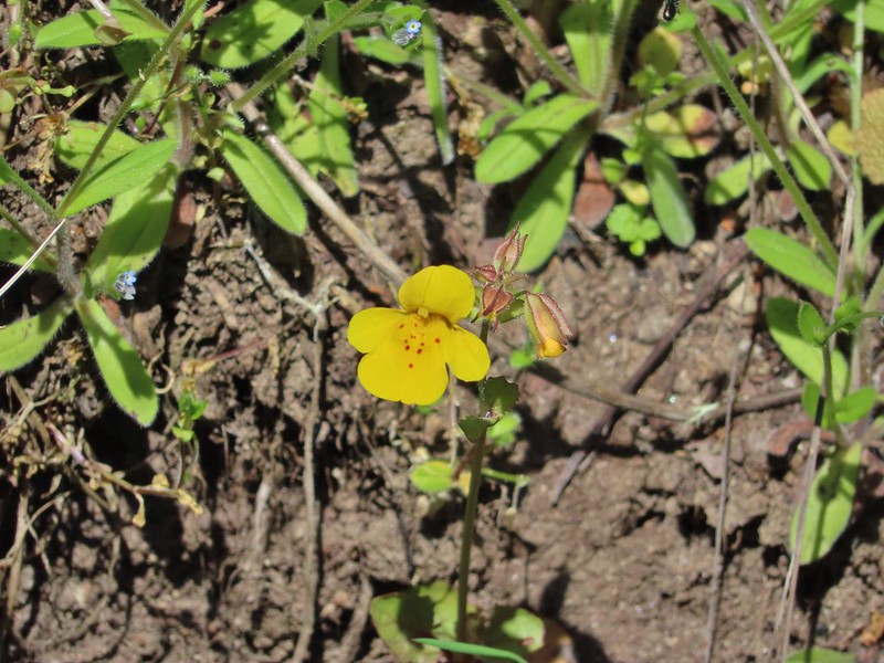 Monkeyflower

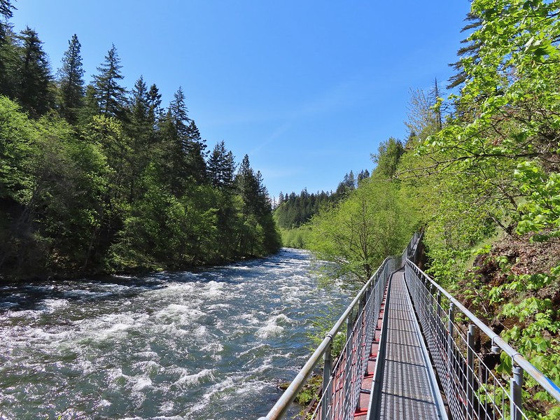
 Looking back from the turnaround point.
We headed back passing a few hikers along the way. We were also under the watchful eye of the area wildlife.
 Lizard
 Mallard
 Scrub jay
 Starlings
 Osprey
The three hikes came in at 3.3, 3.2 and 3 miles respectively for a 9.5 mile day with a little over 1400′ of cumulative elevation gain. The short distances and convenient locations make any of these hikes nice for a quick stop and we saw several younger kids at both Mosier Plateau and the Hood River Pipeline (watch for poison oak). The combo of hikes made for a nice variety of scenery with waterfalls, snowy mountains, wildflowers, and wildlife along with the unique experience of hiking along the pipeline. (FYI – The grate on the catwalk might be hard on puppy paws.)
While we aren’t quite finished with all of our home improvement projects it was great to get our hiking season off to a good start. Happy Trails!
Flickr: Memaloose Hills, Mosier Plateau, and Hood River Pipeline Trails

One reply on “Memaloose Hills, Mosier Plateau, and Hood River Pipeline Trails – 5/01/22”
[…] Now for the named waterfalls (All names come from the Northwest Waterfall Survey.) Mosier Creek Falls (post) […]