
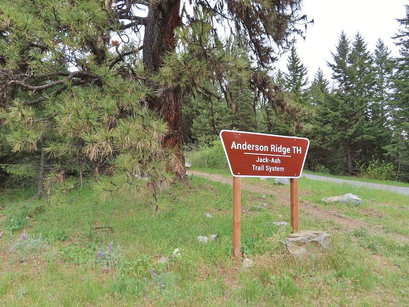
With the snow level forecast to drop as low as 4500′ over the weekend we shifted the order of our planned Memorial Day weekend hikes so that we could do the highest elevation hike on Friday before the big snow level drop. It was already going to be a much cooler day than the previous two had been and there was a slight chance of showers which didn’t sound all that bad at this point. Sullivan added the Jack-Ash Trail as a featured hike in his 4.2 edition of “100 Hikes/Travel Guide Southern Oregon & Norther California” guidebook after the 2020 wildfire season wreaked havoc on some of the previous featured hikes. We have switched our goal to completing the 100 featured hikes in this most recent version for the same reason and this would be the first hike on this trip that would check another of the 100 off. (While our hike at Upper Table Rock (post) the day before had been one of Sullivan’s featured hikes we had previously done Lower Table Rock which is the other option Sullivan gives for the featured hike and so we had been counting it as done.) Sullivan’s described hike is a short 3 mile loop visiting the site of a former lookout tower on Anderson Butte. We had originally planned on hiking a longer portion of the trail which the BLM is in the process of developing. When completed the trail will connect the cities of Jacksonville and Ashland, OR thus the name. There are several different trailheads that can be used for access and we chose to start at the Griffin Gap Trailhead and planned on hiking to the Anderson Ridge Trailhead which is where Sullivan’s described loop begins. (Directions to the trailheads can be found on the BLM page for the trail here.)
We’ve seen all kinds of trailheads over the last dozen years and this one was up there on the list of odd ones. Located on a saddle where pavement ends on Anderson Butte Road there was no visible signage at first glance and the area was clearly popular with the target shooting crowd (a subset of which tends to leave quite a mess). An ATV/Motorcycle trail was visible diving steeply down a ridge to the north and then up the ridge on the other side of the saddle where the now gravel Anderson Butte Road forked to the left of the ridge and BLM Road 39-2-8 forked to the right side. The Jack-Ash Trail follows this road 0.9 miles to the Greenstone Trailhead. We didn’t attempt driving to that trailhead because why drive a potholed gravel road if you don’t have to. After deciding on a parking spot that we felt would be the most out of the line of fire we got out of the car and spotted the trailhead sign several feet downhill where the Jack-Ash Trail came up to the saddle from the Grub Gulch Trailhead.
 The target shooting area and the OHV track coming down the ridge.
 The track going up the ridge between the two roads. We briefly wondered if this had been the BLM’s work to bypass the road walk in between this trailhead and the Greenstone Trailhead but decided it likely wasn’t (good call).
 The “hidden” trailhead sign.
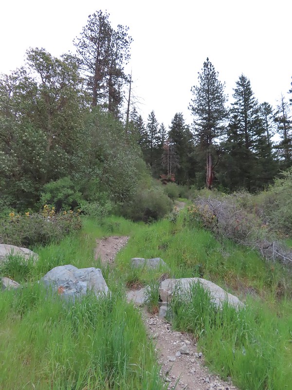
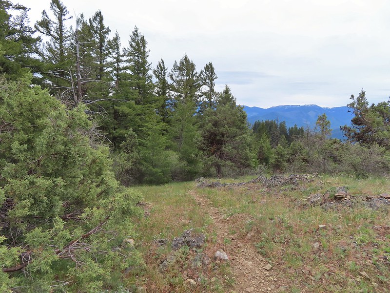
We set off on the road which indeed had a few potholes.

We gained about 200′ getting to the Greenstone Trailhead passing another graffiti filled shooting area at an old quarry and finding yet more evidence of target practice at the Greenstone Trailhead.
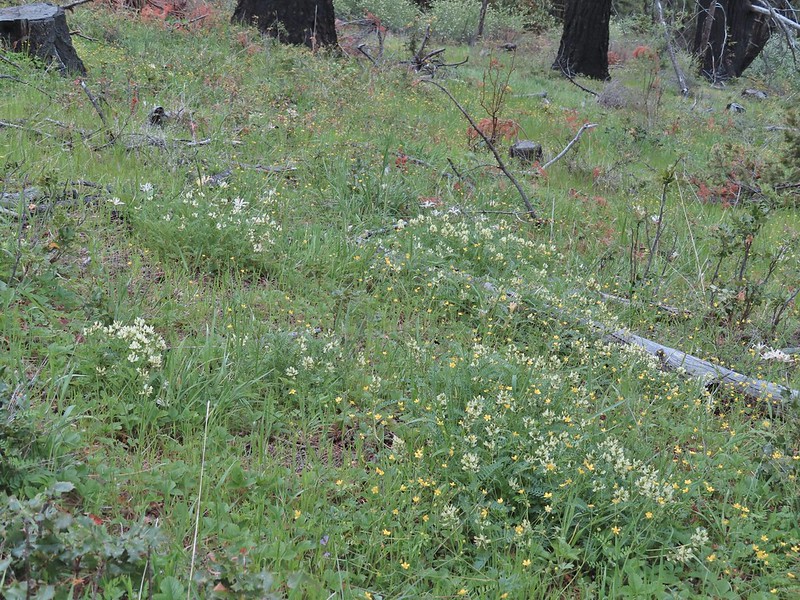
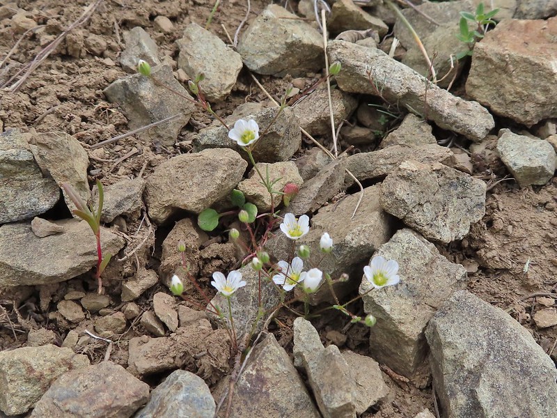
 Despite the empty shell casings and garbage left by the shooters there were some nice flowers along the road.
 Valerian
 Bleeding heart
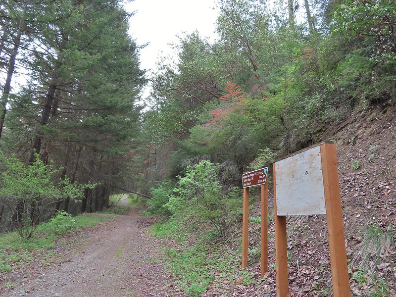
 The Greenstone Trailhead
 People suck
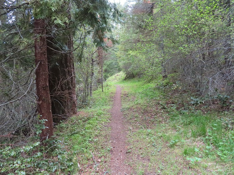
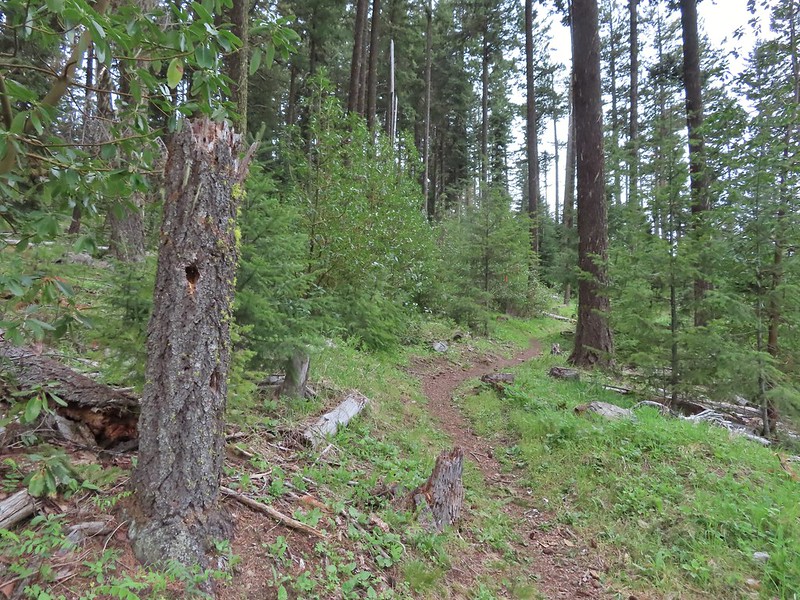
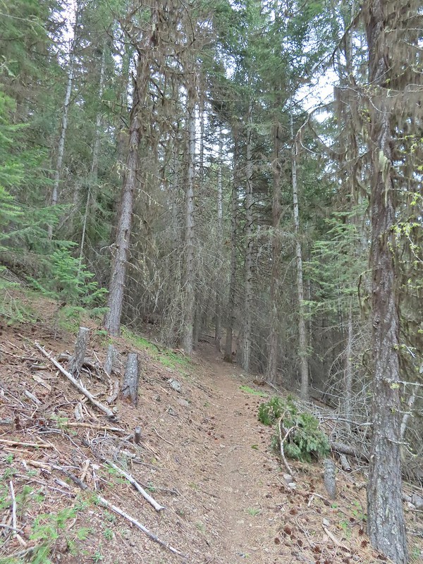
The Jack-Ash Trail turned uphill over a dirt berm and continued on a old road bed for another half mile or so.
 Nicer signs on the other side of the berm.

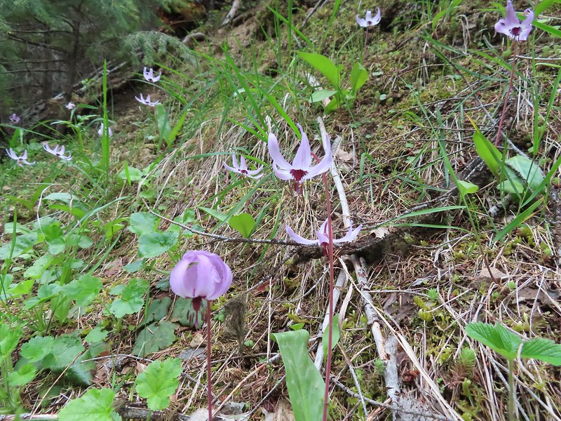
There were quite a few Henderson’s fawn lilies blooming along this stretch which was a flower we had not encountered in bloom until this trip so we took a lot of pictures.

 Can you spot the insect?
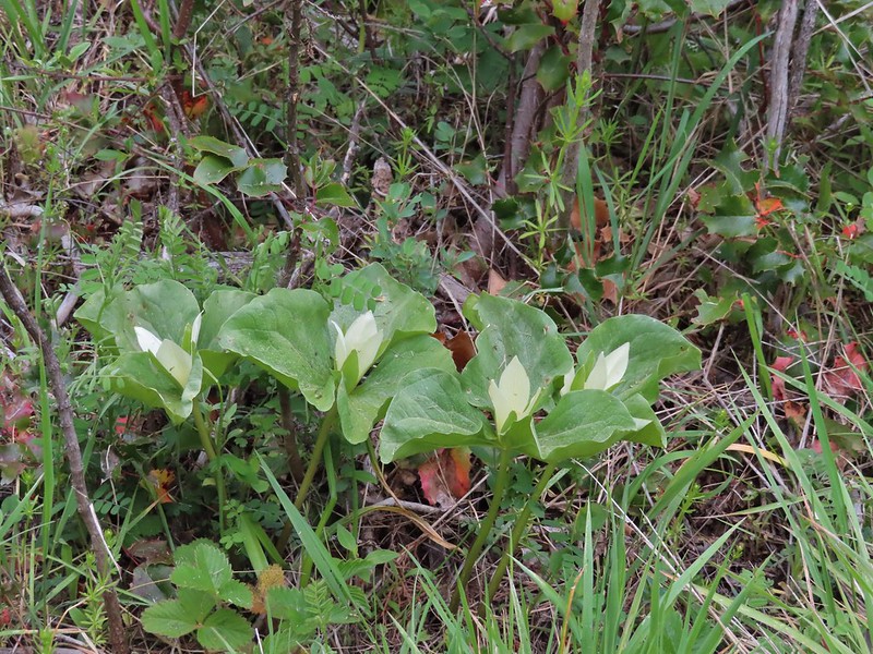
 Trillium
The old road bed became fainter the further we went and eventually at a post the Jack-Ash Trail veered uphill to the right.

The trail climbed up through an open forest that showed signs of a previous fire. We made three switchbacks gaining approximately 400′ in the process. The under story here was full of milk-vetch and wild iris and was also hosting a number of ticks.
 Milkvetch
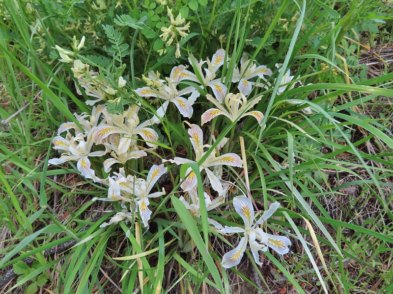 Iris
Iris
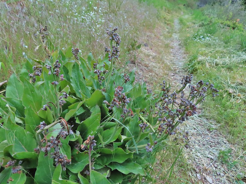 Pacific houndstongue
 We managed to spot a few of the bloodsuckers before they grabbed my pants but we also had to flick 6-8 of the little buggers off.
 Charred tree trunks along the trail.
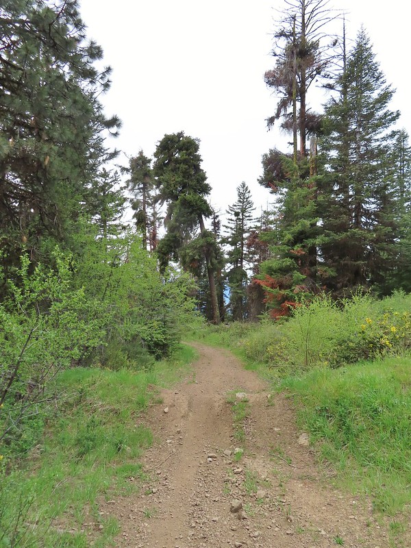
After climbing near to the top of the ridge the trail leveled off and straightened out as it headed south following the ridge.
 Snow queen
 No signs of fire here.
Approximately two miles from the Greenstone Trailhead we left the forest at a small saddle below Anderson Butte.


Had we been doing Sullivan’s described hike we would have been coming from the other direction and at the edge of the forest where he says to “..turn uphill on a smaller, unmarked trail that leads to an old roadbed..”. We got a bit turned around here because we only saw two trails, the continuation of the Jack-Ash Trail and a faint trail passing an unmarked post heading west.
 The Jack-Ash Trail continuing south.
 The trail heading west.
The problem was Anderson Butte was to the SE not to the west but we wandered out on that trail just to make sure we were reading the map right. The path led a short distance to a knoll confirming this wasn’t the trail to Anderson Butte.
 Balsamroot
 Phlox
Phlox

We walked back to the saddle and then walked back into the forest a few steps to a faint trail heading slightly uphill toward the butte and turned onto it.

This trail soon joined an old roadbed.


Four tenths of a mile after leaving the Jack-Ash Trail we arrived at another road where we made a sharp right turn and climbed a quarter mile to the former lookout site.

 Scarlet fritillary – Fritillaria recurva

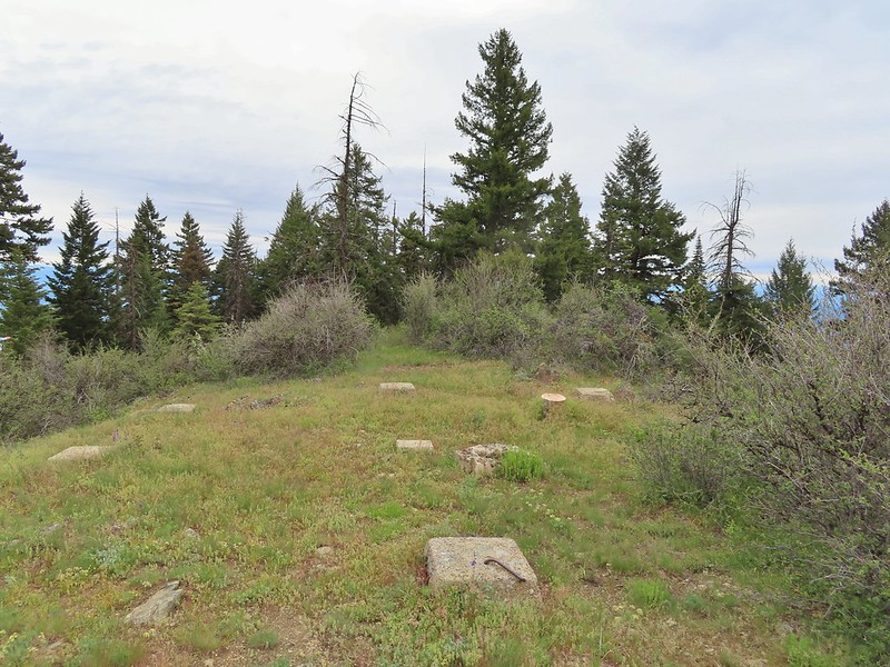
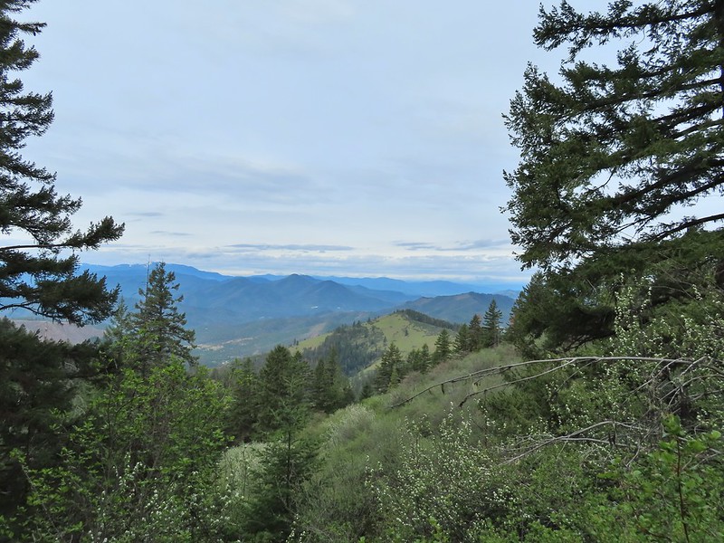
There were an number of wildflowers around the summit and despite the cloudy day the views were good.

 Parsley, larkspur, prairie stars and blue-eyed Mary.
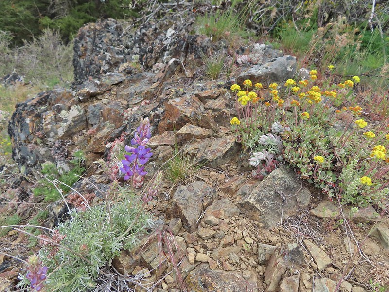 Lupine and buckwheat
 Mt. McLoughlin (post)

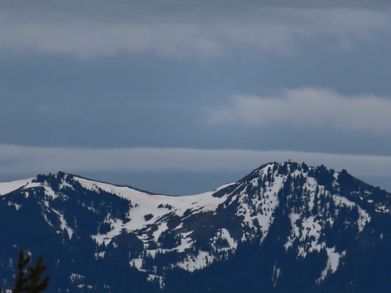 Zoomed shot of Dutchman Peak
 Zoomed shot of Red Buttes
After a nice break at the summit we followed a trail down the southern ridge of the butte.
 Paintbrush, blue-eyed Mary, and redstem storksbill
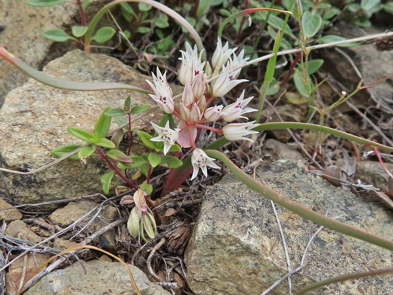
 A stonecrop
After 0.2 miles this trail joined a roadbed which we followed for roughly 450 feet. We were looking for a short connector trail described by Sullivan that would take us down to the Jack-Ash Trail. If we couldn’t find the connector Sullivan mentioned a steep OHV Trail that could be used.
We weren’t really seeing anything that looked like a connector but we thought we saw what might be a very faint path leading downhill through a more open section of forest at a point where the GPS showed the Jack-Ash Trail less than 100 yards away. Whether or not this was the right spot it seemed preferable to a steep OHV trail so we set off downhill and soon found ourselves back on the Jack-Ash.
 Where we left the roadbed.
 Back on the Jack-Ash.
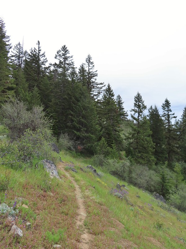
Before heading back toward the car we continued south on the trail a little over three quarters of a mile to the Anderson Ridge Trailhead. This stretch of trail was relatively level with more views and wildflowers. As we neared the Anderson Ridge Trailhead we did hear some shooting along the road on the other side of the ridge but we never saw anyone and they weren’t at the actual trailhead.
 Giant white wakerobbin
 Paintbrush and waterleaf
 Grayback Mountain to the left with snow.
 The OHV trail crossing the Jack-Ash Trail.
 The OHV trail coming down from the road.
 Lupine
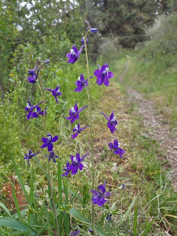 Larkspur
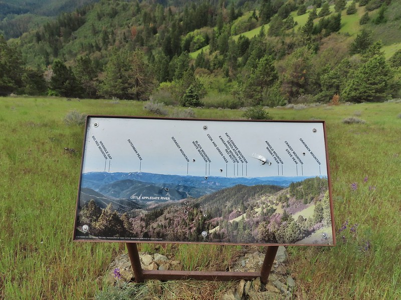 Always appreciate a good mountain locator.

 Mariposa lily
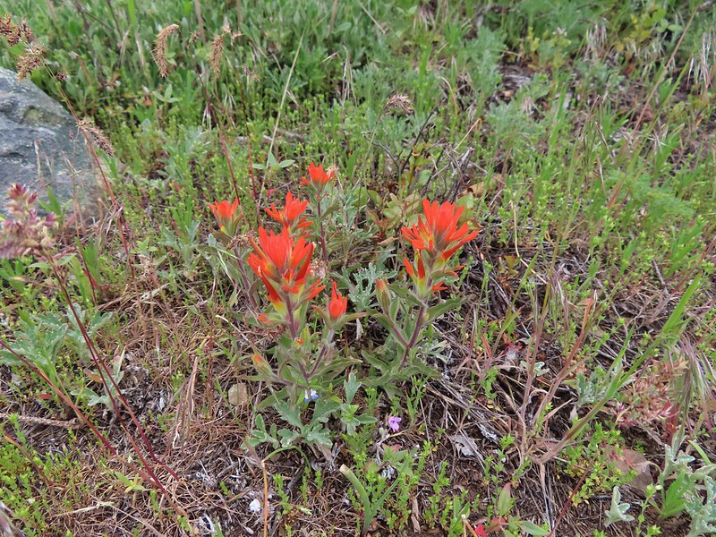
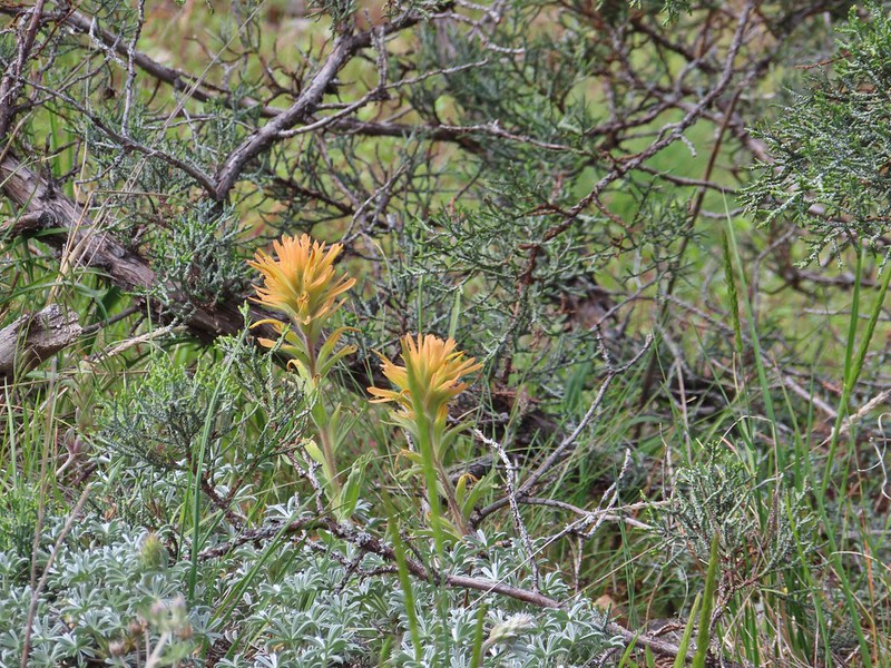 Paintbrush
 Silverleaf phacelia
 Some sort of big thistle on the hillside.
 Some pink lupine.
 Rough eyelash-weed
 Western wallflower with a crab spider.
 Clustered broomrape
 Buckwheat, paintbrush, and lupine
 Plectritis
 Nearing the Anderson Ridge Trailhead.
This trailhead had a sign-in log so we filled that out and then headed back sticking to the Jack-Ash Trail and passing below Anderson Butte.


 Miniture lupine
 A ringlet on fiddleneck.
 Post at the OHV trail crossing.
 Salsify

 Yarrow
 The Jack-Ash Trail nearing the saddle where we had turned off to go up Anderson Butte.
 Wild onion (possibly Siskiyou)
 Meadowfoam
 Royal Jacobs-ladder
 Royal Jacobs-ladder
 The berm at the Greenstone Trailhead.
We were happy to find that there was no one using the Griffin Gap Trailhead when we got back and aside from the gunfire near Anderson Butte we hadn’t seen or heard any other people all day. The hike came in just a bit over 9 miles with approximately 1650′ of elevation gain. The incoming wet weather held off aside from a couple of sprinkles but the cloud cover kept the temperature very comfortable which was welcome after the previous two days.

This hike was a needed break from both the heat and poison oak. We only spotted the latter a couple of times on open hillsides but never had to worry about it. Long pants were still useful though due to the occasional ticks that we had to stop and flick off my pants (we never saw any on Heather this time). We were starting to feel like we were back on track now that we were halfway through our trip. Saturday looked to be a rainy one so we were going to stick close to the motel and check out the Denman Wildlife Refuge. For now though we headed back to Medford looking forward to our leftover pizza from Kaleidoscope. Happy Trails!
Flickr: Jack-Ash Trail

2 replies on “Jack-Ash Trail: Griffin Gap to Anderson Ridge – 05/27/2022”
[…] spent a week in Medford earlier in June checking off Roxy Ann Peak (post) and the Jack-Ash Trail (post) and we headed back south a couple of weeks later to hopefully check off […]
[…] #57 Wagner Butte-Hiked 6/4/2015 #58 Siskiyou Gap-Hiked 6/16/2022 #59 Jack-Ash Trail-Hiked 5/27/2022 #60 Sterling Ditch Tunnel-Hiked 6/10/2017 5/2/2023 #61 Jacksonville-Hiked 6/8/2017 #62 Enchanted […]