
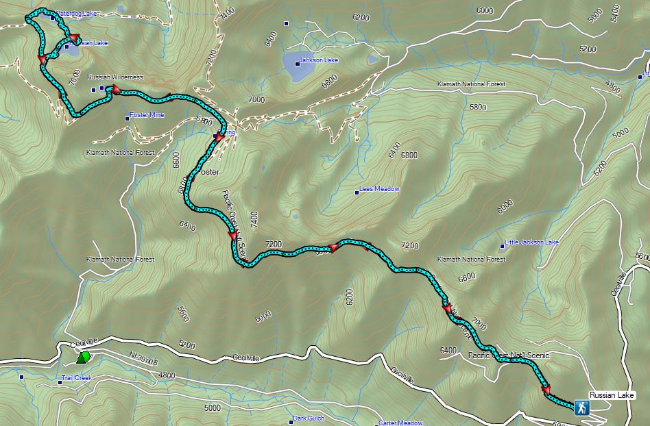
Our third day in Northern California was set to be our longest. Our goal was Russian Lake which is Sullivan’s featured hike #90 in his “100 Hikes/Travel Guide Southern Oregon & Northern California” (edition 4.2) guidebook. Sullivan’s described hike is only 8.6 miles with 1300′ of elevation gain starting from the Deacon Lee Trailhead. Normally that is where we would have started our hike but his description of the drive to that trailhead is less than encouraging. He says “This narrow road is no place for drivers with a fear of heights. And because of sharp rocks, you must drive slowly to avoid blowouts.” Given our trouble earlier this year with low tire pressure (post) we were reluctant to attempt the drive. Another option was provided by Boots on the Trail using the PCT (post).
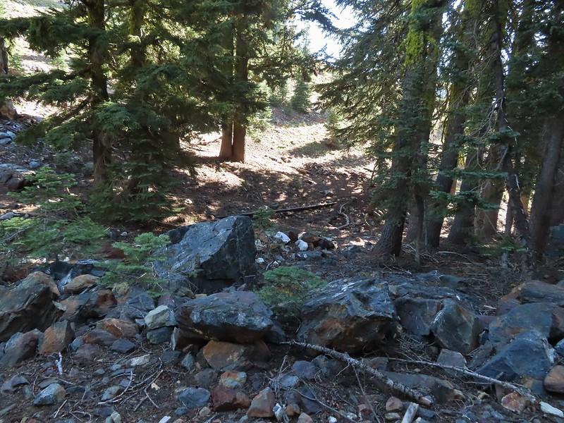
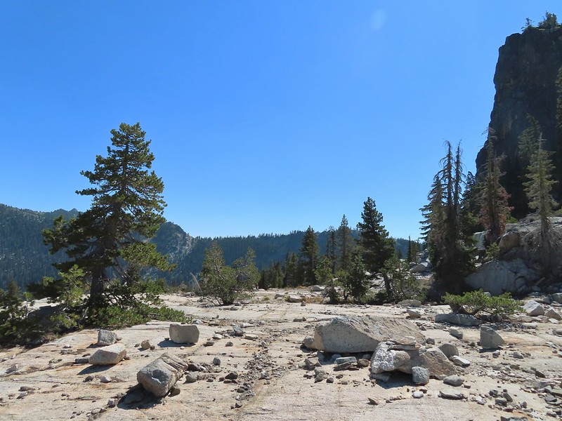
This approach only required 0.6 miles of driving on gravel roads as we parked at the second switchback of Forest Road 39N48 within sight of the Pacific Crest Trail.
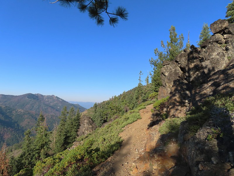
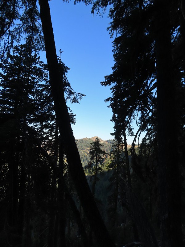
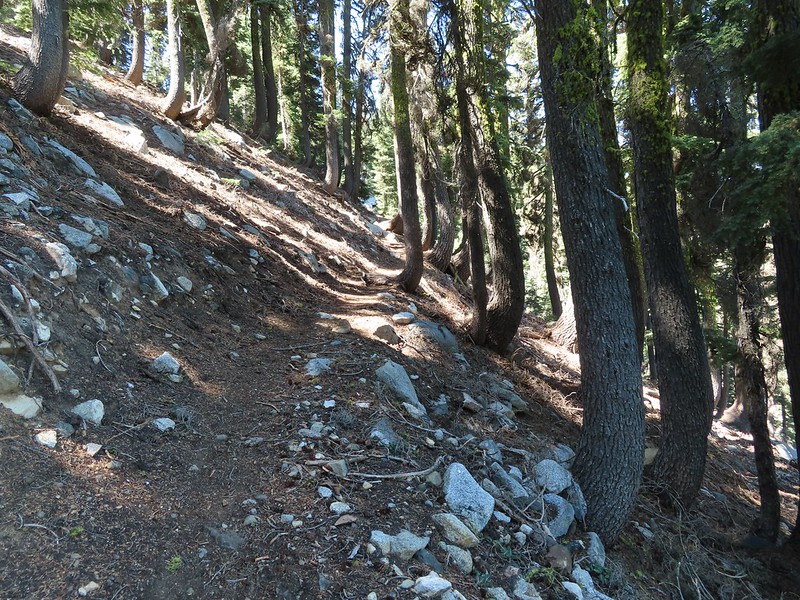
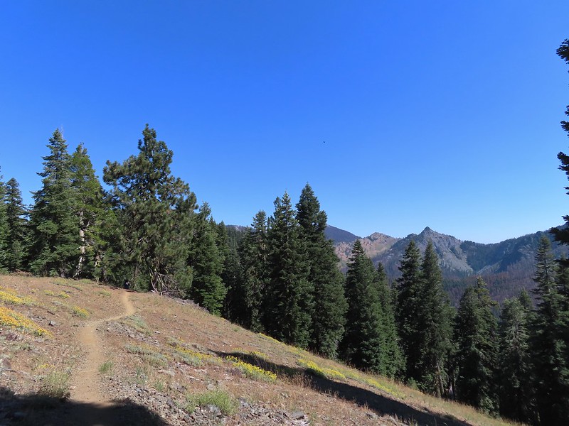
 PCT below FR 39N48.
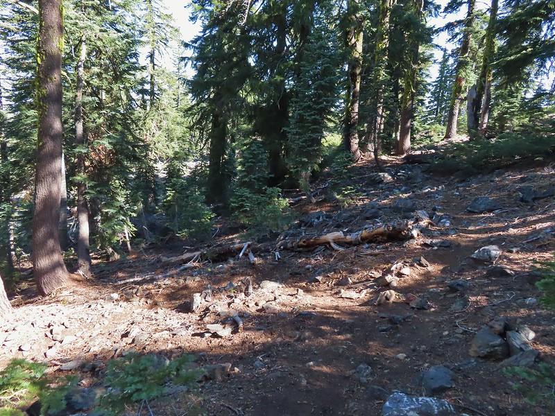
We walked downhill to the PCT and turned right following it along the hillside.

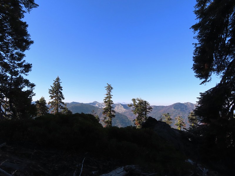
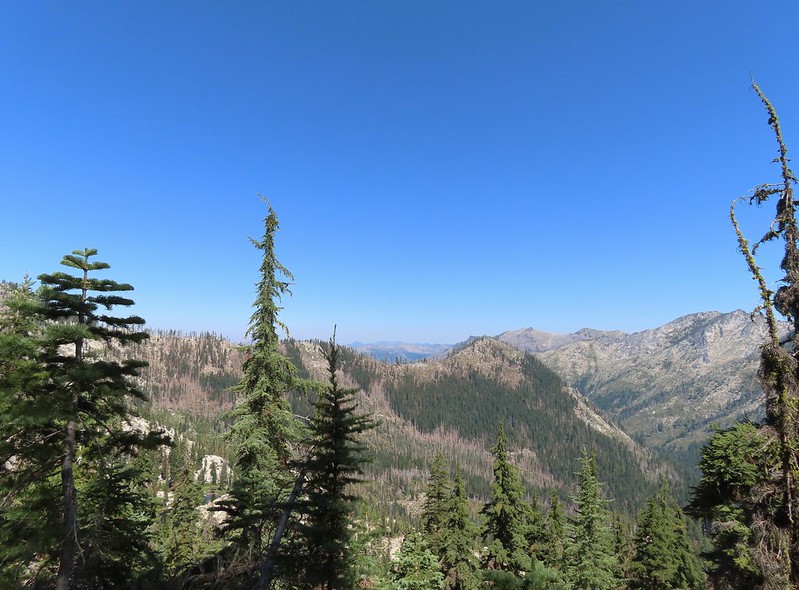
 Tail and Long Gulches in the Trinity Alps Wilderness (our next hike).
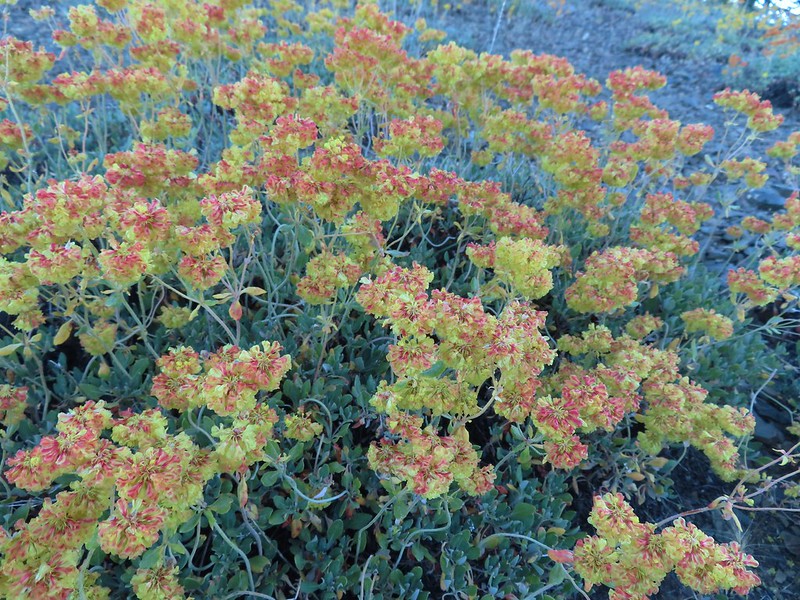
 Lots of buckwheat along the ridge.
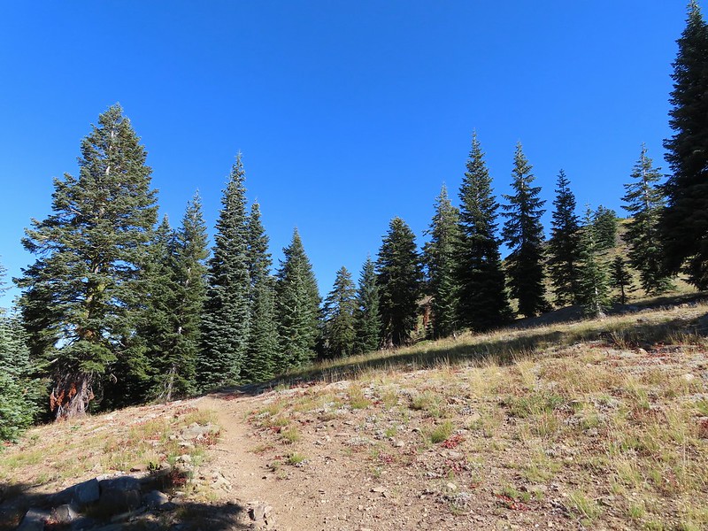
At the 0.7 mile mark we crossed an old roadbed.
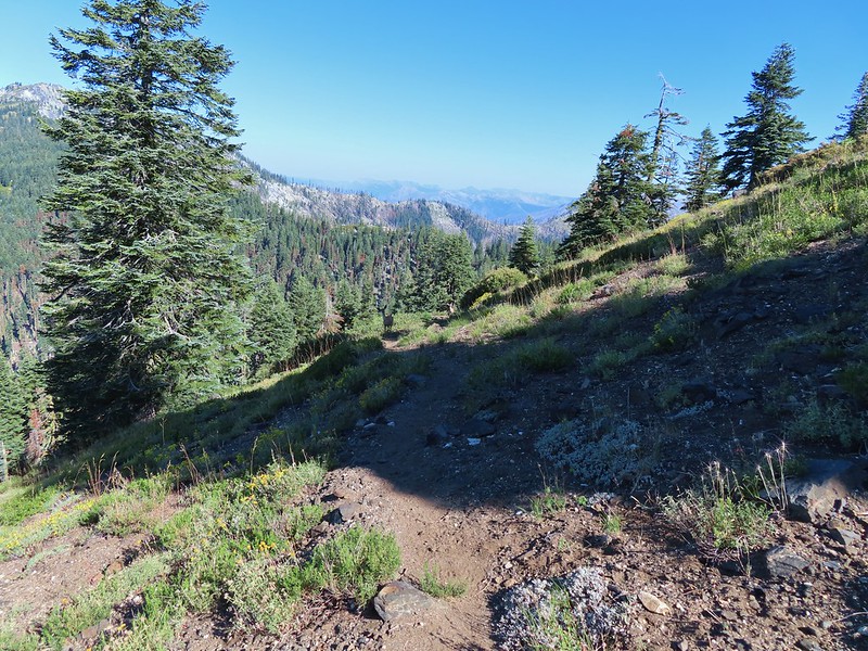
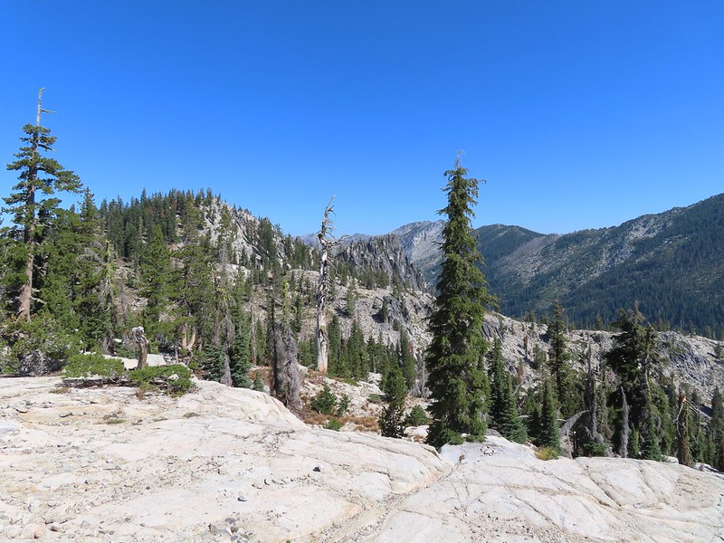
For the next 3.8 miles the PCT alternated between forest and open hillside in a series of ups and downs before arriving at a junction with the Deacon Lee Trail.

 Buckwheat


 Trinity Alps Wilderness
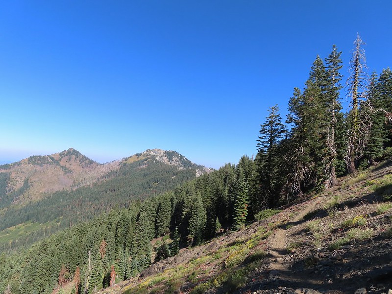
 Caesar and Thompson Peak
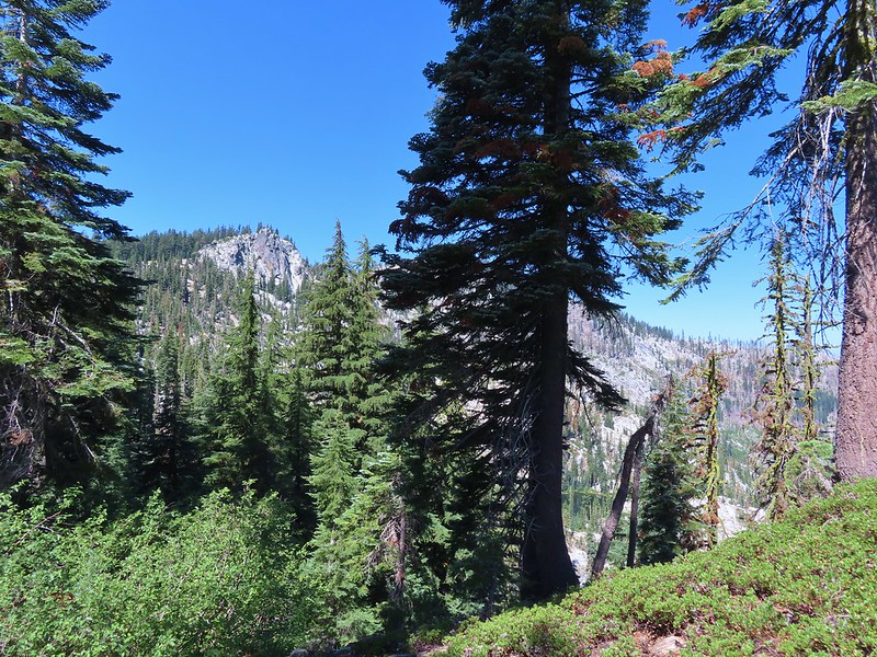
 We would be passing below the peak in the distance later.

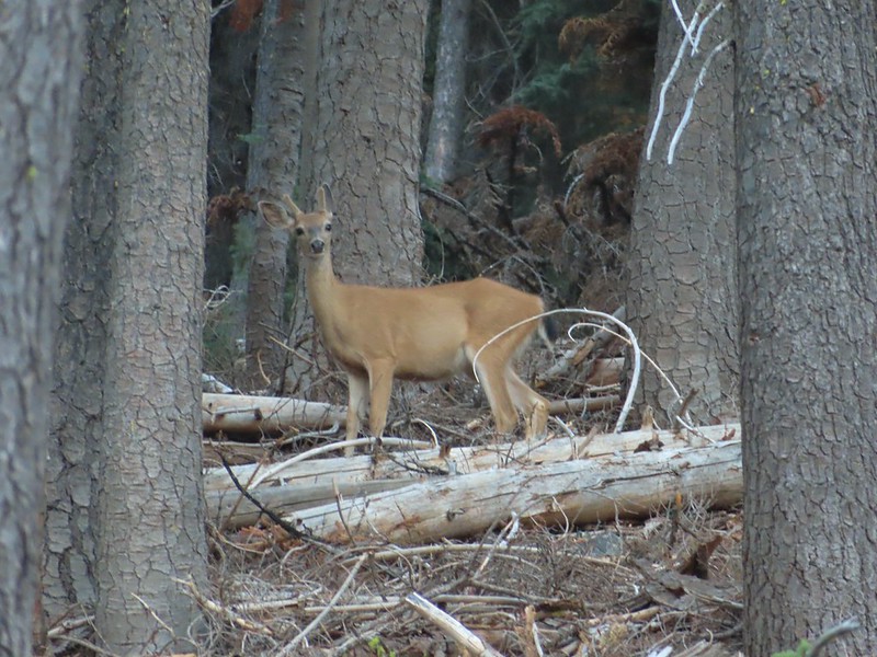
 Small buck on the hillside above the PCT.
 The Deacon Lee Trail was visible crossing the opening on the far hillside.


 Checker-mallow

 Crescent butterfly
 Small spring along the PCT.
 The junction with the Deacon Lee Trail.
We turned onto the Deacon Lee Trail following pointers for Syphon (Siphon on maps) and Waterdog Lakes.

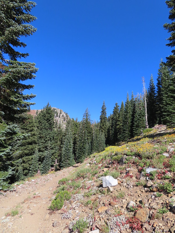
The Deacon Lee Trail follows an old roadbed through a forest and across an open hillside that was full of buckwheats.


 Dwarf lupine


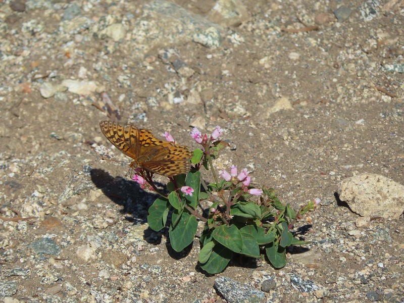 Fritillary butterfly on spreading dogbane.
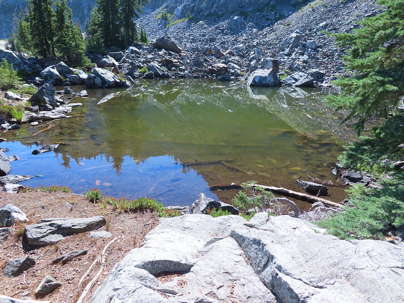
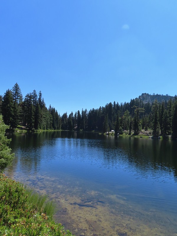
 Nearing Siphon Lake.
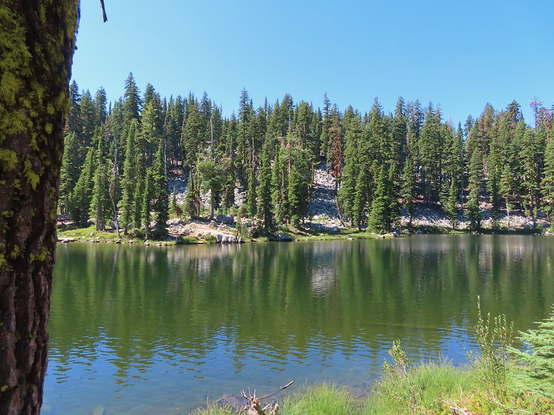
 Siphon Lake was just under a mile from the PCT.
We took a break at Siphon Lake to enjoy the scenery before continuing along the old roadbed.
 Old pipe that used to bring water down to mines lower on the hillside.

A third of a mile from Siphon Lake the trail veered right leaving the old roadbed and becoming single track.
We were now heading NW and descending slightly.
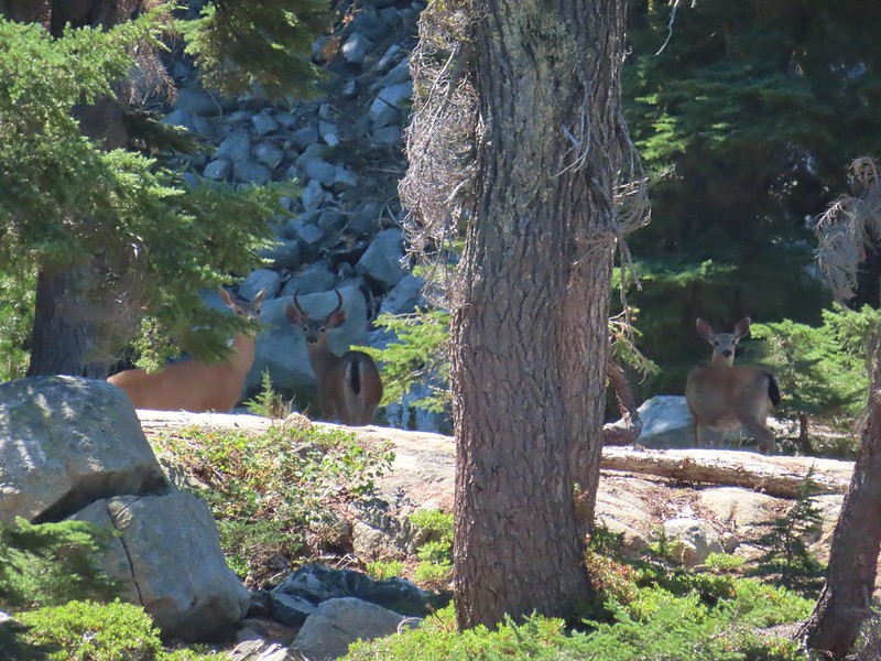
We spotted a doe in the trail ahead stopped in its tracks staring at us.


She had a pair of fawns with her which we didn’t spot until they headed back down the trail. She stayed put though and as we slowly made our way downhill we were wondering if whether or not she was going to follow them. Soon one of the fawns reappeared and we all stood staring at one another for a few minutes before they finally retreated.
 Zoomed in on the pair.
 The curious fawn.
After the deer had moved on we continued downhill to a point where the ridge on our right came down near the trail. Here we spotted a cairn and what appeared to be a use trail that we hoped would lead down to Russian Lake.
We could have continued downhill on the Deacon Lee Trail another 0.3 miles to a junction where a right turn would have led us past Waterdog Lake to Russian Lake in half a mile but cutting over the ridge would save us around three quarters of a mile. We pretty easily found the use trail leading steeply downhill.


When we neared Russian Lake we went to the right to visit a small pond in the rocks above the lake.

 The pond was full of tadpoles.
After taking a break overlooking the lake we made our way around its NW side and crossed the dry outlet creek.

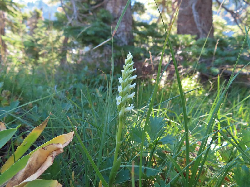 Hooded ladies tresses
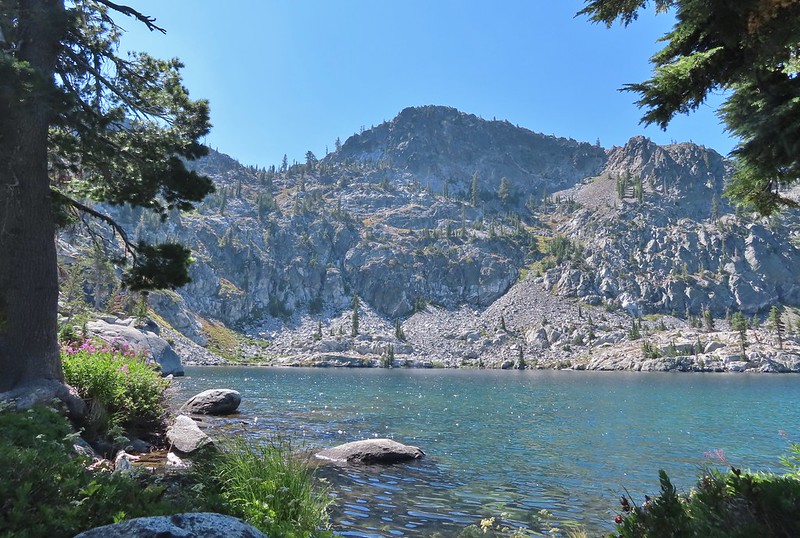 View from the outlet creek.
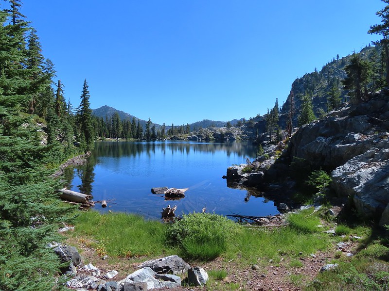
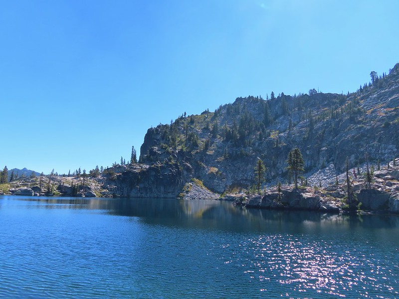
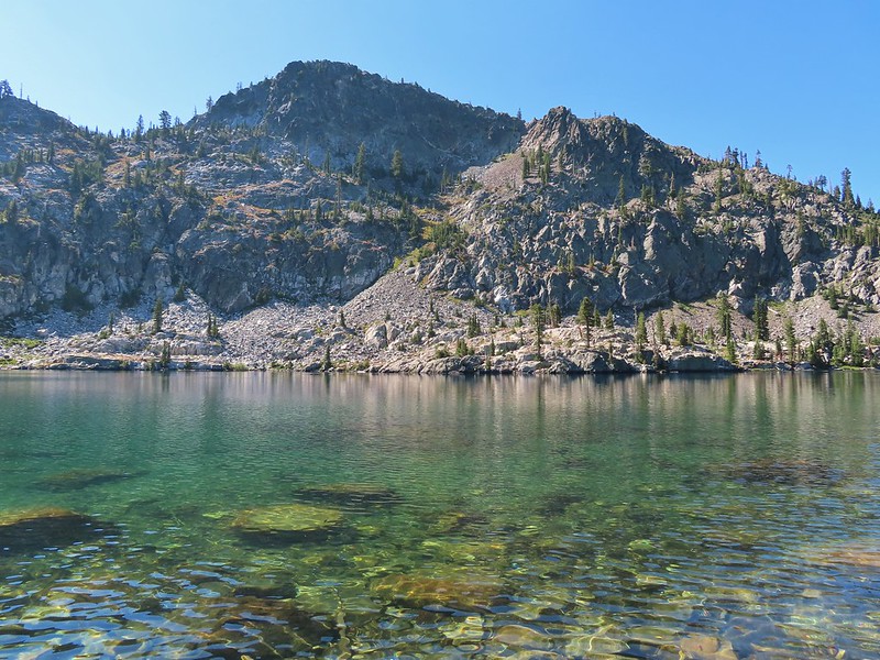
We explored the rocks on the NE side of the lake with views of Russian Peak and some other interesting rock formations.
 Russian Peak


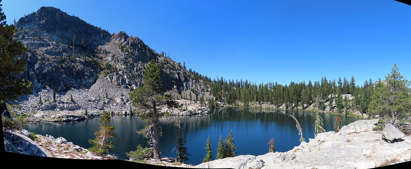
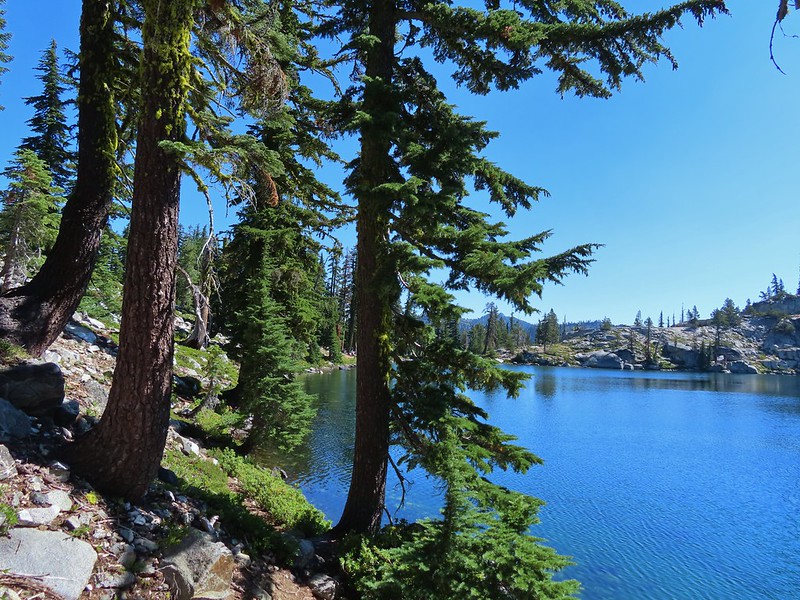
We both fell in love with this lake and wished we were staying there for a couple of days just to explore the area more but alas we weren’t so after a nice break we recrossed the outlet creek and picked up a trail heading toward Waterdog Lake.
 Fireweed near the outlet.
 Large boykinia


 Saxifrage seed head
 It was a pretty good drop down to Waterdog Lake.
 Waterdog Lake.
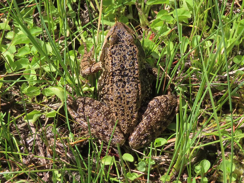
Waterdog Lake was a nice lake but not nearly as dramatic as Russian Lake had been. As we made our way around the lake we spotted a large frog and several deer, one of which couldn’t stop sneezing.

 The deer were across the lake in those trees.

 Looking back along the lake.
The trail climbed away from the lake offering a brief glimpse of Lower Russian Lake.
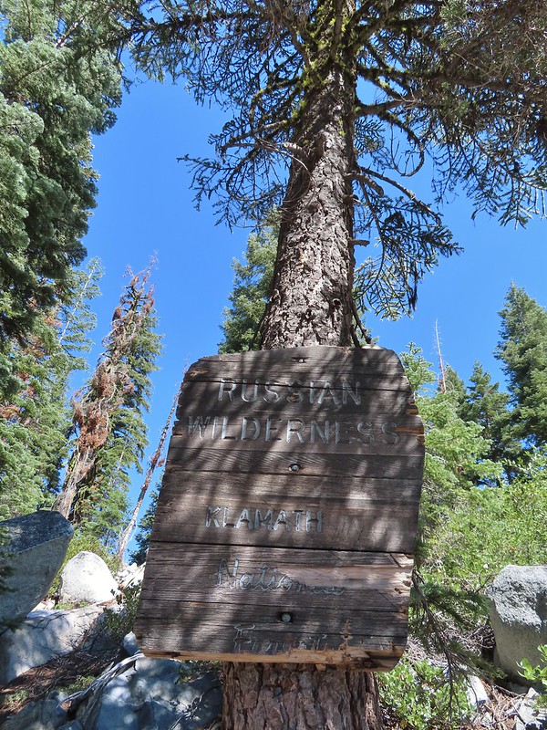
After cresting a saddle the trail dropped to a junction with the Deacon Lee Trail near the boundary of the Russian Wilderness.


We turned left following pointers for the PCT and Siphon Lake.

It was a pretty steady 0.3 mile climb back to where we had left the trail earlier and then another good climb back up to the old roadbed.
 Paintbrush
 There were dozens of lizards scurrying across the trails all day but not many stopped long enough for photos.
 Haven’t been able to identify this one yet.
We paused again briefly at Siphon Lake before continuing on and then retraced our steps to the car. The only other person we saw all day was a lone bow hunter.

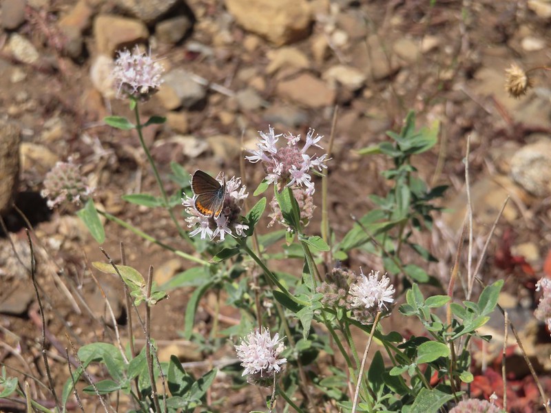 Butterfly on mountain coyote mint

 Another butterfly on mountain coyote mint.
 Grasshopper that became obsessed with Heather’s glove.

 Cricket
Our hike came in at 14.8 miles with approximately 2900′ cumulative elevation gain.
Our adventure for the day was only beginning though. Ironically shortly after passing Carter Meadows Summit our “low tire pressure” light once again came on. We made it back down to Callahan but less than a mile later I could feel the car begin to pull right so we pulled off Highway 3 into some gravel. The front passenger side tire was flat. I got the jack and spare tire out but was struggling to get the tire off due to the lug nuts being quite tight. Heather was on the phone trying to secure roadside service but the call center on the other end couldn’t even figure out where we were. (Seriously it was a State Highway a mile outside of a town shown on every map but I digress.) I finally managed to get the flat off but hadn’t raised the car quite far enough to get the spare on and of course as I tried to lift the car a bit more it rolled forward off the jack. I managed to get the jack back under and the car up a bit when a pair of ladies in a Forest Service Truck turned around to check on us. We cannot thank Megan and Malia enough, they were able to get their jack under the car to shore it up and used a shovel to create a little more room under the car in order for us to get it high enough to get the spare on. It was over 90 degrees and nearing 5pm and who knows how long we’d have been out there because Heather was still trying to get the road side assistance to understand where we were (she even gave GPS coordinates).
By the time we got back to Etna it was too late to find a tire place so we returned to our motel and put a plan together for the following day. We would get up and drive to Valley Tire & Tackle in Fort Jones when they opened at 8am in hopes that they could either repair the tire or had a set of replacements (we’d already had both driver side tires patched up this year) and then depending on how long that took we would either hike later in the day or extend our stay in order to get all our planned hikes in. After all we didn’t want to leave one featured hike undone that far from home. Happy Trails!
Flickr: Russian Lake

4 replies on “Russian Lake – 08/24/2022”
Yes, that low tire light – is it fooling or is there really a leak? Been there, done that at least 4 times – 2 were false alarms and 2 ended with visits to Les Schwab after miles of very careful driving on bad roads. Much fun… Eventually bought 10 ply tires for the truck – never a leak since. 😀
[…] come on three different times, each one a long way from home (Siskiyou Gap, Black Butte Trail, and Russian Lake) due to a nail, a screw, and a rock. The latter leaving us with a flat tire near Callahan, CA and […]
[…] #88 Campbell Lake-Hiked 6/27/2016 #89 Paynes Lake-Hiked 7/24/2017 #90 Russian Lake-Hiked 8/24/2022 #91 Hidden & South Fork Lakes-Hiked 8/26/2022 #92 Trail Gulch Lake-Hiked 8/25/2022 #93 East […]
[…] There is no official trail to Walupt Falls so there is no official trailhead. There is however a use trail that leads steeply downhill to the base of the falls from Forest Road 21 across from the Walupt Horse Camp. To reach the horse camp we turned off Highway 12 just over a mile west of Packwood onto FR 21 (Johnson Creek Road) and followed this rocky, bumpy road 16.1 miles to a junction with paved FR 2160. If you’re a long-time reader of our blog you are probably familiar with our low tire pressure adventures. We’ve had a low tire pressure light come on near the Alvord Desert in 2018, on Steens Mountain in 2021, and three different times in 2022 (Siskiyou Peak, Siskiyou Wilderness, and Russian Lake). […]