
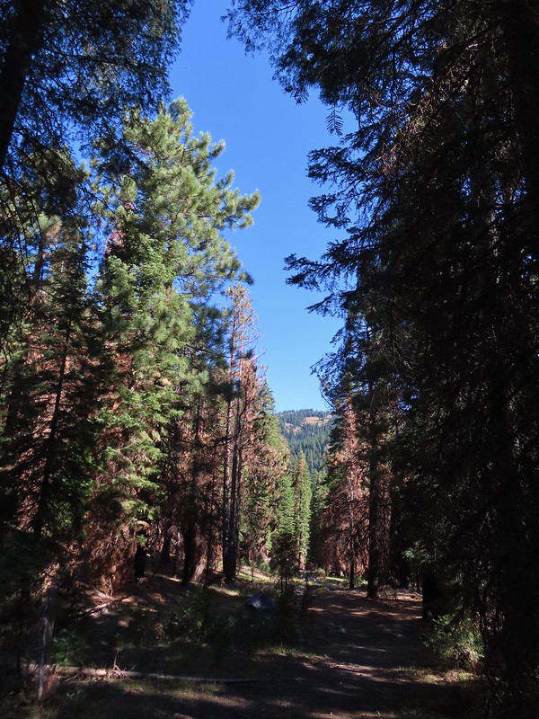
After our adventure with the flat tire Wednesday (post) we slept in a little since Valley Tire didn’t open until 8am. Not heading out first thing for a hike did give us a chance to walk from the motel to Grain Street Bakery where we had some delicious scones and half a breakfast sandwich (the other half wound up being Friday’s breakfast). After breakfast we drove into Fort Jones where Valley Tire got us in right away and pulled a small rock out of the tire which had blistered in several places meaning it needed to be replaced. They had a set on hand so we had them replace all four tires and were on our way by 8:45am. It was plenty early for us to still get our planned hike in so we stopped by our room, changed, and grabbed our packs before heading back up to Carter Meadows Summit. From the summit we continued driving downhill another 0.7 miles and turned left onto Carter Meadows Road (FR 39N08) at a sign for Carter Meadows Trailheads. We followed Carter Meadows Road for 1.8 miles to the Trail Gulch Trailhead.

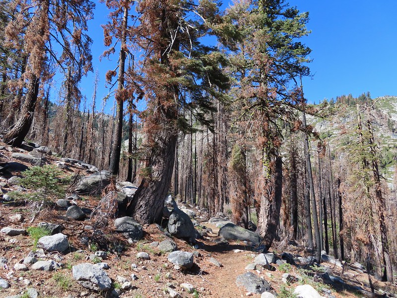
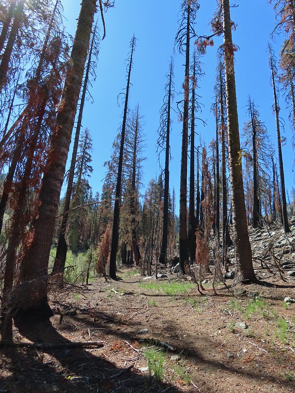
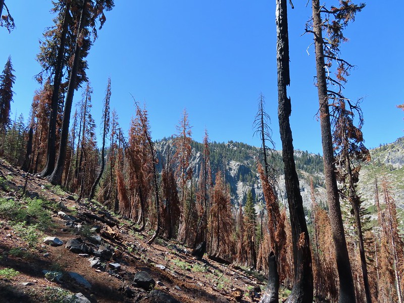
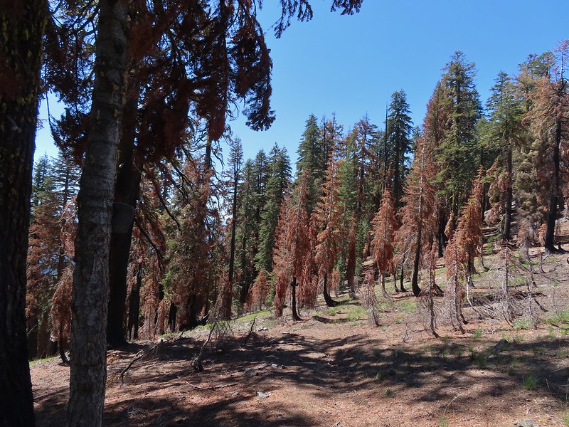
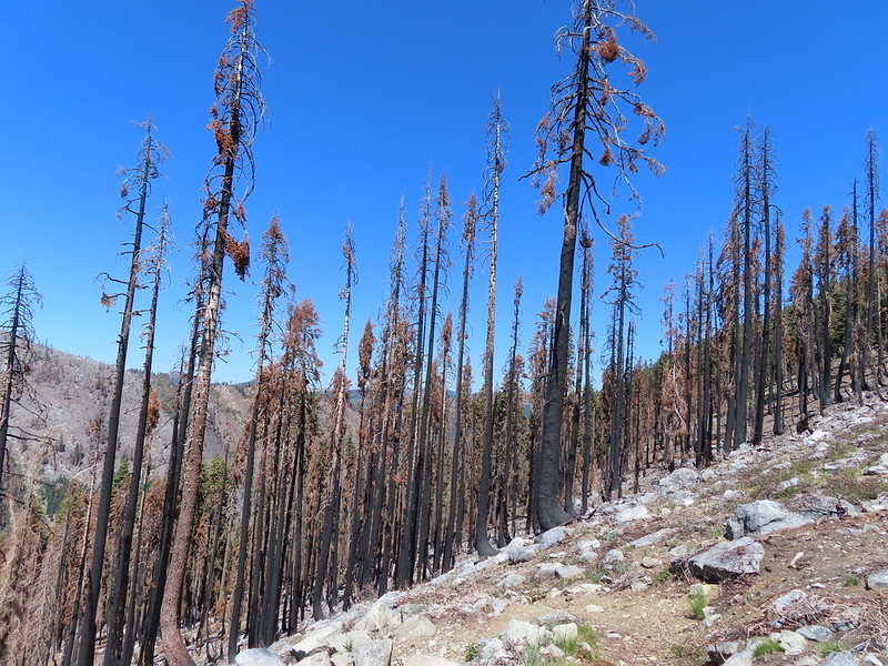
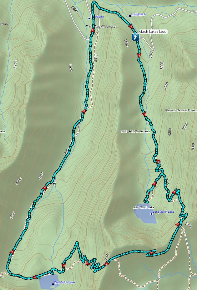
Before getting into the hike please note that many maps have Trail Gulch Lake and Long Gulch Lake reversed including the map embedded on the Forest Service page linked above. Our GPS as well as the PCT paper map that we were carrying also showed the lakes reversed but the signage along the trails here are correct. This loop is also almost entirely within the fire scar of the 2021 Haypress Fire although portions of the forest did not burn too intensely.
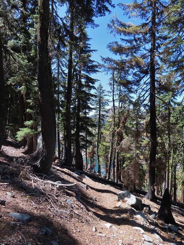
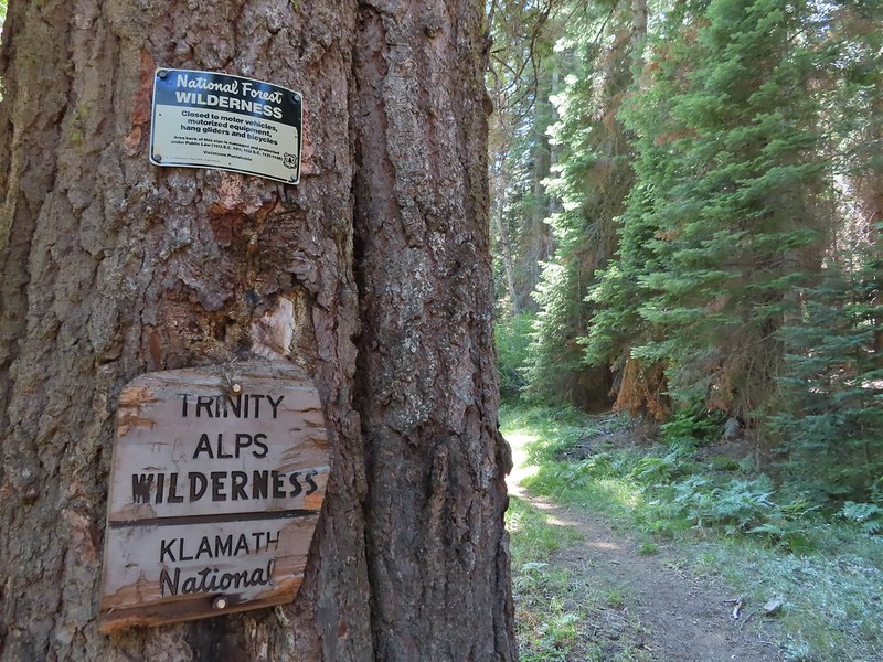
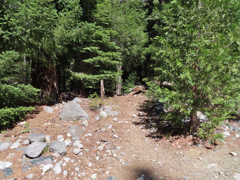
From the trailhead the trail climbs steadily but not too steeply along a creek. It soon enters the Trinity Alps Wilderness and at the 0.9 mile mark crosses the creek.
 An aster (or a fleabane, it’s so hard to tell).
 Musk monkeyflower
 Tiny green frog.
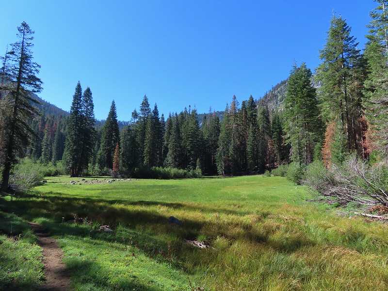
 It was easy to spot where the creek was based on the green.
 The wilderness boundary.
 The creek crossing.
 Paintbrush
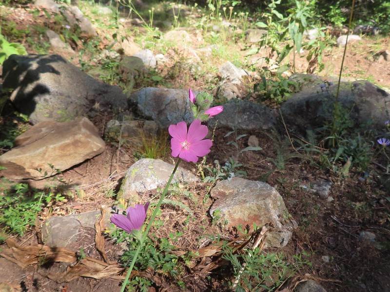
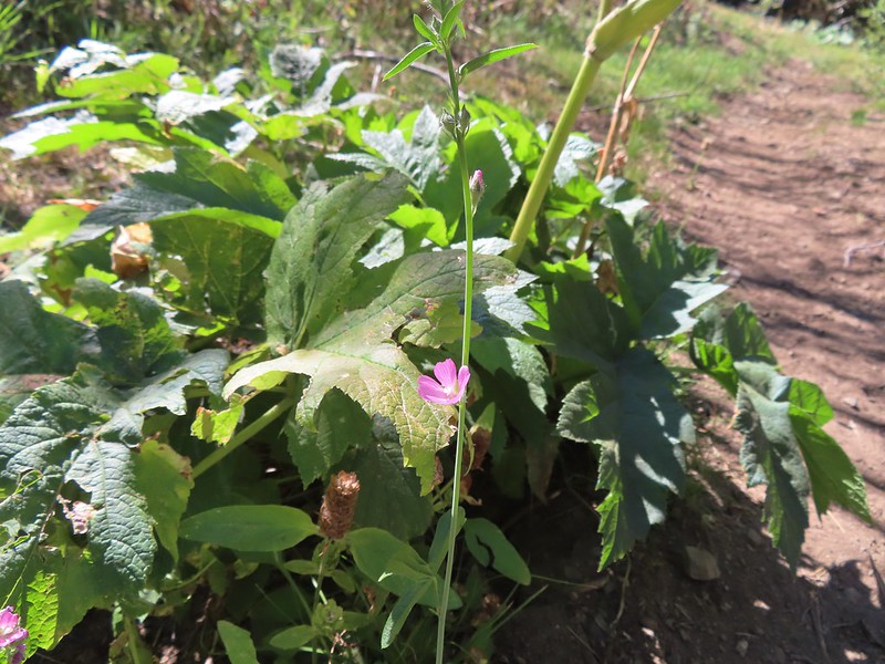 A checker-mallow near the creek.
Shortly after crossing the creek the trail veered away from it and began a steeper climb to a junction with a 0.3 mile trail to Trail Gulch Lake.

 A junco. We saw a large number of small birds flying around during our trip, mostly junco’s and chickadees but they rarely ever sat still where we could see them.
 Pointer for Trail Gulch Lake 0.8 miles from the Creek Crossing.
We turned right on the 0.3 mile trail which climbed to Trail Gulch Lake.

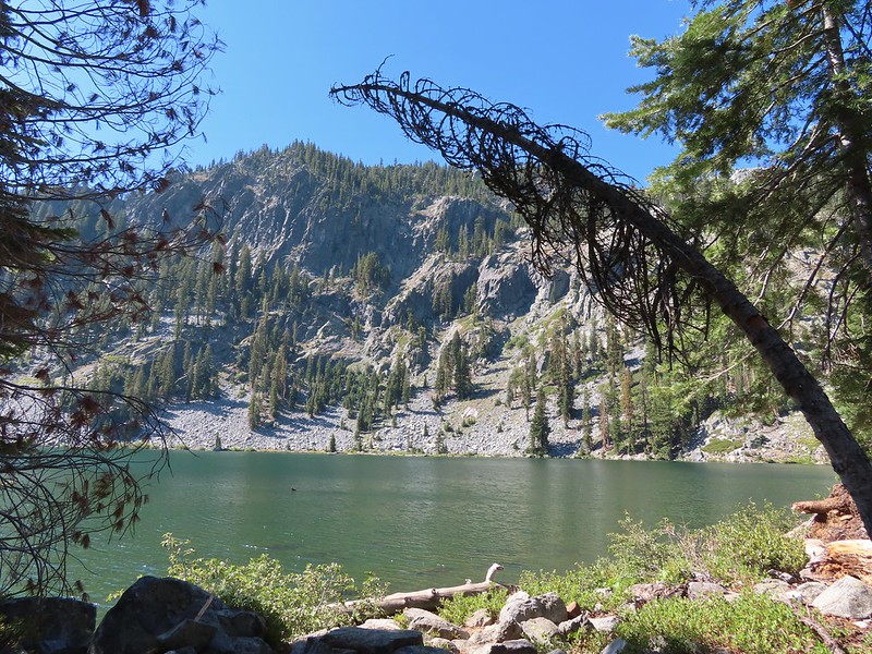
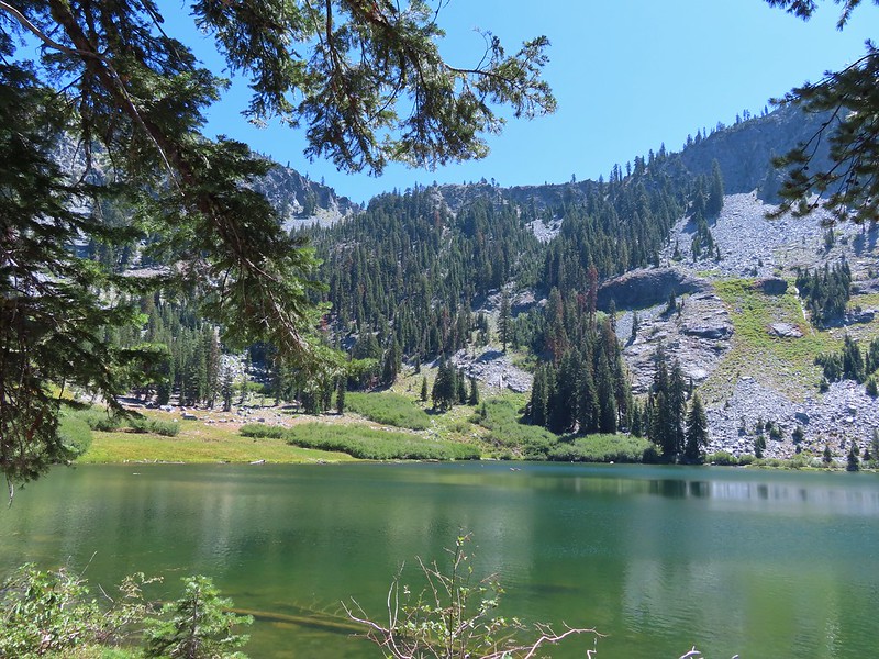
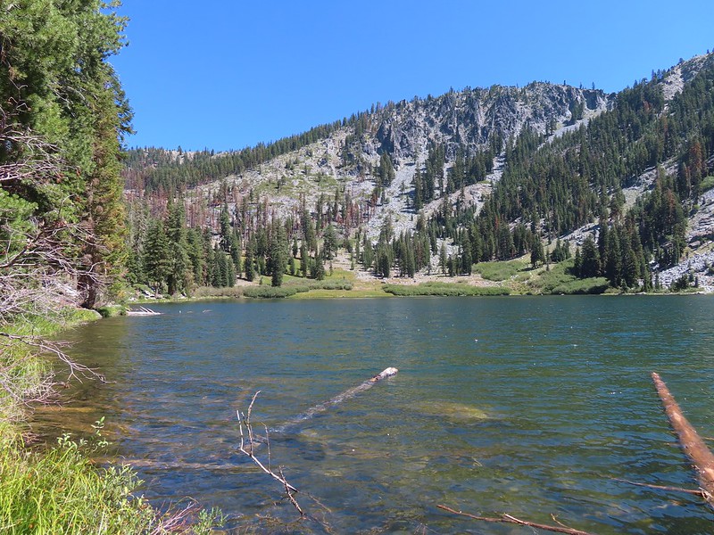
The lake was very scenic but the combination of the position of the Sun and a hint of smoke in the sky made capturing it with the cameras difficult.

After a short break we returned to the Trail Gulch Trail and continued further up the gulch. The trail gained 700′ over the next mile to reach a pass above Trail Gulch Lake.
 One of several deer seen running uphill as we made our way up the trail.
 View back down Trail Gulch.
 Paintbrush

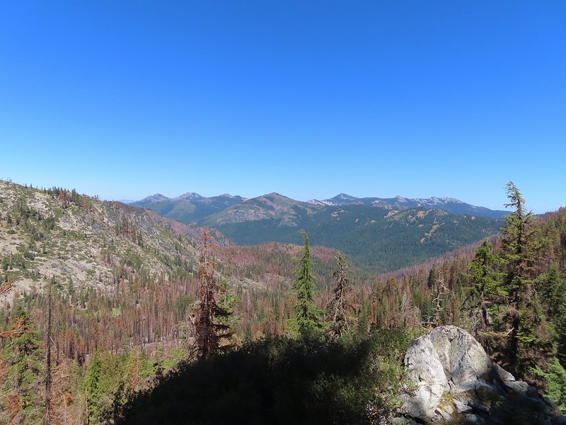 Peaks in the Russian Wilderness.
 Arriving at the pass.
 Trail Gulch Lake from the pass.
 Clark’s nutcracker
Just over the pass was a trail junction with a mix of signed and unsigned trails. We took a hard right on the unsigned Trail Gulch Tie Trail which was just slightly above a trail with sign pointing to Steveale Meadows.
 The sign for Steveale Meadows where we went uphill on the trail to the right.
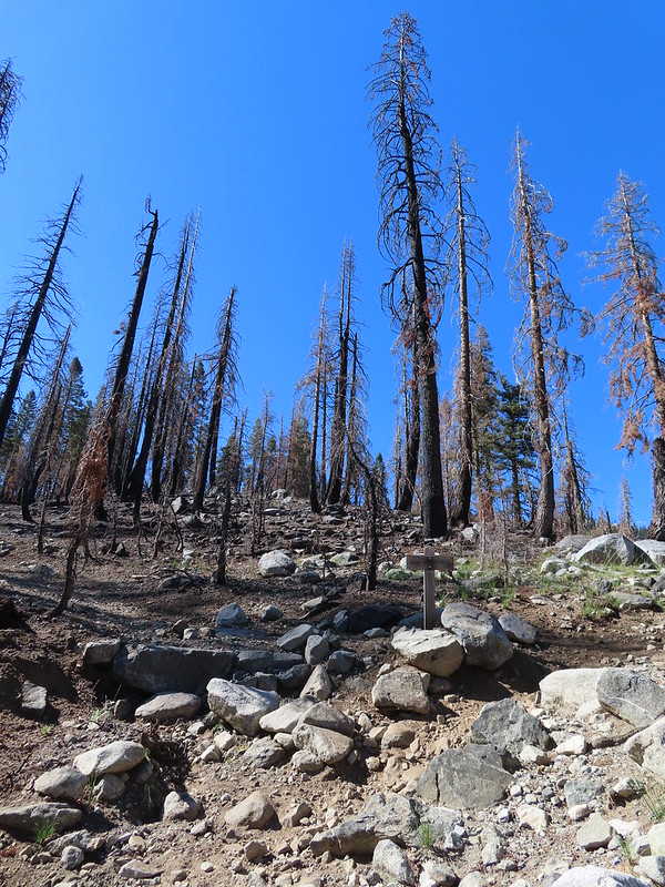
The tie trail gained 400′ as it traversed a severely burnt hillside before arriving at a pass above Long Gulch Lake 1.1 miles from the junction.


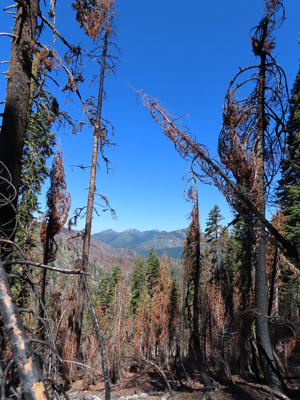
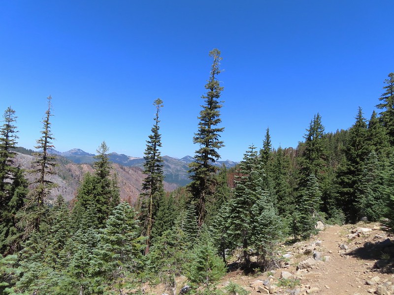
 View south from the tie trail.
 Approaching the pass.
 Sullivan mentions that it is possible to scramble 0.2 miles to the right along this ridge to get a view of Mt. Shasta and the heart of the Trinity Alps but with the smoke on the horizon we didn’t feel it was worth the effort and skipped that option.
 Looking down into Long Gulch from the pass.
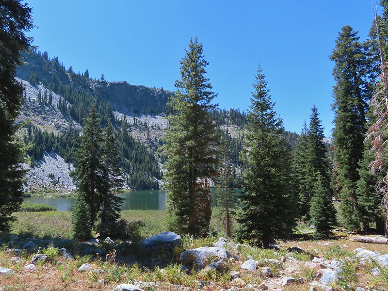
After pausing at the pass we started downhill and began getting occasional views of Long Gulch Lake.


 To the north we could see much of the route we’d taken the day before on the way to Siphon and Russian Lakes.

 Chipmunk with a snack.

A slightly frustrating feature of the trail down was a long switchback along a ridge which led past and away from the lake before turning back toward it. That big swing made the 1.4 miles down to the lake seem to take forever.
 The outlet creek.
 Long Gulch Trail passed to the north of Long Gulch Lake for a quarter mile.
 The pass that the trail came down is along the ridge to the left here.
The trail continued west beyond the lake another third of a mile before arriving at a junction.

 Parnassian on mountain coyote mint.
 Skipper on mountain coyote mint.

At the junction we turned right beginning a 2.7 mile gradual descent to the Long Gulch Trailhead.


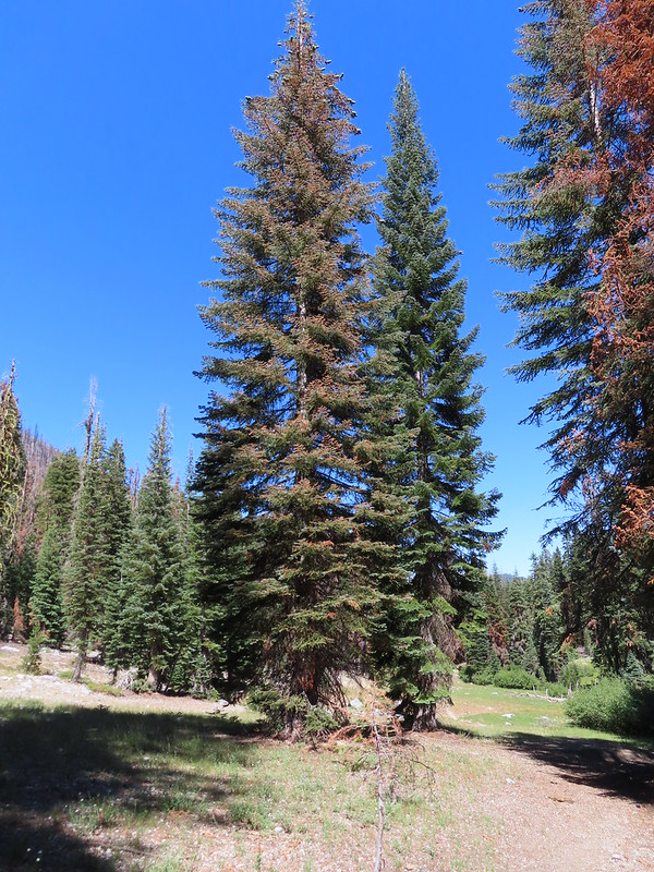 Meadow with a number of big trees that survived the fire.
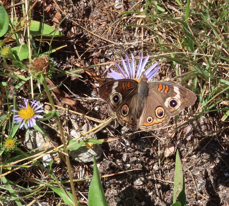 Common buckeye
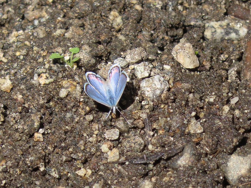
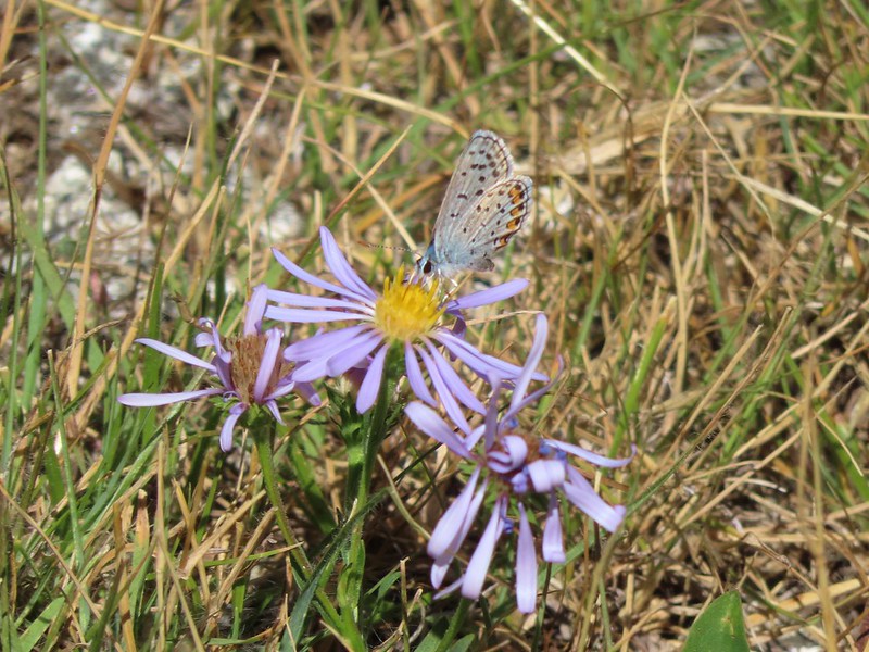 A copper or blue
 Lorquin’s admiral
 Leaving the Trinity Alps Wilderness.
 The trail briefly followed the Long Gulch Creek.
 Checker-mallow
 The trail crossed the creek just under 2 miles from the junction.
 Arriving at the Long Gulch Trailhead.
The only other person we saw all day was a backpacker who had just hiked out of Long Gulch Lake and was packing up his truck at the trailhead. He offered us a lift to our car but we wanted to finish hiking Sullivan’s loop so we declined. Sullivan described following horse trails for 0.9 miles back to the Trail Gulch Trailhead rather than following the road for 0.8 miles.
We crossed the road at a post and began to follow the horse trail.

Sullivan showed a junction after 0.3 miles just before arriving at a creek. As we neared the creek our GPS showed us having gone the 0.3 miles so we were looking for a trail to our right. We spotted what looked like it might be a trail complete with some flagging so we turned up hill following it.

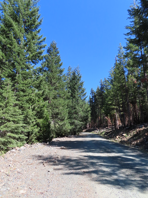
Long story short we’d turned too early and wound up just below the road at a horseshoe turn. At that point it was easier to bushwack up to the road and follow it back to the trailhead instead of searching for the horse trail so we finished the loop on the road.
 We did pass a sign for the horse trail along the road.
As I neared the trailhead a large bird flew into a nearby tree. I took a couple of pictures and it appears that it may have been an owl.
 To the far right of the photo in between the green and orange branches is where it landed.
This was a 10.2 mile loop with 2280′ of elevation gain.
Our drive back to Etna was delightfully uneventful and after cleaning up we headed to Etna Brewing for a great meal and some beer. Despite the tire fiasco we were still on track to finish all five featured hikes before heading back to Salem. Happy Trails!
Flickr: Gulch Lakes Loop

2 replies on “Trail Gulch and Long Gulch Lakes Loop – 08/25/2022”
[…] direction on the map. This year our most southern hike was our visit to Trail and Long Gulch Lakes (post). Long Gulch Lake. The furthest south we hiked was on the trail a short distance after leaving this […]
[…] Lake-Hiked 8/24/2022 #91 Hidden & South Fork Lakes-Hiked 8/26/2022 #92 Trail Gulch Lake-Hiked 8/25/2022 #93 East Boulder Lake-Hiked 8/23/2022 #94 Kangaroo Lake-Hiked 7/23/2017 #95 Deadfall Lakes-Hiked […]